| Publication Summary
|
| Issue ID: | GF2008-06 |
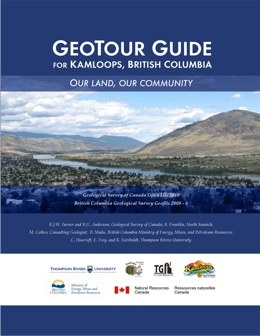
| Title: | GeoTour Guide for Kamloops, British Columbia |
| Author(s): | Turner, R.J.W., Anderson, R.G., Franklin, R., Cathro, M., Madu. B., Huscroft, C., Frey, E., Favrholdt, K. |
| Series Name: | GeoFile |
| Publication Year: | 2008 |
| NTS Map Sheet(s): | 092I |
| Place Keyword(s): | British Columbia, Southern, Kamloops |
| Lat/Long (NSWE): | 50.97, 50.24, -121.96, -120 |
| Theme Keyword(s): | Geology, GeoTour Guide, Education, Geography, Resources |
| Download(s): | |
Abstract:  | This new, Geotour Guide for Kamloops, BC, provides a rich source of local earth-science information for teachers, prospectors, students, visitors, and interested residents. The 16 stops described in this colour guidebook tour the reader through the geology and geography of the Kamloops area. Highlights include a canyon walk through ancient volcanoes, a look at ancient fossil beds and a discussion of how dykes protect the city from flooding. The guidebook also shows how the city depends on earth resources like sand and gravel, clean water sources and how the earth accommodates waste materials. Kamloops’ mining history is highlighted by a stop at Highland Valley Copper mine as well as the Lafarge limestone quarry. Colour illustrations and photos help make this guide easy to follow and understandable. |


