| Issue ID: | B001 |
| Title: | Aiken Lake Area, North Central British Columbia |
| Author(s): | Lay, D. |
| Series Name: | Bulletin |
| Publication Year: | 1940 |
| Scale: | 1:400000 |
| NTS Map Sheet(s): | 094C/3,4,5,6,11,12;094D1,8,9 |
| Place Keyword(s): | British Columbia, North Central British Columbia, Aiken Lake |
| Lat/Long (NSWE): | 56.75, 56, -126, -125.5 |
| Theme Keyword(s): | Geology, Mineral occurrences |
Download(s):
| PDF |
Abstract:
 |
Bulletin 1 discusses geology and mineral occurrences in the Aiken Lake area of north-central British Columbia. Aiken Lake area is defined as a strip of country about 30 miles long and 10 miles wide, trending northwest through and east of Aiken and Uslika Lakes. These lakes are near the headwaters of the Mesilinka and Osilinka Rivers respectively. The earliest known mining activity in this region was the discovery of placer gold on Jimmay Creek in 1899 by James May, one of the pioneer prospectors in the northern part of the Province. This was immediately followed by some work on the creek by an English syndicate. Subsequently, save for the individual efforts of a few prospectors, the region was inactive for many years. Discovery of Ferguson and Childhood's Dream to the east in about 1925, doubtless stimulated the revival of prospecting in the adjoining Aiken Lake area, to which, at that time, attention was drawn by the reports of the Geological Survey, Canada, and of the Minister of Mines, British Columbia. |
| Issue ID: | B002 |
| Title: | Placer-Gold Deposits, Wheaton (Boulder) Creek, Cassiar District |
| Author(s): | Holland, S.S. |
| Series Name: | Bulletin |
| Publication Year: | 1940 |
| Scale: | 1:18000 |
| NTS Map Sheet(s): | 104I/6,7 |
| Place Keyword(s): | British Columbia, Cassiar District, Wheaton (Boulder) Creek |
| Lat/Long (NSWE): | 58.413, 58.311, -129.039, -128.927 |
| Theme Keyword(s): | Geology, Placer-gold Deposits |
Download(s):
| PDF |
Abstract:
 |
Bulletin 2 discusses placer-gold deposits in Wheaton (Boulder) Creek, Cassiar District, in northern British Columbia. The Cassiar district has long been known for its placer and lode-gold possibilities. The discover in 1873 of rich gold-bearing gravel on Thibert Creek led to the finding of placer gold on Dease Creek in the same year, and on McDame Creek in 1874. After a long period of inactivity and small gold production, placer gold was found on Goldpan Creek in 1924. Later, in 1934, gold-bearing quartz veins were found on Quartz Creek at the head of McDame Creek. Interest in the district was again renewed by the discovery in 1937 of a 52-ounce 15 dwt. gold nugget on Alice Shea Creek, a tributary of Wheaton Creek, and the discovery in 1938 of rich, shallow pay-gravel on the Peacock lease (No. 345), on lower Wheaton Creek. |
| Issue ID: | B003 |
| Title: | Fraser River Tertiary Drainage-history in Relation to Placer-gold Deposits |
| Author(s): | Lay, D. |
| Series Name: | Bulletin |
| Publication Year: | 1940 |
| Scale: | 1:3000000 |
| NTS Map Sheet(s): | 093; |
| Place Keyword(s): | British Columbia, Fraser River |
| Lat/Long (NSWE): | 54.115, 51.709, -123.23, -121.695 |
| Theme Keyword(s): | Surficial Geology, Tertiary Drainage, Placer-gold Deposits |
Download(s):
| PDF |
Abstract:
 |
Bulletin 3 discusses Fraser River Tertiary drainage-history in relation to placer gold deposits (Part I). To supplement the report on Horsefly area published in the Annual Report, Minister of Mines, BC, 1938, fieldwork commenced at the early part of the 1939 season in Beaver Creek Valley to delineate further the Tertiary Horsefly River drainage. It then became evident, however, that the Tertiary drainage histories of the Fraser and Horsefly Rivers were so closely linked, that further investigation in the Horsefly area should be preceded by an examination in the Fraser River Valley. This was done. |
| Issue ID: | B004 |
| Title: | Saline and Hydromagnesite Deposits in British Columbia |
| Author(s): | Cummings, J.M. |
| Series Name: | Bulletin |
| Publication Year: | 1940 |
| Scale: | 1:400000 |
| NTS Map Sheet(s): | 082;083;092;093;094;102;103;104;114 |
| Place Keyword(s): | British Columbia |
| Lat/Long (NSWE): | 60, 48, -139, -114 |
| Theme Keyword(s): | Geology, Saline and Hydromagnesite Deposits |
Download(s):
| PDF |
Abstract:
 |
Bulletin 4 describes saline and hydromagnesite deposits in British Columbia. Deposits of sodium and magnesium salts occur in various parts of the interior of BC. Most of them have been known for many years and some commercially exploited on a small scale. The more important of these deposits were investigated by the writer during the summer and autumn of 1937. This report brings together information based on this fieldwork as well as previously published reports. |
| Issue ID: | B005 |
| Title: | Mercury Deposits of British Columbia |
| Author(s): | Stevenson, J.S. |
| Series Name: | Bulletin |
| Publication Year: | 1940 |
| Scale: | 1:300000 |
| NTS Map Sheet(s): | 082;083;092;093;094;102;103;104;114 |
| Place Keyword(s): | British Columbia |
| Lat/Long (NSWE): | 60, 48, -139, -114 |
| Theme Keyword(s): | Geology, Mercury Deposits |
Download(s):
| PDF |
Abstract:
 |
Bulletin 5 describes mercury deposits in British Columbia. This report includes geological descriptions of all the known occurrences of mercury in BC. With the exception of the reported occurrence on the Homathko River, all the deposits were examined by the writer during the field seasons of 1938 and 1939. For the sake of completeness and introductory chapter is included that describes the mineralogy, metallurgy and modes of occurrences and economics of mercury. |
| Issue ID: | B006 |
| Title: | Geology of Camp McKinney and the Cariboo Amelia Mine |
| Author(s): | Hedley, M.S. |
| Series Name: | Bulletin |
| Publication Year: | 1940 |
| Scale: | 1:10000 |
| NTS Map Sheet(s): | 082; |
| Place Keyword(s): | British Columbia, Cariboo, Camp McKinney |
| Lat/Long (NSWE): | 49.125, 49.092, -119.229, -119.159 |
| Theme Keyword(s): | Geology, Mineral Deposits |
Download(s):
| PDF |
Abstract:
 |
Bulletin 6 describes the geology of Camp McKinney and the Cariboo Amelie Mine, Similkameen District. Camp McKinney is in the Greenwood Mining Division on Rock Creek drainage, about 9 miles north of the International Boundary and 6 miles north of Bridesville on the trans-provincial highway. A branch-road leaves the highway 3 miles east of Bridesville and passes through the camp westerly to Oliver. The camp is 6 1/2 miles from this road-junction and 22 miles distant from Oliver. Rock Creek, on the Canadian Pacific Railway (Kettle Valley Branch) is 16 miles southeast of Camp McKinney. |
| Issue ID: | B007 |
| Title: | Lode-Gold Deposits of the Upper Lemon Creek Area and Lyle Creek-Whitewater Creek Area, Kootenay District |
| Author(s): | Maconachie, R.J. |
| Series Name: | Bulletin |
| Publication Year: | 1940 |
| Scale: | 1:90000 |
| NTS Map Sheet(s): | 082; |
| Place Keyword(s): | British Columbia, Kootenay District, Upper Lemon Creek, Lyle Creek, Whitewater Creek |
| Lat/Long (NSWE): | 50.167, 50, -117.333, -117 |
| Theme Keyword(s): | Geology, Lode-gold Deposits |
Download(s):
| PDF |
Abstract:
 |
Bulletin 7 discusses lode-gold deposits of the Upper Lemon Creeks area and Lyle Creek-Whitewater Creek area, Kootenay District. Fieldwork in the area adjacent to the headwaters of Lemon Creek, undertaken during the 1939 season, was complementary to similar work completed on the lower reaches of the creek during the previous year. Similar conditions prevail generally throughout these two entirely arbitrary subdivisions and reference to the Annual Report, Minister of Mines BC, 1938, which contains data on conditions farther down the creek, will probably be of assistance and permit a broader conception of the region as a whole. The sketch map which accompanied the 1938 report (Figure 1) together with Figure 2 (which accompanies this report), cover Lemon Creek for its entire length. Lemon Creek joins the Slocan River about 6 miles south from Slocan City. |
| Issue ID: | B008 |
| Title: | Preliminary Report on the Bedwell River Area |
| Author(s): | Sargent, H. |
| Series Name: | Bulletin |
| Publication Year: | 1940 |
| Scale: | 1:100000 |
| NTS Map Sheet(s): | 092F |
| Place Keyword(s): | British Columbia, Bedwell River |
| Lat/Long (NSWE): | 49.5, 49.333, -126, -125.667 |
| Theme Keyword(s): | Geology, Mining |
Download(s):
| PDF |
Abstract:
 |
Bulletin 8 gives a preliminary report on the Bedwell River area, Vancouver Island, BC. The Bedwell River rises in the southwestern part of Strathcona Park, and empties into the head of Bedwell Sound on the west coast of Vancouver Island. The name "Bear River" was frequently used in old reports. The head of Bedwell Sound is about 16 miles north of Tofino and Clayoquot which are ports of call about 35 miles north of the entrance to Barkley Sound. Most of the area tributary to the river is in the Clayoquot Mining Division but the eastern part lies within the Alberni Mining Division. |
| Issue ID: | B009 |
| Title: | Molybdenum in British Columbia |
| Author(s): | Stevenson, J.S. |
| Series Name: | Bulletin |
| Publication Year: | 1940 |
| Scale: | 1:1000 |
| NTS Map Sheet(s): | 082;083;092;093;094;102;103;104;114 |
| Place Keyword(s): | British Columbia |
| Lat/Long (NSWE): | 60, 48, -139, -114 |
| Theme Keyword(s): | Geology, Molybdenum |
Download(s):
| PDF |
Abstract:
 |
Bulletin 9 discusses molybdenum in British Columbia. This bulletin includes a key map and includes geological descriptions of molybdenum deposits visited during the course of fieldwork from 1937 to 1939, inclusive. With the exception of the deposit at Alice Arm, all the more important deposits and many, though not all, of the less important deposits in the Province were visited. J.T. Mandy of the Department of Mines examined the Alice Arm deposit in 1939, and a synopsis of his report is included here. An appendix is included which gives brief notes on known occurrences of molybdenite in BC that have come to the attention of the Mines Department. |
| Issue ID: | B010 |
| Title: | Tungsten Deposits of British Columbia |
| Author(s): | Stevenson, J.S. |
| Series Name: | Bulletin |
| Publication Year: | 1941 |
| Scale: | 1:9000000 |
| NTS Map Sheet(s): | 082;083;092;093;094;102;103;104;114 |
| Place Keyword(s): | British Columbia |
| Lat/Long (NSWE): | 60, 48, -139, -114 |
| Theme Keyword(s): | Geology, Tungsten |
Download(s):
| PDF, ZIP (View Zip Contents) |
Abstract:
 |
Bulletin 10 discusses the tungsten deposits of British Columbia rewritten in 1943. This is a complete rewrite of the earlier bulletin published in 1941 with the same title. Expansion and revision was made necessary by the many new discoveries of scheelite made in the last two years which have shifted the emphasis on certain areas of the Province and on certain types of deposits. The various data are brought as much as possible up to date as of March 31, 1943, although it has been impossible to keep abreast of all current development. |
| Issue ID: | B011 |
| Title: | Fraser River Tertiary Drainage-History in Relation to Placer-Gold Deposits, (Part II) |
| Author(s): | Lay, D. |
| Series Name: | Bulletin |
| Publication Year: | 1941 |
| Scale: | 1:2000000 |
| NTS Map Sheet(s): | 093; |
| Place Keyword(s): | British Columbia, Fraser River |
| Lat/Long (NSWE): | 54.667, 53.167, -123.333, -120.917 |
| Theme Keyword(s): | Surficial Geology, Tertiary Drainage, Placer-gold Deposits |
Download(s):
| PDF |
Abstract:
 |
Bulletin 11 describes Fraser River Tertiary drainage-history in relation to placer gold deposits (Part II). This report supplements Bulletin No. 3, 1940 and continues the investigation of the Fraser River drainage as far as the Grand Canyon, 109 miles up-stream from Prince George. The river, confined for 120 miles up-stream from this point, emerges from the Rocky Mountain Trench through a wide local break in the north-northwesterly continuity of that great valley. |
| Issue ID: | B012 |
| Title: | Reconnaissance in the Area of Turnagain and Upper Kechika Rivers, Northern British Columbia |
| Author(s): | Hedley, M.S., Holland, S.S. |
| Series Name: | Bulletin |
| Publication Year: | 1941 |
| Scale: | 1:250000 |
| NTS Map Sheet(s): | 094L; 104I/1,2,7,8,9,10,15,16 |
| Place Keyword(s): | British Columbia, Northern British Columbia, Turnagain River, Upper Kechika River |
| Lat/Long (NSWE): | 59.333, 57.75, -129.5, -126 |
| Theme Keyword(s): | Geology |
Download(s):
| PDF |
Abstract:
 |
Bulletin 12 discusses reconnaissance in the area of Turnagain and Upper Kechika Rivers, northern BC. The Kechika and Turnagain Rivers together drain a region greater than 6,000 square miles in extent in northern BC. They unite, as the Kechika, to form a major tributary of the Liard River. Kechika River heads at Sifton Pass, latitude 58 degrees north, and flows north-westward in the Rocky Mountain Trench along the flank of the northernmost Rocky Mountains. Turnagain River heads on the west flank of the Cassiar Mountains and cuts across them in a general north-easterly direction to join the Kechika at Chee House, an abandoned trading post, about 70 miles from Liard River and 60 miles due south of the Yukon boundary. During 1939 topographic mapping of the Trench by the Department of Lands was completed from Finlay Forks to Sifton Pass, and in addition triangulation was almost completed from Sifton Pass to Lower Post on Liard River, a few miles south of the Yukon boundary. This work was continued, at a reduced rate, in 1940; the Trench was mapped as far northwest as Gataga and Terminus Mountains. Triangulation was completed to the Yukon boundary and extended up Turnagain River to within 25 miles of an existing network to the east of Dease Lake. |
| Issue ID: | B013 |
| Title: | Supplementary Report on Bedwell River |
| Author(s): | Sargent, H. |
| Series Name: | Bulletin |
| Publication Year: | 1941 |
| Scale: | 1:70000 |
| NTS Map Sheet(s): | 092F |
| Place Keyword(s): | British Columbia, Bedwell River |
| Lat/Long (NSWE): | 49.517, 49.333, -125.833, -125.5 |
| Theme Keyword(s): | Geology, Mining |
Download(s):
| PDF |
Abstract:
 |
Bulletin 13 gives a supplementary report on the Bedwell River area, Vancouver Island, BC. Fieldwork in 1939 and 1940, followed by office work including microscopic studies, is the basis for this bulletin, which deals with an area in the Alberni and Clayoquot Mining Divisions, Vancouver Island, BC. The geology of the area, as far as mapped in the two seasons, is represented on Figure 1, scale 1 inch to the mile, with topography in the northern part indicated by contours at 200 foot intervals. The topography is taken from part of Map No. 92F/5, released in 1939 by the BC Department of Lands, scale 2 inches to the mile, contour interval 100 feet. The base for the southern part of Figure 1 is the drainage pattern, prepared by the writer from airplane photographs borrowed from the Department of Lands. |
| Issue ID: | B014 |
| Title: | Coal Analyses of British Columbia |
| Author(s): | Dickson, J. |
| Series Name: | Bulletin |
| Publication Year: | 1941 |
| NTS Map Sheet(s): | 082;083;092;093;094;102;103;104;114 |
| Place Keyword(s): | British Columbia |
| Lat/Long (NSWE): | 60, 48, -139, -114 |
| Theme Keyword(s): | Geology, Coal |
Download(s):
| PDF |
Abstract:
 |
Bulletin 14 gives a coal analyses of British Columbia. The tables give the analyses of BC coals and details of their adaptability for use in the pulverized form, their products under low temperature carbonatization treatment, and their indicated value by means of hydrogenation or liquification; the latter system converting a high percentage of the total weight of the treated coal into gasoline and other derivates of coal. |
| Issue ID: | B015 |
| Title: | Hydraulic Mining Methods |
| Author(s): | Holland, S.S. |
| Series Name: | Bulletin |
| Publication Year: | 1942 |
| NTS Map Sheet(s): | 082;083;092;093;094;102;103;104;114 |
| Place Keyword(s): | British Columbia |
| Lat/Long (NSWE): | 60, 48, -139, -114 |
| Theme Keyword(s): | Geology, Mining, Hydraulic Mining |
Download(s):
| PDF |
Abstract:
 |
Bulletin 15 discusses hydraulic mining methods in British Columbia. When placer gold was first discovered in BC, much of the gravel was mined by methods other than hydraulicking. Subsequently, however, with the working out of rich shallow gravel, extensive yardages of lower grade gravel were left which under favourable conditions were mined by hydraulicking. This type of mining produces the largest proportion of placer gold at present. |
| Issue ID: | B016 |
| Title: | Dragline Dredging Methods |
| Author(s): | Holland, S.S. |
| Series Name: | Bulletin |
| Publication Year: | 1942 |
| NTS Map Sheet(s): | 082;083;092;093;094;102;103;104;114 |
| Place Keyword(s): | British Columbia |
| Lat/Long (NSWE): | 60, 48, -139, -114 |
| Theme Keyword(s): | Geology, Mining, Dragline Dredging |
Download(s):
| PDF |
Abstract:
 |
Bulletin 16 discusses dragline dredging methods in British Columbia. A dragline dredge is a placer mining machine comprising two separate units (see Plates I and II). The gravel is dug by a standard dragline shovel which travels over the ground under its own power usually by means of caterpillar tracks (some of the large shovels are "walkers"). The bucket, having a capacity of from one to three cubic yards or more, is suspended from a structural steel boom 50 feet or more in length. The gravel is washed in a separate unit whose equipment is on a barge floating in a pond. For washing the gravel and separating the gold from it, the barge has a revolving screen (trommel) and riffle-tables similar to those used on bucket-line dredges. The dragline shovel digs away at the edge of the pond and casts the gravel into the hopper of the washing plant. The pond consequently advances as the digging proceeds and the barge follows by being warped along by winches with cables anchored on shore. The coarse tailings are discharged from a belt-conveyor, and sand-sluices fill the pond behind the dredge. |
| Issue ID: | B017 |
| Title: | An Introduction to Metal Mining in British Columbia |
| Author(s): | Officers of the Department of Mines |
| Series Name: | Bulletin |
| Publication Year: | 1943 |
| Scale: | 1:9000000 |
| NTS Map Sheet(s): | 082;083;092;093;094;102;103;104;114 |
| Place Keyword(s): | British Columbia |
| Lat/Long (NSWE): | 60, 48, -139, -114 |
| Theme Keyword(s): | Geology, Mining, Metal Mining |
Download(s):
| PDF |
Abstract:
 |
Bulletin 17 gives an introduction to metal mining in British Columbia. During the ten year period ending in 1941, the annual value of the mineral production of BC averaged over $56,000,000. It is apparent that metal mining has been pre-eminent in BC's mineral production. Gold production, averaging more than $16,000,000. constituted slightly over a third of the value of the metallics and more than a fourth of the total value of all mineral products. However, because of expanding industrialization and growing population it is likely that production of structural and industrial materials will increase. |
| Issue ID: | B018 |
| Title: | Specimens and Samples, Their Treatment and Use |
| Author(s): | Officers of the Department |
| Series Name: | Bulletin |
| Publication Year: | 1944 |
| NTS Map Sheet(s): | 082;083;092;093;094;102;103;104;114 |
| Place Keyword(s): | British Columbia, Victoria |
| Lat/Long (NSWE): | 60, 48, -139, -114 |
| Theme Keyword(s): | Geology, Samples, Specimens |
Download(s):
| PDF |
Abstract:
 |
Bulletin 18 discusses the treatment and use of specimens and samples in geology in British Columbia. This bulletin, written for the prospector, deals with the specimens and samples taken in the field and the treatment received in the Department of Mines laboratories in Victoria, BC. This bulletin brings out the differences between specimens and samples; the usefulness of each; how they should be taken, labeled, and shipped; and how specimens and some samples can be studied in the field. |
| Issue ID: | B019 |
| Title: | The Tuya-Teslin Area, Northern British Columbia |
| Author(s): | Watson, K. DeP., Mathews, W.H. |
| Series Name: | Bulletin |
| Publication Year: | 1944 |
| Scale: | 1:253440 |
| NTS Map Sheet(s): | 104O/3,4,5,6,12; 104N/8,9 |
| Place Keyword(s): | British Columbia, Northern British Columbia, Tuya, Teslin |
| Lat/Long (NSWE): | 58.917, 59.5, -132.167, -130.083 |
| Theme Keyword(s): | Geology |
Download(s):
| PDF |
Abstract:
 |
Bulletin 19 discusses the geology of the Tuya-Teslin area of northern British Columbia. The Tuya-Teslin area, 1600 square miles in extent, is situated in the Stikine and Atlin Mining Divisions of northern BC, partly within the western margin of the Cassiar-Omineca Mountains. Although the area is accessible by several routes of travel, it is remote and transportation costs are very high. Because of the cold climate and the presence of snow in all but the summer months, prospecting can be carried out on satisfactorily for only about four months of the year. |
| Issue ID: | B020-02 |
| Title: | Lode-Gold Deposits: Part I: Not published, Part II: Lode-gold Deposits, Southeastern B.C. |
| Author(s): | Mathews, W.H. |
| Series Name: | Bulletin |
| Publication Year: | 1944 |
| NTS Map Sheet(s): | 082F; 082G; 082J; 082K |
| Place Keyword(s): | British Columbia, Southeastern British Columbia |
| Lat/Long (NSWE): | 51, 49, -118, -114 |
| Theme Keyword(s): | Geology, Lode-gold Deposits |
Download(s):
| PDF |
Abstract:
| Bulletin 20-02 discusses lode-gold deposits in southeastern British Columbia. This is a six-part bulletin which covers separate areas. Part I - not published; Part II (20-02) - southeastern BC; Part III (20-03) - south-central BC; Part IV (20-04) - southwestern BC excluding Vancouver Island; Part V (20-05) - Vancouver Island; Part VI (20-06) - northeastern BC, Cariboo Cariboo and Hobson Creek areas. |
| Issue ID: | B020-03 |
| Title: | Lode-Gold Deposits: Part III: Lode-gold Deposits, Central-southern British Columbia |
| Author(s): | Hedley, M.S., Watson, K. DeP. |
| Series Name: | Bulletin |
| Publication Year: | 1945 |
| NTS Map Sheet(s): | 082E; 082L |
| Place Keyword(s): | British Columbia, Southcentral British Columbia |
| Lat/Long (NSWE): | 51, 49, -120, -118 |
| Theme Keyword(s): | Geology, Lode-gold Deposits |
Download(s):
| PDF |
Abstract:
| Bulletin 20-03 discusses lode-gold deposits in south-central British Columbia. This is a six-part bulletin which covers separate areas. Part I - not published; Part II (20-02) - southeastern BC; Part III (20-03) - south-central BC; Part IV (20-04) - southwestern BC excluding Vancouver Island; Part V (20-05) - Vancouver Island; Part VI (20-06) - northeastern BC, Cariboo Cariboo and Hobson Creek areas. |
| Issue ID: | B020-04 |
| Title: | Lode-Gold Deposits: Part IV: Lode-gold Deposits, Southwestern British Columbia (Exclusive of Vancouver Island) |
| Author(s): | Stevenson, J.S. |
| Series Name: | Bulletin |
| Publication Year: | 1944 |
| NTS Map Sheet(s): | 092; |
| Place Keyword(s): | British Columbia, Southwestern British Columbia |
| Lat/Long (NSWE): | 52, 49, -128, -120 |
| Theme Keyword(s): | Geology, Lode-gold Deposits |
Download(s):
| PDF, ZIP (View Zip Contents) |
Abstract:
| Bulletin 20-04 discusses lode-gold deposits in southwestern British Columbia. This is a six-part bulletin which covers separate areas. Part I - not published; Part II (20-02) - southeastern BC; Part III (20-03) - south-central BC; Part IV (20-04) - southwestern BC excluding Vancouver Island; Part V (20-05) - Vancouver Island; Part VI (20-06) - northeastern BC, Cariboo Cariboo and Hobson Creek areas. |
| Issue ID: | B020-05 |
| Title: | Lode-Gold Deposits: Part V: Lode-gold Deposits, Vancouver Island |
| Author(s): | Stevenson, J.S. |
| Series Name: | Bulletin |
| Publication Year: | 1944 |
| NTS Map Sheet(s): | 092B,092C,092E,092F,092K,092L;102I |
| Place Keyword(s): | British Columbia, Vancouver Island |
| Lat/Long (NSWE): | 48.25, 51, -128.4, -123 |
| Theme Keyword(s): | Geology, Lode-gold Deposits |
Download(s):
| PDF, ZIP (View Zip Contents) |
Abstract:
| Bulletin 20-05 discusses lode-gold deposits on Vancouver Island in British Columbia. This is a six-part bulletin which covers separate areas. Part I - not published; Part II (20-02) - southeastern BC; Part III (20-03) - south-central BC; Part IV (20-04) - southwestern BC excluding Vancouver Island; Part V (20-05) - Vancouver Island; Part VI (20-06) - northeastern BC, Cariboo BC, Cariboo and Hobson Creek areas. |
| Issue ID: | B020-06 |
| Title: | Lode-Gold Deposits: Part VI: Lode-gold Deposits, Northeastern British Columbia and Cariboo and Hobson Creek Areas |
| Author(s): | Holland, S.S. |
| Series Name: | Bulletin |
| Publication Year: | 1944 |
| NTS Map Sheet(s): | 093; 094; 103; 104; 114 |
| Place Keyword(s): | British Columbia, Northeastern British Columbia |
| Lat/Long (NSWE): | 60, 52, -130, -120 |
| Theme Keyword(s): | Geology, Lode-gold Deposits |
Download(s):
| PDF |
Abstract:
| Bulletin 20-06 discusses lode-gold deposits in northeastern British Columbia. This is a six-part bulletin which covers separate areas. Part I - not published; Part II (20-02) - southeastern BC; Part III (20-03) - south-central BC; Part IV (20-04) - southwestern BC excluding Vancouver Island; Part V (20-05) - Vancouver Island; Part VI (20-06) - northeastern BC, Cariboo Cariboo and Hobson Creek areas. |
| Issue ID: | B021 |
| Title: | Notes on Placer Mining in British Columbia |
| Author(s): | Officers of the Department |
| Series Name: | Bulletin |
| Publication Year: | 1946 |
| Scale: | 1:10000000 |
| NTS Map Sheet(s): | 082;083;092;093;094;102;103;104;114 |
| Place Keyword(s): | British Columbia |
| Lat/Long (NSWE): | 60, 48, -139, -114 |
| Theme Keyword(s): | Geology, Placer-mining |
Download(s):
| PDF |
Abstract:
 |
Bulletin 21 discusses placer-mining in British Columbia. This bulletin contains general information about the geology, physiography, and climate of BC, the nature and formation of placer deposits, the history of placer mining, and the placer gold production of BC. It also contains brief notes dealing with placer gold areas in BC and information about prospecting for placer and describes methods of placer mining suitable for small-scale operations. |
| Issue ID: | B022 |
| Title: | Geology of the Whitewater and Lucky Jim Mine Areas |
| Author(s): | Hedley, M.S. |
| Series Name: | Bulletin |
| Publication Year: | 1947 |
| Scale: | 1:9600 |
| NTS Map Sheet(s): | 082F/03 |
| Place Keyword(s): | British Columbia, Whitewater, Lucky Jim Mine |
| Lat/Long (NSWE): | 50.084, 50.016, -117.253, -117.095 |
| Theme Keyword(s): | Geology, Bedrock Geology |
Download(s):
| PDF |
Abstract:
 |
Bulletin 22 describes the geology of the Whitewater and Lucky Jim Mine areas of southeastern British Columbia, Slocan District. This bulletin contains a structural analysis of the area between Retallack and Zincton and a detailed description of the Whitewater and Lucky Jim mines as well as six smaller properties. The area is in the slate belt, the basal part of the Slocan sedimentary series of Triassic age. The slaty rocks are cut by both granitic and lamprophyre dykes. The predominantly argillaceous rocks are in part slates but include phyllites and bands and single beds of limestone and quartzite. The regional strike is northwestward and the prevalent dip southwestward. The structure plunges westward west of Whitewater Creek and eastward east of that creek. |
| Issue ID: | B023 |
| Title: | Calcareous Deposits of the Georgia Strait Area |
| Author(s): | Mathews, W.H. |
| Series Name: | Bulletin |
| Publication Year: | 1947 |
| Scale: | 1:1000000 |
| NTS Map Sheet(s): | 092F/1,2,3,4,5,6,7,8,9,10,11,12,13,14,15; 092B/5,6,11,12,13,14; 092C/8,9,10,11,14,15,16; 092G/3,4,5,6,11,12,13,14 |
| Place Keyword(s): | British Columbia, Southwestern British Columbia, Georgia Strait |
| Lat/Long (NSWE): | 50.5, 48, -126, -121.5 |
| Theme Keyword(s): | Geology, Calcareous Deposits |
Download(s):
| PDF |
Abstract:
 |
Bulletin 23 describes calcareous deposits of the Georgia Strait area of southwestern British Columbia. This bulletin includes reports of surveys of most of the known commercial or potentially calcareous deposits readily accessible to the industrial and agricultural areas of southwestern BC and northwestern Washington state. Limestone deposits on the west coast of Vancouver Island and on the inland passage north of the difficulty navigable waters of Seymour Narrows, Okisollo Channel, and Yuculta Rapids have not, however, been examined. Deposits more than 4 or 5 miles from tide-water have likewise been omitted from this study, except in the eastern part of the Fraser Valley and in the western part of the Cascade Range of Washington where adequate road or rail transportation is available. Unconsolidated calcareous deposits, marl, travertine, and shell, which are of some economic importance within this area, have been included in this study. |
| Issue ID: | B024 |
| Title: | Geology and Coal Resources of the Carbon Creek-Mount Bickford Map Area |
| Author(s): | Mathews, W.H. |
| Series Name: | Bulletin |
| Publication Year: | 1947 |
| Scale: | 1:19200 |
| NTS Map Sheet(s): | 093O/15 |
| Place Keyword(s): | British Columbia, Carbon Creek, Mount Bickford |
| Lat/Long (NSWE): | 56.167, 55.533, -122.833, -122.25 |
| Theme Keyword(s): | Geology, Coal Resources |
Download(s):
| PDF |
Abstract:
 |
Bulletin 24 describes the geology and coal resources of the Carbon Creek-Mount Bickford map area. This report was written with the purpose of obtaining information on the coal resources of the Carbon Creek basin and of the area between this coalfield and the Hasler Creek field. Particular attention was paid to the structure and distribution of coal-bearing rocks and to any exposures of coal of possible commercial significance. Much of the area between the Carbon Creek and Hasler Creek coalfields proved to be underlain by a succession of marine sediments, hitherto virtually unknown, and a more or less detailed study of these rocks was made during the survey. |
| Issue ID: | B025 |
| Title: | The Squaw Creek-Rainy Hollow Area |
| Author(s): | Watson, K. DeP. |
| Series Name: | Bulletin |
| Publication Year: | 1948 |
| Scale: | 1:9600 |
| NTS Map Sheet(s): | 114P/14 |
| Place Keyword(s): | British Columbia, Squaw Creek, Rainy Hollow |
| Lat/Long (NSWE): | 60, 59.417, -137.167, -136.167 |
| Theme Keyword(s): | Geology, Mineral occurrences |
Download(s):
| PDF |
Abstract:
 |
Bulletin 25 discusses the geology and mineral occurrences in the Squaw Creek-Rainy Hollow area in northern BC. The Squaw Creek-Rainy Hollow area is approximately 750 square miles in extent; lies in the Atlin Mining Division and is about 40 to 70 miles west to northwest of Skagway, Alaska. In 1943 access to the area was greatly improved by the construction through it of the Haines "Cut-off" Road, connecting Haines on Chilkoot Inlet with the Alaska Highway at a point 100 miles west of Whitehorse. |
| Issue ID: | B026 |
| Title: | Report on the Stanley Area, Cariboo Mining Division |
| Author(s): | Holland, S.S. |
| Series Name: | Bulletin |
| Publication Year: | 1948 |
| Scale: | 1:19200 |
| NTS Map Sheet(s): | 093H/4 |
| Place Keyword(s): | British Columbia, Cariboo, Stanley Area |
| Lat/Long (NSWE): | 53.167, 53, -121.75, -121.583 |
| Theme Keyword(s): | Geology, Mining |
Download(s):
| PDF |
Abstract:
 |
Bulletin 26 gives a report on the Stanley area in the Cariboo Mining Division in central British Columbia. Near Stanley, two major creeks and their numerous tributaries have yielded placer gold estimated to have a value of $10,000,000 or more. The extraordinary richness of parts of the placer creeks, together with the known distribution of the placer deposits, initially suggested that there might be some demonstrable relationship, such as has been found in the Barkerville Gold Belt to the northeast, between the placer gold deposits, the known vein occurrences, the bedrock geology and the bedrock structure. Fieldwork was undertaken in the Stanley area in the hope that future prospecting and exploration might be benefited by the development of this idea. |
| Issue ID: | B027 |
| Title: | Geology and Mineral Deposits of the Zeballos Mining Camp, British Columbia |
| Author(s): | Stevenson, J.S. |
| Series Name: | Bulletin |
| Publication Year: | 1950 |
| Scale: | 1:7200 |
| NTS Map Sheet(s): | 092L/2 |
| Place Keyword(s): | British Columbia, Northern Vancouver Island, Zeballos |
| Lat/Long (NSWE): | 50.167, 49.917, -126.917, -126.667 |
| Theme Keyword(s): | Geology, Mineral Deposits |
Download(s):
| PDF |
Abstract:
 |
Bulletin 27 describes the geology and mineral deposits of the Zeballos mining camp of northern Vancouver Island in southwestern British Columbia. This bulletin presents data obtained from a detailed study of the areal geology of the surface and of the extensive mine workings in the Zeballos camp and presents conclusions concerning the localization of ore in the camp. Conclusions of a general nature are given in the general discussion of ore deposits, and those of a more detailed nature relating to properties are given in the individual descriptions of the properties. |
| Issue ID: | B028 |
| Title: | Placer Gold Production of British Columbia |
| Author(s): | Holland, S.S. |
| Series Name: | Bulletin |
| Publication Year: | 1950 |
| Scale: | 1:1700000 |
| NTS Map Sheet(s): | 082;083;092;093;094;102;103;104;114 |
| Place Keyword(s): | British Columbia |
| Lat/Long (NSWE): | 60, 48, -139, -114 |
| Theme Keyword(s): | Geology, Mining, Placer-gold |
Download(s):
| PDF |
Abstract:
 |
Bulletin 28 discusses placer gold production in British Columbia. This bulletin sets forth the recorded placer production for BC and for each placer stream in British Columbia. The production data and the accompanying notes are presented because of their interest and value to those who contemplate placer mining or prospecting for placer deposits in BC. |
| Issue ID: | B029 |
| Title: | Geology and Ore Deposits of the Sandon Area, Slocan Camp, British Columbia |
| Author(s): | Hedley, M.S. |
| Series Name: | Bulletin |
| Publication Year: | 1952 |
| Scale: | 1:9600 |
| NTS Map Sheet(s): | 082F/14 |
| Place Keyword(s): | British Columbia, Sandon Area, Slocan Mining Camp |
| Lat/Long (NSWE): | 50.017, 49.942, -117.308, -117.205 |
| Theme Keyword(s): | Geology, Ore Deposits, Bedrock Geology |
Download(s):
| PDF |
Abstract:
 |
Bulletin 29 covers the geology and ore deposits of the Sandon area, Slocan Mining Camp, British Columbia. Sandon has been a centre of production of silver-lead-zinc ores for sixty years. Mines in the area have contributed approximately half the entire output of silver and lead of the Slocan Mining Division. Mining activity has fluctuated widely with the condition of the metal market, and interest in the area has been renewed with the most recent rise in prices.
The area is 2 miles north of the northern boundary of the Nelson batholith and is underlain by sediments of the Slocan series, intruded by dykes and small stocks.
The Slocan series is of great thickness, only part of which is exposed within the Sandon area. In the area, tuff occurs in the upper part of the geologic column. The sediments are mainly argillites, quartzites, and limestones, or intimate admixtures of these rock types. For the most part the sediments are silty, estuarine deposits with rapid alternations in character; some are rhythmically banded. Cross bedding and evidence of turbulent deposition are common in many parts of the geologic column. The rocks are locally slaty.
Intrusive bodies are for the most part sill-like and some stocks are elongated with the structure. The general rock type is a quartz diorite, with a highly variable texture. Lamprophyres of the same general composition, but relatively rich in biotite, are common and grade into the quartz diorites.
Metamorphism of contact type is not marked. The principal product, which occurs locally, is a brownish rock produced by the development of biotite in some of the argillite. Silicification is widespread, affecting the rocks patchily and chiefly in the southern and western parts of the area. The rock most affected is limestone, which may be converted to a product very similar in appearance to quartzite. Silicification is not related to the lodes but to the general process of intrusion, and is only locally related to specific dykes or sills.
The structure is of a type not heretofore described. It is more Alpine than has previously been recognized in British Columbia and has far-reaching regional implications, although the implications are not considered in this bulletin. Certain details of the structure are believed to be closely related to the emplacement of the Nelson batholith but, as time has prevented study of the batholith itself, the relationship has not been proved.
The folding of the Slocan sediments is of recumbent type, the individual folds having axial planes with little or no dip and axial lines with little or no plunge. The entire assemblage is involved in one huge recumbent fold, striking northwesterly, which is open or concave to the southwest. This is termed the Slocan fold, and includes many smaller folds of various sizes and degrees of complexity.
The large complex Slocan fold is wrapped round the northeastern end of the Nelson batholith, east of the Sandon area. South of the area, and also east of it, the rocks deviate markedly from the northwesterly strike along the general east-west course of the batholith. The folded rocks swing through a right angle in strike in a huge crumple that is termed down buckling, and ultimately meet the batholith tangentially. This folding of folded rocks is a modification of the Slocan fold structure, and there is no evidence that it was produced by a second period or separate generation of orogeny; rather, it is believed to have resulted from a progressive change in stress application during late stages of the Slocan folding. A further modification of the Slocan fold is a broad cross-warp that extends across the entire structure from the vicinity of Idaho Peak to the vicinity of Retallack. The cross-warp is anticlinal, with low regional plunges to northwest and southeast on either side of it. It extends through the main productive belt of the Slocan mining camp.
Drag folds of all sizes are developed in characteristic relation to the large folds. The geometry of recumbent folding is such that all upper beds have moved relatively downward, the reverse of the movement observed in upright folds. Cleavage is developed locally, and in the main Whitewater and Payne slate belts it is produced at least in part by excessive interbed slippage which amounts to shearing. Axial-plane cleavage and shear cleavage cannot be differentiated except by structural reference, and some cleavage is of dual origin.
There are many faults, all of which are related to the structural complex and the forces that produced it. Two general classes of faults are recognized: tangential and crosscutting. The tangential faults are parallel in strike to the formation and commonly are bedded. The crosscutting faults cross the regional strike at large angles. The two classes are closely related in time of origin. All faults appear to be normal, and most have a lateral as well as a normal component of movement. The displacement on the tangential faults is a consequence of the folding and bears the same relative movement as the interbed slippage of which the faults are, in a sense, an extreme expression. The crosscutting faults are tear faults with a component of underthrusting.
The lodes are almost without exception crosscutting faults, of small and large size. In the Sandon area they cut across the structure but, immediately to the south in the valley of Silverton Creek, they are tangential to the down-buckled strata. It is believed that the larger faults of this class originated parallel with the down-buckled rocks as an extreme of this late phase of folding and in partial relief of the stresses that produced it. The larger faults or lodes stemmed from a focal area in lower Silverton Creek with steep dips to the northwest, rolled with the down buckle to a southeasterly dip and, in the zone of maximum curvature, continued across the northwesterly striking rocks.
Most of the lodes are complex, inasmuch as they represent zones of rupture with more than one locus of movement. They are to a considerable extent influenced by the structure they cross, in both strike and dip. They are zones of both fracture and shear.
Orebodies are related to zones of fracture rather than of shearing and as a rule occur in places of decreased confining pressure. The factors that may be said to have controlled ore deposition are many, and most orebodies were formed as a result of the conjunction of a number of favourable circumstances.
Metal distribution within the area and within individual lodes is of great importance. Factors which might limit the occurrence of ore at depth and which might produce lateral or vertical segregation are vital to considerations of development. No marked pattern of zoning or segregation is recognized, except for the fact that the margins of orebodies are relatively richer in zinc than in lead. The control of ore deposition is structural, and temperature and load pressure due to depth are of minor importance. The most important single factor was probably that of local confining pressure in a structurally complex environment. |
| Issue ID: | B030 |
| Title: | Clay and Shale Deposits in British Columbia |
| Author(s): | McCammon, J.W., Cummings, J.M. |
| Series Name: | Bulletin |
| Publication Year: | 1953 |
| NTS Map Sheet(s): | 083; 092; 093; 094; 102; |
| Place Keyword(s): | British Columbia |
| Lat/Long (NSWE): | 55, 48, -133, -114 |
| Theme Keyword(s): | Geology, Clay Deposits, Shale Deposits |
Download(s):
| PDF |
Abstract:
 |
Bulletin 30 discusses clay and shale deposits in British Columbia. This report is based on field examinations by the writers and on published data from several sources. The locations of clay deposits on which specific information is available are shown on the accompanying key map, and pertinent data are presented in tabular form. |
| Issue ID: | B031 |
| Title: | Geology of the Sheep Creek Camp |
| Author(s): | Mathews, W.H. |
| Series Name: | Bulletin |
| Publication Year: | 1953 |
| Scale: | 1:18200 |
| NTS Map Sheet(s): | 082F/3 |
| Place Keyword(s): | British Columbia, Nelson Mining Division, Sheep Creek |
| Lat/Long (NSWE): | 49.192, 49.1, -117.133, -117.067 |
| Theme Keyword(s): | Geology, Quartz Veins, Bedrock Geology |
Download(s):
| PDF |
Abstract:
 |
Bulletin 31 describes the geology of the Sheep Creek camp, which has produced almost two-thirds of the lode gold credited to the Nelson Mining Division. Although the camp is currently non-productive, it ranks as the sixth camp in British Columbia in terms of total lode gold produced to the end of 1951.
The production of the camp has come from quartz veins that to the end of 1951 have yielded a total of 736,000 ounces of gold, 365,000 ounces of silver, 377,000 pounds of lead, and 312,000 pounds of zinc from 1,720,000 tons of ore. The production recorded year by year for the camp is set forth in Table VI on page 51. The accumulated gross value of the gold amounts to more than $24,000,000. Dividends paid from the profits of mines in the camp, mainly in the period 1935 to 1943, have amounted to $5,400,000.
Two main periods are recognizable in the productive history of the camp. The first began in 1899, reached its peak immediately before World War I, and ended in 1916. The second began in 1928 when a new vein on a new property, the Reno, was brought into production. In the next few years conditions became very favourable for mining gold, and the former producers, the Kootenay Belle and the Queen (Sheep Creek Gold Mining Limited), and a new producer, the Gold Belt, were equipped with modern mills. Production reached its peak in 1937 and was maintained at more than 135,000 tons a year until 1942. Thereafter production was mainly from the property of Sheep Creek Gold Mines Limited, which was shut down in 1951 after seventeen years of production. The camp is now inactive except for minor leasing-type operations. Both main periods ended in times that were unfavourable for gold mining, the mines being closed after ore that had been developed under more favourable conditions had been entirely or almost entirely exhausted.
The output of the camp has come almost entirely from oreshoots in quartz veins cutting folded quartzites that are part of a thick succession of Lower Cambrian and Precambrian (?) sedimentary rocks. A very small part of the total gold production has been recovered from narrow high-grade veins in limestone. The sediments are intruded by several stock-like granitic bodies, by an elongate swarm of quartz porphyry sills, and by numerous lamprophyre dykes. The granitic bodies are believed to be older than the ore and most of the lamprophyres to be younger. The quartz veins strike north-easterly across the axes of the folded sediments and generally dip steeply.
The Sheep Creek gold camp is within a district that contains numerous mining camps. Adjoining and near-by areas are important sources of tungsten and of silver, lead, and zinc. Several camps have contributed lode gold in varying quantities. Properties in the several camps of the district have yielded up to 120,000 ounces of gold each. The occurrences of gold in the district are dealt with briefly in Bulletin 20. Part 1, Lode Gold Deposits, southeastern British Columbia, by W. H. Mathews, British Columbia Department of Mines, 1944. Interest in lead-zinc replacement deposits in areas adjoining the Sheep Creek camp has increased greatly since the field work for this bulletin was undertaken. Similar lead-zinc deposits have not been discovered within the boundaries of the area treated in the present report.
The sedimentary rocks in the Sheep Creek camp had been highly folded prior to the intrusion of the igneous rocks, and two tight northerly trending anticlines with an intervening syncline make up the major structures of the camp. Faults belonging to four sets cut across the folded structures (1) A group of north-easterly trending, south-easterly dipping, right-hand strike-slip faults with a small normal component of movement contain all the productive veins, (2) a very few northwesterly trending left-hand strike-slip faults, (3) several northerly trending normal faults; and (4) flat faults along which the hanging walls have been thrust westward with respect to the footwalls.
The veins occupy the north-easterly trending faults and consist of quartz with minor amounts of pyrite and still smaller amounts of pyrrhotite, chalcopyrite, galena, sphalerite, and gold. The quartz in the veins is probably derived in large part by recrystallization of quartzite walls. Visible gold is rare. The ore is almost without exception confined to parts of the fault zones in which one or both walls are made up of quartzite, and the orebodies are, therefore, found where the veins intersect certain stratigraphic units, notably the quartzite units referred to as Upper Nugget and Upper Navada. The Motherlode member, also quartzitic, is for some unexplained reason almost completely lacking in orebodies. The Reno formation, predominantly argillaceous, is almost devoid of ore except in the Reno mine, where the rocks have been conspicuously metamorphosed. In the veins, the ore occurs in shoots; the other parts of the veins are either too thin, or too low in grade, or both, to justify stoping. In any one vein the profitable oreshoots have been found within a vertical range of not more than 1,600 feet. This vertical range for successive veins lies within a depth zone that slopes regularly from the northern to the southern end of the camp. At the northern end it is 5,500 to 7,000 feet above sea level and at the southern end of the camp, 4 miles distant, it lies entirely below the 3,000 foot level. Above this zone the vein fracture may persist, but at least within the quartzites, the veins are too narrow to contain orebodies. At the bottom of the zone, the veins persist and may be even wider than within the zone. A few veins have been explored at depths of not more than 250 feet below the bottoms of the deepest stopes. Although these veins are of good width, the parts rich enough in gold to constitute oreshoots were too small and too widely scattered to encourage further exploration and development. Within the favourable wallrocks and within the favourable depth zone, those parts of the veins striking most nearly east are more likely to contain ore.
Displacement on vein fractures is variable, and in any one vein, other things being equal, the width increases with the amount of displacement. However, the vein filling is not necessarily wide in vein fractures on which displacement has been large, nor narrow in those on which displacement has been small.
The grade of vein matter is exceedingly variable, patches of high-grade ore being distributed apparently at random within a vein. The area of such a patch measured in the plane of the vein is rarely more than a few hundred square feet and commonly is much less. In general patches of ore of which the grade exceeds 5 ounces of gold per ton are larger and more common in the upper part of the productive zone than at greater depths. |
| Issue ID: | B032 |
| Title: | Geology and Mineral Deposits of the Shulaps Range, Southwestern British Columbia |
| Author(s): | Leech, G.B. |
| Series Name: | Bulletin |
| Publication Year: | 1953 |
| Scale: | 1:64375 |
| NTS Map Sheet(s): | 092J/15,16; 092I/1,2 |
| Place Keyword(s): | British Columbia, Southcentral British Columbia, Shulaps Range |
| Lat/Long (NSWE): | 51.131, 50.875, -122.7, -122.25 |
| Theme Keyword(s): | Geology, Mineral Deposits, Bedrock Geology |
Download(s):
| PDF |
Abstract:
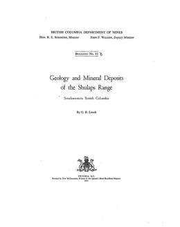 |
Bulletin 32 describes the geology and mineral deposits of the Shulaps Range on the northeast flank of the Coast Mountains in south-central British Columbia. This study focused on the ultramafic rocks in the core of the Shulaps Range and only a narrow strip of the surrounding rocks was mapped. Most of the Shulaps Creek drainage basin and much of the west flank of the Range are underlain by pre-Upper Triassic argillite, chert and greenstone with local limestone layers. Their age is uncertain. Along the west flank and north of Liza Lake, argillaceous and tuffaceous sediments, impure sandstones and conglomerates with lesser amounts of dark cherty strata and limestone of the Hurley Group predominate. Chert pebble and cobble conglomerates and associated rocks of the Taylor Group underlie the area of Quartz Mountain and northward to Noaxe Creek. A greenstone-gabbro complex underlie an area southeast of Liza Lake.
The Yalakom fault zone, along the eastern side of the Shulaps Range, marks the eastern limit of the ultramafic complex. East of the fault zone, greywacke, argillite, siltstone, grit and conglomerate of Triassic or earlier age and Lowe Cretaceous greywacke, shale, conglomerate, limestone and chert.
The Shulaps complex contains gabbro, diopside pyroxenite, and variably fresh to serpentinized or carbonatized ultrabasic rocks, dominantly peridotites but including dunite and harzburgite.
In the most important mineral deposit type, gold occurs in quartz veins. Underground development has been performed on both gold and mercury occurrences in the area. Other targets are manganese, chromium and magnesite. The gold bearing quartz fissure veins cut dioritic porphyries that intrude peridotite. Mercury mineralization, described in Bulletin 5, occurs in andesitic lavas interbedded with volcanic breccias within the Yalakom fault zone. The rocks are highly fractured and locally ankeritized. It is laced with stringers containing dolomitic carbonate and quartz. Cinnabar occurs in part of the intensely ankeritized zone as stringers, blebs and disseminated grains and fracture coatings.
Note: a more recent discussion of the geology is found in Bulletin 100. |
| Issue ID: | B033 |
| Title: | Geology of the Crowsnest Coal Basin with Special Reference to the Fernie Area |
| Author(s): | Newmarch, C.B. |
| Series Name: | Bulletin |
| Publication Year: | 1953 |
| Scale: | 1:19250 |
| NTS Map Sheet(s): | 082G/6,7,10,11 |
| Place Keyword(s): | British Columbia, Southeastern British Columbia, Fernie, Crowsnest Coal Basin |
| Lat/Long (NSWE): | 49.513, 49.467, -115.067, -114.933 |
| Theme Keyword(s): | Geology, Coal Measures, Bedrock Geology |
Download(s):
| PDF |
Abstract:
 |
Bulletin 33 covers the geology and coal measures of the Crowsnest coal basin near Fernie in southeastern British Columbia. The report describes the Michel strip mines and proposes a method to correlate coal seams by using spectrochemical analyses of ash from coal samples. The �Fernie Coal area�, approximately 31 square miles in area, was mapped at scale 1 inch to 800 feet.
Strata ranging in age from Jurassic to recent are exposed in the Crowsnest Coal basin but only the Mesozoic section is coal bearing and was studied in detail. The Fernie Formation is mainly gray to black shale with some fine sandy layers. The shales are variably calcareous and a sandy calcareous layer with numerous belemnites provides a useful marker within the formation. The unit thickens westward and is about 3000 feet thick in the Fernie area. Its age spans most of the Jurassic period. The Kootenay Formation is the coal-bearing unit. It is Upper Jurassic or Lower Cretaceous in age. It is characterized by dark sandstones, grey and black shales, several beds of conglomerate and up to 13 coal seams of commercial thickness. The best and most persistent marker is the 45 to 60-foot thick basal Kootenay sandstone that marks the lower limit of the coal measures. The Kootenay Formation grades into the overlying conglomeratic Elk Formation. The contact has been placed arbitrarily at the base of the conglomerate that overlies the number �B� coal seam. The Elk Formation consists of cherty conglomerates, gritty sandstones and grey to black shales. The Lower Cretaceous Blairmore Formation includes all the indurated conglomerates, sandstones and shales that overlie the Elk Formation.
The predominant structural trend of the region varies from north-northwest in the south, to north in the area north of Fernie. Most fold axes vary from vertical to west dipping. Most faults dip west and have west-side up movement. Near Michel Head and west of Fernie, anticlines are overturned toward the east. The area is characterized by many high angle, west dipping thrust faults and many folded faults. A broad open fold that plunges 7 degrees northward underlies the Crowsnest Coal basin. However, in detail, the picture is more complex. The eastern edge of the basin is marked by the north trending Erickson fault.
Mines in the Coal Creek area produce medium volatile bituminous coking coal. Former underground mines in the Morrissey area were closed due to problems with gas outbursts. The potential for surface mineable coal was examined. In the Michel area, exploration was underway at the strip mine on Erickson ridge. Coal is thickened near a reverse fault along the core of an anticline to the west and a syncline to the east. Coal is of coking quality. On Baldie ridge, however, mining produced non-coking thermal coal.
Other commodities of potential economic interest in the area include phosphate, limestone, building stone, clay and shale, gravel and sand, and oil and gas.
Two new methods to correlate coal were investigated. The first involved measurements of radioactivity of coal samples. A direct correlation with ash content was found. The second involved spectrographic analysis of coal seams. Various seams from the Michel colliery were sampled to test the concept. The most useful elements for correlation were sodium, barium, silicon, vanadium and magnesium. The approach has value in a local area but more testing is needed to assess its wider applicability. |
| Issue ID: | B034 |
| Title: | Geology of the Yanks Peak-Round Top Mountain Area, Cariboo District, British Columbia |
| Author(s): | Holland, S.S. |
| Series Name: | Bulletin |
| Publication Year: | 1954 |
| Scale: | 1:14350 |
| NTS Map Sheet(s): | 093A/14 |
| Place Keyword(s): | British Columbia, Cariboo District, Yanks Peak, Roundtop Mountain |
| Lat/Long (NSWE): | 52.897, 52.785, -121.453, -121.257 |
| Theme Keyword(s): | Geology, Gold, Bedrock Geology |
Download(s):
| PDF |
Abstract:
 |
Bulletin 34 discusses the geology of the Yanks Peak-Roundtop Mountain area, Cariboo District, British Columbia. Characteristic features are: 1. The Yanks Peak-Roundtop Mountain area lies at the head of several well-known placer creeks and contains numerous gold-bearing quartz veins.
2. The recorded gold production of the immediately surrounding district is 69,237 ounces of crude placer gold and 5,204 fine ounces of lode gold.
3. The area is underlain by a succession of schistose sedimentary rocks of late Precambrian and (or) Cambrian age known as the Cariboo group.
4. Formerly the Cariboo group was subdivided into the Richfield, Barkerville, and Pleasant Valley formations. These formational names have been abandoned, and the rocks of the Cariboo group now are divided into the Cunningham limestone, Yankee Belle, Yanks Peak quartzite, Midas, and Snowshoe formations.
5. The few intrusive rocks are dykes of diabase, diorite, rhyolite porphyry, and lamprophyre.
6. The rocks of the area are involved in a major syncline flanked by two overturned anticlines and in detail are intricately folded. The original structural interpretation of Bowman and Uglow of a broad, simple anticlinorium involving huge thicknesses of rock must be abandoned.
7. The rocks are cut by northerly and north-easterly striking normal faults. Some faults have a lateral displacement of 800 feet, and in most instances the eastern block has dropped downward.
8. The area contains several centres of gold mineralization.
9. The localization of veins is dominantly the result of structural rather than stratigraphic factors.
10. The numerous quartz veins are grouped according to their strike into: -
(a) Northerly striking veins occupying faults or shears.
(b) North-easterly striking veins occupying tension fractures that may have formed originally as extension joints but which were reopened subsequently by tensional forces resulting from movement along the northerly faults.
(c) Easterly striking veins occupying shear fractures related to the northerly striking faults.
11. Most quartz veins are associated in one way or another with northerly striking faults; either they occupy the fault, or they occupy north-easterly or easterly striking fractures that are related to it. The three vein directions represent fracture directions that are genetically related, being two complementary directions of shear and the associated direction of tension.
12. The quartz mineralization of the three vein directions was essentially contemporaneous.
13. Ankerite is a common gangue mineral of the quartz veins. Sulphide mineralization is generally sparse and consists of pyrite, galena, and sphalerite. Scheelite, arsenopyrite, and tetrahedrite have been found.
14. Gold is associated with pyrite, and in outcrops becomes visible when the pyrite has been leached.
15. The gold mineralization is considered to be post-Jurassic in age.
16. The most productive placers were on Keithley, Little Snowshoe, Cunningham, and Harvey Creeks just beyond the limits of the area.
17. The erosion of veins within the area is thought to have contributed placer gold to local accumulations, but the chief placer stretches derived their gold from bedrock sources outside the area and closer to the placers.
18. In recent years several new mineral discoveries have been made, but future lode prospecting must be largely devoted to the finding of veins that are covered with overburden. The association of gold-bearing veins with northerly striking faults should provide a basis for close prospecting.
19. It is unlikely that placer prospecting will result in the finding of placer deposits better than small unworked remnants suitable for individual sniping or small-scale operation. |
| Issue ID: | B035 |
| Title: | Geology of the Stanford Range of the Rocky Mountains, East Kootenay District, British Columbia |
| Author(s): | Henderson, G.G.L. |
| Series Name: | Bulletin |
| Publication Year: | 1954 |
| Scale: | 1:64375 |
| NTS Map Sheet(s): | 082J/4,5,12; 082K/1E�,8E�,9E� |
| Place Keyword(s): | British Columbia, Kootenay District, Stanford Range |
| Lat/Long (NSWE): | 50.626, 50.139, -116.047, -115.602 |
| Theme Keyword(s): | Geology, Bedrock Geology |
Download(s):
| PDF |
Abstract:
 |
Bulletin 35 covers the geology of the Stanford Range of the Rocky Mountains, Kootenay District, British Columbia. Features that characterize the area are: 1. The Stanford Range is one of the western ranges of the Rocky Mountains lying between the Rocky Mountain trench and the Kootenay River, about midway between Cranbrook and Golden.
2. The range has a maximum relief of over 6,000 feet and an average local relief of about 3,000 feet. Although it contains no glacial erosion features, the presence of erratics at high elevations indicates that at one time at least it was covered with ice.
3. All the rocks in the Stanford Range are sedimentary. They range in age from Late Precambrian to Middle Devonian and consist mostly of limestones, dolomites, argillaceous limestones, and limy shales. The remainder of the section, about 30 per cent, is made up of black shales, quartzites, argillites, slates, conglomerates, and rock gypsum.
4. The industrial mineral gypsum occurs in a thick section interbedded with occasional calcareous members, and the whole comprises a new formation for which the name Burnais is proposed. The age of the Burnais formation is between Middle Silurian and Middle Devonian.
5. A unique metamorphic rock, resembling a phyllite, is developed within a mile-wide zone of shearing that follows the Kootenay and White Rivers on the northeastern side of the map area. This shearing is associated with a regional longitudinal fault named the White River break, and remains within the limits of McKay group strata throughout its exposed length.
6. The Stanford Range is divided into three fault blocks by two longitudinal faults, the Redwall and Stanford, which extend throughout the length of the range. The fault blocks are named the eastern, central, and western, and each contains distinct types of structures.
7. The Eastern fault block, between the Kootenay River (White River break) and the Stanford fault, contains the lower limb of a southwesterly overturned, almost recumbent fold, which is locally contorted into large nappe-like drag folds.
8. The Central fault block, between the Stanford and Redwall faults, is characterized by upright, inclined, and overturned anticlines which arc separated from each other by faulted synclines.
9. The Western fault block, between the Redwall fault and the Rocky Mountain trench, contains complex, longitudinal trending folds that are intricately dissected by a network of faults. In addition, a large area is underlain by obliquely trending, imbricate thrust structures. These are indicative of shortening of the range along an axis almost parallel with its trend.
10. The Redwall and Stanford faults, as well as many of the other faults in the range, are characterized by wide red- or brown-coloured breccia zones. The movement on the Redwall fault is large and is mostly strike-slip. Strike-slip movement may also have occurred on the Stanford fault, but, unlike the Redwall fault, this cannot be proved.
11. Metamorphism in the Stanford Range is generally restricted to areas of tight folding and the border zones of major faults. With the exception of the intense alteration of McKay group rocks along the White River break, the effects of metamorphism are limited to those usually attributed to low-grade dynamic metamorphism.
12. The Rocky Mountains at this latitude are composed of four separate structural sub-provinces for which the following names are proposed: Foothills sub-province, Front Ranges sub-province, Main Ranges sub-province, and Western Ranges sub-province. Each of these contains distinct structure, stratigraphy, and topography.
13. The Stanford Range forms part of the Western Ranges sub-province, which is distinct from the other sub-provinces inasmuch as the folds are overturned toward the southwest instead of the northeast, the structures are a great deal more complex, and the structural trend is about 10 to 15 degrees oblique to the trend of the Rocky Mountains and the Rocky Mountain trench.
14. The Western Ranges sub-province is separated from the Main Ranges sub-province by a major longitudinal fault zone that extends from Blaeberry southeastward along the Beaverfoot, Kootenay, and White Rivers for at least 120 miles. The name White River break is proposed for this fault. The sub-province is bounded on the southwest by the Rocky Mountain trench.
15. The White River break separates the southwesterly overturned structures of the Western Ranges sub-province from flat to gently folded strata of the Main Ranges sub-province. It also marks a distinct break in the stratigraphic continuity of the western Rocky Mountains.
16. The White River break appears to dip southwest. It is interpreted as a thrust fault of younger age than the southwesterly overturned structures of the Western Ranges sub-province, which are believed to have been formed by a major wedge uplift of the Main Ranges sub-province.
17. Gypsum of commercial grade occurs in enormous quantities within the map area, particularly along Windermere Creek and the Kootenay River. It is in the form of sedimentary rock gypsum, and the evidence of primary origin is conclusive.
18. A preliminary graph is presented showing the stability relationships of gypsum and anhydrite as functions of temperature and pressure. Under average thermal conditions, gypsum appears to be metastable at depths below 3,500 feet, and in the presence of a water solution should be converted to anhydrite. In the presence of a salt solution, transformation should occur at shallower depths.
19. The thickness of the known strata overlying the primary gypsum suggests that there was no post-Middle Devonian deposition in this part of the Western Rocky Mountains. |
| Issue ID: | B036 |
| Title: | Coal Reserves of the Hasler Creek-Pine River Area, British Columbia |
| Author(s): | McKechnie, N.D. |
| Series Name: | Bulletin |
| Publication Year: | 1955 |
| NTS Map Sheet(s): | 093; |
| Place Keyword(s): | British Columbia, Hasler Creek, Pine River |
| Lat/Long (NSWE): | 56, 55.5, -122.5, -122.417 |
| Theme Keyword(s): | Geology, Coal Reserves |
Download(s):
| PDF |
Abstract:
 |
Bulletin 36 describes the coal reserves of the Hasler Creek-Pine River area of British Columbia. This report describes the results of an exploration, by means of geological mapping, trenching, and diamond drilling, of coal deposits in the Peace River District about 100 miles west of the village of Dawson Creek. The coalfield extends from about 1 mile north of the Pine River to some 18 miles southeastward, a little beyond Hasler Creek. The object of the work was to provide an estimate of the tonnage of mineable coal that might be available contiguous to a proposed route of the Pacific Great Eastern Railroad into the Peace River District. |
| Issue ID: | B037 |
| Title: | Geology of the Cowichan Lake Area, Vancouver Island, British Columbia |
| Author(s): | Fyles, J.T. |
| Series Name: | Bulletin |
| Publication Year: | 1955 |
| Scale: | 1:63360 |
| NTS Map Sheet(s): | 092C/16 |
| Place Keyword(s): | British Columbia, Southern Vancouver Island, Cowichan Lake |
| Lat/Long (NSWE): | 49.12, 48.77, -124.65, -124 |
| Theme Keyword(s): | Geology, Bedrock Geology |
Download(s):
| PDF |
Abstract:
 |
Bulletin 37 describes the geology of the Cowichan Lake area of British Columbia. The area referred to in this report as the Cowichan Lake area includes about 280 square miles of mountainous country on southern Vancouver Island lying mainly north and northwest of Cowichan Lake.
Fault-line scarps and fault-controlled valleys are the most prominent physiographic features of the region. The north side of Cowichan Lake is a fault-line scarp; and Rift Creek, the west fork of Cottonwood Creek, and the upper part of South Nanaimo River flow in fault controlled valleys. The continental ice-sheet covered the entire region. The ice appears to have moved southward.
The oldest rocks in the area belong to the Sicker group. They include thin-bedded, cherty, argillaceous, and feldspathic tufts; limestones; coarse and fine breccias; and minor intercalated amygdaloidal basalt flows. Crinoidal limestones at the top of the Sicker group contain Lower Permian fossils. The Sicker group is conformably or disconformably overlain by the Vancouver group.
The lower part of the Vancouver group is made up of a thick sequence of massive, pillow, and amygdaloidal basalt flows and related sills, dykes, and irregular bodies of diabase. The intrusive masses are equivalent to the Sicker gabbro-diorite-porphyrite described by Clapp. The upper part of the Vancouver group includes the Sutton limestone, which contains Upper Triassic fossils, and an overlying sequence of clastic sediments.
Rocks of the Sicker and Vancouver groups are highly deformed into northwesterly trending folds, many of which are overturned with both limbs dipping southwestward.
Plutons of Saanich granodiorite belonging to the Coast intrusions cut the Sicker and Vancouver groups. They are dominantly quartz diorite and granodiorite, but a roof facies of granite and aplogranite occurs near the top of Mount Buttle. The plutons are mainly steeply dipping, elongate bodies that are less than 2 miles wide and several miles long. In cross section they cut across structures in the pre-granitic rocks; in plan, long axes are parallel to fold axes in the older rocks.
Close to plutons of granodiorite the pre-granitic basaltic rocks have been metamorphosed, exhibit granoblastic textures, and contain minerals characteristic of the granodiorite. Farther from granodiorite plutons, pre-granitic rocks have undergone a low grade of regional metamorphism that appears to be spatially related to the granodiorite.
Erosional remnants of Upper Cretaceous detrital sediments belonging to the Nanaimo group unconformably overlie the Saanich granodiorite and pre-granitic rocks. The Nanaimo group has been gently folded and displaced by steeply dipping faults. Most of the movement on the faults appears to be parallel to the dip, and the dip slip on several is more than 1,000 feet.
Small irregular masses of gabbro, possibly of Tertiary age, intrude rocks of the Sicker group and The Saanich granodiorite.
Copper has been shipped from the Blue Grouse property on the south side of Cowichan Lake, and manganese from the Hill 60 deposit 4 miles east of Lake Cowichan. Copper occurs in chalcopyrite-skarn deposits at the Blue Grouse property and on the divide between Widow Creek and Chemainus River.
Quartz veins near bodies of granodiorite commonly contain molybdenite. On the Allies property on Mount Buttle, quartz-molybdenite veins have been prospected by trenches and open pits.
Shear zones in massive volcanics of the Vancouver group on El Capitan and the northeast slopes of Mount Service contain sulphides and gold. They have been explored by underground workings on the Silver Leaf and El Capitan properties.
At many places cherty rocks of the Sicker group contain manganese silicates, mainly rhodonite and manganese garnets. Within a few feet of the surface the silicates have been oxidized, and siliceous manganese oxides have been mined at the Hill 60 deposit. |
| Issue ID: | B038 |
| Title: | Geology of the Antler Creek Area, British Columbia |
| Author(s): | Sutherland-Brown, A. |
| Series Name: | Bulletin |
| Publication Year: | 1957 |
| Scale: | 1:32000 |
| NTS Map Sheet(s): | 093A/13,14; 093H/3,4 |
| Place Keyword(s): | British Columbia, Cariboo District, Antler District |
| Lat/Long (NSWE): | 53.157, 52.919, -121.627, -121.29 |
| Theme Keyword(s): | Geology, Bedrock Geology |
Download(s):
| PDF |
Abstract:
 |
Bulletin 38 describes the geology of the Antler Creek area in the Cariboo District of east-central British Columbia about halfway between the northwesterly and southerly flowing parts of the Fraser River. The area adjoins the Roundtop Mountain-Yanks Peak area on the north.
The area is in a region transitional between the Interior Plateau to the west and the Cariboo Mountains to the east. A mountain ice-sheet covered the entire area at least once and, although the ice must have been almost static, some movement to the southwest occurred.
The geology is complex and there have been a number of interpretations of the structure and stratigraphy of the Cariboo group. The Cariboo group underlies the greater part of the area. Characteristic rocks of the group are phyllite, micaceous quartzite, and limestone. The group is divided into five formations, which are, from oldest to youngest, the Cunningham limestone, Yankee Belle formation of brown phyllite and lesser amounts of fine quartzite, Yanks Peak quartzite, Midas formation of black phyllite and metasiltstone, and the Snowshoe formation of micaceous quartzite, phyllite, and lesser amounts of limestone.
No fossils have been found in the group within the area, but just beyond it an Early Cambrian fauna has been collected from the Cunningham limestone. The Cariboo group is overlain with unconformity and great structural discordance by the Slide Mountain group of Carboniferous age.
The Slide Mountain group is composed dominantly of conglomerate, argillite, chert, and diabasic pillow laws and flow breccias. The group is divided into two formations-the basal Guyet formation, composed of conglomerate, flow rocks, argillite, and minor crinoidal limestone, and the Antler formation, composed of chert, argillite, and pillow lavas. The chert of the Antler formation appears to have originated by more than one process and the silica originated from more than one source.
Small acid dykes, the Proserpine dykes, cut the Cariboo group but not the Slide Mountain group. Basic intrusive rocks, the Mount Murray intrusions, cut both groups but are rare in the Cariboo group except adjacent to the Slide Mountain group. Sills in the latter group are composed of spilitic diabase, which is related spatially, texturally, and chemically, and hence probably also in age and origin, to the flow rocks of the group.
A great difference in manner and intensity of folding of Cariboo and Slide Mountain groups exists. The Cariboo group has been closely compressed into northwesterly trending complex folds, which are overturned toward the southwest in the Antler Creek area. A regional secondary foliation is developed in the Cariboo group essentially parallel with axial planes. Component grains have been flattened parallel to the schistosity. Fold structures of the Wells mining camp are asymmetrical and complex and cannot be mapped without interpretation. In contrast, the Slide Mountain group has been folded into simple, upright, and open structures parallel to folds in the Cariboo group. The rocks are neither schistose nor greatly deformed.
The Antler Creek area is an important source of lode and placer gold. The Cariboo
Gold Quartz and Island Mountain mines at Wells have produced more than 32 million dollars in bullion from 1932 to the end of 1953. Placer mining has probably produced an equivalent amount, although only 15 million dollars is officially recorded because accurate statistics were not kept until thirteen years after the original gold rush of 1861.
Current yearly lode-gold production (1954) has a value greater than 1.5 million dollars, whereas current placer-gold production ranges between one-tenth and one-fiftieth of this figure. This report is limited to lode. Placer was not studied because Bowman�s maps of the placer creeks (1895) and Johnston and Uglow�s report are accurate and thorough, and little could be added to them.
The lode deposits of the Antler Creek area are gold-bearing pyritic quartz veins and bedded replacements. These two types of orebodies are related in origin. Lodes have been found only within the Cariboo group. Replacement deposits have been found to date only in the Wells camp, and only at limited horizons and localities. Most deposits are in the Baker limestone beds of the Snowshoe formation, between the Rainbow fault and the northwest boundary of the Island Mountain property. Other thin limestone members intercalated in the Snowshoe formation are common, but have not yet been very productive. Some rare bedded orebodies replace argillaceous rocks.
Quartz veins are common and are widely distributed in the Cariboo group. Although some veins are very large, most are small and in some places are closely spaced. In general the sulphide content is low, but in certain areas they contain a fairly consistent quantity of pyrite with attendant gold.
The replacement deposits consist of massive fine-grained pyrite, which has entirely or selectively replaced the rock. Coarse grey ankerite commonly forms an envelope surrounding a deposit and may occur as streaks within it. Siliceous replacements and other sulphide minerals are rare. Replacement orebodies may be pencil-shaped or tabular, the form depending chiefly on the fold structures of the host rock.
The mineralogy of the quartz veins and replacement bodies is similar. Gold is the mineral of value. Silver is relatively unimportant because the ratio by weight of gold to silver in both types of ore is approximately 10 to 1. The precious metals are chiefly contained in pyrite, the dominant and commonly the sole sulphide mineral. A number of other minerals occur in minor amounts, including galena, sphalerite, cosalite, bismuthinite, scheelite, pyrrhotite, arsenopyrite, and chalcopyrite.
The gold mineralization is believed by the writer to be later than the formation of quartz veins. The veins are later than most of the northerly fault movement because they are concentrated beside the northerly faults, they occur in a conjugate set of fractures related to the faults, and they actually occur within the faults themselves. The major faulting and the vein formation took place later than the major folding of the Cariboo group and after the deposition of the Slide Mountain group. The mineralization is older than the gold-bearing Tertiary gravels. Therefore, on the evidence in the map area the gold mineralization may have occurred between the Carboniferous and Early Tertiary. Outside the map area auriferous quartz veins occur in the Quesnel River group (Late Triassic to possibly Early Cretaceous). It is not unlikely that those of the map area are of Mesozoic age. |
| Issue ID: | B039 |
| Title: | Geology of Lower Jervis Inlet, British Columbia |
| Author(s): | Bacon, W.R. |
| Series Name: | Bulletin |
| Publication Year: | 1957 |
| NTS Map Sheet(s): | 092G/12,13; 092F/9,16 |
| Place Keyword(s): | British Columbia, Southwestern British Columbia, Coast Mountains, Jervis Inlet |
| Lat/Long (NSWE): | 50.017, 49.617, -124.117, -123.833 |
| Theme Keyword(s): | Geology, Mineral Deposits |
Download(s):
| PDF |
Abstract:
 |
Bulletin 39 notes that the flanks of the Coast Mountains have long been recognized as favourable prospecting grounds and the eastern flank, which is entirely in Canada, has proved to be particularly favourable, with the discovery of the Tulsequah, Granduc, Premier, Alice Arm, Bridge River, and B.C. Nickel deposits. In contrast, the core has failed to receive comparable attention.
It is difficult to estimate the possibilities of finding new ore deposits in the core of the Coast Mountains because large areas are completely unmapped and the regional geology is relatively unknown. Nevertheless, the available information provides some basis for cautious optimism.
Within the area under appraisal important mineral deposits have been found in four localities: Howe Sound (Britannia mine), Observatory Inlet (Hidden Creek mine), Ecstall River, and Princess Royal Island (Surf Inlet mine).
The Surf Inlet deposits were gold-bearing quartz veins that averaged 0.39 ounce of gold per ton and 0.3 per cent copper for 1,012,067 tons mined. They proved sufficiently productive to sustain a profitable operation for many years. The veins occur largely in quartz diorite, but it is probable that the shear zone in which the veins occur was localized by a narrow septum of older rock.
Gold-bearing quartz veins have been found elsewhere in the granitic rocks. In addition, minor amounts of chalcopyrite, magnetite, molybdenite, and scheelite have been found but, generally speaking, developments to date have yielded little to encourage exploration of the granitic rocks, except along contacts with rocks that they intrude.
The copper-bearing sulphide deposits of Howe Sound, Observatory Inlet, and Ecstall River occur in roof remnants of layered rocks that are surrounded in plan by younger granitic rocks. The deposits of Observatory Inlet and Howe Sound have each yielded more than 100 million dollars in mineral wealth, and the Ecstall River deposits are known to contain at least 8,000,000 tons of similar ore but of lower grade. It is thus apparent that the rocks in which these large sulphide deposits occur are worthy of some scrutiny, and it is therefore important to consider what proportion of the core of the Coast Mountain is composed of them.
From existing maps it would appear that there is definitely a higher proportion of granitic rocks in the Vancouver-Skeena River interval of the Coast Mountains than in the Skeena River-Portland Canal interval. A recent estimate (Bostock, 1948, p. 82), however, that more than nine-tenths of the Coast Mountains core south of Skeena River is composed of granitic rocks would appear to be too high. An interpretation of the latest geological map of British Columbia (Geol. Surv., Canada, Map 932A, 1948) is that, at shoreline, at least 15 per cent of the region south of Skeena River is composed of non-granitic rocks. Moreover, it is perhaps reasonable to expect that, at higher altitudes, a greater percentage of these rocks will be found. Furthermore, the work in
Jervis Inlet has shown that small areas of older rock have been overlooked in the rapid coastal survey, and that stretches of coast barren of outcrop are more likely to be under-lain by sedimentary or volcanic rocks than by the more durable granitic rocks. Thus, although a great deal more work is required before an accurate estimate can be made, it is probable that as much as 20 per cent of the Coast Mountains core south of Skeena River is composed of non-granitic rocks.
It has been shown that in Lower Jervis Inlet the non-granitic rocks occur largely in narrow, steeply dipping belts that persist over a vertical range of several thousand feet with little change in width. This generalization, applicable to an area chosen at random, demonstrates that the septum or deep remnant is not unique to Britannia or Ecstall River. It should not be assumed, however, that all the roof remnants persist to depths of several thousand feet. The Caren Range body of the Sechelt Peninsula is regarded as a true roof pendant, and other remnants probably occur with essentially the same shallow irregular form. The point, however, is that certain of the remnants do persist to depths of several thousand feet with little evidence of diminution in size and, because they do, there is no justification for a generalization that most deposits found in the older rocks will necessarily bottom in granitic rocks at depths of a few hundred feet.
The remnants of older rock found in the core of the Coast Mountains are small compared to their very productive counterparts in the Canadian Shield. Nevertheless, they are of sufficient size to accommodate very large ore deposits. For example, at Britannia the remnant in which eight very productive orebodies have been found is much smaller in area than some of the other known remnants in the Coast Mountains.
In summary, several points have been presented as a basis for appraisal of the economic potential of the interior of the Coast Mountains. They are:-
(1) Three localities are known in which large sulphide deposits occur.
(2) The sulphide deposits are of similar type; in all, copper is an important constituent.
(3) The sulphide deposits occur within remnants of the eroded roof.
(4) Probably 20 per cent of the core of the Coast Mountains south of Skeena River consists of roof remnants; the proportion of roof rocks in the Skeena River-Portland Canal interval is considerably higher.
(5) Some of the remnants persist to depths of several thousand feet and should not be regarded as roof pendants in the usually accepted sense of that term.
(6) Some of the remnants are of sufficient size to accommodate large deposits.
The logical conclusion is that, pending evidence to the contrary; roof remnants in the Coast Mountains are definitely worthy of consideration in the search for new deposits of mineral, particularly copper.
Prospecting in the area has shown that rocks of the Jervis group contain small deposits of copper, zinc, lead and gold. Very small amounts of copper and gold have been found in the batholithic rocks; in addition, occurrences of molybdenite were observed southeast of Sakinaw Lake. Nothing has been found, however, to suggest that the granitic rocks of the map area warrant further attention by prospectors.
Readily accessible dolomitic limestone, in sufficient quantity to be of potential economic importance occurs on the Cambrian Chieftain property. |
| Issue ID: | B040 |
| Title: | Calcareous Deposits of Southwestern British Columbia |
| Author(s): | Mathews, W.H., McCammon, J.W. |
| Series Name: | Bulletin |
| Publication Year: | 1957 |
| Scale: | 1:1000000 |
| NTS Map Sheet(s): | 092; |
| Place Keyword(s): | British Columbia, Southwestern British Columbia, Texada Island, Vancouver Island |
| Lat/Long (NSWE): | 50.5, 48.25, -126, -121.5 |
| Theme Keyword(s): | Geology, Calcareous Deposits, Limestone, Quarrying |
Download(s):
| PDF |
Abstract:
 |
Bulletin 40 discusses the calcareous deposits of southwestern British Columbia, which exist mainly on Vancouver and Texada Islands. The origins, possible modifications to and weathering of limestones affect their economic potential. The composition and impurities are critical elements in the value and uses of the limestone. Common impurities are magnesium, silica, iron, sulphur and carbon.
Quarrying and Processing is influenced by the presence of impure beds and igneous bodies. Topography controls stripping ratio that strongly impacts on quarrying costs. Distance from market and nearness to tidewater are also vitally important. Further, marketing expertise is needed. Typical uses are in the building industry (Portland Cement, Builders' Lime and Building stone), agriculture, metallurgy and the pulp and paper industry.
Field criteria for recognizing calcium- and magnesium-rich limestones, sampling techniques and chemical analysis are discussed.
Deposits occur in the Cascade Mountains, on Texada Island and on Vancouver Island. Triassic host rocks are the most productive, but marl, travertine and shell deposits in younger rocks have been investigated. Limestone bodies enclosed in granitic rocks also have potential. The Texada Island deposits in the Marble Bay formation have been very important and production there began in the late 1890s. |
| Issue ID: | B041 |
| Title: | Stratigraphy and Structure of the Salmo Lead-Zinc Area |
| Author(s): | Fyles, J.T., Hewlett, C.G. |
| Series Name: | Bulletin |
| Publication Year: | 1959 |
| Scale: | 1:2000 |
| NTS Map Sheet(s): | 082F/03 |
| Place Keyword(s): | British Columbia, Salmo |
| Lat/Long (NSWE): | 49.333, 49, -117.667, -117.083 |
| Theme Keyword(s): | Geology, Stratigraphy, Structure |
Download(s):
| PDF |
Abstract:
 |
Bulletin 41 describes the stratigraphy and structure of the Salmo lead-zinc area. The map is at a scale of 1 inch equals 2000 feet. The Salmo lead-zinc area is in the Nelson Mining Division of southeastern BC. The mines are in a belt of lead-zinc mineralization extending from the International boundary west of the border crossing point of Nelway to the vicinity of Porcupine Creek, 18 miles north of the boundary. The principal community is the village of Salmo, on the west side of the area 13 miles north of the boundary. Salmo is on the Nelson - Fort Sheppard branch of the Great Northern Railway and the Nelson - Nelway highway, a branch of which runs west to Trail. It is 26 miles by road south of Nelson and about the same distance east of Trail. Geologically, the Salmo lead-zinc area is near the southern end of a structural belt that extends southeast from Revelstoke, south along Kootenay Lake, and southwest across the International boundary. It has been referred to as the Kootenay arc and may be described as a curving belt of heterogeneous lime-bearing sedimentary rocks bowed around the eastern margin of a major batholithic area. |
| Issue ID: | B042 |
| Title: | Geology of the Kemano-Tahtsa Area |
| Author(s): | Stuart, R.A. |
| Series Name: | Bulletin |
| Publication Year: | 1960 |
| Scale: | 1:64375 |
| NTS Map Sheet(s): | 093E/12 |
| Place Keyword(s): | British Columbia, Northwestern British Columbia, Kemano, Tahtsa |
| Lat/Long (NSWE): | 53.75, 53.512, -128, -127.667 |
| Theme Keyword(s): | Geology, Engineering Geology, Surface Geology, Bedrock Geology |
Download(s):
| PDF |
Abstract:
 |
Bulletin 42 describes the geology and engineering geology in a panel along the route of the Kemano hydroelectric tunnel in the Kemano-Tahtsa area built to provide power for the Aluminum Company of Canada�s Kitimat smelter. The area is 110 miles southeast of Prince Rupert in northwestern British Columbia. Work was done during construction of the tunnel. The surface geology of a 40 square mile area along the route of the tunnel was mapped at 1 inch to � mile scale and an additional 140 square miles at 1 inch to � mile. Underground workings were surveyed at scale 1 inch to 50 feet.
The oldest exposed rocks comprise the pre-Middle Jurassic Tahtsa igneous complex, which consists of hornblende diorite and quartz diorite cut by quartz monzonite stocks, granodiorite dykes and basic dykes that is exposed as a window in the Hazelton rocks around the west end of Tahtsa Lake. The area is underlain in large measure by Middle to Lower Jurassic(?) Hazelton Group volcanic and sedimentary rocks and their metamorphic equivalents that unconformably overlie the Tahtsa complex. Volcanics, mainly andesitic lavas, breccias and tuffs, dominate Hazelton stratigraphy in the east. To the west, and lower in the section, these are joined by lenticular limestone beds and metamorphosed argillites and siliceous sediments. Metamorphic grade varies from greenschist to amphibolite facies. In the easternmost part of the area, Lower Cretaceous marine sandstones and shales overlie Hazelton volcanics. These form a 5000 foot section in a monoclinal panel. The contact is probably structural rather than an unconformity.
The Coast intrusions are post-Middle Jurassic and occupy the northern and western parts of the map area. They also form dykes and stocks in the older rocks. Intrusive types are gabbro, diorite, quartz diorite, granodiorite and an albite granite stock on Tahtsa peak. Intrusions range to batholithic dimensions. The Kemano gneiss, a zone of mixed granites and gneisses along the Kemano river, crosscut and metamorphose Hazelton strata. The Horetzky diorite and quartz diorite dyke varies from 4000 to 8000 feet in width and dips steeply. It intrudes the Tahtsa complex and Hazelton Group rocks. This dyke is important because more than half the hydroelectric tunnel is within it.
From an engineering perspective, rocks of the Coast intrusives were the most satisfactory and those of the Hazelton Group the least satisfactory and Tahtsa complex rocks more variable. The tunnel penetrated the Hazelton rocks near the footwall contact of the dyke, where they are sheared and fractured, which likely accounts for these results. |
| Issue ID: | B043 |
| Title: | Geology of the Rocher D�boul� Range |
| Author(s): | Sutherland-Brown, A. |
| Series Name: | Bulletin |
| Publication Year: | 1960 |
| Scale: | 1:64375 |
| NTS Map Sheet(s): | 093M/3W,4E |
| Place Keyword(s): | British Columbia, West central British Columbia, Hazelton Mountains |
| Lat/Long (NSWE): | 55.25, 55, -127.75, -127.25 |
| Theme Keyword(s): | Geology, Bedrock Geology |
Download(s):
| PDF |
Abstract:
 |
Bulletin 43 describes the geology of the Rocher Deboule Range in west-central British Columbia and forms part of the Hazelton Mountains. The range is elliptical in plan, 20 miles by 15 miles, and is isolated by wide valleys from adjacent mountain masses. The range is highly dissected with a total relief of 7,400 feet. During the glacial maxima the high peaks of the range probably rose above the general level of the Cordilleran ice-sheet.
The Rocher Deboule Range is underlain entirely by rocks of the Hazelton group and the Rocher Deboule stock of the Bulkley intrusions, but the adjacent valley contains in addition some Tertiary rocks. Only the upper two divisions of the Hazelton group occur in the map area. They are here named the Red Rose formation and the Brian Born formation.
The Red Rose formation includes 7,500 to 8,000 feet of marine and non-marine sedimentary rocks of the greywacke suite. In the map area the formation is divided into four members as follows:
Member: Lithology; Thickness Feet
D: Conglomerate. Greywacke, and shale: partly marine; 50-500
C: Alternating greywacke, siltstone, and shale: partly non-marine; 1000-1200
B: Shale and siltstone; probably marine; 4,000
A: Alternating greywacke, siltstone, and shale with some pebble beds and coal; non-marine; 2,500+
The Brian Boru formation includes 5,000 to 6,000 feet of purple, green, or grey porphyritic andesite breccias and massive flows with minor hornblende porphyry andesite flows and some pyroclastic rocks. The ages of these formations are not known accurately, but the Red Rose formation is probably of latest Jurassic and earliest Cretaceous age and the Brian Boru formation of early Cretaceous age.
The Hazelton rocks are intruded by the Rocher Deboule stock, which underlies 27 square miles in the north-central part of the range. The stock is formed of two phases, a slightly porphyritic granodiorite that underlies 24 square miles and a fine-grained quartz monzonite that underlies 3 square miles at the north end of the stock. The quartz monzonite appears to be the younger phase, but closely related in age and origin to the granodiorite. Fortuitous exposure reveals the upper part of the stock to be elongate in shape, a composite of two domes with a connecting saddle, oriented north 25 degrees west.
Jointing throughout the stock is pronounced, regular, and patterned. Three sets of joints form an orthogonal system, one set parallel to the contact, a second set striking normal to the contact and radial, and a third set dipping normal to the contact and intersecting it horizontally. The joints are believed to have resulted from cooling contraction of the stock.
The Rocher Deboule stock was emplaced passively after the folding of the Hazelton group, between mid-Lower Cretaceous and late Upper Cretaceous. The mode of emplacement may have been by piecemeal stoping.
Rocks of the Hazelton group have been thermally metamorphosed by beat from the Rocher Deboule stock and a hornfelsic aureole has been created, with increasing grade toward the stock. The most pervasive new mineral is a purply brown biotite, which occurs in a zone that is 2,000 to 5,000 feet wide horizontally. Higher-grade minerals such as zoisite, amphibole, pyroxene, garnet, sillimanite, and axinite are more erratically distributed than biotite and do not form concentric high-grade zones between the biotite line and the granodiorite contact.
In the Bulkley Valley several hundreds of feet of poorly lithified non-marine Paleocene greywacke and shales occur that are intruded and overlain by about 200 feet of columnar andesite flows.
The Rocher Deboule Range is a fairly homogeneous structural unit. Folding is moderate, with bedding dips as a rule less than 45 degrees, but details of the pattern are complicated. The major fold is a large scoop-shaped syncline with diverging limbs and an axis trending about north 55 degrees east and plunging 10 to 20 degrees northeast. This fold is less noticeable than the subsidiary folds parallel to the diverging limbs. Fold axes in the Hazelton and Skeena Mountains swing in a large smooth curve, from east in the southwest through northeast at Rocher Deboule, to northwest in the Skeena Mountains in the northeast. The Rocher Deboule Range represents a point of major flexure in this curve.
The range is cut by three large, northerly trending normal faults that raise the centre of the range as a horst. The rocks of the range are dropped in relation to neighbouring mountain masses. Faults in the valleys that isolate the range may form a complete elliptical system. The youngest Hazelton rocks, the volcanic breccias and flows of the Brian Boru formation, are preserved within the range and essentially nowhere else. The fundamental structure of the range may be a volcano-tectonic depression.
Ores worth eight million dollars have been produced from the range, chiefly tungsten and copper ores. The known mineral showings are concentrated peripherally about the stock, particularly around the northern dome of porphyritic granodiorite. They are chiefly veins filling minor shears which are extensions of joints of the orthogonal system. The veins have been mineralized in three stages. The first stage is primarily pegmatitic and characterized by hornblende with scheelite and ferberite; the second stage is primarily sulphide characterized by chalcopyrite, arsenopyrite, and cobalt-nickel sulpharsenides; the third stage is characterized by milky quartz with sphalerite, tetrahedrite, galena, and chalcopyrite, forming entities which distinctly cut mineralization of the first two stages. The veins probably owe their origin to the stock and their distribution to factors resulting from its cooling history, including the evolution of the joint system, minor shearing forces, and thermal control of deposition.
The principal producing properties are the Rocher Deboule copper mine and the Red Rose tungsten mine. These mines and the other prospects are described. |
| Issue ID: | B044 |
| Title: | Geology of the Fraser River Valley Between Lillooet and Big Bar Creek |
| Author(s): | Trettin, H.P. |
| Series Name: | Bulletin |
| Publication Year: | 1961 |
| Scale: | 1:31680 |
| NTS Map Sheet(s): | 092I/12,13; 092J/16; 092O/1; 092P/4 |
| Place Keyword(s): | British Columbia, Fraser River, Lillooet, Big Bar Creek, Bowman Range |
| Lat/Long (NSWE): | 51.333, 50.692, -122.25, -121.583 |
| Theme Keyword(s): | Geology, Bedrock Geology |
Download(s):
| PDF |
Abstract:
 |
Bulletin 44 describes the geology and mineral deposits of a 550 square mile area between Lillooet and Big Bar, British Columbia. The area was mapped at a scale of 1 mile to the inch.
In the southern part of the Bowman Range four members are recognized in the Middle (?) and Upper Permian Marble Canyon formation, which is partly composed of reefal limestone. This formation forms a northwesterly trending anticlinorium overturned to the northeast. The cherts, argillites, limestones and volcanic rocks west of the Bowman Range, originally referred to the Permo-Pennsylvanian Cache Creek group, are shown to be Permo-Triassic and are here assigned to the Pavilion group, a new group that is made up of two divisions. Microscopic and stratigraphic evidence is given that the cherts of this group are of radiolarian origin.
The Lower Cretaceous Lillooet group here is subdivided into three units. Divisions A and B are shown to form a northwesterly trending anticline.
Three members are now recognized in Division A of the Lower Cretaceous Jackass Mountain group.
The Lower Cretaceous Spences Bridge group is subdivided into several local and stratigraphic units. Two units previously assigned to the Spences Bridge group are correlated with the Kingsvale group on the basis of new fossil collections.
Some volcanic and sedimentary rocks originally referred to the Miocene Kamloops group are here correlated with Miocene to Pleistocene rooks of the Quesnel map area.
West of Lillooet a belt of serpentinite was mapped that has structural and lithological similarities to the Upper Triassic ultrabasic intrusions of the Shulaps Range. Granitic rocks of three ages are recognized and range from early Lower Cretaceous or older to mid Lower Cretaceous.
It had earlier been shown that the Fraser River fault zone consists of several normal faults with relative downward movement to the east. East of these faults the author recognizes another fault with relative downward movement to the west. Lower Cretaceous and early Tertiary rocks thus occupy a graben between Permo-Triassic units to the northeast and to the southwest. This graben probably controlled the deposition of Divisions B and C of the Jackass Mountain group. The faulting may be related to the isostatic rise of adjacent granitic masses. Evidence is given that the latest movement on one of the faults took place in mid Tertiary time. |
| Issue ID: | B045 |
| Title: | Geology of the Ferguson Area, Lardeau District, British Columbia |
| Author(s): | Fyles, J.T., Eastwood, G.E.P. |
| Series Name: | Bulletin |
| Publication Year: | 1962 |
| Scale: | 1:31680 |
| NTS Map Sheet(s): | 082K/11,12,13,14 |
| Place Keyword(s): | British Columbia, Southeastern British Columbia, Lardeau District, Ferguson Area |
| Lat/Long (NSWE): | 50.75, 50.606, -117.65, -117.25 |
| Theme Keyword(s): | Geology, Stratigraphy, Structure, Bedrock Geology |
Download(s):
| PDF |
Abstract:
 |
Bulletin 45 describes the geology of the Ferguson area, Lardeau District, British Columbia, which is in southeastern British Columbia, about 40 miles southeast of Revelstoke and 80 miles north of Nelson. The area is near the north end of the Kootenay arc, a curving belt of complexly deformed sedimentary', volcanic, and metamorphic rocks extending from Revelstoke southeast and south across the International Boundary.
This report is primarily a study of the structure and stratigraphy of part of the Kootenay arc and is one phase of a broader study of the arc that is continuing.
The area lies within the Selkirk Mountains. The highest summits have elevations just over 9,000 feet; the lowest point in the area, Trout Lake, has an elevation of 2,345 feet. The valleys of Gainer, Ferguson, Lardeau, and Wilkie (Trout) Creeks, which cut across the formational strike, provide good structural and stratigraphic cross sections.
The area contains a thick sequence of highly deformed sedimentary and volcanic rocks intruded by small masses of diorite. Most of the rocks belong to the Hamill group, Badshot formation, and Lardeau and Milford groups. The Badshot is probably Lower Cambrian, though no fossils have been found in it. Rocks of the Milford group contain Mississippian fossils.
The oldest rocks are found in the northeastern part of the map area. They strike northwest and are complexly folded into tight and isoclinal synclines and anticlines with low plunge. The folds produce a cumulative dip to the southwest, and regionally the stratigraphic top is to the southwest.
The stratigraphic succession as exposed northeast of Trout Lake is summarized in a table of formations on page 13. This report gives the first detailed account of the succession within the Lardeau group.
Little is known of the stratigraphy and correlation of rocks in the area southwest of Trout Lake. Most of the area contains a succession of grey argillites, phyllites, and grits that are complexly folded and contain no distinctive markers. Two distinctive units, a light-grey dolomite and a green volcanic rock, are exposed along the southwestern edge of the map area.
The structure of the Ferguson area is dominated by complex folds. The folds are isoclinal in phyllitic rocks below the Ajax formation and are asymmetric or overturned in the overlying more competent formations. Northeast of Trout Lake, fold axes plunge at low angles both to the northwest and southeast and axial planes dip steeply. Southwest of Trout Lake fold axes plunge 20 to 40 degrees to the northwest, axial planes are essentially vertical, and many of the folds are isoclinal. The largest folds in the area are an anticline and complementary' syncline known as the Silvercup anticline and Finkle Creek syncline. The anticline is southwest of the syncline and separated from it by a series of strike faults named the Cup Creek fault zone.
The Silvercup anticline and the Finkle Creek syncline, though complicated in detail, have a general cross sectional shape looking northwest of a letter "N." Southwest of the anticline and northeast of the syncline, the folds have the same general form and are smaller than the anticline and syncline. The pattern of folding implies a relative movement of the southwest side upward and over the northeast.
The principal mineral deposits in the area contain silver, lead, and zinc. Most deposits were discovered before 1900, and a great deal of the exploration and mining was done before 1920. Total production amounts to 44,259 tons. Gross contents: Gold, 6,941 ounces: silver, 2,205,383 ounces; copper, 5,439 pounds; lead, 9,056,174 pounds; zinc, 435,033 pounds.
As early as 1903, it was recognized that the mineral deposits in the Lardeau district fall into three belts - the lime dyke belt, the central mineral belt, and the southwest mineral belt. The most common deposits in the lime dyke belt contain galena in siderite, which has replaced limestone. In this belt are the Molly Mac, Index, White Quail, and Silver Chief properties, which are in the Lade Peak limestone and limestones in the Index formation. More than 85 per cent of the ore mined in the Ferguson area has come from the central mineral belt. The polymetallic veins of the Silver Cup, Triune, Nettie L, and True Fissure mines account for most of the production. These deposits and others from which there has been little or no production are veins and lodes containing galena, argentiferous tetrahedrite, sphalerite, and locally chalcopyrite. They are southwest of the Cup Creek fault zone and near the crest of the Silvercup anticline. Descriptions of many of the deposits within the area and their relationship to the regional structure and lithological types are given in Chapter 1V. |
| Issue ID: | B046 |
| Title: | Late glacial history and surficial deposits of the Okanagan Valley, British Columbia |
| Author(s): | Nasmith, H. |
| Series Name: | Bulletin |
| Publication Year: | 1962 |
| Scale: | 1:100000 |
| NTS Map Sheet(s): | 082E; 082L |
| Place Keyword(s): | British Columbia, Okanagan Valley |
| Lat/Long (NSWE): | 50.55, 49, -119.84, -119 |
| Theme Keyword(s): | Surficial Geology Map, Surficial Deposits, Surficial Geology |
Download(s):
| PDF |
Abstract:
 |
Bulletin 46 describes the late glacial history and surficial deposits of the Okanagan Valley in British Columbia. The fieldwork on which this report is based was originally undertaken at the request of the Department of Agriculture in order to assess the possibilities of obtaining groundwater to supplement surface waters for irrigation in the Okanagan Valley. This report presents an account of the late glacial history of the Okanagan Valley, when the last remnant of the Pleistocene ice-sheet wasted away and disappeared. The main body of the report deals with six map areas showing the distribution of late glacial features, and each map area is accompanied by a description of each feature and an interpretation of its significance in relation to other features in the same map area. |
| Issue ID: | B047 |
| Title: | Geology of the Cariboo River Area, British Columbia |
| Author(s): | Sutherland-Brown, A. |
| Series Name: | Bulletin |
| Publication Year: | 1963 |
| Scale: | 1:126720 |
| NTS Map Sheet(s): | 093A/14,15; 093H/2,3,6,7 |
| Place Keyword(s): | British Columbia, East central British Columbia, Cariboo Mountains, Cariboo River Area, Quesnel Highlands |
| Lat/Long (NSWE): | 53.333, 52.75, -121.5, -120.16 |
| Theme Keyword(s): | Geology, Bedrock Geology |
Download(s):
| PDF |
Abstract:
 |
Bulletin 47 discusses the geology of the Cariboo River area, British Columbia, which includes about 1,000 square miles of dissected plateau of the Quesnel Highlands and alpine peaks of the Cariboo Mountains in east-central British Columbia.
The area is underlain by three groups of stratified rocks. The Kaza Group is a thick succession (17,000+ feet) of gritty feldspathic micaceous quartzites and silvery green schists of Late Proterozoic age. It is overlain conformably by the Cariboo Group of Cambrian, Ordovician (?), and later age. This group is composed of 7,000 to 9,000 feet of phyllites, micaceous quartzites, and limestones and is divided into six formations. Carbonate and fine elastic rocks are dominant in the lower part of the group, whereas coarser elastic rocks are dominant in the upper. The Slide Mountain Group is composed of at least 5,000 feet of basal conglomerate, pillow basalts, and bedded chert, and is probably of Mississippian age.
Tectonism rose to a peak toward the end of Kaza deposition, but stable shallow marine conditions persisted throughout early Cariboo deposition. Tectonism increased again erratically but progressively toward the close of Cariboo deposition. Folding and metamorphism preceded deposition of the Slide Mountain Group.
The structure of the region culminates in a broad northwest-trending anticline, the Lanezi arch, which exposes the Kaza Group. This fold is flanked on the northeast by the Isaac Lake synclinorium, a system of moderately tight folds and parallel normal and thrust faults. Individual folds are overturned to the southwest, and the intensity of overturning and compression increases toward the Lanezi arch (southwest). The synclinorium exposes chiefly Cariboo Group and some Kaza Group. The Lanezi arch is flanked on the southwest by a folded belt of Cariboo Group, and this is overlain in part by the trough of the Slide Mountain Group. Folds in the Cariboo Group are gentle on the flank of the Lanezi arch but increase in overturning and compression to the southwest, becoming isoclinal toward the Little River. All folds plunge gently northwestward. A system of strike faults is related to folds of the Isaac Lake synclinorium. Northerly and north-easterly normal faults are widely distributed and compensate in part for the northwestward plunge of folds.
All elastic rocks except those of the Slide Mountain Group are schistose, but the degree varies widely with locality and rock type. Schistosity is generally related to fold axial planes. In the Lanezi arch it is related to the axial planes of some of the larger secondary folds of the flanks, but progressively changes to bedding schistosity toward the main axis.
In general, Kaza rocks are in the biotite-chlorite subfacies and Caribou rocks in the muscovite-chlorite subfacies of the greenschist facies. Toward the southwest, Cariboo rocks have been raised locally to amphibolite facies in association with a belt of small plutons at the edge of the area. |
| Issue ID: | B048 |
| Title: | Landforms of British Columbia, A Physiographic Outline |
| Author(s): | Holland, S.S. |
| Series Name: | Bulletin |
| Publication Year: | 1964 |
| Scale: | 1:1900800 |
| NTS Map Sheet(s): | 082;083;092;093;094;102;103;104;114 |
| Place Keyword(s): | British Columbia |
| Lat/Long (NSWE): | 60, 48, -139, -114 |
| Theme Keyword(s): | Geology, Landforms |
Download(s):
| PDF, ZIP (View Zip Contents) |
Abstract:
 |
Bulletin 48 is an authoritative account of the major land subdivisions of British Columbia. It defines the boundaries of the various mountain, plateau, or plain areas, many of them for the first time. Agreement has been reached with the Canadian Permanent Committee on Geographical Names, with Provincial Government officials, and with geologists and the various sorts of map-makers whose knowledge of the Province is most thorough.
The form of presentation, and much of the subject-matter, is a reflection of the mind and the interests of the writer, who was a field geologist with a broad knowledge of the Province. Concluding are five short essays that are written to clarify the text, and complete glossary of terms.
In 2009 Mitch Mihalynuk, a project geologist with the BC Geological Survey, digitized the PDF map, and the Manifold map and Shape files are provided with this publication. The Manifold map includes the BC border and symbolized boundaries between physiographic regions. |
| Issue ID: | B049 |
| Title: | Geology of the Duncan Lake Area, Lardeau District, British Columbia |
| Author(s): | Fyles, J.T. |
| Series Name: | Bulletin |
| Publication Year: | 1964 |
| Scale: | 1:63360 |
| NTS Map Sheet(s): | 082K/2,3,6,7 |
| Place Keyword(s): | British Columbia, Kootenays, Purcell Trench, Lardeau District, Duncan Lake Area |
| Lat/Long (NSWE): | 50.45, 50.15, -117.1, -116.8 |
| Theme Keyword(s): | Geology, Structural Setting, Lead-zinc Deposits, Bedrock Geology |
Download(s):
| PDF |
Abstract:
 |
Bulletin 49 covers the Duncan Lake area, which includes about 200 square miles in southeastern British Columbia containing Duncan Lake and the north end of Kootenay Lake. The area straddles the Purcell trench, the western part lying along the eastern slope of the Selkirk Mountains and the eastern part lying in the Purcell Mountains. Rocks of the area form part of the Kootenay arc, a curving belt of complexly deformed sedimentary, volcanic, and metamorphic rocks extending from Revelstoke southeast, south, and southwest across the International Boundary. This report is primarily a study of the structure and the structural setting of lead-zinc deposits developed recently at the Duncan mine.
Rocks in the area belong to the Hamill and Lardeau Groups and are highly deformed sedimentary and volcanic rocks. The lithology and stratigraphy are summarized in the table on page 32. They are very similar to rocks of the Ferguson area 50 miles to the northwest, with which they have been correlated. Many of the formations can also be readily correlated with rocks in the Salmo area, 150 miles to the south, and the Rogers Pass area, 100 miles to the northwest. Though no fossils have been found in the Duncan Lake area, the rocks are known to be pre-Mississippian, and the Badshot Limestone, a prominent marker in the area, elsewhere contains Lower Cambrian fossils.
Sills of felsite, which are common in the southwestern part of the area, dykes of lamprophyre, and small sill-like bodies of amphibolite constitute the only intrusive rocks.
Within the area the grade of regional metamorphism increases from low grades characteristic of the northwesterly trending part of the arc northwest of Duncan Lake to garnet and higher grades characteristic of rocks along Kootenay Lake. The garnet isograd trends north from near the northwest corner of Kootenay Lake to the northern end of Duncan Lake.
Complex folds dominate the structure of the area. Several stages of folding are recognized, which probably all belong to one orogenic period, thought to be Mesozoic. The oldest folds recognized, called Phase I folds, are isoclinal and plunge at low angles to the north. Most of these folds cannot be seen, and are reconstructed from studies of the distribution of rock sequences and the mapping of formations. The limbs and axial planes of these folds are curved and have been folded by Phase II folds.
The principal Phase I folds are, from east to west, the Howser syncline, the Duncan anticline, the St. Patrick syncline, and the Meadow Creek anticline. Phase II folds are more open than Phase I folds. The folds plunge mainly to the north and northwest at angles as great as 30 degrees, but most plunge between north 15 and 25 degrees west at 5 to 10 degrees. Phase II folds are clearly visible in many outcrops and are defined by the layering of the rocks and by the attitudes of the formations.
Strike faults, many of which are parallel to the cleavage planes in Phase II folds, are common. Some faults are related and subordinate to the folding; others are superimposed on it.
The most important mineral deposits in the area are relatively low-grade zones of lead-zinc mineralization that have been developed recently but not mined. They are referred to as the Duncan type of deposit, from the Duncan mine. Essentially all the deposits of the Duncan type are in the Badshot Formation on the Duncan anticline. Some 15 to 20 mineralized zones of this type are known within the map area.
They consist of pyrite, sphalerite, galena, and minor pyrrhotite disseminated in dolomite and siliceous dolomite. They are lenticular zones with gradational but, in general, well-defined margins. The attitude is essentially parallel to that of the enclosing formations; the largest dimension is parallel to the strike, and the intermediate dimension is parallel to the dip. The longest axes of the mineralized zones plunge at low angles to the north, parallel to the axes of Phase II folds. The greatest plunge length found so far is more than 3,000 feet, The height may be as great as 500 feet, and the thickness is generally a few tens of feet but may be as much as 100 feet. The average grade is less than 10 per cent combined lead and zinc, and the grade of the zinc is greater than that of the lead.
Dolomite and siliceous dolomite in which The Duncan type of deposits are found are dark-grey rocks with mottled, flecked, and banded textures resulting from deformation. The mineralized zones appear to be structurally controlled replacements of the dolomite. Relatively thick and continuous dolomite layers on the Duncan anticline have localized mineralization.
The only production from mines in the area has been from a number of silver-rich lead-zinc deposits of various types. Total production from the area amounts to 2,100 tons from five properties. Four of these properties are veins and replacements in limestone and dolomite. The fifth property contains quartz veins carrying tetrahedrite. |
| Issue ID: | B050 |
| Title: | The Devonian Slave Point, Beaverhill Lake, and Muskwa Formations of Northeastern British Columbia and Adjacent Areas |
| Author(s): | Griffin, D.L. |
| Series Name: | Bulletin |
| Publication Year: | 1965 |
| Scale: | 1:700000 |
| NTS Map Sheet(s): | 094; |
| Place Keyword(s): | British Columbia, Northeastern British Columbia, Slave Point, Beaverhill lake, Muskwa Formations |
| Lat/Long (NSWE): | 60, 48, -124, -120 |
| Theme Keyword(s): | Geology, Stratigraphy, Bedrock Geology |
Download(s):
| PDF |
Abstract:
 |
Bulletin 50 describes the geology and stratigraphy of the Devonian Slave Point, Beaverhill Lake, Muskwa Formations and adjacent area. This area lies in northeastern British Columbia. |
| Issue ID: | B051 |
| Title: | Jurassic and Cretaceous Strata of the Bullhead Succession in the Peace and Pine River Foothills |
| Author(s): | Hughes, J.E. |
| Series Name: | Bulletin |
| Publication Year: | 1964 |
| NTS Map Sheet(s): | 093O; 094A,094B |
| Place Keyword(s): | British Columbia, Northeastern British Columbia, Pine River, Peace River |
| Lat/Long (NSWE): | 56.5, 54.667, -123, -121.5 |
| Theme Keyword(s): | Geology, Stratigraphy, Bedrock Geology |
Download(s):
| PDF |
Abstract:
 |
Bulletin 51 describes the Jurassic and Cretaceous strata of the Bullhead Succession in the Peace and Pine River foothills. The map scale is one inch equals one and a half miles. |
| Issue ID: | B052 |
| Title: | Geology of the Pine Valley, Mount Wabi to Solitude Mountain Northeastern British Columbia |
| Author(s): | Hughes, J.E. |
| Series Name: | Bulletin |
| Publication Year: | 1967 |
| Scale: | 1:64000 |
| NTS Map Sheet(s): | 093O/8,9,10; 093P/5,12 |
| Place Keyword(s): | British Columbia, Northeastern British Columbia, Pine Valley, Rocky Mountain Foothills |
| Lat/Long (NSWE): | 55.75, 55.459, -122.608, -121.5 |
| Theme Keyword(s): | Geology, Stratigraphy, Bedrock Geology |
Download(s):
| PDF |
Abstract:
 |
Bulletin 52 describes the geology of the Pine Valley area from Mount Wabi to Solitude Mountain in northeastern British Columbia. The map area covers the Pine Valley, in the Rocky Mountain Foothills or northeastern British Columbia, from latitude 55 degrees 30 minutes to latitude 55 degrees 45 minutes north. The exposed rocks are Triassic, Jurassic, and Cretaceous in age. The succession (Ladinian to Cenomanian) is between 10,000 and 20,000 feet thick, and mostly of marine deposition. Most stratigraphic units thicken westward.
In the Triassic, the Grey Beds contain limestones, dolomites, siltstones, and sandstones; and the overlying Pardonet Formation, argillaceous limestones with fossil shell beds of Halobia and Monotis.
The Fernier Group of Jurassic age consists of: thin limestone, interbedded shale's and siltstones with cherty banding, the Nordegg Beds; followed by the Middle Shales; and in the upper part, interbedded shale's, siltstones, and sandstones, the Transition Beds, which mark the change to Beaudette deposition. The Beaudette Group of late Jurassic to early Cretaceous age has three formations; the Monteith, thick sandstones mostly, and with quartzites in the upper third part; the Beattie Peaks, interbedded shale's, siltstones, and sandstones; and the Monach Formation, sandstones, with or without quartzite beds at the top. Facies changes and incomplete outcrops make it advisable to map Beaudette strata as an undivided unit to the west.
Coal measures overlying Beaudette strata are described by the term Crassier Group. The group is a continuous sequence of deposits in the field. They have a complex lithology: shale's, mudstones, siltstones, sandstones, grits, conglomerates, and coals, laid down in cyclic repetition. The sequence is undivided to the west. Eastward it can be divided into the Brenot, Dresser, and Gething Formations, according to their sand/shale ratios, the nature of the cyclothems, and the distribution of the coarser clastics.
The map area covers the Pine Valley, in the Rocky Mountain Foothills or northeastern British Columbia, from latitude 55 degrees 30 minutes to latitude 55 degrees 45 minutes north. The exposed rocks are Triassic, Jurassic, and Cretaceous in age. The succession (Ladinian to Cenomanian) is between 10,000 and 20,000 feet thick, and mostly of marine deposition. Most stratigraphic units thicken westward.
In the Triassic, the Grey Beds contain limestones, dolomites, siltstones, and sandstones; and the overlying Pardonet Formation, argillaceous limestones with fossil shell beds of Halobia and Monotis.
The Fernier Group of Jurassic age consists of: thin limestone, interbedded shale's and siltstones with cherty banding, the Nordegg Beds; followed by the Middle Shales; and in the upper part, interbedded shale's, siltstones, and sandstones, the Transition Beds, which mark the change to Beaudette deposition. The Beaudette Group of late Jurassic to early Cretaceous age has three formations; the Monteith, thick sandstones mostly, and with quartzites in the upper third part; the Beattie Peaks, interbedded shale's, siltstones, and sandstones; and the Monach Formation, sandstones, with or without quartzite beds at the top. Facies changes and incomplete outcrops make it advisable to map Beaudette strata as an undivided unit to the west.
Coal measures overlying Beaudette strata are described by the term Crassier Group. The group is a continuous sequence of deposits in the field. They have a complex lithology: shale's, mudstones, siltstones, sandstones, grits, conglomerates, and coals, laid down in cyclic repetition. The sequence is undivided to the west. Eastward it can be divided into the Brenot, Dresser, and Gething Formations, according to their sand/shale ratios, the nature of the cyclothems, and the distribution of the coarser clastics.
The Fort St. John Group contains alternations of shale formations, the Moosebar in the lower part, the Hasler, and the Cruiser, with sandstone formations, the Commotion, and the Goodrich. These units are largely marine, with the exception of thin non-marine beds and coal measures in the Commotion Formation. The Dunvegan strata are mostly non-marine, and they form the youngest formation of the Cretaceous in the map area.
The sedimentary rocks were deformed and uplifted in the Rocky Mountain orogeny, one phase of the Laramide revolution. The Rocky Mountain Foothills in the Pine area are in two parts: the Inner (or Western) Foothills and the Outer (or Eastern) Foothills. The structures of the Inner and Outer Foothills represent different tectonic styles. Close folding and thrusting prevailed in the Inner Foothills, and the deformation resembles that of the Rocky Mountains on the west. The Outer Foothills contain long anticlines separated by wide synclines, and here the deformation was restricted to the anticlinal folding, and faulting along the anticlines. The Outer Foothills belong to the orogenic foreland. Their structures can he ascribed to block faulting in the basement, though positive evidence is lacking.
Folding in the Foothills is of parallel type. The fold forms are concentric, or angular. The angular folds (that is, parallel folds of non-concentric form) include those of cuspate and lambdate forms, in the writer's classification. Two types of concentric folds are distinguished-those of low and high fold amplitude respectively.
Concentric anticlines of low fold amplitude occur in the Outer Foothills. The Commotion anticline is the only example that has been drilled to depth. Its surface and subsurface structures differ considerably, and they are separated by a low angle thrust, or d�collement, or a zone of complex folding and shearing. High-amplitude concentric anticlines have fold centres at shallow levels, and may be underlain by cuspate and angular folds, as well as d�collements. Concentric folds of high amplitude, cuspate, and angular folds occur together in the Inner Foothills.
According to the writer's view, cuspate anticlines developed by replacing concentric anticlines during the folding compression. Lambdate folds are not specially related to concentric folds, and the few examples noted lie close to fault planes.
The structures of the Pine Valley area form part of a larger tectonic frame-work, which includes: the junction of the northern and southern parts of the Rocky Mountains; and in the Plains, the junctions of three tectonic units of the foreland, the Halfway block, the Fort St. John arch, and the Alberta syncline. The junction of tectonic units of the foreland now occupy the site of the Peace River embayment, a paleotectonic basin of differential subsidence and sedimentation lying transversely to the former miogeosyncline along the site of the Rocky Mountains and Foothills.
Observations, and analyses of structural geology presented here, are of use in exploring for petroleum and natural gas. Natural gas has been discovered in the Pine River anticline. Important reserves of coal occur in the Pine Valley. |
| Issue ID: | B053 |
| Title: | Geology of the Ainsworth-Kaslo Area, British Columbia |
| Author(s): | Fyles, J.T. |
| Series Name: | Bulletin |
| Publication Year: | 1967 |
| Scale: | 1:12000 |
| NTS Map Sheet(s): | 082F/10,15; 082K/2 |
| Place Keyword(s): | British Columbia, Southeastern British Columbia, Kootenays, Ainsworth, Kaslo |
| Lat/Long (NSWE): | 50.15, 49.667, -117, -116.895 |
| Theme Keyword(s): | Geology, Structure, Structural Setting, Lead-zinc Deposits, Bedrock Geology |
Download(s):
| PDF |
Abstract:
 |
Bulletin 53 covers the geology and mineral deposits of the Ainsworth-Kaslo area, which is along the western side of Kootenay Lake 40 to 60 miles northeast of Nelson in British Columbia. It is in the central part of the Kootenay Arc, a curving belt of complexly deformed sedimentary, volcanic, and metamorphic rocks extending from Revelstoke southeast, south, and southwest across the International Boundary. The map area is in the northerly trending part of the arc adjacent to the eastern margin of the Nelson batholith.
This report is primarily a study of the structure and the structural setting of lead-zinc deposits in the Ainsworth mining camp.
The rocks of the area range from Lower Cambrian to Upper Triassic and include medium- and fine-grained mica schists, limestones and marbles, hornblende schists and quartzites. They are intruded by sills and lenses of fine-grained granite, granite pegmatite, the Nelson granitic batholith, and by lamprophyre sills and dykes. Details of the lithology are summarized in the report and tentative correlations are shown. The rocks belong to the Lardeau, Milford, Kaslo, and Slocan Groups.
The grade of regional metamorphism increases toward the east, from biotite near the Nelson batholith to sillimanite grade along the shore of Kootenay Lake. Throughout the area the rocks, which are strongly foliated, dip at moderate angles to the west and are split by strike faults essentially parallel to the foliation. In each fault slice, isoclinal folds are the oldest structures recognized and are referred to as Phase I folds. They have a low plunge, dominantly to the north, and mainly west-dipping curved axial planes. More open folds, called Phase II, are also found in each fault slice. They have a low plunge to the north and have axial planes with a low to moderate dip to the west. In general they cause the west-dipping foliation to steepen upward. They have the form in profile of a modified S when viewed from the south. Late folds, which in general plunge at moderate angles to the west and northwest, and have steeply dipping axial planes that strike between west and northwest, are found locally. Phase I and Phase II folds are tentatively correlated across the fault slices and with the same sort of structures in the Duncan Lake area 20 miles to the north.
The Ainsworth Camp contains more than 50 properties from which silver-lead-zinc has been produced. In addition, there are many other showings from which there has been no production. Total production since the first shipment in 1889 has amounted to 763,858 tons of ore to the end of 1964.
The deposits are mainly simple quartz carbonate veins containing shoots and lenses of galena, sphalerite, pyrite, and locally pyrrhotite. The veins form three fairly well defined systems and two or three clusters, or poorly defined systems. The vein systems are zones of faulting. The Florence trends north 70 to 75 degrees west and dips 45 degrees to the south. The Highland strikes northwest and dips steeply to the southwest, and the Highlander strikes north and dips 45 degrees west parallel to the foliation. The attitudes of the veins and mineralized fractures are summarized in Figure 8.
The vein fractures are normal faults with a maximum displacement of a few hundred feet. In veins that transgress the foliation, sulphides tend to be concentrated (a) where the veins pass from one rock type to another, (b) where the veins branch or split, and � where the veins have tended to open by displacement during mineralization. Commonly these situations are combined. In the veins parallel to the foliation, the control of mineralized shoots is more difficult to determine.
Individual orebodies are small. The largest stoped areas are about 600 feet along the strike, 800 feet parallel to the dip, and 4 to 6 feet wide. Judging from production figures, grades of more than 50 per cent lead and 20 per cent zinc were obtained in ore sorted for direct shipping, whereas grades of about 5 per cent lead and 2 per cent zinc were obtained in ore mined in quantity for milling. The silver content amounts to one-half to one-third of an ounce per ton for every unit of lead.
Replacement deposits of galena, sphalerite, pyrite, and pyrrhotite in fractures in the Ainsworth limestone and Early Bird Formation constitute the largest known reserve in the camp. They are geologically like the Bluebell deposits on the eastern shore of Kootenay Lake directly across from the north end of the Ainsworth Camp. On the Lakeshore property in the Ainsworth Camp, where this type of deposit has been extensively explored by Cominco Ltd., five groups of fractures along which sulphides have replaced the lower Ainsworth limestone strike between north 65 and 75 degrees west and dip steeply to the south. Replacement mineralization has spread out from the fractures a few inches to a few feet along the foliation at several horizons within the limestone.
This study of the Ainsworth-Kaslo area has shown that the fault and fracture system containing the Ainsworth deposits is superimposed on a complexly folded group of rocks. The fracture system itself and its subsequent history controlled the distribution and attitude of the veins and oreshoots. |
| Issue ID: | B054 |
| Title: | Geology of the Queen Charlotte Islands |
| Author(s): | Sutherland-Brown, A. |
| Series Name: | Bulletin |
| Publication Year: | 1968 |
| Scale: | 1:125000 |
| NTS Map Sheet(s): | parts of (103B/W�; 103C/NE; 103F/E�; 103G/W�; 103J/4; 103K/SE) |
| Place Keyword(s): | British Columbia, Queen Charlotte Islands |
| Lat/Long (NSWE): | 54.2, 51.91, -133.05, -130.95 |
| Theme Keyword(s): | Geology, Structural, Mineral Resources, Bedrock Geology |
Download(s):
| PDF |
Abstract:
 |
Bulletin 54 discusses the geology and mineral deposits and considers the exploration potential of the Queen Charlotte Islands, which are at the western edge of the continental shelf seaward of central British Columbia. The islands have a land area of about 3,840 square miles, which is divided into three main physiographic units: the Queen Charlotte Ranges on the southwest, Skidegate Plateau in the centre, and Queen Charlotte Lowlands on the northeast. In the Pleistocene the islands were intensively glaciated.
The fundamental structural unit of the Queen Charlotte Islands is a thick (15,000+ feet) pillowed basalt of Late Triassic age. The basalts are separated by a flysch-like sequence of Latest Triassic and Early Jurassic age from an explosive porphyritic andesite of Middle Jurassic age and largely marine deposition. Two Cretaceous sedimentary units, the first flysch-like and the second mollasse-like, were deposited and are successively less involved in deformation. A final Early Tertiary period, largely of subaerial volcanism, deposited some 18,000 feet of intercalated columnar alkali basalt floods and sodic rhyolite ash flows. These are gently warped, eroded, and overlain by up to 6,000 feet of Mio-Pliocene sands and shale's. Large lineal bodies of hornblende diorite to quartz diorite were emplaced in the Mid to Late Jurassic and a more varied sequence of quartz diorite to soda granite in the Early Tertiary, mostly along major lineal faults.
Crustal fracturing has been the dominant mechanism of deformation, controlling volcanism, sedimentation, intrusion, and secondary folding. Major north westerly lineal faults form a pattern related to the Queen Charlotte fault. The trace of the latter is along the continental slope. The major northwesterly faults have been active since at least the Early Cretaceous, and generally they combine right-hand wrench movement with normal east-block-down displacement.
The mineral resources of the islands are extensive. At present pyrometasomatic iron-copper deposits are the most important by several orders of magnitude but the potential for gold mineralization is high. Mineable reserves have a gross value of about $200 million. Production has come from two main properties-Tasu and Jedway. |
| Issue ID: | B055 |
| Title: | Geology of the Kennedy Lake Area, Vancouver Island, British Columbia |
| Author(s): | Eastwood, G.E.P. |
| Series Name: | Bulletin |
| Publication Year: | 1968 |
| Scale: | 1:32200 |
| NTS Map Sheet(s): | 092F/3,4 |
| Place Keyword(s): | British Columbia, Western Vancouver Island, Kennedy Lake |
| Lat/Long (NSWE): | 49.1, 49, -125.62, -125.4 |
| Theme Keyword(s): | Geology, Bedrock Geology |
Download(s):
| PDF |
Abstract:
 |
Bulletin 55 describes the geology of the Kennedy Lake area, Vancouver Island, British Columbia, which includes a land area of about 27 square miles around the main part of Kennedy Lake, on the west coast of Vancouver Island. It includes parts of the Estevan Coastal Plain and the Vancouver Island Mountains.
The northwest half of the area is largely underlain by andesite lavas of the Karmutsen Group, and the southeast half by batholithic intrusive rocks of intermediate composition. Sedimentary rocks of the Quatsino Formation and mainly pyroclastic rocks assigned to the Bonanza Group form a relatively narrow belt trending northeast through the middle of the area, largely separating the Karmutsen and batholithic rocks. A roof pendant or large inclusion of the Quatsino sedimentary rocks occurs in the batholithic rocks in the eastern part of the area, and is host to the magnetite orebodies of Brynnor Mines Limited. Some Quatsino limestone is infolded in the Karmutsen lavas in the northwest part of the area.
The Quatsino Formation overlies the Karmutsen Group and underlies the Bonanza Group. In the Kennedy Lake area it comprises a lower Limestone member, at least 2,000 feet thick, a middle argillite member, 800 feet thick, and an upper limestone member, 350 feet thick. The contacts are gradational. The limestone members contain few impurities and are thick bedded to massive. The argillite is feldspathic and probably tuffaceous. It is thin bedded and commonly markedly banded by the alternation of beds of contrasting colour. The formation is of Upper Triassic age.
The sedimentary and volcanic rocks have been successively intruded by andesite, an Older Porphyry, the batholithic rocks, a Younger Porphyry, and basalt and gabbro. With the exception of the batholithic rocks, these rocks occur mostly as narrow dykes and sills; a few small stocks of andesite, Older Porphyry, and gabbro are present. The andesite is particularly common in the lower limestone. The batholithic rocks include diorite and tonalites, which appear to be contemporaneous, and granodiorite-quartz monzonite, which intrudes the diorite. A minor part of the diorite, and possibly part of the mafic tonalite, apparently resulted from recrystallization and metasomatism of andesite, but most of the batholithic rocks were evidently intruded as magma. A potassium-argon date of 167 million years was obtained from the granodiorite. The diorite and tonalites are older by from a few thousand to a few million years. A potassium-argon date of 121 million years was obtained from a dyke of Younger Porphyry.
The sedimentary and volcanic rocks were folded about northeast- to north-trending axes. The best-defined folds are a syncline through Salmonberry Mountain, just south of Kennedy Lake, and an anticline in the pendant of Quatsino rocks in the east part of the area. For the most part, these folds plunge gently southwest, but at the mine the anticline is buckled sharply downward and backward. This down-buckle is probably a later structure superimposed on the primary folding.
The rocks have been broken by many faults of small displacement, and by several with displacements measurable in miles or fractions of a mile. The largest strikes north along the foot of Salmonberry Mountain and displaces the Karmutsen-Quatsino contact between 1 and 2 miles to the left. It appears to branch under Kennedy Lake, and to the south it curves away to the southwest. Almost all the displacement took place prior to batholithic intrusion, although granodiorite has been sheared adjacent to the fault by renewed movement. Lesser faults have offset the Salmonberry Mountain syncline and truncated an infold of limestone west of the lake. A fault in the open pit appears to have displaced the limestone-argillite contact about 200 feet.
The only economic mineral in the area is magnetite, and of seven occurrences described, only the Brynnor mine deposit is commercially significant. It comprises two irregular orebodies that more or less follow the down-buckled faulted contact between the lower limestone and the argillite. The upper orebody, west of the fault, has been mined by open-pit methods. The lower orebody, east of the fault, was partly developed for underground mining before the project was abandoned. |
| Issue ID: | B056 |
| Title: | Geology and Geochronology of the Guichon Creek Batholith |
| Author(s): | Northcote, K.E. |
| Series Name: | Bulletin |
| Publication Year: | 1969 |
| NTS Map Sheet(s): | 092I/6,11 |
| Place Keyword(s): | British Columbia, Guichon Creek |
| Lat/Long (NSWE): | 50.369, 50.159, -121.369, -120.687 |
| Theme Keyword(s): | Geology, Geochronology, Bedrock Geology |
Download(s):
| PDF |
Abstract:
 |
Bulletin 56 describes the geology and geochronology of the Guichon Creek area. Mapping is done at the one inch to two mile scale. See also Bulletin 62 and Preliminary Map 30 for more information. |
| Issue ID: | B057 |
| Title: | The Jordan River Area near Revelstoke, British Columbia (A Preliminary Study of Lead-Zinc Deposits in the Shuswap Metamorphic Complex) |
| Author(s): | Fyles, J.T. |
| Series Name: | Bulletin |
| Publication Year: | 1970 |
| Scale: | 1:24000 |
| NTS Map Sheet(s): | 082M/1,2 |
| Place Keyword(s): | British Columbia, Revelstoke, Jordan River |
| Lat/Long (NSWE): | 51.8, 51.05, -118.93, -118.26 |
| Theme Keyword(s): | Geology, Lead-zinc Deposits, Bedrock Geology |
Download(s):
| PDF |
Abstract:
 |
Bulletin 57 describes the structure and lithology of rocks associated with conformable lead-zinc deposits in the Shuswap Metamorphic Complex northwest of Revelstoke, British Columbia. This type of deposit contains large reserves of lead and zinc, but, to date, none of the deposits has been mined. The most important properties include the Big Ledge northwest of Nakusp, the Wigwam 20 miles southeast of Revelstoke, the Cottonbelt 30 miles northwest of Revelstoke, the Ruddock Creek property 60 miles north of Revelstoke, and the King Fissure in the Jordan River area. The Jordan River area is about 15 miles northwest of Revelstoke on the southeastern flank of the Frenchman Cap gneiss dome.
Rocks within the area include quartzite, mica schist, quartz-feldspar, and calc-silicate gneiss, and minor amounts of marble in the amphibolite facies of regional metamorphism. The lithological succession is given in Table I, page 14. Nepheline-syenite gneiss and syenite gneiss form concordant layers within calc-�silicate gneiss. Granitic gneiss intrudes the metasedimentary rocks and undeformed lamprophyre dykes follow a system of northerly trending fractures.
Granitic gneiss of uncertain origin forming the core of the Frenchman Cap dome occurs along the northern edge of the area. Schist, quartzite and paragneiss lie above the granitic gneiss, and these metasedimentary rocks contain the lead-zinc deposits.
Rocks of the Jordan River area are complexly folded. Three phases of deformation are recognized. The oldest or Phase 1 folds are isoclinal, recumbent, similar folds with warped axial planes and axes which plunge at various angles dominantly to the southwest, west, and east. Phase 2 folds are overturned with axial planes dipping southwest and south. The style and plunge of the folds varies in relation to the position of the folds on the curving flank of the Frenchman Cap dome. A broad curvature of the foliation around the southeastern corner of the dome is referred to as a Phase 3 fold. The lead-zinc layer and the nepheline-syenite gneiss have been deformed by all three phases of folding.
The lead-zinc sulphide layer occurs in a group of rocks known as the lead-zinc sequence, which consists of a quartzitic part lying structurally beneath a cal�careous part. The calcareous part contains mica schist, calcareous mica schist, calc-silicate gneiss, and at least three distinct layers of marble, each a few feet thick. The sulphide layer is a few tens of feet from the quartzitic part of the sequence. It is very closely confined stratigraphically; it ranges from less than an inch to 25 feet thick but is normally less than 10 feet thick. It consists of fine-grained pyrrhotite, sphalerite, galena, and pyrite with lenses of quartz and locally barite and marble in a calc-silicate gneiss.
The sulphide layer occurs on the King Fissure property where reserves arc estimated to be more than 3 million tons having an average grade of approxi�mately 1 ounce per ton silver, 5 per cent lead, and 5 per cent zinc. The layer is also present on the eastern slope of Frisby Ridge, where it is less than 1 foot thick.
Molybdenite associated with syenite gneiss and syenite pegmatite is found near the margins of a mass of nepheline-syenite gneiss west of the King Fissure property. This molybdenite is currently being mined.
The Ruddock Creek area, 60 miles north of Revelstoke, is on the northwestern flank of the Frenchman Cap dome. Rocks in the area are mica schist, sillimanite, and calc-silicate schist and gneiss with intercalated layers of marble. These rocks form highly folded discontinuous layers and lenses engulfed in granite-pegmatite.
The dominant folds in The Ruddock Creek area plunge 20 to 30 degrees to the west and are of two ages. The later or Phase 2 folds are recumbent, having rounded hinges and a modified concentric style varying from sub-isoclinal in the east to relatively open in the west. One older, or Phase I fold, has been mapped with axis almost parallel to the axes of the Phase 2 folds. This fold described as a syncline is shown diagrammatically on Figure 8, page 49.
The sulphide member on the Ruddock Creek property consists of calc�-silicate gneiss, quartzite, marble, and sulphides, and ranges from 5 to 15 feet thick without structural repetitions. At the main (E) showing it is repeated by folding and is more than twice this thickness. The sulphide layers contain sphalerite, pyrrhotite, galena, pyrite, and minor chalcopyrite with quartz, calcite, and locally barite and fluorite. Much of the sulphide layer is very fine grained and contains rounded knots of quartz. Other mineralization is medium grained and massive. The deposit is estimated to contain several million tons of material grading approximately 10 percent combined lead and zinc and less than 1 ounce per ton silver.
The conformable lead-zinc deposits in the Shuswap Metamorphic Com�plex have several parallel and some contrasting features. They arc closely confined stratigraphically, but are not in the same lithological succession and probably not in the same time-stratigraphic unit. The mineralogy, textures of the sulphides, and mineral associations are similar at all the deposits. All the deposits have been deformed and metamorphosed. Locally they are replaced by pegmatite. |
| Issue ID: | B058 |
| Title: | Geology and Mineral Deposits of the Stewart Area, British Columbia |
| Author(s): | Grove, E.W. |
| Series Name: | Bulletin |
| Publication Year: | 1971 |
| Scale: | 1:31680 |
| NTS Map Sheet(s): | 103O/16; 103P/13; 104A/4; 104B/1 |
| Place Keyword(s): | British Columbia, Northwestern British Columbia, Stewart, Boundary Ranges |
| Lat/Long (NSWE): | 56.255, 55.802, -130.143, -129.827 |
| Theme Keyword(s): | Geology, Bedrock Geology |
Download(s):
| PDF |
Abstract:
 |
Bulletin 58 describes the Stewart map area, one of the major metal-mining districts in western Canada, which is located 100 miles north of Prince Rupert, and covers an area of about 220 square miles in the Boundary Ranges in northwestern British Columbia. It lies within a terrain of Mesozoic rocks across the contact between plutonic rocks of the Coast Crystalline Belt and the west-central portion of the Bowser Basin. The purpose of this study was to determine the lithological and structural relationships of these rocks to the younger mineral deposits and to obtain background information essential to the study of the Stewart Complex.
The oldest Mesozoic rocks in the district are non-marine Hazelton volcanic epiclastics and sedimentary strata that constitute part of a thick-layered Lower Jurassic succession. This succession is overlain by predominantly marine sedimentary Bowser strata of Middle to Upper Jurassic age. The two assemblages are separated by lower Bowser rhyolite flows, limestones, littoral materials, and red beds that mark the onset of basin subsidence and rapid, dominantly marine sedimentation.
A variety of intrusive rocks comprising part of the Coast Crystalline Belt cut all the layered rocks of the district. Individual plutons range in composition from augite diorite to quartz monzonite and in size from discrete dykes and stocks to extensive batholiths. Plutons of the Coast Crystalline Belt have been shown to represent at least two episodes of intrusion in the Stewart area. One is represented by the Mesozoic Texas Creek granodiorite and the second by the Tertiary Ryder quartz monzonite. The dyke swarms, which have been divided into four textural and compositional groups, represent the latest phases of igneous activity in the area.
The Mesozoic rocks are folded along arcuate northerly trending nearly horizontal axes. The major fold involving Hazelton rocks is an upright, broad anticline upon which Bowser rocks are preserved as structural remnants. The major fold in the Bowser rocks is an upright, canoe-shaped syncline that bisects the map area. The majority of minor folds and the cogenetic lineations in the Hazelton rocks are nearly at right angles to the major structure. Minor folds in the Bowser rocks include styles varying from simple to complex or confused, which express deformation resulting from gravity sliding and from extensive igneous intrusion.
Cataclasites form extensive northerly trending zones cutting Hazelton volcanic epiclastics. The major Cascade Creek zone has been intruded and altered by igneous material and extensively mineralized. Numerous extensive fractures which cut all the country rocks and major structures have been grouped into four major systems along which most of the known vein deposits have been localized. The mechanical competency of the lithologic units has been examined in terms of structural studies and certain volcanic conglomerates have been shown most favourable to deformation, alteration, and mineralization.
More than 50 properties in the Stewart district produced in excess of 5.6 million tons of gold-silver-lead-zinc ore between 1910 and 1968. Of this total the Silbak Premier mine alone produced over 4.7 million tons and paid in excess of $21 million in dividends. In addition there are at least 100 more known mineral deposits that have not been mined.
The mineral deposits are mainly simple quartz-breccia veins and transitional vein-replacement systems, which contain irregular lenses and shoots of sulphide mineralization. The primary sulphide minerals are pyrite, galena, and sphalerite, with accessory gold and silver minerals. Native silver, electrum, and gold are locally important and contributed significantly to mine production. The veins and vein systems form three well-defined groups related to well-defined fracture systems in both Hazelton and Bowser rocks.
Wallrock alteration related to the mineral deposits includes simple silicification, carbonatization, and pyritization, as well as examples of propylitization, hornblendization, and potassium feldspar alteration. Country rock alteration patterns are generally simple and relate to igneous intrusion and low-grade deformation coupled with crystalloblastesis, as well as to the mechanical nature of the materials involved. Variable induration, silicification, pyritization, hornblendization, and potassium feldspar alteration are common contact and shear-zone effects. Evidence for regional metamorphism is slight and consists of rare, sporadic fine-grained andalusite developed in certain Bowser siltstone units, as well as extensive medium-grained hornblende developed in Hazelton volcanic conglomerates spatially unrelated to known or visible plutons. This suggests a lower amphibolite facies environment but may imply selective metasomatism.
This study of the Stewart area has revealed in part the complex interplay between elements of the Coast Crystalline Belt and the Bowser Basin and the relationship of mineral deposits to specific structural and lithological situations in that environment. |
| Issue ID: | B059 |
| Title: | Geology of Copper Mountain |
| Author(s): | Preto, V.A. |
| Series Name: | Bulletin |
| Publication Year: | 1972 |
| Scale: | 1:12000 |
| NTS Map Sheet(s): | 092H/7,8 |
| Place Keyword(s): | British Columbia, Princeton, Copper Mountain, Southcentral British Columbia |
| Lat/Long (NSWE): | 49.374, 49.259, -120.589, -120.455 |
| Theme Keyword(s): | Geology, Structure, Stratigraphy, Bedrock Geology |
Download(s):
| PDF |
Abstract:
 |
Bulletin 59 describes the geology of a 50-square-mile area centered on Copper Mountain, 10 miles south of Princeton, British Columbia. Particular attention is paid to the structure, stratigraphy, and alteration of volcanic and sedimentary rocks of the Nicola Group, to the Copper Mountain intrusions, which cut them, and to the setting of copper deposits in this environment.
Nicola Group rocks consist of a volcanic succession that includes massive flow units, coarse to very fine-grained pyroclastic units and some pillow lava, and of a sedimentary succession that includes siltstone, argillite, conglomerate, and some reefoid limestone. The volcanic rocks are generally andesite to basaltic andesite in composition. Their age, as indicated by fossils, is Upper Triassic.
The Copper Mountain intrusions cut the Nicola rocks and consist of a series of differentiated quartz-poor calc-alkalic rocks that range in composition from pyroxenite to syenite. These intrusions include the Copper Mountain, Smelter Lake, and Voigt stocks and the Lost Horse intrusions, and have been dated radiometrically at 193�6 million years.
Copper deposits are found near Copper Mountain in a narrow belt of strongly altered and fractured Nicola rocks that is bounded on the south by the Copper Mountain stock and on the north by the Lost Horse intrusions. Mineralization is controlled by faulting and fracturing, suitable alteration, and, in most cases, by the proximity of rocks of the Lost Horse intrusions, which appear to have been the immediate source of hydrothermal and mineralizing fluids. The copper deposits are regarded by some as being pyrometasomatic, and by others as being partly skarns (Ingerbelle) and partly complex porphyry copper gold deposits (Copper Mountain). Typical rock alteration includes an early development of biotite followed by extensive albite-epidote replacement and later veining by potash feldspar and scapolite.
Post-mineral intrusions include a quartz monzonite mass that has been radiometrically dated at 99.5�4 million years and a later swarm of northerly trending felsitic dykes.
Middle Eocene sedimentary, volcanic, and intrusive rocks of the Princeton Group unconformably overlie and cut all the previously mentioned rock units.
Deformation in the area consisted of mostly broad northerly to northwesterly trending folds, and intense faulting. At Copper Mountain faults may be separated into distinct sets which, in order of decreasing relative age, trend east-west, northwest, and northeast. Later northerly trending normal faults dissected the area and divided it into two distinct blocks, the western of which has been down dropped and appears to be devoid of intrusive rocks of the Copper Mountain type at the present level of erosion.
Particular attention is paid to the structure, stratigraphy, and alteration of volcanic and sedimentary rocks of the Nicola Group, to the Copper Mountain intrusions, which cut them, and to the setting of copper deposits in this environment.
Nicola Group rocks consist of a volcanic succession that includes massive flow units, coarse to very fine-grained pyroclastic units and some pillow lava, and of a sedimentary succession that includes siltstone, argillite, conglomerate, and some reefoid limestone. The volcanic rocks are generally andesite to basaltic andesite in composition. Their age, as indicated by fossils, is Upper Triassic.
The Copper Mountain intrusions cut the Nicola rocks and consist of a series of differentiated quartz-poor calc-alkalic rocks that range in composition from pyroxenite to syenite. These intrusions include the Copper Mountain, Smelter Lake, and Voigt stocks and the Lost Horse intrusions, and have been dated radiometrically at 193�6 million years.
Copper deposits are found near Copper Mountain in a narrow belt of strongly altered and fractured Nicola rocks that is bounded on the south by the Copper Mountain stock and on the north by the Lost Horse intrusions. Mineralization is controlled by faulting and fracturing, suitable alteration, and, in most cases, by the proximity of rocks of the Lost Horse intrusions, which appear to have been the immediate source of hydrothermal and mineralizing fluids. The copper deposits are regarded by some as being pyrometasomatic, and by others as being partly skarns (Ingerbelle) and partly complex porphyry copper gold deposits (Copper Mountain), Typical rock alteration includes an early development of biotite followed by extensive albite-epidote replacement and later veining by potash feldspar and scapolite.
Post-mineral intrusions include a quartz monzonite mass that has been radiometrically dated at 99.5�4 million years and a later swarm of northerly trending felsitic dykes.
Middle Eocene sedimentary, volcanic, and intrusive rocks of the Princeton Group unconformably overlie and cut all the previously mentioned rock units.
Deformation in the area consisted of mostly broad northerly to northwesterly trending folds, and intense faulting. At Copper Mountain faults may be separated into distinct sets which, in order of decreasing relative age, trend east-west, northwest, and northeast. Later northerly trending normal faults dissected the area and divided it into two distinct blocks, the western of which has been down dropped and appears to be devoid of intrusive rocks of the Copper Mountain type at the present level of erosion. |
| Issue ID: | B060 |
| Title: | Geology of the Akolkolex River Area |
| Author(s): | Thompson, R.I. |
| Series Name: | Bulletin |
| Publication Year: | 1979 |
| Scale: | 1:48280 |
| NTS Map Sheet(s): | 082K/13; 082L/16; 082M/1; 082N/4 |
| Place Keyword(s): | British Columbia, Selkirk Mountains, Kootenay Arc, Akolkolex River |
| Lat/Long (NSWE): | 51.025, 50.82, -118.167, -117.83 |
| Theme Keyword(s): | Geology, Structure, Lead-zinc-silver Deposits, Bedrock Geology |
Download(s):
| PDF |
Abstract:
 |
Bulletin 60 reports the structural history and exploration potential for lead-zinc-silver mineral deposit in the Akolkolex River area, which encompasses approximately 200 square miles on the western margin of the Selkirk Mountains of British Columbia. It forms the northwestern limit of the Kootenay Arc, a narrow arcuate belt of severely deformed sedimentary and volcanic rocks, and is part of the structural-metamorphic transition between the Shuswap Metamorphic Complex to the west and the Selkirk Mountain Fold and Thrust Belt to the east.
Two structural levels are evident in the Akolkolex River area. They are separated by the Standfast Creek fault, a low-angle fault that cuts obliquely upward through the stratigraphic succession from southwest to northeast. The upper structural level contains quartzite1 calcareous phyllite, limestone, and carbonaceous phyllite and argillite of Early Paleozoic age that can be regionally correlated with the Hamill Group, Mohican Formation, Badshot Formation, and Index Formation of the Lardeau Group respectively. This succession has been deformed into a pair of large recumbent folds: the Akolkolex anticline and the Drimmie Creek syncline. These nappe-like structures have an amplitude approaching 4 miles, have a relatively constant interlimb thickness of 2,500 feet or less, and occupy approximately 40 per cent of the area mapped. They are nearly cylindrical in form and plunge gently in a southeasterly direction. The lower structural level contains quartzite and pelitic schist, which appear to be part of the Hamill Group and possibly part of the Horsethief Creek Group of Hadrynian age. Individual structures are difficult to define due to the lack of distinctive stratigraphic markers; however, a large recumbent fold, like that in the upper structural level, is inferred from structural and stratigraphic data. Granodioritic gneiss. Which forms a nearly conformable subhorizontal limit to the stratigraphic succession established in the map area, contains local tightly appressed infolds of the overlying metasedimentary rocks.
Folds are cylindrical throughout the map area, and a statistical analysis of the orientation of fold axes shows a pervasive southwesterly trend and low plunge which changes progressively to a west-northwesterly trend in the northwestern part of the area. Although the map area is on the southern flank of the Clachnacudainn salient, a domal culmination of high regional metamorphic grade, fold orientation, and style appear little influenced by it.
Metamorphic grade increases from chlorite-bearing phyllites in the upper structural level, to staurolite and kyanite-bearing schists close to the gneiss. A large temperature interval at pressures above the alumino-silicate triple point is indicated. Synkinematic metamorphic textures are present throughout much of the lower structural level.
Lead-zinc mineralization in the area is restricted to the thickened hinge zone of the Drimmie Creek syncline. Most mineral showings are on the Wigwam property, located on the north slope of the Akolkolex River. Pyrrhotite, pyrite, galena, and dark brown sphalerite occur as lenses in close association with fine-grained silicified zones within the limestone. Severe folding and local attenuation obscure definition of the lateral extent of the sulphide mineralization.
The main structures of the Akolkolex River area appear to be the result of vertical shortening and horizontal extension, like those in the Shuswap Complex, and are in contrast with the upright folding and high-angle faulting of the Selkirk Mountains and Kootenay Arc; however, the grade of regional metamorphism is typical of that in the Selkirk Mountains. Deformation at a deeper structural level may account for the contrast in structural style with adjacent areas to the east and south. |
| Issue ID: | B061 |
| Title: | Geology of the White Lake Basin |
| Author(s): | Church, B.N. |
| Series Name: | Bulletin |
| Publication Year: | 1973 |
| Scale: | 1:50000 |
| NTS Map Sheet(s): | 082E/05 |
| Place Keyword(s): | British Columbia, White Lake Basin |
| Lat/Long (NSWE): | 49.387, 49.273, -119.8, -119.525 |
| Theme Keyword(s): | Geology, Bedrock Geology |
Download(s):
| PDF |
Abstract:
 |
Bulletin 61 describes the volcanic geology of the White Lake basin. The object of this study was to establish the stratigraphy, structure, and petrology of Early Tertiary rocks in the White Lake area near Penticton, British Columbia. This was achieved by field mapping and laboratory work performed mainly as a thesis study for the Department of Geology, University of British Columbia.
Early Tertiary rocks of the White Lake area consist of five main stratigraphic subdivisions, which are from the base as follows:
1. discontinuous beds of basal breccia and conglomerate,
2. a thick and widely distributed succession of volcanic rocks of diverse composition - mainly phonolite, trachyte, and andesite lavas,
3. discontinuous volcanic beds - mainly rhyodacite lava,
4. locally thick volcanic sandstone and conglomerate beds interdigitated with lahar and pyroclastic deposits,
5. local deposits of slide breccia and some volcanic rock overlain by fanglomerate beds.
The maximum aggregate thickness of the sequence is about 12,000 feet, and it is all believed to be of Eocene age. Each subdivision rests with some angular or erosional unconformity on older rock. The preservation of the sequence from erosion is partially explained by regional downfaulting. The greatest downward movement is near the Okanagan Valley where it is estimated that basal beds locally exceed depths of 5,000 feet below mean sea level. In general, beds are tilted easterly as if rotated downward forming a trap-door-like structure. Locally, folds are developed but these are without regional pattern and may be the result of simple flexures in the basement rocks.
Petrographic and chemical data indicate a three-fold division of igneous rocks:
'A' series - mainly plagioclase porphyries; lavas of rhyodacite and andesite composition.
'B' series - mainly two-feldspar porphyries with co-existing plagioclase and sanidine; lavas of trachyte and composition.
'C' series - mainly an orthoclase porphyries; lavas of phonolite composition and some tephrite.
Phase diagrams and subtraction plots indicate that 'A' and 'C' series rocks were probably formed by crystal fractionation. In the case of 'A' series, precipitation of mainly plagioclase and pyroxene from andesite produces rhyolite; and for 'C' series, precipitation of mainly pyroxene and some biotite from tephrite produces phonolite. Rocks of 'B' series are intermediate in composition to 'A' and 'C' and were probably formed by mixing of magmas. The Dusty Mac gold-silver prospect is the main mineral deposit in the area. A detailed investigation shows that mineralization of the White Lake Formation near Okanagan Falls accompanied a pulse of silicification prior to a period of movement and brecciation on faults and shear zones.
Study of the volcanic rocks of the White Lake Basin leads to consideration of general problems of classification of volcanic rocks, particularly fine-grained rocks, and hence a new classification scheme is presented. |
| Issue ID: | B062 |
| Title: | Gravity, Magnetics, and Geology of the Guichon Creek Batholith |
| Author(s): | Ager, C.A., McMillan, W.J., Ulrych, T.J. |
| Series Name: | Bulletin |
| Publication Year: | 1972 |
| NTS Map Sheet(s): | 082; 092 |
| Place Keyword(s): | British Columbia, Southcentral British Columbia, Guichon Creek Batholith |
| Lat/Long (NSWE): | 50.667, 50.167, -121.333, -120.667 |
| Theme Keyword(s): | Geology, Gravity Survey |
Download(s):
| PDF |
Abstract:
 |
Bulletin 62 summarizes the results of a detailed gravity survey of the metal-rich Guichon Creek batholith in south-central British Columbia. Gravity measurements were taken at half mile intervals along three lines across the batholith. Elevation control was provided by triple leveling the lines. Density terms used in the interpretation were derived from nearly 1500 specific gravity measurements made on rock samples collected throughout the batholith. From the data, the three dimensional geometry of the batholith was interpreted.
Gravity anomalies are located at the coordinates of the observation station. They are not reduced to any datum, but have been corrected for effects down to a datum. It is therefore clear that the anomaly values are located on an irregular surface, and any mathematical treatment of the data must consider this point. This is of special importance in mountainous regions.
The use of linear filter operators on potential fields greatly enhances the interpretation of the data and provides a useful means of anomaly separation. This is most clearly evident on the filtered magnetic map where regional magnetic features are highly resolved.
Another use of filtering is to define the second vertical derivative gravity map from which the configuration of the boundary of the source may be inferred. In particular, the second derivative map suggests that the batholith terminates with a vertical contact to the north, where it underlies the Kamloops volcanic rocks.
On the basis of the gravity and density data, only two subdivisions of the batholith can be made:
(1) The Hybrid phase and country rock, and
(2) The Highland Valley, Bethlehem, and Bethsaida phases.
An estimate of the average depth of the Tertiary Kamloops volcanic rocks overlying the north edge of the batholith was made from the regional ?g map. Using ? = 2.60 gm/cm3, a depth of 1.0 kilometre was determined.
Interpretation of the gravity data led to a density model for the batholith. Its gross shape can be likened to that of a flattened funnel-like structure. The axis of symmetry for the model is tilted about 10 degrees from the vertical and plunges in an east-northeast direction. The maximum depth of the central core is more than 12 kilometres.
Probably the most important result of this study in terms of mineral exploration is the striking correlation between the locations of large-scale porphyry copper-molybdenum deposits, such as the Highmont, JA, Lornex and Valley Copper deposits, and the surface projection of the interpreted root zone of the batholith. |
| Issue ID: | B063 |
| Title: | Geology and Mineral Deposits of the Unuk River-Salmon River- Anyox Area |
| Author(s): | Grove, E.W. |
| Series Name: | Bulletin |
| Publication Year: | 1986 |
| Scale: | 1:100000 |
| NTS Map Sheet(s): | 103O/8,9,16; 103P/5,6,11,12,13,14; 104A/3,4,5; 1104B/1,7,8,9,10 |
| Place Keyword(s): | British Columbia, Northwestern British Columbia, Unuk River, Salmon River, Anyox Region |
| Lat/Long (NSWE): | 56.75, 55.25, -130.75, -129.25 |
| Theme Keyword(s): | Geology, Tectonic Evolution, Metallogenesis, Bedrock Geology |
Download(s):
| PDF |
Abstract:
 |
Bulletin 63 represents new data on the geology of the Unuk River-Salmon River-Anyox region, much of which is relevant to the tectonic evolution of the Western Cordillera and to the concepts of metallogenesis in northwestern British Columbia. The study area includes part of the contact of the eastern Coast Plutonic Complex with the west-central margin of the successor Bowser Basin. Sedimentary, volcanic, and metamorphic rocks bordering the Coast Plutonic Complex range in age from Paleozoic to Quaternary. Geologically, geographically, and economically the country rocks of the area form a well-defined entity that the writer has called the Stewart Complex. Mineral exploration in the area is for vein, massive sulphide and porphyry deposits. The most important metals sought are gold, silver, lead, zinc, copper and molybdenum..
Several distinct periods of metamorphism, plutonism, volcanism, and sedimentation marked by deformation and erosion have been identified. The intensity of deformation has apparently decreased since the mid-Triassic Tahltanian orogeny although plutonism has increased in activity since the Triassic and reached a climax in the Tertiary along the eastern margin of the Coast Plutonic Complex. Neogene volcanic activity marked by alkali olivine basalt flows has occurred periodically along major north-south, north-easterly, and east-west fractures.
Within this orogenic cycle metallogenesis is related to volcanic, sedimentary, and plutonic processes during each major tectonic phase, and these processes have combined to produce broad mineral zoning and a large array of mineral deposits that characterize this portion of the Western Cordillera. The numerous fissure vein and replacement vein deposits in the Stewart Complex, including the Silbak Premier mine, comprise a common group of simple ore and gangue minerals. The major massive sulphide deposits include the Granduc property at Granduc Mountain, and the Hidden Creek, Double Ed, Redwing, and Bonanza properties at Anyox. Porphyry deposits include the molybdenum deposit at Kitsault and the copper-molybdenum property at the Mitchell-Sulphurets Creeks. |
| Issue ID: | B064 |
| Title: | Porphyry Copper and Molybdenum Deposits, West-central British Columbia |
| Author(s): | Carter, N.C. |
| Series Name: | Bulletin |
| Publication Year: | 1981 |
| Scale: | 1:3000000 |
| NTS Map Sheet(s): | 093E;093L;093M;103H;103I;103P |
| Place Keyword(s): | British Columbia, West central British Columbia |
| Lat/Long (NSWE): | 56, 53, -130.25, -124.75 |
| Theme Keyword(s): | Geology, Porphyry Copper, Molybdenum Deposits |
Download(s):
| PDF |
Abstract:
 |
Bulletin 64 describes porphyry copper and molybdenum deposits in west-central British Columbia that are associated with plutons of Late Cretaceous and Tertiary age that intrude Mesozoic volcanic and sedimentary rocks of the Intermontane Tectonic Belt. The porphyry deposits are contained in an area bounded on the west by granitic rocks of the Coast Plutonic Complex, and on the east and southeast by a belt containing Mesozoic granitic stocks and an extensive area of Tertiary volcanic rocks.
The porphyry intrusions take the form of small stocks, plugs, dykes, and dyke swarms generally not exceeding 1 square mile in surface area. The intrusions are commonly multiple and range in composition from quartz diorite to granite. Copper and molybdenum sulphides occur as fracture fillings and as veinlet stockworks within and adjacent to the intrusive bodies. Sulphide and alteration minerals exhibit concentric zoning patterns. Volcanic and sedimentary rocks marginal to the intrusions are thermally metamorphosed to biotite hornfels. These intrusive contacts, mineralized fractures, alteration patterns and contact metamorphism provide important mineral exploration guidelines.
Results of potassium-argon dating indicate four crudely parallel north to northwest-trending belts of porphyry intrusions, each being distinctive in age, rock composition, and contained metallic mineralization. From west to east these include: (1) Alice Arm intrusions - 50 m.y. molybdenum-bearing quartz monzonite and granite intrusions; (2) Bulkley intrusions - 70 to 84 m.y. copper-molybdenum and molybdenum-bearing porphyries of granodiorite to quartz monzonite composition; (3) Nanika intrusions - 50 m.y. copper-molybdenum and molybdenum-bearing intrusions of quartz monzonite composition; (4) Babine intrusions - 50 m.y. copper-bearing intrusions of quartz diorite and granodiorite composition.
Potassium-argon analyses were carried out mainly on biotite separates from the mineralized porphyry phases within the deposits. Dating of intermineral and post mineral porphyry phases, common at many of the deposits, yielded ages equivalent to, or 2 to 3 m.y. younger than, the mineralized phases, indicating that the age of mineralization is essentially synchronous with the age of intrusion. Limits of analytical errors in these potassium-argon analyses are within 3 per cent of the calculated ages.
The distribution of potassium-argon ages for porphyry deposits in west-central British Columbia does not fit well the plate tectonic theories proposed for the origin of similar deposits elsewhere in the Cordillera of North and South America, in which deposits are progressively younger in a given direction Here, four crudely parallel belts of porphyry intrusions display a reversal in age from 50 m.y. to 70-64 m.y. to 50 m.y. in an eastward direction. This distribution of ages may have been caused by periodic movement from Late Jurassic to Tertiary time along a subduction zone beneath the Coast Plutonic Complex that forms the west border of the area containing the porphyry deposits, |
| Issue ID: | B065 |
| Title: | Surficial geology and sand and gravel deposits of Sunshine Coast, Powell River and Campbell River areas |
| Author(s): | McCammon, J.W. |
| Series Name: | Bulletin |
| Publication Year: | 1977 |
| Scale: | 1:1000 |
| NTS Map Sheet(s): | 092F/09; 092F/15; 092F/16; 092G/05; 092G/06; 092G/11; 092G/12; 092K/03 |
| Place Keyword(s): | British Columbia, Southwestern British Columbia, Sunshine Coast, Powell River, Campbell River |
| Lat/Long (NSWE): | 50.15, 49.384, -125.45, -123.47 |
| Theme Keyword(s): | Surficial Geology Map, Surficial Geology, Sand Deposits, Gravel Deposits |
Download(s):
| PDF |
Abstract:
 |
Bulletin 65 describes the surficial geology and sand and gravel deposits on the Sunshine Coast, Powell River, and Campbell River areas. Mapping is done at the 1 to 1000 scale.
Due to the decline in available supplies of sand and gravel in the Vancouver area and increasing demand, recently there has been considerable interest in possible new sources of these materials. The Geological Survey of Canada has published various maps and bulletins that provide information on much of the Georgia Strait region but not for the Sunshine Coast from Howe Sound to Lund not for the area north of Campbell River. Accordingly, a program to map these areas was initiated in 1974 and completed in 1975. The results of the survey are presented in this bulletin in three sections: Sunshine Coast area, Powell River area, and Campbell River area.
In the Sunshine coast area, the survey reviewed only the area below 300 metres elevation. Unconsolidated materials are of glacial, glaciomarine, marine and fluvial origin. Postglacial sea level was at least 180 metres above the present level. Of the 35 gravel pits examined, one is in glaciofluvial material, six are in pre-Vachon beds and the rest are in Capilano fluvial sands and gravels. The survey indicates that most of the gravel sources in this area are being exploited. The major undeveloped source is the delta complex at the mouth of Chapman Creek.
In the Powell River area, the same survey strategy was followed. A variety of unconsolidated materials left by glaciers, streams and the sea mantle the area. Most pits in the area are small. In the 38 examined, sand is more abundant than gravel. In the east, the aggregates are in Capilano fluvial deposits, in the west they are in pre-Vachon materials. It is unlikely that large undiscovered deposits occur in the area surveyed; good gravel deposits are scarce but sand is abundant.
In the Campbell River area, the survey area is within the Nanaimo Lowland. The highest point of land is at 319 metres. Glaciers moved southeast and left a mixed variety of debris, normally till above 189 metres elevation. Below 180 metres, the ground is covered with unconsolidated glacial, glaciomarine, marine and fluvial deposits. The study examined 35 pits. Twelve of these, including the largest, are in the large glaciofluvial delta east of McIvor Lake. The largest apparent concentration of gravel in the area surveyed is in the glaciofluvial delta across the east end of Campbell Lake. |
| Issue ID: | B066 |
| Title: | Berg Porphyry Copper-Molybdenum Deposit |
| Author(s): | Panteleyev, A. |
| Series Name: | Bulletin |
| Publication Year: | 1981 |
| Scale: | 1:24000 |
| NTS Map Sheet(s): | 093E/14 |
| Place Keyword(s): | British Columbia, West central British Columbia, Tahtsa Ranges, Canadian Cordillera |
| Lat/Long (NSWE): | 53.85, 53.8, -127.45, -127.4 |
| Theme Keyword(s): | Bedrock Geology, Mineralization, Molybdenum Deposits, Pyrite Geochemistry, Porphyry Copper |
Download(s):
| PDF |
Abstract:
 |
Bulletin 66 describes the geologic setting, mineralization, zoning, and pyrite geochemistry. Of the Berg porphyry copper-molybdenum deposit, which is in mountainous terrain of the Tahtsa Ranges in west-central British Columbia. Of the major porphyry copper-molybdenum prospects discovered in the Canadian Cordillera (see Sutherland Brown, 1976) it is the one that possibly most closely resembles the idealized porphyry copper model of Lowell and Guilbert (1970).
The deposit is found in thermally metamorphosed and hydrothermally altered Jurassic Hazelton volcanic rocks and Tertiary quartz diorite adjacent to a weakly mineralized Eocene stock. The stock is about 640 metres in diameter and consists of four quartz monzonitic phases. A major intrusive breccia body is associated with the stock. Weakly mineralized volcanic rocks and barren sedimentary strata of the Lower Cretaceous Skeena Group crop out east of the deposit. These are overlain to the north by rocks of the Upper Cretaceous Kasalka Group.
Hydrothermal alteration and sulphide minerals are arranged in concentric, annular zones around the composite stock. From the interior outward pervasive alteration zones are potassic, phyllic, biotitic and propylitic. Argillic alteration is rare. The biotitic zone surrounding the stock is a thermal aureole (biotite hornfels) that has been enhanced by an overlapping hydrothermal biotite overprint.
A multistage vein stockwork is superimposed on the pervasively altered rocks. Early veins, both with and without alteration envelopes, were deposited from saline fluids at temperatures in excess of 400 degrees Celsius. Later veins were deposited from cooler, less saline fluids and commonly have retrograde alteration envelopes or bleached margins. A gypsum-filled subhorizontal fracture cleavage cuts all alteration minerals and veins.
The molybdenite zone (>0.05 per cent MoS2) closely follows the intrusive contact where quartz stockworks are well developed. Chalcopyrite is most abundant outside the stock in the zone of biotitic alteration. Pyrite is concentrated 200 to 300 metres from the intrusive contact but is abundant throughout a broad halo that extends outward from the stock for at least 600 metres.
Leaching and supergene mineralization cause pronounced vertical zoning in the deposit. In the leached capping copper has been removed to a depth of 36 metres but molybdenum remains and is locally concentrated in limonite. In the supergene zone, which overlies the entire deposit and is as much as 91 metres in thickness, copper is enriched by a factor of 1.25 over primary grade. Supergene mineralization is a contemporary ongoing process that was initiated after Pleistocene glaciation.
Minor elements in pyrite are concentrated in disseminated pyrite from the zone of best copper mineralization. Pyrite from all veins, including early molybdenum-bearing veins, has less minor element concentration. This bimodal distribution can be demonstrated by univariate and bivariate statistical analyses and implies a different origin for vein as opposed to disseminated pyrites. Zoning patterns of minor elements in disseminated pyrite are similar to alteration and sulphide zoning around the composite stock. Q-mode factor analysis duplicates individual element zoning patterns and, more significantly, accentuates the well-mineralized zone. |
| Issue ID: | B068 |
| Title: | An Analysis of Distribution of Mineral Occurrences in British Columbia |
| Author(s): | Sinclair, A.J., Wynne-Edwards, H.R., Sutherland-Brown, A. |
| Series Name: | Bulletin |
| Publication Year: | 1978 |
| NTS Map Sheet(s): | 082;083;092;093;094;102;103;104;114 |
| Place Keyword(s): | British Columbia |
| Lat/Long (NSWE): | 60, 48, -139, -114 |
| Theme Keyword(s): | Geology, Mineral Distributions |
Download(s):
| PDF |
Abstract:
 |
Bulletin 68 is an analysis of distribution of mineral occurrences in British Columbia. Bulletin 68 deals with distribution of mineral occurrences in British Columbia recorded in an extensive computerized file. The data are displayed graphically and treated statistically and analytically. The authors then discuss, in a tentative way, the meaning of the data to them. The Bulletin includes in its appendices a series of computer-generated maps and an
output of all occurrences used as a basis for the maps by commodities and National Topographic System sheet number. |
| Issue ID: | B069 |
| Title: | Geology of the Nicola Group Between Merritt and Princeton |
| Author(s): | Preto, V.A. |
| Series Name: | Bulletin |
| Publication Year: | 1979 |
| Scale: | 1:50000 |
| NTS Map Sheet(s): | 092H/10,15; 092I/2 |
| Place Keyword(s): | British Columbia, Nicola Lake, Princeton, Southcentral British Columbia |
| Lat/Long (NSWE): | 50.125, 49.533, -120.687, -120.5 |
| Theme Keyword(s): | Geology, Mineralization, Structure, Bedrock Geology |
Download(s):
| PDF |
Abstract:
 |
Bulletin 69 outlines the geology of the central part of the Upper Triassic Nicola Group between Nicola Lake and Princeton. The study area covers approximately 650 square kilometres and extends from latitude 49032' 00" north to 500 07' 30" north and from longitude 120030�00�� west to 120041�00�� west.
Within this area the Nicola Group consists of three north-trending structural belts bounded by major faults and including rock units of varied lithology but similar composition and mode of origin. The rocks have exploration potential for vein, porphyry and skarn deposits.
The Central Belt, exemplified by subaerial and submarine assemblages in the Aspen Grove area, comprises extensive pyroxene and plagioclase-rich andesitic and basaltic flows, breccia, conglomerate, and lahar deposits. Comagmatic intrusive rocks are mostly diorite with subordinate syenite.
The Eastern Belt consists of submarine volcanic sedimentary rocks in the north but is dominated in the south by extensive lahar deposits, some basaltic flows, and high-level syenitic stocks.
The Western Belt consists of flow and pyroclastic rocks ranging in composition from andesite to rhyolite and interbedded with limestone, volcanic conglomerate, and sandstone which contain marine fossils of Lower and Middle Norian age.
Central and Eastern Belt rocks include both alkalic and calc-alkalic suites, which were derived from comagmatic intrusions within these belts. Western Belt rocks, though mapped only in limited extent, appear to be distinctly calc-alkaline and derived from sources outside the study area.
Younger stratified rocks, ranging in age from Lower-Middle Jurassic to Recent, lie either in fault contact with Nicola strata or overlie them unconformably. The most conspicuous of these later suites is a succession of Lower Cretaceous intermediate to acid continental volcanic rocks with associated sedimentary and intrusive rocks, which correlates with the Kingsvale Group.
Most Nicola rocks are massive, non-foliated, and weakly metamorphosed. Metamorphic assemblages range from the quartz-prehnite subfacies of the prehnite-pumpellyite facies, locally transitional to greenschist facies, to rocks, which are barely altered. Analcite phenocrysts are still preserved in some trachy basalt flows.
The structure of the study area is dominated by two major fault systems: the Alleyne-Summers Creek system to the east and the Allison system to the west. These faults are interpreted to represent an ancient, long-lived rift system that determined the extent and distribution of Nicola rocks and along which basins of continental volcanism and sedimentation formed in Early Tertiary time.
Copper mineralization is widespread in Nicola rocks and all deposits of economic importance are considered to be related to these strata in their origin. Within the study area, the Central Belt is the richest in mineral occurrences, though appreciable mineralization is also found in the southern part of the Eastern Belt. Eleven groups of mineral occurrences and deposits, separated on the basis of mineralogy, host rocks, and mode of occurrence, are outlined in this report. |
| Issue ID: | B070 |
| Title: | Geology and Mineral Occurrences of the Southern Hogem Batholith |
| Author(s): | Garnett, J.A. |
| Series Name: | Bulletin |
| Publication Year: | 1978 |
| Scale: | 1:125000 |
| NTS Map Sheet(s): | 093; 094; 103 |
| Place Keyword(s): | British Columbia, Swannell Ranges, Hogem Batholith |
| Lat/Long (NSWE): | 56, 55.083, -125.833, -124.5 |
| Theme Keyword(s): | Geology, Mineral Potential, Bedrock Geology |
Download(s):
| PDF |
Abstract:
 |
Bulletin 70 describes the geology and mineral potential of the Hogem batholith, which is the largest intrusive body within the Swannell Ranges, a subdivision of the Omineca Mountains. The batholith is a Mesozoic intrusion located within the island arc environment of the Quesnel Trough. To the west, older, uplifted Cache Creek Group rocks are separated from this belt by the Pinch fault zone. To the east, the Manson fault zone separates this volcanic belt from the older, uplifted Wolverine Complex. The current structural setting of the Hogem batholith and the intruded Takla Group volcanic rocks is therefore best explained by vertical tectonics associated with graben development.
Detailed mapping in the southern section of the Hogem has documented a complex intrusive history spanning a much larger time interval than previously thought. It is a composite intrusion, containing three, and probably four, partial plutons with distinctive petrographic and chemical compositions.
Geochronologically, emplacement can be separated into three distinct phases. Phase I, chemically divided into the Hogem basic suite and the Hogem granodiorite, yields K/Ar dates within the limits 176 Ma to 212 Ma, and volumetrically represents the main intrusive event. The Phase II Duckling Creek and Chuchi syenite bodies yield K/Ar dates within the limits 162 Ma to 182 Ma and, although there is some age overlap with Phase I, are interpreted as distinctly younger on the basis of field observations. Phase Ill granite yields K/Ar dates within the limits 108 Ma to 126 Ma, and occurs as relatively small isolated bodies at four localities within the southern Hogem batholith.
The Phase I Hogem granodiorite and the Phase Ill granite fall within the calc-alkaline (sub-alkaline) petrogenic suite. The Phase I basic suite plots close to the alkaline/sub-alkaline boundary but is predominantly alkaline. The Phase II syenite falls well within the alkaline field.
The Hogem batholith has been subjected to considerable mineral exploration over this century, most recently during the period 1969-1975. Currently, there are no economically viable mineral deposits in the Hogem, although several interesting prospects have been developed. On the basis of field mapping, a clear relationship between the intrusive phases and certain types of mineralization has been established. Only minor pyrite/chalcopyrite/magnetite mineralization is associated with Phase I basic rocks, either as local disseminations or within volcanic contact aureoles adjacent to this phase. With the exception of local pyritized zones, the Phase I Hogem granodiorite is essentially barren of metallic mineralization.
Significant occurrences of copper (chalcopyrite, bornite, chalcocite, malachite, associated with magnetite and minor pyrite) are spatially associated with Phase II syenitic rocks and their related potash feldspar alteration zones. Such mineralization and alteration occurs where syenites intrude Phase basic intrusive or Takla volcanic rocks. The majority of known copper occurrences in the southern Hogem batholith are in the immediate vicinity of the Duckling Creek Syenite Complex. To a lesser extent, similar copper occurrences have been documented in and near the Chuchi syenite body to the south. Minor gold values are commonly associated with this mineralization.
Copper/molybdenum mineralization is spatially associated with Phase Ill granitic bodies. Chalcopyrite and/or molybdenite are associated with quartz flooding in altered, fractured zones near contacts and in and near aplitic and alaskitic dykes cutting both intrusive and volcanic rocks.
The best known �porphyry copper' mineralization within the Hogem is associated with Phase II syenites. However, the environment in which this occurs differs significantly from the major ore deposits in plutonic rocks of the alkaline porphyry suite elsewhere in British Columbia. The Hogem occurrences show little or none of the classic alteration, high level fault control, or porphyry dyke/breccia pipe development common elsewhere. There are no known volcanic equivalents to the Phase II syenites in the general vicinity of the southern Hogem batholith. The tentative conclusion of this study is that erosion has removed the contemporaneous, localized volcanic piles along with their characteristic subvolcanic copper mineralization. The existing syenitic copper occurrences represent lower level, primary intrusive remnants of such deposits. Since there are also no known volcanic equivalents to the Phase Ill granites, a similar history can be attributed to the existing copper/molybdenum mineralization associated with this calc-alkaline intrusive event. |
| Issue ID: | B071 |
| Title: | Geology of the Goldstream Area |
| Author(s): | Hoy, T. |
| Series Name: | Bulletin |
| Publication Year: | 1979 |
| Scale: | 1:50000 |
| NTS Map Sheet(s): | 082M/8E,9E |
| Place Keyword(s): | British Columbia, Southeastern British Columbia, Northern Selkirk Mountains, Goldstream Area |
| Lat/Long (NSWE): | 51.633, 51.333, -118.5, -118.133 |
| Theme Keyword(s): | Geology, Mineral Deposits, Bedrock Geology |
Download(s):
| PDF |
Abstract:
 |
Bulletin 71 describes the geology and mineral deposits of the Goldstream area, which includes about 400 square kilometres of mountainous terrain in the northern Selkirk Mountains of southeastern British Columbia.
The geology of the area consists of intensely deformed Late Proterozoic/Early Paleozoic metasedimentary and metavolcanic rocks, which have been intruded by a number of granitic plutons. The metasedimentary and metavolcanic rocks comprise a heterogeneous package of quartzites, schists, phyllites, calc-schists, and carbonates, interlayered with greenstone and chloritic phyllite.
The greenstones and chloritic phyllites are metamorphosed equivalents of tholeiitic flows and basic tuffs. Derivatives of more acid volcanic rocks may now be preserved as quartz-sericite phyllite, quartz-augen phyllite, quartz-feldspar-sericite-chlorite phyllite, and perhaps some of the 'grit' unit.
The structure of the area is dominated by tight to isoclinal, north trending Phase 2 folds. These folds are interpreted to have developed in an initially inverted panel of rocks, which may be the underlimb of an earlier (Phase 1) nappe.
The most important mineral deposits of the area are stratabound copper-zinc deposits. They include Standard, in a basic volcanic pile, and Montgomery and Goldstream, contained in metasedimentary rocks.
Goldstream is a sheet of massive sulphides (dominated by pyrrhotite, sphalerite, and chalcopyrite) 3 to 4 metres thick, 500 metres wide, and at least 1 200 metres long. It occurs within a quartz-rich phyllite that is structurally overlain by a spessartine-chlorite phyllite and chert unit, which in turn is overlain by 220 metres of dark calcareous phyllite. The massive sulphide layer and quartz-rich phyllite are underlain by a grey limestone.
Massive sulphide deposits in the Goldstream area are similar to the 'bedded cupriferous iron sulphide' or 'Besshi' deposits. They are commonly bed-like in form, are composed primarily of iron sulphide/chalcopyrite ore, and occur in geosynclinal crystalline schists associated with basic submarine volcanism. |
| Issue ID: | B073 |
| Title: | Geology of the Riondel Area, Central Kootenay Arc, Southeastern British Columbia |
| Author(s): | Hoy, T. |
| Series Name: | Bulletin |
| Publication Year: | 1980 |
| Scale: | 1:50000 |
| NTS Map Sheet(s): | 082F/10,15 |
| Place Keyword(s): | British Columbia, Southeastern British Columbia, Central Kootenay Arc, Riondel Area |
| Lat/Long (NSWE): | 49.917, 49.66, -116.873, -116.71 |
| Theme Keyword(s): | Geology, Bedrock Geology |
Download(s):
| PDF |
Abstract:
 |
Bulletin 73 describes the geology of the Riondel area of the central Kootenay Arc in southeastern British Columbia. The area was mapped at 1 to 50,000 scale. The Riondel area includes approximately 300 square kilometres of mountainous terrain along the east shore of Kootenay Lake in southeastern BC. It is within the central part of the Kootenay arc, a north-trending arcuate structural zone that lies east of the Shuswap Metamorphic Complex and merges in the east with the Purcell anticlinorium. Rocks within the Riondel area have been correlated with a Lower Paleozoic sequence exposed along the trend of the arc to the north and south. This sequence includes dominantly quartzite and schist of the Hamill Group, overlain by interlayered calcareous schist, quartzite, and marble of the Mohican Formation, a persistent and extensive Lower Cambrian marble, the Badshot Formation, and dominantly micaceous schist, calc-silicate gneiss, and amphibolite gneiss of the basal part of the Lardeau Group. |
| Issue ID: | B074 |
| Title: | Geological Setting of the Rossland Mining Camp |
| Author(s): | Fyles, J.T. |
| Series Name: | Bulletin |
| Publication Year: | 1984 |
| Scale: | 1:12000 |
| NTS Map Sheet(s): | 082F/4 |
| Place Keyword(s): | British Columbia, Southeastern British Columbia, West Kootenay District, Rossland, Red Mountain |
| Lat/Long (NSWE): | 49.15, 49.15, -117.82, -117.82 |
| Theme Keyword(s): | Geology, Molybdenum Deposits, Bedrock Geology |
Download(s):
| PDF |
Abstract:
 |
Bulletin 74 summarizes geological work near the city of Rossland in the West Kootenay district of southeastern British Columbia carried out by the writer mainly between 1967 and 1970. The purpose of the work was to clarify the geological setting of the molybdenum deposits on Red Mountain.
In the Rossland area Upper Paleozoic and Lower Jurassic volcanic and sedimentary rocks are intruded by plutons of monzonite, granodiorite and syenite, and many dykes of related composition. The Carboniferous Mount Roberts Formation consists of grey siltstone, sandstone, conglomerate, and minor limestone. The Rossland Group is mainly andesitic volcanic breccia, sandstone and conglomerate, and lenses of grey to black siltstone. These rocks are folded, faulted, and variably metamorphosed and intruded by the Rossland monzonite, the Trail pluton of granodiorite, and the Coryell batholith of syenite.
The map area contains two structural domains separated by an irregular line of intrusions and faults trending east-northeast and referred to as the Rossland break. The southern domain contains north-easterly trending structures whereas the northern domain, in which the major mineral deposits occur, contains northerly trending structures.
Two well-defined steeply dipping fracture sets occur throughout the area; one, referred to as the fault-dyke set, trending northward and the other; the vein set, trending eastward. The fault-dyke set consists of extension fractures containing Tertiary dykes with dominant fault movements down on the west. The vein set, which contains the copper-gold veins of the old Rossland camp, includes conjugate fracture sets dominated by attitudes of north 60 to 70 degrees east and north 60 degrees west with east-west fractures between these directions, all with steep northerly dips.
Three types of mineral deposits have been mined in the Rossland area: (1) copper-gold veins with minor lead and zinc, (2) gold veins, and (3) molybdenum deposits.
The copper-gold veins are composed of pyrrhotite and chalcopyrite in a gangue of more or less altered wallrock with local lenses of quartz and calcite. They formed by replacing wallrock along well-defined fractures and by filling fractures and fault zones. Between 1894 and 1941 a total of 5 600 000 tonnes of ore with an average grade of 13 grams gold per tonne, 17 grams silver per tonne, and 1 per cent copper was produced from these veins; there has been no production since.
The gold veins, which are discontinuously mineralized faults and fractures southwest of Rossland, contain small shoots of spectacularly high-grade gold mineralization. Between 1899 and 1974, 10492 tonnes of ore was produced from these veins with an average grade of 101 grams gold per tonne and 14 grams silver per tonne.
Molybdenum produced by Red Mountain Mines Limited between 1966 and 1972 amounted to 1 652 970 kilograms from almost a million tonnes of ore. The ore zones consist of molybdenite with very minor amounts of scheelite along fractures in a breccia complex composed mainly of hornfelsic siltstone. The mineralization was derived from the Trail pluton and associated dykes and apophyses. New age determinations based on a sample of zircon from the pluton 1 .5 kilometres northeast of the mine give concordant uranium-lead dates of 159 and 162 Ma. Geological relationships, as well as potassium-argon dating of dykes, indicate that the copper-gold mineralization is younger than the molybdenum; at least in part it is Tertiary |
| Issue ID: | B075 |
| Title: | Geology and Mineral Deposits of the Tahtsa Lake District, West-central British Columbia |
| Author(s): | MacIntyre, D.G. |
| Series Name: | Bulletin |
| Publication Year: | 1985 |
| Scale: | 1:50000 |
| NTS Map Sheet(s): | 093E/11,14 |
| Place Keyword(s): | British Columbia, West central British Columbia, Tahtse Lake |
| Lat/Long (NSWE): | 53.85, 53.5, -127.5, -127 |
| Theme Keyword(s): | Geology, Mineral Deposits, Bedrock Geology |
Download(s):
| PDF |
Abstract:
 |
Bulletin 75 describes the geology and mineral deposits in the vicinity of Tahtsa Lake, west-central British Columbia. The study area covers approximately 1 000 square kilometres and extends from latitude 53 degrees 30 minutes north to 53 degrees 52 minutes north and from longitude 127 degrees west to 127 degrees 30 minutes west. The study area is part of the Whitesail Lake map sheet (NTS 93E).
Within the map area deformed andesitic volcanic and sedimentary rocks of the Early to Middle Jurassic Hazelton Group and successor basin deposits of the Late Jurassic and Early Cetaceous Bowser and Skeena Groups are unconformably overlain by continental volcanic rocks of Late Cretaceous age. These rocks constitute the Kasalka Group as defined in this study.
Kasalka Group rocks are preserved in a fault-bounded structural depression that is interpreted to be a cauldron subsidence complex of Late Cretaceous age. Within the area of subsidence, the Kasalka Group is over 1 000 metres thick and includes a lower felsic fragmental unit that is overlain by units of porphyritic andesite, lahar, and columnar jointed basalt. These units thin rapidly away from the area of subsidence and are succeeded to the north by younger rhyodacite flows.
Several small porphyritic andesite, microdiorite, dacite porphyry and rhyolite porphyry dykes, sills, plugs, and laccoliths are peripheral to and within the area of subsidence; these intrusions are interpreted to be comagmatic with the volcanism. Potassium argon isotopic age dating indicates that rocks of the Kasalka Group range in age from 105 to 87 Ma. Granitic intrusions are divisible into two age groups - 83 to 75 Ma and 58 to 49 Ma. All rocks are cut by late northwest-trending dyke swarms.
Granitic intrusions of Late Cretaceous and Tertiary age are unroofed outside the area of subsidence. Porphyry copper and molybdenum deposits are associated with porphyritic phases of these intrusions. Veins containing lead, zinc, and silver am also present. Berg, Huckleberry, and Ox Lake are the most economically significant deposits discovered to date.
This study suggests that emplacement of granitic intrusions and hydrothermal activity post-dated cauldron subsidence by several million years. However, ring and radial fractures generated during the early stages of subsidence may have controlled the location of later intrusive centres and their associated hydrothermal systems. |
| Issue ID: | B076 |
| Title: | The Purcell Supergroup, Fernier West-half, Southeastern British Columbia Part A - Stratigraphy - Measured Sections |
| Author(s): | Hoy, T. |
| Series Name: | Bulletin |
| Publication Year: | 1985 |
| NTS Map Sheet(s): | 082G,082F,082E |
| Place Keyword(s): | British Columbia, Southeastern British Columbia, Purcell Supergroup, Fernier |
| Lat/Long (NSWE): | 50, 49, -116, -115.5 |
| Theme Keyword(s): | Geology, Bedrock Geology, Stratigraphy, Sedimentology, Mineral Deposits |
Download(s):
| PDF |
Abstract:
 |
Bulletin 76, part A, focuses on measured sections through the Purcell Supergroup in the Fernier west-half map sheet (82G/W1/2), which straddles the Rocky Mountain Trench in southeastern British Columbia. The area is generally rugged, with the Purcell Mountains exposed in the western half of the sheet and the Kootenay Ranges of the Rocky Mountains in the eastern half. The Purcell Supergroup, a thick accumulation of dominantly clastic rocks of Helikian age, forms the core of the Purcell Mountains and is exposed in thrust sheets along the western edge of the Kootenay Ranges. Its base is not exposed. The Purcell Supergroup is onlapped unconformably by Hadrynian rocks at the north end of the Fernier map sheet, and by Cambrian or Devonian rocks in the southern half.
This report, Part A of Bulletin 76, includes 26 measured sections of the Purcell Supergroup, and one section of the overlying Cranbrook Formation. The location of the measured sections is shown on Figure 1 and their extent in the Table of Formations on Figure 2. Part B of Bulletin 78 comprises text, maps, and diagrams describing the stratigraphy, sedimentology, structure, and contained mineral deposits of the Purcell Supergroup in Fernier west half. It is scheduled for publication in 1988. |
| Issue ID: | B077 |
| Title: | Evolution of the Iron Mask Batholith and its Associated Copper Mineralization |
| Author(s): | Kwong, Y.T.J. |
| Series Name: | Bulletin |
| Publication Year: | 1987 |
| Scale: | 1:50000 |
| NTS Map Sheet(s): | 092I/9,10,15,16 |
| Place Keyword(s): | British Columbia, Southcentral British Columbia, Iron Mask Batholith |
| Lat/Long (NSWE): | 50.8, 50.5, -120.767, -120.233 |
| Theme Keyword(s): | Geology, Mineral Potential, Bedrock Geology |
Download(s):
| PDF |
Abstract:
 |
Bulletin 77 describes the Iron Mask batholith as an elongated composite intrusion that extends northwesterly across Kamloops Lake in south-central British Columbia. It consists of two major intrusive bodies, the Cherry Creek pluton to the northwest and the Iron Mask pluton to the southeast; these consist of four major intrusive phases: the Iron Mask Hybrid, Pothook, Sugarloaf, and Cherry Creek units. The composition and texture range from coarse-grained gabbro to microsyenite. As a whole, this intrusion has alkaline affinity, is considered to be subvolcanic, and is comagmatic and coeval with Upper Triassic rocks of the Nicola Group that it intrudes. Locally, intrusive picrite is also prominent. While the picrite is probably not genetically related to the batholith, its presence may have affected the ore deposition in the batholithic rocks.
Afton mine, a major copper and gold producer, is located at the northwestern end of the Iron Mask pluton. It is at the western extremity of a west-trending, intensely brecciated zone and is hosted entirely by rocks of the Cherry Creek unit. Supergene native copper with subordinate chalcocite accounts for 80 per cent of the 30.8-million-tonne orebody; hypogene mineralization consists mainly of bornite and chalcopyrite. A detailed study of the distribution of minerals in the Afton open pit indicates that primary mineralization took place in a roof pendant environment characterized by a diversified array of rock types. Hydrothermal alteration proceeded under a condition of low fluid/rock ratio such that primary mineralogy controlled the appearance of the secondary minerals. Whereas little meteoric water was involved in the hypogene mineralization, supergene alteration was dominated by irreversible mineral-solution (groundwater) interactions.
Based on major element geochemical data, petrographic observations and field evidence, the four major phases of the batholith are related by the process of fractional crystallization. The magmatic differentiation took place under conditions of high oxidation state with continual magnetite separation; this affected the solubility and composition of subsequently separated sulphides. The Afton protore is likely a byproduct of magmatic differentiation, generated at the early Cherry Creek stage when portions of the fractionating magma were intruded into a subvolcanic environment. Local trapping of late magmatic fluids remobilized and concentrated sulphides, which were disseminated in the pluton, to form the hypogene ore.
Supergene alteration at Afton is unique. A thermodynamic simulation demonstrates that the dominance of native copper and the lack of copper enrichment in the supergene zone relate to the relatively mafic composition of the wallrocks, and to the paucity of sulphides produced during hypogene mineralization. Supergene alteration of porphyry copper deposits in general can be interpreted in the framework of a log fo2 versus log fs2 plot within two arbitrary "limiting" curves characterized by extreme values of acidic and basic conditions respectively. If a reacting fluid evolves parallel and close to the upper or acidic "limiting" curve, it is more likely to give rise to a well-developed leached cap with an enriched supergene ore blanket underneath. In contrast, a reacting fluid evolving parallel and close to the lower or basic "limiting" curve will lead to a spectrum of copper oxides, native copper, and little enrichment.
Upon reassessing the mineral potential of the batholith, attention is drawn to the possibility of recovering palladium as a byproduct in the mining of major commodities like copper, gold and silver. Furthermore, subeconomic concentrations of ore minerals throughout the batholith may be amenable to recovery by heap leaching. While feldspathization, carbonatization, and association with altered picrite may provide indications of hypogene mineralization, careful examination of reddish ochreous oxidation products and geochemical sampling of stream sediments and old drainage systems are recommended in the search for supergene ore. The southeastern end of the Iron Mask pluton appears to have the right geological environment to host another Afton-type alkalic porphyry deposit and thus deserves further detailed examination. |
| Issue ID: | B079 |
| Title: | The Geology and Mineralization of the Coquihalla Gold Belt and Hozameen Fault System, Southwestern British Columbia (92H/6, 11, 14) |
| Author(s): | Ray, G.E. |
| Series Name: | Bulletin |
| Publication Year: | 1990 |
| Scale: | 1:20000 |
| NTS Map Sheet(s): | 092H/6,11,14 |
| Place Keyword(s): | British Columbia, Southwestern British Columbia, Coquihalla |
| Lat/Long (NSWE): | 49.85, 49.383, -121.433, -121.165 |
| Theme Keyword(s): | Geology, Gold Deposits, Mineral Occurrences, Exploration Criteria, Bedrock Geology |
Download(s):
| PDF |
Abstract:
 |
Bulletin 79 and the accompanying maps describe the geology, gold deposits, mineral occurrences and exploration criteria adjacent to the Hozameen fault system and Coquihalla serpentine belt in southwestern British Columbia. The map area covers 170 square kilometres within parts of the Hope (92R/6), Spuzzum (92H/l I) and Boston Bar (92H/l4) map sheets.
The northerly trending Hozameen fault is associated with both the Coquihalla serpentine and Coquihalla gold belts, and separates two distinct crustal units. East of the fault are greenstones of the Early Triassic (?) Spider Peak Formation, which forms a basement for the Jurassic to Middle Eocene turbidite and successor basin deposits of the Methow-Pasayten trough. The Jurassic Ladner Group, the oldest sedimentary rocks in the trough, unconformably overlies the Spider Peak Formation and contains a locally developed basal coarse clastic unit that hosts many of the mineral occurrences in the Coquihalla gold belt, including the Carolin deposit. Recently discovered Late Jurassic Buchia fossils in the Ladner Group succession suggest the group extends beyond its formerly accepted age of Early to Middle Jurassic. West of the Hozameen fault, the Permian to Jurassic Hozameen Group is interpreted as a highly deformed, dismembered ophiolite suite comprising ultramafic rocks of the Petch Creek serpentine belt at the base, stratigraphically overlain in turn by volcanic greenstone and chert units. Volcanic greenstones on either side of the Hozameen fault are geochemically distinguishable. Those in the Spider Peak Formation represent sodic, ocean-floor, subalkaline basalts probably formed in a spreading-ridge environment, while the volcanic rocks in the Hozameen Group include both arc tholeiites and oceanic island-seamount subalkaline basalts.
Farther west, the major, northerly trending and easterly dipping Petch Creek fault separates the Hozameen Group from the Custer-Skagit gneiss. This fault is associated with the lowest recognized stratigraphic section of the Hozameen Group the Petch Creek serpentine belt, and is believed to be a northern extension of the Ross Lake fault in Washington State.
The evolution of, and relationships between, the Hozameen Group, the Spider Peak Formation and the Methow-Pasayten trough are still controversial. One possibility is that they were all deposited within a single long-lived basin that evolved from a multi-rifted, marine back-arc basin into a narrow, nonmarine trough. Alternatively, it can be argued that the contrasting geochemical signatures of the volcanics in the Spider Peak Formation and the Hozameen Group suggest they were not closely associated prior to Middle Jurassic time.
The relationship between the Hozameen Group and the Custer-Skagit gneiss to the west is also uncertain, primarily because of transcurrent and vertical movements along the Petch Creek fault. Closure of the Methow-Pasayten trough during Cretaceous to Middle Eocene time resulted in easterly overthrusting of the Hozameen Group onto the Methow-Pasayten strata along a westerly dipping thrust plane that was a precursor to the Hozameen fault. Up thrust ultramafic material from beneath the Spider Peak Formation now forms the Coquihalla serpentine belt. Both the thrust and ultramafic belt were later tilted into their present subvertical attitudes. Together the Coquihalla serpentine belt and Spider Peak Formation represent steeply inclined or overturned basement to the Methow-Pasayten trough.
The Petch Creek and Coquihalla serpentine belts are dissimilar and unrelated. The Petch Creek belt mainly comprises olivine-bearing serpentinite and is not associated with gold or listwanites. The much wider and extensive Coquihalla serpentine belt is an ophiolite that is spatially associated with gold mineralization; it includes early serpentinite, later gabbroic intrusions and minor tectonic slices of listwanite. Textures suggest both serpentine belts were derived from ultramafic cumulates.
A felsic dyke swarm, possibly related to the Middle Eocene Needle Peak pluton, intrudes the rocks of the Methow-Pasayten trough, but is absent in the Hozameen Group. It is postulated that this is due to later offset by regional dextral strike-slip movement along the Hozameen fault.
The Coquihalla gold belt shows similarities in its geological setting, mineralogy and alteration assemblages to the Bridge River camp of British Columbia and the Mother Lode district of California. It comprises five past-producing mines (Carolin, Emancipation, Aurum, Pipestem and the Ward mine) as well as at least 25 minor gold occurrences. Total production from the belt was 1473 kilograms of gold from just over 800 000 tonnes of ore mined, although over 90 per cent of this came from the Carolin mine. Three forms of epigenetic mesothermal gold-bearing mineralization are recognized:
(I) Fracture-related quartz-carbonate vein systems that host the majority of the minor occurrences as well as the mineralization at the Emancipation and Pipestem mines.
(2) Sulphide-rich albite-quartz-carbonate-gold mineralization within folded sedimentary rocks in the basal portion of the Ladner Group. The Carolin deposit is representative of this type.
(3) Native gold hosted in talcose shears adjacent to the faulted eastern margin of the Coquihalla serpentine belt. The only documented example of this type is the Aurum mine.
The source and age of the gold mineralization in the belt is unknown. The Hozameen fault probably played an important role as a conduit for ore-forming fluids; most of the occurrences are hosted by the Ladner Group and lie close to the Hozameen fault. However some gold mineralization is hosted by the Spider Peak Formation or is associated with a suite of small sodic felsic intrusions of uncertain age that cut the Ladner Group. Significant spatial relationships exist between gold mineralization, the Hozameen fault, ultramafic rocks of the Coquihalla serpentine belt and the basal Ladner Group unconformity. Over 99 per cent of the gold production from the belt took place to the east and within 200 metres of the Hozameen fault, the serpentinite and the unconformity.
Limited isotopic and fluid inclusion data suggest the ore-forming fluids in the Coquihalla gold belt were highly evolved meteoric waters that were greatly enriched in 180 during deep circulation. Mineralization is believed to have occurred at temperatures of 350 to 3800C at pressures of 750 to 1250 bars, and at depths of 1 to 3 kilometres (Nesbitt et al., 1986).
There is potential for the discovery of more auriferous mineralization in the Coquihalla gold belt, particularly deposits of the Carolin type. Other mineral potential in the district includes volcanogenic massive sulphide mineralization in the Hozameen Group and base metal and gold-bearing systems associated with the intrusion of the Needle Peak pluton. The reported occurrence of placer platinum in Sowaqua Creek raises intriguing possibilities that the Coquihalla serpentine belt represents an exploration target for platinum-group elements. |
| Issue ID: | B080 |
| Title: | Geology of the Cottonbelt Lead-zinc-magnetite Layer, Carbonatites and Alkalic Rocks in the Mount Grace Area, Frenchman Cap Dome, Southeastern British Columbia |
| Author(s): | Hoy, T. |
| Series Name: | Bulletin |
| Publication Year: | 1988 |
| Scale: | 1:25000 |
| NTS Map Sheet(s): | 082M/7,10 |
| Place Keyword(s): | British Columbia, Southwestern British Columbia, Monashee Mountains, Mount Grace Area |
| Lat/Long (NSWE): | 51.563, 51.396, -118.867, -118.683 |
| Theme Keyword(s): | Geology, Bedrock Geology |
Download(s):
| PDF |
Abstract:
 |
Bulletin 80 covers the Mount Grace area, which includes approximately 200 square kilometres of subalpine to alpine terrain in the Monashee Mountains northwest of Revelstoke. It is on the northwestern flank of Frenchman Cap dome on the eastern margin of the Shuswap Complex between the Columbia River fault on the east and the Monashee d�collement on the west.
The area is underlain by paragneiss and orthogneiss of probable Aphebian age in the core of the dome, unconformably overlain by a heterogeneous platformal succession of quartzite, pelitic schist and gneiss, calc-silicate gneiss and marble, referred to as the autochthonous cover succession. Within and part of the succession are the Cottonbelt lead-zinc-magnetite layer and the Mount Grace carbonatite tuff.
The area has undergone intense polyphase deformation at high grades of regional metamorphism. Early Phase I isoclinal folds, including the Mount Grace syncline, dip west to northwest and plunge variably to the west. Phase 2 folds, with axes parallel to the prominent west-plunging mineral lineation, formed during the highest grades of metamorphism. They are most conspicuous in the Perry River area to the south where they are the earliest folds recognized. Phase 3 folds are upright, north-trending structures developed after the metamorphic culmination; they form a prominent embayment in the dome in the Perry River area.
Pelitic and calc-silicate mineral assemblages and fabrics record the culmination of regional metamorphism at temperatures of 650 to 7000C and pressures of approximately 7 kilobars during and after Phase 2 deformation. Overprinting of retrograde metamorphic minerals, formed at temperatures of 500 to 6000C but pressures less than 3.5 kilobars, indicates continued thermal metamorphism after tectonic uplift and removal of up to 15 kilometres of overlying rocks.
The Mount Grace carbonatite is a thin, laterally continuous marble layer traced and projected from the Perry River area to Kirbyville Lake, 60 kilometres to the north. It contains high values of niobium, barium, strontium, manganese and the rare earth elements. Lack of contact fenitization, widespread occurrence of included exotic clasts, and its tremendous lateral extent indicate a pyroclastic origin. At least three vent areas are identified, characterized by increasing number and size of clasts and by greater thickness and number of tuff beds. Intrusive carbonatites and nepheline syenites are recognized (McMillan and Moore, 1974) in the Perry River area.
Base and precious metal deposits in the area include a massive, stratiform lead-zinc-magnetite layer, disseminated copper in quartzite, disseminated copper with minor lead and zinc in calcareous rocks, disseminated lead in marble, and molybdenite in syenite. Most exploration has been directed toward the lead-zinc-magnetite layer, referred to as Cottonbelt and Bass on the west limb of the Mount Grace syncline, or Complex-McLeod on the east limb. It is an unusual lead-zinc-iron formation, several metres thick and several kilometres in length that contains an average of 5 to 6 per cent lead, 2 per cent zinc and 50 grams silver per tonne. Although it has many similarities with other stratabound lead-zinc deposits in the Shuswap Complex, including Jordan River, Ruddock Creek, Big Ledge, Colby and CK, noticeable differences in their tenor, mineralogy, host, and stratigraphic and structural settings are apparent. |
| Issue ID: | B081 |
| Title: | A Mineral Resource Assessment of the Chilko Lake Planning Area (NTS 92N, O) |
| Author(s): | McLaren, G.P. |
| Series Name: | Bulletin |
| Publication Year: | 1990 |
| Scale: | 1:100000 |
| NTS Map Sheet(s): | 092N/1,8; 092O/4,5 |
| Place Keyword(s): | British Columbia, Chilko Lake Planning Area, Coast Mountains, Southcentral British Columbia |
| Lat/Long (NSWE): | 51.5, 51, -124.5, -123.5 |
| Theme Keyword(s): | Geology, Mineral Resource Assessment, Bedrock Geology |
Download(s):
| PDF |
Abstract:
 |
Bulletin 81 covers the Chilko Lake Planning area, which encompasses a portion of the transition zone between the rugged mountains of the Coast Ranges and the rolling terrain of the Interior Plateau in south-central British Columbia. It comprises an area of scenic beauty with high wildlife and recreational resource values that has long been studied as a candidate for a provincial park. However, it also covers a region of high mineral potential. This mineral resource assessment was undertaken to determine the mineral potential of the planning area in detail, in order that informed decisions can be made regarding the boundaries of any future provincial park proposal. A program of 1:50 000-scale geological mapping, detailed stream-sediment sampling, and prospecting with extensive rock chip sampling was conducted to identify the mineral potential.
Two broad geologic assemblages are present in the Chilko Lake Planning area; an intrusive assemblage related to the Coast Mountains extends across the south and southwestern border of the area while a volcanic-sedimentary assemblage underlies the remainder. Diverse geological environments, typical of the convergent plate margin setting of western North America, are present in the two broad assemblages. These environments developed in response to terrane collisions and subsequent uplift of the Coast plutonic complex. The stratigraphy of the area records a predominantly Early Cretaceous volcanic island arc environment that interfingers with the clastic sedimentary environment of the Tyaughton trough. The products of widespread Late Cretaceous volcanism overly the older rocks. This succession has been truncated by the Coast Mountain intrusions on the southwest as well as by numerous smaller intrusive stocks and dikes. Extensive northwest-trending transcurrent fault zones, some with displacements measuring tens of kilometres, transect the map area. Northeast-trending faults are younger and have limited displacements. North easterly-directed thrust faults and high-angle reverse faults may be related to uplift of the Coast Mountains.
Stream-sediment geochemical data for the area are characterized by distinct populations from the volcanic/sedimentary succession and the Coast plutonic complex. Anomalous metal concentrations, determined by probability plot analysis, successfully identified known mineralization as well as other zones worthy of follow-up exploration. These anomalous zones generally follow structural or intrusive trends, that is, those zones most favourable for metallogenic processes. Lithogeochemical data acquired from mineralization or associated alteration assemblages were classified by mode of occurrence of the material sampled and further characterized metallogenic models applicable to the area. The geochemical data, in conjunction with the geological mapping, give strong indications that structurally controlled precious metal vein deposits, intrusion-related porphyry copper or molybdenum deposits, and volcanogenic massive sulphide deposits may be present in the area. Limited data also suggest the potential for copper-tungsten skarn deposits.
Metallogenic environments typical of a convergent plate margin setting are found throughout the Chilko Lake Planning area. Mesothermal and epithermal precious metal vein mineralization related to the Coast Range intrusives is well documented, as at the Pellaire occurrence, and in the major structural zones, as at the Vick and Charlie gold occurrences, the Alexis mercury-copper occurrences, and the Twin Creek arsenic and copper-gold occurrences discovered during the course of this project. The exploration for similar vein deposits currently being conducted in the adjacent Taseko River to Gold Bridge area provides an incentive for locating new precious metal vein deposits in the correlative but less explored rocks of the Chilko Lake study area. Porphyry copper-molybdenum (� gold) mineralization, similar to the Fish Lake deposit immediately adjacent to the study area, is known at the Charlie occurrence and at the newly discovered Tarn Creek occurrence. Similar minor mineral showings suggest a wider potential for this type of deposit. Copper-tungsten skarn mineralization is known at the Daisie occurrence. Gossanous zones with minor copper mineralization in rhyolitic volcanic horizons indicate the potential for volcanogenic massive sulphide mineralization in rocks thought to be correlative with those hosting the Britannia mine orebodies near Squamish.
The mineral potential of the planning area is believed to be relatively high. The area lies along the trend of numerous mineral occurrences that follows the border of the Coast plutonic complex through British Columbia. Surveys conducted in this project have confirmed this high potential; four significant new mineral showings and a number of new minor occurrences have been discovered. A mineral potential classification utilizing the three types of data determined in this project (geological, geochemical and mineral occurrence) has been developed and provides a semi quantitative measure of the relative mineral potential within the map area. Qualitative descriptions of the mineral potential levels identify the degree of confidence underlying the mineral potential classes and provide an indication of expected future exploration in an area. Zones of high potential are confidently defined in the vicinity of known mineral occurrences. Surrounding these, zones of moderate potential are outlined by the presence of geochemical anomalies and geological/metallogenic trends that are favourable for mineral occurrences. Areas of either favourable geological or geochemical indicators suggest a low to moderate potential, but require further prospecting before this designation can be made with certainty. A limited area has been designated as having a low mineral potential.
Economic conditions often focus mineral exploration on certain commodities, such as the present emphasis on gold, and this is reflected in the designations of mineral potential. Currently, the greatest potential for an economic mineral discovery lies in locating precious metal vein deposits, however porphyry and possibly skarn deposits, if they contain sufficient gold, are also viable exploration targets. Volcanogenic massive sulphide deposits are not known in the area; however, there is a moderate potential for these occurrences in certain zones. Zones where the currently less attractive exploration targets, such as base metal porphyries, skarns and the massive sulphide environments are indicated should be inventoried for possible future industry evaluation. Overall the Chilko Lake Planning area has a sufficiently high mineral potential to warrant continued mineral exploration; further new mineral discoveries can be expected to follow. |
| Issue ID: | B082 |
| Title: | Geology and Rank Distribution of the Elk Valley Coalfield, Southeastern British Columbia (NTS 82G/15, 82J/2, 6, 7, 10, 11) |
| Author(s): | Grieve, D.A. |
| Series Name: | Bulletin |
| Publication Year: | 1993 |
| Scale: | 1:50000 |
| NTS Map Sheet(s): | 082G/10,15; 082J/2,6,7,10,11 |
| Place Keyword(s): | British Columbia, Southeastern British Columbia, Elk Valley Coalfields |
| Lat/Long (NSWE): | 50.593, 49.732, -115.114, -114.668 |
| Theme Keyword(s): | Geology, Coal Resources, Bedrock Geology |
Download(s):
| PDF |
Abstract:
 |
Bulletin 82 discusses the Elk Valley coalfield, which is one of three structurally separate coalfields in southeastern British Columbia. Total potential in situ coal resources are a minimum of 7.8 billion tonnes.
The coal-bearing Mist Mountain Formation ranges from less than 425 to approximately 700 metres in thickness in the study area. An average of approximately 10 per cent of its total thickness is composed of coal seams, which range up to 13 metres in thickness. The basal 20 metres of the formation, referred to informally as the �basal coal zone", consistently contains coal and other carbonaceous strata. The �Imperial seam", in the lower half of the formation, is correlated laterally in drill core and surface exposures over a distance of approximately 17 kilometres.
Lithologies in the Mist Mountain Formation form a Markov chain. The data confirm a general fining-upward sequence typical of fluvial-alluvial depositional systems. The coal-forming environment is believed to have been relatively isolated from sources of clastic material. In terms of statistical sequence modeling, the lower half of the Mist Mountain Formation is not significantly different from the upper half.
Tonsteins are found throughout the Mist Mountain Formation. Lateral continuity of tonsteins over a distance of 1.4 kilometres is documented in two cases. The tonsteins are believed to represent volcanic ash, possibly reworked. All are kaolinite rich, and one example is also rich in the phosphate mineral gorceixite.
Vitrinite is the most abundant maceral in coals from the study area, comprising 51 to 93 per cent of total organic material. In general, the amount of vitrinite increases up-section. Semifusinite is the most abundant inertinite maceral and its concentration is inversely related to that of vitrinite. Liptinite is generally rare or nonexistent, although coals in sections of predominantly high-volatile rank contain 1 to 5 per cent liptinite. Petrographic indices suggest vegetation was deposited in situ, although there is some indication that the relative amount of movement of vegetation prior to deposition decreased up-section. It is also apparent that the height of the water table generally increased higher in the stratigraphy.
The major structure of the Elk Valley coalfield is the Alexander Creek syncline. Overall it has a north-northwest trend, and no net plunge; locally its plunge is subhorizontal to gentle. It is generally asymmetric, open, and has an upright to steeply inclined axial plane. Thrust faults, including the Ewin Pass fault, are more common on the east limb than on the west. Other major structures in the coalfield are the Greenhills syncline, which is separated from the Alexander Creek syncline to the east by the west-dipping Erickson normal fault, and the Bourgeau thrust fault, which marks the western boundary of the northern part of the coalfield.
Based on mean maximum vitrinite reflectance (meanRmax) coal ranks in the Mist Mountain Formation generally range from low-volatile to high-volatile A bituminous, with a few instances of high-volatile B bituminous. Reflectance gradients within measured stratigraphic sections range from 0.057 to 0.119 per cent per 100 metres, with no systematic geographic variation. At most locations, the lower part of the formation contains coals of medium-volatile bituminous rank, typically with reflectance values of 1.3 to 1.4 per cent. At three locations (Crown Mountain, Mount Banner and Weary Creek) the coals in the lower part of the formation are of low-volatile rank. At one location (Bleasdell Creek), the entire formation contains high-volatile coals.
Determination of the principal axes of the reflecting indicating surface (RIS) of coal samples suggests that all coals in the study area are biaxial. Values of Rst, the reflectance parameter which represents the style of the RIS, range from - 16.537 (biaxial negative) to +5.209 (biaxial positive) and, for the most part, do not vary systematically. All of the following reflectance parameters are effective indices of rank variation: Rmax, Rm (mean random reflectance), Rev (the radius of a sphere of volume equal to that of the RIS) and Rmax (the magnitude of the maximum axis of the RIS).
There is no firm evidence of down-dip rank increases indicating the occurrence of post-folding coalification in the Elk Valley coalfield. However the RIS analysis suggests that coalification was at least partly concurrent with compressional deformation, and other aspects of the rank distribution suggest that it continued after the compressional deformation stage. On balance, it is believed that coalification occurred before, during and after compressional deformation, but completely predated the later extensional phase.
A wide spread of bituminous coal quality is available in the coalfield. Volatile matter content (dry. Ash-free) in selected raw bulk-sample analyses from three properties ranges from 20.9 to 30.9 per cent. Ash content in the same samples varies from 6.5 to 33.1 per cent, while sulphur values are all less than or equal to 0.7 per cent. Current products from the coalfield include coking coals of varying volatile matter content, semicoking coals and thermal coals. |
| Issue ID: | B083 |
| Title: | Geology of the Midway - Cassiar Area Northern British Columbia, (NTS 104O, 104P) |
| Author(s): | Nelson, J.L., Bradford, J.A. |
| Series Name: | Bulletin |
| Publication Year: | 1993 |
| Scale: | 1:100000 |
| NTS Map Sheet(s): | 104O/9,16; 104P/3,4,5,6,11,12,13 |
| Place Keyword(s): | British Columbia, Northern British Columbia, Cassiar Mountains, Midway-Cassiar Project |
| Lat/Long (NSWE): | 60, 59.127, -130.5, -129.25 |
| Theme Keyword(s): | Geology, Mineral Potential, Metallogeny, Bedrock Geology |
Download(s):
| PDF |
Abstract:
 |
Bulletin 83, which covers the Midway-Cassiar project area, located in the Cassiar Mountains of far northern British Columbia, spans two distinct but inter-related terranes, the pericratonic Cassiar Terrane and the Slide Mountain Terrane, represented by Sylvester allochthon, a large, complex eugeosynclinal klippe. Cassiar Terrane exposures are of platformal to continental slope, deep-water strata that range from late Proterozoic to Early Permian in age. These units have widespread correlatives along the ancient North American continental margin.
In the project area, the Sylvester allochthon comprises three structurally stacked divisions, each of which represents a separate late Paleozoic tectonic and depositional environment. Upper Triassic sediments are restricted to the highest structural level in Division II. It is suggested that they correlate with autochthonous Triassic strata in the Rocky Mountains and Selwyn basin. Division I, the lowest and therefore assumed to represent the facies originating closest to the late Paleozoic continental margin, is primarily a sedimentary sequence with strong similarities to the Earn Group and overlying Mississippian to Early Permian chert and argillite which occurs at the top of the Cassiar Terrane stratigraphic succession. Division II is an ophiolitic assemblage. It contains fragments of oceanic, ultramafic-gabbroic basement and stratified early Mississippian to Early Permian sequences of interbedded basalt, sediments and diabase sills. Significantly, siliciclastic units identical to Earn Group sandstones are intimately interbedded with basalt flows and tuffs in Division II.
Division III is a late Paleozoic island-arc package that resembles Yukon Tanana and Harper Ranch Terrane assemblages, rather than the Slide Mountain Terrane. It contains three suites: a pyroclastic-epiclastic sedimentary sequence with interbedded continentally derived sandstones, that is intruded by an early Mississippian pluton; a widespread Pennsylvanian-Permian island-arc edifice with fringing reefs and chert-limestone-epiclastic marginal facies; and an Early Permian intermediate pluton with a later potassium-rich volcanic suite.
Geochemical data reflect a mid-ocean-ridge signature for Division II igneous rocks and an island arc signature for Division III, in keeping with their lithologic character and associations. It is believed that Divisions I and II developed within a small, marginal ocean, which opened initially during a Devono-Mississippian rifting event that affected the entire North American continental margin, and continued to spread slowly behind the developing arc of Division III. The fusulinids in Division III resemble those in other marginal terranes from Mexico to northern Washington State, rather than those on the North American craton. The paleogeographic significance of this persistent east-west provinciality remains unclear.
The diverse geology of the Midway-Cassiar project area is reflected in its metallogeny and mineral potential. Deposits include Devono-Mississippian exhalites in the Earn Group and Sylvester allochthon, the Cassiar and McDame asbestos deposits in Sylvester serpentinites, the Erickson and Taurus gold deposits in mesothermal quartz veins, and silver-lead-zinc mantos, tungsten skarns and porphyry molybdenum deposits. The single-phase carbonic fluid types that generated the gold-quartz veins were introduced at 1.4 to 2.2 kilobars (140-220 MPa) total pressure and a temperature of 350 to 4000C, while the mantos resulted from two phases introduced within a temperature range of 280 to 3400C. There are strong geological ties between the Midway silver-lead-zinc manto deposit and Late Cretaceous intrusions, porphyry deposits and skarns. |
| Issue ID: | B084 |
| Title: | Geology of the Purcell Supergroup in the Fernier West-half Map Area, Southeastern British Columbia (NTS 82G/W1/2 , 82F/E1/2) |
| Author(s): | Hoy, T. |
| Series Name: | Bulletin |
| Publication Year: | 1993 |
| Scale: | 1:100000 |
| NTS Map Sheet(s): | 082F/E�; 082G/W� |
| Place Keyword(s): | British Columbia, Southeastern British Columbia, Purcell Supergroup, Fernier |
| Lat/Long (NSWE): | 50, 49, -116.05, -115 |
| Theme Keyword(s): | Geology, Stratigraphy, Depositional Environment, Tectonic Setting, Bedrock Geology |
Download(s):
| PDF |
Abstract:
 |
Bulletin 84 covers the Fernier west-half map area, which is underlain by Middle Proterozoic Purcell Supergroup, Late Proterozoic Windermere and Paleozoic miogeoclinal rocks. The Purcell Supergroup, the main focus of this study, has been affected by tectonic events in Middle and Late Proterozoic, Early Paleozoic and Mesozoic time.
The Purcell Supergroup comprises a thick accumulation of clastic and carbonate rocks that are interpreted to have been deposited in a large intracratonic basin. The northeastern margin of the basin is exposed in the northern part of the Fernier west-half sheet. It developed by growth faulting and is characterized by rapid and pronounced facies and thickness changes, in contrast with more subtle changes that occur elsewhere in the basin.
Moyie sills form an extensive suite of basaltic rocks that intruded the Aldridge and Fort Steele formations, the lower part of the Purcell Supergroup. Many of these sills were intruded at very shallow depths in unconsolidated, water-saturated sediments. Hence a Middle Proterozoic date of 1445 Ma from one of the sills defines the minimum age of deposition of lower and basal middle Aldridge, and of stratiform mineral deposits such as the Sullivan orebody.
Sullivan, a massive sulphide lead-zinc-silver deposit in Aldridge Formation turbidites, is the largest mineral deposit in the area. It has produced in excess of 125 million tonnes of ore from an original deposit of about 160 million tonnes. Other deposits in the Purcell Supergroup include lead-zinc replacement deposits in Upper Purcell carbonates and numerous lead-zinc-silver and copper veins. Exploration focus has been on finding new sedimentary exhalative deposits of the Sullivan type, but there is also potential for polymetallic vein deposits.
This report describes in detail the stratigraphy, depositional environment and tectonic setting of the Purcell Supergroup. It also describes the Moyie sills and presents evidence that they record a magmatic event during deposition of the host Aldridge and Fort Steele formations. Granitic rocks are described, and the structure and tectonic history of the area. Mineral deposits are classified and described and the controls of mineral deposition, including both the synsedimentary tectonic setting and later tectonic events, are outlined. |
| Issue ID: | B085 |
| Title: | Geology and Metallogeny of the Stewart Mining Camp, Northwestern B.C. (NTS 104B, 103O) |
| Author(s): | Alldrick, D.J. |
| Series Name: | Bulletin |
| Publication Year: | 1993 |
| Scale: | 1:50000 |
| NTS Map Sheet(s): | 103O/16; 103P/13; 104A/4,5; 104B/1,8 |
| Place Keyword(s): | British Columbia, Northwestern British Columbia, Stewart Mining Camp |
| Lat/Long (NSWE): | 56.3, 55.87, -130.17, -129.833 |
| Theme Keyword(s): | Geology, Mineral Occurrences, Bedrock Geology |
Download(s):
| PDF |
Abstract:
 |
Bulletin 85 discusses the Stewart mining camp in northwestern British Columbia, which is underlain by an Upper Triassic to Lower Jurassic island-arc complex. The subaerial volcanic pile is constructed of calcalkaline basalts, andesites and dacites with interbedded sedimentary rocks. Lateral variations in volcanic rock textures indicate that the district was a regional paleotopographic high with a volcanic vent centered at Mount Dilworth. Early Jurassic calc-alkaline hornblende granodiorite plutons of the Texas Creek Plutonic Suite represent coeval, epizonal subsidiary magma chambers at depths of 2 to 5 kilometres below the stratovolcano. From these plutons, late-stage two-feldspar porphyritic dikes cut up through the volcanic sequence to feed surface flows. Following subsidence this succession was capped by Middle Jurassic marine-basin turbidites.
Mid-Cretaceous tectonism was characterized by greenschist facies regional metamorphism, east-northeast contraction, and deformation. It produced upright north-northwest-trending en echelon folds and later east-verging, ductile reverse faults and related foliation.
Mid-Tertiary calc-alkaline biotite granodiorite of the Coast Plutonic Complex intruded the deformed arc rocks. The batholith, stocks and differentiated dikes of the Ryder Plutonic Suite were emplaced over a 30-million-year period from Early Eocene to Late Oligocene.
The 200 mineral occurrences in the district formed during two mineralizing events that were characterized by different base and precious metal suites. One ore-forming episode occurred in Early Jurassic time and the other in the Eocene. Both metallogenic epochs were brief, regional-scale phenomena. Some deposits from the younger mineralizing episode were emplaced adjacent to older deposits.
All Early Jurassic deposits were emplaced in andesitic to dacitic host rocks at the close of volcanic activity, about 185 million years ago. They have regional zoning patterns that are spatially related to plutons of the Texas Creek suite and to their stratigraphic position within the volcanic-sedimentary sequence. The Early Jurassic hydrothermal system acquired its characteristic suite of silver, gold, zinc, lead and copper from magmatic fluids. Early Jurassic deposits include gold-pyrrhotite veins, veins carrying silver, gold and base metals, and stratabound pyritic dacites. Gold-pyrrhotite veins formed adjacent to the subvolcanic plutons during late magma movement. Epithermal base and precious metal veins and breccia veins were formed along shallower faults and shears, and in hydrothermal breccia zones along the contacts of subvolcanic dikes. Stratabound pyritic dacites are barren fumarole and hotspring-related deposits that formed on the paleosurface from shallow groundwater circulation within hot dacitic pyroclastic sheets.
Tertiary silver-rich galena-sphalerite veins are related to intrusion of Middle Eocene biotite granodiorite stocks of the Coast Plutonic Complex. All deposits are localized in brittle faults or fractures; most have southeast trends and subvertical dips. Likely sources for the silver in these Tertiary deposits are turbidite sequences within the Unuk River Formation and thicker, infolded turbidites of the Salmon River Formation. Tertiary skarns and porphyry molybdenum deposits are also genetically related to the Middle Eocene plutons.
All these deposit types can be selectively explored for by using diagnostic features such as stratigraphic and plutonic associations, alteration assemblages, gangue mineralogy and textures, sulphide mineralogy and textures, precious metal ratios and lead isotope signatures. |
| Issue ID: | B086 |
| Title: | Geology of the Early Jurassic Toodoggone Formation and Gold-Silver Deposits in the Toodoggone River Map Area, Northern British Columbia (NTS 94E/2, 6, 11, 12) |
| Author(s): | Diakow, L.J., Panteleyev, A., Schroeter, T.G. |
| Series Name: | Bulletin |
| Publication Year: | 1993 |
| Scale: | 1:100000 |
| NTS Map Sheet(s): | 094D/15; 094E/2,3,5,6,7,9,10,11 |
| Place Keyword(s): | British Columbia, Northcentral British Columbia, Toodoggone River Area |
| Lat/Long (NSWE): | 57.69, 56.963, -127.72, -126.591 |
| Theme Keyword(s): | Geology, Stratigraphy, Bedrock Geology |
Download(s):
| PDF |
Abstract:
 |
Bulletin 86 discusses the Early Jurassic Toodoggone Formation, which is a new stratigraphic division of the Hazelton Group in the Toodoggone River map area, north-central British Columbia. The Toodoggone Formation consists of six lithostratigraphic members comprising high-potassium (3.1% K20 at 57.5% SiO2), calc-alkaline latite and dacite subaerial volcanic rocks. Hornblende-biotite-quartz�sanidine phenocrysts and metamorphic minerals indicative of the zeolite facies characterize the volcanic rocks. Basalt and rhyolite occur only as rare, late dikes and sills. Toodoggone extrusive and intrusive magmatism is intimately associated with the structural development of an elongate, regional volcano-tectonic depression. Basal strata of the Toodoggone Formation unconformably overlie submarine island-arc volcanic rocks and sediments of the Permian Asitka and Upper Triassic Takla groups and, in turn, are capped unconformably by Cretaceous continental clastic rocks of the Sustut Group.
Potassium-argon and argon-argon dates from the Toodoggone Formation span about 7 Ma between late Sinemurian and early Pliensbachian time; they define two discrete eruptive cycles with an intervening brief period of uplift and erosion. Shallow-marine clastic rocks with middle to late Toarcian fossils were deposited locally after volcanism ceased. The lower cycle began with widespread plateau-forming eruptions of dacitic ash-flow and air-fall tuffs. These were in part synchronous with and superseded by latite flows and lahars that formed constructional point-source volcanoes. Comagmatic plutons, emplaced during this early eruptive period, were partly unroofed and eroded prior to inception of the upper volcanic cycle. The upper cycle began with mainly explosive, dacite pyroclastic eruptions. Volcanism culminated with voluminous outpourings of ash-flow tuffs within an asymmetric collapse feature - the central Toodoggone depression.
Toodoggone Formation lithologies provide a record of island-arc magmatism but both the style of volcanism and major element compositions suggest a continent-margin arc setting. A thick, "continent-like" substrate might underlie the Toodoggone area. It perhaps extends beneath much of the ancestral Hazelton island-arc system that presently occupies the northeastern margin of Stikinia. The arc segment in the Toodoggone area appears to be east facing and related to steep, oblique, westward subduction that initiated synvolcanic intra-arc extension and shallow crustal subsidence.
Hydrothermal circulation and the formation of a variety of mineral deposits are related to the extensional tectonic setting and the protracted magmatic history of the Toodoggone arc. Gold and silver in the Toodoggone district are most commonly found in quartz veins with associated adularia, sericite and calcite. Locally gold-barite veins cut clay-altered volcanic rocks containing varying proportions of fine-grained silica, dickite and natroalunite.
Fluid inclusions in quartz from the precious metal vein deposits are typical of epithermal environments. They contain low temperature, dilute hydrothermal fluids of predominantly meteoric origin (Th <200 - 3000C and approximately 3 equivalent weight per cent NaCl). Light stable isotope analyses show marked 18O enrichment of about + 8 per mil in the volcanic hostrocks, hydrothermally altered rocks and mineralized vein quartz (with adularia or sericite). The isotopic composition of the hydrothermal fluid is calculated to be about 0 per mil 18O. These hydrothermal fluids are isotopically evolved mixtures of meteoric and magmatic waters with possible metamorphic input.
Potassium-argon age determinations on alunite from several zones of intensely acid-leached rocks suggest that an early mineralizing episode occurred around 190 Ma or earlier. This hydrothermal event coincides with uplift and cooling of the Black Lake and possibly other stocks. Potassium-argon dates on adularia and sericite from precious metal bearing quartz veins, some of which are found in volcanic rocks of the upper cycle, suggest that there was also a younger mineralizing event. Argon step-heating dates indicate that the major gold-silver vein deposits with adularia-sericite range from 189.7�2.6 Ma to l86.7�1.7 Ma (Clark and Williams-Jones, 1991). This closely follows the latest stages of Toodoggone volcanism and fault-block subsidence.
A depth zoning model for mineralization illustrates two types of epithermal regime: adularia-sericite and acid-sulphate (alunite-kaolinite). Gold-barite in the extensive, advanced argillic and argillically altered zones at the Al deposit represent near-surface acid-sulphate alteration formed on the flanks of a stratovolcano. The advanced argillic altered zone at Silver Pond, next to the major Lawyers adularia-sericite deposit, represents a downfaulted acid-leached outflow (i.e. the upper steam-heated portion of the Lawyers hydrothermal system). The Lawyers deposit and most of the other occurrences are adularia-sericite type deposits formed at slight depth. These deposits all occur in grabens or half-grabens within the central Toodoggone depression, a synvolcanic structure nested within a broader, segmented volcanic field. |
| Issue ID: | B087 |
| Title: | The Geology and Mineral Deposits of the Hedley Gold Skarn District, Southern B.C. |
| Author(s): | Ray, G.E., Dawson, G.L. |
| Series Name: | Bulletin |
| Publication Year: | 1994 |
| Scale: | 1:30000 |
| NTS Map Sheet(s): | 082E/5W; 092H/8E |
| Place Keyword(s): | British Columbia, Southern British Columbia, Hedley Mining District |
| Lat/Long (NSWE): | 49.467, 49.21, -120.267, -119.86 |
| Theme Keyword(s): | Geology, Mineral Deposits, Bedrock Geology |
Download(s):
| PDF, ZIP (View Zip Contents) |
Abstract:
 |
The Hedley mining district of British Columbia described by Bulletin 87 lies within the allochthonous Quesnel Terrane of the Intermontane Belt. It is situated at the eastern edge of the Upper Triassic Nicola Group, close to the group's contact with Paleozoic and Triassic oceanic rocks of the Apex Mountain Complex.
The Nicola Group is a westerly thickening, late Car�nian to late Norian calcareous sedimentary and arc-related volcaniclastic sequence that was deposited on a tec�tonically active, west-dipping paleoslope. Sedimentary facies changes and paleocurrent indicators suggest that the sediments in the group were derived largely from an eastern source. The Nicola Group in the Hedley area was laid down across a structural hinge zone that marked the rifted margin of the westerly deepening, shallow-marine Nicola basin.
A sedimentary succession is recognized in the Nicola Group. This includes an upper, widely developed and thick (at least 1200m) unit, the Whistle Formation, which consists largely of alkalic and subalkalic tuffs and tuffaceous sediments. The base of the formation is marked by an extensive limestone-clast-bearing unit, the Copperfield breccia, which reaches 200 metres in thickness and 16 kilometres in strike length. The unit is an important stratigraphic marker horizon in the district, and is believed to represent a gravity-slide megabreccia deposit.
The Whistle Formation is underlain by a succession in which four sedimentary facies are distinguished: from east to west, the thin (up to 200m), shallow-marine. limestone-dominant French Mine Formation; the thicker, siltstone-dominant Hedley and Chuchuwayha formations in the central part of the area; and the thick (up to 2200m), deeper water and argillite-dominant Stemwinder Formation. Conodonts from the French Mine, Hedley and Chuchuwayha formations indicate they are Late Triassic (Carnian-Norian) in age. The sedimentary facies were separated from one another by long-lived faults that marked syn-sedimentation scarp slopes related to rifting along the Nicola basin margin.
The Chuchuwayha, Hedley and French Mine forma�tions are underlain by a sequence of mafic tuffs with minor flows, limestone and chert-pebble conglomerate, the Oregon Claims Formation. The age of this unit and its contact relationship with the overlying rocks are uncertain. The formation may represent the oldest exposed section of the Nicola Group, but it is more likely to be an older basement, and it may represent a western extension of the Apex Mountain Complex.
A newly recognized mid-Jurassic unit, the Skwel Peken Formation, overlies the Nicola Group. It consists of a 1900-metre succession of calc-alkaline andesitic to daci�tic tuffs with minor amounts of epiclastic sediments, and pyroclastic surge deposits. It was laid down in a non-marine, subaerial to shallow water environment and is believed to represent volcanism related to the mid-Jurassic plutonism represented by the Cahill Creek and Lookout Ridge plutons.
Minor amounts of Cretaceous Spences Bridge Group and the Eocene Springbrook and Marron formations are also present in the area.
Several episodes of plutonism are recognized. The oldest resulted in the quartz dioritic and gabbroic Hedley intrusions that are associated with widespread gold skarn mineralization. Equivocal radiometric U-Pb dating and field evidence suggest they were intruded during Late Triassic to Early Jurassic time (219-194 Ma). The intrusions occur as large and small stocks, as abundant sills, or as rare dikes; the sills are preferentially developed in the thinly bedded Chuchuwayha and Hedley formations.
A slightly younger intrusive episode produced the large, granodioritic Bromley batholith and a related marginal body, the granodioritic to gabbroic Mount Riordan stock. The latter is genetically associated with the Mount Riordan (Crystal Peak) skarn that is being evaluated as a potential industrial garnet deposit. A radiometric U-Pb zircon age of 194.6�1.2 Ma (Early Jurassic) is indicated for the Mount Riordan stock, and a similar age has been obtained from the Bromley batholith.
A subsequent phase of granodioritic to quartz monzonitic magmatism is represented by the Lookout Ridge and Cahill Creek plutons; the latter, which commonly separates the Nicola Group to the west from the Apex Mountain Complex farther east, yielded a U-Pb zircon date of 168.8�9 Ma (mid Jurassic). These high-level plutons are spatially related to a suite of aplites and quartz porphyry minor intrusions that yielded a U-Pb zir�con date of 154.5+8-43 Ma (Late Jurassic).
The youngest major intrusion in the district, the Verde Creek stock, is coeval with the Early Cretaceous Spences Bridge Group; it intrudes the Nicola Group in the western part of the district. A rare suite of leucocratic, calc-alkaline minor intrusions (or possible volcanic flows) is spatially associated with the Skwel Peken Formation. These rocks contain magmatic garnet phenocrysts with almandine-rich cores and spessartine-rich margins that are chemically distinct from the grossular-andradite garnets in the gold skarns.
Two deformational episodes are identified in the Apex Mountain Complex, the first and predominant of which resulted in tight to isoclinal folds with moderate to strong penetrative axial planar fabrics.
Two structural phases are also recognized in the Nicola Group, neither of which produced dominant penetrative fabrics. These predate both the Skwel Peken Formation and the Cahill Creek pluton, which suggests they are pre mid-Jurassic in age. A younger phase of folding has gently deformed the Skwel Peken Formation. The first phase, which was only locally developed in the Nicola Group, produced minor flexure folds that were probably related to the forcible emplacement of the Hedley intru�sions. At Nickel Plate, these structures partly controlled the gold skarn mineralization.
The second deformational phase to overprint the Nicola Group was the dominant structural event in the district. It resulted in overturned minor and major asymmetric folds, including the large Hedley anticline. The youngest (post mid-Jurassic) fold phase has only been identified in the Skwel Peken Formation; it produced open minor flex�ure folds.
The Hedley district has important skarn deposits as well as some minor gold-bearing quartz-carbonate veins. The skarns are separable into two types, the most impor�tant being gold skarns which are characteristically pyrox�ene dominant. The second and less common type is garnet dominant and contains some tungsten and copper but little or no gold; the Mount Riordan skarn represents the largest of this second type.
Between 1904 and 1991 the gold skarns produced over 62 tonnes of gold from 8.4 million tonnes of ore mined, of which over 97% was won from the Nickel Plate deposit; lesser amounts were recovered from gold skarns at the French, Canty and Good Hope mines. The overall gold grade of all the gold skarn deposits mined (by under-ground and open pit) in the district is 7.43 grams per tonne.
The gold skarns are genetically and spatially related to the dioritic stocks and sill-dike swarms of the Hedley intrusions. Economic gold skarns are hosted only by the Nicola Group and are structurally, stratigraphically and lithologically controlled; they favour areas where the Hedley intrusions cut the calcareous, shallower marine sedimentary facies rocks of the Hedley and French Mine formations.
Skarn alteration varies from narrow zones less than 10 metres wide to large envelopes hundreds of metres thick. The largest skarn envelope is at Nickel Plate where it outcrops over 4 square kilometres. Prograde skarn development is characterized by an early phase of K-feldspar-biotite-albite alteration, which is replaced subsequently by pyroxene-garnet-carbonate-scapolite assemblages. Mineralogical zoning is present in both the mineralized and barren skarns; this zoning generally con�sists of coarser grained garnet-rich proximal assemblages and finer grained pyroxene-rich distal assemblages. Gold-pyrrhotite-arsenopyrite mineralization is preferentially developed in the distal, pyroxene-dominant skarn.
Bismuth tellurides, arsenopyrite and high pyrrhotite/ pyrite ratios characterize the auriferous ore, and the gold-sulphide mineralization is generally coeval with wide�spread scapolitization. The close temporal and spatial association between gold and scapolite suggests that chorine-rich fluids may have been important in the trans�portation and precipitation of gold.
The proposed model for the Nickel Plate deposit involves the injection of large volumes of magmatic fluid derived from the Hedley intrusions into the calcareous sediments to produce an early, high-temperature mineral sequence of biotite and orthoclase, followed by manganese-poor clinopyroxene and finally grandite garnet. The overall compositional zoning in the Nickel Plate garnets is from grossularitic cores to andraditic margins. Subsequently, sulphides, gold and scapolite were introduced at lower temperatures. Fluid inclusion studies (Ettlinger, 1990a) at Nickel Plate indicate the main pyroxene-garnet skarn formed at temperatures between 4600 and 4800C with average fluid salinities of 18.3 and
9.7 wt% NaCl equivalent for garnet and pyroxene respectively.
The Hedley intrusions, compared to other magmatic rocks related to base metal skarns, have the lowest amounts of total alkalis and silica, and the highest amounts of calcium, magnesium and iron. Low Fe2O3/FeO ratios and the presence of ilmenite and pyrrhotite in the unaltered Hedley intrusions, and abundant pyrrhotite in the ore suggest the skarns formed in a strongly reduced environment.
Skarn overprinting of the intrusions to produce endoskarn was accompanied by an increase in the potassium content and declines in total iron and the Fe2O3/FeO ratios. Initial skarn alteration of the sediments, to produce weakly altered exoskarn, was accompanied by gains in potassium, sodium and iron, with crystallization of K-feld�spar, biotite, albite and minor pyroxene. As exoskarn alteration became more intense, the early minerals were replaced by hedenbergitic pyroxene and andraditic garnet, with corresponding losses of potassium, sodium, silica and aluminum and continuing gains in iron. It is believed that the breakdown of the ferromagnesian minerals in the endoskarn was the source for much of the iron enrichment in the exoskarn.
It is postulated that a large thermal cell formed around the Nickel Plate skarn. This probably resulted in the influx of meteoric waters into the base of the system, which mixed with the magmatic fluids and resulted in the deposition of sulphides and gold. Consequently, ore hori�zons are preferentially developed close to the base and lateral margins of the alteration envelope. By contrast, the upper and interior portions of the skarn tend to be barren. This zoning has relevance regarding future exploration of other, apparently barren, skarn outcrops that may mask mineralization at depth.
A district-wide, east-to-west change in the metal�logeny, mineralogy and oxidation state of the skarns is suggested. Pyroxene-dominant and highly reduced skarns containing gold, arsenopyrite and bismuth tellurides occur in the west and central parts of the district, while more oxidized tungsten-bearing and garnet-dominant skarn such as the Mount Riordan skarn occur in the east. This zoning is partly due to the different sedimentary protoliths of the various skarns, which reflects the original sedimentary facies changes in the Nicola Group across the district. It is also related to the different ages and compositions of the associated intrusions.
The district has good exploration potential for new gold-skarn discoveries, and the deposit model and ore controls postulated for the Hedley district are applicable to other areas of the Cordillera. |
| Issue ID: | B088 |
| Title: | Carbonatites, Nepheline Syenites, Kimberlites and Related Rocks in B.C. |
| Author(s): | Pell, J. |
| Series Name: | Bulletin |
| Publication Year: | 1994 |
| Scale: | 1:10000000 |
| NTS Map Sheet(s): | 082;083;092;093;094;102;103;104;114 |
| Place Keyword(s): | British Columbia |
| Lat/Long (NSWE): | 60, 48, -139, -114 |
| Theme Keyword(s): | Geology, Carbonatites, Nepheline Syenites, Kimberlites |
Download(s):
| PDF |
Abstract:
 |
Bulletin 88 discusses carbonatites, nepheline syenites, kimberlites, and related rocks in British Columbia. A previously poorly documented alkaline igneous province is present in the Canadian Cordillera. It comprises carbonatites, nepheline and sodalite syenites, some ijolite-series rocks, one kimberlite locality and numerous ultramafic and lamprophyric diatreme breccias, all of which intruded the Cordilleran miogeoclinal succession prior to the deformation and metamorphism associated with the Jura-Cretaceous Columbian orogeny. |
| Issue ID: | B089 |
| Title: | Geology of Tertiary and Quaternary Gold-bearing Placers in the Cariboo Region, British Columbia (NTS 93A, B, G, H) |
| Author(s): | Levson, V.M., Giles, T.R. |
| Series Name: | Bulletin |
| Publication Year: | 1994 |
| Scale: | 1:1000000 |
| NTS Map Sheet(s): | 093A; 093B; 093G; 093H |
| Place Keyword(s): | British Columbia, Cariboo Region |
| Lat/Long (NSWE): | 53.166, 53, -122.166, -121.333 |
| Theme Keyword(s): | Geology, Gold Placers |
Download(s):
| PDF |
Abstract:
 |
Bulletin 89 discusses stratigraphic, sedimentologic and geomorphic data collected from man-made and natural exposures at 61 placer gold mining and exploration sites in the Cariboo region of British Columbia that have been used to develop a geologic classification of productive placer settings. These are: Tertiary and pre-Late Wisconsinan paleochannel and paleofan settings; Late Wisconsinan glacial and glaciofluvial environments and; Holocene high and low terrace; colluvial and alluvial fan settings. Differences in the geologic characteristics of the placer deposits in these settings have direct effects on mining and exploration activities. Placer deposits that underlie till of the last glaciation are invariably the most productive as they accu�mulated over relatively long periods of time. The precise age of many of these pre-Late Wisconsinan deposits is unknown due to the lack of dateable materials. Although many are believed to be Pleistocene interglacial deposits, some may be Tertiary. The main difficulty in locating, evaluating and mining these deposits is a result of the overlying Quaternary sediments, which obscure and commonly deeply bury them.
Five main auriferous lithofacies, distinguished by di0�ferences in grain size and sedimentary structures, have been recognized. In order of decreasing importance these include (with inferred depositional environments): a) massive to crude, sub-horizontally stratified gravel with weak imbrication (shallow, gravel-bed stream deposits; mainly longitudi�nal bar deposits); b) clast-supported, matrix-filled gravel and gravelly diamicton with coarse-clast clusters (sedi�ment-rich flood-flow and non-cohesive debris-flow depos�its); c) large-scale, trough crossbedded gravels (channel-fill deposits); d) planar cross bedded gravels (transverse bar de�posits); and e) massive, fine-grained; matrix-supported diamicton (cohesive debris-flow deposits). Regardless of the dominant lithofacies, gold concentrations are invariably high along well developed erosional unconformities, par�ticularly those over bedrock or clay-rich sediments.
Placer deposits known to be of Tertiary age occur mainly west of the Cariboo Mountains in the Quesnel Trough. They are typically buried by thick sequences of Quaternary sediments. Sedimentary structures, such as well developed stratification and imbrication, and the high textural maturity of the gravels, indicate deposition in well developed fluvial systems, usually large, braided or wander�ing gravel-bed rivers. The distribution of these ancient channel systems is apparently largely structurally controlled, not having been influenced by glaciation. Sites along major thrust faults separating the Quesnel, Barkerville and Cariboo terranes, specifically the Spanish, Eureka and Pleasant Valley thrusts, are good exploration targets for bur�ied Tertiary deposits. Mining of these normally cemented gravels has been productive only in a few locations in the Cariboo. Locally, however, they can contain significant gold concentrations, warranting further exploration.
Four different types of pre-Late Wisconsinan paleochannel placer settings, distinguishable mainly by paleostream gradient, present topographic position and deposit size, are recognized:
� high gradient narrow valley settings referred to as paleogulches,
� abandoned, high level valleys of intermediate size and channel gradient,
� broad (hundreds of metres wide), abandoned trunk valleys with relatively low channel gradients, and
� channels buried in modern alluvial valleys with stream gradients similar to the modern channels.
The first two settings are dominated by low sinuosity single-channel, autochthonous placer deposits whereas the latter two are characterized by both autochthonous and allochthonous placers deposited in braided streams and, to a lesser extent, wandering gravel-bed river environments. Gold-bearing deposits typically consist of imbricated, mod�erately to well-stratified and sorted, pebble to 'cobble gravels interpreted as fluvial channel lag and longitudinal bar de�posits. More poorly sorted and stratified deposits, interpreted as high discharge, sediment-rich, flood and. Debris-flow deposits, also occur but are less common.
Buried trunk valley and high level valley systems may have little relation to modern drainage patterns. These plac�ers are most commonly exploited in areas where they have been partially exposed by erosion, as thick overburden is a major obstacle to mining. Paleochannel placers buried below modern alluvium have the additional problem of water drainage. These mining problems are somewhat offset by the potential richness and large volume of these placers.
Placer deposits in paleogulch settings are different from other paleochannel deposits in that they generally consist of poorly sorted, cobble to boulder-sized fluvial gravels with interbedded debris-flow deposits. The sedimentary charac�teristics of these deposits vary widely from bed to bed. Paleogulch placers also are generally smaller than other bur�ied valley placer deposits but they often contain signifi�cantly higher gold concentrations. Historically they have been the richest gold producers in the Cariboo with most operations mining deposits where modern gulch-channel erosion has removed some of the overburden. Present mining operations are focused mainly on remnant paleogulch gravel left by previous hydraulic mining operations. There is good potential for the discovery of new high-grade buried paleogulch channels, especially in high relief areas such as along the upper reaches of Lightning, Antler and Cunning�ham creeks.
Paleoalluvial fan and fan-delta deposits comprise a sig�nificant part of the gold-bearing strata at two of the largest mines in the Cariboo (Spanish Mountain and the Ballarat mines). These placers are large in volume but generally are lower grade than fluvial paleochannel placers of similar age.
They consist of poorly sorted, debris-flow deposits interbed�ded with lenses of fluvial sands and gravels. Large foreset beds and other structures indicative of subaqueous deposi�tion at the Baflarat mine lead to the inference that sedimen�tation occurred in a fan delta environment. Like paleochannel and paleogulch placers, paleofan deposits are difficult to locate and mine because of thick overburden.
Glacial and glaciofluvial placers deposited during the last glaciation are relatively rare and lower grade than older fluvial placers. Economically viable quantities of gold contained within till occur locally where glaciers overrode pre-existing, relatively rich fluvial placers. Similarly, gold-rich glaciofluvial deposits are mined where older gold-bearing gravel has been eroded by glacial meltwaters. These placers are typically poorly sorted and commonly contain clasts up to large boulder size. Although Late Wisconsinan glacial and glaciofluvial placers generally have relatively low gold grades, they occur near the surface and therefore have mini�mal overburden removal costs.
Mines exploiting Holocene deposits, particularly ter�race placers, are common in the Cariboo. Terrace deposits are dominated by imbricated, moderately to well stratified and sorted, pebble to small cobble gravels with interbedded sand lenses, of fluvial channel and bar origin. Gold gener�ally is distributed throughout the gravels, but may be con�centrated in specific facies such as bar-head and channel-lag gravels. Other deposits such as overbank sand facies generally have low gold concentrations. High level terrace grav�els, deposited in proximal, aggradational, braided streams shortly after deglaciation, typically are larger in volume, more poorly sorted and lower grade than low terrace plac�ers. The latter are frequently mined on the downstream reaches of streams, like Lightning Creek and the Quesnel and Cottonwood rivers, where mainly fine-grained gold is recovered. Productive Holocene colluvial and alluvial fan placers are relatively rare in the Cariboo. They characteristically consist of interbedded diamicton and poorly sorted gravel deposited under paraglacial conditions. Holocene placers, of all types, are most common where gold has been reconcentrated from underlying Tertiary or interglacial placer sources.
The potential for discovery of new placer deposits is good in the Cariboo. Although there is potential in all of the geologic settings identified, preglacial and interglacial fluvial and alluvial deposits are the best targets. Based on the results of this study, large volume, preglacial, paleochannel deposits in the Quesnel Terrane in the west part of the study region are considered to have the best placer potential. The paleogeography of these channels is believed to be largely related to the distribution of regional faults such as the Span�ish and Eureka thrusts. There is also good potential for the discovery of buried placers, especially paleogulch deposits, in the Quesnel Highland in the eastern part of the study area.
Due to burial by glacial and postglacial deposits, air photo and satellite data, geophysical studies (including shal�low reflection and refraction seismic, ground-penetrating radar, magnetometer, electromagnetic. Resistivity, and in�duced polarization) and drilling programs are needed to lo�cate and evaluate pre-Late Wisconsinan paleochannel placers. In contrast, most Holocene placers are more readily evaluated and mined due to the absence of a surficial cover; generally low gold grades require that successful ventures rely on detailed sedimentologic and geomorphic informa�tion, such as large-scale surficial geology map data, during both the exploration and mining phases.
An understanding of the sedimentary origin of existing placers is needed to identify new sites where gold-bearing placers have been deposited and preserved. For example, geologic studies of existing exposures help us understand the paleodrainage patterns of ancient fluvial systems and thereby identify exploration targets. Similarly, stratigraphic and sedimentologic data, providing information on the thickness, depth and geometry of strata, channel orientation and paleoflow direction, are required to locate and trace gold-bearing units. Information presented in this paper improve this database and will assist in the identification of new potential placer sites. |
| Issue ID: | B091 |
| Title: | Bedrock Geology of the Germansen Landing - Manson Creek Area, British Columbia (NTS 93N/9, 10, 15; 94C/2) |
| Author(s): | Ferri, F., Melville, D.M. |
| Series Name: | Bulletin |
| Publication Year: | 1994 |
| Scale: | 1:50000 |
| NTS Map Sheet(s): | 093N/9,10,15; 094C/2 |
| Place Keyword(s): | British Columbia, Cariboo Region |
| Lat/Long (NSWE): | 56.14, 55.5, -125, -124 |
| Theme Keyword(s): | Geology, Placer Gold, Geologic Classification, Stratigraphy, Bedrock Geology |
Download(s):
| PDF, ZIP (View Zip Contents) |
Abstract:
 |
Bulletin 91 covers the Germansen Landing-Manson Creek area, which is located within the southern Omineca Mountains of north-central British Columbia. This region straddles the Intermontane-Omineca Belt boundary and encompasses rocks from five tectonostratigraphic terranes and subterranes. These are: North American siliciclastics and carbonates of the Cassiar Terrane, represented by the Upper Proterozoic Ingenika Group through to the Devonian to Permian Big Creek group; pericratonic clastics of the Kootenay Terrane, comprised of the Upper Proterozoic to Paleozoic(?) Boulder Creek group; the oceanic Slide Mountain Terrane, which is made up of deep water argillites, cherts and basalts of the Mississippian to Permian Nina Creek group, arc volcanics and sediments of the Triassic to Jurassic(?) Takla Group of the Quesnel Terrane; and the Harper Ranch Subterrane, represented by Mississippian (?) to Permian arc volcanics and sediments of the Lay Range assemblage. These rocks were polydeformed and strongly metamorphosed beginning in the Mesozoic as a result of collision and obduction of exotic terranes from the west. Middle Jurassic, northeast-verging D1 deformation was accompanied by regional metamorphism, which reached sillimanite grade within the Wolverine Metamorphic Complex. Rocks of the Nina Creek group were imbricated and emplaced on top of North American rocks during this time period. Middle to Late (?) Jurassic D2 deformation refolded these rocks into upright to northeast and southwest (?) -verging structures. D3 deformation broadly warped and uplifted these rocks during the Early to Middle Cretaceous. Late Cretaceous to Tertiary right-lateral movement along the Manson fault zone was accompanied by dip-slip motion on the brittle-ductile, southwest-side-down Wolverine fault zone in response to uplift of metamorphic rocks within the Wolverine Complex. Rapid uplift of these rocks is recorded by early Tertiary K-Ar cooling dates. Rocks in the hangingwall of the Wolverine fault zone cooled relatively early in the deformational sequence (Middle Jurassic).The map area contains a wide variety of mineral occurrences that reflect the long and complex history recorded by these rocks. The most abundant are polymetallic veins genetically related to the Manson fault zone and spatially related to strongly altered ultramafic bodies. Stratabound carbonate-hosted lead-zinc mineralization in the Otter Lakes group is locally important. Placer gold was mined in the district dating back to the late 1800s. Carbonatites form sill-like bodies along the Wolverine fault zone that locally have anomalous niobium values, and younger alkalic intrusives have anomalous REE concentrations.
They consist of poorly sorted, debris-flow deposits interbedded with lenses of fluvial sands and gravels. Large foreset beds and other structures indicative of subaqueous deposition at the Baflarat mine lead to the inference that sedimentation occurred in a fan delta environment. Like paleochannel and paleogulch placers, paleofan deposits are difficult to locate and mine because of thick overburden.
Glacial and glaciofluvial placers deposited during the last glaciation are relatively rare and lower grade than older fluvial placers. Economically viable quantities of gold contained within till occur locally where glaciers overrode pre-existing, relatively rich fluvial placers. Similarly, gold-rich glaciofluvial deposits are mined where older gold-bearing gravel has been eroded by glacial meltwaters. These placers are typically poorly sorted and commonly contain clasts up to large boulder size. Although Late Wisconsinan glacial and glaciofluvial placers generally have relatively low gold grades, they occur near the surface and therefore have minimal overburden removal costs.
Mines exploiting Holocene deposits, particularly terrace placers, are common in the Cariboo. Terrace deposits are dominated by imbricated, moderately to well stratified and sorted, pebble to small cobble gravels with interbedded sand lenses, of fluvial channel and bar origin. Gold generally is distributed throughout the gravels, but may be concentrated in specific facies such as bar-head and channel-lag gravels. Other deposits such as overbank sand facies generally have low gold concentrations. High level terrace gravels, deposited in proximal, aggradational, braided streams shortly after deglaciation, typically are larger in volume, more poorly sorted and lower grade than low terrace placers. The latter are frequently mined on the downstream reaches of streams, like Lightning Creek and the Quesnel and Cottonwood rivers, where mainly fine-grained gold is recovered. Productive Holocene colluvial and alluvial fan placers are relatively rare in the Cariboo. They characteristically consist of interbedded diamicton and poorly sorted gravel deposited under paraglacial conditions. Holocene placers, of all types, are most common where gold has been reconcentrated from underlying Tertiary or interglacial placer sources.
The potential for discovery of new placer deposits is good in the Cariboo. Although there is potential in all of the geologic settings identified, preglacial and interglacial fluvial and alluvial deposits are the best targets. Based on the results of this study, large volume, preglacial, paleochannel deposits in the Quesnel Terrane in the west part of the study region are considered to have the best placer potential. The paleogeography of these channels is believed to be largely related to the distribution of regional faults such as the Spanish and Eureka thrusts. There is also good potential for the discovery of buried placers, especially paleogulch deposits, in the Quesnel Highland in the eastern part of the study area.
Due to burial by glacial and postglacial deposits, air photo and satellite data, geophysical studies (including shallow reflection and refraction seismic, ground-penetrating radar, magnetometer, electromagnetic. Resistivity, and induced polarization) and drilling programs are needed to locate and evaluate pre-Late Wisconsinan paleochannel placers. In contrast, most Holocene placers are more readily evaluated and mined due to the absence of a surficial cover; generally low gold grades require that successful ventures rely on detailed sedimentologic and geomorphic information, such as large-scale surficial geology map data, during both the exploration and mining phases.
An understanding of the sedimentary origin of existing placers is needed to identify new sites where gold-bearing placers have been deposited and preserved. For example, geologic studies of existing exposures help us understand the paleodrainage patterns of ancient fluvial systems and thereby identify exploration targets. Similarly, stratigraphic and sedimentologic data, providing information on the thickness, depth and geometry of strata, channel orientation and paleoflow direction, are required to locate and trace gold-bearing units. Information presented in this paper improve this database and will assist in the identification of new potential placer sites. |
| Issue ID: | B092 |
| Title: | Geology and Mineral Deposits of the Galore Creek Area (NTS 104G/3, 4) |
| Author(s): | Logan, J.M., Koyanagi, V.M. |
| Series Name: | Bulletin |
| Publication Year: | 1994 |
| Scale: | 1:100000 |
| NTS Map Sheet(s): | 104G/3,4 |
| Place Keyword(s): | British Columbia, Northwestern British Columbia, Galore Creek |
| Lat/Long (NSWE): | 57.25, 57, -132, -131 |
| Theme Keyword(s): | Geology, Structure, Bedrock Geology |
Download(s):
| PDF |
Abstract:
 |
Bulletin 92 describes the Galore Creek area, in northwestern British Columbia, which straddles the western boundary of the Intermontane Belt and Coast Belt and is underlain by rocks of the Stikine Terrane. Northwestern Stikinia is a composite allochthonous terrane made up of an amalgamation of volcanic island arcs ranging in age from mid-Paleozoic through Middle Jurassic, and intruded along its western margin by Jurassic to Paleocene plutons of the Coast Plutonic Complex.
At this latitude basement to Stikinia is an Upper Paleozoic primitive island arc assemblage, known as the Stikine assemblage. It consists of Permian, Carboniferous and Devonian calcalkaline and bimodal flows and volcaniclastics, silicic intrusions, interbedded carbonate, minor shale and chert. Macro- and microfossil ages and isotopic dating indicate a composite stratigraphic sequence which includes: Devono-Carboniferous island arc volcanic and plutonic complex; middle Carboniferous carbonate and Late Carboniferous basaltic and dacitic volcanic and volcaniclastic apron; and the hallmark of the Stikine assemblage, a regionally extensive Early Permian carbonate slope deposit.
A Permo-Triassic (Tahltanian) period of uplift and erosion of Late Permian rocks is recorded by Early and Middle Triassic starved-basin sedimentary rocks or Late Triassic Stuhini Group volcaniclastic rocks nonconformably overlying Early Permian limestone of the Stikine assemblage.
The Upper Triassic marked renewed volcanism and a cessation of pelagic sedimentation. The Upper Triassic volcano-plutonic complex at Galore Creek consists of a lower (Carnian to Norian) assemblage of plagioclase and clinopyroxene-phyric calcalkaline basaltic and andesite breccias and lesser volcaniclastic sedimentary rocks. Orthoclase porphyry syenites, shoshonitic basalts and alkali-enriched pyroclastic rocks (208 Ma) overlie these and indicate a late stage alkalic magmatic event. Stuhini Group volcanic rocks are chemically similar to rocks of the Takla Group. Plutonic rocks are coeval calcalkaline, ultramafic and intermediate plutons, and alkaline, shoshonitic intrusives. Early Jurassic Hazelton Group sediments and felsic tuffs overlie Upper Triassic volcanic conglomerates in apparent conformity.
Structural style at Galore Creek is dominated by brittle deformation and faulting and controlled by competency contrasts between volcanic and sedimentary rocks of the arc assemblage. Three or possibly four episodes of deformation have been recognized, but ages are poorly constrained. The earliest structures are synmetamorphic, pre-Triassic, possibly Carboniferous (?) age. These structures, and related northeast-striking penetrative foliations, are deformed by west-trending post-Triassic (?) folds. Two post-Early Jurassic events are recognized, one is characterized by north-trending southwest-verging folds and reverse faults; and the younger is characterized by northeast-verging kink folds.
Similarities between Stikinia and the northern Sierra-Eastern Klamath terranes of northern California include close faunal affinities of Permian corals and fusulinids, Devono-Carboniferous plutonism, Carboniferous and Permo-Triassic deformation and uplift events. These are all components of an Upper Paleozoic paleo-Pacific fringing arc system developed outboard of the cratonic shelf and now preserved as a disrupted, faulted belt of rocks extending the length of the North American Cordillera.
Metallogeny in the Galore area is related to plate boundary subduction processes and two separate mineralizing events, one in the latest Late Triassic and one in the Eocene. Each is characterized by a different base and precious metal suite. A Late Triassic to Early Jurassic alkalic volcanic centre at Galore Creek hosts ten synvolcanic copper-gold deposits. The largest, the Stikine Copper Limited central zone contains 125 000 000 tonnes of material with an estimated grade of 1.06% copper, 0.4 gram per tonne gold and 7.7 grams per tonne silver. A similar deposit occurs at Copper Canyon. Pervasive potash metasomatism and retrograde calcsilicate alteration characterize the mineralized zones. Smaller tonnage, Eocene silver-rich base metal veins are associated with calcalkaline intrusions and hosted in north-easterly-striking faults at the Trek property and breccia-pipes at the Ptarmigan zone. Alteration and gangue minerals are quartz, sericite, and iron carbonate assemblages. Volcanogenic massive sulphide deposits (e.g., Tulsequah Chief) are an untested but viable exploration target in the Paleozoic Stikine assemblage rocks. |
| Issue ID: | B093 |
| Title: | Geology and Platinum-Group-Element Mineralization of Alaskan-Type Ultramafic-Mafic Complexes in British Columbia |
| Author(s): | Nixon, G.T., Hammack, J.L., Ash, C.H., Cabri, L.J., Case, G., Connelly, J.N., Heaman, L.M., Laflamme, J.H.G., Nuttall, C., Paterson, W.P.E., Wong, R.H. |
| Series Name: | Bulletin |
| Publication Year: | 1997 |
| Scale: | 1:20000 |
| NTS Map Sheet(s): | 082;083;092;093;094;102;103;104;114 |
| Place Keyword(s): | British Columbia, Lunar Creek, Wrede Creek, Polaris, Tulameen |
| Lat/Long (NSWE): | 60, 48, -139, -114 |
| Theme Keyword(s): | Geology, Platinum-Group-Elements, Ultramafics, Bedrock Geology, Alaska-type Complex |
Download(s):
| PDF |
Abstract:
 |
Bulletin 93 discusses the geology and platinum-group-element mineralization of Alaskan-type ultramafic complexes in British Columbia. Alaskan-type ultramafic-mafic complexes are potentially one of the most important hosts for economic concentrations of platinum-group elements (PGE) in the Cordillera. Bulletin 93 summarizes the geology and noble metal geochemistry for most of the major Alaskan-type intrusions in British Columbia, including the Tulameen, Polaris, Lunar, Wrede, Johanson, Menard, Gnat Lakes and Hickman bodies. New U-Pb zircon dates and analytical data for the PGE are presented in addition to revised geological maps (1:10 000-1:20 000 scale, in colour) for the Tulameen, Polaris, Lunar and Wrede complexes. A case study of the platinum-group-element mineralogy and associated oxide and silicate minerals forming PGE-chromitite occurrences in the core of the Tulameen complex, and impure platinum nuggets in nearby placers, establishes a first-order genetic link despite fundamental differences in the speciation of the PGE. The geochemical signature of PGE derived from Alaskan-type intrusions is distinctive and sufficiently robust to serve as a valuable exploration tool, and should encourage the careful analysis of panned concentrates in prospecting for PGE. |
| Issue ID: | B094 |
| Title: | Origin and Tectonic Setting of Ophiolitic Ultramafic and Related Rocks in the Atlin Area, Northwestern British Columbia (NTS 104N) |
| Author(s): | Ash, C.H. |
| Series Name: | Bulletin |
| Publication Year: | 1994 |
| Scale: | 1:25000 |
| NTS Map Sheet(s): | 104N/11W,12E |
| Place Keyword(s): | British Columbia, Northwestern British Columbia, Atlin |
| Lat/Long (NSWE): | 59.64, 59.5, -133.74, -133.395 |
| Theme Keyword(s): | Geology, Ultramafics, Gold Bearing Quartz Veins, Bedrock Geology |
Download(s):
| PDF |
Abstract:
 |
Bulletin 94 indicates that Mesothermal gold-bearing quartz veins throughout the Atlin placer camp of northwestern British Columbia are contained within or marginal to carbonate-altered ultramafic rocks (listwanites). These ultramafic rocks comprise individual thrust slices which form part of an imbricated package of late Paleozoic oceanic crust and upper mantle lithologies referred to as the Atlin ophiolitic assemblage. This ophiolitic assemblage was obducted onto a subduction-related accretionary complex, the Atlin accretionary complex, during the Middle Jurassic collision of Stikinia with North America.
Ultramafic rocks include both foliated harzburgite with subordinate dunite pods and peridotite cumulates, most likely wehrlite, that form individual thrust slices. The harzburgite is characterized by a medium to coarse-grained porphyroclastic texture, a well-developed primary foliation fabric (S1), and compositional banding with isoclinal folding of both banding and pyroxenite dikes. These features are widely accepted as indicating ductile deformation at subsolidus to hypersolidus conditions during and subsequent to mantle partial melting.
Primary silicate phase chemistry of the harzburgite indicates that the unit is highly refractory with a very limited compositional range (Ens87.8-90.2, F089.5-90.7). Chrome spinels in the harzburgite form highly irregular amoeboid shapes and compositionally display a large reciprocal variation of chrome and alumina, which defines a partial melting trend. The texture, structure and the primary phase chemical composition of the harzburgites indicate that they represent metamorphic mantle material formed by partial melting below a paleo-oceanic spreading centre. More specifically, the unit may be characterized as an abyssal peridotite formed within a mid-ocean ridge (MOR) paleotectonic setting as the chrome spinels have low Cr#[(Crx100/(Cr+Al); 23-47] and clinopyroxene contents are locally greater than 5%, indicating relatively fertile depleted mantle.
Whole-rock major, trace and rare-earth elemental (REE) data obtained for the metabasaltic rocks emplaced tectonically with the ultramafics, indicate that they are subalkaline tholeiitic in composition and also suggest a MOR paleo-tectonic eruptive setting for their origin. Petrogenetic modeling of the mantle source region using the basalt chemistry indicates that the basaltic liquids were derived by limited degrees of partial melting (10 to 15%). The ultramafic and metabasaltic rocks are therefore considered to be cogenetic.
The mantle section contains S2 emplacement-related fabrics that are defined by retrograde metamorphic assemblages after primary olivine and orthopyroxene. The distribution and variation in intensity of development of the S2 fabrics indicate that the ultramafic body has been affected by inhomogeneous bulk strain during tectonic emplacement in the solid state. Overprinting of these ductile fabrics by listwanite alteration along the basal thrust fault of the ultramafic body indicated subsequent influx of carbon-dioxide rich fluids. |
| Issue ID: | B095 |
| Title: | The Stikine Project: Geology of Western Telegraph Creek Map Area, Northwestern British Columbia (NTS 104G/5, 6, 11W, 12 and 13) |
| Author(s): | Brown, D.A., Gunning, M.H., Greig, C.J. |
| Series Name: | Bulletin |
| Publication Year: | 1996 |
| Scale: | 1:100000 |
| NTS Map Sheet(s): | 104G/5,6,11W,12,13 |
| Place Keyword(s): | British Columbia, Northwestern British Columbia, Telegraph Creek |
| Lat/Long (NSWE): | 58, 57.25, -132, -131 |
| Theme Keyword(s): | Geology, Bedrock Geology |
Download(s):
| PDF |
Abstract:
 |
Bulletin 95 is based on four field seasons of mapping in the western Telegraph Creek map area. The map area is underlain by Carboniferous to Permian Stikine assemblage strata unconformably overlain by unnamed Lower and Middle Triassic sedimentary rocks in isolated localities and by extensive Upper Triassic volcanic rocks of the Stuhini Group. Lower Jurassic volcanic rocks correlated with the Hazelton Group lie unconformably on the Stuhini Group in one area. They, in turn, are overlain unconformably by Upper Cetaceous to Paleocene polymictic conglomerate tentatively included in the Sustut Group. Eocene pyroclastic volcanic rocks and associated sills/flows cap the succession. Five new U-Pb and six new K-Ar dates, together with numerous macro and microfossil age determinations, help refine the stratigraphic successions.
Paleozoic rocks of the Stikine assemblage span about 65 Ma in the study area. Older Devonian strata, as found in the Forrest Kerr Creek area, are unrecognized here. The assemblage, with no exposed base, is divided into Upper Carboniferous tholeiitic volcanic rocks and sedimentary rocks both containing discontinuous limestone intervals (Devils Elbow and Butterfly units), Upper Carboniferous to Lower Permian felsic tuff (Navo formation), thick Permian limestone (Ambition Formation) and tuff, wacke and chert (Scud Glacier formation). The thick accumulation of open-marine limestone suggests a relatively stable tectonic setting for at least 30 Ma. The low-diversity fauna was dominated by benthic organisms. By the Upper Permian, interbedded tuff, representing local calcalkaline pyroclastic volcanism, and chert and argillite were deposited.
Lower and Middle Triassic siltstone, argillite and impure limestone occur as isolated and rare exposures between the Stikine assemblage and Upper Triassic Stuhini Group.
The Upper Triassic (Stuhini Group) records the establishment of extensive submarine arc volcanism with local subaerial conditions and reworking of material by fluvial processes. Coarse breccias indicate significant relief and the diverse clast compositions suggest unroofing of the plutons (e.g. Hickman pluton) synchronous with erosion of the Triassic volcanic pile and some of the Paleozoic strata. The composition of the flows varies from tholeiitic to calcalkaline. Some of the volcanic rocks have shoshonitic affinity and the commonly contain large augite phenocrysts. The group is divided into several sedimentary and volcanic-dominated facies with Carnian and Norian fossil ages. By the late Norian there was a lull in volcanism and a marine transgression.
An angular unconformity between Upper Triassic strata and Lower to Middle Jurassic Hazelton Group rocks is locally apparent. Folded Norian siltstone and argillite are overlain by subhorizontal Toarcian or older flows in an exposure west of Yehiniko Lake. Interfingering marine and subaerial volcanic rocks comprise this Hazelton Group outlier. Buff-weathering limy wackes with ammonites, belemnites and Weyla fragments illustrate shallow-marine conditions for part of the succession. Nearby. Subaerial maroon-weathering hornblende-plagioclase-phyric flow banded dacite and andesite are Toarcian or older These strata are overlain by submarine amygdaloidal basalt (possibly Bajocian) with interpillow carbonate.
Middle to Upper Jurassic Bowser Lake Group and Cretaceous Skeena Group and lower Sustut Group characterize the northeastern Skeena fold belt, but are absent in the study area, either due to nondeposition or erosion. Upper Cretaceous to Paleocene alluvial fan deposits of the Brothers Peak Formation (Sustut Group) lie unconformably on the Hazelton and Stuhini Groups. The polymictic fanglomerates mark a major erosional event, probably related to uplift of the Coast Belt The braided alluvial fans also had local boggy sections where coal seams developed. In addition, episodic pyroclastic volcanism blanketed the area with felsic ash tuff. Eocene magmatism is represented by an isolated outlier of Sloko Group continental arc volcanic rocks, and large coeval batholiths that form much of the Coast Belt at this latitude. Flat-lying basalt flows near Latimer Lake are correlated with Neogene volcanic rocks from either the Mount Edziza Complex to the east or Level Mountain shield volcano to the north.
Seven new U-Pb and fourteen new K-Ar age determinations help define eight plutonic suites emplaced during six episodes: Middle to Late Triassic, Late Triassic to Early Jurassic, Early Jurassic. A new late Early Jurassic. Middle Jurassic and Eocene plutonic suites. Two groups of Middle to Late Triassic plutons are defined: small. Isolated Alaskan-type ultramafic bodies (Mount Hickman Ultramafic Complex and two smaller bodies) and much larger Stikine suite calcalkaline plutons (e.g. Hickman batholith), both of which are coeval and probably comagmatic with Stuhini Group volcanism. Late Triassic to Early Jurassic alkaline plutons (Copper Mountain suite) have ultramafic and syenite phases and include the Rugged Mountain pluton and Butterfly pluton in the study area and the Galore Creek intrusions with associated Cu-Au mineralization immediately to the south. The Early Jurassic event, genetically related to vein deposits in the Stewart-Iskut area, comprises the Texas Creek suite with large, calcalkaline heterogeneous plutons (e.g. Limpoke pluton). A new, late Early Jurassic intrusive suite has been proposed based on data for the Cone Mountain pluton; these plutons are coeval with part of the Hazel-ton Group volcanism. Middle Jurassic plutons (Three Sisters suite) includes the Yehiniko pluton that is bordered on the north and south by Late Triassic plutons. The lack of Cretaceous plutons and volcanic rocks in the area reflects a prominent magmatic hiatus. Much of the western part of the map area is underlain by Eocene plutons of the Hyder suite, with extrusive equivalents represented by the Sloko Group. The chemistry of the plutons shows a temporal progression from metaluminous low-silica quartz diorite to granodiorite in the Late Triassic to more evolved peraluminous granite by the Middle Jurassic and Eocene.
The study area lies between three regionally extensive fault systems: King Salmon fault (100 km north). Sumdum-Fanshaw fault (75 km southwest). And Skeena fold belt (125 km east). In this area, four episodes of deformation are defined: pre-Late Triassic contraction (D1). And structural culmination development (D2, Tahltanian orogeny); post-Late Triassic to pre-Toarcian contraction (D3); and Middle Jurassic to Cretaceous contraction (D4). The earliest episode was synmetamorphic and produced chlorite-sericite foliation (S1) and rare isoclinal folds (F1) in Carboniferous rocks. S1 was folded during D2 into open to tight chevron style folds (F2). Evidence for the timing of D2 remains equivocal. Open folds, overturned bedding and reverse faults, possibly north-east directed, developed during D3, and the younger age limit is an angular unconformity at the base of the Lower Jurassic Hazelton Group. D4 produced crenulations in phyllitic Carboniferous strata, tight folds in Permian limestone and mylonitic foliations of a late Early Jurassic Cone Mountain pluton. The paucity of Jurassic or younger strata prevents unequivocal assignment of features to specific deformational episodes.
The contrast in structural trends of Paleozoic and Triassic strata is noteworthy. North of the Stikine River, folds and faults trend northeast and east, but to the south, they trend north and northwest. The orientations of Permian limestone massifs delineate these trends most clearly. They are partially controlled by contraction faults (e.g. Cone Mountain and Jimjack faults). The bend from northwest to east-trending southwest of the Chutine River remains enigmatic, partly because the closure is intruded by an Eocene pluton. Four structural culminations (Little Tahltan Lake, Barrington River. Chutine River and Missisjay Creek) cored by Paleozoic strata display more penetrative fabrics than surrounding Mesozoic rocks.
The map area lies within an important metallogenic belt encompassing active mines and past producers between Stewart and Tulsequah, British Columbia. The potential for undiscovered mineral occurrences remains very high but potential for economic deposits is probably moderate; exploration targets include: porphyry deposits in Mesozoic and Cenozoic rocks (e.g. Galore Creek, Schaft Creek and Ben showing); volcanogenic massive sulphides in the Devonian and Carboniferous part of the Stikine assemblage (e.g. Tulsequah Chief) and Jurassic Hazelton Group (e.g. Eskay creek); shear-hosted gold (e.g. Snip mine along the Iskut River); fault-controlled mesothermal gold (e.g. Golden Bear mine); precious metal veins (e.g. Premier, Sulphurets, Skukum mine).
Alkaline and calcalkaline porphyry copper deposits and veins developed where plutons intruded active oceanic arcs during the Late Triassic (Stuhini Group) and Early to Middle Jurassic (Hazelton Group). Stuhini Group volcanic rocks and coeval subvolcanic intrusive rocks host the Galore Creek copper-gold and Schaft Creek copper-molybdenum porphyry deposits, and remain unexploited resources; improved infrastructure would facilitate their development. Eocene calcalkaline porphyry molybdenum systems are also known. For example, the Ben occurrence lies along the eastern flank of the Coast Plutonic Complex. These hydrothermal systems have potential for hosting high-grade silver veins as exploited south of Stewart.
Vein deposits are common in the Lower Jurassic Hazelton Group in the Stewart-Iskut area. The Hazelton outlier near Yehiniko Lake therefore holds potential for additional occurrences. Shear-hosted veins like the Snip deposit are small targets but the spatial (and perhaps genetic?) link to the Red Bluff potassium feldspar megacrystic porphyry provides a guide to exploration. The Rugged Mountain and Limpoke pluton areas have similar porphyries and volcano-sedimentary hostrocks and these areas remain prospective for gold-bearing veins.
Environments favourable for Kuroko-type massive sulphide deposition existed during the Devonian, Carboniferous and Middle Jurassic, when submarine arc volcanism was prevalent. Parts of the Stikine and Hazelton Group have massive sulphide potential, especially where rhyolitic volcanic rocks are deposited on more mafic flows and tuffs.
More evolved, precious metal bearing, silicic porphyry deposits and epithermal veins are associated with Eocene continental volcanism (Sloko Group) and plutonism (Hyder suite).
The Stuhini arc accumulated on a "basement" of Carboniferous and Permian strata of the Stikine assemblage, during subduction of the Cache Creek oceanic crust. The Early Jurassic Hazelton arc formed in a similar manner and overlapped the Triassic arc. By the Middle Jurassic the crust had thickened sufficiently to generate granite plutons (Three Sisters suite) and finally the Cache Creek ocean closed and abducted onto Stikinia. The Cretaceous record is poorly represented in the map area. Amalgamation of the Alexander Terrane and Wrangellia to the North American margin in the Cretaceous may link through basal d�collements to the Skeena fold belt. Ductile deformation along the Sumdum and Fanshaw fault systems may represent the underthrusting of Alexander Terrane beneath Yukon-Tanana and Taku terranes. At this time, the study area lay in the less deformed hinterland, between two thrust Systems of opposite vergence, the Sumdum-Fanshaw and Skeena fold belt. By the Late Cretaceous to Paleocene the Coast Range megalineament (Le Conte shear zone) developed west of the study area; it can be traced over 800 kilometres along the west margin of the Coast Belt. The Tertiary saw renewed subduction to produce an extensive magmatic episode, the Hyder plutonic suite and extrusive equivalents, the Sloko Group. |
| Issue ID: | B096 |
| Title: | British Columbia Coal Quality Survey |
| Author(s): | Grieve, D.A., Holuszko, M.E., Goodarzi, F. |
| Series Name: | Bulletin |
| Publication Year: | 1995 |
| Scale: | 1:10000000 |
| NTS Map Sheet(s): | 082;083;092;093;094;102;103;104;114 |
| Place Keyword(s): | British Columbia |
| Lat/Long (NSWE): | 60, 48, -139, -114 |
| Theme Keyword(s): | Geology, Coal Quality Survey |
Download(s):
| PDF |
Abstract:
 |
Bulletin 96 provides a general overview of coal quality in all British Columbia's major coalfields. It contains compilations of data from two main sources: analysis of raw coal samples collected from active coal mines; and a raw coal analytical data contained in coal assessment reports on file with the Ministry of Employment and Investment. Bulletin 96 is intended a basic and thorough introduction to the subject. Aspects covered in this publication include: coal petrography (rank and maceral composition); proximate analysis; ultimate analysis; sulphur and sulphur forms; calorific value; mineral matter; ash chemistry; phosphorous; trace elements; and caking properties. Note that not all types of data are available for all the coalfields. Geological setting of the various coalfields is provided. There is an emphasis on documenting variations in coal quality parameters, and on determining their interrelationships and controls. Comparisons with world coals are made, and comments on suitability of British Columbia coals for various end users are included. |
| Issue ID: | B097 |
| Title: | Geology and Mineral Deposits of the Quesnel River - Horsefly Map Area, Central Quesnel Trough, British Columbia |
| Author(s): | Panteleyev, A., Bailey, D.G., Bloodgood, M.A., Hancock, K.D. |
| Series Name: | Bulletin |
| Publication Year: | 1996 |
| Scale: | 1:100000 |
| NTS Map Sheet(s): | 093A/5,6,7,11,12,13; 093B/9,16; 093G/1; 093H/4 |
| Place Keyword(s): | British Columbia, Quesnel River, Horsefly River |
| Lat/Long (NSWE): | 53.1, 52.22, -122.4, -120.5 |
| Theme Keyword(s): | Geology, Placer Gold, Bedrock Source area, Mineral Deposit Type, Bedrock Geology |
Download(s):
| PDF |
Abstract:
 |
Bulletin 97 notes that the Quesnel and Horsefly rivers of central British Columbia traverse the northwesterly trending axis of the central Quesnel belt, also known as the 'Quesnel Trough'. Since 1859 the region has been the site of significant placer gold production including some very large-scale mining operations. The identification of bedrock source areas for the placer gold and definition of the various mineral deposit types in this region are the main objectives of this field study. Recent economic interest has been concentrated on the Mount Polly (Cariboo-Bell) alkalic porphyry copper-gold deposit, the QR intrusion-related propylite-type gold deposit and the Frasergold and CPW (Spanish Mountain) auriferous quartz vein prospects in the black phyllite basal map unit. Recent road building related to ongoing logging in the area provides new bedrock exposures in this region of otherwise sparse outcrop.
Studies in the map area, all within 'Quesnel Terrane', confirm the presence of a regional synclinal structure formed within a Triassic continent-margin basin. It was infilled first with Triassic sediments and then Triassic to Jurassic volcanic rocks. Together these rocks constitute the Quesnel Trough. The basal lithologic units consist of mid-Triassic siliceous rocks to mainly younger pelitic, thinly bedded deposits with overlying, more massive volcaniclastic sediments. The younger epiclastic units pass upward or interfinger with Upper Triassic subaqueous volcanic deposits, mainly volcanic flow and breccia units. They are overlain in turn by subaqueous to subaerial Lower Jurassic volcanic flow and pyroclastic rocks and overlapping lower to Middle Jurassic sedimentary assemblages. The volcanic rocks, and some Early Jurassic plutons, form the extensive magmatic edifice that defines the medial axis of the Quesnel island arc.
The older, submarine lavas, mainly olivine and pyroxene basalts of alkalic basalt to basaltic trachy andesite composition, are overlain by both subaqueous and subaerial, dark green-grey to maroon-purple feldspathic lavas and pyroclastic deposits of trachy basalt to trachy andesite composition, alternatively classified as rocks of the absarokite-shoshonite series or shoshonite association. Many of the lavas are characterized by analcite phenocrysts. Modal quartz does not occur in any of the arc rocks; the majority of chemical analyses reveal alkalic whole-rock compositions with characteristic normative nepheline.
The basal clastic rocks now form a continuous structurally complex black phyllite to metapelite unit along the eastern side of the map area. The rocks are well foliated at deeper structural levels but pass upward into weakly cleaved rocks. They are overlain by thick panels of the extensively block faulted volcanic successions. The basal sedimentary rocks are regionally metamorphosed to greenschist facies in the easternmost part of the map area. Metamorphic grade in the volcanic rocks is subgreenschist, consistent with burial metamorphism. Commonly there is extensive chloritization of mafic minerals; zeolite and calcite fill amygdules and occur in fractures in rocks throughout the region. Some zones of epidote, chlorite, tremolite, calcite and minor quartz represent locally developed propylitic alteration that can be related to nearby intrusive activity. Copper-gold and gold mineralization is associated with a number of the Early Jurassic diorite and zoned alkalic gabbro to syenite stocks that are intruded along the axis of the volcanic arc at intervals of about 11 kilometres.
The predominantly fine-grained elastic basin-fill rocks structurally overlie a thin, tectonically emplaced oceanic crustal slice, the Crooked amphibolite, part of the Slide Mountain Terrane. It defines the terrane boundary with the older metamorphic rocks of the Barkerville Subterrane (a subdivision of Kootenay Terrane) to the east. Middle Jurassic and (?) younger polylithic conglomerate lenses and thinly bedded, fine-grained elastic rocks are preserved in narrow fault-bounded wedges along the western terrane boundary of the Quesnel rocks with Cache Creek Terrane. In addition, a sinuous band of distinctive conglomerates of possible Cretaceous age and fluvial origin overlaps Quesnel arc rocks along Quesnel Lake and Quesnel River in the central part of the map area.
The volcanic rocks, and some Early Jurassic plutons, form the extensive magmatic edifice that defines the well mineralized medial axis of the Quesnel island arc. Copper-gold and gold mineralization is associated with many of the stocks; major deposits are the Mount Polley porphyry copper deposit and QR gold mine. The basal black phyllite assemblage contains gold-quartz veins and is the likely source-area for much of the placer gold in the Horsefly River and upper Quesnel River regions. The potential of the Au-quartz veins has been examined in the past and prospects are now being tested for their bulk-mineable gold potential.
Eocene extensional faulting and magmatism disrupted the Quesnel Trough following a period of deep tropical weathering. Graben development, with attendant ash-flow eruptions and lacustrine deposits, characterizes this time period. Hydrothermal activity, possibly related to subvolcanic intrusions, produced tourmaline-sericite and propylitic alteration (for example, the Megabucks copper-gold prospect). Elsewhere incipient epithermal quartz-carbonate veining is evident. Mid-Miocene and younger basalts covered parts of the Eocene grabens and older arc rocks of Quesnel Terrane, and the tectonic boundary with Cache Creek rocks to the west, a high-angle fault. In places the basalt flows cap older Miocene fluvial systems that contain placer gold. Both preglacial and postglacial rivers flowing out of the metamorphic highlands to the east have transported additional gold. Perhaps more importantly, postglacial rivers and some of the smaller creeks have locally redistributed and concentrated gold from older placer deposits. The main bedrock sources for the placer gold appear to be in the eastern part of the study area where (?) Late Jurassic quartz veins occur in the basal black phyllite unit near the terrane boundary of Quesnellia and the high-grade metamorphic rocks of the Barkerville Terrane. |
| Issue ID: | B098 |
| Title: | Phosphate Deposits in British Columbia |
| Author(s): | Butrenchuk, S.B. |
| Series Name: | Bulletin |
| Publication Year: | 1996 |
| Scale: | 1:100000 |
| NTS Map Sheet(s): | 093; |
| Place Keyword(s): | British Columbia |
| Lat/Long (NSWE): | 58, 56, -124, -122 |
| Theme Keyword(s): | Geology, Phosphate Deposits |
Download(s):
| PDF |
Abstract:
 |
Bulletin 98 describes phosphate deposits in British Columbia. In the British Columbia Cordillera, sedimentary phosphate beds are reported from 14 stratigraphic units, and range in age from Middle Cambrian to Early Jurassic. The principle focus of this study has been the distribution, and assessment of economic potential for these sedimentary phosphatic occurrences, as well as for igneous phosphate in carbonatites.
This 135 page report contains chapters on B.C. phosphates and describes the stratigraphy, petrography and mineralogy, geochemistry, beneficiation and processing, world supply and demand projections, and assessment of resource potential. Twenty tables, 63 figures and maps, 34 photos and 21 appendices compliment the text of the report.
Deposits of Triassic and Jurassic age offer the best potential for future development in British Columbia. The Fernie basin phosphates of Jurassic age occur over a large area of southeastern B.C. and this study outlines a pattern in chemical composition changes which are considered important for any economic evaluation. The study also identified significant yttrium values which could be a viable by-product to phosphate production. Triassic strata containing phosphates in northeastern B.C. have thickness and grades similar to the phosphates near Fernie. The most promising area is between Watson Peak and Meosin Mountain near Wapiti Lake. In addition a large phosphate resource is present at the Aley carbonatite, and could conceivably be co-produced if a niobium mine is developed. |
| Issue ID: | B099 |
| Title: | The Geology and Mineral Deposits of North-Central Quesnellia; Tezzeron Lake to Discovery Creek, Central British Columbia |
| Author(s): | Nelson, J.L., Bellefontaine, K.A. |
| Series Name: | Bulletin |
| Publication Year: | 1996 |
| Scale: | 1:100000 |
| NTS Map Sheet(s): | 093K; 093N |
| Place Keyword(s): | British Columbia, Northcentral Quesnellia |
| Lat/Long (NSWE): | 56, 54.75, -125.333, -124 |
| Theme Keyword(s): | Geology, Alkalic Porphyry Copper-Gold, Bedrock Geology |
Download(s):
| PDF, ZIP (View Zip Contents) |
Abstract:
 |
North-central Quesnellia includes Late Paleozoic island arc and oceanic subterranes, the Lay Range and Slide Mountain, respectively; but its identity is based primarily on the voluminous deposits associated with the Early Mesozoic Quesnel arc, a fossil intraoceanic island arc. The Quesnel arc had two phases of development, Late Triassic and Early Jurassic. Its Late Triassic inception is represented by the Takla Group. In the Takla Group, basal Carnian (to Norian?) basinal sedimentary rocks of the Slate Creek succession are overlain by late Carnian to Norian volcanic and volcaniclastic successions: the Inzana Lake, Witch Lake, Willy George and Plughat Mountain successions. Considerable facies variability within the Late Triassic arc is reflected by the application of these local names, which depict discrete volcanic centres that overlie but also grade laterally into epiclastic deposits. The Triassic early phase of arc development was dominated by augite-phyric basalt and alkalic basalt (shoshonite suite) volcanism, although rocks of more felsic compositions are also present. The Triassic arc volcanic successions are overlain paraconformably by Early Jurassic volcanic suites, the Chuchi Lake and Twin Creek successions. This depositional break corresponds to a volcanic hiatus but not to any discernible deformation. The Early Jurassic suites show much greater compositional heterogeneity than the Late Triassic successions, and also dominance by plagioclase and plagioclase-augite phyric, subalkaline to shoshonitic lithologies. They probably represent a more mature arc developed on thicker crust. A sedimentary interval within the Chuchi Lake volcanic succession is of early to late Pliensbachian age.
The Quesnel arc is important from an economic point of view, due to a rich endowment of alkalic porphyry copper-gold mineral deposits. The very large Mt. Milligan deposit, discovered in 1987, lies within the project area. It centres on two minor intrusive bodies, the MBX and Southern Star stocks, which are crowded-porphyritic monzonites texturally similar to those that host all of the alkalic porphyry deposits of Quesnellia. Mt, Milligan is part of a much more extensive local swarm of porphyry deposits and potassic-propylitic alteration zones, located south of the southeastern end of the Hogem batholith. Early Jurassic zircon ages from intrusive bodies associated with porphyry-style mineralization in this area, clustered around 204 and 189-182 Ma, show that intrusive/metallogenetic episodes occurred during the later history of the Quesnel volcanic arc, near the ends of the two volcanic episodes described above.
Major transcurrent and related faults of Cretaceous and Early Tertiary age transect the Bulletin 99 project area, juxtaposing strata of widely varying ages including Early Tertiary graben fill. Strands of the Manson-McLeod system, the Discovery Creek fault, and one splay of the Pinchi fault are recognized. These faults have made geologic mischief in obscuring previous structural relationships between the Lay Range and Slide Mountain terranes and the Quesnel arc, and in truncating the eastern edge of the Mt Milligan deposit. |
| Issue ID: | B100 |
| Title: | Geology and Mineral Occurrences of the Taseko - Bridge River Area |
| Author(s): | Schiarizza, P.A., Gaba, R.G., Glover, J.K., Garver, J.I., Umhoefer, P.J. |
| Series Name: | Bulletin |
| Publication Year: | 1996 |
| Scale: | 1:100000 |
| NTS Map Sheet(s): | 092J/14,15,16; 092O/1,2,3 |
| Place Keyword(s): | British Columbia, Southeastern Coast Mountains, Chilcotin Ranges |
| Lat/Long (NSWE): | 51.25, 50.75, -123.5, -122 |
| Theme Keyword(s): | Geology, Structure, Bedrock Geology |
Download(s):
| PDF |
Abstract:
 |
Bulletin 100 describes the geology of a 3200-square-kilometre area covering NTS map sheets 92O/2, 3 and portions of sheets 92O/1, 92J/15, 16, which are mainly within the Chilcotin Ranges of the southeastern Coast Mountains. The area is underlain by late Paleozoic to Tertiary rocks that include the oceanic Bridge River Terrane, the volcanic arc-derived Cadwallader and Methow terranes, ophiolitic rocks of the Shulaps and Bralorne-East Liza complexes, and the Jura-Cretaceous clastic sedimentary rocks of the Tyaughton-Methow basin. These assemblages are juxtaposed across complex systems of contractional, strike-slip and extensional faults of mainly Cretaceous and Tertiary age. This Bulletin describes and defines the major lithotectonic units and the structures that deform and bound them. It also describes the mineral occurrences of the area, which includes the northern part of the Bridge River mining camp, and interprets their genesis in terms of the Cretaceous and Tertiary structural and magmatic evolution of the area. In the final chapter, regional correlations of lithotectonic assemblages and structures are discussed, and an interpretive summary of the tectonic evolution of the southeastern Coast Belt is presented. The report is accompanied by numerous photos, data tables, maps and illustrations, as well as a 1:100 000-scale geological map of the area with interpretive cross sections. |
| Issue ID: | B101 |
| Title: | Skarns in British Columbia |
| Author(s): | Ray, G.E., Webster, I.C.L. |
| Series Name: | Bulletin |
| Publication Year: | 1997 |
| NTS Map Sheet(s): | 082;083;092;093;094;102;103;104;114 |
| Place Keyword(s): | British Columbia |
| Lat/Long (NSWE): | 60, 48, -139, -114 |
| Theme Keyword(s): | Geology, Skarns |
Download(s):
| PDF, ZIP (View Zip Contents) |
Abstract:
 |
Bulletin 101 discusses skarns in British Columbia. There are at least 735 skarns in BC. They range from small occurrences to extensive skarns that are associated with metal deposits exceeding 30 million tonnes of ore. The overwhelming majority have calcic mineral assemblages (garnet-clinopyroxene-epidote-wollastonite); the rarity of magnesian skarns with olivine-serpentinite-phlogopite gangue assemblages reflects the absence of major plutonism in areas with extensive platformal dolomites in BC. |
| Issue ID: | B102 |
| Title: | Late Jurassic Rossland Group |
| Author(s): | Hoy, T., Dunne, K.P.E. |
| Series Name: | Bulletin |
| Publication Year: | 1997 |
| Scale: | 1:500000 |
| NTS Map Sheet(s): | 082F/4 |
| Place Keyword(s): | British Columbia, Rossland Area |
| Lat/Long (NSWE): | 49.5, 49, -118, -117 |
| Theme Keyword(s): | Geology, Bedrock Geology |
Download(s):
| PDF |
Abstract:
 |
Bulletin 102 describes the Late Jurassic Rossland Group in British Columbia. |
| Issue ID: | B103 |
| Title: | Geology, Geochemistry and Mineral Deposits of the Akie River Area, Northeast British Columbia |
| Author(s): | MacIntyre, D.G. |
| Series Name: | Bulletin |
| Publication Year: | 1998 |
| Scale: | 1:100000 |
| NTS Map Sheet(s): | 094F/1,2,6,7,8,10,11 |
| Place Keyword(s): | British Columbia, Northeastern British Columbia |
| Lat/Long (NSWE): | 57.7319, 57.0191, -125.523, -124.2718 |
| Theme Keyword(s): | Geology, Deposits, Barite-zinc-lead-sulphur, Bedrock Geology |
Download(s):
| PDF, ZIP (View Zip Contents) |
Abstract:
 |
The Akie River area of the northeast Rocky Mountains has the potential to be one of the most important future Zn-Pb-Ag producing mineral districts in British Columbia. Here, large tonnage sedimentary exhalative barite-sulphide mineral deposits such as the Cirque, Mt. Alcock, Elf and the recently discovered Akie occur within an 80 kilometre long belt of Late Devonian basinal facies sedimentary rocks of the Kechika Trough.
Bulletin 103 summarizes the results of 3 years of mapping in the districts and covers all or part of the 94F/1,2,7,10 and 11, 1:50,000 scale NTS map sheets. Also included are updates on recent exploration activity and research in the district. The report describes in detail the geology of the district with emphasis on regional stratigraphy and structure. Separate chapters discuss the results of lithogeochemistry and sulphur isotope analyses, important mineral deposits and the regional metallogeny. In addition to the 22 figures, 8 plates and 7 tables that accompany the text, the Bulletin also includes a coloured 1:100,000 scale geological map with interpretive structural cross sections and appendices of geochemical analyses, fossil identifications, and mineral occurrences located during the course of mapping.
Thick westward prograding clastic wedges that were deposited along the margin of ancestral North America from Mid Proterozoic to Mid Paleozoic time. Periodic rifting and tectonic subsidence resulted in the formation of starved sub-basins along this otherwise passive continental margin. These sub-basins host important sedimentary exhalative barite-zinc-lead-silver deposits.
In northeast British Columbia, a thick succession of Paleozoic basinal facies clastic rocks is preserved within the northwest trending, Kechika Trough. Within the trough, sedimentary exhalative barite and barite sulphide deposits occur in starved basin sediments of Middle Ordovician, Early Silurian and Late Devonian age. The latter are the most economically significant and are hosted by carbonaceous cherty argillites and siliceous shales of the Middle to Late Devonian Gunsteel formation of the Lower Earn Group. The largest deposit is the Cirque, with reserves in excess of 35 million tonnes averaging 10 percent combined lead-zinc and 47 grams per tonne silver. Other potentially significant deposits include Driftpile Creek, Bear, Mt. Alcock, Fluke, Pie and Elf. Stratiform barite deposits are also common, particularly near the basin to shelf transition zone.
Late Devonian barite-sulphide deposits are typically zoned with interlaminated barite-sphalerite-galena-pyrite occurring near suspected vent areas and grading outward into bedded barite. Beds of laminar-banded pyrite typically occur in hangingwall siliceous shales, particularly above the inferred vent zone. Epigenetic stringer sulphide zones are not recognized and footwall alteration is generally absent, implying that the deposits formed from ponded brines at relatively low temperature. Away from the main deposits the favourable stratigraphic interval is recognized by the presence of thin beds of nodular and laminated barite and thin laminae of pyrite in the shales. Thin tuff beds also occur locally in this stratigraphic interval and are evidence for a Late Devonian volcanic event.
A paleogeographic reconstruction of the Kechika Trough in Late Devonian to Mississippian time suggests barite-sulphide deposits formed in third order starved basins between uplifted, northwest-trending horst blocks that were capped by shallow water carbonate banks. The presence of intraformational breccias suggests fault movement accompanied barite-sulphide precipitation. This tectonic activity may have allowed the escape of heated, overpressured metalliferous brines from permeable reservoirs within the sedimentary pile. Sedimentary exhalative deposits formed where these brines were exhaled onto the seafloor and ponded in anoxic seafloor depressions |
| Issue ID: | B104 |
| Title: | Geology of the Forrest Kerr-Mess Creek Area, Northwestern British Columbia |
| Author(s): | Logan, J.M., Drobe, J.R., McClelland, W.C. |
| Series Name: | Bulletin |
| Publication Year: | 2001 |
| Scale: | 1:100000 |
| NTS Map Sheet(s): | 104B/15; 104G/3,7W |
| Place Keyword(s): | British Columbia, Northwestern British Columbia, Forrest-Kerr Map Area, Mess Creek Map Area |
| Lat/Long (NSWE): | 57.5, 56.701, -131, -130.5 |
| Theme Keyword(s): | Geology, Mineral Deposits, Bedrock Geology |
Download(s):
| PDF, ZIP (View Zip Contents) |
Abstract:
 |
Bulletin 104 describes the geology and mineral deposits of the Forrest Kerr-Mess Creek map area, which straddles the boundary between the Intermontane and the Coast belts in northwest British Columbia. This region is underlain by rocks comprising the western boundary of the Stikine Terrane (Stikinia). At this latitude Stikinia consists of well stratified, middle Paleozoic to Mesozoic sedimentary rocks and volcanic and comagmatic plutonic rocks of island-arc affinity which include: the Early Devonian to Permian Paleozoic Stikine assemblage, the Late Triassic Stuhini Group and the Early Jurassic Hazelton Group. These are overlapped by Middle Jurassic to early Tertiary successor-basin sediments of the Bowser Lake and Sustut Groups, Late Cretaceous to Tertiary continental volcanic rocks of the Sloko Group, and Late Tertiary to Recent bimodal shield volcanism of the Edziza and Spectrum ranges.
At this latitude Stikinia consists of well stratified, middle Paleozoic to Mesozoic sedimentary rocks and volcanic and comagmatic plutonic rocks of island-arc affinity which include: the Early Devonian to Permian Paleozoic Stikine assemblage, the Late Triassic Stuhini Group and the Early Jurassic Hazelton Group. These are overlapped by Middle Jurassic to early Tertiary successor-basin sediments of the Bowser Lake and Sustut Groups, Late Cretaceous to Tertiary continental volcanic rocks of the Sloko Group, and Late Tertiary to Recent bimodal shield volcanism of the Edziza and Spectrum ranges.
Warm-spring, tufa deposits forming in the Mess Creek valley attest to areas of dynamic geological evolution in modern day.
Polyphase deformation affects rocks that are older than Late Cretaceous, and crustal scale faults affect rocks in the area as young as Tertiary. Early and middle Devonian rocks within the map area have been subjected to up to four phases of folding and deformation. Mid-Carboniferous to Early Permian rocks record as few as two phases of deformation, whereas the Late Triassic and Jurassic strata record no more than two phases of deformation and record a regionally important post-Norian unconformity. Mid-Devonian, northeast-verging D1 structures correspond to a northern Cordilleran-wide event correlative with the Antler Orogeny of the southwest United States and Ellesmerian Orogeny in the arctic. Pre-Norian, Permo-Triassic (Tahltanian Orogeny) D2 deformation was accompanied by upper greenschist facies metamorphism. Early Jurassic, D3 (circa 185 Ma) deformation broadly warped and folded the rocks into upright, open structures. Late Jurassic to Tertiary contraction (D4) produced northeast-verging structures related to development of the Skeena Fold and Thrust Belt. The youngest structures record east-west extension and northerly translation, thought to post date the Eocene.
The Late Paleozoic and Mesozoic volcanic and plutonic rocks within the map area are characterized by metal deposits related to island-arc volcanic centres. Mineral production is not recorded within the map area although large copper, gold and molybdenum mineral resources are defined for porphyry deposits at Schaft Creek (971 495 000 tonnes grading 0.298 %Cu, 0.033 % MoS2, 0.14 g/t Au and 1.20 g/t Ag; Spilsbury, 1995) and Galore Creek (Central zone: 233 900 000 tonnes grading 0.67 %Cu, 0.35 g/t Au and 7.0 g/t Ag; Enns et al., 1995). Mineral occurrences and prospects in the Forrest Kerr - Mess Lake area can be grouped into four main categories: calcalkaline Cu-Mo-Au and alkaline Cu-Au porphyries; Cu and Cu-Au skarns; subvolcanic Cu-Ag-Au (As-Sb) fault and shear-hosted veins and carbonate hosted replacement; and, stratiform volcanogenic massive sulphide and carbonate hosted (?Irish-type) Zn-Pb-Ag deposits. Mineral occurrences, within the map area, display (except stratiform types) a direct correlation with north and northeast striking faults and Late Triassic to Early Jurassic intrusive rocks. |
| Issue ID: | B105 |
| Title: | Geology and Mineral Resources of the Tagish Lake Area (NTS 104M/8,9,10E, 15 and 104N/12W), Northwestern British Columbia |
| Author(s): | Mihalynuk, M.G. |
| Series Name: | Bulletin |
| Publication Year: | 2001 |
| Scale: | 1:100000 |
| NTS Map Sheet(s): | 104M/8,9,10E,15; 104N/12W |
| Place Keyword(s): | British Columbia, Northwestern British Columbia, Tagish Area, Atlin |
| Lat/Long (NSWE): | 60, 59.25, -135, -133.75 |
| Theme Keyword(s): | Geology, Mineral Deposits, Gold, Bedrock Geology |
Download(s):
| PDF, ZIP (View Zip Contents) |
Abstract:
 |
Bulletin 105 is the first comprehensive report published on the rich, metal endowed Tagish area in northwestern British Columbia, and it is the first Bulletin to be produced digitally for Web posting. The Bulletin is accompanied by Geoscience Map 1997-1 at 1:100 000 scale.
Bordered to the north by the Yukon and straddling the Coast - Intermontane Belt contact, the Tagish area overlaps a gold-antimony-arsenic geochemical province which is anomalous on a provincial scale. Bulletin 105 illuminates the tapestry of events that created mineralizing systems and reveals a billion years of geological history within the broader context of Cordilleran evolution. In addition to previously undocumented geological relationships, Bulletin 105 presents critical new data sets including more than 20 new isotopic age dates, 60 new fossil ages, hundreds of analytical results, petrofacies data, paleoflow measurements, age date compilations, and hypothetical crustal cross sections.
Bulletin 105 covers the geology and mineral deposits of the Tagish area, which is located in the northwest corner of British Columbia. The area is bounded by the Yukon border to the north, rugged Coast Mountains to the west, and Atlin Lake, British Columbia�s largest natural water reservoir, to the east. It is an area with a colourful mining history that blossomed during the Klondike gold rush and discovery of the Atlin placers in 1898. It is richly endowed with mineral showings and one mine, the Engineer, having produced over 560 000 grams of gold. A belt of anomalously high regional gold-arsenic and antimony geochemistry extends the length of the area, coextensive with the crustal-scale Llewellyn fault.
Three crustal fragments of strikingly different character that converge in the Tagish area dominate the geology. In the east are weakly metamorphosed, Carboniferous to Triassic oceanic plateau remnants of the northern Cache Creek Terrane, here known as the Atlin complex. In the west are two suites of metamorphic rocks that comprise a polydeformed belt belonging to the Yukon-Tanana Terrane: a pre-Mississippian, quartz-rich clastic succession of pericratonic origin; and a Devonian to Permian, heterolithic suite interpreted to correlate with volcanic arc strata of the Stikine Terrane. Sandwiched in between are Triassic arc, clastic arc apron, and overlying Jurassic basinal strata of the Whitehorse Trough. They are juxtaposed across two crustal-scale faults, the Nahlin to the east and Llewellyn to the west, that brought the crustal fragments together, mainly in Triassic to Middle Jurassic times. Geological interrelationships are complicated by structural intermixing and by voluminous Late Cretaceous and Eocene intrusion of the Coast Plutonic Complex. Pre-Jurassic deformational histories of each crustal fragment are distinctive, but all are affected by early Middle Jurassic, predominantly south and west-verging folds and thrusts that shortened and stacked the fragments. Reactivation of major faults and subsidiary splays is apparent from dextral offsets that affect rocks as young as Eocene.
Quartz-rich clastic rocks of the Yukon-Tanana Terrane are rifted relicts of ancestral North American margin across which the Paleozoic and Mesozoic arc complexes of Stikinia and Quesnellia were linked, similar to the manner in which the Aleutian and Japan arcs are joined across ensialic crust of Kamchatka. Stikinia was rotated counter-clockwise throughout the Early Mesozoic, entrapping relicts of oceanic plateau of the Atlin complex prior to collision with Quesnellia in early Middle Jurassic time. Near orogen-parallel fault displacements modified the terrane distribution into the Early Tertiary.
Yukon-Tanana terrane, Whitehorse Trough and Atlin complex display different styles of mineralization. In the Atlin complex, gold-quartz veins are developed in mafic and ultramafic rocks. Although important placer production has been has been attributed to this source, no significant past gold production has come from lodes. Oceanic mafic rocks are also prospective for Cyprus-type massive sulphide copper-zinc mineralization, but none is known here.
Old Yukon-Tanana Terrane rocks were deposited in part during rifting of the North American continental margin, a setting in which sedimentary exhalative deposits accumulated elsewhere in the Cordillera. Younger Yukon-Tanana terrane rocks were deposited in a volcanic arc environment. The arc package includes felsic submarine volcanics, which may have correlatives in the Tulsequah area where such rocks host Kuroko-style volcanogenic massive sulphide accumulations like at the Tulsequah Chief deposit. Upper Triassic arc rocks of the Whitehorse Trough are lithologically and temporally equivalent to those hosting important copper-molybdenum-gold porphyry deposits in southern British Columbia. Although they are not voluminous, synsedimentary volcanic rocks in the Early Jurassic trough strata may hold potential for shallow subaqueous hot spring deposits rich in gold and silver like those at the Eskay Creek mine.
Cretaceous and younger plutons cross the crustal fragment boundaries. Cretaceous plutons produce copper skarn mineralization where they cut Upper Triassic carbonates in the Whitehorse Copper Belt, and the southern end of the belt may extend into the Tagish area. Tertiary plutons and coeval volcanic rocks are associated with gold skarn mineralization in the northern Tagish area, and with epithermal gold mineralization in both the Tagish area and southern Yukon.
Crustal-scale faults, as well as related secondary faults, provide conduits for pluton emplacement and subsequent mineralizing hydrothermal systems. Thus, they are important environments for thermal aureole gold deposits.
Deep epithermal gold mineralization at the Engineer Mine developed adjacent to splays of the Llewellyn fault, and is probably coeval with a nearby Eocene volcanic centre. High mineral potential exists in the Tagish area for a number of deposit types. Juxtaposition of three disparate crustal fragments has created mineral exploration opportunities as varied and challenging as the geology. |
| Issue ID: | B107 |
| Title: | Geology and Mineral Deposits of the Northern Kechika Trough Between Gataga River and the 60th Parallel |
| Author(s): | Ferri, F., Rees, C.J., Nelson, J.L., Legun, A.S. |
| Series Name: | Bulletin |
| Publication Year: | 2001 |
| Scale: | 1:100000 |
| NTS Map Sheet(s): | 094L/7,8,9,10,11,14,15; 094M/3,4,5,6,12,13; 104P/8,9,15,16 |
| Place Keyword(s): | British Columbia, Northeastern British Columbia, Kechika Trough, Gataga River |
| Lat/Long (NSWE): | 58.913, 58.416, -127.264, -126.424 |
| Theme Keyword(s): | Geology, Mapping, Bedrock Geology |
Download(s):
| PDF, ZIP (View Zip Contents) |
Abstract:
 |
The Kechika Trough represents a Lower Paleozoic basin developed between the MacDonald Platform to the east and the Cassiar Platform to the west. This basin was well established by Late Cambrian time and ceased to be a depositional entity at the beginning of the Late Devonian. Bulletin 107 presents the results of mapping along the western part of the trough, between the Gataga River and the 60th parallel in northeastern British Columbia. The area is underlain by layered rocks of Proterozoic to Cenozoic age. These include: Late Proterozoic siliciclastics, carbonates and volcanics; siliciclastics and carbonates of Cambrian age; Late Cambrian to Early Ordovician calcareous argillites and argillites of the Kechika Group; slate, siltstone and minor limestone of the Middle
Ordovician to Middle Devonian Road River Group; Late Devonian to Early Mississippian argillite, chert and minor limestone of the Earn Group; chert, tentatively assigned to the Mississippian to Permian Mount Christie Formation; conglomerate
and sandstone of possible Tertiary age; and Tertiary to Quaternary mafic volcanics assigned to the Tuya Formation.
Intrusive rocks represent a very minor component of the map area and consist of Early Paleozoic sills and dikes of gabbroic composition, feldspar porphyry dikes of Cretaceous or Tertiary age and small Early Cretaceous stocks, dikes and sills of broadly granitic composition.
Periodic extensional tectonism during the Paleozoic, which led to the formation and subsequent modification of the Kechika Trough, was followed by intense, easterly directed, compressional tectonics and associated metamorphism of Mesozoic age, resulting in the present structural configuration. Rocks of the trough belong to the Rocky Mountain structural province and structures are dominated by easterly verging folds and thrusts. Thrust faulting predominates in the southern part of the map area where lithologies are dominated by thick, competent Cambrian carbonate and quartzite
units. Their disappearance to the north results in a structural style dominated by folding and penetrative cleavage.
Sedimentary exhalative mineralization (sedex) represents the most important mineral deposit type found within the Kechika Trough, ranking it, and the more northerly Selwyn Basin, as one of the most important metallotects of the Canadian Cordillera. These stratiform Zn-Pb-Ag-Ba deposits are found at several stratigraphic levels: Cambrian, Middle Ordovician, Lower Silurian and Upper Devonian. Upper Devonian deposits are by far the most numerous and economically important within the map area, and throughout the Kechika and Selwyn basins. The large Cambrian and Early Silurian deposits found in the Anvil and Howards Pass districts, respectively, highlight the potential that all these horizons have for hosting economically significant sedex deposits. Tungsten - molybdenum porphyry/skarn mineralization related to Early Cretaceous intrusions is the next most important mineral deposit type. Minor lead, zinc and copper-bearing veins are scattered throughout the map area. |
| Issue ID: | B108 |
| Title: | Ophiolite Related Gold-Quartz Veins in the North American Cordillera |
| Author(s): | Ash, C.H. |
| Series Name: | Bulletin |
| Publication Year: | 2001 |
| Scale: | 1:10000000 |
| NTS Map Sheet(s): | 082;083;092;093;094;102;103;104;114 |
| Place Keyword(s): | British Columbia, North American Cordillera, Atlin, Bralorne-Pioneer, Barkerville |
| Lat/Long (NSWE): | 60, 48, -139, -114 |
| Theme Keyword(s): | Geology, Ophiolite Geology, Exploration Criteria, Gold-quartz Veins |
Download(s):
| PDF |
Abstract:
 |
The primary topic of Bulletin 108 is ophiolite-related gold quartz veins in the North American Cordillera. It discusses the setting of lode and placer gold occurrences in proximity to ophiolitic rocks not only in British Columbia but also throughout the North American Cordillera. A new mineralization model is presented that concisely defines the characteristics of some gold occurrences associated with mafic-ultramafic rocks in orogenic belts. Details and interpretations of the geology in the Atlin area, within the Cache Creek Terrane, as well as in the Bralorne-Pioneer, Rossland, Barkerville and Cassiar areas of BC are presented, including comparative discussions of the Alaska-Juneau deposit, and California gold deposits such as Grass Valley and Motherlode.
There is an extensive description of ophiolite geology, the tectonic setting and descriptive geology for ophiolite-related deposits. The regional treatment and the detailed deposit geology presented in each chapter is a concise evaluation of the setting, process and deposit features for this distinctive Cordilleran gold deposit type.
This publication also details exploration criteria applicable to finding new occurrences or expanding potential for known deposits. The information presented is applicable to gold exploration in orogenic belts internationally. |
| Issue ID: | B109 |
| Title: | Metallogeny and Mineral Deposits of the Nelson-Rossland Map Area: Part II: The Early Jurassic Rossland Group, Southeastern British Columbia |
| Author(s): | Hoy, T., Dunne, K.P.E. |
| Series Name: | Bulletin |
| Publication Year: | 2002 |
| Scale: | 1:100000 |
| NTS Map Sheet(s): | 082F/4 |
| Place Keyword(s): | British Columbia, Southeastern British Columbia, Rossland-Salmo-Nelson Area |
| Lat/Long (NSWE): | 49.5, 49, -118, -117 |
| Theme Keyword(s): | Bedrock Geology, Sulphide-gold-copper Veins, Porphyry Copper-Gold, Skarn Deposits, Metallogeny |
Download(s):
| PDF |
Abstract:
 |
This publication describes the metallogeny of the Rossland-Salmo-Nelson area of southeastern British Columbia. It describes a wide variety of deposit types, including the massive sulphide gold-copper veins of the Rossland camp, porphyry copper-gold deposits, and a variety of skarn deposits. The geology and setting of the recently discovered Kena Gold and Gold Mountain deposits are also described. The geology of the Rossland mining camp is described in considerable detail. New U-Pb and Re-Os dates constrain the ages of mineralization, including the gold-copper, polymetallic lead-zinc-silver and molybdenite skarn deposits, and their relationships to a variety of intrusive events. As well, a new model is presented for the unusual intrusive-related gold-sulphide veins. A number of appendices detail fluid inclusion, Pb isotope analyses, chemistry and mineralogy of deposits throughout the area. Two folded colour maps show (1) the geology and setting of the Rossland camp (1:20,000 scale) and (2) the regional geology of the Nelson-Rossland area (1:100,000 scale).
|
| Issue ID: | B1896-1 |
| Title: | Report on the Alberni Mining District |
| Author(s): | Carlyle, W.A. |
| Series Name: | Bulletin |
| Publication Year: | 1896 |
| NTS Map Sheet(s): | 092; |
| Place Keyword(s): | British Columbia, Alberni Mining District |
| Lat/Long (NSWE): | 50.425, 48.502, -128.003, -124.312 |
| Theme Keyword(s): | Geology, Mining |
Download(s):
| PDF |
Abstract:
 |
Bulletin 1896-1 is a report on the Alberni Mining District in British Columbia. The Minister of Mines, James Baker reports on the mineral deposits and the progress of mining operations in Alberni and on Barclay Sound, Island of Vancouver, B.C. From notes taken between May 28th and June 10th, on a short visit to the various points in this district. |
| Issue ID: | B1896-2 |
| Title: | Report on the Trail Creek Mining District |
| Author(s): | Carlyle, W.A. |
| Series Name: | Bulletin |
| Publication Year: | 1896 |
| NTS Map Sheet(s): | 082; |
| Place Keyword(s): | British Columbia, Trail Creek Mining District |
| Lat/Long (NSWE): | 49.806, 49, -118.298, -117.554 |
| Theme Keyword(s): | Geology, Mining |
Download(s):
| PDF |
Abstract:
 |
Bulletin 1896-2 is a report on the Trail Creek Mining District in British Columbia. |
| Issue ID: | B1897-3 |
| Title: | Report on the Slocan, Nelson and Ainsworth Mining Districts in West Kootenay, British Columbia |
| Author(s): | Carlyle, W.A. |
| Series Name: | Bulletin |
| Publication Year: | 1897 |
| NTS Map Sheet(s): | 082; |
| Place Keyword(s): | British Columbia, Southeastern British Columbia, West Kootenay, Slocan, Nelson, and Ainsworth Mining Districts |
| Lat/Long (NSWE): | 51.089, 49, -118.415, -116 |
| Theme Keyword(s): | Geology, Mining |
Download(s):
| PDF |
Abstract:
 |
Bulletin 1897-3 is a report on the Slocan, Nelson, and Ainsworth Mining Districts in West Kootenay, British Columbia. |
| Issue ID: | B1898-4 |
| Title: | Report on the Yale Mining District, British Columbia, or Grand Forks, Kettle River, Camp McKinney, Fairview, Vernon and Kamloops |
| Author(s): | Carlyle, W.A. |
| Series Name: | Bulletin |
| Publication Year: | 1898 |
| NTS Map Sheet(s): | 082; 092 |
| Place Keyword(s): | British Columbia, Southcentral British Columbia, Yale Mining District |
| Lat/Long (NSWE): | 50.849, 49, -121.231, -118 |
| Theme Keyword(s): | Geology, Mining |
Abstract:
| Bulletin 1898-4 is a report on the Yale Mining District in British Columbia. This includes Grand Forks, Kettle River, Camp McKinney, Fairview, Vernon, and Kamloops. |
| Issue ID: | B1905-1 |
| Title: | Windy Arm Mineral Locations in the Atlin Mining Division |
| Author(s): | Robertson, W.F. |
| Series Name: | Bulletin |
| Publication Year: | 1905 |
| NTS Map Sheet(s): | 104; |
| Place Keyword(s): | British Columbia, Atlin Mining Division, Windy Arm |
| Lat/Long (NSWE): | 60, 59, -135, -134 |
| Theme Keyword(s): | Geology, Mineral Locations |
Download(s):
| PDF |
Abstract:
 |
Bulletin 1905-1 describes Windy Arm Mineral Locations in the Atlin Mining Division. |
| Issue ID: | B1905-2 |
| Title: | Mineral Locations, Big Bend District, in the Revelstoke Mining Division |
| Author(s): | Carmichael, H. |
| Series Name: | Bulletin |
| Publication Year: | 1950 |
| NTS Map Sheet(s): | 082; |
| Place Keyword(s): | British Columbia, Revelstoke Mining Division, Big Bend District |
| Lat/Long (NSWE): | 52.291, 51.751, -118.925, -118.05 |
| Theme Keyword(s): | Geology, Mineral Locations |
Abstract:
| Bulletin 1905-2 describes mineral locations in the Big Bend District of the Revelstoke Mining Division. |
| Issue ID: | B1906-1 |
| Title: | Mineral Claims on the West Coast and in the Vicinity of Great Central Lake, Vancouver Island |
| Author(s): | Carmichael, H. |
| Series Name: | Bulletin |
| Publication Year: | 1907 |
| NTS Map Sheet(s): | 092C/13,14;092F/2,3,4,5,6,12;092E/1,7,8,9,10 |
| Place Keyword(s): | British Columbia, Vancouver Island, Western Vancouver Island, Great Central Lake |
| Lat/Long (NSWE): | 49.501, 49.249, -125.499, -124.998 |
| Theme Keyword(s): | Geology, Mineral Claims |
Download(s):
| PDF |
Abstract:
 |
Bulletin 1906-1 shows mineral claims on the West Coast and in the vicinity of Great Central Lake on Vancouver Island, British Columbia. |
| Issue ID: | B1906-2 |
| Title: | Mineral Locations, Portland Canal District, in the Skeena Mining Division |
| Author(s): | Carmichael, H. |
| Series Name: | Bulletin |
| Publication Year: | 1907 |
| NTS Map Sheet(s): | 103; |
| Place Keyword(s): | British Columbia, Northwestern British Columbia, Skeena Mining Division, Portland Canal District |
| Lat/Long (NSWE): | 60, 55.833, -130.25, -129.75 |
| Theme Keyword(s): | Geology, Mineral Locations |
Download(s):
| PDF |
Abstract:
 |
Bulletin 1906-2 describes mineral locations in the Portland Canal District in the Skeena Mining Division. |
| Issue ID: | B1908-1 |
| Title: | Mineral Locations on Moresby Island, of the Queen Charlotte Islands |
| Author(s): | Robertson, W.F. |
| Series Name: | Bulletin |
| Publication Year: | 1908 |
| NTS Map Sheet(s): | 103F/1,2; 103G/4; 103B/2,3,4,5,6,11,12,13; 104C/9,16; 104O/14,15 |
| Place Keyword(s): | British Columbia, Queen Charlotte Islands, Moresby Island |
| Lat/Long (NSWE): | 53.231, 51.895, -132.817, -130.875 |
| Theme Keyword(s): | Geology, Mineral Locations |
Abstract:
| Bulletin 1908-1 describes mineral locations on Moresby Island of the Queen Charlotte Islands. |
| Issue ID: | B1909-1 |
| Title: | Mineral Locations, Portland Canal District, in the Skeena Mining Division |
| Author(s): | Carmichael, H. |
| Series Name: | Bulletin |
| Publication Year: | 1909 |
| NTS Map Sheet(s): | 103; |
| Place Keyword(s): | British Columbia, Northwestern British Columbia, Skeena Mining Division, Portland Canal District |
| Lat/Long (NSWE): | 55.833, 56.5, -130.25, -129.75 |
| Theme Keyword(s): | Geology, Mineral Locations |
Download(s):
| PDF |
Abstract:
 |
Bulletin 1909-1 shows mineral locations in the Portland Canal District in the Skeena Mining Division of British Columbia. |
| Issue ID: | B1910-1 |
| Title: | Report on Certain Mineral Claims in Atlin, Bella Coola, and Nanaimo Mining Divisions |
| Author(s): | Carmichael, H. |
| Series Name: | Bulletin |
| Publication Year: | 1910 |
| NTS Map Sheet(s): | 092;093;104 |
| Place Keyword(s): | British Columbia, Atlin Mining Division, Bella Coola Mining Division, Nanaimo British Columbia |
| Lat/Long (NSWE): | 60, 49, -139, -123.238 |
| Theme Keyword(s): | Geology, Mineral Claims |
Download(s):
| PDF |
Abstract:
 |
Bulletin 1910-1 is a report on certain mineral claims in the Atlin, Bella Coola, and Nanaimo Mining Divisions of British Columbia. |
| Issue ID: | B1910-2 |
| Title: | Portland Canal Mining Division; Preliminary Report |
| Author(s): | Robertson, W.F. |
| Series Name: | Bulletin |
| Publication Year: | 1910 |
| Scale: | 1:900 |
| Place Keyword(s): | British Columbia, Portland Canal |
| Lat/Long (NSWE): | 57.156, 51.082, -131.277, -125.177 |
| Theme Keyword(s): | Geology, Mining |
Download(s):
| PDF |
Abstract:
 |
Bulletin 1910-2 is a preliminary report of the Portland Canal Mining Division in British Columbia. |
| Issue ID: | B1913-1 |
| Title: | Preliminary Review and Estimate of Mineral Production, 1912 |
| Author(s): | Robertson, W.F. |
| Series Name: | Bulletin |
| Publication Year: | 1913 |
| NTS Map Sheet(s): | 082;083;092;093;094;102;103;104;114 |
| Place Keyword(s): | British Columbia |
| Lat/Long (NSWE): | 60, 48, -139, -114 |
| Theme Keyword(s): | Geology, Mineral Production |
Abstract:
| Bulletin 1913-1 is a preliminary review and estimate of mineral production for 1912 in British Columbia. |
| Issue ID: | B1914-1 |
| Title: | Preliminary Review and Estimate of Mineral Production, 1913 |
| Author(s): | Robertson, W.F. |
| Series Name: | Bulletin |
| Publication Year: | 1914 |
| NTS Map Sheet(s): | 082;083;092;093;094;102;103;104;114 |
| Place Keyword(s): | British Columbia |
| Lat/Long (NSWE): | 60, 48, -139, -114 |
| Theme Keyword(s): | Geology, Mineral Production |
Abstract:
| Bulletin 1914-1 is a preliminary review and estimate of mineral production for 1913 in British Columbia. |
| Issue ID: | B1914-2 |
| Title: | Mineral Resources of the Lardeau and Trout Lake Mining Divisions |
| Author(s): | Emmens, N.W. |
| Series Name: | Bulletin |
| Publication Year: | 1914 |
| Scale: | 1:100000 |
| NTS Map Sheet(s): | 082K |
| Place Keyword(s): | British Columbia, Lardeau Mining Division, Trout Lake Mining Division |
| Lat/Long (NSWE): | 51, 50, -118, -116.587 |
| Theme Keyword(s): | Geology, Mineral Resources |
Download(s):
| PDF |
Abstract:
 |
Bulletin 1914-2 describes the mineral resources of the Lardeau and Trout Lake Mining Divisions in British Columbia. |
| Issue ID: | B1914-3 |
| Title: | Mineral and Other Resources of the North Fork of the Kettle River in the Grand Forks Mining Division |
| Author(s): | Larson, A.G., Verrill, C.S. |
| Series Name: | Bulletin |
| Publication Year: | 1915 |
| Scale: | 1:40000 |
| NTS Map Sheet(s): | 082; |
| Place Keyword(s): | British Columbia, Grand Forks Mining Division, North Fork, Kettle River |
| Lat/Long (NSWE): | 49.812, 49, -119.347, -118.687 |
| Theme Keyword(s): | Geology, Mineral Resources |
Download(s):
| PDF |
Abstract:
 |
Bulletin 1914-3 describes mineral and other resources of the North Fork and Kettle River in the Grand Forks Mining Division of British Columbia. |
| Issue ID: | B1915-1 |
| Title: | Preliminary Review and estimate of Mineral Production, 1914 |
| Author(s): | Robertson, W.F. |
| Series Name: | Bulletin |
| Publication Year: | 1915 |
| NTS Map Sheet(s): | 082;083;092;093;094;102;103;104;114 |
| Place Keyword(s): | British Columbia |
| Lat/Long (NSWE): | 60, 49, -139, -114 |
| Theme Keyword(s): | Geology, Mineral Production |
Download(s):
| PDF |
Abstract:
 |
Bulletin 1915-1 is a preliminary review and estimate of mineral production for 1914 in British Columbia. |
| Issue ID: | B1915-2 |
| Title: | Mineral Resources of the Atlin Mining Division |
| Author(s): | Brewer, W.M. |
| Series Name: | Bulletin |
| Publication Year: | 1915 |
| Scale: | 1:1000000 |
| NTS Map Sheet(s): | 104; |
| Place Keyword(s): | British Columbia, Atlin Mining Division |
| Lat/Long (NSWE): | 60, 57.663, -139, -130.225 |
| Theme Keyword(s): | Geology, Mineral Resources |
Download(s):
| PDF |
Abstract:
 |
Bulletin 1915-2 describes mineral resources of the Atlin Mining Division of British Columbia. |
| Issue ID: | B1915-3 |
| Title: | Mineral Resources of the Skeena Mining Division and Portions of the Omineca and Queen Charlotte Division |
| Author(s): | Brewer, W.M. |
| Series Name: | Bulletin |
| Publication Year: | 1915 |
| Scale: | 1:200000 |
| NTS Map Sheet(s): | 092M; 093E,093F,093K,093L,093M,093N; 094C,094D; 102O,102P; 103; 104A,104B |
| Place Keyword(s): | British Columbia, Skeena Mining Division, Omineca Mining Divisions, Queen Charlotte Mining Divisions |
| Lat/Long (NSWE): | 57, 51, -134, -125.23 |
| Theme Keyword(s): | Geology, Mineral Resources |
Download(s):
| PDF |
Abstract:
 |
Bulletin 1915-3 describes mineral resources of the Skeena Mining Division and portions of the Omineca and Queen Charlotte Mining Divisions of British Columbia. |
| Issue ID: | B1915-4 |
| Title: | Mineral Resources of a Portion of the Omineca Mining Division |
| Author(s): | Galloway, J.D. |
| Series Name: | Bulletin |
| Publication Year: | 1915 |
| Scale: | 1:200000 |
| NTS Map Sheet(s): | 093M |
| Place Keyword(s): | British Columbia, Omineca Mining Division |
| Lat/Long (NSWE): | 55.359, 55.098, -127.824, -127.316 |
| Theme Keyword(s): | Geology, Mineral Resources |
Download(s):
| PDF |
Abstract:
 |
Bulletin 1915-4 describes mineral resources of a portion of the Omineca Mining Division of British Columbia. |
| Issue ID: | B1916-1 |
| Title: | Preliminary Review and Estimate of Mineral Production, 1915 |
| Author(s): | Robertson, W.F. |
| Series Name: | Bulletin |
| Publication Year: | 1916 |
| NTS Map Sheet(s): | 082;083;092;093;094;102;103;104;114 |
| Place Keyword(s): | British Columbia |
| Lat/Long (NSWE): | 60, 48, -139, -114 |
| Theme Keyword(s): | Geology, Mineral Production |
Download(s):
| PDF |
Abstract:
 |
Bulletin 1916-1 is a preliminary review and estimate of mineral production in British Columbia in 1915. |
| Issue ID: | B1917-1 |
| Title: | Preliminary Review and Estimate of Mineral Production, 1916 |
| Author(s): | Robertson, W.F. |
| Series Name: | Bulletin |
| Publication Year: | 1917 |
| NTS Map Sheet(s): | 082;083;092;093;094;102;103;104;114 |
| Place Keyword(s): | British Columbia |
| Lat/Long (NSWE): | 60, 48, -139, -114 |
| Theme Keyword(s): | Geology, Mineral Production |
Download(s):
| PDF |
Abstract:
 |
Bulletin 1917-1 is a preliminary review and estimate of mineral production in British Columbia for 1916. |
| Issue ID: | B1917-2 |
| Title: | Bureau of Mines Report on Hazelton-Telkwa District, A Portion of the Omineca Mining Division |
| Author(s): | Galloway, J.D. |
| Series Name: | Bulletin |
| Publication Year: | 1917 |
| NTS Map Sheet(s): | 093L; 093M |
| Place Keyword(s): | British Columbia, Omineca Mining Division, Hazelton-Telkwa District |
| Lat/Long (NSWE): | 55.26, 54.681, -127.874, -126.859 |
| Theme Keyword(s): | Geology, Mining |
Download(s):
| PDF |
Abstract:
 |
Bulletin 1917-2 is a Bureau of Mines Report on the Hazelton-Telkwa District in the Omineca Mining Division in British Columbia. |
| Issue ID: | B1917-3 |
| Title: | Bureau of Mines Report on Iron-Ore Deposits of Vancouver and Texada Islands (92O) |
| Author(s): | Brewer, W.M. |
| Series Name: | Bulletin |
| Publication Year: | 1917 |
| NTS Map Sheet(s): | 092B,092C,092E,092F,092K,092L; 102I |
| Place Keyword(s): | British Columbia, Southwestern British Columbia, Vancouver Island, Texada Island |
| Lat/Long (NSWE): | 50.954, 48.297, -128.645, -123.048 |
| Theme Keyword(s): | Geology, Iron-Ore Deposits |
Download(s):
| PDF |
Abstract:
 |
Bulletin 1917-3 is a Bureau of Mines Report on iron-ore deposits of Vancouver and Texada Islands in British Columbia. |
| Issue ID: | B1917-4 |
| Title: | Geology and Ore Deposits of Rossland, B.C. |
| Author(s): | Bruce, E.L. |
| Series Name: | Bulletin |
| Publication Year: | 1917 |
| NTS Map Sheet(s): | 082F/4 |
| Place Keyword(s): | British Columbia, Southeastern British Columbia, Rossland |
| Lat/Long (NSWE): | 49.133, 49, -117.966, -117.694 |
| Theme Keyword(s): | Geology, Ore Deposits |
Download(s):
| PDF |
Abstract:
 |
Bulletin 1917-4 describes the geology and ore deposits of Rossland, British Columbia. |
| Issue ID: | B1918-1 |
| Title: | Preliminary Review and Estimate of Mineral Production, 1917 |
| Author(s): | Robertson, W.F. |
| Series Name: | Bulletin |
| Publication Year: | 1918 |
| NTS Map Sheet(s): | 082;083;092;093;094;102;103;104;114 |
| Place Keyword(s): | British Columbia |
| Lat/Long (NSWE): | 60, 49, -139, -114 |
| Theme Keyword(s): | Geology, Mineral Production |
Download(s):
| PDF |
Abstract:
 |
Bulletin 1918-1 is a preliminary review and estimate of mineral production for British Columbia in 1917. |
| Issue ID: | B1918-2 |
| Title: | Bumps and Outbursts of Gas in the Mines of Crowsnest Pass Coalfield |
| Author(s): | Rice, G.S. |
| Series Name: | Bulletin |
| Publication Year: | 1918 |
| NTS Map Sheet(s): | 082G/6,7,10,11 |
| Place Keyword(s): | British Columbia, Crowsnest Pass Coalfield |
| Lat/Long (NSWE): | 49.721, 49.312, -115.081, -114.618 |
| Theme Keyword(s): | Geology, Coal Gas, Bumps and Outbursts, Coalfield |
Download(s):
| PDF |
Abstract:
 |
Bulletin 1918-2 discusses bumps and outbursts of gas in the mines of the Crowsnest Pass Coalfield in British Columbia. |
| Issue ID: | B1919-1 |
| Title: | Preliminary Review and Estimate of Mineral Production, 1918 |
| Author(s): | Robertson, W.F. |
| Series Name: | Bulletin |
| Publication Year: | 1919 |
| NTS Map Sheet(s): | 082;083;092;093;094;102;103;104;114 |
| Place Keyword(s): | British Columbia |
| Lat/Long (NSWE): | 60, 48, -139, -114 |
| Theme Keyword(s): | Geology, Mineral Production |
Download(s):
| PDF |
Abstract:
 |
Bulletin 1919-1 is a preliminary review and estimate of mineral production for British Columbia in 1918. |
| Issue ID: | B1919-2 |
| Title: | Commercial Feasibility of the Electric Smelting of Iron Ores in B.C. |
| Author(s): | Stanfield, A. |
| Series Name: | Bulletin |
| Publication Year: | 1919 |
| NTS Map Sheet(s): | 082;083;092;093;094;102;103;104;114 |
| Place Keyword(s): | British Columbia |
| Lat/Long (NSWE): | 60, 48, -139, -114 |
| Theme Keyword(s): | Geology, Electric Smelting of Iron-Ores |
Download(s):
| PDF |
Abstract:
 |
Bulletin 1919-2 discusses the commercial feasibility of the electric smelting of iron-ores in British Columbia. |
| Issue ID: | B1920-1 |
| Title: | Preliminary Review and Estimate of Mineral Production, 1919 |
| Author(s): | Robertson, W.F. |
| Series Name: | Bulletin |
| Publication Year: | 1920 |
| NTS Map Sheet(s): | 082;083;092;093;094;102;103;104;114 |
| Place Keyword(s): | British Columbia |
| Lat/Long (NSWE): | 60, 48, -139, -114 |
| Theme Keyword(s): | Geology, Mineral Production |
Download(s):
| PDF |
Abstract:
 |
Bulletin 1920-1 is a preliminary review and estimate of mineral production for British Columbia for 1919. |
| Issue ID: | B1921-1 |
| Title: | Preliminary Review and Estimate of Mineral Production 1920 |
| Author(s): | Robertson, W.F. |
| Series Name: | Bulletin |
| Publication Year: | 1921 |
| NTS Map Sheet(s): | 082;083;092;093;094;102;103;104;114 |
| Place Keyword(s): | British Columbia |
| Lat/Long (NSWE): | 60, 48, -139, -114 |
| Theme Keyword(s): | Geology, Mineral Production |
Download(s):
| PDF |
Abstract:
 |
Bulletin 1921-1 is a preliminary review and estimate of mineral production for British Columbia for 1920. |
| Issue ID: | B1929-1 |
| Title: | Summary of Mining Operations for Six Months Ended June 30, 1929, in the Province of B.C. |
| Author(s): | Galloway, J.D. |
| Series Name: | Bulletin |
| Publication Year: | 1929 |
| Scale: | 1:1000 |
| NTS Map Sheet(s): | 082;083;092;093;094;102;103;104;114 |
| Place Keyword(s): | British Columbia |
| Lat/Long (NSWE): | 60, 48, -139, -114 |
| Theme Keyword(s): | Geology, Mining Operations |
Download(s):
| PDF |
Abstract:
 |
Bulletin 1929-1 is a summary of mining operations for six months ended June 30, 1929 in British Columbia. |
| Issue ID: | B1929-2 |
| Title: | Preliminary Review and Summary of Mining Operations for the Year 1929, in the Province of B.C. |
| Author(s): | Galloway, J.D. |
| Series Name: | Bulletin |
| Publication Year: | 1929 |
| NTS Map Sheet(s): | 082;083;092;093;094;102;103;104;114 |
| Place Keyword(s): | British Columbia |
| Lat/Long (NSWE): | 60, 48, -139, -114 |
| Theme Keyword(s): | Geology, Mining Operations |
Download(s):
| PDF |
Abstract:
 |
Bulletin 1929-2 is a preliminary review and summary of mining operations in 1929 in British Columbia. |
| Issue ID: | B1930-1 |
| Title: | Report on the Taku River Area, Atlin Mining Division, North-western Mineral Survey District |
| Author(s): | Mandy, J.T. |
| Series Name: | Bulletin |
| Publication Year: | 1930 |
| NTS Map Sheet(s): | 104K/6 |
| Place Keyword(s): | British Columbia, Atlin Mining Division, Northwestern Mineral Survey, Taku River Area. |
| Lat/Long (NSWE): | 58.942, 58.599, -133.802, -132.986 |
| Theme Keyword(s): | Geology, Mining |
Download(s):
| PDF |
Abstract:
 |
Bulletin 1930-1 is a report on the Taku River area in the Atlin Mining Division of the northwestern Mineral Survey District. |
| Issue ID: | B1930-2 |
| Title: | Placer Mining in British Columbia, with Special Reports on Atlin, Queen Charlotte, Cariboo, Quesnel, and Omineca Mining Divisions |
| Author(s): | Carmichael, H., Moore, C.W. |
| Series Name: | Bulletin |
| Publication Year: | 1930 |
| NTS Map Sheet(s): | 093;094;103;104 |
| Place Keyword(s): | British Columbia, Atlin Mining Division, Queen Charlotte Mining Division, Cariboo Mining Division, Quesnel Mining Division |
| Lat/Long (NSWE): | 60, 48, -139, -114 |
| Theme Keyword(s): | Geology, Placer Mining |
Download(s):
| PDF |
Abstract:
 |
Bulletin 1930-2 is a report on placer mining in British Columbia. This includes special reports on Atlin, Queen Charlotte, Cariboo, Quesnel, and Omineca Mining Divisions. |
| Issue ID: | B1930-3 |
| Title: | Preliminary Review and Summary of Mining Operations for the Year 1930, in the province of B.C. |
| Author(s): | Galloway, J.D. |
| Series Name: | Bulletin |
| Publication Year: | 1930 |
| NTS Map Sheet(s): | 082;083;092;093;094;102;103;104;114 |
| Place Keyword(s): | British Columbia |
| Lat/Long (NSWE): | 60, 48, -139, -114 |
| Theme Keyword(s): | Geology, Mining Operations |
Download(s):
| PDF |
Abstract:
 |
Bulletin 1930-3 is a preliminary review and summary of mining operation in British Columbia in 1930. |
| Issue ID: | B1931-1 |
| Title: | Placer Mining in British Columbia |
| Author(s): | Galloway, J.D. |
| Series Name: | Bulletin |
| Publication Year: | 1931 |
| Scale: | 1:600000 |
| NTS Map Sheet(s): | 082;083;092;093;094;102;103;104;114 |
| Place Keyword(s): | British Columbia |
| Lat/Long (NSWE): | 60, 48, -139, -114 |
| Theme Keyword(s): | Geology, Placer Mining |
Download(s):
| PDF |
Abstract:
 |
Bulletin 1931-1 discusses placer mining in British Columbia and also has a map. The placer output will undoubtedly show a substantial increase for the year, as preliminary figures indicate that larger amounts of gold are being recovered in the important areas of Cariboo and Atlin. |
| Issue ID: | B1932-1 |
| Title: | Lode-Gold Deposits of British Columbia |
| Author(s): | Galloway, J.D. |
| Series Name: | Bulletin |
| Publication Year: | 1932 |
| Scale: | 1:60000 |
| NTS Map Sheet(s): | 082;083;092;093;094;102;103;104;114 |
| Place Keyword(s): | British Columbia |
| Lat/Long (NSWE): | 60, 48, -139, -114 |
| Theme Keyword(s): | Geology, Lode-Gold Deposits |
Download(s):
| PDF |
Abstract:
 |
Bulletin 1932-1 discusses lode-gold deposits in British Columbia. Renewed interest is being taken all over the world in gold mining and this is most noticeable in BC. This bulletin has been prepared to present available facts with the objective of stimulating the more rapid investigation of the latent gold possibilities of BC. |
| Issue ID: | B1932-2 |
| Title: | Report on McConnell Creek Placer Area, Omineca Mining Division |
| Author(s): | Lay, D. |
| Series Name: | Bulletin |
| Publication Year: | 1932 |
| Scale: | 1:60000 |
| NTS Map Sheet(s): | 082; 092 |
| Place Keyword(s): | British Columbia, Omineca Mining Division, McConnell Creek |
| Lat/Long (NSWE): | 56.876, 56.808, -126.539, -126.393 |
| Theme Keyword(s): | Geology, Placer Mining |
Download(s):
| PDF |
Abstract:
 |
Bulletin 1932-2 is a report on McConnell Creek Placer area in the Omineca Mining Division in British Columbia. |
| Issue ID: | B1932-3 |
| Title: | Lode-Gold Developments in British Columbia during 1932 |
| Author(s): | Galloway, J.D. |
| Series Name: | Bulletin |
| Publication Year: | 1932 |
| NTS Map Sheet(s): | 082;083;092;093;094;102;103;104;114 |
| Place Keyword(s): | British Columbia |
| Lat/Long (NSWE): | 60, 48, -139, -114 |
| Theme Keyword(s): | Geology, Lode-Gold |
Download(s):
| PDF |
Abstract:
 |
Bulletin 1932-3 discusses lode-gold developments in British Columbia during 1932. With the decline of exploration activity in the last two years, both lode and placer has experienced a real revival. The potentially promising gold camps of the Province, including Bridge River, Nelson District, the Cariboo Belt and others, have been energetically attacked and in the aggregate, much development is being carried on. |
| Issue ID: | B1933-1 |
| Title: | Placer Mining in British Columbia |
| Author(s): | Galloway, J.D. |
| Series Name: | Bulletin |
| Publication Year: | 1933 |
| NTS Map Sheet(s): | 082;083;092;093;094;102;103;104;114 |
| Place Keyword(s): | British Columbia |
| Lat/Long (NSWE): | 60, 48, -139, -114 |
| Theme Keyword(s): | Geology, Placer Mining |
Download(s):
| PDF |
Abstract:
 |
Bulletin 1933-1 is a general summary of placer mining in British Columbia in 1932. Prospecting has been particularly active, as many men, finding employment difficult to obtain, have scoured the hills with gold-pan and shovel in search of the yellow metal. Development of placer properties was vigorously prosecuted and productive hydraulics enjoyed a successful year. |
| Issue ID: | B1933-2 |
| Title: | Summary and Review of the Mineral Industry of B.C. for the Six Months Ended June 30, 1933 |
| Author(s): | Galloway, J.D. |
| Series Name: | Bulletin |
| Publication Year: | 1933 |
| NTS Map Sheet(s): | 082;083;092;093;094;102;103;104;114 |
| Place Keyword(s): | British Columbia |
| Lat/Long (NSWE): | 60, 48, -139, -114 |
| Theme Keyword(s): | Geology, Mining, Mineral Industry |
Download(s):
| PDF |
Abstract:
 |
Bulletin 1933-2 is a summary and review of the mineral industry in British Columbia for the six months ending June 30, 1933. |
| Issue ID: | B1933-3 |
| Title: | Preliminary Report on the Mineral Industry of B.C. for the Year 1933 |
| Author(s): | Galloway, J.D. |
| Series Name: | Bulletin |
| Publication Year: | 1934 |
| NTS Map Sheet(s): | 082;083;092;093;094;102;103;104;114 |
| Place Keyword(s): | British Columbia |
| Lat/Long (NSWE): | 60, 48, -139, -114 |
| Theme Keyword(s): | Geology, Mining, Mineral Industry |
Download(s):
| PDF |
Abstract:
 |
Bulletin 1933-3 is a preliminary report on the mineral industry of British Columbia in the year 1933. |
| Issue ID: | B1934-1 |
| Title: | Summary and Review of the Mineral Industry of B.C. for the Six Months Ended June 30, 1934 |
| Author(s): | Richmond, A.M. |
| Series Name: | Bulletin |
| Publication Year: | 1934 |
| NTS Map Sheet(s): | 082;083;092;093;094;102;103;104;114 |
| Place Keyword(s): | British Columbia |
| Lat/Long (NSWE): | 60, 48, -139, -114 |
| Theme Keyword(s): | Geology, Mining, Mineral Industry |
Download(s):
| PDF |
Abstract:
 |
Bulletin 1934-1 is a summary and review of the mineral industry in British Columbia for the six months ending June 30, 1934. |
| Issue ID: | GF2000-01 |
| Title: | Preliminary Geology between Lay and Wrede Ranges, North-Central British Columbia (NTS 94C/12/8E; 94D/9,16) |
| Author(s): | Ferri, F. |
| Series Name: | GeoFile |
| Publication Year: | 2000 |
| Scale: | 1:50000 |
| NTS Map Sheet(s): | 094C/12; 094D/9,16 |
| Place Keyword(s): | British Columbia, Northcentral British Columbia, Lay Ranges, Wrede Ranges |
| Lat/Long (NSWE): | 56.794, 56.6, -126.23, -125.15 |
| Theme Keyword(s): | Bedrock Geology |
Download(s):
| PDF, ZIP (View Zip Contents) |
Abstract:
 |
GeoFile 2000-01 presents the preliminary bedrock geology between Lay and Wrede Ranges of north-central British Columbia. This publication covers NTS map sheets 94C/12, 94D9 and 16 at a scale of 1:50000. |
| Issue ID: | GF2000-02 |
| Title: | Platinum Group Element Mineral Occurrences in British Columbia |
| Author(s): | Nixon, G.T., Fournier, M.A. |
| Series Name: | GeoFile |
| Publication Year: | 2000 |
| NTS Map Sheet(s): | 082;083;092;093;094;102;103;104;114 |
| Place Keyword(s): | British Columbia |
| Lat/Long (NSWE): | 60, 48, -139, -114 |
| Theme Keyword(s): | Geology, Platinum Group Element Mineral Occurrences |
Download(s):
| PDF |
Abstract:
 |
GeoFile 2000-02 presents platinum group element mineral occurrences in British Columbia. This map shows the locations of about 100 platinum group element (PGE) occurrences for British Columbia as currently listed in the provincial mineral database (MINFILE). Included are representatives of 7 different modes of occurrence for PGE's: surficial, magmatic (flood basalt-associated, gabbroic-associated, podiform chromite, Alaskan-type, and alkalic intrusion related) and veins. |
| Issue ID: | OF1993-28 |
| Title: | Surficial geology of the Mayne Island area (NTS 92B/14) |
| Author(s): | Rutter, N.W., Blyth H.E. |
| Series Name: | Open File |
| Publication Year: | 1993 |
| Scale: | 1:50000 |
| NTS Map Sheet(s): | 092B/14 |
| Place Keyword(s): | British Columbia, Southwestern British Columbia, Mayne Island Area |
| Lat/Long (NSWE): | 49, 48.75, -123.5, -123 |
| Theme Keyword(s): | Surficial Geology Map, Surficial Geology, Geology |
Download(s):
| PDF |
Abstract:
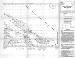 |
Open File 1993-28 presents the surficial geology of the Mayne Island area of southwestern British Columbia off southern Vancouver Island. Scale is 1:50000. |
| Issue ID: | OF1993-29 |
| Title: | Quaternary geology and landforms of the Dawson Creek region, British Columbia (NTS 93P/ 9, 10, 15, 16) |
| Author(s): | Catto, N.R., Thistle, G.L. |
| Series Name: | Open File |
| Publication Year: | 1993 |
| Scale: | 1:50000 |
| NTS Map Sheet(s): | 093P/09; 093P/10; 093P/15; 093P/16 |
| Place Keyword(s): | British Columbia, Northeastern British Columbia, Dawson Creek Region |
| Lat/Long (NSWE): | 56, 55.5, -121, -120 |
| Theme Keyword(s): | Surficial Geology Map, Geology, Surficial Geology, Quaternary Geology, Landforms |
Download(s):
| PDF |
Abstract:
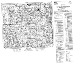 |
Open File 1993-29 presents the quaternary geology and landforms of the Dawson Creek region of northeastern British Columbia (93P/9, 10, 15, 16). |
| Issue ID: | OF1993-30 |
| Title: | Geochemistry of Lode and Placer Gold of the Cariboo District, B.C. |
| Author(s): | McTaggart, K.C., Knight, J. |
| Series Name: | Open File |
| Publication Year: | 1993 |
| NTS Map Sheet(s): | 093A,H |
| Place Keyword(s): | British Columbia, Cariboo District, Barkerville, Wells |
| Lat/Long (NSWE): | 53.6, 52.25, -122.75, -120.5 |
| Theme Keyword(s): | Geology, Geochemistry, Lode Gold, Placer Gold |
Download(s):
| PDF |
Abstract:
 |
Open File 1993-30 provides new data on the composition of gold from various lodes and placers in the Cariboo area, southern British Columbia. This material is based on more than 3600 electron microprobe analyses and is complementary to previous research reports (Knight and McTaggart, 1986, 1989, 1990). The bedrock geology of the district has been discussed by Holland (1954), Sutherland Brown (1957), Struik (1988), Bloodgood (1990) and many others. Stratigraphic studies of the auriferous gravels have been made by Johnson and Uglow (1926), Clague (1987), Eyles and Kocsis (1989), Levson et al. (1990), Levson and Giles, (1991) and Rouse et al. (1990). A main objective of this research is to characterize gold by its suite of minor elements. One can then attempt to trace the path of gold from lode to placer by thus fingerprinting different lode sources. In addition, the composition of lode gold is a parameter used in the genetic classification of gold deposits. In general, gold from epithermal lodes has a lower fineness and a wider range than gold from mesothermal lodes (Momson et al. (1991). The study of textures of placer gold yields information on conditions and distance of travel. Placer and lode gold are rarely pure but are alloyed with other elements such as silver, copper and mercury. Early studies on the composition of gold were made before the electron microprobe was developed and Boyle (1979) provides an exhaustive summary of this research. One of the early studies is that of Warren and Thompson (1944) who analyzed gold from many areas, mainly British Columbia, by spectrographic techniques. Holland (1950) lists fineness values for many placers in British Columbia. Microprobe studies include those of Desborough (1 970) who has studied placer gold from many localities in the United States, Giusti (1983) who reported on the compositions of placer gold from Alberta, and Guindon and Nichol, (1982) who studied gold from Ontario. This report presents new compositional data on lode and placer deposits from the Cariboo area and the reader may find it useful to compare these results with those in earlier reports of Knight and McTaggart. |
| Issue ID: | OF1996-04 |
| Title: | Geology of the Todagin Plateau - Red Chris Area, Northwest British Columbia (NTS 104H/12NW) |
| Author(s): | Ash, C.H., Stinson, P.K., Fraser, T.M., MacDonald, R.W.J., Nelson, J.L. |
| Series Name: | Open File |
| Publication Year: | 1996 |
| Scale: | 1:20000 |
| NTS Map Sheet(s): | 104H/12NW |
| Place Keyword(s): | British Columbia, Northwestern British Columbia, Todagin Plateau - Red Chris Area |
| Lat/Long (NSWE): | 57.75, 57.613, -130, -129.733 |
| Theme Keyword(s): | Geology, Bedrock Geology |
Download(s):
| PDF |
Abstract:
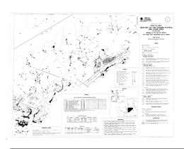 |
Open File 1996-4 presents the geology and mineral deposits of the Todagin Plateau in the Red Chris area (104H/12NW). The geology map is at 1:20 000 scale and includes a legend, references, and tables of fossil, uranium-lead isotopic ages, and lithogeochemistry. The map shows areas of intense ankerite-magnesite alteration, and the known quartz stockwork zone with copper sulphide mineralization and carbonate-sericite alteration in the Red stock.
The oldest rocks in the area are Upper Triassic Stuhini Group clinopyroxene phyric basalt flows and pillow breccias, siltstone with lesser feldspathic wacke, and feldspathic wacke with lesser sandstone and siltstone. The Siltstone dominated package is locally veined and brecciated by ankerite. Overlying Hazelton Group strata are of Early Jurassic age. The oldest units are Sinemurian volcanic conglomerate with lithic wacke interbeds, and andesitic volcanic breccias with maroon epiclastic conglomerate and wacke intervals. Overlying Pleinsbachian to Toarcian strata include: interbedded feldspathic wacke and siltstone; maroon volcanic breccia and conglomerate; clinopyroxene-phyric basaltic flows and pillow breccia with wacke and siltstone intervals; Limestone and calcareous sandstone; rhyolite breccia, sharpstone conglomerate and feldspathic wacke; autobrecciated rhyolite flows with felsic tuff and sandstone interbeds; rhyolitic volcanics and volcaniclastics with volcanic breccias and welded tuffs; and siliceous siltstone with felsic tuff interlayers. Middle Jurassic Bowser Lake Group rocks include a siltstone-sandstone unit with intercalated silty and limy mudstone, and chert pebble conglomerate with sandstone interbeds. Pliocene to Recent olivine basalt flows comprise the Maitland volcanics.
A suite of high level quartz diorite to monzonite stocks and dikes includes the Red stock and the Groat pluton. The Red stock hosts the Red-Chris deposit. The compositions range from quartz diorite to monzodiorite to monzonite; dikes are usually porphyritic. Isotopic dating indicates that the intrusions are of Sinemurian age. A northwest-elongated pyroxene diorite pluton may be of Pleinsbachian age.
Chalcopyrite in fracture-controlled quartz vein stockworks is related to high level stocks and dikes. Copper mineralization is accompanied by elevated gold and silver values. Other quartz stockworks are associated with pervasive zones of silicification related to dikes and stocks and carry disseminated pyrite and/or chalcopyrite. Ankerite alteration zones are associated with the porphyritic intrusions. The zones can be extensive but copper-gold mineralization appears to be most abundant within and marginal to the intrusive rocks. The Red-Chris porphyry copper-gold deposit is hosted by the Red stock and associated with intense quartz-ankerite-sericite alteration. |
| Issue ID: | OF1996-05 |
| Title: | Aggregate Inventory of British Columbia - Private Pits |
| Author(s): | Matheson, A., Massey, N.W.D., Bobrowsky, P.T., Kilby, C.E., Manson, G. |
| Series Name: | Open File |
| Publication Year: | 1996 |
| Scale: | 1:2000000 |
| NTS Map Sheet(s): | 082;083;092;093;094;102;103;104;114 |
| Place Keyword(s): | British Columbia |
| Lat/Long (NSWE): | 60, 48, -139, -114 |
| Theme Keyword(s): | Geology, Private Pits |
Download(s):
| PDF, ZIP (View Zip Contents) |
Additional Link(s):
| https://catalogue.data.gov.bc.ca/Geographic/aggregate-inventory |
Abstract:
 |
Open File 1996-05 presents the aggregate inventory of British Columbia's private pits compiled by the BC Geological Survey's Aggregate Inventory Project. In this compilation, private pits were considered to be only those natural aggregate occurrences for which an application by an operator for a Notice of Work had been received and subsequently issued by the Ministry of Energy and Mines. All other pits, including public pits operated by the Ministry of Transportation and Highways, are not included. Information about each pit in the database file includes its location (both latitude/longitude and UTM coordinates), NTS map sheet number, Notice of Work file number and status (active/inactive) and the type of landform hosting the pit. |
| Issue ID: | OF1996-06 |
| Title: | Geology of the Mineral Hill - Wormy Lake Area, Sechelt, B.C. (NTS 92G/12W) |
| Author(s): | Ray, G.E., Kilby, C.E. |
| Series Name: | Open File |
| Publication Year: | 1996 |
| Scale: | 1:10000 |
| NTS Map Sheet(s): | 092G/12W |
| Place Keyword(s): | British Columbia, Sechelt, Mineral Hill - Wormy Lake Area, Southwestern British Columbia, Sunshine Coast |
| Lat/Long (NSWE): | 49.546, 49.502, -123.874, -123.785 |
| Theme Keyword(s): | Geology, Bedrock Geology |
Download(s):
| PDF |
Abstract:
 |
Open File 1996-6 portrays the geology and mineral occurrences of the Mineral Hill-Wormy Lake area (92G/12W), Sechelt British Columbia. The 1:10 000 scale geology map contains a legend and extensive marginal notes.
The area lies at the southern end of the Coast Plutonic Belt and skarns in roof pendants provide economic interest. The host rocks of the exoskarns may be derived from the Triassic Quatsino Formation. Possibly Triassic supracrustal rocks include marble, and marble with wollastonite- or garnet-dominant skarn. Mafic rocks that include metatuffs and minor metabasalts may represent either the Karmutsen Formation or the Bowen Island Group. Parts of two major Jurassic intrusions dominate the area. The Creston Lake pluton varies form marginal phase pyritic mafic rocks, to skarn-altered (endoskarn) gabbro to leucocratic or melanocratic quartz diorite and gabbro. The Snake Bay pluton is generally quartz diorite to granodiorite with variable mafic content. Minor intrusions include granodiorite dikes and sills, basaltic dikes, tonalitic dikes, gabbro-andesite dikes and sills, and gabbro.
The exoskarns crop out discontinuously for 4.5 kilometres along the Wormy Lake fault. Endoskarn is more restricted and is generally at the margins of the Crowston Lake pluton or with gabbroic sills and dikes. Two known zones of wollastonite-dominated skarn are known and wollastonite is widespread within them. Four types of sulphide mineralization recognized are: pyrite with or without chalcopyrite in veinlets and fractures cutting the Snake Bay plutons, pyrite with or without magnetite and chalcopyrite as disseminations or veinlets in the Crowston Lake pluton, disseminations, layers, pods and lenses of pyrite with or without sphalerite and chalcopyrite in wollastonite skarn, and pyrite with or without pyrrhotite pods and lenses in marble. Gold values in the district are generally low. |
| Issue ID: | OF1996-20 |
| Title: | The Geology of the Thompson - Okanagan Mineral Assessment Region (East Part) |
| Author(s): | Schiarizza, P.A., Church, B.N. (compilers) |
| Series Name: | Open File |
| Publication Year: | 1996 |
| Scale: | 1:250000 |
| NTS Map Sheet(s): | 082L, 082M, 083D; 092H, 092I, 092J, 092P, 093A |
| Place Keyword(s): | British Columbia, Southcentral British Columbia, Thompson - Okanagan Mineral Assessment Region |
| Lat/Long (NSWE): | 53, 49, -124, -118 |
| Theme Keyword(s): | Geology, Bedrock Geology, Digital Geology Compilation |
Download(s):
| ZIP (View Zip Contents) |
Abstract:
| Open File 1996-20 presents the geology of the Thompson - Okanagan Mineral Assessment Region (east part) of British Columbia. |
| Issue ID: | OF1996-21 |
| Title: | Geology of the Tangier River Area, Selkirk Mountains, B.C. (NTS 82N/4, 5; 82M/1, 8) |
| Author(s): | Colpron, M. |
| Series Name: | Open File |
| Publication Year: | 1996 |
| Scale: | 1:50000 |
| NTS Map Sheet(s): | 082N/4, 5; 082M/1, 8 |
| Place Keyword(s): | British Columbia, Selkirk Mountains, Tangier River Area |
| Lat/Long (NSWE): | 51.425, 51.101, -118.062, -117.644 |
| Theme Keyword(s): | Geology, Bedrock Geology |
Download(s):
| PDF |
Abstract:
 |
Open File 1996-21 portrays the geology of the Tangier River area (parts of 82N/4, 5; 82M/1, 8) in the Selkirk Mountains of southeastern British Columbia. The Open File consists of 2 sheets: sheet 1 presents the geology at 1:50 000 scale and includes a legend; sheet 2 contains structural cross sections.
The area is bounded on the west by the Standfast fault and on the east by the La Forme fault. An amphibolite unit in the section is of uncertain age. The apparently oldest rocks exposed are units of the Neoproterozoic to Lower Cambrian Hamill Group. The lower unit is clean, white cross-bedded quartzite, and the upper unit consists of argillaceous quartzite, psammitic schist and minor greenstone. Mohican Formation phyllite with minor dolostone, and Badshot Formation dolomitic marble or limestone and muscovite schist are both of Lower Cambrian age. The Cambrian Lade Peak Formation consists of argillaceous limestone, calcareous quartzite, and dolomitic limestone. Possibly Cambrian to possibly Ordovician Lardeau Group includes rocks of the Lower, Middle and Upper Index formations. Three units comprise the Lower Index Formation: calcareous phyllite; argillaceous limestone; and graphitic to calcareous to siliceous phyllite, siltstone and quartzite. Three Middle Index Formation units are dominated by marble, greenstone, and mixed phyllite, grit, and quartzite respectively. Upper Index Formation consists mainly of intercalated grit and black lustrous phyllite. Other Lardeau Group units are the Downie Lake sequence of dolostone cobble conglomerate, dolomitic sandstone and schist, the Bridgeland Pass quartzite breccia, a unit of siliceous phyllite with dolomitic sandstone interlayers, and a unit with calcareous slate and phyllite.
Intrusive rocks are diverse. The oldest is the Late Devonian to Mississippian Clachnacudainn granodiorite gneiss. Foliated feldspar porphyry dikes are Paleozoic to Mesozoic (?). Middle Triassic intrusions include the Corbin and Lanark stocks, mainly granodiorite, the Fang and Tangier stocks, dominantly megacrystic quartz monzonite, undifferentiated granitoid rocks, and quartz diorite bodies. Diabase and lamprophyre dikes are Tertiary.
Several phases of deformation have affected the area. Early nappes have later superimposed west verging overturned folds. Low angle faults, like the Downie Creek fault, have reverse movement. |
| Issue ID: | OF1996-22 |
| Title: | Till Geochemistry of the Mount Milligan Area (parts of NTS 93N/1 and 93O/4) |
| Author(s): | Sibbick, S.J., Balma, R.G., Dunn, C.E. |
| Series Name: | Open File |
| Publication Year: | 1996 |
| NTS Map Sheet(s): | Parts of 093N/1 and 093O/4 |
| Place Keyword(s): | British Columbia, Mount Milligan Area |
| Lat/Long (NSWE): | 55.25, 55, -124.333, -123.5 |
| Theme Keyword(s): | Geology, Till Geochemistry |
Download(s):
| PDF, ZIP (View Zip Contents) |
Abstract:
 |
Open File 1996-22 contains data from a till geochemistry of the Mount Milligan area (Parts of 93N/1 and 93O/4) of British Columbia. The survey was carried out to provide data to help design and interpret regional till geochemical surveys for porphyry copper-gold occurrences. The 82-page report includes data, maps and a detailed description of the survey and its results. |
| Issue ID: | OF1997-13 |
| Title: | Digital Geology of Northern Vancouver Island: Preliminary Compilation (NTS 92L/5,6,11,12; 102I/8, 9) |
| Author(s): | Nixon, G.T., Hammack, J.L., Payie, G.J., Snyder, L.D., Koyanagi, V.M., Hamilton, J.V., Panteleyev, A., Massey, N.W.D., Haggart, J.W., Archibald, D.A. |
| Series Name: | Open File |
| Publication Year: | 1997 |
| Scale: | 1:100000 |
| NTS Map Sheet(s): | 092L/5,6,11,12; 102I/8, 9 |
| Place Keyword(s): | British Columbia, Northern Vancouver Island |
| Lat/Long (NSWE): | 50.7732, 50.2697, -128.3289, -126.9955 |
| Theme Keyword(s): | Geology, Digital Geology, Bedrock Geology |
Download(s):
| PDF, ZIP (View Zip Contents) |
Abstract:
 |
Open File 1997-13 is a coloured geological map of northern Vancouver Island (92L/5. 6. 11. 12; 102I/8, 9), British Columbia. The map is at 1:100 000 scale and includes a legend and an inset map of the geology of the Merry Widow camp, and a table of formations and correlation chart.
The oldest rocks in the area are Upper Triassic and comprise the Vancouver Group. The lowest unit is the Carnian Karmutsen Formation, which consists of coarse plagioclase phyric basaltic lavas and aphanitic to plagioclase phyric subaerial basaltic flows, minor pillow lava, pillow breccia and hyaloclastite and thin layers of limestone. The overlying Carnian to Lower Norian Quatsino Formation is predominantly thin bedded to massive lime mudstone. The Carnian to Upper Norian Parson Bay Formation consists of a series of units: a volcanic member of mafic lapilli tuff and tuff-breccia; shale; mixed sedimentary-volcaniclastic lithologies; mainly calcareous lithologies with interbedded tuff; and argillaceous to silty lime mudstone, calcareous siltstone and mudstone. The overlying Upper Carnian to Upper Pleinsbachian Harbledown Formation is predominantly submarine intercalated pyroclastic, epiclastic and fine sedimentary rocks including lithic tuff, feldspathic tuff/wacke, volcanic breccia, tuffaceous sandstone, and siltstone. Bonanza Volcanics are of Sinemurian to Bajocian age. The volcanics are basaltic to rhyolitic, mainly subaerial flows and pyroclastic rocks with intercalated non-marine to marine pyroclastic, epiclastic and sedimentary rocks. Mappable units of mainly intermediate to felsic or predominantly felsic lavas and/or pyroclastic rocks occur. Lower Cretaceous Longarm Formation equivalents comprise thinly bedded to massive sandstone, siltstone, mudstone, pebble conglomerate, and minor coal. And lower conglomeratic facies and an upper sandstone facies comprise the overlying Coal Harbor Group. The Upper Cretaceous Blumberg Formation also has a lower conglomerate unit but has an upper dominantly lithic to arkosic wacke unit. Upper Cretaceous Nanaimo Group equivalents are arkosic to lithic wackes, conglomerate, siltstone, and minor coal. Tertiary felsic volcanic rocks are mainly andesitic to rhyolitic flows and volcanic breccia.
In the Benson River area Upper Triassic or Lower Jurassic basalt intrusions are columnar-jointed. Rocks of the Early to Middle Jurassic Island Plutonic suite are mainly diorite, quartz diorite, monzodiorite, monzonite, quartz monzonite, granodiorite, and quartz-hornblende porphyry.
Three phases of deformation have been recognized: a pre-Cretaceous event; Late Cretaceous to Tertiary transgression; and Tertiary extension. Faulting is the predominant strain-release mechanism. On the map, northwest trending through-going faults define areas that are internally segmented by northeast trending faults. Block faulting dominates the structural pattern in the map area.
The area contains economically important porphyry copper-molybdenum-gold deposits, including the Island Copper mine, base and precious metal skarns, like those in the Merry Widow camp, and precious metal mineralization associated with epithermal acid sulphate alteration zones, like that at Mount McIntosh. |
| Issue ID: | OF1997-14 |
| Title: | Preliminary Bedrock Geology and Lake Sediment Geochemistry of the Northern Kechika Trough (NTS 94L/14, 15; 94M/3,4,5,6,12,13; 104P/8,9,15,16) |
| Author(s): | Ferri, F., Rees, C., Cook. S.J. |
| Series Name: | Open File |
| Publication Year: | 1997 |
| Scale: | 1:100000 |
| NTS Map Sheet(s): | 094L/14, 15; 094M/3,4,5,6,12,13; 104P/8,9,15,16 |
| Place Keyword(s): | British Columbia, Northern Kechika Trough |
| Lat/Long (NSWE): | 60, 58.875, -128.667, -126.917 |
| Theme Keyword(s): | Geology, Bedrock Geology, Lake Sediment Geochemistry |
Download(s):
| PDF |
Abstract:
 |
Open File 1997-14 presents the preliminary geology of the Northern Kechika Trough (94L/14, 15; 94M/3, 4, 5, 6, 12, 13; 104P/8, 9, 15, 16) in northeastern British Columbia. The Open File portrays geology at 1:100 000 scale, a legend, a geological cross section, references, and lithogeochemical assay data on sheet 1. Sheet 2 provides lake sediment geochemical analysis results and a sample location map.
The area is underlain by rocks of ancestral North American affinity and rocks of the Cassiar terrane. Cassiar terrane rocks range in age from Upper Proterozoic (?) to Paleozoic. They consist of quartz-feldspar sandstone and phyllite that may be Ingenika Group; dolomitic siltstone, cherty siltstone, siltstone and chert; silty limestone to calcareous siltstone; and quartz sandstone and slate.
Two informal units are of uncertain age. In the Upper Proterozoic (?) to Lower Paleozoic Aeroplane Lake panel, low-grade metamorphic rocks predominate. Three map units are mainly: limestone, phyllite and sandstone; siliceous schist and quartz sandstone; and calcareous phyllite and schist. The Kitza Creek facies consists mostly of carbonaceous siltstone to silty argillite and shaly slate associated with fetid limestone.
The oldest North American rocks are slate, phyllite, argillite and siltstone with interbedded micaceous sandstone, quartzite, and conglomerate that comprise the Proterozoic Hyland Group. One unit consists of undivided Upper Proterozoic and Cambrian rocks that include Hyland Group and younger strata. Upper Cambrian to Lower Ordovician Kechika Group strata include a siliceous facies that is mainly siltstone and fine sandstone with slate, and silty limestone or dolostone interbeds, and more normal assemblage of laminated slate, calcareous slate, and limestone. Locally Kechika and lower Road River strata are undifferentiated. Upper Ordovician to Middle Devonian Road River Group has a lower recessive part with mostly shale to slate and argillite, and an upper part that is characterized by the �Silurian Siltstone� unit. This consists mainly of buff-brown to orange weathering siltstone and dolomitic siltstone with slate or argillite interbeds. Upper Devonian to Mississippian Earn Group rocks are predominantly argillite, cherty argillite, siltstone and slate; bedded barite is rare. Mississippian to Permian Mount Christie Formation strata are dominated by chert with minor argillite interbeds. Tertiary or Quaternary Tuya Formation basalts are massive to fragmental.
The oldest intrusive rocks in the area are Early Paleozoic (?) gabbro bodies. Early Cretaceous intrusions form sill, dikes and small stocks on Boya Hill. Biotite-feldspar and quartz porphyry predominate. Cretaceous (?) porphyries occur in or near the Aeroplane Lake panel. Granite with small quartz phenocrysts is of Late Cretaceous to Early Tertiary (?) age.
The strata are deformed into upright folds and cut by high angle east-directed thrust faults.
The area has potential for Sedex zinc-lead-silver deposits, barite deposits and tungsten, molybdenum and base metal porphyry or skarn mineralization is known. Placer gold has been reported. |
| Issue ID: | OF1997-15 |
| Title: | Regional Lake Sediment and Water Geochemistry of the Northern Kechika Trough, British Columbia (NTS 94M/2,3,4,5,6,12; 104P/8,9,10,15,16) |
| Author(s): | Cook, S.J., Jackaman, W., Friske, P.W., Day, S.J., Coneys, A.M., Ferri, F. |
| Series Name: | Open File |
| Publication Year: | 1997 |
| Scale: | 1:50000 |
| NTS Map Sheet(s): | 094M/2,3,4,5,6,12; 104P/8,9,10,15,16 |
| Place Keyword(s): | British Columbia, Northern Kechika Trough |
| Lat/Long (NSWE): | 60, 58.175, -128.667, -126.75 |
| Theme Keyword(s): | Geology, Regional Lake Sediment Geochemistry, Water Geochemistry |
Download(s):
| PDF, ZIP (View Zip Contents) |
Abstract:
 |
Open File 1997-15 is a report on regional lake sediment and water geochemistry of the Northern Kechika Trough in British Columbia ((NTS 94M/2,3,4,5,6,12; 104P/8,9,10,15,16). This open file presents new analytical results for 44 different metals from a regional lake sediment and water geochemistry survey conducted over the northern part of the Kechika Trough in 1996. The survey covers an area of approximately 5000km2 over parts of eleven 1:50 000 map areas immediately south of the B.C.-Yukon border where exploration has been limited by extensive drift cover. Dad for base metals, gold, precious metal pathfinders and rare earth elements from 445 sample sites are included in the release, and new exploration targets for prospective Sedex-style Zn-Pb deposits are highlighted. The report provides listings of field and analytical data, summary statistics, metal distribution maps and sample location maps. The North Gataga Project is the final phase of a multi-year project of bedrock mapping and regional geochemical surveys in the Kechika Trough, where known sedimentary-exhalative type Zn-Pb-Ag deposits of the Gataga district include the Cirque, Akie and Driftpile Creek deposits. |
| Issue ID: | P1978-01-24 |
| Title: | Cache Creek-Nicola Contact, Ashcroft Area |
| Author(s): | Ladd, J.H. |
| Series Name: | Paper |
| Publication Year: | 1978 |
| Larger Work Citation: | in Geological Fieldwork 1977, B.C. Ministry of Energy, Mines and Petroleum Resources, Paper 1978-1 |
| Scale: | 1:80000 |
| NTS Map Sheet(s): | 092I/11W |
| Place Keyword(s): | British Columbia, Southcentral British Columbia, Ashcroft Area, Cache Creek Group |
| Lat/Long (NSWE): | 50.75, 50.617, -121.417, -121.283 |
| Theme Keyword(s): | Fieldwork, Nicola Group, Mineralization, Copper, Stratigraphy |
Download(s):
| PDF |
Abstract:
| Geological Fieldwork paper 1978-1, pages 89 to 95 examines the Cache Creek-Nicola Contact in the Ashcroft area of south-central British Columbia. The scale is 1:80000. |
| Issue ID: | P1978-01-25 |
| Title: | Geology of Part of the Callaghan Creek Roof Pendant |
| Author(s): | Miller, J.H.L., Sinclair, A.J. |
| Series Name: | Paper |
| Publication Year: | 1978 |
| Larger Work Citation: | in Geological Fieldwork 1977, B.C. Ministry of Energy, Mines and Petroleum Resources, Paper 1978-1 |
| Scale: | 1:50000 |
| NTS Map Sheet(s): | 092J/3W |
| Place Keyword(s): | British Columbia, Southwestern British Columbia, Callaghan Creek Roof Pendant |
| Lat/Long (NSWE): | 50.25, 50, -123.5, -123.25 |
| Theme Keyword(s): | Fieldwork, Coast Plutonic Complex, Stratigraphy, Structural Geology, Mineral Deposits |
Download(s):
| PDF |
Abstract:
| Geological Fieldwork paper 1978-1, pages 96 to 102 presents the geology of part of the Callaghan Creek Roof Pendant of southwestern British Columbia. The scale is 1:50000. |
| Issue ID: | P1978-01-26 |
| Title: | Search for Hydrothermal Deposits on Juan De Fuca and Explorer Ridges, Northeast Pacific Ocean |
| Author(s): | Chase, R.L., Murray, J.W., Grill, E.V., Beland, G. |
| Series Name: | Paper |
| Publication Year: | 1978 |
| Larger Work Citation: | in Geological Fieldwork 1977, B.C. Ministry of Energy, Mines and Petroleum Resources, Paper 1978-1 |
| Scale: | 1:3000000 |
| NTS Map Sheet(s): | 092; 102 |
| Place Keyword(s): | British Columbia, Northeast Pacific Ocean, Juan de Fuca Ridge, Explorer Ridge |
| Lat/Long (NSWE): | 51, 46.5, -131, -128.5 |
| Theme Keyword(s): | Marine Geology, Core Sampling, Fieldwork, Dithizone Test, Hydrothermal Deposits |
Download(s):
| PDF |
Abstract:
| Geological Fieldwork paper 1978-1, pages 103 to 105 discusses the search for hydrothermal deposits on Juan De Fuca and Explorer Ridges of the northeast Pacific Ocean off British Columbia. The scale is 1:3000000. |
| Issue ID: | P1978-01-27 |
| Title: | Uranium Reconnaissance Program |
| Author(s): | Carter, N.C. |
| Series Name: | Paper |
| Publication Year: | 1978 |
| Larger Work Citation: | in Geological Fieldwork 1977, B.C. Ministry of Energy, Mines and Petroleum Resources, Paper 1978-1 |
| NTS Map Sheet(s): | 082;083;092;093;094;102;103;104;114 |
| Place Keyword(s): | British Columbia |
| Lat/Long (NSWE): | 60, 48, -139, -114 |
| Theme Keyword(s): | Fieldwork, Geochemistry, Water Samples, Stream Sediment Sampling, Uranium |
Download(s):
| PDF |
Abstract:
| Geological Fieldwork paper 1978-1, page 106, discusses the Uranium Reconnaissance Program in British Columbia. |
| Issue ID: | P1979-01-01 |
| Title: | Tertiary Stratigraphy and Resource Potential in South-Central British Columbia |
| Author(s): | Church, B.N. |
| Series Name: | Paper |
| Publication Year: | 1979 |
| Larger Work Citation: | in Geological Fieldwork 1978, B.C. Ministry of Energy, Mines and Petroleum Resources, Paper 1979-1 |
| Scale: | 1:100000 |
| NTS Map Sheet(s): | 082E; 082L |
| Place Keyword(s): | British Columbia, Southcentral British Columbia |
| Lat/Long (NSWE): | 49.75, 49, -120, -118.5 |
| Theme Keyword(s): | Stratigraphy, Fieldwork, Resource Potential, Bouleau Rhyolite, Structural Geology |
Download(s):
| PDF |
Abstract:
| Geological Fieldwork paper 1979-1, pages 7 to 15 discusses tertiary stratigraphy and resource potential in south-central British Columbia. |
| Issue ID: | P1979-01-02 |
| Title: | Study of Purcell Supergroup Rocks, Southeastern British Columbia |
| Author(s): | Hoy, T. |
| Series Name: | Paper |
| Publication Year: | 1979 |
| Larger Work Citation: | in Geological Fieldwork 1978, B.C. Ministry of Energy, Mines and Petroleum Resources, Paper 1979-1 |
| NTS Map Sheet(s): | 082G, 082F, 082E |
| Place Keyword(s): | British Columbia, Southeastern British Columbia |
| Lat/Long (NSWE): | 51.5, 51.25, -118.9, -118.39 |
| Theme Keyword(s): | Geological Mapping, Purcell Supergroup, Moyie Lake, Lead, Fieldwork |
Download(s):
| PDF |
Abstract:
| Geological Fieldwork paper 1979-1, page 16 is a study of Purcell Supergroup Rocks of southeastern British Columbia. |
| Issue ID: | P1979-01-03 |
| Title: | Cedar Claims, Galloway |
| Author(s): | Grieve, D., Hoy, T. |
| Series Name: | Paper |
| Publication Year: | 1979 |
| Larger Work Citation: | in Geological Fieldwork 1978, B.C. Ministry of Energy, Mines and Petroleum Resources, Paper 1979-1 |
| NTS Map Sheet(s): | 082/G/12E |
| Place Keyword(s): | British Columbia, Cedar Claims, Southeastern British Columbia, Galloway |
| Lat/Long (NSWE): | 49.75, 49.5, -115.75, -115.5 |
| Theme Keyword(s): | Fieldwork, Mineralization, Galena, Aldridge Formation, Pyrite |
Download(s):
| PDF |
Abstract:
| Geological Fieldwork paper 1979-1, pages 16 to 18, examines the Cedar Claims of Galloway in southeastern British Columbia. |
| Issue ID: | P1979-01-04 |
| Title: | Cotton Lead/Zinc Deposit |
| Author(s): | Hoy, T. |
| Series Name: | Paper |
| Publication Year: | 1979 |
| Larger Work Citation: | in Geological Fieldwork 1978, B.C. Ministry of Energy, Mines and Petroleum Resources, Paper 1979-1 |
| Scale: | 1:90000 |
| NTS Map Sheet(s): | 082M/7 |
| Place Keyword(s): | British Columbia, Southeastern British Columbia |
| Lat/Long (NSWE): | 51.553, 51.4, -118.858, -118.75 |
| Theme Keyword(s): | Fieldwork, Stratigraphy, Cottonbelt, Mineralization, Structural Geology |
Download(s):
| PDF |
Abstract:
| Geological Fieldwork paper 1979-1, pages 19 to 24 examines the Cotton lead/zinc deposit of southeastern British Columbia. The scale is 1:90000. |
| Issue ID: | P1979-01-05 |
| Title: | Geology in the Vicinity of Frenchman Cap Gneiss Dome |
| Author(s): | Hoy, T., McMillan, W.J. |
| Series Name: | Paper |
| Publication Year: | 1979 |
| Larger Work Citation: | in Geological Fieldwork 1978, B.C. Ministry of Energy, Mines and Petroleum Resources, Paper 1979-1 |
| Scale: | 1:300000 |
| NTS Map Sheet(s): | 082M |
| Place Keyword(s): | British Columbia, Southeastern British Columbia |
| Lat/Long (NSWE): | 51.5, 51, -118.917, -118.333 |
| Theme Keyword(s): | Fieldwork, Frenchman Cap Dome, Cottonbelt, Jordan River Area, Stratigraphic Succession |
Download(s):
| PDF |
Abstract:
| Geological Fieldwork paper 1979-1, pages 25 to 30, presents the geology in the vicinity of Frenchman Cap Gneiss Dome of southeastern British Columbia. The scale 1:300000. |
| Issue ID: | P1979-01-06 |
| Title: | Barriere Lakes-Adams Plateau Area |
| Author(s): | Preto, V.A.G. |
| Series Name: | Paper |
| Publication Year: | 1979 |
| Larger Work Citation: | in Geological Fieldwork 1978, B.C. Ministry of Energy, Mines and Petroleum Resources, Paper 1979-1 |
| Scale: | 1:300000 |
| NTS Map Sheet(s): | 082L/13, 082M/4, 5W; 092P/1E, 8E |
| Place Keyword(s): | British Columbia, Southeastern British Columbia, Shuswap Complex, Barriere Lakes, Adams Lake |
| Lat/Long (NSWE): | 51.5, 51, -120.25, -119.75 |
| Theme Keyword(s): | Regional Geology, Lithology, Structural Geology, Mineral Deposits, Baldy Batholith |
Download(s):
| PDF |
Abstract:
| Geological Fieldwork paper 1979-1, pages 31 to 37 examines the Barriere Lakes-Adams Plateau area of southeastern British Columbia. The scale is 1:300000. |
| Issue ID: | P1979-01-07 |
| Title: | Sicker Project |
| Author(s): | Eastwood, G.E.P. |
| Series Name: | Paper |
| Publication Year: | 1979 |
| Larger Work Citation: | in Geological Fieldwork 1978, B.C. Ministry of Energy, Mines and Petroleum Resources, Paper 1979-1 |
| NTS Map Sheet(s): | 092B/13; 092C/16E |
| Place Keyword(s): | British Columbia, Vancouver Island, Southern Vancouver Island, Cowichan Area |
| Lat/Long (NSWE): | 49, 48.75, -124.25, -123.5 |
| Theme Keyword(s): | Fieldwork, Nanaimo Group, West Chipman Valley, Amygdaloidal Lava, Stratford-Westholme Area |
Download(s):
| PDF |
Abstract:
| Geological Fieldwork paper 1979-1, pages 38 to 40 examines the Sicker Group of southern Vancouver Island in British Columbia. |
| Issue ID: | P1979-01-08 |
| Title: | Nicola Project- Merritt Area |
| Author(s): | McMillan, W.J. |
| Series Name: | Paper |
| Publication Year: | 1979 |
| Larger Work Citation: | in Geological Fieldwork 1978, B.C. Ministry of Energy, Mines and Petroleum Resources, Paper 1979-1 |
| Scale: | 1:20000 |
| NTS Map Sheet(s): | 092I/2 |
| Place Keyword(s): | British Columbia, Southwestern British Columbia, Merritt Area, Nicola Project |
| Lat/Long (NSWE): | 50.25, 50, -120.917, -120.5 |
| Theme Keyword(s): | Fieldwork, Nicola Group, Basalt, Andesite, Metallic Minerals |
Download(s):
| PDF |
Abstract:
| Geological Fieldwork paper 1979-1, pages 41 to 46 examines the Nicola Project in the Merritt area of southwestern British Columbia. The scale is 1:20000. |
| Issue ID: | GF2000-03 |
| Title: | Geology and Industrial Minerals of the Tertiary Basins, South-Central British Columbia |
| Author(s): | Peter B. Read Geotex Consultants Ltd. |
| Series Name: | GeoFile |
| Publication Year: | 2000 |
| NTS Map Sheet(s): | 092H/7-10; 092I/5,12-16; 092O/1,8 |
| Place Keyword(s): | British Columbia, Southcentral British Columbia |
| Lat/Long (NSWE): | 52, 49, -123, -118 |
| Theme Keyword(s): | Geology, Industrial Minerals, Tertiary Basins, Bedrock Geology |
Download(s):
| PDF |
Abstract:
 |
GeoFile 2000-03 presents the geology and industrial minerals of the tertiary basins of south-central British Columbia. This geological investigation concentrated on areas of sediment-dominated successions of Eocene age with occurrences of industrial minerals. Most of the areas lie close to major transportation routes and to nearby markets. |
| Issue ID: | GF2000-04 |
| Title: | Boulder Lithogeochemistry Study, Deer Lake Area |
| Author(s): | Lett, R.E., Earle, S. (Dept of Geology, Malaspina University College, Nanaimo, BC) |
| Series Name: | GeoFile |
| Publication Year: | 2000 |
| NTS Map Sheet(s): | 092P/9 |
| Place Keyword(s): | British Columbia, Deer Lake |
| Lat/Long (NSWE): | 51.539, 51.518, -120.394, -120.358 |
| Theme Keyword(s): | Geology, Boulder Lithogeochemistry |
Download(s):
| PDF |
Abstract:
 |
GeoFile 2000-04 presents a boulder lithogeochemistry study of the Deer Lake area of British Columbia. This report describes the results of a surface boulder lithogeochemical study carried out in September 1998 over a 10 km2 area south of Deer Lake, B.C. The study compares surface boulder geochemistry and lodgement till geochemistry down-ice from an area containing sulphide mineralization. Several other boulder geochemical studies have demonstrated the application of this technique for mineral exploration in Canada (Earle et al., 1998; Earle et al., 1990). The location of the Deer Lake area is shown in Figure 1. The locations of the 23 boulder sample sites, known mineral occurrences and lodgement till samples collected in the area as part of a regional till geochemical survey (Paulen et al., 2000) are shown in Figure 2. Bedrock geology, mineral occurrences and the distribution of gold, arsenic and copper are briefly described in this Geofile Report. All of the geochemical data are included, along with a preliminary interpretation of the results. |
| Issue ID: | GF2000-05 |
| Title: | Potential for Palladium and Platinum Deposits in British Columbia |
| Author(s): | Lefebure, D.V. |
| Series Name: | GeoFile |
| Publication Year: | 2000 |
| NTS Map Sheet(s): | 082;083;092;093;094;102;103;104;114 |
| Place Keyword(s): | British Columbia |
| Lat/Long (NSWE): | 60, 48, -139, -114 |
| Theme Keyword(s): | Geology, Palladium Deposits, Platinum Deposits |
Download(s):
| PDF |
Abstract:
 |
GeoFile 2000-05 presents the potential for palladium and platinum deposits in British Columbia. High palladium (>US$700 per troy ounce) and platinum (>US$500 per troy ounce) prices have generated renewed interest in exploring for these metals. These high prices reflect their scarcity in the earth�s crust and growing use in advanced technological applications. They have also attracted attention due to the poor demand for gold, which has a market value stuck be low US$300 an ounce. British Columbia has had limited production of platinum from placers and as byproduct platinum and palladium from lode deposits. However, the recent price increase in palladium, coupled with a growing demand for platinum group elements (PGEs) signals an opportunity to explore for new types of deposits that may have been missed in the past. As well, some mineral occurrences may warrant a second look because their PGE grades are not well defined. |
| Issue ID: | GF2000-06 |
| Title: | Report on Platinum, Palladium and Gold Assays from the Bull River Copper-Silver-Gold Prospect, Southeastern British Columbia |
| Author(s): | Lett, R.E., Smyth, W.R. |
| Series Name: | GeoFile |
| Publication Year: | 2000 |
| NTS Map Sheet(s): | 082; |
| Place Keyword(s): | British Columbia, Southeastern British Columbia, Bull River Prospect |
| Lat/Long (NSWE): | 49.503, 49.503, -115.386, -115.386 |
| Theme Keyword(s): | Geology, Platinum, Palladium, Gold Assays, Copper |
Download(s):
| PDF |
Abstract:
 |
GeoFile 2000-06 is a report on platinum, palladium and gold assays from the Bull River copper-silver-gold prospect of southeastern British Columbia. The Bull River Mining Property has been the focus of ongoing exploration by Stanfield Group of Companies since 1976. Results of a geological audit, carried out by Ministry geologists to verify gold, silver and copper grades reported by Companies were published in Geological Fieldwork 1999 (Hoy, Smyth and Lett, 2000) and were reported to the Companies in 1999. |
| Issue ID: | GF2000-07 |
| Title: | Coalbed Methane Potential in British Columbia |
| Author(s): | Owsiacki, G., Payie, G.J. |
| Series Name: | GeoFile |
| Publication Year: | 2000 |
| NTS Map Sheet(s): | 082;083;092;093;094;102;103;104;114 |
| Place Keyword(s): | British Columbia |
| Lat/Long (NSWE): | 60, 48, -139, -114 |
| Theme Keyword(s): | Geology, Coalbed Methane |
Download(s):
| PDF |
Abstract:
 |
GeoFile 2000-07 examines coalbed methane potential in British Columbia. This information booklet provides a brief overview of the major coalfields in British Columbia and the potential of each for coalbed methane. Each coalfield is summarized and is illustrated with simple figures and images. |
| Issue ID: | GF2000-09 |
| Title: | Geological Compilation of the Merritt Coal Basin, Southwestern British Columbia: Tertiary Geology (NTS 92I/02) Scale 1:50 000 |
| Author(s): | Massey, N.W.D. |
| Series Name: | GeoFile |
| Publication Year: | 2000 |
| Scale: | 1:50000 |
| NTS Map Sheet(s): | 092I/02 |
| Place Keyword(s): | British Columbia, Southwestern British Columbia, Merritt Basin |
| Lat/Long (NSWE): | 50.25, 50, -121, -120.5 |
| Theme Keyword(s): | Geology, Geological Compilation, Tertiary Geology, Coal, Bedrock Geology |
Download(s):
| PDF |
Abstract:
 |
GeoFile 2000-09 is a geological compilation of the Merritt Coal Basin of southwestern British Columbia. This covers tertiary geology (NTS 92I/02) and the scale is 1:50 000. |
| Issue ID: | GF2000-10 |
| Title: | Geological Compilation of the Similkameen Coal Basins, Southwestern British Columbia: Tertiary Geology (parts of NTS 92H/07; 08; 09; 10) |
| Author(s): | Massey, N.W.D. |
| Series Name: | GeoFile |
| Publication Year: | 2000 |
| Scale: | 1:50000 |
| NTS Map Sheet(s): | parts of 092H/07; 08; 09; 10 |
| Place Keyword(s): | British Columbia, Southwestern British Columbia, Similkameen Coal Basins |
| Lat/Long (NSWE): | 49.65, 49.25, -120.833, -120.333 |
| Theme Keyword(s): | Geology, Geological Compilation, Tertiary Geology, Coal, Bedrock Geology |
Download(s):
| PDF |
Abstract:
 |
GeoFile 2000-10 is a geological compilation of the Similkameen Coal Basins of southwestern British Columbia. This looks at tertiary geology (parts of NTS 92H/07; 08; 09; 10). The scale is 1:50000. |
| Issue ID: | GF2000-11 |
| Title: | Mineral and Energy Resources in Hecate Strait and Queen Charlotte Sound: A Series of 1:3 000 000-scale Compilation Maps |
| Author(s): | Massey, N.W.D. |
| Series Name: | GeoFile |
| Publication Year: | 2000 |
| Scale: | 1:3000000 |
| NTS Map Sheet(s): | 103; |
| Place Keyword(s): | British Columbia, Westcentral British Columbia, Queen Charlotte Sound, Hecate Strait |
| Lat/Long (NSWE): | 55.75, 50, -134.8, -125.5 |
| Theme Keyword(s): | Geology, Mineral Resources, Energy Resources |
Download(s):
| PDF |
Abstract:
 |
GeoFile 2000-11 is a series of 1:3 000 000-scale compilation maps of mineral and energy resources in Hecate Strait and Queen Charlotte Sound of west-central British Columbia. |
| Issue ID: | GF2001-01 |
| Title: | Lithostratigraphy of the Comox and Trent River Formations in the Comox Coalfield, Vancouver Island (NTS 92F/7, 10, 11, 14) - includes appendices |
| Author(s): | Cathyl-Bickford, C.G. |
| Purpose: | The purpose of this study is to establish the distribution, sedimentology and resource stratigraphy of the Vancouver Island coalfields. |
| Series Name: | GeoFile |
| Publication Year: | 2001 |
| Scale: | 1:60000 |
| NTS Map Sheet(s): | 092F/7, 10, 11, 14 |
| Place Keyword(s): | British Columbia, Vancouver Island, Comox Coalfield, Central Vancouver Island |
| Lat/Long (NSWE): | 49.671, 49.617, -125.03, -124.925 |
| Theme Keyword(s): | Geology, Lithostratigraphy, Comox Formation, Trent River Formation |
Download(s):
| PDF |
Abstract:
 |
GeoFile 2001-01 examines the lithostratigraphy of the Comox and Trent River Formations in the Comox Coalfield of Vancouver Island (92F/7, 10, 11, 14). This GeoFile includes appendices. This report is part of an ongoing study, begun in 1987, to establish the distribution, sedimentology and resource stratigraphy of the Vancouver Island coalfields. |
| Issue ID: | GF2001-02 |
| Title: | Ice Flow History and Surficial Geochemistry, Huckleberry Mine Area: A Drift Exploration Case Study |
| Author(s): | Ferbey, T., Levson, V.M. |
| Series Name: | GeoFile |
| Publication Year: | 2001 |
| NTS Map Sheet(s): | 093E |
| Place Keyword(s): | British Columbia, Huckleberry Mine Area |
| Lat/Long (NSWE): | 54, 53.5, -127.5, -126 |
| Theme Keyword(s): | Geology, Ice Flow History, Surficial Geochemistry |
Download(s):
| PDF |
Abstract:
 |
GeoFile 2001-02 examines ice flow history and surficial geochemistry of the Huckleberry Mine area; part of a drift exploration case study. |
| Issue ID: | GF2001-03 |
| Title: | Industrial Mineral Endowment and Development Opportunities Northeast-Central B.C. |
| Author(s): | Lane, B., MacDonald, K., McGrath, B. |
| Series Name: | GeoFile |
| Publication Year: | 2001 |
| Scale: | 1:4000000 |
| NTS Map Sheet(s): | 083; 093; 094 |
| Place Keyword(s): | British Columbia, Northeast Central British Columbia |
| Lat/Long (NSWE): | 60, 52, -127, -118 |
| Theme Keyword(s): | Geology, Industrial Mineral Endowment, Development Opportunities |
Download(s):
| PDF, ZIP (View Zip Contents) |
Abstract:
 |
GeoFile 2001-03 discusses industrial mineral endowment and development opportunities northeast-central British Columbia. The industrial mineral endowment of northeast-central British Columbia is rich, varied and relatively untapped. There are 390 industrial mineral occurrences in the Ministry of Energy and Mines electronic database (MINFILE) located within the administrative boundary of the region. A review of these occurrences, with respect to physiography, tectonic terrane, deposit type, character and resource potential is presented. |
| Issue ID: | GF2001-04 |
| Title: | Big Salmon Complex Versus Iberian Pyrite Belt |
| Author(s): | Mihalynuk, M.G., Nelson, J.L., Roots, C., Gleeson, T., deKeijzer, M., Friedman, R. |
| Series Name: | GeoFile |
| Publication Year: | 2001 |
| Scale: | 1:40000 |
| NTS Map Sheet(s): | 104N; 104O |
| Place Keyword(s): | British Columbia, Big Salmon Complex |
| Lat/Long (NSWE): | 60, 59.5, -132.393, -131.187 |
| Theme Keyword(s): | Geology, Big Salmon Complex, Iberian Pyrite Belt |
Download(s):
| PDF |
Abstract:
 |
GeoFile 2001-04 discusses the Big Salmon Complex versus the Iberian Pyrite Belt. More than 1700 Mt of volcanogenic massive sulphide has accumulated in over 80 known deposits within the Iberian Pyrite Belt (IPB) representing the largest sulphide accumulation of Earth Polydeformed Late Devonian to Middle Mississippian shale and felsic volcanic rocks constituting the IPB extends for 250 km from southern Portugal to southwest Spain. Mineral extraction from the belt dates back to the Chalcolithic era (4500-3000 BC). The belt is a well studied and well understood mining camp. In contrast to the IPB, no massive sulphide deposits are known from the Big Salmon Complex and related rocks in remote, virtually uninhabited northern B.C. Indeed, almost no written history exists for the area prior to the last century. |
| Issue ID: | GF2001-05 |
| Title: | Oil and Gas Resource Potential of the Bowser-Whitehorse Area of British Columbia |
| Author(s): | Hannigan, P., Lee, P.J., Osadetz, K.G. |
| Series Name: | GeoFile |
| Publication Year: | 2001 |
| Scale: | 1:1000000 |
| NTS Map Sheet(s): | 093J, 093K, 093L, 093O, 093N, 093M; 094; 103I, 103J, 103K, 103O, 103P; 104 |
| Place Keyword(s): | British Columbia, Bowser Area, Whitehorse Area |
| Lat/Long (NSWE): | 60, 54, -136, -123.16 |
| Theme Keyword(s): | Geology, Oil Resource Potential, Gas Resource Potential |
Download(s):
| PDF |
Abstract:
 |
GeoFile 2001-05 examines oil and gas resource potential of the Bowser-Whitehorse area of British Columbia. Please Note: Since the time these reports were generated much new work has been done in the area. Therefore, the oil and gas volumes and conclusions reached in these reports may be impacted significantly in the light of this new information. These reports are provided for the convenience of clients and recent information should also be researched. |
| Issue ID: | GF2001-06 |
| Title: | Oil and Gas Resource Potential of the Nechako-Chilcotin Area of British Columbia |
| Author(s): | Hannigan, P., Lee, P.J., Osadetz, K.G., Dietrich, J.R., Olsen-Heise, K. |
| Series Name: | GeoFile |
| Publication Year: | 2001 |
| Other Citation Details: | Also known as Petroleum Geology Open File 2002-3 |
| Scale: | 1:1000000 |
| NTS Map Sheet(s): | 092; 093A, 093B, 093C, 093D, 093E, 093F, 093G, 093H |
| Place Keyword(s): | British Columbia, Western British Columbia, Nechako Area, Chilcotin Area |
| Lat/Long (NSWE): | 54.5, 49, -128, -120 |
| Theme Keyword(s): | Geology, Oil Resource Potential, Gas Resource Potential |
Download(s):
| PDF |
Abstract:
 |
GeoFile 2001-06 examines oil and gas resource potential of the Nechako-Chilcotin area of western British Columbia. Please Note: Since the time these reports were generated much new work has been done in the area. Therefore, the oil and gas volumes and conclusions reached in these reports may be impacted significantly in the light of this new information. These reports are provided for the convenience of clients and recent information should also be researched. |
| Issue ID: | GF2001-07 |
| Title: | Oil and Gas Resource Potential of the Kootenay Area of British Columbia |
| Author(s): | Hannigan, P., Lee, P.J., Osadetz, K.G., Olsen-Heise, K. |
| Series Name: | GeoFile |
| Publication Year: | 2001 |
| NTS Map Sheet(s): | 082F, 082G, 082J, 082K,082N, 082O |
| Place Keyword(s): | British Columbia, Southeastern British Columbia, Kootenay Area |
| Lat/Long (NSWE): | 52, 49, -118, -114 |
| Theme Keyword(s): | Geology, Oil Resource Potential, Gas Resource Potential |
Download(s):
| PDF |
Abstract:
 |
GeoFile 2001-07 examines oil and gas resource potential of the Kootenay area of southeastern British Columbia. Please Note: Since the time these reports were generated much new work has been done in the area. Therefore, the oil and gas volumes and conclusions reached in these reports may be impacted significantly in the light of this new information. These reports are provided for the convenience of clients and recent information should also be researched. |
| Issue ID: | GF2001-08 |
| Title: | PGE Potential of Moyie Sills, Southeastern B.C. |
| Author(s): | Hoy, T., Fournier, M.A. |
| Series Name: | GeoFile |
| Publication Year: | 2001 |
| Scale: | 1:2000000 |
| NTS Map Sheet(s): | 082F; 082G |
| Place Keyword(s): | British Columbia, Southeastern British Columbia |
| Lat/Long (NSWE): | 50, 49, -117, -115 |
| Theme Keyword(s): | Geology, PGE Potential, Moyie Sills |
Download(s):
| PDF |
Abstract:
 |
GeoFile 2001-08 examines PGE potential of Moyie Sills of southeastern British Columbia. This report features photographs of the area, a map showing the location of the anomalous platinum + palladium values in Moyie Sills, and a table showing the PGE Analysis Data of Moyie Sills. |
| Issue ID: | GF2001-09 |
| Title: | Tectonic Assemblage Map of Southern B.C. Prepared for the Cordilleran Ore Deposits Field Trip, Map 1999 |
| Author(s): | Fournier, M.A., Lefebure, D.V. |
| Series Name: | GeoFile |
| Publication Year: | 2001 |
| Scale: | 1:1000000 |
| NTS Map Sheet(s): | 082;092B,G,H,I,J,O,P |
| Place Keyword(s): | British Columbia, Southern British Columbia |
| Lat/Long (NSWE): | 52, 48, -124, -114 |
| Theme Keyword(s): | Geology, Tectonic Assemblage Map, Cordilleran Ore Deposits |
Download(s):
| PDF |
Abstract:
 |
GeoFile 2001-09 presents a tectonic assemblage map of southern British Columbia prepared for the Cordilleran Ore Deposits Field Trip May 1999. |
| Issue ID: | GF2002-02 |
| Title: | Cu-PGE Mineralization in Alkaline Plutonic Complexes |
| Author(s): | Nixon, G.T., Laflamme, J.H.G. |
| Series Name: | GeoFile |
| Publication Year: | 2002 |
| NTS Map Sheet(s): | 082;083;092;093;094;102;103;104;114 |
| Place Keyword(s): | British Columbia, World |
| Lat/Long (NSWE): | 60, 48, -139, -114 |
| Theme Keyword(s): | Geology, Cu-PGE Mineralization, Alkaline Plutonic Complexes |
Download(s):
| PDF |
Abstract:
 |
GeoFile 2002-02 examines Cu-PGE mineralization in alkaline plutonic complexes. Alkaline intrusions of Late Triassic to Early Jurassic age and younger are important hosts to Cu-Ag-Au+/-PGE mineralization in British Columbia. They occur in the magmatic arc terranes of Quesnellia and Stikinia and most mineral occurrences have been related to an alkaline porphyry deposit model. This poster presents new geochemical and mineralogical data for the PGE-bearing sulfides in selected deposits. |
| Issue ID: | GF2002-03 |
| Title: | Metal Zoning in VMS Belts - Targeting Hotspots |
| Author(s): | Alldrick, D.J. |
| Series Name: | GeoFile |
| Publication Year: | 2002 |
| NTS Map Sheet(s): | 103G; 103H; 103I; 103J |
| Place Keyword(s): | British Columbia |
| Lat/Long (NSWE): | 54.2, 53.5, -130, -129 |
| Theme Keyword(s): | Geology, Metal Zoning in VMS Belts, Exploration |
Download(s):
| PDF |
Abstract:
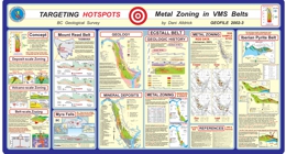 |
GeoFile 2002-03 examines metal zoning in VMS belts, for targeting hotspots. |
| Issue ID: | GM1991-01 |
| Title: | Geology of the Port Alberni�Nanaimo Lakes Area (NTS 92F/1W, 2E and part of 92F/7E) |
| Author(s): | Massey, N.W.D., Friday, S.J., Riddell, J.M., Dumais, S.E. |
| Series Name: | Geoscience Map |
| Publication Year: | 1991 |
| Scale: | 1:50000 |
| NTS Map Sheet(s): | 092F/1W, 2E and part of 092F/7E |
| Place Keyword(s): | British Columbia, Vancouver Island, Port Alberni Area, Nanaimo Lakes Area |
| Lat/Long (NSWE): | 49.383, 49, -124.833, -124.317 |
| Theme Keyword(s): | Geology, Bedrock Geology, Map |
Download(s):
| PDF |
Abstract:
 |
Geoscience Map 1991-1 presents the geology of the Port Alberni-Nanaimo Lakes area (NTS 092F/1W, 2E and part of 092F/7E) and is at 1:50 000-scale. The map covers the northwestern portion of the Cowichan uplift. This geanticlinal uplift is cored by island-arc volcanics of the Devonian Sicker Group overlain by marginal basin and platformal sediments of the Mississippian to Lower Permian Buttle Lake Group. The uplift is flanked by basalts of the Upper Triassic Karmutsen Formation and granodiorite intrusions of the Island plutonic suite. Clastic sediments of the Upper Cretaceous Nanaimo Group overlie older rocks and are intruded by Eocene porphyries. The uplift is dissected by numerous faults, including major contractional faults of the Eocene Cowichan fold and thrust system. The map sheet contains 113 known mineral deposits and occurrences. Past production has been confined to placer and lode gold deposits, although volcanogenic massive sulphides and oxide exhalites, porphyry copper-molybdenum veins and stockworks, iron-copper skarns, base-metal veins and various industrial minerals are also found within the area.
The oldest rocks in the Alberni - Nanaimo Lakes area belong to the Paleozoic Sicker and Buttle Lake groups which contain volcanic and sedimentary units ranging from Middle Devonian to Early Permian age. The Devonian Sicker Group is a thick package of lower greenschist metavolcanic and volcaniclastic rocks that formed in an oceanic island-arc environment The lowest unit is the Duck Lake Formation which comprises a suite of grey to maroon and green pillowed basalts and basaltic breccias with chert, jasper and cherty tuff interbeds near the top of the sequence. Well-bedded felsic tuffs and lapilli tuffs are associated with the cherts and jaspers. Massive dacite-rhyolite dikes and sills intrude the pillowed basalts. The pillowed basalts can be divided into two subunits on the basis of geochemistry. The apparently lowermost flows are tholeiitic with an affinity to enriched-type mid-ocean ridge basalts and probably represent the oceanic substrate upon which the Sicker arc developed. The uppermost lavas, and dacite intrusions, are of high-potassium calcalkaline chemistry and mark the initiation of arc construction. These two suites were not recognized nor distinguished in the field.
Overlying the Duck Lake Formation is the Nitinat Formation characterized by pyroxene-feldspar-porphyritic basalts and basaltic andesites. These typically occur as agglomerates, breccias, lapilli tuffs and crystal tuffs that formed as pyroclastic flows, debris flows and lahars. Pyroxene-phyric, amygdaloidal, pillowed and massive flows are also developed.
The Nitinat Formation passes upwards transitionally (over a thickness of about 150 m) into the McLaughlin Ridge Formation, a sequence of volcaniclastic sediments dominated by thickly bedded, massive tuffites and lithic tuffites, interbedded with thinly bedded tuffites and laminated tuffaceous sandstone, siltstone and argillite. The beds tend to form fining-upward cycles from tuffite to argillite, but overall the sequence becomes coarser towards the top with more frequent development of lithic tuffite and coarse pyroclastic horizons. The sequence probably formed as a volcaniclastic apron around a volcanic island and grades eastwards into more proximal volcanic-dominated facies in the Duncan area. The Nitinat and McLaughlin Ridge formations form a coherent suite of sodium-potassium calcalkaline chemistry typical of island arcs.
The Buttle Lake Group is made up of a dominantly epiclastic and bioclastic limestone sedimentary sequence ranging from Mississippian to Early Permian in age. This sedimentary package is apparently conformable on the underlying volcanics along the northeastern limb of the Cowichan uplift, for example, in the upper Cameron River valley and St Mary's Lake area, but is unconformable along the southwestern limb and in the Fourth Lake area.
The Fourth Lake Formation comprises mostly thin-bedded, often cherty sediments. These vary from green and red ribbon cherts, black cherty argillites, green and white cherty tuffs, grey and green siltstones and argillites, to thicker bedded green volcanic sandstones. The upper part of the formation is characterized by thinly bedded, turbiditic sandstone-siltstone-argillite intercalations, with some thicker beds of volcanic sandstone. These pass upwards into argillite-calcarenite interbeds at the top of the sequence.
The Mount Mark Formation conformably overlies and laterally interfingers with the Fourth Lake Formation. It consists of well-bedded bioclastic calcarenite and calcirudite with minor argillite and chert interbeds. The overlying St Mary's Lake Formation is sporadically preserved beneath the Triassic unconformity. It comprises clastic sediments varying from polymictic conglomerates to volcanic sandstones and argillites.
Rocks of the Upper Triassic Vancouver Group are exposed throughout the map area, flanking the Paleozoic core of the Cowichan uplift. The group is subdivided into a thick lower basaltic volcanic package (Karmutsen Formation) and a thin upper sedimentary package (Quatsino and Parson Bay formations). The lower Karmutsen Formation basalts rest unconformably on the underlying Paleozoic rocks. The basalts form pillowed flows, pillow breccias and hyaloclastite breccias interbedded with massive flows and sills. There is a tendency for the massive flows to dominate the sequence towards the top and the pillowed flows the lower parts. The Karmutsen Formation basalts show amydgule infillings and alteration assemblages typical of the prehnite-pumpellyite facies. The mafic bodies of the Mount Hall gabbro, intrusive into the Paleozoic rocks, are coeval and consanguineous with the Karmutsen Formation basalts. The basalts formed from an iron-titanium enriched tholeiitic magma, similar to continental tholeiite or enriched mid-ocean ridge basalt, probably in an oceanic flood-basalt province. Succeeding limestones, argillites and tuffaceous sediments of the Quatsino and Parson Bay formations are poorly developed in the map area.
All of the Paleozoic and Triassic sequences have been intruded by granodioritic stocks of the Early to Middle Jurassic Island Plutonic Suite. These bodies are usually elongate in shape, although the Fourth Lake stock is roughly circular. The intrusions are dominantly equigranular quartz diorite to granodiorite but show considerable lithological variation. The Corrigan pluton in particular is heterogeneous and composite, comprising a mix of diorite, quartz diorite, granodiorite and monzogranite phases with abundant minor intrusive dikes. Most of the large intrusive bodies are rich in inclusions, especially in marginal agmatitic intrusive breccias. Contact metamorphic aureoles are developed around the intrusions causing hornfelsing and skarning in Paleozoic rocks. A variety of dikes and small irregular intrusions that are probably coeval with the Island Plutonic Suite occur throughout the area. Lithologically they include intermediate feldspar porphyry, hornblende feldspar porphyry and minor diabase. The Jurassic intrusions form a metaluminous, medium to high-potassium calcalkaline suite typical of a convergent-margin environment.
Clastic sediments of the Upper Cretaceous Nanaimo Group lie unconformably on the older rocks. They are most thickly developed in the Alberni Valley, though only exposed around the margins due to Quaternary cover. The lower Benson Formation comprises basal conglomerates and overlying medium to coarse-grained sandstones. These are succeeded by the black argillites and siltstones of the Haslam Formation. Younger formations of the Nanaimo Group are absent.
Tertiary dacite porphyries of the Mount Washington Intrusive Suite occur throughout the area. Where the magma has penetrated the Nanaimo Group sediments, it has spread out laterally to form thick sills.
Southern Vancouver Island has a complex structural history with frequent rejuvenation of previous structures. All Paleozoic rocks are affected by a series of southeast trending, upright to overturned, southwest-verging folds. Associated schistosity and lineation are absent from most of the area, only occurring to the west of the Mineral Creek fault. Regional-scale warping of Vancouver Island occurred during the Early to Middle Jurassic, facilitating the emplacement of the Island Plutonic Suite intrusions and producing the geanticlinal Cowichan uplift. The present map pattern is dominated by the northwesterly trending contractional faults of the Tertiary Cowichan fold and thrust system. These are high angle reverse faults that become listric at mid-crustal levels. They generally place older rocks over younger. The deformation probably took place during the crustal shortening accompanying the formation and emplacement of the Pacific Rim and Crescent terranes out-board of Wrangellia. The north-trending Mineral Creek fault and associated northwest-trending faults, such as the Stokes fault, are subvertical with small, apparently sinistral offsets. They may have formed during minor extension accompanying late-stage post-contractional relaxation.
The Alberni - Nanaimo Lakes area has had a long history of mineral exploration and production, starting with small-scale placer-gold mining on China Creek in 1862. The localization of metal deposits in the area is controlled by the interplay of stratigraphy and spatial association with later intrusions and structures. Three major metallogenic epochs are recognized. Syngenetic mineralization occurred during the building of the Sicker arc. Oxide facies exhalites, such as the 900 zone of the Mineral Creek area, are found in the uppermost Duck Lake Formation. Sulphide facies equivalents are also found, although less commonly. Thin syngenetic manganese oxide beds and sulphidic argillites occur within the radiolarian cherts of the basal Fourth Lake Formation in the upper Shaw Creek area.
The Early to Middle Jurassic arc was characterized by epigenetic mineralization of various types and styles, spatially related to the Island Plutonic Suite intrusions. Copper-molybdenum veins and stockworks occur within intrusions and volcanic country rock. Production has been minor from these deposits but came from the Havilah and WWW mines. Rhodonite forms by contact metamorphism of manganiferous chert. Iron-copper-gold skarns are developed in calcareous tuffs and limestones of the Karmutsen and Quatsino formations, though are rare in Mount Mark lithologies. A stratiform auriferous hematite cap has developed on the top of the skarn on the Villalta property, probably formed by residual weathering during the middle Cretaceous.
Mesothermal gold-bearing quartz-carbonate veins are located along Tertiary structures and have been one of the main exploration targets in the area. Historic production has ensued from the Victoria, Thistle and Black Panther mines. Tertiary epigenetic quartz-arsenic-(antimony) veins are variably developed in dacite porphyry sills and Haslam Formation argillites on the Coal and Grizzly properties. |
| Issue ID: | GM1991-02 |
| Title: | Geology of the Cowichan Lake Area (NTS 92C/16) |
| Author(s): | Massey, N.W.D., Friday, S.J., Tercier, P.E., Rublee, V.J., Potter, T.E. |
| Series Name: | Geoscience Map |
| Publication Year: | 1991 |
| Scale: | 1:50000 |
| NTS Map Sheet(s): | 092C/16 |
| Place Keyword(s): | British Columbia, Vancouver Island, Cowichan Lake Area |
| Lat/Long (NSWE): | 49, 48.75, -124.5, -124 |
| Theme Keyword(s): | Geology, Bedrock Geology, Map |
Download(s):
| PDF |
Abstract:
 |
Geoscience Map 1991-2 describes the geology of the Cowichan Lake area. It is a 1:50 000-scale map covering the southwestern flank of the Cowichan uplift. North of Cowichan Lake, the area is underlain by island-arc volcanics of the Devonian Sicker Group and marginal basin and platformal sediments of the Mississippian to lower Permian Buttle Lake Group. South of the lake, separated from the Paleozoic sequence by the Cowichan fault, Mesozoic volcanics and sediments form a broad anticline. The Upper Triassic basalts and sediments of the Karmutsen, Quatsino and Parson Bay formations are overlain by arc volcanics of the Lower Jurassic Bonanza Group. Granodiorite stocks and plutons of the early to middle Jurassic Island plutonic suite intrude all older sequences. Clastic sediments of the Upper Cretaceous Nanaimo Group occur throughout the map area, preserved in the footwalls of major contractional faults associated with the Eocene fold and thrust system. The map sheet contains 39 documented mineral deposits and occurrences, though past production has been limited to the copper skarn deposit of the Blue Grouse mine. Other mineralization includes lode gold, base metal veins, porphyry copper-molybdenum veins and stockworks, volcanogenic exhalites, rhodonite, limestone and placer gold.
The Cowichan Lake map area is centered on north-northwest trending Cowichan Lake, 27 kilometres west of Duncan, on Vancouver Island, British Columbia. The area lies at the southeastern end of the Vancouver Island Ranges and is characterized by fairly rugged topography with fault-line scarps and fault-controlled valleys, accentuated by glaciation. The area is divided into two regions of differing structural style by a major thrust fault running along the north side of Cowichan Lake. The northern region is underlain by Paleozoic rocks forming the southwest limb of the Cowichan uplift, one of a series of major geanticlinal structures constituting the structural fabric of the Wrangellia terrane of Vancouver Island. South of Cowichan Lake, Mesozoic sequences form a syncline-anticline pair that parallels the Cowichan uplift and plunges to the northwest.
The oldest rocks in the Cowichan Lake area belong to the Paleozoic Sicker and Buttle Lake groups which contain volcanic and sedimentary units ranging from Middle Devonian to Lower Permian age. The Devonian Sicker Group is a thick package of lower greenschist facies, metavolcanic and volcaniclastic rocks that formed in an oceanic island-arc environment. The lowest unit is the Duck Lake Formation which, in the Alberni -Nanaimo Lakes area, comprises a suite of grey to maroon and green pillowed basalts and basaltic breccias with chert, jasper and cherty tuff interbeds near the top of the sequence. This unit has not been positively identified in the Cowichan Lake area, although a narrow band of green-grey pillowed basalt, about 1 kilometre southwest of Heather Lake, is tentatively assigned to the Duck Lake Formation.
Overlying the Duck Lake Formation is the Nitinat Formation, characterized by pyroxene-feldspar-porphyritic basalts and basaltic andesites. These typically occur as agglomerates, breccias, lapilli tuffs and crystal tuffs that formed as pyroclastic flows, debris flows and lahars. Pyroxene-phyric, amygdaloidal, pillowed and massive flows are also developed.
South of the Chemainus River fault in the Cowichan Lake map area, the Nitinat Formation is overlain by a sequence of interbedded volcaniclastic sediments and pyroclastic rocks of the McLaughlin Ridge Formation. A variety of lithologies are developed including thickly bedded, massive tuffite and lithic tuffite; interbedded, laminated sandstones, siltstones and argillites; heterolithic volcanic breccias and lapilli tuffs, commonly mafic to intermediate in composition; and feldspar crystal tuffs and lapilli tuffs. The sequence probably formed in the transition between the proximal volcanic-dominated facies and the distal volcaniclastic apron facies around a volcanic island. North of the Chemainus River fault, the mafic to felsic volcanics of the proximal volcanic facies dominate the McLaughlin Ridge Formation. The volcanics are predominantly intermediate pyroclastics, commonly feldspar crystal-lapilli tuffs, heterolithic lapilli tuffs and breccias, and minor pyroxene-phyric lapilli tuffs. Felsic crystal and dust-tuffs interfinger with andesitic lapilli tuffs and breccias at the eastern edge of the map. The felsic rocks appear to be stratigraphically high within the formation.
A distinctive maroon, schistose heterolithic breccia and lapilli tuff with minor jasper is the uppermost unit and is overlain conformably by thinly bedded cherty sediments of the Fourth Lake Formation of the Buttle Lake Group. A suite of greenstone dikes, informally called the "older dikes", intrudes the felsic volcanics and maroon breccia. The age of these dikes is unknown, but may be contemporaneous with minor volcanics in the lower Fourth Lake Formation. The Nitinat and McLaughlin Ridge formations form a coherent suite of medium-potassium calcalkaline chemistry typical of island arcs. In contrast, the older dikes are high iron-titanium tholeiites with an affinity to transitional or enriched ocean-floor basalts.
The Buttle Lake Group is made up of a dominantly epiclastic and bioclastic limestone sedimentary sequence ranging from Mississippian to Early Permian in age. Within the Cowichan Lake area, the Buttle Lake Group is either in fault contact with, or rests unconformably on the Sicker Group. The Fourth Lake Formation comprises mostly thin-bedded, often cherty sediments. South of the Chemainus River, the base of the formation is marked by a sequence of radiolarian ribbon cherts and cherty siltstones 100 to 200 metres thick, informally called the Shaw Creek member. This passes upwards into monotonous thinly bedded, sometimes cherty, turbiditic sandstone-siltstone-argillite intercalations. Thicker beds of sandstone, granule sandstone, breccia and conglomerate are exposed to the south of the Chemainus River. The ribbon cherts of the Shaw Creek member are absent north of the river, where thinly bedded turbiditic clastic sediments conformably overlie the McLaughlin Ridge volcanics and dominate the sequence. Minor volcanism was synchronous with early Fourth Lake Formation sedimentation in the Mount Whymper - Rheinhart Creek area. This �Mount Whymper suite� consists of aphyric amygdaloidal basalt flows, interbedded with cherts and cherty sediments and olive-green, amygdaloidal, aphyric dacitic flows interbedded with maroon and green chert, jasper, magnetite-jasper and cherty sediments. The basalts are undersaturated and enriched in both compatible and incompatible trace elements, with a within-plate petrotectonic affinity.
The Mount Mark Formation conformably overlies the Fourth Lake Formation, although outcrops of the formation are not common in the Cowichan Lake area. It consists of well-bedded bioclastic calcarenite with porcellaneous micrite and tuffaceous limestone interbeds and thinly bedded black cherts.
Rocks of the Upper Triassic Vancouver Group outcrop both north and south of Cowichan Lake. They form the core of the Seymour Range anticline in the south and Karmutsen Formation basalts unconformably overlie the Paleozoic sequences north of Cowichan Lake. The group is subdivided into a thick lower basaltic volcanic package (Karmutsen Formation) and a thin upper sedimentary package (Quatsino and Parson flay formations). The lower Karmutsen Formation basalts rest unconformably on the underlying Paleozoic rocks. The basalts form pillowed flows, pillow breccias and hyaloclastite breccias interbedded with massive flows and sills. There is a tendency for the massive flows to dominate the sequence towards the top and the pillowed flows in the lower parts. Lithologically, the flows are dark grey, variably feldspar phyric basalts. Glomeroporphyritic flows and hyaloclastite breccia are commonly seen at the top of the pile. The Karmutsen basalts show amygdule infillings and alteration assemblages typical of the prehnite-pumpellyite facies. The mafic bodies of the Mount Hall gabbro, intrusive into the Paleozoic rocks, are coeval and consanguineous with the Karmutsen basalts. The basalts formed from an iron-titanium enriched tholeiitic magma, similar to continental tholeiite or enriched mid-ocean ridge basalt, probably in an oceanic flood-basalt province.
The Quatsino Formation is characterized by massive, thickly bedded, black micritic limestone, essentially unfossiliferous, though bioclastic micrite, oolitic limestone, calcirudite and calcarenite may occur locally. The formation is conformably overlain by thinly bedded sediments and tuffs, provisionally correlated with the Parson Bay Formation. This sequence comprises tuff and tuffaceous sandstone overlain by flaggy limestones and black limy argillites, which grade vertically into thinly bedded argillites with minor fossiliferous limestone interbeds. Flaggy, sandy limestone and biohermal limestone ascribed to the Sutton limestone member of the Parson Bay Formation outcrop on the south shore of Cowichan Lake.
The Bonanza Group overlies the Vancouver Group sediments with a slight angular unconformity, only readily detectable from the regional distribution of rock units. The unconformity cuts down section and may result in thinning or elimination of the Parson Bay Formation. The bulk of the Bonanza Group consists of maroon to green-grey, feldspar-phyric basalt and andesite flows, lapilli and crystal tuffs, feldspar-hornblende andesite flows, dacite and felsic lapilli tuff, and various minor basalt, andesite and dacite dikes. Tuffaceous and epiclastic sediments are found interbedded with lapilli and crystal tuffs, within the basal part of the sequence. The Bonanza Group evolved in a convergent-margin setting as an arc on the Paleozoic and Triassic transitional crust.
All of the Paleozoic and Triassic sequences have been intruded by granodioritic stocks of the Early to Middle Jurassic Island Plutonic Suite. Stocks north of Cowichan Lake have an elongate outcrop pattern, often with different stratigraphic units on either side, as with the Mount Buttle - Meade Creek stock. Stocks intruded into the Mesozoic sequences south of Cowichan Lake are more rounded in outcrop shape. The intrusions are dominantly equigranular quartz diorite to granodiorite but show considerable lithological variation. Most of the large intrusive bodies are rich in mafic inclusions, especially in marginal agmatitic intrusive breccias. Contact metamorphic aureoles are developed around the intrusions, causing hornfelsing and skarning in Paleozoic rocks. A variety of dikes and small irregular intrusions, that are probably coeval with the Island Plutonic Suite, occur throughout the area. Lithologically they include intermediate feldspar porphyry, feldspar pyroxene porphyry, hornblende feldspar porphyry and minor diabase. The Jurassic intrusions are coeval with the Bonanza volcanics and form a metaluminous, medium to high-potassium calcalkaline suite typical of a convergent-margin environment.
Clastic sediments of the Upper Cretaceous Nanaimo Group lie unconformably on the older rocks. They outcrop mainly around the shores of Cowichan Lake, but are also preserved in fault-controlled valleys to the north of the lake. The lower Benson Formation comprises basal cobble and boulder conglomerates and overlying medium to coarse-grained sandstones. These are succeeded by black argillites and siltstones of the Haslam Formation. Younger formations of the Nanaimo Group are absent.
Southern Vancouver Island has a complex structural history with frequent rejuvenation of pre-existing structures. All Paleozoic rocks are affected by a series of southeast trending, upright to overturned, southwest verging folds. Penetrative axial planar foliation is absent throughout most of the area, except to the west of Mount Whymper and north of the Chemainus River fault, where foliation (schistosity in volcanics and cleavage in sediments) is well developed, trending north-northwest with generally steep northeasterly dips. Lineations plunge gently, up to 15 degrees, and may be to the west-northwest or east-southeast. Regional-scale warping of Vancouver Island occurred during the Early to Middle Jurassic, facilitating emplacement of the Island Plutonic Suite intrusions and producing the geanticlinal Cowichan uplift. North of Cowichan Lake, the present map pattern is dominated by the northwesterly trending contractional faults of the Tertiary Cowichan fold and thrust system. These are high-angle reverse faults, which become listric at mid-crustal levels. They generally place older rocks over younger. A footwall syncline is developed in the thicker Nanaimo Group section beneath the Cowichan fault at the east end of Cowichan Lake. The deformation probably took place during the crustal shortening accompanying formation and emplacement of the Pacific Rim and Crescent terranes outboard of Wrangellia.
The Cowichan Lake area has had a somewhat intermittent history of mineral exploration since about 1900. Production has been limited to small quantities of copper from the Blue Grouse mine and manganese and rhodonite from Hill 60. The localization of metal deposits in the area is controlled by the interplay of stratigraphy and spatial association with later intrusions and structures. Three major metallogenic epochs are recognized. Syngenetic mineralization occurred during the building of the Sicker arc. Oxide facies exhalites, such as the �900 zone� of the Mineral Creek area, are found in the uppermost Duck Lake Formation in the adjacent Alberni � Nanaimo Lakes area. Sulphide facies equivalents are also found, though less commonly. Thin syngenetic manganese oxide beds and sulphidic argillites occur within the radiolarian cherts of the basal Fourth Lake Formation in the upper Shaw Creek area.
The Early to Middle Jurassic arc was characterized by epigenetic mineralization of various types and styles, spatially related to the Island Plutonic Suite intrusions. Copper-molybdenum veins and stockworks occur within intrusions and volcanic country rocks. Rhodonite forms by contact metamorphism of manganiferous chert. Iron-copper-gold skarns are developed in calcareous tuffs and limestones of the Karmutsen and Quatsino formations, though are rare in Mount Mark lithologies.
Mesothermal gold-bearing quartz-carbonate veins are located along Tertiary structures and have been one of the main exploration targets in the area. |
| Issue ID: | OF1999-14 |
| Title: | Potential for Subaqueous Hot-spring (Eskay Creek) Deposits in British Columbia |
| Author(s): | Massey, N.W.D., Alldrick, D.J., Lefebure, D.V. |
| Series Name: | Open File |
| Publication Year: | 1999 |
| Scale: | 1:2000000 |
| NTS Map Sheet(s): | 082;083;092;093;094;102;103;104;114 |
| Place Keyword(s): | British Columbia, Eskay Creek |
| Lat/Long (NSWE): | 60, 48, -139, -114 |
| Theme Keyword(s): | Geology, Subaqueous Hot-spring Deposits, Eskay Creek |
Download(s):
| PDF, ZIP (View Zip Contents) |
Abstract:
 |
Open File 1999-14 presents the potential for subaqueous hot-spring (Eskay Creek) deposits in British Columbia. |
| Issue ID: | OF2000-01 |
| Title: | 1999 Mines and Major Exploration Projects in B.C. |
| Author(s): | Owsiacki, G., Cathro, M., Wojdak, P.J., Pinsent, R.H., Wilton, P., Lane, R., Schroeter, T.G. |
| Series Name: | Open File |
| Publication Year: | 2000 |
| Scale: | 1:2500000 |
| NTS Map Sheet(s): | 082;083;092;093;094;102;103;104;114 |
| Place Keyword(s): | British Columbia |
| Lat/Long (NSWE): | 60, 48, -139, -114 |
| Theme Keyword(s): | Geology, Mines, Major Exploration Projects |
Download(s):
| PDF |
Abstract:
 |
Open File 2000-1 contains 2 maps at 1:2,500,000-scale and a MINFILE data disk. The disk provides data on 109 deposits including operating mines, projects in the Environmental Assessment Review, projects that have received Mine Development Certificates or have been Certified, and exploration highlights and advanced exploration/development projects in British Columbia. The maps show the location of each of the 109 deposits or exploration projects contained in the dataset.
In 1999, a total of 61 deposits (12 metallic mineral, 41 industrial mineral and 8 coal) were being mined in the province of British Columbia. There are 20 projects in the advanced exploration and development stage and 32 exploration projects are highlighted. Projects in the Environmental Assessment Review are Silvertip, Prosperity, Red-Chris, Bronson Slope and Telkwa Coal. There are 4 slag producers in B.C., Anyox, Phoenix, Trail and Grand Forks.
The MINFILE information includes geological descriptions and bibliographies for each deposit as well as production and inventory statistics. These files, once loaded to a hard disk, can be processed by database management programs or by MINFILE/pc.
This data is intended to be used independent of the regular provincial MINFILE data release. This publication will interest a wide variety of national and international users, including governments, mining and related industries, and the public.
The diskette is downloadable or available for $7.50 from Crown Publications Inc. and contains the data presented on the 2 maps, which are available for $10.00. Note that these deposits are also included in the provincial MINFILE database. The disk contains a readme file. |
| Issue ID: | OF2000-02 |
| Title: | Gold Production and Resources in B.C. (1858-1998) |
| Author(s): | Schroeter, T.G., Pinsent, R.H. |
| Purpose: | The purpose of this report is to document the abundance and diversity of gold discoveries that resulted from exploration in the province over the last several years, and place the new deposits in context with its earlier history of precious metal production. |
| Series Name: | Open File |
| Publication Year: | 2000 |
| Scale: | 1:2000000 |
| NTS Map Sheet(s): | 082;083;092;093;094;102;103;104;114 |
| Place Keyword(s): | British Columbia |
| Lat/Long (NSWE): | 60, 48, -139, -114 |
| Theme Keyword(s): | Geology, Gold Production, Gold Resources |
Download(s):
| PDF |
Abstract:
 |
Open File 2000-02 presents the gold production and resources in British Columbia (1858-1998). The scale is 1:2000000. |
| Issue ID: | OF2000-03 |
| Title: | Geology of the Robb Lake Pb-Zn deposit, northeastern British Columbia |
| Author(s): | Nelson, J.L., Zantvoort, W., Paradis, S. |
| Series Name: | Open File |
| Publication Year: | 2000 |
| Scale: | 1:20000 |
| NTS Map Sheet(s): | 094B/13 |
| Place Keyword(s): | British Columbia, Northeastern British Columbia, Robb Lake |
| Lat/Long (NSWE): | 56.962, 56.921, -123.973, -123.675 |
| Theme Keyword(s): | Geology, Pb-Zn Deposits, Bedrock Geology, Lead and Zinc Deposits |
Download(s):
| PDF, ZIP (View Zip Contents) |
Abstract:
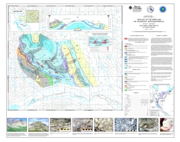 |
Open File 2000-3 describes the geology of the Robb Lake lead-zinc deposit (94B/13) in northeastern British Columbia. The coloured map at 1:20 000 scale includes a legend, cross section, a schematic presentation of the textural and mineralogical zonation of the deposit, photographs, a regional geologic setting map, and a summary of the property geology.
The Robb Lake Mississippi Valley-type Pb-Zn deposit (MINFILE 094B 005) is hosted by platform carbonate rocks in the Rocky Mountains of northeastern British Columbia (56�56N, 123�43W; 94B/13). The deposit, hosted by Silurian-Devonian dolostone of the Muncho-McConnell Formation, consists of a series of interconnected bedding-parallel and crosscutting breccia bodies with sparry dolomite, sphalerite, galena, pyrite, quartz, calcite, and pyrobitumen in their matrix. It is the most promising and the best-developed carbonate-hosted lead-zinc occurrence in the northern Rockies, with significant showings over an 8 square km area.
Lead-zinc mineralization was discovered near Robb Lake in 1971 by Arrow-Interamerican Corp., Barrier Reef Resources Ltd., and Ecstall Mining Ltd. Drilling between 1972 and 1975 led to the incomplete delineation of three deposits, the "lower zone", the East Webb ridge zone, and the West Webb ridge zone (at depth south of the Webb showing). Drilling was continued by Texasgulf in the summers of 1980 and 1981. The geological resource at Robb Lake is quoted as 6.5 million tonnes at 7.11 % combined lead and zinc (2.4 metre mining width, 5% cutoff grade; Consolidated Barrier Reef Resources, Rights Offering Circular, November 29, 1984). Core is stored at an airstrip at the confluence of Mississippi Creek and the Halfway River.
Most of the lead-zinc mineralization at Robb Lake occurs within the Muncho-McConnell Formation, although a few occurrences lie within a thin overlying sequence attributed to the Stone-Dunedin formations. The deposit is located next to the tectonically telescoped shelf-slope facies boundary. The strata that host Robb Lake lie in the immediate footwall of a major thrust fault, which has deep water, early Paleozoic strata in its hanging wall.
The showings are in and near the valley of Mississippi Creek. Mineralization occurs as breccias, veins and vein stockworks, with breccia mineralization the most important. The breccias form interconnected, bedding-parallel and/or crosscutting bodies, which are partly to wholly mineralized. The favorable mineralized sections form a stratabound zone occupying the upper 200 metres of the lower unit of the Muncho-McConnell Formation and the lower 130 metres of the upper unit. The base of the cliff-forming unit exerted a strong control on the location of the main stratiform breccia bodies, as is illustrated on the cross section of the valley of Mississippi Creek. The south slope of Tennessee Mountain is more or less a dip slope, and the showings along the creek - the Lower, Canyon, and Cascade zones - are stratigraphically equivalent to those on the south side of Tennessee Mountain - the Upper, Waterfall, Camp, and North Face zones.
The Robb Lake deposit has unexplored stratabound potential in the zone bounded above by unit Silurian-Devonian Muncho-McConnell Formation cliff forming dolostone unit. Breakthrough zones of cross-cutting mineralization may be associated with zones of more intense mineralization, such as Webb Ridge and the as yet unexplored zone around Tennessee Mtn., Monocline and Bear on the south side of Tennessee Mountain. The area of the Talis zone is also of interest because of the steep faults outlined there. |
| Issue ID: | OF2000-04 |
| Title: | Natmap: Geology of the southeastern Dorsey Terrrane (NTS 104O/7, 8, 9, 10) |
| Author(s): | Nelson, J.L., Harms, T.A., Zantvoort, W., Gleeson, T., Wahl, K. |
| Series Name: | Open File |
| Publication Year: | 2000 |
| Scale: | 1:50000 |
| NTS Map Sheet(s): | 104O/7, 8, 9, 10 |
| Place Keyword(s): | British Columbia, Northern British Columbia, Southeastern Dorsey Terrane |
| Lat/Long (NSWE): | 59.7, 59.292, -130.8, -130.2 |
| Theme Keyword(s): | Geology, Bedrock Geology |
Download(s):
| PDF |
Abstract:
 |
Open File 2000-4 describes the geology of the southeastern Dorsey terrane (104O/7, 8, 9, 10) in northernmost British Columbia. The Open File coloured geology map at 1:50 000 scale includes a legend, geologic cross sections and a map showing major geological units. The area includes is mainly underlain by rocks of the North American Cassiar and allochthonous Dorsey terranes and also post-accretionary Mesozoic intrusive units and Quaternary basalts. The oldest rocks are Cassiar terrane units. Upper Proterozoic to Cambrian units consist of quartzite; marble and calc-silicate; and silty meta-argillite, slate, quartzite, marble and calc-silicate. The Ordovician to Silurian (?) Road River Group consists of siliceous-calcareous black argillite and slate. Devonian to Mississippian Earn Group units are marble; baritic cherty exhalites; and siliceous black argillite, metachert, porcellanite, and minor baritic chert and marble. Dorsey terrane units are the Ram Creek assemblage, the Dorsey assemblage, the Swift River assemblage, and the Klinkit assemblage. The Ram Creek assemblage is Mississippian but may include older and younger rocks. Components are tonalite, diorite to gabbro, ribbon chert, marble, quartz-muscovite and quartz-sericite schist, and an undivided greenstone intrusive unit containing greenstone, intermediate metatuff, felsic metatuff, tonalite, diorite and gabbro. The Dorsey assemblage begins with pre-Mississippian rocks consisting of three metasediments-amphibolite units that contain amphibolite, garnet amphibolite, meta-argillite, quartzite, limestone, quartz-muscovite schist, and, toward the top, chlorite (garnet) schist. A Post-Devonian quartzite-pelite unit contains phyllite, quartzite, and minor grit and metachert. Foliated to gneissic tonalite to diorite and muscovite granite intrusions are of Mississippian age. Late Triassic intrusions include gabbro and pyroxenite, quartz monzonite, granodiorite, and a heterogeneous late kinematic intrusion with granodiorite, quartz monzonite, gabbro and clinopyroxenite. Swift River assemblage rocks are Paleozoic and crop out northeast of Parallel Creek. A dark phyllite-quartzite-marble unit is overlain by a phyllitic metasedimentary unit with limestone; metatuff chlorite schist; small dioritic intrusions; phyllitic argillite, metasiltstone and quartzite; and two units with phyllitic argillite, quartzite, limestone, metatuff and diorite. The Klinkit assemblage rocks are Upper (?) Paleozoic and crop out southwest of Parallel Creek. This limestone-mafic tuff-chert unit contains ribbon chert that is locally manganiferous, dust to lapilli tuff, limestone, and undivided areas with similar lithologies. Early Jurassic intrusions, circa 187 Ma are also pre-accretionary. The Simpson Peak batholith and associated intrusions are granodiorite, monzonite, diorite and gabbro. Post-accretionary intrusions include Early Cretaceous, circa 110 Ma, granite, granodiorite, quartz monzonite and diorite, and Late Cretaceous granite.
The area includes is mainly underlain by rocks of the North American Cassiar and allochthonous Dorsey terranes and also post-accretionary Mesozoic intrusive units and Quaternary basalts. The oldest rocks are Cassiar terrane units. Upper Proterozoic to Cambrian units consist of quartzite; marble and calc-silicate; and silty meta-argillite, slate, quartzite, marble and calc-silicate. The Ordovician to Silurian (?) Road River Group consists of siliceous-calcareous black argillite and slate. Devonian to Mississippian Earn Group units are marble; baritic cherty exhalites; and siliceous black argillite, metachert, porcellanite, and minor baritic chert and marble.
Dorsey terrane units are the Ram Creek assemblage, the Dorsey assemblage, the Swift River assemblage, and the Klinkit assemblage. The Ram Creek assemblage is Mississippian but may include older and younger rocks. Components are tonalite, diorite to gabbro, ribbon chert, marble, quartz-muscovite and quartz-sericite schist, and an undivided greenstone intrusive unit containing greenstone, intermediate metatuff, felsic metatuff, tonalite, diorite and gabbro. The Dorsey assemblage begins with pre-Mississippian rocks consisting of three metasediments-amphibolite units that contain amphibolite, garnet amphibolite, meta-argillite, quartzite, limestone, quartz-muscovite schist, and, toward the top, chlorite (garnet) schist. A Post-Devonian quartzite-pelite unit contains phyllite, quartzite, and minor grit and metachert. Foliated to gneissic tonalite to diorite and muscovite granite intrusions are of Mississippian age. Late Triassic intrusions include gabbro and pyroxenite, quartz monzonite, granodiorite, and a heterogeneous late kinematic intrusion with granodiorite, quartz monzonite, gabbro and clinopyroxenite. Swift River assemblage rocks are Paleozoic and crop out northeast of Parallel Creek. A dark phyllite-quartzite-marble unit is overlain by a phyllitic metasedimentary unit with limestone; metatuff chlorite schist; small dioritic intrusions; phyllitic argillite, metasiltstone and quartzite; and two units with phyllitic argillite, quartzite, limestone, metatuff and diorite. The Klinkit assemblage rocks are Upper (?) Paleozoic and crop out southwest of Parallel Creek. This limestone-mafic tuff-chert unit contains ribbon chert that is locally manganiferous, dust to lapilli tuff, limestone, and undivided areas with similar lithologies.
Early Jurassic intrusions, circa 187 Ma are also pre-accretionary. The Simpson Peak batholith and associated intrusions are granodiorite, monzonite, diorite and gabbro. Post-accretionary intrusions include Early Cretaceous, circa 110 Ma, granite, granodiorite, quartz monzonite and diorite, and Late Cretaceous granite.
Quaternary Tuya Basalt forms basalt flows, cinder cones and tuyas.
The Cassiar and Dorsey terranes are separated by a northwest trending major fault that is generally a low angle thrust. There are also major northwest trending faults (thrusts) within the Dorsey terrane and northeast trending faults (normal) within the major fault blocks.
Some quartz-sericite schists that may be metamorphosed rhyolite tuffs in the central Jennings River area are rusty weathering and pyritic. Sulphide-bearing float with pyrite and wisps of galena in laminated metachert have been found. Nearby magnetite-bearing rocks are either skarn or banded magnetite like that in the hangingwall of the Wolverine deposit. The volcanogenic massive sulphide potential is intriguing. |
| Issue ID: | OF2000-05 |
| Title: | Surficial geology of the Swift River area (NTS 104N/9, 16; 104O/NW) |
| Author(s): | Dixon-Warren, A.B., Hickin, A.S. |
| Series Name: | Open File |
| Publication Year: | 2000 |
| Scale: | 1:100000 |
| NTS Map Sheet(s): | 104N/09; 104N/16; 104O/11; 104O/12; 104O/13; 104O/14 |
| Place Keyword(s): | British Columbia, Swift River Area |
| Lat/Long (NSWE): | 60, 59.5, -132.417, -131 |
| Theme Keyword(s): | Surficial Geology Map, Geology, Surficial Geology, Map |
Download(s):
| PDF |
Abstract:
 |
Open File 2000-05 presents the surficial geology of the Swift River area NTS 104N/9,16 and 104O/NW of British Columbia. |
| Issue ID: | OF2000-06 |
| Title: | Geology Smart River (NTS 104O/13) |
| Author(s): | Mihalynuk, M.G. et al. |
| Series Name: | Open File |
| Publication Year: | 2000 |
| Scale: | 1:50000 |
| NTS Map Sheet(s): | 104O/13 |
| Place Keyword(s): | British Columbia, Smart River area |
| Lat/Long (NSWE): | 57.79, 56.863, -127.82, -126.491 |
| Theme Keyword(s): | Geology, Bedrock Geology |
Download(s):
| PDF |
Abstract:
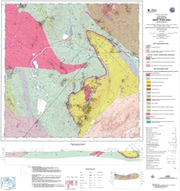 |
Open File 2000-06 presents the geology of Smart River (NTS 104O/13) in British Columbia. The scale is 1:50000. |
| Issue ID: | OF2000-07 |
| Title: | Geology and Mineralization around Baldy Batholith, South-central British Columbia, (NTS 82M/03, 04, 05, 06) |
| Author(s): | Logan, J.M., Mann, R.K. |
| Series Name: | Open File |
| Publication Year: | 2000 |
| Scale: | 1:100000 |
| NTS Map Sheet(s): | 082M/04 |
| Place Keyword(s): | British Columbia, Southcentral British Columbia, Baldy Batholith |
| Lat/Long (NSWE): | 51.5, 51.1, -120, -119.45 |
| Theme Keyword(s): | Geology, Mineralization, Bedrock Geology |
Download(s):
| PDF, ZIP (View Zip Contents) |
Abstract:
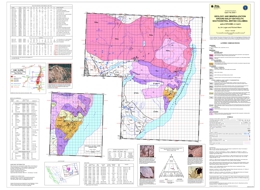 |
Open File 2000-07 presents the geology and mineralization around Baldy Batholith of south-central British Columbia (82M/03, 04, 05, 06). The scale is 1:100000. |
| Issue ID: | OF2000-08 |
| Title: | Geology and Mineralization around the Mount Skelly Pluton, Kootenay Lake, Southeastern British Columbia, (NTS 82F/07) |
| Author(s): | Logan, J.M., Mann, R.K. |
| Series Name: | Open File |
| Publication Year: | 2000 |
| Scale: | 1:50000 |
| NTS Map Sheet(s): | 082F/07 |
| Place Keyword(s): | British Columbia, Southeastern British Columbia, Kootenay Lake |
| Lat/Long (NSWE): | 49.5, 49.3, -116.8, -116.4 |
| Theme Keyword(s): | Geology, Mineralization, Mount Skelly Pluton, Bedrock Geology |
Download(s):
| PDF, ZIP (View Zip Contents) |
Abstract:
 |
Describes the geology and mineral occurrences of the Mount Skelly pluton (NTS 82F/7E) near Kootenay Lake in southeastern British Columbia. The 1:50 000 scale coloured geological map includes a legend, references, photographs with rock types and mineralization, and tables with modal analyses, selected chemical analyses, and mineral occurrences.
The oldest rocks in the map area are from the Helikian Purcell Supergroup. Middle Aldridge siltite and fine quartzite with argillite interbeds, are overlain by Upper Aldridge argillite, silty argillite with characteristic white siltite laminae. Lower Creston Group rock units consist of siltite and thinly interbedded siltite and argillite; middle Creston rocks are siltite, fine quartzite, black to purple argillite and white quartzite. The Coppery Creek Group has a gray carbonate member; a lower unit with dolomite, dolomitic siltstone, argillite, siltite and quartzite; a middle unit of thinly laminated argillite and siltstone; and an upper unit of dolomite interbedded with quartzite. The Moyie intrusions are mainly metadiorite and metaquartz diorite. The lower unit of the La France Group consists of thinly bedded argillite and siltite; the upper unit is interbedded siltite and argillite. Mt. Nelson Formation units are dominated by: quartzite; dolomite, dolomitic siltstone, and argillite; thinly interbedded argillite and siltstone; and dolomite. Rocks of the Hadrynian Windermere Supergroup are represented by the Toby Formation and the Horsethief Creek Group. Toby Formation is composed of polymictic conglomerate, quartzite and grit, and phyllite. Horsethief Creek Group units are phyllite, siltite and carbonate; quartzite and pebbly quartzite; cobble conglomerate; pebble conglomerate; grey limestone, marble and dolomite; and phyllite and schist with interbedded quartzite, conglomerate and marble. Argillite, silty argillite, siltstone, and silty limestone comprise the Cambrian, Eager Formation.
Intrusive rocks of the Cretaceous Bayonne suite include the Sanca stock, which is biotite granodiorite, and the Mount Skelly pluton, which consists mainly of granodiorite and biotite monzogranite.
Mineral deposit types with potential in the area include low-sulphide quartz veins with elevated arsenic and values in lead, silver, gold, and tungsten; greisen veins with molybdenum and tungsten values (some also carry copper minerals); quartz veins with values in copper, silver and gold; and polymetallic quartz veins with values in silver, lead, zinc and sometimes gold. Four of the occurrences have past production. Most of the occurrences are either in Horsethief Creek strata or Cretaceous intrusive rocks. |
| Issue ID: | OF2000-09 |
| Title: | Quaternary geology of the Marilla map area (NTS 93F/12) |
| Author(s): | Mate, D.J., Levson, V.M. |
| Series Name: | Open File |
| Publication Year: | 2000 |
| Other Citation Details: | Data used in Geological Survey of Canada Map 2067A |
| Larger Work Citation: | Data used in Geological Survey of Canada Map 2067A |
| Scale: | 1:50000 |
| NTS Map Sheet(s): | 093F/12 |
| Place Keyword(s): | British Columbia, Marilla Map Area |
| Lat/Long (NSWE): | 53.75, 53.5, -126, -125 |
| Theme Keyword(s): | Surficial Geology Map, Geology, Quaternary Geology, Surficial Geology |
Download(s):
| PDF, ZIP (View Zip Contents) |
Abstract:
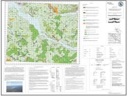 |
The Quaternary geology of the Marilla map area was mapped in conjunction with 1:50 000 scale till geochemistry studies (Levson et al. 1999) and is part of the Nechako National Mapping (NATMAP) program conducted jointly by the British Columbia Geological Survey and the Geological Survey of Canada. Unlike other regions in the Nechako Plateau, the stratigraphy in this area is exceptionally well exposed. The completion of the Nechako Reservoir (1952) is largely responsible for the abundance of large Quaternary sections. Development of shoreline bluffs on the Nechako Reservoir and downcutting along the Cheslatta River Spillway have provided excellent cross sections through Quaternary sequences and in some places the entire Holocene sequence, including sections through a number of drained Holocene lakes and deltas. A total of 12 Quaternary sections along the Cheslatta River and Nechako Reservoir were described from this map sheet. An overview of the stratigraphy in the Marilla map area is provided by Mate and Levson (Fieldwork 1998, pp. 25-32). |
| Issue ID: | OF2000-10 |
| Title: | Geology of the Heffley Lake Area, Southcentral B.C. (NTS 92I) |
| Author(s): | Ray, G.E., Webster, I.C.L. |
| Series Name: | Open File |
| Publication Year: | 2000 |
| Scale: | 1:20000 |
| NTS Map Sheet(s): | 092I |
| Place Keyword(s): | British Columbia, Heffley lake Area, Southcentral BC, Southcentral BC |
| Lat/Long (NSWE): | 50.86, 50.8, -120.12, -119.99 |
| Theme Keyword(s): | Geology, Bedrock Geology |
Download(s):
| PDF |
Abstract:
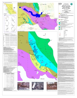 |
Open File 2000-10 covers the geology of the Heffley Lake area (NTS 92I/16) in south-central British Columbia. The 1:20 000 scale coloured geological map includes a legend, an inset map of the Heff skarn occurrence at 1:5 000 scale, a description of the geology and mineralization, diagrams of structural measurements, and tables with major and trace element analyses for the Heffley Creek pluton, assay data from the skarn occurrence, and assay results from mineralized intrusive rocks.
The Heffley Lake area lies approximately 26 kilometres northeast of Kamloops and is accessible via the road between the township of Heffley Creek and the Sun Peaks ski resort. It lies within the Intermontane Belt and is underlain by metasediments of the Quesnel Terrane and younger mafic intrusive rocks.
Past exploration and drilling have been concentrated on the Heff property, which lies at the base of a series of northwest trending limestone cliffs, immediately north of Heffley Lake. In 1915, Cu and Fe mineralization were first noted in the area (MMAR. 1916), and in 1966 drilling intersected over 10 metres of massive magnetite and another 4.5 metres thick zone of semi-massive magnetite with chalcopyrite; the latter zone graded 1.67 percent Cu and 0.48 g/t Au.
In 1980, Cominco identified a broad, 600 metres-long Cu soil anomaly; later, a drill-hole intersected 16 metres of semi-massive magnetite, a 6 metre interval of which assayed 25 percent Fe and 0.5 g/t Au.
Later sampling showed that the Heff magnetite skarn contained moderate anomalous quantities of REE's (up to 570 ppm La and 490 ppm Ce). In 1997, Echo Bay Mines outlined soil anomalies adjacent to the magnetite skarn with values exceeding 1200 ppm Cu and 1000 ppb Au.
The area is extensively covered with superficial glaciofluvial deposits. The stratified rocks were originally mapped as Cache Creek Group but more recently they are considered to belong, in part, to the Harper Ranch Group. They mainly comprise steeply dipping, northwest striking argillites and calcareous siltstones with lesser andesitic ash and lapilli tuff and some limestone. These rocks were folded and overprinted by lower to sub-greenschist metamorphism producing slaty and phyllitic planar fabrics. The magnetite-bearing garnet-pyroxene skarn on the Heff property is hosted by calcareous metasediments and dioritic minor intrusions; it is best exposed in a number of overgrown trenches that are 200 to 300 metres north of the Heffley Creek-Sun Peaks road.
The area southwest of Heffley Lake includes units of blue-grey crinoidal limestone and black argillites whilst the coarsely clastic to conglomeratic limestones in the vicinity of the Heff skarn, north of Heffley Lake, lack crinoids and the argillites are less organic-rich. This and other lithological differences suggest that the supracrustal rocks may be separated into northern and southern packages; these are believed to represent the Nicola and Harper Ranch groups respectively. Limestone samples from these packages are currently being processed for microfossils that may verify this, suggestion. The contact between these packages is thought to pass under the Heffley lakes and continue southeastward along Armour Creek. The Heffley Creek Pluton has intruded this presumed stratigraphic contact and has undergone later brittle movement along the Armour Creek Fault.
Two intrusive phases are recognized. The oldest and most economically important of these is the Heffley Creek Pluton and its marginal dike-sill swarm. This intrusion is probably related to the Heff skarn and was coeval with the district-wide folding. A younger generation, which post-dates the folding, resulted in minor bodies of megacrystic, feldspar-porphyry syenite.
The main Heffley Creek pluton is exposed south and southwest of Heffley Lake, where small, scattered outcrops are traceable over a 10 km2. It contains pyroxene-amphibole-bearing ultramafic rocks as well as some gabbros, diorites, quartz diorites and monzodiorite. The ultramafics contain up to 10 percent disseminated magnetite, which results in an elongate aeromagnetic anomaly that extends southeast of Little Heffley Lake.
Major and trace element analytical data for the various rock types in the Heffley Creek Pluton are presented in Table 1 on the map. The total alkali content of the gabbroic and dioritic rocks indicates a weak alkalic affinity; however, chemical plots suggest these rocks were originally calc-alkaline and that their higher alkali content is due to hydrothermal alteration.
The Nicola Group limestones along the northeast margin of the pluton are cut by a swarm of strongly altered, rusty-weathering dioritic sills and dikes that are probably related to the Heffley Creek Pluton. Individual bodies are usually less than 10 metres wide; they mostly strike northeast, but some intrusions are irregular and bifurcating.
A younger phase of porphyritic syenite is best seen south of Heffley Lake, although the Nicola limestones northeast of Heffley Lake are cut by a few dikes up to 3 metres thick. These leucocratic rocks contain up to 7 percent chloritized amphibole and biotite, as well as some minor quartz. They are characterized by abundant elongate feldspar crystals up to 15 cm in length.
Only one episode of major folding is recognized (FI); this resulted in the moderately to steeply dipping beds and a southeast trending axial planar slaty cleavage (Sl). No fold axial linear features (e.g. mineral lineations) were seen and very few minor Fl folds were identified. However, bedding-cleavage intersections in the Nicola Group limestones north of Heffley Lake reveal the presence of several tight synforms and antiforms.
During the Fl episode, the limestones throughout the area underwent ductile deformation while most of the more competent dikes were disrupted by boudinage and brittle extension. Stereo plots of bedding and Sl cleavage measurements are presented on the map. These suggest that the tight F1 folds in the northern part of the area have sub-horizontal to moderately southeasterly plunging axes and that their axial planes are southeast striking and steeply northeast dipping. Plots of the southern structural data also indicate the presence of southeast striking isoclinal folds but their axial planes are more vertical. The large arcuate unit of strongly cleaved limestone exposed southwest of Heffley Lake may represent a major isoclinal Fl structure.
Most of the pyritic sills and dikes on the Heff property strike northeasterly and were structurally controlled by a-c fractures developed during the Fl folding. However, some thin sills in the limestones have undergone open to tight Fl folding, and these folded intrusions are invariably overprinted by the S1 slaty cleavage. The folding of some sills together with the joint control of the dikes is supportive evidence that both the intrusions and the skarns were coeval with the FI deformation.
The area contains two types of chalcopyrite-bearing mineralization: magnetite-rich garnet-pyroxene skarns, like the Heff occurrence, and pyrite with or without magnetite disseminations and veins in the Heffley Creek pluton. The Heff skarn is an unusual copper with or without gold, REEs and phosphorous. The skarn is related to northeast striking sills and dikes that have potential for more occurrences. The Heffley Creek pluton probably represents an Alaskan-type body. It has the potential to host copper, gold, chrome and PGE mineralization. |
| Issue ID: | OF2000-11 |
| Title: | Lake Sediment and Water Geochemistry of the Cape Caution Area, (NTS 92L/13, 14, 15; 92M/3, 4) |
| Author(s): | Jackaman, W., Cook, S.J., Pinsent, R.H. |
| Series Name: | Open File |
| Publication Year: | 2000 |
| Scale: | 1:50000 |
| NTS Map Sheet(s): | 092L/13, 14, 15; 092M/3, 4 |
| Place Keyword(s): | British Columbia, Coastal, Cape Caution Area |
| Lat/Long (NSWE): | 51.3, 50.8, -127.8, -126.8 |
| Theme Keyword(s): | Geology, Geochemistry, Lake Sediment Geochemistry, Lake Water, Geological Surveys |
Download(s):
| PDF, ZIP (View Zip Contents) |
Abstract:
 |
Open File 2000-11 presents lake sediment and water geochemistry of the Cape Caution area (NTS 92L/13, 14, 15; 92M/3, 4) of Coastal British Columbia. This report examines new analytical data for 43 different elements from a regional lake sediment and water geochemical survey conducted by the British Columbia Geological Survey in the Cape Caution area during 1999. The lake sediment survey was designed to cover a region of NW-SE trending geological structures and associated shear-hosted gold mineralization. Extending from Cape Caution to Broughton Island, this portion of the Hecate Lowland and physiographic region is characterized by subdued topography, poor drainage and abundant lakes which make lake sediments an ideal geochemical exploration sample medium. Lake sediment surveys are an effective tool to delineate regional geochemical patterns and anomalous metal concentrations related to mineral occurrences. Most examples of the successful application of lake sediment geochemistry to Cordilleran mineral exploration come from the Nechako Plateau in central BC were topography is more subdued than in most parts of the Coast Mountains. Sample collection, preparation, analytical procedures and quality control conform to established standards of the National Geochemical Reconnaissance and Regional Geochemical Survey (RGS) programs; details are provided within this report. Analytical results and field observations compiled by the RGS program in British Columbia are used in the development of a high-quality geochemical database suitable for mineral exploration, resource assessment, geological mapping and environmental studies. Funded under the government's Corporate Resource Inventory Initiative, this survey is part of the Ministry of Energy, Mines and Petroleum Resources' contribution to the central Coast Land Resource Planning process. |
| Issue ID: | OF2000-12 |
| Title: | Stream Sediment and Water Geochemistry of the Khutze River Area, (NTS 103H/1, 2, 7) |
| Author(s): | Jackaman, W., Pinsent, R.H. (compilers) |
| Series Name: | Open File |
| Publication Year: | 2000 |
| Scale: | 1:50000 |
| NTS Map Sheet(s): | 103H/1, 2, 7 |
| Place Keyword(s): | British Columbia, Central Coast, Khutze River Area, Butedale, Ursula Channel |
| Lat/Long (NSWE): | 53.417, 53, -128.75, -128.25 |
| Theme Keyword(s): | Geology, Stream Water Geochemistry, Stream Sediment Geochemistry |
Download(s):
| PDF, ZIP (View Zip Contents) |
Abstract:
 |
Open File 2000-12 presents new analytical data for 43 different elements from a regional drainage sediment and water geochemistry survey conducted by the British Columbia Geological Survey in the Khutze River area during 1999. The survey covers parts of three 1:50,000 NTS map sheets in the Douglas Channel (NTS 103H) area of BC's central coast: 103H/01 (Khutze River), 103H/02 (Butedale) and 103H/07 (Ursula Channel). Sample collections, preparation and analytical procedures conform to establish standards of the National Geochemical Reconnaissance (RGS) and Regional Geochemical Survey programs. Analytical results and field observations compiled by the RGS program in British Columbia are used in the development of a high-quality geochemical database suitable for mineral exploration, resource assessment, geological mapping and environmental studies. Funded under the government's Corporate Resource Inventory Initiative, this survey is part of the Ministry of Energy, Mines and Petroleum Resources contribution to the Central Coast Land Resources Planning process. |
| Issue ID: | P1975-02-11 |
| Title: | Geology of the Sustut Area |
| Author(s): | Church, B.N. |
| Series Name: | Paper |
| Publication Year: | 1975 |
| Larger Work Citation: | in Geological Fieldwork 1974, B.C. Ministry of Energy, Mines and Petroleum Resources, Paper 1975-2 |
| Scale: | 1:125000 |
| NTS Map Sheet(s): | 094D/9, 10 |
| Place Keyword(s): | British Columbia, Sustut Area |
| Lat/Long (NSWE): | 56.75, 56.25, -127, -126.334 |
| Theme Keyword(s): | Regional Geology, Copper, Takla Formation, Stratigraphy, Mineralization |
Download(s):
| PDF |
Abstract:
| This paper describes the geology of the Sustut area of British Columbia. |
| Issue ID: | P1975-02-12 |
| Title: | Dentonia Mine, Jewel Lake Area |
| Author(s): | Church, B.N., Winsby, J.A. |
| Series Name: | Paper |
| Publication Year: | 1975 |
| Larger Work Citation: | in Geological Fieldwork 1974, B.C. Ministry of Energy, Mines and Petroleum Resources, Paper 1975-2 |
| Scale: | 1:8000 |
| NTS Map Sheet(s): | 082E/2 |
| Place Keyword(s): | British Columbia, Jewel Lake Area, Dentonia Mine |
| Lat/Long (NSWE): | 49.2, 49.083, -118.75, -118.583 |
| Theme Keyword(s): | Economic Geology, Silver, Silica, Dentonia Quartz Vein, Fieldwork |
Download(s):
| PDF |
Abstract:
| This paper looks at Dentonia Mine in the Jewel Lake area of British Columbia. The scale is 1:8000. |
| Issue ID: | P1975-02-13 |
| Title: | Galore Creek Map-Area |
| Author(s): | Panteleyev, A. |
| Series Name: | Paper |
| Publication Year: | 1975 |
| Larger Work Citation: | in Geological Fieldwork 1974, B.C. Ministry of Energy, Mines and Petroleum Resources, Paper 1975-2 |
| Scale: | 1:200000 |
| NTS Map Sheet(s): | 104G/3, 4 |
| Place Keyword(s): | British Columbia, Galore Creek Area |
| Lat/Long (NSWE): | 57.25, 57, -131.667, -131.25 |
| Theme Keyword(s): | Fieldwork, Copper, Age Dating, Coast Plutonic Complex, Structural Geology |
Download(s):
| PDF |
Abstract:
| This paper describes the Galore Creek map area. The scale is 1:200000. |
| Issue ID: | P1975-02-14 |
| Title: | Geochemical Sampling, Geology, and Magnetics of the Kaketsa Stock |
| Author(s): | McMillan, W.J., Panteleyev, A., Preto, V.A.G. |
| Series Name: | Paper |
| Publication Year: | 1975 |
| Larger Work Citation: | in Geological Fieldwork 1974, B.C. Ministry of Energy, Mines and Petroleum Resources, Paper 1975-2 |
| Scale: | 1:65000 |
| NTS Map Sheet(s): | 104J/4 |
| Place Keyword(s): | British Columbia, Kaketsa Stock |
| Lat/Long (NSWE): | 58.25, 58, -132, -131.75 |
| Theme Keyword(s): | Geology, Geochemistry, Age Dating, Fieldwork, Magnetics |
Download(s):
| PDF |
Abstract:
| This paper describes geochemical sampling, geology, and magnetics of the Kaketsa Stock in British Columbia. The scale is 1:65000. |
| Issue ID: | P1975-02-15 |
| Title: | South Central British Columbia |
| Author(s): | White, G.P.E. |
| Series Name: | Paper |
| Publication Year: | 1975 |
| Larger Work Citation: | in Geological Fieldwork 1974, B.C. Ministry of Energy, Mines and Petroleum Resources, Paper 1975-2 |
| NTS Map Sheet(s): | 082E, L, M; 92H |
| Place Keyword(s): | British Columbia, Southcentral British Columbia |
| Lat/Long (NSWE): | 51.25, 49.25, -121.5, -118.5 |
| Theme Keyword(s): | Economic Geology, Carmi, Donen, FX-FC, Fieldwork |
Download(s):
| PDF |
Abstract:
| This paper is a report from the District Geologist on south-central British Columbia. |
| Issue ID: | P1975-02-16 |
| Title: | Vancouver Island |
| Author(s): | Eastwood, G.E.P. |
| Series Name: | Paper |
| Publication Year: | 1975 |
| Larger Work Citation: | in Geological Fieldwork 1974, B.C. Ministry of Energy, Mines and Petroleum Resources, Paper 1975-2 |
| NTS Map Sheet(s): | 092B, 092C, 092E, 092F, 092G, 092K, 092L; 102I |
| Place Keyword(s): | British Columbia, Vancouver Island, Northern Vancouver Island, Quatse Lake Area |
| Lat/Long (NSWE): | 50.75, 48.75, -127.5, -124.25 |
| Theme Keyword(s): | Fieldwork, Perbell Mines Ltd., Reako Explorations Ltd, Carnation Creek, Island Copper |
Download(s):
| PDF |
Abstract:
| This paper is a report from the District Geologist which looks at interesting mineralization and follow-up to previous mapping work on Vancouver Island. Various properties are also investigated. |
| Issue ID: | P1975-02-17 |
| Title: | Northwestern British Columbia |
| Author(s): | Schroeter, T.G. |
| Series Name: | Paper |
| Publication Year: | 1975 |
| Larger Work Citation: | in Geological Fieldwork 1974, B.C. Ministry of Energy, Mines and Petroleum Resources, Paper 1975-2 |
| NTS Map Sheet(s): | 093; 094; 103; 104; 114 |
| Place Keyword(s): | British Columbia, Northwestern British Columbia |
| Lat/Long (NSWE): | 57.5, 53, -130, -126 |
| Theme Keyword(s): | Economic Geology, Berg, Smoke, Sam Goosly, Fieldwork |
Download(s):
| PDF |
Abstract:
| This paper is a report from the District Geologist on northwestern British Columbia. |
| Issue ID: | P1975-02-18 |
| Title: | Barite |
| Author(s): | McCammon, J.W. |
| Series Name: | Paper |
| Publication Year: | 1975 |
| Larger Work Citation: | in Geological Fieldwork 1974, B.C. Ministry of Energy, Mines and Petroleum Resources, Paper 1975-2 |
| NTS Map Sheet(s): | 093N/9E, 9W; 092F/9, 16; 092G/5, 12; 092I/4E |
| Place Keyword(s): | British Columbia |
| Lat/Long (NSWE): | 55.583, 55.5, -124.2, -124.033 |
| Theme Keyword(s): | Industrial Minerals, Barite, Structural Materials, Regional Geology, Fieldwork |
Download(s):
| PDF |
Abstract:
| This paper discusses barite for industrial minerals and structural materials. |
| Issue ID: | P1975-02-19 |
| Title: | Niobium |
| Author(s): | McCammon, J.W. |
| Series Name: | Paper |
| Publication Year: | 1975 |
| Larger Work Citation: | in Geological Fieldwork 1974, B.C. Ministry of Energy, Mines and Petroleum Resources, Paper 1975-2 |
| NTS Map Sheet(s): | 093N/9E, 9W; 092F/9, 16; 092G/5, 12; 092I/4E |
| Place Keyword(s): | British Columbia, Virgil Property |
| Lat/Long (NSWE): | 55.75, 55.583, -124.5, -124.25 |
| Theme Keyword(s): | Industrial Minerals, Structural Materials, Niobium, Schists, Fieldwork |
Download(s):
| PDF |
Abstract:
| This paper discusses Niobium for industrial minerals and structural materials. |
| Issue ID: | P1975-02-20 |
| Title: | Sand and Gravel |
| Author(s): | McCammon, J.W. |
| Series Name: | Paper |
| Publication Year: | 1975 |
| Larger Work Citation: | in Geological Fieldwork 1974, B.C. Ministry of Energy, Mines and Petroleum Resources, Paper 1975-2 |
| NTS Map Sheet(s): | 093N/9E, 9W; 092F/9, 16; 092G/5, 12; 092I/4E |
| Place Keyword(s): | British Columbia, Sunshine Coast |
| Lat/Long (NSWE): | 49.767, 49.367, -124.333, -123.417 |
| Theme Keyword(s): | Industrial Minerals, Structural Materials, Regional Geology, Glacial Till, Sand and Gravel |
Download(s):
| PDF |
Abstract:
| This paper discusses sand and gravel for industrial minerals and structural materials. |
| Issue ID: | P1975-02-21 |
| Title: | Talc |
| Author(s): | McCammon, J.W. |
| Series Name: | Paper |
| Publication Year: | 1975 |
| Larger Work Citation: | in Geological Fieldwork 1974, B.C. Ministry of Energy, Mines and Petroleum Resources, Paper 1975-2 |
| NTS Map Sheet(s): | 093N/9E, 9W; 092F/9, 16; 092G/5, 12; 092I/4E |
| Place Keyword(s): | British Columbia |
| Lat/Long (NSWE): | 50.083, 50, -121.667, -121.5 |
| Theme Keyword(s): | Industrial Minerals, Talc, Regional Geology, Phyllite, Fieldwork |
Download(s):
| PDF |
Abstract:
| This paper discusses talc for industrial minerals and structural materials. |
| Issue ID: | P1976-01-01 |
| Title: | Lead-Zinc Deposits- Riondel Area |
| Author(s): | Hoy, T. |
| Series Name: | Paper |
| Publication Year: | 1976 |
| Larger Work Citation: | in Geological Fieldwork 1975, B.C. Ministry of Energy, Mines and Petroleum Resources, Paper 1976-1 |
| NTS Map Sheet(s): | 082F/15 |
| Place Keyword(s): | British Columbia, Riondel Area |
| Lat/Long (NSWE): | 50.75, 49.75, -119, -116.5 |
| Theme Keyword(s): | Economic Geology, Reconnaissance Mapping, Loki Stock, Fieldwork, Lead-Zinc Deposits |
Download(s):
| PDF |
Abstract:
| Geological Fieldwork paper 1976-01 discusses lead-zinc deposits in the Riondel area of British Columbia. |
| Issue ID: | P1976-01-02 |
| Title: | Lead-Zinc Deposits- Big Ledge |
| Author(s): | Hoy, T. |
| Series Name: | Paper |
| Publication Year: | 1976 |
| Larger Work Citation: | in Geological Fieldwork 1975, B.C. Ministry of Energy, Mines and Petroleum Resources, Paper 1976-1 |
| Scale: | 1:25000 |
| NTS Map Sheet(s): | 082L/8 |
| Place Keyword(s): | British Columbia, Big Ledge Area |
| Lat/Long (NSWE): | 50.75, 49.75, -119, -116.5 |
| Theme Keyword(s): | Economic Geology, Thor-Odin Gneiss Dome, Fieldwork, Quartzite, Lead-Zinc Deposits |
Download(s):
| PDF |
Abstract:
| Geological Fieldwork paper 1976-02 presents lead-zinc deposits of the Big Ledge area of British Columbia. The scale is 1:25000. |
| Issue ID: | P1976-01-03 |
| Title: | Lead-Zinc Deposits-FX, FC, Colby |
| Author(s): | Hoy, T. |
| Series Name: | Paper |
| Publication Year: | 1976 |
| Larger Work Citation: | in Geological Fieldwork 1975, B.C. Ministry of Energy, Mines and Petroleum Resources, Paper 1976-1 |
| Scale: | 1:25000 |
| NTS Map Sheet(s): | 082L/10 |
| Place Keyword(s): | British Columbia, FX, FC, Colby Property |
| Lat/Long (NSWE): | 50.75, 49.75, -119, -116.5 |
| Theme Keyword(s): | Economic Geology, Shuswap Complex, Fieldwork, Structural Geology, Lead-Zinc Deposits |
Download(s):
| PDF |
Abstract:
| Geological Fieldwork paper 1976-03 presents lead-zinc deposits in FX, FC, Colby properties in British Columbia. The scale is 1:25000. |
| Issue ID: | P1976-01-04 |
| Title: | Gold-Silver-Copper Mineralization in the Boundary District |
| Author(s): | Addie, G.G. |
| Series Name: | Paper |
| Publication Year: | 1976 |
| Larger Work Citation: | in Geological Fieldwork 1975, B.C. Ministry of Energy, Mines and Petroleum Resources, Paper 1976-1 |
| Scale: | 1:425000 |
| NTS Map Sheet(s): | 082E |
| Place Keyword(s): | British Columbia, Boundary District, Wallace Creek Batholith |
| Lat/Long (NSWE): | 49.333, 49, -119, -118.333 |
| Theme Keyword(s): | Economic Geology, Porphyry Copper, Mineralization, Gold-Silver-Copper, Fieldwork |
Download(s):
| PDF |
Abstract:
| Geological Fieldwork paper 1976-04 presents gold-silver-copper mineralization in the Boundary District of British Columbia. The scale is 1:425000. |
| Issue ID: | P1976-01-05 |
| Title: | Geological Investigations in the Greenwood Area |
| Author(s): | Church, B.N. |
| Series Name: | Paper |
| Publication Year: | 1976 |
| Larger Work Citation: | in Geological Fieldwork 1975, B.C. Ministry of Energy, Mines and Petroleum Resources, Paper 1976-1 |
| NTS Map Sheet(s): | 082E/2 |
| Place Keyword(s): | British Columbia, Greenwood Area |
| Lat/Long (NSWE): | 49.067, 49.017, -118.75, -118.7 |
| Theme Keyword(s): | Fieldwork, Gold, Silver, Oro Denoro, Pyrite |
Download(s):
| PDF |
Abstract:
| Geological Fieldwork paper 1976-05 is geological investigations in the Greenwood area of British Columbia. |
| Issue ID: | P1976-01-06 |
| Title: | Carmi, Beaverdell Area |
| Author(s): | Christopher, P.A. |
| Series Name: | Paper |
| Publication Year: | 1976 |
| Larger Work Citation: | in Geological Fieldwork 1975, B.C. Ministry of Energy, Mines and Petroleum Resources, Paper 1976-1 |
| Scale: | 1:125000 |
| NTS Map Sheet(s): | 082E; 082L; 082M |
| Place Keyword(s): | British Columbia, Beaverdell Area, Carmi |
| Lat/Long (NSWE): | 49.75, 49.25, -119.5, -119 |
| Theme Keyword(s): | Fieldwork, Silver, Gold, Molybdenum, Copper |
Download(s):
| PDF |
Abstract:
| Geological Fieldwork paper 1976-06 is regional mapping of Carmi in the Beaverdell area of British Columbia. The scale is 1:125000. |
| Issue ID: | P1976-01-07 |
| Title: | Southern Vancouver Island |
| Author(s): | Eastwood, G.E.P. |
| Series Name: | Paper |
| Publication Year: | 1976 |
| Larger Work Citation: | in Geological Fieldwork 1975, B.C. Ministry of Energy, Mines and Petroleum Resources, Paper 1976-1 |
| Scale: | 1:33000 |
| NTS Map Sheet(s): | 092C/9, 14, 15, 16; 092F/2, 7 |
| Place Keyword(s): | British Columbia, Southern Vancouver Island, Sombrio River |
| Lat/Long (NSWE): | 49.5, 48.5, -125.25, -124.5 |
| Theme Keyword(s): | Fieldwork, Reconnaissance, Renfrew-Harris Creek, Reako Explorations Ltd., Carnation Creek |
Download(s):
| PDF |
Abstract:
| Geological Fieldwork paper 1976-07 looks at geology of southern Vancouver Island. The scale is 1:33000. |
| Issue ID: | P1976-01-08 |
| Title: | Property Examinations, Vancouver Island and Lower Mainland |
| Author(s): | Northcote, K.E. |
| Series Name: | Paper |
| Publication Year: | 1976 |
| Larger Work Citation: | in Geological Fieldwork 1975, B.C. Ministry of Energy, Mines and Petroleum Resources, Paper 1976-1 |
| NTS Map Sheet(s): | 092B, 092C, 092E, 092F, 092G, 092K, 092L; 102I |
| Place Keyword(s): | British Columbia, Lower Mainland, Vancouver Island |
| Lat/Long (NSWE): | 50.5, 48.75, -126.5, -124.25 |
| Theme Keyword(s): | Fieldwork, Narvaez Claim, OK Property, Cream Lake Property, Massive Sulphides |
Download(s):
| PDF |
Abstract:
| Geological Fieldwork paper 1976-08 is property examinations of Vancouver Island and the Lower Mainland of British Columbia. |
| Issue ID: | P1980-01-29 |
| Title: | Star 9 |
| Author(s): | Schroeter, T.G. |
| Series Name: | Paper |
| Publication Year: | 1980 |
| Larger Work Citation: | in Geological Fieldwork 1979, B.C. Ministry of Energy, Mines and Petroleum Resources, Paper 1980-1 |
| NTS Map Sheet(s): | 103P/1W |
| Place Keyword(s): | British Columbia, Surprise Creek, Star 9 |
| Lat/Long (NSWE): | 59.25, 53, -128.5, -125 |
| Theme Keyword(s): | Economic Geology, Mineral Properties Examination, Molybdenum, Quartz Veins, Bowser Assemblage |
Download(s):
| PDF |
Abstract:
| Geological Fieldwork paper 1980-1, page 127 is a mineral property evaluation of the Star 9 property of British Columbia. |
| Issue ID: | P1980-01-30 |
| Title: | Table Mountain |
| Author(s): | Schroeter, T.G. |
| Series Name: | Paper |
| Publication Year: | 1980 |
| Larger Work Citation: | in Geological Fieldwork 1979, B.C. Ministry of Energy, Mines and Petroleum Resources, Paper 1980-1 |
| NTS Map Sheet(s): | 104P/4E |
| Place Keyword(s): | British Columbia, Table Mountain |
| Lat/Long (NSWE): | 59.25, 53, -128.5, -125 |
| Theme Keyword(s): | Economic Geology, Mineral Properties Examination, Gold, Vollaug Vein, Erickson Creek Gold Mine |
Download(s):
| PDF |
Abstract:
| Geological Fieldwork paper 1980-1, page 128 is a mineral property evaluation of the Table Mountain property of British Columbia. |
| Issue ID: | P1980-01-31 |
| Title: | Mount Reed |
| Author(s): | Schroeter, T.G. |
| Series Name: | Paper |
| Publication Year: | 1980 |
| Larger Work Citation: | in Geological Fieldwork 1979, B.C. Ministry of Energy, Mines and Petroleum Resources, Paper 1980-1 |
| NTS Map Sheet(s): | 104P/6W |
| Place Keyword(s): | British Columbia, Mount Reed |
| Lat/Long (NSWE): | 59.25, 53, -128.5, -125 |
| Theme Keyword(s): | Economic Geology, Mineral Properties Examination, Tungsten, Mineralization, Atan Group |
Download(s):
| PDF |
Abstract:
| Geological Fieldwork paper 1980-1, page 129 and 130 is a mineral property evaluation of the Mount Reed property of British Columbia. |
| Issue ID: | P1980-01-32 |
| Title: | Evaluation Procedure for Geochemical Data, Uranium Reconnaissance Program |
| Author(s): | Sinclair, A.J., Fletcher, W.K. |
| Series Name: | Paper |
| Publication Year: | 1980 |
| Larger Work Citation: | in Geological Fieldwork 1979, B.C. Ministry of Energy, Mines and Petroleum Resources, Paper 1980-1 |
| Scale: | 1:800000 |
| NTS Map Sheet(s): | 082F |
| Place Keyword(s): | British Columbia |
| Lat/Long (NSWE): | 50, 49, -118, -116 |
| Theme Keyword(s): | Geochemistry, Multivariate Statistics, Moving Average Maps, Evaluation Procedure, Uranium |
Download(s):
| PDF |
Abstract:
| Geological Fieldwork paper 1980-1, pages 131 to 142 discusses an evaluation procedure for geochemical data for the Uranium Reconnaissance Program of British Columbia. The scale is 1:800000. |
| Issue ID: | P1980-01-33 |
| Title: | Surface Lithogeochemistry, Northair Mine |
| Author(s): | Sinclair, A.J., Miller, J.H.L., Carter, N.C. |
| Series Name: | Paper |
| Publication Year: | 1980 |
| Larger Work Citation: | in Geological Fieldwork 1979, B.C. Ministry of Energy, Mines and Petroleum Resources, Paper 1980-1 |
| Scale: | 1:55000 |
| NTS Map Sheet(s): | 092J/3W |
| Place Keyword(s): | British Columbia, Southwestern British Columbia, Callaghan Creek |
| Lat/Long (NSWE): | 50.25, 50, -123.5, -123.25 |
| Theme Keyword(s): | Geochemistry, Polymetallic Sulphide Deposits, Sampling Program, Statistical Analysis, Lithogeochemistry |
Download(s):
| PDF |
Abstract:
| Geological Fieldwork paper 1980-1, pages 143 to 150 discusses surface lithogeochemistry of the Northair Mine property at Callaghan Creek in southwestern British Columbia. The scale is 1:55000. |
| Issue ID: | P1980-01-34 |
| Title: | Cariboo Mountains Project |
| Author(s): | Greenwood, H.J., Ross, J.V., Klepacki, D., Getsinger, J. |
| Series Name: | Paper |
| Publication Year: | 1980 |
| Larger Work Citation: | in Geological Fieldwork 1979, B.C. Ministry of Energy, Mines and Petroleum Resources, Paper 1980-1 |
| Scale: | 1:100000 |
| NTS Map Sheet(s): | 093A/10, 11, 14, 15 |
| Place Keyword(s): | British Columbia, Eastcentral British Columbia, Cariboo Group, Cariboo Mountains |
| Lat/Long (NSWE): | 53, 52.5, -121.5, -120.5 |
| Theme Keyword(s): | Geology, Fluid Inclusions, Structural Geology, Stratigraphy, Metamorphism |
Download(s):
| PDF |
Abstract:
| Geological Fieldwork paper 1980-1, pages 151 to 156 discusses the Cariboo Mountains Project of east-central British Columbia. The scale is 1:100000. |
| Issue ID: | P1980-01-35 |
| Title: | K/AR Age Determinations, Wrede Creek Zoned Ultramafic Complex |
| Author(s): | Wong, R.H., Godwin, C.I. |
| Series Name: | Paper |
| Publication Year: | 1980 |
| Larger Work Citation: | in Geological Fieldwork 1979, B.C. Ministry of Energy, Mines and Petroleum Resources, Paper 1980-1 |
| NTS Map Sheet(s): | 094D/9E |
| Place Keyword(s): | British Columbia, Northcentral British Columbia, Wrede Creek, McConnell Creek, Aiken Lake |
| Lat/Long (NSWE): | 56.75, 56.3, -126.25, -126 |
| Theme Keyword(s): | Age Dating, Ultrabasic, Geology, Takla Group, Ultramafic Complex |
Download(s):
| PDF |
Abstract:
| Geological Fieldwork paper 1980-1, pages 157 and 158 discusses K/AR age determinations of the Wrede Creek Zoned ultramafic complex in the McConnell Creek and Aiken Lake map areas of north-central British Columbia. |
| Issue ID: | P1980-01-36 |
| Title: | Progress Report on the Geology of the Specogna (Babe) Gold Deposit |
| Author(s): | Champigny, N., Sinclair, A.J. |
| Series Name: | Paper |
| Publication Year: | 1980 |
| Larger Work Citation: | in Geological Fieldwork 1979, B.C. Ministry of Energy, Mines and Petroleum Resources, Paper 1980-1 |
| Scale: | 1:150000 |
| NTS Map Sheet(s): | 103F/9E |
| Place Keyword(s): | British Columbia, Westcentral British Columbia, Queen Charlotte Islands, Graham Island, Port Clemens |
| Lat/Long (NSWE): | 53.75, 53.5, -132.25, -132 |
| Theme Keyword(s): | Regional Geology, Stratigraphy, Haida Formation, Structural Geology, Mineralogy |
Download(s):
| PDF |
Abstract:
| Geological Fieldwork paper 1980-1, pages 159 to 170 is a progress report on the geology of the Specogna (Babe) gold deposit on Graham Island of west-central British Columbia. The scale 1:150000. |
| Issue ID: | P1980-01-37 |
| Title: | Preliminary Interpretation of Lead Isotopes in Galena-Lead from British Columbia Mineral Deposits |
| Author(s): | Godwin, C.I., Sinclair, A.J., Ryan, B.D. |
| Series Name: | Paper |
| Publication Year: | 1980 |
| Larger Work Citation: | in Geological Fieldwork 1979, B.C. Ministry of Energy, Mines and Petroleum Resources, Paper 1980-1 |
| Scale: | 1:10000000 |
| NTS Map Sheet(s): | 092; 093; 103; 104 |
| Place Keyword(s): | British Columbia |
| Lat/Long (NSWE): | 58, 48, -135, -120 |
| Theme Keyword(s): | Preliminary Interpretation, Metallogenics, Lead Isotopes, Galena-Lead, Coast Crystalline Belt |
Download(s):
| PDF |
Abstract:
| Geological Fieldwork paper 1980-1, pages 171 to 182 is a preliminary interpretation of lead isotopes in galena-lead from British Columbia mineral deposits. The scale is 1:10000000. |
| Issue ID: | P1980-01-38 |
| Title: | Geology of the Alkolkolex River Area, an Addendum |
| Author(s): | Read, P.B., Thompson, R.I. |
| Series Name: | Paper |
| Publication Year: | 1980 |
| Larger Work Citation: | in Geological Fieldwork 1979, B.C. Ministry of Energy, Mines and Petroleum Resources, Paper 1980-1 |
| Scale: | 1:850000 |
| NTS Map Sheet(s): | 082; |
| Place Keyword(s): | British Columbia, Southwestern British Columbia, Alkolkolex River, Kootenay Arc |
| Lat/Long (NSWE): | 51.5, 50.5, -118.5, -117.5 |
| Theme Keyword(s): | Regional Geology, Clachnacudainn Salient, Lardeau Group, Badshot Formation, Bulletin 60 |
Download(s):
| PDF |
Abstract:
| Geological Fieldwork paper 1980-1, pages 183 to 188 is an addendum to bulletin 60; the geology of the Alkolkolex River area of British Columbia. The scale is 1:850000. |
| Issue ID: | P1980-01-39 |
| Title: | Regional Geochemical Survey |
| Author(s): | Carter, N.C., Kalnins, T.E. |
| Series Name: | Paper |
| Publication Year: | 1980 |
| Larger Work Citation: | in Geological Fieldwork 1979, B.C. Ministry of Energy, Mines and Petroleum Resources, Paper 1980-1 |
| Scale: | 1:10000000 |
| NTS Map Sheet(s): | 092O, P |
| Place Keyword(s): | British Columbia |
| Lat/Long (NSWE): | 52, 51, -124, -120 |
| Theme Keyword(s): | Geochemistry, Stream Sediment Sampling, Taseko Lakes, Regional Geochemical Survey, Water Analysis |
Download(s):
| PDF |
Abstract:
| Geological Fieldwork paper 1980-1, page 189 is a regional geochemical survey. The scale is 1:10000000. |
| Issue ID: | GM1991-03 |
| Title: | Geology of the Duncan Area (92B/13) |
| Author(s): | Massey, N.W.D., Friday, S.J., Tercier, P.E., Potter, T.E. |
| Series Name: | Geoscience Map |
| Publication Year: | 1991 |
| Scale: | 1:50000 |
| NTS Map Sheet(s): | 092B/13 |
| Place Keyword(s): | British Columbia, Vancouver Island, Duncan Area |
| Lat/Long (NSWE): | 49, 48.75, -124, -123.5 |
| Theme Keyword(s): | Geology, Bedrock Geology, Map |
Download(s):
| PDF |
Abstract:
 |
Geoscience Map 1991-3 portrays the geology of the Duncan area (NTS 092B/13), Vancouver Island British Columbia. This 1:50 000-scale map sheet covers the southwestern end of the Cowichan uplift. The uplift is cored by island-arc volcanics of the Devonian Sicker Group, and associated granodiorite and quartz-porphyry of the Saltspring intrusive suite, overlain by marginal basin and platformal sediments of the Mississippian to Lower Permian Buttle Lake Group. The Paleozoic sequences are intruded by dikes and sills of the late Triassic Mount Hall gabbro, and granodiorite stocks and plutons of the Island intrusive suite. Siliciclastic sediments of the Nanaimo Group overlie older rocks in the Cowichan valley and the coastal areas. The area has been disrupted and deformed by major contractional faults of the Eocene Cowichan fold and thrust system. The map area contains 52 documented mineral deposits and occurrences. The bulk of past production has come from rhodonite and manganese of the Hill 60 area, lode gold of Mount Richards, and various clay and aggregate sources. Other showings consist predominantly of volcanogenic massive sulphides, oxide exhalites and lode gold and copper veins but porphyry copper-molybdenum veins, rhodonite and other industrial minerals are also present within the area.
The Duncan map area lies about 50 kilometres northwest of Victoria on southern Vancouver Island and includes parts of the Gulf Islands. The area lies at the southeastern end of the Vancouver Island Ranges and is characterized by fairly rugged topography with fault-line scarps and fault-controlled valleys, accentuated by glaciation. The area straddles the eastern end of the Cowichan uplift, one of a series of major geanticlinal structures constituting the structural fabric of Vancouver Island.
The oldest rocks in the Duncan area belong to the Paleozoic Sicker and Buttle Lake groups which contain volcanic and sedimentary units ranging from Middle Devonian to Early Permian age. The Devonian Sicker Group is a thick package of lower greenschist facies, metavolcanic and volcaniclastic rocks that formed in an oceanic island-arc environment. The lowest unit is the Duck Lake Formation which, in the Alberni - Nanaimo Lakes, area comprises a suite of grey to maroon and green pillowed basalts and basaltic breccias with chert, jasper and cherty tuff interbeds near the top of the sequence. In the Duncan map area, this unit is only found in the Bear Creek area, south of the Cowichan River.
Overlying the Duck Lake Formation is the Nitinat Formation, characterized by pyroxene-feldspar-porphyritic basalts and basaltic andesites. These typically occur as agglomerates, breccias, lapilli tufts and crystal tuffs that formed as pyroclastic flows, debris flows and lahars. Pyroxene-phyric, amygdaloidal, pillowed and massive flows are also developed.
The Nitinat Formation is overlain, apparently conformably, by a heterogeneous sequence of mafic to felsic volcanics and volcaniclastic sediments of the McLaughlin Ridge Formation. The volcanics are predominantly intermediate pyroclastics, commonly feldspar crystal-lapilli tufts, heterolithic lapilli tufts and breccias and minor pyroxene-phyric lapilli tuffs. A thick package of felsic quartz-crystal, quartz-feldspar-crystal and fine dust-tuffs is developed in the Chapman Creek - Mount Sicker -Mount Richards area. It thins to the west, where it interfingers with andesitic lapilli tufts and breccias. The uppermost unit is a distinctive maroon schistose heterolithic breccia and lapilli tuff with minor jasper, exposed in the Chapman Creek area. Coeval, and probably consanguineous, with the felsic volcanics in the McLaughlin Ridge Formation is a suite of granodiorite stocks and quartz porphyry dikes collectively known as the Saltspring Intrusive Suite. The Sicker Group volcanic rocks and associated intrusions form a coherent suite of medium-potassium calcalkaline chemistry typical of an island-arc.
The Buttle Lake Group is made up of a dominantly epiclastic and bioclastic limestone sedimentary sequence ranging from Mississippian to Early Permian in age. Within the Duncan area, the Buttle Lake Group is most often found in fault contact with the lower volcanic units of the Sicker Group. However, it is conformable on the McLaughlin Ridge Formation south of Sansum Point and in the Chapman Creek area and on the southwest limb of the Cowichan uplift, is unconformable on the lower volcanics.
The Fourth Lake Formation comprises mostly thin-bedded, often cherty sediments. South of the Chemainus River, the base of the formation is marked by a sequence of radiolarian ribbon cherts and cherty siltstones 100 to 200 metres thick, informally called the Shaw Creek member. This passes upwards into monotonous thinly bedded, sometimes cherty, turbiditic sandstone-siltstone-argillite intercalations. The ribbon cherts of the Shaw Creek member are absent north of the Chemainus River, where thinly bedded turbiditic clastic sediments conformably overlie the McLaughlin Ridge volcanics and dominate the sequence. Minor volcanism was synchronous with early Fourth Lake Formation sedimentation in the Coronation Mountain area. This 'Coronation Mountain suite' consists of hornfelsed, amygdaloidal diabasic flows, which are generally massive but occasionally pillowed, and interbedded cherty tufts and sediments. The basalts are slightly undersaturated olivine tholeiites or transitional basalts, with somewhat enriched incompatible trace-element contents akin to ocean-island tholeiite or enriched ocean-floor basalt.
The Mount Mark Formation conformably overlies the Fourth Lake Formation, although outcrops of the formation are restricted to the Fairservice Mountain -Bear Creek area, south of the Cowichan River. It comprises massive and laminated crinoidal calcarenites with chert and argillite interbeds.
Basalts of the Karmutsen Formation are only exposed in the extreme southwest corner of the map area, on the west side of the Chanlog fault. They are comagmatic with the extensive mafic bodies of the Mount Hall gabbro, intrusive into the Paleozoic rocks. These intrusions are medium to coarse-grained diabase, gabbro and leucogabbro with minor diorite, commonly porphyritic with feldspar phenocrysts often forming glomeroporphyritic clusters. Thick gabbro bodies under Mount Hall and Coronation Mountain show layering of porphyritic and nonporphyritic lithologies. The basalts, diabases and gabbros formed from an iron-titanium enriched tholeiitic magma, similar to continental tholeiite or enriched midocean ridge basalt, probably in an oceanic flood-basalt province.
The Paleozoic and Triassic rocks have been intruded by granodioritic bodies of the Early to Middle Jurassic Island Plutonic Suite. With the exception of the large Ladysmith pluton, these granodiorite intrusions are elongate in surface outcrop shape, paralleling the overall structural grain of the area. The dominant lithology is a medium to coarse-gained, equigranular granodiorite to quartz diorite with a characteristic 'salt-and-pepper' texture. Most of the large intrusive bodies are rich in mafic inclusions, especially in marginal agmatitic intrusive breccias. Contact metamorphic aureoles are developed around the intrusions causing hornfelsing and skarning in Paleozoic rocks. A variety of dikes and small irregular intrusions, that are probably coeval with the Island Plutonic Suite, occur throughout the area. Lithologically they include intermediate feldspar porphyry, hornblende feldspar porphyry and minor diabase. The Jurassic intrusions are coeval with the Bonanza volcanics, which outcrop in the Cowichan Lake area to the west. They form a metaluminous, medium to high-potassium calcalkaline suite typical of a convergent-margin environment.
Clastic sediments of the Upper Cretaceous Nanaimo Group lie unconformably on the older rocks. They are most thickly developed in the Maple Bay to Mount Prevost area, the Cowichan and Chemainus River valleys and the shoreline from Crofton to Ladysmith. The lower Benson Formation comprises basal cobble and boulder conglomerates and overlying medium to coarse-grained sandstones. These are succeeded by the black argillites and siltstones of the Haslam Formation. Pebble and cobble conglomerates of the Extension Formation conformably overlie Haslam Formation argillites on top of Mount Prevost and along the Chemainus River. Grey, medium to coarse-grained sandstones are interbedded with and overlie the conglomerates. Argillites of the Fender Formation, overlying the Extension Formation, are exposed in the incised gorge along the Chemainus River just below its confluence with Chipman Creek. Younger formations of the Nanaimo Group are absent.
Southern Vancouver Island has a complex structural history with frequent rejuvenation of previous structures. All Paleozoic rocks are affected by a series of southeast trending, upright to overturned, southwest-verging folds. Penetrative axial planar foliation is absent throughout most of the area, except north of the Fulford fault, where foliation (schistosity in volcanics and cleavage in sediments) is well developed and trends north-northwest with generally steep northeasterly dips. Lineations plunge gently, up to 150, to the west-northwest or east-southeast. Regional scale warping of Vancouver Island occurred during the Early to Middle Jurassic, facilitating the emplacement of the Island Plutonic Suite intrusions and producing the geanticlinal Cowichan uplift. The present map pattern is dominated by the northwesterly trending contractional faults of the Tertiary Cowichan fold and thrust system. These are high-angle reverse faults that become listric at mid-crustal levels. They generally place older rocks over younger. Mesoscale footwall folds and minor imbricate faults are developed along most of the thrusts, particularly where thicker sections of Nanaimo sediments occur in the footwall, as in the Mount Prevost area where a deformational zone up to 1.5 kilometres wide occurs beneath the Fulford fault. The deformation probably took place during the crustal shortening accompanying the formation and emplacement of the Rim and Crescent terranes outboard of Wrangellia.
The Duncan area has had a somewhat intermittent history of mineral exploration since the late nineteenth century. 'Three mines on Mount Sicker (Lenora, Tyee and Richard III) formed the foci for one of the largest townsites in the area at the turn of the century. However, only sporadic production has ensued since then. The localization of metal deposits in the area is controlled by the interplay of stratigraphy and spatial association with later intrusions and structures. Three major metallogenic epochs are recognized. Syngenetic mineralization occurred during the building of the Sicker arc. Kuroko-style massive sulphides are associated with felsic volcanics in the upper part of the McLaughlin Ridge Formation. They occur in a belt extending from Saltspring Island to Rheinhart Creek, bounded to the south by the Fulford fault and appear to have formed close to the volcanic centre located in the Duncan - Saltspring Island area. Jasper and oxide-rich cherts occur within the volcanics of the Nitinat and McLaughlin Ridge formations but appear to have negligible economic mineralization. Thin syngenetic manganese oxide beds and sulphidic argillites occur within the radiolarian cherts of the basal Fourth Lake Formation.
The Early to Middle Jurassic arc was characterized by epigenetic mineralization of various types and styles, spatially related to the Island Plutonic Suite intrusions. Copper-molybdenum veins and stockworks occur within intrusions and volcanic country rock. Rhodonite forms by contact metamorphism of manganiferous chert.
Mesothermal gold-bearing quartz-carbonate veins are located along Tertiary structures and have been one of the main exploration targets in the area. |
| Issue ID: | GM1993-01 |
| Title: | Geology and Mineral Occurrences of the Galore Creek Area (NTS 104G/3) |
| Author(s): | Logan, J.M., Koyanagi, V.M., D. Rhys |
| Series Name: | Geoscience Map |
| Publication Year: | 1993 |
| Scale: | 1:50000 |
| NTS Map Sheet(s): | 104G/3 |
| Place Keyword(s): | British Columbia, Galore Creek Area |
| Lat/Long (NSWE): | 57.25, 57, -131.5, -131 |
| Theme Keyword(s): | Geology, Mineral Occurrences, Bedrock Geology |
Download(s):
| PDF |
Abstract:
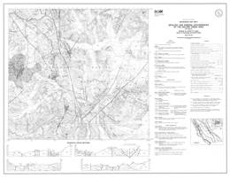 |
Geoscience Map 1993-1 presents the geology and mineral occurrences of the Galore Creek area (104G/03). The 1:50 000 scale geological map includes a legend, four geological cross sections, and a reference list.
Stikine assemblage strata range in age from Devonian to Permian. Devonian to Lower Carboniferous strata include units dominated by quartz sericite schist; limestone; and mafic and felsic flows, and intermediate crystal tuff, breccia and flows. Lower Carboniferous rocks include grainstone with chert interbeds and packstone with tuff and epiclastic interbeds. Upper Carboniferous to Lower Permian units are mainly conglomerate, siliceous siltstone and felsic dust tuff, and volcaniclastic rocks. Lower Permian strata include bioclastic grainstone, epiclastics and tuff. Lower Triassic siliceous and limy siltstones are overlain by carbonaceous silty shale of Middle Triassic age. Upper Triassic Stuhini Group units include silicic clastics and volcanic wackes; siltstone, sandstone and augite crystal tuffs and flows; plagioclase and basaltic -andesite and hornblende porphyry flows and tuffs; intermediate breccia flows, lahar and fragmentals; fine black clastics, tuff and conglomerate; and pyroxene porphyry breccia flows. Upper Triassic to Lower Jurassic strata comprise a volcanic facies, with potassium-feldspar and pseudoleucite-bearing fragmentals and alkaline basalt flows, and a sedimentary facies with potassium-feldspar crystal tuff, epiclastics and volcanic conglomerate. Lower Jurassic strata include a unit of polymictic volcanic conglomerate, siltstone, shale and airfall tuff, and a unit of mainly felsic tuffite. The oldest intrusive rocks are Late Devonian hornblende diorites. Middle to Late Triassic intrusions include ultramafic rocks, with gabbro and pyroxenite bodies, and granodiorite to monzonite of the Hickman batholith. The Late Triassic to Early Jurassic Galore Creek intrusions consist of syenite, and porphyritic monzonite. Early Jurassic intrusions are quartz diorite and granodiorite, and porphyritic diorite may be Early Jurassic or younger. Eocene intrusions are granodiorite, and potassium feldspar-megacrystic granite and equigranular quartz monzonite.
Structural style at Galore Creek is dominated by brittle deformation and faulting and controlled by competency contrasts between volcanic and sedimentary rocks of the arc assemblage. Three or possibly four episodes of deformation have been recognized, but ages are poorly constrained. The earliest structures are synmetamorphic, and pre-Triassic, possi�bly Carboniferous, age. These structures, and related northeast-striking penetrative foliations, are deformed by west-trending post-Triassic (?) folds. Two post-Early Juras�sic events are recognized, one is characterized by north-trending southwest-verging folds and reverse faults; and the younger is characterized by northeast-verging kink folds.
Metallogeny in the Galore area is related to plate boundary subduction processes and two separate mineraliz�ing events, one in the latest Late Triassic and one in the Eocene. Each is characterized by a different base and pre�cious metal suite. A Late Triassic to Early Jurassic alkalic volcanic centre at Galore Creek hosts ten synvolcanic cop�per-gold deposits. The largest, the Stikine Copper Limited central zone contains 125 000 000 tonnes of material with an estimated grade of 1.06% copper, 0.4 gram per tonne gold and 7.7 grams per tonne silver. A similar deposit occurs at Copper Canyon. Pervasive potash metasomatism and retro�grade calcsilicate alteration characterize the mineralized zones. Smaller tonnage, Eocene silver-rich base metal veins are associated with calcalkaline intrusions and hosted in northeasterly-striking faults at the Trek property and brec�cia-pipes at the Ptarmigan zone. Alteration and gangue min�erals are quartz, sericite, and iron carbonate assemblages. Volcanogenic massive sulphide deposits (e.g., Tulsequah Chief) are an untested but viable exploration target in the Paleozoic Stikine assemblage rocks. |
| Issue ID: | GM1993-02 |
| Title: | Geology and Mineral Occurrences of the Galore Creek Area (NTS 104G/4) |
| Author(s): | Logan, J.M., Koyanagi, V.M., D. Rhys |
| Series Name: | Geoscience Map |
| Publication Year: | 1993 |
| Scale: | 1:50000 |
| NTS Map Sheet(s): | 104G/4 |
| Place Keyword(s): | British Columbia, Galore Creek Area |
| Lat/Long (NSWE): | 57.25, 57, -132, -131.5 |
| Theme Keyword(s): | Geology, Mineral Occurrences, Bedrock Geology |
Download(s):
| PDF |
Abstract:
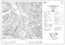 |
Geoscience Map 1993-2 presents the geology and mineral occurrences of the Galore Creek area (104G/04). The 1:50 000 scale geological map includes a legend, four geological cross sections, and a reference list.
Stikine assemblage strata range in age from Upper Carboniferous to Lower Permian. Upper Carboniferous to Lower Permian strata include units dominated by siliceous siltstones and felsic dust tuffs. Lower Permian strata are mainly bioclastic grainstone, epiclastics and tuff overlying bioclastic limestone with chert interbeds. Upper Triassic Stuhini Group units include silicic clastics and volcanic wackes; siltstone, sandstone and augite crystal tuffs and flows; plagioclase and basaltic-andesite and hornblende porphyry flows and tuffs; intermediate breccia flows, lahar and fragmentals; fine black clastics, tuff and conglomerate; and pyroxene porphyry breccia flows.
Upper Triassic to Lower Jurassic strata comprise a volcanic facies, with potassium-feldspar and pseudoleucite-bearing fragmentals and alkaline basalt flows, and a sedimentary facies with potassium-feldspar crystal tuff, epiclastics and volcanic conglomerate.
The oldest intrusive rocks are Middle to Late Triassic intrusions of the Hickman batholith that range from granodiorite to monzonite and plagioclase megacrystic diorite. The Late Triassic to Early Jurassic Galore Creek intrusions consist of syenite, and porphyritic monzonite. Early Jurassic intrusions are quartz diorite to granodiorite, and potassium feldspar megacrystic granite to quartz monzonite. Eocene intrusions are granodiorite, and potassium feldspar-megacrystic granite and equigranular quartz monzonite.
Structural style at Galore Creek is dominated by brittle deformation and faulting and controlled by competency contrasts between volcanic and sedimentary rocks of the arc assemblage. Three or possibly four episodes of deformation have been recognized, but ages are poorly constrained. The earliest structures are synmetamorphic, and pre-Triassic, possi�bly Carboniferous, age. These structures, and related northeast-striking penetrative foliations, are deformed by west-trending post-Triassic (?) folds. Two post-Early Juras�sic events are recognized, one is characterized by north-trending southwest-verging folds and reverse faults; and the younger is characterized by northeast-verging kink folds.
Metallogeny in the Galore area is related to plate boundary subduction processes and two separate mineraliz�ing events, one in the latest Late Triassic and one in the Eocene. Each is characterized by a different base and pre�cious metal suite. A Late Triassic to Early Jurassic alkalic volcanic centre at Galore Creek hosts ten synvolcanic cop�per-gold deposits. The largest, the Stikine Copper Limited central zone contains 125 000 000 tonnes of material with an estimated grade of 1.06% copper, 0.4 gram per tonne gold and 7.7 grams per tonne silver. A similar deposit occurs at Copper Canyon. Pervasive potash metasomatism and retro�grade calcsilicate alteration characterize the mineralized zones. Smaller tonnage, Eocene silver-rich base metal veins are associated with calcalkaline intrusions and hosted in northeasterly-striking faults at the Trek property and brec�cia-pipes at the Ptarmigan zone. Alteration and gangue min�erals are quartz, sericite, and iron carbonate assemblages. Volcanogenic massive sulphide deposits (e.g., Tulsequah Chief) are an untested but viable exploration target in the Paleozoic Stikine assemblage rocks. |
| Issue ID: | GM1993-03 |
| Title: | Geology of the Scud River Area, NW B.C. (NTS 104G/5) |
| Author(s): | Brown, D., Gunning, M.H. |
| Series Name: | Geoscience Map |
| Publication Year: | 1993 |
| Scale: | 1:50000 |
| NTS Map Sheet(s): | 104G/5 |
| Place Keyword(s): | British Columbia, Northwestern British Columbia, Scud River Area |
| Lat/Long (NSWE): | 57.5, 57.25, -132, -131.5 |
| Theme Keyword(s): | Geology, Bedrock Geology |
Download(s):
| PDF |
Abstract:
 |
Geoscience Map 1993-3 presents the geology and mineral occurrences of the Scud River area (104G/05) in northwestern British Columbia. The 1:50 000 scale geological map includes a legend, geological cross sections, and a reference source inset map.
Stikine assemblage strata range in age from Upper Carboniferous to Lower Permian. Upper Carboniferous strata include a unit with foliated, pyroxene-feldspar phyric andesitic flows and sills, crystal tuff, lithic lapilli tuff and recrystallized limestone; and a unit with foliated argillite, siltstone, calcareous siltstone, conglomerate and recrystallized limestone. A possibly Upper Carboniferous unit consists of massive to foliated siltstone, conglomerate, andesite, and tuff. Upper Carboniferous to Lower Permian strata are mainly bedded to laminated sericitic ash tuff and tuffaceous siltstone, chert, and calcareous siltstone. Lower to Upper Permian strata include a unit that is mainly pyrite and pyrrhotite-bearing argillite and siltstone, and a calcarenite unit with minor chert layers and nodules.
Upper Triassic and possibly older metamorphic rocks may be Stuhini Group equivalents. They consist of massive to foliated metavolcanics, biotite schist, chert, chlorite schist and siliceous rock. Volcanic rocks represent the Upper Triassic Stuhini Group.
The Late Triassic to Early Jurassic Copper Mountain Suite intrusions are the oldest intrusive rocks in the area. They consist of megacrystic quartz monzonite, equigranular to megacrystic syenite, and clinopyroxenite. Early Jurassic (?) quartz diorite, hornblende diorite, hornblendite and pyroxenite comprise the Diorite Suite. The Late Early Jurassic Cone Mountain Suite intrusions are granodiorite and quartz monzodiorite. The Middle Jurassic Three Sisters Suite contains mainly hornblende biotite granite. The Eocene Hyder Suite of intrusions includes biotite granite that is locally potassium feldspar-megacrystic, hornblende-biotite granodiorite, megacrystic granodiorite, and felsite. Tertiary and older dikes are andesite, basalt, felsite, olivine basalt, rhyolite and syenite.
Structural style in the area is dominated by brittle deformation and faulting and controlled by competency contrasts between volcanic and sedimentary rocks. Three or possibly four episodes of deformation have been recognized, but ages are poorly constrained. The earliest structures are synmetamorphic, and pre-Triassic, possi�bly Carboniferous, age. These structures, and related northeast-striking penetrative foliations, are deformed by west-trending post-Triassic (?) folds. Northerly-trending southwest-verging folds and contractional faults are post-Early Juras�sic.
Metallogeny in the area is related to plate boundary subduction processes and two separate mineraliz�ing events, one in the latest Late Triassic and one in the Eocene. Each is characterized by a different base and pre�cious metal suite. A Late Triassic to Early Jurassic alkalic volcanic centre at Galore Creek, to the south, hosts ten synvolcanic cop�per-gold deposits. The largest, the Stikine Copper Limited central zone contains 125 000 000 tonnes of material with an estimated grade of 1.06% copper, 0.4 gram per tonne gold and 7.7 grams per tonne silver. A similar deposit occurs at Copper Canyon. Pervasive potash metasomatism and retro�grade calcsilicate alteration characterize the mineralized zones. Smaller tonnage, Eocene silver-rich base metal veins are associated with calcalkaline intrusions and hosted in northeasterly-striking faults. Alteration and gangue min�erals are quartz, sericite, and iron carbonate assemblages. Volcanogenic massive sulphide deposits (e.g., Tulsequah Chief) are an untested but viable exploration target in the Paleozoic Stikine assemblage rocks. |
| Issue ID: | GM1993-04 |
| Title: | Geology of the Scud Glacier Area, NW B.C. (NTS 104G/6) |
| Author(s): | Brown, D., Gunning, M.H. |
| Series Name: | Geoscience Map |
| Publication Year: | 1993 |
| Scale: | 1:50000 |
| NTS Map Sheet(s): | 104G/6 |
| Place Keyword(s): | British Columbia, Northwestern British Columbia, Scud Glacier Area |
| Lat/Long (NSWE): | 57.5, 57.25, -131.5, -131 |
| Theme Keyword(s): | Geology, Bedrock Geology |
Download(s):
| PDF |
Abstract:
 |
Geoscience Map 1993-4 presents the geology and mineral occurrences of the Scud Glacier area (104G/06) in northwestern British Columbia. The 1:50 000 scale geological map includes a legend, geological cross sections, references, and a reference source inset map.
Stikine assemblage strata range in age from Upper Carboniferous to Lower Permian. Upper Carboniferous strata include a unit with foliated, pyroxene-feldspar phyric andesitic flows and sills, crystal tuff, lithic lapilli tuff and recrystallized limestone; and a unit with foliated argillite, siltstone, calcareous siltstone, conglomerate and recrystallized limestone. A Paleozoic or Upper Triassic unit consists of massive to foliated siltstone, conglomerate, andesite, and tuff. Upper Carboniferous to Lower Permian strata are mainly bedded to laminated sericitic ash tuff and tuffaceous siltstone, chert, and calcareous siltstone. Lower to Upper Permian strata include a unit that is mainly pyrite and pyrrhotite-bearing argillite and siltstone, calcarenite unit with minor chert layers and nodules, and a maroon tuffaceous limestone unit.
Upper Triassic and possibly older metamorphic rocks may be Stuhini Group equivalents. They consist of massive to foliated metavolcanics, biotite schist, chert, chlorite schist and siliceous rock. Stuhini Group strata consist of a lower unit dominated by volcanic rocks that contains pyroxene-phyric flows and breccias, epiclastics, limestone, phyllite and conglomerate; and an upper unit with mainly sedimentary rocks including sandstone, siltstone, argillite and limestone lenses. Lower to Middle Jurassic Hazelton Group is represented by polymictic conglomerate.
Middle to Late Triassic olivine clinopyroxenite, dunite and gabbro comprise the oldest intrusive rocks in the area. The Middle to Late Triassic Stikine Suite intrusions consist of gabbro and hornblendite, quartz monzonite, biotite granodiorite, monzodiorite, quartz diorite, diorite and plagioclase megacrystic quartz diorite. The Late Early Jurassic Cone Mountain Suite intrusions are granodiorite and quartz monzodiorite. The Middle Jurassic Three Sisters Suite contains mainly hornblende biotite granite. The Eocene Hyder Suite of intrusions includes biotite granite that is locally potassium feldspar-megacrystic, hornblende-biotite granodiorite, megacrystic granodiorite, and felsite. Chlorite-altered plagioclase phyric granodiorite is Tertiary (or Early Jurassic). Tertiary and older dikes are andesite, basalt, felsite, olivine basalt, rhyolite and syenite.
Structural style in the area is dominated by brittle deformation and faulting and controlled by competency contrasts between volcanic and sedimentary rocks. Three or possibly four episodes of deformation have been recognized, but ages are poorly constrained. The earliest structures are synmetamorphic, and pre-Triassic, possi�bly Carboniferous, age. These structures, and related northeast-striking penetrative foliations, are deformed by west-trending post-Triassic (?) folds. Northerly-trending southwest-verging folds and contractional faults are post-Early Juras�sic, and extensional faults are at least in part of Tertiary age.
Metallogeny in the area is related to plate boundary subduction processes and two separate mineraliz�ing events, one in the latest Late Triassic and one in the Eocene. Each is characterized by a different base and pre�cious metal suite. A Late Triassic to Early Jurassic alkalic volcanic centre at Galore Creek, to the south, hosts ten synvolcanic cop�per-gold deposits. The largest, the Stikine Copper Limited central zone contains 125 000 000 tonnes of material with an estimated grade of 1.06% copper, 0.4 gram per tonne gold and 7.7 grams per tonne silver. A similar deposit occurs at Copper Canyon. Pervasive potash metasomatism and retro�grade calcsilicate alteration characterize the mineralized zones. The large calcalkaline Schaft Creek copper deposit is located in the adjacent map area to the east. Reserves at Schaft Creek are 900 million tonnes at 0.30 percent copper and values in gold and silver. Smaller tonnage, Eocene silver-rich base metal veins are associated with calcalkaline intrusions and hosted in northeasterly-striking faults. Alteration and gangue min�erals are quartz, sericite, and iron carbonate assemblages. Volcanogenic massive sulphide deposits (e.g., Tulsequah Chief) are an untested but viable exploration target in the Paleozoic Stikine assemblage rocks. |
| Issue ID: | GM1993-05 |
| Title: | Geology of the Yehiniko Lake and Chutine River Area, NW B.C. (NTS 104G/11W, 12) |
| Author(s): | Brown, D., Greig, C.J., Gunning, M.H. |
| Series Name: | Geoscience Map |
| Publication Year: | 1993 |
| Scale: | 1:50000 |
| NTS Map Sheet(s): | 104G/11W, 12 |
| Place Keyword(s): | British Columbia, Northwestern British Columbia, Yehiniko Lake, Chutine River |
| Lat/Long (NSWE): | 57.75, 57.5, -132, -131.25 |
| Theme Keyword(s): | Geology, Bedrock Geology |
Download(s):
| PDF |
Abstract:
 |
Geoscience Map 1993-5 presents the geology and mineral occurrences of the Yehinko Lake and Chutine River area (104G/11W, 12) in northwestern British Columbia. The 1:50 000 scale geological map includes a legend, geological cross sections, and a reference source inset map. Permian or older rocks comprise a package of foliated volcanic sand sedimentary rocks, including pillow basalt and recrystallized limestone. Stikine assemblage strata range in age from Lower to Upper Permian. Upper Carboniferous strata include a unit with foliated, pyroxene-feldspar phyric andesitic flows and sills, crystal tuff, and lithic lapilli tuff; and a unit with foliated argillite, siltstone, calcareous siltstone, and conglomerate. Lower to Upper Permian strata are mainly calcarenite with minor chert layers and nodules. Early Permian to perhaps Middle Triassic strata consist of chert, ribbon chert, siliceous siltstone, tuff and mudstone. Upper Triassic Stuhini Group strata consist of a lower unit dominated by volcanic rocks and an upper unit dominated by sediments. The lower unit contains mafic volcanic rocks, including pyroxene-phyric flows and breccias; intermediate volcanic rocks including tuff, epiclastics, and conglomerate; plagioclase-rich tuffaceous wacke; and bladed plagioclase-phyric basalt or andesite flows; and undifferentiated volcanic rocks. The upper unit contains mainly sedimentary rocks including tuffaceous siltstone and wacke; and sandstone, siltstone, argillite and limestone lenses. Above the sedimentary unit are undifferentiated volcanic and sedimentary rocks. Lower to Middle Jurassic Hazelton Group is represented by a rhyolite flow unit; limy sandstone, feldspathic wacke and arenite with limestone lenses; dacite to basaltic andesite flows, tuff-breccia and tuff; rhyodacite/dacite ignimbrite flows; olivine basalt flows; and undifferentiated volcanic rocks. The Upper Cretaceous (?) to Paleocene Brothers Peak Formation of the Sustut Group consists of polymictic conglomerate, and lesser sandstone; rhyolite ash to lapilli tuff; and rhyolite to rhyodacite flows. The Eocene Sloko Group has trachy andesite and basalt flows; and locally welded dacite to rhyolite, and tuff-breccia and tuff.
Middle to Late Triassic Alaskan-type ultramafic rocks include olivine clinopyroxenite and dunite that comprise the oldest intrusive rocks in the area. The Middle to Late Triassic Stikine Suite intrusions consist of quartz monzonite, hornblende-biotite granodiorite, monzodiorite, quartz diorite, diorite and potassium feldspar megacrystic tonalite. The Late Early Jurassic Texas Creek Suite intrusions are monzodiorite and quartz monzonite. The late Early Jurassic Cone Mountain Suite has granodiorite and monzodiorite intrusions. The Middle Jurassic Three Sisters Suite contains porphyritic monzonite to monzodiorite; hornblende granite to quartz monzonite stocks with associated dikes; and hornblende biotite granite. The Eocene Hyder Suite of intrusions includes biotite granite that is locally potassium feldspar-megacrystic, hornblende-biotite granodiorite, and felsite. Tertiary and older dikes are andesite, basalt, felsite, olivine basalt, rhyolite and syenite.
Structural style in the area is dominated by brittle deformation and faulting and controlled by competency contrasts between volcanic and sedimentary rocks. Three or possibly four episodes of deformation have been recognized, but ages are poorly constrained. The earliest structures are synmetamorphic, and pre-Triassic, possi�bly Carboniferous, age. These structures, and related northeast-striking penetrative foliations, are deformed by west-trending post-Triassic (?) folds. Northeast-directed northwest trending reverse faults in the southeast half of the map-sheet and northeasterly trending northeast-directed folds and contractional faults in the northwest half of the map-sheet are post-Early Juras�sic.
Metallogeny in the area is related to plate boundary subduction processes and two separate mineraliz�ing events, one in the latest Late Triassic and one in the Eocene. Each is characterized by a different base and pre�cious metal suite. A Late Triassic to Early Jurassic alkalic volcanic centre at Galore Creek, to the south, hosts ten synvolcanic cop�per-gold deposits. The largest, the Stikine Copper Limited central zone contains 125 000 000 tonnes of material with an estimated grade of 1.06% copper, 0.4 gram per tonne gold and 7.7 grams per tonne silver. A similar deposit occurs at Copper Canyon. Pervasive potash metasomatism and retro�grade calcsilicate alteration characterize the mineralized zones. Smaller tonnage, Eocene silver-rich base metal veins are associated with calcalkaline intrusions and hosted in northeasterly-striking faults. Alteration and gangue min�erals are quartz, sericite, and iron carbonate assemblages. Volcanogenic massive sulphide deposits (e.g., Tulsequah Chief) are an untested but viable exploration target in the Paleozoic Stikine assemblage rocks. |
| Issue ID: | GM1993-06 |
| Title: | Geology of the Tahltan Lake Area, NW B.C. (NTS 104G/13) |
| Author(s): | Brown, D. |
| Series Name: | Geoscience Map |
| Publication Year: | 1993 |
| Scale: | 1:50000 |
| NTS Map Sheet(s): | 104G/13 |
| Place Keyword(s): | British Columbia, Northwestern British Columbia, Tahltan Lake Area |
| Lat/Long (NSWE): | 58, 57.75, -132, -131.5 |
| Theme Keyword(s): | Geology, Bedrock Geology |
Download(s):
| PDF |
Abstract:
 |
Geoscience Map 1993-6 presents the geology and mineral occurrences of the Tahltan Lake area (104G/13) in northwestern British Columbia. The 1:50 000 scale geological map includes a legend, geological cross sections, and a reference source inset map.
Stikine assemblage strata are of Paleozoic age. Permian or older rocks comprise a package of foliated volcanic sand sedimentary rocks, including recrystallized limestone. Upper Carboniferous strata include a unit with foliated, pyroxene-feldspar phyric andesitic flows and sills, crystal tuff, and lithic lapilli tuff, and massive andesite; and a unit with foliated argillite, siltstone, calcareous siltstone, and conglomerate. Upper Carboniferous to Lower Permian strata are mainly sericitic ash tuff and tuffaceous siltstone, chert, and calcareous siltstone. Lower Permian strata are mainly calcarenite with minor chert layers and nodules. Early Permian to perhaps Middle Triassic strata consist of chert, ribbon chert, siliceous siltstone, tuff and mudstone.
Upper Triassic Stuhini Group strata consist of a lower unit dominated by volcanic rocks and an upper unit dominated by sediments. The lower unit contains mafic volcanic rocks, including pyroxene-phyric flows and breccias; intermediate volcanic rocks including tuff, epiclastics, and conglomerate; plagioclase-rich tuffaceous wacke; and bladed plagioclase-phyric basalt or andesite flows; and undifferentiated volcanic rocks. The upper unit contains tuffaceous siltstone, wacke, limestone lenses, and minor argillite, chert and conglomerate. Above the sedimentary unit are packages of undifferentiated sedimentary, and volcanic and sedimentary rocks. Miocene or younger rocks are potassic andesite flows and minor tuff.
Amphibolite bodies in the area are of uncertain age. Middle to Late Triassic intrusions consist of diorite to granodiorite. The Late Triassic to Early Jurassic Copper Mountain Suite of intrusions includes syenite with local potassic feldspar megacrysts, quartz monzonite, and magnetite-biotite clinopyroxenite bodies. The Early Jurassic Texas Creek Suite has monzodiorite and quartz monzonite intrusions. Tertiary and older dikes are andesite, basalt, felsite, olivine basalt, rhyolite and syenite.
Structural style in the area is dominated by brittle deformation and faulting and controlled by competency contrasts between volcanic and sedimentary rocks. Three or possibly four episodes of deformation have been recognized, but ages are poorly constrained. The earliest structures are synmetamorphic, and pre-Triassic, possi�bly Carboniferous, age. These structures, and related northeast-striking penetrative foliations, are deformed by west-trending post-Triassic (?) folds. Several structural culminations are cored by rocks of the Stikine assemblage and bounded by northeast-striking high angle reverse faults.
Metallogeny in the area is related to plate boundary subduction processes and two separate mineraliz�ing events, one in the latest Late Triassic and one in the Eocene. Each is characterized by a different base and pre�cious metal suite. A Late Triassic to Early Jurassic alkalic volcanic centre at Galore Creek, to the south, hosts ten synvolcanic cop�per-gold deposits. The largest, the Stikine Copper Limited central zone contains 125 000 000 tonnes of material with an estimated grade of 1.06% copper, 0.4 gram per tonne gold and 7.7 grams per tonne silver. A similar deposit occurs at Copper Canyon. Pervasive potash metasomatism and retro�grade calcsilicate alteration characterize the mineralized zones. To the north, carbonate-hosted disseminated Au-Ag characterizes the former Golden Bear mine, and there is potential for epithermal Au-Ag: low sulphidation mineralization. Smaller tonnage, Eocene silver-rich base metal veins are associated with calcalkaline intrusions and hosted in northeasterly-striking faults. Alteration and gangue min�erals are quartz, sericite, and iron carbonate assemblages. Volcanogenic massive sulphide deposits (e.g., Tulsequah Chief) are an untested but viable exploration target in the Paleozoic Stikine assemblage rocks. |
| Issue ID: | GM1993-07 |
| Title: | Geology of the Bralorne (North half) and Northeastern Dickson Range Map Areas (NTS 92J/14, 15) |
| Author(s): | Schiarizza, P.A. |
| Purpose: | 1 sheet; Geoscience map 1993-7 supercedes data con |
| Series Name: | Geoscience Map |
| Publication Year: | 1993 |
| Scale: | 1:50000 |
| NTS Map Sheet(s): | 092J/14, 15 |
| Place Keyword(s): | British Columbia, Bralorne Map Area, Northeastern Dickson Ranges |
| Lat/Long (NSWE): | 51, 50.8, -123.183, -122.5 |
| Theme Keyword(s): | Geology, Bedrock Geology |
Download(s):
| PDF |
Abstract:
 |
Geoscience Map 1993-7 presents the geology of the Bralorne (north half) and Northeastern Dickson Range map areas (92J/14, 15). The publication consists of a 1:50 000 scale geology map with legend and reference list.
The area is underlain by Ophiolitic assemblages, strata of the Cadwallader, Bridge River and Relay Mountain terranes, and overlap assemblages. The Ophiolitic assemblages include an assemblage of serpentinite, serpentinized ultramafite, and listwanite altered rocks; the Permian and younger Shulaps Ultramafic Complex with a harzburgite unit and a serpentinite melange unit; and the Bralorne-East Liza Complex of pillowed and massive greenstones, diabase, gabbro, diorite, soda granite, serpentinite and minor limestone and chert. Cadwallader Terrane strata include the Upper Triassic Cadwallader and Tyaughton Groups, the Lower to Middle Jurassic Last Creek Formation, and the Jurassic (?) Downton Lake unit. The Cadwallader Group is represented by the Hurley Formation, which consists of a volcanic greenstone-tuff unit, a unit with similar rocks intercalated with sandstone, tuffaceous sandstone, limestone and conglomerate, and a unit comprised mainly of sandstone, calcarenite and siltstone. Tyaughton Group strata are dominated by conglomerate and conglomeratic sandstone intercalated with sandstone. The Last Creek Formation contains sandstone, siltstone and conglomerate, and black shale layers. The Downton Lake unit comprises mainly siliceous argillite and siltstone. Bridge River Terrane components include the Bridge River Complex and the Cayoosh Assemblage. The Bridge River Complex consists of Mississippian to Middle Jurassic strata consisting of pelitic and calcareous schist, metachert and marble; serpentinite with knockers of other Bridge River rocks; and ribbons chert, argillite, phyllite, greenstone and lesser limestone, gabbro, diabase, sandstone, conglomerate and serpentinite; Triassic and perhaps older blueschists include non-schistose greenstones with minor amounts of blue amphiboles; Upper Triassic mainly pillowed to massive greenstones and lower Norian limestone; and Jurassic and perhaps older argillite, sandstone and chert. The Cayoosh Assemblage is of Jurassic and/or Cretaceous age. It contains the Gun Lake clastic unit, of mainly sandstone, siltstone and shale; and the Traux Creek polymict conglomerate. The Relay Mountain-Bridge River overlap assemblage consists of the Lower and perhaps Upper Cretaceous Taylor Creek Group and the Upper Cretaceous Powell Creek Formation. The Taylor Creek Group has a lower volcanic sandstone, conglomerate and shale unit; the Dash Formation of mainly chert pebble conglomerate, chert-rich sandstone, shale and siltstone; and the Lizard Formation with micaceous sandstone and shale. The Silverquick Formation comprises mainly pebble to cobble conglomerate, and the Powell Creek Formation is mainly volcanic breccia and lapilli tuff. Tertiary rocks include Paleocene and perhaps Eocene basalt flows and flow breccia, and possibly Eocene dacite and volcanic breccia.
Intrusive rocks in the area include Cretaceous (?) gabbros; Late Cretaceous granodiorite; Late Cretaceous and/or Early Tertiary diorite and gabbro, hornblende-bearing porphyries, quartz diorite to granodiorite, and granite; Possibly Eocene hornblende-biotite-quartz-feldspar porphyry and Miocene or Pliocene mafic plugs.
The map area is cut by a northwest-trending system of dextral strike-slip faults that was active in Late Cretaceous time. Northerly trending splays of the Relay Creek-Marshall Creek fault system connect with the Yalakom fault system to define a large-scale extensional duplex structure. This fault system steps across and bounds the northwestern margin of the Shulaps ultra�mafic complex at its southeastern end. In contrast to the extensional zone to the northwest, the Shulaps complex may have been deformed and uplifted during Late Cre�taceous movement on the bounding strike-slip fault systems.
The map area includes the Bridge River mining camp, which is British Columbia�s foremost historical gold producer from low sulphide mesothermal quartz veins. Other known and potential deposit types in the area are copper-molybdenum porphyries, pluton-associated high sulphide auriferous veins, skarns, scheelite-stibnite or stibnite-only veins, gold-silver polymetallic veins, epithermal gold-silver veins and cinnabar veins and disseminations.
Metallic mineral concentrations within or adjacent to strike-slip faults or associated structures have a close spatial relationship with plutons or dykes. The age of mineralization seems closely tied to igneous activity between Late Cretaceous and Early Tertiary time. The protracted history of mineralization and plutonism com�bined with differential uplift across faults has led to the juxtaposition of deposits of contrasting structural level. In addition, the ultramafic rocks have small chromite concentrations, and potential for jade, magnesite and chrysotile. Cinnabar veinlets and disseminations occur locally near the Bridge River fault.
At the south end of Taseko Lake, the Taylor Windfall property is a historic gold producer. A fracture-related silicified zone carries pyrite, tennantite, chalcopyrite and minor sphalerite in a chlorite-sericite gangue. Other gold-bearing silicified zones occur and several properties have been explored for their porphyry copper gold potential. Most mineralization is apparently related to Eocene intrusive rocks. |
| Issue ID: | GM1993-08 |
| Title: | Geology of the Bridge River Map Area (NTS 92J/16) |
| Author(s): | Schiarizza, P.A. |
| Purpose: | 1 sheet; Geoscience map 1993-8 supercedes data con |
| Series Name: | Geoscience Map |
| Publication Year: | 1993 |
| Scale: | 1:50000 |
| NTS Map Sheet(s): | 092J/16 |
| Place Keyword(s): | British Columbia, Bridge River Map Area |
| Lat/Long (NSWE): | 51, 50.75, -122.5, -122 |
| Theme Keyword(s): | Geology, Bedrock Geology |
Download(s):
| PDF |
Abstract:
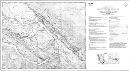 |
Geoscience Map 1993-8 presents the geology of the Bridge River map area 992J/16) in southern British Columbia. The 1:50 000 scale geology map includes a legend and references.
The area is underlain by rocks of the Methow terrane, ophiolitic assemblages, Cadwallader and Bridge River terranes, and overlap assemblages. The Yalakom Mountain facies of the Methow terrane includes Jurassic and/or Cretaceous lithic arkosic sandstone, conglomerate, siltstone and shale; Possible Lower and Middle Jurassic lithic-arkosic sandstone intercalated with lesser amounts of conglomerate, siltstone and shale; and Lower Cretaceous Jackass Mountain strata including a unit with lithic sandstone, conglomerate, and conglomeratic sandstone with lesser amounts of siltstone and shale, and a unit with arkosic sandstone, conglomeratic sandstone, siltstone, shale and conglomerate. Ophiolitic assemblages include the Shulaps Ultramafic complex and the Bralorne-East Liza complex. The Permian and younger and perhaps older Shulaps Ultramafic complex consists of a dominantly harzburgite unit and a serpentinite melange unit with knockers of gabbro, ultramafic rock, diorite, diabase, amphibolite, greenstone, roddingite, chert, phyllite, sandstone, conglomerate and limestone. The Permian Bralorne-East Liza complex contains pillowed and massive greenstones, greenstone breccia, diabase, gabbro and serpentinite. The oldest Cadwallader terrane rocks are of the Upper Triassic Cadwallader Group including a lower volcanic unit consisting mainly of greenstone, volcanic breccia and tuff; and the Hurley Formation sandstone, calcarenite, siltstone, and some conglomerate. There are also Lower to Middle Jurassic Last Creek Formation strata, mainly shale, siltstone, and siliceous argillite, and possibly Upper Jurassic to Lower Cretaceous siltstone and shale. Strata of the Bridge River complex of the Bridge River terrane range in age from Mississippian to Middle Jurassic. Units consist of biotite-quartz and biotite-chlorite-actinolite schist, calcareous actinolite schist, talc schist, metachert and marble; serpentinite with local slivers of all other Bridge River rock types; and ribbon chert, argillite, phyllite, quartz phyllite and pillowed to massive greenstone. Overlap assemblages include the Lower and/or Upper Cretaceous Silverquick Formation, with conglomerate, sandstone and siltstone; and the Tertiary Jones Creek volcanics, which are mainly porphyritic dacite and volcanic breccia.
Intrusive rocks in the area are of Eocene age. They include hornblende -biotite granodiorite, and hornblende-biotite-quartz-feldspar porphyry.
Deposition of the late Early Cretaceous rocks was coincident with the onset of regional compressional tectonism. Clasts within Silverquick conglomerate were derived from both the Bridge River complex and Cadwallader Group. The older Taylor Creek Group (not exposed in this map area) is the oldest unit within the Tyaughton basin and is documented to sit unconformably above Bridge River basement. This suggests the possibility that thrust imbrication (and accretion?) of the Bridge River and Cadwallader terranes was predomi�nantly a late Early Cretaceous event.
The map area is cut by a northwest-trending system of dextral strike-slip faults that was active in Late Cre�taceous time. Northerly trending splays of the Relay Creek-Marshall Creek fault system connect with the Yalakom fault system to define a large-scale extensional duplex structure. This fault system steps across and bounds the northwestern margin of the Shulaps ultra�mafic complex at its southeastern end. In contrast to the extensional zone to the northwest, the Shulaps complex may have been deformed and uplifted during Late Cre�taceous movement on the bounding strike-slip fault systems.
Metallic mineral concentrations are within or adjacent to strike-slip faults or associated structures, and have a close spatial relationship with plutons or dykes. The age of mineralization seems closely tied to igneous activity between Late Cretaceous and Early Tertiary time. The protracted history of mineralization and plutonism com�bined with differential uplift across faults has led to the juxtaposition of deposits of contrasting structural level and local inconsistencies in the pattern of regional metal zoning.
The map area straddles the northern part of the Bridge River mining camp, which is British Columbia�s foremost historical gold producer from low sulphide mesothermal quartz veins. Other known and potential deposit types in the area are copper-molybdenum porphyries, pluton-associated high sulphide auriferous veins, skarns, scheelite-stibnite or stibnite-only veins, gold-silver polymetallic veins, epithermal gold-silver veins and cinnabar veins and disseminations. In addition, the ultramafic rocks have small chromite concentrations, and potential for jade, magnesite and chrysotile. Cinnabar veinlets and disseminations occur locally near the Bridge River fault. |
| Issue ID: | GM1993-09 |
| Title: | Geology of the Noaxe Creek and Southwestern Big Bar Creek Map Areas (NTS 92O/1, 2) |
| Author(s): | Schiarizza, P.A. |
| Purpose: | 1 sheet; Geoscience map 1993-9 supercedes data con |
| Series Name: | Geoscience Map |
| Publication Year: | 1993 |
| Scale: | 1:50000 |
| NTS Map Sheet(s): | 092O/1, 2 |
| Place Keyword(s): | British Columbia, Noaxe Creek, Southwestern Big Bar Creek |
| Lat/Long (NSWE): | 51.25, 51, -123, -122.275 |
| Theme Keyword(s): | Geology, Bedrock Geology |
Download(s):
| PDF |
Abstract:
 |
Geoscience Map 1993-9 presents the geology of the Noaxe Creek and southwest Big Bar Creek area (92O/1, 2). The publication consists of a 1:50 000 scale geology map with legend and reference list.
The area is underlain by strata of the Intermontane Belt and Methow terrane, Ophiolitic assemblages, strata of the Cadwallader, Bridge River and Relay Mountain terranes, and overlap assemblages. Intermontane Belt strata may be of Cretaceous age. They are represented by the Dash-Churn succession that consists of units dominated by volcanic conglomerate; andesitic volcanic breccia and lapilli tuff; and volcanic conglomerate and breccia. Methow Terrane is represented by the Churn Creek facies and the Yalakom Mountain facies. Churn Creek facies consists of Middle Jurassic siltstone and fine sandstone, and rocks of the Lower Cretaceous Jackass Mountain Group with a lower unit of lithic sandstone to pebble conglomerate, and an upper unit of pebble to boulder conglomerate. Yalakom Mountain facies contains a Lower (?) to Middle Jurassic unit dominated by lithic-arkosic sandstone, a Middle (?) Jurassic unit of mainly volcanic breccia and andesitic flows, and Lower Cretaceous Jackass mountain Group strata with a lower unit dominated by lithic sandstone, granule conglomerate and conglomeratic sandstone, and an upper unit of arkosic sandstone, conglomeratic sandstone, siltstone, shale and conglomerate. The Ophiolitic assemblages include an assemblage of serpentinite, serpentinized ultramafite, and listwanite altered rocks; the Permian and younger Shulaps Ultramafic Complex with a harzburgite unit and a serpentinite melange unit; and the Bralorne-East Liza Complex of serpentinite, gabbro, diabase, and pillowed and massive greenstones. Cadwallader Terrane strata include the Upper Triassic Cadwallader and Tyaughton Groups, and the Lower to Middle Jurassic Last Creek Formation. The Cadwallader Group is represented by the Hurley Formation, which consists of a volcanic greenstone-tuff unit, and a unit comprised mainly of sandstone, calcarenite and siltstone. Tyaughton Group strata consist of a lower unit dominated by conglomerate and conglomeratic sandstone intercalated with sandstone, and an upper unit of mainly limestone conglomerate that is overlain by sandstone and conglomerate. Bridge River Terrane is represented by the Bridge River Complex. The Bridge River Complex consists of Mississippian to Middle Jurassic strata consisting mainly of ribbon chert, argillite and pillowed to massive greenstone. The Relay Mountain Terrane of the Lower Tyaughton Basin contains Middle Jurassic to Lower Cretaceous strata. The lower unit is mainly siliceous shale intercalated with sandstone and siltstone; the middle unit is dominantly sandstone and siltstone; and the upper unit is mostly shale and siltstone.
The Relay Mountain-Bridge River overlap assemblage comprises the Upper Tyaughton Basin consists of the Lower and perhaps Upper Cretaceous Taylor Creek Group, the Lower and/or Upper Cretaceous Silverquick Formation, and the Upper Cretaceous Powell Creek Formation. The Taylor Creek Group has the lower, Elbow Pass Formation sandstone, shale and conglomerate; the Paradise Formation of shale and sandstone; the Dash Formation of mainly chert pebble conglomerate, chert-rich sandstone, shale and siltstone; the Lizard Formation with micaceous sandstone and shale; a unit of volcanic breccia; and the Beece Creek succession of sandstone, siltstone and shale. The Silverquick Formation comprises mainly pebble to cobble conglomerate, and the Powell Creek Formation is mainly volcanic breccia and lapilli tuff. Tertiary rocks include the Miocene and possibly Pliocene Red Mountain volcanics, with a lower sedimentary unit overlain by andesite flows and rhyolite that is partly intrusive, the Big Sheep Mountain rhyolites, and olivine basalt flows of the Chilcotin Group.
Intrusive rocks in the area include Late Cretaceous and/or Early Tertiary hornblende-bearing porphyries, and quartz diorite to granodiorite, and Tertiary hornblende-biotite-quartz feldspar porphyries, quartz diorite and granodiorite, and Miocene or Pliocene mafic plugs.
The map area is cut by a northwest-trending system of dextral strike-slip faults that was active in Late Cre�taceous time. Northerly trending splays of the Relay Creek-Marshall Creek fault system connect with the Yalakom fault system to define a large-scale extensional duplex structure. This fault system steps across and bounds the northwestern margin of the Shulaps ultra�mafic complex at its southeastern end. In contrast to the extensional zone to the northwest, the Shulaps complex may have been deformed and uplifted during Late Cre�taceous movement on the bounding strike-slip fault systems.
The map area includes strata similar to those that host the Bridge River mining camp, British Columbia�s foremost historical gold producer from low sulphide mesothermal quartz veins. Other known and potential deposit types in the area are copper-molybdenum porphyries, pluton-associated high sulphide auriferous veins, skarns, scheelite-stibnite or stibnite-only veins, gold-silver polymetallic veins, epithermal gold-silver veins and cinnabar veins and disseminations.
Metallic mineral concentrations within or adjacent to strike-slip faults or associated structures have a close spatial relationship with plutons or dykes. The age of mineralization seems closely tied to igneous activity between Late Cretaceous and Early Tertiary time. The protracted history of mineralization and plutonism com�bined with differential uplift across faults has led to the juxtaposition of deposits of contrasting structural level. In addition, the ultramafic rocks have small chromite concentrations, and potential for jade, magnesite and chrysotile. |
| Issue ID: | GM1993-10 |
| Title: | Geology of the Warner Pass Map Area (NTS 92O/3) |
| Author(s): | Schiarizza, P.A. |
| Purpose: | 1 sheet; Geoscience maps 1993-10 supercedes data c |
| Series Name: | Geoscience Map |
| Publication Year: | 1993 |
| Scale: | 1:50000 |
| NTS Map Sheet(s): | 092O/3 |
| Place Keyword(s): | British Columbia, Warner Pass Map Area |
| Lat/Long (NSWE): | 51.25, 51, -123.5, -123 |
| Theme Keyword(s): | Geology, Bedrock Geology |
Download(s):
| PDF |
Abstract:
 |
Geoscience Map 1003-10 describes the geology of the Warner Pass map area (92O/3) in southern British Columbia. The 1:50 000 scale geology map includes a legend and references.
The map area includes rocks of the Methow terrane, the Cadwallader terrane, the Relay mountain terrane, the Relay Mountain-Bridge River overlap assemblage, and Tertiary strata. Methow terrane rocks are Lower Cretaceous sandstone, conglomerate, siltstone and shale of the Jackass Mountain Group. Cadwallader terrane is represented by the Late Triassic Tyaughton Group and the Lower to Middle Jurassic Last Creek Formation. The Tyaughton Group has a lower conglomerate, conglomeratic sandstone, and red to brown sandstone unit, and a unit with limestone conglomerate overlain by green sandstone intercalated with conglomerate, overlain by brown sandstone that is overlain by green sandstone with thin conglomerate interbeds. Last Creek Formation contains brown calcareous sandstone, siltstone and conglomerate that are overlain by dark calcareous shale. Relay Mountain terrane strata are of Middle Jurassic to Lower Cretaceous age. The older Relay Mountain Group has three units. The lowest consists of dark siliceous shale intercalated with siltstone and sandstone; the middle unit has fossiliferous sandstone and siltstone; and the upper unit is mainly dark shale and siltstone. The younger Tosh Creek unit is mainly volcanic conglomerate and breccia, and dark shale but has intercalations of siltstone, sandstone and intermediate volcanic rocks. The Overlap assemblage consists of the Lower and perhaps Upper Cretaceous Taylor Creek Group, and the Upper Cretaceous Powell Creek Formation. The Taylor Creek contains sandstone, shale and conglomerate of the Elbow Pass Formation; shale, sandstone, and some conglomerate of the Paradise Formation; chert pebble conglomerate, sandstone, shale and siltstone of the Dash Formation, micaceous sandstone and shale of the Lizard Formation, an intermediate, felsic and mafic flow, tuff and breccia unit with conglomerate, sandstone and shale; and sandstone, siltstone, shale, conglomerate, calcareous sandstone and shale, and ash and crystal tuff. Powell Creek Formation strata include a lower unit of conglomerate, sandstone and shale, a middle unit of andesitic volcanic breccia, lapilli and ash tuff, mafic to intermediate flows, sandstone and conglomerate; and an upper unit of lapilli tuff, volcanic breccia, lahar, conglomerate and sandstone. Tertiary strata include the Paleocene and/or Eocene Mount Sheba volcanics, with intermediate to felsic flows, tuffs and breccias, conglomerate and mudstone of the Cluckata Ridge succession, an intermediate to felsic volcanic flow unit; and basalt flows and flow breccia. Olivine basalt flows comprise the Miocene and perhaps Pliocene Chilcotin Group.
Intrusive rocks in the area include Late Cretaceous granodiorite; Late Cretaceous and/or Early Tertiary diorite and gabbro, and hornblende-feldspar porphyry bodies; Paleocene and/or Eocene hornblende-biotite-quartz-feldspar porphyry; Eocene quartz monzonite and granodiorite; and Oligocene hornblende porphyry.
The structural elements are similar to those to the south with northwest trending, southwest-directed thrusting and north or northwest striking high angle faults with undefined but presumably transcurrent and vertical offsets.
The map area lies northwest of the Bridge River mining camp, which is British Columbia�s foremost historical gold producer from low sulphide mesothermal quartz veins. Other known and potential deposit types in the area are copper-molybdenum porphyries, pluton-associated high sulphide auriferous veins, skarns, scheelite-stibnite or stibnite-only veins, gold-silver polymetallic veins, epithermal gold-silver veins and cinnabar veins and disseminations. |
| Issue ID: | GM1994-01 |
| Title: | Geology of the Manson Creek Map Area (NTS 93N/9) |
| Author(s): | Ferri, F., Melville, D.M. |
| Series Name: | Geoscience Map |
| Publication Year: | 1994 |
| Scale: | 1:50000 |
| NTS Map Sheet(s): | 093N/9 |
| Place Keyword(s): | British Columbia, Manson Creek Map Area |
| Lat/Long (NSWE): | 55.75, 55.5, -124.5, -124 |
| Theme Keyword(s): | Geology, Bedrock Geology |
Download(s):
| PDF |
Abstract:
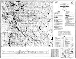 |
Geoscience Map 1994-1 presents the geology of the Manson Creek map area (93N/9) in east-central British Columbia. The 1:50 000 scale geological map includes a legend, geological cross section, references, and a table of mineral occurrences.
The area is cut by a series of major northwest trending faults that juxtapose disparate crustal levels. The oldest package exposed, the Upper Proterozoic Ingenika Group contains five formations. The Swannell Formation has four units: quartz-feldspathic paragneiss, amphibolite gneiss, calcsilicate gneiss, and marble cut by abundant granite and granite pegmatite bodies; mainly quartzofeldspathic paragneiss and schist, also cut by abundant granite and granite pegmatite bodies; quartz-feldspathic paragneiss, quartz-feldspar mica schist, micaceous metaquartzite, and calcsilicate and amphibolite gneiss; and micaceous metaquartzite, quartz-mica schist and metaquarztite. The Tsaydiz Formation consists mainly of slate, phyllite, and thinly bedded limestone to argillaceous limestone. The Espee Formation is dominantly limestone; and the Stelkuz Formation is slate, siltstone, sandstone and impure quartzite. The Paleozoic (?) and Proterozoic Boulder Creek Group consist of phyllite, slate, siltstone, schist, sandstone, and limestone or marble. The Upper (?) Devonian to Permian Big Creek Group has a lower unit dominated by shale and argillite, and an upper unit that is mainly argillite. Mississippian to Permian rocks include the Manson Lakes Ultramafics, which are mainly serpentinite with local schistose zones containing talc or mariposite, and the Mount Howell Succession of the Nina Creek Group. The Mount Howell Succession has sill-like gabbro bodies, and an argillite, siliceous argillite, chert, basalt, wackes, limestone and tuff unit. The Pillow Ridge Succession of the Nina Creek Group is of Pennsylvanian to Permian age. It consists of massive and pillowed basalt, chert, siliceous argillite and gabbro. Middle to Upper Triassic strata of the Nicola Group in the area include the Slate Creek and Plughat Mountain successions. The Slate Creek contains a unit dominated by massive and pillowed basalt, and a unit with argillite, slate, calcareous argillite, and siliceous argillite. The Plughat Mountain Succession consists mainly of tuff and agglomerate with a small epiclastic component.
The oldest intrusive rocks in the area are Devonian to Mississippian carbonatites, mainly biotite sovite, as well as foliated syenite and monzonite. The Upper Paleozoic or younger Wolf Ridge gabbro is also foliated. The Cretaceous Germansen batholith consists mainly of biotite-muscovite granite to granodiorite. It is megacrystic and has associated garnet-bearing pegmatites and aplite dikes. The Cretaceous or younger Wolverine Range intrusions comprise garnet-muscovite-biotite granodiorite to granite and related pegmatite. Tertiary intrusions are subvolcanic feldspar phyric andesite associated with monzonite to quartz monzonite dikes and irregular bodies.
The metamorphic rocks of the Wolverine metamorphic complex record several periods of deformation. Paleozoic and Triassic strata tend to be steeply inclined or within upright folds. Major northwest to northerly trending faults dominate the structural fabric of the area. Movement has been both strike slip and vertical.
Mineral occurrences in the area include niobium, zirconium, titanium, uranium, thorium, and rare earth elements in the carbonatites, polymetallic silver-lead-zinc with or without gold deposits, gold quartz vein deposits, rare element pegmatites, and porphyry copper-molybdenum deposits associated with the Germansen batholith. |
| Issue ID: | GM1994-02 |
| Title: | Geology of Germansen Landing Area (NTS 93N/10, 15) |
| Author(s): | Ferri, F., Melville, D.M., Arksey, R.L. |
| Series Name: | Geoscience Map |
| Publication Year: | 1994 |
| Scale: | 1:50000 |
| NTS Map Sheet(s): | 093N/10, 15 |
| Place Keyword(s): | British Columbia, Germansen Landing Area |
| Lat/Long (NSWE): | 55.875, 55.612, -125, -124.5 |
| Theme Keyword(s): | Geology, Bedrock Geology |
Download(s):
| PDF |
Abstract:
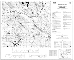 |
Geoscience Map 1994-2 describes the geology of the Germansen Landing area (93N/10 (north half) and 93N/15 (south half)) in central eastern British Columbia. The 1:50 000 scale geological map includes a legend, three geological cross sections, references, and a table of mineral occurrences. The oldest rock unit exposed is the Lower Cambrian Mount Kison limestone of the Atan Group. The Middle Cambrian to perhaps Ordovician Razorback Group is mainly shale, slate, and limestone. The Ordovician to Lower Devonian Echo Lake Group has a lower member of limestone and dolomite, and an upper member of dolomite, limestone and sandy dolomite with local argillite and quartzite interlayers. The Middle Devonian Otter Lakes Group is manly dark, fetid dolomite and limestone. The Upper (?) Devonian to Permian Big Creek Group has a lower shale, argillite, and quartz-chert sandstone unit; the Gilliland Tuff, which is felsic tuff; and an upper, dominantly argillite unit. Mississippian to Permian rocks include strata of the Lay Range Assemblage, the Manson Lakes Ultramafics, and the Mount Howell Succession. The Lay Range Assemblage has a lower agglomerate and lapilli tuff unit and an upper tuff, tuffaceous siltstone, volcanic sandstone or conglomerate, argillite and siltstone unit. The Manson Lakes Ultramafics consist mainly of serpentinite with local schistose zones containing talc or mariposite. The Mount Howell Succession has sill-like gabbro bodies, and an argillite, siliceous argillite, chert, basalt, wackes, limestone and tuff unit. Over this unit is a Pennsylvanian to Permian unit with mainly argillite, siliceous argillite and chert. The Pillow Ridge Succession of the Nina Creek Group is also of Pennsylvanian to Permian age. It consists of massive and pillowed basalt, chert, siliceous argillite and gabbro. The Permian to Triassic Evans Creek Limestone is finely recrystallized. The Middle to Upper Triassic Takla Group is divided into nine units on the map. The Slate Creek Succession contains a unit that is mainly argillite, slate, calcareous argillite, and siliceous argillite. Units within the Plughat Mountain Succession include: tuff and agglomerate; basalt and agglomerate; tuff and tuffaceous siltstone; agglomerate, lapillistone, and tuff; aphanitic to augite or feldspar phyric basalt to basaltic andesite, agglomerate, lapillistone and tuff; volcanic sandstone and conglomerate; agglomerate and tuff to tuffaceous siltstone; and basalt and agglomerate. The Quaternary Blue Lake Volcanics are pyroxene-phyric basalts.
The oldest intrusion in the area is the Upper Paleozoic or younger Wolf Ridge foliated gabbro. Jurassic or younger hornblende-pyroxene gabbro has a slight foliation. The Cretaceous Germansen batholith consists mainly of biotite-muscovite granite to granodiorite. It is megacrystic and has associated garnet-bearing pegmatites and aplite dikes. Tertiary intrusions are subvolcanic feldspar phyric andesite associated with monzonite to quartz monzonite dikes and irregular bodies.
Major northwest to northerly trending faults dominate the structural fabric of the area. Movement has been both strike slip, thrust and vertical. Layered rocks in the succession are deformed into upright folds. Northeast- to east-striking normal faults offset the older structures.
The area is known for placer gold production. Other deposit types that are of interest include gold-quartz veins, polymetallic silver-lead-zinc with or without gold veins, ultramafic-hosted asbestos and nickel occurrences, and possibly porphyry copper-molybdenum deposits associated with the Germansen batholith |
| Issue ID: | GM1994-03 |
| Title: | Geology between Nina Lake and Osilinka River, British Columbia |
| Author(s): | Ferri, F., Melville, D.M., Arksey, R.L. |
| Series Name: | Geoscience Map |
| Publication Year: | 1994 |
| Scale: | 1:50000 |
| NTS Map Sheet(s): | 093N/15; 094C/2 |
| Place Keyword(s): | British Columbia, Nina lake, Oslinka River |
| Lat/Long (NSWE): | 56.125, 55.875, -125, -124.5 |
| Theme Keyword(s): | Geology, Bedrock Geology |
Download(s):
| PDF |
Abstract:
 |
Geoscience Map 1994-03 presents the geology between the Nina lake and Oslinka River areas in British Columbia. This map is at 1:50000 scale. |
| Issue ID: | GM1995-01 |
| Title: | Purcell Supergroup, Southeastern British Columbia, Geological Compilation Map (NTS 82G, F, E, 82J/SW, 82K/SE) |
| Author(s): | Hoy, T., Price, R.A., Legun, A.S., Grant, B., Brown, D. |
| Series Name: | Geoscience Map |
| Publication Year: | 1995 |
| Scale: | 1:250000 |
| NTS Map Sheet(s): | 082G,082F,082E,082J/SW,082K/SE |
| Place Keyword(s): | British Columbia, Southeastern British Columbia, Purcell Supergroup |
| Lat/Long (NSWE): | 51, 49, -117, -114 |
| Theme Keyword(s): | Geology, Purcell Supergroup, Bedrock Geology |
Download(s):
| PDF, ZIP (View Zip Contents) |
Abstract:
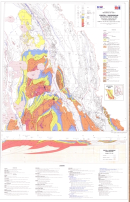 |
Geoscience Map 1995-01 is a geological compilation map of the Purcell Supergroup in southeastern British Columbia. The map is at 1:250000 scale. |
| Issue ID: | GM1995-02 |
| Title: | Mineral Occurrences in the Purcell Supergroup, Southeastern British Columbia |
| Author(s): | Jakobsen, D., Hoy, T. |
| Series Name: | Geoscience Map |
| Publication Year: | 1995 |
| Scale: | 1:250000 |
| NTS Map Sheet(s): | 082G,082F,082E |
| Place Keyword(s): | British Columbia, Southeastern British Columbia, Purcell Supergroup |
| Lat/Long (NSWE): | 51, 49, -117, -114 |
| Theme Keyword(s): | Geology, Mineral Occurrences, Purcell Supergroup |
Download(s):
| PDF |
Abstract:
 |
Geoscience Map 1995-02 presents mineral occurrences in the Purcell Supergroup in southeastern British Columbia at the 1:250000 scale. |
| Issue ID: | GM1995-03 |
| Title: | Purcell Supergroup, Southeastern British Columbia, Geochemistry, of Southeastern British Columbia |
| Author(s): | Jackaman, W., Sibbick, S.J., Matysek, P.F. |
| Series Name: | Geoscience Map |
| Publication Year: | 1995 |
| Scale: | 1:250000 |
| NTS Map Sheet(s): | 082G,082F,082E |
| Place Keyword(s): | British Columbia, Southeastern British Columbia, Purcell Supergroup |
| Lat/Long (NSWE): | 51, 49, -117, -114 |
| Theme Keyword(s): | Geology, Geochemistry |
Download(s):
| PDF |
Abstract:
 |
Geoscience Map 1995-03 presents the geochemistry of the Purcell Supergroup and southeastern British Columbia. Mapping is at 1:250000 scale. |
| Issue ID: | GM1997-01 |
| Title: | Geology of the Tagish Lake Area (NTS 104M/8,9,10E and 104N/12W) |
| Author(s): | Mihalynuk, M.G., Mountjoy, K.J., Currie, L.D., Smith, M.T., Rouse, J.N. |
| Series Name: | Geoscience Map |
| Publication Year: | 1997 |
| Scale: | 1:100000 |
| NTS Map Sheet(s): | 104M/8,9,10E; 104N/12W |
| Place Keyword(s): | British Columbia, Tagish Lake Area |
| Lat/Long (NSWE): | 60, 59.25, -135, -133.75 |
| Theme Keyword(s): | Geology, Bedrock Geology |
Download(s):
| PDF, ZIP (View Zip Contents) |
Abstract:
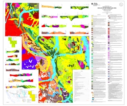 |
Geoscience Map 1997-1 presents the geology of the Tagish Lake area (104M/8, 9, 10E, 15 and 104N/12W) in northern British Columbia. The 1:100 000 scale coloured geology map includes a legend, 16 geological cross sections, and a reference list.
The Tagish Lake area has been recognized as an important mineral belt since 1896, when hordes of placer miners bound for the Klondike passed through it. It continues to be a focus for mineral exploration, but today these are guided by a respect for the geological diversity and complexity of the area. Geoscience Map 1997-1 encompasses critical components of the terrane architecture in the northern Intermontane Belt. From east to west these include: oceanic crustal rocks of the Cache Creek Terrane, overlap strata of the Whitehorse Trough, volcanic arc strata and metamorphic basement of Stikine Terrane, metamorphosed continental margin rocks of the Nisling Terrane and volcano-plutonic complexes adjacent to the Coast belt. Two crustal scale faults, the Llewellyn and Nahlin, are focal points because they juxtapose terranes and are loci of gold mineralization, including the Engineer and Venus Mines. Map 1997-1 illustrates the relationships between mineral occurrences and tectonic features in an area of high mineral potential extending from south of Tagish Lake to the BC-Yukon border.
The area straddles the boundary between the Coast and Intermontane geomorphologic belts. The structural grain of the country parallels the contact, which trends north-northwest. It also roughly delineates the boundary of the Nisling assemblage and strata of the Whitehorse trough.
Proterozoic to Devonian (?) Florence Range metamorphic rocks of the Nisling Assemblage are mainly pelites and semi-pelites. The Permian Wann River Gneiss is of dioritic to granodioritic composition. The Devonian to Triassic (?) Boundary Ranges metamorphic suite has loose ties with the Stikine assemblage. The strata are mainly altered pyroxene phyric flows, pyroxene gabbro and pyroxenite; marble; pelitic schists; and chlorite actinolite schists.
The Mississippian to Triassic Cache Creek Complex contains ultramafic rocks, volcanic rocks, chert, limestone, and sedimentary rocks. It represents a deep-water oceanic assemblage.
Paleozoic to uppermost Triassic conglomerate gives way to the Middle to Upper (?) Triassic Peninsula Mountain volcanic suite. Units in this suite are pillow basalt and pillow breccia, feldspar-phyric pyroclastic rocks, pyroxene-phyric andesite and basalt, spherulitic rhyolite flows, breccias and domes, and volcanic conglomerate.
Upper Triassic Stuhini Group volcanics consist of pyroxene porphyries, coarse plagioclase porphyry flows and breccia, �basal� conglomerate, heterolithic lapilli tuff, pyroxene phyric breccia, agglomerate and subaqueous flows, phreatomagmatic pyroxene phyric breccia, volcanic wacke, limestone, argillite, the Sinwa Formation equivalent (?) limestone, and foliated rhyolite to tuff.
Lower Jurassic Laberge Group strata include conglomerate wacke, quartz subarenites, conglomerate, greywacke, argillites, and siliciclastics. Lower to Middle Jurassic strata are conglomerate and a unit with lapilli tuff, bladed feldspar porphyry flows, and related intrusions. Late Cretaceous rocks include the Montana Mountain volcanic complex, with intermediate to felsic pyroclastics and flows, and the Windy Table Mountain volcanic complex with ash flows, coarse andesitic to dacitic breccias and flows, basaltic andesite flows, rhyolite, and conglomerate.
Eocene Sloko Group strata include conglomerate; vitrophyric tuff and breccia; basalt; dacite to andesite flows, breccia, tuff and ignimbrite; and rhyolite flows and ignimbrite.
Intrusive rocks have a long history in the area. The oldest is the Devono-Mississippian Bighorn Creek orthogneiss. Mississippian to Triassic (?) igneous events produced the Graham Creek igneous suite, with serpentinized ultramafic tectonites, and altered hornblende gabbro and pillow basalt, and an altered and deformed felsic intrusive. Early Mesozoic (?) foliated tonalite and Mesozoic granodiorite are present. Mid to Late Triassic foliated hornblende-rich gabbro, Late Triassic megacrystic hornblende granodiorite occur. Early Jurassic intrusive activity produced the Aishihik granodiorite and hornblendite. Middle Jurassic intrusions comprise the Fourth of July plutonic suite, which is mainly diorite to granite with alkali granite and megacrystic phases. Early Cretaceous intrusions are tonalite, foliated tonalite and peraluminous granite. Cretaceous diorite was followed by the Late Cretaceous to Tertiary Windy Table intrusive suite, with quartz syenite to alkali granite, quartz diorite to diorite, and quartz-feldspar porphyry, and the Coast intrusions, including the Whitehorse plutonic suite. The Coast intrusions range from quartz monzonite to granodiorite to tonalite to granite and peraluminous granite and alaskite. The Eocene Sloko plutonic suite plutons vary from hornblende syenite to quartz monzonite, quartz diorite, and granite and the suite includes porphyritic granite/granitic dikes and sills.
Mineralization is well known in the area. Past producers are the Engineer mine, with gold and silver from quartz veins sparsely mineralized with tellurides and base metals, and Ben My Cree where gold and silver was mined from quartz veins with abundant sulphides. In both instances, the veins cut Laberge Group argillites and greywackes. Other deposit types of interest are sulphide-free quartz gold silver veins and sulphide-bearing carbonate-quartz veins associated with the Llewellyn fault zone. Gold may also occur in association with carbonatized ultramafic rocks, and placer gold has been produced historically. Prospective lithologic packages are the Laberge Group, mafic and ultramafic rocks and the Boundary Ranges metamorphic suite. There is also potential within and near the Llewellyn fault zone. |
| Issue ID: | GM1997-02 |
| Title: | Bedrock and surficial geology of the Southern Nechako Plateau, Central British Columbia (NTS 93F/2,3,6,7) |
| Author(s): | Diakow, L.J., Levson, V.M. |
| Series Name: | Geoscience Map |
| Publication Year: | 1997 |
| Scale: | 1:100000 |
| NTS Map Sheet(s): | 093F/02; 093F/03; 093F/06; 093F/07 |
| Place Keyword(s): | British Columbia, Central British Columbia, Southern Nechako Plateau |
| Lat/Long (NSWE): | 53.5, 53, -125.5, -124.5 |
| Theme Keyword(s): | Surficial Geology Map, Geology, Bedrock Geology, Surficial Geology |
Download(s):
| PDF, ZIP (View Zip Contents) |
Abstract:
 |
Geoscience Map 1997-2 is a colored geological map (1:100 000 scale) that is a compilation of bedrock and surficial geology data from the area between the Nechako Reservoir and the Blackwater River (NTS 93F/2, 3, 6 and 7) in central British Columbia. The inferred extent of mineralizing plutons and prospective rhyolites are also shown, as are fossil and age dating sites, ice flow direction indicators, geochemical sample sites, and the distribution and nature of surficial sediments that are most usable for local geochemical surveys. Widespread drift cover, and lack of geological and geochemical information has hindered exploration in this region in the past. In 1993 and 1994 the members of the Interior Plateau Project discovered several new precious metal occurrences and identified geochemical anomalies that are significant new targets for mineral exploration. The region has significant untested mineral potential and is undergoing active mineral exploration, mainly for precious metal deposits.
The geology of the map area is discussed in detail in the Interior Plateau Project volume (BCGS Paper 1997-2 and GSC Open File 3448) which summarizes results from a variety of geological studies conducted in the vast Interior Plateau region west of the Fraser River and east of the Coast Mountains in central British Columbia. The Interior Plateau Project was conducted under the auspices of the Federal-Provincial Mineral Development Agreement (1991-1995). |
| Issue ID: | GM1997-03 |
| Title: | Geology of the Forrest Kerr-Mess Creek Area, Northwestern British Columbia (NTS 104B/10,15 and 104G/2,7W) |
| Author(s): | Logan, J.M., Drobe, J.R., Koyanagi, V.M., Elsby, D.C. |
| Series Name: | Geoscience Map |
| Publication Year: | 1997 |
| Scale: | 1:100000 |
| NTS Map Sheet(s): | 104B/10,15 and 104G/2,7W |
| Place Keyword(s): | British Columbia, Northwestern British Columbia, Forest Kerr Area, Mess Creek Area |
| Lat/Long (NSWE): | 57.5, 56.7, -131, -130.5 |
| Theme Keyword(s): | Geology, Bedrock Geology |
Download(s):
| PDF, ZIP (View Zip Contents) |
Abstract:
 |
Geoscience map 1997-3 is a compilation of the bedrock geology along the Forrest Kerr and Mess creeks, a 3 000 km2 area situated between Iskut River and Mess Lake. This coloured geological 1: 100 000 scale map includes a legend, a reference list, eleven vertical cross sections, and the locations of mineral occurrences, fossils and age dating sites.
Bulletin 92 describes the Galore Creek area, in northwestern British Colum�bia, which straddles the western boundary of the Intermontane Belt and Coast Belt and is underlain by rocks of the Stikine Terrane. Northwestern Stikinia is a composite allochthonous terrane made up of an amalgamation of volcanic island arcs ranging in age from mid-Paleozoic through Middle Jurassic, and intruded along its western margin by Jurassic to Paleo�cene plutons of the Coast Plutonic Complex.
At this latitude basement to Stikinia is an Upper Paleozoic primitive island arc assemblage, known as the Stikine assemblage. It consists of Permian, Carboniferous and Devonian calcalkaline and bimodal flows and volcaniclastics, silicic intrusions, interbedded carbonate, minor shale and chert. Macro- and microfossil ages and isotopic dating indi�cate a composite stratigraphic sequence which includes: Devono-Carboniferous island arc volcanic and plutonic complex; middle Carboniferous carbonate and Late Carboniferous basaltic and dacitic volcanic and volcaniclastic apron; and the hallmark of the Stikine assemblage, a regionally extensive Early Permian carbonate slope deposit.
Stikine assemblage strata range in age from Devonian to Permian. Lower and middle Devonian strata include units dominated by graphitic schist, phyllite and chert; quartz sericite schist; schistose intermediate tuff; marble and limestone; and intermediate to felsic crystal tuff, breccia and flows. Upper Devonian and Mississippian rocks include basalt, andesite, hyaloclastite, pillowed and flow breccia rocks, and foliated sedimentary rocks. Upper Carboniferous units are mainly siltstone, tuff, wacke and sandstone; volcanic conglomerate; plagioclase and pyroxene phyric basalt breccia and flows; andesitic lapilli and crystal tuff; rhyolite flows and flow breccias; and fetid and dolomitic limestone. A unit with Carboniferous phyllitic siltstone, argillite, and siliceous phyllite with limestone layers was mapped. Lower Permian strata include siliceous tuff and sedimentary rocks and carbonates.
A Permo-Triassic (Tahltanian) period of uplift and ero�sion of Late Permian rocks is recorded by Early and Middle Triassic starved-basin sedimentary rocks or Late Triassic Stuhini Group volcaniclastic rocks nonconformably overly�ing Early Permian limestone of the Stikine assemblage. A Middle Triassic unit contains shale, sandstone and siliceous siltstone.
The Upper Triassic marked renewed volcanism and a cessation of pelagic sedimentation. The Upper Triassic vol�cano-plutonic complex at Galore Creek consists of a lower (Carnian to Norian) assemblage of plagioclase and clinopy�roxene-phyric calcalkaline basaltic and andesite breccias and lesser volcaniclastic sedimentary rocks. Orthoclase por�phyry syenites, shoshonitic basalts and alkali-enriched py�roclastic rocks (208 Ma) overlie these and indicate a late stage alkalic magmatic event. Stuhini Group volcanic rocks are chemically similar to rocks of the Takla Group. Plutonic rocks are coeval calcalkaline, ultramafic and intermediate plutons, and alkaline, shoshonitic intrusives. Early Jurassic Hazelton Group sediments and felsic tuffs overlie Upper Triassic volcanic conglomerates in apparent conformity.
The Upper Triassic More Creek Sedimentary Facies contains units of mainly calcareous siltstone and sandstone; feldspathic sandstone, conglomerate and limestone; limestone; augite-bearing volcanic sandstone and conglomerate; and tuff and epiclastic rocks interbedded with augite phyric or aphyric basalt flows and sills. Mess lake Volcanic Facies consists of units dominated by mafic olivine lapilli tuff; plagioclase phyric basalt and bladed feldspar and pyroxene porphyry dikes; lapilli and crystal tuff; and pyroxene or plagioclase phyric flows and fragmental rocks. There are also units with plagioclase-hornblende andesite breccia flows and lapilli and crystal tuff and algal limestone bodies.
Lower to middle Jurassic strata of the Hazelton Group are represented by rocks of the Unuk River-Betty Creek-Mount Dillworth and Salmon River Formations. The Unuk River-Betty Creek-Mount Dillworth Formations, with units dominated by graphitic, pyritic siltstone; sandstone, plagioclase crystal tuff, peperite flows, and siltstone; welded ash tuff, rhyolite and ashflow tuff; and plagioclase and augite phyric andesite, lapilli and crystal tuff, and pillowed flows. The Salmon River Formation has units of mainly pillow basalt, breccia and tuff interbedded with siltstone; carbonaceous siltstone and sandstone; polylithic conglomerate; and siliceous siltstone. Middle to Upper Jurassic Bowser Lake Group rocks are represented by greywacke, shale and sandstone of the Ashman Formation. Upper Cretaceous to Paleocene Sustut Group consists of chert pebble conglomerate, sandstone, siltstone, carbonaceous shale, and coaly layers. Tertiary to Pliocene Nido Formation consists mainly of olivine basalt and flow breccia, and the Spectrum Formation of peralkaline rhyolite and trachyte flows and subvolcanic intrusions. Pleistocene activity produced olivine-plagioclase-augite basalt flows and pyroclastic breccia of the Arctic Lake Formation. Quaternary deposits are unconsolidated glacial materials and basalt tephra and lava flows of the Big Raven Formation.
Intrusive activity began with Devonian quartz diorite and the Late Devonian Forest Kerr Suite, which consists of gabbro, clinopyroxenite, diorite and quartz diorite, and granite, monzonite and tonalite. Early Mississippian activity produced the More Creek Plutonic suite with hornblende diorite and quartz monzonite, and biotite granite. The Middle to Late Triassic Stikine Plutonic Suite includes diorite, gabbro, and the Hickman pluton, which varies from hornblende diorite to monzonite. The Late Triassic to Early Jurassic Copper Mountain Suite is represented by the Newmont Lake plugs, of monzonite and granodiorite, the Loon Lake stock, of crowded monzonite porphyry and trachyte, and hornblende biotite syenite and orthoclase porphyry intrusions. The Early Jurassic Texas Creek Plutonic Suite contains megacrystic monzonite and syenite, and equigranular monzonite intrusions. Early Jurassic and younger intrusions are diorite and gabbro. The Middle Jurassic Three Sisters suite also consists of diorite and gabbro and the Yehiniko monzonite to granite pluton. Tertiary and older dikes are andesite to basalt, plagioclase porphyry, lamprophyre, porphyritic syenite and felsic.
Structural style at Galore Creek is dominated by brittle deformation and faulting and controlled by competency contrasts between volcanic and sedimentary rocks of the arc assemblage. Three or possibly four episodes of deformation have been recognized, but ages are poorly constrained. The earliest structures are synmetamorphic, and pre-Triassic, possi�bly Carboniferous, age. These structures, and related northeast-striking penetrative foliations, are deformed by west-trending post-Triassic (?) folds. Two post-Early Juras�sic events are recognized, one is characterized by north-trending southwest-verging folds and reverse faults; and the younger is characterized by northeast-verging kink folds.
Similarities between Stikinia and the northern Sierra-Eastern Klamath terranes of northern California include close faunal affinities of Permian corals and fusulinids, Devono-Carboniferous plutonism, Carboniferous and Permo-Triassic deformation and uplift events. These are all components of an Upper Paleozoic paleo-Pacific fringing arc system developed outboard of the cratonic shelf and now preserved as a disrupted, faulted belt of rocks extending the length of the North American Cordillera.
Metallogeny in the Galore area is related to plate boundary subduction processes and two separate mineraliz�ing events, one in the latest Late Triassic and one in the Eocene. Each is characterized by a different base and pre�cious metal suite. A Late Triassic to Early Jurassic alkalic volcanic centre at Galore Creek hosts ten synvolcanic cop�per-gold deposits. The largest, the Stikine Copper Limited central zone contains 125 000 000 tonnes of material with an estimated grade of 1.06% copper, 0.4 gram per tonne gold and 7.7 grams per tonne silver. A similar deposit occurs at Copper Canyon. Pervasive potash metasomatism and retro�grade calcsilicate alteration characterize the mineralized zones. Smaller tonnage, Eocene silver-rich base metal veins are associated with calcalkaline intrusions and hosted in northeasterly-striking faults at the Trek property and brec�cia-pipes at the Ptarmigan zone. Alteration and gangue min�erals are quartz, sericite, and iron carbonate assemblages. Volcanogenic massive sulphide deposits (e.g., Tulsequah Chief) are an untested but viable exploration target in the Paleozoic Stikine assemblage rocks.
This part of Stikinia is composed of rocks spanning at least 400 Ma: from Early Devonian volcanic arc deposits to the hotspring tufa deposits forming today in Mess Creek valley. The map provides a tectonic framework for a variety of mineral deposits: the Au and Ag-enriched calcalkaline Schaft Creek copper-molybdenum porphyry deposit, the McLymont Au skarn, the Bam copper-silver replacement and other exploration properties including the Foremore, Forrest, Goz/RDN and Forgold. Age dating and fossil collections have established time constraints on the formation of some of these mineral occurrences. The work identified several highly prospective stratigraphic intervals and documented plutonic suites that are significant new targets for mineral exploration. |
| Issue ID: | GM1998-01 |
| Title: | Geological Compilation of the Trail Map Area, Southeastern British Columbia (NTS 82F/3,4,5,6) |
| Author(s): | Hoy, T., Dunne, K.P.E. |
| Series Name: | Geoscience Map |
| Publication Year: | 1998 |
| Scale: | 1:100000 |
| NTS Map Sheet(s): | 082F/3,4,5,6 |
| Place Keyword(s): | British Columbia, Southeastern British Columbia, Trail Map Area |
| Lat/Long (NSWE): | 49.5, 49, -118, -117 |
| Theme Keyword(s): | Geology, Bedrock Geology |
Download(s):
| PDF |
Abstract:
 |
Geoscience Map 1998-1 is a full colour geological compilation of the Trail map area, in southeastern British Columbia (NTS O82F/3, 4, 5, 6). The map, at 1:100 000 scale, includes the area around Trail that extends south from Nelson to the United States border and west to Rossland and Castlegar. The area straddles the boundary between North American rocks and Quesnellia and includes the southern part of the Kootenay arc.
There are many historical mining camps are in the Trail map area, including the carbonate-hosted lead-zinc deposits of the Salmo camp, silver-gold veins of the Ymir and Nelson camps, and the gold-copper veins of the Rossland camp. Accompanying the map is a table that classifies the more than 400 mineral deposits and occurrences in the map area. New exploration potential exists in the area for all of the above mentioned deposit types but also for porphyry molybdenum and possibly porphyry copper-gold deposits. |
| Issue ID: | GM1998-02 |
| Title: | Geological Compilation of the Yahk (East Half) and Yahk River (West Half) Map Areas, southeastern British Columbia (NTS 82F/1E, 82G/4W) |
| Author(s): | Brown, D.A. |
| Series Name: | Geoscience Map |
| Publication Year: | 1998 |
| Scale: | 1:50000 |
| NTS Map Sheet(s): | 082F/1E, 082G/4W, |
| Place Keyword(s): | British Columbia, Southeastern British Columbia, Yahk Area, Yahk River Area |
| Lat/Long (NSWE): | 49.25, 49, -116.5, -115.5 |
| Theme Keyword(s): | Geology, Mineral Occurrences, Sedex Deposits, Bedrock Geology, Geological Compilation |
Download(s):
| PDF, ZIP (View Zip Contents) |
Abstract:
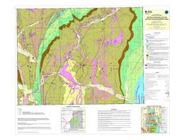 |
Geoscience Maps 1998-2, 3 and 4 present geological compilations of parts of the Purcell anticlinorium in southeastern British Columbia. These maps are in colour. Exploration attention in the anticlinorium targets mainly favourable settings for new Sedex deposits using the features found at the world class Sullivan lead-zinc-silver (Pb-Zn-Ag) mine as indicators. The maps provide 1:50 000 scale geology and highlight Sullivan-style indicators (e.g. sedimentary fragmentals, tourmalinite, albite alteration, garnet-rich zones). They also clearly show the locations of diamond drill holes. Other possible exploration targets include veins of similar mineralogy.
Geoscience Map 1998-2 is a geological compilation of the Yahk (East Half) and Yahk River (West Half) map areas (NTS 82F/1E, 82G/4W). It covers the core of the Moyie anticline and mineral occurrences in the Mt. Mahon-Yahk area. |
| Issue ID: | GM1998-03 |
| Title: | Geological Compilation of the Grassy Mountain (East Half) and Moyie Lake (West Half) Map Areas, Southeastern British Columbia (NTS 82F/8E, 82G/5W), compilation |
| Author(s): | Brown, D.A. |
| Series Name: | Geoscience Map |
| Publication Year: | 1998 |
| Scale: | 1:50000 |
| NTS Map Sheet(s): | 082F/8E, 082G/5W |
| Place Keyword(s): | British Columbia, Grassy Mountain Map Area, Moyie Lake Map Area |
| Lat/Long (NSWE): | 49.5, 49.25, -116.75, -116.25 |
| Theme Keyword(s): | Geology, Geological Compilation, Bedrock Geology |
Download(s):
| PDF, ZIP (View Zip Contents) |
Abstract:
 |
Geoscience Map 1998-3 is a geological compilation of the Grassy Mountain (East Half) and Moyie Lake (West Half) map areas (NTS 82F/8E, 82G/5W). It includes the extensively explored Fors-Vine areas and the newly discovered Panda Basin. |
| Issue ID: | GM1998-04 |
| Title: | Geological Compilation of parts of the Dewar Creek and Findlay Creek Map Areas, Southeastern British Columbia (parts of NTS 82F/16 and 82K/1) |
| Author(s): | Brown, D.A. |
| Series Name: | Geoscience Map |
| Publication Year: | 1998 |
| Scale: | 1:50000 |
| NTS Map Sheet(s): | parts of 082F/16 and 082K/1, |
| Place Keyword(s): | British Columbia, Dewar Creek, Findlay Creek |
| Lat/Long (NSWE): | 50.2, 49.9, -116.4, -116 |
| Theme Keyword(s): | Geology, Stratiform Sulphides, Geological Compilation, Bedrock Geology |
Download(s):
| PDF, ZIP (View Zip Contents) |
Abstract:
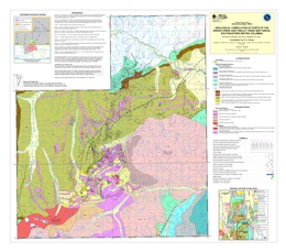 |
Geoscience Map 1998-4 presents a geological compilation of parts of the Dewar Creek and Findlay Creek map areas (parts of NTS 82F/16 and 82K/1). It covers the Findlay-Doctor Creek area, where recent drilling has identified stratiform sulphides in Upper Aldridge strata. |
| Issue ID: | GM1998-09 |
| Title: | Geology between Gataga River and Terminus Mountain, Northern Rocky Mountains, British Columbia (NTS 94L/7, 8, 9, 10, 11, 14 and 15) |
| Author(s): | Ferri, F., Nelson, J.L., Rees, C.J. |
| Series Name: | Geoscience Map |
| Publication Year: | 1998 |
| Scale: | 1:100000 |
| NTS Map Sheet(s): | 094L/7, 8, 9, 10, 11, 14 and 15 |
| Place Keyword(s): | British Columbia, Kechika Trough, Gataga River, Terminus Mountains |
| Lat/Long (NSWE): | 58.913, 58.416, -127.264, -126.424 |
| Theme Keyword(s): | Geology, Mineral Occurrences, Bedrock Geology |
Download(s):
| PDF, ZIP (View Zip Contents) |
Abstract:
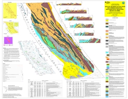 |
Geoscience Map 1998-9 is one of two maps, at 1:100 000 scale, that display the geology and mineral occurrences of the western margin of the Kechika Trough between Gataga River and the 60th parallel. The other is Geoscience Map 1998-10. Map 1998-9 covers the geology between Gataga River and Terminus Mountain, in Northern Rocky Mountains, British Columbia (NTS 94L/7, 8, 9, 10, 11, 14 and 15).
The Kechika Trough is a Lower Paleozoic feature that connects northward to the Selwyn Basin. Together, these features represent an important metallotect within the northern Canadian Cordillera, hosting several large, world class sedex zinc-lead-silver massive sulphide deposits (Cirque, Akie, Driftpile Creek, Howards Pass, Tom, Jason, Anvil).
In addition to the detailed geology of the northern Kechika Trough, these maps contain the locations and brief descriptions of numerous new mineral occurrences of sedex origin. The number and distribution of these occurrences, together with similar showings to the south, reinforces the importance of the Kechika Trough as a sedex province and indicates its potential to host other large deposits. |
| Issue ID: | GM1998-10 |
| Title: | Geology of the Northern Kechika Trough, British Columbia (NTS 94L/14, 15; 94M/3, 4, 5, 6, 12, 13; 104P/8, 9, 15 and 16) |
| Author(s): | Ferri, F., Rees, C.J., Nelson, J.L., Legun, A.S. |
| Series Name: | Geoscience Map |
| Publication Year: | 1998 |
| Scale: | 1:100000 |
| NTS Map Sheet(s): | 094L/14, 15; 094M/3, 4, 5, 6, 12, 13; 104P/8, 9, 15 and 16 |
| Place Keyword(s): | British Columbia, Northeastern British Columbia, Kechika Trough |
| Lat/Long (NSWE): | 60, 58.875, -128.667, -126.918 |
| Theme Keyword(s): | Geology, Mineral Occurrences, Bedrock Geology |
Download(s):
| PDF, ZIP (View Zip Contents) |
Abstract:
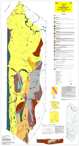 |
Geoscience Map 1998-10 is one of two maps, at 1:100 000 scale, that display the geology and mineral occurrences of the western margin of the Kechika Trough between Gataga River and the 60th parallel. The other is Geoscience Map 1998-9. Map 1998-10 covers the geology of the Northern Kechika Trough, British Columbia (NTS 94L/14, 15; 94M/3, 4, 5, 6, 12, 13; 104P/8, 9, 15 and 16).
The Kechika Trough is a Lower Paleozoic feature that connects northward to the Selwyn Basin. Together, these features represent an important metallotect within the northern Canadian Cordillera, hosting several large, world class sedex zinc-lead-silver massive sulphide deposits (Cirque, Akie, Driftpile Creek, Howards Pass, Tom, Jason, Anvil).
In addition to the detailed geology of the northern Kechika Trough, these maps contain the locations and brief descriptions of numerous new mineral occurrences of sedex origin. The number and distribution of these occurrences, together with similar showings to the south, reinforces the importance of the Kechika Trough as a sedex province and indicates its potential to host other large deposits.
Geoscience Map 1998-10 covers the geology of the large area of northernmost northeastern British Columbia (NTS 94L/14, 15; 94M/3, 4, 5, 6, 12, 13; 104P/8, 9, 15 and 16). The two maps, at 1:100 000 scale, display the geology and mineral occurrences of the western margin of the Kechika Trough between Gataga River and the 60th parallel.
. |
| Issue ID: | GM2000-01 |
| Title: | Relative Earthquake Hazard Map of Greater Victoria, Showing Areas Susceptible to Amplification of Ground Motion, Liquefaction and Earthquake-Induced Slope Instability |
| Author(s): | Monahan, P.A., P.Geo., Levson, V.M., P.Geo., McQuarrie, E.J., P.Eng., Bean, S.M., P. Eng., Henderson, P., P. Eng., Sy, A., P.Eng. |
| Series Name: | Geoscience Map |
| Publication Year: | 2000 |
| Scale: | 1:25000 |
| NTS Map Sheet(s): | 092B |
| Place Keyword(s): | British Columbia, Southern Vancouver Island, Greater Victoria |
| Lat/Long (NSWE): | 48.7, 48.4, -123.6, -123.264 |
| Theme Keyword(s): | Earthquake Hazard Map |
Download(s):
| PDF, ZIP (View Zip Contents) |
Abstract:
 |
The objectives of the composite relative earthquake hazard map of Greater Victoria (Geoscience Map 2000-1) is to show areas of Greater Victoria where the earthquake hazard is likely to be increased due to the presence of potentially unstable slopes, and soils susceptible to amplification of ground motion and/or liquefaction. This map has been compiled from three other maps: a relative liquefaction hazard map, a relative amplification of ground motion hazard map, and an earthquake-induced slope instability hazard map. |
| Issue ID: | GM2000-02 |
| Title: | Quaternary geological map of Greater Victoria (NTS 92B) |
| Author(s): | Monahan, P.A., Levson, V.M. |
| Series Name: | Geoscience Map |
| Publication Year: | 2000 |
| Scale: | 1:25000 |
| NTS Map Sheet(s): | 092B/05; 092B/06; 092B/11 |
| Place Keyword(s): | British Columbia, Southern Vancouver Island, Greater Victoria |
| Lat/Long (NSWE): | 48.7, 48.4, -123.6, -123.264 |
| Theme Keyword(s): | Surficial Geology Map, Stratigraphy, Quaternary Geology |
Download(s):
| PDF, ZIP (View Zip Contents) |
Abstract:
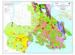 |
Geoscience Map 2000-2 is a Quaternary geological map of Greater Victoria. This map shows the thickness and distribution of the Quaternary stratigraphic units in Greater Victoria. It is intended to provide the geological basis for the assessment of the earthquake hazards shown on companion maps that depict the liquefaction and amplification of ground motion in Greater Victoria (Geoscience Maps 2000-3a and 2000-3b; Monahan et al., 2000b and c). The geological units shown here are defined in part to reflect these hazards. |
| Issue ID: | GM2000-03 |
| Title: | Sheet 3A: Relative Liquefaction Hazard Map of Greater Victoria; Sheet 3B: Relative Amplification of Ground Motion Hazard Map of Greater Victoria; Sheet 3C and Accompanying Report: Seismic Slope Stability Map of Greater Victoria |
| Author(s): | Monahan, P.A., P.Geo, Levson, V.M., P.Geo, Henderson, P., P.Eng, Sy, A., P.Eng. (Sheets A & B), McQuarrie, E.J., P. Eng., Bean, S.M., P. Eng. (Sheet c) |
| Series Name: | Geoscience Map |
| Publication Year: | 2000 |
| Scale: | 1:25000 |
| NTS Map Sheet(s): | 092B |
| Place Keyword(s): | British Columbia, Southern Vancouver Island, Greater Victoria |
| Lat/Long (NSWE): | 48.7, 48.4, -123.6, -123.264 |
| Theme Keyword(s): | Liquifaction Hazard Map, Slope Stability, Earthquake hazard assessment |
Download(s):
| PDF, ZIP (View Zip Contents) |
Abstract:
 |
Geoscience Map 2000-3 (Sheet 3A) presents a relative liquefaction hazard map of Greater Victoria on Vancouver Island in southwestern British Columbia. This map shows areas of Greater Victoria in which the earthquake hazard is potentially increased due to the presence of soils susceptible to liquefaction. Liquefaction is the transformation that occurs when earthquake shaking (or other disturbance) causes a saturated granular soil to lose its strength and behave like a liquid. This can be one of the major causes of damage during an earthquake. The susceptibility of a site to liquefaction depends on the depth to water table and the density, grain size and age of the underlying deposits. This map was prepared by assigning a hazard rating to each geological map unit based on these criteria and quantitative analyses.
Geoscience Map 2000-3 (Sheet 3C) is a seismic slope stability map of Greater Victoria. Seismic slope hazard mapping is intended to show relative susceptibility to earthquake-induced slope failures. The seismic slope hazard map is based on a compilation of existing subsurface data, previous slope stability assessments, bedrock geology and surficial geology maps, topographic data, and air photo interpretation. Stability analyses were conducted on twelve different slope models including typical or simplified slopes found throughout the Victoria area as well as specific, complex slope models where more detailed information was available. The stability analyses determined both the static factor of safety and the yield acceleration (the intensity of seismic motions that would cause a slope failure). |
| Issue ID: | GM2000-05 |
| Title: | Geology of the San Josef-Quatsino Map Area, Northern Vancouver Island |
| Author(s): | Nixon, G.T. et al. |
| Series Name: | Geoscience Map |
| Publication Year: | 2000 |
| NTS Map Sheet(s): | 092; |
| Place Keyword(s): | British Columbia, Northern Vancouver Island, San Josef, Quatsino |
| Lat/Long (NSWE): | 50.74, 50.42, -128.22, -127.53 |
| Theme Keyword(s): | Geology, Bedrock Geology |
Abstract:
| Geoscience Map 2000-05 presents the geology of the San Josef and Quatsino map areas on northern Vancouver Island in British Columbia. |
| Issue ID: | GM2000-06 |
| Title: | Geology of the Quatsino-Port MacNeill Area, Northern Vancouver Island (Draft) |
| Author(s): | Nixon, G.T., Hammack, J.L., Koyanagi, V.M., Payie, G.J., Haggart, J.W., Orchard, M.J., Tozer, T., Archibald, D.A., Friedman, R.M., Palfy, J., Cordey, F. |
| Series Name: | Geoscience Map |
| Publication Year: | 2000 |
| Scale: | 1:50000 |
| NTS Map Sheet(s): | 092L/11,12E |
| Place Keyword(s): | British Columbia, Northern Vancouver Island, Port McNeill, Quatsino |
| Lat/Long (NSWE): | 50.76, 50.45, -127.7, -127.025 |
| Theme Keyword(s): | Geology, Bedrock Geology |
Download(s):
| PDF, ZIP (View Zip Contents) |
Abstract:
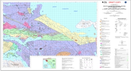 |
Geoscience Map 2000-06 is a draft of the geology of the Port McNeill and Quatsino map areas on northern Vancouver Island in British Columbia. |
| Issue ID: | GM2000-07 |
| Title: | Geology of the Alice Lake Area, Northern Vancouver Island |
| Author(s): | Nixon, G.T., Payie, G.J., Snyder, L.D., Long, S., Finnie, A., Friedman, R.M., Archibald, D.A., Orchard, M.J., Tozer, T., Poulton, T.P., Haggart, J.W. |
| Series Name: | Geoscience Map |
| Publication Year: | 2000 |
| Scale: | 1:50000 |
| NTS Map Sheet(s): | 092L/6 |
| Place Keyword(s): | British Columbia, Northern Vancouver Island, Alice Lake |
| Lat/Long (NSWE): | 50.5, 50.2, -127.513, -127 |
| Theme Keyword(s): | Geology, Bedrock Geology |
Download(s):
| PDF, ZIP (View Zip Contents) |
Abstract:
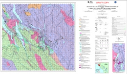 |
Geoscience Map 2000-07 presents the geology of the Alice Lake area of northern Vancouver Island in British Columbia. |
| Issue ID: | GM2000-08 |
| Title: | Geology of the Mahatta Creek Map Area, Northern Vancouver Island |
| Author(s): | Nixon, G.T. et al. |
| Series Name: | Geoscience Map |
| Publication Year: | 2000 |
| NTS Map Sheet(s): | 092L/5 |
| Place Keyword(s): | British Columbia, Northern Vancouver Island, Mahatta River, Mahatta Creek Map Area, Northern Vancouver Island |
| Lat/Long (NSWE): | 50.49, 50.39, -127.98, -127.75 |
| Theme Keyword(s): | Geology, Bedrock Geology |
Abstract:
| Geoscience Map 2000-08 presents the geology of the Mahatta Creek area of northern Vancouver Island in British Columbia. |
| Issue ID: | GM2000-09 |
| Title: | Geology of the Mt. McCusker-Robb Lake Area, Northeastern British Columbia |
| Author(s): | Legun, A.S., Nelson, J.L., Cecile, M. |
| Series Name: | Geoscience Map |
| Publication Year: | 2000 |
| Scale: | 1:50000 |
| NTS Map Sheet(s): | 094G/4W |
| Place Keyword(s): | British Columbia, Northeastern British Columbia, Mt. McCusker, Robb Lake |
| Lat/Long (NSWE): | 57.246, 56.931, -123.994, -123.661 |
| Theme Keyword(s): | Geology, Bedrock Geology |
Download(s):
| PDF, ZIP (View Zip Contents) |
Abstract:
 |
Geoscience Map 2000-09 presents the geology of the Mt. McCusker and Robb Lake areas in northeastern British Columbia. |
| Issue ID: | GM2001-01 |
| Title: | Geology of the Southern Toodoggone River & Northern McConnell Creek Areas, B.C. |
| Author(s): | Diakow, L.J., Metcalfe, P., Rodgers, C., Whittles, J. |
| Series Name: | Geoscience Map |
| Publication Year: | 2001 |
| Scale: | 1:50000 |
| NTS Map Sheet(s): | 094D/15,16; 094E/2 |
| Place Keyword(s): | British Columbia, Southern Toodoggone River, Northern McConnell Creek |
| Lat/Long (NSWE): | 53.95, 53.4, -127.6, -126.9 |
| Theme Keyword(s): | Geology, Bedrock Geology |
Download(s):
| PDF, ZIP (View Zip Contents) |
Abstract:
 |
Geoscience Map 2001-01 presents the geology of the southern Toodoggone River and Northern McConnell Creek map areas in British Columbia. |
| Issue ID: | GM2001-02 |
| Title: | GIS Maps and Databases of Mafic-Ultramafic Hosted Ni, Cu-Ni, Cr+/- PGE Occurrences and Mafic-Ultramafic Bodies in British Columbia |
| Author(s): | Hulburt, L., Geological Survey of Canada |
| Series Name: | Geoscience Map |
| Publication Year: | 2001 |
| Scale: | 1:2000000 |
| NTS Map Sheet(s): | 082;083;092;093;094;102;103;104;114 |
| Place Keyword(s): | British Columbia |
| Lat/Long (NSWE): | 60, 48, -139, -114 |
| Theme Keyword(s): | Geology, Platinum-Group-Elements, Mafic-Ultramafic bodies, Mafic-Ultramafic Hosted Ni, Cu-Ni, Cr+/- PGE |
Download(s):
| PDF, ZIP (View Zip Contents) |
Abstract:
 |
Geoscience Map 2001-02 is GIS maps and database of mafic-ultramafic hosted Ni, Cu-Ni, Cr+/- platinum group element occurrences and mafic and ultramafic bodies in British Columbia. |
| Issue ID: | GM2001-03 |
| Title: | Geology of Denman and Hornby Islands, British Columbia (NTS 92F/7E, 10) |
| Author(s): | Katnick, D.C., Mustard, P.S. |
| Series Name: | Geoscience Map |
| Publication Year: | 2001 |
| Scale: | 1:50000 |
| NTS Map Sheet(s): | 092F/7E, 10 |
| Place Keyword(s): | British Columbia, Hornby Island, Denman Island |
| Lat/Long (NSWE): | 49.61, 49.471, -124.847, -124.567 |
| Theme Keyword(s): | Geology, Bedrock Geology |
Download(s):
| PDF |
Abstract:
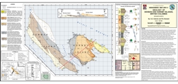 |
Geoscience Map 2001-03 presents geology of Denman and Hornby Islands off central Vancouver Island in British Columbia. |
| Issue ID: | GM2001-04 |
| Title: | Geology of the Uslika Lake Area, North-Central B.C. (NTS 94C/2, 3 & 4) |
| Author(s): | Ferri, F., Dudka, S.F., Rees, C.J., Meldrum, D.G., Willson, M.J. |
| Series Name: | Geoscience Map |
| Publication Year: | 2001 |
| Scale: | 1:50000 |
| NTS Map Sheet(s): | 094C/2, 3 & 4 |
| Place Keyword(s): | British Columbia, Northcentral British Columbia, Uslika Lake |
| Lat/Long (NSWE): | 56.25, 56, -125.8, -124.733 |
| Theme Keyword(s): | Geology, Bedrock Geology |
Download(s):
| PDF, ZIP (View Zip Contents) |
Abstract:
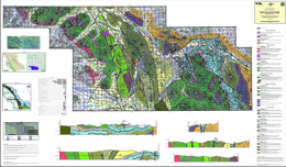 |
Geoscience Map 2001-04 presents the geology of Uslika Lake in north-central British Columbia. |
| Issue ID: | GM2001-10 |
| Title: | Geology of the Aiken Lake Area North-Central B.C. (NTS 94C/5, 6 & 12) |
| Author(s): | Ferri, F., Dudka, S.F., Rees, C.J., Meldrum, D.G., Willson, M.J. |
| Series Name: | Geoscience Map |
| Publication Year: | 2001 |
| Scale: | 1:50000 |
| NTS Map Sheet(s): | 094C/5, 6 & 12 |
| Place Keyword(s): | British Columbia, Northcentral British Columbia, Aiken Lake |
| Lat/Long (NSWE): | 56.65, 56.25, -126, -125.2 |
| Theme Keyword(s): | Geology, Bedrock Geology |
Download(s):
| PDF, ZIP (View Zip Contents) |
Abstract:
 |
Geoscience Map 2001-10 presents the geology of the Aiken Lake area of northern British Columbia. |
| Issue ID: | OF1986-01 |
| Title: | Geology of the Hozameen Fault Area (NTS 92H/6, 11) |
| Author(s): | Ray, G.E. |
| Series Name: | Open File |
| Publication Year: | 1986 |
| Scale: | 1:20000 |
| NTS Map Sheet(s): | 092H/6, 11 |
| Place Keyword(s): | British Columbia, Hozameen Area |
| Lat/Long (NSWE): | 49.867, 49.392, -121.461, -121.151 |
| Theme Keyword(s): | Geology, Bedrock Geology |
Download(s):
| PDF |
Abstract:
 |
Open File 1986-01 describes the geology of the Hozameen Fault area in British Columbia. |
| Issue ID: | OF1986-02 |
| Title: | Geology of the Kitsault River Area (NTS 103P) |
| Author(s): | Alldrick, D.J., Dawson, G.L., Bosher, J.A., Webster, I.C.L. |
| Series Name: | Open File |
| Publication Year: | 1986 |
| Scale: | 1:50000 |
| NTS Map Sheet(s): | 103P |
| Place Keyword(s): | British Columbia, Kitsault River Area |
| Lat/Long (NSWE): | 55.812, 55.397, -129.734, -129.205 |
| Theme Keyword(s): | Geology, Bedrock Geology |
Download(s):
| PDF, ZIP (View Zip Contents) |
Abstract:
 |
Open File 1986-02 describes the geology of the Kitsault River area in British Columbia. |
| Issue ID: | OF1986-03 |
| Title: | Geology of the Klappan Coalfield in Northwest British Columbia (NTS 104H/2, 3, 6, 7) |
| Author(s): | Koo, J. |
| Series Name: | Open File |
| Publication Year: | 1986 |
| Scale: | 1:50000 |
| NTS Map Sheet(s): | 104H/2, 3, 6, 7 |
| Place Keyword(s): | British Columbia, Northwestern British Columbia, Klappan area |
| Lat/Long (NSWE): | 57.455, 57.069, -129.318, -128.621 |
| Theme Keyword(s): | Geology, Klappan Coalfield, Bedrock Geology |
Download(s):
| PDF |
Abstract:
 |
Open File 1986-03 describes the geology of the Klappan Coalfields in northwestern British Columbia. The map is at 1:50000 scale. |
| Issue ID: | OF1986-04 |
| Title: | Geology and Lithogeochemistry of the Chilko - Taseko Lakes Area |
| Author(s): | McLaren, G.P. |
| Series Name: | Open File |
| Publication Year: | 1986 |
| Scale: | 1:50000 |
| NTS Map Sheet(s): | 092J/13; 092K/16; 092N/1; 092O/4,5 |
| Place Keyword(s): | British Columbia, Chilko Lake, Taseko Lakes |
| Lat/Long (NSWE): | 51.418, 50.933, -124, -123.5 |
| Theme Keyword(s): | Geology, Lithogeochemistry, Bedrock Geology, Analytical data, mapping |
Download(s):
| PDF |
Abstract:
 |
Open File 1986-04 describes the geology and lithogeochemistry of the Chilko and Taseko Lakes area of British Columbia. Mapping is done at 1:50 000 scale. The two maps and accompanying notes describe the sample descriptions and associated analytical data. This publication has been superseded by Bulletin 81. |
| Issue ID: | OF1986-05 |
| Title: | Geology of the Vavenby Area (NTS 82M/12 and parts of 5 and 11) |
| Author(s): | Schiarizza, P.A. |
| Series Name: | Open File |
| Publication Year: | 1986 |
| Scale: | 1:50000 |
| NTS Map Sheet(s): | 082M/12 and parts of 5 and 11 |
| Place Keyword(s): | British Columbia, Southcentral British Columbia, Shuswap Highlands, North Thompson River, Vavenby Area |
| Lat/Long (NSWE): | 51.75, 51.417, -120, -119.417 |
| Theme Keyword(s): | Geology, Mineral Deposits, Bedrock Geology |
Download(s):
| PDF |
Abstract:
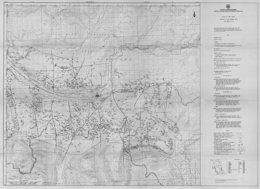 |
Open File 1986-5 describes the geology and mineral deposits of the Vavenby area, NTS 82M/5, 11and 12, within the Shuswap Highland of south-central British Columbia. The topography is dominated by the North Thompson River valley in the north and west, and the Adams Lake valley in the east.
The map area covers a belt of structurally complex low-grade metamorphic rocks that lies along the western mar�gin of the Omineca Belt. It is flanked by high-grade meta�morphic rocks of the Shuswap Complex to the east and by rocks of the Intermontane Belt to the west. The area is underlain mainly by Paleozoic metasedimentary and meta�volcanic rocks of the Eagle Bay Assemblage and the Fennel Formation. Late Devonian granitic orthogneiss locally in�trudes Eagle Bay rocks. The Paleozoic rocks are cut by mid �Cretaceous granodiorite and quartz monzonite of the Raft and Baldy batholiths, and by Early Tertiary quartz feldspar porphyry, basalt and lamprophyre dykes. They are locally overlain by Eocene sedimentary and volcanic rocks of the Kam�loops Group and by Miocene plateau lavas.
The Paleozoic rocks occur in four structural slices sepa�rated by southwesterly-directed thrust faults. The upper three fault slices contain only Eagle Bay rocks, while the lowest slice comprises Eagle Bay strata structurally overlain by the Fennell Formation.
Rocks assigned to the Eagle Bay Assemblage range in age from Early Cambrian to Late Mississippian. They are in part correlative with Paleozoic successions in the Kootenay Arc and in the Barkerville-Cariboo River area The oldest Eagle Bay rocks comprise quartzites and quartzose schists overlain by a unit of predominantly mafic metavolcanic rocks and limestone which, at one locality, contains Lower Cambrian archaeocyathids. An undated package of grit, phyllite, carbonate and metavolcanic rocks overlies the Early Cambrian succession. It is locally overlain by calcareous phyllite and associated calc-silicate schist and skarn or by mafic meta�volcanic rocks. The upper part of the Eagle Bay Assemblage comprises a Devono-Mississippian succession consisting of felsic metavolcanic rocks overlain by intermediate, locally alkalic, metavolcanics and fine to coarse-grained clastic metasediments. These Devono-Mississippian rocks may be separated from older portions of the Eagle Bay Assemblage by a significant unconformity. Late Devonian orthogneiss that intrudes Eagle Bay rocks is probably related to the felsic metavolcanics.
The Fennell Formation comprises imbricated oceanic rocks of Slide Mountain terrane that were tectonically emplaced onto Mississippian clastic rocks of the Eagle Bay Assemblage prior to synmetamorphic southwesterly directed folding and thrusting. The formation comprises two major divisions. The lower structural division is a heterogeneous assemblage of bedded chert, gabbro, diabase, pillowed basalt, sandstone, quartz-feldspar-porphyry rhyolite and intraforma�tional conglomerate. Conodonts extracted from bedded chert range in age from Early Mississippian to Middle Permian, while zircons extracted from quartz feldspar porphyry yield a Devonian uranium-lead age. The distribution of dated units indicates that the lower division is segmented into at least three and locally four imbricate thrust slices. The upper division consists almost entirely of pillowed and massive basalt, together with minor amounts of bedded chert and gabbro. Conodonts from two separate chert lenses within the division are respectively Early (?) Pennsylvanian and Middle Permian in age. The two divisions are therefore the same age, at least in part, and are inferred to be separated by a thrust fault.
Deformation is predominantly Jura-Cretaceous and early Tertiary in age. The earliest macroscopic structures are the thrust faults that imbricate the Fennell Formation and separate it from Mississippian clastic rocks of the Eagle Bay Assemblage. East-verging, pre-metamorphic mesoscopic folds within the Fennell Formation probably also formed at this time. Tectonic emplacement of the Fennell Formation was followed by synmetamorphic southwesterly directed folding and associated thrust faulting, which gave rise to several large overturned folds, and also the thrust faults which define the structural/stratigraphic panels that dominate the map pattern. The associated synmetamorphic schistosity is the dominant mesoscopic fabric within the area. These early structures are cut by post-metamorphic northwest-trending mesoscopic folds with associated steeply dipping crenulation cleavage and axial crenulation lineation, and by later west trending macroscopic and mesoscopic folds which are syn�chronous with intrusion of the mid-Cretaceous Raft and Baldy batholiths. The youngest structures recognized are northeast-trending strike-slip faults and later northerly trend�ing faults and associated folds that are Eocene in age
Large-tonnage disseminated pyrite-pyrrhotite-chal�copyrite mineralization, such as that at the Harper Creek deposit, occurs within Eagle Bay rocks where they are intruded by Devonian orthogneiss. This spatial relationship suggests that the mineralization is Devonian in age and related to the orthogneiss, although it has been remobilized during later deformation and metamorphism.
In the Vavenby area, uranium-thorium-fluorite mineralization is hosted by a trachytic intrusive-extrusive complex within Devono�-Mississippian Eagle Bay rocks along Foghorn and Lute creeks (Rexspar and Bullion showings). There are also polymetallic occurrences, like Red Top, that could be sedimentary exhalative deposits and polymetallic silver-lead-zinc�gold veins, like Leonie. To the south, the CC deposit is a cupriferous pyrite volcanogenic mas�sive sulphide deposit hosted by oceanic basalts of the Fennel Formation east of Chu Chua Mountain. The area also contains small pods of skarn mineralization near Cretaceous and Devonian granitic intrusions.
The map area covers a belt of structurally complex low-grade metamorphic rocks that lies along the western margin of the Omineca Belt. It is flanked by high-grade metamorphic rocks of the Shuswap Complex to the east and by rocks of the Intermontane Belt to the west. The area is underlain mainly by Paleozoic metasedimentary and metavolcanic rocks of the Eagle Bay Assemblage and the Fennel Formation. Late Devonian granitic orthogneiss locally intrudes Eagle Bay rocks. The Paleozoic rocks are cut by mid Cretaceous granodiorite and quartz monzonite of the Raft and Baldy batholiths, and by Early Tertiary quartz feldspar porphyry, basalt and lamprophyre dykes. They are locally overlain by Eocene sedimentary and volcanic rocks of the Kamloops Group and by Miocene plateau lavas.
The Paleozoic rocks occur in four structural slices separated by southwesterly-directed thrust faults. The upper three fault slices contain only Eagle Bay rocks, while the lowest slice comprises Eagle Bay strata structurally overlain by the Fennell Formation.
Rocks assigned to the Eagle Bay Assemblage range in age from Early Cambrian to Late Mississippian. They are in part correlative with Paleozoic successions in the Kootenay Arc and in the Barkerville-Cariboo River area The oldest Eagle Bay rocks comprise quartzites and quartzose schists overlain by a unit of predominantly mafic metavolcanic rocks and limestone which, at one locality, contains Lower Cambrian archaeocyathids. An undated package of grit, phyllite, carbonate and metavolcanic rocks overlies the Early Cambrian succession. It is locally overlain by calcareous phyllite and associated calc-silicate schist and skarn or by mafic metavolcanic rocks. The upper part of the Eagle Bay Assemblage comprises a Devono-Mississippian succession consisting of felsic metavolcanic rocks overlain by intermediate, locally alkalic, metavolcanics and fine to coarse-grained clastic metasediments. These Devono-Mississippian rocks may be separated from older portions of the Eagle Bay Assemblage by a significant unconformity. Late Devonian orthogneiss that intrudes Eagle Bay rocks is probably related to the felsic metavolcanics.
The Fennell Formation comprises imbricated oceanic rocks of Slide Mountain terrane that were tectonically emplaced onto Mississippian clastic rocks of the Eagle Bay Assemblage prior to synmetamorphic southwesterly directed folding and thrusting. The formation comprises two major divisions. The lower structural division is a heterogeneous assemblage of bedded chert, gabbro, diabase, pillowed basalt, sandstone, quartz-feldspar-porphyry rhyolite and intraformational conglomerate. Conodonts extracted from bedded chert range in age from Early Mississippian to Middle Permian, while zircons extracted from quartz feldspar porphyry yield a Devonian uranium-lead age. The distribution of dated units indicates that the lower division is segmented into at least three and locally four imbricate thrust slices. The upper division consists almost entirely of pillowed and massive basalt, together with minor amounts of bedded chert and gabbro. Conodonts from two separate chert lenses within the division are respectively Early (?) Pennsylvanian and Middle Permian in age. The two divisions are therefore the same age, at least in part, and are inferred to be separated by a thrust fault.
Deformation is predominantly Jura-Cretaceous and early Tertiary in age. The earliest macroscopic structures are the thrust faults that imbricate the Fennell Formation and separate it from Mississippian clastic rocks of the Eagle Bay Assemblage. East-verging, pre-metamorphic mesoscopic folds within the Fennell Formation probably also formed at this time. Tectonic emplacement of the Fennell Formation was followed by synmetamorphic southwesterly directed folding and associated thrust faulting, which gave rise to several large overturned folds, and also the thrust faults which define the structural/stratigraphic panels that dominate the map pattern. The associated synmetamorphic schistosity is the dominant mesoscopic fabric within the area. These early structures are cut by post-metamorphic northwest-trending mesoscopic folds with associated steeply dipping crenulation cleavage and axial crenulation lineation, and by later west trending macroscopic and mesoscopic folds which are synchronous with intrusion of the mid-Cretaceous Raft and Baldy batholiths. The youngest structures recognized are northeast-trending strike-slip faults and later northerly trending faults and associated folds that are Eocene in age
Large-tonnage disseminated pyrite-pyrrhotite-chalcopyrite mineralization, such as that at the Harper Creek deposit, occurs within Eagle Bay rocks where they are intruded by Devonian orthogneiss. This spatial relationship suggests that the mineralization is Devonian in age and related to the orthogneiss, although it has been remobilized during later deformation and metamorphism.
In the Vavenby area, uranium-thorium-fluorite mineralization is hosted by a trachytic intrusive-extrusive complex within Devono-Mississippian Eagle Bay rocks along Foghorn and Lute creeks (Rexspar and Bullion showings). There are also polymetallic occurrences, like Red Top, that could be sedimentary exhalative deposits and polymetallic silver-lead-zinc�gold veins, like Leonie. To the south, the CC deposit is a cupriferous pyrite volcanogenic massive sulphide deposit hosted by oceanic basalts of the Fennel Formation east of Chu Chua Mountain. The area also contains small pods of skarn mineralization near Cretaceous and Devonian granitic intrusions. |
| Issue ID: | OF1986-06 |
| Title: | Stream Sediment Geochemistry of the Chilko-Taseko Lakes Area (NTS 92O/4, 5; 92J/13; 92K/16; 92N/1) |
| Author(s): | McLaren, G.P. |
| Series Name: | Open File |
| Publication Year: | 1986 |
| Scale: | 1:50000 |
| NTS Map Sheet(s): | 092O/4, 5; 092J/13; 092K/16; 092N/1 |
| Place Keyword(s): | British Columbia, Chilko Lake, Taseko Lakes |
| Lat/Long (NSWE): | 51.413, 50.926, -124.087, -123.513 |
| Theme Keyword(s): | Geology, Steam Sediment Geochemistry |
Download(s):
| PDF |
Abstract:
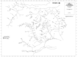 |
Open File 1986-06 discusses stream sediment geochemistry in the Chilko and Taseko Lakes area in British Columbia. Mapping is done at the 1:50000 scale. |
| Issue ID: | OF1986-07 |
| Title: | Occurrence and Distribution of Platinum-Group Elements in British Columbia |
| Author(s): | Rublee, V.J. |
| Series Name: | Open File |
| Publication Year: | 1986 |
| Scale: | 1:2000000 |
| NTS Map Sheet(s): | 082;083;092;093;094;102;103;104;114 |
| Place Keyword(s): | British Columbia |
| Lat/Long (NSWE): | 60, 48, -139, -115 |
| Theme Keyword(s): | Geology, Platinum-Group-Elements Occurrences and Distributi, Cu-PGE Mineralization, Alkaline Plutonic Complexes |
Download(s):
| PDF |
Abstract:
 |
Open File 1986-07 describes the occurrence and distribution of platinum-group elements in British Columbia. Mapping is at the 1:2000000 scale. |
| Issue ID: | OF1986-08 |
| Title: | Report of the 1982 Advisory Committee to the Geological Survey Branch, Ministry of Energy, Mines and Petroleum Resources |
| Author(s): | MEMPR staff |
| Series Name: | Open File |
| Publication Year: | 1986 |
| NTS Map Sheet(s): | 082;083;092;093;094;102;103;104;114 |
| Place Keyword(s): | British Columbia |
| Lat/Long (NSWE): | 60, 48, -139, -114 |
| Theme Keyword(s): | Geology, Advisory Report |
Download(s):
| PDF |
Abstract:
 |
Open File 1986-08 is an external review of the Geological Branch, commissioned by the Deputy Minister, Mr. R.A. Illing, in 1981 on the recommendations of the then Deputy Minister, Mr. A. Freyrnan and Chief Geologist, Dr. A. Sutherland Brown. The review was undertaken in the fall and winter of 1981 and was finalized in 1982. The report captures the status of the Branch in 1981, a time of some disarray due to the exodus of many professional staff to an expanding local mining industry.
The terms of reference required the Committee, drawn from industry, government and academia, to conduct a wide-ranging overview of all aspects of the Branch, including the question of its continued existence.
The insights and recommendations in the report have been widely used by Dr. W.R. Smyth, the new Chief Geologist, and the new management team of the Branch in charting initiatives and directions during recent years. In particular, the section "Need for a Geological Branch" helped justify and maintain programs during the restraint evaluation process. |
| Issue ID: | OF1987-01 |
| Title: | Geology of Dome Mountain Area (NTS 93L/10, 15) |
| Author(s): | MacIntyre, D.G., Desjardins, P.J., Mallett, P., Brown, D. |
| Series Name: | Open File |
| Publication Year: | 1987 |
| Scale: | 1:20000 |
| NTS Map Sheet(s): | 093L/10, 15 |
| Place Keyword(s): | British Columbia, Northcentral British Columbia, Smithers, Dome Mountain Area |
| Lat/Long (NSWE): | 54.8, 54.7, -126.8, -126.6 |
| Theme Keyword(s): | Geology, Bedrock Geology |
Download(s):
| PDF |
Abstract:
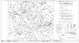 |
Open File 1987-1 is a 1:20 000-scale map that covers the area around the Dome Mountain gold camp (93L/10, 15) near Smithers in north-central British Columbia. The area is underlain by calc-alkaline andesites, fragmental volcanics and tuffs of the Lower Jurassic Telkwa Formation; flows, volcanic sediments, argillite, siltstone and limestone of the Middle Jurassic Nilkitkwa Formation of the Hazelton Group; and siltstone and sandstone of the Middle to Upper Jurassic Smithers Formation. Mineral deposits include the economically important mesothermal gold-silver-lead-zinc-copper veins of the Dome Mountain camp, and regionally, porphyry copper-molybdenum deposits, copper-silver veins in basalt and small stratabound massive sulphide occurrences. The mapping has helped improve the understanding of the stratigraphy and structure of the area and the genesis of the mineral occurrences.
The core of Dome Mountain is underlain by a southwest-verging, southeast-plunging anticlinal structure that is cut by high angle northeast and northwest-trending faults. Several small plugs or dykes of diabase intrude the Hazelton Group rocks on Dome Mountain. A stock of quartz porphyry or quartz monzonite is exposed near the Free Gold showing.
Most Dome Mountain veins trend northwest and dip steeply to the northeast or southwest. In contrast, the Hoopes, Cabin and Boulder Creek veins trend northeast, albeit they may be part of the same vein system. Veins occur in several stratigraphic units. The Free Gold showing is in slightly altered andesites but foliated, fine-grained volcaniclastic rocks host most veins. The veins are probably related to buried intrusive bodies that were emplaced during the early stages of folding. |
| Issue ID: | OF1987-02 |
| Title: | Geology of the Cowichan Lake Area (NTS 92C/16) |
| Author(s): | Massey, N.W.D., Friday, S.J., Tercier, P.E., Rublee, V.J. |
| Series Name: | Open File |
| Publication Year: | 1987 |
| Scale: | 1:20000 |
| NTS Map Sheet(s): | 092C/16 |
| Place Keyword(s): | British Columbia, Southern Vancouver Island, Cowichan Lake Area |
| Lat/Long (NSWE): | 49, 48.75, -124.617, -124 |
| Theme Keyword(s): | Geology, Stratigraphy, Structure, Bedrock Geology |
Download(s):
| PDF |
Abstract:
 |
Open File 1987-2 consists of a set of maps that depict the geology, stratigraphy and structure of the Cowichan Lake area (092C/16) of southern Vancouver Island, British Columbia. The northern half of the map is underlain by Paleozoic Sicker Group rocks in a thrust-sliced geanticlinal uplift. These rocks have potential for Kuroko-style polymetallic massive sulphide deposits. Limestone in both Sicker Group and Quatsino Formation has been exploited for cement elsewhere on the Island. There is also exploration potential for the industrial mineral commodity manganese, mainly in rhodonite.
Mesozoic strata of the Vancouver and Bonanza Groups underlie the southern half of the area. The latter shows potential for epithermal gold-silver deposits associated with high-level intrusives. Island intrusive rocks also have copper-molybdenum porphyry potential.
Limestone is found in both the Sicker Group and the Vancouver Group, and copper skarns occur where the limestones are cut by Jurassic Island intrusives. Gold-bearing quartz-carbonate veins are related to shear zones across both Sicker Group rocks and Karmutsen Formation sills north of Cowichan Lake.
The Open File comprises one 1:50 000 map, seven 1:20 000 maps and a legend sheet. |
| Issue ID: | OF1987-03 |
| Title: | Geology and Mineral Potential of the Warner Pass Map Sheet (NTS 92O/3) |
| Author(s): | Glover, J.K., Schiarizza, P.A., Umhoefer, P.S., Garver, J.I. |
| Series Name: | Open File |
| Publication Year: | 1987 |
| Scale: | 1:50000 |
| NTS Map Sheet(s): | 092O/3 |
| Place Keyword(s): | British Columbia, Southern British Columbia, Northeastern Coastal Mountains, Warner Pass |
| Lat/Long (NSWE): | 51.25, 51, -123.5, -123 |
| Theme Keyword(s): | Geology, Mineral Potential, Geochemical Survey, Bedrock Geology |
Download(s):
| PDF |
Abstract:
 |
Open File 1987-3 describes the geology and mineral potential of the Warner Pass area (92O/3) of southern British Columbia. The area is on the northeast margin of the Coast Mountains. The open File consists of two 1:50 000 scale maps. Map A depicts the stratigraphy, structure and distribution of intrusive rocks in the area; Map B shows the locations of known mineral occurrences and hydrothermal alteration zones in the same area. New geochemical data for gold and related elements for 130 rock samples, together with stream sediment analyses from the 1979 Regional Geochemical Survey (re-released at 1:50 000-scale for the Warner Pass area) are included on the mineral potential map. The area covered has potential for both epithermal and porphyry-related gold deposits. This Open File is a contribution of the Canada/British Columbia mineral development agreement 1985-1990.
Stratified volcanic and sedimentary rocks comprise 8 units in the area. Unit 1 is equivalent to the lower part of the Tyaughton Group and is of Norian to Hettangian age. The unit consists of conglomerate and conglomeratic sandstone at the base, overlain by limestone, then limestone conglomerate, conglomerate and green sandstone, and calcareous shale and argillite at the top. Units 2 and 3 may be equivalent to the lower part of the Relay Mountain Group and is of Middle Jurassic to Lower Cretaceous age. Unit 2 consists of shale, siltstone, calcarenite, greywacke, grit and conglomerate. Overlying unit 2 rocks are a lower greywacke-dominated package, then interbedded greenish grey siltstone, shale and greywacke. Unit 4 rocks correlate with the Early Cretaceous Taylor Creek Group and consists of argillite, siltstone, sandstone, chert pebble conglomerate, and dacitic to andesitic flows and volcaniclastic rocks. Unit 5 comprises sandstone, shale and conglomerate; it may correlate with the Kingsvale Group. Unit 6 consists of mid to Late Cretaceous volcanic, volcaniclastic and clastic sedimentary rocks that correlate with the Kingsvale Group. The lower part is micaceous sandstone, shale and conglomerate, then andesitic breccia and related rocks, another sequence similar to the basal one, an upper andesitic breccia, lapilli tuff, and crystal tuff sequence, an upper zone with laharic andesitic breccia and epiclastic sediments. Unit 7 rocks are of Eocene age. The lower part consists of rhyolite and dacite flows with pyroclastic rocks and sediments, the upper part has basaltic flows and flow breccias. Miocene and/or Pliocene plateau basalts are locally extensive.
Intrusive rocks include Cretaceous and possibly Eocene hornblende plagioclase porphyries, Middle to Late Cretaceous rocks of the Coast Plutonic complex, which are mainly quartz diorite to quartz monzonite, Eocene (?) hornblende plagioclase biotite porphyries with accessory quartz, and Tertiary (?) quartz monzonite to granodiorite.
The structure of the area is dominated by northwest-trending high angle normal and reverse faults. A pronounced angular unconformity separates non-marine Upper Cretaceous from Lower Cretaceous marine units. Folding and thrusting have affected the older rocks, but only tilting and gentle folds occur in the younger strata.
The Taylor Windfall property is a historic gold producer. A fracture-related silicified zone carries pyrite, tennantite, chalcopyrite and minor sphalerite in a chlorite-sericite gangue. Other gold-bearing silicified zones occur and several properties have been explored for their porphyry copper gold potential. Most mineralization is apparently related to Eocene intrusive rocks. |
| Issue ID: | OF1987-04 |
| Title: | Geology of the Whitesail Reach and Traits Lake Areas (NTS 93E/10W, 11E) |
| Author(s): | Diakow, L.J., Mihalynuk, M.G. |
| Series Name: | Open File |
| Publication Year: | 1987 |
| Scale: | 1:50000 |
| NTS Map Sheet(s): | 093E/10W, 11E |
| Place Keyword(s): | British Columbia, Northcentral British Columbia, Whitesail Reach, Troitsa Lake Area |
| Lat/Long (NSWE): | 53.75, 53.5, -127.2, -126.637 |
| Theme Keyword(s): | Geology, Mineral Deposits, Bedrock Geology |
Download(s):
| PDF |
Abstract:
 |
Open File 1987-4 describes the geology and mineral deposits of the Whitesail Reach and Troitsa Lake area (93E/10W, 11E) of north-central British Columbia. The area is 90 kilometres from Burns Lake. The geology map is at 1:50 000 scale and includes a legend, and tables of mineral occurrences and assay results. The map area encompasses approximately 650 square kilometres of terrain centered on the Whitesail Range. The district contains quartz vein occurrences and zones of argillic alteration that indicate potential for mesothermal and epithermal gold-silver mineralization. The map area is underlain by Lower Jurassic and Upper Cretaceous-Tertiary calc-alkaline volcanic rocks interlayered with subordinate Middle Jurassic sedimentary rocks. Mineral property locations are documented together with assay results from 37 sample sites within zones of hydrothermal alteration. This Open File is a contribution of the Canada/British Columbia mineral development agreement 1985-1990.
The oldest rocks in the area are Early to Middle Jurassic strata of the Telkwa Formation and Smithers Formation of the Hazelton Group, and the Ashman Formation of the Bowser Group. These are separated by an angular unconformity from rocks of the Ootsa Lake Group, which are of Upper Cretaceous to Tertiary age.
Telkwa Formation rocks are mainly andesitic lapilli tuffs and tuff breccias interlayered with flows ranging from basalt to rhyolite. The Smithers Formation has a lower, dominantly marine sedimentary marine to subaerial facies that consists mainly of arkosic sandstone, siltstone and granule conglomerate, and an upper facies of red and green lapilli tuff and tuffite. The Ashman Formation consists of siltstone, chert pebble conglomerate, coarse sandstone and shale, similar to the Smithers Formation. Lower Cretaceous Skeena Group strata comprise micaceous sandstones, pebble conglomerate and shale. Upper Cretaceous Kasalka Group rocks are mainly amphibole-bearing ash tuff, lapilli tuff and tuff breccia. Upper Cretaceous and lower Tertiary rocks of the Ootsa Lake Group consists mainly of rhyolite flows with lesser basalt, andesite, and pyroclastic and sedimentary rocks.
Intrusive rocks include Cretaceous stocks and cupolas of granite, syenite, granodiorite, diorite and gabbro. They are assumed to correlate with the late Cretaceous and early Tertiary Bulkley and Coast intrusions.
Rocks in the area have been folded and faulted. Generally, the folds are gentle and open. Faults delimit downdropped blocks that locally preserve thick sections of Ootsa Lake strata.
Mineral prospects have features in common with epithermal gold-silver deposits. Two settings recognized are: fracture and shear-controlled veins, and pervasive clay-silica-pyrite � barite replacements of the country rock near intrusions. |
| Issue ID: | OF1987-05 |
| Title: | Geology of the Midway Area, Northern British Columbia (NTS 104O/16) |
| Author(s): | Nelson, J.L., Bradford, J. |
| Series Name: | Open File |
| Publication Year: | 1987 |
| Scale: | 1:25000 |
| NTS Map Sheet(s): | 104O/16 |
| Place Keyword(s): | British Columbia, Northern British Columbia, Midway Area, Tootsee Lake Map Area |
| Lat/Long (NSWE): | 60, 59.75, -130.5, -130 |
| Theme Keyword(s): | Geology, Mineral Deposits, Stratigraphy, Structure, Bedrock Geology |
Download(s):
| PDF |
Abstract:
 |
Open File 1987-5 portrays the geology and mineral deposits of the Midway area of northernmost British Columbia. Sheet 1 has a legend, a table of mineral occurrences, and geologic cross sections. The other four 1:25 000 maps depicts the geology, stratigraphy and structure of the Tootsee Lake map area (104O/16). The area contains manto silver-lead-zinc deposits and silver veins, controlled in part by a system of Late Cretaceous block faults. This Open File is a contribution of the Canada/British Columbia mineral development agreement 1985-1990.
The area lies within the Cassiar Platform, a splinter of North American continental shelf. Miogeoclinal strata range from Lower Cambrian to Lower Mississippian and form the footwall of a regional bedding-parallel thrust fault. The hangingwall is the Late Devonian to Late Triassic Sylvester Allochthon. Emplacement of the Allochthon took place between Late Triassic and mid-Cretaceous time, when it was cut by the Cassiar batholith.
The oldest strata are miogeoclinal Lower Cambrian siliciclastics of the Boya Formation and carbonates of the Rosella Formation of the Atan Group. The overlying Cambrian to Ordovician Kechika Group slate, siltstone and limestone gives way to slates and carbonates of the Ordovician to Silurian Road River Group, which is overlain by the Silurian (?) to Lower Devonian Tapioca sandstone. This �sandstone� is a distinctive sequence of dolomitic quartzite, quartzite and dolomite. Middle Devonian McDame dolomite and limestone are overlain by Upper Devonian to Lower Mississippian slate, sandstone, greywacke, conglomerate and siltstone of the Earn Group.
The Sylvester Allochthon consists of an internally imbricated assemblage of chert, argillite, serpentinite, basalt and their intrusive equivalents, gabbro, diorite-granodiorite, limestone and greywacke. Tertiary to Recent basalt flows occur locally.
The Cretaceous Cassiar batholith is dominantly potassium feldspar megacrystic granite but includes leucogranite and coarse-grained granodiorite. Late Cretaceous or Eocene rhyolite dikes cut the older rocks.
Two major structural events are recorded in the area. The Early Jurassic collisional event caused major shortening of the North American continental margin and emplaced the Sylvester Allochthon. The younger event reflects Late cretaceous to early Tertiary wrench faulting.
Three major episodes of mineralization can be identified in the area. Upper Devonian to Lower Mississippian siliceous and baritic exhalative events produced barite layers and pyrite, sphalerite and some galena; Mid-Cretaceous mineralization associated with the Cassiar batholith produced molybdenum in quartz veins, scheelite in adjacent skarns, and silver-lead-zinc replacement lenses and veins; Late Cretaceous to Eocene mineralization associated with late phases of the Cassiar batholith produced lead-zinc-silver manto deposits, like Midway, mainly in massive carbonate units; silver-lead-zinc veins in the batholith; and porphyry-type mineralization. |
| Issue ID: | OF1987-06 |
| Title: | Bedrock Geology of the Bullmoose Creek Area (NTS 93P/3) |
| Author(s): | Kilby, W.E., Wrightson, C.B. |
| Series Name: | Open File |
| Publication Year: | 1987 |
| Scale: | 1:50000 |
| NTS Map Sheet(s): | 093P/3 |
| Place Keyword(s): | British Columbia, Northeastern British Columbia, Bullmoose Creek Area |
| Lat/Long (NSWE): | 55.25, 55, -121.5, -121 |
| Theme Keyword(s): | Geology, Coal Deposits, Northeast Coal Project, Bedrock Geology |
Download(s):
| PDF |
Abstract:
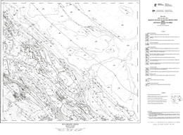 |
Open File 1987-6 describes the geology and coal deposits of the Bullmoose area (93P/3) in northeastern British Columbia. The Bullmoose Creek map area contains the producing pit areas of the Quintette and Bullmoose mine operations of the Northeast Coal Project. Production from these two operations is approximately 6.5 million tonnes of metallurgical coal per year. A large portion of the Sukunka-Bullmoose gas fields is also contained within this map sheet. Units ranging from the Jurassic-Cretaceous Minnes Group to the Upper Cretaceous Cadomin Formation were mapped during the project.
The project also entailed significant compilation of existing map and borehole data. This information will be made available later on open file in computer form. The geology is presented at 1:50 000 scale. This Open File is a contribution of the Canada/British Columbia mineral development agreement 1985-1990.
Although rocks ranging from Devonian to Late Cretaceous age are exposed in the area, the mapping focused on rocks of he Jurassic Minnes Group and the Cretaceous Bullhead and Fort St. John Groups, the rocks with coal potential. Paleozoic and Triassic rocks are not differentiated on the map. The Jurassic Fernie Formation consists mainly of marine black shales. The Bullhead Group consists of the Minnes group, the Cadomin Formation and the Gething Formation. The undivided Minnes Group is more than 1800 metres of interbedded shale, siltstone, sandstone and coal. The Cadomin Formation is unconformably over the Minnes and consists of three bands of massive conglomerate containing chert and quartzite pebbles, and interbeds of sandstone. The Gething is a deltaic, mostly non-marine sequence of carbonaceous sandstone, coal, carbonaceous shale and conglomerate. Marine transgressive-regressive intervals occur. The Fort St. John Group consists of the Lower Cretaceous Moosebar, Gates, Hulcross, Boulder Creek, Hasler, and Goodrich formations, and the Upper Cretaceous Cruiser Formation. The Moosebar consists of marine shales with glauconitic sandstones at the base. The Gates consists of marine and non-marine sandstones with conglomerate, coal, shale, and mudstone layers. The Hulcross is mainly marine shale with siderite concretions. The Boulder Creek is largely sandstone and conglomerate. The Hasler is mainly marine shale with sideritic concretions, siltstone and sandstone. The Goodrich consists of cross-bedded sandstone, shale and mudstone. The younger Cruiser Formation is dominantly marine shale with siderite concretions. Other Upper Cretaceous rocks are marine and non-marine sandstone and shale of the Dunvegan Formation, shale with siderite concretions of the Kaskapau Formation, and sandstone with minor shale of the Cardium Formation.
The dominant structures in the area are northwest-striking folds and thrust faults. The Front Range thrust brings Paleozoic strata to the surface and marks the eastern edge of the Rocky Mountains. The Bullmoose fault zone is the only major thrust that affects the surface exposures of the coal-bearing strata.
The coal-bearing Gates and Gething formations are the most prominent targets for coal exploration. Both the Quintette and Bullmoose mines exploit coal measures in the Gates Formation. Economic gas pools are also known in the area. |
| Issue ID: | OF1987-07 |
| Title: | Bedrock Geology of the Sukunka River Area (NTS 93P/4) |
| Author(s): | Kilby, W.E., Wrightson, C.B. |
| Series Name: | Open File |
| Publication Year: | 1987 |
| Scale: | 1:50000 |
| NTS Map Sheet(s): | 093P/4 |
| Place Keyword(s): | British Columbia, Northeastern British Columbia, Sukunka River Area |
| Lat/Long (NSWE): | 55.25, 55, -122, -121.5 |
| Theme Keyword(s): | Geology, Coal Deposits, Bedrock Geology, Peace River Coalfield |
Download(s):
| PDF |
Abstract:
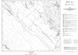 |
Open File 1987-7 describes the geology and coal deposits of the Sukunka River map sheet (93P/4), which is located in the Peace River Coalfield of northeastern British Columbia. A portion of the producing Bullmoose pit lies within the map area, as do several coal properties at the exploration stage. Coal measures of interest are found in the Gething and Gates Formations. Mapping concentrated on strata of the Rocky Mountain Foothills, which contain Jurassic-Cretaceous Minnes Group to Cretaceous Boulder Creek Formation rocks.
The map is the result of field mapping and a computer-based compilation project. The compiled data will be made available later in computer form as an open file release. This Open File is a contribution of the Canada/British Columbia mineral development agreement 1985-1990.
Although rocks ranging from Devonian to Late Cretaceous age are exposed in the area, the mapping focused on rocks of he Jurassic Minnes Group and the Cretaceous Bullhead and Fort St. John Groups, the rocks with coal potential. Paleozoic and Triassic rocks are not differentiated on the map. The Jurassic Fernie Formation consists mainly of marine black shales. The Bullhead Group consists of the Minnes group, the Cadomin Formation and the Gething Formation. The undivided Minnes Group is thinly to thickly interbedded shale, siltstone, sandstone and coal. The Cadomin Formation is unconformably over the Minnes and consists of three bands of massive conglomerate containing chert and quartzite pebbles. The Gething is a deltaic, mostly non-marine sequence of carbonaceous sandstone, coal, carbonaceous shale and conglomerate. Marine transgressive-regressive intervals occur. The Fort St. John Group consists of the Lower Cretaceous Moosebar, Gates, Hulcross, Boulder Creek, Hasler, and Goodrich formations, and the Upper Cretaceous Cruiser Formation. The Moosebar consists of marine shales with glauconitic sandstones at the base. The Gates consists of marine and non-marine sandstones with conglomerate, coal, shale, and mudstone layers. The Hulcross is mainly marine shale with siderite concretions. The Boulder Creek is largely sandstone and conglomerate. The Hasler is mainly marine shale with sideritic concretions, siltstone and sandstone. The Goodrich consists of cross-bedded sandstone, shale and mudstone. The younger Cruiser Formation is dominantly marine shale with siderite concretions. Other Upper Cretaceous rocks are marine and non-marine sandstone and shale of the Dunvegan Formation, shale with siderite concretions of the Kaskapau Formation, and sandstone with minor shale of the Cardium Formation.
The dominant structures in the area are northwest-striking folds and thrust faults. The Front Range thrust brings Paleozoic strata to the surface and marks the eastern edge of the Rocky Mountains. The Bullmoose fault zone is the only major thrust that affects the surface exposures of the coal-bearing strata.
The coal-bearing Gates and Gething formations are the most prominent targets for coal exploration. Both the Quintette and Bullmoose mines exploit coal measures in the Gates Formation. Economic gas pools are also known in the area. |
| Issue ID: | OF1987-08 |
| Title: | Geology of Skookumchuck Map Area (West Half), South-eastern British Columbia (NTS 82G/13W) |
| Author(s): | Carter, G., Hoy, T. |
| Series Name: | Open File |
| Publication Year: | 1987 |
| Scale: | 1:50000 |
| NTS Map Sheet(s): | 082G/13W |
| Place Keyword(s): | British Columbia, Skookumchuck Map Area |
| Lat/Long (NSWE): | 50.063, 49.75, -116.1, -115.7 |
| Theme Keyword(s): | Geology, Stratigraphy, Structure, Lead-Zinc-Silver Vein occurrences, Bedrock Geology |
Download(s):
| PDF |
Abstract:
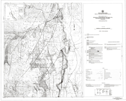 |
Open File 1987-8 is a 1:50 000 scale map that depicts the geology, stratigraphy and structure of the west half of the Skookumchuck map area (82G/13W). The area contains a number of lead-zinc-silver vein occurrences and Creston rocks have potential for red bed copper-silver deposits. The mapping improved correlation between Dutch Creek-Mount Nelson rocks to the north and Gateway-Phillips and Roosville stratigraphy to the south.
The Creston Formation is divided into three informal members: a lower silty unit, a central quartz-rich unit, and an upper silty and quartzite unit. The Skookumchuck lavas, which extend through the west half of the map area, grade westward into basic tuffs and volcaniclastic rocks. South of Skookumchuck Creek, individual formations in the upper Purcell succession show little facies or thickness changes from correlative rocks to the south. In the vicinity of the creek, the upper Purcell succession thickens dramatically and facies changes are apparent. For example, maroon siltstones and argillite of the Phillips Formation grade into green siltstones of the Dutch Creek Formation. The Mount Nelson Formation at Lookout Mountain rests with gradational contact on a relatively thin Dutch Creek Formation. The tectonic instability indicated by outpourings of basic volcanics and local erosion is manifested by growth faults that initiated in late to post-Nicol Creek time and continued through Gateway time. |
| Issue ID: | OF1987-09 |
| Title: | Geology of Eureka Peak-MacKay River (NTS 93A/7) |
| Author(s): | Bloodgood, M.A. |
| Series Name: | Open File |
| Publication Year: | 1987 |
| Scale: | 1:25000 |
| NTS Map Sheet(s): | 093A/7 |
| Place Keyword(s): | British Columbia, Central British Columbia, Eureka Peak Area, Eureka Peak-MacKay River |
| Lat/Long (NSWE): | 52.479, 52.25, -121.925, -121.484 |
| Theme Keyword(s): | Geology, Stratigraphy, Structure, Gold Mineralization, Bedrock Geology |
Download(s):
| PDF |
Abstract:
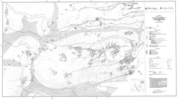 |
Open File 1987-9 comprises a 1:25 000-scale geology map that details the structure and stratigraphy of Triassic to Jurassic metasedimentary and metavolcanic rocks in the Eureka Peak area (93A/7), central British Columbia. The 300-square-kilometre area is adjacent to the Omineca Belt-Intermontane Belt boundary, and lies within the Quesnel terrane of the Intermontane Belt. Gold mineralization has been documented on the Frasergold property in quartz veins and as disseminations in the Triassic metasediments. This Open File is a contribution of the Canada/British Columbia mineral development agreement 1985-1990.
Rocks of the Omineca belt in the area are represented by the Hadrynian and younger Snowshoe Formation, which consist of quartzofeldspathic gneiss, pelitic schist, sandy marble layers and lenses and minor quartzite, and augen gneiss. Mississippian to early (?) Permian Crooked amphibolite consists of amphibole-chlorite schist, epidote schist and nodules of ultramafic rock. Middle to Late Triassic rocks of he Quesnel River Group comprise the Black Phyllites, banded shales and tuffs with minor phyllite and limestone, and volcaniclastic rocks. The Black Phyllite unit consists of phyllites, slates, interbeds of quartzite and limestone and micaceous quartzite. The Late Triassic to Early Jurassic Takla Group consists of massive, porphyritic flows, breccia and tuff, agglomerates, ash flow tuffs, pillow basalts, mafic dikes, and minor limestone.
Three major phases of deformation occur in the area. Phase 1 folded bedding and developed penetrative cleavage. Phase 2 established the regional map pattern and folds the Omineca belt/Intermontane belt tectonic boundary. Phase 2 folds develop crenulation cleavage and have a southwesterly sense of vergence. Phase 3 structures warp bedding and previous structures. Locally they form small-scale crenulations. Faulting associated with phase 1 structures is important. Two major thrusts have been identified.
Gold mineralization is the prime economic target in the area. The Frasergold property, for example, lies on the northeast limb of the Eureka Peak syncline. At Frasergold, gold is associated with pyrite, pyrrhotite and chalcopyrite and occurs both as disseminations in the phyllite country rocks and in quartz veins. |
| Issue ID: | OF1987-10 |
| Title: | Geology and Mineral Occurrences in the Hedley Gold Camp Southern British Columbia (NTS 92H/8E) |
| Author(s): | Ray, G.E., Dawson, G.L. |
| Series Name: | Open File |
| Publication Year: | 1987 |
| Scale: | 1:20000 |
| NTS Map Sheet(s): | 092H/8E |
| Place Keyword(s): | British Columbia, Southern British Columbia, Hedley Gold Camp, Hedley Area |
| Lat/Long (NSWE): | 49.346, 49.25, -120.225, -120 |
| Theme Keyword(s): | Geology, Mineral Occurrences, Bedrock Geology |
Download(s):
| PDF |
Abstract:
 |
Open File Maps 1987-l0a, l0b, and l0c present the geology and mineral occurrences in the Hedley gold camp (92H/8E) in southern British Columbia. These three 1:20 000 maps outline areas containing both skarn and hornfelsic alteration. The mapping resulted in the recognition of a stratigraphic succession and a structurally related sedimentary facies change in the Upper Triassic rocks, both of which have been important controls on the distribution of the auriferous skarns in the district. Open File is a contribution of the Canada/British Columbia mineral development agreement 1985-1990.
The Hedley mining district of British Columbia lies within the allochthonous Quesnel Terrane of the Intermontane Belt. It is situated at the eastern edge of the Upper Triassic Nicola Group, close to the group's contact with Paleozoic and Triassic oceanic rocks of the Apex Mountain Complex.
The Nicola Group is a westerly thickening, late Carnian to late Norian calcareous sedimentary and arc-related volcaniclastic sequence that was deposited on a tectonically active, west-dipping paleoslope. Sedimentary facies changes and paleocurrent indicators suggest that the sediments in the group were derived largely from an eastern source. The Nicola Group in the Hedley area was laid down across a structural hinge zone that marked the rifted margin of the westerly deepening, shallow-marine Nicola basin.
A sedimentary succession is recognized in the Nicola Group. This includes an upper, widely developed and thick (at least 1200m) unit, the Whistle Creek sequence, which consists largely of andesitic tuffs, dacite tuffs, and tuffaceous sediments, and minor limestone. The base of the formation is marked by an extensive limestone-clast-bearing unit, the Copperfield conglomerate, which reaches 200 metres in thickness and 16 kilometres in strike length. The unit is an important stratigraphic marker horizon in the district. (see Bulletin 87 for current interpretation).
The Whistle Creek is underlain by the Hedley sequence, a succession in which five sedimentary facies are distinguished: predominantly siltstone; predominantly argillite; limestone and/or marble; mainly andesite ash tuff; and polymictic pebble conglomerate.
The Hedley sequence is underlain by Paleozoic and Triassic rocks of the Apex Mountain Group. Siltstone, argillite, greenstone, ash tuff, limestone and marble, chert and gabbro comprise the Apex Mountain Group.
A newly recognized mid-Jurassic unit, the Skwel Peken Formation, overlies the Nicola Group. It consists of a 1900-metre succession of calcalkaline andesitic to dacitic tuffs with minor amounts of epiclastic sediments, and pyroclastic surge deposits. It was laid down in a non-marine, subaerial to shallow water environment and is believed to represent volcanism related to the mid-Jurassic plutonism represented by the Cahill Creek and Lookout Ridge plutons.
Minor amounts of the Eocene Springbrook Formation sandstone and Marron Formation basalt flows are also present in the area.
Several episodes of plutonism are recognized. The oldest resulted in the Middle Jurassic quartz dioritic and gabbroic Hedley intrusions that are associated with widespread gold skarn mineralization. The intrusions occur as large and small stocks, as abundant sills, or as rare dikes; the sills are preferentially developed in the thinly bedded Late Triassic rocks. A slightly younger intrusive episode produced the Middle to Upper Jurassic large, granodioritic Cahill Creek and Pennask plutons. Minor intrusions of uncertain age are quartz monzonite, quartz-eye rhyolite andesite, diorite and basalt.
Two deformational episodes are identified in the Apex Mountain Complex, the first and predominant of which resulted in tight to isoclinal folds with moderate to strong penetrative axial planar fabrics. Two structural phases are also recognized in the Nicola Group, neither of which produced dominant penetrative fabrics. These are probably pre mid-Jurassic in age. A younger phase of folding produced gentle, open folds. The first phase, which was only locally developed in the Nicola Group, produced minor flexure folds that were probably related to the forcible emplacement of the Hedley intrusions. At Nickel Plate, these structures partly controlled the gold skarn mineralization.
The second deformational phase to overprint the Nicola Group was the dominant structural event in the district. It resulted in overturned minor and major asymmetric folds, including the large Hedley anticline.
The Hedley district has important skarn deposits as well as some minor gold-bearing quartz-carbonate veins. The skarns are separable into two types, the most important being gold skarns which are characteristically pyroxene dominant. The second and less common type is garnet dominant and contains some tungsten and copper but little or no gold; the Mount Riordan skarn represents the largest of this second type.
Between 1904 and 1987 the gold skarns produced almost 60 tonnes of gold, of which over 97% was won from the Nickel Plate deposit; lesser amounts were recovered from gold skarns at the French, Canty and Good Hope mines.
The gold skarns are genetically and spatially related to the dioritic stocks and sill-dike swarms of the Hedley intrusions. Economic gold skarns are hosted only by the Nicola Group and are structurally, stratigraphically and lithologically controlled; they favour areas where the Hedley intrusions cut the calcareous, shallower marine sedimentary facies rocks of the Hedley and French Mine formations. The district has good exploration potential for new gold-skarn discoveries. |
| Issue ID: | OF1987-11 |
| Title: | Geology of the Gold Bridge Area (NTS 92J/15W) |
| Author(s): | Church, B.N., MacLean, M.E. |
| Series Name: | Open File |
| Publication Year: | 1987 |
| Scale: | 1:20000 |
| NTS Map Sheet(s): | 092J/15W |
| Place Keyword(s): | British Columbia, Southwestern British Columbia, Gold Bridge Area, Bridge River Mining Camp |
| Lat/Long (NSWE): | 51.01, 50.75, -123, -122.734 |
| Theme Keyword(s): | Geology, Mineral Occurrences, Bedrock Geology |
Download(s):
| PDF |
Abstract:
 |
Open File 1987-11 describes the geology and mineral occurrences of the Bridge River mining camp, centered in the Gold Bridge area 185 kilometres north of Vancouver, British Columbia. The area has 73 mineral localities including the Bralorne-Pioneer mining operation which attained the status of foremost historical gold producer in British Columbia and sixth largest in Canada. The area, mapped at 1:20 000 scale, covers approximately 500 square kilometres and is underlain by 22 defined lithological units comprising bedded volcanic and sedimentary assemblages and a variety of intrusive igneous rocks ranging from Paleozoic to Tertiary age. These units are faulted and locally invaded by quartz veins, which are the loci of gold mineralization.
The area is underlain by complex geology comprised of bedded volcanic and sedimentary assemblages, and a variety of intrusive rocks ranging from Paleozoic to Tertiary in age. These rocks are faulted and locally invaded by quartz veins that form the loci of gold mineralization. Mesothermal gold deposits are the primary exploration targets in the camp.
Geological units range from Paleozoic to Tertiary in age. The Paleozoic Fergusson Group consists of ribbon chert, gneissic rocks, marbles and amphibolites. The Triassic Cadwallader Group consists of the Pioneer, Noel and Hurley formations. The Pioneer is mainly basaltic pillow lave, tuff and related rocks; the Noel is mainly black argillite and siltstone; and the Hurley consists of argillite, sandstone, conglomerate, limestone and volcaniclastic rocks. Jurassic shale, sandstone and conglomerate overlie the Triassic rocks. Cretaceous Taylor Creek Group rocks are mostly boulder to pebble conglomerates and sandstone. The Tertiary Bid Sheep volcanics are mainly felsic to intermediate pyroclastics and flows.
Intrusive rocks in the area are varied. The Paleozoic Bralorne intrusives are mainly amphibolite, diorite and gabbro. Mesozoic ultrabasic rocks are mainly peridotite with serpentine and listwanite alteration. The Coast intrusions range through diorite and granodiorite to granite. Tertiary andesites, dacites and trachytes form sills, dikes and stocks. |
| Issue ID: | OF1987-12 |
| Title: | Geology West of Chilko Lake; Geology and Lithogeochemistry of the Chilko-Taseko Lakes Area (NTS 92N/1, 8; 92O/4, 5) |
| Author(s): | McLaren, G.P. |
| Series Name: | Open File |
| Publication Year: | 1987 |
| Scale: | 1:50000 |
| NTS Map Sheet(s): | 092J/13; 092K/16; 092N/1,8; 092O/4,5 |
| Place Keyword(s): | British Columbia, Southwestern British Columbia, Taseko-Chilko Lakes Areas |
| Lat/Long (NSWE): | 51.42, 51.06, -124.41, -123.56 |
| Theme Keyword(s): | Geology, Mineral Occurrences, Lithogeochemistry, Bedrock Geology |
Download(s):
| PDF |
Abstract:
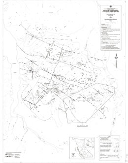 |
Open File 1987-12 describes the geology, mineral occurrences and lithogeochemistry of the Taseko-Chilko Lakes area (92N/1, 8; 92O/4, 5) in southwestern British Columbia. This open file, consisting of three maps at 1:50 000 scale, is an extension of work previously released in Open Files 1986-4 (see also Bulletin 81 for a more recent interpretation) and 1986-6. The maps depicting geology and lithogeochemical sample locations in the Chilko-Taseko Lakes area are a re-issue of Open File 1986-4. New data on geology and mineral occurrences have been added in the Tchaikazan River to Falls River area. A table of lithogeochemical analytical results is included. The geology west of Chilko Lake is shown on a separate map. A paper on this project has been published in Geological Fieldwork, 1986 (Paper 1987-1). An Open File detailing the lithogeochemistry and stream sediment geochemistry west of Chilko Lake will be published in the future. This Open File is a contribution of the Canada/British Columbia mineral development agreement 1985-1990.
The oldest rocks in the area are of Lower Cretaceous age and are in the Barremian and Hauterivian stages. There are 4 units: a lower argillite, greywacke and conglomerate sequence; dacitic to basaltic pyroclastics and flows; purple andesitic pyroclastics and breccia; and an upper sequence of argillite, siltstone, sandstone with minor tuffs and flows. Rocks of Aptian and Albian age comprise 2 units or are undifferentiated. The lower sequence is argillite, siltstone, sandstone and conglomerate; the upper consists of dacitic to basaltic pyroclastics, floes, breccias and volcanic sediments. Overlying Upper Cretaceous rocks are Cenomanian and possibly younger. The lower package consists of argillite, quartz sandstone, arkose, conglomerate and minor volcanic rocks; the upper comprises andesitic to basaltic pyroclastics, flows, and volcanic sediments.
Intrusive rocks in the area are granodiorite and quartz diorite of the Coast plutonic complex, felsite porphyry dikes, and diorite stocks. Ages are uncertain.
Northwest trending transcurrent faults dominate the structural geology of he area. Two of these are the Tchaikazan and Stikelan faults.
The Lord River Gold mine is in the southeast corner of the map-sheet. Copper-bearing skarn mineralization is known. Other deposit types associated with fault zones include silicified and carbonate-altered fractures with copper-mercury-arsenic-antimony mineralization and epithermal mineralization. Copper-molybdenum occurrences may have porphyry associations. Felsic rocks of Hauterivian age may correlate with the Gambier Group. Many carry pyrite and pyrrhotite mineralization and there is potential for volcanogenic massive sulphide deposits. |
| Issue ID: | OF1987-13 |
| Title: | Magnesite Brucite and Hydromagnesite Occurrences in British Columbia |
| Author(s): | Grant, B. |
| Series Name: | Open File |
| Publication Year: | 1987 |
| Scale: | 1:2000000 |
| NTS Map Sheet(s): | 082;083;092;093;094;102;103;104;114 |
| Place Keyword(s): | British Columbia |
| Lat/Long (NSWE): | 60, 48, -139, -114 |
| Theme Keyword(s): | Geology, Magnesite Brucite Occurrences, Hydromagnesite Occurrences |
Download(s):
| PDF |
Abstract:
 |
Open File 1987-13 describes magnesite brucite and hydromagnesite occurrences in British Columbia. A map is included in a pocket. |
| Issue ID: | OF1987-14 |
| Title: | Geochemistry West of Chilko Lake (NTS 92N/1, 8) |
| Author(s): | McLaren, G.P. |
| Series Name: | Open File |
| Publication Year: | 1987 |
| Scale: | 1:50000 |
| NTS Map Sheet(s): | 092N/1, 8 |
| Place Keyword(s): | British Columbia, West of Chilko Lake |
| Lat/Long (NSWE): | 51.5, 51, -124.5, -124 |
| Theme Keyword(s): | Geology, Geochemistry |
Download(s):
| PDF |
Abstract:
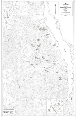 |
Open File 1987-14 presents the geochemistry of the area west of Chilko Lake British Columbia. |
| Issue ID: | OF1987-15 |
| Title: | Silica Occurrences in British Columbia |
| Author(s): | Foye, G. |
| Series Name: | Open File |
| Publication Year: | 1987 |
| Scale: | 1:50000 |
| NTS Map Sheet(s): | 082;083;092;093;094;102;103;104;114 |
| Place Keyword(s): | British Columbia |
| Lat/Long (NSWE): | 60, 48, -139, -114 |
| Theme Keyword(s): | Geology, Silica Occurrences, Quartzite, Vein, Pegmatite |
Download(s):
| PDF |
Abstract:
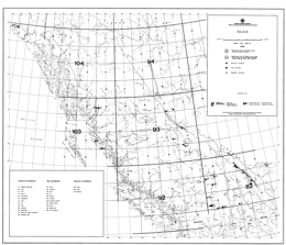 |
Open File 1987-15 describes silica occurrences in British Columbia. The silica occurrences described in this Open File were considered at the time of writing to represent the most significant silica deposits known in British Columbia. References, listed by occurrence, are found at the end of the report. Each occurrences has been assigned a number with a prefix of "S". These numbers identify the deposits on the accompanying British Columbia silica occurrence map and in the bibliography. The occurrences are organized by genetic type as being quartzite, vein or pegmatite. Many of the occurrences were examined in the field during 1981 and 1982 by staff of the Geological Survey Branch of British Columbia Ministry of Energy, Mines and Petroleum Resources. Most of the mineral exploration in British Columbia has been directed toward base and precious metals. In many cases quartz bodies and quartzites have been regarded as barren rock or gangue, rather than as potential sources of silica. There are likely numerous silica occurrences in the province that have not been recognized and are therefore not documented. |
| Issue ID: | OF1987-16 |
| Title: | Phosphate in Southern British Columbia (NTS 82G, 82J) |
| Author(s): | Butrenchuk, S.B. |
| Series Name: | Open File |
| Publication Year: | 1987 |
| Scale: | 1:250000 |
| NTS Map Sheet(s): | 082G, 082J |
| Place Keyword(s): | British Columbia, Southern British Columbia |
| Lat/Long (NSWE): | 51, 49, -116, -114 |
| Theme Keyword(s): | Geology, Phosphate Deposits |
Download(s):
| PDF |
Abstract:
 |
Open File 1987-16 describes phosphate occurrences in southern British Columbia. A map is included in the pocket. |
| Issue ID: | OF1987-17 |
| Title: | Alkaline Ultrabasic Rocks in British Columbia: Carbonatites, Nepheline Syenites, Kimberlites, Ultramafic Lamprophyres and Related Rocks |
| Author(s): | Pell, J. |
| Series Name: | Open File |
| Publication Year: | 1987 |
| NTS Map Sheet(s): | 082;083;092;093;094;102;103;104;114 |
| Place Keyword(s): | British Columbia |
| Lat/Long (NSWE): | 53, 50, -125, -114 |
| Theme Keyword(s): | Geology, Alkaline Ultrabasic Rocks: Carbonatites, Nepheline |
Download(s):
| PDF |
Abstract:
 |
Open File 1987-17 describes the occurrences found in the province. It comprises of carbonatites, agpaitic nepheline and sadlite syenites, some ijolite series rocks, one kimberlite locality and numerous ultramafic and lamprophyric diatreme breccias, all of which intrude the Cordilleran miogeoclinal succession prior to the deformation and metamorphism associated with the Jura-Cretaceous Columbian orogeny. The purpose of this report is to describe these occurrences. Carbonatites are ultrabasic igneous rocks composed of more than 50 per cent carbonate materials. They may contain significant amounts of olivine, magnetite, pyroxene, sodic amphibole, biotite, vermiculite, apatite, columbite, zircon, rare earth carbonate minerals and pyrochlore. Carbonatites occur most commonly as intrusive bodies, generally associated with other alkaline igneous rocks. Kimberlites are volatile-rich, potassic, ultrabasic igneous rocks which occur as small volcanic pipes, dykes and sills. Kimberlites may contain diamond, but only as a rare constituent. Kimberlite has traditionally been considered the only important primary source of diamond. Recent studies have shown that diamonds may also be present in economic concentrations in lamproites. Kimberlites and lamproites are the only known economic primary source of diamonds; however diamonds have been occasionally reported from carbonatites and peridotites. In British Columbia, the carbonatites and related rocks were intruded into the sedimentary prism deposited along the rifted continental margin, making this a somewhat anomalous alkaline province in a structural setting which differs from most others worldwide. |
| Issue ID: | OF1987-18 |
| Title: | Geological Map of part of the Pavilion map area (part of NTS 92I/13) |
| Author(s): | Mortimer, N. |
| Series Name: | Open File |
| Publication Year: | 1987 |
| Scale: | 1:50000 |
| NTS Map Sheet(s): | 092I/13 |
| Place Keyword(s): | British Columbia, Southern British Columbia, Pavilion Map Area |
| Lat/Long (NSWE): | 51, 50.783, -121.9, -121.667 |
| Theme Keyword(s): | Geology, Geological Map, Bedrock Geology |
Download(s):
| PDF |
Abstract:
 |
Open File 1987-18 comprises a geological map of part of the Pavilion map area (92I/13), southern British Columbia, together with descriptive notes. Dr. N. Mortimer completed fieldwork while he was a post-doctoral Fellow at The University of British Columbia in 1985 and 1986.
The 1:50 000 map covers an area of 250 square kilometres lying east of the Fraser fault and extending from Pavilion Mountain on the north to Mount Martley on the south. It depicts the structure and lithology of the western belt of the Permo-Triassic Cache Creek Group and the overlying Triassic Pavilion beds. This investigation expands on the work of Duffell and McTaggart (1952), Trettin (1961) and Monger and McMillan (1984), providing more detailed subdivision of rock units and revising the position of lithologic contacts.
Central Belt Cache Creek rocks are exposed in Marble Canyon, where lower basalt and chert are overlain by a thick limestone and marble unit. Western Belt Cache Creek rocks are dominantly argillite and siliceous argillites with local ribbon chert, carbonate and volcaniclastic sandstone. The proportion of carbonate bodies increases eastward toward the contact with the central belt. The contact is placed at the edge of he Marble Canyon formation with its cliff-forming carbonates. The contact is apparently stratigraphic.
Although the informally named Pavillion beds are faulted against western belt rocks, they are lithologically similar and interpreted to be correlative with rocks of the eastern part of the western Cache Creek belt.
The Mount Martley pluton consists of hornblende biotite granodiorite and is Late Jurassic. Hornblende diorite stocks in the area are apparently also of Jurassic age.
The rocks are deformed and cleavage and schistosity developed. Most dips steeply and strikes north-northwest, except near the near the Mount Martley pluton, where it parallels the contact. Cleavage and schistosity apparently predate the intrusion. Minor high angle faulting offsets the intrusive and all older rocks. Mid-Cretaceous chert pebble conglomerate unconformably overlies these faulted contacts. |
| Issue ID: | OF1987-19 |
| Title: | Tertiary Stratigraphy and Industrial Minerals, Princeton and Tulameen Basins, British Columbia (NTS 92H/2, 7, 8, 9, 10) |
| Author(s): | Read, P.B. |
| Series Name: | Open File |
| Publication Year: | 1987 |
| Scale: | 1:25000 |
| NTS Map Sheet(s): | 092H/2, 7, 8, 9, 10 |
| Place Keyword(s): | British Columbia, Princeton and Tulameen Basins |
| Lat/Long (NSWE): | 49.6, 49.2, -120.783, -120.433 |
| Theme Keyword(s): | Bedrock Geology, Tertiary Stratigraphy, Tertiary Structure, Tertiary Lithology, Industrial Mineral Occurrences |
Download(s):
| PDF |
Abstract:
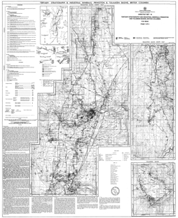 |
Open File 1987-19 comprises three 1:25 000-scale geological maps detailing the Tertiary stratigraphy, lithology and industrial mineral occurrences in the Princeton and Tulameen basins (92H/2, 7, 8, 9, 10), British Columbia, compiled on single sheet. The accompanying notes provide detailed descriptions of zeolite and bentonite occurrences of potential economic significance.
The Tulameen basin preserves 1400 metres of Eocene volcanic and sedimentary rocks that overlie the Upper Triassic Nicola Group and underlie two remnants of Miocene Chilcotin Group. The Cedar Formation consists of 500 metres of sparsely porphyritic dacite flows and local rhyodacite to rhyolite flows and waterlain tuffs. The overlying Allenby Formation is sedimentary and about 790 metres thick. It contains a medial section of coal and shale, and an upper section of mainly sandstone and granule conglomerate with local zeolitized tephra.
Zeolites occur in five distinct tephra layers, replacing shards in waterlain tuffs and volcanic breccias within the Eocene sedimentary sequence. Individual tephra layers range from 7 metres to greater than 22 metres in thickness. Sketch maps of the mineralized outcrops illustrate the geology of four sampled localities in the Princeton basin.
Bentonite is widespread throughout the north half of Princeton basin, usually occurring in shale and coal-rich sections of the stratigraphy, in layers up to 2 metres thick.
Two tables provide locational details of ten bentonite and nine zeolite occurrences and exchangeable cation analyses on selected samples.
This open file presents current data from an ongoing investigation of industrial minerals in Tertiary basins funded by the Canada/British Columbia Mineral Development Agreement. |
| Issue ID: | OF1987-20 |
| Title: | Near Shore Mineral Resources, Deep Sea Ridge Systems and Metal Deposits |
| Author(s): | Marks, K.E., Bloodgood, M.A., Panteleyev, A. |
| Series Name: | Open File |
| Publication Year: | 1987 |
| Scale: | 1:2000000 |
| Place Keyword(s): | British Columbia, Offshore British Columbia |
| Lat/Long (NSWE): | 51.517, 45.85, -130.883, -123 |
| Theme Keyword(s): | Geology, Near Shore Mineral Resources, Deep Sea Ridge Systems, Metal Deposits |
Download(s):
| PDF |
Abstract:
 |
Open File 1987 describes near shore mineral resources, deep sea ridge systems and metal deposits in offshore British Columbia. The mapping is at 1:2000000 scale. |
| Issue ID: | OF1987-21 |
| Title: | Geology of the Carbon Creek Area (NTS 93O/15) |
| Author(s): | Legun, A.S. |
| Series Name: | Open File |
| Publication Year: | 1987 |
| Scale: | 1:50000 |
| NTS Map Sheet(s): | 093O/15 |
| Place Keyword(s): | British Columbia, Carbon Creek Area, Peace River Coalfield |
| Lat/Long (NSWE): | 56, 55.75, -123, -122.5 |
| Theme Keyword(s): | Geology, Stratigraphy, Structure, Cross Sections, Bedrock Geology |
Download(s):
| PDF |
Abstract:
 |
Open File 1987-21 comprises a 1:50 000 geological map of the Carbon Creek area (930/15) together with three cross sections illustrating the structure and stratigraphy of the Carbon Creek and West Carbon Creek synclines. Fieldwork, begun in 1982, was completed in 1986 and is part of an ongoing mapping project in the Peace River Coalfield, funded in part by the Canada/British Columbia Mineral Development Agreement.
The mapped area is bounded by the Pardonet and Carbon faults on the west and east respectively, and extends southwards from the Peace Reach of Williston Lake to the headwaters of Carbon Creek. It is underlain by Jurassic and Lower Cretaceous rocks of the Fernie Formation and Minnes, Bullhead and Fort St. John Groups, including the coal-bearing Cadomin and Gething Formations. The map incorporates new interpretations of the stratigraphy of the area.
Thinning and facies changes occur across the Carbon Creek fault. The Jurassic to Lower Cretaceous Monteith Formation of the Minnes Group consists of a 50-metre interval of quartz arenite in the area. Thickness of Minnes Group strata between the Monteith and Cadomin formations thins dramatically from about 990 metres in the Carbon Creek area southwest of the fault, to 145 metres in the Butler Ridge area. In Carbon Creek area, Minnes Group rocks above the Monteith Formation are the Beattie Peaks Formation shale, the Monach Formation arenite, and the Bickford Formation arenite and shale. In the Butler Ridge area, thinning prevents lithostratigraphic subdivision. The section consists of interbedded arenites and siltstones with no persistent markers.
The Cadomin Formation contact with the Minnes varies from gradational in t he west to sharp in the east. The Cadomin is dominantly pebbly arenites and conglomerates. Gething Formation rocks overlie the Cadomin and are the main coal-bearing strata.
A major fault on Mount Gething dips 25 degrees near surface and steepens to near vertical at depth. Hangingwall strata form a box anticline with the west limb cut off by the fault.
The geology of the adjacent Butler Ridge area is portrayed by Preliminary Map 57. |
| Issue ID: | OF1987-22 |
| Title: | Geology and Mineral Occurrences of the Salmon River Valley, Stewart Area (NTS 104A, B) |
| Author(s): | Alldrick, D.J. |
| Series Name: | Open File |
| Publication Year: | 1987 |
| Scale: | 1:50000 |
| NTS Map Sheet(s): | 104A, B |
| Place Keyword(s): | British Columbia, Stewart Area, Salmon River Valley |
| Lat/Long (NSWE): | 56.303, 56, -130.146, -129.931 |
| Theme Keyword(s): | Geology, Mineral Occurrences, Precious Metal Deposits, Bedrock Geology |
Download(s):
| PDF |
Abstract:
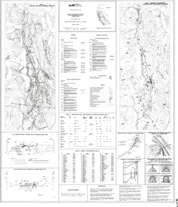 |
Open File 1987-22 presents the geology, major mineral deposits and mineral occurrences of the Salmon River Valley, Stewart area (NTS 104A, B), one of British Columbia's most productive gold-mining camps. Production data and current reserves are tabulated for 15 precious-metal deposits including the premier, Big Missouri and Scottie Cold wines. The map accurately locates 125 mineral occurrences; all accompanying table provides Mineral Inventory File (MINFILE) reference numbers. Three geological cross sections, three schematic diagrams and a list of references are included on the map sheet.
The map covers a 500-square kilometre area north of Stewart. The region is underlain by lower Jurassic calc-alkaline volcanic and associated sedimentary rocks of the Hazelton Group. These intensely mineralized rocks were deformed during Cretaceous time and intruded by Tertiary stocks and dykes of the Coast plutonic Complex.
During Late Triassic to Early Jurassic time, volcanism was accompanied by coeval subvolcanic magma emplacement. This was followed by late-stage dyke emplacement and quiescent flysch sedimentation in Toarcian to Callovian time (190 to 160 million years). Moderate deformation accompanied regional greenschist metamorphism that peaked during Cretaceous time (110 to 90 million years). Stocks and dykes of the Coast Range batholith intruded the deformed rocks in early to middle Eocene time and this was followed by a period of microdiorite and biotite lamprophyre dyke emplacement.
The deposits in the Stewart mining camp apparently formed during two metallogenic epochs. Gold-silver-pyrrhotite veins, like Scottie Gold mine, and gold-silver-lead-zinc-copper deposits, like the Silbak Premier mine, formed during the first epoch. Silver-lead-zinc veins with high silver grades, and spatially associated molybdenum and/or tungsten occurrences formed during the second epoch. Exploration potential in the camp remains high. |
| Issue ID: | OF1988-01 |
| Title: | Preliminary Geology and Mineral Occurrences in the Rossland Group Between Nelson and Ymir, Southeastern British Columbia (NTS 82F/6) |
| Author(s): | Andrew, K.P.E., Hoy, T. |
| Series Name: | Open File |
| Publication Year: | 1988 |
| Scale: | 1:20000 |
| NTS Map Sheet(s): | 082F/6 |
| Place Keyword(s): | British Columbia, Southeastern British Columbia, Rossland Group, Between Nelson and Ymir |
| Lat/Long (NSWE): | 49.439, 49.258, -117.317, -117.151 |
| Theme Keyword(s): | Geology, Preliminary Geology, Mineral Occurrences, Bedrock Geology |
Download(s):
| PDF |
Abstract:
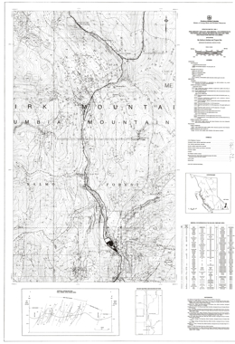 |
Open File map 1988-1 presents the preliminary geology and mineral occurrences in the Rossland Group between Nelson and Ymir, southeastern British Columbia. The map is a 1:20 000-scale compilation within NTS 82F/06. The boundaries of the map are the 'tail' of the Nelson batholith on the east, longitude 117o19'E on the west, and latitudes 49o26'20"N and 49 o 15'30''N on the north and south. The map area contains 51 mineral occurrences, dominantly silver, gold and base metal veins, but also a variety of other deposit types and commodities.
Geology has been derived from fieldwork completed in 1987, published regional mapping by the Geological Survey of Canada, and published assessment report maps.
The map area lies within the Selkirk Mountains and is underlain by the Rossland Group, a suite of volcanic and sedimentary rocks of probable Upper Triassic to Middle Jurassic age. Special emphasis has been placed on differentiating units of the Elise Formation, which is a sequence of autoclastic, pyroclastic and epiclastic volcanic rocks.
The oldest rocks in the area are Lower Cambrian and older quartzite, schist, argillite, slate and limestone. Lower Cambrian rocks of the Laib Formation include phyllite, argillite, schist, micaceous quartzite and minor limestone. Lower Jurassic and older (?) Ymir Group rocks include argillite, siltstone, grits, and impure limestone with minor chert, feldspathic wacke and limey siltstone near the top. Conformably over the Ymir rocks are Lower to Middle Jurassic Rossland Group strata. The Rossland is subdivided into the Elise and Hall formations. The Elise is characterized by a series of interfingering lenses or massive to brecciated flows, tuffs, subvolcanic porphyries, and minor epiclastic deposits. The lower part consists of coarse-grained augite porphyry flows and flow breccias. The upper part consists of medium grained augite porphyry flows and flow breccias but upward in the section includes mafic ash tuff and plagioclase augite crystal tuff then plagioclase phyric flows, epiclastic rocks and subvolcanic plagioclase porphyry. The overlying Hall Formation is a succession of sedimentary rocks. There is a lower coarsening upward sequence of argillites, siltstones, grits and conglomerates overlain by a succession of interbedded siltstone and argillite.
Jurassic Nelson intrusions are granodiorites, diorite porphyries, quartz monzonites and quartz monzonite breccias. Middle Eocene Coryell intrusions are monzonites with biotite and/or augite phenocrysts. Tertiary or older (?) dikes are diorites, rhyolites and lamprophyres.
The dominant structures in the area are northerly trending tight folds and associated shears. The intensity of deformation increases toward the east.
Historic deposits in the area produced mainly gold and silver from the Rossland and Ymir camps. The main type of mineral occurrences are: porphyry or stockwork molybdenum-copper; skarn molybdenum, tungsten, copper and gold; vein gold-silver-copper or gold�silver-lead-zinc; and �conformable� gold. The conformable gold occurrences are related to early structures and Rossland Group strata. They lie parallel to foliation or bedding and are related to synvolcanic intrusions. |
| Issue ID: | OF1988-02 |
| Title: | Geology of the East Half Whitesail Reach and Northeast Half Chikamin Mountain (NTS 93E/10E, 93E/6) |
| Author(s): | Diakow, L.J., Koyanagi, V.M. |
| Series Name: | Open File |
| Publication Year: | 1988 |
| Scale: | 1:50000 |
| NTS Map Sheet(s): | 093E/10E, 093E/6 |
| Place Keyword(s): | British Columbia, Whitesail Lake, Chikamin Mountain, Whitesail Reach |
| Lat/Long (NSWE): | 53.75, 53.25, -127.5, -126.5 |
| Theme Keyword(s): | Geology, Stratigraphy, Structure, Bedrock Geology |
Download(s):
| PDF |
Abstract:
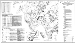 |
Open File 1988-2 portrays the geology of the east half of the Whitesail Reach and northeast half of the Chikamin Mountain map sheets (93E/10E and 93E/6). These partial 1:50 000 map sheets refine Mesozoic and Cenozoic stratigraphic and structural mapping in areas adjacent to Whitesail Lake.
Pre-Jurassic metavolcanic and metaplutonic rocks are the oldest rocks exposed in the area. They occur in a thrust panel that overlies mid-Cretaceous sedimentary rocks at Linquist Peak. Volcanic strata dominate the Mesozoic stratigraphy in the area. The volcanics include Lower Jurassic, Cretaceous and Tertiary lava flows and pyroclastic rocks. Middle Jurassic and mid-Cretaceous marine deposits comprise the sedimentary successions. The sediments separate maroon pyroclastic rocks that are very difficult to separate if the sediments are not present.
The oldest intrusive rocks in the area are foliated quartz diorites within the pre-Jurassic metamorphic rocks. Porphyritic granodiorites and quartz monzonites are linked to the Bulkley intrusions, which are 70 to 84 million years old. The youngest, Nanika intrusions are dated at 47 to 56 million years. The compositions range from diorite to granodiorite to quartz monzonite. The host quartz monzonite intrusion of the Red Bird porphyry copper-molybdenum mineralization has been dated at about 49 million years.
Easterly directed thrust movement post-dates mid-Cretaceous and pre-dates Eocene rocks. Mineralized veins in the metamorphic rocks are localized along the thrusts. Mesozoic strata are offset along high angle gravity faults. Quartz veins with silver-lead-zinc mineralization occur locally in steep, northwest-trending fractures.
The area contains several types of mineral prospects, namely: gold and silver telluride veins hosted by a thrust panel of pre-Jurassic Gamsby Group metavolcanic rocks; extensional fracture-controlled silver-lead-zinc veins that cut Lower and Middle Jurassic strata; and porphyry copper-molybdenum deposits associated with quartz monzonite intrusions.
New lithogeochemical analytical results are compiled for the map area, together with data from the 1987 Regional Geochemical Survey (BCMEMPR RGS-16, GSC Open File 1360). This is a contribution to the Canada/B.C. Mineral Development Agreement. |
| Issue ID: | OF1988-03 |
| Title: | Geology of the Bralorne Map Area (NTS 92J/15) |
| Author(s): | Church, B.N., MacLean, M.E., Gaba, R.G., Hanna, M., James, D. |
| Series Name: | Open File |
| Publication Year: | 1988 |
| Scale: | 1:50000 |
| NTS Map Sheet(s): | 092J/15 |
| Place Keyword(s): | British Columbia, Southwestern British Columbia, Bralorne Map Area, Bridge River Mining Camp |
| Lat/Long (NSWE): | 51, 50.75, -123, -122.5 |
| Theme Keyword(s): | Geology, Mineral Deposits, Bedrock Geology |
Download(s):
| PDF |
Abstract:
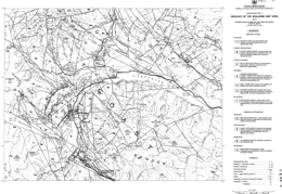 |
Open File 1988-3 presents the geology and mineral deposits of the Bralorne map-sheet (92J/5), which contains the Bridge River mining camp, 170 kilometres north of Vancouver. The Camp remains the foremost gold producer in British Columbia (4 million ounces). Open File 1988-3 is at 1:50 000 scale and covers approximately 1000 square kilometres. It depicts the geology of the central part of the Bridge River camp, and is based on property evaluations and regional mapping by the ministry in 1986 and 1987.
The principal stratigraphic assemblages in the area are the possibly pre-Permian Fergusson, the Upper Triassic Cadwallader and Cretaceous Taylor Creek groups.
The Fergusson Group consists largely of chert, with some marble, schist, gneiss and hornfels. Locally, greenstone sills and dykes cut these rocks. The Cadwallader Group consists of greenstones, and black argillites and siltstones with local limestone layers. The Taylor Creek Group consists mainly of coarse clastic sedimentary rocks.
The oldest intrusive rocks in the area are the Paleozoic Bralorne diorite, the President ultrabasic rocks and the Coast plutonic rocks. The Bralorne diorite bodies may have been emplaced along a fault. The often-serpentinized ultrabasic rocks occur as lenses that follow the diorite belt. Most Coast intrusions lie along the southwest and west parts of the map area. Most are granodiorites, but local quartz diorite and granite phases occur.
The main exploration target in the area has been gold, which occurs in mesothermal quartz veins with arsenopyrite gangue. Other targets are stibnite and cinnabar. |
| Issue ID: | OF1988-04 |
| Title: | Geology and Mineral Deposits of the Sulphurets Area (NTS 104A/5, 12; 104B/8, 9) |
| Author(s): | Alldrick, D.J., Britton, J.M. |
| Series Name: | Open File |
| Publication Year: | 1988 |
| Scale: | 1:50000 |
| NTS Map Sheet(s): | 104A/5, 12; 104B/8, 9 |
| Place Keyword(s): | British Columbia, Sulphurets Area |
| Lat/Long (NSWE): | 56.671, 56.245, -130.352, -129.922 |
| Theme Keyword(s): | Geology, Major Mineral Deposits, Mineral occurrences, Gossans, Bedrock Geology |
Download(s):
| PDF |
Abstract:
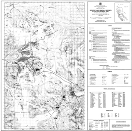 |
Open File 1988-4 presents the geology, major mineral deposits, mineral occurrences and gossans in the Sulphurets area (NTS 104A/5, 12; 104B/8, 9), one of British Columbia�s newest gold-silver camps. The map sheet is published at 1:50 000 scale and covers 1000 square kilometres at the eastern end of the Iskut River gold belt. Two mines are under development in the area and current reserves are tabulated for five precious metal deposits. The region is underlain by Lower to Middle Jurassic calcalkaline volcanic and associated sedimentary rocks of the Hazelton Group.
The area is underlain by Lower to Middle Jurassic Hazelton Group volcanic and sedimentary rocks that have been folded, faulted and weakly metamorphosed, mainly during Cretaceous time. Three episodes of intrusive activity produced small synvolcanic plutons, satellitic stocks of the Coast plutonic complex and minor dykes and sills.
The Hazelton Group consists of four lithostratigraphic map units in the Sulphurets area. Map unit 1 is a thick sequence of interbedded sedimentary and volcanic rocks. The sediments include sandstones, fine-grained conglomerates, rhythmically banded siltstones and mixed epiclastic/pyroclastic rocks. Quartz-poor lithic or arkosic wackes predominate. Intermediate pyroclastic comprise the volcanic component. Unit 2 consists of red, green and purple heterogeneous pyroclastic and epiclastic rocks. Unit 3 is light coloured and consists predominantly of felsic pyroclastic rocks, including welded tuffs. Unit 4 consists of marine, dark grey siltstone and fine-grained sandstone. It is well bedded but displays complex disharmonic folding.
Intrusive rocks are not abundant but are spatially and temporally associated with mineralization. Jurassic (?) quartz monzonite comprises the largest intrusion in the area, the Lee Brant stock. A wide variety of syn and post-volcanic hypabyssal stocks is concentrated near the Sulphurets and Mitchell glaciers. Most are quartz-poor and have alkaline affiliations; many are porphyritic with potassium, feldspar, hornblende and biotite. These intrusions are similar in composition to the volcanic rocks. Post-volcanic intrusions are generally more phaneritic and clearly cut the country rocks. Compositions differ from enclosing rocks and some are associated with copper and gold mineralization.
Only one syndepositional fault was recognized but they could be more numerous and important in controlling distribution of rock types in units 1 and 2.
More than 60 mineral occurrences are known in the area. Six types of veins are identified: base metal quartz, silver-rich base metal, precious and base metal quartz, precious metal quartz, carbonate, and barite. Other deposit types include: porphyry-style copper-molybdenum; disseminated gold (silver) in alteration zones; gold-bearing skarn; and stratabound pyritic zones. |
| Issue ID: | OF1988-05 |
| Title: | Geology and Regional Geochemical Survey of the Tutshi Lake Map Area (NTS 104M/15) |
| Author(s): | Mihalynuk, M.G., Rouse, J.N. |
| Series Name: | Open File |
| Publication Year: | 1988 |
| Scale: | 1:50000 |
| NTS Map Sheet(s): | 104M/15 |
| Place Keyword(s): | British Columbia, Tutshi Lake Map Area |
| Lat/Long (NSWE): | 60, 59.75, -135, -134.5 |
| Theme Keyword(s): | Geology, Regional Geochemical Survey, Bedrock Geology, Lithogeochemical Survey |
Download(s):
| PDF |
Abstract:
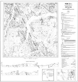 |
Open File 1988-5 comprises two map sheets at 1:50 000 scale that present geological and geochemical survey data from the Tutshi Lake map area (NTS 104M/15), 120 kilometres south of Whitehorse, Yukon. Sheet 1 depicts the geology of the area, which is dominated by northwest-trending belts of pre-Permian metasediments, and Mesozoic volcanics and deep-water clastic sediments that have all been intruded by Cretaceous granitoids of the Coast crystalline belt. It also has geological cross sections and references. Sheet 2 contains a sample location map and stream sediment and lithogeochemical survey results for the area. The area bas long been recognized as part of an anomalous antimony-arsenic province hosting significant gold occurrences. This is reflected by lithogeochemical and regional stream sediment survey data presented on Sheet 2. These are the first published geochemical survey results for Map sheet 104M. Proterozoic to Paleozoic metamorphics form a roughly 15 kilometre -wide belt that varies from upper amphibolite to greenschist grade. Typical rock types vary from schists and gneisses in the Boundary Ranges to pelites, semi-pelites, marbles, amphibolites, calc-silicates and minor quartzite in the Florence Range. Above are Paleozoic (?) to uppermost Triassic conglomerates with mainly Boundary Range metamorphic clasts. The basal Upper Triassic Stuhini Group strata consist of Norian carbonates. Above are lapilli ash tuffs and tuffites overlain by conglomerates and associated sediments. The upper part consists of pyroxene-feldspar porphyry tuffs and breccias and feldspar-phyric tuffs. Laberge strata are of Lower Jurassic age. The basal conglomerate gives way up section to argillites then siltstones and arenaceous wackes. Middle to Upper Jurassic (?) rocks are conglomerate, lapilli tuffs and balded feldspar porphyry flows. Upper Cretaceous Montana Mountain volcanics are intermediate to felsic pyroclastics and flows. Intrusive rocks have a long history in the area. The oldest intrusive rocks in the area are Paleozoic (?) to Triassic altered and deformed intrusive rocks that range from leuco-granite to quartz diorite. Intrusive rocks have a long history in the area. The oldest intrusive rocks in the area are Paleozoic (?) to Triassic altered and deformed intrusive rocks that range from leuco-granite to quartz diorite.�Triassic (?) foliated granodiorite is followed by mid to Late Jurassic foliated porphyritic granodiorite to quartz monzonite, Cretaceous granodiorite, quartz monzonite, granite and diorite, then the Upper Cretaceous Coast Intrusions, which are mainly biotite hornblende granites with lesser granodiorite, quartz monzonite and diorite.
The area bas long been recognized as part of an anomalous antimony-arsenic province hosting significant gold occurrences. This is reflected by lithogeochemical and regional stream sediment survey data presented on Sheet 2. These are the first published geochemical survey results for Map sheet 104M.
Proterozoic to Paleozoic metamorphics form a roughly 15 kilometre -wide belt that varies from upper amphibolite to greenschist grade. Typical rock types vary from schists and gneisses in the Boundary Ranges to pelites, semi-pelites, marbles, amphibolites, calc-silicates and minor quartzite in the Florence Range. Above are Paleozoic (?) to uppermost Triassic conglomerates with mainly Boundary Range metamorphic clasts.
The basal Upper Triassic Stuhini Group strata consist of Norian carbonates. Above are lapilli ash tuffs and tuffites overlain by conglomerates and associated sediments. The upper part consists of pyroxene-feldspar porphyry tuffs and breccias and feldspar-phyric tuffs.
Laberge strata are of Lower Jurassic age. The basal conglomerate gives way up section to argillites then siltstones and arenaceous wackes. Middle to Upper Jurassic (?) rocks are conglomerate, lapilli tuffs and balded feldspar porphyry flows. Upper Cretaceous Montana Mountain volcanics are intermediate to felsic pyroclastics and flows.
Pre-Cretaceous rocks are folded into upright to overturned, gently plunging folds.
Intrusive rocks have a long history in the area. The oldest intrusive rocks in the area are Paleozoic (?) to Triassic altered and deformed intrusive rocks that range from leuco-granite to quartz diorite.
Triassic (?) foliated granodiorite is followed by mid to Late Jurassic foliated porphyritic granodiorite to quartz monzonite, Cretaceous granodiorite, quartz monzonite, granite and diorite, then the Upper Cretaceous Coast Intrusions, which are mainly biotite hornblende granites with lesser granodiorite, quartz monzonite and diorite.
Mineralization is well known in the general area. Past producers are the Engineer mine, with gold and silver from quartz veins sparsely mineralized with tellurides and base metals, and Ben My Cree where gold and silver was mined from quartz veins with abundant sulphides. In both instances, the veins cut Laberge Group argillites and greywackes. Other deposit types of interest are sulphide-free quartz gold silver veins and sulphide-bearing carbonate-quartz veins associated with the Llewellyn fault zone. Gold may also occur in association with carbonatized ultramafic rocks, and placer gold has been produced historically. Prospective lithologic packages are the Laberge Group, mafic and ultramafic rocks and the Boundary Ranges metamorphic suite. There is also potential within and near the Llewellyn fault zone. |
| Issue ID: | OF1988-06 |
| Title: | Geology and Mineral Occurrences in the Hedley Gold Camp, Southern British Columbia (NTS 92H/8, 82E/5) |
| Author(s): | Ray, G.E., Dawson, G.L. |
| Series Name: | Open File |
| Publication Year: | 1988 |
| Scale: | 1:50000 |
| NTS Map Sheet(s): | 092H/8, 082E/5 |
| Place Keyword(s): | British Columbia, Southern British Columbia, Hedley Gold Camp |
| Lat/Long (NSWE): | 49.467, 49.2, -120.267, -119.833 |
| Theme Keyword(s): | Geology, Mineral Occurrences, Major Gold Deposits, Bedrock Geology |
Download(s):
| PDF |
Abstract:
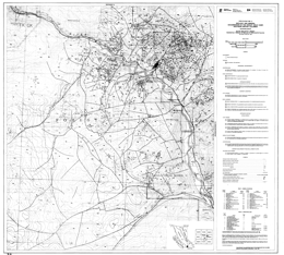 |
Open File 1988-6, published at 1:50 000 scale, depicts the geology and distribution of major gold deposits and mineral occurrences within an area of 500 square kilometres covering the Hedley gold-skarn mining camp (92H/8E and 82E/5W) of southern British Columbia. The camp includes the newly re-opened Nickel Plate open-pit gold mine, Canada�s largest gold-bearing skarn deposit, as well as the French, Canty and Goodhope gold mines, which have produced in the past.
The region is largely underlain by sedimentary and volcaniclastic rocks of the Upper Triassic Nicola Group. These have been intruded by two plutonic suites of Early Jurassic age, the older of which is associated with the auriferous skarn mineralization. This project was funded in part by the Canada/B.C. Mineral Development Agreement.
The southeast margin of the map area is underlain by the oldest rocks exposed, a highly deformed Paleozoic to Mesozoic ophiolitic sequence, the Apex Mountain complex. The Upper Triassic Nicola Group is cut by large Early Jurassic granodiorite to quartz monzonite intrusive bodies and the important Hedley intrusion of quartz diorite, diorite and gabbro. The Nicola Group is separated into 5 mappable formations. From older to younger, these are a basaltic ash tuff and flow unit; limestone, limestone breccia and pebble conglomerate; thinly bedded siltstone with thick limestone beds; thinly bedded argillite and limestone; bedded to massive ash and lapilli tuff with a distinctive limestone boulder conglomerate (Copperfield conglomerate) at the base. Early Cretaceous rocks of the Spences Bridge Group and Cretaceous porphyry dykes and a granite stock cut Nicola rocks.
Gold-bearing skarns are the primary exploration focus in the area. Small to large zones of skarn developed in the area in association with contact metasomatic alteration around the Hedley intrusions. Favorable indicators of potential mineralization are large numbers of sills and dykes, fold hinges, and the presence of limestone-rich shallow marine facies sedimentary rocks of the Nicola Group. The preferred host rocks immediately underlie the Copperfield breccia. |
| Issue ID: | OF1988-07 |
| Title: | Geology of the Pennask Mountain Area (NTS 92H/16) |
| Author(s): | Dawson, G.L., Ray, G.E. |
| Series Name: | Open File |
| Publication Year: | 1988 |
| Scale: | 1:25000 |
| NTS Map Sheet(s): | 092H/16 |
| Place Keyword(s): | British Columbia, Southcentral British Columbia, Pennask Mountain Area |
| Lat/Long (NSWE): | 49.945, 49.814, -120.233, -120 |
| Theme Keyword(s): | Geology, Bedrock Geology |
Download(s):
| PDF |
Abstract:
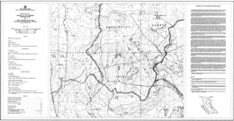 |
Open File 1988-7 presents the geology of the Pennask Mountain area (92H/16), situated approximately 60 kilometres west of Penticton in south-central British Columbia. The map, at 1:25 000-scale covers an area of 200 square kilometres and is accompanied by descriptive marginal notes.
The area is mainly underlain by a roof pendant of sedimentary and volcanic rocks of the Upper Triassic Nicola Group. These rocks are intruded by the Early Jurassic Pennask batholith and the Late Jurassic Osprey Lake batholith. The Brenda porphyry copper-molybdenum mine is located immediately east of the map area. Brenda had proven reserves of about 160 million tonnes grading 0.18 percent copper and 0.049 percent molybdenum. The mineralization is hosted by the zoned and composite quartz diorite Brenda stock, which forms part of the Pennask batholith.
The oldest rocks in the area, informally called the Peachland Creek formation, may represent the oldest Nicola Group rocks yet known in the province. A lower mafic tuffaceous and volcanic unit in the east gives way to more felsic suite of dacitic ash tuff, flows and subvolcanic intrusions. To the west, is a younger argillite-rich sequence that may be equivalent to the Stemwinder Mountain formation of the Hedley area. It has a basal polymictic conglomerate and local graphitic limestone layers. The youngest Nicola rocks are mainly andesitic amphibole and pyroxene-bearing ash and lapilli tuffs that may be equivalent to the Upper Triassic Whistle Creek formation. Small bodies of diorite to quartz diorite to granodiorite of unknown age intrude the Nicola Group rocks. The Early (?) Jurassic Pennask quartz diorite to granodiorite batholith and the Late Jurassic Osprey lake quartz monzonite to granite batholith also cut and metamorphose Nicola Group rocks.
In the north, the Princeton Group crops out sporadically. At the base, vesicular lavas are overlain by dust tuffs. There are also poorly exposed arkosic sandstone beds in the basal section.
The Nicola Group occupies the western limb of major, easterly-closing anticline. |
| Issue ID: | OF1988-08 |
| Title: | Geology of the Chemainus River and Duncan Area (NTS 92C/15, 92B/13) |
| Author(s): | Massey, N.W.D., Friday, S.J., Tercier, P.E., Potter, T.E. |
| Series Name: | Open File |
| Publication Year: | 1988 |
| Scale: | 1:20000 |
| NTS Map Sheet(s): | 092C/15, 092B/13 |
| Place Keyword(s): | British Columbia, Southern Vancouver Island, Duncan Area, Chemainus River Area |
| Lat/Long (NSWE): | 49, 48.75, -124.217, -123.5 |
| Theme Keyword(s): | Geology, Stratigraphy, Structure, Mineral Occurrences, Bedrock Geology |
Download(s):
| PDF |
Abstract:
 |
Open File 1988-8 comprises a set of 10 maps depicting the geology, stratigraphy and structure of the Duncan and Chemainus River area (92B/13; 92C/16E). The Open File contains one 1:50 000 geology map, one 1:50 000 mineral occurrence map, seven 1:20 000 maps and a legend sheet. This is a contribution to the Canada/B.C. Mineral Development Agreement.
The Open File updates part of Open File 1987-2 and continues the mapping eastwards to the eastern shoreline of Vancouver Island. The area is underlain by volcanic and sedimentary rocks of the Paleozoic Sicker Group intruded by gabbros of Late Triassic age and granodiorites of the Middle Jurassic Island Intrusions. Upper Cretaceous Nanaimo Group sediments lie unconformably on the older rocks. Late Cretaceous to Tertiary high-angle listric reverse faults cut all sequences resulting in a series of west-northwest-trending panels. The area is a past producer of base metals and has significant potential for polymetallic massive sulphides, rhodonite, quartz-carbonate gold veins and auriferous jaspers.
The oldest rocks in the map area belong to the Paleozoic Sicker and Buttle Lake groups which contain volcanic and sedimentary units ranging from Middle Devonian to Early Permian age. The Devonian Sicker Group is a thick package of lower greenschist facies, metavolcanic and volcaniclastic rocks that formed in an oceanic island-arc environment. The lowest unit exposed is the Nitinat Formation, characterized by pyroxene-feldspar-porphyritic basalts and basaltic andesites. These typically occur as agglomerates, breccias, lapilli tufts and crystal tuffs that formed as pyroclastic flows, debris flows and lahars. Pyroxene-phyric, amygdaloidal, pillowed and massive flows are also developed.
The Nitinat Formation is overlain, apparently conformably, by a heterogeneous sequence of mafic to felsic volcanics and volcaniclastic sediments of the McLaughlin Ridge Formation. The volcanics are predominantly intermediate pyroclastics, commonly feldspar crystal-lapilli tufts, heterolithic lapilli tufts and breccias and minor pyroxene-phyric lapilli tuffs. A thick package of felsic quartz-crystal, quartz-feldspar-crystal and fine dust-tuffs is developed in the Chapman Creek - Mount Sicker -Mount Richards area. It thins to the west, where it interfingers with andesitic lapilli tufts and breccias. The uppermost unit is a distinctive maroon schistose heterolithic breccia and lapilli tuff with minor jasper, exposed in the Chapman Creek area. Coeval, and probably consanguineous, with the felsic volcanics in the McLaughlin Ridge Formation is a suite of granodiorite stocks and quartz porphyry dikes collectively known as the Saltspring Intrusive Suite. The Sicker Group volcanic rocks and associated intrusions form a coherent suite of medium-potassium calcalkaline chemistry typical of an island-arc.
The Buttle Lake Group is made up of a dominantly epiclastic and bioclastic limestone sedimentary sequence ranging from Mississippian to Early Permian in age. Within the area, the Buttle Lake Group is most often found in fault contact with the lower volcanic units of the Sicker Group. However, it is conformable on the McLaughlin Ridge Formation south of Sansum Point and in the Chapman Creek area and on the southwest limb of the Cowichan uplift, is unconformable on the lower volcanics.
The Fourth Lake Formation comprises mostly thin-bedded, often cherty sediments. South of the Chemainus River, the base of the formation is marked by a sequence of radiolarian ribbon cherts and cherty siltstones 100 to 200 metres thick, informally called the Shaw Creek member. This passes upwards into monotonous thinly bedded, sometimes cherty, turbiditic sandstone-siltstone-argillite intercalations. The ribbon cherts of the Shaw Creek member are absent north of the Chemainus River, where thinly bedded turbiditic clastic sediments conformably overlie the McLaughlin Ridge volcanics and dominate the sequence. Minor volcanism was synchronous with early Fourth Lake Formation sedimentation in the Coronation Mountain area. This 'Coronation Mountain suite' consists of hornfelsed, amygdaloidal diabasic flows, which are generally massive but occasionally pillowed, and interbedded cherty tufts and sediments. The basalts are slightly undersaturated olivine tholeiites or transitional basalts, with somewhat enriched incompatible trace-element contents akin to ocean-island tholeiite or enriched ocean-floor basalt.
The Mount Mark Formation conformably overlies the Fourth Lake Formation, although outcrops of the formation are restricted to the Fairservice Mountain -Bear Creek area, south of the Cowichan River. It comprises massive and laminated crinoidal calcarenites with chert and argillite interbeds.
Basalts of the Karmutsen Formation underlie Mount Whymper and the Mount Landalt-El Capitan area. They comprise pillowed flows, pillow breccias and hyaloclastite breccias interbedded with massive flows and sills.
The Paleozoic and Triassic rocks have been intruded by granodioritic bodies of the Early to Middle Jurassic Island Plutonic Suite. With the exception of the large Ladysmith pluton, these granodiorite intrusions are elongate in surface outcrop shape, paralleling the overall structural grain of the area. The dominant lithology is a medium to coarse-gained, equigranular granodiorite to quartz diorite with a characteristic 'salt-and-pepper' texture. Most of the large intrusive bodies are rich in mafic inclusions, especially in marginal agmatitic intrusive breccias. Contact metamorphic aureoles are developed around the intrusions causing hornfelsing and skarning in Paleozoic rocks. A variety of dikes and small irregular intrusions, that are probably coeval with the Island Plutonic Suite, occur throughout the area. Lithologically they include intermediate feldspar porphyry, hornblende feldspar porphyry and minor diabase. The Jurassic intrusions are coeval with the Bonanza volcanics, which outcrop in the Cowichan Lake area to the west. They form a metaluminous, medium to high-potassium calcalkaline suite typical of a convergent-margin environment.
Clastic sediments of the Upper Cretaceous Nanaimo Group lie unconformably on the older rocks. They are most thickly developed in the Maple Bay to Mount Prevost area, the Cowichan and Chemainus River valleys and the shoreline from Crofton to Ladysmith. The lower Benson Formation comprises basal cobble and boulder conglomerates and overlying medium to coarse-grained sandstones. These are succeeded by the black argillites and siltstones of the Haslam Formation. Pebble and cobble conglomerates of the Extension Formation conformably overlie Haslam Formation argillites on top of Mount Prevost and along the Chemainus River. Grey, medium to coarse-grained sandstones are interbedded with and overlie the conglomerates. Argillites of the Fender Formation, overlying the Extension Formation, are exposed in the incised gorge along the Chemainus River just below its confluence with Chipman Creek. Younger formations of the Nanaimo Group are absent.
southern Vancouver Island has a complex structural history with frequent rejuvenation of previous structures. All Paleozoic rocks are affected by a series of southeast trending, upright to overturned, southwest-verging folds. Penetrative axial planar foliation is absent throughout most of the area, except north of the Fulford fault, where foliation (schistosity in volcanics and cleavage in sediments) is well developed and trends north-northwest with generally steep northeasterly dips. Lineations plunge gently, up to 150, to the west-northwest or east-southeast. Regional scale warping of Vancouver Island occurred during the Early to Middle Jurassic, facilitating the emplacement of the Island Plutonic Suite intrusions and producing the geanticlinal Cowichan uplift. The present map pattern is dominated by the northwesterly trending contractional faults of the Tertiary Cowichan fold and thrust system. These are high-angle reverse faults that become listric at mid-crustal levels. They generally place older rocks over younger. Mesoscale footwall folds and minor imbricate faults are developed along most of the thrusts, particularly where thicker sections of Nanaimo sediments occur in the footwall, as in the Mount Prevost area where a deformational zone up to 1.5 kilometres wide occurs beneath the Fulford fault. The deformation probably took place during the crustal shortening accompanying the formation and emplacement of the Rim and Crescent terranes outboard of Wrangellia.
The Duncan area has had a somewhat intermittent history of mineral exploration since the late nineteenth century. 'Three mines on Mount Sicker (Lenora, Tyee and Richard III) formed the foci for one of the largest townsites in the area at the turn of the century. However, only sporadic production has ensued since then. The localization of metal deposits in the area is controlled by the interplay of stratigraphy and spatial association with later intrusions and structures. Three major metallogenic epochs are recognized. Syngenetic mineralization occurred during the building of the Sicker arc. Kuroko-style massive sulphides are associated with felsic volcanics in the upper part of the McLaughlin Ridge Formation. They occur in a belt extending from Saltspring Island to Rheinhart Creek, bounded to the south by the Fulford fault and appear to have formed close to the volcanic centre located in the Duncan - Saltspring Island area. Jasper and oxide-rich cherts occur within the volcanics of the Nitinat and McLaughlin Ridge formations but appear to have negligible economic mineralization. Thin syngenetic manganese oxide beds and sulphidic argillites occur within the radiolarian cherts of the basal Fourth Lake Formation.
The Early to Middle Jurassic arc was characterized by epigenetic mineralization of various types and styles, spatially related to the Island Plutonic Suite intrusions. Copper-molybdenum veins and stockworks occur within intrusions and volcanic country rock. Rhodonite forms by contact metamorphism of manganiferous chert.
Mesothermal gold-bearing quartz-carbonate veins are located along Tertiary structures and have been one of the main exploration targets in the area. |
| Issue ID: | OF1988-09 |
| Title: | Geology of the Noaxe Creek Map Area (NTS 92O/2) |
| Author(s): | Glover, J.K., Schiarizza, P.A., Garver, J.I. |
| Series Name: | Open File |
| Publication Year: | 1988 |
| Scale: | 1:50000 |
| NTS Map Sheet(s): | 092O/2 |
| Place Keyword(s): | British Columbia, Noaxe Creek Map Area |
| Lat/Long (NSWE): | 51.25, 51, -123, -122.5 |
| Theme Keyword(s): | Geology, Mineral Potential, Bedrock Geology |
Download(s):
| PDF |
Abstract:
 |
Open File 1988-9 comprises 1:50 000 geological and mineral potential maps of the Noaxe Creek map area (920/2). The area is transected by the northwest-trending Yalakom fault and underlain by Mesozoic and Tertiary rocks that host epithermal to mesothermal gold occurrences, fault-related mercury showings and porphyry copper prospects with low gold values such as the Poison Mountain deposit. This is a contribution to the Canada/B.C. Mineral Development Agreement.
Southeast of the Yalakom fault, much of the Noaxe Creek map area is underlain by partially coeval rocks of the Bridge River complex, the Cadwallader Group, and younger Tyaughton, Relay Mountain, Taylor Creek and Battlement Ridge groups. This map documents the lithological characteristics and distribution of these units, and the nature of the structures that separate them. It also portrays elements of an important Late Cretaceous fault system that were traced into the area from the north and west, and provides further information on the structural and stratigraphic relationships of mid Cretaceous rocks within the region.
The Bridge River complex comprises structurally imbricated chert, greenstone, limestone, elastic rocks, gabbro and serpentinite; it is at least in part Middle Triassic to Early Jurassic in age. Gabbro occurs locally as sheeted dykes, corroborating the oceanic origin suggested by the predominant lithologies. The local importance of clastic rocks, limestone beds and limestone olistoliths suggests derivation from a topographically diverse basin or basins, perhaps a back-arc or marginal ocean basin setting. Most of the complex is at prehnite-pumpellyite metamorphic grade and is characterized by pervasive brittle faulting. Pre-Middle Cretaceous blueschist facies metamorphism is documented in the Eldorado Mountain area, and suggests that deformation and metamorphism in part occurred in a subduction zone.
The Cadwallader Group comprises pillowed and massive greenstone of the Pioneer Formation and overlying conglomerate, sandstone and shale of the Hurley Formation. It is Late Triassic in age and therefore coeval with parts of the Bridge River complex. In the Eldorado Mountain area it is juxtaposed against the Bridge River complex across north-northeast-trending faults that predate the Castle Pass strike-slip fault and may also predate mid Cretaceous compressional structures.
Tyaughton Group Middle to Upper Norian red conglomerates and sandstones, and thick-bedded limestone are overlain by Hettangian to Lower Bajocian shales, sandstone, siltstone and conglomerate. Relay Mountain Group rocks are variably shale, sandstone, conglomerate and calcareous rocks. Lower Cretaceous Taylor Creek rocks range from the Paradise Formation, a siltstone, sandstone, polymictic conglomerate unit, through the Dash chert pebble conglomerate, to the Lizard Formation shale and muscovite-rich arkosic sandstones. Upper Cretaceous rocks of the Battlement Ridge Group consist of the Silverquick Formation of dominantly pebble to cobble conglomerate, and the Powell Creek Formation of andesitic volcanic breccia, and related tuffs, flows and epiclastic rocks. Eocene rhyolitic to dacitic flows occur locally, and Miocene and/or Pliocene basalt flows cap high areas.
Northeast of the Yalakom fault, Lower Cretaceous Jackass Mountain Group volcanic-lithic sandstones, pebble to boulder conglomerates give way up section to arkosic sandstones, siltstone and shale. Overlying Upper Cretaceous andesitic volcanic breccia, lapilli tuff and lahar and epiclastic sediments are correlative with the Powell Creek Formation. Eocene epiclastic rocks, and andesitic to rhyolitic flows and breccias are more prominent and variable than Eocene rocks to the southwest and are abundant northeast of the Red Mountain fault. Miocene and/or Pliocene basalts are uncommon.
Deposition of the late Early Cretaceous Taylor Creek Group was coincident with the onset of regional compressional tectonism. Clasts within the Taylor Creek Group provide the first evidence of uplift and erosion of the Bridge River complex, while clasts in the overlying Silverquick conglomerate were derived from both the Bridge River complex and Cadwallader Group Further-more, the Taylor Creek Group is the oldest unit within the Tyaughton basin documented to sit unconformably above Bridge River basement. This suggests the possibility that thrust imbrication (and accretion?) of the Bridge River and Cadwallader terranes was predominantly a late Early Cretaceous event.
The map area is cut by a northwest-trending system of dextral strike-slip faults that was active in Late Cretaceous time. Northerly trending splays of the Relay Creek-Marshall Creek fault system connect with the Yalakom fault system to define a large-scale extensional duplex structure. This fault system steps across and bounds the northwestern margin of the Shulaps ultramafic complex at its southeastern end. In contrast to the extensional zone to the northwest, the Shulaps complex may have been deformed and uplifted during Late Cretaceous movement on the bounding strike-slip fault systems.
Metallic mineral concentrations are within or adjacent to strike-slip faults or associated structures, and have a close spatial relationship with plutons or dykes. The age of mineralization seems closely tied to igneous activity between Late Cretaceous and Early Tertiary time. The protracted history of mineralization and plutonism combined with differential uplift across faults has led to the juxtaposition of deposits of contrasting structural level and local inconsistencies in the pattern of regional metal zoning documented by Woodsworth et al. (1977). In Noaxe Creek area epithermal gold, precious metal-bearing polymetallic veins, porphyry copper-molybdenum, tungsten skarn and shear-related mercury occurrences are documented. |
| Issue ID: | OF1988-10 |
| Title: | Geology and Metallogeny, Blue Dome Map Area (NTS 104P/12) |
| Author(s): | Nelson, J.L., Harms, T., Bradford, J., Green, K., Marsden, H. |
| Series Name: | Open File |
| Publication Year: | 1988 |
| Scale: | 1:25000 |
| NTS Map Sheet(s): | 104P/12 |
| Place Keyword(s): | British Columbia, Blue Dome Map Area |
| Lat/Long (NSWE): | 59.75, 59.5, -130, -129.5 |
| Theme Keyword(s): | Geology, Metallogeny, Bedrock Geology |
Download(s):
| PDF |
Abstract:
 |
Open File 1988-10 presents the geology, geochemistry and mineral occurrences of the Blue Dome map area (104P/12) in northern British Columbia. The Open File consists of 6 sheets: sheets 1 to 4 present geology at 1:25 000 scale; sheet 5 metallogeny and rock geochemistry; and sheet 6 has the geological legend and mineral occurrences. This Open File is a contribution to the Canada/British Columbia Mineral Development Agreement 1985-1990.
The Blue Dome area covers parts of the Cassiar platform and the Sylvester allochthon. The autochthonous section exposed in this part of the Cassiar platform ranges from Lower Cambrian to Lower Mississippian in age. Thick carbonate units, the Lower Cambrian Rosella Formation and the mid-Devonian McDame Group, are regional exploration foci, hosting such deposits as Ketza River in Yukon and Midway in northern British Columbia. In the Blue Dome area quartz breccias with silver and base metal sulphide mineralization occur where faults cut Rosella carbonates.
The oldest North American rocks exposed in the area are Lower Cambrian carbonates and clastic sediments of the Atan Group. Above these are Cambrian to Ordovician Kechika Group limy slate, siltstone and limestone, Ordovician to Silurian Road River Group slates, argillaceous limestone and dolomite, Ordovician to Lower Devonian Sandpile Group dolomite, quartz arenite and limestone, then Lower Devonian Tapioca sandstone, which consists of dolomitic quartz arenite, quartzite and dolomite. Overlying McDame Group dolomite, limestone and dolomite breccia are Middle Devonian. Devonian to Mississippian Earn Group slate, argillite, greywacke, siltstone, limestone and exhalites followed.
In the project area, the Devonian to Triassic Sylvester allochthon comprises three structurally stacked divisions, each of which represents a separate late Paleozoic tectonic and depositional environment. Upper Triassic sediments are restricted to the highest structural level in Division II. It is suggested that they correlate with autochthonous Triassic strata in the Rocky Mountains and Selwyn basin. Division I, the lowest and therefore assumed to represent the facies originating closest to the late Paleozoic continental margin, is primarily a sedimentary sequence with strong similarities to the Earn Group and overlying Mississippian to Early Permian chert and argillite which occurs at the top of the Cassiar Terrane stratigraphic succession. Division II is an ophiolitic assemblage. It contains fragments of oceanic, ultramafic-gabbroic basement and stratified early Mississippian to Early Permian sequences of interbedded basalt, sediments and diabase sills. Significantly, siliciclastic units identical to Earn Group sandstones are intimately interbedded with basalt flows and tuffs in Division II.
Division III is a late Paleozoic island-arc package that resembles Yukon Tanana and Harper Ranch Terrane assemblages, rather than the Slide Mountain Terrane. It contains three suites: a pyroclastic-epiclastic sedimentary sequence with interbedded continentally derived sandstones, that is intruded by an early Mississippian pluton; and a widespread Pennsylvanian-Permian island-arc edifice with fringing reefs and chert-limestone-epiclastic marginal facies.
The Cretaceous Cassiar batholith consists of granite and granodiorite.
Tertiary to Recent basalt and olivine basalt flows comprise the Thuya Formation.
The diverse geology of the project area is reflected in its metallogeny and mineral potential. Deposits include Devono-Mississippian exhalites in the Earn Group and Sylvester allochthon, the Cassiar and McDame asbestos deposits in Sylvester serpentinites, the Erickson and Taurus gold deposits in mesothermal quartz veins, and silver-lead-zinc mantos, tungsten skarns and porphyry molybdenum deposits. There are strong geological ties between the Midway silver-lead-zinc manto deposit and Late Cretaceous intrusions, porphyry deposits and skarns. |
| Issue ID: | OF1988-11 |
| Title: | Geology and Geochemistry of Kokanee Glacier Provincial Park (NTS 82F/11, 14) |
| Author(s): | Brown, D.A., Logan, J.M. |
| Series Name: | Open File |
| Publication Year: | 1988 |
| Scale: | 1:50000 |
| NTS Map Sheet(s): | 082F/11, 14 |
| Place Keyword(s): | British Columbia, Southeastern British Columbia, Kokanee Glacier Provincial Park |
| Lat/Long (NSWE): | 50, 49, -117.5, -117 |
| Theme Keyword(s): | Geology, Geochemistry, Bedrock Geology |
Download(s):
| PDF |
Abstract:
 |
Open File 1988-11 portrays the geology, geochemistry and mineral occurrences of Kokanee Glacial Provincial Park and the surrounding area (NTS 82F/11, 14) in southern British Columbia. This set of three 1:50 000-scale maps and accompanying data sheet presents the geology, mineral occurrences, rock and stream sediment geochemistry together with compiled geochronometry and Pb-isotope data. Tables of geochemical results are included for 1977 and 1987 stream sediment samples and about 230 rock samples. The park covers about 305 square kilometres within the Selkirk Mountains of southeastern British Columbia. It is centered 35 kilometres northeast of Nelson, between Slocan and Kootenay lakes. Topography is rugged with glacier-covered mountain peaks over 2750 metres high. Keen Creek valley is the lowest area in the park at 1200 metres elevation. The map area is underlain predominantly by the Middle Jurassic Nelson batholith. Late Triassic Slocan Group sedimentary rocks occupy the northern third of the map area and occur within the batholith as small pendants. Early Jurassic Rossland Group volcanic pendants, host to the Willa porphyry copper-gold deposit, are limited to the west side of the map area. The district contains batholith and sediment-hosted quartz veins and rare skarns. Hydrothermally altered fault zones have epithermal gold-silver potential. The Nelson batholith is about 170 million years old. The composite batholith can be divided into six phases. The main phase is potassium-feldspar megacrystic granite. Other less important phases are: hornblende potassium-feldspar porphyritic granite, biotite granite/granodiorite, diorite/amphibolite and biotite lamprophyre. The Nelson plutonic suite is subalkaline and metaluminous with Cordilleran I-type affinities. The northern end of the batholith intrudes the Upper Triassic Slocan Group, which consists of argillite, siltstone and minor amounts of limestone. The eastern edge intrudes a sequence of Lower Cambrian to Upper Triassic metasedimentary and metavolcanic rocks that dip westward at a moderate angle. The western boundary is defined by the Slocan Lake fault zone and Cretaceous to Tertiary gneissic intrusions of the Valhalla complex. There are fifteen past producers and fourteen mineral prospects in Kokanee Glacier Park. Total production from the park was 82 209 tonnes that yielded 126 461 grams gold, 38 439 kilograms silver, 3 821 758 kilograms lead, 1 246 305 kilograms zinc, 1 473 kilograms copper and 13 875 kilograms cadmium. The value of past production is about 17 million dollars (February, 1988). All producers are low tonnage (<56 000 tonnes) and occur within the batholith. No mines are currently operating in the park.
The park covers about 305 square kilometres within the Selkirk Mountains of southeastern British Columbia. It is centered 35 kilometres northeast of Nelson, between Slocan and Kootenay lakes. Topography is rugged with glacier-covered mountain peaks over 2750 metres high. Keen Creek valley is the lowest area in the park at 1200 metres elevation.
The map area is underlain predominantly by the Middle Jurassic Nelson batholith. Late Triassic Slocan Group sedimentary rocks occupy the northern third of the map area and occur within the batholith as small pendants. Early Jurassic Rossland Group volcanic pendants, host to the Willa porphyry copper-gold deposit, are limited to the west side of the map area. The district contains batholith and sediment-hosted quartz veins and rare skarns. Hydrothermally altered fault zones have epithermal gold-silver potential.
The Nelson batholith is about 170 million years old. The composite batholith can be divided into six phases. The main phase is potassium-feldspar megacrystic granite. Other less important phases are: hornblende potassium-feldspar porphyritic granite, biotite granite/granodiorite, diorite/amphibolite and biotite lamprophyre. The Nelson plutonic suite is subalkaline and metaluminous with Cordilleran I-type affinities.
The northern end of the batholith intrudes the Upper Triassic Slocan Group, which consists of argillite, siltstone and minor amounts of limestone. The eastern edge intrudes a sequence of Lower Cambrian to Upper Triassic metasedimentary and metavolcanic rocks that dip westward at a moderate angle. The western boundary is defined by the Slocan Lake fault zone and Cretaceous to Tertiary gneissic intrusions of the Valhalla complex.
There are fifteen past producers and fourteen mineral prospects in Kokanee Glacier Park. Total production from the park was 82 209 tonnes that yielded 126 461 grams gold, 38 439 kilograms silver, 3 821 758 kilograms lead, 1 246 305 kilograms zinc, 1 473 kilograms copper and 13 875 kilograms cadmium. The value of past production is about 17 million dollars (February, 1988). All producers are low tonnage (<56 000 tonnes) and occur within the batholith. No mines are currently operating in the park.
Metallogenic studies, combined with detailed geological mapping, indicate that Kokanee Glacier Park holds potential for discovery of new, low tonnage mesothermal vein-type deposits. Based on past production, new discoveries will probably be less than 50 000 tonnes in size but rich; carrying silver, lead, and zinc. Gold-bearing veins are possible but less likely. Assessment of the resource potential of the vein deposits is difficult because the veins are narrow and discontinuous, have very thin alteration haloes and are apparently not related to obvious linear structures.
About 40 per cent of the park is alpine meadow or felsenmeer with almost complete rock exposure. As a result, few if any surface mineral showings have escaped detection by conventional prospecting methods. Batholith-hosted veins are narrow and in the past have been located only in the well-exposed areas above treeline. Subsequent exploration and development have followed these veins to lower elevations that are generally covered by overburden. In the 60 per cent of the park below treeline, rock exposure is limited.
Placer gold has reportedly been panned by individuals from Enterprise Creek (Little, 1960) and Woodbury Creek, which drain the western and eastern portions of the park, respectively. The gold source may be the Scranton-Pontiac deposit, however, it could be from other as yet undiscovered sources. |
| Issue ID: | OF1988-12 |
| Title: | Geology and Geochemistry of the Manson Lakes Map Sheet (NTS 93N/9) |
| Author(s): | Ferri, F., Melville, D.M. |
| Series Name: | Open File |
| Publication Year: | 1988 |
| Scale: | 1:50000 |
| NTS Map Sheet(s): | 093N/9 |
| Place Keyword(s): | British Columbia, East-Central, Manson Lake Map Sheet |
| Lat/Long (NSWE): | 55.75, 55.5, -124.5, -124 |
| Theme Keyword(s): | Geology, Geochemistry, Bedrock Geology, Mineral Occurrences, Stream Sediment Geochemistry |
Download(s):
| PDF |
Abstract:
 |
The Manson Lakes 1:50 000 map sheet (93N/9) is located in east-central British Columbia and straddles the boundary between the Intermontane and Omineca tectonic belts. The northeastern half of the map sheet encompasses high-grade metamorphic rocks of the Ingenika Group and Wolverine Complex. The southwestern half is underlain by the slide Mountain Group, which is made up of volcanic and deep-water sediments of oceanic affinities. These have been intruded by the Germansen batholith and overlain by intermediate volcanics. Open File 1988-12 consists of two 1:50 000-scale sheets that present the geology and mineral occurrences for the Manson Lakes map sheet, together with selected rock and stream sediment geochemistry compiled from 1983 and 1987 Regional Geochemical surveys.
Open File 1988-12 consists of two 1:50 000-scale sheets that present the geology and mineral occurrences for the Manson Lakes map sheet, together with selected rock and stream sediment geochemistry compiled from 1983 and 1987 Regional Geochemical surveys.
Proterozoic rocks in the area are represented by the Ingenika Group and the Wolverine complex. The Wolverine complex comprises a calc-silicate amphibolite division and a pelitic division; the protoliths are Ingenika Group. The rocks are schists and gneisses. They are cut by granodiorites and pegmatites of Cretaceous to Tertiary age. The Ingenika complex has lower, middle and upper divisions. The lower division contains mainly sillimanite-bearing schists and gneisses, metamorphosed feldspathic wackes; the middle division metamorphosed quartzite, arkose and schists; and the upper division a limestone or marble unit, and a phyllite, siltstone, arkose unit that is locally schistose.
Upper Devonian to Lower Mississippian carbonatite-bearing unit contains syenite, monzonite and aegirine sovite bodies. These have been metamorphosed to upper greenschist or lower amphibolite grade.
The upper Paleozoic to Triassic Slide Mountain Group has components that are dominantly ultramafic rocks, gabbros, basalts, siliceous sediments, arenaceous wackes and graphitic sediments with limestone and chert layers.
Takla Group (?) rocks are hornblende andesites and tuffs.
Mesozoic intrusive rocks are dominated by the Cretaceous, two-mica Germansen batholith, which is diorite, granodiorite and granite.
Tertiary intermediate volcanics include plagioclase-biotite phyric flows, tuffs and agglomerates.
The Proterozoic rocks have undergone polyphase deformation and metamorphism. Slide Mountain rocks display mainly one phase of deformation. The oceanic Slide Mountain rocks were emplaced over Ingenika Group rocks, which have North American affinities. Most structures in the area trend northwest and are inclined toward the northeast and the Intermontane and Omineca belts are separated by normal faults.
Mineralization ranges from rare-earth-bearing carbonatites to sulphide and precious metal veins related to the Manson fault zone. Potential deposits include chromite in ultramafic rocks, sediment-hosted barite deposits, vein-hosted molybdenum and tungsten deposits, sulphide-bearing amphibolite gneisses, and vein-hosted precious and base metal deposits. |
| Issue ID: | OF1988-13 |
| Title: | Industrial Mineral Occurrences in British Columbia |
| Author(s): | Butrenchuk, S.B., Hora, Z.D., White, G.V., Hancock, K.D., MacLean, M.E. |
| Series Name: | Open File |
| Publication Year: | 1988 |
| Scale: | 1:2000000 |
| NTS Map Sheet(s): | 082;083;092;093;094;102;103;104;114 |
| Place Keyword(s): | British Columbia |
| Lat/Long (NSWE): | 60, 48, -139, -114 |
| Theme Keyword(s): | Geology, Industrial Mineral Occurrences |
Download(s):
| PDF |
Abstract:
 |
Open File 1988-13 describes industrial mineral occurrences in British Columbia. Scale is 1:2000000. |
| Issue ID: | OF1988-14 |
| Title: | Geology of the Fernie West Half Map Sheet (and part of Nelson East half) (82G/W half, 82F/E half) |
| Author(s): | Hoy, T., Carter, G. |
| Series Name: | Open File |
| Publication Year: | 1988 |
| Scale: | 1:100000 |
| NTS Map Sheet(s): | 082G/W half, 082F/E half |
| Place Keyword(s): | British Columbia, Southeastern British Columbia, Fernie Map Sheet, Nelson Map Sheet |
| Lat/Long (NSWE): | 50, 49, -116.083, -115 |
| Theme Keyword(s): | Geology, Bedrock Geology |
Download(s):
| PDF |
Abstract:
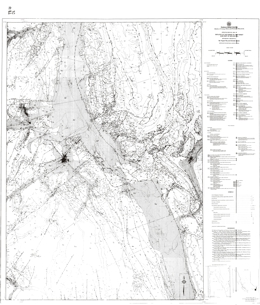 |
Open File 1988-14 is a compilation at 1:100 000-scale of the geology of the Fernie West-half map sheet and the eastern edge of the Nelson East-half sheet in southeastern British Columbia. It includes data from published and unpublished geological mapping by the authors, published maps by the Geological Survey of Canada and unpublished maps by mineral exploration companies. Also included on separate sheets are ten cross sections and a list of the 143 mineral occurrences and deposits in the area.
Fernie West-half straddles the Rocky Mountain Trench with the fold and thrust belt of the Rocky Mountains on the east and the Purcell anticlinorium on the west. The map emphasizes the geology of the Purcell Supergroup. The most important deposit in the area is the Sullivan, a massive sulphide, clastic-hosted lead-zinc-silver deposit. Other significant deposits include numerous silver and gold veins and the gold placer camps on Wild Horse River and Moyie River. Many of the occurrences carry copper, often with precious metals. Industrial minerals that are potentially important in the area include magnesite, graphite gypsum, dolomite, limestone and phosphates. Copper-gold mineralization may be associated with the Cretaceous alkalic intrusions and skarn mineralization is possible.
The area is underlain by a varied sequence of strata. The oldest are rocks of the Helikian Purcell Supergroup and the following formations are represented: Fort Steele, Aldridge, Creston, Kitchener and Sheppard, Dutch Creek and Phillips and Gateway, Mount Nelson and Roosville. The Moyie sills cut the sequence. The Toby conglomerate represents the Hadrynian Windermere Supergroup. Paleozoic strata range in age from Lower Cambrian to Permian. Strata that the crop out are the: Eager and Cranbrook Formations, Elko and Gordon Formations, Tanglefoot unit, Jubilee Formation, McKay Group, Wonah Formation, Beaverfoot Formation, �Basal Devonian unit�, Fairholme Group, Palliser Formation, Banff and Exshaw Formations, Rundle Group, and Rocky Mountain Group. Mesozoic rocks that occur include the Triassic Spray River Group, Jurassic and the Cretaceous Fernie Group and Kootenay Formation. Upper Cretaceous monzonite, quartz monzonite and granodiorite intrusions occur.
West of the Rocky Mountain Trench the structural fabric of the countryside is northwesterly. East of the Trench the Rocky Mountain fold and thrust belt dominates the structural fabric. |
| Issue ID: | OF1988-15 |
| Title: | Tertiary Stratigraphy and Industrial Minerals, Merritt Basin, Southern British Columbia (NTS 92I/1, 2) |
| Author(s): | Read, P.B. |
| Series Name: | Open File |
| Publication Year: | 1988 |
| Scale: | 1:25000 |
| NTS Map Sheet(s): | 092I/1, 2 |
| Place Keyword(s): | British Columbia, Southcentral British Columbia, Merritt Basin |
| Lat/Long (NSWE): | 50.217, 50.05, -120.9, -120.483 |
| Theme Keyword(s): | Geology, Industrial Mineral Potential, Coal Potential, Tertiary Stratigraphy, Bedrock Geology |
Download(s):
| PDF |
Abstract:
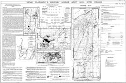 |
Open File 1988-15 presents the geology, stratigraphy, coal and industrial mineral potential of the Merritt basin (NTS 92I/1, 2) in south-central British Columbia. It comprises two geological maps - Merritt Basin at 1:50 000 scale with 1:25 000 scale detail of the coal deposit area, and Quilchena Outlier at 1:25 000 scale, compiled on a single sheet. The accompanying notes provide detailed descriptions of bentonite occurrences of potential economic significance.
Bentonite-rich zones up to eight metres in thickness occur near coal seams in the Quilchena and Guichon valleys. Two tables provide location details for four bentonite occurrences and exchangeable cation analyses on selected samples.
The oldest rocks exposed in the area are aphyric to augite phyric andesite to basalt flows and crystal lithic tuffs of the Upper Triassic Nicola Group. These are cut by fine to medium grained diorites of uncertain age, and Jurassic quartz monzonite to granodiorite intrusions.
The Merritt basin contains a wedge of Eocene volcanic rocks that underlie Eocene sedimentary cover rocks. The basin is broken into three parts by northerly trending normal (?) faults. The western segment underlies the lower end of Guichon valley to Lower Nicola, the central segment is around and east of Merritt, and the eastern segment is underlies the lower part of Quilchena valley.
Princeton Group rocks in the basin are of Middle Eocene age and are subdivided into the Cedar and Coldwater formations. The Cedar Formation consists of lower flows and volcanic breccia that give way upward to dacite, andesite and basalt flows, breccia and minor tuff, then rhyolite flows and breccia. The Coldwater Formation has a lower section of sandstone, pebble conglomerate, siltstone, shale and rare coal that is overlain by white to buff-weathering sandstone and pebble conglomerate with local siltstone and shale and rare coal. The upper unit contains grey shale, carbonaceous shale, minor coal and rare bentonite. Bentonite zones up to 8 metres thick occur near coal seams in Quilchena and Guichon valleys.
This open file presents current data from an ongoing investigation of industrial minerals in Tertiary basins, funded by Canada/British Columbia Mineral Development Agreement. |
| Issue ID: | OF1988-16 |
| Title: | Geology of the Relay Mountain Area (NTS 92O/2W, 92O/3E) |
| Author(s): | Umhoefer, P.J., Garver, J.I. |
| Series Name: | Open File |
| Publication Year: | 1988 |
| Scale: | 1:20000 |
| NTS Map Sheet(s): | 092O/2W, 092O/3E |
| Place Keyword(s): | British Columbia, Relay Mountain Area |
| Lat/Long (NSWE): | 51.03, 51.039, -123.172, -122.828 |
| Theme Keyword(s): | Geology, Bedrock Geology |
Download(s):
| PDF |
Abstract:
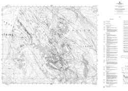 |
Open File 1988-16 is a 1:20 000 scale geological map of the Relay Mountain area (NTS 92O/2W and 92O/3E). It covers approximately 300 square kilometres within the Chilcotin Mountains, 200 kilometres north of Vancouver, British Columbia. The area is underlain by fossiliferous, dominantly marine sedimentary strata of Mesozoic age. At least two phases of deformation are evident within a zone of northwesterly trending right-lateral strike-slip faulting and older thrust faults and folds. The resulting complex structural pattern is outlined on the geological map by structural measurements and the distribution of well-defined stratigraphic units.
The oldest rocks exposed in the area comprise the Tyaughton Group, which is of Norian age. The lowest �Red beds� unit consists of conglomerate and conglomeratic sandstone, and is overlain by limestone, then limestone conglomerate, conglomerate and green sandstone at the top. The overlying of Middle Jurassic to Lower Cretaceous Relay Mountain Group strata are the focus of this mapping project. The Group consists of shale, siltstone, calcarenite, greywacke, grit and some conglomerate. The Lower Cretaceous Taylor Creek Group consists of the Paradise Creek formation, the Dash conglomerate, the Lizard formation, and the Elbow Pass formation. The Paradise Creek formation is dominantly shale and siltstone turbidites; the Dash is a chert pebble conglomerate; the Lizard formation is mainly shale; the Elbow Pass is primarily grey green sandstone and conglomerate. The Upper Cretaceous Battlement Ridge Group consists of the Silverquick formation and the Powell Creek formation. The Silverquick is mainly pebble to cobble conglomerate; the Powell Creek consists of volcanic breccia, lapilli tuff with interbedded flows and epiclastic sediments. Miocene and/or Pliocene plateau basalts are locally extensive.
Intrusive rocks comprise Upper Cretaceous to Eocene hornblende plagioclase porphyries.
The structure of the area is dominated by northwest-trending high angle normal and reverse faults. A pronounced angular unconformity separates non-marine Upper Cretaceous from Lower Cretaceous marine units. Folding and thrusting have affected the older rocks, but only tilting and gentle folds occur in the younger strata.
The area covered has potential low grade gold and base metal deposits associated with intrusive rocks, and cinnabar, stibnite and/or scheelite occurrences associated with fault zones. |
| Issue ID: | OF1988-17 |
| Title: | Geology of the Marshall Lake Area (NTS 92J/15) |
| Author(s): | Gaba, R.G., Church, B.N. |
| Series Name: | Open File |
| Publication Year: | 1988 |
| Scale: | 1:20000 |
| NTS Map Sheet(s): | 092J/15 |
| Place Keyword(s): | British Columbia, Marshall Lake Area |
| Lat/Long (NSWE): | 51, 50.5, -122.6, -122 |
| Theme Keyword(s): | Geology, Bedrock Geology |
Download(s):
| PDF |
Abstract:
 |
Open File 1988-17, at 1:20 000 scale, depicts the geology of the Marshall Lake area in the southern part of the Shulaps Range, and part of Marshall Ridge in the northeast section of the Bridge River mining camp (B.C. Map Series 92J/098). Geology is plotted on a 1:20 000-scale base showing logging access roads (adjoins Open File 1988-18).
The rocks of the Marshall Lake area comprise a variety of Paleozoic, Mesozoic and Tertiary volcanic and sedimentary strata and igneous intrusions.
The Paleozoic Fergusson Group rocks are mainly recrystallized ribbon cherts with intercalated phyllites, schists and thin marble bands. The Upper Triassic Cadwallader Group consists in this area of the Pioneer and Hurley formations. The Pioneer formation is predominantly amygdaloidal basalt, pillow basalt, and breccias. Hurley formation rocks comprise volcanic breccias, polymictic conglomerates, sandstones, argillites and limestones. Tertiary lavas and hoodoo-forming pyroclastic deposits occur locally.
The Bralorne intrusions are small gabbro and diorite stocks mostly aligned along the Cadwallader break. Zircon from a coarse-grained phase near Gold Bridge yields a U-Pb date of 293�13 Ma, indicating that the intrusions are among the oldest rocks in the area. Lower Jurassic ultramafic rocks of the Shulaps complex comprise harzburgite, peridotite, dunite and serpentinized rocks. Listwanite alteration is associated with some faults. Upper Cretaceous Coast Plutonic complex diorite, granodiorite and granite form stocks and plutons. The Tertiary Rex Peak porphyry is a felsic phase of the Mission Ridge pluton.
The Bridge River mining camp, which is known principally for mesothermal gold-quartz vein mineralization, encompasses five for�mer mines including two large gold producers, Bralorne and Pioneer; three small producers, Wayside, Minto and Con�gress; and more than 60 surrounding mineral prospects. Other potential deposit types are veins with stibnite, mercury, and chromite in the ultramafic rocks. |
| Issue ID: | OF1988-18 |
| Title: | Geology of the Tommy Creek Area (NTS 92J/15) |
| Author(s): | Gaba, R.G., Church, B.N., Hanna, M., James, D. |
| Series Name: | Open File |
| Publication Year: | 1988 |
| Scale: | 1:20000 |
| NTS Map Sheet(s): | 092J/15 |
| Place Keyword(s): | British Columbia, Tommy Creek Area |
| Lat/Long (NSWE): | 50.9, 50.8, -122.4, -122.2 |
| Theme Keyword(s): | Geology, Bedrock Geology |
Download(s):
| PDF |
Abstract:
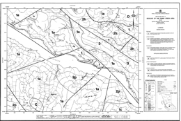 |
Open File 1988-18 depicts the geology at 1:20 000 scale of the Marshall Ridge-Rex Peak area, which is adjacent to Carpenter Lake and the Tommy Creek - Keary Creek area (B.C. Map Series 92J/088) in the eastern part of the Bridge River mining camp. Geology is plotted on a 1:20 000-scale base map showing logging access roads. The area adjoins the area covered by Open File 1988-17.
The rocks of the Tommy Creek area comprise a variety of Paleozoic, Mesozoic and Tertiary volcanic and sedimentary strata and igneous intrusions.
The Paleozoic Fergusson Group rocks are mainly recrystallized ribbon cherts with intercalated phyllites, schists and thin marble bands. The Upper Triassic Cadwallader Group consists in this area of the Pioneer and Hurley formations. The Pioneer formation is predominantly amygdaloidal basalt, pillow basalt, and breccias. Hurley formation rocks comprise volcanic breccias, polymictic conglomerates, sandstones, argillites and limestones. Tertiary lavas and hoodoo-forming pyroclastic deposits occur locally.
The Bralorne intrusions are small gabbro and diorite stocks mostly aligned along the Cadwallader break. Zircon from a coarse-grained phase near Gold Bridge yields a U-Pb date of 293�13 Ma, indicating that the intrusions are among the oldest rocks in the area. Lower Jurassic ultramafic rocks of the Shulaps complex comprise harzburgite, peridotite, dunite and serpentinized rocks. Listwanite alteration is associated with some faults. Upper Cretaceous Coast Plutonic complex diorite, granodiorite and granite form stocks and plutons. The Tertiary Rex Peak porphyry is a felsic phase of the Mission Ridge pluton.
The Bridge River mining camp, which is known principally for mesothermal gold-quartz vein mineralization, encompasses five for�mer mines including two large gold producers, Bralorne and Pioneer; three small producers, Wayside, Minto and Con�gress; and more than 60 surrounding mineral prospects. Other potential deposit types are veins with stibnite, mercury, and chromite in the ultramafic rocks. |
| Issue ID: | OF1988-19 |
| Title: | Talc and Pyrophyllite in British Columbia |
| Author(s): | MacLean, M.E. |
| Series Name: | Open File |
| Publication Year: | 1988 |
| NTS Map Sheet(s): | 082;083;092;093;094;102;103;104;114 |
| Place Keyword(s): | British Columbia |
| Lat/Long (NSWE): | 60, 48, -139, -114 |
| Theme Keyword(s): | Geology, Talc, Pyrophylite, Exploration |
Download(s):
| PDF |
Abstract:
 |
Open File 1988-19 is a report on talc and pyrophyllite in British Columbia. The purpose of this report is to aid prospectors and the industry in the discovery and development of the local talc resources to replace the present imported product. There are many ultramafic belts in British Columbia which are ideal settings for a higher purity talc deposit. The number of known talc occurrences, together with favourable geology and laboratory research, indicated that talc meeting the industry's standards can be produced in British Columbia. This report outlines the known occurrences of talc and pyrophyllite in British Columbia, and provides information and references that will be useful as guides to exploration. |
| Issue ID: | OF1988-20 |
| Title: | Geology of the Silver King - Mount Cronin Area, Babine Range, British Columbia (NTS 93L/15) |
| Author(s): | MacIntyre, D.G., Desjardins, P.J. |
| Series Name: | Open File |
| Publication Year: | 1988 |
| Scale: | 1:20000 |
| NTS Map Sheet(s): | 093L/15 |
| Place Keyword(s): | British Columbia, Silver King - Mount Cronin Area, Babine Range |
| Lat/Long (NSWE): | 55, 54.875, -127, -126.75 |
| Theme Keyword(s): | Geology, Bedrock Geology |
Download(s):
| PDF |
Abstract:
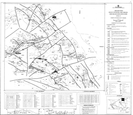 |
Open File 1988-20 presents the geology of the Silver King-Mount Cronin area (NTS 93L/15) of the Babine Range at 1:20 000 scale. The map area is located approximately 20 kilometres east of Smithers in went-central British Columbia and covers part of the Babine Range between Little Joe and Reiseter creeks. Rocks in the area include the Early to Late Jurassic Hazelton Group, the Middle to Late Jurassic Bowser Lake Group, the Early Cretaceous Skeena Group and the Late Cretaceous Kasalka Group. Rhyolite, feldspar porphyry, diorite and andesite dykes and plugs cut these rocks. The map includes a legend and cross sections, as well as a table of rock geochemical analyses for altered and mineralized samples collected from the area in 1987, and a table of regional geochemical silt sample analyses.
The oldest rocks exposed are mainly lapilli and crystal tuff, volcanic breccia, and andesite flows of the Telkwa Formation of the Lower to Middle Jurassic Hazelton Group. These are overlain by augite phyric basalts with epiclastic or tuff interbeds that grade up section into calcareous siltstone and pebble conglomerate of the Nilkitkwa Formation, then glauconitic siltstone, sandstone and pebble conglomerate of the Smithers Formation. Over these are Middle to Late Jurassic black shale, siltstone, quartzose wacke and pebble conglomerate of the Ashman Formation of the Bowser Lake Group. Early Cretaceous polymictic pebble conglomerate with sandstone and shale interbeds comprise the Red Rose Formation of the Skeena Group. Overlying rocks of the Late Cretaceous Brian Boru Formation of the Kasalka Group are subdivided into a lower division that begins with conglomerate and sandstone then records the onset of volcanism with deposition of lahars, augite porphyritic basalt, lapilli tuff and andesitic rocks. The upper division is also dominantly volcanic. It consists of volcanic breccia, lapilli tuff, crystal tuff, and hornblende-feldspar phyric andesite. Late Cretaceous to Tertiary siltstone, argillite and conglomerate beds overlie the older rocks.
Intrusive rocks are primarily of Late Cretaceous to Tertiary age. They are variably basalt or andesite, diorite, quartz diorite to granodiorite, or rhyolite to dacite.
Mapping has delineated major faults that bound and offset an area of Late Cretaceous to Tertiary volcanic and sedimentary rocks. These rocks are preserved in a series of tilted fault blocks that are interpreted to be part of a major cauldron subsidence complex centered on Mount Cronin. The major mineral deposits in the area are silver-gold-bearing base metal rich veins such as the old Cronin mine, and the Debenture, Silver King and Lorraine prospects. |
| Issue ID: | OF1988-21 |
| Title: | Bedrock Geology of the Kinuseo Creek Area, Northeast British Columbia (NTS 93I/15) |
| Author(s): | Kilby, W.E., Johnston, S.T. |
| Series Name: | Open File |
| Publication Year: | 1988 |
| Scale: | 1:50000 |
| NTS Map Sheet(s): | 093I/15 |
| Place Keyword(s): | British Columbia, Northeastern British Columbia, Kinuseo Creek Area |
| Lat/Long (NSWE): | 55, 54.75, -121, -120.5 |
| Theme Keyword(s): | Geology, Bedrock Geology |
Download(s):
| PDF |
Abstract:
 |
Open Files 1988-21 and 1988-22 depict the geology of an area with extensive coal and petroleum reserves with excellent potential for new discoveries. Open File 1988-21 presents the bedrock geology, at 1:50 000 scale, for the Kinuseo Creek area (93I/15) in northeastern British Columbia.
The maps were produced using semi-automated techniques. Data were obtained from a compilation of existing information followed up by field verification and fill-in mapping.
The oldest map units are undivided but are mainly Paleozoic carbonates. The Jurassic Fernie Formation consists of marine black shales. Lower Cretaceous rocks comprise the Minnes, Bullhead and Fort St. John groups. Minnes Group rocks are largely undivided but are characterized by thinly bedded sandstone, shale and coal. Overlying pebble conglomerate of he Cadomin Formation and conglomerate, sandstone, shale and coal of he Gething Formation comprise the Bullhead Group. Moosebar Formation grey marine shale; Gates Formation conglomerate, sandstone, shale and coal; Hulcross Formation dark marine shale; Boulder Creek Formation conglomerate, sandstone, shale and coal; and Shaftesbury Formation dark marine shale comprise the Fort St. John Group. Upper Cretaceous rocks are represented by the Smokey Group and the Wapiti Formation. The Smokey Group consists of sandstone, shale and coal of the Dunvegan Formation; dark marine shale of the Kaskapau Formation; sandstone of the Cardium Formation; grey marine shale of the Muskiki Formation; quartz sandstone of the Badheart Formation; concretionary grey marine shale of the Pushwaskau Formation; and grey marine sandstone of the Chungo Member. Non-marine conglomerate, sandstone, shale and coal comprise the Wapiti Formation.
The area straddles the foothills structural province. Shortening in the area was accommodated mainly by development of northwest trending box and chevron folds. No major faults occur in the area but minor thrusts are present.
Coal prospects are dominantly in the Gates Formation of the Fort St. John Group. An example of an operating mine in coal of this Formation is Quintette. |
| Issue ID: | OF1988-22 |
| Title: | Bedrock Geology of the Kinuseo Falls Area, Northeast British Columbia (NTS 93I/14) |
| Author(s): | Kilby, W.E., Johnston, S.T. |
| Series Name: | Open File |
| Publication Year: | 1988 |
| Scale: | 1:50000 |
| NTS Map Sheet(s): | 093I/14 |
| Place Keyword(s): | British Columbia, Northeastern British Columbia, Kinuseo Falls Area |
| Lat/Long (NSWE): | 55, 54.75, -121.5, -121 |
| Theme Keyword(s): | Geology, Bedrock Geology |
Download(s):
| PDF |
Abstract:
 |
Open Files 1988-21 and 1988-22 depict the geology, at 1:50 000 scale, of an area with extensive coal and petroleum reserves and excellent potential for new discoveries. Open File 1988-22 portrays the bedrock geology of the Kinuseo Falls area in northeastern British Columbia.
The maps were produced using semi-automated techniques. Data were obtained from a compilation of existing information followed up by field verification and fill-in mapping.
The oldest map units are undivided but are mainly Paleozoic carbonates. The Jurassic Fernie Formation consists of marine black shales. Lower Cretaceous rocks comprise the Minnes, Bullhead and Fort St. John groups. Minnes Group rocks are largely undivided but are characterized by thinly bedded sandstone, shale and coal. Overlying pebble conglomerate of he Cadomin Formation and conglomerate, sandstone, shale and coal of he Gething Formation comprise the Bullhead Group. Moosebar Formation grey marine shale; Gates Formation conglomerate, sandstone, shale and coal; Hulcross Formation dark marine shale; Boulder Creek Formation conglomerate, sandstone, shale and coal; and Shaftesbury Formation dark marine shale comprise the Fort St. John Group. Upper Cretaceous rocks are represented by the Smokey Group and the Wapiti Formation. The Smokey Group consists of sandstone, shale and coal of the Dunvegan Formation; dark marine shale of the Kaskapau Formation; sandstone of the Cardium Formation; grey marine shale of the Muskiki Formation; quartz sandstone of the Badheart Formation; concretionary grey marine shale of the Pushwaskau Formation; and grey marine sandstone of the Chungo Member. Non-marine conglomerate, sandstone, shale and coal comprise the Wapiti Formation.
The area straddles the foothills structural province. Shortening in the area was accommodated mainly by development of northwest trending box and chevron folds. No major faults occur in the area but minor thrusts are present.
Coal prospects are dominantly in the Gates Formation of the Fort St. John Group. An example of an operating mine in coal of this Formation is Quintette. |
| Issue ID: | OF1988-23 |
| Title: | Producing and Developing Thermal Coal Properties in British Columbia |
| Author(s): | Matheson, A. |
| Series Name: | Open File |
| Publication Year: | 1988 |
| NTS Map Sheet(s): | 082;083;092;093;094;102;103;104;114 |
| Place Keyword(s): | British Columbia |
| Lat/Long (NSWE): | 60, 49, -139, -114 |
| Theme Keyword(s): | Geology, Thermal Coal Properties, Producing and Developing Thermal Coal Properties |
Download(s):
| PDF |
Abstract:
 |
Open File 1988-23 discusses producing and developing thermal coal properties in British Columbia. This report examines the variability of BC's coal and how this resource can meet a large spectrum of market demands. The total in situ reserve and resource figure for thermal coal in British Columbia is 12.14 billion tonnes, almost 30 per cent of the entire provincial coal resource. At present, major coal production is from two areas in the province, the southeast and the northeast. Limited production is also obtained from Vancouver Island. |
| Issue ID: | OF1988-24 |
| Title: | Mineral Resources of the Alberni Region Vancouver Island, British Columbia (NTS 92C, 92F) |
| Author(s): | Sutherland-Brown, A. |
| Series Name: | Open File |
| Publication Year: | 1988 |
| Scale: | 1:50000 |
| NTS Map Sheet(s): | 092C, 092F |
| Place Keyword(s): | British Columbia, Southern Vancouver Island, Alberni Region, Parksville, Bamfield |
| Lat/Long (NSWE): | 49.5, 48.45, -125.15, -124 |
| Theme Keyword(s): | Geology, Mineral Resources, LITHOPROBE, Geophysical Investigations, Geochemistry |
Download(s):
| PDF |
Abstract:
 |
Open File 1988-24, "Mineral Inventory of the Alberni region, Vancouver Island, British Columbia", is the product of an office study undertaken to augment the field mapping program that was part of the
LITHOPROBE study of southern Vancouver Island. This project was intended to investigate the third dimension in an area with an active subduction zone. It is a coordinated series of geophysical, geological and geochemical investigations undertaken by government, university and industry geoscientists. There are four vibroseismic profiles on southern Vancouver Island with the principal one a transect across the island from near Parksville to Bamfield and one of the others along the Nitinat valley. The study relied mainly on assessment reports, MINFILE and minor incidental field visits. The British Columbia Geoscience Research Grant Program provided funds to support the study. The project included 1:50 000 mapping of the following areas: Little Nitinat River (92C/15), Alberni Inlet (92C/14), Horne Lake (92F/7), the Vancouver Island part of Parksville (92F/8), and part of Barkley Sound (92C/14) and Nanaimo lakes (92F/1). |
| Issue ID: | OF1988-25 |
| Title: | Geology of the Tulameen Ultramafic Complex |
| Author(s): | Nixon, G.T. |
| Series Name: | Open File |
| Publication Year: | 1988 |
| Scale: | 1:25000 |
| NTS Map Sheet(s): | 092H/7,10 |
| Place Keyword(s): | British Columbia, Tulameen area |
| Lat/Long (NSWE): | 49.567, 49.376, -120.95, -120.75 |
| Theme Keyword(s): | Geology, Ultramafic Complex, Bedrock Geology |
Download(s):
| PDF |
Abstract:
 |
Open File 1988-25 is geological map (1:25 000) of the Tulameen ultramafic complex (92H/7, 10) that was completed during the initial phase of the Geological Survey Branch ultramafic program that has long-term goals directed towards an understanding of the platinum group mineral potential of ultramafic and mafic rocks in British Columbia. The map includes a compilation of previous work and a new interpretation of the structure of the complex and its relationships with host Nicola Group. Previously known and newly discovered sulphide and magnetite occurrences are indicated, together with the distribution and structure of platiniferous chromitite horizons within the dunite core. This map is a contribution to the Canada/B.C. Mineral Development Agreement.
The Tulameen complex was emplaced into metasedimentary and intermediate to felsic metavolcanic lithologies of the western facies of the Upper Triassic Nicola Group. The Complex and its host rocks are unconformably overlain by sedimentary and volcanic sequences of the early Tertiary Princeton Group, and Miocene plateau lavas.
The Tulameen ultramafic complex consists primarily of dunite, olivine clinopyroxenite, hornblende clinopyroxenite and gabbroic rocks. Dunite is restricted to the northern part of the complex. Olivine clinopyroxenite envelopes the dunite core and extends southward. Breccia bodies occur within this unit. Hornblende clinopyroxenite occurs generally at the periphery of the complex. Gabbroic rocks are most abundant along the eastern side of the complex.
The structural fabric of the area is north-northwest with westward dipping foliation. The Tulameen complex is elongated and concordant with the structural grain. The east margin of the dunite is faulted and cataclastically deformed. Contacts between the dunite and olivine clinopyroxenite may be a thrust fault. A high angle fault is marked by a mylonite zone at the contact between the pyroxenite and mappable gabbroic rocks. It is apparently a reverse fault.
Chromite-magnetite occurrences in the area may contain platinum group elements. Chromite schlieren occur within the dunite but their distribution is poorly known. Magnetite layers also have PGE potential. Platinum has been recovered from gold placer deposits in watercourses draining the Tulameen complex. |
| Issue ID: | OF1988-26 |
| Title: | Industrial Mineral Potential of Kyanite and Garnet in British Columbia |
| Author(s): | Pell, J. |
| Series Name: | Open File |
| Publication Year: | 1988 |
| Scale: | 1:250000 |
| NTS Map Sheet(s): | 092H/7,10 |
| Place Keyword(s): | British Columbia |
| Lat/Long (NSWE): | 57, 49, -132, -116 |
| Theme Keyword(s): | Geology, Industrial Mineral Potential, Kyanite, Garnet, Industrial Mineral Potential Kyanite and Garnet |
Download(s):
| PDF |
Abstract:
 |
Open File 1988-26 is a report on industrial mineral potential of kyanite and garnet in British Columbia. Mapping is done at 1:250000 scale. Within British Columbia, rocks containing garnet and kyanite group minerals are mainly distributed in two linear belts, the Omineca crystalline belt and the Coast Mountain belt; however, within these areas, strata which are sufficiently pelitic to contain major concentrations of these minerals are sporadically distributed. Within the Omineca Belt, garnet and kyanite - enriched strata are found in the Nelson map area (82F), the Vernon map area (82L), the Seymour Arm area (82M), the Canoe River map area (83D) of south - central British Columbia, and in the Mesilinka area (94C) further north. Garnet and kyanite - enriched strata in the Coast Mountain belt are found in the vicinity of Hope -Yale - Harrison Lake - Lytton (92H and I) and in the Prince Rupert - Skeena - Douglas Channel area (1036, H, 1 , J ). Garnet and andalusite are also present in the Insular Belt on southern Vancouver Island (920, C ). Strata within these areas locally contain in excess of 10 to 15 percent kyanite group minerals and in excess of 25 percent almandine garnet which are potentially economically interesting concentrations. The economic viability in terms of accessibility, tonnage and beneficiation potential has not been determined. Although not addressed in detail, the potential also exists for secondary placer accumulations to be present in the vicinity of hard rock showings. |
| Issue ID: | OF1988-27 |
| Title: | Sand and Gravel Study 1985, Transportation Corridors and Populated Areas |
| Author(s): | Hora, Z.D. |
| Series Name: | Open File |
| Publication Year: | 1988 |
| NTS Map Sheet(s): | 082;083;092;093;094;102;103;104;114 |
| Place Keyword(s): | British Columbia |
| Lat/Long (NSWE): | 60, 49, -139, -114 |
| Theme Keyword(s): | Geology, Sand and Gravel, Transportation Corridors, Populated Areas |
Download(s):
| PDF |
Abstract:
 |
Open File 1988-27 is a study of sand and gravel for transportation corridors and populated areas in British Columbia. |
| Issue ID: | OF1988-28 |
| Title: | Magnetite Occurrences in British Columbia |
| Author(s): | Hancock, K.D. |
| Series Name: | Open File |
| Publication Year: | 1988 |
| Scale: | 1:2000000 |
| NTS Map Sheet(s): | 082;083;092;093;094;102;103;104;114 |
| Place Keyword(s): | British Columbia |
| Lat/Long (NSWE): | 60, 48, -139, -114 |
| Theme Keyword(s): | Geology, Magnetite Occurrences |
Download(s):
| PDF |
Abstract:
 |
Open File 1988-28 is a report on magnetite occurrences in British Columbia. Mapping is done at 1:2000000 scale. |
| Issue ID: | OF1988-29 |
| Title: | Tertiary Stratigraphy and Industrial Minerals, Fraser River, Lytton to Gang Ranch, British Columbia (NTS 92I/5, 12, 13; 92J/16; 92O/1, 8; 92P/4) |
| Author(s): | Read, P.B. |
| Series Name: | Open File |
| Publication Year: | 1988 |
| Scale: | 1:50000 |
| NTS Map Sheet(s): | 092I/5, 12, 13; 092J/16; 092O/1, 8; 092P/4 |
| Place Keyword(s): | British Columbia, Fraser River, Lytton to Gang Ranch |
| Lat/Long (NSWE): | 51.386, 50.3, -122.313, -121.632 |
| Theme Keyword(s): | Geology, Industrial Minerals, Tertiary Basins, Bedrock Geology, Tertiary Stratigraphy and Industrial Minerals |
Download(s):
| PDF |
Abstract:
 |
Open File 1988-29 presents current data from an ongoing investigation of industrial minerals in Tertiary basins, funded by the Canada/British Columbia Mineral Development Agreement. It comprises 1:50 000 scale geological maps of the area of Tertiary volcanic and sedimentary rocks outcropping along the Fraser River fault system between the Stein River and China Gulch (92I/05, 12, 13; 92O/01, 08; 92P/04), that is along the Fraser River from Lytton to the Gang Ranch.
The accompanying notes provide detailed descriptions of seven bentonite occurrences, five zeolite occurrences and five occurrences of volcanic glass (one of them perlite) having potential economic significance. Data on exchangeable cation capacity values for selected samples are included. Important new information correlating the ward Creek and Fountain Valley assemblages with rocks assigned to the Spences Bridge Group is based on a number of new radiometric and palynological dates.
Eocene and older rocks in the area are sliced into slivers and wedges by the Fraser and Yalakom fault systems. Several areas previously mapped as Eocene, are now reassigned to the Lower Cretaceous Spences Bridge Group. Lower Cretaceous volcanics are selectively amygdaloidal, and complexly jointed and veined, whereas Eocene volcanics are vesicular, simply jointed and unveined. Two fault-separated blocks are separated by a middle wedge. The eastern block and middle wedge have similar Eocene volcanics and Lower Cretaceous sediments and volcanics. The western block lacks Eocene rocks and Lower Cretaceous volcanics.
The oldest rocks in the eastern block are Pavillion beds or western facies of the Cache Creek complex consists dominantly of basic flows, breccia and tuff and grey phyllite to ribbon chert. It is intruded by the metadiorite of the Late Jurassic Tiffin Creek stock and by post-kinematic diorite to granodiorite plutons. Only plagiphyric flows and breccia represent the Spences Bridge Group. Aphanitic grey breccia, bentonitic andesite and white rhyolite breccia and flows of Middle Eocene age are locally preserved.
In the middle wedge, the oldest rocks are Lower Cretaceous conglomerate to argillite that underlie volcanics. The Eocene succession consists mainly of varicoloured aphanitic volcanics of andesite to rhyolite composition that underlie a distinctive volcanic conglomerate and bentonitic siltstone and shale.
Industrial minerals in the map area are confined to Eocene rocks. Perlite and volcanic glass localities are located in the volcanic rocks. Bentonite-bearing lenses occur in probable waterlain andesite breccia or there are bentonite-bearing siltstones and shales. Zeolites replace waterlain rhyolite ash, tephra or tuffaceous arenites. |
| Issue ID: | OF1988-30 |
| Title: | Tertiary Stratigraphy and Industrial Minerals, Cache Creek Map Area, Southwestern British Columbia (NTS 92I/14) |
| Author(s): | Read, P.B. |
| Series Name: | Open File |
| Publication Year: | 1988 |
| Scale: | 1:50000 |
| NTS Map Sheet(s): | 092I/14 |
| Place Keyword(s): | British Columbia, Southwestern British Columbia, Cache Creek Map Area |
| Lat/Long (NSWE): | 51, 50.75, -121.5, -121 |
| Theme Keyword(s): | Geology, Tertiary Stratigraphy, Industrial Minerals, Bedrock Geology |
Download(s):
| PDF |
Abstract:
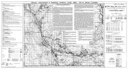 |
Open File 1988-30 presents the results of a field investigation of stratigraphy and industrial mineral occurrences in the Tertiary rocks of the Cache Creek map area (92I/14) that was funded by the Canada/British Columbia Mineral Development Agreement. Areas underlain by predominantly volcanic rocks of the Middle Eocene Kamloops Group extend northwards from Cache Creek along the valley of the Bonaparte River, eastwards through the Cache Creek Hills, and northwards again towards the Deadman River. The geology of these areas is presented at 1:50 000-scale.
Accompanying notes briefly describe the Tertiary stratigraphy and four zeolite occurrences in the basal tuffaceous lenses of the Kamloops Group. Data on exchangeable Ca, Na, K and Mg analyses, cation exchange capacity, and paleontological and radiometric dating are provided in three tables.
The Mid-Eocene Kamloops Group occupies an open northwesterly trending syncline. The Deadman River fault truncates the northeastern limb and the Bonaparte fault may truncate the southwest limb. Beyond the fault Eocene erosional remnants lie on a faulted basement of Cache Creek complex, Guichon Creek batholith and Ashcroft Formation rocks. The basal Eocene unconformity is very uneven, with paleorelief of nearly 600 metres.
Volcanic rocks dominate the Kamloops Group in the map area, albeit volcaniclastic sediments form local lenses. The oldest volcanism produced rhyolite and rhyodacite from local centres. In Cache creek, rhyolite breccia, tuff and quartz-biotite-feldspar porphyry are either extrusive or high level sub-volcanic and comprise an eruptive centre. Lenses of waterlain lithic and vitric-crystal tuff at the base are locally zeolitized east of Cache Creek. Most of the Kamloops volcanics are interfingering dacite to andesite flows and volcanic breccia.
Within a few hundred metres of the base of the Group, two cream-weathering lenses of tuffaceous and carbonaceous sediments and volcanic conglomerate crop out. Sandstone interlayers have a crystal and zeolitized ash component. Only these sedimentary lenses contain industrial minerals. Zeolites noted are heulandite-clinoptilite to heulandite on |
| Issue ID: | OF1988-32 |
| Title: | A Survey of the Placer Mining Industry of British Columbia |
| Author(s): | Faulkner, E.L., Gordon, B.A. |
| Series Name: | Open File |
| Publication Year: | 1988 |
| NTS Map Sheet(s): | 082;083;092;093;094;102;103;104;114 |
| Place Keyword(s): | British Columbia |
| Lat/Long (NSWE): | 60, 48, -139, -114 |
| Theme Keyword(s): | Geology, Placer Mining |
Download(s):
| PDF |
Abstract:
 |
Open File 1988-32 presents the results from a questionnaire mailed to placer miners active in British Columbia in 1985 and 1986. The purpose of the questionnaire was to obtain basic statistical information for placer miners and the placer mining industry in the province for the years 1981 to 1986, and some additional information for 1986. A total of 868 questionnaires were mailed and 343 returns were processed, for a response of 39.5 per cent. The returns show that the industry spent a an average of over $30.4 million per year during the
period, ranging from $25.4 million in 1984 to $37.0 million in 1982. In 1986, expenditures were over $26.2 million, with 94 per cent of this being spent in British Columbia. Using a round-figure multiplier of
two, placer miners were responsible for over $52 million in direct and indirect expenditures during the year. Approximately 3000 people worked on placer mines in 1986, with 90 per cent of these being British
Columbia residents. The industry was dominated in numbers by hand operations or small mechanized operations processing less than 40 cubic metres of gravel per day, and in expenditures by a small number of large operations processing 200 cubic metres or more per day. Five per cent of operations in fact accounted for approximately 50 per cent of expenditures in the years studied. |
| Issue ID: | OF1988-33 |
| Title: | Peatland Inventory of British Columbia |
| Author(s): | Maynard, D.E. |
| Series Name: | Open File |
| Publication Year: | 1988 |
| Scale: | 1:250000 |
| NTS Map Sheet(s): | 082;083;092;093;094;102;103;104;114 |
| Place Keyword(s): | British Columbia |
| Lat/Long (NSWE): | 60, 48, -139, -114 |
| Theme Keyword(s): | Geology, Peatland Inventory |
Download(s):
| PDF |
Abstract:
 |
Open File 1988-33 is a report of peatland inventory in British Columbia. |
| Issue ID: | OF1989-01 |
| Title: | Geology and Mineral Occurrences in North Newcombe Lake Map Sheet (NTS 93E/14) |
| Author(s): | Diakow, L.J., Drobe, J.R. |
| Series Name: | Open File |
| Publication Year: | 1989 |
| Scale: | 1:50000 |
| NTS Map Sheet(s): | 093E/14 |
| Place Keyword(s): | British Columbia, North Newcombe Lake Map Sheet, Central British Columbia, Interior Plateau |
| Lat/Long (NSWE): | 54, 53.792, -127.5, -127 |
| Theme Keyword(s): | Geology, Mineral Occurrences, Lithogeochemical Assay Data, Bedrock Geology |
Download(s):
| PDF |
Abstract:
 |
Open File map 1989-1 presents the geology and mineral occurrences of the North Newcombe Lake map sheet, NTS 093E/14 in the Interior Plateau of central British Columbia. The mapping was a contribution to the Canada/British Columbia Mineral Development Agreement, 1985-1990. Lithogeochemical assay data, moss mat geochemical and stream sediment geochemical results are tabulated.
The oldest rocks in the area are Lower Jurassic Telkwa Formation of the Hazelton Group. These consists predominantly of andesitic flows; ash, lapilli and accretionary lapilli tuffs; and rhyolite flows. The overlying Middle Jurassic Smithers Formation of the Hazelton Group consists of siltstone, arkosic sandstone and granule pebble conglomerate. The Ashman Formation of the Middle Jurassic Bowser Lake Group is also sedimentary, consisting of argillite, sandstone and minor sandstone.
The Lower Cretaceous Skeena Group has an older volcanic division and a younger sedimentary division. Andesitic flows of the lower division are commonly porphyritic and often amygdaloidal. Phenocrysts are plagioclase and pyroxene. Siltstone, argillite and micaceous sandstone comprise the sedimentary division. The Upper Cretaceous Kasalka Group also has volcanic and sedimentary components. Andesitic flows give way upward to basaltic flows and toward the top there are intraformational conglomerate beds with cobbles of volcanic rock and pink granite.
The Eocene Ootsa Lake Group consists of rhyolite flows and polymictic conglomerate with andesite and rhyolite clasts.
Quaternary alluvium and glacial till mantle much of the map area; outcrop is not abundant.
Many of the mineral occurrences are granite-related types: molybdenum mineralization in biotite monzonite, disseminated chalcopyrite and molybdenite in quartz monzonite porphyries or altered Lower Jurassic volcanic rocks, and stockwork quartz veins carrying chalcopyrite in granodiorites and adjacent hornfelsed Telkwa Formation volcanics. Other occurrences are in altered volcanic rocks with no clear tie to plutonic activity, such as disseminated magnetite and hematite in chlorite and epidote altered Telkwa andesite. Extensive Quaternary cover has hampered mineral exploration in the area. |
| Issue ID: | OF1989-02 |
| Title: | Geology of Kobau Group Between Oliver and Cawston, British Columbia (NTS 82E/4E) |
| Author(s): | Louis, P., Mader, U., Russell, J. |
| Series Name: | Open File |
| Publication Year: | 1989 |
| Scale: | 1:66667 |
| NTS Map Sheet(s): | 082E/4E |
| Place Keyword(s): | British Columbia, Between Oliver and Cawston |
| Lat/Long (NSWE): | 49.218, 49.176, -119.712, -119.593 |
| Theme Keyword(s): | Geology, Kobau Group, Bedrock Geology |
Download(s):
| PDF |
Abstract:
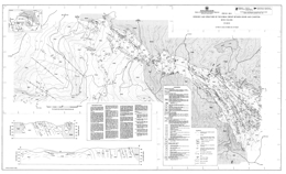 |
Open File 1989-2 describes the geology and structure of the Kobau Group between Oliver and Cawston (82E/4E). The geology map is at approximately 1:6667 scale and contains a legend, cross sections and descriptive notes. The Open File is a contribution to the Canada/British Columbia Mineral Development Agreement 1985-1990.
The Kobau Group consists of banded, foliated quartzite lithologies with minor intercalated mafic schists, and mafic schists with intercalated quartzite. Minor meta-carbonates and meta-volcanic flows occur within the quartzites and schists.
Pre-Early Jurassic dacite dikes are weakly to distinctly foliated. Two Jurassic intrusions cut the Kobau Group: the Fairview Granodiorite and the Oliver Granite. Other Jurassic intrusions include aplite dikes, small granitic, dioritic and mafic stocks; there are also Tertiary mafic dikes. The Oliver pluton is heterogeneous, varying from diorite to granite, quartz monzonite and syenite. The Fairview intrusion is more homogeneous.
The main deformation is pre-Jurassic and syn-kinematic metamorphism reached greenschist grade. At least three discrete folding events are recorded in the Kobau Group. The earliest are isoclinal, mesoscopic folds. The second phase produced tight to isoclinal folds and occurs on all scales. The third phase formed megascopic open buckle folds. A series of north-south, steeply inclined sinistral faults offset the lithology.
Quartz veins are ubiquitous in the metasedimentary rocks. Veins adjacent to the Fairview Granodiorite contact are auriferous. The Stemwinder gold mine exploited this kind of veining. |
| Issue ID: | OF1989-03 |
| Title: | Geology of Eldorado Mountain Area (NTS 92J/15; 92O/2) |
| Author(s): | Garver, J., Schiarizza, P.A., Umhoefer, P., Rusmore, M.E., Gaba, R.G. |
| Series Name: | Open File |
| Publication Year: | 1989 |
| Scale: | 1:20000 |
| NTS Map Sheet(s): | 092J/15; 092O/2 |
| Place Keyword(s): | British Columbia, Eldorado Mountain Area |
| Lat/Long (NSWE): | 51.06, 50.923, -123, -122.742 |
| Theme Keyword(s): | Geology, Bedrock Geology |
Download(s):
| PDF |
Abstract:
 |
The Open File describes the geology of the Eldorado Mountain area (92O/2; 92J/15). The geology map is at 1:20 000 scale and includes a legend, and a tectonostratigraphic legend. The Open File is a contribution to the Canada/British Columbia Mineral Development Agreement 1985-1990.
The oldest rocks exposed in the area comprise the Bridge River complex, which is of Permian (?) to Jurassic age. The structural complex consists of chert, metachert, clastic rocks, limestone, greenstone, blueschist-greenschist, and serpentinite. A serpentinite melange has tectonic inclusions of various Bridge River complex lithologies.
The Cadwallader Group consists of the upper Carnian to lower Norian Pioneer Formation, a transitional unit, and the lower Norian Hurley Formation. The Pioneer Formation consists predominantly of basaltic volcanic rocks; the transitional unit is mainly felsic tuffaceous sandstone and polymictic conglomerate; the Hurley Formation consists of fine grained sediments, sandstone and argillite, tuffaceous sandstone with conglomerate interlayers, mafic to intermediate volcanic rocks, and quartz-bearing plutonic rocks. Tyaughton Group, which is of middle to upper Norian age, has a basal �Red beds� unit that consists of conglomerate and conglomeratic sandstone, and is overlain by limestone, then limestone conglomerate, conglomerate and green sandstone at the top.
An unnamed Lower to Middle Jurassic sequence consists of sandstone, siltstone, conglomerate and calcareous shale. The overlying of Middle Jurassic to Lower Cretaceous Relay Mountain Group strata consist mainly of shale, siltstone, and some conglomerate.
The Lower Cretaceous Taylor Creek Group consists of the Dash conglomerate, and the Lizard formation. The Dash is mainly chert pebble conglomerate and sandstone; the Lizard formation is mainly sandstone and shale. Upper Cretaceous rocks include the Silverquick conglomerate, a transitional unit, and the Powell Creek volcanics. The Silverquick is mainly pebble to cobble conglomerate; the transitional unit consists of volcanic breccia, and conglomerate; and the Powell Creek volcanics consist of andesitic breccia, volcaniclastic sandstone, an some pyroxene porphyry flows.
Intrusive rocks comprise Upper Cretaceous and/or Tertiary felsic to intermediate porphyritic stocks and dikes, and quartz diorite to granodiorite bodies.
The structure of the area is dominated by northwest-trending high angle normal and reverse faults. A pronounced angular unconformity separates non-marine Upper Cretaceous from Lower Cretaceous marine units. Folding and thrusting have affected the older rocks, but only tilting and gentle folds occur in the younger strata.
The area covered has potential for gold and base metal deposits associated with intrusive rocks, and cinnabar, stibnite and/or scheelite occurrences associated with fault zones. |
| Issue ID: | OF1989-04 |
| Title: | Geology of the Tyaughton Creek Area (NTS 92J/15, 16; 92O/2) |
| Author(s): | Schiarizza, P.A., Gaba, R.G., Garver, J.I., Glover, J.K., Church, B.N., Umhoefer, P.J., Lynch, T., Sajgalik, P.P., Safton, K.E., Archibald, D.A., Calon, T., MacLean, M.E., Hanna, M.J., Riddell, J.M., James, D.A.R. |
| Series Name: | Open File |
| Publication Year: | 1989 |
| Scale: | 1:50000 |
| NTS Map Sheet(s): | 092J/15, 16; 092O/2 |
| Place Keyword(s): | British Columbia, Tyaughton Creek Area |
| Lat/Long (NSWE): | 51.067, 50.75, -123, -122.167 |
| Theme Keyword(s): | Geology, Mineral Potential, Bedrock Geology |
Download(s):
| PDF |
Abstract:
 |
Open File 1989-4 presents the geology and mineral potential of the Tyaughton Creek map area. The data is portrayed on two maps at 1:50 000 scale. The map area is largely underlain by partially coeval rocks of the Bridge River complex, the Cadwallader Group, and the Shulaps ultramafic complex. This geological map documents the lithological characteristics and distribution of these units, and the nature of the structures that separate them. It also shows elements of an important Late Cretaceous fault system that were traced into the area from the north and west, and provides further information on the structural and stratigraphic relationships of mid Cretaceous rocks within the region. The results of the mapping and related study are summarized as follows:
(1) The Bridge River complex comprises structurally imbricated chert, greenstone, limestone, clastic rocks, gabbro and serpentinite; it is at least in part Middle Triassic to Early Jurassic in age. Gabbro occurs locally as sheeted dykes, corroborating the oceanic origin suggested by the predominant lithologies. The local importance of clastic rocks, limestone beds and limestone olistoliths suggests derivation from a topographically diverse basin or basins, perhaps in a back-arc or marginal ocean basin setting. Most of the complex is at prehnite-pumpellyite metamorphic grade and is characterized by pervasive brittle faulting. Pre-Middle Cretaceous blueschist-facies metamorphism in the Eldorado Mountain area suggests that deformation and metamorphism in part occurred in a subduction zone. Predominantly greenschist-facies metamorphism characterizes the Bridge River complex where it is structurally imbricated with the Shulaps ultramafic complex.
(2) The Cadwallader Group comprises pillowed and massive greenstone of the Pioneer Formation and overlying conglomerate, sandstone and shale of the Hurley Formation. It is Late Triassic in age and therefore coeval with parts of the Bridge River complex. In the Eldorado Mountain area it is juxtaposed against the Bridge River complex across north-northeast-trending faults that predate the Castle Pass strike-slip fault and may also predate mid Cretaceous compressional structures. In the Shulaps Range it is penetratively deformed, metamorphosed, and thrust-imbricated with rocks of the Bridge River complex and Shulaps ultramafic complex.
(3) The Shulaps ultramafic complex includes a harzburgite unit with a mantle tectonite fabric, together with structurally underlying serpentinite melange, which contains elements of the ultramafic cumulate to volcanic section of an ophiolite assemblage. The serpentinite melange is thrust-imbricated with rocks of the Bridge River complex and Cadwallader Group. Structures preserved within this thrust zone suggest a complex history of deformation and metamorphism that in part predates movement on the bounding Marshall Creek fault zone. Final uplift and cooling, however, may have been coincident with Late Cretaceous strike-slip faulting on the Yalakom-Marshall Creek system.
(4) The tectonic juxtaposition of the Shulaps ultramafic complex, the Bridge River Complex and the Cadwallader Group represents an important event in the accretionary history of the western Cordillera. Several lines of indirect evidence suggest that the initial juxtaposition occurred in Middle Jurassic time. The preliminary results of our 1988 mapping program provide only a pre-Middle Cretaceous age for this event; dating presently in progress may provide further constraints.
(5) Deposition of the late Early Cretaceous Taylor Creek Group was coincident with the onset of regional compressional tectonism. Clasts within the Taylor Creek Group provide the first evidence of uplift and erosion of the Bridge River complex, while clasts in the overlying Silverquick conglomerate were derived from both the Bridge River complex and Cadwallader Group Furthermore, the Taylor Creek Group is the oldest unit within the Tyaughton basin that is documented to sit unconformably above Bridge River basement. This suggests the possibility that thrust imbrication (and accretion?) of the Bridge River and Cadwallader terranes was predominantly a late Early Cretaceous event.
(6) The map area is cut by a northwest-trending system of dextral strike-slip faults that was active in Late Cretaceous time. Northerly trending splays of the Relay Creek-Marshall Creek fault system connect with the Yalakom fault system to define a large-scale extensional duplex structure. This fault system steps across and bounds the northwestern margin of the Shulaps ultramafic complex at its southeastern end. In contrast to the extensional zone to the northwest, the Shulaps complex may have been deformed and uplifted during Late Cretaceous movement on the bounding strike-slip fault systems.
(7) Metallic mineral concentrations are within or adjacent to strike-slip faults or associated structures, and have a close spatial relationship with plutons or dykes. The age of mineralization seems closely tied to igneous activity between Late Cretaceous and Early Tertiary time. The protracted history of mineralization and plutonism combined with differential uplift across faults has led to the juxtaposition of deposits of contrasting structural level and local inconsistencies in the pattern of regional metal zoning documented by Woodsworth et al. (1977).
The map area straddles the northern part of the Bridge River mining camp, which is British Columbia�s foremost historical gold producer from low sulphide mesothermal quartz veins. Other known and potential deposit types in the area are copper-molybdenum porphyries, pluton-associated high sulphide auriferous veins, skarns, scheelite-stibnite or stibnite-only veins, gold-silver polymetallic veins, epithermal gold-silver veins and cinnabar veins and disseminations. |
| Issue ID: | OF1989-05 |
| Title: | Lode Gold - Silver Occurrences of the Okanagan Region, South Central British Columbia (NTS 82E/W; 82L/SW) |
| Author(s): | Meyers, R.E., Taylor, W.A., Templeman-Kluit, D. |
| Series Name: | Open File |
| Publication Year: | 1989 |
| Scale: | 1:250000 |
| NTS Map Sheet(s): | 082E/W; 082L/SW |
| Place Keyword(s): | British Columbia, Southcentral British Columbia, Okanogan Region |
| Lat/Long (NSWE): | 50.5, 49, -120, -118.75 |
| Theme Keyword(s): | Geology, Lode Gold-Silver Occurrences |
Download(s):
| PDF |
Abstract:
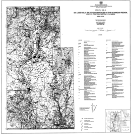 |
Open File 1989-05 looks at lode gold - silver occurrences of the Okanagan region, south-central British Columbia (82E/W; 82L/SW). Mapping is at 1:250000 scale. |
| Issue ID: | OF1989-06 |
| Title: | Geology of the Port Alberni - Nanaimo Lakes Area (NTS 92F/1W, 2E and part of 7E) |
| Author(s): | Massey, N.W.D., Friday, S.J., Riddell, J.M., Dumais, S.E. |
| Series Name: | Open File |
| Publication Year: | 1989 |
| Scale: | 1:20000 |
| NTS Map Sheet(s): | 092F/1W, 2E and part of 7E |
| Place Keyword(s): | British Columbia, Vancouver Island, Southern Vancouver Island, East of Alberni Inlet, Port Alberni - Nanaimo Lakes Area |
| Lat/Long (NSWE): | 49.367, 49, -124.833, -124.25 |
| Theme Keyword(s): | Geology, Mineral Potential, Bedrock Geology |
Download(s):
| PDF |
Abstract:
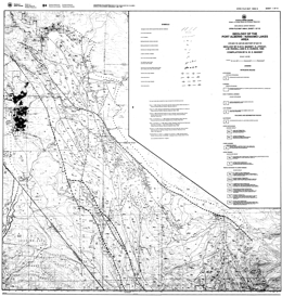 |
Open File 1989-6 covers the geology and mineral potential of the Alberni - Nanaimo Lakes map area, which is located on Vancouver island, to the east of Alberni Inlet and to the southeast of Port Alberni in southwestern British Columbia. It consists of 9 sheets; one sheet is a 1:50 000 scale compilation of the geology, one sheet contains the map legend, and one sheet shows mineral occurrences and geochemical sample locations and analyses for the area at 1:50 000 scale; the remaining sheets present the geology at 1:20 000 scale. The area lies at the southeastern end of the Vancouver Island Ranges and is characterized by fairly rugged topography with fault-line scarps and fault-controlled valleys that were accentuated by glaciation. The area covers the northwestern end of the Cowichan uplift, one of a series of major geanticlinal structures constituting the structural fabric of the Wrangellia terrane of Vancouver Island.
The oldest rocks in the Alberni - Nanaimo Lakes area belong to the Paleozoic Sicker and Buttle Lake groups which contain volcanic and sedimentary units ranging from Middle Devonian to Early Permian age. The Devonian Sicker Group is a thick package of lower greenschist metavolcanic and volcaniclastic rocks that formed in an oceanic island-arc environment The lowest unit is the Duck Lake Formation which comprises a suite of grey to maroon and green pillowed basalts and basaltic breccias with chert, jasper and cherty tuff interbeds near the top of the sequence. Well-bedded felsic tuffs and lapilli tuffs are associated with the cherts and jaspers. Massive dacite-rhyolite dikes and sills intrude the pillowed basalts. The pillowed basalts can be divided into two subunits on the basis of geochemistry. The apparently lowermost flows are tholeiitic with an affinity to enriched-type mid-ocean ridge basalts and probably represent the oceanic substrate upon which the Sicker arc developed. The uppermost lavas, and dacite intrusions, are of high-potassium calcalkaline chemistry and mark the initiation of arc construction. These two suites were not recognized nor distinguished in the field.
Overlying the Duck Lake Formation is the Nitinat Formation characterized by pyroxene-feldspar-porphyritic basalts and basaltic andesites. These typically occur as agglomerates, breccias, lapilli tuffs and crystal tuffs that formed as pyroclastic flows, debris flows and lahars. Pyroxene-phyric, amygdaloidal, pillowed and massive flows are also developed.
The Nitinat Formation passes upwards transitionally (over a thickness of about 150 m) into the McLaughlin Ridge Formation, a sequence of volcaniclastic sediments dominated by thickly bedded, massive tuffites and lithic tuffites, interbedded with thinly bedded tuffites and laminated tuffaceous sandstone, siltstone and argillite. The beds tend to form fining-upward cycles from tuffite to argillite, but overall the sequence becomes coarser towards the top with more frequent development of lithic tuffite and coarse pyroclastic horizons. The sequence probably formed as a volcaniclastic apron around a volcanic island and grades eastwards into more proximal volcanic-dominated facies in the Duncan area. The Nitinat and McLaughlin Ridge formations form a coherent suite of sodium-potassium calcalkaline chemistry typical of island arcs.
The Buttle Lake Group is made up of a dominantly epiclastic and bioclastic limestone sedimentary sequence ranging from Mississippian to Early Permian in age. This sedimentary package is apparently conformable on the underlying volcanics along the northeastern limb of the Cowichan uplift, for example, in the upper Cameron River valley and St Mary's Lake area, but is unconformable along the southwestern limb and in the Fourth Lake area.
The Fourth Lake Formation comprises mostly thin-bedded, often cherty sediments. These vary from green and red ribbon cherts, black cherty argillites, green and white cherty tuffs, grey and green siltstones and argillites, to thicker bedded green volcanic sandstones. The upper part of the formation is characterized by thinly bedded, turbiditic sandstone-siltstone-argillite intercalations, with some thicker beds of volcanic sandstone. These pass upwards into argillite-calcarenite interbeds at the top of the sequence.
The Mount Mark Formation conformably overlies and laterally interfingers with the Fourth Lake Formation. It consists of well-bedded bioclastic calcarenite and calcirudite with minor argillite and chert interbeds. The overlying St Mary's Lake Formation is sporadically preserved beneath the Triassic unconformity. It comprises clastic sediments varying from polymictic conglomerates to volcanic sandstones and argillites.
Rocks of the Upper Triassic Vancouver Group are exposed throughout the map area, flanking the Paleozoic core of the Cowichan uplift. The group is subdivided into a thick lower basaltic volcanic package (Karmutsen Formation) and a thin upper sedimentary package (Quatsino and Parson Bay formations). The lower Karmutsen Formation basalts rest unconformably on the underlying Paleozoic rocks. The basalts form pillowed flows, pillow breccias and hyaloclastite breccias interbedded with massive flows and sills. There is a tendency for the massive flows to dominate the sequence towards the top and the pillowed flows the lower parts. The Karmutsen Formation basalts show amydgule infillings and alteration assemblages typical of the prehnite-pumpellyite facies. The mafic bodies of the Mount Hall gabbro, intrusive into the Paleozoic rocks, are coeval and consanguineous with the Karmutsen Formation basalts. The basalts formed from an iron-titanium enriched tholeiitic magma, similar to continental tholeiite or enriched mid-ocean ridge basalt, probably in an oceanic flood-basalt province. Succeeding limestones, argillites and tuffaceous sediments of the Quatsino and Parson Bay formations are poorly developed in the map area.
All of the Paleozoic and Triassic sequences have been intruded by granodioritic stocks of the Early to Middle Jurassic Island Plutonic Suite. These bodies are usually elongate in shape, although the Fourth Lake stock is roughly circular. The intrusions are dominantly equigranular quartz diorite to granodiorite but show considerable lithological variation. The Corrigan pluton in particular is heterogeneous and composite, comprising a mix of diorite, quartz diorite, granodiorite and monzogranite phases with abundant minor intrusive dikes. Most of the large intrusive bodies are rich in inclusions, especially in marginal agmatitic intrusive breccias. Contact metamorphic aureoles are developed around the intrusions causing hornfelsing and skarning in Paleozoic rocks. A variety of dikes and small irregular intrusions that are probably coeval with the Island Plutonic Suite occur throughout the area. Lithologically they include intermediate feldspar porphyry, hornblende feldspar porphyry and minor diabase. The Jurassic intrusions form a metaluminous, medium to high-potassium calcalkaline suite typical of a convergent-margin environment.
Clastic sediments of the Upper Cretaceous Nanaimo Group lie unconformably on the older rocks. They are most thickly developed in the Alberni Valley, though only exposed around the margins due to Quaternary cover. The lower Benson Formation comprises basal conglomerates and overlying medium to coarse-grained sandstones. These are succeeded by the black argillites and siltstones of the Haslam Formation. Younger formations of the Nanaimo Group are absent.
Tertiary dacite porphyries of the Mount Washington Intrusive Suite occur throughout the area. Where the magma has penetrated the Nanaimo Group sediments, it has spread out laterally to form thick sills.
Southern Vancouver Island has a complex structural history with frequent rejuvenation of previous structures. All Paleozoic rocks are affected by a series of southeast trending, upright to overturned, southwest-verging folds. Associated schistosity and lineation are absent from most of the area, only occurring to the west of the Mineral Creek fault. Regional-scale warping of Vancouver Island occurred during the Early to Middle Jurassic, facilitating the emplacement of the Island Plutonic Suite intrusions and producing the geanticlinal Cowichan uplift. The present map pattern is dominated by the northwesterly trending contractional faults of the Tertiary Cowichan fold and thrust system. These are high angle reverse faults that become listric at mid-crustal levels. They generally place older rocks over younger. The deformation probably took place during the crustal shortening accompanying the formation and emplacement of the Pacific Rim and Crescent terranes out-board of Wrangellia. The north-trending Mineral Creek fault and associated northwest-trending faults, such as the Stokes fault, are subvertical with small, apparently sinistral offsets. They may have formed during minor extension accompanying late-stage post-contractional relaxation.
The Alberni - Nanaimo Lakes area has had a long history of mineral exploration and production, starting with small-scale placer-gold mining on China Creek in 1862. The localization of metal deposits in the area is controlled by the interplay of stratigraphy and spatial association with later intrusions and structures. Three major metallogenic epochs are recognized. Syngenetic mineralization occurred during the building of the Sicker arc. Oxide facies exhalites, such as the 900 zone of the Mineral Creek area, are found in the uppermost Duck Lake Formation. Sulphide facies equivalents are also found, although less commonly. Thin syngenetic manganese oxide beds and sulphidic argillites occur within the radiolarian cherts of the basal Fourth Lake Formation in the upper Shaw Creek area.
The Early to Middle Jurassic arc was characterized by epigenetic mineralization of various types and styles, spatially related to the Island Plutonic Suite intrusions. Copper-molybdenum veins and stockworks occur within intrusions and volcanic country rock. Production has been minor from these deposits but came from the Havilah and WWW mines. Rhodonite forms by contact metamorphism of manganiferous chert. Iron-copper-gold skarns are developed in calcareous tuffs and limestones of the Karmutsen and Quatsino formations, though are rare in Mount Mark lithologies. A stratiform auriferous hematite cap has developed on the top of the skarn on the Villalta property, probably formed by residual weathering during the middle Cretaceous.
Mesothermal gold-bearing quartz-carbonate veins are located along Tertiary structures and have been one of the main exploration targets in the area. Historic production has ensued from the Victoria, Thistle and Black Panther mines. Tertiary epigenetic quartz-arsenic-(antimony) veins are variably developed in dacite porphyry sills and Haslam Formation argillites on the Coal and Grizzly properties. |
| Issue ID: | OF1989-07 |
| Title: | Geology of the Scud River Area, Northwestern British Columbia (NTS 104G5/6) |
| Author(s): | Brown, D.A., Gunning, M.H. |
| Series Name: | Open File |
| Publication Year: | 1989 |
| Scale: | 1:50000 |
| NTS Map Sheet(s): | 104G5/6 |
| Place Keyword(s): | British Columbia, Northwestern British Columbia, Scud River Area |
| Lat/Long (NSWE): | 57.5, 57.25, -132, -131 |
| Theme Keyword(s): | Geology, Geochemistry, Mineral occurrences, Bedrock Geology |
Download(s):
| PDF |
Abstract:
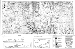 |
Open File 1989-7, the geology geochemistry and mineral occurrences of the Scud River area (105G/5 and 6), northwestern British Columbia, consists of two sheets at 1:50 000 scale.
The Paleozoic Stikine assemblage north of the Scud River comprises 6 mappable units. The lowest or �Basement� unit has a northern volcanic facies, which consists primarily of pyroxene-bearing volcaniclastic rocks, and a southern sedimentary facies, which consists of various clastic sediments and calcareous rocks. Above this is the �Siliceous� unit, which is mainly silicic to felsic tuff with lesser chert. A distinctive �Rusty Argillite� unit overlies the Siliceous unit with angular discordance, and is in turn overlain by the structurally disrupted �Limestone� unit. The Limestone unit is more than 1000 metres thick.
Middle Triassic sedimentary rocks unconformably overlie the Limestone unit but are overlain with structural conformity by Upper Triassic Stuhini Group rocks. The sequence consists mainly of chert and silicic mudstone. The Stuhini Group, which is of Upper Triassic age, consists mainly of augite-phyric basalt flows, sills and volcaniclastics. It crops out mainly as large blocks or pendants between intrusive rocks.
Four plutonic episodes are present. The oldest episode is Middle (?) to Late Triassic. It comprises the Nightout pluton, which is of granodiorite to monzo-diorite composition, the Mount Hickman ultramafic complex, which is an Alaskan-type ultramafic body that is mainly clinopyroxenite and olivine-clinopyroxenite but has a dunite core, and the Hickman pluton, which has three phases: a mafic phase, a heterogeneous main phase, and a megacrystic quartz diorite phase. The Early Jurassic suite consists of three small megacrystic intrusions of quartz monzonite to granite composition. The Middle Jurassic suite consists of a heterogeneous quartz diorite intrusion, a hornblende granodiorite intrusion and the Yehinko pluton, which is biotite-hornblende granite that is flesh to pink coloured. The Eocene suite comprises biotite granite and feldspar-porphyritic granodiorite intrusions and mainly felsic dykes.
Pre-Early Permian deformation and possibly lower greenschist grade metamorphism occur in the Stikine assemblage; metamorphism is sub-greenschist in the Stuhini Group.
Southwest-verging minor folds indicate pre-Triassic (?) southwest-directed compression. Faults show reverse, extensional and transverse motion. Strikes are northwest, north, northeast and west; dips are generally steep.
Multi-element geochemical anomalies were defined by the geochemical survey and two ultramafic bodies have nickel-cobalt anomalies.
There are nineteen known mineral occurrences and one major prospect in the area. The Schaft creek porphyry copper-molybdenum deposit is a major resource with reserves of 330 million tonnes at 0.40 per cent copper and 0.036 per cent molybdenum. Precious metal values are estimated at 0.32 grams gold and 1.5 grams silver per tonne. Other deposit types include alkalic copper-gold deposits, like Galore Creek, porphyry molybdenum copper deposits associated with Tertiary intrusions, boulders of semi-massive to massive pyrite with galena and chalcopyrite in vuggy quartz or quartz-carbonate veins, and polymetallic quartz veins in Stuhini Group rocks. |
| Issue ID: | OF1989-08 |
| Title: | Geology and Mineral Occurrences of the Galore Creek Area (NTS 104G/3, 4) |
| Author(s): | Logan, J.M., Koyanagi, V.M., D. Rhys |
| Series Name: | Open File |
| Publication Year: | 1989 |
| Scale: | 1:50000 |
| NTS Map Sheet(s): | 104G/3, 4 |
| Place Keyword(s): | British Columbia, Northwestern British Columbia, Galore Creek Area |
| Lat/Long (NSWE): | 57.25, 57, -132, -131 |
| Theme Keyword(s): | Geology, Mineral Occurrences, Bedrock Geology |
Download(s):
| PDF |
Abstract:
 |
Open File 1989-8 presents the geology and mineral occurrences of the Galore Creek map area (104G/03, 04) in northwestern British Columbia. It consists of two sheets; sheet 1 portrays the geology; sheet 2 lists MINFILE occurrences, highlights of a regional geochemical survey and isotopic age dating information.
The oldest exposures in the area are rocks of the Stikine assemblage. They consist mainly of Devonian (?), Mississippian and Permian bimodal flows and pyroclastics, interbedded carbonates and minor shale and chert. The Permian and older rocks are penetratively deformed and metamorphosed. Mississippian limestone consists of two members separated by a wedge of chert and phyllitic volcaniclastic rocks. The Permian section is characterized by two thick, extensive carbonate units.
Middle Triassic sediments lie with apparent conformity on the uppermost Permian limestone. The sequence consists of shales, argillites and calcareous siltstones overlain by a sequence dominated by cherty siltstones. The overlying Middle to Upper Triassic Stuhini Group comprises a variety of flows, tuffs, volcanic breccias, and sedimentary rocks. Andesitic flows, breccias, tuffs and lahars give way up section to pyroxene porphyry flows and fragmental rocks, well-bedded green and maroon lapilli-ash tuffs and epiclastic rocks. Thin, lenticular sediments that include siltstone, sandstone, conglomerate, and local limestone layers are interbedded with the volcanics.
Early (?) Jurassic sediments comprise a fault-bounded wedge in the eastern part of the area. It consists of pebble to boulder conglomerate with intrusive clasts in an arkosic matrix that is overlain by three fining-upward sequences of conglomerate, sandstone and siltstone.
Three intrusive episodes include the Middle Triassic to Middle Jurassic Hickman plutonic suite that is coeval with Stuhini volcanics, Jurassic to Tertiary Coast Range plutons, and Tertiary plugs and bimodal dykes. The Hickman suite comprises the Nightout pluton, which is of granodiorite to monzo-diorite composition, the Mount Hickman ultramafic complex, which is an Alaskan-type ultramafic body that is mainly clinopyroxenite and olivine-clinopyroxenite but has a dunite core, and the Hickman pluton, which has three phases: a mafic phase, a heterogeneous main phase, and a megacrystic quartz diorite phase. The suite also has small megacrystic intrusions of monzonite to granodiorite composition. The Galore Creek intrusions comprise a syenite complex that is, from oldest to youngest, dark syenite, porphyry garnet syenite megaporphyry, fine-grained porphyritic syenite, and epidote syenite megaporphyry. This suite is closely aligned with porphyry copper gold mineralization. The Coast intrusions underlie one-quarter of the map area. They consist of intrusive bodies of biotite hornblende diorite, biotite granite, and megacrystic granite. The Eocene suite comprises small plugs and stocks of biotite quartz monzonite, plugs and dykes of diorite and narrow dykes of rhyolite or lamprophyre/basalt.
Four phases of deformation have influenced the area. The first three phases acted on the Paleozoic rocks, the final phase affected he older rocks, Stuhini Group and younger strata. Four main sets of faults divided the area into a mosaic of fault-bounded blocks.
Mineral deposits of three main types occur in the area. Middle Triassic deposits are conformable massive polymetallic sulphides with or without gold and silver. Early Jurassic deposits include porphyry copper-silver-gold mineralization associated with syenitic sills and monzonite plugs like Galore Creek and Copper Canyon, and mesothermal silver-gold and copper-zinc mineralization in quartz and carbonate veins. |
| Issue ID: | OF1989-09 |
| Title: | Geology and Metallogeny of the Cassiar and McDame Map Areas [NTS 104P/5; 104P/3 (northwest quarter)] |
| Author(s): | Nelson, J.L., Bradford, J., MacLean, M., Maddison, L. |
| Series Name: | Open File |
| Publication Year: | 1989 |
| Scale: | 1:25000 |
| NTS Map Sheet(s): | 104P/5; 104P/3 (northwest quarter) |
| Place Keyword(s): | British Columbia, Northern British Columbia, Cassiar and McDame Map Areas |
| Lat/Long (NSWE): | 59.5, 59.125, -130, -129.25 |
| Theme Keyword(s): | Geology, Metallogeny, Mineral Potential, Bedrock Geology |
Download(s):
| PDF |
Abstract:
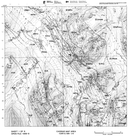 |
Open File 1989-9 describes the geology and metallogeny of the Cassiar and McDame map areas (104P/5 and P3 (NW �)) in northernmost British Columbia. The Open File consists of 8 maps, including: 5 geological maps at 1:25 000 scale; a mineral potential map at 1:50 000 scale; a map with tables of rock geochemical and assay data, regional geochemical data, and stream sediment data; and a map with legends, MINFILE Occurrence tables and geological cross sections.
The project is a contribution to the Canada/B.C. Mineral Development Agreement 1985-1990.
The main elements of the geology are displaced North American strata of the Cassiar terrane, ranging in age from Hadrynian to Early Mississippian, that are structurally overlain by the Sylvester allochthon, which occupies the core of the McDame synclinorium. Components of the Sylvester allochthon range in age form at least Early Mississippian to Late Triassic, and include marginal basin and arc volcanic-sedimentary complexes, and subcrustal ultramafite-gabbro complexes.
Middle to Late Cretaceous granitic stocks intrude miogeoclinal strata along he western margin of the Cassiar map-are. The Eocene Mount Hoskins stock lies in the southeast corner.
High angle faults occur near the western and eastern margins of the Sylvester allochthon, and the Marble Creek fault cuts both autochthonous and allochthonous strata. This structure is a probable control for asbestos mineralization in the Cassiar mine and also silver-lead-zinc replacement deposits of the Marble Creek system. The high-angle Blue Dome fault is associated with lenses of serpentinite-matrix melange. It truncates thrusts bounding lithotectonic units within the Sylvester allochthon but is not known to cut underlying autochthonous strata.
Miogeoclinal strata of the Hadrynian Ingenika Group vary from mainly phyllite to siltstone with intercalated limestone and slate to phyllite with minor quartzite layers. The contact with the overlying Lower Cambrian Atan Group is gradational, with the proportion of quartzite increasing. The siliciclastic rocks give way up section to carbonates that host molybdenum-tungsten skarns and silver-lead-zinc mineralization adjacent to the Cassiar and Mount Hoskins stocks. The Cambro-Ordovician Kechika Group crops out in the western part of the Cassiar map area, where it is strongly hornfelsed by the Troutline stock. Where it is not metamorphosed, calcareous slates predominate. Ordovician-Silurian Road River Group mudstone, slate and black argillaceous limestone are exposed locally. The Lower Devonian Tapioca sandstone consists of dolostone, dolomitic quartz arenite and quartzite. It crops out along both limbs of the McDame synclinorium. Resistant Middle Devonian McDame Group dolostone, micritic limestone, wackestone and packstone are overlain by recessive Upper Devonian to Lower Mississippian slates of the Earn Group. Barite exhalites occur in this unit in two thrust panels north of the Cassiar mine.
The Sylvester allochthon is flanked by allochthonous rocks. Three divisions are recognized. Division I consists of Early Mississippian to Middle Pennsylvanian pelagic and hemipelagic sedimentary sequences: black argillite, chert, sandstone, siltstone, a few diabase sills and rare baritic exhalites. Division II consists of a set of basalt-diabase-sediment packages and ultramafite-gabbro-amphibolite slivers. It is at least in part of Early Mississippian to Early Permian age. Division III is an Early Permian package of mainly intermediate volcanic rocks, shallow water limestones with chert interbeds, and a zoned hornblende gabbro to granodiorite pluton. Division III occupies the highest structural level in the Allochthon.
During the Jurassic compressional event, autochthonous strata of the Cassiar platform formed duplex stacks with multiple repetitions, and allochthonous Sylvester rocks were stacked along easterly-directed thrust sheets. D�collement surfaces in the autochthonous rocks are at the Road River/Kechika contact, and in the Earn Group near the base of the Sylvester allochthon.
Mineralization of the Cassiar-Erickson camp consists of the following: Early Mississippian sedex deposits, minor volcanic exhalites, and bedded Permian (?) rhodonite; Early Cretaceous mesothermal gold-quartz and related veins, such as the Erickson-Taurus system; Early Cretaceous (?) asbestos stockworks as in the Cassiar and McDame miens; an Late Cretaceous and Eocene skarns, replacements and veins associated with the Cassiar and Mount Hoskins stocks, respectively. |
| Issue ID: | OF1989-10 |
| Title: | Geology and Mineral Deposits of the Unuk Area (NTS 104B/7E, 8W, 9W, 10E) |
| Author(s): | Alldrick, D.J., Britton, J.M., Webster, I.C.L., Russell, C.W.P. |
| Series Name: | Open File |
| Publication Year: | 1989 |
| Scale: | 1:50000 |
| NTS Map Sheet(s): | 104B/7E, 8W, 9W, 10E |
| Place Keyword(s): | British Columbia, Unuk Area |
| Lat/Long (NSWE): | 56.722, 56.29, -130.751, -130.286 |
| Theme Keyword(s): | Geology, Mineral Deposits, Bedrock Geology |
Download(s):
| PDF |
Abstract:
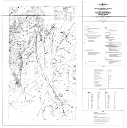 |
Open File 1989-10 presents the geology and mineral occurrences of the Unuk area (104B/7E, 8W, 9W, 10E), in northwestern British Columbia. Gossanous areas are identified. The map sheet is published at 1:50 000 scale and covers about 1000 square kilometres at the east-central end of the Iskut River gold belt. Two mines are under development in the area immediately to the east several precious metal deposits lie to the west. The region is underlain by Lower to Middle Jurassic calcalkaline volcanic and associated sedimentary rocks of the Hazelton Group.
The area is underlain by rocks ranging in age from Upper Triassic to Recent. The oldest comprise the lower volcano-sedimentary sequence of the Stuhini Group. The sequence consists of andesitic breccia, basalt, ash tuff, sandy limestone, tuffaceous wacke and a siltstone, shale argillite unit. The Triassic to Jurassic Hazelton Group consists of a number of formations. An Upper Triassic to Lower Jurassic andesite sequence, called the Unuk River Formation, is overlain by Lower Jurassic Betty Creek Formation pyroclastic and epiclastic rocks. They are andesitic to felsic and local siltstone-shale-argillite turbidite units occur. An overlying felsic volcanic sequence, called the Mount Dilworth Formation, consist of felsic flows, tuffs and airfall tuffs. A Middle Jurassic siltstone sequence, the Salmon River Formation, includes andesitic pillow lavas, thin-bedded wacke, rhythmically banded siltstone and shale, and chert pebble conglomerate and arenite. Local areas of basalt flow and tephra are of Pleistocene to Recent age.
The oldest intrusive rocks in the area are foliated to gneissic quartz diorites of the Bucke Glacier stock. Jurassic intrusions comprise the Unuk River diorite suite, syn- to post-volcanic diorite, and granodiorite to syenite intrusions that may be equivalent to the extrusive rocks, and an olivine-pyroxene gabbro body. Tertiary Coast Plutonic complex intrusions include the Lee Brant stock, which is quartz monzonite, and diorite and granite bodies. Post-tectonic dikes are leuco-monzonite; porphyritic dacite, andesite and diabase; and lamprophyres
More than 55 mineral occurrences are known in the area, including one past producer. Deposits are stratabound, related to intrusive contacts, veins, and dissemination. Stratabound deposits are mainly pyrite zones and lenses within felsic volcanics. Note: subsequently, the Eskay Creek gold deposit, a shallow VMS deposit, was discovered near MacKay Lake. Intrusive contact occurrences include copper-iron skarns and nickel-copper mineralization. High-grade precious veins are the main targets of vein-oriented exploration programs. Porphyry-style copper-molybdenum and disseminated gold (silver) in alteration zones are other deposit types of interest in the area. |
| Issue ID: | OF1989-11 |
| Title: | Geology of the Nelson Map Area, Southeastern British Columbia (NTS 82F/6) |
| Author(s): | Hoy, T., Andrew, K.P.E. |
| Series Name: | Open File |
| Publication Year: | 1989 |
| Scale: | 1:50000 |
| NTS Map Sheet(s): | 082F/6 |
| Place Keyword(s): | British Columbia, Southeastern British Columbia, Nelson Map Area |
| Lat/Long (NSWE): | 49.5, 49.25, -117.5, -117 |
| Theme Keyword(s): | Geology, Bedrock Geology |
Download(s):
| PDF |
Abstract:
 |
Open File 1989-11 describes the geology and mineral occurrences of the Nelson map area (82F/06) in southern British Columbia. The Open File consists of two maps. The first presents geology at 1:50 000 scale and a legend. The second has a series of cross sections, a table of mineral occurrences and references.
The oldest rocks in the area Precambrian, possibly Windermere, age rocks of the Three Sisters Formation, which consists mainly of grit and quartzite with minor schist and limestone. Quartzites of the Quartzite Range Formation, argillaceous quartzite, argillite and schist of the Reno Formation, phyllite, argillite, schist, micaceous quartzite and minor limestone of the Laib Formation, and a sequence of quartzite, schist, argillite, slate and limestone with minor igneous members are all of Lower Cambrian age. Middle Cambrian black limestone, calcareous argillite, slate and phyllite comprise the Nelway Formation. Lower and Middle (?) Ordovician black argillite, slate and quartzite make up the Active Formation. Stratified Mesozoic rocks comprise the Ymir and Rossland Groups. Ymir Group consists mainly of argillite, siltstone, grit and impure limestone. Rossland Formation consists of the Archibald, Elise and Hall Formations. The Archibald Formation contains siltstone, sandstone and argillite. Lower Elise Formation rocks are dominantly augite with or without plagioclase phyric flows, flow breccias and subvolcanic intrusions. Pyroclastic units are basaltic lapilli, crystal and fine-grained tuffs. Upper Elise Formation consists of basaltic and rhyolite to dacite flows, andesitic tuffs, basaltic tuff, tuffaceous siltstone and sandstone, and tuffaceous conglomerate. Hall Formation strata are siltstone, sandstone, conglomerate and argillite with minor limey units.
Intrusive rocks in the area are Lower and Middle (?) Jurassic diorite, porphyritic diorite, and plagioclase porphyry that is locally sheared. Jurassic intrusions include pseudodiorite and pyroxenite, as well as granodiorite, quartz monzonite, diorite porphyry and breccia of the Nelson intrusions.
Mineral occurrence types in the area include: porphyry copper-molybdenum deposits; skarns with gold-copper, copper-gold, or molybdenum-tungsten mineralization; veins with gold-silver-copper, silver-gold, lead-zinc, or gold-silver values; stratiform sulphides with lead-zinc and silver; and conformable gold mineralization with plagioclase porphyry intrusions. |
| Issue ID: | OF1989-12 |
| Title: | Geochemistry and Mineral Occurrences of the Germansen Landing Area [NTS 93N/10 (North Half), 93N/15 (South Half)] |
| Author(s): | Ferri, F., Melville, D.M. |
| Series Name: | Open File |
| Publication Year: | 1989 |
| Scale: | 1:100000 |
| NTS Map Sheet(s): | 093N/10 North Half, 093N/15 South Half |
| Place Keyword(s): | British Columbia, Germansen Landing Area |
| Lat/Long (NSWE): | 55.875, 55.612, -125, -124.5 |
| Theme Keyword(s): | Geology, Geochemistry, Mineral occurrences, Bedrock Geology |
Download(s):
| PDF |
Abstract:
 |
Open File 1989-12 presents the geology, geochemistry and mineral occurrences of the Germansen Landing area (93N/10N, 15S) in central British Columbia. The Open File consists of two sheets: the first contains geology at 1:50 000 scale; the second has tables of stream sediment geochemical results and mineral occurrences.
The oldest rocks in the area are Lower to Middle Paleozoic carbonates and sandstones. Over these are Upper Paleozoic Harper Ranch Group (?) rocks. The Harper Ranch consists of a lower unit of mafic flows with lesser fragmental volcanics and sediments, and an upper unit of cliff-forming limestone. The Upper Paleozoic to Triassic Slide Mountain Group is varied in character. The lower division consists of variably listwanite-altered serpentinite; phyllite to argillite, limestone, chert and quartz wacke; and felsic tuff. The middle division contains siltstone, siliceous siltstone and argillite, chert, gabbroic sills and dikes, minor mafic flows, lithic arenite and conglomerate. The upper division consists of mainly of massive to pillowed basalts and breccias. Upper Triassic to Lower Jurassic Takla rocks comprise four main units. The lowest is predominantly argillite, calcareous argillite, siltstone, chert volcanic wackes, and limestone. Above is a unit consisting of volcanic conglomerate and sandstone, then a unit dominated by first agglomerate, lapillistone and tuffite, then mafic flows which are either feldspar and pyroxene phyric or have bladed feldspar crystals. The uppermost unit consists mainly of volcanic sandstone and conglomerate. Quaternary alluvium partially covers the area.
Upper Paleozoic to Triassic foliated gabbro comprises the Wolf Ridge Gabbro. Coarsely crystalline gabbro is Jurassic (?) or younger. Rocks of the Upper Cretaceous Germansen batholith vary from monzonite to quartz monzonite to foliated granodiorite with local potassic feldspar megacrysts.
Early to Middle Paleozoic Omineca belt rocks are sparsely exposed in the northeast corner of the map sheet. They area separated from the Slide Mountain rocks by a major fault. Rocks of the Slide Mountain terrane are separated from other strata by the northwest trending Manson fault zone. Intermontane belt, Harper Ranch Group strata underlie Takla rocks along Evans Creek. Takla Group rocks underlie much of the area southwest of the Manson fault zone. Structural elements in the Slide Mountain terrane trend northwesterly. Takla rocks define broad easterly-directed structures that swing into parallelism with the Manson fault zone as it is approached. Normal and thrust faults cut the rocks.
Aside from a few copper showings, most mineral occurrences in the area are associated with the Manson fault zone. In most, precious metals occur in sulphide-bearing quartz-carbonate veins associated with listwanite alteration along the fault zone. Mineralization occurs in both Takla and Slide Mountain host rocks. |
| Issue ID: | OF1989-13 |
| Title: | Stream Sediment and Lithogeochemical Survey Results for the Fantail Lake (West) and Warm Creek (East) Map Area (NTS 104M/9W, 10E) |
| Author(s): | Arksey, R.L., Mihalynuk, M.G. |
| Series Name: | Open File |
| Publication Year: | 1989 |
| Scale: | 1:50000 |
| NTS Map Sheet(s): | 104M/9W, 10E |
| Place Keyword(s): | British Columbia, Northwestern British Columbia, Fantail Lake (West) and Warm Creek (East) Map Area |
| Lat/Long (NSWE): | 59.75, 59.5, -134.75, -134.25 |
| Theme Keyword(s): | Geology, Stream Sediment, Lithogeochemical Survey, Mineral Occurrences, Bedrock Geology |
Download(s):
| PDF |
Abstract:
 |
Open File map 1989-13, for the Fantail Lake (west) and Warm Creek (east) map areas, NTS 104M/9W and 10E in northwestern British Columbia, consists of two maps. The first presents the geology; the second shows stream sediment and lithogeochemical survey results and lists mineral occurrences.
Lithologies vary from metamorphic rocks of probable Proterozoic marine clastic protoliths, to Mesozoic volcanics and coarse clastic marine sediments. The layered rocks are cut by three granitoid suites, loosely constrained as Late Triassic, Early Cretaceous, and Late Cretaceous through Paleocene age. The Llewellyn fault transects the area diagonally and separates the Upper Proterozoic Boundary Range metamorphics on the west from Mesozoic strata of the Whitehorse trough to the east. The metamorphic terrain and even more the fault zone are anomalous in arsenic and gold; they represent significant exploration targets.
The map portrays subdivisions of the poorly understood Laberge and Stuhini Groups, the boundary Ranges metamorphic suite, and the Coast intrusives. Units recognized can be correlated over tens of kilometres.
The Llewellyn fault diagonally bisects the area from southeast to northwest, separating probable Upper Proterozoic Boundary Ranges metamorphics (unit PPM) in the west from Mesozoic strata of the Whitehorse trough to the east. One exception is the Teepee Peak volcanic outlier, possibly of Late Jurassic age, which sits unconformably above the metamorphic rocks, A previously unmapped hornblendite body crosscuts this unconformity near the Teepee Peak gold-cobalt skarn locality and may be genetically related to it. Skarn zones at other places within Unit PPM may also have precious metal potential. The potential of two other exploration targets within the map area is indicated by the assay results presented on Sheet 2. These include: (I) sulphide-bearing quartz veins, both concordant and discordant, within Unit PPM; and (2) inferred splays off the Llewellyn fault. The 1987 regional geochemical survey in the Tutshi Lake map area showed that both the belt of Unit PPM and the Llewellyn fault zone are anomalous with respect to gold and arsenic.
Three distinct styles of mineralization are known in the area, gold-cobalt skarns, gold-bearing quartz veins, and antimony-silver veins. The skarns are developed in carbonate layers within the metamorphic suite. Gold in the old Engineer Gold mine was in gold-bearing quartz-carbonate veins cutting Lower Jurassic Laberge strata. Layered veins containing stibnite, minor galena and crustiform quartz have been found in foliated argillites and siltstones of the Laberge Group.
Four geologic environments appear most prospective for precious metals; these are.
(1) Veins hosted in Laberge Group strata that are associated with splays off the Llewellyn fault zone as at the old Engineer mine. A possible splay is inferred east-southeast of Kirtland where brecciated argillite and drusy quartz occur within a linear steep-walled valley with slickensided walls. A grab sample returned assays of 5.35 and 4.74 grams per tonne gold.
(2) Both concordant and discordant veins and breccia zones within the Unit PPM. Large numbers of barren quartz veins and "sweats" require that careful prospecting and/or geochemistry be used to focus in on precious metal-bearing veins.
(3) Sheared and altered/silicified rocks within and immediately adjacent to the Llewellyn fault zone are shown to yield anomalous, albeit sporadic gold assays (Mihalynuk and Rouse, 1988b; Rouse et al., 1988).
(4) Skarns within the Unit PPM, particularly those that are related to ultramafic and/or granodioritic bodies and/or extensive dyking have precious metal potential. |
| Issue ID: | OF1989-14 |
| Title: | Geology of the Beaver Creek-Horsefly River Map Area (NTS 93A/5, 6) |
| Author(s): | Panteleyev, A., Hancock, K.D. |
| Series Name: | Open File |
| Publication Year: | 1989 |
| Scale: | 1:50000 |
| NTS Map Sheet(s): | 093A/5, 6 |
| Place Keyword(s): | British Columbia, Beaver Creek-Horsefly River Map Area |
| Lat/Long (NSWE): | 52.5, 52.25, -121.867, -121.083 |
| Theme Keyword(s): | Geology, Bedrock Geology |
Download(s):
| PDF |
Abstract:
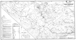 |
Open File 1989-14 portrays the geology and mineral occurrences of the Beaver Creek-Horsefly River area (93A/05, 06) in central British Columbia. The Open File map presents the geology at 1:50 000 scale.
The oldest strata in the area are fetid limestone, graphitic argillite and siltstone of the Paleozoic Cache Creek Group. A Carnian and younger (?) siltstone and sandstone unit becomes volcaniclastic toward the top. Norian rocks compose seven units. Pyroxene phyric alkali basalt flows, alkali basalt flows, pillow lava and pillow breccia make up unit 2A. Pyroxene-phyric basalt breccia, lithic lapilli and ash tuff, and mafic wacke predominate in unit 2B. Mafic breccia, debris flow or lahar deposits comprise most of unit 2C. Pyroxene basalt breccia, tuff and pyroxene-rich wacke make up unit 2D. Analcite-bearing alkali basalt dominates unit 2E. Unit 2F is mafic sandstone and siltstone, calcareous siltstone, and limestone breccia. Feldspar-lath, pyroxene phyric basalt is the most abundant rock type in unit 2G. Norian (?) or younger sandstone, siltstone and calcareous siltstone comprise unit 2H. Sinemurian rocks are polylithic breccias, hornblende phyric andesite flows, and analcite-bearing alkali olivine pyroxene phyric basalts. Polylithic conglomerate, shale and sandstone are Late Jurassic (?) and possibly Cretaceous. Eocene rocks are lacustrine siltstone and siltstone, crystal ash tuff, biotite trachy andesite and andesite. Miocene plateau basalts occur with basal conglomerate and fluvial channel deposits.
Intrusive rocks include Early Jurassic diorite, monzodiorite, syenodiorite, monzonite and syenite bodies and Late Jurassic (?) or possibly Cretaceous quartz diorite and granodiorite.
The area is known for important historic and active placer gold deposits. It also has potential for quartz vein gold, porphyry copper-gold, and porphyry copper-molybdenum deposits. Much of the exploration for lode gold and copper-gold deposits has concentrated on intrusion-related alteration zones in and near alkaline intrusions. Copper-molybdenum mineralization has focused on granodioritic rocks of Cretaceous (?) and Eocene age. |
| Issue ID: | OF1989-15 |
| Title: | Geology of the Atlin Area (NTS 104N/11W, 12E) |
| Author(s): | Bloodgood, M.A., Rees, C.J., Lefebure, D.V. |
| Series Name: | Open File |
| Publication Year: | 1989 |
| Scale: | 1:50000 |
| NTS Map Sheet(s): | 104N/11W, 12E |
| Place Keyword(s): | British Columbia, Atlin Area |
| Lat/Long (NSWE): | 59.75, 59.5, -133.75, -133.25 |
| Theme Keyword(s): | Geology, Bedrock Geology |
Download(s):
| PDF |
Abstract:
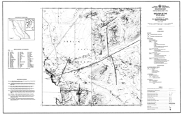 |
Open File 1989-15 presents the geology and mineral occurrences of the Atlin area (104N/11W, 12E) in northernmost British Columbia. The Open File consists of two sheets: sheet 1 contains the geology at 1:50 000 scale, a legend, references, and a table of mineral occurrences; sheet 2 has a sample location map and tables of fossil determinations, whole rock analyses, and assay results.
Upper Paleozoic Cache Creek Group rocks predominate in the area mapped. Chert and siliciclastic metasediments, carbonates, mafic volcanic rocks including volcanic conglomerates and cherty sediment interlayers, and ultramafic rocks occur. The ultramafic rocks are variably serpentinized and carbonate altered (listwanite). They include peridotite and dunite as well as gabbro. Quaternary olivine basalt flows, tephra and scoria crop out locally.
Intrusive rocks in the area include: the Cretaceous (?) Fourth of July batholith, which varies from diorite to granodiorite to granite; the Late Cretaceous Surprise Lake batholith, which consist of leucocratic granite, quartz feldspar porphyry and aplite; and dikes and minor intrusions of uncertain age.
Major faults systems in the area strike northerly and east-northeaster.
Placer gold deposits are well known in the Atlin area and some are still active. Lode gold occurrences are associated with carbonate-altered zones in the ultramafic rocks near fault zones. Vein-hosted occurrences are predominantly silver-lead systems with associated copper, lead and gold. Mineralization at the former Atlin Ruffner mine is confined to dioritic and diabasic dikes. Skarns, veins and porphyry systems are related to the Surprise Lake batholith. Skarn mineralization occurs in Cache Creek carbonates and carry lead-zinc and copper values. Porphyry mineralization is characterized by the Adanac deposit, where molybdenite is associated with quartz veins. High background uranium values in the Surprise Lake batholith have attracted some interest. |
| Issue ID: | OF1989-16 |
| Title: | Geology of the Telkwa River Area (NTS 93L/11) |
| Author(s): | MacIntyre, D.G., Desjardins, P.J., Tercier, P., Koo, J. |
| Series Name: | Open File |
| Publication Year: | 1989 |
| Scale: | 1:50000 |
| NTS Map Sheet(s): | 093L/11 |
| Place Keyword(s): | British Columbia, Northcentral British Columbia, Telkwa River Area |
| Lat/Long (NSWE): | 54.75, 54.5, -127.5, -127 |
| Theme Keyword(s): | Geology, Mineral Occurrences, Stream Silt, Lithogeochemical Survey, Bedrock Geology |
Download(s):
| PDF |
Abstract:
 |
Open File map 1989-16 presents the geology of the Telkwa River area, NTS 93L/11, in north-central British Columbia. It also shows mineral occurrences on the map and in tabular form and presents results of stream silt and lithogeochemical surveys.
The oldest rocks in the area are Lower Jurassic, Sinemurian to Lower Pleinsbachian) volcanics of the Telkwa formation. Three subdivisions are mapped: an andesitic pyroclastic facies, which is subaerial in part; a basalt flow-red tuff facies; and a siliceous pyroclastic facies with ash flows, ignimbrites and some basalt and rhyolite flows. These give way upward to Pleinsbachian to Toarcian rocks of the Nilkitkwa Formation. The lower unit consists of marine shales, siltstones and limestones. Conglomerate at the base implies a period of erosion. The overlying Red Tuff member is predominantly well bedded, air fall tuff. The Middle Jurassic (Bajocian to Callovian) Smithers Formation consists mainly of feldspathic sandstone, greywacke, siltstone and shale. It is highly fossiliferous. The overlying Middle to Upper Jurassic (Callovian to Oxfordian) Ashman Formation marine consists of black shale, siltstone and greywacke. The youngest rocks exposed are Red Rose Formation of the Lower Cretaceous (Albian) Skeena Group. The formation contains shale, micaceous greywacke, chert pebble conglomerate, mudstone and coal.
Metallic mineral occurrences are dominantly within quartz veins in altered volcanic rocks. Many contain copper (bornite and chalcopyrite) with or without values in gold and silver; some veins are polymetallic with minor amounts of galena, sphalerite, tetrahedrite or molybdenite. There are 4 past producers and 16 showings tabulated. Two of the showings have disseminated chalcopyrite in volcanic rocks. Coal occurrences listed are 1 prospect and 2 past producers. The product was thermal coal. |
| Issue ID: | OF1989-17 |
| Title: | Preliminary Geology and Noble Metal Geochemistry of the Polaris Mafic-Ultramafic Complex (NTS 94C/5, 12) |
| Author(s): | Nixon, G.T., Ash, C.H., Connelly, J.N., Case, G. |
| Series Name: | Open File |
| Publication Year: | 1989 |
| Scale: | 1:16000 |
| NTS Map Sheet(s): | 094C/5, 12 |
| Place Keyword(s): | British Columbia, Northcentral British Columbia, Polaris area |
| Lat/Long (NSWE): | 56.544, 56.433, -125.732, -125.514 |
| Theme Keyword(s): | Geology, Noble Metal Geochemistry, Polaris Mafic-Ultramafic Complex, Bedrock Geology |
Download(s):
| PDF |
Abstract:
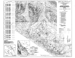 |
Open File map 1989-17 portrays the geology and noble metal geochemistry of the Polaris mafic-ultramafic complex, NTS 94C/5 and 12, west of Williston Lake in northern British Columbia. The complex, which is one of the largest Alaskan-type bodies in the province, is hosted in Upper Paleozoic metasedimentary and metavolcanic rocks, probably of the Lay Range assemblage of the Harper Ranch Group. The dominant lithologies are argillite, siltstone, phyllite, volcaniclastic rocks and minor limestone.
The Polaris complex is interpreted to be of Late Triassic age. In general, the gross internal distribution of rock types is systematically disposed about the margins. Dunite and olivine-bearing pyroxenitic rocks are concentrated near the base of the intrusion; hornblende-pyroxenites and gabbros are well developed near the roof. Contact relationships among the major lithologic units are sharp to gradational. The complex is cut by felsic intrusions of syenite to granophyre.
The complex is contained within a northwest-trending, southwest-facing and southwest-dipping homocline that is a fault-bounded slice of Lay Range assemblage rocks. The roof and margins of the sill display intrusive contacts; the basal contact is a ductile thrust zone. High angle faults with mainly northwesterly and westerly trends cut both the ultramafic body and the country rocks. Deformation complicates the distribution patterns of the various rock units.
Rock samples from the components of the Polaris complex were analyzed for platinum, palladium, rhenium and gold. Results are presented in tabular form and sample locations are shown on the map. Interesting but localized anomalies in platinum occur in chromitite-bearing dunite, and both platinum and palladium in a clinopyroxenite sample. Gold anomalies occur in mafic lithologies at the margins of the ultramafic complex. |
| Issue ID: | OF1989-18 |
| Title: | Geology and Nobel Metal Geochemistry of the Turnagain Ultramafic Complex (NTS 104I/7, 10) |
| Author(s): | Nixon, G.T., Ash, C.H., Connelly, J.N., Case, G. |
| Series Name: | Open File |
| Publication Year: | 1989 |
| Scale: | 1:16000 |
| NTS Map Sheet(s): | 104I/7, 10 |
| Place Keyword(s): | British Columbia, Turnagain area |
| Lat/Long (NSWE): | 58.525, 58.444, -128.948, -128.794 |
| Theme Keyword(s): | Geology, Noble Metal Geochemistry, Ultramafic Complex, Bedrock Geology |
Download(s):
| PDF |
Abstract:
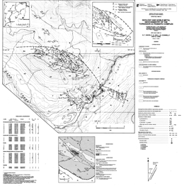 |
Open File 1989-18 describes he geology and noble metal geochemistry of the Turnagain ultramafic complex (104I/7, 10) in northern British Columbia. The geology map is at 1:16 000 scale and includes a legend and a table of noble metal analyses from various rock types in the ultramafic body. The Open File is a contribution to the Canada/ British Columbia Mineral Development Agreement 1985-1990.
The country rocks include the Upper Proterozoic to Lower Cambrian Atan Formation with argillite, siltstone, minor quartzite and limestone; Paleozoic graphitic slate and phyllite; and Upper Paleozoic metasedimentary and metavolcanic rocks of the Harper Ranch Group.
The Turnagain ultramafic complex is thought to be of Late Triassic age. The Complex consists of dunite; wehrlite with minor dunite, olivine clinopyroxenite, clinopyroxenite and hornblendite; olivine clinopyroxenite; hornblendite and feldspathic hornblendite; and serpentine. Early Jurassic (?) granodiorite bodies cut the older rocks.
The ultramafic body is separated from North American rocks by a reverse or thrust fault. To the west is a major transcurrent fault and rocks of the Harper Ranch Group lie to the west of it. Along the southern contact of the ultramafic body, it apparently intrudes rocks of the Harper Ranch Group.
The ultramafic body has chromite and sulphide occurrences. Net textured sulphide-rich wehrlite-clinopyroxenites yielded locally anomalous values in platinum, palladium and gold. |
| Issue ID: | OF1989-19 |
| Title: | Geology of the Needlepoint Mountain Map Area (NTS 104P/4 NE quarter) |
| Author(s): | Harms, T., Ball, M., Fischer, P., Nelson, J.L. |
| Series Name: | Open File |
| Publication Year: | 1989 |
| Scale: | 1:25000 |
| NTS Map Sheet(s): | 104P/4 NE |
| Place Keyword(s): | British Columbia, Northern British Columbia, Needlepoint Mountain Map Area |
| Lat/Long (NSWE): | 59.25, 59.126, -129.75, -129.5 |
| Theme Keyword(s): | Bedrock Geology, Mineral Occurrences, Geochemical Analysis, Base and Precious Metals, Pathfinder Elements |
Download(s):
| PDF |
Abstract:
 |
Open File map 1989-19 presents the geology of Needlepoint Mountain area, in NTS 104P/4, northern British Columbia. Included are 9 geochemical analyses for base and precious metals, and the pathfinder elements mercury, arsenic and antimony. There is also a table of mineral occurrences. The sample and occurrence locations also are plotted on the map.
The area features North American miogeoclinal strata of Cambrian to Mississippian age and Devonian to Triassic rocks of the Sylvester allochthon. The two rock packages are in thrust contact. West of the map area, both packages are intruded by the Cassiar batholith.
The oldest North American rocks are rusty biotite hornfels of the Cambrian to Ordovician Kechika Group. These are overlain by Middle Devonian fetid carbonates of the McDame Group and Devonian to Mississippian argillite, porcellanite and shale of the Earn Group.
Age constraints in the Paleozoic component of the Sylvester allochthon are poor. The lowest unit exposed is a sedimentary argillite unit or black chert with local basalt and diorite. Higher (?) in the section, the Blackfox Mountain volcanic-sedimentary unit is dominantly green basalt and chert; the Needlepoint Mountain volcanic-sedimentary unit is mainly aphanitic green basalt but includes large volumes of fine to medium grained gabbro; and the Table Mountain volcanic-sedimentary unit is aphanitic green basalt with large lenses of sedimentary rock. The Table Mountain ultramafic rocks are extensively altered to serpentine and locally listwanite-altered. It occurs as small lenses along the basal fault of the Triassic Table Mountain sedimentary unit.
The Pennsylvanian Huntergroup massif augite porphyry basalt is a thick volcanic suite. It is in thrust contact with the Table Mountain sedimentary unit, which consists of black slaty argillite with interbedded siltstone and fine-grained black quartzite.
The main exploration focus in the area has been for mesothermal gold silver deposits like the Erickson mine, where multiphase quartz veins dip steeply in sheared, carbonate-altered basalts. They contain free gold and gold disseminated within pyrite and tetrahedrite. Veins also occur along the contact between footwall listwanites and overlying Triassic sediments or within the listwanites. Historically, placer mining was also important in the area. |
| Issue ID: | OF1989-20 |
| Title: | Geology of the Swift River Area (NTS 93A/12, 13; 93B/16; 93G/1) |
| Author(s): | Bailey, D.G. |
| Series Name: | Open File |
| Publication Year: | 1989 |
| Scale: | 1:50000 |
| NTS Map Sheet(s): | 093A/12, 13; 093B/16; 093G/1 |
| Place Keyword(s): | British Columbia, Swift River Area |
| Lat/Long (NSWE): | 53.15, 52.7, -122.35, -121.7 |
| Theme Keyword(s): | Geology, Bedrock Geology |
Download(s):
| PDF |
Abstract:
 |
Open File 1989-20 describes the geology and mineral occurrences of the Swift River map area (93A/12, 13; 93B/16; 93G/1) in the central Quesnel belt in central British Columbia. The geology is presented at 1:50 000 scale.
The oldest rocks in the area are of Triassic age. Carnian siltstone, sandstone, mafic tuff and minor conglomerate are overlain by Norian alkali basalt and breccia, analcite-bearing pyroxene basalt, maroon siltstone and sandstone, and grey limestone and calcareous sandstone. Jurassic rocks are Sinemurian and Pleinsbachian. Sinemurian strata comprise maroon polylithic breccia with feldspathic clasts, and latite tuff and breccia. Pleinsbachian rocks are mainly pyritic interbedded sandstone and siltstone. Eocene (?) sandstone and siltstone are overlain by latite tuff and tuffaceous sandstone, tuff breccia and autobrecciated flows. Pleistocene plateau basalts are maroon and grey.
Generally fine-grained syenite, monzonite and diorite or megacrystic syenite, gabbro and diorite intrusions that are of Early Jurassic age cut the Triassic-Jurassic volcanic stratigraphy. Late Jurassic and possibly Cretaceous granodiorite and quartz monzonite intrusions also occur.
The area is bounded on the west by the Quesnel fault, and on the east by the Eureka and Spanish thrust faults. It is split internally by the north trending, dextral Chiaz fault. Between faults the blocks are inferred to be broken by a series of east and east-northeast trending faults. The structures represent the effects of collision between the Quesnel and Omineca belts, and a later period of extension.
The central Quesnel belt is well known for its porphyry potential. The main targets are gold-bearing copper porphyries associated with alkaline intrusions. Some molybdenite mineralization is known within a Cretaceous granodiorite body. |
| Issue ID: | OF1989-21 |
| Title: | Tertiary Stratigraphy and Industrial Minerals, Bonaparte to Deadman Rivers (NTS 92P/2, 3) |
| Author(s): | Read, P.B. |
| Series Name: | Open File |
| Publication Year: | 1989 |
| Scale: | 1:50000 |
| NTS Map Sheet(s): | 092P/2, 3 |
| Place Keyword(s): | British Columbia, Bonaparte to Deadman Rivers |
| Lat/Long (NSWE): | 51.25, 51, -121.5, -120.833 |
| Theme Keyword(s): | Geology, Tertiary Stratigraphy, Industrial Minerals, Bedrock Geology |
Download(s):
| PDF |
Abstract:
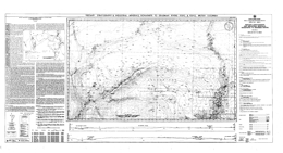 |
Open File 1989-21 presents the Tertiary stratigraphy and information on industrial mineral occurrences in the area that extends from the Bonaparte River to the Deadman River (92P/2, 3). The Open File gives results of field investigations of industrial mineral occurrences in the Miocene and Eocene rocks of the map area. It was funded by the Canada/British Columbia Mineral Development Agreement. The Open File consists of a 1:50 000-scale geological map that outlines the distribution of the Middle Eocene Kamloops Group and Miocene Chilcotin Group volcanic and sedimentary rocks, and also contains cross sections and a table of industrial mineral occurrences in the area. The mapping identified five Miocene channels with indicators that the area drained to the north and west. Accompanying notes briefly describes the Tertiary stratigraphy, Miocene drainage, nine diatomaceous earth and three volcanic ash occurrences.
The Tertiary strata and the setting of the Red Lake diatomaceous earth deposit are the focus of this Open File. Country rocks to them are the Pennsylvanian to Triassic Cache Creek complex, Middle and Upper Triassic Nicola Group, Late Triassic intrusive rocks, Lower Jurassic intrusive rocks, Lower and Middle Jurassic Ashcroft Formation, and Lower and Upper Cretaceous chert pebble conglomerate and sandstone.
Middle Eocene Kamloops Group volcanic and epiclastic rocks are separated into 12 mappable units. Rhyolite flows; rhyolite intrusions; crystal tuff and tuffaceous sandstone; rhyolite tuff and volcanic breccia; pebble to boulder conglomerate; shale, siltstone and carbonaceous shale with zeolitized rhyolite tuff and sandstone lenses; rhyodacite breccia and andesite breccia; basalt flows and breccia; andesite breccia; porphyritic andesite breccia; porphyritic andesite flows; and aphanitic andesite flows.
The Chilcotin Group is Miocene and consists of the Deadman River and Chasm formations. Deadman River Formation rocks include rhyolite ash, tuffaceous sandstone, siltstone, shale; some shales are diatomaceous. Vesicular and amygdaloidal basalt flows comprise the Chasm Formation.
Industrial minerals of interest are diatomaceous earth and massive rhyolite volcanic ash that occur in the Chilcotin Group. |
| Issue ID: | OF1989-22 |
| Title: | Gold in British Columbia |
| Author(s): | Schroeter, T.G., Panteleyev, A., Lund, C., Carter, G. |
| Series Name: | Open File |
| Publication Year: | 1989 |
| Scale: | 1:2000000 |
| NTS Map Sheet(s): | 082;083;092;093;094;102;103;104;114 |
| Place Keyword(s): | British Columbia |
| Lat/Long (NSWE): | 60, 48, -139, -114 |
| Theme Keyword(s): | Geology, Gold, Exploration |
Download(s):
| PDF |
Abstract:
 |
Open File 1989-22 documents the abundance and diversity of gold discoveries that have resulted from the tightly focused and successful exploration effort over the last several years. The report places them in context with the province's earlier history of precious metal production. Gold production in British Columbia is 1987 11.7 tonnes, 10.6 per cent of Canadian production, ranking the province third-equal with the Northwest Territories as a gold producer, behind Ontario (44.8%) and Quebec (26.6%). Production is projected to double, and possibly triple, reaching more than 30 tonnes ( 1 million ounces) annually by early in the next decade; this is equivalent to 60 per cent of Canada's total production in 1981. There can be no better demonstration of the high potential for making new discoveries. |
| Issue ID: | OF1989-23 |
| Title: | Mines, Development Projects and Exploration Programs in Northwestern British Columbia, 1988 |
| Author(s): | Lefebure, D.V., Malott, M.L. |
| Series Name: | Open File |
| Publication Year: | 1989 |
| Scale: | 1:1000000 |
| NTS Map Sheet(s): | 092;093;094;103;114 |
| Place Keyword(s): | British Columbia, Northwestern British Columbia |
| Lat/Long (NSWE): | 60, 51, -139, -123.5 |
| Theme Keyword(s): | Geology, Mines, Development Projects, Exploration Programs |
Download(s):
| PDF |
Abstract:
 |
Open File 1989-23 presents a map that represents mines, development projects, and exploration progress in northwestern British Columbia for 1988. |
| Issue ID: | OF1989-24 |
| Title: | Geological Compilation Map of the Atlin Area (NTS 104N/12E, 11W) |
| Author(s): | Lefebure, D.V., Gunning, M.H. |
| Series Name: | Open File |
| Publication Year: | 1989 |
| Scale: | 1:20000 |
| NTS Map Sheet(s): | 104N/12E, 11W |
| Place Keyword(s): | British Columbia, Atlin Area |
| Lat/Long (NSWE): | 59.681, 59.48, -133.761, -133.249 |
| Theme Keyword(s): | Geology, Geological Compilation, Bedrock Geology |
Download(s):
| PDF |
Abstract:
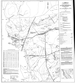 |
Open File 1989-24 consists of a geological compilation of the Atlin area (NTS 104N/12E, 11W) on two sheets at a scale of 1:20 000. The map includes a table of assay results for base and precious metals and pathfinder elements. Geological Survey Branch staff have combined their work with geological maps completed by exploration companies in the area. These geology maps show mineral occurrences, drill hole locations and outcrop distribution.
The Atlin placer gold camp has produced almost 1 million ounces of gold since its discovery in 1898 but is still little explored for lode deposits. Auriferous quartz veins associated with listwanite alteration are common in the area and are the focus of several exploration programs.
Five stratified bedrock units are distinguished. The first four units are subdivisions of the Late Paleozoic Cache Creek Group; the fifth consists of olivine basalt flows and tephra of Tertiary and Quaternary age. The dominantly mafic volcanic unit of the Cache Creek Group comprises basaltic flows, andesite flows, mafic tuff, and volcanic conglomerate. Other units are limestone, argillite and sandstone, and chert. Unconsolidated glacial till and poorly sorted alluvium cover is important because of placer gold activity.
The oldest intrusive rocks are the Atlin intrusions, a series of ultramafic rocks that are mainly peridotite and dunite, and serpentinized equivalents. The Jurassic and Cretaceous Fourth of July batholith is made up of quartz monzonite, granodiorite and granite, whereas the Cretaceous Surprise Lake batholith consists of quartz monzonite, leucocratic granite and monzonite.
Major faults systems in the area strike northerly and east-northeaster.
Placer gold deposits are well known in the Atlin area and some are still active. Lode gold occurrences are associated with carbonate-altered zones in the ultramafic rocks near fault zones. Vein-hosted occurrences are predominantly silver-lead systems with associated copper, lead and gold. Mineralization at the former Atlin Ruffner mine is confined to dioritic and diabasic dikes. Skarns, veins and porphyry systems are related to the Surprise Lake batholith. Skarn mineralization occurs in Cache Creek carbonates and carry lead-zinc and copper values. Porphyry mineralization is characterized by the Adanac deposit, where molybdenite is associated with quartz veins. High background uranium values in the Surprise Lake batholith have attracted some interest. |
| Issue ID: | OF1989-25 |
| Title: | Geology and Geochemistry of the Taseko Lakes Area (NTS 92O/3, 4, 5, 6) |
| Author(s): | McLaren, G.P., Rouse, J. |
| Series Name: | Open File |
| Publication Year: | 1989 |
| Scale: | 1:50000 |
| NTS Map Sheet(s): | 092O/3, 4, 5, 6 |
| Place Keyword(s): | British Columbia, Taseko Lakes Area |
| Lat/Long (NSWE): | 51.333, 51, -123.72, -123.367 |
| Theme Keyword(s): | Geology, Geochemistry, Bedrock Geology |
Download(s):
| PDF |
Abstract:
 |
Open File 1989-25 (UTM 92O/3, 4, 5 and 6) completes 1:50 000-scale mapping by the Geological Survey Branch to the east and west of Taseko Lakes (see also Open Files 1987-3 and 1987-12). Sheet 1 of this Open File provides continuity with the previous geological mapping. Stream sediment survey data collected in 1988 complements data previously released for Map sheet 92O/4 (see Open File 1986-6). Sheet 2 includes analyses of stream sediments and rock-chip samples presented in Table format in the margin of the sample location map. Mineral occurrences in the area are highlighted on the map.
The oldest strata in the area are andesitic pyroclastics and breccias, and black argillite, siltstone and sandstone of the Relay Mountain Group. Lower Cretaceous Taylor Creek Group units consist of an argillite, siltstone and sandstone unit, and a unit with rhyolitic to basaltic tuffs and flows, black argillite, siltstone and sandstone. The Upper Cretaceous Silverquick Formation comprises polymictic conglomerates, limestones and argillites. The overlying Powell Creek Formation consists of two units: a lower andesite breccia, lapilli tuff, crystal tuff, ash tuff sequence, and an upper laharic andesite breccia and epiclastic sediment sequence.
Intrusive rocks in the area are granodiorite and quartz diorite of the Coast plutonic complex, felsite porphyry dikes, and quartz monzonite to granodiorite, and diorite stocks. Ages are uncertain.
Northwest trending transcurrent faults dominate the structural geology of the area. One of these is the Tchaikazan fault.
Precious metal veins and porphyry copper-molybdenum with or without gold occurrences predominate in the area. Two significant mineral occurrences in the area are the Chita porphyry copper-molybdenum occurrence, and gold-bearing sulphide veins on Taseko Mountain. Copper-bearing skarn mineralization is known. Other deposit types associated with fault zones include silicified and carbonate-altered fractures with copper-mercury-arsenic-antimony mineralization and epithermal mineralization. |
| Issue ID: | OF1989-26 |
| Title: | Geology and Geochemistry of the Tenquille Creek to Owl Mountain Area (NTS 92J/7, 10) |
| Author(s): | McLaren, G.P., Rouse, J. |
| Series Name: | Open File |
| Publication Year: | 1989 |
| Scale: | 1:50000 |
| NTS Map Sheet(s): | 092J/7, 10 |
| Place Keyword(s): | British Columbia, Tenquille Creek to Owl Mountain Area |
| Lat/Long (NSWE): | 50.589, 50.302, -123, -122.664 |
| Theme Keyword(s): | Geology, Geochemistry, Bedrock Geology |
Download(s):
| PDF |
Abstract:
 |
Open File 1989-26 describes the geology and presents geochemical survey results for the Tenquille Creek to Owl Mountain area. It consists of 2 map sheets at 1:50 000 scale that outline the geology and present geochemical survey results for an area north of Pemberton (NTS 92J/7, 10) which contains numerous mineral occurrences. The geological map focuses on lithologies pertinent to the mineral occurrences of the area. A new discovery of massive sulphide mineralization and the previously known vein and skarn occurrences highlight the mineral potential of the area. Analytical results of a moss-mat and stream sediment geochemical survey conducted in 1988 are tabulated on the sample location map. This map also includes a table of analytical results from an extensive rock chip sampling program conducted during mapping of the area.
Upper Triassic rocks tentatively correlated with the Cadwallader Group underlie most of the area. The sequence consists largely of andesite tuffs and flows with lesser rhyolite to dacite tuffs and breccias that are interbedded with argillite, greywacke, conglomerate, limestone and epiclastic volcanic sediments. Within the sequence are intervals with distinctive lithologies: limestone, quartz-rich sediments, coarse volcanic conglomerate, and argillite, greywacke, conglomerate package, and rhyolitic to dacitic volcanics and tuffs.
Coast intrusions of unknown age are diorite or hornblende diorite, and quartz diorite to granodiorite to granite.
Mineral prospects in the area include copper-lead-zinc-silver skarns, copper-iron skarns, polymetallic precious metal and copper-zinc veins, copper-iron and cooper-zinc massive sulphides, and porphyry copper-molybdenum occurrences. |
| Issue ID: | OF1989-27 |
| Title: | Geology and Industrial Minerals in the Gang Ranch Area (NTS 92O/8W, 9W) |
| Author(s): | Green, K. |
| Series Name: | Open File |
| Publication Year: | 1989 |
| Scale: | 1:50000 |
| NTS Map Sheet(s): | 092O/8W, 9W |
| Place Keyword(s): | British Columbia, Southern British Columbia, Gang Ranch Area |
| Lat/Long (NSWE): | 51.6, 51.284, -122.5, -122.168 |
| Theme Keyword(s): | Geology, Industrial Mineral Occurrences, Tertiary Basins, Bedrock Geology |
Download(s):
| PDF |
Abstract:
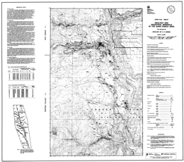 |
Open File 1989-27 presents the geology and industrial mineral occurrences in the Gang Ranch area (92O/8, 9) in southern British Columbia. It is part of an ongoing investigation of industrial minerals in Tertiary basins, and was funded by the Canada/British Columbia Mineral Development Agreement. It comprises a 1:50 000-scale geological map of the area of Tertiary volcanic and sedimentary rocks west of the Fraser River fault system between Gaspard Creek and Lower Cabin Creek.
Accompanying notes briefly describe the Tertiary stratigraphy, eight zeolite, three bentonite and two perlite occurrences. Data on Mercury, Calcium, Sodium and Potassium cation exchange capacity and radiometric dating are provided.
This open file presents current data from an ongoing investigation of industrial minerals in Tertiary basins funded by the Canada/British Columbia Mineral Development Agreement.
In the vicinity of Gang Ranch, approximately 80 to110 kilometres at right-lateral, strike-slip movement on the Fraser fault has juxtaposed a western assemblage of Lower Cretaceous and Eocene volcanic, volcaniclastic and sedimentary rocks against Pennsylvanian to Triassic marine sediments and mafic volcanic rocks of the Cache Creek complex. This package of Lower Cretaceous and Eocene strata is bounded to the southwest by the Hungry Valley Thrust that places Jurassic to Cretaceous marine clastics of the Jackass Mountain Group on top of Eocene volcanic rocks.
East of the Fraser fault, siliceous volcanic tuffs, black and green ribbon chert and sheared, siliceous black argillite comprise the major part of the Cache Creek complex. In the southeast corner of the map area, a 150-metre-thick lens of light grey, recrystallized limestone is interbedded with black argillite and chert. Along the northern side at Gaspard Creek, mafic volcanic flows and gabbro underlie green chert and argillite.
West of the Fraser fault, approximately 700 metres of maroon, green-brown, and grey, crystal-phyric to aphanitic andesite flows and local hornblende porphyry flows of the Lower Cretaceous Spences Bridge Group are the oldest rocks exposed. A subgreenschist grade metamorphic assemblage of pumpellyite, zeolite, calcite and chlorite fills fractures and amygdules throughout the Spences Bridge Group volcanic package. This alteration assemblage provides a field criterion for distinguishing between Cretaceous and overlying Eocene volcanic flows.
Approximately 2000 metres of Eocene volcanic and volcaniclastic rocks overlie the Spences Bridge Group volcanic rocks on a gently west-dipping surface. The base of the Eocene package consists of red, yellow-beige and brown, andesitic to dacitic volcaniclastics and interlayered volcanic flows. In the western portion of the map area, these volcanic rocks are overlain by a thick accumulation of pink, grey and white rhyolite flows, quartz-rich welded crystal tuffs and lithic tuffs. Towards the east, the coarse-grained, rhyolite tuff grades laterally into layers of white and green rhyolite crystal and ash tuffs that are interlayered with andesite, dacite and basalt volcaniclastics and flows. In the southwestern corner of the map sheet a grey-green feldspar porphyry flow overlies rhyolite lithic and crystal tuff. A sequence of well-bedded sediments containing layers of bentonitic ash and thin coal seams overlies the volcanic strata at a number of localities immediately west of the Fraser fault.
Flat-lying, erosional remnants of Miocene to Pleistocene plateau basalts and minor Miocene fluviatile sediments, in places overlain by a cream-coloured, rhyolitic ash layer, occur throughout the map area. In places they directly overlie the trace of the Fraser fault.
Volcanic rocks of the Spences Bridge Group are exposed in the footwall of a major northwest-trending normal fault, informally referred to as the Empire Valley fault. The Empire Valley fault appears to merge with the Fraser fault, but most likely postdates dextral, transcurrent motion. East-dipping reverse faults and northwest-trending upright folds developed in Eocene sediments and volcaniclastics west of the Fraser fault. Latest movement on the Fraser fault was dip-slip.
Eocene rhyolite crystal and ash tuffs are extensively altered to zeolite and bentonitic clay. Montmorillonite, illite and heulandite group zeolites have been identified. Perlite occurs at two locations in the southern part of the map area. One of these is he Frenier perlite deposit. Fragments of diatomite were found in Miocene rhyolite ash west of the Gang Ranch. |
| Issue ID: | OF1989-28 |
| Title: | Geology, Lithogeochemistry and Mineral Occurrences of the Bronson Creek Area (NTS 104B) |
| Author(s): | Lefebure, D.V., Gunning, M.H. |
| Series Name: | Open File |
| Publication Year: | 1989 |
| Scale: | 1:25000 |
| NTS Map Sheet(s): | 104B/10NW,11NE |
| Place Keyword(s): | British Columbia, Northwestern British Columbia, Bronson Creek Area |
| Lat/Long (NSWE): | 56.711, 56.589, -131.157, -130.555 |
| Theme Keyword(s): | Geology, Lithogeochemistry, Mineral occurrences, Bedrock Geology |
Download(s):
| PDF |
Abstract:
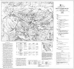 |
Open File 1989-28 presents the geology, geochemistry and mineral occurrences of he Bronson Creek area (104B/10W, 11E) in northwestern British Columbia at 1:25 000 scale. Sheet 1 has the geology, legend and a table of selected mineral deposits. Sheet 2 has a geochemical sample location map and tables of geochemical results.
The oldest rocks exposed in the area are Triassic or older sandstone, siltstone, shale, pebbly sandstone, small lenses of limestone that are also metamorphosed to phyllite, argillite and schist. These are overlain by Triassic or Jurassic plagioclase dacite porphyry flows, crystal tuffs and ash flows, and breccias as also mafic plagioclase and pyroxene phyric flows and volcaniclastic rocks. The two are locally interbedded. Jurassic orange-weathering siltstones, sandstones and conglomerates are overlain by a unit consisting of hornblende plagioclase andesite porphyry flows and breccias, and dacite porphyry flows. Tertiary basalt flows occur locally. Quaternary deposits are represented by glacial till and alluvium.
Triassic diorite and gabbro dykes and sills generally intrude the Triassic or older rocks. Jurassic intrusive rocks are more diverse and widespread. Granite porphyry and potassium feldspar porphyry comprise stocks, dykes and sills. Hornblende diorite occurs locally. Tertiary alkali basalt dykes are typically less than 2 metres across.
Deposits in the area are mesothermal shear-veins, with copper, lead, zinc and precious metals, such as the Snip mine; transitional shear-veins, with similar metal signatures; polymetallic veins, like Inel; and mesothermal lead-zinc or copper and precious metal veins. |
| Issue ID: | OF1990-01 |
| Title: | Geology and Geochemistry of the Stikine River - Yehiniko Lake Area, Northwestern B.C. (NTS 104G/11W, 12E) |
| Author(s): | Brown, D.A., Greig, C.J., Gunning, M.H. |
| Series Name: | Open File |
| Publication Year: | 1990 |
| Scale: | 1:50000 |
| NTS Map Sheet(s): | 104G/11W, 12E |
| Place Keyword(s): | British Columbia, Northwestern British Columbia, Stikine River - Yehiniko Lake Area |
| Lat/Long (NSWE): | 57.75, 57.5, -131.75, -131.25 |
| Theme Keyword(s): | Geology, Geochemistry, Mineral occurrences, Bedrock Geology |
Download(s):
| PDF |
Abstract:
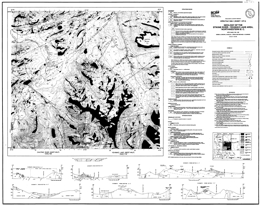 |
Open File 1990-1 describes the geology, mineral occurrences and geochemistry of the Stikine River-Yehinko Lake area (104G/11W, 12E) in northwestern British Columbia. There are two sheets: the first provides a geological map at 1:50 000 scale, a legend, and geological cross sections; the second has a geochemical location map at 1:100 000 scale and tables with selected regional geochemical survey results, stream sediment sample data, lithogeochemical results, mineral occurrences, and fossil information.
The Paleozoic Stikine assemblage underlies three small areas. In the Devil�s Elbow area, discontinuous Mississippian limestone lenses within pyritic metasiltstone and argillite are the oldest rocks exposed. They are penetratively foliated, unlike the Triassic and younger rocks. Near Missusjay Creek, thick, deformed Permian limestone dominates the exposure and is structurally underlain by silicic metasediments. Near Barrington River, the limestone section includes minor maroon tuffaceous mudstone, silicic tuff and chert. Structural trends in the three areas vary.
The Stuhini Group, which is of Upper Triassic, mainly Norian, age, is the most abundant map-unit in the area. It consists mainly of mafic tuffs and tuff �breccias that are rich in pyroxene and plagioclase. Augite and plagioclase-phyric basalt flows characterize the Stuhini Group in the area. Small amounts of felsic volcanic rocks are important and widespread. Sedimentary components are recessive but common. They consist of arkosic wackes, siltstone and shale, impure carbonates, and polymictic conglomerates.
Lower to Middle Jurassic volcanic and minor sedimentary rocks occur in the central part of the map area. Pyroxene and plagioclase-phyric andesite flows predominate but there are subordinate rhyolite flows, rhyolitic ignimbrites, and olivine basalt. The Jurassic rocks are less deformed than the underlying Stuhini package.
Upper Cretaceous to Eocene (?) Sustut Group sedimentary and subordinate volcanic rocks form a northwest-trending belt. Characteristic polymictic cobble conglomerates are poorly indurated. There are also less abundant sandstone and siltstone, and minor but conspicuous pale coloured rhyolite tuffs. The Sustut lies with angular unconformity on Lower Jurassic rocks.
The Eocene Sloko Group volcanics overlie weathered Sustut Group rocks. The section contains flat-lying tuff, breccia and dacite and flows.
Intrusive rocks underlie about � of the area. The intrusion is the Middle to Late Triassic Nightout pluton, which consists of foliated granodiorite that grades to tonalite quartz monzonite and monzodiorite and diorite. The Early Jurassic Conover pluton and associated sills are plagioclase-porphyritic hornblende monzonite to monzodiorite. Late Triassic to pre-Middle Jurassic diorite and quartz monzonite intrusions occur. The Middle Jurassic Yehinko pluton is biotite-hornblende granite that is flesh to pink coloured, and three are five intrusions of granodiorite to quartz monzonite composition at the south edge of the area. The Eocene Sawback pluton consists of biotite granite.
Thirteen MINFILE occurrences are recorded in the area. They are auriferous quartz veins, volcanic-hosted porphyry occurrence related to granite to syenite dykes, and precious and base metal skarns. Uranium mineralization is hosted by Sustut conglomerate. New showings discovered during mapping are mainly narrow, discontinuous veins with copper minerals or copper and lead minerals. Regional geochemical multi-element and gold-only anomalies occur in several areas. |
| Issue ID: | OF1990-02 |
| Title: | Geology, Geochemistry and Mineral Occurrences of the Forrest Kerr - Iskut River Area, Northwestern B.C. (NTS 104B/10, 15) |
| Author(s): | Logan, J.M., Koyanagi, V.M., Drobe, J.R. |
| Series Name: | Open File |
| Publication Year: | 1990 |
| Scale: | 1:50000 |
| NTS Map Sheet(s): | 104B/10, 15 |
| Place Keyword(s): | British Columbia, Northwestern British Columbia, Forrest Kerr - Iskut River Area |
| Lat/Long (NSWE): | 57, 56.685, -131, -130.5 |
| Theme Keyword(s): | Geology, Geochemistry, Mineral Occurrences, Bedrock Geology |
Download(s):
| PDF |
Abstract:
 |
Open File 1990-2 describes the geology, mineral occurrences and geochemistry of the Forrest-Kerr-Iskut River area (104B/15) of northwestern British Columbia. It consists of two maps: the first, at 1:50 000 scale, shows the geology, map legend and geologic cross sections; the second provides a location map for samples, and tables of mineral occurrences, stream sediment sample analyses, lithogeochemical and assay data, and fossil information.
The area straddles the boundary between the Intermontane and Coast tectonic belts. The
Paleozoic Stikine assemblage east of the Forrest Kerr fault consists of Lower Devonian limestone with conglomerate, shale and tuff interbeds; Paleozoic schistose intermediate to mafic metavolcanics and siltstone, argillite and phyllitic metasediments; and Permian carbonates and metatuffs. West of a Jurassic composite pluton, the assemblage the oldest rocks are Mississippian pillowed basalts, flow breccias and tuffs that are overlain by reefal limestone with cherty siltstone interbeds. Cherty siltstone and polymictic pebble conglomerate separate the limestone from Lower Permian bioclastic calcarenite with dolomitic units. Overlying this unit are intermediate volcanics and volcanic breccias then algal limestone followed by shallow water conglomerates, siltstones, lapilli and crystal tuffs with siliceous limestone interbeds.
Middle Triassic sedimentary shales and argillites occur locally. The Stuhini Group, which is of Upper Triassic age, consists of a lower metasedimentary, medial metavolcanic and upper tuffaceous sediment successions. Lower Jurassic shales and siltstones are overlain by Jurassic pillow basalts and flow breccias then siliceous wacke, tuffite and conglomerate. Sediments of the Middle Jurassic Bowser Lake Group are mainly shale with local sandstone and conglomerate layers.
Plutonic rocks underlie 1/3 of the map area. Paleozoic (?) hornblende quartz diorite and tonalite bodies crop out west of Forrest Kerr Creek. Early (?) Jurassic monzonite and megacrystic granite form sills, dykes and plugs. The Middle Jurassic suite consists of a batholithic composite diorite to quartz monzonite to biotite granite intrusion, small plugs and dykes of quartz feldspar porphyry, and altered diorite bodies along north-northeast faults.
Major northeast to north and lesser northwest faults control the distribution of lithostratigraphic packages and influence mineralization.
Mineral prospects include gold-copper-iron skarns, mesothermal copper-gold-silver-bearing quartz veins, and stratabound massive sulphide occurrences. The skarns are generally developed in the Mississippian limestones. Mesothermal veins are related to northwest structures. Stratabound occurrences are associated with dacitic (?) pyroclastics or hyaloclastites in cherty siltstones and carbonaceous argillites within a basic pillowed and brecciated volcanic succession on Forrest Kerr Creek, and massive sulphide boulders were located on More Creek. Paleozoic and Jurassic strata are prospective for this kind of mineralization.
Multi-element geochemical anomalies were defined by the geochemical survey and two ultramafic bodies have nickel-cobalt anomalies. |
| Issue ID: | OF1990-03 |
| Title: | Geology and Mineral Occurrences of Northern Texada Island (NTS 92F/9, 10, 15) |
| Author(s): | Webster, I.C.L., Ray, G.E. |
| Series Name: | Open File |
| Publication Year: | 1990 |
| Scale: | 1:20000 |
| NTS Map Sheet(s): | 092F/9, 10, 15 |
| Place Keyword(s): | British Columbia, Southwestern British Columbia, Northern Texada Island |
| Lat/Long (NSWE): | 49.805, 49.672, -124.64, -124.33 |
| Theme Keyword(s): | Geology, Mineral Occurrences, Bedrock Geology |
Download(s):
| PDF |
Abstract:
 |
Open File 1990-3 portrays the geology and mineral occurrences of Northern Texada Island (92F/9, 10, 15), southwest British Columbia. The map, at 1:20 000 scale, contains the geological map. A legend, a mineral occurrence table, and descriptive notes.
Texada Island lies at the eastern edge of both the Wrangellia Terrane and the Insular Belt It is mostly underlain by volcanic rocks of the Middle to Late Triassic Texada Formation which, in the northern part of the island, is conformably overlain by 60 to 500 metres of massive limestone belonging to the Late Triassic Marble Bay Formation. These are respectively correlated with the Karmutsen and Quatsino formations of the Vancouver Group. Poorly exposed Cretaceous sediments of the Nanaimo Group crop out around Gillies Bay; these represent the eastern margin of the Comox basin.
The Texada Formation largely comprises pillowed and massive, amygdaloidal and spherulitic basaltic flows with thick sequences of pillowed breccias; in the Surprise Mountain area it includes a 15-metre thick subhorizontal unit of columnar jointed basalt. Near the top of the formation the flows and pillow breccias contain thin, impersistent beds of fossiliferous limestone (Unit L).
Various stocks and minor intrusions, ranging in composition from gabbro through diorite to quartz monzonite, intrude the volcanics and limestones. The more mafic stocks, which tend to be concentrated along the northwest-trending Marble Bay fault, are characterized by mafic xenoliths and coarse hornblende crystals; some, such as the Cornell stock, which yielded a preliminary zircon U-Pb radiometric age of 175 Ma, are associated with copper-gold skarn mineralization. The felsic stocks include the Gillies, Little Billy and Pocahontas stocks. The Gillies stock yielded a zircon U-Pb radiometric age of 178 Ma (Ettlinger and Ray, 1989), and is associated with several magnetite-rich skarn deposits. The Little Billy stock is spatially associated with copper-gold skarn mineralization at the Little Billy mine but the Pocahontas stock is not related to any known skarn mineralization. A distinct, easterly trending quartz porphyry dike that transects the island from Limekiln Bay to the east coast appears to postdate the major northwest trending faults.
The limestones and volcanics have been deformed into a series of broad, northwest trending open folds that plunge gently to moderately northwards. However, the rocks have undergone more intense ductile and brittle deformation within three subparallel, northwesterly striking structural lineaments. These lineaments coincide with the Ideal, Holly and Marble Bay faults, and the brittle transcurrent sinistral offset along these faults is atypical of the mostly dextral fractures present elsewhere in the province. The emplacement of some of the Jurassic intrusions and their associated skarn mineralization has apparently been influenced by these structural lineaments.
The mineral deposits and occurrences on northern Texada Island are listed on this map. Mineralization mainly comprises either skarns or veins, both of which carry base and precious metals. Between 1896 and 1976 the polymetallic skarns produced 10 million tonnes of magnetite concentrate (from 20.8 million tonnes of iron ore mined), 35 898 tonnes of copper, 3.3 tonnes of gold and approximately 40 tonnes of silver; by contrast, the quartz-carbonate veins have been relatively unproductive. After 1976, mining virtually ceased, but large scale quarrying of the pure limestone to produce cement and lime still continues.
Skarn mineralization is marked by garnet-pyroxene-wollastonite-amphibole alteration assemblages; it can be divided into Iron-rich occurrences, which are spatially associated with the felsic Gillies stock, and copper-gold-rich occurrences, which are mostly related to a suite of mafic intrusions. Iron skarn mineralization is seen at the Prescon, Yellow Kid, Paxton and Lake mines, while the copper-gold skarns are more widely distributed and include the Marble Say, Little Billy, Copper Queen, Cornell, Loyal and Florence mines. All of the iron and some of the copper-gold skarns lie close to the base of the Marble Bay Formation where the limestones are less pure. However, occurrences of copper-gold skarn mineralization, including that at the Marble Bay and Little Billy mines, occur throughout the 500-metre thick limestone succession.
The iron skarns contain abundant magnetite with minor chalcopyrite and pyrite; there is local cobalt enrichment but gold values are low. The main ore minerals in the copper-gold skarns are chalcopyrite and bornite with minor to trace amounts of molybdenite, pyrite, magnetite and sphalerite. Gold generally occurs as minute 20 to 50 micron blebs. The Little Billy includes traces of galena, scheelite, tellurides and native silver, while the Paris includes rare crystalline native arsenic. The iron and copper-gold skarns are believed to be coeval and related, and both formed within a similar high level, oxidized to intermediate environment. The local presence of extensive bleaching in the limestones is believed to indicate skarn alteration at depth |
| Issue ID: | OF1990-04 |
| Title: | Geology and Geochemistry of the Edgar Lake and Fantail Lake Map Area (NTS 104M/8, 9E) |
| Author(s): | Mihalynuk, M.G., Mountjoy, K.J., Currie, L.D., Lofthouse, D.L., Winder, N. |
| Series Name: | Open File |
| Publication Year: | 1990 |
| Scale: | 1:50000 |
| NTS Map Sheet(s): | 104M/8, 9E |
| Place Keyword(s): | British Columbia, Edgar Lake and Fantail Lake Map Area |
| Lat/Long (NSWE): | 59.75, 59.25, -134.5, -134 |
| Theme Keyword(s): | Geology, Mineral Occurrences, Geochemistry, Bedrock Geology |
Download(s):
| PDF |
Abstract:
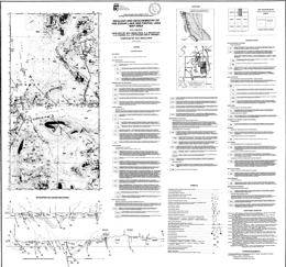 |
Open File 1990-4 describes the geology, mineral occurrences and geochemistry of the Edgar Lake area and the Fantail Lake map area. The Open File consists of three maps: the first contains the geology of Fantail Lake (104M/9E) at 1:50 000 scale, a geologic legend for the Open File, and interpretive cross sections; the second presents the geology at 1:50 000 scale and cross sections for Edgar Lake (104M/8); and the third presents a location map, a mineral occurrence table, and lithogeochemical and moss mat survey data tables.
The area straddles the boundary between the Coast and Intermontane geomorphologic belts. The structural grain of the country parallels the contact, which trends north-northwest. It also roughly delineates the boundary of the Nisling assemblage and strata of the Whitehorse trough.
Proterozoic to Paleozoic metamorphics form a roughly 15 kilometre �wide belt that varies from upper amphibolite to greenschist grade. Typical rock types vary from schists and gneisses in the Boundary Ranges to pelites, semi-pelites, marbles, amphibolites, calc-silicates and minor quartzite in the Florence Range.
Upper Triassic Stuhini Group strata represent a change from coarse terrigenous sediments to submarine mafic volcanics. Basal conglomerate gives way to pyroxene-phyric flows, breccia and interlayered sediments then volcaniclastic followed by the distinctive Sinwa limestone.
The ages of the Mesozoic Graham Creek igneous suite and Peninsula Mountain volcanic and sedimentary rocks are not well constrained. The Graham Creek suite includes tectonized harzburgites and gabbros associated with cherts, pillow basalts overlain by felsic volcanics and epiclastic rocks of the Peninsula Mountain suite.
There is either a depositional hiatus or an unconformity between Laberge Group strata and the Sinwa. Turbidite sequences representing coalescing subaqueous fans characterize the Laberge Group. Typical rock types are argillites and greywackes.
Pre-Cretaceous rocks are folded into upright to overturned, gently plunging folds.
The Mid to Late Cretaceous Tagish volcanics comprise rhyolitic through basaltic flows and pyroclastic sequences. They are cut by the Engineer stock, which is Late Cretaceous.
The Late Cretaceous Hutshi and Mount Fetterly volcanics cap Mount Fetterly and low mountains to the west. They may be correlative with the Engineer suite of the Tagish volcanics. Conglomerates at the base give way to epiclastic rocks then rhyolites then basalts.
Intrusive rocks have a long history in the area. The oldest is the Mississippian to Triassic (?) Ear Mountain quartz syenite. Early Mesozoic foliated tonalite is followed by mid to Late Triassic foliated hornblende-rich gabbro, Late Triassic megacrystic hornblende granodiorite, Late (?) Jurassic to Early Cretaceous zoned granodiorite to diorite bodies, and then the Coast Intrusions, which form two plutons along the west margin of 104M/8. Rocks types are biotite granite to biotite hornblende diorite and potassic feldspar megacrystic granite.
Mineralization is well known in the area. Past producers are the Engineer mine, with gold and silver from quartz veins sparsely mineralized with tellurides and base metals, and Ben My Cree where gold and silver was mined from quartz veins with abundant sulphides. In both instances, the veins cut Laberge Group argillites and greywackes. Other deposit types of interest are sulphide-free quartz gold silver veins and sulphide-bearing carbonate-quartz veins associated with the Llewellyn fault zone. Gold may also occur in association with carbonatized ultramafic rocks, and placer gold has been produced historically. Prospective lithologic packages are the Laberge Group, mafic and ultramafic rocks and the Boundary Ranges metamorphic suite. There is also potential within and near the Llewellyn fault zone. |
| Issue ID: | OF1990-05 |
| Title: | Geology of the Thautil River Area (NTS 93L/6) |
| Author(s): | Desjardins, P.J., Lyons, L., Pattenden, S., MacIntyre, D.G., Hunt, J. |
| Series Name: | Open File |
| Publication Year: | 1990 |
| Scale: | 1:50000 |
| NTS Map Sheet(s): | 093L/6 |
| Place Keyword(s): | British Columbia, Thautil River Area |
| Lat/Long (NSWE): | 54.5, 54.25, -127.5, -127 |
| Theme Keyword(s): | Geology, Mineral Deposits, Geochemistry, Bedrock Geology |
Download(s):
| PDF |
Abstract:
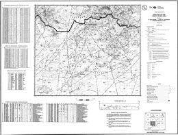 |
Open File 1990-5 describes the geology, mineral deposits and geochemistry of the Thautil River area (93L/6). The Open File consists of 1 map that shows the geology at 1:50 000 scale, a legend and geologic cross section, and lithogeochemical/assay, mineral occurrence, regional geochemical survey data, and silt sediment geochemistry tables.
The oldest rocks exposed are Early to Middle Jurassic calc-alkaline volcanics, volcaniclastics and sediments of the Hazelton Group. These consist of the Lower Jurassic Telkwa and Nilkitkwa Formations, and the Middle Jurassic Smithers Formation. The Telkwa Formation comprises andesitic pyroclastics (including welded tuffs), basalt flows, silicic pyroclastics including ash flows and rhyolite flows, a sedimentary section with limestone and siltstone, and mixed red tuffs and basalt. The overlying Nilkitkwa Formation is dominantly red tuffs. The Smithers Formation consists of sandstones, greywackes and shales.
Overlying Middle to Upper Jurassic successor basin sandstones, siltstones and greywackes are of the Ashman Formation of the Bowser Group. These give way to Lower Cretaceous Skeena Formation sandstones, siltstone and shales that are coal bearing. Paleocene to Miocene friable conglomerates, sandstones and siltstones are overlain by basalt flows and breccias.
Ages of intrusions in the area are poorly constrained, but they cut Late Jurassic rocks. Diorite, granodiorite, quartz monzonite, granite, various porphyritic, and rhyolite intrusions occur.
Mineralization is associated with the intrusive rocks. Potential deposit types are porphyry copper and molybdenum, related mesothermal and epithermal veins, and massive sulphides. Known deposits are mainly copper-silver veins and pods in mafic volcanic rocks. These could indicate porphyry mineralization at depth. |
| Issue ID: | OF1990-06 |
| Title: | Geology of the Dixie Lake and Teresa Island Map Area (NTS 104N/5, 6) |
| Author(s): | Bloodgood, M.A., Bellefontaine, K.A., Gertz, I.C., Maddison, L. |
| Series Name: | Open File |
| Publication Year: | 1990 |
| Scale: | 1:50000 |
| NTS Map Sheet(s): | 104N/5, 6 |
| Place Keyword(s): | British Columbia, Dixie Lake and Teresa Island Map Area |
| Lat/Long (NSWE): | 59.5, 59.25, -133.917, -133 |
| Theme Keyword(s): | Geology, Mineral Deposits, Geochemistry, Bedrock Geology |
Download(s):
| PDF |
Abstract:
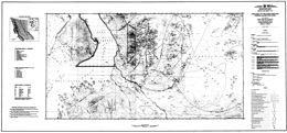 |
Open File 1990-6 describes the geology, mineral deposits and geochemistry of the Dixie Lake, Teresa Island area (104N/5, 6) in northern British Columbia. It consists of 2 sheets: the first presents the geology, a legend and fossil tables; the second contains a sample location map, and tables of radiolaria and conodont samples, whole rock analyses, and assay results.
The area is in the Intermontane belt at the Atlin and Stikine terrane boundaries. West of the Nahlin fault, Mesozoic and Cenozoic clastic rocks of he Inklin overlap assemblage dominate. East of the fault, Cache Creek Group clastic and volcanic rocks that are cut by Cretaceous plutons characterize the Atlin terrane. The Tertiary (?) Birch Mountain pluton plugs the Nahlin fault.
Cache Creek clastic sediment assemblages consist of siliceous mudstone, siltstone, sandstone and wacke. Limestone cliff-forming masses that may be slumped blocks dominate the area south of Sentinel Mountain. Limestone layers occur within the volcanic and chert section on Sentinel Mountain. Cherts occur with mafic flows, tuffs and diabases. Pillowed flows occur locally. Ultramafic rocks form small, fault-bounded exposures. They consist of serpentinized harzburgites with some dunite and gabbro.
Possible Triassic sediments consist of siltstone, sandstone, gritty limestone, maroon chert, greywacke and volcanic conglomerate. These rocks are unconformably overlain by Jurassic Laberge Group greywackes with lesser siltstone, mudstone and shale.
Tertiary Sloko rhyolite and minor basalt with interlayers of tuff, greywacke, and volcanic conglomerate overlie the Laberge. Tertiary olivine basalt flows occur locally.
One stock consists of Late Cretaceous (?) quartz diorite and diorite. Three other stocks are Tertiary (?); one consists of quartz monzonite, another is leucocratic quartz monzonite with some diorite and gabbro, and the third is diorite to gabbro.
Faulting dominates the structure with numerous thrust faults and some tear faults.
Placer gold is the only known commodity in the area. However, there is potential for precious metal mineralization related to listwanite and carbonate alteration of ultramafic rocks, and epithermal quartz-carbonate veins and stockworks with precious metal mineralization associated with east-northeast -trending Eocene faults. |
| Issue ID: | OF1990-07 |
| Title: | Structural Interpretation of Airborne Synthetic Aperture Radar Imaging in the Sulphurets - Unuk - Iskut River Area, Northwest B.C. (NTS 104B) |
| Author(s): | Webster, I.C.L., McMillan, W.J. |
| Series Name: | Open File |
| Publication Year: | 1990 |
| Scale: | 1:100000 |
| NTS Map Sheet(s): | 104B |
| Place Keyword(s): | British Columbia, Northwestern British Columbia, Sulphurets - Unuk - Iskut River Area |
| Lat/Long (NSWE): | 56.784, 56.423, -131.244, -129.894 |
| Theme Keyword(s): | Geology, Structure, Radar Imagery |
Download(s):
| PDF |
Abstract:
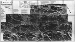 |
Open File 1990-07 gives a structural interpretation of airborne synthetic aperture radar imaging in the Sulphurets - Unuk - Iskut River area, of northwest B.C. (104B). Scale is 1:100000. |
| Issue ID: | OF1990-08 |
| Title: | Geology of the Rossland Group, Mount Kelly - Hellroaring Creek Area, Southeastern B.C. (NTS 82F/3W) |
| Author(s): | Hoy, T., Andrew, K.P.E. |
| Series Name: | Open File |
| Publication Year: | 1990 |
| Scale: | 1:20000 |
| NTS Map Sheet(s): | 082F/3W |
| Place Keyword(s): | British Columbia, Southeastern British Columbia, Mount Kelly - Hellroaring Creek Area, Salmo |
| Lat/Long (NSWE): | 49.203, 49.072, -117.5, -117.259 |
| Theme Keyword(s): | Geology, Bedrock Geology, Mineral Occurrences, Tectonic Setting, Rossland Group |
Download(s):
| PDF |
Abstract:
 |
Open File 1990-8 describes the structure, tectonic setting, geology and mineral occurrences of the Rossland Group, Mount Kelly-Hellroaring Creek area (82F/3W) near Salmo in southeast British Columbia. It consist of a geology map at 1:25 000 scale with legend, a mineral occurrences table, and two separate sheets with geological/structural cross sections.
The Lower Jurassic Rossland Group in the area consists mainly of the clastic rocks of the Archibald Formation overlain by a succession of volcanic rocks of the Elise Formation and the clastic rocks of the Hall Formation.
The Archibald Formation comprises a homoclinal, west-facing succession. Argillite with thin siltstone interbeds at the base gives way to interbedded siltstone, argillite and minor conglomerate. The Elise Formation comprises a thick succession of augite-phyric flows, tuffs, some epiclastic deposits with minor interbedded siltstone and argillite sequences. In some areas the Formation is divisible into mappable units but facies changes are marked. The Hall Formation is mainly black argillite.
The earliest structures are tight folds with local penetrative foliation, shearing and west-verging thrust faults related to the Waneta fault, which is a thrust that separates rocks of Quesnellia and North America. At least four generations of faulting occurred. Extension occurred prior to intrusion of Late Jurassic plutons. Late normal faulting may be related to an Eocene extensional event.
Mineral occurrences include shear-related conformable gold-copper zones, and gold-silver-lead-zinc, gold-silver-copper and molybdenum veins. Conformable zones are closely linked to Rossland Group lithologies and early structures. Vein occurrences are post-tectonic and formed during intrusion of Middle Jurassic granites. |
| Issue ID: | OF1990-09 |
| Title: | Geology of the Rossland Group, Beaver Creek Area, Southeastern B.C. (NTS 82F/4E) |
| Author(s): | Andrew, K.P.E., Hoy, T., Drobe, J.R. |
| Series Name: | Open File |
| Publication Year: | 1990 |
| Scale: | 1:20000 |
| NTS Map Sheet(s): | 082F/4E |
| Place Keyword(s): | British Columbia, Southeastern British Columbia, Beaver Creek Area |
| Lat/Long (NSWE): | 49.213, 49.05, -117.659, -117.465 |
| Theme Keyword(s): | Geology, Rossland Group, Bedrock Geology |
Download(s):
| PDF |
Abstract:
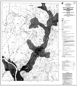 |
Open File 1990-09 presents the geology of the Rossland Group, Beaver Creek area; in southeastern British Columbia (82F/4E). Scale is 1:20000. |
| Issue ID: | OF1990-10 |
| Title: | Geology and Mineral Potential of the Yalakom River Area (NTS 92J/15, 16, 92O/1, 2) |
| Author(s): | Schiarizza, P.A., Gaba, R.G., Coleman, M., Glover, J.K., MacDonald, R., Calon, T., Malpas, J., Garver, J.I., Archibald, D.A. |
| Series Name: | Open File |
| Publication Year: | 1990 |
| Scale: | 1:50000 |
| NTS Map Sheet(s): | 092J/15, 16, 092O/1, 2 |
| Place Keyword(s): | British Columbia, Southeastern British Columbia, Yalakom River Area |
| Lat/Long (NSWE): | 51.1, 50.75, -122.65, -122 |
| Theme Keyword(s): | Geology, Mineral Potential, Mineral Occurrences, Geochemical Analysis, Bedrock Geology |
Download(s):
| PDF |
Abstract:
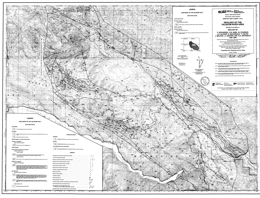 |
Open File 1990-10 describes the geology and mineral potential of the Yalakom River area (92J/15, 16; 92O/1, 2) in southern British Columbia. It consists of two maps at 1:50 000 scale. The first portrays the geology, a geologic legend and references; the second is a mineral potential map with a map showing mineral occurrences, and tables for mineral occurrences, lithogeochemical analyses, and stream sediment (Regional Geochemical Analyses) and moss mat geochemical analyses. This Open File is a contribution to the Canada/British Columbia 1985-1990 mineral development agreement.
The map area encompasses the whole of the Shulaps ultramafic complex, a dismembered ophiolite sequence. The Shulaps complex is bounded by the Yalakom fault on the northeast and juxtaposed against Bridge River and Cadwallader rocks across thrust and high-angle faults on the north, west, south and southeast. The topographically highest part of the complex is variably serpentinized harzburgite with lesser dunite and orthopyroxenite. Along the southwest margin of the complex, cumulate-derived serpentinite melange structurally underlies the mantle harzburgite unit. In turn, Bridge River schists and Cadwallader Group metasediments structurally underlie it. The foliated serpentinite contains blocks of ultramafic, gabbroic, volcanic and sedimentary rock. Serpentinite also dominates the poorly exposed northern half of the Shulaps complex.
The Permian (?) to Jurassic Bridge River complex includes variably metamorphosed and structurally imbricated chert, mafic extrusive and intrusives, limestone, clastic rocks, and serpentinite. It is structurally interleaved with rocks of he Shulaps complex and the Cadwallader Group. The Cadwallader Group consists of mafic volcanic rocks of he Pioneer Formation and overlying clastic sediments of the Hurley Formation.
The Relay Mountain Group comprises Middle Jurassic to Lower Cretaceous shallow marine sediments that are found in fault slivers in the map area. A Middle Jurassic unit of mainly volcanic sandstone crops out along the Yalakom river northeast of the fault. Overlying Jackass Mountain Group rocks are of Lower Cretaceous age. In the map area, coarse-grained feldspathic-lithic wacke is the predominant lithology.
Eocene volcanic and sedimentary rocks outcrop in two areas. The sedimentary unit is dominantly volcanic and chert-rich conglomerate interbedded with siltstone and sandstone. The volcanic unit consists of light grey to buff-weathering volcanic flows and breccias. They overlie sedimentary rocks.
The Blue Creek porphyries comprise numerous dykes and small plugs of hornblende feldspar porphyry, diorite and quartz diorite that intrude the Shulaps ultramafic complex are Late Cretaceous to Paleocene (?) in age. The Mission Ridge biotite granodiorite pluton intrudes Bridge River schists; it is Eocene. The Rexmount dacite porphyry may also be Eocene.
Late Cretaceous sinistral and compressional features were followed by a complex series of mid-Cretaceous to Tertiary strike-slip, compressional and extensional deformation in the area. In the Shulaps complex is structurally stacked and as a unit defines a major southwest verging linked thrust system. Many other faults that occur in the area are discussed.
Mineral prospects in the area include mesothermal gold-quartz veins associated with Blue Creek porphyry bodies, and veins, disseminations, and stockworks containing molybdenum, copper and gold along the northeast margin of the Mission Ridge pluton. In addition, the ultramafic rocks have small chromite concentrations, and potential for jade, magnesite and chrysotile. Cinnabar veinlets and disseminations occur locally near the Bridge River fault. |
| Issue ID: | OF1990-11 |
| Title: | Stream Sediment Geochemistry of the Purcell Wilderness Conservancy Study Area (NTS 82F/15, 16 and 82K/1, 2, 7, 8) |
| Author(s): | Matysek, P.F., McLaren, G.P., Jackaman, W., Stewart, G.G. |
| Series Name: | Open File |
| Publication Year: | 1990 |
| Scale: | 1:250000 |
| NTS Map Sheet(s): | 082F/15,16; 082K/1,2,7,8 |
| Place Keyword(s): | British Columbia, Purcell Wilderness Conservancy Study Area, South east |
| Lat/Long (NSWE): | 50.5, 49.75, -117, -116 |
| Theme Keyword(s): | Geology, Stream Sediment Geochemistry, Sample Collection, Mineral Resource Assessment, Exploration |
Download(s):
| PDF |
Abstract:
 |
Open File 1990-11 presents analytical results for gold and 28 other elements from stream sediment samples collected in the Purcell Wilderness Conservancy Study area in south-eastern British Columbia. The objectives of the survey are: to augment the mineral resource assessment of the Purcell Wilderness Conservancy, to provide a detailed geochemical database for the mineral exploration industry, to identify areas of high mineral potential, and to provide baseline environmental geochemical data. Geochemical data for this open file comes from two sources, selected archived stream sediment material from joint Federal and Provincial Regional Geochemical Surveys conducted in 1977, and detailed 1989 stream sediment sampling from the eastern half of the study area. |
| Issue ID: | OF1990-12 |
| Title: | Geology and Noble Metal Geochemistry of the Lunar Creek Mafic-Ultramafic Complex (NTS 94E/13, 14) |
| Author(s): | Nixon, G.T., Hammack, J.L., Paterson, W.P.E., Nuttall, C. |
| Series Name: | Open File |
| Publication Year: | 1990 |
| Scale: | 1:16000 |
| NTS Map Sheet(s): | 094E/13, 14 |
| Place Keyword(s): | British Columbia, Northern British Columbia, Lunar Creek Area |
| Lat/Long (NSWE): | 57.964, 57.851, -127.548, -127.402 |
| Theme Keyword(s): | Geology, Noble Metal Geochemistry, Mafic-Ultramafic Complex, Bedrock Geology |
Download(s):
| PDF |
Abstract:
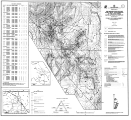 |
Open File 1990-12 presents the geology and noble metal geochemistry of the Lunar Creek mafic-ultramafic complex (94E/13, 14) in northern British Columbia. The Open File consists of one map that portrays the geology at 1:16 000 scale, a geologic legend, a regional setting map and a table of noble metal abundances in selected samples of the complex. The Open File is a contribution of the Canada/British Columbia Mineral Development Agreement 1985-1990.
The Lunar Creek complex is part of the �Polaris suite� of Alaska-type intrusions. The Lunar Creek complex is within Quesnellia at the boundary between the Stikine and Quesnel tectonostratigraphic terranes, which, in the map area, is defined by the Kutcho fault. Diorite within the complex yielded a Middle Triassic zircon age; however, along its eastern margin the complex is in contact with and may intrude augite phyric volcanic rocks that are assigned to the Upper Triassic Takla Group. Early Jurassic granitoids of the Pitman batholith intrude both the volcanics and the ultramafic rocks.
Paleozoic rocks east of the Kutcho fault are of uncertain affiliation. Some are Mississippian but may range to Devonian and Permian. Lithologies are chlorite and sericite schist, phyllite, rhyolite flows and tuffs, chert, sandstone and carbonate.
Takla augite-plagioclase porphyry, volcanic wackes and siltstones crop out north and east of the complex. They are metamorphosed to lower amphibolite grade. The contact with the complex is a ductile deformed zone along which both lithologies have been mylonitized.
The Lunar Creek complex is an elongate body trending northwest. It is unusual compared to other Alaskan complexes. It has two gabbroic phases, and one of these displays ductile deformation and is older than the main phase; cumulate layering is locally very well developed, which is rare in Alaskan complexes; and quartz-rich pegmatitic segregations are common in the gabbroic to dioritic phases, a relatively unusual feature in this type of intrusion.
Ultramafic rocks in the complex include dunite, chromitiferous dunite, wehrlite, olivine wehrlite, olivine clinopyroxenite, clinopyroxenite and gabbro. Wehrlite and clinopyroxenite units are chaotically mixed. Layering is locally developed in the peridotites. Some clinopyroxene crystals in clinopyroxene-rich units have been replaced by olivine to create irregular replacement dunite bodies. Main phase gabbro and diorite appear to be the youngest rocks in the complex. Quartz-plagioclase veins occur.
Lithogeochemical analyses suggest that the Lunar Creek complex is not a prime target for chromitite or platinum-group element exploration. Copper-bearing skarn and porphyry occurrences near the eastern margin of the complex may be related to the granitoids of the Pitman batholith rather than the ultramafic intrusion. |
| Issue ID: | OF1990-13 |
| Title: | Geology of the Polaris Ultramafic Complex (NTS 94C/5, 12) |
| Author(s): | Nixon, G.T., Hammack, J.L., Ash, C.H., Connelly, J.N., Case, G., Paterson, W.P.E., Nuttall, C. |
| Series Name: | Open File |
| Publication Year: | 1990 |
| Scale: | 1:16000 |
| NTS Map Sheet(s): | 094C/5, 12 |
| Place Keyword(s): | British Columbia, Northern British Columbia, Polaris Area |
| Lat/Long (NSWE): | 56.549, 56.433, -125.732, -125.356 |
| Theme Keyword(s): | Geology, Mineral Potential, Ultramafic Complex, Polaris Ultramafic Complex, Bedrock Geology |
Download(s):
| PDF |
Abstract:
 |
Open File 1990-13 describes he geology and mineral potential of the Polaris ultramafic complex (94C/5, 12) in northern British Columbia. The Open File consists of two sheets. The geology map of sheet 1 is at 1:16 000 scale and presents the generalized geology of the complex, with location map, geologic legend and geologic cross sections. The second sheet provides more detailed geology, at 1:5000 scale, of the western part of the complex; it also has geologic cross sections. The Open File is a contribution of the Canada/British Columbia Mineral Development Agreement 1985-1990.
The Polaris ultramafic complex is one of the largest Alaskan-type bodies in the province. It lies within the Omineca crystalline belt. The host rocks are arc-derived metamorphosed volcaniclastic and metasedimentary rocks of the Lay Range assemblage, which is Upper Paleozoic and tentatively correlated with the Harper Ranch Group. The age of he complex is not well established; Jurassic potassium-argon ages are apparently too young.
The Lay Range assemblage is entirely fault-bounded and consists of a series of northwest trending fault slices. Immediately host rocks of the Polaris complex are argillites, siltstones, sandstones, minor carbonates, lithic-crystal tuffs, and lava.
The Polaris complex forms a northwest trending elongated body. The main mass of dunite is in the eastern half of the complex. Concentrations of chromitite are essentially confined to the dunite. It forms irregular pods, schlieren and millimetre-scale laminae. Olivine wehrlite and wehrlite are extensive in the northern and central parts of the complex. Olivine clinopyroxenite and clinopyroxenite outcrops are widely distributed throughout the ultramafic parts of the complex. Mixed wehrlite/clinopyroxenite units are found near the margins of wehrlite and clinopyroxenite bodies. Hornblende clinopyroxenite and hornblendite are virtually restricted to the upper parts of the complex. Gabbroic rocks comprise hornblende and/or clinopyroxenite gabbros. They are restricted to the margins of the complex. Dykes and veins of ultramafic to syenite/leucomonzonite or quartzofeldspathic composition are widespread.
The complex is interpreted to represent a high level, sill-like intrusion. Later tilting turned the sill on edge and the transgressive northern contact of the complex represents the top of the sill. Gross internal distribution of rock types in the complex is systematically disposed about the margin.
About 130 representative samples of the complex were analyzed for gold, platinum group and �pathfinder� elements. Interesting but rather localized anomalies were found. Platinum was highest in chromitite-bearing dunite; a clinopyroxenite sample yielded anomalous platinum and palladium values; and gold anomalies show a preference for mafic lithologies at the margins of the ultramafic complex. |
| Issue ID: | OF1990-14 |
| Title: | Geology and Noble Metal Geochemistry of the Wrede Creek Ultramafic Complex (NTS 94D/9) |
| Author(s): | Hammack, J.L., Nixon, G.T., Wong, R.H., Paterson, W.P.E., Nuttall, C. |
| Series Name: | Open File |
| Publication Year: | 1990 |
| Scale: | 1:16000 |
| NTS Map Sheet(s): | 094D/9 |
| Place Keyword(s): | British Columbia, Northern British Columbia, Wrede Creek Area |
| Lat/Long (NSWE): | 56.706, 56.641, -126.179, -126.071 |
| Theme Keyword(s): | Geology, Noble Metal Geochemistry, Ultramafic Complex, Bedrock Geology |
Download(s):
| PDF |
Abstract:
 |
Open File 1990-14 describes the geology and noble metal geochemistry of the Wrede Creek ultramafic complex (94D/9) in northern British Columbia. The geology map is at 1:16 000 scale. It includes a legend, location map, and a table of noble metal abundances for representative samples from the complex. The Open File is a contribution of the Canada/British Columbia Mineral Development Agreement 1985 -1990.
The Wrede Creek complex intrudes volcaniclastic rocks of he Upper Triassic Takla Group that forms part of Quesnellia. The Takla consists primarily of augite and augite-plagioclase crystal tuffs, flows and volcanic breccias.
The Wrede Creek complex exhibits a crude concentric zonation of rocks types from ultramafic rocks in the core to mafic phases at the margins. Dunite in the core of the body grades outward through a narrow wehrlite transition zone into olivine clinopyroxenite and clinopyroxenite, and these units ultimately pass into hornblende-rich gabbroic rocks at the periphery of the complex. The body may represent a high level intrusive stock. Chromitite is ubiquitous as tiny crystals in the dunite and is concentrated locally into pods and schlieren. Minor intrusions in the complex include dykes of dunite, wehrlite, and olivine clinopyroxenite. Pegmatitic hornblende plagioclase dykes cut the dunite.
Quartz monzonite, quartz diorite and diorite dykes of Middle to possibly Late Jurassic age intrude both the Wrede Creek complex and the country rocks.
Sulphide mineralization at the southern end of the complex is hosted by dioritic to granitic dykes that cut the complex and also the Takla country rocks. Mineralization consists of disseminations and fracture fillings of pyrite, chalcopyrite, molybdenite and bornite. Bornite and pyrite are also found locally in fault-related carbonate alteration zones in the dunite. Chromite is restricted to the dunite; chromite horizons in the core of the Wrede Creek complex are markedly enriched in platinum. |
| Issue ID: | OF1990-15 |
| Title: | Geology of the Nanika Lake Map Area (NTS 93E/13) |
| Author(s): | Diakow, L.J., Timmerman, J. |
| Series Name: | Open File |
| Publication Year: | 1990 |
| Scale: | 1:50000 |
| NTS Map Sheet(s): | 093E/13 |
| Place Keyword(s): | British Columbia, Northern British Columbia, Nanika Lake Map Area |
| Lat/Long (NSWE): | 54, 53.75, -128, -127.5 |
| Theme Keyword(s): | Geology, Mineral occurrences, Geochemistry, Bedrock Geology Assay, Lake Sediment Analysis |
Download(s):
| PDF |
Abstract:
 |
Open File 1990-15 presents the geology fop the Nanika Lake area (93E/13) in northern British Columbia. The Open File map has geology at 1:50 000 scale, a legend, and mineral occurrence, lithogeochemical assay results, and regional geochemical stream and lake sediment analysis data tables.
The area straddles the Coast belt/Intermontane belt boundary. In the southwest plutons of probable Late Cretaceous and Tertiary age cut plutonic and metamorphic rocks of the Early to Middle Jurassic Gamsby complex. In the northeast, the Morice Lake pluton bounds Lower and Middle Jurassic Hazelton Group volcanic and minor sedimentary rocks. Sedimentary rocks of he Lower Cretaceous Skeena Group crop out locally. Plutons and swarms of mid-Jurassic to Tertiary age dikes cut the layered successions.
Hazelton Group strata comprise a homoclinal succession that consists mainly of sub-aerial volcanic rocks. The lowest unit exposed consists of well layered, mainly lapilli tuffs with minor basalt, andesite, and dacite lava flows. This grades upward into a unit that consists largely of basalt, andesite and rhyolite flows. Above this is a heterogeneous succession dominated by maroon and green lapilli tuff. The upper unit is a distinctive succession characterized by tuffs with rhyolitic fragments.
The Gamsby complex consists of metavolcanics, schists and orthogneisses that are cut by highly variable hornblende diorite and lesser quartz diorite. The diorites are apparently of Early Jurassic age.
The Morice Lake pluton underlies the southwest part of the map area. It consists mainly of granodiorite. The pluton and local satellite bodies cut the Jurassic volcanic succession.
Mineral prospects in the area include quartz veins containing gold and silver and abundant base metals, stratabound copper-zinc sulphides as thin lenses that are associated with interlayered limestone and chert, iron-copper skarns associated with Tertiary granodiorite intrusions, and disseminated chalcopyrite with or without molybdenite associated with Middle Jurassic and Late Cretaceous (?) plutons. |
| Issue ID: | OF1990-16 |
| Title: | Geology and Mineral Deposits of the Snippaker Area (NTS 104B/6E, 7W, 10W, 11E) |
| Author(s): | Alldrick, D.J., Britton, J.M., MacLean, M.E., Hancock, K.D., Fletcher, B.A., Hiebert, S.D. |
| Series Name: | Open File |
| Publication Year: | 1990 |
| Scale: | 1:50000 |
| NTS Map Sheet(s): | 104B/6E, 7W, 10W, 11E |
| Place Keyword(s): | British Columbia, Northwestern British Columbia, Snippaker Area, Johnny Mountain |
| Lat/Long (NSWE): | 56.75, 56.483, -131.167, -130.75 |
| Theme Keyword(s): | Geology, Mineral Deposits, Bedrock Geology |
Download(s):
| PDF |
Abstract:
 |
Open File 1990-16 presents the geology and mineral deposits of the Snippaker area (104B/6E, 7W, 10W, 11E) near Johnny Mountain in northwest British Columbia. The map portrays the geology at 1:50 000 scale, a legend, a mineral occurrence table, and selected references. Adjacent areas are covered by Open File maps 1988-4 and 1989-10.
The geology defines four major lithostratigraphic sequences. Biotite-rich quartzofeldspathic gneiss, phyllite, metawacke, metatuffs and marble are tentatively assigned to the Paleozoic Stikine or Asitka assemblage. They exhibit polyphase deformation. Mesozoic strata comprise mixed volcanic and volcanic-derived sedimentary rocks.
Upper Triassic Stuhini Group strata are sediments, intermediate volcanics, melanocratic basaltic tuffs, and leucocratic dacitic tuffs. Most of the volcanics are basaltic to andesitic with pyroxene and plagioclase as phenocrysts phases. Pyroclastic units are more common than flows. The dacitic rocks are pyroxene-plagioclase crystal and lapilli tuffs. Scattered lenses and blocks of recrystallized limestone occur in the tuff successions.
Lower Jurassic Hazelton Group strata are mainly andesitic to dacitic fragmental volcanics with minor basaltic tuffs and lesser amounts of siltstone, wacke and conglomerate. Lateral facies changes are pronounced.
Pleistocene and Recent basaltic flows, cones and tephra occupy several river valleys. The basalts are olivine and plagioclase phyric.
Intrusive rocks underlie 1/3 of the area. The oldest are Triassic sills, dikes and plugs of hornblende diorite. Jurassic intrusions include synvolcanic stocks and large plutons. Rock types range from felsite and feldspar-quartz porphyries in stocks, to quartz diorite through quartz monzonite to coarse monzonite or diorite to megacrystic monzonite in the larger plutons. The Coast Mountains batholith varies from quartz diorite through granodiorite to granite.
Deformation in the area is complex, with local folding and penetrative deformation, and many episodes of faulting associated with volcanic and intrusive activity.
The Snip and Johnny Mountain mines and the Inel prospect are within the map area. At the Johnny Mountain gold mine, ore is mainly in quartz-carbonate veins with green mica and some specular hematite that cut volcanic rocks. They carry pyrite and chalcopyrite with trace amounts of base metal sulphides. The Snip deposit is within a sedimentary sequence. The mineralization is as veins in shear zones. Massive sulphide ore has pyrite>pyrrhotite and minor sphalerite; crackle quartz ore consists of shattered quartz veins infilled with green mica and chlorite and disseminated sulphides; and streaky quartz ore has quartz laminae in sheared and altered country rock. The Inel mineralization is hosted by a volcanic-sedimentary sequence. Mineralization occurs as sulphide and quartz-sulphide veins. Skarns occur along the border of the Lehto batholith east of Snippaker Creek. Sulphides are chalcopyrite and sphalerite with magnetite. Some contain precious metal values. Disseminated sulphides that are known within large gossanous zones may be related to precious metal-bearing porphyry copper mineralization. |
| Issue ID: | OF1990-17 |
| Title: | Geology between Nina Lake and Osilinka River, B.C. (NTS 93N/15, 94C/2) |
| Author(s): | Ferri, F., Melville, D.M. |
| Series Name: | Open File |
| Publication Year: | 1990 |
| Scale: | 1:50000 |
| NTS Map Sheet(s): | 093N/15, 094C/2 |
| Place Keyword(s): | British Columbia, Northcentral British Columbia, Between Nina Lake and Osilinka River |
| Lat/Long (NSWE): | 56.125, 55.875, -125, -124.5 |
| Theme Keyword(s): | Geology, Mineral occurrences, Geochemistry, Bedrock Geology |
Download(s):
| PDF |
Abstract:
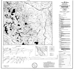 |
Open File 1990-17 describes the geology and mineral occurrences between Nina Lake and the Osilinka River in north-central British Columbia. The Open File consists of two maps: the first portrays geology at 1:50 000 scale, a legend, and geologic cross sections; the second contains a sample location map, geochemical data and a mineral occurrences table. Tables present results of stream sediment, moss mat and whole rock geochemical analyses.
Both displaced North American rocks and accreted rocks of the Intermontane superterrane are exposed in the map area. The oldest North American rocks are part of the Proterozoic Ingenika Group, which is predominantly clastic with lesser carbonate. Typical lithologies are feldspathic and quartz wackes, siltstones, slates, sandstones, limestones and their metamorphosed equivalents. Lower Paleozoic clastic and carbonate rocks in the area correlate with the Lower Cambrian Atan Group, the Cambrian to Ordovician Kechika Group, the Ordovician to Silurian Road River Group, the Silurian to Lower Devonian Sandpile Group, the Middle Devonian McDame Group, and the Upper Devonian to Mississippian Earn Group.
Allochthonous rocks in the area are the Pennsylvanian to Permian Slide Mountain Group, the Middle to Upper Paleozoic Harper Ranch Group (?) and the Upper Triassic to Lower Jurassic Takla Group.
The Manson Creek left lateral fault zone and the boundary between the Slide Mountain and North American miogeoclinal strata are the major tectonic elements in the area. This boundary is layer-parallel and is presumably a thrust fault. Older strata that are metamorphosed to as high as sillimanite grade in the northeast part of the map are polydeformed. Elsewhere, greenschist or lower metamorphic grades exist and brittle deformation predominates.
Known mineral occurrences are predominantly related to the McDame dolomitic units but there is a lead-zinc-silver showing in the Sandpile Group and a gold-silver-copper prospect in Slide Mountain rocks. Mineralization in the interval from the Earn-McDame contact down to the uppermost Tapioca sandstone unit of the Sandpile Group consists primarily of argentiferous galena, sphalerite, barite and minor amounts of pyrite. In general stratabound carbonate-hosted base metal deposits could occur throughout the McDame Group. In the middle division of the Slide Mountain Group, shear zones in gabbros and argillaceous cherts may host podiform lenses of sulphide mineralization, generally pyrite and chalcopyrite with varying amounts of gold and silver. |
| Issue ID: | OF1990-18 |
| Title: | Geological Compilation Map, Northern Kokanee and Southern Goat Ranges (NTS 82F, 82K) |
| Author(s): | Beaudoin, G. |
| Series Name: | Open File |
| Publication Year: | 1990 |
| Scale: | 1:50000 |
| NTS Map Sheet(s): | 082F, 082K |
| Place Keyword(s): | British Columbia, Southern British Columbia, Northern Kokanee and Southern Goat Ranges |
| Lat/Long (NSWE): | 50.082, 49.583, -117.5, -116.833 |
| Theme Keyword(s): | Geology, Geological Compilation Map, Bedrock Geology |
Download(s):
| PDF |
Abstract:
 |
Open File 1990-18 presents a geological compilation map of the northern Kokanee and southern Goat Ranges (82F, 82K) in southern British Columbia. The geology map is at 1:50 000 scale and the sheet also contains a legend, a schematic stratigraphic column, and references.
Mineral deposits are not shown on the map, but the area many silver-lead-zinc vein deposits, including those of the Riondel, Ainsworth, Slocan, Silverton, New Denver and Sandon camps. In the west, near Kootenay Lake, the oldest strata are rocks of the Proterozoic Purcell and Windermere supergroups. The Paleozoic assemblage includes the Cambrian Hamill Group and Badshot-Mohican formations, the Cambro-Ordovician Lardeau Group, the Mississippian Milford Group, and the Permian Kaslo Group. Slocan Group rocks comprise the Mesozoic strata in this area. The layered rocks are cut by the Middle Jurassic Nelson batholith, Cretaceous syn-tectonic granite, and Tertiary lamprophyric, gabbroic, intermediate, and felsic dikes. In the north, the Sandon area lacks Proterozoic rocks and syn-tectonic granites, but otherwise has the same rock packages. In the east, in the Valhalla Range, there are no Proterozoic rocks exposed and the Paleozoic poorly constrained metamorphic rocks that are partly of Mississippian age, and rocks that are Permo-Triassic in the Nemo Lakes belt. Above these are Jurassic Rossland Group strata. Intrusive rocks include the Jurassic Nelson batholith, the Paleocene Ladybird granite and dikes similar to those near Kootenay Lake. The Mulvey gneiss was emplaced during Cretaceous time. |
| Issue ID: | OF1990-19 |
| Title: | Geology of the Johnny Mountain Area (NTS 104B/11) |
| Author(s): | Fletcher, B.A., Hiebert, S.D. |
| Series Name: | Open File |
| Publication Year: | 1990 |
| Scale: | 1:10000 |
| NTS Map Sheet(s): | 104B/11E |
| Place Keyword(s): | British Columbia, Northwestern British Columbia, Johnny Mountain Area |
| Lat/Long (NSWE): | 56.694, 56.594, -131.131, -130.995 |
| Theme Keyword(s): | Geology, Mineral occurrences, Bedrock Geology |
Download(s):
| PDF |
Abstract:
 |
Open File 1990-19 presents the geology and mineral occurrences of the Johnny Mountain area (104B/11). The Open File consists of 2 sheets. Sheet 1 consists of a legend, descriptions of rock units in the area, references, and mineral occurrence table. Sheet 2 portrays the geology at 1:10 000 scale.
The area is underlain by stratified rocks that range from Paleozoic metasediments to Upper Triassic sediments, and Lower Jurassic volcanic rocks that are cut by Upper Triassic diorites, Lower Jurassic potassic feldspar porphyries and Jurassic felsite intrusions. The Upper Triassic sedimentary sequence consists of a lower package of deformed tuffaceous clastic rocks with local limestone and tuff layers, and an overlying sequence of undeformed fine to coarse clastic sediments. The undeformed sequence includes the Snip mine series. The Lower Jurassic volcanic sequence has a lower unit of tuffaceous wackes and conglomerates; a Lower Andesite package of lapilli, crystal and ash tuffs; a Middle Dacite package of tuff breccias, welded tuffs, plagioclase porphyry, lapilli tuff and ash tuff; and an Upper Andesite and Basalt package of lapilli, crystal and ash tuffs.
Upper Triassic diorites and Lower Jurassic, locally megacrystic K-feldspar porphyry and Jurassic felsite intrusions form stocks and dikes. Underground at Snip gold mine, a biotite porphyritic mafic dike occurs at the Twin zone, which is cut off by lamprophyre dikes. The Hoodoo olivine plagioclase basalt dikes are seen underground at Johnny Mountain gold mine. Commodities in the 29 mineral occurrences listed are copper-gold-silver, gold-silver-copper-lead-zinc, silver-lead-zinc-gold, gold-silver, lead-zinc, gold only and molybdenum. |
| Issue ID: | OF1990-20 |
| Title: | Geology and Mineral Occurrences of the Purcell Wilderness Study Area, East Half (NTS 82F/16, 82K/1, 8) |
| Author(s): | McLaren, G.P., Stewart, G., Lane, R. |
| Series Name: | Open File |
| Publication Year: | 1990 |
| Scale: | 1:50000 |
| NTS Map Sheet(s): | 082F/16, 082K/1, 8 |
| Place Keyword(s): | British Columbia, Southeastern British Columbia, Purcell Wilderness Study Area, East Half |
| Lat/Long (NSWE): | 50.372, 49.75, -116.5, -116.133 |
| Theme Keyword(s): | Geology, Mineral occurrences, Bedrock Geology |
Download(s):
| PDF |
Abstract:
 |
Open File 1990-20 presents geology and mineral occurrences of the Purcell Wilderness Study area, east half (82F/16, 82K/1, 8) in British Columbia. Mapping is at 1:50000 scale. |
| Issue ID: | OF1990-21 |
| Title: | Mines, Development Projects and Exploration Programs in Northwestern B.C., 1989 |
| Author(s): | Lefebure, D.V., Malott, M.L. |
| Series Name: | Open File |
| Publication Year: | 1990 |
| Scale: | 1:1000000 |
| NTS Map Sheet(s): | 093;094;103;104;114 |
| Place Keyword(s): | British Columbia, Northwestern British Columbia |
| Lat/Long (NSWE): | 60, 52, -138, -124 |
| Theme Keyword(s): | Geology, Mines, Development Projects, Exploration Programs |
Download(s):
| PDF |
Abstract:
 |
Open File 1990-21 describes mines, development projects and exploration programs in northwestern British Columbia in 1989. Scale is at 1:1000000. |
| Issue ID: | OF1990-22 |
| Title: | Tectonic Setting of Listwanite - Lode Gold Deposits in Northwestern B.C. (NTS 104N/12) |
| Author(s): | Ash, C.H., Arksey, R.L. |
| Series Name: | Open File |
| Publication Year: | 1990 |
| Scale: | 1:20000 |
| NTS Map Sheet(s): | 104N/12 |
| Place Keyword(s): | British Columbia, Northern British Columbia, Northwestern British Columbia, Atlin Area |
| Lat/Long (NSWE): | 59.606, 59.516, -133.75, -133.5 |
| Theme Keyword(s): | Geology, Tectonic Setting, Listwanite-Lode Gold Occurrences, Bedrock Geology |
Download(s):
| PDF |
Abstract:
 |
Open File 1990-22 presents the geology and tectonic setting of listwanite-lode gold occurrences in the Atlin area (104N/12) of northernmost British Columbia. The map portrays geology at 1:2 000 scale, a legend, a schematic cross section, a tectonic model diagram, references, and a mineral occurrence table.
The Open File presents map data to define the relationship between listwanite-lode gold deposits in the Atlin area, the distribution of ultramafic rocks, and their contact relationships. Mapping was oriented toward testing the model proposed, hence many contacts are derived from earlier studies. Thrust and high angle faulting are important in the area. Hanging wall ultramafic rocks pass downward through a carbonatized and tectonized thrust zone into footwall lithologies. Gold mineralization is associated with the altered thrust zone. The schematic geologic section indicates that the ultramafic rocks were emplaced as a tectonic slice of mantle rocks. Higher elevation exposures are dunites and harzburgites, toward the basal thrust contact, serpentinite alteration and listwanite alteration increase. The country rock is the Cache Creek ophiolite assemblage with gabbro to diorite intrusions, mafic volcanic rocks, limestone, and cherty argillites.
Hartzburgite is a peridotite composed of olivine and orthopyroxene and is believed to represent the residuum after partial melting of the upper mantle during formation of oceanic crust at spreading centres. |
| Issue ID: | OF1990-23 |
| Title: | Cretaceous and Tertiary Stratigraphy and Industrial Minerals, Hat Creek, Southern B.C. (NTS 92I/12, 13, 14) |
| Author(s): | Read, P.B. |
| Series Name: | Open File |
| Publication Year: | 1990 |
| Scale: | 1:25000 |
| NTS Map Sheet(s): | 092I/12, 13, 14 |
| Place Keyword(s): | British Columbia, Southern British Columbia, Hat Creek |
| Lat/Long (NSWE): | 50.833, 50.583, -121.683, -121.467 |
| Theme Keyword(s): | Bedrock Geology, Stratigraphy, Industrial Minerals, Tertiary Basins, Cretaceous and Tertiary Stratigraphy |
Download(s):
| PDF |
Abstract:
 |
Open File 1990-23 describes the stratigraphy and industrial mineral occurrences of the Hat Creek area in southern British Columbia (NTS 921/12,13,14). It represents data from an ongoing investigation of industrial minerals in Tertiary basins funded by the Canada/British Columbia Mineral Development Agreement 1985-1990. The Open File is comprised of a 1:25 000 scale map of the Hat Creek outlier of Tertiary and Upper Cretaceous sediments and volcanic rocks. Based on extensive palynological and drilling data, a completely new outlook on the structure and stratigraphy of the area is presented.
Accompanying notes briefly describe the stratigraphy, structure and industrial minerals including 171 palynological results and 12 bentonite tests.
Rocks are poorly exposed in the area but because of the coal potential, British Columbia Hydro conducted an extensive drill program and excavated a number of test pits that provide a major database. The oldest rocks exposed are marble, phyllite and greenstone of the Upper Paleozoic Cache Creek complex. They are unconformably overlain by porphyritic and amygdaloidal dacite, andesite and local basalt of the Cretaceous Spences Bridge Group. Unconformably over the older rocks are mid-Cretaceous sandstone, siltstone and chert pebble conglomerate. Overlying Kamloops Group rocks consist of a lower mid-Eocene volcanic unit and an Eocene to perhaps Oligocene sedimentary unit. The volcanics begin with rhyolite, then rhyolite tuff and breccia with lenses of waterlain siltstone and sandstone. Overlying dacite and andesite flows have interfingering red volcanic breccias and polymictic lahars. The sedimentary unit is more than 1600 metres thick. The lower or Sandstone unit is mid to upper Eocene and consists of sandstone, siltstone and chert pebble conglomerate. The overlying coal-bearing Hat Creek member contains up to 4 coal seams, each 60 to 80 metres thick. The upper or Claystone unit consists of siltstone and claystone. Local areas of Chilcotin basalt are of Miocene age.
Industrial minerals in the area are bentonite and kaolinite. Both commodities are mainly found as the clay component in the claystone beds, but they are inversely correlated. Clay and/or fly ash from a coal operation could provide a source of alumina. |
| Issue ID: | OF1990-24 |
| Title: | Geology of the Lardeau Group East of Trout Lake, Southeastern B.C. (NTS 82K/11) |
| Author(s): | Smith, M.T., Gehrels, G.E. |
| Series Name: | Open File |
| Publication Year: | 1990 |
| Scale: | 1:25000 |
| NTS Map Sheet(s): | 082K/11 |
| Place Keyword(s): | British Columbia, Southeastern British Columbia, East of Trout Lake, Silvercup Ridge, Mount Wagner |
| Lat/Long (NSWE): | 50.747, 50.5, -117.424, -117.121 |
| Theme Keyword(s): | Geology, Stratigraphy, Structure, Lardeau Group, Bedrock Geology |
Download(s):
| PDF |
Abstract:
 |
Open File 1990-24 presents the most recent geological mapping at 1:25 000 scale of the Lardeau Group in the Silvercup Ridge, Mount Wagner and Mount Aldridge areas near Trout Lake (NTS 82K/11) in southeastern British Columbia. The Open File contains a highly detailed stratigraphy and several structural cross sections which shed new light on the geology of the area. The most significant interpretation is that the contact between the Lardeau Group and the underlying strata of the Badshot, Mohican and Marsh Adams formations is not a depositional contact as previously assumed but a shear zone up to a few kilometres wide which considerably disrupts the original stratigraphy.
The area was mapped as part of a regional study of the Lower Paleozoic eugeoclinal strata and their contact relations with miogeoclinal strata in the Kootenay Arc. The objective was to gain un understanding of the Lower Paleozoic evolution of the ancient Cordilleran continental margin and the deformational and accretionary history of the Kootenay Terrane. The Lower Paleozoic Lardeau Group underlies much of the Kootenay Arc. It is transitional in age and in structural position between autochthonous Precambrian to Lower Cambrian passive margin strata, and Late Paleozoic to Mesozoic arc terranes of uncertain paleogeographic affinity.
Lower Cambrian strata are the oldest rocks exposed in the map area. They consist of the sedimentary member of he Marsh Adams Formation, green phyllite and minor limestone of the Mohican Formation, grey marble of the Badshot Formation and a black phyllite and argillite unit that overlies the Badshot Formation.
Lower Paleozoic rocks of the Lardeau Group include the Index Formation, Triune phyllite, Ajax quartzite, Sharon Creek phyllite, Jowett volcanics and the Broadview Formation. From old to young, the Index Formation consists of quartzofeldspathic sandstone, black siliceous argillite, black and grey phyllite, undifferentiated grey, green, and black phyllite, turf; and carbonate, green, grey, and black phyllite, grey carbonate, green phyllite and metatuffs, and pillow basalt. An undifferentiated siliceous argillite and phyllite unit separates the Index Formation and Triune phyllite, which consists of black siliceous argillite, chert, and phyllite. The Ajax quartzite, which is massive grey quartzite, is overlain by the Sharon Creek phyllite, which consists of black siliceous argillite, chert, and phyllite. The Jowett volcanics consist of metamorphosed mafic tuff; pillow basalt, and undifferentiated greenschist. The top of the Lardeau Group is the Broadview Formation. It consists of marine volcanic rock, marble lenses, black and grey phyllite, green, gritty quartzofeldspathic metasandstone and phyllite.
Intrusive rocks in the area include Cretaceous or older ultramafic rocks, including talc schist, pyroxenite and serpentinite, and coarse gabbroic as dikes and small stocks. Cretaceous felsite dikes also occur.
The most important mineral occurrences in the general area are Shuswap-type lead-zinc-silver deposits. Most deposits were discovered before 1900, and a great deal of the exploration and mining was done before 1920. In the Fergusson area, for example, total production amounts to 44,259 tons. Gross contents: Gold, 6,941 ounces: silver, 2,205,383 ounces; copper, 5,439 pounds; lead, 9,056,174 pounds; zinc, 435,033 pounds.
As early as 1903, it was recognized that the mineral deposits in the Lardeau district fall into three belts - the lime dyke belt, the central mineral belt, and the southwest mineral belt (see Bulletin 45). The most common deposits in the lime dyke belt contain galena in siderite, which has replaced Lade Peak limestone and limestones in the Index formation. More than 85 per cent of the ore mined in the Ferguson area came from the central mineral belt. The polymetallic veins of the Silver Cup, Triune, Nettie L, and True Fissure mines account for most of the production. These deposits are veins and lodes containing galena, argentiferous tetrahedrite, sphalerite, and locally chalcopyrite. |
| Issue ID: | OF1990-25 |
| Title: | Geology of the Greenwood - Grand Forks Area, British Columbia (NTS 82E/1, 2) |
| Author(s): | Fyles, J.T. |
| Series Name: | Open File |
| Publication Year: | 1990 |
| Scale: | 1:50000 |
| NTS Map Sheet(s): | 082E/1, 2 |
| Place Keyword(s): | British Columbia, Southern British Columbia, Greenwood - Grand Forks Area, Boundary Mining Camp |
| Lat/Long (NSWE): | 49.25, 49, -119, -118.467 |
| Theme Keyword(s): | Geology, Stratigraphy, Structure, Mineral Exploration, Bedrock Geology |
Download(s):
| PDF |
Abstract:
 |
Open File 1990-25 portrays the geology of the Greenwood � Grand Forks area in southern British Columbia. The report gives details of the formations and contains eleven measured stratigraphic sections. It presents the geology and the structural style in a modern context and gives new information that will be important to mineral exploration in the well-known Boundary mining camp.
The Greenwood - Grand Forks area contains Late Paleozoic and Mesozoic volcanic and sedimentary rocks, which are intruded by Mesozoic plutons and unconformably overlain by Tertiary volcaniclastic and flow rocks. The pre Tertiary stratiform rocks are contained in a series of five, north-dipping thrust slices with bounding faults, which are marked at many places by layers and lenses of deformed serpentinite. These thrust slices lie above high-grade metamorphic complexes, which are exposed to the south in northern Washington and to the east beyond the Granby River fault.
This publication consists of a 1:50 000-scale geological map with cross sections, accompanied by a 19-page report covering the geology of the Rock Creek - Greenwood - Grand Forks area, in southern British Columbia.
The focus of the mapping was to provide a geological framework for the interpretation of mineral deposits in the area. The Paleozoic Knob Hill Group comprises most of the pre Tertiary rocks in the area. It is a thick assemblage of mainly greenstone and chert. The volcanics are dominantly pillow lavas and breccias, and agglomerates derived from them. Dioritic intrusions and altered serpentine or listwanite are included in the Knob Hil Group. Unconformably over the Knob Hill rocks are sediments of the Middle Triassic Brooklyn Formation. There is a lower unit of chert-pebble conglomerate and chert breccia, and an upper unit of limestone, siltstone, sandstone, limestone conglomerate and skarn. Above a disconformity, is an Early Jurassic fragmental greenstone. These rocks are intruded by the Jurassic and Cretaceous Nelson plutonic rocks. These comprise feldspar porphyry, granodiorite and quartz diorite. Unconformably overlying all the older rocks are rocks of the Tertiary Penticton Group. A lower package of feldspathic and lithic tuffaceous sandstone, conglomerate and siltstone is overlain by mainly flows of andesite, trachite and phonolite and intruded by dikes, sills and small plutons of alkaline syenite.
Tertiary faults dominate the structure of the area. They bound the Tertiary rocks and are often filled by Tertiary dikes. The most important are listric normal faults but later block faults predominate. |
| Issue ID: | OF1990-26 |
| Title: | Geology and Mineral Deposits of the Toby-Horsethief Creek Area, Northern Purcell Mountains, Southeast B.C. (NTS 82K) |
| Author(s): | Pope, A.J. |
| Series Name: | Open File |
| Publication Year: | 1990 |
| Scale: | 1:50000 |
| NTS Map Sheet(s): | 082K |
| Place Keyword(s): | British Columbia, Southeastern British Columbia, Toby-Horsethief Creek Area, Northern Purcell Mountains |
| Lat/Long (NSWE): | 51, 50, -117, -116.5 |
| Theme Keyword(s): | Geology, Stratigraphy, Bedrock Geology, Metallogeny, Mineral Deposits |
Download(s):
| PDF |
Abstract:
 |
Open file 1990-26 presents the results of 10 months of fieldwork undertaken from 1985 to 1987, in the Toby-Horsethief Creek area (NTS 82K) of the northern Purcell Mountains, west of Invermere in southeastern British Columbia as part of a Ph.D. thesis. An area of 800 square kilometres was mapped at a scale of 1:15 000) and a total of 4300 metres of stratigraphic section was measured. This report summarizes the geology known as a result of research into the stratigraphic and structural controls on metallogeny in the Horsethief Creek area
Particular emphasis is given to the stratigraphy of the Upper Belt Purcell Supergroup and to detailed descriptions of the main lead, zinc, silver and copper occurrences in the area. The report concludes with a summary and discussion of the controls on mineralization within the map area
The report is accompanied by a 1:50 000-scale geology map with corresponding stratigraphic-structural cross sections and a 1:50 000-scale mineral occurrence map.
Open File 1987-8 is a 1:50 000 scale map that depicts the geology, stratigraphy and structure of the west half of the Skookumchuck map area (82G/13W). The area contains a number of lead-zinc-silver vein occurrences and Creston rocks have potential for red bed copper-silver deposits. The mapping improved correlation between Dutch Creek-Mount Nelson rocks to the north and Gateway-Phillips and Roosville stratigraphy to the south.
Belt-Purcell Supergroup rocks in the area include the: Van Creek Formation, Lower Gateway Formation, Dutch Creek Formation, Mount Nelson Formation (Lower Quartzite, Lower Main Dolomite, Middle Quartzite, Orange Dolomite, White Markers, Purple Sequence, Upper Middle Dolomite, Upper Quartzite, and Upper Dolomite).
Windermere Supergroup rocks include the Toby Formation (Boulder Breccia lithofacies, Diamictite lithofacies, Sparse Clast Diamictite, and Siltstone-Argillite lithofacies), Horsethief Creek Formation (Black Carbonate, Siltstone-Argillite lithofacies, Dolomite, Quartz Feldspar Arenites and Pebble Conglomerates, and Red and Varicoloured Argillites).
Lower Paleozoic rocks include the: Lower Cambrian Cranbrook Formation, Middle Cambrian Jubilee Formation, and Ordovician-Silurian Beaverfoot Formation. Upper Paleozoic strata include the Mount Forster Formation and the Starbird Formation.
Thrust faulting is important in the area. Major faults include the Mount Nelson, Mineral King, and Mount Forster thrust sheets. Deformation Phases include Helikian to Devonian extension, Jurassic to Paleocene �Columbian-Laramide� contraction, and Eocene extension.
Igneous rocks in the area are the Toby volcanics, green metadiabase dikes, Devonian volcanics, lamprophyric to kimberlitic dikes and the Horsethief Creek granite. The granitic body is largely quartz monzonite.
Mineral occurrences include stratabound massive replacement (manto) lead-zinc-silver-iron sulphide deposits occur in dolomites of the upper Belt-Purcell Supergroup, examples are the Mineral King mine and the Paradise mine. Veins, including: ferroan dolomite breccia; stratabound fault veins can be very rich and occur mainly in dolomites of the upper Belt-Purcell Supergroup; examples are the Ptarmigan mine, Kootenay King mine, Silver Queen mine and other deposits; stratabound fracture veins with silver-lead and copper-barium mineralization also occur mainly in dolomites of the upper Belt-Purcell Supergroup; an example is the Copper King mine; Mississippian-type deposits, as the Falcon prospect; and stratiform disseminated zinc-lead-deposits with or without silver and iron values. |
| Issue ID: | OF1990-27 |
| Title: | Ultramafic Associated Chromite and Nickel Occurrences in British Columbia |
| Author(s): | Hancock, K.D. |
| Series Name: | Open File |
| Publication Year: | 1990 |
| NTS Map Sheet(s): | 082;083;092;093;094;102;103;104;114 |
| Place Keyword(s): | British Columbia |
| Lat/Long (NSWE): | 60, 48, -139, -114 |
| Theme Keyword(s): | Geology, Ultramafics, Ultramafic Associated Chromite, Ultramafic Associated Nickel Occurrences |
Download(s):
| PDF |
Abstract:
 |
Open File 1990-27 is a report on ultramafic associated chromite and nickel occurrences in British Columbia. |
| Issue ID: | OF1990-28 |
| Title: | Dispersion and Behaviour of Gold in Stream Sediments |
| Author(s): | Fletcher, W.K. |
| Series Name: | Open File |
| Publication Year: | 1990 |
| NTS Map Sheet(s): | 082;083;092;093;094;102;103;104;114 |
| Place Keyword(s): | British Columbia |
| Lat/Long (NSWE): | 60, 48, -139, -114 |
| Theme Keyword(s): | Geology, Gold, Gold in Stream Sediments, Sediments |
Download(s):
| PDF |
Abstract:
 |
Open File 1990-28 examines stream sediment geochemistry and heavy mineral surveys in gold exploration. The purpose of this report is to summarize and present the findings of studies conducted from 1985 onward in a convenient form that emphasizes their practical implications for use of stream sediment surveys in gold exploration. The report is divided into three main sections: (i) size distribution of gold in sediments; (ii) distribution among bed-forms and along longitudinal profile; and (iii) seasonal variations in gold concentrations. |
| Issue ID: | OF1990-29 |
| Title: | Geological Studies and Mineral Occurrences in the Nicola Lake Region, British Columbia (NTS 92I/SE) |
| Author(s): | Moore, J.M., Pettipas, A.R. (Part A), Myers, R.E., Hubner, T.B. (Part B) |
| Series Name: | Open File |
| Publication Year: | 1990 |
| Scale: | 1:100000 |
| NTS Map Sheet(s): | 092I/SE, |
| Place Keyword(s): | British Columbia, Southern British Columbia, Nicola Lake Region |
| Lat/Long (NSWE): | 50.5, 50, -121, -120 |
| Theme Keyword(s): | Geology, Mineral Deposits, Bedrock Geology |
Download(s):
| PDF |
Abstract:
 |
Open File 1990-29 is a 30-page report detailing the geology and mineral deposits of the Nicola Lake region (NTS 92I/SE). Geology is presented at 1:250 000, 1:100 000 and 1:50 000 scales for various areas.
Since the late 1800s the region around Nicola Lake has been known for its varied mineral deposits concentrated in the Stump Lake, Swakum Mountain and Iron Mountain areas. Over 200 mineral occurrences are documented in this small area but only one major producing mine, the Craigmont copper-iron skarn deposit, has been discovered. Because of easy access, proximity to the Highland Valley camp ad wealth of encouraging prospects there is potential for further significant discoveries, particularly for copper porphyries and precious ad base metal skarns.
Early geological studies established that the mineral occurrences are largely hosted by a thick, Late Triassic volcanic assemblage, the Nicola Group. It is complex and underlies an area of relatively low relief and limited exposure compared to much of the Cordillera; earlier studies failed to established the internal structure and stratigraphy with any certainty. However, recently the LITHOPROBE Southern Cordilleran Transect was routed through the Highland Valley and Nicola Lake areas. This report presents the results of new geological mapping and compilation, undertaken in 1988, initially to provide an adequate database for interpretation of the LITHOPROBE seismic data, and extended in 1989 from the transect line to better understand parts of the Nicola Group that had not been systematically mapped since the 1940s.
In the southernmost part of the map area and to the south, toward Princeton, the Nicola rocks have been divided into three �belts� by Preto (1979) that contain distinct facies and assemblages. The western belt is an easterly facing succession of calcalkaline, mainly plagioclase-phyric andesitic flows and breccias, with lenticular interlayers of limestone and bedded volcaniclastic rocks. Although flows are more abundant relative to clastic facies in the western part of the belt that is not evident on Swakum Mountain where sedimentary facies can be found throughout its entire width. The alternation of thick successions of massive uniform green flows and unsorted breccias with bioclastic limestones, volcanic conglomerate and local subaerial volcanic facies such as maroon scoriaceous breccias testifies to deposition near a rapidly fluctuating shoreline. Local felsic centres contain dacite and rhyolite flows, welded tuff and breccia, with intercalated heterolithic, intermediate to felsic volcaniclastics.
The central belt, as represented in the south-central part of the map area and probably in the extreme northwest, comprises mainly augite and plagioclase phyric basaltic flows and associated breccias. These are largely submarine and of alkalic composition; probable correlatives near Logan Lake are among the very few occurrences of pillow lava in the Nicola Group. Subvolcanic intrusions of diorite and gabbro are abundant in the central belt.
The eastern belt facies consists almost entirely of mafic augite-phyric volcaniclastic rocks, ranging from coarse, probably laharic, breccias to fine wacke and siltstone; coarse facies predominate. In the fault blocks between the Nicola horst and Stump Lake there are thick successions of turbidite wacke. Fine-grained sedimentary facies of the Nicola Group, underlying the Meander Hills and the Douglas Lake area, are medium to thin-bedded wacke, siltstone and mudstone. An assemblage of red-brown, plagioclase-phyric subaerial andesitic flows and volcaniclastic rocks that lies at the south edge of the map area, in the vicinity of Mount Nicola, contrasts with the surrounding Nicola Group facies, from which it is separated by faults and Jurassic Ashcroft Formation sedimentary rocks. Originally assigned to the Kingsvale (now Spences Bridge) Group and later to the Nicola Group (central belt), these rocks have yielded one questionable Jurassic fossil locality but remain of uncertain age. Similarity to a few of the Nicola units on Iron Mountain, and the presence of one copper prospect suggest that the succession may be an emergent part of the western Nicola belt.
The Nicola Group rocks have been intruded by Triassic and Jurassic plutons, of which the Guichon Creek batholith is the largest and most important from the metallogenic standpoint. The stratified rocks are complexly faulted and regionally metamorphosed, typically to low greenschist facies.
The Nicola Group is overlain unconformably by clastic and volcanic rocks ranging in age from Jurassic to Tertiary, that are less altered but rotated to steep attitudes on mainly extensional faults. Clastics correlated with the Early and Middle Jurassic Ashcroft Formation are mostly unlayered, poorly sorted coarse conglomerate, with discontinuous interbeds of pyritic, rusty weathering sandstone and siltstone. In the Swakum Mountain area there is a grey, commonly fetid bioclastic limestone, up to 200 metres thick, near the base of the formation. Clasts in the conglomerate consist mainly of volcanic rocks resembling the Nicola Group, and granitic and dioritic boulders. At several localities a chert-pebble conglomerate, containing distinctive green clasts, overlies the polymictic conglomerate and may be of Cretaceous age; however chert-bearing units are also found near the base of the succession, so the chert-clast conglomerate may also be Jurassic. Andesitic volcanic rocks of the Cretaceous Spences Bridge Group occupy the southwest corner of the area. Eocene clastic sediments ("Coldwater beds"), that include coal at Merritt and Quilchena, and volcanic rocks (Kamloops and Princeton groups) occupy fault-bounded depressions; the Kamloops Group also underlies the highlands bounding the area on the northeast. The volcanic rocks are predominantly basalts and andesites, but rhyolitic centres occur north of Stump Lake and east of Guichon Creek.
The Nicola horst is a major structure bounded by Tertiary faults. It contains Nicola strata (comparable to central and eastern belt facies) and quartzite (metachert?), metaconglomerate and black schist of unknown age that are penetratively deformed and metamorphosed to amphibolite facies. These are cut by a variety of plutonic rocks ranging from metagabbro and tonalite to granite. The youngest, and the only body that has escaped penetrative deformation and recrystallization, is the Paleocene Rocky Gulch granodiorite.
The oldest strata that are consistently flat lying are Miocene Chilcotin basalts that occur northeast of Lac Le Jeune and probably in smaller outliers elsewhere. These flows are difficult to distinguish from the Pleistocene and Recent "valley basalts" that once filled the major drainage channels of the area, and now occur as remnants in the Nicola and Quilchena valleys. The tectonic history of the area is dominated by brittle deformation. Only in the Nicola horst are penetratively deformed rocks encountered; these exhibit westerly plunging stretching features that are probably related to accretion of the Nicola arc in Mesozoic time. Most of the Nicola rocks are steeply tilted but not penetratively strained except near small shear zones and, although a few mesoscopic folds were seen, top criteria indicate that the strata face east, implying that blocks have been rotated on listric faults. In the Swakum Mountain area discontinuities along strike of the Nicola rocks imply an easterly striking fault, but in general the breaks must be oriented in a northerly direction. The Ashcroft strata occupy northwest to north-striking slices, bounded on their easterly sides by faults presumed to be normal. Major northwest trending lineaments are also seen within the Nicola rocks (e.g. Rey Creek valley). These structures are transected by northerly striking Tertiary fault systems in the Nicola River, Guichon, Clapperton and Quilchena Creek valleys; along these faults Eocene sedimentary and volcanic strata have been rotated to dips approaching the vertical, and the Nicola horst elevated relative to its surroundings. These faults are part of a regional system of Eocene extensional features, proposed by Ewing (1980) and elaborated by Monger and McMillan (1989). Where exposed, as in road cuts along the Coquihalla Highway and Nicola Lake, the fault zones exhibit intense shattering, veining and local alteration.
In the area, five main groups of mineral deposits occur. Skarn-hosted copper-iron deposits with or without gold formed near Jurassic intrusives; porphyry-style copper-gold and copper-molybdenum deposits associated with Triassic-Jurassic and younger plutons, lead-zinc-barite deposits within Nicola felsic volcanics and volcaniclastic rocks, precious metal-bearing quartz veins as lodes or epithermal veins, and stockwork quartz-carbonate veins with gold-silver-copper-lead-zinc mineralization.
The Swakum area is of particular interest for two principal deposit types, both polymetallic: copper-bearing skarns, and lead-zinc-copper-silver-gold quartz-stockwork veins associated with iron-rich carbonate alteration zones, both within and outside the skarn zone. The former type is exemplified by the Lucky Mike, where copper is accompanied by subordinate tungsten, silver, gold, lead and zinc. Old Alameda and the other deposits are of the latter type.
Magnetite-copper skarn deposits occur along the southern border of the Guichon Creek batholith. Craigmont mine produced more than 29 million tonnes averaging 1.37 percent copper with gold and silver values.
Most of the few mineral occurrences in the Nicola horst are copper showings, with anomalous gold, associated with the metadiorite and included metabasalts near Nicola Lake. Molybdenum occurs on the Turlight property, and also in pegmatites cutting meta-Nicola volcaniclastic rocks near the north end of the horst. |
| Issue ID: | OF1990-30 |
| Title: | Geology Adjacent to the Western Margin of the Shuswap Metamorphic Complex (parts of NTS 82L, M) |
| Author(s): | Johnson, B.J. |
| Series Name: | Open File |
| Publication Year: | 1990 |
| Scale: | 1:100000 |
| NTS Map Sheet(s): | Parts of 082L,082M |
| Place Keyword(s): | British Columbia, Southern British Columbia, Shuswap Area |
| Lat/Long (NSWE): | 51.427, 50.5, -119.667, -118.29 |
| Theme Keyword(s): | Geology, Shuswap Metamorphic Complex, Bedrock Geology, Geology Western Margin Shuswap Metamorphic Complex |
Download(s):
| PDF |
Abstract:
 |
Open File 1990-30 portrays the geology adjacent to the western margin of the Shuswap metamorphic complex in parts of NTS sheets 82L and 82M. A 1:100 000 scale geology maps accompanies the report.
The boundary of the Shuswap metamorphic complex has long been recognized as a sharp transition between upper amphibolite fades rods within the complex and rocks of greenschist facies that overlie it. Mapping ad geochronology during the - decade have demonstrated that the Shuswap and other metamorphic complexes in the southern Omineca Belt are bounded by Eocene normal faults which juxtapose rocks of different metamorphic grades and with different cooling histories. The present work undertaken as part of a Ph.D. study focused on the Eagle River fault, and the Shuswap complex, which forms its footwall, in the Shuswap-Adams lake area.
Detailed mapping has identified stratigraphic successions in both the hanging and footwall of the Eagle River fault, which will allow comparison with known miogeoclinal strata in other parts of the southern Omineca Belt. These data have implications for exploration in the Omineca Belt and for construction and restoration of crustal cross sections through the Omineca Belt
The west margin of the Shuswap metamorphic complex is bounded by low to moderate-angle, ductile-brittle, west-side-down, Eocene normal faults of the Okanagan
- Eagle River fault system, which between 50 30'N and 51030'N latitude juxtapose upper amphibolite facies rocks of the Shuswap assemblage against greenschist to lower amphibolite facies rocks of the Eagle Bay and Mount Ida assemblages. The Shuswap assemblage contains a succession of migmatitic semipelite, psammite, calcareous amphibolite, calcsilicate gneiss and marble that is inferred to be correlative with the Hadrynian Horsethief Creek Group. The Eagle Bay and Mount Ida assemblages contain quartzite, semipelite, marble, calcsilicate schist, metabasite, and calcareous and graphitic phyllites that are interpreted to be correlative with uppermost Hadrynian to lower Paleozoic rocks of the Hamill Group, Badshot Formation and Lardeau Group.
Compositional layering and subparallel S1 foliation in all three assemblages are folded by tight to isoclinal, recumbent to gently inclined, synmetamorphic D2 folds. The metamorphic peak predated or was synchronous with development of upright (in the Eagle Bay) to moderately inclined (in the Shuswap), gently northwest and southeast plunging D3 folds. S3 crenulation cleavage is well developed in the Eagle Bay and Mount Ida assemblages and in the Shuswap assemblage near Adams Lake.
Footwall mylonites in the Eagle River and northern Adams Lake segments of the Okanagan - Eagle River fault system consistently display west-directed shear sense and are overprinted by retrograde metamorphism and cataclasis beneath a brittle detachment. In the Scotch Creek segment, strain is partitioned in a zone of ductile-brittle and brittle faults that strike at low angles to the shearing direction. |
| Issue ID: | OF1990-31 |
| Title: | Geology of the Central Quesnel Belt British Columbia (NTS 93A, 93B, 93G, 93H) |
| Author(s): | Bailey, D.G. |
| Series Name: | Open File |
| Publication Year: | 1990 |
| Scale: | 1:100000 |
| NTS Map Sheet(s): | 093A, 093B, 093G, 093H |
| Place Keyword(s): | British Columbia, Central British Columbia, Quesnel Lake Area |
| Lat/Long (NSWE): | 53.099, 52.25, -122.52, -121.083 |
| Theme Keyword(s): | Geology, Mineral Occurrences, Volcanic Stratigraphy, Central Quesnel Belt, Bedrock Geology |
Download(s):
| PDF |
Abstract:
 |
Open File 1990-31 presents the geology of the central Quesnel belt in central British Columbia (parts of NTS 93A, 93B, 93G and 93H). It consists of a 1:100 000-scale geological map accompanied by a short set of notes on the geology and mineral occurrences within the map area. The map mainly covers the volcanic stratigraphy of the Central Quesnel belt and is compiled from work by Bailey between 1976 and 1989 and by Panteleyev (1987, 1988) and Panteleyev and Hancock (1989). The Central Quesnel belt comprises a portion of Quesnellia, a predominantly Mesozoic terrane which, during the Upper Triassic -Lower Jurassic, developed as a volcanic island arc to the west of Mesozoic North America. Subsequent northeasterly movement of Quesnellia, during the Lower Jurassic, ended with the accretion of the volcanic arc and associated sedimentary facies along with underlying oceanic crust (Crooked Amphibolite or Slide Mountain Terrane) on the Omineca Belt to the east.
The Central Quesnel belt comprises a portion of Quesnellia, a predominantly Mesozoic terrane which, during the Upper Triassic -Lower Jurassic, developed as a volcanic island arc to the west of Mesozoic North America. Subsequent northeasterly movement of Quesnellia, during the Lower Jurassic, ended with the accretion of the volcanic arc and associated sedimentary facies along with underlying oceanic crust (Crooked Amphibolite or Slide Mountain Terrane) on the Omineca Belt to the east.
The lowermost stratigraphic unit (unit 1) in the map area consists mainly of fine-grained epiclastic sedimentary rocks but towards the top volcaniclastic rocks become more common. The age of this unit ranges from Anisian to Carnian. It consists of dark grey pelite with psammitic interbeds that are exposed both to the east and west of the central volcanic terrane. Towards the top of the unit mafic volcanic material commonly occurs within psammitic strata along with conglomerate beds in which occur basaltic clasts of similar composition to the overlying rocks (Unit 2). These rocks, along with lenses of basaltic breccia intercalated within the sedimentary rocks, indicate the onset of basaltic volcanism probably during the Carnian Stage of the Upper Triassic.
Unit 2 represents the oldest entirely volcanic unit within the Central Quesnel belt and is mainly composed of alkali basalt. The lowermost rocks of this unit comprise green and grey olivine and pyroxene-bearing pillow basalt, basaltic breccia, and tuff deposited under probably relatively deep marine conditions. Overlying these rocks is a basaltic subunit characterized by its maroon colour and vesicular nature although it is generally of the same composition as the underlying basalt. Tuff and volcaniclastic sandstone interbeds occur within the subunit, especially towards the top. In places this subunit is overlain by a polylithic breccia horizon, dominated by mafic clasts but with scattered clasts of more felsic compositions. The youngest volcanic rocks of Unit 2 consist of analcite-bearing basaltic breccia in which analcite is prominent as euhedral phenocrysts up to two centimetres in diameter.
Unit 3 is composed of a variety of volcanic breccias including polylithologic "slump" breccias, crystal and crystal-lithic tuff and tuff breccia, and, volcanically derived sandstone and siltstone with intercalated breccia horizons. However, all of these rocks are characterized by felsic volcanic debris, while felsic clasts are absent or rare in breccias of the underlying Unit 2. Lithologies range from basalt derived from underlying strata, through more intermediate compositions (andesite or latite) to trachyte. While clasts are generally volcanic, clasts of intrusive rocks such as diorite, monzonite and syenite also occur within the breccia pile, especially in proximity to plutons. Unit 3 ranges from Sinemurian to possibly late Lower Jurassic.
These stocks are interpreted, for the most part, as representing the centres of lower Jurassic volcanoes. Coarse breccias proximal to these centres grade into conglomerate, sandstone and siltstone deposited in small intervolcanic basins distal to the centres.
Maroon analcite and olivine-bearing basalt of unit 4 crop out from the south bank of the Quesnel River in the north, to near Horsefly in the south. This basalt was erupted subaerially and represents the last volcanic event related to the development of the Triassic Jurassic arc of Quesnellia in the Central Quesnel belt. Unlike analcite-bearing basalt of Unit 2, in which analcite phenocrysts are generally large and white or grey in colour, the analcite phenocrysts of Unit 4 are very small and brown, pink or red. Unit 4 is younger than the Canadense zone of the Sinemurian and possibly older than the Pleinsbachian of Unit 5.
Unit 5 comprises epiclastic sedimentary rocks deposited in a post-volcanic basin that developed along the eastern side of the volcanic arc. These sedimentary rocks are similar to those of Unit 1, consisting of medium to dark grey siltstone and sandstone, but differ in the common development of syngenetic pyrite, suggesting euxinic depositional conditions. The oldest possible age of Unit 5 is Pliensbachian. However, its stratigraphic position is similar to that of Unit 6, which is possibly Bajocian in age.
Unit 6 consists of grey and maroon polylithologic conglomerate characterized by clasts of granite and of rock of continental provenance as well as clasts from the underlying strata. This unit unconformably overlies both the Cache Creek Group to the west of the map area, and Quesnellia and, thus, ties the two terranes together. This unit is probably Bajocian in age, by comparison with similar rocks outside the map area
.
Unit 9, formerly mapped as Lower Jurassic is now considered much younger, possibly Upper Jurassic or Cretaceous. The unit comprises polylithologic conglomerate with local fining-upwards sequences of carbonaceous mudstone, sandstone and conglomerate typical of a fluvial or estuarine environment. Clasts range in composition from rocks typical of the Cache Creek Group (greenstone, argillite, limestone) to those possibly derived from the Omineca Belt. Clasts of the underlying Upper Triassic -lower Jurassic volcanics are also present.
Unit 10 consists of intermediate to felsic volcanics and sedimentary rocks of Eocene age. The volcanics in part resemble those of the lower Jurassic (Unit 3) but they can be distinguished by the presence of primary biotite. Outcrop distribution of Unit 10 strongly suggests an unconformable relationship with older rocks. A subunit consists of grey, fine-grained sediments in which Eocene fossil fish have been identified
Unit 11 is widespread across south-central British Columbia and consists of Miocene alkali plateau basalt. In the map area the basalt consists of grey and maroon, subhorizontal subaerial flows and tephra and is distinguished from basalt of units 2 and 4 by its attitudes and the presence, locally, of ultramafic xenoliths. These xenoliths are commonly orthopyroxene-bearing.
Two groups of intrusive rocks occur within the map area; those associated with Upper Triassic-Lower Jurassic volcanism (unit 7), which are of alkalic compositions; and those related to a period of probable Cretaceous calcalkalic magmatism. The alkalic intrusions consist of pyroxene-bearing diorite, monzonite and syenite with minor amounts of clinopyroxenite, peridotite and gabbro. They generally represent subvolcanic intrusions formed in, or near, volcanic centres from which the volcanics of Unit 3 were erupted. Unit 7 intrusions are commonly host to copper (�gold) deposits like Mt. Polley (Cariboo-Bell).
Unit 8 consists of granodiorite, quartz monzonite and granite and probably formed during the same period of magmatism that gave rise to the Cretaceous Naver plutonic suite to the north.
The structures of the Central Quesnel belt can be separated into two groups, those formed during accretion of Quesnellia with North America and those which postdate this event. The collision of Quesnellia with North America resulted in folding about northwesterly-striking axes. These folds are best developed in Unit 1 sediments but are also well developed in sedimentary rocks of Unit 2, especially in Morehead Creek, south of Quesnel River in the centre of the map area. Volcanic rocks, probably because of their more massive character, do not display folds although folding of these rocks is assumed. Early folds in the eastern part of the map area have been refolded about north-easterly-striking axes. While a penetrative fabric is associated with the early folds, later folds have no accompanying penetrative fabric although an S2 crenulation cleavage has developed. At least three periods of faulting have occurred in the map area. Earliest faults are those formed in response to accretion of Quesnellia with North America and are generally low-angle thrust faults. The major thrust in the region is the Eureka thrust. The hangingwall consists of rocks of the Crooked Amphibolite overlain by Unit 1 sedimentary rocks, while the footwall consists of rocks of the Barkerville Terrane (Struik, 1983). Within the Central Quesnel belt smaller thrusts have been recognized, all with the same easterly or northeasterly sense of vergence as the Eureka thrust.
Of the 47 mineral occurrences documented in the map area, and listed on the accompanying map, almost half are related to Upper Triassic-Lower Jurassic plutonism and associated volcanism. Economically the most important deposits and occurrences arc within, or adjacent to, alkalic felsic stocks. Consisting of copper with associated gold (or in the case of OR, gold with associated copper), they have been the main targets of exploration within the map area. The largest of these deposits is the Mt. Polley copper-gold porphyry deposit, with stated mineable reserves of 51 400 000 tons at 0.38% copper and 0.55 gram per tonne gold. This deposit occurs within the felsic intrusive complex of the Lower Jurassic Mt. Polley stock. The QR deposit, located on the north side of the Quesnel River, is also associated with a Lower Jurassic alkalic felsic stock but, unlike Mt. Polley and other similar occurrences throughout the map area, it lie outside the stock within carbonate-altered mafic volcanic rocks. The QR deposit has a reported mineral inventory of 1.5 million tonnes of 5.00 grams per tonne gold,
Other mineral occurrences within the central volcanic portion of the Central Quesnel belt that are related to intrusive rocks are occurrences of copper with molybdenum within quartz-bearing calcalkalic stocks. Base and precious metals also occur within fine-grained sedimentary rocks of Unit 1 within quartz veins that occupy extensional fractures.
Gold placer deposits in fluvial sediments of the Quesnel River and its tributaries, such as Cottonwood River and Maud Creek, have been worked intermittently since the 19th Century. The largest deposit of this type was that of the Bullion Pit, near Likely, where gold was recovered from gravels within an early channel of the Quesnel River. |
| Issue ID: | OF1990-32 |
| Title: | Uranium and Thorium Occurrences in British Columbia |
| Author(s): | Jones, L.D. |
| Series Name: | Open File |
| Publication Year: | 1990 |
| Scale: | 1:2000000 |
| NTS Map Sheet(s): | 082;083;092;093;094;102;103;104;114 |
| Place Keyword(s): | British Columbia |
| Lat/Long (NSWE): | 60, 48, -139, -114 |
| Theme Keyword(s): | Geology, Uranium, Thorium |
Download(s):
| PDF, ZIP (View Zip Contents) |
Abstract:
 |
Open File 1990-32 discusses uranium and thorium occurrences in British Columbia. Mapping is at 1:2,000,000 scale. The geological diversity of British Columbia provides a wide variety of settings for the occurrence of uranium and thorium. The Victoria deposit, a gold-silver-cobalt-molybdenum occurrence south of Hazelton, contains uraninite erratically distributed in narrow veins in granodiorite. The Little Gem deposit, located near Gold Bridge, contains uranium, gold and cobalt in veins within granodiorite. The Verity prospect, near Lampriere, contains uranium-bearing pyroclore in carbonatite. Uranium and thorium occur in amphibolite at the Husselbee showing, located on the west side of Atlin Lake. To the east, north of Surprise Lake, metazeunerite occurs in shears within quartz monzonite at the Purple Rose showing. The Rexspar uranium deposit is in volcanic rocks north of Kamloops. The Vowell and Malloy creek placers of the Bugaboo area contain uranium and thorium minerals in stream gravels produced from erosion of quartz monzonite rocks. The Blizzard, Cup Lake, Hydraulic Lake, Haynes Lake, Fuki and other stratabound, basal uranium occurrences lie in fossil stream-channel sandstones and conglomerates in the Okanagan Highland and are between 1 and 4 million years of age. Even younger deposits, which are still forming today, include the many surficial uranium-enriched post-glacial organic-rich basins located along the west side of Okanagan Lake. They include the Prairie Flats, Covert Basin, Sinking Pond and North Wow Flat occurrences.
Of the 182 known uranium and thorium occurrences in British Columbia, only a few have the hold the grade and tonnage to have economic potential. These include the Rexspar deposit, some of the stratabound, basal deposits and possibly the placer and surficial deposits. Total in situ uranium in British Columbia is estimated at over 7400 tonnes of uranium. However, due to the availability of high-grade large-tonnage deposits elsewhere in the World and Canada, such as those in northern Saskatchewan, uranium production from deposits in British Columbia may not be economically feasible in the foreseeable future.
The main purpose of this report is to document the known uranium and thorium occurrences. The information may be useful to geological researchers and explorers, land use planners and environmental health planners. |
| Issue ID: | OF1990-33 |
| Title: | Stratigraphic Trends in the Gething Formation (NTS 93P/1 to 8 and 93I/14, 15) |
| Author(s): | Legun, A.S. |
| Series Name: | Open File |
| Publication Year: | 1990 |
| NTS Map Sheet(s): | 093P/1 to 8 and 093I/14, 15 |
| Place Keyword(s): | British Columbia |
| Lat/Long (NSWE): | 55.5, 54.75, -122, -120 |
| Theme Keyword(s): | Geology, Stratigraphy, Gething Formation, Bedrock Geology |
Download(s):
| PDF |
Abstract:
 |
Open File 1990-33 discusses stratigraphic trends in the Gething Formation (93P/1 to 8 and 93I/14, 15) in British Columbia. |
| Issue ID: | OF1991-01 |
| Title: | Geology of the Lamprey Creek Area (NTS 93L/3) |
| Author(s): | Desjardins, P.J., Arksey, R.L. |
| Series Name: | Open File |
| Publication Year: | 1991 |
| Scale: | 1:50000 |
| NTS Map Sheet(s): | 093L/3 |
| Place Keyword(s): | British Columbia, Lamprey Creek Area |
| Lat/Long (NSWE): | 54.25, 54, -127.5, -127 |
| Theme Keyword(s): | Geology, Bedrock Geology |
Download(s):
| PDF |
Abstract:
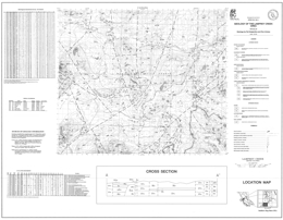 |
Open File 1991-01 presents the geology and mineral occurrences of the Lamprey Creek area (93L/3) in west-central British Columbia. The map portrays geology at 1:50 000 scale, a legend, a cross section, and tables of mineral occurrences, regional geochemical silt analyses, and assay data.
The oldest rocks exposed in the area are units of the Sinemurian to Toarcian Telkwa Formation. The Telkwa Formation contains and andesitic pyroclastic facies, a basaltic flow facies, a siliceous pyroclastic facies, and a shallow marine sedimentary facies. Overall, the Formation comprises andesite, dacite, rhyolite, and basalt flows and pyroclastics. The Lower Cretaceous Skeena Group sequence consists of the Mount Ney volcanics, which are mainly andesitic flows, and a coal-bearing sandstone-siltstone-shale-micaceous greywacke sequence. Hornblende-feldspar and hornblende-feldspar-biotite phyric flows comprise the Upper Cretaceous Kasalka Group. Paleocene to Eocene Ootsa Lake Group rhyolite to dacite flows and tuffs are overlain by the Thautil River sediments, which are mainly conglomerate, siltstone and sandstone.
Early Jurassic Topley intrusions are undivided granitic intrusions. Late Cretaceous Bulkley intrusions vary from diorite, granodiorite and quartz monzonite, to rhyolite and feldspar porphyry. Eocene quartz monzonite and hornblende-quartz-biotite-feldspar porphyry of the Nanika intrusions, and Eocene rhyolite and biotite-phyric felsic intrusions also occur.
Block faulting strongly influences the distribution of rock packages in the area. At least some of the faults offset Eocene intrusive rocks.
Mineral occurrences in the area include one developed prospect, the Lucky Ship porphyry molybdenum deposit. According to MINFILE, other deposit types include polymetallic Ag-Pb-Zn � Au veins, subvolcanic Cu-Ag-Au (As-Sb), and volcanic redbed Cu. MINFILE records several coal occurrences. |
| Issue ID: | OF1991-02 |
| Title: | Geology of the Rossland - Trail Area, Southeastern British Columbia (NTS 82F/4) |
| Author(s): | Hoy, T., Andrew, K.P.E. |
| Series Name: | Open File |
| Publication Year: | 1991 |
| Scale: | 1:20000 |
| NTS Map Sheet(s): | 082F/4 |
| Place Keyword(s): | British Columbia, Southeastern British Columbia, Rossland - Trail Area |
| Lat/Long (NSWE): | 49.133, 49, -117.9, -117.609 |
| Theme Keyword(s): | Geology, Bedrock Geology |
Download(s):
| PDF |
Abstract:
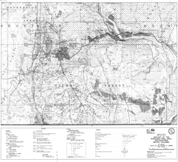 |
Open File 1991-02 depicts the geology and mineral occurrences of the Rossland-Trail map area (82F/4). The Open File consists of two maps: sheet 1 presents the geology at 1:20 000 scale and a legend; sheet 2 has cross sections, references and a mineral occurrence table.
Paleozoic rocks in the area are the Trail gneiss, Carboniferous argillite siltstone and limestone, and Pennsylvanian to Permian Mount Roberts Formation siliceous siltstone, argillite, silty chert with minor sandstone, and limestone or dolomite.
Stratified Mesozoic rocks comprise the Rossland Group and the Sophie Mountain Formation. Rossland Formation consists of the Archibald, Lower Elise and Elise Formations. The Archibald Formation contains argillite, with minor siltstone and conglomerate. Lower Elise Formation rocks are dominantly augite with or without plagioclase phyric flows and flow breccias. Elise Formation consists of augite with or without plagioclase phyric basalt flows and flow breccias, basaltic lapilli and crystal tuffs, andesitic tuffs, argillaceous siltstone, and tuffaceous conglomerate. The Upper Cretaceous Sophie Mountain Formation is coarse conglomerate.
Diorite and the Rossland monzonite are Lower and Middle (?) Jurassic. Jurassic intrusions include the Rainy Day quartz diorite, and granite and granodiorite of the Nelson intrusions. Middle Eocene rocks include the Marron Formation, the Sheppard intrusions and the Coryell intrusions. The Marron Formation consists of andesite flows, and minor lapilli tuff, sandstone and conglomerate. The Sheppard intrusions are granite and rhyolite dikes, whereas the Coryell intrusions are syenite to quartz monzonite bodies.
Ultramafic rocks of unknown age crop out in the area.
The area is characterized by early thrust and late high angle block faulting. Mesozoic stratified rocks are tilted and broadly folded.
The area covers the historic Rossland gold camp. Mineral deposit types in the area include intrusion-related gold-pyrrhotite veins, subvolcanic copper-silver-gold, gold-silver-copper and silver-gold-lead-zinc veins, porphyry molybdenum deposits, and tungsten, iron, wollastonite and gold skarns. Granite dimension stone may also be important. |
| Issue ID: | OF1991-03 |
| Title: | Geology and Mineral Potential of the Wittsichica Creek and Tezzeron Creek Map Areas (NTS 93N/1; 93K/16) |
| Author(s): | Nelson, J.L., Bellefontaine, K.A., K.C. Green, MacLean, M. |
| Series Name: | Open File |
| Publication Year: | 1991 |
| Scale: | 1:50000 |
| NTS Map Sheet(s): | 093N/1; 093K/16 |
| Place Keyword(s): | British Columbia, Northcentral British Columbia, Wittsichica Creek and Tezzeron Creek Map Areas |
| Lat/Long (NSWE): | 55.25, 55, -124.5, -124 |
| Theme Keyword(s): | Geology, Mineral Potential, Bedrock Geology |
Download(s):
| PDF |
Abstract:
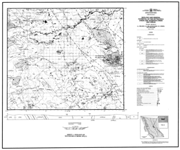 |
Open File 1991-03 presents the geology and mineral potential of the Wittsichica Creek and Tezzeron Creek map areas (93N/1; 93K/16) in north-central British Columbia. The 1:50 000 scale geology map includes a legend, and a geological cross section.
The Nation Lakes area is predominantly underlain by Early Mesozoic Takla Group rocks of island arc affinity. In the map area, the Takla is provisionally subdivided into four informal formations. The lower Rainbow Creek formation is dark grey slate with lesser siltstones and local epiclastic rocks. The Inzana Lake formation consists of extensive volcanic sediments and lesser pyroclastic rocks. It is primarily siliceous argillite with lesser volcanic sandstones and siltstones, and other rocks. The Witch Lake formation consists mainly of augite phyric flows and pyroclastics. Plagioclase-porphyritic latites and other volcanic rocks are locally important. The Chuchi Lake formation transitionally overlies the Witch Lake formation. It is intermediate to felsic heterolithic agglomerate, plagioclase porphyry trachyte flows and breccias and intervolcanic sediments.
Early Tertiary strata may underlie fairly extensive regions of the map area. Lithologies include sandstone, mudstone, coal, pebble conglomerate and basalt.
Intrusive rocks in the area comprise a granite suite, a syenite suite, a monzonite suite, and a diorite/monzodiorite suite. The Mount Milligan intrusive complex consists of at least two separate intrusive phases: sphene-bearing monzonite with gabbro and hornblende granite end members, and porphyritic granite. It has numerous pendants and wallrocks are metamorphosed. The Mount Milligan copper-gold alkalic porphyry, with published reserves of 400 million tonnes of 0.48 gram per tonne gold and 0.2 percent copper are related to stocks and dikes that are part of the intrusive complex. There is also potential in the area for epithermal precious and base metal veins, copper-gold skarns, and other deposits. |
| Issue ID: | OF1991-04 |
| Title: | Geology of the Burnt River and Gwillim Lake (Southwest Half) Areas, Northeastern British Columbia (NTS 93P/5, 6) |
| Author(s): | Hunter, D.J., Cunningham, J.M. |
| Series Name: | Open File |
| Publication Year: | 1991 |
| Scale: | 1:50000 |
| NTS Map Sheet(s): | 093P/5, 6 |
| Place Keyword(s): | British Columbia, Northeastern British Columbia, Burnt River and Gwillim Lake (Southwest Half) Area |
| Lat/Long (NSWE): | 55.5, 55.25, -122, -121 |
| Theme Keyword(s): | Geology, Bedrock Geology |
Download(s):
| PDF |
Abstract:
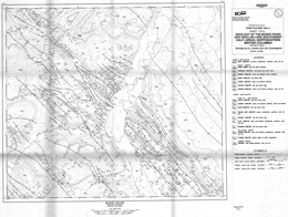 |
Open File 1991-04 presents the geology of the Burnt River and Gwillim Lake (southwest half) area (93P/5, 6) in northeastern British Columbia. The Open File consists of two sheets: both sheets portray the geology at 1:50 000 scale and each has a legend, and maps for coal borehole and gas well locations.
Exposed rocks in the area are of Upper Cretaceous age and include strata of the Minnes, Bullhead, Fort St. John and Smoky groups. The lowest unit is undivided sandstone, shale and coal of the Upper Cretaceous Minnes Group. Overlying strata of the Bullhead Group include conglomerate of the Cadomin Formation and conglomerate, sandstone, shale and coal of the Gething Formation. Seven formations of the Fort St. John Group are exposed: Moosebar Formation marine shale; Gates Formation marine and nonmarine conglomerate, sandstone, shale and coal; Hulcross Formation marine shale; Boulder Creek Formation conglomerate, sandstone, shale and coal; Hasler Formation marine shale; Goodrich Formation marine and nonmarine sandstone, shale and mudstone; and Cruiser Formation marine shale. The Smoky Group consists of the Dunvegan Formation, marine and nonmarine sandstone, shale and coal; Kaskapau Formation marine shale; Cardium Formation marine and nonmarine sandstone; Muskiki Formation marine shale; Badheart Formation marine and nonmarine quartz sandstone; Pushwaskau Formation concretionary marine shale; and Chunga Member marine sandstone. The youngest rocks exposed are Upper Cretaceous nonmarine conglomerate, sandstone, shale and coal of the Wapiti Formation.
The map area is underlain by units of the Rocky mountain fold and thrust belt. Folds and thrust faults impose a northwest trending fabric on the area. Folds are more open on the east and west sides of the map area and tighter centrally.
The area has potential for both coal and natural gas exploration. |
| Issue ID: | OF1991-05 |
| Title: | Cretaceous and Tertiary Stratigraphy and Industrial Minerals, Hat Creek, Southern B.C. (NTS 92I/12, 13, 14) |
| Author(s): | Malott, M.L., Lefebure, D.V., Havard, A. |
| Series Name: | Open File |
| Publication Year: | 1991 |
| Scale: | 1:800000 |
| NTS Map Sheet(s): | 093; 103; 104; 114 |
| Place Keyword(s): | British Columbia, Southern British Columbia, Hat Creek |
| Lat/Long (NSWE): | 56.794, 56.494, -131.231, -130.895 |
| Theme Keyword(s): | Geology, Cretaceous and Tertiary Stratigraphy, Industrial Minerals |
Download(s):
| PDF |
Abstract:
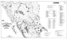 |
Open File 1991-05 describes cretaceous and tertiary stratigraphy and industrial minerals in Hat Creek of southern British Columbia (92I/12, 13, 14). Scale is at 1:800,000. |
| Issue ID: | OF1991-06 |
| Title: | Surficial geology of the Snippaker Creek area (NTS 104B/6E, 7W, 10W, 11E) |
| Author(s): | Kerr, D.E. |
| Series Name: | Open File |
| Publication Year: | 1991 |
| Scale: | 1:50000 |
| NTS Map Sheet(s): | 104B/06; 104B/07; 104B/10; 104B/11 |
| Place Keyword(s): | British Columbia, Snippaker Creek Area |
| Lat/Long (NSWE): | 56.45, 56.349, -131.167, -130.75 |
| Theme Keyword(s): | Surficial Geology Map, Geology, Surficial Geology |
Download(s):
| PDF |
Abstract:
 |
Open File 1991-06 describes surficial geology of the Snippaker Creek area (104B/6E, 7W, 10W, 11E) of British Columbia. Mapping is at 1:50,000 scale. |
| Issue ID: | OF1991-07 |
| Title: | Surficial geology of the Mount Milligan area (NTS 93N/1E; 93O/4W) |
| Author(s): | Kerr, D.E. |
| Series Name: | Open File |
| Publication Year: | 1991 |
| Scale: | 1:50000 |
| NTS Map Sheet(s): | 093N/01; 093O/04 |
| Place Keyword(s): | British Columbia, Mount Milligan Area |
| Lat/Long (NSWE): | 55.25, 55, -124.25, -123.75 |
| Theme Keyword(s): | Surficial Geology Map, Geology, Surficial Geology |
Download(s):
| PDF |
Abstract:
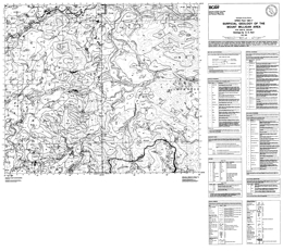 |
Open File 1991-07 surficial geology of the Mount Milligan area (93N/1E; 93O/4W) in British Columbia. Mapping is at 1:50,000 scale. |
| Issue ID: | OF1991-08 |
| Title: | Geology and Mineral Occurrences of the Merry Widow Skarn Camp (NTS 92L/6) |
| Author(s): | Ray, G.E., Webster, I.C.L. |
| Series Name: | Open File |
| Publication Year: | 1991 |
| Scale: | 1:50000 |
| NTS Map Sheet(s): | 092L/6 |
| Place Keyword(s): | British Columbia, Vancouver Island, Merry Widow Skarn Camp, Northern Vancouver Island |
| Lat/Long (NSWE): | 50.366, 50.343, -127.257, -127.225 |
| Theme Keyword(s): | Geology, Mineral Occurrences, Geochemistry, Bedrock Geology |
Download(s):
| PDF |
Abstract:
 |
Open File 1991-08 describes the geology and mineral occurrences of the Merry Widow skarn camp (92L/6) on northern Vancouver Island, British Columbia. The Open File consists of a map showing the geology at 1:5 000 scale with a legend, stratigraphic column, longitudinal section, and tables of mineral occurrences, whole rock geochemistry and trace element analyses, as well as various element plots, marginal notes, and a bibliography. The oldest rocks in the area are massive to pillowed volcanics and subvolcanic gabbroic intrusions of the Upper Triassic Karmutsen Formation. Thick limestones of the Upper Triassic Quatsino Formation conformably overlie these rocks. Lower Jurassic Bonanza Group unconformably overlies the Quatsino. The Bonanza consists of andesitic ash and lapilli tuffs, breccia, greenstone, and tuffaceous siltstone. Two major episodes of intrusion occurred. The Keystone suite is coeval with the Bonanza Group and may have formed feeders to the volcanic rocks. The intrusions occur as swarms of andesitic sills and dikes, and local breccia pipes. These intrusions are associated with barren and mineralized skarns where they cut Quatsino limestone. The second event is marked by emplacement of the Coast Copper stock, which is dominantly coarse gabbro. Most bedding in the stratified rocks dips westward at between 20 and 50 degrees. Open folds occur locally and tighter folding near the Coast Copper stock. Thrust faults have been identified, faults with sinistral offset occur, and block faulting occurs. Mineralization is stratigraphically controlled. It occurs near the top and bottom of the Quatsino limestone. Most mineralization is in skarns or mantos. The skarns tend to be magnetite-rich and mid-Jurassic in age. Mineralization at the Old Sport-Benson Lake deposit consists of magnetite, chalcopyrite, bornite, pyrite, lesser pyrrhotite and trace gold. Elsewhere, sporadic arsenopyrite, sphalerite, marcasite and cobaltite are reported. The Kingfisher deposit comprises two pipes of massive magnetite. Mineralization may be related to the Coast copper stock; alternatively, the Keystone intrusions may be responsible.
The oldest rocks in the area are massive to pillowed volcanics and subvolcanic gabbroic intrusions of the Upper Triassic Karmutsen Formation
Thick limestones of the Upper Triassic Quatsino Formation conformably overlie these rocks. Lower Jurassic Bonanza Group unconformably overlies the Quatsino. The Bonanza consists of andesitic ash and lapilli tuffs, breccia, greenstone, and tuffaceous siltstone.
Two major episodes of intrusion occurred. The Keystone suite is coeval with the Bonanza Group and may have formed feeders to the volcanic rocks. The intrusions occur as swarms of andesitic sills and dikes, and local breccia pipes. These intrusions are associated with barren and mineralized skarns where they cut Quatsino limestone. The second event is marked by emplacement of the Coast Copper stock, which is dominantly coarse gabbro.
Most bedding in the stratified rocks dips westward at between 20 and 50 degrees. Open folds occur locally and tighter folding near the Coast Copper stock. Thrust faults have been identified, faults with sinistral offset occur, and block faulting occurs.
Mineralization is stratigraphically controlled. It occurs near the top and bottom of the Quatsino limestone. Most mineralization is in skarns or mantos. The skarns tend to be magnetite-rich and mid-Jurassic in age. Mineralization at the Old Sport-Benson Lake deposit consists of magnetite, chalcopyrite, bornite, pyrite, lesser pyrrhotite and trace gold. Elsewhere, sporadic arsenopyrite, sphalerite, marcasite and cobaltite are reported. The Kingfisher deposit comprises two pipes of massive magnetite. Mineralization may be related to the Coast copper stock; alternatively, the Keystone intrusions may be responsible. |
| Issue ID: | OF1991-09 |
| Title: | Olivine Potential of the Tulameen Ultramafic Complex (NTS 92H/10) |
| Author(s): | Hancock, K.D., Hora, Z.D., White, G.V. |
| Series Name: | Open File |
| Publication Year: | 1991 |
| NTS Map Sheet(s): | 092H/10 |
| Place Keyword(s): | British Columbia, Tulameen Ultramafic Complex |
| Lat/Long (NSWE): | 49.578, 49.39, -121, -120.757 |
| Theme Keyword(s): | Geology, Olivine Potential, Tulameen Ultramafic Complex |
Download(s):
| PDF |
Abstract:
 |
Open File 1991-09 discusses olivine potential of the Tulameen Ultramafic Complex (92H/10) in British Columbia. |
| Issue ID: | OF1991-10 |
| Title: | Feldspathic Mineral Occurrences in British Columbia |
| Author(s): | MacLean, M.E., White, G.V. |
| Series Name: | Open File |
| Publication Year: | 1991 |
| NTS Map Sheet(s): | 082;083;092;093;094;102;103;104 |
| Place Keyword(s): | British Columbia |
| Lat/Long (NSWE): | 53, 49, -124, -116 |
| Theme Keyword(s): | Geology, Feldspathic Mineral Occurrences, Mineral Prospects |
Download(s):
| PDF |
Abstract:
 |
Open File 1991-10 is a compilation and assessment of the feldspathic mineral prospects in British Columbia. The project was initiated in 1987 and field investigations of ten occurrences selected for their accessibility and the presence of feldspathic sand, nepheline syenite, aplite or phonolite were carried out. The single most important factor in evaluating a deposits' potential as a feldspathic mineral sources, besides meeting the quality requirements of industry, is proximity to establish transportation routes. The cost of transportation per unit weight frequently far exceeds the value of the mineral itself, so that even the "purest" of deposits will not be economic if the infrastructure does not exist. The most significant use of feldspathic minerals is as a source of alumina, alkalis and silica, in the glass and ceramics industries. A field study of potential and known deposits of feldspathic minerals was carried out by the British Columbia Geological Survey Branch. The sites were chosen for evaluation are all in southern British Columbia and close to transportation links. In total, markets of 22 500 to 90 000 tonnes per year are potentially attainable by a British Columbia producer of feldspathic minerals. This, however, is dependant on the relative quality of the product, the reliability of the supplier, the establishment of a competitive price and effective sales and marketing strategy. |
| Issue ID: | OF1991-11 |
| Title: | Quaternary geology and landforms of the Eastern Peace River Region, British Columbia (NTS 94A/1, 2, 7, 8) |
| Author(s): | Catto, N.R. |
| Series Name: | Open File |
| Publication Year: | 1991 |
| Scale: | 1:50000 |
| NTS Map Sheet(s): | 094A/01; 094A/02; 094A/07; 094A/08 |
| Place Keyword(s): | British Columbia, Northeastern British Columbia, Eastern Peace River Region |
| Lat/Long (NSWE): | 56.5, 56, -121, -120 |
| Theme Keyword(s): | Surficial Geology Map, Geology, Surficial Geology, Quaternary Geology, Quaternary Landforms |
Download(s):
| PDF |
Abstract:
 |
A multi-faceted series of investigations of the Quaternary geology of the Peace River region of British Columbia were undertaken in 1990 (Bobrowsky et al., 1991). As part of this program, the southeastern part of the region, which encompasses the 1:50 000 NTS map areas 094A/1 (Shearer Dale), 094A/2 (Fort St. John), 094A/7 (North Pine), and 094A/8 (Alces River), was mapped in detail. This work involved mapping from aerial photographs, followed by detailed stratigraphic and sedimentologic field investigations and laboratory analyses of sediment texture and mineralogical composition. The detailed surficial geology maps produced from this work are designed to be of practical use to industry, government, and the general public. |
| Issue ID: | OF1991-12 |
| Title: | Geology of the Tenquille Lake, Owl Creek and Lillooet Lake Area (NTS 92J/1, 2, 7, 10) |
| Author(s): | Riddell, J.M., Helm, S.M., Pautler, J.M. |
| Series Name: | Open File |
| Publication Year: | 1991 |
| Scale: | 1:25000 |
| NTS Map Sheet(s): | 092J/1, 2, 7, 10 |
| Place Keyword(s): | British Columbia, Tenquille Lake, Owl Creek and Lillooet Lake Area |
| Lat/Long (NSWE): | 50.617, 50.094, -123, -122.475 |
| Theme Keyword(s): | Geology, Bedrock Geology |
Download(s):
| PDF |
Abstract:
 |
Open File 1991-12 presents the geology of the Tenquille Lake, Owl Creek and Lillooet Lake area (92J/1, 2, 7, 10) in southwestern British Columbia. The Open File contains 5 geological maps at 1:25 000 scale; sheet 1 contains the geological legend but rock types are identified on each of the outcrops shown.
Triassic rocks of the Hurley Formation that are correlative with the Cadwallader Group are the oldest rocks exposed in the area. The Hurley Formation contains 6 subdivisions and one undivided unit. Quartz-feldspar porphyry dikes intrude and rhyolite flows are interbedded with mafic to intermediate flows that are often feldspar phyric and andesitic lithic, lapilli, and feldspar crystal tuffs. Maroon and green basalt breccia is locally abundant. A unit with bedded lithic, lapilli and feldspar crystal tuffs, thin limestone beds, conglomerate, wacke, siltstone, black shale, felsic tuffs and limestone breccia gives way to a cobble conglomerate, sandstone, siltstone and shale unit. Possibly post-Triassic rocks consist of a volcanic section, with strata similar to the Brokenback Hill Formation, and a sedimentary section with conglomerate overlain by feldspar-rich calcareous sandstone, siltstone, and shale. The Cretaceous Fire Lake Group consists of the Brokenback Hill Formation and the Peninsula Formation. Brokenback Hill Formation contains autobrecciated andesite with distinctive pale mauve and green colours, feldspar crystal tuffs, and porphyry flows. Peninsula Formation contains quartz-bearing tuffaceous sandstone, sandstone with coaly beds, volcanic wacke, shale, and feldspar tuff. Tertiary columnar basalt flows, basalt breccias and minor rhyolite also occur.
Triassic or older diorite is apparently the oldest intrusive rock exposed. Granodiorite, quartz diorite, granite and diorite intrusions are of unknown age. Other granodiorite, quartz diorite, granite and diorite bodies are of Cretaceous age.
The dominant structure in the area is a steep north-northeast-striking thrust fault that places Triassic rocks to the east against Cretaceous rocks to the west. Movement is east-side-up. Some of the strata east of the fault have undergone high strain or isoclinal folding. West of the main fault well-developed bedding/cleavage relationships are developed in Fire Lake Group strata. Broad, upright folds with axes parallel to the fault are developed. An earlier deformation is also present. |
| Issue ID: | OF1991-13 |
| Title: | Geology of the Mission Ridge Area, Southwestern British Columbia (NTS 92J/9, 10, 15, 16) |
| Author(s): | Coleman, M.E. |
| Series Name: | Open File |
| Publication Year: | 1991 |
| Scale: | 1:50000 |
| NTS Map Sheet(s): | 092J/9, 10, 15, 16 |
| Place Keyword(s): | British Columbia, Southwestern British Columbia, Mission Ridge Area |
| Lat/Long (NSWE): | 50.936, 50.647, -122.378, -121.867 |
| Theme Keyword(s): | Geology, Bedrock Geology |
Download(s):
| PDF |
Abstract:
 |
Open File 1991-13 presents the geology and structure of the Mission Ridge area (092J/9, 10, 15, 16) in southwestern British Columbia. The map has geology at 1:50 000 scale, a legend, and several cross sections.
The Shulaps ultramafic complex in this area is of unknown age and consists of a serpentinite melange with blocks of ultramafic rock, gabbro, diorite and greenstone. The Permian to Jurassic Bridge River Group consists of the Bridge River schist, limestone and an undivided mainly ribbon chert, argillite, pillowed to massive greenstone sequence. The Bridge River schist is made up of metachert, chloritic schist, orthogneiss and small amounts of other rocks. Only the Hurley Formation of the Upper Triassic Cadwallader Group is exposed in the area. It comprises mainly sandstone, calcarenite, and shale. Upper Jurassic to Lower Cretaceous rocks are represented by the Brew Group and the Lillooet Group. The Brew Group consists of argillite, quartzite, conglomerate and metamorphosed equivalents. The Lillooet Group is argillite, fine sandstone and coarse volcanic sandstone. Eocene (?) conglomerate, sandstone and siltstone overlie the older strata.
Middle Eocene foliated granodiorite of the elongated Mission Ridge pluton and Eocene (?) leucocratic felsite comprise the intrusive rocks in the area.
The north-trending Yalakom fault bounds the area on the east. Both reverse and dextral (right lateral) movement is documented for the Yalakom fault. The north-trending Marshall Creek fault, along the west side of the area has normal and dextral movement. It displaces the Mission Ridge fault. The more central north- to northeast-trending Mission Ridge fault displays normal offset. The cross sections show folds in the Bridge River rocks have east-dipping axial surfaces, but at least two episodes of penetrative deformation are recorded. Folds in the Lillooet Group are west verging. The sections also indicate that the base of the Mission Ridge pluton can be defined in this mountainous terrain. |
| Issue ID: | OF1991-14 |
| Title: | Mines, Development Projects and Exploration Programs in Northwest British Columbia, 1990 (NTS 104, 114, 103, 93, 94) |
| Author(s): | Lefebure, D.V., Malott, M.L. |
| Series Name: | Open File |
| Publication Year: | 1991 |
| Scale: | 1:1800000 |
| NTS Map Sheet(s): | 104; 114; 103; 093; 094 |
| Place Keyword(s): | British Columbia, Northwestern British Columbia |
| Lat/Long (NSWE): | 60, 52, -138, -124 |
| Theme Keyword(s): | Geology, Mines, Development Projects, Exploration Programs |
Download(s):
| PDF |
Abstract:
 |
Open File 1991-14 presents mines, development projects and exploration programs in northwest British Columbia, 1990 (104, 114, 103, 93, 94). |
| Issue ID: | OF1991-15 |
| Title: | Gypsum in British Columbia |
| Author(s): | Butrenchuk, S.B. |
| Series Name: | Open File |
| Publication Year: | 1991 |
| NTS Map Sheet(s): | 082;083;092;093;094;102;103;104;114 |
| Place Keyword(s): | British Columbia |
| Lat/Long (NSWE): | 60, 49, -139, -114 |
| Theme Keyword(s): | Geology, Gypsum |
Download(s):
| PDF |
Abstract:
 |
Open File 1991-15 discusses gypsum in British Columbia. |
| Issue ID: | OF1991-16 |
| Title: | Geology of the Trail Map Area, Southeastern British Columbia (NTS 82F/3, 4, 5, 6) |
| Author(s): | Andrew, K.P.E., Hoy, T., Simony, P. |
| Series Name: | Open File |
| Publication Year: | 1991 |
| Scale: | 1:100000 |
| NTS Map Sheet(s): | 082F/3, 4, 5, 6 |
| Place Keyword(s): | British Columbia, Southeastern British Columbia, Trail Map Area |
| Lat/Long (NSWE): | 49.5, 49, -118, -117 |
| Theme Keyword(s): | Geology, Bedrock Geology |
Download(s):
| PDF |
Abstract:
 |
Open File 1991-16 portrays the geology and mineral occurrences of the Trail map area (82F/3, 4, 5, 6) in southeastern British Columbia. The map is at 1:100 000 scale and contains a legend and reference list.
Precambrian Windermere Group is made up of greenstone of the Irene Formation and grit, quartzite, and other rock types of the Three Sisters and Monk formations. Late Proterozoic to Lower Cambrian Hamill Group argillite, micaceous schist and quartzite comprise the Reno and Quartzite Range formations. Overlying Lower Cambrian Laib Formation phyllite, argillite, schist, and micaceous quartzite includes the Reeves (Badshot) limestone member. Nelway Formation rocks are of Middle Cambrian age. Black limestone, calcareous argillite, slate and phyllite predominate. Lower and Middle (?) Ordovician black argillite, slate and quartzite comprise the Active Formation. Upper Mississippian to Lower Permian Milford Group consists of siliceous argillite, phyllite, limestone and chert. Mount Roberts Formation is Pennsylvanian to Permian and contains mainly siliceous siltstone, argillite and silty chert. An undivided sequence consists of metasedimentary rocks and limestone.
Ultramafic rocks in the area consist of serpentinite and minor dunite. Lower Paleozoic Lardeau Group consists mainly of quartzite, schist, argillite, slate and limestone. Other Lower Paleozoic rocks are similar but include black phyllite and schist. Carboniferous rocks are predominantly argillite, silty argillite and siltstone. These may be equivalent to the undivided Paleozoic package described above.
The Devonian to Eocene (?) Trail gneiss comprises amphibolite, gneiss, schist, pegmatite and aplite. Devonian layered granitoid gneiss and amphibolite and the Devonian Johnson Creek pluton also occur. The Castlegar gneiss complex is apparently of Pennsylvanian age. It is made up of homogeneous paragneiss, calc-silicate gneiss and amphibolite. The Cretaceous Kinnaird gneiss comprises leucocratic biotite gneiss with K-feldspar augen, pegmatite, amphibolite layers and orthogneiss.
The oldest Mesozoic strata are argillite, siltstone, grit and impure limestone of the Lower Jurassic and possibly Upper Triassic Ymir Group. The Lower Jurassic Rossland Group consists of the Archibald, Elise and Hall formations. The Archibald argillite, turbiditic siltstone and conglomerate give way to basaltic volcanics of he Lower Elise, basaltic to andesitic mainly pyroclastic rocks of the Upper Elise and argillaceous siltstone of the Elise sediments. Overlying Hall Formation rocks are mainly argillite, carbonaceous siltstone. Diorite and biotite-augite monzonite of the Rossland monzonite are also of Lower Jurassic age. Middle Jurassic intrusions include diorite and plagioclase porphyry of he Silver King intrusions. Several middle Jurassic plutons comprise the Nelson intrusions. Granodiorite, quartz monzonite and granite predominate. Granite and quartz porphyry are of Lower Cretaceous age. The Upper Cretaceous Sophie Mountain Formation is mainly coarse conglomerate.
Cenozoic rocks are Paleocene to Eocene. Megacrystic quartz monzonite is Paleocene. The Marron Formation is Middle Eocene and consists of andesite flows with minor tuffs and epiclastics. The same age Coryell intrusions are biotite and augite monzonites. Leucocratic quartz monzonites are Tertiary, but their age is poorly constrained. Tertiary dikes include hornblende and feldspar porphyries and rhyolites.
Upright to overturned folds, thrusts and normal faults are indicated on the map.
The map covers the historic Rossland gold camp and areas with potential for Shuswap-type silver-lead-zinc deposits. Porphyry molybdenum deposits are also known near Rossland, and there is potential for dimension stone and other industrial minerals. |
| Issue ID: | OF1991-17 |
| Title: | Wollastonite and Tremolite Occurrences in British Columbia |
| Author(s): | Fischl, P. |
| Series Name: | Open File |
| Publication Year: | 1991 |
| NTS Map Sheet(s): | 082;083;092;093;094;102;103;104;114 |
| Place Keyword(s): | British Columbia |
| Lat/Long (NSWE): | 60, 49, -139, -114 |
| Theme Keyword(s): | Geology, Wollastonite occurrences, Tremolite Occurrences |
Download(s):
| PDF |
Abstract:
 |
Open File 1991-17 describes wollastonite and tremolite occurrences in British Columbia. Wollastonite, a calcium silicate pyroxenoid used in ceramics, paints, plastics and in asbestos replacements, occurs at several sites in British Columbia as a major component of skarn bodies of contact metamorphic and metasomatic origin. There is potential for wollastonite to occur in significant quantities in carbonatite deposits, although it has yet to be identified in the numerous carbonatites known within the province. Tremolite, an amphibole of similar origin and with the potential for similar uses as wollastonite, is found in similar geologic environments throughout the province. Mapping, sampling and a review of the MINFILE database has identified seven skarn occurrences containing significant wollastonite and two with significant tremolite. Of these occurrences, only Snake Bay (Wla) is in the advanced exploration stage with drill-indicated reserves. Testing by CANMET of bulk samples from four of the wollastonite occurrences and one tremolite occurrence revealed that wollastonite and tremolite with only low to moderate aspect ratios could be produced using conventional grinding and beneficiation techniques. Of the five deposits tested, marketable wollastonite-tremolite concentrates (less than 1% FeaO3 and ignition loss) could be produced from three of the occurrences with wet, high-intensity magnetic separation and reverse flotation. |
| Issue ID: | OF1991-18 |
| Title: | Quaternary geomorphology and terrain map of the Harris Creek area, British Columbia (NTS 82L/1, 2) |
| Author(s): | Ryder, J.M. |
| Series Name: | Open File |
| Publication Year: | 1991 |
| Scale: | 1:20000 |
| NTS Map Sheet(s): | 082L/02 |
| Place Keyword(s): | British Columbia, Harris Creek Area |
| Lat/Long (NSWE): | 50.2, 50.1, -119, -118.76 |
| Theme Keyword(s): | Surficial Geology Map, Surficial Geology, Quaternary Geomorphology, Terrain Map, Geology |
Download(s):
| PDF |
Abstract:
 |
Open File 1991-18 describes quaternary geomorphology and terrain map of the Harris Creek area of British Columbia (82L/1, 2). |
| Issue ID: | OF1991-19 |
| Title: | A Century of Gold Production and Reserves in British Columbia (1890-1990) |
| Author(s): | Schroeter, T.G., Daly, R.A. |
| Series Name: | Open File |
| Publication Year: | 1991 |
| NTS Map Sheet(s): | 082;083;092;093;094;102;103;104;114 |
| Place Keyword(s): | British Columbia |
| Lat/Long (NSWE): | 60, 48, -139, -114 |
| Theme Keyword(s): | Geology, Gold Production, Gold Reserves, Exploration |
Download(s):
| PDF |
Abstract:
 |
This Open File updates significant parts of data files in Open File 1989-22: Gold Production and Reserves in British Columbia. The listing of significant gold-bearing deposits, which have produced gold or are known to contain reserves, has been expanded from 192 to 214. There is also an alphabetical listing of deposits for cross-referencing purposes. Production and reserve statistics are completed to the end of 1990; as in Open File 1989-22, statistics are in Imperial units. The text is purposely brief and intended to provide as factual a database as possible with the aim of updating the database annually. |
| Issue ID: | OF1991-20 |
| Title: | Dimension Stone Aerial Photography Study of Southwestern British Columbia |
| Author(s): | Page, J.W. |
| Series Name: | Open File |
| Publication Year: | 1991 |
| NTS Map Sheet(s): | 092; |
| Place Keyword(s): | British Columbia, Southwestern British Columbia, Fraser Valley, Hope-Coquihalla area |
| Lat/Long (NSWE): | 52, 48, -128, -121 |
| Theme Keyword(s): | Geology, Dimension Stone, Dimension Stone Aerial Photography Study, Aerial photography study, Exploration |
Download(s):
| PDF |
Abstract:
 |
Open File 1991-20 examines an aerial photography study of southwestern British Columbia designed to promote the exploration for and development of new dimension stone quarries. The aerial photograph study covered gabbro and granodiorite intrusions as indicated by geological mapping within the area of Knight Inlet, Bute Inlet, Toba Inlet, Jervis Inlet, Howe Sound, Squamish, Pemberton, Duffy Lake road, the north side of the Fraser Valley, and the Hope-Coquihalla area. The study also included quartz diorite intrusions in the Squamish to Duffy Lake road corridor. A total of 30 potential quarry sites were identified, of which approximately 25 were previously unknown. A description of the evaluation techniques and a detailed study report of each potential quarry site are included in this report. |
| Issue ID: | OF1991-21 |
| Title: | Sulphurets Area Geology (parts of NTS 104A/5W, 12W; 104B/8E, 9E) |
| Author(s): | Alldrick, D.J., Britton, J.M. |
| Series Name: | Open File |
| Publication Year: | 1991 |
| Scale: | 1:20000 |
| NTS Map Sheet(s): | Parts of 104A/5W, 12W; 104B/8E, 9E |
| Place Keyword(s): | British Columbia, Northwestern British Columbia, Sulphurets Area |
| Lat/Long (NSWE): | 56.67, 56.294, -130.351, -129.937 |
| Theme Keyword(s): | Geology, Mineral Occurrences, Bedrock Geology |
Download(s):
| PDF |
Abstract:
 |
Open File 1991-21 describes the geology and mineral occurrences of the Sulphurets area (104A, B) in northwestern British Columbia. The Open File consists of 5 sheets at 1:20 000 scale. Sheet 1 contains the legend and various tables, including mineral occurrences, assay data, whole rock analyses, potassium-argon ages and fossils. It also contains a schematic stratigraphic column, and brief notes. Sheet 2 to 5 are geological maps of the area. Results of mapping in adjacent areas are presented in Open Files 1990-16, 1990-19, 1989-10, 1988-4 and 1987-22. More than 60 mineral occurrences are known in the area. Six types of veins were identified: base metal quartz, silver-rich base metal, precious and base metal quartz, precious metal quartz, carbonate and barite. Other deposit types include: porphyry-style copper-molybdenum; disseminated gold (silver) in alternation zones; gold-bearing skarn; and stratabound pyritic zones. Deformation in the area is complex, with local folding and penetrative deformation, and many episodes of faulting associated with volcanic and intrusive activity. Biotite-rich quartzofeldspathic gneiss, phyllite, metawacke, metatuffs and marble are tentatively assigned to the Paleozoic Stikine or Asitka assemblage. They exhibit polyphase deformation. Mesozoic strata comprise mixed volcanic and volcanic-derived sedimentary rocks.
Upper Triassic Stuhini Group strata are dominantly sediments with minor pyroxene phyric flows and tuffs, and leucocratic dacitic tuffs. The sediments are siltstones, pebble to cobble conglomerates and wackes.
A Stuhini-Hazelton transitional unit of Hettangian age consists mainly of mixed sedimentary strata: black siltstones, heterolithic pebble to boulder conglomerates and wackes. Granitic stocks cut Stuhini Group rocks.
The Sulphurets area is largely underlain by Lower to Middle Jurassic Hazelton Group volcanic and sedimentary rocks that have been folded, faulted and weakly metamorphosed, mainly during Cretaceous time. Three episodes of intrusive activity produced small synvolcanic plutons, satellitic stocks of the Coast plutonic complex and minor dykes and sills.
The Unuk River Formation is of Hettangian to Pleinsbachian age. It consists primarily of andesitic tuffs with lesser black siltstone members. It is cut by the two-feldspar Premier porphyry.
The Betty Creek Formation is Pleinsbachian to Toarcian. It consists of interbedded tuffs, flows and hematitic sedimentary rocks. There are locally pillowed basaltic to dacitic crystal and lithic tuffs and flows, purple to maroon conglomerates, wackes, siltstones and mudstones, and minor black siltstone layers.
The Mount Dilworth Formation consists of felsic pyroclastics and flows. It consists of tuff breccias; lapilli, ash and dust tuffs; and local welded ash flows. The unit is of Toarcian age.
Salmon River Formation, which is Toarcian to Bajocian in age, comprises a thick turbidite succession. It consists of black siltstones with lesser sandstones and minor limestone lenses.
Intrusive rocks are not abundant but are spatially and temporally associated with mineralization. The Lee Brant stock, a Jurassic (?) quartz monzonite, comprises the largest intrusion in the area. A wide variety of syn and post-volcanic hypabyssal stocks is concentrated near the Sulphurets and Mitchell glaciers. Most are quartz-poor and have alkaline affiliations; many are porphyritic with potassium, feldspar, hornblende and biotite. These intrusions are similar in composition to the volcanic rocks. Post-volcanic intrusions are generally more phaneritic and clearly cut the country rocks. Compositions differ from enclosing rocks and some are associated with copper and gold mineralization.
More than 60 mineral occurrences are known in the area. Six types of veins are identified: base metal quartz, silver-rich base metal, precious and base metal quartz, precious metal quartz, carbonate, and barite. Other deposit types include: porphyry-style copper-molybdenum; disseminated gold (silver) in alteration zones; gold-bearing skarn; and stratabound pyritic zones.
Deformation in the area is complex, with local folding and penetrative deformation, and many episodes of faulting associated with volcanic and intrusive activity. |
| Issue ID: | OF1991-23 |
| Title: | Industrial Minerals of Alberta and British Columbia, Canada; Proceedings 27th Forum on the Geology of Industrial Minerals; May 5 - 10th, 1991, Banff, Alberta |
| Author(s): | Hora, Z.D., Hamilton, W.N., Grant, B., Kelly, P.D., Editors |
| Series Name: | Open File |
| Publication Year: | 1991 |
| NTS Map Sheet(s): | 082;083;092;093;094;102;103;104;114 |
| Place Keyword(s): | British Columbia, Alberta |
| Lat/Long (NSWE): | 60, 48, -139, -114 |
| Theme Keyword(s): | Geology, Industrial Minerals |
Download(s):
| PDF |
Abstract:
 |
Open File 1991-23 discusses industrial minerals of Alberta and British Columbia, Canada. The report is from the Proceedings of the 27th Forum on the Geology of Industrial Minerals; May 5 - 10th, 1991, Banff, Alberta. |
| Issue ID: | OF1992-01 |
| Title: | 1991 Producers and Potential Producers Mineral and Coal |
| Author(s): | Faulkner, T., Meyers, R., Malott, M.L., Wilton, P., Melville, D.M. |
| Series Name: | Open File |
| Publication Year: | 1992 |
| Scale: | 1:2500000 |
| NTS Map Sheet(s): | 082;083;092;093;094;102;103;104;114 |
| Place Keyword(s): | British Columbia |
| Lat/Long (NSWE): | 60, 48, -139, -120 |
| Theme Keyword(s): | Geology, Mineral Producers, Coal Producers |
Download(s):
| PDF |
Abstract:
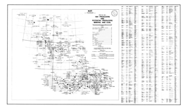 |
Open File 1992-01 presents the 1991 producers and potential producers of mineral and coal. Scale is 1:2,500,000. |
| Issue ID: | OF1992-02 |
| Title: | Geology, Mineral Occurrences and Geochemistry of the Tahltan Lake and Chutine River Area (NTS 104G/12W, 13) |
| Author(s): | Brown, D.A., Neill, I., Timmerman, J., Harvey-Kelly, F.E.L., Gunning, M.G., Greig, C.J. |
| Series Name: | Open File |
| Publication Year: | 1992 |
| Scale: | 1:50000 |
| NTS Map Sheet(s): | 104G/12W, 13 |
| Place Keyword(s): | British Columbia, Northwestern British Columbia, Tahltan Lake, Chutine River |
| Lat/Long (NSWE): | 58, 57.583, -132, -131.5 |
| Theme Keyword(s): | Geology, Mineral Occurrences, Geochemistry, Bedrock Geology |
Download(s):
| PDF |
Abstract:
 |
Open File 1992-02 presents the geology, mineral occurrences and geochemistry of the Tahltan Lake-Chutine River area (104G/12W, 13) northwestern British Columbia. The Open File consists of two sheets: the first has geology at 1:50 000 scale, a legend, geologic cross sections, and references; the second has a sample location map and tables of MINFILE occurrences, fossils, potassium-argon and uranium-lead ages, lithogeochemical analyses, and stream sediment geochemistry.
The Paleozoic Stikine assemblage underlies four structural culminations in the area. Stikine assemblage rocks are penetratively foliated, unlike the Triassic and younger rocks. Near Missusjay Creek, thick, deformed Permian limestone dominates the exposure and is structurally underlain by silicic metasediments. The Chutine and Rusty Creek anticlines have Permian limestone structurally underlain by phyllitic volcanic and sedimentary rocks. Near Barrington River, the limestone section includes minor maroon tuffaceous mudstone, silicic tuff and chert. Structural trends in the three areas vary. Permo-Triassic contacts may be faulted unconformities.
Triassic chert and related volcano-sedimentary rocks crop out in four areas. Chert predominates but is interbedded with siliceous siltstone and green to maroon ash tuff. Contacts between this unit and Stuhini Group rocks are apparently gradational.
The Stuhini Group, which is of Upper Triassic, mainly Norian, age, is the most abundant map-unit in the area. It consists of sedimentary and volcanic facies. The sedimentary rocks include tuffaceous greywacke, siltstone, discontinuous limestone lenses and minor shale. Volcanic-dominated facies are mainly mafic and intermediate flows and tuffs, tuffaceous wacke, and bladed feldspar porphyry.
Miocene or Recent columnar-jointed potassic andesite flows overlie the Stuhini Group rocks.
Intrusive rocks underlie about 15 percent of the area. There are three Triassic to Jurassic calc-alkaline plutonic suites (suite A) and one Early Jurassic alkalic plutonic suite (suite B) in the area. All cut Stuhini and older strata. Some suite A plutons have monzodiorite to quartz monzonite cores and quartz diorite to diorite borders; some have granodiorite-tonalite cores. Alaskan-type ultramafic plutons of this suite are predominantly clinopyroxenites. Dearly Jurassic (?) suite B plutons are dominantly syenites but have swarms of late phase potassium feldspar megacrystic dikes; some have a clinopyroxenite border phase.
A Middle Eocene granite pluton is exposed in the southwest corner of the map area.
Eight MINFILE occurrences are recorded for the area. Deposit types are placer gold, porphyry copper, quartz-carbonate veins, gold-bearing massive sulphide zones, skarns, and there is a cumulate magnetite deposit. Numerous anomalous regional geochemical results led to a staking rush and discovery of several new and varied mineral occurrences. |
| Issue ID: | OF1992-03 |
| Title: | Mines, Development Projects and Exploration Programs in Northwest British Columbia, 1991 |
| Author(s): | MEMPR staff |
| Series Name: | Open File |
| Publication Year: | 1992 |
| Scale: | 1:1800000 |
| NTS Map Sheet(s): | 103;104;114 |
| Place Keyword(s): | British Columbia, Northwestern British Columbia |
| Lat/Long (NSWE): | 60, 51, -139, -123 |
| Theme Keyword(s): | Geology, Mines, Development Projects, Exploration Programs |
Download(s):
| PDF |
Abstract:
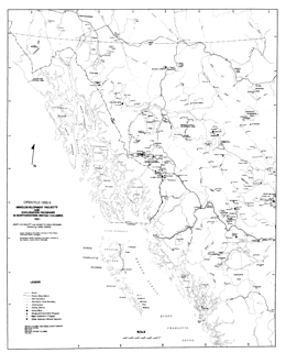 |
Open File 1992-03 shows mines, development projects and exploration programs in northwest British Columbia, 1991. Scale is 1:1,800,000. |
| Issue ID: | OF1992-04 |
| Title: | Geology and Mineral Potential of the Chuchi Lake and Klawli Lake Map Areas (NTS 93N/2E, 7E) |
| Author(s): | Nelson, J.L., Bellefontaine, K.A., MacLean, M.E., Rees, C.J. |
| Series Name: | Open File |
| Publication Year: | 1992 |
| Scale: | 1:50000 |
| NTS Map Sheet(s): | 093N/2E, 7E |
| Place Keyword(s): | British Columbia, Chuchi Lake and Klawli Lake Map Areas |
| Lat/Long (NSWE): | 55.5, 55, -124.796, -124.5 |
| Theme Keyword(s): | Geology, Mineral Occurrences, Mineral Potential, Bedrock Geology |
Download(s):
| PDF |
Abstract:
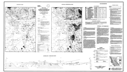 |
Open File 1992-04 presents the geology, mineral occurrences and mineral potential of he Chuchi Lake (93N/2E) and Klawli Lake (93N/7E) map areas. The Open File consists of 2 sheets: sheet 1 contains geology and mineral potential maps at 1:50 000 scale, a legend, cross sections, brief mineral occurrence descriptions, rock geochemistry, and a fossil table for the Chichi Lake area; sheets 2 has the same information for the Klawli Lake area.
The map areas are west and northwest of the Mount Milligan porphyry copper-gold deposit, and are underlain by similar Mesozoic geology. The map sheets are underlain predominantly by Early Mesozoic Takla Group rocks of island arc affinity. In the general area, the Takla is provisionally subdivided into four informal formations. The lower Rainbow Creek formation, which is dark grey slate with lesser siltstones and local epiclastic rocks, is not exposed here. The oldest rocks exposed are of the Late Triassic Inzana Lake formation, which consists of extensive volcanic sediments and lesser pyroclastic rocks. It is primarily siliceous argillite with lesser volcanic sandstones and siltstones, and other rocks. The overlying Witch Lake formation consists mainly of augite phyric flows and pyroclastics. Plagioclase-porphyritic latites and other volcanic rocks are locally important. The Early Jurassic Chuchi Lake formation transitionally overlies the Witch Lake formation. It is intermediate to felsic heterolithic agglomerate, plagioclase porphyry trachyte flows and breccias and intervolcanic sediments.
The most prominent intrusive rocks in the sheets are hypabyssal Takla intrusions, the Hogem batholith, and the Klawli stock. The Takla intrusions are mafic to intermediate in composition: microdiorite to diorite, crowded plagioclase hornblende monzonite porphyry, monzonite, and hornblende porphyritic dikes. Rocks of the Late Triassic to Early Jurassic Hogem batholith that crop out in the sheets are alkalic. They range from layered gabbro and pyroxenite, to quartz monzonite to syenite. The Klawli stock is apparently related to the Cretaceous Germansen batholith; it is granite.
Mineral deposit type that are most prospective in these areas include copper-gold porphyries associated with syn-Takla intrusions, such as the BP Chuchi; alteration zones in the Hogem batholith with potassic feldspar, magnetite and sulphides; and disseminated, vein and stockwork copper and copper-gold mineralization in hornfelsed Takla strata around the Hogem batholith. |
| Issue ID: | OF1992-05 |
| Title: | Geology, Geochemistry and Mineral Occurrences of the More Creek Area, Northwestern British Columbia (NTS 104G/2) |
| Author(s): | Logan, J.M., Drobe, J.R., Elsby, D.C. |
| Series Name: | Open File |
| Publication Year: | 1992 |
| Scale: | 1:50000 |
| NTS Map Sheet(s): | 104G/2 |
| Place Keyword(s): | British Columbia, Northwestern British Columbia, More Creek Area |
| Lat/Long (NSWE): | 56, 55.75, -125.269, -125 |
| Theme Keyword(s): | Geology, Mineral Occurrences, Geochemistry, Bedrock Geology |
Download(s):
| PDF |
Abstract:
 |
Open File 1992-05 presents the geology, mineral occurrences, and geochemistry of the More Creek area. It consists of two sheets: the first has a geology map at 1:50,000 scale, a legend, cross sections and references; sheet 2 contains a sample location map and tables of mineral occurrence by deposit type, stream sediment geochemistry, assay and lithogeochemistry, and fossils collected.
The More Creek area is underlain by three fault-bounded stratigraphic packages which, from west to east, consist of the middle to late Paleozoic Stikine assemblage, an Early Carboniferous or younger granitic pluton and, separated by the Forrest Kerr fault zone, a Mesozoic volcanic-plutonic assemblage of Stuhini and Hazelton Group rocks. West of the Forrest Kerr fault the oldest rocks are a thick package of Early Devonian to Early Carboniferous metasedimentary and bimodal metavolcanic rocks intruded in part by early Mississippian (340�12 Ma K/Ar) quartz monzonite to quartz diorite plutons. A pre-Permian quartz-grain, granite-clast conglomerate with tuff interlayers marks a profound post-Carboniferous unconformity. Clasts resemble the quartz-rich granite of the early Mississippian More Creek pluton. Early Permian limestones, the regional hallmark of the Stikine assemblage, are here no thicker than 200 metres. The limestone is overlain paraconformably by Middle Triassic sedimentary rocks. Rocks of the Late Triassic Stuhini Group conformably overly the Middle Triassic rocks.
East of the Forrest Kerr fault are Middle (?) Triassic rocks and possibly unrecognized Paleozoic rocks. North of More Creek, the Stuhini Group is a succession of chiefly volcanic arc derived sediments, reworked tuffs and subordinate flows more than 2000 metres thick. South of More Creek is an early to Middle Jurassic succession of at least 1500 metres of thin-bedded sediments, tuffs, rhyolite and basalt.
Intrusive rocks of six ages occur: Devonian (?) penetratively deformed dioritic sills and stocks; Mississippian and younger dioritic to granitic rocks; a small Permian or younger monzonite stock; Late Triassic and younger stocks, sills and dikes of intermediate to felsic intrusions, serpentinized peridotite, and coarse syenite dikes; and Early Jurassic and younger diorite sills, monzonite to syenite stocks, gabbro sills and dikes and lamprophyre dikes.
The mineral occurrences are diverse. Stratabound polymetallic sulphide mineralization is hosted by mid-Paleozoic rocks of the Stikine assemblage. Early Jurassic mineralization is manifest as: stratabound gold-enriched polymetallic massive sulphides in rocks correlated with the Eskay Creek facies of the Salmon River Formation; alkalic copper-gold porphyries and calcalkalic copper-molybdenum-gold porphyries in Upper Triassic Stuhini Group strata and feldspar porphyry dikes; mesothermal gold-quartz and silver-copper veins cutting Paleozoic metavolcanic and plutonic rocks. Pre-Mississippian (?) carbonates host skarn mineralization. |
| Issue ID: | OF1992-06 |
| Title: | Surficial geology of the Quatsino area (NTS 92L/12) |
| Author(s): | Kerr, D.E. |
| Series Name: | Open File |
| Publication Year: | 1992 |
| Scale: | 1:50000 |
| NTS Map Sheet(s): | 092L/12 |
| Place Keyword(s): | British Columbia, Northern Vancouver Island, Quatsino Area |
| Lat/Long (NSWE): | 50.75, 50.5, -128, -127.5 |
| Theme Keyword(s): | Surficial Geology Map, Geology, Surficial Geology |
Download(s):
| PDF |
Abstract:
 |
Open File 1992-06 presents surficial geology of the Quatsino area (92L/12) of northern Vancouver Island. Scale is at 1:50,000. |
| Issue ID: | OF1992-07 |
| Title: | Surficial geology and placer gold settings of the Atlin-Surprise Lake area (NTS 104N/11W, 12E) |
| Author(s): | Levson, V.M., Kerr, D.E. |
| Series Name: | Open File |
| Publication Year: | 1992 |
| Other Citation Details: | Data used in British Columbia Geological Survey Geoscience Map 2003-01 |
| Larger Work Citation: | Data used in British Columbia Geological Survey Geoscience Map 2003-01 |
| Scale: | 1:50000 |
| NTS Map Sheet(s): | 104N/11; 104N/12 |
| Place Keyword(s): | British Columbia, Northern British Columbia, Atlin-Surprise Lake Area |
| Lat/Long (NSWE): | 59.75, 59.5, -133.75, -133.25 |
| Theme Keyword(s): | Surficial Geology Map, Geology, Surficial Geology, Placer Gold Settings |
Download(s):
| PDF |
Abstract:
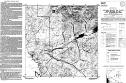 |
Open File 1992-07 presents the surficial geology and placer gold settings of the Atlin-Surprise Lake area (104N/11W, 12E) in northern British Columbia. |
| Issue ID: | OF1992-08 |
| Title: | Geology and Geochemistry of the Atlin Map Area (104N/12W) |
| Author(s): | Mihalynuk, M.G., Smith, M.T. |
| Series Name: | Open File |
| Publication Year: | 1992 |
| Scale: | 1:50000 |
| NTS Map Sheet(s): | 104N/12W |
| Place Keyword(s): | British Columbia, Northern British Columbia, Atlin Map Area |
| Lat/Long (NSWE): | 59.75, 59.5, -134, -133.75 |
| Theme Keyword(s): | Geology, Mineral occurrences, Geochemistry, Bedrock Geology |
Download(s):
| PDF |
Abstract:
 |
Open File 1992-08 covers the geology, mineral occurrences and geochemistry of the Atlin west map area (104N/12W) in northernmost British Columbia. It consists of 1 sheet that portrays the geology at 1:50 000 scale with a legend, geological cross sections, and a table of assay results.
The amp-area divides into eastern and western structural domains that are separated by the Nahlin fault. The Late Cretaceous Atlin Mountain pluton intrudes all these tectonic elements.
The oldest rocks are Mississippian to Triassic oceanic crustal and sedimentary rocks of the Cache Creek complex. Rock types include ultramafite, basalt, limestone, chert, argillite and wacke, and may include a mixed ultramafic, gabbro, and pillow basalt unit called the Graham Creek suite. It is intruded by the 171 million year old, synkinematic Fourth of July batholith. The batholith is polyphase, primarily granitic and has related dike swarms. Unconformably overlying both are rocks of the Cretaceous Table Mountain volcanic complex. Basinal wacke and shale of the Lower Jurassic Laberge Group dominate the western structural domain. Paleocene felsic to intermediate volcanic and epiclastic rocks of the Sloko Group sit with angular unconformity on the Laberge.
Placer gold and lode gold are the main potential exploration targets in the area. |
| Issue ID: | OF1992-09 |
| Title: | MINFILE Data on Major Industrial Mineral Deposits in B.C. |
| Author(s): | Fischl, P., Jakobsen, D. |
| Series Name: | Open File |
| Publication Year: | 1992 |
| Scale: | 1:2000000 |
| NTS Map Sheet(s): | 082;083;092;093;094;102;103;104;114 |
| Place Keyword(s): | British Columbia |
| Lat/Long (NSWE): | 60, 48, -139, -114 |
| Theme Keyword(s): | Geology, MINFILE Data, Industrial Mineral Deposits |
Download(s):
| PDF |
Abstract:
 |
Open File 1992-09 is MINFILE data on major industrial mineral deposits in British Columbia. British Columbia is well endowed with a wide variety of industrial minerals. The annual value of their production, together with structural materials, varies between 10 and 15 per cent of the combined value of minerals, coal, petroleum and natural gas (3.28 billion in 1990). It is generally acknowledged that industrial minerals are underutilized in British Columbia and there is much room for growth. Open File 1992-9 consists of a 1:2 000 000 scale map of British Columbia with the locations of the major industrial mineral deposits, and tables containing the MINFILE data on these deposits. This release includes 398 B.C. industrial mineral deposits from the MINFILE database that are prospects (112), developed prospects (57), producers (45) or past producers (184). An industrial mineral is defined as "any rock, mineral or other naturally occurring substance of economic value, exclusive of metallic ores, mineral fuels, and gemstones". MINFILE is the Geological Survey Branch's computerized mineral inventory database. The database, contains information on metallic mineral, industrial mineral and coal occurrences in B.C. The information comprises: location, commodities, mineralogy, structure, host rock, lithologies, reserves, production, a summary text field (capsule geology) and a comprehensive bibliography. The database can be search at http://minfile.gov.bc.ca/. |
| Issue ID: | OF1992-10 |
| Title: | Kakwa Recreation Area Geology (NTS 93H/15, 16 and 93I/1, 2) |
| Author(s): | Pell, J., Hammack, J.L., Fletcher, B., Harris, W.D., Koyanagi, V.M. |
| Series Name: | Open File |
| Publication Year: | 1992 |
| Scale: | 1:50000 |
| NTS Map Sheet(s): | 093H/15, 16 and 093I/1, 2 |
| Place Keyword(s): | British Columbia, Northcentral British Columbia, Kakwa Recreation Area |
| Lat/Long (NSWE): | 54.218, 53.753, -120.684, -120 |
| Theme Keyword(s): | Geology, Mineral Occurrences, Bedrock Geology |
Download(s):
| PDF |
Abstract:
 |
Open File 1992-10 describes the geology of the Kakwa Recreation area (93H/15, 16; 93I/1, 2) in north-central British Columbia. The Open File map shows geology at 1:50 000 scale, a legend, analyses of phosphorites, and assay data from vein and stratiform mineral occurrences.
The area is underlain by a sequence of carbonate and clastic sedimentary rocks ranging in age from Late Precambrian to Early Cretaceous. Folds and southwest dipping, northeasterly directed thrusts are the dominant structures in the area. Strata in major thrust sheets generally young toward the northeast.
The Upper Proterozoic succession consists of argillites, sandstones and conglomerates of he Miette Group. Lower Paleozoic strata are widespread. The quartzite and dolostone-rich Lower Cambrian Gog Group is successively overlain by dominantly carbonates of Middle and Upper Cambrian age, Lower Ordovician quartzite and dolostone-rich sequence, and a Middle Ordovician dolostone-dominated package. Unconformably over these is Middle Devonian conglomerate, siltstone and limestone of the Dunedin Formation. Unconformably over these are a series of Upper Devonian limestones; an unconformity within the series separates the youngest strata, the Palliser Formation. Another unconformity is overlain by Upper Devonian and Lower Carboniferous shale, then limestone and dolostone of the Rundle Group. Upper Carboniferous pebble conglomerate marks the next unconformity, and it is overlain by limestone. Another unconformably marks the first Permian rocks. Above it is basal conglomerate, then limestone, more conglomerate and sandstone. The Triassic Spray River Group of carbonates and evaporites unconformably overlies the Permian strata. Through another unconformity, Jurassic Fernie Formation shales grade upward into largely sandstones and siltstones of the Upper Jurassic and Lower Cretaceous Monteith Formation and the overlying Minnes Group sandstones and siltstones. Unconformably above these is Lower Cretaceous Bullhead Group conglomerate, sandstone siltstone and coal and the overlying Moosebar and Gates formations that also contain coal measures.
Coal licenses are held in the northwest corner of the Recreation area. There are four significant seams in Lower Cretaceous strata. Dimension stone potential exists in the quartzites of he Lower Cambrian Mahto Formation of the Gog Group. Two major prospects exist at Babette Lake, and Wishaw Lake. Phosphate from phosphorite beds in the Whistler Member of the Triassic Sulphur Mountain Formation has been found at three localities. Analyses of grab samples ranged from 21 to 23 percent P2O5. Carbonate-hosted vein and replacement occurrences in carbonates are known to occur in 6 locations in the area, but base metal abundances were low. |
| Issue ID: | OF1992-11 |
| Title: | Geology and Geochemistry of the Uslika Lake Area (NTS 94C/3, 4, 6) |
| Author(s): | Ferri, F., Dudka, S.F., Rees, C.J., Meldrum, D.G., Willson, M.J. |
| Series Name: | Open File |
| Publication Year: | 1992 |
| Scale: | 1:50000 |
| NTS Map Sheet(s): | 094C/3, 4, 6 |
| Place Keyword(s): | British Columbia, Northcentral British Columbia, Uslika Lake Area |
| Lat/Long (NSWE): | 56.375, 56, -125.686, -125 |
| Theme Keyword(s): | Geology, Mineral occurrences, Geochemistry, Bedrock Geology |
Download(s):
| PDF |
Abstract:
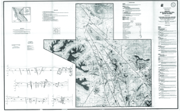 |
Open File 1992-11 presents the geology, mineral occurrences and geochemistry of the Uslika Lake area (94C/3, 4, 6) in north-central British Columbia. The Open File consists of two sheets: the first portrays the geology at 1:50 000 scale, a legend, fossil ages, geologic cross sections and references; the second has a sample location map, MINFILE mineral occurrences, assay results, whole rock and trace element geochemistry, and stream sediment analysis results. The report is a contribution to the Canada-British Columbia Mineral Development Agreement, 1985-1990.
The area straddles the boundary between the Intermontane and Omineca tectonostratigraphic belts. It is underlain by accreted volcanic rocks of the Intermontane terrane and displaced rocks of North American affinity. Parts of four terranes are present: Quesnellia, to the west; the Harper Ranch terrane and Slide Mountain terranes centrally; and the Cassiar terrane to the east.
North American, Cassiar terrane rocks consist mainly of the Ingenika Group in this area. The sequence consists of quartz and feldspathic wackes, impure quartzite, sandstone, siltstone, slate, limestone, and their metamorphosed equivalents. These rocks were not studied in detail during the mapping.
The Paleozoic succession is upwards of 2 kilometres thick and comprises carbonate and clastic rocks. Early Cambrian to Mississippian age these strata are of minor importance in the map area but, regionally, host significant lead-zinc-silver deposits. Lower Cambrian to Middle Devonian rocks are mainly limestone, dolomite, some shale, quartzite and argillaceous limestone. Upper Devonian to Lower Mississippian strata consist mainly of dark grey to blue shales and argillites. Mississippian to Permian rocks of the Lay Range assemblage include dacitic tuffs, argillites, shales, phyllites, limestones, sandstones, and quartzites in the lower part, then mainly basalt, gabbro, serpentine, chert, schist and green to maroon tuffs in the upper part. The Pennsylvanian to Permian Nina Creek Group of the Slide Mountain terrane are mainly argillite, chert and gabbro, then massive to pillowed basalt. Overlying Quesnel terrane strata include Upper Triassic tuffs, tuffaceous siltstones, argillites and agglomerates that are overlain by augite-phyric agglomerates, basalts and tuffs, and the Lower Jurassic Takla Group, which is mainly maroon to grey basalts, agglomerates and tuffs. Takla rocks are both plagioclase and augite phyric. The Lower Jurassic to Lower Tertiary Uslinka Formation is predominantly heterolithic boulder conglomerate and may represent an overlap assemblage along with the Sustut Group. A Lower Cretaceous conglomerate, sandstone, siltstone, argillite sequence has minor coal. It is overlain by sandstone, conglomerate, siltstone and coal of the Upper Cretaceous and Tertiary Sustut Group.
The oldest intrusive rocks in the area comprise the Middle Triassic to Lower Jurassic Wasi Lake ultramafic body, which consists of serpentinite and gabbro; minor listwanite alteration occurs. The Late Triassic to Early Jurassic Tenakihi body consists of monzodiorite and diorite. The Late Triassic to Tertiary Hogem intrusive complex comprises monzonite, quartz monzonite, syenite, and quartz syenite.
Northwest trending faults are the most prominent structural features in the area, but the structural history is diverse and complex.
There are 48 known mineral occurrences in the area. Deposit types include porphyry copper-gold, fracture-controlled mineralization along the contact of the Hogem batholith, carbonates host lead-zinc veins and Mississippi Valley-type replacement lead-zinc mineralization, shear-controlled gold-silver-copper mineralization, mercury showings related to shears, quartz veins with gold in the Hogem batholith, gold-bearing massive arsenopyrite and pyrite in sheared Takla rocks, and minor coal occurrences. |
| Issue ID: | OF1992-12 |
| Title: | Geology of the Lemoray Creek and Carbon Creek Areas, Northeast British Columbia (NTS 93O/8, 15) |
| Author(s): | Cunningham, J.M., Sprecher, B.W. |
| Series Name: | Open File |
| Publication Year: | 1992 |
| Scale: | 1:50000 |
| NTS Map Sheet(s): | 093O/8, 15 |
| Place Keyword(s): | British Columbia, Northeastern British Columbia, Lemoray Creek and Carbon Creek Areas |
| Lat/Long (NSWE): | 56, 55.25, -123, -122 |
| Theme Keyword(s): | Geology, Bedrock Geology |
Download(s):
| PDF |
Abstract:
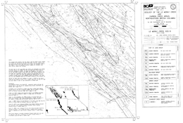 |
Open File 1992-12 presents the geology of the Lemoray Creek (93O/8) and Carbon Creek (93O/15) areas in northeastern British Columbia. The Open File consists of two geology maps, one for each area. Both have legends, but sheet 1 also has references listed.
The oldest rocks in the area are undivided carbonates, calcareous siltstone and sandstone, and local anhydrite of the Triassic Schooler Creek Group. These are overlain by shales with minor siltstones and sheet sandstones of the Jurassic Fernie Formation. The contact with the overlying Minnes Group rocks is transitional as the number and thickness of sheet sandstone beds increase until sandstone dominates. The lowermost formation, the Monteith, spans Jurassic to Lower Cretaceous time. Grey quartz sandstones and dark lithic sandstones, wackes, siltstone and shale predominate. The sequence records marine regression modified by secondary cycles of transgression. The recessive Beattie Peaks Formation consists largely of dark gray and brown shales. It coarsens upward as the number and thickness of parallel laminated sandstone beds increase and grades into the overlying Monach Formation. The Monach is dominated by sandstone beds up to 20 metres thick separated by thin shale layers. The upper contact occurs where there is a change to thin cyclic units of alternating mudstone, siltstone and sandstone of the Bickford Formation. The Monach represents wave built shoals. The Bickford, which is a sequence of interbedded sandstones and shales, is best identified by defining the Cadomin Formation above and the Monach Formation below. Toward the top of the Formation carbonaceous content increases and thin coal beds occur. Near its base, the Bickford consists of shallow marine storm deposits and post-storm reworked material. Successively higher in the section are rocks deposited in nearshore marine to shoreface conditions, emergent coastal conditions with beach deposits, and finally lagoonal coastal plain deposits.
The coal-bearing Bullhead Group consists of the Cadomin Formation and the Gething Formation. The 200 to 275 metres thick Cadomin Formation contains varying proportions of resistant pebbly sandstone beds up to 20 metres thick separated by recessive units consisting of siltstone, carbonaceous shale, fine-grained sandstone and coal. The lithological components represent fluvial fan deposits, flood basin and overbank deposits and possibly beach deposits. The Gething Formation, which hosts most of the coal, is about 1100 metres thick. The Formation consists of interbedded sandstones, noncarbonaceous shale, carbonaceous shale and coal. The sandstone units are alluvial channel or delta distributary deposits; the shales are flood basin to swamp deposits. The coals display a moderately bright luster and variable sulphur content. A number of coal seams that vary to 2.2 metres width occur across a 200-metre section.
The Cretaceous Fort St. John Group consists of the Moosebar, Gates, Hulcross, Boulder Creek, Hasler, Goodrich and Cruiser formations. The dominant lithology is marine shale, and subdivisions are based on intervals of marine and non-marine sandstone and conglomerate, mudstone and coal. Coal is only important in the Gates Formation. |
| Issue ID: | OF1992-13 |
| Title: | Surficial Geology Map Index of British Columbia |
| Author(s): | Bobrowsky, P.T., Giles, T.R., Jackaman, W. |
| Series Name: | Open File |
| Publication Year: | 1992 |
| NTS Map Sheet(s): | 082;083;092;093;094;102;103;104;114 |
| Place Keyword(s): | British Columbia |
| Lat/Long (NSWE): | 60, 48, -139, -114 |
| Theme Keyword(s): | Geology, Surficial Geology, Map Index |
Download(s):
| PDF |
Abstract:
 |
Open File 1992-13 is a surficial geology map index of British Columbia. |
| Issue ID: | OF1992-14 |
| Title: | Geology and Major Element Geochemistry of the Mount Brussilof Magnesite Area, Southeastern British Columbia (NTS 82J/12, 13) |
| Author(s): | Simandl, G.J., Hancock, K.D., Fournier, M.A., Koyanagi, V.M., Vilkos, V., Lett, R.E., Colbourne, C. |
| Series Name: | Open File |
| Publication Year: | 1992 |
| Scale: | 1:20000 |
| NTS Map Sheet(s): | 082J/12, 13 |
| Place Keyword(s): | British Columbia, Southeastern British Columbia, Mount Brussilof Area |
| Lat/Long (NSWE): | 50.862, 50.672, -115.747, -115.477 |
| Theme Keyword(s): | Geology, Geochemistry, Bedrock Geology, Magnesite |
Download(s):
| PDF |
Abstract:
 |
Open File 1992-14 discusses the geology and major element geochemistry of the Mount Brussilof magnesite area (82J/12, 13) in southeastern British Columbia. The report contains a series of tables of analyses. The accompanying geology map is at 1:20 000 scale. The map includes the site of the Mount Brussilof deposit of Baymag Mines Ltd.
The oldest rocks in the area mapped are quartz sandstones of the Lower Cambrian Gog Formation. The other strata of interest are all of Middle Cambrian age. The Naiset Formation is mainly shale, the Cathedral Formation buff and grey dolostone and limestone, the Stephen Formation fossiliferous shales, and the Eldon and Pika Formations massive dolomite, argillaceous dolomite and limestone. The Arctomys Formation consists of purple and red shales with beige dolomite. It is overlain by the Waterfowl and Sullivan Formations. Chancellor Group argillaceous limestone and shales are the basinal equivalents of the Pika, Eldon and Cathedral formations.
Sparry carbonates in the Cathedral, Eldon and Pika formations contain varying proportions of coarse dolomite and magnesite. Magnesite-rich sparry carbonates are restricted to the Cathedral formation, where they form lenses, pods and irregular masses. |
| Issue ID: | OF1992-15 |
| Title: | Geologic Hazards in British Columbia, Proceedings of Geologic Hazards �91 Workshop held at the University of Victoria, February 20-21, 1991 |
| Author(s): | Bobrowsky, P.T., compiler and editor |
| Series Name: | Open File |
| Publication Year: | 1992 |
| NTS Map Sheet(s): | 082;083;092;093;094;102;103;104;114 |
| Place Keyword(s): | British Columbia |
| Lat/Long (NSWE): | 60, 48, -139, -114 |
| Theme Keyword(s): | Geology, Geologic Hazards |
Download(s):
| PDF |
Abstract:
 |
Open File 1992-15 discusses the geologic hazards in British Columbia from the proceedings of geologic hazards 1991 workshop held at the University of Victoria on February 20-21, 1991. |
| Issue ID: | OF1992-16 |
| Title: | Fluorspar and Fluorine in British Columbia |
| Author(s): | Pell, J. |
| Series Name: | Open File |
| Publication Year: | 1992 |
| Scale: | 1:250000 |
| NTS Map Sheet(s): | 082;083;092;093;094;102;103;104;114 |
| Place Keyword(s): | British Columbia |
| Lat/Long (NSWE): | 60, 48, -139, -114 |
| Theme Keyword(s): | Geology, Fluorspar, Fluorine, Mineral Occurrences |
Download(s):
| PDF |
Abstract:
 |
Open File 1992-16 presents fluorspar and fluorine occurrences in British Columbia. These occurrences are widespread throughout British Columbia. Fluorite has been found associated with mineral deposits in numerous geologic environments and in all tectonic belts except the Insular Belt. There are five major fluorite prospects and, though none are currently receiving any significant attention, one deposit, the Rocky Candy mine, has a history of past production. This report describes known occurrences and outlines the geological environments in which they are found. The properties described are strictly examples and may be used as models or guides in exploring for new, potentially economic showings. |
| Issue ID: | OF1992-17 |
| Title: | Geology of the Central Hughes Range, British Columbia (NTS 82G/11, 12, 13, 14) |
| Author(s): | Welbon, A.I., Price, R.A. |
| Series Name: | Open File |
| Publication Year: | 1992 |
| Scale: | 1:50000 |
| NTS Map Sheet(s): | 082G/11, 12, 13, 14, |
| Place Keyword(s): | British Columbia, Southeastern British Columbia, Central Hughes Range |
| Lat/Long (NSWE): | 49.902, 49.702, -115.56, -115.423 |
| Theme Keyword(s): | Geology, Bedrock Geology |
Download(s):
| PDF |
Abstract:
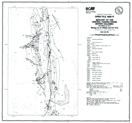 |
Open File 1992-17 depicts the geology of the central Hughes Range (82G/11, 12, 13, 14), southeast British Columbia. The geology map is at 1:50,000 scale and covers about 100 square kilometres. The area straddles the boundary between Middle Proterozoic Purcell Supergroup rocks and unconformably overlying Lower Paleozoic miogeoclinal rocks. The area is transected by the north-trending Lussier creek thrust fault and a number of easterly trending transverse faults that record repeated motion from Precambrian through Mesozoic time. The area lies immediately east of a number of important silver-lead-zinc mineral deposits in the Purcell Supergroup, including Estella, Kootenay King, and the Sullivan deposit.
Purcell Group rocks in the area are the Aldridge, Creston, Kitchener, Van Creek, Nicol Creek, and Sheppard formations. Cambrian sequences include the Cranbrook Formation, the Tanglefoot unit, and the Jubilee Formation. Cambrian to Ordovician rocks are the Lower McKay Group, the Upper McKay Group, which are subdivisions of the McKay Group. The Ordovician Mount Wilson quartzite is present, as are the Ordovician-Silurian Beaverfoot Formation and a Silurian-Devonian sequence consisting of shale, limestone, volcanic breccia, and lava. The Basal Devonian unit is the youngest stratified rock package exposed.
The succession is cut by Cretaceous monzonite and granodiorite. |
| Issue ID: | OF1992-18 |
| Title: | Limestone and Dolomite Resources of British Columbia |
| Author(s): | Fischl, P.S. |
| Series Name: | Open File |
| Publication Year: | 1992 |
| Scale: | 1:2000000 |
| NTS Map Sheet(s): | 082;083;092;093;094;102;103;104;114 |
| Place Keyword(s): | British Columbia |
| Lat/Long (NSWE): | 60, 48, -139, -114 |
| Theme Keyword(s): | Geology, Limestone, Dolomite |
Download(s):
| PDF |
Abstract:
 |
Open File 1992-18 presents limestone and dolomite resources of British Columbia. |
| Issue ID: | OF1992-19 |
| Title: | Pioneering Geology in the Canadian Cordillera, Proceedings of the Earth Before Us - Pioneering Geology in the Canadian Cordillera, held March, 1991, |
| Author(s): | Levson, V.M., compiler |
| Series Name: | Open File |
| Publication Year: | 1992 |
| NTS Map Sheet(s): | 082;083;092;093;094;102;103;104;114 |
| Place Keyword(s): | British Columbia, Canadian Cordillera |
| Lat/Long (NSWE): | 60, 48, -139, -114 |
| Theme Keyword(s): | Geology, Pioneering Geology |
Download(s):
| PDF |
Abstract:
 |
Open File 1992-19 discusses pioneering geology in the Canadian Cordillera from the Proceedings of The Earth Before Us - Pioneering Geology in the Canadian Cordillera that was held March, 1991. |
| Issue ID: | OF1992-20 |
| Title: | Phosphorus in British Columbia Coking Coals |
| Author(s): | Grieve, D.A. |
| Series Name: | Open File |
| Publication Year: | 1992 |
| NTS Map Sheet(s): | 082;083;092;093;094;102;103;104;114 |
| Place Keyword(s): | British Columbia |
| Lat/Long (NSWE): | 60, 48, -139, -114 |
| Theme Keyword(s): | Geology, Phosphorous, Coking Coals, Phosphorus in British Columbia Coking Coals |
Download(s):
| PDF |
Abstract:
 |
Open File 1992-20 discusses phosphorus in British Columbia coking coals. |
| Issue ID: | OF1992-21 |
| Title: | Till Geochemistry of the Quatsino Map Area (NTS 92L/12) |
| Author(s): | Kerr, D.E., Sibbick, S.J. |
| Series Name: | Open File |
| Publication Year: | 1992 |
| NTS Map Sheet(s): | 092L/12 |
| Place Keyword(s): | British Columbia, Northern Vancouver Island, Quatsino Map Area |
| Lat/Long (NSWE): | 50.75, 50.5, -128, -127.5 |
| Theme Keyword(s): | Geology, Surficial Geology, Till Geochemistry, Drift Exploration, Drift Prospecting Program |
Download(s):
| PDF, ZIP (View Zip Contents) |
Abstract:
 |
Open File 1992-21 presents the analytical results of the Quatsino (NTS 92L/12) drift exploration project, an evaluation of drift sampling as a regional mineral exploration tool. The Quatsino project is part of the British Columbia Geological Survey Branch's Drift Prospecting program and is designed to demonstrate the applicability of combined surficial geology-exploration geochemistry methods in the search for drift-covered mineral deposits in areas of glaciated terrain. The Quatsino map sheet, centered over the North Island copper belt, represents an area of high mineral potential within a glaciated, coastal plateau setting. Proper use of drift prospecting techniques is dependant upon an understanding of the regional surficial geology history, Quaternary stratigraphy and glacial ice-flow patterns. The relatively simple glacial stratigraphy in the Quatsino map area, reflecting a single glacial advance and retreat, makes this an ideal location for the application of drift prospecting, with only a single till sheet underlain by bedrock and locally overlain by glaciofluvial and glaciolacustrine sediments. Collected samples were analysed by instrumental neutron activation (INA) and inductively coupled plasma (ICP) methods. Included are data for 42 elements obtained by analysing surficial sediments collected in 1991 by the British Columbia Ministry of Energy, Mines and Petroleum Resources. Data obtained from this project can be used as a basis for detailed drift prospecting work in the area. |
| Issue ID: | OF1992-22 |
| Title: | Unuk River Area Geology (NTS 104B/7E, 8 & 9W, 10E) |
| Author(s): | Alldrick, D.J., Britton, J.M. |
| Series Name: | Open File |
| Publication Year: | 1992 |
| Scale: | 1:20000 |
| NTS Map Sheet(s): | 104B/7E, 8 & 9W, 10E |
| Place Keyword(s): | British Columbia, Northwestern British Columbia, Unuk River |
| Lat/Long (NSWE): | 56.722, 56.29, -130.75, -130.289 |
| Theme Keyword(s): | Geology, Mineral Occurrences, Bedrock Geology, Radiometric age dates |
Download(s):
| PDF |
Abstract:
 |
Open File 1992-22 describes the geology and mineral occurrences of the Unuk area (104B/7E, 8W, 9W and 10E) in north-western British Columbia. This Open File consists of 5 map sheets. Sheet 1 contains a legend and tables with mineral occurrences, radiometric age dates, fossil data, whole rock analyses, assays, and also brief marginal notes and references. Sheets 2 to 5 are 1:20 000 scale geology maps of the four quadrants of the map area.
The Paleozoic Stikine assemblage consists of coralline limestones and intercalated mafic to felsic flows and volcaniclastic rocks, and siliceous siltstone, turbidite, chert and conglomerate. They exhibit local polyphase deformation. Mesozoic strata comprise mixed volcanic and volcanic-derived sedimentary rocks.
Upper Triassic Stuhini Group strata are dominantly sediments with minor pyroxene phyric flows and tuffs, and leucocratic dacitic tuffs. The sediments are siltstones, pebble to cobble conglomerates and wackes.
A Stuhini-Hazelton transitional unit of Hettangian age consists mainly of mixed sedimentary strata: black siltstones, heterolithic pebble to boulder conglomerates and wackes. Granitic stocks cut Stuhini Group rocks.
Lower to Middle Jurassic Hazelton Group volcanic and sedimentary rocks have been folded, faulted and weakly metamorphosed, mainly during Cretaceous time. Three episodes of intrusive activity produced small synvolcanic plutons, satellitic stocks of the Coast plutonic complex and minor dykes and sills.
The Unuk River Formation is of Hettangian to Pleinsbachian age. It consists primarily of andesitic tuffs with lesser black siltstone members. It is cut by the two-feldspar Premier porphyry.
The Betty Creek Formation is Pleinsbachian to Toarcian. It consists of interbedded tuffs, flows and hematitic sedimentary rocks. There are locally pillowed basaltic to dacitic crystal and lithic tuffs and flows, purple to maroon conglomerates, wackes, siltstones and mudstones, and minor black siltstone layers.
The Mount Dilworth Formation consists of felsic pyroclastics and flows. It consists of tuff breccias; lapilli, ash and dust tuffs; and local welded ash flows. The unit is of Toarcian age.
Salmon River Formation, which is Toarcian to Bajocian in age, comprises a thick turbidite succession. It consists of dark siltstones with lesser sandstones, conglomerates, silty limestone and pale siliceous siltstones. Mafic pillow lava and minor intermediate distal tuff also crop out.
Middle to Upper Jurassic Bowser Lake Group strata are marine basin turbidites, black siltstones, fine-grained sandstones, and conglomerates. The Pliocene to Recent Stikine volcanics comprise basaltic flows, tuff and scoria.
Intrusive rocks in the area range from Late Triassic to Tertiary or Quaternary. The oldest is the Stikine plutonic suite of diorite and quartz diorite plutons. The Early Jurassic Texas Creek plutonic suite includes quartz diorite, monzodiorite, and quartz monzonite. The suite includes hypabyssal equivalents of the Hazelton Group. The Middle Jurassic Three Sisters suite consists of olivine-pyroxene gabbro and diorite. Rocks of the Coast plutonic complex are of Paleocene to Eocene age. Granitoid batholiths and stocks are characteristic. Rocks types include granodiorite, granite and dacite in dikes. Oligocene late-tectonic dikes are micro-diorite, andesite and lamprophyre. Basaltic dikes represent the Stikine volcanic suite.
The rich volcanogenic Eskay gold-silver-lead-zinc-copper mine and many other mineral occurrences are known in the area. Six types of veins are identified: base metal quartz, silver-rich base metal, precious and base metal quartz, precious metal quartz, carbonate, and barite. Other deposit types include: porphyry-style copper-molybdenum; disseminated gold (silver) in alteration zones; gold-bearing skarn; and stratabound pyritic zones. |
| Issue ID: | OF1993-01 |
| Title: | Geology, Mineral Occurrences and Geochemistry of the Bearskin and Tatsamenie Lakes Area, Northwestern British Columbia (NTS 104K/1, 8S) |
| Author(s): | Bradford, J.A., Brown, D.A. |
| Series Name: | Open File |
| Publication Year: | 1993 |
| Scale: | 1:50000 |
| NTS Map Sheet(s): | 104K/1, 8S |
| Place Keyword(s): | British Columbia, Northwestern British Columbia, Bearskin and Tatsamenie Lakes Area |
| Lat/Long (NSWE): | 58.36, 58, -132.5, -132 |
| Theme Keyword(s): | Geology, Mineral Occurrences, Geochemistry, Bedrock Geology |
Download(s):
| PDF |
Abstract:
 |
Open File 1993-1 presents the geology, mineral occurrences and geochemistry of the Bearskin and South Tatsamenie Lake area (104K/1, 8) in northwestern British Columbia. The Open File consists of three sheets: sheet 1 portrays the geology at 1:50 000 scale, a legend, and geological cross sections; sheet 2 has a sample location map, and tables for mineral occurrences, stream sediment geochemical results, lithogeochemical analyses, isotopic age dates, and fossil lists; sheet 3 contains a map showing structural domains and associated stereonet plots. The coverage is part of a larger project and the geology of other parts is in Open Files 1989-7 and 8, 1990-1 and 2, 1992-2 and 5, 1993-6 and 11.
Paleozoic (?) rocks of the Boundary Ranges metamorphic suite are amphibolite grade schists, orthogneiss, mafic volcanics, metasediments and marble. Paleozoic Stikine assemblage units are Carboniferous (?) marble; penetratively deformed foliated chloritic metavolcanics; and tuff, volcanic sediments and argillite; Upper Carboniferous felsic to mafic volcanics, argillaceous phyllite and limestone; and Permian limestone. Upper Triassic Stuhini Group strata are dominated by plagioclase and augite-bearing volcaniclastics, including ash, crystal, lapilli and block tuff. Also included are megacrystic bladed feldspar porphyry sills, dikes and plugs, and hornblende gabbro intrusives. Sedimentary rocks comprise about 10 percent of the unit. These include argillite, siltstone and minor limestone. Lower Jurassic Takwahoni Formation turbiditic fine to coarse arkosic wackes, shale and siltstone unconformably overlie Takla rocks. The basal Takwahoni is a polymictic conglomerate. Eocene Sloko Group rocks are mainly rhyolite to dacite pyroclastics. Welded tuff and ash tuff occur locally. Tertiary polymictic conglomerates are poorly indurated, and Miocene basalt flows occur locally.
Intrusive rocks cover 25 percent of the area. The Late Triassic Stikine suite Moosehorn batholith is mostly hornblende monzodiorite to quartz monzodiorite but has some monzonite, whereas the Sam batholith is hornblende diorite and melanodiorite with local granite pegmatite dikes. Along its borders, the Sam batholith has pyroxenite and hornblendite zones. Jurassic intrusions include the Ramtut stock, which is quartz monzonite to albitite, and plagioclase or hornblende plagioclase porphyry dikes. Eocene intrusives comprise 2 small stocks of granodiorite and megacrystic granite, and plagioclase and/or quartz phyric rhyolite and dacite dikes.
Stikine assemblage rocks were penetratively deformed, with development of isoclinal folds and chevron folds, during 1 or 2 pre-Triassic periods of deformation. Stuhini Group rocks are also folded and Early Jurassic faulting along north to northwest trends was mostly strike slip and partly dextral.
Mineralization in the area includes large gossans with iron carbonate and quartz-sulphide-albite-potassic feldspar-hematite alteration. Some of these may lie above porphyry systems. Silicified zones in limestone have gold potential. These are associated with high angle faults and volcanic contacts. An example is the Golden Bear mine. Stratabound pyritic zones in Stuhini mafic to intermediate tuffs may have gold potential. Acid sulphate alteration zones in Sloko volcanics could be linked to epithermal mineralization. Porphyry copper and molybdenum mineralization can be associated with Eocene (?) quartz monzonite porphyries. |
| Issue ID: | OF1993-02 |
| Title: | Preliminary Geology of the Aiken Lake and Osilinka River Areas (NTS 94C/2, 3, 5, 6, 12) |
| Author(s): | Ferri, F., Dudka, S.F., Rees, C.J., Meldrum, D.G. |
| Series Name: | Open File |
| Publication Year: | 1993 |
| Scale: | 1:50000 |
| NTS Map Sheet(s): | 094C/2, 3, 5, 6, 12 |
| Place Keyword(s): | British Columbia, Northcentral British Columbia, Aiken Lake and Osilinka River Areas |
| Lat/Long (NSWE): | 56.652, 56.0572, -126, -124.786 |
| Theme Keyword(s): | Geology, Mineral Occurrences, Geochemistry, Bedrock Geology, Preliminary Geology |
Download(s):
| PDF |
Abstract:
 |
Open File 1993-2 portrays the geology, mineral occurrences and geochemistry of the Aiken Lake and Osilinka River area (94C) of north-central British Columbia. The Open File consists of 2 sheets: sheet 1 presents the geology at 1:50 000 scale, a legend, references, sections, and a table of fossils collected; sheet 2 has a sample location map and tables of assay, rock and stream sediment geochemical analyses, and mineral occurrences.
The area straddles the boundary between the Intermontane and Omineca tectonostratigraphic belts. It is underlain by accreted volcanic rocks of the Intermontane terrane and displaced rocks of North American affinity. Parts of four terranes are present: Quesnellia, to the west; the Harper Ranch and Slide Mountain terranes centrally; and the Cassiar terrane to the east.
North American, Cassiar terrane rocks consist of the Neoproterozoic Ingenika Group, Cambrian Atan Group, Cambrian and Ordovician Razor Back Group, Middle Ordovician to Lower Devonian Echo Lake Group, Middle Devonian Otter Lakes Group, Upper Devonian to Lower Mississippian Big Creek Group, and the Mississippian (?) to Lower Permian Cooper Ridge Group. Much of the sequence consists of quartz and feldspathic wackes, impure quartzite, sandstone, siltstone, slate, limestone, and their metamorphosed equivalents. These rocks occur east of the Lay Range fault; they were not studied in detail during the mapping. Regionally, units of the North American strata host significant lead-zinc-silver deposits.
Mississippian to Permian Lay Range assemblage rocks are part of the Harper Ranch terrane and consist mainly of sediments and mafic tuffs. Local felsic units occur and these rocks may have volcanogenic massive sulphide potential.
The Pennsylvanian to Permian Nina Creek Group is part of the Slide Mountain terrane. It consists of argillite, siliceous argillite and chert of the Howell Creek Formation, overlain by basalt, gabbro, argillite and chert of the Pillow Ridge Formation.
Overlying Quesnel terrane strata of the Upper Triassic Takla Group consists of the Plughat Mountain formation, which is predominantly basaltic agglomerate, lapilli tuff, ash tuff and epiclastic rocks with local flows. Upper Triassic to Lower Jurassic Takla Group rocks are mainly maroon to brown or green agglomerate, lapilli tuff and tuff with lesser basalt and minor sediments. Overlying is a Lower Cretaceous (?) polymictic conglomerate, sandstone, mudstone sequence, then Cretaceous to Tertiary pebble to boulder conglomerate and sandstone.
Late northwest and northeast normal faults dominate the map patterns.
The oldest intrusive rocks in the area are Pennsylvanian to Permian gabbro bodies. Diorite and gabbro in the Lay Range assemblage may be Paleozoic or Mesozoic. Small Late Triassic to Cretaceous stocks and dikes of monzonite, monzodiorite, diorite and syenite cut Takla rocks. The Hogem intrusive complex is Late Triassic to Early Jurassic in age. It consists of an older gabbro, monzonite, monzodiorite, quartz monzodiorite, granodiorite and syenite phase, and a younger granite phase. The Early Jurassic or older ultramafic unit consists of variably serpentinized pyroxenite, hornblendite, gabbro and diorite. The Polaris Alaskan ultramafic complex consists of dunite, wehrlite and gabbro (see Open Files 1989-17 or 1990-13). Cretaceous or Tertiary intrusions are mainly granites. They are related to the Wolverine metamorphic complex, and some are muscovite bearing. Tertiary dacite forms small stocks, dikes and sills.
There are 73 MINFILE occurrences in the area. Mineral deposit types are porphyry copper-gold deposits in Takla rocks and associated with alkalic phases of the Hogem batholith; stratabound replacement lead-zinc-barite with or without precious metal deposits in Upper Proterozoic an Paleozoic carbonates; quartz-calcite veins with disseminated pyrite, arsenopyrite, pyrrhotite, and lenses of pyrite, pyrrhotite and chalcopyrite in Takla Group rocks; skarns in Takla Group carbonates; chromite in the Polaris complex; and industrial minerals. |
| Issue ID: | OF1993-03 |
| Title: | Geology and Geochemistry of the Klawli Lake Map Area (NTS 93N/7W) |
| Author(s): | Nelson, J.L., Bellefontaine, K.A., Mountjoy, K.J., MacLean, M.E. |
| Series Name: | Open File |
| Publication Year: | 1993 |
| Scale: | 1:50000 |
| NTS Map Sheet(s): | 093N/7W |
| Place Keyword(s): | British Columbia, Northcentral British Columbia, Klawli Lake Map Area |
| Lat/Long (NSWE): | 55.5, 55.25, -125, -124.75 |
| Theme Keyword(s): | Geology, Mineral Occurrences, Geochemistry, Bedrock Geology |
Download(s):
| PDF |
Abstract:
 |
Open File 1993-3 describes the geology, mineral occurrences and geochemistry of the Klawli Lake map area (93N/7W) in north-central British Columbia. The Open File consists of a geology map at 1:50 000 scale, a legend, cross sections, brief descriptions of the mineral occurrences, a fossil table and a table of rock geochemical results. Open Files 1993-4 and 1993-5 lie to the northwest and north-northwest respectively. Upper Triassic Takla Group rocks consist of the Inzana Lake formation and the Witch Lake formation. The Inzana formation consists of green lapilli tuff, siltstone and slate. The Witch Lake formation is predominantly augite with or without plagioclase or hornblende porphyritic flows and volcaniclastics. The Lower Jurassic Chuchi Lake formation consists of plagioclase with or without augite porphyry flows and fragmental volcanics. Intrusive rocks include the Late Triassic to Early Jurassic Valleau Creek intrusive complex, which consists of pyroxenite, hornblendite, gabbro and diorite, the Early Jurassic Aplite Creek intrusive complex, which consists of diorite and gabbro, intrusive breccia and porphyritic monzonite, the Early Jurassic Hogem batholith, which has diorite, monzonite, quartz monzonite and granodiorite phases in this area, and several Early Cretaceous intrusions. A Cretaceous part of the Hogem complex consists of orthoclase megacrystic granite with minor syenite, The Klawli stock is hornblende-biotite megacrystic granite, and the Germansen batholith is even grained to megacrystic granite. Mineral potential exists in the area for porphyry copper-molybdenum, porphyry copper-gold, skarn, epithermal and lode gold deposits. Within the Aplite Creek intrusive complex, disseminated pyrite, pyrrhotite and chalcopyrite occur in quartz-carbonate veins. Sulphides are also present in the matrix of the country rocks. Takla volcanics have fractures with pyrite and chalcopyrite with precious metal values. Mariposite in a fault zone in carbonate-quartz-sericite-altered rocks suggests a listwanite association and potential for gold mineralization.
Upper Triassic Takla Group rocks consist of the Inzana Lake formation and the Witch Lake formation. The Inzana formation consists of green lapilli tuff, siltstone and slate. The Witch Lake formation is predominantly augite with or without plagioclase or hornblende porphyritic flows and volcaniclastics. The Lower Jurassic Chuchi Lake formation consists of plagioclase with or without augite porphyry flows and fragmental volcanics.
Intrusive rocks include the Late Triassic to Early Jurassic Valleau Creek intrusive complex, which consists of pyroxenite, hornblendite, gabbro and diorite, the Early Jurassic Aplite Creek intrusive complex, which consists of diorite and gabbro, intrusive breccia and porphyritic monzonite, the Early Jurassic Hogem batholith, which has diorite, monzonite, quartz monzonite and granodiorite phases in this area, and several Early Cretaceous intrusions. A Cretaceous part of the Hogem complex consists of orthoclase megacrystic granite with minor syenite, The Klawli stock is hornblende-biotite megacrystic granite, and the Germansen batholith is even grained to megacrystic granite.
Mineral potential exists in the area for porphyry copper-molybdenum, porphyry copper-gold, skarn, epithermal and lode gold deposits. Within the Aplite Creek intrusive complex, disseminated pyrite, pyrrhotite and chalcopyrite occur in quartz-carbonate veins. Sulphides are also present in the matrix of the country rocks. Takla volcanics have fractures with pyrite and chalcopyrite with precious metal values. Mariposite in a fault zone in carbonate-quartz-sericite-altered rocks suggests a listwanite association and potential for gold mineralization. |
| Issue ID: | OF1993-04 |
| Title: | Geology and Geochemistry of the Kwanika Creek Map Area (NTS 93N/11E) |
| Author(s): | Bailey, D., Nelson, J.L., Bellefontaine, K.A., Mountjoy, K.J. |
| Series Name: | Open File |
| Publication Year: | 1993 |
| Scale: | 1:50000 |
| NTS Map Sheet(s): | 093N/11E |
| Place Keyword(s): | British Columbia, Northcentral British Columbia, Kwanika Creek Map Area |
| Lat/Long (NSWE): | 55.75, 55.5, -125.333, -125 |
| Theme Keyword(s): | Geology, Mineral Occurrences, Geochemistry, Bedrock Geology |
Download(s):
| PDF |
Abstract:
 |
Open File 1993-4 describes the geology, mineral occurrences and geochemistry of the Kwanika Creek map area (93N/11E) in north-central British Columbia. The Open File consists of a geology map at 1:50 000 scale, a legend, cross sections, brief descriptions of the mineral occurrences, a fossil table and a table of rock geochemical results. Open Files 1993-3 and 1993-5 lie to the southeast and south respectively. Upper Triassic Takla Group rocks consist of the Slate Creek formation, the Inzana Lake formation, and the Plughat Mountain formation. The Slate Creek formation consists of grey slate and siltstone. The Inzana Lake formation consists of green tuff, lapilli tuff, grey siltstone and slate. The Plughat Mountain formation has a lower grey limestone unit, an intermediate maroon augite with or without olivine basalt flows, flow breccia and minor red sandstone, and an upper unit that is predominantly augite with or without plagioclase porphyritic basalt flows and fragmentals with pillowed units, carbonates and epiclastics. The Lower Jurassic Twin Creek formation has green to maroon lapilli tuff and agglomerate, plagioclase with or without augite porphyry flows, feldspar-rich lapilli tuffs and breccia, and green augite porphyritic heterolithic crystal and lapilli tuff, siltstone and argillite. A Cretaceous to Tertiary unit consists of plagioclase-hornblende rhyolites tuffs and flows. Intrusive rocks include the Late Triassic to Early Jurassic Valleau Creek intrusive complex, which consists of pyroxenite, hornblendite, gabbro and diorite, the Early Jurassic Aplite Creek intrusive complex, which consists of diorite and gabbro, intrusive breccia and porphyritic monzonite, the Early Jurassic Hogem batholith, which has diorite, monzonite, quartz monzonite and granodiorite phases in this area, and several Early Cretaceous intrusions. A Cretaceous part of the Hogem complex consists of orthoclase megacrystic granite with minor syenite, and the Germansen batholith is even grained to megacrystic granite. Mineral potential exists in the area for porphyry copper-molybdenum, porphyry copper-gold, skarn, epithermal and lode gold deposits. Within Takla volcanics near the Hogem intrusive complex contact, feldspar alteration and chalcopyrite occur in fractures. Elsewhere, chalcopyrite, bornite, magnetite and pyrite are disseminated in the metamorphosed Takla/Hogem contact. At the Takla-Rainbow prospect, gold mineralization with associated copper and zinc is centered on the Twin Creek fault zone and related to Cretaceous megacrystic granite dikes in the fault zone.
Upper Triassic Takla Group rocks consist of the Slate Creek formation, the Inzana Lake formation, and the Plughat Mountain formation. The Slate Creek formation consists of grey slate and siltstone. The Inzana Lake formation consists of green tuff, lapilli tuff, grey siltstone and slate. The Plughat Mountain formation has a lower grey limestone unit, an intermediate maroon augite with or without olivine basalt flows, flow breccia and minor red sandstone, and an upper unit that is predominantly augite with or without plagioclase porphyritic basalt flows and fragmentals with pillowed units, carbonates and epiclastics. The Lower Jurassic Twin Creek formation has green to maroon lapilli tuff and agglomerate, plagioclase with or without augite porphyry flows, feldspar-rich lapilli tuffs and breccia, and green augite porphyritic heterolithic crystal and lapilli tuff, siltstone and argillite.
A Cretaceous to Tertiary unit consists of plagioclase-hornblende rhyolites tuffs and flows.
Intrusive rocks include the Late Triassic to Early Jurassic Valleau Creek intrusive complex, which consists of pyroxenite, hornblendite, gabbro and diorite, the Early Jurassic Aplite Creek intrusive complex, which consists of diorite and gabbro, intrusive breccia and porphyritic monzonite, the Early Jurassic Hogem batholith, which has diorite, monzonite, quartz monzonite and granodiorite phases in this area, and several Early Cretaceous intrusions. A Cretaceous part of the Hogem complex consists of orthoclase megacrystic granite with minor syenite, and the Germansen batholith is even grained to megacrystic granite.
Mineral potential exists in the area for porphyry copper-molybdenum, porphyry copper-gold, skarn, epithermal and lode gold deposits. Within Takla volcanics near the Hogem intrusive complex contact, feldspar alteration and chalcopyrite occur in fractures. Elsewhere, chalcopyrite, bornite, magnetite and pyrite are disseminated in the metamorphosed Takla/Hogem contact. At the Takla-Rainbow prospect, gold mineralization with associated copper and zinc is centered on the Twin Creek fault zone and related to Cretaceous megacrystic granite dikes in the fault zone. |
| Issue ID: | OF1993-05 |
| Title: | Geology and Geochemistry of the Discovery Creek Map Area (NTS 93N/14E) |
| Author(s): | Nelson, J.L., Bellefontaine, K.A., K. Mountjoy, MacLean, M.E. |
| Series Name: | Open File |
| Publication Year: | 1993 |
| Scale: | 1:50000 |
| NTS Map Sheet(s): | 093N/14E |
| Place Keyword(s): | British Columbia, Northcentral British Columbia, Discovery Creek Map Area |
| Lat/Long (NSWE): | 56, 55.75, -125.27, -125 |
| Theme Keyword(s): | Geology, Mineral Occurrences, Geochemistry, Bedrock Geology |
Download(s):
| PDF |
Abstract:
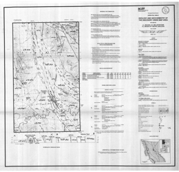 |
Open File 1993-5 describes the geology, mineral occurrences and geochemistry of the Discovery Creek map area (93N/14E) in north-central British Columbia. The Open File consists of a geology map at 1:50 000 scale, a legend, cross sections, brief descriptions of the mineral occurrences, a fossil table and a table of rock geochemical results. Open Files 1993-3 and 1993-4 lie to the southeast and south respectively. The Mississippian to Permian Lay Range assemblage rocks include: the Cook Creek panel of siliceous siltstone and argillite, sandstone, tuff and chert; crystal and lapilli tuff, volcanic sandstone, siltstone, argillite, chert and grit; and augite with or without plagioclase porphyritic basalts. The Pennsylvanian to Permian Nina Creek Group consists of the Mount Howell and Pillow Ridge Formations. The Mount Howell changes from grey chert and argillite in the lower part to red or green ribbon chert with diabase sills in the upper part. The Pillow Ridge has a lower diabase-gabbro sill complex with chert rafts, and an upper pillow basalt dominated package. Upper Triassic Takla Group rocks consist of the Willy George sequence, the Plughat Mountain formation and an upper felsic unit. The Willy George sequence consists of lapilli tuff, crystal tuff, sedimentary breccia, arkose, argillite and siltstone. The Plughat Mountain formation is predominantly augite with or without plagioclase porphyritic basalt flows. The upper felsic unit, which may be Jurassic, consists of lapilli tuff, agglomerate, conglomerate, basalt flows, crystal-ash tuffs, cherty tuffaceous sediments and monzonite intrusives. Mesozoic sediments mainly comprise Toarcian arkose, greywacke, sandstone, and siltstone. Cretaceous to Tertiary Uslika Group rocks are conglomerate, sandstone, siltstone, mudstone and minor coal. Overlying these are maroon orthoclase and quartz-bearing tuff with plagioclase phyric fragments. Intrusive rocks include the Late Triassic to Early Jurassic Lizard intrusive complex, which consists of gabbro, diorite, and plagioclase phyric diorite dikes, and the Early Jurassic Hogem batholith, which has monzonite, quartz monzonite and granodiorite phases in this area. Known mineral occurrences are mainly disseminated copper sulphides in hornfelsed Takla tuffs and monzonite sills. A coal bed that crops out along Discovery Creek may correlate with the Uslika Formation.
The Mississippian to Permian Lay Range assemblage rocks include: the Cook Creek panel of siliceous siltstone and argillite, sandstone, tuff and chert; crystal and lapilli tuff, volcanic sandstone, siltstone, argillite, chert and grit; and augite with or without plagioclase porphyritic basalts.
The Pennsylvanian to Permian Nina Creek Group consists of the Mount Howell and Pillow Ridge Formations. The Mount Howell changes from grey chert and argillite in the lower part to red or green ribbon chert with diabase sills in the upper part. The Pillow Ridge has a lower diabase-gabbro sill complex with chert rafts, and an upper pillow basalt dominated package.
Upper Triassic Takla Group rocks consist of the Willy George sequence, the Plughat Mountain formation and an upper felsic unit. The Willy George sequence consists of lapilli tuff, crystal tuff, sedimentary breccia, arkose, argillite and siltstone. The Plughat Mountain formation is predominantly augite with or without plagioclase porphyritic basalt flows. The upper felsic unit, which may be Jurassic, consists of lapilli tuff, agglomerate, conglomerate, basalt flows, crystal-ash tuffs, cherty tuffaceous sediments and monzonite intrusives.
Mesozoic sediments mainly comprise Toarcian arkose, greywacke, sandstone, and siltstone. Cretaceous to Tertiary Uslika Group rocks are conglomerate, sandstone, siltstone, mudstone and minor coal. Overlying these are maroon orthoclase and quartz-bearing tuff with plagioclase phyric fragments.
Intrusive rocks include the Late Triassic to Early Jurassic Lizard intrusive complex, which consists of gabbro, diorite, and plagioclase phyric diorite dikes, and the Early Jurassic Hogem batholith, which has monzonite, quartz monzonite and granodiorite phases in this area.
Known mineral occurrences are mainly disseminated copper sulphides in hornfelsed Takla tuffs and monzonite sills. A coal bed that crops out along Discovery Creek may correlate with the Uslika Formation. |
| Issue ID: | OF1993-06 |
| Title: | Geology of the Mess Lake Area, Northwestern British Columbia (NTS 104G/7W) |
| Author(s): | Logan, J.M., Drobe, J.R. |
| Series Name: | Open File |
| Publication Year: | 1993 |
| Scale: | 1:50000 |
| NTS Map Sheet(s): | 104G/7W |
| Place Keyword(s): | British Columbia, Northwestern British Columbia, Mess Lake Area |
| Lat/Long (NSWE): | 57.5, 57.25, -131.033, -130.783 |
| Theme Keyword(s): | Geology, Mineral Occurrences, Geochemistry, Bedrock Geology |
Download(s):
| PDF |
Abstract:
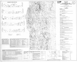 |
Open File 1993-6 portrays the geology, mineral occurrences and geochemistry of the Mess Lake area (104G/7W) in northwestern British Columbia. The geology map is at 1:50 000 scale and includes a geologic legend, cross sections, and tables of fossils collected, mineral occurrences, and geochemical and assay results. The area is north of Open File 1992-5 and east of Open File 1989-7.
The Paleozoic Stikine assemblage consists of Lower Devonian schists, schistose tuffs and minor flows with thin marble interbeds. Overlying Lower Carboniferous limestones give way upward to tuffaceous wacke, siltstone, sandstone and volcanic conglomerate. Upper Carboniferous rocks are basalts and carbonates with intercalated tuff and chert beds. The Lower Permian assemblage consists of four units: plagioclase and pyroxene-phyric andesite flows, lapilli and crystal tuff with local limestone interbeds, rhyolitic lava, breccia and ash flow tuffs, and carbonate with intercalated tuff and chert.
Upper Triassic rocks of the Stuhini Group comprise five units. The lowest consists mainly of mafic tuffs, then feldspar phyric basalt flows and subvolcanic gabbro, lapilli tuffs with interbedded epiclastics, basaltic andesite flows, some of which are plagioclase phyric and some augite phyric. The uppermost unit consists predominantly of well-bedded dust tuffs, siltstone-sandstone turbidites.
Lower to Middle Jurassic conglomerates and coarse sandstones overlie basal crystal-lithic tuffs.
Upper Cretaceous to Tertiary Sustut Group rocks consists of chert pebble conglomerate, sandstone and siltstone. Tertiary to Pliocene rocks consist of the basalt-dominated Nido Formation and the rhyolite-dominated Spectrum Formation. Quaternary to Recent units are the basalt tuff breccias and flows with intercalated glacial deposits of the Arctic Lake Formation, tills and basalts of the Big Raven Formation, and hot spring deposits.
Four plutonic episodes are present. The oldest episode produced the Late Devonian Forrest Kerr pluton, which has ultramafic, gabbro, diorite to quartz diorite and tonalitic phases. The Late Triassic, Hickman pluton consists of monzonite and diorite. Other intrusions of this age are monzonite porphyry and trachyte, diorite and gabbro. The Middle Jurassic Yehinko pluton is biotite-hornblende granite that is flesh to pink coloured. There are also many basaltic to felsic dykes.
Pre-Early Permian deformation and possibly lower greenschist grade metamorphism occur in the Stikine assemblage; metamorphism is sub-greenschist in the Stuhini Group.
Curvilinear north-trending faults control the topography and influence the distribution of almost all the rock units in the area. Faults show at least two episodes of movement. Early normal movement was followed by later reverse motion.
The Schaft creek porphyry copper-molybdenum deposit, near the western border of the area, is a major resource with reserves of 330 million tonnes at 0.40 per cent copper and 0.036 per cent molybdenum. Precious metal values are estimated at 0.32 grams gold and 1.5 grams silver per tonne. Other deposit types in the general area include alkalic copper-gold deposits, like Galore Creek, porphyry molybdenum copper deposits associated with Tertiary intrusions, boulders of semi-massive to massive pyrite with galena and chalcopyrite in vuggy quartz or quartz-carbonate veins, and bedding parallel gold-silver-copper-quartz veins in faults cutting limestone. |
| Issue ID: | OF1993-07 |
| Title: | Geology of the Wild Horse River - Lustier River Area, SE British Columbia (NTS 82G/11, 12, 13, 14) |
| Author(s): | Welbon, A.I., Price, R.A. |
| Series Name: | Open File |
| Publication Year: | 1993 |
| Scale: | 1:50000 |
| NTS Map Sheet(s): | 082G/11, 12, 13, 14 |
| Place Keyword(s): | British Columbia, Southeastern British Columbia, Wild Horse River - Lussier River Area |
| Lat/Long (NSWE): | 49.902, 49.636, -115.6, -115.405 |
| Theme Keyword(s): | Geology, Bedrock Geology |
Download(s):
| PDF |
Abstract:
 |
Open File 1993-7 depicts the geology of the Wild Horse and Lussier River area (82G/11, 12, 13, 14), southeast British Columbia. The geology map is at 1:50 000 scale. The area straddles the boundary between Middle Proterozoic Purcell Supergroup rocks and unconformably overlying Lower Paleozoic miogeoclinal rocks. The area is transected by the north-trending Lussier creek thrust fault and a number of easterly trending transverse faults that record repeated motion from Precambrian through Mesozoic time. The area lies immediately east of a number of important silver-lead-zinc mineral deposits in the Purcell Supergroup, including Estella, Kootenay King, and the Sullivan deposit.
Purcell Group rocks in the area are the Aldridge, Creston, Kitchener, Van Creek, Nicol Creek, and Sheppard and Gateway formations. Cambrian sequences include the Cranbrook Formation, and the Jubilee Formation. Cambrian to Ordovician rocks are the Lower McKay Group, the Upper McKay Group, which are subdivisions of the McKay Group. The Ordovician Mount Wilson quartzite is present, as are the Ordovician-Silurian Beaverfoot Formation and a Silurian-Devonian sequence consisting of shale, limestone, volcanic breccia, and lava. The Basal Devonian unit is the youngest stratified rock package exposed.
The succession is cut by Cretaceous monzonite and granodiorite. |
| Issue ID: | OF1993-08 |
| Title: | Geology of the Mount Tatlow Map Area (NTS 92O/5, 6, 12) |
| Author(s): | Riddell, J.M., Schiarizza, P.A., Gaba, R.G., McLaren, G., Rouse, J. |
| Series Name: | Open File |
| Publication Year: | 1993 |
| Scale: | 1:50000 |
| NTS Map Sheet(s): | 092O/5, 6, 12 |
| Place Keyword(s): | British Columbia, Southwestern British Columbia, Mount Tatlow Map Area |
| Lat/Long (NSWE): | 51.556, 51.25, -124, -123.172 |
| Theme Keyword(s): | Geology, Mineral Occurrences, Geochemistry, Bedrock Geology |
Download(s):
| PDF |
Abstract:
 |
Open File 1993-8 presents the geology, mineral occurrences and geochemistry of the Mount Tatlow map area (92O/5, 6, 12) in southwestern British Columbia. The Open File consists of 2 sheets: sheet 1 has a geology map at 1:50 000 scale, a legend, and references; sheet 2 has a sample location map, references, and tables of mineral occurrences, Regional Geochemical Survey analyses, stream sediment sample analyses, and lithogeochemical analyses.
The area lies along the northeastern edge of the eastern Coast Belt and is underlain by a number of lithotectonic assemblages that originated in ocean basin, volcanic arc and clastic basin environments. The assemblages range in age from Paleozoic to Cretaceous and are intruded by granitic rocks of the mid-Cretaceous through early Tertiary age. The units are juxtaposed across complex systems of contractional, strike-slip and extensional faults of mainly Cretaceous and Tertiary age.
The Mississippian to late Middle Jurassic Bridge River complex is poorly represented in the area. It consists of limited outcrops of sheared ribbon chert northeast of Mount Tatlow, where it forms a fault-bounded lens that separates Cadwallader terrane to the north from Taylor Creek Group of the Tyaughton basin to the south. Rocks of the Cadwallader terrane in the area include siltstone, sandstone, conglomerate and limestone that correlate with the Upper Triassic Hurley Formation. Stratigraphically overlying these are mainly grey to black cherty argillites of the Last Creek Formation, which are of Lower to Middle Jurassic age. The Lower Cretaceous Taylor Creek Formation of the Relay Mountain Group is in fault contact with these argillites. The Taylor Creek consists largely of black shale and siltstone together with chert-rich sandstone and pebble conglomerate. The Upper Cretaceous Silverquick formation rests unconformably on the Taylor Creek Formation and grades upward into the Upper Cretaceous Powell Creek formation. The Silverquick in the area consists mainly of well-stratified volcanic conglomerates and breccias. Powell Creek formation comprises more than 2000 metres of andesitic flow breccias, crystal and ash tuffs, laharic breccias, flows and volcanic sandstones and conglomerates. Rocks of the Methow basin include the Lower Cretaceous Churn Creek facies and the Middle Jurassic to Albian Yalakom Mountain facies. The lower unit of the Yalakom Mountain facies consists of gritty sandstones, and granule to small pebble conglomerates intercalated with lesser volumes of finer sediments. The upper unit consists mainly of feldspathic-lithic sandstones and gritty sandstones. The Churn Creek facies rocks crop out only northeast of the Yalakom fault. The lower unit is dominated by feldspathic sandstone with numerous carbonized logs, branches and twigs. It is at least partly marine. The upper unit is poorly sorted sandy conglomerate. Jurassic or Cretaceous volcanic and sedimentary rocks near Fish Lake include andesite, local rhyolite layers, tuffaceous and pebbly sandstone, flinty siltstone and argillite. Their correlation is uncertain. Flat-lying Miocene to Pliocene Chilcotin Group basalts crop out extensively in the area.
Intrusive rocks of Cretaceous to Tertiary age occur as stocks, plugs and dikes. Diorite and hornblende feldspar porphyry intrude Taylor Creek Group strata. Quartz feldspar porphyry sills and dikes intrude all the Mesozoic rocks. The Beece Creek pluton is Middle Eocene quartz monzonite to granodiorite and intrudes Taylor Creek and Powell Creek rocks. The Cone Hill intrusive suite comprises small stocks and dikes that intrude Jackass Mountain Group strata and the rocks near Fish Lake.
The area underwent mid-Cretaceous deformation documented by the Taylor Creek Group/Powell Creek formation unconformity. The area is divided into four panels by east-striking faults. The Yalakom fault has 80 or more kilometres of dextral strike-slip movement.
Mineral occurrences include gold-bearing copper porphyries, polymetallic quartz veins with gold, silver and copper values, and pyritized hornfelsed conglomerate with sulphides and gold and silver values. The Fish Lake porphyry copper deposit is associated with a diorite to quartz diorite intrusive complex that cuts andesitic volcanic and volcaniclastic rocks. It contains a resource in excess of 1 billion tonnes with average grade 0.23 percent copper and 0.41 grams/tonne gold (1992 estimates). |
| Issue ID: | OF1993-09 |
| Title: | Geology of the Stuart - Pinchi Lakes Area, Central British Columbia, 93K (parts of NTS 7, 8, 9, 10 and 11) |
| Author(s): | Ash, C.H., MacDonald, R.W.J., Paterson, I.A. |
| Series Name: | Open File |
| Publication Year: | 1993 |
| Scale: | 1:100000 |
| NTS Map Sheet(s): | parts of 093K/7, 8, 9, 10 and 11 |
| Place Keyword(s): | British Columbia, Central British Columbia, Stuart - Pinchi Lakes Area |
| Lat/Long (NSWE): | 54.752, 54.391, -125.315, -124.078 |
| Theme Keyword(s): | Geology, Bedrock Geology, Mineral Occurrences |
Download(s):
| PDF |
Abstract:
 |
Open File 1993-9 describes the geology and mineral occurrences of the Stuart and Pinchi Lakes area (parts of 93K/7, 8, 10, 11) in central British Columbia. The map has geology at 1:100 000 scale, a legend, references, and tables of mineral occurrences, Regional Geochemical Survey results, and rock sample elemental analyses. The study area covers late Paleozoic and early Mesozoic oceanic rocks of the Cache Creek terrane. The terrane in this area forms a northwest trending belt that is bounded by faults. The belt consists of tectonically intercalated pelagic sediments, limestones and subordinate oceanic metavolcanic and plutonic ultramafic rocks.
The study area covers late Paleozoic and early Mesozoic oceanic rocks of the Cache Creek terrane. The terrane in this area forms a northwest trending belt that is bounded by faults. The belt consists of tectonically intercalated pelagic sediments, limestones and subordinate oceanic metavolcanic and plutonic ultramafic rocks.
Late Paleozoic to early Mesozoic (?) rocks of the Cache Creek complex are dominantly argillite, phyllitic argillite and siliceous limestone with lesser ribbon chert. Limestone frequently occurs as massive blocks in tectonized argillite. Younger rocks of the Takla Group and Uslika Formation were not mapped in detail during this study because it focused on gold related to ophiolitic rocks.
Several large ultramafic-bearing bodies were tectonically emplaced, presumably as klippe. They consist of oceanic crust metabasalt and metagabbro, and upper mantle-derived harzburgites, minor dunites and serpentinized equivalents. Locally the ultramafic rocks are carbonatized and associated with mineralized quartz veins.
The Shass Mountain pluton, which is the largest intrusive body in the area, is of Middle Jurassic age. Other similar-looking but undated intrusions also occur.
Subparallel major faults control the fabric of the map-sheet. Folding and an associated foliation fabric reflect the structural grain of the area.
The most significant occurrence in the area is the Snowbird gold-stibnite deposit. It is a shear-hosted quartz-carbonate vein that is within the Sowchea shear zone. Associated is quartz-carbonate--mariposite alteration of ultramafic or volcanic rocks. |
| Issue ID: | OF1993-10 |
| Title: | Preliminary Geology of the Mahatta Creek Area, Northern Vancouver Island (NTS 92L/5) |
| Author(s): | Nixon, G.T., Hammack, J.L., Hamilton, J.V., Jennings, H. |
| Series Name: | Open File |
| Publication Year: | 1993 |
| Scale: | 1:50000 |
| NTS Map Sheet(s): | 092L/5 |
| Place Keyword(s): | British Columbia, Northern Vancouver Island, Mahatta River |
| Lat/Long (NSWE): | 50.5, 50.24, -128, -127.5 |
| Theme Keyword(s): | Geology, Mineral Occurrences, Geochemistry, Bedrock Geology, Preliminary Geology |
Download(s):
| PDF |
Abstract:
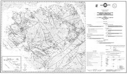 |
Open File 1993-10 presents the geology, geochemistry and mineral occurrences of the Mahatta River area on northern Vancouver Island British Columbia. It consists of 2 sheets: sheet 1 presents the geology at 1:50 000 scale, and a legend; sheet 2 has tables of data for fossils, MINFILE occurrences, lithogeochemistry and stream sediment geochemistry.
The oldest exposed rocks in the area are basaltic flows, pillow basalts, pillow breccias and hyaloclastites of the Upper Triassic Karmutsen Formation. The overlying Quatsino Formation consists mainly of massive limestone but a thinly bedded section occurs at the top and grades into the Parsons Bay Formation. An unnamed Upper Triassic to Lower Jurassic unit that overlies the Parsons Bay consists of sedimentary, volcanic and volcaniclastic rocks with local sandstone, conglomerate, siltstone, limestone, augite phyric basalt and tuff layers. Rocks of the Bonanza Group are the most common in the area. They are marine to continental and range from basalt to rhyolite lavas, pyroclastic and epiclastic rocks. Above the Bonanza is an unnamed Jurassic to Cretaceous unit that consists of volcanic pebble conglomerate, and calcareous sandstone and siltstone that may correlate with the West Coast complex. The Lower Cretaceous Longarm Formation has a lower unit of black shale, then siltstone, pebbly sandstone, and coarse to fine sandstone at the top. Local areas of volcanic pebble conglomerate and lithic wacke occur.
The Island intrusive suite, which comprise the dominant intrusive rocks in the area, consist of hornblende diorite to quartz diorite, dioritic feldspar porphyry, monzonite and minor granodiorite. They have associated skarn and porphyry mineralization. Tertiary amygdaloidal basalt dikes cut the older rocks.
Block faulting dominates the structural pattern. The strata form westerly dipping homoclinal panels between fault blocks. Episodes of folding and faulting are post-Lower Jurassic and pre-Lower Cretaceous, and also Lower Cretaceous, when transcurrent and transpressional faulting occurred. Tertiary normal faulting was widespread.
Mineral prospects in the area include porphyry copper-gold deposits, like Island Copper, gold-bearing iron and copper-rich skarns, precious metal-bearing epithermal systems, and transitional gold-enriched high sulphidation systems. An example of porphyry mineralization in the map area is the former Yreka mine, where copper-gold-silver ore was mined from skarn developed in Parsons Bay limestone cut by quartz plagioclase porphyry sills and dikes. |
| Issue ID: | OF1993-11 |
| Title: | Geology of the Muddy and Tatsamenie Lakes Areas (NTS 104K/1, 8) |
| Author(s): | Oliver, J.L. |
| Series Name: | Open File |
| Publication Year: | 1993 |
| Scale: | 1:10000 |
| NTS Map Sheet(s): | 104K/1, 8 |
| Place Keyword(s): | British Columbia, Northwestern British Columbia, Muddy and Tatsamenie Lakes Areas |
| Lat/Long (NSWE): | 58.361, 58.179, -132.458, -132.406 |
| Theme Keyword(s): | Geology, Mineral Occurrences, Bedrock Geology |
Download(s):
| PDF |
Abstract:
 |
Open File 1993-11 describes the geology and mineral occurrences of the Bearskin (Muddy) Lake, Tatsamenie Lake (104K/1, 8) district, northwest British Columbia. The Open File consists of 4 sheets and explanatory notes. The geology is at 1:10 000 scale.
Sheet A covers the extreme northeastern portions of the project area. Much of the rock underlying this portion of the map area is an upper Triassic granodiorite that has been U-Pb dated at 218�3.6 Ma (Oliver and Gabites, 1993). Isolated volcanic roof pendants are also present. Additional geological highlights include:
1. A porphyry copper-molybdenum occurrence has been mapped across the eastern portions of the map area. Preliminary unpublished zircon age data for this intrusion indicates that it is upper Triassic in age and about 2.0 Ma years younger than the surrounding granodiorite batholith. Copper-molybdenum mineralization in this zone occurs as classical porphyry style fracture controlled veinlets and disseminations. This mineralized intrusion is tentatively named the Icy Pass Porphyry.
2. The upper Triassic hornblende diorite, which hosts porphyry copper-molybdenum mineralization, is cut by a younger quartz-feldspar and biotite porphyry intrusion. Semi-massive stibnite and gold mineralization is associated with this younger intrusive phase. These younger porphyritic intrusions may be correlated with the upper Cretaceous to Tertiary Sloko intrusions.
3. Contact relationships between the large dioritic to gabbroic intrusive body, located in the extreme northwestern portions of the map area, and the enclosing granodiorite are poorly constrained. This rock may be simply be a more mafic phase of the larger granodiorite body.
Sheet B covers the northwestern portions of the map area. The following points are relevant to the interpretation of the lithologic and structural relations shown on this map:
1. In the extreme southwestern corner of the map Pennsylvanian to Permian age rocks are exposed in the core of a large regional antiform, the Tatsamenie antiform. Felsic volcanics rocks, exposed at the south end of Tatsamenie Lake, have been dated at 307�2Ma (Oliver and Gabites, 1993). The older felsic rock package structurally overlies younger Permian age carbonates. The contact is a south verging thrust.
2. Felsic rocks in this area have an unusual map pattern. Rapid changes in the orientation of early linear rock fabrics and the development of an unusual north trending lobe, a weak Type 2 interference pattern, clearly indicates that these rocks have been deformed by a second fold structure. These younger folds typically trend north-northeast, have moderate northeast-directed plunges and are upright.
3. An unconformable contact relation is shown in the west-central portions of the map area. Highly foliated and strongly actinolite porphyroblastic pre-middle Triassic rocks are overlain by non-foliated, weakly deformed volcanic and sedimentary rocks. These rocks are likely correlates of the upper Triassic Stuhini group.
4. A large zone of hydrothermal alteration, approximately 14 square kilometres in extent outcrops from the central to the northeastern portions of the map area. The rock modifier "ak" (ankerite) defines in part the distribution of iron carbonate. This mineral is the principle alteration product and forms a bright orange-buff weathering zone. Green micas, secondary silica, secondary potassic feldspars and pyrite are also important mineral assemblages. The alteration zone does not appear to track the contact of the main granodiorite body exposed on the northern portions of the map area. Rock alteration is likely related to the emplacement of several smaller diorite to granodiorite stocks and the presence of several large extensional faults that are located in this area. One of these large faults, which strikes east-west and dips subvertically, is enveloped by an alteration zone up to 50 metres in width. For up to 100 metres on either side of this fault drag folds deform the rock and rotate supracrustal rocks into this fault zone. Fracture controlled copper mineralization may be identified at several locations within this alteration zone and limited data also suggests that a few of the smaller stocks may host porphyry style mineralization.
Sheet C presents the geology of the central quadrant. Most of the volcanic rocks shown on this map are strongly porphyroblastic. Actinolite, biotite, albite and sometimes hornblende are formed from a mafic volcanic protolith. This metamorphic assemblage is not related to contact effects along the western margin of the granodiorite batholith. Most of these rocks have two cleavages. The younger of these is best identified petrographically and is present as a weak crenulation cleavage. Some rotational fabrics, and pressure shadows are associated with larger porphyroblasts. These are not interpreted as S/C fabrics.
Other features of interest on this map sheet include:
1. Ultramafic bodies are exposed in four areas on this map. Although no isotopic age constraints may be imposed on these rocks, they are likely younger than the upper-Triassic. These rocks are clinopyroxene-magnetite Alaskan style intrusions. Near major fault zones they are extensively serpentinized and carbonatized. These rocks were initially interpreted by Oliver and Hodgson (1990) as part of a poorly preserved and dismembered ophiolite. This interpretation has been revised based on updated petrographic data, on the development of a broader geological map base and a revision in the interpretation of field relationships.
2. The large north trending fault zone that traverses the central portions of the map area is a continuation of the Bear Fault system which hosts gold mineralization at the Golden Bear deposit, 10 kilometres to the south. This structure is not well exposed on the north side of Tatsamenie Lake. Based on offset stratigraphy, the last movement across this fault is dextral and rotational.
3. Contact relations for the intravolcanic limestone unit shown on the west-central portions of this map are weakly constrained and have been identified at only three geological stations. This unit does not appear to cross the north trending Bear Fault defined in the central portions of the map area.
4. The extreme western contact of the isolated granodiorite body in the north-central portions of the map area is weakly constrained by available field relations. Offsets of this rock mass across the northern extension of the Bear fault have not been determined.
5. A northeast trending synform-antiform couple is shown on the extreme southern edge of this map area. The antiform is the northern extension of the Sam Creek antiform. Its position is well constrained by both lithology and rock fabric orientations. The position of the synform is defined by the rapid rotation of early linear rock fabrics across the axial surface of the younger synform.
Sheet D covers the southern quadrant of the study area. Several complex geological relations are shown on this map. The present contact patterns have been strongly influenced by a minimum of two folding events and by both contractional and wrench faults. Significant geological and structural features on this map include:
1. The large mass of Permian carbonate rocks shown in the central portions of the map have been deformed into a large north trending antiform, the Tatsamenie antiform. This fold has a south-directed plunge in the southern portions of the map area. To the north, plunges reverse. This reversal is caused by the interaction of a younger northeast trending antiform, the Sam Creek antiform with the older Tatsamenie antiform. The teardrop shaped map pattern of the Permian carbonate rocks is interpreted as a map scale Type 1 to 2 interference pattern.
2. The northern contact of the Permian succession with the overlying supracrustral rocks occurs across a south verging thrust. This contraction fault places an older felsic volcanic rock package dated at 301.8 +2/-4 Ma (Oliver and Gabites, 1993) on top of Permian carbonate rocks. These felsic rocks are correlated with the felsic succession exposed on the north shore of Tatsamenie Lake.
3. The Sam Creek antiform deforms early rock fabrics and lithology into a northeast plunging antiform. It does not deform the north trending Bear Fault system. K-Ar dates on sericite, formed in association with this fault, suggest that rocks are hydrothermally altered between 205�7 Ma to 179�6 Ma (Schroeter, 1987). The formation of the antiform predates the activation of this fault.
4. The Golden Bear deposit, located just north of Bearskin (Muddy) Lake, is bounded to the east by a non-mineralized gabbro and to the west by Permian carbonates. Mineralization forms in dilatant fault zones localized to carbonate-chert-and sulphidized mafic volcanic contacts. Prior to the initiation of mining, the deposit was estimated to contain 625 000 tonnes of 18.63 grams per tonne gold (Oliver and Hodgson, 1989).
5. Immediately west of the Golden Bear deposit, map scale second phase folds and interference structures are developed. These structures are believed to have formed at the same time as the larger Sam Creek antiform.
Several splays or strands of the Bear Fault are shown on this map. Many of these are associated with zones of strong iron carbonate development, sericite, pyrite and green micas or clays. Some of these structural zones, notably the Fleece Zone located 2.0 kin's north of the Golden Bear mine, are also mineralized. The orientation of second order fault splays and the morphology of mineralized zones suggests that at the time of mineralization movement along the Bear Fault system was sinistral and reverse. |
| Issue ID: | OF1993-12 |
| Title: | Yukutat Map Area, Northwestern British Columbia (NTS 114O/9, 10, 14, 15, 16) |
| Author(s): | Mihalynuk, M.G., Smith, M.T., MacIntyre, D.G., Timmerman, J., Deschenes, M., Schiarizza, P.A. |
| Series Name: | Open File |
| Publication Year: | 1993 |
| Scale: | 1:50000 |
| NTS Map Sheet(s): | 114O/9, 10, 14, 15, 16 |
| Place Keyword(s): | British Columbia, Northwestern British Columbia, Yukutat Map Area |
| Lat/Long (NSWE): | 60, 59.5, -139, -138 |
| Theme Keyword(s): | Geology, Mineral Occurrences, Bedrock Geology |
Download(s):
| PDF |
Abstract:
 |
Open File 1993-12 describes the geology and mineral occurrences of the Yakutat map area (114O/9, 10, 14, 15, 16) in northwestern British Columbia. The Open File consists of 5 maps: sheet 1 contains a legend, location maps and references; sheets 2 to 4 present 1:50 000 scale geology of the Battle Glacier, Mt. Aylesworth, and Super Cub Lake areas; and map 5 contains a sample location map and tables of lithogeochemical data.
The Tatshenshini project study area is largely underlain by rock of units of the accreted Alexander Terrane, bounded to the east and west respectively by small slivers of the Wrangellia Terrane, and possibly the Chugach Terrane. Four major lithologic packages are represented within the Alexander Terrane: Cambro-Ordovician clastic strata and associated mafic sills and pillow basalts; a thick Ordovician to Silurian carbonate succession; lithologically variable terrigenous, marine, and minor volcanic strata of Silurian to Permian age; and Upper Triassic, moderately deep water, marine carbonate and fine-grained clastic strata with associated rift-related (?) basalts. Two additional metavolcanic and metasedimentary assemblages of probable Alexander Terrane affinity underlie the southwestern part of the study area.
No mineral occurrences are known to have formed during deposition of lower Paleozoic strata. By contrast, Upper Triassic Alexander Terrane lithologies are host to the most significant mineral occurrences in the study area, including the huge Windy-Craggy copper-cobalt deposit. Upper Triassic strata of Wrangellia have many characteristics in common with contemporaneous rocks in the Alexander Terrane and also have demonstrated high mineral potential. Two major intrusive suites are exposed within the map area. Dominantly granodioritic, but compositionally variable Jura-Cretaceous intrusions comprise the Saint Elias Plutonic Suite in the western part of the area. To the east, the Oligocene Tkope Plutonic Suite is also compositionally variable, but is dominated by granite to granodioritic phases. Tkope intrusions thermally metamorphose post accretionary stratified units including deformed Early Tertiary clastic rocks.
Early Tertiary terrigenous sedimentary rocks occupy small, fault-controlled basins along Tats Creek and the western Tatshenshini River valley. The lower Tertiary strata host thin coal seams in both of these basins.
The oldest stratified rocks exposed are mainly silty argillite, silverfish argillite and calcareous argillite of the Lower to Middle Ordovician Argillaceous Division. The overlying Lower Paleozoic (Ordovician to Silurian (?)) package is volumetrically the most significant unit in the map area. It is a thick succession of limestones and silty limestones. Some mappable units within the succession are thin bedded limestone, �Tiger-Stripe� carbonate (cryptocrystalline to fine grained), massive carbonate, cherty argillite, ribbed carbonate, limestone pebble conglomerate, a marble and dike complex, and calcareous turbidites. Argillaceous strata and minor amounts of lower Paleozoic volcanic rocks also lie within the carbonate sequence. A mainly Silurian and Permian (?) mixed carbonate, clastic and volcanic rocks that comprise a sequence of limestone, argillite, sandstone, conglomerate and mafic volcanic rocks, overlies the carbonate succession. Poorly constrained Paleozoic or Mesozoic rocks including a greenstone-carbonate complex and a Late Pennsylvanian (?) to Permian gneiss and agmatite unit occur. A sequence of sheared mafic volcanic and marine clastic strata is of Paleozoic to Cretaceous age.
Intrusive rocks underlie 25% of the area. Jurassic-Cretaceous plutons predominate and include two batholithic bodies. Homogeneous bodies are dominantly diorite but relatively homogeneous granodiorite to quartz monzonite make up the central areas of the larger intrusions. The Oligocene (?) Tkope plutonic suite consists mainly of hornblende biotite granite but includes granodiorite and alaskite.
The deformational history and structural styles evident within the Tatshenshini map area are complex and highly variable. An early (pre-Triassic?) phase of ductile deformation is manifest primarily by isoclinal folds of variable orientation. The main phase of ductile deformation, evidenced by tight to isoclinal folds and low-grade greenschist facies metamorphism, postdates deposition of the informally named Upper Triassic Tats group. It both predates and is coeval with Late Jurassic to Early Cretaceous plutonism, as some plutons contain a foliation parallel to the regional trend of deformation, while others crosscut some fabric elements. Emplacement of Jurassic-Cretaceous plutons resulted in additional folding, elevated synkinematic metamorphic grade and/or postkinematic contact metamorphism near the margins. The last (composite) phase of deformation is ductile to brittle in nature and resulted in the local development of penetrative shear fabrics and crenulation cleavage, and discrete faults and shear zones, including large northwest-trending faults. Some faults record early sinistral and later dextral strike-slip movement. The latter are associated with east-trending (antithetic?) cross faults. This phase of deformation is suspected to be in part Early Tertiary, based on the presence of fault-related sedimentary rocks of this age in small graben-like structures, and by association with other large dextral strike-slip faults in the region such as the Denali and Border Ranges faults. A separate domain of northwest-striking amphibolite grade gneiss and schist is exposed along the western border of the study area in 1140/15 and 1140/9. Its relationship to the rest of the map area is unclear.
With the exception of visits to showings and prospects described, our observations (and hence interpretations) do not extend to the southern part of the Tatshenshini map area. Additional data will be provided by completion of p regional geochemical surveys. Rocks with high mineral potential are Late Triassic in age and occur in a relatively restricted, northwest trending belt approximately 7 kilometres wide. They may have formed in an ancient rift system not unlike the present-day Red Sea or Gulf of California. Parts of this belt of Upper Triassic rocks contain significant copper deposits, such as Windy Craggy. To emphasize this, our mapping alone resulted in the discovery of four new copper occurrences within 15 kilometres of the Windy Craggy deposit. Most significant of these is the Rainy Monday showing. It is over 600 metres long, over 150 metres wide, and is up to 100 metres thick. Assay samples from this zone have yielded up to 20 per cent copper, up to 2 grams per tonne gold, up to 28 grams per tonne silver and up to 0.27 per cent cobalt.
Metamorphic rocks exposed near the southwestern border of the map area may also have significant mineral potential. A mineral occurrence discovered in this area is visually estimated to contain up to 5 per cent copper in rocks that were originally much like those at Windy Craggy. However, the area is remote, rugged and icebound.
Paleozoic limestone underlies a significant portion of the map area but contains only a few scattered mineral occurrences that appear to be of limited extent. Therefore, areas dominantly underlain by these rocks are tentatively assigned a low mineral potential.
The third major rock type in the map area, Jura-Cretaceous granitic rock, is associated in some instances with iron-copper skarn or lead-silver vein mineralization at intrusive contacts. These occurrences tend to be small and irregular, and therefore offer relatively low mineral potential. However, high-grade veins such as the newly discovered Norm occurrence could have economic significance. |
| Issue ID: | OF1993-13 |
| Title: | Northwest Tatshenshini River Map Area, Northwestern B.C. (NTS 114P/11, 12, 13, 14) |
| Author(s): | Mihalynuk, M.G., Smith, M.T., MacIntyre, D.G., Deschenes, M., Timmerman, J., Schiarizza, P.A. with contributions by McDougall, J.M. |
| Series Name: | Open File |
| Publication Year: | 1993 |
| Scale: | 1:50000 |
| NTS Map Sheet(s): | 114P/11, 12, 13, 14 |
| Place Keyword(s): | British Columbia, Northwestern British Columbia, Northwest Tatshenshini River Map Area |
| Lat/Long (NSWE): | 60, 59.5, -138, -137 |
| Theme Keyword(s): | Geology, Mineral Occurrences, Bedrock Geology |
Download(s):
| PDF |
Abstract:
 |
Open File 1993-13 presents the geology of the northwest Tatshenshini River map area (114P/11, 12, 13, 14) in northwestern British Columbia. The Open File consists of 6 maps: sheet 1 contains the legend and location maps, sheets 2 to 5 are 1:50 000 scale geology maps, and sheet 6 has lithogeochemical data.
The Tatshenshini project study area is largely underlain by rock of units of the accreted Alexander Terrane, bounded to the east and west respectively by small slivers of the Wrangellia Terrane, and possibly the Chugach Terrane. Four major lithologic packages are represented within the Alexander Terrane: Cambro-Ordovician clastic strata and associated mafic sills and pillow basalts; a thick Ordovician to Silurian carbonate succession; lithologically variable terrigenous, marine, and minor volcanic strata of Silurian to Permian age; and Upper Triassic, moderately deep water, marine carbonate and fine-grained clastic strata with associated rift-related (?) basalts. Two additional metavolcanic and metasedimentary assemblages of probable Alexander Terrane affinity underlie the southwestern part of the study area.
No mineral occurrences are known to have formed during deposition of lower Paleozoic strata. By contrast, Upper Triassic Alexander Terrane lithologies are host to the most significant mineral occurrences in the study area, including the huge Windy-Craggy copper-cobalt deposit. Upper Triassic strata of Wrangellia have many characteristics in common with contemporaneous rocks in the Alexander Terrane and also have demonstrated high mineral potential. Two major intrusive suites are exposed within the map area. Dominantly granodioritic, but compositionally variable Jura-Cretaceous intrusions comprise the Saint Elias Plutonic Suite in the western part of the area. To the east, the Oligocene Tkope Plutonic Suite is also compositionally variable, but is dominated by granite to granodioritic phases. Tkope intrusions thermally metamorphose post accretionary stratified units including deformed Early Tertiary clastic rocks.
Early Tertiary terrigenous sedimentary rocks occupy small, fault-controlled basins along Tats Creek and the western Tatshenshini River valley. The lower Tertiary strata host thin coal seams in both of these basins.
A Cambro-Ordovician sheet sandstone and basalt unit comprises well-bedded clastic strata and intercalated basaltic sills and pillowed and unpillowed flows and attains a structural thickness of at least 2000 metres where the unit is well exposed on both sides of the Alsek River within 114P/13. Concordant, intermediate to basaltic sills and sub- aqueous, generally unpillowed flows 0.5 to more than 12 metres thick are commonly intercalated with the clastic succession. Locally they make up more than 80 per cent of the section over intervals of hundreds of metres. Other parts of the section are dominated by pillowed flows with associated flow-top breccias or coarse tuff. Carbonate content of the clastic unit increases up section. The clastic strata are overlain (conformably?) by thick, platformal carbonates of Ordovician to Devonian age, providing a minimum age limit for the underlying unit.
The oldest stratified rocks exposed comprise a Late Cambrian to Early Ordovician siliciclastic strata and a sill-flow complex. Diabasic sills and flows, pillow and unpillowed basalt, siltstones and carbonate-dominated sediments predominate. Mainly silty argillite, silverfish argillite and calcareous argillite comprise the Lower to Middle Ordovician Argillaceous Division. Lower Paleozoic (Ordovician to Silurian (?)) package is volumetrically the most significant unit in the map area. It is a thick succession of limestones and silty limestones. Some mappable units within the succession are thin bedded limestone, �Tiger-Stripe� carbonate (cryptocrystalline to fine grained), massive carbonate, cherty argillite, ribbed carbonate, limestone pebble conglomerate, a marble and dike complex, and calcareous turbidites. Argillaceous strata and minor amounts of lower Paleozoic volcanic rocks also lie within the carbonate sequence. A mainly Silurian and Permian (?) mixed carbonate, clastic and volcanic rocks that comprise a sequence of limestone, argillite, sandstone, conglomerate and mafic volcanic rocks, overlies the carbonate succession. Mainly Silurian and Permian (?) rocks comprise a mixed carbonate, clastic and volcanic sequence. Poorly constrained Paleozoic strata comprise a metamorphosed sequence of sedimentary and volcanic rocks, including amphibolite, metabasite, marble, dioritic orthogneiss, metapelite and metasiltstone, pyritic phyllite and quartz-rich metasediments. The informal Tats group comprises a submarine rift assemblage of fine sediments and mafic volcanic rocks. This sequence is important because it hosts the Windy Craggy volcanogenic massive sulphide deposit, with nearly 300 million tonnes of copper-cobalt reserves.
An Early Tertiary clastic succession, the informal Akie group, is folded and faulted but not cleaved. It contains mainly of shale, siltstone sandstone with coal interlayers, conglomerate, and wacke. The Tertiary (?) Carmine Mountain volcanics comprises volcanic and sedimentary rocks unconformably on Paleozoic strata, mainly lapilli tuff, agglomerate, and several types of conglomerate.
Paleozoic to Mesozoic intrusions form a greenstone-gabbro and diorite complex, there are also gabbro sills and elongate ultramafic bodies. The Triassic to Cretaceous Mount Beaton intrusion is granite. Intrusive rocks underlie 25% of the area. Jurassic-Cretaceous plutons predominate and include two batholithic bodies. Homogeneous bodies are dominantly diorite but relatively homogeneous granodiorite to quartz monzonite make up the central areas of the larger intrusions. The Oligocene (?) Tkope plutonic suite consists mainly of hornblende biotite granite but includes quartz diorite to microgabbro.
The deformational history and structural styles evident within the Tatshenshini map area are complex and highly variable. An early (pre-Triassic?) phase of ductile deformation is manifest primarily by isoclinal folds of variable orientation. The main phase of ductile deformation, evidenced by tight to isoclinal folds and low-grade greenschist facies metamorphism, postdates deposition of the informally named Upper Triassic Tats group. It both predates and is coeval with Late Jurassic to Early Cretaceous plutonism, as some plutons contain a foliation parallel to the regional trend of deformation, while others crosscut some fabric elements. Emplacement of Jurassic-Cretaceous plutons resulted in additional folding, elevated synkinematic metamorphic grade and/or postkinematic contact metamorphism near the margins. The last (composite) phase of deformation is ductile to brittle in nature and resulted in the local development of penetrative shear fabrics and crenulation cleavage, and discrete faults and shear zones, including large northwest-trending faults. Some faults record early sinistral and later dextral strike-slip movement. The latter are associated with east-trending (antithetic?) cross faults. This phase of deformation is suspected to be in part Early Tertiary, based on the presence of fault-related sedimentary rocks of this age in small graben-like structures, and by association with other large dextral strike-slip faults in the region such as the Denali and Border Ranges faults. A separate domain of northwest-striking amphibolite grade gneiss and schist is exposed along the western border of the study area in 1140/15 and 1140/9. Its relationship to the rest of the map area is unclear.
With the exception of visits to showings and prospects described, our observations (and hence interpretations) do not extend to the southern part of the Tatshenshini map area. Additional data will be provided by completion of p regional geochemical surveys. Rocks with high mineral potential are Late Triassic in age and occur in a relatively restricted, northwest trending belt approximately 7 kilometres wide. They may have formed in an ancient rift system not unlike the present-day Red Sea or Gulf of California. Parts of this belt of Upper Triassic rocks contain significant copper deposits, such as Windy Craggy. To emphasize this, our mapping alone resulted in the discovery of four new copper occurrences within 15 kilometres of the Windy Craggy deposit. Most significant of these is the Rainy Monday showing. It is over 600 metres long, over 150 metres wide, and is up to 100 metres thick. Assay samples from this zone have yielded up to 20 per cent copper, up to 2 grams per tonne gold, up to 28 grams per tonne silver and up to 0.27 per cent cobalt.
Metamorphic rocks exposed near the southwestern border of the map area may also have significant mineral potential. A mineral occurrence discovered in this area is visually estimated to contain up to 5 per cent copper in rocks that were originally much like those at Windy Craggy. However, the area is remote, rugged and icebound.
Paleozoic limestone underlies a significant portion of the map area but contains only a few scattered mineral occurrences that appear to be of limited extent. Therefore, areas dominantly underlain by these rocks are tentatively assigned a low mineral potential.
The third major rock type in the map area, Jura-Cretaceous granitic rock, is associated in some instances with iron-copper skarn or lead-silver vein mineralization at intrusive contacts. These occurrences tend to be small and irregular, and therefore offer relatively low mineral potential. However, high-grade veins such as the newly discovered Norm occurrence could have economic significance. |
| Issue ID: | OF1993-14 |
| Title: | Geology of the Natalkuz Lake Area, Central British Columbia (NTS 93F/6) |
| Author(s): | Diakow, L.J., Green, K., Whittles, J., Perry, A. |
| Series Name: | Open File |
| Publication Year: | 1993 |
| Scale: | 1:50000 |
| NTS Map Sheet(s): | 093F/6 |
| Place Keyword(s): | British Columbia, Central British Columbia, Natalkuz Lake Area |
| Lat/Long (NSWE): | 53.5, 53.25, -125.5, -125 |
| Theme Keyword(s): | Geology, Bedrock Geology |
Download(s):
| PDF |
Abstract:
 |
Open File 1993-14 presents the geology of the Natalkuz Lake area (93F/6) in north-central British Columbia. The 1:50 000 scale geology map includes a legend, references, and a list of mineral occurrences.
The oldest layered rocks in the area are strata of the Early to Middle Jurassic Hazelton Group. Two mappable units, variegated green and maroon ash and lapilli tuff, and feldspar and augite phyric andesite flows are described. Minor amounts of epiclastic rocks also occur. Overlying Middle to perhaps Upper Jurassic rocks of the Ashman Formation of the Skeena Group consist of argillite and siltstone, and this unit is overlain by andesite to dacite crystal, lapilli and block tuff. Lower to perhaps Upper Cretaceous rocks include pebble breccia, lithic wacke, siltstone and mudstone of the Skeena Group, andesite block to lapilli tuff, and rhyolite flows and cogenetic sills. Lower to Middle Eocene rocks of the Ootsa Lake Group comprise seven mappable units: coarse feldspar andesite flows; blue grey and pink dacite flows; rhyolite flows with associated tuff and tuffaceous sediments; andesite flows; grey rhyolite flows with up to 25% quartz phenocrysts; and rhyolitic crystal-lapilli tuff. Endako Group basalt is of Upper Eocene to Oligocene age. Miocene to Quaternary Chilcotin Group olivine basalt flows overlie the older rocks.
Intrusive rocks include the Late Cretaceous Capoose Lake batholith, which is quartz monzonite to granodiorite, and Tertiary small stocks and dikes of quartz feldspar porphyry, k-feldspar quartz porphyry, and gabbro.
The area is poorly exposed but normal faulting with northeast, north and north-northwest have been mapped.
The area includes the Capoose prospect, which is hosted within and adjacent to garnet-bearing rhyolite sills that intrude Hazelton Group volcanic and sedimentary rocks. Mineralization in this porphyry prospect is mainly disseminated but also occurs in veinlets and fracture fillings. Minerals of interest are sphalerite, galena, and chalcopyrite. Reserves are reported at 28 million tonnes grading 0.51 g/t gold and 36 g/t silver. Other occurrences in the area include vein-controlled and disseminated chalcopyrite and molybdenite in the Capoose Lake batholith. |
| Issue ID: | OF1993-15 |
| Title: | Mines, Development Projects and Exploration Programs in Northwestern British Columbia, 1992 |
| Author(s): | Wojdak, P.J., Malott, M.L. |
| Series Name: | Open File |
| Publication Year: | 1993 |
| Scale: | 1:1000000 |
| Place Keyword(s): | British Columbia, Northwestern British Columbia |
| Lat/Long (NSWE): | 60, 54, -139, -126 |
| Theme Keyword(s): | Geology, Mines, Development Projects, Exploration Programs |
Abstract:
| Open File 1993-15 shows mines, development projects and exploration programs in northwestern British Columbia in 1992. Scale is at 1:1000000. |
| Issue ID: | OF1993-16 |
| Title: | Surficial geology of the Chilanko Forks area (NTS 93C/1) |
| Author(s): | Kerr, D.E., Giles, T.R. |
| Series Name: | Open File |
| Publication Year: | 1993 |
| Scale: | 1:50000 |
| NTS Map Sheet(s): | 093C/01 |
| Place Keyword(s): | British Columbia, Chilanko Forks Area |
| Lat/Long (NSWE): | 52.25, 52, -124.5, -124 |
| Theme Keyword(s): | Surficial Geology Map, Geology, Surficial Geology |
Download(s):
| PDF |
Abstract:
 |
Open File 1993-16 presents the surficial geology of the Chilanko Forks area (93C/1) in British Columbia. Scale is at 1:50000. |
| Issue ID: | OF1993-17 |
| Title: | Surficial geology of the Chezacut area (NTS 93C/8) |
| Author(s): | Kerr, D.E., Giles, T.R. |
| Series Name: | Open File |
| Publication Year: | 1993 |
| Scale: | 1:50000 |
| NTS Map Sheet(s): | 093C/08 |
| Place Keyword(s): | British Columbia, Chezacut Area |
| Lat/Long (NSWE): | 52.5, 52.25, -124.5, -124 |
| Theme Keyword(s): | Surficial Geology Map, Geology, Surficial Geology |
Download(s):
| PDF |
Abstract:
 |
Open File 1993-17 presents the surficial geology of the Chezacut area (93C/8) of British Columbia. Scale is at 1:50000. |
| Issue ID: | OF1993-18 |
| Title: | Surficial geology of the Clusko River area (NTS 93C/9) |
| Author(s): | Proudfoot, D.N., Allison, R.F. |
| Series Name: | Open File |
| Publication Year: | 1993 |
| Scale: | 1:50000 |
| NTS Map Sheet(s): | 093C/09 |
| Place Keyword(s): | British Columbia, Clusko River Area |
| Lat/Long (NSWE): | 52.75, 52.5, -124.5, -124 |
| Theme Keyword(s): | Surficial Geology Map, Surficial Geology, Geology |
Download(s):
| PDF |
Abstract:
 |
Open File 1993-18 presents the surficial geology of the Clusko River area (93C/9) in British Columbia. Scale is at 1:50000. |
| Issue ID: | OF1993-19 |
| Title: | Surficial geology of the Toil Mountain area (NTS 93C/16) |
| Author(s): | Proudfoot, D.N., Allison, R.F. |
| Series Name: | Open File |
| Publication Year: | 1993 |
| Scale: | 1:50000 |
| NTS Map Sheet(s): | 093C/16 |
| Place Keyword(s): | British Columbia, Toil Mountain Area |
| Lat/Long (NSWE): | 53, 52.75, -124.5, -124 |
| Theme Keyword(s): | Surficial Geology Map, Surficial Geology, Geology |
Download(s):
| PDF |
Abstract:
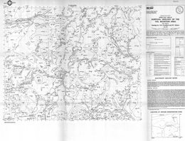 |
Open File 1993-19 presents the surficial geology of the Toil Mountain area in British Columbia. Scale is at 1:50000. |
| Issue ID: | OF1993-20 |
| Title: | 1992 Operating Mines and Projects in the Mine Development Assessment Process in B.C. |
| Author(s): | Owsiacki, G. |
| Series Name: | Open File |
| Publication Year: | 1993 |
| Scale: | 1:2000000 |
| NTS Map Sheet(s): | 082;083;092;093;094;102;103;104;114 |
| Place Keyword(s): | British Columbia |
| Lat/Long (NSWE): | 60, 49, -139, -114 |
| Theme Keyword(s): | Geology, Operating Mines, Project Mines Development Assessment |
Download(s):
| PDF |
Abstract:
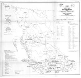 |
Open File 1993-20 looks at 1992 operating mines and projects in the mine development assessment process in British Columbia. |
| Issue ID: | OF1993-21 |
| Title: | Geology of the Telkwa Coalfield British Columbia (NTS 93L/11, 14) |
| Author(s): | Ryan, B.D. |
| Series Name: | Open File |
| Publication Year: | 1993 |
| Scale: | 1:20000 |
| NTS Map Sheet(s): | 093L/11, 14 |
| Place Keyword(s): | British Columbia, Telkwa Coalfield |
| Lat/Long (NSWE): | 54.826, 54.544, -127.292, -127 |
| Theme Keyword(s): | Geology, Coalfields, Bedrock Geology |
Download(s):
| PDF |
Abstract:
 |
Open File 1993-21 presents the geology of the Telkwa coalfield (93L/11, 14) near Smithers, British Columbia. Sheet 1 is a geology map and legend at 1:20 000 scale. Sheet 2 portrays the geology of the northern part of the coalfield. Sheet 3 consists of 7 geologic cross sections, at 2000 metre spacing across the coalfield.
The country rocks of the coalfield area are undivided volcanic rocks of the Lower Jurassic Telkwa Formation. The Lower Cretaceous Skeena Group is generally subdivided into 4 units. The oldest unit consists of sandstones, conglomerates and coal that underlie marine mudstones and siltstones of unit 2. Above are mudstones, sandstones and coal of unit 3 that are overlain by shallow marine sandstones of unit 4. Late Cretaceous to Eocene granodiorite and quartz monzonite, quartz feldspar porphyry and feldspar porphyry cut the older rocks. Paleocene to Eocene sandstones, mudstones and coal are the youngest rocks exposed.
Strata in the coal basin are gently dipping but block faulted. Gentle folds are developed locally.
Coal in the basin is a bituminous thermal coal. Production at the former Telkwa mine was from coal measures in Unit 3. |
| Issue ID: | OF1993-22 |
| Title: | Geology of the Pine River Area, Northeastern British Columbia (NTS 93O/9, 10; P/12) |
| Author(s): | Jahans, P.C. |
| Series Name: | Open File |
| Publication Year: | 1993 |
| Scale: | 1:50000 |
| NTS Map Sheet(s): | 093O/9,10; 093P/12 |
| Place Keyword(s): | British Columbia, Northeastern British Columbia, Pine River Area |
| Lat/Long (NSWE): | 55.75, 55.5, -122.75, -121.5 |
| Theme Keyword(s): | Geology, Bedrock Geology |
Download(s):
| PDF |
Abstract:
 |
Open File 1993-22 describes the geology of the Pine River area in northeastern British Columbia (93O/9, 10; P/12). The Open File consists of 3 sheets; each has geology and a legend at 1:50 000 scale. They cover part of the Commotion Creek map-sheet, part of the Callazon Creek map-sheet, and the entire Mount Hulcross sheet. Mesozoic rocks were the focus of the study, and coal bearing rocks in particular. The oldest strata mapped are calcareous and phosphatic shales, sandstone and siltstone. Overlying rocks of the Lower Cretaceous Minnes Group are subdivided into a number of formations. The lowest, the Monteith is mainly quartzose sandstone. Above are silty shales and fine sandstones of the Beattie Peaks Formation. Monach Formation argillite to quartzose sandstone follow, then interbedded sandstone, silty shale and coal of the Bickford Formation. Bullhead Group here comprises chert, sandstone and quartzite pebble conglomerate of the Cadomin Formation, and carbonaceous sandstone, coal and carbonaceous shale of the Gething Formation. The Fort St. John Group consists of six formations in the map area. The lowest, the Moosebar, consists of dark marine shale with sideritic concretions and minor conglomerate at the base. Above is the Gates Formation, which consists of marine and non-marine sandstones, conglomerate, shale and mudstone. The Hulcross comprises marine shales with sideritic concretions with well-sorted sandstone, massive conglomerate, and non-marine sandstone and mudstone. The Hasler Formation is much like the Hulcross, and the Goodrich Formation contains crossbedded sandstone with shale and mudstone interbeds. Upper Cretaceous rocks include the Cruiser Formation of the Fort St. John Group and the Dunvegan Formation of the Smoky Group. The Cruiser comprises marine shale with sideritic concretions interbedded with siltstones and sandstones. The Dunvegan consists of carbonaceous sandstone and shale with minor coal.
Mesozoic rocks were the focus of the study, and coal bearing rocks in particular. The oldest strata mapped are calcareous and phosphatic shales, sandstone and siltstone. Overlying rocks of the Lower Cretaceous Minnes Group are subdivided into a number of formations. The lowest, the Monteith is mainly quartzose sandstone. Above are silty shales and fine sandstones of the Beattie Peaks Formation. Monach Formation argillite to quartzose sandstone follow, then interbedded sandstone, silty shale and coal of the Bickford Formation. Bullhead Group here comprises chert, sandstone and quartzite pebble conglomerate of the Cadomin Formation, and carbonaceous sandstone, coal and carbonaceous shale of the Gething Formation. The Fort St. John Group consists of six formations in the map area. The lowest, the Moosebar, consists of dark marine shale with sideritic concretions and minor conglomerate at the base. Above is the Gates Formation, which consists of marine and non-marine sandstones, conglomerate, shale and mudstone. The Hulcross comprises marine shales with sideritic concretions with well-sorted sandstone, massive conglomerate, and non-marine sandstone and mudstone. The Hasler Formation is much like the Hulcross, and the Goodrich Formation contains crossbedded sandstone with shale and mudstone interbeds. Upper Cretaceous rocks include the Cruiser Formation of the Fort St. John Group and the Dunvegan Formation of the Smoky Group. The Cruiser comprises marine shale with sideritic concretions interbedded with siltstones and sandstones. The Dunvegan consists of carbonaceous sandstone and shale with minor coal.
The area is within the Rocky Mountain fold and thrust belt.
Coal of thermal and coking quality was the focus of the Geological Survey Branch�s mapping in the area. |
| Issue ID: | OF1993-23 |
| Title: | Surficial geology of the Victoria area (NTS 92B/6) |
| Author(s): | Blyth, H.E., Rutter, N.W. |
| Series Name: | Open File |
| Publication Year: | 1993 |
| Scale: | 1:50000 |
| NTS Map Sheet(s): | 092B/06 |
| Place Keyword(s): | British Columbia, Southern Vancouver Island, Victoria Area |
| Lat/Long (NSWE): | 48.5, 48.38, -123.5, -123 |
| Theme Keyword(s): | Surficial Geology Map, Geology, Surficial Geology |
Download(s):
| PDF |
Abstract:
 |
Open File 1993-23 presents the surficial geology of the Victoria area of southern Vancouver Island in British Columbia. Scale is 1:50000. |
| Issue ID: | OF1993-24 |
| Title: | Surficial geology of the Sidney area (NTS 92B/11) |
| Author(s): | Blyth, H.E., Rutter, N.W. |
| Series Name: | Open File |
| Publication Year: | 1993 |
| Scale: | 1:50000 |
| NTS Map Sheet(s): | 092B/11 |
| Place Keyword(s): | British Columbia, Southern Vancouver Island, Sidney Area |
| Lat/Long (NSWE): | 48.75, 48.5, -123.5, -123 |
| Theme Keyword(s): | Surficial Geology Map, Geology, Surficial Geology |
Download(s):
| PDF |
Abstract:
 |
Open File 1993-24 presents the surficial geology of the Sidney area of southern Vancouver Island in British Columbia. Scale is 1:50000. |
| Issue ID: | OF1993-25 |
| Title: | Surficial geology of the Sooke area (NTS 92B/5) |
| Author(s): | Blyth, H.E., Rutter, N.W. |
| Series Name: | Open File |
| Publication Year: | 1993 |
| Scale: | 1:50000 |
| NTS Map Sheet(s): | 092B/05 |
| Place Keyword(s): | British Columbia, Southern Vancouver Island, Sooke Area |
| Lat/Long (NSWE): | 48.5, 48.25, -124, -123.5 |
| Theme Keyword(s): | Surficial Geology Map, Geology, Surficial Geology |
Download(s):
| PDF |
Abstract:
 |
Open File 1993-25 presents the surficial geology of the Sooke area of southern Vancouver Island in British Columbia. Scale is 1:50000. |
| Issue ID: | OF1993-26 |
| Title: | Surficial geology of the Shawnigan Lake area (NTS 92B/12) |
| Author(s): | Blyth, H.E., Rutter, N.W., Sankeralli, L.M. |
| Series Name: | Open File |
| Publication Year: | 1993 |
| Scale: | 1:50000 |
| NTS Map Sheet(s): | 092B/12 |
| Place Keyword(s): | British Columbia, Southern Vancouver Island, Shawnigan Lake Area |
| Lat/Long (NSWE): | 48.75, 48.5, -124, -123.5 |
| Theme Keyword(s): | Surficial Geology Map, Geology, Surficial Geology |
Download(s):
| PDF |
Abstract:
 |
Open File 1993-26 presents the surficial geology of the Shawnigan Lake area of southern Vancouver Island in British Columbia. Scale is 1:50000. |
| Issue ID: | OF1993-27 |
| Title: | Surficial geology of the Duncan area (NTS 92B/13) |
| Author(s): | Blyth, H.E., Rutter, N.W. |
| Series Name: | Open File |
| Publication Year: | 1993 |
| Scale: | 1:50000 |
| NTS Map Sheet(s): | 092B/13 |
| Place Keyword(s): | British Columbia, Southern Vancouver Island, Duncan Area |
| Lat/Long (NSWE): | 49, 48.75, -124, -123.5 |
| Theme Keyword(s): | Surficial Geology Map, Geology, Surficial Geology |
Download(s):
| PDF |
Abstract:
 |
Open File 1993-27 presents the surficial geology of the Duncan area of southern Vancouver Island in British Columbia. Scale is 1:50000. |
| Issue ID: | OF1993-31 |
| Title: | Coal and Coalbed Methane Resource Potential of the Bowser Basin, Northern British Columbia |
| Author(s): | Ryan, B., Dawson, M. |
| Series Name: | Open File |
| Publication Year: | 1993 |
| NTS Map Sheet(s): | 094;104;114 |
| Place Keyword(s): | British Columbia, Northern British Columbia, Bowser Basin |
| Lat/Long (NSWE): | 57.75, 54.56, -130.6, -126.358 |
| Theme Keyword(s): | Geology, Coal, Coalbed Methane |
Download(s):
| PDF |
Abstract:
 |
Open File 1993-31 is a report with illustrations of coal and coalbed methane resource potential of the Bowser Basin of northern British Columbia. |
| Issue ID: | OF1994-01 |
| Title: | 1993 Operating Mines and Exploration Highlights in B.C. |
| Author(s): | Owsiacki, G., compiler |
| Series Name: | Open File |
| Publication Year: | 1994 |
| Scale: | 1:2000000 |
| NTS Map Sheet(s): | 082;083;092;093;094;102;103;104;114 |
| Place Keyword(s): | British Columbia |
| Lat/Long (NSWE): | 60, 48, -139, -114 |
| Theme Keyword(s): | Geology, Operating Mines, Exploration Highlights |
Download(s):
| PDF |
Abstract:
 |
Open File 1994-01 presents the 1993 operating mines and exploration highlights in British Columbia. Scale is at 1:2000000. |
| Issue ID: | OF1994-02 |
| Title: | Bedrock and surficial geology of the Fawnie Creek map area (NTS 93F/3) |
| Author(s): | Diakow, L.J., Webster, I.C.L., Levson, V.M., Giles, T.R. |
| Series Name: | Open File |
| Publication Year: | 1994 |
| Other Citation Details: | Data used in British Columbia Geological Survey Open File 1994-09 |
| Larger Work Citation: | Data used in British Columbia Geological Survey Open File 1994-09 |
| Scale: | 1:50000 |
| NTS Map Sheet(s): | 093F/03 |
| Place Keyword(s): | British Columbia, Central, Fawnie Creek Map Area |
| Lat/Long (NSWE): | 53.25, 53, -125.5, -125 |
| Theme Keyword(s): | Surficial Geology Map, Geology, Bedrock Geology, Surficial Geology |
Download(s):
| PDF |
Abstract:
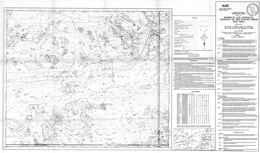 |
Open File 1994-2 presents the bedrock and surficial geology of the Fawnie Creek map area (93F/3) in central British Columbia. The map portrays the geology at 1:50 000 scale, a legend, references, and a table of assay results.
The oldest rocks exposed in the area are the Naglico Formation of the Hazelton Group; they are of Middle Jurassic age. Units are augite phyric basalt and lesser andesite flows; volcanic sandstone, siltstone and conglomerate; and sandstone and siltstone with detrital quartz. Subordinate rocks interlayered with the flows include dacitic tuffs, andesitic lapilli tuff, quartz-bearing lapilli and finer tuffs, rhyolite lithic tuffs, and volcanic sandstone and siltstone. Eocene rocks of the Ootsa Lake Group occur as outliers. Near Cow Lake, basal conglomerate is overlain by dacite flows and rhyolitic flows and intrusives. Along the west-facing slope of the Fawnie Range, rhyolite flows, andesite flows and lapilli tuff containing quartz fragments. Miocene and Pliocene Chilcotin Group comprise basalt flows. Bedrock exposure in the area is sparse, except in higher areas.
Intrusive rocks are varied. Middle Jurassic augite porphyry plugs, dikes and sills are the oldest. Late Cretaceous intrusions include quartz diorite, quartz porphyry dikes, and quartz monzonite and granodiorite of the Capoose batholith. Tertiary felsite dikes and sills occur.
Late Pleistocene units are morainal diamictons, glaciofluvial pebble to boulder gravel and sand, and glaciolacustrine sand, silt or clay. Holocene units are fluvial sand, pebble gravel, and silt and organic deposits.
The area is part of a regional east-trending horst that produced the mountain ranges. Faults typically trend north and northwest.
Epithermal veins and disseminated precious metal mineralization occur at the Wolf property. Most other known occurrences are near the margin of the Capoose batholith. Both epithermal precious metal and skarn mineralization occur. |
| Issue ID: | OF1994-03 |
| Title: | Geology of the Tulsequah River and Glacier Creek Area (NTS 104K/12, 13) |
| Author(s): | Mihalynuk, M.G., Smith, M., Hancock, K.D., Dudka, S.F., Payne, J. |
| Series Name: | Open File |
| Publication Year: | 1994 |
| Scale: | 1:50000 |
| NTS Map Sheet(s): | 104K/12, 13 |
| Place Keyword(s): | British Columbia, Tulsequah River and Glacier Creek Area |
| Lat/Long (NSWE): | 59, 58.5, -134, -133.5 |
| Theme Keyword(s): | Geology, Bedrock Geology |
Download(s):
| PDF |
Abstract:
 |
Open File 1994-3 presents the geology of the Tulsequah River and Tulsequah Glacier area (104K/12, 13) in northwestern British Columbia. The Open File consists of three sheets: the 1:50 000 scale Tulsequah River area geology map with schematic cross sections, references, and the area legend, the 1:50 000 scale geology map of the Tulsequah Glacier area, and a lithogeochemical sheet with location map and analytical data tables.
The area is one of extreme geological diversity and structural complexity because it is underlain by several Mesozoic to Paleozoic and older tectonostratigraphic terranes that are juxtaposed and deformed. Involved are the Alexander and Taku, Nisling, Cache Creek, and Stikine terranes. Later events recorded include emplacement of the Triassic Stikine plutonic suite, deposition of the Jurassic Inklin overlap assemblage (Laberge Group), and intrusion of Jurassic plutons. Subsequent intrusion by Cretaceous to Tertiary Coast plutons and burial by Tertiary volcanic rocks further complicate mapping.
Several metamorphic suites are distinguished. Late Proterozoic to Paleozoic suites include the Boundary Ranges and Whitewater suites. Rocks of the Boundary Ranges metamorphic suite mainly underlie the northwest part of 104K/13. They consist of schists of variable composition cut by several phases of igneous rocks. This package may be early Paleozoic or older. The Whitewater metamorphic suite is a distinctive lithologic association of quartz-rich graphitic schist with intercalated quartzite and metabasite and minor marble, quartzofeldspathic schist, orthogneiss and serpentinized ultramafite. Paleozoic to Mesozoic foliated and weakly metamorphose strata comprise the Mount Stapler suite. Varied lithologies in the suite may reflect original facies variations. Both metavolcanic and metasedimentary rocks occur. Major protoliths include: rhyolite, limestone, siliciclastic rocks, intermediate to mafic tuff, and augite phyric volcanic rocks. The Mount Strong suite may be of Mississippian age. It is commonly strongly foliated and may correlate in part with the Mount Eaton suite. Lithologies include: siliceous greywacke, siltstone and shale, basaltic tuff and flows, limestone, pyroxenite, argillaceous chert and andesitic tuff. The Mount Eaton suite is a Devonian to Permian arc succession of the Stikine Assemblage. The lower division of the suite is distinguished by the relatively common occurrence of felsic tuff. The middle division contains pyroxene-phyric volcanic tuff, agglomerate and volcanic turbidite. The sedimentary upper division is characterized by bioclastic limestone that returned middle Pennsylvanian fossils. Triassic Stuhini Group strata include conglomerate, feldspar porphyry flows, augite-phyric breccias and hyaloclastite, augite-phyric flows, turbiditic argillite, arenite and wacke, lapilli tuff and volcaniclastics, volcanic conglomerate and sandstone, and massive carbonate that is probably correlative with the Sinwa Formation. Jurassic Laberge Group strata include: conglomerate, volcanogenic conglomerate and sandstone, greywacke, argillite, and siliciclastics characterized by fine-grained greywacke and siliceous shale. Tertiary Sloko Group comprises a bimodal volcanic package dominated by rhyolite flows and derived epiclastics.
Meta-intrusive rocks include Devonian quartz monzonite orthogneiss, Permian hornblende-rich gneiss, Paleozoic to Triassic K-feldspar megacrystic orthogneiss, Paleozoic to Mesozoic pyroxenite, Mesozoic quartz monzonite, and Early Jurassic hornblende-biotite granodiorite to diorite orthogneiss. Non-metamorphosed intrusive rocks include: the Mississippian (?) Wendy Lake intrusive complex, Triassic to Cretaceous (?) hornblende tonalite, Jura-Cretaceous biotite granite, hornblende-biotite diorite, early Tertiary granodiorite, the Sloko intrusive suite of granite tot granodiorite to tonalite, and Tertiary granodiorite to granite.
The area has common north to northwest trending faults with complex movement histories. Early deformation (pre-Pennsylvanian (?)) developed intrafolial isoclinal folds west of the Llewellyn fault. Faulting and folding occurred during Devonian to Permian arc building, and during construction of the Stuhini arc over the Stikine assemblage basement. Early Mississippian felsic volcanism has associated massive sulphide deposition. Early Jurassic saw mainly sinistral offset on the Llewellyn fault system. Early to Middle Jurassic deformation and metamorphism of older units resulted in imbrication of units along west-directed thrust faults. Early Tertiary events led to easterly-trending cross faulting and associated base and precious metal vein mineralization. Porphyry-style and related skarn mineralization is associated with intrusions of this age.
The area is prospective for deposit types including: Kuroko-style volcanogenic massive sulphide deposits, like Tulsequah Chief and Big Bull; shear-related quartz vein precious metal deposits; and skarn, porphyry and other intrusion-related deposits. |
| Issue ID: | OF1994-04 |
| Title: | Surficial geology of the Port McNeill area (NTS 92L/11) |
| Author(s): | Bobrowsky, P.T., Meldrum, D.G. |
| Series Name: | Open File |
| Publication Year: | 1994 |
| Other Citation Details: | Data used in British Columbia Geological Survey Open File 1997-08 |
| Larger Work Citation: | Data used in British Columbia Geological Survey Open File 1997-08 |
| Scale: | 1:50000 |
| NTS Map Sheet(s): | 092L/11 |
| Place Keyword(s): | British Columbia, Northern Vancouver Island, Port McNeill Area |
| Lat/Long (NSWE): | 50.75, 50.5, -127.5, -127 |
| Theme Keyword(s): | Surficial Geology Map, Geology, Surficial Geology |
Download(s):
| PDF |
Abstract:
 |
Open File 1994-04 presents the surficial geology of the Port McNeill area of northern Vancouver Island in British Columbia. The map scale is 1:50 000. |
| Issue ID: | OF1994-05 |
| Title: | Surficial geology of the Alice Lake area (NTS 92L/6) |
| Author(s): | Bobrowsky, P.T., Meldrum, D.G. |
| Series Name: | Open File |
| Publication Year: | 1994 |
| Other Citation Details: | Data used in British Columbia Geological Survey Open File 1997-08 |
| Larger Work Citation: | Data used in British Columbia Geological Survey Open File 1997-08 |
| Scale: | 1:50000 |
| NTS Map Sheet(s): | 092L/06 |
| Place Keyword(s): | British Columbia, Northern Vancouver Island, Alice Lake Area, Port Alice |
| Lat/Long (NSWE): | 50.5, 50.25, -127.5, -127 |
| Theme Keyword(s): | Surficial Geology Map, Geology, Surficial Geology |
Download(s):
| PDF |
Abstract:
 |
Open File 1994-05 presents the surficial geology of the Alice Lake area of northern Vancouver Island in British Columbia. The map scale is 1:50 000. |
| Issue ID: | OF1994-06 |
| Title: | Vancouver Island (NTS 92B, C, E, F, G, K, L; 102I) |
| Author(s): | Massey, N.W.D. (compiler), Desjardins, P.J., Grunsky, E.C. (digital cartography) |
| Series Name: | Open File |
| Publication Year: | 1994 |
| Scale: | 1:250000 |
| NTS Map Sheet(s): | 092B, 092C, 092E, 092F, 092G, 092K, 092L; 102I |
| Place Keyword(s): | British Columbia, Vancouver Island |
| Lat/Long (NSWE): | 50.917, 48.25, -128.5, -123.25 |
| Theme Keyword(s): | Geology, Mineral Potential, Bedrock Geology |
Download(s):
| ZIP (View Zip Contents) |
Abstract:
| Open File 1994-06 presents the geology and mineral potential of Vancouver Island. |
| Issue ID: | OF1994-07 |
| Title: | Cariboo - Chilcotin Area (NTS 92J, K, N, O, P; 93A, B, C, F, G, H) |
| Author(s): | Schiarizza, P.A., Panteleyev, A., Gaba, R.G., Glover, J.K. (compilers), Desjardins, P.J., Cunningham, J. (digital cartography) |
| Series Name: | Open File |
| Publication Year: | 1994 |
| Scale: | 1:250000 |
| NTS Map Sheet(s): | 092J, 092K, 092N, 092O, 092P; 093A, 093B, 093C, 093F, 093G, 093H |
| Place Keyword(s): | British Columbia, Cariboo - Chilcotin Area |
| Lat/Long (NSWE): | 54, 50, -126, -120 |
| Theme Keyword(s): | Geology, Mineral Potential, Bedrock Geology |
Download(s):
| ZIP (View Zip Contents) |
Abstract:
| Open File 1994-07 presents the geology and a mineral potential compilation of the Cariboo and Chilcotin areas of British Columbia. |
| Issue ID: | OF1994-08 |
| Title: | Kootenay Area (NTS 82E, F, G, J, K, L, M, N, O; 83C, D) |
| Author(s): | Hoy, T., Church, B.N., Legun, A.S., Glover, K., Gibson, G., Grant, B., Wheeler, J.O., Dunne, K.P.E. (compilers), Cunningham, J., Desjardins, P.J. (digital cartography) |
| Series Name: | Open File |
| Publication Year: | 1994 |
| Scale: | 1:250000 |
| NTS Map Sheet(s): | 082E; 082F; 082G; 082J; 082K; 082L; 082M; 082N; 082O; 083C; 083D |
| Place Keyword(s): | British Columbia, Southeastern British Columbia, Kootenay Area |
| Lat/Long (NSWE): | 53, 49, -120, -114 |
| Theme Keyword(s): | Geology, Mineral Potential, Bedrock Geology |
Download(s):
| ZIP (View Zip Contents) |
Abstract:
| Open File 1994-08 presents the geology and a mineral potential compilation of the Kootenay area of southeastern British Columbia. |
| Issue ID: | OF1994-09 |
| Title: | Surficial geology and Quaternary stratigraphy of the Fawnie Creek area (NTS 93F/3) |
| Author(s): | Levson, V.M., Giles, T.R. |
| Series Name: | Open File |
| Publication Year: | 1994 |
| Scale: | 1:50000 |
| NTS Map Sheet(s): | 093F/03 |
| Place Keyword(s): | British Columbia, Fawnie Creek Area |
| Lat/Long (NSWE): | 53.25, 53, -125.5, -125 |
| Theme Keyword(s): | Surficial Geology Map, Geology, Surficial Geology, Quaternary Stratigraphy |
Download(s):
| PDF |
Abstract:
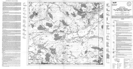 |
Open File 1994-09 presents the surficial geology and quaternary stratigraphy of the Fawnie Creek area (93F/3) of British Columbia. The map scale is 1: 50 000. |
| Issue ID: | OF1994-10 |
| Title: | Drift Prospecting Potential of the Fawnie Creek Area (NTS 93F/3) |
| Author(s): | Giles, T.R., Levson, V.M. |
| Series Name: | Open File |
| Publication Year: | 1994 |
| Scale: | 1:50000 |
| NTS Map Sheet(s): | 093F/3 |
| Place Keyword(s): | British Columbia, Fawnie Creek Area |
| Lat/Long (NSWE): | 53.25, 53, -125.5, -125 |
| Theme Keyword(s): | Geology, Drift Exploration Potential |
Download(s):
| PDF |
Abstract:
 |
The Fawnie Creek map area, presented in Open File 1994-10, is located in the Nechako Plateau, in the west-central part of the Interior Plateau physiographic region. This map resulted from one part of a multi-component geological and mineral exploration survey of the Fawnie Creek map area conducted in 1993 that includes bedrock geology, lake sediment geochemistry, till geochemistry and surficial geology and mineral deposit studies. It is intended to show the drift prospecting potential of the area. The map sheet has a scale of 1:50 000. |
| Issue ID: | OF1994-11 |
| Title: | Drift Exploration Potential of the Port McNeill Area (NTS 92L/11) |
| Author(s): | Meldrum, D.G., Bobrowsky, P.T. |
| Series Name: | Open File |
| Publication Year: | 1994 |
| Scale: | 1:50000 |
| NTS Map Sheet(s): | 092L/11 |
| Place Keyword(s): | British Columbia, Northern Vancouver Island, Port McNeill Area |
| Lat/Long (NSWE): | 50.75, 50.5, -127.5, -127 |
| Theme Keyword(s): | Geology, Drift Exploration Potential |
Download(s):
| PDF |
Abstract:
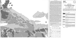 |
Open File 1994-11 presents the drift exploration potential of the Port McNeill area of northern Vancouver Island in British Columbia. The purpose of a Drift Exploration Map is to assist explorationists to design sampling programs. In practice, the map should be consulted before fieldwork is undertaken, as it identifies types of surficial sediment and categorizes each according to potential utility for drift-related sampling. The map provides cost-effective information since areas which contain poor or unreliable deposits can be avoided during sampling. The scale of this map is 1:50 000. |
| Issue ID: | OF1994-12 |
| Title: | Drift Exploration Potential of the Alice Lake Area (NTS 92L/6) |
| Author(s): | Meldrum, D.G., Bobrowsky, P.T. |
| Purpose: | The purpose of a Drift Exploration Map is to assist explorationists to design sampling programs. |
| Series Name: | Open File |
| Publication Year: | 1994 |
| Scale: | 1:50000 |
| NTS Map Sheet(s): | 092L/6 |
| Place Keyword(s): | British Columbia, Northern Vancouver Island, Alice Lake Area |
| Lat/Long (NSWE): | 50.5, 50.25, -127.5, -127 |
| Theme Keyword(s): | Geology, Drift Exploration Potential |
Download(s):
| PDF |
Abstract:
 |
Open File 1994-12 presents the drift exploration potential of the Alice Lake area of northern Vancouver Island in British Columbia. |
| Issue ID: | OF1994-13 |
| Title: | Digital Bibliographic Index of B.C. Geological Survey Branch Publications 1874-1993 |
| Author(s): | Grant, B., Logan, C. |
| Series Name: | Open File |
| Publication Year: | 1994 |
| NTS Map Sheet(s): | 082;083;092;093;094;102;103;104;114 |
| Place Keyword(s): | British Columbia |
| Lat/Long (NSWE): | 60, 48, -139, -114 |
| Theme Keyword(s): | Geology, Digital Bibliographic Index, GSB Publications |
Download(s):
| PDF |
Abstract:
 |
Open File 1994-13 is a digital bibliographic index of British Columbia Geological Survey Publications from 1874-1993. The Open File provides a list of 2390 geoscience publications keyed to their National Topographic System (NTS) location within the Province of British Columbia. This Open File updates and replaces Information Circular 1991-7, NTS Location and Author Index issued by the Geological Survey in 1991. This comprehensive database contains references up to December 31, 1993. The index includes all Bulletins, Papers, Open Files, maps and Information Circulars as well as individual article citations from the compilation volumes Geological Fieldwork, Exploration in British Columbia, Geology, Exploration and Mining in British Columbia and Geology in British Columbia. It is recommended that anyone using this index should also consult the Assessment Report Index, and Information Circular 1993-12 (or revisions) - A Catalogue of Reports, Maps and Geoscience Databases, issued by the B.C. Geological Survey. |
| Issue ID: | OF1994-14 |
| Title: | Nass-Skeena (NTS 93/E, L, M; 94/D; 103/G, H, I, J, P; 104/A, B) |
| Author(s): | MacIntyre, D.G., Ash, C.H., Britton, J.B. (compilers and digital cartography) |
| Series Name: | Open File |
| Publication Year: | 1994 |
| Scale: | 1:250000 |
| NTS Map Sheet(s): | 093E, 093L, 093M; 094D; 103G, 103H, 103I, 103J, 103P; 104A, 104B |
| Place Keyword(s): | British Columbia, North Coast, Nass-Skeena |
| Lat/Long (NSWE): | 60, 53, -132, -124 |
| Theme Keyword(s): | Geology, Mineral Potential, Bedrock Geology |
Download(s):
| ZIP (View Zip Contents) |
Abstract:
 |
Open File 1994-14 presents the geology and a mineral potential compilation of the Nass and Skeena areas of British Columbia. |
| Issue ID: | OF1994-15 |
| Title: | Trace Elements in Coals of the East Kootenay and Peace River Coalfields, British Columbia |
| Author(s): | Grieve, D.A., Goodarzi, F. |
| Series Name: | Open File |
| Publication Year: | 1994 |
| Scale: | 1:10000000 |
| NTS Map Sheet(s): | 082;094 |
| Place Keyword(s): | British Columbia, Eastern British Columbia, East Kootenay Coalfields, Peace River Coalfields |
| Lat/Long (NSWE): | 55, 49, -124, -114 |
| Theme Keyword(s): | Geology, Trace Elements, Coalfields, Coal |
Download(s):
| PDF |
Abstract:
 |
Open File 1994-15 discusses trace elements in coals of the East Kootenay and Peace River Coalfields in British Columbia. |
| Issue ID: | OF1994-16 |
| Title: | Kaolin Potential of the Comox Sub-Basin, Vancouver Island, British Columbia |
| Author(s): | Read, P.B. |
| Series Name: | Open File |
| Publication Year: | 1994 |
| Scale: | 1:8000 |
| NTS Map Sheet(s): | 092; |
| Place Keyword(s): | British Columbia, Central Vancouver Island, Comox Sub-Basin |
| Lat/Long (NSWE): | 50, 49, -126, -124 |
| Theme Keyword(s): | Geology, Kaolin Potential |
Download(s):
| PDF |
Abstract:
 |
Open File 1994-16 discusses Kaolin potential of the Comox Sub-Basin of Vancouver Island British Columbia. |
| Issue ID: | OF1994-17 |
| Title: | Mid Coast (all or parts of NTS 92F, G, J, K, L, M, N; 93D; 102P; 103A) |
| Author(s): | Bellefontaine, K.A., Alldrick, D.J. (compilers), Desjardins, P.J. (digital cartography) |
| Series Name: | Open File |
| Publication Year: | 1994 |
| Scale: | 1:250000 |
| NTS Map Sheet(s): | all or parts of 092F, 092G, 092J, 092K, 092L, 092M, 092N; 093D; 102P; 103A |
| Place Keyword(s): | British Columbia, Mid Coast |
| Lat/Long (NSWE): | 53, 49, -129.75, -121 |
| Theme Keyword(s): | Geology, Mineral Potential, Bedrock Geology |
Download(s):
| ZIP (View Zip Contents) |
Abstract:
| Open File 1994-17 presents the geology and a mineral potential compilation of the Mid Coast area of British Columbia. |
| Issue ID: | OF1994-18 |
| Title: | Till Geochemistry of the Fawnie Creek Map Area |
| Author(s): | Levson, V.M., Giles, T.R., Cook, S.J., Jackaman, W. |
| Series Name: | Open File |
| Publication Year: | 1994 |
| NTS Map Sheet(s): | 093F/3 |
| Place Keyword(s): | British Columbia, Fawnie Creek Map Area |
| Lat/Long (NSWE): | 53.25, 53, -125.5, -125 |
| Theme Keyword(s): | Geology, Surficial Geology, Till Geochemistry |
Download(s):
| ZIP (View Zip Contents) |
Abstract:
 |
Open File 1994-18 presents the results from regional till geochemical sampling in the Fawnie Creek map area, conducted at 171 sites in 1993. The program demonstrates the utility of till geochemical sampling in regions where mineral exploration has been hampered by thick drift cover. Surficial geology mapping was
conducted in conjunction with till geochemical sampling in order to understand the glacial history of the area and provide a basis for design of the sampling program. The primary objective of the till geochemical survey in the Fawnie area was to identify areas where glaciers eroded mineralized bedrock and redeposited the mineral debris as till in down-ice dispersal trains. |
| Issue ID: | OF1994-19 |
| Title: | Regional Lake Sediment and Water Geochemistry of part of the Nechako River Map Area (NTS 93F/2, 3; parts of 93F/6, 11, 12, 13, 14) |
| Author(s): | Cook, S.J., Jackaman, W. |
| Purpose: | To present the results for a 1993 lake survey in parts of 093F |
| Series Name: | Open File |
| Publication Year: | 1994 |
| Scale: | 1:100000 |
| NTS Map Sheet(s): | 093F/2, 3; parts of 093F/6, 11, 12, 13, 14 |
| Place Keyword(s): | British Columbia, Nechako River Map Area |
| Lat/Long (NSWE): | 54, 53, -126, -124.5 |
| Theme Keyword(s): | Geology, Lake Sediment Geochemistry, Water Geochemistry |
Download(s):
| PDF, ZIP (View Zip Contents) |
Abstract:
 |
Open File 1994-19 presents the results of 1993 regional lake sediment and water geochemistry surveys conducted in parts of the Nechako River map area, 93F. Data for 489 sites includes field observations; sediment by ICPMS and INAA; fluorine (F) and loss on ignition (LOI) in sediments; and pH and fluoride in waters. Preliminary discussion of results for gold, silver, arsenic, antimony, copper, zinc and molybdenum indicate that the surveys confirm previously known lake sediment anomalies, enlarge target areas for currently known prospects, and outline new areas for prospective epithermal precious metal deposits. |
| Issue ID: | OF1994-20 |
| Title: | Mineral Inventory Systems Training Handbook |
| Author(s): | Jones, L.D. |
| Series Name: | Open File |
| Publication Year: | 1994 |
| NTS Map Sheet(s): | 082;083;092;093;094;102;103;104;114 |
| Place Keyword(s): | British Columbia |
| Lat/Long (NSWE): | 60, 48, -139, -114 |
| Theme Keyword(s): | Geology, Mineral Inventory Systems Training Handbook, MINFILE |
Download(s):
| PDF |
Abstract:
 |
In November, 1993, the Geological Survey of the Ministry of Energy, Mines and Petroleum Resources offered a two-week training course to two geologists from the Mineral Resources Department in Tanzania. The purpose of the course was to provide guidelines on the organization, development and management of mineral resource data using personal computers. The course included talks on systematic database development and used MINFILE and other databases as practical models for managing resources. The intent of this publication is to document most of the notes and overheads used in the course. It will be of interest to those planning and developing mineral inventory and other earth science related database systems. MINFILE is a comprehensive, computerized mineral inventory of over 11 400 metallic, industrial mineral and coal occurrences in British Columbia. The information is used for geoscience research, mineral exploration, prospecting, land-use management and other applications requiring data for managing mineral resources. The design of MINFILE, the depth of geological data, and the ability to distribute digital data to clients ensures its continued applicability, data-integrity and system-flexibility. Some of the course material is based on a training course on Computerized Databases in Mineral Exploration and Development, which took place in Lusaka, Zambia in May 1993, sponsored by the International Atomic Energy Agency and the Government of Zambia. |
| Issue ID: | OF1994-21 |
| Title: | Perlite Market Study for British Columbia |
| Author(s): | Gunning, D.F., McNeal & Associates Consultants Ltd. |
| Series Name: | Open File |
| Publication Year: | 1994 |
| NTS Map Sheet(s): | 082;083;092;093;094;102;103;104;114 |
| Place Keyword(s): | British Columbia |
| Lat/Long (NSWE): | 60, 48, -139, -114 |
| Theme Keyword(s): | Geology, Perlite Market Study |
Download(s):
| PDF |
Abstract:
 |
Open File 1994-21 is a perlite market study for British Columbia. |
| Issue ID: | OF1994-22 |
| Title: | A Study on the Feasibility of Peat Production in the Province of British Columbia |
| Author(s): | Perry, J.H., Min-Ex Resource Consultants, Ainsworth, B., Ainsworth-Jenkins Holdings Inc. |
| Series Name: | Open File |
| Publication Year: | 1994 |
| NTS Map Sheet(s): | 082;083;092;093;094;102;103;104;114 |
| Place Keyword(s): | British Columbia |
| Lat/Long (NSWE): | 60, 48, -139, -114 |
| Theme Keyword(s): | Geology, Feasibility Peat Production |
Download(s):
| PDF |
Abstract:
 |
Open File 1994-22 is a study on the feasibility of peat production in the Province of British Columbia. |
| Issue ID: | OF1994-23 |
| Title: | Industrial Minerals Opportunities in Pulp and Paper in British Columbia to the Year 2003 |
| Author(s): | Temanex Consulting Inc. |
| Series Name: | Open File |
| Publication Year: | 1994 |
| NTS Map Sheet(s): | 082;083;092;093;094;102;103;104;114 |
| Place Keyword(s): | British Columbia |
| Lat/Long (NSWE): | 60, 48, -139, -114 |
| Theme Keyword(s): | Industrial Minerals, Pulp and Paper |
Download(s):
| PDF |
Abstract:
 |
Open File 1994-23 looks at industrial minerals opportunities in pulp and paper in British Columbia to the Year 2003. |
| Issue ID: | OF1994-24 |
| Title: | Update of a Market Study for Talc |
| Author(s): | Harris, M., Ionides, G.N., Temaned Consulting Inc. |
| Series Name: | Open File |
| Publication Year: | 1994 |
| NTS Map Sheet(s): | 082;083;092;093;094;102;103;104;114 |
| Place Keyword(s): | British Columbia |
| Lat/Long (NSWE): | 60, 48, -139, -114 |
| Theme Keyword(s): | Geology, Talc, Market Study |
Download(s):
| PDF |
Abstract:
 |
Open File 1994-24 is an update of a market study for talc. |
| Issue ID: | OF1994-25 |
| Title: | Market Study of Bentonite Products |
| Author(s): | Ainsworth-Jenkins Holdings Inc., Master Mineral Resource Services Ltd. |
| Series Name: | Open File |
| Publication Year: | 1994 |
| NTS Map Sheet(s): | 082;083;092;093;094;102;103;104;114 |
| Place Keyword(s): | British Columbia |
| Lat/Long (NSWE): | 60, 48, -139, -114 |
| Theme Keyword(s): | Geology, Bentonite Products, Market Study |
Download(s):
| PDF |
Abstract:
 |
Open File 1994-25 is a market study of bentonite products. The objective of this study of bentonite is to determine if there is sufficient usage of bentonite in British Columbia, and/or potential for market development of bentonite products for domestic use or export to the U.S.A. and Pacific Rim countries. Evaluation of the known deposits and exploration and evaluation of new deposits is recommended as a future work program. The report describes the characteristics of bentonite and correlates them to the grades and specifications in major areas of bentonite applications. It also deals with the industry setting, and briefly describes the geology of known deposits in the Province, before dealing in some detail with the economic factors. The outlook and strategic considerations summarize the conclusions and recommendations of the report, including the potential for production of value-added products that would attract industries to the Province. |
| Issue ID: | OF1994-26 |
| Title: | Preliminary Geology of the Quatsino - Port McNeill Area, Northern Vancouver Island (NTS 92L/12, 11W) |
| Author(s): | Hammack, J.L., Nixon, G.T., Koyanagi, V.M., Payie, G.J., Panteleyev, A., Massey, N.W.D., Hamilton, J.V., Haggart, J.W. |
| Series Name: | Open File |
| Publication Year: | 1994 |
| Scale: | 1:50000 |
| NTS Map Sheet(s): | 092L/12, 11W |
| Place Keyword(s): | British Columbia, Northern Vancouver Island, Quatsino - Port McNeill Area |
| Lat/Long (NSWE): | 50.75, 50.5, -128, -127.25 |
| Theme Keyword(s): | Geology, Preliminary Geology, Bedrock Geology |
Download(s):
| PDF |
Abstract:
 |
Open File 1994-26 presents the geology of the Quatsino-Port McNeill area (92L/12) on northern Vancouver Island, British Columbia. The Open File consists of two sheets: the first portrays geology at 1:50 000 scale, and a legend; the second has tables of MINFILE occurrences, fossil collections, and stream sediment geochemistry data.
The oldest exposed rocks are Upper Triassic rocks of he Karmutsen, Quatsino and Parson Bay formations of the Vancouver Group. Karmutsen Formation contains inter- to subtidal lime mudstone, coarse plagioclase phyric basaltic lavas and aphanitic to plagioclase phyric subaerial basaltic flows, minor pillow lava, pillow breccia and hyaloclastite. Lime mudstone comprises the Quatsino Formation. The Parson Bay Formation has northern and western facies. The northern facies consists of shale and siltstone; the western facies is argillaceous lime mudstone, calcareous shale, siltstone and minor sandstone. A �Siliceous Siltstone� unit includes the Triassic/Jurassic boundary. The unit also contains tuff layers and minor limestone. Lower Jurassic Bonanza Group strata are intercalated basaltic to rhyolitic lavas, pyroclastic and minor epiclastic rocks. Volcanic conglomerate, breccia and cross-laminated sandstone, siltstone and mudstone are Jurassic or Cretaceous. Rocks equivalent to the Lower Cretaceous Longarm Formation are sandstone, siltstone, mudstone and pebble conglomerate. Lower Cretaceous rocks of the Coal Harbour Group consist of a lower conglomeratic facies and an upper sandstone facies. Upper Cretaceous Nanaimo Group equivalents are arkosic to lithic wacke, pebble to cobble conglomerate, siltstone and minor coal.
Rocks of the Early to Middle Jurassic Island Plutonic suite are mainly diorite, quartz diorite, monzodiorite, monzonite, quartz monzonite, granodiorite and quartz-hornblende porphyry.
Block faulting dominates the structural pattern in the map area. Strata in the individual fault blocks dip and face southwest to define a northwesterly trending homocline. The strata are on the western flank of the Victoria arch, a northwesterly trending anticlinorium.
The area contains economically important porphyry copper-molybdenum-gold deposits, including the Island Copper mine, base and precious metal skarns, and precious metal mineralization associated with epithermal acid sulphate alteration zones, like that at Mount McIntosh. |
| Issue ID: | OF1994-27 |
| Title: | Digital Geology Polygons; Vancouver Island Region (OF1994-6) Kootenay Region (OF1994-8) Cariboo - Chilcotin (OF1994-7) |
| Author(s): | Desjardins, P.J. (compiler) |
| Series Name: | Open File |
| Publication Year: | 1994 |
| NTS Map Sheet(s): | 092B, 092C, 092E, 092F, 092G, 092K, 092L; 102I |
| Place Keyword(s): | British Columbia, Vancouver Island, Kootenay Region, Chilcotin Region, Cariboo Region |
| Lat/Long (NSWE): | 51, 48.25, -128.5, -123 |
| Theme Keyword(s): | Geology, Digital Geology Polygons, Bedrock Geology |
Abstract:
| Open File 1994-27 is the result of the geology compilations of three regions, Vancouver Island (OF1994-06), Kootenay (OF1994-08) and the Cariboo - Chilcotin (OF1994-07). This geological compilation was done to determine tracts of similar geological environments. These tracts would be analyzed for their historical and predictive properties to determine their mineral potential. The resultant geological polygons were combined from the three projects and released as this Open File. Open File 1994-27 has been superseded by Open File 2005-2. |
| Issue ID: | OF1995-01 |
| Title: | 1994 Operating Mines and Projects in Mine Development Assessment Processes in B.C. |
| Author(s): | Owsiacki, G., Schroeter, T.G., Wojdak, P.J., Pinsent, R.H., Smith, M., Wilton, P. |
| Series Name: | Open File |
| Publication Year: | 1995 |
| NTS Map Sheet(s): | 082;083;092;093;094;102;103;104;114 |
| Place Keyword(s): | British Columbia |
| Lat/Long (NSWE): | 60, 48, -139, -114 |
| Theme Keyword(s): | Geology, Operating Mines, Project Mines Development Assessment |
Download(s):
| PDF |
Abstract:
 |
Open File 1995-01 looks at the 1994 operating mines and projects in mine development assessment processes in British Columbia. |
| Issue ID: | OF1995-02 |
| Title: | Geology and Mineral Occurrences of the Goldstream River Area (NTS 82M/9, and part of 10) |
| Author(s): | Colpron, M., Logan, J.M., Gibson, G., Wild, C.J. |
| Series Name: | Open File |
| Publication Year: | 1995 |
| Scale: | 1:50000 |
| NTS Map Sheet(s): | 082M/9, and part of 10 |
| Place Keyword(s): | British Columbia, Goldstream River Area |
| Lat/Long (NSWE): | 51.75, 51.45, -118.75, -118 |
| Theme Keyword(s): | Geology, Mineral Occurrences, Bedrock Geology |
Download(s):
| PDF |
Abstract:
 |
Open File 1995-2 discusses the geology and mineral occurrences of the Goldstream River area (82M/9 and part of 10) in the northern Selkirk Mountains in eastern British Columbia. The Open File map presents geology at 1:50 000 scale, and has a legend, several geologic cross sections, and a table of mineral occurrences. More detailed geology of the Goldstream mine area is presented in Open File 1995-3.
The geology and structure are complex. The oldest exposed rocks correlate with the Neoproterozoic Horsethief Creek Group. One unit consists of fine quartz grit, impure quartzite and pelitic schist calc-silicate layers. Others consist of coarse amphibolite, grey marble, feldspathic grit and phyllite, rhythmically laminated phyllite and siltstone, calcareous phyllite and fine grit, micaceous quartzite, greenstone, dolostone, and black calcareous phyllite and dark grey marble. Units with pelitic schist, quartzite, garnet amphibolite, and gneiss may be Paleozoic. Eocambrian Hamill Group comprises five units. The lowest consists of phyllite and quartzite. Above are massive and cross-bedded quartzite with micaceous quartzite, grit and phyllite layers; dolomitic marble; rhythmically laminate sandstone and siltstone; and massive to amygdaloidal greenstone, mafic schist, volcanic conglomerate, grit and tuff. The Lower Cambrian Badshot Formation is dolomitic marble. The Index Formation of the Cambrian (?) to Devonian (?) Lardeau Group is divided into six units generally and undivided locally. From lowest to highest, the units consist of marble and black limestone, graphitic phyllite and schist with calcareous phyllite and marble, micaceous quartzite and siliceous phyllite, chlorite schist and greenstone, marble, quartz grit with laminated micaceous quartzite, calcareous grit, schist and dolomitic layers.
The Middle Jurassic Adamant pluton consists of hypersthene-augite monzonite and hornblende granodiorite. The Early Cretaceous Goldstream pluton contains quartz monzodiorite and biotite granite with local megacrystic granite and aplite dikes. The Cretaceous (?) Long Creek stock is locally megacrystic biotite granite, and the Late Cretaceous (?) Downie stock consists of leucogranite that is locally garnet bearing.
Rocks in the area have been multiply deformed into a series of thrust slides that dip easterly and host upright to overturned to west verging isoclinal folds. The map sheet is bounded on the west by the Columbia River fault, which dips moderately toward the east and shows normal movement. Rocks west of this fault comprise the Monashee complex.
Mineral occurrences include: copper-zinc-silver-gold-bearing Besshi-type volcanogenic massive sulphide deposits, like the formerly producing Goldstream mine; stratabound carbonate replacement deposits with lead, zinc, silver and gold values; zinc-copper-silver skarns; base metal veins with or without tungsten and gold; placer gold; and industrial mineral potential, particularly for garnet. |
| Issue ID: | OF1995-03 |
| Title: | Geology of the Goldstream Mine Area (NTS 82M/9) |
| Author(s): | Logan, J.M., Gibson, G. |
| Series Name: | Open File |
| Publication Year: | 1995 |
| Scale: | 1:10000 |
| NTS Map Sheet(s): | 082M/9 |
| Place Keyword(s): | British Columbia, Goldstream Mine Area |
| Lat/Long (NSWE): | 51.652, 51.601, -118.47, -118.376 |
| Theme Keyword(s): | Geology, Goldstream Mine, Bedrock Geology |
Download(s):
| PDF |
Abstract:
 |
Open File 1995-3 presents a more detailed view of the geology of the area of the Besshi-type Goldstream volcanogenic massive sulphide deposit (82M/9). The geology is presented at 1:10 000 scale and augments information in Open File 1995-2, which is at 1:50 000 scale. The geology and structure are complex. The oldest exposed rocks correlate with the Neoproterozoic Horsethief Creek Group, and near the mine, these consist of calcareous phyllite and fine grit with local intercalations of marble, micaceous quartzite and greenstone. The Index Formation of the Cambrian (?) to Devonian (?) Lardeau Group is divided into seven units. From lowest to highest, the units consist of marble and black limestone; graphitic phyllite and schist with calcareous phyllite and marble; the so-called Garnet zone, a black, cherty phyllite derived from an iron-magnesium-silica replacement/exhalative horizon; light brown calcareous muscovite-biotite schist, micaceous quartzite and siliceous phyllite; chlorite schist, amphibolite and metabasalt flows and sills; marble and calc-silicate schist; and quartz grit with laminated micaceous quartzite, calcareous grit, schist and dolomitic layers. The Early Cretaceous Goldstream pluton consists of quartz monzodiorite and biotite granite with local megacrystic granite and aplite dikes. Rocks in the mine area are multiply deformed. The strata define a fold with a near-vertically dipping west limb and a shallow east limb that is subparallel to the slope of the Goldstream valley. The west limb is cut by the Goldstream pluton. This is actually a younger fold because the east limb is the overturned limb of a large isoclinal anticline. The projection of the axial surface of this anticline more or less coincides with the low point of Goldstream valley. Drilling has traced the Garnet zone and Goldstream horizon for nearly 6 kilometres. The massive sulphide zone is structurally above and stratigraphically below the Garnet zone. The Goldstream mine is a stratabound copper-zinc-silver deposit of the Besshi type. Potential also exists for carbonate replacement lead-zinc-sulphide deposits, gold-quartz veins and placer gold.
The geology and structure are complex. The oldest exposed rocks correlate with the Neoproterozoic Horsethief Creek Group, and near the mine, these consist of calcareous phyllite and fine grit with local intercalations of marble, micaceous quartzite and greenstone. The Index Formation of the Cambrian (?) to Devonian (?) Lardeau Group is divided into seven units. From lowest to highest, the units consist of marble and black limestone; graphitic phyllite and schist with calcareous phyllite and marble; the so-called Garnet zone, a black, cherty phyllite derived from an iron-magnesium-silica replacement/exhalative horizon; light brown calcareous muscovite-biotite schist, micaceous quartzite and siliceous phyllite; chlorite schist, amphibolite and metabasalt flows and sills; marble and calc-silicate schist; and quartz grit with laminated micaceous quartzite, calcareous grit, schist and dolomitic layers.
The Early Cretaceous Goldstream pluton consists of quartz monzodiorite and biotite granite with local megacrystic granite and aplite dikes.
Rocks in the mine area are multiply deformed. The strata define a fold with a near-vertically dipping west limb and a shallow east limb that is subparallel to the slope of the Goldstream valley. The west limb is cut by the Goldstream pluton. This is actually a younger fold because the east limb is the overturned limb of a large isoclinal anticline. The projection of the axial surface of this anticline more or less coincides with the low point of Goldstream valley.
Drilling has traced the Garnet zone and Goldstream horizon for nearly 6 kilometres. The massive sulphide zone is structurally above and stratigraphically below the Garnet zone. The Goldstream mine is a stratabound copper-zinc- silver deposit of the Besshi type. Potential also exists for carbonate replacement lead-zinc-sulphide deposits, gold-quartz veins and placer gold. |
| Issue ID: | OF1995-04 |
| Title: | Preliminary Geology of the Gataga River Area (NTS 94L/7, 8, 9 & 10) |
| Author(s): | Ferri, F., Nelson, J.L., Rees, C.J. |
| Series Name: | Open File |
| Publication Year: | 1995 |
| Scale: | 1:50000 |
| NTS Map Sheet(s): | 094L/7, 8, 9 & 10 |
| Place Keyword(s): | British Columbia, Gataga River Area |
| Lat/Long (NSWE): | 58.648, 58.409, -126.932, -126.408 |
| Theme Keyword(s): | Geology, Preliminary Geology, Bedrock Geology |
Download(s):
| PDF |
Abstract:
 |
Open File 1995-4 portrays he geology and mineral occurrences of the Gataga River area (94L/7, 8, 9 and 10) in northeastern British Columbia. The 1:50 000 scale geology map contains a legend, cross sections, a fossil identification table, and tables of stream and silt geochemistry results, and lithogeochemical analysis results.
The oldest rocks in the area are phyllite and sandstone with lesser slate and siltstone of the Upper Purcell Hyland Group. Overlying Lower Cambrian Gog Group consists mainly of quartzite and quartz sandstone. Middle Cambrian conglomerate has clasts of granule to boulder size. Lower to Upper Cambrian Gog Group and younger clastics comprise several mappable units. The lowest unit is predominantly sandstone, slate and quartzite with sandy dolomite, sandy limestone, dolomite and limestone. Above is massive to thick-bedded limestone with clastic interbeds. The upper unit is mainly quartz sandstone to siltstone with cross bedded quartzite lenses and limestone. Upper Cambrian to Lower Ordovician Kechika Group rocks vary east and west of Brownie Mountain. To the east, the lower part is slate and silty slate with thin limestone and calcareous slate interbeds whereas the upper part is slate to silty slate with rare grey limestone lenses. West of the mountain the unit is mainly slate, calcareous slate and silty slate with lesser thin bedded lensoidal limestone. Ordovician and Lower Silurian to Lower Devonian units represent the Road River Group. In the Ordovician package, the lower part is mainly slate to siliceous slate, with minor siltstone and limestone, and the upper part is mostly chert to siliceous argillite with slate interlayers and local baritic tuff layers. The younger package comprises the so-called �Silurian Siltstone� unit. It consists of buff-orange weathering dolomitic siltstone with slate and silty slate layers and lesser dolomite tot limestone. Middle Devonian to Lower Mississippian Earn Group strata consist of shale, slate, and siliceous shale with siltstone to siliceous argillite or argillite, sandstone to pebble conglomerate interbeds.
The fabric of the geology trends northwest due to a series of northwest trending thrust faults. The thrusts are northeasterly directed and dip relatively steeply toward the southwest. Structural detachment is most important in the Kechika and Ordovician Road River shales. Earn lithologies are also relatively incompetent. Major thrust carry Cambrian or uppermost Proterozoic strata in their hanging immediate wall, and five major thrusts are recognized. Very large, northeasterly overturned folds can be recognized. The inferred fault along Gataga River may be a splay of the Rocky Mountain Trench fault and may have minor right lateral offset.
Devonian Earn Group rocks have the highest mineral potential in the area. It is in a northward extension of the structural panel that hosts the Driftpile Creek and other stratiform barite and barite-sulphide deposits. Three occurrences of barite-pyrite mineralization were seen within the lower Earn Group in the northern part of the map area. There is also potential for stratiform nickel-zinc-platinum group element mineralization, similar to that of the Nick property in Selwyn Basin. Vein occurrences noted carried quartz, sometimes barite, and copper sulphides or tetrahedrite. |
| Issue ID: | OF1995-05 |
| Title: | Geology and Geochemistry of the Stuhini Creek Map Area (NTS 104K/11) |
| Author(s): | Mihalynuk, M.G., Meldrum, D.G., Sears, W.A., Johannson, G.G., Madu, B.E., Vance, S., Tipper, H.W., Monger, J.W.H. |
| Series Name: | Open File |
| Publication Year: | 1995 |
| Scale: | 1:50000 |
| NTS Map Sheet(s): | 104K/11 |
| Place Keyword(s): | British Columbia, Stuhini Creek Map Area |
| Lat/Long (NSWE): | 58.75, 58.5, -133.5, -133 |
| Theme Keyword(s): | Geology, Geochemistry, Bedrock Geology |
Download(s):
| PDF |
Abstract:
 |
Open File 1995-5 presents the geology, mineral occurrences and geochemistry of the Stuhini Creek map area (104K/11). The Open File consists of two sheets: sheet 1 contains the geology map at 1:50 000 scale, a legend, a mineral occurrence table, and references.
The area is underlain by Late Devonian to Permian arc rocks of the Stikine assemblage, Carnian to Norian arc volcanics and associated marine sediments of the Stuhini Group, Lower to Middle Jurassic turbidites of the Laberge group, and Early Eocene bimodal volcanics of the Sloko Group.
The Mount Eaton suite comprises the Stikine assemblage in the area. The lower package consists of Mississippian or Pennsylvanian rhyolitic tuffs, basaltic tuff breccia, marble/limestone, tuffaceous mudstone/greywacke, tuffaceous shale to siltstone, and undifferentiated andesite to basalt flows. The upper package consists of volcanic conglomerate and breccia, lapilli-ash tuff, debris flow carbonate with volcanic and sedimentary fragments, and chert.
Stuhini Group consists of units dominated by: augite phyric flows, hyaloclastite (?), breccia pillowed flows and sediments; feldspar porphyritic lapilli tuffite and conglomerate with argillite interlayers; volcanic litharenite and wacke; pillow basalt; cobble conglomerate; turbiditic argillite; volcanic conglomerate; and limestone.
The Lower to early Middle Jurassic Laberge group strata can be subdivided into units dominated by: volcanic conglomerate and sandstone; tuffaceous argillite and wacke; calcareous clastics; conglomerate; bioclastic calcareous wacke and limestone debris flows; undivided siliciclastics; greywacke and plagioclase arkose; metamorphic clast-rich conglomerate; argillite; and chert pebble and granule conglomerate.
The basal rock unit of the Early Eocene Sloko Group is a conglomerate with Paleozoic clasts. Up section are feldspar porphyry flows, rhyolitic to dacitic flows, breccia, tuff and ignimbrite, maroon tuff and tuffite with maroon to tan conglomerate, then the informal Niagara formation, which consists of coarse sandstone, and conglomerate to siltstone. Over the Niagara is the informal Opposer formation, which consists of well indurated black tuff and breccia, hornblende-feldspar phyric green breccia, feldspar-biotite and/or quartz phyric breccia, ash tuff and flows, then the informal Teepee formation, which is mainly vitrophyric tuff with feldspar, lithic lapilli, lithic ash and pumice fragments, chaotic lapilli tuff to breccia and trachyte flows at the top.
Plutonic rocks in the area comprise three suites. These are Triassic (?) to Cretaceous biotite hornblende diorite to tonalite, Early Eocene granite, monzonite and diorite, and Eocene or younger granite and granodiorite.
Deformation generally decreases in intensity in progressively younger strata in the area. Paleozoic strata are affected by several episodes of folding, whereas Tertiary rocks are generally block faulted. The area is proximal to two major crustal structures, the Llewellyn fault zone and the King Salmon fault. The King Salmon is associated with a Jurassic thrust belt. The Tertiary faults normal and oblique faults juxtapose Mesozoic and Tertiary strata.
Paleozoic strata in the area contain volcanogenic massive sulphide accumulations, like those of the Erickson-Ashby property; Tertiary intrusions may have associated porphyry copper-gold potential; and Tertiary volcanics contain shear-hosted base metal sulphide veins with elevated gold and silver values. |
| Issue ID: | OF1995-06 |
| Title: | Northeast B.C. Mineral Potential Project: Digital Geological Compilation, Northeast British Columbia (NTS 94A, B, C, F, G, H, I, J, K, N, O, P) |
| Author(s): | MacIntyre, D.G., Legun, A.S., Bellefontaine, K.A., Massey, N.W.D. |
| Series Name: | Open File |
| Publication Year: | 1995 |
| Scale: | 1:250000 |
| NTS Map Sheet(s): | 094A, 094B, 094C, 094F, 094G, 094H, 094I, 094J, 094K, 094N, 094O, 094P |
| Place Keyword(s): | British Columbia, Northeast British Columbia |
| Lat/Long (NSWE): | 60, 56, -126, -120 |
| Theme Keyword(s): | Geology, Digital Geological Compilation, Bedrock Geology |
Download(s):
| ZIP (View Zip Contents) |
Abstract:
| Open File 1995-06 is the northeast B.C. Mineral Potential Project: Digital Geological Compilation for Northeast British Columbia (94A, B, C, F, G, H, I, J, K, N, O, P). |
| Issue ID: | OF1995-07 |
| Title: | Geology and Mineral Occurrences of the Tatlayoko Lake Map Area, British Columbia (NTS 92N/8, 9, 10) |
| Author(s): | Schiarizza, P.A., Melville, D.M. |
| Series Name: | Open File |
| Publication Year: | 1995 |
| Scale: | 1:50000 |
| NTS Map Sheet(s): | 092N/8, 9, 10 |
| Place Keyword(s): | British Columbia, Tatlayoko Lake Map Area |
| Lat/Long (NSWE): | 51.75, 51.349, -124.586, -124 |
| Theme Keyword(s): | Geology, Mineral Occurrences, Bedrock Geology, Stream Sediment Geochemistry, lithogeochemistry |
Download(s):
| PDF |
Abstract:
 |
Open File 1995-7 presents the geology and mineral occurrences of the Tatlayoko Lake map sheet (92N/8, 9, 10). The Open File consists of two sheets: sheet 1 features the geology at 1:50 000 scale with a legend; sheet 2 contains tables of mineral occurrences, a sample location map and stream sediment geochemistry results, and lithogeochemistry.
The area includes rocks of the Cadwallader terrane, the Methow terrane, the Nuit Range, southwest of the Yalakom fault, and possible the Stikine terrane. Within the Cadwallader terrane, the oldest rocks are of the Upper Triassic Hurley Formation of the Cadwallader Group. The Hurley is characterized by siltstone and shale, fine to coarse sandstone, and calcareous sandstone. Overlying Lower to Middle Jurassic rocks are mainly argillite and siltstone. Rocks intrusive into the terrane include: the Late Triassic and possibly younger Mount Skinner complex, which comprises diorite and quartz diorite cut by dikes of basalt, diabase, porphyry and aplite; Late Triassic and/or younger quartz diorite and diorite, hornblende feldspar porphyry and granite intrusions; and Cretaceous and possibly Tertiary quartz diorite and granodiorite.
The oldest Methow terrane rocks are Triassic (?) are a unit consisting of purple and welded tuff, a unit of pebble to cobble polylithic conglomerate with lesser sandstone, siltstone and argillite. Upper Triassic sandstone, calcarenite, and lesser siltstone, micritic limestone, arkosic sandstone and pebble conglomerate are overlain by Lower to Middle Jurassic rocks. These are mainly laminated to cross-laminated siltstone, shale and fine sandstone with lesser granule to pebble conglomerate. The overlying Middle Jurassic unit consists mainly of volcanic lithic sandstone, siltstone and mudstone. Above are Upper Jurassic to Lower Cretaceous rocks of the Relay Mountain Group. The oldest unit comprises hornfelsed sandstone and siltstone then a unit with feldspathic-lithic sandstone and pebble to cobble conglomerate that is overlain by shale and arkosic sandstone. The intermediate unit comprises sandstone, siltstone and mudstone with lesser conglomerate. The uppermost unit consists mostly of sandstone, siltstone and shale. Lower Cretaceous Jackass Mountain Group strata are sandstone with conglomerate lenses, siltstone and shale with minor sandstone, and sandstone and gritty sandstone with some siltstone, shale and conglomerate.
In the Nuit Range, Upper Triassic (?) sandstone, calcarenite, shale and limestone cobble conglomerate comprise the lowest unit. Above are Triassic or Cretaceous conglomerate with finer clastic interlayers, and a dominantly volcanic unit with andesite, andesite breccia and tuff, agglomerate and conglomerate.
Southwest of the Yalakom fault, Coast Belt rocks are Upper Cretaceous units of the Powell Creek Formation. The Formation consists of units dominated by sandstone with purple shale interlayers, volcanic breccia and conglomerate, and andesitic volcanic breccia, lapilli tuff, ash tuff, laharic breccia, mafic to intermediate mafic flows, volcanic sandstone and conglomerate.
Northeast of the Yalakom fault in the Intermontane Belt, possible Stikine terrane rocks may correlate with the Lower to Middle Jurassic Hazelton Group. The lower unit consists of volcanic breccia and tuff with lesser conglomerate and sandstone; the upper unit is andesite, local diorite and gabbro, and minor volcanic breccia, sandstone and siltstone. Intrusive rocks include Jurassic and possible Cretaceous quartz diorite and Cretaceous or possibly Tertiary feldspar porphyry intrusions.
Olivine basalt flows characterize the Miocene and Pliocene Chilcotin Group.
The northwest trending Yalakom fault zone cuts across the northeast corner of the map sheet. The fault displaces mid-Cretaceous and older rocks but is overlapped by Neogene plateau lavas; some offset may be Eocene. Movement is postulated to have been about 115 kilometres of right lateral offset. Other northwest trending faults are important in the area and northeast trending faults, mainly within structural blocks defined by the northwest faults, strongly influence the structural fabric. Movement on some of the northwest faults may have been dextral. Thrust faults occur locally and the strata in fault blocks are variably deformed into upright to overturned folds.
Mineral occurrences are mainly in the Nuit Range. Porphyry copper potential exists where disseminated copper occurs in quartz diorites, gold and copper mineralization occur in sheeted quartz veins and fracture fillings in volcanic and sedimentary rocks cut by porphyry intrusions. Production of gold and silver has come from the Skinner deposit where northeast fault zones in the Mount Skinner complex contain gold-quartz veins. |
| Issue ID: | OF1995-08 |
| Title: | Mineral Deposit Profile Table Listed by Association and Lithological Affinity |
| Author(s): | Lefebure, D.V., Alldrick, D.J., Simandl, G.J. |
| Series Name: | Open File |
| Publication Year: | 1995 |
| NTS Map Sheet(s): | 082;083;092;093;094;102;103;104;114 |
| Place Keyword(s): | British Columbia |
| Lat/Long (NSWE): | 60, 48, -139, -114 |
| Theme Keyword(s): | Geology, Mineral Deposit Profile, Association, Lithologic Affinity |
Download(s):
| PDF |
Abstract:
 |
Open File 1995-08 is a mineral deposit profile table listed by association and lithological affinity. |
| Issue ID: | OF1995-09 |
| Title: | Preliminary Geology of the Quatsino - Cape Scott Area, Northern Vancouver Island (NTS 92L/12W; 102I/8, 9) |
| Author(s): | Hammack, J.L., Nixon, G.T., Payie, G.J., Snyder, L.D., Haggart, J.W., Massey, N.W.D., Barron, D. |
| Series Name: | Open File |
| Publication Year: | 1995 |
| Scale: | 1:50000 |
| NTS Map Sheet(s): | 092L/12W; 102I/8, 9 |
| Place Keyword(s): | British Columbia, Northern Vancouver Island, Quatsino - Cape Scott Area |
| Lat/Long (NSWE): | 50.749, 50.433, -128.335, -127.554 |
| Theme Keyword(s): | Geology, Preliminary Geology, Bedrock Geology |
Download(s):
| PDF |
Abstract:
 |
Open File 1995-9 presents the preliminary geology and mineral occurrences of the Quatsino-Cape Scott area (92L/12W; 102I/8,9) of northern Vancouver Island. The Open File consists of two sheets: sheet 1 contains the preliminary geology at 1:50 000 scale, and a geological legend; sheet 2 has a list of MINFILE occurrences, tables of macrofossil and radiolaria results, and a table showing stream sediment geochemistry that includes precious metal, base metal and other element data from areas underlain by various rock units.
The oldest rocks in the area are Upper Triassic and comprise the Vancouver Group. The lowest unit is the Karmutsen Formation, which here consists of a lower basalt unit with lime mudstone intercalations, and an upper unit that consists mainly of subaerial basalt flows with minor pillow basalt, pillow breccia and hyaloclastite. The overlying Quatsino Formation is predominantly thin bedded to massive lime mudstone. Above is Parson Bay Formation argillaceous lime mudstone, calcareous shale, siltstone and minor sandstone. The uppermost unit is the Sutton Limestone, which is thin to thickly bedded pale grey lime mudstone. The overlying Bonanza Group is of Lower to Middle Jurassic age. The lower unit consists mainly of sandstone, siltstone, limestone and minor conglomerate. The upper unit consists of submarine to subaerial intercalated basaltic to rhyolitic lavas, pyroclastic, and minor epiclastic rocks. Lower Cretaceous Longarm Formation equivalents comprise thinly bedded to massive sandstone, siltstone, mudstone, pebble conglomerate, and minor coal. The Upper Cretaceous Blumberg Formation has a lower conglomerate unit and an upper dominantly lithic to arkosic wacke unit. Tertiary felsic volcanic rocks are mainly rhyolite and form flows, dikes and a plug. Lithology is broken out in some detail within the Bonanza Group.
The Mount Brandes Porphyry is part of the Early to Middle Jurassic Island intrusive suite. The Porphyry has hornblende and feldspar phenocrysts and includes irregular diorite dikes.
Three phases of deformation have been recognized: a pre-Cretaceous event; Late Cretaceous to Tertiary transgression; and Tertiary extension. Faulting is the predominant strain-release mechanism. On the map, northwest trending through-going faults define areas that are internally segmented by northeast trending faults.
The lack of Island intrusions lessens the potential of the area, and although alteration associated with rhyolitic and basaltic lavas and dikes suggests that acid leaching occurred, it may be related to low temperature solfataric activity. Strong mercury anomalies in stream sediment samples may be related to northwest faults. Limestones of the Quatsino Formation have significant potential. A number of copper showings occur in the area; most are within basalts of the Karmutsen Formation. Pyrophyllite-bearing silicified Bonanza breccia marks a volcanic centre. |
| Issue ID: | OF1995-10 |
| Title: | Surficial geology and Quaternary Stratigraphy of the Tsacha Lake area (NTS 93F/2) |
| Author(s): | Giles, T.R., Levson, V.M. |
| Series Name: | Open File |
| Publication Year: | 1995 |
| Other Citation Details: | Data used in British Columbia Geological Survey Open File 1995-16 |
| Larger Work Citation: | Data used in British Columbia Geological Survey Open File 1995-16 |
| Scale: | 1:50000 |
| NTS Map Sheet(s): | 093F/02 |
| Place Keyword(s): | British Columbia, Tsacha Lake Area |
| Lat/Long (NSWE): | 53.25, 53, -125, -124.5 |
| Theme Keyword(s): | Surficial Geology Map, Geology, Surficial Geology, Quaternary Stratigraphy |
Download(s):
| PDF |
Abstract:
 |
Open File 1995-10 presents the surficial geology and quaternary stratigraphy of the Tsacha Lake area (93F/2) of British Columbia. It is part of a continuation of surficial mapping and regional till geochemical surveys conducted in the Fawnie Creek map sheet. A total of 195 till samples were collected for geochemical analyses in the Tsache Lake area in order to locate glacially dispersed mineralization potentially present in the region. |
| Issue ID: | OF1995-11 |
| Title: | Surficial geology of the Mahatta Creek area (NTS 92L/5) |
| Author(s): | Huntley, D.H., Bobrowsky, P.T. |
| Series Name: | Open File |
| Publication Year: | 1995 |
| Other Citation Details: | Data used in British Columbia Geological Survey Open File 1997-08 |
| Larger Work Citation: | Data used in British Columbia Geological Survey Open File 1997-08 |
| Scale: | 1:50000 |
| NTS Map Sheet(s): | 092L/05 |
| Place Keyword(s): | British Columbia, Northern Vancouver Island, Mahatta Creek Area, Mahatta River |
| Lat/Long (NSWE): | 50.5, 50.25, -128, -127.5 |
| Theme Keyword(s): | Surficial Geology Map, Geology, Surficial Geology |
Download(s):
| PDF |
Abstract:
 |
Open File 1995-11 presents the surficial geology of the Mahatta Creek area (92L/5) of northern Vancouver Island in British Columbia. Scale is 1:50000. |
| Issue ID: | OF1995-12 |
| Title: | Integrated Geological and Geochemical Map for the Prediction of Intrusion-Related Mineralization, Northern Vancouver Island (NTS 92L; 102I) |
| Author(s): | Sibbick, S.J., Laurus, K.A. |
| Purpose: | To integrate regional geological and Regional Geochemical Survey data to predict areas of the Bonanza Group which are permissive for intrusion related mineralization. |
| Series Name: | Open File |
| Publication Year: | 1995 |
| Scale: | 1:250000 |
| NTS Map Sheet(s): | 092L; 102I |
| Place Keyword(s): | British Columbia, Northern Vancouver Island |
| Lat/Long (NSWE): | 51, 50, -128.5, -126 |
| Theme Keyword(s): | Geology, Geochemistry, Intrusion Related Mineralization, Prediction |
Download(s):
| PDF |
Abstract:
 |
Open File 1995-12 is an integrated geological and geochemical map for the prediction of intrusion-related mineralization for northern Vancouver Island (92L; 102I) in British Columbia. The scale is 1:250000. |
| Issue ID: | OF1995-13 |
| Title: | Surficial geology and Quaternary stratigraphy of the Chedakuz Creek area (NTS 93F/7) |
| Author(s): | Weary, G.F., Giles, T.R., Levson, V.M., Broster, B.E. |
| Series Name: | Open File |
| Publication Year: | 1995 |
| Other Citation Details: | Data used in British Columbia Geological Survey Open File 1995-17 |
| Larger Work Citation: | Data used in British Columbia Geological Survey Open File 1995-17 |
| Scale: | 1:50000 |
| NTS Map Sheet(s): | 093F/07 |
| Place Keyword(s): | British Columbia, Chedakuz Creek Area |
| Lat/Long (NSWE): | 53.5, 53.25, -125, -124.5 |
| Theme Keyword(s): | Surficial Geology Map, Surficial Geology, Quaternary Stratigraphy, Geology |
Download(s):
| PDF |
Abstract:
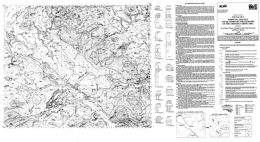 |
Open File 1995-13 presents the surficial geology and quaternary stratigraphy of the Chedakuz Creek area (93F/7) of British Columbia. The scale of mapping is 1:50000. Surficial geology mapping and till geochemical sampling was completed in the Chedakuz Creek and Tsacha Lake map areas during the summer of 1994 as part of the multi-component geological and mineral exploration survey that included bedrock geology and lake sediment geochemistry. This work is a continuation of surficial mapping and regional till geochemical surveys conducted in the adjoining map sheets. |
| Issue ID: | OF1995-14 |
| Title: | Geology and Mineral Occurrences of the Yahk Map Area SE British Columbia (NTS 82F/1) |
| Author(s): | Brown, D. |
| Series Name: | Open File |
| Publication Year: | 1995 |
| Scale: | 1:50000 |
| NTS Map Sheet(s): | 082F/1 |
| Place Keyword(s): | British Columbia, Southeastern British Columbia, Yahk Map Area |
| Lat/Long (NSWE): | 49.25, 49, -116.5, -116 |
| Theme Keyword(s): | Geology, Mineral Occurrences, Bedrock Geology |
Download(s):
| PDF |
Abstract:
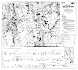 |
Open File 1995-14 describes the geology and mineral occurrences of the Yahk map area (82F/1) in southeastern British Columbia. The Open File includes a 1:50 000 scale geology map with a legend, cross sections, and information source map; and notes with a table of mineral occurrences, lithogeochemical data, and selected references for the area.
The area is underlain by rocks of the Middle Proterozoic Purcell Supergroup. The Aldridge Formation in the area comprises the lower unit (Rampart Facies) of quartzite, quartz arenite and quartz wacke; the middle unit of quartz and quartzofeldspathic wacke with argillite and siltstone interbeds; and the upper unit of siltstone and mudstone couplets. Creston Formation rocks include the lower unit of argillite and siltstone with lesser quartz wacke; the middle unit of white to maroon quartz arenite and quartz wacke with black to purple argillite and siltstone; and the upper unit of green siltstone with black or purple argillite and siltstone. Kitchener Formation is represented by dolomitic siltstone and green argillite.
�Moyie Sills� comprise mafic sills and dikes of gabbro to quartz diorite and hornblendite composition. Mafic sills and dikes of similar composition are hosted in strata younger than the middle Aldridge Formation.
Strata define upright folds that are cut by steeply inclined normal, reverse and thrust faults. From west to east across the map area trends change from north-northwest and north through mainly north to both north and northeast. Within the fault-defined blocks are a series of northwest trending faults.
The major exploration targets in the area are Sullivan-type volcanogenic massive sulphide deposits. Generally the targets are deep and indicator alteration types, like albitized zones, tourmaline replacements and breccias, and silicified zones, and also stratigraphy guide drilling. Also present are semi-concordant quartz veins with silver-enriched lead, zinc and copper mineralization, as well as quartz-chalcopyrite veins and galena-bearing quartz veins. Past production has come from several of the polymetallic veins. |
| Issue ID: | OF1995-15 |
| Title: | Geology and Mineral Occurrences of the Creston Map Area (NTS 82F/2) |
| Author(s): | Brown, D., Barron, D., Doughty, T.P., Manson, G., Stinson, P. |
| Series Name: | Open File |
| Publication Year: | 1995 |
| Scale: | 1:50000 |
| NTS Map Sheet(s): | 082F/2 |
| Place Keyword(s): | British Columbia, Southeastern British Columbia, Creston Map Area |
| Lat/Long (NSWE): | 49.25, 49, -117, -116.5 |
| Theme Keyword(s): | Geology, Mineral Occurrences, Bedrock Geology |
Download(s):
| PDF |
Abstract:
 |
Open File 1995-15 covers the geology and mineral occurrences of the Creston area (82F/2) in southeastern British Columbia. The Open File consists of a geology map at 1:50 000 scale with a legend, cross section, and selected references, and also two sheets containing a list of mineral occurrences and stream sediment geochemical results.
Rocks of the Middle Proterozoic (Helikian) Purcell Supergroup comprise the oldest strata in the area. Lower, Middle and Upper Aldridge Formation sediments; Lower, Middle and Upper Creston Formation sediments; Kitchener Formation dolomitic and other sediments; rocks equivalent to the Van Creek Formation, calcareous rocks of the Dutch Creek Formation; basalts and andesites of the Volcanic unit; and clastic to dolomitic rocks of the Mount Nelson Formation are exposed. Above are Upper Proterozoic (Hadrynian) strata of the Windermere Supergroup. The lowest, Dropstone unit is overlain by largely conglomeratic rocks of the Toby Formation. Above these are conglomerate, tuff and basalt of the Irene Formation, then limestone and clastic rocks of he Monk Formation. Upper Proterozoic (Hadrynian) and Lower Cambrian grit, quartzite and conglomerate of the Three Sisters Formation are the youngest stratified rocks exposed.
Proterozoic intrusive rocks comprise the Moyie Sills and mafic dikes in strata younger than the Aldridge Formation. Middle Jurassic stocks and plutons are tonalite, and epidote-bearing granodiorite to quartz monzonite. Cretaceous gneisses and plutons are important. The Corn Creek and West Creston gneiss is foliated to gneissic granite. The Rykert batholith varies from granite tot monzogranite to granodiorite; texture varies from granitic to gneissic. The Bayonne batholith consists of three plutons that vary from granodiorite to monzogranite and tonalite, to granite.
In general metamorphic grade and intensity of deformation increase toward the west. Overall, penetrative fabrics, local tight folding and overturned folds in some areas, contrast with broad upright anticlinoria in others. The Okell fault is a contractional, north-northwest-dipping structure; in contrast, the Purcell Trench fault is a brittle, high-level fault. Most faults strike north to northwesterly.
The stratabound Wilds Creek zinc-barite deposit is the most important known mineral occurrence in the area but Sullivan-type Sedex targets have been explored. The Wilds Creek deposit may be similar to the past-producing Mineral King mine. |
| Issue ID: | OF1995-16 |
| Title: | Bedrock and surficial geology of the Tsacha Lake map area (NTS 93F/2) |
| Author(s): | Diakow, L.J., Webster, I.C.L., Whittles, J.A., Richards, T.A., Giles, T.R., Levson, V.M. |
| Series Name: | Open File |
| Publication Year: | 1995 |
| Other Citation Details: | Contains data from British Columbia Geological Survey Open File 1995-10 |
| Larger Work Citation: | Contains data from British Columbia Geological Survey Open File 1995-10 |
| Scale: | 1:50000 |
| NTS Map Sheet(s): | 093F/02 |
| Place Keyword(s): | British Columbia, Tsacha Lake Map Area |
| Lat/Long (NSWE): | 53.25, 53, -125, -124.5 |
| Theme Keyword(s): | Surficial Geology Map, Geology, Bedrock Geology, Surficial Geology |
Download(s):
| PDF |
Abstract:
 |
Open File 1995-16 presents the bedrock and surficial geology, and the mineral occurrences of the Tsacha Lake area (93F/2) in central British Columbia. The map, at 1:50 000 scale, shows the geology, a legend, references, and assay data. The oldest stratified rocks in the area are of Lower to Middle Jurassic age. They consist of the Nechako Range assemblage, quartz-bearing crystal tuff, sandstone and siltstone; the Fawnie Range subaerial rhyolitic volcanic sequence; and the Kuyakuz Mountain assemblage, which consists of rhyolitic tuffs and volcaniclastic sediments. Overlying Middle Jurassic rocks comprise the Naglico formation, which consists mainly of andesitic and basaltic flows with pyroxene phenocrysts, feldspathic sandstone and siltstone, and subordinate, andesitic tuff and dacite porphyry flows. Unconformably overlying Lower Cretaceous conglomerate with chert clasts has interlayers of sandstone and siltstone. Eocene Ootsa Lake Group strata include rhyolite flows, andesite flows, rhyolite ash-flow tuff, and andesitic volcaniclastic rocks. Overlying Miocene and Pliocene Chilcotin Group olivine basalt flows have prominent columnar joints. Intrusive rocks are Middle (?) Jurassic to Eocene and younger (?). The oldest comprise coarse gabbro, augite porphyry and diorite plutons. Late Jurassic to Early Cretaceous rocks are of the Capoose batholith, which is mainly quartz monzonite. Late Cretaceous porphyritic diorite has pyroxene phenocrysts. Eocene plutons are granites. Eocene and possibly younger dikes and sills are rhyolite porphyry, felsite, and biotite-feldspar porphyry. Strata are offset along northeast and north to northwest-trending faults. One northerly trending fault is interpreted to be contractional in nature. The oldest surficial sediments are of Late Pleistocene age. They consist of resedimented glacial debris, morainal diamicton, mainly basal tills, glaciofluvial pebble to boulder gravel and sand, and glaciolacustrine sand, silt and clay. Holocene sediments comprise organic deposits, colluvium, and fluvial sand, pebble gravel and silt. The Nechako Plateau is underlain by rocks that have potential for porphyry copper, molybdenum or copper-molybdenum deposits, and epithermal precious metal and structurally hosted, porphyry-related precious and base metal-bearing occurrences. There is also potential for skarn mineralization and stratabound base with or without precious metal mineralization. Poor exposure has hampered exploration but known mineral occurrences are encouraging.
The oldest stratified rocks in the area are of Lower to Middle Jurassic age. They consist of the Nechako Range assemblage, quartz-bearing crystal tuff, sandstone and siltstone; the Fawnie Range subaerial rhyolitic volcanic sequence; and the Kuyakuz Mountain assemblage, which consists of rhyolitic tuffs and volcaniclastic sediments. Overlying Middle Jurassic rocks comprise the Naglico formation, which consists mainly of andesitic and basaltic flows with pyroxene phenocrysts, feldspathic sandstone and siltstone, and subordinate, andesitic tuff and dacite porphyry flows. Unconformably overlying Lower Cretaceous conglomerate with chert clasts has interlayers of sandstone and siltstone. Eocene Ootsa Lake Group strata include rhyolite flows, andesite flows, rhyolite ash-flow tuff, and andesitic volcaniclastic rocks. Overlying Miocene and Pliocene Chilcotin Group olivine basalt flows have prominent columnar joints.
Intrusive rocks are Middle (?) Jurassic to Eocene and younger (?). The oldest comprise coarse gabbro, augite porphyry and diorite plutons. Late Jurassic to Early Cretaceous rocks are of the Capoose batholith, which is mainly quartz monzonite. Late Cretaceous porphyritic diorite has pyroxene phenocrysts. Eocene plutons are granites. Eocene and possibly younger dikes and sills are rhyolite porphyry, felsite, and biotite-feldspar porphyry.
Strata are offset along northeast and north to northwest-trending faults. One northerly trending fault is interpreted to be contractional in nature.
The oldest surficial sediments are of Late Pleistocene age. They consist of resedimented glacial debris, morainal diamicton, mainly basal tills, glaciofluvial pebble to boulder gravel and sand, and glaciolacustrine sand, silt and clay. Holocene sediments comprise organic deposits, colluvium, and fluvial sand, pebble gravel and silt.
The Nechako Plateau is underlain by rocks that have potential for porphyry copper, molybdenum or copper-molybdenum deposits, and epithermal precious metal and structurally hosted, porphyry-related precious and base metal-bearing occurrences. There is also potential for skarn mineralization and stratabound base with or without precious metal mineralization. Poor exposure has hampered exploration but known mineral occurrences are encouraging. |
| Issue ID: | OF1995-17 |
| Title: | Bedrock and surficial geology of the Chedakuz Creek map area (NTS 93F/7) |
| Author(s): | Diakow, L.J., Webster, I.C.L., Whittles, J.A., Richards, T.A., Giles, T.R., Levson, V.M., Weary, G.F. |
| Series Name: | Open File |
| Publication Year: | 1995 |
| Other Citation Details: | Contains data from British Columbia Geological Survey Open File 1995-13 |
| Larger Work Citation: | Contains data from British Columbia Geological Survey Open File 1995-13 |
| Scale: | 1:50000 |
| NTS Map Sheet(s): | 093F/07 |
| Place Keyword(s): | British Columbia, Chedakuz Creek Map Area |
| Lat/Long (NSWE): | 53.5, 53.25, -125, -124.5 |
| Theme Keyword(s): | Surficial Geology Map, Geology, Bedrock Geology, Surficial Geology |
Download(s):
| PDF |
Abstract:
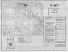 |
Open File 1995-17 presents the bedrock and surficial geology, and the mineral occurrences of the Chedakuz Creek area (93F/7) in central British Columbia. The map, at 1:50 000 scale, shows the geology, a legend, references, and assay data.
The oldest stratified rocks in the area are of Lower to Middle Jurassic age. They consist of the Nechako Range assemblage, quartz-bearing crystal tuff, sandstone and siltstone; the Fawnie Range subaerial rhyolitic volcanic sequence; and the Kuyakuz Mountain assemblage, which consists of rhyolitic tuffs and volcaniclastic sediments. Overlying Middle Jurassic rocks comprise the Naglico formation, which consists mainly of andesitic and basaltic flows with pyroxene phenocrysts, feldspathic sandstone and siltstone, and subordinate, andesitic tuff and dacite porphyry flows. Unconformably overlying Lower Cretaceous conglomerate with chert clasts has interlayers of sandstone and siltstone. Eocene Ootsa Lake Group strata include rhyolite flows, andesite flows, rhyolite ash-flow tuff, and andesitic volcaniclastic rocks. Overlying Miocene and Pliocene Chilcotin Group olivine basalt flows have prominent columnar joints.
Intrusive rocks are Middle (?) Jurassic to Eocene. The oldest comprise coarse gabbro, augite porphyry and diorite plutons. Late Cretaceous (?) porphyritic diorite has pyroxene phenocrysts. Eocene plutons are granites. Eocene biotite-hornblende granodiorite comprises the CH stock.
Strata are offset along northeast and north to northwest-trending faults. The northerly faults are interpreted to be contractional in nature.
The oldest surficial sediments are of Late Pleistocene age. They consist of resedimented glacial debris, morainal diamicton, mainly basal tills, glaciofluvial pebble to boulder gravel and sand, and glaciolacustrine sand, silt and clay. Holocene sediments comprise organic deposits, colluvium, and fluvial sand, pebble gravel and silt.
The Nechako Plateau is underlain by rocks that have potential for porphyry copper, molybdenum or copper-molybdenum deposits, and epithermal precious metal and structurally hosted, porphyry-related precious and base metal-bearing occurrences. There is also potential for skarn mineralization and stratabound base with or without precious metal mineralization. Poor exposure has hampered exploration but known mineral occurrences are encouraging. |
| Issue ID: | OF1995-18 |
| Title: | Drift Exploration Applicability of the Mahatta Creek Area (92L/5) |
| Author(s): | Huntley, D.H., Bobrowsky, P.T. |
| Series Name: | Open File |
| Publication Year: | 1995 |
| Scale: | 1:50000 |
| NTS Map Sheet(s): | 092L/5 |
| Place Keyword(s): | British Columbia, Northern Vancouver Island, Mahatta Creek Area |
| Lat/Long (NSWE): | 51.5, 50.25, -128, -127.5 |
| Theme Keyword(s): | Geology, Drift Exploration Potential |
Download(s):
| PDF |
Abstract:
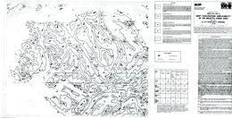 |
Open File 1995-18 studies the drift exploration applicability of the Mahatta Creek area (92L/5) British Columbia. Scale is 1:50000. |
| Issue ID: | OF1995-19 |
| Title: | MINFILE Reserves and Resources Inventory in British Columbia 1994 |
| Author(s): | MINFILE team |
| Series Name: | Open File |
| Publication Year: | 1995 |
| Other Citation Details: | superseded by Open File 1996-08 |
| NTS Map Sheet(s): | 082;083;092;093;094;102;103;104;114 |
| Place Keyword(s): | British Columbia |
| Lat/Long (NSWE): | 60, 48, -139, -114 |
| Theme Keyword(s): | Geology, MINFILE Reserves and Resources Inventory, Reserves, Resources |
Abstract:
| Open File 1995-19 is a printout of MINFILE Reserves and Resources Inventory for British Columbia in 1995. This 175-page report includes a 110-page table of 736 mineral deposits in British Columbia with known reserves and resources. The inventory, which is sorted by deposit name, includes the tonnage and grade of metallic minerals, industrial minerals, and coal occurrences. These deposits are cross-referenced with tables sorted by MINFILE Number, name and deposit type. The tables were generated from MINFILE/pc V. 4.5 and reflect the status of the MINFILE database as of January 1995. This Open File was created to serve as a handy hard-copy reference for anyone interested in British Columbia�s rich mineral endowment. This publication will appeal to a wide variety of local and international users, including government agencies, mining and exploration companies, researchers and the public. This report is superseded by Open File 1996-08. |
| Issue ID: | OF1995-20 |
| Title: | Selected British Columbia Mineral Deposit Profiles: Volume 1 - Metallics and Coal |
| Author(s): | Lefebure, D.V., Ray, G.E. (editors) |
| Series Name: | Open File |
| Publication Year: | 1995 |
| NTS Map Sheet(s): | 082;083;092;093;094;102;103;104;114 |
| Place Keyword(s): | British Columbia |
| Lat/Long (NSWE): | 60, 48, -139, -114 |
| Theme Keyword(s): | Geology, Mineral Deposit Profiles, Metallic Deposits, Coal |
Download(s):
| PDF |
Abstract:
 |
The British Columbia Geological Survey started a mineral potential assessment in 1992 utilizing deposit models for defining and characterizing mineral and coal deposits which exist, or for which favourable geological environments could exist, in the province. These deposit models are being used to classify known deposits and occurrences, to guide experts in their estimation of the number of possible undiscovered mineral deposits, and to group deposits to allow compilation of representative grade and tonnage data. The Branch formerly relied on mineral deposit models published by the United States Geological Survey (USGS) and Geological Survey of Canada (GSC). However, it became apparent that some models needed revision, and that there are British Columbia deposit types lacking published models. Hence we developed a set of mineral deposit profiles using the Branch's considerable in-house expertise, with assistance from economic geologists of the GSC, USGS, industry and academia. These deposit models are called "deposit profiles" to distinguish them from other published descriptions. This Open File 1995-20 is the first of three volumes describing deposit profiles, including metallic and coal deposits. Other volumes are: Volume 2 - Metallic Deposits (Open File 1996-13) and Volume 3 - Industrial Minerals and Gemstones (Open File 1999-10). |
| Issue ID: | OF1995-21 |
| Title: | Geology of the Muddy Lake, Tatsamenie Lake District, Northwestern B.C., (104K/1, 8) |
| Author(s): | Oliver, J.L. |
| Series Name: | Open File |
| Publication Year: | 1995 |
| Scale: | 1:10000 |
| NTS Map Sheet(s): | 104K/1, 8 |
| Place Keyword(s): | British Columbia, Northwestern British Columbia, Muddy Lake, Tatsamenie Lake District |
| Lat/Long (NSWE): | 58.361, 58.179, -132.458, -132.406 |
| Theme Keyword(s): | Geology, Bedrock Geology |
Download(s):
| PDF |
Abstract:
 |
Open File 1995-21 describes the geology and mineral occurrences of the Muddy Lake, Tatsamenie Lake District (104K/1, 8) in northwestern British Columbia. The Open File consists of 5 sheets: sheets A to D are 1:10 000 scale geology maps; the fifth sheet has geologic cross sections. This Open File is an update from Open File 1993-11. The oldest rocks in the area are packages within the Paleozoic Stikine assemblage that are of Lower Carboniferous, Upper Carboniferous and Permian age. These are overlain by Triassic Stuhini (?) sediments and Jura-Cretaceous volcanic and sedimentary rocks. Miocene basalt flows are columnar jointed and pillowed.
Sheet A covers the extreme northeastern portions of the project area. Much of the rock underlying this portion of the map area is an upper Triassic granodiorite that has been U-Pb dated at 218�3.6 Ma (Oliver and Gabites, 1993). Isolated volcanic roof pendants are also present. Additional geological highlights include:
1. A porphyry copper-molybdenum occurrence has been mapped across the eastern portions of the map area. Preliminary unpublished zircon age data for this intrusion indicates that it is upper Triassic in age and about 2.0 Ma years younger than the surrounding granodiorite batholith. Copper-molybdenum mineralization in this zone occurs as classical porphyry style fracture controlled veinlets and disseminations. This mineralized intrusion is tentatively named the Icy Pass Porphyry.
2. The upper Triassic hornblende diorite, which hosts porphyry copper-molybdenum mineralization, is cut by a younger quartz-feldspar and biotite porphyry intrusion. Semi-massive stibnite and gold mineralization is associated with this younger intrusive phase. These younger porphyritic intrusions may be correlated with the upper Cretaceous to Tertiary Sloko intrusions.
3. Contact relationships between the large dioritic to gabbroic intrusive body, located in the extreme northwestern portions of the map area, and the enclosing granodiorite are poorly constrained. This rock may be simply be a more mafic phase of the larger granodiorite body.
Sheet B covers the northwestern portions of the map area. The following points are relevant to the interpretation of the lithologic and structural relations shown on this map:
1. In the extreme southwestern corner of the map Pennsylvanian to Permian age rocks are exposed in the core of a large regional antiform, the Tatsamenie antiform. Felsic volcanics rocks, exposed at the south end of Tatsamenie Lake, have been dated at 307�2Ma (Oliver and Gabites, 1993). The older felsic rock package structurally overlies younger Permian age carbonates. The contact is a south verging thrust.
2. Felsic rocks in this area have an unusual map pattern. Rapid changes in the orientation of early linear rock fabrics and the development of an unusual north trending lobe, a weak Type 2 interference pattern, clearly indicates that these rocks have been deformed by a second fold structure. These younger folds typically trend north-northeast, have moderate northeast-directed plunges and are upright.
3. An unconformable contact relation is shown in the west-central portions of the map area. Highly foliated and strongly actinolite porphyroblastic pre-middle Triassic rocks are overlain by non-foliated, weakly deformed volcanic and sedimentary rocks. These rocks are likely correlates of the upper Triassic Stuhini group.
4. A large zone of hydrothermal alteration, approximately 14 square kilometres in extent outcrops from the central to the northeastern portions of the map area. The rock modifier "ak" (ankerite) defines in part the distribution of iron carbonate. This mineral is the principle alteration product and forms a bright orange-buff weathering zone. Green micas, secondary silica, secondary potassic feldspars and pyrite are also important mineral assemblages. The alteration zone does not appear to track the contact of the main granodiorite body exposed on the northern portions of the map area. Rock alteration is likely related to the emplacement of several smaller diorite to granodiorite stocks and the presence of several large extensional faults that are located in this area. One of these large faults, which strikes east-west and dips subvertically, is enveloped by an alteration zone up to 50 metres in width. For up to 100 metres on either side of this fault drag folds deform the rock and rotate supracrustal rocks into this fault zone. Fracture controlled copper mineralization may be identified at several locations within this alteration zone and limited data also suggests that a few of the smaller stocks may host porphyry style mineralization.
Sheet C presents the geology of the central quadrant. Most of the volcanic rocks shown on this map are strongly porphyroblastic. Actinolite, biotite, albite and sometimes hornblende are formed from a mafic volcanic protolith. This metamorphic assemblage is not related to contact effects along the western margin of the granodiorite batholith. Most of these rocks have two cleavages. The younger of these is best identified petrographically and is present as a weak crenulation cleavage. Some rotational fabrics, and pressure shadows are associated with larger porphyroblasts. These are not interpreted as S/C fabrics.
Other features of interest on this map sheet include:
1. Ultramafic bodies are exposed in four areas on this map. Although no isotopic age constraints may be imposed on these rocks, they are likely younger than the upper-Triassic. These rocks are clinopyroxene-magnetite Alaskan style intrusions. Near major fault zones they are extensively serpentinized and carbonatized. These rocks were initially interpreted by Oliver and Hodgson (1990) as part of a poorly preserved and dismembered ophiolite. This interpretation has been revised based on updated petrographic data, on the development of a broader geological map base and a revision in the interpretation of field relationships.
2. The large north trending fault zone that traverses the central portions of the map area is a continuation of the Bear Fault system which hosts gold mineralization at the Golden Bear deposit, 10 kilometres to the south. This structure is not well exposed on the north side of Tatsamenie Lake. Based on offset stratigraphy, the last movement across this fault is dextral and rotational.
3. Contact relations for the intravolcanic limestone unit shown on the west-central portions of this map are weakly constrained and have been identified at only three geological stations. This unit does not appear to cross the north trending Bear Fault defined in the central portions of the map area.
4. The extreme western contact of the isolated granodiorite body in the north-central portions of the map area is weakly constrained by available field relations. Offsets of this rock mass across the northern extension of the Bear fault have not been determined.
5. A northeast trending synform-antiform couple is shown on the extreme southern edge of this map area. The antiform is the northern extension of the Sam Creek antiform. Its position is well constrained by both lithology and rock fabric orientations. The position of the synform is defined by the rapid rotation of early linear rock fabrics across the axial surface of the younger synform.
Sheet D covers the southern quadrant of the study area. Several complex geological relations are shown on this map. The present contact patterns have been strongly influenced by a minimum of two folding events and by both contractional and wrench faults. Significant geological and structural features on this map include:
1. The large mass of Permian carbonate rocks shown in the central portions of the map have been deformed into a large north trending antiform, the Tatsamenie antiform. This fold has a south-directed plunge in the southern portions of the map area. To the north, plunges reverse. This reversal is caused by the interaction of a younger northeast trending antiform, the Sam Creek antiform with the older Tatsamenie antiform. The teardrop shaped map pattern of the Permian carbonate rocks is interpreted as a map scale Type 1 to 2 interference pattern.
2. The northern contact of the Permian succession with the overlying supracrustral rocks occurs across a south verging thrust. This contraction fault places an older felsic volcanic rock package dated at 301.8 +2/-4 Ma (Oliver and Gabites, 1993) on top of Permian carbonate rocks. These felsic rocks are correlated with the felsic succession exposed on the north shore of Tatsamenie Lake.
3. The Sam Creek antiform deforms early rock fabrics and lithology into a northeast plunging antiform. It does not deform the north trending Bear Fault system. K-Ar dates on sericite, formed in association with this fault, suggest that rocks are hydrothermally altered between 205�7 Ma to 179�6 Ma (Schroeter, 1987). The formation of the antiform predates the activation of this fault.
4. The Golden Bear deposit, located just north of Bearskin (Muddy) Lake, is bounded to the east by a non-mineralized gabbro and to the west by Permian carbonates. Mineralization forms in dilatant fault zones localized to carbonate-chert-and sulphidized mafic volcanic contacts. Prior to the initiation of mining, the deposit was estimated to contain 625 000 tonnes of 18.63 grams per tonne gold (Oliver and Hodgson, 1989).
5. Immediately west of the Golden Bear deposit, map scale second phase folds and interference structures are developed. These structures are believed to have formed at the same time as the larger Sam Creek antiform.
6. Several splays or strands of the Bear Fault are shown on this map. Many of these are associated with zones of strong iron carbonate development, sericite, pyrite and green micas or clays. Some of these structural zones, notably the Fleece Zone located 2.0 kin's north of the Golden Bear mine, are also mineralized. The orientation of second order fault splays and the morphology of mineralized zones suggests that at the time of mineralization movement along the Bear Fault system was sinistral and reverse. |
| Issue ID: | OF1995-22 |
| Title: | Preliminary Bedrock Geology Between Holy Cross Mountain and Bentzi Lake (parts of NTS 93F/14E and 15W) |
| Author(s): | Daly, R.A. |
| Series Name: | Open File |
| Publication Year: | 1995 |
| Scale: | 1:15000 |
| NTS Map Sheet(s): | parts of 093F/14E and 15W |
| Place Keyword(s): | British Columbia, Between Holy Cross Mountain and Bentzi Lake |
| Lat/Long (NSWE): | 53.833, 53.75, -125.033, -124.867 |
| Theme Keyword(s): | Geology, Bedrock Geology |
Download(s):
| PDF |
Abstract:
 |
Open File 1995-22 presents the preliminary bedrock geology between Holy Cross Mountain and Bentzi Lake (parts of 93F/14E and 15W) in British Columbia. Scale is 1:50000. |
| Issue ID: | OF1995-23 |
| Title: | Porphyry Deposits in British Columbia |
| Author(s): | Fournier, M.A. (compiler and digital cartographer) |
| Series Name: | Open File |
| Publication Year: | 1995 |
| Scale: | 1:2000000 |
| NTS Map Sheet(s): | 082;083;092;093;094;102;103;104;114 |
| Place Keyword(s): | British Columbia |
| Lat/Long (NSWE): | 60, 48, -139, -114 |
| Theme Keyword(s): | Geology, Porphyry Deposits |
Download(s):
| PDF |
Abstract:
 |
Open File 1995-23 presents porphyry deposits in British Columbia. Scale is 1:2000000. |
| Issue ID: | OF1995-24 |
| Title: | Mineral Potential Project, Digital Geological Compilation NEBC South half, (NTS 83D, E; 93F, G, H, I, J, K, N, O, P) |
| Author(s): | Bellefontaine, K.A., Legun, A.S., Massey, N.W.D., Desjardins, P.J. (compilers, digital cartographers) |
| Series Name: | Open File |
| Publication Year: | 1995 |
| Scale: | 1:250000 |
| NTS Map Sheet(s): | 083D, 083E; 093F, 093G, 093H, 093I, 093J, 093K, 093N, 093O, 093P |
| Place Keyword(s): | British Columbia, Northeastern British Columbia, Southern Half of Northeastern British Columbia |
| Lat/Long (NSWE): | 56, 53, -126, -118 |
| Theme Keyword(s): | Geology, Mineral Potential, Digital Geological Compilation |
Download(s):
| ZIP (View Zip Contents) |
Abstract:
| Open File 1995-24 is a digital geological compilation of northeastern British Columbia, the south half, for the Mineral Potential Project, (83D, E; 93F, G, H, I, J, K, N, O, P). |
| Issue ID: | OF1995-25 |
| Title: | Asbestos Occurrences in British Columbia |
| Author(s): | Harvey-Kelly, F.E.L. |
| Series Name: | Open File |
| Publication Year: | 1995 |
| NTS Map Sheet(s): | 082;083;092;093;094;102;103;104;114 |
| Place Keyword(s): | British Columbia |
| Lat/Long (NSWE): | 60, 48, -139, -114 |
| Theme Keyword(s): | Geology, Asbestos Occurrences |
Download(s):
| PDF |
Abstract:
 |
Open File 1995-25 describes the distribution and geological environment of asbestos occurrences in British Columbia. It comprises 100 pages with 9 tables, 23 figures and maps, and 4 appendices. The 97 known occurrences of asbestos in B.C. are categorized by regional geology, host rocks, adjacent lithologies, tectonic setting and proximity of intrusions. The individual occurrence descriptions are subdivided by both host terrane and physiographic area. The MINFILE system has been used to develop individual property descriptions. Asbestos mineralization is identified by mineral type - i.e. asbestiform serpentine (chrysotile) or asbestiform amphibole. Funding for this project was provided by the 1990-1995 Canada - British Columbia Agreement on Mineral Development (MDA) through Natural Resources Canada. |
| Issue ID: | OF1995-26 |
| Title: | Market Study for British Columbia Mica |
| Author(s): | McNeal & Associates Consultants Ltd., Gunning, D.F. |
| Series Name: | Open File |
| Publication Year: | 1995 |
| Scale: | 1:10000000 |
| NTS Map Sheet(s): | 082;083;092;093;094;102;103;104;114 |
| Place Keyword(s): | British Columbia |
| Lat/Long (NSWE): | 60, 48, -139, -114 |
| Theme Keyword(s): | Geology, Mica, Market Study |
Download(s):
| PDF |
Abstract:
 |
Open File 1995-26 is market study for British Columbia mica. |
| Issue ID: | OF1996-01 |
| Title: | 1995 Operating Mines and Exploration and Development Projects in B.C. |
| Author(s): | Owsiacki, G., Schroeter, T.G., Wojdak, P.J., Pinsent, R.H., Wilton, P., MacDonald, K. |
| Series Name: | Open File |
| Publication Year: | 1996 |
| Scale: | 1:2500000 |
| NTS Map Sheet(s): | 082;083;092;093;094;102;103;104;114 |
| Place Keyword(s): | British Columbia |
| Lat/Long (NSWE): | 60, 48, -139, -114 |
| Theme Keyword(s): | Geology, Operating Mines, Development Projects |
Download(s):
| PDF |
Abstract:
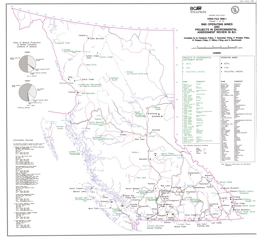 |
Open File 1996-01 presents the 1995 operating mines and exploration and development projects in British Columbia. Scale is 1:2500000. |
| Issue ID: | OF1996-02 |
| Title: | Geology and Mineral Occurrences of the Downie Creek Area, Northern Selkirk Mountains (NTS 82M/8 and part of 1) |
| Author(s): | Logan, J.M., Colpron, M., Johnson, B.J., Rees, C. |
| Series Name: | Open File |
| Publication Year: | 1996 |
| Scale: | 1:50000 |
| NTS Map Sheet(s): | 082M/8 and part of 1 |
| Place Keyword(s): | British Columbia, Northern Selkirk Mountains, Downie Creek Area |
| Lat/Long (NSWE): | 51.75, 51.132, -118.75, -118 |
| Theme Keyword(s): | Geology, Mineral Occurrences, Bedrock Geology |
Download(s):
| PDF |
Abstract:
 |
Open File 1996-2 presents the geology and mineral occurrences of the Downie Creek area (82M/8, part of 1) in the northern Selkirk Mountains of southeastern British Columbia. The Open File map portrays geology at 1:50 000 scale and includes a legend, cross sections, and tables of isotopic age data and mineral occurrences. The work complements information in Open Files 1995-2 and 1995-3.
The geology and structure are complex. Proterozoic (?) to Paleozoic (?) rocks include undivided metasediments that feature sillimanite, kyanite and amphibole-bearing calcareous schist, and also Monashee complex amphibolite-bearing pegmatitic gneiss and minor calc silicate gneiss. Neoproterozoic Horsethief Creek Group rocks consist of three units. The lower is phyllite interlayered with micaceous quartzite and dolostone; the intermediate unit is phyllite with local dolostone interbeds; and the upper unit is phyllitic dolostone interlayered with phyllite and some quartzite. Eocambrian Hamill Group comprises three units. The lowest consists of micaceous quartzite interlayered with phyllite. Above are massive and cross-bedded quartzite with micaceous quartzite and phyllite layers, then mafic massive to amygdaloidal metavolcanic flow and associated epiclastic rocks. The Lower Cambrian Mohican Formation has a unit characterized by phyllite, calcareous phyllite and calcareous grit with dolostone intercalations, and a unit dominated by siliceous phyllite with dolostone and micaceous quartzite interlayers. The Lower Cambrian Badshot Formation is dolomitic marble. The Cambrian (?) to Devonian (?) Lardeau Group consists of the Index Formation, a Micaceous Quartzite and Grit assemblage, and the Jowett Formation. The Index Formation is divided into five units. From lowest to highest, the units consist of white orthoquartzites breccia; graphitic to calcareous phyllite; marble, dolomitic marble and phyllitic carbonate; mafic metavolcanic flows including massive flows and pillow breccia, and diorite sills; and a unit with mostly phyllite and quartz grit. The Micaceous Quartzite and Grit assemblage consists of a unit dominated by micaceous quartzite with interbedded phyllite, grit and schist, and a unit with interbedded grit and phyllite with minor marble interbeds. The Jowett Formation is made up largely of actinolite schist and phyllite but includes marble layers.
Intrusive rocks in the area that are of uncertain age include metadiorite and metagabbro bodies and ultramafic intrusions. The Early Mississippian Downie Creek and Clachnacudainn gneisses are foliated granite and quartz monzonite. The Middle Jurassic Pass Creek pluton is megacrystic quartz monzonite. Biotite-hornblende diorite may be Cretaceous and possibly mid-Cretaceous stocks are locally megacrystic biotite granites. The Late Cretaceous (?) Downie stock consists of muscovite-biotite leucogranite that is locally garnet bearing.
Rocks in the area have been multiply deformed into a series of thrust slides that dip easterly and host upright to overturned to west verging isoclinal folds. The map sheet is bounded on the west by the Columbia River fault, which dips moderately toward the east and shows normal movement. Rocks west of this fault comprise the Monashee complex.
Mineral occurrences include: copper-zinc-silver-gold-bearing Besshi-type volcanogenic massive sulphide deposits, like the formerly producing Goldstream mine; stratabound carbonate replacement deposits with lead, zinc, silver and gold values; zinc-copper-silver and tungsten-gold skarns; base metal veins with or without tungsten and gold; placer gold; and industrial mineral potential, particularly for garnet. |
| Issue ID: | OF1996-03 |
| Title: | Preliminary Geology of Gataga Mountain Area (NTS 94L/10, 11, 14, 15) |
| Author(s): | Ferri, F., Rees, C., Nelson, J.L., Augereau, C., Legun, A.S. |
| Series Name: | Open File |
| Publication Year: | 1996 |
| Scale: | 1:50000 |
| NTS Map Sheet(s): | 094L/10, 11, 14, 15 |
| Place Keyword(s): | British Columbia, Gataga Mountain Area |
| Lat/Long (NSWE): | 58.917, 58.583, -127.333, -126.533 |
| Theme Keyword(s): | Geology, Preliminary Geology, Bedrock Geology |
Download(s):
| PDF |
Abstract:
 |
Open File 1996-3 presents the geology and mineral occurrences of the Gataga Mountain area (94L/10, 11, 14, 15) in northeastern British Columbia. The geology map at 1:50 000 scale includes a legend, geological cross sections, and references as well as fossil identification, mineral occurrence, lithogeochemical analysis tables.
The oldest strata in the area are units of the Lower Cambrian Gog Group. The lower unit consists of siliciclastics and carbonates, including quartzite, quartz sandstone, siltstone, slate, limestone and dolostone; the upper unit of volcanic and volcaniclastic rocks including ash and lapilli tuff, agglomerate, basalt flows and flow breccias and volcanic wacke and siltstone. Lower to Middle Cambrian strata include Gog and younger rocks. The Middle Cambrian unit is mainly conglomerate with lesser siltstone, limestone and volcanics. The younger unit consists dominantly of siltstone, slaty siltstone, slate, and micaceous sandstone. Two units of Kechika Group are of Cambrian age; the older is dominated by siliciclastics, including slate, slaty siltstone, and micaceous sandstone; the younger contains mainly carbonates, including limestone, dolostone and dolomitic limestone. The Upper Cambrian to Lower Ordovician strata of the Kechika Group are mainly slate, calcareous slate with local limestone lenses. Road River Group strata include Middle to Late Ordovician recessive carbonaceous graptolitic slate to siltstone, cherty slate, argillite and chert; Lower Silurian to Middle Devonian rocks of the �Silurian Siltstone� unit, and undivided rocks. The Silurian Siltstone consists of mostly of siltstone to dolomitic siltstone, slate and silty slate. Earn Group rocks are of Middle Devonian to Early Mississippian age. Carbonaceous slate, siltstone, cherty slate, cherty argillite and chert predominate.
The fabric of the geology trends northwest due to a series of moderate to very tight overturned folds and northwest trending thrust faults. The thrusts are northeast-verging and dip relatively steeply toward the southwest. Structural detachment is most important in the Kechika and Ordovician Road River shales. Earn lithologies are also relatively incompetent. Major thrust carry Cambrian or uppermost Proterozoic strata in their hanging immediate wall, and there are several major thrusts. Very large, northeasterly overturned folds can be recognized.
The Kechika Basin is part of a metallogenic province characterized by sedimentary exhalative lead-zinc-barite deposits. Devono-Mississippian Earn Group rocks have the highest mineral potential in the area and many stratiform barite occurrences were located. One occurrence was within the Ordovician Road River Group. Rocks in the map area are a northward extension of the structural panel that hosts the Driftpile Creek and other stratiform barite and barite-sulphide deposits. Other occurrences of interest include a zone of lead-rich veinlets in Earn rocks and zinc and barite-rich crosscutting breccia in chert and limestone of the uppermost Road River Group. There are also quartz vein occurrences in carbonates containing copper sulphides or tetrahedrite. |
| Issue ID: | OF1996-07 |
| Title: | Till Geochemistry of Northern Vancouver Island Area (NTS 92L/5, 6W, 11W, 12) |
| Author(s): | Bobrowsky, P.T., Sibbick, S.J. |
| Series Name: | Open File |
| Publication Year: | 1996 |
| Scale: | 1:50000 |
| NTS Map Sheet(s): | 092L/5, 6W, 11W, 12 |
| Place Keyword(s): | British Columbia, Northern Vancouver Island Area, Port Hardy, Rupert Inlet |
| Lat/Long (NSWE): | 50.75, 50.25, -128, -127.25 |
| Theme Keyword(s): | Geology, Till Geochemistry, Drift Prospecting, Mineral Potential, geochemistry |
Download(s):
| PDF, ZIP (View Zip Contents) |
Abstract:
 |
Open File 1996-07 presents the results of a drift prospecting program conducted by the British Columbia Geological Survey on northern Vancouver Island in an area southwest of Port Hardy. This project is part of a three year multidisciplinary, integrated resource assessment program aimed at defining the mineral potential of this part of the province. The northern Vancouver Island drift prospecting program is one of several provincial till geochemistry surveys to demonstrate the utility of integrating surficial geology mapping and exploration geochemical methods to locate buried mineral deposits in areas of drift covered terrain. The program focused on four 1:50 000 scale map sheets including NTS 92L/5, L/6, L/11 and L/12. The presence of the Island Copper Cu-Mo-Au porphyry deposit, located on the northeast shore of Rupert Inlet, contributed to the selection of this area for regional till geochemistry studies. Mapping of the surficial sediments was undertaken to document the variability in the type and distribution of unconsolidated sediments. The character, origin and age of the various types of unconsolidated sediments present in an area of glaciated terrain are important parameters to document as part of any drift exploration program, and their understanding provides a framework for a complementary till geochemistry and pebble lithology sampling program. The till geochemistry study consisted of a systematic sampling program (1-5 kilograms) primary basal till and colluviated till deposits which were first identified and then targeted during the surficial mapping. Pebble lithology studies consisted of the collection and subsequent identification of 100 clasts at each of the till sample stations. The integration of mineral deposit studies, detailed bedrock mapping, surficial mapping and till geochemistry addresses the main objective of drift prospecting: to provide data that will lead to the discovery of economic mineralization, covered by a blanket of unconsolidated sediments. This is done by interpreting down-ice glacial dispersal patterns (mechanical dispersal trains) that will help locate the sources of geochemical anomalies and changed clast lithologies. This open file provides a final summation of the till geochemical data collected for northern Vancouver Island. |
| Issue ID: | OF1996-08 |
| Title: | MINFILE Reserves/Resources Inventory in British Columbia 1995 |
| Author(s): | MINFILE Team |
| Series Name: | Open File |
| Publication Year: | 1996 |
| Other Citation Details: | superseded by Open File 1997-04 |
| NTS Map Sheet(s): | 082;083;092;093;094;102;103;104;114 |
| Place Keyword(s): | British Columbia |
| Lat/Long (NSWE): | 60, 48, -139, -114 |
| Theme Keyword(s): | Geology, Resource Inventory, Reserves Inventory, MINFILE |
Abstract:
| Open File 1996-08 presents a report on MINFILE reserves/resources inventory for British Columbia 1995. This 186-page report includes a 114-page table of 751 mineral deposits in British Columbia with known reserves and resources. The inventory, which is sorted by deposit name, includes the tonnage and grade of metallic minerals, industrial minerals, and coal occurrences. These deposits are cross-referenced with tables sorted by MINFILE Number, name and deposit type. The tables were generated from MINFILE/pc V. 4.5 and reflect the status of the MINFILE database as of January 1996. This Open File was created to serve as a handy hard-copy reference for anyone interested in British Columbia�s rich mineral endowment. This publication will appeal to a wide variety of local and international users, including government agencies, mining and exploration companies, researchers and the public. This report is superseded by Open File 1997-04 |
| Issue ID: | OF1996-09 |
| Title: | Surficial geology and Quaternary stratigraphy of the Old Fort Mountain area (NTS 93M/1) |
| Author(s): | Huntley, D.H., Levson, V.M., Weary, G.F. |
| Purpose: | this surficial geology map summarizes the Quaternary geology of the Old Fort Mountain area. |
| Series Name: | Open File |
| Publication Year: | 1996 |
| Scale: | 1:50000 |
| NTS Map Sheet(s): | 093M/01 |
| Place Keyword(s): | British Columbia, Old Fort Mountain Area |
| Lat/Long (NSWE): | 55.25, 55, -126.5, -126 |
| Theme Keyword(s): | Surficial Geology Map, Geology, Surficial Geology, Quaternary Stratigraphy |
Download(s):
| PDF |
Abstract:
 |
Open File 1996-09 presents the surficial geology and quaternary stratigraphy of the Old Fort Mountain area (93M/01) of British Columbia. The scale is 1:50000. In 1995, a regional bedrock and surficial geology mapping program was initiated as part of the Nechako Plateau National Mapping Program to stimulate further exploration and define new mineralization targets in the Babine lake area. Drift sampling focused on the collection of basal till samples since they are first derivative products of erosion and deposition with relatively simple transport histories. A total of 293 samples were collected from the C-horizon profiles in roadcuts, hand-dug pits, trenches, stream cutbanks, borrow pits, and forest blowdowns. |
| Issue ID: | OF1996-10 |
| Title: | Surficial geology and Quaternary stratigraphy of the Fulton Lake area (NTS 93L/16) |
| Author(s): | Stumpf, A.J., Huntley, D.H., Levson, V.M., O'Brien, E.K. |
| Series Name: | Open File |
| Publication Year: | 1996 |
| Scale: | 1:50000 |
| NTS Map Sheet(s): | 093L/16 |
| Place Keyword(s): | British Columbia, Fulton Lake Area |
| Lat/Long (NSWE): | 55, 54.75, -126.5, -126 |
| Theme Keyword(s): | Surficial Geology Map, Surficial Geology, Quaternary Stratigraphy, Drift sampling, Geology |
Download(s):
| PDF |
Abstract:
 |
Open File 1996-10 portrays the surficial geology and quaternary stratigraphy of the Fulton Lake area (93L/16) at 1:50,000. In 1995, the multidisciplinary Babine Porphyry Belt project was initiated as part of the Nechako Plateau National Mapping Program to stimulate further exploration and define new mineralization targets in the Babine Lake area. This map is compiled from fieldwork undertaken as part of this project, and compliments bedrock mapping (MacIntyre et al., 1996), till geochemistry and surficial geology mapping (Huntley et al., 1996a; b; Stumpf et al., 1996). Final results of the till geochemical sampling program will be published at a later date.
Basal till matrix samples were collected from 304 stations (1 station per 3 kilometres) for geochemical analyses in order to locate glacially dispersed mineralization present in the region. Basal tills (lodgement and basal melt-out till) were selected since they are first derivative products of erosion and deposition with relatively simple transport histories. As such, mineralized debris dispersed within basal tills can be more readily traced to origins than in most other deposits. Samples were collected from C-horizon profiles in roadcuts, hand-dug pits, trenches, stream cutbanks, borrow pits, and forest blowdowns. Sampling and fieldwork assisted by Jennifer Hobday and Gordon Weary. |
| Issue ID: | OF1996-11 |
| Title: | Digital Geology, NW British Columbia (NTS 94/E, L, M; 104/F, G, H, I, J, K, L, M, N, O, P; 114/I, O, P) |
| Author(s): | Mihalynuk, M.G., Bellefontaine, K.A., Brown, D.A., Logan, J.M., Nelson, J.L., Legun, A.S., Diakow, L.J. (compilers) |
| Series Name: | Open File |
| Publication Year: | 1996 |
| Scale: | 1:250000 |
| NTS Map Sheet(s): | 094E, 094L, 094M; 104F, 104G, 104H, 104I, 104J, 104K, 104L, 104M, 104N, 104O, 104P; 114I, 114O, 114P |
| Place Keyword(s): | British Columbia, Northwestern British Columbia |
| Lat/Long (NSWE): | 60, 56, -139, -126 |
| Theme Keyword(s): | Geology, Digital Geology, Bedrock Geology |
Download(s):
| ZIP (View Zip Contents) |
Abstract:
| Open File 1996-11 presents digital geology of northwestern British Columbia. |
| Issue ID: | OF1996-12 |
| Title: | Surficial geology of the Chilliwack area (NTS 92G/1E, 92H/4W) |
| Author(s): | Levson, V.M., Gerath, R.F., Meldrum, D.G., Monahan, P.A. |
| Series Name: | Open File |
| Publication Year: | 1996 |
| Scale: | 1:20000 |
| NTS Map Sheet(s): | 092G/01; 092H/04 |
| Place Keyword(s): | British Columbia, Southwestern British Columbia, Chilliwack Area |
| Lat/Long (NSWE): | 49.25, 49, -122.25, -121.75 |
| Theme Keyword(s): | Surficial Geology Map, Surficial Geology, Geological Map, Geological Survey, Geotechnical Survey |
Download(s):
| PDF |
Abstract:
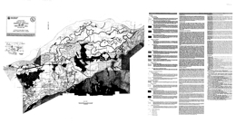 |
Open File 1996-12 presents the surficial geology of the Chilliwack area (NTS 92G/1E, 92H/4W) of southwestern British Columbia. This geological compilation map includes the entire Chilliwack District and parts of the former Fraser-Chean Regional District, now the Fraser Valley Regional District. The map area is located approximately 100 kilometres east of Vancouver via the Trans-Canada Highway. This geological map results from one part of a geological and geotechnical survey of the Chilliwack region that includes surficial geology and earthquake hazard mapping components. |
| Issue ID: | OF1996-13 |
| Title: | Selected British Columbia Mineral Deposit Profiles: Volume 2 - Metallic Deposits |
| Author(s): | Lefebure, D.V., Hoy, T. (editors) |
| Series Name: | Open File |
| Publication Year: | 1996 |
| NTS Map Sheet(s): | 082;083;092;093;094;102;103;104;114 |
| Place Keyword(s): | British Columbia |
| Lat/Long (NSWE): | 60, 48, -139, -114 |
| Theme Keyword(s): | Geology, Mineral Deposit Profiles, Metallic Deposits |
Download(s):
| PDF |
Abstract:
 |
The British Columbia Geological Survey (BCGS) started a mineral potential assessment in 1992 utilizing deposit models for defining and characterizing mineral and coal deposits which exist, or for which favourable geological environments could exist, in the province. These deposit models are being used to classify known deposits and occurrences, to guide experts in their estimation of the number of possible undiscovered mineral deposits, and to group deposits to allow compilation of representative grade and tonnage data. The BCGS formerly relied on mineral deposit models published by the United States Geological Survey (USGS) and Geological Survey of Canada (GSC). However, it became apparent that some models needed revision, and that there are British Columbia deposit types lacking published models. Hence we developed a set of mineral deposit profiles using the Branch's considerable in-house expertise, with assistance from economic geologists of the GSC, USGS, industry and academia. These deposit models are called "deposit profiles" to distinguish them from other published descriptions. The deposit profiles were completed in three volumes describing metallic, coal, and industrial minerals and gemstone deposits. Other volumes are: Volume 1 - Metallics and Coal (Open File 1995-20) and Volume 3 - Industrial Minerals and Gemstones (Open File 1999-10). |
| Issue ID: | OF1996-15 |
| Title: | Regional Lake Sediment and Water Geochemistry of part of the Fort Fraser Map Area, British Columbia (NTS 93K/9, 10, 15, 16) |
| Author(s): | Cook, S.J., Jackaman, W., McCurdy, M.W., Day, S.J., Friske, P.W. |
| Purpose: | This expanded water survey is a first for RGS lake sediment surveys in British Columbia and it includes data from 217 sites. |
| Series Name: | Open File |
| Publication Year: | 1996 |
| Scale: | 1:50000 |
| NTS Map Sheet(s): | 093K/9, 10, 15, 16 |
| Place Keyword(s): | British Columbia, Fort Fraser Map Area |
| Lat/Long (NSWE): | 55, 54.5, -125, -124 |
| Theme Keyword(s): | Geology, Regional Lake Sediment Geochemistry, Water Geochemistry |
Download(s):
| PDF, ZIP (View Zip Contents) |
Abstract:
 |
Open File 1996-15 presents new analytical results for 37 metals, at 413 sample sites, from a regional lake sediment and water geochemistry survey conducted over the northeast part of the Fort Fraser map area (NTS 93K) in 1995. The survey, covers four 1:50 000 map areas in an area north of Fort St. James where exploration has been hindered by extensive drift cover, poor exposure and an insufficient geological database. The area straddles the southeast trending Pinchi fault zone, the boundary between the Quesnel and Cache Creek Terranes. New exploration targets for precious and base metals are identified. The report provides listings of field and analytical data, summary statistics, metal distribution maps, and sample location maps. The samples were obtained from 413 sites at an average density of 1 site per 9.1 square kilometres using a float-equipped Bell 206 helicopter and a Hornbrook-type sampler. Digital data listings (ASCII format) are provided on a 3.5" diskette. Also available as GSC Open File 3305 |
| Issue ID: | OF1996-16 |
| Title: | Geology of the West-central Purcell Mountains, British Columbia (NTS 82K/2, 7 and parts of 8 and 10) |
| Author(s): | Warren, M.J. |
| Series Name: | Open File |
| Publication Year: | 1996 |
| Scale: | 1:75000 |
| NTS Map Sheet(s): | 082K/2, 7 and parts of 8 and 10 |
| Place Keyword(s): | British Columbia, West-central Purcell Mountains |
| Lat/Long (NSWE): | 50.752, 50.04, -117.071, -116.331 |
| Theme Keyword(s): | Geology, Bedrock Geology |
Download(s):
| PDF |
Abstract:
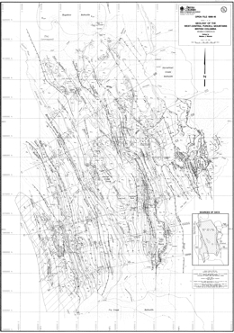 |
Open File 1996-16 describes the geology of the west-central Purcell Mountains (82K/2, 7, and parts of 8, 10) in southeastern British Columbia. The Open File consists of three sheets: sheet 1 presents the geology at 1:75 000 scale and has an inset map showing sources of data; sheet 2 consists of a series of structural geologic cross sections; and sheet 3 contains the legend, a schematic stratigraphic summary, geological notes and references.
The west-central Purcell Mountains of southeastern British Columbia expose Mesoproterozoic to Lower Paleozoic rocks that were deposited on the western margin of ancestral North America during at least two episodes of continental rifting. These strata were subsequently deformed, regionally metamorphosed and intruded by at least two suites of granitic plutons during Mesozoic terrane accretion.
The map area is divisible into three distinct stratigraphic and structural domains. These comprise, from east to west, the eastern Purcell anticlinorium in the footwall of the Mount Forster thrust, the western Purcell anticlinorium in the hangingwall of the Mount Forster thrust and the Kootenay Arc. New mapping by M. Warren has focused in the western Purcell anticlinorium, in order to investigate the evolution of Proterozoic and Paleozoic stratigraphic contrasts between the hangingwall and footwall of the Mount Forster thrust, as outlined by Reesor (1973) and Root (1987), and the evolution of structural contrasts between the Purcell anticlinorium and the more complexly deformed Kootenay Arc, as documented by Fyles (1964) and Reesor (1973).
In the Purcell anticlinorium, the Mesoproterozoic Purcell Supergroup is unconformably overlain by the Neoproterozoic; Windermere Supergroup; which comprises the Toby Formation and the previously undivided Horsethief Creek Group. The Horsethief Creek Group comprises immature siliciclastic and resedimented carbonate strata that were deposited primarily in a submarine fan setting. The Horsethief Creek Group is laterally variable, but it can be divided into southeastern and northwestern successions that can be correlated using a conspicuous marker unit. The two successions are separated by an abrupt, NE-trending facies and thickness change in the upper Horsethief Creek drainage, interpreted to record motion on a northwest-side-down normal fault that was active during the deposition of the Toby Formation and perhaps of the lower part of the Horsethief Creek Group (see figure below). Other facies changes in the northwestern part of the map area indicate that the basin deepened to the north and west and was more distal from the sedimentary source. Abrupt E-W thickness changes and the presence of apparently conformable metabasites in the upper part of the Horsethief Creek Group, and a change in the stratigraphic succession beneath these strata across the Four Squatters fault, suggest that normal faulting also occurred during deposition of the upper part of the Windermere Supergroup. Similar syn-Windermere structures, both NE -trending and N- trending, have been documented in the footwall of the Mount Forster thrust by Root (1987) and Pope (1990).
The Windermere Supergroup is overlain by a succession of more mature siliclastic rocks, the Neoproterozoic to Lower Cambrian Hamill Group, in the hangingwall of the Mount Forster thrust. The Hamill Group is divisible into three lower shallow marine or fluvial units, more feldspathic toward the base, that thin, fine and pinch out to the west and an upper, continuous and more mature shallow marine quartzite unit that unconformably overlies the lower units or rests directly on the Horsethief Creek Group. In the Kootenay Arc, the succession of Hamill Group strata is distinctly different from that in the western Purcell anticlinorium. The lower part, whose base is not exposed, includes mafic metavolcanic rocks and possibly turbidites. The upper shallow marine quartzite is considered equivalent to the upper quartzite in the Purcell anticlinorium. In the footwall of the Mount Forster thrust, the Windermere Supergroup is unconformably overlain by Upper Cambrian to Devonian strata (Reesor, 1973; Root, 1987; Pope, 1990). These overstepping unconformities record uplift and eastward tilting of the Windermere High" during Early Paleozoic time.
The lateral variations in the Hamill Group in both the western Purcell anticlinorium and in the Kootenay Arc imply that the lower units of the Hamill Group were deposited in two separate basins that were bounded to the east by west-dipping normal faults and were separated by an uplifted and eastward-tilted block of Horsethief Creek Group strata. The Earl Grey Pass fault, exposed on the eastern limb of the Blockhead Mountain syncline in the hangingwall of the Mount Forster thrust, is a west-side-up thrust fault that cuts the regional cleavage, but stratigraphic relationships across it indicate that it was previously a west side down normal fault. It marks the eastern limit of exposure of the Hamill Group, and it could be the normal fault that bounded the eastern Hamill basin. The fault that bounded the western Hamill basin is closely followed by the Kootenay Arc boundary fault, a Mesozoic structure that separates the Kootenay Arc from the Purcell anticlinorium. The upper quartzite of the Hamill
Group and the overlying Mohican and Badshot Formations were deposited across these basins and the uplifted block between them after normal faulting had ceased. Regional correlation with fossiliferous strata in other ports of the Purcell, the Selkirk and the Rocky Mountains (Warren, 1996) suggests that the lower units of the Hamill Group are Neoproterozoic to lower Cambrian (Placentian) and that the upper quartzite is upper Lower Cambrian (Waucoban) in age.
Normal motion on the fault that bounded the western Hamill basin may have been renewed during Early Paleozoic time, resulting in the deposition of shallow-water siliciclastic and carbonate rocks to the east (Lower Cambrian upper Donald Formation) and deeper-water, immature clastic and volcanic rocks to the west (Lower Paleozoic Lardeau Group). The development of this fault and the basin that it bounded may have strongly influenced mineralization of the Badshot Formation and other Lower Paleozoic carbonate strata, which host numerous sulphide deposits in the Kootenay Arc but not in the adjacent Purcell anticlinorium.
The boundary between the Kootenay Arc and the Purcell anticlinorium is a steep, locally mylonitic fault zone (the Kootenay Arc boundary fault) that juxtaposes a domain of complexly refolded, high-amplitude, west-verging ductile folds (Fyles, 1964) against a domain of upright, more open folds. Stratigraphic relationships across the fault where it intersects Duncan Lake, coupled with geobarometric data (Warren, 1996), imply west-side-up thrust motion, but motion sense indicators imply a component of late dextral strike-slip motion as well. Re-examination of cross-cutting relationships between axial planar foliations and dykes and sills dated at 173 Ma (Smith et al., 1992), coupled with palinspastic analysis (Warren, 1996) indicate that both the F1 and F2 folds in the eastern Kootenay Arc developed in response to west-verging crustal shortening above a blind detachment that propagated beneath the Kootenay Arc, but not the Purcell anticlinorium, in mid-Jurassic time. The location of the Kootenay Arc boundary fault, and perhaps of the eastern limit of the blind detachment, was controlled by the location of one of the syn-Hamill normal faults. |
| Issue ID: | OF1996-17 |
| Title: | Biogeochemical Survey Using Lodgepole Pine Bark: Mount Milligan, Central British Columbia (NTS 93N/1; 93O/4) |
| Author(s): | Dunn, C.E., Balma, R.G., Sibbick, S.J. |
| Series Name: | Open File |
| Publication Year: | 1996 |
| NTS Map Sheet(s): | 093N/1; 093O/4 |
| Place Keyword(s): | British Columbia, Central British Columbia, Mount Milligan |
| Lat/Long (NSWE): | 55.25, 55, -124.5, -123.5 |
| Theme Keyword(s): | Geology, Biogeochemical Survey, Lodgepole Pine Bark |
Download(s):
| PDF, ZIP (View Zip Contents) |
Abstract:
 |
This Open File contains data from a biogeochemical survey in the Mt. Milligan area of central British Columbia. Samples of outer bark from lodgepole pine (Pinus contorts) were collected on three occasions: as part of an orientation survey by one of us (CED) in 1991; in conjunction with a regional till sampling program (Sibbick et al., 1996) in the summer of 1991; and a small follow-up survey in the Philip Lakes area in September, 1995 (CED). The survey involved the collection of 134 samples from an area of approximately 150 square kilometres, over and to the east of Mount Milligan Cu-Au deposits. Information is presented on the distribution of 27 elements determined by INAA, and 12 elements determined by ICP-ES. Data listings, statistical summaries, a geology and sample location map, and element distribution maps are presented. The maps show element concentrations in the ash of outer bark scales from lodgepole pine. Instrumental neutron activation analysis (INAA) was used to determine 36 elements, of which 27 were in sufficient concentration to be detected and quantified. In addition, data are included for 12 elements determined by inductively-coupled plasma emission spectrometry (ICP-ES). All data reported are concentrations in ash remaining after controlled ignition at 470�C. For bark of lodgepole pine, the ashing process concentrates the elements with little or no loss of elements except for a few of high volatility (e.g. Br and Hg). |
| Issue ID: | OF1996-18 |
| Title: | Geochemistry of the Gataga Mountain Area (parts of NTS 94L/7, 8, 8, 10, 11, 14, 15) |
| Author(s): | Jackaman, W., Lett, R.E., Sibbick, S.J. |
| Series Name: | Open File |
| Publication Year: | 1996 |
| NTS Map Sheet(s): | parts of 094L/7, 8, 10, 11, 14, 15 |
| Place Keyword(s): | British Columbia, Gataga Mountain Area |
| Lat/Long (NSWE): | 59, 58.4, -127.333, -126.25 |
| Theme Keyword(s): | Geology, Geochemistry, Stream Sediments, Stream water samples |
Download(s):
| PDF, ZIP (View Zip Contents) |
Abstract:
 |
Open File 1996-18 presents the geochemistry of the Gataga Mountain area (parts of 94L/7, 8, 8, 10, 11, 14, 15) of British Columbia. In the area encompassing the Driftpile Creek and Bear deposits several significant sedimentary exhalative barite-lead-silver-zinc deposits, including Stronsay, Akie and Mount Alcock have been discovered further south in the Cambrian to Mississippian rocks exposed along western margin of the northern Rocky Mountains. A total of 184 stream sediment and 182 stream water samples were systematically collected. The average sample site density was 1 site per 7 square kilometres over the 875 square kilometre survey area. Spring sediment and waters were collected from 38 additional sites along a narrow belt within the regional survey area. Data packages include survey details, data listings, summary statistics, sample location map, bedrock geology map and element distribution maps. Field observations and analytical data are included on diskette. |
| Issue ID: | OF1996-19 |
| Title: | Quesnel Trough: A Digital Suite of Geoscience Information (NTS 93K, 93N, 93O, 93J and 94C) |
| Author(s): | Williams, S.P., Ballantyne, B., Balma, R., Bellefontaine, K.A., Dunn, C., Ferri, F., Grant, J., Plouffe, A., Shives, R., Sibbick, S.J., Stuik, B. (compilers) |
| Series Name: | Open File |
| Publication Year: | 1996 |
| NTS Map Sheet(s): | 093K, 093N, 093O, 093J, 094C |
| Place Keyword(s): | British Columbia, Quesnel Trough B.C., Vanderhoof |
| Lat/Long (NSWE): | 57, 54, -126, -122 |
| Theme Keyword(s): | Geology, Digital Geoscience Information, Bedrock & Surficial Geology, Geochemistry, Geophysics |
Download(s):
| PDF, ZIP (View Zip Contents) |
Abstract:
 |
Open File 1996-19 is a digital suite of geoscience information for the Quesnel Trough of British Columbia. The Quesnel Trough project is a joint project of the Geological Survey of Canada and the British Columbia Geological Survey Branch. It was funded mainly through the Canada/British Columbia Mineral Development Agreement (1991-1995), a subsidiary of the Canada-British Columbia Economic and Regional Development Agreement. It was designed to provide new geoscience information in a region in central British Columbia suspected to have economic reserves of precious and base metals in a Triassic and Jurassic island arc volcanic, plutonic and sedimentary setting. That island arc has been traditionally known as the Quesnel Trough.
The information on the CD consists of geoscience data sets for all or parts of five 1:250,000 NTS map sheets located in the Vanderhoof area: 093J, 093K, 093N, 093O, and 094C. The information is presented in five different categories: Bedrock Geology, Surficial Geology, Geochemistry, Geophysics and Paleontology. |
| Issue ID: | OF1996-23 |
| Title: | East Kootenay Geophysical Survey (NTS 82F/9, 10, 15, 16; 82G/12, 13; 82J/4; 82K/1) |
| Author(s): | MEMPR staff |
| Series Name: | Open File |
| Publication Year: | 1996 |
| NTS Map Sheet(s): | 082F/9, 10, 15, 16; 082G/12, 13; 082J/4; 082K/1 |
| Place Keyword(s): | British Columbia, Southeastern British Columbia, East Kootenay |
| Lat/Long (NSWE): | 49.833, 49.5, -116.75, -116.25 |
| Theme Keyword(s): | Geology, Geophysical Survey |
Download(s):
| PDF |
Abstract:
 |
Open File 1996-23 is an East Kootenay Geophysical Survey (82F/9, 10, 15, 16; 82G/12, 13; 82J/4; 82K/1). |
| Issue ID: | OF1996-24 |
| Title: | Aggregate Resource Potential of the Prince George Area, Red Rock Sheet, (NTS 93G/10); Isle Pierre sheet, (NTS 93G/14); Prince George sheet, (NTS 93G/15); Wansa Creek sheet, (NTS 93G/16); Salmon River sheet, (NTS 93J/02) |
| Author(s): | Matysek, P.F. |
| Series Name: | Open File |
| Publication Year: | 1996 |
| NTS Map Sheet(s): | 093G/10, 14, 15, 16; 093J/02 |
| Place Keyword(s): | British Columbia, Southcentral British Columbia, Prince George Area |
| Lat/Long (NSWE): | 54.25, 53.5, -123.5, -122 |
| Theme Keyword(s): | Geology, Resource Potential |
Download(s):
| ZIP (View Zip Contents) |
Abstract:
| Open File 1996-24 presents aggregate resource potential of the Prince George area (Red Rock sheet, NTS 93G/10; Isle Pierre sheet, 93G/14; Prince George sheet, 93G/15; Wansa Creek sheet, 93G/16; Salmon River sheet, 93J/02) of central British Columbia. |
| Issue ID: | OF1996-25 |
| Title: | Preliminary Earthquake Hazard Map of the Chilliwack Area, Showing Areas of Relative Potential for Liquefaction and/or Amplification of Ground Motion (NTS 92G/1E, 92H/4W) |
| Author(s): | Levson, V.M., Monahan, P.A., Meldrum, D.G., Matysek, P.F., Sy, A., Yan, L., Watts, B.D., Gerath, R.F. |
| Series Name: | Open File |
| Publication Year: | 1996 |
| Scale: | 1:50000 |
| NTS Map Sheet(s): | 092G/1E, 092H/4W |
| Place Keyword(s): | British Columbia, Southwestern British Columbia, Chilliwack Area |
| Lat/Long (NSWE): | 49.25, 49, -122.25, -121.75 |
| Theme Keyword(s): | Geology, Earthquake Hazards |
Download(s):
| PDF |
Abstract:
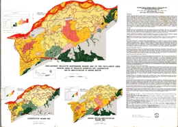 |
Open File 1996-25 presents a preliminary earthquake hazard map of the Chilliwack area (NTS 92G/1E, 92H/4W) southern British Columbia, showing areas of relative potential for liquefaction and/or amplification of ground motion during an earthquake. This earthquake hazard map is the first map of its kind to be released by the British Columbia
Geological Survey. Maps of this type show areas where the hazards due to earthquakes are increased due to local geological conditions, such as the presence of sandy soils susceptible to liquefaction, thick deposits of soft clay that can amplify earthquake ground motions, and unstable slopes that could fail. Damage due to earthquakes is commonly concentrated in such areas. The prime users of earthquake hazard maps are civic planners, engineers and building inspectors, emergency response planners, public officials responsible for prioritizing seismic upgrades, insurance companies, engineers and the public.
The Chilliwack map shows areas of relative potential for liquefaction, and amplification of ground motion, individually and combined. These maps were prepared by integrating new surface geological mapping with an extensive database of geotechnical test holes and water well logs to produce a subsurface geological model of the Quaternary deposits of the area. The liquefaction potential of each geological map unit is based on the sediment types present, their properties, and the expected frequency and strength of earthquakes. By this method, the hazard due to liquefaction is quantified and can be compared directly with the liquefaction hazard in other areas of the province. The amplification susceptibility of each geological map unit was determined by correlation of the sediment types present with the amplifications that have been observed in similar sediments during earthquakes. The combined hazard map was prepared by taking the higher of the two hazards for each map unit.
Within the Fraser Lowland, the combined hazard rating ranges from low on alluvial fans and on the Cheam Slide, to high and very high along channels of the Fraser River and in areas where thick surficial silts and peats occur. The hazard rating is low to very low along the lower slopes of the Cascade Mountains and within bedrock inliers in the Fraser Lowland. |
| Issue ID: | OF1996-29 |
| Title: | Bedrock Geology of the Fulton Lake Map Area, North-Central B.C. (NTS 93L/16) |
| Author(s): | MacIntyre, D.G., Webster, I.C.L., Bellefontaine, K.A. |
| Series Name: | Open File |
| Publication Year: | 1996 |
| Scale: | 1:50000 |
| NTS Map Sheet(s): | 093L/16 |
| Place Keyword(s): | British Columbia, Northcentral British Columbia, Fulton Lake Map Area. |
| Lat/Long (NSWE): | 55, 54.75, -126.5, -126 |
| Theme Keyword(s): | Geology, Bedrock Geology |
Download(s):
| PDF, ZIP (View Zip Contents) |
Abstract:
 |
Open File 1996-29 presents bedrock geology of the Fulton Lake map area of north-central British Columbia (93L/16). The scale is 1:50000. |
| Issue ID: | OF1996-30 |
| Title: | Spring Water and Spring Sediment Geochemistry of the Gataga Mountain Area (parts of NTS 94L/7, 8, 8, 10, 11, 14, 15) |
| Author(s): | Lett, R.E., Jackaman, W., Sibbick, S.J. |
| Purpose: | To test the exploration potential of ground water chemistry for base metal deposits similar to the Stronsay (Cirque), Bear and Driftpile creek. |
| Series Name: | Open File |
| Publication Year: | 1996 |
| NTS Map Sheet(s): | parts of 094L/7, 8, 8, 10, 11, 14, 15 |
| Place Keyword(s): | British Columbia, Gataga Mountain |
| Lat/Long (NSWE): | 59, 58.833, -127.333, -126 |
| Theme Keyword(s): | Geology, Spring Water Geochemistry, Spring Sediment Geochemistry |
Download(s):
| PDF, ZIP (View Zip Contents) |
Abstract:
 |
Open File 1996-30 presents spring water and spring sediment geochemistry of the Gataga Mountain area (parts of 94L/7, 8, 10, 11, 14, 15) of British Columbia. Ground water springs in the area are associated with iron oxide precipitate and other secondary mineral deposits. Spring water and spring sediment samples were collected to test the exploration potential of ground water chemistry for base metal deposits similar to the Stronsay (Cirque), Bear and Driftpile Creek. A total of 38 stream sediment and water samples were collected from 34 sites in an area covering approximately 500 square kilometres extending from Trough creek to Matulka creek. Data packages include survey data, data listings, summary statistics, sample location map, bedrock geology map and element distribution maps. Field observations and analytical data are included on diskette in DOS format. |
| Issue ID: | OF1997-01 |
| Title: | 1996 Operating Mines & Exploration and Development Projects in B.C. |
| Author(s): | Owsiacki, G., Cathro, M., Wojdak, P.J., Pinsent, R.H., Wilton, P., Lane, B. |
| Series Name: | Open File |
| Publication Year: | 1997 |
| Scale: | 1:2500000 |
| NTS Map Sheet(s): | 082;083;092;093;094;102;103;104;114 |
| Place Keyword(s): | British Columbia |
| Lat/Long (NSWE): | 60, 48, -139, -114 |
| Theme Keyword(s): | Geology, Operating Mines, Exploration, Development Projects |
Download(s):
| PDF |
Abstract:
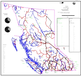 |
Open File 1997-01 looks at 1996 operating mines and exploration and development projects in British Columbia. Scale is 1:2500000. |
| Issue ID: | OF1997-02 |
| Title: | Geology, Mineral Occurrences and Geochemistry of the Kenny Creek - Mount Olsen Area (parts of NTS 93N/12 & 93N/13) |
| Author(s): | Schiarizza, P.A., Payie, G.J., Holunga, S., Wright, D. |
| Series Name: | Open File |
| Publication Year: | 1997 |
| Scale: | 1:50000 |
| NTS Map Sheet(s): | parts of 093N/12 & 093N/13 |
| Place Keyword(s): | British Columbia, Kenny Creek, Mount Olsen |
| Lat/Long (NSWE): | 55.9, 55.5, -126, -125.6 |
| Theme Keyword(s): | Geology, Mineral Occurrences, Geochemistry, Bedrock Geology |
Download(s):
| PDF |
Abstract:
 |
Open File 1997-2 presents the geology and mineral occurrences of the Kenny Creek-Mount Olson map area (93N/12, 13) in central British Columbia. The Open File consists of two sheets: sheet 1 has the geology at 1:50 000 scale, a legend, and references; sheet 2 contains a sample location map and tables of mineral occurrences, lithogeochemistry and stream sediment analyses.
Basement rocks in the area include rocks of the Cache Creek terrane, the Sitlika assemblage and the Stikine terrane. Upper Cretaceous Sustut Group polymictic conglomerate, sandstone and shale of the Tango Creek Formation unconformably overlie the older rocks. Jurassic or Cretaceous biotite granodiorite intrusions cut older strata.
Cache Creek Group rocks of the Cache Creek terrane range from Pennsylvanian to Lower Jurassic age. An ultramafic unit is mainly serpentinite, serpentinized ultramafite and serpentine-magnesite-talc schist and serpentinite melange with greenstone, diabase, amphibolite, chert, and limestone knockers. The unit contains local listwanite alteration, roddingite and nephrite. A mafic unit comprises mainly pillowed greenstone, fragmental greenstone and chlorite schist. A sedimentary unit comprises phyllite, platy quartzite, metachert and lesser recrystallized limestone and volcanic rocks.
Sitlika assemblage strata vary from Permian to possibly Late Jurassic age. A Permian to Early Triassic volcanic unit consists of chlorite schist, fragmental chlorite schist, and pillowed metabasalt. A Late Permian or Early Triassic unit is epidote-chlorite-feldspar schist to semischist, sericite-chlorite-feldspar schist, and weakly foliated hornblende diorite. Light grey, coarse tonalite to quartz diorite is of Early Triassic age. The Triassic to possibly Jurassic �Eastern clastic unit� consists of variably foliated siltstone, sandstone and conglomerate; slate and phyllite; and local foliated limestone, limestone conglomerate, and phyllite. The Middle to possibly Upper Jurassic �Western clastic unit� is phyllite and slate, foliated chert pebble conglomerate to chert sandstone, and lesser foliated limestone and phyllite.
Stikine Terrane assemblages are from Late Triassic to Middle Jurassic age. The Late Triassic to possibly Early Jurassic Topley intrusions (?) are mainly granite with some feldspar porphyry. Lower to Middle Jurassic Hazelton Group rocks are mainly andesite, basalt, and associated breccias and tuffs. Many are feldspar or feldspar-pyroxene phyric.
The three units of the Sitlika assemblage have a single penetrative cleavage or schistosity and greenschist metamorphic grades. The foliation dips steeply to the east-northeast or west-southwest, and the sedimentary units display related upright folds. The Western clastic unit is separated from the volcanic unit by an east-dipping ductile fault zone. The contact of the volcanic unit and the Western sedimentary unit is parallel to the Takla fault. The volcanic unit thins northward and the contact may be a relatively young fault related to the Takla fault. The contact between the Sitlika assemblage and the Cache Creek Group is a relatively young strike-slip fault system.
The Cache Creek Group rocks are also of greenschist grade but have a very different structural style. Layering has been transposed into parallelism with a prominent metamorphic foliation. Second generation structures deform the foliation into east-verging folds. The synmetamorphic deformation may relate to an episode of west-directed thrusting that places Cache Creek over Sitlika rocks. The Takla fault marks the western boundary of the Sitlika assemblage. Across the fault are rocks of the Stikine Terrane. The Takla fault may be part of a Late Cretaceous to Early Tertiary dextral strike-slip fault system. Northeast striking faults are relatively young structures.
The volcanic unit of the Sitlika assemblage correlates with the metavolcanic rocks of the Kutcho Formation. The volcanic unit is bimodal and may host volcanogenic massive sulphide mineralization. The upper part of the unit is most prospective. Nephrite occurrences occur in a restricted area north of Beaverpond Lake. |
| Issue ID: | OF1997-03 |
| Title: | Geology and Mineral Occurrences of the Tatogga Lake Area (NTS 104H/12NW,13SW & 104G/9NE, 16SE) |
| Author(s): | Ash, C.H., MacDonald, R.W.J., Stinson, P.K., Fraser, T.M., Nelson, K.J., Arden, K.M., Lefebure, D.V. |
| Series Name: | Open File |
| Publication Year: | 1997 |
| Scale: | 1:100000 |
| NTS Map Sheet(s): | 104H/12NW,13SW & 104G/9NE, 16SE |
| Place Keyword(s): | British Columbia, Northwestern British Columbia, Tatogga Lake Area |
| Lat/Long (NSWE): | 57.917, 57.5, -130.25, -129.7 |
| Theme Keyword(s): | Geology, Mineral Occurrences, Bedrock Geology |
Download(s):
| PDF |
Abstract:
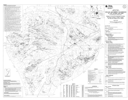 |
The coloured geological map of the Forrest Kerr-Mess Creek area of northwestern British Columbia (NTS 104B/10, 15 and 104G/2, 7W) is at 1: 100 000 scale. It is a compilation of the bedrock geology along the Forrest Kerr and Mess creeks, a 3 000 kilometre squared area situated between Iskut River and Mess Lake. This part of Stikinia is composed of rocks spanning at least 400 Ma: from Early Devonian volcanic arc deposits to the hotspring tufa deposits forming today in Mess Creek valley. Eleven vertical cross sections are shown, as are the locations of mineral occurrences, fossils and age dating sites.
Mapping was carried out between 1989 and 1993. The map provides a tectonic framework for a variety of mineral deposits: the gold and silver-enriched calcalkaline Schaft Creek copper-molybdenum porphyry deposit, the McLymont gold skarn, the Bam copper-silver replacement and other exploration properties including the Foremore with zinc-lead-copper-silver, Forrest which is contains intrusion-related gold pyrrhotite veins, Goz/RDN which may be a Noranda/Kuroko copper-lead-zinc massive sulphide deposit and Forgold, which contains polymetallic silver-lead-zinc�gold veins. Age dating and fossil collections have established time constraints on the formation of some of these mineral occurrences. The work identified several highly prospective stratigraphic intervals and documented plutonic suites, which are significant new targets for mineral exploration.
The geology of the map area will be discussed in detail in a Bulletin that is currently in preparation. |
| Issue ID: | OF1997-04 |
| Title: | MINFILE: B.C. Reserves & Resources Inventory 1996 |
| Author(s): | Jones, L.D., the MINFILE team |
| Series Name: | Open File |
| Publication Year: | 1997 |
| Other Citation Details: | superseded by Open File 1998-04 |
| NTS Map Sheet(s): | 082;083;092;093;094;102;103;104;114 |
| Place Keyword(s): | British Columbia |
| Lat/Long (NSWE): | 60, 48, -139, -114 |
| Theme Keyword(s): | Geology, Reserves, Resources, MINFILE |
Abstract:
| Open File 1997-04 is a MINFILE report on British Columbia reserves and resources inventory 1996. This 174-page report includes a 99-page table of 761 mineral deposits in British Columbia with known reserves and resources. The inventory, which is sorted by deposit name, includes the tonnage and grade of metallic minerals, industrial minerals, and coal occurrences. These deposits are cross-referenced with tables sorted by MINFILE Number, name and deposit type. The tables were generated from MINFILE/pc V. 4.5 and reflect the status of the MINFILE database as of January 1997. This Open File was created to serve as a handy hard-copy reference for anyone interested in British Columbia�s rich mineral endowment. This publication will appeal to a wide variety of local and international users, including government agencies, mining and exploration companies, researchers and the public. This report is superseded by Open File 1998-04. |
| Issue ID: | OF1997-05 |
| Title: | Metamorphism of the Creston Map Area, Southeastern British Columbia (NTS 082F/2) |
| Author(s): | Doughty, P.T., Brown, D.A., Archibald, D.A. |
| Series Name: | Open File |
| Publication Year: | 1997 |
| Scale: | 1:50000 |
| NTS Map Sheet(s): | 082F/2 |
| Place Keyword(s): | British Columbia, Southeastern British Columbia, Creston Map Area |
| Lat/Long (NSWE): | 49.25, 49, -117, -116.5 |
| Theme Keyword(s): | Geology, Metamorphism, Bedrock Geology |
Download(s):
| PDF |
Abstract:
 |
Open File 1997-05 presents metamorphism of the Creston map area of southeastern British Columbia (NTS 082F/2). The scale is 1:50000. |
| Issue ID: | OF1997-06 |
| Title: | Terrain geology map of North Barriere Lake area (NTS 82M/5) |
| Author(s): | Leboe, E.R., Bobrowsky, P.T., Dixon-Warren, A.B., Ledwon, A. |
| Series Name: | Open File |
| Publication Year: | 1997 |
| Scale: | 1:50000 |
| NTS Map Sheet(s): | 082M/05 |
| Place Keyword(s): | British Columbia, North Barriere Lake |
| Lat/Long (NSWE): | 51.5, 51.25, -120, -119.5 |
| Theme Keyword(s): | Surficial Geology Map, Geology, Terrain Geology, Surficial Geology |
Download(s):
| PDF |
Abstract:
 |
Open File 1997-06 presents a terrain geology map of North Barriere Lake area (NTS 82M/5) of British Columbia. The scale is 1:50000. |
| Issue ID: | OF1997-07 |
| Title: | Terrain geology map of Adams Plateau area (NTS 82M/4) |
| Author(s): | Dixon-Warren, A.B., Bobrowsky, P.T., Leboe, E.R., Ledwon, A. |
| Series Name: | Open File |
| Publication Year: | 1997 |
| Scale: | 1:50000 |
| NTS Map Sheet(s): | 082M/04 |
| Place Keyword(s): | British Columbia, Adams Plateau |
| Lat/Long (NSWE): | 51.25, 51, -120, -119.5 |
| Theme Keyword(s): | Surficial Geology Map, Geology, Terrain Geology, Surficial Geology |
Download(s):
| PDF |
Abstract:
 |
Open File 1997-07 presents a terrain geology map of Adams Plateau area (NTS 82M/4) in British Columbia. The scale is 1:50000. |
| Issue ID: | OF1997-08 |
| Title: | Surficial geology of northern Vancouver Island area (NTS 92L/5, 6, 11, 12) |
| Author(s): | Bobrowsky, P.T. |
| Series Name: | Open File |
| Publication Year: | 1997 |
| Other Citation Details: | Contains data from the British Columbia Geological Survey Open Files 1994-04, 1994-05, 1995-11 |
| Larger Work Citation: | Contains data from the British Columbia Geological Survey Open Files 1994-04, 1994-05, 1995-11 |
| Scale: | 1:100000 |
| NTS Map Sheet(s): | 092L/05; 92L/06; 092L/11; 092L/12 |
| Place Keyword(s): | British Columbia, Northern Vancouver Island Area |
| Lat/Long (NSWE): | 50.75, 50.25, -128, -127 |
| Theme Keyword(s): | Surficial Geology Map, Geology, Surficial Geology |
Download(s):
| PDF |
Abstract:
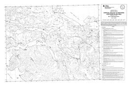 |
Open File 1997-08 presents the surficial geology of Northern Vancouver Island area (NTS 82M/4 and 5). Scale is 1:100000. |
| Issue ID: | OF1997-09 |
| Title: | Till Geochemistry of the Adams Plateau - North Barriere Lake Area (NTS 82M/4 and 5) |
| Author(s): | Bobrowsky, P.T., Leboe, E.R., Dixon-Warren, A.B., Ledwon, A., MacDougall, D., Sibbick, S.J. |
| Series Name: | Open File |
| Publication Year: | 1997 |
| Scale: | 1:50000 |
| NTS Map Sheet(s): | 082M/4 & 5 |
| Place Keyword(s): | British Columbia, Adams Plateau, Barriere Lake, Kootenay Terrain, Kamloops |
| Lat/Long (NSWE): | 51.5, 51, -120, -119.5 |
| Theme Keyword(s): | Geology, Till Geochemistry, Drift Exploration, Surficial Geology, Mineral Deposits |
Download(s):
| PDF, ZIP (View Zip Contents) |
Abstract:
 |
Open File 1997-09 provides the final results, discussion and interpretation of a drift exploration program conducted northeast of Kamloops by the British Columbia Geological Survey Branch. Centered on the southern part of the Eagle Bay Assemblage and Fennell Formation of the Kootenay Terrain, the "Eagle Bay" drift prospecting program is one of several provincial till geochemistry surveys which has been ongoing since 1990. This program demonstrates the utility of integrating surficial geology mapping and exploration geochemical methods to locate buried mineral deposits in areas of drift-covered terrain. The objectives of the drift exploration project were to identify types and character of surficial deposits present; estimate overburden thickness based on landform assemblage associations; define new anomalies which may be used in the discovery of mineralization targets; stimulate new exploration and economic activity and; provide information that will be of use in all areas where mineral exploration has been hampered by thick glacial drift cover and where traditional prospecting and exploration techniques have proven unsuccessful despite indications of high mineral potential. The purpose of the surficial mapping component was to document the variability in the types of sediments observed, including their distribution and general character for this particular area. This data provides critical constraints to a successful drift exploration program. Quaternary geologic history consisting of local and regional stratigraphy, sedimentology and glacial ice dynamics are the focus of much of the work, since an understanding of these parameters provides a framework for a complementary till geochemistry and pebble lithology sampling program. |
| Issue ID: | OF1997-10 |
| Title: | Bedrock Geology and Till Geochemistry of the Old Fort Mountain Map Area, North-Central B.C., Bedrock Geology |
| Author(s): | MacIntyre, D.G., Webster, I.C.L., Desjardins, P.J. |
| Series Name: | Open File |
| Publication Year: | 1997 |
| Scale: | 1:50000 |
| NTS Map Sheet(s): | 093M/1 |
| Place Keyword(s): | British Columbia, Northcentral British Columbia, Old Fort Mountain Map Area |
| Lat/Long (NSWE): | 55.25, 55, -126.6, -126 |
| Theme Keyword(s): | Geology, Bedrock Geology |
Download(s):
| PDF, ZIP (View Zip Contents) |
Abstract:
 |
Open File map 1997-10 shows the bedrock geology of the Old Fort Mountain map sheet (93M/1) in north-central British Columbia, which was mapped in 1996 as part of the Nechako Natmap project. This map sheet, which covers the central part of the Babine Porphyry Belt, was mapped at 1 to 50 000 scale. The most important mineral occurrences are gold-bearing porphyry copper deposits associated with the Eocene Babine intrusions and the Late Cretaceous Bulkley intrusions. The former producing bell mine and five major prospects are known in the map area. There is also epithermal potential with silver-lead-zinc mineralization like that at the Fireweed prospect in Skeena Group rocks.
The open file also describes selected results of a till geochemical sampling program conducted in the Old Fort Mountain map area (NTS 93 M/1) by the British Columbia Geological Survey as part of a survey of the entire Babine copper porphyry belt. Several new exploration targets are highlighted by multi-element geochemical anomalies and most existing mineral properties in the map region are also detected by the regional till geochemical data. In addition to reflecting known mineralization, geochemical results around some mineral properties suggest that further exploration in those areas may be warranted. New prospective areas, where recorded mineral showings are not present, include multielement anomalies with greater than 95th percentile concentrations of copper, arsenic and/or antimony in five areas: northeast of Haut�te Lake, northwest of Natowite Lake, northeast of the northern end of Hatchery Arm and near the southern tip of Nakinilerak Lake. Elevated (>95th percentile) gold and molybdenum occurs northeast of Haut�te Lake. Two areas of interest with clusters of sites with elevated arsenic, lead and zinc occur southwest of Takla Lake and several kilometres southwest of Morrison Lake. Antimony and molybdenum concentrations, above the 95th percentile, also occur in till at the latter area. |
| Issue ID: | OF1997-10a |
| Title: | Bedrock Geology and Till Geochemistry of the Old Fort Mountain Map Area, North-Central B.C., Till Geochemistry |
| Author(s): | Levson, V.M., Cook, S.J., Hobday, J., Huntley, D.H., O'Brien, E.K., Stumpf, A.J., Weary, G.W. |
| Series Name: | Open File |
| Publication Year: | 1997 |
| Scale: | 1:50000 |
| NTS Map Sheet(s): | 093M/1 |
| Place Keyword(s): | British Columbia, Northcentral British Columbia, Old Fort Mountain Map Area |
| Lat/Long (NSWE): | 55.25, 55, -126.6, -126 |
| Theme Keyword(s): | Geology, Till Geochemistry, Bedrock Geology |
Abstract:
| Open File 1997-10a portrays the geology and mineral occurrences of the Old Fort Mountain area (93M/1) in north-central British Columbia. The geology map is at 1:50 000 scale includes a legend, geologic cross sections, and tables of sources of information and mineral occurrences. Several new exploration targets are highlighted by multi-element geochemical anomalies and most existing mineral properties in the map region are also detected by the regional till geochemical data. Geochemical results around some mineral properties suggest further exploration. These prospective areas include multielement anomalies with greater than 95th percentile concentrations of copper, arsenic, and/or antimony of five areas: northeast of Hautete Lake, northwest of Natowite Lake, northeast of the northern end of Hatchery Arm and near the southern tip of Nakinilerak Lake.
The oldest rocks exposed are Upper Triassic limestone and interbedded marine sediments of the Takla Group; volcanic interlayers may also be present. Lower to Middle Jurassic Hazelton Group rocks comprise eight mappable units. The three oldest are Lower Jurassic: the Basalt member; the Telkwa Formation, which consists of air fall tuffs, andesite flows and breccia, basalt flows and related epiclastic and volcaniclastic rocks; and the Nilkitkwa Formation, which consists of feldspathic siltstone, wacke, argillite and minor pebble conglomerate and limestone. Lower to Middle Jurassic units include: mainly ash flow tuff, ignimbrite, lapilli and crystal tuff; basaltic flows, breccia and tuff; volcanic sandstone, siltstone and tuff; the Saddle Hill volcanics, which are interlayered amygdaloidal and pyroxene phyric basalt flows and breccia, tuffs, tuffaceous sandstone, ash flow tuff, and rhyolite flows. The Middle Jurassic Smithers Formation contains feldspathic sandstone, siltstone, wacke and volcanic pebble conglomerate. Above the Skeena Group, the Middle to Upper Jurassic Ashman Formation consists mainly of siltstone and sandstone. The Upper Jurassic Trout Creek Formation is mainly chert pebble conglomerate, quartzose wacke, and siltstone. Lower Cretaceous Skeena Group units are: trachytic, andesitic and basaltic andesite flows that locally have coarse bladed feldspar crystals; porphyritic andesite, basalt, lapilli tuff, volcanic breccia and tuffaceous siltstone; feldspar phyric dacite and rhyodacite to rhyolite dome complexes; and the Red Rose Formation quartzose and micaceous sandstone, siltstone, shale, and chert pebble conglomerate. The Eocene Ootsa Lake Group is represented by the Newman volcanics, which are characterized by porphyritic andesite, volcanic breccia, lahar and volcanic conglomerate.
Intrusive rocks are important in the area. The Late Triassic to Early Jurassic Topley intrusions are quartz monzonite, monzonite, megacrystic granite, and rhyolite to aplite dikes. Jurassic to Cretaceous intrusions are diorite, gabbro, and basalts dikes and stocks. Cretaceous granodiorite and quartz diorite bodies occur. The Babine intrusions include: rhyolite to dacite dikes and flow dome complexes; hornblende-augite diorite; quartz diorite and granodiorite cut by porphyry dikes; and crowded porphyry dikes and plugs that are the main hosts for porphyry mineralization.
Four major tectonic events are reflected in the region. Mid to Late Jurassic folding and uplift was followed by mid Cretaceous contraction that produced northwest trending folds and northeast directed thrusts. Crustal extension in Late Eocene time produced north trending grabens and horst, and an event as young as Miocene tilted fault blocks.
The most important mineral occurrences are gold-bearing porphyry copper deposits associated with the Eocene Babine intrusions and the Late Cretaceous Bulkley intrusions. The former producing bell mine and five major prospects are known in the map area. There is also epithermal potential with silver-lead-zinc mineralization like that at the Fireweed prospect in Skeena Group rocks.
Open File 1997-10A describes selected results of a till geochemical sampling program conducted in the Old Fort Mountain map area (NTS 93 M/1) by the British Columbia Geological Survey as part of a survey of the entire Babine copper porphyry belt. Several new exploration targets are highlighted by multi-element geochemical anomalies and most existing mineral properties in the map region are also detected by the regional till geochemical data. In addition to reflecting known mineralization, geochemical results around some mineral properties suggest that further exploration in those areas may be warranted. New prospective areas, where recorded mineral showings are not present, include multielement anomalies with greater than 95th percentile concentrations of copper, arsenic and/or antimony in five areas: northeast of Haut�te Lake, northwest of Natowite Lake, northeast of the northern end of Hatchery Arm and near the southern tip of Nakinilerak Lake. Elevated (>95th percentile) gold and molybdenum occurs northeast of Haut�te Lake. Two areas of interest with clusters of sites with elevated arsenic, lead and zinc occur southwest of Takla Lake and several kilometres southwest of Morrison Lake. Antimony and molybdenum concentrations, above the 95th percentile, also occur in till at the latter area. |
| Issue ID: | OF1997-11 |
| Title: | Till Geochemistry of the Chedakuz Creek Map Area (NTS 93F/7) |
| Author(s): | Weary, G.F., Levson, V.M., Broster, B.E. |
| Series Name: | Open File |
| Publication Year: | 1997 |
| Scale: | 1:200000 |
| NTS Map Sheet(s): | 093F/7 |
| Place Keyword(s): | British Columbia, Chedakuz Creek |
| Lat/Long (NSWE): | 53.5, 53.25, -125, -124.5 |
| Theme Keyword(s): | Geology, Till Geochemistry |
Download(s):
| PDF, ZIP (View Zip Contents) |
Abstract:
 |
Open File 1997-11 is a report on the till geochemistry and surficial geology mapping of the Chedakuz Creek map area (NTS 93F/7) of British Columbia. Till samples were collected from 143 different sites. Results allowed identification of several new exploration areas in addition to detecting all known mineral occurrences. This study also resulted in two 1:50 000-scale map sheets and till geochemical samples from the area. |
| Issue ID: | OF1997-12 |
| Title: | Till Geochemical Dispersal in Central British Columbia (NTS 93F/2, 7, 12) |
| Author(s): | O�Brien, E.K., Levson, V.M., Broster, B.E. |
| Purpose: | The objections are to examine glacial dispersal and the effectiveness of till geochemical studies in locating zones of high mineral potential in areas of variable overburden thickness; and to compare the geochemistry of till samples with samples previously collected from the B- and C-soil horizons. Geochemical soil-sampling data from the selected properties were reviewed from property assessment reports to help delineate areas of anomalous concentrations that would merit further study. |
| Series Name: | Open File |
| Publication Year: | 1997 |
| Scale: | 1:20000000 |
| NTS Map Sheet(s): | 093F/2, 7, 12 |
| Place Keyword(s): | British Columbia, Central British Columbia, Nechako River |
| Lat/Long (NSWE): | 54, 53, -126, -124 |
| Theme Keyword(s): | Geology, Till Geochemical Dispersal, Basal Till Surveys |
Download(s):
| PDF |
Abstract:
 |
Open File 1997-12 is a report on the till geochemistry on the CH, Black-water-Davidson, and Uduk Lake mineral properties on the Nechako River map sheet in central British Columbia (NTS 93F/2, 7, 12). The geochemical dispersal patterns using C-horizon basal till sample media were compared to dispersal patterns using B or C-horizon soil samples, previously collected on each mineral property. The basal till surveys were very effective at identifying geochemical anomalies. The soil surveys were also effective at identifying most of the geochemical anomalies, in soil samples overlying colluvium, till, and locally-derived glaciofluvial deposits. Soil overlying channelized glaciofluvial or glaciolacustrine deposits generally did not form dispersal patterns or identify local geochemical anomalies. |
| Issue ID: | OF1997-16 |
| Title: | Barite in British Columbia |
| Author(s): | Butrenchuk, S.B., Hancock, K.D. |
| Series Name: | Open File |
| Publication Year: | 1997 |
| Scale: | 1:2000000 |
| NTS Map Sheet(s): | 082;083;092;093;094;102;103;104;114 |
| Place Keyword(s): | British Columbia |
| Lat/Long (NSWE): | 60, 48, -139, -114 |
| Theme Keyword(s): | Geology, Barite, BaSO4, ore mineral, oil and gas |
Download(s):
| PDF |
Abstract:
 |
Open File 1997-16 is a comprehensive collection of all known significant occurrences of barite in British Columbia reported before 1996 and includes adjunct information on most minor occurrences of barite where appropriate. Deposits have been grouped by genetic classification and sorted by geographic location from southern to northern British Columbia. The initial compilation of occurrences and field examination of many sites was done in 1989 by the senior author. Subsequent editorial changes, updates of existing descriptions and addition of new material were done by the junior author. The field examinations of selected barite deposits included mapping, sampling and lithogeochemical analyses. Associated research included trace element analysis for possible discriminant characteristics for occurrence classification with a view to aiding deposit evaluation. Additional work includes compilation of information from public and private sources for those deposits not examined in the field. The quality of these descriptions is subject to the source material and should be considered as a guide as any future work may change the current summaries.
Commercial production of barite in British Columbia dates back to 1940 with shipments having been recorded from ten deposits. Currently, significant barite production is limited to a single underground mine at Parson by Mountain Minerals Company Ltd. with some intermittent production from three other deposits. This report documents potential new sources of barite in shale and carbonate-hosted bedded deposits in north-eastern British Columbia, in rocks of Devonian to Lower Mississippian age. In south-eastern British Columbia vein and cavity-filling deposits in Proterozoic and Cambrian rocks represent another potential source. By-product barite may also be recovered from the mining and milling of volcanogenic massive sulphide deposits.
Barite (BaSO4) is a chemically inert mineral with an ideal specific gravity of 4.5. Its major usage is as a weighting agent in drilling muds and markets are closely related to the oil and gas industry. Included in this report is background information on uses, markets and physical properties for barite and barite products. |
| Issue ID: | OF1997-17 |
| Title: | Regional Lake Sediment and Water Geochemistry of the Babine Porphyry Belt, Central British Columbia (NTS 93L/9,16; 93M/1,2,7,8) |
| Author(s): | Cook, S.J., Lett, R.E., Levson, V.M., Jackaman, W., Coneys, A.M., Wyatt, G.J. |
| Series Name: | Open File |
| Publication Year: | 1997 |
| NTS Map Sheet(s): | 093L/9,16; 093M/1,2,7,8 |
| Place Keyword(s): | British Columbia, Central British Columbia, Babine Porphyry Belt |
| Lat/Long (NSWE): | 55.5, 54.617, -126.75, -126 |
| Theme Keyword(s): | Geology, Regional Lake Sediment Geochemistry, Water Geochemistry, Babine Porphyry Belt |
Download(s):
| PDF, ZIP (View Zip Contents) |
Abstract:
 |
Open File 1997-17 presents regional lake sediment and water geochemistry of the babine porphyry belt in central British Columbia (93L/9,16; 93M/1,2,7,8). |
| Issue ID: | OF1997-18 |
| Title: | Preliminary Till Geochemistry - Old Fort Mountain Area (NTS 93M/1) |
| Author(s): | Levson, V.M., Cook, S.J., Huntley, D.H., Stumpf, A.J., Hobday, J. |
| Series Name: | Open File |
| Publication Year: | 1997 |
| Scale: | 1:50000 |
| NTS Map Sheet(s): | 093M/1 |
| Place Keyword(s): | British Columbia, Northcentral British Columbia, Old Fort Mountain Area |
| Lat/Long (NSWE): | 55.5, 55, -126.5, -126 |
| Theme Keyword(s): | Geology, Till Geochemistry, Nechako National Mapping Program |
Download(s):
| ZIP (View Zip Contents) |
Abstract:
| Open File 1997-18 presents preliminary till geochemistry data for the Old Fort Mountain map sheet (NTS 093M/01) were collected by the BC Geological Survey as part of the Nechako National Mapping Program. The till geochemistry open file includes data for copper, gold, silver, precious metal pathfinders, base metals and rare earth elements for over 330 sites. The data are provided in two Microsoft Excel files, one for the ICP data and one for the INA data. The map area covers the region north of the Bell and Granisle copper porphyry deposits. This preliminary data release is provided to assist new exploration activity in the region. A more comprehensive publication with interpretation of the geochemical results, and discussions of the Quaternary geology and glacial ice-flow history of the region was released as Bulletin 110. A 1:50,000-scale bedrock geology map of 93M/01 was also released as Open File 1997-10. |
| Issue ID: | OF1998-01 |
| Title: | 1997 Mines & Major Exploration Projects in B.C. |
| Author(s): | Owsiacki, G., Cathro, M., Wojdak, P.J., Pinsent, R.H., Wilton, P., Lane, R., Schroeter, T.G. |
| Series Name: | Open File |
| Publication Year: | 1998 |
| Scale: | 1:2500000 |
| NTS Map Sheet(s): | 082;083;092;093;094;102;103;104;114 |
| Place Keyword(s): | British Columbia |
| Lat/Long (NSWE): | 60, 48, -139, -114 |
| Theme Keyword(s): | Geology, Mines, Exploration Projects |
Download(s):
| PDF |
Abstract:
 |
Open File 1998-01 shows 1997 mines and major exploration projects in British Columbia. The scale is 1:2500000. |
| Issue ID: | OF1998-02 |
| Title: | Terrain geology of the Louis Creek area (NTS 92P/1E) |
| Author(s): | Paulen, R.C., Bobrowsky, P.T., Little, E.C., Prebble, A.C., Ledwon, A. |
| Series Name: | Open File |
| Publication Year: | 1998 |
| Scale: | 1:50000 |
| NTS Map Sheet(s): | 092P/01 |
| Place Keyword(s): | British Columbia, Southern British Columbia, Louis Creek Area |
| Lat/Long (NSWE): | 51.25, 51, -120.25, -120 |
| Theme Keyword(s): | Surficial Geology Map, Surficial Geology, Till Geochemistry |
Download(s):
| PDF |
Abstract:
 |
Open File 1998-2, at 1: 50 000 scale, provides surficial geologic information collected during a till geochemistry survey which is part of the integrated Kootenay Terrane project. Information shown on the map includes type and distribution of surficial sediment observed, relative thickness, till sample locations, field verification sites and generalized composite stratigraphy for several key sites in the area of Louis Creek north of Kamloops (NTS 92P/1E). The area has potential mainly for placer and lode gold deposits but also for Kuroko-type massive sulphide deposits. Industrial minerals, such as feldspar in pegmatite bodies, are also of potential interest. |
| Issue ID: | OF1998-03 |
| Title: | Terrain geology of the Chu Chua Creek area (NTS 92P/8E) |
| Author(s): | Paulen, R.C., Bobrowsky, P.T., Little, E.C., Prebble, A.C., Ledwon, A. |
| Series Name: | Open File |
| Publication Year: | 1998 |
| Scale: | 1:50000 |
| NTS Map Sheet(s): | 092P/08 |
| Place Keyword(s): | British Columbia, Southcentral British Columbia, Chu Chua Creek Area |
| Lat/Long (NSWE): | 51.5, 51.25, -120.25, -120 |
| Theme Keyword(s): | Surficial Geology Map, Surficial Geology, Till Geochemistry, Precious Metals, Geology |
Download(s):
| PDF |
Abstract:
 |
Open File map 1998-3 displays the terrain geology of the Chu Chua creek area (NTS 9P/8E). This map, which is at 1: 50 000 scale, provides surficial geologic information collected during a till geochemistry survey which is part of the integrated Kootenay Terrane project. Information shown on the map includes type and distribution of surficial sediment observed, relative thickness, till sample locations, field verification sites and generalized composite stratigraphy for several key sites in the area of Chu Chua Creek north of Kamloops in south-central British Columbia. The area has potential for precious metal and Cyprus massive sulphide Cu (Zn) massive sulphide deposits, like the magnetite-bearing Chu Chua copper, zinc precious metal prospect. |
| Issue ID: | OF1998-04 |
| Title: | MINFILE: B.C. Reserves & Resources Inventory 1997 |
| Author(s): | Jones, L.D., the MINFILE team |
| Series Name: | Open File |
| Publication Year: | 1998 |
| Other Citation Details: | superseded by Open File 1999-04 |
| NTS Map Sheet(s): | 082;083;092;093;094;102;103;104;114 |
| Place Keyword(s): | British Columbia |
| Lat/Long (NSWE): | 60, 48, -139, -114 |
| Theme Keyword(s): | Geology, Reserves, Resources, MINFILE |
Abstract:
| Open File 1998-04 is a report of MINFILE on British Columbia reserves and resources inventory 1997. This 174-page report includes a 102-page table of 774 mineral deposits in British Columbia with known reserves and resources. The inventory, which is sorted by deposit name, includes the tonnage and grade of metallic minerals, industrial minerals, and coal occurrences. These deposits are cross-referenced with tables sorted by MINFILE Number, name and deposit type. The tables were generated from MINFILE/pc V. 4.5 and reflect the status of the MINFILE database as of January 1998. This Open File was created to serve as a handy hard-copy reference for anyone interested in British Columbia�s rich mineral endowment. This publication will appeal to a wide variety of local and international users, including government agencies, mining and exploration companies, researchers and the public. This report is superseded by Open File 1999-04. |
| Issue ID: | OF1998-05 |
| Title: | Aggregate Resource Potential of the Okanagan Area |
| Author(s): | Bobrowsky, P.T., Massey, N.W.D., Matheson, A.H. |
| Series Name: | Open File |
| Publication Year: | 1998 |
| Scale: | 1:50000 |
| NTS Map Sheet(s): | 082E/3,4,5,6,11,12,13,14; 082L/3,4,5,6,11,12,13,14 |
| Place Keyword(s): | British Columbia, Southcentral British Columbia, Okanagan Area |
| Lat/Long (NSWE): | 51, 49, -120, -119 |
| Theme Keyword(s): | Geology, Aggregate Resource Potential |
Download(s):
| PDF, ZIP (View Zip Contents) |
Abstract:
 |
Open File 1998-05 presents the aggregate resource potential of the Okanagan area of southern British Columbia. |
| Issue ID: | OF1998-06 |
| Title: | Till Geochemistry of the Louis Creek - Chu Chua Creek Area (NTS 92P/1E and 92P/8E) |
| Author(s): | Bobrowsky, P.T., Paulen, R., Little, E., Prebble, A., Ledwon, A., Lett, R.E. |
| Series Name: | Open File |
| Publication Year: | 1998 |
| Scale: | 1:50000 |
| NTS Map Sheet(s): | 092P/1E and 092P/8E |
| Place Keyword(s): | British Columbia, Louis Creek, Chu Chua Creek |
| Lat/Long (NSWE): | 51.5, 51, -120.25, -120 |
| Theme Keyword(s): | Geology, Till Geochemistry, Surficial geology, Quaternary History |
Download(s):
| ZIP (View Zip Contents) |
Abstract:
 |
Open File 1998-06 presents new geochemical analytical data for a regional till survey in the Louis Creek - Chu Chua Creek area (NTS 092P/1 and P/8) carried out by the BC Geological Survey in 1997. The till geochemical survey covers over 1500 square kilometres northeast of Kamloops and extends the 1996 regional till sampling program over the adjacent 1:50,000 scale maps sheets 082M/4 and M/5 reported in Open File 1997-09. This file contains geochemical data for up to 65 elements including gold, copper, lead, zinc and major oxides for 331 till samples in the form of symbol maps and as raw element concentrations. The Open File contains a detailed description of each sample, survey methodology, surficial geology and the Quaternary history.
Open File 1998-06 contains geochemical data for up to 65 elements including gold, copper, lead, zinc and major oxides for 331 till samples in the form of symbol maps and as raw element concentrations. The Open File also has a detailed description of each sample and describes the survey methodology, the surficial geology and the Quaternary history. An interpretation of the gold, copper, silver, lead, zinc arsenic and cadmium geochemistry is presented and the most significant anomalous samples for each element are identified and discussed. Most of the till samples with high geochemical values have no known bedrock source. |
| Issue ID: | OF1998-07 |
| Title: | Geological Maps of the Nanaimo and Comox Coalfields |
| Author(s): | Cathyl-Bickford, C.G., Hoffman, G.L. |
| Series Name: | Open File |
| Publication Year: | 1998 |
| Scale: | 1:20000 |
| NTS Map Sheet(s): | 092F/1,7,10,11,14; 092B/13; 092G/4; 092K3 |
| Place Keyword(s): | British Columbia, Central Vancouver Island, Nanaimo and Comox Coalfields |
| Lat/Long (NSWE): | 50.023, 48.975, -125.4, -123.737 |
| Theme Keyword(s): | Geology, Coalfields |
Download(s):
| PDF |
Abstract:
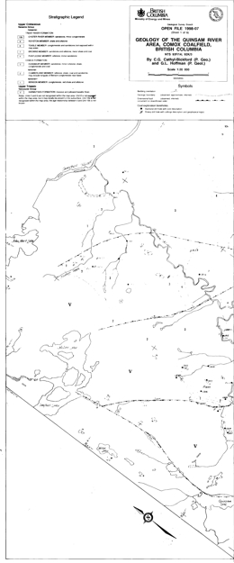 |
Open File 1998-7 consists of geological maps of the Nanaimo and Comox Coalfields of Vancouver Island British Columbia. The Open File comprises fourteen 1: 20 000 scale maps that cover the two major coalfields on Vancouver Island; 8 maps cover the Comox coalfield and 6 maps cover the Nanaimo coalfield. These products, resulting from mapping completed during the 1980�s and early 1990�s, provide the most up to date and detailed information on the coalfields available. The area has coal exploration potential and significant volumes of coal bed methane are possible.
Some of the information is available in papers published by the BC Geological Survey Branch in Geological Fieldwork for the years 1988, 1989, 1990, and 1991. |
| Issue ID: | OF1998-08 |
| Title: | Metallogeny of Volcanic Arcs - Short Course Notes. |
| Author(s): | MEMPR staff |
| Series Name: | Open File |
| Publication Year: | 1998 |
| NTS Map Sheet(s): | 082;083;092;093;094;102;103;104;114 |
| Place Keyword(s): | World |
| Lat/Long (NSWE): | 60, 48, -139, -114 |
| Theme Keyword(s): | Geology, Metallogeny, Metallogeny Volcanic Arcs |
Download(s):
| PDF |
Abstract:
 |
Open File 1998-8 consists of over 500 pages of notes from the course which consisted of 17 presentations by speakers from government, universities and the private sector. The notes include information concerning the tectonic and structural features of arc deposits, geoenvironmental mineral deposit models, epithermal deposits and their transitions to porphyry settings, porphyry copper and gold deposits, gemstones, unconventional metallic deposits, industrial minerals, skarns and volcanogenic massive sulphides. The following are abstracts of those presentations. |
| Issue ID: | OF1998-09 |
| Title: | Regional Stream Water Geochemistry of the Adams Lake - North Barriere Lake Area (NTS 82M/4 and 82M/5) |
| Author(s): | Lett, R.E., Sibbick, S.J., Runnells, J. |
| Series Name: | Open File |
| Publication Year: | 1998 |
| Scale: | 1:50000 |
| NTS Map Sheet(s): | 082M/4 and 082M/5 |
| Place Keyword(s): | British Columbia, Adams Lake, North Barriere Lake |
| Lat/Long (NSWE): | 51.5, 51, -120, -119.5 |
| Theme Keyword(s): | Geology, Stream Water Geochemistry, Regional Till Survey, Mineral Occurrences |
Download(s):
| PDF, ZIP (View Zip Contents) |
Abstract:
 |
This Open File presents new geochemical analytical data for a regional stream water survey carried out by the Geological Survey Branch in 1996. The survey covers 1:50 000 scale map sheets 82M/4 and M/5, an area of about 1200 square kilometres northeast of Kamloops. The survey area corresponds to a 1996 regional till geochemical survey reported in Open File 1997-9. This open file describes the survey methodology and summarizes results for pH, sulphate, aluminum, fluoride, barium, copper and zinc analyses for samples from 218 stream sites. Maps showing sample locations, selected element variations and raw data listings for over 60 elements are presented as Appendices.
Open File 1998-9 describes the survey methodology and summarizes results for pH, sulphate, aluminum, fluoride, barium, copper and zinc analyses for samples from 218 stream sites. Maps showing sample locations, selected element variations and raw data listings for over 60 elements are presented as Appendices. |
| Issue ID: | OF1998-10 |
| Title: | Major Silver Deposits of British Columbia |
| Author(s): | Jones, L.D., Lefebure, D.V., Owsiacki, G., Schroeter, T.G. |
| Series Name: | Open File |
| Publication Year: | 1998 |
| Scale: | 1:3500000 |
| NTS Map Sheet(s): | 082;083;092;093;094;102;103;104;114 |
| Place Keyword(s): | British Columbia |
| Lat/Long (NSWE): | 60, 48, -139, -114 |
| Theme Keyword(s): | Geology, Silver Deposits |
Download(s):
| PDF, ZIP (View Zip Contents) |
Abstract:
 |
Open File 1998-10 presents the major silver deposits of British Columbia. |
| Issue ID: | OF1998-11 |
| Title: | Digital Bibliographic Index of British Columbia 1874-1997 |
| Author(s): | Grant, D.B., Logan, C., Jakobsen, D., Bates, J. |
| Series Name: | Open File |
| Publication Year: | 1998 |
| NTS Map Sheet(s): | 082;083;092;093;094;102;103;104;114 |
| Place Keyword(s): | British Columbia |
| Lat/Long (NSWE): | 60, 48, -139, -114 |
| Theme Keyword(s): | Geology, Digital Bibliographic Index |
Download(s):
| PDF, ZIP (View Zip Contents) |
Abstract:
 |
Open File 1998-11 is a digital bibliographic index of British Columbia 1874-1997. |
| Issue ID: | OF1998-12 |
| Title: | Aggregate Resource Potential of the Nanaimo Area |
| Author(s): | Massey, N.W.D., Matheson, A., Bobrowsky, P.T. |
| Series Name: | Open File |
| Publication Year: | 1998 |
| Scale: | 1:50000 |
| NTS Map Sheet(s): | 092B/13; 092C/16; 092F/1,2,7,8; 092G/4 |
| Place Keyword(s): | British Columbia, Vancouver Island, Nanaimo Area |
| Lat/Long (NSWE): | 49.5, 48.75, -125, -123.6 |
| Theme Keyword(s): | Geology, Aggregate Resource Potential |
Download(s):
| ZIP (View Zip Contents) |
Abstract:
 |
Open File 1998-12 presents the aggregate resource potential of the Nanaimo area of Vancouver Island. |
| Issue ID: | OF1999-01 |
| Title: | 1998 Mines & Major Exploration Projects in B.C. |
| Author(s): | Owsiacki, G., Cathro, M., Wojdak, P.J., Pinsent, R.H., Wilton, P., Lane, R., Schroeter, T.G. |
| Series Name: | Open File |
| Publication Year: | 1999 |
| Scale: | 1:2500000 |
| NTS Map Sheet(s): | 082;083;092;093;094;102;103;104;114 |
| Place Keyword(s): | British Columbia |
| Lat/Long (NSWE): | 60, 48, -139, -114 |
| Theme Keyword(s): | Geology, Mines, Exploration Projects |
Download(s):
| PDF |
Abstract:
 |
Open File 1999-1 contains 2 maps at 1:2,500,000-scale and a MINFILE data disk. The disk provides data on 117 deposits including operating mines, projects in the Environmental Assessment Review, projects that have received Mine Development Certificates or have been Certified, and exploration highlights and advanced exploration/development projects in British Columbia. The maps show the location of each of the 117 deposits or exploration project contained in the dataset.
The diskette is available for $7.50 from Crown Publications Inc. and contains the data presented on the 2 maps, which are available for $10.00. Note that these deposits are also included in the provincial MINFILE database. The disk contains a readme file. In 1998, a total of 60 deposits (metallic mineral, industrial mineral and coal) were being mined in the province of British Columbia. Kemess South started production and Blackdome was reopened in 1998. Several small high-grade projects continue to produce, or plan to produce, using custom milling arrangements. The deposit types mined include: veins, volcanogenic and sedimentary exhalative massive sulphides, porphyries, transitionals (porphyry to epithermal), coal, industrial minerals, skarns and others. During 1998 the exploration industry in British Columbia concentrated on known mining camps/areas, particularly near existing infrastructure. A number of advanced projects are in the Environmental Assessment Review, with several in the pre-feasibility stage, as well as some receiving Certification or a Mine Development Certificate.
In 1998, a total of 60 deposits (metallic mineral, industrial mineral and coal) were being mined in the province of British Columbia. Kemess South started production and Blackdome was reopened in 1998. Several small high-grade projects continue to produce, or plan to produce, using custom milling arrangements. The deposit types mined include: veins, volcanogenic and sedimentary exhalative massive sulphides, porphyries, transitionals (porphyry to epithermal), coal, industrial minerals, skarns and others.
During 1998 the exploration industry in British Columbia concentrated on known mining camps/areas, particularly near existing infrastructure. A number of advanced projects are in the Environmental Assessment Review, with several in the pre-feasibility stage, as well as some receiving Certification or a Mine Development Certificate.
The MINFILE information includes geological descriptions and bibliographies for each deposit as well as production and inventory statistics. These files, once loaded to a hard disk, can be processed by database management programs or by MINFILE/pc.
This data is intended to be used independent of the regular provincial MINFILE data release. This publication will interest a wide variety of national and international users, including governments, mining and related industries, and the public. |
| Issue ID: | OF1999-02 |
| Title: | Volcanogenic Massive Sulphide Deposits of British Columbia |
| Author(s): | Massey, N.W.D. (compiler) |
| Series Name: | Open File |
| Publication Year: | 1999 |
| Scale: | 1:2000000 |
| NTS Map Sheet(s): | 082;083;092;093;094;102;103;104;114 |
| Place Keyword(s): | British Columbia, Myra Falls, Eskay Creek, Anyox (Hidden Creek) |
| Lat/Long (NSWE): | 60, 48, -139, -114 |
| Theme Keyword(s): | Geology, Volcanogenic Massive Sulphide Deposits, Precious metals |
Download(s):
| PDF, ZIP (View Zip Contents) |
Abstract:
 |
Open File 1999-02 presents volcanogenic massive sulphide deposits of British Columbia. Volcanogenic massive sulphides are an important resource in British Columbia both for base and precious metals. Current exploration interest is focused largely on the precious metal-rich Eskay-type deposits which are attractive because of their polymetallic nature and bonanza grades (e.g.. Eskay Creek -1998 reserves 1,356,240 t at 2684 g/t Ag, 58 g/t Au). A hundred years of exploitation from 16 major mines has produced nearly 109,000,000 t of ore. The bulk has come from four mines- Britannia, Anyox (Hidden Creek), Myra Falls and Granduc. |
| Issue ID: | OF1999-03 |
| Title: | Prospective Areas in British Columbia for Intrusion-related Gold-Tungsten-Bismuth Veins |
| Author(s): | Lefebure, D.V., Fournier, M.A., Jackaman, W. |
| Series Name: | Open File |
| Publication Year: | 1999 |
| Scale: | 1:2000000 |
| NTS Map Sheet(s): | 082;083;092;093;094;102;103;104;114 |
| Place Keyword(s): | British Columbia |
| Lat/Long (NSWE): | 60, 48, -139, -114 |
| Theme Keyword(s): | Geology, Gold-Tungsten-Bismuth Veins, Intrusion Related |
Download(s):
| PDF |
Abstract:
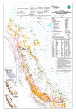 |
Open File 1999-03 presents prospective areas in British Columbia for intrusion-related gold-tungsten-bismuth veins. Gold-quartz veins related to Cretaceous age granitic intrusions in Alaska and the Yukon have created the Cordillera's latest gold rush. The initial interest was sparked by the opening of the Fort Knox open pit mine in the Fairbanks District and discoveries in the Yukon, such as Dublin Gulch and Brewery Creek. The discovery of the Pogo gold-quartz vein in Alaska (reserves of 10.9 million tons grading 0.41 oz. gold per ton) has attracted more exploration activity. Similar mid-Cretaceous and other granitic intrusions are found in British Columbia. This map shows their locations, identifies known intrusion-related gold-tungsten-bismuth mineralization and highlights prospective areas of exploration.
Gold-quartz veins related to Cretaceous age granitic intrusions in Alaska and the Yukon have created the Cordillera's latest gold rush. The initial interest was sparked by the opening of the Fort Knox open pit mine in the Fairbanks District and discoveries in the Yukon, such as Dublin Gulch and Brewery Creek. The discovery of the Pogo gold-quartz vein in Alaska (reserves of 10.9 million tons grading 0.41 oz. gold per ton) has attracted more exploration activity.
Similar mid-Cretaceous and other granitic intrusions are found in British Columbia. This map (at 1:2 000 000 scale) shows their locations, identifies known intrusion-related gold-tungsten-bismuth mineralization and highlights prospective areas for exploration. |
| Issue ID: | OF1999-04 |
| Title: | MINFILE: B.C. Reserves & Resources Inventory 1998 |
| Author(s): | Jones, L.D., the MINFILE team |
| Series Name: | Open File |
| Publication Year: | 1999 |
| Other Citation Details: | superseded by Open File 2000-15 |
| NTS Map Sheet(s): | 082;083;092;093;094;102;103;104;114 |
| Place Keyword(s): | British Columbia |
| Lat/Long (NSWE): | 60, 48, -139, -114 |
| Theme Keyword(s): | Geology, Reserves, Resources, MINFILE |
Download(s):
| PDF |
Abstract:
 |
Open File 1999-04 is report on MINFILE: British Columbia reserves and resources inventory 1998. This 192-page report includes a 113-page table of 808 mineral deposits in British Columbia with known reserves and resources. The inventory, which is sorted by deposit name, includes the tonnage and grade of metallic minerals, industrial minerals, and coal occurrences. These deposits are cross-referenced with tables sorted by MINFILE Number, alternate names and deposit type. The tables were generated from MINFILE/pc V. 4.5 and reflect the status of the MINFILE database as of January 1999. This Open File was created to serve as a handy hard-copy reference for anyone interested in British Columbia�s rich mineral endowment. This publication will appeal to a wide variety of local and international users, including government agencies, mining and exploration companies, researchers and the public. This report is superseded by Open File 2000-15. |
| Issue ID: | OF1999-05 |
| Title: | Regional Lake Water Geochemistry of parts of the Nechako Plateau, Central British Columbia (NTS 93F/2,3; 93K/9,10,15, 16; 93L/9,16; 93M/1,2,7,8) |
| Author(s): | Cook. S.J., Jackaman, W., Lett, R.E., McCurdy, M.W., Day, S.J. |
| Series Name: | Open File |
| Publication Year: | 1999 |
| NTS Map Sheet(s): | 093F/2,3; 093K/9,10,15,16; 093L/9,16; 093M/1,2,7,8 |
| Place Keyword(s): | British Columbia, Central British Columbia, Nechako Plateau |
| Lat/Long (NSWE): | 55.5, 53, -126.75, -124 |
| Theme Keyword(s): | Geology, Geochemistry, Lake Sediment, Lake Water |
Download(s):
| PDF, ZIP (View Zip Contents) |
Abstract:
 |
Open File 1999-5 presents new analytical results for three regional lake water geochemical surveys conducted over parts of the Nechako Plateau in central B.C. during the period 1993-1996. The surveys cover the southern Nechako River area, the Pinchi fault zone area north of Fort St. James and the Babine porphyry belt. These areas, almost 9000 square kilometres, are in a region where exploration has been limited by extensive drift cover. Major and trace element data for 630 sites are included in the release. In the case of the Babine porphyry belt, conductivity and total dissolved solids were also determined.
The surface waters were obtained over the course of regional lake sediment geochemical surveys, data for which has been released previously.
Open File 1999-5 is a contribution to the Nechako NATMAP Project, a joint project of the British Columbia Geological Survey and the Geological Survey of Canada |
| Issue ID: | OF1999-06 |
| Title: | Geochemistry of Alkaline Lake Waters of the Northern Kechika Trough, British Columbia (NTS 94M/2, 3, 4, 5, 6, 12; 104P/8, 9, 10, 15, 16) |
| Author(s): | Cook, S.J., Jackaman, W., Friske, P.W., Day, S.J., Hall, G.E.M., Coneys, A.M. |
| Series Name: | Open File |
| Publication Year: | 1999 |
| Scale: | 1:50000 |
| NTS Map Sheet(s): | 094M/2, 3, 4, 5, 6, 12; 104P/8, 9, 10, 15, 16 |
| Place Keyword(s): | British Columbia, Northern Kechika Trough |
| Lat/Long (NSWE): | 60, 59, -128.667, -127.083 |
| Theme Keyword(s): | Geology, Geochemistry Alkaline Lake Waters, Lake Sediment, Lake Water |
Download(s):
| PDF, ZIP (View Zip Contents) |
Abstract:
 |
Open File 1999-6 presents new ICP-MS analytical results for a regional lake water geochemical survey conducted over the northern part of the Kechika Trough in 1996. The survey, conducted jointly by the B.C. Geological Survey Branch and the Geological Survey of Canada, covers an area of approximately 5000 km2 over parts of eleven 1:50,000 map areas immediately south of the B.C.-Yukon border. Exploration for prospective sedimentary-exhalative style Zn-Pb-Ba deposits in this area has been limited by extensive drift cover. Major and trace element data for 235 surface lake water sites are included in the release. The report provides listings of field and analytical data, summary statistics and element distribution maps.
Major and trace element data for 235 surface lake water sites are included in the release. The report provides listings of field and analytical data, summary statistics and element distribution maps. Digital data listings (ASCII format) are provided on a 3.5 inch high-density diskette. This release is also available as GSC Open File 3704.
The surface waters were obtained over the course of a regional lake sediment geochemical survey, data for which has been released previously as Open File 1997-15. A corresponding 1:100,000 geological map of this area (Ferri et al.) has recently been released by the Geological Survey Branch as Geoscience Map 1998-10. |
| Issue ID: | OF1999-07 |
| Title: | Geology of the Gibraltar Mine Area (NTS 93B/8,9) |
| Author(s): | Ash, C.H., Panteleyev, A., MacLennan, K.L., Payne, C.W., Rydman, M.O. |
| Series Name: | Open File |
| Publication Year: | 1999 |
| Scale: | 1:50000 |
| NTS Map Sheet(s): | 093B/8,9 |
| Place Keyword(s): | British Columbia, Eastcentral British Columbia, Gibraltar Mine Area |
| Lat/Long (NSWE): | 52.88, 52.32, -122.4, -122.17 |
| Theme Keyword(s): | Geology, Bedrock Geology |
Download(s):
| PDF |
Abstract:
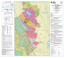 |
This 1:50 000-scale revised geology map of the Gibraltar region is available in digital format with the geology in colour. The map is centered on the Gibraltar Mine and is a product resulting from a study to define the controls and distribution of copper and molybdenum ore at the mine. After 25 years of production (1972-1998) the mine is currently on standby and may reopen in the near future provided the economic conditions are favourable. This updated map will provide a better understanding of the Gibraltar deposit and its setting, locally and regionally.
The dominant rock types in the region are metabasalt, limestone and argillaceous metasediments of the Mississippian to Triassic Cache Creek Group. These are intruded by the dioritic to quartz dioritic Late Triassic Granite Mountain pluton and the (?)Cretaceous Sheridan Creek pluton. Jurassic sedimentary rocks overlap both the Cache Creek and Quesnel terranes to the north and east of the plutons. Older rocks are largely obscured by Plateau Basalt of probable Miocene age, to the west.
The Granite Mountain pluton has been affected by regional metamorphism (greenschist facies) and deformation along with the enclosing Cache Creek Group. The Cache Creek Group and the margins of the Granite Mountain pluton record effects of ductile deformation. The main body of the pluton has been cataclastically deformed.
The orebodies are hosted by the Granite Mountain pluton with ore mineralization almost entirely confined to the Mine Phase Tonalite portion of the Granite Mountain pluton. The Mine Phase Tonalite appears to form a thin outer shell about the main body of the pluton. Gibraltar is a porphyry copper deposit with values of molybdenum, silver and gold. Production came from several open pit mines and in excess of 300 million tonnes were milled; potential for similar deposits exists in the area. |
| Issue ID: | OF1999-08 |
| Title: | Coal Resources and Coal Mining on Vancouver Island |
| Author(s): | Gardner, S.L. (Gardner Exploration Consultants) |
| Series Name: | Open File |
| Publication Year: | 1999 |
| Scale: | 1:100000 |
| NTS Map Sheet(s): | 092B, C, E, F, G, K, L; 102I |
| Place Keyword(s): | British Columbia, Vancouver Island |
| Lat/Long (NSWE): | 50.75, 48.664, -128.1, -123.07 |
| Theme Keyword(s): | Geology, Coal Resources, Coal Mining |
Download(s):
| PDF |
Abstract:
 |
This Open File report provides an overview of the history of coal mining and exploration on Vancouver Island. A number of maps outline prospective exploration areas and areas of previous mining and exploration. The extent and stratigraphy of the coal bearing rocks are reviewed. Coal mining on the island continues today and there are undeveloped coal reserves. There is also potential for coalbed methane development. This report provides an excellent starting point for anyone interested in information on Vancouver Island coal. |
| Issue ID: | OF1999-10 |
| Title: | Selected British Columbia Mineral Deposit Profiles: Volume 3 - Industrial Minerals and Gemstones |
| Author(s): | Simandl, G.J., Hora, Z.D., and Lefebure, D.V. (editors) |
| Series Name: | Open File |
| Publication Year: | 1999 |
| NTS Map Sheet(s): | 082;083;092;093;094;102;103;104;114 |
| Place Keyword(s): | British Columbia |
| Lat/Long (NSWE): | 60, 48, -139, -114 |
| Theme Keyword(s): | Geology, Mineral Deposit Profiles, Industrial Minerals, Gemstones |
Download(s):
| PDF |
Abstract:
 |
The British Columbia Geological Survey started a mineral potential assessment in 1992 utilizing deposit models for defining and characterizing mineral and coal deposits which exist, or for which favourable geological environments could exist, in the province. These deposit models are being used to classify known deposits and occurrences, to guide experts in their estimation of the number of possible undiscovered mineral deposits, and to group deposits to allow compilation of representative grade and tonnage data. The Branch formerly relied on mineral deposit models published by the United States Geological Survey (USGS) and Geological Survey of Canada (GSC). However, it became apparent that some models needed revision, and that there are British Columbia deposit types lacking published models. Hence we developed a set of mineral deposit profiles using the Branch's considerable in-house expertise, with assistance from economic geologists of the GSC, USGS, industry and academia. These deposit models are called "deposit profiles" to distinguish them from other published descriptions. This Open File 1995-20 is the first of three volumes describing deposit profiles, including metallic and coal deposits. Other volumes are: Volume 1 - Metallics and Coal (Open File 1995-20) and Volume 3 - Industrial Minerals and Gemstones (Open File 1999-10). |
| Issue ID: | OF1999-11 |
| Title: | Bedrock Geology, Cunningham Lake (NTS 93K/11, 12, 13, 14) |
| Author(s): | MacIntyre, D.G., Schiarizza, P.A. |
| Series Name: | Open File |
| Publication Year: | 1999 |
| Scale: | 1:100000 |
| NTS Map Sheet(s): | 093K/11, 12, 13, 14 |
| Place Keyword(s): | British Columbia, Central British Columbia, Cunningham Lake Area |
| Lat/Long (NSWE): | 55, 54.5, -126, -125 |
| Theme Keyword(s): | Geology, Bedrock Geology |
Download(s):
| PDF, ZIP (View Zip Contents) |
Abstract:
 |
Open File map 1999-11 presents the preliminary bedrock geology of the Cunningham Lake area (NTS 93K/11,12,13,14), central British Columbia at 1:100,000 scale. The map is in colour and is based on fieldwork completed by the B.C. Geological Survey Branch and Geological Survey of Canada during the 1997 and 1998 field seasons as part of the Nechako Natmap project. It builds on previous regional scale mapping by J. Armstrong of the Geological Survey of Canada dating back to 1949. The new mapping presents significant revisions to previous geologic maps of the area.
The Cunningham Lake area, which covers parts of Babine, Stuart and Trembleur Lakes, is located north of Burns Lake and west of Fort St. James. This area spans the boundary between the Stikine and Cache Creek geologic terranes. Within the Cache Creek terrane is the Sitlika volcanic belt considered to be prospective for Kutcho Creek type massive sulphide deposits. This belt is well exposed at several localities within the map area. Prior to the current mapping, this belt was believed restricted to the Takla Lake area to the north. Other important mineral prospects in the area include the Mac porphyry molybdenum deposit and the new Fort occurrence discovered in 1998. |
| Issue ID: | OF2000-14 |
| Title: | Stream Sediment and Water Geochemistry of parts of the Queen Charlotte Islands, (NTS 103F/1, 7, 8, 9, 10; 103G/4, 5) |
| Author(s): | Jackaman, W., Payie, G.J., Wojdak, P.J. |
| Series Name: | Open File |
| Publication Year: | 2000 |
| Scale: | 1:50000 |
| NTS Map Sheet(s): | 103F/1, 7, 8, 9, 10; 103G/4, 5 |
| Place Keyword(s): | British Columbia, Queen Charlotte Islands |
| Lat/Long (NSWE): | 53.75, 53, -132.75, -131.5 |
| Theme Keyword(s): | Geology, Stream Water Geochemistry, Stream Sediment Geochemistry |
Download(s):
| PDF, ZIP (View Zip Contents) |
Abstract:
 |
This report presents new analytical data for 43 different elements from a regional stream sediment and water geochemistry survey (Figure 1) conducted by the British Columbia Geological Survey Branch on the Queen Charlotte Islands during 1999. The survey covers parts of seven 1:50,000 NTS map sheets in the Graham Island (NTS 103F) and the Hecate Strait (NTS 103G) areas: 103F/01 (Skidegate Channel), 103F/07E (Rennell Sound), 103F/08 (Yakoun Lake), 103F/09 (Port Clements), 103F/10E (Awun Lake), 103G/04 (Cumshewa Inlet) and 104G/05 (Lawnhill). Details on the geology and mineral potential of the Queen Charlotte Islands are described by Lefebure (1998). |
| Issue ID: | OF2000-15 |
| Title: | MINFILE Reserves/Resources Inventory in B.C. 1999 |
| Author(s): | Jones, L.D., the MINFILE Team |
| Series Name: | Open File |
| Publication Year: | 2000 |
| Other Citation Details: | see GeoFile 2005-24 for updated version |
| NTS Map Sheet(s): | 082;083;092;093;094;102;103;104;114 |
| Place Keyword(s): | British Columbia |
| Lat/Long (NSWE): | 60, 48, -139, -114 |
| Theme Keyword(s): | Geology, Reserves, Resources, MINFILE |
Abstract:
| This 190-page publication documents the known reserves and resources of 824 mineral deposits from the MINFILE database. The reserves/resources are reported in tonnes and grade of commodities. The MINFILE Reserves/Resources Inventory reflects the status of the database as of January 2000. Data for each deposit include name, MINFILE number, geographic location, NTS map, status, mining division, deposit type, zone name, year, reference, comments, tonnage, category, grade and commodity. Various reports and sorted tables are included: a Commodity Legend, a sample Master Report, an Alphabetical Index, a MINFILE Number Index, a table of Mineral Deposit Profiles, and a Deposit Type Index. Deposit type is based on the British Columbia Mineral Deposit Profiles of the Geological Survey Branch. The Reserve category is used only for an inventory in an operating mine or a mine near production. Ore reserves are reported as Proven, Probable and Possible. The Resource category is used for all other inventories. Resources are reported as Measured, Indicated and Inferred. A combination of categories is reported as Combined. Qualitative and quantitative reporting of deposit economics are affected by several parameters. Some of these include the variable reliability of reporting, differences in interpretation of terms, and changing economic conditions. Reserves and resources are not calculated by Ministry personnel but are quoted from referenced industry sources and/or publications. Due to differences in identifying categories in the data sources, Ministry personnel may occasionally need to interpret the category that the figures belong to. The reader should refer to the original data for detailed information. See GeoFile 2005-24 for updated version September 2005. |
| Issue ID: | OF2000-16 |
| Title: | B.C. MINFILE on CD-ROM - and - MINFILE Occurrence Data for British Columbia |
| Author(s): | Jones, L.D., the MINFILE Team |
| Series Name: | Open File |
| Publication Year: | 2000 |
| NTS Map Sheet(s): | 082;083;092;093;094;102;103;104;114 |
| Place Keyword(s): | British Columbia |
| Lat/Long (NSWE): | 60, 48, -139, -114 |
| Theme Keyword(s): | Geology, Occurrence Data, MINFILE |
Abstract:
| Open File 2000-16 is the British Columbia MINFILE on CD-ROM and MINFILE occurrence data for British Columbia. |
| Issue ID: | OF2000-17 |
| Title: | Till Geochemistry of the Chu Chua - Clearwater Area, B.C. (parts of NTS 92P/8 and 92P/9) |
| Author(s): | Paulen, R.C., Bobrowsky, P.T., Lett, R.E., Jackaman, W., Bichler, A.J., Wingerter, C. |
| Series Name: | Open File |
| Publication Year: | 2000 |
| NTS Map Sheet(s): | parts of 092P/8 and 092P/9 |
| Place Keyword(s): | British Columbia, South-Central, Chu Chua - Clearwater Area, Eagle Bay, Kamloops |
| Lat/Long (NSWE): | 51.583, 51.333, -120.5, -120.083 |
| Theme Keyword(s): | Geology, Till Geochemistry, Drift Exploration, Drift Prospecting |
Download(s):
| PDF, ZIP (View Zip Contents) |
Abstract:
 |
Open File 2000-17 provides the final results, discussion and interpretation of a drift exploration program conducted north of Kamloops by the British Columbia Geological Survey. The till geochemistry project discussed here represents the end product of field investigations undertaken during the summer of 1998 as part of a larger, multidisciplinary, integrated resource assessment program aimed at defining the mineral potential of south-central British Columbia. The survey was undertaken as part of the Eagle Bat Assemblage and Fennell Formation of the Kootenay Terrane. Interesting results from the 1997 till geochemistry survey directly south and east encouraged a further extension of the program into the Upper Triassic-Jurassic rocks of the Nicola Group. The "Eagle Bay" drift prospecting program is one of several provincial till geochemistry surveys which have been ongoing since 1990 to demonstrate the utility of integrating surficial geology mapping and exploration geochemical methods to locate buried mineral deposits in areas of drift-covered terrain. |
| Issue ID: | OF2000-18 |
| Title: | Till Geochemistry of the Shuswap Highlands Area, B.C. (parts of NTS 83M/3 and 82L/13, 14) |
| Author(s): | Paulen, R.C., Bobrowsky, P.T., Lett, R.E., Jackaman, W., Bichler, A.J., Wingerter, C. |
| Series Name: | Open File |
| Publication Year: | 2000 |
| NTS Map Sheet(s): | parts of 083M/3 and 082L/13, 14 |
| Place Keyword(s): | British Columbia, Southcentral British Columbia, Shuswap Highlands Area, Eagle Bay, Kamloops |
| Lat/Long (NSWE): | 51.172, 50.915, -119.716, -119.098 |
| Theme Keyword(s): | Geology, Till Geochemistry, Drift Prospecting Program, Drift Exploration, Surficial Geology |
Download(s):
| PDF, ZIP (View Zip Contents) |
Abstract:
 |
Open File 2000-18 provides the results, discussion and interpretation of a drift exploration program conducted north of Kamloops by the British Columbia Geological Survey Branch. The till geochemistry program represents the end product of field investigations undertaken during the summer of 1998 as part of a larger, multidisciplinary, integrated resource assessment program aimed at defining the mineral potential of south-central British Columbia. The survey was undertaken as year three of the Eagle Bay Project which centered on the eastern part of the Devono-Mississippian rocks of the Eagle Bay Assemblage. The "Eagle Bay" drift prospecting program is one of several provincial till geochemistry surveys which have been ongoing since 1990 to demonstrate the utility of integrating surficial geology mapping and exploration geochemical methods to locate buried mineral deposits in areas of drift-covered terrain. Drift exploration integrates two allied components: surficial geology mapping and till geochemistry sampling. The objectives of the drift exploration project were to: define new anomalies which may be used in the discovery of mineralization targets; establish the dispersal of pathfinder elements down-ice from a known sources; stimulate new exploration and economic activity; document ice flow indicators including both local and regional ice flow patterns to aid drift prospecting in the area and; provide information where mineral exploration has been hampered by thick glacial drift cover, and where traditional prospecting and exploration techniques have proven unsuccessful despite indicators of high mineral potential. The purpose of the surficial mapping component was to document the variability in the types of sediments observed, including their distribution and general character for this particular area. The integration of surficial mapping and till geochemistry with mineral deposits studies and detailed bedrock mapping addresses the main objective of drift prospecting: to provide data that will lead to the discovery of economic mineralization in areas now covered by a blanket of unconsolidated sediments. |
| Issue ID: | OF2000-19 |
| Title: | Bedrock Geology Tsayta Lake British Columbia (NTS 93N/3, 4, 5, 6) |
| Author(s): | Schiarizza, P.A., Massey, N.W.D., MacIntyre, D.G. |
| Series Name: | Open File |
| Publication Year: | 2000 |
| Scale: | 1:100000 |
| NTS Map Sheet(s): | 093N/3, 4, 5, 6 |
| Place Keyword(s): | British Columbia, Central British Columbia, Tsayta Lake |
| Lat/Long (NSWE): | 55.5, 55, -126, -125 |
| Theme Keyword(s): | Geology, Bedrock Geology |
Download(s):
| PDF |
Abstract:
 |
Open File 2000-19 presents the geology of the Tsayta Lake area (93N/3, 4, 5, 6) in central British Columbia. The coloured 1:100 000 scale geology map includes a legend, sources of information map, and a table of mineral occurrences.
The geology of the area is complex; it is underlain by undivided Quesnel terrane strata, rocks of the Cache Creek and Stikine terranes, and overlap assemblage rocks. The Cache Creek terrane includes the Sitlika assemblage and the Cache Creek complex. The Upper Carboniferous to Triassic Cache Creek complex includes the limestone with minor basalt, chert and phyllite package of the Pope succession, the phyllite-quartzite-metachert with lesser limestone of the Sowchea succession; the Trembleur harzburgite- and dunite-bearing ultramafic unit, which is extensively serpentinized and carbonate-talc altered with serpentinite melange containing greenstone, diabase, amphibolite, chert, and limestone knockers; the Rubyrock intrusive complex, which consists of gabbro, diorite, sheeted diabase as well as greenstone dikes and sills, and tonalite to quartz feldspar porphyry; and the �North American succession� with one unit of mainly of mafic volcanic flows, breccias and tuffs, another of silicified slate, quartzite pebble conglomerate and limestone, and an upper unit of chert, limestone, phyllite, schist and metabasalt. The Sitlika assemblage includes a Permian to Lower Triassic volcanic unit with a section of chlorite schist, greenstone and pillowed metabasalt, and another of chlorite schist, fragmental chlorite schist, and pillowed metabasalt. A Late Permian or Early Triassic unit is epidote-chlorite-feldspar schist to semischist, and weakly foliated hornblende diorite. Early Triassic tonalite is medium to coarse grained. Upper Triassic to Lower Jurassic strata of the �Clastic unit� are mainly slate, phyllite, banded siltstone, sandstone and conglomerate.
The Stikine terrane includes mainly volcanic arc-related strata of Late Triassic to Middle Jurassic age. Upper Triassic Takla Group rocks are mainly pyroxene-feldspar phyric basalt and basalt breccia with minor epiclastic components. Upper Triassic to Lower Jurassic siltstone and shale, mudstone and minor limestone have wacke and chert interbeds. Lower to Middle Jurassic Hazelton Group rocks are mainly subaerial feldspar phyric andesite to dacite flows and pyroclastic rocks.
Overlap assemblages are of Middle Jurassic to Upper Cretaceous age. Middle Jurassic rocks of the Spike Peak intrusive suite include hornblende diorite, tonalite, granodiorite, monzonite, quartz monzonite and monzogranite. Possibly Middle Jurassic quartz diorite, diorite and tonalite locally includes gabbro and pyroxenite. Early Cretaceous intrusives are predominantly granodiorite and granite. Upper Cretaceous Sustut Group rocks are represented by the Tango Formation, which consists of polymictic conglomerate, sandstone and shale.
The area has two main structural domains. The eastern domain includes penetratively deformed greenschist facies rocks of the Cache Creek complex and the Sitlika assemblage. These are arranged as a series of linear, northwest trending fault panels that apparently originated as east-dipping thrust slices in Middle Jurassic time. The western domain is underlain by the various stratigraphic and plutonic components of the Stikine terrane. Only some of these rocks display penetrative fabrics and east-dipping thrust faults are only locally preserved. Regional relationships indicate that the Stikine terrane formed the footwall to the west-directed thrust system within adjacent Cache Creek terrane. Younger structures include steep north to northwest-striking faults that originated during Late Cretaceous to Early Tertiary dextral strike slip faulting. Northeast-striking faults with apparent dextral displacements are prominent and locally offset the northerly faults.
The volcanic unit of the Sitlika assemblage correlates with the metavolcanic rocks of the Kutcho Formation. The volcanic unit is bimodal and may host volcanogenic massive sulphide mineralization. The upper part of the unit is most prospective. The area also has potential for vein and disseminated copper, breccia and vein copper, silver, molybdenum, lead and zinc mineralization, molybdenum-copper with or without gold porphyry deposits, as ell as chrome from podiform chromite, asbestos, jade, talc and rhodonite from the ultramafic rocks. Placer gold is known from the area. |
| Issue ID: | OF2000-20 |
| Title: | Follow-up Investigation of Regional Stream Silt Fe-Au-REE Anomalies, Howser and Tea Creeks Area, Purcell Mountains, Southeast B.C. (NTS 82K/10) |
| Author(s): | Ray, G.E., Webster, I.C.L. |
| Series Name: | Open File |
| Publication Year: | 2000 |
| NTS Map Sheet(s): | 082K/10 |
| Place Keyword(s): | British Columbia, Southeastern British Columbia, Howser and Tea Creeks Area, Purcell Mountains |
| Lat/Long (NSWE): | 50.75, 50.5, -117, -116.5 |
| Theme Keyword(s): | Geology, Regional Stream Silt Fe-Au-REE Anomalies |
Download(s):
| PDF |
Abstract:
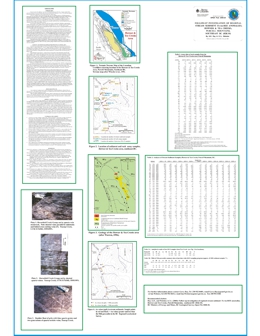 |
Follow-up sampling of the Howser and Tea creeks area was completed as part of a 1999 field program to check areas with a potential for Fe oxide-Cu-Au-REE mineralization of the Candelaria-Kiruna-Ernest Henry-Olympic Dam family. This program initially involved a library search together with an examination of the BC MINFILE and Regional Geochemical Survey (RGS) databases.
The authors spent two days in the field area. Thirteen stream sediment samples were collected, including silt from the two anomalous sample-sites revealed in the RGS program. In addition, six rock samples with sulphide or quartz alteration were collected for assay, and the geology of both the bedrock and stream-boulders in the area were examined. |
| Issue ID: | OF2000-22 |
| Title: | B.C. Sediment Hosted Massive Sulphide Deposits |
| Author(s): | Massey, N.W.D. |
| Series Name: | Open File |
| Publication Year: | 2000 |
| Scale: | 1:2000000 |
| NTS Map Sheet(s): | 082;083;092;093;094;102;103;104;114 |
| Place Keyword(s): | British Columbia |
| Lat/Long (NSWE): | 60, 48, -139, -114 |
| Theme Keyword(s): | Geology, Sediment Hosted Massive Sulphide Deposits |
Download(s):
| PDF, ZIP (View Zip Contents) |
Abstract:
 |
Open File 2000-22 shows British Columbia sediment hosted massive sulphide deposits. The scale is 1:2000000. |
| Issue ID: | OF2000-23 |
| Title: | Stream Geochemical Exploration for Pluton-Related Quartz-Vein Gold Deposits in Southern B.C. (NTS 82M/4, 5, 6; 92P/8E; 82F/7) |
| Author(s): | Lett, R.E., Jackaman, W., Englund, L. |
| Series Name: | Open File |
| Publication Year: | 2000 |
| NTS Map Sheet(s): | 082M/4, 5, 6; 092P/8E; 082F/7 |
| Place Keyword(s): | British Columbia, Southern British Columbia, Mount Skelley Pluton, Baldy Batholith |
| Lat/Long (NSWE): | 51.5, 49.3, -120.2, -116.4 |
| Theme Keyword(s): | Geology, Stream Geochemical Exploration, Quartz-Vein Gold Deposits, Pluton Related, Geochemistry |
Download(s):
| PDF, ZIP (View Zip Contents) |
Abstract:
 |
Open File 2000-23 presents data from geochemical surveys carried out over two areas of southern British Columbia to compare the geochemical response of pluton-related quartz-vein gold mineralization in different reconnaissance scale stream sediment sample media. Moss sediments, stream sediments and water samples were collected at 40 sites in NTS 82M/4,5,6, three sites in 92P/8 and 26 sites in 82F/7. Bulk stream sediment samples for preparation of heavy mineral concentrations and rock samples for estimation of element background levels were also taken at selected sites. The results indicate that moss sediments and heavy mineral concentrates provide higher geochemical contrast and are a stronger indication of gold mineralization than routine regional survey scale stream sediments. The moss sediment and heavy mineral gold geochemistry has highlighted several drainage basins within the Baldy Batholith and Mount Skelley Pluton where the multi-element associations suggest new areas of pluton-related mineralization. However, there are may be other sources for typical pathfinder elements (e.g. Bi, Mo). The high variability of gold and bismuth in moss sediment suggests that these elements are present in relatively large mineral grains. Reconnaissance sampling for moss sediment or heavy minerals is recommended at a density of one sample per ten square kilometres. Follow-up basal till samples to trace the up-ice source of the stream anomaly should be collected at a density of one to two samples per square kilometre. |
| Issue ID: | OF2000-24 |
| Title: | Regional Geochemical Compilation: Babine Porphyry Belt, (NTS 93L/9, 16; 93M/1, 2, 7, 8) |
| Author(s): | Cook, S.J., Levson, V.M., Jackaman, W., Law, D., Douville, M. |
| Series Name: | Open File |
| Publication Year: | 2000 |
| Scale: | 1:100000 |
| NTS Map Sheet(s): | 093L/9, 16; 093M/1, 2, 7, 8 |
| Place Keyword(s): | British Columbia, Central British Columbia, Babine Lake Area |
| Lat/Long (NSWE): | 55.5, 54.6, -126.8, -126 |
| Theme Keyword(s): | Geology, Regional Geochemical Compilation, Babine Porphyry Belt |
Download(s):
| PDF |
Abstract:
 |
Open File 2000-24 presents regional geochemical compilation of the Babine Porphyry Belt (NTS 93L/9, 16; 93M/1, 2, 7, 8) of British Columbia. |
| Issue ID: | OF2000-25 |
| Title: | Regional Geochemical Compilation: Tezzeron-Pinchi Fault Zone Area, (NTS 93K/09, 10, 15, 16) |
| Author(s): | Cook, S.J., Jackaman, W., Plouffe, A., Nelson, J.L., Douville, M. |
| Series Name: | Open File |
| Publication Year: | 2000 |
| Scale: | 1:100000 |
| NTS Map Sheet(s): | 093K/O9, 10, 15, 16 |
| Place Keyword(s): | British Columbia, Tezzeron Lake Area, Pinchi Lake Area |
| Lat/Long (NSWE): | 55, 54.5, -125, -124 |
| Theme Keyword(s): | Geology, Regional Geochemical Compilation, Tezzeron-Pinchi Fault Zone Area |
Download(s):
| PDF |
Abstract:
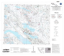 |
Open File 2000-25 presents regional geochemical compilation of the Tezzeron-Pinchi Fault Zone area (NTS 93K/O9, 10, 15, 16) of British Columbia. |
| Issue ID: | OF2000-28 |
| Title: | Geology of the Anyox Mining Camp, (NTS 103P/5 and 12/W) |
| Author(s): | Alldrick, D.J. |
| Series Name: | Open File |
| Publication Year: | 2000 |
| Other Citation Details: | Superceded by Geoscience Map 2003-3 |
| Scale: | 1:20000 |
| NTS Map Sheet(s): | 103P/W |
| Place Keyword(s): | British Columbia, West Central, Anyox, Coast |
| Lat/Long (NSWE): | 55.537, 55.339, -129.964, -129.732 |
| Theme Keyword(s): | Geology, Anyox Mining Camp, Metamorphic Rocks, Deposits |
Download(s):
| PDF |
Abstract:
 |
Open File 2000-28 portrays the geology of the Anyox mining camp (103P/5 and 12W) in northwestern British Columbia. The 1:20 000 scale coloured geology map has a legend, inset maps for the Bonanza and Hidden Creek mine areas, references, a mineral occurrence table, and a map showing sources of data.
Metamorphic rocks in the area are of Devonian to Jurassic age. The Devonian Clashmore metamorphic complex contains massive to gneissic gabbro and diorite, and ultramafic rocks with fine rhythmic laminations that are probably tectonic. Early to Middle Jurassic rocks of the Complex include an assemblage of metavolcanic, metasedimentary and metaplutonic rocks that may be correlatives of the Anyox Formation, and fault-bounded brecciated granite to granodiorite bodies.
The Late Triassic to Early Jurassic Hazelton Group is represented by the Anyox Formation, which consists of pillow basalt flows, pillow breccias, basalt flows, minor tuffs and their metamorphosed equivalents, as well as minor sedimentary members, diorite, gabbro and pyroxenite sills, and mafic dikes. Middle to Upper Jurassic Bowser Lake Group rocks consists of siltstone, mudstone, shale, sandstone, minor wacke and conglomerate with local pyrite disseminations and laminations. Tertiary strata are volcanic breccia and flows, and granite pebble to cobble conglomerate.
Tertiary intrusive rocks include the Moly May stock, a garnet-muscovite granite with quartz stockworks, the Hyder pluton, which varies from granodiorite to quartz monzonite to granite, the Larcom dike swarm, of feldspar porphyry, lamprophyre and felsite, and the Hyder dikes, which are variably granodiorite, diorite, felsite, porphyritic syenite, pyroxene-feldspar porphyry, lamprophyre, andesite and basalt.
Within the metamorphic complex, rocks are foliated and locally mylonitized. Mesozoic rocks in the area have upright folds and are cut by north, northwest and northeast trending faults.
Volcanogenic massive sulphide deposits are important targets in the area and two past producers occur in Anyox Group host rocks. Seven other past producers in the area are mineralized quartz veins. Simple gold quartz veins occur but most are polymetallic with values in gold, silver, cobalt and zinc; or gold, silver, lead and zinc with or without copper.
Open File 2000-28 has been superceded by Geoscience Map 2003-3. |
| Issue ID: | OF2000-31 |
| Title: | Geochemical Exploration Models, Volume 1: VMS Deposits in South-Central British Columbia |
| Author(s): | Lett, R.E., Jackaman, W. |
| Series Name: | Open File |
| Publication Year: | 2000 |
| NTS Map Sheet(s): | 082L, 082M, 092P |
| Place Keyword(s): | British Columbia, South Central British Columbia, Adams Lake |
| Lat/Long (NSWE): | 52, 50, -122, -118 |
| Theme Keyword(s): | Geochemistry, Geochemical Exploration Models, interpretation models, data collection, Geochemical response |
Download(s):
| PDF, ZIP (View Zip Contents) |
Abstract:
 |
Open File 2000-31 presents new data from detailed surveys covering eight areas of southern B.C. near Adams Lake. Part 1 of this Open File contains a summary of data collected and interpretational models. The detailed results are compiled in Part 2. The surveys were carried out to study the geochemical response of precious and polymetallic volcanogenic sulphide (VMS) deposits in Kootenay terrane rocks and to develop models for portraying the essential characteristics of geochemical dispersion for different elements in surficial deposits. These models aim to assist in the design of geochemical surveys and to simplify the interpretation of geochemical data. |
| Issue ID: | OF2000-32 |
| Title: | Purcell Assessment Report Library |
| Author(s): | Wilcox, A.F., Jones, L.D. |
| Series Name: | Open File |
| Publication Year: | 2000 |
| NTS Map Sheet(s): | 082G,F,E |
| Place Keyword(s): | British Columbia, Southeastern British Columbia, Purcell Area |
| Lat/Long (NSWE): | 60, 38, -139, -114 |
| Theme Keyword(s): | Geology, Mineral Assessment Reports, Exploration reports |
Download(s):
| PDF |
Abstract:
 |
Open File 2000-32 includes 170 scanned (PDF format) Mineral Assessment Reports from southeastern British Columbia, within the Purcell Anticlinorium (parts of NTS 082F, G, J and K). Companies financially contributing to the scanning of the documents include Abitibi Mining Corp., Black Bull Resources Inc., Eagle Plains Resources Ltd., Kennecott Canada Exploration Inc., Klondike Gold Corp., and Sedex Mining Corp. |
| Issue ID: | OF2000-33 |
| Title: | Bedrock Geology Old Hogem (western part), (NTS 93N/11, 12, 13) |
| Author(s): | Schiarizza, P.A. |
| Series Name: | Open File |
| Publication Year: | 2000 |
| Scale: | 1:100000 |
| NTS Map Sheet(s): | 093N/11, 12, 13 |
| Place Keyword(s): | British Columbia, Old Hogem Area |
| Lat/Long (NSWE): | 56, 55.5, -126, -125.2 |
| Theme Keyword(s): | Geology, Bedrock Geology |
Download(s):
| PDF |
Abstract:
 |
Open File 2000-33 presents the geology of the Old Hogem (western part) map area (NTS 93N/11, 12, 13) in central British Columbia. The coloured 1:100 000 scale map includes a legend, a data source map, sources of information, and a mineral occurrence table. The geologic coverage does not extend east or north of the north to northwest trending Pinchi Fault.
The geology of the area is complex; it is underlain by rocks of the Cache Creek and Stikine terranes, and overlap assemblage rocks. The Cache Creek terrane includes the Sitlika assemblage and the Cache Creek complex. The Carboniferous to Permian (?) Cache Creek complex rocks consist of limestone with minor basalt, chert and phyllite. Late Carboniferous to Triassic (?) units include serpentinite and serpentinite melange containing greenstone, diabase, amphibolite, chert, and limestone knockers; foliated serpentinite; and a unit dominated by greenstone, diabase, gabbro and massive to pillowed metabasalt. Permian to Triassic rocks are limestone with minor chert, phyllite and basalt. Permian to Jurassic (?) quartz phyllite, quartzite and metachert have lesser interlayered limestone, phyllite, greenstone and schist, metasandstone and blueschist.
The Tezzeron succession (?) is of Late Triassic to Early Jurassic (?) age. The lower unit consists mainly of feldspathic wacke and siltstone; the upper unit is pebble to cobble conglomerate.
Sitlika assemblage includes a Permian to Lower Triassic volcanic unit of with a section of chlorite schist, greenstone and pillowed metabasalt, and another of chlorite schist, fragmental chlorite schist, and pillowed metabasalt. A Late Permian or Early Triassic unit is epidote-chlorite-feldspar schist to semischist, and weakly foliated hornblende diorite. Early Triassic tonalite is medium to coarse grained. Upper Triassic to Lower Jurassic strata of the �Clastic unit� are mainly slate, phyllite, banded siltstone, sandstone and conglomerate.
The Stikine terrane includes mainly volcanic arc-related strata of Late Carboniferous to Middle Jurassic age. Late Carboniferous Asitka Group (?) strata are slate, slaty siltstone and chert intruded by metagabbro with minor serpentinite and listwanite alteration. Upper Triassic Takla Group rocks are mainly pyroxene-feldspar phyric basalt and basalt breccia. Upper Triassic to Lower Jurassic rocks are dominantly foliated chert pebble conglomerate and chert-quartz sandstone. Lower to Middle Jurassic Hazelton Group rocks are mainly subaerial feldspar phyric andesite to dacite flows and pyroclastic rocks. Middle Jurassic intrusive rocks are monzonite, quartz monzonite and monzogranite.
Overlap assemblages are of Early Cretaceous to possibly Tertiary age. Early Cretaceous (?) intrusives are predominantly granodiorite and granite. Upper Cretaceous Sustut Group rocks are represented by the Tango Formation, which consists of polymictic conglomerate, sandstone and shale. Biotite-hornblende-feldspar porphyry, felsite and syenite intrusives are of Cretaceous or Tertiary age.
The area has two main structural domains. The eastern domain includes penetratively deformed greenschist facies rocks of the Cache Creek complex and the Sitlika assemblage. These are arranged as a series of linear, northwest trending fault panels that apparently originated as east-dipping thrust slices in Middle Jurassic time. The western domain is underlain by the various stratigraphic and plutonic components of the Stikine terrane. Only some of these rocks display penetrative fabrics and east-dipping thrust faults are only locally preserved. Regional relationships indicate that the Stikine terrane formed the footwall to the west-directed thrust system within adjacent Cache Creek terrane. Younger structures include steep north to northwest-striking faults that originated during Late Cretaceous to Early Tertiary dextral strike slip faulting. Northeast-striking faults with apparent dextral displacements are prominent and locally offset the northerly faults.
The volcanic unit of the Sitlika assemblage correlates with the metavolcanic rocks of the Kutcho Formation. The volcanic unit is bimodal and may host volcanogenic massive sulphide mineralization. The upper part of the unit is most prospective. The area also has potential for vein and disseminated copper, breccia and vein copper, silver, molybdenum, lead and zinc mineralization, molybdenum-copper with or without gold porphyry deposits, as ell as chrome from podiform chromite, asbestos, jade, talc and rhodonite from the ultramafic rocks. Placer gold is known from the area. |
| Issue ID: | OF2001-01 |
| Title: | 2000 Mines and Major Exploration Projects in B.C. |
| Author(s): | Owsiacki, G., Cathro, M., Wojdak, P.J., Houle, J., Wilton, P., Lane, R., Schroeter, T.G. |
| Series Name: | Open File |
| Publication Year: | 2001 |
| Scale: | 1:2500000 |
| NTS Map Sheet(s): | 082;083;092;093;094;102;103;104;114 |
| Place Keyword(s): | British Columbia |
| Lat/Long (NSWE): | 60, 48, -139, -114 |
| Theme Keyword(s): | Geology, Mines, Major Exploration Projects |
Download(s):
| PDF |
Abstract:
 |
Open File 2001-01 looks at 2000 mines and major exploration projects in British Columbia. The scale is 1:2500000. |
| Issue ID: | OF2001-02 |
| Title: | Geology of the Southern McConnell Range British Columbia |
| Author(s): | Legun, A.S. |
| Series Name: | Open File |
| Publication Year: | 2001 |
| Scale: | 1:50000 |
| NTS Map Sheet(s): | 094D/9,10,15,16 |
| Place Keyword(s): | British Columbia, Southern McConnell Range |
| Lat/Long (NSWE): | 57, 56, -128, -126 |
| Theme Keyword(s): | Geology, Bedrock Geology |
Download(s):
| PDF, ZIP (View Zip Contents) |
Abstract:
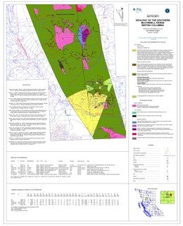 |
Open File 2001-02 presents the geology of the southern McConnell Range of British Columbia. The scale is 1:50000. |
| Issue ID: | OF2001-03 |
| Title: | Geological Compilation Map Babine Porphyry Copper District Central British Columbia (NTS 93L/9, 93M/1,2E,7E,8) |
| Author(s): | MacIntyre, D.G. |
| Series Name: | Open File |
| Publication Year: | 2001 |
| Scale: | 1:100000 |
| NTS Map Sheet(s): | 093L/9, 093M/1,2E,7E,8 |
| Place Keyword(s): | British Columbia, Central British Columbia, Babine Lake Area |
| Lat/Long (NSWE): | 55.5, 54.5, -126.48, -126 |
| Theme Keyword(s): | Geology, Babine Porphyry Copper District, Bedrock Geology |
Download(s):
| PDF |
Abstract:
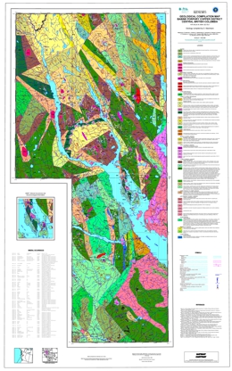 |
Open File 2001-3 is a geological compilation of the geology of the Babine porphyry copper district in north-central British Columbia. The coloured geology map is at 1:100 000 scale and includes a legend, an insert map showing mineral occurrences in the Granisle and Bell mine areas and geochronological information, references, and a table of mineral occurrences in the area.
The oldest rocks exposed are limestones of the Lower Permian Asitka Group. Permian to Triassic rocks comprise a metavolcanic suite and sedimentary rocks that may correlate with the lower Takla Group. Upper Triassic rocks of the Takla Group include pyroxene phyric basalt, andesite flows and breccias and marine sedimentary rocks. The sediments include siltstone, mudstone, local limestone, and volcanic conglomerate. Lower to Middle Jurassic Hazelton Group rocks comprise six mappable units. The oldest is the Telkwa Formation, which is mainly air-fall tuff, feldspar phyric andesite flows and breccia, basalt flows, and related epiclastic rocks. He overlying Nilkitkwa Formation consists of feldspathic wacke, siltstone and conglomerate, whereas the Ankwell member of the Nilkitkwa is greenstone, basalt breccia, flows and tuff and interbedded sedimentary rocks. The Saddle Hill volcanics unit contains basalt, andesite, dacite and rhyolite flows, tuffs and related volcaniclastic rocks. Dacite and rhyolite domes feature this unit. Overlying Smithers Formation contains feldspathic sandstone, siltstone, feldspathic wacke and minor volcanic tuff, breccia and volcanic conglomerate. The Middle to Late Jurassic Bowser Lake Group consists of the Ashman and Trout Creek formations. The Ashman Formation consists mainly of feldspathic wacke, siltstone and shale. The Trout Creek Formation consists mainly of polymictic conglomerate with minor wacke, siltstone and shale. Lower Cretaceous Skeena Group units are: undivided felsic and intermediate volcanic rocks, the Kitsuns Creek Formation, which contains sandstone, siltstone, shale and mudstone but is locally carbonaceous to coal bearing. The overlying Hanawald conglomerate is dominantly chert pebble conglomerate with quartz sandstone and siltstone interbeds. The Kitsumkalum shale has interbedded sandstone. Rocky Ridge Formation consists mostly of augite-plagioclase phyric alkaline basalt to basaltic andesite, feldspar phyric andesite to dacite, basalt, volcanic breccia, and lapilli tuff. Overlying rhyolites to rhyodacites comprise flows and flow breccias and form subvolcanic domes. Red Rose Formation rocks include quartzo-feldspathic sandstone, siltstone, chert pebble conglomerate and siltstone to mudstone interbeds. The uppermost unit consists of sandstone, siltstone, shale, mudstone, and pebble conglomerate. Upper Cretaceous Kasalka Group rocks consist of andesite tot dacite flows, volcanic breccia, and lahar. Paleocene to Eocene sandstone, siltstone, conglomerate, shale, coaly shale and coal with interbedded tuffaceous siltstone and fanglomerate. Eocene rocks include a basal heterolithic conglomerate, and the Newman Formation, the Ootsa Lake Group, and the Endako Group. The Newman Formation consists of porphyritic andesite to dacite flows breccia and lahar. Ootsa Lake Group is characterized by felsic volcanics. Endako Group volcanics are generally amygdaloidal and vesicular basalt flows with minor flow top breccia and bladed feldspar porphyry.
Intrusive rocks are important in the area. The Late Triassic to Early Jurassic Topley suite of intrusions contains granodiorite, quartz diorite, monzonite, porphyritic granodiorite, megacrystic feldspar porphyry dikes, and intrusive breccia. The Early to Middle Jurassic Spike Peak intrusive suite includes porphyritic granodiorite to quartz diorite, granodiorite tot quartz monzonite, diorite, and basalt dikes. Early Cretaceous intrusions are quartz monzonite, monzonite, rhyodacite and granodiorite to quartz diorite. The Late Cretaceous Bulkley intrusions include diorite to gabbro, porphyritic granodiorite to quartz diorite, and porphyritic quartz monzonite. The Eocene Babine intrusions include granodiorite to quartz diorite, porphyritic granodiorite, and quartz monzonite.
Four major tectonic events are reflected in the region. Mid to Late Jurassic folding and uplift was followed by mid Cretaceous contraction that produced northwest trending folds and northeast directed thrusts. Crustal extension in Late Eocene time produced north trending grabens and horst, and an event as young as Miocene tilted fault blocks.
The most important mineral occurrences are gold-bearing porphyry copper deposits associated with the Eocene Babine intrusions and the Late Cretaceous Bulkley intrusions. The former producing Bell and Granisle mines and many major prospects are known in the map area. There is also epithermal potential with silver-lead-zinc mineralization like that at the Fireweed prospect in Skeena Group rocks. Potential also exists for Besshi-type massive sulphides, volcanic redbed copper deposits, polymetallic veins with silver-lead-zinc and possibly gold, and intrusion-related gold-pyrrhotite deposits. |
| Issue ID: | OF2001-04 |
| Title: | Geology of Gladys River Area (NTS 104N/16) |
| Author(s): | Mihalynuk, M.G. et al. |
| Series Name: | Open File |
| Publication Year: | 2001 |
| Scale: | 1:50000 |
| NTS Map Sheet(s): | 104N/16 |
| Place Keyword(s): | British Columbia, Gladys River Area |
| Lat/Long (NSWE): | 60, 59.75, -132.5, -132 |
| Theme Keyword(s): | Geology, Bedrock Geology |
Download(s):
| PDF |
Abstract:
 |
Open File 2001-04 presents the geology of Gladys River area (NTS 104N/16) of British Columbia. The scale 1:50000. |
| Issue ID: | OF2001-05 |
| Title: | Geology of Goodwin Creek (NTS 104N/9E) Map Sheet |
| Author(s): | Mihalynuk, M.G. et al. |
| Series Name: | Open File |
| Publication Year: | 2001 |
| Scale: | 1:50000 |
| NTS Map Sheet(s): | 104N/9E Map Sheet |
| Place Keyword(s): | British Columbia, Goodwin Creek |
| Lat/Long (NSWE): | 59.75, 59.5, -132.25, -132 |
| Theme Keyword(s): | Geology, Bedrock Geology |
Download(s):
| PDF |
Abstract:
 |
Open File 2001-05 presents the geology of Goodwin Creek (104N/9E) map sheet of British Columbia. The scale is 1:50000. |
| Issue ID: | OF2001-06 |
| Title: | Geology of North-central Jennings River Map Area (NTS 104O/14E, 15) |
| Author(s): | Nelson, J.L., Harms, T., Roots, C., Mihalynuk, M.G., Friedman, R., deKeijzer, M. |
| Series Name: | Open File |
| Publication Year: | 2001 |
| Scale: | 1:50000 |
| NTS Map Sheet(s): | 104O/14E, 15 |
| Place Keyword(s): | British Columbia, Northcentral Jennings River Map Area |
| Lat/Long (NSWE): | 60, 59.75, -131.25, -130.5 |
| Theme Keyword(s): | Geology, Bedrock Geology |
Download(s):
| PDF |
Abstract:
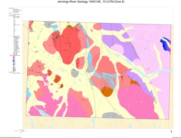 |
Open File 2001-06 presents the geology of north-central Jennings River Map area (104O/14E, 15) of British Columbia. The scale is 1:50000. |
| Issue ID: | OF2001-08 |
| Title: | Ice Flow History of Tahtsa Lake - Ootsa Lake Region (NTS 93E/10, 11, 14, 15, 16) |
| Author(s): | Ferbey, T., Levson, V.M. |
| Series Name: | Open File |
| Publication Year: | 2001 |
| Scale: | 1:100000 |
| NTS Map Sheet(s): | 093E/10, 11, 14, 15, 16 |
| Place Keyword(s): | British Columbia, Tahtsa Lake - Ootsa Lake Region |
| Lat/Long (NSWE): | 54, 53.5, -127.5, -126 |
| Theme Keyword(s): | Geology, Ice Flow History |
Download(s):
| PDF |
Abstract:
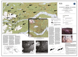 |
Open File 2001-08 presents the ice flow history of Tahtsa Lake - Ootsa Lake region (NTS 93E/10, 11, 14, 15, 16) of British Columbia. The scale is 1:100000. |
| Issue ID: | OF2001-10 |
| Title: | Till Geochemistry Wells-Stony Lake Area, B.C. (NTS 93H/4N, 5S) |
| Author(s): | Bobrowsky, P.T., Bichler, A.J. |
| Series Name: | Open File |
| Publication Year: | 2001 |
| NTS Map Sheet(s): | 093H/4N, 5S |
| Place Keyword(s): | British Columbia, Wells-Stony Lake Area |
| Lat/Long (NSWE): | 53.5, 53, -122, -121.5 |
| Theme Keyword(s): | Geology, Till Geochemistry, Samples |
Download(s):
| PDF, ZIP (View Zip Contents) |
Abstract:
 |
Open File 2001-10 presents till geochemistry for the Wells-Stony Lake area of British Columbia (NTS 93H/4N, 5S). The report analyses 400 basal till samples representing 324 stations; data reflects a high sampling density of approximately one sample per 2.5 square kilometres. Analytical information includes data on 31 elements analyzed by ICP-MS and INAA, as well as 11 major oxides, loss on ignition and seven minor elements examined by LiBO2 fusion ICP-ES. A brief discussion describes the geological setting, survey methodology, quality control and data interpretation. The report also includes a detailed discussion regarding integrity, ice-flow history and probably source location for the following elements: Ag, Cu, Au, Pb, Zn, As and Cd. |
| Issue ID: | OF2001-11 |
| Title: | Geology of the Frank Creek - Cariboo Lake Area, Central British Columbia (NTS 93A/11,14) |
| Author(s): | Ferri, F. |
| Series Name: | Open File |
| Publication Year: | 2001 |
| Scale: | 1:25000 |
| NTS Map Sheet(s): | 093A/11,14 |
| Place Keyword(s): | British Columbia, Central British Columbia, Frank Creek - Cariboo Lake Area |
| Lat/Long (NSWE): | 53, 52.5, -121.5, -121 |
| Theme Keyword(s): | Geology, Bedrock Geology |
Download(s):
| PDF |
Abstract:
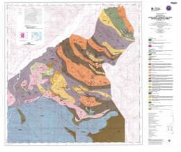 |
Open File 2001-11 presents the geology of the Frank Creek - Cariboo Lake area of central British Columbia (NTS 93A/11,14). The scale is 1:25000. |
| Issue ID: | OF2001-12 |
| Title: | Sea to Sky Aggregate Potential |
| Author(s): | Hickin, A.S., Brooks, E.D., Bobrowsky, P.T. |
| Series Name: | Open File |
| Publication Year: | 2001 |
| Scale: | 1:50000 |
| NTS Map Sheet(s): | 092; |
| Place Keyword(s): | British Columbia, Southwestern British Columbia, Sea to Sky Corridor |
| Lat/Long (NSWE): | 50.734, 49.5, -123.59, -122.4 |
| Theme Keyword(s): | Geology, Aggregate Potential |
Download(s):
| PDF, ZIP (View Zip Contents) |
Abstract:
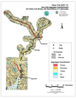 |
The Sea-to-Sky region, north of Vancouver, British Columbia, is currently experiencing competing land use options which range from the development of scarce, but economically important aggregate resources to complete conservation and preservation of the natural resources. However, with the continued urban growth of communities such as the Villages of Whistler and Pemberton and the City of Squamish, coupled with a potentially successful bid for the 2010 Winter Olympics, pressure on the existing local aggregate reserves will eventually reach a critical stage. To address these concerns, the Ministry of Energy and Mines with funding assistance from the Corporate Resource Inventory Initiative (CRII), British Columbia Assets and Lands (BCAL), and Ministry of Transportation and Highways (MoTH), initiated a joint project to assess, at a reconnaissance level, the aggregate potential of the Sea-to-Sky corridor. |
| Issue ID: | OF2001-13 |
| Title: | Geochemistry Ecstall Greenstone Belt |
| Author(s): | MEMPR staff |
| Series Name: | Open File |
| Publication Year: | 2001 |
| Scale: | 1:50000 |
| NTS Map Sheet(s): | 103H; 103I |
| Place Keyword(s): | British Columbia, Central British Columbia, Ecstall Area, Skeena River, Douglas Channel |
| Lat/Long (NSWE): | 54.2, 53.5, -130, -129 |
| Theme Keyword(s): | Geology, Geochemistry, Sediment Samples, Water Samples |
Download(s):
| PDF, ZIP (View Zip Contents) |
Abstract:
 |
Open File 2001-13 presents the geochemistry of the Ecstall Greenstone Belt of British Columbia (103H/103I) between the Skeena River and Douglas Channel. Within the 228 sites, 242 sediment samples and 241 water samples were collected. Sediment samples were analysed by INAA and aqua-ICPMS for base and precious metals, pathfinder and rare earth elements. Water samples were analysed for pH, uranium, sulphate and fluoride. The region has a high potential for the discovery of new volcanogenic massive sulphide mineralization. The survey was conducted in 2000. |
| Issue ID: | OF2001-14 |
| Title: | Alkaline hosted Cu-PGE Mineralization in British Columbia: the Whiterocks Mountain Plutonic Complex, South-central B.C. |
| Author(s): | Nixon, G.T. |
| Series Name: | Open File |
| Publication Year: | 2001 |
| Scale: | 1:20000 |
| NTS Map Sheet(s): | 082L/04; 082E/13 |
| Place Keyword(s): | British Columbia, Southcentral British Columbia, Whiterocks Mountain Plutonic Complex |
| Lat/Long (NSWE): | 50.04, 49.98, -119.76, -119.68 |
| Theme Keyword(s): | Geology, Alkaline Hosted, Cu-PGE Mineralization |
Download(s):
| PDF |
Abstract:
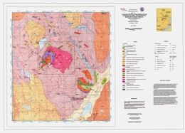 |
Open File 2001-14 presents the alkaline hosted Cu-PGE mineralization in the Whiterocks Mountain Plutonic Complex, south-central British Columbia. The scale is 1:5000. |
| Issue ID: | OF2001-16 |
| Title: | B.C. MINFILE; CD ROM |
| Author(s): | Jones, L.D. |
| Series Name: | Open File |
| Publication Year: | 2001 |
| NTS Map Sheet(s): | 082;083;092;093;094;102;103;104;114 |
| Place Keyword(s): | British Columbia |
| Lat/Long (NSWE): | 60, 48, -139, -114 |
| Theme Keyword(s): | Geology, MINFILE Mineral Occurrence Database |
Abstract:
| Open File 2001-16 is a British Columbia MINFILE on CD ROM. |
| Issue ID: | OF2001-17 |
| Title: | Geology of Teh Creek Area, Northwestern British Columbia (NTS 104O/12) |
| Author(s): | Mihalynuk, M.G., Harms, T.A., Roots, C.F., Nelson, J.L., deKeijzer, M., Friedman, R.M., Gleeson, T.P. |
| Series Name: | Open File |
| Publication Year: | 2001 |
| Scale: | 1:50000 |
| NTS Map Sheet(s): | 104O/12 |
| Place Keyword(s): | British Columbia, Northwestern British Columbia, Teh Creek Area |
| Lat/Long (NSWE): | 59.75, 59.5, -132, -131.5 |
| Theme Keyword(s): | Geology, Bedrock Geology |
Download(s):
| PDF |
Abstract:
 |
Open File 2001-17 presents the geology of Teh Creek area of northwestern British Columbia (NTS 104O/12). The scale is 1:50000. |
| Issue ID: | OF2001-18 |
| Title: | Geology of the Southern McConnell Range and Sustut River Areas, British Columbia (NTS 094D/3,7,9,10,15,16) |
| Author(s): | Legun, A.S., Untereiner, B., Carbno, B. |
| Series Name: | Open File |
| Publication Year: | 2001 |
| Scale: | 1:50000 |
| NTS Map Sheet(s): | 094D/3,7,9,10,15,16 |
| Place Keyword(s): | British Columbia, Southern McConnell Range and Sustut River Areas |
| Lat/Long (NSWE): | 56.821, 56.462, -126.816, -126.378 |
| Theme Keyword(s): | Geology, Bedrock Geology |
Download(s):
| PDF, ZIP (View Zip Contents) |
Abstract:
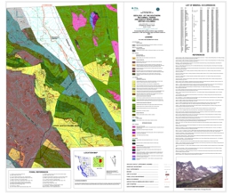 |
Open File 2001-18 describes the geology of the southern McConnell Range and Sustut River areas (94D/3, 7, 9, 10, 15, 16) in central British Columbia. The coloured 1:50 000 scale geological map includes a legend, fossil references, references, and a list of mineral occurrences.
The oldest stratified rocks in the area are cherty mudstone, felsic to mafic volcanics, limestone and shale of the Early Permian Asitka Group. Unconformably overlying Late Triassic Takla Group rocks are subdivided into four formations. The Dewar Formation consists of epiclastic sandstone, siltstone and mudstone. Lower Savage Mountain units are: basalt porphyry, pillow basalt flows, pillow breccia, and feldspar and/or augite phyric basalt. Upper Savage Mountain units are andesitic bladed feldspar porphyry, and lithic tuff aprons that may be associated with vent breccia. Moosevale Formation units are marine siltstone, lithic tuff and submarine slide breccia, the middle sandy unit, the upper semi-stratified breccia and lahar conglomerate, conglomerate and sandstone, and undifferentiated breccias. Early Jurassic Hazelton Group contains the Telkwa and Nilkitkwa Formations. Telkwa Formation units are polymictic conglomerate, feldspar porphyry breccia with sandstone, mudstone and tuff interlayers, red and lapilli tuffs with andesite flows, andesitic to dacitic flows with welded tuffs and sediments, and undifferentiated andesitic to dacitic volcanics. The Nilkitkwa Formation is represented by argillite, siltstone and tuff with minor limestone and volcanic interlayers. Middle to Late Jurassic Bowser Lake Group sediments are conglomeratic sandstone, siltstone, carbonaceous claystone and coal. The Late Cretaceous Sustut Group has basal quartz-bearing conglomerate, mudstone and coal overlain by pebbly sandstone and mudstone.
Intrusive rocks in the area are of Late Triassic and Early Jurassic age. The Late Triassic suite includes the Menard complex, with clinopyroxenite, gabbro and diorite; subvolcanic dacitic to andesitic porphyry intrusions; and augite porphyry. Early Jurassic intrusions include rhyolite porphyry, gabbro, monzodiorites and dacite porphyries, and the Black Lake intrusive suite with stock to batholithic granodiorite to diorite to monzogranite phases.
The map pattern is dominated by faults with trends that vary from northeast to north to northwest. Offset of geologic units indicates both strike-slip and vertical offset.
Mineral occurrences copper with or without precious metals but some have associated lead, zinc or molybdenum. The most important occurrence known is the Sustut volcanic redbed copper deposit in Late Triassic semi-stratified breccia and lahar conglomerate host rocks. The area also has potential for porphyry copper +/- molybdenum +/- gold deposits and skarns. |
| Issue ID: | OF2001-19 |
| Title: | North Coast LRMP |
| Author(s): | Hickin, A.S., Brooks, E.D., Bobrowsky, P.T. |
| Series Name: | Open File |
| Publication Year: | 2001 |
| Scale: | 1:50000 |
| NTS Map Sheet(s): | 102; 103; 104 |
| Place Keyword(s): | British Columbia, North Coast, LRMP Area |
| Lat/Long (NSWE): | 55.039, 51.955, -131.66, -120.213 |
| Theme Keyword(s): | Geology, Aggregate Potential, LRMP, Data Compilation |
Download(s):
| PDF, ZIP (View Zip Contents) |
Abstract:
 |
The North Coast LRMP Aggregate Potential Map provides a mechanism for identifying target areas for further aggregate investigation. In general, there is limited aggregate potential within the North Coast LRMP, as access and availability of material is relatively restricted. However, a number of possible aggregate locations were identified in this project that, with further investigation, may prove to be economic for either local use or export. Almost all locations will have to rely on transportation by water, as the existing road network infrastructure does not extend beyond Prince Rupert and the Skeena River corridor. |
| Issue ID: | OF2002-02 |
| Title: | B.C. MINFILE Reports and BC MINFILE Data |
| Author(s): | Jones, L.D. |
| Series Name: | Open File |
| Publication Year: | 2002 |
| NTS Map Sheet(s): | 082;083;092;093;094;102;103;104;114 |
| Place Keyword(s): | British Columbia |
| Lat/Long (NSWE): | 60, 48, -139, -114 |
| Theme Keyword(s): | Geology, Minfile Mineral Occurrence Reports and Data, Mineral Occurrences |
Abstract:
| Open File 2002-02 are British Columbia MINFILE reports and British Columbia MINFILE data. |
| Issue ID: | OF2002-04 |
| Title: | Geology and Mineral Deposits of Nehalliston Plateau Area |
| Author(s): | Schiarizza, P.A., Israel, S., Heffernan, S., Zuber, J. |
| Series Name: | Open File |
| Publication Year: | 2002 |
| Scale: | 1:50000 |
| NTS Map Sheet(s): | 092P/7, 8, 9, 10 |
| Place Keyword(s): | British Columbia, Nehalliston Plateau Area |
| Lat/Long (NSWE): | 51.646, 51.354, -120.789, -120.073 |
| Theme Keyword(s): | Geology, Mineral Deposits, Bedrock Geology |
Download(s):
| PDF, ZIP (View Zip Contents) |
Abstract:
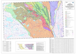 |
Open File 2002-04 presents the geology and mineral deposits of Nehalliston Plateau area of British Columbia. The scale is 1:50000. |
| Issue ID: | OF2002-06 |
| Title: | Geology and Mineral Occurrences, Beale Lake Map Area (NTS 104I/14N) |
| Author(s): | Nelson, J.L., Lepage, L.D. |
| Series Name: | Open File |
| Publication Year: | 2002 |
| Scale: | 1:50000 |
| NTS Map Sheet(s): | 104I/14N |
| Place Keyword(s): | British Columbia, Beale Lake Map Area |
| Lat/Long (NSWE): | 59, 58.8, -129.5, -129 |
| Theme Keyword(s): | Geology, Mineral Occurrences, Bedrock Geology |
Download(s):
| PDF |
Abstract:
 |
Open File 2002-06 presents the geology and mineral occurrences of the Beale Lake map area (NTS 104I/14N) of British Columbia. The scale is 1:50000. |
| Issue ID: | OF2002-07 |
| Title: | Alkaline hosted Cu-PGE Mineralization: the Sappho Alkaline Plutonic Complex, South-central B.C. |
| Author(s): | Nixon, G.T. |
| Series Name: | Open File |
| Publication Year: | 2002 |
| Scale: | 1:5000 |
| NTS Map Sheet(s): | 082E/2 |
| Place Keyword(s): | British Columbia, Southcentral British Columbia, Sappho Alkaline Plutonic Complex |
| Lat/Long (NSWE): | 49.025, 49, -118.725, -118.675 |
| Theme Keyword(s): | Geology, Cu-PGE, Mineralization, Alkaline Hosted, Sappho Alkaline Plutonic Complex |
Download(s):
| PDF |
Abstract:
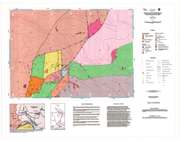 |
Open File 2002-07 presents alkaline hosted Cu-PGE Mineralization of the Sappho Alkaline Plutonic Complex of south-central British Columbia. The scale is 1:5000. |
| Issue ID: | OF2002-09 |
| Title: | Geology of the Lustdust Property, central British Columbia |
| Author(s): | Ray, G.E., Megaw, P.K.M., McGlasson, J.A., Glover, J.K. |
| Series Name: | Open File |
| Publication Year: | 2002 |
| Scale: | 1:5000 |
| NTS Map Sheet(s): | 093N/11 |
| Place Keyword(s): | British Columbia, Central British Columbia, Lustdust Property |
| Lat/Long (NSWE): | 55.59, 55.56, -125.453, -125.405 |
| Theme Keyword(s): | Geology, Lustdust Property |
Download(s):
| PDF |
Abstract:
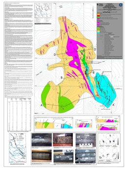 |
Open File 2002-09 presents the geology of the Lustdust Property in central British Columbia. The scale is 1:5000. |
| Issue ID: | OF2002-01 |
| Title: | 2001 Mines and Major Exploration Projects in B.C. |
| Author(s): | Owsiacki, G., Cathro, M., Wojdak, P.J., Houle, J., Terry, D., Lane, R., Schroeter, T.G. |
| Series Name: | Open File |
| Publication Year: | 2002 |
| Scale: | 1:2500000 |
| NTS Map Sheet(s): | 082;083;092;093;094;102;103;104;114 |
| Place Keyword(s): | British Columbia |
| Lat/Long (NSWE): | 60, 48, -139, -114 |
| Theme Keyword(s): | Geology, Mines, Major Exploration Projects |
Download(s):
| PDF |
Abstract:
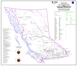 |
Open File 2002-01 looks at 2001 mines and major exploration projects in British Columbia. This file contains two maps at a scale of 1:2500000 and a MINFILE data disk. The maps show the location of 120 operating mines, projects in the Environmental Assessment Review, projects that have received Mine Development Certificates or have been Certified, and major exploration projects in British Columbia. The disk provides data on 108 of these mines or projects. In 2001, a total of 62 deposits (10 metallic mineral, 45 industrial mineral and 7 coal) were being mined in the province of British Columbia. There are 58 major exploration projects. |
| Issue ID: | OF2002-11 |
| Title: | Till Geochemistry of the Tetachuck Lake and Marilla Map Areas (NTS 93 F/5 and F/12) |
| Author(s): | Levson, V.M., Mate, D.J., with contributions from Dubois |
| Series Name: | Open File |
| Publication Year: | 2002 |
| NTS Map Sheet(s): | 093 F/5 and F/12 |
| Place Keyword(s): | British Columbia, Square Lake, Tetachuck Lake and Marilla Map Areas, Chelaslie River, Chelaslie Arm |
| Lat/Long (NSWE): | 53.75, 53.25, -126, -125.5 |
| Theme Keyword(s): | Geology, Till Geochemistry, Mineral Occurrences, Regional Till Geochemistry Survey, Exploration |
Download(s):
| PDF, ZIP (View Zip Contents) |
Abstract:
 |
A regional till geochemistry survey conducted within the Marilla and Tetachuck Lake map areas during the summers of 1997 and 1998 has identified seven known mineral occurrences and highlighted five new exploration targets, three of which are multi-element anomalies. Basal till, collected at almost all of the 273 sample sites, was the preferred sampling medium.�It is a first derivative product of bedrock, has been deposited in a linear direction down-ice from its source, and forms large dispersal trains. Research at the Uduk Lake prospect found that gold and arsenic dispersal trains were approximately 2 kilometres long and 0.5 kilometres wide. Sedimentologic data collected in the field was used to distinguish basal till from other Quaternary sediments. Distinguishing till from other Quaternary sediments, glacigenic debris-flows, colluvium, glaciofluvial and glaciolacustrine, is important because element concentrations contained within them are rarely derived from local sources. Therefore, they are not useful for identifying local sources of mineralization. Till geochemistry results from this study also suggest that mineralization at the Uduk Lake, Loon, Exo, Godot, Tet, Rhub, and WT occurrences are more extensive than originally believed. At the Uduk Lake and Loon prospects two >95th percentile gold concentrations occur away from and up-ice of exploration trenches and areas of known mineralization. Multi-element geochemical anomalies occur at till sites 2.5 kilometres west and 2 kilometres southwest from the centre of the Exo prospect. The three new prospective areas with multi-element anomalies occur around Square Lake, along and north of Chelaslie River, and along the shoreline of Chelaslie Arm. Groupings of >90th and >95th percentile gold, arsenic, copper, lead, zinc, and barium concentrations occur around Square Lake, located in the northwest corner of the Marilla map area. The highest gold concentration in the study area, 77 ppb, occurs here and may be related to the Skins Lake Pluton. A large area of anomalous concentrations of copper, chromium, nickel, lead and zinc occur along and north of the Chelaslie River while anomalous concentrations of gold, arsenic, copper, lead and zinc occur along the shoreline of Chelaslie Arm. A 1 metre wide and 5 metre long vein sample from mineralized bedrock close to Chelaslie Arm assayed 612 ppb gold and 85.5 ppm. Along the southwestern shoreline of Chelaslie Arm the highest assayed gold concentration from mineralized float was 40 ppb. The highest molybdenum concentration in till in the study area, 8 ppm, also occurs in this area. Other new exploration targets include high gold concentrations in till along the Cheslatta River and north of Michel Creek. |
| Issue ID: | P1975-01 |
| Title: | Survival - Mine Rescue Manual |
| Author(s): | MEMPR staff |
| Series Name: | Paper |
| Publication Year: | 1975 |
| NTS Map Sheet(s): | 082;083;092;093;094;102;103;104;114 |
| Place Keyword(s): | British Columbia |
| Lat/Long (NSWE): | 60, 48, -139, -114 |
| Theme Keyword(s): | Geology, Mine Rescue |
Abstract:
| Paper 1975-01 presents a survival and mine rescue manual. |
| Issue ID: | P1977-02 |
| Title: | General Underground Mine Rescue Manual Note: The British Columbia Mine Rescue Manual issued in December 1989 supercedes Paper 1977-2 and Paper 1981-4 |
| Author(s): | MEMPR staff |
| Series Name: | Paper |
| Publication Year: | 1977 |
| NTS Map Sheet(s): | 082;083;092;093;094;102;103;104;114 |
| Place Keyword(s): | British Columbia |
| Lat/Long (NSWE): | 60, 48, -139, -114 |
| Theme Keyword(s): | Geology, Underground Mine Rescue |
Abstract:
| Paper 19977-02 is a general underground mine rescue manual.� Note: The British Columbia Mine Rescue Manual issued in December 1989 supercedes Paper 1977-2 and Paper 1981-4. |
| Issue ID: | P1977-04 |
| Title: | Reclamation of Lands Disturbed by Mining (Proceedings of the British Columbia Mine Reclamation Symposium, Vernon, B.C., March 16-18, 1977) |
| Author(s): | MEMPR staff |
| Series Name: | Paper |
| Publication Year: | 1977 |
| NTS Map Sheet(s): | 082;083;092;093;094;102;103;104;114 |
| Place Keyword(s): | British Columbia |
| Lat/Long (NSWE): | 60, 48, -139, -114 |
| Theme Keyword(s): | Geology, Land Reclamation, Mining |
Download(s):
| PDF |
Abstract:
 |
Paper 1977-04 discusses reclamation of lands disturbed by mining from the proceedings of the British Columbia Mine Reclamation Symposium, Vernon, B.C., March 16-18, 1977. |
| Issue ID: | P1977-05 |
| Title: | Reclamation of Lands Disturbed by Mining in Mountainous and Northern Areas (A Selected Bibliography and Review Relevant to British Columbia and Adjacent Areas) |
| Author(s): | MEMPR staff |
| Series Name: | Paper |
| Publication Year: | 1977 |
| NTS Map Sheet(s): | 082;083;092;093;094;102;103;104;114 |
| Place Keyword(s): | British Columbia |
| Lat/Long (NSWE): | 60, 48, -139, -114 |
| Theme Keyword(s): | Geology, Land Reclamation, Mining, Northern Areas, Mountainous Areas |
Abstract:
| Paper 1977-05 discusses the reclamation of lands disturbed by mining in mountainous and northern areas. A selected bibliography and review relevant to British Columbia and adjacent areas. |
| Issue ID: | P1978-04 |
| Title: | Reclamation of Lands Disturbed by Mining (Proceedings of Second Annual British Columbia Mine Reclamation Symposium Vernon, B.C. March 1-3, 1978) |
| Author(s): | MEMPR staff |
| Series Name: | Paper |
| Publication Year: | 1978 |
| NTS Map Sheet(s): | 082;083;092;093;094;102;103;104;114 |
| Place Keyword(s): | British Columbia |
| Lat/Long (NSWE): | 60, 48, -139, -114 |
| Theme Keyword(s): | Geology, Land Reclamation, Mining |
Download(s):
| PDF |
Abstract:
 |
Paper 1978-04 discusses reclamation of lands disturbed by mining from the Proceedings of Second Annual British Columbia Mine Reclamation Symposium Vernon, B.C. March 1-3, 1978. |
| Issue ID: | P1978-06 |
| Title: | Revegetation of Disturbances in the Northeast Coal Block, Current Activities and State-of-the-Art, 1977 |
| Author(s): | MEMPR staff |
| Series Name: | Paper |
| Publication Year: | 1978 |
| NTS Map Sheet(s): | 094; |
| Place Keyword(s): | British Columbia |
| Lat/Long (NSWE): | 56.116, 54.25, -123, -120 |
| Theme Keyword(s): | Geology, Land Reclamation, Revegetation, Northeast Coal Block |
Download(s):
| PDF |
Abstract:
 |
Paper 1978-06 discusses revegetation of disturbances in the northeast coal block. This includes current activities and state-of-the-art, 1977. |
| Issue ID: | P1978-07 |
| Title: | Reclamation of Abandoned Mine Spoils in British Columbia 1977-78 |
| Author(s): | MEMPR staff |
| Series Name: | Paper |
| Publication Year: | 1978 |
| NTS Map Sheet(s): | 082;083;092;093;094;102;103;104;114 |
| Place Keyword(s): | British Columbia |
| Lat/Long (NSWE): | 60, 48, -139, -114 |
| Theme Keyword(s): | Geology, Land Reclamation, Abandoned Spoils, Mining |
Download(s):
| PDF |
Abstract:
 |
Paper 1978-07 discusses the reclamation of abandoned mine spoils in British Columbia 1977-78. |
| Issue ID: | P1979-02 |
| Title: | MINSIM, A Metal Mine Simulation Model, Stage 1 Report |
| Author(s): | Ramage, D.R. |
| Series Name: | Paper |
| Publication Year: | 1979 |
| NTS Map Sheet(s): | 082;083;092;093;094;102;103;104;114 |
| Place Keyword(s): | British Columbia |
| Lat/Long (NSWE): | 60, 48, -139, -114 |
| Theme Keyword(s): | Geology, Metal Mine, Simulation Model |
Download(s):
| PDF |
Abstract:
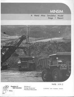 |
Paper 1979-02 is a MINSIM, A Metal Mine Simulation Model stage 1 report. |
| Issue ID: | P1979-03 |
| Title: | Revegetation Studies in the Peace River Coal Block, 1978 |
| Author(s): | MEMPR staff |
| Series Name: | Paper |
| Publication Year: | 1979 |
| NTS Map Sheet(s): | 093; 094 |
| Place Keyword(s): | British Columbia |
| Lat/Long (NSWE): | 56.116, 54.25, -123, -120 |
| Theme Keyword(s): | Geology, Land Reclamation, Revegetation, Peace River Coal Block |
Download(s):
| PDF |
Abstract:
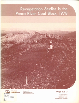 |
Paper 1979-03 discusses revegetation studies in the Peace River Coal Block, 1978. |
| Issue ID: | P1979-04 |
| Title: | Reclamation of Lands Disturbed by Mining (Proceedings of the Third Annual British Columbia Mine Reclamation Symposium, Vernon, B.C., March 7-9, 1979) |
| Author(s): | MEMPR staff |
| Series Name: | Paper |
| Publication Year: | 1979 |
| NTS Map Sheet(s): | 082;083;092;093;094;102;103;104;114 |
| Place Keyword(s): | British Columbia |
| Lat/Long (NSWE): | 60, 48, -139, -114 |
| Theme Keyword(s): | Geology, Land Reclamation, Mining |
Download(s):
| PDF |
Abstract:
 |
Paper 1979-04 discusses reclamation of lands disturbed by mining from the Proceedings of the Third Annual British Columbia Mine Reclamation Symposium, Vernon, B.C., March 7-9, 1979. |
| Issue ID: | P1979-05 |
| Title: | Mineral Taxation in British Columbia |
| Author(s): | Basham, F.C. |
| Series Name: | Paper |
| Publication Year: | 1979 |
| NTS Map Sheet(s): | 082;083;092;093;094;102;103;104;114 |
| Place Keyword(s): | British Columbia |
| Lat/Long (NSWE): | 60, 48, -139, -114 |
| Theme Keyword(s): | Geology, Mineral Taxation |
Download(s):
| PDF |
Abstract:
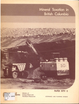 |
Paper 1979-05 discusses mineral taxation in British Columbia. |
| Issue ID: | P1979-06 |
| Title: | A Brief Submitted to the Royal Commission of Inquiry, Health and Environmental Protection, Uranium Mining |
| Author(s): | MEMPR staff |
| Series Name: | Paper |
| Publication Year: | 1979 |
| NTS Map Sheet(s): | 082;083;092;093;094;102;103;104;114 |
| Place Keyword(s): | British Columbia |
| Lat/Long (NSWE): | 60, 48, -139, -114 |
| Theme Keyword(s): | Geology, Inquiry, Health and Environmental Protection, Uranium Mining, Royal Commission |
Download(s):
| PDF |
Abstract:
 |
Paper 1979-06 is a brief submitted to the Royal Commission of Inquiry, Health and Environmental Protection on Uranium Mining. |
| Issue ID: | P1980-02 |
| Title: | Molybdenum, The British Columbia Perspective |
| Author(s): | Clancy, J., Tyhurst, J. |
| Series Name: | Paper |
| Publication Year: | 1980 |
| NTS Map Sheet(s): | 082;083;092;093;094;102;103;104;114 |
| Place Keyword(s): | British Columbia |
| Lat/Long (NSWE): | 60, 48, -139, -114 |
| Theme Keyword(s): | Geology, Molybdenum |
Download(s):
| PDF |
Abstract:
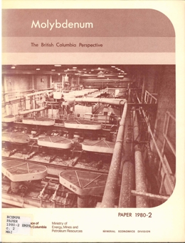 |
Paper 1980-02 gives a British Columbia Perspective of molybdenum. |
| Issue ID: | P1980-04 |
| Title: | A Brief Submitted to the Royal Commission of Inquiry, Health and Environmental Protection, Exploration |
| Author(s): | MEMPR staff |
| Series Name: | Paper |
| Publication Year: | 1980 |
| NTS Map Sheet(s): | 082;083;092;093;094;102;103;104;114 |
| Place Keyword(s): | British Columbia |
| Lat/Long (NSWE): | 60, 48, -139, -114 |
| Theme Keyword(s): | Mining, Exploration, Inquiry, Health and Environmental Protection, Royal Commission |
Download(s):
| PDF |
Abstract:
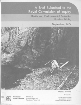 |
Paper 1980-04 is a brief submitted to the Royal Commission of Inquiry, Health and Environmental Protection on exploration. |
| Issue ID: | P1980-05 |
| Title: | A Brief Submitted to the Royal Commission of Inquiry, Health and Environmental Protection, Mining (2124) |
| Author(s): | MEMPR staff |
| Series Name: | Paper |
| Publication Year: | 1980 |
| NTS Map Sheet(s): | 082;083;092;093;094;102;103;104;114 |
| Place Keyword(s): | British Columbia |
| Lat/Long (NSWE): | 60, 48, -139, -114 |
| Theme Keyword(s): | Royal Commission, Inquiry, Health and Environmental Protection, Mining |
Download(s):
| PDF |
Abstract:
 |
Paper 1980-05 is a brief submitted to the Royal Commission of Inquiry, Health and Environmental Protection on mining (2124). |
| Issue ID: | P1980-06 |
| Title: | A Brief Submitted to the Royal Commission of Inquiry, Health and Environmental Protection, Milling and Chemical Extraction |
| Author(s): | MEMPR staff |
| Series Name: | Paper |
| Publication Year: | 1980 |
| NTS Map Sheet(s): | 082;083;092;093;094;102;103;104;114 |
| Place Keyword(s): | British Columbia |
| Lat/Long (NSWE): | 60, 48, -139, -114 |
| Theme Keyword(s): | Mining, Milling, Inquiry, Health and Environmental Protection, Royal Commission, Chemical Extraction |
Download(s):
| PDF |
Abstract:
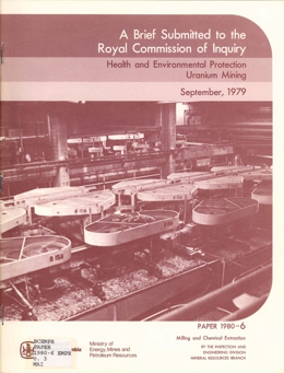 |
Paper 1980-06 is a brief submitted to the Royal Commission of Inquiry, Health and Environmental Protection on milling and chemical extraction. |
| Issue ID: | P1980-07 |
| Title: | A Brief Submitted to the Royal Commission of Inquiry, Health and Environmental Protection, Waste Disposal |
| Author(s): | MEMPR staff |
| Series Name: | Paper |
| Publication Year: | 1980 |
| NTS Map Sheet(s): | 082;083;092;093;094;102;103;104;114 |
| Place Keyword(s): | British Columbia |
| Lat/Long (NSWE): | 60, 48, -139, -114 |
| Theme Keyword(s): | Mining, Waste Disposal, Inquiry, Health and Environmental Protection, Royal Commission |
Download(s):
| PDF |
Abstract:
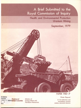 |
Paper 1980-07 is a brief submitted to the Royal Commission of Inquiry, Health and Environmental Protection on waste disposal. |
| Issue ID: | P1980-08 |
| Title: | A Brief Submitted to the Royal Commission of Inquiry, Health and Environmental Protection, Environmental Impact |
| Author(s): | MEMPR staff |
| Series Name: | Paper |
| Publication Year: | 1980 |
| NTS Map Sheet(s): | 082;083;092;093;094;102;103;104;114 |
| Place Keyword(s): | British Columbia |
| Lat/Long (NSWE): | 60, 48, -139, -114 |
| Theme Keyword(s): | Mining, Environmental Impact, Inquiry, Health and Environmental Protection, Royal Commission |
Download(s):
| PDF |
Abstract:
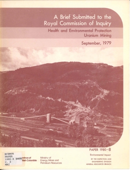 |
Paper 1980-08 is a brief submitted to the Royal Commission of Inquiry, Health and Environmental Protection on environmental impact. |
| Issue ID: | P1980-09 |
| Title: | A Brief Submitted to the Royal Commission of Inquiry, Health and Environmental Protection, Public and Worker Health |
| Author(s): | MEMPR staff |
| Series Name: | Paper |
| Publication Year: | 1980 |
| NTS Map Sheet(s): | 082;083;092;093;094;102;103;104;114 |
| Place Keyword(s): | British Columbia |
| Lat/Long (NSWE): | 60, 48, -139, -114 |
| Theme Keyword(s): | Mining, Public and Worker Health, Inquiry, Health and Environmental Protection, Royal Commission |
Download(s):
| PDF |
Abstract:
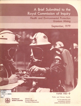 |
Paper 1980-09 is a brief submitted to the Royal Commission of Inquiry, Health and Environmental Protection on public and worker health. |
| Issue ID: | P1980-10 |
| Title: | Sand and Gravel, 1980 (British Columbia Lower Mainland) |
| Author(s): | Hora, Z.D., Basham, F.C. |
| Series Name: | Paper |
| Publication Year: | 1980 |
| Scale: | 1:3000000 |
| NTS Map Sheet(s): | 082; 083; 092; 093; 102; 103; 104; 114 |
| Place Keyword(s): | British Columbia, Lower Mainland |
| Lat/Long (NSWE): | 49.5, 49, -123.25, -121.5 |
| Theme Keyword(s): | Geology, Sand, Gravel |
Download(s):
| PDF |
Abstract:
 |
Paper 1980-10 discusses sand and gravel in1980 for the British Columbia Lower Mainland. |
| Issue ID: | P1980-11 |
| Title: | Reclamation of Lands Disturbed by Mining (Proceedings of the Fourth Annual British Columbia Mine Reclamation Symposium, Vernon, B.C., March 5-7, 1980) |
| Author(s): | MEMPR staff |
| Series Name: | Paper |
| Publication Year: | 1980 |
| NTS Map Sheet(s): | 082;083;092;093;094;102;103;104;114 |
| Place Keyword(s): | British Columbia |
| Lat/Long (NSWE): | 60, 48, -139, -114 |
| Theme Keyword(s): | Geology, Land Reclamation, Mining |
Download(s):
| PDF |
Abstract:
 |
Paper 1980-11 discuss the reclamation of lands disturbed by mining from the Proceedings of the Fourth Annual British Columbia Mine Reclamation Symposium, Vernon, B.C., March 5-7, 1980. |
| Issue ID: | P1981-02 |
| Title: | Reconnaissance Rock Geochemistry of the Nicola and Kingsvale Groups Between Merritt and Princeton (92H, 92I) |
| Author(s): | Preto, V.A. |
| Series Name: | Paper |
| Publication Year: | 1981 |
| NTS Map Sheet(s): | 092H, 092I |
| Place Keyword(s): | British Columbia, Southcentral British Columbia, Nicola and Kingsvale Groups, Merritt, Princeton |
| Lat/Long (NSWE): | 50.725, 49.533, -120.687, -120.5 |
| Theme Keyword(s): | Geology, Rock Geochemistry, Reconnaissance |
Download(s):
| PDF |
Abstract:
 |
Paper 1981-02 discusses rock geochemistry of the Nicola and Kingsvale Groups between Merritt and Princeton (92H, 92I) in south-central British Columbia. The objective was to investigate the relationship between the distribution of mineral deposits and the background metal content of the rock units.
Within the study area, Nicola volcanic rocks comprise three roughly parallel, north-trending, fault-bounded belts. Most mineral occurrences are found in the Central Belt, which consists largely of subaerial and submarine pyroxene and plagioclase-rich andesitic and basaltic flows, breccia, conglomerate, and lahar deposits. Important volumes of diorite and subordinate syenite are comagmatic with this suite. The northern part of the Eastern Belt consists of a succession of submarine volcanic sediments but the southern part is dominated by extensive lahar deposits, some analcite-bearing basalt flows, and several high-level syenitic stocks. In contrast, the Western Belt consists of andesitic to rhyolitic flow and pyroclastic rocks that are interbedded in their upper part with abundant limestone, volcanic conglomerate, and sandstone. The Central and Eastern Belts include is a markedly talc-alkaline assemblage. both alkaline and calc-alkaline rock suites, whereas the Western Belt is a markedly talc-alkaline assemblage.
A later sequence of Cretaceous volcanic rocks with minor associated sedimentary and intrusive rocks unconformably overlies the Nicola Group. It is correlative with the Kingsvale Group. The lavas range from basalt to rhyolite in composition and are almost exclusively subaerial. Apparently these rocks are devoid of mineral occurrences.
Geology of the Upper Triassic Nicola Group between Merritt and Princeton is summarized in Bulletin 69.
This report summarizes the distribution of copper, cobalt, nickel, lead, and zinc in flow, volcaniclastic, and intrusive rocks in each of the three tectonic/lithologic belts and, for comparison, in rocks of the Kingsvale suite. Sample collecting was done during the course of field work and, because background values were sought, only samples that carried no visible sulphides and were minimally altered were analysed. Samples not visibly mineralized but collected near areas of known mineralization were also excluded from the study. For these reasons, the metal distribution maps show large gaps in the vicinity of the Axe deposit and on Fairweather Hills. Other large gaps in coverage reflect extensive overburden, particularly in the Eastern Belt. |
| Issue ID: | P1981-03 |
| Title: | Correlation of Lower Cretaceous Coal Measures, Peace River Coalfield, British Columbia (94A) |
| Author(s): | McL.D. Duff, P., Gilchrist, R.D. |
| Series Name: | Paper |
| Publication Year: | 1981 |
| NTS Map Sheet(s): | 094A |
| Place Keyword(s): | British Columbia, Northeastern British Columbia, Peace River Coalfield |
| Lat/Long (NSWE): | 56.116, 54.25, -123, -120 |
| Theme Keyword(s): | Geology, Coal Measures, Correlation, Lower Cretaceous |
Download(s):
| PDF |
Abstract:
 |
Paper 1981-03 discusses the correlation of lower cretaceous coal measures of the Peace River Coalfield, British Columbia (94A). |
| Issue ID: | P1981-04 |
| Title: | Surface Mine Rescue Manual (See note re Paper 1977-2) |
| Author(s): | MEMPR staff |
| Series Name: | Paper |
| Publication Year: | 1981 |
| NTS Map Sheet(s): | 082;083;092;093;094;102;103;104;114 |
| Place Keyword(s): | British Columbia |
| Lat/Long (NSWE): | 60, 48, -139, -114 |
| Theme Keyword(s): | Geology, Surface Mine, Rescue Manual |
Download(s):
| PDF |
Abstract:
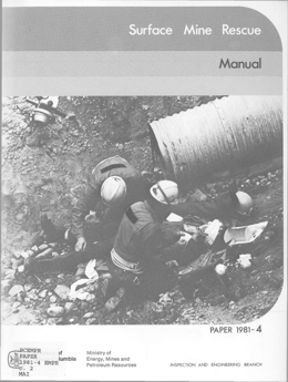 |
Paper 1981-04 is a surface mine rescue manual� (See note re Paper 1977-2). |
| Issue ID: | P1981-05 |
| Title: | British Columbia Copper Smelting and Refining Technologies Seminar |
| Author(s): | MEMPR staff |
| Series Name: | Paper |
| Publication Year: | 1981 |
| NTS Map Sheet(s): | 082;083;092;093;094;102;103;104;114 |
| Place Keyword(s): | British Columbia |
| Lat/Long (NSWE): | 60, 48, -139, -114 |
| Theme Keyword(s): | Geology, Copper Smelting, Refining Technologies |
Download(s):
| PDF |
Abstract:
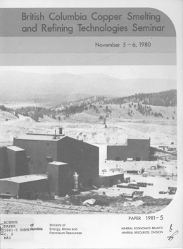 |
Paper 1981-05 is from the British Columbia Copper Smelting and Refining Technologies Seminar. |
| Issue ID: | P1982-02 |
| Title: | Reclamation in Mountainous Areas (Proceedings of the Sixth Annual Canadian Land Reclamation Association and the Fifth Annual British Columbia Mine Reclamation Symposium) |
| Author(s): | MEMPR staff |
| Series Name: | Paper |
| Publication Year: | 1982 |
| NTS Map Sheet(s): | 082;083;092;093;094;102;103;104;114 |
| Place Keyword(s): | British Columbia |
| Lat/Long (NSWE): | 60, 48, -139, -114 |
| Theme Keyword(s): | Geology, Land Reclamation, Mining, Mountain Areas |
Download(s):
| PDF |
Abstract:
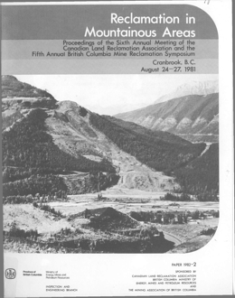 |
Paper 1982-02 discusses reclamation in mountainous areas from the Proceedings of the Sixth Annual Canadian Land Reclamation Association and the Fifth Annual British Columbia Mine Reclamation Symposium. |
| Issue ID: | P1983-02 |
| Title: | Reclamation of Lands Disturbed by Mining (Proceedings of the Sixth Annual British Columbia Mine Reclamation Symposium) |
| Author(s): | MEMPR staff |
| Series Name: | Paper |
| Publication Year: | 1983 |
| NTS Map Sheet(s): | 082;083;092;093;094;102;103;104;114 |
| Place Keyword(s): | British Columbia |
| Lat/Long (NSWE): | 60, 48, -139, -114 |
| Theme Keyword(s): | Geology, Mining, Land Reclamation |
Download(s):
| PDF |
Abstract:
 |
Paper 1983-02 discusses the reclamation of lands disturbed by mining from the Proceedings of the Sixth Annual British Columbia Mine Reclamation Symposium. |
| Issue ID: | P1983-03 |
| Title: | Geology of the Princeton Basin |
| Author(s): | McMechan, R.D. |
| Series Name: | Paper |
| Publication Year: | 1983 |
| Scale: | 1:50000 |
| NTS Map Sheet(s): | 092H/7,8,9,10 |
| Place Keyword(s): | British Columbia, Southcentral British Columbia, Princeton Area |
| Lat/Long (NSWE): | 49.617, 49.35, -120.65, -120.417 |
| Theme Keyword(s): | Geology, Bedrock Geology |
Download(s):
| PDF |
Abstract:
 |
Paper 1983-3 keys on the coal and industrial mineral resources of the Princeton Basin in south-central British Columbia. The basin is a half graben bounded on its eastern margin by a north-northeasterly trending, west-dipping extension fault that has a minimum stratigraphic separation in the order of 1 400 metres. The basin is filled with Paleogene strata of the Princeton Group. The basal strata consist of flows and related volcaniclastic rocks of the Lower Volcanic Formation that attain a maximum aggregate thickness of 1 370 metres. These are overlain by a minimum 1 700-metre thickness of coal-bearing, nonmarine terrigenous clastic and lesser vol�caniclastic sedimentary rocks of the Middle Eocene Allenby Formation.
The Allenby Formation is informally subdivided into three members. Flows and tuffs that are intercalated predominantly with basal sedimentary strata of the Allenby Formation are designated as the �volcanic member.� Sedimentary strata of the Allenby Formation that outcrop in the southern part of the basin can be subdivided on the basis of coal occurrence and proportion of volcaniclastic material into a lower clastic and an upper coal-bearing member The four coal zones of historical economic importance (Princeton-Black-Blue Flame, Pleasant Valley-Jackson, Gem-Bromley Vale, Golden Glow) occur in the basal 530 metres of the �coal-bearing member.� Other coal zones (Freeman, Allenby, Bethlehem) occur in the upper middle part of the preserved �coal-bearing member.� Strata in the northern part of the basin appear to be a coarser and thicker lateral facies equivalent of the �lower member� in the south, although precise correlation is uncertain.
Strata of the Allenby Formation have been deposited primarily in fluvial environments. The coarser northern facies probably represents a higher energy braided river depositional environment, whereas the finer southern facies probably represents a lower gradient, meandering river environment in which related backswamp, overbank/floodplain, and lacustrine environments were common. The coal probably accumulated as vegetative matter in peat (?) swamps in these latter environments. The distribution of facies, the variation in maximum clast size, the orientation of paleocurrent indicators, and the sediment provenance suggest that sedimentary strata of the Allenby Formation were derived largely from a terrane that lay to the north-northeast of the Princeton Basin, and that the Osprey Lake intrusive body supplied much of the arkosic detritus. Volcanic detritus was locally derived.
The Princeton Basin is shallower in the north than in the south. Strata of the Allenby Formation comprise a homoclinal, east-dipping panel in the northern part of the basin, whereas they outline a complex, deeper basin in the south that has been modified by faulting and folding. Gravity profiles across the basin outline variations in preserved thickness of Paleogene sediment fill, in places in excess of 1 200 metres, and clearly delineate anomalies associated with the known coal zones.
Historical coal production in the Princeton Basin is in the order of 1.8 million tonnes (2 million tons) of a subbituminous product. The coal seams exhibited marked lateral variability in thickness, character, and quality: the mining operations were often plagued with economic and geologic difficulties. Nevertheless, the Princeton Basin still contains a substantial coal resource that is probably two orders of magnitude greater than that previously mined. Stratigraphic and structural relationships within the Allenby Formation show that the southwestern part of the basin is the most promising area for future coal exploration. |
| Issue ID: | P1984-02 |
| Title: | An Overview of the Placer Mining Industry in Atlin Mining Division - Placer Reprint |
| Author(s): | MEMPR staff |
| Series Name: | Paper |
| Publication Year: | 1984 |
| Place Keyword(s): | British Columbia, Atlin Mining Division |
| Lat/Long (NSWE): | 60, 57.696, -139, -130.28 |
| Theme Keyword(s): | Geology, Placer Mining |
Download(s):
| PDF |
Abstract:
 |
Paper 1984-02 presents an overview of the placer mining industry in Atlin Mining Division, a Placer Reprint. |
| Issue ID: | P1984-03 |
| Title: | Geology of the Quinsam Lake Area, Vancouver Island |
| Author(s): | Eastwood, G.E.P. |
| Series Name: | Paper |
| Publication Year: | 1984 |
| Scale: | 1:25000 |
| NTS Map Sheet(s): | 092F/13,14; 092K/3,4 |
| Place Keyword(s): | British Columbia, Vancouver Island, Central Vancouver Island, Quinsom Lake Area |
| Lat/Long (NSWE): | 50.022, 49.867, -125.583, -125.417 |
| Theme Keyword(s): | Geology, Bedrock Geology |
Download(s):
| PDF |
Abstract:
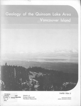 |
Paper 1984-3 covers the geology, coal and metallic mineral resources of the Quinsam Lake area, central Vancouver Island, British Columbia. The report covers an area about 130 square kilometres in size that lies west and southwest of Campbell River. The Cretaceous coal-bearing Nanaimo Group unconformably overlies a complex of early Mesozoic rocks. The oldest unit, the Karmutsen Formation, consists dominantly of basaltic volcanic rocks. The late Triassic Quatsino limestone and the Parson Bay argillite are missing in the upper Iron River area, where the Late Triassic or Early Jurassic Lower Bonanza division directly overlies the Karmutsen. Early Jurassic Middle Bonanza division rocks form much of the mountainous area in the southern part of the map area. Many probable Middle Bonanza porphyritic dykes cut Early Bonanza and older rocks. The Middle Jurassic Quinsam intrusions comprise a stock along the west side of the area and scattered dykes.
Karmutsen basalts grade to gabbro, presumably representing the centres of thick flows. There are also gabbro dykes that represent feeders tot eh flows. Parson Bay argillite is exposed to the north, near Strathcona dam and in three outcrops north of the Iron River skarn deposit. The absence of Quatsino limestone likely represents nondeposition rather than erosion.
The Bonanza Formation is largely volcanic or volcanogenic in nature. The Lower Bonanza has both sedimentary and volcanic components; the Middle Bonanza is nearly all volcanic. Lower Bonanza sediments are chert-like siltite and silty argillite; the lavas are mainly andesites. Middle Bonanza volcanic rocks are generally massive although crystal-lithic tuffs were identified in thin sections. Porphyry dykes that cut Lower Bonanza rocks below the mouth of Chute Creek are light coloured and fine grained. Grey dykes and sills intrude Lower Bonanza rocks in the northwest part of the map area. These may be offshoots of the Quinsam stock.
The main phase of the Quinsam stock is a coarse-grained, light pink rock speckled with hornblende, biotite and magnetite. Near the contact, the intrusive is more mafic, finer grained and locally xenolith-rich.
The Cretaceous Nanaimo Group sediments underlie an irregular area between Campbell Lake and the Iron River. Preliminary drilling showed that coal underlay some areas. Reports of results of grid drilling follow-up were submitted for assessment credit and were used to construct stratigraphic sections. Coal seams are also exposed in the banks of the Iron River. The basal units were deposited on an irregular surface and sandstones and conglomerates represent accumulations in depressions albeit some also covered humps. Overlying recessive member is almost 12 metres thick and consists of lower shales, coaly shales and sandstones with an upper 5 metre thick coal zone with two coaly shale interbeds. Above are a 25-metre thick sandstone unit and 6 metres of shale that contain a coal seam locally.
The coal-bearing beds are virtually flat lying but underlying Bonanza rocks, although generally only gently folded, are locally thrown into small tight folds. Probable pre- and post-Cretaceous faulting occurs. A major fault that apparently offsets the Quinsam stock underlines the valley that hosts Long Lake. Nanaimo Group rocks in the basin form a shallow, asymmetric syncline. Smaller flexures are locally superimposed on it in the southern part of the map area.
The principal potential mineral resource in the area is coal. Five seams are known in the Nanaimo Group but only the lower three show potential economic thickness. Numbers 1 and 2 seams are in the lower, recessive member, number 3 is in the thin shaly member. The sulphur content of the coals indicates that they could be most suitably used as thermal coals. Resource calculations indicate about 15 million tonnes in seam 1, 9 million tonnes in seam 2 and just over 1 million tonne in seam 3.
Skarn deposits developed in nearby limestones and altered Karmutsen basalts contain magnetite and chalcopyrite mineralization. Pyritic zones in Lower Bonanza rocks carry anomalous gold, silver and copper values. Pyrite and chalcopyrite also occur in narrow shear zones in the Quinsam stock. |
| Issue ID: | P1986-02 |
| Title: | Geological Setting and Mineralization in the Mount Attwood-Phoenix Area of the Greenwood Mining Camp |
| Author(s): | Church, B.N. |
| Series Name: | Paper |
| Publication Year: | 1986 |
| Scale: | 1:25000 |
| NTS Map Sheet(s): | 082E/2SE |
| Place Keyword(s): | British Columbia, Mount Attwood-Phoenix Area, Greenwood Mining Camp |
| Lat/Long (NSWE): | 49.146, 49, -118.74, -118.517 |
| Theme Keyword(s): | Geology, Mineralization, Bedrock Geology |
Download(s):
| PDF |
Abstract:
 |
Paper 1986-2 presents the results of a geological survey conducted in the vicinity of the town of Greenwood in the southern part of British Columbia. The object is to further clarify the geological setting of the many copper and precious metal deposits that characterize the region.
The manuscript consists of 65 pages, 7 tables, 23 photographs, and 21 figures; 4 large figures include a geological map of the Mount Attwood - Phoenix area at a scale of 1:25 000 and a map of the Phoenix mine at a scale of 1:1200. The text contains major sections on geological setting, economic geology and ore genesis, descriptions of 26 individual mineral deposits, and a mining history of the area.
The Paleozoic (?) Knob Hill Group is the oldest unit in the area. Metacherts and quartz chlorite schists predominate. The Permo-Carboniferous Attwood Group is mainly black argillite with lesser clastic, metavolcanic and limestone components. The Triassic Brooklyn Group is characterized by thick basal conglomerates with interfingers of shale and carbonate, and an upper unit of volcanic breccias. Chlorite to amphibole grade metamorphism affected all these rocks. Deformation produced faults and locally tight folds.
The Eocene Princeton Group consists of the sedimentary Kettle River Formation and the volcanic Marron Formation. The volcanics are phonolites, trachytes and andesites. Block faulting related to uplift affected these rocks.
Triassic to Tertiary intrusive rocks occur in the area. Compositions range from mafic to granite and syenite. Strongly serpentinized ultramafic rocks interpreted to be intrusions form sill and dyke-like bodies.
Mineralization in the area consists principally of copper bearing skarn deposits and to a lesser extent, gold and silver bearing quartz veins with minor lead and zinc values. Stratabound volcanogenic (?) gold-sulphide mineralization has been discovered in the area. Metallogenic evaluations indicate that the extensive fault and fracture patterns, which characterize the area, served as channelways for mineralizing solutions mobilized by the igneous intrusions. The combination of a long geological history and a wide range in types of deposits insures good potential for new mineral discoveries in this old mining camp.
The Greenwood Mining Camp, which flourished from 1900 to 1976, produced 32 million tonnes of ore that yielded 38 278 kilograms of gold, 183 102 kilograms of silver, 270 945 tonnes of copper, 966 tonnes of lead, and 329 tonnes of zinc. |
| Issue ID: | P1986-03 |
| Title: | Coal in British Columbia |
| Author(s): | MEMPR staff |
| Series Name: | Paper |
| Publication Year: | 1986 |
| NTS Map Sheet(s): | 082;083;092;093;094;102;103;104;114 |
| Place Keyword(s): | British Columbia |
| Lat/Long (NSWE): | 60, 48, -139, -114 |
| Theme Keyword(s): | Geology, Coal |
Download(s):
| PDF |
Abstract:
 |
Paper 1988-3 describes the geology and coal resources of the Carbon Creek map area in the Peace River district of northeastern British Columbia. The report includes a 1:50 000 scale geological map based on field mapping and a compilation of previous work.
The oldest rocks in the area are shales with minor siltstones and sheet sandstones of the Jurassic Fernie Formation. The contact with the overlying Minnes Group rocks is transitional as the number and thickness of sheet sandstone beds increase until sandstone dominates. The lowermost formation, the Monteith, span Jurassic to Lower Cretaceous time. Grey quartz arenites and dark lithic arenites, wackes, siltstone and shale predominate. The sequence records marine regression modified by secondary cycles of transgression. The recessive Beattie Peaks Formation consists largely of dark gray and brown shales. It coarsens upward as the number and thickness of parallel laminated arenite beds increase and grades into the overlying Monach Formation. The Monach is dominated by arenite beds up to 20 metres thick separated by thin shale layers. The upper contact occurs where there is a change to thin cyclic units of alternating mudstone, siltstone and sandstone of the Bickford Formation. The Monach represents wave built shoals. The Bickford, which is a sequence of interbedded arenites and shales, is best identified by defining the Cadomin Formation above and the Monach Formation below. Toward the top of the Formation carbonaceous content increases and thin coal beds occur. Near its base, the Bickford consists of shallow marine storm deposits and post-storm reworked material. Successively higher in the section are rocks deposited in nearshore marine to shoreface conditions, emergent coastal conditions with beach deposits, and finally lagoonal coastal plain deposits.
The coal-bearing Bullhead Group consists of the Cadomin Formation and the Gething Formation. The 200 to 275 metres thick Cadomin Formation contains varying proportions of resistant pebbly arenite beds up to 20 metres thick separated by recessive units consisting of siltstone, carbonaceous shale, fine-grained arenite and coal. The lithological components represent fluvial fan deposits, flood basin and overbank deposits and possibly beach deposits. The Gething Formation, which hosts most of the coal, is about 1100 metres thick. The Formation consists of interbedded arenites, noncarbonaceous shale, carbonaceous shale and coal. The arenite units are alluvial channel or delta distributary deposits; the shales are flood basin to swamp deposits. The coals display a moderately bright luster and variable sulphur content. A number of coal seams that vary to 2.2 metres width occur across a 200 metre section.
The coal measures are deformed within a pair of broad synclines separated by an anticlinorium. The sequence is bounded by major faults to the east and west.
The subcrop of seam 40 defines the boundary of two areas of proven coal reserves in the Carbon Creek syncline. Many coal seams, most less than 1 metre thick, underlie the west Carbon Creek syncline. The thickest seam was 1.9 metres. Regionally, the maximum average thickness (net coal) of a coal seam in the Carbon-Creek-Peace River Canyon region does not exceed 2.2 metres and the average best seam on each property is 1.8 metres. |
| Issue ID: | P1986-04 |
| Title: | Introduction to Prospecting |
| Author(s): | Faulkner, E.L. |
| Series Name: | Paper |
| Publication Year: | 1986 |
| NTS Map Sheet(s): | 082;083;092;093;094;102;103;104;114 |
| Place Keyword(s): | British Columbia |
| Lat/Long (NSWE): | 60, 48, -139, -114 |
| Theme Keyword(s): | Geology, Prospecting |
Download(s):
| PDF |
Abstract:
 |
Paper 1986-4 gives an introduction to prospecting. |
| Issue ID: | P1986-05 |
| Title: | Coal in Northwestern British Columbia - An Overview |
| Author(s): | Schroeter, T.G., White, G.V., Koo, J. |
| Series Name: | Paper |
| Publication Year: | 1986 |
| Place Keyword(s): | British Columbia, Northwestern British Columbia |
| Lat/Long (NSWE): | 60, 54, -135, -126 |
| Theme Keyword(s): | Geology, Coal |
Download(s):
| PDF |
Abstract:
 |
Paper 1986-5 gives an overview of coal in northwestern British Columbia. |
| Issue ID: | P1987-02 |
| Title: | Geology of the Adams Plateau-Clearwater-Vavenby Area |
| Author(s): | Schiarizza, P.A., Preto, V.A. |
| Series Name: | Paper |
| Publication Year: | 1987 |
| Scale: | 1:100000 |
| NTS Map Sheet(s): | 082M/3,4,5,6,11,12; 092P/1,8,9 |
| Place Keyword(s): | British Columbia, Southcentral British Columbia, Adams Plateau - Clearwater - Vavenby Map Area, Shuswap Highlands |
| Lat/Long (NSWE): | 51.75, 51, -120.25, -119.417 |
| Theme Keyword(s): | Geology, Mineral Deposits, Bedrock Geology |
Download(s):
| PDF |
Abstract:
 |
Paper 1987-2 describes the geology and mineral deposits of the Adams Plateau - Clearwater - Vavenby map area, an area that covers 3500 square kilometres within the Shuswap Highland of south-central British Columbia. It is centered 80 kilometres north-northeast of Kamloops and is bounded by latitudes 5 lo00' and 51o45' north, and longitudes 119o30' and 120o15' west. The topography is dominated by the North Thompson River valley in the north and west, and the Adams Lake valley in the east.
The map area covers a belt of structurally complex low-grade metamorphic rocks that lies along the western margin of the Omineca Belt. It is flanked by high-grade metamorphic rocks of the Shuswap Complex to the east and by rocks of the Intermontane Belt to the west. The area is underlain mainly by Paleozoic metasedimentary and metavolcanic rocks of the Eagle Bay Assemblage and the Fennel Formation. Late Devonian granitic orthogneiss locally intrudes Eagle Bay rocks. The Paleozoic rocks are cut by mid Cretaceous granodiorite and quartz monzonite of the Raft and Baldy batholiths, and by Early Tertiary quartz feldspar porphyry, basalt and lamprophyre dykes. They are locally overlain by Eocene sedimentary and volcanic rocks of the Kamloops Group and by Miocene plateau lavas.
The Paleozoic rocks occur in four structural slices separated by southwesterly-directed thrust faults. The upper three fault slices contain only Eagle Bay rocks, while the lowest slice comprises Eagle Bay strata structurally overlain by the Fennell Formation.
Rocks assigned to the Eagle Bay Assemblage range in age from Early Cambrian to Late Mississippian. They are in part correlative with Paleozoic successions in the Kootenay Arc and in the Barkerville-Cariboo River area The oldest Eagle Bay rocks comprise quartzites and quartzose schists overlain by a unit of predominantly mafic metavolcanic rocks and limestone which, at one locality, contains Lower Cambrian archaeocyathids. An undated package of grit, phyllite, carbonate and metavolcanic rocks overlies the Early Cambrian succession. It is locally overlain by calcareous phyllite and associated calc-silicate schist and skarn or by mafic metavolcanic rocks. The upper part of the Eagle Bay Assemblage comprises a Devono-Mississippian succession consisting of felsic metavolcanic rocks overlain by intermediate, locally alkalic, metavolcanics and fine to coarse-grained clastic metasediments. These Devono-Mississippian rocks may be separated from older portions of the Eagle Bay Assemblage by a significant unconformity. Late Devonian orthogneiss that intrudes Eagle Bay rocks is probably related to the felsic metavolcanics.
The Fennell Formation comprises imbricated oceanic rocks of Slide Mountain terrane that were tectonically emplaced onto Mississippian clastic rocks of the Eagle Bay Assemblage prior to synmetamorphic southwesterly directed folding and thrusting. The formation comprises two major divisions. The lower structural division is a heterogeneous assemblage of bedded chert, gabbro, diabase, pillowed basalt, sandstone, quartz-feldspar-porphyry rhyolite and intraformational conglomerate. Conodonts extracted from bedded chert range in age from Early Mississippian to Middle Permian, while zircons extracted from quartz feldspar porphyry yield a Devonian uranium-lead age. The distribution of dated units indicates that the lower division is segmented into at least three and locally four imbricate thrust slices. The upper division consists almost entirely of pillowed and massive basalt, together with minor amounts of bedded chert and gabbro. Conodonts from two separate chert lenses within the division are respectively Early (?) Pennsylvanian and Middle Permian in age. The two divisions are therefore the same age, at least in part, and are inferred to be separated by a thrust fault.
Rocks of the Fennel Formation accumulated in a deep oceanic basin an unknown distance west of partially coeval rocks of the Eagle Bay Assemblage. Sandstone within the Fennell is very similar to Mississippian sandstone of the Early Bay Assemblage and may have been derived from it. Similarly, Devonian quartz-feldspar-porphyry rhyolite within the Fennell is like Devonian felsic volcanic rocks of the Eagle Bay Assemblage and may he an expression of the same igneous activity. The Fennell succession is inferred to comprise an imbricated marginal basin suite that was originally not far removed from the Eagle Bay terrane.
Deformation is predominantly Jura-Cretaceous and early Tertiary in age. The earliest macroscopic structures are the thrust faults that imbricate the Fennell Formation and separate it from Mississippian clastic rocks of the Eagle Bay Assemblage. East-verging, pre-metamorphic mesoscopic folds within the Fennell Formation probably also formed at this time. Tectonic emplacement of the Fennell Formation was followed by synmetamorphic southwesterly directed folding and associated thrust faulting, which gave rise to several large overturned folds, and also the thrust faults which define the structural/stratigraphic panels that dominate the map pattern. The associated synmetamorphic schistosity is the dominant mesoscopic fabric within the area. These early structures are cut by post-metamorphic northwest-trending mesoscopic folds with associated steeply dipping crenulation cleavage and axial crenulation lineation, and by later west trending macroscopic and mesoscopic folds which are synchronous with intrusion of the mid-Cretaceous Raft and Baldy batholiths. The youngest structures recognized are northeast-trending strike-slip faults and later northerly trending faults and associated folds that are Eocene in age
Stratabound massive to semi massive sulphides containing mainly silver, lead and zinc occur on Adams Plateau where they are hosted by metasedimentary rocks within a succession of dominantly mafic metavolcanic Eagle Bay rocks of probable Early Cambrian age. Similar deposits occur within a correlative (?) interval near Mount McClennan.
Polymetallic precious and base metal massive sulphide occurrences are hosted by Devono-Mississippian felsic to intermediate metavolcanic rocks of the Eagle Bay Assemblage. They include the Homestake prospect and a number of other occurrences in the Sinmax Creek - Adams Lake area, as well as several showings along Birk Creek. Overlying alkalic rocks host similar mineralization at the recently discovered Rea deposit southwest of Johnson Lake.
Large-tonnage disseminated pyrite-pyrrhotite-chalcopyrite mineralization, such as that at the Harper Creek deposit, occurs within Eagle Bay rocks where they are intruded by Devonian orthogneiss. This spatial relationship suggests that the mineralization is Devonian in age and related to the orthogneiss, although it has been remobilized during later deformation and metamorphism.
Uranium-thorium-fluorite mineralization is hosted by a trachytic intrusive-extrusive complex within Devono-Mississippian Eagle Bay rocks along Foghorn and Lute creeks (Rexspar and Bullion showings).
The CC deposit is a cupriferous pyrite volcanogenic massive sulphide deposit hosted by oceanic basalts of the Fennel Formation east of Chu Chua Mountain.
The area also contains numerous vein deposits, as well as small pods of skarn mineralization near Cretaceous and Devonian granitic intrusions. The veins contain mainly silver-lead-zinc mineralization although gold was produced from the Sweet Home and Gold Hill veins within the Fennell Formation east of Dunn Lake. |
| Issue ID: | P1988-03 |
| Title: | Geology and Coal Resources of the Carbon Creek Map Area |
| Author(s): | Legun, A.S. |
| Series Name: | Paper |
| Publication Year: | 1988 |
| Scale: | 1:50000 |
| NTS Map Sheet(s): | 093O/16 |
| Place Keyword(s): | British Columbia, Carbon Creek Area |
| Lat/Long (NSWE): | 56, 55.75, -122.5, -122.033 |
| Theme Keyword(s): | Geology, Coal Resources, Bedrock Geology |
Download(s):
| PDF |
Abstract:
 |
Paper 1988-3 describes the geology and coal resources of the Carbon Creek map area in the Peace River district of northeastern British Columbia. The report includes a 1:50 000 scale geological map based on field mapping and a compilation of previous work.
The oldest rocks in the area are shales with minor siltstones and sheet sandstones of the Jurassic Fernie Formation. The contact with the overlying Minnes Group rocks is transitional as the number and thickness of sheet sandstone beds increase until sandstone dominates. The lowermost formation, the Monteith, span Jurassic to Lower Cretaceous time. Grey quartz arenites and dark lithic arenites, wackes, siltstone and shale predominate. The sequence records marine regression modified by secondary cycles of transgression. The recessive Beattie Peaks Formation consists largely of dark gray and brown shales. It coarsens upward as the number and thickness of parallel laminated arenite beds increase and grades into the overlying Monach Formation. The Monach is dominated by arenite beds up to 20 metres thick separated by thin shale layers. The upper contact occurs where there is a change to thin cyclic units of alternating mudstone, siltstone and sandstone of the Bickford Formation. The Monach represents wave built shoals. The Bickford, which is a sequence of interbedded arenites and shales, is best identified by defining the Cadomin Formation above and the Monach Formation below. Toward the top of the Formation carbonaceous content increases and thin coal beds occur. Near its base, the Bickford consists of shallow marine storm deposits and post-storm reworked material. Successively higher in the section are rocks deposited in nearshore marine to shoreface conditions, emergent coastal conditions with beach deposits, and finally lagoonal coastal plain deposits.
The coal-bearing Bullhead Group consists of the Cadomin Formation and the Gething Formation. The 200 to 275 metres thick Cadomin Formation contains varying proportions of resistant pebbly arenite beds up to 20 metres thick separated by recessive units consisting of siltstone, carbonaceous shale, fine-grained arenite and coal. The lithological components represent fluvial fan deposits, flood basin and overbank deposits and possibly beach deposits. The Gething Formation, which hosts most of the coal, is about 1100 metres thick. The Formation consists of interbedded arenites, noncarbonaceous shale, carbonaceous shale and coal. The arenite units are alluvial channel or delta distributary deposits; the shales are flood basin to swamp deposits. The coals display a moderately bright luster and variable sulphur content. A number of coal seams that vary to 2.2 metres width occur across a 200 metre section.
The coal measures are deformed within a pair of broad synclines separated by an anticlinorium. The sequence is bounded by major faults to the east and west.
The subcrop of seam 40 defines the boundary of two areas of proven coal reserves in the Carbon Creek syncline. Many coal seams, most less than 1 metre thick, underlie the west Carbon Creek syncline. The thickest seam was 1.9 metres. Regionally, the maximum average thickness (net coal) of a coal seam in the Carbon-Creek-Peace River Canyon region does not exceed 2.2 metres and the average best seam on each property is 1.8 metres. |
| Issue ID: | P1988-04 |
| Title: | Leadtable: A Galena Lead Isotope Data Base for the Canadian Cordillera, with a Guide to Its Use by Explorationists |
| Author(s): | Godwin, C.I., Gabites, J.E., Andrew, A. |
| Series Name: | Paper |
| Publication Year: | 1988 |
| NTS Map Sheet(s): | 082;083;092;093;094;102;103;104;114 |
| Place Keyword(s): | British Columbia, Canadian Cordillera |
| Lat/Long (NSWE): | 60, 48, -139, -114 |
| Theme Keyword(s): | Geology, Leadtable, Galena Lead Isotope Data Base, Explorationist Guide |
Download(s):
| PDF, ZIP (View Zip Contents) |
Abstract:
 |
The purpose of Paper 1988-4 is to make galena lead isotope data, and techniques for their interpretation, accessible to explorationists active or interested in the Canadian Cordillera. A concise introduction to theory, models and analytical procedures related to lead isotopes is presented. A collection of readily available data for deposits in the Canadian Cordillera is tabulated and documented. The data tables are available as an MS Access database. |
| Issue ID: | P1989-02 |
| Title: | Stratigraphy of the Elk Formation in the Fernie Basin, Southeastern British Columbia (82G) |
| Author(s): | Grieve, D.A., Ollerenshaw, N.C. |
| Series Name: | Paper |
| Publication Year: | 1989 |
| NTS Map Sheet(s): | 082G |
| Place Keyword(s): | British Columbia, Southeastern British Columbia, Fernie Basin, Elk Formation |
| Lat/Long (NSWE): | 49.5, 49.288, -115, -114.7 |
| Theme Keyword(s): | Geology, Stratigraphy, Elk Formation |
Download(s):
| PDF |
Abstract:
 |
Paper 1989-02 describes the stratigraphy of the Elk Formation in the Fernie Basin of southeastern British Columbia (82G). |
| Issue ID: | P1989-03 |
| Title: | Precious Metal Enriched Skarns in British Columbia: An Overview and Geological Study |
| Author(s): | Ettlinger, A.D., Ray, G.E. |
| Series Name: | Paper |
| Publication Year: | 1989 |
| NTS Map Sheet(s): | 082;083;092;093;094;102;103;104;114 |
| Place Keyword(s): | British Columbia |
| Lat/Long (NSWE): | 60, 48, -139, -114 |
| Theme Keyword(s): | Geology, Precious Metal Enriched Skarns, Skarns |
Download(s):
| PDF |
Abstract:
 |
Paper 1989-03 gives an overview and geological study of precious metal enriched skarns in British Columbia. Over 350 skarn occurrences are known to exist in British Columbia and at least 126 are enriched in precious metals. Of these, 49 precious-metal-enriched (PME) skarn deposits have produced a total of 342 tomes of silver and 95 tomes of gold, the latter representing approximately 10 per cent of the estimated total world gold production from skarns. Fifty-three per cent of the province's gold production from skarn deposits was won as a primary commodity, but virtually all of the silver was derived as a byproduct, largely from copper and iron mining operations.
The purpose of this paper is to present relevant data on the proven and potential PME skarns in British Columbia and outline their various characteristics, including distribution, mineralogy, geochemistry, geological controls and classification. |
| Issue ID: | P1989-04 |
| Title: | Geology and Coal Resources of the Dominion Coal Block, Southeastern British Columbia |
| Author(s): | Grieve, D.A., Kilby, W.E. |
| Series Name: | Paper |
| Publication Year: | 1989 |
| Scale: | 1:50000 |
| NTS Map Sheet(s): | 082G/7,10 |
| Place Keyword(s): | British Columbia, Dominion Coal Block |
| Lat/Long (NSWE): | 49.582, 49.301, -114.946, -114.777 |
| Theme Keyword(s): | Geology, Coal Quality, Bedrock Geology, Coal Resources |
Download(s):
| PDF, ZIP (View Zip Contents) |
Abstract:
 |
The objectives of paper 1989-4 are to summarize available geological and coal quality information within the Dominion Coal Block, and to present newly developed computer models of the geology of the Coal Block, along with resource calculations derived from the models.
The coal-bearing Mist Mountain Formation of the Jurassic-Cretaceous Kootenay Group crops out in three general areas within the Dominion Coal Block: i) the western half or Parcel 73 on the north end of Hosmer Ridge and the south end of Sparwood Ridge; ii) the southwestern edge of Parcel 82 on Flathead Ridge; iii) the northeastern part of Parcel 82 in the vicinity of Mount Taylor.
Potentially economic coal occurrences in Parcel 73 are in the hangingwall of the Lookout thrust fault. Rocks in this structural block are essentially monoclinal, with a mean bedding orientation of 1820/13.5 o (dip-direction/dip). Seven seams are found within a stratigraphic section between 475 and 500 metres in thickness. The major seam, 9-seam or Lookout seam, is near the base of the section, and has a combined thickness of 19 metres in three separate benches. Coals are medium to high volatile bituminous in rank, and for a given stratigraphic position are somewhat lower in rank than those in the surrounding areas. The deposit contains in situ resources of 76 million tonnes at an overall waste-to-coal ratio of 4.7:1 bank cubic metres per tonne. Open pit mining of Parcel 73 appears to be feasible.
Coal occurrences on Flathead Ridge in Parcel 82 are on the west limb or the McEvoy syncline. The structure of the upper part of the Mist Mountain Formation, the only portion of the section modeled here, is monoclinal with an average bedding orientation of 040o/20 o. Ten seams occur within a section approximately 400 metres in thickness. A and B-seams, at the top of the Mist Mountain Formation, were the focus of most exploration efforts and of our model. Coals on Flathead Ridge are medium and low-volatile bituminous in rank, and this area in general contains coals of higher rank for a given stratigraphic position than any other part of southeastern British Columbia. Both A and B-seams contain, for the most part, very high quality medium to low-volatile coking coal. Seams lower in the section are of lower quality, including some that have only thermal potential. The deposit, consisting of A and B-seams and their associated riders, contains 230 million tonnes of in situ coal, 17.5 million tonnes of which falls into the measured category. Underground mining is probably the only feasible approach to exploiting the bulk of this resource.
Coal occurrences on Mount Taylor in Parcel 82 are affected by complex structural geology, including north-trending folds and low-angle normal faults. The 400-metre thick stratigraphic section contains 10 coal seams, the thickness of the widest, the U2-seam, ranges from 5.5 to 11 metres. Coal rank varies from medium to high-volatile bituminous, with one small zone of low-volatile rank. The deposit model, which is based on the five thickest seams, predicts in situ coal resources of 613 million tonnes, but identifies no sites with significant open pit mine potential. |
| Issue ID: | P1989-05 |
| Title: | Geology and Mineral Evaluation of Kokanee Glacier Provincial Park, Southeastern British Columbia |
| Author(s): | Brown, D.A., Logan, J.M. |
| Series Name: | Paper |
| Publication Year: | 1989 |
| Scale: | 1:50000 |
| NTS Map Sheet(s): | 082F/11,14 |
| Place Keyword(s): | British Columbia, Southeastern British Columbia, Selkirk Mountains, Kokanee Glacier Park |
| Lat/Long (NSWE): | 50, 49.667, -117.5, -117 |
| Theme Keyword(s): | Geology, Mineral Showings, Mineral Potential, Bedrock Geology |
Download(s):
| PDF |
Abstract:
 |
Paper 1989-5 describes the geology, mineral showings and mineral potential within Kokanee Glacier Park. The park covers about 305 square kilometres within the Selkirk Mountains of southeastern British Columbia. It is centered 35 kilometres northeast of Nelson, between Slocan and Kootenay lakes. Topography is rugged with glacier-covered mountain peaks over 2750 metres high. Keen Creek valley is the lowest area in the park at 1200 metres elevation.
Most of Kokanee Glacier Park is underlain by rocks of the Nelson batholith, which were emplaced about 170 million years ago, during Middle Jurassic time. The composite batholith can be divided into six phases (Brown and Logan, 1988). The main phase is potassium-feldspar megacrystic granite. Other less important phases are: hornblende potassium-feldspar porphyritic granite, biotite granite/granodiorite, diorite/amphibolite and biotite lamprophyre. The Nelson plutonic suite is subalkaline and metaluminous with Cordilleran I-type affinities.
The northern end of the batholith intrudes the Upper Triassic Slocan Group, which consists of argillite, siltstone and minor amounts of limestone. The eastern edge intrudes a sequence of Lower Cambrian to Upper Triassic metasedimentary and metavolcanic rocks (Brown and Logan, 1988; Fyles, 1967) that dip westward at a moderate angle. The western boundary is defined by the Slocan Lake fault zone and Cretaceous to Tertiary gneissic intrusions of the Valhalla complex (Carr et al., 1987).
There are fifteen past producers and fourteen mineral prospects in Kokanee Glacier Park. Total production from the park was 82 209 tonnes that yielded 126 461 grams gold, 38 439 kilograms silver, 3 821 758 kilograms lead, 1 246 305 kilograms zinc, 1 473 kilograms copper and 13 875 kilograms cadmium. The value of past production is about 17 million dollars (February, 1988). All producers are low tonnage (<56 000 tonnes) and occur within the batholith. No mines are currently operating in the park.
Metallogenic studies, combined with detailed geological mapping, indicate that Kokanee Glacier Park holds potential for discovery of new, low tonnage mesothermal vein-type deposits. Based on past production, new discoveries will probably be less than 50 000 tonnes in size but rich; carrying silver, lead, and zinc. Gold-bearing veins are possible but less likely. Assessment of the resource potential of the vein deposits is difficult because the veins are narrow and discontinuous, have very thin alteration haloes and are apparently not related to obvious linear structures.
About 40 per cent of the park is alpine meadow or felsenmeer with almost complete rock exposure. As a result, few if any surface mineral showings have escaped detection by conventional prospecting methods. Batholith-hosted veins are narrow and in the past have been located only in the well-exposed areas above treeline. Subsequent exploration and development have followed these veins to lower elevations that are generally covered by overburden. In the 60 per cent of the park below treeline, rock exposure is limited.
Historically, the park has been known for silver-lead-zinc veins, however, several veins carry gold. Perhaps low gold prices and the microscopic nature of the gold prevented previous prospectors from recognizing these veins and their potential. The potential of the park area to host deposits other than mesothermal veins is considered low. Although the setting is appropriate for Tertiary epithermal mineralization, none has been located. Neither alteration of the types normally associated with porphyry copper deposits nor quartz stockworks were found. However, a magnetic high in the southwest corner of the map area may represent a blind intrusion. Copper and molybdenum abundances are low with the exception of copper at the Willa deposit, which is outside of the park. Rocks composing the bulk of the batholith are relatively unaltered.
Calcareous horizons are rare so the potential for skarn mineralization is low. In the Keen Creek sedimentary re-entrant, calc-silicate assemblages developed in response to contact metamorphism, but no sulphide mineralization was identified in the contact aureole. The absence of Rossland volcanic rocks within the park limits the possibility of discovering "Willa-type" mineralization. Detailed examination of each pendant in the park indicated no similarities with Willa deposit host lithologies. Placer gold has reportedly been panned by individuals from Enterprise Creek (Little, 1960) and Woodbury Creek, which drain the western and eastern portions of the park, respectively. The gold source may be the Scranton-
Pontiac deposit, however, it could be from other as yet undiscovered sources. |
| Issue ID: | P1990-02 |
| Title: | Geology, Lithogeochemistry and Mineralization In the Buck Creek Area, British Columbia |
| Author(s): | Church, B.N., Barakso, J.J. |
| Series Name: | Paper |
| Publication Year: | 1990 |
| Scale: | 1:100000 |
| NTS Map Sheet(s): | 093E; 093K/4,5,12; 093L/1,2,7,8,9,10 |
| Place Keyword(s): | British Columbia, Central British Columbia, Nechako Plateau, Buck Creek |
| Lat/Long (NSWE): | 54.532, 54, -126.833, -125.583 |
| Theme Keyword(s): | Geology, Mineral Deposits, Bedrock Geology, Lithogeochemical analyses |
Download(s):
| PDF, ZIP (View Zip Contents) |
Abstract:
 |
Paper 1990-2 describes the geology and mineral deposits of the Buck Creek area, which is approximately 3000 square kilometres of mostly rolling subalpine terrain in the Nechako Plateau region of central British Columbia. The area is underlain by a diverse suite of Mesozoic and Tertiary volcanic rocks and small igneous intrusions. The main stratigraphic divisions comprise a basement sequence of metamorphosed strata of Jurassic and possibly Early Cretaceous age, and cover rocks of Late Cretaceous and Tertiary age. The basement rocks are commonly poorly exposed and little is known about their thickness and regional structure. The cover rocks, referred to here as the Francois Lake group have been mapped in detail and are divided into four volcanic formations and one sedimentary formation. The intrusions are acid, intermediate and basic alkaline types. Most are clearly younger than the basement strata and some are volcanic necks and feeder dikes to the overlying Cretaceous and Tertiary volcanic rocks. The subcircular distribution of rhyolite beds at the base of the Francois Lake group outlines a broad volcano-tectonic basin, with a central resurgent uplifted area near the Equity mine, and Lower Tertiary volcanic rocks within a peripheral moat. Along a prominent lineament, 30 kilometres in length and radial to the resurgent centre, the Equity and Silver Queen mines are connected by a series of feeder intrusions to the Francois Lake group volcanic rocks. Porphyry copper and molybdenum mineralization is associated with Late Cretaceous-Early Tertiary granitoid intrusions and rhyolites on the rim and in the central area of the basin. Somewhat younger copper-lead-zinc veins, such as at the Silver Queen mine, and silver-copper-rich fracture fillings, disseminations and replacements, as at the Equity mine, are related to the Goosly syenomonzonite intrusions. At the Equity mine erosion has exposed the upper part of the Goosly stock and subvolcanic structures. A thickened zone of disseminated and massive sulphides rich in pyrite, chalcopyrite and tetrahedrite, with some pyrrhotite, minor sphalerite and magnetite, is mostly adjacent to the stock. Aluminous alteration, characterized by andalusite, scorzalite, pyrophyllite and corundum, accompanies much of this mineralization. A narrow tail-like appendage to the ore zone strikes south and away from the main orebody. The Silver Queen deposit is a system of mesothermal and epithermal polymetallic veins. These are mostly pyrite and sphalerite rich with accessory chalcopyrite, galena and tennantite within a quartz, rhodochrosite and barite-rich gangue. The veins are enveloped by argillic rocks within a broader aureole of propylitic alteration. Dikes related to the Goosly intrusions are contemporaneous with vein emplacement. It appears that the Silver Queen and Equity deposits are genetically related, and together represent a full spectrum in a hydrothermal plumbing system driven by the Goosly intrusions. A lithogeochemical study of the Buck Creek basin confirms the subcircular form of this structure and highlights the many known mineral showings and ore deposits. The dispersion of elements about certain igneous intrusions, such as the Goosly stock at the Equity mine, supports the theory that correlates intrusive events with mineralization. The lithogeochemical data table, available as an Excel file, represents analyses for 1791 rock samples. |
| Issue ID: | P1990-03 |
| Title: | Geology of the Eureka Peak and Spanish Lake Map Areas, British Columbia |
| Author(s): | Bloodgood, M.A. |
| Series Name: | Paper |
| Publication Year: | 1990 |
| Scale: | 1:50000 |
| NTS Map Sheet(s): | 093A/2,3,4,5,6,7 |
| Place Keyword(s): | British Columbia, Quesnel Terrane, Eureka Peak, Spanish Lakes |
| Lat/Long (NSWE): | 52.5, 52.202, -121.583, -120.5 |
| Theme Keyword(s): | Geology, Mineral Deposits, Bedrock Geology |
Download(s):
| PDF |
Abstract:
 |
Paper 1990-3 covers the geology and mineral deposit types of the Eureka Peak and Spanish Lake areas. The area is within the Quesnel Terrane of the Intermontane Belt, adjacent to the Omineca Belt - Intermontane Belt tectonic boundary. It represents a convergent zone between the arc related Quesnel Terrane and parautochthonous Barkerville Terrane. The boundary is defined by the Eureka thrust.
Underlying the area are Middle Triassic to Early Jurassic sedimentary and volcanic rocks represented by the Quesnel River Group and the Nicola Group, respectively. Petrologic and geochemical studies suggest protoliths of island arc and marginal basin affinities (Bloodgood, 1987a). The Quesnel Terrane structurally overlies the Barkerville Terrane, represented by Hadrynian to early Paleozoic metasediments of the Snowshoe Group and the Late Devonian to Middle Mississippian Quesnel Lake gneiss. The base of the Quesnel Terrane is marked by mylonitized mafic and ultramafic rocks of the Crooked amphibolite.
Correlation of features across the boundary has established the structural continuity in the region and recognition of structural features common to both terranes that developed in response to plate convergence. The deformational history involves two phases of coaxial folding, accompanied by extensive pressure solution, and later overprinting by northeast trending fractures. Synchronous with first phase deformation, thrust faults and detachment surfaces developed, primarily along stratigraphic contacts due to contrasting rheologies of the adjacent lithologies. Second phase deformation established the regional map pattern, folding both the fault surfaces and the tectonic boundary.
Synchronous to the deformation, regional metamorphism is evidenced by the growth of minerals characteristic of amphibolite facies in the Barkerville Terrane and greenschist facies in the Quesnel Terrane. Cleavage surfaces have acted as a locus along which pressure solution occurred, providing a pathway for the migration of fluids generated during regional metamorphism.
Mineral exploration within the Triassic black phyllites has been ongoing since the Barkerville gold rush. Three mineral deposit types have been recognized within the area, all of which have important structural and stratigraphic controls. Remobilization of gold and sulphide minerals during regional metamorphism is characteristic of syngenetic lode gold mineralization. Porphyry copper mineralization occurs in association with alkalic stocks within the metavolcanic Nicola succession. And, vein mineralization associated with zones of intense listwanite and carbonate-silica alteration has also been recognized. In each case, fracture formation and cleavage development accompanying regional metamorphism and deformation have provided the pathway for the migration of hydrothermal and mineralizing fluids. |
| Issue ID: | P1991-02 |
| Title: | Stratigraphy, Sedimentology and Coal Quality of the Lower Skeena Group, Telkwa Coalfield, Central British Columbia (NTS 93L/11) |
| Author(s): | Palsgrove, R.L., Bustin, R.M. |
| Series Name: | Paper |
| Publication Year: | 1991 |
| NTS Map Sheet(s): | 093L/11 |
| Place Keyword(s): | British Columbia, Central British Columbia, Telkwa Coalfield, Lower Skeena Group |
| Lat/Long (NSWE): | 54.722, 54.581, -127.24, -127.029 |
| Theme Keyword(s): | Geology, Stratigraphy, Sedimentology, Coal Quality |
Download(s):
| PDF |
Abstract:
 |
Paper 1991-02 describes the stratigraphy, sedimentology and coal quality of the Lower Skeena Group of the Telkwa Coalfield in central British Columbia (93L/11) |
| Issue ID: | P1991-03 |
| Title: | Quinsam and Chute Creek Coal Deposits |
| Author(s): | Kenyon, C., Cathyl-Bickford, C.G., Hoffman, G. |
| Series Name: | Paper |
| Publication Year: | 1991 |
| Scale: | 1:20000 |
| NTS Map Sheet(s): | 092F/13,14 |
| Place Keyword(s): | British Columbia, Central Vancouver Island, Quinsam Coalfield, Chute Creek, Comox Sub-Basin |
| Lat/Long (NSWE): | 50, 49.76, -125.6, -125.3 |
| Theme Keyword(s): | Geology, Coal Deposits, Bedrock Geology |
Download(s):
| PDF |
Abstract:
 |
Paper 1991-3 covers part of an ongoing project that was begun in 1987 to bring knowledge of the Vancouver Island coal deposits up to date. The aim of these resource evaluation studies is to provide sufficient data and analysis to assist industry and government in assessing the potential of the Island coals for utilization in both traditional and new applications, such as coalbed demethanation. This paper presents the results of work in the Quinsam coalfield, which is part of the Comox sub-basin. There are two coal deposits of interest in the coalfield, Quinsam to the north and Chute Creek to the south.
The Quinsam and Chute Creek coal deposits occur in the Comox Formation, at the base of the Upper Cretaceous Nanaimo Group. The stratigraphy of the Comox Formation resembles that in adjoining areas, and three members are distinguished: in ascending order, Benson, Cumberland and Dunsmuir. Patterns of sedimentation, and hence of coal distribution, were controlled by the irregular topography of the pre-Cretaceous basement. Coal measures are generally only gently deformed by block faulting and tilting, with regional dips from 8 to 120 to the northeast. Three sets of faults have been mapped in the study area.
Potentially mineable coal beds at Quinsam and Chute Creek lie at different positions in the stratigraphic section. In the Quinsam area these coals are close to basement, and occur in the Cumberland member. They are older than coals of the Chute Creek area, which lie near the top of the Comox Formation in the Dunsmuir member. Coal measures of the Cumberland member were probably deposited in back-swamps, while the Dunsmuir coals were formed in back-barrier lagoons.
The Quinsam coal can be correlated, with varying assurance, with coals in other parts of the Comox sub-basin. Given available data, the Chute Creek coals cannot be correlated with coal from outside the study area.
The Quinsam and Chute Creek coals straddle the boundary between high-volatile �A� and �B� bituminous rank. Mean-maximum vitrinite reflectance (Rmax) values range from 0.52 to 0.85 per cent. Averaged proximate analysis (air-dried, raw coals) range as follows: residual moisture, 1.8 to 4.0 per cent; ash, 7 to 38 per cent; volatile matter, 27 to 40 per cent; fixed carbon, 34 to 54 per cent; and sulphur, 0.5 to 4.2 per cent.
The Brinco Coal Corporation is currently conducting both open-pit and underground mining operations at the Quinsam mine-site. These coals average 26.5 megajoules per kilogram (11 400 British thermal units per pound), 0.8 per cent sulphur, 36 per cent volatiles and 48 per cent fixed carbon. Ash content ranges from 9 per cent in open-pit operations to 17 per cent in underground operations.
The current total coal resource estimate for the Quinsam property is 23.3 million tonnes of open-pit reserves and 19.9 million tonnes of underground reserves, for a total of 43.2 million tonnes, of which 23.04 million tonnes are proven. The total in-situ coal resource within the Chute Creek �A�, �B�, �C� and �D� coal beds, is 5.26 million tonnes; of this, 3.35 million tonnes are considered to be potentially mineable.
Preliminary calculations suggest a potential coalbed methane resource of 30.1 billion cubic metres or 0.09 trillion cubic feet in the Quinsam sub-basin. This deserves consideration both as a possible on-site energy source and as a potential safety hazard in underground miring operations.
Much of the study area has been intensively drilled, and therefore is unlikely to contain undiscovered coal resources. The country lying east of Iron River and north of Woodhus Creek may contain additional resources in the Chute Creek coal zone and in the No.3 coal bed. The northern limit of mineable coal in the No.1 bed, down dip from Quinsam colliery, is unknown owing to lack of sufficiently deep drilling. |
| Issue ID: | P1991-04 |
| Title: | Ore Deposits, Tectonics and Metallogeny in the Canadian Cordillera |
| Author(s): | McMillan, W.J., Hoy, T., MacIntyre, D.G., Nelson, J.L., Nixon, G.T., Hammack, J.L., Panteleyev, A., Ray, G.E., Webster, I.C.L. |
| Series Name: | Paper |
| Publication Year: | 1991 |
| NTS Map Sheet(s): | 082;083;092;093;094;102;103;104;114 |
| Place Keyword(s): | Canada, Canadian Cordillera |
| Lat/Long (NSWE): | 60, 48, -139, -114 |
| Theme Keyword(s): | Geology, Ore Deposits, Tectonics, Metallogeny |
Download(s):
| PDF |
Abstract:
 |
Paper 1991-04 describes ore deposits, tectonics and metallogeny in the Canadian Cordillera. |
| Issue ID: | P1992-02 |
| Title: | Geology and Mineral Resources of the Alberni - Nanaimo Lakes Sheet, Vancouver Island (NTS 92F/1W, 2E) |
| Author(s): | Massey, N.W.D. |
| Series Name: | Paper |
| Publication Year: | 1992 |
| NTS Map Sheet(s): | 092F/1W, 2E |
| Place Keyword(s): | British Columbia, Vancouver Island, Alberni, Nanaimo Lakes |
| Lat/Long (NSWE): | 49, 48.75, -124.5, -124 |
| Theme Keyword(s): | Geology, Mineral Occurrences, Bedrock Geology |
Download(s):
| PDF |
Abstract:
 |
Paper 1992-2 covers the geology and mineral potential of the Alberni - Nanaimo Lakes map area, which is located on Vancouver island, to the east of Alberni Inlet and to the southeast of Port Alberni in southwestern British Columbia. The area lies at the southeastern end of the Vancouver Island Ranges and is characterized by fairly rugged topography with fault-line scarps and fault-controlled valleys that were accentuated by glaciation. The area cov�ers the northwestern end of the Cowichan uplift, one of a series of major geanticlinal structures constituting the struc�tural fabric of the Wrangellia terrane of Vancouver Island.
The oldest rocks in the Alberni - Nanaimo Lakes area belong to the Paleozoic Sicker and Buttle Lake groups which contain volcanic and sedimentary units ranging from Middle Devonian to Early Permian age. The Devonian Sicker Group is a thick package of lower greenschist meta�volcanic and volcaniclastic rocks that formed in an oceanic island-arc environment The lowest unit is the Duck Lake Formation which comprises a suite of grey to maroon and green pillowed basalts and basaltic breccias with chert, jas�per and cherty tuff interbeds near the top of the sequence. Well-bedded felsic tuffs and lapilli tuffs are associated with the cherts and jaspers. Massive dacite-rhyolite dikes and sills intrude the pillowed basalts. The pillowed basalts can be divided into two subunits on the basis of geochemistry. The apparently lowermost flows are tholeiitic with an affin�ity to enriched-type mid-ocean ridge basalts and probably represent the oceanic substrate upon which the Sicker arc developed. The uppermost lavas, and dacite intrusions, are of high-potassium calcalkaline chemistry and mark the initiation of arc construction. These two suites were not recognized nor distinguished in the field.
Overlying the Duck Lake Formation is the Nitinat For�mation characterized by pyroxene-feldspar-porphyritic ba�salts and basaltic andesites. These typically occur as agglomerates, breccias. Lapilli tuffs and crystal tuffs that formed as pyroclastic flows, debris flows and lahars. Py�roxene-phyric, amygdaloidal, pillowed and massive flows are also developed.
The Nitinat Formation passes upwards transitionally (over a thickness of about 150 m) into the McLaughlin Ridge Formation, a sequence of volcaniclastic sediments dominated by thickly bedded, massive tuffites and lithic tuf�fites, interbedded with thinly bedded tuffites and laminated tuffaceous sandstone, siltstone and argillite. The beds tend to form fining-upward cycles from tuffite to argillite, but overall the sequence becomes coarser towards the top with more frequent development of lithic tuffite and coarse py�roclastic horizons. The sequence probably formed as a vol�caniclastic apron around a volcanic island and grades eastwards into more proximal volcanic-dominated facies in the Duncan area. The Nitinat and McLaughlin Ridge formations form a coherent suite of sodium-potassium calcalka�line chemistry typical of island arcs.
The Buttle Lake Group is made up of a dominantly epi�clastic and bioclastic limestone sedimentary sequence rang�ing from Mississippian to Early Permian in age. This sedimentary package is apparently conformable on the un�derlying volcanics along the northeastern limb of the Cowichan uplift, for example, in the upper Cameron River valley and St Mary's Lake area, but is unconformable along the southwestern limb and in the Fourth Lake area.
The Fourth Lake Formation comprises mostly thin-bedded often cherty sediments. These vary from green and red ribbon cherts, black cherty argillites, green and white cherty tuffs, grey and green siltstones and argillites, to thicker bedded green volcanic sandstones. The upper part of the formation is characterized by thinly bedded, turbiditic sandstone-siltstone-argillite intercalations, with some thicker beds of volcanic sandstone. These pass upwards into argillite-calcarenite interbeds at the top of the sequence.
The Mount Mark Formation conformably overlies and laterally interfingers with the Fourth Lake Formation. It consists of well-bedded bioclastic calcarenite and calciru�dite with minor argillite and chert interbeds. The overlying St Mary's Lake Formation is sporadically preserved beneath the Triassic unconformity. It comprises clastic sediments varying from polymictic conglomerates to volcanic sandstones and argillites.
Rocks of the Upper Triassic Vancouver Group are exposed throughout the map area, flanking the Paleozoic core of the Cowichan uplift. The group is subdivided into a thick lower basaltic volcanic package (Karmutsen Formation) and a thin upper sedimentary package (Quatsino and Parson Bay formations). The lower Karmutsen Formation basalts rest unconformably on the underlying Paleozoic rocks. The basalts form pillowed flows, pillow breccias and hyaloclastite breccias interbedded with massive flows and sills. There is a tendency for the massive flows to dominate the sequence towards the top and the pillowed flows the lower parts. The Karmutsen Formation basalts show amydgule infillings and alteration assemblages typical of the prehnite-pumpellyite facies. The mafic bodies of the Mount Hall gabbro, intrusive into the Paleozoic rocks, are coeval and consanguineous with the Karmutsen Formation basalts. The basalts formed from an iron-titanium enriched tholeiitic magma, similar to continental tholeiite or enriched mid�-ocean ridge basalt, probably in an oceanic flood-basalt prov�ince. Succeeding limestones, argillites and tuffaceous sediments of the Quatsino and Parson Bay formations are poorly developed in the map area.
All of the Paleozoic and Triassic sequences have been intruded by granodioritic stocks of the Early to Middle Ju�rassic Island Plutonic Suite. These bodies are usually elon�gate in shape, although the Fourth Lake stock is roughly circular. The intrusions are dominantly equigranular quartz diorite to granodiorite but show considerable lithological variation. The Corrigan pluton in particular is heterogene�ous and composite, comprising a mix of diorite, quartz diorite, granodiorite and monzogranite phases with abundant minor intrusive dikes. Most of the large intrusive bodies are rich in inclusions, especially in marginal agmatitic intrusive breccias. Contact metamorphic aureoles are developed around the intrusions causing hornfelsing and skarning in Paleozoic rocks. A variety of dikes and small irregular in�trusions that are probably coeval with the Island Plutonic Suite occur throughout the area. Lithologically they include intermediate feldspar porphyry, hornblende feldspar por�phyry and minor diabase. The Jurassic intrusions form a metaluminous, medium to high-potassium calcalkaline suite typical of a convergent-margin environment.
Clastic sediments of the Upper Cretaceous Nanaimo Group lie unconformably on the older rocks. They are most thickly developed in the Alberni Valley, though only ex�posed around the margins due to Quaternary cover. The lower Benson Formation comprises basal conglomerates and overlying medium to coarse-grained sandstones. These are succeeded by the black argillites and siltstones of the Haslam Formation. Younger formations of the Nanaimo Group are absent.
Tertiary dacite porphyries of the Mount Washington In�trusive Suite occur throughout the area. Where the magma has penetrated the Nanaimo Group sediments, it has spread out laterally to form thick sills.
Southern Vancouver Island has a complex structural history with frequent rejuvenation of previous structures. All Paleozoic rocks are affected by a series of southeast-trending, upright to overturned, southwest-verging folds. Associated schistosity and lineation are absent from most of the area, only occurring to the west of the Mineral Creek fault. Regional-scale warping of Vancouver Island occurred during the Early to Middle Jurassic, facilitating the em�placement of the Island Plutonic Suite intrusions and pro�ducing the geanticlinal Cowichan uplift. The present map pattern is dominated by the northwesterly trending contractional faults of the Tertiary Cowichan fold and thrust system. These are high angle reverse faults that become listric at mid-crustal levels. They generally place older rocks over younger. The deformation probably took place during the crustal shortening accompanying the formation and emplacement of the Pacific Rim and Crescent terranes out-board of Wrangellia. The north-trending Mineral Creek fault and associated northwest-trending faults, such as the Stokes fault, are subvertical with small, apparently sinistral offsets. They may have formed during minor extension ac�companying late-stage post-contractional relaxation.
The Alberni - Nanaimo Lakes area has had a long history of mineral exploration and production, starting with small-scale placer-gold mining on China Creek in 1862. The localization of metal deposits in the area is controlled by the interplay of stratigraphy and spatial association with later intrusions and structures. Three major metallogenic epochs are recognized. Syngenetic mineralization occurred during the building of the Sicker arc. Oxide facies exhalites, such as the 900 zone of the Mineral Creek area, are found in the uppermost Duck Lake Formation. Sulphide facies equivalents are also found, although less commonly. Thin synge�netic manganese oxide beds and sulphidic argillites occur within the radiolarian cherts of the basal Fourth Lake For�mation in the upper Shaw Creek area.
The Early to Middle Jurassic arc was characterized by epigenetic mineralization of various types and styles, spa�tially related to the Island Plutonic Suite intrusions. Copper-molybdenum veins and stockworks occur within intrusions and volcanic country rock. Production has been minor from these deposits but came from the Havilah and WWW mines. Rhodonite forms by contact metamorphism of man�ganiferous chert. Iron-copper-gold skarns are developed in calcareous tuffs and limestones of the Karmutsen and Quatsino formations, though are rare in Mount Mark li�thologies. A stratiform auriferous hematite cap has developed on the top of the skarn on the Villalta property, probably formed by residual weathering during the middle Cretaceous.
Mesothermal gold-bearing quartz-carbonate veins are located along Tertiary structures and have been one of the main exploration targets in the area. Historic production has ensued from the Victoria, Thistle and Black Panther mines. Tertiary epigenetic quartz-arsenic-(antimony) veins are variably developed in dacite porphyry sills and Haslam For�mation argillites on the Coal and Grizzly properties. |
| Issue ID: | P1992-03 |
| Title: | Geology and Mineral Resources of the Cowichan Lake Sheet, Vancouver Island (NTS 92C/16) |
| Author(s): | Massey, N.W.D. |
| Series Name: | Paper |
| Publication Year: | 1992 |
| Scale: | 1:50000 |
| NTS Map Sheet(s): | 092C/16 |
| Place Keyword(s): | British Columbia, Vancouver Island, Cowichan Lake |
| Lat/Long (NSWE): | 49, 48.75, -124.5, -124 |
| Theme Keyword(s): | Geology, Structure, Bedrock Geology |
Download(s):
| PDF |
Abstract:
 |
The Cowichan Lake map area is centered on north-northwest trending Cowichan Lake, 27 kilometres west of Duncan, on Vancouver Island, British Columbia. The area lies at the southeastern end of the Vancouver Island Ranges and is characterized by fairly rugged topography with fault-line scarps and fault-controlled valleys, accentuated by glaciation. The area is divided into two regions of differing structural style by a major thrust fault running along the north side of Cowichan Lake. The northern region is underlain by Paleozoic rocks forming the southwest limb of the Cowichan uplift, one of a series of major geanticlinal structures constituting the structural fabric of the Wrangellia terrane of Vancouver Island. South of Cowichan Lake, Mesozoic sequences form a syncline-anticline pair that parallels the Cowichan uplift and plunges to the northwest.
The oldest rocks in the Cowichan Lake area belong to the Paleozoic Sicker and Buttle Lake groups which contain volcanic and sedimentary units ranging from Middle Devonian to Lower Permian age. The Devonian Sicker Group is a thick package of lower greenschist facies, metavolcanic and volcaniclastic rocks that formed in an oceanic island-arc environment. The lowest unit is the Duck Lake Formation which, in the Alberni -Nanaimo Lakes area, comprises a suite of grey to maroon and green pillowed basalts and basaltic breccias with chert, jasper and cherty tuff interbeds near the top of the sequence. This unit has not been positively identified in the Cowichan Lake area, although a narrow band of green-grey pillowed basalt, about 1 kilometre southwest of Heather Lake, is tentatively assigned to the Duck Lake Formation.
Overlying the Duck Lake Formation is the Nitinat Formation, characterized by pyroxene-feldspar-porphyritic basalts and basaltic andesites. These typically occur as agglomerates, breccias, lapilli tuffs and crystal tuffs that formed as pyroclastic flows, debris flows and lahars. Pyroxene-phyric, amygdaloidal, pillowed and massive flows are also developed.
South of the Chemainus River fault in the Cowichan Lake map area, the Nitinat Formation is overlain by a sequence of interbedded volcaniclastic sediments and pyroclastic rocks of the McLaughlin Ridge Formation. A variety of lithologies are developed including thickly bedded, massive tuffite and lithic tuffite; interbedded, laminated sandstones, siltstones and argillites; heterolithic volcanic breccias and lapilli tuffs, commonly mafic to intermediate in composition; and feldspar crystal tuffs and lapilli tuffs. The sequence probably formed in the transition between the proximal volcanic-dominated facies and the distal volcaniclastic apron facies around a volcanic island. North of the Chemainus River fault, the mafic to felsic volcanics of the proximal volcanic facies dominate the McLaughlin Ridge Formation. The volcanics are predominantly intermediate pyroclastics, commonly feldspar crystal-lapilli tuffs, heterolithic lapilli tuffs and breccias, and minor pyroxene-phyric lapilli tuffs. Felsic crystal and dust-tuffs interfinger with andesitic lapilli tuffs and breccias at the eastern edge of the map. The felsic rocks appear to be stratigraphically high within the formation.
A distinctive maroon, schistose heterolithic breccia and lapilli tuff with minor jasper is the uppermost unit and is overlain conformably by thinly bedded cherty sediments of the Fourth Lake Formation of the Buttle Lake Group. A suite of greenstone dikes, informally called the "older dikes", intrudes the felsic volcanics and maroon breccia. The age of these dikes is unknown, but may be contemporaneous with minor volcanics in the lower Fourth Lake Formation. The Nitinat and McLaughlin Ridge formations form a coherent suite of medium-potassium calcalkaline chemistry typical of island arcs. In contrast, the older dikes are high iron-titanium tholeiites with an affinity to transitional or enriched ocean-floor basalts.
The Buttle Lake Group is made up of a dominantly epiclastic and bioclastic limestone sedimentary sequence ranging from Mississippian to Early Permian in age. Within the Cowichan Lake area, the Buttle Lake Group is either in fault contact with, or rests unconformably on the Sicker Group. The Fourth Lake Formation comprises mostly thin-bedded, often cherty sediments. South of the Chemainus River, the base of the formation is marked by a sequence of radiolarian ribbon cherts and cherty siltstones 100 to 200 metres thick, informally called the Shaw Creek member. This passes upwards into monotonous thinly bedded, sometimes cherty, turbiditic sandstone-siltstone-argillite intercalations. Thicker beds of sandstone, granule sandstone, breccia and conglomerate are exposed to the south of the Chemainus River. The ribbon cherts of the Shaw Creek member are absent north of the river, where thinly bedded turbiditic clastic sediments conformably overlie the McLaughlin Ridge volcanics and dominate the sequence. Minor volcanism was synchronous with early Fourth Lake Formation sedimentation in the Mount Whymper - Rheinhart Creek area. This �Mount Whymper suite� consists of aphyric amygdaloidal basalt flows, interbedded with cherts and cherty sediments and olive-green, amygdaloidal, aphyric dacitic flows interbedded with maroon and green chert, jasper, magnetite-jasper and cherty sediments. The basalts are undersaturated and enriched in both compatible and incompatible trace elements, with a within-plate petrotectonic affinity.
The Mount Mark Formation conformably overlies the Fourth Lake Formation, although outcrops of the formation are not common in the Cowichan Lake area. It consists of well-bedded bioclastic calcarenite with porcellaneous micrite and tuffaceous limestone interbeds and thinly bedded black cherts.
Rocks of the Upper Triassic Vancouver Group outcrop both north and south of Cowichan Lake. They form the core of the Seymour Range anticline in the south and Karmutsen Formation basalts unconformably overlie the Paleozoic sequences north of Cowichan Lake. The group is subdivided into a thick lower basaltic volcanic package (Karmutsen Formation) and a thin upper sedimentary package (Quatsino and Parson flay formations). The lower Karmutsen Formation basalts rest unconformably on the underlying Paleozoic rocks. The basalts form pillowed flows, pillow breccias and hyaloclastite breccias interbedded with massive flows and sills. There is a tendency for the massive flows to dominate the sequence towards the top and the pillowed flows in the lower parts. Lithologically, the flows are dark grey, variably feldspar phyric basalts. Glomeroporphyritic flows and hyaloclastite breccia are commonly seen at the top of the pile. The Karmutsen basalts show amygdule infillings and alteration assemblages typical of the prehnite-pumpellyite facies. The mafic bodies of the Mount Hall gabbro, intrusive into the Paleozoic rocks, are coeval and consanguineous with the Karmutsen basalts. The basalts formed from an iron-titanium enriched tholeiitic magma, similar to continental tholeiite or enriched mid-ocean ridge basalt, probably in an oceanic flood-basalt province.
The Quatsino Formation is characterized by massive, thickly bedded, black micritic limestone, essentially unfossiliferous, though bioclastic micrite, oolitic limestone, calcirudite and calcarenite may occur locally. The formation is conformably overlain by thinly bedded sediments and tuffs, provisionally correlated with the Parson Bay Formation. This sequence comprises tuff and tuffaceous sandstone overlain by flaggy limestones and black limy argillites, which grade vertically into thinly bedded argillites with minor fossiliferous limestone interbeds. Flaggy, sandy limestone and biohermal limestone ascribed to the Sutton limestone member of the Parson Bay Formation outcrop on the south shore of Cowichan Lake.
The Bonanza Group overlies the Vancouver Group sediments with a slight angular unconformity, only readily detectable from the regional distribution of rock units. The unconformity cuts down section and may result in thinning or elimination of the Parson Bay Formation. The bulk of the Bonanza Group consists of maroon to green-grey, feldspar-phyric basalt and andesite flows, lapilli and crystal tuffs, feldspar-hornblende andesite flows, dacite and felsic lapilli tuff, and various minor basalt, andesite and dacite dikes. Tuffaceous and epiclastic sediments are found interbedded with lapilli and crystal tuffs, within the basal part of the sequence. The Bonanza Group evolved in a convergent-margin setting as an arc on the Paleozoic and Triassic transitional crust.
All of the Paleozoic and Triassic sequences have been intruded by granodioritic stocks of the Early to Middle Jurassic Island Plutonic Suite. Stocks north of Cowichan Lake have an elongate outcrop pattern, often with different stratigraphic units on either side, as with the Mount Buttle - Meade Creek stock. Stocks intruded into the Mesozoic sequences south of Cowichan Lake are more rounded in outcrop shape. The intrusions are dominantly equigranular quartz diorite to granodiorite but show considerable lithological variation. Most of the large intrusive bodies are rich in mafic inclusions, especially in marginal agmatitic intrusive breccias. Contact metamorphic aureoles are developed around the intrusions, causing hornfelsing and skarning in Paleozoic rocks. A variety of dikes and small irregular intrusions, that are probably coeval with the Island Plutonic Suite, occur throughout the area. Lithologically they include intermediate feldspar porphyry, feldspar pyroxene porphyry, hornblende feldspar porphyry and minor diabase. The Jurassic intrusions are coeval with the Bonanza volcanics and form a metaluminous, medium to high-potassium calcalkaline suite typical of a convergent-margin environment.
Clastic sediments of the Upper Cretaceous Nanaimo Group lie unconformably on the older rocks. They outcrop mainly around the shores of Cowichan Lake, but are also preserved in fault-controlled valleys to the north of the lake. The lower Benson Formation comprises basal cobble and boulder conglomerates and overlying medium to coarse-grained sandstones. These are succeeded by black argillites and siltstones of the Haslam Formation. Younger formations of the Nanaimo Group are absent.
Southern Vancouver Island has a complex structural history with frequent rejuvenation of pre-existing structures. All Paleozoic rocks are affected by a series of southeast trending, upright to overturned, southwest verging folds. Penetrative axial planar foliation is absent throughout most of the area, except to the west of Mount Whymper and north of the Chemainus River fault, where foliation (schistosity in volcanics and cleavage in sediments) is well developed, trending north-northwest with generally steep northeasterly dips. Lineations plunge gently, up to 15 degrees, and may be to the west-northwest or east-southeast. Regional-scale warping of Vancouver Island occurred during the Early to Middle Jurassic, facilitating emplacement of the Island Plutonic Suite intrusions and producing the geanticlinal Cowichan uplift. North of Cowichan Lake, the present map pattern is dominated by the northwesterly trending contractional faults of the Tertiary Cowichan fold and thrust system. These are high-angle reverse faults, which become listric at mid-crustal levels. They generally place older rocks over younger. A footwall syncline is developed in the thicker Nanaimo Group section beneath the Cowichan fault at the east end of Cowichan Lake. The deformation probably took place during the crustal shortening accompanying formation and emplacement of the Pacific Rim and Crescent terranes outboard of Wrangellia.
The Cowichan Lake area has had a somewhat intermittent history of mineral exploration since about 1900. Production has been limited to small quantities of copper from the Blue Grouse mine and manganese and rhodonite from Hill 60. The localization of metal deposits in the area is controlled by the interplay of stratigraphy and spatial association with later intrusions and structures. Three major metallogenic epochs are recognized. Syngenetic mineralization occurred during the building of the Sicker arc. Oxide facies exhalites, such as the �900 zone� of the Mineral Creek area, are found in the uppermost Duck Lake Formation in the adjacent Alberni � Nanaimo Lakes area. Sulphide facies equivalents are also found, though less commonly. Thin syngenetic manganese oxide beds and sulphidic argillites occur within the radiolarian cherts of the basal Fourth Lake Formation in the upper Shaw Creek area.
The Early to Middle Jurassic arc was characterized by epigenetic mineralization of various types and styles, spatially related to the Island Plutonic Suite intrusions. Copper-molybdenum veins and stockworks occur within intrusions and volcanic country rocks. Rhodonite forms by contact metamorphism of manganiferous chert. Iron-copper-gold skarns are developed in calcareous tuffs and limestones of the Karmutsen and Quatsino formations, though are rare in Mount Mark lithologies.
Mesothermal gold-bearing quartz-carbonate veins are located along Tertiary structures and have been one of the main exploration targets in the area. |
| Issue ID: | P1992-04 |
| Title: | Geology and Mineral Resources of the Duncan Sheet, Vancouver Island (NTS 92B/13) |
| Author(s): | Massey, N.W.D. |
| Series Name: | Paper |
| Publication Year: | 1992 |
| NTS Map Sheet(s): | 092B/13 |
| Place Keyword(s): | British Columbia, Vancouver Island, Duncan Area |
| Lat/Long (NSWE): | 49, 48.75, -124, -123.5 |
| Theme Keyword(s): | Geology, Mineral Resources, Bedrock Geology |
Download(s):
| PDF |
Abstract:
 |
Paper 1992-04 discusses the geology and mineral resources of the Duncan Sheet on Vancouver Island (92B/13).
The Duncan map area lies about 50 kilometres northwest of Victoria on southern Vancouver Island and includes parts of the Gulf Islands. The area lies at the southeast�ern end of the Vancouver Island Ranges and is charac�terized by fairly rugged topography with fault-line scarps and fault-controlled valleys, accentuated by glaciation. The area straddles the eastern end of the Cowichan uplift, one of a series of major geanticlinal structures constitut�ing the structural fabric of Vancouver Island.
The oldest rocks in the Duncan area belong to the Paleozoic Sicker and Buttle Lake groups which contain volcanic and sedimentary units ranging from Middle De�vonian to Early Permian age. The Devonian Sicker Group is a thick package of lower greenschist facies, metavol�canic and volcaniclastic rocks that formed in an oceanic island-arc environment. The lowest unit is the Duck Lake Formation which, in the Alberni - Nanaimo Lakes, area comprises a suite of grey to maroon and green pillowed basalts and basaltic breccias with chert, jasper and cherty tuff interbeds near the top of the sequence. In the Duncan map area, this unit is only found in the Bear Creek area, south of the Cowichan River.
Overlying the Duck Lake Formation is the Nitinat Formation, characterized by pyroxene-feldspar-por�phyritic basalts and basaltic andesites. These typically occur as agglomerates, breccias, lapilli tufts and crystal tuffs that formed as pyroclastic flows, debris flows and lahars. Pyroxene-phyric, amygdaloidal, pillowed and massive flows are also developed.
The Nitinat Formation is overlain, apparently conformably, by a heterogeneous sequence of mafic to felsic volcanics and volcaniclastic sediments of the McLaughlin Ridge Formation. The volcanics are predominantly intermediate pyroclastics, commonly feldspar crystal-lapilli tufts, heterolithic lapilli tufts and breccias and minor pyroxene-phyric lapilli tuffs. A thick package of felsic quartz-crystal, quartz-feldspar-crystal and fine dust-tuffs is developed in the Chapman Creek - Mount Sicker -Mount Richards area. It thins to the west, where it inter�fingers with andesitic lapilli tufts and breccias. The uppermost unit is a distinctive maroon schistose het�erolithic breccia and lapilli tuff with minor jasper, exposed in the Chapman Creek area. Coeval, and prob�ably consanguineous, with the felsic volcanics in the McLaughlin Ridge Formation is a suite of granodiorite stocks and quartz porphyry dikes collectively known as the Saltspring Intrusive Suite. The Sicker Group volcanic rocks and associated intrusions form a coherent suite of medium-potassium calcalkaline chemistry typical of an island-arc.
The Buttle Lake Group is made up of a dominantly epiclastic and bioclastic limestone sedimentary sequence ranging from Mississippian to Early Permian in age. Within the Duncan area, the Buttle Lake Group is most often found in fault contact with the lower volcanic units of the Sicker Group. However, it is conformable on the McLaughlin Ridge Formation south of Sansum Point and in the Chapman Creek area and on the southwest limb of the Cowichan uplift, is unconformable on the lower volcanics.
The Fourth Lake Formation comprises mostly thin-bedded, often cherty sediments. South of the Chemainus River, the base of the formation is marked by a sequence of radiolarian ribbon cherts and cherty siltstones 100 to 200 metres thick, informally called the Shaw Creek member. This passes upwards into monotonous thinly bedded, sometimes cherty, turbiditic sandstone-siltstone-argillite intercalations. The ribbon cherts of the Shaw Creek mem�ber are absent north of the Chemainus River, where thinly bedded turbiditic clastic sediments conformably overlie the McLaughlin Ridge volcanics and dominate the se�quence. Minor volcanism was synchronous with early Fourth Lake Formation sedimentation in the Coronation Mountain area. This 'Coronation Mountain suite' consists of hornfelsed, amygdaloidal diabasic flows, which are generally massive but occasionally pillowed, and interbedded cherty tufts and sediments. The basalts are slightly undersaturated olivine tholeiites or transitional basalts, with somewhat enriched incompatible trace-ele�ment contents akin to ocean-island tholeiite or enriched ocean-floor basalt.
The Mount Mark Formation conformably overlies the Fourth Lake Formation, although outcrops of the formation are restricted to the Fairservice Mountain -Bear Creek area, south of the Cowichan River. It comprises massive and laminated crinoidal calcarenites with chert and argillite interbeds.
Basalts of the Karmutsen Formation are only exposed in the extreme southwest corner of the map area, on the west side of the Chanlog fault. They are comag�matic with the extensive mafic bodies of the Mount Hall gabbro, intrusive into the Paleozoic rocks. These intru�sions are medium to coarse-grained diabase, gabbro and leucogabbro with minor diorite, commonly porphyritic with feldspar phenocrysts often forming glomeroporphyritic clusters. Thick gabbro bodies under Mount Hall and Coronation Mountain show layering of porphyritic and nonporphyritic lithologies. The basalts, diabases and gabbros formed from an iron-titanium enriched tholeiitic magma, similar to continental tholeiite or enriched mid�ocean ridge basalt, probably in an oceanic flood-basalt province.
The Paleozoic and Triassic rocks have been intruded by granodioritic bodies of the Early to Middle Jurassic Island Plutonic Suite. With the exception of the large Ladysmith pluton, these granodiorite intrusions are elongate in surface outcrop shape, paralleling the overall structural grain of the area. The dominant lithology is a medium to coarse-gained, equigranular granodiorite to quartz diorite with a characteristic 'salt-and-pepper' tex�ture. Most of the large intrusive bodies are rich in mafic inclusions, especially in marginal agmatitic intrusive brec�cias. Contact metamorphic aureoles are developed around the intrusions causing hornfelsing and skarning in Paleozoic rocks. A variety of dikes and small irregular intrusions, that are probably coeval with the Island Plu�tonic Suite, occur throughout the area. Lithologically they include intermediate feldspar porphyry, hornblende feldspar porphyry and minor diabase. The Jurassic intrusions are coeval with the Bonanza volcanics, which outcrop in the Cowichan Lake area to the west. They form a metalu�minous, medium to high-potassium calcalkaline suite typical of a convergent-margin environment.
Clastic sediments of the Upper Cretaceous Nanaimo Group lie unconformably on the older rocks. They are most thickly developed in the Maple Bay to Mount Prevost area, the Cowichan and Chemainus River valleys and the shoreline from Crofton to Ladysmith. The lower Benson Formation comprises basal cobble and boulder conglomerates and overlying medium to coarse-grained sandstones. These are succeeded by the black argillites and siltstones of the Haslam Formation. Pebble and cob�ble conglomerates of the Extension Formation conformably overlie Haslam Formation argillites on top of Mount Prevost and along the Chemainus River. Grey, medium to coarse-grained sandstones are interbedded with and overlie the conglomerates. Argillites of the Fender For�mation, overlying the Extension Formation, are exposed in the incised gorge along the Chemainus River just below its confluence with Chipman Creek. Younger formations of the Nanaimo Group are absent.
Southern Vancouver Island has a complex structural history with frequent rejuvenation of previous structures. All Paleozoic rocks are affected by a series of southeast �trending, upright to overturned, southwest-verging folds. Penetrative axial planar foliation is absent throughout most of the area, except north of the Fulford fault, where foliation (schistosity in volcanics and cleavage in sedi�ments) is well developed and trends north-northwest with generally steep northeasterly dips. Lineations plunge gently, up to 150, to the west-northwest or east-southeast. Regional scale warping of Vancouver Island occurred during the Early to Middle Jurassic, facilitating the emplacement of the Island Plutonic Suite intrusions and producing the geanticlinal Cowichan uplift. The present map pattern is dominated by the northwesterly trending contractional faults of the Tertiary Cowichan fold and thrust system. These are high-angle reverse faults that become listric at mid-crustal levels. They generally place older rocks over younger. Mesoscale footwall folds and minor imbricate faults are developed along most of the thrusts, particularly where thicker sections of Nanaimo sediments occur in the footwall, as in the Mount Prevost area where a deformational zone up to 1.5 kilometres wide occurs beneath the Fulford fault. The deformation probably took place during the crustal shortening accompanying the formation and emplacement of the Rim and Crescent terranes outboard of Wrangellia.
The Duncan area has had a somewhat intermittent history of mineral exploration since the late nineteenth century. 'Three mines on Mount Sicker (Lenora, Tyee and Richard III) formed the foci for one of the largest townsites in the area at the turn of the century. However, only sporadic production has ensued since then. The localization of metal deposits in the area is controlled by the interplay of stratigraphy and spatial association with later intrusions and structures. Three major metallogenic epochs are recognized. Syngenetic mineralization occurred during the building of the Sicker arc. Kuroko-style massive sulphides are associated with felsic volcanics in the upper part of the McLaughlin Ridge Formation. They occur in a belt extending from Saltspring Island to Rhe�inhart Creek, bounded to the south by the Fulford fault and appear to have formed close to the volcanic centre located in the Duncan - Saltspring Island area. Jasper and oxide-rich cherts occur within the volcanics of the Nitinat and McLaughlin Ridge formations but appear to have negligible economic mineralization. Thin syngenetic manganese oxide beds and sulphidic argillites occur within the radiolarian cherts of the basal Fourth Lake Formation.
The Early to Middle Jurassic arc was characterized by epigenetic mineralization of various types and styles, spatially related to the Island Plutonic Suite intrusions. Copper-molybdenum veins and stockworks occur within intrusions and volcanic country rock. Rhodonite forms by contact metamorphism of manganiferous chert.
Mesothermal gold-bearing quartz-carbonate veins are located along Tertiary structures and have been one of the main exploration targets in the area. |
| Issue ID: | P1992-05 |
| Title: | Geology and Mineral Resources of the Babine Mountains Recreation Area (NTS 93L/14, 15; 93M/2, 3) |
| Author(s): | Gaba, R.G. |
| Series Name: | Paper |
| Publication Year: | 1992 |
| NTS Map Sheet(s): | 093L/14, 15; 093M/2, 3 |
| Place Keyword(s): | British Columbia, Babine Mountains Recreation Area |
| Lat/Long (NSWE): | 55.25, 54.75, -127.5, -126.5 |
| Theme Keyword(s): | Geology, Mineral Resources, Bedrock Geology |
Download(s):
| PDF |
Abstract:
 |
Paper 1992-5 describes the geology and mineral potential of the Babine Mountains Recreation area in west-central British Columbia, which is a candidate for Class A park status. At the request of the Ministry of Environment, Lands and Parks, in accordance with the requirements of Section 19 of the Mineral Tenure Act, the Ministry of Energy, Mines and Petroleum Resources conducted a mineral resource potential study, the results of which are presented herein.
There is concern that potentially economic resources may be included if the area is reclassified from a recre�ation area to a park without provision to test this possibility by allowing mineral exploration first. The present recreation area boundary encompasses a metal resource-rich region:
-� there are twenty-three mineral prospects of which seven are past-producing mines,
-� prospects contain identified resources in the ground,
-� three of the prospects were found during the course of this study, which demonstrates favourable mineral potential for the area.
The early history of mineral exploration in the region is essentially coincident with the population influx of the post fir-trade era. Many of the pioneering explorers, prospectors and miners have lent their names to the mountain peaks, rivers, creeks and trails within the area. Many of the prospects date to the turn of the century. Not surprisingly, the vast majority of the mineral claims pre�date the establishment of the recreation area
The Babine Mountains Recreation area is 15 kilometres northeast of Smithers and covers much of the southern part of the Babine Range. The region is underlain by volcanic and sedimentary rocks 65 to 200 million years old; granitic rocks are the youngest rocks and are generally less than 65 million years old. The rocks accumulated in subaerial to submarine environments, which are analogous to a modern volcanic island-arc, such as the Aleutian volcanic mountain chain of Alaska. The nature and distribution of metallic mineral deposits in the recreation area is a reflection of processes that were active during and alter deposition of the hostrocks: these include intrusion of granitic rocks with circulation of metal-rich hydrothermal fluids, and development of faults and fracture zones along which metal-rich hydrothermal fluids were focused.
Three types of metallic mineral deposits occur within the Babine Mountains Recreation area: por�phyry copper-molybdenum deposits associated with gra�nitic rocks (such as the Big Onion deposit), silver-rich polymetallic veins associated generally with volcanic and sedimentary rocks (such as the Cronin deposit) and copper-silver veins contained in volcanic rocks (as at the Drift prospect).
Historical production of metal has been from silver-rich polymetallic veins and basalt-hosted copper-silver veins: past-producers were mostly small-scale operations because of the small size of the deposits. By comparison, the Big Onion porphyry copper-molybdenum deposit dwarfs other mineral deposits in the area.
The evaluation of the mineral resource potential of the recreation area required the integration of all available geological, geochemical and mineral occurrence information. Mineral potential estimates rate the probability that an area contains mineral deposits of a particular type, based on the presence of favourable criteria. Favourable criteria include: the presence of favour�able geology (as determined by geological mapping); anomalous concentrations of characteristic base or pre�cious metals in rock or stream-sediment samples; and the nature of known mineral occurrences (such as mineral showings, prospects, developed prospects with identified resources, and past-producers). Areas where favourable criteria overlap (for a particular mineral deposit type) indicate a greater degree of confidence, or an increased likelihood for a mineral deposit to occur: these areas are therefore assigned a higher mineral potential.
Three domains of high to extreme mineral potential were outlined during this study. Domain A has very high potential for silver-rich polymetallic veins, and includes identified metal resources at the Cronin mine, four other past-producers and eight prospects (including three found during this study). The region is centered about a volcanic complex at Mount Cronin, which is thought to be an important source of metals for these deposits. Consequently, there is potential for silver-rich polymetallic veins across the central part of the recreation area. Much historical interest in silver-rich polymetallic veins has been focused at the metal resources that remain underground at the Cronin mine. At this time, however, there is little exploration or development of silver-rich polymetallic veins.
Domain B has high to very high potential for basalt-hosted copper-silver veins, and includes two past producers and three prospects: the domain generally outlines the distribution of the favourable hostrocks to these veins. |
| Issue ID: | P1992-06 |
| Title: | Distribution and Behaviour of Platinum in Soils of the Tulameen Ultramafic Complex, Southern British Columbia |
| Author(s): | Cook, S.J., Fletcher, W.K. |
| Series Name: | Paper |
| Publication Year: | 1992 |
| NTS Map Sheet(s): | 092H/10 |
| Place Keyword(s): | British Columbia, Southern British Columbia, Tulameen Ultramafic Complex |
| Lat/Long (NSWE): | 49.564, 48.51, -120.933, -120.871 |
| Theme Keyword(s): | Geology, Platinum, Distribution and Behaviour in Soils, Ultramafic |
Download(s):
| PDF |
Abstract:
 |
Paper 1992-06 discusses the distribution and behaviour of platinum in soils of the Tulameen Ultramafic Complex of southern British Columbia. |
| Issue ID: | P1994-02 |
| Title: | Washability Characteristics of B.C. Coals |
| Author(s): | Holuszko, M.E. |
| Series Name: | Paper |
| Publication Year: | 1994 |
| NTS Map Sheet(s): | 082;083;092;093;094;102;103;104;114 |
| Place Keyword(s): | British Columbia |
| Lat/Long (NSWE): | 60, 48, -139, -114 |
| Theme Keyword(s): | Geology, Coal, Washability Characteristics |
Download(s):
| PDF |
Abstract:
 |
Paper 1994-02 summarizes the washability study conducted under the Coal Quality project. The aim of this study is to investigate and interpret washability characteristics of British Columbia coals, in order to provide a geological basis of washability and to gain practical information which will be useful in the processing and utilization of these coals. Washability characteristics of many coals seams from various British Columbia coal fields were examined. |
| Issue ID: | P1994-03 |
| Title: | Selected Thermal Coal Basins of British Columbia |
| Author(s): | Matheson, A., Grieve, D.A., Goodarzi, F., Holuszko, M.E. |
| Series Name: | Paper |
| Publication Year: | 1994 |
| NTS Map Sheet(s): | 082;083;092;093;102 |
| Place Keyword(s): | British Columbia |
| Lat/Long (NSWE): | 54.946, 49.456, -127.32, -120.487 |
| Theme Keyword(s): | Geology, Thermal Coal Basins |
Download(s):
| PDF |
Abstract:
 |
Paper 1994-03 discusses selected thermal coal basins of British Columbia. |
| Issue ID: | P1995-02 |
| Title: | Drift Exploration in the Canadian Cordillera |
| Author(s): | Bobrowsky, P.T., Sibbick, S.J., Newell, J.M., Matysek, P.F. (editors) |
| Series Name: | Paper |
| Publication Year: | 1995 |
| NTS Map Sheet(s): | 082;083;092;093;094;102;103;104;114 |
| Place Keyword(s): | Canada, Canadian Cordillera |
| Lat/Long (NSWE): | 60, 48, -139, -114 |
| Theme Keyword(s): | Geology, Drift Exploration |
Download(s):
| PDF |
Abstract:
 |
Paper 1995-02 discusses drift exploration in the Canadian Cordillera. |
| Issue ID: | P1995-03 |
| Title: | Bridge River Mining Camp Geology and Mineral Deposits |
| Author(s): | Church, B.N. |
| Series Name: | Paper |
| Publication Year: | 1995 |
| NTS Map Sheet(s): | 092J, 092O |
| Place Keyword(s): | British Columbia, Bridge River Mining Camp |
| Lat/Long (NSWE): | 51, 50.667, -123, -122.333 |
| Theme Keyword(s): | Geology, Mineral Deposits, Bedrock Geology |
Download(s):
| PDF |
Abstract:
 |
Paper 1995-3 discusses the geology and mineral deposits of the Bridge River Mining camp (NTS 092/J, O). The area is centered 185 kilometres north of Vancouver at Gold Bridge, and the accompanying map covers an area of 1500 square kilometres of mountainous terrain bounded by the Coast Range on the west and southwest, and the Shulaps Range on the northeast. The camp has more than 50 mineral localities including the Bralorne-Pioneer mining complex which retains the status as the foremost gold producer in British Columbia and the sixth largest producer in Canada.
The rocks of the Bridge River mining camp comprise a variety of Paleozoic, Mesozoic and Tertiary volcanic and sedimentary strata and igneous intrusions. The Bralorne in�trusions and Pioneer volcanic rocks are the most consis�tently mineralized rocks in the area and the granitic rocks of the Coast Plutonic Complex appear to have been the princi�pal source of mineralizing solutions.
The geology of the camp records repeated cycles of deformation. The oldest rocks are strongly fragmented and intricately folded; spilitic greenschist metamorphism is common. Numerous slices and wedges of Cadwallader and Bridge River metamorphic rocks are found throughout the area testifying to a complicated tectonic history. The young�est units are weakly metamorphosed and block faulted.
It is believed that the imbrication of rocks from Cad�wallader (Stikinia) and Bridge River (Cache Creek) terranes occurred at the time of plate collision. Faults and folds dis�rupt all the units and the general lack of stratigraphic mark�ers makes it difficult to fully evaluate the structures. Although current studies allow tentative restoration of the ancient terranes the details remain controversial.
The present map pattern mainly reflects Cretaceous and Tertiary tectonic activity. A relatively young 'slice fabric' dominates the region. This consists of panels of diverse rocks (including ramped blocks of older rocks) bounded by major northwest and north-trending faults of the Cadwal�lader and Yalakom fault systems, which mark the boundaries of the principal structural domains that have persisted through the emplacement of the late Cretaceous to Early Tertiary granitic plutons.
That parts of the Cadwallader and Bridge River suites were deposited penecontemporaneously in adjacent terranes is suggested by similar fossil assemblages and similar geochemical signatures of the volcanic rocks. These vol�canic rocks are MORB-like tholeiites generated from rising mantle diapirs, possibly in a back-arc setting.
The Bralorne intrusions are small gabbro and diorite stocks mostly aligned along the Cadwallader break. Zircon from a coarse-grained phase near Gold Bridge yields a U-Pb date of 293�13 Ma, indicating that the intrusions are among the oldest rocks in the area. These rocks have silica contents in the range 45 to 55% (averaging 50.8%), similar to the Pioneer volcanics, but relatively high in magnesia and low in titanium and iron oxides. The geochemistry is similar to that of rocks of ophiolitic affinity in the Thetford area of Quebec and in a general way to that of magmas of oceanic arc tholei�ite association.
The Bridge River mining camp is known principally for mesothermal gold-quartz vein mineralization. An intricate system of frac�tures is thought to have controlled the movement of the ore-solutions; the most profound crustal breaks being the main solution channelways.
Mineralizing solutions in the Bridge River camp were originally considered to be magmatic, the result of differen�tiation of Bralorne gabbro and diorite that produced the soda granite (plagiogranite). However, it is now known that the Bralorne intrusions and associated ophiolite complex are Paleozoic and much older than the ore veins. Indeed, the age of mineralization at the Bralorne mine, determined by K-Ar dating of wallrock alteration, is 85.1 Ma. This is similar to the age of the nearby Gwyneth Lake satellitic stock, dated 85.9 Ma, and within the 69.5 to 98.4 Ma-zircon-dating age range of the adjacent Bendor pluton.
It is speculated that the stresses caused by intrusion of these granitic plutons resulted in shearing and the devel�opment of fissure veins. It is believed that an important part of this movement is manifest in reactivation of the Cadwal�lader fault zone, a pre-existing major break. The evidence suggests that emplacement of the Coast Plutonic Complex provided both the structural controls and the necessary ther�mal engine to drive the mineralizing solutions, which were of mixed connate and juvenile origin. |
| Issue ID: | P1997-02 |
| Title: | Interior Plateau Geoscience Project: Summary of Geological, Geochemical and Geophysical Studies |
| Author(s): | Diakow, L.J., Metcalfe, P., Newell, J. (editors) |
| Series Name: | Paper |
| Publication Year: | 1997 |
| NTS Map Sheet(s): | 092N; 092O; 093B; 093C; 093F; 093G; 093K |
| Place Keyword(s): | British Columbia, Interior Plateau, Nechako Basin, Fraser River, Chilcotin river |
| Lat/Long (NSWE): | 55, 51, -126, -122 |
| Theme Keyword(s): | Geology, Geochemistry, Geophysics, Interior Plateau Geoscience Project, Bedrock Geology |
Download(s):
| PDF |
Abstract:
 |
Paper 1997-02 gives a summary of geological, geochemical and geophysical studies from the Interior Plateau Geoscience Project. |
| Issue ID: | P2000-01-00 |
| Title: | Geological Fieldwork 1999, Foreword |
| Author(s): | Smyth, W.R. |
| Series Name: | Paper |
| Publication Year: | 2000 |
| Larger Work Citation: | in Geological Fieldwork 1999, B.C. Ministry of Energy and Mines, Paper 2000-1 |
| NTS Map Sheet(s): | 082;083;092;093;094;102;103;104;114 |
| Place Keyword(s): | British Columbia |
| Lat/Long (NSWE): | 60, 48, -139, -114 |
| Theme Keyword(s): | Geological fieldwork, Mapping, Economic geology, Rocks to Riches |
Download(s):
| PDF |
Abstract:
| This is the twenty-fifth edition of Geological Fieldwork: A Summary of Fieldwork and Current Research. An annual publication, it contains reports summarizing results from B.C. Geological Survey (GSB) projects completed throughout the province during the past year. As well, there are several contributions by associated researchers from the Mines Branch, The GSB continues to work on upgrading provincial geoscience databases, including those for mineral occurrences (MINFILE), assessment report files (ARIS) and regional geochemical samples (RGS). Access to these databases improves with continual revisions and enhancements to the Ministry�s internet site.
University of Victoria and The University of British Columbia. The contents of this volume reflect the emphasis of the Geological Survey Branch�s field surveys. |
| Issue ID: | PM10 |
| Title: | Preliminary Geological Map of the Aspen Grove Area |
| Author(s): | Christopher, P.A. |
| Series Name: | Preliminary Map |
| Publication Year: | 1973 |
| Scale: | 1:15840 |
| NTS Map Sheet(s): | 092H/NE |
| Place Keyword(s): | British Columbia, Aspen Grove Area |
| Lat/Long (NSWE): | 50, 49.875, -120.6253, -120.563 |
| Theme Keyword(s): | Geology, Preliminary Geology, Bedrock Geology |
Download(s):
| PDF |
Abstract:
 |
Preliminary Map 10 presents the geology and mineral occurrences of the Aspen Grove area (92H/15E) in south-central British Columbia. The map contains a legend, a list of crown granted claims in the area, and descriptive notes. The map is published at scale 4 inches to 1 mile or 1:15840. For more details about the area, see Bulletin 69.
The area is underlain mainly by rocks of the Upper Triassic Nicola belt, an island arc volcanic-sedimentary succession. Massive andesite flows and coarse pyroclastic rocks predominate in the central part of the map; a sequence of layered and massive volcanogenic rocks predominates along the eastern margin. The southwestern section is underlain by intercalated volcaniclastic rocks, flows and calcareous sediments that are partly covered (?) by coarse volcanic breccia.
The Nicola Group consists of 8 main units. Units 1, 2 and 3 are sedimentary rocks. They consist of limy siltstone, argillite and limestone layers. Massive andesite comprises unit 4. Flows, dikes and sills are common. Unit 5, 6 and 7 consist of massive volcanic rocks. Volcanic breccia, volcanic conglomerate, and lahar deposits characterize unit 5. Augite porphyries make up most of unit 6; some form ropy lavas and agglomerates. Massive and amygdaloidal augite porphyry comprises unit 7. Unit 8 consists of volcanic siltstone and sandstone.
Intrusive rocks in the area are mainly dioritic and partly comagmatic with the Nicola volcanic rocks. Small monzonite bodies also occur and small breccia pipes, some of which have copper mineralization.
Two major north-trending fault zones with many splays dissect the area, and brittle faulting is characteristic of the area.
Copper-bearing occurrences dominate the mineral occurrences in the area. Four main occurrence types are: copper minerals in fine grained and brecciated zones in the intrusive rocks; chalcopyrite, bornite, pyrite and magnetite in breccia zones in andesite and diorite; chalcocite, native copper and hematite in fracture zones in the volcanics; and copper minerals and pyrite in limestone and argillite. |
| Issue ID: | PM13 |
| Title: | Preliminary Geological Map of the Owen Lake-Goosly Lake Area |
| Author(s): | Church, B.N., Barakso, J.J. |
| Series Name: | Preliminary Map |
| Publication Year: | 1973 |
| Scale: | 1:50000 |
| NTS Map Sheet(s): | 093L/1 |
| Place Keyword(s): | British Columbia, Owen Lake-Goosly Lake Area |
| Lat/Long (NSWE): | 54.341, 54, -126.9, -126.143 |
| Theme Keyword(s): | Geology, Preliminary Geology, Bedrock Geology |
Download(s):
| PDF |
Abstract:
 |
Preliminary Map 13 is a preliminary geological map of the Owen Lake-Goosly Lake area of British Columbia. |
| Issue ID: | PM14 |
| Title: | Geological Overlays, Copper Mountain Area (To Accompany Geological Maps of Bulletin 59) |
| Author(s): | Preto, V.A. |
| Series Name: | Preliminary Map |
| Publication Year: | 1974 |
| Scale: | 1:12000 |
| NTS Map Sheet(s): | 092H/7,8 |
| Place Keyword(s): | British Columbia, Copper Mountain Area |
| Lat/Long (NSWE): | 49.374, 49.259, -120.589, -120.455 |
| Theme Keyword(s): | Geology, Geological Overlays, Bedrock Geology |
Download(s):
| PDF |
Abstract:
 |
Preliminary Map 14 gives geological overlays for the Copper Mountain area (to accompany geological maps of Bulletin 59) in British Columbia. |
| Issue ID: | PM16 |
| Title: | Preliminary Geological Map of the Riondel Area |
| Author(s): | Hoy, T. |
| Series Name: | Preliminary Map |
| Publication Year: | 1975 |
| Scale: | 1:32258 |
| NTS Map Sheet(s): | 082F/10,15 |
| Place Keyword(s): | British Columbia, Riondel Area |
| Lat/Long (NSWE): | 50, 49.5, -117, -116.5 |
| Theme Keyword(s): | Geology, Preliminary Geology, Bedrock Geology |
Download(s):
| PDF |
Abstract:
 |
Preliminary Map 16 is a preliminary geological map of the Riondel area of British Columbia. |
| Issue ID: | PM19 |
| Title: | Preliminary Geological Map of the Germansen Lake Area |
| Author(s): | Meade, H.D. |
| Series Name: | Preliminary Map |
| Publication Year: | 1975 |
| Scale: | 1:31680 |
| NTS Map Sheet(s): | 093N/10W,11E |
| Place Keyword(s): | British Columbia, Germansen Lake Area |
| Lat/Long (NSWE): | 55.708, 55.6, -125.3, -124.733 |
| Theme Keyword(s): | Geology, Preliminary Geology, Bedrock Geology |
Download(s):
| PDF |
Abstract:
 |
Preliminary Map 19 is a preliminary geological map of the Germansen Lake area in British Columbia. |
| Issue ID: | PM1956 |
| Title: | Preliminary Map of the Granduc Area |
| Author(s): | Bacon, W.R. |
| Purpose: | Geology map |
| Series Name: | Preliminary Map |
| Publication Year: | 1956 |
| Scale: | 1:63360 |
| NTS Map Sheet(s): | 104B/01 |
| Place Keyword(s): | British Columbia, Granduc Area |
| Lat/Long (NSWE): | 56.25, 56, -130.5, -130 |
| Theme Keyword(s): | Geology, Preliminary Geology, Bedrock Geology |
Download(s):
| PDF |
Abstract:
 |
Preliminary Map 1956 is a 1:1-mile scale preliminary geology map, with descriptive notes, of Granduc area of British Columbia. |
| Issue ID: | PM1962 |
| Title: | Preliminary Geological Map, Alice Lake - Benson Lake |
| Author(s): | Jeffrey, W.G. |
| Series Name: | Preliminary Map |
| Publication Year: | 1962 |
| Scale: | 1:63360 |
| NTS Map Sheet(s): | 092L/5,6,11,12 |
| Place Keyword(s): | British Columbia, Northern Vancouver Island, Alice Lake, Benson Lake |
| Lat/Long (NSWE): | 50.6, 50.3, -127.583, -127.1 |
| Theme Keyword(s): | Geology, Preliminary Geology, Bedrock Geology |
Download(s):
| PDF |
Abstract:
 |
Preliminary Map 1962 gives a preliminary geological map for the Alice Lake - Benson Lake of British Columbia and includes a legend. |
| Issue ID: | PM1964 |
| Title: | Preliminary Geological Map, Buttle Lake Area |
| Author(s): | Jeffrey, W.G. |
| Series Name: | Preliminary Map |
| Publication Year: | 1964 |
| Scale: | 1:31680 |
| NTS Map Sheet(s): | 092F/12,13 |
| Place Keyword(s): | British Columbia, Vancouver Island, Buttle Lake |
| Lat/Long (NSWE): | 49.787, 49.516, -125.78, -125.5 |
| Theme Keyword(s): | Geology, Preliminary Geology, Bedrock Geology |
Download(s):
| PDF |
Abstract:
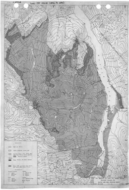 |
Preliminary Map 1964 gives a preliminary geological map of the Buttle Lake area of Vancouver Island. |
| Issue ID: | PM1966 |
| Title: | Geological Map of the Highland Valley Area British Columbia |
| Author(s): | Carr, J.M., Lee, R. |
| Series Name: | Preliminary Map |
| Publication Year: | 1966 |
| Scale: | 1:12000 |
| NTS Map Sheet(s): | 082L/5W,12W; 092I/8E,9E |
| Place Keyword(s): | British Columbia, Highland Valley Area |
| Lat/Long (NSWE): | 50.5, 50.5, -120, -120 |
| Theme Keyword(s): | Geology, Preliminary Geology, Bedrock Geology |
Download(s):
| PDF |
Abstract:
 |
Preliminary Map 1966 gives a geological map of the Highland Valley area of British Columbia. |
| Issue ID: | PM20 |
| Title: | Preliminary Geological Map of the Morehead Lake Area, Central British Columbia |
| Author(s): | Bailey, D.G. |
| Series Name: | Preliminary Map |
| Publication Year: | 1976 |
| Scale: | 1:31680 |
| NTS Map Sheet(s): | 093A/12 |
| Place Keyword(s): | British Columbia, Central British Columbia, Morehead Lake Area |
| Lat/Long (NSWE): | 52.667, 52.483, -121.9, -121.483 |
| Theme Keyword(s): | Geology, Preliminary Geology, Bedrock Geology |
Download(s):
| PDF |
Abstract:
 |
Preliminary Map 20 describes the geology of the Morehead Lake area (93A/12) in south-central British Columbia. The Preliminary Map consists of a geology map at 1:31 250 scale and accompanying notes.
The lowermost rocks in the area are argillite, sandstone, conglomerate and limestone of possible Norian age. Overlying is unit 2, which consists of green and maroon basaltic andesites, which have pyroxene with or without hornblende phenocrysts. Flows, volcanic breccias, lahars, pillow lavas and pillow breccias occur. Above unit 2b, nearly all the rocks are maroon. Rocks of unit 2c tend to be highly amygdaloidal. Units 2d to 2e are basaltic with analcite phenocrysts. Polylithic laharic breccia comprises unit 2f. Unit 2g consists of pyroxene basaltic andesite or hornblende-pyroxene andesite. Unit 2h pyroxene basaltic andesites occur as dikes or feeders for 2g. The style of volcanism changed and unit 3 is characterized by the presence of felsic clastic material of trachytic, latitic, syenitic, and monzonitic texture and composition. Polylithic laharic breccias are typical. Sedimentary interlayers in unit 3 are limestone, immature sandstone, conglomerate, and mudstone. It may be of Hettangian age. A series of monolithic felsic breccias, brecciated syenite plugs and tuffs may represent eroded felsic dome complexes. Unit 4 is similar to the maroon basaltic andesites of unit 2, except that it is analcite-rich and plagioclase is rare. Unit 5 comprises quartzofeldspathic sandstone and grit. It is Cretaceous or younger.
Intrusive rocks form three main groups. The oldest are medium to fine-grained monzonites and diorites. Somewhat younger are medium- to fine grained syenites and monzonites that comprise the bulk of the Mount Polley stock. These returned a K-Ar age of 184�5 m.y. And intrude Hettangian Weyla-bearing strata. The Bootjack stock is nepheline syenite. It is likely Lower Jurassic or younger. There are also possible Cretaceous intrusions, mainly quartz monzonite dikes and monzonite plugs that cut unit 4 rocks.
Block faulting is the dominant structural style of the map area. Northeasterly striking faults are the most common. Most dip steeply.
Five kinds of copper deposits have been recognized in the area. These are: copper associated with amygdaloidal basalts; stratiform deposits, chalcocite in felsic sandstone; alkalic porphyry deposits, like the Cariboo Bell (later called the Mount Polley) deposit, which is associated with syenites and monzonites; copper in hornblende diorite and monzonite, where copper minerals occur in pyrite zones; and copper and molybdenum in quartz monzonite. Alluvial gravels along the Cariboo and Quesnel rivers also contain some placer gold. |
| Issue ID: | PM23 |
| Title: | Preliminary Geological Map of the Toby Creek Area |
| Author(s): | Atkinson, S.J. |
| Series Name: | Preliminary Map |
| Publication Year: | 1976 |
| Scale: | 1:15840 |
| NTS Map Sheet(s): | 082K/8,9 |
| Place Keyword(s): | British Columbia, Toby Creek Area |
| Lat/Long (NSWE): | 50.575, 50.417, -116.35, -116.067 |
| Theme Keyword(s): | Geology, Preliminary Geology, Bedrock Geology |
Download(s):
| PDF |
Abstract:
 |
Preliminary Map 23 gives a preliminary geological map of the Toby Creek area in British Columbia. |
| Issue ID: | PM24 |
| Title: | Preliminary Geological Map of Crowsnest Coalfield, Northwest Part |
| Author(s): | Pearson, D.E., Gigliott, F.B., Ollerensha, N.C., Grieve, D.A. |
| Series Name: | Preliminary Map |
| Publication Year: | 1977 |
| Scale: | 1:10000 |
| NTS Map Sheet(s): | 082G/10 |
| Place Keyword(s): | British Columbia, Crowsnest Coalfield, Northwest Part |
| Lat/Long (NSWE): | 49.733, 49.583, -114.95, -114.817 |
| Theme Keyword(s): | Geology, Preliminary Geology, Bedrock Geology |
Download(s):
| PDF |
Abstract:
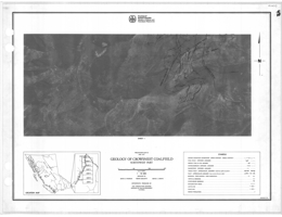 |
Preliminary Map 24 give a preliminary geological map of the northwest part of Crowsnest Coalfield in British Columbia. |
| Issue ID: | PM25 |
| Title: | Geology of the Goldstream River-Downie Creek Area Southeastern British Columbia |
| Author(s): | Brown, R.L., Hoy, T., Lane, L. |
| Series Name: | Preliminary Map |
| Publication Year: | 1977 |
| Scale: | 1:50000 |
| NTS Map Sheet(s): | 082M/8,9 |
| Place Keyword(s): | British Columbia, Southeastern British Columbia, Goldstream River, Downie Creek Area |
| Lat/Long (NSWE): | 51.75, 51.355, -118.504, -118.167 |
| Theme Keyword(s): | Geology, Bedrock Geology |
Download(s):
| PDF |
Abstract:
 |
Preliminary Map 25 describes the geology and mineral deposits of the Goldstream area (82M), which includes about 400 square kilometres of mountainous terrain in the northern Selkirk Mountains of southeastern British Columbia. The geology map is at 1:50 000 scale and cross sections, structural domain plots, and lists of mineral occurrences.
The geology of the area consists of intensely deformed Late Proterozoic/Early Paleozoic metasedimentary and metavolcanic rocks, which have been intruded by a number of granitic plutons. The metasedimentary and metavolcanic rocks comprise a heterogeneous package of quartzites, schists, phyllites, calc-schists, and carbonates, interlayered with greenstone and chloritic phyllite.
The greenstones and chloritic phyllites are metamorphosed equivalents of tholeiitic flows and basic tuffs. Derivatives of more acid volcanic rocks may now be preserved as quartz-sericite phyllite, quartz-augen phyllite, quartz-feldspar-sericite-chlorite phyllite, and perhaps some of the 'grit' unit.
Horsethief Creek Group rocks are separated into three units. The lower unit consists of pelitic schists, marbles and amphibolites and are the oldest strata exposed. The middle unit comprises marbles and calcareous pelitic schists, and the upper unit rocks are very similar to those of the overlying Lowe Paleozoic package. The Paleozoic package consists of quartzites, semi-pelites, psammites, grits, pelitic rocks including graphitic schists, marbles impure marbles, metavolcanic rocks and amphibolites.
The structure of the area is dominated by tight to isoclinal, north trending Phase 2 folds. These folds are interpreted to have developed in an initially inverted panel of rocks, which may be the underlimb of an earlier (Phase 1) nappe.
The most important mineral deposits of the area are stratabound copper-zinc deposits. They include Standard, in a basic volcanic pile, and Montgomery and Goldstream, contained in metasedimentary rocks.
Goldstream is a sheet of massive sulphides (dominated by pyrrhotite, sphalerite, and chalcopyrite) 3 to 4 metres thick, 500 metres wide, and at least 1 200 metres long. It occurs within a quartz-rich phyllite that is structurally overlain by a spessartine-chlorite phyllite and chert unit, which in turn is overlain by 220 metres of dark calcareous phyllite. The massive sulphide layer and quartz-rich phyllite are underlain by a grey limestone.
Massive sulphide deposits in the Goldstream area are similar to the 'bedded cuprifer�ous iron sulphide' or 'Besshi' deposits. They are commonly bed-like in form, are composed primarily of iron sulphide/chalcopyrite ore, and occur in geosynclinal crystalline schists associated with basic submarine volcanism.
Placer and lode gold occurrences are also known. |
| Issue ID: | PM26 |
| Title: | Preliminary Geological Map of Iron Mask Batholith |
| Author(s): | Northcote, K.E. |
| Series Name: | Preliminary Map |
| Publication Year: | 1977 |
| Scale: | 1:15840 |
| NTS Map Sheet(s): | 092I/9W,10E |
| Place Keyword(s): | British Columbia, Iron Mask Batholith |
| Lat/Long (NSWE): | 50.7, 50.625, -120.45, -120.3 |
| Theme Keyword(s): | Geology, Preliminary Geology, Bedrock Geology |
Download(s):
| PDF |
Abstract:
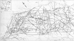 |
Preliminary Map 26 gives a preliminary geological map of the Iron Mask Batholith in British Columbia. |
| Issue ID: | PM27 |
| Title: | Preliminary Geological Map of the Crowsnest Coalfield, West Part |
| Author(s): | Pearson, D.E., Grieve, D.A. |
| Series Name: | Preliminary Map |
| Publication Year: | 1978 |
| Scale: | 1:10000 |
| NTS Map Sheet(s): | 082G/7,10 |
| Place Keyword(s): | British Columbia, Crowsnest Coalfield, West Part |
| Lat/Long (NSWE): | 49.6, 49.483, -115.033, -114.9 |
| Theme Keyword(s): | Geology, Preliminary Geology, Bedrock Geology |
Download(s):
| PDF |
Abstract:
 |
Preliminary Map 27 gives a preliminary geological map of the west part of Crowsnest Coalfield in British Columbia. |
| Issue ID: | PM28 |
| Title: | Geology of the Estella-Kootenay King Area, Southwestern British Columbia |
| Author(s): | Hoy, T. |
| Series Name: | Preliminary Map |
| Publication Year: | 1978 |
| Scale: | 1:25000 |
| NTS Map Sheet(s): | 082G/12,13 |
| Place Keyword(s): | British Columbia, Southeastern British Columbia, Estella-Kootenay King Area |
| Lat/Long (NSWE): | 49.886, 49.647, -115.691, -115.5 |
| Theme Keyword(s): | Geology, Bedrock Geology |
Download(s):
| PDF |
Abstract:
 |
Preliminary Map 28 describes the geology and mineral occurrences of the Estella-Kootenay King area (82G/11, 12, 13, 14) in the Hughes Range of southeastern British Columbia. The map is at 1:25 000 scale and includes a legend, cross sections and diagrams portraying paleo-directional structures, such as cross beds. It represents work done in 1976 and 1977. An updated version of the geology is presented in Preliminary Map 36.
The oldest strata in the area are within the Helikian (Proterozoic) Purcell Supergroup. The lowest unit exposed consists of siltstones and quartzites of the Fort Steele Formation. These are overlain by the Aldridge Formation with a lower unit consisting mainly of finely laminated argillite and siltstone, a middle unit of dominantly quartzite and siltstone interlayered with dark argillite, and an upper unit of argillite with minor siltstone. The overlying Creston Formation consists mainly of siltstone, argillite and quartzite with colours ranging from white to green to purple and locally abundant mud cracks, cross beds and grades beds. Above is the Kitchener-Siyeh Formation, which consists primarily of dolomite, siltstone, and siltstone-argillite couplets. Gateway Formation quartzite and siltstone are overlain by massive to amygdaloidal andesitic lava and all the older rocks are cut by Purcell sills and dikes. Cambrian dolomite and marble overlie the Proterozoic rocks. The only intrusive rocks in the area are Cretaceous (?) quartz monzonite and syenite.
Large scale overturned folds are offset by north-south faults and east-west cross faults. Reverse faults are generally steeply inclined and shallow normal faults or slides occur.
The past producing Estella and Kootenay King deposits are within the map area. Estella is classified as a polymetallic vein deposit with commodities Ag-Pb-Zn�Au. The veins also carry cadmium and copper values. Kootenay King is classified as a sedimentary exhalative deposit with commodities Zn-Pb-Ag. The deposit also has values in cadmium, copper and gold. |
| Issue ID: | PM29 |
| Title: | Preliminary Geological Map of the East Okanagan Uranium Area ( Kelowna To Beaverdell ), South - Central British Columbia |
| Author(s): | Christopher, P.A. |
| Series Name: | Preliminary Map |
| Publication Year: | 1978 |
| Scale: | 1:50000 |
| NTS Map Sheet(s): | 082E/10,11,13,14 |
| Place Keyword(s): | British Columbia, Southcentral British Columbia, East Okanagan Uranium Area |
| Lat/Long (NSWE): | 50, 49.5, -119.333, -118.75 |
| Theme Keyword(s): | Geology, Preliminary Geology, Bedrock Geology |
Download(s):
| PDF |
Abstract:
 |
Preliminary Map 29 presents the geology and mineral occurrences of the east Okanagan uranium area (82E/10, 11, 14, 15) from Kelowna to Beaverdell in south-central British Columbia. The map portrays the geology at 1:50 000 scale and has a legend and marginal notes.
The focus of the study was uranium-bearing Tertiary strata. The basement rocks were not studied in detail. The oldest strata in the area are layered gneisses of the Monashee Group. Metasedimentary and metavolcanic rocks comprise the Anarchist Group or Wallace Formation. Cache Creek Group is dominated by greenstone. Nelson plutonic rocks are mainly quartz diorite to granodiorite and are part of the basement package. The Valhalla plutonic rocks are dominantly quartz monzonites, which are locally megacrystic with large potassic feldspar crystals, and related pegmatites. The Kettle River Formation rocks contain many rhyolite flows and tuffs and may be extrusive equivalents of the Valhalla plutonic rocks. Tuffs, flows and related volcaniclastic sedimentary rocks of the Kamloops Group may correlate with rocks of the Marron Formation. Coryell intrusives are mainly syenite and monzonite; many have high background radiation. The Marama (?) Formation consists mainly of dacite. Miocene and Pliocene plateau basalts are olivine bearing and generally flat-lying. They form the main capping to the unconsolidated fluvial and lacustrine sediments that host the uranium deposits.
Uranium mineralization occurs in unconsolidated fluvial or lacustrine carbonaceous sediments that are capped by an impervious cover. Coryell or Valhallah intrusive rocks or their extrusive equivalents are the key basement rocks. The distribution of the plateau basalts is controlled by strong faulting that probably represents ground preparation for mineralization. Other metals of potential interest found in the map area are molybdenum, copper and tungsten. |
| Issue ID: | IC2018-05 |
| Title: | The Golden Triangle of northwestern British Columbia (brochure) |
| Author(s): | British Columbia Geological Survey |
| Series Name: | Information Circular |
| Publication Year: | 2018 |
| NTS Map Sheet(s): | 103O,P; 104A,B,G,H |
| Place Keyword(s): | British Columbia, Northwestern British Columbia, Stewart |
| Lat/Long (NSWE): | 58, 55, -132, -129 |
| Theme Keyword(s): | Golden Triangle, Stikine terrane, gold, silver and copper deposits, Hazelton Group, mines |
Download(s):
| PDF |
Abstract:
 |
The Golden Triangle includes most of the major gold, silver and copper deposits in west-central Stikinia, a long-lived oceanic arc terrane that extends for about 1000 km along the length of the Canadian Cordillera. Most deposits are related to the Hazelton Group and affiliated intrusions (Latest Triassic to Middle Jurassic). More than 150 mines have operated in the region since prospectors first arrived near the end of the 19th century. Important past-producing mines include Granduc, Eskay Creek, Anyox, Kitsault, Premier/Dilworth, and Snip. Current mines include Brucejack (Pretium Resources Inc.), an epithermal gold-silver deposit that began commercial production in 2017, and Red Chris (Imperial Metals Corporation), a porphyry copper-gold deposit that began commercial production in 2015. The Golden Triangle contains numerous proposed mines and is being intensively explored. Enhanced infrastructure is encouraging exploration and development. |
| Issue ID: | PM30 |
| Title: | Geology of the Guichon Creek Batholith and Highland Valley Porphyry Copper District, British Columbia |
| Author(s): | McMillan, W.J., Blanchflower, J.D., McAndless, P.M., Coombes, D., Garvin, P. |
| Series Name: | Preliminary Map |
| Publication Year: | 1978 |
| Scale: | 1:100000 |
| NTS Map Sheet(s): | 092I/2W,3W,6E,7,10W,11E,14E,15W |
| Place Keyword(s): | British Columbia, Guichon Creek Batholith, Highland Valley |
| Lat/Long (NSWE): | 50.8, 50.125, -121.375, -120.75 |
| Theme Keyword(s): | Geology, Preliminary Geology, Bedrock Geology, Porphyry Copper, Highland Valley |
Download(s):
| PDF |
Abstract:
 |
Preliminary Map 30 is a 1:100,000-scale colour geological map of the Guichon Creek Batholith and Highland Valley porphyry copper district of British Columbia. It also comprises a compilation of 10 sheets of 1:2500-scale maps representing mapping from 1969 to 1971. The area covers NTS maps 092I/02W, 06E, 07W, 10W, 11E and small areas of 14E and 15W. |
| Issue ID: | PM31 |
| Title: | Preliminary Geological Map of Crowsnest Coalfield, Northeast Part |
| Author(s): | Gigliotti, F.B., Pearson, D.E. |
| Series Name: | Preliminary Map |
| Publication Year: | 1978 |
| Scale: | 1:10000 |
| NTS Map Sheet(s): | 082G/7,10 |
| Place Keyword(s): | British Columbia, Crowsnest Coalfield, Northeast Part |
| Lat/Long (NSWE): | 49.55, 49.483, -114.817, -114.7 |
| Theme Keyword(s): | Geology, Preliminary Geology, Bedrock Geology |
Download(s):
| PDF |
Abstract:
 |
Preliminary Map 31 presents the geology of the northeast part of the Crowsnest Coalfield in southeastern British Columbia. The Preliminary Map consists of 3 sheets. Each is a 1:10 000 scale geological map with legend, explanatory notes and sections through the coal measures showing coal seams.
The maps show the distribution of coal seams of the Jurassic-Cretaceous age Kootenay Formation in the vicinity of Mount Taylor at the north end of the southern Dominion Coal Block. The coal measures, which occur between the basal sandstone and the overlying Blairmore Group on the east side of Mount Taylor, are approximately 500 metres thick. To the south of Leach Creek, this interval occupies 180 metres with only two coal seams. Here the East Crop fault, a low angle normal fault, has evidently displaced about two-thirds of the succession.
The rank of the coal has been measured. In the Leach Creek area, high-volatile bituminous coals are separated across the East Crop fault from low-volatile coals. All medium-volatile coals have been displaced on the fault. The rank of the coals decreases northward over the Barnes anticline, so that on the east side of Michel Head, the seam overlying the basal Moose Mountain sandstone is of medium-volatile rank.
Seam correlation on the west side of Mount Taylor is difficult because there is a normal fault with downthrow to the east.
The area is structurally complex. The dominant feature of the area is the East Crop fault, the throw of which increases toward the south. The Barnes anticline is a major structural slip fold that affects the coal measures in the Michel Ridge area. Thrusting repeats both coal measures and the basal Moose Mountain sandstone at the north end of Michel Head. |
| Issue ID: | PM34 |
| Title: | Preliminary Geological Map of the Mount Fisher - Sand Creek |
| Author(s): | McMechan, M.E. |
| Series Name: | Preliminary Map |
| Publication Year: | 1977 |
| Scale: | 1:50000 |
| NTS Map Sheet(s): | 082G/6,11,12 |
| Place Keyword(s): | British Columbia, Mount Fisher - Sand Creek Areas |
| Lat/Long (NSWE): | 49.718, 49.299, -115.607, -115.092 |
| Theme Keyword(s): | Geology, Preliminary Geology, Bedrock Geology |
Download(s):
| PDF |
Abstract:
 |
Preliminary Map 34 describes the geology of the Mount Fisher-Sand Creek area, east of Fort Steele in southeastern British Columbia. The 1:50 000 scale geology map has a legend, cross sections, and a table of mineral workings. Accompanying notes describe the geologic setting.
The oldest exposed rocks are of Middle Proterozoic Purcell Supergroup rocks. The Aldridge Formation consists of a quartzite, grey siltite, and argillite unit is overlain by a grey siltite, argillite unit with two dolomitic siltite layers near the top. The Creston Formation has two units. The lower has three subdivisions: a siltite with or without quartzite unit, a green siltite unit, and a purple siltite, white quartzite unit; the upper ahs two subdivisions: a coarse siltite to fine quartzite and white quartzite unit, and a mainly green siltite unit with dolomitic siltite near the top and white quartzite. Kitchener Formation has a lower dolomitic siltite and green siltite unit, and a silty dolomite, dolomitic siltite, siltite and stromatolytic dolomite unit. Above the Kitchener is a generally green non-dolomitic siltite unit. Middle Proterozoic rocks include parts of the Purcell Supergroup and a metadiorite to metagabbro Moyie sill. The lowest lava and sediment unit consists of andesitic lava, sandstone and siltite. The Sheppard Formation has stromatolytic dolomite, siltite, quartzite, and silty dolomite. The Gateway Formation contains siltite with dolomitic siltite near the top. The Phillips Formation consists of red micaceous quartzite and siltite. Cambrian rocks are represented by the Eager Formation with shale, limestone, siltstone and quartzite, and the �Tanglefoot Unit� with shaly limestone, limestone, sandy shale and dolomite. Middle Devonian and perhaps earlier rocks comprise shaly limestone, shaly dolomite, limestone breccia, and gypsum. Upper Devonian to Permian rocks are undifferentiated limestone, shaly limestone, shale, quartzite, and dolomitic quartzite.
The area is divided into three segments by the right lateral, reverse Dibble Creek and Bull Canyon faults. The stratigraphy of the Purcell Supergroup differs in each segment. The Dibble Creek fault trends easterly and dips northerly. North of the fault are a series of asymmetric overturned anticlines; cleavage is axial to these structures. The entire region is cut by a series of northeast trending transverse faults with complex offsets. South of the fault, the area forms part of the upright limb of the Hosmer Nappe.
One important copper-silver-gold deposit and numerous smaller copper-gold and/or lead-silver with or without zinc showings. Known showings are veins, generally in the Aldridge and Creston Formations. The Bull River deposit consists of chalcopyrite-siderite-quartz veins that cut argillite, siltite and quartzite of the Aldridge Formation. |
| Issue ID: | PM35 |
| Title: | Preliminary Geological Map of the Penticton Tertiary Outlier |
| Author(s): | Church, B.N. |
| Series Name: | Preliminary Map |
| Publication Year: | 1980 |
| Scale: | 1:50000 |
| NTS Map Sheet(s): | 082E/4,5 |
| Place Keyword(s): | British Columbia, Southcentral British Columbia, Penticton Tertiary Outlier |
| Lat/Long (NSWE): | 49.5, 49.133, -119.833, -119.66 |
| Theme Keyword(s): | Geology, Penticton Tertiary Outlier, Preliminary Geology, Bedrock Geology |
Download(s):
| PDF |
Abstract:
 |
Preliminary Map 35 describes the geology of the Penticton Tertiary outlier, southwest of Penticton and north of Keremeos in southern British Columbia. The 1:50 000 scale geology map includes a legend and a cross section.
The basement rocks to the Tertiary sequence consists of pre-Tertiary sediments, including chert, metavolcanic and schistose units, and mainly granitic intrusions. Early Cenozoic rocks of the Kettle River Formation, Springbrook Formation, the Marron Formation, the Marama Formation, the White Lake Formation, and the Skaha Formation are exposed. The Kettle River Formation consists primarily of the Shingle Creek porphyry, and conglomerate, arkose, wacke and rhyolite breccia. The Springbrook Formation consists mainly of polymictic conglomerate and breccia. The Marron Formation contains the Yellow Lake member, which has a lower sill-like body, the Clark Creek porphyry, a wacke, ash flow, sandstone and conglomerate unit, and a unit dominated by mafic phonolite, the Shatford Creek member, an andesitic flow and breccia unit, the Kitchley Lake member, which is made up of flows, the Kearns Creek member of pyroxene phyric basalt, the Nimpit Lake member with mainly trachyte and flows and minor breccia units, and the Park Rill member, which is andesitic lava. Marama Formation is represented by rhyolitic pyroclastic rocks, volcanic conglomerate, and dacite lava and breccia. The White Lake Formation consists of a unit with volcanic conglomerate, sandstone, and shale, and a unit with mostly volcanic breccias. Skaha Formation rocks consist of a unit with granite boulder conglomerate and breccia, and arkosic sandstone, and a unit with slide breccia with mainly chert and greenstone clasts, and fanglomerate deposits.
Block faults with mainly northeast, north and northwest trends dominate the Tertiary map pattern. Normal and reverse movement have tilted the Tertiary strata.
The Dusty Mac mine is hosted by dacites of the Marama Formation. The deposit comprises polymetallic veins with silver-lead-zinc-gold values. It is an epithermal silver-gold, low sulphidation deposit. Potential exists for similar deposits in the area. |
| Issue ID: | PM36 |
| Title: | Preliminary Geological Map of the Estella - Kootenay King Area, Hughes Range, Southeastern British Columbia |
| Author(s): | Hoy, T. |
| Series Name: | Preliminary Map |
| Publication Year: | 1978 |
| Scale: | 1:50000 |
| NTS Map Sheet(s): | 082G/11,12,13,14 |
| Place Keyword(s): | British Columbia, Southeastern British Columbia, Estella - Kootenay King Area, Hughes Range |
| Lat/Long (NSWE): | 50, 49.633, -115.669, -115.498 |
| Theme Keyword(s): | Geology, Preliminary Geology, Bedrock Geology |
Download(s):
| PDF |
Abstract:
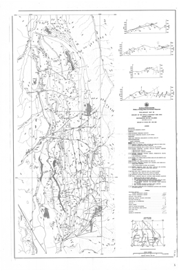 |
Preliminary Map 36 describes the geology and mineral occurrences of the Estella-Kootenay King area (82G/11, 12, 13, 14) in the Hughes Range of southeastern British Columbia. The map is at 1:50 000 scale and includes a legend, cross sections and diagrams portraying paleo-directional structures, such as cross beds. It represents work done in 1976, 1977 and 1988. An earlier version of the geology was published as Preliminary Map 28.
The oldest strata in the area are within the Helikian (Proterozoic) Purcell Supergroup. The lowest unit exposed consists of mud-cracked siltstone, argillite and quartzites of the Fort Steele Formation. These are overlain by the Aldridge Formation with a lower unit consisting mainly of finely laminated argillite and siltstone but also dolomite and dolomitic siltstone, a middle unit of dominantly quartzite and siltstone interlayered with dark argillite, and an upper unit of argillite with minor siltstone. The overlying Creston Formation consists mainly of siltstone, argillite and quartzite with colours ranging from white to green to purple and locally abundant mud cracks, cross beds and grades beds. Above is the Kitchener Formation, which consists primarily of dolomite, silty dolomite and siltstone. Above is a siltstone unit, Purcell lavas with interbeds of siltstone and argillite. The overlying Sheppard Formation consists of dolomite, siltstone and quartzite. The Gateway Formation siltstone, argillite, dolomite and limestone are overlain by red to purple argillite and siltstone of the Phillips Formation, then green siltstone and argillite of the Roosville Formation. All the older rocks are cut by Purcell sills and dikes. Overlying but still Hadrynian conglomerate, siltstone and argillite are within the Toby Formation. Cambrian dolomite and marble of the Jubilee Formation and quartzite of the Cranbrook Formation overlie the Proterozoic rocks. The only intrusive rocks in the area are Cretaceous (?) quartz monzonite and syenite.
Large scale overturned folds are offset by north-south faults and east-west cross faults. Reverse faults are generally steeply inclined and shallow normal faults or slides occur.
The past producing Estella and Kootenay King deposits are within the map area. Estella is classified as a polymetallic vein deposit with commodities Ag-Pb-Zn�Au. The veins also carry cadmium and copper values. Kootenay King is classified as a sedimentary exhalative deposit with commodities Zn-Pb-Ag. The deposit also has values in cadmium, |
| Issue ID: | PM37 |
| Title: | Preliminary Geological Map of the Terrace Mountain Outlier |
| Author(s): | Church, B.N. |
| Series Name: | Preliminary Map |
| Publication Year: | 1980 |
| Scale: | 1:50000 |
| NTS Map Sheet(s): | 082L/4E,5E |
| Place Keyword(s): | British Columbia, Terrace Mountain Outlier |
| Lat/Long (NSWE): | 50.367, 50, -119.833, -119.5 |
| Theme Keyword(s): | Geology, Preliminary Geology, Terrace Mountain Outlier, Bedrock Geology |
Download(s):
| PDF |
Abstract:
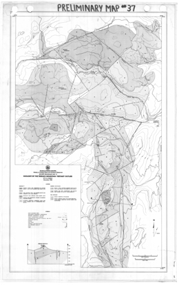 |
Preliminary Map 37 presents the geology of the Terrace Mountain Tertiary outlier in southern British Columbia. The 1:50 000 scale geology map includes a legend and a cross section.
Pre-Tertiary rocks in the area are bedded rocks including metavolcanics, limestone, schists, chert and quartzite, and mainly granitic intrusions. Six Eocene units are mapped. The lowest consists of sandstones, shales, and coarse conglomerate. Above are units of mainly andesite and dacite lava and breccia, feldspar phyric andesite lava and hornblende trachyte (?), syenite and monzonite feeders to Marron lavas, rhyolite tuff breccia and glassy lava, and dacite and andesite lava and breccia. Possibly Miocene feeder dikes and remnants of olivine basalt lava flows occur on hillsides and ridge tops.
The structure of the area is dominated by block faults that tilted the Tertiary strata. Northerly trending faults predominate; other faults trend northeast and northwesterly.
The Tertiary rocks have potential for epithermal precious metal deposits. |
| Issue ID: | PM39 |
| Title: | Geology of the Kelowna Tertiary Outlier (West Half) |
| Author(s): | Church, B.N. |
| Series Name: | Preliminary Map |
| Publication Year: | 1980 |
| Scale: | 1:50000 |
| NTS Map Sheet(s): | 082E/13 |
| Place Keyword(s): | British Columbia, Southcentral British Columbia, Kelowna Tertiary Outlier (West Half) |
| Lat/Long (NSWE): | 50, 49.783, -119.817, -119.517 |
| Theme Keyword(s): | Geology, Bedrock Geology |
Download(s):
| PDF |
Abstract:
 |
Preliminary Map 39 describes the geology of the Kelowna Tertiary outlier (west half) along the north side of Okanagan Lake in southern British Columbia. The 1:50 000 scale geology map includes a legend and cross sections.
The basement rocks to the Tertiary sequence consists of pre-Cenozoic sediments, including chert, argillaceous rocks, metavolcanic and schistose units, and mainly granitic intrusions of the Early Cretaceous to Late Jurassic Okanagan batholith. Early Cenozoic rocks of the Springbrook Formation, the Kettle River Formation, the Marron Formation, the Marama Formation, and the White Lake Formation are exposed. The Springbrook Formation consists mainly of conglomerate channel deposits. The Kettle River Formation consists primarily of the Trepannier rhyolitic lava and breccia unit. The Marron Formation has a lower andesitic flow and breccia unit cut by Coryell granite to syenite intrusions, the Kitchley Lake member, which is made up of trachyte and flows, and the Nimpit Lake member with mainly flows and minor ash flow units. Marama Formation is represented by the Mount Boucherie dacite dome, which is comprised of flows and breccias. The White Lake Formation consists of conglomerate, sandstone, and minor shale. Much younger plateau alkali basalt (11.8 Ma) and valley basalt (0.7 Ma) also occur.
Block faults with mainly north and northwest trends dominate the Tertiary map pattern. Normal and reverse movement have tilted the Tertiary strata.
The area is prospective for epithermal precious metal deposits. |
| Issue ID: | PM40 |
| Title: | Geology of the Mt. Richards Area, Vancouver Island, B.C. |
| Author(s): | Eastwood, G.E.P. |
| Series Name: | Preliminary Map |
| Publication Year: | 1978 |
| Scale: | 1:15840 |
| NTS Map Sheet(s): | 092B/13NW |
| Place Keyword(s): | British Columbia, Vancouver Island, Mt. Richards Area |
| Lat/Long (NSWE): | 48.75, 48.75, -123.75, -123.75 |
| Theme Keyword(s): | Geology, Bedrock Geology |
Download(s):
| PDF |
Abstract:
 |
Preliminary Map 40 describes the geology of the Mount Richards area near Crofton on southern Vancouver Island. The 1:15 840 scale geology map includes a legend and notes about the geology.
The Sicker Group is host to the Lenora-Tyee gold-silver-copper-lead-zinc-cadmium ore- bodies on Big Sicker Mountain and to the orebodies of Western Mines Limited near Buttle Lake. The latter orebodies appear to be controlled stratigraphically as well as structurally, therefore detailed mapping was begun to determine the stratigraphic sequence near the type area. On Big Sicker Mountain the nature and relationships of the rocks are obscured by intense shearing, but in the Richards group intense shearing is largely con- fined to the most northerly ridge.
In the north part of the Richards group there is a north-south progression of rock types in the Sicker Group, which appears, from comparison with the sequence in the Cowichan Lake area, to be in order of increasing age. Poor graded bedding in a few places is consistent with this interpretation. Along the crest and south face of Mount Richards ridge the Sicker rocks are more or less coarsely fragmental and include at least two bands characterized by medium to coarse hornblende grains in a fine-grained matrix. These grains may be phenocrysts but are more likely pyroclastic. It is uncertain whether the sequence is homoclinal or whether the hornblendic layer has been repeated by folding.
The Sicker rocks have been successively intruded by mainly small bodies of quartz- feldspar porphyry and medium to large bodies of shonkinite. The shonkinite resembles gabbro in texture and the abundance of dark minerals, but the feldspar is albite-oligoclase. The older rocks are overlapped on the north by poorly exposed clastic sedimentary rocks of the Nanaimo Group, and are probably in fault contact with them to the south. Post-Nanaimo faulting has produced a Sicker inlier along the Chemainus River.
Pyrite is common to abundant, particularly in the Sicker upper division, but contains only traces of gold and silver. Small amounts of chalcopyrite and malachite occur in several small shear zones and quartz veins.
The area is prospective for Noranda/Kuroko massive sulphide copper-lead-zinc-precious metal deposits. |
| Issue ID: | PM41 |
| Title: | Geology of the Rock Creek Tertiary Outlier |
| Author(s): | Church, B.N. |
| Series Name: | Preliminary Map |
| Publication Year: | 1980 |
| Scale: | 1:50000 |
| NTS Map Sheet(s): | 082E/2W,3E |
| Place Keyword(s): | British Columbia, Rock Creek Tertiary Outlier |
| Lat/Long (NSWE): | 49.25, 49, -119.133, -118.966 |
| Theme Keyword(s): | Geology, Bedrock Geology |
Download(s):
| PDF |
Abstract:
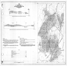 |
Preliminary Map 41 presents the geology of the Rock Creek Tertiary outlier in southern British Columbia. The 1:50 000 scale geology map includes a legend and cross sections.
The basement rocks to the Tertiary sequence consists of pre-Cenozoic basic intrusions, including serpentinite and peridotite, and metasediments, including conglomerate, chert, argillaceous rocks, metavolcanic and metasedimentary units (Anarchist Assemblage)> There are also mainly granitic intrusions of the Late Jurassic to Early Cretaceous age. Early Cenozoic rocks of the Springbrook Formation, the Kettle River Formation, and the Marron Formation are exposed. The Springbrook Formation consists mainly of polymictic conglomerate. The Kettle River Formation consists primarily of the Ed James Lake member, of fanglomerate, breccia and arkose, and the Storm Hill member, of sandstone that passes laterally to shale with carbonaceous seams. The Marron Formation consists of the Yellow Lake member, which consists mainly of pyroxene-rich mafic phonolite lava and associated dikes, tuff and breccia, the Rock Creek chonolith, which is a variety of Coryell syenite, and the Kitley Lake member, which is made up of flows, and equivalent dikes.
Block faults with mainly north, northeast and northwest trends dominate the Tertiary map pattern. Normal and reverse movement have tilted the Tertiary strata.
The area is prospective for epithermal precious metal deposits. |
| Issue ID: | PM42 |
| Title: | Geology Map of Crowsnest Coalfield, Southern Part |
| Author(s): | Pearson, D.E., Grieve, D.A. |
| Series Name: | Preliminary Map |
| Publication Year: | 1981 |
| Scale: | 1:10000 |
| NTS Map Sheet(s): | 082G/6,7 |
| Place Keyword(s): | British Columbia, Crowsnest Coalfield, Southern Part |
| Lat/Long (NSWE): | 49.485, 49.285, -115.026, -114.686 |
| Theme Keyword(s): | Geology, Preliminary Geology |
Download(s):
| PDF |
Abstract:
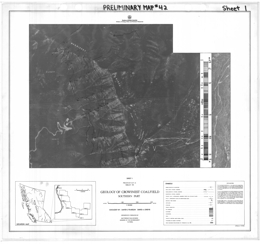 |
Preliminary Map 42 presents the geology of the southern part of the Crowsnest Coalfield in southeastern British Columbia. The Preliminary Map consists of 7 sheets that wrap around the south end of the coalfield. Each is a 1:10 000 scale geological map with legend, explanatory notes and sections through the coal measures showing coal seams.
The maps show the distribution of coal seams of the Jurassic-Cretaceous-age Kootenay Group in the vicinity of Morrissey Creek and Flat- head Ridge, across the western part of the South Dominion Coal Block (Parcel 82). At the south end of Morrissey Ridge (section G-H) the thickness of the coal measures is 560 metres, of which 10 per cent is coal; the structurally thickened section exposed on Flathead Ridge (K- J) is by contrast 770 metres thick yet did not reach the overlying Elk Formation. Of this succession, 11 per cent is coal.
The rank of coal has been determined by measuring in oil the mean maximum reflectance (Ro) of the coal maceral vitrinite. Values >1.51 per cent indicate low volatile bituminous coal; values <1.51 per cent indicate medium volatile bituminous coal. All coals exposed in Morrissey Creek valley are of low volatile rank; all coals exposed beneath the Flathead Ridge fault are low volatile in rank. Medium volatile coals are restricted to the structural plate riding on the Flathead Ridge fault, though they are also present on the eastern margin of the map sheet close to the ridge crest.
The rank of coal changes down-dip of seams. For example, the seam at 400 metres elevation above the basal sandstone with Ro maximum of 1.38 per cent shown in section G-H has increased in reflectance in Morrissey Creek valley to 1.65 per cent Ro. This is because much of the coalification in this area of the coalfield occurred subsequent to folding and tilting.
Flathead Ridge fault, which cuts across the hinge zones of a syncline- anticline couple at the south margin of the sheet, is a post-coalification structure that separates coal of markedly different rank. Overturned, constrictional structures at the southern extremity of the fault may indicate a thrust component prior to normal movement of about 1 000 metres (vertical).
Moving south along the strike of the measures on Morrissey Ridge, there is an increase in rank, so that at the south end of the map sheet the coals exposed in the lower half of the succession are of low volatile rank. The Ridge exposes a striker section of coal measures with the thickest development of the overlying Elk Formation in the Crowsnest Coalfield. However, correlation of individual seams is difficult due to rapid changes in lithology. |
| Issue ID: | PM43 |
| Title: | Geology of the Eastern Margin of Shuswap Complex, Frenchman Cap Area |
| Author(s): | Hoy, T., Brown, R.L. |
| Series Name: | Preliminary Map |
| Publication Year: | 1980 |
| Scale: | 1:100000 |
| NTS Map Sheet(s): | 082M/1,2,7,8,10 |
| Place Keyword(s): | British Columbia, Frenchman Cap Area, Eastern Margin of Shuswap Complex |
| Lat/Long (NSWE): | 51.75, 51, -119, -118.15 |
| Theme Keyword(s): | Geology, Shuswap Complex, Bedrock Geology |
Download(s):
| PDF |
Abstract:
 |
Preliminary Map 43 describes the geology of the eastern margin of the Shuswap complex in the Frenchman Cap area northwest of Revelstoke, British Columbia. The 1:100 000 scale geology map includes a legend, references, and a series of geologic cross sections.
The Aphebian (?) core gneiss complex consists of a unit of dominantly granitic orthogneiss and paragneiss, and a unit of mixed paragneiss and orthogneiss, biotite-hornblende gneiss, amphibolite and minor calc-silicate gneiss, micaceous schist and quartzite. The age of the autochthonous Monashee complex cover is unknown. Five units in the cover succession are: basal quartzite with minor conglomeratic quartzite, schist and calc-silicate gneiss; calc-silicate gneiss, sillimanite and kyanite-bearing schist, quartzite, hornblende gneiss and marble with local carbonatite layers; quartzite, schist, quartzofeldspathic grit and gneiss with local amphibolite interbeds; micaceous schist, hornblende gneiss, calc-silicate gneiss, marble and quartzite; and nepheline syenite gneiss and syenite gneiss. Allochthonous Hadrynian (?) cover rocks consist of pegmatite-laced quartz-biotite-feldspar paragneiss, amphibolite, hornblende gneiss, and calc-silicate gneiss. Apparently younger porphyritic granite gneiss has also been mapped.
The area is structurally complex. Early deformation produced isoclinal folds that are subsequently refolded during later events. The complex is bounded to the east by the east-dipping Columbia River fault and the contact of the allochthonous cover is marked by a shallow west-dipping fault. Moderately inclined west-dipping faults cut the rocks of the complex and younger high angle faults are normal and reverse.
The area has a known stratabound lead-zinc-silver deposit south of Hiren Creek and a former producing molybdenum mine at Mount Copeland. The stratabound base metal deposit is in the calc-silicate gneiss, marble and micaceous schist unit. They are interpreted to be of Broken Hill or Sedimentary Exhalative type. The molybdenite mineralization is associated with syenite and nepheline syenite. The nepheline syenite may also have industrial mineral potential. |
| Issue ID: | PM44 |
| Title: | Geology of the Akie River Ba - Pb - Zn Mineral District |
| Author(s): | MacIntyre, D.G. |
| Series Name: | Preliminary Map |
| Publication Year: | 1980 |
| Scale: | 1:50000 |
| NTS Map Sheet(s): | 094F/6,7,10,11 |
| Place Keyword(s): | British Columbia, Akie River Ba - Pb - Zn Mineral District, Akie River |
| Lat/Long (NSWE): | 57.75, 57.25, -125.5, -124.5 |
| Theme Keyword(s): | Geology, Ba - Pb - Zn Mineral District, Bedrock Geology |
Download(s):
| PDF |
Abstract:
 |
Preliminary Map 44 presents the geology of the Akie River Ba - Pb - Zn Mineral District of British Columbia. |
| Issue ID: | PM45 |
| Title: | Geology of the Kelowna Tertiary Outlier (East Half) |
| Author(s): | Church, B.N. |
| Series Name: | Preliminary Map |
| Publication Year: | 1981 |
| Scale: | 1:50000 |
| NTS Map Sheet(s): | 082E/14W |
| Place Keyword(s): | British Columbia, Southcentral British Columbia, Kelowna Tertiary Outlier, East Half |
| Lat/Long (NSWE): | 50, 49.833, -119.5, -119.25 |
| Theme Keyword(s): | Geology, Bedrock Geology |
Download(s):
| PDF |
Abstract:
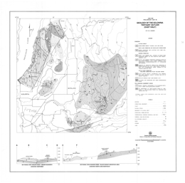 |
Preliminary Map 45 describes the geology of the Kelowna Tertiary outlier (east half) along the north side of Okanagan Lake in southern British Columbia. The 1:50 000 scale geology map includes a legend and cross sections. It adjoins Preliminary Map 39.
The basement rocks to the Tertiary sequence consists of pre-Cenozoic sediments, including argillaceous rocks, limestone, and metavolcanic rocks, schistose and gneissic units, and mainly granitic intrusions of the Early Cretaceous to Late Jurassic Okanagan batholith. Early Cenozoic rocks of the Kettle River Formation, the Marron Formation, and the White Lake Formation are exposed. The Kettle River Formation consists of a lower siltstone and sandstone unit, a central rhyolitic lava and breccia unit, and the Black Knight dacite lava and breccia unit. The Marron Formation has a lower andesitic flow and breccia unit, the Kitchley Lake member, which is made up of trachyte and lava flows, and the Nimpit Lake member with mainly trachyte and lava flows. The White Lake Formation consists of sandstone and siltstone with some carbonaceous seams. The much younger Daves Creek plateau basalt (14.9 Ma) also occurs.
Block faults with mainly north-northeast and northwest trends dominate the Tertiary map pattern.
The area is prospective for epithermal precious metal deposits. |
| Issue ID: | PM46 |
| Title: | Geology of the Alpine - Boivin Carbonate - Hosted Zinc Occurrences, Rocky Mountain Front Ranges, Southeastern British Columbia |
| Author(s): | Gibson, G. |
| Series Name: | Preliminary Map |
| Publication Year: | 1979 |
| Scale: | 1:25000 |
| NTS Map Sheet(s): | 082G/14E; 082J/3E |
| Place Keyword(s): | British Columbia, Southeastern British Columbia, Rocky Mountain Front Ranges |
| Lat/Long (NSWE): | 50.141, 49.951, -115.194, -115.022 |
| Theme Keyword(s): | Geology, Alpine - Boivin Carbonate - Hosted Zinc Occurrence, Bedrock Geology |
Download(s):
| PDF |
Abstract:
 |
Preliminary Map 46 describes the geology of he Munroe-Alpine-Boivin carbonate-hosted lead-zinc occurrences in the Rocky Mountain Front Ranges (82J/3E) in southeastern British Columbia. The 1:25 000 scale geology map includes a legend, descriptive notes, 1:10 000 scale insert maps for each of the three occurrences, and three cross sections.
The Paleozoic and/or younger rocks comprise the Bull River amygdaloid. Upper Cambrian and Lower Ordovician McKay Group rocks are mainly shale and limestone. Lower and Middle Ordovician strata consist of shale, siltstone, argillaceous limestone and sandstone of the Glenogle Formation, and sandstone of the Tipperary Formation. Middle Ordovician to Lower Silurian Skoki Formation rocks are mainly limestone and dolomite, the Mount Wilson Formation consists of quartzite, and the Beaverfoot Formation is made up of cliff forming dolomite and limestone. Middle and/or Upper Devonian strata of the �Basal Devonian Unit� include dolomite, mudstone, sandstone, conglomerate and gypsum. Upper Devonian rocks include strata of the Fairholme Group, the Alexo Formation, and the Palliser Formation. Fairholme strata include argillaceous limestone with lesser dolomite and mudstone. Alexo Formation units are mainly sandstone, dolomitic sandstone, dolomitic siltstone; and mainly thinly interbedded dolomite and limestone. Palliser Formation is subdivided into two members: the Morro Member has a basal limestone with dolomitic mottling unit, a limestone and argillaceous limestone unit, a dolomite unit, a dolomite unit with fenestral porosity (has associated zinc mineralization), and a unit of limestone with dolomite mottling. The Costigan Member has a lower unit of interbedded dolomite and limestone, and an upper unit of thinly interbedded dolomite and limestone. Mississippian strata are represented by the Exshaw Formation, with mainly shale and limy shale, the Banff Formation, with a lower unit of mainly shale, limestone, argillaceous limestone and chert, and an upper unit dominated by limestone, the Livingston Formation, with mainly limestone, the Mount Head Formation, with limestone and argillaceous limestone, and the Etherington Formation, with limestone, dolomite and siltstone. Pennsylvanian and Permian strata are quartz sandstone, dolomitic sandstone, silty dolomite, chert, and phosphorite of the Rocky Mountain Group.
Stratabound zinc mineralization is confined to the Lower Morro Member of the Upper Devonian Palliser Formation. The distinctive dolomite host has fenestral porosity developed and sparry white dolomite. Zinc mineralization post-dates the sparry dolomite. It occurs as disseminations and pods. The area may also have potential for the industrial minerals phosphorous and gypsum. The Munroe, Alpine and Boivin showings are all on the inverted limb of a major eastward verging anticline. The folded strata are also cut by a series of steep west dipping normal and listric normal faults. West of the Alpine occurrence the fold is truncated by a moderately dipping thrust fault. |
| Issue ID: | PM47 |
| Title: | Nicola Project- Merritt Area |
| Author(s): | McMillan, W.J. |
| Series Name: | Preliminary Map |
| Publication Year: | 1981 |
| Scale: | 1:25000 |
| NTS Map Sheet(s): | 092I/2N |
| Place Keyword(s): | British Columbia, Southcentral British Columbia, Nicola Project, Merritt Area |
| Lat/Long (NSWE): | 50.25, 50.125, -120.875, -120.5 |
| Theme Keyword(s): | Geology, Nicola Project, Bedrock Geology |
Download(s):
| PDF |
Abstract:
 |
Preliminary Map 47 describes the geology and mineral occurrences of the Merritt area (92I/2f, 2g and 2h) in south-central British Columbia. The two geology maps are at 1:25 000 scale and depict outcrops and mineral occurrence locations.
The oldest rocks exposed are mainly volcanic units of the Late Triassic Nicola Group. Components of the Nicola rocks are distinguished in some detail and are further separated into Central Belt, probably Central Belt and Western Belt assemblages. Central Belt rocks comprise 7 units. They are dominated by andesite to basalt flows that are typically augite phyric but include areas of laharic breccias, tuffs, limestone pods, greywacke, sandstone and siltstone. Extensive areas of epidote and potassic alteration are shown. Probable Central Belt rocks comprise 10 units. The assemblage is like that of the Central Belt but also includes a series of rhyolite flows, and felsic tuffs and fragmental volcanic rocks. The Western Belt rocks comprise 16 units. Andesite with either plagioclase or augite phenocrysts form flows and breccias predominate but dacite flows and felsic breccias, ash flow tuffs, limestone, volcanic sandstone and siltstone, argillite and rhyolite units occur. Unconformably above the Nicola strata are Jurassic to perhaps Lower Cretaceous chert pebble to cobble conglomerate and Jurassic or Lower Cretaceous conglomerate, sandstone, siltstone and shale. Cretaceous rocks include plagioclase and augite-plagioclase phyric flows and epiclastic rocks of the Kingsvale Group, and sandstone, arkose and shale of the Lower Cretaceous to perhaps Tertiary �Coldwater Beds�. The �Coldwater Beds� are locally coal bearing. Rhyolite, andesite, basalt flows and fragmental volcanics are probably of Eocene age, and valley basalts were dated at about 500 000 years.
Intrusive rocks in the area include Triassic diorite, microdiorite and porphyry dikes, the Late Triassic Guichon Creek batholith, which varies from quartz diorite to granodiorite, and the Lower Jurassic or younger Pennask batholith, which is mainly granodiorite. All cut the Nicola Group rocks.
The area has potential for gold-copper vein, volcanogenic massive sulphide, copper-iron skarn and both alkalic and calc-alkalic porphyry copper deposits. |
| Issue ID: | PM48 |
| Title: | Geology of the Kamloops Group near Kamloops |
| Author(s): | Ewing, T. |
| Series Name: | Preliminary Map |
| Publication Year: | 1982 |
| Scale: | 1:50000 |
| NTS Map Sheet(s): | 092I/9,10,15,16 |
| Place Keyword(s): | British Columbia, Southcentral British Columbia, Kamloops Area |
| Lat/Long (NSWE): | 50.817, 50.617, -120.75, -120.333 |
| Theme Keyword(s): | Geology, Kamloops Group, Bedrock Geology |
Download(s):
| PDF |
Abstract:
 |
Preliminary Map 48 presents the geology of Tertiary rocks of the Afton-Tranquille area (92I/9, 10) west of Kamloops, British Columbia. The 1:50 000 scale geology map includes a legend.
The Late Triassic country rocks include argillites and meta-andesite and tuff of the Nicola Group. Unconformably over these is Jurassic polymictic conglomerate. Unconformably above the older rocks are Eocene Kamloops Group strata. The basal Kamloops Group unit is the Tranquille Formation. It consists of 8 units: basal lithic and arkosic wacke, shale and local coal; lacustrine mudstones, tuffaceous siltstones and tuff; coarse-grained andesite to basalt; siltstone, mudstone and tuff; lacustrine sedimentary rocks and tuffs; pillowed andesite, breccia and deformed sedimentary rocks; tuffs and lacustrine sediments; and hyaloclastite and aquagene tuff. The overlying Dewdrop Flats Formation contains 15 units: the Nipple basalt breccia; the Kissick andesite breccia; the Mara Hill member of basaltic andesite flows; the Wheeler Mountain breccia with 4 units: andesite flow breccia and mud flows, andesitic phreatic breccia and flow breccia, coarse andesite flow breccia, and phreatic basalt breccia; the Castle Butte plagioclase phyric andesite breccia, with local hyaloclastites and aquagene tuff; the Doherty Creek member of basaltic andesite, flows and intermediate to felsic tuffs; the Rosseau Mountain basalt breccia with local hyaloclastite facies; the Red Plateau member with basaltic andesite flows and sedimentary rocks; and the Opax aphanitic andesite flow breccia. Quaternary cover materials include gravels, terrace gravels, drift, proglacial lakebeds, delta fan deposits, landslide debris, alluvial fan deposits and alluvium.
Intrusive country rocks consist of Upper Triassic to Lower Jurassic diorite and syenite of both the Iron Mask batholith and the Cherry Bluff pluton. Tertiary intrusive rocks include the basal, middle and upper sills; the Battle Bluff diabasic intrusive complex; andesite dome-plugs and related sills; hypabyssal andesite; and andesite to dacite dikes and subvolcanic masses.
The Triassic rocks host the Afton alkalic porphyry copper deposits and have potential for other porphyry deposits and gold-copper veins deposits. The Tertiary strata have potential to host epithermal precious metal deposits. |
| Issue ID: | PM49 |
| Title: | Geology of the Moyie Lake Area, Purcell Mountains, Southeastern British Columbia |
| Author(s): | Hoy, T., Diakow, L.J. |
| Series Name: | Preliminary Map |
| Publication Year: | 1982 |
| Scale: | 1:50000 |
| NTS Map Sheet(s): | 082F/1,8,9; 082G/3,4,5,6,11,12 |
| Place Keyword(s): | British Columbia, Southeastern British Columbia, Purcell Mountains, Moyie Lake Area |
| Lat/Long (NSWE): | 49.574, 49.218, -116.026, -115.378 |
| Theme Keyword(s): | Geology, Bedrock Geology |
Download(s):
| PDF |
Abstract:
 |
Preliminary Map 49 describes the geology of the Moyie Lake area (82G/W) in southeastern British Columbia. Accompanying notes present results of a reconnaissance stream sediment sample survey of the Moyie Lake sheet. The geology map is at 1:50 000 scale and includes a legend, 4 geological cross sections, descriptive notes, and references.
The Moyie lake area is underlain dominantly by clastic rocks of the Purcell Supergroup of Helikian and Hadrynian age. Two past producers, the Midway mine and the St. Eugene mine, numerous small silver-lead-zinc and copper vein occurrences, and placer gold on Moyie River make the area an attractive exploration target area. Virtually the entire area is below timberline with relief varying from approximately 929 metres (3,050 feet) near Moyie Lake to 2302 metres (7,554 feet) in the northwest corner. Exposure is generally poor, because many of the rounded hills and most valleys are covered by a veneer of Quaternary and Recent sand and gravel.
The oldest rocks within the map area, rusty weathering siltstone and quartzite of the lower Aldridge Formation, occur in the hangingwall of the Moyie fault. They are sheared, tightly folded, and locally overturned adjacent to the fault. Moyie intrusive rocks (metadiorites) crosscut lower Aldridge rocks, although the general aspects of most are sill-like. Only the largest and most continuous are shown on the map, and these (as in the middle Aldridge) commonly consist of a number of separate intrusions with screens of sedimentary rocks. The boundary between the lower and middle Aldridge is gradational. It has been placed at the surface above which grey-weathering quartz-wacke beds predominate over siltite, although quartz wackes occur throughout the upper part of the lower Aldridge, and rusty weathering thin to medium-bedded graded siltite beds, typical of the lower Aldridge, occur in the basal part of the middle Aldridge.
Grey-weathering graded quartz-wacke beds interpreted to be turbidite deposits occur throughout the middle Aldridge. Basal scour marks indicate northerly-directed current transport. In general, in the middle Aldridge, quartz-wacke beds become thinner, less pure, and less volumetric up-section; the upper part comprises a number of distinct cycles of massive, grey quartzite-wacke beds capped by siltstone and argillite. The contact with the upper Aldridge is placed above the last bed of massive grey quartzite. Metadiorite sills are the most important markers within the thick middle Aldridge section and allow correlation across many of the faults. Some of the larger of these sills have been designated by letter symbols on the map.
The base of the Creston Formation is commonly marked by a thick, generally massive, grey quartzite unit. It is commonly overlain by dark argillite and siltstone that is distinguished from the upper Aldridge by the presence of thin green siltstone lenticles and occasional mud cracks. Green siltstone is characteristic of much of the Creston Formation, but may also be dominant in the basal unit of the overlying Kitchener Formation. The base of the Kitchener is placed beneath the first section containing prominent buff- weathering dolomitic siltstone. The contact between the Kitchener and the Van Creek Formation is gradational, from thin-bedded grey argillaceous limestone into grey siltstone with a few green and brown silty limestone layers in the basal part of the Van Creek Formation.
The Nicol Creek Formation includes the Purcell lavas and intercalated clastic and volcaniclastic rocks. A number of west-dipping normal faults that repeat the lava sequence on the Cranbrook Mountain-Moyie Mountain ridge show the marked thinning of the lava sequence to the west. The Nicol Creek Formation also thins to the south but this is in part due to erosion at the base of the overlying Gateway Formation. On the ridge east of Mount Connell the base of the Gateway is marked by a fluviatile conglomerate that cuts into the Nicol Creek Formation and removes the upper flows and an underlying siltstone sequence.
Stromatolitic dolomite, quartzite, and dolomitic siltstone of the Sheppard Formation (included within the Gateway on the map) overlie the Nicol Creek Formation. The Gateway consists of intercalated quartzite and purple argillite and a thick monotonous sequence of finely laminated green and purple siltstone. Salt crystal casts are diagnostic in the middle part of the Gateway. The overlying Phillips Formation consists primarily of thin-bedded purple and red argillite, siltstone and quartzite. It is overlain by black argillite in the basal part of the Roosville Formation, which grades upward into green and locally purple argillite and siltstone of the Upper Roosville. Mud-chip breccias, cross-laminations, ripple marks, mud cracks, and thin-bedded purple and red siltstone and argillite intervals indicate a shallow marine to intertidal environment for most of the Upper Purcell Supergroup (Creston through Roosville).
Grey-white and purplish red dolomite and dolomitic sandstone of Middle Devonian age unconformably overlie Upper Purcell strata. These are overlain in turn by dark grey fossiliferous Upper Devonian limestone. Locally, a fluviatile conglomerate marks the base of the Devonian. The similar Peavine conglomerate unconformably rests on the Van Creek Formation at the north end of Moyie Lake and on the Kitchener Formation near Lamb Creek in the southwest corner of the map area where it forms the footwall of the Moyie fault.
The Moyie anticline dominates the structure south of Moyie fault. It is a northeast-plunging, upright anticlinal fold. North of the fault, lower and middle Aldridge rocks are folded into moderately tight to open, north to northeast-trending folds that are outlined by gabbroic sills. In the hangingwall, immediately adjacent to the Moyie fault, folds are tight and locally over- turned. Fold structures are more complex in the northwest corner of the map area where detailed mapping of the upper part of the Aldridge and lower part of the Creston has outlined a number of tight overturned folds. These trend north-northwest and plunge variably to the north and locally to the south.
The Moyie fault is a north-dipping, right lateral and reverse fault. Its hangingwall juxtaposes highly deformed lower and middle Aldridge rocks against less deformed Kitchener, Van Creek, Nicol Creek, and Gateway rocks in the footwall. A number of splays in the hangingwall are also reverse faults.
Northwest-trending faults with downthrow to the west are the most important structures in the area southeast of the Moyie fault. Net normal (west-side- down) displacement on the largest of these, the Gold Creek fault, decreases southward from approximately 3 000 metres west of Mount Baker to 1 500 metres near Plumbob Creek. As noted by Leech (1960), expo- sure is poor and the exact locations of many faults west of Gold River are not known. Those exposed dip steeply to the west. They repeat lavas of the Nicol Creek Formation along Moyie Mountain-Cranbrook Mountain ridge, extend the distribution of the Kitchener Formation eastward in the valleys, and cause apparent thickening of the Van Creek and Gateway Formations.
North of the Moyie fault in the 'St. Mary block� northeast-trending faults are more conspicuous. They dip steeply to the north and have net normal displacement.
Mineral occurrences and deposits within the area are identified by British Columbia Mineral Inventory numbers on the map. Occurrences that are not numbered were noted or discovered during the course of mapping. The St. Eugene deposit and its extension to the west (Aurora) and east (Society Girl) form a northwest-trending silver-lead-zinc vein structure that produced, until its closure in 1929. 1.46 million tonnes containing approximately 8 per cent lead, 1 per cent zinc, and 125 grams per tonne silver. Vine, a recently discovered lead-zinc-silver deposit at the north end of Moyie Lake, is a north- east-trending massive sulphide zone. It is generally less than 2 metres thick and cuts across quartzite-wacke beds near the base of the middle Aldridge. |
| Issue ID: | PM50 |
| Title: | Geology of the Akie River Ba - Pb - Zn Mineral District |
| Author(s): | MacIntyre, D.G. |
| Series Name: | Preliminary Map |
| Publication Year: | 1981 |
| Scale: | 1:50000 |
| NTS Map Sheet(s): | 094C/15,16; 094F/1,2 |
| Place Keyword(s): | British Columbia, Akie River Ba - Pb - Zn Mineral District |
| Lat/Long (NSWE): | 57.25, 56.9, -124.9, -124.25 |
| Theme Keyword(s): | Geology, Ba - Pb - Zn Mineral District, Bedrock Geology |
Download(s):
| PDF |
Abstract:
 |
Preliminary Map 50 presents the geology of the Akie River Ba - Pb - Zn Mineral District of British Columbia. |
| Issue ID: | PM51 |
| Title: | Geology of the Greenhills Range, Elk Valley Coalfield |
| Author(s): | Grieve, D.A., Pearson, D.E. |
| Series Name: | Preliminary Map |
| Publication Year: | 1982 |
| Scale: | 1:10000 |
| NTS Map Sheet(s): | 082J/2 |
| Place Keyword(s): | British Columbia, Elk Valley Coalfield, Greenhills Range |
| Lat/Long (NSWE): | 50.239, 50.075, -114.983, -114.845 |
| Theme Keyword(s): | Geology, Coalfields, Bedrock Geology |
Download(s):
| PDF |
Abstract:
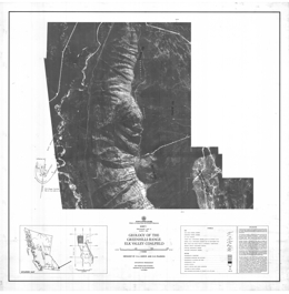 |
Preliminary Map 51 presents the geology of the Jurassic-Cretaceous Kootenay Group exposures on the Greenhills Range of the Elk Valley coalfield west and south of Fording in southeastern British Columbia. Coal-bearing lands belonging to Fording Coal and B.C. Coal were covered. The Preliminary Map consists of three 1:10 000 scale geology maps on an orthophoto base; each contains a legend and schematic sections showing the distribution of coal seams in the coal-bearing rocks.
Data presented are based on examination of surface outcrops and road- cuts, with minor air-photograph interpretation. In many cases, poor exposure has limited the amount of data and has restricted the ability to correlate seams. Seam pinch-outs and wash-outs are common, however, and account for many of the discontinuities in seam traces.
Kootenay Formation is composed of, from oldest to youngest, the Morrissey Formation (basal sandstone), Mist Mountain Formation (former Coal-bearing Member), and Elk Formation. The last, which occurs only in the north half of the map area, includes a significant number of resistant sandstone units, which are not indicated on the map. The presence of Elk coal, alginite-rich coal, was used to identify the Elk Formation, while the contact between Elk and Mist Mountain Formations was arbitrarily placed at a mappable sandstone horizon.
Coal deposits in the map area are west of the trace of the west-dipping Erickson fault system. Other major structures include the Greenhills fault, probably a splay of the Erickson fault, the Greenhills syncline, and the Fording Mountain anticline, which parallels the Greenhills syncline throughout the entire length of the Greenhills Range.
The rank of the coal has been determined by measuring the mean maximum reflectance in oil (Ro max) of the maceral vitrinite. Values >1.12 per cent indicate medium-volatile bituminous coal, while those <1.12 per cent indicate high-volatile coal. The entire coal-bearing section on Greenhills Range (in the area mapped) is high-volatile in rank, with the exception of the lowest one or two seams in the southern part of the range, which are medium-volatile. This is in marked contrast with the adjacent portions of the Elk Valley coalfield, including the Fording Coal Greenhills pits, where rank values of the basal seams are in the range of 1.30 to 1.40 per cent. The fact that the map- area sits west of the Erickson fault probably accounts for this contrast, as normal faulting in southeastern British Columbia occurred some time after coalification. In corollary, Fording Coal Greenhills pits must be separated from the map area by a normal fault, probably the north- ward extension (not indicated on the map) of the Erickson fault. |
| Issue ID: | PM52 |
| Title: | Geology of the Ruby Creek - Boulder Creek Area (Adanac Molybdenum Deposit) |
| Author(s): | Christopher, P.A., Pinsent, R.H. |
| Series Name: | Preliminary Map |
| Publication Year: | 1979 |
| Scale: | 1:12000 |
| NTS Map Sheet(s): | 104N/11W |
| Place Keyword(s): | British Columbia, Ruby Creek - Boulder Creek Area |
| Lat/Long (NSWE): | 59.742, 59.65, -133.45, -133.283 |
| Theme Keyword(s): | Geology, Adanac Molybdenum Deposit, Bedrock Geology |
Download(s):
| PDF |
Abstract:
 |
Preliminary Map 52 presents the geology of the Ruby Creek-Boulder Creek area (104N/11W) near Atlin in northern British Columbia. The area covered includes the Adanac molybdenum deposit. The 1:12 000 scale geology map includes a legend and a generalized geological plan of the Adanac underground workings. Ten pages of notes accompany the map.
The bedrock geology of the Ruby Creek-Boulder Creek area is described in terms of 11 map units. The oldest rocks in the area are believed to be Permo-Pennsylvanian in age. They consist of crystalline limestone or skarn (unit 1) and undifferentiated metavolcanic or metasedimentary rocks (unit 2) of the Cache Creek Group, and serpentine or metaperidotite (unit 3) of the Atlin Intrusions. Metamorphic rocks generally strike northeasterly and dip westerly to the north of the Mount Leonard boss but have variable orientations southwest of it.
The Fourth of July batholith (unit 4) is a fairly uniform medium-grained biotite-hornblende diorite to granodiorite. This unit is generally fresh or weakly altered but contains minor quartz veining and aplitic dykelets near its contact with the Mount Leonard boss. The Atlin Ruffner silver- lead-zinc deposit, which is northwest of the map area, is hosted by this unit.
The multiphase Mount Leonard boss is divided into six main units that host the Adanac molybdenum deposit. A post-mineral equigranular granite phase encountered at a depth of 412 metres in drill hole 1W-1N has not been seen in outcrop.
The various units generally represent textural and mineralogical varieties of chemically similar units. K/Ar ages of the various units also suggest a nearly coeval emplacement of the phases. Field relationships indicate that either the mafic quartz monzonite or the coarse-grained quartz monzonite is the oldest unit and the aplitic phases or the equigranular granite is the youngest phase.
Unit 5 (Mafic Sparse Aplite) is distinguished from other fine-grained quartz monzonite by higher biotite content and a mottled green colour. A sharp contact with unit 6 occurs just west of Molly Lake. Biotite appears to increase in this fine-grained phase near contacts with older metamorphic rocks.
Unit 6 (Fine-grained Quartz Monzonite) includes a variety of grey, aplitic, fine- grained equigranular and/or subporphyritic rocks. A gradation of equigranular to porphyritic varieties appears to occur. Crystallization of this rock type may have been controlled ~ fluid loss.
Unit 7 (Crowded Quartz Monzonite Porphyry) has an average of 60 per cent subhedral to euhedral plagioclase, orthoclase (perthite), quartz, and biotite phenocrysts. The matrix is commonly aphanitic or aplitic, but locally becomes medium grained and the unit would be mapped as a hybrid coarse- grained phase.
Unit 8 (Sparse Quartz Monzonite Porphyry) has similar mineralogy to crowded porphyry but carries between 10 to 30 per cent phenocrysts (2.0 to 6.0 millimetres). The matrix is brown aphanitic to fine grained or chilled
Unit 9 (Mafic Quartz Monzonite Porphyry) is a distinctive grey rock characterized by disseminated fine biotite, chalky white plagioclase phenocrysts, and a seriate texture. The ragged feldspar and rare quartz phenocrysts (6.0 to 10.0 millimetres) lie in a finer (1.0 to 4.0-millimetre) quartz monzonite matrix. Nearly 5 per cent biotite is dusted through the matrix. The rock is significantly more biotite-rich than any of the other phases. It has been variously called granodiorite or quartz monzonite porphyry.
Unit 10 (Coarse-grained Quartz Monzonite), previously mapped as coarse alaskite or coarse granite, is the most common rock type in both the Surprise Lake batholith and the Mount Leonard boss. It is weakly to moderately deformed and granulated and consists of pink to grey, equigranular, coarse-grained (0.5 to 3.0 centimetres) quartz monzonite. The rock consists of approximately equal amounts of perthitic potassium feldspar, intermediate plagioclase, and grey quartz. Much of the feldspar is seriate and there is commonly a small amount of fine- grained (2 to 4-millimetre) matrix. With increased abundance of matrix, the unit has been called 'transition' or 'hybrid.'
Olivine basalt (unit 11) of at least two ages occurs. The stratified mass that forms Ruby Mountain is considered to be older than columnar lava flows that wall Ruby Creek. The younger basalt may be related to the conelet mapped at the head of Cracker Creek. Altered late-stage mafic dykes exposed in the Adanac adit may also be related to this unit.
Structure is important in the area. The Adera fault zone is bounded by the Molly Lake fault on the west and the Adera fault on the east. It has many connecting splays and forms the northern boundary of the Adanac deposit. Between Molly Lake and Ruby Creek the zone strikes north 65 degrees east and dips 80 degrees to the northwest. Geophysical surveys (EM and magnetic), diamond drilling for the proposed dam site, and mapping indicate a strike of north 45 degrees east for the eastern extension of the Adera fault. A dyke of crowded porphyry and the Black Diamond vein occupy structures that are subparallel to the Adera fault zone.
Four principal trends occur: 36 degrees/82 degrees southeast, 330 degrees to 345 degrees/70 degrees to 80 degrees southwest, 83 degrees/77 degrees northwest, and nearly horizontal. Molybdenum veins occur in the nearly horizontal and 36-degree structures. Trends of 265 veins measured in the underground workings confirm that many mineralized veins are nearly horizontal and that a lesser number strike northeastward. However, the workings also cut mineralized east-west structures with nearly vertical dips. Similarly, analysis of 171 barren fractures showed strong 25 degrees/75 degrees northwest, 355 degrees/nearly vertical, and east-west/near vertical trends. Both studies illuminate the key role that nearly horizontal fractures play in producing ore grade molybdenite mineralization.
Molybdenum mineralization occurs in all phases of the Mount Leonard boss, except the post-mineral equigranular granite. The 1 448-metre bench outline shows a doughnut-shaped mineralized body of greater than 0.06 per cent molybdenum that has been truncated by the Adera fault. The mineralized zone occurs mainly in coarse-grained quartz monzonite and fine-grained quartz monzonite that form a trough-like structure around a weakly mineralized sparse quartz monzonite porphyry core. An intrusive breccia body in the axis of the mineralized trough is well exposed in the underground workings.
Molybdenite occurs mainly as fracture coatings and in quartz veins. The modes of occurrence are as: rosettes in smoky quartz veins; fine-grained fracture coatings with quartz envelopes; quartz-pyrite-molybdenite-carbonate veins; molybdenite gouge on fault surfaces; molybdenite-bearing quartz veins with potassium feldspar and/or biotite envelopes; and quartz-molybdenite-fluorite-potassium feldspar-biotite veins.
Other vein and fracture types include: quartz veins; fracture coatings of pyrite with rare chalcopyrite and copper carbonates; pyrite-bearing quartz veins with rare chalcopyrite and copper carbonates; quartz, calcite, and chalcopyrite veins; potassium feldspar and/or biotite veins; quartz-wolframite, arsenopyrite, scheelite, and fluorite veins; fluorite, quartz, and pyrite veins; and carbonate veins
Chalcopyrite is rare within the deposit; pyrite is less than 1 per cent and is restricted to veins and fractures. Examination of the adit area east of the deposit confirms the existence of pyrite. However, pyrite is equally abundant within the molybdenum deposit and no obvious pyrite halo was identified. The density of fluorite-bearing veins appears to increase in the fine-grained 'core' in the adit but regional rock geochemical studies show a fluorine halo around the deposit. Only one quartz-wolframite vein was identified in drill core from the northern margin of the deposit. However, quartz-wolframite-arsenopyrite veins and breccia zones are more common in the peripheral areas.
Information suggests a deposit with open pit mineable reserves of 151 971 000 tonnes of 0.063 per cent molybdenum with a 1.47 to 1 waste to ore stripping ratio.
The Adanac deposit lacks strong zonal alteration. The principal pervasive alteration consists of late chloritization of both biotite and feldspar, accompanied by minor sericite, clay, and carbonate alteration of feldspar. Locally, orthoclase develops peripheral to fractures, and silicification may extend a few centimetres beyond vein boundaries.
The YKR tungsten property is situated south and west of Adanac. It covers parts of the southerly contact between the Mount Leonard boss and Cache Creek metasedimentary rocks. The vein tungsten, contact skarn and porphyry potential of the property is presently being examined. Vein mineralization occurs mainly in the granitic rocks but has also been found in the contact zone. The Black Diamond vein can be traced about 4 kilometres from near the Ruby Creek valley, where it strikes north 70 degrees east, to Boulder Creek where the strike is about north 50 degrees east. Veins consist of quartz, muscovite, arsenopyrite, and wolframite, with minor amounts of chalcopyrite, scheelite, molybdenite, cassiterite, fluorite, and gold. Diopside-tremolite-garnet skarn occurs in pendants in the stock and in contact metamorphosed Cache Creek rocks. The skarn carries pyrrhotite, pyrite, chalcopyrite, scheelite, wolframite, tetrahedrite, sphalerite, and fluorite. Bismuthinite (PbBi2S4) and possible tetradymite (BiTe2S) have been reported. Assays of up to 0.2 per cent tin have also been reported from the skarn occurrences.
Secondary uranium minerals, generally kasolite or zeunerite, occur in quartz veins or breccia zones with arsenopyrite, fluorite, tetrahedrite, chalcopyrite, and wolframite. Zeunerite has also been reported from the Black Diamond vein and the Purple Rose prospect.
More than 3 000 geochemical analyses of rocks from the Adanac deposit area indicate an average value of between 18 ppm and 20 ppm uranium. Values increased from about 13 ppm to 24 ppm as the phases evolved. No significant concentrations of uranium occur in the area of the Adanac deposit.
Eight holes were drilled by Cominco Ltd. to test for secondary uranium mineralization in paleostream sediments capped by olivine basalt flows on the Vol claim group between Boulder and Ruby Creeks. No significant uranium concentration was detected.
The Adanac molybdenum deposit occurs in the Mount Leonard boss, a composite quartz monzonite to granite stock, which is peripheral and probably related to the main body of the Surprise Lake batholith. The Mount Leonard boss and the Adanac deposit formed during a protracted Late Cretaceous (about 71 Ma by biotite K/Ar dating) intrusive and mineralizing event. Mineralization was localized in a trough-like structure that formed around the cupola of a quartz monzonite porphyry intrusive. Intersecting north-south, east-west, and northeast structures controlled the location.
The Adanac area differs from other parts of the Surprise Lake batholith in that there are finer grained phases that probably reflect rapid crystallization due to fluid loss. Release of pressure in the magma chamber resulted in reduced vertical pressure and horizontal fractures formed in the cupola area. Ore grade mineralization occurs where mineralized horizontal fractures coincide with mineralized north-south and east-west structures. Late movement along the Adera fault zone truncated the deposit on the northwest. |
| Issue ID: | PM53 |
| Title: | Geology of the Barriere River - Clearwater Area |
| Author(s): | Schiarizza, P.A. |
| Series Name: | Preliminary Map |
| Publication Year: | 1983 |
| Scale: | 1:50000 |
| NTS Map Sheet(s): | 082M/4,5,12; 092P/1,8,9 |
| Place Keyword(s): | British Columbia, Barriere River, Clearwater Area |
| Lat/Long (NSWE): | 51.708, 51.182, -120.233, -119.89 |
| Theme Keyword(s): | Geology, Bedrock Geology |
Download(s):
| PDF |
Abstract:
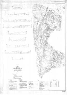 |
Preliminary Map 53 portrays the geology of the Barriere River-Clearwater (82M/4, 5, 12; 92P/1, 8, 9) in south-central British Columbia. The 1:50 000 scale geology map includes a legend, 8 geological cross sections, and a table of mineral occurrences.
The parautochthonous Eagle Bay Formation is Mississippian and perhaps older. Units within the Formation are: dominantly chloritic phyllite, schist, and schistose volcanic breccia with lesser carbonates, quartzite and phyllite and includes white crystalline limestone and white quartzite interlayers; quartz phyllite and muscovite-quartz schist with lesser dark grey phyllite, chloritic phyllite, and schistose volcanic breccia, and local feldspar porphyry, feldspathic schist, pyritic sericite-quartz schist, and metavolcanic breccia; feldspathic phyllite and phyllitic volcanic breccia with local cherty quartzite (siliceous exhalites?); and dark grey slate and phyllite with interbedded siltstone, sandstone, and grit, and lesser conglomerate, limestone, metatuff and metavolcanic breccia. Rocks of the Devonian to Permian Fennel Formation comprise an allochthonous, internally imbricated oceanic terrane. The units of the �lower structural division� are: intraformational conglomerate; limestone and marble; sandstone, siltstone, slate, phyllite and quartzite and local metatuff; quartz feldspar porphyry; gabbro, diorite and diabase; mainly chert, cherty argillite; and massive and pillowed metabasalt and local tuff. The �upper structural division� contains a bedded chert unit, and a pillowed and massive metabasalt unit with local breccia, tuff, diabase, gabbro and chert. Younger rocks include granite and granodiorite of the Cretaceous Baldy batholith, rocks of the Eocene Kamloops Group and Miocene or younger olivine basalt flows. The Kamloops Group consists of the lower, Chu Chua Formation, which contains sandstone, shale, conglomerate and minor coal, and the Skull Hill Formation with vesicular and amygdaloidal andesite flows.
Major faults in the area underlie valleys that strike north east-northeast and southeast. Thrust faults with general northerly trends imbricate rocks of the allochthonous Fennel Formation. More than one generation of thrust faults occur and older thrust are folded. The folds they define have one limb with a low dip angle, and one that is upright or slightly overturned toward the west.
Mineral occurrences in the area include Cyprus massive sulphide Cu (Zn) deposits, like Chu Chua, and Noranda/Kuroko massive sulphide Cu-Pb-Zn deposits, like Homestake and Harper Creek. There are also polymetallic vein occurrences, volcanic hosted uranium deposits, like Rexspar, auriferous quartz veins, and potential for skarn and epithermal deposits. |
| Issue ID: | PM54 |
| Title: | Geology of the Cranbrook Sheet and Sullivan Mine Area |
| Author(s): | Hoy, T. |
| Series Name: | Preliminary Map |
| Publication Year: | 1983 |
| Scale: | 1:50000 |
| NTS Map Sheet(s): | 082F/9; 082G/12 |
| Place Keyword(s): | British Columbia, Southeastern British Columbia, Purcell Supergroup, Cranbrook Area, Sullivan Mine Area |
| Lat/Long (NSWE): | 49.75, 49.5, -116.083, -115.5 |
| Theme Keyword(s): | Geology, Bedrock Geology |
Download(s):
| PDF |
Abstract:
 |
The Purcell Supergroup comprises a thick accumulation of clastic and carbonate rocks that are interpreted to have been deposited in a large intracratonic basin. The northeastern margin of the basin is exposed in the northern part of the Fernie west-half sheet. It developed by growth faulting and is characterized by rapid and pronounced facies and thickness changes, in contrast with more subtle changes that occur elsewhere in the basin.
Moyie sills form an extensive suite of basaltic rocks that intruded the Aldridge and Fort Steele formations, the lower part of the Purcell Supergroup. Many of these sills were intruded at very shallow depths in unconsolidated, water-saturated sediments. Hence a Middle Proterozoic date of 1445 Ma from one of the sills defines the minimum age of deposition of lower and basal middle Aldridge, and of stratiform mineral deposits such as the Sullivan orebody.
Preliminary Map 54 describes the geology of the Cranbrook map-sheet and the Sullivan Mine area (82G/12; 82F/9) in southeastern British Columbia. The 1:50 000 scale geology map includes a legend, geologic sections, a list of mineral deposits and references.
In the Kootenay Ranges, the oldest strata in the area are quartzite, siltstone and argillite of the Fort Steele Formation of the Helikian Purcell Supergroup. Overlying Aldridge Formation strata are subdivided into middle and upper units. Middle Aldridge strata include lower siltstone and argillite; silty dolomite, dolomitic siltstone and minor limestone; siltstone and argillite; thick bedded quartzite with minor conglomerate; siltstone and argillite; and upper quartzite and quartz wacke. Upper Aldridge strata are undivided. Moyie sills and minor dikes are present. Overlying Creston Formation lithologies are a green, grey and purple siltstone unit and a siltstone, quartzite, green and mauve siltstone and dolomitic siltstone unit. Kitchener Formation comprises dolomitic siltstone, siltstone and dolomitic quartzite. Other Purcell Supergroup formations present are the Van Creek, Nicol Creek and Gateway. Paleozoic strata include the Cambrian Cranbrook and Eager Formations, and the Devonian Burnais and Harrogate Formations of shaly limestone, dolomite and gypsum.
In the Purcell Mountains, the oldest strata Purcell Supergroup strata are lower Aldridge rusty weathering siltstone, quartzite or quartz wacke and silty argillite, middle Aldridge quartzite, quartz wacke, with mainly siltstone and rusty weathering argillite near the top, and upper Aldridge argillite and siltstone. Moyie sills and minor dikes are gabbro and diorite. Creston Formation comprises mainly green, grey and mauve siltstone and quartzite. Overlying Kitchener Formation strata are dolomite and limestone that are in part argillaceous and silty, argillite and siltite; Van Creek Formation consists of green and mauve siltstone, argillite and silty quartzite; Nicol Creek Formation is dominated by amygdaloidal and vesicular basalt, but includes volcaniclastic siltstone and sandstone intervals; Gateway Formation strata are green and mauve siltstone, argillite, quartzite, stromatolitic dolomite and silty dolomite; and gabbro or diorite sills. Cambrian rocks include the Cranbrook Formation, with quartzite, conglomerate, limestone and magnesite; and the Eager Formation with shale, siltstone, limestone and quartzite. Cretaceous quartz monzonite and granodiorite intrusions cut the older rocks.
Structurally, the area is divided by the north-northwest trending Rocky Mountain Trench fault. Northeast of the fault, in the Kootenay Ranges, east-northeast trending high angle faults and easterly-directed thrust faults dominate the structural fabric. Strata are deformed into overturned folds with axial surfaces that dip at low angles westerly. A broad area of alluvium marks the Trench. To the west, in the Purcell Mountains northeast to east trending high angle faults are cut by north-northeast trending high angle faults. Thrust and reverse faults are cut by the high angle faults. Thrust and reverse faults with easterly movement are cut by faults, like the St. Mary fault, with northeast to easterly trend and southerly-directed movement. Strata are deformed into gentle, upright folds to tight overturned folds.
In the Purcell Mountains, the oldest rocks exposed are components of the Helikian Aldridge Formation of the Purcell Supergroup. Lower Aldridge strata host the Sullivan deposit and are a prime exploration target in the area. They comprise rusty siltstone, quartzite and silty argillite. In the Kootenay Ranges, age equivalent rocks of the Fort Steele Formation are cross-bedded quartzites and mud-cracked siltstone and argillite.
Other components of the Purcell Supergroup are, from older to younger, the Creston, Kitchener, Van Creek, Nicol Creek, and Gateway formations. In the Purcell Mountains, the Creston Formation is dominantly varicoloured siltstone and quartzite; in the Kootenay Ranges, the Formation also contains an upper unit of coarse-grained siltstone and quartzite.
Cambrian rocks in the area comprise the Cranbrook and Eager formations. Magnesite occurs locally in the Cranbrook Formation in the Purcell Mountains. In the Kootenay Ranges, Devonian strata of the Burnais Formation consist of limestone, dolomite and gypsum.
Mesozoic quartz monzonite and granodiorite intrusions cut older rocks in the rocks in the Purcell Mountains, and Cenozoic glacial and alluvial deposits occur throughout the map-sheet.
Sullivan, a massive sulphide lead-zinc-silver deposit in Aldridge Formation turbidites, is the largest mineral deposit in the area. It has produced in excess of 125 million tonnes of ore from an original deposit of about 160 million tonnes. Other deposits in the Purcell Supergroup include lead-zinc replacement deposits in Upper Purcell carbonates and numerous lead-zinc-silver and copper veins. In the Paleozoic rocks, potential exists for the industrial mineral products magnesite and gypsum. |
| Issue ID: | PM56 |
| Title: | Geology of the Adams Plateau - Clearwater Area |
| Author(s): | Schiarizza, P.A. |
| Series Name: | Preliminary Map |
| Publication Year: | 1984 |
| Scale: | 1:100000 |
| NTS Map Sheet(s): | 082L/13; 082M/03,04,05,06,12; 092P/01,08,09 |
| Place Keyword(s): | British Columbia, Southcentral British Columbia, Shuswap Highland, Adams Plateau, Clearwater Area |
| Lat/Long (NSWE): | 51.7, 50.85, -120.25, -119.35 |
| Theme Keyword(s): | Geology, Bedrock Geology |
Download(s):
| PDF |
Abstract:
 |
Preliminary Map 56 portrays the geology of the Adams Plateau-Clearwater area. The map, which covers an area of approximately 3000 square kilometres, within the Shuswap Highland of south-central British Columbia. It is about 80 kilometres north-northeast of Kamloops and is bounded by latitudes 5 lo00' and 51o45' north, and longitudes 119o30' and 120o15' west. The topography is dominated by the North Thompson River valley in the north and west, and the Adams Lake valley in the east. The map is accompanied by six cross sections. It is the result of geological mapping by Ministry staff during the 1978 to 1981 field seasons. The map area is largely underlain by Paleozoic metavolcanic and metasedimentary rocks of the Eagle Bay and Fennel Formations which host numerous mineral deposits. Note, for detailed descriptions, see Paper 1987-2.
The map area covers a belt of structurally complex low-grade metamorphic rocks that lies along the western margin of the Omineca Belt. It is flanked by high-grade metamorphic rocks of the Shuswap Complex to the east and by rocks of the Intermontane Belt to the west. The area is underlain mainly by Paleozoic metasedimentary and metavolcanic rocks of the Eagle Bay Assemblage and the Fennel Formation. Late Devonian granitic orthogneiss locally intrudes Eagle Bay rocks. The Paleozoic rocks are cut by mid Cretaceous granodiorite and quartz monzonite of the Raft and Baldy batholiths, and by Early Tertiary quartz feldspar porphyry, basalt and lamprophyre dykes. They are locally overlain by Eocene sedimentary and volcanic rocks of the Kamloops Group and by Miocene plateau lavas.
The Paleozoic rocks occur in four structural slices separated by southwesterly-directed thrust faults. The upper three fault slices contain only Eagle Bay rocks, while the lowest slice comprises Eagle Bay strata structurally overlain by the Fennell Formation.
Rocks assigned to the Eagle Bay Assemblage range in age from Early Cambrian to Late Mississippian. They are in part correlative with Paleozoic successions in the Kootenay Arc and in the Barkerville-Cariboo River area The oldest Eagle Bay rocks comprise quartzites and quartzose schists overlain by a unit of predominantly mafic metavolcanic rocks and limestone which, at one locality, contains Lower Cambrian archaeocyathids. An undated package of grit, phyllite, carbonate and metavolcanic rocks overlies the Early Cambrian succession. It is locally overlain by calcareous phyllite and associated calc-silicate schist and skarn or by mafic metavolcanic rocks. The upper part of the Eagle Bay Assemblage comprises a Devono-Mississippian succession consisting of felsic metavolcanic rocks overlain by intermediate, locally alkalic, metavolcanics and fine to coarse-grained clastic metasediments. These Devono-Mississippian rocks may be separated from older portions of the Eagle Bay Assemblage by a significant unconformity. Late Devonian orthogneiss that intrudes Eagle Bay rocks is probably related to the felsic metavolcanics.
The Fennell Formation comprises imbricated oceanic rocks of Slide Mountain terrane that were tectonically emplaced onto Mississippian clastic rocks of the Eagle Bay Assemblage prior to synmetamorphic southwesterly directed folding and thrusting. The formation comprises two major divisions. The lower structural division is a heterogeneous assemblage of bedded chert, gabbro, diabase, pillowed basalt, sandstone, quartz-feldspar-porphyry rhyolite and intraformational conglomerate. Conodonts extracted from bedded chert range in age from Early Mississippian to Middle Permian, while zircons extracted from quartz feldspar porphyry yield a Devonian uranium-lead age. The distribution of dated units indicates that the lower division is segmented into at least three and locally four imbricate thrust slices. The upper division consists almost entirely of pillowed and massive basalt, together with minor amounts of bedded chert and gabbro. Conodonts from two separate chert lenses within the division are respectively Early (?) Pennsylvanian and Middle Permian in age. The two divisions are therefore the same age, at least in part, and are inferred to be separated by a thrust fault.
Rocks of the Fennel Formation accumulated in a deep oceanic basin an unknown distance west of partially coeval rocks of the Eagle Bay Assemblage. Sandstone within the Fennell is very similar to Mississippian sandstone of the Early Bay Assemblage and may have been derived from it. Similarly, Devonian quartz-feldspar-porphyry rhyolite within the Fennell is like Devonian felsic volcanic rocks of the Eagle Bay Assemblage and may he an expression of the same igneous activity. The Fennell succession is inferred to comprise an imbricated marginal basin suite that was originally not far removed from the Eagle Bay terrane.
Deformation is predominantly Jura-Cretaceous and early Tertiary in age. The earliest macroscopic structures are the thrust faults that imbricate the Fennell Formation and separate it from Mississippian clastic rocks of the Eagle Bay Assemblage. East-verging, pre-metamorphic mesoscopic folds within the Fennell Formation probably also formed at this time. Tectonic emplacement of the Fennell Formation was followed by synmetamorphic southwesterly directed folding and associated thrust faulting, which gave rise to several large overturned folds, and also the thrust faults which define the structural/stratigraphic panels that dominate the map pattern. The associated synmetamorphic schistosity is the dominant mesoscopic fabric within the area. These early structures are cut by post-metamorphic northwest-trending mesoscopic folds with associated steeply dipping crenulation cleavage and axial crenulation lineation, and by later west trending macroscopic and mesoscopic folds which are synchronous with intrusion of the mid-Cretaceous Raft and Baldy batholiths. The youngest structures recognized are northeast-trending strike-slip faults and later northerly trending faults and associated folds that are Eocene in age
Stratabound massive to semi massive sulphides containing mainly silver, lead and zinc occur on Adams Plateau where they are hosted by metasedimentary rocks within a succession of dominantly mafic metavolcanic Eagle Bay rocks of probable Early Cambrian age. Similar deposits occur within a correlative (?) interval near Mount McClennan.
Polymetallic precious and base metal massive sulphide occurrences are hosted by Devono-Mississippian felsic to intermediate metavolcanic rocks of the Eagle Bay Assemblage. They include the Homestake prospect and a number of other occurrences in the Sinmax Creek - Adams Lake area, as well as several showings along Birk Creek. Overlying alkalic rocks host similar mineralization at the recently discovered Rea deposit southwest of Johnson Lake.
Large-tonnage disseminated pyrite-pyrrhotite-chalcopyrite mineralization, such as that at the Harper Creek deposit, occurs within Eagle Bay rocks where they are intruded by Devonian orthogneiss. This spatial relationship suggests that the mineralization is Devonian in age and related to the orthogneiss, although it has been remobilized during later deformation and metamorphism.
Uranium-thorium-fluorite mineralization is hosted by a trachytic intrusive-extrusive complex within Devono-Mississippian Eagle Bay rocks along Foghorn and Lute creeks (Rexspar and Bullion showings).
The CC deposit is a cupriferous pyrite volcanogenic massive sulphide deposit hosted by oceanic basalts of the Fennel Formation east of Chu Chua Mountain.
The area also contains numerous vein deposits, as well as small pods of skarn mineralization near Cretaceous and Devonian granitic intrusions. The veins contain mainly silver-lead-zinc mineralization although gold was produced from the Sweet Home and Gold Hill veins within the Fennell Formation east of Dunn Lake. |
| Issue ID: | PM57 |
| Title: | Geology of the Butler Ridge Area |
| Author(s): | Legun, A.S. |
| Series Name: | Preliminary Map |
| Publication Year: | 1984 |
| Scale: | 1:50000 |
| NTS Map Sheet(s): | 094B/1 |
| Place Keyword(s): | British Columbia, Northeastern British Columbia, Butler Ridge Area, Williston Lake Area |
| Lat/Long (NSWE): | 56.25, 56, -122.5, -122.083 |
| Theme Keyword(s): | Geology, Structure, General Stratigraphy, Bedrock Geology |
Download(s):
| PDF |
Abstract:
 |
Preliminary Map 57 presents the geology of the Butler Ridge area, which includes approximately 500 square kilometres of area north and south of Williston Lake near the W.A.C. Bennett dam site in northeastern British Columbia. The map shows borehole locations, geology, and structure. The accompanying notes describe the general stratigraphy, coal geology, the pre-Cadomin unconformity, and structural relationships. The area is underlain by rocks of the Monteith, Beatty Peaks, Monach, Cadomin, and Gething Formations.
Thinning and facies changes occur across the Carbon Creek fault. The Jurassic to Lower Cretaceous Monteith Formation of the Minnes Group consists of a 50-metre interval of quartz arenite in the area. Thickness of Minnes Group strata between the Monteith and Cadomin formations thins dramatically from about 990 metres in the Carbon Creek area southwest of the fault, to 145 metres in the Butler Ridge area. In Carbon Creek area, Minnes Group rocks above the Monteith Formation are the Beattie Peaks Formation shale, the Monach Formation arenite, and the Bickford Formation arenite and shale. In the Butler Ridge area, thinning prevents lithostratigraphic subdivision. The section consists of interbedded arenites and siltstones with no persistent markers.
The Cadomin Formation contact with the Minnes varies from gradational in t he west to sharp in the east. The Cadomin is dominantly pebbly arenites and conglomerates. Gething Formation rocks overlie the Cadomin and are the main coal-bearing strata.
A major fault on Mount Gething dips 25 degrees near surface and steepens to near vertical at depth. Hangingwall strata form a box anticline with the west limb cut off by the fault. |
| Issue ID: | PM59 |
| Title: | Geology and Mineralization In the Mount Attwood - Phoenix Area |
| Author(s): | Church, B.N. |
| Series Name: | Preliminary Map |
| Publication Year: | 1985 |
| Scale: | 1:25000 |
| NTS Map Sheet(s): | 082E/2E |
| Place Keyword(s): | British Columbia, Southcentral British Columbia, Mount Attwood, Phoenix Area |
| Lat/Long (NSWE): | 49.146, 49, -118.739, -118.542 |
| Theme Keyword(s): | Geology, Mineralization, Bedrock Geology |
Download(s):
| PDF |
Abstract:
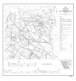 |
Preliminary Map 59 and the accompanying 35 page report give the results of a geological investigation in the vicinity of the town of Greenwood in south-central British Columbia. The 22 geological units distinguished in this 250-square kilometre area include a wide variety of Paleozoic to Tertiary rocks that have been affected by multiple episodes of deformation and igneous intrusion.
The Paleozoic (?) Knob Hill Group is the oldest unit in the area. Metacherts and quartz chlorite schists predominate. The Permo-Carboniferous Attwood Group is mainly black argillite with lesser clastic, metavolcanic and limestone components. The Triassic Brooklyn Group is characterized by thick basal conglomerates with interfingers of shale and carbonate, and an upper unit of volcanic breccias. Chlorite to amphibole grade metamorphism affected all these rocks. Deformation produced faults and locally tight folds.
The Eocene Princeton Group consists of the sedimentary Kettle River Formation and the volcanic Marron Formation. The volcanics are phonolites, trachytes and andesites. Block faulting related to uplift affected these rocks.
Triassic to Tertiary intrusive rocks occur in the area. Compositions range from mafic to granite and syenite. Strongly serpentinized ultramafic rocks interpreted to be intrusions form sill and dyke-like bodies.
Mineralization in the area consists principally of copper bearing skarn deposits and to a lesser extent, gold and silver bearing quartz veins with minor lead and zinc values. Stratabound volcanogenic (?) gold-sulphide mineralization has been discovered in the area. Metallogenic evaluations indicate that the extensive fault and fracture patterns, which characterize the area, served as channelways for mineralizing solutions mobilized by the igneous intrusions. The combination of a long geological history and a wide range in types of deposits insures good potential for new mineral discoveries in this old mining camp.
The Greenwood Mining Camp flourished from 1900 to 1976 and produced 32 million tonnes of ore that yielded 38 276 kilograms of gold, 183 102 kilograms of silver, 270 945 tonnes of copper, 966 tonnes of lead, and 329 tonnes of zinc.A723 |
| Issue ID: | PM60 |
| Title: | Geology of the Elk Valley Coalfield, Southern Half (Kilmarnock Creek To Alexander Creek) |
| Author(s): | Grieve, D.A., Fraser, J.M. |
| Series Name: | Preliminary Map |
| Publication Year: | 1985 |
| Scale: | 1:10000 |
| NTS Map Sheet(s): | 082G/15; 082J/2 |
| Place Keyword(s): | British Columbia, Elk Valley Coalfield, Kilmarnock Creek to Alexander Creek, Southern Half |
| Lat/Long (NSWE): | 50.174, 49.74, -114.857, -114.71 |
| Theme Keyword(s): | Geology, Coalfields, Bedrock Geology |
Download(s):
| PDF |
Abstract:
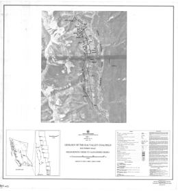 |
Preliminary Map 60 presents the geology of the Elk Valley Coalfield, southern half (Kilmarnock Creek to Alexander Creek), of British Columbia. |
| Issue ID: | PM61 |
| Title: | Geology of the Toodoggone River Area |
| Author(s): | Diakow, L.J., Panteleyev, A., Schroeter, T.G. |
| Series Name: | Preliminary Map |
| Publication Year: | 1985 |
| Scale: | 1:50000 |
| NTS Map Sheet(s): | 094D/15; 094E/2,3,6,7,11,12 |
| Place Keyword(s): | British Columbia, Toodoggone River Area |
| Lat/Long (NSWE): | 57.687, 56.984, -127.75, -126.585 |
| Theme Keyword(s): | Geology, Bedrock Geology |
Download(s):
| PDF |
Abstract:
 |
Preliminary Map 61 describes the geology of the Toodoggone River area (94E) of north-central British Columbia. The 1:50 000 scale geology map includes a legend. The basement to the Early to perhaps Middle Jurassic �Toodoggone volcanics� are the strata of the Permian Asitka Group (?), mainly limestone with minor marble and skarn, and the Late Triassic Takla Group, mainly augite phyric basalt flows and breccias. The Toodoggone volcanics have 8 major units. The lowermost Addoogatcho Creek Formation has 3 divisions: a lower quartz plagioclase porphyry, a middle unit of crystal ash tuff, lapilli tuff and rare agglomerate; and an upper unit of quartz, biotite and hornblende-bearing ash flows. The Moyez Creek volcanics comprise crystal tuffs in thin units with associated sandstone and mudstone; and conglomerate with some granite clasts, greywacke, crystal tuff and epiclastic rocks. The Lawyers-Metsantan quartzose andesite consists mainly of flows and tuffs. The mafic flow and tuff unit contains pyroxene-biotite-hornblende phyric flows; lapilli, crystal and ash tuff with local sandstone and rare marl layers; porphyritic basalt; and pyroxene phyric basalt flows and tuffs. McClair Creek Formation includes an intrusive dome complex and mainly purple, lavender or grey crowded plagioclase phyric flows. Tuff Peak Formation strata include: flows with sparse orthoclase megacrysts; conglomerate or lahar with sandstone and mudstone interbeds, debris flows and lapilli and crystal tuffs; and biotite-augite-hornblende-plagioclase phyric flows. The Toodoggone crystal ash tuff and flow unit has lower epiclastic red arkosic sandstone, siltstone, conglomerate and slide debris, and an upper unit with mainly plagioclase crystal tuff, lapilli tuff and breccia. The upper �Grey Dacite� unit consists of quartzose plagioclase-bearing ash flows of andesitic and rarely dacitic composition that are locally welded. The youngest strata exposed are Upper Cretaceous rocks of the Tango Formation of the Sustut Group comprise polymictic conglomerate, sandstone, shale, and carbonaceous mudstone.
Intrusive rocks in the area include Lower to Middle Jurassic feldspar and hornblende-feldspar porphyry dikes and plugs, granodiorite to quartz diorite, and quartz monzonite to granodiorite bodies that are partly megacrystic as well as minor syenite. Lower Jurassic dikes, sills and small plugs include pyroxene-plagioclase porphyry, diorite to gabbro, augite-hornblende porphyry, and basalt.
Faults in the area trend mainly northerly and northwesterly. The Jurassic volcanic rocks are within a fault-bounded graben.
Epithermal gold deposits, such as Lawyers and the Baker mine, characterize the Toodoggone camp but there is also potential for gold-bearing copper porphyry deposits. |
| Issue ID: | PM62 |
| Title: | Geology of the Mount Forster Map Area |
| Author(s): | Bennett, S. |
| Series Name: | Preliminary Map |
| Publication Year: | 1985 |
| Scale: | 1:25000 |
| NTS Map Sheet(s): | 082K/9,16 |
| Place Keyword(s): | British Columbia, Southeastern British Columbia, Mount Forster Map Area, Rocky Mountain Trench |
| Lat/Long (NSWE): | 50.868, 50.552, -116.5, -116.147 |
| Theme Keyword(s): | Geology, Structure, Bedrock Geology |
Download(s):
| PDF |
Abstract:
 |
Preliminary Map 62 presents the geology of the Mount Forster map area (82K/9, 10, 15) consists of a geological map at 1:25 000 scale covering approximately 500 square kilometres along and to the west of the Rocky Mountain Trench in southeastern British Columbia. The map sheet is bounded by Horsethief Creek to the south and Frances Creek to the north and includes exposures on Steamboat Mountain in the trench. A second sheet shows cross sections, and accompanying notes briefly describe the geology.
The area is underlain by the Purcell Supergroup and unconformably overlying Windermere Group and lower Paleozoic strata. It is structurally complex, transected by the Mount Forster-Steamboat fault. Numerous silver-lead-zinc and copper showings occur throughout the area, including Grotto, Steamboat, Puzzle and others, and the Brisco barite mine is located in the northeast corner.
Rocks of the Belt-Purcell Supergroup are the oldest strata exposed in the area. The lowest unit consists of quartzites, shales, and laminated dolomites of the Dutch Creek Formation. Above are varicoloured quartzites, shales and dolomites of the Mount Nelson Formation. The Frances Creek Formation overlies the Mount Nelson with sharp discordance and locally with angular unconformity. The Frances Creek consists of thick-bedded white orthoquartzites, grey dolomites and thinly interbedded sandstone and shale. The basal member is a grey, thick-bedded algal dolomite with halite and gypsum pseudomorphs.
Windermere Supergroup components exposed are the Toby Formation and the Horsethief Creek Group. The Toby is a highly variable sequence of diamictites, conglomerates, sandstones, shales, dolomites, breccias, and volcanic rocks. It rests unconformably on the Belt-Purcell rocks. Volcanic rocks comprise the base of the Toby Formation. The base of the Horsethief Creek Group is marked by a black, detrital limestone. The Group comprises a series of interbedded grey shales, grits, quartzites, limestones and dolomites.
Paleozoic strata unconformably overlie the Windermere rocks. The basal Cranbrook Formation consists of mature quartzites and quartz grits. The Middle to Upper Cambrian Jubilee Formation is massive dolomite and unconformably overlies the Cranbrook strata. Base metal mineralization occurs in solution breccias beneath the Devonian and Ordovician unconformities. The Upper Cambrian to Middle Ordovician McKay Group conformably overlies the Jubilee Formation and is unconformably overlain by the Upper Ordovician Beaverfoot Formation. The McKay consists of recessive shales, sandstones and dolomitic biowackestones. The Beaverfoot has basal white quartzite overlain mainly by biowackestones and peloidal mudstones. The Middle Devonian Mount Forster Formation unconformably overlies the Beaverfoot and karsting and related features, including base metal mineralization, are developed adjacent to the unconformity. The Upper Devonian Starbird Formation, which consists mainly of fossiliferous dolomitic biowackestones, unconformably overlies the Mount Forster strata.
Syenitic sills and dykes intrude the Proterozoic sequence and were sheared during Mesozoic deformation. Narrow minette dykes also intrude the Proterozoic section. The Cretaceous Horsethief Creek batholith is largely coarse-grained quartz monzonite. The metamorphic aureole overprints the tectonic fabric in the country rocks.
The structural evolution of the area was episodic. Early basin formation and extension from Proterozoic through to Upper Paleozoic was followed by thrusting and folding in the Mesozoic Columbian-Laramide orogeny. |
| Issue ID: | PM63 |
| Title: | Geological Setting of the South Half of the Elk Valley Coalfield, Southeastern British Columbia |
| Author(s): | Grieve, D.A., Price, R.A. |
| Series Name: | Preliminary Map |
| Publication Year: | 1987 |
| Scale: | 1:50000 |
| NTS Map Sheet(s): | 082G/15; 082J/2 |
| Place Keyword(s): | British Columbia, Southeastern British Columbia, Elk Valley Coalfield, South Half |
| Lat/Long (NSWE): | 50.25, 49.75, -115, -114.59 |
| Theme Keyword(s): | Geology, Coalfields, Bedrock Geology |
Download(s):
| PDF |
Abstract:
 |
Preliminary Map 63 covers the geological setting of the south half of the Elk Valley coalfield in southeastern British Columbia. It is a 1:50 000-scale compilation that depicts the geology of the Lewis thrust sheet within NTS 82G/15 and 82J/2. The boundaries of the map are the traces of the Lewis thrust fault on the east, the Bourgeau thrust fault on the west, and latitudes 50o15' N and 49o45' N on the north and south. The Greenhills and Alexander Creek synclines underlie the south half of the Elk Valley Coalfield. The map area includes three operating coal mines in the Elk Valley Coalfield (Line Creek, Fording and Greenhills) and part of the Balmer mine in the Crowsnest Coalfield.
Geology has been derived from: published mapping by the British Columbia Geological Survey Branch; published and unpublished regional mapping by the Geological Survey of Canada; and unpublished mapping by coal mine and oil exploration company geologists.
The map area lies within the Front Ranges of the Rocky Mountains and is underlain by carbonate and clastic sedimentary rocks of Devonian to Cretaceous age. In addition to world-scale coal resources, the area contains phosphorite units and is currently being explored for its petroleum potential.
All southeastern British Columbia coal occurrences are within the Lewis thrust sheet. West-to-east horizontal displacement of the thrust sheet was at least 19 kilometres at the latitude of Fording Mountain. Folds in the surface of the Lewis thrust were mapped in outcrop in the Tornado Pass area and inferred in the subsurface from evidence acquired during drilling of the California Standard Fording Mountain well. Outcrop expressions of subsurface folds in the Lewis thrust include the Alexander Creek syncline in the east, and the combination of the Fording Mountain anticline and the anticline that passes through Wisukitsak Range and Erickson Ridge (82G/1 5) in the west. The west-dipping Erickson normal fault, part of the Flathead fault system, can be traced over nearly the entire length of the map area. It separates coal occurrences on Harmer Ridge at the north end of the Crowsnest Coalfield and in the Greenhills syncline from occurrences throughout the length of the Alexander Creek syncline.
The oldest rocks exposed in the map area are Devonian carbonates of the Palliser formation. These are overlain by carbonates and siltstones of the Mississippian Rundle group. Pennsylvanian and Permian calcareous sandstones of the Rocky Mountain Supergroup follow, then siltstones and shales of the Triassic Spray River Group. The Jurassic Fernie Formation comprises shales, sandstones, siltstones, limestones and phosphorites. The Jurassic to Cretaceous Kootenay Group rocks contain coal measures and are the prime economic target in the area. Lower Cretaceous Blairmore Group chert pebble conglomerates sandstones and mudstones are overlain by Upper Cretaceous Belly River Formation shales and sandstones. All the older rocks are locally covered by Quaternary deposits that vary from till to gravel to silt and alluvium.
Coal deposits in southeastern British Columbia occur in the Jurassic-Cretaceous Kootenay Group. Kootenay Group overlies the marine Fernie Formation of Jurassic age. The basal Kootenay sandstone, the Morrissey Formation, is a coastal deposit, which forms a consistent, easily mapped unit. The overlying Mist Mountain Formation has average total thickness of 500 metres; 8 to 12 percent consists of humic coal seams, which range in thickness to 12 metres or more. The overlying Elk Formation contains lenticular humic and sapropelic coal seams up to approximately 1 metre in thickness. No marine strata are known in either the Mist Mountain or Elk Formations. Overlying the Kootenay Group is the Cadomin Formation, the basal conglomerate of the Lower Cretaceous Blairmore Group. |
| Issue ID: | PM67 |
| Title: | Geology of the Hydraulic Map Area NTS 93A/12. |
| Author(s): | Bailey, D.G. |
| Series Name: | Preliminary Map |
| Publication Year: | 1987 |
| Scale: | 1:50000 |
| NTS Map Sheet(s): | 093A/11,12; parts of 093A/5,6,11 & 093B/9 |
| Place Keyword(s): | British Columbia, Quesnel Terrane, Quesnel Lake Area, Quesnel River Area |
| Lat/Long (NSWE): | 52.75, 52.47, -122.114, -121.315 |
| Theme Keyword(s): | Geology, Outcrop Distribution, Bedrock Geology |
Download(s):
| PDF |
Abstract:
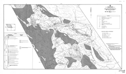 |
Preliminary Map 67 displays generalized geology and outcrop distribution in the central volcanic axis of the Quesnel terrane in the Quesnel Lake and Quesnel River areas near the village of Likely (NTS 93A/12) at 1:50 000 scale. Mapping covers about 600-square kilometres and extends from south of latitude 52o30�to about latitude 52o45� and between longitudes 121o30� and 122o00�, small portions of adjoining map sheets 93A/5, 6, 11 and 92B/9 are also included.
The mapping updates and extends Preliminary Map No. 20, 1976, Geology of the Morehead Lake area. It emphasizes the continuity of Triassic-Jurassic and some younger stratigraphic units in the volcanic arc axis, outlines volcanic-intrusive centres, and identifies faults that are southern extensions of the Pinchi fault system.
Mesozoic volcanic rocks in the map area exhibit a bi-symmetric, generally regular distribution. Norian fine-grained epiclastic sediments comprise the basal strata of the Mesozoic assemblage. Upward. Mafic volcanism produced variably pillowed basalt flows and polylithic breccias, then mafic siltstone and limestone; local alkalic units occur. Above these are Sinemurian polylithic breccias, latite tuff and breccia, feldspathic sandstones and analcite-bearing alkalic basalts. These rocks in turn are overlain by Pleinsbachian interbedded sandstone and siltstone and chert-bearing polylithic conglomerate with sandstone and shale interlayers.
Areas of Pliocene olivine plateau basalt occur locally.
Intrusive rocks include Pleinsbachian syenite to monzodiorite and Cretaceous nepheline syenite and quartz monzonite to granodiorite.
Alkalic stocks elsewhere in the belt host porphyry copper-gold deposits and are highly prospective. This mapping, which is north of Quesnel River, covers the main area of current exploration interest near the Quesnel River (QR) propylitic basalt-hosted gold deposit. Calc-alkalic intrusions have potential to host copper-molybdenum porphyry deposits. |
| Issue ID: | PM68 |
| Title: | Geology of the Elk Valley Coalfield, North Half (Henrietta Creek to Elk Lakes) |
| Author(s): | Morris, R.J., Grieve, D.A. |
| Series Name: | Preliminary Map |
| Publication Year: | 1990 |
| Scale: | 1:10000 |
| NTS Map Sheet(s): | 082J/2,6,7,10,11 |
| Place Keyword(s): | British Columbia, Elk Valley Coalfield, Henrietta Creek to Elk Lakes, North Half |
| Lat/Long (NSWE): | 50.583, 50.227, -115.106, -114.83 |
| Theme Keyword(s): | Geology, Bedrock Geology |
Download(s):
| PDF |
Abstract:
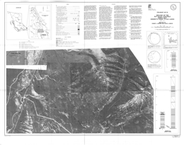 |
Preliminary Map 68 describes the geology of the north half of the Elk Valley coalfield in southeastern British Columbia. The Preliminary Map consists of 8 sheets with geology presented at 1:10 000 scale on orthophoto bases. The Preliminary Map includes legends on each sheet, explanatory notes, plots of structural measurements and columnar sections through the coal measures.
Preliminary Map 68 is a contribution to the Canada/British Columbia Mineral Development Agreement 1985-1990. This MDA funded project extends and completes the 1:10 000-scale geological mapping carried out by the Geological Survey Branch in the East Kootenay coalfields of southeastern British Columbia. It covers an area immediately north of Preliminary Map 51 (Greenhills Range) and Preliminary Map 60 (south half of the Elk Valley coalfield). Mapping, based on outcrops, roadcut exposures and trenches, defines the locations of formational contacts, coal seams, sandstone units and major structural features. Stratigraphic sections were measured at six locations. Vitrinite reflectance data and extensive descriptive notes are included. The study area extends from Henrietta and Britt creeks in the south to the British Columbia - Alberta boundary in the north. Jurassic-Cretaceous Kootenay Group exposures throughout were mapped. Most of the area is Crown Land and includes all or part of three separate coal properties. The most southerly of these comprises the north end of the Fording Coal Ltd. Fording River property. The northern boundary of the Fording River property is in the vicinity of UTM gridline 5 580 000 metres north, which is just north of Aldridge Creek. Adjacent to the north is the Elk River property in which Fording Coal held a 50 per cent interest at the time of writing (June 1989). The northern boundary of the Elk River property is in the vicinity of UTM gridline 5 590 000 metres north, close to Cadorna Creek. Coal rights in the area north of Cadorna Creek, formerly known as the Vincent option, were reserved to the Crown at the time of writing. Data presented are based on examination of surface outcrops, roadcuts and trenches, and are supplemented by air-photograph interpretation. In many cases poor exposure has limited the amount of data and has restricted the ability to correlate seams. Seams less than 1 metre thick have generally not been plotted. Exposure on Map Sheet 2 is quite variable, with Mount Tuxford on the east side of the Elk River valley having good exposure, while the west side is virtually devoid of outcrop. Coal seam traces have been interpreted only on Mount Tuxford.
Stratigraphic sections were measured on Mount Veits and Tuxford, Henrietta Ridge, Weary Ridge and at Coal Creek", a tributary of Bleasdell Creek. Sections were measured using either pogo stick or compass and chain. They have been generalized for publication. Note that coal seams less than 1 metre thick are not indicated, nor are partings within seams that are less than 1 metre in thickness.
The basal unit of the Kootenay Group is the Morrissey Formation. The Morrissey is a resistant sandstone unit consisting of two members and ranging in thickness from 20 to 80 metres (Gibson, 1985). The upper member, the Moose Mountain member, is a distinctive marker unit consisting of medium-grained sandstone, which is utilized in all surface and subsurface studies of the Kootenay to demarcate the base of coal occurrences. Within the study area the Moose Mountain member was observed to be more variable than normal. For example, it includes one or more carbonaceous partings in the area between Weary Ridge and Mount Tuxford, and at two localities south of Aldridge Creek it was observed to include an unusual light grey to white weathering, quartzose facies. The trace of the Morrissey Formation on the east limb of the Alexander Creek syncline is plotted with moderate confidence on Sheet 2.
The Mist Mountain Formation contains essentially all the coals of economic interest in southeastern British Columbia. Its thickness in the study area ranges between 450 and 550 metres. Coal forms between 8 and 12 per cent of the total thickness of the formation at most locations. Individual seams in the study area range from less than 1 to greater than 10 metres in thickness. In the area covered by Map Sheet 2, a section 550.0 metres thick comprising the complete Mist Mountain Formation was measured along the north ridge of Mount Tuxford. It hosts 39.5 metres of coal, representing only 7.2 per cent of the total thickness of the formation. However, some 50.6 metres of the section are covered, a portion of which could contain coal.
The precise identification of the contact of the Mist Mountain Formation with the overlying Elk Formation in southeastern British Columbia is generally difficult. The Elk is a coarser grained facies than the Mist Mountain and it generally lacks thick coal seams and contains unusual sapropelic coals known as "needle coals". The thickness of the Elk Formation in the study area is inferred to range between 350 and 450 metres. The Elk - Mist Mountain contact on Sheet 2 is located just below the peak of Mount Tuxford. It overlies a 2-metre-thick coal seam and is at the base of a thick sandstone sequence. This position also corresponds with a change in colour; the Elk Formation sandstones weather to a distinctive yellow or orange-brown colour compared with the predominantly grey weathering colour of the Mist Mountain Formation sandstones. A section of Elk Formation comprising the lowest 178 metres was measured. The lower two-thirds of the section consists of several stacked channel - sandstone units separated by thin, recessive, finer grained intervals, including a 1.0- metre thick coal seam. The upper third is a recessive interval including coal seams 1.0 and 1.6 metres thick. The section is overlain by a prominent cliff-forming sandstone that marks the base of another sequence of stacked sandstone units.
The Kootenay Group is unconformably (?) overlain by the Lower Cretaceous Blairmore Group. The basal unit of the Blairmore Group is the Cadomin Formation, a distinctive cliff-forming conglomerate unit.
The study area lies in the Front Ranges of the Rocky Mountains and is part of the Lewis thrust sheet. The major structure in the coalfield is the Alexander Creek syncline, which extends throughout its entire 100-kilometre length. The northern extension of the Greenhills syncline, which is west of the Alexander Creek syncline, also influences the extreme southern end of the study area.
The Alexander Creek syncline is overturned in the central part of the study area, and open elsewhere. It generally plunges to the north.
The Bourgeau thrust fault, which marks the western boundary of the surface exposures of the Lewis thrust sheet, forms the western boundary of the Mist Mountain Formation the Elk valley coalfield in the study area. The relative footwall stratigraphic position of the fault varies along its trace from the Fernie Formation to uppermost Kootenay. At the north end of the study area it is offset 2 kilometres to the northeast by a transverse fault.
Minor structures associated with the Bourgeau thrust are not generally observable because of poor exposure. The area known as "Coal Creek" on the west limb of the Alexander Creek syncline is one exception. See Sheet 3 for more detail. The complex folding in the northern part of Map Sheet 2 is interpreted to be caused by the Bourgeau thrust ramping to the east at this point.
Small-scale folds affect the Mist Mountain Formation strata in three general areas: the extreme south end of the study area (see Sheet 1), the lower west-facing slopes of Mount Tuxford (see Sheet 2), and the small eastward-flowing creeks north of Cadorna Creek (see Sheets 6 and 7). These are mainly interpreted as minor folds associated with the Alexander Creek syncline, and, with few exceptions, are not attributed directly to thrusting.
In contrast with the south half of the coalfield (see Grieve and Fraser, 1985), thrust faults within the Kootenay Group are not a major feature of the study area. On Henretta Ridge at the extreme south end of the study area, however, two thrust faults are observed (see Sheet 1). One causes a repeat of the Morrissey Formation and lowermost part of the Mist Mountain Formation; the other occurs higher in the Mist Mountain Formation and is exposed on the south-facing slope of the ridge. A third thrust fault is inferred to occur in the east limb through part of the north end of the study area, based on sporadic occurrences of deformed strata (see Sheet 6 for example).
Late-stage, crosscutting normal faults are present in the Mount Tuxford and Mount Veits areas. These appear to follow prominent joint orientations and have resulted in mass wasting of the Morrissey Formation, forming both topographic steps and landslide blocks. A large landslide block of Morrissey Formation occurs on Weary Ridge (see Sheet 4). A set of two normal faults is shown at the north end of Mount Tuxford on Map Sheet 2. A combined 16 metres of normal displacement is estimated. A system of three faults, striking to the north and dipping steeply east, occurs approximately 400 metres due east of the peak of Mount Tuxford. The faults show a combined 8 metres of reverse displacement.
The rank of the coals has been determined petrographically by measuring the mean maximum vitrinite reflectance on grab samples. These values are plotted on the map. To convert reflectance values to ASTM rank equivalents use 1.12 per cent as the boundary between high-volatile and medium-volatile coals and 1.51 per cent as the boundary between medium-volatile and low-volatile rank. Coals of the Mist Mountain Formation vary in rank from low-volatile to high- volatile bituminous. The highest rank Mist Mountain Formation coals are found in the lower part of the formation on the east limb of the Alexander Creek syncline near Weary Creek. The lowest rank coals are exposed on the west limb of the Alexander Creek syncline near Bleasdell Creek, and on both limbs at the north end of the study area. Elk Formation coals are all of high-volatile bituminous rank in the study area. On Map Sheet 2 reflectance values in the Mist Mountain Formation vary from 1.57 to 1.02 per cent. |
| Issue ID: | P1975-02-01 |
| Title: | Zinc Deposits, Southeastern British Columbia |
| Author(s): | Hoy, T. |
| Series Name: | Paper |
| Publication Year: | 1975 |
| Larger Work Citation: | in Geological Fieldwork 1974, B.C. Ministry of Energy, Mines and Petroleum Resources, Paper 1975-2 |
| NTS Map Sheet(s): | 082E; 082F; 082G; 082J; 082K; 082L; 082M; 082N; 082O |
| Place Keyword(s): | British Columbia, Southeastern British Columbia, CK, Colby Property |
| Lat/Long (NSWE): | 52, 49.5, -119.75, -118.5 |
| Theme Keyword(s): | Geological Fieldwork, Zinc, Aldridge Formation, Fieldwork, Sulphides |
Download(s):
| PDF |
Abstract:
| This paper describes zinc deposits of southeastern British Columbia. |
| Issue ID: | P1975-02-02 |
| Title: | Geology of the Nicola Group Between Missezula Lake and Allison Lake |
| Author(s): | Preto, V.A.G. |
| Series Name: | Paper |
| Publication Year: | 1975 |
| Larger Work Citation: | in Geological Fieldwork 1974, B.C. Ministry of Energy, Mines and Petroleum Resources, Paper 1975-2 |
| Scale: | 1:80000 |
| NTS Map Sheet(s): | 082M/13, 82L/10 |
| Place Keyword(s): | British Columbia |
| Lat/Long (NSWE): | 49.833, 49.667, -120.625, -120.5 |
| Theme Keyword(s): | Geological Mapping, Nicola Group, Fieldwork, Structural Geology, Mineral Deposits |
Download(s):
| PDF |
Abstract:
| This paper describes the geology of the Nicola Group between Missezula Lake and Allison Lake of British Columbia. Scale is 1:80000. |
| Issue ID: | P1975-02-03 |
| Title: | Stratigraphy and Copper Mineralization of the Nicola Group, Fairweather Hills |
| Author(s): | Lefebure, D.V. |
| Series Name: | Paper |
| Publication Year: | 1975 |
| Larger Work Citation: | in Geological Fieldwork 1974, B.C. Ministry of Energy, Mines and Petroleum Resources, Paper 1975-2 |
| Scale: | 1:32000 |
| NTS Map Sheet(s): | 092H/15 |
| Place Keyword(s): | British Columbia, Fairweather Hills |
| Lat/Long (NSWE): | 50, 49.75, -120.75, -120.5 |
| Theme Keyword(s): | Geological Mapping, Copper, Stratigraphy, Fieldwork, Structural Geology |
Download(s):
| PDF |
Abstract:
| This paper describes the stratigraphy and copper mineralization of the Nicola Group, Fairweather Hills of British Columbia. The scale is 1:32000. |
| Issue ID: | P1975-02-04 |
| Title: | Giant Mascot Mine |
| Author(s): | Christopher, P.A. |
| Series Name: | Paper |
| Publication Year: | 1975 |
| Larger Work Citation: | in Geological Fieldwork 1974, B.C. Ministry of Energy, Mines and Petroleum Resources, Paper 1975-2 |
| Scale: | 1:110000 |
| NTS Map Sheet(s): | 092H/15 |
| Place Keyword(s): | British Columbia, Southwestern British Columbia, Harrison Lake, Hope |
| Lat/Long (NSWE): | 49.5, 49.417, -121.3, -121.2 |
| Theme Keyword(s): | Regional Geology, Nickel, Giant-Mascot, Fieldwork |
Download(s):
| PDF |
Abstract:
| This paper describes the Giant-Mascot mine in southwestern British Columbia. The scale is 1:110000. |
| Issue ID: | P1975-02-05 |
| Title: | Geology of the Northwest Half of Iron Mask Batholith |
| Author(s): | Northcote, K.E. |
| Series Name: | Paper |
| Publication Year: | 1975 |
| Larger Work Citation: | in Geological Fieldwork 1974, B.C. Ministry of Energy, Mines and Petroleum Resources, Paper 1975-2 |
| Scale: | 1:80000 |
| NTS Map Sheet(s): | 092H/6 |
| Place Keyword(s): | British Columbia |
| Lat/Long (NSWE): | 50.667, 50.6, -120.5, -120.375 |
| Theme Keyword(s): | Geology, Kamloops Group, Intrusives, Iron Mask Batholith, Fieldwork |
Download(s):
| PDF |
Abstract:
| This paper describes the geology of the northwest half of Iron Mask Batholith in British Columbia. The scale is 1:80000. |
| Issue ID: | P1975-02-06 |
| Title: | Stratigraphic Section from the Jurassic Ashcroft Formation and Triassic Nicola Group Contiguous to the Guichon Creek Batholith |
| Author(s): | McMillan, W.J. |
| Series Name: | Paper |
| Publication Year: | 1975 |
| Larger Work Citation: | in Geological Fieldwork 1974, B.C. Ministry of Energy, Mines and Petroleum Resources, Paper 1975-2 |
| Scale: | 1:3000 |
| NTS Map Sheet(s): | 092I/11 |
| Place Keyword(s): | British Columbia, Guichon Creek Batholith |
| Lat/Long (NSWE): | 50.75, 50.5, -121.25, -121 |
| Theme Keyword(s): | Stratigraphy, Ashcroft Formation, Nicola Group, Fieldwork, Sedimentation |
Download(s):
| PDF |
Abstract:
| This paper describes a stratigraphic section from the Jurassic Ashcroft Formation and Triassic Nicola Group contiguous to the Guichon Creek Batholith in British Columbia. The scale is 1:3000. |
| Issue ID: | P1975-02-07 |
| Title: | Bridge River Map-Area |
| Author(s): | Pearson, D.E. |
| Series Name: | Paper |
| Publication Year: | 1975 |
| Larger Work Citation: | in Geological Fieldwork 1974, B.C. Ministry of Energy, Mines and Petroleum Resources, Paper 1975-2 |
| Scale: | 1:100000 |
| NTS Map Sheet(s): | 092J/15 |
| Place Keyword(s): | British Columbia |
| Lat/Long (NSWE): | 51.083, 50.75, -122.917, -122.75 |
| Theme Keyword(s): | Economic Geology, Fergusson Group, Fieldwork, Mineral Deposits, Structural Geology |
Download(s):
| PDF |
Abstract:
| This paper describes the geology of the Bridge River map area of British Columbia. The scale is 1:100000. |
| Issue ID: | P1975-02-08 |
| Title: | Current Activity-Hogem Batholith |
| Author(s): | Garnett, J.A. |
| Series Name: | Paper |
| Publication Year: | 1975 |
| Larger Work Citation: | in Geological Fieldwork 1974, B.C. Ministry of Energy, Mines and Petroleum Resources, Paper 1975-2 |
| NTS Map Sheet(s): | 093N |
| Place Keyword(s): | British Columbia, Hogem Batholith |
| Lat/Long (NSWE): | 56, 55, -126.75, -125.75 |
| Theme Keyword(s): | Economic Geology, Kwanika, Mineralization, Fieldwork, Copper |
Download(s):
| PDF |
Abstract:
| This paper describes the current activity of the Hogem Batholith in British Columbia. |
| Issue ID: | P1975-02-09 |
| Title: | Geology of Germansen Lake Area |
| Author(s): | Meade, H.D. |
| Series Name: | Paper |
| Publication Year: | 1975 |
| Larger Work Citation: | in Geological Fieldwork 1974, B.C. Ministry of Energy, Mines and Petroleum Resources, Paper 1975-2 |
| Scale: | 1:80000 |
| NTS Map Sheet(s): | 093N/10 |
| Place Keyword(s): | British Columbia, Central British Columbia |
| Lat/Long (NSWE): | 55.683, 55.617, -124.95, -124.767 |
| Theme Keyword(s): | Regional Geology, Hogem Batholith, Fieldwork, Cache Creek Group, Metal Occurrences |
Download(s):
| PDF |
Abstract:
| This paper describes the geology of Germansen Lake area of central British Columbia. The scale is 1:80000. |
| Issue ID: | P1975-02-10 |
| Title: | Property Examinations, West Central British Columbia |
| Author(s): | Carter, N.C. |
| Series Name: | Paper |
| Publication Year: | 1975 |
| Larger Work Citation: | in Geological Fieldwork 1974, B.C. Ministry of Energy, Mines and Petroleum Resources, Paper 1975-2 |
| NTS Map Sheet(s): | 093E/2 |
| Place Keyword(s): | British Columbia, West Central British Columbia, Tweedsmuir Park |
| Lat/Long (NSWE): | 55.5, 53, -127.25, -126.5 |
| Theme Keyword(s): | Economic Geology, Silver, Copper, Molybdenum, Fieldwork |
Download(s):
| PDF |
Abstract:
| This paper describes property examinations of west-central British Columbia. |
| Issue ID: | P1976-01-09 |
| Title: | Regional Setting of Giant Mascot Mine |
| Author(s): | Vining, M.R. |
| Series Name: | Paper |
| Publication Year: | 1976 |
| Larger Work Citation: | in Geological Fieldwork 1975, B.C. Ministry of Energy, Mines and Petroleum Resources, Paper 1976-1 |
| Scale: | 1:200000 |
| NTS Map Sheet(s): | 092H/5, 6 |
| Place Keyword(s): | British Columbia, Southwestern British Columbia, Spuzzum Batholith, Harrison Lake, Hope |
| Lat/Long (NSWE): | 49.515, 49.3, -121.67, -121.418 |
| Theme Keyword(s): | Fieldwork, Giant Mascot Complex, Schist, Ultrabasic, Spuzzum Diorite |
Download(s):
| PDF |
Abstract:
| Geological Fieldwork paper 1976-09 presents the regional setting of Giant Mascot Mine of southwestern British Columbia. The scale is 1:200000. |
| Issue ID: | P1976-01-10 |
| Title: | Idaho, Aurum, Pipestem, and Emancipation Gold Prospects |
| Author(s): | Christopher, P.A. |
| Series Name: | Paper |
| Publication Year: | 1976 |
| Larger Work Citation: | in Geological Fieldwork 1975, B.C. Ministry of Energy, Mines and Petroleum Resources, Paper 1976-1 |
| NTS Map Sheet(s): | 092H/6, 11 |
| Place Keyword(s): | British Columbia, Emancipation Prospect, Idaho Prospect, Aurum Prospect, Pipestem Prospect |
| Lat/Long (NSWE): | 49.505, 49.486, -121.288, -121.261 |
| Theme Keyword(s): | Fieldwork, Hozameen Group, Gold, Serpentinite, Hozameen Fault |
Download(s):
| PDF |
Abstract:
| Geological Fieldwork paper 1976-10 looks at the Idaho, Aurum, Pipestem, and Emancipation Gold Prospects in British Columbia. |
| Issue ID: | P1976-01-11 |
| Title: | Geology of the Nicola Group South of Allison Lake |
| Author(s): | Preto, V.A.G. |
| Series Name: | Paper |
| Publication Year: | 1976 |
| Larger Work Citation: | in Geological Fieldwork 1975, B.C. Ministry of Energy, Mines and Petroleum Resources, Paper 1976-1 |
| Scale: | 1:80000 |
| NTS Map Sheet(s): | 092H/10 |
| Place Keyword(s): | British Columbia, Allison Lake |
| Lat/Long (NSWE): | 49.75, 49.5, -120.75, -120.5 |
| Theme Keyword(s): | Geological Mapping, Fieldwork, Summers Creek Fault, Mineral Deposits, Stratigraphy |
Download(s):
| PDF |
Abstract:
| Geological Fieldwork paper 1976-11 presents the geology of the Nicola Group south of Allison Lake in British Columbia. The scale is 1:80000. |
| Issue ID: | P1976-01-12 |
| Title: | Geology of the Morehead Lake Area, South-Central British Columbia |
| Author(s): | Bailey, D.G. |
| Series Name: | Paper |
| Publication Year: | 1976 |
| Larger Work Citation: | in Geological Fieldwork 1975, B.C. Ministry of Energy, Mines and Petroleum Resources, Paper 1976-1 |
| Scale: | 1:125000 |
| NTS Map Sheet(s): | 093A/12 |
| Place Keyword(s): | British Columbia, Southcentral British Columbia, Morehead Lake Area |
| Lat/Long (NSWE): | 52.667, 52.5, -121.917, -121.5 |
| Theme Keyword(s): | Stratigraphy, Fieldwork, Gavin Lake Stock, Mount Polley Stock, Structural Geology |
Download(s):
| PDF |
Abstract:
| Geological Fieldwork paper 1976-12 presents the geology of the Morehead Lake area of south-central British Columbia. The scale is 1:125000. |
| Issue ID: | P1976-01-13 |
| Title: | North-Central British Columbia |
| Author(s): | Schroeter, T.G. |
| Series Name: | Paper |
| Publication Year: | 1976 |
| Larger Work Citation: | in Geological Fieldwork 1975, B.C. Ministry of Energy, Mines and Petroleum Resources, Paper 1976-1 |
| NTS Map Sheet(s): | 093L/10, 15; 093M/6; 094E/6; 094D/6 |
| Place Keyword(s): | British Columbia, Northcentral British Columbia |
| Lat/Long (NSWE): | 57.35, 54.71, -127.167, -126.65 |
| Theme Keyword(s): | Fieldwork, Deception Lake, Cronin Mine, Big Onion, Exploration |
Download(s):
| PDF |
Abstract:
| Geological Fieldwork paper 1976-13 presents exploration projects in north-central British Columbia. |
| Issue ID: | P1976-01-14 |
| Title: | Babe Gold Prospect, Queen Charlotte Islands |
| Author(s): | Sutherland-Brown, A., Schroeter, T.G. |
| Series Name: | Paper |
| Publication Year: | 1976 |
| Larger Work Citation: | in Geological Fieldwork 1975, B.C. Ministry of Energy, Mines and Petroleum Resources, Paper 1976-1 |
| Scale: | 1:15000 |
| NTS Map Sheet(s): | 103F/9 |
| Place Keyword(s): | British Columbia, Queen Charlotte Islands, Babe Gold Prospect |
| Lat/Long (NSWE): | 53.75, 53.5, -132.25, -132 |
| Theme Keyword(s): | Fieldwork, Mineralization, Gold, Queen Charlotte Group, Regional Geology |
Download(s):
| PDF |
Abstract:
| Geological Fieldwork paper 1976-14 discusses the Babe Gold Prospect of the Queen Charlotte Islands. The scale is 1:15000. |
| Issue ID: | P1976-01-15 |
| Title: | Property Examinations and Continuing Studies |
| Author(s): | Panteleyev, A. |
| Series Name: | Paper |
| Publication Year: | 1976 |
| Larger Work Citation: | in Geological Fieldwork 1975, B.C. Ministry of Energy, Mines and Petroleum Resources, Paper 1976-1 |
| Scale: | 1:300000 |
| NTS Map Sheet(s): | 104G/8; 104J/4 |
| Place Keyword(s): | British Columbia, Northcentral British Columbia |
| Lat/Long (NSWE): | 58.25, 57.258, -131.873, -130.414 |
| Theme Keyword(s): | Fieldwork, Property Evaluation, Geochemistry, Kaketsa Stock, Age Dating |
Download(s):
| PDF |
Abstract:
| Geological Fieldwork paper 1976-15 looks at property examinations and continuing studies in north-central British Columbia. |
| Issue ID: | P1976-01-16 |
| Title: | Galore Creek Map-Area |
| Author(s): | Panteleyev, A. |
| Series Name: | Paper |
| Publication Year: | 1976 |
| Larger Work Citation: | in Geological Fieldwork 1975, B.C. Ministry of Energy, Mines and Petroleum Resources, Paper 1976-1 |
| Scale: | 1:275000 |
| NTS Map Sheet(s): | 104G/3, 4, |
| Place Keyword(s): | British Columbia, Galore Creek Area |
| Lat/Long (NSWE): | 57.25, 57, -131.667, -131.25 |
| Theme Keyword(s): | Fieldwork, Copper, Stratigraphy, Faulting, Syenite Intrusions |
Download(s):
| PDF |
Abstract:
| Geological Fieldwork paper 1976-16 presents the geology of the Galore Creek map area of British Columbia. The scale is 1:275000. |
| Issue ID: | P1976-01-17 |
| Title: | Beale Lake |
| Author(s): | Carter, N.C. |
| Series Name: | Paper |
| Publication Year: | 1976 |
| Larger Work Citation: | in Geological Fieldwork 1975, B.C. Ministry of Energy, Mines and Petroleum Resources, Paper 1976-1 |
| Scale: | 1:1000000 |
| Place Keyword(s): | British Columbia, Spatsizi Plateau, Northwestern British Columbia |
| Lat/Long (NSWE): | 59, 58.75, -129.5, -129 |
| Theme Keyword(s): | Geology, Sustut Group, Geochemistry, Stratigraphy, Fieldwork |
Download(s):
| PDF |
Abstract:
| Geological Fieldwork paper 1976-17 presents the geology of the Spatsizi Plateau area of northwestern British Columbia. This area is part of a proposed conservation area. The scale is 1:1000000. |
| Issue ID: | P1976-01-18 |
| Title: | Cupriferous Iron Sulphide Deposits, Kutcho Creek Map-Area |
| Author(s): | Pearson, D.E., Panteleyev, A. |
| Series Name: | Paper |
| Publication Year: | 1976 |
| Larger Work Citation: | in Geological Fieldwork 1975, B.C. Ministry of Energy, Mines and Petroleum Resources, Paper 1976-1 |
| Scale: | 1:110000 |
| NTS Map Sheet(s): | 104I/1 |
| Place Keyword(s): | British Columbia, Northwestern British Columbia, Atlin Terrane, Kutcho Creek Area |
| Lat/Long (NSWE): | 58.25, 58, -128.5, -128.25 |
| Theme Keyword(s): | Fieldwork, Stuhini Group, Structural Geology, Cassiar Batholith, Iron Sulphide Deposits |
Download(s):
| PDF |
Abstract:
| Geological Fieldwork paper 1976-18 presents cupriferous iron sulphide deposits of the Kutcho Creek map area of northwestern British Columbia. The scale is 1:10000. |
| Issue ID: | P1976-01-19 |
| Title: | Studies in the East Kootenay Coalfields |
| Author(s): | Pearson, D.E., Duff, P.Mcd. |
| Series Name: | Paper |
| Publication Year: | 1976 |
| Larger Work Citation: | in Geological Fieldwork 1975, B.C. Ministry of Energy, Mines and Petroleum Resources, Paper 1976-1 |
| Scale: | 1:110000 |
| NTS Map Sheet(s): | 082; |
| Place Keyword(s): | British Columbia, Southeastern British Columbia, East Kootenays |
| Lat/Long (NSWE): | 50.58, 50.43, -114.99, -114.903 |
| Theme Keyword(s): | Coal, Elk Valley Coalfield, Kootenay Formation, Coalfields, Oil Shales |
Download(s):
| PDF |
Abstract:
| Geological Fieldwork paper 1976-19 presents studies in the East Kootenay Coalfields of British Columbia. The scale is 1:110000. |
| Issue ID: | P1976-01-20 |
| Title: | Princeton Basin |
| Author(s): | McMechan, R.D. |
| Series Name: | Paper |
| Publication Year: | 1976 |
| Larger Work Citation: | in Geological Fieldwork 1975, B.C. Ministry of Energy, Mines and Petroleum Resources, Paper 1976-1 |
| Scale: | 1:150000 |
| NTS Map Sheet(s): | 092H/7, 8, 9, 10 |
| Place Keyword(s): | British Columbia, Southcentral British Columbia, Princeton Basin Area |
| Lat/Long (NSWE): | 49.667, 49.333, -120.667, -120.417 |
| Theme Keyword(s): | Coal Exploration, Structural Geology, Stratigraphy, Osprey Lake Intrusion, Fieldwork |
Download(s):
| PDF |
Abstract:
| Geological Fieldwork paper 1976-20 remaps the Princeton Basin of south-central British Columbia. The scale is 1:150000. |
| Issue ID: | P1976-01-21 |
| Title: | Geology of the Hat Creek Basin |
| Author(s): | Church, B.N. |
| Series Name: | Paper |
| Publication Year: | 1976 |
| Larger Work Citation: | in Geological Fieldwork 1975, B.C. Ministry of Energy, Mines and Petroleum Resources, Paper 1976-1 |
| Scale: | 1:150000 |
| NTS Map Sheet(s): | 093; |
| Place Keyword(s): | British Columbia, Hat Creek Basin |
| Lat/Long (NSWE): | 50.8, 50.533, -121.7, -121.517 |
| Theme Keyword(s): | Coal, Fieldwork, Glacial History, Structural Geology, Coal Reserves |
Download(s):
| PDF |
Abstract:
| Geological Fieldwork paper 1976-21 presents the geology of the Hat Creek Basin of British Columbia. The scale is 1:150000. |
| Issue ID: | P1976-01-22 |
| Title: | Geology of Tertiary Sedimentary Basin Northeast of Hat Creek |
| Author(s): | Hoy, T. |
| Series Name: | Paper |
| Publication Year: | 1976 |
| Larger Work Citation: | in Geological Fieldwork 1975, B.C. Ministry of Energy, Mines and Petroleum Resources, Paper 1976-1 |
| Scale: | 1:130000 |
| NTS Map Sheet(s): | 092I |
| Place Keyword(s): | British Columbia, Northeast of Hat Creek |
| Lat/Long (NSWE): | 51, 50.5, -121.833, -121 |
| Theme Keyword(s): | Regional Geology, Fieldwork, Stratigraphy, Sandstone, Chert |
Download(s):
| PDF |
Abstract:
| Geological Fieldwork paper 1976-22 presents the geology of Tertiary Sedimentary Basin northeast of Hat Creek in British Columbia. The scale is 1:130000. |
| Issue ID: | P1976-01-23 |
| Title: | Sand and Gravel |
| Author(s): | McCammon, J.W. |
| Series Name: | Paper |
| Publication Year: | 1976 |
| Larger Work Citation: | in Geological Fieldwork 1975, B.C. Ministry of Energy, Mines and Petroleum Resources, Paper 1976-1 |
| NTS Map Sheet(s): | 092F/9, 16; 092G/5, 12 |
| Place Keyword(s): | British Columbia, Campbell River |
| Lat/Long (NSWE): | 49.767, 49.367, -124.333, -123.417 |
| Theme Keyword(s): | Industrial Minerals, Reconnaissance Mapping, Gravel, Sand, Structural Materials |
Download(s):
| PDF |
Abstract:
| Geological Fieldwork paper 1976-23 looks at the industrial minerals, sand and gravel in British Columbia. |
| Issue ID: | P1976-01-24 |
| Title: | Summary of Mapping Project, Toby Creek Area, Northeast Section, Lardeau District, British Columbia |
| Author(s): | Atkinson, S.J. |
| Series Name: | Paper |
| Publication Year: | 1976 |
| Larger Work Citation: | in Geological Fieldwork 1975, B.C. Ministry of Energy, Mines and Petroleum Resources, Paper 1976-1 |
| Scale: | 1:80000 |
| NTS Map Sheet(s): | 082; |
| Place Keyword(s): | British Columbia, Toby Creek Area, Northeast Section |
| Lat/Long (NSWE): | 50.557, 50.42, -116.29, -116.17 |
| Theme Keyword(s): | Geological Mapping, Structural Geology, Zinc, Stratigraphy, Fieldwork |
Download(s):
| PDF |
Abstract:
| Geological Fieldwork paper 1976-24 gives a summary of a mapping project for the Toby Creek area, northeast Section of the Lardeau District in British Columbia. The scale is 1:80000. |
| Issue ID: | P1977-01-01 |
| Title: | Geological Investigations in the Greenwood Area |
| Author(s): | Church, B.N. |
| Series Name: | Paper |
| Publication Year: | 1977 |
| Larger Work Citation: | in Geological Fieldwork 1976, B.C. Ministry of Energy, Mines and Petroleum Resources, Paper 1977-1 |
| Scale: | 1:2500 |
| NTS Map Sheet(s): | 082E/2 |
| Place Keyword(s): | British Columbia, Greenwood Area |
| Lat/Long (NSWE): | 49.067, 49.017, -118.75, -118.7 |
| Theme Keyword(s): | Geological Mapping, Phoenix Mine, Snowshoe Orebody, Monarch Orebody, Fieldwork |
Download(s):
| PDF |
Abstract:
| Geological Fieldwork paper 1977-1, pages 7-10, is a geological investigation in the Greenwood area of British Columbia. The scale is 1:2500. |
| Issue ID: | P1977-01-02 |
| Title: | Uranium Reconnaissance Program |
| Author(s): | Christopher, P.A. |
| Series Name: | Paper |
| Publication Year: | 1977 |
| Larger Work Citation: | in Geological Fieldwork 1976, B.C. Ministry of Energy, Mines and Petroleum Resources, Paper 1977-1 |
| NTS Map Sheet(s): | 082E |
| Place Keyword(s): | British Columbia |
| Lat/Long (NSWE): | 60, 48, -139, -114 |
| Theme Keyword(s): | Geochemistry, Uranium, Stream Water Sampling, Stream Sediment Sampling, Fieldwork |
Download(s):
| PDF |
Abstract:
| Geological Fieldwork paper 1977-1, page 11 discusses the Uranium Reconnaissance Program in British Columbia. |
| Issue ID: | P1977-01-03 |
| Title: | Uranium Mineralization in the Hydraulic Lake Area |
| Author(s): | Christopher, P.A. |
| Series Name: | Paper |
| Publication Year: | 1977 |
| Larger Work Citation: | in Geological Fieldwork 1976, B.C. Ministry of Energy, Mines and Petroleum Resources, Paper 1977-1 |
| Scale: | 1:50000 |
| NTS Map Sheet(s): | 082L |
| Place Keyword(s): | British Columbia, Hydraulic Lake |
| Lat/Long (NSWE): | 49.83, 49.723, -119.25, -119 |
| Theme Keyword(s): | Fieldwork, Basalt, Uranium Mineralization, Monashee Group, Kettle River Formation |
Download(s):
| PDF |
Abstract:
| Geological Fieldwork paper 1977-1, pages 11-14, discusses Uranium Mineralization in the Hydraulic Lake area of British Columbia. The scale is 1:50000. |
| Issue ID: | P1977-01-04 |
| Title: | Beaverdale Area |
| Author(s): | Christopher, P.A. |
| Series Name: | Paper |
| Publication Year: | 1977 |
| Larger Work Citation: | in Geological Fieldwork 1976, B.C. Ministry of Energy, Mines and Petroleum Resources, Paper 1977-1 |
| NTS Map Sheet(s): | 082M |
| Place Keyword(s): | British Columbia, Beaverdell Area |
| Lat/Long (NSWE): | 49.46, 49.37, -119.259, -119.095 |
| Theme Keyword(s): | Fieldwork, Nelson Granodiorite, Age Dating, Tuzo Creek, Eugene Creek |
Download(s):
| PDF |
Abstract:
| Geological Fieldwork paper 1977-1, pages15 and 15 revises and extends geological mapping of the Beaverdale area of British Columbia. |
| Issue ID: | P1977-01-05 |
| Title: | Estella-Kootenay King Area |
| Author(s): | Hoy, T. |
| Series Name: | Paper |
| Publication Year: | 1977 |
| Larger Work Citation: | in Geological Fieldwork 1976, B.C. Ministry of Energy, Mines and Petroleum Resources, Paper 1977-1 |
| Scale: | 1:25000 |
| NTS Map Sheet(s): | 082G/12 |
| Place Keyword(s): | British Columbia, Southeastern British Columbia, Estella-Kootenay King Areas |
| Lat/Long (NSWE): | 50, 49.633, -115.669, -115.498 |
| Theme Keyword(s): | Fieldwork, Stratigraphy, Structure, Purcell Rocks, Aldridge Formation |
Download(s):
| PDF |
Abstract:
| Geological Fieldwork paper 1977-1, page 16, is a study of structure, stratigraphy, and lead-zinc mineralization of Purcell rocks in the Estella-Kootenay King areas of southeastern British Columbia. The scale is 1:25000. |
| Issue ID: | P1977-01-06 |
| Title: | Stratigraphy and Structure South of Goldstream River, Selkirk Mountains |
| Author(s): | Brown, R.L., Hoy, T., Lane, L. |
| Series Name: | Paper |
| Publication Year: | 1977 |
| Larger Work Citation: | in Geological Fieldwork 1976, B.C. Ministry of Energy, Mines and Petroleum Resources, Paper 1977-1 |
| Scale: | 1:200000 |
| NTS Map Sheet(s): | 082M/8, 9 |
| Place Keyword(s): | British Columbia, Southeastern British Columbia, Selkirk Mountains, Goldstream River |
| Lat/Long (NSWE): | 51.633, 51.367, -118.533, -118.183 |
| Theme Keyword(s): | Fieldwork, Lead, Stratigraphy, Structural Geology, Metamorphism |
Download(s):
| PDF |
Abstract:
| Geological Fieldwork paper 1977-1, pages 17-22, presents stratigraphy and structure south of Goldstream River in the Selkirk Mountains of southeastern British Columbia. The scale is 1:200000. |
| Issue ID: | P1977-01-07 |
| Title: | Goldstream Massive Sulphide Deposit |
| Author(s): | Hoy, T. |
| Series Name: | Paper |
| Publication Year: | 1977 |
| Larger Work Citation: | in Geological Fieldwork 1976, B.C. Ministry of Energy, Mines and Petroleum Resources, Paper 1977-1 |
| Scale: | 1:10000 |
| NTS Map Sheet(s): | 082M/9 |
| Place Keyword(s): | British Columbia, Southeastern British Columbia, Goldstream River |
| Lat/Long (NSWE): | 51.627, 51.623, -118.436, -118.421 |
| Theme Keyword(s): | Fieldwork, Garnet Zone, Structural Geology, Pyrite, Massive Sulphides |
Download(s):
| PDF |
Abstract:
| Geological Fieldwork paper 1977-1, pages 23-29, discusses the Goldstream Massive Sulphide Deposit in southeastern British Columbia. |
| Issue ID: | P1977-01-08 |
| Title: | Vancouver Island |
| Author(s): | Eastwood, G.E.P. |
| Series Name: | Paper |
| Publication Year: | 1977 |
| Larger Work Citation: | in Geological Fieldwork 1976, B.C. Ministry of Energy, Mines and Petroleum Resources, Paper 1977-1 |
| NTS Map Sheet(s): | 092C/9W, 15W, 092F/2W, 6W, 092F/7E, 10E, 11W, 12E, 12W, 13E, 14W, 15E; 092L/7W, 11W |
| Place Keyword(s): | British Columbia, Southwestern British Columbia, Vancouver Island |
| Lat/Long (NSWE): | 50.75, 48.75, -127.5, -124.25 |
| Theme Keyword(s): | Fieldwork, Sr(Wet), A Claims, Morning, Grey Jay |
Download(s):
| PDF |
Abstract:
| Geological Fieldwork paper 1977-1, pages 30-35, discusses the geology of Vancouver Island of southwestern British Columbia. |
| Issue ID: | P1977-01-09 |
| Title: | North Texada Island |
| Author(s): | Eastwood, G.E.P. |
| Series Name: | Paper |
| Publication Year: | 1977 |
| Larger Work Citation: | in Geological Fieldwork 1976, B.C. Ministry of Energy, Mines and Petroleum Resources, Paper 1977-1 |
| Scale: | 1:80000 |
| NTS Map Sheet(s): | 092C/9W, 15W, 092F/2W, 6W, 092F/7E, 10E, 11W, 12E, 12W, 13E, 14W, 15E; 092L/7W, 11W |
| Place Keyword(s): | British Columbia, Southwestern British Columbia, North Texada Island |
| Lat/Long (NSWE): | 50.25, 50, -125, -124 |
| Theme Keyword(s): | Fieldwork, Mafic Dikes, Sandy, Pyrite, Sphalerite |
Download(s):
| PDF |
Abstract:
| Geological Fieldwork paper 1977-1, pages 36-40, discusses the geology of north Texada Island of southwestern British Columbia. |
| Issue ID: | P1977-01-10 |
| Title: | Merritt Area |
| Author(s): | McMillan, W.J. |
| Series Name: | Paper |
| Publication Year: | 1977 |
| Larger Work Citation: | in Geological Fieldwork 1976, B.C. Ministry of Energy, Mines and Petroleum Resources, Paper 1977-1 |
| Scale: | 1:85000 |
| NTS Map Sheet(s): | 092I/2 |
| Place Keyword(s): | British Columbia, Southwestern British Columbia, Merritt Area, Nicola Group |
| Lat/Long (NSWE): | 50.639, 50.534, -120.44, -120.25 |
| Theme Keyword(s): | Fieldwork, Copper, Magnetite, Quartz, Iron |
Download(s):
| PDF |
Abstract:
| Geological Fieldwork paper 1977-1, pages 39 and 40 discuss the geology of the Merritt area of southwestern British Columbia. The scale is 1:85000. |
| Issue ID: | P1977-01-11 |
| Title: | Geology of the Southeast Half of Iron Mask Batholith |
| Author(s): | Northcote, K.E. |
| Series Name: | Paper |
| Publication Year: | 1977 |
| Larger Work Citation: | in Geological Fieldwork 1976, B.C. Ministry of Energy, Mines and Petroleum Resources, Paper 1977-1 |
| Scale: | 1:125000 |
| NTS Map Sheet(s): | 092I/9 |
| Place Keyword(s): | British Columbia, Southwestern British Columbia |
| Lat/Long (NSWE): | 50.667, 50.5, -120.5, -120.25 |
| Theme Keyword(s): | Fieldwork, Iron Mask Batholith, Nicola Group, Iron Mask Hybrid Unit, Pothook Unit |
Download(s):
| PDF |
Abstract:
| Geological Fieldwork paper 1977-1, pages 41-46, discuss the geology of the southeast half of Iron Mask Batholith of southwestern British Columbia. The scale is 1:125000. |
| Issue ID: | P1977-01-12 |
| Title: | Taseko Lakes Area |
| Author(s): | McMillan, W.J. |
| Series Name: | Paper |
| Publication Year: | 1977 |
| Larger Work Citation: | in Geological Fieldwork 1976, B.C. Ministry of Energy, Mines and Petroleum Resources, Paper 1977-1 |
| Scale: | 1:100000 |
| NTS Map Sheet(s): | 092O/2, 5 |
| Place Keyword(s): | British Columbia, Southwestern British Columbia, Taseko Lakes Area, Poison Mountain |
| Lat/Long (NSWE): | 51.126, 51.076, -123.476, -123.311 |
| Theme Keyword(s): | Fieldwork, Buzzer Showing, Rowbottom Showing, Mohawk Showing, Spokane Showing |
Download(s):
| PDF |
Abstract:
| Geological Fieldwork paper 1977-1, pages 47-53, discusses the Taseko Lakes area of southwestern British Columbia. The scale is 1:100000. |
| Issue ID: | P1977-01-13 |
| Title: | Toopville Placers |
| Author(s): | Klein, G.E. |
| Series Name: | Paper |
| Publication Year: | 1977 |
| Larger Work Citation: | in Geological Fieldwork 1976, B.C. Ministry of Energy, Mines and Petroleum Resources, Paper 1977-1 |
| NTS Map Sheet(s): | 093G/1 |
| Place Keyword(s): | British Columbia, Central British Columbia, Quesnel |
| Lat/Long (NSWE): | 53.09, 53.06, -122.09, -121.988 |
| Theme Keyword(s): | Placer Geology, Blue Clay, Fieldwork, Gold, Toopville Placers |
Download(s):
| PDF |
Abstract:
| Geological Fieldwork paper 1977-1, page 54 discusses Toopville Placers in central British Columbia. |
| Issue ID: | P1977-01-14 |
| Title: | Mineral Property Examinations |
| Author(s): | Schroeter, T.G. |
| Series Name: | Paper |
| Publication Year: | 1977 |
| Larger Work Citation: | in Geological Fieldwork 1976, B.C. Ministry of Energy, Mines and Petroleum Resources, Paper 1977-1 |
| NTS Map Sheet(s): | 093L/1E, 2W, 7E; 093E/15W, 093M/7E, 103P/6W |
| Place Keyword(s): | British Columbia, Central British Columbia, Houston |
| Lat/Long (NSWE): | 55.47, 54, -129.33, -126.25 |
| Theme Keyword(s): | Fieldwork, Sam Goosly, Poplar, Morice Mountain, Bell Molybdenum |
Download(s):
| PDF |
Abstract:
| Geological Fieldwork paper 1977-1, pages 55-58, is mineral property examinations in the Houston area of central British Columbia. |
| Issue ID: | P1977-01-15 |
| Title: | Gravity and Seismic Reflection Profiles Over the Sandspit Fault, Queen Charlotte Islands |
| Author(s): | Young, I.F., Chase, R.L. |
| Series Name: | Paper |
| Publication Year: | 1977 |
| Larger Work Citation: | in Geological Fieldwork 1976, B.C. Ministry of Energy, Mines and Petroleum Resources, Paper 1977-1 |
| Scale: | 1:360000 |
| NTS Map Sheet(s): | 103G/1 |
| Place Keyword(s): | British Columbia, West Central British Columbia, Queen Charlotte Islands |
| Lat/Long (NSWE): | 53.467, 53, -132.083, -131.5 |
| Theme Keyword(s): | Geophysics, Gravity Measurements, Magnetic Profiling, Seismic Profiles, Fieldwork |
Download(s):
| PDF |
Abstract:
| Geological Fieldwork paper 1977-1, pages 59-64, is gravity and seismic reflection profiles over the Sandspit Fault of the Queen Charlotte Islands of west-central British Columbia. The scale is 1:36000. |
| Issue ID: | P1977-01-16 |
| Title: | Mineral Property Examinations |
| Author(s): | Schroeter, T.G. |
| Series Name: | Paper |
| Publication Year: | 1977 |
| Larger Work Citation: | in Geological Fieldwork 1976, B.C. Ministry of Energy, Mines and Petroleum Resources, Paper 1977-1 |
| NTS Map Sheet(s): | 094D/3E, 3W, 6W, 094E/2W, 6E |
| Place Keyword(s): | British Columbia, Northeastern British Columbia |
| Lat/Long (NSWE): | 57.285, 56.241, -127.315, -126.75 |
| Theme Keyword(s): | Fieldwork, Red, Property Evaluation, Kemess, Chappelle |
Download(s):
| PDF |
Abstract:
| Geological Fieldwork paper 1977-1, pages 65-67, is mineral property examinations of northeastern British Columbia. |
| Issue ID: | P1977-01-17 |
| Title: | Mineral Property Examinations |
| Author(s): | Schroeter, T.G. |
| Series Name: | Paper |
| Publication Year: | 1977 |
| Larger Work Citation: | in Geological Fieldwork 1976, B.C. Ministry of Energy, Mines and Petroleum Resources, Paper 1977-1 |
| NTS Map Sheet(s): | 104I/5E, 6E, 7, 11E; 104N/11W |
| Place Keyword(s): | British Columbia, Northwestern British Columbia, Atlin |
| Lat/Long (NSWE): | 59.75, 58.313, -133.54, -128.648 |
| Theme Keyword(s): | Fieldwork, Letain Lake, Eagle Property, Ken, Tom Property, Resource Assessment |
Download(s):
| PDF |
Abstract:
| Geological Fieldwork paper 1977-1, pages 68-70, is mineral property examinations of northwestern British Columbia. |
| Issue ID: | P1977-01-18 |
| Title: | Galore Creek (Stikine Copper Limited) |
| Author(s): | Panteleyev, A. |
| Series Name: | Paper |
| Publication Year: | 1977 |
| Larger Work Citation: | in Geological Fieldwork 1976, B.C. Ministry of Energy, Mines and Petroleum Resources, Paper 1977-1 |
| Scale: | 1:10000 |
| NTS Map Sheet(s): | 103G/3, 4 |
| Place Keyword(s): | British Columbia, Northwestern British Columbia, Galore Creek |
| Lat/Long (NSWE): | 57.702, 57.097, -131.493, -129.799 |
| Theme Keyword(s): | Fieldwork, Exploration, Drill Cores, Syenite, Metavolcanics |
Download(s):
| PDF |
Abstract:
| Geological Fieldwork paper 1977-1, page 71 examines the Galore Creek (Stikine Copper Limited) area of northwestern British Columbia. The scale is 1:10000. |
| Issue ID: | P1977-01-19 |
| Title: | Red-Chris Deposit |
| Author(s): | Panteleyev, A. |
| Series Name: | Paper |
| Publication Year: | 1977 |
| Larger Work Citation: | in Geological Fieldwork 1976, B.C. Ministry of Energy, Mines and Petroleum Resources, Paper 1977-1 |
| Scale: | 1:37500 |
| NTS Map Sheet(s): | 103G/3, 4 |
| Place Keyword(s): | British Columbia, Northwestern British Columbia |
| Lat/Long (NSWE): | 51.25, 51, -131.75, -131.25 |
| Theme Keyword(s): | Economic Geology, Age Dating, Red-Chris Deposit, Gypsum Stockwork, Quartz Stockwork |
Download(s):
| PDF |
Abstract:
| Geological Fieldwork paper 1977-1, page 71-74 examines the Red-Chris deposit in northwestern British Columbia. The scale is 1:37500 scale. |
| Issue ID: | P1977-01-20 |
| Title: | Kutcho Creek Map Area |
| Author(s): | Panteleyev, A., Pearson, D.E. |
| Series Name: | Paper |
| Publication Year: | 1977 |
| Larger Work Citation: | in Geological Fieldwork 1976, B.C. Ministry of Energy, Mines and Petroleum Resources, Paper 1977-1 |
| Scale: | 1:200000 |
| NTS Map Sheet(s): | 104I |
| Place Keyword(s): | British Columbia, Northwestern British Columbia, Kutcho Creek Area |
| Lat/Long (NSWE): | 58.25, 58, -128.25, -128 |
| Theme Keyword(s): | Geological Mapping, Structural Geology, Lithology, Sulphides, Cache Creek Group |
Download(s):
| PDF |
Abstract:
| Geological Fieldwork paper 1977-1, pages 75 and 76 discusses the geology of the Kutcho Creek map area of northwestern British Columbia. The scale is 1:200000. |
| Issue ID: | P1977-01-21 |
| Title: | East Kootenay Coalfield |
| Author(s): | Pearson, D.E. |
| Series Name: | Paper |
| Publication Year: | 1977 |
| Larger Work Citation: | in Geological Fieldwork 1976, B.C. Ministry of Energy, Mines and Petroleum Resources, Paper 1977-1 |
| Scale: | 1:150000 |
| Place Keyword(s): | British Columbia, Southeastern British Columbia, Kootenay Region |
| Lat/Long (NSWE): | 49.75, 49.5, -115, -114.65 |
| Theme Keyword(s): | Coal, Geological Mapping, Sparwood Syncline, Kootenay Coalfield, Hosmer Ridge |
Download(s):
| PDF |
Abstract:
| Geological Fieldwork paper 1977-1, pages 77-82 examine the East Kootenay Coalfield of southeastern British Columbia. The scale is 1:150000. |
| Issue ID: | P1977-01-22 |
| Title: | Geology of the Southeastern Peace River Coalfield |
| Author(s): | Flynn, B.P., McMechan, R.D., McMechan, M.E. |
| Series Name: | Paper |
| Publication Year: | 1977 |
| Larger Work Citation: | in Geological Fieldwork 1976, B.C. Ministry of Energy, Mines and Petroleum Resources, Paper 1977-1 |
| Scale: | 1:500000 |
| Place Keyword(s): | British Columbia, Northeastern British Columbia, Peace River Coalfield, Gates Member |
| Lat/Long (NSWE): | 54.93, 54.26, -121.044, -120 |
| Theme Keyword(s): | Coal, Economic Geology, Minnes Group, Bullhead Group, Fort St. John Group |
Download(s):
| PDF |
Abstract:
| Geological Fieldwork paper 1977-1, page 83 presents the geology of the southeastern Peace River Coalfield in northeastern British Columbia. The scale is 1:500000. |
| Issue ID: | P1978-01-01 |
| Title: | Tertiary Stratigraphy in South-Central British Columbia |
| Author(s): | Church, B.N. |
| Series Name: | Paper |
| Publication Year: | 1978 |
| Larger Work Citation: | in Geological Fieldwork 1977, B.C. Ministry of Energy, Mines and Petroleum Resources, Paper 1978-1 |
| Scale: | 1:700000 |
| NTS Map Sheet(s): | 082E |
| Place Keyword(s): | British Columbia, South Central British Columbia |
| Lat/Long (NSWE): | 50, 49, -119.917, -118.583 |
| Theme Keyword(s): | Tertiary Stratigraphy, Geology, Carrot Mountain Basalt, Marama Dacite, Marron Formation |
Download(s):
| PDF |
Abstract:
| Geological Fieldwork paper 1978-1, page 7-11describes the tertiary stratigraphy in south-central British Columbia. The scale is 1:700000. |
| Issue ID: | P1978-01-02 |
| Title: | Basal-type Uranium Deposits, South Central British Columbia |
| Author(s): | Christopher, P.A. |
| Series Name: | Paper |
| Publication Year: | 1978 |
| Larger Work Citation: | in Geological Fieldwork 1977, B.C. Ministry of Energy, Mines and Petroleum Resources, Paper 1978-1 |
| NTS Map Sheet(s): | 082E; 082L |
| Place Keyword(s): | British Columbia, South Central British Columbia |
| Lat/Long (NSWE): | 51, 49, -120, -118 |
| Theme Keyword(s): | Regional Mapping, Uranium, Quartz Monzonite, Litho-Geochemical Study, Geology |
Download(s):
| PDF |
Abstract:
| Geological Fieldwork paper 1978-1, pages 12-13 discusses basal-type uranium deposits of south-central British Columbia. |
| Issue ID: | P1978-01-03 |
| Title: | Vine Property |
| Author(s): | Hoy, T. |
| Series Name: | Paper |
| Publication Year: | 1978 |
| Larger Work Citation: | in Geological Fieldwork 1977, B.C. Ministry of Energy, Mines and Petroleum Resources, Paper 1978-1 |
| NTS Map Sheet(s): | 082G/5 |
| Place Keyword(s): | British Columbia, Southeastern British Columbia, Kootenay Region, Cranbrook Area |
| Lat/Long (NSWE): | 49.5, 49.25, -116, -115.5 |
| Theme Keyword(s): | Fieldwork, Sulphides, Aldridge Formation, Moyie Lake, Gold |
Download(s):
| PDF |
Abstract:
| Geological Fieldwork paper 1978-1, pages 14 and 15, examine the Vine Property of southeastern British Columbia. |
| Issue ID: | P1978-01-04 |
| Title: | Estella-Kootenay King Area |
| Author(s): | Hoy, T. |
| Series Name: | Paper |
| Publication Year: | 1978 |
| Larger Work Citation: | in Geological Fieldwork 1977, B.C. Ministry of Energy, Mines and Petroleum Resources, Paper 1978-1 |
| Scale: | 1:125000 |
| NTS Map Sheet(s): | 082G/5 |
| Place Keyword(s): | British Columbia, Kootenay King, Southeastern British Columbia, Kootenay Area |
| Lat/Long (NSWE): | 50, 49.5, -116, -115.5 |
| Theme Keyword(s): | Fieldwork, Lead-Zinc, Purcell Supergroup, Structural Geology, Stratigraphy |
Download(s):
| PDF |
Abstract:
| Geological Fieldwork paper 1978-1, pages 15-18 examine the Estella-Kootenay King area of southeastern British Columbia. The scale is 1:125000. |
| Issue ID: | P1978-01-05 |
| Title: | Rexpar Uranium Deposit |
| Author(s): | Preto, V.A.G. |
| Series Name: | Paper |
| Publication Year: | 1978 |
| Larger Work Citation: | in Geological Fieldwork 1977, B.C. Ministry of Energy, Mines and Petroleum Resources, Paper 1978-1 |
| Scale: | 1:50000 |
| NTS Map Sheet(s): | 082M/12 |
| Place Keyword(s): | British Columbia, Southeastern British Columbia |
| Lat/Long (NSWE): | 51.75, 51.5, -120, -119.75 |
| Theme Keyword(s): | Fieldwork, Rexpar Uranium Deposit, Trachyte Unit, Radioactive Materials, Structural Geology |
Download(s):
| PDF |
Abstract:
| Geological Fieldwork paper 1978-1, pages 19-22 examines the Rexpar uranium deposit of southeastern British Columbia. The scale is 1:50000. |
| Issue ID: | P1978-01-06 |
| Title: | Vancouver Island |
| Author(s): | Eastwood, G.E.P. |
| Series Name: | Paper |
| Publication Year: | 1978 |
| Larger Work Citation: | in Geological Fieldwork 1977, B.C. Ministry of Energy, Mines and Petroleum Resources, Paper 1978-1 |
| NTS Map Sheet(s): | 092B, 092C, 092E, 092F, 092G, 092K, 092L; 102I |
| Place Keyword(s): | British Columbia, Southwestern British Columbia, Vancouver Island, Northern Vancouver Island |
| Lat/Long (NSWE): | 50.75, 48.75, -127.5, -124.25 |
| Theme Keyword(s): | Fieldwork, Vernon Ridge, Alteration, Pyritization, Island Copper |
Download(s):
| PDF |
Abstract:
| Geological Fieldwork paper 1978-1, pages 23-25 presents geology of areas of Vancouver Island in southwestern British Columbia. |
| Issue ID: | P1978-01-07 |
| Title: | Nicola Project |
| Author(s): | McMillan, W.J. |
| Series Name: | Paper |
| Publication Year: | 1978 |
| Larger Work Citation: | in Geological Fieldwork 1977, B.C. Ministry of Energy, Mines and Petroleum Resources, Paper 1978-1 |
| Scale: | 1:150000 |
| NTS Map Sheet(s): | 092I/2 |
| Place Keyword(s): | British Columbia, Southwestern British Columbia |
| Lat/Long (NSWE): | 50.2, 50, -120.833, -120.5 |
| Theme Keyword(s): | Geology, Fieldwork, Nicola Group, Coal, Plateau Basalt |
Download(s):
| PDF |
Abstract:
| Geological Fieldwork paper 1978-1, pages 26-30 examines the Nicola Project of southwestern British Columbia. The scale is 1:150000. |
| Issue ID: | P1978-01-08 |
| Title: | Promontory Hills |
| Author(s): | McMillan, W.J. |
| Series Name: | Paper |
| Publication Year: | 1978 |
| Larger Work Citation: | in Geological Fieldwork 1977, B.C. Ministry of Energy, Mines and Petroleum Resources, Paper 1978-1 |
| Scale: | 1:60000 |
| NTS Map Sheet(s): | 092I/2 |
| Place Keyword(s): | British Columbia, Southwestern British Columbia, Promontory Hills, Faults, Intrusives |
| Lat/Long (NSWE): | 50.25, 50.083, -121, -120.75 |
| Theme Keyword(s): | Fieldwork, Guichon Batholith, Structural Geology, Stratigraphy, Spences Bridge Group |
Download(s):
| PDF |
Abstract:
| Geological Fieldwork paper 1978-1, pages 31-36, examines the Promontory Hills of southwestern British Columbia. The scale is 1:60000. |
| Issue ID: | P1978-01-09 |
| Title: | Iron Mask Batholith |
| Author(s): | Northcote, K.E. |
| Series Name: | Paper |
| Publication Year: | 1978 |
| Larger Work Citation: | in Geological Fieldwork 1977, B.C. Ministry of Energy, Mines and Petroleum Resources, Paper 1978-1 |
| NTS Map Sheet(s): | 092I/9, 10 |
| Place Keyword(s): | British Columbia, Southwestern British Columbia |
| Lat/Long (NSWE): | 50.683, 50.55, -120.583, -120.25 |
| Theme Keyword(s): | Regional Mapping, Iron Mask Batholith, Nicola Group, Geology, Volcanic-Plutonic Relationship |
Download(s):
| PDF |
Abstract:
| Geological Fieldwork paper 1978-1, pages 37 and 38 examine the Iron Mask Batholith of southwestern British Columbia. |
| Issue ID: | P1978-01-10 |
| Title: | Granite Mountain Project |
| Author(s): | Panteleyev, A. |
| Series Name: | Paper |
| Publication Year: | 1978 |
| Larger Work Citation: | in Geological Fieldwork 1977, B.C. Ministry of Energy, Mines and Petroleum Resources, Paper 1978-1 |
| Scale: | 1:120000 |
| NTS Map Sheet(s): | 093B/8 |
| Place Keyword(s): | British Columbia, Central British Columbia |
| Lat/Long (NSWE): | 52.5, 52.25, -122.417, -122.083 |
| Theme Keyword(s): | Fieldwork, Sheridan Creek Stock, Foliations, Cache Creek Siltstone, Skarn |
Download(s):
| PDF |
Abstract:
| Geological Fieldwork paper 1978-1, pages 39-42, discusses the Granite Mountain Project of central British Columbia. The scale is 1:120000. |
| Issue ID: | P1978-01-11 |
| Title: | Kutcho Creek Map-Area |
| Author(s): | Panteleyev, A. |
| Series Name: | Paper |
| Publication Year: | 1978 |
| Larger Work Citation: | in Geological Fieldwork 1977, B.C. Ministry of Energy, Mines and Petroleum Resources, Paper 1978-1 |
| NTS Map Sheet(s): | 104I/1 |
| Place Keyword(s): | British Columbia, Northwestern British Columbia, Kutcho Creek Area |
| Lat/Long (NSWE): | 58.25, 58, -128.25, -128 |
| Theme Keyword(s): | Geology, Limestone, Sulphides, Volcanics, Age Dating |
Download(s):
| PDF |
Abstract:
| Geological Fieldwork paper 1978-1, page 43, examines the Kutcho Creek map area of northwestern British Columbia. |
| Issue ID: | P1978-01-12 |
| Title: | Gnat Pass Deposit |
| Author(s): | Panteleyev, A. |
| Series Name: | Paper |
| Publication Year: | 1978 |
| Larger Work Citation: | in Geological Fieldwork 1977, B.C. Ministry of Energy, Mines and Petroleum Resources, Paper 1978-1 |
| Scale: | 1:20000 |
| NTS Map Sheet(s): | 104I/5 |
| Place Keyword(s): | British Columbia, Northwestern British Columbia, Gnat Pass |
| Lat/Long (NSWE): | 58.5, 58, -130, -128.25 |
| Theme Keyword(s): | Fieldwork, Quartz-Bearing Feldspar, Copper, Intrusions, Pyritic Zones |
Download(s):
| PDF |
Abstract:
| Geological Fieldwork paper 1978-1, pages 43-47, examines the Gnat Pass Deposit of northwestern British Columbia. The scale is 1:20000. |
| Issue ID: | P1978-01-13 |
| Title: | Crowsnest Coalfield |
| Author(s): | Pearson, D.E., Grieve, D.A. |
| Series Name: | Paper |
| Publication Year: | 1978 |
| Larger Work Citation: | in Geological Fieldwork 1977, B.C. Ministry of Energy, Mines and Petroleum Resources, Paper 1978-1 |
| Scale: | 1:250000 |
| NTS Map Sheet(s): | 082; |
| Place Keyword(s): | British Columbia, Southeastern British Columbia, Kootenay Region, Crowsnest Coalfield |
| Lat/Long (NSWE): | 50.833, 49, -115.2, -114 |
| Theme Keyword(s): | Coal, Fernie Ridge, Morrissey Ridge, Dominion Coal Block, Rank Studies |
Download(s):
| PDF |
Abstract:
| Geological Fieldwork paper 1978-1, pages 47-54, investigates the Crowsnest Coalfield of southeastern British Columbia. The scale is 1:250000. |
| Issue ID: | P1978-01-14 |
| Title: | Quinsam Area, Vancouver Island |
| Author(s): | Eastwood, G.E.P. |
| Series Name: | Paper |
| Publication Year: | 1978 |
| Larger Work Citation: | in Geological Fieldwork 1977, B.C. Ministry of Energy, Mines and Petroleum Resources, Paper 1978-1 |
| NTS Map Sheet(s): | 092F/13; 092K/3, 4 |
| Place Keyword(s): | British Columbia, Southwestern British Columbia, Vancouver Island, Central Vancouver Island |
| Lat/Long (NSWE): | 50.25, 49.75, -125.75, -125.25 |
| Theme Keyword(s): | Coal, Comox Formation, Karmutsen Volcanics, Quinsam Batholith, Iron-Copper Deposit |
Download(s):
| PDF |
Abstract:
| Geological Fieldwork paper 1978-1, pages 55 and 56 investigate the Quinsam Coalfields of central Vancouver Island in British Columbia. |
| Issue ID: | P1978-01-15 |
| Title: | Mount Spieker Area |
| Author(s): | Gilchrist, R.D., Flynn, B.P., Hauser, R.L. |
| Series Name: | Paper |
| Publication Year: | 1978 |
| Larger Work Citation: | in Geological Fieldwork 1977, B.C. Ministry of Energy, Mines and Petroleum Resources, Paper 1978-1 |
| NTS Map Sheet(s): | 093P/3 |
| Place Keyword(s): | British Columbia, Mt. Spieker Area, Boulder Creek |
| Lat/Long (NSWE): | 55.217, 55.167, -128.467, -121.167 |
| Theme Keyword(s): | Stratigraphy, Fieldwork, Fort St. John Group, Cadomin Formation, Gething Formation |
Download(s):
| PDF |
Abstract:
| Geological Fieldwork paper 1978-1, pages 57-59, investigates the Mount Spieker area of northern British Columbia. |
| Issue ID: | P1978-01-16 |
| Title: | Correlation Studies in the Peace River Coalfield |
| Author(s): | Duff, P.Mcd. |
| Series Name: | Paper |
| Publication Year: | 1978 |
| Larger Work Citation: | in Geological Fieldwork 1977, B.C. Ministry of Energy, Mines and Petroleum Resources, Paper 1978-1 |
| NTS Map Sheet(s): | 093P |
| Place Keyword(s): | British Columbia, Northeastern British Columbia, Peace River Coalfield |
| Lat/Long (NSWE): | 56, 55, -122, -120 |
| Theme Keyword(s): | Coal, Stratigraphic Correlation, Moosebar Formation, Bentonitic Beds, Gething Formation |
Download(s):
| PDF |
Abstract:
| Geological Fieldwork paper 1978-1, pages 60 and 61, shows correlation studies in the Peace River Coalfield of northeastern British Columbia. |
| Issue ID: | P1978-01-17 |
| Title: | Southeast British Columbia |
| Author(s): | Addie, G.G. |
| Series Name: | Paper |
| Publication Year: | 1978 |
| Larger Work Citation: | in Geological Fieldwork 1977, B.C. Ministry of Energy, Mines and Petroleum Resources, Paper 1978-1 |
| NTS Map Sheet(s): | 082; |
| Place Keyword(s): | British Columbia, Northeastern British Columbia |
| Lat/Long (NSWE): | 49.75, 49, -118.5, -117.25 |
| Theme Keyword(s): | Geology, China Creek Uranium, Uranium, Jackass Uranium Claims, Mineral Property Examination |
Download(s):
| PDF |
Abstract:
| Geological Fieldwork paper 1978-1, pages 61 and 62 is a report by the district geologist and mineral property examinations of southeastern British Columbia. |
| Issue ID: | P1978-01-18 |
| Title: | Central British Columbia |
| Author(s): | Klein, G.H. |
| Series Name: | Paper |
| Publication Year: | 1978 |
| Larger Work Citation: | in Geological Fieldwork 1977, B.C. Ministry of Energy, Mines and Petroleum Resources, Paper 1978-1 |
| NTS Map Sheet(s): | 093H/12,13 |
| Place Keyword(s): | British Columbia, Central British Columbia |
| Lat/Long (NSWE): | 54, 53.5, -122, -121.5 |
| Theme Keyword(s): | Geology, Radioactivity, Thucolite, Fieldwork, Mineral Property Examination |
Download(s):
| PDF |
Abstract:
| Geological Fieldwork paper 1978-1, pages 63 and 64 is a report by the district geologist and mineral property examinations of central British Columbia. |
| Issue ID: | P1978-01-19 |
| Title: | West-Central and Northwest British Columbia |
| Author(s): | Schroeter, T.G. |
| Series Name: | Paper |
| Publication Year: | 1978 |
| Larger Work Citation: | in Geological Fieldwork 1977, B.C. Ministry of Energy, Mines and Petroleum Resources, Paper 1978-1 |
| NTS Map Sheet(s): | 093;0 94; 103; 104; 114 |
| Place Keyword(s): | British Columbia, Northwestern British Columbia, Westcentral British Columbia, Logtung, Hum Bird |
| Lat/Long (NSWE): | 59.75, 52, -137, -126.5 |
| Theme Keyword(s): | Fieldwork, Poplar, Silver Queen, Grouse, Mineral Property Examination |
Download(s):
| PDF |
Abstract:
| Geological Fieldwork paper 1978-1, pages 64 to 72 is a report by the district geologist and mineral property examinations of west-central and northwestern British Columbia. |
| Issue ID: | P1978-01-20 |
| Title: | Geology of the Precambrian Purcell Supergroup, Cranbrook-Fort Steele Area |
| Author(s): | McMechan, M.E. |
| Series Name: | Paper |
| Publication Year: | 1978 |
| Larger Work Citation: | in Geological Fieldwork 1977, B.C. Ministry of Energy, Mines and Petroleum Resources, Paper 1978-1 |
| Scale: | 1:125000 |
| NTS Map Sheet(s): | 082G, 082F, 082E |
| Place Keyword(s): | British Columbia, Southeastern British Columbia, Purcell Supergroup, Cranbrook Area, Fort Steele |
| Lat/Long (NSWE): | 49.75, 49.5, -116, -115 |
| Theme Keyword(s): | Stratigraphy, Fieldwork, Creston Formation, Structural Geology, Purcell Lava |
Download(s):
| PDF |
Abstract:
| Geological Fieldwork paper 1978-1, pages 73-79 presents the geology of the Precambrian Purcell Supergroup of the Cranbrook-Fort Steele area of southeastern British Columbia. The Scale is 1:125000. |
| Issue ID: | P1978-01-21 |
| Title: | Structural Geology of the Big Ledge Area |
| Author(s): | Duncan, I. |
| Series Name: | Paper |
| Publication Year: | 1978 |
| Larger Work Citation: | in Geological Fieldwork 1977, B.C. Ministry of Energy, Mines and Petroleum Resources, Paper 1978-1 |
| NTS Map Sheet(s): | 082L/8E |
| Place Keyword(s): | British Columbia, Southeastern British Columbia, Big Ledge Area |
| Lat/Long (NSWE): | 50.5, 50.25, -118.25, -118 |
| Theme Keyword(s): | Structural Geology, Kootenay Arc, Shuswap Complex, Frenchman Cap, Fieldwork |
Download(s):
| PDF |
Abstract:
| Geological Fieldwork paper 1978-1, pages 80-82 examines the structural geology of the Big Ledge area of southeastern British Columbia. |
| Issue ID: | P1978-01-22 |
| Title: | Tulameen Coal Basin |
| Author(s): | Evans, S.H. |
| Series Name: | Paper |
| Publication Year: | 1978 |
| Larger Work Citation: | in Geological Fieldwork 1977, B.C. Ministry of Energy, Mines and Petroleum Resources, Paper 1978-1 |
| Scale: | 1:50000 |
| NTS Map Sheet(s): | 092H/7 |
| Place Keyword(s): | British Columbia, Southcentral British Columbia |
| Lat/Long (NSWE): | 49.5, 49.25, -121, -120.5 |
| Theme Keyword(s): | Fieldwork, Stratigraphy, Nicola Group, Structural Geology, Tulameen Coal District |
Download(s):
| PDF |
Abstract:
| Geological Fieldwork paper 1978-1, pages 83-85 examines the Tulameen Coal Basin of south-central British Columbia. The scale is 1:50000. |
| Issue ID: | P1978-01-23 |
| Title: | Genesis of Magnetite Deposits in the Iron Mask Batholith |
| Author(s): | Cann, R.M. |
| Series Name: | Paper |
| Publication Year: | 1978 |
| Larger Work Citation: | in Geological Fieldwork 1977, B.C. Ministry of Energy, Mines and Petroleum Resources, Paper 1978-1 |
| Scale: | 1:90000 |
| NTS Map Sheet(s): | 092I/9W, 10E |
| Place Keyword(s): | British Columbia, Southwestern British Columbia |
| Lat/Long (NSWE): | 50.75, 50.5, -120.583, -120.25 |
| Theme Keyword(s): | Fieldwork, Iron Mask Batholith, Copper, Geochemistry, Magnetite |
Download(s):
| PDF |
Abstract:
| Geological Fieldwork paper 1978-1, pages 86 to 88 examines the genesis of magnetite deposits in the Iron Mask Batholith of southwestern British Columbia. The scale is 1:9000. |
| Issue ID: | P1979-01-09 |
| Title: | Logtung |
| Author(s): | Christopher, P.A. |
| Series Name: | Paper |
| Publication Year: | 1979 |
| Larger Work Citation: | in Geological Fieldwork 1978, B.C. Ministry of Energy, Mines and Petroleum Resources, Paper 1979-1 |
| Scale: | 1:70000 |
| NTS Map Sheet(s): | 104O/13E; 105B/4E |
| Place Keyword(s): | British Columbia, Northwestern British Columbia, Logtung |
| Lat/Long (NSWE): | 60.083, 59.917, -131.75, -131.5 |
| Theme Keyword(s): | Fieldwork, Molybdenum, Dorsey Group, Tungsten, Quartz Veins |
Download(s):
| PDF |
Abstract:
| Geological Fieldwork paper 1979-1, pages 47 to 50 examines the Logtung tungsten-molybdenum property in northwestern British Columbia. The scale is 1:70000. |
| Issue ID: | P1979-01-10 |
| Title: | Cassiar Map-Area |
| Author(s): | Panteleyev, A. |
| Series Name: | Paper |
| Publication Year: | 1979 |
| Larger Work Citation: | in Geological Fieldwork 1978, B.C. Ministry of Energy, Mines and Petroleum Resources, Paper 1979-1 |
| Scale: | 1:125000 |
| NTS Map Sheet(s): | 104/P |
| Place Keyword(s): | British Columbia, Northwestern British Columbia, Cassiar map Area |
| Lat/Long (NSWE): | 59.5, 59.083, -130.167, -129.5 |
| Theme Keyword(s): | Regional Geology, Tungsten, Tin, Uranium, Cassiar Batholith |
Download(s):
| PDF |
Abstract:
| Geological Fieldwork paper 1979-1, pages 51 to 60, discusses the geology of the Cassiar map area of northwestern British Columbia. The scale is 1:125000 |
| Issue ID: | P1979-01-11 |
| Title: | Crowsnest Coalfield |
| Author(s): | Pearson, D.E., Grieve, D.A. |
| Series Name: | Paper |
| Publication Year: | 1979 |
| Larger Work Citation: | in Geological Fieldwork 1978, B.C. Ministry of Energy, Mines and Petroleum Resources, Paper 1979-1 |
| Scale: | 1:250000 |
| NTS Map Sheet(s): | 082; |
| Place Keyword(s): | British Columbia, Southeastern British Columbia, Crowsnest Coalfield |
| Lat/Long (NSWE): | 50.833, 49, -115.2, -114 |
| Theme Keyword(s): | Coal, Morrissey Ridge, Fernie Formation, Lodgepole-McLatchie Area, Eagle Mountain |
Download(s):
| PDF |
Abstract:
| Geological Fieldwork paper 1979-1, pages 61 to 65, examine the Crowsnest Coalfield of southeastern British Columbia. The scale is 1:250000. |
| Issue ID: | P1979-01-12 |
| Title: | Quinsam Area, Vancouver Island |
| Author(s): | Eastwood, G.E.P. |
| Series Name: | Paper |
| Publication Year: | 1979 |
| Larger Work Citation: | in Geological Fieldwork 1978, B.C. Ministry of Energy, Mines and Petroleum Resources, Paper 1979-1 |
| NTS Map Sheet(s): | 092F/13E, 14W; 092K/3W, 4E |
| Place Keyword(s): | British Columbia, Vancouver Island, Central Vancouver Island, Quinsam Coalfield |
| Lat/Long (NSWE): | 50.25, 49.75, -125.75, -125.25 |
| Theme Keyword(s): | Coal, Comox Formation, Karmutsen Contact, Bonanza Volcanic Rocks, Comox Sandstone |
Download(s):
| PDF |
Abstract:
| Geological Fieldwork paper 1979-1, page 66 and 67, examines the coalfield in the Quinsam area of central Vancouver Island. |
| Issue ID: | P1979-01-13 |
| Title: | Coal Property Examinations, Peace River Coalbed |
| Author(s): | Karst, R.H. |
| Series Name: | Paper |
| Publication Year: | 1979 |
| Larger Work Citation: | in Geological Fieldwork 1978, B.C. Ministry of Energy, Mines and Petroleum Resources, Paper 1979-1 |
| NTS Map Sheet(s): | 093; |
| Place Keyword(s): | British Columbia, Northeastern British Columbia, Peace River Coalbed |
| Lat/Long (NSWE): | 56, 54, -122.25, -120 |
| Theme Keyword(s): | Coal, Saxon, Monkman Pass, Commotion Formation, Gates Member |
Download(s):
| PDF |
Abstract:
| Geological Fieldwork paper 1979-1, pages 67 to 72, is coal property examinations of the Peace River Coalbed in northeastern British Columbia. |
| Issue ID: | P1979-01-14 |
| Title: | Vitrinite Reflectance as a Correlation Tool in the Carbon Creek Coal Measures |
| Author(s): | Karst, R.H. |
| Series Name: | Paper |
| Publication Year: | 1979 |
| Larger Work Citation: | in Geological Fieldwork 1978, B.C. Ministry of Energy, Mines and Petroleum Resources, Paper 1979-1 |
| Scale: | 1:75000 |
| NTS Map Sheet(s): | 093O/10, 15 |
| Place Keyword(s): | British Columbia, Carbon Creek Area |
| Lat/Long (NSWE): | 56, 55.5, -123, -122.5 |
| Theme Keyword(s): | Coal, Vitrinite Reflectance, Petrography, Correlation, Coal Rank |
Download(s):
| PDF |
Abstract:
| Geological Fieldwork paper 1979-1, pages 73 to 78 discusses vitrinite reflectance as a correlation tool in the Carbon Creek Coal Measures of British Columbia. The scale is 1:75000. |
| Issue ID: | P1979-01-15 |
| Title: | Burnt River Area |
| Author(s): | Gilchrist, R.D. |
| Series Name: | Paper |
| Publication Year: | 1979 |
| Larger Work Citation: | in Geological Fieldwork 1978, B.C. Ministry of Energy, Mines and Petroleum Resources, Paper 1979-1 |
| Scale: | 1:285000 |
| NTS Map Sheet(s): | 093P/4, 5 |
| Place Keyword(s): | British Columbia, Burnt River Area |
| Lat/Long (NSWE): | 55.5, 55, -122, -121.5 |
| Theme Keyword(s): | Coal, Monarch Formation, Coal Quality, Stratigraphy, Structural Geology |
Download(s):
| PDF |
Abstract:
| Geological Fieldwork paper 1979-1, pages 79 to 83, examines the Burnt River area of British Columbia. The scale is 1:285000. |
| Issue ID: | P1979-01-16 |
| Title: | Groundhog Coalfield |
| Author(s): | Gilchrist, R.D. |
| Series Name: | Paper |
| Publication Year: | 1979 |
| Larger Work Citation: | in Geological Fieldwork 1978, B.C. Ministry of Energy, Mines and Petroleum Resources, Paper 1979-1 |
| NTS Map Sheet(s): | 104A/15; 104H/2, 3 |
| Place Keyword(s): | British Columbia, Groundhog Coalfield |
| Lat/Long (NSWE): | 57.75, 57.25, -129.5, -128.5 |
| Theme Keyword(s): | Coal, Mapping, Stratigraphy, Structural Geology, Syncline |
Download(s):
| PDF |
Abstract:
| Geological Fieldwork paper 1979-1, pages 84 and 85 examine the Groundhog Coalfield of British Columbia. |
| Issue ID: | P1979-01-17 |
| Title: | Correlation Studies in the Peace River Coalfield |
| Author(s): | Duff, P.Mcd. |
| Series Name: | Paper |
| Publication Year: | 1979 |
| Larger Work Citation: | in Geological Fieldwork 1978, B.C. Ministry of Energy, Mines and Petroleum Resources, Paper 1979-1 |
| NTS Map Sheet(s): | 093P |
| Place Keyword(s): | British Columbia, Northeastern British Columbia, Peace River Coalfield |
| Lat/Long (NSWE): | 56, 55, -122, -120 |
| Theme Keyword(s): | Coal, Sukunka Area, Gates Member, Stratigraphy |
Download(s):
| PDF |
Abstract:
| Geological Fieldwork paper 1979-1, pages 86 and 87 discusses correlation studies in the Peace River Coalfield of northeastern British Columbia. |
| Issue ID: | P1979-01-18 |
| Title: | Gravel Inventory in the Lower Mainland |
| Author(s): | Hora, Z.D. |
| Series Name: | Paper |
| Publication Year: | 1979 |
| Larger Work Citation: | in Geological Fieldwork 1978, B.C. Ministry of Energy, Mines and Petroleum Resources, Paper 1979-1 |
| NTS Map Sheet(s): | 092; |
| Place Keyword(s): | British Columbia, Southwestern British Columbia, Lower Mainland, Langley, Abbotsford-Mission |
| Lat/Long (NSWE): | 49.417, 49, -123.25, -121.75 |
| Theme Keyword(s): | Industrial Minerals, Gravel, Sand |
Download(s):
| PDF |
Abstract:
| Geological Fieldwork paper 1979-1, pages 87 and 88 discusses gravel inventory in the Lower Mainland of southwestern British Columbia. |
| Issue ID: | P1979-01-19 |
| Title: | Southeast British Columbia |
| Author(s): | Addie, G.G. |
| Series Name: | Paper |
| Publication Year: | 1979 |
| Larger Work Citation: | in Geological Fieldwork 1978, B.C. Ministry of Energy, Mines and Petroleum Resources, Paper 1979-1 |
| Scale: | 1:1000 |
| NTS Map Sheet(s): | 082; |
| Place Keyword(s): | British Columbia, Southeastern British Columbia |
| Lat/Long (NSWE): | 49.75, 49, -118.5, -117.25 |
| Theme Keyword(s): | Economic Geology, Mineral Properties Examination, Uranium Mineralization, Statistics, Pegmatites |
Download(s):
| PDF |
Abstract:
| Geological Fieldwork paper 1979-1, pages 89 to 91 examines mineral properties in southeastern British Columbia. The scale is 1:1000. |
| Issue ID: | P1979-01-20 |
| Title: | Southern and Southeastern British Columbia |
| Author(s): | Lewis, T.D. |
| Series Name: | Paper |
| Publication Year: | 1979 |
| Larger Work Citation: | in Geological Fieldwork 1978, B.C. Ministry of Energy, Mines and Petroleum Resources, Paper 1979-1 |
| Scale: | 1:1500 |
| NTS Map Sheet(s): | 082; 093 |
| Place Keyword(s): | British Columbia, Southern British Columbia, Southeastern British Columbia |
| Lat/Long (NSWE): | 52.75, 50, -126.5, -117 |
| Theme Keyword(s): | Economic Geology, Mineral Properties Examination, Slocan Group, Lead, Gotcha |
Download(s):
| PDF |
Abstract:
| Geological Fieldwork paper 1979-1, pages 92 to 96 examines mineral properties in southern and southeastern British Columbia. The scale is 1:1500 |
| Issue ID: | P1979-01-21 |
| Title: | North-Central |
| Author(s): | Klein, G.H. |
| Series Name: | Paper |
| Publication Year: | 1979 |
| Larger Work Citation: | in Geological Fieldwork 1978, B.C. Ministry of Energy, Mines and Petroleum Resources, Paper 1979-1 |
| NTS Map Sheet(s): | 093; 094 |
| Place Keyword(s): | British Columbia, Northcentral British Columbia |
| Lat/Long (NSWE): | 56.25, 53.5, -125.25, -121 |
| Theme Keyword(s): | Economic Geology, Mineral Properties Examination, Lead-Zinc-Silver, Tenakihi Group, Doug |
Download(s):
| PDF |
Abstract:
| Geological Fieldwork paper 1979-1, pages 97 to 96 examines mineral properties of north-central British Columbia. |
| Issue ID: | P1979-01-22 |
| Title: | West-Central and Northwest British Columbia |
| Author(s): | Schroeter, T.G. |
| Series Name: | Paper |
| Publication Year: | 1979 |
| Larger Work Citation: | in Geological Fieldwork 1978, B.C. Ministry of Energy, Mines and Petroleum Resources, Paper 1979-1 |
| NTS Map Sheet(s): | 093; 094; 103; 104 |
| Place Keyword(s): | British Columbia, West Central British Columbia, Northwest British Columbia |
| Lat/Long (NSWE): | 59.75, 53, -133.5, -126.75 |
| Theme Keyword(s): | Economic Geology, Mineral Properties Examination, Bob Creek, Telkwa Coal, Victoria Mine |
Download(s):
| PDF |
Abstract:
| Geological Fieldwork paper 1979-1, pages 99 to 108 examines mineral properties of west-central and northwest British Columbia. |
| Issue ID: | P1979-01-23 |
| Title: | General Review |
| Author(s): | Grove, E.W. |
| Series Name: | Paper |
| Publication Year: | 1979 |
| Larger Work Citation: | in Geological Fieldwork 1978, B.C. Ministry of Energy, Mines and Petroleum Resources, Paper 1979-1 |
| Scale: | 1:1000000 |
| NTS Map Sheet(s): | 082;083;092;093;094;102;103;104;114 |
| Place Keyword(s): | British Columbia |
| Lat/Long (NSWE): | 60, 48, -139, -114 |
| Theme Keyword(s): | FAME, Prospectors, Mineral Exploration Incentive Pr, Economic Geology, Mineral Property Examination |
Download(s):
| PDF |
Abstract:
| Geological Fieldwork paper 1979-1, pages 109 and 110 is a general review of mineral properties in British Columbia. The scale is 1:1000000. |
| Issue ID: | P1979-01-24 |
| Title: | Geology and Geochemistry of Possible Uranium Source Rocks in the East Okanagan Uranium Area |
| Author(s): | Sills, T.K. |
| Series Name: | Paper |
| Publication Year: | 1979 |
| Larger Work Citation: | in Geological Fieldwork 1978, B.C. Ministry of Energy, Mines and Petroleum Resources, Paper 1979-1 |
| Scale: | 1:1000000 |
| NTS Map Sheet(s): | 082E,L |
| Place Keyword(s): | British Columbia, Southcentral British Columbia, East Okanagan Uranium Area |
| Lat/Long (NSWE): | 50.417, 49.5, -119.5, -118.5 |
| Theme Keyword(s): | Geological Mapping, Uranium, Valhalla Quartz Monzonites, Coryell Intrusions, Geochemistry |
Download(s):
| PDF |
Abstract:
| Geological Fieldwork paper 1979-1, pages 111 and 112 examines the geology and geochemistry of possible uranium source rocks in the East Okanagan Uranium area of south-central British Columbia. The scale is 1:1000000. |
| Issue ID: | P1982-01-27 |
| Title: | Akie River Project |
| Author(s): | MacIntyre, D.G. |
| Series Name: | Paper |
| Publication Year: | 1982 |
| Larger Work Citation: | in Geological Fieldwork 1981, B.C. Ministry of Energy, Mines and Petroleum Resources, Paper 1982-1 |
| Scale: | 1:250000 |
| NTS Map Sheet(s): | 094F |
| Place Keyword(s): | British Columbia, Northeastern British Columbia, Akie River |
| Lat/Long (NSWE): | 57.25, 57, -124.75, -124.25 |
| Theme Keyword(s): | Economic Geology, Lithogeochemical Study, Stratigraphy, Structural Geology, Kwadacha Barite Deposit |
Download(s):
| PDF |
Abstract:
| Geological Fieldwork paper 1982-1, pages 142 to 148 examines the Akie River project of northeastern British Columbia. The scale is 1:250000. |
| Issue ID: | P1982-01-28 |
| Title: | Kwadacha Barite Deposit |
| Author(s): | MacIntyre, D.G., Diakow, L.J. |
| Series Name: | Paper |
| Publication Year: | 1982 |
| Larger Work Citation: | in Geological Fieldwork 1981, B.C. Ministry of Energy, Mines and Petroleum Resources, Paper 1982-1 |
| Scale: | 1:275000 |
| NTS Map Sheet(s): | 094F/10W |
| Place Keyword(s): | British Columbia, Northeastern British Columbia, Kwadacha |
| Lat/Long (NSWE): | 57.75, 57.5, -125.25, -124.75 |
| Theme Keyword(s): | Economic Geology, Regional Geology, Stratigraphy, Barite, Kwadacha Barite |
Download(s):
| PDF |
Abstract:
| Geological Fieldwork paper 1982-1, pages 149 to 155 examines the Kwadacha barite deposit of northeastern British Columbia. The scale is 1:275000. |
| Issue ID: | P1982-01-29 |
| Title: | Cassiar Gold Deposits, McDame Map-Area |
| Author(s): | Panteleyev, A., Diakow, L.J. |
| Series Name: | Paper |
| Publication Year: | 1982 |
| Larger Work Citation: | in Geological Fieldwork 1981, B.C. Ministry of Energy, Mines and Petroleum Resources, Paper 1982-1 |
| Scale: | 1:80000 |
| NTS Map Sheet(s): | 104P/4, 5 |
| Place Keyword(s): | British Columbia, Cassiar, Northcentral British Columbia, McDame Map Area |
| Lat/Long (NSWE): | 59.5, 59, -130, -129.5 |
| Theme Keyword(s): | Economic Geology, Gold, Stratigraphy, Mineralogy, Listwanite |
Download(s):
| PDF |
Abstract:
| Geological Fieldwork paper 1982-1, pages 156 to 161 examines the Cassiar gold deposits of the McDame map area of north-central British Columbia. The scale is 1:80000. |
| Issue ID: | P1982-01-30 |
| Title: | Midway Occurrence |
| Author(s): | MacIntyre, D.G. |
| Series Name: | Paper |
| Publication Year: | 1982 |
| Larger Work Citation: | in Geological Fieldwork 1981, B.C. Ministry of Energy, Mines and Petroleum Resources, Paper 1982-1 |
| Scale: | 1:250000 |
| NTS Map Sheet(s): | 104O/16W |
| Place Keyword(s): | British Columbia, Northwestern British Columbia, Midway |
| Lat/Long (NSWE): | 60, 59.75, -130.5, -130 |
| Theme Keyword(s): | Economic Geology, Cassiar Batholith, Sulphides, McDame Group, Midway |
Download(s):
| PDF |
Abstract:
| Geological Fieldwork paper 1982-1, pages 162 to 166 examines the Midway occurrence of northwestern British Columbia. The scale is 1:250000. |
| Issue ID: | P1982-01-31 |
| Title: | Multivariate Models for Relative Mineral Potential, Slocan Silver-Lead-Zinc-Gold Camp |
| Author(s): | Sinclair, A.J. |
| Series Name: | Paper |
| Publication Year: | 1982 |
| Larger Work Citation: | in Geological Fieldwork 1981, B.C. Ministry of Energy, Mines and Petroleum Resources, Paper 1982-1 |
| NTS Map Sheet(s): | 082F |
| Place Keyword(s): | British Columbia, Southeastern British Columbia, Slocan |
| Lat/Long (NSWE): | 50.083, 49.833, -117.42, -117 |
| Theme Keyword(s): | Economic Geology, Mineral Potential, silver-lead-zinc-gold, Multivariate Models, Probability |
Download(s):
| PDF |
Abstract:
| Geological Fieldwork paper 1982-1, pages 167 to 175 examines the multivariate models for relative mineral potential in the Slocan silver-lead-zinc-gold camp of southeastern British Columbia. |
| Issue ID: | P1982-01-32 |
| Title: | Rapid Anomaly Recognition and Ranking for Multi-Element Regional Stream Sediment Surveys |
| Author(s): | Matysek, P.F., Sinclair, A.J., Fletcher, W.K. |
| Series Name: | Paper |
| Publication Year: | 1982 |
| Larger Work Citation: | in Geological Fieldwork 1981, B.C. Ministry of Energy, Mines and Petroleum Resources, Paper 1982-1 |
| Scale: | 1:300000 |
| NTS Map Sheet(s): | 082;083;092;093;094;102;103;104;114 |
| Place Keyword(s): | British Columbia |
| Lat/Long (NSWE): | 50, 49, -118, -116 |
| Theme Keyword(s): | Geochemistry, Multi-Element, Rapid Anomaly Recognition, Stream Sediment Surveys, Multivariate Modelling |
Download(s):
| PDF |
Abstract:
| Geological Fieldwork paper 1982-1, pages 176 to 186 examines rapid anomaly recognition and ranking for multi-element regional stream sediment surveys. |
| Issue ID: | P1982-01-33 |
| Title: | Structural Setting Along the Northwest Flank of Frenchman Camp Dome, Monashee Complex |
| Author(s): | Journeay, J.M. |
| Series Name: | Paper |
| Publication Year: | 1982 |
| Larger Work Citation: | in Geological Fieldwork 1981, B.C. Ministry of Energy, Mines and Petroleum Resources, Paper 1982-1 |
| Scale: | 1:125000 |
| NTS Map Sheet(s): | 082M/7 |
| Place Keyword(s): | British Columbia, Southeastern British Columbia, Monashee Complex |
| Lat/Long (NSWE): | 52.25, 50, -119, -117 |
| Theme Keyword(s): | Structural Geology, Aphebian Basement Gneiss, Selkirk Allochthon, Frenchman Cap Dome, Mineralization |
Download(s):
| PDF |
Abstract:
| Geological Fieldwork paper 1982-1, pages 187 to 201 examines the structural setting along the northwest flank of Frenchman Camp Dome of the Monashee Complex in southeastern British Columbia. The scale is 1:125000. |
| Issue ID: | P1982-01-34 |
| Title: | Preliminary Examination of Gold Metallogeny in the Insular Belt of the Canadian Cordillera |
| Author(s): | Andrew, A., Godwin, C.I., Sinclair, A.J. |
| Series Name: | Paper |
| Publication Year: | 1982 |
| Larger Work Citation: | in Geological Fieldwork 1981, B.C. Ministry of Energy, Mines and Petroleum Resources, Paper 1982-1 |
| Scale: | 1:5000000 |
| NTS Map Sheet(s): | 092; |
| Place Keyword(s): | Canadian Cordillera, British Columbia |
| Lat/Long (NSWE): | 52, 48, -132, -120 |
| Theme Keyword(s): | Economic Geology, Lead Isotopes, Geochemistry, Gold, Metallogeny |
Download(s):
| PDF |
Abstract:
| Geological Fieldwork paper 1982-1, pages 202 to 217, is a preliminary examination of gold metallogeny in the insular belt of the Canadian Cordillera. The scale is 1:5000000. |
| Issue ID: | P1982-01-35 |
| Title: | Platinoids in the Tulameen Ultramafic Complex |
| Author(s): | St. Louis, R.M. |
| Series Name: | Paper |
| Publication Year: | 1982 |
| Larger Work Citation: | in Geological Fieldwork 1981, B.C. Ministry of Energy, Mines and Petroleum Resources, Paper 1982-1 |
| Scale: | 1:100000 |
| NTS Map Sheet(s): | 092H |
| Place Keyword(s): | British Columbia, Tulameen, Southwestern British Columbia |
| Lat/Long (NSWE): | 50, 49.5, -121.083, -120.667 |
| Theme Keyword(s): | Economic Geology, platinoids, Ultramafic Complex, Princeton Group, Platinum Group Elements |
Download(s):
| PDF |
Abstract:
| Geological Fieldwork paper 1982-1, pages 218 to 222 examines platinoids in the Tulameen ultramafic complex of southwestern British Columbia. The scale is 1:100000. |
| Issue ID: | P1982-01-36 |
| Title: | Mantle Processes as Deduced from Alpine Ultramafics |
| Author(s): | Ross, J.V., Engi, M. |
| Series Name: | Paper |
| Publication Year: | 1982 |
| Larger Work Citation: | in Geological Fieldwork 1981, B.C. Ministry of Energy, Mines and Petroleum Resources, Paper 1982-1 |
| NTS Map Sheet(s): | 092; |
| Place Keyword(s): | British Columbia |
| Lat/Long (NSWE): | 50.45, 50.4, -122.4, -122.5 |
| Theme Keyword(s): | Geology, Alpine Ultramafics, Geothermometry, Geobarometry, Chromite |
Download(s):
| PDF |
Abstract:
| Geological Fieldwork paper 1982-1, pages 223 to 226 examines mantle processes as deduced from alpine ultramafics. |
| Issue ID: | P1982-01-37 |
| Title: | Bowron River Progress Report |
| Author(s): | Linds, R.K. |
| Series Name: | Paper |
| Publication Year: | 1982 |
| Larger Work Citation: | in Geological Fieldwork 1981, B.C. Ministry of Energy, Mines and Petroleum Resources, Paper 1982-1 |
| NTS Map Sheet(s): | 093; |
| Place Keyword(s): | British Columbia, Bowron River |
| Lat/Long (NSWE): | 53.89, 53.789, -121.997, -121.828 |
| Theme Keyword(s): | Coal, Bowron River, Lithology, Petrology, Reflectivity Analysis |
Download(s):
| PDF |
Abstract:
| Geological Fieldwork paper 1982-1, pages 227 and 228 is a progress report on the Bowron River coalbeds. |
| Issue ID: | P1982-01-38 |
| Title: | Preliminary Results of a Fluid Inclusion Study of Sam Goosly Deposit, Equity Mines Ltd. Houston |
| Author(s): | Shen, K., Sinclair, A.J. |
| Series Name: | Paper |
| Publication Year: | 1982 |
| Larger Work Citation: | in Geological Fieldwork 1981, B.C. Ministry of Energy, Mines and Petroleum Resources, Paper 1982-1 |
| NTS Map Sheet(s): | 093L |
| Place Keyword(s): | British Columbia, Central British Columbia |
| Lat/Long (NSWE): | 54.194, 54.185, -126.271, -126.255 |
| Theme Keyword(s): | Economic Geology, Tourmaline Breccia, Quartz Monzonite, Sulphides, Fluid Inclusions |
Download(s):
| PDF |
Abstract:
| Geological Fieldwork paper 1982-1, pages 229 to 233 gives preliminary results of a fluid inclusion study of the Sam Goosly deposit, Equity Mines Ltd. in Houston in central British Columbia. |
| Issue ID: | P1982-01-39 |
| Title: | Chromite Occurrences in Mitchell Range Ultramafic Rocks of the Stuart Lake Belt, Cache Creek Group |
| Author(s): | Whittaker, P.J. |
| Series Name: | Paper |
| Publication Year: | 1982 |
| Larger Work Citation: | in Geological Fieldwork 1981, B.C. Ministry of Energy, Mines and Petroleum Resources, Paper 1982-1 |
| Scale: | 1:50000 |
| NTS Map Sheet(s): | 093N |
| Place Keyword(s): | British Columbia, Stuart Lake Belt |
| Lat/Long (NSWE): | 55.5, 55, -126, -125 |
| Theme Keyword(s): | Economic Geology, Cache Creek Group, ultramafic, Chromite, Dunite |
Download(s):
| PDF |
Abstract:
| Geological Fieldwork paper 1982-1, pages 234 to 243 examines chromite occurrences in Mitchell Range ultramafic rocks of the Stuart Lake Belt, Cache Creek Group of British Columbia. The scale is 1:50000. |
| Issue ID: | P1982-01-40 |
| Title: | Depositional Environments and Paleocurrent Trends in the Gates Member, Northeast Coalfield |
| Author(s): | Carmichael, S.M.M. |
| Series Name: | Paper |
| Publication Year: | 1982 |
| Larger Work Citation: | in Geological Fieldwork 1981, B.C. Ministry of Energy, Mines and Petroleum Resources, Paper 1982-1 |
| Scale: | 1:50000 |
| NTS Map Sheet(s): | 094; |
| Place Keyword(s): | British Columbia, Northeastern British Columbia, Northeast Coalfield |
| Lat/Long (NSWE): | 55.6, 54.2, -122.305, -120 |
| Theme Keyword(s): | Coal, Structural Geology, Regional Paleogeography, Tectonic Setting, Regional Geology |
Download(s):
| PDF |
Abstract:
| Geological Fieldwork paper 1982-1, pages 244 to 258 examines the depositional environments and paleocurrent trends in the Gates Member of the Northeast Coalfield in northeastern British Columbia. The scale is 1:50000. |
| Issue ID: | P1982-01-41 |
| Title: | Geology of the McDame Tungsten Karn Prospect |
| Author(s): | Cook, B.J., Godwin, C.I. |
| Series Name: | Paper |
| Publication Year: | 1982 |
| Larger Work Citation: | in Geological Fieldwork 1981, B.C. Ministry of Energy, Mines and Petroleum Resources, Paper 1982-1 |
| Scale: | 1:500000 |
| NTS Map Sheet(s): | 104P/5 |
| Place Keyword(s): | British Columbia, Northcentral British Columbia, McDame |
| Lat/Long (NSWE): | 59.5, 59, -130.167, -129.5 |
| Theme Keyword(s): | Economic Geology, Kuhn Skarn, tungsten, Regional Geology, Cassiar Complex |
Download(s):
| PDF |
Abstract:
| Geological Fieldwork paper 1982-1, pages 259 to 270 examines the geology of the McDame tungsten skarn prospect of north-central British Columbia. The scale is 1:500000. |
| Issue ID: | P1982-01-42 |
| Title: | Regional Geochemical Survey, Hope, Ashcroft, and Pemberton Map Areas |
| Author(s): | McMillan, W.J. |
| Series Name: | Paper |
| Publication Year: | 1982 |
| Larger Work Citation: | in Geological Fieldwork 1981, B.C. Ministry of Energy, Mines and Petroleum Resources, Paper 1982-1 |
| Scale: | 1:10000000 |
| NTS Map Sheet(s): | 092H, I, J |
| Place Keyword(s): | British Columbia, Southwestern British Columbia, Ashcroft, Hope, Pemberton |
| Lat/Long (NSWE): | 51, 49, -124, -120 |
| Theme Keyword(s): | Geochemistry, Stream Sediment Sampling, Stream Water, Regional Geochemical Survey |
Download(s):
| PDF |
Abstract:
| Geological Fieldwork paper 1982-1, page 271 is a regional geochemical survey of the Hope, Ashcroft, and Pemberton map areas of southwestern British Columbia. The scale is 1:10000000. |
| Issue ID: | P1979-01-25 |
| Title: | Geology of the Purcell Supergroup Between Wildhorse River and Sand Creek |
| Author(s): | McMechan, M.E. |
| Series Name: | Paper |
| Publication Year: | 1979 |
| Larger Work Citation: | in Geological Fieldwork 1978, B.C. Ministry of Energy, Mines and Petroleum Resources, Paper 1979-1 |
| Scale: | 1:50000 |
| NTS Map Sheet(s): | 082G, 082F, 082E |
| Place Keyword(s): | British Columbia, Southeastern British Columbia, Purcell Supergroup, Wildhorse River, Sand Creek |
| Lat/Long (NSWE): | 49.75, 49.25, -115.5, -115 |
| Theme Keyword(s): | Regional Geology, Economic Geology, Stratigraphy, Aldridge Formation, Creston Formation |
Download(s):
| PDF |
Abstract:
| Geological Fieldwork paper 1979-1, pages 113 to 118 describes the geology of the Purcell Supergroup between the Wildhorse River and Sand Creek in southeastern British Columbia. The scale is 1:50000. |
| Issue ID: | P1979-01-26 |
| Title: | Geology of the Kamloops Group |
| Author(s): | Ewing, T. |
| Series Name: | Paper |
| Publication Year: | 1979 |
| Larger Work Citation: | in Geological Fieldwork 1978, B.C. Ministry of Energy, Mines and Petroleum Resources, Paper 1979-1 |
| Scale: | 1:120000 |
| NTS Map Sheet(s): | 092I/9, 10, 15, 16 |
| Place Keyword(s): | British Columbia, Southcentral British Columbia |
| Lat/Long (NSWE): | 51, 50.5, -121, -120 |
| Theme Keyword(s): | Regional Geology, Stratigraphy, Kamloops Group, Structural Geology, Tectonics |
Download(s):
| PDF |
Abstract:
| Geological Fieldwork paper 1979-1, pages 119 to 124 describes the geology of the Kamloops Group of south-central British Columbia. The scale is 1:120000. |
| Issue ID: | P1979-01-27 |
| Title: | Geology of an Area Including Northair Mines Ltd.'s Callaghan Creek Property |
| Author(s): | Miller, J.H.L., Sinclair, A.J. |
| Series Name: | Paper |
| Publication Year: | 1979 |
| Larger Work Citation: | in Geological Fieldwork 1978, B.C. Ministry of Energy, Mines and Petroleum Resources, Paper 1979-1 |
| Scale: | 1:20000 |
| NTS Map Sheet(s): | 092J/3W |
| Place Keyword(s): | British Columbia, Southwestern British Columbia, Callaghan Creek |
| Lat/Long (NSWE): | 50.25, 50, -123.5, -123.25 |
| Theme Keyword(s): | Geology, Diorite, Lithology, Mineral Deposits, Coast Plutonic Complex |
Download(s):
| PDF |
Abstract:
| Geological Fieldwork paper 1979-1, pages 125 to 132 describes the geology of an area including Northair Mines Ltd.'s Callaghan Creek Property of southwestern British Columbia. The scale is 1:20000. |
| Issue ID: | P1979-01-28 |
| Title: | Preliminary Report on the Sam Goosly Copper-Silver Deposit |
| Author(s): | Wetherell, D.G., Sinclair, A.J., Schroeter, T.G. |
| Series Name: | Paper |
| Publication Year: | 1979 |
| Larger Work Citation: | in Geological Fieldwork 1978, B.C. Ministry of Energy, Mines and Petroleum Resources, Paper 1979-1 |
| Scale: | 1:9000 |
| NTS Map Sheet(s): | 093L/1E |
| Place Keyword(s): | British Columbia, Central British Columbia, Houston, Sam Goosly |
| Lat/Long (NSWE): | 54.25, 54, -126.25, -126 |
| Theme Keyword(s): | Economic Geology, Silver, Volcanic Stratigraphy, Mineral Deposits, Copper |
Download(s):
| PDF |
Abstract:
| Geological Fieldwork paper 1979-1, pages 133 to 138 is a preliminary report on the Sam Goosly Copper-Silver deposit of central British Columbia. The scale is 1:9000. |
| Issue ID: | P1979-01-29 |
| Title: | Geology of the Poplar Copper-Molybdenum Deposit |
| Author(s): | Mesard, P.M., Godwin, C.I., Carter, N.C. |
| Series Name: | Paper |
| Publication Year: | 1979 |
| Larger Work Citation: | in Geological Fieldwork 1978, B.C. Ministry of Energy, Mines and Petroleum Resources, Paper 1979-1 |
| Scale: | 1:15000 |
| NTS Map Sheet(s): | 093L/3E; 093E/15W |
| Place Keyword(s): | British Columbia, Central British Columbia, Houston |
| Lat/Long (NSWE): | 54.25, 53.75, -127.25, -126.75 |
| Theme Keyword(s): | Economic Geology, Hazelton Group, Structural Geology, Copper, Molybdenum |
Download(s):
| PDF |
Abstract:
| Geological Fieldwork paper 1979-1, pages 139 to 144 describes the geology of the Poplar copper-molybdenum deposit of central British Columbia. The scale is 1:15000. |
| Issue ID: | P1979-01-30 |
| Title: | Reconnaissance Geochemical Survey |
| Author(s): | Carter, N.C., Kalnins, T.E., Nordin, G.D. |
| Series Name: | Paper |
| Publication Year: | 1979 |
| Larger Work Citation: | in Geological Fieldwork 1978, B.C. Ministry of Energy, Mines and Petroleum Resources, Paper 1979-1 |
| Scale: | 1:10000000 |
| NTS Map Sheet(s): | 103I, P; 104O, P |
| Place Keyword(s): | British Columbia, West Central British Columbia |
| Lat/Long (NSWE): | 60, 54, -132, -128 |
| Theme Keyword(s): | Geochemistry, Uranium, Water Samples, Sediment Sampling |
Download(s):
| PDF |
Abstract:
| Geological Fieldwork paper 1979-1, page 145 is a reconnaissance geochemical survey of west-central British Columbia for the Uranium Reconnaissance Project. The school is 1:10000000. |
| Issue ID: | P1980-01-01 |
| Title: | A Survey of Cenozoic Magnetostratigraphy in South-Central British Columbia |
| Author(s): | Church, B.N. |
| Series Name: | Paper |
| Publication Year: | 1980 |
| Larger Work Citation: | in Geological Fieldwork 1979, B.C. Ministry of Energy, Mines and Petroleum Resources, Paper 1980-1 |
| NTS Map Sheet(s): | 082E; 092I |
| Place Keyword(s): | British Columbia, Southcentral British Columbia |
| Lat/Long (NSWE): | 51, 49, -122, -118 |
| Theme Keyword(s): | Geophysics, Magnetic Inversions, Magnetostratigraphy, Magnetometer Surveys, Quilchena Basalt |
Download(s):
| PDF |
Abstract:
| Geological Fieldwork paper 1980-1, pages 9 and 10 is a survey of cenozoic magnetostratigraphy in south-central British Columbia. |
| Issue ID: | P1980-01-02 |
| Title: | Anomalous Uranium in the Summerland Caldera |
| Author(s): | Church, B.N. |
| Series Name: | Paper |
| Publication Year: | 1980 |
| Larger Work Citation: | in Geological Fieldwork 1979, B.C. Ministry of Energy, Mines and Petroleum Resources, Paper 1980-1 |
| Scale: | 1:65000 |
| NTS Map Sheet(s): | 082E/12 |
| Place Keyword(s): | British Columbia, Southcentral British Columbia, Summerland |
| Lat/Long (NSWE): | 49.667, 49.55, -119.733, -119.5 |
| Theme Keyword(s): | Economic Geology, Uranium, Structural Geology, Stratigraphy, Geochemistry |
Download(s):
| PDF |
Abstract:
| Geological Fieldwork paper 1980-1, pages 11 to 15 discusses anomalous uranium in the Summerland Caldera in south-central British Columbia. The scale is 1:65000. |
| Issue ID: | P1980-01-03 |
| Title: | Purcell Project |
| Author(s): | Hoy, T. |
| Series Name: | Paper |
| Publication Year: | 1980 |
| Larger Work Citation: | in Geological Fieldwork 1979, B.C. Ministry of Energy, Mines and Petroleum Resources, Paper 1980-1 |
| NTS Map Sheet(s): | 082G, 082F, 082E |
| Place Keyword(s): | British Columbia, Southeastern British Columbia, Moyie Lake, Purcell Mountains |
| Lat/Long (NSWE): | 49.5, 49.25, -116, -115.5 |
| Theme Keyword(s): | Regional Geology, Lead, Purcell Supergroup, Aldridge Formation, Zinc |
Download(s):
| PDF |
Abstract:
| Geological Fieldwork paper 1980-1, pages 16 and 17 discusses the Purcell Project in southeastern British Columbia. |
| Issue ID: | P1980-01-04 |
| Title: | Geology of the Bews Creek Area, Southwest Margin of Frenchman Cap Gneiss Dome |
| Author(s): | Hoy, T. |
| Series Name: | Paper |
| Publication Year: | 1980 |
| Larger Work Citation: | in Geological Fieldwork 1979, B.C. Ministry of Energy, Mines and Petroleum Resources, Paper 1980-1 |
| Scale: | 1:110000 |
| NTS Map Sheet(s): | 082M/2E |
| Place Keyword(s): | British Columbia, Southeastern British Columbia, Bews Creek, Frenchman Cap Gneiss Dome |
| Lat/Long (NSWE): | 51.167, 51, -118.75, -118.417 |
| Theme Keyword(s): | Geology, Zinc, Stratigraphy, Structural Geology, Lead |
Download(s):
| PDF |
Abstract:
| Geological Fieldwork paper 1980-1, pages 17 to 22 discusses the geology of the Bews Creek area on the southwest Margin of Frenchman Cap Gneiss Dome in southeastern British Columbia. The scale is 1:110000. |
| Issue ID: | P1980-01-05 |
| Title: | CK Prospect, Shuswap Metamorphic Complex |
| Author(s): | Hoy, T. |
| Series Name: | Paper |
| Publication Year: | 1980 |
| Larger Work Citation: | in Geological Fieldwork 1979, B.C. Ministry of Energy, Mines and Petroleum Resources, Paper 1980-1 |
| Scale: | 1:60000 |
| NTS Map Sheet(s): | 082M/13E |
| Place Keyword(s): | British Columbia, Southeastern British Columbia, Main Boulder Area |
| Lat/Long (NSWE): | 51.983, 51.883, -119.617, -119.5 |
| Theme Keyword(s): | Economic Geology, Lead, CK Prospect, Shuswap Metamorphic Complex, Zinc |
Download(s):
| PDF |
Abstract:
| Geological Fieldwork paper 1980-1, pages 23 to 27discusses the CK Prospect in the Shuswap Metamorphic Complex of southeastern British Columbia. The scale is 1:60000. |
| Issue ID: | P1980-01-06 |
| Title: | Barriere Lakes-Adams Plateau Area |
| Author(s): | Preto, V.A.G., McLaren, G.P., Schiarizza, P.A. |
| Series Name: | Paper |
| Publication Year: | 1980 |
| Larger Work Citation: | in Geological Fieldwork 1979, B.C. Ministry of Energy, Mines and Petroleum Resources, Paper 1980-1 |
| Scale: | 1:300000 |
| NTS Map Sheet(s): | 082L/13E; 082M/4, 5W; 092P/1E, 8E |
| Place Keyword(s): | British Columbia, Southeastern British Columbia, Barriere Lakes, Chu Chua, Adams Plateau Area |
| Lat/Long (NSWE): | 51.5, 51, -120.25, -119.75 |
| Theme Keyword(s): | Stratigraphy, Fennell Formation, Eagle Bay Formation, Quartz Diorite, Structural Geology |
Download(s):
| PDF |
Abstract:
| Geological Fieldwork paper 1980-1, pages 28 to 36 discusses the geology of the Barriere Lakes-Adams Plateau area of southeastern British Columbia. The scale is 1:300000. |
| Issue ID: | P1980-01-07 |
| Title: | CC Prospect, Chu Chua Mountain |
| Author(s): | McMillan, W.J. |
| Series Name: | Paper |
| Publication Year: | 1980 |
| Larger Work Citation: | in Geological Fieldwork 1979, B.C. Ministry of Energy, Mines and Petroleum Resources, Paper 1980-1 |
| Scale: | 1:3500 |
| NTS Map Sheet(s): | 092P/8W |
| Place Keyword(s): | British Columbia, Southeastern British Columbia, Chu Chua Mountain |
| Lat/Long (NSWE): | 51.5, 50.25, -120.5, -120.25 |
| Theme Keyword(s): | Economic Geology, CC Prospect, Copper-Zinc Distribution, Magnetite Lodes, Massive Sulphides |
Download(s):
| PDF |
Abstract:
| Geological Fieldwork paper 1980-1, pages 37 to 48 discusses the CC Prospect of Chu Chua Mountain in southeastern British Columbia. The scale is 1:3500. |
| Issue ID: | P1980-01-08 |
| Title: | Sicker Project- Mount Richards Area |
| Author(s): | Eastwood, G.E.P. |
| Series Name: | Paper |
| Publication Year: | 1980 |
| Larger Work Citation: | in Geological Fieldwork 1979, B.C. Ministry of Energy, Mines and Petroleum Resources, Paper 1980-1 |
| NTS Map Sheet(s): | 092B/13E |
| Place Keyword(s): | British Columbia, Southwestern British Columbia, Mount Richards Area |
| Lat/Long (NSWE): | 49, 48.75, -123.75, -123.5 |
| Theme Keyword(s): | Regional Geology, Sicker Group, Nanaimo Group, Mount Richards Group, Sicker Project |
Download(s):
| PDF |
Abstract:
| Geological Fieldwork paper 1980-1, pages 49 to 51 discusses the Sicker Project in the Mount Richards area and southwestern British Columbia. |
| Issue ID: | P1980-01-09 |
| Title: | Exploration for Gold in the Black Dome Mountain Area |
| Author(s): | Church, B.N. |
| Series Name: | Paper |
| Publication Year: | 1980 |
| Larger Work Citation: | in Geological Fieldwork 1979, B.C. Ministry of Energy, Mines and Petroleum Resources, Paper 1980-1 |
| Scale: | 1:30000 |
| NTS Map Sheet(s): | 092O/7E, 8W |
| Place Keyword(s): | British Columbia, Southwestern British Columbia, Black Dome Mountain Area |
| Lat/Long (NSWE): | 51.5, 51.25, -122.75, -122.25 |
| Theme Keyword(s): | Economic Geology, Volcanics, Mineralization, Gold, Red Bird Vein |
Download(s):
| PDF |
Abstract:
| Geological Fieldwork paper 1980-1, pages 52-54 discuss the exploration for gold in the Black Dome Mountain area of southwestern British Columbia. The scale is 1:30000. |
| Issue ID: | P1980-01-10 |
| Title: | Driftpile Creek- Akie River Project |
| Author(s): | MacIntyre, D.G. |
| Series Name: | Paper |
| Publication Year: | 1980 |
| Larger Work Citation: | in Geological Fieldwork 1979, B.C. Ministry of Energy, Mines and Petroleum Resources, Paper 1980-1 |
| Scale: | 1:250000 |
| NTS Map Sheet(s): | 094F, K, L |
| Place Keyword(s): | British Columbia, Northeastern British Columbia, Akie River, Driftpile Creek |
| Lat/Long (NSWE): | 59, 57, -128, -124 |
| Theme Keyword(s): | Economic Geology, Regional Geology, Structural Geology, Mineral Occurrence, Driftpile Creek Project |
Download(s):
| PDF |
Abstract:
| Geological Fieldwork paper 1980-1, pages 55 to 68, discusses the Driftpile Creek- Akie River Project in northeastern British Columbia. The Scale is 1:250000. |
| Issue ID: | P1980-01-11 |
| Title: | Cirque Barite-Zinc-Lead-Silver Deposit |
| Author(s): | MacIntyre, D.G. |
| Series Name: | Paper |
| Publication Year: | 1980 |
| Larger Work Citation: | in Geological Fieldwork 1979, B.C. Ministry of Energy, Mines and Petroleum Resources, Paper 1980-1 |
| Scale: | 1:5000 |
| NTS Map Sheet(s): | 094F/6, 11 |
| Place Keyword(s): | British Columbia, Northeastern British Columbia, Cirque |
| Lat/Long (NSWE): | 57.75, 57.25, -125.5, -125 |
| Theme Keyword(s): | Economic Geology, Stratigraphy, Gunsteel Formation, Mineralization, Barite-Zinc-Lead-Silver |
Download(s):
| PDF |
Abstract:
| Geological Fieldwork paper 1980-1, pages 69 to 74 discusses the Cirque barite-zinc-lead-silver deposit in northeastern British Columbia. The scale is 1:5000. |
| Issue ID: | P1980-01-12 |
| Title: | Mount Leonard Boss-Surprise Lake Batholith |
| Author(s): | Christopher, P.A. |
| Series Name: | Paper |
| Publication Year: | 1980 |
| Larger Work Citation: | in Geological Fieldwork 1979, B.C. Ministry of Energy, Mines and Petroleum Resources, Paper 1980-1 |
| Scale: | 1:65000 |
| NTS Map Sheet(s): | 104N |
| Place Keyword(s): | British Columbia, Northwestern British Columbia, Mount Leonard Boss, Surprise Lake |
| Lat/Long (NSWE): | 59.75, 59.417, -133.667, -133.25 |
| Theme Keyword(s): | Geology, Molybdenum, Uranium Exploration, Mineralization, Structural Geology |
Download(s):
| PDF |
Abstract:
| Geological Fieldwork paper 1980-1, pages 75 to 79 discusses the geology of the Mount Leonard Boss-Surprise Lake batholith of northwestern British Columbia. The scale is 1: 65000. |
| Issue ID: | P1980-01-13 |
| Title: | Cassiar Map-Area |
| Author(s): | Panteleyev, A. |
| Series Name: | Paper |
| Publication Year: | 1980 |
| Larger Work Citation: | in Geological Fieldwork 1979, B.C. Ministry of Energy, Mines and Petroleum Resources, Paper 1980-1 |
| Scale: | 1:175000 |
| NTS Map Sheet(s): | 104P |
| Place Keyword(s): | British Columbia, Northwestern British Columbia, Cassiar Lake Area |
| Lat/Long (NSWE): | 59.5, 59.083, -130.167, -129.5 |
| Theme Keyword(s): | Geological Mapping, Cassiar Stock, Silver, Geochemistry, Mineralization |
Download(s):
| PDF |
Abstract:
| Geological Fieldwork paper 1980-1, pages 80 to 88 examines the geology of the Cassiar Map area of northwestern British Columbia. The scale is 1:175000. |
| Issue ID: | P1980-01-14 |
| Title: | Blue River Geochemical Anomalies |
| Author(s): | Panteleyev, A. |
| Series Name: | Paper |
| Publication Year: | 1980 |
| Larger Work Citation: | in Geological Fieldwork 1979, B.C. Ministry of Energy, Mines and Petroleum Resources, Paper 1980-1 |
| Scale: | 1:35000 |
| NTS Map Sheet(s): | 104P/14 |
| Place Keyword(s): | British Columbia, Northwestern British Columbia, Blue River |
| Lat/Long (NSWE): | 60, 59, -130, -128 |
| Theme Keyword(s): | Geochemistry, Geochemical Anomalies, Fluvioglacial Debris, Regional Geology, Molybdenum |
Download(s):
| PDF |
Abstract:
| Geological Fieldwork paper 1980-1, pages 89 and 90 discusses Blue River geochemical anomalies in northwestern British Columbia. The scale is 1:35000. |
| Issue ID: | P1980-01-15 |
| Title: | Elk Valley Coalfield |
| Author(s): | Pearson, D.E., Grieve, D.A. |
| Series Name: | Paper |
| Publication Year: | 1980 |
| Larger Work Citation: | in Geological Fieldwork 1979, B.C. Ministry of Energy, Mines and Petroleum Resources, Paper 1980-1 |
| Scale: | 1:30000 |
| NTS Map Sheet(s): | 082J/2 |
| Place Keyword(s): | British Columbia, Southeastern British Columbia, Elk Valley Coalfield |
| Lat/Long (NSWE): | 50.25, 50, -115, -114.5 |
| Theme Keyword(s): | Geological Mapping, Regional Geology, Alexander Creek Syncline, Coalfields, Erickson Fault |
Download(s):
| PDF |
Abstract:
| Geological Fieldwork paper 1980-1, pages 91 to 96 discusses the Elk Valley Coalfield of southeastern British Columbia. The scale is 1:30000. |
| Issue ID: | P1980-01-16 |
| Title: | Hat Creek Bocanne-Buchite |
| Author(s): | Church, B.N. |
| Series Name: | Paper |
| Publication Year: | 1980 |
| Larger Work Citation: | in Geological Fieldwork 1979, B.C. Ministry of Energy, Mines and Petroleum Resources, Paper 1980-1 |
| NTS Map Sheet(s): | 092I/2E, 13E |
| Place Keyword(s): | British Columbia, Hat Creek Basin |
| Lat/Long (NSWE): | 51, 49, -121.75, -120.5 |
| Theme Keyword(s): | Coal, Hat Creek Coal, Hematite, Magnetite, Bocanne-Buchite |
Download(s):
| PDF |
Abstract:
| Geological Fieldwork paper 1980-1, pages 97 to 100 examines the Hat Creek Bocanne-Buchite coalfield in British Columbia. |
| Issue ID: | P1980-01-17 |
| Title: | Wolverine-Hasler Map-Area |
| Author(s): | Gilchrist, R.D. |
| Series Name: | Paper |
| Publication Year: | 1980 |
| Larger Work Citation: | in Geological Fieldwork 1979, B.C. Ministry of Energy, Mines and Petroleum Resources, Paper 1980-1 |
| Scale: | 1:450000 |
| NTS Map Sheet(s): | 093I/14; 093O/8; 093P/3, 4, 5 |
| Place Keyword(s): | British Columbia, Northeastern British Columbia, Wolverine Area, Hasler Map Area |
| Lat/Long (NSWE): | 55.5, 54.75, -122.5, -121 |
| Theme Keyword(s): | Coal, Peace River Coalfield, Minsim, Fort St. John Group, Geological Mapping |
Download(s):
| PDF |
Abstract:
| Geological Fieldwork paper 1980-1, pages 101 and 102 examines the coalfields of the Wolverine-Hasler map area of northeastern British Columbia. The scale is 1:450000. |
| Issue ID: | P1980-01-18 |
| Title: | Coal Rank Distribution Within the Bluesky-Gething Stratigraphic Horizon of Northeastern British Columbia |
| Author(s): | Karst, R.H., White, G.V. |
| Series Name: | Paper |
| Publication Year: | 1980 |
| Larger Work Citation: | in Geological Fieldwork 1979, B.C. Ministry of Energy, Mines and Petroleum Resources, Paper 1980-1 |
| Scale: | 1:1250000 |
| NTS Map Sheet(s): | 093I, O, P |
| Place Keyword(s): | British Columbia, Northeastern British Columbia, Bluesky |
| Lat/Long (NSWE): | 56, 54, -124, -120 |
| Theme Keyword(s): | Coal, Gething Formation, Economic Geology, Petroleum, Coal Rank |
Download(s):
| PDF |
Abstract:
| Geological Fieldwork paper 1980-1, pages 103 to 108 is a coal rank distribution within the Bluesky-Gething Stratigraphic Horizon of northeastern British Columbia. The scale is 1:1250000. |
| Issue ID: | P1980-01-19 |
| Title: | Texada Island Limestone |
| Author(s): | Hora, Z.D., Sharman, K.J. |
| Series Name: | Paper |
| Publication Year: | 1980 |
| Larger Work Citation: | in Geological Fieldwork 1979, B.C. Ministry of Energy, Mines and Petroleum Resources, Paper 1980-1 |
| NTS Map Sheet(s): | 092; |
| Place Keyword(s): | British Columbia, Southwestern British Columbia, Texada Island |
| Lat/Long (NSWE): | 49.833, 49.333, -124.667, -124.167 |
| Theme Keyword(s): | Geological Mapping, Limestone Deposits, Industrial Minerals, Structural Materials, Anderson Bay Marble Deposit |
Download(s):
| PDF |
Abstract:
| Geological Fieldwork paper 1980-1, pages 109 to 112 is a structural materials investigation of Texada Island limestone in southwestern British Columbia. |
| Issue ID: | P1980-01-20 |
| Title: | DEB (SD 18) |
| Author(s): | Addie, G.G. |
| Series Name: | Paper |
| Publication Year: | 1980 |
| Larger Work Citation: | in Geological Fieldwork 1979, B.C. Ministry of Energy, Mines and Petroleum Resources, Paper 1980-1 |
| Scale: | 1:1250 |
| NTS Map Sheet(s): | 082E/1W |
| Place Keyword(s): | British Columbia, Southeastern British Columbia, Grande Forks |
| Lat/Long (NSWE): | 49.25, 49, -118.5, -118.25 |
| Theme Keyword(s): | Economic Geology, Uranium Mineralization, K/Ar, Mineral Properties Examination, Deb (SD 18) Claim |
Download(s):
| PDF |
Abstract:
| Geological Fieldwork paper 1980-1, pages 113 and 114 is a mineral property examination of the DEB (SD 18) property in southeastern British Columbia. The scale is 1:1250. |
| Issue ID: | P1980-01-21 |
| Title: | Base Metal Deposits in the Libby Pondage Reserve Area |
| Author(s): | Grieve, D.A. |
| Series Name: | Paper |
| Publication Year: | 1980 |
| Larger Work Citation: | in Geological Fieldwork 1979, B.C. Ministry of Energy, Mines and Petroleum Resources, Paper 1980-1 |
| Scale: | 1:400000 |
| NTS Map Sheet(s): | 082G/SW, NW |
| Place Keyword(s): | British Columbia, Southeastern British Columbia, Libby Pondage Reserve Area., Base Metals, Purcell Supergroup |
| Lat/Long (NSWE): | 50, 49, -116, -115 |
| Theme Keyword(s): | Economic Geology, Mineral Properties Examination, Base Metals, Burton Vein, Gateway Formation |
Download(s):
| PDF |
Abstract:
| Geological Fieldwork paper 1980-1, pages 115 to 117 is a mineral property examination of base metal deposits in the Libby Pondage Reserve area of southeastern British Columbia. The scale is 1:400000. |
| Issue ID: | P1980-01-22 |
| Title: | F & S, FS |
| Author(s): | White, G.P.E. |
| Series Name: | Paper |
| Publication Year: | 1980 |
| Larger Work Citation: | in Geological Fieldwork 1979, B.C. Ministry of Energy, Mines and Petroleum Resources, Paper 1980-1 |
| NTS Map Sheet(s): | 082L/13W |
| Place Keyword(s): | British Columbia, Central British Columbia, F & S Claims |
| Lat/Long (NSWE): | 50.811, 50.802, -119.836, -119.822 |
| Theme Keyword(s): | Economic Geology, Mineral Properties Examination, Scheelite, Tungstenite, Soil Samples |
Download(s):
| PDF |
Abstract:
| Geological Fieldwork paper 1980-1, page 118 is a mineral property examination of potential carbonatite localities in the F&S property of central British Columbia. |
| Issue ID: | P1980-01-23 |
| Title: | Potential Carbonatite Localities |
| Author(s): | White, G.P.E. |
| Series Name: | Paper |
| Publication Year: | 1980 |
| Larger Work Citation: | in Geological Fieldwork 1979, B.C. Ministry of Energy, Mines and Petroleum Resources, Paper 1980-1 |
| NTS Map Sheet(s): | 082L/16W; 083D/3E |
| Place Keyword(s): | British Columbia, Central British Columbia |
| Lat/Long (NSWE): | 51, 50.75, -120, -119.75 |
| Theme Keyword(s): | Industrial Minerals, Mineral Properties Examination, JTM Claims, Sandy Victor Properties, Carbonatite |
Download(s):
| PDF |
Abstract:
| Geological Fieldwork paper 1980-1, page 118 and 119 is a mineral property examination of potential carbonatite localities of central British Columbia. |
| Issue ID: | P1980-01-24 |
| Title: | Mosquito Creek |
| Author(s): | Klein, G.H. |
| Series Name: | Paper |
| Publication Year: | 1980 |
| Larger Work Citation: | in Geological Fieldwork 1979, B.C. Ministry of Energy, Mines and Petroleum Resources, Paper 1980-1 |
| NTS Map Sheet(s): | 093H/4E |
| Place Keyword(s): | British Columbia, Central British Columbia, Mosquito Creek Area |
| Lat/Long (NSWE): | 53.15, 53, -121.75, -121.5 |
| Theme Keyword(s): | Geology, Gold, Quartzites, Mineral Properties Examination, Baker Member |
Download(s):
| PDF |
Abstract:
| Geological Fieldwork paper 1980-1, pages 120 to 122 is a mineral property examination of the Mosquito Creek area of central British Columbia. |
| Issue ID: | P1980-01-25 |
| Title: | Capoose Lake |
| Author(s): | Schroeter, T.G. |
| Series Name: | Paper |
| Publication Year: | 1980 |
| Larger Work Citation: | in Geological Fieldwork 1979, B.C. Ministry of Energy, Mines and Petroleum Resources, Paper 1980-1 |
| Scale: | 1:1250 |
| NTS Map Sheet(s): | 093F/6 |
| Place Keyword(s): | British Columbia, Westcentral British Columbia, Northwest British Columbia, Capoose Lake |
| Lat/Long (NSWE): | 57.5, 54.25, -129.75, -125 |
| Theme Keyword(s): | Economic Geology, Molybdenum, Rhyolite, Mineral Properties Examination, Capoose Lake |
Download(s):
| PDF |
Abstract:
| Geological Fieldwork paper 1980-1, page 123 is a mineral property examination of west-central and northwest British Columbia. |
| Issue ID: | P1980-01-26 |
| Title: | Sam Goosly |
| Author(s): | Schroeter, T.G. |
| Series Name: | Paper |
| Publication Year: | 1980 |
| Larger Work Citation: | in Geological Fieldwork 1979, B.C. Ministry of Energy, Mines and Petroleum Resources, Paper 1980-1 |
| Scale: | 1:1250 |
| NTS Map Sheet(s): | 093L/1E |
| Place Keyword(s): | British Columbia |
| Lat/Long (NSWE): | 54.2, 54.178, -126.283, -126.25 |
| Theme Keyword(s): | Economic Geology, Sam Goosly, Silver, Copper, Gold |
Download(s):
| PDF |
Abstract:
| Geological Fieldwork paper 1980-1, pages 123 and 124 is a mineral property examination of the Sam Goosly property of British Columbia. The scale is 1:1250. |
| Issue ID: | P1980-01-27 |
| Title: | Lucky Gold |
| Author(s): | Schroeter, T.G. |
| Series Name: | Paper |
| Publication Year: | 1980 |
| Larger Work Citation: | in Geological Fieldwork 1979, B.C. Ministry of Energy, Mines and Petroleum Resources, Paper 1980-1 |
| NTS Map Sheet(s): | 093L/10E |
| Place Keyword(s): | British Columbia |
| Lat/Long (NSWE): | 54.759, 54.75, -126.609, -126.594 |
| Theme Keyword(s): | Economic Geology, Lucky Gold, Hazelton Group, Quartz Veins, Mineral Properties Examination |
Download(s):
| PDF |
Abstract:
| Geological Fieldwork paper 1980-1, page 125 is a mineral property evaluation of the Lucky Gold property of British Columbia. |
| Issue ID: | P1980-01-28 |
| Title: | Boya |
| Author(s): | Schroeter, T.G. |
| Series Name: | Paper |
| Publication Year: | 1980 |
| Larger Work Citation: | in Geological Fieldwork 1979, B.C. Ministry of Energy, Mines and Petroleum Resources, Paper 1980-1 |
| NTS Map Sheet(s): | 094M/3W, 4E, 5E, 6W |
| Place Keyword(s): | British Columbia |
| Lat/Long (NSWE): | 59.256, 59.229, -127.543, -127.477 |
| Theme Keyword(s): | Economic Geology, Boya, Molybdenum, Mineral Properties Examination, Quartz Veins |
Download(s):
| PDF |
Abstract:
| Geological Fieldwork paper 1980-1, page 126 is a mineral property evaluation of the Boya property of British Columbia. |
| Issue ID: | P1981-01-01 |
| Title: | Geology of the Moyie Lake Area, Purcell Mountains |
| Author(s): | Hoy, T., Diakow, L.J. |
| Series Name: | Paper |
| Publication Year: | 1981 |
| Larger Work Citation: | in Geological Fieldwork 1980, B.C. Ministry of Energy, Mines and Petroleum Resources, Paper 1981-1 |
| Scale: | 1:225000 |
| NTS Map Sheet(s): | 082F/1,8,9; 082G/3,4,5,6,11,12 |
| Place Keyword(s): | British Columbia, Southeastern British Columbia, Moyie Lake Area |
| Lat/Long (NSWE): | 49.533, 49.217, -116.033, -115.333 |
| Theme Keyword(s): | Regional Geology, Aldridge Formation, Stratigraphy, Nicol Creek Formation, Purcell Supergroup |
Download(s):
| PDF |
Abstract:
| Geological Fieldwork paper 1981-1, pages 9 to 14 examines the geology of the Moyie Lake area of the Purcell Mountains in southeastern British Columbia. The scale is 1:225000. |
| Issue ID: | P1981-01-02 |
| Title: | Barriere Lakes-Adams Plateau Area |
| Author(s): | Preto, V.A.G. |
| Series Name: | Paper |
| Publication Year: | 1981 |
| Larger Work Citation: | in Geological Fieldwork 1980, B.C. Ministry of Energy, Mines and Petroleum Resources, Paper 1981-1 |
| Scale: | 1:300000 |
| NTS Map Sheet(s): | 082M/4, 5W; 092P/1E |
| Place Keyword(s): | British Columbia, Forest Lake, Barriere Lakes Area, Adams Plateau Area |
| Lat/Long (NSWE): | 51.5, 51, -120.25, -119.75 |
| Theme Keyword(s): | Regional Geology, Serpentinite, Orthogneiss, Baldy Batholith, Nikwikwaia Lake Fold |
Download(s):
| PDF |
Abstract:
| Geological Fieldwork paper 1981-1, pages 15 to 23 examines the geology of the Barriere Lakes-Adams Plateau area of British Columbia. The scale is 1:300000. |
| Issue ID: | P1981-01-03 |
| Title: | BJ Prospect, Ladysmith Area |
| Author(s): | Eastwood, G.E.P. |
| Series Name: | Paper |
| Publication Year: | 1981 |
| Larger Work Citation: | in Geological Fieldwork 1980, B.C. Ministry of Energy, Mines and Petroleum Resources, Paper 1981-1 |
| Scale: | 1:20000 |
| NTS Map Sheet(s): | 092B/13W |
| Place Keyword(s): | British Columbia, Vancouver Island, Southwestern British Columbia, Ladysmith Area |
| Lat/Long (NSWE): | 48.955, 48.75, -123.872, -123.75 |
| Theme Keyword(s): | Economic Geology, Mineralization, Clapp's Ladysmith Batholith, Sicker Group, Bj Prospect |
Download(s):
| PDF |
Abstract:
| Geological Fieldwork paper 1981-1, pages 24 and 25 examines the BJ prospect of the Ladysmith area of Vancouver Island of southwestern British Columbia. The scale is 1:20000. |
| Issue ID: | P1981-01-04 |
| Title: | Computer Processing of Geochemical Data Showing the Primary Dispersion of Elements near the Equity Mine (Sam Goosly) |
| Author(s): | Church, B.N., Barakso, J.J., Ball, D. |
| Series Name: | Paper |
| Publication Year: | 1981 |
| Larger Work Citation: | in Geological Fieldwork 1980, B.C. Ministry of Energy, Mines and Petroleum Resources, Paper 1981-1 |
| Scale: | 1:90000 |
| NTS Map Sheet(s): | 093L/1W |
| Place Keyword(s): | British Columbia, Equity Mine |
| Lat/Long (NSWE): | 54.25, 54, -126.5, -126 |
| Theme Keyword(s): | Computer Processing, Geochemistry, Mineralization, Copper, Silver |
Download(s):
| PDF |
Abstract:
| Geological Fieldwork paper 1981-1, pages 25 to 32 examines computer processing of geochemical data showing the primary dispersion of elements near the Equity Mine (Sam Goosly) of British Columbia. The scale is 1:90000. |
| Issue ID: | P1981-01-05 |
| Title: | Akie River Project |
| Author(s): | MacIntyre, D.G. |
| Series Name: | Paper |
| Publication Year: | 1981 |
| Larger Work Citation: | in Geological Fieldwork 1980, B.C. Ministry of Energy, Mines and Petroleum Resources, Paper 1981-1 |
| Scale: | 1:1250000 |
| NTS Map Sheet(s): | 094F |
| Place Keyword(s): | British Columbia, Northeastern British Columbia, Akie River |
| Lat/Long (NSWE): | 57.25, 57, -124.75, -124.25 |
| Theme Keyword(s): | Economic Geology, Tectonic Setting, Structural Geology, Stratigraphy, Sedex |
Download(s):
| PDF |
Abstract:
| Geological Fieldwork paper 1981-1, pages 33 to 47 examines the Akie River project of British Columbia. The scale is 1:1250000. |
| Issue ID: | P1981-01-06 |
| Title: | Lithogeochemical Study of the 'Cassiar Moly' Deposit, Cassiar Map-Area |
| Author(s): | Panteleyev, A. |
| Series Name: | Paper |
| Publication Year: | 1981 |
| Larger Work Citation: | in Geological Fieldwork 1980, B.C. Ministry of Energy, Mines and Petroleum Resources, Paper 1981-1 |
| Scale: | 1:20000 |
| NTS Map Sheet(s): | 104P |
| Place Keyword(s): | British Columbia, Northwestern British Columbia, Cassiar Area |
| Lat/Long (NSWE): | 60, 59, -130, -128 |
| Theme Keyword(s): | Geochemistry, Molybdenum, Cassiar Batholith, Cassiar Moly, Lithogeochemistry |
Download(s):
| PDF |
Abstract:
| Geological Fieldwork paper 1981-1, pages 48 to 54 is a lithogeochemical study of the 'Cassiar Moly' deposit in the Cassiar map area of northwestern British Columbia. The scale is 1:20000. |
| Issue ID: | P1981-01-07 |
| Title: | Cassiar Gold Deposits, McDame Map-Area |
| Author(s): | Diakow, L.J., Panteleyev, A. |
| Series Name: | Paper |
| Publication Year: | 1981 |
| Larger Work Citation: | in Geological Fieldwork 1980, B.C. Ministry of Energy, Mines and Petroleum Resources, Paper 1981-1 |
| Scale: | 1:90000 |
| NTS Map Sheet(s): | 104P/4, 5 |
| Place Keyword(s): | British Columbia, Northwestern British Columbia, Cassiar Area, McDame Map Area |
| Lat/Long (NSWE): | 59.5, 59, -130, -129.5 |
| Theme Keyword(s): | Economic Geology, Gold Deposits, Cassiar Platform, Chlorite Veinlets, Lithologies |
Download(s):
| PDF |
Abstract:
| Geological Fieldwork paper 1981-1, pages 55 to 62 examines Cassiar gold deposits of the McDame map area of northwestern British Columbia. The scale is 1:90000. |
| Issue ID: | P1981-01-08 |
| Title: | Sand and Gravel Inventory |
| Author(s): | Hora, Z.D., Hunter, N.M. |
| Series Name: | Paper |
| Publication Year: | 1981 |
| Larger Work Citation: | in Geological Fieldwork 1980, B.C. Ministry of Energy, Mines and Petroleum Resources, Paper 1981-1 |
| NTS Map Sheet(s): | 082;083;092;093;094;102;103;104;114 |
| Place Keyword(s): | British Columbia |
| Lat/Long (NSWE): | 60, 48, -139, -114 |
| Theme Keyword(s): | Industrial Minerals, Construction Aggregate, Granular Deposits, Sand, Gravel |
Download(s):
| PDF |
Abstract:
| Geological Fieldwork paper 1981-1, pages 63 and 64 present a sand and gravel inventory for British Columbia. |
| Issue ID: | P1981-01-09 |
| Title: | Flathead Coalfield |
| Author(s): | Grieve, D.A. |
| Series Name: | Paper |
| Publication Year: | 1981 |
| Larger Work Citation: | in Geological Fieldwork 1980, B.C. Ministry of Energy, Mines and Petroleum Resources, Paper 1981-1 |
| Scale: | 1:80000 |
| NTS Map Sheet(s): | 082G |
| Place Keyword(s): | British Columbia, Southeastern British Columbia, Kootenay Group, Flathead Coalfield |
| Lat/Long (NSWE): | 50, 49, -116, -114.167 |
| Theme Keyword(s): | Coal, Flathead Graben, Shepp Fault, Lillyburt, Harvey Creek |
Download(s):
| PDF |
Abstract:
| Geological Fieldwork paper 1981-1, pages 65 to 70 examine the Flathead Coalfield of British Columbia. |
| Issue ID: | P1981-01-10 |
| Title: | Elk Valley Coalfield |
| Author(s): | Grieve, D.A. |
| Series Name: | Paper |
| Publication Year: | 1981 |
| Larger Work Citation: | in Geological Fieldwork 1980, B.C. Ministry of Energy, Mines and Petroleum Resources, Paper 1981-1 |
| Scale: | 1:90000 |
| NTS Map Sheet(s): | 082J/2 |
| Place Keyword(s): | British Columbia, Elk Valley Coalfield |
| Lat/Long (NSWE): | 50.25, 50, -115, -114.5 |
| Theme Keyword(s): | Coal, Imperial Ridge, Vitrinite Reflectance, Kootenay Group, Stratigraphy |
Download(s):
| PDF |
Abstract:
| Geological Fieldwork paper 1981-1, pages 71 and 72 examine the Elk Valley Coalfield of British Columbia. The scale is 1:90000. |
| Issue ID: | P1981-01-11 |
| Title: | Further Studies of the Hat Creek Coal Deposit |
| Author(s): | Church, B.N. |
| Series Name: | Paper |
| Publication Year: | 1981 |
| Larger Work Citation: | in Geological Fieldwork 1980, B.C. Ministry of Energy, Mines and Petroleum Resources, Paper 1981-1 |
| NTS Map Sheet(s): | 092I/12, 13E |
| Place Keyword(s): | British Columbia, Hat Creek Basin |
| Lat/Long (NSWE): | 51, 50.5, -122, -121.5 |
| Theme Keyword(s): | Coal, Palynology, Hat Creek Coal, Age Dating, Combustion Metamorphism |
Download(s):
| PDF |
Abstract:
| Geological Fieldwork paper 1981-1, pages 73 to 78 are further studies of the Hat Creek Coal deposit of British Columbia. |
| Issue ID: | P1981-01-12 |
| Title: | Correlation of the Lower Cretaceous Stratigraphy of Northeastern British Columbia from Foothills to Plains |
| Author(s): | Karst, R.H. |
| Series Name: | Paper |
| Publication Year: | 1981 |
| Larger Work Citation: | in Geological Fieldwork 1980, B.C. Ministry of Energy, Mines and Petroleum Resources, Paper 1981-1 |
| Scale: | 1:1500000 |
| NTS Map Sheet(s): | 094; |
| Place Keyword(s): | British Columbia, Northeastern British Columbia |
| Lat/Long (NSWE): | 57, 54, -123, -120 |
| Theme Keyword(s): | Stratigraphy, Structural Geology, Boulder Creek Member, Hulcross Member, Gates Member |
Download(s):
| PDF |
Abstract:
| Geological Fieldwork paper 1981-1, pages 79 to 90 shows correlation of the lower cretaceous stratigraphy of northeastern British Columbia from the Foothills to the Plains. The scale is 1:1500000. |
| Issue ID: | P1981-01-13 |
| Title: | Core Storage in Northeastern British Columbia |
| Author(s): | White, G.V. |
| Series Name: | Paper |
| Publication Year: | 1981 |
| Larger Work Citation: | in Geological Fieldwork 1980, B.C. Ministry of Energy, Mines and Petroleum Resources, Paper 1981-1 |
| Scale: | 1:4000000 |
| NTS Map Sheet(s): | 094; |
| Place Keyword(s): | British Columbia, Northeastern British Columbia |
| Lat/Long (NSWE): | 56, 54.25, -123, -120 |
| Theme Keyword(s): | Coal, Core Recovery, Peace River Coalfield, Core Sampling |
Download(s):
| PDF |
Abstract:
| Geological Fieldwork paper 1981-1, pages 91 and 92 show core storage in northeastern British Columbia. The scale is 1:4000000. |
| Issue ID: | P1981-01-14 |
| Title: | Summary Statement |
| Author(s): | Grove, E.W. |
| Series Name: | Paper |
| Publication Year: | 1981 |
| Larger Work Citation: | in Geological Fieldwork 1980, B.C. Ministry of Energy, Mines and Petroleum Resources, Paper 1981-1 |
| NTS Map Sheet(s): | 082;083;092;093;094;102;103;104;114 |
| Place Keyword(s): | British Columbia |
| Lat/Long (NSWE): | 60, 48, -139, -114 |
| Theme Keyword(s): | Summary Statement, Mineral Exploration Incentive, Geothermal Investigations, Applied Geology, Land-Use Studies |
Download(s):
| PDF |
Abstract:
| Geological Fieldwork paper 1981-1, pages 93 to 96 is a summary statement of the various roles of the applied geological section staff. |
| Issue ID: | P1981-01-15 |
| Title: | Diatreme Breccias in the Southern Rocky Mountains |
| Author(s): | Grieve, D.A. |
| Series Name: | Paper |
| Publication Year: | 1981 |
| Larger Work Citation: | in Geological Fieldwork 1980, B.C. Ministry of Energy, Mines and Petroleum Resources, Paper 1981-1 |
| Scale: | 1:500 |
| NTS Map Sheet(s): | 082G; 082J |
| Place Keyword(s): | British Columbia, Southeastern British Columbia, Southern Rocky Mountains, Kimberlite |
| Lat/Long (NSWE): | 50.167, 49.667, -115.5, -114.833 |
| Theme Keyword(s): | Industrial Minerals, Geochemistry, Diatreme Breccias, Spectrographic Analysis, Petrography |
Download(s):
| PDF |
Abstract:
| Geological Fieldwork paper 1981-1, pages 97 to 104 examines diatreme breccias in the southern Rocky Mountains. The scale is 1:500. |
| Issue ID: | P1981-01-16 |
| Title: | Lead-Zinc Showings in Carbonate Rocks, Southern Rocky Mountains |
| Author(s): | Grieve, D.A., Hoy, T. |
| Series Name: | Paper |
| Publication Year: | 1981 |
| Larger Work Citation: | in Geological Fieldwork 1980, B.C. Ministry of Energy, Mines and Petroleum Resources, Paper 1981-1 |
| Scale: | 1:1500000 |
| NTS Map Sheet(s): | 082; |
| Place Keyword(s): | British Columbia, Southeastern British Columbia, Southern Rocky Mountains, Monarch-Kicking Horse, Hawk Creek |
| Lat/Long (NSWE): | 51.75, 50, -117, -115 |
| Theme Keyword(s): | Economic Geology, Carbonate, Mineralization, Steamboat |
Download(s):
| PDF |
Abstract:
| Geological Fieldwork paper 1981-1, pages 105 to 110 examines lead-zinc showings in carbonate rocks of the southern Rocky Mountains of British Columbia. The scale is 1:1500000. |
| Issue ID: | P1981-01-17 |
| Title: | Further Potential Carbonatite Localities |
| Author(s): | White, G.P.E. |
| Series Name: | Paper |
| Publication Year: | 1981 |
| Larger Work Citation: | in Geological Fieldwork 1980, B.C. Ministry of Energy, Mines and Petroleum Resources, Paper 1981-1 |
| NTS Map Sheet(s): | 083D/6E |
| Place Keyword(s): | British Columbia, Paradise Lake, Gum Creek, Howard Creek |
| Lat/Long (NSWE): | 52.5, 52.25, -119.25, -119 |
| Theme Keyword(s): | Industrial Minerals, Carbonatite, Verity Showing |
Download(s):
| PDF |
Abstract:
| Geological Fieldwork paper 1981-1, pages 111 and 112 examines the further potential carbonatite localities in British Columbia. |
| Issue ID: | P1981-01-18 |
| Title: | Villalta Property |
| Author(s): | Grove, E.W. |
| Series Name: | Paper |
| Publication Year: | 1981 |
| Larger Work Citation: | in Geological Fieldwork 1980, B.C. Ministry of Energy, Mines and Petroleum Resources, Paper 1981-1 |
| Scale: | 1:150000 |
| NTS Map Sheet(s): | 092F/1W |
| Place Keyword(s): | British Columbia, Villalta Property |
| Lat/Long (NSWE): | 49.25, 49, -116.5, -116.25 |
| Theme Keyword(s): | Economic Geology, Crinoidal Limestone, Marble, Sicker Group, Sulphides |
Download(s):
| PDF |
Abstract:
| Geological Fieldwork paper 1981-1, pages 113 and 114 examine the Villalta Property of British Columbia. The scale is 1:150000. |
| Issue ID: | P1981-01-19 |
| Title: | A Tennantite Occurrence, McGillivray Creek, Lytton/Lillooet Area |
| Author(s): | White, G.P.E. |
| Series Name: | Paper |
| Publication Year: | 1981 |
| Larger Work Citation: | in Geological Fieldwork 1980, B.C. Ministry of Energy, Mines and Petroleum Resources, Paper 1981-1 |
| Scale: | 1:150000 |
| NTS Map Sheet(s): | 092I/5E |
| Place Keyword(s): | British Columbia, Lillooet |
| Lat/Long (NSWE): | 50.5, 50.25, -121.75, -121.5 |
| Theme Keyword(s): | Economic Geology, Rhyolite Flows, Flow Breccias, Quartz Diorite, Tennantite |
Download(s):
| PDF |
Abstract:
| Geological Fieldwork paper 1981-1, pages 115 and 116 examines a tennantite occurrence at McGillivray Creek in the Lytton/Lillooet area of British Columbia. The scale is 1:150000. |
| Issue ID: | P1981-01-20 |
| Title: | Poison Mountain Prospect |
| Author(s): | Grove, E.W. |
| Series Name: | Paper |
| Publication Year: | 1981 |
| Larger Work Citation: | in Geological Fieldwork 1980, B.C. Ministry of Energy, Mines and Petroleum Resources, Paper 1981-1 |
| Scale: | 1:40000 |
| NTS Map Sheet(s): | 092O/2W |
| Place Keyword(s): | British Columbia, Poison Mountain |
| Lat/Long (NSWE): | 51.25, 51, -123, -122.75 |
| Theme Keyword(s): | Economic Geology, Lode Mineral Potential, Relay Mountain Group, Igneous Intrusions, Mineralization |
Download(s):
| PDF |
Abstract:
| Geological Fieldwork paper 1981-1, pages 117 to 120 examines the Poison Mountain Prospect of British Columbia. The scale is 1:40000. |
| Issue ID: | P1981-01-21 |
| Title: | Capoose Precious and Base Metal Prospect |
| Author(s): | Schroeter, T.G. |
| Series Name: | Paper |
| Publication Year: | 1981 |
| Larger Work Citation: | in Geological Fieldwork 1980, B.C. Ministry of Energy, Mines and Petroleum Resources, Paper 1981-1 |
| Scale: | 1:50000 |
| NTS Map Sheet(s): | 093F/6 |
| Place Keyword(s): | British Columbia, Fawnie Range, Capoose |
| Lat/Long (NSWE): | 53.5, 53.25, -125.5, -125 |
| Theme Keyword(s): | Economic Geology, Precious Metals, Garnet, Base Metals, Mineralization |
Download(s):
| PDF |
Abstract:
| Geological Fieldwork paper 1981-1, pages 121 to 123 examines the Capoose precious and base metal prospect of British Columbia. The scale is 1:50000. |
| Issue ID: | P1981-01-22 |
| Title: | Toodoggone River |
| Author(s): | Schroeter, T.G. |
| Series Name: | Paper |
| Publication Year: | 1981 |
| Larger Work Citation: | in Geological Fieldwork 1980, B.C. Ministry of Energy, Mines and Petroleum Resources, Paper 1981-1 |
| Scale: | 1:150000 |
| NTS Map Sheet(s): | 094E |
| Place Keyword(s): | British Columbia, Toodoggone River |
| Lat/Long (NSWE): | 58, 57, -128, -126 |
| Theme Keyword(s): | Regional Geology, Structural Geology |
Download(s):
| PDF |
Abstract:
| Geological Fieldwork paper 1981-1, pages 124 to 132 examines the Toodoggone River area of British Columbia. The scale is 1:150000. |
| Issue ID: | P1981-01-23 |
| Title: | Preliminary Investigations as to the Effects of Shear on Coal Quality in Southeastern British Columbia |
| Author(s): | Bustin, R.M. |
| Series Name: | Paper |
| Publication Year: | 1981 |
| Larger Work Citation: | in Geological Fieldwork 1980, B.C. Ministry of Energy, Mines and Petroleum Resources, Paper 1981-1 |
| NTS Map Sheet(s): | 082; |
| Place Keyword(s): | British Columbia, Southeastern British Columbia, Coal Quality |
| Lat/Long (NSWE): | 52, 49, -120, -114 |
| Theme Keyword(s): | Coal, Shear, Washability Analysis, Geology, Petrography |
Download(s):
| PDF |
Abstract:
| Geological Fieldwork paper 1981-1, pages 133 to 148 are preliminary investigations as to the effects of shear on coal quality in southeastern British Columbia. |
| Issue ID: | P1981-01-24 |
| Title: | A Preliminary Evaluation of Categorical Field Observations for Regional Stream Sediment |
| Author(s): | Matysek, P.F., Fletcher, W.E., Sinclair, A.J., Bentzen, A. |
| Series Name: | Paper |
| Publication Year: | 1981 |
| Larger Work Citation: | in Geological Fieldwork 1980, B.C. Ministry of Energy, Mines and Petroleum Resources, Paper 1981-1 |
| NTS Map Sheet(s): | 082F, K |
| Place Keyword(s): | British Columbia |
| Lat/Long (NSWE): | 51, 49, -118, -116 |
| Theme Keyword(s): | Geochemistry, Contingency Tables, Statistics, Duncan's Multiple Range Test, Regional Surveys |
Download(s):
| PDF |
Abstract:
| Geological Fieldwork paper 1981-1, pages 149 to 158 is a preliminary evaluation of categorical field observations for regional stream sediment analysis in British Columbia. |
| Issue ID: | P1981-01-25 |
| Title: | Clearwater Area |
| Author(s): | Schiarizza, P.A. |
| Series Name: | Paper |
| Publication Year: | 1981 |
| Larger Work Citation: | in Geological Fieldwork 1980, B.C. Ministry of Energy, Mines and Petroleum Resources, Paper 1981-1 |
| Scale: | 1:150000 |
| NTS Map Sheet(s): | 082M/12W; 092P/8E, 9E |
| Place Keyword(s): | British Columbia, Central British Columbia, Clearwater Area |
| Lat/Long (NSWE): | 51.75, 51.25, -120.25, -119.75 |
| Theme Keyword(s): | Stratigraphy, Geology, Fennell Formation, Structural Geology, Mineral Deposits |
Download(s):
| PDF |
Abstract:
| Geological Fieldwork paper 1981-1, pages 159 to 164 examines the Clearwater area of central British Columbia. The scale is 1:150000. |
| Issue ID: | P1981-01-26 |
| Title: | A Quantitative Approach to Regional Metallogeny in the Vancouver-Hope Map-Areas |
| Author(s): | Ditson, G.M., Sinclair, A.J. |
| Series Name: | Paper |
| Publication Year: | 1981 |
| Larger Work Citation: | in Geological Fieldwork 1980, B.C. Ministry of Energy, Mines and Petroleum Resources, Paper 1981-1 |
| Scale: | 1:1000000 |
| NTS Map Sheet(s): | 092G, H, I, J |
| Place Keyword(s): | British Columbia, Southwestern British Columbia, Hope Area, Vancouver Area |
| Lat/Long (NSWE): | 49, 51, -124, -120 |
| Theme Keyword(s): | Economic Geology, Metallogenesis, Eagle Plutonic Belt, Hozameen Trough, Ladner Basin |
Download(s):
| PDF |
Abstract:
| Geological Fieldwork paper 1981-1, pages 165 to 179 examines quantitative approach to regional metallogeny in the Vancouver-Hope map areas of southwestern British Columbia. The scale is 1:1000000. |
| Issue ID: | P1981-01-27 |
| Title: | Interpretation of Lead Isotope Data, Southern Coast Mountains |
| Author(s): | Sinclair, A.J., Godwin, C.I. |
| Series Name: | Paper |
| Publication Year: | 1981 |
| Larger Work Citation: | in Geological Fieldwork 1980, B.C. Ministry of Energy, Mines and Petroleum Resources, Paper 1981-1 |
| NTS Map Sheet(s): | 092; 102 |
| Place Keyword(s): | British Columbia, Southwestern British Columbia, Southern Coastal Mountains |
| Lat/Long (NSWE): | 50.114, 49.317, -123.143, -121.945 |
| Theme Keyword(s): | Geology, Coast Crystalline Belt, Mineral Occurrence, Volcanics, Lead Isotopes |
Download(s):
| PDF |
Abstract:
| Geological Fieldwork paper 1981-1, pages 179 to 184 give an interpretation of lead isotope data from the southern Coast Mountains of British Columbia. |
| Issue ID: | P1981-01-28 |
| Title: | Preliminary Interpretations of Lead Isotopes in Galena-Lead from Shale-Hosted Deposits in British Columbia |
| Author(s): | Godwin, C.I., Sinclair, A.J. |
| Series Name: | Paper |
| Publication Year: | 1981 |
| Larger Work Citation: | in Geological Fieldwork 1980, B.C. Ministry of Energy, Mines and Petroleum Resources, Paper 1981-1 |
| NTS Map Sheet(s): | 094; |
| Place Keyword(s): | British Columbia |
| Lat/Long (NSWE): | 60, 57, -139, -120 |
| Theme Keyword(s): | Economic Geology, Lead Isotopes, Syngenetic Deposits, Shale Hosted |
Download(s):
| PDF |
Abstract:
| Geological Fieldwork paper 1981-1, pages 185 to 194 preliminary interpretations of lead isotopes in galena-lead from shale-hosted deposits in British Columbia. |
| Issue ID: | P1981-01-29 |
| Title: | Pacific Ocean Minerals Project: Progress Report |
| Author(s): | Chase, R.L., Grill, E.V., Murray, J.W. |
| Series Name: | Paper |
| Publication Year: | 1981 |
| Larger Work Citation: | in Geological Fieldwork 1980, B.C. Ministry of Energy, Mines and Petroleum Resources, Paper 1981-1 |
| NTS Map Sheet(s): | 102; 103 |
| Place Keyword(s): | British Columbia, Pacific Ocean |
| Lat/Long (NSWE): | 50.28, 44, -131, -128 |
| Theme Keyword(s): | Marine Geology, Hydrothermal, Echo Sounding, Seismic-Reflection, Magnetometry |
Download(s):
| PDF |
Abstract:
| Geological Fieldwork paper 1981-1, pages 195 and 196 is a progress report from the Pacific Ocean Minerals Project. |
| Issue ID: | P1981-01-30 |
| Title: | Genetic Implications of Fluid Inclusion Studies, Cinola Gold Deposit, Queen Charlotte Islands |
| Author(s): | Kun, S., Champigny, N., Sinclair, A.J. |
| Series Name: | Paper |
| Publication Year: | 1981 |
| Larger Work Citation: | in Geological Fieldwork 1980, B.C. Ministry of Energy, Mines and Petroleum Resources, Paper 1981-1 |
| NTS Map Sheet(s): | 103; |
| Place Keyword(s): | British Columbia, Westcentral British Columbia, Queen Charlotte Islands, Cinola Deposit |
| Lat/Long (NSWE): | 53.532, 53.524, -132.226, -132.211 |
| Theme Keyword(s): | Economic Geology, Gold, Oxides, Mineral Veins, Fluid Inclusion |
Download(s):
| PDF |
Abstract:
| Geological Fieldwork paper 1981-1, pages 197 to 200 examines the genetic implications of fluid inclusion studies from the Cinola Gold deposit in the Queen Charlotte Islands of west-central British Columbia. |
| Issue ID: | P1981-01-31 |
| Title: | Stratigraphy and Precious-Metal Occurrences of the Big Missouri Claim Group, Stewart Area |
| Author(s): | Galley, A.G. |
| Series Name: | Paper |
| Publication Year: | 1981 |
| Larger Work Citation: | in Geological Fieldwork 1980, B.C. Ministry of Energy, Mines and Petroleum Resources, Paper 1981-1 |
| Scale: | 1:1250000 |
| NTS Map Sheet(s): | 104B/1 |
| Place Keyword(s): | British Columbia, Stewart area |
| Lat/Long (NSWE): | 56.25, 53, -130.417, -130 |
| Theme Keyword(s): | Economic Geology, Hazelton Group, Bowser Group, Precious Metals, Structural Geology |
Download(s):
| PDF |
Abstract:
| Geological Fieldwork paper 1981-1, pages 201 to 210 examines the stratigraphy and precious-metal occurrences of the Big Missouri Claim Group of the Stewart area of British Columbia. The scale is 1:1250000. |
| Issue ID: | P1981-01-32 |
| Title: | Regional Geochemical Survey, Quesnel Lake and Quesnel Map-Areas |
| Author(s): | Bristow, J., Carter, N.C., Johnson, W.M. |
| Series Name: | Paper |
| Publication Year: | 1981 |
| Larger Work Citation: | in Geological Fieldwork 1980, B.C. Ministry of Energy, Mines and Petroleum Resources, Paper 1981-1 |
| Scale: | 1:10000000 |
| NTS Map Sheet(s): | 093A, B |
| Place Keyword(s): | British Columbia, Quesnel Lake Area, Quesnel Map Area, Central British Columbia |
| Lat/Long (NSWE): | 53, 52, -124, -120 |
| Theme Keyword(s): | Geochemistry, Stream Sediment Sampling, Water Samples, Location Map, Geology |
Download(s):
| PDF |
Abstract:
| Geological Fieldwork paper 1981-1, page 211 is a regional geochemical survey of the Quesnel Lake and Quesnel map areas of central British Columbia. |
| Issue ID: | P1982-01-01 |
| Title: | Mapping of Silica Occurrences in British Columbia |
| Author(s): | Hora, Z.D. |
| Series Name: | Paper |
| Publication Year: | 1982 |
| Larger Work Citation: | in Geological Fieldwork 1981, B.C. Ministry of Energy, Mines and Petroleum Resources, Paper 1982-1 |
| NTS Map Sheet(s): | 082; 093 |
| Place Keyword(s): | British Columbia |
| Lat/Long (NSWE): | 55, 48, -133, -114 |
| Theme Keyword(s): | Industrial Minerals, Silica Occurrences, Fairview, Geology, Quartz |
Download(s):
| PDF |
Abstract:
| Geological Fieldwork paper 1982-1, pages 9 to 11 map silica occurrences in British Columbia. |
| Issue ID: | P1982-01-02 |
| Title: | Notes on the Penticton Group - A Progress Report on a New Stratigraphic Subdivision of the Tertiary, South-Central British Columbia (82E) |
| Author(s): | Church, B.N. |
| Series Name: | Paper |
| Publication Year: | 1982 |
| Larger Work Citation: | in Geological Fieldwork 1981, B.C. Ministry of Energy, Mines and Petroleum Resources, Paper 1982-1 |
| Scale: | 1:2000000 |
| NTS Map Sheet(s): | 082E/L |
| Place Keyword(s): | British Columbia, Southcentral British Columbia, Penticton Group |
| Lat/Long (NSWE): | 51, 49, -122, -118 |
| Theme Keyword(s): | Stratigraphy, Structural Geology, Coal, Precious Metals, Uranium |
Download(s):
| PDF |
Abstract:
| Geological Fieldwork paper 1982-1, pages 12 to 16 is notes on the Penticton Group. This is a progress report on a new stratigraphic subdivision of the tertiary of south-central British Columbia. The scale is 1:2000000. |
| Issue ID: | P1982-01-03 |
| Title: | The Riddle Creek Uranium-Thorium Prospect |
| Author(s): | Church, B.N. |
| Series Name: | Paper |
| Publication Year: | 1982 |
| Larger Work Citation: | in Geological Fieldwork 1981, B.C. Ministry of Energy, Mines and Petroleum Resources, Paper 1982-1 |
| Scale: | 1:65000 |
| NTS Map Sheet(s): | 082E/12W |
| Place Keyword(s): | British Columbia, Southcentral British Columbia, Riddle Creek |
| Lat/Long (NSWE): | 49.549, 49.539, -119.874, -119.86 |
| Theme Keyword(s): | Economic Geology, Thorium, Radioactivity, Uranium, Geophysics |
Download(s):
| PDF |
Abstract:
| Geological Fieldwork paper 1982-1, pages 17 to 22 examines the Riddle Creek uranium-thorium prospect of south-central British Columbia. The scale is 1:65000. |
| Issue ID: | P1982-01-04 |
| Title: | The Use of Personal Computers and Open File Geochemical Data to Find New Exploration Targets |
| Author(s): | Addie, G.G. |
| Series Name: | Paper |
| Publication Year: | 1982 |
| Larger Work Citation: | in Geological Fieldwork 1981, B.C. Ministry of Energy, Mines and Petroleum Resources, Paper 1982-1 |
| Scale: | 1:350000 |
| NTS Map Sheet(s): | 082; |
| Place Keyword(s): | British Columbia |
| Lat/Long (NSWE): | 49.5, 49, -117.5, -117 |
| Theme Keyword(s): | Geochemistry, Computers, Silver, Copper, Molybdenum |
Download(s):
| PDF |
Abstract:
| Geological Fieldwork paper 1982-1, pages 23 to 27 examines the use of personal computers and open file geochemical data to find new exploration targets in British Columbia. The scale is 1:350000. |
| Issue ID: | P1982-01-05 |
| Title: | The Nelson-Ymir-Salmo Mining Camp - A New Look at Zoning Based on Production Records |
| Author(s): | Addie, G.G. |
| Series Name: | Paper |
| Publication Year: | 1982 |
| Larger Work Citation: | in Geological Fieldwork 1981, B.C. Ministry of Energy, Mines and Petroleum Resources, Paper 1982-1 |
| NTS Map Sheet(s): | 082; |
| Place Keyword(s): | British Columbia, Southeastern British Columbia, Salmo, Nelson, Ymir |
| Lat/Long (NSWE): | 49.5, 49, -117.5, -117 |
| Theme Keyword(s): | Economic Geology, Nelson-Ymir-Salmo Mining Camp, Zoning |
Download(s):
| PDF |
Abstract:
| Geological Fieldwork paper 1982-1, pages 28 to 32 is a new look at zoning based on production records from the Nelson-Ymir-Salmo mining camp of southeastern British Columbia. |
| Issue ID: | P1982-01-06 |
| Title: | A New Look at the Rossland and Boundary Mining Camps Using Log CU (1lb)/LOG (AU+AG)(OZ.) |
| Author(s): | Addie, G.G. |
| Series Name: | Paper |
| Publication Year: | 1982 |
| Larger Work Citation: | in Geological Fieldwork 1981, B.C. Ministry of Energy, Mines and Petroleum Resources, Paper 1982-1 |
| Scale: | 1:100000 |
| NTS Map Sheet(s): | 082F/4 |
| Place Keyword(s): | British Columbia, Southeastern British Columbia, Rossland |
| Lat/Long (NSWE): | 49.19, 49, -118.75, -118.25 |
| Theme Keyword(s): | Economic Geology, LOG CU, Silver, Molybdenite, Gold |
Download(s):
| PDF |
Abstract:
| Geological Fieldwork paper 1982-1, pages 33 to 38 is a new look at the Rossland and Boundary Mining Camps using log CU (1lb)/LOG (AU+AG)(OZ.). |
| Issue ID: | P1982-01-07 |
| Title: | Tillicum Mountain Gold Prospect |
| Author(s): | Kwong, Y.T.J., Addie, G.G. |
| Series Name: | Paper |
| Publication Year: | 1982 |
| Larger Work Citation: | in Geological Fieldwork 1981, B.C. Ministry of Energy, Mines and Petroleum Resources, Paper 1982-1 |
| Scale: | 1:5000 |
| NTS Map Sheet(s): | 082F/13 |
| Place Keyword(s): | British Columbia, Southcentral British Columbia, Kootenay District, Tillicum Mountain |
| Lat/Long (NSWE): | 50, 49.75, -118, -117.5 |
| Theme Keyword(s): | Economic Geology, Gold, Argillite, Geophysics, Muscovite-Garnet Schists |
Download(s):
| PDF |
Abstract:
| Geological Fieldwork paper 1982-1, pages 39 to 45 examines the geology of the Tillicum Mountain gold prospect of south-central British Columbia. The scale is 1:5000. |
| Issue ID: | P1982-01-08 |
| Title: | Mount Banner Area, Elk Valley Coalfield |
| Author(s): | Grieve, D.A. |
| Series Name: | Paper |
| Publication Year: | 1982 |
| Larger Work Citation: | in Geological Fieldwork 1981, B.C. Ministry of Energy, Mines and Petroleum Resources, Paper 1982-1 |
| Scale: | 1:65000 |
| NTS Map Sheet(s): | 082G/15, J/2 |
| Place Keyword(s): | British Columbia, Southeastern British Columbia, Elk Valley Coalfield, Mount Banner Area |
| Lat/Long (NSWE): | 50.086, 49.975, -114.822, -114.736 |
| Theme Keyword(s): | Coal, Geology, Morrissey Formation, Elk Formations, Kootenay Group |
Download(s):
| PDF |
Abstract:
| Geological Fieldwork paper 1982-1, pages 46 to 50 examines the Mount Banner area of the Elk Valley Coalfield in southeastern British Columbia. The scale is 1:65000. |
| Issue ID: | P1982-01-09 |
| Title: | Stratigraphy of the Elk Formation in Southeastern British Columbia |
| Author(s): | Grieve, D.A., Ollerenshaw, N.C. |
| Series Name: | Paper |
| Publication Year: | 1982 |
| Larger Work Citation: | in Geological Fieldwork 1981, B.C. Ministry of Energy, Mines and Petroleum Resources, Paper 1982-1 |
| NTS Map Sheet(s): | 082G, J |
| Place Keyword(s): | British Columbia, Southeastern British Columbia, Elk Formation |
| Lat/Long (NSWE): | 49.533, 49.283, -115.916, -114.583 |
| Theme Keyword(s): | Stratigraphy, Elk Formation, Kootenay Group, Geology, Mist Mountain Formation |
Download(s):
| PDF |
Abstract:
| Geological Fieldwork paper 1982-1, pages 51 to 53 examines the stratigraphy of the Elk Formation in southeastern British Columbia. |
| Issue ID: | P1982-01-10 |
| Title: | A Copper-Silver Occurrence in the Falkland Area |
| Author(s): | White, G.P.E. |
| Series Name: | Paper |
| Publication Year: | 1982 |
| Larger Work Citation: | in Geological Fieldwork 1981, B.C. Ministry of Energy, Mines and Petroleum Resources, Paper 1982-1 |
| NTS Map Sheet(s): | 082L/12E |
| Place Keyword(s): | British Columbia, Southcentral British Columbia, Falkland Area |
| Lat/Long (NSWE): | 50.521, 50.512, -119.605, -119.591 |
| Theme Keyword(s): | Economic Geology, Copper, Porphyritic Green Phase, Augite Porphyry Breccia, Silver |
Download(s):
| PDF |
Abstract:
| Geological Fieldwork paper 1982-1, pages 54 and 55 examines a copper-silver occurrence in the Falkland area of south-central British Columbia. |
| Issue ID: | P1982-01-11 |
| Title: | The Stirling Molybdenite Showing |
| Author(s): | White, G.P.E. |
| Series Name: | Paper |
| Publication Year: | 1982 |
| Larger Work Citation: | in Geological Fieldwork 1981, B.C. Ministry of Energy, Mines and Petroleum Resources, Paper 1982-1 |
| NTS Map Sheet(s): | 082M/8W |
| Place Keyword(s): | British Columbia, Stirling Property, Southeastern British Columbia, Revelstoke |
| Lat/Long (NSWE): | 51.387, 51.378, -118.413, -118.399 |
| Theme Keyword(s): | Economic Geology, Molybdenite, Geophysics, Pegmatite-Like Sills, Magnetometer Surveying |
Download(s):
| PDF |
Abstract:
| Geological Fieldwork paper 1982-1, pages 56 and 57 examines the Stirling molybdenite showing of southeastern British Columbia. |
| Issue ID: | P1982-01-12 |
| Title: | A New Zinc Occurrence in the Revelstoke Area |
| Author(s): | White, G.P.E. |
| Series Name: | Paper |
| Publication Year: | 1982 |
| Larger Work Citation: | in Geological Fieldwork 1981, B.C. Ministry of Energy, Mines and Petroleum Resources, Paper 1982-1 |
| NTS Map Sheet(s): | 082M/8W |
| Place Keyword(s): | British Columbia, Southeastern British Columbia, Revelstoke |
| Lat/Long (NSWE): | 51.354, 51.345, -118.374, -118.368 |
| Theme Keyword(s): | Economic Geology, Zinc, Sphalerite, Pyrite, Schist |
Download(s):
| PDF |
Abstract:
| Geological Fieldwork paper 1982-1, pages 57 and 58 examines a new zinc occurrence in the Revelstoke area of southeastern British Columbia. |
| Issue ID: | P1982-01-13 |
| Title: | The Thanksgiving Tungsten Showing |
| Author(s): | White, G.P.E. |
| Series Name: | Paper |
| Publication Year: | 1982 |
| Larger Work Citation: | in Geological Fieldwork 1981, B.C. Ministry of Energy, Mines and Petroleum Resources, Paper 1982-1 |
| NTS Map Sheet(s): | 082M/1E |
| Place Keyword(s): | British Columbia, Southeastern British Columbia, Revelstoke |
| Lat/Long (NSWE): | 51.215, 51.206, -118.206, -118.192 |
| Theme Keyword(s): | Economic Geology, Thanksgiving Property, Skarn, Tungsten, Scheelite |
Download(s):
| PDF |
Abstract:
| Geological Fieldwork paper 1982-1, pages 59 to 67 examines the Thanksgiving tungsten showing of southeastern British Columbia. |
| Issue ID: | P1982-01-14 |
| Title: | Clearwater Area |
| Author(s): | Schiarizza, P.A. |
| Series Name: | Paper |
| Publication Year: | 1982 |
| Larger Work Citation: | in Geological Fieldwork 1981, B.C. Ministry of Energy, Mines and Petroleum Resources, Paper 1982-1 |
| Scale: | 1:150000 |
| NTS Map Sheet(s): | 082M/12W; 092P/8E, 9E |
| Place Keyword(s): | British Columbia, Southcentral British Columbia, Clearwater Area |
| Lat/Long (NSWE): | 51.75, 51.25, -120.25, -119.75 |
| Theme Keyword(s): | Structural Geology, Stratigraphy, Eagle Bay Formation, Fennell Formation, Mineral Deposits |
Download(s):
| PDF |
Abstract:
| Geological Fieldwork paper 1982-1, pages 59 to 67 examines the Clearwater area of south-central British Columbia. The scale is 1:150000. |
| Issue ID: | P1982-01-15 |
| Title: | Notes on Carbonatites in Central British Columbia |
| Author(s): | White, G.P.E. |
| Series Name: | Paper |
| Publication Year: | 1982 |
| Larger Work Citation: | in Geological Fieldwork 1981, B.C. Ministry of Energy, Mines and Petroleum Resources, Paper 1982-1 |
| NTS Map Sheet(s): | 083D/6E |
| Place Keyword(s): | British Columbia, Southcentral British Columbia |
| Lat/Long (NSWE): | 52.406, 52.133, -119.183, -118.863 |
| Theme Keyword(s): | Industrial Minerals, Carbonatite, Syenite, Potassium-Argon, Zircons |
Download(s):
| PDF |
Abstract:
| Geological Fieldwork paper 1982-1, pages 68 and 69 provides notes on carbonatites in central British Columbia. |
| Issue ID: | P1982-01-16 |
| Title: | Leech River Area, Vancouver Island |
| Author(s): | Eastwood, G.E.P. |
| Series Name: | Paper |
| Publication Year: | 1982 |
| Larger Work Citation: | in Geological Fieldwork 1981, B.C. Ministry of Energy, Mines and Petroleum Resources, Paper 1982-1 |
| Scale: | 1:30000 |
| NTS Map Sheet(s): | 092B/5G, 12B/C |
| Place Keyword(s): | British Columbia, Southwestern British Columbia, Vancouver Island, Leech River |
| Lat/Long (NSWE): | 48.25, 48.75, -124, -123.5 |
| Theme Keyword(s): | Economic Geology, Leech River Formation, Quartz Veins, Structural Geology, Placer Gold |
Download(s):
| PDF |
Abstract:
| Geological Fieldwork paper 1982-1, pages 70 to 74 examines the Leech River area of Vancouver Island in southwestern British Columbia. The scale is 1:30000. |
| Issue ID: | P1982-01-17 |
| Title: | Gravity Survey of the Colwood Section of the Leech River Fault |
| Author(s): | Church, B.N., Brasnett, D., Eastwood, G.E.P. |
| Series Name: | Paper |
| Publication Year: | 1982 |
| Larger Work Citation: | in Geological Fieldwork 1981, B.C. Ministry of Energy, Mines and Petroleum Resources, Paper 1982-1 |
| Scale: | 1:40000 |
| NTS Map Sheet(s): | 092; |
| Place Keyword(s): | British Columbia, Southwestern British Columbia, Vancouver Island, Leech River Fault, Colwood Section |
| Lat/Long (NSWE): | 48.448, 48.412, -123.506, -123.448 |
| Theme Keyword(s): | Geophysics, Gravity Survey, Metchosin Oceanic Basalts, Structural Geology |
Download(s):
| PDF |
Abstract:
| Geological Fieldwork paper 1982-1, pages 75 to 78 is a gravity survey of the Colwood Section of the Leech River Fault of Vancouver Island in southwestern British Columbia. The scale is 1:40000. |
| Issue ID: | P1982-01-18 |
| Title: | Geology of the Whitehorse Creek Area |
| Author(s): | Eastwood, G.E.P. |
| Series Name: | Paper |
| Publication Year: | 1982 |
| Larger Work Citation: | in Geological Fieldwork 1981, B.C. Ministry of Energy, Mines and Petroleum Resources, Paper 1982-1 |
| Scale: | 1:30000 |
| NTS Map Sheet(s): | 092B/13F, G |
| Place Keyword(s): | British Columbia, Southwestern British Columbia, Whitehorse Creek Area, Southern Vancouver Island |
| Lat/Long (NSWE): | 48.917, 48.875, -123.792, -123.75 |
| Theme Keyword(s): | Geology, Economic Geology, Sicker Group, Whitehouse Creek, Structural Geology |
Download(s):
| PDF |
Abstract:
| Geological Fieldwork paper 1982-1, pages 78 to 83 examines the geology of the Whitehorse Creek area of southwestern British Columbia. The scale is 1:30000. |
| Issue ID: | P1982-01-19 |
| Title: | Upper Sutton Creek Area |
| Author(s): | Eastwood, G.E.P. |
| Series Name: | Paper |
| Publication Year: | 1982 |
| Larger Work Citation: | in Geological Fieldwork 1981, B.C. Ministry of Energy, Mines and Petroleum Resources, Paper 1982-1 |
| Scale: | 1:20000 |
| NTS Map Sheet(s): | 092C/16C |
| Place Keyword(s): | British Columbia, Southwestern British Columbia, Southern Vancouver Island, Sutton Creek |
| Lat/Long (NSWE): | 48.833, 48.75, -124.5, -124.292 |
| Theme Keyword(s): | Regional Geology, Bonanza Volcanics, Economic Geology, Quatsino Limestone, Structural Geology |
Download(s):
| PDF |
Abstract:
| Geological Fieldwork paper 1982-1, pages 84 to 86 examines the Upper Sutton Creek area of southern Vancouver Island in southwestern British Columbia. The scale is 1:20000. |
| Issue ID: | P1982-01-20 |
| Title: | Carolin Mine - Coquihalla Gold Belt Project |
| Author(s): | Ray, G.E. |
| Series Name: | Paper |
| Publication Year: | 1982 |
| Larger Work Citation: | in Geological Fieldwork 1981, B.C. Ministry of Energy, Mines and Petroleum Resources, Paper 1982-1 |
| Scale: | 1:80000 |
| NTS Map Sheet(s): | 092H/6, 11 |
| Place Keyword(s): | British Columbia, Southwestern British Columbia, Hope Area, Carolin Mine, Coquihalla |
| Lat/Long (NSWE): | 49.583, 49.333, -121.083, -121.416 |
| Theme Keyword(s): | Economic Geology, Ladner Group, Gold, Geochemistry, Structural Geology |
Download(s):
| PDF |
Abstract:
| Geological Fieldwork paper 1982-1, pages 87 to 101 examine the Carolin Mine-Coquihalla gold belt project of southwestern British Columbia. The scale is 1:80000. |
| Issue ID: | P1982-01-21 |
| Title: | Age of the Coldwater Stock and Nicola Batholith, near Merritt |
| Author(s): | McMillan, W.J., Armstrong, R.L., Harakal, J.E. |
| Series Name: | Paper |
| Publication Year: | 1982 |
| Larger Work Citation: | in Geological Fieldwork 1981, B.C. Ministry of Energy, Mines and Petroleum Resources, Paper 1982-1 |
| Scale: | 1:150000 |
| NTS Map Sheet(s): | 092H |
| Place Keyword(s): | British Columbia, Southwestern British Columbia, Merritt |
| Lat/Long (NSWE): | 50.833, 50.667, -121, -120.667 |
| Theme Keyword(s): | Age Dating, Rubidium-Strontium, Potassium-Argon, Nicola Batholith, Geology |
Download(s):
| PDF |
Abstract:
| Geological Fieldwork paper 1982-1, pages 102 to 105 examines the age of the Coldwater Stock and Nicola Batholith near Merritt of southwestern British Columbia. The scale is 1:150000. |
| Issue ID: | P1982-01-22 |
| Title: | The Black Dome Mountain Gold-Silver Prospect |
| Author(s): | Church, B.N. |
| Series Name: | Paper |
| Publication Year: | 1982 |
| Larger Work Citation: | in Geological Fieldwork 1981, B.C. Ministry of Energy, Mines and Petroleum Resources, Paper 1982-1 |
| Scale: | 1:3000 |
| NTS Map Sheet(s): | 092O/7E, 8W |
| Place Keyword(s): | British Columbia, Black Dome Mountain |
| Lat/Long (NSWE): | 51.332, 51.25, -122.75, -122.25 |
| Theme Keyword(s): | Economic Geology, Silver, Geochemistry, Andesite, Gold |
Download(s):
| PDF |
Abstract:
| Geological Fieldwork paper 1982-1, pages 106 to 108 examines the Black Dome Mountain gold-silver prospect of British Columbia. |
| Issue ID: | P1982-01-23 |
| Title: | Geology and Lithogeochemistry of the Capoose Silver Prospect |
| Author(s): | Church, B.N., Diakow, L.J. |
| Series Name: | Paper |
| Publication Year: | 1982 |
| Larger Work Citation: | in Geological Fieldwork 1981, B.C. Ministry of Energy, Mines and Petroleum Resources, Paper 1982-1 |
| Scale: | 1:30000 |
| NTS Map Sheet(s): | 093F/3, 6 |
| Place Keyword(s): | British Columbia, Capoose Lake, Central British Columbia |
| Lat/Long (NSWE): | 53.333, 53.5, -125.5, -125.133 |
| Theme Keyword(s): | Economic Geology, Rhyolite, Dacite, Argillite, Lithogeochemistry |
Download(s):
| PDF |
Abstract:
| Geological Fieldwork paper 1982-1, pages 109 to 112 examines the geology and lithogeochemistry of the Capoose silver prospect of central British Columbia. The scale is 1:30000. |
| Issue ID: | P1982-01-24 |
| Title: | An Investigation of the Palynology of the Peace River Coalfield, Northeastern British Columbia |
| Author(s): | Broatch, J.C. |
| Series Name: | Paper |
| Publication Year: | 1982 |
| Larger Work Citation: | in Geological Fieldwork 1981, B.C. Ministry of Energy, Mines and Petroleum Resources, Paper 1982-1 |
| Scale: | 1:2000000 |
| NTS Map Sheet(s): | 094; |
| Place Keyword(s): | British Columbia, Northeastern British Columbia, Peace River |
| Lat/Long (NSWE): | 57, 54, -123, -119 |
| Theme Keyword(s): | Coal, Peace River Coalfield, Palynology, Economic Geology, Stratigraphy |
Download(s):
| PDF |
Abstract:
| Geological Fieldwork paper 1982-1, pages 113 to 121 is an investigation of the palynology of the Peace River Coalfield of northeastern British Columbia. The scale is 1:2000000. |
| Issue ID: | P1982-01-25 |
| Title: | Toodoggone River |
| Author(s): | Schroeter, T.G. |
| Series Name: | Paper |
| Publication Year: | 1982 |
| Larger Work Citation: | in Geological Fieldwork 1981, B.C. Ministry of Energy, Mines and Petroleum Resources, Paper 1982-1 |
| Scale: | 1:350000 |
| NTS Map Sheet(s): | 094E |
| Place Keyword(s): | British Columbia, Northcentral British Columbia, Toodoggone River |
| Lat/Long (NSWE): | 58, 57, -128, -126 |
| Theme Keyword(s): | Economic Geology, Mineralization, Alteration, Geochemistry, Baker Mine |
Download(s):
| PDF |
Abstract:
| Geological Fieldwork paper 1982-1, pages 122 to 134 examines the Toodoggone River area of north-central British Columbia. The scale is 1:350000. |
| Issue ID: | P1982-01-26 |
| Title: | Toodoggone Volcanics South of Finlay River |
| Author(s): | Panteleyev, A. |
| Series Name: | Paper |
| Publication Year: | 1982 |
| Larger Work Citation: | in Geological Fieldwork 1981, B.C. Ministry of Energy, Mines and Petroleum Resources, Paper 1982-1 |
| Scale: | 1:110000 |
| NTS Map Sheet(s): | 094E/2 |
| Place Keyword(s): | British Columbia, Northcentral British Columbia, Toodoggone Volcanics, Finlay River |
| Lat/Long (NSWE): | 57.2, 56.983, -126.833, -126.583 |
| Theme Keyword(s): | Geology, Mineralization, Hazelton Group, Takla Group, Asitka Group |
Download(s):
| PDF |
Abstract:
| Geological Fieldwork paper 1982-1, pages 135 to 141 examines the Toodoggone Volcanics south of Finlay River in north-central British Columbia. The scale is 1:110000. |
| Issue ID: | P1983-01-01 |
| Title: | Geology in the Vicinity of the Sullivan Deposit, Kimberley, British Columbia |
| Author(s): | Hoy, T. |
| Series Name: | Paper |
| Publication Year: | 1983 |
| Larger Work Citation: | in Geological Fieldwork 1982, B.C. Ministry of Energy, Mines and Petroleum Resources, Paper 1983-1 |
| Scale: | 1:200000 |
| NTS Map Sheet(s): | 082F, 082G |
| Place Keyword(s): | British Columbia, Southeastern British Columbia, Kimberley, Sullivan Deposit |
| Lat/Long (NSWE): | 49.75, 49.5, -116.1, -115.63 |
| Theme Keyword(s): | Regional Geology, Lead, Zinc, Stratigraphy, Purcell Supergroup |
Download(s):
| PDF |
Abstract:
| Geological Fieldwork paper 1983-1, pages 9 to 17 examines the geology in the vicinity of the Sullivan Deposit of Kimberley in southeastern British Columbia. The scale is 1:200000. |
| Issue ID: | P1983-01-02 |
| Title: | A-1 Bluebird Adit, An Example of Galena-Coated Joints Rather Than Veins |
| Author(s): | Addie, G.G. |
| Series Name: | Paper |
| Publication Year: | 1983 |
| Larger Work Citation: | in Geological Fieldwork 1982, B.C. Ministry of Energy, Mines and Petroleum Resources, Paper 1983-1 |
| Scale: | 1:300 |
| NTS Map Sheet(s): | 082F/14 |
| Place Keyword(s): | British Columbia, Southeastern British Columbia |
| Lat/Long (NSWE): | 49.993, 49.984, -117.188, -117.174 |
| Theme Keyword(s): | Economic Geology, Slocan Series, Galena Joints, A-1 Bluebird Adit, Vein |
Download(s):
| PDF |
Abstract:
| Geological Fieldwork paper 1983-1, pages 18 to 20 examines the A-1 Bluebird Adit; an example of galena-coated joints rather than veins. |
| Issue ID: | P1983-01-03 |
| Title: | Line Creek and Crown Mountain Areas, Elk Valley Coalfield |
| Author(s): | Grieve, D.A., Fraser, J.M. |
| Series Name: | Paper |
| Publication Year: | 1983 |
| Larger Work Citation: | in Geological Fieldwork 1982, B.C. Ministry of Energy, Mines and Petroleum Resources, Paper 1983-1 |
| Scale: | 1:90000 |
| NTS Map Sheet(s): | 082G/10,15 |
| Place Keyword(s): | British Columbia, Southeastern British Columbia, Elk Valley Coalfield, Line Creek, Crown Mountain |
| Lat/Long (NSWE): | 49.667, 49.667, -114.75, -114.75 |
| Theme Keyword(s): | Coal, Kootenay Group, Morrissey Formations, Mist Mountain Formation, Elk Formation |
Download(s):
| PDF |
Abstract:
| Geological Fieldwork paper 1983-1, pages 21 to 26 examines the Line Creek and Crown Mountain areas of the Elk Valley Coalfield of southeastern British Columbia. The scale is 1:90000. |
| Issue ID: | P1983-01-04 |
| Title: | Geology and Magnetometer Survey of the Sappho Gold-Silver-Platinum-Copper Prospect |
| Author(s): | Church, B.N., Robertson, S. |
| Series Name: | Paper |
| Publication Year: | 1983 |
| Larger Work Citation: | in Geological Fieldwork 1982, B.C. Ministry of Energy, Mines and Petroleum Resources, Paper 1983-1 |
| Scale: | 1:4500 |
| NTS Map Sheet(s): | 082E/2 |
| Place Keyword(s): | British Columbia, Southeastern British Columbia, Sappho |
| Lat/Long (NSWE): | 49.008, 49.25, -119, -118.667 |
| Theme Keyword(s): | Economic Geology, Magnetometer Survey, Copper, Platinum, Gold-Silver |
Download(s):
| PDF |
Abstract:
| Geological Fieldwork paper 1983-1, pages 27 to 32 examines the geology and describes a magnetometer survey of the Sappho gold-silver-platinum-copper prospect of southeastern British Columbia. The scale is 1:4500. |
| Issue ID: | P1983-01-05 |
| Title: | Geology and Magnetostratigraphy of Miocene Basalts of the Okanagan Highlands, |
| Author(s): | Church, B.N., Suesser, U. |
| Series Name: | Paper |
| Publication Year: | 1983 |
| Larger Work Citation: | in Geological Fieldwork 1982, B.C. Ministry of Energy, Mines and Petroleum Resources, Paper 1983-1 |
| Scale: | 1:350000 |
| NTS Map Sheet(s): | 082L/2,3 |
| Place Keyword(s): | British Columbia, Southcentral British Columbia, Okanogan Highlands |
| Lat/Long (NSWE): | 50.25, 49.833, -119.5, -118.5 |
| Theme Keyword(s): | Regional Geology, Olivine Basalts, Magnetostratigraphic Studies, Geophysics, Uranium |
Download(s):
| PDF |
Abstract:
| Geological Fieldwork paper 1983-1, pages 33 to 36 examines the geology and magnetostratigraphy of miocene basalts of the Okanagan Highlands of south-central British Columbia. The scale is 1:350000. |
| Issue ID: | P1983-01-06 |
| Title: | Leech River Area, Vancouver Island |
| Author(s): | Eastwood, G.E.P. |
| Series Name: | Paper |
| Publication Year: | 1983 |
| Larger Work Citation: | in Geological Fieldwork 1982, B.C. Ministry of Energy, Mines and Petroleum Resources, Paper 1983-1 |
| Scale: | 1:30000 |
| NTS Map Sheet(s): | 092B/5,12 |
| Place Keyword(s): | British Columbia, Southwestern British Columbia, Southern Vancouver Island, Leech River |
| Lat/Long (NSWE): | 48.25, 48.75, -124, -123.5 |
| Theme Keyword(s): | Economic Geology, Stratigraphy, Leech River Formation, Quartzite, Siltite |
Download(s):
| PDF |
Abstract:
| Geological Fieldwork paper 1983-1, pages 37 to 46 examines the Leech River area of Vancouver Island in southwestern British Columbia. The scale is 1:30000. |
| Issue ID: | P1983-01-07 |
| Title: | Geology and Gravity Survey of the Tulameen Coal Basin |
| Author(s): | Church, B.N., Brasnett, D. |
| Series Name: | Paper |
| Publication Year: | 1983 |
| Larger Work Citation: | in Geological Fieldwork 1982, B.C. Ministry of Energy, Mines and Petroleum Resources, Paper 1983-1 |
| Scale: | 1:150000 |
| NTS Map Sheet(s): | 092H |
| Place Keyword(s): | British Columbia, Southwestern British Columbia, Tulameen Coal Basin |
| Lat/Long (NSWE): | 49.667, 49.483, -121, -120.5 |
| Theme Keyword(s): | Coal, Cedar Volcanic Series, Age Dating, Gravity Survey, Geology |
Download(s):
| PDF |
Abstract:
| Geological Fieldwork paper 1983-1, pages 47 to 55 examines the geology and describes a gravity survey of the Tulameen coal basin of southwestern British Columbia. The scale is 1:150000. |
| Issue ID: | P1983-01-08 |
| Title: | The Nagy Gold Occurrences, Doctors Point, Harrison Lake |
| Author(s): | Ray, G.E. |
| Series Name: | Paper |
| Publication Year: | 1983 |
| Larger Work Citation: | in Geological Fieldwork 1982, B.C. Ministry of Energy, Mines and Petroleum Resources, Paper 1983-1 |
| Scale: | 1:500000 |
| NTS Map Sheet(s): | 092H/12W |
| Place Keyword(s): | British Columbia, Southwestern British Columbia, Harrison Lake, Doctors Point |
| Lat/Long (NSWE): | 49.75, 49.5, -122.25, -121.75 |
| Theme Keyword(s): | Economic Geology, Silver, Nagy Occurrences, Fire Lake Group, Gold |
Download(s):
| PDF |
Abstract:
| Geological Fieldwork paper 1983-1, pages 55 to 62 examines the Nagy gold occurrences at Doctors Point on Harrison Lake in southwestern British Columbia. The scale is 1:500000. |
| Issue ID: | P1983-01-09 |
| Title: | Carolin Mine - Coquihalla Gold Belt Project |
| Author(s): | Ray, G.E. |
| Series Name: | Paper |
| Publication Year: | 1983 |
| Larger Work Citation: | in Geological Fieldwork 1982, B.C. Ministry of Energy, Mines and Petroleum Resources, Paper 1983-1 |
| Scale: | 1:60000 |
| NTS Map Sheet(s): | 092H/6,11 |
| Place Keyword(s): | British Columbia, Southwestern British Columbia, Carolin Mine, Coquihalla |
| Lat/Long (NSWE): | 49.583, 49.333, -121.083, -121.416 |
| Theme Keyword(s): | Economic Geology, Gold, Murphy Occurrence, Geochemistry, Regional Geology |
Download(s):
| PDF |
Abstract:
| Geological Fieldwork paper 1983-1, pages 63 to 84 examines the Carolin Mine-Coquihalla gold belt project in southwestern British Columbia. The scale is 1:60000. |
| Issue ID: | P1983-01-10 |
| Title: | The Bluesky - A Stratigraphic Marker in Northeastern British Columbia |
| Author(s): | White, G.V. |
| Series Name: | Paper |
| Publication Year: | 1983 |
| Larger Work Citation: | in Geological Fieldwork 1982, B.C. Ministry of Energy, Mines and Petroleum Resources, Paper 1983-1 |
| Scale: | 1:1500000 |
| NTS Map Sheet(s): | 093I,O,P |
| Place Keyword(s): | British Columbia, Northeastern British Columbia, Bluesky |
| Lat/Long (NSWE): | 56.5, 54, -123, -120 |
| Theme Keyword(s): | Coal, Stratigraphic Marker, Moosebar Formation, Bluesky Unit, Oil And Gas Reserves |
Download(s):
| PDF |
Abstract:
| Geological Fieldwork paper 1983-1, pages 85 to 88 looks at the Bluesky as a stratigraphic marker in northeastern British Columbia. The scale is 1:1500000. |
| Issue ID: | P1983-01-11 |
| Title: | Basalts of the Kamloops Group in Salmon River Area |
| Author(s): | Church, B.N., Evans, S.G. |
| Series Name: | Paper |
| Publication Year: | 1983 |
| Larger Work Citation: | in Geological Fieldwork 1982, B.C. Ministry of Energy, Mines and Petroleum Resources, Paper 1983-1 |
| Scale: | 1:100000 |
| NTS Map Sheet(s): | 082L/5 |
| Place Keyword(s): | British Columbia, Southeastern British Columbia, Kamloops Group, Salmon River |
| Lat/Long (NSWE): | 56.25, 55.75, -123, -122 |
| Theme Keyword(s): | Geological Mapping, Salmon River Volcanics, K/Ar, Petrology, Basalts |
Download(s):
| PDF |
Abstract:
| Geological Fieldwork paper 1983-1, pages 89 to 92 examines basalts of the Kamloops Group in the Salmon River area in southeastern British Columbia. The scale is 1:100000. |
| Issue ID: | P1983-01-12 |
| Title: | Stratigraphy and Sedimentology Notes on the Bullhead Mountain-Peace River Canyon, Carbon Creek Area, Northeastern British Columbia |
| Author(s): | Legun, A.S. |
| Series Name: | Paper |
| Publication Year: | 1983 |
| Larger Work Citation: | in Geological Fieldwork 1982, B.C. Ministry of Energy, Mines and Petroleum Resources, Paper 1983-1 |
| Scale: | 1:30000 |
| NTS Map Sheet(s): | 093O/15,16; 094B/1,2 |
| Place Keyword(s): | British Columbia, Northeastern British Columbia, Peace River Canyon, Bullhead Mountain, Carbon Creek Area |
| Lat/Long (NSWE): | 56.25, 55.75, -123, -122 |
| Theme Keyword(s): | Coal, Gething Formation, Bickford Formation, Cadomin Formation, Stratigraphy |
Download(s):
| PDF |
Abstract:
| Geological Fieldwork paper 1983-1, pages 93 to 98 examines the stratigraphy and sedimentology notes on the Bullhead Mountain-Peace River Canyon, Carbon Creek area of northeastern British Columbia. |
| Issue ID: | P1983-01-13 |
| Title: | The Mosquito Creek Mine, Cariboo Gold Belt |
| Author(s): | Alldrick, D.J. |
| Series Name: | Paper |
| Publication Year: | 1983 |
| Larger Work Citation: | in Geological Fieldwork 1982, B.C. Ministry of Energy, Mines and Petroleum Resources, Paper 1983-1 |
| Scale: | 1:50000 |
| NTS Map Sheet(s): | 093H/4 |
| Place Keyword(s): | British Columbia, Central British Columbia, Cariboo Gold Belt, Replacement Ore, Mosquito Creek Mine |
| Lat/Long (NSWE): | 53.133, 53.069, -121.699, -121.533 |
| Theme Keyword(s): | Regional Geology, Stratigraphy, Gold, Petrography, Geochemistry |
Download(s):
| PDF |
Abstract:
| Geological Fieldwork paper 1983-1, pages 99 to 112 examines the Mosquito Creek mine in the Cariboo gold belt of central British Columbia. The scale is 1:50000. |
| Issue ID: | P1983-01-14 |
| Title: | Telkwa Coalfield, West-Central British Columbia |
| Author(s): | Koo, J. |
| Series Name: | Paper |
| Publication Year: | 1983 |
| Larger Work Citation: | in Geological Fieldwork 1982, B.C. Ministry of Energy, Mines and Petroleum Resources, Paper 1983-1 |
| Scale: | 1:90000 |
| NTS Map Sheet(s): | 093L |
| Place Keyword(s): | British Columbia, Westcentral British Columbia, Telkwa Coalfield |
| Lat/Long (NSWE): | 55, 54, -128, -127 |
| Theme Keyword(s): | Coal, Telkwa Coalfield, Intermontane Belt, Economic Geology, Stratigraphy |
Download(s):
| PDF |
Abstract:
| Geological Fieldwork paper 1983-1, pages 113 to 122 examines Telkwa Coalfield of west-central British Columbia. The scale is 1:90000. |
| Issue ID: | P1983-01-15 |
| Title: | Porphyry Creek Property |
| Author(s): | Schroeter, T.G. |
| Series Name: | Paper |
| Publication Year: | 1983 |
| Larger Work Citation: | in Geological Fieldwork 1982, B.C. Ministry of Energy, Mines and Petroleum Resources, Paper 1983-1 |
| Scale: | 1:2500 |
| NTS Map Sheet(s): | 094D/8E |
| Place Keyword(s): | British Columbia, Northcentral British Columbia, Porphyry Creek |
| Lat/Long (NSWE): | 56.462, 56.446, -126.019, -126 |
| Theme Keyword(s): | Economic Geology, Molybdenite Rosettes, Pyrite, Takla Group, Alteration Minerals |
Download(s):
| PDF |
Abstract:
| Geological Fieldwork paper 1983-1, pages 123 and 124 examines the Porphyry Creek property of north-central British Columbia. |
| Issue ID: | P1983-01-16 |
| Title: | Toodoggone River Area |
| Author(s): | Schroeter, T.G. |
| Series Name: | Paper |
| Publication Year: | 1983 |
| Larger Work Citation: | in Geological Fieldwork 1982, B.C. Ministry of Energy, Mines and Petroleum Resources, Paper 1983-1 |
| Scale: | 1:9000 |
| NTS Map Sheet(s): | 094E |
| Place Keyword(s): | British Columbia, Northcentral British Columbia, Toodoggone River Area |
| Lat/Long (NSWE): | 58, 57, -128, -126 |
| Theme Keyword(s): | Economic Geology, Jd, Porphyry Pearl, Golden Furlong, Ridge |
Download(s):
| PDF |
Abstract:
| Geological Fieldwork paper 1983-1, pages 125 to 133 examines the Toodoggone River area of north-central British Columbia. The scale is 1:9000. |
| Issue ID: | P1983-01-17 |
| Title: | A Comparison of Volcanic Stratigraphy, Structure, and Hydrothermal Alteration of the Silver Pond (Cloud Creek) and Wrich-Awesome Claim Groups, Toodoggone River |
| Author(s): | Diakow, L.J. |
| Series Name: | Paper |
| Publication Year: | 1983 |
| Larger Work Citation: | in Geological Fieldwork 1982, B.C. Ministry of Energy, Mines and Petroleum Resources, Paper 1983-1 |
| Scale: | 1:20000 |
| NTS Map Sheet(s): | 094E |
| Place Keyword(s): | British Columbia, Northcentral British Columbia, Toodoggone River Area, Silver Pond, Wrich-Awesome |
| Lat/Long (NSWE): | 57.5, 57, -127.5, -127.5 |
| Theme Keyword(s): | Geology, Hydrothermal Fluids, Mineralization, Stratigraphy, Propylitic Zone |
Download(s):
| PDF |
Abstract:
| Geological Fieldwork paper 1983-1, pages 134 to 143 presents a comparison of volcanic stratigraphy, structure, and hydrothermal alteration of the Silver Pond (Cloud Creek) and Wrich-Awesome claim groups of the Toodoggone River area of north-central British Columbia. The scale is 1:20000. |
| Issue ID: | P1983-01-18 |
| Title: | Geology between Toodoggone and Sturdee Rivers |
| Author(s): | Panteleyev, A. |
| Series Name: | Paper |
| Publication Year: | 1983 |
| Larger Work Citation: | in Geological Fieldwork 1982, B.C. Ministry of Energy, Mines and Petroleum Resources, Paper 1983-1 |
| Scale: | 1:125000 |
| NTS Map Sheet(s): | 094E |
| Place Keyword(s): | British Columbia, Northcentral British Columbia, Toodoggone River Area, Sturdee River |
| Lat/Long (NSWE): | 57.417, 57.119, -127.227, -126.909 |
| Theme Keyword(s): | Regional Geology, Gold, Silver, Stratigraphy, Mineralization |
Download(s):
| PDF |
Abstract:
| Geological Fieldwork paper 1983-1, pages 143 to 148 examines the geology between Toodoggone and Sturdee Rivers of north-central British Columbia. The scale is 1:125000. |
| Issue ID: | P1983-01-19 |
| Title: | A Comparison of the Geologic Setting of Stratiform Massive Sulphide Deposits of the Gataga District with the Midway and Windy-Craggy Deposits, Northern British Columbia |
| Author(s): | MacIntyre, D.G. |
| Series Name: | Paper |
| Publication Year: | 1983 |
| Larger Work Citation: | in Geological Fieldwork 1982, B.C. Ministry of Energy, Mines and Petroleum Resources, Paper 1983-1 |
| Scale: | 1:15000 |
| NTS Map Sheet(s): | 094F,L; 1040/16; 114P/12 |
| Place Keyword(s): | British Columbia, Northern British Columbia, Midway, Gataga District, Windy-Craggy |
| Lat/Long (NSWE): | 60, 57, -138, -124 |
| Theme Keyword(s): | Economic Geology, Deposit Geology, Sulphides, Stratigraphy, Midway |
Download(s):
| PDF |
Abstract:
| Geological Fieldwork paper 1983-1, pages 149 to 170 presents a comparison of the geologic setting of stratiform massive sulphide deposits of the Gataga District with the Midway and Windy-Craggy deposits of northern British Columbia. The scale is 1:15000. |
| Issue ID: | P1983-01-20 |
| Title: | Brucejack Lake (Sulphurets) Prospect |
| Author(s): | Schroeter, T.G. |
| Series Name: | Paper |
| Publication Year: | 1983 |
| Larger Work Citation: | in Geological Fieldwork 1982, B.C. Ministry of Energy, Mines and Petroleum Resources, Paper 1983-1 |
| Scale: | 1:10000 |
| NTS Map Sheet(s): | 104B/8 |
| Place Keyword(s): | British Columbia, Northwestern British Columbia, Brucejack Lake |
| Lat/Long (NSWE): | 56.5, 56.25, -130.5, -130 |
| Theme Keyword(s): | Economic Geology, Unuk River Formation, Brucejack Fault, Gold, Galena |
Download(s):
| PDF |
Abstract:
| Geological Fieldwork paper 1983-1, pages 171 to 174 examines the Brucejack Lake (Sulphurets) prospect. The scale is 1:10000. |
| Issue ID: | P1983-01-21 |
| Title: | Mount Johnny Prospect |
| Author(s): | Schroeter, T.G. |
| Series Name: | Paper |
| Publication Year: | 1983 |
| Larger Work Citation: | in Geological Fieldwork 1982, B.C. Ministry of Energy, Mines and Petroleum Resources, Paper 1983-1 |
| Scale: | 1:7500 |
| NTS Map Sheet(s): | 104B/1 |
| Place Keyword(s): | British Columbia, Northwestern British Columbia, Johnny Mountain |
| Lat/Long (NSWE): | 56.75, 56.6, -131.167, -131 |
| Theme Keyword(s): | Economic Geology, Copper, Gold, Sulphides, Rhyolitic Tuffaceous |
Download(s):
| PDF |
Abstract:
| Geological Fieldwork paper 1983-1, pages 175 to 178 examines the Mount Johnny prospect in northwestern British Columbia. The scale is 1:7500. |
| Issue ID: | P1983-01-22 |
| Title: | Kutcho Creek Property |
| Author(s): | Schroeter, T.G. |
| Series Name: | Paper |
| Publication Year: | 1983 |
| Larger Work Citation: | in Geological Fieldwork 1982, B.C. Ministry of Energy, Mines and Petroleum Resources, Paper 1983-1 |
| Scale: | 1:30000 |
| NTS Map Sheet(s): | 104I |
| Place Keyword(s): | British Columbia, Northwestern British Columbia, Kutcho Creek Area |
| Lat/Long (NSWE): | 58.21, 58.2, -128.377, -128.343 |
| Theme Keyword(s): | Economic Geology, Structural Geology, Copper, Zinc, Massive Sulphides |
Download(s):
| PDF |
Abstract:
| Geological Fieldwork paper 1983-1, pages 179 to 182 examines the Kutcho Creek property, a massive sulphide deposit in northwestern British Columbia. |
| Issue ID: | P1983-01-23 |
| Title: | Salmon River Project, Stewart, British Columbia |
| Author(s): | Alldrick, D.J. |
| Series Name: | Paper |
| Publication Year: | 1983 |
| Larger Work Citation: | in Geological Fieldwork 1982, B.C. Ministry of Energy, Mines and Petroleum Resources, Paper 1983-1 |
| Scale: | 1:250000 |
| NTS Map Sheet(s): | 104B/1 |
| Place Keyword(s): | British Columbia, Northwestern British Columbia, Stewart, Salmon River |
| Lat/Long (NSWE): | 56.25, 56.083, -130.083, -130 |
| Theme Keyword(s): | Regional Geology, Massive Sulphides, Gold, Mineralization, Volcanic Stratigraphy |
Download(s):
| PDF |
Abstract:
| Geological Fieldwork paper 1983-1, pages 183 to 195 examines the Salmon River Project of Stewart in northwestern British Columbia. The scale is 1:250000. |
| Issue ID: | P1983-01-24 |
| Title: | Mapping of Silica Occurrences in British Columbia |
| Author(s): | Hora, Z.D. |
| Series Name: | Paper |
| Publication Year: | 1983 |
| Larger Work Citation: | in Geological Fieldwork 1982, B.C. Ministry of Energy, Mines and Petroleum Resources, Paper 1983-1 |
| Scale: | 1:7000000 |
| NTS Map Sheet(s): | 082;083;092;093;094;102;103;104;114 |
| Place Keyword(s): | British Columbia |
| Lat/Long (NSWE): | 55, 48, -133, -114 |
| Theme Keyword(s): | Industrial Minerals, Quartzite, Silica, Win, Nonda Quartzite |
Download(s):
| PDF |
Abstract:
| Geological Fieldwork paper 1983-1, pages 196 to 200 maps silica occurrences in British Columbia. |
| Issue ID: | P1983-01-25 |
| Title: | Recent Mineral Resource Assessment Studies in British Columbia |
| Author(s): | Northcote, K.E., Smyth, W.R., Schmitt, H.R. |
| Series Name: | Paper |
| Publication Year: | 1983 |
| Larger Work Citation: | in Geological Fieldwork 1982, B.C. Ministry of Energy, Mines and Petroleum Resources, Paper 1983-1 |
| Scale: | 1:500000 |
| NTS Map Sheet(s): | 082;083;092;093;094;102;103;104;114 |
| Place Keyword(s): | British Columbia |
| Lat/Long (NSWE): | 54.298, 50.911, -132.111, -120 |
| Theme Keyword(s): | Economic Geology, Mineralization, Mineral Resource Assessment, Energy Resources, Industrial Minerals |
Download(s):
| PDF |
Abstract:
| Geological Fieldwork paper 1983-1, pages 201 to 226 is a recent mineral resource assessment studies in British Columbia. The scale is 1:500000. |
| Issue ID: | P1983-01-26 |
| Title: | Silver-Gold Zonation in the Lass Vein System, Beaverdell Camp, South-Central British Columbia |
| Author(s): | Watson, P.H., Godwin, C.I. |
| Series Name: | Paper |
| Publication Year: | 1983 |
| Larger Work Citation: | in Geological Fieldwork 1982, B.C. Ministry of Energy, Mines and Petroleum Resources, Paper 1983-1 |
| Scale: | 1:125000 |
| NTS Map Sheet(s): | 082E/6E |
| Place Keyword(s): | British Columbia, Southcentral British Columbia, Lass Vein System, Beaverdell Camp |
| Lat/Long (NSWE): | 49.583, 49.333, -119.2, -119.1 |
| Theme Keyword(s): | Economic Geology, Lead, Zinc, Silver-Gold, Omineca Crystalline Belt |
Download(s):
| PDF |
Abstract:
| Geological Fieldwork paper 1983-1, pages 227 to 250 examines silver-gold zonation in the Lass vein system of Beaverdell Camp in south-central British Columbia. The scale is 1:125000. |
| Issue ID: | P1983-01-27 |
| Title: | Spatial Density of Silver-Lead-Zinc-Gold Vein Deposits in Four Mining Camps in Southeastern British Columbia |
| Author(s): | Goldsmith, L.B., Sinclair, A.J. |
| Series Name: | Paper |
| Publication Year: | 1983 |
| Larger Work Citation: | in Geological Fieldwork 1982, B.C. Ministry of Energy, Mines and Petroleum Resources, Paper 1983-1 |
| Scale: | 1:50000 |
| NTS Map Sheet(s): | 082F |
| Place Keyword(s): | British Columbia, Southeastern British Columbia |
| Lat/Long (NSWE): | 51, 50.5, -118, -117 |
| Theme Keyword(s): | Economic Geology, Silver, Lead, Zinc, Gold |
Download(s):
| PDF |
Abstract:
| Geological Fieldwork paper 1983-1, pages 251 to 266 examines the spatial density of silver-lead-zinc-gold vein deposits in four mining camps in southeastern British Columbia. The scale is 1:50000. |
| Issue ID: | P1983-01-28 |
| Title: | Genesis of Magmatic Magnetite-Apatite Lodes, Iron Mask Batholith, South-Central British Columbia |
| Author(s): | Cann, R.M., Godwin, C.I. |
| Series Name: | Paper |
| Publication Year: | 1983 |
| Larger Work Citation: | in Geological Fieldwork 1982, B.C. Ministry of Energy, Mines and Petroleum Resources, Paper 1983-1 |
| Scale: | 1:35000 |
| NTS Map Sheet(s): | 092I |
| Place Keyword(s): | British Columbia, Southcentral British Columbia |
| Lat/Long (NSWE): | 51, 50.25, -120.75, -120 |
| Theme Keyword(s): | Industrial Minerals, Iron Mask Batholith, Magnetite, Geochemistry, Mineralogy |
Download(s):
| PDF |
Abstract:
| Geological Fieldwork paper 1983-1, pages 267 to 284 examines the genesis of magmatic magnetite-apatite lodes in the Iron Mask Batholith, south-central British Columbia. The scale is 1:35000. |
| Issue ID: | P1983-01-29 |
| Title: | A Computer-Based Procedure for Quantifying Geological Data for Resource Assessment |
| Author(s): | Sinclair, A.J., Bentzen, A. |
| Series Name: | Paper |
| Publication Year: | 1983 |
| Larger Work Citation: | in Geological Fieldwork 1982, B.C. Ministry of Energy, Mines and Petroleum Resources, Paper 1983-1 |
| Scale: | 1:800000 |
| NTS Map Sheet(s): | 082;083;092;093;094;102;103;104;114 |
| Place Keyword(s): | British Columbia |
| Lat/Long (NSWE): | 50.793, 50.199, -121.299, -120.815 |
| Theme Keyword(s): | Computer Procedure, Resource Assessment, Quantitative Estimates, Guichon Creek Batholith, Geology |
Download(s):
| PDF |
Abstract:
| Geological Fieldwork paper 1983-1, pages 285 to 290 examines a computer-based procedure for quantifying geological data for resource assessment in British Columbia. |
| Issue ID: | P1983-01-30 |
| Title: | Resource Assessment of Gold-Quartz Veins, Zeballos Mining Camp, Vancouver Island - A Preliminary Report |
| Author(s): | Sinclair, A.J., Hansen, M.C. |
| Series Name: | Paper |
| Publication Year: | 1983 |
| Larger Work Citation: | in Geological Fieldwork 1982, B.C. Ministry of Energy, Mines and Petroleum Resources, Paper 1983-1 |
| Scale: | 1:50000 |
| NTS Map Sheet(s): | 092L |
| Place Keyword(s): | British Columbia, Southwestern British Columbia, Northern Vancouver Island, Zeballos Mining Camp |
| Lat/Long (NSWE): | 50.5, 50, -128, -127 |
| Theme Keyword(s): | Economic Geology, Gold, Silver, Structural Geology, Database |
Download(s):
| PDF |
Abstract:
| Geological Fieldwork paper 1983-1, pages 291 to 304 is a preliminary report of a resource assessment of gold-quartz veins of the Zeballos mining camp on northern Vancouver Island. The scale 1:50000. |
| Issue ID: | P1983-01-31 |
| Title: | Age and Genesis of Cariboo Gold Mineralization Determined by Isotope Methods |
| Author(s): | Andrew, A., Godwin, C.I., Sinclair, A.J. |
| Series Name: | Paper |
| Publication Year: | 1983 |
| Larger Work Citation: | in Geological Fieldwork 1982, B.C. Ministry of Energy, Mines and Petroleum Resources, Paper 1983-1 |
| Scale: | 1:3000000 |
| NTS Map Sheet(s): | 093H |
| Place Keyword(s): | British Columbia, Central British Columbia, Cariboo Gold Quartz Veins, Omineca Belt |
| Lat/Long (NSWE): | 53.108, 52.568, -121.582, -121.327 |
| Theme Keyword(s): | Economic Geology, Quartz Veins, Galena-Lead Isotope, Age Dating, Genesis |
Download(s):
| PDF |
Abstract:
| Geological Fieldwork paper 1983-1, pages 305 to 314 examines the age and genesis of Cariboo gold mineralization determined by isotope methods. |
| Issue ID: | P1983-01-32 |
| Title: | Chromite in the Mount Sidney Williams Area, Central British Columbia |
| Author(s): | Whittaker, P.J. |
| Series Name: | Paper |
| Publication Year: | 1983 |
| Larger Work Citation: | in Geological Fieldwork 1982, B.C. Ministry of Energy, Mines and Petroleum Resources, Paper 1983-1 |
| Scale: | 1:7000 |
| NTS Map Sheet(s): | 093K |
| Place Keyword(s): | British Columbia, Central British Columbia, Mount Sydney Williams Area |
| Lat/Long (NSWE): | 55, 54, -126, -124 |
| Theme Keyword(s): | Economic Geology, Ultrabasic, Pinchi Fault Zone, Chromite, Mount Sidney Williams |
Download(s):
| PDF |
Abstract:
| Geological Fieldwork paper 1983-1, page 315 examines chromite in the Mount Sidney Williams area of central British Columbia. The scale is 1:7000. |
| Issue ID: | P1984-01-01 |
| Title: | Geology and Self-Potential Survey of the Sylvester K Gold-Sulphide Prospect |
| Author(s): | Church, B.N. |
| Series Name: | Paper |
| Publication Year: | 1984 |
| Larger Work Citation: | in Geological Fieldwork 1983, B.C. Ministry of Energy, Mines and Petroleum Resources, Paper 1984-1 |
| Scale: | 1:40000 |
| NTS Map Sheet(s): | 082E/2E |
| Place Keyword(s): | British Columbia, Southeastern British Columbia, Sylvester K Claim |
| Lat/Long (NSWE): | 49.25, 49, -118.75, -118.5 |
| Theme Keyword(s): | Economic Geology, Self Potential, Geophysics, Mineralization, Structural Geology |
Download(s):
| PDF |
Abstract:
| Geological Fieldwork paper 1984-1, pages 7 to 14 examines the geology and gives a self-potential survey of the Sylvester K gold-sulphide prospect in southeastern British Columbia. The scale is 1:40000. |
| Issue ID: | P1984-01-02 |
| Title: | The Farleigh Lake Radioactive Occurrence |
| Author(s): | Church, B.N. |
| Series Name: | Paper |
| Publication Year: | 1984 |
| Larger Work Citation: | in Geological Fieldwork 1983, B.C. Ministry of Energy, Mines and Petroleum Resources, Paper 1984-1 |
| Scale: | 1:40000 |
| NTS Map Sheet(s): | 082E/5W |
| Place Keyword(s): | British Columbia, Farleigh Lake, Southeastern British Columbia |
| Lat/Long (NSWE): | 49.5, 49.25, -120, -119.75 |
| Theme Keyword(s): | Economic Geology, Exploration, Marron Formation, Uranium, Radioactivity |
Download(s):
| PDF |
Abstract:
| Geological Fieldwork paper 1984-1, pages 15 to 18 examine the Farleigh Lake radioactive occurrence in southeastern British Columbia. The scale is 1:40000. |
| Issue ID: | P1984-01-03 |
| Title: | Discussion of Tillicum Mountain Self-Potential Test Surveys to Date |
| Author(s): | Addie, G.G. |
| Series Name: | Paper |
| Publication Year: | 1984 |
| Larger Work Citation: | in Geological Fieldwork 1983, B.C. Ministry of Energy, Mines and Petroleum Resources, Paper 1984-1 |
| Scale: | 1:1500 |
| NTS Map Sheet(s): | 082F/13 |
| Place Keyword(s): | British Columbia, Tillicum Mountain, Southeastern British Columbia |
| Lat/Long (NSWE): | 50, 49.75, -118, -117.5 |
| Theme Keyword(s): | Geophysics, Money Pit, Jennie Zone, Argillite, Self Potential |
Download(s):
| PDF |
Abstract:
| Geological Fieldwork paper 1984-1, pages 19 to 21 is a discussion of Tillicum Mountain self-potential test surveys to date. The scale is 1:1500. |
| Issue ID: | P1984-01-04 |
| Title: | Amazon Mine (Ainsworth Mining Camp) |
| Author(s): | Addie, G.G. |
| Series Name: | Paper |
| Publication Year: | 1984 |
| Larger Work Citation: | in Geological Fieldwork 1983, B.C. Ministry of Energy, Mines and Petroleum Resources, Paper 1984-1 |
| Scale: | 1:2000 |
| NTS Map Sheet(s): | 082F/15 |
| Place Keyword(s): | British Columbia, Amazon Mine, Southeastern British Columbia, Ainsworth |
| Lat/Long (NSWE): | 50, 49.75, -117, -116.5 |
| Theme Keyword(s): | Economic Geology, Lardeau Group, Vein Deposit, Garnet Schist |
Download(s):
| PDF |
Abstract:
| Geological Fieldwork paper 1984-1, pages 22 and 23 examines the Amazon Mine (Ainsworth Mining Camp) in southeastern British Columbia. The scale is 1:2000. |
| Issue ID: | P1984-01-05 |
| Title: | Structural Setting, Mineral Deposits, and Associated Alteration and Magmatism, Sullivan Camp, Southeastern British Columbia |
| Author(s): | Hoy, T. |
| Series Name: | Paper |
| Publication Year: | 1984 |
| Larger Work Citation: | in Geological Fieldwork 1983, B.C. Ministry of Energy, Mines and Petroleum Resources, Paper 1984-1 |
| Scale: | 1:80000 |
| NTS Map Sheet(s): | 082F, 082G |
| Place Keyword(s): | British Columbia, Southeastern British Columbia, Purcell Supergroup, Sullivan Camp |
| Lat/Long (NSWE): | 49.75, 49.583, -116.167, -115.75 |
| Theme Keyword(s): | Regional Geology, Stratigraphy, Structural Geology, Mineral Deposits, Magnetism |
Download(s):
| PDF |
Abstract:
| Geological Fieldwork paper 1984-1, pages 24 to 35 examine the structural setting, mineral deposits, and associated alteration and magmatism, Sullivan Camp in southeastern British Columbia. The scale is 1:80000. |
| Issue ID: | P1984-01-06 |
| Title: | Tonsteins: Possible Stratigraphic Correlation Aids in East Kootenay Coalfields |
| Author(s): | Grieve, D.A. |
| Series Name: | Paper |
| Publication Year: | 1984 |
| Larger Work Citation: | in Geological Fieldwork 1983, B.C. Ministry of Energy, Mines and Petroleum Resources, Paper 1984-1 |
| Scale: | 1:175000 |
| NTS Map Sheet(s): | 082G/15;082J/2 |
| Place Keyword(s): | British Columbia, Southeastern British Columbia, Kootenay Coalfields |
| Lat/Long (NSWE): | 50.167, 49.833, -115, -114.583 |
| Theme Keyword(s): | Coal, Tonsteins, Stratigraphic Correlations, Geochemistry, Petrography |
Download(s):
| PDF |
Abstract:
| Geological Fieldwork paper 1984-1, pages 36 to 41 examines tonsteins: as possible stratigraphic correlation aids in the East Kootenay Coalfields in southeastern British Columbia. The scale is 1:175000. |
| Issue ID: | P1984-01-07 |
| Title: | Harrison Lake Project |
| Author(s): | Ray, G.E., Coombes, S., White, G.P.E. |
| Series Name: | Paper |
| Publication Year: | 1984 |
| Larger Work Citation: | in Geological Fieldwork 1983, B.C. Ministry of Energy, Mines and Petroleum Resources, Paper 1984-1 |
| Scale: | 1:25000 |
| NTS Map Sheet(s): | 092H/5,12;092G/9 |
| Place Keyword(s): | British Columbia, Southwestern British Columbia, Harrison Lake, Doctors Point |
| Lat/Long (NSWE): | 50, 49.25, -122.5, -121.583 |
| Theme Keyword(s): | Structural Geology, Harrison Lake Fracture, Gold, Plutons, Silver |
Download(s):
| PDF |
Abstract:
| Geological Fieldwork paper 1984-1, pages 42 to 53 discusses the Harrison Lake project in southwestern British Columbia. The scale is 1:25000. |
| Issue ID: | P1984-01-08 |
| Title: | Coquihalla Gold Belt Project |
| Author(s): | Ray, G.E. |
| Series Name: | Paper |
| Publication Year: | 1984 |
| Larger Work Citation: | in Geological Fieldwork 1983, B.C. Ministry of Energy, Mines and Petroleum Resources, Paper 1984-1 |
| Scale: | 1:80000 |
| NTS Map Sheet(s): | 092H/11,14 |
| Place Keyword(s): | British Columbia, Southeastern British Columbia, Coquihalla |
| Lat/Long (NSWE): | 50, 49.5, -121.5, -121 |
| Theme Keyword(s): | Economic Geology, Monument Quartz Vein, Gold, Microfossil, Hozameen Fault System |
Download(s):
| PDF |
Abstract:
| Geological Fieldwork paper 1984-1, pages 54 to 66 examines the Coquihalla gold belt project in southwestern British Columbia. The scale is 1:80000. |
| Issue ID: | P1984-01-09 |
| Title: | Report on the East Pit of the Highmont Operation |
| Author(s): | McMillan, W.J. |
| Series Name: | Paper |
| Publication Year: | 1984 |
| Larger Work Citation: | in Geological Fieldwork 1983, B.C. Ministry of Energy, Mines and Petroleum Resources, Paper 1984-1 |
| Scale: | 1:20000 |
| NTS Map Sheet(s): | 092/17E |
| Place Keyword(s): | British Columbia, Southcentral British Columbia, Highmont Structure, Highmont Operation, East Pit |
| Lat/Long (NSWE): | 50.5, 50.25, -120.75, -120.5 |
| Theme Keyword(s): | Economic Geology, Biotite, Plagioclase, K-Feldspar, Copper |
Download(s):
| PDF |
Abstract:
| Geological Fieldwork paper 1984-1, pages 67 to 77 is a report on the East Pit of the Highmont Operation of south-central British Columbia. The scale is 1:20000. |
| Issue ID: | P1984-01-10 |
| Title: | Mineral Evaluation Study of the Cluckata Ridge Area, Taseko Lakes Map-Area |
| Author(s): | Smyth, W.R. |
| Series Name: | Paper |
| Publication Year: | 1984 |
| Larger Work Citation: | in Geological Fieldwork 1983, B.C. Ministry of Energy, Mines and Petroleum Resources, Paper 1984-1 |
| Scale: | 1:60000 |
| NTS Map Sheet(s): | 092O/3 |
| Place Keyword(s): | British Columbia, Southcentral British Columbia, Tyaughton Trough, Taseko Lakes Area, Cluckata Ridge |
| Lat/Long (NSWE): | 51.25, 51.083, -123.333, -123 |
| Theme Keyword(s): | Economic Geology, Taseko Fault, Cadwallader Group, Resource Assessment |
Download(s):
| PDF |
Abstract:
| Geological Fieldwork paper 1984-1, pages 78 to 80 is a mineral evaluation study of the Cluckata Ridge area of the Taseko Lakes map area of south-central British Columbia. The scale is 1:60000. |
| Issue ID: | P1984-01-11 |
| Title: | The Telkwa, Red Rose, and Klappan Coal Measures in Northwestern British Columbia |
| Author(s): | Koo, J. |
| Series Name: | Paper |
| Publication Year: | 1984 |
| Larger Work Citation: | in Geological Fieldwork 1983, B.C. Ministry of Energy, Mines and Petroleum Resources, Paper 1984-1 |
| Scale: | 1:100000 |
| NTS Map Sheet(s): | 093L, 093M; 104H |
| Place Keyword(s): | British Columbia, Northern British Columbia |
| Lat/Long (NSWE): | 58, 54, -130, -126 |
| Theme Keyword(s): | Coal, Telkwa, Red Rose, Klappan, Coal Measures |
Download(s):
| PDF |
Abstract:
| Geological Fieldwork paper 1984-1, pages 81 to 90 examines the Telkwa, Red Rose, and Klappan coal measures in northwestern British Columbia. The scale is 1:100000. |
| Issue ID: | P1984-01-12 |
| Title: | AG Prospect |
| Author(s): | Schroeter, T.G. |
| Series Name: | Paper |
| Publication Year: | 1984 |
| Larger Work Citation: | in Geological Fieldwork 1983, B.C. Ministry of Energy, Mines and Petroleum Resources, Paper 1984-1 |
| Scale: | 1:50000 |
| NTS Map Sheet(s): | 093M/7W |
| Place Keyword(s): | British Columbia, Central British Columbia |
| Lat/Long (NSWE): | 55.5, 55.25, -127, -126.75 |
| Theme Keyword(s): | Economic Geology, Replacement Veins, Hepworth Creek Lineament, Boomer Creek Quartz Vein, Ag Prospect |
Download(s):
| PDF |
Abstract:
| Geological Fieldwork paper 1984-1, pages 91 to 92 examines the AG Prospect in central British Columbia. The scale is 1:50000. |
| Issue ID: | P1984-01-13 |
| Title: | Regional Geochemical Surveys, Hazelton and Manson River Map-Areas |
| Author(s): | Schmitt, H.R. |
| Series Name: | Paper |
| Publication Year: | 1984 |
| Larger Work Citation: | in Geological Fieldwork 1983, B.C. Ministry of Energy, Mines and Petroleum Resources, Paper 1984-1 |
| Scale: | 1:10000000 |
| NTS Map Sheet(s): | 093M, 093N |
| Place Keyword(s): | British Columbia, Central British Columbia, Hazelton, Manson River |
| Lat/Long (NSWE): | 56, 55, -128, -124 |
| Theme Keyword(s): | Regional Geochemical Survey, Hazelton, Manson River, Geochemistry |
Download(s):
| PDF |
Abstract:
| Geological Fieldwork paper 1984-1, pages 93 and 94 discusses regional geochemical surveys for the Hazelton and Manson River map areas of central British Columbia. The scale is 1:10000000. |
| Issue ID: | P1986-01-12 |
| Title: | Preliminary Report on the Hedley Mapping Project |
| Author(s): | Ray, G.E., Simpson, R., Wilkinson, W. |
| Series Name: | Paper |
| Publication Year: | 1986 |
| Larger Work Citation: | in Geological Fieldwork 1985, B.C. Ministry of Energy, Mines and Petroleum Resources, Paper 1986-1 |
| Scale: | 1:90000 |
| NTS Map Sheet(s): | 092H/8, 082E/5 |
| Place Keyword(s): | British Columbia, Southcentral British Columbia, Hedley |
| Lat/Long (NSWE): | 49.417, 49.3, -120.2, -120 |
| Theme Keyword(s): | Regional Geology, Geochemistry, Gold, Nickel Plate Mountain, Hedley Mapping Project |
Download(s):
| PDF |
Abstract:
| Pages 101 to 106 of Geological Fieldwork paper 1986-1 presents a preliminary report on the Hedley Mapping Project of south-central British Columbia. The scale is 1:90000. |
| Issue ID: | P1986-01-13 |
| Title: | Blackdome Deposit |
| Author(s): | Faulkner, E.L. |
| Series Name: | Paper |
| Publication Year: | 1986 |
| Larger Work Citation: | in Geological Fieldwork 1985, B.C. Ministry of Energy, Mines and Petroleum Resources, Paper 1986-1 |
| Scale: | 1:20000 |
| NTS Map Sheet(s): | 092O/7E, 8W |
| Place Keyword(s): | British Columbia, Southcentral British Columbia, Blackdome |
| Lat/Long (NSWE): | 51.328, 51.319, -122.497, -122.482 |
| Theme Keyword(s): | Economic Geology, Silver, Quartz Veins, Gold, Mining |
Download(s):
| PDF |
Abstract:
| Pages 107 to 110 of Geological Fieldwork paper 1986-1 examines the Blackdome deposit in south-central British Columbia. The scale is 1:20000. |
| Issue ID: | P1986-01-14 |
| Title: | British Columbia Regional Geochemical Survey (RGS) Release, Preliminary Results |
| Author(s): | Faulkner, E.L. |
| Series Name: | Paper |
| Publication Year: | 1986 |
| Larger Work Citation: | in Geological Fieldwork 1985, B.C. Ministry of Energy, Mines and Petroleum Resources, Paper 1986-1 |
| Scale: | 1:10000000 |
| NTS Map Sheet(s): | 093G/E1/2, 093H/W1/2, parts of 093H/E1/2 |
| Place Keyword(s): | British Columbia |
| Lat/Long (NSWE): | 54, 53, -123, -121 |
| Theme Keyword(s): | Geochemistry, Stream Sediment Sampling, Quesnel Trough, Slide Mountain Terrane, Regional Geochemical Survey |
Download(s):
| PDF |
Abstract:
| Pages 111 and 112 of Geological Fieldwork paper 1986-1 presents preliminary results from the British Columbia Regional Geochemical Survey (RGS) Release. The scale is 1:10000000. |
| Issue ID: | P1986-01-15 |
| Title: | Regional Geochemical Surveys RGS 13-Prince George and McBride; RGS 14 McLeod Lake |
| Author(s): | Boronowski, A.J., Johnson, W.M. |
| Series Name: | Paper |
| Publication Year: | 1986 |
| Larger Work Citation: | in Geological Fieldwork 1985, B.C. Ministry of Energy, Mines and Petroleum Resources, Paper 1986-1 |
| Scale: | 1:8000000 |
| NTS Map Sheet(s): | 093G/W, 093H/E1/2, 093J |
| Place Keyword(s): | British Columbia, Central British Columbia, Prince George, McBride, Macleod Lake |
| Lat/Long (NSWE): | 55, 53, -124, -120 |
| Theme Keyword(s): | Geochemistry, Water Samples, Silt Sampling, Slide Mountain, Regional Geochemical Survey |
Download(s):
| PDF |
Abstract:
| Pages 113 and 114 of Geological Fieldwork paper 1986-1 presents results from Regional Geochemical Surveys RGS 13-Prince George and McBride, RGS 14 McLeod Lake, of central British Columbia. |
| Issue ID: | P1986-01-16 |
| Title: | 1985 Orientation Survey, A Follow Up of Two 1984 Regional Geochemical Survey, Geochemically Anomalous Drainages by Panned Stream Sediment and Silt Sampling, Blackwater Mountain Area (93G/2) and Clear Mountain Area (93H/6) |
| Author(s): | Boronowski, A.J. |
| Series Name: | Paper |
| Publication Year: | 1986 |
| Larger Work Citation: | in Geological Fieldwork 1985, B.C. Ministry of Energy, Mines and Petroleum Resources, Paper 1986-1 |
| Scale: | 1:66000 |
| NTS Map Sheet(s): | 093G/2, 093H/6 |
| Place Keyword(s): | British Columbia, Central British Columbia, Blackwater Mountain, Clear Mountain |
| Lat/Long (NSWE): | 53.5, 53, -123, -121 |
| Theme Keyword(s): | Geochemistry, Heavy Mineral Sampling, Geochemical Anomalies, Regional Geochemical Survey, Silt Sampling |
Download(s):
| PDF |
Abstract:
| Geological Fieldwork paper 1986-1, pages 115 to 120 presents a 1985 orientation survey; a follow up of two 1984 Regional Geochemical Survey. Geochemically anomalous drainages by panned stream sediment and silt sampling from Blackwater Mountain and Clear Mountain areas are discussed. The scale is 1:66000. |
| Issue ID: | P1986-01-17 |
| Title: | The Bob Creek Gold-Silver Prospect |
| Author(s): | Church, B.N. |
| Series Name: | Paper |
| Publication Year: | 1986 |
| Larger Work Citation: | in Geological Fieldwork 1985, B.C. Ministry of Energy, Mines and Petroleum Resources, Paper 1986-1 |
| Scale: | 1:15000 |
| NTS Map Sheet(s): | 093L |
| Place Keyword(s): | British Columbia, Central British Columbia, Bob Creek |
| Lat/Long (NSWE): | 54.5, 54, -128, -127 |
| Theme Keyword(s): | Economic Geology, Buck Creek Volcanics, Tip Top Hill Volcanics, Gold-Silver, Quartz Veins |
Download(s):
| PDF |
Abstract:
| Geological Fieldwork paper 1986-1, pages 121 to 124 examines the Bob Creek gold-silver prospect of central British Columbia. The scale is 1:15000. |
| Issue ID: | P1986-01-18 |
| Title: | A Computer Program for the Determination of Molecular Norms for the Fine Grained and Altered Rocks of the Bob Creek Area |
| Author(s): | Church, B.N. |
| Series Name: | Paper |
| Publication Year: | 1986 |
| Larger Work Citation: | in Geological Fieldwork 1985, B.C. Ministry of Energy, Mines and Petroleum Resources, Paper 1986-1 |
| NTS Map Sheet(s): | 093L/7 |
| Place Keyword(s): | British Columbia, Westcentral British Columbia, Bob Creek Area |
| Lat/Long (NSWE): | 54.5, 54, -128, -127 |
| Theme Keyword(s): | Computers, Oxide Analysis, Mineral Compositions, Anhydrous Minerals, Non-Carbonate Minerals |
Download(s):
| PDF |
Abstract:
| Geological Fieldwork paper 1986-1, pages 125 and 126 presents a computer program for the determination of molecular norms for the fine grained and altered rocks of the Bob Creek area of west-central British Columbia. |
| Issue ID: | P1986-01-19 |
| Title: | Biaxial Reflecting Coals in the Peace River Coalfield |
| Author(s): | Kilby, W.E. |
| Series Name: | Paper |
| Publication Year: | 1986 |
| Larger Work Citation: | in Geological Fieldwork 1985, B.C. Ministry of Energy, Mines and Petroleum Resources, Paper 1986-1 |
| Scale: | 1:900000 |
| NTS Map Sheet(s): | 093O, P, I |
| Place Keyword(s): | British Columbia, Northeastern British Columbia, Peace River Coalfield |
| Lat/Long (NSWE): | 56, 54.5, -127, -125 |
| Theme Keyword(s): | Coal, Reflectance, Biaxial, Vitrinite, Gates Formation |
Download(s):
| PDF |
Abstract:
| Geological Fieldwork paper 1986-1, pages 127 to 138 examines the biaxial reflecting coals in the Peace River Coalfield of northeastern British Columbia. |
| Issue ID: | P1986-01-20 |
| Title: | Some Chemical and Mineralogical Characteristics of Tonsteins and Bentonites in Northeast B.C. |
| Author(s): | Kilby, W.E. |
| Series Name: | Paper |
| Publication Year: | 1986 |
| Larger Work Citation: | in Geological Fieldwork 1985, B.C. Ministry of Energy, Mines and Petroleum Resources, Paper 1986-1 |
| NTS Map Sheet(s): | 093O, P, I; 094A |
| Place Keyword(s): | British Columbia, Northeastern British Columbia |
| Lat/Long (NSWE): | 57, 54, -123, -120 |
| Theme Keyword(s): | Coal, Bentonite, Geochemistry, Tonsteins, Mineralogy |
Download(s):
| PDF |
Abstract:
| Geological Fieldwork paper 1986-1, pages 139 to 150 examines some chemical and mineralogical characteristics of tonsteins and bentonites in northeastern British Columbia. |
| Issue ID: | P1986-01-21 |
| Title: | Wapiti Syncline Phosphate Potential |
| Author(s): | Legun, A.S., Elkins, P.R. |
| Series Name: | Paper |
| Publication Year: | 1986 |
| Larger Work Citation: | in Geological Fieldwork 1985, B.C. Ministry of Energy, Mines and Petroleum Resources, Paper 1986-1 |
| Scale: | 1:40000 |
| NTS Map Sheet(s): | 093J/10, 7 |
| Place Keyword(s): | British Columbia, Eastcentral British Columbia, Wapiti Syncline |
| Lat/Long (NSWE): | 54.583, 54.45, -120.833, -120.583 |
| Theme Keyword(s): | Industrial Minerals, Phosphate Potential, Oxide Analysis, Spectrographic Analysis, Wapiti Syncline |
Download(s):
| PDF |
Abstract:
| Geological Fieldwork paper 1986-1, pages 151 to 154 examines the Wapiti Syncline phosphate potential in east-central British Columbia. The scale is 1:40000. |
| Issue ID: | P1988-01-26 |
| Title: | Alaskan-Type Ultramafic Rocks in British Columbia: New Concepts of the Structure of the Tulameen Complex |
| Author(s): | Nixon, G.T., Rublee, V.J. |
| Series Name: | Paper |
| Publication Year: | 1988 |
| Larger Work Citation: | in Geological Fieldwork 1987, B.C. Ministry of Energy, Mines and Petroleum Resources, Paper 1988-1 |
| Scale: | 1:50000 |
| NTS Map Sheet(s): | 092H/07, 092H/10 |
| Place Keyword(s): | British Columbia, Southern British Columbia, Alaskan-Type Ultramafic |
| Lat/Long (NSWE): | 52, 48.667, -124.75, -120 |
| Theme Keyword(s): | Structural Geology, Tulameen Complex, Cumulates, Alaskan-Type Ultramafic, Chromitite-Sulphides-Platinum |
Download(s):
| PDF |
Abstract:
| Pages 281 to 294 of Geological Fieldwork paper 1988-1 examines Alaskan-type ultramafic rocks in British Columbia. New concepts of the structure of the Tulameen Complex in southern British Columbia are presented. The scale is 1:100000. |
| Issue ID: | P1988-01-27 |
| Title: | Geology of the Maggie Property, Indian River Area, Southwestern British Columbia |
| Author(s): | Reddy, D.G., Ross, J.V., Godwin, C.I. |
| Series Name: | Paper |
| Publication Year: | 1988 |
| Larger Work Citation: | in Geological Fieldwork 1987, B.C. Ministry of Energy, Mines and Petroleum Resources, Paper 1988-1 |
| Scale: | 1:20000 |
| NTS Map Sheet(s): | 092G/11E |
| Place Keyword(s): | British Columbia, Southwestern British Columbia, Indian River Area, Maggie Property, Bralorne |
| Lat/Long (NSWE): | 49.75, 49.5, -123.25, -123 |
| Theme Keyword(s): | Economic Geology, Sulphur Isotopes, Gold, Fluid Inclusions, Geochronology |
Download(s):
| PDF |
Abstract:
| Geological Fieldwork paper 1988-1, pages 295 to 300 discusses the geology of the Maggie Property of the Indian River area in southwestern British Columbia. The scale is 1:20000. |
| Issue ID: | P1988-01-28 |
| Title: | Isotopic Ages, Wallrock Chemistry and Fluid Inclusion Data from the Bralorne Gold Vein Deposits |
| Author(s): | Leitch, C.H.B., Godwin, C.I. |
| Series Name: | Paper |
| Publication Year: | 1988 |
| Larger Work Citation: | in Geological Fieldwork 1987, B.C. Ministry of Energy, Mines and Petroleum Resources, Paper 1988-1 |
| Scale: | 1:15000 |
| NTS Map Sheet(s): | 092J/15W |
| Place Keyword(s): | British Columbia, Southwestern British Columbia, Bralorne |
| Lat/Long (NSWE): | 51, 50.75, -123, -122.75 |
| Theme Keyword(s): | Economic Geology, Isotopic Ages, Gold Vein Deposits, Fluid Inclusions, Geochronology |
Download(s):
| PDF |
Abstract:
| Pages 301 to 324 of Geological Fieldwork paper 1988-1 examines isotopic ages, wallrock chemistry and fluid inclusion data from the Bralorne gold vein deposits in southwestern British Columbia. The scale is 1:15000. |
| Issue ID: | P1988-01-29 |
| Title: | The Reliance Gold Prospect, Bridge River Mining Camp |
| Author(s): | Hanna, M.J., James, D.A.R., Church, B.N. |
| Series Name: | Paper |
| Publication Year: | 1988 |
| Larger Work Citation: | in Geological Fieldwork 1987, B.C. Ministry of Energy, Mines and Petroleum Resources, Paper 1988-1 |
| Scale: | 1:8000 |
| NTS Map Sheet(s): | 092J/15 |
| Place Keyword(s): | British Columbia, Southwestern British Columbia, Bridge River, Reliance Gold Prospect |
| Lat/Long (NSWE): | 51, 50.75, -123, -122.75 |
| Theme Keyword(s): | Economic Geology, Quartz Veins, Reliance, Stibnite, Gold |
Download(s):
| PDF |
Abstract:
| Geological Fieldwork paper 1988-1, pages 325 to 328 examines the Reliance Gold Prospect of the Bridge River Mining Camp in southwestern British Columbia. The scale 1:8000. |
| Issue ID: | P1990-01-01 |
| Title: | Geology of the Rossland Group, Mount Kelly-Hellroaring Creek Area, Southeastern B.C. |
| Author(s): | Hoy, T., Andrew, K.P.E. |
| Series Name: | Paper |
| Publication Year: | 1990 |
| Larger Work Citation: | in Geological Fieldwork 1989, B.C. Ministry of Energy, Mines and Petroleum Resources, Paper 1990-1 |
| Scale: | 1:100000 |
| NTS Map Sheet(s): | 082F/3W |
| Place Keyword(s): | British Columbia, Mount Kelly-Hellroaring Creek Area, Waneta Fault, Southeastern British Columbia, Hall Formation |
| Lat/Long (NSWE): | 49.217, 49.067, -117.5, -117.25 |
| Theme Keyword(s): | Regional Geology, Rossland Group, Archibald Formation, Elise Formation, Vein Deposit |
Download(s):
| PDF |
Abstract:
| Pages 11 to 17 of Geological Fieldwork paper 1990-1 discusses the geology of the Rossland Group in the Mount Kelly-Hellroaring Creek area of southeastern British Columbia. |
| Issue ID: | P1990-01-02 |
| Title: | Stratigraphy and Tectonic Setting of the Archibald and Elise Formations, Rossland Group |
| Author(s): | Andrew, K.P.E., Hoy, T., Drobe, J.R. |
| Series Name: | Paper |
| Publication Year: | 1990 |
| Larger Work Citation: | in Geological Fieldwork 1989, B.C. Ministry of Energy, Mines and Petroleum Resources, Paper 1990-1 |
| Scale: | 1:20000 |
| NTS Map Sheet(s): | 082F/4E |
| Place Keyword(s): | British Columbia, Southeastern British Columbia, Elise Formation |
| Lat/Long (NSWE): | 49.217, 49.067, -117.5, -117.25 |
| Theme Keyword(s): | Regional Geology, Rossland Group, Archibald Formation, Stratigraphy, Tectonic Setting |
Download(s):
| PDF |
Abstract:
| Geological Fieldwork paper 1989-1, pages 19 to 27 examines the stratigraphy and tectonic setting of the Archibald and Elise Formations of the Rossland Group in southeastern British Columbia. |
| Issue ID: | P1990-01-03 |
| Title: | Geology and Mineral Potential of the Purcell Wilderness Conservancy |
| Author(s): | McLaren, G.P., Stewart, G.G., Lane, R.A. |
| Series Name: | Paper |
| Publication Year: | 1990 |
| Larger Work Citation: | in Geological Fieldwork 1989, B.C. Ministry of Energy, Mines and Petroleum Resources, Paper 1990-1 |
| Scale: | 1:50000 |
| NTS Map Sheet(s): | 082F/16; 082K/1,8 |
| Place Keyword(s): | British Columbia, Southeastern British Columbia, Exhalative Deposits, Purcell Wilderness Conservancy |
| Lat/Long (NSWE): | 50.333, 49.833, -116.417, -116.083 |
| Theme Keyword(s): | Regional Geology, Vein Deposit, Mineral Potential, Purcell Supergroup, Geochemistry |
Download(s):
| PDF |
Abstract:
| Pages 29 to 37 of Geological Fieldwork paper 1990-1 examines the geology and mineral potential of the Purcell Wilderness Conservancy in southeastern British Columbia. |
| Issue ID: | P1990-01-04 |
| Title: | Preliminary Report on the Lillooet Lake Mapping Project, Southwestern British Columbia |
| Author(s): | Riddell, J.M. |
| Series Name: | Paper |
| Publication Year: | 1990 |
| Larger Work Citation: | in Geological Fieldwork 1989, B.C. Ministry of Energy, Mines and Petroleum Resources, Paper 1990-1 |
| Scale: | 1:20000000 |
| NTS Map Sheet(s): | 092J/1,2,7 |
| Place Keyword(s): | British Columbia, Southwestern British Columbia, Lillooet Lake |
| Lat/Long (NSWE): | 50.387, 50.097, -122.757, -122.484 |
| Theme Keyword(s): | Regional Mapping, Geology, Fire Lake Group, Cadwallader Group, Stratigraphic Correlations |
Download(s):
| PDF |
Abstract:
| Pages 39 to 44 of Geological Fieldwork paper 1990-1 presents a preliminary report on the Lillooet Lake Mapping Project in southwestern British Columbia. |
| Issue ID: | P1990-01-05 |
| Title: | 40Ar/39Ar Dating and the Timing of Deformation and Metamorphism in the Bridge River Terrane, Southwestern British Columbia |
| Author(s): | Archibald, D.A., Schiarizza, P.A., Garver, J.I. |
| Series Name: | Paper |
| Publication Year: | 1990 |
| Larger Work Citation: | in Geological Fieldwork 1989, B.C. Ministry of Energy, Mines and Petroleum Resources, Paper 1990-1 |
| Scale: | 1:2000000 |
| NTS Map Sheet(s): | 092O/2; 092J/15 |
| Place Keyword(s): | British Columbia, Southwestern British Columbia, Noaxe Creek, Tyaughton Creek, Bralorne |
| Lat/Long (NSWE): | 51.1, 50.77, -123, -122.167 |
| Theme Keyword(s): | Geochronology, Ar-Ar Dating, Bridge River Terrane, Metamorphism, Deformation |
Download(s):
| PDF |
Abstract:
| Pages 45 to 51 of Geological Fieldwork paper 1990-1 discusses 40Ar/39Ar dating and the timing of deformation and metamorphism in the Bridge River Terrane of southwestern British Columbia. |
| Issue ID: | P1990-01-06 |
| Title: | Geology and Mineral Occurrences of the Yalakom River Area |
| Author(s): | Schiarizza, P.A., Gaba, R.G., Coleman, M., Garver, J.I. |
| Series Name: | Paper |
| Publication Year: | 1990 |
| Larger Work Citation: | in Geological Fieldwork 1989, B.C. Ministry of Energy, Mines and Petroleum Resources, Paper 1990-1 |
| Scale: | 1:50000 |
| NTS Map Sheet(s): | 092O/1,2; 092J/15,16 |
| Place Keyword(s): | British Columbia, Southwestern British Columbia, Yalakom River, Marshall Creek Fault |
| Lat/Long (NSWE): | 51.25, 50.75, -123.5, -122.033 |
| Theme Keyword(s): | Regional Geology, Shulaps Ophiolite, Bridge River Complex, Cadwallader Group, Yalakom Fault |
Download(s):
| PDF |
Abstract:
| Geological Fieldwork paper 1990-1, pages 53 to 72 discusses the geology and mineral occurrences of the Yalakom River area of southwestern British Columbia. |
| Issue ID: | P1990-01-07 |
| Title: | Geology of the Swakum Mountain Area, Southern Intermontane Belt |
| Author(s): | Moore, J.M., Pettipas, A.R. |
| Series Name: | Paper |
| Publication Year: | 1990 |
| Larger Work Citation: | in Geological Fieldwork 1989, B.C. Ministry of Energy, Mines and Petroleum Resources, Paper 1990-1 |
| Scale: | 1:25000 |
| NTS Map Sheet(s): | 092I/7 |
| Place Keyword(s): | British Columbia, Southcentral British Columbia, Swakum Mountain, Nicola Belt |
| Lat/Long (NSWE): | 50.538, 50.25, -120.867, -122.538 |
| Theme Keyword(s): | Structural Geology, Lithoprobe, Intermontane Belt, Volcanic Stratigraphy, Mineral Deposits |
Download(s):
| PDF |
Abstract:
| Geological Fieldwork paper 1990-1, pages 73 to 82 examines the geology of the Swakum Mountain area of the southern Intermontane Belt of south-central British Columbia. |
| Issue ID: | P1990-01-09 |
| Title: | Geology of the Nanika Lake Map Area |
| Author(s): | Diakow, L.J. |
| Purpose: | The project was initiated with the objectives of refining stratigraphic divisions of Mesozoic and Cenozoic volcanic arc successions, and evaluating this stratigraphy for economic potential for precious metals. |
| Series Name: | Paper |
| Publication Year: | 1990 |
| Larger Work Citation: | in Geological Fieldwork 1989, B.C. Ministry of Energy, Mines and Petroleum Resources, Paper 1990-1 |
| Scale: | 1:50000 |
| NTS Map Sheet(s): | 093E/13 |
| Place Keyword(s): | British Columbia, Westcentral British Columbia, Hazelton Group, Nanika Lake |
| Lat/Long (NSWE): | 54, 53.75, -128, -127.5 |
| Theme Keyword(s): | Regional Geology, Stratabound Sulphides, Stratigraphy, Porphyry Cu, Quartz Veins |
Download(s):
| PDF |
Abstract:
| Pages 83 to 89 of Geological Fieldwork paper 1990-1 discusses the geology of the Nanika Lake map area of west-central British Columbia. |
| Issue ID: | P1990-01-10 |
| Title: | Geology of the Thautil River Map Area |
| Author(s): | Desjardins, P.J., MacIntyre, D.G., Hunt, J., Lyons, L. |
| Series Name: | Paper |
| Publication Year: | 1990 |
| Larger Work Citation: | in Geological Fieldwork 1989, B.C. Ministry of Energy, Mines and Petroleum Resources, Paper 1990-1 |
| Scale: | 1:50000 |
| NTS Map Sheet(s): | 093L/6 |
| Place Keyword(s): | British Columbia, Westcentral British Columbia, Thautil River Map Area, Telkwa Range, Smithers Formation |
| Lat/Long (NSWE): | 54.5, 54.25, -127.5, -127 |
| Theme Keyword(s): | Regional Geology, Jurassic Stratigraphy, Hazelton Group, Telkwa Formation, Structural Geology |
Download(s):
| PDF |
Abstract:
| Geological Fieldwork paper 1990-1, pages 91 to 99 discusses the geology of the Thautil River map area of west-central British Columbia. |
| Issue ID: | P1990-01-11 |
| Title: | Geology between Nina Lake and Osilinka River, North-Central British Columbia (NTS 93N/15, North Half and 94C/2, South Half) |
| Author(s): | Ferri, F., Melville, D.M. |
| Purpose: | To provide a detailed geological base map of the area, to update the mineral inventory database, and to place known mineral occurrences within a geological framework. |
| Series Name: | Paper |
| Publication Year: | 1990 |
| Larger Work Citation: | in Geological Fieldwork 1989, B.C. Ministry of Energy, Mines and Petroleum Resources, Paper 1990-1 |
| Scale: | 1:50000 |
| NTS Map Sheet(s): | 093N/15, 094C/2 |
| Place Keyword(s): | British Columbia, Northcentral British Columbia, Osilinka River, Germansen Landing, Nina Lake |
| Lat/Long (NSWE): | 56.125, 55.875, -125, -124.5 |
| Theme Keyword(s): | Regional Geology, Paleozoic Stratigraphy, Omineca Belt, Intermontane Superterrane, Pb-Zn-Ag-Barite |
Download(s):
| PDF |
Abstract:
| Pages 101 to 114 of Geological Fieldwork paper 1990-1 examines the geology between Nina Lake and Osilinka River in north-central British Columbia (93N/15, North Half and 94C/2, South Half). |
| Issue ID: | P1990-01-12 |
| Title: | Snippaker Map Area |
| Author(s): | Britton, J.M., Fletcher, B.A., Alldrick, D.J. |
| Purpose: | To define regional stratigraphy and structure, to produce 1:50 000 and 1:20 000-scale geological maps, to document mineral occurrences, and to develop genetic models of mineralization. |
| Series Name: | Paper |
| Publication Year: | 1990 |
| Larger Work Citation: | in Geological Fieldwork 1989, B.C. Ministry of Energy, Mines and Petroleum Resources, Paper 1990-1 |
| Scale: | 1:200000 |
| NTS Map Sheet(s): | 104B/6E,7W,10W,11E |
| Place Keyword(s): | British Columbia, Northwestern British Columbia, Coast Plutonic Complex, Hazelton Group, Snippaker Map Area |
| Lat/Long (NSWE): | 56.75, 56.35, -131.25, -130.75 |
| Theme Keyword(s): | Regional Geology, Stikine Assemblage, Stuhini Group, Vein-Skarn, Premier Porphyry |
Download(s):
| PDF |
Abstract:
| Pages 115 to 125 of Geological Fieldwork paper 1990-1 examines the Snippaker map area of northwestern British Columbia. |
| Issue ID: | P1990-01-13 |
| Title: | Geology of the Forrest Kerr Creek Area, Northwestern British Columbia |
| Author(s): | Logan, J.M., Koyanagi, V.M., Drobe, J.R. |
| Series Name: | Paper |
| Publication Year: | 1990 |
| Larger Work Citation: | in Geological Fieldwork 1989, B.C. Ministry of Energy, Mines and Petroleum Resources, Paper 1990-1 |
| Scale: | 1:50000 |
| NTS Map Sheet(s): | 104B/15 |
| Place Keyword(s): | British Columbia, Northwestern British Columbia, McLymont Creek, Forrest Kerr Creek Area |
| Lat/Long (NSWE): | 57, 56.75, -131, -130.5 |
| Theme Keyword(s): | Regional Geology, Stikine Assemblage, Stuhini Group, Massive Sulphides, Skarn |
Download(s):
| PDF |
Abstract:
| Pages 127 to 139 of Geological Fieldwork paper 1990-1 examines the geology of the Forrest Kerr Creek area of northwestern British Columbia. This report summarizes the results of 1:50 000-scale mapping completed during 1989 field session in the Forrest Kerr map area (104B/15). This is the second year of a 4-year program of regional mapping and mineral deposit modeling between the Iskut and Stikine rivers in north-western British Columbia. The 1989 program extended previous mapping southeast to the Iskut River to delimit Paleozoic Stikine assemblage and Upper Triassic Stuhini Group stratigraphy, to assess the mineral potential of the area and update the mineral inventory database (MINFILE). |
| Issue ID: | P1997-01-06 |
| Title: | U-Pb Geochronology, Geochemistry and ND Isotopic Systematics of the Sitlika Assemblage, Central British Columbia |
| Author(s): | Childe, F.C., Schiarizza, P.A. |
| Series Name: | Paper |
| Publication Year: | 1997 |
| Larger Work Citation: | in Geological Fieldwork 1996, B.C. Ministry of Employment and Investment, Paper 1997-1 |
| Scale: | 1:50000 |
| NTS Map Sheet(s): | 093; |
| Place Keyword(s): | British Columbia, Central British Columbia, Hogem Ranges, Takla Lake |
| Lat/Long (NSWE): | 55.75, 55.5, -126, -125.5 |
| Theme Keyword(s): | Geology, Uranium-Lead Geochronology, Rhyolite, Kutcho Assemblage, Sitlika Assemblage |
Download(s):
| PDF |
Abstract:
| Geological Fieldwork paper 1997-1, pages 69 to 78 discuss U-PB geochronology, geochemistry, and Nd isotopic systematics of the Sitlika Assemblage of central British Columbia. Mapping is at 1:50000 scale. |
| Issue ID: | P1985-01-03 |
| Title: | Tillicum Mountain Gold-Silver Prospect |
| Author(s): | Ray, G.E., McClintock, J., Roberts, W. |
| Series Name: | Paper |
| Publication Year: | 1985 |
| Larger Work Citation: | in Geological Fieldwork 1984, B.C. Ministry of Energy, Mines and Petroleum Resources, Paper 1985-1 |
| Scale: | 1:40000 |
| NTS Map Sheet(s): | 082F/13, 082K/4 |
| Place Keyword(s): | British Columbia, Southeastern British Columbia, Mount Tillicum |
| Lat/Long (NSWE): | 50.017, 49.95, -117.767, -117.65 |
| Theme Keyword(s): | Economic Geology, Gold-Silver, Structural Geology, Metavolcanics, Goatcanyon-Halifax-Stock |
Download(s):
| PDF |
Abstract:
| Geological Fieldwork paper 1985-1, pages 35 to 48 examines the Tillicum Mountain gold-silver prospect of southeastern British Columbia. The scale is 1:40000. |
| Issue ID: | P1985-01-04 |
| Title: | Self-Potential Tests at the Silver Queen Prospect near Tillicum Mountain and the Hailstorm Mountain Gold Prospect |
| Author(s): | Addie, G.G. |
| Series Name: | Paper |
| Publication Year: | 1985 |
| Larger Work Citation: | in Geological Fieldwork 1984, B.C. Ministry of Energy, Mines and Petroleum Resources, Paper 1985-1 |
| Scale: | 1:1250 |
| NTS Map Sheet(s): | 082F |
| Place Keyword(s): | British Columbia, Southeastern British Columbia, 'Hailstorm Mountain, Tillicum Mountain |
| Lat/Long (NSWE): | 55.25, 54, -126.667, -126.083 |
| Theme Keyword(s): | Geophysics, Gold-Silver, Caribou Claims, Self Potential, Silver Queen |
Download(s):
| PDF |
Abstract:
| Pages 49 to 52 of Geological Fieldwork paper 1985-1 examines the self-potential tests at the Silver Queen prospect near Tillicum Mountain and the Hailstorm Mountain gold prospect of southeastern British Columbia. The scale is 1:1250. |
| Issue ID: | P1985-01-05 |
| Title: | Structural Modelling of Parts of the Northern Dominion Coal Block (Parcel 73), Southeastern British Columbia |
| Author(s): | Grieve, D.A., Kilby, W.E. |
| Series Name: | Paper |
| Publication Year: | 1985 |
| Larger Work Citation: | in Geological Fieldwork 1984, B.C. Ministry of Energy, Mines and Petroleum Resources, Paper 1985-1 |
| Scale: | 1:28500 |
| NTS Map Sheet(s): | 082G/10 |
| Place Keyword(s): | British Columbia, Southeastern British Columbia |
| Lat/Long (NSWE): | 49.667, 49.583, -114.917, -114.767 |
| Theme Keyword(s): | Coal, Dominion Coal Block, Deposit Modelling, Structural Geology, Coal Rank |
Download(s):
| PDF |
Abstract:
| Geological Fieldwork paper 1985-1, pages 53 to 66 examines structural modeling of parts of the Northern Dominion coal block (Parcel 73) of southeastern British Columbia. The scale is 1:28500. |
| Issue ID: | P1985-01-06 |
| Title: | Mineral Deposits in the Birk Creek Area: An Introduction to a Metallogenic Study of the Adams Plateau-Clearwater Area |
| Author(s): | Goutier, F., Godwin, C.I., Hoy, T. |
| Series Name: | Paper |
| Publication Year: | 1985 |
| Larger Work Citation: | in Geological Fieldwork 1984, B.C. Ministry of Energy, Mines and Petroleum Resources, Paper 1985-1 |
| Scale: | 1:300000 |
| NTS Map Sheet(s): | 083M |
| Place Keyword(s): | British Columbia, Southeastern British Columbia, Birk Creek Area, Eagle Bay Formation |
| Lat/Long (NSWE): | 51.667, 50.917, -120.083, -119.083 |
| Theme Keyword(s): | Economic Geology, Mineral Occurrence, Eagle Bay Formation, Metallogenesis, Structural Geology |
Download(s):
| PDF |
Abstract:
| Geological Fieldwork paper 1985-1, pages 67 to 76 examines the mineral deposits in the Birk Creek area. This is an introduction to a metallogenic study of the Adams Plateau-Clearwater area of southeastern British Columbia. The scale is 1:300000. |
| Issue ID: | P1985-01-07 |
| Title: | Hilton Massive Sulphide Discovery (Rea Gold), Johnson Creek-Adams Lake Area |
| Author(s): | White, G.P.E. |
| Series Name: | Paper |
| Publication Year: | 1985 |
| Larger Work Citation: | in Geological Fieldwork 1984, B.C. Ministry of Energy, Mines and Petroleum Resources, Paper 1985-1 |
| Scale: | 1:55000 |
| NTS Map Sheet(s): | 082M/4W |
| Place Keyword(s): | British Columbia, Southeastern British Columbia, Johnson Creek Area, Adams Lake Area |
| Lat/Long (NSWE): | 51.167, 51.067, -119.917, -119.667 |
| Theme Keyword(s): | Economic Geology, Eagle Bay Formation, Hilton Showing, Structural Geology, Sulphides |
Download(s):
| PDF |
Abstract:
| Geological Fieldwork paper 1985-1, pages 77 to 84 examines the Hilton massive sulphide discovery (Rea Gold) of the Johnson Creek-Adams Lake area of southeastern British Columbia. The scale is 1:55000. |
| Issue ID: | P1985-01-08 |
| Title: | Carbonatites and Related Rocks in British Columbia |
| Author(s): | Pell, J. |
| Series Name: | Paper |
| Publication Year: | 1985 |
| Larger Work Citation: | in Geological Fieldwork 1984, B.C. Ministry of Energy, Mines and Petroleum Resources, Paper 1985-1 |
| Scale: | 1:45000 |
| NTS Map Sheet(s): | 082L, 083D, 093I, 093N |
| Place Keyword(s): | British Columbia, Columbian Orogeny |
| Lat/Long (NSWE): | 56, 50, -126, -116 |
| Theme Keyword(s): | Industrial Minerals, Ice River Complex, Carbonatite, Bearpaw Ridge, Blue River |
Download(s):
| PDF |
Abstract:
| Geological Fieldwork paper 1985-1, pages 85 to 94 examines carbonatites and related rocks in British Columbia. The scale is 1:45000. |
| Issue ID: | P1985-01-09 |
| Title: | Further Notes on Carbonatites in Central British Columbia |
| Author(s): | White, G.P.E. |
| Series Name: | Paper |
| Publication Year: | 1985 |
| Larger Work Citation: | in Geological Fieldwork 1984, B.C. Ministry of Energy, Mines and Petroleum Resources, Paper 1985-1 |
| Scale: | 1:60000 |
| NTS Map Sheet(s): | 083D/6E, 7W |
| Place Keyword(s): | British Columbia, Central British Columbia, Blue River Area, Howard Creek |
| Lat/Long (NSWE): | 51.5, 51.25, -119.25, -118.75 |
| Theme Keyword(s): | Industrial Minerals, Rare Earth Elements, Carbonatite, Mineralogy, Structural Geology |
Download(s):
| PDF |
Abstract:
| Pages 95 to 100 of Geological Fieldwork paper 1985-1 presents further notes on Carbonatites in central British Columbia. The scale is 1:60000. |
| Issue ID: | P1985-01-10 |
| Title: | J&L, A Stratabound Gold-Arsenic Deposit, Southeastern British Columbia |
| Author(s): | Hoy, T. |
| Series Name: | Paper |
| Publication Year: | 1985 |
| Larger Work Citation: | in Geological Fieldwork 1984, B.C. Ministry of Energy, Mines and Petroleum Resources, Paper 1985-1 |
| NTS Map Sheet(s): | 082M/8 |
| Place Keyword(s): | British Columbia, Southeastern British Columbia, J & L Deposit |
| Lat/Long (NSWE): | 51.5, 51.25, -118.5, -118 |
| Theme Keyword(s): | Economic Geology, Structural Geology, Gold-Arsenic, Sulphides, Mineralogy |
Download(s):
| PDF |
Abstract:
| Pages 101 to 104 of Geological Fieldwork paper 1985-1 examines the J&L property; a stratabound gold-arsenic deposit in southeastern British Columbia. |
| Issue ID: | P1985-01-11 |
| Title: | Geology of the Spider Claim Group on Long Lake |
| Author(s): | Dupas, J.P. |
| Series Name: | Paper |
| Publication Year: | 1985 |
| Larger Work Citation: | in Geological Fieldwork 1984, B.C. Ministry of Energy, Mines and Petroleum Resources, Paper 1985-1 |
| Scale: | 1:10000 |
| NTS Map Sheet(s): | 104A/4 |
| Place Keyword(s): | British Columbia, Long Lake |
| Lat/Long (NSWE): | 56.141, 56.124, -129.987, -129.967 |
| Theme Keyword(s): | Economic Geology, Gold, Silver, Stratigraphy, Regional Geology |
Download(s):
| PDF |
Abstract:
| Geological Fieldwork paper 1985-1, pages 104 examines the geology of the Spider claim group on Long Lake in British Columbia. The scale is 1:10000. |
| Issue ID: | P1985-01-12 |
| Title: | Rift, a Zinc-Lead Massive Sulphide Deposit in Southeastern British Columbia |
| Author(s): | Gibson, G., Hoy, T. |
| Series Name: | Paper |
| Publication Year: | 1985 |
| Larger Work Citation: | in Geological Fieldwork 1984, B.C. Ministry of Energy, Mines and Petroleum Resources, Paper 1985-1 |
| Scale: | 1:400000 |
| NTS Map Sheet(s): | 082M/15 |
| Place Keyword(s): | British Columbia, Southeastern British Columbia, Rift |
| Lat/Long (NSWE): | 51.917, 51.667, -118.7, -118.45 |
| Theme Keyword(s): | Economic Geology, Zinc-Lead, Massive Sulphides, Lithology, Structural Geology |
Download(s):
| PDF |
Abstract:
| Geological Fieldwork paper 1985-1, pages 105 to 119 examines Rift; a zinc-lead massive sulphide deposit in southeastern British Columbia. The scale is 1:400000. |
| Issue ID: | P1985-01-13 |
| Title: | Harrison Lake Project |
| Author(s): | Ray, G.E., Coombes, S. |
| Series Name: | Paper |
| Publication Year: | 1985 |
| Larger Work Citation: | in Geological Fieldwork 1984, B.C. Ministry of Energy, Mines and Petroleum Resources, Paper 1985-1 |
| Scale: | 1:20000 |
| NTS Map Sheet(s): | 092H/5, 12; 092G/9, 16 |
| Place Keyword(s): | British Columbia, Southwestern British Columbia, Doctors Point, Fire Mountain, Harrison Lake |
| Lat/Long (NSWE): | 50, 49.25, -122.5, -121.583 |
| Theme Keyword(s): | Geochemistry, Gold, Rn Mine, Age Dating, Potassium-Argon |
Download(s):
| PDF |
Abstract:
| Geological Fieldwork paper 1985-1, pages 120 to 132 examines the Harrison Lake project of southwestern British Columbia. The scale is 1:20000. |
| Issue ID: | P1985-01-14 |
| Title: | Surface and Underground Geological Structures at Carolin Gold Mine |
| Author(s): | Ray, G.E., Niels, R.J.E. |
| Series Name: | Paper |
| Publication Year: | 1985 |
| Larger Work Citation: | in Geological Fieldwork 1984, B.C. Ministry of Energy, Mines and Petroleum Resources, Paper 1985-1 |
| Scale: | 1:5000 |
| NTS Map Sheet(s): | 092H/11 |
| Place Keyword(s): | British Columbia, Southwestern British Columbia, Carolin Mine |
| Lat/Long (NSWE): | 49.75, 49.5, -121.5, -121 |
| Theme Keyword(s): | Economic Geology, Gold, Mineralization, Sulphides, Structural Geology |
Download(s):
| PDF |
Abstract:
| Pages 133 to 138 of Geological Fieldwork paper 1985-1 examines the surface and underground geological structures at Carolin gold mine in southwestern British Columbia. The scale is 1:5000. |
| Issue ID: | P1985-01-15 |
| Title: | Element Zoning Associated with Gold Mineralization at Carolin Mine |
| Author(s): | Ray, G.E., Niels, R.J.E. |
| Series Name: | Paper |
| Publication Year: | 1985 |
| Larger Work Citation: | in Geological Fieldwork 1984, B.C. Ministry of Energy, Mines and Petroleum Resources, Paper 1985-1 |
| Scale: | 1:1000 |
| NTS Map Sheet(s): | 092H/11 |
| Place Keyword(s): | British Columbia, Southwestern British Columbia, Carolin Mine |
| Lat/Long (NSWE): | 49.75, 49.5, -121.5, -121 |
| Theme Keyword(s): | Economic Geology, Gold, Geochemistry, Ladner Group, Coquihalla Serpentine Belt |
Download(s):
| PDF |
Abstract:
| Geological Fieldwork paper 1985-1, pages 139 to 150 examines element zoning associated with gold mineralization at Carolin Mine in southwestern British Columbia. |
| Issue ID: | P1985-01-16 |
| Title: | Tertiary/Triassic Lithogeochemical Study, North Kamloops Lake Area |
| Author(s): | Mihalynuk, M.G., White, G.P.E. |
| Series Name: | Paper |
| Publication Year: | 1985 |
| Larger Work Citation: | in Geological Fieldwork 1984, B.C. Ministry of Energy, Mines and Petroleum Resources, Paper 1985-1 |
| Scale: | 1:60000 |
| NTS Map Sheet(s): | 092I/10, 15 |
| Place Keyword(s): | British Columbia, Southcentral British Columbia, North Kamloops Lake Area |
| Lat/Long (NSWE): | 50, 49.5, -121, -120.5 |
| Theme Keyword(s): | Geochemistry, Copper, Lithogeochemical Study, Structural Geology, Analytical Methods |
Download(s):
| PDF |
Abstract:
| Geological Fieldwork paper 1985-1, pages 151 to 160 examines the tertiary/triassic lithogeochemical study of the North Kamloops Lake area of south-central British Columbia. The scale is 1:60000. |
| Issue ID: | P1985-01-17 |
| Title: | Geology of the Brooks Peninsula, Vancouver Island |
| Author(s): | Smyth, W.R. |
| Series Name: | Paper |
| Publication Year: | 1985 |
| Larger Work Citation: | in Geological Fieldwork 1984, B.C. Ministry of Energy, Mines and Petroleum Resources, Paper 1985-1 |
| Scale: | 1:125000 |
| NTS Map Sheet(s): | 092L/4 |
| Place Keyword(s): | British Columbia, Southwestern British Columbia, Vancouver Island, Northwestern Vancouver Island, Brooks Peninsula |
| Lat/Long (NSWE): | 50.25, 50.083, -128, -127.667 |
| Theme Keyword(s): | Regional Geology, Westcoast Complex, Structural Geology, Mineral Potential, Pacific Rim Complex |
Download(s):
| PDF |
Abstract:
| Pages 151 to 170 of Geological Fieldwork paper 1985-1, examines the geology of the Brooks Peninsula area of northwestern Vancouver Island in southwestern British Columbia. The scale is 1:125000. |
| Issue ID: | P1985-01-18 |
| Title: | Regional Geochemical Survey 12: Prince George (East Half) and McBride (West Half) |
| Author(s): | Schmitt, H.R. |
| Series Name: | Paper |
| Publication Year: | 1985 |
| Larger Work Citation: | in Geological Fieldwork 1984, B.C. Ministry of Energy, Mines and Petroleum Resources, Paper 1985-1 |
| Scale: | 1:10000000 |
| NTS Map Sheet(s): | 093G/E, 093H/W, 093H/2 |
| Place Keyword(s): | British Columbia, Central British Columbia, Prince George, McBride, 'Slide Mountain Group |
| Lat/Long (NSWE): | 54, 53, -123, -120.5 |
| Theme Keyword(s): | Geochemistry, Water Samples, Sediment Sampling, Cache Creek Group, Regional Geochemical Survey |
Download(s):
| PDF |
Abstract:
| Pages 171 and 172 of Geological Fieldwork paper 1985-1 examines the regional geochemical survey 12: the areas of Prince George (East Half) and McBride (West Half) in central British Columbia. The scale is 1:10000000. |
| Issue ID: | P1985-01-19 |
| Title: | Eagle Creek Opal Occurrence |
| Author(s): | Schroeter, T.G. |
| Series Name: | Paper |
| Publication Year: | 1985 |
| Larger Work Citation: | in Geological Fieldwork 1984, B.C. Ministry of Energy, Mines and Petroleum Resources, Paper 1985-1 |
| Scale: | 1:70000 |
| NTS Map Sheet(s): | 093K/4W |
| Place Keyword(s): | British Columbia, Central British Columbia, Eagle Creek |
| Lat/Long (NSWE): | 54.25, 54, -126, -125.75 |
| Theme Keyword(s): | Industrial Minerals, Agate, Endako Group, Eagle Creek Area, Opal |
Download(s):
| PDF |
Abstract:
| Pages 173 and 174 of Geological Fieldwork paper 1985-1 examines the Eagle Creek opal occurrence of central British Columbia. The scale is 1:70000. |
| Issue ID: | P1985-01-20 |
| Title: | Update on the Geology and Mineralization in the Buck Creek Area- the Equity Silver Mine Revisited |
| Author(s): | Church, B.N. |
| Series Name: | Paper |
| Publication Year: | 1985 |
| Larger Work Citation: | in Geological Fieldwork 1984, B.C. Ministry of Energy, Mines and Petroleum Resources, Paper 1985-1 |
| Scale: | 1:660000 |
| NTS Map Sheet(s): | 093L/1W |
| Place Keyword(s): | British Columbia, Central British Columbia, Buck Creek |
| Lat/Long (NSWE): | 54.583, 53.917, -127.083, -125.583 |
| Theme Keyword(s): | Regional Geology, Metallogenic Model, Equity Mine, Lithogeochemistry, Sulphides |
Download(s):
| PDF |
Abstract:
| Pages 175 to 188 of Geological Fieldwork paper 1985-1 presents an update on the geology and mineralization in the Buck Creek area; where the Equity Silver Mine is revisited. This area is located in central British Columbia and the scale is 1:660000. |
| Issue ID: | P1985-01-21 |
| Title: | A Computer Program for the Estimation of Oxide Composition from Modal Analyses of Plutonic Rocks from the Buck Creek Area |
| Author(s): | Church, B.N. |
| Series Name: | Paper |
| Publication Year: | 1985 |
| Larger Work Citation: | in Geological Fieldwork 1984, B.C. Ministry of Energy, Mines and Petroleum Resources, Paper 1985-1 |
| NTS Map Sheet(s): | 093L/1W |
| Place Keyword(s): | British Columbia, Central British Columbia, Buck Creek Area |
| Lat/Long (NSWE): | 50.25, 50, -126.5, -126.25 |
| Theme Keyword(s): | Computers, Modal Analysis, Oxide Composition, Plutonic Rocks |
Download(s):
| PDF |
Abstract:
| Geological Fieldwork paper 1985-1, pages 189 to 192 presents a computer program for the estimation of oxide composition from modal analyses of plutonic rocks from the Buck Creek area of central British Columbia. |
| Issue ID: | P1997-01-07 |
| Title: | Geology of the Sitlika Assemblage in the Kenny Creek - Mount Olson Area (NTS 92N/12, 13), Central British Columbia |
| Author(s): | Schiarizza, P.A., Payie, G.J. |
| Series Name: | Paper |
| Publication Year: | 1997 |
| Larger Work Citation: | in Geological Fieldwork 1996, B.C. Ministry of Employment and Investment, Paper 1997-1 |
| Scale: | 1:3000000 |
| NTS Map Sheet(s): | 092N/12, 13 |
| Place Keyword(s): | British Columbia, Central British Columbia, Kenny Creek, Mount Olson, Mount Bodine |
| Lat/Long (NSWE): | 56.25, 55, -128.5, -126 |
| Theme Keyword(s): | Geology, Sitlika Assemblage, Cache Creek Group, Sustut Group, Takla Fault |
Download(s):
| PDF |
Abstract:
| Geological Fieldwork paper 1997-1, pages 79 to 100 examine the geology of the Sitlika Assemblage in the Kenny Creek - Mount Olson areas (92N/12, 13) of central British Columbia. |
| Issue ID: | P1997-01-08 |
| Title: | Geology of the Swannell Ranges in the Vicinity of the Kemess Copper-Gold Porphyry Deposit, Attycelley Creek (NTS 94E/2), Toodoggone River Map Area |
| Author(s): | Diakow, L.J., Metcalfe, P. |
| Purpose: | The main objective is to improve understanding of the geological setting of copper-gold porphyry prospects along the tract of Mesozoic volcanic and plutonic rocks in the Swannell Ranges that extends southeastward from the Toodoggone River, through McConnell Creek into the Mesilimka River map areas. |
| Series Name: | Paper |
| Publication Year: | 1997 |
| Larger Work Citation: | in Geological Fieldwork 1996, B.C. Ministry of Employment and Investment, Paper 1997-1 |
| Scale: | 1:4000000 |
| NTS Map Sheet(s): | 094E/2 |
| Place Keyword(s): | British Columbia, Northcentral British Columbia, Toodoggone River, Kemess South, Swannell Ranges |
| Lat/Long (NSWE): | 57.25, 57, -127, -126.5 |
| Theme Keyword(s): | Copper-Gold Porphyry, Black Lake Intrusive Suite, Astika Group, Stuhini Group, Geology |
Download(s):
| PDF |
Abstract:
| Geological Fieldwork paper 1997-1, pages 101 to 116 describe the geology of the Swannell Ranges in the vicinity of the Kemess copper-gold porphyry deposit of Attycelley Creek (94E/2) in the Toodoggone River map area north-central British Columbia. The area of the Kemess mine was mapped at 1:20000 scale. |
| Issue ID: | P1997-01-09 |
| Title: | Evidence for Early Triassic Felsic Magmatism in the Ashcroft (NTS 92I) Map Area, British Columbia |
| Author(s): | Childe, F.C., Friedman, R.M., Mortensen, J.K., Thompson, J.F.H. |
| Purpose: | The objectives of this paper are to obtain precise age and geochemical data for these rocks, to determine if they could represent an offset portion of the Kutcho Assemblage. |
| Series Name: | Paper |
| Publication Year: | 1997 |
| Larger Work Citation: | in Geological Fieldwork 1996, B.C. Ministry of Employment and Investment, Paper 1997-1 |
| Scale: | 1:200000 |
| NTS Map Sheet(s): | 092I |
| Place Keyword(s): | British Columbia, Southwestern British Columbia, Ashcroft, Nicola Group |
| Lat/Long (NSWE): | 51, 50.25, -122, -121 |
| Theme Keyword(s): | U-Pb Geochronology, Geochemistry, Early Triassic, Tonalite, Rare Earth Elements |
Download(s):
| PDF |
Abstract:
| Pages 117 to 124 of Geological Fieldwork paper 1997-1 present evidence for early Triassic felsic magmatism in the Ashcroft (92I) map area of southwestern British Columbia. |
| Issue ID: | P1984-01-14 |
| Title: | Tonsteins and Bentonites in Northeast British Columbia |
| Author(s): | Kilby, W.E. |
| Series Name: | Paper |
| Publication Year: | 1984 |
| Larger Work Citation: | in Geological Fieldwork 1983, B.C. Ministry of Energy, Mines and Petroleum Resources, Paper 1984-1 |
| Scale: | 1:1000000 |
| NTS Map Sheet(s): | 094; 093I, 093J, 093K, 093L, 093M, 093N, 093O, 093P |
| Place Keyword(s): | British Columbia, Northcentral British Columbia, Northeastern British Columbia |
| Lat/Long (NSWE): | 56, 55, -122.5, -121.5 |
| Theme Keyword(s): | Coal, Tonsteins, Bentonite, Pine Pass, Fisher Creek Tonstein Zone |
Download(s):
| PDF |
Abstract:
| Geological Fieldwork paper 1984-1, pages 95 to 107 examines tonsteins and bentonites in northeast and north-central British Columbia. |
| Issue ID: | P1984-01-15 |
| Title: | The Character of the Bluesky Formation in the Foothills of Northeastern British Columbia |
| Author(s): | Kilby, W.E. |
| Series Name: | Paper |
| Publication Year: | 1984 |
| Larger Work Citation: | in Geological Fieldwork 1983, B.C. Ministry of Energy, Mines and Petroleum Resources, Paper 1984-1 |
| Scale: | 1:1000000 |
| NTS Map Sheet(s): | 093I, 093O, 093P |
| Place Keyword(s): | British Columbia, Northeastern British Columbia, Bluesky Formation |
| Lat/Long (NSWE): | 56, 54.75, -122.5, -121.25 |
| Theme Keyword(s): | Coal, Gething Formation, Gates Formation, Moosebar Formation, Pyrite |
Download(s):
| PDF |
Abstract:
| Geological Fieldwork paper 1984-1, pages 109-112 discusses the character of the Bluesky Formation in the foothills of northeastern British Columbia. |
| Issue ID: | P1984-01-16 |
| Title: | A Useful Micro-Computer Program |
| Author(s): | Kilby, W.E. |
| Series Name: | Paper |
| Publication Year: | 1984 |
| Larger Work Citation: | in Geological Fieldwork 1983, B.C. Ministry of Energy, Mines and Petroleum Resources, Paper 1984-1 |
| Place Keyword(s): | World, British Columbia |
| Theme Keyword(s): | Computers, Thick Program, Mean Orientation Calculation, Busk Techniques, Stratigraphic Thickness |
Download(s):
| PDF |
Abstract:
| Pages 113 to 116 of Geological Fieldwork paper 1984-1 examines a useful microcomputer program. This program, THICK, calculates stratigraphic thickness. |
| Issue ID: | P1984-01-17 |
| Title: | Stratigraphic and Depositional Relationships Between the Bluesky Marker Unit, Gething Marine Tongue, and Upper Coal Measures of the Gething Formation |
| Author(s): | Legun, A.S. |
| Series Name: | Paper |
| Publication Year: | 1984 |
| Larger Work Citation: | in Geological Fieldwork 1983, B.C. Ministry of Energy, Mines and Petroleum Resources, Paper 1984-1 |
| Scale: | 1:500000 |
| NTS Map Sheet(s): | 093O, 093P |
| Place Keyword(s): | British Columbia, Northeastern British Columbia |
| Lat/Long (NSWE): | 55.5, 54.5, -122.25, -120.25 |
| Theme Keyword(s): | Stratigraphy, Gething Formation, Coal, Bluesky Marker Unit, Structural Geology |
Download(s):
| PDF |
Abstract:
| Pages 117 to 122 of Geological Fieldwork paper 1984-1 examines the stratigraphic and depositional relationships between the Bluesky Marker Unit, Gething Marine Tongue, and Upper Coal Measures of the Gething Formation in northeastern British Columbia. |
| Issue ID: | P1984-01-18 |
| Title: | Butler Ridge Map-Area, Peace River District |
| Author(s): | Legun, A.S. |
| Series Name: | Paper |
| Publication Year: | 1984 |
| Larger Work Citation: | in Geological Fieldwork 1983, B.C. Ministry of Energy, Mines and Petroleum Resources, Paper 1984-1 |
| Scale: | 1:100000 |
| NTS Map Sheet(s): | 094B/1 |
| Place Keyword(s): | British Columbia, Northeastern British Columbia, Peace River District, Butler Ridge Area |
| Lat/Long (NSWE): | 56.25, 56, -122.5, -122 |
| Theme Keyword(s): | Coal, Structural Geology, Beattie Peaks Formation, Monach Formation, Cadomin Formation |
Download(s):
| PDF |
Abstract:
| Pages 123 to 130 of Geological Fieldwork paper 1984-1 examines the Butler Ridge map area of the Peace River District in northeastern British Columbia. The scale is 1:100000. |
| Issue ID: | P1984-01-19 |
| Title: | Bill Prospect |
| Author(s): | Schroeter, T.G. |
| Series Name: | Paper |
| Publication Year: | 1984 |
| Larger Work Citation: | in Geological Fieldwork 1983, B.C. Ministry of Energy, Mines and Petroleum Resources, Paper 1984-1 |
| Scale: | 1:12500 |
| NTS Map Sheet(s): | 094E/13 |
| Place Keyword(s): | British Columbia, Northcentral British Columbia, Bill Prospect |
| Lat/Long (NSWE): | 58, 57.75, -128, -127.5 |
| Theme Keyword(s): | Structural Geology, Andesite, Rhyolite, Basalt |
Download(s):
| PDF |
Abstract:
| Geological Fieldwork paper 1984-1, pages 131 to 133 examines the Bill prospect of north-central British Columbia. The scale is 1:12500. |
| Issue ID: | P1984-01-20 |
| Title: | Toodoggone River Area |
| Author(s): | Schroeter, T.G. |
| Series Name: | Paper |
| Publication Year: | 1984 |
| Larger Work Citation: | in Geological Fieldwork 1983, B.C. Ministry of Energy, Mines and Petroleum Resources, Paper 1984-1 |
| Scale: | 1:25000 |
| NTS Map Sheet(s): | 094E |
| Place Keyword(s): | British Columbia, Northcentral British Columbia, Toodoggone Area |
| Lat/Long (NSWE): | 58, 57, -128, -126 |
| Theme Keyword(s): | Economic Geology, Gold, Silver, Grey Dacite, Copper |
Download(s):
| PDF |
Abstract:
| Geological Fieldwork paper 1984-1, pages 134 to 136 examines the Toodoggone River area of north-central British Columbia. |
| Issue ID: | P1984-01-21 |
| Title: | Stratigraphic Position of Toodoggone Volcanics |
| Author(s): | Panteleyev, A. |
| Series Name: | Paper |
| Publication Year: | 1984 |
| Larger Work Citation: | in Geological Fieldwork 1983, B.C. Ministry of Energy, Mines and Petroleum Resources, Paper 1984-1 |
| Scale: | 1:50000 |
| NTS Map Sheet(s): | 094E/2,3,6,7,11,12,13 |
| Place Keyword(s): | British Columbia, Northcentral British Columbia, Toodoggone Area, Telkwa Formation, Volcanics |
| Lat/Long (NSWE): | 58, 57, -128, -123.5 |
| Theme Keyword(s): | Stratigraphy, Pyroclastics, Takla Pyroxene, Basalt Flows, Age Dating |
Download(s):
| PDF |
Abstract:
| Geological Fieldwork paper 1984-1, pages 136 to 138 examines the stratigraphic position of Toodoggone Volcanics in north-central British Columbia. |
| Issue ID: | P1984-01-22 |
| Title: | Geology between Toodoggone and Chukachida Rivers |
| Author(s): | Diakow, L.J. |
| Series Name: | Paper |
| Publication Year: | 1984 |
| Larger Work Citation: | in Geological Fieldwork 1983, B.C. Ministry of Energy, Mines and Petroleum Resources, Paper 1984-1 |
| Scale: | 1:150000 |
| NTS Map Sheet(s): | 094E |
| Place Keyword(s): | British Columbia, Northcentral British Columbia, Toodoggone Area, Chukachida River |
| Lat/Long (NSWE): | 57.75, 57.333, -127.583, -127 |
| Theme Keyword(s): | Regional Geology, Physiography, Stratigraphy, Toodoggone Volcanics, Stratigraphic Correlations |
Download(s):
| PDF |
Abstract:
| Pages 139 to 145 of Geological Fieldwork paper 1984-1 examines the geology between Toodoggone and Chukachida Rivers in north-central British Columbia. The scale is 1:150000. |
| Issue ID: | P1984-01-23 |
| Title: | Geologic Reconnaissance of the Wokkpash Park Proposal Area |
| Author(s): | Legun, A.S. |
| Series Name: | Paper |
| Publication Year: | 1984 |
| Larger Work Citation: | in Geological Fieldwork 1983, B.C. Ministry of Energy, Mines and Petroleum Resources, Paper 1984-1 |
| Scale: | 1:300000 |
| NTS Map Sheet(s): | 094K |
| Place Keyword(s): | British Columbia, Northeastern British Columbia, Wokkpash Park |
| Lat/Long (NSWE): | 58.75, 58.25, -125.5, -124.5 |
| Theme Keyword(s): | Economic Geology, Copper, Lead, Zinc, Mineral Potential |
Download(s):
| PDF |
Abstract:
| Pages 147 to 148 of Geological Fieldwork paper 1984-1 examines the geologic reconnaissance of the Wokkpash Park proposal area (094K). |
| Issue ID: | P1984-01-24 |
| Title: | Geologic Setting of the Precious Metal Deposits in the Stewart Area |
| Author(s): | Alldrick, D.J. |
| Series Name: | Paper |
| Publication Year: | 1984 |
| Larger Work Citation: | in Geological Fieldwork 1983, B.C. Ministry of Energy, Mines and Petroleum Resources, Paper 1984-1 |
| Scale: | 1:250000 |
| NTS Map Sheet(s): | 104B/1 |
| Place Keyword(s): | British Columbia, Northwestern British Columbia, Stewart Area |
| Lat/Long (NSWE): | 56.25, 55.917, -130.25, -129.667 |
| Theme Keyword(s): | Economic Geology, Volcanics, Metamorphism, Mineral Deposits, Paleotopography |
Download(s):
| PDF |
Abstract:
| Pages 149 to 164 of Geological Fieldwork paper 1984-1 examines the geologic setting of the precious metal deposits in the Stewart area of northwestern British Columbia. The scale is 1:125000. |
| Issue ID: | P1984-01-25 |
| Title: | The Prosperity/Porter Idaho Silver Deposits |
| Author(s): | Alldrick, D.J., Kenyon, J.M. |
| Series Name: | Paper |
| Publication Year: | 1984 |
| Larger Work Citation: | in Geological Fieldwork 1983, B.C. Ministry of Energy, Mines and Petroleum Resources, Paper 1984-1 |
| Scale: | 1:50000 |
| NTS Map Sheet(s): | 103P/13 |
| Place Keyword(s): | British Columbia, Westcentral British Columbia, Prosperity, Porter Idaho |
| Lat/Long (NSWE): | 60, 59.75, -130, -129.5 |
| Theme Keyword(s): | Economic Geology, Silver, Regional Geology, Mineralization, Exploration |
Download(s):
| PDF |
Abstract:
| Geological Fieldwork paper 1984-1, pages 165 to 172 examines the Prosperity/Porter Idaho silver deposits in west-central British Columbia. The scale is 1:50000. |
| Issue ID: | P1984-01-26 |
| Title: | Geology of the Alsek-Tatshenshini Rivers Area |
| Author(s): | MacIntyre, D.G. |
| Series Name: | Paper |
| Publication Year: | 1984 |
| Larger Work Citation: | in Geological Fieldwork 1983, B.C. Ministry of Energy, Mines and Petroleum Resources, Paper 1984-1 |
| Scale: | 1:160000 |
| NTS Map Sheet(s): | 114P |
| Place Keyword(s): | British Columbia, Northwestern British Columbia, Henski Creek, Alsek River, Tatshenshini River |
| Lat/Long (NSWE): | 59.833, 59.583, -137.833, -137.583 |
| Theme Keyword(s): | Regional Geology, Windy Craggy, Stratigraphy, Structural Geology, Tats Sulphide |
Download(s):
| PDF |
Abstract:
| Geological Fieldwork paper 1984-1, pages 173 to 184 examines the geology of the Alsek-Tatshenshini rivers area of northwestern British Columbia. The scale is 1:160000. |
| Issue ID: | P1984-01-27 |
| Title: | British Columbia Geochemical Reconnaissance Survey Data Summary |
| Author(s): | Johnson, W.M. |
| Series Name: | Paper |
| Publication Year: | 1984 |
| Larger Work Citation: | in Geological Fieldwork 1983, B.C. Ministry of Energy, Mines and Petroleum Resources, Paper 1984-1 |
| Scale: | 1:250000 |
| NTS Map Sheet(s): | 082;083;092;093;094;102;103;104;114 |
| Place Keyword(s): | British Columbia |
| Lat/Long (NSWE): | 60, 48, -139, -114 |
| Theme Keyword(s): | Regional Geochemical Survey, Geochemistry, Copper, Nickel, Uranium |
Download(s):
| PDF |
Abstract:
| Geological Fieldwork paper 1984-1, pages 185 to 210 presents a summary of the British Columbia Geochemical Reconnaissance Survey Data. |
| Issue ID: | P1984-01-28 |
| Title: | Industrial Zeolites and Rutile |
| Author(s): | Hora, Z.D., Kwong, Y.T.J. |
| Series Name: | Paper |
| Publication Year: | 1984 |
| Larger Work Citation: | in Geological Fieldwork 1983, B.C. Ministry of Energy, Mines and Petroleum Resources, Paper 1984-1 |
| NTS Map Sheet(s): | 082;083;092;093;094;102;103;104;114 |
| Place Keyword(s): | British Columbia |
| Lat/Long (NSWE): | 60, 48, -139, -114 |
| Theme Keyword(s): | Industrial Minerals, Rutile, Titanium, Molybdenum, Zeolites |
Download(s):
| PDF |
Abstract:
| Geological Fieldwork paper 1984-1, pages 211 to 212 examines industrial zeolites and rutile in British Columbia. |
| Issue ID: | P1984-01-29 |
| Title: | Industrial Minerals and Structural Materials |
| Author(s): | Hora, Z.D. |
| Series Name: | Paper |
| Publication Year: | 1984 |
| Larger Work Citation: | in Geological Fieldwork 1983, B.C. Ministry of Energy, Mines and Petroleum Resources, Paper 1984-1 |
| Scale: | 1:25000 |
| NTS Map Sheet(s): | 082;083;092;093;094;102;103;104;114 |
| Place Keyword(s): | British Columbia, Bedley Mountain, Bowron River, Driftwood Creek Area, McGregor Pass |
| Lat/Long (NSWE): | 54, 50.25, -121.75, -115.5 |
| Theme Keyword(s): | Industrial Minerals, Magnesite, Barite, Limestone |
Download(s):
| PDF |
Abstract:
| Pages 213 to 218 of Geological Fieldwork paper 1984-1, examines industrial minerals and structural materials in British Columbia. The scale is 1:25000. |
| Issue ID: | P1984-01-30 |
| Title: | A Preliminary Assessment of Zeballos Mining Camp |
| Author(s): | Hansen, M.C., Sinclair, A.J. |
| Series Name: | Paper |
| Publication Year: | 1984 |
| Larger Work Citation: | in Geological Fieldwork 1983, B.C. Ministry of Energy, Mines and Petroleum Resources, Paper 1984-1 |
| Scale: | 1:70000 |
| NTS Map Sheet(s): | 092L |
| Place Keyword(s): | British Columbia, Southwestern British Columbia, Northern Vancouver Island, Zeballos Mining Camp |
| Lat/Long (NSWE): | 50.25, 49.75, -127, -126.5 |
| Theme Keyword(s): | Economic Geology, Database, Statistics, Mineralization, Stratigraphy |
Download(s):
| PDF |
Abstract:
| Geological Fieldwork paper 1984-1, pages 219 to 232 presents a preliminary assessment of Zeballos Mining Camp of northern Vancouver Island in southwestern British Columbia. The scale is 1:70000. |
| Issue ID: | P1984-01-31 |
| Title: | A Preliminary Report on Resource Estimation Using Gridded Geological Data, Guichon Creek Batholith |
| Author(s): | Sinclair, A.J., Bentzen, A. |
| Series Name: | Paper |
| Publication Year: | 1984 |
| Larger Work Citation: | in Geological Fieldwork 1983, B.C. Ministry of Energy, Mines and Petroleum Resources, Paper 1984-1 |
| Scale: | 1:400000 |
| NTS Map Sheet(s): | 092I/6,7,10,11 |
| Place Keyword(s): | British Columbia, Southcentral British Columbia, Guichon Creek Batholith |
| Lat/Long (NSWE): | 50.75, 50.25, -121.5, -120.5 |
| Theme Keyword(s): | Economic Geology, Copper, Digitizing Geology, Resource Assessment, Geological Variables |
Download(s):
| PDF |
Abstract:
| Geological Fieldwork paper 1984-1, pages 233 to 239 presents a preliminary report on resource estimation using gridded geological data in the Guichon Creek Batholith of south-central British Columbia. |
| Issue ID: | P1984-01-32 |
| Title: | Triangular Graphs as an Aid to Metallogenic Studies of Polymetallic Vein Deposits |
| Author(s): | Goldsmith, L.B., Sinclair, A.J. |
| Series Name: | Paper |
| Publication Year: | 1984 |
| Larger Work Citation: | in Geological Fieldwork 1983, B.C. Ministry of Energy, Mines and Petroleum Resources, Paper 1984-1 |
| Scale: | 1:3000000 |
| NTS Map Sheet(s): | 082; |
| Place Keyword(s): | British Columbia, Trout Lake, Ainsworth, Slocan |
| Lat/Long (NSWE): | 50.793, 50.199, -121.299, -120.815 |
| Theme Keyword(s): | Economic Geology, Geochemistry, Triangular Graphs, Polymetallic, Vein Deposit |
Download(s):
| PDF |
Abstract:
| Pages 240 to 245 of Geological Fieldwork paper 1984-1 examines the use of triangular graphs as an aid to metallogenic studies of polymetallic vein deposits in British Columbia. |
| Issue ID: | P1984-01-33 |
| Title: | Geology of Gypo Quartz Vein, Oliver, British Columbia |
| Author(s): | Sinclair, A.J., Moore, D., Reinsbakken, A. |
| Series Name: | Paper |
| Publication Year: | 1984 |
| Larger Work Citation: | in Geological Fieldwork 1983, B.C. Ministry of Energy, Mines and Petroleum Resources, Paper 1984-1 |
| Scale: | 1:12500 |
| NTS Map Sheet(s): | 082E/4 |
| Place Keyword(s): | British Columbia, Southcentral British Columbia, Oliver |
| Lat/Long (NSWE): | 49.25, 49, -120, -119.5 |
| Theme Keyword(s): | Economic Geology, Oliver Plutonic Complex, Quartz, Fluorite, Muscovite |
Download(s):
| PDF |
Abstract:
| Geological Fieldwork paper 1984-1, pages 246 to 259 examines the geology of the Gypo Quartz Vein in Oliver of south-central British Columbia. The scale is 1:12500. |
| Issue ID: | P1984-01-34 |
| Title: | Preliminary Report on Wallrock Alteration, Erickson Gold Mine, Cassiar District |
| Author(s): | Sketchley, D.A., Sinclair, A.J., Somerville, R. |
| Series Name: | Paper |
| Publication Year: | 1984 |
| Larger Work Citation: | in Geological Fieldwork 1983, B.C. Ministry of Energy, Mines and Petroleum Resources, Paper 1984-1 |
| NTS Map Sheet(s): | 104P |
| Place Keyword(s): | British Columbia, Northcentral British Columbia, Cassiar District, Erickson Gold Mine |
| Lat/Long (NSWE): | 60, 59, -130, -128 |
| Theme Keyword(s): | Economic Geology, Erickson Mine, Wallrock Alteration |
Download(s):
| PDF |
Abstract:
| Geological Fieldwork paper 1984-1, pages 260 to 262 presents a preliminary report on the Wallrock Alteration of the Erickson Gold Mine in the Cassiar District of north-central British Columbia. |
| Issue ID: | P1984-01-35 |
| Title: | Statistical Evaluation of Duplicate Samples, Regional Sediment Surveys, British Columbia |
| Author(s): | Matysek, P.F., Sinclair, A.J. |
| Series Name: | Paper |
| Publication Year: | 1984 |
| Larger Work Citation: | in Geological Fieldwork 1983, B.C. Ministry of Energy, Mines and Petroleum Resources, Paper 1984-1 |
| NTS Map Sheet(s): | 092H, 092I, 092J |
| Place Keyword(s): | British Columbia |
| Lat/Long (NSWE): | 59.215, 59.206, -129.652, -129.634 |
| Theme Keyword(s): | Geochemistry, Statistical Evaluation, Regional Sediment Surveys, Duplicate Samples, Thompson & Howarth Method |
Download(s):
| PDF |
Abstract:
| Geological Fieldwork paper 1984-1, page 263 presents a statistical evaluation of duplicate samples from regional sediment surveys in British Columbia. |
| Issue ID: | P1985-01-01 |
| Title: | Geology of the Mount Attwood-Phoenix Area, Greenwood |
| Author(s): | Church, B.N. |
| Series Name: | Paper |
| Publication Year: | 1985 |
| Larger Work Citation: | in Geological Fieldwork 1984, B.C. Ministry of Energy, Mines and Petroleum Resources, Paper 1985-1 |
| Scale: | 1:125000 |
| NTS Map Sheet(s): | 082E/2 |
| Place Keyword(s): | British Columbia, Southcentral British Columbia, Greenwood, Mount Attwood, Phoenix Area |
| Lat/Long (NSWE): | 49.25, 49, -119, -118.5 |
| Theme Keyword(s): | Regional Geology, Attwood Group, Brooklyn Group, Penticton Group, Igneous Intrusions |
Download(s):
| PDF |
Abstract:
| Geological Fieldwork paper 1985-1, pages 17 to 22 examines the geology of the Mount Attwood-Phoenix area of Greenwood in south-central British Columbia. The scale is 1:125000. |
| Issue ID: | P1985-01-02 |
| Title: | The Tillicum Mountain Gold Prospect - A Petrologic Update |
| Author(s): | Kwong, Y.T.J. |
| Series Name: | Paper |
| Publication Year: | 1985 |
| Larger Work Citation: | in Geological Fieldwork 1984, B.C. Ministry of Energy, Mines and Petroleum Resources, Paper 1985-1 |
| Scale: | 1:3000 |
| NTS Map Sheet(s): | 082F/13 |
| Place Keyword(s): | British Columbia, Southeastern British Columbia, Mount Tillicum |
| Lat/Long (NSWE): | 50, 49.75, -118, -117.5 |
| Theme Keyword(s): | Economic Geology, Precious Metals, Geochemistry, Regional Geology, Petrography |
Download(s):
| PDF |
Abstract:
| Geological Fieldwork paper 1985-1, pages 1:3000 presents a petrologic update for the Tillicum Mountain gold prospect of southeastern British Columbia. The scale is 1:3000. |
| Issue ID: | P1985-01-22 |
| Title: | Geology of the Dome Mountain Gold Camp |
| Author(s): | MacIntyre, D.G. |
| Series Name: | Paper |
| Publication Year: | 1985 |
| Larger Work Citation: | in Geological Fieldwork 1984, B.C. Ministry of Energy, Mines and Petroleum Resources, Paper 1985-1 |
| Scale: | 1:35000 |
| NTS Map Sheet(s): | 093L/10, 15 |
| Place Keyword(s): | British Columbia, Central British Columbia, Dome Mountain |
| Lat/Long (NSWE): | 55, 54.5, -127, -126.5 |
| Theme Keyword(s): | Economic Geology, Mineral Occurrence, Gold, Exploration History, Regional Geology |
Download(s):
| PDF |
Abstract:
| Geological Fieldwork paper 1985-1, pages 193 to 214 examines the geology of the Dome Mountain gold camp in central British Columbia. The scale is 1:35000. |
| Issue ID: | P1985-01-23 |
| Title: | The Seeley Lake Coal Prospect |
| Author(s): | White, G.V. |
| Series Name: | Paper |
| Publication Year: | 1985 |
| Larger Work Citation: | in Geological Fieldwork 1984, B.C. Ministry of Energy, Mines and Petroleum Resources, Paper 1985-1 |
| Scale: | 1:80000 |
| NTS Map Sheet(s): | 093M/4E |
| Place Keyword(s): | British Columbia, Central British Columbia, Seely Lake |
| Lat/Long (NSWE): | 55.25, 55.15, -127.75, -127.583 |
| Theme Keyword(s): | Coal, Steely Lake, Stratigraphy, Depositional Environment, Geology |
Download(s):
| PDF |
Abstract:
| Geological Fieldwork paper 1985-1, pages 215 to 218 examines the Seeley Lake coal prospect in central British Columbia. The scale is 1:80000. |
| Issue ID: | P1985-01-24 |
| Title: | Pink Cadillac Silver Prospect |
| Author(s): | Schroeter, T.G. |
| Series Name: | Paper |
| Publication Year: | 1985 |
| Larger Work Citation: | in Geological Fieldwork 1984, B.C. Ministry of Energy, Mines and Petroleum Resources, Paper 1985-1 |
| Scale: | 1:10000 |
| NTS Map Sheet(s): | 093M/5E |
| Place Keyword(s): | British Columbia, Central British Columbia, Pink Cadillac Silver Deposit |
| Lat/Long (NSWE): | 55.5, 55.25, -127.75, -127.5 |
| Theme Keyword(s): | Economic Geology, Granodiorite, Structural Geology, Alteration, Bowser Lake Group |
Download(s):
| PDF |
Abstract:
| Geological Fieldwork paper 1985-1, pages 219 to 222 examines the Pink Cadillac silver prospect of central British Columbia. The scale is 1:10000. |
| Issue ID: | P1985-01-25 |
| Title: | British Columbia Regional Geochemical Survey (RGS) Data Release: Summary of Results |
| Author(s): | Schroeter, T.G., White, G.V. |
| Series Name: | Paper |
| Publication Year: | 1985 |
| Larger Work Citation: | in Geological Fieldwork 1984, B.C. Ministry of Energy, Mines and Petroleum Resources, Paper 1985-1 |
| Scale: | 1:900000 |
| NTS Map Sheet(s): | 093M, 093N |
| Place Keyword(s): | British Columbia |
| Lat/Long (NSWE): | 56, 55, -128, -124 |
| Theme Keyword(s): | Geochemistry, Stream Sediment Sampling, Regional Geochemical Survey, Hazelton, Manson Creek |
Download(s):
| PDF |
Abstract:
| Pages 223 to 226 of Geological Fieldwork paper 1985-1 presents a summary of results from the British Columbia Regional Geochemical Survey (RGS Data Release). |
| Issue ID: | P1985-01-26 |
| Title: | Geology of the West Carbon Creek Area |
| Author(s): | Legun, A.S. |
| Series Name: | Paper |
| Publication Year: | 1985 |
| Larger Work Citation: | in Geological Fieldwork 1984, B.C. Ministry of Energy, Mines and Petroleum Resources, Paper 1985-1 |
| Scale: | 1:100000 |
| NTS Map Sheet(s): | 093O/15 |
| Place Keyword(s): | British Columbia, Northeastern British Columbia, West Carbon Creek |
| Lat/Long (NSWE): | 56, 55.767, -122.917, -122.667 |
| Theme Keyword(s): | Coal, Structural Geology, Bullhead Group, Gething Formation, Cadomin Formation |
Download(s):
| PDF |
Abstract:
| Geological Fieldwork paper 1985-1, pages 227 to 232 examines the geology of the West Carbon Creek area of northeastern British Columbia. The scale is 1:100000. |
| Issue ID: | P1985-01-27 |
| Title: | Eastern Limit of Upper Coal Measures of the Gething Formation (Chamberlain Member), Peace River Coalfield |
| Author(s): | Legun, A.S. |
| Series Name: | Paper |
| Publication Year: | 1985 |
| Larger Work Citation: | in Geological Fieldwork 1984, B.C. Ministry of Energy, Mines and Petroleum Resources, Paper 1985-1 |
| Scale: | 1:600000 |
| NTS Map Sheet(s): | 093P |
| Place Keyword(s): | British Columbia, Peace River, Northeastern British Columbia |
| Lat/Long (NSWE): | 56.25, 55.5, -122.75, -121.5 |
| Theme Keyword(s): | Coal, Gething Formation, Chamberlain Member, Bluesky Formation, Moosebar Formation |
Download(s):
| PDF |
Abstract:
| Geological Fieldwork paper 1985-1, pages 233 to 250 examines the eastern limit of upper coal measures of the Gething Formation (Chamberlain Member) of the Peace River Coalfield in northeastern British Columbia. The scale is 1:600000. |
| Issue ID: | P1985-01-28 |
| Title: | Numerical Depositional Modelling-Gething Formation along the Peace River |
| Author(s): | Kilby, W.E., Oppelt, H.P. |
| Series Name: | Paper |
| Publication Year: | 1985 |
| Larger Work Citation: | in Geological Fieldwork 1984, B.C. Ministry of Energy, Mines and Petroleum Resources, Paper 1985-1 |
| Scale: | 1:800000 |
| NTS Map Sheet(s): | 093O; 094A, 094B |
| Place Keyword(s): | British Columbia, Gething Formation |
| Lat/Long (NSWE): | 55.583, 55, -122, -120 |
| Theme Keyword(s): | Stratigraphy, Depositional Modelling, Coal, Moosebar Formation, Methodology |
Download(s):
| PDF |
Abstract:
| Geological Fieldwork paper 1985-1, pages 233 to 250 discusses numerical depositional modeling of the Gething Formation along the Peace River of northeastern British Columbia. The scale is 1:800000. |
| Issue ID: | P1985-01-29 |
| Title: | Tonstein and Bentonite Correlations in Northeast British Columbia |
| Author(s): | Kilby, W.E. |
| Series Name: | Paper |
| Publication Year: | 1985 |
| Larger Work Citation: | in Geological Fieldwork 1984, B.C. Ministry of Energy, Mines and Petroleum Resources, Paper 1985-1 |
| Scale: | 1:1000000 |
| NTS Map Sheet(s): | 093O, P, I; 094A |
| Place Keyword(s): | British Columbia, Northeastern British Columbia, Mineralogical Correlation |
| Lat/Long (NSWE): | 56.167, 54.583, -122.75, -120.25 |
| Theme Keyword(s): | Coal, Tonsteins, Bentonite, Age Dating, Geochemistry |
Download(s):
| PDF |
Abstract:
| Geological Fieldwork paper 1985-1, pages 257 to 278 examines tonstein and bentonite correlations in northeast British Columbia. The scale is 1:1000000. |
| Issue ID: | P1985-01-30 |
| Title: | Section - A Micro-Computer Program |
| Author(s): | Kilby, W.E. |
| Series Name: | Paper |
| Publication Year: | 1985 |
| Larger Work Citation: | in Geological Fieldwork 1984, B.C. Ministry of Energy, Mines and Petroleum Resources, Paper 1985-1 |
| NTS Map Sheet(s): | 093; 094 |
| Place Keyword(s): | World, British Columbia |
| Lat/Long (NSWE): | 60, 48, -139, -114 |
| Theme Keyword(s): | Computers, Geological Sections, Coal |
Download(s):
| PDF |
Abstract:
| Pages 279 to 284 of Geological Fieldwork paper 1985-1 examines Section; a micro-computer program for cross section displays. |
| Issue ID: | P1985-01-31 |
| Title: | The Sustut Coal Measures |
| Author(s): | Schroeter, T.G., White, G.V. |
| Series Name: | Paper |
| Publication Year: | 1985 |
| Larger Work Citation: | in Geological Fieldwork 1984, B.C. Ministry of Energy, Mines and Petroleum Resources, Paper 1985-1 |
| Scale: | 1:225000 |
| NTS Map Sheet(s): | 094D |
| Place Keyword(s): | British Columbia, Northcentral British Columbia, Sustut, Telkwa |
| Lat/Long (NSWE): | 57, 56, -128, -126.5 |
| Theme Keyword(s): | Coal, Klappan, Coal Measures, Bowser Lake Group, Structural Geology |
Download(s):
| PDF |
Abstract:
| Geological Fieldwork paper 1985-1, pages 285 to 290 discusses the Sustut Coal Measures of north-central British Columbia. The scale is 1:225000. |
| Issue ID: | P1985-01-32 |
| Title: | Toodoggone River Area |
| Author(s): | Schroeter, T.G. |
| Series Name: | Paper |
| Publication Year: | 1985 |
| Larger Work Citation: | in Geological Fieldwork 1984, B.C. Ministry of Energy, Mines and Petroleum Resources, Paper 1985-1 |
| Scale: | 1:375000 |
| NTS Map Sheet(s): | 094E |
| Place Keyword(s): | British Columbia, Northcentral British Columbia, Toodoggone River Area |
| Lat/Long (NSWE): | 58, 57, -128, -126 |
| Theme Keyword(s): | Economic Geology, Alteration, Amethyst Gold Breccia Zone, Gold, Mineralogy |
Download(s):
| PDF |
Abstract:
| Geological Fieldwork paper 1985-1, pages 291 to 298 examines the Toodoggone River area of north-central British Columbia. The scale is 1:375000. |
| Issue ID: | P1985-01-33 |
| Title: | Potassium-Argon Age Determinations from Biotite and Hornblende in Toodoggone Volcanic Rock |
| Author(s): | Diakow, L.J. |
| Series Name: | Paper |
| Publication Year: | 1985 |
| Larger Work Citation: | in Geological Fieldwork 1984, B.C. Ministry of Energy, Mines and Petroleum Resources, Paper 1985-1 |
| NTS Map Sheet(s): | 094E |
| Place Keyword(s): | British Columbia, Northcentral British Columbia, Toodoggone River Area |
| Lat/Long (NSWE): | 58, 57, -128, -126 |
| Theme Keyword(s): | Potassium-Argon Age Dating, Biotite, Hornblende, Stratigraphy, Toodoggone Volcanics |
Download(s):
| PDF |
Abstract:
| Pages 299 and 300 of Geological Fieldwork paper 1985-1 presents potassium-argon age determinations from biotite and hornblende in Toodoggone volcanic rock of north-central British Columbia. |
| Issue ID: | P1985-01-34 |
| Title: | Stream Sediment Sampling of the Wokkpash Park Proposal Area |
| Author(s): | Legun, A.S. |
| Series Name: | Paper |
| Publication Year: | 1985 |
| Larger Work Citation: | in Geological Fieldwork 1984, B.C. Ministry of Energy, Mines and Petroleum Resources, Paper 1985-1 |
| Scale: | 1:330000 |
| NTS Map Sheet(s): | 094K/7 |
| Place Keyword(s): | British Columbia, Northeastern British Columbia, Wokkpash Park |
| Lat/Long (NSWE): | 56.5, 56.25, -125, -124.5 |
| Theme Keyword(s): | Geochemistry, Sediment Sampling, Gold, Silver, Copper |
Download(s):
| PDF |
Abstract:
| Geological Fieldwork paper 1985-1, pages 301 and 302 examines stream sediment sampling of the Wokkpash Park Proposal area of northeastern British Columbia. The scale is 1:330000. |
| Issue ID: | P1985-01-35 |
| Title: | Kalum Property (Treadwell) |
| Author(s): | Schroeter, T.G. |
| Series Name: | Paper |
| Publication Year: | 1985 |
| Larger Work Citation: | in Geological Fieldwork 1984, B.C. Ministry of Energy, Mines and Petroleum Resources, Paper 1985-1 |
| Scale: | 1:1600 |
| NTS Map Sheet(s): | 103I/15W |
| Place Keyword(s): | British Columbia, Westcentral British Columbia, Kallum Property, Treadwell |
| Lat/Long (NSWE): | 54, 53.75, -129, -128.75 |
| Theme Keyword(s): | Economic Geology, Mineralization, Alteration, Gold, Foliation |
Download(s):
| PDF |
Abstract:
| Pages 303 to 307 of Geological Fieldwork paper 1985-1 examines the Kalum Property (Treadwell) of west-central British Columbia. The scale is 1:1600. |
| Issue ID: | P1985-01-36 |
| Title: | Stratigraphy and Petrology of the Stewart Mining Camp |
| Author(s): | Alldrick, D.J. |
| Series Name: | Paper |
| Publication Year: | 1985 |
| Larger Work Citation: | in Geological Fieldwork 1984, B.C. Ministry of Energy, Mines and Petroleum Resources, Paper 1985-1 |
| Scale: | 1:250000 |
| NTS Map Sheet(s): | 104B/1 |
| Place Keyword(s): | British Columbia, Northwestern British Columbia, Stewart Mining Camp |
| Lat/Long (NSWE): | 56.25, 56.083, -130, -130.417 |
| Theme Keyword(s): | Regional Geology, Sedimentary Rocks, Stratigraphy, Petrochemistry, Age Dating |
Download(s):
| PDF |
Abstract:
| Pages 316 to 343 of Geological Fieldwork paper 1985-1 examines the stratigraphy and petrology of the Stewart mining camp of northwestern British Columbia. The scale is 1:250000. |
| Issue ID: | P1985-01-37 |
| Title: | Coal Geology of the Mount Klappan Area in Northwestern British Columbia |
| Author(s): | Koo, J. |
| Series Name: | Paper |
| Publication Year: | 1985 |
| Larger Work Citation: | in Geological Fieldwork 1984, B.C. Ministry of Energy, Mines and Petroleum Resources, Paper 1985-1 |
| Scale: | 1:250000 |
| NTS Map Sheet(s): | 104H/2, 3, 6, 7 |
| Place Keyword(s): | British Columbia, Northwestern British Columbia, Mount Klappan Area |
| Lat/Long (NSWE): | 57.5, 57, -129.5, -128.5 |
| Theme Keyword(s): | Coal, Skeena Arch, Stratigraphy, Economic Geology, Bowser Basin |
Download(s):
| PDF |
Abstract:
| Pages 343 to 352 of Geological Fieldwork paper 1985-1 discusses the coal geology of the Mount Klappan area in northwestern British Columbia. The scale is 1:250000. |
| Issue ID: | P1985-01-38 |
| Title: | Muddy Lake Prospect |
| Author(s): | Schroeter, T.G. |
| Series Name: | Paper |
| Publication Year: | 1985 |
| Larger Work Citation: | in Geological Fieldwork 1984, B.C. Ministry of Energy, Mines and Petroleum Resources, Paper 1985-1 |
| Scale: | 1:30000 |
| NTS Map Sheet(s): | 104K/1W |
| Place Keyword(s): | British Columbia, Northwestern British Columbia, Muddy Lake Prospect |
| Lat/Long (NSWE): | 58.25, 58, -132.5, -132.25 |
| Theme Keyword(s): | Economic Geology, Stikine Terrane, Structural Geology, Gold, Mineralization |
Download(s):
| PDF |
Abstract:
| Pages 353 to 358 of Geological Fieldwork paper 1985-1 examines the Muddy Lake prospect of northwestern British Columbia. The scale is 1:30000. |
| Issue ID: | P1985-01-39 |
| Title: | Heart Peaks Prospect |
| Author(s): | Schroeter, T.G. |
| Series Name: | Paper |
| Publication Year: | 1985 |
| Larger Work Citation: | in Geological Fieldwork 1984, B.C. Ministry of Energy, Mines and Petroleum Resources, Paper 1985-1 |
| Scale: | 1:20000 |
| NTS Map Sheet(s): | 104K/9E |
| Place Keyword(s): | British Columbia, Northwestern British Columbia, Hearts Peak |
| Lat/Long (NSWE): | 58.75, 58.5, -132.25, -132 |
| Theme Keyword(s): | Economic Geology, Heart Peaks Formation, Level Mountain Group, Mineralization, Structural Geology |
Download(s):
| PDF |
Abstract:
| Pages 353 to 365 of Geological Fieldwork paper 1985-1 examines the Heart Peaks prospect of northwestern British Columbia. The scale is 1:20000. |
| Issue ID: | P1985-01-40 |
| Title: | Mineral Occurrences in the Mount Henry Clay Area |
| Author(s): | MacIntyre, D.G., Schroeter, T.G. |
| Series Name: | Paper |
| Publication Year: | 1985 |
| Larger Work Citation: | in Geological Fieldwork 1984, B.C. Ministry of Energy, Mines and Petroleum Resources, Paper 1985-1 |
| Scale: | 1:150000 |
| NTS Map Sheet(s): | 114P/7, 8 |
| Place Keyword(s): | British Columbia, Northwestern British Columbia, Mount Henry Clay Area, Glacier Creek |
| Lat/Long (NSWE): | 59.5, 59.25, -136.667, -136.333 |
| Theme Keyword(s): | Economic Geology, Insular Tectonic Belt, Windy-Craggy, Haines Barite, Sulphides |
Download(s):
| PDF |
Abstract:
| Pages 365 to 380 of Geological Fieldwork paper 1985-1 discusses mineral occurrences in the Mount Henry Clay area of northwestern British Columbia. The scale is 1:150000. |
| Issue ID: | P1985-01-41 |
| Title: | Titanium in Tailings of Porphyry Deposits in British Columbia |
| Author(s): | Hora, Z.D., Kwong, Y.T.J. |
| Series Name: | Paper |
| Publication Year: | 1985 |
| Larger Work Citation: | in Geological Fieldwork 1984, B.C. Ministry of Energy, Mines and Petroleum Resources, Paper 1985-1 |
| NTS Map Sheet(s): | 082;083;092;093;094;102;103;104;114 |
| Place Keyword(s): | British Columbia |
| Lat/Long (NSWE): | 60, 48, -139, -114 |
| Theme Keyword(s): | Industrial Minerals, Rutile, Ilmenite, Porphyry Deposits, Titanium |
Download(s):
| PDF |
Abstract:
| Pages 381 to 388 of geological Fieldwork paper 1985-1 examines titanium in tailings of porphyry deposits in British Columbia. |
| Issue ID: | P1985-01-42 |
| Title: | Slope Angle Correction Computer Program for a One-Man Survey |
| Author(s): | Addie, G.G. |
| Series Name: | Paper |
| Publication Year: | 1985 |
| Larger Work Citation: | in Geological Fieldwork 1984, B.C. Ministry of Energy, Mines and Petroleum Resources, Paper 1985-1 |
| NTS Map Sheet(s): | 082;083;092;093;094;102;103;104;114 |
| Place Keyword(s): | World, British Columbia |
| Lat/Long (NSWE): | 60, 48, -139, -114 |
| Theme Keyword(s): | Computers, Slope Angle, Slope Corrections, One-Man Survey |
Download(s):
| PDF |
Abstract:
| Geological Fieldwork paper 1985-1, pages 389 to 392 discusses a slope angle correction computer program for a one-man survey. |
| Issue ID: | P1985-01-43 |
| Title: | Mineral Resource Assessments - Activities of the Land Use Office |
| Author(s): | Ratel, A. |
| Series Name: | Paper |
| Publication Year: | 1985 |
| Larger Work Citation: | in Geological Fieldwork 1984, B.C. Ministry of Energy, Mines and Petroleum Resources, Paper 1985-1 |
| Scale: | 1:500000 |
| NTS Map Sheet(s): | 082;083;092;093;094;102;103;104;114 |
| Place Keyword(s): | British Columbia |
| Lat/Long (NSWE): | 60, 48, -139, -114 |
| Theme Keyword(s): | Land Use, South Moresby, Resource Assessment, Chilko Lake Park Proposal, Mining |
Download(s):
| PDF |
Abstract:
| Pages 393 to 396 of Geological Fieldwork paper 1985-1 discusses mineral resource assessments; the activities of the land use office of British Columbia. The scale is 1:500000. |
| Issue ID: | P1985-01-44 |
| Title: | Assessment Reports |
| Author(s): | Wilcox, A.F., Gardiner, M., Sturko, C. |
| Series Name: | Paper |
| Publication Year: | 1985 |
| Larger Work Citation: | in Geological Fieldwork 1984, B.C. Ministry of Energy, Mines and Petroleum Resources, Paper 1985-1 |
| NTS Map Sheet(s): | 082;083;092;093;094;102;103;104;114 |
| Place Keyword(s): | British Columbia |
| Lat/Long (NSWE): | 60, 48, -139, -114 |
| Theme Keyword(s): | Assessment Reports, Assessment Report Index, Portable Assessment Credits, Coal Assessment Reports, Coal Act |
Download(s):
| PDF |
Abstract:
| Geological Fieldwork paper 1985-1, pages 397 and 398 discusses mineral assessment reports in British Columbia. |
| Issue ID: | P1985-01-45 |
| Title: | COALFILE |
| Author(s): | Kenyon, C.E. |
| Series Name: | Paper |
| Publication Year: | 1985 |
| Larger Work Citation: | in Geological Fieldwork 1984, B.C. Ministry of Energy, Mines and Petroleum Resources, Paper 1985-1 |
| NTS Map Sheet(s): | 082;083;092;093;094;102;103;104;114 |
| Place Keyword(s): | British Columbia |
| Lat/Long (NSWE): | 60, 48, -139, -114 |
| Theme Keyword(s): | Coal, Coalfile, History, Computers, Exploration |
Download(s):
| PDF |
Abstract:
| Geological Fieldwork paper 1985-1, pages 399 to 402 discusses COALFILE the coal data retrieval and storage program for British Columbia. |
| Issue ID: | P1985-01-46 |
| Title: | Canada-British Columbia Coal Data Project |
| Author(s): | Thompson, B.J., Matheson, A.H. |
| Series Name: | Paper |
| Publication Year: | 1985 |
| Larger Work Citation: | in Geological Fieldwork 1984, B.C. Ministry of Energy, Mines and Petroleum Resources, Paper 1985-1 |
| NTS Map Sheet(s): | 082;083;092;093;094;102;103;104;114 |
| Place Keyword(s): | Canada, British Columbia |
| Lat/Long (NSWE): | 60, 48, -139, -114 |
| Theme Keyword(s): | Computers, Coal, Coalfile, Resource Assessment |
Download(s):
| PDF |
Abstract:
| Geological Fieldwork paper 1985-1, pages 403 and 444 discusses the Canada-British Columbia Coal Data Project. |
| Issue ID: | P1985-01-47 |
| Title: | MINFILE - Past, Present, and Future |
| Author(s): | Wilcox, A.F., Ritchie, C. |
| Series Name: | Paper |
| Publication Year: | 1985 |
| Larger Work Citation: | in Geological Fieldwork 1984, B.C. Ministry of Energy, Mines and Petroleum Resources, Paper 1985-1 |
| NTS Map Sheet(s): | 082;083;092;093;094;102;103;104;114 |
| Place Keyword(s): | British Columbia |
| Lat/Long (NSWE): | 60, 48, -139, -114 |
| Theme Keyword(s): | Computers, Mineral Database, MINFILE, Database, Vax Mini-Computer |
Download(s):
| PDF |
Abstract:
| Geological Fieldwork paper 1985-1, pages 405 to 410 discusses MINFILE: past, present, and future. |
| Issue ID: | P1985-01-48 |
| Title: | Multiple Regression, a Useful Quantitative Approach in Evaluation Production Data from Vein-Type Mining Camps, Southern British Columbia |
| Author(s): | Goldsmith, L.B., Sinclair, A.J. |
| Series Name: | Paper |
| Publication Year: | 1985 |
| Larger Work Citation: | in Geological Fieldwork 1984, B.C. Ministry of Energy, Mines and Petroleum Resources, Paper 1985-1 |
| NTS Map Sheet(s): | 082; 092; 102 |
| Place Keyword(s): | British Columbia, Slocan, Ainsworth, Southern British Columbia, Trout Lake |
| Lat/Long (NSWE): | 51, 49, -127.2, -116 |
| Theme Keyword(s): | Economic Geology, Vein Deposit, Silver, Gold, Zinc |
Download(s):
| PDF |
Abstract:
| Geological Fieldwork paper 1985-1, pages 411 to 418 discusses multiple regression, a useful quantitative approach in evaluation production data from vein-type mining camps of southern British Columbia. |
| Issue ID: | P1985-01-49 |
| Title: | Variation of K/RB Ratio in the Major Units of the Guichon Creek Batholith |
| Author(s): | Tombale, A.R., Sinclair, A.J., McMillan, W.J. |
| Series Name: | Paper |
| Publication Year: | 1985 |
| Larger Work Citation: | in Geological Fieldwork 1984, B.C. Ministry of Energy, Mines and Petroleum Resources, Paper 1985-1 |
| NTS Map Sheet(s): | 092I |
| Place Keyword(s): | British Columbia, Southcentral British Columbia, Guichon Creek Batholith |
| Lat/Long (NSWE): | 51, 50, -122, -120 |
| Theme Keyword(s): | Geochemistry, Potassium, K/RB Ratio, Mineral Crystallization, Volatile Phase Activity |
Download(s):
| PDF |
Abstract:
| Geological Fieldwork paper 1985-1, pages 419 to 426 discusses the variation of K/RB ratio in the major units of the Guichon Creek Batholith in south-central British Columbia. |
| Issue ID: | P1985-01-50 |
| Title: | Shoshonites and Associated Rocks of Central British Columbia |
| Author(s): | Spence, A. |
| Series Name: | Paper |
| Publication Year: | 1985 |
| Larger Work Citation: | in Geological Fieldwork 1984, B.C. Ministry of Energy, Mines and Petroleum Resources, Paper 1985-1 |
| NTS Map Sheet(s): | 093;094;103;104 |
| Place Keyword(s): | British Columbia, Central British Columbia, Takla Group, Nicola Group, Horsefly Group |
| Lat/Long (NSWE): | 60, 48, -139, -114 |
| Theme Keyword(s): | Geochemistry, Alkaline Potassic Suites, Shoshonite Association, Shoshonite, Volcanics |
Download(s):
| PDF |
Abstract:
| Geological Fieldwork paper 1985-1, pages 426 to 442 examines shoshonites and associated rocks of central British Columbia. |
| Issue ID: | P1985-01-51 |
| Title: | The Mac Porphyry Molybdenite Property, Central British Columbia |
| Author(s): | Godwin, C.I., Cann, R.M. |
| Series Name: | Paper |
| Publication Year: | 1985 |
| Larger Work Citation: | in Geological Fieldwork 1984, B.C. Ministry of Energy, Mines and Petroleum Resources, Paper 1985-1 |
| Scale: | 1:25000 |
| NTS Map Sheet(s): | 093K/13E |
| Place Keyword(s): | British Columbia, Central British Columbia |
| Lat/Long (NSWE): | 54.917, 54.75, -125.667, -125.5 |
| Theme Keyword(s): | Economic Geology, Mac Deposit, Porphyry Molybdenite, Omineca Intrusions, Mineralization |
Download(s):
| PDF |
Abstract:
| Page 443 of Geological Fieldwork paper 1985-1 examines the Mac porphyry molybdenite property of central British Columbia. The scale is 1:25000. |
| Issue ID: | P1986-01-01 |
| Title: | Correlation and Comparison of Two Coal-Bearing Zones Between Ewin Pass and Bare Mountain, Elk Valley Coalfield, Southeastern British Columbia |
| Author(s): | Grieve, D.A., Elkins, P.R. |
| Series Name: | Paper |
| Publication Year: | 1986 |
| Larger Work Citation: | in Geological Fieldwork 1985, B.C. Ministry of Energy, Mines and Petroleum Resources, Paper 1986-1 |
| Scale: | 1:100000 |
| NTS Map Sheet(s): | 082G/15, 082J/2 |
| Place Keyword(s): | British Columbia, Southeastern British Columbia, Elk Valley |
| Lat/Long (NSWE): | 50.145, 50.25, -114.883, -114.5 |
| Theme Keyword(s): | Coal, Mist Mountain Formation, Shale, Sandstone, Conglomerate |
Download(s):
| PDF |
Abstract:
| Geological Fieldwork paper 1986-1, pages 17 to 24 discusses correlation and comparison of two coal-bearing zones between Ewin Pass and Bare Mountain of the Elk Valley Coalfield of southeastern British Columbia. |
| Issue ID: | P1986-01-02 |
| Title: | Flathead Ridge Coal Area, Southern Domino Coal Block (Parcel 82), Southern British Columbia |
| Author(s): | Grieve, D.A., Kilby, W.E. |
| Series Name: | Paper |
| Publication Year: | 1986 |
| Larger Work Citation: | in Geological Fieldwork 1985, B.C. Ministry of Energy, Mines and Petroleum Resources, Paper 1986-1 |
| Scale: | 1:50000 |
| NTS Map Sheet(s): | 082G/7 |
| Place Keyword(s): | British Columbia, Southeastern British Columbia, Dominion Coal Block |
| Lat/Long (NSWE): | 49.385, 49.311, -114.977, -114.873 |
| Theme Keyword(s): | Coal, Kootenay Group, Stratigraphy, Structural Geology, Coal Quality |
Download(s):
| PDF |
Abstract:
| Geological Fieldwork paper 1986-1, pages 25 to 36 discusses the Flathead Ridge Coal area of the Southern Domino Coal Block (Parcel 82) in southern British Columbia. The scale is 1:50000. |
| Issue ID: | P1986-01-03 |
| Title: | A Comparison Between the Geochemistry of the Gold-Rich and Silver-Rich Skarns in the Tillicum Mountain Area |
| Author(s): | Ray, G.E., McClintock, J., Roberts, W. |
| Series Name: | Paper |
| Publication Year: | 1986 |
| Larger Work Citation: | in Geological Fieldwork 1985, B.C. Ministry of Energy, Mines and Petroleum Resources, Paper 1986-1 |
| Scale: | 1:30000 |
| NTS Map Sheet(s): | 082F/13, 082K/4 |
| Place Keyword(s): | British Columbia, Tillicum Mountain, Southeastern British Columbia |
| Lat/Long (NSWE): | 50.009, 49.96, -117.75, -117.666 |
| Theme Keyword(s): | Geochemistry, Skarn, Heino-Money Zone, Silver Queen Mine, Gold |
Download(s):
| PDF |
Abstract:
| Geological Fieldwork paper 1986-1, pages 37 to 44 presents a comparison between the geochemistry of the Gold-Rich and Silver-Rich skarns in the Tillicum Mountain area of southeastern British Columbia. The scale is 1:30000. |
| Issue ID: | P1986-01-04 |
| Title: | The Potassium-Rich Volcanic Rocks at Tillicum Mountain- Their Geochemistry, Origin, and Regional Significance |
| Author(s): | Ray, G.E., Spence, A. |
| Series Name: | Paper |
| Publication Year: | 1986 |
| Larger Work Citation: | in Geological Fieldwork 1985, B.C. Ministry of Energy, Mines and Petroleum Resources, Paper 1986-1 |
| NTS Map Sheet(s): | 082F/13, 082K/4 |
| Place Keyword(s): | British Columbia, Southeastern British Columbia, Tillicum Mountain |
| Lat/Long (NSWE): | 50.009, 49.96, -117.75, -117.666 |
| Theme Keyword(s): | Geochemistry, Potassium-Rich Basalts, Correlation, Shoshonite, Origin |
Download(s):
| PDF |
Abstract:
| Geological Fieldwork paper 1986-1, pages 45 to 50 discusses the geochemistry, origin, and regional significance of the potassium-rich volcanic rocks at Tillicum Mountain in southeastern British Columbia. |
| Issue ID: | P1986-01-05 |
| Title: | Zeolites in Eocene Rocks of the Penticton Group, Okanagan-Boundary Region, South-Central British Columbia |
| Author(s): | Hora, Z.D., Church, B.N. |
| Series Name: | Paper |
| Publication Year: | 1986 |
| Larger Work Citation: | in Geological Fieldwork 1985, B.C. Ministry of Energy, Mines and Petroleum Resources, Paper 1986-1 |
| Scale: | 1:115000 |
| NTS Map Sheet(s): | 082E |
| Place Keyword(s): | British Columbia, Southcentral British Columbia, Rock Creek, Okanogan-Boundary Region, Summerland |
| Lat/Long (NSWE): | 49.417, 49, -120, -119.25 |
| Theme Keyword(s): | Industrial Minerals, Zeolites, Eocene Rocks, Penticton Group, Tertiary Outlier |
Download(s):
| PDF |
Abstract:
| Pages 51 to 56 of Geological Fieldwork paper 1986-1 examines zeolites in Eocene rocks of the Penticton Group in the Okanagan-Boundary region of south-central British Columbia. The scale is 1:115000. |
| Issue ID: | P1986-01-06 |
| Title: | The Rebar and Sherpa Lead-Zinc Occurrences, Shuswap Complex |
| Author(s): | Hoy, T. |
| Series Name: | Paper |
| Publication Year: | 1986 |
| Larger Work Citation: | in Geological Fieldwork 1985, B.C. Ministry of Energy, Mines and Petroleum Resources, Paper 1986-1 |
| NTS Map Sheet(s): | 082L/10 |
| Place Keyword(s): | British Columbia, Shuswap Complex, Southeastern British Columbia |
| Lat/Long (NSWE): | 50.7, 50.615, -118.658, -118.539 |
| Theme Keyword(s): | Economic Geology, Monashee Complex, Sherpa, Lead-Zinc Occurrence, D.S.-Rebar |
Download(s):
| PDF |
Abstract:
| Pages 57 and 58 of Geological Fieldwork paper 1986-1 examines the Rebar and Sherpa lead-zinc occurrences of the Shuswap Complex in southeastern British Columbia. |
| Issue ID: | P1986-01-07 |
| Title: | Rea Gold (Hilton) and Homestake Volcanogenic Sulphide-Barite Deposits, Southeastern British Columbia |
| Author(s): | Hoy, T., Goutier, F. |
| Series Name: | Paper |
| Publication Year: | 1986 |
| Larger Work Citation: | in Geological Fieldwork 1985, B.C. Ministry of Energy, Mines and Petroleum Resources, Paper 1986-1 |
| Scale: | 1:8000 |
| NTS Map Sheet(s): | 082M/4W |
| Place Keyword(s): | British Columbia, Southeastern British Columbia |
| Lat/Long (NSWE): | 51.25, 51, -120, -119.333 |
| Theme Keyword(s): | Economic Geology, Eagle Bay Formation, Rea Gold, Sulphide-Barite Occurrence, Volcanogenic Deposits |
Download(s):
| PDF |
Abstract:
| Geological Fieldwork paper 1986-1, pages 59 to 68 examines the Rea gold (Hilton) and Homestake volcanogenic sulphide-barite deposits in southeastern British Columbia. The scale is 1:8000. |
| Issue ID: | P1986-01-08 |
| Title: | Carbonatites and Associated Alkalic Rocks, Perry River and Mount Grace Areas, Shuswap Complex, Southeastern British Columbia |
| Author(s): | Hoy, T., Pell, J. |
| Series Name: | Paper |
| Publication Year: | 1986 |
| Larger Work Citation: | in Geological Fieldwork 1985, B.C. Ministry of Energy, Mines and Petroleum Resources, Paper 1986-1 |
| Scale: | 1:400000 |
| NTS Map Sheet(s): | 082M/7, 10 |
| Place Keyword(s): | British Columbia, Southeastern British Columbia, Mount Grace, Perry River, Shuswap Complex |
| Lat/Long (NSWE): | 51.667, 51, -119, -118.083 |
| Theme Keyword(s): | Industrial Minerals, Stratigraphy, Alkalic, Carbonatite, Rare Earth Elements |
Download(s):
| PDF |
Abstract:
| Pages 69 to 88 of Geological Fieldwork paper 1986-1 discusses carbonatites and associated alkalic rocks of the Perry River and Mount Grace areas in the Shuswap Complex of southeastern British Columbia. The scale is 1:400000. |
| Issue ID: | P1986-01-09 |
| Title: | Geology Claims on the West Coast and in the Vicinity of Great Central Lake, Vancouver Island |
| Author(s): | Schiarizza, P.A. |
| Series Name: | Paper |
| Publication Year: | 1986 |
| Larger Work Citation: | in Geological Fieldwork 1985, B.C. Ministry of Energy, Mines and Petroleum Resources, Paper 1986-1 |
| Scale: | 1:150000 |
| Place Keyword(s): | British Columbia, Southwestern British Columbia, Vancouver Island, West Coast Vancouver Island, Great Central Lake |
| Lat/Long (NSWE): | 51.667, 51.417, -120, -119.417 |
| Theme Keyword(s): | Regional Geology, Eagle Bay Formation, Fennell Formation, Geology Claims, Structural Geology |
Download(s):
| PDF |
Abstract:
| Pages 89 to 94 of Geological Fieldwork paper 1986-1 discusses the geology claims on the West Coast and in the vicinity of Great Central Lake of Vancouver Island of southwestern British Columbia. The scale is 1:150000. |
| Issue ID: | P1986-01-10 |
| Title: | Gold Associated with a Regionally Developed Mid-Tertiary Plutonic Event in the Harrison Lake Area, Southwestern British Columbia |
| Author(s): | Ray, G.E. |
| Series Name: | Paper |
| Publication Year: | 1986 |
| Larger Work Citation: | in Geological Fieldwork 1985, B.C. Ministry of Energy, Mines and Petroleum Resources, Paper 1986-1 |
| Scale: | 1:250000 |
| NTS Map Sheet(s): | 092G/9; 092H/3, 4, 5, 6, 12 |
| Place Keyword(s): | British Columbia, Southwestern British Columbia, Doctors Point, Harrison Lake |
| Lat/Long (NSWE): | 49.75, 48.75, -122.333, -121 |
| Theme Keyword(s): | Economic Geology, Harrison Lake Fracture, Dioritic-Quartz Plutonism, Gold, Doctors Point Pluton |
Download(s):
| PDF |
Abstract:
| Geological Fieldwork paper 1986-1, pages 95 to 98 examines gold associated with a regionally developed mid-tertiary plutonic event in the Harrison Lake area of southwestern British Columbia. The scale is 1:250000. |
| Issue ID: | P1986-01-11 |
| Title: | The Geology of the Carolin Mine Gold Deposit in Southwestern British Columbia and the Geochemistry of Its Replacement Sulphide-Albite-Quartz-Gold Mineralization |
| Author(s): | Ray, G.E., Shearer, J.T., Niels, R.J.E. |
| Series Name: | Paper |
| Publication Year: | 1986 |
| Larger Work Citation: | in Geological Fieldwork 1985, B.C. Ministry of Energy, Mines and Petroleum Resources, Paper 1986-1 |
| NTS Map Sheet(s): | 092H/11 |
| Place Keyword(s): | British Columbia, Southeastern British Columbia, Caroline Mine |
| Lat/Long (NSWE): | 49.792, 49.81, -117.593, -117.57 |
| Theme Keyword(s): | Economic Geology, Geochemistry, Gold, Sulphides, Multiphase Quartz Veins |
Download(s):
| PDF |
Abstract:
| Geological Fieldwork paper 1986-1, pages 99 and 100 examines the geology of the Carolin Mine gold deposit in southwestern British Columbia and the geochemistry of its replacement sulphide-albite-quartz-gold mineralization. |
| Issue ID: | P1986-01-22 |
| Title: | Geology of the Carbon Creek Area |
| Author(s): | Legun, A.S. |
| Series Name: | Paper |
| Publication Year: | 1986 |
| Larger Work Citation: | in Geological Fieldwork 1985, B.C. Ministry of Energy, Mines and Petroleum Resources, Paper 1986-1 |
| Scale: | 1:160000 |
| NTS Map Sheet(s): | 093O/15 |
| Place Keyword(s): | British Columbia, Eastcentral British Columbia, Carbon Creek Area |
| Lat/Long (NSWE): | 56, 55.75, -122.917, -122.333 |
| Theme Keyword(s): | Coal, Carbon Creek Syncline, Minnes Group, Bullhead Group, Carbon Fault |
Download(s):
| PDF |
Abstract:
| Geological Fieldwork paper 1986-1, pages 155 to 160 examines the geology of the Carbon Creek area of east-central British Columbia. The scale is 1:160000. |
| Issue ID: | P1986-01-23 |
| Title: | Stratigraphy and Petrology of the Stewart Mining Camp |
| Author(s): | Oppelt, H.P. |
| Series Name: | Paper |
| Publication Year: | 1986 |
| Larger Work Citation: | in Geological Fieldwork 1985, B.C. Ministry of Energy, Mines and Petroleum Resources, Paper 1986-1 |
| Place Keyword(s): | British Columbia, Northeastern British Columbia, Bluesky Formation |
| Lat/Long (NSWE): | 56.25, 56.083, -130, -130.417 |
| Theme Keyword(s): | Stratigraphy, Coal, Bluesky Formation, Lithology, Petroleum Occurrences |
Download(s):
| PDF |
Abstract:
| Geological Fieldwork paper 1986-1, pages 161 to 166 examines the stratigraphy and petrology of the Bluesky Formation in northeastern British Columbia. |
| Issue ID: | P1986-01-24 |
| Title: | Toodoggone River Area |
| Author(s): | Schroeter, T.G., Diakow, L.J., Panteleyev, A. |
| Series Name: | Paper |
| Publication Year: | 1986 |
| Larger Work Citation: | in Geological Fieldwork 1985, B.C. Ministry of Energy, Mines and Petroleum Resources, Paper 1986-1 |
| Scale: | 1:66000 |
| NTS Map Sheet(s): | 094E |
| Place Keyword(s): | British Columbia, Northcentral British Columbia, Toodoggone River Area |
| Lat/Long (NSWE): | 58, 57, -128, -126 |
| Theme Keyword(s): | Regional Geology, Gold, Silver, Age Dating |
Download(s):
| PDF |
Abstract:
| Geological Fieldwork paper 1986-1, pages 167 to 174 discusses the Toodoggone River area of north-central British Columbia. The scale is 1:66000. |
| Issue ID: | P1986-01-25 |
| Title: | Muddy Lake Prospect |
| Author(s): | Schroeter, T.G. |
| Series Name: | Paper |
| Publication Year: | 1986 |
| Larger Work Citation: | in Geological Fieldwork 1985, B.C. Ministry of Energy, Mines and Petroleum Resources, Paper 1986-1 |
| Scale: | 1:25000 |
| NTS Map Sheet(s): | 104K/1 |
| Place Keyword(s): | British Columbia, Northwestern British Columbia, Muddy Lake Prospect |
| Lat/Long (NSWE): | 58.25, 58, -132.5, -132.25 |
| Theme Keyword(s): | Economic Geology, Regional Geology, Bear Main Zone, Mineralization, Totem Silica Zone |
Download(s):
| PDF |
Abstract:
| Geological Fieldwork paper 1986-1, pages 175 to 184 examines the Muddy Lake Prospect of northwestern British Columbia. The scale is 1:25000. |
| Issue ID: | P1986-01-26 |
| Title: | Bennett Project |
| Author(s): | Schroeter, T.G. |
| Series Name: | Paper |
| Publication Year: | 1986 |
| Larger Work Citation: | in Geological Fieldwork 1985, B.C. Ministry of Energy, Mines and Petroleum Resources, Paper 1986-1 |
| Scale: | 1:500000 |
| NTS Map Sheet(s): | 104M |
| Place Keyword(s): | British Columbia, Northwestern British Columbia, Bennett Project |
| Lat/Long (NSWE): | 60, 59.268, -131.44, -133.55 |
| Theme Keyword(s): | Regional Geology, Gold, Silver, Structural Geology, Economic Geology |
Download(s):
| PDF |
Abstract:
| Pages 185 to 190 of Geological Fieldwork paper 1986-1 examines the Bennett Project of northwestern British Columbia. The scale is 1:500000. |
| Issue ID: | P1986-01-27 |
| Title: | Tatshenshini Map Area |
| Author(s): | Schroeter, T.G., MacIntyre, D.G. |
| Series Name: | Paper |
| Publication Year: | 1986 |
| Larger Work Citation: | in Geological Fieldwork 1985, B.C. Ministry of Energy, Mines and Petroleum Resources, Paper 1986-1 |
| Scale: | 1:8000 |
| NTS Map Sheet(s): | 114P |
| Place Keyword(s): | British Columbia, Northwestern British Columbia, Mount McDonell, Tatshenshini Map Area, Red Mountain |
| Lat/Long (NSWE): | 60, 59, -138, -136 |
| Theme Keyword(s): | Regional Geology, Windy-Craggy, Mount Henry Clay, Skarns, Gold |
Download(s):
| PDF |
Abstract:
| Geological Fieldwork paper 1986-1, pages 191 to 196 examines the Tatshenshini map area of northwestern British Columbia. The scale is 1:8000. |
| Issue ID: | P1986-01-28 |
| Title: | The Geochemistry of Basalts Hosting Massive Sulphide Deposits, Alexander Terrane, Northwest British Columbia |
| Author(s): | MacIntyre, D.G. |
| Series Name: | Paper |
| Publication Year: | 1986 |
| Larger Work Citation: | in Geological Fieldwork 1985, B.C. Ministry of Energy, Mines and Petroleum Resources, Paper 1986-1 |
| Scale: | 1:150000 |
| NTS Map Sheet(s): | 114P |
| Place Keyword(s): | British Columbia, Northwestern British Columbia, Alexander Terrane, Mount Henry Clay, Taku Terrane |
| Lat/Long (NSWE): | 60, 59, -138, -136 |
| Theme Keyword(s): | Geochemistry, Structural Geology, Windy-Craggy, Massive Sulphides, Wrangellia Terrane |
Download(s):
| PDF |
Abstract:
| Geological Fieldwork paper 1986-1, pages 197 to 210 examines the geochemistry of basalts hosting massive sulphide deposits of the Alexander Terrane in northwest British Columbia. The scale is 1:150000. |
| Issue ID: | P1986-01-29 |
| Title: | Stratigraphy and Structure in the Anyox Area |
| Author(s): | Alldrick, D.J. |
| Series Name: | Paper |
| Publication Year: | 1986 |
| Larger Work Citation: | in Geological Fieldwork 1985, B.C. Ministry of Energy, Mines and Petroleum Resources, Paper 1986-1 |
| Scale: | 1:125000 |
| NTS Map Sheet(s): | 103P/5 |
| Place Keyword(s): | British Columbia, Westcentral British Columbia, Anyox Area |
| Lat/Long (NSWE): | 55.583, 55.25, -130, -129.75 |
| Theme Keyword(s): | Stratigraphy, Structural Geology, Anyox Pendant, Quartz Veins, Sulphides |
Download(s):
| PDF |
Abstract:
| Geological Fieldwork paper 1986-1, pages 211 to 216 examines the stratigraphy and structure in the Anyox area of west-central British Columbia. The scale is 1:125000. |
| Issue ID: | P1986-01-30 |
| Title: | Uranium-Lead Age Determinations in the Stewart Area |
| Author(s): | Alldrick, D.J., Mortensen, J.K., Armstrong, R.L. |
| Series Name: | Paper |
| Publication Year: | 1986 |
| Larger Work Citation: | in Geological Fieldwork 1985, B.C. Ministry of Energy, Mines and Petroleum Resources, Paper 1986-1 |
| NTS Map Sheet(s): | 104B/1 |
| Place Keyword(s): | British Columbia, Northwestern British Columbia, Stewart Area |
| Lat/Long (NSWE): | 56.23, 56.015, -130.085, -130.012 |
| Theme Keyword(s): | Age Dating, Zircons, Uranium-Lead, Stratigraphy, Premier Porphyry |
Download(s):
| PDF |
Abstract:
| Geological Fieldwork paper 1986-1, pages 217 and 218 examines uranium-lead age determinations in the Stewart area of northwestern British Columbia. |
| Issue ID: | P1986-01-31 |
| Title: | Geology and Mineral Deposits of the Kitsault Valley |
| Author(s): | Dawson, G.L., Alldrick, D.J. |
| Series Name: | Paper |
| Publication Year: | 1986 |
| Larger Work Citation: | in Geological Fieldwork 1985, B.C. Ministry of Energy, Mines and Petroleum Resources, Paper 1986-1 |
| Scale: | 1:200000 |
| NTS Map Sheet(s): | 103P/11, 12 |
| Place Keyword(s): | British Columbia, Westcentral British Columbia, Kitsault Area, Coast Range Batholith |
| Lat/Long (NSWE): | 55.75, 55.417, -129.667, -129.333 |
| Theme Keyword(s): | Regional Geology, Mineral Potential, Mineral Deposits, Structural Geology, Ajax Quartz Monzonite |
Download(s):
| PDF |
Abstract:
| Pages 219 to 224 of Geological Fieldwork paper 1986-1 examines the geology and mineral deposits of the Kitsault Valley of west-central British Columbia. The scale is 1:200000. |
| Issue ID: | P1986-01-32 |
| Title: | Geology of the Klappan Coalfield in Northwestern British Columbia |
| Author(s): | Koo, J. |
| Series Name: | Paper |
| Publication Year: | 1986 |
| Larger Work Citation: | in Geological Fieldwork 1985, B.C. Ministry of Energy, Mines and Petroleum Resources, Paper 1986-1 |
| Scale: | 1:250000 |
| NTS Map Sheet(s): | 104H/2, 3, 6, 7 |
| Place Keyword(s): | British Columbia, Northwestern British Columbia, Klappan Coalfield, Mount Klappan |
| Lat/Long (NSWE): | 57.5, 57, -129.5, -128.5 |
| Theme Keyword(s): | Coal, Sedimentary Stratigraphy, Geology, Coal Deposition, Cross Sections |
Download(s):
| PDF |
Abstract:
| Pages 224 to 230 of Geological Fieldwork paper 1986-1 examines the geology of the Klappan Coalfield in northwestern British Columbia. The scale is 1:250000. |
| Issue ID: | P1986-01-33 |
| Title: | MINFILE |
| Author(s): | Wilcox, A.F., Borsholm, C.B. |
| Series Name: | Paper |
| Publication Year: | 1986 |
| Larger Work Citation: | in Geological Fieldwork 1985, B.C. Ministry of Energy, Mines and Petroleum Resources, Paper 1986-1 |
| NTS Map Sheet(s): | 082;083;092;093;094;102;103;104;114 |
| Place Keyword(s): | British Columbia, Database |
| Lat/Long (NSWE): | 60, 48, -139, -114 |
| Theme Keyword(s): | Computers, Redesign Objectives, Redesign Advantages, Mineral Resources, MINFILE |
Download(s):
| PDF |
Abstract:
| Geological Fieldwork paper 1986-1, pages 231 to 234 discusses the redesign of MINFILE in British Columbia, |
| Issue ID: | P1986-01-34 |
| Title: | Coalfile |
| Author(s): | Kenyon, C.E. |
| Series Name: | Paper |
| Publication Year: | 1986 |
| Larger Work Citation: | in Geological Fieldwork 1985, B.C. Ministry of Energy, Mines and Petroleum Resources, Paper 1986-1 |
| NTS Map Sheet(s): | 082;083;092;093;094;102;103;104;114 |
| Place Keyword(s): | British Columbia |
| Lat/Long (NSWE): | 60, 48, -139, -114 |
| Theme Keyword(s): | Coal, Project Review, Coalfile, Database, Computers |
Download(s):
| PDF |
Abstract:
| Geological Fieldwork paper 1986-1, pages 235 and 236 discusses COALFILE, the coal data retrieval and storage computer system for British Columbia. |
| Issue ID: | P1986-01-35 |
| Title: | Canada-British Columbia Coal Data Project |
| Author(s): | Thompson, B.J. |
| Series Name: | Paper |
| Publication Year: | 1986 |
| Larger Work Citation: | in Geological Fieldwork 1985, B.C. Ministry of Energy, Mines and Petroleum Resources, Paper 1986-1 |
| NTS Map Sheet(s): | 082;083;092;093;094;102;103;104;114 |
| Place Keyword(s): | Canada, British Columbia |
| Lat/Long (NSWE): | 60, 48, -139, -114 |
| Theme Keyword(s): | Coal, Resource Assessment, Data Collection, Data Exchange, Computers |
Download(s):
| PDF |
Abstract:
| Geological Fieldwork paper 1986-1, pages 237 and 238 discusses the Canada-British Columbia Coal Data Project. |
| Issue ID: | P1986-01-36 |
| Title: | New Developments in Industrial Minerals |
| Author(s): | Hora, Z.D. |
| Series Name: | Paper |
| Publication Year: | 1986 |
| Larger Work Citation: | in Geological Fieldwork 1985, B.C. Ministry of Energy, Mines and Petroleum Resources, Paper 1986-1 |
| NTS Map Sheet(s): | 082;083;092;093;094;102;103;104;114 |
| Place Keyword(s): | British Columbia, Grand Forks, Cost Creek, Redrocky Creek, Bowron River |
| Lat/Long (NSWE): | 60, 48, -139, -114 |
| Theme Keyword(s): | Industrial Minerals, Red Lake, Benson Lake, Baker Creek, Bonanza Lake |
Download(s):
| PDF |
Abstract:
| Pages 239 and 240 of geological fieldwork paper 1986-1 examines new developments in industrial minerals in British Columbia. |
| Issue ID: | P1986-01-37 |
| Title: | Anomalous Rare Earth Elements (REE) in the Deep Purple and Candy Claims |
| Author(s): | Hora, Z.D., Kwong, Y.T.J. |
| Series Name: | Paper |
| Publication Year: | 1986 |
| Larger Work Citation: | in Geological Fieldwork 1985, B.C. Ministry of Energy, Mines and Petroleum Resources, Paper 1986-1 |
| NTS Map Sheet(s): | 082J/3E |
| Place Keyword(s): | British Columbia, Southeastern British Columbia, East Kootenays, Candy, Deep Purple |
| Lat/Long (NSWE): | 50.25, 50, -115.25, -115 |
| Theme Keyword(s): | Industrial Minerals, Bastnaesite, Geochemistry, Fluorite Property, Rare Earth Elements |
Download(s):
| PDF |
Abstract:
| Geological Fieldwork paper 1986-1, pages 241 to 243 examines anomalous rare earth elements (REE) in the Deep Purple and Candy Claims in southeastern British Columbia. |
| Issue ID: | P1986-01-38 |
| Title: | Diatreme Breccias in British Columbia |
| Author(s): | Pell, J. |
| Series Name: | Paper |
| Publication Year: | 1986 |
| Larger Work Citation: | in Geological Fieldwork 1985, B.C. Ministry of Energy, Mines and Petroleum Resources, Paper 1986-1 |
| Scale: | 1:15000 |
| NTS Map Sheet(s): | 082G, J, N; 083C; 094B |
| Place Keyword(s): | British Columbia, Southeastern British Columbia, Golden-Columbia Icefields, Crossing Creek, Cranbrook |
| Lat/Long (NSWE): | 56.235, 49.36, -124, -114.9 |
| Theme Keyword(s): | Industrial Minerals, Diatreme Breccias, Summer 1 Diatreme, Blackfoot, Joff Diatreme |
Download(s):
| PDF |
Abstract:
| Geological Fieldwork paper 1986-1, pages 243 to 254 examines the diatreme breccias in southeastern British Columbia. The scale is 1:15000. |
| Issue ID: | P1986-01-39 |
| Title: | Nepheline Syenite Gneiss Complexes in British Columbia |
| Author(s): | Pell, J. |
| Series Name: | Paper |
| Publication Year: | 1986 |
| Larger Work Citation: | in Geological Fieldwork 1985, B.C. Ministry of Energy, Mines and Petroleum Resources, Paper 1986-1 |
| Scale: | 1:50000 |
| NTS Map Sheet(s): | 082M, N; 083D; 093I |
| Place Keyword(s): | British Columbia, Southeastern British Columbia, Trident Mountain, Paradise Lake, Bearpaw Ridge |
| Lat/Long (NSWE): | 51.967, 51.833, -118.217, -118.083 |
| Theme Keyword(s): | Geology, Sodalite Syenites, Gneiss Complexes, Petrology, Nepheline Syenites |
Download(s):
| PDF |
Abstract:
| Pages 255 to 260 of Geological Fieldwork paper 1986-1 discusses nepheline syenite gneiss complexes in southeastern British Columbia. The scale is 1:50000. |
| Issue ID: | P1986-01-40 |
| Title: | Preliminary Report, Lang Bay Germanium Prospect |
| Author(s): | White, G.V. |
| Series Name: | Paper |
| Publication Year: | 1986 |
| Larger Work Citation: | in Geological Fieldwork 1985, B.C. Ministry of Energy, Mines and Petroleum Resources, Paper 1986-1 |
| Scale: | 1:70000 |
| NTS Map Sheet(s): | 092F/16W |
| Place Keyword(s): | British Columbia, Southwestern British Columbia, Lang Bay |
| Lat/Long (NSWE): | 50, 49.75, -124.5, -124.25 |
| Theme Keyword(s): | Economic Geology, Lang Creek, Chert, Germanium |
Download(s):
| PDF |
Abstract:
| Pages 261 to 264 of Geological Fieldwork paper 1986-1, is a preliminary report on the Lang Bay Germanium Prospect in southwestern British Columbia. |
| Issue ID: | P1986-01-41 |
| Title: | Geology and Mineral Potential of the Chilko-Taseko Lakes Area |
| Author(s): | McLaren, G.P. |
| Series Name: | Paper |
| Publication Year: | 1986 |
| Larger Work Citation: | in Geological Fieldwork 1985, B.C. Ministry of Energy, Mines and Petroleum Resources, Paper 1986-1 |
| Scale: | 1:200000 |
| NTS Map Sheet(s): | 092O/4, 5; 092J/13; 092K/16; 092N/1 |
| Place Keyword(s): | British Columbia, Southwestern British Columbia, Chilko Lake Area, Taseko Lake Area |
| Lat/Long (NSWE): | 51.5, 51, -124.833, -123.5 |
| Theme Keyword(s): | Regional Geology, Mineral Potential, Geochemistry, Stratigraphy, Gold-Copper |
Download(s):
| PDF |
Abstract:
| Pages 265 to 274 of Geological Fieldwork paper 1986-1, discusses the geology and mineral potential of the Chilko-Taseko Lakes area of southwestern British Columbia. The scale is 1:200000. |
| Issue ID: | P1986-01-42 |
| Title: | Carbonatites in British Columbia: the Aley Property |
| Author(s): | Pell, J. |
| Series Name: | Paper |
| Publication Year: | 1986 |
| Larger Work Citation: | in Geological Fieldwork 1985, B.C. Ministry of Energy, Mines and Petroleum Resources, Paper 1986-1 |
| NTS Map Sheet(s): | 094B/5 |
| Place Keyword(s): | British Columbia, Central British Columbia, Aley Carbonatite, Aley Property |
| Lat/Long (NSWE): | 56.47, 56.461, -123.757, -123.741 |
| Theme Keyword(s): | Industrial Minerals, Rauhaugite Core Zone, Carbonatite, Geochemistry, Rare Earth Bearing Dikes |
Download(s):
| PDF |
Abstract:
| Geological Fieldwork paper 1986-1, pages 275 to 278 examines carbonatites in the Aley Property of central British Columbia. |
| Issue ID: | P1986-01-43 |
| Title: | Preliminary Report, O'Connor River Gypsum Deposit |
| Author(s): | White, G.V. |
| Series Name: | Paper |
| Publication Year: | 1986 |
| Larger Work Citation: | in Geological Fieldwork 1985, B.C. Ministry of Energy, Mines and Petroleum Resources, Paper 1986-1 |
| Scale: | 1:225000 |
| NTS Map Sheet(s): | 114P/10E |
| Place Keyword(s): | British Columbia, Northwestern British Columbia, O'Conner River |
| Lat/Long (NSWE): | 59.5, 59.75, -136.833, -136.5 |
| Theme Keyword(s): | Industrial Minerals, Alexander Terrane, Regional Geology, Carbonate, Gypsum |
Download(s):
| PDF |
Abstract:
| Pages 279 to 284 of Geological Fieldwork paper 1986-1 presents a preliminary report on the O'Connor River Gypsum Deposit in northwestern British Columbia. The scale is 1:225000, |
| Issue ID: | P1986-01-44 |
| Title: | Lithochem: an Integrated Geological Database for Microcomputers |
| Author(s): | Harrop, J.C., Sinclair, A.J. |
| Series Name: | Paper |
| Publication Year: | 1986 |
| Larger Work Citation: | in Geological Fieldwork 1985, B.C. Ministry of Energy, Mines and Petroleum Resources, Paper 1986-1 |
| Place Keyword(s): | British Columbia |
| Lat/Long (NSWE): | 51.167, 49.833, -117.75, -117.083 |
| Theme Keyword(s): | Computers, Development Criteria, Geological Database, Alogorithms, Lithogeochemistry |
Download(s):
| PDF |
Abstract:
| Geological Fieldwork paper 1986-1, pages 285 to 288 discusses lithochemistry: an integrated geological database for microcomputers. |
| Issue ID: | P1986-01-45 |
| Title: | Mineralogy and Metal Distribution, Hallmac Mine, Sandon |
| Author(s): | Logan, J.M. |
| Series Name: | Paper |
| Publication Year: | 1986 |
| Larger Work Citation: | in Geological Fieldwork 1985, B.C. Ministry of Energy, Mines and Petroleum Resources, Paper 1986-1 |
| Scale: | 1:400 |
| NTS Map Sheet(s): | 082F/14, 082K/3 |
| Place Keyword(s): | British Columbia, Southeastern British Columbia, Sandon, Slocan |
| Lat/Long (NSWE): | 50.25, 49.75, -117.5, -117 |
| Theme Keyword(s): | Economic Geology, Silver-Lead-Zinc-Gold, Mineralogy, Metal Distribution, Petrology |
Download(s):
| PDF |
Abstract:
| Geological Fieldwork paper 1986-1, pages 289 to 302 discusses mineralogy and metal distribution of the Hallmac Mine in the Sandon area of southeastern British Columbia. The scale is 1:400. |
| Issue ID: | P1986-01-46 |
| Title: | A Re-Evaluation of Production Data, Bridge River-Bralorne Camp |
| Author(s): | Harrop, J.C., Sinclair, A.J. |
| Series Name: | Paper |
| Publication Year: | 1986 |
| Larger Work Citation: | in Geological Fieldwork 1985, B.C. Ministry of Energy, Mines and Petroleum Resources, Paper 1986-1 |
| NTS Map Sheet(s): | 092J |
| Place Keyword(s): | British Columbia, Southwestern British Columbia, Bridge River, Bralorne Camp, Mine Production |
| Lat/Long (NSWE): | 51.107, 50.65, -123.045, -122.046 |
| Theme Keyword(s): | Economic Geology, Exploration, Geology, Gold, Au-Ag Ratios |
Download(s):
| PDF |
Abstract:
| Geological Fieldwork paper 1986-1, pages 303 to 310 discussion of a re-evaluation of production data from the Bridge River-Bralorne Camp of southwestern British Columbia. |
| Issue ID: | P1986-01-47 |
| Title: | Geology of the Bralorne-Pioneer Gold Camp |
| Author(s): | Leitch, C.H.B., Godwin, C.I. |
| Series Name: | Paper |
| Publication Year: | 1986 |
| Larger Work Citation: | in Geological Fieldwork 1985, B.C. Ministry of Energy, Mines and Petroleum Resources, Paper 1986-1 |
| Scale: | 1:20000 |
| NTS Map Sheet(s): | 092J/15 |
| Place Keyword(s): | British Columbia, Southwestern British Columbia, Bralorne-Pioneer Gold Camp, Gold |
| Lat/Long (NSWE): | 51, 50.75, -123, -122.5 |
| Theme Keyword(s): | Economic Geology, Bridge River Terrane, Bralorne Intrusions, Coast Range Plutonics, Mineralization |
Download(s):
| PDF |
Abstract:
| Geological Fieldwork paper 1986-1, pages 311 to 316 examines the geology of the Bralorne-Pioneer Gold Camp in southwestern British Columbia. The scale is 1:20000. |
| Issue ID: | P1986-01-48 |
| Title: | Wolf Epithermal Precious Metal Vein Prospect, Central British Columbia |
| Author(s): | Andrew, K.P.E., Godwin, C.I., Cann, R.M. |
| Series Name: | Paper |
| Publication Year: | 1986 |
| Larger Work Citation: | in Geological Fieldwork 1985, B.C. Ministry of Energy, Mines and Petroleum Resources, Paper 1986-1 |
| Scale: | 1:20000 |
| NTS Map Sheet(s): | 093F/3W |
| Place Keyword(s): | British Columbia, Central British Columbia, Wolf Prospect, Ootsa Lake Group |
| Lat/Long (NSWE): | 53.25, 53, -125.5, -125.25 |
| Theme Keyword(s): | Economic Geology, Rhyolite, Epithermal, Pyroclastics, Precious Metals |
Download(s):
| PDF |
Abstract:
| Geological Fieldwork paper 1986-1, pages 317 to 320 discusses the Wolf epithermal precious metal vein prospect in central British Columbia. The scale is 1:20000. |
| Issue ID: | P1986-01-49 |
| Title: | Palynological Zonation and Correlation of the Peace River Coalfield, Northwestern British Columbia |
| Author(s): | Broatch, J.C. |
| Series Name: | Paper |
| Publication Year: | 1986 |
| Larger Work Citation: | in Geological Fieldwork 1985, B.C. Ministry of Energy, Mines and Petroleum Resources, Paper 1986-1 |
| Scale: | 1:800000 |
| Place Keyword(s): | British Columbia, Peace River, Northeastern British Columbia, Peace Fiver Coalfield |
| Lat/Long (NSWE): | 55.583, 54.25, -122, -120 |
| Theme Keyword(s): | Coal, Palynological Zonation, Cadomin Formation, Gething Formation, Moosebar Formation |
Download(s):
| PDF |
Abstract:
| Pages 321 to 326 of Geological Fieldwork paper 1986-1 examines palynological zonation and correlation of the Peace River Coalfield in northeastern British Columbia. |
| Issue ID: | P1986-01-50 |
| Title: | Geology of the Dolly Varden Camp, Alice Arm Area |
| Author(s): | Devlin, B.D., Godwin, C.I. |
| Series Name: | Paper |
| Publication Year: | 1986 |
| Larger Work Citation: | in Geological Fieldwork 1985, B.C. Ministry of Energy, Mines and Petroleum Resources, Paper 1986-1 |
| Scale: | 1:20000 |
| NTS Map Sheet(s): | 103P/11, 12 |
| Place Keyword(s): | British Columbia, Westcentral British Columbia, Dolly Varden, Alice Arm |
| Lat/Long (NSWE): | 55.75, 55.5, -130, -129 |
| Theme Keyword(s): | Economic Geology, Hazelton Group, Structural Geology, Mineralization, Copper-Gold-Silver |
Download(s):
| PDF |
Abstract:
| Pages 327 to 332 of Geological Fieldwork paper 1986-1 examines the geology of the Dolly Varden Camp in the Alice Arm area of west-central British Columbia. The scale is 1:20000. |
| Issue ID: | P1986-01-51 |
| Title: | Referendum Mine |
| Author(s): | Addie, G.G. |
| Series Name: | Paper |
| Publication Year: | 1986 |
| Larger Work Citation: | in Geological Fieldwork 1985, B.C. Ministry of Energy, Mines and Petroleum Resources, Paper 1986-1 |
| Scale: | 1:2500 |
| NTS Map Sheet(s): | 082F/6 |
| Place Keyword(s): | British Columbia, Southeastern British Columbia, Nelson Batholith, Referendum Mine |
| Lat/Long (NSWE): | 49.45, 49.382, -117.417, -117.333 |
| Theme Keyword(s): | Economic Geology, Rossland Group, Gold, Referendum, Vein |
Download(s):
| PDF |
Abstract:
| Geological Fieldwork paper 1986-1, pages 333 to 336 discusses the Referendum Mine in southeastern British Columbia. The scale is 1:2500. |
| Issue ID: | P1986-01-52 |
| Title: | Hailstorm Mountain gold Prospect Reconnaissance Geology and Self-Potential Survey |
| Author(s): | Addie, G.G. |
| Series Name: | Paper |
| Publication Year: | 1986 |
| Larger Work Citation: | in Geological Fieldwork 1985, B.C. Ministry of Energy, Mines and Petroleum Resources, Paper 1986-1 |
| Scale: | 1:2500 |
| NTS Map Sheet(s): | 082F/13 |
| Place Keyword(s): | British Columbia, Southeastern British Columbia, Hailstrom Mountain |
| Lat/Long (NSWE): | 49.973, 49.964, -117.66, -117.647 |
| Theme Keyword(s): | Economic Geology, Self Potential, Geochemistry, Gold, Lamprophyre Dikes |
Download(s):
| PDF |
Abstract:
| Geological Fieldwork paper 1986-1, pages 337 to 342 examines the Hailstorm Mountain gold prospect and offers reconnaissance geology and self-potential survey in the southeastern British Columbia. The scale is 1:2500. |
| Issue ID: | P1986-01-53 |
| Title: | Structure and Mineralization of the Driftpile Creek Area, Northeastern British Columbia |
| Author(s): | McClay, K.R., Insley, M.W. |
| Series Name: | Paper |
| Publication Year: | 1986 |
| Larger Work Citation: | in Geological Fieldwork 1985, B.C. Ministry of Energy, Mines and Petroleum Resources, Paper 1986-1 |
| Scale: | 1:80000 |
| NTS Map Sheet(s): | 094E/16, 094F/14, 094K/4, 094L/1 |
| Place Keyword(s): | British Columbia, Northeastern British Columbia, Driftpile Creek Area, Road River Group, Muskwa Range |
| Lat/Long (NSWE): | 58.25, 57.75, -126.5, -125 |
| Theme Keyword(s): | Economic Geology, Structural Geology, Driftpile Deposit, Stratigraphy, Mineralization |
Download(s):
| PDF |
Abstract:
| Geological Fieldwork paper 1986-1, pages 343 to 350 examines the structure and mineralization of the Driftpile Creek area of northeastern British Columbia. The scale is 1:80000. |
| Issue ID: | P1986-01-54 |
| Title: | Structural Geology of the Millie Mack Mine and a Theoretical Ore Control |
| Author(s): | Addie, G.G. |
| Series Name: | Paper |
| Publication Year: | 1986 |
| Larger Work Citation: | in Geological Fieldwork 1985, B.C. Ministry of Energy, Mines and Petroleum Resources, Paper 1986-1 |
| Scale: | 1:2000 |
| NTS Map Sheet(s): | 082K/4 |
| Place Keyword(s): | British Columbia, Southeastern British Columbia, Millie Mack Mine, Slocan Group |
| Lat/Long (NSWE): | 50.5, 50.417, -117.75, -117.667 |
| Theme Keyword(s): | Economic Geology, Self Potential, Rotary Hole Data, Structural Geology, Quartz Veins |
Download(s):
| PDF |
Abstract:
| Geological Fieldwork paper 1986-1, pages 351 to 356 examines the structural geology of the Millie Mack Mine and a theoretical ore control in southeastern British Columbia. The scale is 1:2000. |
| Issue ID: | P1987-01-01 |
| Title: | Brief Studies of Selected Gold Deposits in Southern British Columbia |
| Author(s): | Schroeter, T.G. |
| Series Name: | Paper |
| Publication Year: | 1987 |
| Larger Work Citation: | in Geological Fieldwork 1986, B.C. Ministry of Energy, Mines and Petroleum Resources, Paper 1987-1 |
| Scale: | 1:30000 |
| NTS Map Sheet(s): | 082; 092 |
| Place Keyword(s): | British Columbia, Southern British Columbia, Grand Forks, Tillicum, Willa (Aylwin Creek) Deposit |
| Lat/Long (NSWE): | 54, 48, -134, -114 |
| Theme Keyword(s): | Economic Geology, Geochemistry, Gold, Abo(Ex-Rn), Blackdome |
Download(s):
| PDF |
Abstract:
| Geological Fieldwork paper 1987-1, pages 15 to 22 presents brief studies of selected gold deposits in southern British Columbia. The scale is 1:30000. |
| Issue ID: | P1987-01-02 |
| Title: | Geology and Mineralization of the Bridge River Mining Camp |
| Author(s): | Church, B.N. |
| Series Name: | Paper |
| Publication Year: | 1987 |
| Larger Work Citation: | in Geological Fieldwork 1986, B.C. Ministry of Energy, Mines and Petroleum Resources, Paper 1987-1 |
| Scale: | 1:300000 |
| NTS Map Sheet(s): | 092J/15, 092O/2, 092J/10 |
| Place Keyword(s): | British Columbia, Southwestern British Columbia, Bridge River, Fergusson Group |
| Lat/Long (NSWE): | 51.6, 50, -124, -122 |
| Theme Keyword(s): | Regional Geology, Cadwallader Group, Taylor Creek Group, Big Sheep Mountain, Structural Geology |
Download(s):
| PDF |
Abstract:
| Geological Fieldwork paper 1987-1, pages 23 to 30 examines the geology and mineralization of the Bridge River Mining Camp in southwestern British Columbia. The scale is 1:300000. |
| Issue ID: | P1987-01-03 |
| Title: | The Pacific Eastern Gold Prospect, Pioneer Extension Property, Lillooet Mining Division |
| Author(s): | Church, B.N. |
| Series Name: | Paper |
| Publication Year: | 1987 |
| Larger Work Citation: | in Geological Fieldwork 1986, B.C. Ministry of Energy, Mines and Petroleum Resources, Paper 1987-1 |
| Scale: | 1:10000 |
| NTS Map Sheet(s): | 092J/15 |
| Place Keyword(s): | British Columbia, Southcentral British Columbia, Pacific Eastern, Fergusson Group, Lillooet |
| Lat/Long (NSWE): | 51, 50.667, -123, -122.5 |
| Theme Keyword(s): | Economic Geology, Cadwallader Group, Bralorne Intrusions, President Intrusions, Gold |
Download(s):
| PDF |
Abstract:
| Geological Fieldwork paper 1987-1, pages 31 to 34 discusses the Pacific Eastern gold prospect; the Pioneer Extension Property in the Lillooet Mining Division of south-central British Columbia. The scale is 1:10000. |
| Issue ID: | P1987-01-04 |
| Title: | The Bralorne Gold Vein Deposit: An Update |
| Author(s): | Leitch, C.H.B., Godwin, C.I. |
| Series Name: | Paper |
| Publication Year: | 1987 |
| Larger Work Citation: | in Geological Fieldwork 1986, B.C. Ministry of Energy, Mines and Petroleum Resources, Paper 1987-1 |
| NTS Map Sheet(s): | 092J/15 |
| Place Keyword(s): | British Columbia, Southwestern British Columbia, Bralorne, Bridge River Group |
| Lat/Long (NSWE): | 50.787, 50.773, -122.829, -122.815 |
| Theme Keyword(s): | Economic Geology, Mineralogy, Structural Geology, Gold Vein Deposit, Bralorne Intrusive Complex |
Download(s):
| PDF |
Abstract:
| Geological Fieldwork paper 1987-1, pages 35 to 38 presents an update of the Bralorne gold vein deposit of southwestern British Columbia. |
| Issue ID: | P1987-01-05 |
| Title: | The Bubble Hotspring Deposit, Black Dome Area |
| Author(s): | Church, B.N. |
| Series Name: | Paper |
| Publication Year: | 1987 |
| Larger Work Citation: | in Geological Fieldwork 1986, B.C. Ministry of Energy, Mines and Petroleum Resources, Paper 1987-1 |
| Scale: | 1:30000 |
| NTS Map Sheet(s): | 092O/8W |
| Place Keyword(s): | British Columbia, Southcentral British Columbia, Black Dome Mountain Area, Bubble Hotspring |
| Lat/Long (NSWE): | 51.35, 51.3, -122.5, -122.433 |
| Theme Keyword(s): | Industrial Minerals, Regional Geology, Obsidian, Yellowstone, Geothermal |
Download(s):
| PDF |
Abstract:
| Geological Fieldwork paper 1987-1, pages 39 to 42 examines the Bubble Hotspring Deposit of the Black Dome area in south-central British Columbia. The scale is 1:30000. |
| Issue ID: | P1987-01-06 |
| Title: | Geology of the Hopkins Property, Indian River Area, Southwestern British Columbia |
| Author(s): | Reddy, D.G., Ross, J.V., Godwin, C.I. |
| Series Name: | Paper |
| Publication Year: | 1987 |
| Larger Work Citation: | in Geological Fieldwork 1986, B.C. Ministry of Energy, Mines and Petroleum Resources, Paper 1987-1 |
| Scale: | 1:6500 |
| NTS Map Sheet(s): | 092G/11 |
| Place Keyword(s): | British Columbia, Southwestern British Columbia, Indian River Area, Hopkins Property |
| Lat/Long (NSWE): | 49.75, 49.5, -123.5, -123 |
| Theme Keyword(s): | Structural Geology, Britannia-Indian River Pendant, Volcanogenic, Vein Copper, Lead-Zinc-Gold |
Download(s):
| PDF |
Abstract:
| Geological Fieldwork paper 1987-1, pages 43 to 46 examines the geology of the Hopkins Property of the Indian River area of southwestern British Columbia. The scale is 1:6500. |
| Issue ID: | P1987-01-07 |
| Title: | Geology of the Bend Zinc-Lead-Silver Massive Sulphide Prospect, Southeastern British Columbia |
| Author(s): | Reddy, D.G., Godwin, C.I. |
| Series Name: | Paper |
| Publication Year: | 1987 |
| Larger Work Citation: | in Geological Fieldwork 1986, B.C. Ministry of Energy, Mines and Petroleum Resources, Paper 1987-1 |
| Scale: | 1:500000 |
| NTS Map Sheet(s): | 083D/1 |
| Place Keyword(s): | British Columbia, Southeastern British Columbia, Bend Prospect |
| Lat/Long (NSWE): | 52.054, 52.045, -118.233, -118.218 |
| Theme Keyword(s): | Structural Geology, Zinc-Lead-Silver Massive Sulphide Prospect, Garnet, Tsar Creek Formation, Porcupine Creek Anticlinorium |
Download(s):
| PDF |
Abstract:
| Pages 47 to 52 of Geological Fieldwork paper 1987-1 examines the geology of the Bend zinc-lead-silver massive sulphide prospect in southeastern British Columbia. The scale is 1:500000. |
| Issue ID: | P1987-01-08 |
| Title: | Capoose Precious and Base Metal Prospect, Central British Columbia |
| Author(s): | Andrew, K.P.E., Godwin, C.I. |
| Series Name: | Paper |
| Publication Year: | 1987 |
| Larger Work Citation: | in Geological Fieldwork 1986, B.C. Ministry of Energy, Mines and Petroleum Resources, Paper 1987-1 |
| Scale: | 1:7000 |
| NTS Map Sheet(s): | 093F/6E |
| Place Keyword(s): | British Columbia, Fawnie Range, Capoose, Central British Columbia, Hazelton Group |
| Lat/Long (NSWE): | 53.25, 53.5, -125.25, -125 |
| Theme Keyword(s): | Economic Geology, Capoose Batholith, Structural Geology, Mineralization, Regional Geology |
Download(s):
| PDF |
Abstract:
| Geological Fieldwork paper 1987-1, pages 53 to 56 examines the Capoose precious and base metal prospect in central British Columbia. The scale is 1:7000. |
| Issue ID: | P1987-01-09 |
| Title: | Multielement Lithogeochemistry of Alteration Associated with Gold-Quartz Veins of the Erickson Mine, Cassiar District |
| Author(s): | Sketchley, D.A., Sinclair, A.J. |
| Series Name: | Paper |
| Publication Year: | 1987 |
| Larger Work Citation: | in Geological Fieldwork 1986, B.C. Ministry of Energy, Mines and Petroleum Resources, Paper 1987-1 |
| NTS Map Sheet(s): | 104P/4 |
| Place Keyword(s): | British Columbia, Northcentral British Columbia, Cassiar District |
| Lat/Long (NSWE): | 59.221, 59.212, -129.68, -129.663 |
| Theme Keyword(s): | Geochemistry, Gold-Silver, Lithogeochemistry, Sylvester Allochthon, Exploration |
Download(s):
| PDF |
Abstract:
| Geological Fieldwork paper 1987-1, pages 57 to 64 examines the multielement lithogeochemistry of alteration associated with gold-quartz veins of the Erickson Mine in the Cassiar District of north-central British Columbia. |
| Issue ID: | P1987-01-10 |
| Title: | The Geology and Controls of Skarn Mineralization in the Hedley Gold Camp, Southern British Columbia |
| Author(s): | Ray, G.E., Dawson, G.L., Simpson, R. |
| Series Name: | Paper |
| Publication Year: | 1987 |
| Larger Work Citation: | in Geological Fieldwork 1986, B.C. Ministry of Energy, Mines and Petroleum Resources, Paper 1987-1 |
| Scale: | 1:100000 |
| NTS Map Sheet(s): | 092H/8; 082E/5 |
| Place Keyword(s): | British Columbia, Southern British Columbia, Hedley, Apex Mountain Group |
| Lat/Long (NSWE): | 49.383, 49.283, -120.2, -120 |
| Theme Keyword(s): | Regional Geology, Whistle Creek Sequence, Hedley Sequence, Skarn, Gold |
Download(s):
| PDF |
Abstract:
| Geological Fieldwork paper 1987-1, pages 65 to 80 discusses the geology and controls of skarn mineralization in the Hedley Gold Camp of southern British Columbia. The scale is 1:100000. |
| Issue ID: | P1987-01-11 |
| Title: | Geochronology of the Stewart Mining Camp |
| Author(s): | Alldrick, D.J., Brown, D.A., Harakal, J.E. |
| Series Name: | Paper |
| Publication Year: | 1987 |
| Larger Work Citation: | in Geological Fieldwork 1986, B.C. Ministry of Energy, Mines and Petroleum Resources, Paper 1987-1 |
| Scale: | 1:225000 |
| NTS Map Sheet(s): | 104B/1 |
| Place Keyword(s): | British Columbia, Northwestern British Columbia, Stewart Mining Camp |
| Lat/Long (NSWE): | 56.25, 55.917, -130.25, -129.75 |
| Theme Keyword(s): | Age Dating, Potassium-Argon, Geochronology, Geology |
Download(s):
| PDF |
Abstract:
| Geological Fieldwork paper 1987-1, pages 81 to 92 examines the geochronology of the Stewart Mining Camp in northwestern British Columbia. The scale is 1:225000. |
| Issue ID: | P1987-01-12 |
| Title: | Lead Isotope Data from the Stewart Mining Camp |
| Author(s): | Alldrick, D.J., Gabites, J.E., Godwin, C.I. |
| Series Name: | Paper |
| Publication Year: | 1987 |
| Larger Work Citation: | in Geological Fieldwork 1986, B.C. Ministry of Energy, Mines and Petroleum Resources, Paper 1987-1 |
| Scale: | 1:225000 |
| NTS Map Sheet(s): | 104B/1 |
| Place Keyword(s): | British Columbia, Northwestern British Columbia, Stewart Mining Camp |
| Lat/Long (NSWE): | 56.25, 55.917, -130.25, -129.75 |
| Theme Keyword(s): | Age Dating, Lead, Isotropic Relationships, Geochemistry |
Download(s):
| PDF |
Abstract:
| Geological Fieldwork paper 1987-1, pages 93 to 102 discusses lead isotope data from the Stewart Mining Camp in northwestern British Columbia. The scale is 1:225000. |
| Issue ID: | P1987-01-13 |
| Title: | Golden Bear Project |
| Author(s): | Schroeter, T.G. |
| Series Name: | Paper |
| Publication Year: | 1987 |
| Larger Work Citation: | in Geological Fieldwork 1986, B.C. Ministry of Energy, Mines and Petroleum Resources, Paper 1987-1 |
| Scale: | 1:25000 |
| NTS Map Sheet(s): | 104K/1 |
| Place Keyword(s): | British Columbia, Northwestern British Columbia, Golden Bear Project |
| Lat/Long (NSWE): | 58.25, 58, -132.5, -132 |
| Theme Keyword(s): | Economic Geology, Bear Main Zone, Gold, Age Dating, Geochemistry |
Download(s):
| PDF |
Abstract:
| Geological Fieldwork paper 1987-1, pages 103 to 110 examines the Golden Bear Project of northwestern British Columbia. The scale is 1:25000. |
| Issue ID: | P1987-01-14 |
| Title: | Toodoggone River Area |
| Author(s): | Schroeter, T.G., Lefebure, D.V. |
| Series Name: | Paper |
| Publication Year: | 1987 |
| Larger Work Citation: | in Geological Fieldwork 1986, B.C. Ministry of Energy, Mines and Petroleum Resources, Paper 1987-1 |
| Scale: | 1:40000 |
| NTS Map Sheet(s): | 094E |
| Place Keyword(s): | British Columbia, Northcentral British Columbia, Toodoggone River Area |
| Lat/Long (NSWE): | 58, 57, -128, -126 |
| Theme Keyword(s): | Economic Geology, Silver, Geology |
Download(s):
| PDF |
Abstract:
| Geological Fieldwork paper 1987-1, pages 111 to 124 examines the Toodoggone River area of north-central British Columbia. The scale is 1:40000. |
| Issue ID: | P1987-01-15 |
| Title: | Quesnel Gold Belt - Alkalic Volcanic Terrane Between Horsefly and Quesnel Lakes |
| Author(s): | Panteleyev, A. |
| Series Name: | Paper |
| Publication Year: | 1987 |
| Larger Work Citation: | in Geological Fieldwork 1986, B.C. Ministry of Energy, Mines and Petroleum Resources, Paper 1987-1 |
| Scale: | 1:80000 |
| NTS Map Sheet(s): | 093A/6 |
| Place Keyword(s): | British Columbia, Central British Columbia, Quesnel Gold Belt, Quesnel Lake, Horsefly Lake |
| Lat/Long (NSWE): | 52.5, 52.375, -121.5, -121.25 |
| Theme Keyword(s): | Geology, Copper, Petrochemistry, Stratigraphy, Structural Geology |
Download(s):
| PDF |
Abstract:
| Geological Fieldwork paper 1987-1, pages 125 to 134 examines the Quesnel Gold Belt, the alkalic volcanic terrane between Horsefly and Quesnel Lakes in central British Columbia. The scale is 1:80000. |
| Issue ID: | P1987-01-16 |
| Title: | Crawford Bay |
| Author(s): | Bloodgood, M.A. |
| Series Name: | Paper |
| Publication Year: | 1987 |
| Larger Work Citation: | in Geological Fieldwork 1986, B.C. Ministry of Energy, Mines and Petroleum Resources, Paper 1987-1 |
| Scale: | 1:160000 |
| Place Keyword(s): | British Columbia, Eastcentral British Columbia, Takla Group, Eureka Peak Syncline, Eureka Peak Area |
| Lat/Long (NSWE): | 52.5, 52.25, -121, -120.5 |
| Theme Keyword(s): | Regional Geology, Quesnel River Group, Triassic Black Phyllite, Gold, Structural Geology |
Download(s):
| PDF |
Abstract:
| Geological Fieldwork paper 1987-1, pages 135 to 142 examines the geology of the triassic black phyllite in the Eureka peak area of east-central British Columbia. The scale is 1:160000. |
| Issue ID: | P1987-01-17 |
| Title: | Geology of Skookumchuck Map Area, Southeastern British Columbia |
| Author(s): | Carter, G., Hoy, T. |
| Series Name: | Paper |
| Publication Year: | 1987 |
| Larger Work Citation: | in Geological Fieldwork 1986, B.C. Ministry of Energy, Mines and Petroleum Resources, Paper 1987-1 |
| Scale: | 1:160000 |
| NTS Map Sheet(s): | 082G/13W |
| Place Keyword(s): | British Columbia, Southeastern British Columbia, Skookumchuck Map Area, Dutch Creek, Roosville |
| Lat/Long (NSWE): | 50.25, 49, -116.5, -115 |
| Theme Keyword(s): | Regional Geology, Proterozoic, Purcell Anticlinorium, Gateway Stratigraphy, Phillips |
Download(s):
| PDF |
Abstract:
| Geological Fieldwork paper 1987-1, pages 143 to 156 discusses the geology of Skookumchuck map area in southeastern British Columbia. The scale is 1:160000. |
| Issue ID: | P1987-01-18 |
| Title: | Geology and Mineral Potential of the Warner Pass Map Sheet |
| Author(s): | Glover, J.K., Schiarizza, P.A. |
| Series Name: | Paper |
| Publication Year: | 1987 |
| Larger Work Citation: | in Geological Fieldwork 1986, B.C. Ministry of Energy, Mines and Petroleum Resources, Paper 1987-1 |
| Scale: | 1:160000 |
| NTS Map Sheet(s): | 092O/3 |
| Place Keyword(s): | British Columbia, Southcentral British Columbia, Warner Pass, Relay Mountain Group, Taylor Creek Group |
| Lat/Long (NSWE): | 51.25, 51, -123.667, -123 |
| Theme Keyword(s): | Economic Geology, Lithology, Structural Geology, Gold, Mineral Potential |
Download(s):
| PDF |
Abstract:
| Geological Fieldwork paper 1987-1, pages 157 to 170 examines the geology and mineral potential of the Warner Pass map sheet of south-central British Columbia. The scale is 1:160000. |
| Issue ID: | P1987-01-19 |
| Title: | Geology of Whitesail Reach and Traits Lake Map Areas |
| Author(s): | Diakow, L.J., Mihalynuk, M.G. |
| Series Name: | Paper |
| Publication Year: | 1987 |
| Larger Work Citation: | in Geological Fieldwork 1986, B.C. Ministry of Energy, Mines and Petroleum Resources, Paper 1987-1 |
| Scale: | 1:175000 |
| NTS Map Sheet(s): | 093E/10W, 11E |
| Place Keyword(s): | British Columbia, Westcentral British Columbia, Whitesail Reach, Troitsa Lake, Bowser Lake Group |
| Lat/Long (NSWE): | 53.75, 53.5, -127.25, -126.583 |
| Theme Keyword(s): | Regional Geology, Intermontane Belt, Ootsa Lake Group, Skeena Group, Gold-Silver-Mercury-Arsenic |
Download(s):
| PDF |
Abstract:
| Geological Fieldwork paper 1987-1, pages 171 to 180 examines the geology of Whitesail Reach and Troitsa Lake map areas of west-central British Columbia. The scale is 1:175000. |
| Issue ID: | P1987-01-20 |
| Title: | Geology of the Area Around the Midway Deposit, Northern British Columbia |
| Author(s): | Nelson, J.L., Bradford, J.A. |
| Series Name: | Paper |
| Publication Year: | 1987 |
| Larger Work Citation: | in Geological Fieldwork 1986, B.C. Ministry of Energy, Mines and Petroleum Resources, Paper 1987-1 |
| Scale: | 1:180000 |
| NTS Map Sheet(s): | 104O/16 |
| Place Keyword(s): | British Columbia, Northwestern British Columbia, Earn Group, Tapioca Sandstone, Cassiar Batholith |
| Lat/Long (NSWE): | 60, 59.75, -130.25, -130 |
| Theme Keyword(s): | Regional Geology, Sylvester Allochthon, Atan Group, Kechika Group, Midway Deposit |
Download(s):
| PDF |
Abstract:
| Pages 181 to 192 of Geological Fieldwork paper 1987-1 examines the geology of the area around the Midway Deposit of northwestern British Columbia. The scale is 1:180000. |
| Issue ID: | P1987-01-21 |
| Title: | Stratigraphy and Tectonics of the Gataga Area, Northeastern British Columbia |
| Author(s): | McClay, K.R., Insley, M.W., Way, N.A. |
| Series Name: | Paper |
| Publication Year: | 1987 |
| Larger Work Citation: | in Geological Fieldwork 1986, B.C. Ministry of Energy, Mines and Petroleum Resources, Paper 1987-1 |
| Scale: | 1:500000 |
| NTS Map Sheet(s): | 094E/16, 094F/14, 094K/4, 094L/1, 094L/7, 094L/8 |
| Place Keyword(s): | British Columbia, Northeastern British Columbia, Gataga Area, Earn Group, Road River Group |
| Lat/Long (NSWE): | 58.5, 57.75, -127, -125 |
| Theme Keyword(s): | Structural Geology, Kechika Trough, Atan Group, Sedex, Tectonics |
Download(s):
| PDF |
Abstract:
| Pages 193 to 200 of Geological Fieldwork paper 1987-1 examines the stratigraphy and tectonics of the Gataga area of northeastern British Columbia. The scale is 1:500000. |
| Issue ID: | P1987-01-22 |
| Title: | Babine Project |
| Author(s): | MacIntyre, D.G., Brown, D.A., Desjardins, P.J. |
| Series Name: | Paper |
| Publication Year: | 1987 |
| Larger Work Citation: | in Geological Fieldwork 1986, B.C. Ministry of Energy, Mines and Petroleum Resources, Paper 1987-1 |
| Scale: | 1:30000 |
| NTS Map Sheet(s): | 093L/10, 15 |
| Place Keyword(s): | British Columbia, Central British Columbia, Babine Project, Nilkitkwa Formation, Skeena Group |
| Lat/Long (NSWE): | 55, 54.867, -127, -126.75 |
| Theme Keyword(s): | Regional Geology, Telkwa Formation, Dioritic Intrusions, Metallogeny, Copper |
Download(s):
| PDF |
Abstract:
| Geological Fieldwork paper 1987-1, pages 201 to 222 discusses the Babine Project of central British Columbia. The scale is 1:30000. |
| Issue ID: | P1987-01-23 |
| Title: | Geology of the Cowichan Lake Area, Vancouver Island |
| Author(s): | Massey, N.W.D., Friday, S.J. |
| Series Name: | Paper |
| Publication Year: | 1987 |
| Larger Work Citation: | in Geological Fieldwork 1986, B.C. Ministry of Energy, Mines and Petroleum Resources, Paper 1987-1 |
| Scale: | 1:250000 |
| NTS Map Sheet(s): | 092C/16 |
| Place Keyword(s): | British Columbia, Southwestern British Columbia, Southern Vancouver Island, Cowichan Lake Area |
| Lat/Long (NSWE): | 49, 48.75, -124.667, -124 |
| Theme Keyword(s): | Geology, Vancouver Group, Bonanza Group, Nanaimo Group, Gold-Manganese-Silver-Copper |
Download(s):
| PDF |
Abstract:
| Pages 223 to 230 of Geological Fieldwork paper 1987-1 examines the geology of the Cowichan Lake area of southern Vancouver Island. The scale is 1:250000. |
| Issue ID: | P1987-01-24 |
| Title: | Geology and Mineral Potential of the Chilko Lake Area |
| Author(s): | McLaren, G.P. |
| Series Name: | Paper |
| Publication Year: | 1987 |
| Larger Work Citation: | in Geological Fieldwork 1986, B.C. Ministry of Energy, Mines and Petroleum Resources, Paper 1987-1 |
| Scale: | 1:200000 |
| NTS Map Sheet(s): | 092N/1, 8; 092O/4 |
| Place Keyword(s): | British Columbia, Southwestern British Columbia, Chilko Lake Area |
| Lat/Long (NSWE): | 51.5, 51, -124.5, -123.917 |
| Theme Keyword(s): | Economic Geology, Tyaughton Trough, Coast Plutonic Complex, Structural Geology, Geochemistry |
Download(s):
| PDF |
Abstract:
| Geological Fieldwork paper 1987-1, pages 231 to 246 discusses the geology and mineral potential of the Chilko Lake area of southwestern British Columbia. The scale is 1:200000. |
| Issue ID: | P1987-01-25 |
| Title: | Industrial Minerals in Some Tertiary Basins, Southern British Columbia |
| Author(s): | Read, P.B. |
| Series Name: | Paper |
| Publication Year: | 1987 |
| Larger Work Citation: | in Geological Fieldwork 1986, B.C. Ministry of Energy, Mines and Petroleum Resources, Paper 1987-1 |
| Scale: | 1:250000 |
| NTS Map Sheet(s): | 092H, 092I |
| Place Keyword(s): | British Columbia, Southern British Columbia, McAbee, Cache Creek, Hat Creek Basin |
| Lat/Long (NSWE): | 49.583, 49.083, -120.833, -120.333 |
| Theme Keyword(s): | Industrial Minerals, Bentonite, Diatomaceous Earth, Princeton Basin, Tertiary Basins |
Download(s):
| PDF |
Abstract:
| Geological Fieldwork paper 1987-1, pages 247 to 254 discusses industrial minerals in some tertiary basins in southern British Columbia. The scale is 1:250000. |
| Issue ID: | P1987-01-26 |
| Title: | Geology of the Rock Canyon Creek Fluorite/Rare Earth Element Showing Southern Rocky Mountains |
| Author(s): | Pell, J., Hora, Z.D. |
| Series Name: | Paper |
| Publication Year: | 1987 |
| Larger Work Citation: | in Geological Fieldwork 1986, B.C. Ministry of Energy, Mines and Petroleum Resources, Paper 1987-1 |
| Scale: | 1:25000 |
| NTS Map Sheet(s): | 082J/3E |
| Place Keyword(s): | British Columbia, Southeastern British Columbia, Southern Rocky Mountains, Rock Canyon Creek, Glenogle Formation |
| Lat/Long (NSWE): | 50.25, 50, -115.25, -115 |
| Theme Keyword(s): | Industrial Minerals, Fluorite, Geochemistry, Rare Earth Elements, Beaverfoot Formation |
Download(s):
| PDF |
Abstract:
| Geological Fieldwork paper 1987-1, pages 255 to 258 examines the geology of the Rock Canyon Creek fluorite/rare earth element showing in the southern Rocky Mountains of southeastern British Columbia. The scale is 1:25000. |
| Issue ID: | P1987-01-27 |
| Title: | Alkalic Ultrabasic Diatremes in British Columbia: Petrology, Geochronology and Tectonic Significance |
| Author(s): | Pell, J. |
| Series Name: | Paper |
| Publication Year: | 1987 |
| Larger Work Citation: | in Geological Fieldwork 1986, B.C. Ministry of Energy, Mines and Petroleum Resources, Paper 1987-1 |
| Scale: | 1:300000 |
| NTS Map Sheet(s): | 082G, J, N; 083C; 094B |
| Place Keyword(s): | British Columbia, Southcentral British Columbia, Bull-Elk River Area, Ospika River Area, Southeastern British Columbia |
| Lat/Long (NSWE): | 56.235, 49.36, -124, -114.9 |
| Theme Keyword(s): | Industrial Minerals, Petrology, Geochronology, Alkalic Ultrabasic Diatremes, Tectonic Significance |
Download(s):
| PDF |
Abstract:
| Geological Fieldwork paper 1987-1, pages 259 to 272 discusses alkalic ultrabasic diatremes in British Columbia. The petrology, geochronology and tectonic significance are examined. The scale is 1:300000. |
| Issue ID: | P1987-01-28 |
| Title: | Comparative Mineralogy of Three Ultramafic Breccia Diatremes in Southeastern British Columbia |
| Author(s): | Ijewliw, O.J. |
| Series Name: | Paper |
| Publication Year: | 1987 |
| Larger Work Citation: | in Geological Fieldwork 1986, B.C. Ministry of Energy, Mines and Petroleum Resources, Paper 1987-1 |
| Scale: | 1:5000000 |
| NTS Map Sheet(s): | 082J, 082G, 082N |
| Place Keyword(s): | British Columbia, Southeastern British Columbia |
| Lat/Long (NSWE): | 51.708, 49.79, -116.09, -115.023 |
| Theme Keyword(s): | Industrial Minerals, Cross Kimberlite, Blackfoot Diatreme, Ultramafic Breccia Diatremes, Petrography |
Download(s):
| PDF |
Abstract:
| Geological Fieldwork paper 1987-1, pages 273 to 282 discusses the comparative mineralogy of three ultramafic breccia diatremes in southeastern British Columbia. The scale is 1:5000000. |
| Issue ID: | P1987-01-29 |
| Title: | The Aley Carbonatite Complex, Northern Rocky Mountains, British Columbia |
| Author(s): | Mader, U.K. |
| Series Name: | Paper |
| Publication Year: | 1987 |
| Larger Work Citation: | in Geological Fieldwork 1986, B.C. Ministry of Energy, Mines and Petroleum Resources, Paper 1987-1 |
| Scale: | 1:40000 |
| NTS Map Sheet(s): | 094B/5 |
| Place Keyword(s): | British Columbia, Northeastern British Columbia, Northern Rocky Mountains |
| Lat/Long (NSWE): | 56.5, 56.25, -124, -123.5 |
| Theme Keyword(s): | Industrial Minerals, Mineralogy, Carbonatite, Geochemistry, Rare-Earth Elements |
Download(s):
| PDF |
Abstract:
| Geological Fieldwork paper 1987-1, pages 283 to 288 examines the Aley carbonatite complex if the Northern Rocky Mountains in northeastern British Columbia. The scale is 1:40000. |
| Issue ID: | P1987-01-30 |
| Title: | Phosphate Inventory (NTS 82G and J) |
| Author(s): | Butrenchuk, S.B. |
| Series Name: | Paper |
| Publication Year: | 1987 |
| Larger Work Citation: | in Geological Fieldwork 1986, B.C. Ministry of Energy, Mines and Petroleum Resources, Paper 1987-1 |
| Scale: | 1:660000 |
| NTS Map Sheet(s): | 082G, J |
| Place Keyword(s): | British Columbia, Southeastern British Columbia, Ishbel Group, Exshaw Formation |
| Lat/Long (NSWE): | 51, 49, -116, -114 |
| Theme Keyword(s): | Industrial Minerals, Geology, Phosphate, Spray River Group, Fernie Formation |
Download(s):
| PDF |
Abstract:
| Geological Fieldwork paper 1987-1, pages 289 to 302 discusses the phosphate inventory in southeastern British Columbia. The scale is 1:660000. |
| Issue ID: | P1987-01-31 |
| Title: | Olivine Potential in the Tulameen Ultramafic Complex Preliminary Report |
| Author(s): | White, G.V. |
| Series Name: | Paper |
| Publication Year: | 1987 |
| Larger Work Citation: | in Geological Fieldwork 1986, B.C. Ministry of Energy, Mines and Petroleum Resources, Paper 1987-1 |
| Scale: | 1:4000 |
| NTS Map Sheet(s): | 092H/10 |
| Place Keyword(s): | British Columbia, Southwestern British Columbia, Tulameen, Tulameen Ultramafic Complex |
| Lat/Long (NSWE): | 49.583, 49.417, -121, -120.75 |
| Theme Keyword(s): | Industrial Minerals, Olivine, Ultramafic, Geochemistry, Serpentinization |
Download(s):
| PDF |
Abstract:
| Geological Fieldwork paper 1987-1, pages 303 to 308 presents a preliminary report on the olivine potential in the Tulameen Ultramafic Complex in southwestern British Columbia. The scale is 1:4000. |
| Issue ID: | P1987-01-32 |
| Title: | Dimension Stone Quarries in British Columbia |
| Author(s): | White, G.V. |
| Series Name: | Paper |
| Publication Year: | 1987 |
| Larger Work Citation: | in Geological Fieldwork 1986, B.C. Ministry of Energy, Mines and Petroleum Resources, Paper 1987-1 |
| Scale: | 1:750 |
| NTS Map Sheet(s): | 082; 092 |
| Place Keyword(s): | British Columbia, Jervis Inlet, Coast, Kootenay |
| Lat/Long (NSWE): | 50.71, 49.432, -127.017, -116.932 |
| Theme Keyword(s): | Economic Geology, Dimension Stone, Industrial Minerals, Quarry, Marble-Nootka Sound |
Download(s):
| PDF |
Abstract:
| Geological Fieldwork paper 1987-1, pages 309 to 344 discusses dimension stone quarries in British Columbia. The scale is 1:750. |
| Issue ID: | P1987-01-33 |
| Title: | Weary Ridge and Bleasdell Creek Areas, Elk Valley Coalfield |
| Author(s): | Grieve, D.A. |
| Series Name: | Paper |
| Publication Year: | 1987 |
| Larger Work Citation: | in Geological Fieldwork 1986, B.C. Ministry of Energy, Mines and Petroleum Resources, Paper 1987-1 |
| Scale: | 1:50000 |
| NTS Map Sheet(s): | 082J/7 |
| Place Keyword(s): | British Columbia, Southeastern British Columbia, Elk Valley Coalfield, Weary Ridge Area, Bleasdell Creek Area |
| Lat/Long (NSWE): | 50.394, 50.332, -114.958, -114.87 |
| Theme Keyword(s): | Coal, Stratigraphy, Structural Geology, Rank Distribution, Mineability |
Download(s):
| PDF |
Abstract:
| Pages 345 to 350 of Geological Fieldwork paper 1987-1 examines the Weary Ridge and Bleasdell Creek areas of the Elk Valley Coalfield of southeastern British Columbia. The scale is 1:50000. |
| Issue ID: | P1987-01-34 |
| Title: | Subsurface Coal Rank Profiles Ewin Pass to Bare Mountain, Elk Valley Coalfield, Southeastern British Columbia |
| Author(s): | Grieve, D.A. |
| Series Name: | Paper |
| Publication Year: | 1987 |
| Larger Work Citation: | in Geological Fieldwork 1986, B.C. Ministry of Energy, Mines and Petroleum Resources, Paper 1987-1 |
| Scale: | 1:100000 |
| NTS Map Sheet(s): | 082G/15, 082J/2 |
| Place Keyword(s): | British Columbia, Southeastern British Columbia, Elk Valley Coalfield, Ewin Pass, Bare Mountain |
| Lat/Long (NSWE): | 50.145, 49.75, -114.883, -114.5 |
| Theme Keyword(s): | Coal, Mist Mountain Formation, Kootenay Group, Petrographic Rank, Reflectance-Depth Profiles |
Download(s):
| PDF |
Abstract:
| Pages 351 to 360 of Geological Fieldwork paper 1987-1 discusses subsurface coal rank profiles Ewin Pass to Bare Mountain of the Elk Valley Coalfield in southeastern British Columbia. |
| Issue ID: | P1987-01-35 |
| Title: | Coal Rank Distribution, Flathead Coalfield, Southeastern British Columbia |
| Author(s): | Grieve, D.A. |
| Series Name: | Paper |
| Publication Year: | 1987 |
| Larger Work Citation: | in Geological Fieldwork 1986, B.C. Ministry of Energy, Mines and Petroleum Resources, Paper 1987-1 |
| Scale: | 1:375000 |
| NTS Map Sheet(s): | 08G/2, 082G/7 |
| Place Keyword(s): | British Columbia, Southeastern British Columbia, Flathead Coalfield, Kootenay Group |
| Lat/Long (NSWE): | 49.5, 49, -115, -114.5 |
| Theme Keyword(s): | Coal, Geology, Petrographic Rank, Mist Mountain Formation, Coal Rank Distribution |
Download(s):
| PDF |
Abstract:
| Pages 361 to 354 of Geological Fieldwork paper 1987-1 discusses coal rank distribution of the Flathead Coalfield in southeastern British Columbia. The scale is 1:375000. |
| Issue ID: | P1987-01-36 |
| Title: | A Geological Update of the Carbon Creek and Butler Ridge Areas |
| Author(s): | Legun, A.S. |
| Series Name: | Paper |
| Publication Year: | 1987 |
| Larger Work Citation: | in Geological Fieldwork 1986, B.C. Ministry of Energy, Mines and Petroleum Resources, Paper 1987-1 |
| NTS Map Sheet(s): | 093O/15, 094B/1 |
| Place Keyword(s): | British Columbia, Northeastern British Columbia, Butler Ridge, Carbon Creek, Cadomin Formation |
| Lat/Long (NSWE): | 56.25, 55.75, -122.929, -122.138 |
| Theme Keyword(s): | Coal, Carbon Creek Syncline, Bickford Formation, Minnes Group, Carbon Fault |
Download(s):
| PDF |
Abstract:
| Pages 365 to 368 of Geological Fieldwork paper 1987-1 presents a geological update of the Carbon Creek and Butler Ridge areas of northeastern British Columbia. |
| Issue ID: | P1987-01-37 |
| Title: | Relation of Gething Formation Coal Measures to Marine Paleoshorelines |
| Author(s): | Legun, A.S. |
| Series Name: | Paper |
| Publication Year: | 1987 |
| Larger Work Citation: | in Geological Fieldwork 1986, B.C. Ministry of Energy, Mines and Petroleum Resources, Paper 1987-1 |
| Scale: | 1:600000 |
| NTS Map Sheet(s): | 093P, 093I |
| Place Keyword(s): | British Columbia, Northeastern British Columbia |
| Lat/Long (NSWE): | 60, 58, -122, -120 |
| Theme Keyword(s): | Coal, Gething Formation, Economic Geology, Chamberlain Member, Paleoshorelines |
Download(s):
| PDF |
Abstract:
| Pages 369 to 372 of Geological Fieldwork paper 1987-1 discusses the relation of Gething Formation coal measures to marine paleoshorelines. |
| Issue ID: | P1987-01-38 |
| Title: | Bullmoose Mapping and Compilation Project |
| Author(s): | Kilby, W.E., Wrightson, C.B. |
| Series Name: | Paper |
| Publication Year: | 1987 |
| Larger Work Citation: | in Geological Fieldwork 1986, B.C. Ministry of Energy, Mines and Petroleum Resources, Paper 1987-1 |
| Scale: | 1:1000000 |
| NTS Map Sheet(s): | 093P/3, 4 |
| Place Keyword(s): | British Columbia, Northeastern British Columbia, Bullmoose, Smokey Group, Fort St. John Group |
| Lat/Long (NSWE): | 59.25, 59, -122, -121 |
| Theme Keyword(s): | Coal, Minnes Group, Bullhead Group, Structural Geology, Economic Geology |
Download(s):
| PDF |
Abstract:
| Pages 373 to 378 of Geological Fieldwork paper 1987-1 presents the Bullmoose mapping and compilation project in northeastern British Columbia. |
| Issue ID: | P1987-01-39 |
| Title: | Palynological Zonation and Correlation of the Peace River Coalfield, Northwestern British Columbia |
| Author(s): | Broatch, J.C. |
| Series Name: | Paper |
| Publication Year: | 1987 |
| Larger Work Citation: | in Geological Fieldwork 1986, B.C. Ministry of Energy, Mines and Petroleum Resources, Paper 1987-1 |
| Place Keyword(s): | British Columbia, Northeastern British Columbia, Peace River Coalfield, Peace River |
| Lat/Long (NSWE): | 55.583, 54.25, -122, -120 |
| Theme Keyword(s): | Coal, Palynological Zonation, Gething Formation, Moosebar Formation, Gates Formation |
Download(s):
| PDF |
Abstract:
| Pages 379 to 384 of Geological Fieldwork paper 1987-1 discusses palynological zonation and correlation of the Peace River Coalfield in northeastern British Columbia. |
| Issue ID: | P1987-01-40 |
| Title: | British Columbia Regional Geochemical Survey Release - An Assessment |
| Author(s): | Faulkner, E.L. |
| Series Name: | Paper |
| Publication Year: | 1987 |
| Larger Work Citation: | in Geological Fieldwork 1986, B.C. Ministry of Energy, Mines and Petroleum Resources, Paper 1987-1 |
| Scale: | 1:2500000 |
| NTS Map Sheet(s): | 093G, 093H, 093J |
| Place Keyword(s): | British Columbia, Eastcentral British Columbia |
| Lat/Long (NSWE): | 55, 54, -124, -120 |
| Theme Keyword(s): | Geochemistry, Regional Geochemical Survey, Review, Assessment |
Download(s):
| PDF |
Abstract:
| Pages 385 and 386 of Geological Fieldwork paper 1987-1 is a British Columbia Regional Geochemical Survey Release assessment of east-central British Columbia. The scale is 1:2500000. |
| Issue ID: | P1987-01-41 |
| Title: | A New Look for Regional Geochemical Survey Data |
| Author(s): | Matysek, P.F. |
| Series Name: | Paper |
| Publication Year: | 1987 |
| Larger Work Citation: | in Geological Fieldwork 1986, B.C. Ministry of Energy, Mines and Petroleum Resources, Paper 1987-1 |
| Scale: | 1:10000000 |
| NTS Map Sheet(s): | 082;083;092;093;094;102;103;104;114 |
| Place Keyword(s): | British Columbia |
| Lat/Long (NSWE): | 60, 48, -139, -114 |
| Theme Keyword(s): | Geochemistry, Regional Geochemical Survey, Reconnaissance Mapping, Uranium |
Download(s):
| PDF |
Abstract:
| Pages 387 to 394 of Geological Fieldwork paper 1987-1 presents a new look for regional geochemical survey data in British Columbia. The scale is 1:10000000. |
| Issue ID: | P1987-01-42 |
| Title: | Comparative Study of Reconnaissance Stream Sediment Sampling Techniques for Gold: Fieldwork |
| Author(s): | Matysek, P.F., Saxby, D.W. |
| Series Name: | Paper |
| Publication Year: | 1987 |
| Larger Work Citation: | in Geological Fieldwork 1986, B.C. Ministry of Energy, Mines and Petroleum Resources, Paper 1987-1 |
| Scale: | 1:800000 |
| NTS Map Sheet(s): | 093L |
| Place Keyword(s): | British Columbia, Central British Columbia |
| Lat/Long (NSWE): | 55, 54, -128, -126 |
| Theme Keyword(s): | Geochemistry, Gold, Hazelton Group, Sampling Program, Stream Sediment Sampling |
Download(s):
| PDF |
Abstract:
| Pages 395 to 400 of Geological Fieldwork paper 1987-1 presents a comparative study of reconnaissance stream sediment sampling techniques for gold in central British Columbia. |
| Issue ID: | P1987-01-43 |
| Title: | Seasonal Variation of Gold Content of Stream Sediments, Harris Creek, near Vernon |
| Author(s): | Day, S.J., Fletcher, K. |
| Series Name: | Paper |
| Publication Year: | 1987 |
| Larger Work Citation: | in Geological Fieldwork 1986, B.C. Ministry of Energy, Mines and Petroleum Resources, Paper 1987-1 |
| Scale: | 1:2000000 |
| NTS Map Sheet(s): | 082L/02 |
| Place Keyword(s): | British Columbia, Southcentral British Columbia, Vernon, Harris Lake |
| Lat/Long (NSWE): | 50.26, 50.192, -118.987, -118.96 |
| Theme Keyword(s): | Geochemistry, Gold, Stream Sediments, Deposition, Heavy Minerals |
Download(s):
| PDF |
Abstract:
| Geological Fieldwork paper 1987-1, pages 401 to 404 discusses seasonal variation of gold content of stream sediments in Harris Creek, near Vernon in south-central British Columbia. |
| Issue ID: | P1987-01-44 |
| Title: | Geochemical Follow-up of RGS Data Orientation Report on the Field Sieved Stream Sediment Sampling Method, Blackwater Mountain Area |
| Author(s): | Zastavnikovich, S. |
| Series Name: | Paper |
| Publication Year: | 1987 |
| Larger Work Citation: | in Geological Fieldwork 1986, B.C. Ministry of Energy, Mines and Petroleum Resources, Paper 1987-1 |
| Scale: | 1:50000 |
| NTS Map Sheet(s): | 093G/2 |
| Place Keyword(s): | British Columbia, Central British Columbia, Blackwater Mountain |
| Lat/Long (NSWE): | 53.25, 53, -123, -122.5 |
| Theme Keyword(s): | Geochemistry, Regional Geochemical Survey, Stream Sediment Sampling, Methodology |
Download(s):
| PDF |
Abstract:
| Pages 404 to 410 of Geological Fieldwork paper 1987-1, presents a geochemical follow-up of RGS data orientation. It is a report on the field sieved stream sediment sampling method in the Blackwater Mountain area of central British Columbia. |
| Issue ID: | P1987-01-45 |
| Title: | Regional Geochemical Surveys RGS 16-Whitesail 93E and RGS 17-Smithers 93L, West-Central British Columbia |
| Author(s): | Zastavnikovich, S., Johnson, W.M. |
| Series Name: | Paper |
| Publication Year: | 1987 |
| Larger Work Citation: | in Geological Fieldwork 1986, B.C. Ministry of Energy, Mines and Petroleum Resources, Paper 1987-1 |
| Scale: | 1:10000000 |
| NTS Map Sheet(s): | 093E, 093L |
| Place Keyword(s): | British Columbia, Westcentral British Columbia, Smithers, Nechako Plateau, Whitesail |
| Lat/Long (NSWE): | 55, 53, -128, -126 |
| Theme Keyword(s): | Geochemistry, Stream Sediment Sampling, Lake Sediment Sampling, Regional Geochemical Survey, Bulkley Range |
Download(s):
| PDF |
Abstract:
| Pages 411 and 412 of Geological Fieldwork paper 1987-1 examines regional geochemical surveys RGS 16, Whitesail (93E) and RGS 17, Smithers (93L) in west-central British Columbia. The scale is 1:10000000. |
| Issue ID: | P1987-01-46 |
| Title: | Gains and Losses of Elements Resulting from Wallrock Alteration, a Quantitative Basis for Evaluation Lithogeochemical Samples |
| Author(s): | Sketchley, D.A., Sinclair, A.J. |
| Series Name: | Paper |
| Publication Year: | 1987 |
| Larger Work Citation: | in Geological Fieldwork 1986, B.C. Ministry of Energy, Mines and Petroleum Resources, Paper 1987-1 |
| NTS Map Sheet(s): | 082;083;092;093;094;102;103;104;114 |
| Place Keyword(s): | British Columbia |
| Lat/Long (NSWE): | 59.221, 59.212, -129.68, -129.663 |
| Theme Keyword(s): | Geochemistry, Lithogeochemistry, Metasomatism, Greisens, Wallrock Alteration |
Download(s):
| PDF |
Abstract:
| Pages 413 to 418 of Geological Fieldwork paper 1987-1 discusses gains and losses of elements resulting from Wallrock Alteration; a quantitative basis for evaluation of lithogeochemical samples. |
| Issue ID: | P1987-01-47 |
| Title: | Classification of the Cretaceous Volcanic Sequences of British Columbia and Yukon |
| Author(s): | De Rosen-Spence, A., Sinclair, A.J. |
| Series Name: | Paper |
| Publication Year: | 1987 |
| Larger Work Citation: | in Geological Fieldwork 1986, B.C. Ministry of Energy, Mines and Petroleum Resources, Paper 1987-1 |
| NTS Map Sheet(s): | 082;083;092;093;094;102;103;104;114 |
| Place Keyword(s): | British Columbia, Yukon, Spences Bridge Group |
| Lat/Long (NSWE): | 60, 48, -139, -114 |
| Theme Keyword(s): | Stratigraphy, Cretaceous Volcanics, Geochemistry, Iron, Potassium |
Download(s):
| PDF |
Abstract:
| Pages 419 to 430 of geological Fieldwork paper 1987-1, discusses the classification of the cretaceous volcanic sequences of British Columbia and Yukon. |
| Issue ID: | P1987-01-48 |
| Title: | Coalfile |
| Author(s): | Kenyon, C.E. |
| Series Name: | Paper |
| Publication Year: | 1987 |
| Larger Work Citation: | in Geological Fieldwork 1986, B.C. Ministry of Energy, Mines and Petroleum Resources, Paper 1987-1 |
| NTS Map Sheet(s): | 082;083;092;093;094;102;103;104;114 |
| Place Keyword(s): | British Columbia |
| Lat/Long (NSWE): | 60, 48, -139, -114 |
| Theme Keyword(s): | Coal, Coalfile, Database, Computers, Assessment Reports |
Download(s):
| PDF |
Abstract:
| Pages 431 and 432 of Geological Fieldwork paper 1987-1 discusses COALFILE; the computer data information system for coal assessment reports in British Columbia. |
| Issue ID: | P1987-01-49 |
| Title: | MINFILE - Redesign and Progress Report |
| Author(s): | Wilcox, A.F., Borsholm, C.B. |
| Series Name: | Paper |
| Publication Year: | 1987 |
| Larger Work Citation: | in Geological Fieldwork 1986, B.C. Ministry of Energy, Mines and Petroleum Resources, Paper 1987-1 |
| Scale: | 1:10000000 |
| NTS Map Sheet(s): | 082;083;092;093;094;102;103;104;114 |
| Place Keyword(s): | British Columbia, Research, Geology |
| Lat/Long (NSWE): | 60, 48, -139, -114 |
| Theme Keyword(s): | Computers, MINFILE, Data Retrieval, Cincom Systems, Data Collection |
Download(s):
| PDF |
Abstract:
| Pages 433 to 440 of Geological Fieldwork paper 1987-1 discusses MINFILE; the design and progress report of the mineral database for British Columbia. The scale is 1:10000000. |
| Issue ID: | P1987-01-50 |
| Title: | Report on the Establishment of a Computer File of Radiometric Dates |
| Author(s): | Bentzen, A. |
| Series Name: | Paper |
| Publication Year: | 1987 |
| Larger Work Citation: | in Geological Fieldwork 1986, B.C. Ministry of Energy, Mines and Petroleum Resources, Paper 1987-1 |
| NTS Map Sheet(s): | 082;083;092;093;094;102;103;104;114 |
| Place Keyword(s): | British Columbia |
| Lat/Long (NSWE): | 60, 48, -139, -114 |
| Theme Keyword(s): | Computers, Radiometric Dates, Data Storage |
Download(s):
| PDF |
Abstract:
| Geological Fieldwork paper 1987-1, pages 441 and 442 presents a report on the establishment of a computer file of radiometric dates for British Columbia. |
| Issue ID: | P1987-01-51 |
| Title: | Galena Lead Isotope Research on Mineral Deposits at the University of British Columbia |
| Author(s): | Godwin, C.I., Gabites, J.E. |
| Series Name: | Paper |
| Publication Year: | 1987 |
| Larger Work Citation: | in Geological Fieldwork 1986, B.C. Ministry of Energy, Mines and Petroleum Resources, Paper 1987-1 |
| NTS Map Sheet(s): | 082;083;092;093;094;102;103;104;114 |
| Place Keyword(s): | British Columbia, University of British Columbia |
| Lat/Long (NSWE): | 60, 48, -139, -114 |
| Theme Keyword(s): | Age Dating, Galena, Geology, Metallogeny, Lead Isotopes |
Download(s):
| PDF |
Abstract:
| Geological Fieldwork paper 1987-1, pages 443 to 446 discusses galena lead isotope research on mineral deposits in British Columbia at the University of British Columbia. |
| Issue ID: | P1988-01-01 |
| Title: | Preliminary Geology and Geochemistry of the Elise Formation, Rossland Group, Between Nelson and Ymir, Southeastern British Columbia |
| Author(s): | Hoy, T., Andrew, K.P.E. |
| Series Name: | Paper |
| Publication Year: | 1988 |
| Larger Work Citation: | in Geological Fieldwork 1987, B.C. Ministry of Energy, Mines and Petroleum Resources, Paper 1988-1 |
| Scale: | 1:40000 |
| NTS Map Sheet(s): | 082F/4 |
| Place Keyword(s): | British Columbia, Southeastern British Columbia, Nelson Batholith, Ymir Group |
| Lat/Long (NSWE): | 49.417, 49.25, -117.417, -117 |
| Theme Keyword(s): | Regional Geology, Rossland Group, Elise Formation, Gold Veins, Geochemistry |
Download(s):
| PDF |
Abstract:
| Pages 19 to 30 of Geological Fieldwork paper 1988-1 discusses the preliminary geology and geochemistry of the Elise Formation of the Rossland Group; between Nelson and Ymir in southeastern British Columbia. The scale is 1:40000. |
| Issue ID: | P1988-01-02 |
| Title: | Geology and Mineral Evaluation of Kokanee Glacier Provincial Park, Southeastern British Columbia |
| Author(s): | Brown, D.A., Logan, J.M. |
| Series Name: | Paper |
| Publication Year: | 1988 |
| Larger Work Citation: | in Geological Fieldwork 1987, B.C. Ministry of Energy, Mines and Petroleum Resources, Paper 1988-1 |
| Scale: | 1:250000 |
| NTS Map Sheet(s): | 082F/11, 14 |
| Place Keyword(s): | British Columbia, Southeastern British Columbia, Rossland Group, Slocan Fault, Kokanee Glacier Park |
| Lat/Long (NSWE): | 50, 49.5, -117.5, -117 |
| Theme Keyword(s): | Economic Geology, Resource Assessment, Kootenay Arc, Slocan Group, Geochemistry |
Download(s):
| PDF |
Abstract:
| Geological Fieldwork paper 1988-1, pages 31 to 48 examines the geology and mineral evaluation of Kokanee Glacier Provincial Park in southeastern British Columbia. The scale is 1:250000. |
| Issue ID: | P1988-01-03 |
| Title: | Geology of the Averill Plutonic Complex, Franklin Mining Camp |
| Author(s): | Keep, M., Russell, J.K. |
| Series Name: | Paper |
| Publication Year: | 1988 |
| Larger Work Citation: | in Geological Fieldwork 1987, B.C. Ministry of Energy, Mines and Petroleum Resources, Paper 1988-1 |
| Scale: | 1:20000 |
| NTS Map Sheet(s): | 082E/9 |
| Place Keyword(s): | British Columbia, Southcentral British Columbia, Franklin Mining Camp, Averill Metamorphic Complex |
| Lat/Long (NSWE): | 49.45, 49.5, -118.5, -118 |
| Theme Keyword(s): | Economic Geology, Platinum, Sulphides, Ultrabasic, Alkali Syenite |
Download(s):
| PDF |
Abstract:
| Pages 49 to 54 of Geological Fieldwork paper 1988-1 examines the geology of the Franklin Mining Camp in the Averill Plutonic Complex of south-central British Columbia. The scale is 1:20000. |
| Issue ID: | P1988-01-04 |
| Title: | Progress Report: Stratigraphy and Structure of the Shuswap Metamorphic Complex in the Hunters Range, Eastern Shuswap Highland |
| Author(s): | Johnson, B.J. |
| Series Name: | Paper |
| Publication Year: | 1988 |
| Larger Work Citation: | in Geological Fieldwork 1987, B.C. Ministry of Energy, Mines and Petroleum Resources, Paper 1988-1 |
| Scale: | 1:250000 |
| NTS Map Sheet(s): | 082L |
| Place Keyword(s): | British Columbia, Southcentral British Columbia, Eastern Shuswap Highland, Shuswap Complex, Hunters Range |
| Lat/Long (NSWE): | 51, 50.5, -119.5, -118 |
| Theme Keyword(s): | Structural Geology, Stratigraphy, Mesozoic Compression, Tertiary Extension, Eagle River Fault |
Download(s):
| PDF |
Abstract:
| Pages 55 to 58 of Geological Fieldwork paper 1988-1 presents a progress report on the stratigraphy and structure of the Shuswap Metamorphic Complex in the Hunters Range of the Eastern Shuswap Highland of south-central British Columbia. The scale is 1:250000. |
| Issue ID: | P1988-01-05 |
| Title: | Geology, Geochemistry and Metallogenic Zoning in the Hedley Gold-Skarn Camp |
| Author(s): | Ray, G.E., Dawson, G.L., Simpson, R. |
| Series Name: | Paper |
| Publication Year: | 1988 |
| Larger Work Citation: | in Geological Fieldwork 1987, B.C. Ministry of Energy, Mines and Petroleum Resources, Paper 1988-1 |
| Scale: | 1:175000 |
| NTS Map Sheet(s): | 092H/8; 082E/05 |
| Place Keyword(s): | British Columbia, Southwestern British Columbia, Hedley, Mount Riordan |
| Lat/Long (NSWE): | 49.45, 49.217, -120.25, -119.833 |
| Theme Keyword(s): | Economic Geology, Skarn, Cobalt-Tungsten-Garnet-Nickel, Geochemistry, Metallogeny |
Download(s):
| PDF |
Abstract:
| Geological Fieldwork paper 1988-1, pages 59 to 80 examines the geology, geochemistry and metallogenic zoning in the Hedley Gold-Skarn Camp in southwestern British Columbia. The scale is 1:175000. |
| Issue ID: | P1988-01-06 |
| Title: | Geology of the Chemainus River-Duncan Area, Vancouver Island |
| Author(s): | Massey, N.W.D., Friday, S.J. |
| Series Name: | Paper |
| Publication Year: | 1988 |
| Larger Work Citation: | in Geological Fieldwork 1987, B.C. Ministry of Energy, Mines and Petroleum Resources, Paper 1988-1 |
| Scale: | 1:150000 |
| NTS Map Sheet(s): | 092C/16; 092B/13 |
| Place Keyword(s): | British Columbia, Southwestern British Columbia, Chemainus-Duncan Area, Nanaimo Group, Southern Vancouver Island |
| Lat/Long (NSWE): | 49, 48.75, -125.25, -123.5 |
| Theme Keyword(s): | Regional Geology, Massive Sulphides, Sicker Group, McLaughlin Ridge Formation, Karmutsen Formation |
Download(s):
| PDF |
Abstract:
| Pages 81 to 92 of Geological Fieldwork paper 1988-1 discusses the geology of the Chemainus River and Duncan area of southern Vancouver Island in southwestern British Columbia. The scale is 1:150000. |
| Issue ID: | P1988-01-07 |
| Title: | Geological Reconnaissance in the Bridge River Mining Camp |
| Author(s): | Church, B.N., Gaba, R.G., Hanna, M.J. |
| Series Name: | Paper |
| Publication Year: | 1988 |
| Larger Work Citation: | in Geological Fieldwork 1987, B.C. Ministry of Energy, Mines and Petroleum Resources, Paper 1988-1 |
| Scale: | 1:250000 |
| NTS Map Sheet(s): | 092J/15, 16, 10; 092O/2 |
| Place Keyword(s): | British Columbia, Southwestern British Columbia, Bridge River |
| Lat/Long (NSWE): | 51.333, 50.667, -123.167, -122.333 |
| Theme Keyword(s): | Economic Geology, Gold, Stratigraphy, Intrusive Rocks, Hydrothermal |
Download(s):
| PDF |
Abstract:
| Pages 93 to 100 of Geological Fieldwork paper 1988-1 presents geological reconnaissance in the Bridge River Mining Camp of southwestern British Columbia. The scale is 1:250000. |
| Issue ID: | P1988-01-08 |
| Title: | The Double Derivative Interpretation of Regional Magnetic Fields in the Bridge River Mining Camp |
| Author(s): | Church, B.N., James, D.A.R. |
| Series Name: | Paper |
| Publication Year: | 1988 |
| Larger Work Citation: | in Geological Fieldwork 1987, B.C. Ministry of Energy, Mines and Petroleum Resources, Paper 1988-1 |
| Scale: | 1:250000 |
| NTS Map Sheet(s): | 092J/15, 16 |
| Place Keyword(s): | British Columbia, Southwestern British Columbia, Bridge River Mining Camp |
| Lat/Long (NSWE): | 51, 50.75, -123, -122.5 |
| Theme Keyword(s): | Geophysics, Double Derivative Interpretation, Magnetics, Regional Magnetic Field |
Download(s):
| PDF |
Abstract:
| Pages 101 to 104 of Geological Fieldwork paper 1988-1 discusses the double derivative interpretation of regional magnetic fields in the Bridge River Mining Camp of southwestern British Columbia. The scale is 1:250000. |
| Issue ID: | P1988-01-09 |
| Title: | Geology of the Noaxe Creek Map Area |
| Author(s): | Glover, J.K., Schiarizza, P.A., Garver, J.I. |
| Series Name: | Paper |
| Publication Year: | 1988 |
| Larger Work Citation: | in Geological Fieldwork 1987, B.C. Ministry of Energy, Mines and Petroleum Resources, Paper 1988-1 |
| Scale: | 1:200000 |
| NTS Map Sheet(s): | 092O/2 |
| Place Keyword(s): | British Columbia, Southwestern British Columbia, Shulaps Ultramafic Complex, Noaxe Creek, Warner Pass |
| Lat/Long (NSWE): | 51.25, 51, -123, -122.5 |
| Theme Keyword(s): | Regional Geology, Ultramafics, Tyaughton Trough, Bridge River Terrane, Cadwallader Terrane |
Download(s):
| PDF |
Abstract:
| Geological Fieldwork paper 1988-1, pages 105 to 124 examines the geology of the Noaxe Creek map area in southwestern British Columbia. The scale is 1:200000. |
| Issue ID: | P1988-01-10 |
| Title: | Geology of the Mount Sheba Igneous Complex |
| Author(s): | Payne, D.F., Russell, J.K. |
| Series Name: | Paper |
| Publication Year: | 1988 |
| Larger Work Citation: | in Geological Fieldwork 1987, B.C. Ministry of Energy, Mines and Petroleum Resources, Paper 1988-1 |
| Scale: | 1:40000 |
| NTS Map Sheet(s): | 092O/3 |
| Place Keyword(s): | British Columbia, Southwestern British Columbia, Mount Sheba, Chilcotin Range |
| Lat/Long (NSWE): | 51.25, 51, -123.5, -123 |
| Theme Keyword(s): | Regional Geology, Igneous Complex, Feldspar Biotite Porphyry, Subvolcanic System, Felsic Volcanics |
Download(s):
| PDF |
Abstract:
| Geological Fieldwork paper 1988-1, pages 125 to 130 examines the geology of the Mount Sheba igneous complex in southwestern British Columbia. The scale is 1:40000. |
| Issue ID: | P1988-01-11 |
| Title: | Quesnel Mineral Belt: The Central Volcanic Axis between Horsefly and Quesnel Lakes |
| Author(s): | Panteleyev, A. |
| Series Name: | Paper |
| Publication Year: | 1988 |
| Larger Work Citation: | in Geological Fieldwork 1987, B.C. Ministry of Energy, Mines and Petroleum Resources, Paper 1988-1 |
| Scale: | 1:125000 |
| NTS Map Sheet(s): | 093A/5E, 6W |
| Place Keyword(s): | British Columbia, Southwestern British Columbia, Quesnel Mineral Belt, Quesnel Lake, Horsefly Lake |
| Lat/Long (NSWE): | 52.517, 52.25, -121.633, -121.3 |
| Theme Keyword(s): | Regional Mapping, Quesnel Terrane, Propylitic Alteration, Porphyry Copper-Gold, Volcanic Arc |
Download(s):
| PDF |
Abstract:
| Pages 131 to 138 of Geological Fieldwork paper 1988-1 discusses the Quesnel Mineral Belt; the central volcanic axis between Horsefly and Quesnel Lakes in central British Columbia. The scale is 1:125000. |
| Issue ID: | P1988-01-12 |
| Title: | Geology of the Quesnel Terrane in the Spanish Lake Area, Central British Columbia |
| Author(s): | Bloodgood, M.A. |
| Series Name: | Paper |
| Publication Year: | 1988 |
| Larger Work Citation: | in Geological Fieldwork 1987, B.C. Ministry of Energy, Mines and Petroleum Resources, Paper 1988-1 |
| Scale: | 1:200000 |
| NTS Map Sheet(s): | 093A/11 |
| Place Keyword(s): | British Columbia, Central British Columbia, Spanish Lake Area, Quesnel Terrane |
| Lat/Long (NSWE): | 52.75, 52.5, -121.5, -121 |
| Theme Keyword(s): | Regional Geology, Quesnel Terrane, Stratigraphy, Black Phyllite, Structural Geology |
Download(s):
| PDF |
Abstract:
| Geological Fieldwork paper 1988-1, pages 139 to 146 examines the geology of the Quesnel Terrane in the Spanish Lake area of central British Columbia. The scale is 1:200000. |
| Issue ID: | P1988-01-13 |
| Title: | Geology of the Central Quesnel Belt, Hydraulic, South-Central British Columbia |
| Author(s): | Bailey, D.G. |
| Series Name: | Paper |
| Publication Year: | 1988 |
| Larger Work Citation: | in Geological Fieldwork 1987, B.C. Ministry of Energy, Mines and Petroleum Resources, Paper 1988-1 |
| Scale: | 1:1000000 |
| NTS Map Sheet(s): | 093A/12 |
| Place Keyword(s): | British Columbia, Central British Columbia, Hydraulic Map Area, Nicola Group |
| Lat/Long (NSWE): | 52.75, 52.416, -122.083, -121.333 |
| Theme Keyword(s): | Regional Geology, Quesnel Belt, Copper-Gold, Propylitic Alteration, Alkaline Volcanics |
Download(s):
| PDF |
Abstract:
| Pages 147 to 154 of Geological Fieldwork paper 1988-1 examines the geology of the central Quesnel Belt, in the Hydraulic area of south-central British Columbia. The scale is 1:1000000. |
| Issue ID: | P1988-01-14 |
| Title: | Stratigraphy and Mineral Occurrences of Chikamin Mountain and Whitesail Reach Map Areas |
| Author(s): | Diakow, L.J., Koyanagi, V.M. |
| Series Name: | Paper |
| Publication Year: | 1988 |
| Larger Work Citation: | in Geological Fieldwork 1987, B.C. Ministry of Energy, Mines and Petroleum Resources, Paper 1988-1 |
| Scale: | 1:150000 |
| NTS Map Sheet(s): | 093E/6, 10 |
| Place Keyword(s): | British Columbia, Westcentral British Columbia, Skeena, Whitesail Reach, Chikamin Mountain |
| Lat/Long (NSWE): | 53.75, 53.25, -127.5, -126.5 |
| Theme Keyword(s): | Regional Geology, Chikamin Mountain, Stratigraphy, Mineral Occurrence, Intermontane Belt |
Download(s):
| PDF |
Abstract:
| Pages 155 to 168 of Geological Fieldwork paper 1988-1 discusses the stratigraphy and mineral occurrences of Chikamin Mountain and Whitesail Reach map areas of west-central British Columbia. The scale is 1:150000. |
| Issue ID: | P1988-01-15 |
| Title: | Manson Creek Mapping Project |
| Author(s): | Ferri, F., Melville, D.M. |
| Series Name: | Paper |
| Publication Year: | 1988 |
| Larger Work Citation: | in Geological Fieldwork 1987, B.C. Ministry of Energy, Mines and Petroleum Resources, Paper 1988-1 |
| Scale: | 1:200000 |
| NTS Map Sheet(s): | 093N/9 |
| Place Keyword(s): | British Columbia, Central British Columbia, Wolverine Complex, Manson Creek |
| Lat/Long (NSWE): | 55.75, 55.5, -124.5, -124 |
| Theme Keyword(s): | Regional Geology, Precious Metal Veins, Intermontane Belt, Omineca Belt, Slide Mountain Group |
Download(s):
| PDF |
Abstract:
| Pages 169 to 180 of Geological Fieldwork paper 1988-1 discusses the Manson Creek mapping project in central British Columbia. The scale is 1:200000. |
| Issue ID: | P1988-01-16 |
| Title: | Babine Project |
| Author(s): | MacIntyre, D.G., Desjardins, P.J. |
| Series Name: | Paper |
| Publication Year: | 1988 |
| Larger Work Citation: | in Geological Fieldwork 1987, B.C. Ministry of Energy, Mines and Petroleum Resources, Paper 1988-1 |
| Scale: | 1:100000 |
| NTS Map Sheet(s): | 093L/15 |
| Place Keyword(s): | British Columbia, Westcentral British Columbia, Kasalka Group, Hazelton Group, Babine Range |
| Lat/Long (NSWE): | 55, 54.867, -127, -126.75 |
| Theme Keyword(s): | Regional Geology, Structural Geology, Stratigraphy, Mineral Occurrence, Bowser Lake Group |
Download(s):
| PDF |
Abstract:
| Pages 181 to 194 of Geological Fieldwork paper 1988-1 discusses the Babine project of west-central British Columbia. The scale is 1:100000. |
| Issue ID: | P1988-01-17 |
| Title: | Summary of Fieldwork in the Ingenika Range, North-Central British Columbia |
| Author(s): | Bellefontaine, K.A., Minehan, K. |
| Series Name: | Paper |
| Publication Year: | 1988 |
| Larger Work Citation: | in Geological Fieldwork 1987, B.C. Ministry of Energy, Mines and Petroleum Resources, Paper 1988-1 |
| Scale: | 1:200000 |
| NTS Map Sheet(s): | 094D/9; 094C/12 |
| Place Keyword(s): | British Columbia, Northcentral British Columbia, Ingenika Range |
| Lat/Long (NSWE): | 56.75, 56.5, -126.5, -125.5 |
| Theme Keyword(s): | Regional Geology, Stratigraphy, Ingenika Range, Takla Group, Savage Mountain Formation |
Download(s):
| PDF |
Abstract:
| Pages 195 to 198 of Geological Fieldwork paper 1988-1 presents a summary of fieldwork in the Ingenika Range of north-central British Columbia. The scale is 1:200000. |
| Issue ID: | P1988-01-18 |
| Title: | Sulphurets Map Area |
| Author(s): | Britton, J.M., Alldrick, D.J. |
| Series Name: | Paper |
| Publication Year: | 1988 |
| Larger Work Citation: | in Geological Fieldwork 1987, B.C. Ministry of Energy, Mines and Petroleum Resources, Paper 1988-1 |
| Scale: | 1:150000 |
| NTS Map Sheet(s): | 104A/5W, 12W; 104B/8E, 9E |
| Place Keyword(s): | British Columbia, Northwestern British Columbia, Stikinia, Sulphurets Map Area |
| Lat/Long (NSWE): | 56.667, 56.333, -130.333, -129.867 |
| Theme Keyword(s): | Regional Geology, Gold-Silver, Hazelton Group, Island Arc Copper-Molybdenum, Epithermal Veins |
Download(s):
| PDF |
Abstract:
| Geological Fieldwork paper 1988-1, pages 199 to 210 examines the Sulphurets map area of northwestern British Columbia. The scale is 1:150000. |
| Issue ID: | P1988-01-19 |
| Title: | Lower Jurassic Volcanism of the Stikine Super-Terrane |
| Author(s): | De Rosen-Spence, A., Sinclair, A.J. |
| Series Name: | Paper |
| Publication Year: | 1988 |
| Larger Work Citation: | in Geological Fieldwork 1987, B.C. Ministry of Energy, Mines and Petroleum Resources, Paper 1988-1 |
| NTS Map Sheet(s): | 093; |
| Place Keyword(s): | British Columbia, Stikinia, Quesnellia |
| Lat/Long (NSWE): | 60, 50.604, -135.12, -123.162 |
| Theme Keyword(s): | Stratigraphy, Stikine Super-Terrane, Calcalkaline, Shoshonite, Lithogeochemistry |
Download(s):
| PDF |
Abstract:
| Geological Fieldwork paper 1988-1, pages 211 to 216 discusses lower jurassic volcanism of the Stikine Super-Terrane of British Columbia. |
| Issue ID: | P1988-01-20 |
| Title: | Preliminary Geology of the Tutshi Lake Area, North-Western British Columbia |
| Author(s): | Mihalynuk, M.G., Rouse, J.N. |
| Series Name: | Paper |
| Publication Year: | 1988 |
| Larger Work Citation: | in Geological Fieldwork 1987, B.C. Ministry of Energy, Mines and Petroleum Resources, Paper 1988-1 |
| Scale: | 1:200000 |
| NTS Map Sheet(s): | 104M/15 |
| Place Keyword(s): | British Columbia, Northwestern British Columbia, Stuhini Group, Stikine Terrane, Tutshi Lake Area |
| Lat/Long (NSWE): | 60, 59.75, -135, -134.5 |
| Theme Keyword(s): | Regional Geology, Laberge Group, Boundary Ranges Metamorphics, Nisling Terrane, Cache Creek Terrane |
Download(s):
| PDF |
Abstract:
| Geological Fieldwork paper 1988-1, pages 217 to 232 examines the preliminary geology of the Tutshi Lake area of northwestern British Columbia. The scale is 1:200000. |
| Issue ID: | P1988-01-21 |
| Title: | Geology and Patterns of Mineralization, Blue Dome Map Area, Cassiar District |
| Author(s): | Nelson, J.L., Bradford, J.A., Marsden, H., Green, K.C. |
| Series Name: | Paper |
| Publication Year: | 1988 |
| Larger Work Citation: | in Geological Fieldwork 1987, B.C. Ministry of Energy, Mines and Petroleum Resources, Paper 1988-1 |
| Scale: | 1:200000 |
| NTS Map Sheet(s): | 104P/12 |
| Place Keyword(s): | British Columbia, Northcentral British Columbia, Midway, Blue Dome Map Area, Blue River |
| Lat/Long (NSWE): | 59.75, 59.5, -130, -129.5 |
| Theme Keyword(s): | Regional Geology, Platinum, Polymetallic Veins, Mineralization, Ultrabasic |
Download(s):
| PDF |
Abstract:
| Pages 233 to 244 of Geological Fieldwork paper 1988-1 discusses the geology and the patterns of mineralization of the Blue Dome map area in the Cassiar District of north-central British Columbia. The scale is 1:200000. |
| Issue ID: | P1988-01-22 |
| Title: | Geological Transect across the Sylvester Allochthon North of the Blue River, Northern British Columbia |
| Author(s): | Harms, T.A., Nelson, J.L., Bradford, J.A. |
| Series Name: | Paper |
| Publication Year: | 1988 |
| Larger Work Citation: | in Geological Fieldwork 1987, B.C. Ministry of Energy, Mines and Petroleum Resources, Paper 1988-1 |
| Scale: | 1:80000 |
| NTS Map Sheet(s): | 104P/12 |
| Place Keyword(s): | British Columbia, Northcentral British Columbia, Bluer River, Blue River |
| Lat/Long (NSWE): | 59.75, 59.5, -130, -129.5 |
| Theme Keyword(s): | Stratigraphy, Structural Geology, Sylvester Allochthon, Oceanic Lithology, Transect |
Download(s):
| PDF |
Abstract:
| Geological Fieldwork paper 1988-1, pages 245 to 248 presents a geological transect across the Sylvester Allochthon; north of the Blue River in northern British Columbia. The scale is 1:80000 |
| Issue ID: | P1988-01-23 |
| Title: | Conodont Biostratigraphy, Midway Property, Northern British Columbia |
| Author(s): | Orchard, M.J., Irwin, S. |
| Series Name: | Paper |
| Publication Year: | 1988 |
| Larger Work Citation: | in Geological Fieldwork 1987, B.C. Ministry of Energy, Mines and Petroleum Resources, Paper 1988-1 |
| Scale: | 1:125000 |
| NTS Map Sheet(s): | 104O/16 |
| Place Keyword(s): | British Columbia, Northcentral British Columbia, Jennings River, Earn Group |
| Lat/Long (NSWE): | 60, 59.583, -130.183, -130.183 |
| Theme Keyword(s): | Stratigraphy, Conodont, Biostratigraphy, McDame Group, Sylvester Allochthon |
Download(s):
| PDF |
Abstract:
| Geological Fieldwork paper 1988-1, pages 249 to 254 discusses conodont biostratigraphy of the Midway Property of northern British Columbia. The scale is 1:125000. |
| Issue ID: | P1988-01-24 |
| Title: | Geological Studies in the Horseranch Range, Northern British Columbia |
| Author(s): | Plint, H.E., Erdmer, P. |
| Series Name: | Paper |
| Publication Year: | 1988 |
| Larger Work Citation: | in Geological Fieldwork 1987, B.C. Ministry of Energy, Mines and Petroleum Resources, Paper 1988-1 |
| Scale: | 1:85000 |
| NTS Map Sheet(s): | 104P/7, 10 |
| Place Keyword(s): | British Columbia, Northcentral British Columbia, Horseranch Range |
| Lat/Long (NSWE): | 59.75, 59.25, -129, -128.5 |
| Theme Keyword(s): | Regional Geology, Structural Geology, Schist Complex, Cassiar Terrane, Correlation |
Download(s):
| PDF |
Abstract:
| Geological Fieldwork paper 1988-1, pages 255 to 262 presents geological studies in the Horseranch Range of north-central British Columbia. The scale is 1:85000. |
| Issue ID: | P1988-01-25 |
| Title: | Gold-Enriched Skarn Deposits of British Columbia |
| Author(s): | Ettlinger, A.D., Ray, G.E. |
| Series Name: | Paper |
| Publication Year: | 1988 |
| Larger Work Citation: | in Geological Fieldwork 1987, B.C. Ministry of Energy, Mines and Petroleum Resources, Paper 1988-1 |
| Scale: | 1:250000 |
| NTS Map Sheet(s): | 082;083;092;093;094;102;103;104;114 |
| Place Keyword(s): | British Columbia, Zeballos, Benson Lake, Texada Island, Dividend-Lakeview |
| Lat/Long (NSWE): | 60, 48, -139, -114 |
| Theme Keyword(s): | Economic Geology, Gold, Skarn, Gold-Enriched Skarn Deposits |
Download(s):
| PDF |
Abstract:
| Pages 263 to 280 of Geological Fieldwork paper 1988-1 discusses gold-enriched skarn deposits of British Columbia. The scale is 1:250000. |
| Issue ID: | P1988-01-30 |
| Title: | The Elizabeth-Yalakom Gold Prospect, Bridge River Mining Camp |
| Author(s): | Gaba, R.G., Hanna, M.J., Church, B.N. |
| Series Name: | Paper |
| Publication Year: | 1988 |
| Larger Work Citation: | in Geological Fieldwork 1987, B.C. Ministry of Energy, Mines and Petroleum Resources, Paper 1988-1 |
| Scale: | 1:100000 |
| NTS Map Sheet(s): | 092O/2 |
| Place Keyword(s): | British Columbia, Southwestern British Columbia, Bridge River Mining Camp |
| Lat/Long (NSWE): | 51.117, 51, -122.75, -122.383 |
| Theme Keyword(s): | Economic Geology, Porphyritic Quartz Diorite, Elizabeth-Yalakom, Gold, Quartz Veins |
Download(s):
| PDF |
Abstract:
| Pages 329 to 334 of Geological Fieldwork paper 1988-1 examines the Elizabeth-Yalakom Gold Prospect of the Bridge River Mining Camp in southwestern British Columbia. The scale is 1:100000. |
| Issue ID: | P1988-01-31 |
| Title: | Alteration of Fragmental Basaltic Rocks: the Quesnel River Gold Deposit, Central British Columbia |
| Author(s): | Melling, D.R., Watkinson, D.H. |
| Series Name: | Paper |
| Publication Year: | 1988 |
| Larger Work Citation: | in Geological Fieldwork 1987, B.C. Ministry of Energy, Mines and Petroleum Resources, Paper 1988-1 |
| Scale: | 1:35000 |
| NTS Map Sheet(s): | 093A/12W |
| Place Keyword(s): | British Columbia, Central British Columbia, Quesnel River Gold Deposit, Quesnel Terrane |
| Lat/Long (NSWE): | 52.75, 52.5, -122, -121.75 |
| Theme Keyword(s): | Economic Geology, Propylitic Alteration, Carbonatization, Takla Group, Alteration |
Download(s):
| PDF |
Abstract:
| Pages 335 to 348 of Geological Fieldwork paper 1988-1 discusses the alteration of fragmental basaltic rocks of the Quesnel River gold deposit in central British Columbia. The scale is 1:35000. |
| Issue ID: | P1988-01-32 |
| Title: | Metallic Minerals in the Silbak Premier Silver-gold Deposit, Stewart |
| Author(s): | McDonald, D. |
| Series Name: | Paper |
| Publication Year: | 1988 |
| Larger Work Citation: | in Geological Fieldwork 1987, B.C. Ministry of Energy, Mines and Petroleum Resources, Paper 1988-1 |
| NTS Map Sheet(s): | 104B/1 |
| Place Keyword(s): | British Columbia, Northwestern British Columbia, Stewart, Silbak Premier |
| Lat/Long (NSWE): | 56.065, 56.046, -130.022, -130 |
| Theme Keyword(s): | Economic Geology, Gold-Silver, Vein Deposit, Metallic Minerals, Paragenesis |
Download(s):
| PDF |
Abstract:
| Geological Fieldwork paper 1988-1, pages 349 to 352 examines metallic minerals in the Silbak Premier silver-gold deposit in the Stewart area of northwestern British Columbia. |
| Issue ID: | P1988-01-33 |
| Title: | Midway Silver-Lead-Zinc |
| Author(s): | Bradford, J.A., Godwin, C.I. |
| Series Name: | Paper |
| Publication Year: | 1988 |
| Larger Work Citation: | in Geological Fieldwork 1987, B.C. Ministry of Energy, Mines and Petroleum Resources, Paper 1988-1 |
| Scale: | 1:20000 |
| NTS Map Sheet(s): | 104O/16 |
| Place Keyword(s): | British Columbia, Northwestern British Columbia, Cassiar Platform, Manto, Midway |
| Lat/Long (NSWE): | 60, 59.75, -130.5, -130 |
| Theme Keyword(s): | Economic Geology, Silver-Zinc-Lead, McDame Group, Skarn, Sulphides |
Download(s):
| PDF |
Abstract:
| Pages 353 to 362 of Geological Fieldwork paper 1988-1 discusses the Midway silver-lead-zinc manto deposit in northwestern British Columbia. The scale is 1:20000. |
| Issue ID: | P1988-01-34 |
| Title: | Stratigraphic and Structural Setting of Intrusive Breccia Diatremes in the White River-Bill River Area, Southeastern British Columbia |
| Author(s): | Helmstaedt, H.H., Mott, J.A., Hall, D.C. |
| Series Name: | Paper |
| Publication Year: | 1988 |
| Larger Work Citation: | in Geological Fieldwork 1987, B.C. Ministry of Energy, Mines and Petroleum Resources, Paper 1988-1 |
| Scale: | 1:100000 |
| NTS Map Sheet(s): | 082; |
| Place Keyword(s): | British Columbia, Southeastern British Columbia, White River, Bull River, Rocky Mountains |
| Lat/Long (NSWE): | 50.75, 49.5, -115.5, -114 |
| Theme Keyword(s): | Industrial Minerals, Kimberlite, Paleozoic Stratigraphy, Structural Geology, Diatreme |
Download(s):
| PDF |
Abstract:
| Pages 363 to 368 of Geological Fieldwork paper 1988-1 examines the stratigraphic and structural setting of intrusive breccia diatremes in the White River-Bill River areas of southeastern British Columbia. The scale is 1:100000. |
| Issue ID: | P1988-01-35 |
| Title: | The HP Pipe, A Preliminary Report |
| Author(s): | Ijewliw, O.J., Schulze, D.J. |
| Series Name: | Paper |
| Publication Year: | 1988 |
| Larger Work Citation: | in Geological Fieldwork 1987, B.C. Ministry of Energy, Mines and Petroleum Resources, Paper 1988-1 |
| NTS Map Sheet(s): | 082N/10 |
| Place Keyword(s): | British Columbia, Southeastern British Columbia, HP Pipe |
| Lat/Long (NSWE): | 51.701, 51.614, -117, -116.74 |
| Theme Keyword(s): | Industrial Minerals, HP Diatreme, Kimberlite, Alnoite, Aillikite |
Download(s):
| PDF |
Abstract:
| Pages 369 to 374 of Geological Fieldwork paper 1988-1 presents a preliminary report on the HP Pipe in southeastern British Columbia. |
| Issue ID: | P1988-01-36 |
| Title: | Carbonatites and Related Rocks of the Prince and George Claims, Northern Rocky Mountains |
| Author(s): | Mader, U.K., Greenwood, H.J. |
| Series Name: | Paper |
| Publication Year: | 1988 |
| Larger Work Citation: | in Geological Fieldwork 1987, B.C. Ministry of Energy, Mines and Petroleum Resources, Paper 1988-1 |
| Scale: | 1:20000 |
| NTS Map Sheet(s): | 093J, 093I |
| Place Keyword(s): | British Columbia, Eastcentral British Columbia, Northern Rocky Mountains, Rocky Mountain Trench |
| Lat/Long (NSWE): | 55, 54.25, -124, -122.75 |
| Theme Keyword(s): | Economic Geology, Industrial Minerals, Carbonatites, Niobium, Rare Earth Elements |
Download(s):
| PDF |
Abstract:
| Geological Fieldwork paper 1988-1, pages 375 to 380 discusses carbonatites and related rocks of the Prince and George Claims in the Northern Rocky Mountains of east-central British Columbia. The scale is 1:20000. |
| Issue ID: | P1988-01-37 |
| Title: | The Evaluation of Olivine Sand Prepared from Tulameen Dunite |
| Author(s): | Hora, Z.D., White, G.V. |
| Series Name: | Paper |
| Publication Year: | 1988 |
| Larger Work Citation: | in Geological Fieldwork 1987, B.C. Ministry of Energy, Mines and Petroleum Resources, Paper 1988-1 |
| Scale: | 1:8000000 |
| NTS Map Sheet(s): | 092H/10 |
| Place Keyword(s): | British Columbia, Southwestern British Columbia, Tulameen |
| Lat/Long (NSWE): | 49.583, 49.5, -120.967, -120.833 |
| Theme Keyword(s): | Industrial Minerals, Olivine, Dunite, Tulameen, Foundry Sand |
Download(s):
| PDF |
Abstract:
| Geological Fieldwork paper 1988-1, pages 382 to 384 discusses the evaluation of olivine sand prepared from Tulameen dunite in southwestern British Columbia. |
| Issue ID: | P1988-01-38 |
| Title: | Sandstone Quarries Along the Strait of Georgia |
| Author(s): | White, G.V. |
| Series Name: | Paper |
| Publication Year: | 1988 |
| Larger Work Citation: | in Geological Fieldwork 1987, B.C. Ministry of Energy, Mines and Petroleum Resources, Paper 1988-1 |
| Scale: | 1:800 |
| NTS Map Sheet(s): | 092F/10; 092G/4W; 092B/13E, 14 |
| Place Keyword(s): | British Columbia, Southwestern British Columbia, Gabriola, Mayne, Saturna |
| Lat/Long (NSWE): | 49.537, 48.763, -124.807, -123.133 |
| Theme Keyword(s): | Industrial Minerals, Heritage Buildings, Sandstone, Nanaimo Group, Quarries |
Download(s):
| PDF |
Abstract:
| Pages 385 to 392 of Geological Fieldwork paper 1988-1 discusses the sandstone quarries along the Strait of Georgia of southwestern British Columbia. The scale is 1:800. |
| Issue ID: | P1988-01-39 |
| Title: | Knight Inlet Granite Quarry |
| Author(s): | White, G.V. |
| Series Name: | Paper |
| Publication Year: | 1988 |
| Larger Work Citation: | in Geological Fieldwork 1987, B.C. Ministry of Energy, Mines and Petroleum Resources, Paper 1988-1 |
| Scale: | 1:500 |
| NTS Map Sheet(s): | 092K/12W |
| Place Keyword(s): | British Columbia, Southwestern British Columbia, Knight Inlet |
| Lat/Long (NSWE): | 50.75, 50.667, -125.883, -125.767 |
| Theme Keyword(s): | Industrial Minerals, Dimension Stone, Granite Quarry, Catherine Blue Granite, Hornblende Diorite |
Download(s):
| PDF |
Abstract:
| Geological Fieldwork paper 1988-1, pages 393 to 396 examines the Knight Inlet granite quarry in southwestern British Columbia. The scale is 1:500. |
| Issue ID: | P1988-01-40 |
| Title: | Toodoggone River Area |
| Author(s): | Butrenchuk, S.B. |
| Series Name: | Paper |
| Publication Year: | 1988 |
| Larger Work Citation: | in Geological Fieldwork 1987, B.C. Ministry of Energy, Mines and Petroleum Resources, Paper 1988-1 |
| Scale: | 1:50000 |
| Place Keyword(s): | British Columbia, Northeastern British Columbia, Grayling Formation, Fernie Formation |
| Lat/Long (NSWE): | 58, 57, -128, -126 |
| Theme Keyword(s): | Economic Geology, Phosphate, Kechika Formation, Road River Formation, Carbonatites |
Download(s):
| PDF |
Abstract:
| Geological Fieldwork paper 1988-1, pages 397 to 410 discusses the phosphate inventory of northeastern British Columbia. The scale is 1:50000. |
| Issue ID: | P1988-01-41 |
| Title: | Industrial Minerals in Tertiary Rocks, Lytton to Gang Ranch, Southern British Columbia |
| Author(s): | Read, P.B. |
| Series Name: | Paper |
| Publication Year: | 1988 |
| Larger Work Citation: | in Geological Fieldwork 1987, B.C. Ministry of Energy, Mines and Petroleum Resources, Paper 1988-1 |
| Scale: | 1:250000 |
| NTS Map Sheet(s): | 092I/5, 12, 13; 092O/1, 8; 092P/4 |
| Place Keyword(s): | British Columbia, Southern British Columbia, Jackass Mountain Group |
| Lat/Long (NSWE): | 51.467, 51, -122.25, -122.617 |
| Theme Keyword(s): | Industrial Minerals, Perlite, Zeolites, Bentonite, Stratigraphy |
Download(s):
| PDF |
Abstract:
| Geological Fieldwork paper 1988-1, pages 411 to 416 discusses industrial minerals in tertiary rocks from Lytton to Gang Ranch in southern British Columbia. The scale is 1:250000. |
| Issue ID: | P1988-01-42 |
| Title: | Industrial Minerals in the Tertiary of the Bonaparte to Deadman River Area, Southern British Columbia |
| Author(s): | Read, P.B. |
| Series Name: | Paper |
| Publication Year: | 1988 |
| Larger Work Citation: | in Geological Fieldwork 1987, B.C. Ministry of Energy, Mines and Petroleum Resources, Paper 1988-1 |
| Scale: | 1:300000 |
| NTS Map Sheet(s): | 092I/14, 15; 092P2, 3 |
| Place Keyword(s): | British Columbia, Southern British Columbia, Deadman River Formation, Deadman River, Bonaparte |
| Lat/Long (NSWE): | 51.083, 50.667, -121.5, -120.75 |
| Theme Keyword(s): | Industrial Minerals, Bentonite, Zeolites, Diatomaceous Earth, Stratigraphy |
Download(s):
| PDF |
Abstract:
| Geological Fieldwork paper 1988-1, pages 411 to 416 discusses industrial minerals in tertiary rocks from Bonaparte to Deadman River area in southern British Columbia. The scale is 1:250000. |
| Issue ID: | P1988-01-43 |
| Title: | The Industrial Minerals in the Tertiary of the Bonaparte to Deadman River Area, Southern British Columbia |
| Author(s): | Pell, J. |
| Series Name: | Paper |
| Publication Year: | 1988 |
| Larger Work Citation: | in Geological Fieldwork 1987, B.C. Ministry of Energy, Mines and Petroleum Resources, Paper 1988-1 |
| Scale: | 1:1000000 |
| NTS Map Sheet(s): | 082;083;092;093;094;102;103;104;114 |
| Place Keyword(s): | British Columbia |
| Lat/Long (NSWE): | 60, 48, -139, -114 |
| Theme Keyword(s): | Industrial Minerals, Economic Geology, Garnet, Kyanite, Sillimanite |
Download(s):
| PDF |
Abstract:
| Pages 421 to 426 of Geological Fieldwork paper 1988-1, examines the industrial mineral potential of kyanite and garnet in British Columbia. |
| Issue ID: | P1988-01-44 |
| Title: | Elk Valley Coalfield, North Half |
| Author(s): | Morris, R.J., Grieve, D.A. |
| Series Name: | Paper |
| Publication Year: | 1988 |
| Larger Work Citation: | in Geological Fieldwork 1987, B.C. Ministry of Energy, Mines and Petroleum Resources, Paper 1988-1 |
| Scale: | 1:1000000 |
| NTS Map Sheet(s): | 082J/2, 7, 10, 11 |
| Place Keyword(s): | British Columbia, Southeastern British Columbia, Mount Tuxford, Mount Veits, Elk Valley |
| Lat/Long (NSWE): | 50.75, 50, -115.5, -114.5 |
| Theme Keyword(s): | Coal, Coal Rank, Elk River Syncline, Alexander Creek Syncline, Henrietta Ridge |
Download(s):
| PDF |
Abstract:
| Pages 427 to 434 of Geological Fieldwork paper 1988-1 discusses the Elk Valley Coalfield, the north half, in southeastern British Columbia. The scale is 1:1000000. |
| Issue ID: | P1988-01-45 |
| Title: | Inorganic Matter Content and Specialized Element Potential of the Nanaimo and Comox Coalfields, Vancouver Island |
| Author(s): | Van der Flier-Keller, E., Dumais, S. |
| Series Name: | Paper |
| Publication Year: | 1988 |
| Larger Work Citation: | in Geological Fieldwork 1987, B.C. Ministry of Energy, Mines and Petroleum Resources, Paper 1988-1 |
| Scale: | 1:1000000 |
| NTS Map Sheet(s): | 092G,F,K |
| Place Keyword(s): | British Columbia, Southwestern British Columbia, Comox, Nanaimo, Central Vancouver Island |
| Lat/Long (NSWE): | 50.5, 49, -126, -123.5 |
| Theme Keyword(s): | Coal, Inorganic Matter Content, Specialized Element Potential, Mineralogy, Economic Geology |
Download(s):
| PDF |
Abstract:
| Geological Fieldwork paper 1988-1, pages 435 to 440 discusses the inorganic matter content and specialized element potential of the Nanaimo and Comox Coalfields of central Vancouver Island in southwestern British Columbia. The scale is 1:1000000. |
| Issue ID: | P1988-01-46 |
| Title: | Coalfield Geology of Eastern Vancouver Island |
| Author(s): | Bickford, C.G., Kenyon, C.E. |
| Series Name: | Paper |
| Publication Year: | 1988 |
| Larger Work Citation: | in Geological Fieldwork 1987, B.C. Ministry of Energy, Mines and Petroleum Resources, Paper 1988-1 |
| Scale: | 1:150000 |
| NTS Map Sheet(s): | 092F |
| Place Keyword(s): | British Columbia, Southwestern British Columbia, Nanaimo, Eastern Vancouver Island, Comox Coal Basin |
| Lat/Long (NSWE): | 49.25, 49, -124.5, -123.5 |
| Theme Keyword(s): | Coal, Coal Quality, Thermal Coal, Coalfield Geology, Stratigraphy |
Download(s):
| PDF |
Abstract:
| Pages 441 to 450 of Geological Fieldwork paper 1988-1 examines the coalfield geology of eastern Vancouver Island in southwestern British Columbia. The scale is 1:150000. |
| Issue ID: | P1988-01-47 |
| Title: | A Summary of the Results of a Palynological Investigation of British Columbia's Northeast Coalfield |
| Author(s): | Broatch, J.C. |
| Series Name: | Paper |
| Publication Year: | 1988 |
| Larger Work Citation: | in Geological Fieldwork 1987, B.C. Ministry of Energy, Mines and Petroleum Resources, Paper 1988-1 |
| Scale: | 1:100000 |
| NTS Map Sheet(s): | 093; 094 |
| Place Keyword(s): | British Columbia, Northeastern British Columbia, Gates Formation, Peace River Coalfield, Moosebar Formation |
| Lat/Long (NSWE): | 55.583, 54.25, -122, -120 |
| Theme Keyword(s): | Coal, Stratigraphy, Palynology, Gething Formation, Marine Transgressions |
Download(s):
| PDF |
Abstract:
| Geological Fieldwork paper 1988-1, pages 451 to 458 presents a summary of the results of a palynological investigation of British Columbia's Northeast Coalfield. |
| Issue ID: | P1988-01-48 |
| Title: | Coal Trends in the Gething Formation- An Update |
| Author(s): | Legun, A.S. |
| Series Name: | Paper |
| Publication Year: | 1988 |
| Larger Work Citation: | in Geological Fieldwork 1987, B.C. Ministry of Energy, Mines and Petroleum Resources, Paper 1988-1 |
| NTS Map Sheet(s): | 093; |
| Place Keyword(s): | British Columbia, Quintette Mine, Babcock Mountain, Gething Formation, Northeastern British Columbia |
| Lat/Long (NSWE): | 55.2, 54.9, -121.5, -121 |
| Theme Keyword(s): | Coal, Gaylard Member, Stratigraphic Correlations, Chamberlain Member, Bullmoose Member |
Download(s):
| PDF |
Abstract:
| Geological Fieldwork paper 1988-1, pages 459 to 462 presents an update of coal trends in the Gething Formation of northeastern British Columbia. |
| Issue ID: | P1988-01-49 |
| Title: | Kinuseo Mapping and Compilation Project |
| Author(s): | Kilby, W.E., Johnston, F.T. |
| Series Name: | Paper |
| Publication Year: | 1988 |
| Larger Work Citation: | in Geological Fieldwork 1987, B.C. Ministry of Energy, Mines and Petroleum Resources, Paper 1988-1 |
| Scale: | 1:2000000 |
| NTS Map Sheet(s): | 093I/14, 15; 093P/3 |
| Place Keyword(s): | British Columbia, Northeastern British Columbia, Muskiki Formation, Badheart Formation, Kinuseo |
| Lat/Long (NSWE): | 55.25, 54.75, -121.5, -120.5 |
| Theme Keyword(s): | Coal, Geology, Bullmoose, Goodrich Sandstone, Shaftesbury Formation |
Download(s):
| PDF |
Abstract:
| Geological Fieldwork paper 1988-1, pages 463 to 470 discusses the Kinuseo Mapping and Compilation Project in northeastern British Columbia. The scale is 1:2000000. |
| Issue ID: | P1988-01-50 |
| Title: | Geology of Duke and Honeymoon Pit Areas, Monkman Coal Deposit, Northeast British Columbia |
| Author(s): | Wrightson, C.B. |
| Series Name: | Paper |
| Publication Year: | 1988 |
| Larger Work Citation: | in Geological Fieldwork 1987, B.C. Ministry of Energy, Mines and Petroleum Resources, Paper 1988-1 |
| Scale: | 1:75000 |
| NTS Map Sheet(s): | 093I/15 |
| Place Keyword(s): | British Columbia, Northeastern British Columbia, Duke Pit, Honeymoon Pit, Monkman Coal Deposits |
| Lat/Long (NSWE): | 55, 54.75, -121, -120.5 |
| Theme Keyword(s): | Coal, Monkman Coal, Computer Modelling, Minnes Group, Bullhead Group |
Download(s):
| PDF |
Abstract:
| Geological Fieldwork paper 1988-1, pages 471 to 480 examines the geology of Duke and Honeymoon pit areas in the Monkman coal deposit northeastern British Columbia. The scale is 1:75000. |
| Issue ID: | P1988-01-51 |
| Title: | Applied Geochemistry Subsection, Overview of the First Two Years |
| Author(s): | Matysek, P.F. |
| Series Name: | Paper |
| Publication Year: | 1988 |
| Larger Work Citation: | in Geological Fieldwork 1987, B.C. Ministry of Energy, Mines and Petroleum Resources, Paper 1988-1 |
| Scale: | 1:10000000 |
| NTS Map Sheet(s): | 082;083;092;093;094;102;103;104;114 |
| Place Keyword(s): | British Columbia |
| Lat/Long (NSWE): | 60, 48, -139, -114 |
| Theme Keyword(s): | Applied Geochemistry, Gold, RGS, Platinum, Analytical Methods |
Download(s):
| PDF |
Abstract:
| Pages 481 to 488 of Geological Fieldwork paper 1988-1, the applied geochemistry subsection; presents an overview of the first two years. |
| Issue ID: | P1988-01-52 |
| Title: | Regional Geochemical Surveys RGS 18 - Iskut River, RGS 19 - Sumdum and Telegraph Creek, RGS 20 - Tulsequah (NTS 104G) |
| Author(s): | Gravel, J.L., Matysek, P.F. |
| Series Name: | Paper |
| Publication Year: | 1988 |
| Larger Work Citation: | in Geological Fieldwork 1987, B.C. Ministry of Energy, Mines and Petroleum Resources, Paper 1988-1 |
| Scale: | 1:10000000 |
| NTS Map Sheet(s): | 104B |
| Place Keyword(s): | British Columbia, Northwestern British Columbia, Tulsequah, Iskut River, Sumdum-Telegraph Creek |
| Lat/Long (NSWE): | 59, 56, -134, -130 |
| Theme Keyword(s): | Geochemistry, Stream Sediment Sampling, Stream Water Sampling, Regional Geochemical Survey |
Download(s):
| PDF |
Abstract:
| Geological Fieldwork paper 1988-1, pages 489 to 492 discusses the regional geochemical surveys for the (RGS 18) Iskut River, (RGS 19) Sumdum and Telegraph Creek, and (RGS 20) Tulsequah (104G) areas of northwestern British Columbia. The scale is 1:10000000. |
| Issue ID: | P1989-01-37 |
| Title: | Metallogenic Studies of Lode Gold-Silver Occurrences in South-Central British Columbia: a Progress Report |
| Author(s): | Meyers, R.E., Taylor, W.A. |
| Series Name: | Paper |
| Publication Year: | 1989 |
| Larger Work Citation: | in Geological Fieldwork 1988, B.C. Ministry of Energy, Mines and Petroleum Resources, Paper 1989-1 |
| Scale: | 1:1250000 |
| NTS Map Sheet(s): | 082E; 082L |
| Place Keyword(s): | British Columbia, Southcentral British Columbia, Okanagan |
| Lat/Long (NSWE): | 50.5, 49, -120, -119 |
| Theme Keyword(s): | Economic Geology, Metallogeny, Lode Gold-Silver, Epithermal, Mesothermal |
Download(s):
| PDF |
Abstract:
| Pages 355 to 363 of Geological Fieldwork paper 1989-1 presents a progress report of metallogenic studies of lode gold-silver occurrences in south-central British Columbia. |
| Issue ID: | P1989-01-38 |
| Title: | Characteristics of Mineralizing Fluids in the Bralorne - Pioneer Mesothermal Gold Vein Deposit |
| Author(s): | Leitch, C.H.B., Godwin, C.I., Brown, T.H., Taylor, B.E. |
| Series Name: | Paper |
| Publication Year: | 1989 |
| Larger Work Citation: | in Geological Fieldwork 1988, B.C. Ministry of Energy, Mines and Petroleum Resources, Paper 1989-1 |
| NTS Map Sheet(s): | 092J/15W |
| Place Keyword(s): | British Columbia, Southwestern British Columbia, Bralorne-Pioneer |
| Lat/Long (NSWE): | 50.783, 50.75, -122.831, -122.747 |
| Theme Keyword(s): | Economic Geology, Fluid Inclusions, Stable Isotopes, Thermodynamic Model, Gold Vein Deposit |
Download(s):
| PDF |
Abstract:
| Geological Fieldwork paper 1989-1, pages 365 and 375 discusses the characteristics of mineralizing fluids in the Bralorne - Pioneer mesothermal gold vein deposit in southwestern British Columbia. These result from a fluid inclusion, stable isotope, and thermodynamic study. |
| Issue ID: | P1989-01-39 |
| Title: | Sedimentological Controls on Gold Distribution in Pleistocene Placer Deposits of the Cariboo Mining District, British Columbia |
| Author(s): | Eyles, N., Kocsis, S.P. |
| Series Name: | Paper |
| Publication Year: | 1989 |
| Larger Work Citation: | in Geological Fieldwork 1988, B.C. Ministry of Energy, Mines and Petroleum Resources, Paper 1989-1 |
| Scale: | 1:600000 |
| NTS Map Sheet(s): | 093; |
| Place Keyword(s): | British Columbia, Central British Columbia, Cariboo District |
| Lat/Long (NSWE): | 53.178, 52.608, -122.5, -121.122 |
| Theme Keyword(s): | Economic Geology, Placer Geology, Lodgement Till, Placer Gold, Wisconsin Glaciation |
Download(s):
| PDF |
Abstract:
| Geological Fieldwork paper 1989-1, pages 377 to 385 discusses sedimentologial controls on gold distribution in pleistocene placer deposits of the Cariboo Mining District of central British Columbia. |
| Issue ID: | P1989-01-40 |
| Title: | Composition of Gold from Southwestern British Columbia: A Progress Report |
| Author(s): | Knight, J., McTaggart, K.C. |
| Series Name: | Paper |
| Publication Year: | 1989 |
| Larger Work Citation: | in Geological Fieldwork 1988, B.C. Ministry of Energy, Mines and Petroleum Resources, Paper 1989-1 |
| Scale: | 1:4000000 |
| NTS Map Sheet(s): | 092; 093 |
| Place Keyword(s): | British Columbia, Southwestern British Columbia, Tranquille River, Cariboo District, Fraser River |
| Lat/Long (NSWE): | 53.165, 49.37, -122.85, -120.73 |
| Theme Keyword(s): | Economic Geology, Placer Geology, Gold, Trace Elements |
Download(s):
| PDF |
Abstract:
| Pages 387 to 394 of Geological Fieldwork paper 1989-1 presents a progress report on the composition of gold from southwestern British Columbia. |
| Issue ID: | P1989-01-41 |
| Title: | Stratigraphic and Structural Setting of the Shasta Silver-Gold Deposit, North-Central British Columbia |
| Author(s): | Marsden, H., Moore, J.M. |
| Series Name: | Paper |
| Publication Year: | 1989 |
| Larger Work Citation: | in Geological Fieldwork 1988, B.C. Ministry of Energy, Mines and Petroleum Resources, Paper 1989-1 |
| Scale: | 1:10000 |
| NTS Map Sheet(s): | 094E |
| Place Keyword(s): | British Columbia, Northcentral British Columbia |
| Lat/Long (NSWE): | 57.3, 57.233, -127.083, -127.95 |
| Theme Keyword(s): | Mineralization, Shasta Ag-Au, Toodoggone Volcanics, Stratigraphy, Structural Geology |
Download(s):
| PDF |
Abstract:
| Geological Fieldwork paper 1989-1, pages 395 to 407 examines the stratigraphic and structural setting of the Shasta silver-gold deposit of north-central British Columbia. |
| Issue ID: | P1989-01-42 |
| Title: | New K-Ar Isotopic Ages of Epithermal Alteration from the Toodoggone River Area, British Columbia |
| Author(s): | Clark, J.R., Williams-Jones, A.E. |
| Series Name: | Paper |
| Publication Year: | 1989 |
| Larger Work Citation: | in Geological Fieldwork 1988, B.C. Ministry of Energy, Mines and Petroleum Resources, Paper 1989-1 |
| NTS Map Sheet(s): | 094E |
| Place Keyword(s): | British Columbia, Northcentral British Columbia, Toodoggone Area |
| Lat/Long (NSWE): | 57.69, 56.96, -127.72, -126.59 |
| Theme Keyword(s): | Geochronology, Gold-Silver, Epithermal, Alteration, K-Ar Isotopic Ages |
Download(s):
| PDF |
Abstract:
| Geological Fieldwork paper 1989-1, pages 409 to 415 examines new K-Ar isotopic ages of epithermal alteration from the Toodoggone River area of north-central British Columbia. |
| Issue ID: | P1989-01-43 |
| Title: | The Kechika Yttrium and Rare-Earth Prospect |
| Author(s): | Pell, J., Culbert, R., Fox, M. |
| Series Name: | Paper |
| Publication Year: | 1989 |
| Larger Work Citation: | in Geological Fieldwork 1988, B.C. Ministry of Energy, Mines and Petroleum Resources, Paper 1989-1 |
| Scale: | 1:100000 |
| NTS Map Sheet(s): | 094L/11, 12, 13 |
| Place Keyword(s): | British Columbia, Northcentral British Columbia |
| Lat/Long (NSWE): | 59, 58.5, -128, -127 |
| Theme Keyword(s): | Economic Geology, Kechika Ranges, Rare-Earth Elements, Yttrium, Diatreme |
Download(s):
| PDF |
Abstract:
| Geological Fieldwork paper 1989-1, pages 417 to 422 discusses the Kechika yttrium and rare-earth prospect in north-central British Columbia. |
| Issue ID: | P1989-01-44 |
| Title: | Cinola Gold Deposit, Queen Charlotte Islands |
| Author(s): | Christie, A.B. |
| Series Name: | Paper |
| Publication Year: | 1989 |
| Larger Work Citation: | in Geological Fieldwork 1988, B.C. Ministry of Energy, Mines and Petroleum Resources, Paper 1989-1 |
| Scale: | 1:3000000 |
| NTS Map Sheet(s): | 103F/9E |
| Place Keyword(s): | British Columbia, Westcentral British Columbia, Cinola, Queen Charlotte Islands, Haida Formation |
| Lat/Long (NSWE): | 53.75, 53.5, -132.25, -132 |
| Theme Keyword(s): | Economic Geology, Quartz Veins, Gold-Silver, Hydrothermal Breccias, Epithermal Hot Springs |
Download(s):
| PDF |
Abstract:
| Pages 423 to 428 of Geological Fieldwork paper 1989-1 examines the Cinola gold deposit in the Queen Charlotte Islands of west-central British Columbia. |
| Issue ID: | P1989-01-45 |
| Title: | Alaskan-Type Mafic-Ultramafic Rocks in British Columbia: the Gnat Lakes, Hickman and Menard Creek Complexes |
| Author(s): | Nixon, G.T., Ash, C.H., Connelly, J.N., Case, G. |
| Series Name: | Paper |
| Publication Year: | 1989 |
| Larger Work Citation: | in Geological Fieldwork 1988, B.C. Ministry of Energy, Mines and Petroleum Resources, Paper 1989-1 |
| Scale: | 1:15000000 |
| NTS Map Sheet(s): | 103;104;114 |
| Place Keyword(s): | British Columbia, Gnat Lakes, Menard Creek, Hickman |
| Lat/Long (NSWE): | 58.22, 58.167, -129.9, -129.8 |
| Theme Keyword(s): | Economic Geology, Alaskan-Type Ultramafic Complex, Geochemistry, PGE |
Download(s):
| PDF |
Abstract:
| Pages 429 to 442 of Geological Fieldwork paper 1989-1 examines Alaskan-type mafic-ultramafic rocks in the Gnat Lakes, Hickman and Menard Creek complexes in British Columbia. |
| Issue ID: | P1989-01-46 |
| Title: | Geology and Mineralization, Bearskin (Muddy) and Tatsamenie Lake District (South Half), Northwestern British Columbia |
| Author(s): | Oliver, J.L., Hodgson, C.J. |
| Series Name: | Paper |
| Publication Year: | 1989 |
| Larger Work Citation: | in Geological Fieldwork 1988, B.C. Ministry of Energy, Mines and Petroleum Resources, Paper 1989-1 |
| Scale: | 1:500000 |
| NTS Map Sheet(s): | 104K |
| Place Keyword(s): | British Columbia, Northwestern British Columbia, Golden Bear, Tatsamenie Lake, Bearskin |
| Lat/Long (NSWE): | 59, 58, -134, -132 |
| Theme Keyword(s): | Economic Geology, Stikine Terrane, Stratigraphy, Gold, Structural Geology |
Download(s):
| PDF |
Abstract:
| Geological Fieldwork paper 1989-1, pages 443 to 453 discusses the geology and mineralization of the Bearskin (Muddy) and Tatsamenie Lake District (South Half) in northwestern British Columbia. |
| Issue ID: | P1989-01-47 |
| Title: | The Windy-Craggy Copper-Cobalt-Gold Massive Sulphide Deposit, Northwestern British Columbia |
| Author(s): | Peter, J.M. |
| Series Name: | Paper |
| Publication Year: | 1989 |
| Larger Work Citation: | in Geological Fieldwork 1988, B.C. Ministry of Energy, Mines and Petroleum Resources, Paper 1989-1 |
| Scale: | 1:5000000 |
| NTS Map Sheet(s): | 114P |
| Place Keyword(s): | British Columbia, Northwestern British Columbia, Windy Craggy |
| Lat/Long (NSWE): | 59.745, 59.727, -137.761, -137.726 |
| Theme Keyword(s): | Economic Geology, Hydrothermal Alteration, Massive Sulphides, Volcano-Sedimentary Host Rocks, Copper-Cobalt-Gold |
Download(s):
| PDF |
Abstract:
| Geological Fieldwork paper 1989-1, pages 455 to 466 discusses the Windy-Craggy copper-cobalt-gold massive sulphide deposit in northwestern British Columbia. |
| Issue ID: | P1988-01-53 |
| Title: | Geochemical Orientation Surveys: Northern Vancouver Island Fieldwork and Preliminary Results |
| Author(s): | Matysek, P.F., Day, S.J. |
| Series Name: | Paper |
| Publication Year: | 1988 |
| Larger Work Citation: | in Geological Fieldwork 1987, B.C. Ministry of Energy, Mines and Petroleum Resources, Paper 1988-1 |
| Scale: | 1:250000 |
| NTS Map Sheet(s): | 092E, 092L |
| Place Keyword(s): | British Columbia, Southwestern British Columbia, Red Dog, Northern Vancouver Island, Gold Valley |
| Lat/Long (NSWE): | 50.95, 49.167, -128.833, -126 |
| Theme Keyword(s): | Geochemistry, Stream Sediment Sampling, Orientation Surveys, Multi-Element Geochemistry, Moss-Mat Samples |
Download(s):
| PDF |
Abstract:
| Pages 493 to 503 of Geological Fieldwork paper 1988-1 presents northern Vancouver Island fieldwork and preliminary results from the geochemical orientation surveys. |
| Issue ID: | P1988-01-54 |
| Title: | The Regional Geochemical Survey: Evaluation of an ICP-ES Package |
| Author(s): | Day, S.J., Matysek, P.F., Johnson, W.M. |
| Series Name: | Paper |
| Publication Year: | 1988 |
| Larger Work Citation: | in Geological Fieldwork 1987, B.C. Ministry of Energy, Mines and Petroleum Resources, Paper 1988-1 |
| Scale: | 1:10000000 |
| NTS Map Sheet(s): | 082;083;092;093;094;102;103;104;114 |
| Place Keyword(s): | British Columbia |
| Lat/Long (NSWE): | 60, 48, -139, -114 |
| Theme Keyword(s): | Geochemistry, Analysis Of Variance, AA Spectroscopy, ICP-ES, Regional Geochemical Survey |
Download(s):
| PDF |
Abstract:
| Pages 503 to 508 of Geological Fieldwork paper 1988-1 presents an evaluation of an ICP-ES package for the regional geochemical survey in British Columbia. |
| Issue ID: | P1988-01-55 |
| Title: | Determination of Gold in Heavy-Mineral Concentrates: Fire Assay and Atomic Absorption Spectroscopy (FA-AAS) Versus Instrumental Neutron Activation Analysis (INAA) |
| Author(s): | Fletcher, W.K., Day, S.J. |
| Series Name: | Paper |
| Publication Year: | 1988 |
| Larger Work Citation: | in Geological Fieldwork 1987, B.C. Ministry of Energy, Mines and Petroleum Resources, Paper 1988-1 |
| NTS Map Sheet(s): | 082;083;092;093;094;102;103;104;114 |
| Place Keyword(s): | British Columbia |
| Lat/Long (NSWE): | 60, 48, -139, -114 |
| Theme Keyword(s): | Geochemistry, Gold Analysis, Heavy Minerals, Fire Assay AA Spectroscopy, Neutron Activation Analysis |
Download(s):
| PDF |
Abstract:
| Pages 509 and 510 of Geological Fieldwork paper 1988-1 discusses the determination of gold in heavy-mineral concentrates. The methods examined are fire assay and atomic absorption spectroscopy (FA-AAS) versus instrumental neutron activation analysis (INAA). |
| Issue ID: | P1988-01-56 |
| Title: | Seasonal Variation of Gold Content of Stream Sediments, Harris Creek, near Vernon |
| Author(s): | Fletcher, W.K., Day, S.J. |
| Series Name: | Paper |
| Publication Year: | 1988 |
| Larger Work Citation: | in Geological Fieldwork 1987, B.C. Ministry of Energy, Mines and Petroleum Resources, Paper 1988-1 |
| Scale: | 1:100000 |
| NTS Map Sheet(s): | 082L/2 |
| Place Keyword(s): | British Columbia, Southcentral British Columbia, Vernon, Harris Creek |
| Lat/Long (NSWE): | 50.26, 50.192, -118.987, -118.96 |
| Theme Keyword(s): | Geochemistry, Stream Sediment Sampling, Gold Concentration, Seasonal Variations, Heavy Minerals |
Download(s):
| PDF |
Abstract:
| Pages 511 to 514 of Geological Fieldwork paper 1988-1 examines the seasonal variation of gold content of stream sediments of Harris Creek, near Vernon in south-central British Columbia. |
| Issue ID: | P1988-01-57 |
| Title: | Preliminary Lithogeochemical Study of Slocan Group |
| Author(s): | Logan, J.M., Sinclair, A.J. |
| Series Name: | Paper |
| Publication Year: | 1988 |
| Larger Work Citation: | in Geological Fieldwork 1987, B.C. Ministry of Energy, Mines and Petroleum Resources, Paper 1988-1 |
| NTS Map Sheet(s): | 082; |
| Place Keyword(s): | British Columbia, Slocan Group |
| Lat/Long (NSWE): | 50.357, 49.781, -117.874, -116.964 |
| Theme Keyword(s): | Geochemistry, Mass Balance, Genetic Models, Metal Abundances, Stratabound Sulphides |
Download(s):
| PDF |
Abstract:
| Geological Fieldwork paper 1988-1, pages 512 to 515 presents a preliminary lithogeochemical study of the Slocan Group of British Columbia. |
| Issue ID: | P1988-01-58 |
| Title: | Mineral Potential of the Wokkpash Recreation Area |
| Author(s): | Legun, A.S. |
| Series Name: | Paper |
| Publication Year: | 1988 |
| Larger Work Citation: | in Geological Fieldwork 1987, B.C. Ministry of Energy, Mines and Petroleum Resources, Paper 1988-1 |
| Scale: | 1:100000 |
| NTS Map Sheet(s): | 094; |
| Place Keyword(s): | British Columbia, Northeastern British Columbia, Wokkpash Creek |
| Lat/Long (NSWE): | 58.589, 58.246, -125.014, -124.634 |
| Theme Keyword(s): | Geochemistry, Stream Sediment Sampling, Geology, Mineral Potential |
Download(s):
| PDF |
Abstract:
| Pages 523 and 524 of Geological Fieldwork paper 1988-1 discusses mineral potential of the Wokkpash Recreation area of northeastern British Columbia. |
| Issue ID: | P1988-01-59 |
| Title: | Geochemical and Assay Results, Jennings River Map Area (Midway Area) |
| Author(s): | Nelson, J.L., Bradford, J.A., Marsden, H. |
| Series Name: | Paper |
| Publication Year: | 1988 |
| Larger Work Citation: | in Geological Fieldwork 1987, B.C. Ministry of Energy, Mines and Petroleum Resources, Paper 1988-1 |
| Scale: | 1:300000 |
| NTS Map Sheet(s): | 104O/16 |
| Place Keyword(s): | British Columbia, Northwestern British Columbia, Midway Area, Jennings River, Manto |
| Lat/Long (NSWE): | 60, 59.75, -130.5, -130 |
| Theme Keyword(s): | Geochemistry, Midway Deposit, Epigenetic, Sedex, Cassiar Batholith |
Download(s):
| PDF |
Abstract:
| Pages 525 to 528 of Geological Fieldwork paper 1988-1 presents geochemical and assay results from the Jennings River map area (Midway area) of northwestern British Columbia. |
| Issue ID: | P1988-01-60 |
| Title: | Galena Lead Isotope Research at the University of British Columbia |
| Author(s): | Godwin, C.I., Gabites, J.E. |
| Series Name: | Paper |
| Publication Year: | 1988 |
| Larger Work Citation: | in Geological Fieldwork 1987, B.C. Ministry of Energy, Mines and Petroleum Resources, Paper 1988-1 |
| NTS Map Sheet(s): | 082;083;092;093;094;102;103;104;114 |
| Place Keyword(s): | Canadian Cordillera, British Columbia, University of British Columbia |
| Lat/Long (NSWE): | 60, 48, -139, -114 |
| Theme Keyword(s): | Age Dating, Geology, Metallogeny, Deposit Modelling, Lead Isotopes |
Download(s):
| PDF |
Abstract:
| Geological Fieldwork paper 1988-1, pages 529 and 530 discusses galena lead isotope research at the University of British Columbia. |
| Issue ID: | P1988-01-61 |
| Title: | Geology and Geochemistry of Carbonate- Hosted Lead-Zinc Deposits of the Kootenay Arc |
| Author(s): | Sabin, A.E. |
| Series Name: | Paper |
| Publication Year: | 1988 |
| Larger Work Citation: | in Geological Fieldwork 1987, B.C. Ministry of Energy, Mines and Petroleum Resources, Paper 1988-1 |
| Scale: | 1:1000000 |
| NTS Map Sheet(s): | 082F/East Half |
| Place Keyword(s): | British Columbia, Southeastern British Columbia, Kootenay Arc |
| Lat/Long (NSWE): | 50, 49, -118, -117 |
| Theme Keyword(s): | Economic Geology, Geochemistry, Lead-Zinc, Carbonate, Lead Isotopes |
Download(s):
| PDF |
Abstract:
| Geological Fieldwork paper 1988-1, pages 531 to 534 examines the geology and geochemistry of carbonate hosted lead-zinc deposits of the Kootenay Arc of southeastern British Columbia. The scale is 1:1000000. |
| Issue ID: | P1988-01-62 |
| Title: | Galena Lead Isotope Characteristics of Mineralization in Kokanee G+B857lacier Provincial Park |
| Author(s): | Logan, J.M., Gabites, J.E., Brown, D.A. |
| Series Name: | Paper |
| Publication Year: | 1988 |
| Larger Work Citation: | in Geological Fieldwork 1987, B.C. Ministry of Energy, Mines and Petroleum Resources, Paper 1988-1 |
| Scale: | 1:200000 |
| NTS Map Sheet(s): | 082F/11, 14 |
| Place Keyword(s): | British Columbia, Southeastern British Columbia, Kokanee Glacier Park, Nelson Batholith |
| Lat/Long (NSWE): | 50, 49.5, -117.5, -117 |
| Theme Keyword(s): | Economic Geology, Galena Lead Isotope, Epigenetic, Shale Curve, Pericratonic Curve |
Download(s):
| PDF |
Abstract:
| Pages 535 to 542 of Geological Fieldwork paper 535 to 542 discusses galena lead isotope characteristics of mineralization in Kokanee Glacier Provincial Park in southeastern British Columbia. |
| Issue ID: | P1988-01-63 |
| Title: | Reconnaissance Study of 34S Values of Sulphides from Mesothermal Gold Deposits of the Eastern Canadian Cordillera |
| Author(s): | Nesbitt, B.E. |
| Series Name: | Paper |
| Publication Year: | 1988 |
| Larger Work Citation: | in Geological Fieldwork 1987, B.C. Ministry of Energy, Mines and Petroleum Resources, Paper 1988-1 |
| NTS Map Sheet(s): | 082;083;092;093;094;102;103;104;114 |
| Place Keyword(s): | Canada, Eastern Canadian Cordillera |
| Lat/Long (NSWE): | 60, 50, -130, -120 |
| Theme Keyword(s): | Geochemistry, Economic Geology, Genetic Models, Exploration, Sulphur Isotopes |
Download(s):
| PDF |
Abstract:
| Geological Fieldwork paper 1988-1, pages 543 to 548 presents a reconnaissance study of 34S values of sulphides from mesothermal gold deposits of the eastern Canadian Cordillera. |
| Issue ID: | P1988-01-64 |
| Title: | New MINFILE - A Mainframe and Personal Computer Based Mineral Inventory Database |
| Author(s): | Wilcox, A.F. |
| Series Name: | Paper |
| Publication Year: | 1988 |
| Larger Work Citation: | in Geological Fieldwork 1987, B.C. Ministry of Energy, Mines and Petroleum Resources, Paper 1988-1 |
| NTS Map Sheet(s): | 082;083;092;093;094;102;103;104;114 |
| Place Keyword(s): | British Columbia |
| Lat/Long (NSWE): | 60, 48, -139, -114 |
| Theme Keyword(s): | Computers, MINFILE, Database, Geology, Mineral Deposits |
Download(s):
| PDF |
Abstract:
| Pages 549 to 556 of Geological Fieldwork paper 1988-1 discusses a new MINFILE; a mainframe and personal computer based mineral inventory database for British Columbia. |
| Issue ID: | P1989-01-01 |
| Title: | Geology of the Pre-Tertiary Rocks in the Rock Creek - Greenwood Area (NTS 82E/2) |
| Author(s): | Fyles, J.T. |
| Series Name: | Paper |
| Publication Year: | 1989 |
| Larger Work Citation: | in Geological Fieldwork 1988, B.C. Ministry of Energy, Mines and Petroleum Resources, Paper 1989-1 |
| Scale: | 1:100000 |
| NTS Map Sheet(s): | 082E/2 |
| Place Keyword(s): | British Columbia, Southcentral British Columbia, Boundary District, Rock Creek Area, Greenwood Area |
| Lat/Long (NSWE): | 49.167, 49, -119, -118.75 |
| Theme Keyword(s): | Regional Mapping, Pre-Tertiary Thrust Faults, Knob Hill Group, Tertiary Extension, Listric Faults |
Download(s):
| PDF |
Abstract:
| Pages 11 to 18 of Geological Fieldwork paper 1989-1 examines the geology of the pre-tertiary rocks in the Rock Creek - Greenwood area (82E/2) of south-central British Columbia. |
| Issue ID: | P1989-01-02 |
| Title: | Geology and Structure of the Kobau Group Between Oliver and Cawston, British Columbia: with Notes on Some Auriferous Quartz Veins |
| Author(s): | Mader, U.K., Lewis, P.D., Russell, J.K. |
| Series Name: | Paper |
| Publication Year: | 1989 |
| Larger Work Citation: | in Geological Fieldwork 1988, B.C. Ministry of Energy, Mines and Petroleum Resources, Paper 1989-1 |
| Scale: | 1:100000 |
| NTS Map Sheet(s): | 082E/4E |
| Place Keyword(s): | British Columbia, Southcentral British Columbia, Oliver, Cawston |
| Lat/Long (NSWE): | 49.25, 49.117, -119.75, -119.533 |
| Theme Keyword(s): | Regional Geology, Kobau Group, Stratigraphy, Structural Geology, Auriferous Quartz Veins |
Download(s):
| PDF |
Abstract:
| Pages 19 to 26 of Geological Fieldwork paper 1989-1 examines the geology and structure of the Kobau Group between Oliver and Cawston in south-central British Columbia. Includes are notes on some auriferous quartz veins. |
| Issue ID: | P1989-01-03 |
| Title: | The Geology of the Averill Plutonic Complex, Grand Forks, British Columbia |
| Author(s): | Keep, M., Russell, J.K. |
| Series Name: | Paper |
| Publication Year: | 1989 |
| Larger Work Citation: | in Geological Fieldwork 1988, B.C. Ministry of Energy, Mines and Petroleum Resources, Paper 1989-1 |
| Scale: | 1:40000 |
| NTS Map Sheet(s): | 082E/9W |
| Place Keyword(s): | British Columbia, Southcentral British Columbia, Grand Forks |
| Lat/Long (NSWE): | 49.75, 49.5, -118.5, -118.25 |
| Theme Keyword(s): | Economic Geology, Averill Plutonic Complex, Franklin Camp, Ultrabasic, Platinum-Palladium |
Download(s):
| PDF |
Abstract:
| Geological Fieldwork paper 1989-1, pages 27 to 32 examines the geology of the Averill Plutonic Complex of Grand Forks in south-central British Columbia. |
| Issue ID: | P1989-01-04 |
| Title: | The Rossland Group, Nelson Map Area, Southeastern British Columbia |
| Author(s): | Hoy, T., Andrew, K.P.E. |
| Series Name: | Paper |
| Publication Year: | 1989 |
| Larger Work Citation: | in Geological Fieldwork 1988, B.C. Ministry of Energy, Mines and Petroleum Resources, Paper 1989-1 |
| Scale: | 1:500000 |
| NTS Map Sheet(s): | 082F/4 |
| Place Keyword(s): | British Columbia, Southeastern British Columbia, Nelson, Gold Veins |
| Lat/Long (NSWE): | 49.5, 49, -118, -117 |
| Theme Keyword(s): | Regional Geology, Gold Skarn, Shoshonite, Archibald Formation, Elise Formation |
Download(s):
| PDF |
Abstract:
| Pages 33 to 44 of Geological Fieldwork paper 1989-1 discusses the Rossland Group in the Nelson map area of southeastern British Columbia. |
| Issue ID: | P1989-01-05 |
| Title: | Sm/Nd Geochronology of the Moyie Intrusions, Moyie Lake Map Area, British Columbia |
| Author(s): | Burwash, R.A., Wagner, P.A. |
| Series Name: | Paper |
| Publication Year: | 1989 |
| Larger Work Citation: | in Geological Fieldwork 1988, B.C. Ministry of Energy, Mines and Petroleum Resources, Paper 1989-1 |
| Scale: | 1:20000 |
| NTS Map Sheet(s): | 082G/5 |
| Place Keyword(s): | British Columbia, Southeastern British Columbia, Purcell Supergroup, Moyie Lake Area |
| Lat/Long (NSWE): | 49.5, 49.25, -116, -115.5 |
| Theme Keyword(s): | Sm/Nd Geochronology, Moyie Intrusions, Samarium, Neodymium, East Kootenay |
Download(s):
| PDF |
Abstract:
| Geological Fieldwork paper 1989-1, pages 45 to 48 examines Sm/Nd geochronology of the Moyie Intrusions of the Moyie Lake map area of southeastern British Columbia. |
| Issue ID: | P1989-01-06 |
| Title: | Geology of the West Margin of the Shuswap Terrane near Digamous: Implications for Tertiary Extensional Tectonics |
| Author(s): | Johnson, B.J. |
| Series Name: | Paper |
| Publication Year: | 1989 |
| Larger Work Citation: | in Geological Fieldwork 1988, B.C. Ministry of Energy, Mines and Petroleum Resources, Paper 1989-1 |
| Scale: | 1:300000 |
| NTS Map Sheet(s): | 082L, M |
| Place Keyword(s): | British Columbia, Southeastern British Columbia, Sicamous |
| Lat/Long (NSWE): | 51.125, 50.583, -119.167, -118.467 |
| Theme Keyword(s): | Regional Geology, Shuswap Terrane, Eagle River Fault, Hunters Range, Structural Cross-Section |
Download(s):
| PDF |
Abstract:
| Geological Fieldwork paper 1989-1, pages 49 to 54 examines the geology of the west margin of the Shuswap Terrane near Sicamous in south-central to southeastern British Columbia. The implications for tertiary extensional tectonics are discussed. |
| Issue ID: | P1989-01-07 |
| Title: | Stratigraphy Along the North Flank of Frenchman Cap Dome, South Omineca Belt, British Columbia |
| Author(s): | Scammell, R.J., Dixon, J.M. |
| Series Name: | Paper |
| Publication Year: | 1989 |
| Larger Work Citation: | in Geological Fieldwork 1988, B.C. Ministry of Energy, Mines and Petroleum Resources, Paper 1989-1 |
| Scale: | 1:100000 |
| NTS Map Sheet(s): | 082M/10, 15 |
| Place Keyword(s): | British Columbia, Southeastern British Columbia, Ruddock Creek, Frenchman Cap Dome, Omineca Belt |
| Lat/Long (NSWE): | 51.8, 51.65, -118.967, -118.667 |
| Theme Keyword(s): | Regional Geology, Selkirk Allochthon, Shuswap Metamorphic Complex, Horsethief Creek Group, Stratigraphy |
Download(s):
| PDF |
Abstract:
| Geological Fieldwork paper 1989-1, pages 55 to 60 discusses the stratigraphy along the north flank of Frenchman Cap Dome in the South Omineca Belt of southeastern British Columbia. |
| Issue ID: | P1989-01-08 |
| Title: | Geology of the Alberni - Nanaimo Lakes Area, Vancouver Island |
| Author(s): | Massey, N.W.D., Friday, S.J. |
| Series Name: | Paper |
| Publication Year: | 1989 |
| Larger Work Citation: | in Geological Fieldwork 1988, B.C. Ministry of Energy, Mines and Petroleum Resources, Paper 1989-1 |
| Scale: | 1:2000000 |
| NTS Map Sheet(s): | 092F/1W, 092F/2E, 092F/7 |
| Place Keyword(s): | British Columbia, Southwestern British Columbia, Vancouver Island, Alberni Area, Nanaimo |
| Lat/Long (NSWE): | 49.467, 49, -124.917, -124.25 |
| Theme Keyword(s): | Regional Geology, Massive Sulphides, Gold, Duck Lake Formation, Sicker Group |
Download(s):
| PDF |
Abstract:
| Geological Fieldwork paper 1989-1, pages 61 to 74 discusses the geology of the Alberni - Nanaimo Lakes area of Vancouver Island southwestern British Columbia |
| Issue ID: | P1989-01-09 |
| Title: | Galena Lead Isotope Model for Vancouver Island |
| Author(s): | Andrew, A., Godwin, C.I. |
| Series Name: | Paper |
| Publication Year: | 1989 |
| Larger Work Citation: | in Geological Fieldwork 1988, B.C. Ministry of Energy, Mines and Petroleum Resources, Paper 1989-1 |
| NTS Map Sheet(s): | 092B, 092C, 092E, 092F, 092G, 092K, 092L; 102I |
| Place Keyword(s): | British Columbia, Vancouver Island, Southwestern British Columbia |
| Lat/Long (NSWE): | 50.943, 48.307, -128.433, -123.262 |
| Theme Keyword(s): | Geochronology, Galena Lead Isotope, Terrane Specific Model, Deposit Origin, Deposit Age |
Download(s):
| PDF |
Abstract:
| Pages 75 to 79 of Geological Fieldwork paper 1989-1 presents a galena lead isotope model for Vancouver Island in southwestern British Columbia. |
| Issue ID: | P1989-01-10 |
| Title: | Tertiary Low-Angle Faulting and Related Gold and Copper Mineralization on Mount Washington |
| Author(s): | Muller, J.E. |
| Series Name: | Paper |
| Publication Year: | 1989 |
| Larger Work Citation: | in Geological Fieldwork 1988, B.C. Ministry of Energy, Mines and Petroleum Resources, Paper 1989-1 |
| Scale: | 1:40000 |
| NTS Map Sheet(s): | 092F/11, 14 |
| Place Keyword(s): | British Columbia, Southwestern British Columbia, Mount Washington, Vancouver Island, Central Vancouver Island |
| Lat/Long (NSWE): | 49.75, 49.5, -126, -125.3 |
| Theme Keyword(s): | Economic Geology, Gold, Copper, Low-Angle Normal Faults, Fault Related Mineralization |
Download(s):
| PDF |
Abstract:
| Geological Fieldwork paper 1989-1, pages 81 to 92 discusses tertiary low-angle faulting and related gold and copper mineralization on Mount Washington on central Vancouver Island. |
| Issue ID: | P1989-01-11 |
| Title: | Geology Along the Lithoprobe Transect Between the Guichon Creek Batholith and Okanagan |
| Author(s): | Moore, J.M. |
| Series Name: | Paper |
| Publication Year: | 1989 |
| Larger Work Citation: | in Geological Fieldwork 1988, B.C. Ministry of Energy, Mines and Petroleum Resources, Paper 1989-1 |
| Scale: | 1:700000 |
| NTS Map Sheet(s): | 092I/1, 2, 7, 8; 082L/3, 4, 5, 6 |
| Place Keyword(s): | British Columbia, Southcentral British Columbia, Okanogan, Guichon Creek Batholith |
| Lat/Long (NSWE): | 50.75, 50, -121, -119.25 |
| Theme Keyword(s): | Regional Geology, Intermontane Belt, Lithoprobe, Mineral Deposits, Nicola Group |
Download(s):
| PDF |
Abstract:
| Geological Fieldwork paper 1989-1, pages 93 to 98 examines the geology along the lithoprobe transect between the Guichon Creek Batholith and Okanagan of south-central British Columbia. |
| Issue ID: | P1989-01-12 |
| Title: | Geology of the Mission Ridge, near Lillooet, British Columbia |
| Author(s): | Coleman, M. |
| Series Name: | Paper |
| Publication Year: | 1989 |
| Larger Work Citation: | in Geological Fieldwork 1988, B.C. Ministry of Energy, Mines and Petroleum Resources, Paper 1989-1 |
| Scale: | 1:200000 |
| NTS Map Sheet(s): | 092I, J |
| Place Keyword(s): | British Columbia, Southwestern British Columbia, Mission Ridge, Lillooet |
| Lat/Long (NSWE): | 55.917, 50.583, -122.25, -121.917 |
| Theme Keyword(s): | Regional Mapping, Bridge River Terrane, Mission Ridge Fault, Yalakom Fault, Marshall Creek Fault |
Download(s):
| PDF |
Abstract:
| Pages 99 to 104 of Geological Fieldwork paper 1989-1 examines the geology of the Mission Ridge, near Lillooet in southwestern British Columbia. |
| Issue ID: | P1989-01-13 |
| Title: | Research and Exploration in the Bridge River Mining Camp |
| Author(s): | Church, B.N., Pettipas, A.R. |
| Series Name: | Paper |
| Publication Year: | 1989 |
| Larger Work Citation: | in Geological Fieldwork 1988, B.C. Ministry of Energy, Mines and Petroleum Resources, Paper 1989-1 |
| Scale: | 1:600000 |
| NTS Map Sheet(s): | 092J/15, 16 |
| Place Keyword(s): | British Columbia, Southwestern British Columbia, Bridge River |
| Lat/Long (NSWE): | 51, 50.583, -123, -122 |
| Theme Keyword(s): | Regional Geology, Age Dating, Mineralization, Geochemistry, Conodonts |
Download(s):
| PDF |
Abstract:
| Pages 105 to 114 of Geological Fieldwork paper 1989-1 presents research and exploration in the Bridge River mining camp in southwestern British Columbia. |
| Issue ID: | P1989-01-14 |
| Title: | Geology and Mineral Occurrences of the Tyaughton Creek Area |
| Author(s): | Schiarizza, P.A., Gaba, R.G., Glover, J.K., Garver, J.I. |
| Series Name: | Paper |
| Publication Year: | 1989 |
| Larger Work Citation: | in Geological Fieldwork 1988, B.C. Ministry of Energy, Mines and Petroleum Resources, Paper 1989-1 |
| Scale: | 1:2000000 |
| NTS Map Sheet(s): | 092O/2, 092J/15, 16 |
| Place Keyword(s): | British Columbia, Southwestern British Columbia, Tyaughton Creek Area, Stibnite |
| Lat/Long (NSWE): | 51.483, 50.833, -123, -122.333 |
| Theme Keyword(s): | Regional Geology, Bridge River Complex, Shulaps Ultramafic Complex, Mineral Occurrence, Gold Veins |
Download(s):
| PDF |
Abstract:
| Pages 115 to 130 of Geological Fieldwork paper 1989-1 presents the geology and mineral occurrences of the Tyaughton Creek area of southwestern British Columbia. |
| Issue ID: | P1989-01-15 |
| Title: | Stratigraphy and Structure of the Eldorado Mountain Area, Chilcotin Ranges, Southwestern British Columbia |
| Author(s): | Garver, J.I., Schiarizza, P.A., Gaba, R.G. |
| Series Name: | Paper |
| Publication Year: | 1989 |
| Larger Work Citation: | in Geological Fieldwork 1988, B.C. Ministry of Energy, Mines and Petroleum Resources, Paper 1989-1 |
| Scale: | 1:2000000 |
| NTS Map Sheet(s): | 092O/2; 092J/15 |
| Place Keyword(s): | British Columbia, Southwestern British Columbia, Eldorado Mountain Area |
| Lat/Long (NSWE): | 51.167, 50.833, -123, -122.667 |
| Theme Keyword(s): | Regional Geology, Stratigraphy, Structural Geology, Bridge River Complex, Cadwallader Group |
Download(s):
| PDF |
Abstract:
| Pages 131 to 144 of Geological Fieldwork paper 1989-1 discusses the stratigraphy and structure of the Eldorado Mountain area of the Chilcotin Ranges in southwestern British Columbia. |
| Issue ID: | P1989-01-16 |
| Title: | Preliminary Report on 40Ar/39Ar Geochronology of the Warner Pass, Noaxe Creek an Bridge River |
| Author(s): | Archibald, D.A., Glover, J.K., Schiarizza, P.A. |
| Series Name: | Paper |
| Publication Year: | 1989 |
| Larger Work Citation: | in Geological Fieldwork 1988, B.C. Ministry of Energy, Mines and Petroleum Resources, Paper 1989-1 |
| Scale: | 1:4000000 |
| NTS Map Sheet(s): | 092O/3, 2; 092J/16 |
| Place Keyword(s): | British Columbia, Southwestern British Columbia, Bridge River, Warner Pass, Noaxe Creek |
| Lat/Long (NSWE): | 51.25, 50.75, -123.5, -122.167 |
| Theme Keyword(s): | Geochronology, Argon-Argon Dating, Warner Pass, Structural Geology, Ophiolite |
Download(s):
| PDF |
Abstract:
| Pages 145 to 151 of Geological Fieldwork paper 1989-1 presents a preliminary report on 40Ar/39Ar geochronology of the Warner Pass, Noaxe Creek, and Bridge River in southwestern British Columbia. |
| Issue ID: | P1989-01-17 |
| Title: | Geology and Mineral Occurrences in the Vicinity of Taseko Lakes |
| Author(s): | McLaren, G.P., Rouse, J.N. |
| Series Name: | Paper |
| Publication Year: | 1989 |
| Larger Work Citation: | in Geological Fieldwork 1988, B.C. Ministry of Energy, Mines and Petroleum Resources, Paper 1989-1 |
| Scale: | 1:1000000 |
| NTS Map Sheet(s): | 092O/3, 4, 5, 6 |
| Place Keyword(s): | British Columbia, Southwestern British Columbia, Taseko Lakes |
| Lat/Long (NSWE): | 51.5, 51, -124, -123 |
| Theme Keyword(s): | Regional Geology, Porphyry-Copper-Molybdenum, Tyaughton Trough, Geochemistry, Precious Metals |
Download(s):
| PDF |
Abstract:
| Pages 153 to 158 of Geological Fieldwork paper 1989-1 discusses the geology and mineral occurrences in the vicinity of the Taseko Lakes area of southwestern British Columbia. |
| Issue ID: | P1989-01-18 |
| Title: | Quesnel Mineral Belt: Summary of the Geology of the Beaver Creek - Horsefly River Map Area |
| Author(s): | Panteleyev, A., Hancock, K.D. |
| Series Name: | Paper |
| Publication Year: | 1989 |
| Larger Work Citation: | in Geological Fieldwork 1988, B.C. Ministry of Energy, Mines and Petroleum Resources, Paper 1989-1 |
| Scale: | 1:50000 |
| NTS Map Sheet(s): | 093A/5, 093A/6 |
| Place Keyword(s): | British Columbia, Eastcentral British Columbia, Quesnel Lake, Beaver Creek, Horsefly River |
| Lat/Long (NSWE): | 52.5, 52.25, -121.867, -121.083 |
| Theme Keyword(s): | Regional Geology, Quesnel Terrane, Porphyry Copper-Gold, Propylitic Alteration, Volcanic Arc |
Download(s):
| PDF |
Abstract:
| Geological Fieldwork paper 1989-1, pages 159 to 166 examines the Quesnel Mineral Belt. It presents a summary of the geology of the Beaver Creek and Horsefly River map area of east-central British Columbia. The scale is 1:50000. |
| Issue ID: | P1989-01-19 |
| Title: | Geology of the Central Quesnel Belt, Swift River, South-Central British Columbia |
| Author(s): | Bailey, D.G. |
| Series Name: | Paper |
| Publication Year: | 1989 |
| Larger Work Citation: | in Geological Fieldwork 1988, B.C. Ministry of Energy, Mines and Petroleum Resources, Paper 1989-1 |
| Scale: | 1:20000000 |
| NTS Map Sheet(s): | 093B/16, 093A/12, 093G/1 |
| Place Keyword(s): | British Columbia, Southcentral British Columbia, Swift River, Central Quesnel Belt |
| Lat/Long (NSWE): | 53.25, 52.5, -122.5, -121.5 |
| Theme Keyword(s): | Regional Geology, Economic Geology, Barkerville Terrane, Porphyry Copper, Stratigraphy |
Download(s):
| PDF |
Abstract:
| Pages 167 to 172 of Geological Fieldwork paper 1989-1 examines the geology of the central Quesnel Belt in the Swift River area of south-central British Columbia. |
| Issue ID: | P1989-01-20 |
| Title: | Geology of the Cantin Creek Area, Quesnel River |
| Author(s): | Lu, J. |
| Series Name: | Paper |
| Publication Year: | 1989 |
| Larger Work Citation: | in Geological Fieldwork 1988, B.C. Ministry of Energy, Mines and Petroleum Resources, Paper 1989-1 |
| Scale: | 1:900000 |
| NTS Map Sheet(s): | 093B/16 |
| Place Keyword(s): | British Columbia, Central British Columbia, Quesnel River, Cantin Creek Area |
| Lat/Long (NSWE): | 53, 52.883, -122.367, -122.133 |
| Theme Keyword(s): | Regional Geology, Quesnel Belt, Alteration, Stratigraphy, Lithogeochemistry |
Download(s):
| PDF |
Abstract:
| Pages 173 to 181 of Geological Fieldwork paper 1989-1 examines the geology of the Cantin Creek area of the Quesnel River of central British Columbia. |
| Issue ID: | P1989-01-21 |
| Title: | Geology and Mineral Occurrences in North Newcombe Lake Map Sheet |
| Author(s): | Diakow, L.J., Drobe, J.R. |
| Series Name: | Paper |
| Publication Year: | 1989 |
| Larger Work Citation: | in Geological Fieldwork 1988, B.C. Ministry of Energy, Mines and Petroleum Resources, Paper 1989-1 |
| Scale: | 1:50000 |
| NTS Map Sheet(s): | 093E/14 |
| Place Keyword(s): | British Columbia, Westcentral British Columbia, Nechako Plateau, North Newcombe Lake |
| Lat/Long (NSWE): | 54, 53.782, -127.5, -127 |
| Theme Keyword(s): | Regional Geology, Mineral Occurrence, Porphyry Cu-Mo, Telkwa Formation, Buckley Intrusions |
Download(s):
| PDF |
Abstract:
| Pages 183 to 188 of Geological Fieldwork paper 1989-1 discusses the geology and mineral occurrences of the North Newcombe Lake map sheet of west-central British Columbia. |
| Issue ID: | P1989-01-22 |
| Title: | Palynology of Subsurface Cenozoic Sediments and Pyroclastic Rocks Southwest of Vanderhoof |
| Author(s): | Rouse, G.E., Mathews, W.H. |
| Series Name: | Paper |
| Publication Year: | 1989 |
| Larger Work Citation: | in Geological Fieldwork 1988, B.C. Ministry of Energy, Mines and Petroleum Resources, Paper 1989-1 |
| Scale: | 1:1000000 |
| NTS Map Sheet(s): | 093F/10, 16 |
| Place Keyword(s): | British Columbia, Central British Columbia, Vanderhoof |
| Lat/Long (NSWE): | 53.85, 53.589, -124.894, -124.454 |
| Theme Keyword(s): | Palynology, Tertiary Stratigraphy, Nechako Plateau, Eocene Volcanics, Pyroclastic Rocks |
Download(s):
| PDF |
Abstract:
| Geological Fieldwork paper 1989-1, pages 189 to 193 discusses the palynology of subsurface cenozoic sediments and pyroclastic rocks southwest of Vanderhoof in central British Columbia. |
| Issue ID: | P1989-01-23 |
| Title: | Jurassic Stratigraphic Relationships in the Babine and Telkwa Ranges |
| Author(s): | MacIntyre, D.G., Desjardins, P.J., Tercier, P.E. |
| Series Name: | Paper |
| Publication Year: | 1989 |
| Larger Work Citation: | in Geological Fieldwork 1988, B.C. Ministry of Energy, Mines and Petroleum Resources, Paper 1989-1 |
| Scale: | 1:50000 |
| NTS Map Sheet(s): | 093L/10, 11, 14, 15 |
| Place Keyword(s): | British Columbia, Westcentral British Columbia, Babine Range, Telkwa Range, Trout Creek Assemblage |
| Lat/Long (NSWE): | 55, 54.5, -127.5, -126.5 |
| Theme Keyword(s): | Regional Geology, Jurassic Stratigraphy, Hazelton Group, Telkwa Formation, Nilkitkwa Formation |
Download(s):
| PDF |
Abstract:
| Geological Fieldwork paper 1989-1, pages 195 to 208 discusses jurassic stratigraphic relationships in the Babine and Telkwa Ranges of west-central British Columbia. |
| Issue ID: | P1989-01-24 |
| Title: | Geology of the Germansen Landing Area, British Columbia |
| Author(s): | Ferri, F., Melville, D.M. |
| Series Name: | Paper |
| Publication Year: | 1989 |
| Larger Work Citation: | in Geological Fieldwork 1988, B.C. Ministry of Energy, Mines and Petroleum Resources, Paper 1989-1 |
| Scale: | 1:50000 |
| NTS Map Sheet(s): | 092N/10, 15 |
| Place Keyword(s): | British Columbia, Central British Columbia, Slide Mountain Group, Germansen Landing, Manson Creek |
| Lat/Long (NSWE): | 55.875, 55.625, -125, -124.5 |
| Theme Keyword(s): | Regional Geology, Precious Metal Veins, Intermontane Belt, Omineca Belt |
Download(s):
| PDF |
Abstract:
| Geological Fieldwork paper 1989-1, pages 209 to 220 examines the geology of the Germansen Landing area of central British Columbia. |
| Issue ID: | P1989-01-25 |
| Title: | Tectonic Evolution of Upper Proterozoic Ingenika Group, North-Central British Columbia |
| Author(s): | Bellefontaine, K.A. |
| Series Name: | Paper |
| Publication Year: | 1989 |
| Larger Work Citation: | in Geological Fieldwork 1988, B.C. Ministry of Energy, Mines and Petroleum Resources, Paper 1989-1 |
| Scale: | 1:15000 |
| NTS Map Sheet(s): | 094C/12 |
| Place Keyword(s): | British Columbia, Northcentral British Columbia, Ingenika Range, Swannell Antiform, Ingenika Group |
| Lat/Long (NSWE): | 56.75, 56.5, -125.917, -125.5 |
| Theme Keyword(s): | Regional Geology, Stratigraphy, Structural Geology, Metamorphism, Swannell Formation |
Download(s):
| PDF |
Abstract:
| Pages 221 to 226 of Geological Fieldwork paper 1989-1 examines the tectonic evolution of upper proterozoic Ingenika Group of north-central British Columbia. |
| Issue ID: | P1989-01-26 |
| Title: | Takla Group Volcano-Sedimentary Rocks, North-Central British Columbia: A Summary of Fieldwork |
| Author(s): | Minehan, K. |
| Series Name: | Paper |
| Publication Year: | 1989 |
| Larger Work Citation: | in Geological Fieldwork 1988, B.C. Ministry of Energy, Mines and Petroleum Resources, Paper 1989-1 |
| Scale: | 1:60000 |
| NTS Map Sheet(s): | 094D/9 |
| Place Keyword(s): | British Columbia, Northcentral British Columbia, Ingenika Ranges, Takla Group |
| Lat/Long (NSWE): | 56.75, 56.5, -126.5, -126 |
| Theme Keyword(s): | Regional Geology, Intermontane Belt, Subaqueous Pyroclastic Flows, Transcurrent Faulting, Stratigraphy |
Download(s):
| PDF |
Abstract:
| Geological Fieldwork paper 1989-1, pages 227 to 232 presents a summary of fieldwork discussion on Takla Group volcano-sedimentary rocks in north-central British Columbia. |
| Issue ID: | P1989-01-27 |
| Title: | Volcanic Centres in the Stewart Complex |
| Author(s): | Alldrick, D.J. |
| Series Name: | Paper |
| Publication Year: | 1989 |
| Larger Work Citation: | in Geological Fieldwork 1988, B.C. Ministry of Energy, Mines and Petroleum Resources, Paper 1989-1 |
| Scale: | 1:20000000 |
| NTS Map Sheet(s): | 103P; 104A, B |
| Place Keyword(s): | British Columbia, Northwestern British Columbia, Bowser Lake Group |
| Lat/Long (NSWE): | 57, 55, -132, -128 |
| Theme Keyword(s): | Regional Geology, Stewart Complex, Volcanic Centres, Hazelton Group, Stuhini Group |
Download(s):
| PDF |
Abstract:
| Geological Fieldwork paper 1989-1, pages 233 to 240 discusses volcanic centres in the Stewart Complex of northwestern British Columbia. |
| Issue ID: | P1989-01-28 |
| Title: | Unuk Map Area |
| Author(s): | Britton, J.M., Webster, I.C.L., Alldrick, D.J. |
| Series Name: | Paper |
| Publication Year: | 1989 |
| Larger Work Citation: | in Geological Fieldwork 1988, B.C. Ministry of Energy, Mines and Petroleum Resources, Paper 1989-1 |
| Scale: | 1:700000 |
| NTS Map Sheet(s): | 104B/7E, 8W, 9W, 10E |
| Place Keyword(s): | British Columbia, Northwestern British Columbia, Unuk Map Area, Iskut, Stuhini Group |
| Lat/Long (NSWE): | 56.75, 56.25, -130.75, -130.25 |
| Theme Keyword(s): | Regional Geology, PGM, Hazelton Group, Cu-Fe Skarn, Polymetallic Sulphides |
Download(s):
| PDF |
Abstract:
| Geological Fieldwork paper 1989-1, pages 241 to 250 examines the Unuk map area of northwestern British Columbia. |
| Issue ID: | P1989-01-29 |
| Title: | Geology of the Scud River Area, Northwestern British Columbia |
| Author(s): | Brown, D.A., Gunning, M.H. |
| Series Name: | Paper |
| Publication Year: | 1989 |
| Larger Work Citation: | in Geological Fieldwork 1988, B.C. Ministry of Energy, Mines and Petroleum Resources, Paper 1989-1 |
| Scale: | 1:50000 |
| NTS Map Sheet(s): | 104G/5, 6 |
| Place Keyword(s): | British Columbia, Northwestern British Columbia, Scud River |
| Lat/Long (NSWE): | 57.542, 57.208, -132, -131.667 |
| Theme Keyword(s): | Regional Geology, Porphyry, Stikine Assemblage, Stuhini Group, Hickman Batholith |
Download(s):
| PDF |
Abstract:
| Geological Fieldwork paper 1989-1, pages 251 to 267 examines the geology of the Scud River area of northwestern British Columbia |
| Issue ID: | P1989-01-30 |
| Title: | Geology and Mineral Deposits of the Galore Creek Area, Northwestern B.C. |
| Author(s): | Logan, J.M., Koyanagi, V.M. |
| Series Name: | Paper |
| Publication Year: | 1989 |
| Larger Work Citation: | in Geological Fieldwork 1988, B.C. Ministry of Energy, Mines and Petroleum Resources, Paper 1989-1 |
| Scale: | 1:50000 |
| NTS Map Sheet(s): | 104G/3, 4 |
| Place Keyword(s): | British Columbia, Northwestern British Columbia, Copper Canyon, Hickman Batholith, Galore Creek |
| Lat/Long (NSWE): | 56.25, 56, -132, -131 |
| Theme Keyword(s): | Regional Geology, Stikine Assemblage, Stuhini Group, Copper-Gold, Alkalic Porphyry |
Download(s):
| PDF |
Abstract:
| Pages 269 to 284 of Geological Fieldwork paper 1989-1 discusses the geology and mineral deposits of the Galore Creek area in northwestern British Columbia. |
| Issue ID: | P1989-01-31 |
| Title: | Stratigraphy and Structure in the Twin Glacier - Hoodoo Mountain Area, Northwestern British Columbia |
| Author(s): | Fillipone, J.A., Ross, J.V. |
| Series Name: | Paper |
| Publication Year: | 1989 |
| Larger Work Citation: | in Geological Fieldwork 1988, B.C. Ministry of Energy, Mines and Petroleum Resources, Paper 1989-1 |
| NTS Map Sheet(s): | 104B/14 |
| Place Keyword(s): | British Columbia, Northwestern British Columbia, Iskut River |
| Lat/Long (NSWE): | 56.867, 56.75, -131.383, -131.15 |
| Theme Keyword(s): | Regional Geology, Greenschist Metamorphism, Stratigraphy, Deformation, Structural Geology |
Download(s):
| PDF |
Abstract:
| Pages 285 to 292 of Geological Fieldwork paper 1989-1 discusses the stratigraphy and structure in the Twin Glacier - Hoodoo Mountain area of northwestern British Columbia. |
| Issue ID: | P1989-01-32 |
| Title: | The Geology of the Tagish Lake Area (Fantail Lake and Warm Creek) |
| Author(s): | Mihalynuk, M.G., Currie, L.D., Arksey, R.L. |
| Series Name: | Paper |
| Publication Year: | 1989 |
| Larger Work Citation: | in Geological Fieldwork 1988, B.C. Ministry of Energy, Mines and Petroleum Resources, Paper 1989-1 |
| Scale: | 1:25000 |
| NTS Map Sheet(s): | 104M/9W, 10E |
| Place Keyword(s): | British Columbia, Northwestern British Columbia, Teepee Mountain, Tagish Lake Area, Fantail Lake and Warm Creek |
| Lat/Long (NSWE): | 59.75, 59.5, -134.75, -134.25 |
| Theme Keyword(s): | Regional Geology, Boundary Ranges Metamorphic Suit, Nisling Terrane, Stuhini Group, Laberge Group |
Download(s):
| PDF |
Abstract:
| Pages 293 to 310 of Geological Fieldwork paper 1989-1 examines the geology of the Tagish Lake area (Fantail Lake and Warm Creek) of northwestern British Columbia. |
| Issue ID: | P1989-01-33 |
| Title: | Geology and Mineralization of the Atlin Area, Northwestern British Columbia |
| Author(s): | Bloodgood, M.A., Rees, C.J., Lefebure, D.V. |
| Series Name: | Paper |
| Publication Year: | 1989 |
| Larger Work Citation: | in Geological Fieldwork 1988, B.C. Ministry of Energy, Mines and Petroleum Resources, Paper 1989-1 |
| Scale: | 1:50000 |
| NTS Map Sheet(s): | 104N/11W, 12E |
| Place Keyword(s): | British Columbia, Northwestern British Columbia, Atlin, Cache Creek Group |
| Lat/Long (NSWE): | 59.75, 59.5, -133.75, -133.25 |
| Theme Keyword(s): | Regional Geology, Structural Geology, Lode Gold-Placer Gold, Mineralization, Stratigraphy |
Download(s):
| PDF |
Abstract:
| Geological Fieldwork paper 1989-1, pages 311 to 322 examines the geology and mineralization of the Atlin area of northwestern British Columbia. |
| Issue ID: | P1989-01-34 |
| Title: | Geology and Mineral Deposits of the Cassiar and McDame Map Areas, British Columbia |
| Author(s): | Nelson, J.L., Bradford, J.A. |
| Series Name: | Paper |
| Publication Year: | 1989 |
| Larger Work Citation: | in Geological Fieldwork 1988, B.C. Ministry of Energy, Mines and Petroleum Resources, Paper 1989-1 |
| Scale: | 1:25000 |
| NTS Map Sheet(s): | 104P/3, 5 |
| Place Keyword(s): | British Columbia, Northwestern British Columbia, McDame Area, Cassiar Area |
| Lat/Long (NSWE): | 59.5, 59.25, -130, -129.5 |
| Theme Keyword(s): | Regional Geology, Cassiar Platform, Sylvester Allochthon, Mineral Deposits, Gold Veins |
Download(s):
| PDF |
Abstract:
| Pages 323 to 338 of Geological Fieldwork paper 1989-1 discusses the geology and mineral deposits of the Cassiar and McDame map areas of north-central British Columbia. |
| Issue ID: | P1989-01-35 |
| Title: | Geology of the Northeast Needlepoint Mountain and Erickson Mine Areas, Northern British Columbia |
| Author(s): | Harms, T.A. |
| Series Name: | Paper |
| Publication Year: | 1989 |
| Larger Work Citation: | in Geological Fieldwork 1988, B.C. Ministry of Energy, Mines and Petroleum Resources, Paper 1989-1 |
| Scale: | 1:25000 |
| NTS Map Sheet(s): | 104P/4 |
| Place Keyword(s): | British Columbia, Northern British Columbia, Erickson Mine, Needlepoint Mountain |
| Lat/Long (NSWE): | 59.25, 59.125, -129.75, -129.5 |
| Theme Keyword(s): | Regional Geology, Structural Controls, Sylvester Allochthon, Vein Deposit |
Download(s):
| PDF |
Abstract:
| Pages 339 to 345 of Geological Fieldwork paper 1989 discusses the geology of the Northeast Needlepoint Mountain and Erickson Mine areas of northern British Columbia. |
| Issue ID: | P1989-01-36 |
| Title: | Structure and Metamorphism in the Horseranch Range, North-Central British Columbia |
| Author(s): | Plint, H.E., Erdmer, P. |
| Series Name: | Paper |
| Publication Year: | 1989 |
| Larger Work Citation: | in Geological Fieldwork 1988, B.C. Ministry of Energy, Mines and Petroleum Resources, Paper 1989-1 |
| Scale: | 1:200000 |
| NTS Map Sheet(s): | 104P/2, 7, 10 |
| Place Keyword(s): | British Columbia, Northcentral British Columbia, Horseranch Range, Cassiar Terrane |
| Lat/Long (NSWE): | 59.75, 59, -129, -128.5 |
| Theme Keyword(s): | Regional Geology, Metamorphism, Structural Geology, Ingenika Group, Schist Complex |
Download(s):
| PDF |
Abstract:
| Geological Fieldwork paper 1989-1, pages 347 to 351 examines the structure and metamorphism in the Horseranch Range of north-central British Columbia. |
| Issue ID: | P1989-01-48 |
| Title: | Fluorspar in British Columbia |
| Author(s): | Pell, J., Fontaine, J. |
| Series Name: | Paper |
| Publication Year: | 1989 |
| Larger Work Citation: | in Geological Fieldwork 1988, B.C. Ministry of Energy, Mines and Petroleum Resources, Paper 1989-1 |
| Scale: | 1:10000000 |
| NTS Map Sheet(s): | 082;083;092;093;094;102;103;104;114 |
| Place Keyword(s): | British Columbia, Birch Island, Rexpar, Rock Canyon Creek, Liard |
| Lat/Long (NSWE): | 60, 48, -139, -114 |
| Theme Keyword(s): | Industrial Minerals, Economic Geology, Fluorite, Rock Candy Mine, Eaglet |
Download(s):
| PDF |
Abstract:
| Geological Fieldwork paper 1989-1, pages 469 to 482 is an industrial minerals investigation of fluorspar in British Columbia. |
| Issue ID: | P1989-01-49 |
| Title: | Feldspar and Nepheline Syenite Potential in British Columbia |
| Author(s): | White, G.V. |
| Series Name: | Paper |
| Publication Year: | 1989 |
| Larger Work Citation: | in Geological Fieldwork 1988, B.C. Ministry of Energy, Mines and Petroleum Resources, Paper 1989-1 |
| Scale: | 1:5000000 |
| NTS Map Sheet(s): | 082;083;092;093;094;102;103;104;114 |
| Place Keyword(s): | British Columbia |
| Lat/Long (NSWE): | 60, 48, -139, -114 |
| Theme Keyword(s): | Industrial Minerals, Economic Geology, Feldspar, Pegmatite, Nepheline Syenite |
Download(s):
| PDF |
Abstract:
| Pages 483 to 487 of Geological Fieldwork paper 1989-1 examines feldspar and nepheline syenite potential in British Columbia. |
| Issue ID: | P1989-01-50 |
| Title: | Wollastonite Occurrences in British Columbia |
| Author(s): | White, G.V. |
| Series Name: | Paper |
| Publication Year: | 1989 |
| Larger Work Citation: | in Geological Fieldwork 1988, B.C. Ministry of Energy, Mines and Petroleum Resources, Paper 1989-1 |
| Scale: | 1:3000 |
| NTS Map Sheet(s): | 082;083;092;093;094;102;103;104;114 |
| Place Keyword(s): | British Columbia |
| Lat/Long (NSWE): | 60, 48, -139, -114 |
| Theme Keyword(s): | Industrial Minerals, Economic Geology, Wollastonite, Calcsilicate Skarn, Metasomatic |
Download(s):
| PDF |
Abstract:
| Geological Fieldwork paper 1989-1, pages 489 to 496 discusses wollastonite occurrences in British Columbia. |
| Issue ID: | P1989-01-51 |
| Title: | Gypsum in British Columbia |
| Author(s): | Butrenchuk, S.B. |
| Series Name: | Paper |
| Publication Year: | 1989 |
| Larger Work Citation: | in Geological Fieldwork 1988, B.C. Ministry of Energy, Mines and Petroleum Resources, Paper 1989-1 |
| Scale: | 1:7000000 |
| NTS Map Sheet(s): | 082G, J; 083E |
| Place Keyword(s): | British Columbia, Stanford Range, Joffre Creek, Forgetmenot Creek |
| Lat/Long (NSWE): | 60, 49, -139, -114 |
| Theme Keyword(s): | Industrial Minerals, Economic Geology, Gypsum, Burnais Formation Starlight Eva, Mayook |
Download(s):
| PDF |
Abstract:
| Pages 497 to 506 of Geological Fieldwork paper 1989-1 discusses gypsum in British Columbia. |
| Issue ID: | P1991-01-03 |
| Title: | Metchosin Volcanics: A Low-Titanium Emergent Seamount at the Base of the Crescent Terrane |
| Author(s): | De Rosen-Spence, A., Sinclair, A.J. |
| Series Name: | Paper |
| Publication Year: | 1991 |
| Larger Work Citation: | in Geological Fieldwork 1990, B.C. Ministry of Energy, Mines and Petroleum Resources, Paper 1991-1 |
| NTS Map Sheet(s): | 092B |
| Place Keyword(s): | British Columbia, Southwestern British Columbia, Southern Vancouver Island |
| Lat/Long (NSWE): | 48.417, 48.355, -123.577, -123.468 |
| Theme Keyword(s): | Lithogeochemistry, Chemostratigraphy, Crescent Terrane, Metchosin Volcanics, Titanium |
Download(s):
| PDF |
Abstract:
| Pages 33 to 40 of Geological Fieldwork paper 1991-1 examines Metchosin Volcanics; a low-titanium emergent seamount at the base of the crescent terrane, on southern Vancouver Island in southwestern British Columbia. |
| Issue ID: | P1991-01-04 |
| Title: | The Geochemistry of Early Cretaceous Volcanic Rocks on the West Side of Harrison Lake, Southern British Columbia |
| Author(s): | Ray, G.E. |
| Series Name: | Paper |
| Publication Year: | 1991 |
| Larger Work Citation: | in Geological Fieldwork 1990, B.C. Ministry of Energy, Mines and Petroleum Resources, Paper 1991-1 |
| Scale: | 1:30000 |
| NTS Map Sheet(s): | 092H/12 |
| Place Keyword(s): | British Columbia, Southwestern British Columbia, Harrison Lake |
| Lat/Long (NSWE): | 49.775, 49.283, -122.196, -121.734 |
| Theme Keyword(s): | Lithogeochemistry, Brokenback Hill Formation, Gambier Assemblage, Fire Lake Group, Arc Volcanism |
Download(s):
| PDF |
Abstract:
| Geological Fieldwork paper 1991-1, pages 41 to 46 discusses the geochemistry of early cretaceous volcanic rocks on the west side of Harrison Lake in southwestern British Columbia. The paper presents analytical data on 21 representative samples of volcanic and volcaniclastic rocks collected from the Early Cretaceous Brokenback Hill Formation on the west side of Harrison Lake. |
| Issue ID: | P1991-01-05 |
| Title: | Preliminary Geology and Mineral Potential of the Cascade Recreation Area |
| Author(s): | Schmitt, H.R., Stewart, G.G. |
| Series Name: | Paper |
| Publication Year: | 1991 |
| Larger Work Citation: | in Geological Fieldwork 1990, B.C. Ministry of Energy, Mines and Petroleum Resources, Paper 1991-1 |
| Scale: | 1:20000 |
| NTS Map Sheet(s): | 092H/2,3,6,7 |
| Place Keyword(s): | British Columbia, Southwestern British Columbia |
| Lat/Long (NSWE): | 49.333, 49.167, -121.2, -120.75 |
| Theme Keyword(s): | Regional Geology, Dewdney Creek Formation, Mineral Potential, Geochemistry, Methow Basin |
Download(s):
| PDF |
Abstract:
| Pages 47 to 56 of Geological Fieldwork paper 1991-1 presents the preliminary geology and mineral potential of the Cascade Recreation area of southwestern British Columbia. This project examines the regional geology, a geochemical drainage survey over the entire Recreation area, and limited geological mapping at 1:20 000 scale in the Punchbowl Lake-Turnbull Creek area. Mineralized and unmineralized rocks, additional drainage-sediment samples, and macrofossils were collected for mineral potential and geological interpretation. |
| Issue ID: | P1992-01-46 |
| Title: | Detection and Mapping of Regional-Scale Lineaments Using NOAA AVHRR Satellite Imagery |
| Author(s): | Kliparchuk, K., Von Gaza, P. |
| Purpose: | The objectives of the research are to determine: If remotely sensed satellite imagery with coarse spatial resolution is valuable in mapping regional-scale lineaments; the extent of correspondence between the detected lineaments and the major tectonic features in British Columbia; if previously unmapped major lineaments potentially add to the structural knowledge of British Columbia. |
| Series Name: | Paper |
| Publication Year: | 1992 |
| Larger Work Citation: | in Geological Fieldwork 1991, B.C. Ministry of Energy, Mines and Petroleum Resources, Paper 1992-1 |
| NTS Map Sheet(s): | 082;083;092;093;094;102;103;104;114 |
| Place Keyword(s): | British Columbia, World |
| Lat/Long (NSWE): | 60, 48, -139, -114 |
| Theme Keyword(s): | Regional Geology, Satellite Imagery, Regional-Scale Lineaments, Remote Sensing, NOAA AVHRR |
Download(s):
| PDF |
Abstract:
| Pages 481 to 487 of Geological Fieldwork paper 1992-1 present detection and mapping of regional-scale lineaments using NOAA AVHRR satellite imagery. |
| Issue ID: | P1992-01-47 |
| Title: | Resource Assessment using a Geographical Information System: A Pilot Study in the Smithers Area |
| Author(s): | Grunsky, E.C., MacIntyre, D.G., Richards, T.A. |
| Series Name: | Paper |
| Publication Year: | 1992 |
| Larger Work Citation: | in Geological Fieldwork 1991, B.C. Ministry of Energy, Mines and Petroleum Resources, Paper 1992-1 |
| NTS Map Sheet(s): | 093; |
| Place Keyword(s): | British Columbia, Northwestern British Columbia, Smithers Area |
| Lat/Long (NSWE): | 55, 54.75, -127.5, -127 |
| Theme Keyword(s): | Geographic Information System, Mineral Resource Assessment, Land Information Strategic Plan, Knowledge-Based Systems, Multivariate Data |
Download(s):
| PDF |
Abstract:
| Pages 489 to 492 of Geological Fieldwork paper 1992-1 present a resource assessment using a geographical information system. This is a pilot study in the Smithers area of northwestern British Columbia. |
| Issue ID: | P1992-01-48 |
| Title: | Geochronology of the Iskut River Area - An Update |
| Author(s): | MacDonald, A.J., Van Der Heyden, P., Lefebure, D.V., Alldrick, D.J. |
| Series Name: | Paper |
| Publication Year: | 1992 |
| Larger Work Citation: | in Geological Fieldwork 1991, B.C. Ministry of Energy, Mines and Petroleum Resources, Paper 1992-1 |
| Scale: | 1:500000 |
| NTS Map Sheet(s): | 104B |
| Place Keyword(s): | British Columbia, Northwestern British Columbia, Iskut River |
| Lat/Long (NSWE): | 58, 57, -134, -132 |
| Theme Keyword(s): | Regional Geology, Hazelton Group, Geochronology, U-Pb Geochronometry, Metallogeny |
Download(s):
| PDF |
Abstract:
| Pages 495 to 501 of Geological Fieldwork paper 1992-1 present an update of geochronology of the Iskut River area of northwestern British Columbia. |
| Issue ID: | P1996-01-27 |
| Title: | British Columbia Aggregate Inventory Project |
| Author(s): | Bobrowsky, P.T., Massey, N.W.D., Matheson, A.H., Matysek, P.F. |
| Series Name: | Paper |
| Publication Year: | 1996 |
| Larger Work Citation: | in Geological Fieldwork 1995, B.C. Ministry of Energy, Mines and Petroleum Resources, Paper 1996-1 |
| Scale: | 1:50000 |
| NTS Map Sheet(s): | 082;083;092;093;094;102;103;104;114 |
| Place Keyword(s): | British Columbia |
| Lat/Long (NSWE): | 54.25, 53.5, -123.5, -122 |
| Theme Keyword(s): | Aggregate Inventory Project, Digital Database, Inventory, Potential Mapping, Sand And Gravel |
Download(s):
| PDF |
Abstract:
| Pages 295 to 297 of Geological Fieldwork paper 1996-1 discuss the British Columbia Aggregate Inventory Project. |
| Issue ID: | P1996-01-28 |
| Title: | Mineral Potential Assessment Projects - An Update |
| Author(s): | Kilby, W.E. |
| Series Name: | Paper |
| Publication Year: | 1996 |
| Larger Work Citation: | in Geological Fieldwork 1995, B.C. Ministry of Energy, Mines and Petroleum Resources, Paper 1996-1 |
| NTS Map Sheet(s): | 082;083;092;093;094;102;103;104;114 |
| Place Keyword(s): | British Columbia |
| Lat/Long (NSWE): | 60, 48, -139, -114 |
| Theme Keyword(s): | Mineral Resource Assessment, Geology Compilation, Expert Estimation, World Wide Web, Mineral Potential Assessment Projects |
Download(s):
| PDF |
Abstract:
| Geological Fieldwork paper 1996-1, pages 301 to 308 present an update to Mineral Potential Assessment Projects. |
| Issue ID: | P1996-01-29 |
| Title: | Mineral Resource Estimation: An Evaluation of Responses from Northeast British Columbia |
| Author(s): | Grunsky, E.C., Kilby, W.E. |
| Series Name: | Paper |
| Publication Year: | 1996 |
| Larger Work Citation: | in Geological Fieldwork 1995, B.C. Ministry of Energy, Mines and Petroleum Resources, Paper 1996-1 |
| NTS Map Sheet(s): | 094; 093I, 093J, 093K, 093L, 093M, 093N, 093O, 093P |
| Place Keyword(s): | British Columbia, Northeast British Columbia |
| Lat/Long (NSWE): | 60, 48, -139, -114 |
| Theme Keyword(s): | Mineral Resource Assessment, Estimator Evaluation, Northeast British Columbia, Mineral Resource Estimates, Response Evaluation |
Download(s):
| PDF |
Abstract:
| Geological Fieldwork paper 1996-1, pages 309 to 318 present an evaluation of responses from northeast British Columbia mineral resource estimation. |
| Issue ID: | P1997-01-01 |
| Title: | East Kootenay Geophysical Survey, Southeastern British Columbia (NTS 82F, G, K): Sullivan - North Star Area |
| Author(s): | Brown, D.A., Lowe, C., Shives, R.B.K., Best, M.E. |
| Series Name: | Paper |
| Publication Year: | 1997 |
| Larger Work Citation: | in Geological Fieldwork 1996, B.C. Ministry of Energy, Mines and Petroleum Resources, Paper 1997-1 |
| Scale: | 1:1250000 |
| NTS Map Sheet(s): | 082F, 082G, 082K |
| Place Keyword(s): | British Columbia, Southeastern British Columbia, Purcell Supergroup, North Star Corridor, East Kootenay |
| Lat/Long (NSWE): | 50.25, 49, -117, -115.5 |
| Theme Keyword(s): | Geophysics, Aeromagnetics, Electromagnetics, Gamma Ray Spectrometry, Sedex Deposit |
Download(s):
| PDF |
Abstract:
| Geological Fieldwork paper 1997-1, pages 3 to 16 presents the East Kootenay geophysical survey of the Sullivan - North Star area of southeastern British Columbia. |
| Issue ID: | P1997-01-02 |
| Title: | U-Pb Ages from the Selkirk Allochthon, Seymour Arm Map Area, Southeast British Columbia |
| Author(s): | Logan, J.M. |
| Series Name: | Paper |
| Publication Year: | 1997 |
| Larger Work Citation: | in Geological Fieldwork 1996, B.C. Ministry of Energy, Mines and Petroleum Resources, Paper 1997-1 |
| Scale: | 1:50000 |
| NTS Map Sheet(s): | 082M/8, 9 |
| Place Keyword(s): | British Columbia, Southeastern British Columbia, Selkirk Allochton, Seymour Arm, Goldstream Pluton |
| Lat/Long (NSWE): | 51.75, 51.333, -118.75, -118 |
| Theme Keyword(s): | Geochronology, Uranium-Lead, Radiogenic Isotopes, Lardeau Group, Badshot Formation |
Download(s):
| PDF |
Abstract:
| Pages 17 to 24 of Geological Fieldwork paper 1997-1 presents U-PB ages from the Selkirk Allochthon in the Seymour Arm map area of southeastern British Columbia. The scale is 1:50000. |
| Issue ID: | P1997-01-03 |
| Title: | Northern Selkirk Project - Geology of the Laforme Creek Area |
| Author(s): | Logan, J.M., Rees, C.J. |
| Series Name: | Paper |
| Publication Year: | 1997 |
| Larger Work Citation: | in Geological Fieldwork 1996, B.C. Ministry of Employment and Investment, Paper 1997-1 |
| Scale: | 1:100000 |
| NTS Map Sheet(s): | 082M/1 |
| Place Keyword(s): | British Columbia, Southeastern British Columbia, Northern Selkirk, LaForme Creek, Carnes Creek |
| Lat/Long (NSWE): | 51.25, 51, -118.5, -118 |
| Theme Keyword(s): | Bedrock Geology, Clachnacudainn Complex, Stratabound Massive Sulphides, Badshot Formation, Mastadon Mine |
Download(s):
| PDF |
Abstract:
| Pages 25 to 38 of Geological Fieldwork paper 1997-1 discuss the Northern Selkirk Project. The geology of the Laforme Creek area is presented. |
| Issue ID: | P1997-01-04 |
| Title: | Nechako NATMAP Project - 1996 Overview |
| Author(s): | MacIntyre, D.G., Struik, L.C. |
| Purpose: | The objective of this paper is to improve the quality and detail of bedrock and surficial maps while focusing on several geological problems. It will address questions of T |
| Series Name: | Paper |
| Publication Year: | 1997 |
| Larger Work Citation: | in Geological Fieldwork 1996, B.C. Ministry of Employment and Investment, Paper 1997-1 |
| Scale: | 1:50000 |
| NTS Map Sheet(s): | 093F, 093G, 093K, 093L, 093M, 093N |
| Place Keyword(s): | British Columbia, Central British Columbia, Nechako Plateau, Babine Porphyry Belt |
| Lat/Long (NSWE): | 55.75, 53, -126.5, -123.5 |
| Theme Keyword(s): | Bedrock Geology, Surficial Geology, Till Geochemistry, Geochronology, NATMAP |
Download(s):
| PDF |
Abstract:
| Geological Fieldwork paper 1997-1, pages 39 to 46 are a contribution to the Nechako Natmap Project. They present a 1996 overview. Mapping is done at 1:50000 scale. |
| Issue ID: | P1997-01-05 |
| Title: | Babine Porphyry Belt Project: Bedrock Geology of the Old Fort Mountain Area (NTS 92M/1), British Columbia |
| Author(s): | MacIntyre, D.G., Webster, I.C.L., Villeneuve, M. |
| Purpose: | The main objectives are to produce 1:50 000-scale bedrock and surficial geology maps of the Fulton Lake, Old Fort Mountain and Nakinilerak Lake map sheets and to define areas of possible buried metallic mineral deposits using till, lake and silt geochemistry. |
| Series Name: | Paper |
| Publication Year: | 1997 |
| Larger Work Citation: | in Geological Fieldwork 1996, B.C. Ministry of Employment and Investment, Paper 1997-1 |
| Scale: | 1:50000 |
| NTS Map Sheet(s): | 093M/1 |
| Place Keyword(s): | British Columbia, Central British Columbia, Nechako Plateau, Old Fort Mountain, Babine |
| Lat/Long (NSWE): | 55.25, 55, -126.583, -126 |
| Theme Keyword(s): | Bedrock Geology, NATMAP, Porphyry Copper Deposits, Babine Intrusions, Eocene Extension |
Download(s):
| PDF |
Abstract:
| Pages 47 to 68 of Geological Fieldwork paper 1997-1 present the Babine Porphyry Belt Project. The bedrock geology of the Old Fort Mountain area (93M/1) of central British Columbia is examined. The mapping is 1:50000 scale. |
| Issue ID: | P1997-01-10 |
| Title: | Geology of the Northern Kechika Trough |
| Author(s): | Ferri, F., Rees, C., Nelson, J.L., Legun, A.S. |
| Purpose: | The objective of this project is to produce a detailed geologic database for the portion of the trough with the highest mineral potential. |
| Series Name: | Paper |
| Publication Year: | 1997 |
| Larger Work Citation: | in Geological Fieldwork 1996, B.C. Ministry of Employment and Investment, Paper 1997-1 |
| Scale: | 1:50000 |
| NTS Map Sheet(s): | 094L/14, 15; 094M/3, 4, 5, 6, 12, 13; 104P/8, 9, 15, 16 |
| Place Keyword(s): | British Columbia, Northcentral British Columbia, Northern Rocky Mountains, Kechika Trough, Rabbit Plateau |
| Lat/Long (NSWE): | 60, 58.875, -128.667, -126.917 |
| Theme Keyword(s): | Geology, Kechika Group, Barite, Lead-Zinc, Sedimentary Exhalative |
Download(s):
| PDF |
Abstract:
| Pages 125 to 144 of Geological Fieldwork paper 1997-1 describe the geology of the Northern Kechika Trough of north-central British Columbia. |
| Issue ID: | P1998-01-32 |
| Title: | Au Skarns |
| Author(s): | Ray, G.E. |
| Series Name: | Paper |
| Publication Year: | 1998 |
| Larger Work Citation: | in Geological Fieldwork 1997, B.C. Ministry of Employment and Investment, Paper 1998-1 |
| NTS Map Sheet(s): | 082;083;092;093;094;102;103;104;114 |
| Place Keyword(s): | International, Canada, British Columbia |
| Lat/Long (NSWE): | 60, 48, -139, -114 |
| Theme Keyword(s): | Mineral Deposits, Mineral Profile, Gold Skarns, Copper-Silver, Tactite |
Download(s):
| PDF |
Abstract:
| Geological Fieldwork paper 1998-1 presents a profile of gold skarns. |
| Issue ID: | P1998-01-33 |
| Title: | Garnet Skarns |
| Author(s): | Ray, G.E. |
| Series Name: | Paper |
| Publication Year: | 1998 |
| Larger Work Citation: | in Geological Fieldwork 1997, B.C. Ministry of Employment and Investment, Paper 1998-1 |
| NTS Map Sheet(s): | 082;083;092;093;094;102;103;104;114 |
| Place Keyword(s): | International, Canada, British Columbia |
| Lat/Long (NSWE): | 60, 48, -139, -114 |
| Theme Keyword(s): | Mineral Profile, Mineral Deposits, Garnet Skarns, Wollastonite, Magnetite |
Download(s):
| PDF |
Abstract:
| Geological Fieldwork paper 1998-1 describes garnet skarns. |
| Issue ID: | P1998-01-34 |
| Title: | Magmatic Ti-Fe+V Oxide Deposits |
| Author(s): | Gross, G.A., Gower, C.F., Lefebure, D.V. |
| Series Name: | Paper |
| Publication Year: | 1998 |
| Larger Work Citation: | in Geological Fieldwork 1997, B.C. Ministry of Employment and Investment, Paper 1998-1 |
| NTS Map Sheet(s): | 082;083;092;093;094;102;103;104;114 |
| Place Keyword(s): | International, Canada, British Columbia |
| Lat/Long (NSWE): | 60, 48, -139, -114 |
| Theme Keyword(s): | Magmatic Titanium-Iron-Vanadium Oxide Deposits, Mineral Profile, Mineral Deposits |
Download(s):
| PDF |
Abstract:
| Magmatic titanium-iron-vanadium oxide deposits are profiled in Geological Fieldwork paper 1998-1. |
| Issue ID: | P1998-01-35 |
| Title: | Ultramafic-Hosted Chrysotile Asbestos |
| Author(s): | Hora, Z.D. |
| Series Name: | Paper |
| Publication Year: | 1998 |
| Larger Work Citation: | in Geological Fieldwork 1997, B.C. Ministry of Employment and Investment, Paper 1998-1 |
| NTS Map Sheet(s): | 082;083;092;093;094;102;103;104;114 |
| Place Keyword(s): | International, Canada, British Columbia |
| Lat/Long (NSWE): | 60, 48, -139, -114 |
| Theme Keyword(s): | Ultramafic-Hosted Chrysotile Asbestos, Mineral Profile, Mineral Deposits |
Download(s):
| PDF |
Abstract:
| Ultramafic-hosted chrysotile asbestos are described in Geological Fieldwork paper 1998-1 |
| Issue ID: | P1998-01-36 |
| Title: | Kimberlite-Hosted Diamonds |
| Author(s): | Pell, J. |
| Series Name: | Paper |
| Publication Year: | 1998 |
| Larger Work Citation: | in Geological Fieldwork 1997, B.C. Ministry of Employment and Investment, Paper 1998-1 |
| NTS Map Sheet(s): | 082;083;092;093;094;102;103;104;114 |
| Place Keyword(s): | International, Canada, British Columbia |
| Lat/Long (NSWE): | 60, 48, -139, -114 |
| Theme Keyword(s): | Kimberlite-Hosted Diamonds, Mineral Profile, Mineral Deposits, Kimberlite Pipes |
Download(s):
| PDF |
Abstract:
| Geological Fieldwork paper 1998-1 describes kimberlite-hosted diamonds. |
| Issue ID: | P1998-01-37 |
| Title: | Lamproite-Hosted Diamonds |
| Author(s): | Pell, J. |
| Series Name: | Paper |
| Publication Year: | 1998 |
| Larger Work Citation: | in Geological Fieldwork 1997, B.C. Ministry of Employment and Investment, Paper 1998-1 |
| NTS Map Sheet(s): | 082;083;092;093;094;102;103;104;114 |
| Place Keyword(s): | International, Canada, British Columbia |
| Lat/Long (NSWE): | 60, 48, -139, -114 |
| Theme Keyword(s): | Lamproite-Hosted Diamonds, Mineral Profile, Mineral Deposits |
Download(s):
| PDF |
Abstract:
| Lamproite-hosted diamonds are profiled in Geological Fieldwork paper 1998-1. |
| Issue ID: | P1998-01-38 |
| Title: | Andalusite Hornfels |
| Author(s): | Hora, Z.D. |
| Series Name: | Paper |
| Publication Year: | 1998 |
| Larger Work Citation: | in Geological Fieldwork 1997, B.C. Ministry of Employment and Investment, Paper 1998-1 |
| NTS Map Sheet(s): | 082;083;092;093;094;102;103;104;114 |
| Place Keyword(s): | International, Canada, British Columbia |
| Lat/Long (NSWE): | 60, 48, -139, -114 |
| Theme Keyword(s): | Andalusite Hornfels, Mineral Profile, Mineral Deposits, Staurolite, Garnet |
Download(s):
| PDF |
Abstract:
| Geological Fieldwork paper 1998-1 describes andalusite hornfels. |
| Issue ID: | P1998-01-39 |
| Title: | Microcrystalline Graphite |
| Author(s): | Simandl, G.J., Kenan, W.M. |
| Series Name: | Paper |
| Publication Year: | 1998 |
| Larger Work Citation: | in Geological Fieldwork 1997, B.C. Ministry of Employment and Investment, Paper 1998-1 |
| NTS Map Sheet(s): | 082;083;092;093;094;102;103;104;114 |
| Place Keyword(s): | International, Canada, British Columbia |
| Lat/Long (NSWE): | 60, 48, -139, -114 |
| Theme Keyword(s): | Microcrystalline Graphite, Mineral Profile, Mineral Deposits, Graphite |
Download(s):
| PDF |
Abstract:
| Geological Fieldwork paper 1998-1 presents a microcrystalline graphite profile. |
| Issue ID: | P1989-01-52 |
| Title: | Mount Brussilof Magnesite Project, Southeastern British Columbia |
| Author(s): | MacLean, M.E. |
| Series Name: | Paper |
| Publication Year: | 1989 |
| Larger Work Citation: | in Geological Fieldwork 1988, B.C. Ministry of Energy, Mines and Petroleum Resources, Paper 1989-1 |
| Scale: | 1:50000 |
| NTS Map Sheet(s): | 082J/13E |
| Place Keyword(s): | British Columbia, Southeastern British Columbia, Simpson Pass Formation, Mount Brussilof, Cathedral Formation |
| Lat/Long (NSWE): | 50.667, 50.55, -115.75, -115.35 |
| Theme Keyword(s): | Industrial Minerals, Economic Geology, Magnesite, Cambrian Carbonates, Baymag |
Download(s):
| PDF |
Abstract:
| Geological Fieldwork paper 1989-1, pages 507 to 510 discusses the Mount Brussilof magnesite project in southeastern British Columbia. |
| Issue ID: | P1989-01-53 |
| Title: | Industrial Zeolites in the Princeton Basin |
| Author(s): | Marcille, V.V. |
| Series Name: | Paper |
| Publication Year: | 1989 |
| Larger Work Citation: | in Geological Fieldwork 1988, B.C. Ministry of Energy, Mines and Petroleum Resources, Paper 1989-1 |
| Scale: | 1:500000 |
| NTS Map Sheet(s): | 092H |
| Place Keyword(s): | British Columbia, Southcentral British Columbia, Princeton Basin, Allenby Formation |
| Lat/Long (NSWE): | 49.596, 49.134, -120.75, -120.349 |
| Theme Keyword(s): | Industrial Minerals, Zeolites, Cation Exchange Capacity, X-Ray Diffraction, Clinoptilolite |
Download(s):
| PDF |
Abstract:
| Geological Fieldwork paper 1989-1, pages 511 to 514 examines industrial zeolites in the Princeton Basin of south-central British Columbia. |
| Issue ID: | P1989-01-54 |
| Title: | Miocene Stratigraphy and Industrial Minerals, Bonaparte to Deadman River Area, Southern B.C. |
| Author(s): | Read, P.B. |
| Series Name: | Paper |
| Publication Year: | 1989 |
| Larger Work Citation: | in Geological Fieldwork 1988, B.C. Ministry of Energy, Mines and Petroleum Resources, Paper 1989-1 |
| Scale: | 1:300000 |
| NTS Map Sheet(s): | 092I/14,15; 092P/2,3 |
| Place Keyword(s): | British Columbia, Southern British Columbia, Deadman River Formation, Bonaparte, Chilcotin Group |
| Lat/Long (NSWE): | 51.25, 50.833, -121.667, -120.75 |
| Theme Keyword(s): | Industrial Minerals, Economic Geology, Diatomaceous Earth, Pozzolan, Stratigraphy |
Download(s):
| PDF |
Abstract:
| Pages 515 to 518 of Geological Fieldwork paper 1989-1 discusses Miocene stratigraphy and industrial minerals in the area from Bonaparte to the Deadman River area of southern British Columbia. |
| Issue ID: | P1989-01-55 |
| Title: | Structure, Stratigraphy and Industrial Minerals in the Gang Ranch Area, Southern British Columbia |
| Author(s): | Green, K.C., Trupia, S. |
| Series Name: | Paper |
| Publication Year: | 1989 |
| Larger Work Citation: | in Geological Fieldwork 1988, B.C. Ministry of Energy, Mines and Petroleum Resources, Paper 1989-1 |
| Scale: | 1:250000 |
| NTS Map Sheet(s): | 092O/8,9 |
| Place Keyword(s): | British Columbia, Southern British Columbia, Gang Ranch, Kamloops Group, Spences Bridge Group |
| Lat/Long (NSWE): | 51.583, 51.25, -122.5, -122.233 |
| Theme Keyword(s): | Industrial Minerals, Economic Geology, Bentonite, Perlite, Zeolites |
Download(s):
| PDF |
Abstract:
| Pages 519 to 523 of Geological Fieldwork paper 1989-1 examines the structure, stratigraphy, and industrial minerals in the Gang Ranch area of southern British Columbia. |
| Issue ID: | P1989-01-56 |
| Title: | Near Shore Morphology and Heavy Mineral Deposits, Juan de Fuca Strait, Sooke to Port Renfrew |
| Author(s): | Kilby, W.E., Van Der Flier-Keller, E., Bornhold, B.D., Barrie, J.V. |
| Series Name: | Paper |
| Publication Year: | 1989 |
| Larger Work Citation: | in Geological Fieldwork 1988, B.C. Ministry of Energy, Mines and Petroleum Resources, Paper 1989-1 |
| Scale: | 1:400000 |
| NTS Map Sheet(s): | 092B/5; 092C/8,9 |
| Place Keyword(s): | British Columbia, Strait of Juan De Fuca |
| Lat/Long (NSWE): | 48.583, 48.333, -124.5, -123.5 |
| Theme Keyword(s): | Industrial Minerals, Heavy Minerals, Placer Geology, Marine Geology, Offshore Placers |
Download(s):
| PDF |
Abstract:
| Pages 525 to 527 of Geological Fieldwork paper 1989-1 discusses the near shore morphology and heavy mineral deposits of the Juan De Fuca Strait from Sooke to Port Renfrew in southwestern British Columbia. |
| Issue ID: | P1989-01-57 |
| Title: | Native Sulphur Occurrences in Devonian Evaporites, Northeastern British Columbia |
| Author(s): | Thompson, B.J. |
| Series Name: | Paper |
| Publication Year: | 1989 |
| Larger Work Citation: | in Geological Fieldwork 1988, B.C. Ministry of Energy, Mines and Petroleum Resources, Paper 1989-1 |
| Scale: | 1:3000000 |
| NTS Map Sheet(s): | 094; |
| Place Keyword(s): | British Columbia, Northeastern British Columbia, Slave Point Formation |
| Lat/Long (NSWE): | 60, 55.8, -123.794, -120 |
| Theme Keyword(s): | Industrial Minerals, Economic Geology, Native Sulphur, Devonian Evaporites, Elk Point Group |
Download(s):
| PDF |
Abstract:
| Pages 529 to 531 of Geological Fieldwork paper 1989-1 discusses native sulphur occurrences in Devonian evaporites of northeastern British Columbia. |
| Issue ID: | P1989-01-58 |
| Title: | Numerical Depositional Modelling of the Elk Valley Coalfield |
| Author(s): | Grieve, D.A. |
| Series Name: | Paper |
| Publication Year: | 1989 |
| Larger Work Citation: | in Geological Fieldwork 1988, B.C. Ministry of Energy, Mines and Petroleum Resources, Paper 1989-1 |
| Scale: | 1:10000 |
| NTS Map Sheet(s): | 082G, J |
| Place Keyword(s): | British Columbia, Southeastern British Columbia |
| Lat/Long (NSWE): | 50.917, 49, -115.5, -114.5 |
| Theme Keyword(s): | Coal Geology, Economic Geology, Statistical Analysis, Depositional Modelling, Elk Valley Stratigraphy |
Download(s):
| PDF |
Abstract:
| Pages 535 to 541 of Geological Fieldwork paper 1989-1 discusses numerical depositional modeling of the Elk Valley Coalfield in southeastern British Columbia. |
| Issue ID: | P1989-01-59 |
| Title: | Vitrinite Reflectance Study of Nanaimo Group Coals of Vancouver Island |
| Author(s): | Kenyon, C.E., Cathyl-Bickford, C.G. |
| Series Name: | Paper |
| Publication Year: | 1989 |
| Larger Work Citation: | in Geological Fieldwork 1988, B.C. Ministry of Energy, Mines and Petroleum Resources, Paper 1989-1 |
| Scale: | 1:20000 |
| NTS Map Sheet(s): | 092F |
| Place Keyword(s): | British Columbia, Southwestern British Columbia, Vancouver Island, Nanaimo, Comox |
| Lat/Long (NSWE): | 50, 49, -125.5, -124 |
| Theme Keyword(s): | Coal Geology, Vitrinite Reflectance, Stratigraphy, Coal Rank, Sub-Basins |
Download(s):
| PDF |
Abstract:
| Pages 543 to 552 of Geological Fieldwork paper 1989-1 presents a vitrinite reflectance study of Nanaimo Group coals of Vancouver Island in southwestern British Columbia. |
| Issue ID: | P1989-01-60 |
| Title: | Geology, Mining Conditions and Resource Potential of the Wellington Coal Bed, Georgia Basin |
| Author(s): | Cathyl-Bickford, C.G. |
| Series Name: | Paper |
| Publication Year: | 1989 |
| Larger Work Citation: | in Geological Fieldwork 1988, B.C. Ministry of Energy, Mines and Petroleum Resources, Paper 1989-1 |
| NTS Map Sheet(s): | 092F/1, 092G/4 |
| Place Keyword(s): | British Columbia, Southwestern British Columbia, Georgia Basin, Millstream Member, Wellington Coal Bed |
| Lat/Long (NSWE): | 49.25, 49, -124.5, -123.5 |
| Theme Keyword(s): | Coal Geology, Nanaimo Coalfields, Stratigraphy, Coal Potential, Mining Hazards |
Download(s):
| PDF |
Abstract:
| Geological Fieldwork paper 1989-1, pages 553 to 558 examines the geology, mining conditions and resource potential of the Wellington Coal Bed in the Georgia Basin in southwestern British Columbia. |
| Issue ID: | P1989-01-61 |
| Title: | Coal Measures Geology of the Quinsam Area |
| Author(s): | Cathyl-Bickford, C.G., Hoffman, G.L., Kenyon, C.E. |
| Series Name: | Paper |
| Publication Year: | 1989 |
| Larger Work Citation: | in Geological Fieldwork 1988, B.C. Ministry of Energy, Mines and Petroleum Resources, Paper 1989-1 |
| Scale: | 1:20000 |
| NTS Map Sheet(s): | 092F |
| Place Keyword(s): | British Columbia, Southwestern British Columbia, Comox Sub-Basin, Vancouver Island, Comox Formation |
| Lat/Long (NSWE): | 59, 58, -134, -132 |
| Theme Keyword(s): | Coal Geology, Stratigraphy, Cumberland Member, Dunsmuir Member, Benson Member |
Download(s):
| PDF |
Abstract:
| Pages 559 to 563 of Geological Fieldwork paper 1989-1 examines coal measures geology of the Quinsam area of central Vancouver Island in southwestern British Columbia. |
| Issue ID: | P1989-01-62 |
| Title: | Tectonically Altered Coal Rank, Boulder Creek Formation, Northeastern British Columbia |
| Author(s): | Kilby, W.E. |
| Series Name: | Paper |
| Publication Year: | 1989 |
| Larger Work Citation: | in Geological Fieldwork 1988, B.C. Ministry of Energy, Mines and Petroleum Resources, Paper 1989-1 |
| Scale: | 1:1000000 |
| NTS Map Sheet(s): | 093P/3 |
| Place Keyword(s): | British Columbia, Northeastern British Columbia, Boulder Creek |
| Lat/Long (NSWE): | 55.083, 55, -121.167, -121 |
| Theme Keyword(s): | Coal Geology, Vitrinite Reflectance, Tectonic Heating, Reflectance Anisotropy, Microscope Automation |
Download(s):
| PDF |
Abstract:
| Pages 565 to 570 of Geological Fieldwork paper 1989-1 discusses tectonically altered coal rank of the Boulder Creek Formation in northeastern British Columbia. |
| Issue ID: | P1989-01-63 |
| Title: | Petrology, Sedimentology and Geochemistry of Gates Formation Coals, Northeastern B.C.: Preliminary Results |
| Author(s): | Lamberson, M.N., Bustin, R.M. |
| Series Name: | Paper |
| Publication Year: | 1989 |
| Larger Work Citation: | in Geological Fieldwork 1988, B.C. Ministry of Energy, Mines and Petroleum Resources, Paper 1989-1 |
| Scale: | 1:600000 |
| NTS Map Sheet(s): | 093P/3, 4; 093I/13, 14 |
| Place Keyword(s): | British Columbia, Northeastern British Columbia |
| Lat/Long (NSWE): | 55.5, 54.75, -121.75, -120.25 |
| Theme Keyword(s): | Coal Geology, Gates Formation, Lithotypes, Quintette Mine, Bullmoose Mine |
Download(s):
| PDF |
Abstract:
| Geological Fieldwork paper 1989-1, pages 571 to 576 presents the preliminary results of petrology, sedimentology, and geochemistry of Gates Formation coals, in northeastern British Columbia. |
| Issue ID: | P1989-01-64 |
| Title: | Applied Geochemistry Subsection: Highlights of 1988 Activities |
| Author(s): | Matysek, P.F., Day, S.J., Gravel, J.L. |
| Series Name: | Paper |
| Publication Year: | 1989 |
| Larger Work Citation: | in Geological Fieldwork 1988, B.C. Ministry of Energy, Mines and Petroleum Resources, Paper 1989-1 |
| Scale: | 1:10000000 |
| NTS Map Sheet(s): | 082;083;092;093;094;102;103;104;114 |
| Place Keyword(s): | British Columbia |
| Lat/Long (NSWE): | 60, 48, -139, -114 |
| Theme Keyword(s): | Geochemistry, Regional Geochemical Survey, Orientation Surveys, 1988 Activities, Data Analysis |
Download(s):
| PDF |
Abstract:
| Geological Fieldwork paper 1989-1, pages 579 to 583; the applied geochemistry subsection, presents the highlights of 1988 activities in British Columbia. |
| Issue ID: | P1989-01-65 |
| Title: | 1988 Regional Geochemical Survey, Northern Vancouver Island and Adjacent Mainland |
| Author(s): | Gravel, J.L., Matysek, P.F. |
| Series Name: | Paper |
| Publication Year: | 1989 |
| Larger Work Citation: | in Geological Fieldwork 1988, B.C. Ministry of Energy, Mines and Petroleum Resources, Paper 1989-1 |
| Scale: | 1:2000000 |
| NTS Map Sheet(s): | 092E, 092K, 092L; 102I |
| Place Keyword(s): | British Columbia, Southwestern British Columbia, Vancouver Island, Bute Inlet, Nootka Sound |
| Lat/Long (NSWE): | 51, 49.167, -128.5, -124 |
| Theme Keyword(s): | Geochemistry, Regional Geochemical Survey, Mineral Potential, Stream Sediment Sampling, Stream Water Sampling |
Download(s):
| PDF |
Abstract:
| Geological Fieldwork paper 1989-1, pages 585 to 591 presents results from the 1988 regional geochemical survey of the northern Vancouver Island and adjacent mainland areas of southwestern British Columbia. |
| Issue ID: | P1989-01-66 |
| Title: | Using the Regional Geochemical Survey Database: Examples from the 1988 Release |
| Author(s): | Day, S.J., Matysek, P.F. |
| Series Name: | Paper |
| Publication Year: | 1989 |
| Larger Work Citation: | in Geological Fieldwork 1988, B.C. Ministry of Energy, Mines and Petroleum Resources, Paper 1989-1 |
| Scale: | 1:3000000 |
| NTS Map Sheet(s): | 104B,F,G,K |
| Place Keyword(s): | British Columbia, Iskut River |
| Lat/Long (NSWE): | 59, 56, -134, -130 |
| Theme Keyword(s): | Geochemistry, Regional Geochemical Survey, Anomaly Definition, Data Analysis, Geochemical Associations |
Download(s):
| PDF |
Abstract:
| Pages 593 to 602 of Geological Fieldwork paper 1989-1 discusses using the regional geochemical survey database. These examples come from the 1988 release. |
| Issue ID: | P1989-01-67 |
| Title: | Size Distribution of Gold in Drainage Sediments: Mount Washington, Vancouver Island |
| Author(s): | Fletcher, W.K., Wenqin, Z. |
| Series Name: | Paper |
| Publication Year: | 1989 |
| Larger Work Citation: | in Geological Fieldwork 1988, B.C. Ministry of Energy, Mines and Petroleum Resources, Paper 1989-1 |
| Scale: | 1:7000000 |
| NTS Map Sheet(s): | 092F/14 |
| Place Keyword(s): | British Columbia, Southwestern British Columbia, Mount Washington, Vancouver Island |
| Lat/Long (NSWE): | 49.822, 49.745, -125.377, -125.195 |
| Theme Keyword(s): | Geochemistry, Heavy Minerals, Size Distribution, Stream Sediment Sampling, Placer Gold |
Download(s):
| PDF |
Abstract:
| Geological Fieldwork paper 1989-1, pages 603 to 605 discusses size distribution of gold in drainage sediments from Mount Washington on Vancouver Island in southwestern British Columbia. |
| Issue ID: | P1989-01-68 |
| Title: | Preliminary Investigation of Platinum Content of Soils and Sediments, Southern British Columbia |
| Author(s): | Fletcher, W.K. |
| Series Name: | Paper |
| Publication Year: | 1989 |
| Larger Work Citation: | in Geological Fieldwork 1988, B.C. Ministry of Energy, Mines and Petroleum Resources, Paper 1989-1 |
| Scale: | 1:20000000 |
| NTS Map Sheet(s): | 082E/9; 092H/7,10; 092I/14 |
| Place Keyword(s): | British Columbia, Tulameen, Scottie Creek, Franklin Camp, Southern British Columbia |
| Lat/Long (NSWE): | 51, 49.25, -121.5, -118 |
| Theme Keyword(s): | Geochemistry, Platinum, Palladium, Heavy Minerals, Soil and Sediment Sampling |
Download(s):
| PDF |
Abstract:
| Pages 607 to 610 of Geological Fieldwork paper 1989-1 presents a preliminary investigation of platinum content of soils and sediments in southern British Columbia. |
| Issue ID: | P1989-01-69 |
| Title: | The Search-and-Report Power of MINFILE/pc |
| Author(s): | Jones, L.D. |
| Series Name: | Paper |
| Publication Year: | 1989 |
| Larger Work Citation: | in Geological Fieldwork 1988, B.C. Ministry of Energy, Mines and Petroleum Resources, Paper 1989-1 |
| Scale: | 1:1250000 |
| NTS Map Sheet(s): | 082;083;092;093;094;102;103;104;114 |
| Place Keyword(s): | British Columbia, Tulsequah |
| Lat/Long (NSWE): | 60, 48, -139, -114 |
| Theme Keyword(s): | Economic Geology, MINFILE, Search Power, Report Power, Commodity |
Download(s):
| PDF |
Abstract:
| Pages 613 to 617 of Geological Fieldwork paper 1989-1 discusses the search and report power of the MINFILE computer program for minerals in British Columbia. |
| Issue ID: | P1989-01-70 |
| Title: | Lithochem - Geological Database System: Recent Developments |
| Author(s): | Radlowski, Z.A., Sinclair, A.J. |
| Series Name: | Paper |
| Publication Year: | 1989 |
| Larger Work Citation: | in Geological Fieldwork 1988, B.C. Ministry of Energy, Mines and Petroleum Resources, Paper 1989-1 |
| NTS Map Sheet(s): | 082;083;092;093;094;102;103;104;114 |
| Place Keyword(s): | British Columbia |
| Lat/Long (NSWE): | 60, 48, -139, -114 |
| Theme Keyword(s): | Computers, Lithogeochemistry, Database, Graphics, Search Routines |
Download(s):
| PDF |
Abstract:
| Geological Fieldwork paper 1989-1, pages 619 and 620 discusses the recent developments in the lithochemical geological database system. |
| Issue ID: | P1989-01-71 |
| Title: | PTA System: A Software Package for Microcomputer Calculation and Display of Activity - Temperature - Pressure Phase Diagrams |
| Author(s): | Berman, R.G., Brown, T.H., Perkins, E.H. |
| Series Name: | Paper |
| Publication Year: | 1989 |
| Larger Work Citation: | in Geological Fieldwork 1988, B.C. Ministry of Energy, Mines and Petroleum Resources, Paper 1989-1 |
| Place Keyword(s): | British Columbia |
| Theme Keyword(s): | Computer Software, Geochemistry, PTA System, Phase Diagrams, Pressure Phase Diagrams |
Download(s):
| PDF |
Abstract:
| Geological Fieldwork paper 1989-1, pages 621 to 624 discusses the PTA System. This is a software package for microcomputer calculation and display of activity, temperature, and pressure phase diagrams. |
| Issue ID: | P1990-01-14 |
| Title: | Geology of the Stikine River - Yehiniko Lake Area, Northwestern British Columbia |
| Author(s): | Brown, D.A., Greig, C.J. |
| Series Name: | Paper |
| Publication Year: | 1990 |
| Larger Work Citation: | in Geological Fieldwork 1989, B.C. Ministry of Energy, Mines and Petroleum Resources, Paper 1990-1 |
| Scale: | 1:50000 |
| NTS Map Sheet(s): | 104G/11W, 12E |
| Place Keyword(s): | British Columbia, Northwestern British Columbia, Yehiniko Lake, Stikine River |
| Lat/Long (NSWE): | 57.75, 57.5, -131.75, -131.25 |
| Theme Keyword(s): | Regional Geology, Yehiniko Pluton, Sloko Group, Stikine Assemblage, Stuhini Group |
Download(s):
| PDF |
Abstract:
| Geological Fieldwork paper 1990-1, pages 141 to 151 discusses the geology of the Stikine River - Yehiniko Lake area of northwestern British Columbia. The 1989 fieldwork focused on Mesozoic stratigraphy. Preliminary results include recognition of: weakly deformed Lower to Middle Jurassic, Upper Cretaceous to Eocene (?) and Eocene successions preserved in the central part of the map area and resting unconformably on more highly deformed Upper triassic rocks; four episodes of plutonism; moderate mineral potential; narrow, discontinuous gold-bearing quartz veins and auriferous porphyry copper mineralization are possible exploration targets; and an extensive pyritic alteration zone that trends northeast across the map area is related to a Middle Jurassic (?) dike swarm. |
| Issue ID: | P1990-01-15 |
| Title: | Stratigraphy of the Stikine Assemblage, Scud River Area, Northwest British Columbia |
| Author(s): | Gunning, M.H. |
| Purpose: | To provide detailed lithologic descriptions of the Stikine assemblage and to develop lithostratigraphic subdivisions in context with the structural setting of the sequence. It is based upon preliminary data from surface sections measured through Permian and "Permian and older" strata using hip chain, altimeter, Brunton compass and airphoto techniques. |
| Series Name: | Paper |
| Publication Year: | 1990 |
| Larger Work Citation: | in Geological Fieldwork 1989, B.C. Ministry of Energy, Mines and Petroleum Resources, Paper 1990-1 |
| Scale: | 1:300000 |
| NTS Map Sheet(s): | 104G/5, 6 |
| Place Keyword(s): | British Columbia, Northwestern British Columbia, Scud River Area |
| Lat/Long (NSWE): | 57.75, 57.167, -131.917, -131.25 |
| Theme Keyword(s): | Regional Geology, Stikine Assemblage, Chert Nodules, Permian, Stratigraphy |
Download(s):
| PDF |
Abstract:
| Pages 153 to 161 of Geological Fieldwork paper 1990-1 discusses the stratigraphy of the Stikine Assemblage of the Scud River area of northwestern British Columbia. |
| Issue ID: | P1990-01-16 |
| Title: | Geology and Mineralization, Tatsamenie Lake District, Northwestern British Columbia |
| Author(s): | Oliver, J.L., Hodgson, C.J. |
| Series Name: | Paper |
| Publication Year: | 1990 |
| Larger Work Citation: | in Geological Fieldwork 1989, B.C. Ministry of Energy, Mines and Petroleum Resources, Paper 1990-1 |
| Scale: | 1:10000 |
| NTS Map Sheet(s): | 104/K |
| Place Keyword(s): | British Columbia, Northwestern British Columbia, Tatsamenie Lake District |
| Lat/Long (NSWE): | 58.41, 58.18, -132.5, -132.08 |
| Theme Keyword(s): | Economic Geology, Gold, Structural Geology, Stratigraphy, Stikine Terrane |
Download(s):
| PDF |
Abstract:
| Pages 163 to 173 of Geological Fieldwork paper 1990-1 discusses the geology and mineralization of the Tatsamenie Lake District in northwestern British Columbia. Mapping focused on the three major structural features of the area: the Tatsamenie antiform, the Tatsamenie alteration zone, and the West Wall fault and associated ultramafic rocks south of Tatsamenie Lake. |
| Issue ID: | P1990-01-17 |
| Title: | Geologic and Isotopic Analysis of the Nisling - Northern Stikine Terrane Boundary near Atlin, British Columbia |
| Author(s): | Jackson, J.L., Gehrels, G.E., Patchett, P.J. |
| Purpose: | To evaluate geologic relationships noted previously along the Nisling-Stuhini contact, and to provide more quantitative constraints on the nature of the contact through analysis of the neodymium and strontium isotopic signatures of rocks near the contact. The study began in the Willison Bay area at the south end of Atlin Lake (104M/8) where excellent exposures of Nisling and Stuhini rocks are preserved. |
| Series Name: | Paper |
| Publication Year: | 1990 |
| Larger Work Citation: | in Geological Fieldwork 1989, B.C. Ministry of Energy, Mines and Petroleum Resources, Paper 1990-1 |
| Scale: | 1:60000 |
| NTS Map Sheet(s): | 104M/8 |
| Place Keyword(s): | British Columbia, Northwestern British Columbia, Atlin |
| Lat/Long (NSWE): | 59.35, 59.25, -134.235, -134 |
| Theme Keyword(s): | Regional Geology, Nisling Terrane, Stikine Terrane, Stuhini Group, Isotopic Analysis |
Download(s):
| PDF |
Abstract:
| Geological Fieldwork paper 1990-1, pages 175 to 179 presents geologic and isotopic analysis of the Nisling - Northern Stikine Terrane boundary near Atlin, in northwestern British Columbia. In this report, we first describe the geology of the Willison Bay area, then discuss the isotopic studies in progress at the University of Arizona. |
| Issue ID: | P1990-01-18 |
| Title: | Geology of the Tagish Lake Area |
| Author(s): | Mihalynuk, M.G., Mountjoy, K.J. |
| Purpose: | To evaluate the involvement of depositional and late deformation processes in the formation of ore deposits. |
| Series Name: | Paper |
| Publication Year: | 1990 |
| Larger Work Citation: | in Geological Fieldwork 1989, B.C. Ministry of Energy, Mines and Petroleum Resources, Paper 1990-1 |
| Scale: | 1:50000 |
| NTS Map Sheet(s): | 104M/8, 9E |
| Place Keyword(s): | British Columbia, Northwestern British Columbia, Tagish Lake Area, Boundary Ranges |
| Lat/Long (NSWE): | 59.25, 59.75, -134.5, -134 |
| Theme Keyword(s): | Regional Geology, Engineer Mine, Metamorphic Suite, Nisling Assemblage, Stuhini Group |
Download(s):
| PDF |
Abstract:
| Geological Fieldwork paper 1990-1, pages 181 to 196 examines the geology of the Tagish Lake area of northwestern British Columbia. The area is part of an anomalous arsenic-antimony (and sporadic gold) province extending into the Yukon and has high economic mineral potential. Mapping and sampling have been conducted to evaluate the involvement of depositional and late depositional processes in the formation of ore deposits. Potential hostrocks for mineralization range from Proterozoic (?)-Paleozoic metamorphics to Tertiary intrusives and extrusives. |
| Issue ID: | P1990-01-19 |
| Title: | Metamorphic Rocks in the Florence Range, Coast Mountains, Northwestern British Columbia |
| Author(s): | Currie, L.D. |
| Series Name: | Paper |
| Publication Year: | 1990 |
| Larger Work Citation: | in Geological Fieldwork 1989, B.C. Ministry of Energy, Mines and Petroleum Resources, Paper 1990-1 |
| Scale: | 1:20000 |
| NTS Map Sheet(s): | 104M/8 |
| Place Keyword(s): | British Columbia, Northwestern British Columbia, Coast Mountains, Florence Range |
| Lat/Long (NSWE): | 59.5, 59.25, -134.5, -134.083 |
| Theme Keyword(s): | Regional Geology, Nisling Terrane, Boundary Ranges, Florence Range, Metamorphic Suite |
Download(s):
| PDF |
Abstract:
| Geological Fieldwork paper 1990-1, pages 197 to 203 examines the fieldwork completed in 1989 that focused on 1:20 000-scale mapping of the previously undivided metamorphic rocks in the Florence Range of the Coast Mountains of northwestern British Columbia. These rocks have been included in the Nisling Terrane, which is interpreted as a displaced continental margin assemblage of unknown origin. In addition to its origin, the apparent pre-Upper Triassic metamorphism of the terrane is unusual in the Cordillera and is presently unexplained. |
| Issue ID: | P1990-01-20 |
| Title: | The Geology of the Atlin Area (Dixie Lake and Teresa Island) |
| Author(s): | Bloodgood, M.A., Bellefontaine, K.A. |
| Purpose: | To examine some of the complex structures that exist in Cache Creek rocks and to speculate on the possible boundary relationships between the Atlin and Stikine terranes. |
| Series Name: | Paper |
| Publication Year: | 1990 |
| Larger Work Citation: | in Geological Fieldwork 1989, B.C. Ministry of Energy, Mines and Petroleum Resources, Paper 1990-1 |
| Scale: | 1:25000 |
| NTS Map Sheet(s): | 104N/6, 104N/5, 12 |
| Place Keyword(s): | British Columbia, Northwestern British Columbia, Atlin Area, McKee Thrust |
| Lat/Long (NSWE): | 59.62, 59.25, -134, -133 |
| Theme Keyword(s): | Regional Geology, Atlin Terrane, Stikine Terrane, Nahlin Fault, Structural Geology |
Download(s):
| PDF |
Abstract:
| Geological Fieldwork paper 1990-1, pages 205 to 217 examines the geology of Dixie Lake and Teresa Island area of the Atlin area in northwestern British Columbia. |
| Issue ID: | P1990-01-21 |
| Title: | The Blue Dome Fault: the Evolution of a Transform Structure into a Thrust Fault in the Sylvester Allochthon, Cassiar Mountains, British Columbia |
| Author(s): | Nelson, J.L. |
| Series Name: | Paper |
| Publication Year: | 1990 |
| Larger Work Citation: | in Geological Fieldwork 1989, B.C. Ministry of Energy, Mines and Petroleum Resources, Paper 1990-1 |
| Scale: | 1:25000 |
| NTS Map Sheet(s): | 104O/9, 16; 104P/12, 13 |
| Place Keyword(s): | British Columbia, Northcentral British Columbia, Cassiar Mountains |
| Lat/Long (NSWE): | 60, 59.75, -130.5, -129.25 |
| Theme Keyword(s): | Regional Geology, Structural Geology, Ophiolite, Blue Dome Fault, Sylvester Allochthon |
Download(s):
| PDF |
Abstract:
| Geological Fieldwork paper 1990-1, pages 217 to 222 discusses the Blue Dome Fault. The evolution of a transform structure into a thrust fault in the Sylvester Allochthon in the Cassiar Mountains of north-central British Columbia is presented. |
| Issue ID: | P1990-01-22 |
| Title: | The Structural Geology of the Mount McDame Area, North-Central British Columbia |
| Author(s): | O'Hanley, D.S. |
| Series Name: | Paper |
| Publication Year: | 1990 |
| Larger Work Citation: | in Geological Fieldwork 1989, B.C. Ministry of Energy, Mines and Petroleum Resources, Paper 1990-1 |
| Scale: | 1:6000 |
| NTS Map Sheet(s): | 104P |
| Place Keyword(s): | British Columbia, Northcentral British Columbia, Mount McDame Area |
| Lat/Long (NSWE): | 59.34, 59.297, -129.835, -129.8 |
| Theme Keyword(s): | Structural Geology, Sylvester Allochthon, Cassiar Platform, Cassiar Asbestos, Marble Creek Fault |
Download(s):
| PDF |
Abstract:
| Pages 223 to 228 of Geological Fieldwork paper 1990-1 examines the structural geology of the Mount McDame area of north-central British Columbia. Mapping at 1:6000-scale was undertaken to rationalize the anomalous structure and to relate the geology to that of the nearby Cassiar chrysotile asbestos mine. |
| Issue ID: | P1990-01-23 |
| Title: | Evidence for a Cryptic Intrusion Beneath the Erickson - Taurus Gold-Quartz Vein System, near Cassiar, B.C. |
| Author(s): | Nelson, J.L. |
| Series Name: | Paper |
| Publication Year: | 1990 |
| Larger Work Citation: | in Geological Fieldwork 1989, B.C. Ministry of Energy, Mines and Petroleum Resources, Paper 1990-1 |
| Scale: | 1:700000 |
| NTS Map Sheet(s): | 104P/4,5 |
| Place Keyword(s): | British Columbia, Northcentral British Columbia., Cassiar |
| Lat/Long (NSWE): | 59.32, 59.12, -129.9, -129.5 |
| Theme Keyword(s): | Economic Geology, Erickson-Taurus, Gold-Quartz Veins, Sylvester Allochthon, Cryptic Intrusion |
Download(s):
| PDF |
Abstract:
| Pages 229 to 233 of Geological Fieldwork paper 1990-1 presents evidence for a cryptic intrusion beneath the Erickson - Taurus gold-quartz vein system, near Cassiar, in north-central British Columbia. |
| Issue ID: | P1990-01-24 |
| Title: | Gold Skarns: Their Distribution, Characteristics and Problems in Classification |
| Author(s): | Ray, G.E., Ettlinger, A.D., Meinert, L.D. |
| Series Name: | Paper |
| Publication Year: | 1990 |
| Larger Work Citation: | in Geological Fieldwork 1989, B.C. Ministry of Energy, Mines and Petroleum Resources, Paper 1990-1 |
| NTS Map Sheet(s): | 082;083;092;093;094;102;103;104;114 |
| Place Keyword(s): | British Columbia |
| Lat/Long (NSWE): | 60, 48, -139, -114 |
| Theme Keyword(s): | Economic Geology, Gold Skarn, PME Skarn, Skarn Distribution, Skarn Classification |
Download(s):
| PDF |
Abstract:
| Geological Fieldwork paper 1990-1, pages 237 to 246 discusses gold skarns; and their distribution, characteristics, and problems in classification. |
| Issue ID: | P1990-01-25 |
| Title: | Preliminary Report of Research in the Sheep Creek Camp, Salmo, British Columbia |
| Author(s): | Hardy, R. |
| Series Name: | Paper |
| Publication Year: | 1990 |
| Larger Work Citation: | in Geological Fieldwork 1989, B.C. Ministry of Energy, Mines and Petroleum Resources, Paper 1990-1 |
| Scale: | 1:300000 |
| NTS Map Sheet(s): | 082F/3, 6 |
| Place Keyword(s): | British Columbia, Southeastern British Columbia, Salmo, Sheep Creek Camp |
| Lat/Long (NSWE): | 49.381, 49, -117.3, -117 |
| Theme Keyword(s): | Economic Geology, Sheep Creek Camp, Quartz Veins, Mesothermal Gold, Stable Isotopes |
Download(s):
| PDF |
Abstract:
| Pages 247 to 249 of Geological Fieldwork paper 1990-1 presents a preliminary report of research in the Sheep Creek Camp near Salmo in southeastern British Columbia. |
| Issue ID: | P1990-01-26 |
| Title: | Preliminary Report on the Silvana Mine and Other AG-PB-ZN Vein Deposits, Northern Kokanee Range |
| Author(s): | Beaudoin, G., Sangster, D.F. |
| Series Name: | Paper |
| Publication Year: | 1990 |
| Larger Work Citation: | in Geological Fieldwork 1989, B.C. Ministry of Energy, Mines and Petroleum Resources, Paper 1990-1 |
| Scale: | 1:300000 |
| NTS Map Sheet(s): | 082F, 082K |
| Place Keyword(s): | British Columbia, Southeastern British Columbia, Slocan, Northern Kokanee Range, Ainsworth |
| Lat/Long (NSWE): | 50.083, 49.583, -117.5, -116.833 |
| Theme Keyword(s): | Economic Geology, Vein, Gold-Lead-Zinc Vein Deposits, Silvana Mine, Nelson Batholith |
Download(s):
| PDF |
Abstract:
| Pages 251 to 255 of Geological Fieldwork paper 1990-1 presents a preliminary report on the Silvana Mine and other gold-lead-zinc vein deposits in the Northern Kokanee Range of southeastern British Columbia. |
| Issue ID: | P1990-01-27 |
| Title: | Geology and Mineral Deposits of Northern Texada Island |
| Author(s): | Webster, I.C.L., Ray, G.E. |
| Series Name: | Paper |
| Publication Year: | 1990 |
| Larger Work Citation: | in Geological Fieldwork 1989, B.C. Ministry of Energy, Mines and Petroleum Resources, Paper 1990-1 |
| Scale: | 1:20000 |
| NTS Map Sheet(s): | 092F/9, 10, 15 |
| Place Keyword(s): | British Columbia, Southwestern British Columbia, Northern Texada Island, Texada Formation |
| Lat/Long (NSWE): | 49.804, 49.67, -124.638, -124.327 |
| Theme Keyword(s): | Economic Geology, Skarn, Mineral Deposits, Marble Bay Formation, Jurassic Plutonism |
Download(s):
| PDF |
Abstract:
| Geological Fieldwork paper 1990-1, pages 257 to 265 examines the geology and mineral deposits of Northern Texada Island in southwestern British Columbia. |
| Issue ID: | P1990-01-28 |
| Title: | Interpretation of Galena Lead Isotopes from Texada Island |
| Author(s): | Godwin, C.I., Pickering, A.D.R., Bradford, J.A., Ray, G.E. |
| Purpose: | To demonstrate how a galena lead isotope model can be used to interpret the origin of mineralization on Texada Island, southwestern British Columbia |
| Series Name: | Paper |
| Publication Year: | 1990 |
| Larger Work Citation: | in Geological Fieldwork 1989, B.C. Ministry of Energy, Mines and Petroleum Resources, Paper 1990-1 |
| Scale: | 1:100000 |
| NTS Map Sheet(s): | 092F |
| Place Keyword(s): | British Columbia, Southwestern British Columbia, Texada Island, Coast Plutonic Complex |
| Lat/Long (NSWE): | 49.783, 49.717, -124.633, -124.5 |
| Theme Keyword(s): | Economic Geology, Galena Lead Isotope, Deposit Age, Deposit Origin, Plutonogenic |
Download(s):
| PDF |
Abstract:
| Geological Fieldwork paper 1990-1, pages 267 to 270 presents an interpretation of galena lead isotopes from Texada Island in southwestern British Columbia. |
| Issue ID: | P1990-01-29 |
| Title: | Geology of the Good Hope - French Mine Area, South-Central British Columbia |
| Author(s): | Dawson, G.L., Godwin, C.I., Ray, G.E., Hammack, J.L. |
| Series Name: | Paper |
| Publication Year: | 1990 |
| Larger Work Citation: | in Geological Fieldwork 1989, B.C. Ministry of Energy, Mines and Petroleum Resources, Paper 1990-1 |
| Scale: | 1:20000000 |
| NTS Map Sheet(s): | 092H/8 |
| Place Keyword(s): | British Columbia, Southcentral British Columbia, Hedley, French Mine |
| Lat/Long (NSWE): | 49.344, 49.321, -120.038, -119.994 |
| Theme Keyword(s): | Economic Geology, Mineralogy, Gold Skarn, Ore Controls, Good Hope Mine |
Download(s):
| PDF |
Abstract:
| Geological Fieldwork paper 1990-1, pages 271 to 277 examines the geology of the Good Hope - French Mine area of south-central British Columbia. |
| Issue ID: | P1990-01-30 |
| Title: | Stockwork Molybdenite in the Mission Ridge Pluton: A New Exploration Target in the Bridge River Mining Camp |
| Author(s): | Gaba, R.G. |
| Series Name: | Paper |
| Publication Year: | 1990 |
| Larger Work Citation: | in Geological Fieldwork 1989, B.C. Ministry of Energy, Mines and Petroleum Resources, Paper 1990-1 |
| Scale: | 1:125000 |
| NTS Map Sheet(s): | 092J/16 |
| Place Keyword(s): | British Columbia, Southwestern British Columbia, Bridge River Mining Camp |
| Lat/Long (NSWE): | 50.867, 50.75, -122.417, -122.2 |
| Theme Keyword(s): | Economic Geology, Stockwork Molybdenite, Cub Claims, Mission Ridge Pluton, Rexmount Porphyry |
Download(s):
| PDF |
Abstract:
| Pages 279 to 285 of Geological Fieldwork paper 1990-1 discusses stockwork molybdenite in the Mission Ridge Pluton. This represents a new exploration target in the Bridge River Mining Camp of southwestern British Columbia. |
| Issue ID: | P1990-01-31 |
| Title: | Geology of the Silver Queen Mine Area, Owen Lake, Central British Columbia |
| Author(s): | Leitch, C.H.B., Hood, C.T.S., Cheng, X., Sinclair, A.J. |
| Series Name: | Paper |
| Publication Year: | 1990 |
| Larger Work Citation: | in Geological Fieldwork 1989, B.C. Ministry of Energy, Mines and Petroleum Resources, Paper 1990-1 |
| Scale: | 1:2000000 |
| NTS Map Sheet(s): | 093L |
| Place Keyword(s): | British Columbia, Central British Columbia, Owen Lake, Silver Queen Mine area, Kasalka Group |
| Lat/Long (NSWE): | 55.25, 54, -126.667, -126.083 |
| Theme Keyword(s): | Economic Geology, Continental Volcanism, Epithermal, Polymetallic Vein, Tip Top Hill Volcanics |
Download(s):
| PDF |
Abstract:
| Geological Fieldwork paper 1990-1, pages 287 to 295 examines the geology of the Silver Queen Mine area near Owen Lake in central British Columbia. |
| Issue ID: | P1990-01-32 |
| Title: | Geology and Descriptive Petrology of the Mount Bisson Alkaline Complex, Munroe Creek, British Columbia |
| Author(s): | Halleran, A.A.D., Russell, J.K. |
| Series Name: | Paper |
| Publication Year: | 1990 |
| Larger Work Citation: | in Geological Fieldwork 1989, B.C. Ministry of Energy, Mines and Petroleum Resources, Paper 1990-1 |
| Scale: | 1:50000 |
| NTS Map Sheet(s): | 093N/9E, 093O/12W, 5W |
| Place Keyword(s): | British Columbia, Central British Columbia, Munroe Creek |
| Lat/Long (NSWE): | 55.585, 55.49, -124.054, -123.9 |
| Theme Keyword(s): | Economic Geology, Petrology, Mount Bisson Alkaline Complex, Wolverine Metamorphic Suite, Rare-Earth Elements |
Download(s):
| PDF |
Abstract:
| Pages 297 to 304 of Geological Fieldwork paper 1990-1 examines the geology and descriptive petrology of the Mount Bisson alkaline complex of Munroe Creek in central British Columbia. |
| Issue ID: | P1990-01-33 |
| Title: | Stratigraphic and Structural Setting of the Shasta AG-AU Deposit |
| Author(s): | Marsden, H., Moore, J.M. |
| Series Name: | Paper |
| Publication Year: | 1990 |
| Larger Work Citation: | in Geological Fieldwork 1989, B.C. Ministry of Energy, Mines and Petroleum Resources, Paper 1990-1 |
| Scale: | 1:10000 |
| NTS Map Sheet(s): | 094E |
| Place Keyword(s): | British Columbia, Northcentral British Columbia |
| Lat/Long (NSWE): | 57.417, 57.167, -127.25, -126.75 |
| Theme Keyword(s): | Economic Geology, Shasta Ag-Au Deposit, Toodoggone Volcanics, Jock Creek Volcanics, Structural Geology |
Download(s):
| PDF |
Abstract:
| Geological Fieldwork paper 1990-1, pages 305 to 314 examines the stratigraphic and structural setting of the Shasta Ag-Au deposit in north-central British Columbia. |
| Issue ID: | P1990-01-34 |
| Title: | Paragenesis and Ore Controls of the Shasta Ag-Au Deposit, Toodoggone River Area, British Columbia |
| Author(s): | Thiersch, P., Williams-Jones, A.E. |
| Series Name: | Paper |
| Publication Year: | 1990 |
| Larger Work Citation: | in Geological Fieldwork 1989, B.C. Ministry of Energy, Mines and Petroleum Resources, Paper 1990-1 |
| NTS Map Sheet(s): | 094E |
| Place Keyword(s): | British Columbia, Northcentral British Columbia, Toodoggone River |
| Lat/Long (NSWE): | 58, 57, -128, -126 |
| Theme Keyword(s): | Economic Geology, Toodoggone, Shasta, Epithermal, Gold-Silver |
Download(s):
| PDF |
Abstract:
| Pages 315 to 321 of Geological Fieldwork paper 1990-1 discusses the paragenesis and ore controls of the Shasta gold-silver deposit of the Toodoggone River area in north-central British Columbia. |
| Issue ID: | P1990-01-35 |
| Title: | Temperature and Composition of Fluids in the Base Metal Rich Silbak Premier Ag-Au Deposit, Stewart B.C. |
| Author(s): | McDonald, D. |
| Series Name: | Paper |
| Publication Year: | 1990 |
| Larger Work Citation: | in Geological Fieldwork 1989, B.C. Ministry of Energy, Mines and Petroleum Resources, Paper 1990-1 |
| Scale: | 1:10000000 |
| NTS Map Sheet(s): | 104B/1 |
| Place Keyword(s): | British Columbia, Northwestern British Columbia |
| Lat/Long (NSWE): | 56.2133, 56.124, -130.2087, -130.01 |
| Theme Keyword(s): | Economic Geology, Silbak Premier Gold-Silver Deposit, Epithermal, Base Metal, Fluid Inclusion |
Download(s):
| PDF |
Abstract:
| Pages 323 to 335 of Geological Fieldwork paper 1990-1 discusses the temperature and composition of fluids in the base metal rich Silbak Premier gold-silver deposit near Stewart, northwestern British Columbia. |
| Issue ID: | P1990-01-36 |
| Title: | Geology of Nickel Mountain and the E&L Nickel-Copper Project |
| Author(s): | Hancock, K.D. |
| Series Name: | Paper |
| Publication Year: | 1990 |
| Larger Work Citation: | in Geological Fieldwork 1989, B.C. Ministry of Energy, Mines and Petroleum Resources, Paper 1990-1 |
| Scale: | 1:400000 |
| NTS Map Sheet(s): | 104B/10E |
| Place Keyword(s): | British Columbia, Northwestern British Columbia, Nickel Mountain, Iskut River |
| Lat/Long (NSWE): | 56.667, 56.5, -130.75, -130.583 |
| Theme Keyword(s): | Economic Geology, Pentlandite, E&L Nickel-Copper Project, Hazelton Group, Gabbro |
Download(s):
| PDF |
Abstract:
| Geological Fieldwork paper 1990-1, pages 337 to 341 examines the geology of Nickel Mountain and the E&L nickel-copper project of northwestern British Columbia. |
| Issue ID: | P1990-01-37 |
| Title: | Geology of the Colagh Prospect, Unuk Map Area |
| Author(s): | MacLean, M.E. |
| Series Name: | Paper |
| Publication Year: | 1990 |
| Larger Work Citation: | in Geological Fieldwork 1989, B.C. Ministry of Energy, Mines and Petroleum Resources, Paper 1990-1 |
| Scale: | 1:20000 |
| NTS Map Sheet(s): | 104B/10E |
| Place Keyword(s): | British Columbia, Northwestern British Columbia, Iskut River, Unuk Map Area, Colagh Prospect |
| Lat/Long (NSWE): | 56.667, 56.5, -130.667, -130.5 |
| Theme Keyword(s): | Economic Geology, Betty Creek Formation, Hazelton Group, Gold, Epigenetic Massive Sulphide |
Download(s):
| PDF |
Abstract:
| Pages 343 to 346 of Geological Fieldwork paper 1990-1 examines the geology of the Colagh Prospect in the Unuk map area of northwestern British Columbia. |
| Issue ID: | P1990-01-38 |
| Title: | A New Rhodonite Occurrence in the Cassiar Area, Northern British Columbia |
| Author(s): | Nelson, J.L., Hora, Z.D., Harvey-Kelly, F.E.L. |
| Series Name: | Paper |
| Publication Year: | 1990 |
| Larger Work Citation: | in Geological Fieldwork 1989, B.C. Ministry of Energy, Mines and Petroleum Resources, Paper 1990-1 |
| Scale: | 1:250000 |
| NTS Map Sheet(s): | 104P/5 |
| Place Keyword(s): | British Columbia, Northcentral British Columbia, Cassiar Area |
| Lat/Long (NSWE): | 59.3035, 59.2769, -129.685, -129.614 |
| Theme Keyword(s): | Economic Geology, Industrial Minerals, Rhodonite, Sylvester Allochthon, Stratabound |
Download(s):
| PDF |
Abstract:
| Geological Fieldwork paper 1990-1, pages 347 to 350 examine a new rhodonite occurrence in the Cassiar area of north-central British Columbia. |
| Issue ID: | P1990-01-39 |
| Title: | Geology and Precious Metal Potential of Mafic-Ultramafic Rocks in British Columbia |
| Author(s): | Nixon, G.T. |
| Series Name: | Paper |
| Publication Year: | 1990 |
| Larger Work Citation: | in Geological Fieldwork 1989, B.C. Ministry of Energy, Mines and Petroleum Resources, Paper 1990-1 |
| Scale: | 1:7000000 |
| NTS Map Sheet(s): | 093; 094; 104 |
| Place Keyword(s): | British Columbia, Johanson, Shulaps, Wrede Creek |
| Lat/Long (NSWE): | 60, 48, -139, -114 |
| Theme Keyword(s): | Economic Geology, Geochemistry, Precious Metal Potential, Mafic-Ultramafic Rocks, Structural Geology |
Download(s):
| PDF |
Abstract:
| Geological Fieldwork paper 1990-1, pages 353 to 358 gives a progress report of the geology and precious metal potential of mafic-ultramafic rocks in British Columbia. |
| Issue ID: | P1990-01-40 |
| Title: | The Listwanite - Lode Gold Association in British Columbia |
| Author(s): | Ash, C.H., Arksey, R.L. |
| Series Name: | Paper |
| Publication Year: | 1990 |
| Larger Work Citation: | in Geological Fieldwork 1989, B.C. Ministry of Energy, Mines and Petroleum Resources, Paper 1990-1 |
| Scale: | 1:5000000 |
| NTS Map Sheet(s): | 082; 083; 093; 094; 102; 103; 104 |
| Place Keyword(s): | British Columbia |
| Lat/Long (NSWE): | 60, 48, -139, -114 |
| Theme Keyword(s): | Economic Geology, Listwanite, Lode Gold, Mariposite, Oceanic Terrane |
Download(s):
| PDF |
Abstract:
| Geological Fieldwork paper 1990-1, pages 359 to 364 examines the listwanite - lode gold association in British Columbia. |
| Issue ID: | P1990-01-41 |
| Title: | The Atlin Ultramafic Allochthon: Ophiolitic Basement Within the Cache Creek Terrane; Tectonic and Metallogenic Significance |
| Author(s): | Ash, C.H., Arksey, R.L. |
| Series Name: | Paper |
| Publication Year: | 1990 |
| Larger Work Citation: | in Geological Fieldwork 1989, B.C. Ministry of Energy, Mines and Petroleum Resources, Paper 1990-1 |
| Scale: | 1:40000 |
| NTS Map Sheet(s): | 104N/12 |
| Place Keyword(s): | British Columbia, Atlin |
| Lat/Long (NSWE): | 59.7, 59.533, -134.667, -133.333 |
| Theme Keyword(s): | Economic Geology, Atlin Ultramafic Allochthon, Metallogeny, Listwanite, Tectonic Significance |
Download(s):
| PDF |
Abstract:
| Pages 365 to 374 of Geological Fieldwork paper 1990-1 examines the Atlin ultramafic allochthon. This comprises ophiolitic basement within the Cache Creek Terrane. The tectonic and metallogenic significance is presented. |
| Issue ID: | P1990-01-42 |
| Title: | The Anatomy of the Shulaps Ophiolite |
| Author(s): | Calon, T.J., Malpas, J.G., MacDonald, R. |
| Series Name: | Paper |
| Publication Year: | 1990 |
| Larger Work Citation: | in Geological Fieldwork 1989, B.C. Ministry of Energy, Mines and Petroleum Resources, Paper 1990-1 |
| Scale: | 1:300000 |
| NTS Map Sheet(s): | 092J/15,16; 092O1,2 |
| Place Keyword(s): | British Columbia, Southwestern British Columbia, Cadwallader Group |
| Lat/Long (NSWE): | 51.1, 50.767, -123, -122.167 |
| Theme Keyword(s): | Regional Geology, Ophiolite, Shulaps Complex, Ultrabasic, Peridotite |
Download(s):
| PDF |
Abstract:
| Pages 375 to 386 of Geological Fieldwork paper 1990-1 examines the anatomy of the Shulaps ophiolite in southwestern British Columbia. |
| Issue ID: | P1990-01-43 |
| Title: | Geology and Noble Metal Geochemistry of the Polaris Ultramafic Complex, North-Central British Columbia |
| Author(s): | Nixon, G.T., Hammack, J.L., Connelly, J.N., Case, G. |
| Series Name: | Paper |
| Publication Year: | 1990 |
| Larger Work Citation: | in Geological Fieldwork 1989, B.C. Ministry of Energy, Mines and Petroleum Resources, Paper 1990-1 |
| Scale: | 1:250000 |
| NTS Map Sheet(s): | 094C/5, 12 |
| Place Keyword(s): | British Columbia, Northcentral British Columbia, Polaris |
| Lat/Long (NSWE): | 57, 56, -126.5, -125 |
| Theme Keyword(s): | Regional Geology, Alaskan-Type Ultramafic Complex, PGE, Structural Geology, Noble Metal Geochemistry |
Download(s):
| PDF |
Abstract:
| Geological Fieldwork paper 1990-1, pages 387 to 404 examines the geology and noble metal geochemistry of the polaris ultramafic complex in north-central British Columbia. |
| Issue ID: | P1990-01-44 |
| Title: | Geology and Noble Metal Geochemistry of the Wrede Creek Ultramafic Complex, North-Central British Columbia |
| Author(s): | Hammack, J.L., Nixon, G.T., Wong, R.H., Paterson, W.P.E. |
| Series Name: | Paper |
| Publication Year: | 1990 |
| Larger Work Citation: | in Geological Fieldwork 1989, B.C. Ministry of Energy, Mines and Petroleum Resources, Paper 1990-1 |
| Scale: | 1:50000 |
| NTS Map Sheet(s): | 094D/9 |
| Place Keyword(s): | British Columbia, Northcentral British Columbia, Wrede Creek |
| Lat/Long (NSWE): | 57.75, 56.5, -126.5, -126 |
| Theme Keyword(s): | Economic Geology, Alaskan-Type Ultramafic Complex, PGE, Structural Geology, Geochemistry |
Download(s):
| PDF |
Abstract:
| Pages 405 to 415 of Geological Fieldwork paper 1990-1 examines the geology and noble metal geochemistry of the Wrede Creek ultramafic complex of north-central British Columbia. |
| Issue ID: | P1990-01-45 |
| Title: | Geology and Noble Metal Geochemistry of the Johanson Lake Mafic-Ultramafic Complex, North-Central British Columbia |
| Author(s): | Nixon, G.T., Hammack, J.L., Paterson, W.P.E. |
| Series Name: | Paper |
| Publication Year: | 1990 |
| Larger Work Citation: | in Geological Fieldwork 1989, B.C. Ministry of Energy, Mines and Petroleum Resources, Paper 1990-1 |
| Scale: | 1:50000 |
| NTS Map Sheet(s): | 094D/9 |
| Place Keyword(s): | British Columbia, Northcentral British Columbia, Johanson Lake |
| Lat/Long (NSWE): | 57.75, 56.5, -126.5, -126 |
| Theme Keyword(s): | Economic Geology, Alaskan-Type Ultramafic Complex, PGE, Structural Geology, Noble Metal Geochemistry |
Download(s):
| PDF |
Abstract:
| Geological Fieldwork paper 1990-1, pages 417 to 424 examines the geology and noble metal geochemistry of the Johanson Lake mafic-ultramafic complex of north-central British Columbia. |
| Issue ID: | P1990-01-46 |
| Title: | Phosphorus in British Columbia Coking Coals |
| Author(s): | Van Den Bussche, B.G., Grieve, D.A. |
| Series Name: | Paper |
| Publication Year: | 1990 |
| Larger Work Citation: | in Geological Fieldwork 1989, B.C. Ministry of Energy, Mines and Petroleum Resources, Paper 1990-1 |
| Scale: | 1:20000000 |
| NTS Map Sheet(s): | 082; 083; 092; 093; 094; 102; 103 |
| Place Keyword(s): | British Columbia |
| Lat/Long (NSWE): | 60, 48, -139, -114 |
| Theme Keyword(s): | Coal Geology, Coal Quality, Coking Coal, Phosphorus, Coal Petrology |
Download(s):
| PDF |
Abstract:
| Geological Fieldwork paper 1990-1, pages 427 to 430 discusses the phosphorus in British Columbia coking coals. |
| Issue ID: | P1990-01-47 |
| Title: | Geological Investigations in the Coal Measures of the Oyster River, Mount Washington and Cumberland Area, Vancouver Island |
| Author(s): | Cathyl-Bickford, C.G., Hoffman, G.L., Kenyon, C.E. |
| Series Name: | Paper |
| Publication Year: | 1990 |
| Larger Work Citation: | in Geological Fieldwork 1989, B.C. Ministry of Energy, Mines and Petroleum Resources, Paper 1990-1 |
| Scale: | 1:900000 |
| NTS Map Sheet(s): | 092F/10,11,14 |
| Place Keyword(s): | British Columbia, Southwestern British Columbia, Central Vancouver Island, Cumberland, Mount Washington |
| Lat/Long (NSWE): | 49.8842, 49.6012, -125.397, -124.982 |
| Theme Keyword(s): | Coal Geology, Stratigraphy, Coalbed Mineability, Comox Sub-Basin, Nanaimo Group |
Download(s):
| PDF |
Abstract:
| Pages 431 to 437 of Geological Fieldwork paper 1990-1 presents geological investigations in the coal measures of the Oyster River, Mount Washington, and Cumberland areas of central Vancouver Island in southwestern British Columbia. |
| Issue ID: | P1990-01-48 |
| Title: | Subsurface Coal Sampling Survey, Quinsam Area, Vancouver Island, British Columbia |
| Author(s): | Matheson, A.H. |
| Series Name: | Paper |
| Publication Year: | 1990 |
| Larger Work Citation: | in Geological Fieldwork 1989, B.C. Ministry of Energy, Mines and Petroleum Resources, Paper 1990-1 |
| Scale: | 1:1200 |
| NTS Map Sheet(s): | 092F |
| Place Keyword(s): | British Columbia, Southwestern British Columbia, Central Vancouver Island, Quinsam Area |
| Lat/Long (NSWE): | 49.95, 49.9, -125.51, -125.408 |
| Theme Keyword(s): | Coal Geology, Comox Coal Measures, Upper Cretaceous, Nanaimo Group, Subsurface Coal Sampling Survey |
Download(s):
| PDF |
Abstract:
| Geological Fieldwork paper 1990-1, pages 439 to 443 discusses a subsurface coal sampling survey of the Quinsam area of central Vancouver Island in southwestern British Columbia. |
| Issue ID: | P1990-01-49 |
| Title: | Subsurface Coal Sampling Survey, Telkwa Area, Central British Columbia |
| Author(s): | Matheson, A.H., Van Den Bussche, B.G. |
| Series Name: | Paper |
| Publication Year: | 1990 |
| Larger Work Citation: | in Geological Fieldwork 1989, B.C. Ministry of Energy, Mines and Petroleum Resources, Paper 1990-1 |
| Scale: | 1:200000 |
| NTS Map Sheet(s): | 093L/11 |
| Place Keyword(s): | British Columbia, Central British Columbia, Telkwa Area |
| Lat/Long (NSWE): | 54.733, 54.6, -127.2, -127.1 |
| Theme Keyword(s): | Coal Geology, Drilling Tests, Lower Cretaceous, Coal Measure Stratigraphy, Subsurface Coal Sampling Survey |
Download(s):
| PDF |
Abstract:
| Pages 445 to 448 of Geological Fieldwork paper 1990-1 discusses a subsurface coal sampling survey of the Telkwa area in central British Columbia. |
| Issue ID: | P1990-01-50 |
| Title: | Stratigraphy and Sedimentology of the Lower Skeena Group, Telkwa Coalfield, Central British Columbia |
| Author(s): | Palsgrove, R.J., Bustin, R.M. |
| Series Name: | Paper |
| Publication Year: | 1990 |
| Larger Work Citation: | in Geological Fieldwork 1989, B.C. Ministry of Energy, Mines and Petroleum Resources, Paper 1990-1 |
| Scale: | 1:200000 |
| NTS Map Sheet(s): | 093L/11 |
| Place Keyword(s): | British Columbia, Central British Columbia, Telkwa Coalfield |
| Lat/Long (NSWE): | 54.955, 54.54, -127.44, -126.89 |
| Theme Keyword(s): | Coal Geology, Stratigraphy, Sedimentology, Skeena Group, Red Rose Formation |
Download(s):
| PDF |
Abstract:
| Pages 449 to 454 of Geological Fieldwork paper 1990-1 describes the stratigraphy and sedimentology of the Lower Skeena Group of the Telkwa Coalfield in central British Columbia. |
| Issue ID: | P1990-01-51 |
| Title: | Tumbler Ridge, Northeast British Columbia |
| Author(s): | Kilby, W.E., Hunter, D.J. |
| Series Name: | Paper |
| Publication Year: | 1990 |
| Larger Work Citation: | in Geological Fieldwork 1989, B.C. Ministry of Energy, Mines and Petroleum Resources, Paper 1990-1 |
| Scale: | 1:1000000 |
| NTS Map Sheet(s): | 093P/2,3,4; 093I/14,15 |
| Place Keyword(s): | British Columbia, Northeastern British Columbia, Tumbler Ridge |
| Lat/Long (NSWE): | 55.25, 54.75, -122, -121.5 |
| Theme Keyword(s): | Coal Geology, Geology, Stratigraphy, Structural Geology, Automated Data Analysis |
Download(s):
| PDF |
Abstract:
| Pages 455 to 459 of Geological Fieldwork paper 1990-1 examines Tumbler Ridge in northeastern British Columbia. |
| Issue ID: | P1990-01-52 |
| Title: | Lithotype Characteristics and Variation in Selected Coal Seams of the Gates Formation, Northeastern British Columbia |
| Author(s): | Lamberson, M.N., Bustin, R.M., Kalkreuth, W., Pratt, K.C. |
| Series Name: | Paper |
| Publication Year: | 1990 |
| Larger Work Citation: | in Geological Fieldwork 1989, B.C. Ministry of Energy, Mines and Petroleum Resources, Paper 1990-1 |
| Scale: | 1:1000000 |
| NTS Map Sheet(s): | 093P/3 |
| Place Keyword(s): | British Columbia, Northeastern British Columbia |
| Lat/Long (NSWE): | 55.2, 55.75, -121.667, -121.5 |
| Theme Keyword(s): | Coal Geology, Bullmoose Mine, Gates Formation, Coal Lithotype, Maceral |
Download(s):
| PDF |
Abstract:
| Geological Fieldwork paper 1990-1, pages 461 to 468 discusses lithotype characteristics and variation in selected coal seams of the Gates Formation in northeastern British Columbia. |
| Issue ID: | P1990-01-53 |
| Title: | Preliminary Survey of the Coal Resources of Upper Cretaceous Rocks, Northeastern British Columbia |
| Author(s): | Ryan, B.D. |
| Series Name: | Paper |
| Publication Year: | 1990 |
| Larger Work Citation: | in Geological Fieldwork 1989, B.C. Ministry of Energy, Mines and Petroleum Resources, Paper 1990-1 |
| Scale: | 1:5000000 |
| NTS Map Sheet(s): | 093; 094 |
| Place Keyword(s): | British Columbia, Northeastern British Columbia |
| Lat/Long (NSWE): | 60, 54, -126, -120 |
| Theme Keyword(s): | Coal Geology, Dunvegan Formation, Wapiti Formation, Coal Resource, Upper Cretaceous Rocks |
Download(s):
| PDF |
Abstract:
| Pages 469 to 471 of Geological Fieldwork paper 1990-1, presents a preliminary survey of the coal resources of upper cretaceous rocks of northeastern British Columbia. |
| Issue ID: | P1990-01-54 |
| Title: | Stratigraphy of Coal Occurrences in the Bowser Basin |
| Author(s): | Cookenboo, H.O., Bustin, R.M. |
| Series Name: | Paper |
| Publication Year: | 1990 |
| Larger Work Citation: | in Geological Fieldwork 1989, B.C. Ministry of Energy, Mines and Petroleum Resources, Paper 1990-1 |
| Scale: | 1:750000 |
| NTS Map Sheet(s): | 094D,094E; 104A, 104H |
| Place Keyword(s): | British Columbia, Central British Columbia, Bowser Basin |
| Lat/Long (NSWE): | 57.333, 56.667, -129.167, -128 |
| Theme Keyword(s): | Coal Geology, Groundhog, Klappan, Currier Formation, Stratigraphy |
Download(s):
| PDF |
Abstract:
| Geological Fieldwork paper 1990-1, pages 473 to 477 describes the stratigraphy of coal occurrences in the Bowser Basin of central British Columbia. |
| Issue ID: | P1990-01-55 |
| Title: | Perlite and Vermiculite Occurrences in British Columbia |
| Author(s): | White, G.V. |
| Series Name: | Paper |
| Publication Year: | 1990 |
| Larger Work Citation: | in Geological Fieldwork 1989, B.C. Ministry of Energy, Mines and Petroleum Resources, Paper 1990-1 |
| Scale: | 1:10000000 |
| NTS Map Sheet(s): | 093; 103 |
| Place Keyword(s): | British Columbia, Port Clements, Joseph Lake, Sowchea Creek, Nechako Plateau |
| Lat/Long (NSWE): | 54.5, 51.25, -132.5, -122.25 |
| Theme Keyword(s): | Industrial Minerals, Perlite, Vermiculite, Frenier, Francois Lake |
Download(s):
| PDF |
Abstract:
| Geological Fieldwork paper 1990-1, pages 481 to 487 discusses perlite and vermiculite occurrences in British Columbia. |
| Issue ID: | P1990-01-56 |
| Title: | Sedimentary Phosphates in the Fernie Basin: Development of New Technology for Direct Application to Soils |
| Author(s): | Marcille-Kerslake, V. |
| Series Name: | Paper |
| Publication Year: | 1990 |
| Larger Work Citation: | in Geological Fieldwork 1989, B.C. Ministry of Energy, Mines and Petroleum Resources, Paper 1990-1 |
| Scale: | 1:1000000 |
| NTS Map Sheet(s): | 082G, 082J |
| Place Keyword(s): | British Columbia, Southeastern British Columbia, Fernie Basin |
| Lat/Long (NSWE): | 50.5, 49, -115.5, -114.5 |
| Theme Keyword(s): | Industrial Minerals, Sedimentary Phosphates, Princeton Basin, Agrogeology, Fernie Basin |
Download(s):
| PDF |
Abstract:
| Geological Fieldwork paper 1990-1, pages 489 to 492 discusses sedimentary phosphates in the Fernie Basin of southeastern British Columbia. This applies to development of new technology for direct application to soils. |
| Issue ID: | P1990-01-57 |
| Title: | Four Marl Deposits Within the Skeena River Drainage |
| Author(s): | Malott, M.L. |
| Series Name: | Paper |
| Publication Year: | 1990 |
| Larger Work Citation: | in Geological Fieldwork 1989, B.C. Ministry of Energy, Mines and Petroleum Resources, Paper 1990-1 |
| Scale: | 1:1000000 |
| NTS Map Sheet(s): | 103I/16W, 103P/1W, 093M/5E |
| Place Keyword(s): | British Columbia, Westcentral British Columbia, Skeena River, Robinson Lake, Wilson Kettle |
| Lat/Long (NSWE): | 55.335, 54.858, -128.432, -127.353 |
| Theme Keyword(s): | Industrial Minerals, Marl Deposits, Bog Lime, Gee Kid, Buccaneer Of The North |
Download(s):
| PDF |
Abstract:
| Pages 493 to 499 of Geological Fieldwork paper 1990-1 describes four marl deposits within the Skeena River drainage of west-central British Columbia. |
| Issue ID: | P1990-01-58 |
| Title: | 1989 Regional Geochemical Survey, Southern Vancouver Island and Lower Mainland (NTS 92B, 92C, 92F and 92G) |
| Author(s): | Gravel, J.L., Jackaman, W., Matysek, P.F. |
| Series Name: | Paper |
| Publication Year: | 1990 |
| Larger Work Citation: | in Geological Fieldwork 1989, B.C. Ministry of Energy, Mines and Petroleum Resources, Paper 1990-1 |
| Scale: | 1:20000000 |
| NTS Map Sheet(s): | 092B, 092C, 092F, 092G |
| Place Keyword(s): | British Columbia, Southwestern British Columbia, Lower Mainland, Southern Vancouver Island, Alberni |
| Lat/Long (NSWE): | 50, 48.25, -126, -122 |
| Theme Keyword(s): | Geochemistry, Regional Geochemical Survey, Moss-Mat Sampling, Stream Sediment Sampling, Stream Water Sampling |
Download(s):
| PDF |
Abstract:
| Pages 503 to 510 of Geological Fieldwork paper 1990-1 presents results for the 1989 regional geochemical survey of the southern Vancouver Island and Lower Mainland (92B, 92C, 92F and 92G) areas of southwestern British Columbia. |
| Issue ID: | P1990-01-59 |
| Title: | Preliminary Report on the Distribution and Dispersion of Platinum in the Soils of the Tulameen Ultramafic Complex, Southern British Columbia |
| Author(s): | Cook, S.J., Fletcher, W.K. |
| Series Name: | Paper |
| Publication Year: | 1990 |
| Larger Work Citation: | in Geological Fieldwork 1989, B.C. Ministry of Energy, Mines and Petroleum Resources, Paper 1990-1 |
| Scale: | 1:80000 |
| NTS Map Sheet(s): | 092H/10 |
| Place Keyword(s): | British Columbia, Southern British Columbia, Tulameen Complex |
| Lat/Long (NSWE): | 49.75, 49.5, -121, -120.5 |
| Theme Keyword(s): | Geochemistry, Tulameen Ultramafic Complex, Platinum, Soil, Chromite |
Download(s):
| PDF |
Abstract:
| Geological Fieldwork paper 1990-1, pages 511 to 518 presents a preliminary report on the distribution and dispersion of platinum in the soils of the Tulameen Ultramafic Complex in southern British Columbia. |
| Issue ID: | P1990-01-60 |
| Title: | Geology of Placer Deposits in the Cariboo Mining District, British Columbia; Implications for Exploration |
| Author(s): | Levson, V.M., Giles, T.R., Bobrowsky, P.T., Matysek, P.F. |
| Series Name: | Paper |
| Publication Year: | 1990 |
| Larger Work Citation: | in Geological Fieldwork 1989, B.C. Ministry of Energy, Mines and Petroleum Resources, Paper 1990-1 |
| Scale: | 1:800000 |
| NTS Map Sheet(s): | 093A, B, G, H |
| Place Keyword(s): | British Columbia, Central British Columbia, Cariboo Mining District |
| Lat/Long (NSWE): | 53.167, 52.5, -122.75, -122.25 |
| Theme Keyword(s): | Placer Geology, Sedimentology, Economic Geology, Placer Deposits, Exploration |
Download(s):
| PDF |
Abstract:
| Pages 519 to 529 of Geological Fieldwork paper 1990-1 describes the geology of placer deposits in the Cariboo Mining District of central British Columbia. The implications for exploration are discussed. |
| Issue ID: | P1990-01-61 |
| Title: | Palynological Dating of Sediments Associated with Placer Gold Deposits in the Barkerville-Quesnel, Prince George Region, South-Central British Columbia |
| Author(s): | Rouse, G.E., Lesack, K.A., Hughes, B.L. |
| Series Name: | Paper |
| Publication Year: | 1990 |
| Larger Work Citation: | in Geological Fieldwork 1989, B.C. Ministry of Energy, Mines and Petroleum Resources, Paper 1990-1 |
| Scale: | 1:2000000 |
| NTS Map Sheet(s): | 093G |
| Place Keyword(s): | British Columbia, Southcentral British Columbia, Barkerville, Quesnel, Prince George Region |
| Lat/Long (NSWE): | 54.4, 52.5, -123, -122 |
| Theme Keyword(s): | Placer Geology, Palynology Dating, Placer Gold, Fraser Bend Formation, Tertiary |
Download(s):
| PDF |
Abstract:
| Geological Fieldwork paper 1990-1, pages 531 and 532 discusses palynological dating of sediments associated with placer gold deposits in the Barkerville-Quesnel area of the Prince George region of south-central British Columbia. |
| Issue ID: | P1991-01-01 |
| Title: | Geology of the Rossland Group in the Erie Lake Area, with Emphasis on Stratigraphy and Structure of the Hall Formation, Southeastern British Columbia |
| Author(s): | Andrew, K.P.E., Hoy, T. |
| Series Name: | Paper |
| Publication Year: | 1991 |
| Larger Work Citation: | in Geological Fieldwork 1990, B.C. Ministry of Energy, Mines and Petroleum Resources, Paper 1991-1 |
| Scale: | 1:20000 |
| NTS Map Sheet(s): | 082F/4 |
| Place Keyword(s): | British Columbia, Southeastern British Columbia, Beaver Creek Fault, Erie Lake Area, Arlington Mine |
| Lat/Long (NSWE): | 49.333, 49.15, -117.5, -117.2 |
| Theme Keyword(s): | Regional Geology, Rossland Group, Hall Formation, Structural Geology, Stratigraphy |
Download(s):
| PDF |
Abstract:
| Geological Fieldwork paper 1991-1, pages 9 to 20 examines the geology of the Rossland Group in the Erie Lake area. The emphasis of this paper is on stratigraphy and structure of the Hall Formation in southeastern British Columbia. |
| Issue ID: | P1991-01-02 |
| Title: | Geology of the Rossland Area, Southeastern British Columbia |
| Author(s): | Hoy, T., Andrew, K.P.E. |
| Purpose: | The purpose of this paper is to describe and interpret the structural geology and tectonic evolution of the Rossland area, to subdivide the Elise Formation of the Rossland Group in this area and to investigate tectonic and lithologic controls of gold mineralization in the camp. |
| Series Name: | Paper |
| Publication Year: | 1991 |
| Larger Work Citation: | in Geological Fieldwork 1990, B.C. Ministry of Energy, Mines and Petroleum Resources, Paper 1991-1 |
| Scale: | 1:20000 |
| NTS Map Sheet(s): | 082F/4 |
| Place Keyword(s): | British Columbia, Southeastern British Columbia, Rossland Area |
| Lat/Long (NSWE): | 49.133, 49, -117.867, -117.667 |
| Theme Keyword(s): | Regional Geology, Rossland Group, Elise Formation, Archibald Formation, Mount Roberts Formation |
Download(s):
| PDF |
Abstract:
| Geological Fieldwork paper 1991-1, pages 21 to 31 describes the geology of the Rossland area of southeastern British Columbia. |
| Issue ID: | P1991-01-06 |
| Title: | Stratigraphy of Mesozoic Rocks East of Pemberton, British Columbia, and the Setting of Mineral Showings |
| Author(s): | Riddell, J.M. |
| Series Name: | Paper |
| Publication Year: | 1991 |
| Larger Work Citation: | in Geological Fieldwork 1990, B.C. Ministry of Energy, Mines and Petroleum Resources, Paper 1991-1 |
| Scale: | 1:250000 |
| NTS Map Sheet(s): | 092J/2,7,10 |
| Place Keyword(s): | British Columbia, Southwestern British Columbia, Pemberton, Lillooet Lake |
| Lat/Long (NSWE): | 50.665, 50.058, -123.065, -122.456 |
| Theme Keyword(s): | Regional Geology, Stratigraphy, Mesozoic, Cadwallader Group, Roof Pendant |
Download(s):
| PDF |
Abstract:
| Pages 57 to 64 of Geological Fieldwork paper 1991-1 describes the stratigraphy of mesozoic rocks and the setting of mineral showings east of Pemberton in southwestern British Columbia. |
| Issue ID: | P1991-01-07 |
| Title: | Kinematic Analysis and Timing of Structures in the Bridge River Complex and Overlying Cretaceous Sedimentary Rocks, Cinnabar Creek Area, Southwestern British Columbia |
| Author(s): | Garver, J.I. |
| Series Name: | Paper |
| Publication Year: | 1991 |
| Larger Work Citation: | in Geological Fieldwork 1990, B.C. Ministry of Energy, Mines and Petroleum Resources, Paper 1991-1 |
| Scale: | 1:20000 |
| NTS Map Sheet(s): | 092J/15 |
| Place Keyword(s): | British Columbia, Bralorne, Southwestern British Columbia, Cinnabar Creek |
| Lat/Long (NSWE): | 50.992, 50.949, -122.871, -122.778 |
| Theme Keyword(s): | Regional Geology, Structural Geology, Kinematic Analysis, Bridge River Complex, Taylor Creek Group |
Download(s):
| PDF |
Abstract:
| Geological Fieldwork paper 1991-1, pages 65 to 74 discusses kinematic analysis and timing of structures in the Bridge River Complex and overlying cretaceous sedimentary rocks of the Cinnabar Creek area in southwestern British Columbia. |
| Issue ID: | P1991-01-08 |
| Title: | 40Ar/39Ar Evidence for the Age of Igneous and Metamorphic Events in the Bridge River and Shulaps Complexes, Southwestern British Columbia |
| Author(s): | Archibald, D.A., Schiarizza, P.A., Garver, J.I. |
| Series Name: | Paper |
| Publication Year: | 1991 |
| Larger Work Citation: | in Geological Fieldwork 1990, B.C. Ministry of Energy, Mines and Petroleum Resources, Paper 1991-1 |
| Scale: | 1:2000000 |
| NTS Map Sheet(s): | 092O/2; 092J/15,16 |
| Place Keyword(s): | British Columbia, Southwestern British Columbia, Tyaughton Creek, Bralorne, Noaxe Creek |
| Lat/Long (NSWE): | 51.25, 50.75, -123, -122 |
| Theme Keyword(s): | Geochronology, Argon-Argon Dating, Bridge River Complex, Shulaps Ultramafic Complex, Yalakom Fault |
Download(s):
| PDF |
Abstract:
| Pages 74 to 83 of Geological Fieldwork paper 1991-1 discusses 40Ar/39Ar evidence for the age of igneous and metamorphic events in the Bridge River and Shulaps Complexes of southwestern British Columbia. |
| Issue ID: | P1991-01-09 |
| Title: | Quatsino Sound Project |
| Author(s): | Massey, N.W.D., Melville, D.M. |
| Series Name: | Paper |
| Publication Year: | 1991 |
| Larger Work Citation: | in Geological Fieldwork 1990, B.C. Ministry of Energy, Mines and Petroleum Resources, Paper 1991-1 |
| Scale: | 1:50000 |
| NTS Map Sheet(s): | 092L/5,6,11,12 |
| Place Keyword(s): | British Columbia, Southwestern British Columbia, Northern Vancouver Island, Quatsino Sound |
| Lat/Long (NSWE): | 50.74, 50.258, -128.105, -127.234 |
| Theme Keyword(s): | Regional Mapping, Quatsino Sound Project, Wrangellia, Stratigraphy, Mineral Occurrence |
Download(s):
| PDF |
Abstract:
| Pages 85 to 88 of Geological Fieldwork paper 1991-1 discusses the Quatsino Sound Project on northern Vancouver Island in southwestern British Columbia. This is a five year 1:50000-scale regional mapping project that began in1990. |
| Issue ID: | P1991-01-10 |
| Title: | Regional Geological Mapping near the Mount Milligan Copper-Gold Deposit |
| Author(s): | Nelson, J.L., Bellefontaine, K.A., Green, K.C., Maclean, M.E. |
| Purpose: | The objectives are: to outline stratigraphic subdivisions of the Takla Group, to locate intrusions and alternation zones as an aid to mineral exploration, to accurately locate previously documented mineral occurrences and add new showings, to provide lithogeochemical and stream-sediment data, and to evaluate the potential of the area for new discoveries of porphyry-style mineralization and other types of mineral deposits. |
| Series Name: | Paper |
| Publication Year: | 1991 |
| Larger Work Citation: | in Geological Fieldwork 1990, B.C. Ministry of Energy, Mines and Petroleum Resources, Paper 1991-1 |
| Scale: | 1:50000 |
| NTS Map Sheet(s): | 093K/16, 093N/1 |
| Place Keyword(s): | British Columbia, Central British Columbia, Mount Milligan |
| Lat/Long (NSWE): | 55.25, 54.75, -124.5, -124 |
| Theme Keyword(s): | Regional Geology, Economic Geology, Copper-Gold Deposit, Porphyry, Alkaline Intrusions |
Download(s):
| PDF |
Abstract:
| Pages 89 to 110 of Geological Fieldwork paper 1991-1 presents regional geological mapping near the Mount Milligan copper-gold deposit in central British Columbia. |
| Issue ID: | P1991-01-11 |
| Title: | Geology of the Lamprey Creek Map Sheet |
| Author(s): | Desjardins, P.J., Arksey, R.L., MacIntyre, D.G. |
| Series Name: | Paper |
| Publication Year: | 1991 |
| Larger Work Citation: | in Geological Fieldwork 1990, B.C. Ministry of Energy, Mines and Petroleum Resources, Paper 1991-1 |
| Scale: | 1:50000 |
| NTS Map Sheet(s): | 093L/3 |
| Place Keyword(s): | British Columbia, West Central British Columbia, Lamprey Creek, Ootsa Lake Group, Kasalka Group |
| Lat/Long (NSWE): | 54.25, 54, -127.5, -127 |
| Theme Keyword(s): | Regional Geology, Jurassic Stratigraphy, Hazelton Group, Structural Geology, Telkwa Formation |
Download(s):
| PDF |
Abstract:
| Geological Fieldwork paper 1991-1, pages 111 to 119 describes the geology and mineral occurrences of the Lamprey Creek map sheet in west-central British Columbia. |
| Issue ID: | P1991-01-12 |
| Title: | Structure of the Takla Group East of the Finlay-Ingenika Fault, McConnell Creek Area, North Central B.C. |
| Author(s): | Zhang, G., Hynes, A. |
| Series Name: | Paper |
| Publication Year: | 1991 |
| Larger Work Citation: | in Geological Fieldwork 1990, B.C. Ministry of Energy, Mines and Petroleum Resources, Paper 1991-1 |
| Scale: | 1:50000 |
| NTS Map Sheet(s): | 094D/8,9 |
| Place Keyword(s): | British Columbia, North Central British Columbia, McConnell Creek, Darb Creek, Goldway Peak |
| Lat/Long (NSWE): | 56.85, 56.125, -126.38, -126 |
| Theme Keyword(s): | Regional Geology, Takla Group, Finlay-Ingenika Fault, Stratigraphy, Structure |
Download(s):
| PDF |
Abstract:
| Geological Fieldwork paper 1991-1, pages 121 to 129 describes the structure of the Takla Group east of the Finlay-Ingenika Fault in the McConnell Creek area of north-central British Columbia. The report summarizes the results of 1:50 000-scale geological mapping in July and August 1990 in parts of map sheets 94D/8 and 94D/9. Fieldwork concentrated on stratigraphic and structural relationships. |
| Issue ID: | P1991-01-13 |
| Title: | Stratigraphic Notes from the Iskut-Sulphurets Project Area |
| Author(s): | Britton, J.M. |
| Series Name: | Paper |
| Publication Year: | 1991 |
| Larger Work Citation: | in Geological Fieldwork 1990, B.C. Ministry of Energy, Mines and Petroleum Resources, Paper 1991-1 |
| Scale: | 1:250000 |
| NTS Map Sheet(s): | 104B |
| Place Keyword(s): | British Columbia, North Western |
| Lat/Long (NSWE): | 56.833, 56.333, -131.167, -130.333 |
| Theme Keyword(s): | Regional Geology, Stratigraphy, Stikine Assemblage, Stuhini Group, Hazelton Group |
Download(s):
| PDF |
Abstract:
| Pages 131 to 137 of Geological Fieldwork paper 1991-1 presents stratigraphic notes from the Iskut-Sulphurets project area of northwestern British Columbia. The report examines stratigraphic revisions based on the mapping and on new fossil identifications. |
| Issue ID: | P1991-01-14 |
| Title: | Low-Temperature Thermal History of the Coast Plutonic Complex and Intermontane Belt, Northwest British Columbia |
| Author(s): | Donelick, R.A., Dickie, J.R. |
| Purpose: | The objective is to determine the low-temperature thermal evolution of this part of the Intermontane Belt, using apatite fission-track techniques and place constraints on the timing of mineralization at the Engineer gold deposit. |
| Series Name: | Paper |
| Publication Year: | 1991 |
| Larger Work Citation: | in Geological Fieldwork 1990, B.C. Ministry of Energy, Mines and Petroleum Resources, Paper 1991-1 |
| Scale: | 1:250000 |
| NTS Map Sheet(s): | 104M,N |
| Place Keyword(s): | British Columbia, Northwestern British Columbia, Coast Plutonic Complex, Iskut-Sulphurets Project Area |
| Lat/Long (NSWE): | 60, 59.25, -135.25, -133.5 |
| Theme Keyword(s): | Geothermometry, Tagish Lake, Fission-Track Age, Apatite, Zircons |
Download(s):
| PDF |
Abstract:
| Geological Fieldwork paper 1991-1, pages 139 to 144 discusses the low-temperature thermal history of the coast plutonic complex and Intermontane Belt of northwestern British Columbia. |
| Issue ID: | P1991-01-15 |
| Title: | Highlights of 1990 Fieldwork in the Atlin Area |
| Author(s): | Mihalynuk, M.G., Mountjoy, K.J., McMillan, W.J., Ash, C.H. |
| Series Name: | Paper |
| Publication Year: | 1991 |
| Larger Work Citation: | in Geological Fieldwork 1990, B.C. Ministry of Energy, Mines and Petroleum Resources, Paper 1991-1 |
| Scale: | 1:50000 |
| NTS Map Sheet(s): | 104N/12W |
| Place Keyword(s): | British Columbia, Northwestern British Columbia, Atlin |
| Lat/Long (NSWE): | 59.75, 59.5, -134, -133.75 |
| Theme Keyword(s): | Regional Geology, Cache Creek Complex, Geochemistry, Metallogeny, Gold |
Download(s):
| PDF |
Abstract:
| Pages 145 to 152 of Geological Fieldwork paper 1991-1 discusses the highlights of 1990 fieldwork in the Atlin area of northwestern British Columbia. The paper focuses on geological highlights of mapping along the contact zone and presents new rare-earth element data, anomalous geochemical gold analyses and previously unpublished isotopic age data. |
| Issue ID: | P1991-01-16 |
| Title: | Preliminary Nd and Sr Isotopic Analysis from the Nisling Assemblage, Northern Stikine and Northern Cache Creek Terranes, Northwestern British Columbia and Adjacent Yukon |
| Author(s): | Jackson, J.L., Patchett, P.J., Gehrels, G.E. |
| Purpose: | To report preliminary interpretations for data from 45 samples taken from the Nisling assemblage, northern Stikine Terrane and northern Cache Creek Terrane in BC and adjacent Yukon. Full results of the analyses and precise sample locations will be published elsewhere. |
| Series Name: | Paper |
| Publication Year: | 1991 |
| Larger Work Citation: | in Geological Fieldwork 1990, B.C. Ministry of Energy, Mines and Petroleum Resources, Paper 1991-1 |
| Scale: | 1:2000000 |
| NTS Map Sheet(s): | 104M,N |
| Place Keyword(s): | British Columbia, Yukon Territory, Northwestern British Columbia, Northern Cache Creek Terranes |
| Lat/Long (NSWE): | 60, 59, -136, -132 |
| Theme Keyword(s): | Regional Geology, Geochronology Neodymium Isotopes, Strontium Isotopes, Nisling Terrane, Stikine Terrane |
Download(s):
| PDF |
Abstract:
| Pages 153 to 159 of Geological Fieldwork paper 1991-1 presents preliminary Nd and Sr isotopic analysis from the Nisling Assemblage, Northern Stikine, and Northern Cache Creek Terranes in northwestern British Columbia and the adjacent Yukon Territory. |
| Issue ID: | P1991-01-17 |
| Title: | Tertiary Outlier Studies: Recent Investigations in the Summerland Basin, South Okanagan Area, B.C. |
| Author(s): | Church, B.N., Jessop, A.M., Bell, R., Pettipas, A.R. |
| Series Name: | Paper |
| Publication Year: | 1991 |
| Larger Work Citation: | in Geological Fieldwork 1990, B.C. Ministry of Energy, Mines and Petroleum Resources, Paper 1991-1 |
| Scale: | 1:60000 |
| NTS Map Sheet(s): | 082E/12 |
| Place Keyword(s): | British Columbia, Southcentral British Columbia, South Okanagan, Summerland Basin |
| Lat/Long (NSWE): | 49.656, 49.5, -119.75, -119.61 |
| Theme Keyword(s): | Geothermal, Tertiary Basin, Environmental Geology, Uranium, Molybdenum |
Download(s):
| PDF |
Abstract:
| Geological Fieldwork paper 1991-1, pages 163 to 170 presents tertiary outlier studies. This includes recent investigations in the Summerland Basin in the South Okanagan area of south-central British Columbia. |
| Issue ID: | P1991-01-18 |
| Title: | The Use of Production Data as an Exploration Guideline for Ag-Pb-An-Au Vein and Replacement Deposits, Northern Kokanee Range |
| Author(s): | Beaudoin, G., Sangster, D.F. |
| Series Name: | Paper |
| Publication Year: | 1991 |
| Larger Work Citation: | in Geological Fieldwork 1990, B.C. Ministry of Energy, Mines and Petroleum Resources, Paper 1991-1 |
| Scale: | 1:300000 |
| NTS Map Sheet(s): | 082F, K |
| Place Keyword(s): | British Columbia, Southwestern British Columbia, Slocan, Northern Kokanee Range, Sandon |
| Lat/Long (NSWE): | 50.083, 49.583, -117.5, -116.833 |
| Theme Keyword(s): | Economic Geology, Vein, Silver, Lead, Zinc |
Download(s):
| PDF |
Abstract:
| Geological Fieldwork paper 1991-1, pages 171 to 178 discusses the use of production data as an exploration guideline for Ag-Pb-An-Au vein and replacement deposits in the Northern Kokanee Range of southwestern British Columbia. |
| Issue ID: | P1991-01-19 |
| Title: | Hydrothermal Alteration Associated with the Silver Queen Polymetallic Veins at Owen Lake, Central B.C. |
| Author(s): | Cheng, X., Sinclair, A.J., Thomson, M.L., Zhang, Y. |
| Series Name: | Paper |
| Publication Year: | 1991 |
| Larger Work Citation: | in Geological Fieldwork 1990, B.C. Ministry of Energy, Mines and Petroleum Resources, Paper 1991-1 |
| Scale: | 1:10000 |
| NTS Map Sheet(s): | 093L/2 |
| Place Keyword(s): | British Columbia, Central British Columbia, Owen Lake |
| Lat/Long (NSWE): | 54.083, 54, -126.733, -126.567 |
| Theme Keyword(s): | Economic Geology, Silver Queen, Hydrothermal, Alteration, Polymetallic Vein |
Download(s):
| PDF |
Abstract:
| Geological Fieldwork paper 1991-1, pages 179 to 183 discusses hydrothermal alteration associated with the Silver Queen polymetallic veins at Owen Lake in central British Columbia. The study concentrates on alteration mineral assemblages and their spatial relationships to the No.3 vein, the most explored mineralization zone in the study area. |
| Issue ID: | P1991-01-20 |
| Title: | Mineralogic Variation Observed at the Silver Queen Mine, Owen Lake, Central British Columbia |
| Author(s): | Hood, C.T.S., Leitch, C.H.B., Sinclair, A.J. |
| Series Name: | Paper |
| Publication Year: | 1991 |
| Larger Work Citation: | in Geological Fieldwork 1990, B.C. Ministry of Energy, Mines and Petroleum Resources, Paper 1991-1 |
| Scale: | 1:25000 |
| NTS Map Sheet(s): | 093L/2 |
| Place Keyword(s): | British Columbia, Central British Columbia, Owen Lake |
| Lat/Long (NSWE): | 54.102, 54.069, -126.75, -126.7 |
| Theme Keyword(s): | Economic Geology, Silver Queen, Epithermal, Mineralogy, Paragenesis |
Download(s):
| PDF |
Abstract:
| Pages 185 to 190 of Geological Fieldwork paper 1991-1 discusses mineralogic variation observed at the Silver Queen Mine near Owen Lake in central British Columbia. |
| Issue ID: | P1991-01-21 |
| Title: | Syn-Hydrothermal Development of Fractures in the Silver Queen Mine Area, Owen Lake, Central British Columbia |
| Author(s): | Thomson, M.L., Sinclair, A.J. |
| Series Name: | Paper |
| Publication Year: | 1991 |
| Larger Work Citation: | in Geological Fieldwork 1990, B.C. Ministry of Energy, Mines and Petroleum Resources, Paper 1991-1 |
| Scale: | 1:25000 |
| NTS Map Sheet(s): | 093L/2 |
| Place Keyword(s): | British Columbia, Central British Columbia, Owen Lake |
| Lat/Long (NSWE): | 54.102, 54.069, -126.75, -126.7 |
| Theme Keyword(s): | Economic Geology, Silver Queen, Epithermal, Polymetallic Vein, Hydrothermal Fracturing |
Download(s):
| PDF |
Abstract:
| Geological Fieldwork paper 1991-1, pages 191 to 197 discusses syn-hydrothermal development of fractures in the Silver Queen Mine area near Owen Lake of central British Columbia. The study investigates the syn-hydrothermal development of permeability by documenting the attitude and style of fracturing in the immediate area of Silver Queen mine. |
| Issue ID: | P1991-01-22 |
| Title: | Geology and Alteration of the Mount Milligan Gold-Copper Porphyry Deposit, Central British Columbia |
| Author(s): | Delong, R.C., Godwin, C.I., Harris, M.W., Caira, N.M. |
| Series Name: | Paper |
| Publication Year: | 1991 |
| Larger Work Citation: | in Geological Fieldwork 1990, B.C. Ministry of Energy, Mines and Petroleum Resources, Paper 1991-1 |
| NTS Map Sheet(s): | 093N/1E |
| Place Keyword(s): | British Columbia, Central British Columbia, Mount Milligan |
| Lat/Long (NSWE): | 55.25, 55.1, -124.204, -124 |
| Theme Keyword(s): | Economic Geology, Alkaline, Gold, Gold-Copper Porphyry Deposit, Quesnellia |
Download(s):
| PDF |
Abstract:
| Pages 199 to 205 of Geological Fieldwork paper 1991-1 examines the geology and alteration of the Mount Milligan gold-copper porphyry deposit in central British Columbia. |
| Issue ID: | P1991-01-23 |
| Title: | 40Ar/39Ar Ages of Epithermal Alteration and Volcanic Rocks in the Toodoggone Au-Ag District, North Central British Columbia |
| Author(s): | Clark, J.R., Williams-Jones, A.E. |
| Purpose: | The objective is to clarify the age of the Toodoggone volcanics and the related epithermal gold-silver deposits. This report presents seven new 40Ar/39Ar age determinations, and discusses the results in terms of the implications for mineral exploration and metallogeny in the Toodoggone district. |
| Series Name: | Paper |
| Publication Year: | 1991 |
| Larger Work Citation: | in Geological Fieldwork 1990, B.C. Ministry of Energy, Mines and Petroleum Resources, Paper 1991-1 |
| Scale: | 1:800000 |
| NTS Map Sheet(s): | 094E |
| Place Keyword(s): | British Columbia, North Central British Columbia, Toodoggone |
| Lat/Long (NSWE): | 58, 57, -128, -126 |
| Theme Keyword(s): | Economic Geology, Toodoggone Au-Ag District, Geochronology, 40 AR/39 AR Dating, Epithermal |
Download(s):
| PDF |
Abstract:
| Pages 207 to 216 of Geological Fieldwork paper 1991-1 discusses 40Ar/39Ar ages of epithermal alteration and volcanic rocks in the Toodoggone Au-Ag District of north-central British Columbia. |
| Issue ID: | P1991-01-24 |
| Title: | Geology and Noble-Metal Geochemistry of the Lunar Creek Alaskan-Type Complex, North Central British Columbia |
| Author(s): | Hammack, J.L., Nixon, G.T., Paterson, W.P.E., Nuttall, C. |
| Series Name: | Paper |
| Publication Year: | 1991 |
| Larger Work Citation: | in Geological Fieldwork 1990, B.C. Ministry of Energy, Mines and Petroleum Resources, Paper 1991-1 |
| Scale: | 1:250000 |
| NTS Map Sheet(s): | 094E/13,14 |
| Place Keyword(s): | British Columbia, North Central British Columbia, Lunar Creek |
| Lat/Long (NSWE): | 58, 57.75, -127.75, -127.25 |
| Theme Keyword(s): | Platinum Group Elements, Alaskan-Type, Mafic-Ultramafic Complex, Geochemistry, Structural Geology |
Download(s):
| PDF |
Abstract:
| Geological Fieldwork paper 1991-1, pages 217 to 233 examines the geology and noble-metal geochemistry of the Lunar Creek Alaskan-type complex in northcentral British Columbia. |
| Issue ID: | P1991-01-25 |
| Title: | Interpretation of Galena Lead Isotopes from the Stewart-Iskut Area |
| Author(s): | Godwin, C.I., Pickering, A.D.R., Gabites, J.E., Alldrick, D.J. |
| Series Name: | Paper |
| Publication Year: | 1991 |
| Larger Work Citation: | in Geological Fieldwork 1990, B.C. Ministry of Energy, Mines and Petroleum Resources, Paper 1991-1 |
| NTS Map Sheet(s): | 103O, P; 104A,B,G |
| Place Keyword(s): | British Columbia, Northwestern British Columbia, Hazelton Group, Iskut Area, 'Stewart |
| Lat/Long (NSWE): | 58, 55, -132, -129 |
| Theme Keyword(s): | Economic Geology, Isotope, Galena-Lead, Lead Fingerprint, Deposit Age |
Download(s):
| PDF |
Abstract:
| Geological Fieldwork paper 1991-1, pages 235 to 243 examines all of the available galena lead isotope data related to the Stewart-Iskut area in northwestern British Columbia. The importance of the Stewart-Iskut area is emphasized by the observation that it contains about eight per cent of the total mineral occurrence inventory of the province. The paper shows how galena lead isotope fingerprints can be used to date deposits in the Stewart-Iskut area. The galena lead isotopes provide a simple, effective method for evaluating the economic potential of newly discovered or poorly exposed showings. |
| Issue ID: | P1991-01-26 |
| Title: | Skarns in the Iskut River - Scud River Region, Northwest British Columbia |
| Author(s): | Webster, I.C.L., Ray, G.E. |
| Purpose: | The objective is to hopefully establish genetic models for skarn formation and examine the distribution of skarns with regard to tectonic belts and lithostructural terranes. |
| Series Name: | Paper |
| Publication Year: | 1991 |
| Larger Work Citation: | in Geological Fieldwork 1990, B.C. Ministry of Energy, Mines and Petroleum Resources, Paper 1991-1 |
| Scale: | 1:350000 |
| NTS Map Sheet(s): | 104B, G |
| Place Keyword(s): | British Columbia, Northwest British Columbia, Iskut River, Scud River |
| Lat/Long (NSWE): | 57.139, 56.55, -131.253, -130.602 |
| Theme Keyword(s): | Economic Geology, Skarn, Gold, Copper, Magnetite |
Download(s):
| PDF |
Abstract:
| Geological Fieldwork paper 1991-1, pages 245 to 253 examines skarns in the Iskut River - Scud River region of northwest British Columbia. The study forms part of an on-going project to determine the distribution, controls and metallogeny of skarns in the province. |
| Issue ID: | P1991-01-27 |
| Title: | The McLymont Northwest Zone, Northwest British Columbia: A Gold-Rich Retrograde Skarn? |
| Author(s): | Ray, G.E., Jarmillo, V.A., Ettlinger, A.D. |
| Series Name: | Paper |
| Publication Year: | 1991 |
| Larger Work Citation: | in Geological Fieldwork 1990, B.C. Ministry of Energy, Mines and Petroleum Resources, Paper 1991-1 |
| Scale: | 1:250000 |
| NTS Map Sheet(s): | 104B |
| Place Keyword(s): | British Columbia, Northwestern British Columbia, McLymont Northwest Zone, Iskut River |
| Lat/Long (NSWE): | 57.139, 56.55, -131.25, -130.6 |
| Theme Keyword(s): | Economic Geology, Retrograde Skarn, Gold, Galena-Lead Isotopes, Manto |
Download(s):
| PDF |
Abstract:
| Pages 255 to 263 of Geological Fieldwork paper 1991-1 examines the McLymont Northwest Zone, and describes the geology and mineralization of the area. This paper is based on preliminary work that includes core logging, polished thin-section studies, microprobe analyses of garnets, galena-lead isotope analyses, and some trace element analyses. |
| Issue ID: | P1991-01-28 |
| Title: | Testing on Perlite and Vermiculite Samples from British Columbia |
| Author(s): | Morin, L., Lamothe, J.M. |
| Series Name: | Paper |
| Publication Year: | 1991 |
| Larger Work Citation: | in Geological Fieldwork 1990, B.C. Ministry of Energy, Mines and Petroleum Resources, Paper 1991-1 |
| NTS Map Sheet(s): | 082;083;092;093;094;102;103;104;114 |
| Place Keyword(s): | British Columbia |
| Lat/Long (NSWE): | 60, 48, -139, -114 |
| Theme Keyword(s): | Industrial Minerals, Perlite, Vermiculite, Thermogravimetric Balance, Softening-Point Temperature |
Download(s):
| PDF |
Abstract:
| Geological Fieldwork paper 1991-1, pages 265 to 268 discusses testing on perlite and vermiculite samples from British Columbia. |
| Issue ID: | P1991-01-29 |
| Title: | Geology of the Mount Brussilof Magnesite Deposit, Southeastern British Columbia |
| Author(s): | Simandl, G.J., Hancock, K.D. |
| Series Name: | Paper |
| Publication Year: | 1991 |
| Larger Work Citation: | in Geological Fieldwork 1990, B.C. Ministry of Energy, Mines and Petroleum Resources, Paper 1991-1 |
| Scale: | 1:50000 |
| NTS Map Sheet(s): | 082J/12,13 |
| Place Keyword(s): | British Columbia, Southeastern British Columbia, Mount Brussilof |
| Lat/Long (NSWE): | 50.833, 51.683, -115.667, -115.483 |
| Theme Keyword(s): | Industrial Minerals, Magnesite, Base Metals, Economic Geology, Cathedral Formation |
Download(s):
| PDF |
Abstract:
| Pages 269 to 278 of Geological Fieldwork paper 1991-1 examines the geology of the Mount Brussilof magnesite deposit of southeastern British Columbia. There is an increasing trend toward the use of high-performance "mag-carbon" refractories, future demand for fused magnesia looks promising. There are a number of known magnesite deposits in British Columbia and the most important of these is the Mount Brussilof orebody. |
| Issue ID: | P1991-01-30 |
| Title: | Recent Magnesite-Hydromagnesite Sedimentation in Playa Basins of the Cariboo Plateau, British Columbia |
| Author(s): | Renaut, R.W., Stead, D. |
| Purpose: | This report summarizes the results of the fieldwork to provide preliminary mineralogical data which shows that magnesium carbonates are probably forming in many Cariboo basins today, both subaqueously and in zones of shallow groundwater discharge. |
| Series Name: | Paper |
| Publication Year: | 1991 |
| Larger Work Citation: | in Geological Fieldwork 1990, B.C. Ministry of Energy, Mines and Petroleum Resources, Paper 1991-1 |
| Scale: | 1:500000 |
| NTS Map Sheet(s): | 092P |
| Place Keyword(s): | British Columbia, Central British Columbia, Cariboo Plateau, Playa Lake |
| Lat/Long (NSWE): | 51.724, 51, -121.8, -121 |
| Theme Keyword(s): | Industrial Minerals, Magnesite, Hydromagnesite, Salinity, Depositional Environment |
Download(s):
| PDF |
Abstract:
| Pages 279 to 288 of Geological Fieldwork paper 1991-1 discusses recent magnesite-hydromagnesite sedimentation in playa basins of the Cariboo Plateau in central British Columbia. |
| Issue ID: | P1991-01-31 |
| Title: | 1991 Regional Geochemical Survey Release, Southeastern British Columbia: Delivering a New Generation of Geochemical Data |
| Author(s): | Matysek, P.F., Jackaman, W., Feulgen, S. |
| Series Name: | Paper |
| Publication Year: | 1991 |
| Larger Work Citation: | in Geological Fieldwork 1990, B.C. Ministry of Energy, Mines and Petroleum Resources, Paper 1991-1 |
| Scale: | 1:10000000 |
| NTS Map Sheet(s): | 082E; 082F; 082G; 082J; 082K; 082L; 082M; 082N; 082O |
| Place Keyword(s): | British Columbia, Southeastern British Columbia, Lardeau, Vernon, Seymour Arm |
| Lat/Long (NSWE): | 52, 49, -120, -114 |
| Theme Keyword(s): | Geochemistry, Regional Geochemical Survey, Reconnaissance, Multi-Element, Stream Sediment Sampling |
Download(s):
| PDF |
Abstract:
| Geological Fieldwork paper 1991-1, pages 291 to 300 presents a 1991 Regional Geochemical Survey release for southeastern British Columbia. This paper discusses delivering a new generation of geochemical data. |
| Issue ID: | P1991-01-32 |
| Title: | Exploration Geochemistry - Sediment Supply to Harris Creek |
| Author(s): | Ryder, J.M., Fletcher, W.K. |
| Series Name: | Paper |
| Publication Year: | 1991 |
| Larger Work Citation: | in Geological Fieldwork 1990, B.C. Ministry of Energy, Mines and Petroleum Resources, Paper 1991-1 |
| Scale: | 1:20000 |
| NTS Map Sheet(s): | 082L/2 |
| Place Keyword(s): | British Columbia, Southcentral British Columbia, Harris Creek |
| Lat/Long (NSWE): | 50.222, 50.024, -119.005, -118.765 |
| Theme Keyword(s): | Geochemistry, Applied Geochemistry, Anomaly Decay, Catchment Basin, Sediment Supply |
Download(s):
| PDF |
Abstract:
| Geological Fieldwork paper 1991-1, pages 301 to 306 uses exploration geochemistry, examining sediment supply to Harris Creek in south-central British Columbia. |
| Issue ID: | P1991-01-33 |
| Title: | Neotectonic Investigations on Western Vancouver Island, British Columbia |
| Author(s): | Bobrowsky, P.T., Clague, J.J. |
| Purpose: | The purpose of this research is to locate and interpret the geologic evidence for past earthquakes, and if possible determine the frequency and magnitude of such events. This type of information could prove invaluable in formulating and implementing proactive policy and actions for safer building codes, emergency response procedures as well as general land-use planning. |
| Series Name: | Paper |
| Publication Year: | 1991 |
| Larger Work Citation: | in Geological Fieldwork 1990, B.C. Ministry of Energy, Mines and Petroleum Resources, Paper 1991-1 |
| Scale: | 1:300000 |
| NTS Map Sheet(s): | 092F/4 |
| Place Keyword(s): | British Columbia, Southwestern British Columbia, Western Vancouver Island, Tofino, Grice Bay |
| Lat/Long (NSWE): | 49.167, 49.033, -125.917, -125.667 |
| Theme Keyword(s): | Environmental Geology, Geological Hazards, Neotectonics, Quaternary, Tsunami Deposit |
Download(s):
| PDF |
Abstract:
| Pages 307 to 313 of Geological Fieldwork paper 1991-1 presents neotectonic investigations on western Vancouver Island in southwestern British Columbia |
| Issue ID: | P1991-01-34 |
| Title: | Integrating Bedrock Geology with Stream-Sediment Geochemistry in a Geographic Information System (GIS): Case Study (NTS 92H) |
| Author(s): | Bartier, P.M., Keller, C.P. |
| Series Name: | Paper |
| Publication Year: | 1991 |
| Larger Work Citation: | in Geological Fieldwork 1990, B.C. Ministry of Energy, Mines and Petroleum Resources, Paper 1991-1 |
| NTS Map Sheet(s): | 092H |
| Place Keyword(s): | British Columbia, Southwestern British Columbia |
| Lat/Long (NSWE): | 50, 49, -122, -120 |
| Theme Keyword(s): | Geographic Information System, Data Transformation, Bedrock Geology, Stream Sediment Sampling, Geochemistry |
Download(s):
| PDF |
Abstract:
| Pages 315 to 321 of Geological Fieldwork paper 1991-1 discusses integrating bedrock geology with stream-sediment geochemistry in a geographic information system (GIS). This case study examines the area of NTS 92H in southwestern British Columbia. |
| Issue ID: | P1991-01-35 |
| Title: | Geochemical Research, 1990: Coast Range-Chilcotin Orientation and Mount Milligan Drift Prospecting Studies |
| Author(s): | Gravel, J.L., Sibbick, S.J., Kerr, D.E. |
| Purpose: | To evaluate various exploration techniques for more effective mineral exploration in areas of thick glacial drift in British Columbia. |
| Series Name: | Paper |
| Publication Year: | 1991 |
| Larger Work Citation: | in Geological Fieldwork 1990, B.C. Ministry of Energy, Mines and Petroleum Resources, Paper 1991-1 |
| Scale: | 1:40000 |
| NTS Map Sheet(s): | 092O, 092N; 093N |
| Place Keyword(s): | British Columbia, Central British Columbia, Coast Range, Chilcotin, Mount Milligan |
| Lat/Long (NSWE): | 55, 51, -126, -122 |
| Theme Keyword(s): | Geochemistry, Applied Geochemistry, Drift Prospecting, Copper-Gold, Alkaline Porphyry |
Download(s):
| PDF |
Abstract:
| Pages 323 to 330 of Geological Fieldwork paper 1991-1 presents geochemical research in 1990. The Coast Range-Chilcotin orientation and Mount Milligan drift prospecting studies are examined. These areas are located in central British Columbia. |
| Issue ID: | P1991-01-36 |
| Title: | Stratigraphy and Geologic Settings of Gold Placers in the Cariboo Mining District |
| Author(s): | Levson, V.M., Giles, T.R. |
| Series Name: | Paper |
| Publication Year: | 1991 |
| Larger Work Citation: | in Geological Fieldwork 1990, B.C. Ministry of Energy, Mines and Petroleum Resources, Paper 1991-1 |
| Scale: | 1:800000 |
| NTS Map Sheet(s): | 093A,B,G,H |
| Place Keyword(s): | British Columbia, Central British Columbia, Cariboo |
| Lat/Long (NSWE): | 53.5, 52.334, -123, -121 |
| Theme Keyword(s): | Economic Geology, Placer Gold, Exploration, Geologic Setting, Stratigraphy |
Download(s):
| PDF |
Abstract:
| Pages 331 to 344 of Geological Fieldwork paper 1991-1 examines the stratigraphy and geologic settings of gold placers in the Cariboo Mining District of central British Columbia. |
| Issue ID: | P1991-01-37 |
| Title: | Reconnaissance Quaternary Geological Investigations in the Peace River District, British Columbia |
| Author(s): | Bobrowsky, P.T., Catto, N., Levson, V.M. |
| Purpose: | The objectives are to provide detailed surficial geological maps (1:50000 scale) of practical use to industry as well as municipal, regional and provincial governments; to determine the occurrence of, and assess the exploration potential for, aggregate and peat deposits in the same area; study mass-movement deposits along the Peace River Canyon, and if possible determine the timing of occurrence of these past events; to contribute to the provincial geoscience database by refining the Quaternary geologic history of the Peace District through stratigraphic investigation. |
| Series Name: | Paper |
| Publication Year: | 1991 |
| Larger Work Citation: | in Geological Fieldwork 1990, B.C. Ministry of Energy, Mines and Petroleum Resources, Paper 1991-1 |
| Scale: | 1:1000000 |
| NTS Map Sheet(s): | 093P, 094A |
| Place Keyword(s): | British Columbia, Northeastern British Columbia, Wisconsinan Glaciation, Peace River District |
| Lat/Long (NSWE): | 56.667, 55.667, -122.25, -120.25 |
| Theme Keyword(s): | Regional Geology, Surficial Geology, Economic Geology, Quaternary, Pleistocene |
Download(s):
| PDF |
Abstract:
| Geological Fieldwork paper 1991-1, pages 345 to 358 presents reconnaissance quaternary geological investigations in the Peace River District of northeastern British Columbia. |
| Issue ID: | P1991-01-38 |
| Title: | Trace Elements, Mineral Matter and Phosphorus in British Columbia Coals |
| Author(s): | Grieve, D.A., Holuszko, M.E. |
| Series Name: | Paper |
| Publication Year: | 1991 |
| Larger Work Citation: | in Geological Fieldwork 1990, B.C. Ministry of Energy, Mines and Petroleum Resources, Paper 1991-1 |
| NTS Map Sheet(s): | 082;083;092;093;094;102;103;104;114 |
| Place Keyword(s): | British Columbia |
| Lat/Long (NSWE): | 60, 48, -139, -114 |
| Theme Keyword(s): | Coal Geology, Coal Quality, Low-Temperature Ash, Mineral Matter, Phosphorus |
Download(s):
| PDF |
Abstract:
| Pages 361 to 370 of Geological Fieldwork paper 1991-1 examines trace elements, mineral matter and phosphorus in British Columbia Coals. |
| Issue ID: | P1991-01-39 |
| Title: | Washability Characteristics of British Columbia Coals |
| Author(s): | Holuszko, M.E., Grieve, D.A. |
| Series Name: | Paper |
| Publication Year: | 1991 |
| Larger Work Citation: | in Geological Fieldwork 1990, B.C. Ministry of Energy, Mines and Petroleum Resources, Paper 1991-1 |
| NTS Map Sheet(s): | 094; |
| Place Keyword(s): | British Columbia, Northeastern British Columbia, Peace River coalfield |
| Lat/Long (NSWE): | 60, 48, -139, -114 |
| Theme Keyword(s): | Coal Geology, Washability, Coal Quality, Sink-and-Float Tests, Degree Of Washing |
Download(s):
| PDF |
Abstract:
| Geological Fieldwork paper 1991-1, pages 371 to 379 discusses washability characteristics of British Columbia Coals. The interpretation of the data will provide insight into the geological basis of wash-ability, and hopefully provide practical information which will aid in the assessment and exploration of our coal resources. |
| Issue ID: | P1991-01-40 |
| Title: | Geology and Coal Resources of the Nanaimo Group in the Alberni, Ash River, Cowie Creek and Parksville Areas, Vancouver Island |
| Author(s): | Cathyl-Bickford, C.G., Hoffman, G.L. |
| Series Name: | Paper |
| Publication Year: | 1991 |
| Larger Work Citation: | in Geological Fieldwork 1990, B.C. Ministry of Energy, Mines and Petroleum Resources, Paper 1991-1 |
| Scale: | 1:400000 |
| NTS Map Sheet(s): | 092F/2,6,7,8 |
| Place Keyword(s): | British Columbia, Southwestern British Columbia, Vancouver Island, Comox Sub-Basin, Nanaimo Group |
| Lat/Long (NSWE): | 49.465, 49, -125.17, -123.65 |
| Theme Keyword(s): | Coal, Stratigraphy, Coal Resources, Coalbed Mineability, Geology |
Download(s):
| PDF |
Abstract:
| Geological Fieldwork paper 1991-1, pages 381 to 385 discusses the geology and coal resources of the Nanaimo Group in the Alberni, Ash River, Cowie Creek and Parksville areas of central Vancouver Island in southwestern British Columbia. This paper investigates the extent and coal resource potential of the Comox Formation. The paper also examines the Comox Formation, in order to better ascertain the depth to the Comox in undrilled areas. |
| Issue ID: | P1991-01-41 |
| Title: | The Suquash Coalfield, Vancouver Island |
| Author(s): | Kenyon, C.E. |
| Purpose: | Due to recent industry interest in the area, this paper summarizes the past activates and discusses recent coal-sampling results. |
| Series Name: | Paper |
| Publication Year: | 1991 |
| Larger Work Citation: | in Geological Fieldwork 1990, B.C. Ministry of Energy, Mines and Petroleum Resources, Paper 1991-1 |
| Scale: | 1:200000 |
| NTS Map Sheet(s): | 092L/11 |
| Place Keyword(s): | British Columbia, Southwestern British Columbia, Northern Vancouver Island, Suquash Coalfield |
| Lat/Long (NSWE): | 50.706, 50.549, -127.435, -127.011 |
| Theme Keyword(s): | Coal Geology, Geology, Coalbed Methane, Vitrinite Reflectance, Gas |
Download(s):
| PDF |
Abstract:
| Pages 387 to 390 of Geological Fieldwork paper 1991-1 examines the Suquash Coalfield of northern Vancouver Island in southwestern British Columbia. |
| Issue ID: | P1991-01-42 |
| Title: | Subsurface Coal Sampling Survey, Bowron River Coal Deposits, Central British Columbia |
| Author(s): | Matheson, A.H., Sadre, M. |
| Series Name: | Paper |
| Publication Year: | 1991 |
| Larger Work Citation: | in Geological Fieldwork 1990, B.C. Ministry of Energy, Mines and Petroleum Resources, Paper 1991-1 |
| Scale: | 1:20000 |
| NTS Map Sheet(s): | 093H/13 |
| Place Keyword(s): | British Columbia, Central British Columbia, Bowron River |
| Lat/Long (NSWE): | 53.891, 53.788, -122, -121.827 |
| Theme Keyword(s): | Coal Geology, Subsurface Coal Sampling, Tertiary Deposits, Coal Measures, Stratigraphy |
Download(s):
| PDF |
Abstract:
| Pages 391 to 397 of Geological Fieldwork paper 1991-1 presents a subsurface coal sampling survey of the Bowron River coal deposits in central British Columbia. |
| Issue ID: | P1991-01-43 |
| Title: | Density of Coals from the Telkwa Coal Property, Northwestern British Columbia |
| Author(s): | Ryan, B.D. |
| Series Name: | Paper |
| Publication Year: | 1991 |
| Larger Work Citation: | in Geological Fieldwork 1990, B.C. Ministry of Energy, Mines and Petroleum Resources, Paper 1991-1 |
| NTS Map Sheet(s): | 093L/11 |
| Place Keyword(s): | British Columbia, Northwestern British Columbia, Telkwa |
| Lat/Long (NSWE): | 54.953, 54.525, -127.443, -126.85 |
| Theme Keyword(s): | Coal Geology, Coal Density, In Situ Moisture, Porosity, Telkwa Coals |
Download(s):
| PDF |
Abstract:
| Pages 399 to 406 of Geological Fieldwork paper 1991-1 discusses the density of coals from the Telkwa coal property of northwestern British Columbia. |
| Issue ID: | P1991-01-44 |
| Title: | Burnt River Mapping and Compilation Project |
| Author(s): | Hunter, D.J., Cunningham, J.M. |
| Purpose: | The objective is to produce Open File maps of 93P/5 and the southwest half of 93P/6 to be released by 1991. |
| Series Name: | Paper |
| Publication Year: | 1991 |
| Larger Work Citation: | in Geological Fieldwork 1990, B.C. Ministry of Energy, Mines and Petroleum Resources, Paper 1991-1 |
| Scale: | 1:50000 |
| NTS Map Sheet(s): | 093P/5,6 |
| Place Keyword(s): | British Columbia, Northeastern British Columbia, Burnt River, Boulder Creek, Gwillim Lake |
| Lat/Long (NSWE): | 55.5, 55.25, -122, -121 |
| Theme Keyword(s): | Coal Geology, Structural Geology, Stratigraphy, Coal Rank, Mapping |
Download(s):
| PDF |
Abstract:
| Geological Fieldwork paper 1991-1, pages 407 to 414 discusses the Burnt River mapping and compilation project in northeastern British Columbia. |
| Issue ID: | P1991-01-45 |
| Title: | Coal-Bearing Facies in the Northern Bowser Basin |
| Author(s): | Cookenboo, H.O., Bustin, R.M. |
| Series Name: | Paper |
| Publication Year: | 1991 |
| Larger Work Citation: | in Geological Fieldwork 1990, B.C. Ministry of Energy, Mines and Petroleum Resources, Paper 1991-1 |
| Scale: | 1:900000 |
| NTS Map Sheet(s): | 104A, H |
| Place Keyword(s): | British Columbia, Northwestern British Columbia, Northern Bowser Basin |
| Lat/Long (NSWE): | 57.25, 56.833, -129.667, -127.5 |
| Theme Keyword(s): | Coal Geology, Groundhog Coalfield, Ashman Formation, Currier Formation, Coal-Bearing Facies |
Download(s):
| PDF |
Abstract:
| Geological Fieldwork paper 1991-1, pages 415 to 418 examines coal-bearing facies in the Northern Bowser Basin in northwestern British Columbia. |
| Issue ID: | P1991-01-46 |
| Title: | Geology and Potential Coal and Coalbed Methane Resource of the Tuya River Coal Basin |
| Author(s): | Ryan, B.D. |
| Series Name: | Paper |
| Publication Year: | 1991 |
| Larger Work Citation: | in Geological Fieldwork 1990, B.C. Ministry of Energy, Mines and Petroleum Resources, Paper 1991-1 |
| Scale: | 1:4000000 |
| NTS Map Sheet(s): | 104J/2,7 |
| Place Keyword(s): | British Columbia, Northwestern British Columbia, Tuya River Coal Basin |
| Lat/Long (NSWE): | 58.3246, 58.0743, -130.9617, -130.4929 |
| Theme Keyword(s): | Coal Geology, Geology, Coal Basin, Coalbed Methane, Coal Resources |
Download(s):
| PDF |
Abstract:
| Pages 419 to 429 of Geological Fieldwork paper 1991-1 discusses the geology and potential coal and coalbed methane resource of the Tuya River coal basin in northwestern British Columbia. |
| Issue ID: | P1992-01-01 |
| Title: | Petrology of Pre to Syntectonic Early and Middle Jurassic Intrusions in the Rossland Group, Southeastern British Columbia |
| Author(s): | Dunne, K.P.E., Hoy, T. |
| Purpose: | The purpose of this paper is to present data on four main intrusive suites in the Trail map area and to relate these suites to the Rossland Group or to the early deformational history of the area. |
| Series Name: | Paper |
| Publication Year: | 1992 |
| Larger Work Citation: | in Geological Fieldwork 1991, B.C. Ministry of Energy, Mines and Petroleum Resources, Paper 1992-1 |
| Scale: | 1:300000 |
| NTS Map Sheet(s): | 082F/4 SW |
| Place Keyword(s): | British Columbia, Southeastern British Columbia, Rossland Group |
| Lat/Long (NSWE): | 49.5, 49, -118, -117 |
| Theme Keyword(s): | Regional Geology, Rossland Sill, Jurassic Plutons, Petrology, Rossland Monzonite |
Download(s):
| PDF |
Abstract:
| Geological Fieldwork paper 1992-1, pages 9 to 19 examines the petrology of pre to syntectonic early and middle Jurassic intrusions in the Rossland Group of southeastern British Columbia. The paper reviews field data, presents new petrographic and geochronological data and discusses mineralizing events. |
| Issue ID: | P1992-01-02 |
| Title: | Stratigraphic Dating of Fault Systems of the Central Hughes Range, Southeast British Columbia |
| Author(s): | Welbon, A.I., Price, R.A. |
| Series Name: | Paper |
| Publication Year: | 1992 |
| Larger Work Citation: | in Geological Fieldwork 1991, B.C. Ministry of Energy, Mines and Petroleum Resources, Paper 1992-1 |
| Scale: | 1:100000 |
| NTS Map Sheet(s): | 082G/12 |
| Place Keyword(s): | British Columbia, Southeastern British Columbia, Central Hughes Range, Purcell Supergroup |
| Lat/Long (NSWE): | 49.75, 49.672, -115.63, -115.493 |
| Theme Keyword(s): | Regional Geology, Stratigraphic Dating, Structural Control, Fault Systems, Lower Paleozoic |
Download(s):
| PDF |
Abstract:
| Geological Fieldwork paper 1992-1, pages 21 to 26 discusses stratigraphic dating of fault systems of the Central Hughes Range in southeastern British Columbia. In addition to field mapping and data collection, this paper examines the samples collected for geochronologic (K-Ar) studies to constrain ages of volcanic sequences and postorogenic granites. |
| Issue ID: | P1992-01-03 |
| Title: | Tectonic Significance of Stratigraphic and Structural Contrasts Between the Purcell Anticlinorium and the Kootenay Arc, East of Duncan Lake: Preliminary Results |
| Author(s): | Warren, M.J., Price, R.A. |
| Purpose: | The main goal of this study is to elucidate the nature and tectonic significance of the profound stratigraphic and structural changes that occur between the crest of the Purcell anticlinorium and the Kootenay Arc. |
| Series Name: | Paper |
| Publication Year: | 1992 |
| Larger Work Citation: | in Geological Fieldwork 1991, B.C. Ministry of Energy, Mines and Petroleum Resources, Paper 1992-1 |
| Scale: | 1:250000 |
| NTS Map Sheet(s): | 082G, 082F, 082E |
| Place Keyword(s): | British Columbia, Southeastern British Columbia, Duncan Lake, Kootenay Arc, Horsethief Creek Group |
| Lat/Long (NSWE): | 50.6, 50, -117, -116.35 |
| Theme Keyword(s): | Regional Geology, Purcell Anticlinorium, Tectonic Significance, Stratigraphy, Deformation |
Download(s):
| PDF |
Abstract:
| Pages 27 to 35 of Geological Fieldwork paper 1992-1 presents the preliminary results of a study of tectonic significance of stratigraphic and structural contrasts between the Purcell anticlinorium and the Kootenay Arc east of Duncan Lake in southeastern British Columbia. |
| Issue ID: | P1992-01-04 |
| Title: | Petrology of the Golden Cluster Lamprophyres in Southeastern British Columbia |
| Author(s): | Ijewliw, O.J. |
| Series Name: | Paper |
| Publication Year: | 1992 |
| Larger Work Citation: | in Geological Fieldwork 1991, B.C. Ministry of Energy, Mines and Petroleum Resources, Paper 1992-1 |
| NTS Map Sheet(s): | 082N |
| Place Keyword(s): | British Columbia, Southeastern British Columbia, Golden |
| Lat/Long (NSWE): | 52.085, 51.68, -117.37, -116.85 |
| Theme Keyword(s): | Petrology, Lamprophyre, Diatreme, Dike, Kimberlite Pipe |
Download(s):
| PDF |
Abstract:
| Geological Fieldwork paper 1992-1, pages 37 to 45 examines the petrology of the Golden Cluster lamprophyres in southeastern British Columbia. |
| Issue ID: | P1992-01-05 |
| Title: | Cascade Recreation Area, Preliminary Geology and Mineral Potential |
| Author(s): | Schmitt, H.R., Koyanagi, V.M. |
| Purpose: | The objectives are to complete geological mapping of the entire recreation area at a scale of 1:20 000; to examine, map and sample all known mineral occurrences, and prospect for new occurrences; to augment the 1990 stream-sediment survey with additional samples from unsampled drainages; and to establish lithologic, stratigraphic and structural controls on mineralization. |
| Series Name: | Paper |
| Publication Year: | 1992 |
| Larger Work Citation: | in Geological Fieldwork 1991, B.C. Ministry of Energy, Mines and Petroleum Resources, Paper 1992-1 |
| Scale: | 1:20000 |
| NTS Map Sheet(s): | 092H/2,3,6,7 |
| Place Keyword(s): | British Columbia, Southwestern British Columbia, Punchbowl Lake, Cascade Recreation Area |
| Lat/Long (NSWE): | 49.379, 49.132, -121.194, -120.748 |
| Theme Keyword(s): | Regional Geology, Preliminary Geology, Mineral Potential, Methow Basin, Stratigraphy |
Download(s):
| PDF |
Abstract:
| Geological Fieldwork paper 1992-1, pages 47 to 64 examines the preliminary geology and mineral potential of the Cascade Recreation area of southwestern British Columbia. |
| Issue ID: | P1992-01-06 |
| Title: | Kakwa Recreation Area: Northeastern British Columbia Geology and Resource Potential |
| Author(s): | Pell, J., Hammack, J.L., Fletcher, B.A., Harris, W.D. |
| Series Name: | Paper |
| Publication Year: | 1992 |
| Larger Work Citation: | in Geological Fieldwork 1991, B.C. Ministry of Energy, Mines and Petroleum Resources, Paper 1992-1 |
| Scale: | 1:200000 |
| NTS Map Sheet(s): | 093H/15,16, 093I/1,2 |
| Place Keyword(s): | British Columbia, Northeastern British Columbia, Kakwa Recreation Area |
| Lat/Long (NSWE): | 54.217, 53.75, -120.683, -120 |
| Theme Keyword(s): | Regional Geology, Coal, Resource Assessment, Stratigraphy, Phosphorus-Lead-Zinc-Barite |
Download(s):
| PDF |
Abstract:
| Pages 65 to 82 of Geological Fieldwork paper 1992-1 discusses the resource potential and geology of the Kakwa Recreation area of northeastern British Columbia. |
| Issue ID: | P1992-01-07 |
| Title: | Triassic Fossil Fish from the Sulphur Mountain Formation, Kakwa Recreation Area, Northeastern British Columbia |
| Author(s): | Pell, J., Hammack, J.L. |
| Series Name: | Paper |
| Publication Year: | 1992 |
| Larger Work Citation: | in Geological Fieldwork 1991, B.C. Ministry of Energy, Mines and Petroleum Resources, Paper 1992-1 |
| Scale: | 1:400000 |
| NTS Map Sheet(s): | 093I/1 |
| Place Keyword(s): | British Columbia, Northeastern British Columbia, Kakwa Recreation Area, Wapiti Lake, Sulphur Mountain |
| Lat/Long (NSWE): | 54.667, 53.75, -120.917, -120 |
| Theme Keyword(s): | Vertebrate Paleontology, Triassic Fossil Fish, Sulphur Mountain Formation, Ganoid Fish, Osteichthyes |
Download(s):
| PDF |
Abstract:
| Geological Fieldwork paper 1992-1, pages 83 to 91 discusses Triassic fossil fish from the Sulphur Mountain Formation of the Kakwa Recreation area in northeastern British Columbia. |
| Issue ID: | P1992-01-08 |
| Title: | Mineral Potential Investigations in the Babine Mountains Recreation Area |
| Author(s): | Gaba, R.G., Desjardins, P.J., MacIntyre, D.G. |
| Series Name: | Paper |
| Publication Year: | 1992 |
| Larger Work Citation: | in Geological Fieldwork 1991, B.C. Ministry of Energy, Mines and Petroleum Resources, Paper 1992-1 |
| Scale: | 1:200000 |
| NTS Map Sheet(s): | 093L/14E,15W; 093M/2W |
| Place Keyword(s): | British Columbia, Westcentral British Columbia, Babine Mountains Recreation Area |
| Lat/Long (NSWE): | 55.067, 54.75, -127.1159, -126.61 |
| Theme Keyword(s): | Regional Geology, Mineral Potential, Babine Mountains Recreation Area, Porphyry, Copper-Molybdenum Gold-Silver |
Download(s):
| PDF |
Abstract:
| Pages 93 to 101 of Geological Fieldwork paper 1992-1 presents mineral potential investigations in the Babine Mountains Recreation area of west-central British Columbia. |
| Issue ID: | P1992-01-09 |
| Title: | Regional Geological Mapping in the Nation Lakes Area |
| Author(s): | Nelson, J.L., Bellefontaine, K.A., Rees, C.J., Maclean, M.E. |
| Series Name: | Paper |
| Publication Year: | 1992 |
| Larger Work Citation: | in Geological Fieldwork 1991, B.C. Ministry of Energy, Mines and Petroleum Resources, Paper 1992-1 |
| Scale: | 1:2000000 |
| NTS Map Sheet(s): | 093N/2E,7E |
| Place Keyword(s): | British Columbia, Central British Columbia, Nation Lakes Area |
| Lat/Long (NSWE): | 55.5, 55, -124.75, -124 |
| Theme Keyword(s): | Regional Geology, Porphyry Cu-Au, Alkaline Intrusions, Takla Group, Inzana Lake Formation |
Download(s):
| PDF |
Abstract:
| Pages 103 to 118 of Geological Fieldwork paper 1992-1 presents regional geological mapping in the Nation Lakes area of central British Columbia. The fieldwork included the establishment of a fourfold stratigraphic subdivision of the Takla Group, the identification of numerous Takla intrusions and associated alteration halos and mineralization, the delineation of a series of fault strands related to the Manson-MacLeod Lake transcurrent fault system, that divide the area near the Mount Milligan deposit into sets of horsts and grabens. |
| Issue ID: | P1992-01-10 |
| Title: | Paleomagnetism of the Middle Cretaceous Germansen Batholith, British Columbia |
| Author(s): | Wynne, P.J., Irving, E., Ferri, F. |
| Series Name: | Paper |
| Publication Year: | 1992 |
| Larger Work Citation: | in Geological Fieldwork 1991, B.C. Ministry of Energy, Mines and Petroleum Resources, Paper 1992-1 |
| Scale: | 1:10000000 |
| NTS Map Sheet(s): | 093N/9,10 |
| Place Keyword(s): | British Columbia, Central British Columbia |
| Lat/Long (NSWE): | 55.917, 55.333, -125.167, -124 |
| Theme Keyword(s): | Paleomagnetism, Germansen Batholith, Paleomagnetic Aberrancy, Tilt, Translation |
Download(s):
| PDF |
Abstract:
| Geological Fieldwork paper 1992-1, pages 119 to 126 discusses the paleomagnetism of the middle cretaceous Germansen Batholith in central British Columbia. |
| Issue ID: | P1992-01-11 |
| Title: | Geology of the Uslika Lake Area, Northern Quesnel Trough |
| Author(s): | Ferri, F., Dudka, S.F., Rees, C.J. |
| Series Name: | Paper |
| Publication Year: | 1992 |
| Larger Work Citation: | in Geological Fieldwork 1991, B.C. Ministry of Energy, Mines and Petroleum Resources, Paper 1992-1 |
| Scale: | 1:50000 |
| NTS Map Sheet(s): | 094C/3,4,6 |
| Place Keyword(s): | British Columbia, Central British Columbia, Northern Quesnel Trough, Uslika Lake Area |
| Lat/Long (NSWE): | 56.417, 56, -125.833, -125 |
| Theme Keyword(s): | Regional Geology, Quesnel Terrane, Cassiar Terrane, Harper Ranch Terrane, Slide Mountain Terrane |
Download(s):
| PDF |
Abstract:
| Pages 127 to 145 of Geological Fieldwork paper 1992-1 presents the geology of the Uslika Lake area of the Northern Quesnel Trough of central British Columbia. |
| Issue ID: | P1992-01-12 |
| Title: | Structures Along Finlay-Ingenika Fault, McConnell Creek Area, North-Central British Columbia |
| Author(s): | Zhang, G., Hynes, A. |
| Series Name: | Paper |
| Publication Year: | 1992 |
| Larger Work Citation: | in Geological Fieldwork 1991, B.C. Ministry of Energy, Mines and Petroleum Resources, Paper 1992-1 |
| Scale: | 1:5000 |
| NTS Map Sheet(s): | 094C/5; 094D/8,9 |
| Place Keyword(s): | British Columbia, Northcentral British Columbia, McConnell Creek Area, Wrede Range, Aiken Lake |
| Lat/Long (NSWE): | 56.7, 56.417, -126.5, -125.833 |
| Theme Keyword(s): | Regional Geology, Takla Group, Structures, Stratigraphy, Finlay-Ingenika Fault |
Download(s):
| PDF |
Abstract:
| Geological Fieldwork paper 1992-1, pages 147 to 154 examines the structures along the Finlay-Ingenika Fault of the McConnell Creek area of north-central British Columbia. |
| Issue ID: | P1992-01-13 |
| Title: | Paleomagnetism and Anisotropy of Magnetic Susceptibility of the Toodoggone Formation, British Columbia |
| Author(s): | Palmer, H.C., MacDonald, W.D. |
| Series Name: | Paper |
| Publication Year: | 1992 |
| Larger Work Citation: | in Geological Fieldwork 1991, B.C. Ministry of Energy, Mines and Petroleum Resources, Paper 1992-1 |
| Scale: | 1:300000 |
| NTS Map Sheet(s): | 094E |
| Place Keyword(s): | British Columbia, Northcentral British Columbia, Toodoggone |
| Lat/Long (NSWE): | 57.5, 57, -127.5, -126.833 |
| Theme Keyword(s): | Paleomagnetism, Magnetic Susceptibility, Toodoggone Formation, Anisotropy |
Download(s):
| PDF |
Abstract:
| Geological Fieldwork paper 1992-1, pages 155 to 159 discusses the paleomagnetism and anisotropy of magnetic susceptibility of the Toodoggone Formation of north-central British Columbia. |
| Issue ID: | P1992-01-14 |
| Title: | Geology of the More Creek Area, Northwestern British Columbia |
| Author(s): | Logan, J.M., Drobe, J.R., Elsby, D.C. |
| Series Name: | Paper |
| Publication Year: | 1992 |
| Larger Work Citation: | in Geological Fieldwork 1991, B.C. Ministry of Energy, Mines and Petroleum Resources, Paper 1992-1 |
| Scale: | 1:50000 |
| NTS Map Sheet(s): | 104G/2 |
| Place Keyword(s): | British Columbia, Northwestern British Columbia, More Creek |
| Lat/Long (NSWE): | 57.25, 57, -131, -130.5 |
| Theme Keyword(s): | Regional Geology, Porphyry Copper-Gold, Stikine Assemblage, Stuhini Group, Massive Sulphides |
Download(s):
| PDF |
Abstract:
| Geological Fieldwork paper 1992-1, pages 161 to 178 examines the geology and mineral occurrences of the More Creek area in northwestern British Columbia. |
| Issue ID: | P1992-01-15 |
| Title: | Geology of the Chutine River - Tahltan Lake Area, Northwestern British Columbia |
| Author(s): | Brown, D.A., Harvey-Kelly, F.E.L., Neill, I., Timmerman, J. |
| Purpose: | The project objectives are to provide new 1:50 000-scale geologic maps accompanied by up-to-date geochemical and mineral occurrence data, and an assessment of the mineral potential of the area. |
| Series Name: | Paper |
| Publication Year: | 1992 |
| Larger Work Citation: | in Geological Fieldwork 1991, B.C. Ministry of Energy, Mines and Petroleum Resources, Paper 1992-1 |
| Scale: | 1:50000 |
| NTS Map Sheet(s): | 104G/12W, 13 |
| Place Keyword(s): | British Columbia, Northwestern British Columbia, Chutine River, Tahltan Lake, Stikine River |
| Lat/Long (NSWE): | 58, 57.583, -132, -131.5 |
| Theme Keyword(s): | Regional Geology, Limpoke Pluton, Rugged Mountain Pluton, Stikine Assemblage, Stuhini Group |
Download(s):
| PDF |
Abstract:
| Pages 179 to 195 of Geological Fieldwork paper 1992-1 discusses the geology of the Chutine River - Tahltan Lake area of northwestern British Columbia. |
| Issue ID: | P1992-01-16 |
| Title: | Structure, Ductile Thrusting and Mineralization within the Paleozoic Stikine Assemblage, South Forrest Kerr Area, Northwestern British Columbia |
| Author(s): | Elsby, D.C. |
| Series Name: | Paper |
| Publication Year: | 1992 |
| Larger Work Citation: | in Geological Fieldwork 1991, B.C. Ministry of Energy, Mines and Petroleum Resources, Paper 1992-1 |
| Scale: | 1:50000 |
| NTS Map Sheet(s): | 104B/10,15 |
| Place Keyword(s): | British Columbia, Northwestern British Columbia, South Forrest Kerr Area |
| Lat/Long (NSWE): | 56.817, 56.717, -130.433, -130.317 |
| Theme Keyword(s): | Structural Geology, Stikine Assemblage, Structure, Mineralization, Ductile Thrusting |
Download(s):
| PDF |
Abstract:
| Geological Fieldwork paper 1992-1, pages 197 to 205 examines the structure, ductile thrusting, and mineralization within the Paleozoic Stikine Assemblage of the South Forrest Kerr area in northwestern British Columbia. The focus of this paper is the nature and timing of superimposed ductile and brittle shearing with the Paleozoic Stikine assemblage and its relationships to the development of regional shear zones and mineralization in the area located on lower Forrest Kerr Creek straddling the boundary between map sheets 104B/10 and B/15. |
| Issue ID: | P1992-01-17 |
| Title: | Paleozoic Stikine Assemblage in the Iskut River and Chutine River Regions, Northwestern British Columbia |
| Author(s): | McClelland, W.C. |
| Series Name: | Paper |
| Publication Year: | 1992 |
| Larger Work Citation: | in Geological Fieldwork 1991, B.C. Ministry of Energy, Mines and Petroleum Resources, Paper 1992-1 |
| Scale: | 1:700000 |
| NTS Map Sheet(s): | 104B/11,12; 104F/9,16 |
| Place Keyword(s): | British Columbia, Northwestern British Columbia, Chutine River, Iskut River |
| Lat/Long (NSWE): | 59, 56, -133, -130 |
| Theme Keyword(s): | Regional Geology, Stikine Assemblage, Yukon-Tanana Terrane, Correlations, Paleozoic |
Download(s):
| PDF |
Abstract:
| Pages 207 to 211 of Geological Fieldwork paper 1992-1 discusses the Paleozoic Stikine Assemblage in the Iskut River and Chutine River regions of northwestern British Columbia. |
| Issue ID: | P1992-01-18 |
| Title: | Paleomagnetism of Toarcian Hazelton Group Volcanic Rocks in the Yehinkio Lake Area, A Preliminary Report |
| Author(s): | Vandall, T.A., Brown, D.A., Wheadon, P.A. |
| Purpose: | The purpose is to extend the geographic coverage of paleomagnetic data to assess the implications of these apparent large-scale block rotations and the apparent lack of latitudinal displacement relative to North America. |
| Series Name: | Paper |
| Publication Year: | 1992 |
| Larger Work Citation: | in Geological Fieldwork 1991, B.C. Ministry of Energy, Mines and Petroleum Resources, Paper 1992-1 |
| Scale: | 1:4000000 |
| NTS Map Sheet(s): | 104G/11,12 |
| Place Keyword(s): | British Columbia, Northwestern British Columbia, Yehinkio Lake, Chutine River |
| Lat/Long (NSWE): | 57.667, 57.5, -131.917, -131.083 |
| Theme Keyword(s): | Paleomagnetism, Block Rotations, Hazelton Group, Toarcian Volcanics |
Download(s):
| PDF |
Abstract:
| Pages 213 to 220 of Geological Fieldwork paper 1992-1 presents a preliminary report of the paleomagnetism of Toarcian Hazelton Group volcanic rocks in the Yehinkio Lake area of northwestern British Columbia. |
| Issue ID: | P1992-01-19 |
| Title: | Highlights of 1991 Mapping in the Atlin-West Map Area |
| Author(s): | Mihalynuk, M.G., Smith, M.T. |
| Series Name: | Paper |
| Publication Year: | 1992 |
| Larger Work Citation: | in Geological Fieldwork 1991, B.C. Ministry of Energy, Mines and Petroleum Resources, Paper 1992-1 |
| Scale: | 1:50000 |
| NTS Map Sheet(s): | 104N/12 |
| Place Keyword(s): | British Columbia, Northwestern British Columbia, Atlin-West Map Area, Late Cretaceous |
| Lat/Long (NSWE): | 59.75, 59.5, -134, -133.75 |
| Theme Keyword(s): | Regional Geology, Peninsula Mountain Suite, Table Mountain Complex, Fourth of July Batholith, Atlin Mountain Pluton |
Download(s):
| PDF |
Abstract:
| Pages 221 to 227 of Geological Fieldwork paper 1992-1 presents the highlights of 1991 mapping in the Atlin-West map area of northwestern British Columbia. |
| Issue ID: | P1992-01-20 |
| Title: | Copper-Gold-Silver Deposits Transitional Between Subvolcanic Porphyry and Epithermal Environments |
| Author(s): | Panteleyev, A. |
| Purpose: | To study the inter-relationships of subvolcanic porphyry copper deposits and genetically related epithermal mineralization in British Columbia. |
| Series Name: | Paper |
| Publication Year: | 1992 |
| Larger Work Citation: | in Geological Fieldwork 1991, B.C. Ministry of Energy, Mines and Petroleum Resources, Paper 1992-1 |
| NTS Map Sheet(s): | 082;082;092;093;094;102;103;104;114 |
| Place Keyword(s): | British Columbia, World |
| Lat/Long (NSWE): | 60, 48, -139, -114 |
| Theme Keyword(s): | Economic Geology, Porphyry Copper, Epithermal, Copper-Gold-Silver, Acid-Sulphate |
Download(s):
| PDF |
Abstract:
| Pages 231 to 234 of Geological Fieldwork paper 1992-1 discusses copper-gold-silver deposits transitional between subvolcanic porphyry and epithermal environments. |
| Issue ID: | P1992-01-21 |
| Title: | An Investigation of Selected Mineralized Skarns in British Columbia |
| Author(s): | Webster, I.C.L., Ray, G.E., Pettipas, A.R. |
| Purpose: | To determine relationships between the skarns and their metal content, geochemistry, mineralogy, age, associated intrusions and lithostructural setting. |
| Series Name: | Paper |
| Publication Year: | 1992 |
| Larger Work Citation: | in Geological Fieldwork 1991, B.C. Ministry of Energy, Mines and Petroleum Resources, Paper 1992-1 |
| Scale: | 1:70000 |
| NTS Map Sheet(s): | 082;083;092;093;094;102;103;104;114 |
| Place Keyword(s): | British Columbia |
| Lat/Long (NSWE): | 60, 49, -139, -114 |
| Theme Keyword(s): | Economic Geology, Skarn, Metallogeny, Geochemistry, Mineralogy |
Download(s):
| PDF |
Abstract:
| Geological Fieldwork paper 1992-1, pages 235 to 252 presents an investigation of selected mineralized skarns in British Columbia. |
| Issue ID: | P1992-01-22 |
| Title: | Towards a Deposit Model for Ophiolite Related Mesothermal Gold in British Columbia |
| Author(s): | Ash, C.H., MacDonald, R.W.J., Arksey, R.L. |
| Series Name: | Paper |
| Publication Year: | 1992 |
| Larger Work Citation: | in Geological Fieldwork 1991, B.C. Ministry of Energy, Mines and Petroleum Resources, Paper 1992-1 |
| NTS Map Sheet(s): | 082;083;092;093;094;102;103;104;114 |
| Place Keyword(s): | British Columbia |
| Lat/Long (NSWE): | 60, 48, -139, -114 |
| Theme Keyword(s): | Economic Geology, Lode Gold, Deposit Model, Mesothermal Veins, Ophiolite |
Download(s):
| PDF |
Abstract:
| Geological Fieldwork paper 1992-1, pages 253 to 260 discusses moving towards a deposit model for ophiolite related mesothermal gold in British Columbia. It summarizes the present understanding of the ophiolite-lode-gold association in British Columbia. It reviews the resource potential of this deposit type, the scientific approach taken and the current stage of development of the evolving deposit model. |
| Issue ID: | P1992-01-23 |
| Title: | Tectonic and Stratigraphic Controls of Gold-Copper Mineralization in the Rossland Camp, Southeastern British Columbia |
| Author(s): | Hoy, T., Dunne, K.P.E., Wehrle, D. |
| Purpose: | The purpose is to better understand the regional controls and timing of the variety of mineral deposits that occur in the Rossland Group, including shear-related gold deposits southwest of Nelson, alkali porphyry copper-gold deposits, numerous lead-silver-zinc and gold-copper veins, both copper and gold skarn deposits, and the vein system of the Rossland camp itself. |
| Series Name: | Paper |
| Publication Year: | 1992 |
| Larger Work Citation: | in Geological Fieldwork 1991, B.C. Ministry of Energy, Mines and Petroleum Resources, Paper 1992-1 |
| Scale: | 1:100000 |
| NTS Map Sheet(s): | 082F/4 |
| Place Keyword(s): | British Columbia, Southeastern British Columbia, Rossland Camp, Evening Star, Gertrude |
| Lat/Long (NSWE): | 49.13, 49.04, -117.9, -117.756 |
| Theme Keyword(s): | Economic Geology, Stratigraphy, Gold-Copper, Mesothermal Veins, Mineralization |
Download(s):
| PDF |
Abstract:
| Pages 261 to 272 of Geological Fieldwork paper 1992-1 discusses tectonics and stratigraphic controls of gold-copper mineralization in the Rossland Camp of southeastern British Columbia. |
| Issue ID: | P1992-01-24 |
| Title: | Rare-Earth Element Geochemistry of Selected Samples from the Sullivan Pb-Zn Sedex Deposit: the Role of Allanite in Mobilizing Rare-Earth Elements in the Chlorite-Rich Footwall |
| Author(s): | Schandl, E.S., Gorton, M.P. |
| Series Name: | Paper |
| Publication Year: | 1992 |
| Larger Work Citation: | in Geological Fieldwork 1991, B.C. Ministry of Energy, Mines and Petroleum Resources, Paper 1992-1 |
| NTS Map Sheet(s): | 082G/12 |
| Place Keyword(s): | British Columbia, Southeastern British Columbia, Sullivan Mine |
| Lat/Long (NSWE): | 49.75, 49.5, -116, -115.5 |
| Theme Keyword(s): | Economic Geology, Allanite, Lithogeochemistry, Rare-Earth Elements, Pb-Zn Sedex Deposit |
Download(s):
| PDF |
Abstract:
| Geological Fieldwork paper 1992-1, pages 273 to 279 examines rare-earth element geochemistry of selected samples from the Sullivan Pb-Zn sedex deposit; and the role of allanite in mobilizing rare-earth elements in the chlorite-rich footwall in southeastern British Columbia. |
| Issue ID: | P1992-01-25 |
| Title: | Silver-Bearing Minerals of the Silver Queen (Nadina) Mine, Owen Lake, West-Central British Columbia |
| Author(s): | Hood, C.T.S., Sinclair, A.J., Leitch, C.H.B. |
| Purpose: | The purpose is to define the nature of the precious metal mineralization at Silver Queen mine and consider how the deposition of these minerals is related to the formation of the deposit. |
| Series Name: | Paper |
| Publication Year: | 1992 |
| Larger Work Citation: | in Geological Fieldwork 1991, B.C. Ministry of Energy, Mines and Petroleum Resources, Paper 1992-1 |
| NTS Map Sheet(s): | 093L |
| Place Keyword(s): | British Columbia, Westcentral British Columbia, Owen Lake |
| Lat/Long (NSWE): | 55, 54, -128, -126 |
| Theme Keyword(s): | Economic Geology, Silver-Bearing Minerals, Silver Queen Mine, Ore Mineralogy, Vein Deposits |
Download(s):
| PDF |
Abstract:
| Pages 281 to 285 of Geological Fieldwork paper 1992-1 examines silver-bearing minerals of the Silver Queen (Nadina) mine near Owen Lake of west-central British Columbia. |
| Issue ID: | P1992-01-26 |
| Title: | Fluid Inclusion Study of Vein Minerals from the Silver Queen Mine, Central British Columbia |
| Author(s): | Thomson, M.L., Sinclair, A.J. |
| Series Name: | Paper |
| Publication Year: | 1992 |
| Larger Work Citation: | in Geological Fieldwork 1991, B.C. Ministry of Energy, Mines and Petroleum Resources, Paper 1992-1 |
| Scale: | 1:50000 |
| NTS Map Sheet(s): | 093L/2 |
| Place Keyword(s): | British Columbia, Central British Columbia |
| Lat/Long (NSWE): | 54.102, 54.069, -126.75, -126.7 |
| Theme Keyword(s): | Economic Geology, Fluid Inclusions, Silver Queen Mine, Epithermal Deposit, Eocene Mineralization |
Download(s):
| PDF |
Abstract:
| Pages 287 to 293 of Geological Fieldwork paper 1992-1 presents a fluid inclusion study of vein minerals from the Silver Queen mine in central British Columbia. |
| Issue ID: | P1992-01-27 |
| Title: | The Lexington Porphyry, Greenwood Mining Camp, Southern British Columbia: Geochronology |
| Author(s): | Church, B.N. |
| Series Name: | Paper |
| Publication Year: | 1992 |
| Larger Work Citation: | in Geological Fieldwork 1991, B.C. Ministry of Energy, Mines and Petroleum Resources, Paper 1992-1 |
| Scale: | 1:90000 |
| NTS Map Sheet(s): | 082E/2E |
| Place Keyword(s): | British Columbia, Southern British Columbia, Lexington, Greenwood Mining Camp |
| Lat/Long (NSWE): | 49.069, 49, -118.564, -118.516 |
| Theme Keyword(s): | Geochronology, Geology, Copper-Gold Porphyry, Precambrian Basement |
Download(s):
| PDF |
Abstract:
| Geological Fieldwork paper 1992-1, pages 295 to 297 provides the results and interpretation of U-Pb analyses of zircon from the Lexington porphyry of the Greenwood Mining camp in southern British Columbia. |
| Issue ID: | P1992-01-28 |
| Title: | Stream-Sediment Petrography Using the Coarse Fraction of Stream Sediments |
| Author(s): | Page, J.W. |
| Series Name: | Paper |
| Publication Year: | 1992 |
| Larger Work Citation: | in Geological Fieldwork 1991, B.C. Ministry of Energy, Mines and Petroleum Resources, Paper 1992-1 |
| NTS Map Sheet(s): | 082;083;092;093;094;102;103;104;114 |
| Place Keyword(s): | British Columbia, World, Coastal BC |
| Theme Keyword(s): | Economic Geology, Petrography, Stream-Sediments, Alteration |
Download(s):
| PDF |
Abstract:
| Pages 301 to 306 of Geological Fieldwork paper 1992-1 examines stream-sediment petrography using the coarse fraction of stream sediments. It examines the results of a study to develop a method of stream-sediment sample preparation suitable for binocular microscope examination and techniques to enhance the detection of alteration minerals in stream sediments. |
| Issue ID: | P1992-01-29 |
| Title: | The Regional Geochemical Survey Program: Summary of Activities |
| Author(s): | Jackaman, W., Matysek, P.F., Cook, S.J. |
| Series Name: | Paper |
| Publication Year: | 1992 |
| Larger Work Citation: | in Geological Fieldwork 1991, B.C. Ministry of Energy, Mines and Petroleum Resources, Paper 1992-1 |
| Scale: | 1:10000000 |
| NTS Map Sheet(s): | 082;083;092;093;094;102;103;104;114 |
| Place Keyword(s): | British Columbia, Mount Washington, Hope, Ashcroft |
| Lat/Long (NSWE): | 60, 48, -139, -114 |
| Theme Keyword(s): | Geochemistry, Reconnaissance, Multi-Element, Stream Sediment, Regional Geochemical Survey |
Download(s):
| PDF |
Abstract:
| Geological Fieldwork paper 1992-1, pages 307 to 318 gives a summary of activities of the Regional Geochemical Survey Program. |
| Issue ID: | P1992-01-30 |
| Title: | Distribution and Morphological Characteristics of Visible Gold in Harris Creek |
| Author(s): | Hou, Z., Fletcher, W.K. |
| Series Name: | Paper |
| Publication Year: | 1992 |
| Larger Work Citation: | in Geological Fieldwork 1991, B.C. Ministry of Energy, Mines and Petroleum Resources, Paper 1992-1 |
| Scale: | 1:200000 |
| NTS Map Sheet(s): | 082L/2 |
| Place Keyword(s): | British Columbia, Southcentral British Columbia, Harris Creek |
| Lat/Long (NSWE): | 50.26, 50.192, -118.987, -118.96 |
| Theme Keyword(s): | Applied Geochemistry, Stream Sediments, Gold Particles, Corey Shape Factor, Morphological Characteristics |
Download(s):
| PDF |
Abstract:
| Geological Fieldwork paper 1992-1, pages 319 to 323 presents preliminary data on the distribution and morphology of gold in Harris Creek of south-central British Columbia. |
| Issue ID: | P1992-01-31 |
| Title: | Neotectonic Investigations on Vancouver Island |
| Author(s): | Bobrowsky, P.T., Clague, J.J. |
| Series Name: | Paper |
| Publication Year: | 1992 |
| Larger Work Citation: | in Geological Fieldwork 1991, B.C. Ministry of Energy, Mines and Petroleum Resources, Paper 1992-1 |
| Scale: | 1:1000000 |
| NTS Map Sheet(s): | 092B,F |
| Place Keyword(s): | British Columbia, Southwestern British Columbia, Tofino, Vancouver Island, Port Alberni |
| Lat/Long (NSWE): | 49.25, 48, -124.87, -123.15 |
| Theme Keyword(s): | Geological Hazards, Neotectonics, Quaternary, C14, Tsunami |
Download(s):
| PDF |
Abstract:
| Pages 325 to 329 of Geological Fieldwork paper 1992-1 presents neotectonic investigations on Vancouver Island in southwestern British Columbia. |
| Issue ID: | P1992-01-32 |
| Title: | An Evaluation of the Potential Aggregate Resources for Sooke Land District, B.C. |
| Author(s): | Goff, J.R., Hicock, S.R. |
| Series Name: | Paper |
| Publication Year: | 1992 |
| Larger Work Citation: | in Geological Fieldwork 1991, B.C. Ministry of Energy, Mines and Petroleum Resources, Paper 1992-1 |
| Scale: | 1:100000 |
| NTS Map Sheet(s): | 092B/5 |
| Place Keyword(s): | British Columbia, Southwestern British Columbia, Southern Vancouver Island, Sooke Land District |
| Lat/Long (NSWE): | 48.425, 48.316, -123.8, -123.565 |
| Theme Keyword(s): | Surficial Maps, Aggregate, Evaluation, Sedimentation Model, Resources |
Download(s):
| PDF |
Abstract:
| Geological Fieldwork paper 1992-1, pages 331 to 340 examines the potential aggregate resources for the Sooke Land District on southern Vancouver Island, in southwestern British Columbia. |
| Issue ID: | P1992-01-33 |
| Title: | Preliminary Results of Drift Exploration Studies in the Quatsino and the Mount Milligan Areas |
| Author(s): | Kerr, D.E., Sibbick, S.J. |
| Purpose: | The objectives are: to define regional Quaternary stratigraphy and glacial history; to document glacial dispersal patterns from known mineral occurrences; to produce 1:50 000-scale surficial geology and RGS-style interpretive maps for use in mineral exploration; to develop interpretive drift-exploration models. |
| Series Name: | Paper |
| Publication Year: | 1992 |
| Larger Work Citation: | in Geological Fieldwork 1991, B.C. Ministry of Energy, Mines and Petroleum Resources, Paper 1992-1 |
| Scale: | 1:50000 |
| NTS Map Sheet(s): | 093N/1E, 093O/4W |
| Place Keyword(s): | British Columbia, Northern Vancouver Island, Central British Columbia, Mount Milligan, Quatsino |
| Lat/Long (NSWE): | 55.25, 50.5, -128, -123.75 |
| Theme Keyword(s): | Applied Geochemistry, Drift Exploration, Surficial Geology, Porphyry Copper-Gold, Soil Geochemistry |
Download(s):
| PDF |
Abstract:
| Pages 341 to 347 of Geological Fieldwork paper 1992-1 presents the preliminary results of drift exploration studies in the Quatsino and the Mount Milligan areas of northern Vancouver Island and central British Columbia respectively. |
| Issue ID: | P1992-01-34 |
| Title: | Soil Geochemistry of the Kemess South Porphyry Gold-Copper Deposit |
| Author(s): | Sibbick, S.J., Rebagliati, C.M., Lett, R.E. |
| Series Name: | Paper |
| Publication Year: | 1992 |
| Larger Work Citation: | in Geological Fieldwork 1991, B.C. Ministry of Energy, Mines and Petroleum Resources, Paper 1992-1 |
| Scale: | 1:80000 |
| NTS Map Sheet(s): | 094E/2E |
| Place Keyword(s): | British Columbia, Northcentral British Columbia, Kemess South |
| Lat/Long (NSWE): | 57.011, 57.001, -126.765, -126.733 |
| Theme Keyword(s): | Applied Geochemistry, Kemess, Porphyry Gold-Copper, Supergene Enrichment, Soil Profiles |
Download(s):
| PDF |
Abstract:
| Geological Fieldwork paper 1992-1, pages 349 to 361 examines the soil geochemistry of the Kemess South porphyry gold-copper deposit of north-central British Columbia. |
| Issue ID: | P1992-01-35 |
| Title: | Quaternary Studies in the Peace River District, 1990: Stratigraphy, Mass Movements and Glaciation Limits |
| Author(s): | Bobrowsky, P.T., Smith, C.P. |
| Series Name: | Paper |
| Publication Year: | 1992 |
| Larger Work Citation: | in Geological Fieldwork 1991, B.C. Ministry of Energy, Mines and Petroleum Resources, Paper 1992-1 |
| Scale: | 1:50000 |
| NTS Map Sheet(s): | 094P |
| Place Keyword(s): | British Columbia, Peace River, Northeastern British Columbia |
| Lat/Long (NSWE): | 56.667, 55.667, -122.25, -120.25 |
| Theme Keyword(s): | Surficial Geology, Quaternary, Pleistocene, Stratigraphy, Sedimentology |
Download(s):
| PDF |
Abstract:
| Geological Fieldwork paper 1992-1, pages 363 to 374 presents quaternary studies in the Peace River District, in northeastern British Columbia, from 1990. These include stratigraphy, mass movements and glaciation limits. |
| Issue ID: | P1992-01-36 |
| Title: | Quaternary Geology of the Atlin Area |
| Author(s): | Levson, V.M. |
| Series Name: | Paper |
| Publication Year: | 1992 |
| Larger Work Citation: | in Geological Fieldwork 1991, B.C. Ministry of Energy, Mines and Petroleum Resources, Paper 1992-1 |
| Scale: | 1:60000 |
| NTS Map Sheet(s): | 104N/11W,12E |
| Place Keyword(s): | British Columbia, Northwestern British Columbia, Atlin |
| Lat/Long (NSWE): | 59.75, 59.44, -133.8, -133.206 |
| Theme Keyword(s): | Economic Geology, Surficial Geology, Quaternary Geology, Placer Gold, Stratigraphy |
Download(s):
| PDF |
Abstract:
| Pages 375 to 390 of Geological Fieldwork paper 1992-1 discusses the quaternary geology of the Atlin area of northwestern British Columbia. |
| Issue ID: | P1992-01-37 |
| Title: | An Equation for Estimation of Maximum Coalbed-Methane Resource Potential |
| Author(s): | Ryan, B.D. |
| Series Name: | Paper |
| Publication Year: | 1992 |
| Larger Work Citation: | in Geological Fieldwork 1991, B.C. Ministry of Energy, Mines and Petroleum Resources, Paper 1992-1 |
| NTS Map Sheet(s): | 082;083;092;093;094;102;103;104;114 |
| Place Keyword(s): | British Columbia |
| Theme Keyword(s): | Coalbed Methane, Resource Estimation, Coalification Gradient, Computer Calculations, Relationships |
Download(s):
| PDF |
Abstract:
| Pages 393 to 396 of Geological Fieldwork paper 1992-1 presents an equation for estimation of maximum coalbed-methane resource potential. |
| Issue ID: | P1992-01-38 |
| Title: | Relationships between Coal Quality Parameters in British Columbia Coals |
| Author(s): | Grieve, D.A. |
| Purpose: | The main objective is to demonstrate how British Columbia coals fit into accepted coal classification systems, and to derive the implied technical utilization potential of our coals. |
| Series Name: | Paper |
| Publication Year: | 1992 |
| Larger Work Citation: | in Geological Fieldwork 1991, B.C. Ministry of Energy, Mines and Petroleum Resources, Paper 1992-1 |
| Scale: | 1:10000000 |
| NTS Map Sheet(s): | 082;083;092;093;094;102;103;104;114 |
| Place Keyword(s): | British Columbia |
| Lat/Long (NSWE): | 60, 48, -139, -114 |
| Theme Keyword(s): | Coal Quality, Rheology, Vitrinite Reflectance, Volatile Matter, Hydrogen/Carbon Ratio |
Download(s):
| PDF |
Abstract:
| Geological Fieldwork paper 1992-1, pages 397 to 404 examines the relationships between coal quality parameters in British Columbia Coals. |
| Issue ID: | P1992-01-39 |
| Title: | Washability of Peace River and East Kootenay Coals |
| Author(s): | Holuszko, M.E. |
| Series Name: | Paper |
| Publication Year: | 1992 |
| Larger Work Citation: | in Geological Fieldwork 1991, B.C. Ministry of Energy, Mines and Petroleum Resources, Paper 1992-1 |
| NTS Map Sheet(s): | 082; 094 |
| Place Keyword(s): | British Columbia, Eastern British Columbia, East Kootenay, Peace River |
| Lat/Long (NSWE): | 56.4, 49.25, -122.996, -114 |
| Theme Keyword(s): | Coal Geology, Coal Quality, Washability, Coal Petrography, Mineral Matter |
Download(s):
| PDF |
Abstract:
| Pages 405 to 417 of Geological Fieldwork paper 1992-1 discusses the washability of Peace River and East Kootenay coals of eastern British Columbia. The study is concerned with the washability characteristics of BC's coals from different seams, geological formations, coalfields and regions. |
| Issue ID: | P1992-01-40 |
| Title: | Geology and Energy Resource Potential of the Tsable River and Denman Island |
| Author(s): | Cathyl-Bickford, C.G. |
| Series Name: | Paper |
| Publication Year: | 1992 |
| Larger Work Citation: | in Geological Fieldwork 1991, B.C. Ministry of Energy, Mines and Petroleum Resources, Paper 1992-1 |
| Scale: | 1:40000 |
| NTS Map Sheet(s): | 092F/10,11 |
| Place Keyword(s): | British Columbia, Southwestern British Columbia, Central Vancouver Island, Tsable River, Denman Island |
| Lat/Long (NSWE): | 49.61, 49.473, -125.037, -124.681 |
| Theme Keyword(s): | Coal Geology, Stratigraphy, Coal Resources, Coalbed Gas, Energy Resource Potential |
Download(s):
| PDF |
Abstract:
| Geological Fieldwork paper 1992-1, pages 419 to 426 discusses the geology and energy resource potential of the Tsable River and Denman Island of central Vancouver Island and southwestern British Columbia. |
| Issue ID: | P1992-01-41 |
| Title: | Subsurface Thermal Coal Sampling Survey, Merritt Coal Deposits, South-Central British Columbia |
| Author(s): | Matheson, A.H. |
| Series Name: | Paper |
| Publication Year: | 1992 |
| Larger Work Citation: | in Geological Fieldwork 1991, B.C. Ministry of Energy, Mines and Petroleum Resources, Paper 1992-1 |
| Scale: | 1:50000000 |
| NTS Map Sheet(s): | 092I/2 |
| Place Keyword(s): | British Columbia, Southcentral British Columbia, Merritt |
| Lat/Long (NSWE): | 50.938, 49.1, -121.438, -119.779 |
| Theme Keyword(s): | Coal Geology, Coalbed Methane, Diamond Drilling, Core Sampling, Coal Quality |
Download(s):
| PDF |
Abstract:
| Geological Fieldwork paper 1992-1, pages 427 to 432 presents a subsurface thermal coal sampling survey of the Merritt coal deposits of south-central British Columbia. |
| Issue ID: | P1992-01-42 |
| Title: | Pine Valley Mapping and Compilation Project |
| Author(s): | Jahans, P.C. |
| Series Name: | Paper |
| Publication Year: | 1992 |
| Larger Work Citation: | in Geological Fieldwork 1991, B.C. Ministry of Energy, Mines and Petroleum Resources, Paper 1992-1 |
| Scale: | 1:50000 |
| NTS Map Sheet(s): | 093O/9,10; 093P/12 |
| Place Keyword(s): | British Columbia, Northeastern British Columbia, Pine Valley |
| Lat/Long (NSWE): | 55.75, 55.5, -122.5, -121.5 |
| Theme Keyword(s): | Coal Geology, Coal Occurrences, Peace River Coalfield, Stratigraphy, Structural Geology |
Download(s):
| PDF |
Abstract:
| Pages 433 to 440 of Geological Fieldwork paper 1992-1 discusses the Pine Valley mapping and compilation project of northeastern British Columbia. |
| Issue ID: | P1992-01-43 |
| Title: | Peace River Coalfield Digital Mapping Program |
| Author(s): | Cunningham, J.M., Sprecher, B.W. |
| Purpose: | The goal of the project is to produce geology maps and databases in digital format. This will allow distribution of the computer files containing maps with the edited and refined data, as well as the original raw data used in drawing the maps. Users will have the option of examining and manipulating the data. |
| Series Name: | Paper |
| Publication Year: | 1992 |
| Larger Work Citation: | in Geological Fieldwork 1991, B.C. Ministry of Energy, Mines and Petroleum Resources, Paper 1992-1 |
| Scale: | 1:50000 |
| NTS Map Sheet(s): | 093O/8,15 |
| Place Keyword(s): | British Columbia, Northeastern British Columbia, Peace River Coalfield, Le Moray Creek, Carbon Creek |
| Lat/Long (NSWE): | 56, 54.55, -123, -120 |
| Theme Keyword(s): | Coal Geology, Structural Geology, Digital Mapping, Coal Rank, Stratigraphy |
Download(s):
| PDF |
Abstract:
| Geological Fieldwork paper 1992-1, pages 441 to 449 discuss the Peace River coalfield digital mapping program of northeastern British Columbia. |
| Issue ID: | P1992-01-44 |
| Title: | Coal Rank Variations in the Telkwa Coalfield, Central British Columbia |
| Author(s): | Ryan, B.D. |
| Series Name: | Paper |
| Publication Year: | 1992 |
| Larger Work Citation: | in Geological Fieldwork 1991, B.C. Ministry of Energy, Mines and Petroleum Resources, Paper 1992-1 |
| Scale: | 1:300000 |
| NTS Map Sheet(s): | 093L/11 |
| Place Keyword(s): | British Columbia, Central British Columbia, Telkwa Coalfield |
| Lat/Long (NSWE): | 54.75, 54.5, -127.5, -127 |
| Theme Keyword(s): | Coal Rank, Coal Quality, Coking Coal Anthracite, Medium Volatile, Bituminous |
Download(s):
| PDF |
Abstract:
| Pages 451 to 460 of Geological Fieldwork paper 1992-1 discuss coal rank variations in the Telkwa Coalfield of central British Columbia. |
| Issue ID: | P1992-01-45 |
| Title: | Geology of Dolomite-Hosted Magnesite Deposits of the Brisco and Driftwood Creek Areas, British Columbia |
| Author(s): | Simandl, G.J., Hancock, K.D. |
| Series Name: | Paper |
| Publication Year: | 1992 |
| Larger Work Citation: | in Geological Fieldwork 1991, B.C. Ministry of Energy, Mines and Petroleum Resources, Paper 1992-1 |
| Scale: | 1:625000 |
| NTS Map Sheet(s): | 082; |
| Place Keyword(s): | British Columbia, Southeastern British Columbia, Driftwood Creek, Brisco |
| Lat/Long (NSWE): | 51, 50.277, -116.708, -116 |
| Theme Keyword(s): | Economic Geology, Industrial Minerals, Magnesite, Mount Nelson Formation, Dolomite-Hosted |
Download(s):
| PDF |
Abstract:
| Geological Fieldwork paper 1992-1, pages 461 to 468 examines the geology of dolomite-hosted magnesite deposits of the Brisco and Driftwood Creek areas of southeastern British Columbia. |
| Issue ID: | P1992-01-49 |
| Title: | Silver-Gold Vein Mineralization, West Zone, Brucejack Lake, Northwestern British Columbia |
| Author(s): | Roach, S., MacDonald, A.J. |
| Purpose: | Some objectives of the study are: lithostratigraphic relationships between hostrocks to precious metal vein mineralization, alteration mineralogy and chemistry around mineralized zones; hypogene mineralogy of the vein systems in the Brucejack Lake area, and an examination of vein material to assess applicability for fluid inclusion studies. |
| Series Name: | Paper |
| Publication Year: | 1992 |
| Larger Work Citation: | in Geological Fieldwork 1991, B.C. Ministry of Energy, Mines and Petroleum Resources, Paper 1992-1 |
| Scale: | 1:62500 |
| NTS Map Sheet(s): | 104B/8E |
| Place Keyword(s): | British Columbia, Northwestern British Columbia, Brucejack Lake |
| Lat/Long (NSWE): | 56.588, 56.432, -130.333, -130.12 |
| Theme Keyword(s): | Economic Geology, Structure, Stikine Assemblage, Sulphurets, Metallogeny |
Download(s):
| PDF |
Abstract:
| Geological Fieldwork paper 1992-1, pages 503 to 511 discuss silver-gold vein mineralization in the West Zone of Brucejack Lake in northwestern British Columbia. |
| Issue ID: | P1992-01-50 |
| Title: | Preliminary Geology of the Kerr Copper-(Gold) Deposit, Northwestern British Columbia |
| Author(s): | Bridge, D.J., Godwin, C.I. |
| Series Name: | Paper |
| Publication Year: | 1992 |
| Larger Work Citation: | in Geological Fieldwork 1991, B.C. Ministry of Energy, Mines and Petroleum Resources, Paper 1992-1 |
| Scale: | 1:10000 |
| NTS Map Sheet(s): | 104B/8 |
| Place Keyword(s): | British Columbia, Northwestern British Columbia, Unuk River Formation, Kerr |
| Lat/Long (NSWE): | 57, 56.75, -131, -130.5 |
| Theme Keyword(s): | Economic Geology, Porphyry, Gold, Sulphurets, Copper |
Download(s):
| PDF |
Abstract:
| Pages 513 to 516 of Geological Fieldwork paper 1992-1 present preliminary geology of the Kerr copper-(gold) deposit of northwestern British Columbia. |
| Issue ID: | P1992-01-51 |
| Title: | Eskay Creek Area, Stratigraphy Update |
| Author(s): | Bartsch, R.D. |
| Series Name: | Paper |
| Publication Year: | 1992 |
| Larger Work Citation: | in Geological Fieldwork 1991, B.C. Ministry of Energy, Mines and Petroleum Resources, Paper 1992-1 |
| Scale: | 1:5000 |
| NTS Map Sheet(s): | 104B/9,10 |
| Place Keyword(s): | British Columbia, Northwestern British Columbia, Eskay Creek |
| Lat/Long (NSWE): | 56.75, 56.5, -130.5, -130 |
| Theme Keyword(s): | Economic Geology, Stratigraphy, Mount Dilworth Formation, Alteration, Structure |
Download(s):
| PDF |
Abstract:
| Pages 517 to 520 of Geological Fieldwork paper 1992-1 present a stratigraphy update of the Eskay Creek area of northwestern British Columbia. |
| Issue ID: | P1992-01-52 |
| Title: | Structural Geology of the Prout Plateau Region, Iskut River Map Area, British Columbia |
| Author(s): | Lewis, P.D. |
| Series Name: | Paper |
| Publication Year: | 1992 |
| Larger Work Citation: | in Geological Fieldwork 1991, B.C. Ministry of Energy, Mines and Petroleum Resources, Paper 1992-1 |
| Scale: | 1:60000 |
| NTS Map Sheet(s): | 104B |
| Place Keyword(s): | British Columbia, Northwestern British Columbia, Iskut River, Prout Plateau Region |
| Lat/Long (NSWE): | 58, 57, -134, -132 |
| Theme Keyword(s): | Structural Geology, Hazelton Group, Bowser Lake Group |
Download(s):
| PDF |
Abstract:
| Geological Fieldwork paper 1992-1, pages 521 to 527 examines the structural geology of the Prout Plateau region of the Iskut River map area of northwestern British Columbia. |
| Issue ID: | P1992-01-53 |
| Title: | Preliminary Geology of the 21A Zone, Eskay Creek, British Columbia |
| Author(s): | Roth, T., Godwin, C.I. |
| Series Name: | Paper |
| Publication Year: | 1992 |
| Larger Work Citation: | in Geological Fieldwork 1991, B.C. Ministry of Energy, Mines and Petroleum Resources, Paper 1992-1 |
| Scale: | 1:4000 |
| NTS Map Sheet(s): | 104B/9W |
| Place Keyword(s): | British Columbia, Northwestern British Columbia, 21A Zone, Eskay Creek |
| Lat/Long (NSWE): | 56.75, 56.5, -130.5, -130 |
| Theme Keyword(s): | Economic Geology, Preliminary Geology, Massive Sulphides, Stikinia, Gold-Silver |
Download(s):
| PDF |
Abstract:
| Pages 529 to 533 of Geological Fieldwork paper 1992-1 discuss the preliminary geology of the 21A zone of the Eskay Creek area of northwestern British Columbia. |
| Issue ID: | P1992-01-54 |
| Title: | Hydrothermal Alteration and Brecciation Underlying the Eskay Creek Polymetallic Massive Sulphide Deposit |
| Author(s): | Ettlinger, A.D. |
| Series Name: | Paper |
| Publication Year: | 1992 |
| Larger Work Citation: | in Geological Fieldwork 1991, B.C. Ministry of Energy, Mines and Petroleum Resources, Paper 1992-1 |
| Scale: | 1:500000 |
| NTS Map Sheet(s): | 104B/9W |
| Place Keyword(s): | British Columbia, Northwestern British Columbia, Eskay Creek |
| Lat/Long (NSWE): | 56.75, 56.5, -130.5, -130 |
| Theme Keyword(s): | Economic Geology, Massive Sulphide, Hydrothermal Alteration, Brecciation, Devitrification |
Download(s):
| PDF |
Abstract:
| Geological Fieldwork paper 1992-1, pages 535 to 541 discusses the hydrothermal alteration and brecciation underlying the Eskay Creek polymetallic massive sulphide deposit of northwestern British Columbia. |
| Issue ID: | P1992-01-55 |
| Title: | Advanced Argillic Alteration at Treaty Glacier, Northwestern British Columbia |
| Author(s): | Thompson, J.F.H., Lewis, P.D. |
| Series Name: | Paper |
| Publication Year: | 1992 |
| Larger Work Citation: | in Geological Fieldwork 1991, B.C. Ministry of Energy, Mines and Petroleum Resources, Paper 1992-1 |
| Scale: | 1:50000 |
| NTS Map Sheet(s): | 104B/9 |
| Place Keyword(s): | British Columbia, Northwestern British Columbia, Treaty Glacier, Iskut |
| Lat/Long (NSWE): | 56.613, 56.572, -130.24, -130.1 |
| Theme Keyword(s): | Economic Geology, Sulphur, Alunite, Hazelton, Advanced Argillic |
Download(s):
| PDF |
Abstract:
| Geological Fieldwork paper 1992-1, pages 543 to 547 discusses the advanced argillic alteration at Treaty Glacier in northwestern British Columbia. |
| Issue ID: | P1992-01-56 |
| Title: | Preliminary Structural Interpretation of the Snip Mine |
| Author(s): | Rhys, D.A., Godwin, C.I. |
| Series Name: | Paper |
| Publication Year: | 1992 |
| Larger Work Citation: | in Geological Fieldwork 1991, B.C. Ministry of Energy, Mines and Petroleum Resources, Paper 1992-1 |
| Scale: | 1:500 |
| NTS Map Sheet(s): | 104B/11 |
| Place Keyword(s): | British Columbia, Northwestern British Columbia, Snip Mine |
| Lat/Long (NSWE): | 56.692, 56.64, -131.122, -131.051 |
| Theme Keyword(s): | Economic Geology, Structural Geology, Mesothermal Gold, Twin Zone, Shear Vein |
Download(s):
| PDF |
Abstract:
| Pages 549 to 554 of Geological Fieldwork paper 1992-1 present a preliminary structural interpretation of the Snip Mine of northwestern British Columbia. |
| Issue ID: | P1993-01-01 |
| Title: | Tectonic Significance of Stratigraphic and Structural Contrasts Between the Purcell Anticlinorium and the Kootenay Arc, East of Duncan Lake |
| Author(s): | Warren, M.J., Price, R.A. |
| Purpose: | The main objectives are: to establish the nature and tectonic significance of the stratigraphic relationships within the thick sequence of Windermere, Hamill and Badshot strata in the study area; to investigate the stratigraphic and tectonic relationships between these strata and the condensed onlapping early Paleozoic succession that occurs on "the Windermere high" to the east, below the Mount Forster thrust fault in the central and eastern Purcell Mountains; to establish the nature, evolution and regional tectonic significance of the change in structural style between the study area and the adjacent areas in the Kootenay Arc and in the central Purcell Mountains; and to investigate the relationship between the initial structural configuration of the rifted margin and the major structures that developed during the Mesozoic terrane accretion and deformation of the margin. |
| Series Name: | Paper |
| Publication Year: | 1993 |
| Larger Work Citation: | in Geological Fieldwork 1992, B.C. Ministry of Energy, Mines and Petroleum Resources, Paper 1993-1 |
| Scale: | 1:250000 |
| NTS Map Sheet(s): | 082K |
| Place Keyword(s): | British Columbia, Southeastern British Columbia, Duncan Lake, Purcell Anticlinorium, Kootenay Arc |
| Lat/Long (NSWE): | 50.625, 50.033, -117, -116.5 |
| Theme Keyword(s): | Regional Geology, Stratigraphy, Windermere Supergroup, Horsethief Creek Group, Tectonic Significance |
Download(s):
| PDF |
Abstract:
| Geological Fieldwork paper 1993-1, pages 9 to 16 discuss the tectonic significance of stratigraphic and structural contrasts between the Purcell Anticlinorium and the Kootenay Arc, east of Duncan Lake in southeastern British Columbia. |
| Issue ID: | P1993-01-02 |
| Title: | Preliminary Geology of the Mahatta Creek Area, Northern Vancouver Island |
| Author(s): | Nixon, G.T., Hammack, J.L., Hamilton, J.V., Jennings, H. |
| Series Name: | Paper |
| Publication Year: | 1993 |
| Larger Work Citation: | in Geological Fieldwork 1992, B.C. Ministry of Energy, Mines and Petroleum Resources, Paper 1993-1 |
| Scale: | 1:50000 |
| NTS Map Sheet(s): | 092L/5 |
| Place Keyword(s): | British Columbia, Southwestern British Columbia, Northern Vancouver Island, Mahatta Creek |
| Lat/Long (NSWE): | 50.5, 50.25, -128, -127.5 |
| Theme Keyword(s): | Regional Geology, Bonanza Group, Preliminary Geology, Karmutsen Formation, Quatsino Formation |
Download(s):
| PDF |
Abstract:
| Geological Fieldwork paper 1993-1, pages 17 to 35 discuss the preliminary geology of the Mahatta Creek area of northern Vancouver Island in southwestern British Columbia. The region boasts the largest producing mines on Vancouver Island, the Island Copper open-pit operation located on Rupert Inlet. Exploration activity in the region has recently increased in the continuing search for base and precious metal deposits. This report presents a brief account of the geological highlights of the field season. |
| Issue ID: | P1993-01-03 |
| Title: | Geology and Mineral Occurrences of the Mount Tatlow Map Area |
| Author(s): | Riddell, J.M., Schiarizza, P.A., Gaba, R.G., Caira, N.M. |
| Series Name: | Paper |
| Publication Year: | 1993 |
| Larger Work Citation: | in Geological Fieldwork 1992, B.C. Ministry of Energy, Mines and Petroleum Resources, Paper 1993-1 |
| Scale: | 1:2000000 |
| NTS Map Sheet(s): | 092O/5,6,12 |
| Place Keyword(s): | British Columbia, Mount Tatlow, Powell Creek Formation, Yalakom Fault, Southwestern British Columbia |
| Lat/Long (NSWE): | 51.583, 51.25, -124, -123.167 |
| Theme Keyword(s): | Regional Geology, Mineral Occurrences, Cadwallader Terrane, Bridge River Complex, Methow Basin |
Download(s):
| PDF |
Abstract:
| Pages 37 to 52 of Geological Fieldwork paper 1993-1 introduce the Tatlayoko project and discusses the observations of the first of three proposed field seasons. The project is designed to provide a modern database for evaluating mineral potential in this area of the Coastal Mountains of the Mount Tatlow map area of southwestern British Columbia. |
| Issue ID: | P1993-01-04 |
| Title: | An Overview of the Interior Plateau Program |
| Author(s): | Diakow, L.J., Van Der Heyden, P. |
| Purpose: | The objective of these projects is to upgrade the existing geological and geophysical databases in order to provide a more accurate assessment of mineral potential, and to accumulate modern data for providing information vital to informed resource management and land-use decisions in the Interior Plateau region. |
| Series Name: | Paper |
| Publication Year: | 1993 |
| Larger Work Citation: | in Geological Fieldwork 1992, B.C. Ministry of Energy, Mines and Petroleum Resources, Paper 1993-1 |
| Scale: | 1:50000 |
| NTS Map Sheet(s): | 093; |
| Place Keyword(s): | British Columbia, Central British Columbia, Interior Plateau |
| Lat/Long (NSWE): | 56, 51, -128, -122 |
| Theme Keyword(s): | Regional Geology, Geochemistry, Multidisciplinary, Bedrock Mapping, Surficial Geology |
Download(s):
| PDF |
Abstract:
| Geological Fieldwork paper 1993-1, pages 53 to 56 present an overview of the Interior Plateau Program. The projects include regional geochemical and aeromagnetic surveys, 1:50 000-scale bedrock and surficial geological mapping, airborne multiparameter surveys and a bio-geochemical survey. |
| Issue ID: | P1993-01-05 |
| Title: | The Fawnie Range Project - Geology of the Natalkuz Lake Map Area |
| Author(s): | Green, K.C., Diakow, L.J. |
| Series Name: | Paper |
| Publication Year: | 1993 |
| Larger Work Citation: | in Geological Fieldwork 1992, B.C. Ministry of Energy, Mines and Petroleum Resources, Paper 1993-1 |
| Scale: | 1:50000 |
| NTS Map Sheet(s): | 093F/6 |
| Place Keyword(s): | British Columbia, Central British Columbia, Fawnie Range, Natalkuz Lake |
| Lat/Long (NSWE): | 53.5, 53.25, -125.5, -124.917 |
| Theme Keyword(s): | Regional Geology, Geology, Stratigraphy |
Download(s):
| PDF |
Abstract:
| Pages 57 to 67 of Geological Fieldwork paper 1993-1 discuss the Fawnie Range project; the geology of the Natalkuz Lake map area of central British Columbia. The Fernie project is aimed at better understanding the stratigraphic and structural development of Mesozoic and Cenozoic volcanic sequences and assessing the geological controls of mineral deposits in the northern Interior Plateau. |
| Issue ID: | P1993-01-06 |
| Title: | Geology, Mineralization and Lithogeochemistry of the Stuart Lake Area, Central British Columbia |
| Author(s): | Ash, C.H., MacDonald, R.W.J. |
| Series Name: | Paper |
| Publication Year: | 1993 |
| Larger Work Citation: | in Geological Fieldwork 1992, B.C. Ministry of Energy, Mines and Petroleum Resources, Paper 1993-1 |
| Scale: | 1:50000 |
| NTS Map Sheet(s): | 093K/7,8,9,10,11 |
| Place Keyword(s): | British Columbia, Central British Columbia, Stuart Lake, Cache Creek Terrane |
| Lat/Long (NSWE): | 54.75, 54.25, -125.5, -124 |
| Theme Keyword(s): | Regional Geology, Lithogeochemistry, Stuart Lake Belt, Ophiolitic Remnant, Mineralization |
Download(s):
| PDF |
Abstract:
| Pages 69 to 86 of Geological Fieldwork paper 1993-1 describes the geology and discusses the mineral potential of the area mapped. Whole-rock major, trace and rare earth elemental data obtained for metabasalts from the Pinchi and southern Stuart Lake area are presented and used to interpret the pleotectonic setting of these oceanic rocks. |
| Issue ID: | P1993-01-07 |
| Title: | Geology of the Klawli Lake, Kwanika Creek and Discovery Creek Map Areas, Northern Quesnel Terrane, British Columbia |
| Author(s): | Nelson, J.L., Bellefontaine, K.A., Maclean, M.E., Mountjoy, K.J. |
| Series Name: | Paper |
| Publication Year: | 1993 |
| Larger Work Citation: | in Geological Fieldwork 1992, B.C. Ministry of Energy, Mines and Petroleum Resources, Paper 1993-1 |
| Scale: | 1:50000 |
| NTS Map Sheet(s): | 093N/7W, 11E, 14E |
| Place Keyword(s): | British Columbia, Klawli Lake, Central British Columbia, Discovery Creek, Kwanika Creek |
| Lat/Long (NSWE): | 56, 55.25, -125.333, -124.75 |
| Theme Keyword(s): | Regional Geology, Northern Quesnel Terrane, Takla, Lay Range |
Download(s):
| PDF |
Abstract:
| Pages 87 to 107 of Geological Fieldwork paper 1993-1 presents the geology of the Klawli Lake, Kwanika Creek, and Discovery Creek map areas of the Northern Quesnel Terrane in central British Columbia. Mapping highlights include a major northwest-trending aeromagnetic high in Valleau Creek valley, Takla Group stratigraphy and structure around the Takla-Rainbow property, and a regional transcurrent fault system in the Discovery Creek map area. |
| Issue ID: | P1993-01-08 |
| Title: | Geology of the Aiken Lake and Osilinka River Areas, Northern Quesnel Trough |
| Author(s): | Ferri, F., Dudka, S.F., Rees, C.J., Meldrum, D.G. |
| Purpose: | The primary goal is to provide detailed geological base maps in support of the search for new mineral discoveries. |
| Series Name: | Paper |
| Publication Year: | 1993 |
| Larger Work Citation: | in Geological Fieldwork 1992, B.C. Ministry of Energy, Mines and Petroleum Resources, Paper 1993-1 |
| Scale: | 1:50000 |
| NTS Map Sheet(s): | 094C/2,3,5,6,12 |
| Place Keyword(s): | British Columbia, Central British Columbia, Northern Quesnel Trough, Osilinka River, Aiken Lake |
| Lat/Long (NSWE): | 56.75, 56, -126, -124 |
| Theme Keyword(s): | Regional Geology, Slide Mountain Terrane, Ultramafic Intrusions, Cassiar Terrane, Harper Ranch Terrane |
Download(s):
| PDF |
Abstract:
| Pages 109 to 134 of Geological Fieldwork paper 1993-1 examines the geology of the Aiken Lake and Osilinka River areas of the Northern Quesnel Trough of central British Columbia. This report summarizes the second year of the Aiken Lake project which consists of three years of field mapping, covering an area extending from Uslika Lake northward to Johanson Lake. Mapping was focused on the northern limit of Mesozoic volcanics within the Quesnel trough, upper Paleozoic oceanic volcanics and sediments of the Harper Ranch Terrane and Paleozoic carbonates of the Cassiar Terrane. The project area is known for porphyry copper-gold and carbonate-hosted lead-zinc occurrences and the potential for economic mineral concentrations. |
| Issue ID: | P1993-01-09 |
| Title: | Geology and Mineral Occurrences of the Mess Lake Area |
| Author(s): | Logan, J.M., Drobe, J.R. |
| Purpose: | Project objectives include provision of an updated 1:50 000-scale geological map with mineral occurrences and metallotects, determination of the timing of mineralization at the Schaft Creek porphyry copper-molybdenum deposit through a U-Pb zircon date, and ultimately a mineral potential map of the area west of Mount Edziza Park. |
| Series Name: | Paper |
| Publication Year: | 1993 |
| Larger Work Citation: | in Geological Fieldwork 1992, B.C. Ministry of Energy, Mines and Petroleum Resources, Paper 1993-1 |
| Scale: | 1:50000 |
| NTS Map Sheet(s): | 104G/7W |
| Place Keyword(s): | British Columbia, Northwestern British Columbia, Mess Lake, Schaft Creek, Mess Creek |
| Lat/Long (NSWE): | 57.5, 57.25, -131.083, -130.75 |
| Theme Keyword(s): | Regional Geology, Mount Edziza Volcanic Complex, Stuhini Group, Calcalkaline Porphyry, Stikine Assemblage |
Download(s):
| PDF |
Abstract:
| Geological Fieldwork paper 1993-1, pages 135 to 148 discuss the geology and mineral occurrences of the Mess Lake area of northwestern British Columbia. |
| Issue ID: | P1993-01-10 |
| Title: | Mineralogy and Chemistry of the Rugged Mountain Pluton: A Melanite-Bearing Alkaline Intrusion |
| Author(s): | Neill, I., Russell, J.K. |
| Series Name: | Paper |
| Publication Year: | 1993 |
| Larger Work Citation: | in Geological Fieldwork 1992, B.C. Ministry of Energy, Mines and Petroleum Resources, Paper 1993-1 |
| Scale: | 1:50000 |
| NTS Map Sheet(s): | 104G/13 |
| Place Keyword(s): | British Columbia, Northwestern British Columbia, Rugged Mountain Pluton |
| Lat/Long (NSWE): | 57.85, 57.767, -131.7, -131.5 |
| Theme Keyword(s): | Petrology, Mineral Chemistry, Silica Undersaturated, Syenite, Pyroxenite |
Download(s):
| PDF |
Abstract:
| Pages 149 to 157 of Geological Fieldwork paper 1993-1 discuss the mineralogy and chemistry of the Rugged Mountain Pluton; a melanite-bearing alkaline intrusion, in northwestern British Columbia. |
| Issue ID: | P1993-01-11 |
| Title: | Geology of the Bearskin Lake and Southern Tatsamenie Lake Map Areas, Northwestern British Columbia |
| Author(s): | Bradford, J.A., Brown, D.A. |
| Series Name: | Paper |
| Publication Year: | 1993 |
| Larger Work Citation: | in Geological Fieldwork 1992, B.C. Ministry of Energy, Mines and Petroleum Resources, Paper 1993-1 |
| Scale: | 1:10000 |
| NTS Map Sheet(s): | 104K/1,8 |
| Place Keyword(s): | British Columbia, Northwestern British Columbia, Southern Tatsamenie Lake, Bearskin Lake |
| Lat/Long (NSWE): | 58.333, 58, -132.5, -132 |
| Theme Keyword(s): | Regional Geology, Golden Bear, Stikine Assemblage, Stuhini Group, Moosehorn Batholith |
Download(s):
| PDF |
Abstract:
| Geological Fieldwork paper 1993-1, pages 159 to 176 examine the geology of the Bearskin Lake and Southern Tatsamenie Lake map areas of northwestern British Columbia. Accomplishments during the 1992 field season include: documentation of pre-Late Triassic deformation; division of Upper Triassic and older volcanic and sedimentary rocks into Stuhini Group and Stikine assemblage; and discovery of potential volcanogenic stratabound alteration within pre-Upper Triassic volcanic rocks. |
| Issue ID: | P1993-01-12 |
| Title: | Geochronology of Rocks and Polyphase Deformation, Bearskin (Muddy) and Tatsamenie Lakes District, Northwestern British Columbia |
| Author(s): | Oliver, J.L., Gabites, J.E. |
| Series Name: | Paper |
| Publication Year: | 1993 |
| Larger Work Citation: | in Geological Fieldwork 1992, B.C. Ministry of Energy, Mines and Petroleum Resources, Paper 1993-1 |
| Scale: | 1:10000 |
| NTS Map Sheet(s): | 104K/1,8 |
| Place Keyword(s): | British Columbia, Northwestern British Columbia, Tatsamenie Lakes District, Bearskin, Sam Creek |
| Lat/Long (NSWE): | 58.5, 58, -132.5, -132 |
| Theme Keyword(s): | Geochronology, Zircons, U-Pb Dating, Polyphase Deformation, Geology |
Download(s):
| PDF |
Abstract:
| Geological Fieldwork paper 1993-1, pages 177 to 184 presents the preliminary results of a series of zircon dates on the supracrustral and intrusive rocks between Bearskin (Muddy) Lake and Tatsamenie Lake in northwestern British Columbia. These dates were used in conjunction with a geological map to develop a hypothesis fort he sequence of polyphase rock deformation in this area. |
| Issue ID: | P1993-01-13 |
| Title: | Tatshenshini Project, Northwestern British Columbia |
| Author(s): | Mihalynuk, M.G., Smith, M.T., MacIntyre, D.G., Deschenes, M. |
| Series Name: | Paper |
| Publication Year: | 1993 |
| Larger Work Citation: | in Geological Fieldwork 1992, B.C. Ministry of Energy, Mines and Petroleum Resources, Paper 1993-1 |
| NTS Map Sheet(s): | 114P; 114O |
| Place Keyword(s): | British Columbia, Northwestern British Columbia, Tatshenshini River, Alsek River, Windy Craggy |
| Lat/Long (NSWE): | 60, 59.5, -139, -137 |
| Theme Keyword(s): | Regional Geology, Metallogeny, Mineral Potential, Wrangellia Terrane, Alexander Terrane |
Download(s):
| PDF |
Abstract:
| Pages 185 to 22 of Geological Fieldwork paper 1993-1 discuss the Tatshenshini Project of northwestern British Columbia. Part A is an overview of project statistics, some of the highlights and an introduction to components of the study which are critical to accurate determination of mineral potential. These components include: geological setting of mineral occurrences, structural and metamorphic affects on the distribution of different metal-bearing rock suites, the latest data from newly discovered or undocumented mineral occurrences within the map area as well as updated information on previously known occurrences both within and outside the map area. |
| Issue ID: | P1993-01-14 |
| Title: | Katie - An Alkaline Porphyry Copper-gold Deposit in the Rossland Group, Southeastern British Columbia |
| Author(s): | Cathro, M.S., Dunne, K.P.E., Naciuk, T.M. |
| Series Name: | Paper |
| Publication Year: | 1993 |
| Larger Work Citation: | in Geological Fieldwork 1992, B.C. Ministry of Energy, Mines and Petroleum Resources, Paper 1993-1 |
| Scale: | 1:125000 |
| NTS Map Sheet(s): | 082F/3W |
| Place Keyword(s): | British Columbia, Southeastern British Columbia, Rossland Group, Elise Formation |
| Lat/Long (NSWE): | 49.208, 49.075, -117.5, -117.25 |
| Theme Keyword(s): | Economic Geology, Katie, Jim, Alkaline Porphyry, Copper-Gold |
Download(s):
| PDF |
Abstract:
| Pages 233 to 247 of Geological Fieldwork paper 1993-1 discuss Katie; an alkaline porphyry copper-gold deposit, in the Rossland Group of southeastern British Columbia. This paper presents a summary of the property geology and exploration results to date and details the results of core logging and petrography completed during 1992. |
| Issue ID: | P1993-01-15 |
| Title: | Petrology of the Evening Star Claim, Rossland, B.C. |
| Author(s): | Stinson, P., Pattison, D.R.M. |
| Series Name: | Paper |
| Publication Year: | 1993 |
| Larger Work Citation: | in Geological Fieldwork 1992, B.C. Ministry of Energy, Mines and Petroleum Resources, Paper 1993-1 |
| Scale: | 1:50000 |
| NTS Map Sheet(s): | 082F/4 |
| Place Keyword(s): | British Columbia, Southeastern British Columbia, Rossland, Evening Star Claim |
| Lat/Long (NSWE): | 49.151, 49.08997, -117.98, -117.728 |
| Theme Keyword(s): | Economic Geology, Gold, Paragenesis, Petrology, Skarn |
Download(s):
| PDF |
Abstract:
| Pages 249 to 254 of Geological Fieldwork paper 1993-1 examines a petrographic study of samples from surface and drill core was undertaken to determine the mineralogy and paragenesis of the deposit, and to compare it to the rest of the Rossland camp in southeastern British Columbia. |
| Issue ID: | P1993-01-16 |
| Title: | Mineral Chemistry of Some Metamorphosed Shuswap-Area Mineral Deposits |
| Author(s): | Bartholomew, P.R. |
| Series Name: | Paper |
| Publication Year: | 1993 |
| Larger Work Citation: | in Geological Fieldwork 1992, B.C. Ministry of Energy, Mines and Petroleum Resources, Paper 1993-1 |
| NTS Map Sheet(s): | 082L,M |
| Place Keyword(s): | British Columbia, Southcentral British Columbia, Shuswap, Goldstream, Big Ledge |
| Lat/Long (NSWE): | 51.6, 50.9, -119.6, -118.5 |
| Theme Keyword(s): | Economic Geology, Geobarometry, Cottonbelt, CK, Mineral Chemistry |
Download(s):
| PDF |
Abstract:
| Geological Fieldwork paper 1993-1, pages 255 to 257, is an initial report on the mineral chemistry of four metamorphosed stratabound mineral deposits which are located within or adjacent to the Shuswap complex in south-central British Columbia. |
| Issue ID: | P1993-01-17 |
| Title: | Geology, Geochemistry, Hydrothermal Alteration and Mineralization in the Virginia Zone, Copper Mountain Copper-Gold Camp, Princeton, British Columbia |
| Author(s): | Stanley, C.R., Lang, J.R. |
| Series Name: | Paper |
| Publication Year: | 1993 |
| Larger Work Citation: | in Geological Fieldwork 1992, B.C. Ministry of Energy, Mines and Petroleum Resources, Paper 1993-1 |
| Scale: | 1:50000 |
| NTS Map Sheet(s): | 092H/7 |
| Place Keyword(s): | British Columbia, Southcentral British Columbia, Princeton, Copper Mountain, Quesnellia |
| Lat/Long (NSWE): | 49.5, 49.25, -121, -120.5 |
| Theme Keyword(s): | Economic Geology, Geochemistry, Hydrothermal Alteration, Copper-Gold, Porphyry |
Download(s):
| PDF |
Abstract:
| Pages 259 to 268 of Geological Fieldwork paper 1993-1 discusses the results of surface geological mapping, drill-core logging of lithologies, vein types and alteration, and statistical analysis of a 30-element lithogeochemical database from the Virginia zone. The data and subsequent analytical research will be used to determine the ore controls within the Virginia zone. They should provide broader insight into the genetic controls on other deposits in the Copper Mountain camp. |
| Issue ID: | P1993-01-18 |
| Title: | A Geological Overview of the Hedley Gold Skarn District Southern British Columbia |
| Author(s): | Ray, G.E., Dawson, G.L., Ettlinger, A.D. |
| Series Name: | Paper |
| Publication Year: | 1993 |
| Larger Work Citation: | in Geological Fieldwork 1992, B.C. Ministry of Energy, Mines and Petroleum Resources, Paper 1993-1 |
| Scale: | 1:200000 |
| NTS Map Sheet(s): | 092H |
| Place Keyword(s): | British Columbia, Southern British Columbia, Hedley, Mount Riordan, Nicola |
| Lat/Long (NSWE): | 49.383, 49.283, -120.2, -120 |
| Theme Keyword(s): | Economic Geology, Gold Skarn, Stratigraphy, Upper Triassic, Garnet Skarn |
Download(s):
| PDF |
Abstract:
| Geological Fieldwork paper 1993-1, pages 269 to 279 present an updated overview of the geology and mineral deposits in the Hedley gold skarn district of southern British Columbia. |
| Issue ID: | P1993-01-19 |
| Title: | Field Constraints on Diverse Igneous Processes in the Iron Mask Batholith |
| Author(s): | Snyder, L.D., Russell, J.K. |
| Purpose: | One of the main objectives of this paper is to corroborate, re-evaluate and strengthen the relative age relationships between the intrusions comprising the Iron Mask batholith. Additionally, field observations and mapping have been directed at detailing the nature and origins of the enigmatic hybrid and picrite units. |
| Series Name: | Paper |
| Publication Year: | 1993 |
| Larger Work Citation: | in Geological Fieldwork 1992, B.C. Ministry of Energy, Mines and Petroleum Resources, Paper 1993-1 |
| Scale: | 1:2500 |
| NTS Map Sheet(s): | 092I/9,10 |
| Place Keyword(s): | British Columbia, Southwestern British Columbia, Iron Mask Batholith |
| Lat/Long (NSWE): | 50.75, 50.5, -121, -120 |
| Theme Keyword(s): | Petrology, Iron Mask Batholith, Field Relationships, Magmatic Differentiation, Hybridization |
Download(s):
| PDF |
Abstract:
| Geological Fieldwork paper 1993-1, pages 281 to 285 discuss the field constraints on diverse igneous processes in the Iron Mask Batholith in southwestern British Columbia. |
| Issue ID: | P1993-01-20 |
| Title: | Advanced Argillic Alteration in Bonanza Volcanic Rocks, Northern Vancouver Island - Transitions Between Porphyry Copper and Epithermal Environments |
| Author(s): | Panteleyev, A., Koyanagi, V.M. |
| Series Name: | Paper |
| Publication Year: | 1993 |
| Larger Work Citation: | in Geological Fieldwork 1992, B.C. Ministry of Energy, Mines and Petroleum Resources, Paper 1993-1 |
| Scale: | 1:90000 |
| NTS Map Sheet(s): | 092L/12 |
| Place Keyword(s): | British Columbia, Southwestern British Columbia, Northern Vancouver Island |
| Lat/Long (NSWE): | 50.75, 50.5, -128, -127.5 |
| Theme Keyword(s): | Economic Geology, Bonanza Volcanics, Porphyry Copper-Gold, Advanced Argillic, Mineralization |
Download(s):
| PDF |
Abstract:
| Pages 287 to 293 of Geological Fieldwork paper 1993-1 is part of a province-wide study of intrusion-related advanced argillic , acid sulphate mineralization started in1991. It is intended to investigate the potential for precious metal and copper-gold deposits in these settings and to develop genetic models. |
| Issue ID: | P1993-01-21 |
| Title: | Geology and Alteration of the Mount Polley Alkalic Porphyry Copper-Gold Deposit, British Columbia |
| Author(s): | Fraser, T.M., Godwin, C.I., Thompson, J.F.H., Stanley, C.R. |
| Series Name: | Paper |
| Publication Year: | 1993 |
| Larger Work Citation: | in Geological Fieldwork 1992, B.C. Ministry of Energy, Mines and Petroleum Resources, Paper 1993-1 |
| NTS Map Sheet(s): | 093A/12 |
| Place Keyword(s): | British Columbia, Eastcentral British Columbia, Mount Polley, Quesnellia |
| Lat/Long (NSWE): | 52.587, 52.417, -121.667, -121.5 |
| Theme Keyword(s): | Economic Geology, Porphyry Cu-Au, Alteration, Calc-Potassic, Breccia |
Download(s):
| PDF |
Abstract:
| Geological Fieldwork paper 1993-1, pages 295 to 300, examines the fieldwork undertaken to study alteration zoning and its relationship to the various rock units. This was accomplished by detailed surface mapping, logging of eleven drill holes on a cross section, and logging of 10-metre intervals from 105 drill holes at piercing points through the 1110-metre elevation, which is approximately 100 metres below the surface. Lithologies, hypogene alteration and associated mineralization are described. Preliminary statistical analyses and the related plots are presented; these illustrate the spatial relationship of alteration mineral assemblages and rock types. |
| Issue ID: | P1993-01-22 |
| Title: | Rare-Earth Element Bearing Pegmatites in the Wolverine Metamorphic Complex: A New Exploration Target |
| Author(s): | Halleran, A.A.D., Russell, J.K. |
| Series Name: | Paper |
| Publication Year: | 1993 |
| Larger Work Citation: | in Geological Fieldwork 1992, B.C. Ministry of Energy, Mines and Petroleum Resources, Paper 1993-1 |
| Scale: | 1:100000 |
| NTS Map Sheet(s): | 093N/9E, 093O/12W,5W |
| Place Keyword(s): | British Columbia, Central British Columbia, Mount Bisson |
| Lat/Long (NSWE): | 55.75, 55.25, -124.25, -123.75 |
| Theme Keyword(s): | Economic Geology, Petrology, Rare-Earth Elements, Pegmatites, Wolverine Metamorphic Complex |
Download(s):
| PDF |
Abstract:
| Pages 301 to 306 of Geological Fieldwork paper 1993-1 discuss a new exploration target of rare-earth element bearing pegmatites in the Wolverine Metamorphic Complex in central British Columbia. |
| Issue ID: | P1993-01-23 |
| Title: | Basaltic Rocks of the Middle Jurassic Salmon River Formation, Northwestern British Columbia |
| Author(s): | MacDonald, A.J., Lewis, P.D., Ettlinger, A.D., Bartsch, R.D. |
| Series Name: | Paper |
| Publication Year: | 1993 |
| Larger Work Citation: | in Geological Fieldwork 1992, B.C. Ministry of Energy, Mines and Petroleum Resources, Paper 1993-1 |
| Scale: | 1:1000000 |
| NTS Map Sheet(s): | 104A,B,G |
| Place Keyword(s): | British Columbia, Northwestern British Columbia, Eskay Creek, Salmon River |
| Lat/Long (NSWE): | 60, 59.25, -132.5, -131 |
| Theme Keyword(s): | Petrography, Lithogeochemistry, Stikinia, Basalt, Salmon River Formation |
Download(s):
| PDF |
Abstract:
| Pages 307 to 314 of Geological Fieldwork paper 1993-1 examine basaltic rocks of the middle Jurassic Salmon River formation in northwestern British Columbia. The paper addresses: the stratigraphy of the volcanic components of the Salmon River Formation; the petrology and lithogeochemistry of intermediate to mafic volcanic rocks in the Salmon River Formation, with the long-term objective of determining their provenance and the environment in which they formed; and the effects of alteration in the vicinity of known mineralization, in order to assess the effectiveness of basalt lithogeochemistry as an exploration tool. |
| Issue ID: | P1993-01-24 |
| Title: | Lithostratigraphy and Geochronometry, Brucejack Lake, Northwestern British Columbia |
| Author(s): | MacDonald, A.J. |
| Series Name: | Paper |
| Publication Year: | 1993 |
| Larger Work Citation: | in Geological Fieldwork 1992, B.C. Ministry of Energy, Mines and Petroleum Resources, Paper 1993-1 |
| Scale: | 1:400000 |
| NTS Map Sheet(s): | 104B/8E |
| Place Keyword(s): | British Columbia, Northwestern British Columbia, Brucejack Lake |
| Lat/Long (NSWE): | 56.5, 56.25, -130.25, -130 |
| Theme Keyword(s): | Economic Geology, Llithostratigraphy, Stikine Assemblage, Geochronometry, Metallogeny |
Download(s):
| PDF |
Abstract:
| Geological Fieldwork paper 1993-1, pages 315 to 323 discuss the lithostratigraphy and two new U-Pb dates from the Brucejack Lake area in northwestern British Columbia. |
| Issue ID: | P1993-01-25 |
| Title: | Surface Geology of the 21A Zone, Eskay Creek, British Columbia |
| Author(s): | Roth, T. |
| Series Name: | Paper |
| Publication Year: | 1993 |
| Larger Work Citation: | in Geological Fieldwork 1992, B.C. Ministry of Energy, Mines and Petroleum Resources, Paper 1993-1 |
| Scale: | 1:1000 |
| NTS Map Sheet(s): | 104B/9W |
| Place Keyword(s): | British Columbia, Northwestern British Columbia, Realgar, Eskay Creek |
| Lat/Long (NSWE): | 56.75, 56.5, -130.5, -130.25 |
| Theme Keyword(s): | Economic Geology, Massive Sulphides, Gold, Silver, 21A Zone |
Download(s):
| PDF |
Abstract:
| Geological Fieldwork paper 1993-1, pages 325 to 330 examine the surface geology of the 21A zone, Eskay Creek, of northwestern British Columbia. |
| Issue ID: | P1993-01-26 |
| Title: | A Rhyolite Flow Dome in the Upper Hazelton Group, Eskay Creek Area |
| Author(s): | Bartsch, R.D. |
| Series Name: | Paper |
| Publication Year: | 1993 |
| Larger Work Citation: | in Geological Fieldwork 1992, B.C. Ministry of Energy, Mines and Petroleum Resources, Paper 1993-1 |
| Scale: | 1:5000 |
| NTS Map Sheet(s): | 104B/9,10 |
| Place Keyword(s): | British Columbia, Northwestern British Columbia, Eskay Creek |
| Lat/Long (NSWE): | 56.75, 56.5, -130.5, -130 |
| Theme Keyword(s): | Economic Geology, Stratigraphy, Upper Hazelton Group, Rhyolite Flow Domes, Massive Sulphides |
Download(s):
| PDF |
Abstract:
| Geological Fieldwork paper 1993-1, pages 331 to 334 discuss a rhyolite flow dome in the Upper Hazelton Group of the Eskay Creek area of northwestern British Columbia. |
| Issue ID: | P1993-01-27 |
| Title: | Refinement and Local Correlation of the Upper Snippaker Ridge Section, Iskut River Area, B.C. |
| Author(s): | Metcalfe, P., Moors, J.G. |
| Series Name: | Paper |
| Publication Year: | 1993 |
| Larger Work Citation: | in Geological Fieldwork 1992, B.C. Ministry of Energy, Mines and Petroleum Resources, Paper 1993-1 |
| Scale: | 1:20000 |
| NTS Map Sheet(s): | 104B/10W,11E |
| Place Keyword(s): | British Columbia, Northwestern British Columbia, Iskut River, Upper Snippaker Ridge, Johnny Mountain |
| Lat/Long (NSWE): | 56.75, 56.5, -131.25, -130.75 |
| Theme Keyword(s): | Regional Geology, Stratigraphy, Local Correlation, Hazelton Group, Stuhini Group |
Download(s):
| PDF |
Abstract:
| Pages 335 to 339 of Geological Fieldwork paper 1993-3 examine refinement and local correlation of the Upper Snippaker Ridge section of the Iskut River area in northwestern British Columbia. The study will provide an updated geological framework for mineral target identification and for specific economically related studies. |
| Issue ID: | P1993-01-28 |
| Title: | Geology of the Inel Deposit, Iskut River Area, Northwestern British Columbia |
| Author(s): | Rhys, D.A., Lewis, P.D. |
| Series Name: | Paper |
| Publication Year: | 1993 |
| Larger Work Citation: | in Geological Fieldwork 1992, B.C. Ministry of Energy, Mines and Petroleum Resources, Paper 1993-1 |
| Scale: | 1:500 |
| NTS Map Sheet(s): | 104B/11 |
| Place Keyword(s): | British Columbia, Northwestern British Columbia, Iskut Rive, Inel Deposit, Stonehouse |
| Lat/Long (NSWE): | 56.75, 56.5, -131.5, -131 |
| Theme Keyword(s): | Economic Geology, Potassic Alteration, Snip, Mesothermal Gold, Shear Vein |
Download(s):
| PDF |
Abstract:
| Geological Fieldwork paper 1993-1, pages 341 to 347, present the geology of the Inel deposit of the Iskut River area in northwestern British Columbia. To better constrain the geological evolution of the Inel deposit and explore possible similarities with the nearby producing Snip and past-producing Johnny Mountain deposits, the underground workings were examined during the 1992 field season. The underground program included sampling and structural mapping at 1:500-scale through most of the two exploration drifts. Low oxygen levels at the end of the Discovery drift limited access. |
| Issue ID: | P1993-01-29 |
| Title: | Preliminary Geology of the Hank Property, Northwestern British Columbia |
| Author(s): | Kaip, A.W., McPherson, M.D. |
| Purpose: | The objective of this study is to define the stratigraphy, structure and alteration on the Hank property, leading to an understanding of the style and timing of precious metal mineralization. |
| Series Name: | Paper |
| Publication Year: | 1993 |
| Larger Work Citation: | in Geological Fieldwork 1992, B.C. Ministry of Energy, Mines and Petroleum Resources, Paper 1993-1 |
| Scale: | 1:5000 |
| NTS Map Sheet(s): | 104G/1,2 |
| Place Keyword(s): | British Columbia, Northwestern British Columbia, Hank Property |
| Lat/Long (NSWE): | 57.5, 57, -131, -130 |
| Theme Keyword(s): | Economic Geology, Stratigraphy, Stuhini Group, Megacrystic Porphyry, Alteration |
Download(s):
| PDF |
Abstract:
| Pages 349 to 357 of Geological Fieldwork paper 1993-1 present the preliminary geology of the Hank Property of northwestern British Columbia. |
| Issue ID: | P1993-01-30 |
| Title: | Geology of Several Talc Occurrences in Middle Cambrian Dolomites, Southern Rocky Mountains, British Columbia |
| Author(s): | Benvenuto, G. |
| Series Name: | Paper |
| Publication Year: | 1993 |
| Larger Work Citation: | in Geological Fieldwork 1992, B.C. Ministry of Energy, Mines and Petroleum Resources, Paper 1993-1 |
| Scale: | 1:100000 |
| NTS Map Sheet(s): | 082N/1E, 082O/4W |
| Place Keyword(s): | British Columbia, Southeastern British Columbia, Southern Rocky Mountains, Red Mountain, Gold Dollar |
| Lat/Long (NSWE): | 51.25, 51, -116.2, -115.8 |
| Theme Keyword(s): | Industrial Minerals, Talc, Cambrian Dolomite, Stratabound, Cathedral Escarpment |
Download(s):
| PDF |
Abstract:
| Pages 361 to 379 of Geological Fieldwork paper 1993-1 examine the geology of several talc occurrences in middle Cambrian dolomites of the southern Rocky Mountains in southeastern British Columbia. |
| Issue ID: | P1993-01-31 |
| Title: | Geology of the Anzac Magnesite Deposit |
| Author(s): | Hancock, K.D., Simandl, G.J. |
| Series Name: | Paper |
| Publication Year: | 1993 |
| Larger Work Citation: | in Geological Fieldwork 1992, B.C. Ministry of Energy, Mines and Petroleum Resources, Paper 1993-1 |
| Scale: | 1:200000 |
| NTS Map Sheet(s): | 093J/16W, 093O/1W |
| Place Keyword(s): | British Columbia, Central British Columbia |
| Lat/Long (NSWE): | 55, 54.75, -122.667, -122 |
| Theme Keyword(s): | Industrial Minerals, Magnesite, Anzac, Gog Group, Misinchinka Group |
Download(s):
| PDF |
Abstract:
| Geological Fieldwork paper 1993-1, pages 381 to 387, is a summary of field observations and preliminary laboratory results from work on the Anzac magnesite showings in central British Columbia. |
| Issue ID: | P1993-01-32 |
| Title: | The AA Graphite Deposit, Bella Coola Area, British Columbia: Exploration Implications for the Coast Plutonic Complex |
| Author(s): | Marchildon, N., Simandl, G.J., Hancock, K.D. |
| Series Name: | Paper |
| Publication Year: | 1993 |
| Larger Work Citation: | in Geological Fieldwork 1992, B.C. Ministry of Energy, Mines and Petroleum Resources, Paper 1993-1 |
| Scale: | 1:100000 |
| NTS Map Sheet(s): | 092M/15 |
| Place Keyword(s): | British Columbia, Westcentral British Columbia, Coast Plutonic Complex, Bella Coola |
| Lat/Long (NSWE): | 52, 51.75, -127, -126.5 |
| Theme Keyword(s): | Industrial Minerals, Graphite, Crystalline Flake, Granulite Facies, Thermobarometry |
Download(s):
| PDF |
Abstract:
| Pages 389 to 397 of Geological Fieldwork paper 1993-1 focus on a crystalline flake graphite deposit located in southwest British Columbia. This case study, combined with published regional data, indicates that there is an excellent geological potential for world-class crystalline flake graphite deposits within the Coast Plutonic Complex. This paper discusses geological and exploration considerations and the technical aspects of metamorphism and geothermobarometry will be addressed elsewhere. |
| Issue ID: | P1993-01-33 |
| Title: | 1992 Regional Geochemical Survey Program: Review of Activities |
| Author(s): | Jackaman, W. |
| Series Name: | Paper |
| Publication Year: | 1993 |
| Larger Work Citation: | in Geological Fieldwork 1992, B.C. Ministry of Energy, Mines and Petroleum Resources, Paper 1993-1 |
| NTS Map Sheet(s): | 082;083;092;093;094;102;103;104;114 |
| Place Keyword(s): | British Columbia, Taseko Lakes, Bonaparte Lake, Skagway, Mount Waddington |
| Lat/Long (NSWE): | 60, 48, -139, -114 |
| Theme Keyword(s): | Geochemistry, Reconnaissance, Regional Geochemical Survey Program, Stream Sediment, Stream Water |
Download(s):
| PDF |
Abstract:
| Pages 401 to 405 of Geological Fieldwork paper 1993-1 present a review of activities from the 1992 Regional Geochemical Survey Program. |
| Issue ID: | P1993-01-34 |
| Title: | Quaternary Geology of Southeastern Vancouver Island and Gulf Islands |
| Author(s): | Blyth, H.E., Rutter, N.W. |
| Purpose: | The location was selected for study in response to the need for more information on land resources and geologic hazards in an area of intensive urbanization. |
| Series Name: | Paper |
| Publication Year: | 1993 |
| Larger Work Citation: | in Geological Fieldwork 1992, B.C. Ministry of Energy, Mines and Petroleum Resources, Paper 1993-1 |
| Scale: | 1:500000 |
| NTS Map Sheet(s): | 092B/5,6,11,12,13,14 |
| Place Keyword(s): | British Columbia, Southwestern British Columbia, Gulf Islands, Southeastern Vancouver Island, Saanich Peninsula |
| Lat/Long (NSWE): | 49, 48.25, -124, -123 |
| Theme Keyword(s): | Economic Geology, Surficial Geology, Aggregate, Gulf Islands, Hazards |
Download(s):
| PDF |
Abstract:
| Pages 407 to 413 of Geological Fieldwork paper 1993-1 presents preliminary results of the first of a two-year Quaternary geological study involving surficial mapping and a regional geologic synthesis on southeastern Vancouver Island and the Gulf Islands in southwestern British Columbia. |
| Issue ID: | P1993-01-35 |
| Title: | Applied Surficial Geology Program: Aggregate Potential Mapping, Squamish Area |
| Author(s): | Levson, V.M. |
| Purpose: | This paper will define minimum information requirements and standards for producing derivative products as well as address the needs of land-use planners. Case study areas will represent regions experiencing high rates of urban growth where detailed surficial geological data are required for resource management and planning. |
| Series Name: | Paper |
| Publication Year: | 1993 |
| Larger Work Citation: | in Geological Fieldwork 1992, B.C. Ministry of Energy, Mines and Petroleum Resources, Paper 1993-1 |
| Scale: | 1:50000 |
| NTS Map Sheet(s): | 092G |
| Place Keyword(s): | British Columbia, Southwestern British Columbia, Squamish |
| Lat/Long (NSWE): | 50, 49, -124, -122 |
| Theme Keyword(s): | Economic Geology, Surficial Geology, Land Use, Sand And Gravel, Stratigraphy |
Download(s):
| PDF |
Abstract:
| Geological Fieldwork paper 1993-1, pages 415 to 426, outlines a new program in the field of applied surficial geology. Its objectives are to develop methodologies whereby information from about 2000 existing surficial geology maps, in conjunction with subsurface data, can be used to produce derivative products in applied fields such as aggregate resources, geological hazards, waste disposal and groundwater resources. |
| Issue ID: | P1993-01-36 |
| Title: | Drift Exploration Studies, Valley Copper Pit, Highland Valley Copper Mine, British Columbia: Stratigraphy and Sedimentology |
| Author(s): | Bobrowsky, P.T., Kerr, D.E., Sibbick, S.J., Newman, K. |
| Purpose: | The objectives are: to develop, evaluate and recommend methods and techniques applicable to mineral exploration; to stimulate mineral exploration activities in glaciated and drift-covered regions of the province through specialized surficial geology techniques; to develop interpretive drift-exploration models founded on principles of Quaternary geology; and to produce surficial geology and applied derivative maps at a scale of 1:50 000 which will be of practical use to the exploration community. |
| Series Name: | Paper |
| Publication Year: | 1993 |
| Larger Work Citation: | in Geological Fieldwork 1992, B.C. Ministry of Energy, Mines and Petroleum Resources, Paper 1993-1 |
| Scale: | 1:50000 |
| NTS Map Sheet(s): | 092I/6,7,10,11 |
| Place Keyword(s): | British Columbia, Southwestern British Columbia, Highland Valley Copper Mine, Valley Copper Pit |
| Lat/Long (NSWE): | 50.75, 50.25, -121.5, -120.5 |
| Theme Keyword(s): | Applied Geochemistry, Stratigraphy, Surficial Geology, Interior Plateau, Drift Exploration |
Download(s):
| PDF |
Abstract:
| Geological Fieldwork paper 1993-1, pages 427 to 437 presents drift exploration studies of the Valley Copper Pit, Highland Valley Copper Mine, in southwestern British Columbia. The stratigraphy and sedimentology are examined. |
| Issue ID: | P1993-01-37 |
| Title: | Preliminary Results of Glacial Dispersion Studies on the Galaxy Property, Kamloops, B.C. |
| Author(s): | Kerr, D.E., Sibbick, S.J., Belik, G.D. |
| Purpose: | The objective of the Galaxy till-sampling program is to determine the style of dispersion and the rate at which anomalous elements are diluted to background concentrations within a till sheet. |
| Series Name: | Paper |
| Publication Year: | 1993 |
| Larger Work Citation: | in Geological Fieldwork 1992, B.C. Ministry of Energy, Mines and Petroleum Resources, Paper 1993-1 |
| Scale: | 1:7000 |
| NTS Map Sheet(s): | 092I/9 |
| Place Keyword(s): | British Columbia, Southcentral British Columbia, Kamloops, Galaxy |
| Lat/Long (NSWE): | 50.75, 50.25, -120.5, -120 |
| Theme Keyword(s): | Applied Geochemistry, Iron Mask Batholith, Surficial Geology, Porphyry Cu-Au, Drift Exploration |
Download(s):
| PDF |
Abstract:
| Pages 439 to 443 of Geological Fieldwork paper 1993-1 present the preliminary results of glacial dispersion studies on the Galaxy property near Kamloops in south-central British Columbia. |
| Issue ID: | P1993-01-38 |
| Title: | Natural Acid-Drainage in the Mount McIntosh/Pemberton Hills Area, Northern Vancouver Island |
| Author(s): | Koyanagi, V.M., Panteleyev, A. |
| Purpose: | The purpose of the study is to identify and measure the source and extent of natural acid waters draining from the altered and mineralized rocks in the Mount McIntosh- Pemberton Hills area. |
| Series Name: | Paper |
| Publication Year: | 1993 |
| Larger Work Citation: | in Geological Fieldwork 1992, B.C. Ministry of Energy, Mines and Petroleum Resources, Paper 1993-1 |
| Scale: | 1:90000 |
| NTS Map Sheet(s): | 092L/12 |
| Place Keyword(s): | British Columbia, Southwestern British Columbia, Northern Vancouver Island, Pemberton Hills, Mount McIntosh |
| Lat/Long (NSWE): | 50.75, 50.5, -128, -127.5 |
| Theme Keyword(s): | Applied Geochemistry, Acid Water, Sulphide Weathering, Vancouver Group, Acid Generation |
Download(s):
| PDF |
Abstract:
| Geological Fieldwork paper 1993-1, pages 445 to 450 examine natural acid-drainage in the Mount McIntosh/Pemberton Hills area, northern Vancouver Island, in southwestern British Columbia. |
| Issue ID: | P1993-01-39 |
| Title: | Investigation of Anomalous RGS Stream Sediment Sites in Central British Columbia |
| Author(s): | Sibbick, S.J., Delaney, T.A. |
| Purpose: | The objectives are: to determine the effectiveness of the RGS program to detect regions of high mineral potential; to document the tendency of the RGS program to generate false anomalies, and; to define the geological and geochemical controls on anomaly generation. |
| Series Name: | Paper |
| Publication Year: | 1993 |
| Larger Work Citation: | in Geological Fieldwork 1992, B.C. Ministry of Energy, Mines and Petroleum Resources, Paper 1993-1 |
| Scale: | 1:30000 |
| NTS Map Sheet(s): | 092N,O,P |
| Place Keyword(s): | British Columbia, Central British Columbia, Bonaparte Lake, Mount Waddington, Taseko Lakes |
| Lat/Long (NSWE): | 52, 51, -126, -120 |
| Theme Keyword(s): | Geochemistry, Reconnaissance Stream Sampling, Stream Sediment, Regional Geochemical Survey, Anomalous |
Download(s):
| PDF |
Abstract:
| Pages 451 to 461 of Geological Fieldwork paper 1993-1 present an investigation of anomalous regional geochemical survey stream sediment sites in central British Columbia. |
| Issue ID: | P1993-01-40 |
| Title: | Evaluating Buried Placer Deposits in the Cariboo Region of Central British Columbia |
| Author(s): | Levson, V.M., Clarkson, R., Douma, M. |
| Series Name: | Paper |
| Publication Year: | 1993 |
| Larger Work Citation: | in Geological Fieldwork 1992, B.C. Ministry of Energy, Mines and Petroleum Resources, Paper 1993-1 |
| Scale: | 1:7000000 |
| NTS Map Sheet(s): | 093A,B,G,H |
| Place Keyword(s): | British Columbia, Central British Columbia, Cariboo Region |
| Lat/Long (NSWE): | 54, 52, -124, -120 |
| Theme Keyword(s): | Economic Geology, Gamma Logs, Placer Gold, Stratigraphy, Reverse-Circulation Drilling |
Download(s):
| PDF |
Abstract:
| Geological Fieldwork paper 1993-1, pages 463 to 473 discuss evaluating buried placer deposits in the Cariboo region of central British Columbia. |
| Issue ID: | P1993-01-41 |
| Title: | Preliminary Report on Lake Sediment Studies in the Northern Interior Plateau, Central British Columbia |
| Author(s): | Cook, S.J. |
| Purpose: | The purpose of the study is to evaluate the effectiveness of lake sediment geochemistry as a sample medium for a proposed reconnaissance survey of 1:250 000 NTS map sheets 93C, 93F and 93K. Results from the study will increase our understanding of controls on Cordilleran trace element geochemistry and optimize sampling and interpretive techniques for the proposed RGS survey, thus increasing the possibility of new mineral deposit discoveries in the northern Interior. |
| Series Name: | Paper |
| Publication Year: | 1993 |
| Larger Work Citation: | in Geological Fieldwork 1992, B.C. Ministry of Energy, Mines and Petroleum Resources, Paper 1993-1 |
| Scale: | 1:2500000 |
| NTS Map Sheet(s): | 093C,E,F,K,L |
| Place Keyword(s): | British Columbia, Central British Columbia, Northern Interior Plateau, Nechako Plateau |
| Lat/Long (NSWE): | 54.5, 52.5, -128, -124 |
| Theme Keyword(s): | Applied Geochemistry, Lake Sediments, Preliminary Report, Mineral Deposits, Limnology |
Download(s):
| PDF |
Abstract:
| Geological Fieldwork paper 1993-1, pages 475 to 481 present a preliminary report on lake sediment studies in the Northern Interior Plateau of central British Columbia. |
| Issue ID: | P1993-01-42 |
| Title: | Surficial Geology in the Chilanko Forks and Chezacut Areas |
| Author(s): | Giles, T.R., Kerr, D.E. |
| Purpose: | The project's main goals are: to produce 1:50 000 surficial geology maps of NTS sheets 93C/1 and 93C/8; to define the regional Quaternary stratigraphy and glacial history and; to derive surficial drift exploration potential maps. |
| Series Name: | Paper |
| Publication Year: | 1993 |
| Larger Work Citation: | in Geological Fieldwork 1992, B.C. Ministry of Energy, Mines and Petroleum Resources, Paper 1993-1 |
| Scale: | 1:50000 |
| NTS Map Sheet(s): | 093C/1,8 |
| Place Keyword(s): | British Columbia, Central British Columbia, Chezacut, Chilanko Forks |
| Lat/Long (NSWE): | 52.5, 52, -124.5, -124 |
| Theme Keyword(s): | Surficial Geology, Drift Exploration, Glaciofluvial Outwash, Applied Geochemistry, Glaciolacustrine |
Download(s):
| PDF |
Abstract:
| Geological Fieldwork paper 1993-1, pages 483 to 490 examine the surficial geology in the Chilanko Forks and Chezacut areas of central British Columbia. |
| Issue ID: | P1993-01-43 |
| Title: | Drift Exploration and Surficial Geology of the Clusko River and Toil Mountain Map Sheets |
| Author(s): | Proudfoot, D.N. |
| Purpose: | The purpose is to provide 1:50 000-scale maps and surficial geology interpretation that will assist mineral exploration. |
| Series Name: | Paper |
| Publication Year: | 1993 |
| Larger Work Citation: | in Geological Fieldwork 1992, B.C. Ministry of Energy, Mines and Petroleum Resources, Paper 1993-1 |
| Scale: | 1:50000 |
| NTS Map Sheet(s): | 093C/9,16 |
| Place Keyword(s): | British Columbia, Chilcotin, Central British Columbia, Toil Mountain, Clusko River |
| Lat/Long (NSWE): | 52, 51.5, -124.5, -124 |
| Theme Keyword(s): | Drift Exploration, Surficial Geology, Quaternary, Sedimentology, Geomorphology |
Download(s):
| PDF |
Abstract:
| Geological Fieldwork paper 1993-1, pages 491 to 498 describes the details of field investigations carried out during 1:50 000-scale mapping of surficial geology on NTS map sheets 93C/9 and 16. The area has a good mineral potential but exploration is hindered in many areas by a thick cover of surficial sediment. |
| Issue ID: | P1993-01-44 |
| Title: | Preliminary Evaluation of Multielement Regional Stream-Sediment Data, Iskut River Area |
| Author(s): | Sinclair, A.J., Delaney, T.A. |
| Series Name: | Paper |
| Publication Year: | 1993 |
| Larger Work Citation: | in Geological Fieldwork 1992, B.C. Ministry of Energy, Mines and Petroleum Resources, Paper 1993-1 |
| NTS Map Sheet(s): | 104B |
| Place Keyword(s): | British Columbia, Northwestern British Columbia, Iskut River |
| Lat/Long (NSWE): | 57, 56, -132, -130 |
| Theme Keyword(s): | Applied Geochemistry, Preliminary Evaluation, Stream Sediments, Probability Plots, Anomaly Discrimination |
Download(s):
| PDF |
Abstract:
| Pages 499 to 503 of Geological Fieldwork paper 1993-1 present a preliminary evaluation of multielement regional stream-sediment data of the Iskut River area of northwestern British Columbia. |
| Issue ID: | P1993-01-45 |
| Title: | The Predicted Coke Strength After Reaction Values of British Columbia Coals, With Comparisons to International Coals |
| Author(s): | Ryan, B.D., Price, J.T. |
| Series Name: | Paper |
| Publication Year: | 1993 |
| Larger Work Citation: | in Geological Fieldwork 1992, B.C. Ministry of Energy, Mines and Petroleum Resources, Paper 1993-1 |
| NTS Map Sheet(s): | 082;083;092;093;094;102;103;104;114 |
| Place Keyword(s): | British Columbia, World |
| Lat/Long (NSWE): | 60, 48, -139, -114 |
| Theme Keyword(s): | Coal Quality, Coke Strength After Reaction (CS, Coke Reactivity Index (CRI), Ash Chemistry, Base-Acid Ratio (BAR) |
Download(s):
| PDF |
Abstract:
| Pages 507 to 516 of Geological Fieldwork paper 1993-1 provides a summary of some of the predicted relationships between ash chemistry of coal and coke properties of British Columbia coals. A brief overview of the ash chemistry of British Columbia cooking coals is presented. The data are used to comment upon the potential coke strength after reaction (CSR) of these coals based on their ash chemistry. Finally comparisons are made with coals from other parts of Canada, USA and Australia. |
| Issue ID: | P1993-01-46 |
| Title: | Washability of Lithotypes from a Selected Seam in the East Kootenay Coalfield, Southeast British Columbia |
| Author(s): | Holuszko, M.E. |
| Series Name: | Paper |
| Publication Year: | 1993 |
| Larger Work Citation: | in Geological Fieldwork 1992, B.C. Ministry of Energy, Mines and Petroleum Resources, Paper 1993-1 |
| NTS Map Sheet(s): | 085J/2 |
| Place Keyword(s): | British Columbia, Southeastern British Columbia, East Kootenay coalfield, Greenhills |
| Lat/Long (NSWE): | 50.25, 50, -115, -114.583 |
| Theme Keyword(s): | Coal Geology, Coal Quality, Lithotypes, Washability, Petrology |
Download(s):
| PDF |
Abstract:
| Geological Fieldwork paper 1993-1, pages 517 to 525 discuss the washability of lithotypes from a selected seam in the East Kootenay coalfield of southeastern British Columbia. |
| Issue ID: | P1993-01-47 |
| Title: | Pyrite Occurrences in Telkwa and Quinsam Coal Seams |
| Author(s): | Holuszko, M.E., Matheson, A.H., Grieve, D.A. |
| Purpose: | The objective of this study is to investigate pyrite occurrences in Telkwa and Quinsam coals, as these coalfields produce higher sulphur coal. Pyrite occurrences are discussed in terms of size and association with macerals (microlithotypes) with a view to assessing their possible influence on the cleaning processes. |
| Series Name: | Paper |
| Publication Year: | 1993 |
| Larger Work Citation: | in Geological Fieldwork 1992, B.C. Ministry of Energy, Mines and Petroleum Resources, Paper 1993-1 |
| NTS Map Sheet(s): | 092;093 |
| Place Keyword(s): | British Columbia, Central Vancouver Island, Central British Columbia, Quinsam, Telkwa |
| Lat/Long (NSWE): | 50.25, 48.25, -125.5, -123 |
| Theme Keyword(s): | Coal Geology, Sulphur Pyrite, Coal Cleaning |
Download(s):
| PDF |
Abstract:
| Geological Fieldwork paper 1993-1, pages 527 to 546 examine pyrite occurrences in Telkwa and Quinsam coal seams of central Vancouver Island and central British Columbia respectively. |
| Issue ID: | P1994-01-01 |
| Title: | 1993-94 Update: Interior Plateau Program |
| Author(s): | Matysek, P.F., Heyden, P. |
| Series Name: | Paper |
| Publication Year: | 1994 |
| Larger Work Citation: | in Geological Fieldwork 1993, B.C. Ministry of Energy, Mines and Petroleum Resources, Paper 1994-1 |
| NTS Map Sheet(s): | 082;083;092;093;094;102;103;104;114 |
| Place Keyword(s): | British Columbia, Interior Plateau, Central British Columbia |
| Lat/Long (NSWE): | 55, 51, -128, -122 |
| Theme Keyword(s): | Interior Plateau Program, Geochemistry, Surficial Geology, Economic Geology, Lake Sediment |
Download(s):
| PDF |
Abstract:
| Pages 9 to 14 of Geological Fieldwork paper 1994-1 present a 1993-94 update of the Interior Plateau Program in British Columbia. It gives a brief overview and highlights of projects carried out by both the BCGS and GSC this past year. Annual reports and maps will be published for projects active during the given year. |
| Issue ID: | P1994-01-02 |
| Title: | Geology of the Fawnie Creek Map Area |
| Author(s): | Diakow, L.J., Webster, I.C.L. |
| Purpose: | The aim of the project is to provide new geoscientific data in order to facilitate evaluation of mineral potential in the region. |
| Series Name: | Paper |
| Publication Year: | 1994 |
| Larger Work Citation: | in Geological Fieldwork 1993, B.C. Ministry of Energy, Mines and Petroleum Resources, Paper 1994-1 |
| Scale: | 1:50000 |
| NTS Map Sheet(s): | 093F/3 |
| Place Keyword(s): | British Columbia, Central British Columbia, Fawnie Creek, Interior Plateau |
| Lat/Long (NSWE): | 53.25, 53, -125.5, -125 |
| Theme Keyword(s): | Regional Geology, Capoose Batholith, Hazelton Group, Naglico Formation, Ootsa Lake Group |
Download(s):
| PDF |
Abstract:
| Pages 15 to 26 of Geological Fieldwork paper 1994-1 examine the geology of the Fawnie Creek map area of central British Columbia. |
| Issue ID: | P1994-01-03 |
| Title: | Surficial Geology and Drift Exploration Studies in the Fawnie Creek Area |
| Author(s): | Giles, T.R., Levson, V.M. |
| Series Name: | Paper |
| Publication Year: | 1994 |
| Larger Work Citation: | in Geological Fieldwork 1993, B.C. Ministry of Energy, Mines and Petroleum Resources, Paper 1994-1 |
| Scale: | 1:50000 |
| NTS Map Sheet(s): | 093F/3 |
| Place Keyword(s): | British Columbia, Central British Columbia, Fawnie Creek |
| Lat/Long (NSWE): | 53.25, 53, -125.5, -125 |
| Theme Keyword(s): | Surficial Geology, Drift Exploration, Applied Geochemistry, Glaciofluvial Outwash, Glaciolacustrine Sediments |
Download(s):
| PDF |
Abstract:
| Geological Fieldwork paper 1994-1, pages 27 to 37 examine the surficial geology and drift exploration studies in the Fawnie Creek area of central British Columbia. |
| Issue ID: | P1994-01-04 |
| Title: | Regional Lake Sediment and Water Geochemistry Surveys in the Northern Interior Plateau, B.C. |
| Author(s): | Cook, S.J., Jackaman, W. |
| Series Name: | Paper |
| Publication Year: | 1994 |
| Larger Work Citation: | in Geological Fieldwork 1993, B.C. Ministry of Energy, Mines and Petroleum Resources, Paper 1994-1 |
| Scale: | 1:50000 |
| NTS Map Sheet(s): | 093F/2,3,6,11,12,13,14 |
| Place Keyword(s): | British Columbia, Central British Columbia, Northern Interior Plateau, Nechako Plateau |
| Lat/Long (NSWE): | 54, 53, -125.917, -124.5 |
| Theme Keyword(s): | Applied Geochemistry, Lake Sediments, Lake Waters, Water Geochemistry Surveys |
Download(s):
| PDF |
Abstract:
| Pages 39 to 44 of Geological Fieldwork paper 1994-1 discuss regional lake sediment and water geochemistry surveys in the Northern Interior Plateau of central British Columbia. This report is only a general overview of the regional lake sediment surveys, the first such publicly funded surveys to be undertaken in British Columbia since the 1986 surveys of NTS map areas 93E and 93L. |
| Issue ID: | P1994-01-05 |
| Title: | Mineral Resources: Interior Plateau Project |
| Author(s): | Schroeter, T.G., Lane, R.A. |
| Purpose: | This paper examines epithermal, transitional, skarn, porphyry and stratabound (?) styles of mineralization have been identified and are in this report. |
| Series Name: | Paper |
| Publication Year: | 1994 |
| Larger Work Citation: | in Geological Fieldwork 1993, B.C. Ministry of Energy, Mines and Petroleum Resources, Paper 1994-1 |
| Scale: | 1:50000 |
| NTS Map Sheet(s): | 093F/3 and parts of 093F/2,6,7 |
| Place Keyword(s): | British Columbia, Central British Columbia, Interior Plateau |
| Lat/Long (NSWE): | 53.417, 53, -125.5, -124.75 |
| Theme Keyword(s): | Economic Geology, Interior Plateau Project, Hazelton Group, Mineral Deposits, Epithermal |
Download(s):
| PDF |
Abstract:
| Geological Fieldwork paper 1994-1, pages 45 to 55 discuss mineral resources of the Interior Plateau Project of central British Columbia. |
| Issue ID: | P1994-01-06 |
| Title: | Northern Vancouver Island Integrated Project |
| Author(s): | Panteleyev, A., Bobrowsky, P.T., Nixon, G.T., Sibbick, S.J. |
| Purpose: | This project is one of five projects intended to revitalize base metal exploration in the province. |
| Series Name: | Paper |
| Publication Year: | 1994 |
| Larger Work Citation: | in Geological Fieldwork 1993, B.C. Ministry of Energy, Mines and Petroleum Resources, Paper 1994-1 |
| Scale: | 1:5000000 |
| NTS Map Sheet(s): | 092; |
| Place Keyword(s): | British Columbia, Northern Vancouver Island Integrated Project, Vancouver Island |
| Lat/Long (NSWE): | 50.9, 49.82, -128.5, -125.3 |
| Theme Keyword(s): | Northern Vancouver Island Integrated Project, Mineral Resources, Surficial Geology, Drift Exploration, Economic Geology |
Download(s):
| PDF |
Abstract:
| Geological Fieldwork paper 1994-1, pages 59 to 62 discuss the northern Vancouver Island Integrated Project of southwestern British Columbia. IT includes bedrock and surficial geological mapping; water, till and bedrock geochemistry; and alteration and mineral deposits studies. |
| Issue ID: | P1994-01-07 |
| Title: | Preliminary Geology of the Quatsino-Port McNeill Map Areas, Northern Vancouver Island |
| Author(s): | Nixon, G.T., Hammack, J.L., Koyanagi, V.M., Payie, G.J., Panteleyev, A., Massey, N.W.D., Hamilton, J.V., Haggart, J.W. |
| Series Name: | Paper |
| Publication Year: | 1994 |
| Larger Work Citation: | in Geological Fieldwork 1993, B.C. Ministry of Energy, Mines and Petroleum Resources, Paper 1994-1 |
| Scale: | 1:50000 |
| NTS Map Sheet(s): | 092L/11,12 |
| Place Keyword(s): | British Columbia, Southwestern British Columbia, Northern Vancouver Island, Port McNeill, Quatsino |
| Lat/Long (NSWE): | 50.75, 50.5, -128, -127 |
| Theme Keyword(s): | Regional Geology, Bonanza Group, Stratigraphy, Karmutsen Formation, Fieldwork |
Download(s):
| PDF |
Abstract:
| Geological Fieldwork paper 1994-1, pages 63 to 85 present the preliminary geology of the Quatsino-Port McNeill map areas of northern Vancouver Island in southwestern British Columbia. |
| Issue ID: | P1994-01-08 |
| Title: | Preliminary Drift Exploration Studies, Northern Vancouver Island |
| Author(s): | Bobrowsky, P.T., Meldrum, D.G. |
| Purpose: | The objects are to: document the Quaternary geological history of the study area; map the surficial geology at 1:50 000 scale; complete a regional drift-exploration project centred on till geochemistry sampling; develop drift-exploration models for the region; generate surficial geology maps and; derive interpretive exploration products currently termed "sample media confidence maps". |
| Series Name: | Paper |
| Publication Year: | 1994 |
| Larger Work Citation: | in Geological Fieldwork 1993, B.C. Ministry of Energy, Mines and Petroleum Resources, Paper 1994-1 |
| Scale: | 1:50000 |
| NTS Map Sheet(s): | 092L/6; 092L/11 |
| Place Keyword(s): | British Columbia, Southwestern British Columbia, Northern Vancouver Island |
| Lat/Long (NSWE): | 50.75, 50.25, -127.5, -127 |
| Theme Keyword(s): | Drift Exploration, Quaternary, Surficial Geology, Till Geochemistry, Glaciations |
Download(s):
| PDF |
Abstract:
| Pages 87 to 99 of Geological Fieldwork paper 1994-1 presents a brief summary of the 1993 fieldwork activities, a progress report on the analyses currently in progress and several preliminary conclusions relevant to the project objectives of the studies in northern Vancouver Island, southwestern British Columbia. |
| Issue ID: | P1994-01-09 |
| Title: | Advanced Argillic Alteration in Bonanza Volcanic Rocks, Northern Vancouver Island - Lithologic and Permeability Controls |
| Author(s): | Panteleyev, A., Koyanagi, V.M. |
| Series Name: | Paper |
| Publication Year: | 1994 |
| Larger Work Citation: | in Geological Fieldwork 1993, B.C. Ministry of Energy, Mines and Petroleum Resources, Paper 1994-1 |
| Scale: | 1:100000 |
| NTS Map Sheet(s): | 092L/12 |
| Place Keyword(s): | British Columbia, Southwestern British Columbia, Northern Vancouver Island |
| Lat/Long (NSWE): | 50.9, 49.82, -128.5, -125.3 |
| Theme Keyword(s): | Economic Geology, Bonanza Volcanics, Porphyry Copper-Gold, Lithology, Epithermal |
Download(s):
| PDF |
Abstract:
| Pages 101 to 110 of Geological Fieldwork paper 1994-1 examine advanced argillic alteration in Bonanza volcanic rocks of northern Vancouver Island in southwestern British Columbia. Lithologic and permeability controls are discussed. |
| Issue ID: | P1994-01-10 |
| Title: | Preliminary Report on the Application of Catchment Basin Analysis to Regional Geochemical Survey Data, Northern Vancouver Island |
| Author(s): | Sibbick, S.J. |
| Series Name: | Paper |
| Publication Year: | 1994 |
| Larger Work Citation: | in Geological Fieldwork 1993, B.C. Ministry of Energy, Mines and Petroleum Resources, Paper 1994-1 |
| Scale: | 1:100000 |
| NTS Map Sheet(s): | 092L/3,4,5,6 |
| Place Keyword(s): | British Columbia, Southwestern British Columbia, Northern Vancouver Island |
| Lat/Long (NSWE): | 50.5, 50, -128, -127 |
| Theme Keyword(s): | Geochemistry, Applied Geochemistry, Regional Geochemical Survey Program, Catchment Basin, Bonanza Group |
Download(s):
| PDF |
Abstract:
| Geological Fieldwork paper 1994-1, pages 111 to 117 present a preliminary report on the application of catchment basin analysis to regional geochemical survey data of northern Vancouver Island in southwestern British Columbia. |
| Issue ID: | P1994-01-11 |
| Title: | Natural Acid Rock-Drainage in the Red Dog - Hushamu-Pemberton Hills Area, Northern Vancouver Island |
| Author(s): | Koyanagi, V.M., Panteleyev, A. |
| Purpose: | The purpose of the study is to determine the source and demonstrate the extent of natural acid in waters draining areas of altered and mineralized rock. |
| Series Name: | Paper |
| Publication Year: | 1994 |
| Larger Work Citation: | in Geological Fieldwork 1993, B.C. Ministry of Energy, Mines and Petroleum Resources, Paper 1994-1 |
| Scale: | 1:100000 |
| NTS Map Sheet(s): | 092L/12 |
| Place Keyword(s): | British Columbia, Southwestern British Columbia, Northern Vancouver Island, Pemberton Hills, Hushamu |
| Lat/Long (NSWE): | 50.725, 50.58, -128.046, -127.687 |
| Theme Keyword(s): | Applied Geochemistry, Natural Acid Rock Drainage, Porphyry Copper-Gold, Advanced Argillic Alteration, Sulphide Weathering |
Download(s):
| PDF |
Abstract:
| Pages 119 to 125 of Geological Fieldwork paper 1994-1 discuss natural acid rock drainage in the Red Dog - Hushamu-Pemberton Hills area of northern Vancouver Island in southwestern British Columbia. |
| Issue ID: | P1994-01-12 |
| Title: | Geology and Mineral Deposits of Purcell Supergroup in Yahk Map Area, Southeastern British Columbia |
| Author(s): | Brown, D.A., Bradford, J.A., Melville, D.M., Legun, A.S., Anderson, D. |
| Purpose: | This project was initiated to provide new 1:50 000-scale geological maps and stratigraphic studies for base metal exploration and land-use planning processes. |
| Series Name: | Paper |
| Publication Year: | 1994 |
| Larger Work Citation: | in Geological Fieldwork 1993, B.C. Ministry of Energy, Mines and Petroleum Resources, Paper 1994-1 |
| Scale: | 1:50000 |
| NTS Map Sheet(s): | 082F/1 |
| Place Keyword(s): | British Columbia, Purcell Supergroup, Southeastern British Columbia, Yahk, Sullivan Mine |
| Lat/Long (NSWE): | 49.25, 49, -116.5, -116 |
| Theme Keyword(s): | Regional Geology, Mineral Deposits, Aldridge Formation, Creston Formation, Moyie Sills |
Download(s):
| PDF |
Abstract:
| Geological Fieldwork paper 1994-1, pages 129 to 151 examine the geology and mineral deposits of the Purcell Supergroup in the Yahk map area of southeastern British Columbia. |
| Issue ID: | P1994-01-13 |
| Title: | Summary of Activities, North Selkirk Project Goldstream River and Downie Creek Map Areas |
| Author(s): | Logan, J.M., Drobe, J.R. |
| Series Name: | Paper |
| Publication Year: | 1994 |
| Larger Work Citation: | in Geological Fieldwork 1993, B.C. Ministry of Energy, Mines and Petroleum Resources, Paper 1994-1 |
| Scale: | 1:200000 |
| NTS Map Sheet(s): | 082M/8,9,10 |
| Place Keyword(s): | British Columbia, Southeastern British Columbia, Downie Creek, Goldstream River, North Selkirk Project |
| Lat/Long (NSWE): | 52.25, 50.75, -119, -117 |
| Theme Keyword(s): | Volcanogenic Massive Sulphide, Lardeau Group, Goldstream Mine, Garnet Zone, Montgomery |
Download(s):
| PDF |
Abstract:
| Geological Fieldwork paper 1994-1, pages 153 to 169 present a summary of activities in the North Selkirk project; Goldstream River and Downie Creek map areas of southeastern British Columbia. The North Selkirk project is a two-year study, undertaken to assess and promote the potential for VMS deposits in a 1500 square kilometre area centered 50 kilometres north of Revelstoke, British Columbia. Reconnaissance mapping and lithogeochemical sampling in 1993 will be used to further understand the tectonic setting and the age and characteristics of the host succession. Detailed mineral occurrence descriptions will be the focus of the second year and correlating this succession regionally and, hence, evaluating VMS potential elsewhere in the Kootenay Terrane the ultimate goal. |
| Issue ID: | P1994-01-14 |
| Title: | Regional and Economic Geology of the Tulsequah River and Glacier Areas |
| Author(s): | Mihalynuk, M.G., Smith, M.T., Hancock, K.D., Dudka, S.F. |
| Purpose: | The purpose was to produce maps that are designed to aid exploration, guide future land use and resource management decisions and address public questions. |
| Series Name: | Paper |
| Publication Year: | 1994 |
| Larger Work Citation: | in Geological Fieldwork 1993, B.C. Ministry of Energy, Mines and Petroleum Resources, Paper 1994-1 |
| Scale: | 1:50000 |
| NTS Map Sheet(s): | 104K/12,13 |
| Place Keyword(s): | British Columbia, Northwestern British Columbia, Tulsequah River, Glacier, Big Bull |
| Lat/Long (NSWE): | 59, 58.5, -134, -133.5 |
| Theme Keyword(s): | Regional Geology, Stikine Assemblage, Whitewater Metamorphic Suite, Boundary Ranges Metamorphic Suit, Stuhini Laberge |
Download(s):
| PDF |
Abstract:
| Pages 171 to 197 of Geological Fieldwork paper 1994-1 discuss regional and economic geology of the Tulsequah River and Glacier areas of northwestern British Columbia. |
| Issue ID: | P1994-01-15 |
| Title: | B.C. Regional Geochemical Survey Program: Highlights from the 1993 Release |
| Author(s): | Jackaman, W. |
| Purpose: | The purpose of this paper is to review survey results and highlight exploration opportunities by outlining regions of high mineral potential and identifying top rated RGS sample sites. |
| Series Name: | Paper |
| Publication Year: | 1994 |
| Larger Work Citation: | in Geological Fieldwork 1993, B.C. Ministry of Energy, Mines and Petroleum Resources, Paper 1994-1 |
| Scale: | 1:50000 |
| NTS Map Sheet(s): | 104M |
| Place Keyword(s): | British Columbia, Skagway |
| Lat/Long (NSWE): | 60, 59, -136, -134 |
| Theme Keyword(s): | Geochemistry, Regional Geochemical Survey Program, Multi-Element, Stream Sediment, Stream Water |
Download(s):
| PDF |
Abstract:
| Pages 201 to 205 of Geological Fieldwork paper 1994-1 present the highlights from the 1993 release from the British Columbia Regional Geochemical Survey Program. |
| Issue ID: | P1994-01-16 |
| Title: | The Sequential Extraction of Copper, Silver, Molybdenum, Iron and Manganese from Geochemical Standards and Selected Samples |
| Author(s): | Bhagwanani, B., Lett, R.E. |
| Series Name: | Paper |
| Publication Year: | 1994 |
| Larger Work Citation: | in Geological Fieldwork 1993, B.C. Ministry of Energy, Mines and Petroleum Resources, Paper 1994-1 |
| NTS Map Sheet(s): | 104M |
| Place Keyword(s): | British Columbia |
| Lat/Long (NSWE): | 60, 59, -136, -134 |
| Theme Keyword(s): | Applied Geochemistry, Sequential Extraction, Copper-Silver, Molybdenum, Iron-Manganese |
Download(s):
| PDF |
Abstract:
| Pages 207 to 212 of Geological Fieldwork paper 1994-1 discuss the sequential extraction of copper, silver, molybdenum, iron, and manganese from geochemical standards and selected samples from British Columbia. |
| Issue ID: | P1994-01-17 |
| Title: | Coalbed Methane Desorption Results from the Quinsam Coal Mine and Coalbed Methane Resource of the Quinsam Coalfield, British Columbia |
| Author(s): | Ryan, B.D., Dawson, M.F. |
| Purpose: | The purpose of this paper is to discuss the results of desorption tests on drill-core samples from the Quinsam coal mine. |
| Series Name: | Paper |
| Publication Year: | 1994 |
| Larger Work Citation: | in Geological Fieldwork 1993, B.C. Ministry of Energy, Mines and Petroleum Resources, Paper 1994-1 |
| Scale: | 1:2000000 |
| NTS Map Sheet(s): | 092F/12, 13 |
| Place Keyword(s): | British Columbia, Southwestern British Columbia, Central Vancouver Island, Quinsam Coalfield |
| Lat/Long (NSWE): | 50, 49.5, -126, -125.5 |
| Theme Keyword(s): | Quinsam Mine, Coalbed Methane, Desorption, Mine Ventilation, Coal Quality |
Download(s):
| PDF |
Abstract:
| Geological Fieldwork paper 1994-1, pages 215 to 224 discuss coalbed methane desorption results from the Quinsam coal mine; and coalbed methane resource of the Quinsam coalfield, in central Vancouver Island of southwestern British Columbia. |
| Issue ID: | P1994-01-18 |
| Title: | Potential Coal and Coalbed Methane Resource of the Telkwa Coalfield, Central British Columbia |
| Author(s): | Ryan, B.D., Dawson, M.F. |
| Series Name: | Paper |
| Publication Year: | 1994 |
| Larger Work Citation: | in Geological Fieldwork 1993, B.C. Ministry of Energy, Mines and Petroleum Resources, Paper 1994-1 |
| Scale: | 1:100000 |
| NTS Map Sheet(s): | 093L/11 |
| Place Keyword(s): | British Columbia, Central British Columbia, Telkwa Coalfield |
| Lat/Long (NSWE): | 54.75, 54.5, -127.5, -127 |
| Theme Keyword(s): | Coal Rank, Coal Resource, Coalbed Methane, Coalbed Methane Reserve, Regional Permeability |
Download(s):
| PDF |
Abstract:
| Pages 225 to 243 of Geological Fieldwork paper 1994-1 includes sampling and desorption testing of fresh coal samples obtained from companies conducting exploration throughout the province. In addition methane absorption isotherm tests are performed on some of the samples from the Telkwa Coalfield in central British Columbia. |
| Issue ID: | P1994-01-19 |
| Title: | Coalbed Methane Canister Desorption Techniques |
| Author(s): | Ryan, B.D., Dawson, M.F. |
| Purpose: | The purpose of this paper is to outline some of the methodologies adopted by the authors for data collected. The paper also presents desorption data from drill-core samples collected from the Quinsam coal mine, 20 kilometres west of the town of Campbell River on Vancouver Island. |
| Series Name: | Paper |
| Publication Year: | 1994 |
| Larger Work Citation: | in Geological Fieldwork 1993, B.C. Ministry of Energy, Mines and Petroleum Resources, Paper 1994-1 |
| Scale: | 1:1000000 |
| NTS Map Sheet(s): | 092; 102 |
| Place Keyword(s): | British Columbia, World, Quinsam Mine |
| Lat/Long (NSWE): | 50, 49.75, -125.5, -125 |
| Theme Keyword(s): | Methane Desorption, Lost Gas Corrections, Canister Desorption Techniques, Moisture Corrections, Desorption Curve Fitting |
Download(s):
| PDF |
Abstract:
| Geological Fieldwork paper 1994-1, pages 245 to 256 discuss coalbed methane canister desorption techniques. |
| Issue ID: | P1994-01-20 |
| Title: | Hydrothermal Breccias and Associated Alternation of the Mount Polley Copper-Gold Deposit |
| Author(s): | Fraser, T.M. |
| Purpose: | The objective is to subdivide the breccias on the basis of mineralogy, textural differences, types of matrix, alteration of clasts, timing and distribution. |
| Series Name: | Paper |
| Publication Year: | 1994 |
| Larger Work Citation: | in Geological Fieldwork 1993, B.C. Ministry of Energy, Mines and Petroleum Resources, Paper 1994-1 |
| Scale: | 1:2000 |
| NTS Map Sheet(s): | 093A/12 |
| Place Keyword(s): | British Columbia, Central British Columbia, Mount Polley |
| Lat/Long (NSWE): | 52.75, 52.5, -122, -121.5 |
| Theme Keyword(s): | Economic Geology, Porphyry Cu-Au, Skarn, Hydrothermal Breccia, Alteration |
Download(s):
| PDF |
Abstract:
| Geological Fieldwork paper 1994-1, pages 259 to 267 examine hydrothermal breccias and associated alternation of the Mount Polley copper-gold deposit of central British Columbia. |
| Issue ID: | P1994-01-21 |
| Title: | Geology and Mineralization in the Northern Part of the Iron Mask Batholith, Kamloops, British Columbia |
| Author(s): | Stanley, C.R., Lang, J.R., Snyder, L.D. |
| Series Name: | Paper |
| Publication Year: | 1994 |
| Larger Work Citation: | in Geological Fieldwork 1993, B.C. Ministry of Energy, Mines and Petroleum Resources, Paper 1994-1 |
| Scale: | 1:20000 |
| NTS Map Sheet(s): | 092I/09, 10 |
| Place Keyword(s): | British Columbia, Southcentral British Columbia, Kamloops, Cherry Creek Monzonite, Iron Mask Batholith |
| Lat/Long (NSWE): | 50.8, 50.5, -120.75, -120.25 |
| Theme Keyword(s): | Economic Geology, Porphyry, Copper-Gold, Mineralization, Alkalic |
Download(s):
| PDF |
Abstract:
| Pages 269 to 274 of Geological Fieldwork paper 1994-1 discuss the geology and mineralization in the northern part of the Iron Mask Batholith near Kamloops, in south-central British Columbia. |
| Issue ID: | P1994-01-22 |
| Title: | Geology of the Pothook Alkalic Copper-Gold Porphyry Deposit, Afton Mining Camp, British Columbia |
| Author(s): | Stanley, C.R. |
| Series Name: | Paper |
| Publication Year: | 1994 |
| Larger Work Citation: | in Geological Fieldwork 1993, B.C. Ministry of Energy, Mines and Petroleum Resources, Paper 1994-1 |
| Scale: | 1:2400 |
| NTS Map Sheet(s): | 092I/09, 10 |
| Place Keyword(s): | British Columbia, Southwestern British Columbia, Afton, Nicola, Cherry Creek |
| Lat/Long (NSWE): | 50.8, 50.5, -120.75, -120.25 |
| Theme Keyword(s): | Economic Geology, Porphyry-Copper-Gold, Pothook, Alkalic, Supergene |
Download(s):
| PDF |
Abstract:
| Pages 275 to 284 of Geological Fieldwork paper 1994-1 examines the geology of the Pothook alkalic copper-gold porphyry deposit, Afton mining camp, in southwestern British Columbia. |
| Issue ID: | P1994-01-23 |
| Title: | Geology of the Crescent Alkalic Porphyry Copper-Gold Deposit, Afton Mining Camp, British Columbia |
| Author(s): | Lang, J.R. |
| Series Name: | Paper |
| Publication Year: | 1994 |
| Larger Work Citation: | in Geological Fieldwork 1993, B.C. Ministry of Energy, Mines and Petroleum Resources, Paper 1994-1 |
| Scale: | 1:600 |
| NTS Map Sheet(s): | 092I/09 |
| Place Keyword(s): | British Columbia, Southwestern British Columbia, Afton, Crescent, Quesnellia |
| Lat/Long (NSWE): | 50.8, 50.5, -120.75, -120.25 |
| Theme Keyword(s): | Economic Geology, Porphyry, Copper, Gold, Iron Mask |
Download(s):
| PDF |
Abstract:
| Pages 285 to 296 of Geological Fieldwork paper 1994-1 summarizes the geology within an open pit, the characteristics of hydrothermal alteration and mineralization, and the currently recognized controls on the distribution of mineralization. |
| Issue ID: | P1994-01-24 |
| Title: | Petrology and Stratigraphic Setting of the Kamloops Lake Picritic Basalts, Quesnellia Terrane, South Central B.C. |
| Author(s): | Snyder, L.D., Russell, J.K. |
| Series Name: | Paper |
| Publication Year: | 1994 |
| Larger Work Citation: | in Geological Fieldwork 1993, B.C. Ministry of Energy, Mines and Petroleum Resources, Paper 1994-1 |
| Scale: | 1:200000 |
| NTS Map Sheet(s): | 092I/09, 15, 16 |
| Place Keyword(s): | British Columbia, Southcentral British Columbia, Kamloops Lake, Quesnellia Terrane |
| Lat/Long (NSWE): | 50.583, 50.917, -120.917, -120.417 |
| Theme Keyword(s): | Stratigraphic Setting, Picritic Basalt, Petrology, Ultramafic, Mineral Chemistry |
Download(s):
| PDF |
Abstract:
| Geological Fieldwork paper 1994-1, pages 297 to 309 discuss the petrology and stratigraphic setting of the Kamloops Lake picritic basalts, of the Quesnellia Terrane, in south-central British Columbia. |
| Issue ID: | P1994-01-25 |
| Title: | Silica-Undersaturated, Zoned, Alkaline Intrusions within the British Columbia Cordillera |
| Author(s): | Lueck, B.A., Russell, J.K. |
| Series Name: | Paper |
| Publication Year: | 1994 |
| Larger Work Citation: | in Geological Fieldwork 1993, B.C. Ministry of Energy, Mines and Petroleum Resources, Paper 1994-1 |
| Scale: | 1:9000000 |
| NTS Map Sheet(s): | 082;083;092;093;094;102;103;104;114 |
| Place Keyword(s): | British Columbia, British Columbia Cordillera |
| Lat/Long (NSWE): | 60, 49, -139, -114 |
| Theme Keyword(s): | Petrology, Pyroxenite, Syenite, Alkaline, Silica Undersaturated |
Download(s):
| PDF |
Abstract:
| Geological Fieldwork paper 1994-1, pages 311 to 315 examine silica-undersaturated, zoned, alkaline intrusions within the British Columbia Cordillera. |
| Issue ID: | P1994-01-26 |
| Title: | Major Lithologies of the Battle Zone, Buttle Lake Camp, Central Vancouver Island |
| Author(s): | Robinson, M., Godwin, C.I., Juras, S.J. |
| Purpose: | This paper focuses on the lithologies in the Battle zone, and establishes a detailed stratigraphy for the H-W horizon in the area. |
| Series Name: | Paper |
| Publication Year: | 1994 |
| Larger Work Citation: | in Geological Fieldwork 1993, B.C. Ministry of Energy, Mines and Petroleum Resources, Paper 1994-1 |
| Scale: | 1:40000 |
| NTS Map Sheet(s): | 092F/12 |
| Place Keyword(s): | British Columbia, Southwestern British Columbia, Battle Zone, Central Vancouver Island, Buttle Lake |
| Lat/Long (NSWE): | 49.75, 49.5, -126, -125.5 |
| Theme Keyword(s): | Economic Geology, Westmin Resources Ltd., Wrangellia, Lithology, Price Formation |
Download(s):
| PDF |
Abstract:
| Pages 319 to 337 of Geological Fieldwork paper 1994-1 discuss major lithologies of the Battle zone of Buttle Lake camp on central Vancouver Island in southwestern British Columbia. |
| Issue ID: | P1994-01-27 |
| Title: | Geological Investigations of the H-W Deposit, Buttle Lake Camp, Central Vancouver Island |
| Author(s): | Barrett, T.J., Sherlock, R.L., Juras, S.J., Wilson, G.C., Allen, R. |
| Series Name: | Paper |
| Publication Year: | 1994 |
| Larger Work Citation: | in Geological Fieldwork 1993, B.C. Ministry of Energy, Mines and Petroleum Resources, Paper 1994-1 |
| Scale: | 1:50000 |
| NTS Map Sheet(s): | 092F/12 |
| Place Keyword(s): | British Columbia, Southwestern British Columbia, Central Vancouver Island, Buttle Lake Camp |
| Lat/Long (NSWE): | 49.75, 49.5, -126, -125.5 |
| Theme Keyword(s): | Economic Geology, Massive Sulphide, Sicker Group, H-W Horizon, Lithogeochemistry |
Download(s):
| PDF |
Abstract:
| Geological Fieldwork paper 1994-1, pages 339 to 344, is based on fieldwork involving relogging and sampling of selected drill-cores through the stratigraphic sequence hosting the H-W orebody, as well as preliminary lithogeochemistry and ore petrology of the Buttle Lake Camp, central Vancouver Island, in southwestern British Columbia. |
| Issue ID: | P1994-01-28 |
| Title: | Geology of the Seneca Property Southwestern British Columbia |
| Author(s): | McKinley, S., Thompson, J.F.H., Barrett, T.J., Sherlock, R.L., Allen, A., Burge, C. |
| Purpose: | The objective of this study is to better constrain the spatial, temporal, and geochemical relationships of the various rock unties and the accompanying alteration and mineralization. |
| Series Name: | Paper |
| Publication Year: | 1994 |
| Larger Work Citation: | in Geological Fieldwork 1993, B.C. Ministry of Energy, Mines and Petroleum Resources, Paper 1994-1 |
| Scale: | 1:40000 |
| NTS Map Sheet(s): | 092H/05 |
| Place Keyword(s): | British Columbia, Southwestern British Columbia, Seneca Property, Harrison Lake |
| Lat/Long (NSWE): | 49.5, 49.25, -122, -121.5 |
| Theme Keyword(s): | Economic Geology, Dacite, Formation, Kuroko, Synvolcanic |
Download(s):
| PDF |
Abstract:
| Pages 345 to 350 of Geological Fieldwork paper 1994-1 examine the geology of the Seneca Property of southwestern British Columbia. |
| Issue ID: | P1994-01-29 |
| Title: | Geological Investigations of the Hidden Creek Deposit, Anyox, Northwestern British Columbia |
| Author(s): | MacDonald, R.W.J., Barrett, T.J., Sherlock, R.L., Chase, R.L., Lewis, P., Alldrick, D.J. |
| Series Name: | Paper |
| Publication Year: | 1994 |
| Larger Work Citation: | in Geological Fieldwork 1993, B.C. Ministry of Energy, Mines and Petroleum Resources, Paper 1994-1 |
| Scale: | 1:2400 |
| NTS Map Sheet(s): | 103/P5 |
| Place Keyword(s): | British Columbia, Northwestern British Columbia, Anyox, Hidden Creek |
| Lat/Long (NSWE): | 55.5, 55.327, -129.871, -129.7 |
| Theme Keyword(s): | Economic Geology, Chalcopyrite, Massive Sulphides, Pyrite, Stratigraphy |
Download(s):
| PDF |
Abstract:
| Pages 351 to 356 of Geological Fieldwork paper 1994-1 present geological investigations of the Hidden Creek deposit of Anyox in the northwestern British Columbia. This study is the first phase of a two-year program designed to examine the geological and geochemical relationships of sulphide mineralization in the Anyox pendant. This phase focuses on the volcanic-sedimentary contact at the Hidden Creek mine which is recognized as the main site of massive sulphide deposition in the Anyox camp. |
| Issue ID: | P1994-01-30 |
| Title: | Geological Investigations of the 21B Deposit, Eskay Creek, Northwestern British Columbia |
| Author(s): | Sherlock, R.L., Barrett, T.J., Roth, T., Childe, F., Thompson, J.F.H., Kuran, D., Marsden, H., Allen, R. |
| Series Name: | Paper |
| Publication Year: | 1994 |
| Larger Work Citation: | in Geological Fieldwork 1993, B.C. Ministry of Energy, Mines and Petroleum Resources, Paper 1994-1 |
| Scale: | 1:9000 |
| NTS Map Sheet(s): | 104B/9W |
| Place Keyword(s): | British Columbia, Northwestern British Columbia, Eskay Creek |
| Lat/Long (NSWE): | 56.75, 56.5, -130.5, -130 |
| Theme Keyword(s): | Economic Geology, Massive Sulphides, 21 Zone, Gold, Silver |
Download(s):
| PDF |
Abstract:
| Geological Fieldwork paper 1994-1, pages 357 to 364 present geological investigations of the 21B deposit near Eskay Creek in northwestern British Columbia. |
| Issue ID: | P1994-01-31 |
| Title: | Geology and Alteration Zonation of the Hank Property, Northwestern British Columbia |
| Author(s): | Kaip, A.W., Gaunt, D. |
| Purpose: | The emphasis of the fieldwork was to document the vertical changes in alteration from the lower alteration zone to Felsite Hill, to identify the lateral extent of the silicified zone beneath Felsite Hill, and to identify those features which characterize hydrothermal alteration on the Hank property as a low-sulphidation epithermal environment. |
| Series Name: | Paper |
| Publication Year: | 1994 |
| Larger Work Citation: | in Geological Fieldwork 1993, B.C. Ministry of Energy, Mines and Petroleum Resources, Paper 1994-1 |
| Scale: | 1:30000 |
| NTS Map Sheet(s): | 104G/1,2 |
| Place Keyword(s): | British Columbia, Northwestern British Columbia, Hank property |
| Lat/Long (NSWE): | 57.167, 57.333, -130.583, -130.417 |
| Theme Keyword(s): | Economic Geology, Stuhini Group, Epithermal, Alteration, Gold |
Download(s):
| PDF |
Abstract:
| Geological Fieldwork paper 1994-1, pages 365 to 372 discuss the geology and alteration zonation of the Hank property of northwestern British Columbia. |
| Issue ID: | P1994-01-32 |
| Title: | Geological Investigations of the Tulsequah Chief Massive Sulphide Deposit, Northwestern British Columbia |
| Author(s): | Sherlock, R.L., Childe, F., Barrett, T.J., Mortenson, J.K., Lewis, P.D., Chandler, T., McGuigan, P., Dawson, G.L., Allen, R. |
| Purpose: | The objectives are: to define the main stratigraphic units at Tulsequah Chief on the basis of detailed lithogeochemistry and petrography; to determine if this stratigraphy can be correlated across the 4400E and 5300E faults, which divide the property into western, central and eastern blocks; to identify the different levels and style of mineralization and their origins; to date both the host volcanic rocks and the associated intrusive rocks; and to determine the distribution and intensity of alteration associated with mineralization. |
| Series Name: | Paper |
| Publication Year: | 1994 |
| Larger Work Citation: | in Geological Fieldwork 1993, B.C. Ministry of Energy, Mines and Petroleum Resources, Paper 1994-1 |
| Scale: | 1:250000 |
| NTS Map Sheet(s): | 104K/12 |
| Place Keyword(s): | British Columbia, Northwestern British Columbia, Tulsequah, Big Bull |
| Lat/Long (NSWE): | 58.795, 58.57, -133.821, -133.427 |
| Theme Keyword(s): | Economic Geology, Tulsequah Chief, Mount Eaton Group, Massive Sulphides, Volcanogenic |
Download(s):
| PDF |
Abstract:
| Geological Fieldwork paper 1994-1, pages 373 to 379 present geological investigations of the Tulsequah Chief massive sulphide deposit of northwestern British Columbia. |
| Issue ID: | P1995-01-01 |
| Title: | Quatsino - San Josef Map Area, Northern Vancouver Island: Geological Overview |
| Author(s): | Nixon, G.T., Hammack, J.L., Payie, G.J., Snyder, L.D., Archibald, D.A., Barron, D.J. |
| Series Name: | Paper |
| Publication Year: | 1995 |
| Larger Work Citation: | in Geological Fieldwork 1994, B.C. Ministry of Energy, Mines and Petroleum Resources, Paper 1995-1 |
| Scale: | 1:50000 |
| NTS Map Sheet(s): | 092L/12W; 102I/8,9 |
| Place Keyword(s): | British Columbia, Southwestern British Columbia, Northern Vancouver Island, San Josef, Quatsino |
| Lat/Long (NSWE): | 50.75, 50.25, -128.5, -127.75 |
| Theme Keyword(s): | Geology, Jurassic, Triassic, Stratigraphy, Bonanza Group |
Download(s):
| PDF |
Abstract:
| Pages 9 to 21 of Geological Fieldwork paper 1995-1 present a geological overview the Quatsino - San Josef map area of northern Vancouver Island in southwestern British Columbia. |
| Issue ID: | P1995-01-02 |
| Title: | Integrated Drift Exploration Studies on Northern Vancouver Island |
| Author(s): | Bobrowsky, P.T., Best, M., Dunn, C.E., Huntley, D.H., Lowe, C., Roberts, M.C., Seemann, D.A., Sibbick, S.J. |
| Purpose: | The objections are: to develop, contrast and evaluate techniques for determining overburden thickness; to establish and refine methodologies for interpreting the stratigraphy and sedimentology of buried unconsolidated sediments; to explore and assess the potential for utilizing geophysical and geochemical techniques in the recognition and identification of buried bedrock. |
| Series Name: | Paper |
| Publication Year: | 1995 |
| Larger Work Citation: | in Geological Fieldwork 1994, B.C. Ministry of Energy, Mines and Petroleum Resources, Paper 1995-1 |
| Scale: | 1:50000 |
| NTS Map Sheet(s): | 092L |
| Place Keyword(s): | British Columbia, Southwestern British Columbia, Northern Vancouver Island |
| Lat/Long (NSWE): | 50.75, 50.25, -128.5, -127.25 |
| Theme Keyword(s): | Biogeochemistry, Borehole Logging, Surficial Geology, Drift Exploration, Electromagnetics |
Download(s):
| PDF |
Abstract:
| Pages 23 to 33 of Geological Fieldwork paper 1995-1 present integrated drift exploration studies on northern Vancouver Island, in southwestern British Columbia. |
| Issue ID: | P1995-01-03 |
| Title: | Surficial Geology and Drift Exploration: Mahatta Creek Map Area |
| Author(s): | Huntley, D.H., Bobrowsky, P.T. |
| Series Name: | Paper |
| Publication Year: | 1995 |
| Larger Work Citation: | in Geological Fieldwork 1994, B.C. Ministry of Energy, Mines and Petroleum Resources, Paper 1995-1 |
| Scale: | 1:50000 |
| NTS Map Sheet(s): | 092L/5 |
| Place Keyword(s): | British Columbia, Southwestern British Columbia, Northern Vancouver Island, Mahatta Creek, Mahatta River |
| Lat/Long (NSWE): | 50.5, 50.25, -128, -127.5 |
| Theme Keyword(s): | Quaternary, Surficial Geology, Drift Exploration, Till Geochemistry, Paleo Ice Flow |
Download(s):
| PDF |
Abstract:
| Geological Fieldwork paper 1995-1, pages 35 to 48, reviews the mapping and till sampling procedures used in 92L/5, provides summary statistics regarding the drift sampling program and offers an interpretation of the Quaternary geologic history of the are based on airphoto analysis and ground truthing observations. |
| Issue ID: | P1995-01-04 |
| Title: | 40Ar/39 Geochronometry of Igneous Rocks in the Quatsino-Port McNeill Map Area, Northern Vancouver Island |
| Author(s): | Archibald, D.A., Nixon, G.T. |
| Series Name: | Paper |
| Publication Year: | 1995 |
| Larger Work Citation: | in Geological Fieldwork 1994, B.C. Ministry of Energy, Mines and Petroleum Resources, Paper 1995-1 |
| Scale: | 1:200000 |
| NTS Map Sheet(s): | 092L/11,12 |
| Place Keyword(s): | British Columbia, Southwestern British Columbia, Northern Vancouver Island, Port McNeill, Quatsino |
| Lat/Long (NSWE): | 50.75, 50.5, -128, -127 |
| Theme Keyword(s): | Geochronometry, 40 AR/39 AR Dating, Island Plutonic Suite, Nahwitti Batholith, Rupert Stock |
Download(s):
| PDF |
Abstract:
| Pages 49 to 59 of Geological Fieldwork paper 1995-1 presents 40 Ar/39 geochronometry of igneous rocks in the Quatsino-Port McNeill map area, northern Vancouver Island, in southwestern British Columbia. |
| Issue ID: | P1995-01-05 |
| Title: | 40Ar/39 Ages of Hydrothermal Minerals in Acid Sulphate-Altered Bonanza Volcanics, Northern Vancouver Island |
| Author(s): | Panteleyev, A., Reynolds, P.H., Koyanagi, V.M. |
| Series Name: | Paper |
| Publication Year: | 1995 |
| Larger Work Citation: | in Geological Fieldwork 1994, B.C. Ministry of Energy, Mines and Petroleum Resources, Paper 1995-1 |
| Scale: | 1:7000000 |
| NTS Map Sheet(s): | 092L/12 |
| Place Keyword(s): | British Columbia, Southwestern British Columbia, Island Plutonic Suite, Northern Vancouver Island |
| Lat/Long (NSWE): | 50.9, 49.82, -128.5, -125.3 |
| Theme Keyword(s): | Geochronology, Bonanza Volcanics, Hydrothermal Alteration, Acid Sulphate, 40 AR/39 AR Dating |
Download(s):
| PDF |
Abstract:
| Pages 61 to 65 of Geological Fieldwork paper 1995-1 present 40 Ar/39 ages of hydrothermal minerals in acid sulphate-altered bonanza volcanics, northern Vancouver Island, in southwestern British Columbia. |
| Issue ID: | P1995-01-06 |
| Title: | Investigation of a Natural Acid Rock Drainage and an Anomalous Mercury-Bearing Stream, Northern Vancouver Island |
| Author(s): | Sibbick, S.J., Laurus, K.A. |
| Purpose: | The objectives of this study are to determine the relationship of these anomalous concentrations to their bedrock sources, to document natural occurrences of potentially deleterious metal concentrations, and to develop geochemical models which describe the occurrence and behaviour of these metals. |
| Series Name: | Paper |
| Publication Year: | 1995 |
| Larger Work Citation: | in Geological Fieldwork 1994, B.C. Ministry of Energy, Mines and Petroleum Resources, Paper 1995-1 |
| Scale: | 1:1000000 |
| NTS Map Sheet(s): | 092L/12; 102I/9 |
| Place Keyword(s): | British Columbia, Southwestern British Columbia, Northern Vancouver Island, Hushamu |
| Lat/Long (NSWE): | 50.75, 50.5, -128.5, -127.5 |
| Theme Keyword(s): | Stream Sediment Sampling, Geochemistry, Environmental Geochemistry, Acid Rock Drainage, Anomalous Mercury-Bearing Stream |
Download(s):
| PDF |
Abstract:
| Pages 67 to 70 of Geological Fieldwork paper 1995-1 present an investigation of a natural acid rock drainage and an anomalous mercury-bearing stream, northern Vancouver Island, in southwestern British Columbia. |
| Issue ID: | P1995-01-07 |
| Title: | Volcanism in the Middle Aldridge Formation, Purcell Supergroup, Southeastern British Columbia |
| Author(s): | Hoy, T., Pighin, D.L., Ransom, P.W. |
| Series Name: | Paper |
| Publication Year: | 1995 |
| Larger Work Citation: | in Geological Fieldwork 1994, B.C. Ministry of Energy, Mines and Petroleum Resources, Paper 1995-1 |
| Scale: | 1:700000 |
| NTS Map Sheet(s): | 082G, 082F, 082E |
| Place Keyword(s): | British Columbia, Southeastern British Columbia, Purcell Supergroup, Aldridge Formation |
| Lat/Long (NSWE): | 50, 49, -116.083, -115 |
| Theme Keyword(s): | Purcell Supergroup, Aldridge Formation, Volcanism, Volcaniclastics, St. Joe Tuff |
Download(s):
| PDF |
Abstract:
| Geological Fieldwork paper 1995-1, pages 73 to 83 discuss volcaniclastic rocks within the Aldridge Formation and identifies several other possible occurrences in the Purcell Supergroup in southeastern British Columbia. |
| Issue ID: | P1995-01-08 |
| Title: | Vine-A Middle Proterozoic Massive Sulphide Vein, Purcell Supergroup, Southeastern British Columbia |
| Author(s): | Hoy, T., Pighin, D.L. |
| Series Name: | Paper |
| Publication Year: | 1995 |
| Larger Work Citation: | in Geological Fieldwork 1994, B.C. Ministry of Energy, Mines and Petroleum Resources, Paper 1995-1 |
| Scale: | 1:500000 |
| NTS Map Sheet(s): | 082G, 082F, 082E |
| Place Keyword(s): | British Columbia, Southeastern British Columbia, Purcell Supergroup |
| Lat/Long (NSWE): | 49.5, 49.25, -116, -115.75 |
| Theme Keyword(s): | Economic Geology, Middle Proterozoic, Lead-Zinc-Silver, Aldridge Formation, Massive Sulphide Vein |
Download(s):
| PDF |
Abstract:
| Pages 85 to 98 of Geological Fieldwork paper 1995-1 describes the structural and stratigraphic controls of the Vine vein system, its mineralogy and chemistry, and compares it to order hydrothermal systems in the Aldridge Formation. It also describes briefly the stratigraphy of the Sullivan horizon and immediately adjacent units, thus allowing speculation regarding regional facies changes in this important interval. |
| Issue ID: | P1995-01-09 |
| Title: | Fors - A Proterozoic Sedimentary Exhalative Base Metal Deposit, Purcell Supergroup, Southeastern British Columbia |
| Author(s): | Britton, J.M., Pighin, D.L. |
| Series Name: | Paper |
| Publication Year: | 1995 |
| Larger Work Citation: | in Geological Fieldwork 1994, B.C. Ministry of Energy, Mines and Petroleum Resources, Paper 1995-1 |
| Scale: | 1:700000 |
| NTS Map Sheet(s): | 082G/5W |
| Place Keyword(s): | British Columbia, Southeastern British Columbia, Sullivan, Purcell Supergroup, Fors |
| Lat/Long (NSWE): | 49.75, 49, -116.083, -115.5 |
| Theme Keyword(s): | Mineral Deposits, Sedimentary Exhalative, Base Metals, Veins, Hydrothermal Alteration |
Download(s):
| PDF |
Abstract:
| Pages 99 to 109 of Geological Fieldwork paper 1995-1 examine the Fors- A proterozoic sedimentary exhalative base metal deposit of the Purcell Supergroup in southeastern British Columbia. |
| Issue ID: | P1995-01-10 |
| Title: | Geological Mapping of the Yahk Map Area, Southeastern British Columbia: An Update |
| Author(s): | Brown, D.A., Stinson, P. |
| Purpose: | The objective is to provide 1:50 000-scale geological maps with improved stratigraphic correlations, and to stimulate base metal exploration southwest of the Sullivan mine. |
| Series Name: | Paper |
| Publication Year: | 1995 |
| Larger Work Citation: | in Geological Fieldwork 1994, B.C. Ministry of Energy, Mines and Petroleum Resources, Paper 1995-1 |
| Scale: | 1:50000 |
| NTS Map Sheet(s): | 082F/1 |
| Place Keyword(s): | British Columbia, Southeastern British Columbia, Yahk |
| Lat/Long (NSWE): | 49.25, 49, -116.5, -116 |
| Theme Keyword(s): | Proterozoic, Lower Purcell Group, Tourmalinite, Ultrabasic Breccia Dikes, Geological Mapping |
Download(s):
| PDF |
Abstract:
| Geological Fieldwork paper 1995-1, pages 111 to 125 present an update of geological mapping of the Yahk map area of southeastern British Columbia. |
| Issue ID: | P1995-01-11 |
| Title: | Iron Range Deposits, Southeastern British Columbia |
| Author(s): | Stinson, P., Brown, D.A. |
| Series Name: | Paper |
| Publication Year: | 1995 |
| Larger Work Citation: | in Geological Fieldwork 1994, B.C. Ministry of Energy, Mines and Petroleum Resources, Paper 1995-1 |
| Scale: | 1:5000 |
| NTS Map Sheet(s): | 082F/1 |
| Place Keyword(s): | British Columbia, Southeastern British Columbia, Iron Range |
| Lat/Long (NSWE): | 49.25, 49, -116.5, -116.334 |
| Theme Keyword(s): | Economic Geology, Proterozoic, Hydrothermal Iron Oxide Deposits, Albite Alteration, Breccias |
Download(s):
| PDF |
Abstract:
| Pages 127 to 134 of Geological Fieldwork paper 1995-1 examine the Iron Range deposits of southeastern British Columbia. |
| Issue ID: | P1995-01-12 |
| Title: | Preliminary Geology of the Creston Map Area, Southeastern British Columbia |
| Author(s): | Brown, D.A., Doughty, T.P., Stinson, P. |
| Series Name: | Paper |
| Publication Year: | 1995 |
| Larger Work Citation: | in Geological Fieldwork 1994, B.C. Ministry of Energy, Mines and Petroleum Resources, Paper 1995-1 |
| Scale: | 1:50000 |
| NTS Map Sheet(s): | 082F/2 |
| Place Keyword(s): | British Columbia, Southeastern British Columbia., Creston, Purcell, Windermere |
| Lat/Long (NSWE): | 49.25, 49, -117, -116.5 |
| Theme Keyword(s): | Proterozoic, Preliminary Geology, Windermere, Purcell Trench, Priest River Complex |
Download(s):
| PDF |
Abstract:
| Geological Fieldwork paper 1995-1, pages 135 to 155 present the preliminary geology of the Creston map area of southeastern British Columbia. |
| Issue ID: | P1995-01-13 |
| Title: | The Wilds Creek (Leg) Zinc-Lead-Barite Deposit, Southeastern British Columbia |
| Author(s): | Brown, D.A., Klewchuk, P. |
| Series Name: | Paper |
| Publication Year: | 1995 |
| Larger Work Citation: | in Geological Fieldwork 1994, B.C. Ministry of Energy, Mines and Petroleum Resources, Paper 1995-1 |
| Scale: | 1:1250000 |
| NTS Map Sheet(s): | 082F/2 |
| Place Keyword(s): | British Columbia, Southeastern British Columbia, Wilds Creek |
| Lat/Long (NSWE): | 49.25, 49, -117, -116.5 |
| Theme Keyword(s): | Proterozoic, Purcell Supergroup, Carbonate Breccia, Stratabound Zinc, Zinc-Lead-Barite |
Download(s):
| PDF |
Abstract:
| Geological Fieldwork paper 1995-1, pages 157 to 165 examine the Wilds Creek (Leg) zinc-lead-barite deposit of southeastern British Columbia. |
| Issue ID: | P1995-01-14 |
| Title: | Geoscience Studies in the Interior Plateau Region: British Columbia Geological Survey 1994-95 Activities |
| Author(s): | Brown, D.A., Cook, S.J., Diakow, L.J., Giles, T.R., Jackaman, W., Lane, R.A., Levson, V.M., Matysek, P.F., Schroeter, T.G. |
| Series Name: | Paper |
| Publication Year: | 1995 |
| Larger Work Citation: | in Geological Fieldwork 1994, B.C. Ministry of Energy, Mines and Petroleum Resources, Paper 1995-1 |
| Scale: | 1:50000 |
| NTS Map Sheet(s): | 082;083;092;093;094;102;103;104;114 |
| Place Keyword(s): | British Columbia, Central British Columbia, Interior Plateau Region |
| Lat/Long (NSWE): | 54.61, 52.14, -126.24, -122 |
| Theme Keyword(s): | Interior Plateau, Integrated Project, Till Geochemistry, Surficial Geology, Lake Sediment Geochemistry |
Download(s):
| PDF |
Abstract:
| Pages 167 to 170 of Geological Fieldwork paper 1995-1 present geoscience studies in the interior plateau region of central British Columbia. This is part of the British Columbia Geological Survey 1994-95 activities. |
| Issue ID: | P1995-01-15 |
| Title: | Stratigraphic Highlights of Bedrock Mapping in the Southern Nechako Plateau, Northern Interior Plateau Region |
| Author(s): | Diakow, L.J., Webster, I.C.L., Whittles, J.A., Richards, T.A. |
| Purpose: | The purpose of this report is to highlight stratigraphic insights gleaned from the mapping program. |
| Series Name: | Paper |
| Publication Year: | 1995 |
| Larger Work Citation: | in Geological Fieldwork 1994, B.C. Ministry of Energy, Mines and Petroleum Resources, Paper 1995-1 |
| Scale: | 1:50000 |
| NTS Map Sheet(s): | 093F/2,7 |
| Place Keyword(s): | British Columbia, Central British Columbia, Northern Interior Plateau Region, Southern Nechako Plateau |
| Lat/Long (NSWE): | 53.5, 53, -125, -124.5 |
| Theme Keyword(s): | Bedrock Mapping, Hazelton Group, Ootsa Lake Group, Chilcotin Group, stratigraphic highlights |
Download(s):
| PDF |
Abstract:
| Geological Fieldwork paper 1995-1, pages 171 to 176 present the stratigraphic highlights of bedrock mapping in the Southern Nechako Plateau of the Northern Interior Plateau region, of central British Columbia. |
| Issue ID: | P1995-01-16 |
| Title: | Mineral Occurrence Investigations and Exploration Monitoring in the Nechako Plateau |
| Author(s): | Lane, R.A., Schroeter, T.G. |
| Series Name: | Paper |
| Publication Year: | 1995 |
| Larger Work Citation: | in Geological Fieldwork 1994, B.C. Ministry of Energy, Mines and Petroleum Resources, Paper 1995-1 |
| Scale: | 1:15000 |
| NTS Map Sheet(s): | 093F/2,3,7,10,11,12,14,15; 093C/9,16 |
| Place Keyword(s): | British Columbia, Central British Columbia, Nechako Plateau |
| Lat/Long (NSWE): | 53.5, 53, -125, -124.5 |
| Theme Keyword(s): | Economic Geology, Structural Control, Epithermal, Mineral Occurrence, Exploration Monitoring |
Download(s):
| PDF |
Abstract:
| Pages 177 to 191 of Geological Fieldwork paper 1995-1 summarizes preliminary investigations of eleven different mineral occurrences that were visited during the 1994 field season. Ten are located in the Nechako River map area (93F) and one in the Anahim Lake area (93C). Metallogenic studies are part of a multidisciplinary project that also includes regional-scale bedrock mapping, lake sediment sampling, surficial deposits mapping and till sampling. |
| Issue ID: | P1995-01-17 |
| Title: | Update on 1994 Lake Sediment Geochemistry Studies in the Northern Interior Plateau, Central British Columbia |
| Author(s): | Cook, S.J., Luscombe, M.E. |
| Series Name: | Paper |
| Publication Year: | 1995 |
| Larger Work Citation: | in Geological Fieldwork 1994, B.C. Ministry of Energy, Mines and Petroleum Resources, Paper 1995-1 |
| NTS Map Sheet(s): | 093F |
| Place Keyword(s): | Central British Columbia, Northern Interior Plateau Region, Nechako Plateau, British Columbia |
| Lat/Long (NSWE): | 54, 53, -125.5, -124.5 |
| Theme Keyword(s): | Applied Geochemistry, Lake Sediments, Limnology, Gold, Mineral Deposits |
Download(s):
| PDF |
Abstract:
| Pages 193 to 197 of Geological Fieldwork paper 1995-1 presents an update on 1994 lake sediment geochemistry studies in the Northern Interior Plateau of central British Columbia. |
| Issue ID: | P1995-01-18 |
| Title: | Surficial Geology and Drift Exploration Studies in the Tsacha Lake and Chedakuz Creek Areas, Central British Columbia |
| Author(s): | Giles, T.R., Levson, V.M., Weary, G.F. |
| Purpose: | The objectives are to: compile 1:50 000 surficial geology maps of the Tsacha Lake (93F/2) and Chedakuz Creek (93F/7) areas, conduct stratigraphic and sedimentologic studies of Quaternary deposits in the area, and define the glacial history and ice-flow patterns; complete a regional (1:50 000) till sampling program for 93F/2 and F/7 and produce a series of till geochemistry maps and reports for mineral exploration purposes and; develop and refine methods of drift exploration applicable to the Interior Plateau region by conducting detailed case studies around known mineral prospects. |
| Series Name: | Paper |
| Publication Year: | 1995 |
| Larger Work Citation: | in Geological Fieldwork 1994, B.C. Ministry of Energy, Mines and Petroleum Resources, Paper 1995-1 |
| Scale: | 1:50000 |
| NTS Map Sheet(s): | 093F/2,7 |
| Place Keyword(s): | British Columbia, Central British Columbia, Chedakuz Creek, Tsacha Lake |
| Lat/Long (NSWE): | 53.5, 53, -125, -124.5 |
| Theme Keyword(s): | Surficial Geology, Drift Prospecting Potential, Applied Geochemistry, Diamicton, Glaciofluvial Outwash |
Download(s):
| PDF |
Abstract:
| Geological Fieldwork paper 1995-1, pages 199 to 205 discuss the surficial geology and drift exploration studies in the Tsacha Lake and Chedakuz Creek areas of central British Columbia. |
| Issue ID: | P1995-01-19 |
| Title: | Till Geochemical Sampling: CH, Blackwater-Davidson and Uduk Lake Properties, British Columbia: Report of Activities |
| Author(s): | O'Brien, E.K., Broster, B.E., Giles, T.R., Levson, V.M. |
| Purpose: | The objectives of this project are to compare the geochemistry of till samples with samples previously collected from the A and B soil horizons, and to examine the effectiveness of till geochemical studies in locating zones of high mineral potential in areas of thick overburden. |
| Series Name: | Paper |
| Publication Year: | 1995 |
| Larger Work Citation: | in Geological Fieldwork 1994, B.C. Ministry of Energy, Mines and Petroleum Resources, Paper 1995-1 |
| Scale: | 1:50000 |
| NTS Map Sheet(s): | 093; |
| Place Keyword(s): | British Columbia, Nechako, Central British Columbia, Uduk Lake, Blackwater-Davidson |
| Lat/Long (NSWE): | 53.75, 53, -126, -124 |
| Theme Keyword(s): | Geochemistry, Dispersal Trains, Glacial Geology, Mineralization, Till Geochemical Sampling |
Download(s):
| PDF |
Abstract:
| Pages 207 to 211 of Geological Fieldwork paper 1995-1 present a report of activities of till geochemical sampling of the CH, Blackwater-Davidson, and Uduk Lake properties of central British Columbia. |
| Issue ID: | P1995-01-20 |
| Title: | Northern Selkirk Project - Geology of the Goldstream River Map Area |
| Author(s): | Logan, J.M., Colpron, M. |
| Series Name: | Paper |
| Publication Year: | 1995 |
| Larger Work Citation: | in Geological Fieldwork 1994, B.C. Ministry of Energy, Mines and Petroleum Resources, Paper 1995-1 |
| Scale: | 1:50000 |
| NTS Map Sheet(s): | 082M/10 |
| Place Keyword(s): | British Columbia, Southeastern British Columbia, Goldstream River, Northern Selkirk Project, French Creek |
| Lat/Long (NSWE): | 51.75, 51.5, -118.75, -118 |
| Theme Keyword(s): | Geology, Volcanogenic Massive Sulphide, Hamill Group, Badshot Formation, Lardeau Group |
Download(s):
| PDF |
Abstract:
| Pages 215 to 241 of Geological Fieldwork paper 1995-1 are part of the 'Northern Selkirk Project. The geology of the Goldstream River map area of southeastern British Columbia is examined. |
| Issue ID: | P1995-01-21 |
| Title: | Calcite in Coal from the Quinsam Mine, British Columbia, Canada; Its Origin, Distribution and Effects on Coal Utilization |
| Author(s): | Ryan, B.D. |
| Purpose: | The purpose of this project is to investigate the origin and distribution of the CaO in the coal and examines some of the ways it can effect the behaviour of the ash when the coal is burnt in a boiler. |
| Series Name: | Paper |
| Publication Year: | 1995 |
| Larger Work Citation: | in Geological Fieldwork 1994, B.C. Ministry of Energy, Mines and Petroleum Resources, Paper 1995-1 |
| Scale: | 1:60000 |
| NTS Map Sheet(s): | 092F/13,14 |
| Place Keyword(s): | Coal Combustion, Slagging, Fouling, Electrostatic Precipitator, Coal Blending |
| Lat/Long (NSWE): | 50, 49.75, -125.5, -125 |
| Theme Keyword(s): | Quinsam Mine, Cleats, Calcium Oxide, Calcite, Calcite Liberation |
Download(s):
| PDF |
Abstract:
| Geological Fieldwork paper 1995-1, pages 243 to 260 discuss the origin, distribution, and effects on coal utilization of calcite in coal from the Quinsam mine, central Vancouver Island, in southwestern British Columbia. |
| Issue ID: | P1995-01-22 |
| Title: | Geology of the Driftpile Stratiform, Sediment-Hosted Ba-Zn-Pb Deposit, Northern British Columbia |
| Author(s): | Nelson, J.L., Paradis, S., Farmer, R. |
| Series Name: | Paper |
| Publication Year: | 1995 |
| Larger Work Citation: | in Geological Fieldwork 1994, B.C. Ministry of Energy, Mines and Petroleum Resources, Paper 1995-1 |
| Scale: | 1:2000 |
| NTS Map Sheet(s): | 094K/4 |
| Place Keyword(s): | British Columbia, Northern British Columbia, Driftpile Creek |
| Lat/Long (NSWE): | 58.333, 56.917, -126.25, -124.5 |
| Theme Keyword(s): | Economic Geology, Stratiform Ba-Zn-Pb, Kechika Trough, Exhalites, Earn Group |
Download(s):
| PDF |
Abstract:
| Geological Fieldwork paper 1995-1, pages 261 to 268 summarizes preliminary results of a one-month study on the detailed stratigraphy and mineralization of the Driftpile deposits, conducted in August 1994. |
| Issue ID: | P1995-01-23 |
| Title: | Application of Spring-Water Chemistry to Exploration in the Driftpile Creek Area, North-eastern B.C. |
| Author(s): | Lett, R.E., Jackaman, W. |
| Purpose: | The purpose of the study was to investigate the relationship between spring-water and spring sediment chemistry. The surveys were also designed to study other geochemical exploration problems, typical of the Kechika Trough, such as the effect of high zinc and silver backgrounds in soils and stream sediments. |
| Series Name: | Paper |
| Publication Year: | 1995 |
| Larger Work Citation: | in Geological Fieldwork 1994, B.C. Ministry of Energy, Mines and Petroleum Resources, Paper 1995-1 |
| Scale: | 1:300000 |
| NTS Map Sheet(s): | 094K/4, 094L/1 |
| Place Keyword(s): | British Columbia, Northeastern British Columbia, Driftpile Creek, Kechika Trough |
| Lat/Long (NSWE): | 58.333, 57.917, -126.083, -125.667 |
| Theme Keyword(s): | Applied Geochemistry, Iron Oxide Precipitates, Spring-Water Chemistry, Exploration, SEDEX Pb-Zn-Ag Deposits |
Download(s):
| PDF |
Abstract:
| Pages 269 to 275 of Geological Fieldwork paper 1995-1 describe the application of spring-water chemistry to exploration in the Driftpile Creek area of north-eastern British Columbia. |
| Issue ID: | P1995-01-24 |
| Title: | Geology and Mineralization of the Gataga River Area, Northern Rocky Mountains |
| Author(s): | Ferri, F., Nelson, J.L., Rees, C.J. |
| Series Name: | Paper |
| Publication Year: | 1995 |
| Larger Work Citation: | in Geological Fieldwork 1994, B.C. Ministry of Energy, Mines and Petroleum Resources, Paper 1995-1 |
| Scale: | 1:150000 |
| NTS Map Sheet(s): | 094L/7,8,9,10 |
| Place Keyword(s): | British Columbia, Northcentral British Columbia, Northern Rocky Mountains, Gataga River, Kechika Trough |
| Lat/Long (NSWE): | 58.667, 58.333, -127.168, -126.75 |
| Theme Keyword(s): | Geology, Mineralization, Middle Cambrian, Hyland Group, Gog Group |
Download(s):
| PDF |
Abstract:
| Geological Fieldwork paper 1995-1, pages 277 to 295 describe the geology and mineralization of the Gataga River area of the Northern Rocky Mountains in north-central British Columbia. |
| Issue ID: | P1995-01-25 |
| Title: | Geology and Mineral Occurrences of the Tatlayoko Lake Map Area, British Columbia |
| Author(s): | Schiarizza, P.A., Melville, D.M., Riddell, J.M., Jennings, B.K., Umhoefer, P.J., Robinson, M.J. |
| Purpose: | The objectives are to update the geological database for the eastern Coast Belt in portions of the Mount Waddington and Taseko Lakes map areas, and to integrate the structural and stratigraphic relationships established within the area with rapidly evolving concepts regarding the tectonic and stratigraphic framework of the region. This will provide an improved geological framework for understanding the settings and controls of known mineral occurrences in the area and for evaluating the potential for additional discoveries. |
| Series Name: | Paper |
| Publication Year: | 1995 |
| Larger Work Citation: | in Geological Fieldwork 1994, B.C. Ministry of Energy, Mines and Petroleum Resources, Paper 1995-1 |
| Scale: | 1:50000 |
| NTS Map Sheet(s): | 092N/8,9,10 |
| Place Keyword(s): | British Columbia, Southwestern British Columbia, Tatlayoko Lake |
| Lat/Long (NSWE): | 51.75, 51.25, -124.667, -124 |
| Theme Keyword(s): | Geology, Mineral Occurrences, Relay Mountain Group, Jackass Mountain Group, Mount Skinner Igneous Complex |
Download(s):
| PDF |
Abstract:
| Pages 297 to 320 of Geological Fieldwork paper 1995-1 discuss the geology and mineral occurrences of the Tatlayoko Lake map area of southwestern British Columbia. |
| Issue ID: | P1995-01-26 |
| Title: | Geology and Mineralization of the Stuhini Creek Area |
| Author(s): | Mihalynuk, M.G., Meldrum, D.G., Sears, S., Johannson, G. |
| Purpose: | The objectives of this study were to search along strike in 104K/11 for correlative Paleozoic strata, in large areas previously identified as Stuhini Group as well as the identification of potential for shallow submarine hydrothermal mineralization in fine Stuhini Group clastics and evaluation of potential for gold mineralization in east-west cross faults. |
| Series Name: | Paper |
| Publication Year: | 1995 |
| Larger Work Citation: | in Geological Fieldwork 1994, B.C. Ministry of Energy, Mines and Petroleum Resources, Paper 1995-1 |
| Scale: | 1:50000 |
| NTS Map Sheet(s): | 104K/11 |
| Place Keyword(s): | British Columbia, Northwestern British Columbia, Stuhini Creek, Tulsequah |
| Lat/Long (NSWE): | 58.75, 58.5, -133.5, -133 |
| Theme Keyword(s): | Geology, Mineral Occurrences, Stikine Assemblage, Copper-Gold-Lead, Laberge Group |
Download(s):
| PDF |
Abstract:
| Pages 321 to 342 of Geological Fieldwork paper 1995-1 discuss the geology and mineralization of the Stuhini Creek area of northwestern British Columbia. |
| Issue ID: | P1995-01-27 |
| Title: | Tatogga Lake Project, Northwestern British Columbia |
| Author(s): | Ash, C.H., Fraser, T.M., Blanchflower, J.D., Thurston, B.G. |
| Series Name: | Paper |
| Publication Year: | 1995 |
| Larger Work Citation: | in Geological Fieldwork 1994, B.C. Ministry of Energy, Mines and Petroleum Resources, Paper 1995-1 |
| Scale: | 1:20000 |
| NTS Map Sheet(s): | 104H/11,12 |
| Place Keyword(s): | British Columbia, Northwestern British Columbia, Tatogga Lake, Iskut, Red-Chris |
| Lat/Long (NSWE): | 57.75, 57.5, -130, -129 |
| Theme Keyword(s): | Economic Geology, Stuhini Group, Hazelton Group, Volcanic Stratigraphy, Porphyry Copper-Gold |
Download(s):
| PDF |
Abstract:
| Geological Fieldwork paper 1995-1, pages 343 to 358 discuss the Tatogga Lake project of northwestern British Columbia. |
| Issue ID: | P1995-01-28 |
| Title: | British Columbia Aggregate Inventory Project |
| Author(s): | Bobrowsky, P.T., Kilby, C.E., Manson, G., Matysek, P.F. |
| Purpose: | The objectives are to: establish a digital database inventory of all aggregate pits (active and abandoned, as well as public and private) in British Columbia, consisting of an identification label and location referenced to the geological database; identify the geological landform and surficial deposit represented by each pit; improve information transfer and data management between key provincial ministries and external parties which are actively involved with aggregate resources; and sponsor an "aggregate potential mapping" (AMP) workshop to develop acceptable scientific methods for evaluating aggregate resources. |
| Series Name: | Paper |
| Publication Year: | 1995 |
| Larger Work Citation: | in Geological Fieldwork 1994, B.C. Ministry of Energy, Mines and Petroleum Resources, Paper 1995-1 |
| Scale: | 1:20000 |
| NTS Map Sheet(s): | 082;083;092;093;094;102;103;104;114 |
| Place Keyword(s): | British Columbia |
| Lat/Long (NSWE): | 54.25, 53.5, -123.5, -122 |
| Theme Keyword(s): | Aggregate, Digital Database, Inventory, Potential Mapping, Sand And Gravel |
Download(s):
| PDF |
Abstract:
| Geological Fieldwork paper 1995-1, pages 361 to 364 discuss the British Columbia aggregate inventory project. |
| Issue ID: | P1995-01-29 |
| Title: | Some New Dimension Stone Properties in British Columbia II |
| Author(s): | Hora, Z.D., Hancock, K.D. |
| Series Name: | Paper |
| Publication Year: | 1995 |
| Larger Work Citation: | in Geological Fieldwork 1994, B.C. Ministry of Energy, Mines and Petroleum Resources, Paper 1995-1 |
| NTS Map Sheet(s): | 082;083;092;093;094;102;103;104;114 |
| Place Keyword(s): | British Columbia |
| Lat/Long (NSWE): | 60, 48, -139, -114 |
| Theme Keyword(s): | Industrial Minerals, Dimension Stone, Building Stone, Granite |
Download(s):
| PDF |
Abstract:
| Geological Fieldwork paper 1995-1, pages 365 to 369 discuss some new dimension stone properties in British Columbia. |
| Issue ID: | P1995-01-30 |
| Title: | The Geochemistry of Mineralized Skarns in British Columbia |
| Author(s): | Ray, G.E., Webster, I.C.L. |
| Series Name: | Paper |
| Publication Year: | 1995 |
| Larger Work Citation: | in Geological Fieldwork 1994, B.C. Ministry of Energy, Mines and Petroleum Resources, Paper 1995-1 |
| Scale: | 1:12500000 |
| NTS Map Sheet(s): | 082;083;092;093;094;102;103;104;114 |
| Place Keyword(s): | British Columbia |
| Lat/Long (NSWE): | 60, 48, -139, -114 |
| Theme Keyword(s): | Economic Geology, Mineralized Skarns, Geochemistry, Metal Ratios |
Download(s):
| PDF |
Abstract:
| Pages 371 to 383 of Geological Fieldwork paper 1995-1 examine the geochemistry of mineralized skarns in British Columbia. |
| Issue ID: | P1995-01-31 |
| Title: | Andalusite in British Columbia - New Exploration Targets |
| Author(s): | Simandl, G.J., Hancock, K.D., Church, B.N., Woodsworth, G.J. |
| Series Name: | Paper |
| Publication Year: | 1995 |
| Larger Work Citation: | in Geological Fieldwork 1994, B.C. Ministry of Energy, Mines and Petroleum Resources, Paper 1995-1 |
| Scale: | 1:10000000 |
| NTS Map Sheet(s): | 082;083;092;093;094;102;103;104;114 |
| Place Keyword(s): | British Columbia, Omineca Belt, Bridge River, Leech River, Lillooet |
| Lat/Long (NSWE): | 60, 48, -139, -114 |
| Theme Keyword(s): | Andalusite, Industrial Minerals, Geology, High-T Metamorphism, Exploration Targets |
Download(s):
| PDF |
Abstract:
| Geological Fieldwork paper 1995-1, pages 385 to 394 discuss new exploration targets for andalusite in British Columbia. |
| Issue ID: | P1995-01-32 |
| Title: | Quesnel Area - Industrial Minerals Assessment |
| Author(s): | Hora, Z.D., Hancock, K.D. |
| Purpose: | The purpose of this project was to map the Tertiary sediments and volcanics of the area north and south of Quesnel and assess the industrial mineral potential of units in the area. |
| Series Name: | Paper |
| Publication Year: | 1995 |
| Larger Work Citation: | in Geological Fieldwork 1994, B.C. Ministry of Energy, Mines and Petroleum Resources, Paper 1995-1 |
| Scale: | 1:300000 |
| NTS Map Sheet(s): | 092O,P; 093 A,B |
| Place Keyword(s): | British Columbia, Central British Columbia, Quesnel |
| Lat/Long (NSWE): | 52.25, 51.5, -124, -123 |
| Theme Keyword(s): | Industrial Minerals, Tertiary, Diatomite, Pozzolan, Clay |
Download(s):
| PDF |
Abstract:
| Pages 395 to 407 of Geological Fieldwork paper 1995-1 present an industrial minerals assessment Quesnel area of central British Columbia. |
| Issue ID: | P1995-01-33 |
| Title: | Mineral Potential Project - Overview |
| Author(s): | Kilby, W.E. |
| Purpose: | The objectives of the study are to: rank the land base of the province by its ability to support economic activity through mineral exploration and extraction; produce results which are credible and understandable by all user groups, to assure the results of the analysis are used in the land-use planning process and; incorporate the expertise of the mining and exploration communities. |
| Series Name: | Paper |
| Publication Year: | 1995 |
| Larger Work Citation: | in Geological Fieldwork 1994, B.C. Ministry of Energy, Mines and Petroleum Resources, Paper 1995-1 |
| Scale: | 1:250000 |
| NTS Map Sheet(s): | 082;093;092;093;094;102;103;104;114 |
| Place Keyword(s): | British Columbia |
| Lat/Long (NSWE): | 60, 48, -139, -114 |
| Theme Keyword(s): | Land Use, Resource Assessment, Mineral Potential Project, Monte Carlo Simulation, Digital Geology Maps |
Download(s):
| PDF |
Abstract:
| Geological Fieldwork paper 1995-1, pages 411 to 416 present an overview of the mineral potential project for British Columbia. |
| Issue ID: | P1995-01-34 |
| Title: | Grade and Tonnage for British Columbia Mineral Deposit Models |
| Author(s): | Grunsky, E.C. |
| Series Name: | Paper |
| Publication Year: | 1995 |
| Larger Work Citation: | in Geological Fieldwork 1994, B.C. Ministry of Energy, Mines and Petroleum Resources, Paper 1995-1 |
| NTS Map Sheet(s): | 082;083;092;093;094;102;103;104;114 |
| Place Keyword(s): | British Columbia |
| Lat/Long (NSWE): | 60, 48, -139, -114 |
| Theme Keyword(s): | Mineral Deposits, Grade, Tonnage, Resource Assessment, Models |
Download(s):
| PDF |
Abstract:
| Pages 417 to 423 of Geological Fieldwork paper 1995-1 discuss grade and tonnage for British Columbia mineral deposit models. |
| Issue ID: | P1995-01-35 |
| Title: | Mineral Potential of the Okanagan-Similkameen-Boundary Area |
| Author(s): | Church, B.N. |
| Series Name: | Paper |
| Publication Year: | 1995 |
| Larger Work Citation: | in Geological Fieldwork 1994, B.C. Ministry of Energy, Mines and Petroleum Resources, Paper 1995-1 |
| Scale: | 1:250000 |
| NTS Map Sheet(s): | 082E; 082L/SE,SW; 092H/SE,NE |
| Place Keyword(s): | British Columbia, Southcentral British Columbia, Boundary, Similkameen, Okanagan |
| Lat/Long (NSWE): | 50.5, 49, -121, -118 |
| Theme Keyword(s): | Geology, Mineral Potential, Mineral Potential Tracts |
Download(s):
| PDF |
Abstract:
| Pages 425 to 434 of Geological Fieldwork paper 1995-1 discuss mineral potential of the Okanagan-Similkameen-Boundary area of south-central British Columbia. |
| Issue ID: | P1995-01-36 |
| Title: | The Vancouver Island and Mineral Potential Project |
| Author(s): | Massey, N.W.D. |
| Series Name: | Paper |
| Publication Year: | 1995 |
| Larger Work Citation: | in Geological Fieldwork 1994, B.C. Ministry of Energy, Mines and Petroleum Resources, Paper 1995-1 |
| Scale: | 1:3000000 |
| NTS Map Sheet(s): | 092B,C,E,F,G,K,L; 102I |
| Place Keyword(s): | British Columbia, Southwestern British Columbia, Vancouver Island |
| Lat/Long (NSWE): | 51, 48, -129, -122 |
| Theme Keyword(s): | Mineral Potential, Geology, Land Use, C.O.R.E. |
Download(s):
| PDF |
Abstract:
| Geological Fieldwork paper 1995-1, pages 435 to 447 discuss the mineral potential project for Vancouver Island in southwestern British Columbia. |
| Issue ID: | P1995-01-37 |
| Title: | Highlights of the Mid-Coast Mineral Potential Project |
| Author(s): | Bellefontaine, K.A., Alldrick, D.J. |
| Series Name: | Paper |
| Publication Year: | 1995 |
| Larger Work Citation: | in Geological Fieldwork 1994, B.C. Ministry of Energy, Mines and Petroleum Resources, Paper 1995-1 |
| Scale: | 1:250000 |
| NTS Map Sheet(s): | 092F,G,H,J,K,L,M,N; 093D; 102P; 103A |
| Place Keyword(s): | British Columbia, Westcentral British Columbia, Mid-Coast, Southwest British Columbia |
| Lat/Long (NSWE): | 53, 49, -130, -123 |
| Theme Keyword(s): | Mineral Potential, Geology, Mineral Assessment Tract |
Download(s):
| PDF |
Abstract:
| Pages 449 to 458 of Geological Fieldwork paper 1995-1 discuss the highlights of the Mid-Coast mineral potential project from west-central British Columbia. |
| Issue ID: | P1995-01-38 |
| Title: | Mineral Potential Assessment of the Skeena-Nass Area |
| Author(s): | MacIntyre, D.G., Ash, C.H., Britton, J.B., Kilby, W.E., Grunsky, E. |
| Purpose: | The main purpose of this project is to produce a new series of high quality, digital mineral potential maps that can be used for land-use planning. |
| Series Name: | Paper |
| Publication Year: | 1995 |
| Larger Work Citation: | in Geological Fieldwork 1994, B.C. Ministry of Energy, Mines and Petroleum Resources, Paper 1995-1 |
| Scale: | 1:100000 |
| NTS Map Sheet(s): | 093E,L,M; 094D; 103G, H,I,J,P; 104A,B |
| Place Keyword(s): | British Columbia, Westcentral British Columbia, Nass, Skeena |
| Lat/Long (NSWE): | 57, 53, -132, -126 |
| Theme Keyword(s): | Mineral Potential, Mineral Inventory, Mineral Assessment Tract, Mining History, Compilation |
Download(s):
| PDF |
Abstract:
| Pages 459 to 468 of Geological Fieldwork paper 1995-1 discuss the mineral potential assessment of the Skeena-Nass area of west-central British Columbia. |
| Issue ID: | P1995-01-39 |
| Title: | British Columbia Deposit Profiles |
| Author(s): | Lefebure, D.V., Alldrick, D.J., Simandl, G.J., Ray, G.E. |
| Series Name: | Paper |
| Publication Year: | 1995 |
| Larger Work Citation: | in Geological Fieldwork 1994, B.C. Ministry of Energy, Mines and Petroleum Resources, Paper 1995-1 |
| NTS Map Sheet(s): | 082;083;092;093;094;102;103;104;114 |
| Place Keyword(s): | British Columbia |
| Lat/Long (NSWE): | 60, 49, -139, -114 |
| Theme Keyword(s): | Economic Geology, Mineral Deposits, Mineral Potential Models, Industrial Minerals, Deposit Profiles |
Download(s):
| PDF |
Abstract:
| Geological Fieldwork paper 1995-1, pages 469 to 490 present British Columbia deposit profiles. |
| Issue ID: | P1995-01-40 |
| Title: | Two Intriguing Mineral Deposit Profiles for British Columbia |
| Author(s): | Lefebure, D.V. |
| Series Name: | Paper |
| Publication Year: | 1995 |
| Larger Work Citation: | in Geological Fieldwork 1994, B.C. Ministry of Energy, Mines and Petroleum Resources, Paper 1995-1 |
| Scale: | 1:20000000 |
| NTS Map Sheet(s): | 082;083;092;093;094;102;103;104;114 |
| Place Keyword(s): | British Columbia |
| Lat/Long (NSWE): | 60, 49, -139, -114 |
| Theme Keyword(s): | Economic Geology, Mineral Deposits Profiles, Kiruna Type, Iron Oxide, Olympic Dam Type |
Download(s):
| PDF |
Abstract:
| Pages 491 to 499 of Geological Fieldwork paper 1995-1 examine two intriguing mineral deposit profiles for British Columbia. |
| Issue ID: | P1995-01-41 |
| Title: | Volcanic Stratigraphy and Lithogeochemistry of the Seneca Prospect, Southwestern British Columbia |
| Author(s): | McKinley, S.D., Thompson, J.F.H., Barrett, T.J. |
| Purpose: | The objective of this study is to better constrain the spatial, temporal, and geochemical relationships of the various rock units and the accompanying alteration and mineralization. |
| Series Name: | Paper |
| Publication Year: | 1995 |
| Larger Work Citation: | in Geological Fieldwork 1994, B.C. Ministry of Energy, Mines and Petroleum Resources, Paper 1995-1 |
| Scale: | 1:40000 |
| NTS Map Sheet(s): | 092H/5W |
| Place Keyword(s): | British Columbia, Seneca Deposit, Harrison Lake Formation |
| Lat/Long (NSWE): | 49.5, 49.25, -122, -121.75 |
| Theme Keyword(s): | Economic Geology, Lithogeochemistry, Volcanic Stratigraphy, Kuroko, Synvolcanic |
Download(s):
| PDF |
Abstract:
| Geological Fieldwork paper 1995-1, pages 503 to 512 examine volcanic stratigraphy and lithogeochemistry of the Seneca prospect in southwestern British Columbia. |
| Issue ID: | P1995-01-42 |
| Title: | Geological Investigations of the Hidden Creek Deposit, Anyox, West-Central British Columbia |
| Author(s): | MacDonald, R.W.J., Barrett, T.J., Sherlock, R.L. |
| Purpose: | the focus of this report is the mineralization styles in the ore zones and associated stockwork zones, and on the extent, spatial distribution and paragenesis of the main alteration facies associated with the ore. |
| Series Name: | Paper |
| Publication Year: | 1995 |
| Larger Work Citation: | in Geological Fieldwork 1994, B.C. Ministry of Energy, Mines and Petroleum Resources, Paper 1995-1 |
| Scale: | 1:1200 |
| NTS Map Sheet(s): | 103/P5 |
| Place Keyword(s): | British Columbia, Westcentral British Columbia, Anyox, Hidden Creek |
| Lat/Long (NSWE): | 55.5, 55.25, -130, -129.667 |
| Theme Keyword(s): | Economic Geology, Chalcopyrite, Massive Sulphides, Pyrite, Pyrrhotite |
Download(s):
| PDF |
Abstract:
| Geological Fieldwork paper 1995-1, pages 513 to 520 discuss geological investigations of the Hidden Creek deposit of Anyox, in west-central British Columbia. |
| Issue ID: | P1995-01-43 |
| Title: | U-Pb Geochronology of the Mount Stapler Quartz Monzonite: Evidence for Early Jurassic Magmatism in the Tulsequah Glacier Area, Northwest British Columbia |
| Author(s): | Childe, F., Mihalynuk, M.G. |
| Series Name: | Paper |
| Publication Year: | 1995 |
| Larger Work Citation: | in Geological Fieldwork 1994, B.C. Ministry of Energy, Mines and Petroleum Resources, Paper 1995-1 |
| Scale: | 1:50000 |
| NTS Map Sheet(s): | 104K/13 |
| Place Keyword(s): | British Columbia, Northwest British Columbia, Tulsequah Glacier, Mount Stapler |
| Lat/Long (NSWE): | 59, 58.75, -134, -133.5 |
| Theme Keyword(s): | U-Pb Geochronology, Early Jurassic Magmatism, Stikine Assemblage, Mount Stapler Suite, Monzonite |
Download(s):
| PDF |
Abstract:
| Pages 521 to 527 of Geological Fieldwork paper 1995-1 discuss U-Pb geochronology of the Mount Stapler quartz monzonite. This is evidence for early Jurassic magmatism in the Tulsequah Glacier area, of northwest British Columbia. |
| Issue ID: | P1995-01-44 |
| Title: | Geology of the Tulsequah Chief Volcanogenic Massive Sulphide Deposit, Northwestern British Columbia |
| Author(s): | Sebert, C.F.B., Curtis, K.M., Barrett, T.J., Sherlock, R.L. |
| Purpose: | The main objective is to further define the mine stratigraphy and the distribution of mineralization and alteration facies. Particular attention was given to the depositional style and character of the sulphides, the felsic volcanic host rocks and the mafic footwall of the deposit. |
| Series Name: | Paper |
| Publication Year: | 1995 |
| Larger Work Citation: | in Geological Fieldwork 1994, B.C. Ministry of Energy, Mines and Petroleum Resources, Paper 1995-1 |
| Scale: | 1:70000 |
| NTS Map Sheet(s): | 104K/12 |
| Place Keyword(s): | British Columbia, Northwestern British Columbia, Tulsequah |
| Lat/Long (NSWE): | 58.792, 58.65, -133.667, -133.5 |
| Theme Keyword(s): | Economic Geology, Tulsequah Chief, Stratigraphy, Alteration, Massive Sulphides |
Download(s):
| PDF |
Abstract:
| Geological Fieldwork paper 1995-1, pages 529 to 539 examine the geology of the Tulsequah chief volcanogenic massive sulphide deposit of northwestern British Columbia. |
| Issue ID: | P1995-01-45 |
| Title: | The Geology of the Big Bull Polymetallic Volcanogenic Massive Sulphide Deposit, Northwestern British Columbia |
| Author(s): | Carmichael, R.G., Sherlock, R.L., Barrett, T.J. |
| Series Name: | Paper |
| Publication Year: | 1995 |
| Larger Work Citation: | in Geological Fieldwork 1994, B.C. Ministry of Energy, Mines and Petroleum Resources, Paper 1995-1 |
| Scale: | 1:70000 |
| NTS Map Sheet(s): | 104K/12 |
| Place Keyword(s): | British Columbia, Northwestern British Columbia, Big Bull |
| Lat/Long (NSWE): | 58.792, 58.65, -133.667, -133.5 |
| Theme Keyword(s): | Economic Geology, Polymetallic, Tulsequah Chief, Volcanogenic, Massive Sulphides |
Download(s):
| PDF |
Abstract:
| Pages 541 to 550 of Geological Fieldwork paper 1995-1 examine the geology of the Big Bull polymetallic volcanogenic massive sulphide deposit of northwestern British Columbia. |
| Issue ID: | P1996-01-01 |
| Title: | Natmap: Nechako Project, Central British Columbia |
| Author(s): | McMillan, W.J., Struick, L.C. |
| Series Name: | Paper |
| Publication Year: | 1996 |
| Larger Work Citation: | in Geological Fieldwork 1995, B.C. Ministry of Energy, Mines and Petroleum Resources, Paper 1996-1 |
| Scale: | 1:250000 |
| NTS Map Sheet(s): | 093; |
| Place Keyword(s): | British Columbia, Central British Columbia, Nechako Project |
| Lat/Long (NSWE): | 55.75, 53, -126.5, -123.5 |
| Theme Keyword(s): | NATMAP, Geochemical, Multidisciplinary Studies, Bedrock, Surficial |
Download(s):
| PDF |
Abstract:
| Pages 3 to 9 of Geological Fieldwork paper 1996-1 discuss Natmap; the Nechako Project of central British Columbia. |
| Issue ID: | P1996-01-02 |
| Title: | Babine Porphyry Belt Project: Bedrock Geology of the Fulton Lake Map Area, British Columbia |
| Author(s): | MacIntyre, D.G., Webster, I.C.L., Bellefontaine, K.A. |
| Purpose: | The objective of this project is to map the Fulton Lake (093L/16), Old Fort Mountain (093M/1) and Nakinilerak lake (093M/8) map sheets over the next four years. |
| Series Name: | Paper |
| Publication Year: | 1996 |
| Larger Work Citation: | in Geological Fieldwork 1995, B.C. Ministry of Energy, Mines and Petroleum Resources, Paper 1996-1 |
| Scale: | 1:50000 |
| NTS Map Sheet(s): | 093L/16 |
| Place Keyword(s): | British Columbia, Central British Columbia, Fulton Lake, Granisle |
| Lat/Long (NSWE): | 55.5, 54.667, -126.5, -126 |
| Theme Keyword(s): | Porphyry Copper Deposits, Transtensional Tectonics, Stuhini Group, Babine Porphyry Belt Project, Bedrock Geology |
Download(s):
| PDF |
Abstract:
| Pages 11 to 35 of Geological Fieldwork paper 1996-1 are part of the Babine Porphyry Belt Project. They discuss bedrock geology of the Fulton Lake map area of central British Columbia. |
| Issue ID: | P1996-01-03 |
| Title: | Babine Porphyry Belt Project: Detailed Drift Exploration Studies in the Old Fort Mountain and Fulton Lake Map Areas, British Columbia |
| Author(s): | Stumpf, A.J., Huntley, D.H., Broster, B.E., Levson, V.M. |
| Series Name: | Paper |
| Publication Year: | 1996 |
| Larger Work Citation: | in Geological Fieldwork 1995, B.C. Ministry of Energy, Mines and Petroleum Resources, Paper 1996-1 |
| Scale: | 1:10000 |
| NTS Map Sheet(s): | 093M/1; 093L/16 |
| Place Keyword(s): | British Columbia, Central British Columbia, Saddle Hill, Old Fort Mountain, Fulton Lake |
| Lat/Long (NSWE): | 55.25, 54.75, -126.5, -126 |
| Theme Keyword(s): | Drift Exploration, Geochemistry, Porphyry Copper Mineralization, Babs, Babine Porphyry Belt Project |
Download(s):
| PDF |
Abstract:
| Geological Fieldwork paper 1996-1, pages 37 to 44 are part of the Babine Porphyry Belt Project. These pages discuss detailed drift exploration studies in the Old Fort Mountain and Fulton Lake map areas of central British Columbia. |
| Issue ID: | P1996-01-04 |
| Title: | Babine Porphyry Belt Project: Quaternary Geology and Regional Till Geochemistry Sampling in the Old Fort Mountain (NTS 93M/1) and Fulton Lake (NTS 93L/16) Map Areas, British Columbia |
| Author(s): | Huntley, D.H., Stumpf, A.J., Levson, V.M., Broster, B.E. |
| Series Name: | Paper |
| Publication Year: | 1996 |
| Larger Work Citation: | in Geological Fieldwork 1995, B.C. Ministry of Energy, Mines and Petroleum Resources, Paper 1996-1 |
| Scale: | 1:50000 |
| NTS Map Sheet(s): | 093M/1; 093L/16 |
| Place Keyword(s): | British Columbia, Central British Columbia, Fulton Lake, Old Fort Mountain |
| Lat/Long (NSWE): | 55.25, 54.75, -126.5, -126 |
| Theme Keyword(s): | Babine Lake, Drift Exploration, Surficial Sediments, Geomorphology, Babine Porphyry Belt Project |
Download(s):
| PDF |
Abstract:
| Pages 45 to 53 of Geological Fieldwork paper 1996-1 presents an outline of field methods used in surficial mapping and till geochemistry sampling; a description inventory of Quaternary deposits and selected glacial landforms and; a preliminary discussion of the local glacial history. |
| Issue ID: | P1996-01-05 |
| Title: | Northern Vancouver Island Integrated Project |
| Author(s): | Panteleyev, A., Bobrowsky, P.T., Nixon, G.T., Sibbick, S.J. |
| Purpose: | The main objective is to provide a clearer understanding of the nature of the Bonanza volcanics, their geochemical expression and their mineral potential. |
| Series Name: | Paper |
| Publication Year: | 1996 |
| Larger Work Citation: | in Geological Fieldwork 1995, B.C. Ministry of Energy, Mines and Petroleum Resources, Paper 1996-1 |
| Scale: | 1:6250000 |
| NTS Map Sheet(s): | 092; |
| Place Keyword(s): | British Columbia, Southwestern British Columbia, Northern Vancouver Island |
| Lat/Long (NSWE): | 50.9, 49.82, -128.5, -125.3 |
| Theme Keyword(s): | Hydrothermal Alteration, Exploration Geochemistry, Surficial Geology, Drift Exploration, Mineral Deposits |
Download(s):
| PDF |
Abstract:
| Geological Fieldwork paper 1996-1, pages 57 to 59 discuss the Northern Vancouver Island Integrated Project. |
| Issue ID: | P1996-01-06 |
| Title: | Natural Acid Rock-Drainage in Northern Vancouver Island - Its Place in Geoenvironmental Ore Deposits Models |
| Author(s): | Panteleyev, A., Sibbick, S.J., Koyanagi, V.M. |
| Series Name: | Paper |
| Publication Year: | 1996 |
| Larger Work Citation: | in Geological Fieldwork 1995, B.C. Ministry of Energy, Mines and Petroleum Resources, Paper 1996-1 |
| Scale: | 1:6250000 |
| NTS Map Sheet(s): | 092; |
| Place Keyword(s): | British Columbia, Southwestern British Columbia, Northern Vancouver Island |
| Lat/Long (NSWE): | 50.9, 49.82, -128.5, -125.3 |
| Theme Keyword(s): | Acid Rock Drainage, Acidic Water Geochemistry, Dissolved Metals, Advanced Argillic Alteration, Geoenvironmental Ore Deposit Model |
Download(s):
| PDF |
Abstract:
| Geological Fieldwork paper 1996-1, pages 61 to 66 discuss natural acid rock-drainage in Northern Vancouver Island, and its place in geoenvironmental ore deposits models. |
| Issue ID: | P1996-01-07 |
| Title: | Summary of the Interior Plateau Program: Activities by the British Columbia Geological Survey in the Southern Nechako Plateau |
| Author(s): | Diakow, L.J., Cook, S.J., Lane, R.A., Levson, V.M., Schroeter, T.G. |
| Purpose: | The purpose of this project was to identify mineral potential and promote mineral exploration through improved understanding of the geology of the region. |
| Series Name: | Paper |
| Publication Year: | 1996 |
| Larger Work Citation: | in Geological Fieldwork 1995, B.C. Ministry of Energy, Mines and Petroleum Resources, Paper 1996-1 |
| Scale: | 1:50000 |
| NTS Map Sheet(s): | 093F, 093C, 093K |
| Place Keyword(s): | British Columbia, Central British Columbia, Interior Plateau, Southern Nechako Plateau |
| Lat/Long (NSWE): | 55, 52, -126, -124 |
| Theme Keyword(s): | Interior Plateau Program, Lake Sediment Geochemistry, Regional Geology, Surficial Geology, Mineral Deposits |
Download(s):
| PDF |
Abstract:
| Pages 69 to 76 of Geological Fieldwork paper 1996-1 present a summary of the Interior Plateau Program; activities by the British Columbia Geological Survey in the southern Nechako Plateau. |
| Issue ID: | P1996-01-08 |
| Title: | Tatlayoko Project Update |
| Author(s): | Schiarizza, P.A. |
| Series Name: | Paper |
| Publication Year: | 1996 |
| Larger Work Citation: | in Geological Fieldwork 1995, B.C. Ministry of Energy, Mines and Petroleum Resources, Paper 1996-1 |
| Scale: | 1:1500000 |
| NTS Map Sheet(s): | 092N/8,9,10; 092O/5,6,12 |
| Place Keyword(s): | British Columbia, Southwestern British Columbia, Tatlayoko Lake, Fish Lake, Niut Mountain |
| Lat/Long (NSWE): | 51.75, 51.25, -124.5, -123.25 |
| Theme Keyword(s): | Geology, Skinner Gold-Quartz Vein, Methow Terrane, Mount Moore Formation, Relay Mountain Group |
Download(s):
| PDF |
Abstract:
| Pages 77 to 91 of Geological Fieldwork paper 1996-1 present a Tatlayoko project update. This area is in southwestern British Columbia. |
| Issue ID: | P1996-01-09 |
| Title: | Preliminary Petrographic, Geochemical and Fluid Inclusion Studies of the Fors Deposit, Southeastern British Columbia |
| Author(s): | Leitch, C.H.B. |
| Series Name: | Paper |
| Publication Year: | 1996 |
| Larger Work Citation: | in Geological Fieldwork 1995, B.C. Ministry of Energy, Mines and Petroleum Resources, Paper 1996-1 |
| Scale: | 1:700000 |
| NTS Map Sheet(s): | 082G/5W |
| Place Keyword(s): | British Columbia, Southeastern British Columbia, Sullivan, Purcell Supergroup, Fors |
| Lat/Long (NSWE): | 49.467, 49.283, -115.983, -115.583 |
| Theme Keyword(s): | Economic Geology, SEDEX Deposits, Base Metals, Geochemistry, Hydrothermal Alteration |
Download(s):
| PDF |
Abstract:
| Pages 95 to 105 of Geological Fieldwork paper 1996-1 discuss preliminary petrographic, geochemical, and fluid inclusion studies of the Fors deposit of southeastern British Columbia. |
| Issue ID: | P1996-01-10 |
| Title: | Northern Selkirk Project - Geology of the Downie Creek Map Area |
| Author(s): | Logan, J.M., Colpron, M., Johnson, B.J. |
| Series Name: | Paper |
| Publication Year: | 1996 |
| Larger Work Citation: | in Geological Fieldwork 1995, B.C. Ministry of Energy, Mines and Petroleum Resources, Paper 1996-1 |
| Scale: | 1:200000 |
| NTS Map Sheet(s): | 082M/8 |
| Place Keyword(s): | British Columbia, Southeastern British Columbia, Northern Selkirk, Downie Creek, Carnes Creek |
| Lat/Long (NSWE): | 51.5, 51.25, -118.5, -118 |
| Theme Keyword(s): | Geology, Badshot Formation, Lardeau Group, J & L Standard, RAIN |
Download(s):
| PDF |
Abstract:
| Pages 107 to 125 of Geological Fieldwork paper 1996-1 examine the geology of the Downie Creek map area of the Northern Selkirk project in southeastern British Columbia. |
| Issue ID: | P1996-01-11 |
| Title: | New Investigations on Eaglenest Mountain, Northern Quesnel Terrane: An Upper Triassic Reef Facies in the Takla Group, Central B.C. |
| Author(s): | Stanley, G.D., Nelson, J.L. |
| Series Name: | Paper |
| Publication Year: | 1996 |
| Larger Work Citation: | in Geological Fieldwork 1995, B.C. Ministry of Energy, Mines and Petroleum Resources, Paper 1996-1 |
| Scale: | 1:10000 |
| NTS Map Sheet(s): | 093N/11 |
| Place Keyword(s): | British Columbia, Central British Columbia, Northern Quesnel Terrane, Eaglenest Mountain, Takla Group |
| Lat/Long (NSWE): | 55.74, 55.72, -125.23, -125.2 |
| Theme Keyword(s): | Regional Geology, Upper Triassic, Reef Complex, Paleontology, Sedimentology |
Download(s):
| PDF |
Abstract:
| Geological Fieldwork paper 1996-1, pages 127 to 135 discuss new investigations on Eaglenest Mountain of the Northern Quesnel Terrane; an upper Triassic reef facies in the Takla Group, in central British Columbia. |
| Issue ID: | P1996-01-12 |
| Title: | Geology and Mineralization of the Gataga River Area, Northern Rocky Mountains |
| Author(s): | Ferri, F., Rees, C.J., Nelson, J.L. |
| Series Name: | Paper |
| Publication Year: | 1996 |
| Larger Work Citation: | in Geological Fieldwork 1995, B.C. Ministry of Energy, Mines and Petroleum Resources, Paper 1996-1 |
| Scale: | 1:250000 |
| NTS Map Sheet(s): | 094L/10,11,14,15 |
| Place Keyword(s): | British Columbia, Northcentral British Columbia, Northern Rocky Mountains, Gataga River, Kechika Trough |
| Lat/Long (NSWE): | 58.667, 58.333, -127.168, -126.75 |
| Theme Keyword(s): | Geology, Mineralization, Sedimentary Exhalative, Gog Group, Cambrian |
Download(s):
| PDF |
Abstract:
| Pages 137 to 154 of Geological Fieldwork paper 1996-1 examine geology and mineralization of the Gataga River area, Northern Rocky Mountains, in north-central British Columbia. |
| Issue ID: | P1996-01-13 |
| Title: | Geology of the Todagin Plateau and Kinaskan Lake Area, Northwestern British Columbia |
| Author(s): | Ash, C.H., Stinson, P.K., MacDonald, R.W.J. |
| Series Name: | Paper |
| Publication Year: | 1996 |
| Larger Work Citation: | in Geological Fieldwork 1995, B.C. Ministry of Energy, Mines and Petroleum Resources, Paper 1996-1 |
| Scale: | 1:20000 |
| NTS Map Sheet(s): | 104H/12, 104G/9 |
| Place Keyword(s): | British Columbia, Northwestern British Columbia, Kinaskan Lake, Todagin Plateau, Tatogga Lake |
| Lat/Long (NSWE): | 57.75, 57.6, -130.367, -129.717 |
| Theme Keyword(s): | Economic Geology, Porphyry Copper-Gold, Volcanics, Stuhini Group, Hazelton Group |
Download(s):
| PDF |
Abstract:
| Pages 155 to 174 of Geological Fieldwork paper 1996-1 discuss the geology of the Todagin Plateau and Kinaskan Lake area of northwestern British Columbia. |
| Issue ID: | P1996-01-14 |
| Title: | Age of Host Strata Versus Mineralization at Ericksen-Ashby : A Skarn Deposit |
| Author(s): | Mihalynuk, M.G., McMillan, W.J., Mortenson, J.K., Childe, F.C., Orchard, M.J. |
| Series Name: | Paper |
| Publication Year: | 1996 |
| Larger Work Citation: | in Geological Fieldwork 1995, B.C. Ministry of Energy, Mines and Petroleum Resources, Paper 1996-1 |
| Scale: | 1:3000000 |
| NTS Map Sheet(s): | 104; |
| Place Keyword(s): | British Columbia, Northwestern British Columbia, Ericksen-Ashby, Tulsequah |
| Lat/Long (NSWE): | 59.6, 59.5, -133.75, -133.583 |
| Theme Keyword(s): | Geology, Skarn, Mineralization, Massive Sulphide, Zinc-Lead-Uranium |
Download(s):
| PDF |
Abstract:
| Geological Fieldwork paper 1996-1, pages 175 to 179 discuss age of host strata versus mineralization at Ericksen-Ashby. This is a skarn deposit in northwestern British Columbia. |
| Issue ID: | P1996-01-15 |
| Title: | 1995 Regional Geochemical Survey Program: Review of Activities |
| Author(s): | Jackaman, W., Cook, S.J., Lett, R.E., Sibbick, S.J., Matysek, P.F. |
| Series Name: | Paper |
| Publication Year: | 1996 |
| Larger Work Citation: | in Geological Fieldwork 1995, B.C. Ministry of Energy, Mines and Petroleum Resources, Paper 1996-1 |
| NTS Map Sheet(s): | 082;083;092;093;094;102;103;104;114 |
| Place Keyword(s): | British Columbia, Gataga, Nass River, Terrace, Prince Rupert |
| Lat/Long (NSWE): | 60, 48, -139, -114 |
| Theme Keyword(s): | Geochemistry, Regional Geochemical Survey Program, Multi-Element, Stream Sediment, Lake Sediment |
Download(s):
| PDF |
Abstract:
| Pages 181 to 183 of Geological Fieldwork paper 1996-1 present a review of activities by the 1995 Regional Geochemical Survey Program. |
| Issue ID: | P1996-01-16 |
| Title: | B.C. Regional Geochemical Survey Anomaly Recognition, An Example Using Catchment Analysis |
| Author(s): | Matysek, P., Jackaman, W. |
| Series Name: | Paper |
| Publication Year: | 1996 |
| Larger Work Citation: | in Geological Fieldwork 1995, B.C. Ministry of Energy, Mines and Petroleum Resources, Paper 1996-1 |
| Scale: | 1:700000 |
| NTS Map Sheet(s): | 082;083;092;093;094;102;103;104;114 |
| Place Keyword(s): | British Columbia, Nass River |
| Lat/Long (NSWE): | 54.917, 54, -130.5, -128 |
| Theme Keyword(s): | Geochemistry, Geographic Information System, Regional Geochemical Survey Program, Stream Sediment, Stream Water |
Download(s):
| PDF |
Abstract:
| Geological Fieldwork paper 1996-1, pages 185 to 190 discuss British Columbia Regional Geochemical Survey anomaly recognition; an example using catchment analysis. |
| Issue ID: | P1996-01-17 |
| Title: | Surficial Geology and Earthquake Hazard Mapping, Chilliwack, British Columbia |
| Author(s): | Levson, V.M., Monahan, P.A., Meldrum, D.G., Matysek, P.F., Gerath, R.F., Watts, B.D., Sy, A., Yan, L. |
| Series Name: | Paper |
| Publication Year: | 1996 |
| Larger Work Citation: | in Geological Fieldwork 1995, B.C. Ministry of Energy, Mines and Petroleum Resources, Paper 1996-1 |
| Scale: | 1:20000 |
| NTS Map Sheet(s): | 092G/1E, 092H/4W |
| Place Keyword(s): | British Columbia, Southwestern British Columbia, Chilliwack |
| Lat/Long (NSWE): | 49.25, 49, -122.5, -121.5 |
| Theme Keyword(s): | Surficial Geology, Earthquakes, Geological Hazards, Liquefaction, Geotechnical Engineering |
Download(s):
| PDF |
Abstract:
| Geological Fieldwork paper 1996-1, pages 191 to 203 examine surficial geology and earthquake hazard mapping in Chilliwack, in southwestern British Columbia. |
| Issue ID: | P1996-01-18 |
| Title: | Industrial Mineral Potential of the Tertiary Rocks, Vernon and Adjacent Map Areas |
| Author(s): | Read, P.B. |
| Series Name: | Paper |
| Publication Year: | 1996 |
| Larger Work Citation: | in Geological Fieldwork 1995, B.C. Ministry of Energy, Mines and Petroleum Resources, Paper 1996-1 |
| Scale: | 1:500000 |
| NTS Map Sheet(s): | 082L |
| Place Keyword(s): | British Columbia, Southcentral British Columbia, Vernon |
| Lat/Long (NSWE): | 51, 50, -120.5, -118.667 |
| Theme Keyword(s): | Industrial Minerals, Kamloops Group, Penticton Group, Tertiary Rocks, Precious |
Download(s):
| PDF |
Abstract:
| Geological Fieldwork paper 1996-1, pages 207 to 218 discuss the industrial mineral potential of the tertiary rocks of Vernon and adjacent map areas in south-central British Columbia. |
| Issue ID: | P1996-01-19 |
| Title: | Clearcut Pyroxmangite/Rhodonite Occurrence, Greenwood Area, Southern British Columbia |
| Author(s): | Simandl, G.J., Church, B.N. |
| Series Name: | Paper |
| Publication Year: | 1996 |
| Larger Work Citation: | in Geological Fieldwork 1995, B.C. Ministry of Energy, Mines and Petroleum Resources, Paper 1996-1 |
| Scale: | 1:60000 |
| NTS Map Sheet(s): | 082/E2 |
| Place Keyword(s): | British Columbia, Southern British Columbia, Greenwood Camp, Clearcut |
| Lat/Long (NSWE): | 49.217, 49.2, -118.633, -118.617 |
| Theme Keyword(s): | Industrial Minerals, Pyroxmangite, Rhodonite, Knob Hill Group, Quartzite |
Download(s):
| PDF |
Abstract:
| Pages 219 to 222 of Geological Fieldwork paper 1996-1 examine the clearcut pyroxmangite/rhodonite occurrence, in the Greenwood area of southern British Columbia. |
| Issue ID: | P1996-01-20 |
| Title: | Perlite from Terrace Mountain, Vernon Area: Possible Industrial Applications |
| Author(s): | Simandl, G.J., Church, B.N., Hodgson, W. |
| Series Name: | Paper |
| Publication Year: | 1996 |
| Larger Work Citation: | in Geological Fieldwork 1995, B.C. Ministry of Energy, Mines and Petroleum Resources, Paper 1996-1 |
| Scale: | 1:62500 |
| NTS Map Sheet(s): | 082; |
| Place Keyword(s): | British Columbia, Southcentral British Columbia, Vernon, Terrace Mountain |
| Lat/Long (NSWE): | 50.1, 50.083, -119.633, -119.617 |
| Theme Keyword(s): | Industrial Minerals, Perlite, Obsidian, Terrace Mountain, Acoustic and Thermal Insulation Ti |
Download(s):
| PDF |
Abstract:
| Pages 223 to 226 of Geological Fieldwork paper 1996-1 describe perlite from Terrace Mountain, in the Vernon area, of south-central British Columbia. The possible industrial applications are discussed. |
| Issue ID: | P1996-01-21 |
| Title: | The Geology and Geochemistry of the Mineral Hill-Wormy Lake Wollastonite Skarns, Southern British Columbia |
| Author(s): | Ray, G.E., Kilby, C.E. |
| Series Name: | Paper |
| Publication Year: | 1996 |
| Larger Work Citation: | in Geological Fieldwork 1995, B.C. Ministry of Energy, Mines and Petroleum Resources, Paper 1996-1 |
| Scale: | 1:40000 |
| NTS Map Sheet(s): | 092G/12 |
| Place Keyword(s): | British Columbia, Southern British Columbia, Wormy Lake, Mineral Hill |
| Lat/Long (NSWE): | 49.542, 49.506, -123.857, -123.774 |
| Theme Keyword(s): | Economic Geology, Petrochemistry, Industrial Minerals, Wollastonite Skarn, Geochemistry |
Download(s):
| PDF |
Abstract:
| Geological Fieldwork paper 1996-1, pages 227 to 241 examine the geology and geochemistry of the Mineral Hill-Wormy Lake wollastonite skarns in southern British Columbia. |
| Issue ID: | P1996-01-22 |
| Title: | Zippa Mountain Wollastonite Skarns, Iskut River Map Area |
| Author(s): | Jaworski, B.J., Dipple, G.M. |
| Series Name: | Paper |
| Publication Year: | 1996 |
| Larger Work Citation: | in Geological Fieldwork 1995, B.C. Ministry of Energy, Mines and Petroleum Resources, Paper 1996-1 |
| Scale: | 1:70000 |
| NTS Map Sheet(s): | 104B/11 |
| Place Keyword(s): | British Columbia, Northwestern British Columbia, Iskut River, Zippa Mountain |
| Lat/Long (NSWE): | 56.75, 56.583, -131.25, -131.167 |
| Theme Keyword(s): | Economic Geology, Wollastonite, Skarn, Contact Metamorphism |
Download(s):
| PDF |
Abstract:
| Pages 243 to 249 of Geological Fieldwork paper 1996-1 examines Zippa Mountain wollastonite skarns in the Iskut River map area of northwestern British Columbia. |
| Issue ID: | P1996-01-23 |
| Title: | Kyanite at Prince Rupert and Kitimat |
| Author(s): | Hancock, K.D., Simandl, G.J. |
| Series Name: | Paper |
| Publication Year: | 1996 |
| Larger Work Citation: | in Geological Fieldwork 1995, B.C. Ministry of Energy, Mines and Petroleum Resources, Paper 1996-1 |
| Scale: | 1:50000 |
| NTS Map Sheet(s): | 103H,J |
| Place Keyword(s): | British Columbia, Westcentral British Columbia, Kitimat, Prince Rupert, Hawkesbury Island |
| Lat/Long (NSWE): | 54.65, 53.5, -130.475, -128.85 |
| Theme Keyword(s): | Industrial Minerals, Kyanite, Staurolite, Garnet, High Alumina Amphibolite |
Download(s):
| PDF |
Abstract:
| Geological Fieldwork paper 1996-1, pages 251 to 258 discuss kyanite at Prince Rupert and Kitimat in west-central British Columbia. |
| Issue ID: | P1996-01-24 |
| Title: | Controls on Coal Washing Difficulty |
| Author(s): | Ryan, B.D. |
| Series Name: | Paper |
| Publication Year: | 1996 |
| Larger Work Citation: | in Geological Fieldwork 1995, B.C. Ministry of Energy, Mines and Petroleum Resources, Paper 1996-1 |
| Scale: | 1:15000000 |
| NTS Map Sheet(s): | 082G/15, 093L/11 |
| Place Keyword(s): | British Columbia, World |
| Lat/Long (NSWE): | 55, 49, -128, -114 |
| Theme Keyword(s): | Coal Washing, Coal Forming Environments, Dispersed Mineral Matter, Lithotypes, Detrital Macerals |
Download(s):
| PDF |
Abstract:
| Geological Fieldwork paper 1996-1, pages 259 to 269 discuss controls on coal washing difficulty. The first part of the paper looks at some possible environmental controls of washing difficulty of British Columbia coals. The second part of the paper examines a way of estimating washing difficulty, using small samples. |
| Issue ID: | P1996-01-25 |
| Title: | Lignite Occurrences on the Coal River, Northern British Columbia |
| Author(s): | Ryan, B.D. |
| Series Name: | Paper |
| Publication Year: | 1996 |
| Larger Work Citation: | in Geological Fieldwork 1995, B.C. Ministry of Energy, Mines and Petroleum Resources, Paper 1996-1 |
| Scale: | 1:100000 |
| NTS Map Sheet(s): | 094M/10 |
| Place Keyword(s): | British Columbia, Northern British Columbia, Coal River |
| Lat/Long (NSWE): | 59.75, 59.5, -127, -126.5 |
| Theme Keyword(s): | Geology, Lignite, Coal, Peat, Energy Resources |
Download(s):
| PDF |
Abstract:
| Pages 271 to 275 of Geological Fieldwork paper 1996-1 examine lignite occurrences on the Coal River in northern British Columbia. |
| Issue ID: | P1996-01-26 |
| Title: | Source and Distribution of Phosphorus in British Columbia Coal Seams |
| Author(s): | Ryan, B.D., Grieve, D.A. |
| Series Name: | Paper |
| Publication Year: | 1996 |
| Larger Work Citation: | in Geological Fieldwork 1995, B.C. Ministry of Energy, Mines and Petroleum Resources, Paper 1996-1 |
| Scale: | 1:20000000 |
| NTS Map Sheet(s): | 082;083;092;093;094;102;103;104;114 |
| Place Keyword(s): | British Columbia |
| Lat/Long (NSWE): | 60, 49, -139, -114 |
| Theme Keyword(s): | Phosphorous, Coal, Steel, Geology, Maceral Porosity |
Download(s):
| PDF |
Abstract:
| Pages 277 to 294 of Geological Fieldwork paper 1996-1 discuss the source and distribution of phosphorus in British Columbia coal seams. |
| Issue ID: | P1997-01-11 |
| Title: | Last Seen Heading South: Extensions of the Yukon-Tanana Terrane into Northern British Columbia |
| Author(s): | Nelson, J.L. |
| Series Name: | Paper |
| Publication Year: | 1997 |
| Larger Work Citation: | in Geological Fieldwork 1996, B.C. Ministry of Employment and Investment, Paper 1997-1 |
| Scale: | 1:25000 |
| NTS Map Sheet(s): | 104I/14N |
| Place Keyword(s): | British Columbia, Northern British Columbia, Yukon, Simpson Range, McNaughton Creek |
| Lat/Long (NSWE): | 60, 58.667, -132.75, -128 |
| Theme Keyword(s): | Geology, Yukon-Tanana Terrane, Volcanogenic Massive Sulphides, Big Salmon Complex, Dorsey Terrane |
Download(s):
| PDF |
Abstract:
| Geological Fieldwork paper 1997-1, pages 145 to 156 discuss the extensions of the Yukon-Tanana Terrane into northern British Columbia. |
| Issue ID: | P1997-01-12 |
| Title: | Potential for Kutcho Creek Volcanogenic Massive Sulphide Mineralization in the Northern Cache Creek Terrane: A Progress Report |
| Author(s): | Mihalynuk, M.G., Cordey, F. |
| Series Name: | Paper |
| Publication Year: | 1997 |
| Larger Work Citation: | in Geological Fieldwork 1996, B.C. Ministry of Employment and Investment, Paper 1997-1 |
| NTS Map Sheet(s): | 104I, 104J, 104K, 104L, 104M, 104N, 104O, 104P |
| Place Keyword(s): | British Columbia, Northwestern British Columbia, Kutcho Creek, Takla Lake, French Range Formation |
| Lat/Long (NSWE): | 60, 58, -134.5, -130 |
| Theme Keyword(s): | Geology, Mineral Potential, Volcanogenic Massive Sulphides, Blueschist, Geochemistry |
Download(s):
| PDF |
Abstract:
| Pages 157 to 170 of Geological Fieldwork paper 1997-1 present a progress report on the potential for Kutcho Creek volcanogenic massive sulphide mineralization in the Northern Cache Creek terrane of northwestern British Columbia. |
| Issue ID: | P1997-01-13 |
| Title: | Age of the Willison Bay Pluton and Overlying Sediments: Implications for the Carnian Stage Boundary |
| Author(s): | Mihalynuk, M.G., Gabites, J.E., Orchard, M.J., Tozer, E.T. |
| Series Name: | Paper |
| Publication Year: | 1997 |
| Larger Work Citation: | in Geological Fieldwork 1996, B.C. Ministry of Employment and Investment, Paper 1997-1 |
| Scale: | 1:200000 |
| NTS Map Sheet(s): | 104M/8 |
| Place Keyword(s): | British Columbia, Northwestern British Columbia, Skagway, Bennett, Atlin Lake |
| Lat/Long (NSWE): | 59.333, 59.083, -134.5, -133.833 |
| Theme Keyword(s): | Geochronology, Paleontology, Regional Geology, Carnian, Willison Bay Pluton |
Download(s):
| PDF |
Abstract:
| Geological Fieldwork paper 1997-1, pages 171 to 180 discuss the age of the Willison Bay pluton and overlying sediments and their implications for the carnian stage boundary in northwestern British Columbia. |
| Issue ID: | P1998-01-51 |
| Title: | U-Pb Geochronology, Pb Isotopic Signatures and Geochemistry of an Early Jurassic Alkalic Porphyry System near Lac La Hache |
| Author(s): | Whiteaker, R.J., Mortensen, J.K., Friedman, R.M. |
| Purpose: | The objective of this study is to constrain the timing of mineralization, and to place the volcanic and intrusive units in the study area into a regional tectonic framework. |
| Series Name: | Paper |
| Publication Year: | 1998 |
| Larger Work Citation: | in Geological Fieldwork 1997, B.C. Ministry of Employment and Investment, Paper 1998-1 |
| Scale: | 1:1500000 |
| NTS Map Sheet(s): | 092P/14W |
| Place Keyword(s): | British Columbia, Southcentral British Columbia, Lac La Hache, Quesnel Terrane |
| Lat/Long (NSWE): | 52, 51.917, -121.333, -121.25 |
| Theme Keyword(s): | Ann Property, U-Pb Geochronology, Alkalic Porphyry, Pb Isotopes, Mineralization |
Download(s):
| PDF |
Abstract:
| Geological Fieldwork paper 1998-1 discusses U-Pb Geochronology, Pb isotopic signatures, and geochemistry of an early Jurassic alkalic porphyry system near Lac La Hache in south-central British Columbia. |
| Issue ID: | P1999-01-01 |
| Title: | Nechako NATMAP Project, Central British Columbia - 1998 Overview |
| Author(s): | MacIntyre, D.G., Struik, L.C. |
| Purpose: | The purpose is to improve the quality and detail of bedrock and surficial maps to help resolve several geological problems. |
| Series Name: | Paper |
| Publication Year: | 1999 |
| Larger Work Citation: | in Geological Fieldwork 1998, B.C. Ministry of Energy and Mines, Paper 1999-1 |
| Scale: | 1:50000 |
| NTS Map Sheet(s): | 093; |
| Place Keyword(s): | British Columbia, Central British Columbia, Nechako Plateau, Fort Fraser, Ootsa Lake |
| Lat/Long (NSWE): | 56, 53, -126.5, -123.5 |
| Theme Keyword(s): | Natmap, Babine Porphyry Belt, Surficial Mapping, Bedrock Mapping, Geochronology |
Download(s):
| PDF |
Abstract:
| An overview of the Nechako NATMAP Project of central British Columbia in 1998 is presented in Geological Fieldwork paper 1999-1. |
| Issue ID: | P1999-01-02 |
| Title: | Quaternary Geology and Drift Prospecting Studies in the North Central Nechako Plateau |
| Author(s): | Levson, V.M., Mate, D.J., Stuart, A.J., Levson, V.M., Mate, D.J., Stuart, A.J. |
| Purpose: | The objectives are to understand and map the distribution of surficial deposits, decipher the glacial history and ice-flow patterns, locate areas most suitable for conducting drift exploration programs, and provide data to aid in interpreting till geochemical results. |
| Series Name: | Paper |
| Publication Year: | 1999 |
| Larger Work Citation: | in Geological Fieldwork 1998, B.C. Ministry of Energy and Mines, Paper 1999-1 |
| Scale: | 1:50000 |
| NTS Map Sheet(s): | 093F, 093K |
| Place Keyword(s): | British Columbia, Central British Columbia, Nechako River, Fort Fraser, Tetachuck lake |
| Lat/Long (NSWE): | 53.75, 53.5, -126, -125.5 |
| Theme Keyword(s): | Applied Geochemistry, Ice-Flow History, Drift Prospecting, Mineral Exploration, Quaternary Stratigraphy |
Download(s):
| PDF |
Abstract:
| Geological Fieldwork paper 1999-1 presents quaternary geology and drift prospecting studies in the north-central Nechako Plateau of central British Columbia. |
| Issue ID: | P1999-01-03 |
| Title: | Quaternary Geology of the Marilla Map Sheet |
| Author(s): | Mate, D.J., Levson, V.M. |
| Purpose: | The objectives are to produce a 1:50 000-scale surficial geology map and understand the distribution of Quaternary deposits and ice flow patterns for the Marilla area. |
| Series Name: | Paper |
| Publication Year: | 1999 |
| Larger Work Citation: | in Geological Fieldwork 1998, B.C. Ministry of Energy and Mines, Paper 1999-1 |
| Scale: | 1:50000 |
| NTS Map Sheet(s): | 093F/12 |
| Place Keyword(s): | British Columbia, Central British Columbia, Nechako Plateau, Marilla, Cheslatta Lake |
| Lat/Long (NSWE): | 53.75, 53.5, -126, -125.5 |
| Theme Keyword(s): | Geomorphology, Ice-Flow History, Surficial Geology, Quaternary Stratigraphy, Land Slides |
Download(s):
| PDF |
Abstract:
| Geological Fieldwork paper 1999-1 discusses quaternary geology of the Marilla map sheet in central British Columbia. Mapping is done at 1:50000 scale. |
| Issue ID: | P1999-01-04 |
| Title: | Geology of the Babine Lake - Takla Lake Area, Central British Columbia |
| Author(s): | Schiarizza, P.A., MacIntyre, D.G. |
| Purpose: | The objective is to complete mapping in the northwest quadrant of the Fort Fraser (93K) map sheet. |
| Series Name: | Paper |
| Publication Year: | 1999 |
| Larger Work Citation: | in Geological Fieldwork 1998, B.C. Ministry of Energy and Mines, Paper 1999-1 |
| Scale: | 1:100000 |
| NTS Map Sheet(s): | 093K/11, 12, 13, 14; 093N/3, 4, 5, 6 |
| Place Keyword(s): | British Columbia, Central British Columbia, Babine Lake, Takla Lake, Nechako |
| Lat/Long (NSWE): | 55.597, 54.461, -126.192, -124.881 |
| Theme Keyword(s): | Bedrock Geology, Nechako Natmap, Stikine Terrane, Trembleur Ultramafic Unit, Ophiolite |
Download(s):
| PDF |
Abstract:
| Geological Fieldwork paper 1999-1 examines the geology of the Babine Lake - Takla Lake area of central British Columbia. The scale of mapping is 1:100000. |
| Issue ID: | P1999-01-05 |
| Title: | Description, U-Pb age and tectonic setting of the Quesnel Lake gneiss, east-central British Columbia |
| Author(s): | Ferri, F., Hoy, T., Friedman, R.M. |
| Purpose: | The purpose of the paper is to sample the Quesnel Lake Gneiss in areas where it is least metamorphosed in hopes of better constraining its intrusive age and origin |
| Series Name: | Paper |
| Publication Year: | 1999 |
| Larger Work Citation: | in Geological Fieldwork 1998, B.C. Ministry of Energy and Mines, Paper 1999-1 |
| Scale: | 1:900000 |
| NTS Map Sheet(s): | 093; |
| Place Keyword(s): | British Columbia, Eastcentral British Columbia, Quesnel Lake, Cariboo Lake, Likely |
| Lat/Long (NSWE): | 53.25, 52, -122, -120 |
| Theme Keyword(s): | Geochemistry, U-Pb Geochronology, Volcanogenic Massive Sulphides, Tectonic Setting, Quesnel Lake Gneiss |
Download(s):
| PDF |
Abstract:
| Geological Fieldwork paper 1999-1 presents a description, U-Pb age, and tectonic setting of the Quesnel Lake gneiss of east-central British Columbia. |
| Issue ID: | P1999-01-06 |
| Title: | New Galena Lead Isotopic Data from Carbonate Rocks in Northeastern B.C. - Implications for Regional MVT Fluid Migration |
| Author(s): | Nelson, J.L., Gabites, J.E., Paradis, S. |
| Series Name: | Paper |
| Publication Year: | 1999 |
| Larger Work Citation: | in Geological Fieldwork 1998, B.C. Ministry of Energy and Mines, Paper 1999-1 |
| NTS Map Sheet(s): | 093; 094; 104 |
| Place Keyword(s): | British Columbia, Northeastern British Columbia, Robb Lake, Pine Point |
| Lat/Long (NSWE): | 60, 54, -129, -120 |
| Theme Keyword(s): | Lead Isotopes, Carbonate Hosted Deposits, Lead-Zinc, MVT Fluid Migration, Geology |
Download(s):
| PDF |
Abstract:
| New galena lead isotopic data from carbonate rocks in northeastern British Columbia and the implications for regional MVT fluid migration are discussed in Geological Fieldwork paper 1999-1. |
| Issue ID: | P1999-01-07 |
| Title: | The Robb Lake Carbonate-hosted Lead-Zinc Deposit, Northeastern British Columbia: A Cordilleran MVT Deposit |
| Author(s): | Nelson, J.L., Paradis, S., Zantvoort, W. |
| Purpose: | The objectives are to: map the deposit area at a scale of 1:20 000; describe the surface showings and their host rocks and; produce an absolute age by Rb-Sr methods on sphalerite. |
| Series Name: | Paper |
| Publication Year: | 1999 |
| Larger Work Citation: | in Geological Fieldwork 1998, B.C. Ministry of Energy and Mines, Paper 1999-1 |
| Scale: | 1:20000 |
| NTS Map Sheet(s): | 094B/13 |
| Place Keyword(s): | British Columbia, Northeastern British Columbia, Robb Lake, Northern Rocky Mountains, Halfways River |
| Lat/Long (NSWE): | 60, 54, -129, -120 |
| Theme Keyword(s): | MVT, Lead-Zinc, Silurian, Devonian, Fieldwork |
Download(s):
| PDF |
Abstract:
| The Robb Lake carbonate-hosted lead-zinc deposit; a Cordilleran MVT deposit in northeastern British Columbia is discussed in Geological Fieldwork paper 1991. |
| Issue ID: | P2002-01-29 |
| Title: | A Provisional Geochemical Exploration Model (GEM) for the Sappho Property, B.C. |
| Author(s): | Lett, R.E., Levson, V.M., Dunn, C. |
| Series Name: | Paper |
| Publication Year: | 2002 |
| Larger Work Citation: | in Geological Fieldwork 2001, B.C. Ministry of Energy and Mines, Paper 2002-1, pages 389 to 396 |
| Scale: | 1:20000000 |
| NTS Map Sheet(s): | 082E/2E |
| Place Keyword(s): | British Columbia, Southcentral British Columbia, Norwegian Creek |
| Lat/Long (NSWE): | 49.25, 49, -119, -118.75 |
| Theme Keyword(s): | Sappho Property, PGE, Fieldwork, Stream Sediment, Geochemical Exploration Model |
Download(s):
| PDF |
Abstract:
| This document presents a provisional geochemical exploration model (GEM) for the Sappho Property of south-central British Columbia. |
| Issue ID: | P2002-01-30 |
| Title: | Quaternary Geology Reconnaissance Studies |
| Author(s): | Bobrowsky, P.T., Cathro, M., Paulen, R. |
| Series Name: | Paper |
| Publication Year: | 2002 |
| Larger Work Citation: | in Geological Fieldwork 2001, B.C. Ministry of Energy and Mines, Paper 2002-1, pages 397 to 402 |
| Scale: | 1:50000 |
| NTS Map Sheet(s): | 092I/2, 7 |
| Place Keyword(s): | British Columbia, Southcentral British Columbia, Logan Lake, Merritt, Highland Valley Copper |
| Lat/Long (NSWE): | 50.5, 50, -121, -120.5 |
| Theme Keyword(s): | Till Geochemistry, Surficial Geology, Quaternary Geology, Ice-Flow History, Fieldwork |
Download(s):
| PDF |
Abstract:
| This document presents the quaternary geology reconnaissance studies in south-central British Columbia. The scale of mapping is 1:50000. |
| Issue ID: | P2002-01-31 |
| Title: | Sunshine Coast Aggregate Potential Mapping Project |
| Author(s): | Bichler, A.J., Brooks, E.D., Bobrowsky, P.T. |
| Series Name: | Paper |
| Publication Year: | 2002 |
| Larger Work Citation: | in Geological Fieldwork 2001, B.C. Ministry of Energy and Mines, Paper 2002-1, pages 403 to 408 |
| Scale: | 1:50000 |
| NTS Map Sheet(s): | 092F, 092G, 092J, 092K |
| Place Keyword(s): | British Columbia, Southwestern British Columbia, Sunshine Coast, Sechelt, Powell River |
| Lat/Long (NSWE): | 50.5802, 49.375, -125.3098, -123.2725 |
| Theme Keyword(s): | Aggregate Potential, Sand, Gravel, Inventory, Fieldwork |
Download(s):
| PDF |
Abstract:
| This document presents the Sunshine Coast Aggregate Potential Mapping Project of southwestern British Columbia. The scale of mapping is 1:50000. |
| Issue ID: | P2002-01-32 |
| Title: | The MapPlace - An Internet-based Mineral Exploration Tool |
| Author(s): | Jones, L.D., MacIntyre, D.G., Desjardins, P.J. |
| Series Name: | Paper |
| Publication Year: | 2002 |
| Larger Work Citation: | in Geological Fieldwork 2001, B.C. Ministry of Energy and Mines, Paper 2002-1, pages 409 to 420 |
| NTS Map Sheet(s): | 082;083;092;093;094;102;103;104;114 |
| Place Keyword(s): | British Columbia |
| Lat/Long (NSWE): | 60, 48, -139, -114 |
| Theme Keyword(s): | MapPlace, Fieldwork, Regional Geochemical Surveys, Geology Mapping, MINFILE |
Download(s):
| PDF |
Abstract:
| This document describes the MapPlace; an internet-based mineral exploration tool. |
| Issue ID: | P1997-02-04 |
| Title: | Geology of the Tatlayoko Lake - Beece Creek Area (NTS 92N/8,9,10; 92O/5,6,12) |
| Author(s): | Schiarizza, P.A., Riddell, J.M. |
| Series Name: | Paper |
| Publication Year: | 1997 |
| Larger Work Citation: | in Interior Plateau Geoscience Project: Summary |
| NTS Map Sheet(s): | 092N/8, 9, 10; 092O/5, 6, 12 |
| Place Keyword(s): | British Columbia, Tatlayoko Lake, Beece Creek |
| Lat/Long (NSWE): | 52.5, 50.5, -126, -122 |
| Theme Keyword(s): | Eastern Coast Belt, Bridge River Complex, Cadwallader Terrane, Stikine Terrane, Mount Moore Formation |
Download(s):
| PDF |
Abstract:
| This article from Interior Plateau Geoscience Project Paper 1997-2 is a summary of the geology of the Tatlayoko Lake - Beece Creek area of British Columbia. |
| Issue ID: | GEM1969-01 |
| Title: | Adera |
| Author(s): | Sutherland Brown, A. |
| Series Name: | Geology, Exploration and Mining in B.C. |
| Publication Year: | 1970 |
| Other Citation Details: | pages 29 to 34 |
| Larger Work Citation: | in Geology, Exploration and Mining in British Columbia 1969, BC Ministry of Energy, Mines and Petroleum Resources, pages 29 to 34. |
| NTS Map Sheet(s): | 104N |
| Place Keyword(s): | British Columbia, Northwestern British Columbia, Adera Claims, Adera |
| Lat/Long (NSWE): | 59.8, 59.55, -133.55, -133.4 |
| Theme Keyword(s): | Exploration, Alaskite Pluton, Mineralization, Molybdenum, Structural Geology |
Abstract:
| This report describes the Adera area of northwestern British Columbia. |
| Issue ID: | GEM1969-02 |
| Title: | Tiger |
| Author(s): | Carter, N.C. |
| Series Name: | Geology, Exploration and Mining in B.C. |
| Publication Year: | 1970 |
| Other Citation Details: | pages 60 to 62 |
| Larger Work Citation: | in Geology, Exploration and Mining in British Columbia 1969, BC Ministry of Energy, Mines and Petroleum Resources, pages 60 to 62. |
| Scale: | 1:960 |
| NTS Map Sheet(s): | 103P |
| Place Keyword(s): | British Columbia, Northcentral British Columbia, Kitsault River |
| Lat/Long (NSWE): | 55.6925, 55.691, -129.507, -129.502 |
| Theme Keyword(s): | Exploration, Silver, Tiger Claims, Structural Geology, Volcanics |
Abstract:
| This report describes the Tiger mine in north-central British Columbia. There is a mine map included. |
| Issue ID: | GEM1969-03 |
| Title: | Esperanza, Alice |
| Author(s): | Carter, N.C. |
| Series Name: | Geology, Exploration and Mining in B.C. |
| Publication Year: | 1970 |
| Other Citation Details: | pages 64 to 67 |
| Larger Work Citation: | in Geology, Exploration and Mining in British Columbia 1969, BC Ministry of Energy, Mines and Petroleum Resources, pages 64 to 67. |
| NTS Map Sheet(s): | 103P |
| Place Keyword(s): | British Columbia, Northwestern British Columbia |
| Lat/Long (NSWE): | 55.75, 55.25, -129.75, -129.25 |
| Theme Keyword(s): | Exploration, Silver-Gold-Copper-Lead, Esperanza Vein, Assays, Alice Mine |
Abstract:
| This report describes the Esperanza, Alice mine of northwestern British Columbia. A map of the mine is included. |
| Issue ID: | GEM1969-04 |
| Title: | Dom |
| Author(s): | Church, B.N. |
| Series Name: | Geology, Exploration and Mining in B.C. |
| Publication Year: | 1970 |
| Other Citation Details: | pages 87 to 91 |
| Larger Work Citation: | in Geology, Exploration and Mining in British Columbia 1969, BC Ministry of Energy, Mines and Petroleum Resources, pages 87 to 91. |
| Scale: | 1:15000 |
| NTS Map Sheet(s): | 093L/6E |
| Place Keyword(s): | British Columbia, Westcentral British Columbia, Telkwa Range, Dominion Basin, Hazelton Group |
| Lat/Long (NSWE): | 54.474, 54.44, -127.172, -127.117 |
| Theme Keyword(s): | Economic Geology, Copper, Dom Claims, Structural Geology, Geochemistry |
Abstract:
| This report describes the Dom property in west-central British Columbia. The scale is 1:15000. |
| Issue ID: | GEM1969-05 |
| Title: | Ox (Ox Lake Property) |
| Author(s): | Sutherland Brown, A. |
| Series Name: | Geology, Exploration and Mining in B.C. |
| Publication Year: | 1970 |
| Other Citation Details: | pages 93 to 97 |
| Larger Work Citation: | in Geology, Exploration and Mining in British Columbia 1969, BC Ministry of Energy, Mines and Petroleum Resources, pages 93 to 97. |
| NTS Map Sheet(s): | 093E |
| Place Keyword(s): | British Columbia, Westcentral British Columbia, Ox Lake, Ox Claims, Hazelton Group |
| Lat/Long (NSWE): | 53.75, 53.5, -127.2, -126.8 |
| Theme Keyword(s): | Economic Geology, Mineralization, Ox Lake Pluton, Geochemistry, Copper-Molybdenum |
Abstract:
| This report describes the Ox Lake property in west-central British Columbia. |
| Issue ID: | GEM1974-09 |
| Title: | Fiddler (Black Bluff) |
| Author(s): | McMillan, W.J. |
| Series Name: | Geology, Exploration and Mining in B.C. |
| Publication Year: | 1975 |
| Other Citation Details: | pages 139 to 141 |
| Larger Work Citation: | in Geology, Exploration and Mining in British Columbia 1974, BC Ministry of Energy, Mines and Petroleum Resources, pages 139 to 141. |
| NTS Map Sheet(s): | 092I |
| Place Keyword(s): | British Columbia, Southwestern British Columbia, Black Bluff, Guichon Creek Batholith |
| Lat/Long (NSWE): | 50.57, 50.32, -121.1, -120.72 |
| Theme Keyword(s): | Economic Geology, Fiddler, Alteration, Copper-Molybdenum, Metasediment |
Abstract:
| This report describes the Fiddler (Black Bluff) property in southwestern British Columbia. |
| Issue ID: | GEM1974-10 |
| Title: | Bornite Ridge |
| Author(s): | McMillan, W.J. |
| Series Name: | Geology, Exploration and Mining in B.C. |
| Publication Year: | 1975 |
| Other Citation Details: | pages 141 and 142 |
| Larger Work Citation: | in Geology, Exploration and Mining in British Columbia 1974, BC Ministry of Energy, Mines and Petroleum Resources, pages 141 and 142. |
| NTS Map Sheet(s): | 092I |
| Place Keyword(s): | British Columbia, Southwestern British Columbia, Bornite Ridge |
| Lat/Long (NSWE): | 50.35, 50.5, -121, -120.8 |
| Theme Keyword(s): | Economic Geology, Bob 23 Claim, Copper, Guichon Creek Batholith, Sulphides |
Abstract:
| This report describes the Bornite Ridge area in southwestern British Columbia. A geological map is included. |
| Issue ID: | GEM1974-11 |
| Title: | Glossy |
| Author(s): | McMillan, W.J. |
| Series Name: | Geology, Exploration and Mining in B.C. |
| Publication Year: | 1975 |
| Other Citation Details: | pages 154 to 156 |
| Larger Work Citation: | in Geology, Exploration and Mining in British Columbia 1974, BC Ministry of Energy, Mines and Petroleum Resources, pages 154 to 156. |
| Scale: | 1:1300 |
| NTS Map Sheet(s): | 092I |
| Place Keyword(s): | British Columbia, Southwestern British Columbia, Glossy, Guichon Creek Batholith |
| Lat/Long (NSWE): | 50.588, 50.58, -121.09, -121.081 |
| Theme Keyword(s): | Economic Geology, Copper-Gold-Silver, Mineralization, Vein Deposit, Alteration |
Abstract:
| This report describes the Glossy property in southwestern British Columbia. |
| Issue ID: | GEM1974-12 |
| Title: | Reko |
| Author(s): | Eastwood, G.E.P. |
| Series Name: | Geology, Exploration and Mining in B.C. |
| Publication Year: | 1975 |
| Other Citation Details: | pages 166 to 170 |
| Larger Work Citation: | in Geology, Exploration and Mining in British Columbia 1974, BC Ministry of Energy, Mines and Petroleum Resources, pages 166 to 170. |
| Scale: | 1:14000 |
| NTS Map Sheet(s): | 092C |
| Place Keyword(s): | British Columbia, Southwestern British Columbia, Southern Vancouver Island |
| Lat/Long (NSWE): | 48.674, 48.637, -124.332, -124.285 |
| Theme Keyword(s): | Economic Geology, Iron-Copper, Skarn, Limestone, Reko |
Abstract:
| This report describes the Reko property on southern Vancouver Island in southwestern British Columbia. |
| Issue ID: | GEM1974-13 |
| Title: | Bolivar |
| Author(s): | Northcote, K.E. |
| Series Name: | Geology, Exploration and Mining in B.C. |
| Publication Year: | 1975 |
| Other Citation Details: | pages 183 to 188 |
| Larger Work Citation: | in Geology, Exploration and Mining in British Columbia 1974, BC Ministry of Energy, Mines and Petroleum Resources, pages 183 to 188. |
| NTS Map Sheet(s): | 092F |
| Place Keyword(s): | British Columbia, Southwestern British Columbia, Quatsino Formation |
| Lat/Long (NSWE): | 49.8, 49.7, -124.66, -124.5 |
| Theme Keyword(s): | Economic Geology, Gold-Silver, Native Gold, Bolivar, Karmutsen Basalt |
Abstract:
| This report describes the Bolivar property in southwestern British Columbia. |
| Issue ID: | P1997-01-14 |
| Title: | The Paleozoic Massive Sulphide Project: An Investigation of Yukon-Tanana Correlatives in British Columbia |
| Author(s): | Nelson, J.L., Sibbick, S.J., Hoy, T., Bobrowsky, P., Cathro, M. |
| Purpose: | The purpose of this project was to emphasise the exploration opportunities afforded by these large tracts of promising but underexplored pericratonic terranes in British Columbia. |
| Series Name: | Paper |
| Publication Year: | 1997 |
| Larger Work Citation: | in Geological Fieldwork 1996, B.C. Ministry of Employment and Investment, Paper 1997-1 |
| NTS Map Sheet(s): | 104I/14N |
| Place Keyword(s): | British Columbia, Northwestern British Columbia, Yukon, Wolverine Lake, Finlayson Lake |
| Lat/Long (NSWE): | 60, 48, -139, -114 |
| Theme Keyword(s): | Geology, Massive Sulphides, Yukon-Tanana Correlation, Exploration, Rhyolite |
Download(s):
| PDF |
Abstract:
| Geological Fieldwork paper 1997-1, pages 183 to 186 present an investigation of Yukon-Tanana correlatives in British Columbia. This is part of the paleozoic massive sulphide project. |
| Issue ID: | P1997-01-15 |
| Title: | Sub-Basin Recognition in the Purcell Anticlinorium |
| Author(s): | Legun, A.S. |
| Series Name: | Paper |
| Publication Year: | 1997 |
| Larger Work Citation: | in Geological Fieldwork 1996, B.C. Ministry of Employment and Investment, Paper 1997-1 |
| Scale: | 1:300000 |
| NTS Map Sheet(s): | 082G, 082F, 082E |
| Place Keyword(s): | British Columbia, Southeastern British Columbia, Moyie Lake, Kimberley, Purcell Mountains |
| Lat/Long (NSWE): | 49.75, 49.25, -116.5, -115.5 |
| Theme Keyword(s): | Geology, Sullivan Deposit, Aldridge Formation, Stratigraphy, Moyie Sills |
Download(s):
| PDF |
Abstract:
| Geological Fieldwork paper 1997-1, pages 187 to 198 describe sub-basin recognition in the Purcell Anticlinorium of southeastern British Columbia. |
| Issue ID: | P1997-01-16 |
| Title: | Harper Creek: A Volcanogenic Sulphide Deposit within the Eagle Bay Assemblage, Kootenay Terrane, Southern British Columbia |
| Author(s): | Hoy, T. |
| Series Name: | Paper |
| Publication Year: | 1997 |
| Larger Work Citation: | in Geological Fieldwork 1996, B.C. Ministry of Employment and Investment, Paper 1997-1 |
| Scale: | 1:10000000 |
| NTS Map Sheet(s): | 082M/12 |
| Place Keyword(s): | British Columbia, Southeastern British Columbia, Harper Creek, Vavenby, Shuswap Highlands |
| Lat/Long (NSWE): | 51.75, 51.5, -120, -119.5 |
| Theme Keyword(s): | Geology, Volcanogenic Massive Sulphide, Kootenay Terrane, Devonian, Volcanogenic Disseminated Sulphide |
Download(s):
| PDF |
Abstract:
| Pages 199 to 210 of Geological Fieldwork paper 1997-1 examine Harper Creek; a volcanogenic sulphide deposit within the Eagle Bay assemblage of the Kootenay Terrane in southeastern British Columbia. |
| Issue ID: | P1997-01-17 |
| Title: | Age of Mineralization, City of Paris Veins, Greenwood Area |
| Author(s): | Church, B.N. |
| Series Name: | Paper |
| Publication Year: | 1997 |
| Larger Work Citation: | in Geological Fieldwork 1996, B.C. Ministry of Employment and Investment, Paper 1997-1 |
| Scale: | 1:300000 |
| NTS Map Sheet(s): | 082E/2E |
| Place Keyword(s): | British Columbia, South Central British Columbia, Greenwood |
| Lat/Long (NSWE): | 49.25, 49, -118.75, -118.5 |
| Theme Keyword(s): | Geology, Geochronology, K/Ar Age, City of Paris Vein, Lexington Property |
Download(s):
| PDF |
Abstract:
| Geological Fieldwork paper 1997-1, pages 211 to 214 examine the age of mineralization of the City of Paris veins in the Greenwood area of south-central British Columbia. |
| Issue ID: | P1997-01-18 |
| Title: | Age of a Basalt Dike, Sustut Copper Deposit |
| Author(s): | Church, B.N., Dostal, J., Gale, V. |
| Series Name: | Paper |
| Publication Year: | 1997 |
| Larger Work Citation: | in Geological Fieldwork 1996, B.C. Ministry of Employment and Investment, Paper 1997-1 |
| Scale: | 1:20000 |
| NTS Map Sheet(s): | 094D/10E |
| Place Keyword(s): | British Columbia, Northcentral British Columbia, Sustut, Takla Group |
| Lat/Long (NSWE): | 56.773, 56.44, -126.833, -126.5 |
| Theme Keyword(s): | Geochronology, K/Ar Age, Basalt Dike, Copper Mineralization, Sustut Deposit |
Download(s):
| PDF |
Abstract:
| Pages 215 to 218 of Geological Fieldwork paper 1997-1 discuss the age of a basalt dike in the Sustut copper deposit in north-central British Columbia. |
| Issue ID: | P1997-01-19 |
| Title: | U-Pb Ages for Intrusive Rocks at the Huckleberry Porphyry Copper Deposit, Tahtsa Lake District, Whitesail Lake Map Area, West-Central British Columbia |
| Author(s): | Friedman, R.M., Jordan, S. |
| Series Name: | Paper |
| Publication Year: | 1997 |
| Larger Work Citation: | in Geological Fieldwork 1996, B.C. Ministry of Employment and Investment, Paper 1997-1 |
| Scale: | 1:250000 |
| NTS Map Sheet(s): | 093E/11 |
| Place Keyword(s): | British Columbia, West-Central British Columbia, Tahtsa Lake District, Houston, Whitesail Lake Map Area |
| Lat/Long (NSWE): | 53.875, 53.5, -127.5, -127 |
| Theme Keyword(s): | U-Pb Geochronology, Poryphyry Copper, Zircon, Huckleberry Deposit, Hazelton Group |
Download(s):
| PDF |
Abstract:
| Pages 219 to 226 of Geological Fieldwork paper 1997-1 discuss uranium-lead ages for intrusive rocks at the Huckleberry porphyry copper deposit, Tahtsa Lake District, in the Whitesail Lake map area of west-central British Columbia. |
| Issue ID: | P1997-01-20 |
| Title: | U-Pb Age of Mineralized Feldspar Porphyry Sills at the Louise Lake Cu-Mo-Au-As Deposit, Smithers Map Area, West-Central British Columbia |
| Author(s): | Friedman, R.M., Panteleyev, A. |
| Series Name: | Paper |
| Publication Year: | 1997 |
| Larger Work Citation: | in Geological Fieldwork 1996, B.C. Ministry of Employment and Investment, Paper 1997-1 |
| Scale: | 1:400000 |
| NTS Map Sheet(s): | 093L |
| Place Keyword(s): | British Columbia, West-Central British Columbia, Smithers, Hazelton Mountains, Louise Lake |
| Lat/Long (NSWE): | 54.817, 54.75, -127.8, -127.6 |
| Theme Keyword(s): | U-Pb Geochronology, Porphyry Copper-Molybdenum-Gold-Arsenic, Loise Lake Deposit, Zircon, Bulkley Intrusions |
Download(s):
| PDF |
Abstract:
| Geological Fieldwork paper 1997-1, pages 227 to 232 examine the uranium-lead age of mineralized feldspar porphyry sills at the Louise Lake Cu-Mo-Au-As deposit in the Smithers map area of west-central British Columbia. |
| Issue ID: | P1997-01-21 |
| Title: | Geology and Mineral Chemistry of Tin-Bearing Skarns Related to the Surprise Lake Batholith, Atlin, Northern British Columbia |
| Author(s): | Ray, G.E., Webster, I.C.L., Ballantyne, S.B., Kilby, C.E., Cornelius, S.B. |
| Series Name: | Paper |
| Publication Year: | 1997 |
| Larger Work Citation: | in Geological Fieldwork 1996, B.C. Ministry of Employment and Investment, Paper 1997-1 |
| Scale: | 1:300000 |
| NTS Map Sheet(s): | 094;104;114 |
| Place Keyword(s): | British Columbia, Northwestern British Columbia, Atlin District, Surprise Lake |
| Lat/Long (NSWE): | 59.917, 59.5, -133.25, -132.75 |
| Theme Keyword(s): | Economic Geology, Mineral Chemistry, Skarns, Tin, Atlin Magnesite |
Download(s):
| PDF |
Abstract:
| Pages 233 to 254 of Geological Fieldwork paper 1997-1 describe the geology and mineral chemistry of tin-bearing skarns related to the Surprise Lake Batholith, Atlin, in northwestern British Columbia. |
| Issue ID: | P1997-01-22 |
| Title: | The Taurus Project, A Bulk Tonnage Gold Prospect near Cassiar, British Columbia |
| Author(s): | Panteleyev, A., Broughton, D., Lefebure, D.V. |
| Series Name: | Paper |
| Publication Year: | 1997 |
| Larger Work Citation: | in Geological Fieldwork 1996, B.C. Ministry of Employment and Investment, Paper 1997-1 |
| Scale: | 1:150000 |
| NTS Map Sheet(s): | 104P/5 |
| Place Keyword(s): | British Columbia, Northcentral British Columbia, Cassiar, Sylvester Allochthon, Quartzrock Creek |
| Lat/Long (NSWE): | 59.417, 59.125, -129.875, -129.375 |
| Theme Keyword(s): | Economic Geology, Gold, Quartz Veins, Mineralization, Alteration |
Download(s):
| PDF |
Abstract:
| Geological Fieldwork paper 1997-1, pages 255 to 266 examine the Taurus project, a bulk tonnage gold prospect near Cassiar in north-central British Columbia. |
| Issue ID: | P1997-01-23 |
| Title: | Mineral Resource Estimation: The Mineral Potential Project: An Evaluation of Estimator Responses for Selected Mineral Deposit Types for the Province |
| Author(s): | Grunsky, E.C. |
| Series Name: | Paper |
| Publication Year: | 1997 |
| Larger Work Citation: | in Geological Fieldwork 1996, B.C. Ministry of Employment and Investment, Paper 1997-1 |
| Scale: | 1:20000000 |
| NTS Map Sheet(s): | 082;083;092;093;094;102;103;104;114 |
| Place Keyword(s): | British Columbia |
| Lat/Long (NSWE): | 60, 48, -139, -114 |
| Theme Keyword(s): | Mineral Potential, Probability, Confidence, Mineral Deposit Model, Resource Assessment |
Download(s):
| PDF |
Abstract:
| Geological Fieldwork paper 1997-1, pages 267 to 282 present a mineral resource estimation. This is part of the Mineral Potential Project; an evaluation of estimator responses for selected mineral deposit types for the province of British Columbia. |
| Issue ID: | P1997-01-24 |
| Title: | Stratigraphy of the Tatogga Lake Area, Northwestern British Columbia |
| Author(s): | Ash, C.H., MacDonald, R.W.J., Friedman, R.M. |
| Purpose: | The purpose of this paper is to investigate the geology and associated mineral deposits of the Stikine Terrane along the northern margin of the Bowser Basin in northwestern British Columbia. |
| Series Name: | Paper |
| Publication Year: | 1997 |
| Larger Work Citation: | in Geological Fieldwork 1996, B.C. Ministry of Employment and Investment, Paper 1997-1 |
| Scale: | 1:50000 |
| NTS Map Sheet(s): | 104H/12 & 13, 104G/9 & 16 |
| Place Keyword(s): | British Columbia, Northwestern British Columbia, Tatogga Lake, Dease Lake |
| Lat/Long (NSWE): | 58, 57, -130.5, -129.5 |
| Theme Keyword(s): | Economic Geology, Stratigraphy, Porphyry Copper-Gold, Red-Chris, Stikine Assemblage |
Download(s):
| PDF |
Abstract:
| Geological Fieldwork paper 1997-1, pages 283 to 290 describe the stratigraphy of the Tatogga Lake area of northwestern British Columbia. The scale of mapping is 1:50000. |
| Issue ID: | P1997-01-25 |
| Title: | U-Pb Age of Intrusions Related to Porphyry Cu-Au Mineralization in the Tatogga Lake Area, Northwestern British Columbia |
| Author(s): | Friedman, R.M., Ash, C.H. |
| Series Name: | Paper |
| Publication Year: | 1997 |
| Larger Work Citation: | in Geological Fieldwork 1996, B.C. Ministry of Employment and Investment, Paper 1997-1 |
| Scale: | 1:200000 |
| NTS Map Sheet(s): | 104H/12NW, 104G/9NE |
| Place Keyword(s): | British Columbia, Northwestern British Columbia, Kiniskan Lake, Kluea Lake, Tatogga Lake |
| Lat/Long (NSWE): | 57.75, 57.625, -130.25, -129.75 |
| Theme Keyword(s): | U-Pb Geochronology, Red Stock, Porphyry Copper-Gold, Red-Chris, Groat Stock |
Download(s):
| PDF |
Abstract:
| Pages 291 to 298 of Geological Fieldwork paper 1997-1 examine uranium-lead age of intrusions related to porphyry cu-au mineralization in the Tatogga Lake area of northwestern British Columbia. |
| Issue ID: | P1997-01-26 |
| Title: | Some New Dimension Stone Properties in British Columbia, Part III |
| Author(s): | Hora, Z.D., Hancock, K.D. |
| Series Name: | Paper |
| Publication Year: | 1997 |
| Larger Work Citation: | in Geological Fieldwork 1996, B.C. Ministry of Employment and Investment, Paper 1997-1 |
| NTS Map Sheet(s): | 082;092;102 |
| Place Keyword(s): | British Columbia, Ashlu River, Grano Creek, Tsitika River, Port McNeill |
| Lat/Long (NSWE): | 60, 48, -139, -114 |
| Theme Keyword(s): | Industrial Minerals, Dimension Stone, Building Stone, Granite, Petrography |
Download(s):
| PDF |
Abstract:
| Geological Fieldwork paper 1997-1, pages 301 to 306 describe some new dimension stone properties in British Columbia (Part III). |
| Issue ID: | P1997-01-27 |
| Title: | Paleomagnetism of the Mount Brussilof Magnesite Deposit and its Cambrian Host Rocks, Southeastern British Columbia |
| Author(s): | Symons, D.T.A., Lewchuk, M.T., Simandl, G.J., Sangster, D.F. |
| Series Name: | Paper |
| Publication Year: | 1997 |
| Larger Work Citation: | in Geological Fieldwork 1996, B.C. Ministry of Employment and Investment, Paper 1997-1 |
| Scale: | 1:90000 |
| NTS Map Sheet(s): | 082J/11, 12, 13 |
| Place Keyword(s): | British Columbia, Southeastern British Columbia, Mount Brussilof, Radium Hotsprings |
| Lat/Long (NSWE): | 51, 50.5, -116, -115 |
| Theme Keyword(s): | Geology, Paleomagnetism, Magnesite, Industrial Minerals |
Download(s):
| PDF |
Abstract:
| Pages 307 to 316 of Geological Fieldwork paper 1997-1 describe paleomagnetism of the Mount Brussilof magnesite deposit and its Cambrian host rocks in southeastern British Columbia . |
| Issue ID: | P1997-01-28 |
| Title: | A New Sodalite Occurrence: Mount Mather Creek, British Columbia |
| Author(s): | Hora, Z.D., Hancock, K.D. |
| Series Name: | Paper |
| Publication Year: | 1997 |
| Larger Work Citation: | in Geological Fieldwork 1996, B.C. Ministry of Employment and Investment, Paper 1997-1 |
| Scale: | 1:1200 |
| NTS Map Sheet(s): | 082N/10W |
| Place Keyword(s): | British Columbia, Southeastern British Columbia, Mount Mather Creek, Golden, Blueberry River |
| Lat/Long (NSWE): | 51.75, 51.5, -117, -116.5 |
| Theme Keyword(s): | Sodalite, Alkaline Intrusions, Syenite, Geology |
Download(s):
| PDF |
Abstract:
| Pages 317 to 320 of Geological Fieldwork paper 1997-1 examine a new sodalite occurrence near Mount Mather Creek in southeastern British Columbia . |
| Issue ID: | P1997-01-29 |
| Title: | Klinker Precious Opal Deposit, South Central British Columbia, Canada - Field Observations and Potential Deposit-Scale Controls |
| Author(s): | Simandl, G.J., Hancock, K.D., Callaghan, B., Paradis, S., Yorke-Hardy, R. |
| Series Name: | Paper |
| Publication Year: | 1997 |
| Larger Work Citation: | in Geological Fieldwork 1996, B.C. Ministry of Employment and Investment, Paper 1997-1 |
| Scale: | 1:25000 |
| NTS Map Sheet(s): | 082L/05, 06 |
| Place Keyword(s): | British Columbia, South Central British Columbia, Okanogan Lake, Kamloops, Klinker Deposit |
| Lat/Long (NSWE): | 50.364, 50.353, -119.573, -119.556 |
| Theme Keyword(s): | Industrial Minerals, Opal, Agate, Zeolites, Gemstones |
Download(s):
| PDF |
Abstract:
| Geological Fieldwork paper 1997-1, pages 321 to 328 examine the Klinker precious opal deposit in south-central British Columbia, Canada. Field observations and potential deposit-scale controls are discussed. |
| Issue ID: | P1997-01-30 |
| Title: | New Splitstone and Opal Occurrences, Nipple Mountain, Beaverdell Area |
| Author(s): | Church, B.N., Hora, Z.D. |
| Series Name: | Paper |
| Publication Year: | 1997 |
| Larger Work Citation: | in Geological Fieldwork 1996, B.C. Ministry of Employment and Investment, Paper 1997-1 |
| Scale: | 1:30000 |
| NTS Map Sheet(s): | 082E/l I E |
| Place Keyword(s): | British Columbia, South Central British Columbia, Beaverdell Area, Nipple Mountain, Dale Creek |
| Lat/Long (NSWE): | 49.75, 49.567, -119.25, -119.05 |
| Theme Keyword(s): | Industrial Minerals, Splitstone, Flagstone, Ashlar, Opal |
Download(s):
| PDF |
Abstract:
| Pages 329 to 332 of Geological Fieldwork paper 1997-1 describe new splitstone and opal occurrences of Nipple Mountain in the Beaverdell area of south-central British Columbia. |
| Issue ID: | P1997-01-31 |
| Title: | Amber in British Columbia |
| Author(s): | Legun, A.S. |
| Series Name: | Paper |
| Publication Year: | 1997 |
| Larger Work Citation: | in Geological Fieldwork 1996, B.C. Ministry of Employment and Investment, Paper 1997-1 |
| NTS Map Sheet(s): | 082;083;092;093;094;102;103;104;114 |
| Place Keyword(s): | British Columbia, Bowron, Hat Creek |
| Lat/Long (NSWE): | 60, 49, -139, -114 |
| Theme Keyword(s): | Geology, Amber Resin, Tertiary Basins |
Download(s):
| PDF |
Abstract:
| Geological Fieldwork paper 1997-1, pages 333 to 338 examine amber in British Columbia. Descriptions of the geologic setting and occurrences of amber in BC are scattered in numerous publications. This paper attempts to summarize some of the data and put it into context. |
| Issue ID: | P1997-01-32 |
| Title: | The Empress Cu-Au-Mo Deposit - Gemstone and Industrial Minerals Potential |
| Author(s): | Simandl, G.J., Hancock, K.D., Lambert, E., Hudon, P., Martignole, J., Osborne, W.W. |
| Series Name: | Paper |
| Publication Year: | 1997 |
| Larger Work Citation: | in Geological Fieldwork 1996, B.C. Ministry of Employment and Investment, Paper 1997-1 |
| Scale: | 1:100000 |
| NTS Map Sheet(s): | 092; |
| Place Keyword(s): | British Columbia, Southwestern British Columbia., Taseko Lakes Area, Bralorne, Empress Deposit |
| Lat/Long (NSWE): | 51.4, 51, -123.5, -123.2 |
| Theme Keyword(s): | Gemstones, Corundum, Sapphire, Industrial Minerals, Rare Earth Elements |
Download(s):
| PDF |
Abstract:
| Geological Fieldwork paper 1997-1, pages 339 to 346 presents gemstone and industrial minerals potential of the Empress Cu-Au-Mo deposit of southwestern British Columbia. |
| Issue ID: | P1997-01-33 |
| Title: | Okanagan Aggregate Potential Project |
| Author(s): | Matheson, A., MacDougall, D., Bobrowsky, P.T. |
| Purpose: | The objective is to examine existing resources and known occurrences and establish potential aggregate resources fort he Shuswap and Okanagan Valley. |
| Series Name: | Paper |
| Publication Year: | 1997 |
| Larger Work Citation: | in Geological Fieldwork 1996, B.C. Ministry of Employment and Investment, Paper 1997-1 |
| Scale: | 1:50000 |
| NTS Map Sheet(s): | 082; |
| Place Keyword(s): | British Columbia, South Central British Columbia, Okanogan, Shuswap |
| Lat/Long (NSWE): | 51, 49, -120, -119 |
| Theme Keyword(s): | Industrial Minerals, Aggregate Potential, Sand, Gravel |
Download(s):
| PDF |
Abstract:
| Geological Fieldwork paper 1997-1, pages 347 to 353 discuss the Okanagan Aggregate Potential Project of south-central British Columbia. |
| Issue ID: | P1997-01-34 |
| Title: | Coalbed Methane in the Comox Formation Tsable River Area, Vancouver Island |
| Author(s): | Ryan, B.D. |
| Series Name: | Paper |
| Publication Year: | 1997 |
| Larger Work Citation: | in Geological Fieldwork 1996, B.C. Ministry of Employment and Investment, Paper 1997-1 |
| Scale: | 1:20000 |
| NTS Map Sheet(s): | 092; |
| Place Keyword(s): | British Columbia, Southwestern British Columbia., Central Vancouver Island, Tsable River Area, Nanaimo |
| Lat/Long (NSWE): | 50.25, 49.5, -125.51, -124.48 |
| Theme Keyword(s): | Coal, Coalbed Methane, Geology, Comox Formation, Nanaimo Basin |
Download(s):
| PDF |
Abstract:
| Pages 353 to 364 of Geological Fieldwork paper 1997-1 discuss coalbed methane in the Comox Formation in the Tsable River area of central Vancouver Island in southwestern British Columbia.. |
| Issue ID: | P1997-01-35 |
| Title: | Coal Rank Variations in the Cabinet Creek Area, Telkwa Coalfield, Central British Columbia |
| Author(s): | Ryan, B.D. |
| Series Name: | Paper |
| Publication Year: | 1997 |
| Larger Work Citation: | in Geological Fieldwork 1996, B.C. Ministry of Employment and Investment, Paper 1997-1 |
| Scale: | 1:350000 |
| NTS Map Sheet(s): | 093L/11 |
| Place Keyword(s): | British Columbia, Central British Columbia, Telkwa Coalfield, Smithers, Bulkley River |
| Lat/Long (NSWE): | 54.75, 54.5, -127.5, -127 |
| Theme Keyword(s): | Coal, Coal Rank, Semi-Anthracite, Reflectance, Biaxial Negative Coals |
Download(s):
| PDF |
Abstract:
| Geological Fieldwork paper 1997-1, 365 to 372 examine coal rank variations in the Cabinet Creek area of the Telkwa Coalfield of central British Columbia. |
| Issue ID: | P1997-01-36 |
| Title: | Coal Quality Variations in the Gething Formation Northeast British Columbia |
| Author(s): | Ryan, B.D. |
| Series Name: | Paper |
| Publication Year: | 1997 |
| Larger Work Citation: | in Geological Fieldwork 1996, B.C. Ministry of Employment and Investment, Paper 1997-1 |
| Scale: | 1:2500000 |
| NTS Map Sheet(s): | 093O, 093J, 093I |
| Place Keyword(s): | British Columbia, Northeastern British Columbia, Peace River Coalfield, Mount Spiecker |
| Lat/Long (NSWE): | 56, 54, -124, -120 |
| Theme Keyword(s): | Geology, Coal, Coal Quality, Gething Formation, Gates Formation |
Download(s):
| PDF |
Abstract:
| Pages 373 to 398 of Geological Fieldwork paper 1997-1 discuss coal quality variations in the Gething Formation of northeastern British Columbia. |
| Issue ID: | P1997-01-37 |
| Title: | Regional Geochemical Survey Program: Review of 1996 Activities |
| Author(s): | Cook. S.J., Jackaman, W., Lett, R.E., Sibbick, S.J. |
| Series Name: | Paper |
| Publication Year: | 1997 |
| Larger Work Citation: | in Geological Fieldwork 1996, B.C. Ministry of Employment and Investment, Paper 1997-1 |
| Scale: | 1:50000 |
| NTS Map Sheet(s): | 082;083;092;093;094;102;103;104;114 |
| Place Keyword(s): | British Columbia, North Gataga, McConnell Creek, Toodoggone River, Cry Lake map Area |
| Lat/Long (NSWE): | 60, 48, -139, -114 |
| Theme Keyword(s): | Applied Geochemistry, Hydrogeochemistry, Mineral Deposits, Mineral Exploration, Regional Geochemical Survey |
Download(s):
| PDF |
Abstract:
| Pages 401 to 404 of Geological Fieldwork paper 1997-1 present a review of 1996 activities of the Regional Geochemical Survey Program. |
| Issue ID: | P1997-01-38 |
| Title: | Eagle Bay Project: Surficial Geology of the Adams Plateau (NTS 82M/4) and North Barriere Lake (NTS 92M/5) Map Areas |
| Author(s): | Dixon-Warren, A.B., Bobrowsky, P.T., Leboe, E.R., Ledwon, A. |
| Purpose: | The purpose of this paper is to describe surficial mapping methods and preliminary results focusing on the types of sediments observed, including their distribution and general character. |
| Series Name: | Paper |
| Publication Year: | 1997 |
| Larger Work Citation: | in Geological Fieldwork 1996, B.C. Ministry of Employment and Investment, Paper 1997-1 |
| Scale: | 1:50000 |
| NTS Map Sheet(s): | 082M/4; 092M/5 |
| Place Keyword(s): | British Columbia, Southeastern British Columbia, Adams Lake, Barriere Lake, Eagle Bay |
| Lat/Long (NSWE): | 51.5, 51, -120, -119.5 |
| Theme Keyword(s): | Quaternary, Surficial Geology, Till, Drift Exploration |
Download(s):
| PDF |
Abstract:
| Geological Fieldwork paper 1997-1, pages 405 to 412 examine the surficial geology of the Adams Plateau (82M/4) and North Barriere Lake (92M/5) map areas. This is part of the Eagle Bay Project in southeastern British Columbia. The scale of mapping is 1:50000. |
| Issue ID: | P1997-01-39 |
| Title: | Eagle Bay Project: Till Geochemistry of the Adams Plateau (NTS 82M/4) and North Barriere Lake (NTS 92M/5) Map Areas |
| Author(s): | Bobrowsky, P.T., Leboe, E.R., Dixon-Warren, A.B., Ledwon, A. |
| Purpose: | The objectives are: to define new anomalies which may be used in the discovery of mineralization targets; to stimulate new exploration and economic activity; to provide information that will be of use in all areas where mineral exploration has been hampered by thick glacial drift cover, and where traditional prospecting and exploration techniques have proven unsuccessful despite indications of high mineral potential. |
| Series Name: | Paper |
| Publication Year: | 1997 |
| Larger Work Citation: | in Geological Fieldwork 1996, B.C. Ministry of Employment and Investment, Paper 1997-1 |
| Scale: | 1:50000 |
| NTS Map Sheet(s): | 082M/4; 092M/5 |
| Place Keyword(s): | British Columbia, Southeastern British Columbia, Adams Lake, Barriere Lake, Eagle Bay |
| Lat/Long (NSWE): | 51.5, 51, -120, -119.5 |
| Theme Keyword(s): | Quaternary, Till Geochemistry, Exploration, Prospecting, VMS |
Download(s):
| PDF |
Abstract:
| Geological Fieldwork paper 1997-1, pages 413 to 423 examine the till geochemistry of the Adams Plateau (82M/4) and North Barriere Lake (92M/5) map areas. This is part of the Eagle Bay Project in southeastern British Columbia. The scale of mapping is 1:50000. |
| Issue ID: | P1997-01-40 |
| Title: | Eagle Bay Project: Regional Hydrogeochemical Survey and Geochemical Orientation Studies |
| Author(s): | Sibbick, S.J., Runnells, J.L., Lett, R.E. |
| Purpose: | The objectives are to: produce regional stream water geochemistry maps of major and minor elements and; determine critical exploration geochemistry parameters for massive sulphide exploration in overburden covered areas. |
| Series Name: | Paper |
| Publication Year: | 1997 |
| Larger Work Citation: | in Geological Fieldwork 1996, B.C. Ministry of Employment and Investment, Paper 1997-1 |
| Scale: | 1:50000 |
| NTS Map Sheet(s): | 082M/4 and 5 |
| Place Keyword(s): | British Columbia, Southeastern British Columbia, Adams Plateau, Eagle Bay |
| Lat/Long (NSWE): | 51.5, 51, -120, -119.5 |
| Theme Keyword(s): | Exploration Geochemistry, Hydrogeochemistry, Massive Sulphide, Orientation Survey, Regional Geochemical Survey |
Download(s):
| PDF |
Abstract:
| Pages 423 to 426 of Geological Fieldwork paper 1997-1 present regional hydrogeochemical survey and geochemical orientation studies in southeastern British Columbia. Mapping is at 1:50000 scale. This is part of the Eagle Bay Project. |
| Issue ID: | P1997-01-41 |
| Title: | Quaternary Geology and Ice Flow History of the Babine Copper Porphyry Belt, British Columbia |
| Author(s): | Levson, V.M., Stumpf, A.J., Meldrum, D.G., O'Brien, E.K., Broster, B.E. |
| Purpose: | The objectives of this paper are to understand and map the distribution of Quaternary deposits, decipher the glacial history and ice-flow patterns and locate areas most suitable for conducting drift exploration programs. |
| Series Name: | Paper |
| Publication Year: | 1997 |
| Larger Work Citation: | in Geological Fieldwork 1996, B.C. Ministry of Employment and Investment, Paper 1997-1 |
| Scale: | 1:50000 |
| NTS Map Sheet(s): | 093L/NE, M/SE |
| Place Keyword(s): | British Columbia, Central British Columbia, Nechako Plateau, Babine Region |
| Lat/Long (NSWE): | 55.5, 55.25, -126.5, -126 |
| Theme Keyword(s): | Surficial Geology, Quaternary Stratigraphy, Ice-Flow History, Glaciation, Babine Porphyry Copper Belt |
Download(s):
| PDF |
Abstract:
| Geological Fieldwork paper 1997-1, pages 427 to 438 describe the quaternary geology and ice flow history of the Babine copper porphyry belt in central British Columbia. Mapping is at 1:50000 scale. |
| Issue ID: | P1997-01-42 |
| Title: | Evaluating the Use of Till Geochemistry to Define Buried Mineral Targets: A Case Study from the Bell Mine Property (NTS 93L/16, 93M/1), West-Central British Columbia |
| Author(s): | Stumpf, A.J., Broster, B.E., Levson, V.M. |
| Purpose: | The objectives are to determine changes in the regional ice flow directions, during the Pleistocene in central British Columbia and also to examine the use of till geochemistry in mineral exploration. |
| Series Name: | Paper |
| Publication Year: | 1997 |
| Larger Work Citation: | in Geological Fieldwork 1996, B.C. Ministry of Employment and Investment, Paper 1997-1 |
| Scale: | 1:100000 |
| NTS Map Sheet(s): | 093L/16, 093M/1 |
| Place Keyword(s): | British Columbia, West-Central British Columbia, Babine Lake, Interior Plateau |
| Lat/Long (NSWE): | 55.075, 54.85, -126.317, -126.083 |
| Theme Keyword(s): | Drift Exploration, Geochemistry, Porphyry Copper Mineralization, Surficial Geology, Bell Mine |
Download(s):
| PDF |
Abstract:
| Pages 439 to 456 of Geological Fieldwork paper 1997-1 discuss evaluating the use of till geochemistry to define buried mineral targets. This is a case study from the Bell Mine property (93L/16, 93M/1) in west-central British Columbia. |
| Issue ID: | P1997-01-43 |
| Title: | Till Geochemical Studies in the Babine Porphyry Belt: Regional Surveys and Deposit-Scale Studies |
| Author(s): | Levson, V.M., Meldrum, D.G., Cook, S.J., Stumpf, A.L., O'Brien, E.K., Churchill, C., Coneys, A.M., Broster, B.E. |
| Series Name: | Paper |
| Publication Year: | 1997 |
| Larger Work Citation: | in Geological Fieldwork 1996, B.C. Ministry of Employment and Investment, Paper 1997-1 |
| Scale: | 1:25000 |
| NTS Map Sheet(s): | 093L/16, M/1, M/2, M/7, M/8 |
| Place Keyword(s): | British Columbia, Central British Columbia, Interior Plateau, Babine Porphyry Belt, Babine Lake |
| Lat/Long (NSWE): | 55.5, 54.667, -126.5, -126 |
| Theme Keyword(s): | Applied Geochemistry, Surficial Geology, Mineral Deposits, Porphyry Copper, Mineral Explorations |
Download(s):
| PDF |
Abstract:
| Geological Fieldwork paper 1997-1, pages 457 to 466 present till geochemical studies in the Babine porphyry belt, from regional surveys and deposit-scale studies in central British Columbia. |
| Issue ID: | P1997-01-44 |
| Title: | Earthquake Hazard Assessment in Greater Victoria, British Columbia: Development of a Shear-Wave Velocity Model for the Quaternary Deposits |
| Author(s): | Monahan, P.A., Levson, V.M. |
| Series Name: | Paper |
| Publication Year: | 1997 |
| Larger Work Citation: | in Geological Fieldwork 1996, B.C. Ministry of Employment and Investment, Paper 1997-1 |
| Scale: | 1:200000 |
| NTS Map Sheet(s): | 092B/6 & B/11 |
| Place Keyword(s): | British Columbia, Southwestern British Columbia., Southern Vancouver Island, Victoria |
| Lat/Long (NSWE): | 55.5, 54.667, -123.5, -123.25 |
| Theme Keyword(s): | Geological Hazards, Earthquakes, Seismic Microzonation, Geotechnical Engineering, Surficial Geology |
Download(s):
| PDF |
Abstract:
| Geological Fieldwork paper 1997-1, pages 467 to 480 present an earthquake hazard assessment in Greater Victoria of southern Vancouver Island in southwestern British Columbia. This is part of a development of a shear-wave velocity model for quaternary deposits. |
| Issue ID: | P1998-01-01 |
| Title: | Nechako NATMAP Project, 1997 Overview |
| Author(s): | MacIntyre, D.G., Struik, L.C. |
| Purpose: | The main objective is to improve the quality and detail of bedrock and surficial maps to help resolve several geological problems. |
| Series Name: | Paper |
| Publication Year: | 1998 |
| Larger Work Citation: | in Geological Fieldwork 1997, B.C. Ministry of Employment and Investment, Paper 1998-1 |
| Scale: | 1:20000 |
| NTS Map Sheet(s): | 093; |
| Place Keyword(s): | British Columbia, Central British Columbia, Nechako Plateau, Fort Fraser, Sitlika Assemblage |
| Lat/Long (NSWE): | 56, 53, -126.5, -124 |
| Theme Keyword(s): | NATMAP, Babine Porphyry Belt, Bedrock Mapping, Surficial Geology, Geochemistry |
Download(s):
| PDF |
Abstract:
| Geological Fieldwork paper 1998-1 provides an overview of the Nechako NATMAP project for 1997. |
| Issue ID: | P1998-01-02 |
| Title: | Babine Porphyry Belt: Bedrock Geology of the Nakinilerak Lake Map Sheet (NTS 93M/8), British Columbia |
| Author(s): | MacIntyre, D.G. |
| Purpose: | The primary objectives are to improve the geological database in the Babine porphyry belt, to define new areas with potential for additional deposits and to attract new exploration expenditures in the district. |
| Series Name: | Paper |
| Publication Year: | 1998 |
| Larger Work Citation: | in Geological Fieldwork 1997, B.C. Ministry of Employment and Investment, Paper 1998-1 |
| Scale: | 1:50000 |
| NTS Map Sheet(s): | 093M/8 |
| Place Keyword(s): | British Columbia, Central British Columbia, Nakinikerak Lake, Trail Peak, Nechako |
| Lat/Long (NSWE): | 55.5, 54.667, -126.5, -126 |
| Theme Keyword(s): | Bedrock Geology, NATMAP, Babine Porphyry Belt, Porphyry Copper, Eocene Extension |
Download(s):
| PDF |
Abstract:
| Geological Fieldwork paper 1998-1 discusses the Babine Porphyry Belt and describes the bedrock geology of the Nakinilerak Lake map sheet (93M/8) of central British Columbia. The scale of mapping is 1:50000. |
| Issue ID: | P1998-01-03 |
| Title: | Preliminary Bedrock Geology of the Tochcha Lake Map Area (NTS 93K/13), British Columbia |
| Author(s): | MacIntyre, D.G., Schiarizza, P.A., Struik, L.C. |
| Series Name: | Paper |
| Publication Year: | 1998 |
| Larger Work Citation: | in Geological Fieldwork 1997, B.C. Ministry of Employment and Investment, Paper 1998-1 |
| Scale: | 1:100000 |
| NTS Map Sheet(s): | 093K/13 |
| Place Keyword(s): | British Columbia, Central British Columbia, Tochcha Lake, Nechako, Ootsa Lake Group |
| Lat/Long (NSWE): | 55, 54.75, -126, -126.5 |
| Theme Keyword(s): | Bedrock Geology, NATMAP, Tertiary Volcanic Rocks, Molybdenum, Takla Group |
Download(s):
| PDF |
Abstract:
| Geological Fieldwork paper 1998-1 presents the preliminary bedrock geology of the Tochcha Lake map area (93K/13) in central British Columbia. This report presents preliminary information; samples submitted for radiometric dating and microfossil extraction have not yet been processed. Mapping was done at 1:100000 scale. |
| Issue ID: | P1998-01-04 |
| Title: | Geology of the Sitlika Assemblage in the Takla Lake Area |
| Author(s): | Schiarizza, P.A., Massey, N.W.D., MacIntyre, D.G. |
| Purpose: | The objectives are to continue mapping southward along the Sitlika belt and to establish the relationships between Sitlika and Cache Creek belts. |
| Series Name: | Paper |
| Publication Year: | 1998 |
| Larger Work Citation: | in Geological Fieldwork 1997, B.C. Ministry of Employment and Investment, Paper 1998-1 |
| Scale: | 1:700000 |
| NTS Map Sheet(s): | 093N/3, 4, 5, 6, 12 |
| Place Keyword(s): | British Columbia, Central British Columbia, Takla Lake, Hogem Ranges, Omineca Mountains |
| Lat/Long (NSWE): | 56.25, 55, -126.5, -125 |
| Theme Keyword(s): | Geology, Sitlika Assemblage, Sustut Copper, Chromite, Takla Group |
Download(s):
| PDF |
Abstract:
| Geological Fieldwork paper 1998-1 examines the geology of the Sitlika Assemblage in the Takla Lake area of central British Columbia. It also summarizes the findings from the second year of regional mapping within and adjacent to the Sitlika belt. |
| Issue ID: | P1998-01-05 |
| Title: | Quaternary Geology and Ice-Flow Studies in the Smithers and Hazelton Map Areas (NTS 93L and M): Implications for Exploration |
| Author(s): | Levson, V.M., Stumpf, A.J., Stuart, A.J. |
| Purpose: | The objectives are to understand and map the distribution of Quaternary deposits, decipher the glacial history and ice-flow patterns, and locate areas most suitable for conducting drift exploration programs. |
| Series Name: | Paper |
| Publication Year: | 1998 |
| Larger Work Citation: | in Geological Fieldwork 1997, B.C. Ministry of Employment and Investment, Paper 1998-1 |
| Scale: | 1:50000 |
| NTS Map Sheet(s): | 093 L and M |
| Place Keyword(s): | British Columbia, Westcentral British Columbia, Central British Columbia, Hazelton, Smithers |
| Lat/Long (NSWE): | 56, 52.167, -131, -125 |
| Theme Keyword(s): | Applied Geochemistry, Ice-Flow History, Mineral Exploration, Surficial Geology, Quaternary Stratigraphy |
Download(s):
| PDF |
Abstract:
| Geological Fieldwork paper 1998-1 discuss implications for exploration of surficial geology, ice-flow history, Quaternary stratigraphy and preliminary till geochemistry studies in the Smithers and Hazelton map areas (93 L and M) of west-central and central British Columbia. |
| Issue ID: | P1998-01-06 |
| Title: | Regional Geology and Mineralization of the Big Salmon Complex |
| Author(s): | Mihalynuk, M.G., Nelson, J.L., Friedman, R.M. |
| Series Name: | Paper |
| Publication Year: | 1998 |
| Larger Work Citation: | in Geological Fieldwork 1997, B.C. Ministry of Employment and Investment, Paper 1998-1 |
| Scale: | 1:400000 |
| NTS Map Sheet(s): | 104N NE and 1040 NW |
| Place Keyword(s): | British Columbia, Northwestern British Columbia, Atlin, Jennings River, Kootenay Terrane |
| Lat/Long (NSWE): | 60.25, 59.5, -133, -130 |
| Theme Keyword(s): | Regional Geology, Mineralization, Volcanogenic Massive Sulphides, Big Salmon Complex, Nisutlin Assemblage |
Download(s):
| PDF |
Abstract:
| Geological Fieldwork paper 1998-1 examines the stratigraphic and structural setting of the Big Salmon Complex of northwestern British Columbia and the mineral potential in light of strengthened correlations with Yukon-Tanana Terrane in the Yukon. |
| Issue ID: | P1998-01-07 |
| Title: | Extensions and Affiliates of the Yukon-Tanana Terrane in Northern British Columbia |
| Author(s): | Nelson, J.L., Harms, T., Mortensen, J. |
| Purpose: | The objective is to pinpoint, within central northern BC, stratigraphy favourable to the formation of Early Mississippian volcanogenic massive sulphide deposits similar to Kudz Ze Kayah, Wolverine and Fyre Lake. |
| Series Name: | Paper |
| Publication Year: | 1998 |
| Larger Work Citation: | in Geological Fieldwork 1997, B.C. Ministry of Employment and Investment, Paper 1998-1 |
| Scale: | 1:200000 |
| NTS Map Sheet(s): | 104I/14N |
| Place Keyword(s): | British Columbia, Northern British Columbia, Finlayson Lake |
| Lat/Long (NSWE): | 59.617, 59.417, -130.75, -130.25 |
| Theme Keyword(s): | Mississippian, Dorsey Terrane, Volcanogenic Massive Sulphides, Yukon Tanana Terrane, Geology |
Download(s):
| PDF |
Abstract:
| Geological Fieldwork paper 1998-1 discuss the results of preliminary mapping in the structurally lower part of the Dorsey Terrane in central Jennings River map area in northern British Columbia. |
| Issue ID: | P1998-01-08 |
| Title: | Toodoggone - McConnell Project: Geology of the McConnell Range - Serrated Peak to Jensen Creek |
| Author(s): | Diakow, L.J., Rogers, C. |
| Purpose: | The objective was to map and evaluate a tract of Early Jurassic plutons and surrounding arc volcanic successions of Paleozoic to Jurassic age for base and precious metal mineralization. |
| Series Name: | Paper |
| Publication Year: | 1998 |
| Larger Work Citation: | in Geological Fieldwork 1997, B.C. Ministry of Employment and Investment, Paper 1998-1 |
| Scale: | 1:20000 |
| NTS Map Sheet(s): | Parts of NTS 094E/2 and 094D/15 |
| Place Keyword(s): | British Columbia, Northcentral British Columbia, Toodoggone River, McConnell Range, Jenson Creek |
| Lat/Long (NSWE): | 57.1, 56.65, -126.65, -126.417 |
| Theme Keyword(s): | Geology, Asitka Group, Takla Group, Copper-Gold Porphyry, Black Lake Intrusive Suite |
Download(s):
| PDF |
Abstract:
| Geological Fieldwork paper 1998-1 describe the geology of the McConnell Range, from Serrated Peak to Jensen Creek, part of the Toodoggone - McConnell project of north-central British Columbia. Mapping is done at 1:20000 scale. |
| Issue ID: | P1998-01-09 |
| Title: | Toodoggone - McConnell Project: Geology of the McConnell Range - Jensen Creek to Johanson Creek |
| Author(s): | Legun, A.S. |
| Series Name: | Paper |
| Publication Year: | 1998 |
| Larger Work Citation: | in Geological Fieldwork 1997, B.C. Ministry of Employment and Investment, Paper 1998-1 |
| Scale: | 1:20000 |
| NTS Map Sheet(s): | Parts of the NTS 094D/9, 10, 15, 16 |
| Place Keyword(s): | British Columbia, Northcentral British Columbia, McConnell Range, Jensen Creek, Johanson Creek |
| Lat/Long (NSWE): | 57.2, 56.8, -127, -126 |
| Theme Keyword(s): | Geology, Volcanic Redbed Copper, Menard Ultramafic, Takla Group, Omineca Intrusions |
Download(s):
| PDF |
Abstract:
| Geological Fieldwork paper 1998-1 examine the geology of the McConnell Range, from Jensen Creek to Johanson Creek, part of the Toodoggone - McConnell project of north-central British Columbia. Mapping is at 1:20000 scale. |
| Issue ID: | P1998-01-10 |
| Title: | The Moyie Industrial Partnership Project: Geology and Mineralization of the Yahk-Moyie Lake Area, Southeastern British Columbia |
| Author(s): | Brown, D.A., Woodfill, R.D. |
| Purpose: | The objective of this report is to provide updated compilation maps for the Aldridge Formation. This project will provide new 1:50 000-scale Open File geological maps based on compilation at 1:20 000-scale. |
| Series Name: | Paper |
| Publication Year: | 1998 |
| Larger Work Citation: | in Geological Fieldwork 1997, B.C. Ministry of Employment and Investment, Paper 1998-1 |
| Scale: | 1:50000 |
| NTS Map Sheet(s): | 082F/01E, 082G/04W, 082F/08E, 082G/05W |
| Place Keyword(s): | British Columbia, Southeastern British Columbia, Yahk, Moyie Lake, Purcell Supergroup |
| Lat/Long (NSWE): | 49.5, 49.25, -116.25, -115.75 |
| Theme Keyword(s): | Regional Geology, Moyie Sills, SEDEX Deposits, Mineralization, Aeromagnetic Data |
Download(s):
| PDF |
Abstract:
| Geological Fieldwork paper 1998-1 present the geology and mineralization of the Yahk-Moyie Lake area in southeastern British Columbia; part of the Moyie Industrial Partnership Project. Compilation mapping is done at 1:20000. |
| Issue ID: | P1998-01-11 |
| Title: | The Findlay Industrial Partnership Project: Geology and Mineral Occurrences of the Findlay - Doctor Creek Areas, Southeastern British Columbia |
| Author(s): | Brown, D.A., Termuende, T. |
| Purpose: | The objective of this project is to provide updated 1:20 000-scale map compilations to be published at 1:50 000-scale, digital databases and prepare descriptions of mineral occurrences for an area underlain by the Aldridge Formation. |
| Series Name: | Paper |
| Publication Year: | 1998 |
| Larger Work Citation: | in Geological Fieldwork 1997, B.C. Ministry of Employment and Investment, Paper 1998-1 |
| Scale: | 1:50000 |
| NTS Map Sheet(s): | parts of 082F/16,082K/1 |
| Place Keyword(s): | British Columbia, Southeastern British Columbia, Findlay, Doctor Creek, Purcell Supergroup |
| Lat/Long (NSWE): | 50.2, 49.9, -116.4, -116 |
| Theme Keyword(s): | Geology, Mineral Occurrences, SEDEX Deposits, Aldridge Formation, White Creek Batholith |
Download(s):
| PDF |
Abstract:
| Geological Fieldwork paper 1998-1 presents the Findlay Industrial Partnership Project. The geology and mineral occurrences of the Findlay - Doctor Creek areas of southeastern British Columbia are examined. Compilation mapping is done at 1:20000. |
| Issue ID: | P1998-01-12 |
| Title: | Preliminary Report on a Proterozoic (?) Stock in the Purcell Supergroup and Comparison to the Cretaceous White Creek Batholith, Southeastern British Columbia |
| Author(s): | Smith, M., Brown, D.A. |
| Purpose: | The purpose is to study three of the intrusions in the Purcell Mountain Range and provide uranium-lead geochronological results on two of these to refine the igneous magmatic history of the region. |
| Series Name: | Paper |
| Publication Year: | 1998 |
| Larger Work Citation: | in Geological Fieldwork 1997, B.C. Ministry of Employment and Investment, Paper 1998-1 |
| Scale: | 1:1000000 |
| NTS Map Sheet(s): | 082F/16, 082K/01 |
| Place Keyword(s): | British Columbia, Southeastern British Columbia, Purcell Supergroup, Cranbrook |
| Lat/Long (NSWE): | 50.25, 49, -117, -115.5 |
| Theme Keyword(s): | Geochronology, White Creek Batholith, Proterozoic, Greenland Creek Stock, Hellroaring Creek Stock |
Download(s):
| PDF |
Abstract:
| Geological Fieldwork paper 1998-1 presents a preliminary report on a proterozoic (?) stock in the Purcell Supergroup and a comparison to the cretaceous White Creek Batholith of southeastern British Columbia . |
| Issue ID: | P1998-01-13 |
| Title: | Purcell Gravity Anomaly - Implications for Mineral Exploration |
| Author(s): | Woodfill, R. |
| Series Name: | Paper |
| Publication Year: | 1998 |
| Larger Work Citation: | in Geological Fieldwork 1997, B.C. Ministry of Employment and Investment, Paper 1998-1 |
| Scale: | 1:5000000 |
| NTS Map Sheet(s): | 082G, 082F, 082E |
| Place Keyword(s): | British Columbia, Southeastern British Columbia, Purcell Supergroup |
| Lat/Long (NSWE): | 51, 48, -118, -114 |
| Theme Keyword(s): | Gravity Anomaly, Purcell Anticlinorium, Moyie Sills, Sullivan Deposit, Sedex Deposit |
Download(s):
| PDF |
Abstract:
| Geological Fieldwork paper 1998-1 is part of Sedex Mapping Corporation's exploration program for Sullivan-type, sedimentary exhalative massive sulphide deposits in southeastern British Columbia. |
| Issue ID: | P1998-01-14 |
| Title: | Stratabound Base Metal Deposits of the Barkerville Subterrane, Central British Columbia |
| Author(s): | Hoy, T., Ferri, F. |
| Purpose: | The objective is to evaluate the potential for massive sulphide mineralization in the Barkerville subterrane. This paper describes and classifies a number of known mineral occurrences and attempts to correlate stratigraphic packages in the Barkerville with other parts of the Kootenay terrane. |
| Series Name: | Paper |
| Publication Year: | 1998 |
| Larger Work Citation: | in Geological Fieldwork 1997, B.C. Ministry of Employment and Investment, Paper 1998-1 |
| Scale: | 1:900000 |
| NTS Map Sheet(s): | 093A/NW |
| Place Keyword(s): | British Columbia, Central British Columbia, Barkerville, Likely |
| Lat/Long (NSWE): | 53, 52.5, -122, -121 |
| Theme Keyword(s): | Economic Geology, Massive Sulphides, SEDEX, Lead-Zinc, Gold-Quartz Veins |
Download(s):
| PDF |
Abstract:
| Geological Fieldwork paper 1998-1 discusses stratabound base metal deposits of the Barkerville Subterrane in central British Columbia. |
| Issue ID: | P1998-01-15 |
| Title: | Zn-Pb Deposits in the Cariboo Subterrane, Central British Columbia |
| Author(s): | Hoy, T., Ferri, F. |
| Series Name: | Paper |
| Publication Year: | 1998 |
| Larger Work Citation: | in Geological Fieldwork 1997, B.C. Ministry of Employment and Investment, Paper 1998-1 |
| Scale: | 1:900000 |
| NTS Map Sheet(s): | 093A/NW |
| Place Keyword(s): | British Columbia, Central British Columbia, Barkerville, Likely |
| Lat/Long (NSWE): | 53, 52.5, -122, -121 |
| Theme Keyword(s): | Economic Geology, Massive Sulphides, Carbonite Hosted Zinc-Lead, Cariboo Subterrane, Barkerville Subterrane |
Download(s):
| PDF |
Abstract:
| Geological Fieldwork paper 1998-1 provides an overview of known Zn-Pb massive sulphide deposits of the Cariboo Subterrane of central British Columbia. |
| Issue ID: | P1998-01-16 |
| Title: | Geochemical Pathfinders For Massive Sulphide Deposits in the Southern Kootenay Terrane |
| Author(s): | Lett, R.E., Bobrowsky, P., Cathro, M.S., Yeow, A. |
| Purpose: | The objectives of the detailed sampling are: to establish the geochemical expression in soil and till near different sulphide occurrences and to discriminate between different mineral sources within down-ice dispersal plumes. |
| Series Name: | Paper |
| Publication Year: | 1998 |
| Larger Work Citation: | in Geological Fieldwork 1997, B.C. Ministry of Employment and Investment, Paper 1998-1 |
| Scale: | 1:50000 |
| NTS Map Sheet(s): | 082M/4,5; 092P/1,8 |
| Place Keyword(s): | British Columbia, Southeastern British Columbia, Adams Plateau, North Barriere Lake, Shuswap Highlands |
| Lat/Long (NSWE): | 51.537, 51, -120, -119.47 |
| Theme Keyword(s): | Geochemistry, Sulphide Deposits, Pathfinder Elements, Till, Kootenay Terrane |
Download(s):
| PDF |
Abstract:
| Geological Fieldwork paper 1998-1 examines geochemical pathfinders for massive sulphide deposits in the southern Kootenay Terrane of southeastern British Columbia. |
| Issue ID: | P1998-01-17 |
| Title: | Surficial Deposits in the Louis Creek and Chu Chua Creek Area |
| Author(s): | Paulen, R.C., Bobrowsky, P.T., Little, E.C., Prebble, A.C., Ledwon, A. |
| Purpose: | The objectives are: to stimulate new exploration and economic activity in the area; to define new anomalies which may be used in the discovery of mineralization; to document ice-flow indicators and both local and regional ice-flow patterns which will aid drift prospecting in the area and; to provide information that will be of use in other areas where mineral exploration has been hampered by thick glacial drift cover. |
| Series Name: | Paper |
| Publication Year: | 1998 |
| Larger Work Citation: | in Geological Fieldwork 1997, B.C. Ministry of Employment and Investment, Paper 1998-1 |
| Scale: | 1:50000 |
| NTS Map Sheet(s): | 092P |
| Place Keyword(s): | British Columbia, Southcentral British Columbia, North Thompson River, Eagle Bay, Chu Chua Creek |
| Lat/Long (NSWE): | 51.5, 51, -120.25, -120 |
| Theme Keyword(s): | Quaternary, Surficial Geology, Terrain Mapping, Drift Exploration, Geochemistry |
Download(s):
| PDF |
Abstract:
| Geological Fieldwork paper 1998-1 describes the surficial mapping methods and preliminary results focusing on types, distribution and character of Quaternary deposits in the Louis Creek and Chu Chua Creek area of south-central British Columbia. Discussion of the ice-flow history and the Quaternary stratigraphy are provided to supplement the analytical results of the survey which will be released as a separate Open File in 1998. |
| Issue ID: | P1998-01-18 |
| Title: | The Nizi Property: A Classic (Eocene?) Epithermal Gold System in Far Northern British Columbia |
| Author(s): | Plint, H., McMillan, W.J., Nelson, J.L., Panteleyev, A. |
| Purpose: | The purpose of this paper is to show that the Nizi mineralization, along with the volcanic rocks that host it, post-date the early Mississippian metamorphic and mid-Permian plutonic bodies that enclose it. |
| Series Name: | Paper |
| Publication Year: | 1998 |
| Larger Work Citation: | in Geological Fieldwork 1997, B.C. Ministry of Employment and Investment, Paper 1998-1 |
| Scale: | 1:25000 |
| NTS Map Sheet(s): | 104; |
| Place Keyword(s): | British Columbia, Northern British Columbia, Cassiar, Dease Lake |
| Lat/Long (NSWE): | 59, 58.958, -129.067, -128.917 |
| Theme Keyword(s): | Geology, Nizi Property, Epithermal Gold, Rapid River Tectonite, Eocene |
Download(s):
| PDF |
Abstract:
| Geological Fieldwork paper 1998-1 examines the Nizi property. It is a classic (Eocene?) epithermal gold system in far northern British Columbia. |
| Issue ID: | P1998-01-19 |
| Title: | Ni-Cu Sulphide Mineralization in the Turnagain Alaskan-Type Complex: A Unique Magmatic Environment |
| Author(s): | Nixon, G.T. |
| Series Name: | Paper |
| Publication Year: | 1998 |
| Larger Work Citation: | in Geological Fieldwork 1997, B.C. Ministry of Employment and Investment, Paper 1998-1 |
| Scale: | 1:40000 |
| NTS Map Sheet(s): | 094L |
| Place Keyword(s): | British Columbia, Northcentral British Columbia, Cassiar, Dease Lake, Turnagain River |
| Lat/Long (NSWE): | 58.25, 58.75, -129.5, -128.5 |
| Theme Keyword(s): | Mineralization, Turnagain Complex, Ni-Cu Sulphides, Magmatic Sulphides, Alaskan Type |
Download(s):
| PDF |
Abstract:
| Geological Fieldwork paper 1998-1 discusses nickel-copper sulphide mineralization in the Turnagain Alaskan-type complex; a unique magmatic environment in north-central British Columbia. |
| Issue ID: | P1998-01-20 |
| Title: | Epithermal Gold Deposits of the Queen Charlotte Islands |
| Author(s): | Lefebure, D.V. |
| Series Name: | Paper |
| Publication Year: | 1998 |
| Larger Work Citation: | in Geological Fieldwork 1997, B.C. Ministry of Employment and Investment, Paper 1998-1 |
| Scale: | 1:1000000 |
| NTS Map Sheet(s): | 103B, 103C, 103F, 103G, 103J, 103K |
| Place Keyword(s): | British Columbia, Westcentral British Columbia, Queen Charlotte Island |
| Lat/Long (NSWE): | 54.333, 52, -133.167, -131 |
| Theme Keyword(s): | Gold, Mineral Deposits, Tertiary Magmatism, Epithermal Veins, Hot Spring Deposits |
Download(s):
| PDF |
Abstract:
| Geological Fieldwork paper 1998-1 describes the epithermal gold deposits of the Queen Charlotte Islands in west-central British Columbia. |
| Issue ID: | P1998-01-21 |
| Title: | Geology of the Nifty Zn-Ba-Ag Prospect Bella Coola District, British Columbia |
| Author(s): | Ray, G.E., Brown, J.A., Friedman, R.M. |
| Series Name: | Paper |
| Publication Year: | 1998 |
| Larger Work Citation: | in Geological Fieldwork 1997, B.C. Ministry of Employment and Investment, Paper 1998-1 |
| Scale: | 1:250000 |
| NTS Map Sheet(s): | 093; |
| Place Keyword(s): | British Columbia, Westcentral British Columbia, Bella Coola, Eskay Creek, Stikine Terrane |
| Lat/Long (NSWE): | 53, 52, -127.25, -126 |
| Theme Keyword(s): | Economic Geology, ZN-Pb-Ag-Ba Exhalite Deposit, Barite, Nifty, Eskay Creek Deposit |
Download(s):
| PDF |
Abstract:
| Geological Fieldwork paper 1998-1 examines the geology of the Nifty Zn-Ba-Ag prospect as well as presents chemical data on the hosting volcanic rocks, the mineralization and its associated alteration halo in the Bella Coola District of west-central British Columbia. |
| Issue ID: | P1998-01-22 |
| Title: | Epithermal Mineralization on the Watson Bar Property (92/01E), Clinton Mining Division, Southern B.C. |
| Author(s): | Cathro, M.S., D�rfeld, R.M., Ray, G.E. |
| Series Name: | Paper |
| Publication Year: | 1998 |
| Larger Work Citation: | in Geological Fieldwork 1997, B.C. Ministry of Employment and Investment, Paper 1998-1 |
| Scale: | 1:150000 |
| NTS Map Sheet(s): | 092/01E |
| Place Keyword(s): | British Columbia, Southwestern British Columbia, Clinton Mining Division, Watson Bar Creek, Camelsfoot Range |
| Lat/Long (NSWE): | 51.167, 51, -122.3, -122 |
| Theme Keyword(s): | Epithermal, Gold-Silver-Lead-Zinc, Second Ulcer Claims, Porphyry Sills and Dykes, Zone V |
Download(s):
| PDF |
Abstract:
| Geological Fieldwork paper 1998-1 discusses low-sulphidation epithermal gold-silver-base-metal mineralization at Zone V on the Watson Bar property (92/01E) in the Clinton Mining Division of southwestern British Columbia. |
| Issue ID: | P1998-01-23 |
| Title: | Metallogeny of the Slocan City Mining Camp |
| Author(s): | Church, B.N. |
| Series Name: | Paper |
| Publication Year: | 1998 |
| Larger Work Citation: | in Geological Fieldwork 1997, B.C. Ministry of Employment and Investment, Paper 1998-1 |
| Scale: | 1:200000 |
| NTS Map Sheet(s): | 082F11/14 |
| Place Keyword(s): | British Columbia, Southeastern British Columbia, West Kootenays, Slocan City Mining Camp, Nelson Batholith |
| Lat/Long (NSWE): | 49.9789, 49.693, -117.5, -117.203 |
| Theme Keyword(s): | Geology, Silver-Lead-Zinc, Slocan Veins, Kootenay Arc, Metallogeny |
Download(s):
| PDF |
Abstract:
| The metallogeny of the Slocan City Mining Camp in southeastern British Columbia is examined in Geological Fieldwork paper 1998-1. |
| Issue ID: | P1998-01-24 |
| Title: | The Allin Property and Equity-type Mineralization, Central British Columbia |
| Author(s): | Church, B.N., Klein, G.H. |
| Series Name: | Paper |
| Publication Year: | 1998 |
| Larger Work Citation: | in Geological Fieldwork 1997, B.C. Ministry of Employment and Investment, Paper 1998-1 |
| Scale: | 1:400000 |
| NTS Map Sheet(s): | 093; |
| Place Keyword(s): | British Columbia, Central British Columbia, Houston Area, Francois Lake, Colleymount |
| Lat/Long (NSWE): | 54.5, 54, -126.75, -125.583 |
| Theme Keyword(s): | Equity-Type Mineralization, Copper-Silver-Gold, Drift Prospecting, Allin Property, Geology |
Download(s):
| PDF |
Abstract:
| The Allin property and Equity-type mineralization in central British Columbia are discussed in Geological Fieldwork paper 1998-1. The report outlines evidence of additional Equity-type replacement mineralization related to the Goosly syenomonzonite-gabbro stock. The study is based on drift sampling guided by a thorough knowledge of the local geology. |
| Issue ID: | P1998-01-25 |
| Title: | British Columbia Mineral Deposit Profiles |
| Author(s): | Lefebure, D.V. |
| Series Name: | Paper |
| Publication Year: | 1998 |
| Larger Work Citation: | in Geological Fieldwork 1997, B.C. Ministry of Employment and Investment, Paper 1998-1 |
| NTS Map Sheet(s): | 082;083;092;093;094;102;103;104;114 |
| Place Keyword(s): | British Columbia, Cordillera |
| Lat/Long (NSWE): | 60, 48, -139, -114 |
| Theme Keyword(s): | Deposit Models, Deposit Profiles, Resource Data, Geology |
Download(s):
| PDF |
Abstract:
| Geological Fieldwork paper 1998-1 presents seventeen deposit profiles, bringing the total number of descriptive models completed in British Columbia Geological Survey to 76. |
| Issue ID: | P1998-01-26 |
| Title: | Carbonate-Hosted Cu+Pb+Zn |
| Author(s): | Trueman, E.A.G. |
| Series Name: | Paper |
| Publication Year: | 1998 |
| Larger Work Citation: | in Geological Fieldwork 1997, B.C. Ministry of Employment and Investment, Paper 1998-1 |
| NTS Map Sheet(s): | 082;083;092;093;094;102;103;104;114 |
| Place Keyword(s): | International, Canada, British Columbia |
| Lat/Long (NSWE): | 60, 48, -139, -114 |
| Theme Keyword(s): | Mineral Profile, Carbonate Hosted, Copper-Lead-Zinc, Mineralogy, Mineral Deposits |
Download(s):
| PDF |
Abstract:
| Carbonate hosted copper-lead-zinc is discussed in Geological Fieldwork paper 1998-1. |
| Issue ID: | P1998-01-27 |
| Title: | Bentonite |
| Author(s): | Hora, Z.D. |
| Series Name: | Paper |
| Publication Year: | 1998 |
| Larger Work Citation: | in Geological Fieldwork 1997, B.C. Ministry of Employment and Investment, Paper 1998-1 |
| NTS Map Sheet(s): | 082;083;092;093;094;102;103;104;114 |
| Place Keyword(s): | International, Canada, British Columbia |
| Lat/Long (NSWE): | 60, 48, -139, -114 |
| Theme Keyword(s): | Mineral Profile, Bentonite, Mineral Deposits |
Download(s):
| PDF |
Abstract:
| A Bentonite profile is presented in Geological Fieldwork paper 1998-1. |
| Issue ID: | P1998-01-28 |
| Title: | Sedimentary Kaolin |
| Author(s): | Hora, Z.D. |
| Series Name: | Paper |
| Publication Year: | 1998 |
| Larger Work Citation: | in Geological Fieldwork 1997, B.C. Ministry of Employment and Investment, Paper 1998-1 |
| NTS Map Sheet(s): | 082;083;092;093;094;102;103;104;114 |
| Place Keyword(s): | International, Canada, British Columbia |
| Lat/Long (NSWE): | 60, 48, -139, -114 |
| Theme Keyword(s): | Sedimentary Kaolin, Mineral Profiles, Mineral Deposits |
Download(s):
| PDF |
Abstract:
| Geological Fieldwork paper 1998-1 presents a profile of sedimentary kaolin. |
| Issue ID: | P1998-01-29 |
| Title: | Sparry Magnesite |
| Author(s): | Simandl, G.J., Hancock, K.D. |
| Series Name: | Paper |
| Publication Year: | 1998 |
| Larger Work Citation: | in Geological Fieldwork 1997, B.C. Ministry of Employment and Investment, Paper 1998-1 |
| NTS Map Sheet(s): | 082;083;092;093;094;102;103;104;114 |
| Place Keyword(s): | International, Canada, British Columbia |
| Lat/Long (NSWE): | 60, 48, -139, -114 |
| Theme Keyword(s): | Mineral Profile, Sparry Magnesite, Carbonite Hosted Magnesite, Mineral Deposits, Stratabound |
Download(s):
| PDF |
Abstract:
| Geological Fieldwork paper 1998-1 describes sparry magnesite. |
| Issue ID: | P1998-01-30 |
| Title: | Sedimentary-Hosted, Stratiform Barite |
| Author(s): | Paradis, S., Simandl, G.J., MacIntyre, D.G., Orris, G.J. |
| Series Name: | Paper |
| Publication Year: | 1998 |
| Larger Work Citation: | in Geological Fieldwork 1997, B.C. Ministry of Employment and Investment, Paper 1998-1 |
| NTS Map Sheet(s): | 082;083;092;093;094;102;103;104;114 |
| Place Keyword(s): | International, Canada, British Columbia |
| Lat/Long (NSWE): | 60, 48, -139, -114 |
| Theme Keyword(s): | Sedimentary-Hosted Stratiform Barite, Mineral Deposits, Mineral Profile, Bedded Barite, Zinc-Lead-Silver |
Download(s):
| PDF |
Abstract:
| Sedimentary-hosted stratiform barite is described in Geological Fieldwork paper 1998-1. |
| Issue ID: | P1998-01-31 |
| Title: | Unconformity-Associated U |
| Author(s): | McMillan, R.H. |
| Series Name: | Paper |
| Publication Year: | 1998 |
| Larger Work Citation: | in Geological Fieldwork 1997, B.C. Ministry of Employment and Investment, Paper 1998-1 |
| NTS Map Sheet(s): | 082;083;092;093;094;102;103;104;114 |
| Place Keyword(s): | International, Canada, British Columbia |
| Lat/Long (NSWE): | 60, 48, -139, -114 |
| Theme Keyword(s): | Mineral Profile, Mineral Deposits, Unconformity-Associated Uranium, Gold-Nickel |
Download(s):
| PDF |
Abstract:
| Geological Fieldwork paper 1998-1 describes unconformity-associated uranium. |
| Issue ID: | P1998-01-40 |
| Title: | Crystalline Flake Graphite |
| Author(s): | Simandl, G.J., Kenan, W.M. |
| Series Name: | Paper |
| Publication Year: | 1998 |
| Larger Work Citation: | in Geological Fieldwork 1997, B.C. Ministry of Employment and Investment, Paper 1998-1 |
| NTS Map Sheet(s): | 082;083;092;093;094;102;103;104;114 |
| Place Keyword(s): | International, Canada, British Columbia |
| Lat/Long (NSWE): | 60, 48, -139, -114 |
| Theme Keyword(s): | Crystalline Flake Graphite, Mineral Deposits, Mineral Profile, Graphite |
Download(s):
| PDF |
Abstract:
| Crystalline flake graphite is described in Geological Fieldwork paper 1998-1. |
| Issue ID: | P1998-01-41 |
| Title: | Vein Graphite in Metamorphic Terrains |
| Author(s): | Simandl, G.J., Kenan, W.M. |
| Series Name: | Paper |
| Publication Year: | 1998 |
| Larger Work Citation: | in Geological Fieldwork 1997, B.C. Ministry of Employment and Investment, Paper 1998-1 |
| NTS Map Sheet(s): | 082;083;092;093;094;102;103;104;114 |
| Place Keyword(s): | International, Canada, British Columbia |
| Lat/Long (NSWE): | 60, 48, -139, -114 |
| Theme Keyword(s): | Vein Graphite, Metamorphic Terrains, Mineral Deposits, Mineral Profile, Graphite |
Download(s):
| PDF |
Abstract:
| Geological Fieldwork paper 1998-1 describes vein graphite in metamorphic terrains. |
| Issue ID: | P1998-01-42 |
| Title: | Blue Beryl/ Aquamarine Occurrences in the Horseranch Range, North Central British Columbia |
| Author(s): | Simandl, G.J., Payie, G.J., Wilson, B. |
| Purpose: | The objective is to test the potential of the area to host emerald or other gem-quality beryl deposits. |
| Series Name: | Paper |
| Publication Year: | 1998 |
| Larger Work Citation: | in Geological Fieldwork 1997, B.C. Ministry of Employment and Investment, Paper 1998-1 |
| Scale: | 1:200000 |
| NTS Map Sheet(s): | 104P/7, 10 |
| Place Keyword(s): | British Columbia, Northcentral British Columbia, Horseranch Range, Harvey Lake, Watson Lake |
| Lat/Long (NSWE): | 59.75, 59.25, -129, -128.5 |
| Theme Keyword(s): | Beryl/Aquamarine, Reconnaissance Study, Geology, Gem, Ultramafics |
Download(s):
| PDF |
Abstract:
| Blue beryl/aquamarine occurrences in the Horseranch Range of north-central British Columbia are examined in Geological Fieldwork paper 1998-1. |
| Issue ID: | P1998-01-43 |
| Title: | Use of Heavy Minerals in Exploration for Sapphires, Empress Cu-Au-Mo Deposit, British Columbia |
| Author(s): | Simandl, G.J., Jones, P., Osborne, J.W., Payie, G.J., McLeod, J. |
| Purpose: | The objective is to determine if corundum mineralization can be detected. |
| Series Name: | Paper |
| Publication Year: | 1998 |
| Larger Work Citation: | in Geological Fieldwork 1997, B.C. Ministry of Employment and Investment, Paper 1998-1 |
| Scale: | 1:90000 |
| NTS Map Sheet(s): | 092;093 |
| Place Keyword(s): | British Columbia, Southwestern British Columbia, Tyaughton Basin, Taseko River, Granite Creek |
| Lat/Long (NSWE): | 51.127, 51.082, -123.457, -123.3856 |
| Theme Keyword(s): | Heavy Minerals, Exploration Methodology, Gold-Copper-Molybdenum, Sapphire, Corundum |
Download(s):
| PDF |
Abstract:
| The use of heavy minerals in exploration for sapphires in the Empress copper-gold-molybdenum deposit in southwestern British Columbia is examined in Geological Fieldwork paper 1998-1. |
| Issue ID: | P1998-01-44 |
| Title: | Fluidity of Western Canadian Coals and its Relationship to Other Coal and Coke Properties |
| Author(s): | Ryan, B., Gransden, J., Price, J. |
| Purpose: | The purpose is to provide the reader with an understanding of Giesler Plastometer measurements of coal fluidity and how they are influenced by other coal properties. |
| Series Name: | Paper |
| Publication Year: | 1998 |
| Larger Work Citation: | in Geological Fieldwork 1997, B.C. Ministry of Employment and Investment, Paper 1998-1 |
| NTS Map Sheet(s): | 082;083;092;093;094;102;103;104;114 |
| Place Keyword(s): | International, Western Canada, British Columbia |
| Lat/Long (NSWE): | 60, 48, -139, -114 |
| Theme Keyword(s): | Fluidity, Petrography, Coke Quality, Coke Textures, Coal |
Download(s):
| PDF |
Abstract:
| Geological Fieldwork paper 1998-1 discusses the fluidity of Western Canadian coals and its relationship to other coal and coke properties. |
| Issue ID: | P1998-01-45 |
| Title: | Maceral Affinity of Phosphorus in Coals from the Elk Valley Coalfield, British Columbia |
| Author(s): | Ryan, B., Khan, M. |
| Series Name: | Paper |
| Publication Year: | 1998 |
| Larger Work Citation: | in Geological Fieldwork 1997, B.C. Ministry of Employment and Investment, Paper 1998-1 |
| Scale: | 1:1000000 |
| NTS Map Sheet(s): | 082; |
| Place Keyword(s): | British Columbia, Southeastern British Columbia, Elk Valley, East Kootenay Coalfields, Mist Mountain Formation |
| Lat/Long (NSWE): | 50.5, 49, -115.5, -114.5 |
| Theme Keyword(s): | Phosphorous, Coal, Seam Stratigraphy, Coal Macerals, Elk Valley Coals |
Download(s):
| PDF |
Abstract:
| Geological Fieldwork paper 1998-1 examines the maceral affinity of phosphorus in coals from the Elk Valley Coalfield in southeastern British Columbia. |
| Issue ID: | P1998-01-46 |
| Title: | A Review of Sulphur in Coal: With Specific Reference to the Telkwa Deposit, North-Western British Columbia |
| Author(s): | Ryan, B., Ledda, A. |
| Series Name: | Paper |
| Publication Year: | 1998 |
| Larger Work Citation: | in Geological Fieldwork 1997, B.C. Ministry of Employment and Investment, Paper 1998-1 |
| Scale: | 1:400000 |
| NTS Map Sheet(s): | 093; |
| Place Keyword(s): | British Columbia, Northwestern British Columbia, Telkwa Coalfield, Smithers |
| Lat/Long (NSWE): | 55.092, 54.51, -127.439, -126.485 |
| Theme Keyword(s): | Coal, Sulphur, Petrography, Sulphur Forms, Telkwa Coal |
Download(s):
| PDF |
Abstract:
| A review of sulphur in coal; with specific reference to the Telkwa deposit of northwestern British Columbia is presented in Geological Fieldwork paper 1998-1. |
| Issue ID: | P1998-01-47 |
| Title: | Okanagan Aggregate Potential Project |
| Author(s): | Matheson, A., Paulen, R., Bobrowsky, P.T., Massey, N.W.D. |
| Purpose: | The objective of this paper is to evaluate the aggregate potential of the Okanagan from the United States/Canada border to the Shuswap Lakes. |
| Series Name: | Paper |
| Publication Year: | 1998 |
| Larger Work Citation: | in Geological Fieldwork 1997, B.C. Ministry of Employment and Investment, Paper 1998-1 |
| Scale: | 1:50000 |
| NTS Map Sheet(s): | 092; |
| Place Keyword(s): | British Columbia, Southcentral British Columbia, Okanogan, Shuswap |
| Lat/Long (NSWE): | 51, 49, -120, -119 |
| Theme Keyword(s): | Aggregate Potential, Sand, Gravel, Inventory, Database |
Download(s):
| PDF |
Abstract:
| Geological Fieldwork paper 1998-1 discusses the Okanagan Aggregate Potential Project in south-central British Columbia. Mapping is at 1:50000 scale. |
| Issue ID: | P1998-01-48 |
| Title: | Regional Geochemical Survey Program: Review of 1997 Activities |
| Author(s): | Jackaman, W., Cook. S.J., Lett, R.E. |
| Series Name: | Paper |
| Publication Year: | 1998 |
| Larger Work Citation: | in Geological Fieldwork 1997, B.C. Ministry of Employment and Investment, Paper 1998-1 |
| Scale: | 1:250000 |
| NTS Map Sheet(s): | 082; 093; 104; 104 |
| Place Keyword(s): | British Columbia, Hill-Trout Lake, Pinchi Lake, North Gataga, McConnell Creek |
| Lat/Long (NSWE): | 60, 48, -139, -114 |
| Theme Keyword(s): | Applied Geochemistry, Regional Geochemical Survey, Mineral Exploration, Multi-Element, Till |
Download(s):
| PDF |
Abstract:
| The Regional Geochemical Survey Program review of 1997 activities is presented in Geological Fieldwork paper 1998-1. |
| Issue ID: | P1998-01-49 |
| Title: | The Style and Origin of Alternation on the Limonite Creek Property, Central British Columbia |
| Author(s): | Deyell, C.L., Thompson, J.F.H., Groat, L.A., Mortensen, J.K., Friedman, R.M., Tompson, W.D. |
| Series Name: | Paper |
| Publication Year: | 1998 |
| Larger Work Citation: | in Geological Fieldwork 1997, B.C. Ministry of Employment and Investment, Paper 1998-1 |
| Scale: | 1:100 |
| NTS Map Sheet(s): | 093L/12 |
| Place Keyword(s): | British Columbia, Central British Columbia, Limonite Creek, Stikine Terrane, Zymoetz River |
| Lat/Long (NSWE): | 54.562, 54.548, -127.825, -127.793 |
| Theme Keyword(s): | Advanced Argillic Alteration, High Sulphidation System, Porphyry, Eocene Intrusions, Regional Geology |
Download(s):
| PDF |
Abstract:
| The style and origin of alternation on the Limonite Creek property of central British Columbia is examined in Geological Fieldwork paper 1998-1. |
| Issue ID: | P1998-01-50 |
| Title: | Geology and U-Pb Geochronology of Intrusive Rocks Associated with Mineralization in the Northern Tahtsa Lake District, West-Central British Columbia |
| Author(s): | Lepitre, M.E., Mortensen, J.K., Friedman, R.M. |
| Purpose: | The purpose of this study is to better constrain the timing of Bulkley Suite magmatism and associated mineralization in the northern Tahtsa Lake District. |
| Series Name: | Paper |
| Publication Year: | 1998 |
| Larger Work Citation: | in Geological Fieldwork 1997, B.C. Ministry of Employment and Investment, Paper 1998-1 |
| Scale: | 1:3200 |
| NTS Map Sheet(s): | 093E/13,14 |
| Place Keyword(s): | British Columbia, Westcentral British Columbia, Tahtsa Lake District, Whiting Creek, Bergette |
| Lat/Long (NSWE): | 53.667, 53.917, -127.5, -127 |
| Theme Keyword(s): | Uranium_Lead Geochronology, Mineralization, Porphyry, Bulkley Suite, Geology |
Download(s):
| PDF |
Abstract:
| Geological Fieldwork paper 1998-1 examines the geology and U-Pb geochronology of intrusive rocks associated with mineralization in the Northern Tahtsa Lake District of west-central British Columbia. |
| Issue ID: | P1999-01-08 |
| Title: | Geological setting of the Kemess South Au-Cu porphyry deposit and local geology between Kemess Creek and Bicknell Lake |
| Author(s): | Rogers, C., Houle, J. |
| Purpose: | The objections are to: conduct detailed mapping at 1:10 000-scale in order to determine local stratigraphy and structure and their relationship to geology within the orebody; study the orebody to identify important geological features: to determine their relationships to, or controls on distribution of ore; to characterize the alteration and zoning; and to define mineral zoning in both the hypogene and supergene ore zones. |
| Series Name: | Paper |
| Publication Year: | 1999 |
| Larger Work Citation: | in Geological Fieldwork 1998, B.C. Ministry of Energy and Mines, Paper 1999-1 |
| Scale: | 1:10000 |
| NTS Map Sheet(s): | 094E/2 |
| Place Keyword(s): | British Columbia, Northcentral British Columbia, Bicknell Lake, Kemess Creek, Duncan Lake |
| Lat/Long (NSWE): | 57.25, 57, -127, -126.5 |
| Theme Keyword(s): | Gold-Copper Porphyry, Geology, Kemess South Deposit, Maple Leaf Pluton, Early Jurassic |
Download(s):
| PDF |
Abstract:
| Geological Fieldwork paper 1999-1 describes the geological setting of the Kemess South Au-Cu porphyry deposit; and local geology between Kemess Creek and Bicknell Lake in north-central British Columbia. Detailed mapping is done at 1:10000 scale. |
| Issue ID: | P1999-01-09 |
| Title: | Geology of the Mount McCusker Area, Northeastern British Columbia |
| Author(s): | Legun, A.S. |
| Purpose: | The objectives are to update the geology of the area, tie in with ongoing GSC mapping to the north and east, and complement the Robb Lake mineral deposit study. |
| Series Name: | Paper |
| Publication Year: | 1999 |
| Larger Work Citation: | in Geological Fieldwork 1998, B.C. Ministry of Energy and Mines, Paper 1999-1 |
| Scale: | 1:30000 |
| NTS Map Sheet(s): | 094G/4W |
| Place Keyword(s): | British Columbia, Northeastern British Columbia, Mount McCusker, Northern Rocky Mountains, Robb Lake |
| Lat/Long (NSWE): | 57.25, 57, -124, -123.72 |
| Theme Keyword(s): | Regional Geology, Paleozoic, MVT Deposits, Lead-Zinc Mineralization, Stratiform Breccia |
Download(s):
| PDF |
Abstract:
| The geology of the Mount McCusker area of northeastern British Columbia is examined in Geological Fieldwork paper 1999-1. Mapping is done at 1:30000 scale. |
| Issue ID: | P1999-01-10 |
| Title: | Age Constraints for Emplacement of the Northern Cache Creek Terrane and Implications of Blueschist Metamorphism |
| Author(s): | Mihalynuk, M.G., Erdmer, P., Ghent, E.D., Archibald, D., Friedman, R.M., Cordey, F., Johannson, G.G., Beanish, J. |
| Series Name: | Paper |
| Publication Year: | 1999 |
| Larger Work Citation: | in Geological Fieldwork 1998, B.C. Ministry of Energy and Mines, Paper 1999-1 |
| Scale: | 1:15000 |
| NTS Map Sheet(s): | 094; |
| Place Keyword(s): | British Columbia, Northwestern British Columbia, Taseko Lakes Area, Tchaikazan River, Chilko Lake Planning Area |
| Lat/Long (NSWE): | 52, 51, -124, -122 |
| Theme Keyword(s): | Geology, Mineralization, Stratigraphy, Structure, Cu Porphyry |
Download(s):
| PDF |
Abstract:
| Geological Fieldwork paper 1999-1 discusses age constraints for emplacement of the northern Cache Creek Terrane; and implications of blueschist metamorphism in northwestern British Columbia. |
| Issue ID: | P1999-01-11 |
| Title: | Devono-Mississippian VMS Project: Continuing Studies in the Dorsey Terrane, Northern British Columbia |
| Author(s): | Nelson, J.L. |
| Purpose: | The objective is to trace out, within central northern B.C., stratigraphy favourable to the formation of Early Mississippian volcanogenic massive sulphide deposits similar to Kudz Ze Kayah, Wolverine, and Fyre Lake. |
| Series Name: | Paper |
| Publication Year: | 1999 |
| Larger Work Citation: | in Geological Fieldwork 1998, B.C. Ministry of Energy and Mines, Paper 1999-1 |
| Scale: | 1:200000 |
| NTS Map Sheet(s): | 093F/3 |
| Place Keyword(s): | British Columbia, Northern British Columbia., Fawnie Creek, Nechako River |
| Lat/Long (NSWE): | 59.7, 59.25, -130.83, -130.25 |
| Theme Keyword(s): | U-Pb Geochronology, Pb Isotopic Analysis, Laidman Lake Batholith, Nechako Arch, Stikine Terrane |
Download(s):
| PDF |
Abstract:
| Geological Fieldwork paper 1999-1 presents the Devono-Mississippian VMS project of continuing studies in the Dorsey Terrane in northern British Columbia. |
| Issue ID: | P1999-01-12 |
| Title: | The Digital Terrain Map Library: An Explorationist's Resource |
| Author(s): | Webster, I.C.L., Desjardins, P.J., Kilby, W.E. |
| Series Name: | Paper |
| Publication Year: | 1999 |
| Larger Work Citation: | in Geological Fieldwork 1998, B.C. Ministry of Energy and Mines, Paper 1999-1 |
| NTS Map Sheet(s): | 082;083;092;093;094;102;103;104;114 |
| Place Keyword(s): | British Columbia, Southeastern British Columbia, Purcell Supergroup, Shrink Lake |
| Lat/Long (NSWE): | 60, 48, -139, -114 |
| Theme Keyword(s): | Lead Isotopes, Sullivan Deposit, SEDEX Deposits, Epigenetic Sulphide, Sediment-Hosted Base Metals |
Download(s):
| PDF |
Abstract:
| The digital terrain map library; an explorationist's resource is discussed in Geological Fieldwork paper 1999-1. |
| Issue ID: | P1999-01-13 |
| Title: | The British Columbia Sediment-Hosted Gold Project |
| Author(s): | Lefebure, D.V., Brown, D.A., Ray, G.E. |
| Series Name: | Paper |
| Publication Year: | 1999 |
| Larger Work Citation: | in Geological Fieldwork 1998, B.C. Ministry of Energy and Mines, Paper 1999-1 |
| Scale: | 1:3000000 |
| NTS Map Sheet(s): | 093;103;104;114 |
| Place Keyword(s): | British Columbia, Southern British Columbia, Canadian Cordillera |
| Lat/Long (NSWE): | 52, 49, -120, -115.75 |
| Theme Keyword(s): | Gold-Quartz Veins, Tungsten, Plutonic Related, Geology, Cam-Gloria |
Download(s):
| PDF |
Abstract:
| The British Columbia sediment-hosted gold project is described in Geological Fieldwork paper 1999-1. |
| Issue ID: | P1999-01-14 |
| Title: | Sediment-Hosted, Disseminated Gold Deposits Related to Alkalic Intrusions in the Howell Creek Structure, Southeastern British Columbia |
| Author(s): | Brown, D.A., Cameron, R. |
| Series Name: | Paper |
| Publication Year: | 1999 |
| Larger Work Citation: | in Geological Fieldwork 1998, B.C. Ministry of Energy and Mines, Paper 1999-1 |
| Scale: | 1:10000 |
| NTS Map Sheet(s): | 082G/2, 7 |
| Place Keyword(s): | British Columbia, Southeastern British Columbia, Baldy Batholith, Adams Lake, East Barriere Lake |
| Lat/Long (NSWE): | 49.5, 49, -115, -114 |
| Theme Keyword(s): | Gold, Bismuth, Tungsten, Geology, Plutonic Related |
Download(s):
| PDF |
Abstract:
| Geological Fieldwork paper 1999-1 examines sediment-hosted, disseminated gold deposits related to alkalic intrusions in the Howell Creek structure of southeastern British Columbia. The geology map is 1:1000 scale. |
| Issue ID: | P1999-01-15 |
| Title: | Metallogeny of the Beaton - Camborne mining camp, Lardeau District (NTS 82K 12 and 13) |
| Author(s): | Church, B.N., Jones, L.D. |
| Series Name: | Paper |
| Publication Year: | 1999 |
| Larger Work Citation: | in Geological Fieldwork 1998, B.C. Ministry of Energy and Mines, Paper 1999-1 |
| Scale: | 1:250000 |
| NTS Map Sheet(s): | 082K 12 & 13 |
| Place Keyword(s): | British Columbia, Southeastern British Columbia, Beaton, Camborne, Trout Lake |
| Lat/Long (NSWE): | 51, 50.5, -118, -117.5 |
| Theme Keyword(s): | Gold-Silver-Lead-Zinc-Molybdenum-Tungsten, Lardeau Group, Kootenay Arc, Metallogeny, Veins |
Download(s):
| PDF |
Abstract:
| The metallogeny of the Beaton - Camborne mining camp of the Lardeau District (082K 12 and 13) in southeastern British Columbia is discussed in Geological Fieldwork paper 1999-1. |
| Issue ID: | P1999-01-16 |
| Title: | Massive Sulphide Deposits of the Eagle Bay Assemblage, Adams Plateau, south central British Columbia (NTS 82M3,4) |
| Author(s): | Hoy, T. |
| Series Name: | Paper |
| Publication Year: | 1999 |
| Larger Work Citation: | in Geological Fieldwork 1998, B.C. Ministry of Energy and Mines, Paper 1999-1 |
| Scale: | 1:90000 |
| NTS Map Sheet(s): | 082M/3,4 |
| Place Keyword(s): | British Columbia, Southcentral British Columbia, Adams Plateau, Eagle Bay |
| Lat/Long (NSWE): | 51.25, 51, -120, -119 |
| Theme Keyword(s): | Massive Sulphide Lead-Zinc Deposits, Volcanogenic Massive Sulphide, Kootenay Terrane, Regional Geology, Structure |
Download(s):
| PDF |
Abstract:
| Geological Fieldwork paper 1999-1 examines the massive sulphide deposits of the Eagle Bay Assemblage of the Adams Plateau in south-central British Columbia (082M3,4). |
| Issue ID: | P1999-01-17 |
| Title: | The Effect of Coal Preparation on the Quality of Clean Coal and Coke |
| Author(s): | Ryan, B., Leeder, R., Price, J.T., Gransden, J.F. |
| Purpose: | The objectives are to: determine if it is technically possible to improve the coking characteristics of the over-all product coals; determine if general trends occurred that would assist cola preparation engineers design or modify plant methods of operating to improve the clean coking characteristics. |
| Series Name: | Paper |
| Publication Year: | 1999 |
| Larger Work Citation: | in Geological Fieldwork 1998, B.C. Ministry of Energy and Mines, Paper 1999-1 |
| NTS Map Sheet(s): | 082;083;092;093;094;102;103;104;114 |
| Place Keyword(s): | British Columbia, International |
| Lat/Long (NSWE): | 60, 48, -140, -114 |
| Theme Keyword(s): | Coal Petrography, Coal Quality, Coke Quality, Coal Preparation, Maceral Fractionation |
Download(s):
| PDF |
Abstract:
| The effect of coal preparation on the quality of clean coal and coke is described in Geological Fieldwork paper 1999-1. |
| Issue ID: | P1999-01-18 |
| Title: | Aggregate Potential Project for the Nanaimo Area, Vancouver Island (NTS 92B, C, F and G) |
| Author(s): | Bobrowsky, P.T., Matheson, A.H., Paulen, R., Massey, N.W.D. |
| Purpose: | The objective is examine existing aggregate resources and know occurrences, and define potential aggregate resources for the Nanaimo Regional District. |
| Series Name: | Paper |
| Publication Year: | 1999 |
| Larger Work Citation: | in Geological Fieldwork 1998, B.C. Ministry of Energy and Mines, Paper 1999-1 |
| Scale: | 1:700000 |
| NTS Map Sheet(s): | 092B,C,F,G |
| Place Keyword(s): | British Columbia, Southwestern British Columbia, Central Vancouver Island, Nanaimo |
| Lat/Long (NSWE): | 49.5, 48.75, -124.583, -122.833 |
| Theme Keyword(s): | Aggregate Potential, Sand, Gravel, Inventory, Database |
Download(s):
| PDF |
Abstract:
| Geological Fieldwork paper 1999-1 describes the aggregate potential project for the Nanaimo area of central Vancouver Island (NTS 92B, C, F and G) in southwestern British Columbia. The aggregate potential project was initiated to assist municipal planners and local developers in their management of aggregate resources. This particular study represents a direct response to the regional needs of the Nanaimo Regional District which currently recognizes the importance of assessing aggregate inventory data and aggregate potential inventory data and aggregate potential data in future land use decisions. |
| Issue ID: | P1999-01-19 |
| Title: | Precious Opal in the Whitesail Range, West-central British Columbia, Canada (NTS 93E/10W and 93E/11E) |
| Author(s): | Simandl, G.J., Paradis, S., Diakow, L.J., Wojdak, P.J., Hartley, A.J. |
| Purpose: | The main objective is to contribute to the systematic documentation of the precious opal deposits in the province and to develop a deposit model and exploration guidelines for prospectors. |
| Series Name: | Paper |
| Publication Year: | 1999 |
| Larger Work Citation: | in Geological Fieldwork 1998, B.C. Ministry of Energy and Mines, Paper 1999-1 |
| Scale: | 1:50000 |
| NTS Map Sheet(s): | 093E/10W; 093E/11E |
| Place Keyword(s): | British Columbia, Westcentral British Columbia, Whitesail Range, Troitsa Peak, Slide Creek |
| Lat/Long (NSWE): | 53.588, 53.553, -127.043, -126.942 |
| Theme Keyword(s): | Precious Opal, Common Opal, Agate, Debris Flows, Ootsa Lake Group |
Download(s):
| PDF |
Abstract:
| Geological Fieldwork paper 1999-1 discusses precious opal in the Whitesail Range of west-central British Columbia (NTS 93E/10W and 93E/11E). |
| Issue ID: | P1999-01-20 |
| Title: | Detailed geochemical exploration techniques for base and precious metals in the Kootenay Terrane (NTS 82L13, 82L/14, 82M/4, 82M/5, 92P/1) |
| Author(s): | Lett, R.E., Jackaman, W., Yeow, A. |
| Purpose: | The objectives are to: discriminate between different sources of mineralized material reflected in the geochemistry of down-ice dispersal plumes; compare the geochemical expression of different types of base and precious-metal mineralization in soil and underlying till to establish the most effective and economical follow-up geochemical techniques (e.g.. Sampling strategy, analytical methods, ore indicators metals, mineralization pathfinder elements); compare the effectiveness of different geochemical methods such as stream sediment, stream water, till and soil for detecting base and precious metal mineralization in the Kootenay Terrane. |
| Series Name: | Paper |
| Publication Year: | 1999 |
| Larger Work Citation: | in Geological Fieldwork 1998, B.C. Ministry of Energy and Mines, Paper 1999-1 |
| Scale: | 1:900000 |
| NTS Map Sheet(s): | 082L13, 082L/14, 082M/4, 082M/5, 092P/1 |
| Place Keyword(s): | British Columbia, Southeastern British Columbia, Adams Lake, Shuswap Lake, Chase |
| Lat/Long (NSWE): | 51.5, 50.75, -120, -119 |
| Theme Keyword(s): | Geochemistry, Sulphide Deposits, Pathfinder Elements, Kootenay Terrane, Base and Precious Metals |
Download(s):
| PDF |
Abstract:
| Detailed geochemical exploration techniques for base and precious metals in the Kootenay Terrane of southeastern British Columbia are described in Geological Fieldwork paper 1999-1. |
| Issue ID: | P1999-01-21 |
| Title: | Till Geochemistry in the Kootenay, Slide Mountain and Quesnel Terranes |
| Author(s): | Paulen, R.C., Bobrowsky, P.T., Lett, R.E., Bichler, A.J., Wingerter, C. |
| Purpose: | The purpose of this paper is to summarize the till geochemistry activities of the 1998 summer field season and to present the results of the ice-flow indicator studies. |
| Series Name: | Paper |
| Publication Year: | 1999 |
| Larger Work Citation: | in Geological Fieldwork 1998, B.C. Ministry of Energy and Mines, Paper 1999-1 |
| Scale: | 1:50000 |
| NTS Map Sheet(s): | 082M/3, 082L/13, 082L/14; 092P/8, 092P/9 |
| Place Keyword(s): | British Columbia, Southcentral British Columbia, North Thompson River, Adams Plateau, Shuswap |
| Lat/Long (NSWE): | 51.75, 50.5, -120.5, -119.5 |
| Theme Keyword(s): | Till Geochemistry, Surficial Geology, Drift Exploration, Quaternary, Prospecting |
Download(s):
| PDF |
Abstract:
| Till geochemistry in the Kootenay, Slide Mountain, and Quesnel terranes of south-central British Columbia is presented in Geological Fieldwork paper 1999-1. The objectives are to: stimulate new exploration and economic activity in the area; especially in the poorly explored Quesnel Trough; define new anomalies which may be used in the discovery of mineralization targets; document ice flow indicators and both local and regional ice flow patterns to aid drift prospecting in the area; document the dispersal of pathfinder elements down-ice from a known source; provide information where mineral exploration has been hampered by thick glacial drift cover, and where traditional prospecting and exploration techniques have proven unsuccessful despite indicators of high mineral potential. |
| Issue ID: | P2000-01-01 |
| Title: | Nechako NATMAP Project, Central British Columbia - 1999 Overview |
| Author(s): | MacIntyre, D.G., Struik, L.C. |
| Purpose: | The objective is to improve the quality and detail of bedrock and surficial maps to help resolve several geological problems. |
| Series Name: | Paper |
| Publication Year: | 2000 |
| Larger Work Citation: | in Geological Fieldwork 1999, B.C. Ministry of Energy and Mines, Paper 2000-1 |
| Scale: | 1:250000 |
| NTS Map Sheet(s): | 092;093;094 |
| Place Keyword(s): | British Columbia, Central British Columbia, Nechako Plateau, Fort Fraser |
| Lat/Long (NSWE): | 55.75, 53, -126.5, -123.5 |
| Theme Keyword(s): | Nechako Natmap, Mapping, Geophysics, Petrography, Chemistry |
Download(s):
| PDF |
Abstract:
| Geological Fieldwork paper 2000-1, pages 7 to 14 present an 1999 overview of the Nechako NATMAP Project of central British Columbia. A map of the lithology of the Fort Fraser map area has been released at 1:250000 scale. |
| Issue ID: | P2000-01-02 |
| Title: | Ancient Pacific Margin Part I: BCGS Contributions and Collaborative Activities with GSC and Yukon Geology Program |
| Author(s): | Nelson, J.L. |
| Series Name: | Paper |
| Publication Year: | 2000 |
| Larger Work Citation: | in Geological Fieldwork 1999, B.C. Ministry of Energy and Mines, Paper 2000-1 |
| Scale: | 1:250000 |
| NTS Map Sheet(s): | 094; 104; 114 |
| Place Keyword(s): | British Columbia, Yukon, Finlayson Lake, Fyre Lake, Jennings River |
| Lat/Long (NSWE): | 60, 48, -139, -114 |
| Theme Keyword(s): | Massive Sulphide Deposits, Mapping, Yukon Tanana Terrane, Ancient Pacific Margin, Metallogeny |
Download(s):
| PDF |
Abstract:
| Pages 15 to 18 of Geological Fieldwork paper 2000-1 present the Ancient Pacific Margin Part I; BCGS contributions and collaborative activities with GSC and Yukon Geology Program. |
| Issue ID: | P2000-01-03 |
| Title: | Ancient Pacific Margin Part II: A Preliminary Comparison of Potential VMS-hosting Successions of the Yukon Tanana Terrane, from Finlayson Lake District to Northern British Columbia |
| Author(s): | Nelson, J.L., Mihalynuk, M.G., Murphy, D.C., Colpron, M., Roots, C.F., Mortensen, J.K., Friedman, R.M. |
| Purpose: | One of the main objectives is to address the deficiencies in stratigraphic information from the Yukon-Tanana Terrane. |
| Series Name: | Paper |
| Publication Year: | 2000 |
| Larger Work Citation: | in Geological Fieldwork 1999, B.C. Ministry of Energy and Mines, Paper 2000-1 |
| NTS Map Sheet(s): | 103;104;114 |
| Place Keyword(s): | British Columbia, Yukon, Alaska, Finlayson Lake, Northern British Columbia |
| Lat/Long (NSWE): | 62, 59, -141, -135 |
| Theme Keyword(s): | Massive Sulphides, Surficial Geology, Uranium-Lead Dating, Stratigraphy, Yukon Tanana Terrane |
Download(s):
| PDF |
Abstract:
| Pages 19 to 26 of Geological Fieldwork paper 2000-1 present a preliminary comparison of potential VMS-hosting successions of the Yukon Tanana Terrane; from Finlayson Lake District to northern British Columbia, from Ancient Pacific Margin Part II. |
| Issue ID: | P2000-01-04 |
| Title: | Ancient Pacific Margin Part III: Regional Geology and Mineralization of the Big Salmon Complex |
| Author(s): | Mihalynuk, M.G., Nelson, J.L., Roots, C.F., Friedman, R.M., deKeijzer, M. |
| Series Name: | Paper |
| Publication Year: | 2000 |
| Larger Work Citation: | in Geological Fieldwork 1999, B.C. Ministry of Energy and Mines, Paper 2000-1 |
| Scale: | 1:250000 |
| NTS Map Sheet(s): | 104N/9E, 16 & 104O/12, 13, 14W |
| Place Keyword(s): | British Columbia, Northwestern British Columbia, Jennings River, Atlin, Teslin |
| Lat/Long (NSWE): | 60, 59.5, -132.5, -131.5 |
| Theme Keyword(s): | Regional Geology, Mineralization, Big Salmon Complex, Ancient Pacific Margin, Volcanogenic Massive Sulphide |
Download(s):
| PDF |
Abstract:
| Geological Fieldwork paper 2000-1, pages 27 to 46 present the Ancient Pacific Margin Part III: the regional geology and mineralization of the Big Salmon Complex of northwestern British Columbia. |
| Issue ID: | P2000-01-05 |
| Title: | Ancient Pacific Margin Part IV: Surficial Mapping and Till Geochemistry in the Swift River Area, Northwestern British Columbia |
| Author(s): | Dixon-Warren, A.B., Hickin, A.S. |
| Purpose: | The main objective of the program is to stimulate exploration and economic activity in the area by: producing a 1:100 000 surficial geology map, identifying unconsolidated units suitable for geochemical sampling and tracing of mineral anomalies to their bedrock sources; collecting and mapping ice-flow indicators to establish paleo-ice-flow directions to assist in the interpretation of geochemical trends; conducting till geochemical case studies at known prospects to better develop and refine the geochemical trends; conducting till geochemical case studies at known prospects to better develop and refine the geochemical response of mineralization; and further defining areas of high mineral potential through till geochemistry. |
| Series Name: | Paper |
| Publication Year: | 2000 |
| Larger Work Citation: | in Geological Fieldwork 1999, B.C. Ministry of Energy and Mines, Paper 2000-1 |
| Scale: | 1:100000 |
| NTS Map Sheet(s): | 094;103;104;114 |
| Place Keyword(s): | British Columbia, Northwestern British Columbia, Swift River, Teslin Lake |
| Lat/Long (NSWE): | 60, 59.5, -132.4, -131.5 |
| Theme Keyword(s): | Quaternary, Surficial Geology, Till Geochemistry, Exploration, Ancient Pacific Margin |
Download(s):
| PDF |
Abstract:
| Ancient Pacific Margin Part IV presents surficial mapping and till geochemistry in the Swift River area of northwestern British Columbia in Geological Fieldwork paper 2000-1. Mapping is at 1:100000 scale. |
| Issue ID: | P2000-01-06 |
| Title: | Ancient Pacific Margin Part V: Preliminary Results of Geochemical Studies for VMS Deposits in the Big Salmon Complex, Northern British Columbia |
| Author(s): | Cook, S.J., Pass, H.E. |
| Purpose: | The purpose of this project is to highlight the potential for VMS mineralization in Yukon-Tanana correlative rocks of the Big Salmon Complex by characterizing the surficial geochemical responses of known VMS prospects and their felsic and mafic volcanic host rocks. |
| Series Name: | Paper |
| Publication Year: | 2000 |
| Larger Work Citation: | in Geological Fieldwork 1999, B.C. Ministry of Energy and Mines, Paper 2000-1 |
| Scale: | 1:50000 |
| NTS Map Sheet(s): | 104N/9E, 16 & 104O/12, 13, 14 |
| Place Keyword(s): | British Columbia, Northwestern British Columbia, Yukon-Tanana Terrane, Swift River, Jennings River |
| Lat/Long (NSWE): | 60, 59.5, -132.4, -131.5 |
| Theme Keyword(s): | Geochemistry, Exhalite, Big Salmon Complex, Arsenault, Volcanogenic Massive Sulphide |
Download(s):
| PDF |
Abstract:
| Ancient Pacific Margin Part V presents the preliminary results of geochemical studies for VMS deposits in the Big Salmon Complex of northwestern British Columbia in pages 71 to 106 of Geological Fieldwork paper 2000-1. |
| Issue ID: | P2000-01-07 |
| Title: | Ancient Pacific Margin Part VI: Still Heading South: Potential VMS Hosts in the Eastern Dorsey Terrane, Jennings River |
| Author(s): | Nelson, J.L. |
| Purpose: | The aim of this project is to trace out, within central northern B.C., stratigraphy favourable to the formation of Early Mississippian volcanogenic massive sulphide deposits similar to Kudz Ze Kayah, Wolverine, and Fyre lake, which are hosted by the Yukon-Tanana Terrane in the Finlayson lake belt of central Yukon. |
| Series Name: | Paper |
| Publication Year: | 2000 |
| Larger Work Citation: | in Geological Fieldwork 1999, B.C. Ministry of Energy and Mines, Paper 2000-1 |
| Scale: | 1:300000 |
| NTS Map Sheet(s): | 104O/1, 7, 8, 9, 10 |
| Place Keyword(s): | British Columbia, Northwestern British Columbia, Jennings River, Finlayson Lake |
| Lat/Long (NSWE): | 59.667, 59, -131, -130 |
| Theme Keyword(s): | Mississippian, Volcanogenic Massive Sulphide, Yukon Tanana Terrane, Dorsey Terrane, Wolverine |
Download(s):
| PDF |
Abstract:
| Ancient Pacific Margin Part VI presents still heading south; the potential VMS hosts in the Eastern Dorsey Terrane of the Jennings River in northwestern British Columbia. This is in Geological Fieldwork paper 2000-1, pages 106 to 126. |
| Issue ID: | P2000-01-08 |
| Title: | Devono-Mississippian Felsic Volcanism Along the Western Edge of the Cassiar Terrane, North-Central British Columbia |
| Author(s): | Ferri, F. |
| Purpose: | The objectives are to: evaluate the Omineca Queen bedded barite occurrence and determine its relationship to the felsic volcanism of the Gilliland Tuff; trace these felsic volcanics north-ward; determine the economic potential of the felsic volcanics and enclosing lithologies for hosting VMS and SEDEX deposits; and examine the Lay Range Assemblage, the lower part of which may be equivalent to the Yukon-Tanana Terrane. |
| Series Name: | Paper |
| Publication Year: | 2000 |
| Larger Work Citation: | in Geological Fieldwork 1999, B.C. Ministry of Energy and Mines, Paper 2000-1 |
| Scale: | 1:1000000 |
| NTS Map Sheet(s): | 093N, 094C, 094D |
| Place Keyword(s): | British Columbia, Northcentral British Columbia, Cassiar Terrane, Selwyn, Gataga |
| Lat/Long (NSWE): | 58.8, 58.7, -126, -126.233 |
| Theme Keyword(s): | Devono-Mississippian, Felsic Volcanism, SEDEX, Volcanogenic Massive Sulphides, Mapping |
Download(s):
| PDF |
Abstract:
| Geological Fieldwork paper 2000-1, pages 127 to 146 discuss devono-mississippian felsic volcanism along the western edge of the Cassiar Terrane of north-central British Columbia. |
| Issue ID: | P2000-01-09 |
| Title: | Geology of the Mount McCusker-Robb Lake Area, Northeastern British Columbia |
| Author(s): | Legun, A.S. |
| Series Name: | Paper |
| Publication Year: | 2000 |
| Larger Work Citation: | in Geological Fieldwork 1999, B.C. Ministry of Energy and Mines, Paper 2000-1 |
| Scale: | 1:250000 |
| NTS Map Sheet(s): | 094G/4W |
| Place Keyword(s): | British Columbia, Northeastern British Columbia, Mount McCusker, Robb Lake, Muskwa Ranges |
| Lat/Long (NSWE): | 57.25, 57, -124, -123.75 |
| Theme Keyword(s): | Regional Geology, Paleozoic, Mississippi Valley Type, Lead and Zinc Mineralization, Stratiform Sedex Potential |
Download(s):
| PDF |
Abstract:
| Geological Fieldwork paper 2000-1, pages 147 to 156 examine the geology of the Mount McCusker-Robb Lake area of northeastern British Columbia. |
| Issue ID: | P2000-01-10 |
| Title: | Geology and Mineralization of the Tchaikazan River Area Southwestern British Columbia |
| Author(s): | Israel, S., Kennedy, L. |
| Purpose: | The objectives were to: work out a coherent stratigraphy for the area and compare this to well-defined stratigraphic sections found to the east of the field data; map the geometry of faults, determine their kinematics, and evaluate their role in the complex tectonic evolution of the region; and identify the structural controls on the Northwest Copper Cu-porphyry showing and the Pellaire gold veins and determine if they are temporally linked. |
| Series Name: | Paper |
| Publication Year: | 2000 |
| Larger Work Citation: | in Geological Fieldwork 1999, B.C. Ministry of Energy and Mines, Paper 2000-1 |
| Scale: | 1:15000 |
| NTS Map Sheet(s): | 092O/2 |
| Place Keyword(s): | British Columbia, Southwestern British Columbia, Taseko Lakes Area, Tchaikazan River |
| Lat/Long (NSWE): | 52, 50.75, -125, -122 |
| Theme Keyword(s): | Geology, Mineralization, Bedrock Mapping, Stratigraphy, Cu Porphyry |
Download(s):
| PDF |
Abstract:
| Pages 157 to 172 of Geological Fieldwork paper 2000-1 describe geology and mineralization of the Tchaikazan River area of southwestern British Columbia. Detailed mapping is done at 1:15000 scale. |
| Issue ID: | P2000-01-11 |
| Title: | Geochronological and Lead Isotopic Constraints on the Age and Origin of the Laidman Gold Prospect, Central British Columbia |
| Author(s): | Poznikoff, L.N., Mortensen, J.K., Friedman, R.M., Gabites, J.E. |
| Purpose: | The purpose of this study is to describe the difference phases within the Laidman property, place constraints on the timing of magmatism and mineralization using U-Pb dating and Pb isotopic analyses, and use this data to assess possible relationships with other mineral deposits and occurrences in the region. |
| Series Name: | Paper |
| Publication Year: | 2000 |
| Larger Work Citation: | in Geological Fieldwork 1999, B.C. Ministry of Energy and Mines, Paper 2000-1 |
| Scale: | 1:2500 |
| NTS Map Sheet(s): | 093F |
| Place Keyword(s): | British Columbia, Central British Columbia, Fawnie Creek, Fawnie Range, Nechako River |
| Lat/Long (NSWE): | 54, 53, -126, -124 |
| Theme Keyword(s): | U-Pb Geochronology, Pb Isotopic Analysis, Laidman Lake Batholith, Nechako Arch, Stikine Terrane |
Download(s):
| PDF |
Abstract:
| Geological Fieldwork paper 2000-1, pages 173 to 183 discuss geochronological and lead isotopic constraints on the age and origin of the Laidman gold prospect of central British Columbia. |
| Issue ID: | P2000-01-12 |
| Title: | Lead Isotope Data from Epigenetic Sulphide Occurrences in the Purcell Supergroup, Southeastern British Columbia, and Implications for Exploration for Sediment-hosted Base Metal Deposits |
| Author(s): | Marshall, L.J., Mortensen, J.K., Gabites, J.E. |
| Series Name: | Paper |
| Publication Year: | 2000 |
| Larger Work Citation: | in Geological Fieldwork 1999, B.C. Ministry of Energy and Mines, Paper 2000-1 |
| NTS Map Sheet(s): | 082G, 082F, 082E |
| Place Keyword(s): | British Columbia, Southeastern British Columbia, Purcell Supergroup, Kimberley, Creston |
| Lat/Long (NSWE): | 50.0657, 49.196, -116.849, -115.437 |
| Theme Keyword(s): | Lead Isotopes, SEDEX Deposits, Epigenetic Sulphide, Sullivan Deposit, Exploration |
Download(s):
| PDF |
Abstract:
| Pages 185 to 192 of Geological Fieldwork paper 2000-1 present lead isotope data from epigenetic sulphide occurrences in the Purcell Supergroup of southeastern British Columbia. The implications for exploration for sediment-hosted base metal deposits are discussed. |
| Issue ID: | P2000-01-13 |
| Title: | Plutonic-related Gold-Quartz Veins in Southern British Columbia |
| Author(s): | Logan, J.M. |
| Series Name: | Paper |
| Publication Year: | 2000 |
| Larger Work Citation: | in Geological Fieldwork 1999, B.C. Ministry of Energy and Mines, Paper 2000-1 |
| NTS Map Sheet(s): | 082;083;092;093;094;102;103;104;114 |
| Place Keyword(s): | British Columbia, Southern British Columbia, Omineca Belt, Salmo |
| Lat/Long (NSWE): | 52, 49, -120, -115.75 |
| Theme Keyword(s): | Gold-Quartz Veins, Tungsten, Plutonic Related, Mid-Cretaceous Intrusions, Baldy Batholith |
Download(s):
| PDF |
Abstract:
| Pages 193 to 206 of Geological Fieldwork paper 2000-1 examine plutonic-related gold-quartz veins in southern British Columbia. |
| Issue ID: | P2000-01-14 |
| Title: | Several New Plutonic-related Gold, Bismuth and Tungsten Occurrences in Southern British Columbia |
| Author(s): | Cathro, M.S., Lefebure, D.V. |
| Series Name: | Paper |
| Publication Year: | 2000 |
| Larger Work Citation: | in Geological Fieldwork 1999, B.C. Ministry of Energy and Mines, Paper 2000-1 |
| Scale: | 1:625000 |
| NTS Map Sheet(s): | 082;083;092;093;102 |
| Place Keyword(s): | British Columbia, Southern British Columbia, Omineca Belt |
| Lat/Long (NSWE): | 51.99, 51.061, -120.1, -118.556 |
| Theme Keyword(s): | Regional Geology, Plutonic Related, Gold, Bismuth, Tungsten |
Download(s):
| PDF |
Abstract:
| Geological Fieldwork paper 2000-1, pages 207 to 224 present several new plutonic-related gold, bismuth and tungsten occurrences in southern British Columbia. |
| Issue ID: | P2000-01-15 |
| Title: | Geochemical Exploration Techniques for Plutonic-related Gold Deposits in Southern B.C. |
| Author(s): | Lett, R.E., Jackaman, W. |
| Series Name: | Paper |
| Publication Year: | 2000 |
| Larger Work Citation: | in Geological Fieldwork 1999, B.C. Ministry of Energy and Mines, Paper 2000-1 |
| Scale: | 1:200000 |
| NTS Map Sheet(s): | 082M/4, M/5, M/6 and 082F/7 |
| Place Keyword(s): | British Columbia, Southern British Columbia, Adams Lake, Kootenay Lake |
| Lat/Long (NSWE): | 51.5, 49.25, -120.5, -116.5 |
| Theme Keyword(s): | Plutonic-Related Gold Deposits, Regional Geochemical Survey, Moss Mat Sediment, Stream Sediment, Geology |
Download(s):
| PDF |
Abstract:
| Pages 225 to 236 of Geological Fieldwork paper 2000-1 discuss geochemical exploration techniques for plutonic-related gold deposits in southern British Columbia. |
| Issue ID: | P2000-01-16 |
| Title: | Exploration Significance of the Iskut River Fault |
| Author(s): | Alldrick, D.J. |
| Series Name: | Paper |
| Publication Year: | 2000 |
| Larger Work Citation: | in Geological Fieldwork 1999, B.C. Ministry of Energy and Mines, Paper 2000-1 |
| Scale: | 1:3000000 |
| NTS Map Sheet(s): | 104B |
| Place Keyword(s): | British Columbia, Northern British Columbia., Eskay Creek, Iskut River |
| Lat/Long (NSWE): | 59, 56, -132, -122 |
| Theme Keyword(s): | Regional Mapping, Structure, Mineral Exploration, Pitman Fault, Iskut River Fault |
Download(s):
| PDF |
Abstract:
| Geological Fieldwork paper 2000-1, pages 237 to 248 discuss the exploration significance of the Iskut River fault in northern British Columbia. |
| Issue ID: | P2000-01-17 |
| Title: | Geology and Mineral Potential of the Ecstall VMS Belt |
| Author(s): | Alldrick, D.J., Gallagher, C.S. |
| Series Name: | Paper |
| Publication Year: | 2000 |
| Larger Work Citation: | in Geological Fieldwork 1999, B.C. Ministry of Energy and Mines, Paper 2000-1 |
| Scale: | 1:900000 |
| NTS Map Sheet(s): | 103H, 103I |
| Place Keyword(s): | British Columbia, Westcentral British Columbia, Prince Rupert, Ecstall, Packsack |
| Lat/Long (NSWE): | 54.167, 53.75, -130, -129 |
| Theme Keyword(s): | Economic Geology, Mineral Potential, Volcanogenic Massive Sulphides, Geologic Mapping, Coast Belt |
Download(s):
| PDF |
Abstract:
| Geological Fieldwork paper 2000-1, pages 249 to 266 examine the geology and mineral potential of the Ecstall VMS belt of west-central British Columbia. |
| Issue ID: | P2000-01-18 |
| Title: | A Synopsis of Iron Oxide�Cu�Au�P�REE Deposits of the Candelaria-Kiruna-Olympic Dam Family |
| Author(s): | Ray, G.E., Lefebure, D.V. |
| Series Name: | Paper |
| Publication Year: | 2000 |
| Larger Work Citation: | in Geological Fieldwork 1999, B.C. Ministry of Energy and Mines, Paper 2000-1 |
| Place Keyword(s): | British Columbia, International |
| Theme Keyword(s): | Economic Geology, Mineral Deposit Models, Iron Oxide, Copper-Gold-Phosphorous, REE |
Download(s):
| PDF |
Abstract:
| Pages 267 to 272 of Geological Fieldwork paper 2000-1 present a synopsis of iron oxide�Cu�Au�P�REE deposits of the Candelaria-Kiruna-Olympic Dam family. |
| Issue ID: | P2000-01-19 |
| Title: | The Heff Prospect at Heffley Lake, South-Central B.C.: An Unusual Example of a Mafic-ultramafic-related Cu-Au-REE-Bearing Magnetite Skarn |
| Author(s): | Ray, G.E., Webster, I.C.L. |
| Series Name: | Paper |
| Publication Year: | 2000 |
| Larger Work Citation: | in Geological Fieldwork 1999, B.C. Ministry of Energy and Mines, Paper 2000-1 |
| Scale: | 1:5000 |
| NTS Map Sheet(s): | 092I |
| Place Keyword(s): | British Columbia, Southcentral British Columbia, Heffley Lake, Kamloops |
| Lat/Long (NSWE): | 50.8662, 50.8139, -120.1221, -120.018 |
| Theme Keyword(s): | Magnetite-Cu-Au-REE Skarns, Mafic-Ultramafic, Heff Prospect, Garnet-Pyroxene Skarn, Economic Geology |
Download(s):
| PDF |
Abstract:
| Geological Fieldwork paper 2000-1, pages 273 to 286 examine the Heff prospect at Heffley Lake in south-central British Columbia. This is an unusual example of a mafic-ultramafic-related Cu-Au-REE-bearing magnetite skarn. The area of the property was mapped at 1:5000 scale, while the surrounding area was mapped at 1:20000 scale. |
| Issue ID: | P2000-01-20 |
| Title: | Geologic Setting of the Devonian-Mississippian, Rea and Samatosum VMS Deposits of the Eagle Bay Assemblage, Adams Lake Area, South Central British Columbia |
| Author(s): | Bailey, S.L., Paradis, S., Johnston, S.T., Hoy, T. |
| Series Name: | Paper |
| Publication Year: | 2000 |
| Larger Work Citation: | in Geological Fieldwork 1999, B.C. Ministry of Energy and Mines, Paper 2000-1 |
| Scale: | 1:5000 |
| NTS Map Sheet(s): | 092I/NE096 |
| Place Keyword(s): | British Columbia, Southcentral British Columbia, Adams Lake, Twin Mountain, Samatosum Mountain |
| Lat/Long (NSWE): | 51.25, 51.083, -119.917, -119.667 |
| Theme Keyword(s): | Geology, Eagle Bay Assemblage, Samatosum, Rea, Volcanogenic Massive Sulphide |
Download(s):
| PDF |
Abstract:
| Geological Fieldwork paper 2000-1, pages 287 to 296 discuss the highly deformed low-grade metasedimentary and metavolcanic rocks of the Eagle Bay Assemblage which host the volcanogenic (?) massive sulphide Twin Mountain and Rea deposits, and the Samatosum vein deposit. The Twin Mountain deposit consists of sulphide-bearing quartz-carbonate-barite lenses hosted by seritized and silicified schists of volcanic origin. The Rea deposit consists of at least two massive sulphide lenses. The Samatosun deposit is a stratabound sulphide-rich quartz vein system that could be interpreted as a stockwork zone. The Rea and Samatosum deposits occur within an overturned metasedimentary sequence of sericitized and silicified argillites structurally overlain by mafic volcaniclastic rocks and flows. The stratigraphic sequences at Rea and Samatosun are very similar and we suggest that structural repetition by faulting occurred, and that the sedimentary and volcanic succession is of Devonian-Mississippian age. Regional mapping was done at 1:50000 scale. |
| Issue ID: | P2000-01-21 |
| Title: | Stratigraphy, Structure, Geochronology and Provenance of the Logjam Area, Northwestern British Columbia |
| Author(s): | Gleeson, T.P., Friedman, R.M., Wahl, K. |
| Series Name: | Paper |
| Publication Year: | 2000 |
| Larger Work Citation: | in Geological Fieldwork 1999, B.C. Ministry of Energy and Mines, Paper 2000-1 |
| Scale: | 1:82 |
| NTS Map Sheet(s): | 104O/14W |
| Place Keyword(s): | British Columbia, Northwestern British Columbia, Screw Creek, Logjam Creek |
| Lat/Long (NSWE): | 59.95, 49.89, -131.5, -131.3 |
| Theme Keyword(s): | Stratigraphy, Structure, U-Pb Zircon Geochronology, Provenance, Regional Geology |
Download(s):
| PDF |
Abstract:
| Geological Fieldwork paper 2000-1, pages 297 to 306 examine the stratigraphy, structure, geochronology, and provenance of the Logjam area of northwestern British Columbia. |
| Issue ID: | P2000-01-22 |
| Title: | Bull River Copper-Silver-Gold Prospect, Purcell Supergroup, Southeastern British Columbia |
| Author(s): | Hoy, T., Smyth, W.R., Lett, R.E. |
| Series Name: | Paper |
| Publication Year: | 2000 |
| Larger Work Citation: | in Geological Fieldwork 1999, B.C. Ministry of Energy and Mines, Paper 2000-1 |
| Scale: | 1:200000 |
| NTS Map Sheet(s): | 082G, 082F, 082E |
| Place Keyword(s): | British Columbia, Southeastern British Columbia, Cranbrook, Rocky Mountain Trench, Southern Hughes Range |
| Lat/Long (NSWE): | 50, 49, -117.75, -114 |
| Theme Keyword(s): | Copper-Silver-Gold, Bull River Deposit, Regional Geology, Quartz-Vein Deposit, Assays |
Download(s):
| PDF |
Abstract:
| Pages 307 to 314 of Geological Fieldwork paper 2000-1 describe the Bull River copper-silver-gold prospect in the Purcell Supergroup of southeastern British Columbia. |
| Issue ID: | P2000-01-23 |
| Title: | B.C. Regional Geochemical Survey: 1999 Field Programs |
| Author(s): | Jackaman, W., Cook. S.J., Lett, R.E. |
| Series Name: | Paper |
| Publication Year: | 2000 |
| Larger Work Citation: | in Geological Fieldwork 1999, B.C. Ministry of Energy and Mines, Paper 2000-1 |
| Scale: | 1:250000 |
| NTS Map Sheet(s): | 082;083;092;093;094;102;103;104;114 |
| Place Keyword(s): | British Columbia, Central Coast, Queen Charlotte Islands, Southeastern British Columbia, Cassiar Mountains |
| Lat/Long (NSWE): | 60, 48, -139, -114 |
| Theme Keyword(s): | Applied Geochemistry, Regional Geochemical Survey, Mineral Exploration, Drainage Sediments, Orientation Studies |
Download(s):
| PDF |
Abstract:
| Geological Fieldwork paper 2000-1, pages 315 to 318 present the 1999 field programs from the British Columbia Regional Geochemical Survey. Survey areas are at 1:250000 scale. |
| Issue ID: | P2000-01-24 |
| Title: | Mineral Potential of the Northern Coast Belt, Khutze River Area, British Columbia |
| Author(s): | Pinsent, R.H. |
| Series Name: | Paper |
| Publication Year: | 2000 |
| Larger Work Citation: | in Geological Fieldwork 1999, B.C. Ministry of Energy and Mines, Paper 2000-1 |
| Scale: | 1:250000 |
| NTS Map Sheet(s): | 103H |
| Place Keyword(s): | British Columbia, Westcentral British Columbia, Khutze River, Aaltanhash River, Surf Inlet |
| Lat/Long (NSWE): | 53.25, 53, -128.583, -128 |
| Theme Keyword(s): | Economic Geology, Structure, Mineral Potential, Gold-Silver-Copper, Regional Stream Sediment Survey |
Download(s):
| PDF |
Abstract:
| Geological Fieldwork paper 2000-1, pages 319 to 324 examine the mineral potential of the Northern Coast Belt in the Khutze River area of west-central British Columbia. |
| Issue ID: | P2000-01-25 |
| Title: | Mineral Potential of the Southern Coast Belt, Cape Caution Area, British Columbia |
| Author(s): | Pinsent, R.H. |
| Series Name: | Paper |
| Publication Year: | 2000 |
| Larger Work Citation: | in Geological Fieldwork 1999, B.C. Ministry of Energy and Mines, Paper 2000-1 |
| Scale: | 1:300000 |
| NTS Map Sheet(s): | 092L, 092M |
| Place Keyword(s): | British Columbia, Southwestern British Columbia, Cape Caution, Drury Inlet, Southern Coast Belt |
| Lat/Long (NSWE): | 51.333, 51.083, -127.75, -126.667 |
| Theme Keyword(s): | Economic Geology, Gold-Silver-Lead-Zinc, Mineral Potential, Quartz Vein, Regional Stream Sediment Survey |
Download(s):
| PDF |
Abstract:
| Pages 325 to 332 of Geological Fieldwork paper 2000-1 describe the mineral potential of the Southern Coast Belt in the Cape Caution area of southwestern British Columbia. |
| Issue ID: | P2000-01-26 |
| Title: | Mineral Potential of the Bella Coola Area, Coast Mountains, British Columbia |
| Author(s): | Pinsent, R.H. |
| Series Name: | Paper |
| Publication Year: | 2000 |
| Larger Work Citation: | in Geological Fieldwork 1999, B.C. Ministry of Energy and Mines, Paper 2000-1 |
| Scale: | 1:70000 |
| NTS Map Sheet(s): | 093D |
| Place Keyword(s): | British Columbia, Westcentral British Columbia, Bella Coola, Mount Saugstad, Smitley River |
| Lat/Long (NSWE): | 52.5, 52, -127, -126 |
| Theme Keyword(s): | Economic Geology, Regional Geochemical Survey, Skarn, Gold-Copper-Molybdenum, Shear-Hosted Vein |
Download(s):
| PDF |
Abstract:
| Geological Fieldwork paper 2000-1, pages 333 to 338 examine the mineral potential of the Bella Coola area of the Coast Mountains in west-central British Columbia. |
| Issue ID: | P2000-01-27 |
| Title: | Nephrite (Jade) Deposits, Mount Ogden Area, Central British Columbia |
| Author(s): | Simandl, G.J., Riveros, C.P., Schiarizza, P.A. |
| Series Name: | Paper |
| Publication Year: | 2000 |
| Larger Work Citation: | in Geological Fieldwork 1999, B.C. Ministry of Energy and Mines, Paper 2000-1 |
| NTS Map Sheet(s): | 093N/13W |
| Place Keyword(s): | British Columbia, Central British Columbia, Mount Ogden Area, Takla Landing, Fort St. James |
| Lat/Long (NSWE): | 55.9, 55.8, -126, -125.8 |
| Theme Keyword(s): | Nephrite (Jade), Gemstones, Industrial Minerals, Economic Potential, Garnetite-Serpentinite |
Download(s):
| PDF |
Abstract:
| Pages 339 to 348 of Geological Fieldwork paper 2000-1 examine Nephrite (Jade) deposits in the Mount Ogden area of central British Columbia. |
| Issue ID: | P2000-01-28 |
| Title: | Gem-quality Cordierite Deposits, Slocan Valley, British Columbia |
| Author(s): | Simandl, G.J., Marshall, D., Laird, J. |
| Series Name: | Paper |
| Publication Year: | 2000 |
| Larger Work Citation: | in Geological Fieldwork 1999, B.C. Ministry of Energy and Mines, Paper 2000-1 |
| Scale: | 1:400000 |
| NTS Map Sheet(s): | 082F/12E |
| Place Keyword(s): | British Columbia, Southeastern British Columbia, Slocan Valley, Passmore Dome, Kootenay River |
| Lat/Long (NSWE): | 50, 49.25, -118, -117.5 |
| Theme Keyword(s): | Economic Geology, Cordierite, Gemstone, Valhalla Complex, Iolite |
Download(s):
| PDF |
Abstract:
| Pages 349 to 358 of Geological Fieldwork paper 2000-1 describe gem-quality cordierite deposits in the Slocan Valley of southeastern British Columbia. |
| Issue ID: | P2000-01-29 |
| Title: | In Situ Fracture Porosity and Specific Gravity of Highly Sheared Coals from Southeast British Columbia |
| Author(s): | Ryan, B., Takkinen, M. |
| Series Name: | Paper |
| Publication Year: | 2000 |
| Larger Work Citation: | in Geological Fieldwork 1999, B.C. Ministry of Energy and Mines, Paper 2000-1 |
| NTS Map Sheet(s): | 082G/7 |
| Place Keyword(s): | British Columbia, Southeastern British Columbia |
| Lat/Long (NSWE): | 49.5, 49.25, -115, -114.5 |
| Theme Keyword(s): | Coal Density, Specific Density, Fracture Porosity, Petrography, Tonnage Reconciliation |
Download(s):
| PDF |
Abstract:
| Geological Fieldwork paper 2000-1, pages 359 to 372 examine in situ fracture porosity and specific gravity of highly sheared coals from southeast British Columbia. |
| Issue ID: | P2000-01-30 |
| Title: | A Note on Difficult to Wash Coals from South East British Columbia |
| Author(s): | Ryan, B. |
| Series Name: | Paper |
| Publication Year: | 2000 |
| Larger Work Citation: | in Geological Fieldwork 1999, B.C. Ministry of Energy and Mines, Paper 2000-1 |
| NTS Map Sheet(s): | 082G/7 |
| Place Keyword(s): | British Columbia, Southeastern British Columbia |
| Lat/Long (NSWE): | 49.5, 49.25, -115, -114.5 |
| Theme Keyword(s): | Coal Washing, Ash Chemistry, Carbonate Contents, Petrography, SEM on Coal |
Download(s):
| PDF |
Abstract:
| Pages 373 to 384 of Geological Fieldwork paper 2000-1 present a note on difficult to wash coals from southeast British Columbia. |
| Issue ID: | P2001-01-01 |
| Title: | Geology and Mineral Occurrences of the Nehalliston Plateau, South-Central B.C. |
| Author(s): | Schiarizza, P.A., Israel, S. |
| Series Name: | Paper |
| Publication Year: | 2001 |
| Larger Work Citation: | in Geological Fieldwork 2000, B.C. Ministry of Energy and Mines, Paper 2001-1 |
| Scale: | 1:250000 |
| NTS Map Sheet(s): | 092P/7, 8, 9, 10 |
| Place Keyword(s): | British Columbia, Southcentral British Columbia, Nehalliston Plateau, Quesnel Terrane, Bonaparte Lake |
| Lat/Long (NSWE): | 52, 51, -122, -120 |
| Theme Keyword(s): | Geology, Mineral Occurrences, Porphyry Copper, Gold, Platinum |
Download(s):
| PDF |
Abstract:
| Pages 1 to 30 of Geological Fieldwork paper 2001-1 examine the geology and mineral occurrences of the Nehalliston Plateau of south-central British Columbia. Mapping is done at 1:250000 scale. |
| Issue ID: | P2001-01-02 |
| Title: | Geological Setting of the Frank Creek Massive Sulphide Occurrence near Cariboo Lake, East-Central B.C. |
| Author(s): | Ferri, F. |
| Series Name: | Paper |
| Publication Year: | 2001 |
| Larger Work Citation: | in Geological Fieldwork 2000, B.C. Ministry of Energy and Mines, Paper 2001-1 |
| Scale: | 1:1250000 |
| NTS Map Sheet(s): | 093A/11, 14 |
| Place Keyword(s): | British Columbia, Eastcentral British Columbia, Frank Creek, Cariboo Lake, Goose Range |
| Lat/Long (NSWE): | 52.8, 52.5, -121.5, -121.2 |
| Theme Keyword(s): | Geology, Volcanogenic Massive Sulphide, Geochemistry, Snowshoe Group, Barkerville Subterrane |
Download(s):
| PDF |
Abstract:
| Pages 31 to 50 of Geological Fieldwork paper 2001-1 examine the geological setting of the Frank Creek massive sulphide occurrence near Cariboo Lake of east-central British Columbia. |
| Issue ID: | P2001-01-03 |
| Title: | Geology of North-Central Jennings River Area |
| Author(s): | Nelson, J.L. |
| Series Name: | Paper |
| Publication Year: | 2001 |
| Larger Work Citation: | in Geological Fieldwork 2000, B.C. Ministry of Energy and Mines, Paper 2001-1 |
| Scale: | 1:50000 |
| NTS Map Sheet(s): | 104O/14E, 15 |
| Place Keyword(s): | British Columbia, Northwestern British Columbia, Jennings River, Wolf Lake, Big Salmon Complex |
| Lat/Long (NSWE): | 60, 59.75, -131.25, -130.5 |
| Theme Keyword(s): | Geology, Volcanogenic Massive Sulphide, Yukon Tanana Terrane, Mississippian, Dorsey Terrane |
Download(s):
| PDF |
Abstract:
| Geological Fieldwork paper 2001-1 describe the geology of north-central Jennings River area of northwestern British Columbia. The Scale of mapping is 1:50000. |
| Issue ID: | P2001-01-04 |
| Title: | Geologic Setting of Paleozoic Strata and Mineral Occurrences in the Mount Tod Region, South-Central B.C. |
| Author(s): | Acton, S., Paradis, S., Johnston, S.T. |
| Series Name: | Paper |
| Publication Year: | 2001 |
| Larger Work Citation: | in Geological Fieldwork 2000, B.C. Ministry of Energy and Mines, Paper 2001-1 |
| Scale: | 1:90000 |
| NTS Map Sheet(s): | 093; |
| Place Keyword(s): | British Columbia, Southcentral British Columbia, Mount Tod, McGillivray Creek, Adams Lake |
| Lat/Long (NSWE): | 51, 50.8, -120, -119.6 |
| Theme Keyword(s): | Geology, Mineral Occurrences, Paleozoic Strata, Massive Sulphide Deposits, Skarn Alteration |
Download(s):
| PDF |
Abstract:
| Pages 67 to 74 of Geological Fieldwork paper 2001-1 present the geologic setting of Paleozoic strata and mineral occurrences in the Mount Tod region of south-central British Columbia. |
| Issue ID: | P2001-01-05 |
| Title: | Geology of the Area Between the Sustut Copper Deposit and the Day Porphyry Copper Prospect |
| Author(s): | Legun, A.S. |
| Series Name: | Paper |
| Publication Year: | 2001 |
| Larger Work Citation: | in Geological Fieldwork 2000, B.C. Ministry of Energy and Mines, Paper 2001-1 |
| Scale: | 1:250000 |
| NTS Map Sheet(s): | 094D/7,10 |
| Place Keyword(s): | British Columbia, Northcentral British Columbia, Sustut River, Moosevale Valley, McConnell Range |
| Lat/Long (NSWE): | 56.7, 56.417, -126.8, -126.583 |
| Theme Keyword(s): | Geology, Sustut Copper Deposit, Day Porphyry Copper Deposit, Takla Group, Moosevale Formation |
Download(s):
| PDF |
Abstract:
| Geological Fieldwork paper 2001-1, pages 75 to 82 examine the geology of the area between the Sustut copper deposit and the Day porphyry copper prospect in north-central British Columbia. |
| Issue ID: | P2001-01-06 |
| Title: | A Hydrothermal Origin for "Crinkle Chert" of the Big Salmon Complex |
| Author(s): | Mihalynuk, M.G., Peter, J.M. |
| Series Name: | Paper |
| Publication Year: | 2001 |
| Larger Work Citation: | in Geological Fieldwork 2000, B.C. Ministry of Energy and Mines, Paper 2001-1 |
| Scale: | 1:40000000 |
| NTS Map Sheet(s): | 104N/09/16;104O/12,13 |
| Place Keyword(s): | British Columbia, Northwestern British Columbia, Yukon-Tanana Terrane, Jennings River |
| Lat/Long (NSWE): | 60, 59.5, -132.4, -131.2 |
| Theme Keyword(s): | Economic Geology, Volcanogenic Massive Sulphide, Mineralization, Chert Geochemistry, Big Salmon Complex |
Download(s):
| PDF |
Abstract:
| Pages 83 and 84 of Geological Fieldwork paper 2001-1 examine a hydrothermal origin for "crinkle chert" of the Big Salmon Complex of northwestern British Columbia. |
| Issue ID: | P2001-01-07 |
| Title: | Sedex and Broken Hill-type Deposits, Northern Monashee Mountains, Southern B.C. |
| Author(s): | Hoy, T. |
| Series Name: | Paper |
| Publication Year: | 2001 |
| Larger Work Citation: | in Geological Fieldwork 2000, B.C. Ministry of Energy and Mines, Paper 2001-1 |
| Scale: | 1:900000 |
| NTS Map Sheet(s): | 082L,M |
| Place Keyword(s): | British Columbia, Southern British Columbia, Monashee Mountains, Ruddock Creek, Jordan River |
| Lat/Long (NSWE): | 52, 50.25, -119, -117.5 |
| Theme Keyword(s): | Sedex, Monashee Complex, Broken Hill-Type Deposits, Massive Sulphide Deposits, Paleoproterozoic |
Download(s):
| PDF |
Abstract:
| Pages 85 to 114 of Geological Fieldwork paper 2001-1 describe Sedex and Broken Hill-type deposits of the Northern Monashee Mountains in southern British Columbia. |
| Issue ID: | P2001-01-08 |
| Title: | Soft Sediment Carbonate Vein Networks in the Belt Purcell Rocks of Southeastern B.C.: A New Mode of Formation |
| Author(s): | Marshall, D., Anglin, C.D. |
| Series Name: | Paper |
| Publication Year: | 2001 |
| Larger Work Citation: | in Geological Fieldwork 2000, B.C. Ministry of Energy and Mines, Paper 2001-1 |
| NTS Map Sheet(s): | 082G, 082F, 082E |
| Place Keyword(s): | British Columbia, Southeastern British Columbia, Moyie Lake |
| Lat/Long (NSWE): | 49.39, 49.26, -115.9, -115.798 |
| Theme Keyword(s): | Soft Sediment Carbonate Vein, Belt Purcell, Molar Tooth Structures, Gas Hydrates, Clathrates |
Download(s):
| PDF |
Abstract:
| Pages 115 to 118 of Geological Fieldwork paper 2001-1 examine soft sediment carbonate vein networks in the Belt Purcell rocks of southeastern British Columbia. A new mode of formation is presented. |
| Issue ID: | P2001-01-09 |
| Title: | Geology of the Gibraltar Copper-Molybdenite Deposit, East Central B.C. |
| Author(s): | Ash, C.H., Riveros, C. |
| Series Name: | Paper |
| Publication Year: | 2001 |
| Larger Work Citation: | in Geological Fieldwork 2000, B.C. Ministry of Energy and Mines, Paper 2001-1 |
| Scale: | 1:2000 |
| NTS Map Sheet(s): | 093B/9 |
| Place Keyword(s): | British Columbia, Eastcentral British Columbia, McLeese Lake, Fraser River, Williams Lake |
| Lat/Long (NSWE): | 52.75, 52.5, -122.5, -122 |
| Theme Keyword(s): | Gibraltar Mine, Granite Mountain Batholith, Copper-Molybdenite Deposit, Geology, Mineralization |
Download(s):
| PDF |
Abstract:
| Geological Fieldwork paper 2001-1, pages 119 to 134 describe the geology of the Gibraltar copper-molybdenite deposit of east-central British Columbia. |
| Issue ID: | P2001-01-10 |
| Title: | Geochemistry of Auriferous Pyrite Mineralization at the Bonanza Ledge, Mosquito Creek Mine and Other Properties in the Wells-Barkerville Area, B.C. |
| Author(s): | Ray, G.E., Webster, I.C.L., Ross, K., Hall, R. |
| Series Name: | Paper |
| Publication Year: | 2001 |
| Larger Work Citation: | in Geological Fieldwork 2000, B.C. Ministry of Energy and Mines, Paper 2001-1 |
| Scale: | 1:70000 |
| NTS Map Sheet(s): | 093H |
| Place Keyword(s): | British Columbia, Eastcentral British Columbia, Wells, Barkerville, Mosquito Creek |
| Lat/Long (NSWE): | 53.1392, 53.0093, -121.759, -121.4237 |
| Theme Keyword(s): | Gold, Pyrite Mineralization, Geochemistry, Exploration, Economic Geology |
Download(s):
| PDF |
Abstract:
| Geological Fieldwork paper 2001-1, pages 135 to 168 present the geochemistry of auriferous pyrite mineralization at the Bonanza Ledge, Mosquito Creek Mine, and other properties in the Wells-Barkerville area of Eastcentral British Columbia. |
| Issue ID: | P2001-01-11 |
| Title: | Preliminary Fluid Inclusion Study of Quartz Vein and Massive-banded-stringer Pyrite Mineralization in the Wells-Barkerville Gold Belt, East-Central B.C. |
| Author(s): | Dunne, K.P.E., Ray, G.E. |
| Series Name: | Paper |
| Publication Year: | 2001 |
| Larger Work Citation: | in Geological Fieldwork 2000, B.C. Ministry of Energy and Mines, Paper 2001-1 |
| Scale: | 1:150000 |
| NTS Map Sheet(s): | 093H/04 |
| Place Keyword(s): | British Columbia, Eastcentral British Columbia, Wells, Barkerville, Quesnel |
| Lat/Long (NSWE): | 53.1392, 53.0093, -121.759, -121.4237 |
| Theme Keyword(s): | Economic Geology, Quartz Veins, Massive-Banded-Stringer Pyrite Mineralization, Gold, Fluid Inclusions |
Download(s):
| PDF |
Abstract:
| Pages 169 to 190 of Geological Fieldwork paper 2001-1 present a preliminary fluid inclusion study of quartz vein and massive-banded-stringer pyrite mineralization in the Wells-Barkerville gold belt in east-central British Columbia. |
| Issue ID: | P2001-01-12 |
| Title: | Whiterocks Mountain Alkaline Complex, South-Central British Columbia: Geology and Platinum-Group-Element Mineralization |
| Author(s): | Nixon, G.T., Carbno, B. |
| Series Name: | Paper |
| Publication Year: | 2001 |
| Larger Work Citation: | in Geological Fieldwork 2000, B.C. Ministry of Energy and Mines, Paper 2001-1 |
| Scale: | 1:50000 |
| NTS Map Sheet(s): | 082L/4; 082E/13 |
| Place Keyword(s): | British Columbia, Southcentral British Columbia, Whiterocks Mountain, Kelowna, Okanogan Lake |
| Lat/Long (NSWE): | 50.05, 49.958, -119.817, -119.683 |
| Theme Keyword(s): | Platinum Group Elements, Geology, Mineralogy, Electron-Microprobe Analysis, Alkaline Complex |
Download(s):
| PDF |
Abstract:
| Geological Fieldwork paper 2001-1, pages 191 to 222 examine the Whiterocks Mountain alkaline complex of south-central British Columbia. The geology and platinum-group-element mineralization are described. |
| Issue ID: | P2001-01-13 |
| Title: | Orientation Study of Surface Geochemical Methods to Assist in the Exploration for Platinum Group Metals in the Whiterocks Mountain Alkalic Complex, near Kelowna, B.C. (NTS 082L/4) |
| Author(s): | Dunn, C., Hall, G., Nixon, G.T. |
| Series Name: | Paper |
| Publication Year: | 2001 |
| Larger Work Citation: | in Geological Fieldwork 2000, B.C. Ministry of Energy and Mines, Paper 2001-1 |
| Scale: | 1:6000 |
| NTS Map Sheet(s): | 082L/04 |
| Place Keyword(s): | British Columbia, Southcentral British Columbia, Whiterocks Mountain, Kelowna, Shorts Creek |
| Lat/Long (NSWE): | 50.0057, 49.997, -119.7912, -119.7767 |
| Theme Keyword(s): | Platinum, Palladium, Geochemistry, Multi-Element Selective Leach, Vegetation Analysis |
Download(s):
| PDF |
Abstract:
| Geological Fieldwork paper 2001-1, pages 223 to 230 present an orientation study of surface geochemical methods to assist in the exploration for platinum group metals in the Whiterocks Mountain alkalic complex, near Kelowna, in south-central British Columbia. Soil geochemistry of the Dobbin complex? |
| Issue ID: | P2001-01-14 |
| Title: | Prospective Areas for Intrusion-Related Gold-Quartz Veins in Southern B.C. |
| Author(s): | Logan, J.M. |
| Series Name: | Paper |
| Publication Year: | 2001 |
| Larger Work Citation: | in Geological Fieldwork 2000, B.C. Ministry of Energy and Mines, Paper 2001-1 |
| Scale: | 1:400000 |
| NTS Map Sheet(s): | 082K,N |
| Place Keyword(s): | British Columbia, Southern British Columbia, Southern Omineca Belt, Duncan River, Albert Creek |
| Lat/Long (NSWE): | 51.2, 50.8, -118, -117 |
| Theme Keyword(s): | Intrusion Related, Gold-Quartz Veins, Wolfram, Geology, Battle Range batholith |
Download(s):
| PDF |
Abstract:
| Pages 231 to 252 of Geological Fieldwork paper 2001-1 examine prospective areas for intrusion-related gold-quartz veins in southern British Columbia. |
| Issue ID: | P2001-01-15 |
| Title: | The Mid-Cretaceous Rocky Ridge Formation - A New Target for Subaqueous Hot-Spring Deposits (Eskay Creek-Type) in Central B.C. |
| Author(s): | MacIntyre, D.G. |
| Series Name: | Paper |
| Publication Year: | 2001 |
| Larger Work Citation: | in Geological Fieldwork 2000, B.C. Ministry of Energy and Mines, Paper 2001-1 |
| Scale: | 1:2500000 |
| NTS Map Sheet(s): | 093;094 |
| Place Keyword(s): | British Columbia, Central British Columbia, Skeena Arch, Takla Lake, Old Fort Mountain |
| Lat/Long (NSWE): | 56, 53, -128, -126 |
| Theme Keyword(s): | Geochronology, Lithogeochemistry, Subaqueous Hot-Springs Deposit, Volcanogenic Massive Sulphides, Eskay Creek Potential |
Download(s):
| PDF |
Abstract:
| Geological Fieldwork paper 2001-1, pages 253 to 268 discuss the Mid-Cretaceous Rocky Ridge formation; a new target for subaqueous hot-spring deposits (Eskay Creek-Type) in central British Columbia. |
| Issue ID: | P2001-01-16 |
| Title: | Age and Geologic History of the Ecstall Greenstone Belt, Northwest B.C. |
| Author(s): | Alldrick, D.J., Friedman, R.M., Childe, F.C. |
| Series Name: | Paper |
| Publication Year: | 2001 |
| Larger Work Citation: | in Geological Fieldwork 2000, B.C. Ministry of Energy and Mines, Paper 2001-1 |
| Scale: | 1:3000000 |
| NTS Map Sheet(s): | 103H, 103I |
| Place Keyword(s): | British Columbia, Northwestern British Columbia, Kitimat, Prince Rupert, Ecstall River |
| Lat/Long (NSWE): | 54.167, 54.75, -130, -129 |
| Theme Keyword(s): | Geochronology, Geology, Ecstall Greenstone Belt, Stratigraphy, Metallogeny |
Download(s):
| PDF |
Abstract:
| Pages 269 to 278 of Geological Fieldwork paper 2001-1 examine the age and geologic history of the Ecstall Greenstone belt of northwestern British Columbia. |
| Issue ID: | P2001-01-17 |
| Title: | Geology and Mineral Deposits of the Ecstall Greenstone Belt, Northwest B.C. |
| Author(s): | Alldrick, D.J. |
| Series Name: | Paper |
| Publication Year: | 2001 |
| Larger Work Citation: | in Geological Fieldwork 2000, B.C. Ministry of Energy and Mines, Paper 2001-1 |
| Scale: | 1:3000000 |
| NTS Map Sheet(s): | 103H, 103I |
| Place Keyword(s): | British Columbia, Northwestern British Columbia, Ecstall, Packsack, Prince Rupert |
| Lat/Long (NSWE): | 54.167, 54.75, -130, -129 |
| Theme Keyword(s): | Economic Geology, Mineral Potential, Geologic Mapping, Volcanogenic Massive Sulphides, Ecstall Metamorphic Belt |
Download(s):
| PDF |
Abstract:
| Pages 279 to 306 of Geological Fieldwork paper 2001-1 describe the geology and mineral deposits of the Ecstall Greenstone belt of northwestern British Columbia. |
| Issue ID: | P2001-01-18 |
| Title: | Geology of the Amber - El Amino Area, Ecstall Metamorphic Belt, B.C. |
| Author(s): | Scott, B. |
| Series Name: | Paper |
| Publication Year: | 2001 |
| Larger Work Citation: | in Geological Fieldwork 2000, B.C. Ministry of Energy and Mines, Paper 2001-1 |
| Scale: | 1:400000 |
| NTS Map Sheet(s): | 103H |
| Place Keyword(s): | British Columbia, Westcentral British Columbia, Amber, El Amino, Hanna Creek |
| Lat/Long (NSWE): | 54.5, 53.5, -130, -129 |
| Theme Keyword(s): | Economic Geology, Ecstall Metamorphic Belt, Geologic Mapping, Central Gneiss Complex, Coast Plutonic Complex |
Download(s):
| PDF |
Abstract:
| Pages 307 to 312 of Geological Fieldwork paper 2001-1 examine the geology of the Amber - El Amino area of the Ecstall Metamorphic belt of west-central British Columbia. |
| Issue ID: | P2001-01-19 |
| Title: | Mineral Deposits of the Upper Kitsault River Area, B.C. |
| Author(s): | Pinsent, R.H. |
| Series Name: | Paper |
| Publication Year: | 2001 |
| Larger Work Citation: | in Geological Fieldwork 2000, B.C. Ministry of Energy and Mines, Paper 2001-1 |
| Scale: | 1:50000 |
| NTS Map Sheet(s): | 103P/W |
| Place Keyword(s): | British Columbia, Northwestern British Columbia, Upper Kitsault River, Red Mountain, Eskay Creek |
| Lat/Long (NSWE): | 56, 55, -130, -129 |
| Theme Keyword(s): | Economic Geology, Mineral Deposits, Silver-Lead-Zinc-Barium-Strontium-Copper-Gold, Epithermal Veins, Mesothermal |
Download(s):
| PDF |
Abstract:
| Geological Fieldwork paper 2001-1, pages 313 to 326 describe the mineral deposits of the Upper Kitsault River area of northwestern British Columbia. |
| Issue ID: | P2001-01-20 |
| Title: | B.C. Hydromagnesite-Magnesite Resources: Potential Flame Retardant Material |
| Author(s): | Simandl, G.J., Simandl, J., Debreceni, A. |
| Series Name: | Paper |
| Publication Year: | 2001 |
| Larger Work Citation: | in Geological Fieldwork 2000, B.C. Ministry of Energy and Mines, Paper 2001-1 |
| NTS Map Sheet(s): | 082;083;092;093;094;102;103;104;114 |
| Place Keyword(s): | British Columbia, 61 Mile Creek, Barnhart Vale, Atlin, Campbell Range |
| Lat/Long (NSWE): | 60, 48, -139, -114 |
| Theme Keyword(s): | Hydromagnesite-Magnesite, Potential Flame Retardant, Mining, Processing, Physical Properties |
Download(s):
| PDF |
Abstract:
| Pages 327 to 336 of Geological Fieldwork paper 2001-1 discuss British Columbia hydromagnesite-magnesite resources; a potential flame retardant material. |
| Issue ID: | GEM1970-15 |
| Title: | Gold Star |
| Author(s): | Carter, N.C. |
| Series Name: | Geology, Exploration and Mining in B.C. |
| Publication Year: | 1971 |
| Other Citation Details: | pages 195 to 197 |
| Larger Work Citation: | in Geology, Exploration and Mining in British Columbia 1970, BC Ministry of Energy, Mines and Petroleum Resources, pages 195 to 197. |
| Scale: | 1:10000 |
| NTS Map Sheet(s): | 103I |
| Place Keyword(s): | British Columbia, Westcentral British Columbia, Kitselas Mountain |
| Lat/Long (NSWE): | 54.633, 54.616, -128.49, -128.444 |
| Theme Keyword(s): | Economic Geology, Gold Star Claims, Copper-Silver, Intrusives |
Abstract:
| This report describes the Gold Star claim in west-central British Columbia. The scale is 1:10000. |
| Issue ID: | GEM1970-16 |
| Title: | Bd, Vb, Win (Dansey-Rayfield River) |
| Author(s): | Preto, V.A.G. |
| Series Name: | Geology, Exploration and Mining in B.C. |
| Publication Year: | 1971 |
| Other Citation Details: | pages 218 to 221 |
| Larger Work Citation: | in Geology, Exploration and Mining in British Columbia 1970, BC Ministry of Energy, Mines and Petroleum Resources, pages 218 to 221. |
| Scale: | 1:60000 |
| NTS Map Sheet(s): | 092P |
| Place Keyword(s): | British Columbia, Southcentral British Columbia, Bonaparte River, Dansey-Rayfield River |
| Lat/Long (NSWE): | 51.35, 51.25, -121.133, -121.067 |
| Theme Keyword(s): | Economic Geology, Copper, BD Claims, VB Claims, Win Claims |
Abstract:
| This report describes the Bd, Vb, and Win (Dansey-Rayfield River) claims in south-central British Columbia. The scale is 1:60000. |
| Issue ID: | GEM1970-17 |
| Title: | Britannia Mine |
| Author(s): | Sutherland Brown, A., Robinson, J.W. |
| Series Name: | Geology, Exploration and Mining in B.C. |
| Publication Year: | 1971 |
| Other Citation Details: | pages 233 to 246 |
| Larger Work Citation: | in Geology, Exploration and Mining in British Columbia 1970, BC Ministry of Energy, Mines and Petroleum Resources, pages 233 to 246. |
| Scale: | 1:2500 |
| NTS Map Sheet(s): | 093G |
| Place Keyword(s): | British Columbia, Central British Columbia |
| Lat/Long (NSWE): | 49.617, 49.607, -123.148, -123.133 |
| Theme Keyword(s): | Economic Geology, Copper-Zinc, Potassium-Argon Age Dating, Petrography, Stratigraphy |
Abstract:
| This report describes the Britannia mine in central British Columbia. |
| Issue ID: | GEM1970-18 |
| Title: | Rupert Inlet-Cape Scott Map Area |
| Author(s): | Northcote, K.E. |
| Series Name: | Geology, Exploration and Mining in B.C. |
| Publication Year: | 1971 |
| Other Citation Details: | pages 254 to 258 |
| Larger Work Citation: | in Geology, Exploration and Mining in British Columbia 1970, BC Ministry of Energy, Mines and Petroleum Resources, pages 254 to 258. |
| NTS Map Sheet(s): | 092L |
| Place Keyword(s): | British Columbia, Southwestern British Columbia, Northern Vancouver Island, Cape Scott, Rupert Inlet |
| Lat/Long (NSWE): | 50.75, 50.5, -128.433, -127.417 |
| Theme Keyword(s): | Regional Geology, Karmutsen Formation, Quatsino Formation, Bonanza Group, Structural Geology |
Abstract:
| This report describes the Rupert Inlet-Cape Scott map area of northern Vancouver Island in southwestern British Columbia. |
| Issue ID: | GEM1970-19 |
| Title: | Red Dog |
| Author(s): | Northcote, K.E. |
| Series Name: | Geology, Exploration and Mining in B.C. |
| Publication Year: | 1971 |
| Other Citation Details: | pages 259 to 262 |
| Larger Work Citation: | in Geology, Exploration and Mining in British Columbia 1970, BC Ministry of Energy, Mines and Petroleum Resources, pages 259 to 262. |
| Scale: | 1:20000 |
| NTS Map Sheet(s): | 092L |
| Place Keyword(s): | British Columbia, Southwestern British Columbia, Northern Vancouver Island, Holberg, Red Dog |
| Lat/Long (NSWE): | 50.87, 50.42, -128.23, -127.73 |
| Theme Keyword(s): | Regional Geology, Red Dog Claims, Copper-Molybdenum, Structural Geology, Mineralization |
Abstract:
| This report describes the Red Dog property on northern Vancouver Island in southwestern British Columbia. The scale is 1:20000. |
| Issue ID: | GEM1970-20 |
| Title: | Island Copper |
| Author(s): | Northcote, K.E. |
| Series Name: | Geology, Exploration and Mining in B.C. |
| Publication Year: | 1971 |
| Other Citation Details: | pages 267 to 269 |
| Larger Work Citation: | in Geology, Exploration and Mining in British Columbia 1970, BC Ministry of Energy, Mines and Petroleum Resources, pages 267 to 269. |
| Scale: | 1:15000 |
| NTS Map Sheet(s): | 092L |
| Place Keyword(s): | British Columbia, Southwestern British Columbia, Northern Vancouver Island, Island Copper, Rupert Inlet |
| Lat/Long (NSWE): | 50.74, 50.49, -127.75, -127.5 |
| Theme Keyword(s): | Economic Geology, Mineralization, Copper-Molybdenum, Structural Geology, Porphyry |
Abstract:
| This report describes the Island Copper property on Rupert Inlet of northern Vancouver Island in southwestern British Columbia. The scale is 1:15000. |
| Issue ID: | GEM1970-21 |
| Title: | Bon |
| Author(s): | Eastwood, G.E.P. |
| Series Name: | Geology, Exploration and Mining in B.C. |
| Publication Year: | 1971 |
| Other Citation Details: | pages 274 to 278 |
| Larger Work Citation: | in Geology, Exploration and Mining in British Columbia 1970, BC Ministry of Energy, Mines and Petroleum Resources, pages 274 to 278. |
| Scale: | 1:125000 |
| NTS Map Sheet(s): | 092L |
| Place Keyword(s): | British Columbia, Southwestern British Columbia, Nimpkish Batholith |
| Lat/Long (NSWE): | 50.267, 50.26, -126.695, -126.675 |
| Theme Keyword(s): | Economic Geology, Bon Claims, Iron-Copper, Mineral Inventory, Karmutsen Group |
Abstract:
| This report describes the Bon claim in southwestern British Columbia. The scale is 1:125000. |
| Issue ID: | GEM1970-22 |
| Title: | Goof, Sue, Hail |
| Author(s): | Preto, V.A.G. |
| Series Name: | Geology, Exploration and Mining in B.C. |
| Publication Year: | 1971 |
| Other Citation Details: | pages 297 to 301 |
| Larger Work Citation: | in Geology, Exploration and Mining in British Columbia 1970, BC Ministry of Energy, Mines and Petroleum Resources, pages 297 to 301. |
| Scale: | 1:25000 |
| NTS Map Sheet(s): | 082M |
| Place Keyword(s): | British Columbia, Southeastern British Columbia, Hail Claims |
| Lat/Long (NSWE): | 51.55, 51.5, -119.877, -119.75 |
| Theme Keyword(s): | Economic Geology, Goof Claims, Sue Claims, Structural Geology, Copper |
Abstract:
| This report describes the Goof, Sue, and Hail claims in southeastern British Columbia. The scale is 1:25000. |
| Issue ID: | GEM1970-23 |
| Title: | Wet, Sun, Aku |
| Author(s): | Preto, V.A.G. |
| Series Name: | Geology, Exploration and Mining in B.C. |
| Publication Year: | 1971 |
| Other Citation Details: | pages 303 and 304 |
| Larger Work Citation: | in Geology, Exploration and Mining in British Columbia 1970, BC Ministry of Energy, Mines and Petroleum Resources, pages 303 and 304. |
| Scale: | 1:1600 |
| NTS Map Sheet(s): | 092P |
| Place Keyword(s): | British Columbia, Southwestern British Columbia, Raft Batholith |
| Lat/Long (NSWE): | 51.809, 51.753, -120.401, -120.338 |
| Theme Keyword(s): | Economic Geology, Molybdenum, Wet Claims, Sun Claims, Aku Claims |
Abstract:
| This report describes the Wet, Sun, and Aku claims in southwestern British Columbia. |
| Issue ID: | GEM1970-24 |
| Title: | Anticlimax (Mo) |
| Author(s): | Preto, V.A.G. |
| Series Name: | Geology, Exploration and Mining in B.C. |
| Publication Year: | 1971 |
| Other Citation Details: | pages 304 to 307 |
| Larger Work Citation: | in Geology, Exploration and Mining in British Columbia 1970, BC Ministry of Energy, Mines and Petroleum Resources, pages 304 to 307. |
| Scale: | 1:15000 |
| NTS Map Sheet(s): | 092P |
| Place Keyword(s): | British Columbia, Southcentral British Columbia |
| Lat/Long (NSWE): | 51.602, 51.581, -120.316, -120.286 |
| Theme Keyword(s): | Economic Geology, Anticlimax Claims, Molybdenum, Structural Geology, Pyrite |
Abstract:
| This report describes the Anticlimax (Mo) properties in south-central British Columbia. The scale is 1:15000. |
| Issue ID: | GEM1970-25 |
| Title: | Geology of the Area Between Eakin Creek and Windy Mountain |
| Author(s): | Preto, V.A.G. |
| Series Name: | Geology, Exploration and Mining in B.C. |
| Publication Year: | 1971 |
| Other Citation Details: | pages 307 to 312 |
| Larger Work Citation: | in Geology, Exploration and Mining in British Columbia 1970, BC Ministry of Energy, Mines and Petroleum Resources, pages 307 to 312. |
| Scale: | 1:64000 |
| NTS Map Sheet(s): | 092P |
| Place Keyword(s): | British Columbia, Southcentral British Columbia, Windy Mountain, Eakin Creek |
| Lat/Long (NSWE): | 51.676, 51.398, -120.586, -120.268 |
| Theme Keyword(s): | Regional Geology, Thuya Batholith, Copper-Gold-Lead-Silver, Cache Creek Group, Nicola Group |
Abstract:
| This report describes the geology of the area between Eakin Creek and Windy Mountain area of south-central British Columbia. The scale is 1:64000. |
| Issue ID: | GEM1970-26 |
| Title: | Chalco |
| Author(s): | McMillan, W.J. |
| Series Name: | Geology, Exploration and Mining in B.C. |
| Publication Year: | 1971 |
| Other Citation Details: | pages 333 to 335 |
| Larger Work Citation: | in Geology, Exploration and Mining in British Columbia 1970, BC Ministry of Energy, Mines and Petroleum Resources, pages 333 to 335. |
| Scale: | 1:10000 |
| NTS Map Sheet(s): | 092I |
| Place Keyword(s): | British Columbia, Southwestern British Columbia, Chalco Claims |
| Lat/Long (NSWE): | 50.541, 50.504, -121.274, -121.22 |
| Theme Keyword(s): | Regional Geology, Mineralization, Petrology, Copper, Tectonics |
Abstract:
| This report describes the Chalco property in southwestern British Columbia. The scale is 1:10000. |
| Issue ID: | GEM1970-27 |
| Title: | Valley Copper |
| Author(s): | McMillan, W.J. |
| Series Name: | Geology, Exploration and Mining in B.C. |
| Publication Year: | 1971 |
| Other Citation Details: | pages 354 to 369 |
| Larger Work Citation: | in Geology, Exploration and Mining in British Columbia 1970, BC Ministry of Energy, Mines and Petroleum Resources, pages 354 to 369. |
| Scale: | 1:15000 |
| NTS Map Sheet(s): | 092I |
| Place Keyword(s): | British Columbia, Southwestern British Columbia, Valley Copper |
| Lat/Long (NSWE): | 50.497, 50.428, -121.07, -120.993 |
| Theme Keyword(s): | Economic Geology, Exploration, Copper-Molybdenum, Mineralization, Structural Geology |
Abstract:
| This report describes the Valley Copper property in southwestern British Columbia. |
| Issue ID: | GEM1970-28 |
| Title: | The Geology of the White Lake Basin |
| Author(s): | Church, B.N. |
| Series Name: | Geology, Exploration and Mining in B.C. |
| Publication Year: | 1971 |
| Other Citation Details: | pages 396 to 402 |
| Larger Work Citation: | in Geology, Exploration and Mining in British Columbia 1970, BC Ministry of Energy, Mines and Petroleum Resources, pages 396 to 402. |
| Scale: | 1:100000 |
| NTS Map Sheet(s): | 082E |
| Place Keyword(s): | British Columbia, Southcentral British Columbia, White Lake Basin |
| Lat/Long (NSWE): | 49.395, 49.281, -119.785, -119.549 |
| Theme Keyword(s): | Regional Geology, Petrology, Springbrook Formation, Marron Formation, Geochemistry |
Abstract:
| This report describes the geology of the White Lake Basin in south-central British Columbia. The scale is 1:100000. |
| Issue ID: | GEM1970-29 |
| Title: | Dusty Mac |
| Author(s): | Church, B.N. |
| Series Name: | Geology, Exploration and Mining in B.C. |
| Publication Year: | 1971 |
| Other Citation Details: | pages 402 to 406 |
| Larger Work Citation: | in Geology, Exploration and Mining in British Columbia 1970, BC Ministry of Energy, Mines and Petroleum Resources, pages 402 to 406. |
| Scale: | 1:15000 |
| NTS Map Sheet(s): | 082E |
| Place Keyword(s): | British Columbia, Southcentral British Columbia, White Lake Basin |
| Lat/Long (NSWE): | 49.358, 49.341, -119.566, -119.54 |
| Theme Keyword(s): | Economic Geology, Dusty Mac, Gold-Silver, White Lake Formation, Marama Formation |
Abstract:
| This report describes the Dusty Mac property in south-central British Columbia. The scale is 1:15000. |
| Issue ID: | GEM1970-30 |
| Title: | Lexington |
| Author(s): | Church, B.N. |
| Series Name: | Geology, Exploration and Mining in B.C. |
| Publication Year: | 1971 |
| Other Citation Details: | pages 413 to 425 |
| Larger Work Citation: | in Geology, Exploration and Mining in British Columbia 1970, BC Ministry of Energy, Mines and Petroleum Resources, pages 413 to 425. |
| Scale: | 1:30000 |
| NTS Map Sheet(s): | 082E |
| Place Keyword(s): | British Columbia, Southcentral British Columbia, Lexington Claims |
| Lat/Long (NSWE): | 49.017, 49.008, -118.625, -118.607 |
| Theme Keyword(s): | Regional Geology, Physiography, Copper-Gold-Silver, Geochemistry, Mineralization |
Abstract:
| This report describes the Lexington property in south-central British Columbia. The scale is 1:30000. |
| Issue ID: | P2001-01-21 |
| Title: | Selenium in the Mist Mountain Formation of Southeast B.C. |
| Author(s): | Ryan, B., Dittrick, M. |
| Series Name: | Paper |
| Publication Year: | 2001 |
| Larger Work Citation: | in Geological Fieldwork 2000, B.C. Ministry of Energy and Mines, Paper 2001-1 |
| Scale: | 1:900000 |
| NTS Map Sheet(s): | 082; |
| Place Keyword(s): | British Columbia, Southeastern British Columbia, Elk Valley, Flathead Coalfield, Crowsnest |
| Lat/Long (NSWE): | 50.75, 49, -115.5, -114.5 |
| Theme Keyword(s): | Selenium, Coal, Mist Mountain Formation, Geology, Jurassic-Cretaceous |
Download(s):
| PDF |
Abstract:
| Pages 337 to 362 of Geological Fieldwork paper 2001-1 examine selenium in the Mist Mountain formation of southeast British Columbia. |
| Issue ID: | P2001-01-22 |
| Title: | Lithostratigraphy of the Comox and Trent River Formations in the Comox Coalfield, Vancouver Island |
| Author(s): | Cathyl-Bickford, C.G. |
| Series Name: | Paper |
| Publication Year: | 2001 |
| Larger Work Citation: | in Geological Fieldwork 2000, B.C. Ministry of Energy and Mines, Paper 2001-1 |
| Scale: | 1:50000 |
| NTS Map Sheet(s): | 092F/7, 10, 11, 14 |
| Place Keyword(s): | British Columbia, Southwestern British Columbia, Central Vancouver Island, Headquarters Creek, Cougarsmith Creek |
| Lat/Long (NSWE): | 50.25, 49.25, -125.51, -124.48 |
| Theme Keyword(s): | Lithostratigraphy, Coal Geology, Building Stone, Natural Gas, Comox Formation |
Download(s):
| PDF |
Abstract:
| Geological Fieldwork paper 2001-1, pages 363 to 370 describe lithostratigraphy of the Comox and Trent River formations in the Comox Coalfield of central Vancouver Island in southwestern British Columbia. |
| Issue ID: | P2001-01-23 |
| Title: | Leonardite-Type Material at Red Lake Diatomite Deposit, Kamloops Area, B.C. |
| Author(s): | Simandl, G.J., Simandl, J., Aylen, P. |
| Series Name: | Paper |
| Publication Year: | 2001 |
| Larger Work Citation: | in Geological Fieldwork 2000, B.C. Ministry of Energy and Mines, Paper 2001-1 |
| Scale: | 1:2000 |
| NTS Map Sheet(s): | 092; |
| Place Keyword(s): | British Columbia, Southcentral British Columbia, Red lake, Kamloops |
| Lat/Long (NSWE): | 52, 50, -122.5, -119.5 |
| Theme Keyword(s): | Industrial Minerals, Leonardite, Humate, Oxidized Lignite, Humic Acid |
Download(s):
| PDF |
Abstract:
| Pages 371 to 378 of Geological Fieldwork paper 2001-1 describe leonardite-type material at the Red Lake diatomite deposit of the Kamloops area in south-central British Columbia. |
| Issue ID: | P2001-01-24 |
| Title: | B.C. Regional Geochemical Survey: 2000 Field Programs |
| Author(s): | Jackaman, W., Lett, R.E., Friske, P. |
| Series Name: | Paper |
| Publication Year: | 2001 |
| Larger Work Citation: | in Geological Fieldwork 2000, B.C. Ministry of Energy and Mines, Paper 2001-1 |
| Scale: | 1:250000 |
| NTS Map Sheet(s): | 082;083;092;093;094;102;103;104;114 |
| Place Keyword(s): | British Columbia, Dease Lake, North Coast |
| Lat/Long (NSWE): | 60, 48, -139, -114 |
| Theme Keyword(s): | Applied Geochemistry, Mineral Exploration, Regional Geochemical Surveys, Drainage Sediments and Waters, Orientation Studies |
Download(s):
| PDF |
Abstract:
| Geological Fieldwork paper 2001-1, pages 379 to 382 review the British Columbia Regional Geochemical Survey 2000 field programs. Maps are produced at 1:250000 scale. |
| Issue ID: | P2001-01-25 |
| Title: | Barkerville Project: Regional Till Geochemistry and Orientation Studies |
| Author(s): | Bichler, A.J., Bobrowsky, P.T. |
| Series Name: | Paper |
| Publication Year: | 2001 |
| Larger Work Citation: | in Geological Fieldwork 2000, B.C. Ministry of Energy and Mines, Paper 2001-1 |
| Scale: | 1:1000 |
| NTS Map Sheet(s): | 093H/4, 5; 093A/14 |
| Place Keyword(s): | British Columbia, Eastcentral British Columbia, Barkerville, Wells, Likely |
| Lat/Long (NSWE): | 53.5, 52.75, -122, -121 |
| Theme Keyword(s): | Till Geochemistry, Surficial Geology, Mineral Exploration, Ancient Pacific Margin, Orientation Studies |
Download(s):
| PDF |
Abstract:
| Pages 383 to 396 of Geological Fieldwork paper 2001-1 discuss the Barkerville Project; and present regional till geochemistry and orientation studies in east-central British Columbia. |
| Issue ID: | P2001-01-26 |
| Title: | Quaternary Geology and Till Geochemistry of the Huckleberry Mine Area |
| Author(s): | Ferbey, T., Levson, V.M. |
| Series Name: | Paper |
| Publication Year: | 2001 |
| Larger Work Citation: | in Geological Fieldwork 2000, B.C. Ministry of Energy and Mines, Paper 2001-1 |
| Scale: | 1:10000 |
| NTS Map Sheet(s): | 093E/10, 11, 14, 15, 16 |
| Place Keyword(s): | British Columbia, Westcentral British Columbia, Huckleberry Mine Area, Nechako Plateau, Tahtsa Reach |
| Lat/Long (NSWE): | 54, 53.5, -127.5, -126 |
| Theme Keyword(s): | Till Geochemistry, Quaternary Stratigraphy, Surficial Geology, Exploration Geochemistry, Copper-Molybdenum Porphyry |
Download(s):
| PDF |
Abstract:
| Geological Fieldwork paper 2001-1, pages 397 to 410 describe the quaternary geology and till geochemistry of the Huckleberry Mine area in west-central British Columbia. |
| Issue ID: | P2001-01-27 |
| Title: | Sea-to-Sky Aggregate Potential Mapping Project |
| Author(s): | Hickin, A.S., Brooks, E.D., Bobrowsky, P.T. |
| Series Name: | Paper |
| Publication Year: | 2001 |
| Larger Work Citation: | in Geological Fieldwork 2000, B.C. Ministry of Energy and Mines, Paper 2001-1, pages 411 to 422 |
| Scale: | 1:50000 |
| NTS Map Sheet(s): | 092; |
| Place Keyword(s): | British Columbia, Southwestern British Columbia, Sea to Sky, Whistler, Squamish |
| Lat/Long (NSWE): | 50.75, 49.5, -124, -122 |
| Theme Keyword(s): | Aggregate Potential, Sand, Gravel, Inventory, Database |
Download(s):
| PDF |
Abstract:
| This paper discusses the Sea-to-Sky aggregate potential mapping project in southwestern British Columbia. Mapping is done at 1:50000 scale. |
| Issue ID: | P2002-01-01 |
| Title: | Atlin TGI, Part I: An Introduction to the Atlin Targeted Geoscience Initiative |
| Author(s): | Mihalynuk, M.G., Lowe, C. |
| Series Name: | Paper |
| Publication Year: | 2002 |
| Larger Work Citation: | in Geological Fieldwork 2001, B.C. Ministry of Energy and Mines, Paper 2002-1, pages 1 to 4 |
| Scale: | 1:50000 |
| NTS Map Sheet(s): | 104N |
| Place Keyword(s): | British Columbia, Northwestern British Columbia, Atlin, Nakina |
| Lat/Long (NSWE): | 59.583, 59, -133.5, -132 |
| Theme Keyword(s): | Geology, Aeromagnetic Survey, Mineral Potential, Volcanogenic Massive Sulphides, Targeted Geoscience Initiative |
Download(s):
| PDF |
Abstract:
| This paper discusses Atlin TGI, Part I. This is an introduction to the Atlin targeted geoscience initiative in northwestern British Columbia. The scale of mapping is 1:50000. |
| Issue ID: | P2002-01-02 |
| Title: | Atlin TGI Part II: Preliminary Results from the Atlin Targeted Geoscience Initiative, Nakina Area, North-west British Columbia |
| Author(s): | Mihalynuk, M.G., Johnston, S.T., Lowe, C., Cordey, F., English, J.M., Devine, F.A.M., Larson, K., Merran, Y. |
| Series Name: | Paper |
| Publication Year: | 2002 |
| Larger Work Citation: | in Geological Fieldwork 2001, B.C. Ministry of Energy and Mines, Paper 2002-1, pages 5 to 18 |
| Scale: | 1:50000 |
| NTS Map Sheet(s): | 104N/1 |
| Place Keyword(s): | British Columbia, Northwestern British Columbia, Atlin, Nakina |
| Lat/Long (NSWE): | 59.583, 59, -133.5, -132 |
| Theme Keyword(s): | Regional Geology, Aeromagnetic, Mineral Potential, Massive Sulphide Deposits, Targeted Geoscience Initiative |
Download(s):
| PDF |
Abstract:
| This document presents Atlin TGI Part II. The preliminary results from the Atlin targeted geoscience initiative in the Nakina area of northwest British Columbia. Mapping is done at 1:50000 scale. |
| Issue ID: | P2002-01-03 |
| Title: | Atlin TGI Part III: Geology and Petrochemistry of Mafic Rocks within the Northern Cache Creek Terrane and Tectonic Implications |
| Author(s): | English, J.M., Mihalynuk, M.G., Johnston, S.T., Devine, F.A. |
| Series Name: | Paper |
| Publication Year: | 2002 |
| Larger Work Citation: | in Geological Fieldwork 2001, B.C. Ministry of Energy and Mines, Paper 2002-1, pages 19 to 30 |
| Scale: | 1:50000 |
| NTS Map Sheet(s): | 104/N |
| Place Keyword(s): | British Columbia, Northwestern British Columbia, Nakina, Atlin |
| Lat/Long (NSWE): | 59.25, 59, -133.5, -132 |
| Theme Keyword(s): | Regional Geology, Petrochemistry, Cache Creek Terrane, Geochemistry, Mafic Rocks |
Download(s):
| PDF |
Abstract:
| This document presents Atlin TGI Part III. The geology and petrochemistry of mafic rocks within the Northern Cache Creek Terrane and the tectonic implications are discussed. This area is located in northwestern British Columbia. Mapping is done at 1:50000 scale. |
| Issue ID: | P2002-01-04 |
| Title: | Microstructural Analysis of the Teslin Fault, Northwestern British Columbia |
| Author(s): | Larson, K. |
| Series Name: | Paper |
| Publication Year: | 2002 |
| Larger Work Citation: | in Geological Fieldwork 2001, B.C. Ministry of Energy and Mines, Paper 2002-1, pages 31 to 34 |
| NTS Map Sheet(s): | 114; |
| Place Keyword(s): | British Columbia, Northwestern British Columbia, Jennings River |
| Lat/Long (NSWE): | 60, 59, -132, -130 |
| Theme Keyword(s): | Microstructure, Teslin Fault, Yukon Tanana Terrane, Cache Creek Terrane, Shear Indicators |
Download(s):
| PDF |
Abstract:
| This document presents a microstructural analysis of the Teslin Fault of northwestern British Columbia. |
| Issue ID: | P2002-01-05 |
| Title: | Age of Mineralized Porphyry at the Logtung deposit W-Mo-Bi-Be (Beryl, Aquamarine), Northwest B.C. |
| Author(s): | Mihalynuk, M.G., Heaman, L.M. |
| Series Name: | Paper |
| Publication Year: | 2002 |
| Larger Work Citation: | in Geological Fieldwork 2001, B.C. Ministry of Energy and Mines, Paper 2002-1, pages 35 to 40 |
| Scale: | 1:50000 |
| NTS Map Sheet(s): | 104O |
| Place Keyword(s): | British Columbia, Northwestern British Columbia, Swift River, Teslin Lake, Morley Lake |
| Lat/Long (NSWE): | 60, 59.8, -132.6, -131.6 |
| Theme Keyword(s): | Mineralized Porphyry, W-Mo-Bi-Be, Aquamarine, Logtung, Age Dating |
Download(s):
| PDF |
Abstract:
| This document examines the age of mineralized porphyry at the Logtung deposit W-Mo-Bi-Be (Beryl, Aquamarine) deposit of northwest British Columbia. |
| Issue ID: | P2002-01-06 |
| Title: | Tracking Yukon-Tanana Terrane VMS Host Stratigraphy and Intrusion-Related Gold in the Southern Sylvester Allochthon |
| Author(s): | Nelson, J.L. |
| Series Name: | Paper |
| Publication Year: | 2002 |
| Larger Work Citation: | in Geological Fieldwork 2001, B.C. Ministry of Energy and Mines, Paper 2002-1, pages 41 to 58 |
| Scale: | 1:4500000 |
| NTS Map Sheet(s): | 104I/14N |
| Place Keyword(s): | British Columbia, Northcentral British Columbia, Cassiar Mountains, Beale Lake, Dease Lake |
| Lat/Long (NSWE): | 59, 58.8, -129.5, -129 |
| Theme Keyword(s): | Volcanogenic Massive Sulphides, Gold Veins, Yukon Tanana Terrane, Stratigraphy, Sylvester Allochthon |
Download(s):
| PDF |
Abstract:
| This document discusses tracking Yukon-Tanana Terrane VMS host stratigraphy and intrusion-related gold in the southern Sylvester Allochthon of north-central British Columbia. |
| Issue ID: | P2002-01-07 |
| Title: | Preliminary Geology of the Cariboo Lake Area, Central British Columbia |
| Author(s): | Ferri, F., O'Brien, B.H. |
| Series Name: | Paper |
| Publication Year: | 2002 |
| Larger Work Citation: | in Geological Fieldwork 2001, B.C. Ministry of Energy and Mines, Paper 2002-1, pages 59 to 82 |
| Scale: | 1:400000 |
| NTS Map Sheet(s): | 093A/11, 12, 13, and 14 |
| Place Keyword(s): | British Columbia, Central British Columbia, Cariboo Lake, Frank Creek, Likely |
| Lat/Long (NSWE): | 53, 52.5, -122, -121 |
| Theme Keyword(s): | Preliminary Geology, SEDEX Deposits, Volcanogenic Massive Sulphides, Geochemistry, Barkerville Terrane |
Download(s):
| PDF |
Abstract:
| This document presents the preliminary geology of the Cariboo Lake area of central British Columbia. |
| Issue ID: | P2002-01-08 |
| Title: | Geology of Quesnel and Slide Mountain Terranes West of Clearwater, South-Central B.C. |
| Author(s): | Schiarizza, P.A., Heffernan, S., Zuber, J. |
| Series Name: | Paper |
| Publication Year: | 2002 |
| Larger Work Citation: | in Geological Fieldwork 2001, B.C. Ministry of Energy and Mines, Paper 2002-1, pages 83 to 108 |
| Scale: | 1:250000 |
| NTS Map Sheet(s): | 092P/9, 10, 15, 16 |
| Place Keyword(s): | British Columbia, Southcentral British Columbia, Clearwater, Bonaparte, North Thompson River |
| Lat/Long (NSWE): | 52, 51.5, -121, -120 |
| Theme Keyword(s): | Geology, Quesnel Terrane, Slide Mountain Terrane, Copper-Molybdenum, Triassic-Jurassic Plutons |
Download(s):
| PDF |
Abstract:
| This document describes the geology of the Quesnel and Slide Mountain Terranes west of Clearwater in south-central British Columbia. Mapping of this area is based on 1:250000 scale. |
| Issue ID: | P2002-01-09 |
| Title: | U-Pb Zircon and Titanite Dating of Intrusive Rocks in the Heffley Lake Area, South-Central British Columbia |
| Author(s): | Friedman, R., Ray, G.E., Webster, I.C.L. |
| Series Name: | Paper |
| Publication Year: | 2002 |
| Larger Work Citation: | in Geological Fieldwork 2001, B.C. Ministry of Energy and Mines, Paper 2002-1, pages 109 to 118 |
| Scale: | 1:500000 |
| NTS Map Sheet(s): | 092; |
| Place Keyword(s): | British Columbia, Southcentral British Columbia, Heffley Lake, Kamloops, Quesnel Terrane |
| Lat/Long (NSWE): | 51, 50.583, -120.667, -120 |
| Theme Keyword(s): | U-Pb Zircon and Titanite Dating, Heffley Creek Pluton, Cu-Au, Intrusive Rocks, Geochronology |
Download(s):
| PDF |
Abstract:
| This document presents the uranium-lead zircon and titanite dating of intrusive rocks in the Heffley Lake area of south-central British Columbia. |
| Issue ID: | P2002-01-10 |
| Title: | Middle Jurassic Stratigraphy Hosting Volcanogenic Massive Sulphide Mineralization in Eastern Bella Coola Map Area, Southwest British Columbia |
| Author(s): | Diakow, L.J., Mahoney, J.B., Gleeson, T.G., Hrudey, M.G., Struik, L.C., Johnson, A.D. |
| Series Name: | Paper |
| Publication Year: | 2002 |
| Larger Work Citation: | in Geological Fieldwork 2001, B.C. Ministry of Energy and Mines, Paper 2002-1, pages 119 to 134 |
| Scale: | 1:50000 |
| NTS Map Sheet(s): | 093/D |
| Place Keyword(s): | British Columbia, Westcentral British Columbia, Bella Coola, Chilcotin Plateau, Kitimat Ranges |
| Lat/Long (NSWE): | 53, 52, -126.625, -126 |
| Theme Keyword(s): | Stratigraphy, Regional Mapping, Volcanogenic Massive Sulphides, Mineralization, Middle Jurassic |
Download(s):
| PDF |
Abstract:
| This document discusses the Middle Jurassic stratigraphy hosting volcanogenic massive sulphide mineralization in the eastern Bella Coola map area of west-central British Columbia. The scale of mapping is 1:50000. |
| Issue ID: | P2002-01-11 |
| Title: | U-Pb Zircon and Titanite Dating in Support of British Columbia Geological Survey Regional Mapping Studies |
| Author(s): | Friedman, R.M., Mortensen, J.K. |
| Series Name: | Paper |
| Publication Year: | 2002 |
| Larger Work Citation: | in Geological Fieldwork 2001, B.C. Ministry of Energy and Mines, Paper 2002-1, pages 135 to 150 |
| Scale: | 1:1000000 |
| NTS Map Sheet(s): | 082;083;092;093;094;102;103;104;114 |
| Place Keyword(s): | British Columbia, Bear Lake, Mount Carr, Willoughby Creek, Georgie River |
| Lat/Long (NSWE): | 60, 48, -139, -114 |
| Theme Keyword(s): | Geochronology, Uranium-Lead, Zircon, Titanite, Regional Mapping |
Download(s):
| PDF |
Abstract:
| This document presents the uranium-lead zircon and titanite dating in support of British Columbia Geological Survey regional mapping studies. |
| Issue ID: | P2002-01-12 |
| Title: | Metal Zoning in the Ecstall VMS Belt, Northwest British Columbia |
| Author(s): | Alldrick, D.J., Jackaman, W. |
| Series Name: | Paper |
| Publication Year: | 2002 |
| Larger Work Citation: | in Geological Fieldwork 2001, B.C. Ministry of Energy and Mines, Paper 2002-1, pages 151 to 170 |
| Scale: | 1:300000 |
| NTS Map Sheet(s): | 103H/103I |
| Place Keyword(s): | British Columbia, Northwestern British Columbia, Ecstall, Packsack, Prince Rupert |
| Lat/Long (NSWE): | 54.167, 53.45, -130, -129 |
| Theme Keyword(s): | Economic Geology, Mineral Potential, Metal Zoning, Ecstall Metamorphic Belt, Fieldwork |
Download(s):
| PDF |
Abstract:
| This document describes the metal zoning in the Ecstall VMS belt of northwest British Columbia. |
| Issue ID: | P2002-01-13 |
| Title: | Age of Platinum- Group-Element Mineralization in the Sappho Alkaline Complex, South-Central B.C. |
| Author(s): | Nixon, G.T., Archibald, D.A. |
| Series Name: | Paper |
| Publication Year: | 2002 |
| Larger Work Citation: | in Geological Fieldwork 2001, B.C. Ministry of Energy and Mines, Paper 2002-1, pages 171 to 176 |
| Scale: | 1:2000 |
| NTS Map Sheet(s): | 082; |
| Place Keyword(s): | British Columbia, Southcentral British Columbia, Boundary, Greenwood, Midway |
| Lat/Long (NSWE): | 49.108, 49, -118.7975, -118.6557 |
| Theme Keyword(s): | Geochronometry, Geochronology, PGE, Argon, Fieldwork |
Download(s):
| PDF |
Abstract:
| This document examines the age of platinum-group-element mineralization in the Sappho Alkaline Complex of south-central British Columbia. |
| Issue ID: | P2002-01-14 |
| Title: | Depositional Setting of Silver-Rich Quartz-Sulphate-Carbonate Deposits of the Upper Kitsault River Area, Northwest B.C. |
| Author(s): | Dunne, K.P.E., Pinsent, R.H. |
| Series Name: | Paper |
| Publication Year: | 2002 |
| Larger Work Citation: | in Geological Fieldwork 2001, B.C. Ministry of Energy and Mines, Paper 2002-1, pages 177 to 196 |
| Scale: | 1:500000 |
| NTS Map Sheet(s): | 103P/11,12,13,14 |
| Place Keyword(s): | British Columbia, Northwestern British Columbia, Upper Kitsault River, Alice Arm, Skeena Mining Division |
| Lat/Long (NSWE): | 55.9, 55, -130, -129.1 |
| Theme Keyword(s): | Economic Geology, Silver-Lead-Zinc, Fieldwork |
Download(s):
| PDF |
Abstract:
| This document describes the depositional setting of silver-rich quartz-sulphate-carbonate deposits of the Upper Kitsault River area of northwest British Columbia. |
| Issue ID: | P2002-01-15 |
| Title: | Geology of the East Harrison Lake Belt, SW BC |
| Author(s): | Ash, C.H. |
| Series Name: | Paper |
| Publication Year: | 2002 |
| Larger Work Citation: | in Geological Fieldwork 2001, B.C. Ministry of Energy and Mines, Paper 2002-1, pages 197 to 210 |
| Scale: | 1:50000 |
| NTS Map Sheet(s): | 092G, 092H |
| Place Keyword(s): | British Columbia, Southwestern British Columbia, East Harrison Lake, Cogburn Creek, Stulkawhits |
| Lat/Long (NSWE): | 49.417, 49.25, -122, -121.417 |
| Theme Keyword(s): | Cu-Ni-PGE, Cogburn Ophiolitic Assemblage, Ultramafic Xenoliths, Fieldwork, Giant-Mascot Mine |
Download(s):
| PDF |
Abstract:
| This document describes and maps the geology of the East Harrison Lake Belt of southwestern British Columbia. Mapping is done at 1:50000 scale. |
| Issue ID: | P2002-01-16 |
| Title: | Ni-Cu-PGE Potential of the Giant Mascot and Cogburn Ultramafic-Mafic Bodies, Harrison-Hope Area, Southwestern British Columbia |
| Author(s): | Pinsent, R.H. |
| Series Name: | Paper |
| Publication Year: | 2002 |
| Larger Work Citation: | in Geological Fieldwork 2001, B.C. Ministry of Energy and Mines, Paper 2002-1, pages 211 to 236 |
| Scale: | 1:400000 |
| NTS Map Sheet(s): | 092H |
| Place Keyword(s): | British Columbia, Southwestern British Columbia, East Harrison Lake, Cogburn Creek, Stulkawhits |
| Lat/Long (NSWE): | 50, 49, -122, -120 |
| Theme Keyword(s): | Economic Geology, Ni-Cu-PGE, Ultramafic Cumulate, Fieldwork, Giant-Mascot Mine |
Download(s):
| PDF |
Abstract:
| This document examines the nickel-copper-PGE potential of the Giant Mascot and Cogburn ultramafic-mafic bodies in the Harrison-Hope area of southwestern British Columbia. |
| Issue ID: | P2002-01-17 |
| Title: | Intrusion-Related Gold Mineral Occurrences of the Bayonne Magmatic Belt |
| Author(s): | Logan, J.M. |
| Series Name: | Paper |
| Publication Year: | 2002 |
| Larger Work Citation: | in Geological Fieldwork 2001, B.C. Ministry of Energy and Mines, Paper 2002-1, pages 237 to 246 |
| NTS Map Sheet(s): | 082;083 |
| Place Keyword(s): | British Columbia, Southwestern British Columbia, Quesnel Lake, Battle Range, Shuswap |
| Lat/Long (NSWE): | 52, 49, -120, -114 |
| Theme Keyword(s): | Economic Geology, Intrusion Related Gold, Cretaceous, Fieldwork, Mineral Occurrences |
Download(s):
| PDF |
Abstract:
| This document examines the intrusion-related gold mineral occurrences of the Bayonne Magmatic Belt in southwestern British Columbia. |
| Issue ID: | P2002-01-18 |
| Title: | Overview of Coalbed Methane Geology in Northeast British Columbia |
| Author(s): | Legun, A.S. |
| Series Name: | Paper |
| Publication Year: | 2002 |
| Larger Work Citation: | in Geological Fieldwork 2001, B.C. Ministry of Energy and Mines, Paper 2002-1, pages 247 to 256 |
| NTS Map Sheet(s): | 094; 093I, 093J, 093K, 093L, 093M, 093N, 093O, 093P |
| Place Keyword(s): | British Columbia, Northeastern British Columbia, Peace River Coalfield |
| Lat/Long (NSWE): | 56, 54.5, -122.5, -120 |
| Theme Keyword(s): | Coalbed Methane Geology, Gething Formation, Peace River Coalfield, Exploration Model, Fieldwork |
Download(s):
| PDF |
Abstract:
| This document presents an overview of coalbed methane geology in northeast British Columbia. |
| Issue ID: | P2002-01-19 |
| Title: | The Lustdust Property in Central British Columbia: A Polymetallic Zoned Porphyry-Skarn-Manto-Vein System |
| Author(s): | Ray, G.E., Webster, I.C.L., Megaw, P., McGlasson, J., Glover, K. |
| Series Name: | Paper |
| Publication Year: | 2002 |
| Larger Work Citation: | in Geological Fieldwork 2001, B.C. Ministry of Energy and Mines, Paper 2002-1, pages 257 to 280 |
| Scale: | 1:800000 |
| NTS Map Sheet(s): | 093; |
| Place Keyword(s): | British Columbia, Central British Columbia, Canyon Creek, Silver Creek, Takla Lake |
| Lat/Long (NSWE): | 56, 55, -126, -124 |
| Theme Keyword(s): | Lustdust Property, Porphyry-Skarn-Manto-Vein System, Fieldwork, Molybdenum-Copper-Zinc-Gold-Mercury, Geochemistry |
Download(s):
| PDF |
Abstract:
| This document examines the Lustdust property in central British Columbia. This is a polymetallic zoned porphyry-skarn-manto-vein system. |
| Issue ID: | P2002-01-20 |
| Title: | Constraints on Fluid Evolution at the Polymetallic Lustdust Porphyry-Skarn-Manto-Vein Prospect, North-Central British Columbia |
| Author(s): | Dunne, K.P.E., Ray, G.E. |
| Series Name: | Paper |
| Publication Year: | 2002 |
| Larger Work Citation: | in Geological Fieldwork 2001, B.C. Ministry of Energy and Mines, Paper 2002-1, pages 281 to 302 |
| Scale: | 1:800000 |
| NTS Map Sheet(s): | 094; |
| Place Keyword(s): | British Columbia, Central British Columbia, Canyon Creek, Silver Creek, Takla Lake |
| Lat/Long (NSWE): | 56, 55, -126, -124 |
| Theme Keyword(s): | Fluid Inclusions, Lustdust, Porphyry, Manto, Fieldwork |
Download(s):
| PDF |
Abstract:
| This document discusses constraints on fluid evolution at the polymetallic Lustdust porphyry-skarn-manto-vein prospect of north-central British Columbia. |
| Issue ID: | P2002-01-21 |
| Title: | Platinum Group-Element (PGE) Placer Deposits in British Columbia: Characterization and Implications for PGE Potential |
| Author(s): | Levson, V.M., Mate, D.J., Ferbey, T. |
| Series Name: | Paper |
| Publication Year: | 2002 |
| Larger Work Citation: | in Geological Fieldwork 2001, B.C. Ministry of Energy and Mines, Paper 2002-1, pages 303 to 312 |
| NTS Map Sheet(s): | 082;083;092;093;094;102;103;104;114 |
| Place Keyword(s): | British Columbia, Atlin, Quesnel, Princeton |
| Lat/Long (NSWE): | 50, 48, -129, -114 |
| Theme Keyword(s): | Placer Geology, PGE, Quaternary Geology, Geochemistry, Fieldwork |
Download(s):
| PDF |
Abstract:
| This document describes the platinum-group-element (PGE) placer deposits in British Columbia. The characterization and implications for PGE potential are discussed. |
| Issue ID: | P2002-01-22 |
| Title: | Tantalum Market and Resources: An Overview |
| Author(s): | Simandl, G.J. |
| Series Name: | Paper |
| Publication Year: | 2002 |
| Larger Work Citation: | in Geological Fieldwork 2001, B.C. Ministry of Energy and Mines, Paper 2002-1, pages 313 to 318 |
| Place Keyword(s): | British Columbia, International |
| Theme Keyword(s): | Industrial Minerals, Tantalum, Market, Fieldwork, Niobium |
Download(s):
| PDF |
Abstract:
| This document presents an overview of the tantalum market and resources. |
| Issue ID: | P2002-01-23 |
| Title: | Note on Desorption Results of Comox Formation Coals from the Courtenay Area, Vancouver Island, British Columbia |
| Author(s): | Ryan, B. |
| Series Name: | Paper |
| Publication Year: | 2002 |
| Larger Work Citation: | in Geological Fieldwork 2001, B.C. Ministry of Energy and Mines, Paper 2002-1, pages 319 to 330 |
| Scale: | 1:3000000 |
| NTS Map Sheet(s): | 092B, 092C, 092E, 092F, 092G, 092J, 092K, 092L, 102I, |
| Place Keyword(s): | British Columbia, Southwestern British Columbia, Central Vancouver Island, Courtenay Area |
| Lat/Long (NSWE): | 50.25, 49.25, -125.51, -124.48 |
| Theme Keyword(s): | Regional Geology, Comox Formation, Fieldwork, Coals, Coalbed Methane |
Download(s):
| PDF |
Abstract:
| This document presents a note on desorption results of Comox Formation coals from the Courtenay area of central Vancouver Island in southwestern British Columbia. |
| Issue ID: | P2002-01-24 |
| Title: | Adsorption Characteristics of Coals with Special Reference to the Gething Formation, Northeast British Columbia |
| Author(s): | Ryan, B., Lane, B. |
| Series Name: | Paper |
| Publication Year: | 2002 |
| Larger Work Citation: | in Geological Fieldwork 2001, B.C. Ministry of Energy and Mines, Paper 2002-1, pages 331 to 346 |
| Scale: | 1:1000000 |
| NTS Map Sheet(s): | 093O, 093J, 093I |
| Place Keyword(s): | British Columbia, Northeastern British Columbia, Peace River Coalfield |
| Lat/Long (NSWE): | 56.2397, 54.5, -123.0346, -120 |
| Theme Keyword(s): | Coalbed Methane Geology, Adsorption, Fieldwork, Petrography, Coal Ash |
Download(s):
| PDF |
Abstract:
| This document presents the adsorption characteristics of coals with special reference to the Gething Formation of northeast British Columbia. |
| Issue ID: | P2002-01-25 |
| Title: | Selenium Concentrations in Mine Refuse and Mist Mountain Rocks; Evaluation of Variations Laterally and Over Time |
| Author(s): | Ryan, B., Fournier, M.A., Dittrick, M. |
| Series Name: | Paper |
| Publication Year: | 2002 |
| Larger Work Citation: | in Geological Fieldwork 2001, B.C. Ministry of Energy and Mines, Paper 2002-1, pages 347 to 364 |
| Scale: | 1:2000000 |
| NTS Map Sheet(s): | 082G/15; 082J/2,7,11 |
| Place Keyword(s): | British Columbia |
| Lat/Long (NSWE): | 50.58, 49.9144, -115.0932, -114.7348 |
| Theme Keyword(s): | Selenium, Mine Refuse, Mist Mountain Formation, Geology, Fieldwork |
Download(s):
| PDF |
Abstract:
| This document examines the selenium concentrations in mine refuse and Mist Mountain rocks. An evaluation of variations laterally and over time are discussed. |
| Issue ID: | P2002-01-26 |
| Title: | PGE Stream Sediment Geochemistry in British Columbia |
| Author(s): | Lett, R.E., Jackaman, W. |
| Series Name: | Paper |
| Publication Year: | 2002 |
| Larger Work Citation: | in Geological Fieldwork 2001, B.C. Ministry of Energy and Mines, Paper 2002-1, pages 365 to 376 |
| NTS Map Sheet(s): | 092H |
| Place Keyword(s): | British Columbia, Southeastern British Columbia, Harrison Lake, Cogburn Creek, Settler Creek |
| Lat/Long (NSWE): | 49.6, 49.4, -121.8, -121.4 |
| Theme Keyword(s): | Geochemical Surveys, PGE, Platinum, Fieldwork, Giant Mascot Mine |
Download(s):
| PDF |
Abstract:
| This document discusses PGE stream sediment geochemistry in British Columbia. |
| Issue ID: | P2002-01-27 |
| Title: | National Geochemical Reconnaissance Surveys in the B.C. Cordillera to Target and Attract Mineral Exploration |
| Author(s): | Jackaman, W., Lett, R.E., Friske, P. |
| Series Name: | Paper |
| Publication Year: | 2002 |
| Larger Work Citation: | in Geological Fieldwork 2001, B.C. Ministry of Energy and Mines, Paper 2002-1, pages 377 to 382 |
| Scale: | 1:250000 |
| NTS Map Sheet(s): | 084B,D; 104J |
| Place Keyword(s): | British Columbia, Dease Lake, Bella Coola, Ecstall, Triumph Bay |
| Lat/Long (NSWE): | 59, 52, -132, -122 |
| Theme Keyword(s): | Regional Geochemical Survey, Mineral Exploration, Fieldwork, Multi-Element, Stream Water and Sediment |
Download(s):
| PDF |
Abstract:
| This document discusses National Geochemical Reconnaissance Surveys in the B.C. Cordillera to target and attract mineral exploration. The scale of mapping is 1:250000. |
| Issue ID: | P2002-01-28 |
| Title: | Anomalous RGS Survey Results West of Dease Lake - New Massive Sulphide Targets |
| Author(s): | Lefebure, D.V., Jackaman, W., Mihalynuk, M.G., Nelson, J.L. |
| Series Name: | Paper |
| Publication Year: | 2002 |
| Larger Work Citation: | in Geological Fieldwork 2001, B.C. Ministry of Energy and Mines, Paper 2002-1, pages 383 to 388 |
| Scale: | 1:250000 |
| NTS Map Sheet(s): | 104J |
| Place Keyword(s): | British Columbia, Northwestern British Columbia, Dease Lake |
| Lat/Long (NSWE): | 59, 58, -132, -130 |
| Theme Keyword(s): | Regional Geochemical Survey, Silt Sample, Volcanogenic Massive Sulphides, Porphyry, Fieldwork |
Download(s):
| PDF |
Abstract:
| This document discusses anomalous RGS survey results west of Dease Lake: new massive sulphide targets for northwestern British Columbia. |
| Issue ID: | P1997-02-05 |
| Title: | Geology of the Tatla Lake and the East Half of Bussel Creek Map Area (NTS 92N/15, 92N/14) |
| Author(s): | Mustard, P.S., Van Der Heyden, P. |
| Series Name: | Paper |
| Publication Year: | 1997 |
| Larger Work Citation: | in Interior Plateau Geoscience Project: Summary |
| NTS Map Sheet(s): | 092N/15; 092N/14 |
| Place Keyword(s): | British Columbia, Eastern Waddington Thrust Belt, Tatla Lake, Bussel Lake, Stikine Terrane |
| Lat/Long (NSWE): | 52, 51.75, -125.25, -124.5 |
| Theme Keyword(s): | Geochronology, Stikine Terrane, Tchaikazan Fault, Coast Belt, Tyaughton Trough |
Download(s):
| PDF |
Abstract:
| This article from Interior Plateau Geoscience Project Paper 1997-2 is a summary of the geology of the Tatla Lake and the east half of Bussel Lake. |
| Issue ID: | P1997-02-11 |
| Title: | High-Resolution Regional Aeromagnetic Survey - Interior Plateau, British Columbia |
| Author(s): | Teskey, D., Stone, P., Mustard, P.S., Metcalfe, P. |
| Series Name: | Paper |
| Publication Year: | 1997 |
| Larger Work Citation: | in Interior Plateau Geoscience Project: Summary |
| NTS Map Sheet(s): | 092N, 092O, 092B, 092C |
| Place Keyword(s): | British Columbia, Central British Columbia, Chilcotin Group, Interior Plateau |
| Lat/Long (NSWE): | 53.5, 51, -126, -122 |
| Theme Keyword(s): | Aeromagnetic Survey, Interior Plateau, Yalakom Fault, Tchaikazan Fault, Tatla Lake Complex |
Download(s):
| PDF |
Abstract:
| This article from Interior Plateau Geoscience Project Paper 1997-2 is a summary of high-resolution regional aeromagnetic survey of the Interior Plateau in central British Columbia. |
| Issue ID: | P1997-02-07 |
| Title: | Reconnaissance Till Geochemistry on the Chilcotin Plateau (NTS 92O/5 and 12) |
| Author(s): | Plouffe, A. |
| Series Name: | Paper |
| Publication Year: | 1997 |
| Larger Work Citation: | in Interior Plateau Geoscience Project: Summary |
| NTS Map Sheet(s): | 092O/5, 092O/12 |
| Place Keyword(s): | British Columbia, Central British Columbia, Chilcotin Plateau, Newton Hill |
| Lat/Long (NSWE): | 51.75, 51.25, -124, -123.5 |
| Theme Keyword(s): | Drift Prospecting, Applied Geochemistry, Mineral Exploration, Porphyry Copper-Gold, Glaciofluvial Sediments |
Download(s):
| PDF |
Abstract:
| This article from Interior Plateau Geoscience Project Paper 1997-2 is a summary of reconnaissance till geochemistry on the Chilcotin Plateau in central British Columbia. The report summarizes the ice-flow history, to elaborate on the interpretations of geochemical anomalies in till, and relate geochemical data for till to geophysical and biogeochemical data obtained from other studies. New geochemical data for till samples from the Newton Hill area are also presented. |
| Issue ID: | P1997-02-10 |
| Title: | Biogeochemical Surveys in the Interior Plateau of British Columbia |
| Author(s): | Dunn, C.E. |
| Series Name: | Paper |
| Publication Year: | 1997 |
| Larger Work Citation: | in Interior Plateau Geoscience Project: Summary |
| NTS Map Sheet(s): | 092O/5, 6, 11, 12, 13, 14 |
| Place Keyword(s): | British Columbia, Central British Columbia, Interior Plateau, Fish Lake, Clisbako |
| Lat/Long (NSWE): | 52, 51.25, -124, -123 |
| Theme Keyword(s): | Biogeochemistry, Exploration, Gold, Copper |
Download(s):
| PDF |
Abstract:
| This article from Interior Plateau Geoscience Project Paper 1997-2 is a summary of biogeochemical surveys in the Interior Plateau of central British Columbia. |
| Issue ID: | P1997-02-08 |
| Title: | Drift Prospecting Activities in British Columbia: An Overview with Emphasis on the Interior Plateau |
| Author(s): | Kerr, D.E., Levson, V.M. |
| Series Name: | Paper |
| Publication Year: | 1997 |
| Larger Work Citation: | in Interior Plateau Geoscience Project: Summary |
| NTS Map Sheet(s): | 092N; 092O; 093B; 093C; 093F; 093G; 093K |
| Place Keyword(s): | British Columbia, Interior Plateau |
| Lat/Long (NSWE): | 55, 51, -126, -122 |
| Theme Keyword(s): | Surficial Geology, Quaternary Stratigraphy, Drift Prospecting, Till Geochemistry, Soil Geochemistry |
Download(s):
| PDF |
Abstract:
| This article from Interior Plateau Geoscience Project Paper 1997-2 is a summary of drift prospecting in British Columbia. This is an overview with emphasis on the Interior of British Columbia. |
| Issue ID: | P1997-02-06 |
| Title: | Quaternary Geology and Till Geochemistry Studies in the Nechako and Fraser Plateaus, Central British Columbia (NTS 93C/1,8,9,10; 93F/2,3,7; 93L/16; 93M/1) |
| Author(s): | Levson, V.M., Giles, T.R. |
| Series Name: | Paper |
| Publication Year: | 1997 |
| Larger Work Citation: | in Interior Plateau Geoscience Project: Summary |
| NTS Map Sheet(s): | 093C/1,8,9,10; 093F/2,3,7; 093L/16; 093M/1 |
| Place Keyword(s): | British Columbia, Central British Columbia, Fraser Plateau, Nechako |
| Lat/Long (NSWE): | 55.25, 52, -126, -123 |
| Theme Keyword(s): | Surficial Geology, Quaternary Stratigraphy, Drift Exploration, Till Geochemistry, Soil Geochemistry |
Download(s):
| PDF |
Abstract:
| This article from Interior Plateau Geoscience Project Paper 1997-2 is a summary of quaternary geology and till geochemistry studies in the Nechako and Fraser Plateaus of central British Columbia. |
| Issue ID: | P1997-02-03 |
| Title: | Physical and Chemical Volcanology of the Eocene Mount Clisbako Volcano, Central British Columbia (NTS 93B/12,13; 93C/9,16) |
| Author(s): | Metcalfe, P., Richards, T.A., Villeneuve, M.E., White, J.M., Hickson, C.J. |
| Series Name: | Paper |
| Publication Year: | 1997 |
| Larger Work Citation: | in Interior Plateau Geoscience Project: Summary |
| NTS Map Sheet(s): | 093B/12, 13; 093C/9, 16 |
| Place Keyword(s): | British Columbia, Central British Columbia, Mount Clisbako |
| Lat/Long (NSWE): | 53, 52.5, -124.5, -123.5 |
| Theme Keyword(s): | Interior Plateau, Chemical Volcanology, Epithermal Mineralization, Physical Volcanology, Eocene |
Download(s):
| PDF |
Abstract:
| This article from Interior Plateau Geoscience Project Paper 1997-2 is a summary of physical and chemical volcanology of the Eocene Mount Clisbako volcano in central British Columbia. |
| Issue ID: | P1997-02-09 |
| Title: | Regional and Property-Scale Application of Lake Sediment Geochemistry in the Search for Buried Mineral Deposits in the Southern Nechako Plateau Area, British Columbia (NTS 93C,E,F,K,L) |
| Author(s): | Cook, S.J. |
| Series Name: | Paper |
| Publication Year: | 1997 |
| Larger Work Citation: | in Interior Plateau Geoscience Project: Summary |
| NTS Map Sheet(s): | 093C, 093E, 093F, 093K, 093L |
| Place Keyword(s): | British Columbia, Southern Interior British Columbia, Nechako Plateau |
| Lat/Long (NSWE): | 55, 52, -126, -124 |
| Theme Keyword(s): | Applied Geochemistry, Lake Sediments, Limnology, Mineral Deposit, Mineral Exploration |
Download(s):
| PDF |
Abstract:
| This article from Interior Plateau Geoscience Project Paper 1997-2 is a summary of regional and property-scale application of lake sediment geochemistry in the search for buried mineral deposits in the southern Interior British Columbia. |
| Issue ID: | P1997-02-02 |
| Title: | Geology of the Fawnie and Nechako Ranges, Southern Nechako Plateau, Central British Columbia (NTS 93F/2,3,6,7) |
| Author(s): | Diakow, L.J., Webster, I.C.L., Richards, T.A., Tipper, H.W. |
| Series Name: | Paper |
| Publication Year: | 1997 |
| Larger Work Citation: | in Interior Plateau Geoscience Project: Summary |
| NTS Map Sheet(s): | 093F/2, 3, 6, 7 |
| Place Keyword(s): | British Columbia, Central British Columbia, Southern Nechako Plateau, Nechako Ranges, Fawnie Ranges |
| Lat/Long (NSWE): | 53.5, 53, -125.5, -124.5 |
| Theme Keyword(s): | Geology, Nechako Volcanics, Hazelton Group, Entiako Formation, Naglico Formation |
Download(s):
| PDF |
Abstract:
| This article from Interior Plateau Geoscience Project Paper 1997-2 is a summary of the geology of the Fawnie and Nechako Ranges in the Southern Nechako Plateau of central British Columbia. |
| Issue ID: | P1997-02-12 |
| Title: | Electromagnetic Mapping in Drift Covered Regions of the Nechako Plateau, British Columbia (NTS 93F/2, 3, 6, 7) |
| Author(s): | Best, M.E., Levson, V.M., Diakow, L.J. |
| Series Name: | Paper |
| Publication Year: | 1997 |
| Larger Work Citation: | in Interior Plateau Geoscience Project: Summary |
| NTS Map Sheet(s): | 093F/2,3,6,7 |
| Place Keyword(s): | British Columbia, Central British Columbia, Nechako Plateau, Fawnie Creek |
| Lat/Long (NSWE): | 53.25, 53, -125.5, -125 |
| Theme Keyword(s): | Time-Domain Electromagnetic Survey, Electromagnetic Mapping, Capoose Batholith, Drift Thickness, Resistivity Mapping |
Download(s):
| PDF |
Abstract:
| This article from Interior Plateau Geoscience Project Paper 1997-2 is a summary of electromagnetic mapping in drift covered regions of the Nechako Plateau, in central British Columbia. |
| Issue ID: | P1997-02-13 |
| Title: | A Review of Metallic Mineralization in the Interior Plateau, Central British Columbia (parts of NTS 93B,C,F) |
| Author(s): | Lane, R.A., Schroeter, T.G. |
| Series Name: | Paper |
| Publication Year: | 1997 |
| Larger Work Citation: | in Interior Plateau Geoscience Project: Summary |
| NTS Map Sheet(s): | 093B,C,F |
| Place Keyword(s): | British Columbia, Central British Columbia, Interior Plateau |
| Lat/Long (NSWE): | 54, 53, -126, -124 |
| Theme Keyword(s): | Economic Geology, Metallic Mineralization, Ootsa Lake Group, Gold-Silver, Capoose Batholith |
Download(s):
| PDF |
Abstract:
| This article from Interior Plateau Geoscience Project Paper 1997-2 is a review of metallic mineralization in the Interior Plateau of central British Columbia. |
| Issue ID: | P1997-02-01 |
| Title: | Introduction |
| Author(s): | Diakow, L.J., Newell, J.M., Metcalfe, P. |
| Series Name: | Paper |
| Publication Year: | 1997 |
| Larger Work Citation: | In Interior Plateau Geoscience Project: Summary |
| NTS Map Sheet(s): | 092N; 092O; 093B; 093C; 093F; 093G; 093K |
| Place Keyword(s): | British Columbia, Central British Columbia |
| Lat/Long (NSWE): | 55, 51, -126, -122 |
| Theme Keyword(s): | Integrated Project, Interior Plateau, Regional Geology, Geochemistry, Geophysics |
Download(s):
| PDF |
Abstract:
| This article from Interior Plateau Geoscience Project Paper 1997-2 is an introduction to the Interior Plateau Geoscience Project for central British Columbia. |
| Issue ID: | RGS-006 |
| Title: | Quesnel Regional Geochemical Survey |
| Author(s): | Ballantyne, S.B., Hornbrook, E.H.W., Johnson, W.M. |
| Series Name: | Regional Geochemical Survey |
| Publication Year: | 1981 |
| Other Citation Details: | Also published as GSC Open File 777 |
| NTS Map Sheet(s): | 093B |
| Place Keyword(s): | British Columbia, Central British Columbia, Quesnel |
| Lat/Long (NSWE): | 54, 53, -128, -126 |
| Theme Keyword(s): | Geochemistry, Regional Geochemical Survey (RGS), stream sediment, stream water |
Additional Link(s):
| https://doi.org/10.4095/129655 |
Abstract:
| The Quesnel (NTS 93B) reconnaissance-scale stream sediment and water survey was completed in 1980 and the resulting field and analytical data were released in 1981. A total of 759 sediment and 750 water samples were collected from 715 sample sites. |
| Issue ID: | RGS-013 |
| Title: | Prince George Regional Geochemical Survey |
| Author(s): | Hornbrook, E.H., Friske, P.W.B., Johnson, W.M. |
| Series Name: | Regional Geochemical Survey |
| Publication Year: | 1986 |
| Other Citation Details: | Also published as GSC Open File 1214 |
| NTS Map Sheet(s): | 093G |
| Place Keyword(s): | British Columbia, Central British Columbia, Prince George |
| Lat/Long (NSWE): | 54, 53, -122, -120 |
| Theme Keyword(s): | Geochemistry, Regional Geochemical Survey (RGS), stream sediment, stream water |
Additional Link(s):
| https://doi.org/10.4095/130076 |
Abstract:
| The Prince George (NTS 93G) reconnaissance-scale stream sediment and water survey was conducted in 1984 and 1985. The resulting field and analytical data were released in 1986. A total of 1159 sediment and 1054 water samples were collected from 1095 sample sites. |
| Issue ID: | RGS-014 |
| Title: | McBride Regional Geochemical Survey |
| Author(s): | Hornbrook, E.H., Friske, P.W.B., Johnson, W.M. |
| Series Name: | Regional Geochemical Survey |
| Publication Year: | 1986 |
| Other Citation Details: | Also published as GSC Open File 1215 |
| NTS Map Sheet(s): | 093H |
| Place Keyword(s): | British Columbia, Central British Columbia, McBride |
| Lat/Long (NSWE): | 55, 54, -128, -126 |
| Theme Keyword(s): | Geochemistry, Regional Geochemical Survey (RGS), stream sediment, stream water |
Additional Link(s):
| https://doi.org/10.4095/130077 |
Abstract:
| The McBride (NTS 93H) reconnaissance-scale stream sediment and water survey was completed in 1984 and 1985 and the resulting field and analytical data were released in 1986. A total of 1185 sediment and 1159 water samples were collected from 1119 sample sites. |
| Issue ID: | RGS-015 |
| Title: | McLeod Lake Regional Geochemical Survey |
| Author(s): | Hornbrook, E.H., Friske, P.W.B., Johnson, W.M. |
| Series Name: | Regional Geochemical Survey |
| Publication Year: | 1986 |
| Other Citation Details: | Also published as GSC Open File 1216 |
| NTS Map Sheet(s): | 093J |
| Place Keyword(s): | British Columbia, Central British Columbia, McLeod Lake |
| Lat/Long (NSWE): | 56, 55, -128, -126 |
| Theme Keyword(s): | Geochemistry, Regional Geochemical Survey (RGS), stream sediment, stream water |
Additional Link(s):
| https://doi.org/10.4095/130078 |
Abstract:
| The McLeod Lake (NTS 93J) reconnaissance-scale stream sediment and water survey was completed in 1985 and the resulting field and analytical data were released in 1986. A total of 1152 sediment and 940 water samples were collected from 1088 sample sites. |
| Issue ID: | RGS-016 |
| Title: | Whitesail Lake Regional Geochemical Survey |
| Author(s): | Hornbrook, E.H., Friske, P.W.B., Johnson, W.M. |
| Series Name: | Regional Geochemical Survey |
| Publication Year: | 1987 |
| Other Citation Details: | Also published as GSC Open File 1360 |
| NTS Map Sheet(s): | 093E |
| Place Keyword(s): | British Columbia, Westcentral British Columbia, Whitesail Lake |
| Lat/Long (NSWE): | 54, 53, -128, -126 |
| Theme Keyword(s): | Geochemistry, Regional Geochemical Survey (RGS), stream sediment, stream water |
Additional Link(s):
| https://doi.org/10.4095/130281 |
Abstract:
| The Whitesail Lake (NTS 93E) reconnaissance-scale stream sediment and water survey was completed in 1986 and the resulting field and analytical data were released in 1987. A total of 951 stream sediment and 933 water samples were collected from 898 sample sites. The survey also included the collection of lake sediment and water samples from 214 sites. |
| Issue ID: | RGS-016A |
| Title: | Whitesail Lake Regional Geochemical Survey - Gold |
| Author(s): | BC Geological Survey |
| Series Name: | Regional Geochemical Survey |
| Publication Year: | 1987 |
| NTS Map Sheet(s): | 093E |
| Place Keyword(s): | British Columbia, Westcentral British Columbia, Whitesail Lake |
| Lat/Long (NSWE): | 54, 53, -128, -126 |
| Theme Keyword(s): | Geochemistry, Regional Geochemical Survey (RGS), stream sediment, stream water |
Abstract:
| The Whitesail Lake (NTS 93E) reconnaissance-scale stream sediment and water survey was completed in 1986 and the resulting field and analytical data were released in 1987. A total of 951 stream sediment and 933 water samples were collected from 898 sample sites. The survey also included the collection of lake sediment and water samples from 214 sites. |
| Issue ID: | RGS-017 |
| Title: | Smithers Regional Geochemical Survey |
| Author(s): | Hornbrook, E.H., Friske, P.W.B., Johnson, W.M. |
| Series Name: | Regional Geochemical Survey |
| Publication Year: | 1987 |
| Other Citation Details: | Also published as GSC Open File 1361 |
| NTS Map Sheet(s): | 093L |
| Place Keyword(s): | British Columbia, Westcentral British Columbia, Smithers |
| Lat/Long (NSWE): | 55, 54, -124, -122 |
| Theme Keyword(s): | Geochemistry, Regional Geochemical Survey (RGS), stream sediment, stream water, lake sediment and water |
Additional Link(s):
| https://doi.org/10.4095/130282 |
Abstract:
| The Smithers (NTS 93L) reconnaissance-scale stream sediment and water survey was completed in 1986 and the resulting field and analytical data were released in 1987. A total of 900 sediment and 878 water samples were collected from 850 sample sites. The survey also included the collection of lake sediment and water samples from 243 sites. |
| Issue ID: | RGS-018 |
| Title: | Iskut River Regional Geochemical Survey |
| Author(s): | Hornbrook, E.H., Friske, P.W.B., Matysek, P.F. |
| Series Name: | Regional Geochemical Survey |
| Publication Year: | 1988 |
| NTS Map Sheet(s): | 104B |
| Place Keyword(s): | British Columbia, Northwestern British Columbia, Iskut River |
| Lat/Long (NSWE): | 58, 57, -134, -132 |
| Theme Keyword(s): | Geochemistry, Regional Geochemical Survey (RGS), stream sediment, stream water |
Abstract:
| The Iskut River (NTS 104 B) reconnaissance-scale stream sediment and water survey was completed in 1987 and the resulting field and analytical data were released in 1988. A total of 698 sediment and 684 water samples were collected from 660 sample sites. |
| Issue ID: | RGS-019 |
| Title: | Sumdum - Telegraph Creek Regional Geochemical Survey |
| Author(s): | Hornbrook, E.H., Friske, P.W.B., Matysek, P.F. |
| Series Name: | Regional Geochemical Survey |
| Publication Year: | 1988 |
| NTS Map Sheet(s): | 104F, 104G |
| Place Keyword(s): | British Columbia, Northwestern British Columbia, Telegraph Creek, Sumdum |
| Lat/Long (NSWE): | 58, 57, -134, -130 |
| Theme Keyword(s): | Geochemistry, Regional Geochemical Survey (RGS), stream sediment, stream water |
Abstract:
| The Sumdum/Telegraph Creek (NTS 104 F/G) reconnaissance-scale stream sediment and water survey was completed in 1987 and the resulting field and analytical data were released in 1988. A total of 1286 sediment and 1254 water samples were collected from 1218 sample sites. |
| Issue ID: | RGS-020 |
| Title: | Tulsequah Regional Geochemical Survey |
| Author(s): | Hornbrook, E.H., Friske, P.W.B., Matysek, P.F. |
| Series Name: | Regional Geochemical Survey |
| Publication Year: | 1988 |
| NTS Map Sheet(s): | 104K |
| Place Keyword(s): | British Columbia, Northcentral British Columbia, Tulsequah |
| Lat/Long (NSWE): | 59, 58, -130, -128 |
| Theme Keyword(s): | Geochemistry, Regional Geochemical Survey (RGS), stream sediment, stream water |
Abstract:
| The Tulsequah (NTS 104K) reconnaissance-scale stream sediment and water survey was completed in 1987 and the resulting field and analytical data were released in 1988. A total of 896 sediment and 880 water samples were collected from 847 sample sites. |
| Issue ID: | RGS-021 |
| Title: | Nootka Sound Regional Geochemical Survey |
| Author(s): | Matysek, P.F., Gravel, J.L., Jackaman, W. |
| Series Name: | Regional Geochemical Survey |
| Publication Year: | 1989 |
| Other Citation Details: | Also published as GSC Open File 2038 |
| NTS Map Sheet(s): | 092E |
| Place Keyword(s): | British Columbia, Nootka Sound |
| Lat/Long (NSWE): | 50, 49, -128, -126 |
| Theme Keyword(s): | Geochemistry, Regional Geochemical Survey (RGS) |
Additional Link(s):
| https://doi.org/10.4095/130675 |
Abstract:
| The Nootka Sound (NTS 92E) reconnaissance-scale stream sediment and water survey was completed in 1988 and the resulting field and analytical data were released in 1989. A total of 407 moss-mat sediment and 398 water samples were collected from 385 sample sites. |
| Issue ID: | RGS-022 |
| Title: | Bute Inlet Regional Geochemical Survey |
| Author(s): | Matysek, P.F., Gravel, J.L., Jackaman, W. |
| Series Name: | Regional Geochemical Survey |
| Publication Year: | 1989 |
| Other Citation Details: | Also published as GSC Open File 2039 |
| NTS Map Sheet(s): | 092K |
| Place Keyword(s): | British Columbia, Southwestern British Columbia, Bute Inlet |
| Lat/Long (NSWE): | 51, 50, -128, -126 |
| Theme Keyword(s): | Geochemistry, Regional Geochemical Survey (RGS), moss mat, stream sediment, stream water |
Additional Link(s):
| https://doi.org/10.4095/130676 |
Abstract:
| The Bute Inlet (NTS 92K) reconnaissance-scale stream sediment and water survey was completed in 1988 and the resulting field and analytical data were released in 1989. A total of 1285 sediment and 1264 water samples were collected from 1214 sample sites. The 281 sites on Vancouver Island were sampled for moss-mat sediment and water and 933 sites on the mainland were sampled for stream sediment and water. |
| Issue ID: | RGS-023 |
| Title: | Alert Bay - Cape Scott Regional Geochemical Survey |
| Author(s): | Matysek, P.F., Gravel, J.L., Jackaman, W. |
| Series Name: | Regional Geochemical Survey |
| Publication Year: | 1989 |
| Other Citation Details: | Also published as GSC Open File 2040 |
| NTS Map Sheet(s): | 092L, 102I |
| Place Keyword(s): | British Columbia, Southwestern British Columbia, Alert Bay, Cape Scott, Northern Vancouver Island |
| Lat/Long (NSWE): | 51, 50, -129, -126 |
| Theme Keyword(s): | Geochemistry, Regional Geochemical Survey (RGS), stream sediment, stream water |
Additional Link(s):
| https://doi.org/10.4095/130677 |
Abstract:
| The Alert Bay/Cape Scott (NTS 92L/102I) reconnaissance-scale stream sediment and water survey was completed in 1988 and the resulting field and analytical data were released in 1989. A total of 1207 sediment and 1174 water samples were collected from 1140 sample sites. The 984 sites on Vancouver Island were sampled for moss-mat sediment and water and 156 sites on the mainland were sampled for stream sediment and water. |
| Issue ID: | RGS-024 |
| Title: | Victoria Regional - Cape Flattery Geochemical Survey |
| Author(s): | Matysek, P.F., Gravel, J.L., Jackaman, W. |
| Series Name: | Regional Geochemical Survey |
| Publication Year: | 1990 |
| Other Citation Details: | Also published as GSC Open File 2182 |
| NTS Map Sheet(s): | 092B, 092C |
| Place Keyword(s): | British Columbia, Victoria, Cape Flattery |
| Lat/Long (NSWE): | 49, 48, -126, -122 |
| Theme Keyword(s): | Geochemistry, Regional Geochemical Survey (RGS) |
Additional Link(s):
| https://doi.org/10.4095/128198 |
Abstract:
| The Victoria/Cape Flattery (NTS 92B/C) reconnaissance-scale stream sediment and water survey was completed in 1989 and the resulting field and analytical data were released in 1990. A total of 636 moss-mat sediment and 569 water samples were collected from 599 sample sites. |
| Issue ID: | RGS-025 |
| Title: | Alberni Regional Geochemical Survey |
| Author(s): | Matysek, P.F., Gravel, J.L., Jackaman, W. |
| Series Name: | Regional Geochemical Survey |
| Publication Year: | 1990 |
| Other Citation Details: | Also published as GSC Open File 2183 |
| NTS Map Sheet(s): | 092F |
| Place Keyword(s): | British Columbia, Southwestern British Columbia, Alberni, Central Vancouver Island |
| Lat/Long (NSWE): | 51, 50, -122, -120 |
| Theme Keyword(s): | Geochemistry, Regional Geochemical Survey (RGS), stream sediment, stream water |
Additional Link(s):
| https://doi.org/10.4095/128199 |
Abstract:
| The Alberni (NTS 92F) reconnaissance-scale stream sediment and water survey was completed in 1989 and the resulting field and analytical data were released in 1990. A total of 962 sediment and 863 water samples were collected from 908 sample sites. The 806 sites on Vancouver Island were sampled for moss-mat sediment and water and 102 sites on the Lower Mainland were sampled for stream sediment and water. |
| Issue ID: | RGS-026 |
| Title: | Vancouver Regional Geochemical Survey |
| Author(s): | Matysek, P.F., Gravel, J.L., Jackaman, W. |
| Series Name: | Regional Geochemical Survey |
| Publication Year: | 1990 |
| Other Citation Details: | Also published as GSC Open File 2184 |
| NTS Map Sheet(s): | 092G |
| Place Keyword(s): | British Columbia, Vancouver |
| Lat/Long (NSWE): | 50, 49, -124, -122 |
| Theme Keyword(s): | Geochemistry, Regional Geochemical Survey (RGS) |
Additional Link(s):
| https://doi.org/10.4095/128200 |
Abstract:
| The Vancouver (NTS 92G) reconnaissance-scale stream sediment and water survey was completed in 1989 and the resulting field and analytical data were released in 1990. A total of 978 sediment and 848 water samples were collected from 924 sample sites. Eleven sites on Vancouver Island were sampled for moss-mat sediment and water and 844 sites on the Lower Mainland were sampled for stream sediment and water. |
| Issue ID: | RGS-027 |
| Title: | Fernie Regional Geochemical Survey |
| Author(s): | Matysek, P.F., Jackaman, W. |
| Series Name: | Regional Geochemical Survey |
| Publication Year: | 1991 |
| NTS Map Sheet(s): | 082G |
| Place Keyword(s): | British Columbia, Southeastern British Columbia, Fernie |
| Lat/Long (NSWE): | 50, 49, -126, -124 |
| Theme Keyword(s): | Geochemistry, Regional Geochemical Survey (RGS), moss mat, stream water, stream sediment |
Abstract:
| The Fernie (NTS 82G) reconnaissance-scale stream sediment and water survey was completed in 1990 and the resulting field and analytical data were released in 1991. A total of 978 sediment and 848 water samples were collected from 924 sample sites. The Fernie survey was conducted at the same time as the Kananaskis Lakes (NTS 82J) survey. These surveys were the first RGS programs to include INAA and sulphate in waters as part of the routine RGS analytical package. |
| Issue ID: | RGS-028 |
| Title: | Kananaskis Lakes Regional Geochemical Survey |
| Author(s): | Matysek, P.F., Jackaman, W., Sibbick, S.J. |
| Series Name: | Regional Geochemical Survey |
| Publication Year: | 1991 |
| NTS Map Sheet(s): | 082J |
| Place Keyword(s): | British Columbia, Southeastern British Columbia, Kananaskis Lakes |
| Lat/Long (NSWE): | 51, 50, -116, -114 |
| Theme Keyword(s): | Geochemistry, Regional Geochemical Survey (RGS), stream sediment, stream water |
Abstract:
| The Kananaskis Lakes (NTS 82J) reconnaissance-scale stream sediment and water survey was completed in 1990 and the resulting field and analytical data were released in 1991. A total of 623 sediment and 499 water samples were collected from 588 sample sites. The Kananaskis Lakes survey was conducted at the same time as the Fernie (NTS 82G) survey. These surveys were the first RGS programs to include INAA and sulphate in water as part of the routine RGS analytical package. |
| Issue ID: | RGS-029 |
| Title: | Penticton Regional Geochemical Survey |
| Author(s): | Matysek, P.F., Jackaman, W., Sibbick, S.J. |
| Series Name: | Regional Geochemical Survey |
| Publication Year: | 1991 |
| Other Citation Details: | Also published as GSC Open File 2354 |
| NTS Map Sheet(s): | 082E |
| Place Keyword(s): | British Columbia, Southcentral British Columbia, Penticton |
| Lat/Long (NSWE): | 50, 49, -120, -118 |
| Theme Keyword(s): | Geochemistry, Regional Geochemical Survey (RGS), stream sediment, stream water, lake sediment and water |
Additional Link(s):
| https://doi.org/10.4095/220259 |
Abstract:
| The Penticton (NTS 82E) reconnaissance-scale stream sediment and water survey was completed in 1976 and the resulting field and analytical data were released in 1977. A total of 1631 sediment and 1570 water samples were collected from 1545 sample sites. In 1990, 1623 archived sediment pulps were re-analyzed by INAA and this new data along with original survey results were published in 1991. |
| Issue ID: | RGS-030 |
| Title: | Nelson Regional Geochemical Survey |
| Author(s): | Matysek, P.F., Jackaman, W., Sibbick, S.J. |
| Series Name: | Regional Geochemical Survey |
| Publication Year: | 1991 |
| Other Citation Details: | Also published as GSC Open File 2355, 514, NGR 25 |
| NTS Map Sheet(s): | 082F |
| Place Keyword(s): | British Columbia, Southeastern British Columbia, Nelson |
| Lat/Long (NSWE): | 50, 49, -118, -116 |
| Theme Keyword(s): | Geochemistry, Regional Geochemical Survey (RGS), stream sediment, stream water |
Additional Link(s):
| https://doi.org/10.4095/129387 |
Abstract:
| The Nelson (NTS 82F) reconnaissance-scale stream sediment and water survey was completed in 1977 and the resulting field and analytical data were released in 1978. A total of 1394 sediment and 1382 water samples were collected from 1318 sample sites. In 1990, 1371 archived sediment pulps were re-analyzed by INAA and this new data along with original survey results were published in 1991. |
| Issue ID: | RGS-031 |
| Title: | Lardeau Regional Geochemical Survey |
| Author(s): | Matysek, P.F., Jackaman, W., Sibbick, S.J. |
| Series Name: | Regional Geochemical Survey |
| Publication Year: | 1991 |
| Other Citation Details: | Also published as GSC Open File 2356, 515, NGR 26 |
| NTS Map Sheet(s): | 082K |
| Place Keyword(s): | British Columbia, Southeastern British Columbia, Lardeau |
| Lat/Long (NSWE): | 51, 50, -118, -116 |
| Theme Keyword(s): | Geochemistry, Regional Geochemical Survey (RGS), stream sediment, stream water |
Additional Link(s):
| https://doi.org/10.4095/129388 |
Abstract:
| The Lardeau (NTS 82K) reconnaissance-scale stream sediment and water survey was completed in 1977 and the resulting field and analytical data were released in 1978. A total of 1297 sediment and 1295 water samples were collected from 1225 sample sites. In 1990, 1236 archived sediment pulps were re-analyzed by INAA and this new data along with original survey results were published in 1991. |
| Issue ID: | RGS-032 |
| Title: | Vernon Regional Geochemical Survey |
| Author(s): | Hornbrook, E.H., Carter, N.C. |
| Series Name: | Regional Geochemical Survey |
| Publication Year: | 1991 |
| Other Citation Details: | Also published as GSC Open File 2357 |
| NTS Map Sheet(s): | 082L |
| Place Keyword(s): | British Columbia, Southcentral British Columbia, Vernon |
| Lat/Long (NSWE): | 50, 49, -128, -126 |
| Theme Keyword(s): | Geochemistry, Regional Geochemical Survey (RGS), moss mat, stream water, stream sediment |
Additional Link(s):
| https://doi.org/10.4095/220262 |
Abstract:
| The Vernon (NTS 82L) reconnaissance-scale stream sediment and water survey was completed in 1976 and the resulting field and analytical data were released in 1977. A total of 1385 sediment and 1366 water samples were collected from 1309 sample sites. In 1990, 1380 archived sediment pulps were re-analyzed by INAA and this new data along with original survey results were published in 1991. |
| Issue ID: | RGS-033 |
| Title: | Seymour Arm Regional Geochemical Survey |
| Author(s): | Matysek, P.F., Jackaman, W., Sibbick, S.J. |
| Series Name: | Regional Geochemical Survey |
| Publication Year: | 1991 |
| Other Citation Details: | Also published as GSC Open File 2358, 516, NGR 27 |
| NTS Map Sheet(s): | 082M |
| Place Keyword(s): | British Columbia, Southeastern British Columbia, Seymour Arm |
| Lat/Long (NSWE): | 52, 51, -120, -118 |
| Theme Keyword(s): | Geochemistry, Regional Geochemical Survey (RGS), stream sediment, stream water |
Additional Link(s):
| https://doi.org/10.4095/129389 |
Abstract:
| The Seymour Arm (NTS 82M) reconnaissance-scale stream sediment and water survey was completed in 1976 and 1977. The resulting field and analytical data were released in 1978. A total of 1219 sediment and 1210 water samples were collected from 1151 sample sites. In 1990, 1212 archived sediment pulps were re-analyzed by INAA and this new data along with original survey results were published in 1991. |
| Issue ID: | RGS-034 |
| Title: | Mount Waddington Regional Geochemical Survey |
| Author(s): | Matysek, P.F., Jackaman, W., Cook, S.J. |
| Series Name: | Regional Geochemical Survey |
| Publication Year: | 1992 |
| NTS Map Sheet(s): | 092N |
| Place Keyword(s): | British Columbia, Southwestern British Columbia, Mount Waddington |
| Lat/Long (NSWE): | 52, 51, -126, -124 |
| Theme Keyword(s): | Geochemistry, Regional Geochemical Survey (RGS), stream sediment, stream water |
Abstract:
| The Mount Waddington (NTS 92N) reconnaissance-scale stream sediment and water survey was completed in 1991 and the resulting field and analytical data were released in 1992. A total of 868 sediment and 855 water samples were collected from 820 sample sites. |
| Issue ID: | RGS-035 |
| Title: | Taseko Lakes Regional Geochemical Survey |
| Author(s): | Matysek, P.F., Jackaman, W., Cook, S.J. |
| Series Name: | Regional Geochemical Survey |
| Publication Year: | 1992 |
| NTS Map Sheet(s): | 092O |
| Place Keyword(s): | British Columbia, Southwestern British Columbia, Taseko Lakes |
| Lat/Long (NSWE): | 52, 51, -124, -122 |
| Theme Keyword(s): | Geochemistry, Regional Geochemical Survey (RGS), stream sediment, stream water |
Abstract:
| The Taseko Lakes (NTS 92O) reconnaissance-scale stream sediment and water survey was completed in 1979 and the resulting field and analytical data were released in 1980. A total of 935 sediment and 809 water samples were collected from 885 sample sites. In 1990, 916 archived sediment pulps were re-analyzed by INAA and this new data along with original survey results were re-published in 1992. |
| Issue ID: | RGS-036 |
| Title: | Bonaparte Lake Regional Geochemical Survey |
| Author(s): | BC Geological Survey |
| Series Name: | Regional Geochemical Survey |
| Publication Year: | 1992 |
| NTS Map Sheet(s): | 092P |
| Place Keyword(s): | British Columbia, Southwestern British Columbia, Bonaparte Lake |
| Lat/Long (NSWE): | 52, 51, -122, -120 |
| Theme Keyword(s): | Geochemistry, Regional Geochemical Survey (RGS), stream sediment, stream water |
Abstract:
| The Bonaparte Lake (NTS 92P) reconnaissance-scale stream sediment and water survey was completed in 1979 and the resulting field and analytical data were released in 1980. A total of 913 sediment and 834 water samples were collected from 863 sample sites. In 1990, 898 archived sediment pulps were re-analyzed by INAA and this new data along with original survey results were re-published in 1992. |
| Issue ID: | RGS-037 |
| Title: | Skagway Regional Geochemical Survey |
| Author(s): | Jackaman, W., Matysek, P.F. |
| Series Name: | Regional Geochemical Survey |
| Publication Year: | 1993 |
| NTS Map Sheet(s): | 104M |
| Place Keyword(s): | British Columbia, Northwestern British Columbia, Skagway |
| Lat/Long (NSWE): | 60, 59, -136, -134 |
| Theme Keyword(s): | Geochemistry, Regional Geochemical Survey (RGS), stream sediment, stream water |
Abstract:
| The Skagway (NTS 104M) reconnaissance-scale stream sediment and water survey was completed in 1992 and the resulting field and analytical data were released in 1993. A total of 785 sediment and 773 water samples were collected from 741 sample sites. |
| Issue ID: | RGS-038 |
| Title: | Yakutat-Tatshenshini Regional Geochemical Survey |
| Author(s): | BC Geological Survey |
| Series Name: | Regional Geochemical Survey |
| Publication Year: | 1993 |
| NTS Map Sheet(s): | 114O, 114P |
| Place Keyword(s): | British Columbia, Yakutat, Tatshenshini River |
| Lat/Long (NSWE): | 60, 59, -139, -136 |
| Theme Keyword(s): | Geochemistry, Regional Geochemical Survey (RGS) |
Abstract:
| The Yakutat/Tatshenshini River (NTS 114 OP) reconnaissance-scale stream sediment and water survey was completed in 1992 and the resulting field and analytical data were released in 1993. A total of 890 sediment and 873 water samples were collected from 839 sample sites. Surveys completed in northern B.C. during 1992 included Skagway (NTS 104M), and Tatshenshini/Yakutat (NTS 114O/P). |
| Issue ID: | RGS-039 |
| Title: | Hope Regional Geochemical Survey |
| Author(s): | BC Geological Survey |
| Series Name: | Regional Geochemical Survey |
| Publication Year: | 1994 |
| Other Citation Details: | Also published as GSC Open File 2665 |
| NTS Map Sheet(s): | 092H |
| Place Keyword(s): | British Columbia, Southwestern British Columbia, Hope |
| Lat/Long (NSWE): | 50, 49, -122, -120 |
| Theme Keyword(s): | Geochemistry, Regional Geochemical Survey (RGS), stream sediment, stream water |
Additional Link(s):
| https://doi.org/10.4095/214129 |
Abstract:
| The Hope (NTS 92H) reconnaissance-scale stream sediment and water survey was completed in 1981 and the resulting field and analytical data were released in 1982. A total of 995 sediment and 983 water samples were collected from 940 sample sites. In 1990, 922 archived sediment pulps were re-analyzed by INAA and this new data along with original survey results were re-published in 1994. |
| Issue ID: | RGS-040 |
| Title: | Ashcroft Regional Geochemical Survey |
| Author(s): | BC Geological Survey |
| Series Name: | Regional Geochemical Survey |
| Publication Year: | 1994 |
| Other Citation Details: | Also published as GSC Open File 2666 |
| NTS Map Sheet(s): | 092I |
| Place Keyword(s): | British Columbia, Southwestern British Columbia, Ashcroft, Pemberton |
| Lat/Long (NSWE): | 51, 50, -124, -122 |
| Theme Keyword(s): | Geochemistry, Regional Geochemical Survey (RGS), stream sediment, stream water |
Additional Link(s):
| https://doi.org/10.4095/214130 |
Abstract:
| The Ashcroft (NTS 92I) reconnaissance-scale stream sediment and water survey was completed in 1981 and the resulting field and analytical data were released in 1982. A total of 606 sediment and 596 water samples were collected from 572 sample sites. In 1990, 594 archived sediment pulps were re-analyzed by INAA and this new data along with original survey results were re-published in 1994. |
| Issue ID: | RGS-041 |
| Title: | Pemberton Regional Geochemical Survey |
| Author(s): | BC Geological Survey |
| Series Name: | Regional Geochemical Survey |
| Publication Year: | 1994 |
| Other Citation Details: | Also published as GSC Open File 2667 |
| NTS Map Sheet(s): | 092J |
| Place Keyword(s): | British Columbia, Southwestern British Columbia, Pemberton |
| Lat/Long (NSWE): | 51, 50, -126, -124 |
| Theme Keyword(s): | Geochemistry, Regional Geochemical Survey (RGS), moss mat, stream sediment, stream water |
Additional Link(s):
| https://doi.org/10.4095/214131 |
Abstract:
| The Pemberton (NTS 92J) reconnaissance-scale stream sediment and water survey was completed in 1981 and the resulting field and analytical data were released in 1982. A total of 852 sediment and 848 water samples were collected from 806 sample sites. In 1990, 805 archived sediment pulps were re-analyzed by INAA and this new data along with original survey results were re-published in 1994. |
| Issue ID: | RGS-042 |
| Title: | Prince Rupert - Terrace Regional Geochemical Survey |
| Author(s): | BC Geological Survey |
| Series Name: | Regional Geochemical Survey |
| Publication Year: | 1995 |
| NTS Map Sheet(s): | 103I, 103J |
| Place Keyword(s): | British Columbia, Westcentral British Columbia, Prince Rupert, Terrace |
| Lat/Long (NSWE): | 56, 54, -132, -130 |
| Theme Keyword(s): | Geochemistry, Regional Geochemical Survey (RGS), stream sediment, stream water |
Abstract:
| The Terrace/Prince Rupert (NTS 103I/J) reconnaissance-scale stream sediment and water survey was completed in 1978 and the resulting field and analytical data were released in 1979. A total of 2253 sediment and 2237 water samples were collected from 2128 sample sites. In 1990, 2245 archived sediment pulps were re-analyzed by INAA and this new data along with original survey results were re-published in 1995. |
| Issue ID: | RGS-043 |
| Title: | Nass River Regional Geochemical Survey |
| Author(s): | BC Geological Survey |
| Series Name: | Regional Geochemical Survey |
| Publication Year: | 1995 |
| NTS Map Sheet(s): | 103O, 103P |
| Place Keyword(s): | British Columbia, Northwestern British Columbia, Nass River |
| Lat/Long (NSWE): | 56, 55, -131, -128 |
| Theme Keyword(s): | Geochemistry, Regional Geochemical Survey (RGS), stream sediment, stream water |
Abstract:
| The Nass River (NTS 103O/P) reconnaissance-scale stream sediment and water survey was completed in 1978 and the resulting field and analytical data were released in 1979. A total of 1880 sediment and 1863 water samples were collected from 1779 sample sites. In 1990, 1860 archived sediment pulps were re-analyzed by INAA and this new data along with original survey results were re-published in 1995. |
| Issue ID: | RGS-044 |
| Title: | Cry Lake Regional Geochemical Survey |
| Author(s): | BC Geological Survey |
| Series Name: | Regional Geochemical Survey |
| Publication Year: | 1996 |
| NTS Map Sheet(s): | 104I |
| Place Keyword(s): | British Columbia, Northwestern British Columbia, Cry Lake |
| Lat/Long (NSWE): | 59, 58, -130, -128 |
| Theme Keyword(s): | Geochemistry, Regional Geochemical Survey (RGS), stream sediment, stream water |
Abstract:
| The Cry Lake (NTS 104 I) reconnaissance-scale stream sediment and water survey was completed in 1995 and the resulting field and analytical data were released in 1996. A total of 1228 sediment and 1213 water samples were collected from 1159 sample sites. |
| Issue ID: | RGS-045 |
| Title: | McConnell Creek Regional Geochemical Survey |
| Author(s): | BC Geological Survey |
| Series Name: | Regional Geochemical Survey |
| Publication Year: | 1997 |
| NTS Map Sheet(s): | 094D |
| Place Keyword(s): | British Columbia, Northcentral British Columbia, McConnell Creek |
| Lat/Long (NSWE): | 57, 56, -128, -126 |
| Theme Keyword(s): | Geochemistry, Regional Geochemical Survey (RGS), stream sediment, stream water |
Additional Link(s):
| http://webmap.em.gov.bc.ca/mapplace/minpot/chemmap.asp?LayersViewWidth=150&Lat=56.5&Lon=-127&Scale=1000000&Units=km |
Abstract:
| The McConnell Creek (NTS 94D) reconnaissance-scale stream sediment and water survey was completed in 1996 and the resulting field and analytical data were released in 1997. A total of 1068 sediment and 1055 water samples were collected from 1008 sample sites at an average sample density of 1 site every 11 square kilometres. Stream sediment samples were analyzed for precious and base metals, pathfinder elements and rare earths. Water samples were analyzed for pH, fluoride, uranium and sulphate. See also GeoFile 2005-22: Re-analysis of Toodoggone River (NTS 94E) and McConnell Creek (NTS 94D) Regional Stream Sediment Samples. |
| Issue ID: | RGS-046 |
| Title: | Toodoggone River Regional Geochemical Survey |
| Author(s): | BC Geological Survey |
| Series Name: | Regional Geochemical Survey |
| Publication Year: | 1997 |
| NTS Map Sheet(s): | 094E |
| Place Keyword(s): | British Columbia, Northcentral British Columbia, Toodoggone River |
| Lat/Long (NSWE): | 58, 57, -128, -126 |
| Theme Keyword(s): | Geochemistry, Regional Geochemical Survey (RGS), stream sediment, stream water |
Abstract:
| The Toodoggone River (NTS 94E) reconnaissance-scale stream sediment and water survey was completed in 1996 and the resulting field and analytical data were released in 1997. A total of 963 sediment and 961 water samples were collected from 909 sample sites with an average sample density of 1 site every 11 square kilometres. Stream sediment samples were analyzed for precious and base metals, pathfinder elements and rare earths. Water samples were analyzed for pH, fluoride, uranium and sulphate. The Toodoggone River survey was conducted at the same time as the McConnell Creek (NTS 94D) survey. See also GeoFile 2005-22: Re-analysis of Toodoggone River (NTS 94E) and McConnell Creek (NTS 94D) Regional Stream Sediment Samples. |
| Issue ID: | RGS-047 |
| Title: | Mesilinka River Regional Geochemical Survey |
| Author(s): | BC Geological Survey |
| Series Name: | Regional Geochemical Survey |
| Publication Year: | 1998 |
| NTS Map Sheet(s): | 094C |
| Place Keyword(s): | British Columbia, Mesilinka River |
| Lat/Long (NSWE): | 57, 56, -126, -124 |
| Theme Keyword(s): | Geochemistry, Regional Geochemical Survey (RGS) |
Abstract:
| The Mesilinka River (NTS 94C) reconnaissance-scale stream sediment and water survey was completed in 1997 and the resulting field and analytical data were released in 1998. A total of 1068 sediment and 1055 water samples were collected from 1008 sample sites. |
| Issue ID: | RGS-048 |
| Title: | Hazelton Regional Geochemical Survey |
| Author(s): | BC Geological Survey |
| Series Name: | Regional Geochemical Survey |
| Publication Year: | 1998 |
| NTS Map Sheet(s): | 093M |
| Place Keyword(s): | British Columbia, Central British Columbia, Hazelton |
| Lat/Long (NSWE): | 56, 55, -126, -124 |
| Theme Keyword(s): | Geochemistry, Regional Geochemical Survey (RGS), stream sediment, stream water |
Abstract:
| The Hazelton (NTS 93M) reconnaissance-scale stream sediment and water survey was completed in 1983 and the resulting field and analytical data were released in 1984. A total of 1099 sediment and 1092 water samples were collected from 1037 sample sites. In 1990, 1030 archived sediment pulps were re-analyzed by INAA and this new data along with original survey results were re-published in 1998. |
| Issue ID: | RGS-049 |
| Title: | Manson River Regional Geochemical Survey |
| Author(s): | BC Geological Survey |
| Series Name: | Regional Geochemical Survey |
| Publication Year: | 1998 |
| NTS Map Sheet(s): | 093N |
| Place Keyword(s): | British Columbia, Northcentral British Columbia, Manson River |
| Lat/Long (NSWE): | 57, 56, -128, -126 |
| Theme Keyword(s): | Geochemistry, Regional Geochemical Survey (RGS), stream sediment, stream water |
Abstract:
| The Manson River (NTS 93N) reconnaissance-scale stream sediment and water survey was completed in 1983 and the resulting field and analytical data were released in 1984. A total of 1123 sediment and 1120 water samples were collected from 1060 sample sites. In 1990, 1049 archived sediment pulps were re-analyzed by INAA and this new data along with original survey results were re-published in 1998. |
| Issue ID: | RGS-050 |
| Title: | Quesnel Lake Regional Geochemical Survey |
| Author(s): | BC Geological Survey |
| Series Name: | Regional Geochemical Survey |
| Publication Year: | 1999 |
| Other Citation Details: | Also published as GSC Open File 776 |
| NTS Map Sheet(s): | 093A |
| Place Keyword(s): | British Columbia, Eastcentral British Columbia, Quesnel Lake |
| Lat/Long (NSWE): | 53, 52, -124, -122 |
| Theme Keyword(s): | Geochemistry, Regional Geochemical Survey (RGS), stream sediment, stream water |
Abstract:
| The Quesnel Lake (NTS 93A) reconnaissance-scale stream sediment and water survey was completed in 1980 and the resulting field and analytical data were released in 1981. A total of 1286 sediment and 1281 water samples were collected from 1219 sample sites. In 1990, 1241 archived sediment pulps were re-analyzed by INAA and this new data along with original survey results were published in 1999. |
| Issue ID: | RGS-051 |
| Title: | Atlin Regional Geochemical Survey |
| Author(s): | Ballantyne, S.B., Kalnins, T.E., Lynch, J.J. |
| Series Name: | Regional Geochemical Survey |
| Publication Year: | 1991 |
| Other Citation Details: | Also published as GSC Open File 517, NGR 28, & OF 733 |
| NTS Map Sheet(s): | 104N |
| Place Keyword(s): | British Columbia, Northwestern British Columbia, Atlin |
| Lat/Long (NSWE): | 60, 59, -132, -130 |
| Theme Keyword(s): | Geochemistry, Regional Geochemical Survey (RGS), stream sediment, stream water, lake sediment and water |
Additional Link(s):
| https://doi.org/10.4095/129712 |
Abstract:
| The Atlin (NTS 104N) reconnaissance-scale stream sediment and water survey was completed in 1977 and the resulting field and analytical data were released in 1978. A total of 933 sediment and 933 water samples were collected from 882 sample sites. The survey also included the collection of lake sediment and water samples from 160 sites. In 1990, 901 archived sediment pulps were re-analyzed by INAA and this new data along with original survey results were re-published in 1991. |
| Issue ID: | RGS-052 |
| Title: | Jennings River Regional Geochemical Survey |
| Author(s): | Ballantyne, S.B., Nordin, G., Lynch, J.J. |
| Series Name: | Regional Geochemical Survey |
| Publication Year: | 2000 |
| Other Citation Details: | Also published as GSC Open File 561, NGR 41, & OF 733 |
| NTS Map Sheet(s): | 104O |
| Place Keyword(s): | British Columbia, Northcentral British Columbia, Jennings River |
| Lat/Long (NSWE): | 60, 59, -130, -128 |
| Theme Keyword(s): | Geochemistry, Regional Geochemical Survey (RGS), stream sediment, stream water, lake sediment and water |
Additional Link(s):
| https://doi.org/10.4095/129712 |
Abstract:
| The Jennings River (NTS 104O) reconnaissance-scale stream sediment and water survey was completed in 1978 and the resulting field and analytical data were released in 1979. A total of 946 sediment and 944 water samples were collected from 892 sample sites. The survey also included the collection of lake sediment and water samples from 75 sites. In 1990, 893 archived sediment pulps were re-analyzed by INAA and this new data along with original survey results were re-published in 2000. |
| Issue ID: | RGS-053 |
| Title: | McDame Regional Geochemical Survey |
| Author(s): | Ballantyne, S.B., Nordin, G., Lynch, J.J. |
| Series Name: | Regional Geochemical Survey |
| Publication Year: | 2000 |
| Other Citation Details: | Also published as GSC Open File 562, NGR 42, & OF 733 |
| NTS Map Sheet(s): | 104P |
| Place Keyword(s): | British Columbia, McDame |
| Lat/Long (NSWE): | 60, 59, -130, -128 |
| Theme Keyword(s): | Geochemistry, Regional Geochemical Survey (RGS), stream sediment |
Additional Link(s):
| https://doi.org/10.4095/129712 |
Abstract:
| The McDame (NTS 104P) reconnaissance-scale stream sediment and water survey was completed in 1978 and the resulting field and analytical data were released in 1979. A total 848 of sediment and water samples were collected from 802 sample sites. In 1990, 847 archived sediment pulps were re-analyzed by INAA and this new data along with original survey results were re-published in 2000. |
| Issue ID: | RGS-054 |
| Title: | Quesnel Regional Geochemical Survey |
| Author(s): | BC Geological Survey |
| Series Name: | Regional Geochemical Survey |
| Publication Year: | 2001 |
| NTS Map Sheet(s): | 093B |
| Place Keyword(s): | British Columbia, Central British Columbia, Quesnel |
| Lat/Long (NSWE): | 53, 51, -124, -121 |
| Theme Keyword(s): | Geochemistry, Regional Geochemical Survey (RGS), stream sediment, stream water |
Additional Link(s):
| https://doi.org/10.4095/129655 |
Abstract:
| The Quesnel (NTS 93B) reconnaissance-scale stream sediment and water survey was completed in 1980 and the resulting field and analytical data were released in 1981. A total of 759 sediment and 750 water samples were collected from 715 sample sites. In 1990, 1241 archived sediment pulps were re-analyzed by INAA and this new data along with original survey results were published in 2001. |
| Issue ID: | RGS-055 |
| Title: | Dease Lake Regional Geochemical Survey |
| Author(s): | BC Geological Survey |
| Series Name: | Regional Geochemical Survey |
| Publication Year: | 2001 |
| Other Citation Details: | Also published as GSC Open File 4011 |
| NTS Map Sheet(s): | 104J |
| Place Keyword(s): | British Columbia, Dease Lake |
| Lat/Long (NSWE): | 59, 58, -132, -129 |
| Theme Keyword(s): | Geochemistry, Regional Geochemical Survey (RGS), stream sediment |
Additional Link(s):
| https://doi.org/10.4095/212744 |
Abstract:
| The Dease Lake (NTS 104J) reconnaissance-scale stream sediment and water survey was completed in 2000 and the resulting field and analytical data were released in 2001. A total of 963 sediment and 946 water samples were collected from 908 sample sites at an average density of one site every 13 square kilometres. Survey results include 47 metals in stream sediments, fluorine and loos-on-ignition in sediments. Uranium, pH, fluoride and sulphate were also found in stream waters. In addition, 213 stream water samples were analyzed for trace and major elements. Sediment samples were analyzed for base metals, precious metals, pathfinders and rare earth elements. Survey results include 47 metals in stream sediments, fluorine and loss-on-ignition in sediments, and pH, uranium, fluoride and sulphate in stream waters. In addition, 213 stream water samples were analyzed for trace and major elements. The map sheet covers a relatively under-explored area with a strong mineral exploration community based on placer activities. The potential for further mineral discoveries includes porphyry Cu-Mo-Au, volcanogenic massive sulphides, Au and platinum group element occurrences. |
| Issue ID: | REG-01 |
| Title: | Mines Regulation Act |
| Author(s): | MEMPR staff |
| Series Name: | Regulations |
| Publication Year: | 1971 |
| Place Keyword(s): | British Columbia |
| Lat/Long (NSWE): | 60, 48, -139, -114 |
| Theme Keyword(s): | Regulations, Mining |
Abstract:
| This document presents the Mines Regulation Act for British Columbia published in 1971. |
| Issue ID: | REG-02 |
| Title: | Coal Mines Regulation Act |
| Author(s): | MEMPR staff |
| Series Name: | Regulations |
| Publication Year: | 1971 |
| Place Keyword(s): | British Columbia |
| Lat/Long (NSWE): | 60, 48, -139, -114 |
| Theme Keyword(s): | Regulations, Coal, Mining |
Abstract:
| This document is the Coal Mines Regulation Act for British Columbia published in 1971. |
| Issue ID: | REG-03 |
| Title: | Coal Mines Regulation Act |
| Author(s): | MEMPR staff |
| Series Name: | Regulations |
| Publication Year: | 1972 |
| Place Keyword(s): | British Columbia |
| Lat/Long (NSWE): | 60, 48, -139, -114 |
| Theme Keyword(s): | Regulations, Coal, Mining |
Abstract:
| This document is the Coal Mines Regulation Act for British Columbia published in 1972. |
| Issue ID: | REG-04 |
| Title: | Mines Regulation Act |
| Author(s): | MEMPR staff |
| Series Name: | Regulations |
| Publication Year: | 1973 |
| Place Keyword(s): | British Columbia |
| Lat/Long (NSWE): | 60, 48, -139, -114 |
| Theme Keyword(s): | Regulations, Mining |
Abstract:
| This document is the Mines Regulation Act of British Columbia published in 1973. |
| Issue ID: | REG-05 |
| Title: | Mineral Act Regulations |
| Author(s): | MEMPR staff |
| Series Name: | Regulations |
| Publication Year: | 1973 |
| Place Keyword(s): | British Columbia |
| Lat/Long (NSWE): | 60, 48, -139, -114 |
| Theme Keyword(s): | Regulations, Minerals |
Abstract:
| This document is the Mineral Act Regulations of British Columbia published in 1973. |
| Issue ID: | REG-06 |
| Title: | Coal Mines Regulation Act |
| Author(s): | MEMPR staff |
| Series Name: | Regulations |
| Publication Year: | 1974 |
| Place Keyword(s): | British Columbia |
| Lat/Long (NSWE): | 60, 48, -139, -114 |
| Theme Keyword(s): | Regulations, Coal, Mining |
Abstract:
| This document is the Coal Mines Regulation Act of British Columbia published in 1974. |
| Issue ID: | REG-07 |
| Title: | Mines Regulation Act |
| Author(s): | MEMPR staff |
| Series Name: | Regulations |
| Publication Year: | 1974 |
| Place Keyword(s): | British Columbia |
| Lat/Long (NSWE): | 60, 48, -139, -114 |
| Theme Keyword(s): | Regulations, Mining |
Abstract:
| This document is the Mines Regulation Act of British Columbia published in 1974. |
| Issue ID: | REG-08 |
| Title: | Mineral Act Regulations 1975 |
| Author(s): | MEMPR staff |
| Series Name: | Regulations |
| Publication Year: | 1975 |
| Place Keyword(s): | British Columbia |
| Lat/Long (NSWE): | 60, 48, -139, -114 |
| Theme Keyword(s): | Geology, Regulations |
Abstract:
| This document is the Mineral Act Regulations of British Columbia published in 1975. |
| Issue ID: | REG-09 |
| Title: | Regulations Governing Assessment Work under the Mineral Act |
| Author(s): | MEMPR staff |
| Series Name: | Regulations |
| Publication Year: | 1975 |
| Place Keyword(s): | British Columbia |
| Lat/Long (NSWE): | 60, 48, -139, -114 |
| Theme Keyword(s): | Economic Geology, Regulations, Assessments, Mineral Act, Geology |
Abstract:
| This document is regulations governing assessment work under the Mineral Act published in 1975. |
| Issue ID: | REG-10 |
| Title: | Coal Mines Regulation Act 1975 |
| Author(s): | MEMPR staff |
| Series Name: | Regulations |
| Publication Year: | 1975 |
| Place Keyword(s): | British Columbia |
| Lat/Long (NSWE): | 60, 48, -139, -114 |
| Theme Keyword(s): | Coal, Regulations |
Abstract:
| This document is the Coal Mines Regulation Act of British Columbia published in 1975. |
| Issue ID: | REG-11 |
| Title: | Mineral Act Regulations |
| Author(s): | MEMPR staff |
| Series Name: | Regulations |
| Publication Year: | 1977 |
| Place Keyword(s): | British Columbia |
| Lat/Long (NSWE): | 60, 48, -139, -114 |
| Theme Keyword(s): | Regulations, Mineral Act, Mineral Claims, Exploration, Mining |
Abstract:
| This document is the Mineral Act Regulations of British Columbia published in 1977. |
| Issue ID: | REG-12 |
| Title: | Coal Mines Regulation Act |
| Author(s): | MEMPR staff |
| Series Name: | Regulations |
| Publication Year: | 1979 |
| Place Keyword(s): | British Columbia |
| Lat/Long (NSWE): | 60, 48, -139, -114 |
| Theme Keyword(s): | Regulations, Coal, Mining |
Abstract:
| This document is the Coal Mines Regulation Act of British Columbia published in 1979. |
| Issue ID: | REG-13 |
| Title: | Mineral Tenure Act |
| Author(s): | MEMPR staff |
| Series Name: | Regulations |
| Publication Year: | 1988 |
| Place Keyword(s): | British Columbia |
| Lat/Long (NSWE): | 60, 48, -139, -114 |
| Theme Keyword(s): | Regulations, Mineral Tenure Act, Mineral Act, Placer Act, Mining Act |
Abstract:
| This document is the Mineral Tenure Act of British Columbia published in 1988. |
| Issue ID: | MD1972-01 |
| Title: | Mineral Deposit - Land Use Map - Alert Bay |
| Author(s): | Jackson, E.V. |
| Series Name: | Mineral Deposit Landuse Map |
| Publication Year: | 1972 |
| Scale: | 1:250000 |
| NTS Map Sheet(s): | 092L |
| Place Keyword(s): | British Columbia, Southwestern British Columbia, Alert Bay, Northern Vancouver Island |
| Lat/Long (NSWE): | 50.75, 50.5, -127, -126.5 |
| Theme Keyword(s): | Land Use, Mineral Deposits |
Abstract:
| This Mineral Deposit Land Use map is a 1:250000 scale map of the Alert Bay area off northern Vancouver Island in southwestern British Columbia. The map shows the relative mineral potential and the probability of mineral discovery and exploration activity. On these interpretative maps, terrain is subdivided into five hierarchical categories on the basis of distribution of deposits in relation to the areal geology and to the estimated mineral potential of the geological environment. These maps are obsolete and are replaced by mineral potential maps produced between 1994 and 1998. |
| Issue ID: | MD1972-02 |
| Title: | Mineral Deposit - Land Use Map - Terrace |
| Author(s): | McCartney, W.D. |
| Series Name: | Mineral Deposit Landuse Map |
| Publication Year: | 1972 |
| Scale: | 1:250000 |
| NTS Map Sheet(s): | 103I |
| Place Keyword(s): | British Columbia, Westcentral British Columbia, Terrace |
| Lat/Long (NSWE): | 55, 54, -130, -128 |
| Theme Keyword(s): | Land Use, Mineral Deposits |
Abstract:
| This Mineral Deposit Land Use map is a 1:250000 scale map of the Terrace area of west-central British Columbia. The map shows the relative mineral potential and the probability of mineral discovery and exploration activity. On these interpretative maps, terrain is subdivided into five hierarchical categories on the basis of distribution of deposits in relation to the areal geology and to the estimated mineral potential of the geological environment. These maps are obsolete and are replaced by mineral potential maps produced between 1994 and 1998. |
| Issue ID: | MD1973-01 |
| Title: | Interim Mineral Inventory - Land Use Map of the Purcell Mountain Area |
| Author(s): | McCartney, W.D., Matheson, A.H., James, G.L., Winsby, J.A. |
| Series Name: | Mineral Deposit Landuse Map |
| Publication Year: | 1973 |
| Scale: | 1:250000 |
| NTS Map Sheet(s): | 082G,F |
| Place Keyword(s): | British Columbia, Southeastern British Columbia, Purcell Mountain |
| Lat/Long (NSWE): | 50, 49, -116, -114 |
| Theme Keyword(s): | Land Use, Mineral Deposits |
Download(s):
| PDF |
Abstract:
| This Mineral Deposit Land Use map is a 1:250000 scale land use map of the Purcell Mountain area of southeastern British Columbia. It presents an interim mineral inventory. The map shows the relative mineral potential and the probability of mineral discovery and exploration activity. On these interpretative maps, terrain is subdivided into five hierarchical categories on the basis of distribution of deposits in relation to the areal geology and to the estimated mineral potential of the geological environment. These maps are obsolete and are replaced by mineral potential maps produced between 1994 and 1998. |
| Issue ID: | MD1973-02 |
| Title: | Mineral Deposit - Land Use Map - Fernie |
| Author(s): | Matheson, A.H. |
| Series Name: | Mineral Deposit Landuse Map |
| Publication Year: | 1973 |
| Scale: | 1:250000 |
| NTS Map Sheet(s): | 082G |
| Place Keyword(s): | British Columbia, Southeastern British Columbia, Fernie |
| Lat/Long (NSWE): | 50, 49, -116, -114 |
| Theme Keyword(s): | Land Use, Mineral Deposits |
Abstract:
| This Mineral Deposit Land Use map presents a 1:250000 scale map of the Fernie area of southeastern British Columbia. The map shows the relative mineral potential and the probability of mineral discovery and exploration activity. On these interpretative maps, terrain is subdivided into five hierarchical categories on the basis of distribution of deposits in relation to the areal geology and to the estimated mineral potential of the geological environment. These maps are obsolete and are replaced by mineral potential maps produced between 1994 and 1998. |
| Issue ID: | MD1973-03 |
| Title: | Mineral Deposit - Land Use Map - Alberni |
| Author(s): | Balicki, E.M., Jackson, E.V. |
| Series Name: | Mineral Deposit Landuse Map |
| Publication Year: | 1973 |
| Scale: | 1:250000 |
| NTS Map Sheet(s): | 092F |
| Place Keyword(s): | British Columbia, Southwestern British Columbia, Alberni, Central Vancouver Island |
| Lat/Long (NSWE): | 50, 49, -126, -124 |
| Theme Keyword(s): | Land Use, Mineral Deposits |
Abstract:
| This Mineral Deposit Land Use map presents a 1:250000 scale map of the Alberni area of central Vancouver Island in southwestern British Columbia. The map shows the relative mineral potential and the probability of mineral discovery and exploration activity. On these interpretative maps, terrain is subdivided into five hierarchical categories on the basis of distribution of deposits in relation to the areal geology and to the estimated mineral potential of the geological environment. These maps are obsolete and are replaced by mineral potential maps produced between 1994 and 1998. |
| Issue ID: | MD1973-04 |
| Title: | Mineral Deposit - Land Use Map - Smithers |
| Author(s): | McCartney, W.D., Jackson, E.V., Matheson, A.H. |
| Series Name: | Mineral Deposit Landuse Map |
| Publication Year: | 1973 |
| Scale: | 1:250000 |
| NTS Map Sheet(s): | 093L |
| Place Keyword(s): | British Columbia, Westcentral British Columbia, Smithers |
| Lat/Long (NSWE): | 55, 54.75, -127.5, -127 |
| Theme Keyword(s): | Land Use, Mineral Deposits |
Abstract:
| This Mineral Deposit Land Use map presents a 1:250000 scale map of the Smithers area of west-central British Columbia. The map shows the relative mineral potential and the probability of mineral discovery and exploration activity. On these interpretative maps, terrain is subdivided into five hierarchical categories on the basis of distribution of deposits in relation to the areal geology and to the estimated mineral potential of the geological environment. These maps are obsolete and are replaced by mineral potential maps produced between 1994 and 1998. |
| Issue ID: | MD1973-05 |
| Title: | Mineral Deposit - Land Use Map - Ware |
| Author(s): | Matheson, A.H. |
| Series Name: | Mineral Deposit Landuse Map |
| Publication Year: | 1973 |
| Scale: | 1:250000 |
| NTS Map Sheet(s): | 094F |
| Place Keyword(s): | British Columbia, Northcentral British Columbia, Ware |
| Lat/Long (NSWE): | 58, 57, -126, -124 |
| Theme Keyword(s): | Land Use, Mineral Deposits |
Abstract:
| This Mineral Deposit Land Use map is a 1:250000 scale map of the Ware area of north-central British Columbia. The map shows the relative mineral potential and the probability of mineral discovery and exploration activity. On these interpretative maps, terrain is subdivided into five hierarchical categories on the basis of distribution of deposits in relation to the areal geology and to the estimated mineral potential of the geological environment. These maps are obsolete and are replaced by mineral potential maps produced between 1994 and 1998. |
| Issue ID: | MD1973-06 |
| Title: | Mineral Deposit - Land Use Map - Kechika |
| Author(s): | McCartney, W.D. |
| Series Name: | Mineral Deposit Landuse Map |
| Publication Year: | 1973 |
| Scale: | 1:250000 |
| NTS Map Sheet(s): | 094L |
| Place Keyword(s): | British Columbia, Northcentral British Columbia, Kechika |
| Lat/Long (NSWE): | 59, 58, -128, -126 |
| Theme Keyword(s): | Land Use, Mineral Deposits |
Abstract:
| This Mineral Deposit Land Use map is a 1:250000 scale map of the Kechika area of north-central British Columbia. The map shows the relative mineral potential and the probability of mineral discovery and exploration activity. On these interpretative maps, terrain is subdivided into five hierarchical categories on the basis of distribution of deposits in relation to the areal geology and to the estimated mineral potential of the geological environment. These maps are obsolete and are replaced by mineral potential maps produced between 1994 and 1998. |
| Issue ID: | MD1973-07 |
| Title: | Mineral Deposit - Land Use Map - Spatsizi |
| Author(s): | Matheson, A.H., McCartney, W.D. |
| Series Name: | Mineral Deposit Landuse Map |
| Publication Year: | 1973 |
| Scale: | 1:250000 |
| NTS Map Sheet(s): | 104H |
| Place Keyword(s): | British Columbia, Northeastern British Columbia, Spatsizi |
| Lat/Long (NSWE): | 58, 57, -130, -128 |
| Theme Keyword(s): | Land Use, Mineral Deposits |
Abstract:
| This Mineral Deposit Land Use map presents a 1:250000 scale map of the Spatsizi area of northeastern British Columbia. The map shows the relative mineral potential and the probability of mineral discovery and exploration activity. On these interpretative maps, terrain is subdivided into five hierarchical categories on the basis of distribution of deposits in relation to the areal geology and to the estimated mineral potential of the geological environment. These maps are obsolete and are replaced by mineral potential maps produced between 1994 and 1998. |
| Issue ID: | MD1973-08 |
| Title: | Mineral Deposit - Land Use Map - Cry Lake |
| Author(s): | McCartney, W.D. |
| Series Name: | Mineral Deposit Landuse Map |
| Publication Year: | 1973 |
| Scale: | 1:250000 |
| NTS Map Sheet(s): | 104I |
| Place Keyword(s): | British Columbia, Northcentral British Columbia, Cry Lake |
| Lat/Long (NSWE): | 59, 58, -130, -128 |
| Theme Keyword(s): | Land Use, Mineral Deposits |
Abstract:
| This Mineral Deposit Land Use map is a 1:250000 scale map of the Cry Lake area of north-central British Columbia. The map shows the relative mineral potential and the probability of mineral discovery and exploration activity. On these interpretative maps, terrain is subdivided into five hierarchical categories on the basis of distribution of deposits in relation to the areal geology and to the estimated mineral potential of the geological environment. These maps are obsolete and are replaced by mineral potential maps produced between 1994 and 1998. |
| Issue ID: | MD1973-09 |
| Title: | Mineral Deposit - Land Use Map - Dease Lake |
| Author(s): | McCartney, W.D. |
| Series Name: | Mineral Deposit Landuse Map |
| Publication Year: | 1973 |
| Scale: | 1:250000 |
| NTS Map Sheet(s): | 104J |
| Place Keyword(s): | British Columbia, Northwestern British Columbia, Dease Lake |
| Lat/Long (NSWE): | 59, 58, -132, -130 |
| Theme Keyword(s): | Land Use, Mineral Deposits |
Abstract:
| This Mineral Deposit Land Use map is a 1:250000 scale map of the Dease Lake area of northwestern British Columbia. The map shows the relative mineral potential and the probability of mineral discovery and exploration activity. On these interpretative maps, terrain is subdivided into five hierarchical categories on the basis of distribution of deposits in relation to the areal geology and to the estimated mineral potential of the geological environment. These maps are obsolete and are replaced by mineral potential maps produced between 1994 and 1998. |
| Issue ID: | MD1973-10 |
| Title: | Mineral Deposit - Land Use Map - Tulsequah, Juneau |
| Author(s): | Matheson, A.H. |
| Series Name: | Mineral Deposit Landuse Map |
| Publication Year: | 1973 |
| Scale: | 1:250000 |
| NTS Map Sheet(s): | 104L,K |
| Place Keyword(s): | British Columbia, Northwestern British Columbia, Tulsequah, Juneau |
| Lat/Long (NSWE): | 59, 58, -136, -134 |
| Theme Keyword(s): | Land Use, Mineral Deposits |
Abstract:
| This Mineral Deposit Land Use map presents a 1:250000 scale map of the Tulsequah, Juneau areas of northwestern British Columbia. The map shows the relative mineral potential and the probability of mineral discovery and exploration activity. On these interpretative maps, terrain is subdivided into five hierarchical categories on the basis of distribution of deposits in relation to the areal geology and to the estimated mineral potential of the geological environment. These maps are obsolete and are replaced by mineral potential maps produced between 1994 and 1998. |
| Issue ID: | MD1973-11 |
| Title: | Mineral Deposit - Land Use Map - Skagway |
| Author(s): | Matheson, A.H. |
| Series Name: | Mineral Deposit Landuse Map |
| Publication Year: | 1973 |
| Scale: | 1:250000 |
| NTS Map Sheet(s): | 104M |
| Place Keyword(s): | British Columbia, Northwestern British Columbia, Skagway |
| Lat/Long (NSWE): | 60, 59, -136, -134 |
| Theme Keyword(s): | Land Use, Mineral Deposits |
Abstract:
| This Mineral Deposit Land Use map presents a 1:250000 scale map of the Skagway area of northwestern British Columbia. The map shows the relative mineral potential and the probability of mineral discovery and exploration activity. On these interpretative maps, terrain is subdivided into five hierarchical categories on the basis of distribution of deposits in relation to the areal geology and to the estimated mineral potential of the geological environment. These maps are obsolete and are replaced by mineral potential maps produced between 1994 and 1998. |
| Issue ID: | MD1973-12 |
| Title: | Mineral Deposit - Land Use Map - Atlin |
| Author(s): | Matheson, A.H. |
| Series Name: | Mineral Deposit Landuse Map |
| Publication Year: | 1973 |
| Scale: | 1:250000 |
| NTS Map Sheet(s): | 104N |
| Place Keyword(s): | British Columbia, Northwestern British Columbia, Atlin |
| Lat/Long (NSWE): | 60, 59, -134, -132 |
| Theme Keyword(s): | Land Use, Mineral Deposits |
Abstract:
| This Mineral Deposit Land Use map portrays the Atlin area of northwestern British Columbia. The scale is 1:250000. The map shows the relative mineral potential and the probability of mineral discovery and exploration activity. On these interpretative maps, terrain is subdivided into five hierarchical categories on the basis of distribution of deposits in relation to the areal geology and to the estimated mineral potential of the geological environment. These maps are obsolete and are replaced by mineral potential maps produced between 1994 and 1998. |
| Issue ID: | MD1973-13 |
| Title: | Mineral Deposit - Land Use Map - Jennings River |
| Author(s): | McCartney, W.D. |
| Series Name: | Mineral Deposit Landuse Map |
| Publication Year: | 1973 |
| Scale: | 1:250000 |
| NTS Map Sheet(s): | 104O |
| Place Keyword(s): | British Columbia, Northern British Columbia, Jennings River |
| Lat/Long (NSWE): | 51, 50, -118, -116 |
| Theme Keyword(s): | Land Use, Mineral Deposits |
Abstract:
| This Mineral Deposit Land Use map is a 1:250000 scale map of the Jennings River area of northern British Columbia. The map shows the relative mineral potential and the probability of mineral discovery and exploration activity. On these interpretative maps, terrain is subdivided into five hierarchical categories on the basis of distribution of deposits in relation to the areal geology and to the estimated mineral potential of the geological environment. These maps are obsolete and are replaced by mineral potential maps produced between 1994 and 1998. |
| Issue ID: | MD1973-14 |
| Title: | Mineral Deposit - Land Use Map - McDame |
| Author(s): | McCartney, W.D. |
| Series Name: | Mineral Deposit Landuse Map |
| Publication Year: | 1973 |
| Scale: | 1:250000 |
| NTS Map Sheet(s): | 104P |
| Place Keyword(s): | British Columbia, Northcentral British Columbia, McDame |
| Lat/Long (NSWE): | 60, 59, -130, -128 |
| Theme Keyword(s): | Land Use, Mineral Deposits |
Abstract:
| This Mineral Deposit Land Use map presents a 1:250000 scale map of the McDame area of north-central British Columbia. The map shows the relative mineral potential and the probability of mineral discovery and exploration activity. On these interpretative maps, terrain is subdivided into five hierarchical categories on the basis of distribution of deposits in relation to the areal geology and to the estimated mineral potential of the geological environment. These maps are obsolete and are replaced by mineral potential maps produced between 1994 and 1998. |
| Issue ID: | MD1973-15 |
| Title: | Mineral Deposit - Land Use Map - Tatshenshini River & Yakutat |
| Author(s): | Matheson, A.H. |
| Series Name: | Mineral Deposit Landuse Map |
| Publication Year: | 1973 |
| Scale: | 1:250000 |
| NTS Map Sheet(s): | 114P,O |
| Place Keyword(s): | British Columbia, Northwestern British Columbia, Yakutat, Tatshenshini River |
| Lat/Long (NSWE): | 60, 58.9, -139, -136 |
| Theme Keyword(s): | Land Use, Mineral Deposits |
Abstract:
| This Mineral Deposit Land Use map presents a 1:250000 scale map of the Tatshenshini River and Yakutat area of northwestern British Columbia. The map shows the relative mineral potential and the probability of mineral discovery and exploration activity. On these interpretative maps, terrain is subdivided into five hierarchical categories on the basis of distribution of deposits in relation to the areal geology and to the estimated mineral potential of the geological environment. These maps are obsolete and are replaced by mineral potential maps produced between 1994 and 1998. |
| Issue ID: | MD1974-01 |
| Title: | Mineral Deposit - Land Use Map of the Arrow Lakes Area |
| Author(s): | Winsby, J.A. |
| Series Name: | Mineral Deposit Landuse Map |
| Publication Year: | 1974 |
| Scale: | 1:250000 |
| NTS Map Sheet(s): | 082; |
| Place Keyword(s): | British Columbia, Southeastern British Columbia, Arrow Lakes |
| Lat/Long (NSWE): | 52, 49, -120, -114 |
| Theme Keyword(s): | Land Use, Mineral Deposits |
Abstract:
| This Mineral Deposit Land Use map presents a mineral deposit land use map of the Arrow Lakes area of southeastern British Columbia. The scale is 1:250000. The map shows the relative mineral potential and the probability of mineral discovery and exploration activity. On these interpretative maps, terrain is subdivided into five hierarchical categories on the basis of distribution of deposits in relation to the areal geology and to the estimated mineral potential of the geological environment. These maps are obsolete and are replaced by mineral potential maps produced between 1994 and 1998. |
| Issue ID: | MD1974-02 |
| Title: | Mineral Deposit - Land Use Map - Arrow Lakes Area |
| Author(s): | Winsby, J.A. |
| Series Name: | Mineral Deposit Landuse Map |
| Publication Year: | 1974 |
| Scale: | 1:250000 |
| NTS Map Sheet(s): | 082F |
| Place Keyword(s): | British Columbia, Southeastern British Columbia, Arrow Lakes |
| Lat/Long (NSWE): | 50, 49, -118, -116 |
| Theme Keyword(s): | Land Use, Mineral Deposits |
Abstract:
| This Mineral Deposit Land Use map presents a mineral deposit land use map of the Arrow Lakes area of southeastern British Columbia. The scale is 1:250000. The map shows the relative mineral potential and the probability of mineral discovery and exploration activity. On these interpretative maps, terrain is subdivided into five hierarchical categories on the basis of distribution of deposits in relation to the areal geology and to the estimated mineral potential of the geological environment. These maps are obsolete and are replaced by mineral potential maps produced between 1994 and 1998. |
| Issue ID: | MD1974-03 |
| Title: | Mineral Deposit - Land Use Map - Taseko Lakes |
| Author(s): | Matheson, A.H. |
| Series Name: | Mineral Deposit Landuse Map |
| Publication Year: | 1974 |
| Scale: | 1:250000 |
| NTS Map Sheet(s): | 092O |
| Place Keyword(s): | British Columbia, Southwestern British Columbia, Taseko Lakes |
| Lat/Long (NSWE): | 52, 51, -124, -122 |
| Theme Keyword(s): | Land Use, Mineral Deposits |
Abstract:
| This Mineral Deposit Land Use map presents a 1:250000 scale map of the Taseko Lakes area of southwestern British Columbia. The map shows the relative mineral potential and the probability of mineral discovery and exploration activity. On these interpretative maps, terrain is subdivided into five hierarchical categories on the basis of distribution of deposits in relation to the areal geology and to the estimated mineral potential of the geological environment. These maps are obsolete and are replaced by mineral potential maps produced between 1994 and 1998. |
| Issue ID: | MD1974-04 |
| Title: | Mineral Deposit - Land Use Map - Quesnel |
| Author(s): | Matheson, A.H. |
| Series Name: | Mineral Deposit Landuse Map |
| Publication Year: | 1974 |
| Scale: | 1:250000 |
| NTS Map Sheet(s): | 093B |
| Place Keyword(s): | British Columbia, Central British Columbia, Quesnel |
| Lat/Long (NSWE): | 53, 52, -124, -122 |
| Theme Keyword(s): | Land Use, Mineral Deposits |
Abstract:
| This Mineral Deposit Land Use map is a 1:250000 scale map of the Quesnel area of central British Columbia. The map shows the relative mineral potential and the probability of mineral discovery and exploration activity. On these interpretative maps, terrain is subdivided into five hierarchical categories on the basis of distribution of deposits in relation to the areal geology and to the estimated mineral potential of the geological environment. These maps are obsolete and are replaced by mineral potential maps produced between 1994 and 1998. |
| Issue ID: | MD1974-05 |
| Title: | Mineral Deposit - Land Use Map - Anahim Lake |
| Author(s): | Matheson, A.H. |
| Series Name: | Mineral Deposit Landuse Map |
| Publication Year: | 1974 |
| Scale: | 1:250000 |
| NTS Map Sheet(s): | 093C |
| Place Keyword(s): | British Columbia, Central British Columbia, Anahim Lake |
| Lat/Long (NSWE): | 53, 52, -126, -124 |
| Theme Keyword(s): | Land Use, Mineral Deposits |
Abstract:
| This Mineral Deposit Land Use map presents a 1:250000 scale map of the Anahim Lake area of central British Columbia. The map shows the relative mineral potential and the probability of mineral discovery and exploration activity. On these interpretative maps, terrain is subdivided into five hierarchical categories on the basis of distribution of deposits in relation to the areal geology and to the estimated mineral potential of the geological environment. These maps are obsolete and are replaced by mineral potential maps produced between 1994 and 1998. |
| Issue ID: | MD1974-06 |
| Title: | Mineral Deposit - Land Use Map - Bella Coola |
| Author(s): | McCartney, W.D. |
| Series Name: | Mineral Deposit Landuse Map |
| Publication Year: | 1974 |
| Scale: | 1:250000 |
| NTS Map Sheet(s): | 093D |
| Place Keyword(s): | British Columbia, Westcentral British Columbia, Bella Coola |
| Lat/Long (NSWE): | 53, 52, -128, -126 |
| Theme Keyword(s): | Land Use, Mineral Deposits |
Abstract:
| This Mineral Deposit Land Use map presents a 1:250000 scale map of the Bella Coola area of west-central British Columbia. The map shows the relative mineral potential and the probability of mineral discovery and exploration activity. On these interpretative maps, terrain is subdivided into five hierarchical categories on the basis of distribution of deposits in relation to the areal geology and to the estimated mineral potential of the geological environment. These maps are obsolete and are replaced by mineral potential maps produced between 1994 and 1998. |
| Issue ID: | MD1974-07 |
| Title: | Mineral Deposit - Land Use Map - Whitesail Lake |
| Author(s): | McCartney, W.D. |
| Series Name: | Mineral Deposit Landuse Map |
| Publication Year: | 1974 |
| Scale: | 1:250000 |
| NTS Map Sheet(s): | 093E |
| Place Keyword(s): | British Columbia, Westcentral British Columbia, Whitesail Lake |
| Lat/Long (NSWE): | 53, 52, -128, -126 |
| Theme Keyword(s): | Land Use, Mineral Deposits |
Abstract:
| This Mineral Deposit Land Use map is a 1:250000 scale map of the Whitesail Lake area of west-central British Columbia. The map shows the relative mineral potential and the probability of mineral discovery and exploration activity. On these interpretative maps, terrain is subdivided into five hierarchical categories on the basis of distribution of deposits in relation to the areal geology and to the estimated mineral potential of the geological environment. These maps are obsolete and are replaced by mineral potential maps produced between 1994 and 1998. |
| Issue ID: | MD1974-08 |
| Title: | Mineral Deposit - Land Use Map - Nechako River |
| Author(s): | Matheson, A.H. |
| Series Name: | Mineral Deposit Landuse Map |
| Publication Year: | 1974 |
| Scale: | 1:250000 |
| NTS Map Sheet(s): | 093F |
| Place Keyword(s): | British Columbia, Central British Columbia, Nechako River |
| Lat/Long (NSWE): | 54, 53, -126, -124 |
| Theme Keyword(s): | Land Use, Mineral Deposits |
Abstract:
| This Mineral Deposit Land Use map is a 1:250000 scale map of the Nechako River area of central British Columbia. The map shows the relative mineral potential and the probability of mineral discovery and exploration activity. On these interpretative maps, terrain is subdivided into five hierarchical categories on the basis of distribution of deposits in relation to the areal geology and to the estimated mineral potential of the geological environment. These maps are obsolete and are replaced by mineral potential maps produced between 1994 and 1998. |
| Issue ID: | MD1974-09 |
| Title: | Mineral Deposit - Land Use Map - Prince George |
| Author(s): | Matheson, A.H. |
| Series Name: | Mineral Deposit Landuse Map |
| Publication Year: | 1974 |
| Scale: | 1:250000 |
| NTS Map Sheet(s): | 093G |
| Place Keyword(s): | British Columbia, Central British Columbia, Prince George |
| Lat/Long (NSWE): | 54, 53.75, -123, -122.5 |
| Theme Keyword(s): | Land Use, Mineral Deposits |
Abstract:
| This Mineral Deposit Land Use map is a 1:250000 scale map of the Prince George area of central British Columbia. The map shows the relative mineral potential and the probability of mineral discovery and exploration activity. On these interpretative maps, terrain is subdivided into five hierarchical categories on the basis of distribution of deposits in relation to the areal geology and to the estimated mineral potential of the geological environment. These maps are obsolete and are replaced by mineral potential maps produced between 1994 and 1998. |
| Issue ID: | MD1974-10 |
| Title: | Mineral Deposit - Land Use Map - Fort Fraser |
| Author(s): | McCartney, W.D. |
| Series Name: | Mineral Deposit Landuse Map |
| Publication Year: | 1974 |
| Scale: | 1:250000 |
| NTS Map Sheet(s): | 093K |
| Place Keyword(s): | British Columbia, Central British Columbia, Fort Fraser |
| Lat/Long (NSWE): | 55, 54, -126, -124 |
| Theme Keyword(s): | Land Use, Mineral Deposits |
Abstract:
| This Mineral Deposit Land Use map is a 1:250000 scale map of the Fort Fraser area of central British Columbia. The map shows the relative mineral potential and the probability of mineral discovery and exploration activity. On these interpretative maps, terrain is subdivided into five hierarchical categories on the basis of distribution of deposits in relation to the areal geology and to the estimated mineral potential of the geological environment. These maps are obsolete and are replaced by mineral potential maps produced between 1994 and 1998. |
| Issue ID: | MD1974-11 |
| Title: | Mineral Deposit - Land Use Map - Hazelton |
| Author(s): | Matheson, A.H. |
| Series Name: | Mineral Deposit Landuse Map |
| Publication Year: | 1974 |
| Scale: | 1:250000 |
| NTS Map Sheet(s): | 093M |
| Place Keyword(s): | British Columbia, Central British Columbia, Hazelton |
| Lat/Long (NSWE): | 60, 59, -128, -126 |
| Theme Keyword(s): | Land Use, Mineral Deposits |
Abstract:
| This Mineral Deposit Land Use map presents a 1:250000 scale map of the Hazelton area of central British Columbia. The map shows the relative mineral potential and the probability of mineral discovery and exploration activity. On these interpretative maps, terrain is subdivided into five hierarchical categories on the basis of distribution of deposits in relation to the areal geology and to the estimated mineral potential of the geological environment. These maps are obsolete and are replaced by mineral potential maps produced between 1994 and 1998. |
| Issue ID: | MD1974-12 |
| Title: | Mineral Deposit - Land Use Map - McConnell Creek |
| Author(s): | Matheson, A.H. |
| Series Name: | Mineral Deposit Landuse Map |
| Publication Year: | 1974 |
| Scale: | 1:250000 |
| NTS Map Sheet(s): | 094D |
| Place Keyword(s): | British Columbia, Northcentral British Columbia, McConnell Creek |
| Lat/Long (NSWE): | 57, 56, -128, -126 |
| Theme Keyword(s): | Land Use, Mineral Deposits |
Abstract:
| This Mineral Deposit Land Use map presents a 1:250000 scale map of the McConnell Creek area of north-central British Columbia. The map shows the relative mineral potential and the probability of mineral discovery and exploration activity. On these interpretative maps, terrain is subdivided into five hierarchical categories on the basis of distribution of deposits in relation to the areal geology and to the estimated mineral potential of the geological environment. These maps are obsolete and are replaced by mineral potential maps produced between 1994 and 1998. |
| Issue ID: | MD1974-13 |
| Title: | Mineral Deposit - Land Use Map - Toodoggone River |
| Author(s): | Matheson, A.H. |
| Series Name: | Mineral Deposit Landuse Map |
| Publication Year: | 1974 |
| Scale: | 1:250000 |
| NTS Map Sheet(s): | 094E |
| Place Keyword(s): | British Columbia, Northcentral British Columbia, Toodoggone River |
| Lat/Long (NSWE): | 58, 57, -128, -126 |
| Theme Keyword(s): | Land Use, Mineral Deposits |
Abstract:
| This Mineral Deposit Land Use map is a 1:250000 scale map of the Toodoggone River area of north-central British Columbia. The map shows the relative mineral potential and the probability of mineral discovery and exploration activity. On these interpretative maps, terrain is subdivided into five hierarchical categories on the basis of distribution of deposits in relation to the areal geology and to the estimated mineral potential of the geological environment. These maps are obsolete and are replaced by mineral potential maps produced between 1994 and 1998. |
| Issue ID: | MD1974-14 |
| Title: | Mineral Deposit - Land Use Map - Laredo Sound |
| Author(s): | McCartney, W.D. |
| Series Name: | Mineral Deposit Landuse Map |
| Publication Year: | 1974 |
| Scale: | 1:250000 |
| NTS Map Sheet(s): | 103A |
| Place Keyword(s): | British Columbia, Westcentral British Columbia, Laredo Sound |
| Lat/Long (NSWE): | 53, 52, -130, -128 |
| Theme Keyword(s): | Land Use, Mineral Deposits |
Abstract:
| This Mineral Deposit Land Use map presents a 1:250000 scale map of the Laredo Sound area of west-central British Columbia. The map shows the relative mineral potential and the probability of mineral discovery and exploration activity. On these interpretative maps, terrain is subdivided into five hierarchical categories on the basis of distribution of deposits in relation to the areal geology and to the estimated mineral potential of the geological environment. These maps are obsolete and are replaced by mineral potential maps produced between 1994 and 1998. |
| Issue ID: | MD1974-15 |
| Title: | Mineral Deposit - Land Use Map - Moresby Island |
| Author(s): | Matheson, A.H. |
| Series Name: | Mineral Deposit Landuse Map |
| Publication Year: | 1974 |
| Scale: | 1:250000 |
| NTS Map Sheet(s): | 103B,C |
| Place Keyword(s): | British Columbia, Westcentral British Columbia, Moresby Island, Southern Queen Charlotte Islands |
| Lat/Long (NSWE): | 53, 52, -132, -130 |
| Theme Keyword(s): | Land Use, Mineral Deposits |
Abstract:
| This Mineral Deposit Land Use map is a 1:250000 scale map of the Moresby Island area of the southern Queen Charlotte Islands in west-central British Columbia. The map shows the relative mineral potential and the probability of mineral discovery and exploration activity. On these interpretative maps, terrain is subdivided into five hierarchical categories on the basis of distribution of deposits in relation to the areal geology and to the estimated mineral potential of the geological environment. These maps are obsolete and are replaced by mineral potential maps produced between 1994 and 1998. |
| Issue ID: | MD1974-16 |
| Title: | Mineral Deposit - Land Use Map - Graham Island |
| Author(s): | Matheson, A.H. |
| Series Name: | Mineral Deposit Landuse Map |
| Publication Year: | 1974 |
| Scale: | 1:250000 |
| NTS Map Sheet(s): | 103F(GK) |
| Place Keyword(s): | British Columbia, Westcentral British Columbia, Graham Island, Queen Charlotte Islands |
| Lat/Long (NSWE): | 54, 53, -134, -132 |
| Theme Keyword(s): | Land Use, Mineral Deposits |
Abstract:
| This Mineral Deposit Land Use map portrays land use of the Graham Island area of the Queen Charlotte Islands in west-central British Columbia. The scale is 1:250000. The map shows the relative mineral potential and the probability of mineral discovery and exploration activity. On these interpretative maps, terrain is subdivided into five hierarchical categories on the basis of distribution of deposits in relation to the areal geology and to the estimated mineral potential of the geological environment. These maps are obsolete and are replaced by mineral potential maps produced between 1994 and 1998. |
| Issue ID: | MD1974-17 |
| Title: | Mineral Deposit - Land Use Map - Douglas Channel |
| Author(s): | McCartney, W.D. |
| Series Name: | Mineral Deposit Landuse Map |
| Publication Year: | 1974 |
| Scale: | 1:250000 |
| NTS Map Sheet(s): | 103H |
| Place Keyword(s): | British Columbia, Northeastern British Columbia, Douglas Channel |
| Lat/Long (NSWE): | 54, 53, -130, -128 |
| Theme Keyword(s): | Land Use, Mineral Deposits |
Abstract:
| This Mineral Deposit Land Use map is a 1:250000 scale map of the Douglas Channel area of western British Columbia. The map shows the relative mineral potential and the probability of mineral discovery and exploration activity. On these interpretative maps, terrain is subdivided into five hierarchical categories on the basis of distribution of deposits in relation to the areal geology and to the estimated mineral potential of the geological environment. These maps are obsolete and are replaced by mineral potential maps produced between 1994 and 1998. |
| Issue ID: | MD1974-18 |
| Title: | Mineral Deposit - Land Use Map - Prince Rupert |
| Author(s): | Matheson, A.H., McCartney, W.D. |
| Series Name: | Mineral Deposit Landuse Map |
| Publication Year: | 1974 |
| Scale: | 1:250000 |
| NTS Map Sheet(s): | 103J |
| Place Keyword(s): | British Columbia, Westcentral British Columbia, Prince Rupert |
| Lat/Long (NSWE): | 55, 54, -132, -130 |
| Theme Keyword(s): | Land Use, Mineral Deposits |
Abstract:
| This Mineral Deposit Land Use map is a 1:250000 scale map of the Prince Rupert area of west-central British Columbia. The map shows the relative mineral potential and the probability of mineral discovery and exploration activity. On these interpretative maps, terrain is subdivided into five hierarchical categories on the basis of distribution of deposits in relation to the areal geology and to the estimated mineral potential of the geological environment. These maps are obsolete and are replaced by mineral potential maps produced between 1994 and 1998. |
| Issue ID: | MD1974-19 |
| Title: | Mineral Deposit - Land Use Map - Nass River |
| Author(s): | Matheson, A.H. |
| Series Name: | Mineral Deposit Landuse Map |
| Publication Year: | 1974 |
| Scale: | 1:250000 |
| NTS Map Sheet(s): | 103P |
| Place Keyword(s): | British Columbia, Westcentral British Columbia, Nass River |
| Lat/Long (NSWE): | 56, 55, -130, -128 |
| Theme Keyword(s): | Land Use, Mineral Deposits |
Abstract:
| This Mineral Deposit Land Use map presents a 1:250000 scale map of the Nass River area of west-central British Columbia. The map shows the relative mineral potential and the probability of mineral discovery and exploration activity. On these interpretative maps, terrain is subdivided into five hierarchical categories on the basis of distribution of deposits in relation to the areal geology and to the estimated mineral potential of the geological environment. These maps are obsolete and are replaced by mineral potential maps produced between 1994 and 1998. |
| Issue ID: | MD1974-20 |
| Title: | Mineral Deposit - Land Use Map - Bowser Lake |
| Author(s): | McCartney, W.D. |
| Series Name: | Mineral Deposit Landuse Map |
| Publication Year: | 1974 |
| Scale: | 1:250000 |
| NTS Map Sheet(s): | 104A |
| Place Keyword(s): | British Columbia, Northwestern British Columbia, Bowser Lake |
| Lat/Long (NSWE): | 56.5, 56.25, -130, -129.5 |
| Theme Keyword(s): | Land Use, Mineral Deposits |
Abstract:
| This Mineral Deposit Land Use map is a 1:250000 scale map of the Bowser Lake area of northwestern British Columbia. The map shows the relative mineral potential and the probability of mineral discovery and exploration activity. On these interpretative maps, terrain is subdivided into five hierarchical categories on the basis of distribution of deposits in relation to the areal geology and to the estimated mineral potential of the geological environment. These maps are obsolete and are replaced by mineral potential maps produced between 1994 and 1998. |
| Issue ID: | MD1974-21 |
| Title: | Mineral Deposit - Land Use Map - Iskut River |
| Author(s): | Matheson, A.H. |
| Series Name: | Mineral Deposit Landuse Map |
| Publication Year: | 1974 |
| Scale: | 1:250000 |
| NTS Map Sheet(s): | 104B |
| Place Keyword(s): | British Columbia, Northwestern British Columbia, Iskut River |
| Lat/Long (NSWE): | 57, 56, -132, -130 |
| Theme Keyword(s): | Land Use, Mineral Deposits |
Abstract:
| This Mineral Deposit Land Use map presents a 1:250000 scale map of the Iskut River area of northwestern British Columbia. The map shows the relative mineral potential and the probability of mineral discovery and exploration activity. On these interpretative maps, terrain is subdivided into five hierarchical categories on the basis of distribution of deposits in relation to the areal geology and to the estimated mineral potential of the geological environment. These maps are obsolete and are replaced by mineral potential maps produced between 1994 and 1998. |
| Issue ID: | MD1974-22 |
| Title: | Mineral Deposit - Land Use Map - Sumdum |
| Author(s): | Matheson, A.H. |
| Series Name: | Mineral Deposit Landuse Map |
| Publication Year: | 1974 |
| Scale: | 1:250000 |
| NTS Map Sheet(s): | 104F |
| Place Keyword(s): | British Columbia, Northwestern British Columbia, Sumdum |
| Lat/Long (NSWE): | 58, 57, -134, -132 |
| Theme Keyword(s): | Land Use, Mineral Deposits |
Abstract:
| This Mineral Deposit Land Use map presents a 1:250000 scale map of the Sumdum area of northwestern British Columbia. The map shows the relative mineral potential and the probability of mineral discovery and exploration activity. On these interpretative maps, terrain is subdivided into five hierarchical categories on the basis of distribution of deposits in relation to the areal geology and to the estimated mineral potential of the geological environment. These maps are obsolete and are replaced by mineral potential maps produced between 1994 and 1998. |
| Issue ID: | MD1974-23 |
| Title: | Mineral Deposit - Land Use Map - Telegraph Creek |
| Author(s): | Matheson, A.H., Wolferstan, W.H. |
| Series Name: | Mineral Deposit Landuse Map |
| Publication Year: | 1974 |
| Scale: | 1:250000 |
| NTS Map Sheet(s): | 104G |
| Place Keyword(s): | British Columbia, Westcentral British Columbia, Telegraph Creek |
| Lat/Long (NSWE): | 53, 52, -128, -126 |
| Theme Keyword(s): | Land Use, Mineral Deposits |
Abstract:
| This Mineral Deposit Land Use map is a 1:250000 scale map of the Telegraph Creek area of west-central British Columbia. The map shows the relative mineral potential and the probability of mineral discovery and exploration activity. On these interpretative maps, terrain is subdivided into five hierarchical categories on the basis of distribution of deposits in relation to the areal geology and to the estimated mineral potential of the geological environment. These maps are obsolete and are replaced by mineral potential maps produced between 1994 and 1998. |
| Issue ID: | MD1975-01 |
| Title: | Mineral Deposit - Land Use Map - Lardeau |
| Author(s): | Matheson, A.H. |
| Series Name: | Mineral Deposit Landuse Map |
| Publication Year: | 1975 |
| Scale: | 1:250000 |
| NTS Map Sheet(s): | 082K |
| Place Keyword(s): | British Columbia, Southeastern British Columbia, Lardeau |
| Lat/Long (NSWE): | 51, 50, -118, -116 |
| Theme Keyword(s): | Land Use, Mineral Deposits |
Abstract:
| This Mineral Deposit Land Use map is a 1:250000 scale map of the Lardeau area of southeastern British Columbia. The map shows the relative mineral potential and the probability of mineral discovery and exploration activity. On these interpretative maps, terrain is subdivided into five hierarchical categories on the basis of distribution of deposits in relation to the areal geology and to the estimated mineral potential of the geological environment. These maps are obsolete and are replaced by mineral potential maps produced between 1994 and 1998. |
| Issue ID: | MD1975-02 |
| Title: | Mineral Deposit - Land Use Map - Vernon |
| Author(s): | Matheson, A.H. |
| Series Name: | Mineral Deposit Landuse Map |
| Publication Year: | 1975 |
| Scale: | 1:250000 |
| NTS Map Sheet(s): | 082L |
| Place Keyword(s): | British Columbia, Southcentral British Columbia, Vernon |
| Lat/Long (NSWE): | 59, 58, -130, -128 |
| Theme Keyword(s): | Land Use, Mineral Deposits |
Abstract:
| This Mineral Deposit Land Use map presents a 1:250000 scale map of the Vernon area of south-central British Columbia. The map shows the relative mineral potential and the probability of mineral discovery and exploration activity. On these interpretative maps, terrain is subdivided into five hierarchical categories on the basis of distribution of deposits in relation to the areal geology and to the estimated mineral potential of the geological environment. These maps are obsolete and are replaced by mineral potential maps produced between 1994 and 1998. |
| Issue ID: | MD1975-03 |
| Title: | Mineral Deposit - Land Use Map - Seymour Arm |
| Author(s): | Matheson, A.H. |
| Series Name: | Mineral Deposit Landuse Map |
| Publication Year: | 1975 |
| Scale: | 1:250000 |
| NTS Map Sheet(s): | 082M |
| Place Keyword(s): | British Columbia, Southeastern British Columbia, Seymour Arm |
| Lat/Long (NSWE): | 52, 51, -120, -118 |
| Theme Keyword(s): | Land Use, Mineral Deposits |
Abstract:
| This Mineral Deposit Land Use map is a 1:250000 scale map of the Seymour Arm area of southeastern British Columbia. The map shows the relative mineral potential and the probability of mineral discovery and exploration activity. On these interpretative maps, terrain is subdivided into five hierarchical categories on the basis of distribution of deposits in relation to the areal geology and to the estimated mineral potential of the geological environment. These maps are obsolete and are replaced by mineral potential maps produced between 1994 and 1998. |
| Issue ID: | MD1975-04 |
| Title: | Mineral Deposit - Land Use Map - Golden |
| Author(s): | Matheson, A.H. |
| Series Name: | Mineral Deposit Landuse Map |
| Publication Year: | 1975 |
| Scale: | 1:250000 |
| NTS Map Sheet(s): | 082N |
| Place Keyword(s): | British Columbia, Southeastern British Columbia, Golden |
| Lat/Long (NSWE): | 52, 51, -118, -116 |
| Theme Keyword(s): | Land Use, Mineral Deposits |
Abstract:
| This Mineral Deposit Land Use map is a 1:250000 scale map of the Golden area of southeastern British Columbia. The map shows the relative mineral potential and the probability of mineral discovery and exploration activity. On these interpretative maps, terrain is subdivided into five hierarchical categories on the basis of distribution of deposits in relation to the areal geology and to the estimated mineral potential of the geological environment. These maps are obsolete and are replaced by mineral potential maps produced between 1994 and 1998. |
| Issue ID: | MD1975-05 |
| Title: | Mineral Deposit - Land Use Map - Canoe River |
| Author(s): | Matheson, A.H. |
| Series Name: | Mineral Deposit Landuse Map |
| Publication Year: | 1975 |
| Scale: | 1:250000 |
| NTS Map Sheet(s): | 083D |
| Place Keyword(s): | British Columbia, Southeastern British Columbia, Canoe River |
| Lat/Long (NSWE): | 53, 52, -118, -116 |
| Theme Keyword(s): | Land Use, Mineral Deposits |
Abstract:
| This Mineral Deposit Land Use map presents a 1:250000 scale map of the Canoe River area of southeastern British Columbia. The map shows the relative mineral potential and the probability of mineral discovery and exploration activity. On these interpretative maps, terrain is subdivided into five hierarchical categories on the basis of distribution of deposits in relation to the areal geology and to the estimated mineral potential of the geological environment. These maps are obsolete and are replaced by mineral potential maps produced between 1994 and 1998. |
| Issue ID: | MD1975-06 |
| Title: | Mineral Deposit - Land Use Map - Rivers Inlet |
| Author(s): | James, G.L., Woodsworth, G. |
| Series Name: | Mineral Deposit Landuse Map |
| Publication Year: | 1975 |
| Scale: | 1:250000 |
| NTS Map Sheet(s): | 092M |
| Place Keyword(s): | British Columbia, Southwestern British Columbia, Rivers Inlet |
| Lat/Long (NSWE): | 52, 51, -128, -126 |
| Theme Keyword(s): | Land Use, Mineral Deposits |
Abstract:
| This Mineral Deposit Land Use map presents a 1:250000 scale map of the Rivers Inlet area of southwestern British Columbia. The map shows the relative mineral potential and the probability of mineral discovery and exploration activity. On these interpretative maps, terrain is subdivided into five hierarchical categories on the basis of distribution of deposits in relation to the areal geology and to the estimated mineral potential of the geological environment. These maps are obsolete and are replaced by mineral potential maps produced between 1994 and 1998. |
| Issue ID: | MD1975-07 |
| Title: | Mineral Deposit - Land Use Map - Mount Waddington |
| Author(s): | James, G.L., Woodsworth, G. |
| Series Name: | Mineral Deposit Landuse Map |
| Publication Year: | 1975 |
| Scale: | 1:250000 |
| NTS Map Sheet(s): | 092N |
| Place Keyword(s): | British Columbia, Southwestern British Columbia, Mount Waddington |
| Lat/Long (NSWE): | 52, 51, -126, -124 |
| Theme Keyword(s): | Land Use, Mineral Deposits |
Abstract:
| This Mineral Deposit Land Use map is a 1:250000 scale map of the Mount Waddington area of southwestern British Columbia. The map shows the relative mineral potential and the probability of mineral discovery and exploration activity. On these interpretative maps, terrain is subdivided into five hierarchical categories on the basis of distribution of deposits in relation to the areal geology and to the estimated mineral potential of the geological environment. These maps are obsolete and are replaced by mineral potential maps produced between 1994 and 1998. |
| Issue ID: | MD1975-08 |
| Title: | Mineral Deposit - Land Use Map - Bonaparte Lake |
| Author(s): | Matheson, A.H. |
| Series Name: | Mineral Deposit Landuse Map |
| Publication Year: | 1975 |
| Scale: | 1:250000 |
| NTS Map Sheet(s): | 092P |
| Place Keyword(s): | British Columbia, Southwestern British Columbia, Bonaparte Lake |
| Lat/Long (NSWE): | 52, 51, -122, -120 |
| Theme Keyword(s): | Land Use, Mineral Deposits |
Abstract:
| This Mineral Deposit Land Use map is a 1:250000 scale map of the Bonaparte Lake area of southwestern British Columbia. The map shows the relative mineral potential and the probability of mineral discovery and exploration activity. On these interpretative maps, terrain is subdivided into five hierarchical categories on the basis of distribution of deposits in relation to the areal geology and to the estimated mineral potential of the geological environment. These maps are obsolete and are replaced by mineral potential maps produced between 1994 and 1998. |
| Issue ID: | MD1975-09 |
| Title: | Mineral Deposit - Land Use Map - Quesnel Lake |
| Author(s): | McCartney, W.D., Kalnins, T.E. |
| Series Name: | Mineral Deposit Landuse Map |
| Publication Year: | 1975 |
| Scale: | 1:250000 |
| NTS Map Sheet(s): | 093A |
| Place Keyword(s): | British Columbia, Southwestern British Columbia, Quesnel Lake |
| Lat/Long (NSWE): | 51, 50, -126, -125 |
| Theme Keyword(s): | Land Use, Mineral Deposits |
Abstract:
| This Mineral Deposit Land Use map presents a 1:250000 scale map of the Quesnel Lake area of southwestern British Columbia. The map shows the relative mineral potential and the probability of mineral discovery and exploration activity. On these interpretative maps, terrain is subdivided into five hierarchical categories on the basis of distribution of deposits in relation to the areal geology and to the estimated mineral potential of the geological environment. These maps are obsolete and are replaced by mineral potential maps produced between 1994 and 1998. |
| Issue ID: | MD1975-10 |
| Title: | Mineral Deposit - Land Use Map - McBride |
| Author(s): | Matheson, A.H. |
| Series Name: | Mineral Deposit Landuse Map |
| Publication Year: | 1975 |
| Scale: | 1:250000 |
| NTS Map Sheet(s): | 093H |
| Place Keyword(s): | British Columbia, Eastcentral British Columbia, McBride |
| Lat/Long (NSWE): | 53, 52, -128, -126 |
| Theme Keyword(s): | Land Use, Mineral Deposits |
Abstract:
| This Mineral Deposit Land Use map portrays the McBride area of east-central British Columbia. The scale is 1:250000. The map shows the relative mineral potential and the probability of mineral discovery and exploration activity. On these interpretative maps, terrain is subdivided into five hierarchical categories on the basis of distribution of deposits in relation to the areal geology and to the estimated mineral potential of the geological environment. These maps are obsolete and are replaced by mineral potential maps produced between 1994 and 1998. |
| Issue ID: | MD1975-11 |
| Title: | Mineral Deposit - Land Use Map - Rabbit River |
| Author(s): | Kalnins, T.E. |
| Series Name: | Mineral Deposit Landuse Map |
| Publication Year: | 1975 |
| Scale: | 1:250000 |
| NTS Map Sheet(s): | 094M |
| Place Keyword(s): | British Columbia, Northcentral British Columbia, Rabbit River |
| Lat/Long (NSWE): | 60, 59, -128, -126 |
| Theme Keyword(s): | Land Use, Mineral Deposits |
Abstract:
| This Mineral Deposit Land Use map presents a 1:250000 scale map of the Rabbit River area of north-central British Columbia. The map shows the relative mineral potential and the probability of mineral discovery and exploration activity. On these interpretative maps, terrain is subdivided into five hierarchical categories on the basis of distribution of deposits in relation to the areal geology and to the estimated mineral potential of the geological environment. These maps are obsolete and are replaced by mineral potential maps produced between 1994 and 1998. |
| Issue ID: | MD1976-01 |
| Title: | Mineral Deposit - Land Use Map - Kananaskis Lakes |
| Author(s): | McCartney, W.D., Matheson, A.H. |
| Series Name: | Mineral Deposit Landuse Map |
| Publication Year: | 1976 |
| Scale: | 1:250000 |
| NTS Map Sheet(s): | 082J |
| Place Keyword(s): | British Columbia, Southeastern British Columbia, Kananaskis Lakes |
| Lat/Long (NSWE): | 51, 50, -116, -114 |
| Theme Keyword(s): | Land Use, Mineral Deposits |
Abstract:
| This Mineral Deposit Land Use map presents a 1:250000 scale map of the Kananaskis Lakes area of southeastern British Columbia. The map shows the relative mineral potential and the probability of mineral discovery and exploration activity. On these interpretative maps, terrain is subdivided into five hierarchical categories on the basis of distribution of deposits in relation to the areal geology and to the estimated mineral potential of the geological environment. These maps are obsolete and are replaced by mineral potential maps produced between 1994 and 1998. |
| Issue ID: | MD1976-02 |
| Title: | Mineral Deposit - Land Use Map - Monkman Pass |
| Author(s): | Matheson, A.H. |
| Series Name: | Mineral Deposit Landuse Map |
| Publication Year: | 1976 |
| Scale: | 1:250000 |
| NTS Map Sheet(s): | 093I |
| Place Keyword(s): | British Columbia, Eastcentral British Columbia, Monkman Pass |
| Lat/Long (NSWE): | 55, 54, -122, -120 |
| Theme Keyword(s): | Land Use, Mineral Deposits |
Abstract:
| This Mineral Deposit Land Use map presents a 1:250000 scale map of the Monkman Pass area of east-central British Columbia. The map shows the relative mineral potential and the probability of mineral discovery and exploration activity. On these interpretative maps, terrain is subdivided into five hierarchical categories on the basis of distribution of deposits in relation to the areal geology and to the estimated mineral potential of the geological environment. These maps are obsolete and are replaced by mineral potential maps produced between 1994 and 1998. |
| Issue ID: | MD1976-03 |
| Title: | Mineral Deposit - Land Use Map - McLeod Lake |
| Author(s): | McCartney, W.D., Matheson, A.H. |
| Series Name: | Mineral Deposit Landuse Map |
| Publication Year: | 1976 |
| Scale: | 1:250000 |
| NTS Map Sheet(s): | 093J |
| Place Keyword(s): | British Columbia, Central British Columbia, McLeod Lake |
| Lat/Long (NSWE): | 60, 59, -130, -128 |
| Theme Keyword(s): | Land Use, Mineral Deposits |
Abstract:
| This Mineral Deposit Land Use map is a 1:250000 scale map of the McLeod Lake area of central British Columbia. The map shows the relative mineral potential and the probability of mineral discovery and exploration activity. On these interpretative maps, terrain is subdivided into five hierarchical categories on the basis of distribution of deposits in relation to the areal geology and to the estimated mineral potential of the geological environment. These maps are obsolete and are replaced by mineral potential maps produced between 1994 and 1998. |
| Issue ID: | MD1976-04 |
| Title: | Mineral Deposit - Land Use Map - Manson River |
| Author(s): | McCartney, W.D., Matheson, A.H. |
| Series Name: | Mineral Deposit Landuse Map |
| Publication Year: | 1976 |
| Scale: | 1:250000 |
| NTS Map Sheet(s): | 093N |
| Place Keyword(s): | British Columbia, Central British Columbia, Manson River |
| Lat/Long (NSWE): | 56, 55, -126, -124 |
| Theme Keyword(s): | Land Use, Mineral Deposits |
Abstract:
| This Mineral Deposit Land Use map is a 1:250000 scale map of the Manson River area of central British Columbia. The map shows the relative mineral potential and the probability of mineral discovery and exploration activity. On these interpretative maps, terrain is subdivided into five hierarchical categories on the basis of distribution of deposits in relation to the areal geology and to the estimated mineral potential of the geological environment. These maps are obsolete and are replaced by mineral potential maps produced between 1994 and 1998. |
| Issue ID: | MD1976-05 |
| Title: | Mineral Deposit - Land Use Map - Pine Pass |
| Author(s): | McCartney, W.D., Matheson, A.H. |
| Series Name: | Mineral Deposit Landuse Map |
| Publication Year: | 1976 |
| Scale: | 1:250000 |
| NTS Map Sheet(s): | 093O |
| Place Keyword(s): | British Columbia, Northeastern British Columbia, Pine Pass |
| Lat/Long (NSWE): | 56, 55, -124, -122 |
| Theme Keyword(s): | Land Use, Mineral Deposits |
Abstract:
| This Mineral Deposit Land Use map is a 1:250000 scale map of the Pine Pass area of northeastern British Columbia. The map shows the relative mineral potential and the probability of mineral discovery and exploration activity. On these interpretative maps, terrain is subdivided into five hierarchical categories on the basis of distribution of deposits in relation to the areal geology and to the estimated mineral potential of the geological environment. These maps are obsolete and are replaced by mineral potential maps produced between 1994 and 1998. |
| Issue ID: | MD1976-06 |
| Title: | Mineral Deposit - Land Use Map - Dawson Creek |
| Author(s): | Matheson, A.H. |
| Series Name: | Mineral Deposit Landuse Map |
| Publication Year: | 1976 |
| Scale: | 1:250000 |
| NTS Map Sheet(s): | 093P |
| Place Keyword(s): | British Columbia, Northeastern British Columbia, Dawson Creek |
| Lat/Long (NSWE): | 54, 53, -130, -128 |
| Theme Keyword(s): | Land Use, Mineral Deposits |
Abstract:
| This Mineral Deposit Land Use map presents a 1:250000 scale map of the Dawson Creek area of northeastern British Columbia. The map shows the relative mineral potential and the probability of mineral discovery and exploration activity. On these interpretative maps, terrain is subdivided into five hierarchical categories on the basis of distribution of deposits in relation to the areal geology and to the estimated mineral potential of the geological environment. These maps are obsolete and are replaced by mineral potential maps produced between 1994 and 1998. |
| Issue ID: | MD1976-07 |
| Title: | Mineral Deposit - Land Use Map - Halfway River |
| Author(s): | Kalnins, T.E., Matheson, A.H. |
| Series Name: | Mineral Deposit Landuse Map |
| Publication Year: | 1976 |
| Scale: | 1:250000 |
| NTS Map Sheet(s): | 094B |
| Place Keyword(s): | British Columbia, Northeastern British Columbia, Halfway River |
| Lat/Long (NSWE): | 57, 56, -124, -122 |
| Theme Keyword(s): | Land Use, Mineral Deposits |
Abstract:
| This Mineral Deposit Land Use map is a 1:250000 scale map of the Halfway River area of northeastern British Columbia. The map shows the relative mineral potential and the probability of mineral discovery and exploration activity. On these interpretative maps, terrain is subdivided into five hierarchical categories on the basis of distribution of deposits in relation to the areal geology and to the estimated mineral potential of the geological environment. These maps are obsolete and are replaced by mineral potential maps produced between 1994 and 1998. |
| Issue ID: | MD1976-08 |
| Title: | Mineral Deposit - Land Use Map - Fort Grahame |
| Author(s): | Matheson, A.H. |
| Series Name: | Mineral Deposit Landuse Map |
| Publication Year: | 1976 |
| Scale: | 1:250000 |
| NTS Map Sheet(s): | 094C |
| Place Keyword(s): | British Columbia, Northcentral British Columbia, Fort Grahame |
| Lat/Long (NSWE): | 57, 56, -126, -124 |
| Theme Keyword(s): | Land Use, Mineral Deposits |
Abstract:
| This Mineral Deposit Land Use map portrays the Fort Grahame area of north-central British Columbia. The scale is 1:250000. The map shows the relative mineral potential and the probability of mineral discovery and exploration activity. On these interpretative maps, terrain is subdivided into five hierarchical categories on the basis of distribution of deposits in relation to the areal geology and to the estimated mineral potential of the geological environment. These maps are obsolete and are replaced by mineral potential maps produced between 1994 and 1998. |
| Issue ID: | MD1977-01 |
| Title: | Mineral Deposit - Land Use Map - Victoria |
| Author(s): | Balicki, E.M., Forester, J. |
| Series Name: | Mineral Deposit Landuse Map |
| Publication Year: | 1977 |
| Scale: | 1:250000 |
| NTS Map Sheet(s): | 092B |
| Place Keyword(s): | British Columbia, Southwestern British Columbia, Victoria, Southern Vancouver Island |
| Lat/Long (NSWE): | 49, 48, -124, -122 |
| Theme Keyword(s): | Land Use, Mineral Deposits |
Abstract:
| This Mineral Deposit Land Use map is a 1:250000 scale map of the Victoria area of southern Vancouver Island in southwestern British Columbia. The map shows the relative mineral potential and the probability of mineral discovery and exploration activity. On these interpretative maps, terrain is subdivided into five hierarchical categories on the basis of distribution of deposits in relation to the areal geology and to the estimated mineral potential of the geological environment. These maps are obsolete and are replaced by mineral potential maps produced between 1994 and 1998. |
| Issue ID: | MD1977-02 |
| Title: | Mineral Deposit - Land Use Map - Vancouver |
| Author(s): | Forester, J. |
| Series Name: | Mineral Deposit Landuse Map |
| Publication Year: | 1977 |
| Scale: | 1:250000 |
| NTS Map Sheet(s): | 092G |
| Place Keyword(s): | British Columbia, Southwestern British Columbia, Vancouver |
| Lat/Long (NSWE): | 50, 49, -124, -122 |
| Theme Keyword(s): | Land Use, Mineral Deposits |
Abstract:
| This Mineral Deposit Land Use map presents a 1:250000 scale map of the Vancouver area of southwestern British Columbia. The map shows the relative mineral potential and the probability of mineral discovery and exploration activity. On these interpretative maps, terrain is subdivided into five hierarchical categories on the basis of distribution of deposits in relation to the areal geology and to the estimated mineral potential of the geological environment. These maps are obsolete and are replaced by mineral potential maps produced between 1994 and 1998. |
| Issue ID: | MD1977-03 |
| Title: | Mineral Deposit - Land Use Map - Pemberton |
| Author(s): | Forester, J. |
| Series Name: | Mineral Deposit Landuse Map |
| Publication Year: | 1977 |
| Scale: | 1:250000 |
| NTS Map Sheet(s): | 092J |
| Place Keyword(s): | British Columbia, Southwestern British Columbia, Pemberton |
| Lat/Long (NSWE): | 51, 50, -124, -122 |
| Theme Keyword(s): | Land Use, Mineral Deposits |
Download(s):
| PDF |
Abstract:
| This Mineral Deposit Land Use map is a 1:250000 scale map of the Pemberton areas of southwestern British Columbia. The map shows the relative mineral potential and the probability of mineral discovery and exploration activity. On these interpretative maps, terrain is subdivided into five hierarchical categories on the basis of distribution of deposits in relation to the areal geology and to the estimated mineral potential of the geological environment. These maps are obsolete and are replaced by mineral potential maps produced between 1994 and 1998. |
| Issue ID: | MD1977-04 |
| Title: | Mineral Deposit - Land Use Map - Bute Inlet |
| Author(s): | James, G.L., Woodsworth, G., Forester, J. |
| Series Name: | Mineral Deposit Landuse Map |
| Publication Year: | 1977 |
| Scale: | 1:250000 |
| NTS Map Sheet(s): | 092K |
| Place Keyword(s): | British Columbia, Southwestern British Columbia, Bute Inlet |
| Lat/Long (NSWE): | 51, 50, -126, -125 |
| Theme Keyword(s): | Land Use, Mineral Deposits |
Abstract:
| This Mineral Deposit Land Use map portrays the Bute Inlet area of southwestern British Columbia. The scale is 1:250000. The map shows the relative mineral potential and the probability of mineral discovery and exploration activity. On these interpretative maps, terrain is subdivided into five hierarchical categories on the basis of distribution of deposits in relation to the areal geology and to the estimated mineral potential of the geological environment. These maps are obsolete and are replaced by mineral potential maps produced between 1994 and 1998. |
| Issue ID: | MD1977-05 |
| Title: | Mineral Deposit - Land Use Map - Charlie Lake |
| Author(s): | Matheson, A.H. |
| Series Name: | Mineral Deposit Landuse Map |
| Publication Year: | 1977 |
| Scale: | 1:250000 |
| NTS Map Sheet(s): | 094A |
| Place Keyword(s): | British Columbia, Northeastern British Columbia, Charlie Lake |
| Lat/Long (NSWE): | 57, 56, -122, -120 |
| Theme Keyword(s): | Land Use, Mineral Deposits |
Abstract:
| This Mineral Deposit Land Use map portrays the Charlie Lake area of northeastern British Columbia. The scale is 1:250000. The map shows the relative mineral potential and the probability of mineral discovery and exploration activity. On these interpretative maps, terrain is subdivided into five hierarchical categories on the basis of distribution of deposits in relation to the areal geology and to the estimated mineral potential of the geological environment. These maps are obsolete and are replaced by mineral potential maps produced between 1994 and 1998. |
| Issue ID: | MD1978-01 |
| Title: | Mineral Deposit - Land Use Map - Nootka Sound |
| Author(s): | James, G.L., Northcote, K.E. |
| Series Name: | Mineral Deposit Landuse Map |
| Publication Year: | 1978 |
| Scale: | 1:250000 |
| NTS Map Sheet(s): | 092E |
| Place Keyword(s): | British Columbia, Southwestern British Columbia, Nootka Sound, Western Vancouver Island |
| Lat/Long (NSWE): | 50, 49, -128, -126 |
| Theme Keyword(s): | Land Use, Mineral Deposits |
Abstract:
| This Mineral Deposit Land Use map is a 1:250000 scale map of the Nootka Sound area of western Vancouver Island in southwestern British Columbia. The map shows the relative mineral potential and the probability of mineral discovery and exploration activity. On these interpretative maps, terrain is subdivided into five hierarchical categories on the basis of distribution of deposits in relation to the areal geology and to the estimated mineral potential of the geological environment. These maps are obsolete and are replaced by mineral potential maps produced between 1994 and 1998. |
| Issue ID: | MD1981-01 |
| Title: | Mineral Deposit - Land Use Map - Hope |
| Author(s): | Forester, J. |
| Series Name: | Mineral Deposit Landuse Map |
| Publication Year: | 1981 |
| Scale: | 1:250000 |
| NTS Map Sheet(s): | 092H |
| Place Keyword(s): | British Columbia, Southwestern British Columbia, Hope |
| Lat/Long (NSWE): | 50, 49, -122, -120 |
| Theme Keyword(s): | Land Use, Mineral Deposits |
Abstract:
| This Mineral Deposit Land Use map is a 1:250000 scale map of the Hope area of southwestern British Columbia. The map shows the relative mineral potential and the probability of mineral discovery and exploration activity. On these interpretative maps, terrain is subdivided into five hierarchical categories on the basis of distribution of deposits in relation to the areal geology and to the estimated mineral potential of the geological environment. These maps are obsolete and are replaced by mineral potential maps produced between 1994 and 1998. |
| Issue ID: | MD1981-02 |
| Title: | Mineral Deposit - Land Use Map - Ashcroft |
| Author(s): | Forester, J. |
| Series Name: | Mineral Deposit Landuse Map |
| Publication Year: | 1981 |
| Scale: | 1:250000 |
| NTS Map Sheet(s): | 092I |
| Place Keyword(s): | British Columbia, Southwestern British Columbia, Ashcroft |
| Lat/Long (NSWE): | 50.75, 50.5, -121.5, -121 |
| Theme Keyword(s): | Land Use, Mineral Deposits |
Abstract:
| This Mineral Deposit Land Use map presents a 1:250000 scale map of the Ashcroft area of southwestern British Columbia. The map shows the relative mineral potential and the probability of mineral discovery and exploration activity. On these interpretative maps, terrain is subdivided into five hierarchical categories on the basis of distribution of deposits in relation to the areal geology and to the estimated mineral potential of the geological environment. These maps are obsolete and are replaced by mineral potential maps produced between 1994 and 1998. |
| Issue ID: | MAP-01 |
| Title: | Generalized Geological Map of the Canadian Cordillera |
| Author(s): | Jackson, E.V. |
| Series Name: | Miscellaneous Map |
| Publication Year: | 1976 |
| Scale: | 1:2500000 |
| NTS Map Sheet(s): | 082;083;092;093;094;102;103;104;114 |
| Place Keyword(s): | British Columbia, Canadian Cordillera |
| Lat/Long (NSWE): | 65, 48, -139, -114 |
| Theme Keyword(s): | Regional Geology, Canadian Cordillera |
Download(s):
| PDF |
Abstract:
 |
This map presents a generalized geological map of the Canadian Cordillera in western Canada. The scale is 1:2500000. |
| Issue ID: | MAP-02 |
| Title: | Faults, Tectonic Belts, and Thermal Springs of the Canadian Cordillera |
| Author(s): | MEMPR staff |
| Series Name: | Miscellaneous Map |
| Publication Year: | 1981 |
| Scale: | 1:2500000 |
| NTS Map Sheet(s): | 082;083;092;093;094;102;103;104;114 |
| Place Keyword(s): | British Columbia, Canadian Cordillera, Tectonic Belts |
| Lat/Long (NSWE): | 65, 48, -139, -114 |
| Theme Keyword(s): | Regional Geology, Faults, Tectonic Belts, Thermal Springs |
Download(s):
| PDF |
Abstract:
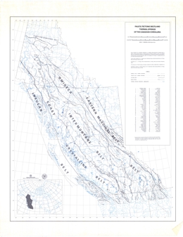 |
This map shows faults, tectonic belts, and thermal springs; at 1:2500000 scale, for the Canadian Cordillera in western Canada. |
| Issue ID: | MAP-03 |
| Title: | Faults, Porphyry Deposits and Showings, and Tectonic Belts of the Canadian Cordillera |
| Author(s): | Seraphim, R.H., Hollister, V.F., Jackson, E.V., Pilcher, S.H. |
| Series Name: | Miscellaneous Map |
| Publication Year: | 1976 |
| Scale: | 1:2500000 |
| NTS Map Sheet(s): | 082;083;092;093;094;102;103;104;114 |
| Place Keyword(s): | British Columbia, Canadian Cordillera, Porphyry |
| Lat/Long (NSWE): | 65, 48, -139, -114 |
| Theme Keyword(s): | Regional Geology, Faults, Porphyry, Showings, Tectonic Belts |
Download(s):
| PDF |
Abstract:
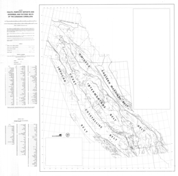 |
This map shows faults, porphyry deposits, showings, and tectonic belts of the Canadian Cordillera in western Canada. The scale is 1:2500000. |
| Issue ID: | MAP-04 |
| Title: | Metallic Mineral Potential of British Columbia |
| Author(s): | MEMPR staff |
| Series Name: | Miscellaneous Map |
| Publication Year: | 1978 |
| Scale: | 1:2000000 |
| NTS Map Sheet(s): | 082;083;092;093;094;102;103;104;114 |
| Place Keyword(s): | British Columbia |
| Lat/Long (NSWE): | 60, 48, -139, -114 |
| Theme Keyword(s): | Economic Geology, Metallic Minerals |
Download(s):
| PDF |
Abstract:
 |
This map shows the metallic mineral potential of British Columbia. The scale is 1:2000000. |
| Issue ID: | MAP-06 |
| Title: | Areas Underlain by Economic Reserves of Coal, Southeastern B.C. |
| Author(s): | MEMPR staff |
| Series Name: | Miscellaneous Map |
| Publication Year: | 1983 |
| Scale: | 1:250000 |
| NTS Map Sheet(s): | 082G |
| Place Keyword(s): | British Columbia, Southeastern British Columbia |
| Lat/Long (NSWE): | 50, 49, -116, -114 |
| Theme Keyword(s): | Coal, Economic Geology |
Abstract:
| This map shows areas underlain by economic reserves of coal in southeastern British Columbia. The scale is 1:250000. |
| Issue ID: | MAP-07 |
| Title: | Geothermal Potential Map of British Columbia |
| Author(s): | MEMPR staff |
| Series Name: | Miscellaneous Map |
| Publication Year: | 1983 |
| Scale: | 1:2000000 |
| NTS Map Sheet(s): | 082;083;092;093;094;102;103;104;114 |
| Place Keyword(s): | British Columbia |
| Lat/Long (NSWE): | 60, 48, -139, -114 |
| Theme Keyword(s): | Geophysics, Geothermal Potential |
Download(s):
| PDF |
Abstract:
 |
This map shows the geothermal potential of British Columbia at 1:2000000 scale. |
| Issue ID: | MAP-08 |
| Title: | Areas Alienated or Restricted from Mining in British Columbia |
| Author(s): | MEMPR staff |
| Series Name: | Miscellaneous Map |
| Publication Year: | 1983 |
| Scale: | 1:2000000 |
| NTS Map Sheet(s): | 082;083;092;093;094;102;103;104;114 |
| Place Keyword(s): | British Columbia |
| Lat/Long (NSWE): | 60, 48, -139, -114 |
| Theme Keyword(s): | Economic Geology, Mining, Restrictions |
Abstract:
| This map shows areas alienated or restricted from mining in British Columbia at 1:2000000 scale. |
| Issue ID: | MAP-08A |
| Title: | Northeastern British Columbia Oil & Gas Fields |
| Author(s): | MEMPR staff |
| Series Name: | Miscellaneous Map |
| Publication Year: | 1983 |
| Scale: | 1:900000 |
| NTS Map Sheet(s): | 094; |
| Place Keyword(s): | British Columbia, Northeastern British Columbia |
| Lat/Long (NSWE): | 60, 56, -128, -120 |
| Theme Keyword(s): | Economic Geology, Oil, Gas |
Abstract:
| This map shows northeastern British Columbia oil and gas fields at a 1:900000 scale. |
| Issue ID: | MAP-09 |
| Title: | Geology of the Unuk River - Salmon River - Anyox Area |
| Author(s): | Grove, E.W. |
| Series Name: | Miscellaneous Map |
| Publication Year: | 1986 |
| NTS Map Sheet(s): | 103O |
| Place Keyword(s): | British Columbia, Northwestern British Columbia, Salmon River, Anyox, Unuk River |
| Lat/Long (NSWE): | 57, 55.2, -131, -129.2 |
| Theme Keyword(s): | Regional Geology |
Download(s):
| PDF |
Abstract:
 |
This map shows the geology of the Unuk River, Salmon River, Anyox areas of northwestern British Columbia. |
| Issue ID: | IC1995-07 |
| Title: | Geology of Strathcona Provincial Park |
| Author(s): | MEMPR staff and others |
| Series Name: | Information Circular |
| Publication Year: | 1995 |
| Scale: | 1:98425 |
| NTS Map Sheet(s): | 092F |
| Place Keyword(s): | British Columbia, Vancouver Island, Alberni, Strathcona Park |
| Lat/Long (NSWE): | 50.02, 49.38, -126.26, -125.2 |
| Theme Keyword(s): | Geology, Stratigraphy, Hiking |
Download(s):
| PDF |
Abstract:
 |
This map shows the geology and hiking trails within Strathcona Provincial Park. Facts and photos are included in the map surround. |
| Issue ID: | MP1992-01 |
| Title: | Mineral Potential of the Port Alberni-Nanaimo Lakes Area |
| Author(s): | Massey, N.W.D. |
| Series Name: | Mineral Potential Map |
| Publication Year: | 1992 |
| Scale: | 1:50000 |
| NTS Map Sheet(s): | 092F |
| Place Keyword(s): | British Columbia, Southwestern British Columbia, Nanaimo, Port Alberni, Central Vancouver Island |
| Lat/Long (NSWE): | 49.383, 49, -124.833, -124.317 |
| Theme Keyword(s): | Mineral Potential |
Download(s):
| PDF |
Abstract:
 |
This map shows the mineral potential of the of the Port Alberni-Nanaimo Lakes area of central Vancouver Island in southwestern British Columbia. |
| Issue ID: | MP1992-02 |
| Title: | Mineral Potential of the Cowichan Lake Area |
| Author(s): | Massey, N.W.D. |
| Series Name: | Mineral Potential Map |
| Publication Year: | 1992 |
| Scale: | 1:50000 |
| NTS Map Sheet(s): | 092C/16 |
| Place Keyword(s): | British Columbia, Southwestern British Columbia, Cowichan Lake, Central Vancouver Island |
| Lat/Long (NSWE): | 49, 48.75, -124.5, -124 |
| Theme Keyword(s): | Mineral Potential |
Download(s):
| PDF |
Abstract:
 |
This map shows the mineral potential of the of the Cowichan Lake area of central Vancouver Island in southwestern British Columbia. The scale is 1:50000. |
| Issue ID: | MP1992-03 |
| Title: | Mineral Potential of the Duncan Area |
| Author(s): | Massey, N.W.D. |
| Series Name: | Mineral Potential Map |
| Publication Year: | 1992 |
| Scale: | 1:50000 |
| NTS Map Sheet(s): | 092B/13 |
| Place Keyword(s): | British Columbia, Southwestern British Columbia, Duncan, Southern Vancouver Island |
| Lat/Long (NSWE): | 49, 48.75, -124, -123.5 |
| Theme Keyword(s): | Mineral Potential |
Download(s):
| PDF |
Abstract:
 |
This map shows the mineral potential of the Duncan area of southern Vancouver Island in southwestern British Columbia. The scale is 1:50000. |
| Issue ID: | MP1992-04 |
| Title: | Mineral Potential of the Tezzeron Creek Area |
| Author(s): | Bellefontaine, K.A., Nelson, J.L. |
| Series Name: | Mineral Potential Map |
| Publication Year: | 1992 |
| Scale: | 1:50000 |
| NTS Map Sheet(s): | 093K/16 |
| Place Keyword(s): | British Columbia, Central British Columbia, Tezzeron Creek |
| Lat/Long (NSWE): | 55, 54.75, -124.5, -124 |
| Theme Keyword(s): | Mineral Potential |
Download(s):
| PDF |
Abstract:
 |
This map shows the mineral potential Tezzeron Creek area of central British Columbia. The scale is 1:50000. |
| Issue ID: | MP1992-05 |
| Title: | Mineral Potential of the Chuchi Lake Area |
| Author(s): | Bellefontaine, K.A., Nelson, J.L. |
| Series Name: | Mineral Potential Map |
| Publication Year: | 1992 |
| Scale: | 1:50000 |
| NTS Map Sheet(s): | 093N/2 |
| Place Keyword(s): | British Columbia, Central British Columbia, Chuchi Lake |
| Lat/Long (NSWE): | 55.25, 55, -124.792, -124.5 |
| Theme Keyword(s): | Mineral Potential |
Download(s):
| PDF |
Abstract:
 |
This map shows the mineral potential, at 1:50000 scale, of the Chuchi Lake area of central British Columbia. |
| Issue ID: | MP1992-06 |
| Title: | Mineral Potential of the Wittsichica Creek Area |
| Author(s): | Bellefontaine, K.A., Nelson, J.L. |
| Series Name: | Mineral Potential Map |
| Publication Year: | 1992 |
| Scale: | 1:50000 |
| NTS Map Sheet(s): | 093N/1 |
| Place Keyword(s): | British Columbia, Central British Columbia, Wittschica Creek |
| Lat/Long (NSWE): | 55.25, 55, -124.5, -124 |
| Theme Keyword(s): | Mineral Potential |
Download(s):
| PDF |
Abstract:
 |
This map shows the mineral potential of the Wittsichica Creek area of central British Columbia. The scale is 1:50000. |
| Issue ID: | MP1992-07 |
| Title: | Mineral Potential of the Klawli Lake Area |
| Author(s): | Bellefontaine, K.A., Nelson, J.L. |
| Series Name: | Mineral Potential Map |
| Publication Year: | 1992 |
| Scale: | 1:50000 |
| NTS Map Sheet(s): | 093N/7 |
| Place Keyword(s): | British Columbia, Central British Columbia, Klawli Lake |
| Lat/Long (NSWE): | 55.5, 55.25, -124.792, -124.5 |
| Theme Keyword(s): | Mineral Potential |
Download(s):
| PDF |
Abstract:
 |
This map shows the mineral potential of the Klawli Lake area of central British Columbia. The scale is 1:50000. |
| Issue ID: | MP1992-08 |
| Title: | Mineral Potential of the Manson Lakes Map Sheet |
| Author(s): | Melville, D.M., Ferri, F. |
| Series Name: | Mineral Potential Map |
| Publication Year: | 1992 |
| Scale: | 1:50000 |
| NTS Map Sheet(s): | 093N/9 |
| Place Keyword(s): | British Columbia, Central British Columbia, Manson Lakes |
| Lat/Long (NSWE): | 55.75, 55.5, -124.5, -124 |
| Theme Keyword(s): | Mineral Potential |
Download(s):
| PDF |
Abstract:
 |
This map shows the mineral potential of the Manson Lakes map sheet area of central British Columbia. The scale is 1:50000. |
| Issue ID: | MP1992-09 |
| Title: | Mineral Potential of the Germansen Landing Area |
| Author(s): | Melville, D.M., Ferri, F. |
| Series Name: | Mineral Potential Map |
| Publication Year: | 1992 |
| Scale: | 1:50000 |
| NTS Map Sheet(s): | 093N/10 |
| Place Keyword(s): | British Columbia, Central British Columbia, Germansen Landing |
| Lat/Long (NSWE): | 55.883, 55.617, -125, -124.5 |
| Theme Keyword(s): | Mineral Potential |
Download(s):
| PDF |
Abstract:
 |
This map shows the mineral potential of the Germansen Landing area of central British Columbia. The scale is 1:50000. |
| Issue ID: | MP1992-10 |
| Title: | Mineral Potential Between Nina Lake and Osilinka River |
| Author(s): | Melville, D.M., Ferri, F. |
| Series Name: | Mineral Potential Map |
| Publication Year: | 1992 |
| Scale: | 1:50000 |
| NTS Map Sheet(s): | 092C/2 |
| Place Keyword(s): | British Columbia, Southwestern British Columbia, Osilinka River, Nina Lake, Southern Vancouver Island |
| Lat/Long (NSWE): | 56.133, 55.867, -125, -124.5 |
| Theme Keyword(s): | Mineral Potential |
Download(s):
| PDF |
Abstract:
 |
This map shows the mineral potential in the area between Nina Lake and Osilinka River of southern Vancouver Island in southwestern British Columbia. |
| Issue ID: | MP1992-11 |
| Title: | Mineral Potential of the Blue River Map Area |
| Author(s): | Nelson, J.L. |
| Series Name: | Mineral Potential Map |
| Publication Year: | 1992 |
| Scale: | 1:50000 |
| NTS Map Sheet(s): | 104P/12 |
| Place Keyword(s): | British Columbia, Northcentral British Columbia, Blue River |
| Lat/Long (NSWE): | 59.75, 59.5, -130, -129.5 |
| Theme Keyword(s): | Mineral Potential |
Download(s):
| PDF |
Abstract:
 |
This map shows the mineral potential of the Blue River Map area of north-central British Columbia. The scale is 1:50000. |
| Issue ID: | MP1992-12 |
| Title: | Mineral Potential of the Tootsie Lake Map Area |
| Author(s): | Nelson, J.L. |
| Series Name: | Mineral Potential Map |
| Publication Year: | 1992 |
| Scale: | 1:50000 |
| NTS Map Sheet(s): | 104O/16 |
| Place Keyword(s): | British Columbia, Northwestern British Columbia, Tootsie Lake |
| Lat/Long (NSWE): | 60, 59.75, -130.5, -130 |
| Theme Keyword(s): | Mineral Potential |
Download(s):
| PDF |
Abstract:
 |
This map shows the mineral potential of the Tootsie Lake map area, at a 1:50000 scale, in northwestern British Columbia. |
| Issue ID: | MP1992-13 |
| Title: | Mineral Potential of the Cassiar Area |
| Author(s): | Nelson, J.L. |
| Series Name: | Mineral Potential Map |
| Publication Year: | 1992 |
| Scale: | 1:50000 |
| NTS Map Sheet(s): | 104P/5 |
| Place Keyword(s): | British Columbia, Northcentral British Columbia, Cassiar |
| Lat/Long (NSWE): | 59.5, 59.25, -130, -129.5 |
| Theme Keyword(s): | Mineral Potential |
Download(s):
| PDF |
Abstract:
 |
This map shows the mineral potential of the Cassiar area of north-central British Columbia. The scale is 1:50000. |
| Issue ID: | MP1992-14 |
| Title: | Mineral Potential of the Uslika Lake Area |
| Author(s): | Dudka, S.F., Ferri, F. |
| Series Name: | Mineral Potential Map |
| Publication Year: | 1992 |
| Scale: | 1:50000 |
| NTS Map Sheet(s): | 094C/3,094C/4,094C/6 |
| Place Keyword(s): | British Columbia, Northcentral British Columbia, Uslika Lake |
| Lat/Long (NSWE): | 56.5, 56, -125.75, -125 |
| Theme Keyword(s): | Mineral Potential |
Download(s):
| PDF |
Abstract:
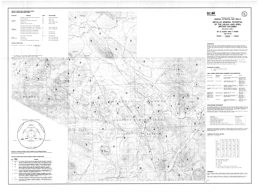 |
This map shows the mineral potential of the Uslika Lake area of north-central British Columbia. The scale is 1:50000. |
| Issue ID: | MP1993-01 |
| Title: | Mineral Potential of the Mahalla Creek Map Area |
| Author(s): | Hammack, J.L., Nixon, G.T. |
| Series Name: | Mineral Potential Map |
| Publication Year: | 1993 |
| Scale: | 1:50000 |
| NTS Map Sheet(s): | 092L/5 |
| Place Keyword(s): | British Columbia, Westcentral British Columbia, Mahalla Creek |
| Lat/Long (NSWE): | 50.5, 50.233, -128, -127.483 |
| Theme Keyword(s): | Mineral Potential |
Download(s):
| PDF |
Abstract:
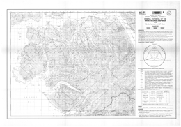 |
This map shows the mineral potential of the Mahalla Creek map area of west-central British Columbia. The scale is 1:50000. |
| Issue ID: | MP1993-02 |
| Title: | Mineral Potential of the Stuart Lake Area |
| Author(s): | Ash, C.H., MacDonald, R.W.J., Paterson, I.A. |
| Series Name: | Mineral Potential Map |
| Publication Year: | 1993 |
| Scale: | 1:100000 |
| NTS Map Sheet(s): | 093K/7, 093K/8, 093K/9 |
| Place Keyword(s): | British Columbia, Central British Columbia, Stuart Lake |
| Lat/Long (NSWE): | 54.7, 54.375, -125.333, -124.125 |
| Theme Keyword(s): | Mineral Potential |
Download(s):
| PDF |
Abstract:
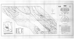 |
This map shows the mineral potential of the Stuart Lake area of central British Columbia. The scale is 1:100000. |
| Issue ID: | MP1993-03 |
| Title: | Mineral Potential of the Natalkuz Lake Map Area |
| Author(s): | Green, K.C., Diakow, L.J. |
| Series Name: | Mineral Potential Map |
| Publication Year: | 1993 |
| Scale: | 1:50000 |
| NTS Map Sheet(s): | 093F/6 |
| Place Keyword(s): | British Columbia, Central British Columbia, Natalkuz Lake |
| Lat/Long (NSWE): | 53.5, 53.25, -125.5, -125 |
| Theme Keyword(s): | Mineral Potential |
Download(s):
| PDF |
Abstract:
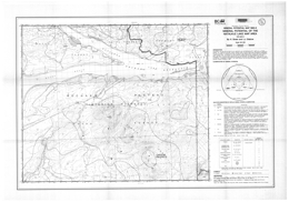 |
This map shows the mineral potential of the Natalkuz Lake map area of central British Columbia. The scale is 1:50000. |
| Issue ID: | MP1993-04 |
| Title: | Mineral Potential of the Yakutat Map Area, Northwestern British Columbia |
| Author(s): | Smith, M.T., Mihalynuk, M.G. |
| Series Name: | Mineral Potential Map |
| Publication Year: | 1993 |
| Scale: | 1:50000 |
| NTS Map Sheet(s): | 114O/9, 114O/10, 114O/14, 114O/15, 114O/16 |
| Place Keyword(s): | British Columbia, Northwestern British Columbia, Yakutat |
| Lat/Long (NSWE): | 60, 59.45, -139, -138 |
| Theme Keyword(s): | Mineral Potential |
Download(s):
| PDF |
Abstract:
 |
This map shows the mineral potential of the Yakutat Map area of northwestern British Columbia. The scale is 1:50000. |
| Issue ID: | MP1993-05 |
| Title: | Mineral Potential of the Northwest Tatshenshini River Map Area, Northwestern British Columbia |
| Author(s): | Smith, M.T., Mihalynuk, M.G. |
| Series Name: | Mineral Potential Map |
| Publication Year: | 1993 |
| Scale: | 1:50000 |
| NTS Map Sheet(s): | 114P/11, 114P/12, 114P/13, 114P/14 |
| Place Keyword(s): | British Columbia, Northwestern British Columbia, Tatshenshini River |
| Lat/Long (NSWE): | 60, 59.5, -138, -137 |
| Theme Keyword(s): | Mineral Potential |
Download(s):
| PDF |
Abstract:
 |
This map shows the mineral potential of the Northwest Tatshenshini River map area in northwestern British Columbia. The scale is 1:50000. |
| Issue ID: | MP1993-06 |
| Title: | Mineral Potential of the Tatlow Map Area |
| Author(s): | Riddell, J.M. |
| Series Name: | Mineral Potential Map |
| Publication Year: | 1993 |
| Scale: | 1:50000 |
| NTS Map Sheet(s): | 092O/5, 092O/6 |
| Place Keyword(s): | British Columbia, Central British Columbia, Tatlow |
| Lat/Long (NSWE): | 51.5, 51.25, -124, -123 |
| Theme Keyword(s): | Mineral Potential |
Download(s):
| PDF |
Abstract:
 |
This map shows the mineral potential of the Tatlow map area in south-central British Columbia. The scale is 1:50000. |
| Issue ID: | GL-01 |
| Title: | Guidelines for Coal and Mineral Exploration |
| Author(s): | MEMPR staff |
| Series Name: | Guidelines |
| Publication Year: | 1977 |
| NTS Map Sheet(s): | 082;083;092;093;094;102;103;104;114 |
| Place Keyword(s): | British Columbia |
| Lat/Long (NSWE): | 60, 48, -139, -114 |
| Theme Keyword(s): | Economic Geology, Coal, Exploration, Legislation, Reclamation |
Abstract:
| This publication outlines guidelines for coal and mineral exploration in British Columbia. |
| Issue ID: | GL-02 |
| Title: | Guide to Placer Staking |
| Author(s): | MEMPR staff |
| Series Name: | Guidelines |
| Publication Year: | 1982 |
| NTS Map Sheet(s): | 082;083;092;093;094;102;103;104;114 |
| Place Keyword(s): | British Columbia |
| Lat/Long (NSWE): | 60, 48, -139, -114 |
| Theme Keyword(s): | Economic Geology, Guidelines, Placer, Mining Law, Mining |
Abstract:
| This publication outlines guidelines to placer staking in British Columbia. |
| Issue ID: | GL-03 |
| Title: | Guide to Locating, Recording and Maintaining Mineral Claims and 2 Post Claims Under the Mineral Act |
| Author(s): | MEMPR staff |
| Series Name: | Guidelines |
| Publication Year: | 1982 |
| NTS Map Sheet(s): | 082;083;092;093;094;102;103;104;114 |
| Place Keyword(s): | British Columbia |
| Lat/Long (NSWE): | 60, 48, -139, -114 |
| Theme Keyword(s): | Economic Geology, Guidelines, Mineral Claims, Mineral Act, Mining Divisions |
Abstract:
| This publication outlines guidelines to locating, recording, and maintaining mineral claims and 2 post claims under the Mineral Act of British Columbia, for 1982. |
| Issue ID: | GL-04 |
| Title: | Guidelines for Coal Exploration |
| Author(s): | MEMPR staff |
| Series Name: | Guidelines |
| Publication Year: | 1982 |
| NTS Map Sheet(s): | 082;083;092;093;094;102;103;104;114 |
| Place Keyword(s): | British Columbia, Southeastern British Columbia, Peace River, Crowsnest |
| Lat/Long (NSWE): | 60, 48, -139, -114 |
| Theme Keyword(s): | Coal, Exploration, Environmental Geology, Reclamation, Guidelines |
Abstract:
| This publication outlines guidelines for coal exploration in British Columbia. |
| Issue ID: | GL-05 |
| Title: | Guidelines for Mineral Exploration |
| Author(s): | MEMPR staff |
| Series Name: | Guidelines |
| Publication Year: | 1982 |
| NTS Map Sheet(s): | 082;083;092;093;094;102;103;104;114 |
| Place Keyword(s): | British Columbia |
| Lat/Long (NSWE): | 60, 48, -139, -114 |
| Theme Keyword(s): | Economic Geology, Exploration, Legislation, Road Construction, Clearing |
Download(s):
| PDF |
Abstract:
| This publication outlines guidelines for mineral exploration in British Columbia. |
| Issue ID: | GL-06 |
| Title: | Guidelines for Construction and Cleanup of Roads, Leases, and Seismic Lines in Petroleum Exploration Areas |
| Author(s): | MEMPR staff |
| Series Name: | Guidelines |
| Publication Year: | 1985 |
| NTS Map Sheet(s): | 082;083;092;093;094;102;103;104;114 |
| Place Keyword(s): | British Columbia |
| Lat/Long (NSWE): | 60, 48, -139, -114 |
| Theme Keyword(s): | Guidelines, Petroleum, Exploration, Construction, Leases |
Abstract:
| This publication outlines guidelines for construction and cleanup of roads, leases, and seismic lines in petroleum exploration areas in British Columbia. |
| Issue ID: | GL-07 |
| Title: | Guide to Legislation and Approvals in Placer Mining |
| Author(s): | MEMPR staff |
| Series Name: | Guidelines |
| Publication Year: | 1986 |
| NTS Map Sheet(s): | 082;083;092;093;094;102;103;104;114 |
| Place Keyword(s): | British Columbia |
| Lat/Long (NSWE): | 60, 48, -139, -114 |
| Theme Keyword(s): | Mining, Placer, Legislation, Reclamation, Mines Act |
Abstract:
| This publication outlines guidelines to legislation and approvals in placer mining in British Columbia. |
| Issue ID: | IC1987-05 |
| Title: | The Identification of Common Rocks |
| Author(s): | Van der Flier-Keller, E., McMillan, W.J. |
| Series Name: | Information Circular |
| Publication Year: | 1987 |
| NTS Map Sheet(s): | 082;083;092;093;094;102;103;104;114 |
| Place Keyword(s): | British Columbia |
| Lat/Long (NSWE): | 60, 48, -139, -114 |
| Theme Keyword(s): | Petrology, Mineralogy, Rock Identification, Color Plates, Classification |
Download(s):
| PDF |
Additional Link(s):
| https://cmscontent.nrs.gov.bc.ca/geoscience/PublicationCatalogue/InformationCircular/BCGS_IC1987-05_METC1980.pdf |
Abstract:
 |
Information Circular 1987-05 aids in the identification of common rocks. The publication deal mainly with rock types found in British Columbia. |
| Issue ID: | IC1989-21 |
| Title: | MINFILE Coding Manual Version 3.2 |
| Author(s): | MINFILE Staff |
| Series Name: | Information Circular |
| Publication Year: | 1989 |
| NTS Map Sheet(s): | 082;083;092;093;094;102;103;104;114 |
| Place Keyword(s): | British Columbia |
| Lat/Long (NSWE): | 60, 48, -139, -114 |
| Theme Keyword(s): | MINFILE, Coding Manual, Computer Database, Mineral occurrences, Standards |
Abstract:
| Information Circular 1989-21 is MINFILE Coding Manual Version 3.2. |
| Issue ID: | IC1988-06 |
| Title: | British Columbia Dimension Stone |
| Author(s): | White, G.V., Hora, Z.D. |
| Series Name: | Information Circular |
| Publication Year: | 1989 |
| NTS Map Sheet(s): | 082;083;092;093;094;102;103;104;114 |
| Place Keyword(s): | British Columbia, Victoria |
| Lat/Long (NSWE): | 60, 48, -139, -114 |
| Theme Keyword(s): | Industrial Minerals, Dimension Stone, Information Circular |
Download(s):
| PDF |
Abstract:
 |
Dimension stone is natural rock which has been quarried and shaped to meet specific requirements. The quarried stone may be finished in a number of ways including: ground polished, honed, bossaged, bush hammered, tooled, crenelated, flamed, denteled, polished and/or scab texture. The measures of these terms are given in the glossary at the end of the booklet.
Igneous, metamorphic and sedimentary rocks are used as dimension stone. Typically though, the most common types include granite, marble, limestone, sandstone and slate. Semi-precious varieties include jade and rhodonite.
At the turn of the century, British Columbia produced a wide variety of quality dimension stone for both domestic and foreign markets. The industry flourished until the 1930s when many of the producing quarries closed. Today, most dimension stone used in the Province is imported and only minor amounts are supplied from local sources. This publication is designed to increase the awareness of natural stone available in British Columbia and promote significant sources of aesthetically attractive dimension stone with good physical properties and excellent development potential.
This project was funded under the Canada/British Columbia Mineral Development Agreement, a 5-year joint federal/provincial $10 million program to enhance and diversify the British Columbia mineral industry. |
| Issue ID: | IC1989-02 |
| Title: | Industrial Minerals in British Columbia |
| Author(s): | BC Geological Survey |
| Series Name: | Information Circular |
| Publication Year: | 1989 |
| NTS Map Sheet(s): | 082;083;092;093;094;102;103;104;114 |
| Place Keyword(s): | British Columbia |
| Lat/Long (NSWE): | 60, 48, -139, -114 |
| Theme Keyword(s): | Industrial Minerals, Information Circular, Publications, Industrial Mineral Projects, Information Sources |
Download(s):
| PDF |
Abstract:
 |
Information circular 1989-02 provides an overview of the industrial minerals programs in British Columbia from 1985 to 1988. The annual value of industrial mineral production, along with the structural materials, varies between 10 and 15 per cent of the combined value of minerals, coal, petroleum and natural gas, and has been steadily increasing since 1960. In 1986 there was reported production of 13 industrial mineral commodities with a total value of $132 million; structural materials produced accounted for an additional $235 million. During the period of 1985-1988 many of the programs undertaken by the Industrial Minerals Subsection were funded under the Canada/British Columbia Mineral Development Agreement. These programs varied in scope from literature research and compilation to detailed site specific studies and regional investigations in the field. Increasing support of the BC Geological Survey activities by the Provincial government during the past few years has led to increasing support for new industrial mineral projects. |
| Issue ID: | IC1989-22 |
| Title: | British Columbia Coal Quality Catalog |
| Author(s): | Grieve, D.A. |
| Series Name: | Information Circular |
| Publication Year: | 1989 |
| NTS Map Sheet(s): | 082;083;092;093;094;102;103;104;114 |
| Place Keyword(s): | British Columbia |
| Lat/Long (NSWE): | 60, 48, -139, -114 |
| Theme Keyword(s): | Coal Geology, Information Circular, Coal Quality, B.C. Coal Fields, Coal Analysis |
Download(s):
| PDF |
Abstract:
 |
Information Circular 1989-22 presents a British Columbia coal quality catalog. |
| Issue ID: | IC1989-23 |
| Title: | British Columbia Geological Survey - Providing Geological Data for Mineral Resource Development and Management |
| Author(s): | BC Geological Survey |
| Series Name: | Information Circular |
| Publication Year: | 1989 |
| NTS Map Sheet(s): | 082;083;092;093;094;102;103;104;114 |
| Place Keyword(s): | British Columbia |
| Lat/Long (NSWE): | 60, 48, -139, -114 |
| Theme Keyword(s): | Geological Survey, Color Brochure, Mineral Resource Development, Management |
Abstract:
| Information Circular 1989-23 is from the British Columbia Geological Survey, and discusses providing geological data for mineral resource development and management in British Columbia. |
| Issue ID: | IC1990-05 |
| Title: | British Columbia Coal Specifications |
| Author(s): | Grieve, D.A. |
| Series Name: | Information Circular |
| Publication Year: | 1990 |
| NTS Map Sheet(s): | 082;083;092;093;094;102;103;104;114 |
| Place Keyword(s): | British Columbia |
| Lat/Long (NSWE): | 60, 48, -139, -114 |
| Theme Keyword(s): | Coal Geology, Coal Specifications, Quality, Marketing, Resources |
Download(s):
| PDF |
Abstract:
 |
Information Circular 1990-05 presents British Columbia coal specifications. |
| Issue ID: | IC1990-08 |
| Title: | The Future Mandate, Organizational Structure and Recommended Resource Distribution for the British Columbia Geological Survey Branch, Ministry of Energy, Mines and Petroleum Resources |
| Author(s): | Canadian Geoscience Council |
| Series Name: | Information Circular |
| Publication Year: | 1990 |
| NTS Map Sheet(s): | 082;083;092;093;094;102;103;104;114 |
| Place Keyword(s): | British Columbia |
| Lat/Long (NSWE): | 60, 48, -139, -114 |
| Theme Keyword(s): | Information Circular, Canadian Geoscience Council Repo, B.C. Geological Survey, Mandate, Activities |
Download(s):
| PDF |
Abstract:
 |
Information Circular 1990-08 discusses the future mandate, organizational structure and recommended resource distribution for the British Columbia Geological Survey Branch of Ministry of Energy, Mines and Petroleum Resources in British Columbia. This report was produced by an External Review Committee established by the Canadian Geoscience Council to examine the operations of the B.C. Geological Survey Branch (GSB) at the request of the Ministry of Mines and Petroleum Resources. Specifically, the Committee was asked to: (i) Review the current mandate of the GSB. in terms of the Province's needs to 2000 AD: (ii) To analyze its organizational structure; and (iii) To report on the adequacy of staff and budget to meet demands of the next decade. This report follows that of an earlier report of a review submitted in 1982 which resulted in many successful changes in GSB operations through the 1980's. The present report is based mainly on extensive consultations with GSB staff, industry groups, government and university people and also on a widely circulated questionnaire. |
| Issue ID: | IC1990-10 |
| Title: | B.C. Geological Survey Branch Brochure |
| Author(s): | BC Geological Survey |
| Series Name: | Information Circular |
| Publication Year: | 1990 |
| NTS Map Sheet(s): | 082;083;092;093;094;102;103;104;114 |
| Place Keyword(s): | British Columbia |
| Lat/Long (NSWE): | 60, 48, -139, -114 |
| Theme Keyword(s): | Information Circular, Geological Survey Branch, Brochure |
Download(s):
| PDF |
Abstract:
 |
Information Circular 1990-10 presents the B.C. Geological Survey Branch brochure. |
| Issue ID: | IC1990-15 |
| Title: | Information Motherlode! Geological Source Material for B.C. |
| Author(s): | Riddell, J.M. |
| Series Name: | Information Circular |
| Publication Year: | 1990 |
| NTS Map Sheet(s): | 082;083;092;093;094;102;103;104;114 |
| Place Keyword(s): | British Columbia |
| Lat/Long (NSWE): | 60, 48, -139, -114 |
| Theme Keyword(s): | Geology Information, Services, Resources, Books, Geology Guidebooks |
Abstract:
| Information Circular 1990-15 presents an information motherlode. Geological source material for British Columbia are examined. |
| Issue ID: | IC1990-16 |
| Title: | British Columbia Mineral Assessment Report Database |
| Author(s): | ARIS |
| Series Name: | Information Circular |
| Publication Year: | 1990 |
| NTS Map Sheet(s): | 082;083;092;093;094;102;103;104;114 |
| Place Keyword(s): | British Columbia |
| Lat/Long (NSWE): | 60, 48, -139, -114 |
| Theme Keyword(s): | Information Circular, Assessment Report Indexing System, ARIS, Computer Database, Assessment Report Index |
Download(s):
| PDF |
Abstract:
 |
Information Circular 1990-16 discusses the British Columbia Mineral Assessment Report database. |
| Issue ID: | IC1990-19 |
| Title: | High-Tech Metals in British Columbia |
| Author(s): | Pell, J., Hora, Z.D. |
| Series Name: | Information Circular |
| Publication Year: | 1990 |
| NTS Map Sheet(s): | 082;083;092;093;094;102;103;104;114 |
| Place Keyword(s): | British Columbia |
| Lat/Long (NSWE): | 60, 48, -139, -114 |
| Theme Keyword(s): | High-Technology Minerals, Information Circular, Rare Earth Metals, Non-Ferrous Metals, Economic Geology |
Download(s):
| PDF |
Abstract:
 |
Information Circular 1990-19 describes high-technology metals in British Columbia. Recent technological breakthroughs in the fields of ceramics, medicine, aerospace engineering and electronics, in particular the areas of computers and superconductors, are creating new uses for a variety of rare and minor metals. These include zirconium (Zr), hafnium (Hf), yttrium (Y), rare-earth or lanthanide elements (REE), germanium (Ge), gallium (Ga), niobium (Nb), tantalum (Ta) and beryllium (Be). As a result, there is now considerable interest in economic deposits of these metals, however, most geologists and prospectors are unfamiliar with these commodities and the geological environments in which they occur.��With the exception of a minor amount of by-product recovery of gallium and germanium from Cominco�s Trail smelter, none of these metals is currently produced in British Columbia. The purpose of this Information Circular is to increase awareness of these commodities and to provide the background information which will hopefully lead to new discoveries of these resources. |
| Issue ID: | IC1990-01 |
| Title: | British Columbia Mineral Exploration Review 1989 |
| Author(s): | MEMPR staff |
| Series Name: | Information Circular |
| Publication Year: | 1990 |
| NTS Map Sheet(s): | 082;083;092;093;094;102;103;104;114 |
| Place Keyword(s): | British Columbia, Northwestern District, Central District, South Central District, Kootenay District |
| Lat/Long (NSWE): | 60, 48, -139, -114 |
| Theme Keyword(s): | Mineral Exploration, Annual Review 1989, Mineral Statistics, Mineral and Coal Mines, Industrial Minerals |
Download(s):
| PDF |
Abstract:
 |
This annual publication provides an overview of mineral exploration and development activities in the Province of British Columbia for 1989. Ministry geologists using information provided by government, companies and individuals in the British Columbia mining industry compile the publication. It contains detailed statistical tables and illustrations, in addition to location maps and tables summarizing significant mining, exploration and development projects in the province during 1989. A total of $140 million is estimated to have been spent on mineral exploration during 1989 and this publication provides information on the major areas of interest. |
| Issue ID: | IC1991-03 |
| Title: | MINFILE Coding Manual - Version 3.31 |
| Author(s): | MINFILE Staff |
| Series Name: | Information Circular |
| Publication Year: | 1991 |
| NTS Map Sheet(s): | 082;083;092;093;094;102;103;104;114 |
| Place Keyword(s): | British Columbia |
| Lat/Long (NSWE): | 60, 48, -139, -114 |
| Theme Keyword(s): | MINFILE, Computer Database, Coding Manual, Mineral Occurrences |
Abstract:
| Information Circular 1991-03 discusses the MINFILE coding manual, version 3.31, for British Columbia. |
| Issue ID: | IC1991-04 |
| Title: | Reports, Maps and Geoscience Databases Issued by the British Columbia Geological Survey Branch |
| Author(s): | Fehr, D. |
| Series Name: | Information Circular |
| Publication Year: | 1991 |
| NTS Map Sheet(s): | 082;083;092;093;094;102;103;104;114 |
| Place Keyword(s): | British Columbia, GSB Contacts |
| Lat/Long (NSWE): | 60, 48, -139, -114 |
| Theme Keyword(s): | Catalogue, Information Circular, Publications, Maps, Geoscience Data |
Abstract:
| Information Circular 1991-04 discusses reports, maps, and geoscience databases issued by the British Columbia Geological Survey Branch. |
| Issue ID: | IC1991-05 |
| Title: | Need Mining Information? We Have the Facts - A Pocket Directory |
| Author(s): | BC Geological Survey, Scientific Review Office |
| Series Name: | Information Circular |
| Publication Year: | 1991 |
| NTS Map Sheet(s): | 082;083;092;093;094;102;103;104;114 |
| Place Keyword(s): | British Columbia |
| Lat/Long (NSWE): | 60, 48, -139, -114 |
| Theme Keyword(s): | Directory, Mineral Resources Division, Contact Names, Telephone, Mining Information |
Abstract:
| Information Circular 1991-05 presents a pocket directory of mining information for British Columbia. |
| Issue ID: | IC1991-06 |
| Title: | Earthquakes in British Columbia |
| Author(s): | Bobrowsky, P.T. |
| Series Name: | Information Circular |
| Publication Year: | 1991 |
| NTS Map Sheet(s): | 082;083;092;093;094;102;103;104;114 |
| Place Keyword(s): | British Columbia |
| Lat/Long (NSWE): | 60, 48, -139, -114 |
| Theme Keyword(s): | Environmental Geology, Hazards, Earthquakes |
Download(s):
| PDF |
Abstract:
 |
This information circular gives an overview of earthquakes in British Columbia. Earthquakes in British Columbia was originally produced as Information Circular 1991-6 by the Geological Survey Branch of the B.C. Ministry of Employment and Investment, in cooperation with the B.C. Ministry of Environment, the B.C. Provincial Emergency Program and with the assistance of the Geological Survey of Canada. It has been amended and updated in this WWW version. |
| Issue ID: | IC1992-18 |
| Title: | British Columbia Coals - Quality and Resources |
| Author(s): | Grieve, D.A. |
| Series Name: | Information Circular |
| Publication Year: | 1992 |
| NTS Map Sheet(s): | 082;083;092;093;094;102;103;104;114 |
| Place Keyword(s): | British Columbia |
| Lat/Long (NSWE): | 60, 48, -139, -114 |
| Theme Keyword(s): | Coal, Coal Quality, Coal Resources |
Download(s):
| PDF |
Abstract:
 |
Information Circular 1992-18 summarizes available information concerning the major coalfields and provides generalized coal-quality data for each. Averages of quality parameters are generally cited without reference to the range of values. |
| Issue ID: | IC1992-20 |
| Title: | British Columbia Coal Quality Catalog |
| Author(s): | Grieve, D.A. |
| Series Name: | Information Circular |
| Publication Year: | 1992 |
| NTS Map Sheet(s): | 082;083;092;093;094;102;103;104;114 |
| Place Keyword(s): | British Columbia |
| Lat/Long (NSWE): | 60, 48, -139, -114 |
| Theme Keyword(s): | Coal, Coal Quality |
Download(s):
| PDF |
Abstract:
 |
Information Circular 1992-20 is the second edition of the British Columbia Coal Quality Catalogue. It outlines the range of coal qualities occurring in British Columbia on a deposit-by-deposit basis. It is intended to be used in conjunction with Paper 1986-3, Coal in British Columbia. General information concerning coal quality in the province can also be found in Information Circular 1991-20, a brochure entitled British Columbia's Coals - Quality and Resources. The Catalogue is intended to be used as a guide to the quality of available British Columbia coal products and is also intended to provide a scientific database of coal quality information. |
| Issue ID: | IC1992-23 |
| Title: | Guide to the Tectonic, Stratigraphic and Magmatic Setting of the Middle Proterozoic Stratiform Sediment-Hosted Sullivan Zn-Pb Deposit, Southeastern British Columbia |
| Author(s): | Turner, R.J., Hoy, T., Leitch, C.H.B., Anderson, D. |
| Series Name: | Information Circular |
| Publication Year: | 1992 |
| NTS Map Sheet(s): | 082F/G |
| Place Keyword(s): | British Columbia, Southeastern British Columbia., Sullivan |
| Lat/Long (NSWE): | 49.73, 49.65, -116.025, -115.95 |
| Theme Keyword(s): | Mineral Deposits, Economic Geology, Sullivan Mine, Aldridge Formation, Purcell Supergroup |
Download(s):
| PDF |
Abstract:
 |
Information Circular 1992-23 presents a guide to the tectonic, stratigraphic and magmatic setting of the middle proterozoic stratiform sediment-hosted Sullivan Zn-Pb deposit of southeastern British Columbia. |
| Issue ID: | IC1993-07 |
| Title: | Landslides in British Columbia |
| Author(s): | MEMPR staff |
| Series Name: | Information Circular |
| Publication Year: | 1993 |
| NTS Map Sheet(s): | 082;083;092;093;094;102;103;104;114 |
| Place Keyword(s): | British Columbia |
| Lat/Long (NSWE): | 60, 48, -139, -114 |
| Theme Keyword(s): | Natural hazards, Landslides, Geoscience |
Download(s):
| PDF |
Abstract:
 |
This information circular discusses landslides in British Columbia. Landslides in British Columbia was originally produced as Information Circular 1993-7 by the Geological Survey Branch of the B.C. Ministry of Employment and Investment in cooperation with the B.C. Ministry of Health, the B.C. Ministry of Transportation and Highways, the B.C. Ministry of Environment, Lands and Parks, the B.C. Ministry of Forests, the B.C. Provincial Emergency Program, and with the assistance of the Geological Survey of Canada |
| Issue ID: | IC1994-02 |
| Title: | Assayers Certification Program |
| Author(s): | MEMPR staff |
| Series Name: | Information Circular |
| Publication Year: | 1994 |
| NTS Map Sheet(s): | 092G |
| Place Keyword(s): | British Columbia |
| Theme Keyword(s): | Geochemistry, Assayers certification |
Abstract:
| This information circular describes the Assayers Certification Program. |
| Issue ID: | IC1994-15 |
| Title: | Dimension Stone in Victoria B.C.: A City Guide and Walking Tour |
| Author(s): | Hora, Z.D., Miller, L.B. |
| Series Name: | Information Circular |
| Publication Year: | 1994 |
| NTS Map Sheet(s): | 092B |
| Place Keyword(s): | British Columbia, Victoria |
| Lat/Long (NSWE): | 48.452, 48.405, -123.403, -123.319 |
| Theme Keyword(s): | Industrial Minerals, Dimension stone |
Download(s):
| PDF |
Abstract:
 |
Information Circular 1994-15 discusses dimension stone in Victoria B.C. and describes stops on a walking tour of the city. This publication highlights the past and potential uses of stone as a structural material and also as a culturally valuable and lasting resource. Most of Victoria�s buildings and monuments that have used natural stone in their construction can be found within four to six city blocks of Victoria�s Inner Harbour. While a few buildings outside of this area deserve mention, much of the diversity of Victoria�s architecture and the character of the distinctive building materials can be appreciated without walking any great distance. |
| Issue ID: | IC1995-02 |
| Title: | Refractory Minerals and Opportunities in Related Value-Added Products |
| Author(s): | MEMPR staff |
| Series Name: | Information Circular |
| Publication Year: | 1995 |
| NTS Map Sheet(s): | 082;083;092;093;094;102;103;104;114 |
| Place Keyword(s): | British Columbia |
| Lat/Long (NSWE): | 60, 48, -139, -114 |
| Theme Keyword(s): | Industrial Minerals, Refractory minerals, Graphite |
Download(s):
| PDF |
Abstract:
 |
This information circular discusses refractory minerals and opportunities in related value-added products in British Columbia. |
| Issue ID: | IC1996-05 |
| Title: | MINFILE Coding Manual, V.4.0 |
| Author(s): | MEMPR staff |
| Series Name: | Information Circular |
| Publication Year: | 1996 |
| Place Keyword(s): | British Columbia |
| Lat/Long (NSWE): | 60, 48, -139, -114 |
| Theme Keyword(s): | Digital database, MINFILE, Coding Manual |
Abstract:
| This information circular is the MINFILE Coding Manual, V.4.0. |
| Issue ID: | IC1996-06 |
| Title: | Aggregate Forum: Developing an Inventory that Works for You! Report of Proceedings |
| Author(s): | Bobrowsky, P.T., Massey, N.W.D., Matysek, P.F. |
| Series Name: | Information Circular |
| Publication Year: | 1996 |
| NTS Map Sheet(s): | 082;083;092;093;094;102;103;104;114 |
| Place Keyword(s): | British Columbia |
| Lat/Long (NSWE): | 60, 48, -139, -114 |
| Theme Keyword(s): | Industrial Minerals, Aggregate |
Download(s):
| PDF |
Abstract:
 |
This information circular is the report of proceedings for the aggregate forum entitled "Developing an Inventory that Works for You!". |
| Issue ID: | IC1997-02 |
| Title: | MINFILE/pc V4.5 Software and User's Manual |
| Author(s): | MEMPR staff |
| Series Name: | Information Circular |
| Publication Year: | 1997 |
| Place Keyword(s): | British Columbia |
| Theme Keyword(s): | Digital database, MINFILE, software, users manual |
Abstract:
| This information circular contains MINFILE/pc V4.5 Software and a User's Manual. |
| Issue ID: | IC1997-04 |
| Title: | Focus on B.C. Industrial Minerals '95 |
| Author(s): | MEMPR staff |
| Series Name: | Information Circular |
| Publication Year: | 1997 |
| NTS Map Sheet(s): | 082;083;092;093;094;102;103;104;114 |
| Place Keyword(s): | British Columbia |
| Lat/Long (NSWE): | 60, 48, -139, -114 |
| Theme Keyword(s): | Industrial Minerals |
Download(s):
| PDF |
Abstract:
 |
This information circular discusses Industrial Minerals in British Columbia. |
| Issue ID: | IC2001-00 |
| Title: | Coalbed Methane in British Columbia |
| Author(s): | MEM |
| Series Name: | Information Circular |
| Publication Year: | 2001 |
| NTS Map Sheet(s): | 082;083;092;093;094;102;103;104;114 |
| Place Keyword(s): | British Columbia |
| Lat/Long (NSWE): | 60, 48, -139, -114 |
| Theme Keyword(s): | Energy Resources, Coalbed methane |
Download(s):
| PDF |
Abstract:
 |
This information circular discusses the potential for Coalbed Methane in British Columbia. |
| Issue ID: | IC2001-02 |
| Title: | Five Year Minerals Geoscience Plan for British Columbia |
| Author(s): | MEM |
| Series Name: | Information Circular |
| Publication Year: | 2001 |
| NTS Map Sheet(s): | 082;083;092;093;094;102;103;104;114 |
| Place Keyword(s): | British Columbia |
| Lat/Long (NSWE): | 60, 48, -139, -114 |
| Theme Keyword(s): | Geoscience program |
Download(s):
| PDF |
Abstract:
 |
This information circular describes a Five Year Minerals Geoscience Plan for British Columbia. One of the key roles of the British Columbia Geological Survey (BCGS) is to provide geoscience data to attract investment by the industry in mineral exploration in British Columbia. The Geological Survey of Canada (GSC) has a complementary role to that of the province in its mandate to carry out �national geoscience programs to define the geology and resources of Canada. The two surveys aid in the discovery of mineral deposits and the development of new mines which drive regional economies and help support a high standard of living for British Columbians and Canadians. |
| Issue ID: | IC2002-01 |
| Title: | British Columbia Mineral Exploration Review 2001 |
| Author(s): | MEM |
| Series Name: | Information Circular |
| Publication Year: | 2002 |
| NTS Map Sheet(s): | 082;083;092;093;094;102;103;104;114 |
| Place Keyword(s): | British Columbia |
| Lat/Long (NSWE): | 60, 48, -139, -114 |
| Theme Keyword(s): | Mineral exploration, Annual Review 2001, Mineral Statistics, Mineral and Coal Mines, Industrial Minerals |
Download(s):
| PDF |
Abstract:
 |
This annual publication provides an overview of mineral exploration and development activities in the Province of British Columbia for 2001. Ministry geologists using information provided by government, companies and individuals in the British Columbia mining industry compile the publication. It contains detailed statistical tables and illustrations, in addition to location maps and tables summarizing significant mining, exploration and development projects in the province during 2001. A total of $32 million is estimated to have been spent on mineral exploration during 2001 and this publication provides information on the major areas of interest. |
| Issue ID: | GEM1969-06 |
| Title: | Cavz |
| Author(s): | Carter, N.C. |
| Series Name: | Geology, Exploration and Mining in B.C. |
| Publication Year: | 1970 |
| Other Citation Details: | pages 110 to 112 |
| Larger Work Citation: | in Geology, Exploration and Mining in British Columbia 1969, BC Ministry of Energy, Mines and Petroleum Resources, pages 110 to 112. |
| Scale: | 1:15000 |
| NTS Map Sheet(s): | 093M |
| Place Keyword(s): | British Columbia, Central British Columbia, Cavz, Trail Peak |
| Lat/Long (NSWE): | 55.426, 55.397, -126.36, -126.288 |
| Theme Keyword(s): | Economic Geology, Copper, Cavz Claims |
Abstract:
| This report describes the Cavz in central British Columbia. The geological map scale is 1:15000. |
| Issue ID: | GEM1969-07 |
| Title: | Tachi |
| Author(s): | Carter, N.C. |
| Series Name: | Geology, Exploration and Mining in B.C. |
| Publication Year: | 1970 |
| Other Citation Details: | pages 115 to 117 |
| Larger Work Citation: | in Geology, Exploration and Mining in British Columbia 1969, BC Ministry of Energy, Mines and Petroleum Resources, pages 115 to 117. |
| Scale: | 1:75000 |
| NTS Map Sheet(s): | 093L |
| Place Keyword(s): | British Columbia, Westcentral British Columbia, Tachi, Sustut Group |
| Lat/Long (NSWE): | 55, 54.5, -126.25, -126.167 |
| Theme Keyword(s): | Economic Geology, Copper-Molybdenum, Tachek Group, Tachi Claims, Shoulder Mountain |
Abstract:
| This report describes the Tachi area of west-central British Columbia. The geological map scale is 1:75000. |
| Issue ID: | GEM1969-08 |
| Title: | The Geology of the Owen Lake Area |
| Author(s): | Church, B.N. |
| Series Name: | Geology, Exploration and Mining in B.C. |
| Publication Year: | 1970 |
| Other Citation Details: | pages 122 to 126 |
| Larger Work Citation: | in Geology, Exploration and Mining in British Columbia 1969, BC Ministry of Energy, Mines and Petroleum Resources, pages 122 to 126. |
| Scale: | 1:30000 |
| NTS Map Sheet(s): | 093L |
| Place Keyword(s): | British Columbia, Westcentral British Columbia, Owen Lake, Wrinch Creek, Nechako Plateau |
| Lat/Long (NSWE): | 55.25, 54, -128, -126 |
| Theme Keyword(s): | Regional Geology, Tip Top Volcanics, Mine Hill, Tertiary, Structural Geology |
Abstract:
| This report describes the geology, at 1:30000 scale, of the Owen Lake area of west-central British Columbia. |
| Issue ID: | GEM1969-09 |
| Title: | Silver Queen (Nadina) |
| Author(s): | Church, B.N. |
| Series Name: | Geology, Exploration and Mining in B.C. |
| Publication Year: | 1970 |
| Other Citation Details: | pages 126 to 139 |
| Larger Work Citation: | in Geology, Exploration and Mining in British Columbia 1969, BC Ministry of Energy, Mines and Petroleum Resources, pages 126 to 139. |
| NTS Map Sheet(s): | 093L |
| Place Keyword(s): | British Columbia, Westcentral British Columbia, Nadina |
| Lat/Long (NSWE): | 55.25, 54, -126.667, -126.083 |
| Theme Keyword(s): | Economic Geology, Silver Queen Claims, Nadina, Gold-Silver-Copper-Zinc-Lead-Cadmium, X-Ray Diffraction |
Abstract:
| This report describes the Silver Queen (Nadina) property in west-central British Columbia. There is a geological map. |
| Issue ID: | GEM1969-10 |
| Title: | Sg (Sam Goosly) |
| Author(s): | Church, B.N. |
| Series Name: | Geology, Exploration and Mining in B.C. |
| Publication Year: | 1970 |
| Other Citation Details: | pages 142 to 148 |
| Larger Work Citation: | in Geology, Exploration and Mining in British Columbia 1969, BC Ministry of Energy, Mines and Petroleum Resources, pages 142 to 148. |
| Scale: | 1:15000 |
| NTS Map Sheet(s): | 093L |
| Place Keyword(s): | British Columbia, Westcentral British Columbia, Nechako Plateau, Goosly Lake, Equity Silver |
| Lat/Long (NSWE): | 54.221, 54.156, -126.325, -126.209 |
| Theme Keyword(s): | Geochemistry, Volcanics, Sam Goosly, Copper-Silver, Potassium-Argon |
Abstract:
| This report describes at 1:15000 scale, the Sam Goosly property in west-central British Columbia. |
| Issue ID: | GEM1969-11 |
| Title: | Geology of the Granite Mountain Stock |
| Author(s): | Eastwood, G.E.P. |
| Series Name: | Geology, Exploration and Mining in B.C. |
| Publication Year: | 1970 |
| Other Citation Details: | pages 162 to 173 |
| Larger Work Citation: | in Geology, Exploration and Mining in British Columbia 1969, BC Ministry of Energy, Mines and Petroleum Resources, pages 162 to 173. |
| Scale: | 1:100000 |
| NTS Map Sheet(s): | 093B |
| Place Keyword(s): | British Columbia, Central British Columbia, Granite Mountain, McLeese Lake, Gibraltar |
| Lat/Long (NSWE): | 52.547, 52.456, -122.362, -122.177 |
| Theme Keyword(s): | Regional Geology, Gibraltar, Structural Geology, Copper-Molybdenum, Cache Creek Group |
Abstract:
| This report describes at 1:100000 map scale, the geology of the Granite Mountain stock in central British Columbia. |
| Issue ID: | GEM1969-12 |
| Title: | Copper Mountain Mine |
| Author(s): | Preto, V.A.G. |
| Series Name: | Geology, Exploration and Mining in B.C. |
| Publication Year: | 1970 |
| Other Citation Details: | pages 283 to 287 |
| Larger Work Citation: | in Geology, Exploration and Mining in British Columbia 1969, BC Ministry of Energy, Mines and Petroleum Resources, pages 283 to 287. |
| Scale: | 1:15000 |
| NTS Map Sheet(s): | 092H |
| Place Keyword(s): | British Columbia, Southwestern British Columbia, Copper Mountain, Princeton Group |
| Lat/Long (NSWE): | 49.348, 49.302, -120.545, -120.498 |
| Theme Keyword(s): | Economic Geology, Copper Mountain Mine, Copper-Gold-Molybdenum, Princeton Group, Nicola Group |
Abstract:
| This report describes the Copper Mountain mine in southwestern British Columbia. The scale is 1:15000. |
| Issue ID: | GEM1969-13 |
| Title: | Dusty Mac |
| Author(s): | Church, B.N. |
| Series Name: | Geology, Exploration and Mining in B.C. |
| Publication Year: | 1970 |
| Other Citation Details: | pages 294 to 296 |
| Larger Work Citation: | in Geology, Exploration and Mining in British Columbia 1969, BC Ministry of Energy, Mines and Petroleum Resources, pages 294 to 296. |
| Scale: | 1:30000 |
| NTS Map Sheet(s): | 082E |
| Place Keyword(s): | British Columbia, Southeastern British Columbia, Dusty Claims |
| Lat/Long (NSWE): | 49.388, 49.33, -119.627, -119.525 |
| Theme Keyword(s): | Economic Geology, Marron Formation, Mac Claims, Gold-Silver, White Lake Formation |
Abstract:
| This report describes the Dusty Mac property in southeastern British Columbia. The geological map is 1:30000. |
| Issue ID: | GEM1969-14 |
| Title: | Moon Creek Asbestos |
| Author(s): | McCammon, J.W. |
| Series Name: | Geology, Exploration and Mining in B.C. |
| Publication Year: | 1970 |
| Other Citation Details: | pages 380 to 382 |
| Larger Work Citation: | in Geology, Exploration and Mining in British Columbia 1969, BC Ministry of Energy, Mines and Petroleum Resources, pages 380 to 382. |
| Scale: | 1:5500 |
| NTS Map Sheet(s): | 092J |
| Place Keyword(s): | British Columbia, Southwestern British Columbia, Moon Creek, Dee Claims |
| Lat/Long (NSWE): | 50.758, 50.743, -122.024, -122.001 |
| Theme Keyword(s): | Economic Geology, Asbestos |
Abstract:
| This report describes the Moon Creek asbestos property in southwestern British Columbia. |
| Issue ID: | GEM1969-15 |
| Title: | Laredo Limestone Quarry |
| Author(s): | McCammon, J.W. |
| Series Name: | Geology, Exploration and Mining in B.C. |
| Publication Year: | 1970 |
| Other Citation Details: | pages 389 to 392 |
| Larger Work Citation: | in Geology, Exploration and Mining in British Columbia 1969, BC Ministry of Energy, Mines and Petroleum Resources, pages 389 to 392. |
| Scale: | 1:30000 |
| NTS Map Sheet(s): | 103A |
| Place Keyword(s): | British Columbia, Westcentral British Columbia |
| Lat/Long (NSWE): | 52.7, 52.625, -129.1, -129 |
| Theme Keyword(s): | Economic Geology, Limestone, Laredo, Quarry Bay, Structural Geology |
Abstract:
| This report describes the Laredo limestone quarry in west-central British Columbia. The scale is 1:30000. |
| Issue ID: | GEM1969-16 |
| Title: | Dahl Lake Quarry |
| Author(s): | McCammon, J.W. |
| Series Name: | Geology, Exploration and Mining in B.C. |
| Publication Year: | 1970 |
| Other Citation Details: | pages 393 to 395 |
| Larger Work Citation: | in Geology, Exploration and Mining in British Columbia 1969, BC Ministry of Energy, Mines and Petroleum Resources, pages 393 to 395. |
| Scale: | 1:2400 |
| NTS Map Sheet(s): | 093G |
| Place Keyword(s): | British Columbia, Central British Columbia, Dahl Lake |
| Lat/Long (NSWE): | 53.844, 53.741, -123.985, -123.187 |
| Theme Keyword(s): | Economic Geology, Limestone, Quarry, Structural Geology |
Abstract:
| This report describes the Dahl Lake quarry in central British Columbia. A geological map is included. |
| Issue ID: | GEM1969-17 |
| Title: | Ivan (Mount Rose Silica) |
| Author(s): | McCammon, J.W. |
| Series Name: | Geology, Exploration and Mining in B.C. |
| Publication Year: | 1970 |
| Other Citation Details: | pages 406 and 407 |
| Larger Work Citation: | in Geology, Exploration and Mining in British Columbia 1969, BC Ministry of Energy, Mines and Petroleum Resources, pages 406 and 407. |
| Scale: | 1:1200 |
| NTS Map Sheet(s): | 082L |
| Place Keyword(s): | British Columbia, Southcentral British Columbia, Mount Rose |
| Lat/Long (NSWE): | 50.453, 50.434, -119.299, -119.27 |
| Theme Keyword(s): | Industrial Minerals, Silica, Structural Geology, Ivan Claims, Massive Quartz |
Abstract:
| This report describes the Ivan (Mount Rose silica) property in south-central British Columbia. A geological map is included. |
| Issue ID: | GEM1970-01 |
| Title: | Sno, Bird (Liard Copper) |
| Author(s): | Sutherland Brown, A. |
| Series Name: | Geology, Exploration and Mining in B.C. |
| Publication Year: | 1971 |
| Other Citation Details: | pages 49 to 57 |
| Larger Work Citation: | in Geology, Exploration and Mining in British Columbia 1970, BC Ministry of Energy, Mines and Petroleum Resources, pages 49 to 57. |
| Scale: | 1:10000 |
| NTS Map Sheet(s): | 104G |
| Place Keyword(s): | British Columbia, Northwestern British Columbia, Liard, Mess Creek, Stikine Plateau |
| Lat/Long (NSWE): | 57.371, 57.326, -131.076, -130.934 |
| Theme Keyword(s): | Economic Geology, Liard Copper, Copper-Molybdenum, Bird Claims, Sno Claims |
Abstract:
| This report describes the Sno and Bird (Liard copper) in northwestern British Columbia. The scale is 1:10000. |
| Issue ID: | GEM1970-02 |
| Title: | Granduc Mine |
| Author(s): | Dudas, B.M., Grove, E.W. |
| Series Name: | Geology, Exploration and Mining in B.C. |
| Publication Year: | 1971 |
| Other Citation Details: | pages 68 to 73 |
| Larger Work Citation: | in Geology, Exploration and Mining in British Columbia 1970, BC Ministry of Energy, Mines and Petroleum Resources, pages 68 to 73. |
| NTS Map Sheet(s): | 104B |
| Place Keyword(s): | British Columbia, Northwestern British Columbia, Granduc Mine, Tide Lake Flats |
| Lat/Long (NSWE): | 56.35, 56.1, -130.5, -130.18 |
| Theme Keyword(s): | Economic Geology, Granduc Mine, Stewart Complex, Copper, Silver |
Abstract:
| This report describes the Granduc Mine in northwestern British Columbia. |
| Issue ID: | GEM1970-03 |
| Title: | Maple Bay Copper Mine |
| Author(s): | Grove, E.W. |
| Series Name: | Geology, Exploration and Mining in B.C. |
| Publication Year: | 1971 |
| Other Citation Details: | pages 77 to 81 |
| Larger Work Citation: | in Geology, Exploration and Mining in British Columbia 1970, BC Ministry of Energy, Mines and Petroleum Resources, pages 77 to 81. |
| Scale: | 1:20000 |
| NTS Map Sheet(s): | 103P |
| Place Keyword(s): | British Columbia, Westcentral British Columbia, Maple Bay |
| Lat/Long (NSWE): | 55.439, 55.416, -130.022, -129.954 |
| Theme Keyword(s): | Economic Geology, Eagle Vein, Copper, Bowser Group, Anyox Pendant |
Abstract:
| This report describes the Maple Bay copper mine in west-central British Columbia. The scale is 1:20000. |
| Issue ID: | GEM1970-04 |
| Title: | Red Point, Copper Cliff, Dan Patch, Dana, Surprise |
| Author(s): | Carter, N.C. |
| Series Name: | Geology, Exploration and Mining in B.C. |
| Publication Year: | 1971 |
| Other Citation Details: | pages 81 to 86 |
| Larger Work Citation: | in Geology, Exploration and Mining in British Columbia 1970, BC Ministry of Energy, Mines and Petroleum Resources, pages 81 to 86. |
| Scale: | 1:30000 |
| NTS Map Sheet(s): | 103P |
| Place Keyword(s): | British Columbia, Westcentral British Columbia, Kitsault River |
| Lat/Long (NSWE): | 55.717, 55.7, -129.583, -129.533 |
| Theme Keyword(s): | Economic Geology, Racehorse Showings, Silver-Gold-Copper, Dan Patch, Surprise Showings |
Abstract:
| This report describes the Red Point, Copper Cliff, Dan Patch, Dana, and Surprise properties in in west-central British Columbia. The scale is 1:30000. |
| Issue ID: | GEM1970-05 |
| Title: | E and D (Wildcat) |
| Author(s): | Carter, N.C. |
| Series Name: | Geology, Exploration and Mining in B.C. |
| Publication Year: | 1971 |
| Other Citation Details: | pages 87 to 89 |
| Larger Work Citation: | in Geology, Exploration and Mining in British Columbia 1970, BC Ministry of Energy, Mines and Petroleum Resources, pages 87 to 89. |
| Scale: | 1:30000 |
| NTS Map Sheet(s): | 103P |
| Place Keyword(s): | British Columbia, Westcentral British Columbia, Homestead Creek |
| Lat/Long (NSWE): | 55.8, 55.55, -129.75, -129.25 |
| Theme Keyword(s): | Economic Potential, Wild Cat, Copper-Gold-Silver, E And D Claims, Volcanics |
Abstract:
| This report describes the E and D (Wildcat) properties in west-central British Columbia. The scale is 1:30000. |
| Issue ID: | GEM1970-06 |
| Title: | Roundy Creek |
| Author(s): | Carter, N.C. |
| Series Name: | Geology, Exploration and Mining in B.C. |
| Publication Year: | 1971 |
| Other Citation Details: | pages 91 to 94 |
| Larger Work Citation: | in Geology, Exploration and Mining in British Columbia 1970, BC Ministry of Energy, Mines and Petroleum Resources, pages 91 to 94. |
| NTS Map Sheet(s): | 103P |
| Place Keyword(s): | British Columbia, Westcentral British Columbia, Roundy Creek, Sunshine Creek |
| Lat/Long (NSWE): | 55.5, 55.25, -129.8, -129.5 |
| Theme Keyword(s): | Economic Geology, Roundy Creek Mine, Molybdenum, Structural Geology, Mineralization |
Abstract:
| This report describes the Roundy Creek mine in west-central British Columbia. A mine map is included. |
| Issue ID: | GEM1970-07 |
| Title: | Len |
| Author(s): | Carter, N.C. |
| Series Name: | Geology, Exploration and Mining in B.C. |
| Publication Year: | 1971 |
| Other Citation Details: | pages 104 to 107 |
| Larger Work Citation: | in Geology, Exploration and Mining in British Columbia 1970, BC Ministry of Energy, Mines and Petroleum Resources, pages 104 to 107. |
| Scale: | 1:10000 |
| NTS Map Sheet(s): | 093E |
| Place Keyword(s): | British Columbia, Westcentral British Columbia, Huckleberry Mountain, Len |
| Lat/Long (NSWE): | 53.688, 53.673, -127.199, -127.165 |
| Theme Keyword(s): | Economic Geology, Copper-Molybdenum, Hazelton Group, Alteration, Structural Geology |
Abstract:
| This report describes the Len property in west-central British Columbia. The scale is 1:10000. |
| Issue ID: | GEM1970-08 |
| Title: | Geology of the Owen Lake, Parrott Lakes, and Goosly Lake Area |
| Author(s): | Church, B.N. |
| Series Name: | Geology, Exploration and Mining in B.C. |
| Publication Year: | 1971 |
| Other Citation Details: | pages 119 to 141 |
| Larger Work Citation: | in Geology, Exploration and Mining in British Columbia 1970, BC Ministry of Energy, Mines and Petroleum Resources, pages 119 to 141. |
| Scale: | 1:100000 |
| NTS Map Sheet(s): | 093L |
| Place Keyword(s): | British Columbia, Westcentral British Columbia, Goosly Lake, Parrott Lakes, Owen Lake |
| Lat/Long (NSWE): | 54.333, 54, -126.875, -126.125 |
| Theme Keyword(s): | Regional Geology, Buck Volcanics, Tip Top Hill Volcanics, Geochemistry, Skeena Group |
Abstract:
| This report describes at 1:100000 map scale, the geology of the Owen Lake, Parrott Lakes, and Goosly Lake area of west-central British Columbia. |
| Issue ID: | GEM1970-09 |
| Title: | Sg (Sam Goosly) |
| Author(s): | Church, B.N. |
| Series Name: | Geology, Exploration and Mining in B.C. |
| Publication Year: | 1971 |
| Other Citation Details: | pages 126 to 128 |
| Larger Work Citation: | in Geology, Exploration and Mining in British Columbia 1970, BC Ministry of Energy, Mines and Petroleum Resources, pages 126 to 128. |
| Scale: | 1:15000 |
| NTS Map Sheet(s): | 093L |
| Place Keyword(s): | British Columbia, Westcentral British Columbia |
| Lat/Long (NSWE): | 54.221, 54.156, -126.325, -126.209 |
| Theme Keyword(s): | Economic Geology, Copper, Silver, Sam Goosly, Equity Silver |
Abstract:
| This report describes the Sam Goosly property in west-central British Columbia. A geological cross section is included. |
| Issue ID: | GEM1970-10 |
| Title: | Silver Queen (Nadina) |
| Author(s): | Church, B.N. |
| Series Name: | Geology, Exploration and Mining in B.C. |
| Publication Year: | 1971 |
| Other Citation Details: | pages 134 to 138 |
| Larger Work Citation: | in Geology, Exploration and Mining in British Columbia 1970, BC Ministry of Energy, Mines and Petroleum Resources, pages 134 to 138. |
| NTS Map Sheet(s): | 093L |
| Place Keyword(s): | British Columbia, Westcentral British Columbia, Nadina |
| Lat/Long (NSWE): | 55.25, 54, -126.667, -126.083 |
| Theme Keyword(s): | Economic Geology, Silver-Gold-Copper-Lead-Zinc, Geochemistry, Exploration, Silver Queen Mine |
Abstract:
| This report describes the Silver Queen (Nadina) property in west-central British Columbia. |
| Issue ID: | GEM1970-11 |
| Title: | Far (Grubstake) |
| Author(s): | Church, B.N. |
| Series Name: | Geology, Exploration and Mining in B.C. |
| Publication Year: | 1971 |
| Other Citation Details: | pages 141 to 149 |
| Larger Work Citation: | in Geology, Exploration and Mining in British Columbia 1970, BC Ministry of Energy, Mines and Petroleum Resources, pages 141 to 149. |
| NTS Map Sheet(s): | 093L |
| Place Keyword(s): | British Columbia, Westcentral British Columbia, Tsalit Mountain, Tip Top Hill Volcanics |
| Lat/Long (NSWE): | 54.183, 54.147, -126.873, -126.85 |
| Theme Keyword(s): | Economic Geology, Silver-Copper_Zinc-Molybdenum, Physiography, Far Claims, Grubstake Showing |
Abstract:
| This report describes the Far (Grubstake) property in west-central British Columbia. |
| Issue ID: | GEM1970-12 |
| Title: | Ed |
| Author(s): | Church, B.N. |
| Series Name: | Geology, Exploration and Mining in B.C. |
| Publication Year: | 1971 |
| Other Citation Details: | pages 151 to 154 |
| Larger Work Citation: | in Geology, Exploration and Mining in British Columbia 1970, BC Ministry of Energy, Mines and Petroleum Resources, pages 151 to 154. |
| Scale: | 1:1800 |
| NTS Map Sheet(s): | 093L |
| Place Keyword(s): | British Columbia, Westcentral British Columbia, Mount Harry Davis |
| Lat/Long (NSWE): | 54.437, 54.421, -126.653, -126.638 |
| Theme Keyword(s): | Economic Geology, Copper-Silver, Hazelton Group, Ed Claims |
Abstract:
| This report describes the Ed property in west-central British Columbia. |
| Issue ID: | GEM1970-13 |
| Title: | Boom, Frankie |
| Author(s): | Carter, N.C. |
| Series Name: | Geology, Exploration and Mining in B.C. |
| Publication Year: | 1971 |
| Other Citation Details: | pages 180 and 181 |
| Larger Work Citation: | in Geology, Exploration and Mining in British Columbia 1970, BC Ministry of Energy, Mines and Petroleum Resources, pages 180 and 181. |
| Scale: | 1:40000 |
| NTS Map Sheet(s): | 093N |
| Place Keyword(s): | British Columbia, Central British Columbia, Cache Creek Group |
| Lat/Long (NSWE): | 55.542, 55.467, -125.35, -125.3 |
| Theme Keyword(s): | Economic Geology, Copper-Molybdenum, Omineca Intrusions, Boom Claims, Frankie Claims |
Abstract:
| This report describes the Boom, Frankie claims in central British Columbia. The scale is 1:40000. |
| Issue ID: | GEM1970-14 |
| Title: | Zym, Pany, Kom, Natan |
| Author(s): | Carter, N.C. |
| Series Name: | Geology, Exploration and Mining in B.C. |
| Publication Year: | 1971 |
| Other Citation Details: | pages 189 to 193 |
| Larger Work Citation: | in Geology, Exploration and Mining in British Columbia 1970, BC Ministry of Energy, Mines and Petroleum Resources, pages 189 to 193. |
| Scale: | 1:30000 |
| NTS Map Sheet(s): | 103I |
| Place Keyword(s): | British Columbia, Westcentral British Columbia, Zymoetz River |
| Lat/Long (NSWE): | 54.47, 54.439, -128.231, -128.104 |
| Theme Keyword(s): | Economic Geology, Copper-Silver-Gold, Hazelton Group, Volcanics, Zym, Pany, Kom, and Natan |
Abstract:
| This report describes the Zym, Pany, Kom, and Natan in west-central British Columbia. The scale is 1:30000. |
| Issue ID: | GEM1971-01 |
| Title: | Toodoggone River Area |
| Author(s): | Carter, N.C. |
| Series Name: | Geology, Exploration and Mining in B.C. |
| Publication Year: | 1972 |
| Other Citation Details: | pages 63 and 64 |
| Larger Work Citation: | in Geology, Exploration and Mining in British Columbia 1971, BC Ministry of Energy, Mines and Petroleum Resources, pages 63 and 64. |
| Scale: | 1:125000 |
| NTS Map Sheet(s): | 094E |
| Place Keyword(s): | British Columbia, Northcentral British Columbia, Toodoggone River, Castle Mountain |
| Lat/Long (NSWE): | 58, 57, -128, -126 |
| Theme Keyword(s): | Regional Geology, Potassium-Argon Age Dating, Takla Group, Skarn, Tango Creek Formation |
Abstract:
| This report describes the Toodoggone River area in north-central British Columbia. The scale is 1:125000. |
| Issue ID: | GEM1971-02 |
| Title: | Chappelle |
| Author(s): | Carter, N.C. |
| Series Name: | Geology, Exploration and Mining in B.C. |
| Publication Year: | 1972 |
| Other Citation Details: | pages 65 to 70 |
| Larger Work Citation: | in Geology, Exploration and Mining in British Columbia 1971, BC Ministry of Energy, Mines and Petroleum Resources, pages 65 to 70. |
| Scale: | 1:25000 |
| NTS Map Sheet(s): | 094E |
| Place Keyword(s): | British Columbia, Northcentral British Columbia, Castle Mountain, Spatsizi Plateau |
| Lat/Long (NSWE): | 57.283, 57.25, -127.167, -127.033 |
| Theme Keyword(s): | Economic Geology, Gold-Silver-Copper, Toodoggone Volcanics, Takla Group, Chappelle Claims |
Abstract:
| This report describes the Chappelle claim in north-central British Columbia. The scale is 1:25000. |
| Issue ID: | GEM1971-03 |
| Title: | Blue |
| Author(s): | MEMPR staff |
| Series Name: | Geology, Exploration and Mining in B.C. |
| Publication Year: | 1972 |
| Other Citation Details: | pages 72 to 75 |
| Larger Work Citation: | in Geology, Exploration and Mining in British Columbia 1971, BC Ministry of Energy, Mines and Petroleum Resources, pages 72 to 75. |
| Scale: | 1:20000 |
| NTS Map Sheet(s): | 094F |
| Place Keyword(s): | British Columbia, Northcentral British Columbia, Muskwa Ranges, Kechika Group |
| Lat/Long (NSWE): | 58, 57.917, -124.167, -124.083 |
| Theme Keyword(s): | Economic Geology, Blue Claims, Copper, Sulphides, Atan Group |
Abstract:
| This report describes the Blue claim in north-central British Columbia. The scale of the geological map is 1:20000. |
| Issue ID: | GEM1971-04 |
| Title: | Lode Copper Deposits of the Racing River- Gataga River Area |
| Author(s): | Preto, V.A.G. |
| Series Name: | Geology, Exploration and Mining in B.C. |
| Publication Year: | 1972 |
| Other Citation Details: | pages 75 and 76 |
| Larger Work Citation: | in Geology, Exploration and Mining in British Columbia 1971, BC Ministry of Energy, Mines and Petroleum Resources, pages 75 and 76. |
| Scale: | 1:30000 |
| NTS Map Sheet(s): | 094K |
| Place Keyword(s): | British Columbia, Northcentral British Columbia, Gataga River, Racing River |
| Lat/Long (NSWE): | 58.607, 48.162, -126.08, -125.124 |
| Theme Keyword(s): | Economic Geology, Copper, Gataga Formation, Tuchodi Formation, Aida Formation |
Abstract:
| This report describes the lode copper deposits of the Racing River-Gataga River area in north-central British Columbia. The scale is 1:30000. |
| Issue ID: | GEM1971-05 |
| Title: | Eagle Mine |
| Author(s): | Preto, V.A.G. |
| Series Name: | Geology, Exploration and Mining in B.C. |
| Publication Year: | 1972 |
| Other Citation Details: | pages 76 to 78 |
| Larger Work Citation: | in Geology, Exploration and Mining in British Columbia 1971, BC Ministry of Energy, Mines and Petroleum Resources, pages 76 to 78. |
| Scale: | 1:25000 |
| NTS Map Sheet(s): | 094K |
| Place Keyword(s): | British Columbia, Northcentral British Columbia, Eagle Claims |
| Lat/Long (NSWE): | 58.525, 58.467, -129.208, -129.067 |
| Theme Keyword(s): | Economic Geology, Harris Vein, Bonanza Claims, Copper, Aida Formation |
Abstract:
| This report describes the Eagle Mine in north-central British Columbia. The scale is 1:25000. |
| Issue ID: | GEM1971-06 |
| Title: | Bob, Rim, Mad |
| Author(s): | Preto, V.A.G. |
| Series Name: | Geology, Exploration and Mining in B.C. |
| Publication Year: | 1972 |
| Other Citation Details: | pages 78 to 81 |
| Larger Work Citation: | in Geology, Exploration and Mining in British Columbia 1971, BC Ministry of Energy, Mines and Petroleum Resources, pages 78 to 81. |
| Scale: | 1:50000 |
| NTS Map Sheet(s): | 094K |
| Place Keyword(s): | British Columbia, Northcentral British Columbia, Aida Formation, Sylvia Formation |
| Lat/Long (NSWE): | 58.627, 58.463, -125.559, -125.207 |
| Theme Keyword(s): | Economic Geology, Bob Claims, Rim Claims, Mad Claims, Copper |
Abstract:
| This report describes the Bob, Rim, and Mad claims in north-central British Columbia. The scale is 1:50000. |
| Issue ID: | GEM1971-07 |
| Title: | Magnum Mine |
| Author(s): | Preto, V.A.G., Tidsbury, A.D. |
| Series Name: | Geology, Exploration and Mining in B.C. |
| Publication Year: | 1972 |
| Other Citation Details: | pages 81 to 89 |
| Larger Work Citation: | in Geology, Exploration and Mining in British Columbia 1971, BC Ministry of Energy, Mines and Petroleum Resources, pages 81 to 89. |
| Scale: | 1:40000 |
| NTS Map Sheet(s): | 094K |
| Place Keyword(s): | British Columbia, Northcentral British Columbia, Magnum Mine |
| Lat/Long (NSWE): | 58.537, 58.487, -125.467, -125.351 |
| Theme Keyword(s): | Economic Geology, Stratigraphy, Copper, Aida Formation, Sylvia Formation |
Abstract:
| This report describes the Magnum Mine in north-central British Columbia. The scale is 40000. |
| Issue ID: | GEM1971-08 |
| Title: | Lady Luck, Loli |
| Author(s): | Preto, V.A.G. |
| Series Name: | Geology, Exploration and Mining in B.C. |
| Publication Year: | 1972 |
| Other Citation Details: | pages 91 |
| Larger Work Citation: | in Geology, Exploration and Mining in British Columbia 1971, BC Ministry of Energy, Mines and Petroleum Resources, pages 91. |
| NTS Map Sheet(s): | 094K |
| Place Keyword(s): | British Columbia, Northcentral British Columbia |
| Lat/Long (NSWE): | 58.481, 58.464, -125.419, -125.389 |
| Theme Keyword(s): | Economic Geology, Magnum Mine, Lady Luck Claims, Copper, Aida Formation |
Abstract:
| This report describes the Lady Luck, Loli property in north-central British Columbia. |
| Issue ID: | GEM1971-09 |
| Title: | MEINDL |
| Author(s): | Preto, V.A.G. |
| Series Name: | Geology, Exploration and Mining in B.C. |
| Publication Year: | 1972 |
| Other Citation Details: | pages 91 to 93 |
| Larger Work Citation: | in Geology, Exploration and Mining in British Columbia 1971, BC Ministry of Energy, Mines and Petroleum Resources, pages 91 to 93. |
| Scale: | 1:25000 |
| NTS Map Sheet(s): | 094K |
| Place Keyword(s): | British Columbia, Northcentral British Columbia, Meindl |
| Lat/Long (NSWE): | 58.446, 58.42, -125.642, -125.59 |
| Theme Keyword(s): | Economic Geology, Copper, Aida Formation, Gataga Formation, Sylvia Formation |
Abstract:
| This report describes the Meindl property in north-central British Columbia. The scale is 1:25000. |
| Issue ID: | GEM1971-10 |
| Title: | Toro, L |
| Author(s): | Preto, V.A.G. |
| Series Name: | Geology, Exploration and Mining in B.C. |
| Publication Year: | 1972 |
| Other Citation Details: | pages 93 to 95 |
| Larger Work Citation: | in Geology, Exploration and Mining in British Columbia 1971, BC Ministry of Energy, Mines and Petroleum Resources, pages 93 to 95. |
| Scale: | 1:50000 |
| NTS Map Sheet(s): | 094K |
| Place Keyword(s): | British Columbia, Northcentral British Columbia, Sylvia Formation |
| Lat/Long (NSWE): | 58.392, 58.357, -125.215, -125.165 |
| Theme Keyword(s): | Economic Geology, Aida Formation, Copper, Toro Claims, Tuchodi Formation |
Abstract:
| This report describes the Toro, L properties in north-central British Columbia. The scale is 1:50000. |
| Issue ID: | GEM1971-11 |
| Title: | Bronson |
| Author(s): | Preto, V.A.G. |
| Series Name: | Geology, Exploration and Mining in B.C. |
| Publication Year: | 1972 |
| Other Citation Details: | pages 97 to 99 |
| Larger Work Citation: | in Geology, Exploration and Mining in British Columbia 1971, BC Ministry of Energy, Mines and Petroleum Resources, pages 97 to 99. |
| NTS Map Sheet(s): | 094K |
| Place Keyword(s): | British Columbia, Northcentral British Columbia, Bronson Mountain |
| Lat/Long (NSWE): | 58.204, 58.169, -125.346, -125.226 |
| Theme Keyword(s): | Economic Geology, Bronson Claims, Gataga Formation, Aida Formation, Copper |
Abstract:
| This report describes the Bronson claim in north-central British Columbia. |
| Issue ID: | GEM1971-12 |
| Title: | Chopper |
| Author(s): | Preto, V.A.G. |
| Series Name: | Geology, Exploration and Mining in B.C. |
| Publication Year: | 1972 |
| Other Citation Details: | pages 103 and 104 |
| Larger Work Citation: | in Geology, Exploration and Mining in British Columbia 1971, BC Ministry of Energy, Mines and Petroleum Resources, pages 103 and 104. |
| Scale: | 1:20000 |
| NTS Map Sheet(s): | 094K |
| Place Keyword(s): | British Columbia, Northcentral British Columbia, Sylvia Formation |
| Lat/Long (NSWE): | 58.124, 58.105, -125.222, -125.197 |
| Theme Keyword(s): | Economic Geology, Copper-Galena, Chopper Claims, Aida Formation, Gataga Formation |
Abstract:
| This report describes the Chopper claim in north-central British Columbia. The scale is 1:20000. |
| Issue ID: | GEM1971-13 |
| Title: | Lynda |
| Author(s): | Preto, V.A.G. |
| Series Name: | Geology, Exploration and Mining in B.C. |
| Publication Year: | 1972 |
| Other Citation Details: | pages 103 to 106 |
| Larger Work Citation: | in Geology, Exploration and Mining in British Columbia 1971, BC Ministry of Energy, Mines and Petroleum Resources, pages 103 to 106. |
| Scale: | 1:25000 |
| NTS Map Sheet(s): | 094K |
| Place Keyword(s): | British Columbia, Northcentral British Columbia |
| Lat/Long (NSWE): | 58.13, 58.112, -124.932, -124.904 |
| Theme Keyword(s): | Economic Geology, Aida Formation, Copper, Lynda Claims, Chalcopyrite |
Abstract:
| This report describes the Lynda claim in north-central British Columbia. The scale is 1:25000. |
| Issue ID: | GEM1971-14 |
| Title: | Big Joe |
| Author(s): | Carter, N.C. |
| Series Name: | Geology, Exploration and Mining in B.C. |
| Publication Year: | 1972 |
| Other Citation Details: | pages 116 to 118 |
| Larger Work Citation: | in Geology, Exploration and Mining in British Columbia 1971, BC Ministry of Energy, Mines and Petroleum Resources, pages 116 to 118. |
| Scale: | 1:15000 |
| NTS Map Sheet(s): | 103I |
| Place Keyword(s): | British Columbia, Westcentral British Columbia, Cedar River |
| Lat/Long (NSWE): | 55.2, 54.75, -129.1, -128.65 |
| Theme Keyword(s): | Economic Geology, Molybdenum, Big Joe Claims, Coast Plutonic Complex |
Abstract:
| This report describes the Big Joe claim in west-central British Columbia. The scale is of the geological map is 1:15000. |
| Issue ID: | GEM1971-15 |
| Title: | Roundy Creek |
| Author(s): | Carter, N.C. |
| Series Name: | Geology, Exploration and Mining in B.C. |
| Publication Year: | 1972 |
| Other Citation Details: | pages 122 and 123 |
| Larger Work Citation: | in Geology, Exploration and Mining in British Columbia 1971, BC Ministry of Energy, Mines and Petroleum Resources, pages 122 and 123. |
| NTS Map Sheet(s): | 103P |
| Place Keyword(s): | British Columbia, Northwestern British Columbia, Roundy Creek |
| Lat/Long (NSWE): | 55.5, 55.25, -129.8, -129.5 |
| Theme Keyword(s): | Economic Geology, Roundy Creek Claims, Molybdenum, Intrusions |
Abstract:
| This report describes the Roundy Creek claim in northwestern British Columbia. |
| Issue ID: | GEM1971-16 |
| Title: | Bergette |
| Author(s): | Church, B.N. |
| Series Name: | Geology, Exploration and Mining in B.C. |
| Publication Year: | 1972 |
| Other Citation Details: | pages 147 to 157 |
| Larger Work Citation: | in Geology, Exploration and Mining in British Columbia 1971, BC Ministry of Energy, Mines and Petroleum Resources, pages 147 to 157. |
| Scale: | 1:10000 |
| NTS Map Sheet(s): | 093E |
| Place Keyword(s): | British Columbia, Westcentral British Columbia, Hazelton Group |
| Lat/Long (NSWE): | 54, 53.55, -127.5, -127.05 |
| Theme Keyword(s): | Economic Geology, Bergette Claims, Copper-Molybdenum, Geochemistry, Sibola Stock |
Abstract:
| This report describes the Bergette claim in west-central British Columbia. The scale is 1:10000. |
| Issue ID: | GEM1971-17 |
| Title: | Granisle Mine |
| Author(s): | Carter, N.C. |
| Series Name: | Geology, Exploration and Mining in B.C. |
| Publication Year: | 1972 |
| Other Citation Details: | pages 178 to 183 |
| Larger Work Citation: | in Geology, Exploration and Mining in British Columbia 1971, BC Ministry of Energy, Mines and Petroleum Resources, pages 178 to 183. |
| Scale: | 1:10000 |
| NTS Map Sheet(s): | 093L |
| Place Keyword(s): | British Columbia, Westcentral British Columbia, Granisle Mine |
| Lat/Long (NSWE): | 54.959, 54.914, -126.195, -126.137 |
| Theme Keyword(s): | Economic Geology, Copper, Structural Geology, Potassium-Argon Age Dating, Mineralization |
Abstract:
| This report describes the Granisle Mine in west-central British Columbia. The scale is 1:10000. |
| Issue ID: | GEM1971-18 |
| Title: | Duckling Creek Area, Hogem Batholith |
| Author(s): | Garnett, J.A. |
| Series Name: | Geology, Exploration and Mining in B.C. |
| Publication Year: | 1972 |
| Other Citation Details: | pages 203 to 210 |
| Larger Work Citation: | in Geology, Exploration and Mining in British Columbia 1971, BC Ministry of Energy, Mines and Petroleum Resources, pages 203 to 210. |
| Scale: | 1:200000 |
| NTS Map Sheet(s): | 093N |
| Place Keyword(s): | British Columbia, Central British Columbia, Duckling Creek, Hogem Batholith |
| Lat/Long (NSWE): | 56.083, 55.8, -125.867, -125.35 |
| Theme Keyword(s): | Regional Geology, Sulphides, Copper, Structural Geology, Syenite Complex |
Abstract:
| This report describes the Duckling Creek area of the Hogem Batholith in central British Columbia. The scale is 1:200000. |
| Issue ID: | GEM1971-19 |
| Title: | Catface |
| Author(s): | Northcote, K.E. |
| Series Name: | Geology, Exploration and Mining in B.C. |
| Publication Year: | 1972 |
| Other Citation Details: | pages 236 to 245 |
| Larger Work Citation: | in Geology, Exploration and Mining in British Columbia 1971, BC Ministry of Energy, Mines and Petroleum Resources, pages 236 to 245. |
| Scale: | 1:20000 |
| NTS Map Sheet(s): | 092F |
| Place Keyword(s): | British Columbia, Central British Columbia, Catface Claims, Sicker Group, Hecate Bay |
| Lat/Long (NSWE): | 49.27, 49.244, -126.019, -125.955 |
| Theme Keyword(s): | Economic Geology, Westcoast Diorites, Copper-Molybdenum, Potassium-Argon Age Dating, Geochemistry |
Abstract:
| This report describes the Catface claim, at a 1:20000 maps scale, in central British Columbia. |
| Issue ID: | GEM1971-20 |
| Title: | Ni |
| Author(s): | Eastwood, G.E.P. |
| Series Name: | Geology, Exploration and Mining in B.C. |
| Publication Year: | 1972 |
| Other Citation Details: | pages 258 to 264 |
| Larger Work Citation: | in Geology, Exploration and Mining in British Columbia 1971, BC Ministry of Energy, Mines and Petroleum Resources, pages 258 to 264. |
| Scale: | 1:70000 |
| NTS Map Sheet(s): | 092H |
| Place Keyword(s): | British Columbia, Southwestern British Columbia, Harrison Lake, Coast Mountains |
| Lat/Long (NSWE): | 49.58, 49.45, -121.76, -121.575 |
| Theme Keyword(s): | Exploration, Nickel Syndicate, Nickel-Copper, Structural Geology, Geochemistry |
Abstract:
| This report describes nickel in southwestern British Columbia. The scale is 1:70000. |
| Issue ID: | GEM1971-21 |
| Title: | Sheba |
| Author(s): | McMillan, W.J. |
| Series Name: | Geology, Exploration and Mining in B.C. |
| Publication Year: | 1972 |
| Other Citation Details: | pages 348 to 357 |
| Larger Work Citation: | in Geology, Exploration and Mining in British Columbia 1971, BC Ministry of Energy, Mines and Petroleum Resources, pages 348 to 357. |
| Scale: | 1:25000 |
| NTS Map Sheet(s): | 092I |
| Place Keyword(s): | British Columbia, Southwestern British Columbia, Sheba Claims |
| Lat/Long (NSWE): | 50.462, 50.442, -120.992, -126.958 |
| Theme Keyword(s): | Economic Geology, Alteration, Copper-Molybdenum, Vein Deposit, Structural Geology |
Abstract:
| This report describes the Sheba claims in southwestern British Columbia. The scale is 1:25000. |
| Issue ID: | GEM1971-22 |
| Title: | Gravity Survey of the Guichon Creek Batholith |
| Author(s): | Ager, C.A., McMillan, W.J. |
| Series Name: | Geology, Exploration and Mining in B.C. |
| Publication Year: | 1972 |
| Other Citation Details: | pages 363 to 369 |
| Larger Work Citation: | in Geology, Exploration and Mining in British Columbia 1971, BC Ministry of Energy, Mines and Petroleum Resources, pages 363 to 369. |
| Scale: | 1:400000 |
| NTS Map Sheet(s): | 092I |
| Place Keyword(s): | British Columbia, Southwestern British Columbia, Guichon Creek Batholith |
| Lat/Long (NSWE): | 50.814, 50.134, -121.377, -120.808 |
| Theme Keyword(s): | Economic Geology, Potassium-Argon Age Dating, Gravity Surveys, Cache Creek Group, Nicola Group |
Abstract:
| This report describes the gravity survey of the Guichon Creek Batholith in southwestern British Columbia. The scale is 1:400000. |
| Issue ID: | GEM1971-23 |
| Title: | Lexington |
| Author(s): | Church, B.N. |
| Series Name: | Geology, Exploration and Mining in B.C. |
| Publication Year: | 1972 |
| Other Citation Details: | pages 376 to 379 |
| Larger Work Citation: | in Geology, Exploration and Mining in British Columbia 1971, BC Ministry of Energy, Mines and Petroleum Resources, pages 376 to 379. |
| NTS Map Sheet(s): | 082E |
| Place Keyword(s): | British Columbia, Southcentral British Columbia, Greenwood |
| Lat/Long (NSWE): | 49.017, 49.008, -118.625, -118.607 |
| Theme Keyword(s): | Economic Geology, Lexington Claims, Copper-Gold-Silver, Geochemistry, Mount Wright Intrusions |
Abstract:
| This report describes the Lexington claim in south-central British Columbia. A geological map is included. |
| Issue ID: | GEM1971-24 |
| Title: | Lynx, Late |
| Author(s): | Church, B.N. |
| Series Name: | Geology, Exploration and Mining in B.C. |
| Publication Year: | 1972 |
| Other Citation Details: | pages 386 to 396 |
| Larger Work Citation: | in Geology, Exploration and Mining in British Columbia 1971, BC Ministry of Energy, Mines and Petroleum Resources, pages 386 to 396. |
| Scale: | 1:50000 |
| NTS Map Sheet(s): | 082E |
| Place Keyword(s): | British Columbia, Southcentral British Columbia, Coryell Intrusion, Shuswap Complex |
| Lat/Long (NSWE): | 49.405, 49.35, -119.432, -119.327 |
| Theme Keyword(s): | Geochemistry, Copper, Structural Geology, Mineralization, Valhalla Intrusion |
Abstract:
| This report describes the Lynx and Late claims. The geology map is 1:50000 scale. The area is in south-central British Columbia. |
| Issue ID: | GEM1971-25 |
| Title: | Larrabee |
| Author(s): | McCammon, J.W. |
| Series Name: | Geology, Exploration and Mining in B.C. |
| Publication Year: | 1972 |
| Other Citation Details: | pages 452 and 453 |
| Larger Work Citation: | in Geology, Exploration and Mining in British Columbia 1971, BC Ministry of Energy, Mines and Petroleum Resources, pages 452 and 453. |
| Scale: | 1:1200 |
| NTS Map Sheet(s): | 082K |
| Place Keyword(s): | British Columbia, Southeastern British Columbia, Lynx Claims, Late Claims |
| Lat/Long (NSWE): | 50.474, 50.547, -116.121, -116.1 |
| Theme Keyword(s): | Industrial Minerals, Larrabee, Barite-Copper, Mount Nelson Formation, Pyrite |
Abstract:
| This report describes the Larrabee property in southeastern British Columbia. |
| Issue ID: | GEM1971-26 |
| Title: | Mark, Laura Lee |
| Author(s): | McCammon, J.W. |
| Series Name: | Geology, Exploration and Mining in B.C. |
| Publication Year: | 1972 |
| Other Citation Details: | pages 479 to 481 |
| Larger Work Citation: | in Geology, Exploration and Mining in British Columbia 1971, BC Ministry of Energy, Mines and Petroleum Resources, pages 479 to 481. |
| Scale: | 1:500 |
| NTS Map Sheet(s): | 092L |
| Place Keyword(s): | British Columbia, Southwestern British Columbia, Mark Claims, Laura Lee Claims |
| Lat/Long (NSWE): | 50.0595, 50.0564, -127.095, -127.087 |
| Theme Keyword(s): | Economic Geology, Geochemistry, Bonanza Group, Silica, Alteration |
Abstract:
| This report describes the Mark and Laura Lee claims in southwestern British Columbia. |
| Issue ID: | GEM1972-01 |
| Title: | Harrison, Lucky Jim |
| Author(s): | Thompson, R.I. |
| Series Name: | Geology, Exploration and Mining in B.C. |
| Publication Year: | 1973 |
| Other Citation Details: | pages 102 to 114 |
| Larger Work Citation: | in Geology, Exploration and Mining in British Columbia 1972, BC Ministry of Energy, Mines and Petroleum Resources, pages 102 to 114. |
| Scale: | 1:50000 |
| NTS Map Sheet(s): | 092H |
| Place Keyword(s): | British Columbia, Southwestern British Columbia, Harrison Lake, Lucky Jim Claims |
| Lat/Long (NSWE): | 50.084, 50.016, -117.253, -117.095 |
| Theme Keyword(s): | Regional Geology, Harrison Claims, Geochemistry, Copper-Zinc-Silver, Stratigraphy |
Abstract:
| This report describes the Harrison and Lucky Jim claims in southwestern British Columbia. The scale is 1:50000. |
| Issue ID: | GEM1972-02 |
| Title: | OK (Alwin) Mine |
| Author(s): | McMillan, W.J. |
| Series Name: | Geology, Exploration and Mining in B.C. |
| Publication Year: | 1973 |
| Other Citation Details: | pages 155 to 157 |
| Larger Work Citation: | in Geology, Exploration and Mining in British Columbia 1972, BC Ministry of Energy, Mines and Petroleum Resources, pages 155 to 157. |
| NTS Map Sheet(s): | 092I |
| Place Keyword(s): | British Columbia, Southwestern British Columbia |
| Lat/Long (NSWE): | 50.6, 50.4, -121.24, -121 |
| Theme Keyword(s): | Economic Geology, OK Claims, Alwin, Copper-Silver, Guichon Creek Batholith |
Abstract:
| This report describes the OK (Alwin) Mine in southwestern British Columbia. There is a mine map included. |
| Issue ID: | GEM1972-03 |
| Title: | Sheba |
| Author(s): | McMillan, W.J. |
| Series Name: | Geology, Exploration and Mining in B.C. |
| Publication Year: | 1973 |
| Other Citation Details: | pages 163 to 167 |
| Larger Work Citation: | in Geology, Exploration and Mining in British Columbia 1972, BC Ministry of Energy, Mines and Petroleum Resources, pages 163 to 167. |
| Scale: | 1:30000 |
| NTS Map Sheet(s): | 092I |
| Place Keyword(s): | British Columbia, Southwestern British Columbia, Guichon Creek Batholith, Skeena Group, Sheba Claims |
| Lat/Long (NSWE): | 50.462, 50.442, -120.992, -126.958 |
| Theme Keyword(s): | Economic Geology, Exploration, Drill Hole Tests, Copper-Molybdenum, Alteration |
Abstract:
| This report describes the Sheba claim in southwestern British Columbia. The scale is 1:30000. |
| Issue ID: | GEM1972-04 |
| Title: | J-A |
| Author(s): | McMillan, W.J. |
| Series Name: | Geology, Exploration and Mining in B.C. |
| Publication Year: | 1973 |
| Other Citation Details: | pages 171 to 179 |
| Larger Work Citation: | in Geology, Exploration and Mining in British Columbia 1972, BC Ministry of Energy, Mines and Petroleum Resources, pages 171 to 179. |
| Scale: | 1:15000 |
| NTS Map Sheet(s): | 092I |
| Place Keyword(s): | British Columbia, Southwestern British Columbia, Highland Valley Trough, Kamloops Group, Guichon Creek Batholith |
| Lat/Long (NSWE): | 50.487, 50.466, -120.996, -120.962 |
| Theme Keyword(s): | Economic Geology, Copper-Molybdenum, Mineralogy, J-A Deposit, Glacial Deposits |
Abstract:
| This report describes the J-A property in southwestern British Columbia. The scale of the geological map is 1:15000. |
| Issue ID: | GEM1972-05 |
| Title: | Afton, Pothook |
| Author(s): | Preto, V.A.G. |
| Series Name: | Geology, Exploration and Mining in B.C. |
| Publication Year: | 1973 |
| Other Citation Details: | pages 209 to 220 |
| Larger Work Citation: | in Geology, Exploration and Mining in British Columbia 1972, BC Ministry of Energy, Mines and Petroleum Resources, pages 209 to 220. |
| Scale: | 1:2400 |
| NTS Map Sheet(s): | 092I |
| Place Keyword(s): | British Columbia, Southwestern British Columbia, Iron Mask Batholith, Afton Claims, Cherry Creek Intrusions |
| Lat/Long (NSWE): | 50.664, 50.659, -120.519, -120.511 |
| Theme Keyword(s): | Economic Geology, Copper, Porphyry, Structural Geology, Mineralization |
Abstract:
| This report describes the Afton and Pothook claims in southwestern British Columbia. |
| Issue ID: | GEM1972-06 |
| Title: | The Geology of the Nitinat Triangle |
| Author(s): | Northcote, K.E. |
| Series Name: | Geology, Exploration and Mining in B.C. |
| Publication Year: | 1973 |
| Other Citation Details: | pages 243 to 255 |
| Larger Work Citation: | in Geology, Exploration and Mining in British Columbia 1972, BC Ministry of Energy, Mines and Petroleum Resources, pages 243 to 255. |
| Scale: | 1:100000 |
| NTS Map Sheet(s): | 092C |
| Place Keyword(s): | British Columbia, Southwestern British Columbia, Southwestern Vancouver Island, Nitinat Triangle, Carmanah Formation |
| Lat/Long (NSWE): | 48.838, 48.667, -124.917, -124.583 |
| Theme Keyword(s): | Regional Geology, Copper-Magnetite, Bonanza Group, Volcanics, Island Intrusions |
Abstract:
| This report describes the geology of the Nitinat Triangle of southwestern Vancouver Island in southwestern British Columbia. The scale is 1:100000. |
| Issue ID: | GEM1972-07 |
| Title: | Island Copper Mine |
| Author(s): | Northcote, K.E., Robinson, W.C. |
| Series Name: | Geology, Exploration and Mining in B.C. |
| Publication Year: | 1973 |
| Other Citation Details: | pages 293 to 303 |
| Larger Work Citation: | in Geology, Exploration and Mining in British Columbia 1972, BC Ministry of Energy, Mines and Petroleum Resources, pages 293 to 303. |
| NTS Map Sheet(s): | 092L |
| Place Keyword(s): | British Columbia, Southwestern British Columbia, Northern Vancouver Island, Karmutsen Group, Island Copper Mine |
| Lat/Long (NSWE): | 50.74, 50.49, -127.75, -127.5 |
| Theme Keyword(s): | Economic Geology, Age Dating, Copper-Molybdenum, Geochemistry, Island Intrusions |
Abstract:
| This report describes the Island Copper Mine of northern Vancouver Island in southwestern British Columbia. |
| Issue ID: | GEM1972-08 |
| Title: | Geology of the Buck Creek Area |
| Author(s): | Church, B.N. |
| Series Name: | Geology, Exploration and Mining in B.C. |
| Publication Year: | 1973 |
| Other Citation Details: | pages 353 to 363 |
| Larger Work Citation: | in Geology, Exploration and Mining in British Columbia 1972, BC Ministry of Energy, Mines and Petroleum Resources, pages 353 to 363. |
| Scale: | 1:200000 |
| NTS Map Sheet(s): | 093K |
| Place Keyword(s): | British Columbia, Central British Columbia, Buck Creek, Goosly Lake Formation |
| Lat/Long (NSWE): | 54.5, 54, -126.917, -125.567 |
| Theme Keyword(s): | Regional Geology, Buck Creek Volcanics, Potassium-Argon Age Dating, Structural Geology, Geochemistry |
Abstract:
| This report describes the geology of the Buck Creek area in central British Columbia. The scale is 1:200000. |
| Issue ID: | GEM1972-09 |
| Title: | Diamond Belle |
| Author(s): | Church, B.N. |
| Series Name: | Geology, Exploration and Mining in B.C. |
| Publication Year: | 1973 |
| Other Citation Details: | pages 366 to 370 |
| Larger Work Citation: | in Geology, Exploration and Mining in British Columbia 1972, BC Ministry of Energy, Mines and Petroleum Resources, pages 366 to 370. |
| Scale: | 1:500000 |
| NTS Map Sheet(s): | 093L |
| Place Keyword(s): | British Columbia, Westcentral British Columbia |
| Lat/Long (NSWE): | 54.096, 54.091, -126.712, -126.702 |
| Theme Keyword(s): | Economic Geology, Diamond Belle Claims, Silver-Zinc-Lead-Copper-Gold-Cadmium, Geochemistry, Tip Top Hill Volcanics |
Abstract:
| This report describes the Diamond Belle claim in west-central British Columbia. The scale is 1:500000. |
| Issue ID: | GEM1972-10 |
| Title: | Code, Fen |
| Author(s): | Church, B.N. |
| Series Name: | Geology, Exploration and Mining in B.C. |
| Publication Year: | 1973 |
| Other Citation Details: | pages 373 to 379 |
| Larger Work Citation: | in Geology, Exploration and Mining in British Columbia 1972, BC Ministry of Energy, Mines and Petroleum Resources, pages 373 to 379. |
| Scale: | 1:80000 |
| NTS Map Sheet(s): | 093L |
| Place Keyword(s): | British Columbia, Westcentral British Columbia, Buck Creek, Owen Hill, Tsalit Mountain |
| Lat/Long (NSWE): | 54.2, 54.125, -127.083, -126.867 |
| Theme Keyword(s): | Economic Geology, Code Claims, Fen Claims, Geochemistry, Physiography |
Abstract:
| This report describes the Code and Fen claims in west-central British Columbia. The scale is 1:80000. |
| Issue ID: | GEM1972-11 |
| Title: | Star, Klondike (Hot, Chief) |
| Author(s): | Church, B.N. |
| Series Name: | Geology, Exploration and Mining in B.C. |
| Publication Year: | 1973 |
| Other Citation Details: | pages 384 to 390 |
| Larger Work Citation: | in Geology, Exploration and Mining in British Columbia 1972, BC Ministry of Energy, Mines and Petroleum Resources, pages 384 to 390. |
| Scale: | 1:25000 |
| NTS Map Sheet(s): | 093L |
| Place Keyword(s): | British Columbia, Westcentral British Columbia, Buck Creek |
| Lat/Long (NSWE): | 54.55, 54.245, -126.75, -126.3 |
| Theme Keyword(s): | Economic Geology, Hazelton Group, Copper-Silver-Molybdenum, Mineralization, Physiography |
Abstract:
| This report describes the Stara and Klondike (Hot, Chief) properties in west-central British Columbia. The scale is 1:25000. |
| Issue ID: | GEM1972-12 |
| Title: | Deer |
| Author(s): | Church, B.N. |
| Series Name: | Geology, Exploration and Mining in B.C. |
| Publication Year: | 1973 |
| Other Citation Details: | pages 391and 392 |
| Larger Work Citation: | in Geology, Exploration and Mining in British Columbia 1972, BC Ministry of Energy, Mines and Petroleum Resources, pages 391and 392. |
| Scale: | 1:15000 |
| NTS Map Sheet(s): | 093L |
| Place Keyword(s): | British Columbia, Westcentral British Columbia, Buck Creek |
| Lat/Long (NSWE): | 54.55, 54.11, -126.85, -126.4 |
| Theme Keyword(s): | Economic Geology, Deer Claims, Copper-Zinc, Geochemistry, Fluorite |
Abstract:
| This report describes the Deer claim in west-central British Columbia. The scale is 1:15000. |
| Issue ID: | GEM1972-13 |
| Title: | Lennac Lake-Redtop Creek Area |
| Author(s): | Carter, N.C. |
| Series Name: | Geology, Exploration and Mining in B.C. |
| Publication Year: | 1973 |
| Other Citation Details: | pages 393 and 394 |
| Larger Work Citation: | in Geology, Exploration and Mining in British Columbia 1972, BC Ministry of Energy, Mines and Petroleum Resources, pages 393 and 394. |
| Scale: | 1:60000 |
| NTS Map Sheet(s): | 093L |
| Place Keyword(s): | British Columbia, Westcentral British Columbia, Topley Intrusions, Lennac Lake, Redtop Creek |
| Lat/Long (NSWE): | 54.78, 54.584, -126.39, -126.199 |
| Theme Keyword(s): | Regional Geology, Copper, Pyrite, Hazelton Group, Chalcopyrite |
Abstract:
| This report describes the Lennac Lake-Redtop Creek area in west-central British Columbia. The scale is 1:60000. |
| Issue ID: | GEM1972-14 |
| Title: | Geology of the Grouse Mountain Area Omineca Mining Division |
| Author(s): | Church, B.N. |
| Series Name: | Geology, Exploration and Mining in B.C. |
| Publication Year: | 1973 |
| Other Citation Details: | pages 397 to 417 |
| Larger Work Citation: | in Geology, Exploration and Mining in British Columbia 1972, BC Ministry of Energy, Mines and Petroleum Resources, pages 397 to 417. |
| Scale: | 1:25000 |
| NTS Map Sheet(s): | 093L |
| Place Keyword(s): | British Columbia, Westcentral British Columbia, Grouse Mountain, Omineca Mining Division, Eureka Showing |
| Lat/Long (NSWE): | 54.586, 54.554, -126.75, -126.7 |
| Theme Keyword(s): | Regional Geology, Sulphides, Structural Geology, Copper, Geochemistry |
Abstract:
| This report describes the geology of the Grouse Mountain area of the Omineca Mining Division in west-central British Columbia. The scale is 1:25000. |
| Issue ID: | GEM1972-15 |
| Title: | M |
| Author(s): | Carter, N.C. |
| Series Name: | Geology, Exploration and Mining in B.C. |
| Publication Year: | 1973 |
| Other Citation Details: | pages 422 and 423 |
| Larger Work Citation: | in Geology, Exploration and Mining in British Columbia 1972, BC Ministry of Energy, Mines and Petroleum Resources, pages 422 and 423. |
| Scale: | 1:50000 |
| NTS Map Sheet(s): | 093L |
| Place Keyword(s): | British Columbia, Westcentral British Columbia, Broughton Creek |
| Lat/Long (NSWE): | 54.908, 54.875, -126.45, -126.383 |
| Theme Keyword(s): | Economic Geology, Copper, M Claims, Volcanics, Hazelton Group |
Abstract:
| This report describes the M claim in west-central British Columbia. The scale is 1:50000. |
| Issue ID: | GEM1972-16 |
| Title: | Kwanika Creek Area |
| Author(s): | Garnett, J.A. |
| Series Name: | Geology, Exploration and Mining in B.C. |
| Publication Year: | 1973 |
| Other Citation Details: | pages 438 to 440 |
| Larger Work Citation: | in Geology, Exploration and Mining in British Columbia 1972, BC Ministry of Energy, Mines and Petroleum Resources, pages 438 to 440. |
| Scale: | 1:200000 |
| NTS Map Sheet(s): | 093N |
| Place Keyword(s): | British Columbia, Central British Columbia, Kwanika Mountains, Cache Creek Group |
| Lat/Long (NSWE): | 55.45, 55.426, -125.325, -125.299 |
| Theme Keyword(s): | Regional Geology, Potassium-Argon Age Dating, Takla Group, Pinchi Fault, Copper-Molybdenum |
Abstract:
| This report describes the Kwanika Creek area in central British Columbia. |
| Issue ID: | GEM1972-17 |
| Title: | Boom, Frankie (Kwanika) |
| Author(s): | Garnett, J.A. |
| Series Name: | Geology, Exploration and Mining in B.C. |
| Publication Year: | 1973 |
| Other Citation Details: | pages 440 to 447 |
| Larger Work Citation: | in Geology, Exploration and Mining in British Columbia 1972, BC Ministry of Energy, Mines and Petroleum Resources, pages 440 to 447. |
| Scale: | 1:20000 |
| NTS Map Sheet(s): | 093N |
| Place Keyword(s): | British Columbia, Central British Columbia, Kwanika Property, Hogem Batholith |
| Lat/Long (NSWE): | 55.467, 55.417, -125.317, -125.25 |
| Theme Keyword(s): | Economic Geology, Copper-Molybdenum, Structural Geology, Cache Creek Group, Takla Group |
Abstract:
| This report describes the Boom and Frankie (Kwanika) properties in central British Columbia. The scale of the geological map is 1:20000. |
| Issue ID: | GEM1972-18 |
| Title: | Robb Lake Property |
| Author(s): | Thompson, R.I. |
| Series Name: | Geology, Exploration and Mining in B.C. |
| Publication Year: | 1973 |
| Other Citation Details: | pages 463 to 476 |
| Larger Work Citation: | in Geology, Exploration and Mining in British Columbia 1972, BC Ministry of Energy, Mines and Petroleum Resources, pages 463 to 476. |
| Scale: | 1:100000 |
| NTS Map Sheet(s): | 094B |
| Place Keyword(s): | British Columbia, Central British Columbia, Robb Lake, Stone Formation, Wokkpash Formation |
| Lat/Long (NSWE): | 56.984, 56.89, -123.82, -123.602 |
| Theme Keyword(s): | Economic Geology, Zinc-Lead, Muncho-McConnell Formation, Stratigraphy, Besa River Formation |
Abstract:
| This report describes the Robb Lake property in central British Columbia. The scale is 1:100000. |
| Issue ID: | GEM1972-19 |
| Title: | Gc, Hab, Buy (Stikine Copper) |
| Author(s): | Panteleyev, A. |
| Series Name: | Geology, Exploration and Mining in B.C. |
| Publication Year: | 1973 |
| Other Citation Details: | pages 520 to 526 |
| Larger Work Citation: | in Geology, Exploration and Mining in British Columbia 1972, BC Ministry of Energy, Mines and Petroleum Resources, pages 520 to 526. |
| Scale: | 1:50000 |
| NTS Map Sheet(s): | 104G |
| Place Keyword(s): | British Columbia, Northwestern British Columbia, Buy Claims, GC Claims, Hab Claims |
| Lat/Long (NSWE): | 57.25, 57, -131.5, -131.25 |
| Theme Keyword(s): | Economic Geology, Potassium-Argon Age Dating, Structural Geology, Mineralization, Copper |
Abstract:
| This report describes the Gc, Hab, and Buy (Stikine Copper) claims in northwestern British Columbia. The scale is 1:50000. |
| Issue ID: | GEM1972-20 |
| Title: | Spectrum |
| Author(s): | Panteleyev, A. |
| Series Name: | Geology, Exploration and Mining in B.C. |
| Publication Year: | 1973 |
| Other Citation Details: | pages 531 to 534 |
| Larger Work Citation: | in Geology, Exploration and Mining in British Columbia 1972, BC Ministry of Energy, Mines and Petroleum Resources, pages 531 to 534. |
| Scale: | 1:10000 |
| NTS Map Sheet(s): | 104G |
| Place Keyword(s): | British Columbia, Northwestern British Columbia |
| Lat/Long (NSWE): | 57.84, 57.5, -130.66, -130.34 |
| Theme Keyword(s): | Economic Geology, Spectrum Claims, Copper, Geochemistry, Mineralization |
Abstract:
| This report describes the Spectrum claims in northwestern British Columbia. The scale is 1:10000. |
| Issue ID: | GEM1972-21 |
| Title: | Eagle |
| Author(s): | Panteleyev, A. |
| Series Name: | Geology, Exploration and Mining in B.C. |
| Publication Year: | 1973 |
| Other Citation Details: | pages 540 to 543 |
| Larger Work Citation: | in Geology, Exploration and Mining in British Columbia 1972, BC Ministry of Energy, Mines and Petroleum Resources, pages 540 to 543. |
| Scale: | 1:20000 |
| NTS Map Sheet(s): | 104I |
| Place Keyword(s): | British Columbia, Northcentral British Columbia, Cassiar Batholith |
| Lat/Long (NSWE): | 58.525, 58.467, -129.208, -129.067 |
| Theme Keyword(s): | Economic Geology, Eagle Claims, Copper-Molybdenum, Structural Geology, Pyrite |
Abstract:
| This report describes the Eagle claims in north-central British Columbia. The scale is 1:20000. |
| Issue ID: | GEM1972-22 |
| Title: | Go, G |
| Author(s): | Panteleyev, A., Dudas, B.M. |
| Series Name: | Geology, Exploration and Mining in B.C. |
| Publication Year: | 1973 |
| Other Citation Details: | pages 547 to 549 |
| Larger Work Citation: | in Geology, Exploration and Mining in British Columbia 1972, BC Ministry of Energy, Mines and Petroleum Resources, pages 547 to 549. |
| Scale: | 1:5900 |
| NTS Map Sheet(s): | 104J |
| Place Keyword(s): | British Columbia, Northwestern British Columbia, Kaketsa Stock |
| Lat/Long (NSWE): | 58.267, 58.2, -131.883, -131.733 |
| Theme Keyword(s): | Economic Geology, Go Claims, G Claims, Copper, Sulphides |
Abstract:
| This report describes the Go and G claims in northwestern British Columbia. A geological map is included. |
| Issue ID: | GEM1972-23 |
| Title: | Cassiar Mine |
| Author(s): | Waterland, T.M. |
| Series Name: | Geology, Exploration and Mining in B.C. |
| Publication Year: | 1973 |
| Other Citation Details: | pages 573 to 577 |
| Larger Work Citation: | in Geology, Exploration and Mining in British Columbia 1972, BC Ministry of Energy, Mines and Petroleum Resources, pages 573 to 577. |
| NTS Map Sheet(s): | 104P |
| Place Keyword(s): | British Columbia, Northcentral British Columbia, Cassiar Mine |
| Lat/Long (NSWE): | 59.326, 59.324, -129.82, -129.815 |
| Theme Keyword(s): | Economic Geology, Asbestos, Cassiar Batholith, Milling, Mine Geology |
Abstract:
| This report describes the Cassiar Mine in north-central British Columbia. A geological cross section is included. |
| Issue ID: | GEM1972-24 |
| Title: | Fluorite-Witherite Occurrences near Liard River Hot Springs Park |
| Author(s): | McCammon, J.W. |
| Series Name: | Geology, Exploration and Mining in B.C. |
| Publication Year: | 1973 |
| Other Citation Details: | pages 587 to 590 |
| Larger Work Citation: | in Geology, Exploration and Mining in British Columbia 1972, BC Ministry of Energy, Mines and Petroleum Resources, pages 587 to 590. |
| Scale: | 1:100000 |
| NTS Map Sheet(s): | 094M |
| Place Keyword(s): | British Columbia, Northcentral British Columbia, Liard River, Liard River Hot Springs Park |
| Lat/Long (NSWE): | 59.583, 59.417, -126.25, -126 |
| Theme Keyword(s): | Economic Geology, Fluorine-Witherite-Barium, Mineralization, Structural Geology, Petrology |
Abstract:
| This report describes the fluorite-witherite occurrences near Liard River Hot Springs Park in north-central British Columbia. The scale of the location map is 1:100000. |
| Issue ID: | GEM1972-25 |
| Title: | Fire |
| Author(s): | MEMPR staff |
| Series Name: | Geology, Exploration and Mining in B.C. |
| Publication Year: | 1973 |
| Other Citation Details: | pages 592 and 593 |
| Larger Work Citation: | in Geology, Exploration and Mining in British Columbia 1972, BC Ministry of Energy, Mines and Petroleum Resources, pages 592 and 593. |
| Scale: | 1:3600 |
| NTS Map Sheet(s): | 094M |
| Place Keyword(s): | British Columbia, Northcentral British Columbia |
| Lat/Long (NSWE): | 59.522, 59.505, -126.141, -126.098 |
| Theme Keyword(s): | Economic Geology, Fire Deposit, Argillite, Exploration, Fluorite |
Abstract:
| This report describes the Fire deposit in north-central British Columbia. A geological map is included. |
| Issue ID: | GEM1972-26 |
| Title: | Tam |
| Author(s): | MEMPR staff |
| Series Name: | Geology, Exploration and Mining in B.C. |
| Publication Year: | 1973 |
| Other Citation Details: | page 595 |
| Larger Work Citation: | in Geology, Exploration and Mining in British Columbia 1972, BC Ministry of Energy, Mines and Petroleum Resources, page 595. |
| NTS Map Sheet(s): | 094M |
| Place Keyword(s): | British Columbia, Northcentral British Columbia |
| Lat/Long (NSWE): | 52.25, 51.75, -125.75, -125.25 |
| Theme Keyword(s): | Economic Geology, Tam Showings, Argillite, Barium |
Abstract:
| This report describes the Tam showings in north-central British Columbia. A geological Map is included. |
| Issue ID: | GEM1973-01 |
| Title: | Invincible, East Dodger |
| Author(s): | Thompson, R.I. |
| Series Name: | Geology, Exploration and Mining in B.C. |
| Publication Year: | 1974 |
| Other Citation Details: | pages 54 to 57 |
| Larger Work Citation: | in Geology, Exploration and Mining in British Columbia 1973, BC Ministry of Energy, Mines and Petroleum Resources, pages 54 to 57. |
| Scale: | 1:1550 |
| NTS Map Sheet(s): | 082F |
| Place Keyword(s): | British Columbia, Southeastern British Columbia, Jersey Mine, Invincible |
| Lat/Long (NSWE): | 49.119, 49.112, -117.224, -117.21 |
| Theme Keyword(s): | Economic Geology, Tungsten-Lead-Zinc-, East Dodger Mine, Jersey Anticline, Truman Member |
Abstract:
| This report describes the Invincible and East Dodger mine in southeastern British Columbia. A geological map is included. |
| Issue ID: | GEM1973-02 |
| Title: | Sullivan Mine |
| Author(s): | Olson, P.E. |
| Series Name: | Geology, Exploration and Mining in B.C. |
| Publication Year: | 1974 |
| Other Citation Details: | pages 67 to 69 |
| Larger Work Citation: | in Geology, Exploration and Mining in British Columbia 1973, BC Ministry of Energy, Mines and Petroleum Resources, pages 67 to 69. |
| NTS Map Sheet(s): | 082F |
| Place Keyword(s): | British Columbia, Southeastern British Columbia, Sullivan Mine |
| Lat/Long (NSWE): | 49.722, 49.699, -116.019, -115.989 |
| Theme Keyword(s): | Economic Geology, Mineralogy, Silver-Lead-Zinc-Iron, Stratigraphy, Structural Geology |
Abstract:
| This report describes operations in and around the Sullivan Mine in southeastern British Columbia by Cominco Ltd. |
| Issue ID: | GEM1973-03 |
| Title: | Mount Copeland Mine |
| Author(s): | McMillan, W.J. |
| Series Name: | Geology, Exploration and Mining in B.C. |
| Publication Year: | 1974 |
| Other Citation Details: | pages 104 to 113 |
| Larger Work Citation: | in Geology, Exploration and Mining in British Columbia 1973, BC Ministry of Energy, Mines and Petroleum Resources, pages 104 to 113. |
| Scale: | 1:30000 |
| NTS Map Sheet(s): | 082M |
| Place Keyword(s): | British Columbia, Southwestern British Columbia, Shuswap Metamorphic Complex, Mount Copeland |
| Lat/Long (NSWE): | 51.25, 51, -119, -118.5 |
| Theme Keyword(s): | Economic Geology, Molybdenum, Alteration, Frenchman Cap Dome, Mineralogy |
Abstract:
| This report describes the Mount Copeland Mine in southwestern British Columbia. The scale is 1:30000. |
| Issue ID: | GEM1973-04 |
| Title: | Harrison, Lucky Jim |
| Author(s): | Pearson, D.E. |
| Series Name: | Geology, Exploration and Mining in B.C. |
| Publication Year: | 1974 |
| Other Citation Details: | pages 125 to 128 |
| Larger Work Citation: | in Geology, Exploration and Mining in British Columbia 1973, BC Ministry of Energy, Mines and Petroleum Resources, pages 125 to 128. |
| Scale: | 1:50000 |
| NTS Map Sheet(s): | 092H |
| Place Keyword(s): | British Columbia, Southwestern British Columbia, Harrison Lake |
| Lat/Long (NSWE): | 50.084, 50.016, -117.253, -117.095 |
| Theme Keyword(s): | Regional Geology, Seneca Deposit, Lucky Jim Claims, Copper-Zinc-Silver-Lead-Gold, Echo Island Formation |
Abstract:
| This report describes the Harrison and Lucky Jim claims in southwestern British Columbia. The scale is 1:50000. |
| Issue ID: | GEM1973-05 |
| Title: | Sheba |
| Author(s): | McMillan, W.J. |
| Series Name: | Geology, Exploration and Mining in B.C. |
| Publication Year: | 1974 |
| Other Citation Details: | pages 175 to 177 |
| Larger Work Citation: | in Geology, Exploration and Mining in British Columbia 1973, BC Ministry of Energy, Mines and Petroleum Resources, pages 175 to 177. |
| Scale: | 1:25000 |
| NTS Map Sheet(s): | 092I |
| Place Keyword(s): | British Columbia, Southwestern British Columbia |
| Lat/Long (NSWE): | 50.462, 50.442, -120.992, -126.958 |
| Theme Keyword(s): | Economic Geology, Copper, Sheba Claims, Molybdenum, Skeena Group |
Abstract:
| This report describes the Sheba claims in southwestern British Columbia. The scale of the geological map is 1:25000. |
| Issue ID: | GEM1973-06 |
| Title: | Rey |
| Author(s): | McMillan, W.J. |
| Series Name: | Geology, Exploration and Mining in B.C. |
| Publication Year: | 1974 |
| Other Citation Details: | pages 181 to 184 |
| Larger Work Citation: | in Geology, Exploration and Mining in British Columbia 1973, BC Ministry of Energy, Mines and Petroleum Resources, pages 181 to 184. |
| Scale: | 1:20000 |
| NTS Map Sheet(s): | 092I |
| Place Keyword(s): | British Columbia, Southwestern British Columbia, Guichon Creek Batholith, Nicola Group |
| Lat/Long (NSWE): | 50.342, 50.323, -120.713, -120.686 |
| Theme Keyword(s): | Economic Geology, Rey Claims, Copper-Molybdenum, Mineralization, Petrology |
Abstract:
| This report describes the Rey claims in southwestern British Columbia. The scale is 1:20000. |
| Issue ID: | GEM1973-07 |
| Title: | Ford |
| Author(s): | McMillan, W.J. |
| Series Name: | Geology, Exploration and Mining in B.C. |
| Publication Year: | 1974 |
| Other Citation Details: | pages 186 to 189 |
| Larger Work Citation: | in Geology, Exploration and Mining in British Columbia 1973, BC Ministry of Energy, Mines and Petroleum Resources, pages 186 to 189. |
| Scale: | 1:3800 |
| NTS Map Sheet(s): | 092I |
| Place Keyword(s): | British Columbia, Southwestern British Columbia |
| Lat/Long (NSWE): | 50.487, 50.485, -120.737, -120.733 |
| Theme Keyword(s): | Economic Geology, Ford, Nicola Group, Copper-Silver, Volcanics |
Abstract:
| This report describes the Ford property in southwestern British Columbia. A geological map is included. |
| Issue ID: | GEM1973-08 |
| Title: | Warman |
| Author(s): | Pearson, D.E. |
| Series Name: | Geology, Exploration and Mining in B.C. |
| Publication Year: | 1974 |
| Other Citation Details: | pages 245 to 248 |
| Larger Work Citation: | in Geology, Exploration and Mining in British Columbia 1973, BC Ministry of Energy, Mines and Petroleum Resources, pages 245 to 248. |
| Scale: | 1:6800 |
| NTS Map Sheet(s): | 092J |
| Place Keyword(s): | British Columbia, Southwestern British Columbia, Warman Vein |
| Lat/Long (NSWE): | 50.091, 50.054, -123.178, -123.123 |
| Theme Keyword(s): | Economic Geology, Warman Claims, Gold-Silver-Zinc-Lead-Copper, Assays, Mineralogy |
Abstract:
| This report describes the Warman claims of southwestern British Columbia. A geological map is included. The Warman is located seven miles north of Brandywine Falls, on the east side of Callaghan Creek, at approximately 3,500 feet elevation. |
| Issue ID: | GEM1973-09 |
| Title: | Gibraltar Mine |
| Author(s): | Sutherland Brown, A. |
| Series Name: | Geology, Exploration and Mining in B.C. |
| Publication Year: | 1974 |
| Other Citation Details: | pages 299 to 318 |
| Larger Work Citation: | in Geology, Exploration and Mining in British Columbia 1973, BC Ministry of Energy, Mines and Petroleum Resources, pages 299 to 318. |
| Scale: | 1:3200 |
| NTS Map Sheet(s): | 093B |
| Place Keyword(s): | British Columbia, Central British Columbia, Gibraltar Mine, Granite Mountain Pluton |
| Lat/Long (NSWE): | 52.524, 52.514, -122.297, -122.281 |
| Theme Keyword(s): | Economic Geology, Petrology, Copper-Molybdenum, Structural Geology, Production |
Abstract:
| This report describes the Gibraltar Mine in central British Columbia. A geological map is included. |
| Issue ID: | GEM1973-10 |
| Title: | Sam Goosly |
| Author(s): | Church, B.N. |
| Series Name: | Geology, Exploration and Mining in B.C. |
| Publication Year: | 1974 |
| Other Citation Details: | pages 335 to 338 |
| Larger Work Citation: | in Geology, Exploration and Mining in British Columbia 1973, BC Ministry of Energy, Mines and Petroleum Resources, pages 335 to 338. |
| Scale: | 1:10000 |
| NTS Map Sheet(s): | 093L |
| Place Keyword(s): | British Columbia, Westcentral British Columbia |
| Lat/Long (NSWE): | 54.2, 54.178, -126.283, -126.25 |
| Theme Keyword(s): | Economic Geology, Sam Goosly, Silver-Copper-Gold, Chalcopyrite, Equity Silver |
Abstract:
| This report describes the Sam Goosly property in west-central British Columbia. The scale is 1:10000. |
| Issue ID: | GEM1973-11 |
| Title: | Lorraine, Lorrex |
| Author(s): | Garnett, J.A. |
| Series Name: | Geology, Exploration and Mining in B.C. |
| Publication Year: | 1974 |
| Other Citation Details: | pages 370 to 378 |
| Larger Work Citation: | in Geology, Exploration and Mining in British Columbia 1973, BC Ministry of Energy, Mines and Petroleum Resources, pages 370 to 378. |
| Scale: | 1:10000 |
| NTS Map Sheet(s): | 093N |
| Place Keyword(s): | British Columbia, Central British Columbia, Lorrex Claims, Duckling Creek Complex |
| Lat/Long (NSWE): | 55.931, 55.92, -125.451, -125.421 |
| Theme Keyword(s): | Economic Geology, Lorraine Claims, Copper, Potassium-Argon Age Dating, Mineralization |
Abstract:
| This report describes the Lorraine and Lorrex claims in central British Columbia. The scale of the geological map is 1:10000. |
| Issue ID: | GEM1973-12 |
| Title: | Beveley |
| Author(s): | Garnett, J.A. |
| Series Name: | Geology, Exploration and Mining in B.C. |
| Publication Year: | 1974 |
| Other Citation Details: | pages 390 to 395 |
| Larger Work Citation: | in Geology, Exploration and Mining in British Columbia 1973, BC Ministry of Energy, Mines and Petroleum Resources, pages 390 to 395. |
| Scale: | 1:6500 |
| NTS Map Sheet(s): | 094C |
| Place Keyword(s): | British Columbia, Northcentral British Columbia |
| Lat/Long (NSWE): | 56.152, 56.144, -125.067, -125.051 |
| Theme Keyword(s): | Economic Geology, Beveley Property, Galena-Gold-Silver-Lead, Ingenika Group, Mineralization |
Abstract:
| This report describes the Beveley property in north-central British Columbia. A geological map is included. |
| Issue ID: | GEM1973-13 |
| Title: | Geology of the Sustut Area |
| Author(s): | Church, B.N. |
| Series Name: | Geology, Exploration and Mining in B.C. |
| Publication Year: | 1974 |
| Other Citation Details: | pages 411 to 416 |
| Larger Work Citation: | in Geology, Exploration and Mining in British Columbia 1973, BC Ministry of Energy, Mines and Petroleum Resources, pages 411 to 416. |
| Scale: | 1:100000 |
| NTS Map Sheet(s): | 094D |
| Place Keyword(s): | British Columbia, Northcentral British Columbia, Sustut, Hazelton Group, Takla Group |
| Lat/Long (NSWE): | 56.75, 56.25, -127, -126.334 |
| Theme Keyword(s): | Regional Geology, Mineralization, Volcanics, Copper, Stratigraphy |
Abstract:
| This report describes the geology of the Sustut area in north-central British Columbia. The scale is 1:100000. |
| Issue ID: | GEM1973-14 |
| Title: | Sustut Copper |
| Author(s): | Church, B.N. |
| Series Name: | Geology, Exploration and Mining in B.C. |
| Publication Year: | 1974 |
| Other Citation Details: | pages 417 to 432 |
| Larger Work Citation: | in Geology, Exploration and Mining in British Columbia 1973, BC Ministry of Energy, Mines and Petroleum Resources, pages 417 to 432. |
| Scale: | 1:60000 |
| NTS Map Sheet(s): | 094D |
| Place Keyword(s): | British Columbia, Northcentral British Columbia, Sustut, Takla Group |
| Lat/Long (NSWE): | 56.75, 56.5, -126.75, -126.5 |
| Theme Keyword(s): | Economic Geology, Structural Geology, Copper, Mineralization, Porphyry |
Abstract:
| This report describes the Sustut copper property in north-central British Columbia. The scale is 1:60000. This report is a preliminary account of the major new copper discovery by Falconbridge Nickel Mines Limited in the Sustut district. |
| Issue ID: | GEM1973-15 |
| Title: | Marmot |
| Author(s): | Church, B.N. |
| Series Name: | Geology, Exploration and Mining in B.C. |
| Publication Year: | 1974 |
| Other Citation Details: | pages 434 to 443 |
| Larger Work Citation: | in Geology, Exploration and Mining in British Columbia 1973, BC Ministry of Energy, Mines and Petroleum Resources, pages 434 to 443. |
| Scale: | 1:40000 |
| NTS Map Sheet(s): | 094D |
| Place Keyword(s): | British Columbia, Northcentral British Columbia, Omineca, Sustut Group, Takla Group |
| Lat/Long (NSWE): | 56.761, 56.755, -126.595, -126.583 |
| Theme Keyword(s): | Economic Geology, Marmot Claims, Copper, Structural Geology, Geochemistry |
Abstract:
| This report describes the Marmot claims in north-central British Columbia. The scale is 1:40000. |
| Issue ID: | GEM1973-16 |
| Title: | DWG Copper |
| Author(s): | Church, B.N. |
| Series Name: | Geology, Exploration and Mining in B.C. |
| Publication Year: | 1974 |
| Other Citation Details: | pages 447 to 455 |
| Larger Work Citation: | in Geology, Exploration and Mining in British Columbia 1973, BC Ministry of Energy, Mines and Petroleum Resources, pages 447 to 455. |
| Scale: | 1:3500 |
| NTS Map Sheet(s): | 094D |
| Place Keyword(s): | British Columbia, Northcentral British Columbia, McConnell Creek |
| Lat/Long (NSWE): | 56.859, 56.852, -126.494, -126.479 |
| Theme Keyword(s): | Economic Geology, DWG Copper Claims, Geochemistry, Structural Geology, Mineralization |
Abstract:
| This report describes the DWG copper in north-central British Columbia. A geological map is included. |
| Issue ID: | GEM1973-17 |
| Title: | Chappelle |
| Author(s): | Carter, N.C. |
| Series Name: | Geology, Exploration and Mining in B.C. |
| Publication Year: | 1974 |
| Other Citation Details: | pages 459 to 460 |
| Larger Work Citation: | in Geology, Exploration and Mining in British Columbia 1973, BC Ministry of Energy, Mines and Petroleum Resources, pages 459 to 460. |
| NTS Map Sheet(s): | 094E |
| Place Keyword(s): | British Columbia, Northcentral British Columbia |
| Lat/Long (NSWE): | 57.283, 57.25, -127.167, -127.033 |
| Theme Keyword(s): | Economic Geology, Gold-Silver-Copper, Pyrite, Chappelle Claims, Takla Group |
Abstract:
| This report describes the Chappelle claim in north-central British Columbia. A geological map is included. |
| Issue ID: | GEM1973-18 |
| Title: | Ric |
| Author(s): | Thompson, R.I. |
| Series Name: | Geology, Exploration and Mining in B.C. |
| Publication Year: | 1974 |
| Other Citation Details: | pages 470 to 477 |
| Larger Work Citation: | in Geology, Exploration and Mining in British Columbia 1973, BC Ministry of Energy, Mines and Petroleum Resources, pages 470 to 477. |
| Scale: | 1:72000 |
| NTS Map Sheet(s): | 094G |
| Place Keyword(s): | British Columbia, Northeastern British Columbia, Rick Property, Nonda Formation, Stone Formation |
| Lat/Long (NSWE): | 57.598, 57.5, -124, -123.869 |
| Theme Keyword(s): | Economic Geology, Mineralization, Stratigraphy, Zinc-Lead, Structural Geology |
Abstract:
| This report describes the Ric property in northeastern British Columbia. The scale of the geological map is 1:72000. |
| Issue ID: | GEM1973-19 |
| Title: | Red Cliff |
| Author(s): | Grove, E.W., Dudas, B.M. |
| Series Name: | Geology, Exploration and Mining in B.C. |
| Publication Year: | 1974 |
| Other Citation Details: | pages 494 to 496 |
| Larger Work Citation: | in Geology, Exploration and Mining in British Columbia 1973, BC Ministry of Energy, Mines and Petroleum Resources, pages 494 to 496. |
| Scale: | 1:570 |
| NTS Map Sheet(s): | 104A |
| Place Keyword(s): | British Columbia, Northwestern British Columbia, Red Cliff Mine |
| Lat/Long (NSWE): | 56.35, 56.1, -130.12, -129.88 |
| Theme Keyword(s): | Economic Geology, Copper, Gold-Silver, Mine Geology, Lydden Creek Fault |
Abstract:
| This report describes the Red Cliff Mine in northwestern British Columbia. A geological map is included. |
| Issue ID: | GEM1973-20 |
| Title: | Gc, Hab, Buy (Stikine Copper) |
| Author(s): | Panteleyev, A. |
| Series Name: | Geology, Exploration and Mining in B.C. |
| Publication Year: | 1974 |
| Other Citation Details: | pages 501 to 504 |
| Larger Work Citation: | in Geology, Exploration and Mining in British Columbia 1973, BC Ministry of Energy, Mines and Petroleum Resources, pages 501 to 504. |
| NTS Map Sheet(s): | 104G |
| Place Keyword(s): | British Columbia, Northwestern British Columbia, Galore Creek Complex, Hab Claims, GC Claims |
| Lat/Long (NSWE): | 57.25, 57, -131.5, -131.25 |
| Theme Keyword(s): | Economic Geology, Stratigraphy, Sulphides, Buy Claims, Copper-Gold-Silver |
Abstract:
| This report describes the Gc, Hab, and Buy (Stikine copper) claims in northwestern British Columbia. A geological cross section is included. |
| Issue ID: | GEM1973-21 |
| Title: | Sand and Gravel |
| Author(s): | MEMPR staff |
| Series Name: | Geology, Exploration and Mining in B.C. |
| Publication Year: | 1974 |
| Other Citation Details: | pages 552 to 563 |
| Larger Work Citation: | in Geology, Exploration and Mining in British Columbia 1973, BC Ministry of Energy, Mines and Petroleum Resources, pages 552 to 563. |
| NTS Map Sheet(s): | B.C. |
| Place Keyword(s): | British Columbia |
| Lat/Long (NSWE): | 49.767, 49.367, -124.333, -123.417 |
| Theme Keyword(s): | Industrial Minerals, Sand, Gravel |
Abstract:
| This table lists sand and gravel pits in British Columbia along with the operator, equipment, number of men employed and type of sand and gravel produced. |
| Issue ID: | GEM1974-01 |
| Title: | General Review of Exploration and Metal Mining |
| Author(s): | Sutherland Brown, A. |
| Series Name: | Geology, Exploration and Mining in B.C. |
| Publication Year: | 1975 |
| Other Citation Details: | pages 14 to 26 |
| Larger Work Citation: | in Geology, Exploration and Mining in British Columbia 1974, BC Ministry of Energy, Mines and Petroleum Resources, pages 14 to 26. |
| Scale: | 1:7500000 |
| NTS Map Sheet(s): | 082;083;092;093;094;102;103;104;114 |
| Place Keyword(s): | British Columbia |
| Lat/Long (NSWE): | 60, 48, -139, -114 |
| Theme Keyword(s): | Economic Geology, Mining, Exploration, Smelting, Refining |
Abstract:
| This report gives a general review of exploration and metal mining. A location map at 1:7500000 scale is included. |
| Issue ID: | GEM1974-02 |
| Title: | Reports on Metal Mines |
| Author(s): | MEMPR staff |
| Series Name: | Geology, Exploration and Mining in B.C. |
| Publication Year: | 1975 |
| Other Citation Details: | pages 15 to 31 |
| Larger Work Citation: | in Geology, Exploration and Mining in British Columbia 1974, BC Ministry of Energy, Mines and Petroleum Resources, pages 15 to 31. |
| Scale: | 1:11000000 |
| NTS Map Sheet(s): | 082;083;092;093;094;102;103;104;114 |
| Place Keyword(s): | British Columbia |
| Lat/Long (NSWE): | 60, 48, -139, -114 |
| Theme Keyword(s): | Economic Geology, Mineral Properties, Metal Mines, Report |
Abstract:
| This report describes the metal mines in British Columbia. A 1:11000000 scale index map of British Columbia is included. |
| Issue ID: | GEM1974-03 |
| Title: | Denero Grande, Jewel |
| Author(s): | Church, B.N., Winsby, J.A. |
| Series Name: | Geology, Exploration and Mining in B.C. |
| Publication Year: | 1975 |
| Other Citation Details: | pages 39 to 51 |
| Larger Work Citation: | in Geology, Exploration and Mining in British Columbia 1974, BC Ministry of Energy, Mines and Petroleum Resources, pages 39 to 51. |
| Scale: | 1:7000 |
| NTS Map Sheet(s): | 082E |
| Place Keyword(s): | British Columbia, Southcentral British Columbia, Denero Grande, Jewel, Greenwood |
| Lat/Long (NSWE): | 49.171, 49.156, -118.62, -118.61 |
| Theme Keyword(s): | Economic Geology, Vein, Exploration, Mining, Gold-Silica-Silver- |
Abstract:
| This report describes the Denero Grande and Jewel properties in south-central British Columbia. |
| Issue ID: | GEM1974-04 |
| Title: | Kingfisher, Bright Star |
| Author(s): | Hoy, T. |
| Series Name: | Geology, Exploration and Mining in B.C. |
| Publication Year: | 1975 |
| Other Citation Details: | pages 91 to 94 |
| Larger Work Citation: | in Geology, Exploration and Mining in British Columbia 1974, BC Ministry of Energy, Mines and Petroleum Resources, pages 91 to 94. |
| NTS Map Sheet(s): | 082L |
| Place Keyword(s): | British Columbia, Southcentral British Columbia, Shuswap Complex, Bright Star |
| Lat/Long (NSWE): | 50.75, 50.5, -119, -118.5 |
| Theme Keyword(s): | Economic Geology, Kingfisher, Marble, Lead-Zinc, Sphalerite-Pyrrhotite |
Abstract:
| This report describes the Kingfisher and Bright Star properties in south-central British Columbia. |
| Issue ID: | GEM1974-05 |
| Title: | Pride of Emory Mine |
| Author(s): | Christopher, P.A., Robinson, J.W. |
| Series Name: | Geology, Exploration and Mining in B.C. |
| Publication Year: | 1975 |
| Other Citation Details: | pages 105 to 113 |
| Larger Work Citation: | in Geology, Exploration and Mining in British Columbia 1974, BC Ministry of Energy, Mines and Petroleum Resources, pages 105 to 113. |
| Scale: | 1:7700 |
| NTS Map Sheet(s): | 092H |
| Place Keyword(s): | British Columbia, Southwestern British Columbia |
| Lat/Long (NSWE): | 49.482, 49.467, -121.526, -121.504 |
| Theme Keyword(s): | Economic Geology, Pride of Emory Mine, Nickel-Copper, Pyrrhotite, Ultrabasic |
Abstract:
| This report describes the Pride of Emory Mine in southwestern British Columbia. |
| Issue ID: | GEM1974-06 |
| Title: | Ge, Vi |
| Author(s): | Preto, V.A.G. |
| Series Name: | Geology, Exploration and Mining in B.C. |
| Publication Year: | 1975 |
| Other Citation Details: | pages 117 and 118 |
| Larger Work Citation: | in Geology, Exploration and Mining in British Columbia 1974, BC Ministry of Energy, Mines and Petroleum Resources, pages 117 and 118. |
| Scale: | 1:34500 |
| NTS Map Sheet(s): | 092H |
| Place Keyword(s): | British Columbia, Southwestern British Columbia |
| Lat/Long (NSWE): | 49.493, 49.455, -120.51, -120.447 |
| Theme Keyword(s): | Economic Geology, GE, VI, Copper, Nicola Volcanics |
Abstract:
| This report describes the Ge and Vi properties in southwestern British Columbia. |
| Issue ID: | GEM1974-07 |
| Title: | Victor (Skeena) |
| Author(s): | McMillan, W.J. |
| Series Name: | Geology, Exploration and Mining in B.C. |
| Publication Year: | 1975 |
| Other Citation Details: | pages 132 to 135 |
| Larger Work Citation: | in Geology, Exploration and Mining in British Columbia 1974, BC Ministry of Energy, Mines and Petroleum Resources, pages 132 to 135. |
| NTS Map Sheet(s): | 092I |
| Place Keyword(s): | British Columbia, Southwestern British Columbia, Victor Pit, Guichon Creek Batholith |
| Lat/Long (NSWE): | 52.25, 51.75, -121.25, -121 |
| Theme Keyword(s): | Economic Geology, Divide Copper Claims, Copper, Mineralization, Alteration |
Abstract:
| This report describes the Victor (Skeena) property in southwestern British Columbia. A geological map is included. |
| Issue ID: | GEM1974-08 |
| Title: | Victor (Skeena) |
| Author(s): | McMillan, W.J. |
| Series Name: | Geology, Exploration and Mining in B.C. |
| Publication Year: | 1975 |
| Other Citation Details: | pages 132 to 135 |
| Larger Work Citation: | in Geology, Exploration and Mining in British Columbia 1974, BC Ministry of Energy, Mines and Petroleum Resources, pages 132 to 135. |
| NTS Map Sheet(s): | 092I |
| Place Keyword(s): | British Columbia, Southwestern British Columbia, Highland Valley, Victor |
| Lat/Long (NSWE): | 52.25, 51.75, -121.25, -121 |
| Theme Keyword(s): | Economic Geology, Gossan, Copper, Mineralization, Alteration |
Abstract:
| This report describes the Victor (Skeena) property in southwestern British Columbia. |
| Issue ID: | GEM1974-14 |
| Title: | Britannia Mine |
| Author(s): | Sutherland Brown, A. |
| Series Name: | Geology, Exploration and Mining in B.C. |
| Publication Year: | 1975 |
| Other Citation Details: | pages 190 to 197 |
| Larger Work Citation: | in Geology, Exploration and Mining in British Columbia 1974, BC Ministry of Energy, Mines and Petroleum Resources, pages 190 to 197. |
| Scale: | 1:35000 |
| NTS Map Sheet(s): | 092G |
| Place Keyword(s): | British Columbia, Southwestern British Columbia |
| Lat/Long (NSWE): | 49.637, 49.599, -123.224, -123.12 |
| Theme Keyword(s): | Economic Geology, Britannia Mine, Copper, Zinc, Gold |
Abstract:
| This report describes the Britannia Mine in southwestern British Columbia. |
| Issue ID: | GEM1974-15 |
| Title: | Tam |
| Author(s): | Garnett, J.A. |
| Series Name: | Geology, Exploration and Mining in B.C. |
| Publication Year: | 1975 |
| Other Citation Details: | pages 281 to 283 |
| Larger Work Citation: | in Geology, Exploration and Mining in British Columbia 1974, BC Ministry of Energy, Mines and Petroleum Resources, pages 281 to 283. |
| NTS Map Sheet(s): | 093N |
| Place Keyword(s): | British Columbia, Central British Columbia, Hogem Batholith |
| Lat/Long (NSWE): | 52.25, 51.75, -125.75, -125.25 |
| Theme Keyword(s): | Economic Geology, Tam, Copper, Duckling Creek Syenite Complex, Chalcopyrite |
Abstract:
| This report describes the Tam property in central British Columbia. |
| Issue ID: | GEM1974-16 |
| Title: | Bear |
| Author(s): | Schroeter, T.G. |
| Series Name: | Geology, Exploration and Mining in B.C. |
| Publication Year: | 1975 |
| Other Citation Details: | pages 294 to 297 |
| Larger Work Citation: | in Geology, Exploration and Mining in British Columbia 1974, BC Ministry of Energy, Mines and Petroleum Resources, pages 294 to 297. |
| Scale: | 1:20000 |
| NTS Map Sheet(s): | 094D |
| Place Keyword(s): | British Columbia, Northcentral British Columbia, Golden Bear |
| Lat/Long (NSWE): | 56.703, 56.687, -126.812, -126.789 |
| Theme Keyword(s): | Economic Geology, Bear Claims, Copper-Molybdenum, Volcanics, Takla Group |
Abstract:
| This report describes the Bear claims in north-central British Columbia. A 1:20000 scale geological map is included. |
| Issue ID: | GEM1974-17 |
| Title: | Geology of the Sustut Area |
| Author(s): | Church, B.N. |
| Series Name: | Geology, Exploration and Mining in B.C. |
| Publication Year: | 1975 |
| Other Citation Details: | pages 305 to 309 |
| Larger Work Citation: | in Geology, Exploration and Mining in British Columbia 1974, BC Ministry of Energy, Mines and Petroleum Resources, pages 305 to 309. |
| NTS Map Sheet(s): | 094D |
| Place Keyword(s): | British Columbia, Northcentral British Columbia, Mount Savage |
| Lat/Long (NSWE): | 56.75, 56.25, -127, -126.334 |
| Theme Keyword(s): | Economic Geology, Copper, Volcanics, Takla Group, Sustut Copper |
Abstract:
| This report describes the geology of the Sustut area in north-central British Columbia. |
| Issue ID: | GEM1974-18 |
| Title: | Windy, Red, Chris, Sus |
| Author(s): | Panteleyev, A. |
| Series Name: | Geology, Exploration and Mining in B.C. |
| Publication Year: | 1975 |
| Other Citation Details: | pages 340 to 343 |
| Larger Work Citation: | in Geology, Exploration and Mining in British Columbia 1974, BC Ministry of Energy, Mines and Petroleum Resources, pages 340 to 343. |
| Scale: | 1:13000 |
| NTS Map Sheet(s): | 104H |
| Place Keyword(s): | British Columbia, Northcentral British Columbia |
| Lat/Long (NSWE): | 57.707, 57.677, -129.83, -129.765 |
| Theme Keyword(s): | Economic Geology, Copper, Windy, Red, Chris, Sus,, Mineralization, Porphyry |
Abstract:
| This report describes the Windy, Red, Chris, and Sus properties in north-central British Columbia. |
| Issue ID: | GEO1977-30 |
| Title: | 1977-Cronin Mine |
| Author(s): | MEMPR staff |
| Series Name: | Geology in B.C. |
| Publication Year: | 1985 |
| Other Citation Details: | pages 130 and 131 |
| Larger Work Citation: | in Geology in British Columbia 1977-1981, BC Ministry of Energy, Mines and Petroleum Resources, pages 130 and 131. |
| NTS Map Sheet(s): | 093L/1 SW |
| Place Keyword(s): | British Columbia, Westcentral British Columbia, Babine Range, Cronin Mine |
| Lat/Long (NSWE): | 54.25, 54, -126.5, -126 |
| Theme Keyword(s): | Economic Geology, Silver-Lead-Gold, Mineralization, Wardell Vein, Cadmium |
Abstract:
| This report describes the Cronin Mine in west-central British Columbia. |
| Issue ID: | GEO1977-31 |
| Title: | 1978-Victoria Mine |
| Author(s): | MEMPR staff |
| Series Name: | Geology in B.C. |
| Publication Year: | 1985 |
| Other Citation Details: | pages 132 and 133 |
| Larger Work Citation: | in Geology in British Columbia 1977-1981, BC Ministry of Energy, Mines and Petroleum Resources, pages 132 and 133. |
| NTS Map Sheet(s): | 093M/4E |
| Place Keyword(s): | British Columbia, Central British Columbia, Rocher Deboule Range |
| Lat/Long (NSWE): | 55.25, 55, -128, -127.5 |
| Theme Keyword(s): | Economic Geology, Victoria Mine, Gold-Cobalt-Nickel-Uranium-Molybdenum, Mineralization |
Abstract:
| This report describes the Victoria Mine in central British Columbia. A mine map is included. |
| Issue ID: | GEO1977-32 |
| Title: | 1978-Max |
| Author(s): | MEMPR staff |
| Series Name: | Geology in B.C. |
| Publication Year: | 1985 |
| Other Citation Details: | page 134 |
| Larger Work Citation: | in Geology in British Columbia 1977-1981, BC Ministry of Energy, Mines and Petroleum Resources, page 134. |
| NTS Map Sheet(s): | 093M/6 E |
| Place Keyword(s): | British Columbia, Central British Columbia, Max |
| Lat/Long (NSWE): | 55.5, 55.25, -127.5, -127 |
| Theme Keyword(s): | Economic Geology, Diorite, Sphalerite, Galena, Pyrite |
Abstract:
| This report describes the study of the Max property in central British Columbia. A geological map is included. |
| Issue ID: | GEO1977-33 |
| Title: | 1977-Molly Blue |
| Author(s): | MEMPR staff |
| Series Name: | Geology in B.C. |
| Publication Year: | 1985 |
| Other Citation Details: | pages 134 to 138 |
| Larger Work Citation: | in Geology in British Columbia 1977-1981, BC Ministry of Energy, Mines and Petroleum Resources, pages 134 to 138. |
| NTS Map Sheet(s): | 093M/13E |
| Place Keyword(s): | British Columbia, Central British Columbia, Molly Blue |
| Lat/Long (NSWE): | 56, 55.75, -128, -127.5 |
| Theme Keyword(s): | Economic Geology, Granodiorite Stock, Bowser Group, Mineralization, Dike |
Abstract:
| This report describes the examination of the Molly Blue property in central British Columbia. |
| Issue ID: | GEO1977-34 |
| Title: | 1977-Hecate Gold |
| Author(s): | MEMPR staff |
| Series Name: | Geology in B.C. |
| Publication Year: | 1985 |
| Other Citation Details: | pages 139 to 141 |
| Larger Work Citation: | in Geology in British Columbia 1977-1981, BC Ministry of Energy, Mines and Petroleum Resources, pages 139 to 141. |
| NTS Map Sheet(s): | 103G/8 |
| Place Keyword(s): | British Columbia, Westcentral British Columbia, Hecate |
| Lat/Long (NSWE): | 53.5, 53.25, -130.5, -130 |
| Theme Keyword(s): | Economic Geology, Mineralization, Granodiorite, Bob Zone, Gold |
Abstract:
| This report describes the Hecate gold property in west-central British Columbia. A geological map is included. |
| Issue ID: | GEO1977-35 |
| Title: | 1977-Bell Molybdenum |
| Author(s): | MEMPR staff |
| Series Name: | Geology in B.C. |
| Publication Year: | 1985 |
| Other Citation Details: | pages 142 to 144 |
| Larger Work Citation: | in Geology in British Columbia 1977-1981, BC Ministry of Energy, Mines and Petroleum Resources, pages 142 to 144. |
| Scale: | 1:15000 |
| NTS Map Sheet(s): | 103P/6W |
| Place Keyword(s): | British Columbia, Northwestern British Columbia |
| Lat/Long (NSWE): | 55.5, 55.375, -129.5, -129.25 |
| Theme Keyword(s): | Economic Geology, Mineralization, Olivine Basalt, Bell Molybdenum, Porphyry |
Abstract:
| This report describes the study of the Bell molybdenum property in northwestern British Columbia. A geological map of 1:15000 scale is included. |
| Issue ID: | GEO1977-36 |
| Title: | 1977-Spur |
| Author(s): | MEMPR staff |
| Series Name: | Geology in B.C. |
| Publication Year: | 1985 |
| Other Citation Details: | pages 145 to 147 |
| Larger Work Citation: | in Geology in British Columbia 1977-1981, BC Ministry of Energy, Mines and Petroleum Resources, pages 145 to 147. |
| NTS Map Sheet(s): | 094D/2W |
| Place Keyword(s): | British Columbia, Northcentral British Columbia, Spur |
| Lat/Long (NSWE): | 56.25, 56, -127, -126.5 |
| Theme Keyword(s): | Economic Geology, Takla Group, Pyrite, Copper-Silver, Rock Identification |
Abstract:
| This report describes the Spur property in north-central British Columbia. A geological map is included. |
| Issue ID: | GEO1977-37 |
| Title: | 1977-Geology, K/Ar Dates, and Associated Sulphide Mineralization of Wrede Creek Zoned Metamorphic Complex |
| Author(s): | Wong, R.H., Godwin, C.I., McTaggart, K.C. |
| Series Name: | Geology in B.C. |
| Publication Year: | 1985 |
| Other Citation Details: | pages 148 to 155 |
| Larger Work Citation: | in Geology in British Columbia 1977-1981, BC Ministry of Energy, Mines and Petroleum Resources, pages 148 to 155. |
| Scale: | 1:45000 |
| NTS Map Sheet(s): | 094D/9E |
| Place Keyword(s): | British Columbia, Northcentral British Columbia, Wrede Creek |
| Lat/Long (NSWE): | 56.75, 56.5, -126.5, -126 |
| Theme Keyword(s): | Economic Geology, Sulphides, Wrede Creek Ultramafic Complex, Microprobe Analysis, Potassium-Argon Age Dating |
Abstract:
| This report describes the geology, K/Ar dates, and associated sulphide mineralization of Wrede Creek zoned metamorphic complex in north-central British Columbia. A geological map of 1:45000 scale is included. |
| Issue ID: | GEO1977-38 |
| Title: | 1978-Shas |
| Author(s): | MEMPR staff |
| Series Name: | Geology in B.C. |
| Publication Year: | 1985 |
| Other Citation Details: | page 156 |
| Larger Work Citation: | in Geology in British Columbia 1977-1981, BC Ministry of Energy, Mines and Petroleum Resources, page 156. |
| NTS Map Sheet(s): | 094E/2W, 3 E |
| Place Keyword(s): | British Columbia, Northcentral British Columbia |
| Lat/Long (NSWE): | 57.25, 57, -127.5, -126.5 |
| Theme Keyword(s): | Economic Geology, Gold, Silver, Toodoggone Volcanics, Shas |
Abstract:
| This report describes the Shas property in north-central British Columbia. |
| Issue ID: | GEO1977-39 |
| Title: | 1980-Toodoggone River |
| Author(s): | Schroeter, T.G. |
| Series Name: | Geology in B.C. |
| Publication Year: | 1985 |
| Other Citation Details: | pages 156 to 162 |
| Larger Work Citation: | in Geology in British Columbia 1977-1981, BC Ministry of Energy, Mines and Petroleum Resources, pages 156 to 162. |
| Scale: | 1:400000 |
| NTS Map Sheet(s): | 094E |
| Place Keyword(s): | British Columbia, Northcentral British Columbia, Toodoggone River, Lawyers, Saunders Prospect |
| Lat/Long (NSWE): | 58, 57, -128, -126 |
| Theme Keyword(s): | Economic Geology, Baker Mine Prospect, Asitka Group, Mineralization, Structural Geology |
Abstract:
| This report describes the Toodoggone River area in north-central British Columbia. A 1:400000 scale location map is included. |
| Issue ID: | EXP1991-03 |
| Title: | Central District |
| Author(s): | Faulkner, E.L., Madu, B.E. |
| Series Name: | Exploration in B.C. |
| Publication Year: | 1992 |
| Other Citation Details: | pages 37 to 40, Part A |
| Larger Work Citation: | in Exploration in British Columbia 1991, BC Ministry of Energy, Mines and Petroleum Resources, pages 37 to 40. |
| NTS Map Sheet(s): | 082;083;092;093;094;102;103;104;114 |
| Place Keyword(s): | British Columbia, Central District, Southern Quesnel Trough, Coast Range, Northern Quesnel Trough |
| Lat/Long (NSWE): | 58, 50, -128, -116 |
| Theme Keyword(s): | Exploration, Economic Geology, Silver, Placer |
Download(s):
| PDF |
Abstract:
 |
This report describes the central District of British Columbia in 1991. |
| Issue ID: | EXP1991-04 |
| Title: | South-Central District |
| Author(s): | Meyers, R.E., Arksey, R.L. |
| Series Name: | Exploration in B.C. |
| Publication Year: | 1992 |
| Other Citation Details: | pages 41 to 47, Part A |
| Larger Work Citation: | in Exploration in British Columbia 1991, BC Ministry of Energy, Mines and Petroleum Resources, pages 41 to 47. |
| NTS Map Sheet(s): | 082E, L, M; 083D; 092H-J, N-P; 093A-C |
| Place Keyword(s): | British Columbia, Southcentral District, Revelstoke, Adams Lake, Siwash-Aspen Grove |
| Lat/Long (NSWE): | 52, 49, -122.75, -118 |
| Theme Keyword(s): | Exploration, Economic Geology, Siwash-Aspen Grove |
Download(s):
| PDF |
Abstract:
|
This report describes the south-central District of British Columbia in 1991. |
| Issue ID: | EXP1991-05 |
| Title: | Follow-up Investigation of Anomalous RGS Stream-Sediment Sites in Southeastern British Columbia: Guide to Potential Discoveries (NTS 82E, F, G, J, K, L) |
| Author(s): | Cook, S.J., Jackaman, W., Matysek, P.F. |
| Series Name: | Exploration in B.C. |
| Publication Year: | 1992 |
| Other Citation Details: | pages 51 to 59, Part B |
| Larger Work Citation: | in Exploration in British Columbia 1991, BC Ministry of Energy, Mines and Petroleum Resources, pages 51 to 59. |
| NTS Map Sheet(s): | 082;083;092;093;094;102;103;104;114 |
| Place Keyword(s): | British Columbia, Southeastern British Columbia, Penticton, Castlegar, Lardeau |
| Lat/Long (NSWE): | 52, 49, -120, -114 |
| Theme Keyword(s): | Geochemistry, Stream Sediment, Regional Geochemical Survey Program, Gold, Anomalous Sediment Site |
Download(s):
| PDF |
Abstract:
|
This report describes the follow-up investigation of anomalous RGS stream-sediment sites in southeastern British Columbia. A guide to potential discoveries in British Columbia. |
| Issue ID: | EXP1991-06 |
| Title: | Clubine (NTS 82F/3W) |
| Author(s): | Dunne, K.P.E., Hoy, T., Fraser, A. |
| Series Name: | Exploration in B.C. |
| Publication Year: | 1992 |
| Other Citation Details: | pages 61 to 66, Part B |
| Larger Work Citation: | in Exploration in British Columbia 1991, BC Ministry of Energy, Mines and Petroleum Resources, pages 61 to 66. |
| NTS Map Sheet(s): | 082F |
| Place Keyword(s): | British Columbia, Southeastern British Columbia, Elise Formation, Hall Formation |
| Lat/Long (NSWE): | 49.253, 49.228, -117.294, -117.228 |
| Theme Keyword(s): | Economic Geology, Exploration, Rossland Group, Silver-Lead-Zinc, Clubine |
Download(s):
| PDF |
Abstract:
|
This report describes the Clubine in southeastern British Columbia. |
| Issue ID: | EXP1991-07 |
| Title: | Nancy Greene Wollastonite (NTS 82F/4W) |
| Author(s): | Legun, A.S. |
| Series Name: | Exploration in B.C. |
| Publication Year: | 1992 |
| Other Citation Details: | pages 67 to 70, Part B |
| Larger Work Citation: | in Exploration in British Columbia 1991, BC Ministry of Energy, Mines and Petroleum Resources, pages 67 to 70. |
| Scale: | 1:1700 |
| NTS Map Sheet(s): | 082F |
| Place Keyword(s): | British Columbia, Southeastern British Columbia, Nancy Greene Rec Area |
| Lat/Long (NSWE): | 49.154, 49.169, -117.848, -117.823 |
| Theme Keyword(s): | Industrial Minerals, Exploration, Wollastonite, Mount Roberts Formation, Skarn |
Download(s):
| PDF |
Abstract:
|
This report describes the Nancy Greene wollastonite prospect in southeastern British Columbia. |
| Issue ID: | EXP1991-08 |
| Title: | Geology of the Marysville Magnesite Deposit, Southeastern British Columbia (NTS 82G/12W) |
| Author(s): | Hancock, K.D., Simandl, G.J. |
| Series Name: | Exploration in B.C. |
| Publication Year: | 1992 |
| Other Citation Details: | pages 71 to 80, Part B |
| Larger Work Citation: | in Exploration in British Columbia 1991, BC Ministry of Energy, Mines and Petroleum Resources, pages 71 to 80. |
| Scale: | 1:36000 |
| NTS Map Sheet(s): | 082G |
| Place Keyword(s): | British Columbia, Southeastern British Columbia, Marysville |
| Lat/Long (NSWE): | 49.62, 49.552, -116.002, -115.951 |
| Theme Keyword(s): | Industrial Minerals, Magnesite, Geology |
Download(s):
| PDF |
Abstract:
|
This report describes the geology of the Marysville magnesite deposit of southeastern British Columbia. |
| Issue ID: | EXP1991-09 |
| Title: | A New Skarn Occurrence on Nelson Island, Sechelt Area (NTS 92F/9E) |
| Author(s): | Schroeter, T.G., Lane, R.A. |
| Series Name: | Exploration in B.C. |
| Publication Year: | 1992 |
| Other Citation Details: | pages 81 to 83, Part B |
| Larger Work Citation: | in Exploration in British Columbia 1991, BC Ministry of Energy, Mines and Petroleum Resources, pages 81 to 83. |
| NTS Map Sheet(s): | 092F |
| Place Keyword(s): | British Columbia, Southwestern British Columbia, Sechelt, Nelson Island |
| Lat/Long (NSWE): | 49.739, 49.697, -124.153, -124.059 |
| Theme Keyword(s): | Economic Geology, Copper, Iron, Skarn, Coast Plutonic Complex |
Download(s):
| PDF |
Abstract:
|
This report describes the a new skarn occurrence on Nelson Island in the Sechelt area of southwestern British Columbia. |
| Issue ID: | EXP1991-10 |
| Title: | Exploration of Gold Quartz Mineralization on the Loco Property, Bridge River Mining Camp, Southwestern British Columbia (NTS 92J/15W) |
| Author(s): | Church, B.N. |
| Series Name: | Exploration in B.C. |
| Publication Year: | 1992 |
| Other Citation Details: | pages 85 to 88, Part B |
| Larger Work Citation: | in Exploration in British Columbia 1991, BC Ministry of Energy, Mines and Petroleum Resources, pages 85 to 88. |
| NTS Map Sheet(s): | 092J |
| Place Keyword(s): | British Columbia, Bralorne, Southwestern British Columbia, Bridge River Mining Camp, Coco |
| Lat/Long (NSWE): | 51.083, 50.667, -123.25, -122.333 |
| Theme Keyword(s): | Economic Geology, Gold-Quartz Mineralization, Cosmopolitan, Noelton Fr., Star Fr. |
Download(s):
| PDF |
Abstract:
|
This report describes the exploration of gold quartz mineralization on the Coco property, Bridge River Mining Camp, of southwestern British Columbia. |
| Issue ID: | EXP1991-11 |
| Title: | Arthur Point (Sea Rose) Rhodonite (NTS 92M/12W) |
| Author(s): | Hancock, K.D. |
| Series Name: | Exploration in B.C. |
| Publication Year: | 1992 |
| Other Citation Details: | pages 89 to 98, Part B |
| Larger Work Citation: | in Exploration in British Columbia 1991, BC Ministry of Energy, Mines and Petroleum Resources, pages 89 to 98. |
| NTS Map Sheet(s): | 092M |
| Place Keyword(s): | British Columbia, Southwestern British Columbia, Sea Rose |
| Lat/Long (NSWE): | 51.56, 51.46, -127.9, -127.7 |
| Theme Keyword(s): | Economic Geology, Arthur Point, Rhodonite, Rose 1-4, Coast Plutonic Complex |
Download(s):
| PDF |
Abstract:
|
This report describes the Arthur Point (Sea Rose) rhodonite prospect in southwestern British Columbia. |
| Issue ID: | EXP1991-12 |
| Title: | Skinner Mesothermal Vein Prospect (NTS 92N/9W) |
| Author(s): | Schroeter, T.G., Lane, R.A. |
| Series Name: | Exploration in B.C. |
| Publication Year: | 1992 |
| Other Citation Details: | pages 99 to 101, Part B |
| Larger Work Citation: | in Exploration in British Columbia 1991, BC Ministry of Energy, Mines and Petroleum Resources, pages 99 to 101. |
| Scale: | 1:160000 |
| NTS Map Sheet(s): | 092N |
| Place Keyword(s): | British Columbia, Southwestern British Columbia, Mount Skinner |
| Lat/Long (NSWE): | 51.726, 51.669, -124.429, -124.362 |
| Theme Keyword(s): | Economic Geology, Gold, Skinner 1-7, Lincoln 1, Cadwallader Terrane |
Download(s):
| PDF |
Abstract:
|
This report describes the Skinner mesothermal vein prospect in southwestern British Columbia. |
| Issue ID: | MF1992-22 |
| Title: | MINFILE 094E Toodoggone River (Report) |
| Author(s): | Mountjoy, K.J., Halleran, W.H., Owsiacki, G. |
| Series Name: | MINFILE |
| Publication Year: | 1992 |
| NTS Map Sheet(s): | 094E |
| Place Keyword(s): | British Columbia, north-central, Toodoggone River |
| Lat/Long (NSWE): | 57.6287, 56.868, -127.489, -126.588 |
| Theme Keyword(s): | MINFILE, Economic Geology, Mineral Occurrences, Computer Database |
Abstract:
| This MINFILE report contains information tables and descriptions for the 233 mineral occurrences in the Toodoggone River map area, NTS map sheet(s) 094E, north-central British Columbia. |
| Issue ID: | MF1992-23 |
| Title: | MINFILE 094F Ware (Map) |
| Author(s): | Halleran, W.H., Owsiacki, G. |
| Series Name: | MINFILE |
| Publication Year: | 1992 |
| Scale: | 1:250000 |
| NTS Map Sheet(s): | 094F |
| Place Keyword(s): | British Columbia, northeast, Ware |
| Lat/Long (NSWE): | 58, 57, -126, -124 |
| Theme Keyword(s): | MINFILE, Economic Geology, Mineral Occurrences, Computer Database |
Abstract:
| This MINFILE map shows the general geology and location of 30 mineral occurrences in the Ware map area, NTS map sheet(s) 094F, northeast British Columbia, at a scale of 1:250,000. |
| Issue ID: | MF1992-24 |
| Title: | MINFILE 094F Ware (Report) |
| Author(s): | Halleran, W.H., Owsiacki, G. |
| Series Name: | MINFILE |
| Publication Year: | 1992 |
| NTS Map Sheet(s): | 094F |
| Place Keyword(s): | British Columbia, northeast, Ware |
| Lat/Long (NSWE): | 58, 57, -126, -124 |
| Theme Keyword(s): | MINFILE, Economic Geology, Mineral Occurrences, Computer Database |
Abstract:
| This MINFILE report contains information tables and descriptions for the 30 mineral occurrences in the Ware map area, NTS map sheet(s) 094F, northeast British Columbia. |
| Issue ID: | MF1992-25 |
| Title: | MINFILE 094G Trutch (Map) |
| Author(s): | Halleran, W.H. |
| Series Name: | MINFILE |
| Publication Year: | 1992 |
| Scale: | 1:250000 |
| NTS Map Sheet(s): | 094G |
| Place Keyword(s): | British Columbia, northeast, Trutch |
| Lat/Long (NSWE): | 58, 57, -124, -122 |
| Theme Keyword(s): | MINFILE, Economic Geology, Mineral Occurrences, Computer Database |
Abstract:
| This MINFILE map shows the general geology and location of 36 mineral occurrences in the Trutch map area, NTS map sheet(s) 094G, northeast British Columbia, at a scale of 1:250,000. |
| Issue ID: | MF1992-26 |
| Title: | MINFILE 094G Trutch (Report) |
| Author(s): | Halleran, W.H. |
| Series Name: | MINFILE |
| Publication Year: | 1992 |
| NTS Map Sheet(s): | 094G |
| Place Keyword(s): | British Columbia, northeast, Trutch |
| Lat/Long (NSWE): | 58, 57, -124, -122 |
| Theme Keyword(s): | MINFILE, Economic Geology, Mineral Occurrences, Computer Database |
Abstract:
| This MINFILE report contains information tables and descriptions for the 36 mineral occurrences in the Trutch map area, NTS map sheet(s) 094G, northeast British Columbia. |
| Issue ID: | MF1992-27 |
| Title: | MINFILE 104H Spatsizi (Map) |
| Author(s): | Gravel, J.L. |
| Series Name: | MINFILE |
| Publication Year: | 1992 |
| Scale: | 1:250000 |
| NTS Map Sheet(s): | 104H |
| Place Keyword(s): | British Columbia, north-central, Spatsizi |
| Lat/Long (NSWE): | 58, 57, -130, -128 |
| Theme Keyword(s): | MINFILE, Economic Geology, Mineral Occurrences, Computer Database |
Abstract:
| This MINFILE map shows the general geology and location of 30 mineral occurrences in the Spatsizi map area, NTS map sheet(s) 104H, north-central British Columbia, at a scale of 1:250,000. |
| Issue ID: | MF1992-28 |
| Title: | MINFILE 104H Spatsizi (Report) |
| Author(s): | Gravel, J.L. |
| Series Name: | MINFILE |
| Publication Year: | 1992 |
| NTS Map Sheet(s): | 104H |
| Place Keyword(s): | British Columbia, north-central, Spatsizi |
| Lat/Long (NSWE): | 58, 57, -130, -128 |
| Theme Keyword(s): | MINFILE, Economic Geology, Mineral Occurrences, Computer Database |
Abstract:
| This MINFILE report contains information tables and descriptions for the 30 mineral occurrences in the Spatsizi map area, NTS map sheet(s) 104H, north-central British Columbia. |
| Issue ID: | MF1993-01 |
| Title: | MINFILE 082LSW Vernon (Map) |
| Author(s): | Discovery Consultants |
| Series Name: | MINFILE |
| Publication Year: | 1993 |
| Scale: | 1:250000 |
| NTS Map Sheet(s): | 082LSW |
| Place Keyword(s): | British Columbia, southeast, Vernon |
| Lat/Long (NSWE): | 50.5, 50, -120, -119 |
| Theme Keyword(s): | MINFILE, Economic Geology, Mineral Occurrences, Computer Database |
Abstract:
| This MINFILE map shows the general geology and location of 157 mineral occurrences in the Vernon map area, NTS map sheet(s) 082LSW, southeast British Columbia, at a scale of 1:250,000. |
| Issue ID: | MF1993-02 |
| Title: | MINFILE 082LSW Vernon (Report) |
| Author(s): | Discovery Consultants |
| Series Name: | MINFILE |
| Publication Year: | 1993 |
| NTS Map Sheet(s): | 082LSW |
| Place Keyword(s): | British Columbia, southeast, Vernon |
| Lat/Long (NSWE): | 50.5, 50, -120, -119 |
| Theme Keyword(s): | MINFILE, Economic Geology, Mineral Occurrences, Computer Database |
Abstract:
| This MINFILE report contains information tables and descriptions for the 157 mineral occurrences in the Vernon map area, NTS map sheet(s) 082LSW, southeast British Columbia. |
| Issue ID: | MF1993-03 |
| Title: | MINFILE 082N, 082O Golden, Calgary, (Map) |
| Author(s): | Owsiacki, G. |
| Series Name: | MINFILE |
| Publication Year: | 1993 |
| Scale: | 1:250000 |
| NTS Map Sheet(s): | 082N, 082O |
| Place Keyword(s): | British Columbia, Alberta, southeast, Golden, Calgary, |
| Lat/Long (NSWE): | 52, 51, -118, -115.635 |
| Theme Keyword(s): | MINFILE, Economic Geology, Mineral Occurrences, Computer Database |
Abstract:
| This MINFILE map shows the general geology and location of 92 mineral occurrences in the Golden, Calgary, map area, NTS map sheet(s) 082N, 082O, southeast British Columbia, Alberta, at a scale of 1:250,000. |
| Issue ID: | MF1993-04 |
| Title: | MINFILE 082N, 082O Golden, Calgary, (Report) |
| Author(s): | Owsiacki, G. |
| Series Name: | MINFILE |
| Publication Year: | 1993 |
| NTS Map Sheet(s): | 082N, 082O |
| Place Keyword(s): | British Columbia, Alberta, southeast, Golden, Calgary, |
| Lat/Long (NSWE): | 52, 51, -118, -115.635 |
| Theme Keyword(s): | MINFILE, Economic Geology, Mineral Occurrences, Computer Database |
Abstract:
| This MINFILE report contains information tables and descriptions for the 92 mineral occurrences in the Golden, Calgary, map area, NTS map sheet(s) 082N, 082O, southeast British Columbia, Alberta. |
| Issue ID: | MF1993-05 |
| Title: | MINFILE 093N Manson River (Map) |
| Author(s): | Melville, D.M., Nelles, D.M., Payie, G.J. |
| Series Name: | MINFILE |
| Publication Year: | 1993 |
| Scale: | 1:250000 |
| NTS Map Sheet(s): | 093N |
| Place Keyword(s): | British Columbia, central, Manson River |
| Lat/Long (NSWE): | 56, 55, -126, -124 |
| Theme Keyword(s): | MINFILE, Economic Geology, Mineral Occurrences, Computer Database |
Abstract:
| This MINFILE map shows the general geology and location of 219 mineral occurrences in the Manson River map area, NTS map sheet(s) 093N, central British Columbia, at a scale of 1:250,000. |
| Issue ID: | MF1993-06 |
| Title: | MINFILE 104A Bowser Lake (Map) |
| Author(s): | Coombe, W., Jakobsen, D. |
| Series Name: | MINFILE |
| Publication Year: | 1993 |
| Scale: | 1:250000 |
| NTS Map Sheet(s): | 104A |
| Place Keyword(s): | British Columbia, north-central, Bowser Lake |
| Lat/Long (NSWE): | 57, 56, -130, -128 |
| Theme Keyword(s): | MINFILE, Economic Geology, Mineral Occurrences, Computer Database |
Abstract:
| This MINFILE map shows the general geology and location of 175 mineral occurrences in the Bowser Lake map area, NTS map sheet(s) 104A, north-central British Columbia, at a scale of 1:250,000. |
| Issue ID: | MF1993-07 |
| Title: | MINFILE 104A Bowser Lake (Report) |
| Author(s): | Coombe, W., Jakobsen, D. |
| Series Name: | MINFILE |
| Publication Year: | 1993 |
| NTS Map Sheet(s): | 104A |
| Place Keyword(s): | British Columbia, north-central, Bowser Lake |
| Lat/Long (NSWE): | 57, 56, -130, -128 |
| Theme Keyword(s): | MINFILE, Economic Geology, Mineral Occurrences, Computer Database |
Abstract:
| This MINFILE report contains information tables and descriptions for the 175 mineral occurrences in the Bowser Lake map area, NTS map sheet(s) 104A, north-central British Columbia. |
| Issue ID: | MF1993-08 |
| Title: | MINFILE 104M Skagway (Map) |
| Author(s): | MINFILE Staff |
| Series Name: | MINFILE |
| Publication Year: | 1993 |
| Scale: | 1:250000 |
| NTS Map Sheet(s): | 104M |
| Place Keyword(s): | British Columbia, northwest, Skagway |
| Lat/Long (NSWE): | 60, 59, -136, -134 |
| Theme Keyword(s): | MINFILE, Economic Geology, Mineral Occurrences, Computer Database |
Abstract:
| This MINFILE map shows the general geology and location of 87 mineral occurrences in the Skagway map area, NTS map sheet(s) 104M, northwest British Columbia, at a scale of 1:250,000. |
| Issue ID: | GEO1977-18 |
| Title: | 1978-New Moon, Copper Cliff, Misty Day, Half Moon |
| Author(s): | MEMPR staff |
| Series Name: | Geology in B.C. |
| Publication Year: | 1985 |
| Other Citation Details: | pages 108 to 110 |
| Larger Work Citation: | in Geology in British Columbia 1977-1981, BC Ministry of Energy, Mines and Petroleum Resources, pages 108 to 110. |
| Scale: | 1:80000 |
| NTS Map Sheet(s): | 092E/13 |
| Place Keyword(s): | British Columbia, Southwestern British Columbia, Central Vancouver Island |
| Lat/Long (NSWE): | 53.96, 53.883, -127.806, -127.7 |
| Theme Keyword(s): | Economic Geology, New Moon, Copper Cliff, Misty Day, Half Moon Claim, Telkwa Formation, Sulphides, Mineralization |
Abstract:
| This report describes the New Moon, Copper Cliff, Misty Day, and Half Moon claims of central Vancouver Island in southwestern British Columbia. A geological map of 1:80000 scale is included. |
| Issue ID: | GEO1977-19 |
| Title: | 1980-Capoose |
| Author(s): | Schroeter, T.G. |
| Series Name: | Geology in B.C. |
| Publication Year: | 1985 |
| Other Citation Details: | pages 110 to 112 |
| Larger Work Citation: | in Geology in British Columbia 1977-1981, BC Ministry of Energy, Mines and Petroleum Resources, pages 110 to 112. |
| Scale: | 1:80000 |
| NTS Map Sheet(s): | 093F/6 |
| Place Keyword(s): | British Columbia, Central British Columbia, Fawnie Range, Capoose |
| Lat/Long (NSWE): | 53.4, 53.25, -125.2, -125 |
| Theme Keyword(s): | Economic Geology, Structural Geology, Topley Intrusions, Hazelton Group, Mineralization |
Abstract:
| This report describes the Capoose property in central British Columbia. The scale is 1:80000. |
| Issue ID: | GEO1977-20 |
| Title: | 1977 and 1978-Sam Goosly |
| Author(s): | MEMPR staff |
| Series Name: | Geology in B.C. |
| Publication Year: | 1985 |
| Other Citation Details: | pages 113 and 114 |
| Larger Work Citation: | in Geology in British Columbia 1977-1981, BC Ministry of Energy, Mines and Petroleum Resources, pages 113 and 114. |
| Scale: | 1:60000 |
| NTS Map Sheet(s): | 093L/1 E |
| Place Keyword(s): | British Columbia, Westcentral British Columbia |
| Lat/Long (NSWE): | 54.234, 54.1573, -126.322, -126.1945 |
| Theme Keyword(s): | Economic Geology, Silver-Copper-Gold, Sam Goosly, Alteration, Pyrite |
Abstract:
| This report describes the Sam Goosly property in west-central British Columbia. A geological map of 1:60000 scale is included. |
| Issue ID: | GEO1977-21 |
| Title: | 1979-Preliminary Report on Stratigraphy and Genesis of the Sam Goosly Copper-Silver-Antimony Deposit |
| Author(s): | Wetherell, D.G., Sinclair, A.J. |
| Series Name: | Geology in B.C. |
| Publication Year: | 1985 |
| Other Citation Details: | pages 115 to 119 |
| Larger Work Citation: | in Geology in British Columbia 1977-1981, BC Ministry of Energy, Mines and Petroleum Resources, pages 115 to 119. |
| NTS Map Sheet(s): | 093L/1 E |
| Place Keyword(s): | British Columbia, Westcentral British Columbia, Sam Goosly |
| Lat/Long (NSWE): | 54.25, 54, -126.5, -126 |
| Theme Keyword(s): | Economic Geology, Copper-Silver-Antimony, Genesis, Equity Silver, Stratigraphy |
Abstract:
| This report describes the stratigraphy and genesis of the Sam Goosly copper-silver-antimony deposit in west-central British Columbia. |
| Issue ID: | GEO1977-22 |
| Title: | 1977-Poplar |
| Author(s): | MEMPR staff |
| Series Name: | Geology in B.C. |
| Publication Year: | 1985 |
| Other Citation Details: | page 120 |
| Larger Work Citation: | in Geology in British Columbia 1977-1981, BC Ministry of Energy, Mines and Petroleum Resources, page 120. |
| NTS Map Sheet(s): | 093L/2W; 93E/1SW |
| Place Keyword(s): | British Columbia, Westcentral British Columbia |
| Lat/Long (NSWE): | 54.25, 53.75, -127.25, -126.75 |
| Theme Keyword(s): | Economic Geology, Poplar, Intrusions, Mineralization |
Abstract:
| This report describes the Poplar property in west-central British Columbia. |
| Issue ID: | GEO1977-23 |
| Title: | 1978-Bob Creek |
| Author(s): | MEMPR staff |
| Series Name: | Geology in B.C. |
| Publication Year: | 1985 |
| Other Citation Details: | page 121 |
| Larger Work Citation: | in Geology in British Columbia 1977-1981, BC Ministry of Energy, Mines and Petroleum Resources, page 121. |
| Scale: | 1:20000 |
| NTS Map Sheet(s): | 093L/7E |
| Place Keyword(s): | British Columbia, Westcentral British Columbia, Bob Creek |
| Lat/Long (NSWE): | 54.314, 54.287, -126.654, -126.61 |
| Theme Keyword(s): | Economic Geology, Godfrey Claims, Cloud Claims, Lorne Claims, Gold-Silver-Copper |
Abstract:
| This report describes the Bob Creek property in west-central British Columbia. A geological map of 1:20000 scale is included. |
| Issue ID: | GEO1977-24 |
| Title: | 1977-Grouse |
| Author(s): | MEMPR staff |
| Series Name: | Geology in B.C. |
| Publication Year: | 1985 |
| Other Citation Details: | page 122 |
| Larger Work Citation: | in Geology in British Columbia 1977-1981, BC Ministry of Energy, Mines and Petroleum Resources, page 122. |
| NTS Map Sheet(s): | 093L/7E |
| Place Keyword(s): | British Columbia, Westcentral British Columbia, Mount Harry Davis, Grouse |
| Lat/Long (NSWE): | 54.5, 54.25, -127, -126.5 |
| Theme Keyword(s): | Economic Geology, Sphalerite, Galena, Chalcopyrite, Mineralization |
Abstract:
| This report describes the Grouse property in west-central British Columbia. A sketch is included. |
| Issue ID: | GEO1977-25 |
| Title: | 1977-Lakeview |
| Author(s): | MEMPR staff |
| Series Name: | Geology in B.C. |
| Publication Year: | 1985 |
| Other Citation Details: | pages 123 and 124 |
| Larger Work Citation: | in Geology in British Columbia 1977-1981, BC Ministry of Energy, Mines and Petroleum Resources, pages 123 and 124. |
| NTS Map Sheet(s): | 093L/7E |
| Place Keyword(s): | British Columbia, Westcentral British Columbia, Hazelton Group, Lakeview |
| Lat/Long (NSWE): | 54.5, 54.25, -127, -126.5 |
| Theme Keyword(s): | Economic Geology, Copper-Silver-Zinc, Sphalerite, Hematite, Pyrite |
Abstract:
| This report describes the Lakeview property in west-central British Columbia. A sketch is included. |
| Issue ID: | GEO1977-26 |
| Title: | 1978-Mineral Hill |
| Author(s): | MEMPR staff |
| Series Name: | Geology in B.C. |
| Publication Year: | 1985 |
| Other Citation Details: | pages 125 and 126 |
| Larger Work Citation: | in Geology in British Columbia 1977-1981, BC Ministry of Energy, Mines and Petroleum Resources, pages 125 and 126. |
| Scale: | 1:20000 |
| NTS Map Sheet(s): | 093L/11E |
| Place Keyword(s): | British Columbia, Westcentral British Columbia, Mineral Hill, Hazelton Group |
| Lat/Long (NSWE): | 54.5285, 54.507, -126.76, -126.715 |
| Theme Keyword(s): | Economic Geology, Geochemical Surveys, Molybdenite, Babine Shelf Facies, Mineralization |
Abstract:
| This report describes the Mineral Hill property in west-central British Columbia. A 1:20000 scale location map is included. |
| Issue ID: | GEO1977-27 |
| Title: | 1977-Summit (Burbridge Lake) |
| Author(s): | MEMPR staff |
| Series Name: | Geology in B.C. |
| Publication Year: | 1985 |
| Other Citation Details: | pages 127 and 128 |
| Larger Work Citation: | in Geology in British Columbia 1977-1981, BC Ministry of Energy, Mines and Petroleum Resources, pages 127 and 128. |
| Scale: | 1:20000 |
| NTS Map Sheet(s): | 093L/14W |
| Place Keyword(s): | British Columbia, Westcentral British Columbia, Burbridge Lake |
| Lat/Long (NSWE): | 54.7257, 54.7072, -126.7765, -126.7328 |
| Theme Keyword(s): | Economic Geology, Telkwa Formation, Dioritic Intrusions, Mineralization |
Abstract:
| This report describes the Summit (Burbridge Lake) property in west-central British Columbia. A 1:20000 scale sketch is included. |
| Issue ID: | GEO1977-28 |
| Title: | 1978-Telkwa Coal |
| Author(s): | MEMPR staff |
| Series Name: | Geology in B.C. |
| Publication Year: | 1985 |
| Other Citation Details: | page 129 |
| Larger Work Citation: | in Geology in British Columbia 1977-1981, BC Ministry of Energy, Mines and Petroleum Resources, page 129. |
| NTS Map Sheet(s): | 093L/11E |
| Place Keyword(s): | British Columbia, Westcentral British Columbia, Telkwa |
| Lat/Long (NSWE): | 54.571, 54.5, -127.246, -127 |
| Theme Keyword(s): | Coal, Telkwa Coal Mine, Skeena Group, Hazelton Group, Geology |
Abstract:
| This report describes the Telkwa Coal in west-central British Columbia. |
| Issue ID: | GEO1977-29 |
| Title: | 1978-Crater |
| Author(s): | MEMPR staff |
| Series Name: | Geology in B.C. |
| Publication Year: | 1985 |
| Other Citation Details: | page 129 |
| Larger Work Citation: | in Geology in British Columbia 1977-1981, BC Ministry of Energy, Mines and Petroleum Resources, page 129. |
| NTS Map Sheet(s): | 093L/11E |
| Place Keyword(s): | British Columbia, Westcentral British Columbia |
| Lat/Long (NSWE): | 54.571, 54.5, -127.246, -127 |
| Theme Keyword(s): | Economic Geology, Hazelton Group, Telkwa Formation, Mineralization, Crater |
Abstract:
| This report describes the Crater property in west-central British Columbia. |
| Issue ID: | GEO1977-40 |
| Title: | 1979- Driftpile Creek |
| Author(s): | MacIntyre, D.G. |
| Series Name: | Geology in B.C. |
| Publication Year: | 1985 |
| Other Citation Details: | pages 163 to 174 |
| Larger Work Citation: | in Geology in British Columbia 1977-1981, BC Ministry of Energy, Mines and Petroleum Resources, pages 163 to 174. |
| Scale: | 1:500000 |
| NTS Map Sheet(s): | 094K/4W |
| Place Keyword(s): | British Columbia, Northcentral British Columbia, Driftpile Creek, Kechika Trough |
| Lat/Long (NSWE): | 58.333, 57.833, -126.25, -125.5 |
| Theme Keyword(s): | Economic Geology, Zinc-Lead, Lithogeochemistry, Barite-Carbonate, District Stratigraphy |
Abstract:
| This report describes the Driftpile Creek in north-central British Columbia. The scale is 1:50000. |
| Issue ID: | GEO1977-41 |
| Title: | 1977-Star Copper Prospect |
| Author(s): | Panteleyev, A. |
| Series Name: | Geology in B.C. |
| Publication Year: | 1985 |
| Other Citation Details: | pages 175 to 179 |
| Larger Work Citation: | in Geology in British Columbia 1977-1981, BC Ministry of Energy, Mines and Petroleum Resources, pages 175 to 179. |
| NTS Map Sheet(s): | 104J/4, 5 |
| Place Keyword(s): | British Columbia, Northwestern British Columbia |
| Lat/Long (NSWE): | 58.5, 58, -132, -131.5 |
| Theme Keyword(s): | Economic Geology, Dick Creek Intrusions, Alteration, Mineralization, Star Copper |
Abstract:
| This report describes the Star Copper prospect in northwestern British Columbia. A geological map is included. |
| Issue ID: | GEO1977-42 |
| Title: | 1978-Moly-Taku |
| Author(s): | MEMPR staff |
| Series Name: | Geology in B.C. |
| Publication Year: | 1985 |
| Other Citation Details: | pages 180 and 181 |
| Larger Work Citation: | in Geology in British Columbia 1977-1981, BC Ministry of Energy, Mines and Petroleum Resources, pages 180 and 181. |
| NTS Map Sheet(s): | 104K/6W |
| Place Keyword(s): | British Columbia, Northwestern British Columbia |
| Lat/Long (NSWE): | 58.494, 58.4267, -133.5, -133.326 |
| Theme Keyword(s): | Economic Geology, Molybdenum, Alaskite, Moly-Taku |
Abstract:
| This report describes the Moly-Taku property in northwestern British Columbia. A geological map is included. |
| Issue ID: | GEO1977-43 |
| Title: | 1978-Cy, Eng |
| Author(s): | MEMPR staff |
| Series Name: | Geology in B.C. |
| Publication Year: | 1985 |
| Other Citation Details: | page 182 |
| Larger Work Citation: | in Geology in British Columbia 1977-1981, BC Ministry of Energy, Mines and Petroleum Resources, page 182. |
| NTS Map Sheet(s): | 104N/10W |
| Place Keyword(s): | British Columbia, Northwestern British Columbia, Mount Weir |
| Lat/Long (NSWE): | 59.75, 59.5, -135, -134.75 |
| Theme Keyword(s): | Economic Geology, Eng and Cy Claims, Alaskite, Cache Creek Group, Mineralization |
Abstract:
| This report describes the Cy and Eng claims in northwestern British Columbia. |
| Issue ID: | GEO1977-44 |
| Title: | 1978-Mir |
| Author(s): | MEMPR staff |
| Series Name: | Geology in B.C. |
| Publication Year: | 1985 |
| Other Citation Details: | page 183 |
| Larger Work Citation: | in Geology in British Columbia 1977-1981, BC Ministry of Energy, Mines and Petroleum Resources, page 183. |
| NTS Map Sheet(s): | 104N/10W |
| Place Keyword(s): | British Columbia, Northwestern British Columbia, Mir |
| Lat/Long (NSWE): | 59.75, 59.5, -135, -134.75 |
| Theme Keyword(s): | Economic Geology, Surprise Lake Batholith, Trout Lake Graben, Sulphides, Uranium |
Abstract:
| This report describes the Mir property in northwestern British Columbia. |
| Issue ID: | GEO1977-45 |
| Title: | 1977-Atlin Silver (Ruffner) Mine |
| Author(s): | MEMPR staff |
| Series Name: | Geology in B.C. |
| Publication Year: | 1985 |
| Other Citation Details: | page 184 |
| Larger Work Citation: | in Geology in British Columbia 1977-1981, BC Ministry of Energy, Mines and Petroleum Resources, page 184. |
| NTS Map Sheet(s): | 104N/11W |
| Place Keyword(s): | British Columbia, Northwestern British Columbia, Vaughan Mountain, Atlin |
| Lat/Long (NSWE): | 59.75, 59.5, -135, -134.75 |
| Theme Keyword(s): | Economic Geology, Atlin Silver (Ruffner) Mine, Chlorite Gouge, Sample Analysis, Geology |
Abstract:
| This report describes the Atlin silver (Ruffner) mine in northwestern British Columbia. |
| Issue ID: | GEO1977-46 |
| Title: | 1978-Cinbar |
| Author(s): | MEMPR staff |
| Series Name: | Geology in B.C. |
| Publication Year: | 1985 |
| Other Citation Details: | page 185 |
| Larger Work Citation: | in Geology in British Columbia 1977-1981, BC Ministry of Energy, Mines and Petroleum Resources, page 185. |
| NTS Map Sheet(s): | 104N/11W |
| Place Keyword(s): | British Columbia, Northwestern British Columbia, Boulder Creek, Cinbar |
| Lat/Long (NSWE): | 59.75, 59.5, -133.5, -133.25 |
| Theme Keyword(s): | Economic Geology, Surprise Lake Batholith, Cache Creek Group, Greenstones, Peridotite-Metadiorite |
Abstract:
| This report describes the Cinbar property in northwestern British Columbia. |
| Issue ID: | GEO1977-47 |
| Title: | 1978-Ap |
| Author(s): | MEMPR staff |
| Series Name: | Geology in B.C. |
| Publication Year: | 1985 |
| Other Citation Details: | page 185 |
| Larger Work Citation: | in Geology in British Columbia 1977-1981, BC Ministry of Energy, Mines and Petroleum Resources, page 185. |
| NTS Map Sheet(s): | 1040/7E |
| Place Keyword(s): | British Columbia, Northwestern British Columbia |
| Lat/Long (NSWE): | 59.391, 59.25, -130.75, -130.5 |
| Theme Keyword(s): | Economic Geology, Tungsten, Garnet-Diopside Skarn Zones, Oblique Creek Formation, Ap |
Abstract:
| This report describes the Ap property in northwestern British Columbia. |
| Issue ID: | GEO1977-48 |
| Title: | 1977-Logtung |
| Author(s): | MEMPR staff |
| Series Name: | Geology in B.C. |
| Publication Year: | 1985 |
| Other Citation Details: | page 186 |
| Larger Work Citation: | in Geology in British Columbia 1977-1981, BC Ministry of Energy, Mines and Petroleum Resources, page 186. |
| NTS Map Sheet(s): | 1040/1E |
| Place Keyword(s): | British Columbia, Northwestern British Columbia, Logtung |
| Lat/Long (NSWE): | 60.083, 59.917, -131.75, -131.5 |
| Theme Keyword(s): | Economic Geology, Jam Claims, Camp Claim, Tungsten, Molybdenum |
Abstract:
| This report describes the Logtung in northwestern British Columbia. A sketch is included. |
| Issue ID: | GEO1977-49 |
| Title: | 1978-Atan |
| Author(s): | MEMPR staff |
| Series Name: | Geology in B.C. |
| Publication Year: | 1985 |
| Other Citation Details: | pages 187 and 188 |
| Larger Work Citation: | in Geology in British Columbia 1977-1981, BC Ministry of Energy, Mines and Petroleum Resources, pages 187 and 188. |
| NTS Map Sheet(s): | 104P/1E |
| Place Keyword(s): | British Columbia, Northcentral British Columbia, Kechika Group, Atan |
| Lat/Long (NSWE): | 59.25, 59, -128.5, -128 |
| Theme Keyword(s): | Economic Geology, Lead-Zinc, Atan Group, Sphalerite, Galena |
Abstract:
| This report describes the Atan in north-central British Columbia. |
| Issue ID: | GEO1977-50 |
| Title: | 1980-Cassiar Map-Area |
| Author(s): | Panteleyev, A. |
| Series Name: | Geology in B.C. |
| Publication Year: | 1985 |
| Other Citation Details: | pages 189 and 190 |
| Larger Work Citation: | in Geology in British Columbia 1977-1981, BC Ministry of Energy, Mines and Petroleum Resources, pages 189 and 190. |
| Scale: | 1:250000 |
| NTS Map Sheet(s): | 104P/4, 5 |
| Place Keyword(s): | British Columbia, Northcentral British Columbia, Cassiar |
| Lat/Long (NSWE): | 59.5, 59, -130, -129.5 |
| Theme Keyword(s): | Economic Geology, Mineralization, Cassiar Batholith, Age Dating, Potassium-Argon |
Abstract:
| This report describes the Cassiar map area in north-central British Columbia. A geological map of 1:250000 scale is included. |
| Issue ID: | GEO1977-51 |
| Title: | 1977-Hum Bird |
| Author(s): | MEMPR staff |
| Series Name: | Geology in B.C. |
| Publication Year: | 1985 |
| Other Citation Details: | pages 191 to 193 |
| Larger Work Citation: | in Geology in British Columbia 1977-1981, BC Ministry of Energy, Mines and Petroleum Resources, pages 191 to 193. |
| Scale: | 1:40000 |
| NTS Map Sheet(s): | 114P/10W |
| Place Keyword(s): | British Columbia, Northwestern British Columbia, Hum Bird |
| Lat/Long (NSWE): | 59.75, 59.5, -137, -136.5 |
| Theme Keyword(s): | Economic Geology, Silver-Zinc-Lead-Copper, Mush Lake Group, Mineralization, Hum Bird Claims |
Abstract:
| This report describes the Hum Bird property in northwestern British Columbia. The scale is 1:40000. |
| Issue ID: | EXP1989-B14 |
| Title: | #21 Zone Deposits, Eskay Creek, Northwestern British Columbia |
| Author(s): | Britton, J.M., Blackwell, J.D., Schroeter, T.G. |
| Series Name: | Exploration in B.C. |
| Publication Year: | 1990 |
| Other Citation Details: | pages 197 to 223, Part B |
| Larger Work Citation: | in Exploration in British Columbia 1989, BC Ministry of Energy, Mines and Petroleum Resources, pages 197 to 223. |
| NTS Map Sheet(s): | 104B |
| Place Keyword(s): | British Columbia, Northwestern British Columbia, Eskay Creek |
| Lat/Long (NSWE): | 57, 56, -132, -128 |
| Theme Keyword(s): | Economic Geology, Stratigraphy, 21 Zone, Exploration Activity, Structural Geology |
Download(s):
| PDF |
Abstract:
 |
This report describes the This report describes the 21 Zone deposits of Eskay Creek in northwestern British Columbia. |
| Issue ID: | EXP1989-B15 |
| Title: | Northwest Zone, McLymont Property, Northwestern British Columbia |
| Author(s): | Koyanagi, V.M. |
| Series Name: | Exploration in B.C. |
| Publication Year: | 1990 |
| Other Citation Details: | pages 225 to 227, Part B |
| Larger Work Citation: | in Exploration in British Columbia 1989, BC Ministry of Energy, Mines and Petroleum Resources, pages 225 to 227. |
| NTS Map Sheet(s): | 104B |
| Place Keyword(s): | British Columbia, Northwestern British Columbia, McLymont, Hazelton Group |
| Lat/Long (NSWE): | 57.139, 56.55, -131.25, -130.6 |
| Theme Keyword(s): | Economic Geology, Vein Deposit, Gold-Silver-Copper, Barite, Breccia |
Download(s):
| PDF |
Abstract:
|
This report describes the Northwest zone of the McLymont property in northwestern British Columbia. |
| Issue ID: | EXP1989-B16 |
| Title: | Widespread Glacial Dispersal of Placer Gold from the Erickson Camp, Cassiar Mountains, British Columbia |
| Author(s): | Nelson, J.L., Knight, J., McTaggart, K.C., Blyth, H.E. |
| Series Name: | Exploration in B.C. |
| Publication Year: | 1990 |
| Other Citation Details: | pages 229 to 236, Part B |
| Larger Work Citation: | in Exploration in British Columbia 1989, BC Ministry of Energy, Mines and Petroleum Resources, pages 229 to 236. |
| Scale: | 1:18000 |
| NTS Map Sheet(s): | 104P |
| Place Keyword(s): | British Columbia, Northcentral British Columbia, Cassiar Mountains, Erickson Camp |
| Lat/Long (NSWE): | 59.518, 59.214, -129.762, -129.239 |
| Theme Keyword(s): | Economic Geology, Placer Gold, Glacial Dispersion, Microprobe Analysis, Mercury |
Download(s):
| PDF |
Abstract:
|
This report describes the widespread glacial dispersal of placer gold from the Erickson Camp of the Cassiar Mountains, in north-central British Columbia. |
| Issue ID: | MF1993-09 |
| Title: | MINFILE 104M Skagway (Report) |
| Author(s): | MINFILE Staff |
| Series Name: | MINFILE |
| Publication Year: | 1993 |
| NTS Map Sheet(s): | 104M |
| Place Keyword(s): | British Columbia, northwest, Skagway |
| Lat/Long (NSWE): | 60, 59, -136, -134 |
| Theme Keyword(s): | MINFILE, Economic Geology, Mineral Occurrences, Computer Database |
Abstract:
| This MINFILE report contains information tables and descriptions for the 87 mineral occurrences in the Skagway map area, NTS map sheet(s) 104M, northwest British Columbia. |
| Issue ID: | MF1994-01 |
| Title: | MINFILE 082LNE Revelstoke (Map) |
| Author(s): | MINFILE Staff |
| Series Name: | MINFILE |
| Publication Year: | 1994 |
| Scale: | 1:250000 |
| NTS Map Sheet(s): | 082LNE |
| Place Keyword(s): | British Columbia, southeast, Revelstoke |
| Lat/Long (NSWE): | 51, 50.5, -119, -118 |
| Theme Keyword(s): | MINFILE, Economic Geology, Mineral Occurrences, Computer Database |
Abstract:
| This MINFILE map shows the general geology and location of 44 mineral occurrences in the Revelstoke map area, NTS map sheet(s) 082LNE, southeast British Columbia, at a scale of 1:250,000. |
| Issue ID: | MF1994-02 |
| Title: | MINFILE 082LNE Revelstoke (Report) |
| Author(s): | MINFILE Staff |
| Series Name: | MINFILE |
| Publication Year: | 1994 |
| NTS Map Sheet(s): | 082LNE |
| Place Keyword(s): | British Columbia, southeast, Revelstoke |
| Lat/Long (NSWE): | 51, 50.5, -119, -118 |
| Theme Keyword(s): | MINFILE, Economic Geology, Mineral Occurrences, Computer Database |
Abstract:
| This MINFILE report contains information tables and descriptions for the 44 mineral occurrences in the Revelstoke map area, NTS map sheet(s) 082LNE, southeast British Columbia. |
| Issue ID: | GEM1974-19 |
| Title: | Jeff |
| Author(s): | Panteleyev, A. |
| Series Name: | Geology, Exploration and Mining in B.C. |
| Publication Year: | 1975 |
| Other Citation Details: | pages 343 to 348 |
| Larger Work Citation: | in Geology, Exploration and Mining in British Columbia 1974, BC Ministry of Energy, Mines and Petroleum Resources, pages 343 to 348. |
| Scale: | 1:3000 |
| NTS Map Sheet(s): | 104I |
| Place Keyword(s): | British Columbia, Northcentral British Columbia |
| Lat/Long (NSWE): | 58.221, 58.192, -128.403, -128.335 |
| Theme Keyword(s): | Geochemistry, Copper-Zinc, Sulphides, Smrb Claims, Jeff Claims |
Abstract:
| This report describes the Jeff claims in north-central British Columbia. A geological map is included. |
| Issue ID: | GEM1974-20 |
| Title: | Sand and Gravel Deposits on the Sunshine Coast Port Mellon to Powell River |
| Author(s): | McCammon, J.W. |
| Series Name: | Geology, Exploration and Mining in B.C. |
| Publication Year: | 1975 |
| Other Citation Details: | pages 386 to 398 |
| Larger Work Citation: | in Geology, Exploration and Mining in British Columbia 1974, BC Ministry of Energy, Mines and Petroleum Resources, pages 386 to 398. |
| NTS Map Sheet(s): | 092F |
| Place Keyword(s): | British Columbia, Southwestern British Columbia, Powell River, Port Mellon, Sunshine Coast |
| Lat/Long (NSWE): | 50, 49.25, -124.5, -123.5 |
| Theme Keyword(s): | Economic Geology, Sand, Gravel, Reconnaissance, Industrial Minerals |
Abstract:
| This report describes the sand and gravel deposits on the Sunshine Coast, Port Mellon to Powell River, in southwestern British Columbia. A chart is included. |
| Issue ID: | GEM1974-21 |
| Title: | J & J |
| Author(s): | McCammon, J.W. |
| Series Name: | Geology, Exploration and Mining in B.C. |
| Publication Year: | 1975 |
| Other Citation Details: | pages 401 to 403 |
| Larger Work Citation: | in Geology, Exploration and Mining in British Columbia 1974, BC Ministry of Energy, Mines and Petroleum Resources, pages 401 to 403. |
| Scale: | 1:3000 |
| NTS Map Sheet(s): | 092I |
| Place Keyword(s): | British Columbia, Southwestern British Columbia |
| Lat/Long (NSWE): | 50.004, 49.994, -121.589, -121.569 |
| Theme Keyword(s): | Economic Geology, Talc, J & J Claims, Phyllite |
Abstract:
| This report describes the J&J claims in southwestern British Columbia. A geological map is included. |
| Issue ID: | GEM1974-22 |
| Title: | East Kootenay Inspection District |
| Author(s): | Lewis, R.W., Gilchrist, R.D. |
| Series Name: | Geology, Exploration and Mining in B.C. |
| Publication Year: | 1975 |
| Other Citation Details: | pages 411 to 423 |
| Larger Work Citation: | in Geology, Exploration and Mining in British Columbia 1974, BC Ministry of Energy, Mines and Petroleum Resources, pages 411 to 423. |
| Scale: | 1:1000000 |
| NTS Map Sheet(s): | 082G |
| Place Keyword(s): | British Columbia, Southeastern British Columbia, East Kootenay Inspection District, Byron Creek, Sage Creek |
| Lat/Long (NSWE): | 50.594, 49.86, -115.124, -114.677 |
| Theme Keyword(s): | Coal, Exploration, Coal Licences, Kootenay Formation, Kaiser |
Abstract:
| This report describes the East Kootenay inspection district, of southeastern British Columbia. A 1:1000000 scale location map is included. |
| Issue ID: | GEO1975-01 |
| Title: | Surface Geology of the Paradise Basin |
| Author(s): | Atkinson, S.J. |
| Series Name: | Geology in B.C. |
| Publication Year: | 1977 |
| Other Citation Details: | pages G7 to G11 |
| Larger Work Citation: | in Geology in British Columbia 1975, BC Ministry of Energy, Mines and Petroleum Resources, pages 7 to 11. |
| NTS Map Sheet(s): | 082K/8W |
| Place Keyword(s): | British Columbia, Southeastern British Columbia, Paradise Basin, Mount Nelson Formation, Horsethief Creek Group |
| Lat/Long (NSWE): | 50.5, 50.25, -116.5, -116.25 |
| Theme Keyword(s): | Surficial Geology, Mount Forster Syncline, Mineralization, Stratigraphy, Toby Formation |
Abstract:
| This report describes the surface geology of the Paradise Basin in southeastern British Columbia. A geological map is included. |
| Issue ID: | GEO1975-02 |
| Title: | Big Ledge |
| Author(s): | Hoy, T. |
| Series Name: | Geology in B.C. |
| Publication Year: | 1977 |
| Other Citation Details: | pages G12 to G17 |
| Larger Work Citation: | in Geology in British Columbia 1975, BC Ministry of Energy, Mines and Petroleum Resources, pages 12 to 17. |
| Scale: | 1:50000 |
| NTS Map Sheet(s): | 082L/8E |
| Place Keyword(s): | British Columbia, Southeastern British Columbia, Big Ledge |
| Lat/Long (NSWE): | 50.508, 50.444, -118.118, -117.947 |
| Theme Keyword(s): | Economic Geology, Zinc, Structural Geology, Mineralization, Stratigraphy |
Abstract:
| This report describes the Big Ledge area of southeastern British Columbia. The scale is 1:50000. |
| Issue ID: | GEO1975-03 |
| Title: | Kingfisher, Bright Star |
| Author(s): | Hoy, T. |
| Series Name: | Geology in B.C. |
| Publication Year: | 1977 |
| Other Citation Details: | pages G18 to G29 |
| Larger Work Citation: | in Geology in British Columbia 1975, BC Ministry of Energy, Mines and Petroleum Resources, pages 18 to 29. |
| Scale: | 1:15000 |
| NTS Map Sheet(s): | 082L/10 |
| Place Keyword(s): | British Columbia, Southcentral British Columbia, Kingfisher, Bright Star, Mile 8 Showing |
| Lat/Long (NSWE): | 50.756, 50.705, -118.779, -118.673 |
| Theme Keyword(s): | Economic Geology, Colby Property, Structural Geology, FX Claim, FC Claim |
Abstract:
| This report describes the Kingfisher and Bright Star properties in south-central British Columbia. A geological map at 1:15000 scale is included. |
| Issue ID: | GEO1975-04 |
| Title: | Highland Bell (Beaverdell) Mine |
| Author(s): | Christopher, P.A. |
| Series Name: | Geology in B.C. |
| Publication Year: | 1977 |
| Other Citation Details: | pages G30 to G34 |
| Larger Work Citation: | in Geology in British Columbia 1975, BC Ministry of Energy, Mines and Petroleum Resources, pages 30 to 34. |
| Scale: | 1:6000 |
| NTS Map Sheet(s): | 082L/6E |
| Place Keyword(s): | British Columbia, Southcentral British Columbia, Highland Bell (Beaverdell) Mine, Wallace Formation, Westkettle Batholith |
| Lat/Long (NSWE): | 49.426, 49.406, -119.083, -119.056 |
| Theme Keyword(s): | Economic Geology, Structural Geology, Beaverdell Stock, Mineralization, Anarchist Group |
Abstract:
| This report describes the Highland Bell (Beaverdell) Mine in south-central British Columbia. A geological map is included. |
| Issue ID: | GEO1975-05 |
| Title: | Fuki, Donen |
| Author(s): | Christopher, P.A. |
| Series Name: | Geology in B.C. |
| Publication Year: | 1977 |
| Other Citation Details: | page G35 |
| Larger Work Citation: | in Geology in British Columbia 1975, BC Ministry of Energy, Mines and Petroleum Resources, page 35. |
| Scale: | 1:100000 |
| NTS Map Sheet(s): | 082E/10 |
| Place Keyword(s): | British Columbia, Southwestern British Columbia, Central Vancouver Island |
| Lat/Long (NSWE): | 49.667, 49.458, -119, -118.75 |
| Theme Keyword(s): | Economic Geology, Uranium, Anarchist Group, Marron Formation, Coryell Intrusions |
Abstract:
| This report describes the examine Fuki and Donen properties of central Vancouver Island in southwestern British Columbia. The scale is 1:100000. |
| Issue ID: | GEO1975-06 |
| Title: | Carmi Molybdenum Property (Carmi Moly) |
| Author(s): | Christopher, P.A. |
| Series Name: | Geology in B.C. |
| Publication Year: | 1977 |
| Other Citation Details: | pages G36 to G38 |
| Larger Work Citation: | in Geology in British Columbia 1975, BC Ministry of Energy, Mines and Petroleum Resources, pages 36 to 38. |
| Scale: | 1:6000 |
| NTS Map Sheet(s): | 082E/11 E |
| Place Keyword(s): | British Columbia, Southcentral British Columbia, Carmi |
| Lat/Long (NSWE): | 49.54, 49.505, -119.205, -119.155 |
| Theme Keyword(s): | Economic Geology, Nelson Intrusions, Valhalla Intrusions, Molybdenum, Mineralization |
Abstract:
| This report describes the Carmi molybdenum property (Carmi Moly) in south-central British Columbia. A geological map is included. |
| Issue ID: | GEO1975-07 |
| Title: | Reko, Kestrel |
| Author(s): | Eastwood, G.E.P. |
| Series Name: | Geology in B.C. |
| Publication Year: | 1977 |
| Other Citation Details: | pages G39 to G42 |
| Larger Work Citation: | in Geology in British Columbia 1975, BC Ministry of Energy, Mines and Petroleum Resources, pages 39 to 42. |
| Scale: | 1:20000 |
| NTS Map Sheet(s): | 092C/9W |
| Place Keyword(s): | British Columbia, Southwestern British Columbia, Southern Vancouver Island |
| Lat/Long (NSWE): | 48.667, 48.625, -124.35, -124.25 |
| Theme Keyword(s): | Economic Geology, Kestrel Claims, Structural Geology, Mineralization, Reko |
Abstract:
| This report describes the Reko and Kestrel claims of southern Vancouver Island in southwestern British Columbia. The scale is 1:20000. |
| Issue ID: | GEO1975-08 |
| Title: | Kelly |
| Author(s): | Northcote, K.E. |
| Series Name: | Geology in B.C. |
| Publication Year: | 1977 |
| Other Citation Details: | page G43 |
| Larger Work Citation: | in Geology in British Columbia 1975, BC Ministry of Energy, Mines and Petroleum Resources, page 43. |
| Scale: | 1:233 |
| NTS Map Sheet(s): | 092C/15E |
| Place Keyword(s): | British Columbia, Southwestern British Columbia, Southern Vancouver Island |
| Lat/Long (NSWE): | 48.806, 48.8, -124.502, -124.494 |
| Theme Keyword(s): | Economic Geology, Karmutsen Volcanics, Kelly Claim, Mineralization |
Abstract:
| This report describes the Kelly claim of southern Vancouver Island in southwestern British Columbia. A geological map is included. |
| Issue ID: | GEO1975-09 |
| Title: | A (92F/2W) |
| Author(s): | Eastwood, G.E.P. |
| Series Name: | Geology in B.C. |
| Publication Year: | 1977 |
| Other Citation Details: | pages G44 to G46 |
| Larger Work Citation: | in Geology in British Columbia 1975, BC Ministry of Energy, Mines and Petroleum Resources, pages 44 and 45. |
| Scale: | 1:3500 |
| NTS Map Sheet(s): | 092F/2W |
| Place Keyword(s): | British Columbia, Southwestern British Columbia, A |
| Lat/Long (NSWE): | 49.211, 49.198, -124.927, -124.905 |
| Theme Keyword(s): | Economic Geology, Bonanza Formation, Parson Bay Formation, Quatsino Formation, Mineralization |
Abstract:
| This report describes the A claim in southwestern British Columbia. A geological map is included. |
| Issue ID: | GEO1975-10 |
| Title: | Cream, Bear |
| Author(s): | Northcote, K.E. |
| Series Name: | Geology in B.C. |
| Publication Year: | 1977 |
| Other Citation Details: | pages G46 to G49 |
| Larger Work Citation: | in Geology in British Columbia 1975, BC Ministry of Energy, Mines and Petroleum Resources, pages 46 to 49. |
| Scale: | 1:25000 |
| NTS Map Sheet(s): | 092F/5E |
| Place Keyword(s): | British Columbia, Southwestern British Columbia, Cream, Bear |
| Lat/Long (NSWE): | 49.503, 49.482, -125.574, -125.526 |
| Theme Keyword(s): | Economic Geology, Sulphides, Vein-Shear Systems, Sicker Group, Karmutsen Dikes |
Abstract:
| This report describes the Cream and Bear claims in southwestern British Columbia. A geological map of 1:25000 scale is included. |
| Issue ID: | GEO1975-11 |
| Title: | Cup |
| Author(s): | Eastwood, G.E.P. |
| Series Name: | Geology in B.C. |
| Publication Year: | 1977 |
| Other Citation Details: | page G50 |
| Larger Work Citation: | in Geology in British Columbia 1975, BC Ministry of Energy, Mines and Petroleum Resources, page 50. |
| NTS Map Sheet(s): | 092F/7E |
| Place Keyword(s): | British Columbia, Southwestern British Columbia |
| Lat/Long (NSWE): | 49.27, 49.255, -124.548, -124.528 |
| Theme Keyword(s): | Economic Geology, Diorite, Chalcopyrite, Pyrrhotite, Cup |
Abstract:
| This report describes the Cup property in southwestern British Columbia. |
| Issue ID: | GEO1975-12 |
| Title: | Narvaez |
| Author(s): | Northcote, K.E. |
| Series Name: | Geology in B.C. |
| Publication Year: | 1977 |
| Other Citation Details: | pages G51 and G52 |
| Larger Work Citation: | in Geology in British Columbia 1975, BC Ministry of Energy, Mines and Petroleum Resources, pages 51 and 52. |
| NTS Map Sheet(s): | 092F/9W |
| Place Keyword(s): | British Columbia, Southwestern British Columbia, Texada Island |
| Lat/Long (NSWE): | 49.642, 49.624, -124.326, -124.29 |
| Theme Keyword(s): | Economic Geology, Narvaez, Karmutsen Basalts, Molybdenite, Mineralization |
Abstract:
| This report describes the Narvaez in southwestern British Columbia. |
| Issue ID: | GEO1975-13 |
| Title: | Ok, Dee, In, Mbm |
| Author(s): | Northcote, K.E. |
| Series Name: | Geology in B.C. |
| Publication Year: | 1977 |
| Other Citation Details: | page G53 |
| Larger Work Citation: | in Geology in British Columbia 1975, BC Ministry of Energy, Mines and Petroleum Resources, page 53. |
| NTS Map Sheet(s): | 092K/2E; 092F/15E |
| Place Keyword(s): | British Columbia, Southwestern British Columbia |
| Lat/Long (NSWE): | 50.25, 49.75, -125, -124.5 |
| Theme Keyword(s): | Economic Geology, Dee Claims, IN Claims, MBM Claims, Mineralization |
Abstract:
| This report describes the Ok, Dee, In, and Mbm claims in southwestern British Columbia. A geological map is included. |
| Issue ID: | GEO1975-14 |
| Title: | I, Stan, Port, Hb |
| Author(s): | Northcote, K.E. |
| Series Name: | Geology in B.C. |
| Publication Year: | 1977 |
| Other Citation Details: | page G53 |
| Larger Work Citation: | in Geology in British Columbia 1975, BC Ministry of Energy, Mines and Petroleum Resources, page 53. |
| NTS Map Sheet(s): | 092L/8E, 9E |
| Place Keyword(s): | British Columbia, Southwestern British Columbia |
| Lat/Long (NSWE): | 50.75, 50.25, -126.5, -126 |
| Theme Keyword(s): | Economic Geology, Stan Claims, Port Claims, HB Claims, Mineralization |
Abstract:
| This report describes the I, Stan, Port, and Hb claims in southwestern British Columbia. |
| Issue ID: | GEO1975-15 |
| Title: | Axe |
| Author(s): | Preto, V.A.G. |
| Series Name: | Geology in B.C. |
| Publication Year: | 1977 |
| Other Citation Details: | pages G54 to G56 |
| Larger Work Citation: | in Geology in British Columbia 1975, BC Ministry of Energy, Mines and Petroleum Resources, pages 54 to 56. |
| Scale: | 1:25000 |
| NTS Map Sheet(s): | 092H/10E |
| Place Keyword(s): | British Columbia, Southwestern British Columbia, Nicola Group, Axe |
| Lat/Long (NSWE): | 49.672, 49.625, -127.625, -120.5 |
| Theme Keyword(s): | Economic Geology, Copper-Molybdenum, Porphyry, Mineralization, Alteration |
Abstract:
| This report describes the Axe property in southwestern British Columbia. The scale is 1:25000. |
| Issue ID: | GEO1975-16 |
| Title: | Mineralization in the Bridge River Camp |
| Author(s): | Pearson, D.E. |
| Series Name: | Geology in B.C. |
| Publication Year: | 1977 |
| Other Citation Details: | pages G57 to G64 |
| Larger Work Citation: | in Geology in British Columbia 1975, BC Ministry of Energy, Mines and Petroleum Resources, pages 57 to 64. |
| Scale: | 1:600000 |
| NTS Map Sheet(s): | 092J/10W, 11 E, 14E, 15W |
| Place Keyword(s): | British Columbia, Southwestern British Columbia, Bridge River Camp, Minto Mine |
| Lat/Long (NSWE): | 51, 50.5, -123.5, -122.5 |
| Theme Keyword(s): | Economic Geology, Precious Metals, Antimony, Tungsten-Mercury, Mineralization |
Abstract:
| This report describes the mineralization in the Bridge River Camp of southwestern British Columbia. The scale is 1:600000. |
| Issue ID: | GEO1975-17 |
| Title: | Serb Creek |
| Author(s): | Schroeter, T.G. |
| Series Name: | Geology in B.C. |
| Publication Year: | 1977 |
| Other Citation Details: | page G65 |
| Larger Work Citation: | in Geology in British Columbia 1975, BC Ministry of Energy, Mines and Petroleum Resources, page 65. |
| Scale: | 1:30000 |
| NTS Map Sheet(s): | 093L/12 |
| Place Keyword(s): | British Columbia, Southwestern British Columbia, Serb Creek |
| Lat/Long (NSWE): | 54.655, 54.64, -127.774, -127.743 |
| Theme Keyword(s): | Economic Geology, Pyrite, Gypsum, Alteration, Mineralization |
Abstract:
| This report describes the Serb Creek in southwestern British Columbia. A geological map of 1:30000 scale is included. |
| Issue ID: | GEO1975-18 |
| Title: | Topley Richfield |
| Author(s): | Schroeter, T.G. |
| Series Name: | Geology in B.C. |
| Publication Year: | 1977 |
| Other Citation Details: | page G65 |
| Larger Work Citation: | in Geology in British Columbia 1975, BC Ministry of Energy, Mines and Petroleum Resources, page 65. |
| NTS Map Sheet(s): | 093L/9 |
| Place Keyword(s): | British Columbia, Westcentral British Columbia, Topley Richfield |
| Lat/Long (NSWE): | 54.75, 54.5, -126.5, -126 |
| Theme Keyword(s): | Economic Geology, Topleyite, Redtop Claims, Richfield Claims, TR Claims |
Abstract:
| This report describes the Topley Richfield claims in west-central British Columbia. |
| Issue ID: | GEO1975-19 |
| Title: | Big Onion |
| Author(s): | Schroeter, T.G. |
| Series Name: | Geology in B.C. |
| Publication Year: | 1977 |
| Other Citation Details: | page G66 |
| Larger Work Citation: | in Geology in British Columbia 1975, BC Ministry of Energy, Mines and Petroleum Resources, page 66. |
| Scale: | 1:80000 |
| NTS Map Sheet(s): | 093L/15W |
| Place Keyword(s): | British Columbia, Westcentral British Columbia |
| Lat/Long (NSWE): | 54.818, 54.804, -126.916, -126.876 |
| Theme Keyword(s): | Economic Geology, Big Onion Pluton, Hazelton Group, Astlais Creek, Molybdenum |
Abstract:
| This report describes the Big Onion property in west-central British Columbia. The scale is 1:80000. |
| Issue ID: | GEO1975-20 |
| Title: | Cronin Mine |
| Author(s): | Schroeter, T.G. |
| Series Name: | Geology in B.C. |
| Publication Year: | 1977 |
| Other Citation Details: | pages G67 to G69 |
| Larger Work Citation: | in Geology in British Columbia 1975, BC Ministry of Energy, Mines and Petroleum Resources, pages 67 to 69. |
| Scale: | 1:40000 |
| NTS Map Sheet(s): | 093L/15W |
| Place Keyword(s): | British Columbia, Westcentral British Columbia, Cronin Mine |
| Lat/Long (NSWE): | 54.928, 54.921, -126.82, -126.811 |
| Theme Keyword(s): | Economic Geology, Lead, Silver, Zinc, Mineralization |
Abstract:
| This report describes the Cronin Mine in west-central British Columbia. A geological map of 1:40000 scale is included. |
| Issue ID: | GEO1975-21 |
| Title: | King |
| Author(s): | Schroeter, T.G. |
| Series Name: | Geology in B.C. |
| Publication Year: | 1977 |
| Other Citation Details: | pages G70 and G71 |
| Larger Work Citation: | in Geology in British Columbia 1975, BC Ministry of Energy, Mines and Petroleum Resources, pages 70 and 71. |
| Scale: | 1:20000 |
| NTS Map Sheet(s): | 093M/6E |
| Place Keyword(s): | British Columbia, Central British Columbia, King |
| Lat/Long (NSWE): | 55.385, 55.373, -127.155, -127.126 |
| Theme Keyword(s): | Economic Geology, Xenoliths, Malachite, Pyrite, Alteration |
Abstract:
| This report describes the King property in central British Columbia. The scale is 1:20000. |
| Issue ID: | GEO1975-22 |
| Title: | Nat (Higgins) |
| Author(s): | Schroeter, T.G. |
| Series Name: | Geology in B.C. |
| Publication Year: | 1977 |
| Other Citation Details: | page G72 |
| Larger Work Citation: | in Geology in British Columbia 1975, BC Ministry of Energy, Mines and Petroleum Resources, page 72. |
| NTS Map Sheet(s): | 093M/7W |
| Place Keyword(s): | British Columbia, Central British Columbia, Nat |
| Lat/Long (NSWE): | 55.5, 55.25, -127, -126.5 |
| Theme Keyword(s): | Economic Geology, Sphalerite, Tetrahedrite, Mineralization, Alteration |
Abstract:
| This report describes the Nat (Higgins) property in central British Columbia. |
| Issue ID: | GEO1975-23 |
| Title: | Babe Gold Prospect |
| Author(s): | Sutherland Brown, A., Schroeter, T.G. |
| Series Name: | Geology in B.C. |
| Publication Year: | 1977 |
| Other Citation Details: | pages G73 to G76 |
| Larger Work Citation: | in Geology in British Columbia 1975, BC Ministry of Energy, Mines and Petroleum Resources, pages 73 to 76. |
| Scale: | 1:125000 |
| NTS Map Sheet(s): | 103F/9E |
| Place Keyword(s): | British Columbia, Westcentral British Columbia, Queen Charlotte Island, Queen Charlotte Group, Masset Formations |
| Lat/Long (NSWE): | 53.54, 53.52, -132.227, -132.2 |
| Theme Keyword(s): | Economic Geology, Babe, Structural Geology, Mineralization, Gold |
Abstract:
| This report describes the Babe Gold prospect of the Queen Charlotte Island in west-central British Columbia. The scale is 1:125000. |
| Issue ID: | GEO1975-24 |
| Title: | Anti |
| Author(s): | Schroeter, T.G. |
| Series Name: | Geology in B.C. |
| Publication Year: | 1977 |
| Other Citation Details: | pages G77 and G78 |
| Larger Work Citation: | in Geology in British Columbia 1975, BC Ministry of Energy, Mines and Petroleum Resources, pages 77 and 78. |
| NTS Map Sheet(s): | 103P/1E |
| Place Keyword(s): | British Columbia, Northwestern British Columbia, Anti |
| Lat/Long (NSWE): | 55.25, 55, -128.25, -128 |
| Theme Keyword(s): | Economic Geology, Stibnite, Structural Geology, Spectrographic Analysis, Antimony |
Abstract:
| This report describes the Anti property in northwestern British Columbia. |
| Issue ID: | GEO1975-25 |
| Title: | Chappelle |
| Author(s): | Schroeter, T.G. |
| Series Name: | Geology in B.C. |
| Publication Year: | 1977 |
| Other Citation Details: | page G79 |
| Larger Work Citation: | in Geology in British Columbia 1975, BC Ministry of Energy, Mines and Petroleum Resources, page 79. |
| NTS Map Sheet(s): | 094E/6E |
| Place Keyword(s): | British Columbia, Northcentral British Columbia |
| Lat/Long (NSWE): | 57.292, 57.281, -127.122, -127.1 |
| Theme Keyword(s): | Economic Geology, Gold, Silver, Copper, Chappelle |
Abstract:
| This report describes the Chappelle property in north-central British Columbia. A geological map is included. |
| Issue ID: | GEO1975-26 |
| Title: | Saunders (Lawyers) |
| Author(s): | Schroeter, T.G. |
| Series Name: | Geology in B.C. |
| Publication Year: | 1977 |
| Other Citation Details: | pages G79 and G80 |
| Larger Work Citation: | in Geology in British Columbia 1975, BC Ministry of Energy, Mines and Petroleum Resources, pages 79 and 80. |
| NTS Map Sheet(s): | 094E/6E |
| Place Keyword(s): | British Columbia, Northcentral British Columbia |
| Lat/Long (NSWE): | 57.283, 57.25, -127.167, -127.033 |
| Theme Keyword(s): | Economic Geology, Gold, Trachyte Porphyry, Silver, Saunders |
Abstract:
| This report describes the Saunders (Lawyers) property in north-central British Columbia. |
| Issue ID: | GEO1975-27 |
| Title: | Mary, Me, Rog, Greg, Ment (Ball Creek) |
| Author(s): | Panteleyev, A. |
| Series Name: | Geology in B.C. |
| Publication Year: | 1977 |
| Other Citation Details: | pages G81 to G84 |
| Larger Work Citation: | in Geology in British Columbia 1975, BC Ministry of Energy, Mines and Petroleum Resources, pages 81 to 84. |
| Scale: | 1:20000 |
| NTS Map Sheet(s): | 104G/8W |
| Place Keyword(s): | British Columbia, Northwestern British Columbia |
| Lat/Long (NSWE): | 57.299, 57.252, -130.463, -130.367 |
| Theme Keyword(s): | Economic Geology, Copper-Molybdenum, Gold-Silver, Mary, Me, Rog, Greg, Ment, Mineralization |
Abstract:
| This report describes the Mary, Me, Rog, Greg, and Ment (Ball Creek) properties in northwestern British Columbia. A geological map of 1:20000 scale is included. |
| Issue ID: | GEO1975-28 |
| Title: | Chris, Red, Sus, Windy |
| Author(s): | Panteleyev, A. |
| Series Name: | Geology in B.C. |
| Publication Year: | 1977 |
| Other Citation Details: | pages G85 to G87 |
| Larger Work Citation: | in Geology in British Columbia 1975, BC Ministry of Energy, Mines and Petroleum Resources, pages 85 to 87. |
| NTS Map Sheet(s): | 104H/12W |
| Place Keyword(s): | British Columbia, Northcentral British Columbia |
| Lat/Long (NSWE): | 57.75, 57.5, -130, -129.5 |
| Theme Keyword(s): | Economic Geology, Gold, Chris, Red, Sus, Windy, Mineralization, Pyrite |
Abstract:
| This report describes the Chris, Red, Sus, and Windy properties in north-central British Columbia. |
| Issue ID: | GEO1975-29 |
| Title: | Kutcho Creek Map-Area |
| Author(s): | Panteleyev, A., Pearson, D.E. |
| Series Name: | Geology in B.C. |
| Publication Year: | 1977 |
| Other Citation Details: | pages G87 to G94 |
| Larger Work Citation: | in Geology in British Columbia 1975, BC Ministry of Energy, Mines and Petroleum Resources, pages 87 to 94. |
| Scale: | 1:65000 |
| NTS Map Sheet(s): | 104I/1W |
| Place Keyword(s): | British Columbia, Northcentral British Columbia, Kutcho Creek |
| Lat/Long (NSWE): | 58.232, 58.15, -128.504, -128.191 |
| Theme Keyword(s): | Economic Geology, Sulphides, Geochemistry, Lithology, Structural Geology |
Abstract:
| This report describes the Kutcho Creek map area in north-central British Columbia. The scale is 1:65000. |
| Issue ID: | GEO1975-30 |
| Title: | Studies in the East Kootenay Coalfields |
| Author(s): | Pearson, D.E., Duff, P.Mcd. |
| Series Name: | Geology in B.C. |
| Publication Year: | 1977 |
| Other Citation Details: | pages G95 to G98 |
| Larger Work Citation: | in Geology in British Columbia 1975, BC Ministry of Energy, Mines and Petroleum Resources, pages 95 to 98. |
| Scale: | 1:110000 |
| NTS Map Sheet(s): | 082J; 082G |
| Place Keyword(s): | British Columbia, Southeastern British Columbia, East Kootenay Coalfields |
| Lat/Long (NSWE): | 51, 49, -116, -114 |
| Theme Keyword(s): | Coal, Elk Valley Coalfield, Kootenay Formation, Moose Mountain Member, Coal Correlation |
Abstract:
| This report describes the studies in the East Kootenay Coalfields in southeastern British Columbia. A geological map of 1:110000 scale is included. |
| Issue ID: | GEO1975-31 |
| Title: | Geology of the Hat Creek Coal Basin |
| Author(s): | Church, B.N. |
| Series Name: | Geology in B.C. |
| Publication Year: | 1977 |
| Other Citation Details: | pages G99 to G118 |
| Larger Work Citation: | in Geology in British Columbia 1975, BC Ministry of Energy, Mines and Petroleum Resources, pages 99 to 118. |
| Scale: | 1:100000 |
| NTS Map Sheet(s): | 092I/13E |
| Place Keyword(s): | British Columbia, Southwestern British Columbia, Hat Creek Coal Basin |
| Lat/Long (NSWE): | 50.633, 50.55, -121.667, -121.5 |
| Theme Keyword(s): | Coal, Hat Creek Basin, Geology |
Abstract:
| This report describes the geology of the Hat Creek Coal Basin in southwestern British Columbia. The scale is 1:100000. |
| Issue ID: | GEO1976-01 |
| Title: | Geology in the Vicinity of the Oro Denoro Mine |
| Author(s): | Church, B.N. |
| Series Name: | Geology in B.C. |
| Publication Year: | 1983 |
| Other Citation Details: | pages 1 to 12 |
| Larger Work Citation: | in Geology in British Columbia 1976, BC Ministry of Energy, Mines and Petroleum Resources, pages 1 to 12. |
| NTS Map Sheet(s): | 082E/2E |
| Place Keyword(s): | British Columbia, Southcentral British Columbia, Oro Denoro Mine, Kettle River Formation, Lion Creek Granodiorite |
| Lat/Long (NSWE): | 49.158, 49.112, -118.6, -118.5 |
| Theme Keyword(s): | Economic Geology, Copper, Physiography, Brooklyn Formation, Eholt Formation |
Abstract:
| This report describes the geology in the vicinity of the Oro Denoro Mine in south-central British Columbia. A geological map is included. Detailed mapping was initiated following renewed exploration and mining in the vicinity of the old Oro Denoro workings, 9.7 kilometres northeast of Greenwood. |
| Issue ID: | GEO1976-02 |
| Title: | Pb, Kettle, Uranus, Uranium Claims |
| Author(s): | Christopher, P.A. |
| Series Name: | Geology in B.C. |
| Publication Year: | 1983 |
| Other Citation Details: | pages 13 to 17 |
| Larger Work Citation: | in Geology in British Columbia 1976, BC Ministry of Energy, Mines and Petroleum Resources, pages 13 to 17. |
| NTS Map Sheet(s): | 082E/11 E, 14E |
| Place Keyword(s): | British Columbia, Southcentral British Columbia, Hydraulic Lake, Nelson, Kettle River Formation |
| Lat/Long (NSWE): | 49.833, 49.733, -119.267, -119.133 |
| Theme Keyword(s): | Economic Geology, Kettle Claims, Uranus Claims, Uranium, Monashee Group |
Abstract:
| This report describes the PB, Kettle, and Uranus uranium claims in south-central British Columbia. |
| Issue ID: | GEO1976-03 |
| Title: | Goldstream Deposit |
| Author(s): | Hoy, T. |
| Series Name: | Geology in B.C. |
| Publication Year: | 1983 |
| Other Citation Details: | pages 18 to 35 |
| Larger Work Citation: | in Geology in British Columbia 1976, BC Ministry of Energy, Mines and Petroleum Resources, pages 18 to 35. |
| Scale: | 1:300000 |
| NTS Map Sheet(s): | 082E/9W |
| Place Keyword(s): | British Columbia, Southcentral British Columbia, Goldstream |
| Lat/Long (NSWE): | 51.651, 51.328, -118.499, -118.101 |
| Theme Keyword(s): | Economic Geology, Goldstream Deposit |
Abstract:
| This report describes the Goldstream deposit in south-central British Columbia. A geological map of 1:300000 scale is included. The Goldstream deposit is a stratabound massive sulphide layer in metasedimentary rocks of probable Late Proterozoic age. It is located at an elevation of 700 metres just south of Goldstream River in the Selkirk Mountains in southern British Columbia. The deposit is accessible by road from Revelstoke, 90 kilometres to the south. |
| Issue ID: | GEO1976-04 |
| Title: | Standard |
| Author(s): | Hoy, T. |
| Series Name: | Geology in B.C. |
| Publication Year: | 1983 |
| Other Citation Details: | pages 36 to 40 |
| Larger Work Citation: | in Geology in British Columbia 1976, BC Ministry of Energy, Mines and Petroleum Resources, pages 36 to 40. |
| Scale: | 1:10000 |
| NTS Map Sheet(s): | 082M/8E |
| Place Keyword(s): | British Columbia, Southwestern British Columbia |
| Lat/Long (NSWE): | 51.391, 51.381, -118.25, -118.239 |
| Theme Keyword(s): | Economic Geology, Goldstream, Structural Geology, Massive Sulphides, Standard |
Abstract:
| This report describes the Standard claim in southwestern British Columbia. The scale is 1:10000. The Standard property is located in the Goldstream area at the headwaters of Standard Creek near Standard Peak. |
| Issue ID: | GEO1976-05 |
| Title: | Vancouver and Texada Islands - Sr (Wet) |
| Author(s): | Eastwood, G.E.P. |
| Series Name: | Geology in B.C. |
| Publication Year: | 1983 |
| Other Citation Details: | pages 41 and 42 |
| Larger Work Citation: | in Geology in British Columbia 1976, BC Ministry of Energy, Mines and Petroleum Resources, pages 41 and 42. |
| Scale: | 1:15000 |
| NTS Map Sheet(s): | 092C/15W |
| Place Keyword(s): | British Columbia, Southwestern British Columbia, Texada Island, Vancouver Island |
| Lat/Long (NSWE): | 49, 48.817, -125, -124.75 |
| Theme Keyword(s): | Economic Geology, Molybdenum, Bonanza Group, Structural Geology, Wet Claims |
Abstract:
| This report describes the Vancouver and Texada Islands, SR (Wet) claim in southwestern British Columbia. A geological map of 1:15000 scale is included. The SR molybdenum prospect is in the Alberni Mining Division on the east side of the South Sarita River. |
| Issue ID: | GEO1976-06 |
| Title: | Vancouver and Texada Islands - A |
| Author(s): | Eastwood, G.E.P. |
| Series Name: | Geology in B.C. |
| Publication Year: | 1983 |
| Other Citation Details: | pages 43 and 44 |
| Larger Work Citation: | in Geology in British Columbia 1976, BC Ministry of Energy, Mines and Petroleum Resources, pages 43 and 44. |
| NTS Map Sheet(s): | 092F/2W |
| Place Keyword(s): | British Columbia, Southwestern British Columbia, Quatsino Formation, Texada Island, Vancouver Island |
| Lat/Long (NSWE): | 49.25, 49, -125, -124.5 |
| Theme Keyword(s): | Geology, Copper-Iron, A, Geochemistry, Karmutsen Formation |
Abstract:
| This report describes the Vancouver and Texada Islands, A property in southwestern British Columbia. A geological map is included. The A claims are west of Port Alberni and south of Sproat Lake on Vancouver Island. |
| Issue ID: | GEO1976-07 |
| Title: | Vancouver and Texada Islands - Morning |
| Author(s): | Eastwood, G.E.P. |
| Series Name: | Geology in B.C. |
| Publication Year: | 1983 |
| Other Citation Details: | page 45 |
| Larger Work Citation: | in Geology in British Columbia 1976, BC Ministry of Energy, Mines and Petroleum Resources, page 45. |
| NTS Map Sheet(s): | 092F/6W |
| Place Keyword(s): | British Columbia, Southwestern British Columbia, Texada Island, Karmutsen Formation, Vancouver Island |
| Lat/Long (NSWE): | 49.5, 49.25, -125.5, -125 |
| Theme Keyword(s): | Geology, Morning Claims, Gold-Silver-Copper, Pyrite, Chalcopyrite |
Abstract:
| This report describes the Vancouver and Texada Islands, Morning claim in southwestern British Columbia. A plan view of the Morning adit is included. The Morning property is on the north side of the Taylor River, 4.8 kilometres west of Taylor Arm on Sproat Lake. |
| Issue ID: | GEO1976-08 |
| Title: | Vancouver and Texada Islands - Sandy |
| Author(s): | Eastwood, G.E.P. |
| Series Name: | Geology in B.C. |
| Publication Year: | 1983 |
| Other Citation Details: | pages 46 and 47 |
| Larger Work Citation: | in Geology in British Columbia 1976, BC Ministry of Energy, Mines and Petroleum Resources, pages 46 and 47. |
| NTS Map Sheet(s): | 092F/10E |
| Place Keyword(s): | British Columbia, Southwestern British Columbia, Texada Island, Vancouver Island |
| Lat/Long (NSWE): | 49.75, 49.709, -124.536, -124.516 |
| Theme Keyword(s): | Economic Geology, Sphalerite-Pyrite, Quatsino Formation, Sandy, Chalcopyrite |
Abstract:
| This report describes the Vancouver and Texada Islands, Sandy property in southwestern British Columbia. A geological map is included. This is a 2-unit claim on Texada Island, 500 metres west-northwest of the north end of Paxton Lake. |
| Issue ID: | GEO1976-09 |
| Title: | Vancouver and Texada Islands - Faith Lake |
| Author(s): | Eastwood, G.E.P. |
| Series Name: | Geology in B.C. |
| Publication Year: | 1983 |
| Other Citation Details: | page 48 |
| Larger Work Citation: | in Geology in British Columbia 1976, BC Ministry of Energy, Mines and Petroleum Resources, page 48. |
| Scale: | 1:10000 |
| NTS Map Sheet(s): | 092F/11W |
| Place Keyword(s): | British Columbia, Southwestern British Columbia, Vancouver Island, Texada Island, Faith Lake |
| Lat/Long (NSWE): | 49.657, 49.647, -125.417, -125.402 |
| Theme Keyword(s): | Geology, Gold, Copper, Karmutsen Formation, Chalcopyrite |
Abstract:
| This report describes the Vancouver and Texada Islands, Faith Lake property in southwestern British Columbia. A geological map of 1:10000 scale is included. Faith Lake is a tarn at 1,200 metres elevation between Mount George V and an unnamed peak southeast of Mount Albert Edward. It is drained by Eric Creek, which descends very steeply to the end of the old road at 600 metres elevation. Access was made to the west end of the lake by helicopter from Campbell River. |
| Issue ID: | GEO1976-10 |
| Title: | Vancouver and Texada Islands - Gem Lake |
| Author(s): | Eastwood, G.E.P. |
| Series Name: | Geology in B.C. |
| Publication Year: | 1983 |
| Other Citation Details: | pages 49 to 51 |
| Larger Work Citation: | in Geology in British Columbia 1976, BC Ministry of Energy, Mines and Petroleum Resources, pages 49 to 51. |
| NTS Map Sheet(s): | 092F/11W |
| Place Keyword(s): | British Columbia, Southwestern British Columbia, Vancouver Island, Mount Washington, Texada Island |
| Lat/Long (NSWE): | 49.685, 49.682, -125.412, -125.408 |
| Theme Keyword(s): | Geology, Copper, Karmutsen, Molybdenite, Chalcopyrite |
Abstract:
| This report describes the Vancouver and Texada Islands, Gem Lake claims in southwestern British Columbia. A geological map is included. Gem Lake lies at 1,040 metres elevation in a deep valley between Mounts Regan and Albert Edward on the southwest and Jutland Mountain on the north. |
| Issue ID: | GEO1976-11 |
| Title: | Vancouver and Texada Islands - Sturt Bay Area |
| Author(s): | Eastwood, G.E.P. |
| Series Name: | Geology in B.C. |
| Publication Year: | 1983 |
| Other Citation Details: | pages 52 and 53 |
| Larger Work Citation: | in Geology in British Columbia 1976, BC Ministry of Energy, Mines and Petroleum Resources, pages 52 and 53. |
| Scale: | 1:15000 |
| NTS Map Sheet(s): | 092F/15E |
| Place Keyword(s): | British Columbia, Southwestern British Columbia, Vancouver Island, Texada Island, Sturt Bay |
| Lat/Long (NSWE): | 49.769, 49.758, -124.5795, -124.5608 |
| Theme Keyword(s): | Economic Geology, Vananda, Marble Bay Formation, Sphalerite, Chalcopyrite |
Abstract:
| This report describes the Vancouver and Texada Islands, Sturt Bay area in southwestern British Columbia. The scale is 1:15000. Sturt Bay defines the north limit of the town of Vananda on Texada Island. |
| Issue ID: | GEO1976-12 |
| Title: | Iron Mask Batholith |
| Author(s): | Northcote, K.E. |
| Series Name: | Geology in B.C. |
| Publication Year: | 1983 |
| Other Citation Details: | pages 54 to 66 |
| Larger Work Citation: | in Geology in British Columbia 1976, BC Ministry of Energy, Mines and Petroleum Resources, pages 54 to 66. |
| Scale: | 1:50000 |
| NTS Map Sheet(s): | 092L/10E, 9W |
| Place Keyword(s): | British Columbia, Southwestern British Columbia, Iron Mask Batholith, Cherry Creek |
| Lat/Long (NSWE): | 50.683, 50.55, -120.583, -120.25 |
| Theme Keyword(s): | Geology, Pothook, Sugarloaf, Age Dating, Nicola Group |
Abstract:
| This report describes the Iron Mask Batholith in southwestern British Columbia. The scale is 1:50000. The Iron Mask batholith is a multi-unit intrusion composed of Iron Mask Hybrid, Pothook, Sugarloaf, and Cherry Creek units, each of which has several varieties. |
| Issue ID: | GEO1976-13 |
| Title: | Granite Creek Property |
| Author(s): | McMillan, W.J. |
| Series Name: | Geology in B.C. |
| Publication Year: | 1983 |
| Other Citation Details: | pages 67 to 83 |
| Larger Work Citation: | in Geology in British Columbia 1976, BC Ministry of Energy, Mines and Petroleum Resources, pages 67 to 83. |
| NTS Map Sheet(s): | 092O/3W |
| Place Keyword(s): | British Columbia, Southwestern British Columbia, Tyaughton Lake, Granite Creek, Mount Tatlow |
| Lat/Long (NSWE): | 51.14, 51.045, -123.499, -123.322 |
| Theme Keyword(s): | Economic Geology, Geochemistry, Copper-Gold-Iron, Volcanics, Taylor Creek Group |
Abstract:
| This report describes the Granite Creek property in south-central British Columbia. A geological map is included. Eight holes were diamond drilled by Quintana Minerals Limited in 1976. Most of the diamond drilling was done in the vicinity of the Empress showing. |
| Issue ID: | GEO1976-14 |
| Title: | Fish Lake Deposit |
| Author(s): | McMillan, W.J. |
| Series Name: | Geology in B.C. |
| Publication Year: | 1983 |
| Other Citation Details: | pages 84 to 104 |
| Larger Work Citation: | in Geology in British Columbia 1976, BC Ministry of Energy, Mines and Petroleum Resources, pages 84 to 104. |
| Scale: | 1:325000 |
| NTS Map Sheet(s): | 092O/5E |
| Place Keyword(s): | British Columbia, Southcentral British Columbia, Tyaughton Trough, Fish Lake |
| Lat/Long (NSWE): | 51.584, 51.232, -123.875, -123.535 |
| Theme Keyword(s): | Economic Geology, Geochemistry, Petrology, Yalakom Fault, Copper-Zinc |
Abstract:
| This report describes the Fish Lake deposit in south-central British Columbia. A geological map of 1:325000 scale is included. The Fish Lake deposit is situated about 130 kilometres southwest of the city of Williams Lake and about 10 kilometres north of the north end of Taseko Lake. |
| Issue ID: | GEO1976-15 |
| Title: | Sam Goosly |
| Author(s): | Schroeter, T.G. |
| Series Name: | Geology in B.C. |
| Publication Year: | 1983 |
| Other Citation Details: | page 105 |
| Larger Work Citation: | in Geology in British Columbia 1976, BC Ministry of Energy, Mines and Petroleum Resources, page 105. |
| NTS Map Sheet(s): | 093L/1E |
| Place Keyword(s): | British Columbia, Westcentral British Columbia |
| Lat/Long (NSWE): | 54.2, 54.178, -126.283, -126.25 |
| Theme Keyword(s): | Economic Geology, Hazelton Group, Silver, Equity Silver, Sam Goosly |
Abstract:
| This report describes the Sam Goosly property in west-central British Columbia. The Sam Goosly property, comprising 312 claims including the Gaul and W. Is owned by Equity Mining Corporation and is situated 40 kilometres southeast of Houston, at approximately 1,260 metres elevation. |
| Issue ID: | GEO1976-16 |
| Title: | French Peak (Rio) |
| Author(s): | Schroeter, T.G. |
| Series Name: | Geology in B.C. |
| Publication Year: | 1983 |
| Other Citation Details: | page 106 |
| Larger Work Citation: | in Geology in British Columbia 1976, BC Ministry of Energy, Mines and Petroleum Resources, page 106. |
| NTS Map Sheet(s): | 093M/7W |
| Place Keyword(s): | British Columbia, Central British Columbia, French Peak |
| Lat/Long (NSWE): | 55.5, 55.25, -127, -126.5 |
| Theme Keyword(s): | Economic Geology, Silver, Hazelton Group, Massive Tetrahedrite, Chalcopyrite-Pyrite |
Abstract:
| This report describes the French Peak (Rio) property in central British Columbia. The French Peak silver property (formerly Rio), owned by Aalenian Resources Ltd., comprises the Ute, Eldorado, Silverado, Silver Iron, and Mag Hi claims and is situated 65 kilometres north-northeast of Smithers on the southeast flank of French Creek, at approximately 1,350 metres elevation. |
| Issue ID: | GEO1976-17 |
| Title: | Kemess |
| Author(s): | Schroeter, T.G. |
| Series Name: | Geology in B.C. |
| Publication Year: | 1983 |
| Other Citation Details: | page 107 |
| Larger Work Citation: | in Geology in British Columbia 1976, BC Ministry of Energy, Mines and Petroleum Resources, page 107. |
| NTS Map Sheet(s): | 094E/2W |
| Place Keyword(s): | British Columbia, Northcentral British Columbia, Kemess |
| Lat/Long (NSWE): | 57.25, 57, -127, -126.5 |
| Theme Keyword(s): | Economic Geology, Takla Group, Omineca Intrusions, Pyrite-Chalcopyrite, Alteration |
Abstract:
| This report describes the Kemess property in north-central British Columbia. The New Kemess 1 and 2 claims, owned by Kennco Explorations, (Western) Limited are operated by Getty Mining Pacific Limited, are situated 9 kilometres east of the north end of Thutade Lake, approximately 280 kilometres north of Smithers, between 1,350 and 1,650 metres elevation. |
| Issue ID: | GEO1976-18 |
| Title: | Chappelle |
| Author(s): | Schroeter, T.G. |
| Series Name: | Geology in B.C. |
| Publication Year: | 1983 |
| Other Citation Details: | pages 107 and 108 |
| Larger Work Citation: | in Geology in British Columbia 1976, BC Ministry of Energy, Mines and Petroleum Resources, pages 107 and 108. |
| NTS Map Sheet(s): | 094E/6E |
| Place Keyword(s): | British Columbia, Northcentral British Columbia, Chappelle |
| Lat/Long (NSWE): | 57.283, 57.25, -127.167, -127.033 |
| Theme Keyword(s): | Economic Geology, Pyrite-Chalcopyrite, Electrum, Argentite, Polybasite |
Abstract:
| This report describes the Chappelle property in north-central British Columbia. The Chappelle claims, owned by Kennco Explorations, (Western) Limited and operated by DuPont of Canada Exploration Limited, are situated 16 kilometres south-southwest of Toodoggone Lake, at approximately 1,680 metres elevation. |
| Issue ID: | GEO1976-19 |
| Title: | In, Con |
| Author(s): | Schroeter, T.G. |
| Series Name: | Geology in B.C. |
| Publication Year: | 1983 |
| Other Citation Details: | page 109 |
| Larger Work Citation: | in Geology in British Columbia 1976, BC Ministry of Energy, Mines and Petroleum Resources, page 109. |
| NTS Map Sheet(s): | 094D/3, 6 |
| Place Keyword(s): | British Columbia, Northcentral British Columbia |
| Lat/Long (NSWE): | 56.5, 56, -127.5, -127 |
| Theme Keyword(s): | Economic Geology, In and Con Claims, Kastberg Intrusions, Pyrite-Chalcopyrite, Molybdenite-Magnetite-Hematite-Sphalerite |
Abstract:
| This report describes the In and Con claims in north-central British Columbia. The In and Con claims, owned by Canadian Superior Exploration Limited, are situated 30 kilometres west-northwest from the north end of Bear Lake, between 1,500 and 1,650 metres elevation. |
| Issue ID: | GEO1976-20 |
| Title: | Red |
| Author(s): | Schroeter, T.G. |
| Series Name: | Geology in B.C. |
| Publication Year: | 1983 |
| Other Citation Details: | page 109 |
| Larger Work Citation: | in Geology in British Columbia 1976, BC Ministry of Energy, Mines and Petroleum Resources, page 109. |
| NTS Map Sheet(s): | 094D/3E |
| Place Keyword(s): | British Columbia, Northcentral British Columbia |
| Lat/Long (NSWE): | 56.25, 56, -127.5, -127 |
| Theme Keyword(s): | Economic Geology, Hazelton Group, Chalcopyrite, Red Claim |
Abstract:
| This report describes the Red claim in north-central British Columbia. The Red claims, owned by Canadian Superior Exploration Limited, are situated adjacent to the Squingula River, 20 kilometres west-northwest from the north end of Bear Lake, at approximately 1,100 metres elevation. |
| Issue ID: | GEO1976-21 |
| Title: | Geology of the Day Porphyry Copper Prospect |
| Author(s): | Church, B.N. |
| Series Name: | Geology in B.C. |
| Publication Year: | 1983 |
| Other Citation Details: | pages 110 to 119 |
| Larger Work Citation: | in Geology in British Columbia 1976, BC Ministry of Energy, Mines and Petroleum Resources, pages 110 to 119. |
| Scale: | 1:50000 |
| NTS Map Sheet(s): | 094D/7W, 10W |
| Place Keyword(s): | British Columbia, Northcentral British Columbia, Day, Telkwa Formation, Harper Creek |
| Lat/Long (NSWE): | 56.667, 56.375, -127, -126.5 |
| Theme Keyword(s): | Economic Geology, Porphyry Copper, Structural Geology, Red Creek Member, Two Lake Creek Member |
Abstract:
| This report describes the geology of the Day porphyry copper prospect in north-central British Columbia. A geological map of 1:50000 scale is included. The Day claims are centered on a porphyry copper prospect located in the Swannell Range of the Omineca Mountains. |
| Issue ID: | GEO1976-22 |
| Title: | Bell Moly |
| Author(s): | Schroeter, T.G. |
| Series Name: | Geology in B.C. |
| Publication Year: | 1983 |
| Other Citation Details: | pages 119 and 120 |
| Larger Work Citation: | in Geology in British Columbia 1976, BC Ministry of Energy, Mines and Petroleum Resources, pages 119 and 120. |
| NTS Map Sheet(s): | 103P/6W |
| Place Keyword(s): | British Columbia, Northwestern British Columbia, Bell Moly |
| Lat/Long (NSWE): | 55.48, 55.44, -129.397, -129.267 |
| Theme Keyword(s): | Economic Geology, Molybdenum, Pyrrhotite, Pyrite, Porphyry |
Abstract:
| This report describes the Bell Moly property in in northwestern British Columbia. The Bell Moly property, consisting of the R, G, and Fubar claims, is owned by Bell Molybdenum Mines Limited and under option to Climax Molybdenum Corporation of British Columbia Limited. The claims are situated 10 kilometres east-southeast of Alice Arm at approximately 690 metres elevation. |
| Issue ID: | GEO1976-23 |
| Title: | Kay (Eskay Creek Property) |
| Author(s): | Panteleyev, A. |
| Series Name: | Geology in B.C. |
| Publication Year: | 1983 |
| Other Citation Details: | page 121 |
| Larger Work Citation: | in Geology in British Columbia 1976, BC Ministry of Energy, Mines and Petroleum Resources, page 121. |
| NTS Map Sheet(s): | 104B/9W |
| Place Keyword(s): | British Columbia, Northwestern British Columbia, Eskay Creek |
| Lat/Long (NSWE): | 56.75, 56.5, -130.5, -130 |
| Theme Keyword(s): | Economic Geology, Gold-Silver-Lead-Zinc, Kay Claims, Hazelton Group, Eskay Creek Property |
Abstract:
| This report describes the Kay (Eskay Creek property) claim in northwestern British Columbia. A geological map is included. The Eskay Creek property near Tom MacKay Lake was discovered in 1932 by an air-supported prospecting group headed by T S. MacKay. Since its discovery the deposit has been explored by numerous companies, initially as a gold prospect and later as a polymetallic deposit. Extensive exploration efforts include two adits, several thousand metres of diamond drilling, and at least 40 pits, trenches, and open cuts. In 1971 a 1.5-tonne shipment of ore yielded 8.5 grams gold, 6800 grams silver, 29 kilograms lead, and 42.6 kilograms zinc. |
| Issue ID: | GEO1976-24 |
| Title: | Gc, Hab, Buy (Stikine Copper) |
| Author(s): | Panteleyev, A. |
| Series Name: | Geology in B.C. |
| Publication Year: | 1983 |
| Other Citation Details: | pages 122 to 124 |
| Larger Work Citation: | in Geology in British Columbia 1976, BC Ministry of Energy, Mines and Petroleum Resources, pages 122 to 124. |
| Scale: | 1:10000 |
| NTS Map Sheet(s): | 104G/3W |
| Place Keyword(s): | British Columbia, Northwestern British Columbia, Stikine |
| Lat/Long (NSWE): | 57.15, 57.123, -131.5, -131.4447 |
| Theme Keyword(s): | Economic Geology, Copper-Gold-Silver, Syenite, Massive Pyroxene, Gc, Hab, Buy |
Abstract:
| This report describes the GC, Hab, and Buy (Stikine copper) properties in northwestern British Columbia. The scale is 1:10000. Exploration resumed at the Galore Creek copper deposits after a two-year interruption. A systematic fill-in diamond drill program in the Central zone that was started in 1972 by Hudson Bay Mining and Smelting Co., Limited was continued during the 1976 field season when 5,233.2 metres of NQ core drilling was completed in 24 diamond drill holes (numbers 346 to 369). The main area tested was the northern part of the Central zone along the north and northeastern side of a bench-like area on which the Galore Creek airstrip is located. |
| Issue ID: | GEO1976-25 |
| Title: | Red-Chris Deposit |
| Author(s): | Panteleyev, A. |
| Series Name: | Geology in B.C. |
| Publication Year: | 1983 |
| Other Citation Details: | pages 125 to 127 |
| Larger Work Citation: | in Geology in British Columbia 1976, BC Ministry of Energy, Mines and Petroleum Resources, pages 125 to 127. |
| Scale: | 1:40000 |
| NTS Map Sheet(s): | 104H/12W |
| Place Keyword(s): | British Columbia, Northcentral British Columbia, Red-Chris, Bowser Lake Group |
| Lat/Long (NSWE): | 57.7158, 57.685, -129.8397, -129.747 |
| Theme Keyword(s): | Economic Geology, Copper-Gold-Molybdenite, Sulphides, Chalcopyrite, Age Dating |
Abstract:
| This report describes the Red-Chris deposit in north-central British Columbia. A geological map of 1:40000 scale is included. During 1976 Texasgulf Inc continued to explore the Red-Chris porphyry copper deposit. Eighteen new diamond drill holes were completed and two holes drilled in 1975 were extended, together totaling 3,045 metres of diamond drilling. |
| Issue ID: | GEO1976-26 |
| Title: | Kutcho Creek Map-Area |
| Author(s): | Panteleyev, A., Pearson, D.E. |
| Series Name: | Geology in B.C. |
| Publication Year: | 1983 |
| Other Citation Details: | pages 128 to 135 |
| Larger Work Citation: | in Geology in British Columbia 1976, BC Ministry of Energy, Mines and Petroleum Resources, pages 128 to 135. |
| Scale: | 1:10000 |
| NTS Map Sheet(s): | 104I/1W |
| Place Keyword(s): | British Columbia, Northcentral British Columbia, Kutcho Creek |
| Lat/Long (NSWE): | 58.2267, 58.1957, -128.3936, -128.3335 |
| Theme Keyword(s): | Economic Geology, Smrb Claims, Geochemistry, Age Dating, Lithologies |
Abstract:
| This report describes the Kutcho Creek map area in north-central British Columbia. The scale of the location map is 1:10000. Geologic investigations in the Kutcho Creek area were initiated by the Ministry in 1974 in the vicinity of stratabound cupriferous pyrite showings on the SMRB and JEFF claim groups. |
| Issue ID: | GEO1976-27 |
| Title: | Tom, Ken (Snowdrift) |
| Author(s): | Schroeter, T.G. |
| Series Name: | Geology in B.C. |
| Publication Year: | 1983 |
| Other Citation Details: | page 136 |
| Larger Work Citation: | in Geology in British Columbia 1976, BC Ministry of Energy, Mines and Petroleum Resources, page 136. |
| NTS Map Sheet(s): | 104I/5E |
| Place Keyword(s): | British Columbia, Northcentral British Columbia |
| Lat/Long (NSWE): | 58.5, 58.25, -130, -129.5 |
| Theme Keyword(s): | Economic Geology, Tom and Ken Claims, Pyrite, Malachite, Chalcopyrite |
Abstract:
| This report describes the Tom and Ken (Snowdrift) claims in north-central British Columbia. The Tom and Ken claims, owned by Utah Mines Ltd., are situated 30 kilometres southeast of Dease Lake, at the headwaters of Snowdrift Creek, between 1 380 and 1 650 metres elevation. |
| Issue ID: | GEO1976-28 |
| Title: | Eagle |
| Author(s): | Schroeter, T.G. |
| Series Name: | Geology in B.C. |
| Publication Year: | 1983 |
| Other Citation Details: | page 136 |
| Larger Work Citation: | in Geology in British Columbia 1976, BC Ministry of Energy, Mines and Petroleum Resources, page 136. |
| NTS Map Sheet(s): | 104I/6E, 11E |
| Place Keyword(s): | British Columbia, Northcentral British Columbia, Eagle |
| Lat/Long (NSWE): | 58.525, 58.467, -129.208, -129.067 |
| Theme Keyword(s): | Economic Geology, Alteration, Chalcopyrite, Bornite, Molybdenite |
Abstract:
| This report describes the Eagle property in north-central British Columbia. The Eagle claims, owned by Imperial Oil Limited, are situated 50 kilometres east of Dease Lake and 6.5 kilometres southeast of Eaglehead Lake. |
| Issue ID: | GEO1976-29 |
| Title: | Wapiti River Area, Peace River Coalfield |
| Author(s): | Flynn, B.P., McMechan, R.D., McMechan, M.E. |
| Series Name: | Geology in B.C. |
| Publication Year: | 1983 |
| Other Citation Details: | pages 137 to 147 |
| Larger Work Citation: | in Geology in British Columbia 1976, BC Ministry of Energy, Mines and Petroleum Resources, pages 137 to 147. |
| NTS Map Sheet(s): | 093L/8, 9, 10, 15 |
| Place Keyword(s): | British Columbia, Northeastern British Columbia, Peace River Coalfield, Wapiti River |
| Lat/Long (NSWE): | 55, 54.25, -127, -126 |
| Theme Keyword(s): | Coal, Peace River Coalfield, Geology |
Abstract:
| This report describes the Wapiti River area of the Peace River Coalfield in northeastern British Columbia. A geological cross section is included. A relative lack of information on the stratigraphy, structure, and coal resources of the southeastern one-third of the Peace River Coalfield resulted in a field investigation of this area by the Geological Division of the Ministry of Energy, Mines and Petroleum Resources during 1976. |
| Issue ID: | GEO1977-01 |
| Title: | 1977-Geology of the Skomac Mine and Boundary Falls Area |
| Author(s): | Church, B.N. |
| Series Name: | Geology in B.C. |
| Publication Year: | 1985 |
| Other Citation Details: | pages 1 to 11, |
| Larger Work Citation: | in Geology in British Columbia 1977-1981, BC Ministry of Energy, Mines and Petroleum Resources, pages 1 to 11,. |
| Scale: | 1:20000 |
| NTS Map Sheet(s): | 082E/2 |
| Place Keyword(s): | British Columbia, Southcentral British Columbia, Boundary Falls, Brooklyn Formation, Skomac Mine |
| Lat/Long (NSWE): | 49.3, 49.2, -118.91, -118.7 |
| Theme Keyword(s): | Economic Geology, Last Chance Claim, Gold-Silver, Republic Claim, Nonsuch Claim |
Abstract:
| This report describes the geology of the Skomac Mine and Boundary Falls area in south-central British Columbia. The scale is 1:20000. |
| Issue ID: | GEO1977-02 |
| Title: | 1977-Fuki, Donen, Pb, Kettle, Venus |
| Author(s): | Reinertson, L.C., White, G.P.E. |
| Series Name: | Geology in B.C. |
| Publication Year: | 1985 |
| Other Citation Details: | pages 12 to 16 |
| Larger Work Citation: | in Geology in British Columbia 1977-1981, BC Ministry of Energy, Mines and Petroleum Resources, pages 12 to 16. |
| Scale: | 1:600000 |
| NTS Map Sheet(s): | 082E/7 |
| Place Keyword(s): | British Columbia, Southcentral British Columbia, Valhalla Intrusions |
| Lat/Long (NSWE): | 49.5, 49.25, -119, -118.5 |
| Theme Keyword(s): | Economic Geology, Fuki, Donen, Pb, Kettle, Venus, Uranium, Exploration Techniques, Radioactivity |
Abstract:
| This report describes the Fuki, Donen, Pb, Kettle, and Venus claims in south-central British Columbia. A 1:600000 scale location map is included. |
| Issue ID: | GEO1977-03 |
| Title: | 1980-Geology and Rank Distribution of the Elk Valley Coalfield |
| Author(s): | Grieve, D.A., Pearson, D.E. |
| Series Name: | Geology in B.C. |
| Publication Year: | 1985 |
| Other Citation Details: | pages 17 to 23 |
| Larger Work Citation: | in Geology in British Columbia 1977-1981, BC Ministry of Energy, Mines and Petroleum Resources, pages 17 to 23. |
| Scale: | 1:500000 |
| NTS Map Sheet(s): | 082G/1S; 082J/2, 7, 1 A, 11 |
| Place Keyword(s): | British Columbia, Southeastern British Columbia, Elk Valley Coalfield, Erickson Fault, Alexander Creek Syncline |
| Lat/Long (NSWE): | 50.583, 49.75, -115.25, -114.667 |
| Theme Keyword(s): | Coal, Kootenay Group, Stratigraphy, Rank Distribution, Structural Geology |
Abstract:
| This report describes the geology and rank distribution of the Elk Valley Coalfield in southeastern British Columbia. A geological map of 1:500000 scale is included. |
| Issue ID: | GEO1977-04 |
| Title: | 1981-Geology of the Mount Banner Area, Elk Valley Coalfield |
| Author(s): | Grieve, D.A. |
| Series Name: | Geology in B.C. |
| Publication Year: | 1985 |
| Other Citation Details: | pages 24 to 33 |
| Larger Work Citation: | in Geology in British Columbia 1977-1981, BC Ministry of Energy, Mines and Petroleum Resources, pages 24 to 33. |
| Scale: | 1:80000 |
| NTS Map Sheet(s): | 082G/15; 082J/2 |
| Place Keyword(s): | British Columbia, Southeastern British Columbia, Mount Banner, Elk Valley Coalfield |
| Lat/Long (NSWE): | 50.25, 49.75, -115, -114.62 |
| Theme Keyword(s): | Coal, Structural Geology, Rank Distribution, Coal Quality, Mist Mountain Formation |
Abstract:
| This report describes the geology of the Mount Banner area, of Elk Valley Coalfield in southeastern British Columbia. The scale is 1:80000. |
| Issue ID: | GEO1977-05 |
| Title: | 1980-Petrology and Chemistry of the Cross Kimberlite |
| Author(s): | Grieve, D.A. |
| Series Name: | Geology in B.C. |
| Publication Year: | 1985 |
| Other Citation Details: | pages 34 to 40 |
| Larger Work Citation: | in Geology in British Columbia 1977-1981, BC Ministry of Energy, Mines and Petroleum Resources, pages 34 to 40. |
| NTS Map Sheet(s): | 082J/2 |
| Place Keyword(s): | British Columbia, Southeastern British Columbia, Cross Kimberlite |
| Lat/Long (NSWE): | 50.092, 49.958, -114.833, -114.717 |
| Theme Keyword(s): | Geology, Economic Potential, Chemistry, Petrology, Potassium-Argon Age Dating |
Abstract:
| This report describes the petrology and chemistry of the Cross Kimberlite in southeastern British Columbia. |
| Issue ID: | GEO1977-06 |
| Title: | 1978-Kaslo Claim |
| Author(s): | Lewis, T.D. |
| Series Name: | Geology in B.C. |
| Publication Year: | 1985 |
| Other Citation Details: | pages 41 to 43 |
| Larger Work Citation: | in Geology in British Columbia 1977-1981, BC Ministry of Energy, Mines and Petroleum Resources, pages 41 to 43. |
| Scale: | 1:10000 |
| NTS Map Sheet(s): | 082K/3E |
| Place Keyword(s): | British Columbia, Southeastern British Columbia, Slocan Group, Homestake Claim, Kaslo |
| Lat/Long (NSWE): | 50.051, 50.042, -117.155, -117.137 |
| Theme Keyword(s): | Economic Geology, Exploration, Lead-Zinc, Mineralization, Structural Geology |
Abstract:
| This report describes the Kaslo claim in southeastern British Columbia. A geological map of 1:10000 scale is included. |
| Issue ID: | GEO1977-07 |
| Title: | 1977-Rexspar |
| Author(s): | Preto, V.A.G. |
| Series Name: | Geology in B.C. |
| Publication Year: | 1985 |
| Other Citation Details: | pages 44 to 56 |
| Larger Work Citation: | in Geology in British Columbia 1977-1981, BC Ministry of Energy, Mines and Petroleum Resources, pages 44 to 56. |
| Scale: | 1:60000 |
| NTS Map Sheet(s): | 082M/ 12W |
| Place Keyword(s): | British Columbia, Southeastern British Columbia, Slide Mountain Group, Fennell Formation |
| Lat/Long (NSWE): | 50.051, 50.042, -120, -119.8 |
| Theme Keyword(s): | Economic Geology, Thorium, Fluorite, Rare Earth Elements, Rexpar |
Abstract:
| This report describes the Rexspar claim in southeastern British Columbia. The scale is 1:60000. |
| Issue ID: | GEO1977-08 |
| Title: | 1977-Upper Renfrew Creek Area |
| Author(s): | Eastwood, G.E.P. |
| Series Name: | Geology in B.C. |
| Publication Year: | 1985 |
| Other Citation Details: | pages 57 to 66 |
| Larger Work Citation: | in Geology in British Columbia 1977-1981, BC Ministry of Energy, Mines and Petroleum Resources, pages 57 to 66. |
| NTS Map Sheet(s): | 092C/9W |
| Place Keyword(s): | British Columbia, Southwestern British Columbia, Southern Vancouver Island, Renfrew Creek |
| Lat/Long (NSWE): | 48.683, 48.567, -124.46, -124.217 |
| Theme Keyword(s): | Geology, Karmutsen Formation, Quatsino Formation, Mineral Deposits, Structural Geology |
Abstract:
| This report describes the upper Renfrew Creek area of southern Vancouver Island in in southwestern British Columbia. A geological map is included. |
| Issue ID: | GEO1977-09 |
| Title: | 1977-Vernon Ridge Area |
| Author(s): | Eastwood, G.E.P. |
| Series Name: | Geology in B.C. |
| Publication Year: | 1985 |
| Other Citation Details: | pages 67 and 68 |
| Larger Work Citation: | in Geology in British Columbia 1977-1981, BC Ministry of Energy, Mines and Petroleum Resources, pages 67 and 68. |
| Scale: | 1:10000 |
| NTS Map Sheet(s): | 092C/15E, 16W |
| Place Keyword(s): | British Columbia, Southwestern British Columbia, Southern Vancouver Island, Vernon Ridge |
| Lat/Long (NSWE): | 48.8976, 48.868, -124.5666, -124.501 |
| Theme Keyword(s): | Economic Geology, Magnetite, Bonanza Volcanic Rocks, Pyritization |
Abstract:
| This report describes the Vernon Ridge area of southern Vancouver Island in southwestern British Columbia. A geological map of 1:10000 scale is included. |
| Issue ID: | GEO1977-10 |
| Title: | 1977-Quinsam Area |
| Author(s): | Eastwood, G.E.P. |
| Series Name: | Geology in B.C. |
| Publication Year: | 1985 |
| Other Citation Details: | pages 69 to 75 |
| Larger Work Citation: | in Geology in British Columbia 1977-1981, BC Ministry of Energy, Mines and Petroleum Resources, pages 69 to 75. |
| Scale: | 1:80000 |
| NTS Map Sheet(s): | 092F/13E, 14W; 092K/3W, 4E |
| Place Keyword(s): | British Columbia, Southwestern British Columbia, Central Vancouver Island, Quinsam |
| Lat/Long (NSWE): | 50.25, 49.75, -126, -125 |
| Theme Keyword(s): | Coal, Geography, Nanaimo Group, Island Intrusions, Structural Geology |
Abstract:
| This report describes the Quinsam area of central Vancouver Island in southwestern British Columbia. A geological map of 1:80000 is included. |
| Issue ID: | GEO1977-11 |
| Title: | 1977 - Geology of the Tulameen Coal Basin |
| Author(s): | Evans, S.H. |
| Series Name: | Geology in B.C. |
| Publication Year: | 1985 |
| Other Citation Details: | pages 76 to 87 |
| Larger Work Citation: | in Geology in British Columbia 1977-1981, BC Ministry of Energy, Mines and Petroleum Resources, pages 76 to 87. |
| Scale: | 1:60000 |
| NTS Map Sheet(s): | 092H/1 A |
| Place Keyword(s): | British Columbia, Southwestern British Columbia, Tulameen Coal Basin |
| Lat/Long (NSWE): | 49.8, 49.475, -120.8, -120.7 |
| Theme Keyword(s): | Coal, Stratigraphy, Nicola Greenstones, Hornblende Porphyry Dikes |
Abstract:
| This report describes the geology of the Tulameen Coal Basin in southwestern British Columbia. The scale is 1:60000. |
| Issue ID: | GEO1977-12 |
| Title: | 1977-Highmont (Ide, Am) |
| Author(s): | Reed, A., White, G.P.E. |
| Series Name: | Geology in B.C. |
| Publication Year: | 1985 |
| Other Citation Details: | pages 88 to 90 |
| Larger Work Citation: | in Geology in British Columbia 1977-1981, BC Ministry of Energy, Mines and Petroleum Resources, pages 88 to 90. |
| Scale: | 1:100000 |
| NTS Map Sheet(s): | 092I/6 |
| Place Keyword(s): | British Columbia, Southwestern British Columbia |
| Lat/Long (NSWE): | 50.443, 50.4, -121.0185, -121 |
| Theme Keyword(s): | Economic Geology, Guichon Creek Batholith, Highmont Property, Copper, Ide, Am |
Abstract:
| This report describes the Highmont (Ide, Am) property in southwestern British Columbia. A 1:100000 scale location map is included. |
| Issue ID: | GEO1977-13 |
| Title: | 1978-A Report on the Geology of the Cache Creek-Nicola Contact Southwest of Ashcroft |
| Author(s): | Ladd, J.H. |
| Series Name: | Geology in B.C. |
| Publication Year: | 1985 |
| Other Citation Details: | pages 91 to 97 |
| Larger Work Citation: | in Geology in British Columbia 1977-1981, BC Ministry of Energy, Mines and Petroleum Resources, pages 91 to 97. |
| Scale: | 1:90000 |
| NTS Map Sheet(s): | 092I/11 |
| Place Keyword(s): | British Columbia, Southwestern British Columbia, Ashcroft, Nicola, Cache Creek |
| Lat/Long (NSWE): | 50.75, 50.5, -121.5, -121 |
| Theme Keyword(s): | Geology, Ashcroft Formation, Copper, Metamorphism, Mineralization |
Abstract:
| This report describes the geology of the Cache Creek-Nicola contact southwest of Ashcroft in southwestern British Columbia. A geological map of 1:90000 scale is included. |
| Issue ID: | GEO1977-14 |
| Title: | 1978-Geology of the Callaghan Creek Roof Pendant |
| Author(s): | Miller, J.H.L., Sinclair, A.J. |
| Series Name: | Geology in B.C. |
| Publication Year: | 1985 |
| Other Citation Details: | pages 98 to 100 |
| Larger Work Citation: | in Geology in British Columbia 1977-1981, BC Ministry of Energy, Mines and Petroleum Resources, pages 98 to 100. |
| Scale: | 1:50000 |
| NTS Map Sheet(s): | 092J/3 |
| Place Keyword(s): | British Columbia, Southwestern British Columbia, Callaghan Creek |
| Lat/Long (NSWE): | 50.182, 50.045, -123.189, -123.05 |
| Theme Keyword(s): | Geology, Coast Plutonic Complex, Mineral Occurrence, Roof Pendant |
Abstract:
| This report describes the geology of the Callaghan Creek roof pendant in southwestern British Columbia. The scale is 1:50000. |
| Issue ID: | GEO1977-15 |
| Title: | 1977-Island Copper |
| Author(s): | Eastwood, G.E.P. |
| Series Name: | Geology in B.C. |
| Publication Year: | 1985 |
| Other Citation Details: | pages 101 and 102 |
| Larger Work Citation: | in Geology in British Columbia 1977-1981, BC Ministry of Energy, Mines and Petroleum Resources, pages 101 and 102. |
| NTS Map Sheet(s): | 092L/11 W |
| Place Keyword(s): | British Columbia, Southwestern British Columbia, Rupert Inlet, Northern Vancouver Island |
| Lat/Long (NSWE): | 50.74, 50.49, -127.75, -127.5 |
| Theme Keyword(s): | Economic Geology, Mine Geology, Structural Geology, Copper-Molybdenum, Island Copper |
Abstract:
| This report describes the Island Copper property of northern Vancouver Island in southwestern British Columbia. |
| Issue ID: | GEO1977-16 |
| Title: | 1978-Nifty Deposit |
| Author(s): | Lewis, T.D. |
| Series Name: | Geology in B.C. |
| Publication Year: | 1985 |
| Other Citation Details: | pages 103 to 107 |
| Larger Work Citation: | in Geology in British Columbia 1977-1981, BC Ministry of Energy, Mines and Petroleum Resources, pages 103 to 107. |
| NTS Map Sheet(s): | 093D/9W |
| Place Keyword(s): | British Columbia, Westcentral British Columbia |
| Lat/Long (NSWE): | 52.598, 52.523, -126.474, -126.357 |
| Theme Keyword(s): | Economic Geology, Barite, Galena-Sphalerite Pods, Geochemistry, Nifty Deposit |
Abstract:
| This report describes the Nifty Deposit in west-central British Columbia. |
| Issue ID: | GEO1977-17 |
| Title: | 1978-Sam Claim |
| Author(s): | MEMPR staff |
| Series Name: | Geology in B.C. |
| Publication Year: | 1985 |
| Other Citation Details: | page 108 |
| Larger Work Citation: | in Geology in British Columbia 1977-1981, BC Ministry of Energy, Mines and Petroleum Resources, page 108. |
| NTS Map Sheet(s): | 093E/11W |
| Place Keyword(s): | British Columbia, Westcentral British Columbia, Swing Peak Mountain |
| Lat/Long (NSWE): | 53.75, 53.5, -127.5, -127 |
| Theme Keyword(s): | Economic Geology, Captain Swannell, Sam Claim, Kasalka Group, Lead-Zinc-Silver |
Abstract:
| This report describes the Sam claim in west-central British Columbia. |
| Issue ID: | EXP1985-B01 |
| Title: | Lara, (NTS 92B/13W) |
| Author(s): | Wilton, H.P. |
| Series Name: | Exploration in B.C. |
| Publication Year: | 1986 |
| Other Citation Details: | pages B7 to B10 |
| Larger Work Citation: | in Exploration in British Columbia 1985, BC Ministry of Energy, Mines and Petroleum Resources, pages 7 to 10. |
| Scale: | 1:66000 |
| NTS Map Sheet(s): | 092B |
| Place Keyword(s): | British Columbia, Southwestern British Columbia, Victoria |
| Lat/Long (NSWE): | 48.952, 48.834, -123.998, -123.781 |
| Theme Keyword(s): | Economic Geology, Lara, Mineral Occurrence, Sulphides, Copper-Zinc-Lead-Gold-Silver |
Download(s):
| PDF |
Abstract:
 |
This report describes the Lara prospect in southwestern British Columbia. The scale is 1:66000. |
| Issue ID: | EXP1985-B02 |
| Title: | Congress, (NTS 92J/15W) |
| Author(s): | Church, B.N. |
| Series Name: | Exploration in B.C. |
| Publication Year: | 1986 |
| Other Citation Details: | pages B10 to B13 |
| Larger Work Citation: | in Exploration in British Columbia 1985, BC Ministry of Energy, Mines and Petroleum Resources, pages 10 to 13. |
| Scale: | 1:25000 |
| NTS Map Sheet(s): | 092J |
| Place Keyword(s): | British Columbia, Southwestern British Columbia, Gun Creek, Carpenter Lake |
| Lat/Long (NSWE): | 50.919, 50.891, -122.812, -122.774 |
| Theme Keyword(s): | Economic Geology, Congress, Gold-Silver-Copper, Antimony |
Download(s):
| PDF |
Abstract:
|
This report describes the Congress prospect in southwestern British Columbia. A geological map of 1:25000 scale is included. |
| Issue ID: | EXP1985-B03 |
| Title: | CPW, DON, JUL, MAR, MY, PESO (Spanish Mountain), NTS 93A/11W) |
| Author(s): | Faulkner, E.L. |
| Series Name: | Exploration in B.C. |
| Publication Year: | 1986 |
| Other Citation Details: | pages B14 to B15 |
| Larger Work Citation: | in Exploration in British Columbia 1985, BC Ministry of Energy, Mines and Petroleum Resources, pages 14 to 15. |
| NTS Map Sheet(s): | 093A |
| Place Keyword(s): | British Columbia, Eastcentral British Columbia |
| Lat/Long (NSWE): | 52.75, 52.5, -121.5, -121.25 |
| Theme Keyword(s): | Economic Geology, CPW, Don, Jul, Gold |
Download(s):
| PDF |
Abstract:
|
This report describes the Quesnel Lake area in east-central British Columbia which includes the CPW, DON, JUL, MAR, MY, PESO (Spanish Mountain) Properties. |
| Issue ID: | EXP1985-B05 |
| Title: | Phil, Heidi, (NTS 93N/1E) |
| Author(s): | Faulkner, E.L. |
| Series Name: | Exploration in B.C. |
| Publication Year: | 1986 |
| Other Citation Details: | pages B16 to B17 |
| Larger Work Citation: | in Exploration in British Columbia 1985, BC Ministry of Energy, Mines and Petroleum Resources, pages 16 to 17. |
| NTS Map Sheet(s): | 093N |
| Place Keyword(s): | British Columbia, Central British Columbia, Mount Milligan Trough |
| Lat/Long (NSWE): | 55.346, 55, -124.736, -124 |
| Theme Keyword(s): | Economic Geology, Phil, Heidi, Gold, Copper |
Download(s):
| PDF |
Abstract:
|
This report describes the Phil and Heidi prospects in the Manson River area of central British Columbia. |
| Issue ID: | EXP1985-B06 |
| Title: | Dimension Stone Quarries in British Columbia |
| Author(s): | White, G.V. |
| Series Name: | Exploration in B.C. |
| Publication Year: | 1986 |
| Other Citation Details: | pages B20 to B29 |
| Larger Work Citation: | in Exploration in British Columbia 1985, BC Ministry of Energy, Mines and Petroleum Resources, pages 20 to 29. |
| NTS Map Sheet(s): | 082;083;092;093;094;102;103;104;114 |
| Place Keyword(s): | British Columbia, Beaverdell, Haddington Island, Texada Island |
| Lat/Long (NSWE): | 50.55, 49.33, -127, -119.08 |
| Theme Keyword(s): | Industrial Minerals, Dimension Stone, Marble, Okanagan Sunset Quarry |
Download(s):
| PDF |
Abstract:
|
This report describes the dimension stone quarries in British Columbia. Sketches are included. |
| Issue ID: | EXP1985-B07 |
| Title: | Lang Bay Germanium Prospect, (NTS 92F/16W) |
| Author(s): | White, G.V. |
| Series Name: | Exploration in B.C. |
| Publication Year: | 1986 |
| Other Citation Details: | pages B29 to B30 |
| Larger Work Citation: | in Exploration in British Columbia 1985, BC Ministry of Energy, Mines and Petroleum Resources, pages 29 to 30. |
| NTS Map Sheet(s): | 092F |
| Place Keyword(s): | British Columbia, Southwestern British Columbia, Lang Bay |
| Lat/Long (NSWE): | 49.85, 49.7, -124.4, -124.25 |
| Theme Keyword(s): | Industrial Minerals, Germanium, Palynomorphs |
Download(s):
| PDF |
Abstract:
|
This report describes the Lang Bay germanium prospect in southwestern British Columbia. |
| Issue ID: | EXP1985-B08 |
| Title: | Crowsnest Coalfield (Natal Ridge), (NTS 82G/10W) |
| Author(s): | Grieve, D.A. |
| Series Name: | Exploration in B.C. |
| Publication Year: | 1986 |
| Other Citation Details: | pages B33 to B35 |
| Larger Work Citation: | in Exploration in British Columbia 1985, BC Ministry of Energy, Mines and Petroleum Resources, pages 33 to 35. |
| Scale: | 1:1000000 |
| NTS Map Sheet(s): | 082G/10W |
| Place Keyword(s): | British Columbia, Southeastern British Columbia, Crowsnest Coalfield |
| Lat/Long (NSWE): | 49.75, 49, -115.2, -114 |
| Theme Keyword(s): | Coal, Alexander Creek Syncline, Mist Mountain Formation, Natal Ridge |
Download(s):
| PDF |
Abstract:
|
This report describes the Crowsnest coalfields in British Columbia namely Natal Ridge. A geological map of 1:1000000 is included. |
| Issue ID: | EXP1986-B01 |
| Title: | Alteration, Chemistry and Tectonic Setting of Volcanogenic Massive Sulphide-Barite Deposits, at Rea Gold and Homestake, Southeastern British Columbia, (NTS 82M/4W) |
| Author(s): | Hoy, T. |
| Series Name: | Exploration in B.C. |
| Publication Year: | 1987 |
| Other Citation Details: | pages B7 to B20 |
| Larger Work Citation: | in Exploration in British Columbia 1986, BC Ministry of Energy, Mines and Petroleum Resources, pages 7 to 20. |
| NTS Map Sheet(s): | 082M/4W |
| Place Keyword(s): | British Columbia, Southeastern British Columbia, Rea Gold, Seymour Arm, Homestake |
| Lat/Long (NSWE): | 51.189, 51.112, -119.894, -119.757 |
| Theme Keyword(s): | Regional Geology, Alteration, Geochemistry, Sulphides, Tectonic Setting |
Download(s):
| PDF |
Abstract:
 |
This report describes the alteration, chemistry, and tectonic setting of volcanogenic massive sulphide-barite deposits, at Rea Gold and Homestake, in southeastern British Columbia. A geological map is included. |
| Issue ID: | EXP1986-B02 |
| Title: | Referendum, (NTS 82F/6W) |
| Author(s): | Addie, G.G. |
| Series Name: | Exploration in B.C. |
| Publication Year: | 1987 |
| Other Citation Details: | pages B20 to B21 |
| Larger Work Citation: | in Exploration in British Columbia 1986, BC Ministry of Energy, Mines and Petroleum Resources, pages 21 and 22. |
| Scale: | 1:1000 |
| NTS Map Sheet(s): | 082F/6W |
| Place Keyword(s): | British Columbia, Southeastern British Columbia, Nelson |
| Lat/Long (NSWE): | 49.433, 49.423, -117.399, -117.386 |
| Theme Keyword(s): | Economic Geology, Referendum Mine, Gold, Rossland Formation |
Download(s):
| PDF |
Abstract:
|
This report describes the Referendum mine in southeastern British Columbia. A sketch is included. |
| Issue ID: | EXP1986-B03 |
| Title: | Caribou (Hailstorm Mountain), (NTS 82F/13E) |
| Author(s): | Addie, G.G. |
| Series Name: | Exploration in B.C. |
| Publication Year: | 1987 |
| Other Citation Details: | pages B21 to B24 |
| Larger Work Citation: | in Exploration in British Columbia 1986, BC Ministry of Energy, Mines and Petroleum Resources, page 23. |
| Scale: | 1:1000 |
| NTS Map Sheet(s): | 082F/13E |
| Place Keyword(s): | British Columbia, Southwestern British Columbia, Hailstorm Mountain |
| Lat/Long (NSWE): | 49.999, 49.964, -117.981, -117.627 |
| Theme Keyword(s): | Economic Geology, Self Potential, Caribou Claims, Gold, Skarn |
Download(s):
| PDF |
Abstract:
|
This report describes the Caribou (Hailstorm Mountain) area in southwestern British Columbia. A sketch is included. |
| Issue ID: | EXP1986-B04 |
| Title: | Abbott, 082K/11E |
| Author(s): | Addie, G.G. |
| Series Name: | Exploration in B.C. |
| Publication Year: | 1987 |
| Other Citation Details: | pages B24 to B28 |
| Larger Work Citation: | in Exploration in British Columbia 1986, BC Ministry of Energy, Mines and Petroleum Resources, pages 24 to 28. |
| NTS Map Sheet(s): | 082K/11E |
| Place Keyword(s): | British Columbia, Southeastern British Columbia, Abbott |
| Lat/Long (NSWE): | 50.642, 50.617, -117.173, -117.15 |
| Theme Keyword(s): | Economic Geology, Badshot Formation, Silver-Lead-Zinc-Gold, Index Formation, Exploration |
Download(s):
| PDF |
Abstract:
|
This report describes the Abbott prospect in southeastern British Columbia. |
| Issue ID: | EXP1986-B05 |
| Title: | Mount Washington (Domineer, Murex), (NTS 92F/14) |
| Author(s): | Wilton, H.P. |
| Series Name: | Exploration in B.C. |
| Publication Year: | 1987 |
| Other Citation Details: | pages B29 to B32 |
| Larger Work Citation: | in Exploration in British Columbia 1986, BC Ministry of Energy, Mines and Petroleum Resources, pages 29 to 32. |
| Scale: | 1:65000 |
| NTS Map Sheet(s): | 092F/14 |
| Place Keyword(s): | British Columbia, Southwestern British Columbia, Central Vancouver Island, Mount Washington |
| Lat/Long (NSWE): | 49.775, 49.74, -125.329, -125.271 |
| Theme Keyword(s): | Economic Geology, Comox Formation, Domineer and Murex Claims, Gold-Silver-Copper, Geochemistry |
Download(s):
| PDF |
Abstract:
|
This report describes the Mount Washington (Domineer, Murex) area of central Vancouver Island in southwestern British Columbia. A geological map of 1:65000 scale is included. |
| Issue ID: | EXP1986-B06 |
| Title: | Mary, (NTS 92J/15E) |
| Author(s): | Church, B.N., MacLean, M.E. |
| Series Name: | Exploration in B.C. |
| Publication Year: | 1987 |
| Other Citation Details: | pages B33 to B36 |
| Larger Work Citation: | in Exploration in British Columbia 1986, BC Ministry of Energy, Mines and Petroleum Resources, pages 33 to 36. |
| Scale: | 1:60000 |
| NTS Map Sheet(s): | 092J/15E |
| Place Keyword(s): | British Columbia, Southeastern British Columbia, Fergusson Group, Relay Mountain Group |
| Lat/Long (NSWE): | 50.87, 50.845, -122.718, -122.658 |
| Theme Keyword(s): | Economic Geology, Exploration, Mary Mac Mine, Gold-Silver-Antimony-Molybdenum, Bridge River Group |
Download(s):
| PDF |
Abstract:
|
This report describes the geology and mineralization in the vicinity of the Mary Mac mine in southeastern British Columbia. The scale is 1:60000. |
| Issue ID: | EXP1986-B07 |
| Title: | Unnamed Occurrence, (NTS 92O/2W) |
| Author(s): | Church, B.N., MacLean, M.E. |
| Series Name: | Exploration in B.C. |
| Publication Year: | 1987 |
| Other Citation Details: | pages B37 to B39 |
| Larger Work Citation: | in Exploration in British Columbia 1986, BC Ministry of Energy, Mines and Petroleum Resources, pages 37 to 39. |
| Scale: | 1:300000 |
| NTS Map Sheet(s): | 092O |
| Place Keyword(s): | British Columbia, Southcentral British Columbia, Bridge River Camp |
| Lat/Long (NSWE): | 51.05, 50.75, -123, -122.45 |
| Theme Keyword(s): | Exploration, Nickel, Fergusson Group, Sulphides, Eldorado Mountain |
Download(s):
| PDF |
Abstract:
|
This report describes a new nickel occurrence in the Bridge River Camp. The scale is 1:300000. |
| Issue ID: | EXP1986-B08 |
| Title: | Blackdome, (NTS 92O/7E, 8W) |
| Author(s): | Church, B.N. |
| Series Name: | Exploration in B.C. |
| Publication Year: | 1987 |
| Other Citation Details: | pages B40 to B49 |
| Larger Work Citation: | in Exploration in British Columbia 1986, BC Ministry of Energy, Mines and Petroleum Resources, page 50. |
| Scale: | 1:50000 |
| NTS Map Sheet(s): | 092O |
| Place Keyword(s): | British Columbia, Southcentral British Columbia, Blackdome |
| Lat/Long (NSWE): | 51.35, 51.25, -122.55, -122.45 |
| Theme Keyword(s): | Economic Geology, Blackdome Mine, Geochemistry, Sulphides, Gold |
Download(s):
| PDF |
Abstract:
|
This report describes the lithogeochemistry of the Blackdome Mine area in south-central British Columbia. The scale is 1:50000. |
| Issue ID: | EXP1986-B09 |
| Title: | Frasergold, (NTS 93A/7E) |
| Author(s): | Faulkner, E.L. |
| Series Name: | Exploration in B.C. |
| Publication Year: | 1987 |
| Other Citation Details: | pages B50 to B51 |
| Larger Work Citation: | in Exploration in British Columbia 1986, BC Ministry of Energy, Mines and Petroleum Resources, page 50. |
| NTS Map Sheet(s): | 093A/7E |
| Place Keyword(s): | British Columbia, Eastcentral British Columbia, Quesnel Trough |
| Lat/Long (NSWE): | 52.325, 52.284, -120.609, -120.54 |
| Theme Keyword(s): | Economic Geology, Frasergold, Geochemistry, Eureka Peak Syncline, Gold |
Download(s):
| PDF |
Abstract:
|
This report describes the Frasergold in east-central British Columbia. |
| Issue ID: | EXP1986-B10 |
| Title: | Mastt, MC, Zed 1, (93G/1E) |
| Author(s): | Faulkner, E.L. |
| Series Name: | Exploration in B.C. |
| Publication Year: | 1987 |
| Other Citation Details: | pages B51 to B53 |
| Larger Work Citation: | in Exploration in British Columbia 1986, BC Ministry of Energy, Mines and Petroleum Resources, pages 51 and 52. |
| NTS Map Sheet(s): | 093G/1E |
| Place Keyword(s): | British Columbia, Central British Columbia, Takla Group |
| Lat/Long (NSWE): | 53.1, 53.072, -122.134, -122.0894 |
| Theme Keyword(s): | Economic Geology, Gold-Silver, Zed 1, MC, Mastt |
Download(s):
| PDF |
Abstract:
|
This report describes the Mastt, Mc, and Zed 1 prospects in central British Columbia. |
| Issue ID: | EXP1986-B11 |
| Title: | Thunder (Ahbau, G), (NTS 93G/1W) |
| Author(s): | Faulkner, E.L. |
| Series Name: | Exploration in B.C. |
| Publication Year: | 1987 |
| Other Citation Details: | pages B53 to B54 |
| Larger Work Citation: | in Exploration in British Columbia 1986, BC Ministry of Energy, Mines and Petroleum Resources, page 53. |
| NTS Map Sheet(s): | 092G/1W |
| Place Keyword(s): | British Columbia, Southwestern British Columbia, Quesnel Trough, Takla Group, Thunder |
| Lat/Long (NSWE): | 53.3, 53.2, -122.4, -122.25 |
| Theme Keyword(s): | Exploration, Gold-Silver, Pyrite, Copper, Thunder Claims |
Download(s):
| PDF |
Abstract:
|
This report describes the Thunder (Ahbau, G) in southwestern British Columbia. |
| Issue ID: | EXP1986-B12 |
| Title: | Silver Queen, (NTS 93L/2E) |
| Author(s): | Lefebure, D.V. |
| Series Name: | Exploration in B.C. |
| Publication Year: | 1987 |
| Other Citation Details: | pages B54 to B57 |
| Larger Work Citation: | in Exploration in British Columbia 1986, BC Ministry of Energy, Mines and Petroleum Resources, pages 54 to 56. |
| Scale: | 1:40000 |
| NTS Map Sheet(s): | 093L |
| Place Keyword(s): | British Columbia, Westcentral British Columbia |
| Lat/Long (NSWE): | 55.25, 54, -126.667, -126.083 |
| Theme Keyword(s): | Economic Geology, Silver Queen Mine, Tip Top Hill Volcanics, Silver-Lead-Copper-Gold, Silver Queen |
Download(s):
| PDF |
Abstract:
|
This report describes the Silver Queen prospect in west-central British Columbia. The scale is 1:40000. |
| Issue ID: | EXP1986-B13 |
| Title: | Red River (Sulphurets), 104B/8 |
| Author(s): | Lefebure, D.V. |
| Series Name: | Exploration in B.C. |
| Publication Year: | 1987 |
| Other Citation Details: | pages B57 to B62 |
| Larger Work Citation: | in Exploration in British Columbia 1986, BC Ministry of Energy, Mines and Petroleum Resources, pages 57 to 64. |
| Scale: | 1:12000 |
| NTS Map Sheet(s): | 104B |
| Place Keyword(s): | British Columbia, Northwestern British Columbia, Red River |
| Lat/Long (NSWE): | 56.486, 56.448, -130.222, -130.181 |
| Theme Keyword(s): | Exploration, Sulphurets Property, Age Dating, Unuk River Formation, Gold-Silver-Copper-Molybdenum |
Download(s):
| PDF |
Abstract:
|
This report describes the Red River area in northwestern British Columbia. A geological map of 1:12000 is included. |
| Issue ID: | EXP1986-B14 |
| Title: | Guess Creek Coal Deposit, 093L/15 |
| Author(s): | White, G.V. |
| Series Name: | Exploration in B.C. |
| Publication Year: | 1987 |
| Other Citation Details: | pages B65 to B70 |
| Larger Work Citation: | in Exploration in British Columbia 1986, BC Ministry of Energy, Mines and Petroleum Resources, pages 65 to 70. |
| Scale: | 1:1360 |
| NTS Map Sheet(s): | 093L/15 |
| Place Keyword(s): | British Columbia, Westcentral British Columbia, Guess Creek |
| Lat/Long (NSWE): | 54.837, 54.833, -126.526, -126.517 |
| Theme Keyword(s): | Coal, Alteration, Dikes, X-Ray Diffraction, Coal Rank |
Download(s):
| PDF |
Abstract:
|
This report describes the Guess Creek coal deposit in west-central British Columbia. A geological map is included. |
| Issue ID: | EXP1987-B01 |
| Title: | Fairview Mine (NTS 82E/7W) |
| Author(s): | Meyers, R.E. |
| Series Name: | Exploration in B.C. |
| Publication Year: | 1988 |
| Other Citation Details: | pages B7 to B15 |
| Larger Work Citation: | in Exploration in British Columbia 1987, BC Ministry of Energy, Mines and Petroleum Resources, pages B7 to 15. |
| Scale: | 1:50000 |
| NTS Map Sheet(s): | 082E |
| Place Keyword(s): | British Columbia, Southcentral British Columbia, Fairview, Oliver, Stemwinder |
| Lat/Long (NSWE): | 49.5, 49, -120, -119.5 |
| Theme Keyword(s): | Economic Geology, Gold-Silver, Mineralization, Fairview Mine, Morning Star |
Download(s):
| PDF |
Abstract:
 |
This report describes the Fairview Mine in south-central British Columbia. A geological map of 1:50000 scale is included. |
| Issue ID: | EXP1987-B02 |
| Title: | Brett (NTS 82L/4E) |
| Author(s): | Meyers, R.E. |
| Series Name: | Exploration in B.C. |
| Publication Year: | 1988 |
| Other Citation Details: | pages B15 to B22 |
| Larger Work Citation: | in Exploration in British Columbia 1987, BC Ministry of Energy, Mines and Petroleum Resources, pages B15 to 22. |
| Scale: | 1:10000 |
| NTS Map Sheet(s): | 082L/4E |
| Place Keyword(s): | British Columbia, Southcentral British Columbia, Gossan Zone, Okanagan |
| Lat/Long (NSWE): | 50.259, 50.209, -119.706, -119.63 |
| Theme Keyword(s): | Economic Geology, Gold-Silver, Mineralization, Brett, Volcanics |
Download(s):
| PDF |
Abstract:
|
This report describes the Brett prospect in south-central British Columbia. The scale is 1:10000. |
| Issue ID: | EXP1987-B03 |
| Title: | Lumby Project (Chaput) (NTS 82L/7W) |
| Author(s): | Meyers, R.E. |
| Series Name: | Exploration in B.C. |
| Publication Year: | 1988 |
| Other Citation Details: | pages B23 to B27 |
| Larger Work Citation: | in Exploration in British Columbia 1987, BC Ministry of Energy, Mines and Petroleum Resources, pages B23 to 27. |
| Scale: | 1:10000 |
| NTS Map Sheet(s): | 082L/7W |
| Place Keyword(s): | British Columbia, Southcentral British Columbia, Chaput |
| Lat/Long (NSWE): | 50.305, 50.236, -118.983, -118.89 |
| Theme Keyword(s): | Economic Potential, Gold-Silver-Zinc, Mineralization, Sicamous Formation, Lumby |
Download(s):
| PDF |
Abstract:
|
This report describes the Lumby project (Chaput) in south-central British Columbia. The scale is 1:10000. |
| Issue ID: | EXP1987-B04 |
| Title: | Debbie (NTS 92F/2E) |
| Author(s): | Massey, N.W.D., Schroeter, T.G., McMillan, W.J. |
| Series Name: | Exploration in B.C. |
| Publication Year: | 1988 |
| Other Citation Details: | pages B28 to B33 |
| Larger Work Citation: | in Exploration in British Columbia 1987, BC Ministry of Energy, Mines and Petroleum Resources, pages B28 to 33. |
| Scale: | 1:100000 |
| NTS Map Sheet(s): | 092F |
| Place Keyword(s): | British Columbia, Southwestern British Columbia, Karmutsen Formation, Nanaimo Group, Vancouver Island |
| Lat/Long (NSWE): | 49.25, 49, -125, -124.5 |
| Theme Keyword(s): | Economic Geology, Debbie, Gold, Mineralization, Sicker Group |
Download(s):
| PDF |
Abstract:
|
This report describes the Debbie claim in southwestern British Columbia. A 1:00000 scale claim map is included. |
| Issue ID: | EXP1987-B05 |
| Title: | Wayside (NTS 92J/15W) |
| Author(s): | Gaba, R.G., Church, B.N. |
| Series Name: | Exploration in B.C. |
| Publication Year: | 1988 |
| Other Citation Details: | pages B35 to B44 |
| Larger Work Citation: | in Exploration in British Columbia 1987, BC Ministry of Energy, Mines and Petroleum Resources, pages B35 to 44. |
| NTS Map Sheet(s): | 092J/15W |
| Place Keyword(s): | British Columbia, Southwestern British Columbia, Bridge River Mining Camp, Wayside |
| Lat/Long (NSWE): | 50.879, 50.867, -122.846, -122.823 |
| Theme Keyword(s): | Economic Geology, Gold-Silver-Copper-Zinc, Exploration, Bralorne Diorite, Volcanics |
Download(s):
| PDF |
Abstract:
|
This report describes the Wayside project in southwestern British Columbia. A geological map is included. |
| Issue ID: | EXP1987-B06 |
| Title: | Trout (NTS 93F/10) |
| Author(s): | Faulkner, E.L. |
| Series Name: | Exploration in B.C. |
| Publication Year: | 1988 |
| Other Citation Details: | pages B45 and B47 |
| Larger Work Citation: | in Exploration in British Columbia 1987, BC Ministry of Energy, Mines and Petroleum Resources, pages B45 and 47. |
| NTS Map Sheet(s): | 092F/10 |
| Place Keyword(s): | British Columbia, Southwestern British Columbia, Nechako Plateau |
| Lat/Long (NSWE): | 53.713, 53.59, -124.818, -124.672 |
| Theme Keyword(s): | Economic Geology, Gold-Silver, Trout, Geochemistry |
Download(s):
| PDF |
Abstract:
|
This report describes the Trout prospect in southwestern British Columbia. |
| Issue ID: | EXP1987-B07 |
| Title: | Windy (NTS 93J/13W) |
| Author(s): | Faulkner, E.L. |
| Series Name: | Exploration in B.C. |
| Publication Year: | 1988 |
| Other Citation Details: | pages B46 and B47 |
| Larger Work Citation: | in Exploration in British Columbia 1987, BC Ministry of Energy, Mines and Petroleum Resources, pages B46 and 47. |
| NTS Map Sheet(s): | 092J/13W |
| Place Keyword(s): | British Columbia, Southwestern British Columbia, Quesnelia |
| Lat/Long (NSWE): | 54.97, 54.908, -123.893, -123.774 |
| Theme Keyword(s): | Economic Geology, Gold-Copper, Alteration, Palladium, Windy |
Download(s):
| PDF |
Abstract:
|
This report describes the Windy prospect in southwestern British Columbia. |
| Issue ID: | EXP1987-B08 |
| Title: | Snowbird (NTS 93K/7E, 8W) |
| Author(s): | Faulkner, E.L. |
| Series Name: | Exploration in B.C. |
| Publication Year: | 1988 |
| Other Citation Details: | pages B48 and B49 |
| Larger Work Citation: | in Exploration in British Columbia 1987, BC Ministry of Energy, Mines and Petroleum Resources, pages B48 and 49. |
| NTS Map Sheet(s): | 093K/7E, 093K/8W |
| Place Keyword(s): | British Columbia, Southwestern British Columbia, Snowbird, Stuart Lake |
| Lat/Long (NSWE): | 54.502, 54.397, -124.635, -124.396 |
| Theme Keyword(s): | Economic Geology, Gold-Antimony, Cache Creek Group, Alteration, Mineralization |
Download(s):
| PDF |
Abstract:
|
This report describes the Snowbird prospect in southwestern British Columbia. |
| Issue ID: | EXP1987-B09 |
| Title: | Tas (NTS 93K/16) |
| Author(s): | Faulkner, E.L. |
| Series Name: | Exploration in B.C. |
| Publication Year: | 1988 |
| Other Citation Details: | pages B48 and B49 |
| Larger Work Citation: | in Exploration in British Columbia 1987, BC Ministry of Energy, Mines and Petroleum Resources, pages B48 and 49. |
| NTS Map Sheet(s): | 093K/16 |
| Place Keyword(s): | British Columbia, Southwestern British Columbia, Quesnel Trough |
| Lat/Long (NSWE): | 54.94, 54.876, -124.356, -124.251 |
| Theme Keyword(s): | Economic Geology, Gold, Takla Group, Geochemistry |
Download(s):
| PDF |
Abstract:
|
This report describes the Tas prospect in southwestern British Columbia. |
| Issue ID: | EXP1987-B10 |
| Title: | Topley Richfield (NTS 93L/9) |
| Author(s): | Gunning, M.H. |
| Series Name: | Exploration in B.C. |
| Publication Year: | 1988 |
| Other Citation Details: | pages B50 to B53 |
| Larger Work Citation: | in Exploration in British Columbia 1987, BC Ministry of Energy, Mines and Petroleum Resources, pages B50 to 53. |
| Scale: | 1:50000 |
| NTS Map Sheet(s): | 093L/9 |
| Place Keyword(s): | British Columbia, Westcentral British Columbia, Topley Richfield |
| Lat/Long (NSWE): | 54.614, 54.545, -126.299, -126.236 |
| Theme Keyword(s): | Economic Geology, Gold-Silver-Lead-Zinc-Copper, Exploration, Alteration, Hazelton Group |
Download(s):
| PDF |
Abstract:
|
This report describes the Topley Richfield in west-central British Columbia. The scale is 1:50000. |
| Issue ID: | EXP1987-B11 |
| Title: | Boulder Creek Vein (NTS 93L/10E) |
| Author(s): | Desjardins, P.J., MacIntyre, D.G. |
| Series Name: | Exploration in B.C. |
| Publication Year: | 1988 |
| Other Citation Details: | pages B53 to B58 |
| Larger Work Citation: | in Exploration in British Columbia 1987, BC Ministry of Energy, Mines and Petroleum Resources, pages B53 to 58. |
| Scale: | 1:33000 |
| NTS Map Sheet(s): | 093L/10E |
| Place Keyword(s): | British Columbia, Westcentral British Columbia, Dome Mountain Gold Camp, Boulder Creek |
| Lat/Long (NSWE): | 54.764, 54.735, -126.672, -126.591 |
| Theme Keyword(s): | Economic Geology, Silver-Gold-Lead-Zinc-Copper, Cabin Vein, Volcanics, Boulder Creek Vein |
Download(s):
| PDF |
Abstract:
|
This report describes the Boulder Creek vein in west-central British Columbia. A geological map of 1:300000 scale is included. |
| Issue ID: | EXP1987-B12 |
| Title: | Bell Copper (NTS 93M/1) |
| Author(s): | Gunning, M.H. |
| Series Name: | Exploration in B.C. |
| Publication Year: | 1988 |
| Other Citation Details: | pages B58 to B65 |
| Larger Work Citation: | in Exploration in British Columbia 1987, BC Ministry of Energy, Mines and Petroleum Resources, pages B58 to 65. |
| Scale: | 1:25000 |
| NTS Map Sheet(s): | 093M/1 |
| Place Keyword(s): | British Columbia, Central British Columbia, Telkwa Formation, Babine Lake |
| Lat/Long (NSWE): | 55.022, 54.976, -126.254, -126.2 |
| Theme Keyword(s): | Economic Geology, Copper-Gold-Silver, Bell Mine, Skeena Group, Hazelton Group |
Download(s):
| PDF |
Abstract:
|
This report describes the Bell copper deposit in central British Columbia. The scale is 1:25000. |
| Issue ID: | EXP1987-B13 |
| Title: | Takla Rainbow (NTS 93N/11) |
| Author(s): | Faulkner, E.L. |
| Series Name: | Exploration in B.C. |
| Publication Year: | 1988 |
| Other Citation Details: | pages B65 to B67 |
| Larger Work Citation: | in Exploration in British Columbia 1987, BC Ministry of Energy, Mines and Petroleum Resources, pages B65 to 67. |
| NTS Map Sheet(s): | 093N/11W |
| Place Keyword(s): | British Columbia, Central British Columbia, Hogem Batholith, Takla |
| Lat/Long (NSWE): | 55.68, 55.647, -125.332, -125.277 |
| Theme Keyword(s): | Economic Geology, Gold-Silver, Mineralization, Exploration, Rainbow |
Download(s):
| PDF |
Abstract:
|
This report describes the Takla Rainbow prospect in central British Columbia. |
| Issue ID: | EXP1987-B14 |
| Title: | Kitimat Project (NTS 103I/2) |
| Author(s): | Gunning, M.H. |
| Series Name: | Exploration in B.C. |
| Publication Year: | 1988 |
| Other Citation Details: | pages B67 to B70 |
| Larger Work Citation: | in Exploration in British Columbia 1987, BC Ministry of Energy, Mines and Petroleum Resources, pages B67 to 70. |
| NTS Map Sheet(s): | 103I |
| Place Keyword(s): | British Columbia, Westcentral British Columbia, Kitimat |
| Lat/Long (NSWE): | 54.2, 54.07, -128.753, -128.65 |
| Theme Keyword(s): | Economic Geology, Telkwa Formation, Gold-Silver, Alteration, Billy |
Download(s):
| PDF |
Abstract:
|
This report describes the Kitimat project in west-central British Columbia. |
| Issue ID: | EXP1987-B15 |
| Title: | Gold Lithogeochemistry of Bronson Creek Area, British Columbia (NTS 104B/10W, 11E) |
| Author(s): | Lefebure, D.V., Gunning, M.H. |
| Series Name: | Exploration in B.C. |
| Publication Year: | 1988 |
| Other Citation Details: | pages B71 to B77 |
| Larger Work Citation: | in Exploration in British Columbia 1987, BC Ministry of Energy, Mines and Petroleum Resources, pages B71 to 77. |
| Scale: | 1:65000 |
| NTS Map Sheet(s): | 104B |
| Place Keyword(s): | British Columbia, Northwestern British Columbia, Bronson Creek, Hazelton Group, Iskut River |
| Lat/Long (NSWE): | 56.75, 56.5, -131.25, -130.75 |
| Theme Keyword(s): | Geochemistry, Mineralization, Exploration, Lithogeochemistry, Sulphides |
Download(s):
| PDF |
Abstract:
|
This report describes the gold lithogeochemistry of the Bronson Creek area in northwestern British Columbia. The scale of the location map is 1:65000. |
| Issue ID: | EXP1987-B16 |
| Title: | Tulsequah Chief (NTS 104K/12) |
| Author(s): | Gunning, M.H. |
| Series Name: | Exploration in B.C. |
| Publication Year: | 1988 |
| Other Citation Details: | pages B78 to B83 |
| Larger Work Citation: | in Exploration in British Columbia 1987, BC Ministry of Energy, Mines and Petroleum Resources, pages B78 to 83. |
| Scale: | 1:200000 |
| NTS Map Sheet(s): | 104K |
| Place Keyword(s): | British Columbia, Northwestern British Columbia, Bull, Tulsequah Chief Mine |
| Lat/Long (NSWE): | 59, 58, -134, -132 |
| Theme Keyword(s): | Economic Geology, Zinc-Copper-Gold-Silver-Lead, Geochemistry, Cadmium |
Download(s):
| PDF |
Abstract:
|
This report describes the Tulsequah Chief in northwestern British Columbia. A geological map of 1:20000 scale is included. |
| Issue ID: | EXP1987-B17 |
| Title: | Engineer Mine (NTS 104M/8) |
| Author(s): | Gunning, M.H. |
| Series Name: | Exploration in B.C. |
| Publication Year: | 1988 |
| Other Citation Details: | pages B83 to B87 |
| Larger Work Citation: | in Exploration in British Columbia 1987, BC Ministry of Energy, Mines and Petroleum Resources, pages B83 to 87. |
| Scale: | 1:8300 |
| NTS Map Sheet(s): | 104M/8 |
| Place Keyword(s): | British Columbia, Northwestern British Columbia, Engineer Mine, Cache Creek Group |
| Lat/Long (NSWE): | 59.497, 59.471, -134.251, -134.209 |
| Theme Keyword(s): | Economic Geology, Alteration, Gold-Silver, Structural Geology, Mineralization |
Download(s):
| PDF |
Abstract:
|
This report describes the Engineer Mine in northwestern British Columbia. A sketch map is included. |
| Issue ID: | EXP1987-B18 |
| Title: | Yellowjacket (NTS 104N/12) |
| Author(s): | Lefebure, D.V., Gunning, M.H. |
| Series Name: | Exploration in B.C. |
| Publication Year: | 1988 |
| Other Citation Details: | pages B87 to B94 |
| Larger Work Citation: | in Exploration in British Columbia 1987, BC Ministry of Energy, Mines and Petroleum Resources, pages B87 to 94. |
| Scale: | 1:250000 |
| NTS Map Sheet(s): | 104N |
| Place Keyword(s): | British Columbia, Northwestern British Columbia, Atlin Terrane, Yellowjacket, Nakina Formation |
| Lat/Long (NSWE): | 59.75, 59.5, -134, -133.5 |
| Theme Keyword(s): | Economic Geology, Gold, Alteration, Lithologies, Ultrabasic |
Download(s):
| PDF |
Abstract:
|
This report describes the Yellowjacket prospect in northwestern British Columbia. A geological map of 1:250000 scale is included. |
| Issue ID: | EXP1987-B19 |
| Title: | Cornucopia (Taurus Mine) (NTS 104P/5) |
| Author(s): | Gunning, M.H. |
| Series Name: | Exploration in B.C. |
| Publication Year: | 1988 |
| Other Citation Details: | pages B95 to B104 |
| Larger Work Citation: | in Exploration in British Columbia 1987, BC Ministry of Energy, Mines and Petroleum Resources, pages B95 to 104. |
| Scale: | 1:1500000 |
| NTS Map Sheet(s): | 104P |
| Place Keyword(s): | British Columbia, Northcentral British Columbia, Cornucopia, Cassiar, Taurus Mine |
| Lat/Long (NSWE): | 60, 58, -132, -128 |
| Theme Keyword(s): | Economic Geology, Gold-Silver, Structural Geology, Sylvester Allochthon, Potassium-Argon Age Dating |
Download(s):
| PDF |
Abstract:
|
This report describes the Cornucopia (Taurus Mine) in north-central British Columbia. A geological map of 1:1500000 scale is included. |
| Issue ID: | EXP1987-B20 |
| Title: | Hellroaring Creek Pegmatite (NTS 82F/9) |
| Author(s): | White, G.V. |
| Series Name: | Exploration in B.C. |
| Publication Year: | 1988 |
| Other Citation Details: | pages B108 to B115 |
| Larger Work Citation: | in Exploration in British Columbia 1987, BC Ministry of Energy, Mines and Petroleum Resources, pages B108 to 115. |
| Scale: | 1:32000 |
| NTS Map Sheet(s): | 082F/9 |
| Place Keyword(s): | British Columbia, Southeastern British Columbia, Hellroaring Creek, Aldridge Formation |
| Lat/Long (NSWE): | 49.578, 49.557, -116.187, -116.165 |
| Theme Keyword(s): | Industrial Minerals, Exploration, Pegmatite, Feldspar, Geochemistry |
Download(s):
| PDF |
Abstract:
|
This report describes the Hellroaring Creek pegmatite prospect in southeastern British Columbia. A geological map of 1:32000 scale is included. |
| Issue ID: | EXP1987-B21 |
| Title: | Lumby Pegmatite (NTS 82L/2W, 7) |
| Author(s): | White, G.V. |
| Series Name: | Exploration in B.C. |
| Publication Year: | 1988 |
| Other Citation Details: | pages B116 to B125 |
| Larger Work Citation: | in Exploration in British Columbia 1987, BC Ministry of Energy, Mines and Petroleum Resources, pages B116 to 124. |
| Scale: | 1:7000 |
| NTS Map Sheet(s): | 082L/2W; 082L/7W |
| Place Keyword(s): | British Columbia, Southcentral British Columbia, Lumby, Okanagan |
| Lat/Long (NSWE): | 50.31, 50.194, -118.979, -118.783 |
| Theme Keyword(s): | Industrial Minerals, Feldspar, Geochemistry, Pegmatite, Regional Geology |
Download(s):
| PDF |
Abstract:
|
This report describes the Lumby pegmatite prospect in south-central British Columbia. A geological map is included. |
| Issue ID: | EXP1988-B01 |
| Title: | Standard Mine (082ESW091) |
| Author(s): | Taylor, W.A. |
| Series Name: | Exploration in B.C. |
| Publication Year: | 1989 |
| Other Citation Details: | pages B1 to B4 |
| Larger Work Citation: | in Exploration in British Columbia 1988, BC Ministry of Energy, Mines and Petroleum Resources, pages 1 to 4. |
| Scale: | 1:1700 |
| NTS Map Sheet(s): | 082E/4E |
| Place Keyword(s): | British Columbia, Southcentral British Columbia, Osoyoos Mining Division |
| Lat/Long (NSWE): | 49.208, 49.195, -119.587, -119.568 |
| Theme Keyword(s): | Economic Geology, Standard Mine, Gold-Silver-Lead, Snowflake Claim, Oliver Pluton |
Download(s):
| PDF |
Abstract:
 |
This report describes the Standard Mine (082ESW091) in south-central British Columbia. |
| Issue ID: | EXP1988-B02 |
| Title: | Preliminary Economic Geology of the Vault Gold Deposit |
| Author(s): | Meyers, R.E. |
| Series Name: | Exploration in B.C. |
| Publication Year: | 1989 |
| Other Citation Details: | pages B5 to B13 |
| Larger Work Citation: | in Exploration in British Columbia 1988, BC Ministry of Energy, Mines and Petroleum Resources, pages 5 to 13. |
| Scale: | 1:14000 |
| NTS Map Sheet(s): | 082E/5E |
| Place Keyword(s): | British Columbia, Southcentral British Columbia, White Lake Basin, Marron Formation |
| Lat/Long (NSWE): | 49.38, 49.36, -119.63, -119.6 |
| Theme Keyword(s): | Economic Geology, Vault, Gold-Silver, Epithermal, Marama Formation |
Download(s):
| PDF |
Abstract:
|
This report describes the preliminary economic geology of the Vault gold deposit in south-central British Columbia. |
| Issue ID: | EXP1988-B03 |
| Title: | The Great Western Group, Elise Formation |
| Author(s): | Hoy, T., Andrew, K.P.E. |
| Series Name: | Exploration in B.C. |
| Publication Year: | 1989 |
| Other Citation Details: | pages B15 to B19 |
| Larger Work Citation: | in Exploration in British Columbia 1988, BC Ministry of Energy, Mines and Petroleum Resources, pages 15 to 19. |
| NTS Map Sheet(s): | 082F/6W |
| Place Keyword(s): | British Columbia, Southeastern British Columbia, Rossland Group, Elise Formation |
| Lat/Long (NSWE): | 49.445, 49.432, -117.322, -117.306 |
| Theme Keyword(s): | Economic Geology, Structural Geology, Alteration, Gold-Copper, Mafic Volcanics |
Download(s):
| PDF |
Abstract:
|
This report describes the Great Western Group of the Elise Formation in southeastern British Columbia. |
| Issue ID: | EXP1988-B04 |
| Title: | The Shaft Showing, Elise Formation, Rossland Group |
| Author(s): | Andrew, K.P.E., Hoy, T. |
| Series Name: | Exploration in B.C. |
| Publication Year: | 1989 |
| Other Citation Details: | pages B21 to B28 |
| Larger Work Citation: | in Exploration in British Columbia 1988, BC Ministry of Energy, Mines and Petroleum Resources, pages 21 to 28. |
| NTS Map Sheet(s): | 082F |
| Place Keyword(s): | British Columbia, Southeastern British Columbia, Rossland Group, Hall Creek Syncline, Elise Formation |
| Lat/Long (NSWE): | 49.5, 49.25, -117.5, -117.067 |
| Theme Keyword(s): | Economic Geology, Shaft, Mafic Intrusions, Magnetite, Gold-Copper |
Download(s):
| PDF |
Abstract:
|
This report describes the Shaft showing of the Elise Formation in the Rossland Group of southeastern British Columbia. |
| Issue ID: | EXP1988-B05 |
| Title: | Geology of Alkalic Rocks at Twentynine Mile Creek, Flathead River Area, Southeastern British Columbia |
| Author(s): | Skupinski, A., Legun, A.S. |
| Series Name: | Exploration in B.C. |
| Publication Year: | 1989 |
| Other Citation Details: | pages B29 to B34 |
| Larger Work Citation: | in Exploration in British Columbia 1988, BC Ministry of Energy, Mines and Petroleum Resources, pages 29 to 34. |
| Scale: | 1:16500 |
| NTS Map Sheet(s): | 082G |
| Place Keyword(s): | British Columbia, Southeastern British Columbia, Flathead River, Twentynine Mile Creek |
| Lat/Long (NSWE): | 49.227, 49.207, -114.7, -114.649 |
| Theme Keyword(s): | Economic Geology, Trachyte-Syenite Complex, Petrology, Age Date, Gold |
Download(s):
| PDF |
Abstract:
|
This report describes the geology of alkalic rocks at Twentynine Mile Creek in the Flathead River area of southeastern British Columbia. |
| Issue ID: | EXP1988-B06 |
| Title: | White Elephant (082LSW042) |
| Author(s): | Taylor, W.A. |
| Series Name: | Exploration in B.C. |
| Publication Year: | 1989 |
| Other Citation Details: | pages B35 to B38 |
| Larger Work Citation: | in Exploration in British Columbia 1988, BC Ministry of Energy, Mines and Petroleum Resources, pages 35 to 38. |
| NTS Map Sheet(s): | 082L/4E |
| Place Keyword(s): | British Columbia, Southcentral British Columbia, White Elephant, Okanagan, Harper Ranch Volcaniclastics |
| Lat/Long (NSWE): | 50.16, 50.1392, -119.574, -119.546 |
| Theme Keyword(s): | Economic Geology, White Elephant, Gold-Silver, Quartz Vein, Eocene |
Download(s):
| PDF |
Abstract:
|
This report describes the White Elephant (082LSW042) in south-central British Columbia. |
| Issue ID: | EXP1988-B07 |
| Title: | The Golden Cluster of Diatremes and Dykes |
| Author(s): | Ijewliw, O.J., Schulze, D.J. |
| Series Name: | Exploration in B.C. |
| Publication Year: | 1989 |
| Other Citation Details: | pages B39 to B46 |
| Larger Work Citation: | in Exploration in British Columbia 1988, BC Ministry of Energy, Mines and Petroleum Resources, pages 39 to 46. |
| NTS Map Sheet(s): | 082N |
| Place Keyword(s): | British Columbia, Southeastern British Columbia, Valencienne River, Lens Mountain, Golden |
| Lat/Long (NSWE): | 52.13, 51.778, -117.413, -116.974 |
| Theme Keyword(s): | Economic Geology, Diatreme, Kimberlite, Alkaline Rocks, Dykes |
Download(s):
| PDF |
Abstract:
|
This report describes the Golden cluster of diatremes and dykes in southeastern British Columbia. |
| Issue ID: | EXP1988-B08 |
| Title: | Lara (092B 110) |
| Author(s): | Pfuetzenreuter, S.N. |
| Series Name: | Exploration in B.C. |
| Publication Year: | 1989 |
| Other Citation Details: | pages B47 to B50 |
| Larger Work Citation: | in Exploration in British Columbia 1988, BC Ministry of Energy, Mines and Petroleum Resources, pages 47 to 50. |
| NTS Map Sheet(s): | 092B |
| Place Keyword(s): | British Columbia, Southwestern British Columbia |
| Lat/Long (NSWE): | 48.883, 48.85, -123.958, -123.8 |
| Theme Keyword(s): | Economic Geology, Gold-Silver-Copper-Lead-Zinc, Coronation Zone, Lara Property, Sicker Group |
Download(s):
| PDF |
Abstract:
|
This report describes the Lara (092B110) prospect in southwestern British Columbia. |
| Issue ID: | EXP1988-B09 |
| Title: | Villalta (092F 384) |
| Author(s): | Pfuetzenreuter, S.N. |
| Series Name: | Exploration in B.C. |
| Publication Year: | 1989 |
| Other Citation Details: | pages B51 to B53 |
| Larger Work Citation: | in Exploration in British Columbia 1988, BC Ministry of Energy, Mines and Petroleum Resources, pages 51 to 53. |
| NTS Map Sheet(s): | 092F/1W |
| Place Keyword(s): | British Columbia, Southwestern British Columbia, Nanaimo Sediments, Villalta |
| Lat/Long (NSWE): | 49.161, 49.082, -124.561, -124.363 |
| Theme Keyword(s): | Economic Geology, Limestone, Hematite, Stratabound |
Download(s):
| PDF |
Abstract:
|
This report describes the Villalta (092F384) prospect in southwestern British Columbia. |
| Issue ID: | EXP1988-B10 |
| Title: | Moss-Mat Stream Sediment Sampling in the Alberni - Nanaimo Lakes Area |
| Author(s): | Massey, N.W.D., Day, S.J. |
| Series Name: | Exploration in B.C. |
| Publication Year: | 1989 |
| Other Citation Details: | pages B55 to B62 |
| Larger Work Citation: | in Exploration in British Columbia 1988, BC Ministry of Energy, Mines and Petroleum Resources, pages 55 to 62. |
| Scale: | 1:238000 |
| NTS Map Sheet(s): | 092F/1W, 092F/2E, 092F/7E |
| Place Keyword(s): | British Columbia, Southwestern British Columbia, Central Vancouver Island, Alberni, Nanaimo Lakes |
| Lat/Long (NSWE): | 49.361, 49.02, -124.83, -124.271 |
| Theme Keyword(s): | Geochemistry, Regional Geochemical Survey, Moss-Mat Sampling, Stream Sediment Sampling, Analytical Results |
Download(s):
| PDF |
Abstract:
|
This report describes the moss-mat stream sediment sampling in the Alberni - Nanaimo Lakes area of central Vancouver Island in southwestern British Columbia. |
| Issue ID: | EXP1988-B11 |
| Title: | Bear Group (092F 044, 45, 46) |
| Author(s): | Pfuetzenreuter, S.N. |
| Series Name: | Exploration in B.C. |
| Publication Year: | 1989 |
| Other Citation Details: | page B63 |
| Larger Work Citation: | in Exploration in British Columbia 1988, BC Ministry of Energy, Mines and Petroleum Resources, page 63. |
| NTS Map Sheet(s): | 092F/3W |
| Place Keyword(s): | British Columbia, Southwestern British Columbia, Central Vancouver Island, Kennedy Lake |
| Lat/Long (NSWE): | 49.867, 49.85, -125.54, -125.511 |
| Theme Keyword(s): | Economic Geology, Bear Claims, Gold-Silver-Copper, Quartz Veins, Mesothermal |
Download(s):
| PDF |
Abstract:
|
This report describes the Bear Group (092F044, 45, 46) in southwestern British Columbia. |
| Issue ID: | EXP1988-B12 |
| Title: | Lang Bay (092F 137) |
| Author(s): | Hora, Z.D. |
| Series Name: | Exploration in B.C. |
| Publication Year: | 1989 |
| Other Citation Details: | pages B65 to B68 |
| Larger Work Citation: | in Exploration in British Columbia 1988, BC Ministry of Energy, Mines and Petroleum Resources, pages 65 to 68. |
| Scale: | 1:47000 |
| NTS Map Sheet(s): | 092F/16W |
| Place Keyword(s): | British Columbia, Southwestern British Columbia, Lang Bay |
| Lat/Long (NSWE): | 49.833, 49.778, -124.454, -124.366 |
| Theme Keyword(s): | Industrial Minerals, Lang Bay, Kaolin, Geological Setting, Reserves |
Download(s):
| PDF |
Abstract:
|
This report describes the Lang Bay (092F137) area in southwestern British Columbia. |
| Issue ID: | EXP1988-B13 |
| Title: | Harrison Gold, Abo, Rn (092HSW092) |
| Author(s): | Wilton, H.P., McMillan, W.J., Ray, G.E. |
| Series Name: | Exploration in B.C. |
| Publication Year: | 1989 |
| Other Citation Details: | pages B69 and B70 |
| Larger Work Citation: | in Exploration in British Columbia 1988, BC Ministry of Energy, Mines and Petroleum Resources, pages 69 and 70. |
| NTS Map Sheet(s): | 092H/5 |
| Place Keyword(s): | British Columbia, Southwestern British Columbia, Brokenback Hill Formation |
| Lat/Long (NSWE): | 49.348, 49.32, -121.765, -121.728 |
| Theme Keyword(s): | Economic Geology, Harrison Gold, Quartz-Diorite Stock, Quartz-Sulphide Veins |
Download(s):
| PDF |
Abstract:
|
This report describes the Harrison Gold, Abo, and Rn (092HSW092) prospects in southwestern British Columbia. |
| Issue ID: | EXP1988-B14 |
| Title: | The Structural Control of the Tulameen Complex and Outlying Ultramafic Bodies |
| Author(s): | Rublee, V.J. |
| Series Name: | Exploration in B.C. |
| Publication Year: | 1989 |
| Other Citation Details: | pages B71 to B81 |
| Larger Work Citation: | in Exploration in British Columbia 1988, BC Ministry of Energy, Mines and Petroleum Resources, pages 71 to 81. |
| Scale: | 1:22000 |
| NTS Map Sheet(s): | 092H/7,092H/10 |
| Place Keyword(s): | British Columbia, Southwestern British Columbia |
| Lat/Long (NSWE): | 49.603, 49.258, -120.93, -120.521 |
| Theme Keyword(s): | Economic Geology, Tulameen Complex, Ultramafic, Nicola Group, Structural Control |
Download(s):
| PDF |
Abstract:
|
This report describes the structural control of the Tulameen Complex and outlying ultramafic bodies in southwestern British Columbia. |
| Issue ID: | EXP1988-B15 |
| Title: | Origin of Platinum Nuggets in Tulameen Placers: A Mineral Chemistry Approach with Potential for Exploration |
| Author(s): | Nixon, G.T., Cabri, L.J., Laflamme, J.H.G. |
| Series Name: | Exploration in B.C. |
| Publication Year: | 1989 |
| Other Citation Details: | pages B83 to B89 |
| Larger Work Citation: | in Exploration in British Columbia 1988, BC Ministry of Energy, Mines and Petroleum Resources, pages 83 to 89. |
| Scale: | 1:30000 |
| NTS Map Sheet(s): | 092H/7 |
| Place Keyword(s): | British Columbia, Southwestern British Columbia |
| Lat/Long (NSWE): | 49.559, 49.486, -120.986, -120.845 |
| Theme Keyword(s): | Economic Geology, Placer Geology, Olivine, Tulameen Complex, PGE |
Download(s):
| PDF |
Abstract:
|
This report describes the mineral chemistry approach, with potential for exploration, the origin of platinum nuggets in Tulameen placers in southwestern British Columbia. |
| Issue ID: | EXP1988-B16 |
| Title: | Geology and Exploration in the Bridge River Valley |
| Author(s): | Church, B.N. |
| Series Name: | Exploration in B.C. |
| Publication Year: | 1989 |
| Other Citation Details: | pages B91 to B102 |
| Larger Work Citation: | in Exploration in British Columbia 1988, BC Ministry of Energy, Mines and Petroleum Resources, pages 91 to 102. |
| Scale: | 1:75000 |
| NTS Map Sheet(s): | 092J |
| Place Keyword(s): | British Columbia, Southwestern British Columbia, Bridge River Valley, Congress, Wayside |
| Lat/Long (NSWE): | 50.919, 50.85, -122.9, -122.698 |
| Theme Keyword(s): | Economic Geology, Gold-Silver, Exploration, Placers, Reliance |
Download(s):
| PDF |
Abstract:
|
This report describes the geology and exploration in the Bridge River Valley in southwestern British Columbia. |
| Issue ID: | EXP1988-B17 |
| Title: | Moss-Mat Stream Sampling in the Bridge River Mining Camp |
| Author(s): | Church, B.N. |
| Series Name: | Exploration in B.C. |
| Publication Year: | 1989 |
| Other Citation Details: | pages B103 to B106 |
| Larger Work Citation: | in Exploration in British Columbia 1988, BC Ministry of Energy, Mines and Petroleum Resources, pages 103 to 106. |
| NTS Map Sheet(s): | 092J |
| Place Keyword(s): | British Columbia, Southwestern British Columbia, Bridge River |
| Lat/Long (NSWE): | 51, 50.667, -123, -122.267 |
| Theme Keyword(s): | Geochemistry, Moss-Mat Sampling, Gold |
Download(s):
| PDF |
Abstract:
|
This report describes the moss-mat stream sampling in the Bridge River Mining Camp in southwestern British Columbia. |
| Issue ID: | EXP1988-B18 |
| Title: | Spud Valley (092L 211) |
| Author(s): | Pfuetzenreuter, S.N. |
| Series Name: | Exploration in B.C. |
| Publication Year: | 1989 |
| Other Citation Details: | pages B107 to B110 |
| Larger Work Citation: | in Exploration in British Columbia 1988, BC Ministry of Energy, Mines and Petroleum Resources, pages 107 to 110. |
| NTS Map Sheet(s): | 092L |
| Place Keyword(s): | British Columbia, Southwestern British Columbia, Zeballos District, Spud Valley, Northern Vancouver Island |
| Lat/Long (NSWE): | 50.3, 49.7, -126.95, -126.68 |
| Theme Keyword(s): | Economic Geology, Gold-Silver, Mesothermal Vein, Tertiary |
Download(s):
| PDF |
Abstract:
|
This report describes the Spud Valley (092L211) in southwestern British Columbia. |
| Issue ID: | EXP1988-B19 |
| Title: | Gold Hill |
| Author(s): | Taylor, W.A. |
| Series Name: | Exploration in B.C. |
| Publication Year: | 1989 |
| Other Citation Details: | pages B111 to B114 |
| Larger Work Citation: | in Exploration in British Columbia 1988, BC Ministry of Energy, Mines and Petroleum Resources, pages 111 to 114. |
| Scale: | 1:4400 |
| NTS Map Sheet(s): | 092P/8E |
| Place Keyword(s): | British Columbia, Southcentral British Columbia, Gold Hill |
| Lat/Long (NSWE): | 51.417, 51.41, -120.11, -120.097 |
| Theme Keyword(s): | Economic Geology, Gold-Lead-Copper-Zinc-Silver, Vein Deposit, Fennell Formation, Basalt |
Download(s):
| PDF |
Abstract:
|
This report describes the Gold Hill in south-central British Columbia. |
| Issue ID: | EXP1988-B20 |
| Title: | Windpass, Sweet Home (092P 039, 40) |
| Author(s): | Taylor, W.A. |
| Series Name: | Exploration in B.C. |
| Publication Year: | 1989 |
| Other Citation Details: | pages B115 to B122 |
| Larger Work Citation: | in Exploration in British Columbia 1988, BC Ministry of Energy, Mines and Petroleum Resources, pages 115 to 122. |
| Scale: | 1:8700 |
| NTS Map Sheet(s): | 092P/8E |
| Place Keyword(s): | British Columbia, Southcentral British Columbia, Fennell Formation |
| Lat/Long (NSWE): | 51.445, 51.434, -120.092, -120.073 |
| Theme Keyword(s): | Economic Geology, Windpass, Sweet Home, Gold-Copper, Quartz Veins |
Download(s):
| PDF |
Abstract:
|
This report describes the Windpass and Sweet Home (092P039, 40) prospects in south-central British Columbia. |
| Issue ID: | EXP1988-B21 |
| Title: | QR (093A 040) |
| Author(s): | Faulkner, E.L. |
| Series Name: | Exploration in B.C. |
| Publication Year: | 1989 |
| Other Citation Details: | pages B123 to B126 |
| Larger Work Citation: | in Exploration in British Columbia 1988, BC Ministry of Energy, Mines and Petroleum Resources, pages 123 to 126. |
| Scale: | 1:20000 |
| NTS Map Sheet(s): | 093A |
| Place Keyword(s): | British Columbia, Eastcentral British Columbia, Quesnel Trough |
| Lat/Long (NSWE): | 52.676, 52.657, -121.712, -121.997 |
| Theme Keyword(s): | Economic Geology, QR, Gold, Mineralization, Alkalic Stock |
Download(s):
| PDF |
Abstract:
|
This report describes the QR (093A040) prospect in east-central British Columbia. |
| Issue ID: | EXP1988-B22 |
| Title: | Fireweed (093M 151) |
| Author(s): | Malott, M.L. |
| Series Name: | Exploration in B.C. |
| Publication Year: | 1989 |
| Other Citation Details: | pages B127 to B132 |
| Larger Work Citation: | in Exploration in British Columbia 1988, BC Ministry of Energy, Mines and Petroleum Resources, pages 127 to 132. |
| Scale: | 1:250000 |
| NTS Map Sheet(s): | 093M |
| Place Keyword(s): | British Columbia, Central British Columbia, Babine Lake |
| Lat/Long (NSWE): | 55.049, 54.948, -126.519, -126.295 |
| Theme Keyword(s): | Economic Geology, Fireweed, Silver-Lead-Zinc-Copper-Gold, Takla Volcanics, Skeena Group |
Download(s):
| PDF |
Abstract:
|
This report describes the Fireweed (093M151) prospect in central British Columbia. |
| Issue ID: | EXP1988-B23 |
| Title: | Mount Milligan (Phil-Heidi) |
| Author(s): | Faulkner, E.L. |
| Series Name: | Exploration in B.C. |
| Publication Year: | 1989 |
| Other Citation Details: | pages B133 to B135 |
| Larger Work Citation: | in Exploration in British Columbia 1988, BC Ministry of Energy, Mines and Petroleum Resources, pages 133 to 135. |
| NTS Map Sheet(s): | 093N |
| Place Keyword(s): | British Columbia, Central British Columbia, Mount Milligan |
| Lat/Long (NSWE): | 55.25, 55, -124.3, -123.5 |
| Theme Keyword(s): | Economic Geology, Porphyry Au-Cu, Alkaline Intrusions |
Download(s):
| PDF |
Abstract:
|
This report describes the Mount Milligan (Phil-Heidi) in central British Columbia. |
| Issue ID: | EXP1988-B24 |
| Title: | Indata (093N 192) |
| Author(s): | Faulkner, E.L. |
| Series Name: | Exploration in B.C. |
| Publication Year: | 1989 |
| Other Citation Details: | pages B137 and B138 |
| Larger Work Citation: | in Exploration in British Columbia 1988, BC Ministry of Energy, Mines and Petroleum Resources, pages 137 and 138. |
| Scale: | 1:30000 |
| NTS Map Sheet(s): | 093N |
| Place Keyword(s): | British Columbia, Central British Columbia, Cache Creek Group |
| Lat/Long (NSWE): | 55.407, 55.381, -125.357, -125.32 |
| Theme Keyword(s): | Economic Geology, Indata, Gold, Arsenic Geochemistry, Limestone |
Download(s):
| PDF |
Abstract:
|
This report describes the Indata (093N192) prospect in central British Columbia. |
| Issue ID: | EXP1988-B25 |
| Title: | QCM (093N 198) |
| Author(s): | Ferri, F. |
| Series Name: | Exploration in B.C. |
| Publication Year: | 1989 |
| Other Citation Details: | pages B139 to B142 |
| Larger Work Citation: | in Exploration in British Columbia 1988, BC Ministry of Energy, Mines and Petroleum Resources, pages 139 to 142. |
| NTS Map Sheet(s): | 093N |
| Place Keyword(s): | British Columbia, Central British Columbia |
| Lat/Long (NSWE): | 55.733, 55.667, -124.65, -124.5 |
| Theme Keyword(s): | Economic Geology, Gold, Carbonate Alteration, Manson Fault Zone, Ultrabasic |
Download(s):
| PDF |
Abstract:
|
This report describes the Qcm (093N198) property in central British Columbia. |
| Issue ID: | EXP1988-B26 |
| Title: | Crown of the Sea |
| Author(s): | Lefebure, D.V. |
| Series Name: | Exploration in B.C. |
| Publication Year: | 1989 |
| Other Citation Details: | page B143 |
| Larger Work Citation: | in Exploration in British Columbia 1988, BC Ministry of Energy, Mines and Petroleum Resources, page 143. |
| NTS Map Sheet(s): | 103H |
| Place Keyword(s): | British Columbia, Westcentral British Columbia |
| Lat/Long (NSWE): | 53.5, 53.17, -129.82, -129.68 |
| Theme Keyword(s): | Economic Geology, Crown of the Sea, Gold-Copper, Coast Complex, Quartz Vein |
Download(s):
| PDF |
Abstract:
|
This report describes the Crown of the Sea prospect in west-central British Columbia. |
| Issue ID: | EXP1988-B27 |
| Title: | Silver Butte (104B 150) |
| Author(s): | Malott, M.L. |
| Series Name: | Exploration in B.C. |
| Publication Year: | 1989 |
| Other Citation Details: | pages B145 to B152 |
| Larger Work Citation: | in Exploration in British Columbia 1988, BC Ministry of Energy, Mines and Petroleum Resources, pages 145 to 152. |
| NTS Map Sheet(s): | 104B |
| Place Keyword(s): | British Columbia, Northwestern British Columbia, Stewart |
| Lat/Long (NSWE): | 56.128, 56.067, -130.078, -130.026 |
| Theme Keyword(s): | Economic Geology, Silver Butte, Gold-Silver, Hazelton Group, Base Metals |
Download(s):
| PDF |
Abstract:
|
This report describes the Silver Butte (104B150) in northwestern British Columbia. |
| Issue ID: | EXP1988-B28 |
| Title: | Trophy: (Ptarmigan Zone) |
| Author(s): | Koyanagi, V.M., Heinrich, S.M., Logan, J.M. |
| Series Name: | Exploration in B.C. |
| Publication Year: | 1989 |
| Other Citation Details: | pages B153 to B158 |
| Larger Work Citation: | in Exploration in British Columbia 1988, BC Ministry of Energy, Mines and Petroleum Resources, pages 153 to 158. |
| NTS Map Sheet(s): | 104G |
| Place Keyword(s): | British Columbia, Northwestern British Columbia, Ptarmigan Zone, Stuhini Group, Trophy |
| Lat/Long (NSWE): | 57.25, 57, -131.5, -131 |
| Theme Keyword(s): | Economic Geology, Gold, Base Metals, Silica Alteration, Carbonate Alteration |
Download(s):
| PDF |
Abstract:
|
This report describes the Trophy (Ptarmigan Zone) prospect in northwestern British Columbia. |
| Issue ID: | EXP1988-B29 |
| Title: | Tp: Main Showing |
| Author(s): | Mountjoy, K.J. |
| Series Name: | Exploration in B.C. |
| Publication Year: | 1989 |
| Other Citation Details: | pages B159 to B163 |
| Larger Work Citation: | in Exploration in British Columbia 1988, BC Ministry of Energy, Mines and Petroleum Resources, pages 159 to 163. |
| NTS Map Sheet(s): | 104M |
| Place Keyword(s): | British Columbia, Northwestern British Columbia |
| Lat/Long (NSWE): | 59.7, 59.6, -134.7, -134.6 |
| Theme Keyword(s): | Economic Geology, TP, Gold, Cobalt, Skarn |
Download(s):
| PDF |
Abstract:
|
This report describes the main showing of the Tp prospect in northwestern British Columbia. |
| Issue ID: | EXP1988-B30 |
| Title: | Pictou (104N 044) |
| Author(s): | Rees, C.J. |
| Series Name: | Exploration in B.C. |
| Publication Year: | 1989 |
| Other Citation Details: | pages B163 to B168 |
| Larger Work Citation: | in Exploration in British Columbia 1988, BC Ministry of Energy, Mines and Petroleum Resources, pages 163 to 168. |
| NTS Map Sheet(s): | 104N |
| Place Keyword(s): | British Columbia, Northwestern British Columbia, Atlin, Cache Creek Group |
| Lat/Long (NSWE): | 59.75, 59.5, -133.75, -133.25 |
| Theme Keyword(s): | Economic Geology, Pictou, Ultrabasic, Listwanite, Lode Gold |
Download(s):
| PDF |
Abstract:
|
This report describes the Pictou (104N044) in northwestern British Columbia. |
| Issue ID: | EXP1988-B31 |
| Title: | Preliminary Isotopic Study of Carbon in Gold-Quartz Veins, Total Erickson Mine, Cassiar District, British Columbia |
| Author(s): | Sinclair, A.J. |
| Series Name: | Exploration in B.C. |
| Publication Year: | 1989 |
| Other Citation Details: | pages B169 to B172 |
| Larger Work Citation: | in Exploration in British Columbia 1988, BC Ministry of Energy, Mines and Petroleum Resources, pages 169 to 172. |
| NTS Map Sheet(s): | 104P |
| Place Keyword(s): | British Columbia, Northcentral British Columbia, Erikson Mine, Cassiar District |
| Lat/Long (NSWE): | 59.243, 59.196, -129.741, -129.591 |
| Theme Keyword(s): | Economic Geology, Carbon Isotopes, Gold, Sylvester Allochthon, Quartz Veins |
Download(s):
| PDF |
Abstract:
|
This report describes the preliminary isotopic study of carbon in gold-quartz veins, in the Total Erickson Mine, of the Cassiar District in north-central British Columbia. |
| Issue ID: | EXP1988-B32 |
| Title: | The McDame Asbestos Orebody: Development Progress and New Geological Interpretations |
| Author(s): | Nelson, J.L. |
| Series Name: | Exploration in B.C. |
| Publication Year: | 1989 |
| Other Citation Details: | pages B173 to B176 |
| Larger Work Citation: | in Exploration in British Columbia 1988, BC Ministry of Energy, Mines and Petroleum Resources, pages 173 to 176. |
| NTS Map Sheet(s): | 104P |
| Place Keyword(s): | British Columbia, Northcentral British Columbia, McDame |
| Lat/Long (NSWE): | 59.342, 59.294, -129.872, -129.766 |
| Theme Keyword(s): | Economic Geology, Sylvester Allochthon, Asbestos, Ultrabasic, Thrust Faults |
Download(s):
| PDF |
Abstract:
|
This report describes the development progress and new geological interpretations of the McDame asbestos orebody in north-central British Columbia. |
| Issue ID: | EXP1989-B01 |
| Title: | Geology and Exploration of the Rossland Group in the Swift Creek Area |
| Author(s): | Andrew, K.P.E., Hoy, T. |
| Series Name: | Exploration in B.C. |
| Publication Year: | 1990 |
| Other Citation Details: | pages 73 to 80, Part B |
| Larger Work Citation: | in Exploration in British Columbia 1989, BC Ministry of Energy, Mines and Petroleum Resources, pages 73 to 80. |
| NTS Map Sheet(s): | 082F |
| Place Keyword(s): | Rossland Group, Wallack Creek Stock, Shearing, Hellroaring Creek Syncline, Ore Controls |
| Lat/Long (NSWE): | 49.142, 49.083, -117.367, -117.3 |
| Theme Keyword(s): | Economic Geology, Swift Creek, Gold, Nelson, Elise Formation |
Download(s):
| PDF |
Abstract:
|
This report describes the geology and exploration of the Rossland Group in the Swift Creek area in southwestern British Columbia. |
| Issue ID: | EXP1989-B02 |
| Title: | An Update on the J&L Gold-Bearing Polymetallic Sulphide Deposit |
| Author(s): | Meyers, R.E., Hubner, T.B. |
| Series Name: | Exploration in B.C. |
| Publication Year: | 1990 |
| Other Citation Details: | pages 81 to 90, Part B |
| Larger Work Citation: | in Exploration in British Columbia 1989, BC Ministry of Energy, Mines and Petroleum Resources, pages 81 to 90. |
| Scale: | 1:62500 |
| NTS Map Sheet(s): | 082M |
| Place Keyword(s): | Stratiform, Syngenetic, Reserves, Revelstoke |
| Lat/Long (NSWE): | 51.356, 51.26, -118.222, -118.055 |
| Theme Keyword(s): | Economic Geology, Gold, Arsenic, Hamill Group, Structural Geology |
Download(s):
| PDF |
Abstract:
|
This report describes the J&L gold-bearing polymetallic sulphide deposit in southwestern British Columbia. |
| Issue ID: | EXP1989-B03 |
| Title: | Giant Copper (092HSW001, 002) |
| Author(s): | Wilton, H.P., Pfuetzenreuter, S.N. |
| Series Name: | Exploration in B.C. |
| Publication Year: | 1990 |
| Other Citation Details: | pages 91 to 93, Part B |
| Larger Work Citation: | in Exploration in British Columbia 1989, BC Ministry of Energy, Mines and Petroleum Resources, pages 91 to 93. |
| NTS Map Sheet(s): | 092H |
| Place Keyword(s): | British Columbia, Southwestern British Columbia |
| Lat/Long (NSWE): | 49.15, 49, -121.15, -121 |
| Theme Keyword(s): | Economic Geology, Copper-Gold-Silver-Molybdenum, Giant, Porphyry, Breccia |
Download(s):
| PDF |
Abstract:
|
This report describes the Giant Copper (092HSW001, 002) in southwestern British Columbia. |
| Issue ID: | EXP1989-B04 |
| Title: | Preliminary Geology of the Treasure Mountain Silver-Lead-Zinc Vein Deposit |
| Author(s): | Meyers, R.E., Hubner, T.B. |
| Series Name: | Exploration in B.C. |
| Publication Year: | 1990 |
| Other Citation Details: | pages 95 to 103, Part B |
| Larger Work Citation: | in Exploration in British Columbia 1989, BC Ministry of Energy, Mines and Petroleum Resources, pages 95 to 103. |
| Scale: | 1:15500 |
| NTS Map Sheet(s): | 092H |
| Place Keyword(s): | British Columbia, Southwestern British Columbia, Treasure Mountain, Tulameen River |
| Lat/Long (NSWE): | 49.45, 49.393, -121.106, -121.029 |
| Theme Keyword(s): | Economic Geology, Preliminary Geology, Silver-Lead-Zinc, Pasayten Group, Treasure Mountain Fault |
Download(s):
| PDF |
Abstract:
|
This report describes the preliminary geology of the Treasure Mountain silver-lead-zinc vein deposit in southwestern British Columbia. |
| Issue ID: | EXP1989-B05 |
| Title: | Lode and Placer Gold of the Coquihalla and Wells Areas, British Columbia |
| Author(s): | Knight, J., McTaggart, K.C. |
| Series Name: | Exploration in B.C. |
| Publication Year: | 1990 |
| Other Citation Details: | pages 105 to 118, Part B |
| Larger Work Citation: | in Exploration in British Columbia 1989, BC Ministry of Energy, Mines and Petroleum Resources, pages 105 to 118. |
| Scale: | 1:17000 |
| NTS Map Sheet(s): | 092H |
| Place Keyword(s): | British Columbia, Southwestern British Columbia, Wells, Coquihalla |
| Lat/Long (NSWE): | 53.165, 49.365, -121.77, -121.167 |
| Theme Keyword(s): | Economic Geology, Lode Gold, Placer Gold, Mercury Contamination, Copper in Gold |
Download(s):
| PDF |
Abstract:
|
This report describes the lode and placer gold of the Coquihalla and Wells areas of southwestern British Columbia. |
| Issue ID: | EXP1989-B06 |
| Title: | Metallogenic Studies in South-Central British Columbia: Mineral Occurrences in the Nicola Lake Region |
| Author(s): | Meyers, R.E., Moore, J.M., Hubner, T.B., Pettipas, A.R. |
| Series Name: | Exploration in B.C. |
| Publication Year: | 1990 |
| Other Citation Details: | pages 119 to 134, Part B |
| Larger Work Citation: | in Exploration in British Columbia 1989, BC Ministry of Energy, Mines and Petroleum Resources, pages 119 to 134. |
| NTS Map Sheet(s): | 092I |
| Place Keyword(s): | British Columbia, Southcentral British Columbia, Nicola Lake, Swakum Mountain, Stump Lake |
| Lat/Long (NSWE): | 50.5, 50, -121, -120 |
| Theme Keyword(s): | Economic Geology, metallogenic Studies, Nicola Horst, Mineral Occurrences, Skarn |
Download(s):
| PDF |
Abstract:
|
This report describes the metallogenic studies in south-central British Columbia. Mineral occurrences in the Nicola Lake region are discussed. |
| Issue ID: | EXP1989-B07 |
| Title: | Geology of the Cosmopolitan Gold Property |
| Author(s): | Church, B.N. |
| Series Name: | Exploration in B.C. |
| Publication Year: | 1990 |
| Other Citation Details: | pages 135 to 140, Part B |
| Larger Work Citation: | in Exploration in British Columbia 1989, BC Ministry of Energy, Mines and Petroleum Resources, pages 135 to 140. |
| Scale: | 1:12000 |
| NTS Map Sheet(s): | 092J |
| Place Keyword(s): | British Columbia, Southwestern British Columbia, Cosmopolitan |
| Lat/Long (NSWE): | 50.82, 50.764, -122.81, -122.777 |
| Theme Keyword(s): | Economic Geology, Cosmopolitan, Gold, Quartz Vein |
Download(s):
| PDF |
Abstract:
|
This report describes the geology of the Cosmopolitan gold property in southwestern British Columbia. |
| Issue ID: | EXP1989-B08 |
| Title: | Exploration and Geology of the Merry Widow Property |
| Author(s): | Wilton, H.P. |
| Series Name: | Exploration in B.C. |
| Publication Year: | 1990 |
| Other Citation Details: | pages 141 to 145, Part B |
| Larger Work Citation: | in Exploration in British Columbia 1989, BC Ministry of Energy, Mines and Petroleum Resources, pages 141 to 145. |
| NTS Map Sheet(s): | 092L |
| Place Keyword(s): | British Columbia, Southwestern British Columbia, Northern Vancouver Island, Merry Widow |
| Lat/Long (NSWE): | 50.366, 50.343, -127.257, -127.225 |
| Theme Keyword(s): | Economic Geology, Bonanza Group, Gold-Copper-Cobalt, Skarn, Vancouver Group |
Download(s):
| PDF |
Abstract:
|
This report describes the exploration and geology of the Merry Widow property of northern Vancouver Island in southwestern British Columbia. |
| Issue ID: | EXP1989-B09 |
| Title: | Post-Depositional Nugget Accretion in Cenozoic Placer Gold Deposits, Cariboo Mining District, British Columbia |
| Author(s): | Eyles, N. |
| Series Name: | Exploration in B.C. |
| Publication Year: | 1990 |
| Other Citation Details: | pages 147 to 169, Part B |
| Larger Work Citation: | in Exploration in British Columbia 1989, BC Ministry of Energy, Mines and Petroleum Resources, pages 147 to 169. |
| NTS Map Sheet(s): | 093A |
| Place Keyword(s): | British Columbia, Eastcentral British Columbia, Cariboo Mining District |
| Lat/Long (NSWE): | 53.18, 52.7, -122.106, -121.21 |
| Theme Keyword(s): | Economic Geology, Placer Geology, Grain Geochemistry, Post-Depositional Nugget Accretion, Stratigraphy |
Download(s):
| PDF |
Abstract:
|
This report describes the post-depositional nugget accretion in cenozoic placer gold deposits of the Cariboo Mining District, in east-central British Columbia. |
| Issue ID: | EXP1989-B10 |
| Title: | Snowbird (093K 036) |
| Author(s): | Faulkner, E.L., Madu, B.E. |
| Series Name: | Exploration in B.C. |
| Publication Year: | 1990 |
| Other Citation Details: | pages 171 to 174, Part B |
| Larger Work Citation: | in Exploration in British Columbia 1989, BC Ministry of Energy, Mines and Petroleum Resources, pages 171 to 174. |
| Scale: | 1:64000 |
| NTS Map Sheet(s): | 093K/7, 093K/8 |
| Place Keyword(s): | British Columbia, Central British Columbia, Snowbird |
| Lat/Long (NSWE): | 54.499, 54.403, -124.593, -124.429 |
| Theme Keyword(s): | Economic Geology, Quartz Veins, Gold, Mother Lode-Type, Mesothermal |
Download(s):
| PDF |
Abstract:
|
This report describes the Snowbird (093K 036) in central British Columbia. |
| Issue ID: | EXP1989-B11 |
| Title: | Telkwa Coal North (093L 152) |
| Author(s): | Malott, M.L. |
| Series Name: | Exploration in B.C. |
| Publication Year: | 1990 |
| Other Citation Details: | pages 175 to 179, Part B |
| Larger Work Citation: | in Exploration in British Columbia 1989, BC Ministry of Energy, Mines and Petroleum Resources, pages 175 to 179. |
| NTS Map Sheet(s): | 093L |
| Place Keyword(s): | British Columbia, Westcentral British Columbia, Telkwa |
| Lat/Long (NSWE): | 54.708, 54.625, -127.25, -127.083 |
| Theme Keyword(s): | Coal Geology, North Zone, Telkwa Coal North, Stratigraphy |
Download(s):
| PDF |
Abstract:
|
This report describes the Telkwa Coal North (093l 152) in west-central British Columbia. |
| Issue ID: | EXP1989-B12 |
| Title: | Mount Milligan (093N 194) |
| Author(s): | Faulkner, E.L., Preto, V.A.G., Rebagliati, C.M., Schroeter, T.G. |
| Series Name: | Exploration in B.C. |
| Publication Year: | 1990 |
| Other Citation Details: | pages 181 to 192, Part B |
| Larger Work Citation: | in Exploration in British Columbia 1989, BC Ministry of Energy, Mines and Petroleum Resources, pages 181 to 192. |
| NTS Map Sheet(s): | 093N |
| Place Keyword(s): | British Columbia, Central British Columbia, Mount Milligan, Southern Star |
| Lat/Long (NSWE): | 55.25, 55, -124.3, -123.5 |
| Theme Keyword(s): | Economic Geology, Structural Geology, Porphyry Au-Cu, Mineralization, Aeromagnetic Map |
Download(s):
| PDF |
Abstract:
|
This report describes the Mount Milligan (093N194) area in central British Columbia. |
| Issue ID: | EXP1989-B13 |
| Title: | Carbonate-Hosted Lead-Zinc Occurrences in the Germansen Landing and End Lake Areas |
| Author(s): | Melville, D.M. |
| Series Name: | Exploration in B.C. |
| Publication Year: | 1990 |
| Other Citation Details: | pages 193 to 196, Part B |
| Larger Work Citation: | in Exploration in British Columbia 1989, BC Ministry of Energy, Mines and Petroleum Resources, pages 193 to 196. |
| NTS Map Sheet(s): | 094C |
| Place Keyword(s): | British Columbia, Northcentral British Columbia, Germansen Landing, End Lake, McDame Group |
| Lat/Long (NSWE): | 56.125, 55.875, -125, -124.5 |
| Theme Keyword(s): | Economic Geology, Carbonate Rocks, Stratigraphic Control, Lead-Zinc, Stratabound |
Download(s):
| PDF |
Abstract:
|
This report describes the carbonate-hosted lead-zinc occurrences in the Germansen Landing and End Lake areas in north-central British Columbia. |
| Issue ID: | EXP1989-B17 |
| Title: | Assessment Reports - A Source of Valuable Information |
| Author(s): | Kalnins, T.E., Wilcox, A.F. |
| Series Name: | Exploration in B.C. |
| Publication Year: | 1990 |
| Other Citation Details: | pages 237 to 240, Part B |
| Larger Work Citation: | in Exploration in British Columbia 1989, BC Ministry of Energy, Mines and Petroleum Resources, pages 237 to 240. |
| NTS Map Sheet(s): | 082;083;092;093;094;102;103;104;114 |
| Place Keyword(s): | British Columbia |
| Lat/Long (NSWE): | 60, 48, -139, -114 |
| Theme Keyword(s): | Statistics, Assessment Reports, 1989 Data, Annual Trends, Mineral Assessment Data |
Download(s):
| PDF |
Abstract:
|
This report describes the assessment reports, a source of valuable information in British Columbia. |
| Issue ID: | EXP1990-01 |
| Title: | British Columbia Exploration and Development Highlights for 1990 |
| Author(s): | Preto, V.A.G. |
| Series Name: | Exploration in B.C. |
| Publication Year: | 1991 |
| Other Citation Details: | pages 1 to 21, Part A |
| Larger Work Citation: | in Exploration in British Columbia 1990, BC Ministry of Energy, Mines and Petroleum Resources, pages 1 to 21. |
| NTS Map Sheet(s): | 082;083;092;093;094;102;103;104;114 |
| Place Keyword(s): | British Columbia |
| Lat/Long (NSWE): | 60, 48, -139, -114 |
| Theme Keyword(s): | Economic Geology, Massive Sulphide Deposits, Epithermal Deposits, Porphyry Deposits, Mesothermal Veins |
Download(s):
| PDF |
Abstract:
 |
This report describes the British Columbia exploration and development highlights for 1990. |
| Issue ID: | EXP1990-02 |
| Title: | Northwestern District |
| Author(s): | Lefebure, D.V., Malott, M.L. |
| Series Name: | Exploration in B.C. |
| Publication Year: | 1991 |
| Other Citation Details: | pages 23 to 40, Part A |
| Larger Work Citation: | in Exploration in British Columbia 1990, BC Ministry of Energy, Mines and Petroleum Resources, pages 23 to 40. |
| NTS Map Sheet(s): | 093; 094; 103; 104; 114 |
| Place Keyword(s): | British Columbia, Northwestern District, Tulsequah River, Dease Lake, Galore |
| Lat/Long (NSWE): | 60, 50, -138, -124 |
| Theme Keyword(s): | Regional Geology, Mining, Exploration, Tatshenshini, Atlin |
Download(s):
| PDF |
Abstract:
|
This report describes the northwestern District of British Columbia for 1990. |
| Issue ID: | EXP1990-03 |
| Title: | Central District |
| Author(s): | Faulkner, E.L., Madu, B.E. |
| Series Name: | Exploration in B.C. |
| Publication Year: | 1991 |
| Other Citation Details: | pages 41 to 46, Part A |
| Larger Work Citation: | in Exploration in British Columbia 1990, BC Ministry of Energy, Mines and Petroleum Resources, pages 41 to 46. |
| NTS Map Sheet(s): | 082;083;092;093;094;102;103;104;114 |
| Place Keyword(s): | British Columbia, Central District, Quesnel Trough, Cariboo Mountains, Fraser Plateau |
| Lat/Long (NSWE): | 58, 50, -128, -116 |
| Theme Keyword(s): | Exploration, Mining |
Download(s):
| PDF |
Abstract:
|
This report describes the central District of British Columbia for 1990. |
| Issue ID: | EXP1990-04 |
| Title: | South Central District |
| Author(s): | Meyers, R.E., Hubner, T.B. |
| Series Name: | Exploration in B.C. |
| Publication Year: | 1991 |
| Other Citation Details: | pages 47 to 60, Part A |
| Larger Work Citation: | in Exploration in British Columbia 1990, BC Ministry of Energy, Mines and Petroleum Resources, pages 47 to 60. |
| Scale: | 1:6000000 |
| NTS Map Sheet(s): | 082E, L, M; 083D; 092H-J, N-P; 093A-C |
| Place Keyword(s): | British Columbia, Southcentral District |
| Lat/Long (NSWE): | 52, 49, -122.75, -118 |
| Theme Keyword(s): | Exploration, Mining |
Download(s):
| PDF |
Abstract:
|
This report describes the south-central District of British Columbia for 1990. |
| Issue ID: | EXP1990-06 |
| Title: | Southwestern District |
| Author(s): | Wilton, H.P., Pfuetzenreuter, S.N. |
| Series Name: | Exploration in B.C. |
| Publication Year: | 1991 |
| Other Citation Details: | pages 69 to 73, Part A |
| Larger Work Citation: | in Exploration in British Columbia 1990, BC Ministry of Energy, Mines and Petroleum Resources, pages 69 to 73. |
| Scale: | 1:6250000 |
| NTS Map Sheet(s): | 092B, C, E-O; 093C, D; 102I,P; 103A |
| Place Keyword(s): | British Columbia, Southwestern District |
| Lat/Long (NSWE): | 53.25, 48, -132.5, -121.8 |
| Theme Keyword(s): | Exploration, Mining |
Download(s):
| PDF |
Abstract:
|
This report describes the southwestern District of British Columbia for 1990. |
| Issue ID: | EXP1990-08 |
| Title: | Quick Field Method for Identification of Magnesite-Bearing Rocks in Mount Brussilof Area, Southeastern British Columbia (NTS 82J/12, 13) |
| Author(s): | Simandl, G.J., Hancock, K.D., Paradis, S., Simandl, G.J. |
| Series Name: | Exploration in B.C. |
| Publication Year: | 1991 |
| Other Citation Details: | pages 81 to 86, Part B |
| Larger Work Citation: | in Exploration in British Columbia 1990, BC Ministry of Energy, Mines and Petroleum Resources, pages 81 to 86. |
| NTS Map Sheet(s): | 082J/12, 082J/13 |
| Place Keyword(s): | British Columbia, Southeastern British Columbia, Mount Brussilof |
| Lat/Long (NSWE): | 51, 50.5, -116, -115.5 |
| Theme Keyword(s): | Industrial Minerals, Magnesite, Quick Field Method Identification |
Download(s):
| PDF |
Abstract:
|
This report describes the quick field method for identification of magnesite-bearing rocks in the Mount Brussilof area of southeastern British Columbia. |
| Issue ID: | EXP1990-09 |
| Title: | Millie Mac (NTS 82K) |
| Author(s): | Legun, A.S. |
| Series Name: | Exploration in B.C. |
| Publication Year: | 1991 |
| Other Citation Details: | pages 87 to 92, Part B |
| Larger Work Citation: | in Exploration in British Columbia 1990, BC Ministry of Energy, Mines and Petroleum Resources, pages 87 to 92. |
| Scale: | 1:12500 |
| NTS Map Sheet(s): | 082K |
| Place Keyword(s): | British Columbia, Southwestern British Columbia |
| Lat/Long (NSWE): | 50.054, 50.038, -117.743, -117.722 |
| Theme Keyword(s): | Economic Geology, Silver-Lead-Zinc-Gold, Slocan Group, Volcanics, Millie Mac |
Download(s):
| PDF |
Abstract:
|
This report describes the Millie Mac prospect in southwestern British Columbia. |
| Issue ID: | EXP1990-10 |
| Title: | Mineral Potential Evaluation of the Billygoat Creek Proposed Addition to Garibaldi Provincial Park New Westminster Mining Division (NTS 92J/2E) |
| Author(s): | Stewart, G.G., Schmitt, H.R. |
| Series Name: | Exploration in B.C. |
| Publication Year: | 1991 |
| Other Citation Details: | pages 93 to 99, Part B |
| Larger Work Citation: | in Exploration in British Columbia 1990, BC Ministry of Energy, Mines and Petroleum Resources, pages 93 to 99. |
| NTS Map Sheet(s): | 092J |
| Place Keyword(s): | British Columbia, Southwestern British Columbia, Garibaldi Provincial Park, Billygoat Creek, New Westminster Mining Division |
| Lat/Long (NSWE): | 50.75, 49.25, -122.833, -121.5 |
| Theme Keyword(s): | Mineral Potential, Regional Geology, Gold, Mineralization, Recreation Area |
Download(s):
| PDF |
Abstract:
|
This report describes the mineral potential evaluation of the Billygoat Creek proposed addition to Garibaldi Provincial Park in the New Westminster Mining Division in southwestern British Columbia. |
| Issue ID: | MF1988-02 |
| Title: | MINFILE 104F, 104G Sundum & Telegraph Creek (Report) |
| Author(s): | MINFILE Staff |
| Series Name: | MINFILE |
| Publication Year: | 1988 |
| NTS Map Sheet(s): | 104F, 104G |
| Place Keyword(s): | British Columbia, northwest, Sundum & Telegraph Creek |
| Lat/Long (NSWE): | 58, 57, -134, -130 |
| Theme Keyword(s): | MINFILE, Economic Geology, Mineral Occurrences, Computer Database |
Abstract:
| This MINFILE report contains information tables and descriptions for the 130 mineral occurrences in the Sundum and Telegraph Creek map area, NTS map sheet(s) 104F, 104G, northwest British Columbia. |
| Issue ID: | MF1988-03 |
| Title: | MINFILE 104G Telegraph Creek (Map) |
| Author(s): | MINFILE Staff |
| Series Name: | MINFILE |
| Publication Year: | 1988 |
| Scale: | 1:250000 |
| NTS Map Sheet(s): | 104G |
| Place Keyword(s): | British Columbia, north-central, Telegraph Creek |
| Lat/Long (NSWE): | 58, 57, -132, -130 |
| Theme Keyword(s): | MINFILE, Economic Geology, Mineral Occurrences, Computer Database |
Abstract:
| This MINFILE map shows the general geology and location of 122 mineral occurrences in the Telegraph Creek map area, NTS map sheet(s) 104G, north-central British Columbia, at a scale of 1:250,000. |
| Issue ID: | MF1988-04 |
| Title: | MINFILE 104K Tulsequah (Map) |
| Author(s): | MINFILE Staff |
| Series Name: | MINFILE |
| Publication Year: | 1988 |
| Scale: | 1:250000 |
| NTS Map Sheet(s): | 104K |
| Place Keyword(s): | British Columbia, northwest, Tulsequah |
| Lat/Long (NSWE): | 59, 58, -134, -132 |
| Theme Keyword(s): | MINFILE, Economic Geology, Mineral Occurrences, Computer Database |
Abstract:
| This MINFILE map shows the general geology and location of 116 mineral occurrences in the Tulsequah map area, NTS map sheet(s) 104K, northwest British Columbia, at a scale of 1:250,000. |
| Issue ID: | MF1988-05 |
| Title: | MINFILE 104K Tulsequah (Report) |
| Author(s): | MINFILE Staff |
| Series Name: | MINFILE |
| Publication Year: | 1988 |
| NTS Map Sheet(s): | 104K |
| Place Keyword(s): | British Columbia, northwest, Tulsequah |
| Lat/Long (NSWE): | 59, 58, -134, -132 |
| Theme Keyword(s): | MINFILE, Economic Geology, Mineral Occurrences, Computer Database |
Abstract:
| This MINFILE report contains information tables and descriptions for the 116 mineral occurrences in the Tulsequah map area, NTS map sheet(s) 104K, northwest British Columbia. |
| Issue ID: | MF1988-06 |
| Title: | MINFILE 104N Atlin (Map) |
| Author(s): | MINFILE Staff |
| Series Name: | MINFILE |
| Publication Year: | 1988 |
| Scale: | 1:250000 |
| NTS Map Sheet(s): | 104N |
| Place Keyword(s): | British Columbia, northwest, Atlin |
| Lat/Long (NSWE): | 60, 59, -134, -133 |
| Theme Keyword(s): | MINFILE, Economic Geology, Mineral Occurrences, Computer Database |
Abstract:
| This MINFILE map shows the general geology and location of 133 mineral occurrences in the Atlin map area, NTS map sheet(s) 104N, northwest British Columbia, at a scale of 1:250,000. |
| Issue ID: | MF1988-07 |
| Title: | MINFILE 104O Jennings River (Map) |
| Author(s): | MINFILE Staff |
| Series Name: | MINFILE |
| Publication Year: | 1988 |
| Scale: | 1:250000 |
| NTS Map Sheet(s): | 104O |
| Place Keyword(s): | British Columbia, north-central, Jennings River |
| Lat/Long (NSWE): | 60, 59, -132, -130 |
| Theme Keyword(s): | MINFILE, Economic Geology, Mineral Occurrences, Computer Database |
Abstract:
| This MINFILE map shows the general geology and location of 50 mineral occurrences in the Jennings River map area, NTS map sheet(s) 104O, north-central British Columbia, at a scale of 1:250,000. |
| Issue ID: | MF1988-08 |
| Title: | MINFILE 104P McDame (Map) |
| Author(s): | MINFILE Staff |
| Series Name: | MINFILE |
| Publication Year: | 1988 |
| Scale: | 1:250000 |
| NTS Map Sheet(s): | 104P |
| Place Keyword(s): | British Columbia, north-central, McDame |
| Lat/Long (NSWE): | 60, 59, -130, -128 |
| Theme Keyword(s): | MINFILE, Economic Geology, Mineral Occurrences, Computer Database |
Abstract:
| This MINFILE map shows the general geology and location of 117 mineral occurrences in the McDame map area, NTS map sheet(s) 104P, north-central British Columbia, at a scale of 1:250,000. |
| Issue ID: | MF1988-09 |
| Title: | MINFILE 104P McDame (Report) |
| Author(s): | MINFILE Staff |
| Series Name: | MINFILE |
| Publication Year: | 1988 |
| NTS Map Sheet(s): | 104P |
| Place Keyword(s): | British Columbia, north-central, McDame |
| Lat/Long (NSWE): | 60, 59, -130, -128 |
| Theme Keyword(s): | MINFILE, Economic Geology, Mineral Occurrences, Computer Database |
Abstract:
| This MINFILE report contains information tables and descriptions for the 117 mineral occurrences in the McDame map area, NTS map sheet(s) 104P, north-central British Columbia. |
| Issue ID: | MF1988-10 |
| Title: | MINFILE 114P Tatshenshini (Map) |
| Author(s): | MINFILE Staff |
| Series Name: | MINFILE |
| Publication Year: | 1988 |
| Scale: | 1:250000 |
| NTS Map Sheet(s): | 114P |
| Place Keyword(s): | British Columbia, northwest, Tatshenshini |
| Lat/Long (NSWE): | 60, 58.9, -139, -136 |
| Theme Keyword(s): | MINFILE, Economic Geology, Mineral Occurrences, Computer Database |
Abstract:
| This MINFILE map shows the general geology and location of 84 mineral occurrences in the Tatshenshini map area, NTS map sheet(s) 114P, northwest British Columbia, at a scale of 1:250,000. |
| Issue ID: | MF1988-11 |
| Title: | MINFILE 114P Tatshenshini (Report) |
| Author(s): | MINFILE Staff |
| Series Name: | MINFILE |
| Publication Year: | 1988 |
| NTS Map Sheet(s): | 114P |
| Place Keyword(s): | British Columbia, northwest, Tatshenshini |
| Lat/Long (NSWE): | 60, 58.9, -139, -136 |
| Theme Keyword(s): | MINFILE, Economic Geology, Mineral Occurrences, Computer Database |
Abstract:
| This MINFILE report contains information tables and descriptions for the 84 mineral occurrences in the Tatshenshini map area, NTS map sheet(s) 114P, northwest British Columbia. |
| Issue ID: | P2004-01-23 |
| Title: | Mid Cretaceous Rocky Ridge Formation - Important host rocks for VMS and related deposits in Central B.C. |
| Author(s): | MacIntyre, D.G., McMillan, R.H., Villeneuve, M.E. |
| Purpose: | Guide exploration by formulating mineral deposit hypotheses regarding distribution of VMS deposits in Skeena Arch. |
| Series Name: | Paper |
| Publication Year: | 2004 |
| Larger Work Citation: | in Geological Fieldwork 2003, B.C. Ministry of Energy and Mines, Paper 2004-1, Rocks to Riches, pages 231 to 248 |
| NTS Map Sheet(s): | 093E, 093L, 093M, 094D, 104A, 104H, 104I, 104P |
| Place Keyword(s): | British Columbia, Skeena River, Smithers, Houston, Babine |
| Lat/Long (NSWE): | 56, 53, -128, -126 |
| Theme Keyword(s): | Skeena Arch, Fieldwork, Rocky Ridge Formation, U/Pb age dating, Rocks to Riches Program |
Download(s):
| PDF |
Abstract:
| The Mid Cretaceous Rocky Ridge Formation is considered to have formed in an environment of marine cauldron subsidence and associated rifts. Rhyolite domes and attendant VMS type mineralization followed by alkaline volcanism precede a much later system of subvolcanic alteration and mineralization associated with emplacement of porphyritic intrusions. A program of radiometric dating has been started to test the hypothesis of two distinct ages of mineralization. Results are expected in 2004. A larger area of outcropping Rocky Ridge Formation is expected |
| Issue ID: | P2004-01-22 |
| Title: | Potential for Emeralds in B.C. |
| Author(s): | Legun, A.S. |
| Purpose: | Provide some hints to the Beryl explorationist. |
| Series Name: | Paper |
| Publication Year: | 2004 |
| Larger Work Citation: | in Geological Fieldwork 2003, B.C. Ministry of Energy and Mines, Paper 2004-1, Rocks to Riches, pages 219 to 230 |
| Scale: | 1:50000 |
| NTS Map Sheet(s): | 082;083;092;093;094;102;103;104;114 |
| Place Keyword(s): | British Columbia, Surprise Lake, Cassiar, Hell Roaring Creek |
| Lat/Long (NSWE): | 60, 48, -139, -114 |
| Theme Keyword(s): | Beryl, Emerald, volatile granite, ultramafic, Fieldwork |
Download(s):
| PDF |
Abstract:
| Beryl has only recently become a prime exploration target. Areas in vicinity of granophile tungsten molybdenum prospects in vicinity of ultramafic bodies. Emerald exploration requires that local V and Cr were available to the pegmatites in the Wall rock. Phlogopite schists peripheral to small tourmaline or fluorite bearing granites or pegmatites are of prime interest. Greisen mineralization near ultramafics are of interest and Beryl should be sought in the LIGHT fraction of stream sediments at placers. |
| Issue ID: | P2004-01-21 |
| Title: | MapPlace Client Mapping Tools |
| Author(s): | Kilby, W.E., Jones, L.D., Desjardins, P.J. |
| Purpose: | Announcement of new tools available in MapPlace Web Page |
| Series Name: | Paper |
| Publication Year: | 2004 |
| Larger Work Citation: | in Geological Fieldwork 2003, B.C. Ministry of Energy and Mines, Paper 2004-1, Rocks to Riches, pages 217 to 218 |
| NTS Map Sheet(s): | 082;083;092;093;094;102;103;104;114 |
| Place Keyword(s): | British Columbia |
| Lat/Long (NSWE): | 60, 48, -139, -114 |
| Theme Keyword(s): | Internet mapping, geospatial data, mapping tools, Fieldwork, MapPlace |
Download(s):
| PDF |
Abstract:
| New tools for MapPlace include: Redline mapping tool, Client defined grid overlay, Geochemistry symbol resizing, Copy Maps with scale preservation, off-line map viewing, re-projection of Raster images. |
| Issue ID: | GF2003-10 |
| Title: | Regional Geologic Setting and Geochronology of High Sulphidation Mineralization at the Thorn Property |
| Author(s): | Mihalynuk, M.G. |
| Purpose: | Geological framework for a deposit |
| Series Name: | GeoFile |
| Publication Year: | 2003 |
| NTS Map Sheet(s): | 104 I; J; K; N; O |
| Place Keyword(s): | British Columbia, Atlin, Little Trapper Lake |
| Lat/Long (NSWE): | 59, 58, -133, -132.5 |
| Theme Keyword(s): | Geological Mapping, age dating, P3 |
Download(s):
| PDF |
Abstract:
 |
The regional geological and temporal framework of the Thorn Property in the Stuhini Group of the Stikine Terrane has yielded new insights. In particular, the Thorn high sulphidation mineralization appears related to a quartz - feldspar porphyry, the Thorn Stock. Newly released age data for samples of mineralization yielded 91.1 Ma (Ar/Ar date on white mica) and 93.3 Ma (U/Pb on Zircon) on the stock. Plutons along strike are 83 and 87 Ma. |
| Issue ID: | GF2003-09 |
| Title: | Marksmen Partnership; potential for shallow submarine VMS (Eskay Creek Style) and intrusive related gold mineralization. Tutshi Lake Area |
| Author(s): | Mihalynuk, M.G. |
| Purpose: | Increase exploration interest in a little known area. |
| Series Name: | GeoFile |
| Publication Year: | 2003 |
| NTS Map Sheet(s): | 104M/15 |
| Place Keyword(s): | British Columbia, Tutshi Lake, Klondike Highway |
| Lat/Long (NSWE): | 60, 59.75, -135, -134.5 |
| Theme Keyword(s): | shallow VMS environments, subaerial volcanism, cretaceous |
Download(s):
| PDF |
Abstract:
 |
In the Tutshi Lake area, felsic volcanics overlie, in a gradational manner, sediments, marking the transition from shallow submarine to subaerial depositional environment. A new zircon date of 124.9 Ma dates the Middle Ridge sequence as young middle Early Cretaceous in age. The sedimentary environment is similar to that at Eskay Creek in the much older Hazelton Group, but possibility of shallow VMS suggested by similarity in geologic setting may be enhanced by regional geochemical anomalies in Au-Sb-As. A dyke has yielded an assay of 18 ppm Au from a gold stibnite arsenopyrite vein in a dyke in the Middle Ridge Intrusion. The possibility of "intrusion related" gold is noted. |
| Issue ID: | GF2003-08 |
| Title: | Atlin TGI: Joss'alun Discovery; Update: Massive Sulphide in Kutcho Arc |
| Author(s): | Mihalynuk, M.G. |
| Purpose: | Place discovery in geologic contest, compare with nearby Kutcho prospects. |
| Series Name: | GeoFile |
| Publication Year: | 2003 |
| NTS Map Sheet(s): | 104N |
| Place Keyword(s): | British Columbia, Atlin, Kuthai Lake Road, Tulsequah Road, Taku Inlet |
| Lat/Long (NSWE): | 60, 59, -134, -132 |
| Theme Keyword(s): | Massive sulphides, Joss'alun, Cache creek Terrane, radiolaria, detrital zircons |
Download(s):
| PDF |
Abstract:
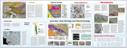 |
Massive copper sulphide mineralization has been discovered 75 km southwest of Atlin by members of the Atlin TGI. The discovery is best displayed in a 30 metre by 10 metre area where several stacked 3 metre by 1 metre lenses occur. Copper assays up to 9.77% Cu are reported from grabs and a 90 cm chip sample returned 3.35 % Cu. The mineralization is massive chalcopyrite with lesser pyrite. The host is mafic submarine volcaniclastics interbedded with ferruginous cherts of Permian age. Overlying the beds are quartz bearing clastic rocks with blocks of chert with Middle Triassic fossils and Latest Permian-Early Triassic detrital zircons. The mineralization is similar to the Kutcho deposits to the south-east. |
| Issue ID: | EXP2002-00 |
| Title: | Exploration and Mining in British Columbia - 2002, Foreword and Table of Contents |
| Author(s): | Terry, D.A. |
| Series Name: | Exploration and Mining in BC |
| Publication Year: | 2003 |
| Other Citation Details: | pages iii to vi |
| Larger Work Citation: | in Exploration and Mining in B.C. 2002 |
| NTS Map Sheet(s): | 082; 083; 092; 093; 094; 102; 103; 104 |
| Place Keyword(s): | British Columbia, Harrison Lake, Mining districts |
| Lat/Long (NSWE): | 60, 48, -139, -114 |
| Theme Keyword(s): | regional exploration, Harrison Lake ultramafics, Cretaceous, Tholeiite |
Download(s):
| PDF |
Abstract:
 |
A table of Contents for an issue on summaries of regional exploration activity in BC as well as two detailed studies, one on the Harrison area, the other one pyrophyllite occurrence in Kamloops region. |
| Issue ID: | EXP2002-01 |
| Title: | Northwest British Columbia |
| Author(s): | Wojdak, P.J. |
| Series Name: | Exploration and Mining in BC |
| Publication Year: | 2003 |
| Other Citation Details: | pages 1 to 12, Part A |
| Larger Work Citation: | in Exploration and Mining in BC, 2002 |
| NTS Map Sheet(s): | 093; 094; 103; 104; 114 |
| Place Keyword(s): | British Columbia, Northwest British Columbia |
| Lat/Long (NSWE): | 60, 54, -139, -124 |
| Theme Keyword(s): | Exploration, Mining |
Download(s):
| PDF |
Abstract:
|
The year 2002 showed improvement for the mining industry although activity remains at less than historic levels. Exploration spending in the northwest was $10.2 million, compared with $7.2 million in 2001. |
| Issue ID: | EXP2002-02 |
| Title: | Northeast- central British Columbia |
| Author(s): | Lane, B. |
| Series Name: | Exploration and Mining in BC |
| Publication Year: | 2003 |
| Other Citation Details: | pages 13 to 28, Part A |
| Larger Work Citation: | in Exploration and Mining in BC, 2002 |
| NTS Map Sheet(s): | 093; 094; 104 |
| Place Keyword(s): | British Columbia, North East |
| Lat/Long (NSWE): | 60, 52.284, -128.018, -118.198 |
| Theme Keyword(s): | Exploration, Mining |
Download(s):
| PDF |
Abstract:
|
Mineral exploration activity in the northeast-central region increased significantly in 2002. Exploration expenditures jumped 50% to an estimated $10.9 million and the amount of diamond drilling increased roughly 40% to approximately 70 000 metres. The number of major exploration projects increased from 14 to 22. The largest drilling program took place at the Kemess North porphyry gold-copper prospect. Other major exploration projects sought mainly gold-enriched porphyry, skarn, vein and coal deposits � many generated very encouraging assay results. Activity in the Peace River Coal Fields slowed somewhat, but several advanced stage projects are moving towards feasibility and development. |
| Issue ID: | EXP2002-03 |
| Title: | Southwest Region |
| Author(s): | Houle, J. |
| Series Name: | Exploration and Mining in BC |
| Publication Year: | 2003 |
| Other Citation Details: | pages 29 to 40, Part A |
| Larger Work Citation: | in Exploration and Mining in BC, 2002 |
| NTS Map Sheet(s): | 092B, C, E-O; 093C, D; 102I,P; 103A |
| Place Keyword(s): | British Columbia, South West |
| Lat/Long (NSWE): | 53.25, 48, -132.5, -121.8 |
| Theme Keyword(s): | Exploration, Mining |
Download(s):
| PDF |
Abstract:
|
Mineral exploration is diversified in the southwest region. The level of exploration is about the same. The regional office will be shut down. |
| Issue ID: | EXP1990-11 |
| Title: | Talus-Fines Geochemistry of the Pellaire Mesothermal Gold Vein Prospect (NTS 92O/4E) |
| Author(s): | Sibbick, S.J., Gravel, J.L. |
| Series Name: | Exploration in B.C. |
| Publication Year: | 1991 |
| Other Citation Details: | pages 101 to 107, Part B |
| Larger Work Citation: | in Exploration in British Columbia 1990, BC Ministry of Energy, Mines and Petroleum Resources, pages 101 to 107. |
| NTS Map Sheet(s): | 092O |
| Place Keyword(s): | British Columbia, Southwestern British Columbia, Taseko Lake, Chilcotin Range |
| Lat/Long (NSWE): | 51.25, 51, -124, -123.5 |
| Theme Keyword(s): | Geochemistry, Talus Fines, Mesothermal Gold, Surficial Geology |
Download(s):
| PDF |
Abstract:
|
This report describes the talus-fines geochemistry of the Pellaire mesothermal gold vein prospect in southwestern British Columbia. |
| Issue ID: | EXP1990-12 |
| Title: | An Investigation of the Gold Content of Placer Tailings in the Likely-Wells Area (NTS 93H/4; 93B/12, 13, 16; 93G/1) |
| Author(s): | Day, S.J., Giles, T.R. |
| Series Name: | Exploration in B.C. |
| Publication Year: | 1991 |
| Other Citation Details: | pages 109 to 115, Part B |
| Larger Work Citation: | in Exploration in British Columbia 1990, BC Ministry of Energy, Mines and Petroleum Resources, pages 109 to 115. |
| NTS Map Sheet(s): | 093H |
| Place Keyword(s): | British Columbia, Eastcentral British Columbia, Likely-Wells Area, Nelson Creek, Ballarat Mine |
| Lat/Long (NSWE): | 53.25, 52.5, -123, -121 |
| Theme Keyword(s): | Geochemistry, McKeown Mine, Placer Tailings-Gold, Gallery Gold, Deposition |
Download(s):
| PDF |
Abstract:
|
This report describes the an investigation of the gold content of placer tailings in the Likely-Wells area in east-central British Columbia. |
| Issue ID: | EXP1990-13 |
| Title: | Geochemical Dispersion in Complex Glacial Drift at the Mount Milligan Copper-Gold Porphyry Deposit (NTS 93N/1E, 93O/4W) |
| Author(s): | Gravel, J.L., Sibbick, S.J. |
| Series Name: | Exploration in B.C. |
| Publication Year: | 1991 |
| Other Citation Details: | pages 117 to 134, Part B |
| Larger Work Citation: | in Exploration in British Columbia 1990, BC Ministry of Energy, Mines and Petroleum Resources, pages 117 to 134. |
| NTS Map Sheet(s): | 093N |
| Place Keyword(s): | British Columbia, Central British Columbia, Mount Milligan |
| Lat/Long (NSWE): | 55.25, 55, -124.3, -123.5 |
| Theme Keyword(s): | Geochemistry, Glacial Drift, Surficial Geology, Copper-Gold, Colluvium |
Download(s):
| PDF |
Abstract:
|
This report describes the geochemical dispersion in complex glacial drift at the Mount Milligan copper-gold porphyry deposit in central British Columbia. |
| Issue ID: | EXP1990-14 |
| Title: | Quaternary Geology and Drift Exploration at Mount Milligan (NTS 93N/1E, 93O/4W) and Johnny Mountain (104B/6E, 7W, 10W, 11E), British Columbia |
| Author(s): | Kerr, D.E., Bobrowsky, P.T. |
| Series Name: | Exploration in B.C. |
| Publication Year: | 1991 |
| Other Citation Details: | pages 135 to 152, Part B |
| Larger Work Citation: | in Exploration in British Columbia 1990, BC Ministry of Energy, Mines and Petroleum Resources, pages 135 to 152. |
| NTS Map Sheet(s): | 104B |
| Place Keyword(s): | British Columbia, Northwestern British Columbia, Seaton Coal Basin, Mount Milligan, Johnny Mountain |
| Lat/Long (NSWE): | 55.25, 55, -124.3, -123.5 |
| Theme Keyword(s): | Quaternary Geology, Drift Exploration, Surficial Geology, Gold, Colluvium |
Download(s):
| PDF |
Abstract:
|
This report describes the quaternary geology and drift exploration at Mount Milligan and Johnny Mountain in northwestern British Columbia |
| Issue ID: | EXP1990-15 |
| Title: | Geology and Potential Coal and Coalbed Methane Resources of the Seaton Coal Basin (NTS 93M/3, 7) |
| Author(s): | Ryan, B.D. |
| Series Name: | Exploration in B.C. |
| Publication Year: | 1991 |
| Other Citation Details: | pages 153 to 167, Part B |
| Larger Work Citation: | in Exploration in British Columbia 1990, BC Ministry of Energy, Mines and Petroleum Resources, pages 153 to 167. |
| Scale: | 1:31000 |
| NTS Map Sheet(s): | 093M |
| Place Keyword(s): | British Columbia, Central British Columbia |
| Lat/Long (NSWE): | 55.15, 55.095, -127.39, -127.325 |
| Theme Keyword(s): | Coal Geology, Coalbed Methane, Seaton Coal Basin, Bulkley Valley, Coal Quality |
Download(s):
| PDF |
Abstract:
|
This report describes the geology and potential coal and coalbed-methane resources of the Seaton coal basin in central British Columbia. |
| Issue ID: | EXP1990-16 |
| Title: | Reconnaissance Lithogeochemistry, Oweegee and Kinskuch Areas, Northwestern British Columbia (NTS 104A/11, 12; 103P/11) |
| Author(s): | Greig, C.J. |
| Series Name: | Exploration in B.C. |
| Publication Year: | 1991 |
| Other Citation Details: | pages 169 to 173, Part B |
| Larger Work Citation: | in Exploration in British Columbia 1990, BC Ministry of Energy, Mines and Petroleum Resources, pages 169 to 173. |
| Scale: | 1:85000 |
| NTS Map Sheet(s): | 104A |
| Place Keyword(s): | British Columbia, Northwestern British Columbia, Kinskuch Lake, Oweegee Range |
| Lat/Long (NSWE): | 56.734, 56.643, -129.664, -129.473 |
| Theme Keyword(s): | Geochemistry, Lithogeochemistry, Reconnaissance |
Download(s):
| PDF |
Abstract:
|
This report describes the reconnaissance lithogeochemistry of the Oweegee and Kinskuch areas in northwestern British Columbia. |
| Issue ID: | EXP1990-17 |
| Title: | Assessment Reports - A Source of Valuable Current and Historic Mineral Exploration Data |
| Author(s): | Kalnins, T.E., Wilcox, A.F. |
| Series Name: | Exploration in B.C. |
| Publication Year: | 1991 |
| Other Citation Details: | pages 175 to 178, Part B |
| Larger Work Citation: | in Exploration in British Columbia 1990, BC Ministry of Energy, Mines and Petroleum Resources, pages 175 to 178. |
| NTS Map Sheet(s): | 082;083;092;093;094;102;103;104;114 |
| Place Keyword(s): | British Columbia |
| Lat/Long (NSWE): | 60, 48, -139, -114 |
| Theme Keyword(s): | Statistics, Assessment Reports, 1990 Data, Annual Trends, Mineral Exploration Data |
Download(s):
| PDF |
Abstract:
|
This report describes the assessment reports, a source of valuable current and historic mineral exploration data in British Columbia. |
| Issue ID: | EXP1991-01 |
| Title: | British Columbia Exploration and Development Highlights for 1991 |
| Author(s): | Preto, V.A.G. |
| Series Name: | Exploration in B.C. |
| Publication Year: | 1992 |
| Other Citation Details: | pages 1 to 22, Part A |
| Larger Work Citation: | in Exploration in British Columbia 1991, BC Ministry of Energy, Mines and Petroleum Resources, pages 1 to 22. |
| NTS Map Sheet(s): | 082;083;092;093;094;102;103;104;114 |
| Place Keyword(s): | British Columbia |
| Lat/Long (NSWE): | 60, 48, -139, -114 |
| Theme Keyword(s): | Economic Geology, Exploration, Porphyry Copper, Gold, Massive Sulphide Deposits |
Download(s):
| PDF |
Abstract:
|
This report describes the British Columbia exploration and development highlights for in British Columbia in 1991. |
| Issue ID: | EXP1991-02 |
| Title: | Northwestern District |
| Author(s): | Malott, M.L., Crux-Prosser, J. |
| Series Name: | Exploration in B.C. |
| Publication Year: | 1992 |
| Other Citation Details: | pages 23 to 36, Part A |
| Larger Work Citation: | in Exploration in British Columbia 1991, BC Ministry of Energy, Mines and Petroleum Resources, pages 23 to 36. |
| NTS Map Sheet(s): | 093; 094; 103; 104; 114 |
| Place Keyword(s): | British Columbia, Northwestern District, Galore, Iskut, Eskay Creek |
| Lat/Long (NSWE): | 60, 50, -138, -124 |
| Theme Keyword(s): | Exploration, Mine Production, Economic Geology |
Download(s):
| PDF |
Abstract:
|
This report describes the Northwestern District of British Columbia in 1991. |
| Issue ID: | EXP1991-13 |
| Title: | Clisbako (NTS 93C/9E) |
| Author(s): | Schroeter, T.G., Lane, R.A. |
| Series Name: | Exploration in B.C. |
| Publication Year: | 1992 |
| Other Citation Details: | pages 103 to 111, Part B |
| Larger Work Citation: | in Exploration in British Columbia 1991, BC Ministry of Energy, Mines and Petroleum Resources, pages 103 to 111. |
| Scale: | 1:100000 |
| NTS Map Sheet(s): | 093C |
| Place Keyword(s): | British Columbia, Central British Columbia, Clisbako |
| Lat/Long (NSWE): | 52.771, 52.679, -124.145, -123.981 |
| Theme Keyword(s): | Economic Geology, Gold, Clisbako 1-15, Anahim Volcanic Belt |
Download(s):
| PDF |
Abstract:
|
This report describes the Clisbako prospect in central British Columbia. |
| Issue ID: | EXP1991-14 |
| Title: | Coal Occurrence at the Fireweed Property North-Central British Columbia (NTS 93M/1W, 2E; 93L/16W, 15E) |
| Author(s): | Ryan, B.D. |
| Series Name: | Exploration in B.C. |
| Publication Year: | 1992 |
| Other Citation Details: | pages 113 to 116, Part B |
| Larger Work Citation: | in Exploration in British Columbia 1991, BC Ministry of Energy, Mines and Petroleum Resources, pages 113 to 116. |
| NTS Map Sheet(s): | 093M |
| Place Keyword(s): | British Columbia, Northcentral British Columbia |
| Lat/Long (NSWE): | 55.042, 54.967, -126.549, -126.301 |
| Theme Keyword(s): | Economic Geology, Coal, Fireweed 1-3, Gold, Kitsun Creek Formation |
Download(s):
| PDF |
Abstract:
|
This report describes the coal occurrence at the Fireweed property north-central British Columbia. |
| Issue ID: | EXP1991-15 |
| Title: | Geologic Setting and Mineralization of the Red Mountain Mesothermal Gold Deposit (NTS 103P/13E) |
| Author(s): | Schroeter, T.G., Lane, R.A., Bray, A. |
| Series Name: | Exploration in B.C. |
| Publication Year: | 1992 |
| Other Citation Details: | pages 117 to 125, Part B |
| Larger Work Citation: | in Exploration in British Columbia 1991, BC Ministry of Energy, Mines and Petroleum Resources, pages 117 to 125. |
| NTS Map Sheet(s): | 103P |
| Place Keyword(s): | British Columbia, Northwestern British Columbia, Stewart Mining Camp, Hrothgar, Red Mountain |
| Lat/Long (NSWE): | 55.974, 55.924, -129.748, -129.675 |
| Theme Keyword(s): | Economic Geology, Oro 1-6, Gold-Silver-Zinc-Molybdenum, Mineralization, Stikine Terrane |
Download(s):
| PDF |
Abstract:
|
This report describes the geologic setting and mineralization of the Red Mountain mesothermal gold deposit in northwestern British Columbia. |
| Issue ID: | EXP1991-16 |
| Title: | The Polaris-Taku Deposit: Geologic Setting and Recent Mineral Exploration Results (NTS 104K/12) |
| Author(s): | Mihalynuk, M.G., Marriott, C.C. |
| Series Name: | Exploration in B.C. |
| Publication Year: | 1992 |
| Other Citation Details: | pages 127 to 131, Part B |
| Larger Work Citation: | in Exploration in British Columbia 1991, BC Ministry of Energy, Mines and Petroleum Resources, pages 127 to 131. |
| NTS Map Sheet(s): | 104K |
| Place Keyword(s): | British Columbia, Northwestern British Columbia |
| Lat/Long (NSWE): | 57, 56, -126.5, -125 |
| Theme Keyword(s): | Economic Geology, Polaris-Taku, Gold-Silver-Copper, Stikine Terrane, Recent Mineral Exploration |
Download(s):
| PDF |
Abstract:
|
This report describes the geologic setting and recent mineral exploration results from the Polaris-Taku deposit in northwestern British Columbia. |
| Issue ID: | EXP1991-17 |
| Title: | Geologic Setting of the Maple Leaf Property, Northwestern B.C. (NTS 104K) |
| Author(s): | Smith, M.T., Mihalynuk, M.G. |
| Series Name: | Exploration in B.C. |
| Publication Year: | 1992 |
| Other Citation Details: | pages 133 to 141, Part B |
| Larger Work Citation: | in Exploration in British Columbia 1991, BC Ministry of Energy, Mines and Petroleum Resources, pages 133 to 141. |
| NTS Map Sheet(s): | 104K |
| Place Keyword(s): | British Columbia, Northwestern British Columbia, Tulsequah Glacier, Glacier Light 1-4 |
| Lat/Long (NSWE): | 59.583, 59, -134, -133.5 |
| Theme Keyword(s): | Economic Geology, Maple Leaf, Gold-Silver-Copper-Lead-Zinc |
Download(s):
| PDF |
Abstract:
|
This report describes the geologic setting of the Maple Leaf property of northwestern British Columbia. |
| Issue ID: | EXP1991-18 |
| Title: | Mineral Deposit Land-Use Maps: An Analysis Based on Seventeen Years of Exploration Activity |
| Author(s): | Legun, A.S., Matheson, A.H. |
| Series Name: | Exploration in B.C. |
| Publication Year: | 1992 |
| Other Citation Details: | pages 143 to 147, Part B |
| Larger Work Citation: | in Exploration in British Columbia 1991, BC Ministry of Energy, Mines and Petroleum Resources, pages 143 to 147. |
| NTS Map Sheet(s): | 082; |
| Place Keyword(s): | British Columbia |
| Lat/Long (NSWE): | 60, 48, -139, -114 |
| Theme Keyword(s): | Mineral Potential, Mineral Deposit, Land Use Maps, Geologic Setting |
Download(s):
| PDF |
Abstract:
|
This report describes the mineral deposit land-use maps in British Columbia. This is an analysis based on seventeen years of exploration activity. |
| Issue ID: | EXP1991-19 |
| Title: | Assessment Reports: A Source of Valuable Current and Historic Mineral Exploration Data |
| Author(s): | Kalnins, T.E., Wilcox, A.F. |
| Series Name: | Exploration in B.C. |
| Publication Year: | 1992 |
| Other Citation Details: | pages 149 to 152, Part B |
| Larger Work Citation: | in Exploration in British Columbia 1991, BC Ministry of Energy, Mines and Petroleum Resources, pages 149 to 152. |
| NTS Map Sheet(s): | 082;083;092;093;094;102;103;104;114 |
| Place Keyword(s): | British Columbia |
| Lat/Long (NSWE): | 60, 48, -139, -114 |
| Theme Keyword(s): | Assessment Reports, Mineral Exploration, Statistics, 1991 Data, Annual Trends |
Download(s):
| PDF |
Abstract:
|
This report describes the assessment reports, a source of valuable current and historic mineral exploration data in British Columbia. |
| Issue ID: | EXP1992-09 |
| Title: | The Howell Creek Structure, Southeastern British Columbia |
| Author(s): | Legun, A.S. |
| Series Name: | Exploration in B.C. |
| Publication Year: | 1993 |
| Other Citation Details: | pages 117 to 120, Part B |
| Larger Work Citation: | in Exploration in British Columbia 1992, BC Ministry of Energy, Mines and Petroleum Resources, pages 117 to 120. |
| Scale: | 1:110000 |
| NTS Map Sheet(s): | 082; |
| Place Keyword(s): | British Columbia, Southeastern British Columbia, Howell Creek |
| Lat/Long (NSWE): | 49.277, 49.201, -114.744, -114.648 |
| Theme Keyword(s): | Regional Mapping, Howell Creek Structure, Howell Fault, Harvey Fault |
Download(s):
| PDF |
Abstract:
 |
This report describes the Howell Creek structure in southeastern British Columbia. This report provides improved definition of geologic features of the Howell Creek structure. This feature is located in the Front Ranges of the Rock Mountains in the Flathead area of southeastern British Columbia. |
| Issue ID: | EXP1992-10 |
| Title: | Laboratory Simulation of In Situ Neutralization of Acid Rock Drainage |
| Author(s): | Chaudhry, M.A., Lett, R.E. |
| Series Name: | Exploration in B.C. |
| Publication Year: | 1993 |
| Other Citation Details: | pages 121 to 131, Part B |
| Larger Work Citation: | in Exploration in British Columbia 1992, BC Ministry of Energy, Mines and Petroleum Resources, pages 121 to 131. |
| NTS Map Sheet(s): | 082;083;092;093;094;102;103;104;114 |
| Place Keyword(s): | British Columbia |
| Lat/Long (NSWE): | 60, 48, -139, -114 |
| Theme Keyword(s): | Acid Rock Drainage, In Situ Neutralization, Laboratory Simulation |
Download(s):
| PDF |
Abstract:
|
This report describes the laboratory simulation of in situ neutralization of acid rock drainage in British Columbia. Acid drainage from mine waste rock containing sulphide minerals has long been recognized by mine operators, regulatory bodies, environmental agencies and the public as an environmental concern. Much of the existing technology for treating mine drainage has focused on removing metals from the leachate stream or limiting the metal content in tailings. Each year an estimated 25 million tonnes of pyrite and pyrrhotite-bearing waste rock are produced by Canadian mines. In spite of strict guidelines and precautions for the safe disposal of waste rock, acid generation cannot be completely ruled out. Abandoned, orphan mines in remote areas are a particular problem because of high treatment costs. Methods for neutralizing the acid drainage from waste rock and minimizing dispersion of metals can be active or passive. |
| Issue ID: | EXP1992-11 |
| Title: | Assessment Reports: A Source of Valuable Current and Historic Mineral Exploration Data |
| Author(s): | Kalnins, T.E., Wilcox, A.F. |
| Series Name: | Exploration in B.C. |
| Publication Year: | 1993 |
| Other Citation Details: | pages 133 to 136, Part B |
| Larger Work Citation: | in Exploration in British Columbia 1992, BC Ministry of Energy, Mines and Petroleum Resources, pages 133 to 136. |
| NTS Map Sheet(s): | 082;083;092;093;094;102;103;104;114 |
| Place Keyword(s): | British Columbia |
| Lat/Long (NSWE): | 60, 48, -139, -114 |
| Theme Keyword(s): | Exploration, Assessment Reports, Statistics, Mineral Exploration Data |
Download(s):
| PDF |
Abstract:
|
This report describes the assessment reports, a source of valuable current and historic mineral exploration data in British Columbia. |
| Issue ID: | EXP1992-01 |
| Title: | British Columbia Mining Exploration and Developments Highlights and Initiatives - 1992 |
| Author(s): | Meyers, R.E. |
| Series Name: | Exploration in B.C. |
| Publication Year: | 1993 |
| Other Citation Details: | pages 1 to 22, Part A |
| Larger Work Citation: | in Exploration in British Columbia 1992, BC Ministry of Energy, Mines and Petroleum Resources, pages 1 to 22. |
| NTS Map Sheet(s): | 082;083;092;093;094;102;103;104;114 |
| Place Keyword(s): | British Columbia |
| Lat/Long (NSWE): | 60, 48, -139, -114 |
| Theme Keyword(s): | Exploration, Development, Production, Coal Mines, Metal Mines |
Download(s):
| PDF |
Abstract:
|
This report describes the British Columbia mining exploration and developments highlights and initiatives in 1992. |
| Issue ID: | EXP1992-02 |
| Title: | Exploration and Development Highlights - Northwestern District - 1992 |
| Author(s): | Wojdak, P.J. |
| Series Name: | Exploration in B.C. |
| Publication Year: | 1993 |
| Other Citation Details: | pages 23 to 30, Part A |
| Larger Work Citation: | in Exploration in British Columbia 1992, BC Ministry of Energy, Mines and Petroleum Resources, pages 23 to 30. |
| NTS Map Sheet(s): | 104; |
| Place Keyword(s): | British Columbia, Northwestern District |
| Lat/Long (NSWE): | 60, 50, -138, -124 |
| Theme Keyword(s): | Exploration, Development, Statistics, Land Use, Operating Mines |
Download(s):
| PDF |
Abstract:
|
This report describes the exploration and development highlights of the Northwestern District of British Columbia in 1992. |
| Issue ID: | EXP1992-03 |
| Title: | Exploration and Development Highlights - Central District - 1992 |
| Author(s): | Malott, M.L., Gariepy, D.S. |
| Series Name: | Exploration in B.C. |
| Publication Year: | 1993 |
| Other Citation Details: | pages 31 to 33, Part A |
| Larger Work Citation: | in Exploration in British Columbia 1992, BC Ministry of Energy, Mines and Petroleum Resources, pages 31 to 33. |
| NTS Map Sheet(s): | 082;083;092;093;094;102;103;104;114 |
| Place Keyword(s): | British Columbia, Central District |
| Lat/Long (NSWE): | 58, 50, -128, -116 |
| Theme Keyword(s): | Exploration, Quesnel Trough, Fraser Plateau, Producing Mines, Mine Development |
Download(s):
| PDF |
Abstract:
|
This report describes the central District of British Columbia. |
| Issue ID: | EXP1992-04 |
| Title: | Exploration and Development Highlights - South-Central District - 1992 |
| Author(s): | Meyers, R.E. |
| Series Name: | Exploration in B.C. |
| Publication Year: | 1993 |
| Other Citation Details: | pages 35 to 44, Part A |
| Larger Work Citation: | in Exploration in British Columbia 1992, BC Ministry of Energy, Mines and Petroleum Resources, pages 35 to 44. |
| NTS Map Sheet(s): | 082;083;092;093;094;102;103;104;114 |
| Place Keyword(s): | British Columbia, Southcentral District |
| Lat/Long (NSWE): | 52, 49, -122.75, -118 |
| Theme Keyword(s): | Exploration, Development, Statistics, Operating Mines, Land Use |
Download(s):
| PDF |
Abstract:
|
This report describes the exploration and development highlights of the south-central District of British Columbia. |
| Issue ID: | EXP1992-05 |
| Title: | Exploration and Development Highlights - Southwestern District - 1992 |
| Author(s): | Pinsent, R.H. |
| Series Name: | Exploration in B.C. |
| Publication Year: | 1993 |
| Other Citation Details: | pages 45 to 53, Part A |
| Larger Work Citation: | in Exploration in British Columbia 1992, BC Ministry of Energy, Mines and Petroleum Resources, pages 45 to 53. |
| NTS Map Sheet(s): | 092; |
| Place Keyword(s): | British Columbia, Southwestern District |
| Lat/Long (NSWE): | 53.25, 48, -132.5, -121.8 |
| Theme Keyword(s): | Exploration, Development, Operating Mines, Statistics, Land Use |
Download(s):
| PDF |
Abstract:
|
This report describes the southwestern District of British Columbia. |
| Issue ID: | EXP1992-06 |
| Title: | The Fish Lake Porphyry Copper-Gold Deposit (NTS 920/5) |
| Author(s): | Caira, N.M., Findlay, A., Riddell, J.M. |
| Series Name: | Exploration in B.C. |
| Publication Year: | 1993 |
| Other Citation Details: | pages 57 to 67, Part B |
| Larger Work Citation: | in Exploration in British Columbia 1992, BC Ministry of Energy, Mines and Petroleum Resources, pages 57 to 67. |
| NTS Map Sheet(s): | 092O |
| Place Keyword(s): | British Columbia, Southcentral British Columbia, Fish Lake |
| Lat/Long (NSWE): | 50.5, 50.25, -124, -123.5 |
| Theme Keyword(s): | Economic Geology, Copper, Gold, Taseko Mines, Porphyry |
Download(s):
| PDF |
Abstract:
|
This report describes the Fish Lake porphyry copper-gold deposit in south-central British Columbia. |
| Issue ID: | EXP1992-07 |
| Title: | Assessment of the Applicability of Lake Sediment Geochemical Surveys for Mineral Exploration in the Nechako Plateau Area of British Columbia |
| Author(s): | Earle, S. |
| Series Name: | Exploration in B.C. |
| Publication Year: | 1993 |
| Other Citation Details: | pages 69 to 106, Part B |
| Larger Work Citation: | in Exploration in British Columbia 1992, BC Ministry of Energy, Mines and Petroleum Resources, pages 69 to 106. |
| NTS Map Sheet(s): | 093K |
| Place Keyword(s): | British Columbia, Central British Columbia, Nechako Plateau |
| Lat/Long (NSWE): | 55, 52, -126, -124 |
| Theme Keyword(s): | Geochemistry, Mineral Exploration, Lake Sediment Survey, Limnological Studies |
Download(s):
| PDF |
Abstract:
|
This report describes the an assessment of the applicability of lake sediment geochemical surveys for mineral exploration in the Nechako Plateau area of central British Columbia |
| Issue ID: | EXP1992-08 |
| Title: | Some New Dimension Stone Properties in British Columbia |
| Author(s): | Hora, Z.D., Hancock, K.D. |
| Series Name: | Exploration in B.C. |
| Publication Year: | 1993 |
| Other Citation Details: | pages 107 to 116, Part B |
| Larger Work Citation: | in Exploration in British Columbia 1992, BC Ministry of Energy, Mines and Petroleum Resources, pages 107 to 116. |
| NTS Map Sheet(s): | 082;083;092;093;094;102;103;104;114 |
| Place Keyword(s): | British Columbia |
| Lat/Long (NSWE): | 60, 48, -139, -114 |
| Theme Keyword(s): | Industrial Minerals, Dimension Stone, Petrography |
Download(s):
| PDF |
Abstract:
|
This report describes the some new dimension stone properties in British Columbia. |
| Issue ID: | EXP1993-01 |
| Title: | British Columbia Mining, Development and Exploration 1993 Highlights |
| Author(s): | Schroeter, T.G. |
| Series Name: | Exploration in B.C. |
| Publication Year: | 1994 |
| Other Citation Details: | pages 1 to 31 |
| Larger Work Citation: | in Exploration in British Columbia 1993, BC Ministry of Energy, Mines and Petroleum Resources, pages 1 to 31. |
| NTS Map Sheet(s): | 082;083;092;093;094;102;103;104;114 |
| Place Keyword(s): | British Columbia |
| Lat/Long (NSWE): | 60, 48, -139, -114 |
| Theme Keyword(s): | Annual Review, Development, Production, Coal Mines, Metal Mines |
Download(s):
| PDF |
Abstract:
 |
This report describes the British Columbia mining, development, and exploration highlights in 1993. |
| Issue ID: | EXP1993-02 |
| Title: | Exploration and Development Highlights - Northwestern Region - 1993 |
| Author(s): | Wojdak, P.J. |
| Series Name: | Exploration in B.C. |
| Publication Year: | 1994 |
| Other Citation Details: | pages 31 to 38 |
| Larger Work Citation: | in Exploration in British Columbia 1993, BC Ministry of Energy, Mines and Petroleum Resources, pages 31 to 38. |
| NTS Map Sheet(s): | 082;083;092;093;094;102;103;104;114 |
| Place Keyword(s): | British Columbia, Northwestern District |
| Lat/Long (NSWE): | 60, 54, -139, -126 |
| Theme Keyword(s): | Annual Review, Development, Statistics, Land Use, Operating Mines |
Download(s):
| PDF |
Abstract:
|
This report describes the Northwestern District of British Columbia in 1993. |
| Issue ID: | EXP1993-03 |
| Title: | Exploration and Development Highlights - Central Region - 1993 |
| Author(s): | Faulkner, E.L. |
| Series Name: | Exploration in B.C. |
| Publication Year: | 1994 |
| Other Citation Details: | pages 39 to 41 |
| Larger Work Citation: | in Exploration in British Columbia 1993, BC Ministry of Energy, Mines and Petroleum Resources, pages 39 to 41. |
| NTS Map Sheet(s): | 082;083;092;093;094;102;103;104;114 |
| Place Keyword(s): | British Columbia, Central District, Southern Quesnel Trough, Northern Quesnel Trough, Coast Range |
| Lat/Long (NSWE): | 58, 51.85, -131.5, -116.5 |
| Theme Keyword(s): | Annual Review, Economic Geology, Silver, Placer |
Download(s):
| PDF |
Abstract:
|
This report describes the Central District of British Columbia in 1993. |
| Issue ID: | EXP1993-04 |
| Title: | Exploration and Development Highlights - South-Central Region - 1993 |
| Author(s): | Meyers, R.E. |
| Series Name: | Exploration in B.C. |
| Publication Year: | 1994 |
| Other Citation Details: | page 46 |
| Larger Work Citation: | in Exploration in British Columbia 1993, BC Ministry of Energy, Mines and Petroleum Resources, page 46. |
| NTS Map Sheet(s): | 082;083;092;093;094;102;103;104;114 |
| Place Keyword(s): | British Columbia, Southcentral District |
| Lat/Long (NSWE): | 52, 49, -122.75, -118 |
| Theme Keyword(s): | Annual Review, Development, Statistics, Operating Mines, Land Use |
Download(s):
| PDF |
Abstract:
|
This report describes the south-central District of British Columbia in 1993. |
| Issue ID: | EXP1993-05 |
| Title: | Exploration and Development Highlights - Kootenay Region - 1993 |
| Author(s): | Wilton, H.P. |
| Series Name: | Exploration in B.C. |
| Publication Year: | 1994 |
| Other Citation Details: | pages 47 to 51 |
| Larger Work Citation: | in Exploration in British Columbia 1993, BC Ministry of Energy, Mines and Petroleum Resources, pages 47 to 51. |
| NTS Map Sheet(s): | 082; |
| Place Keyword(s): | British Columbia, Southeastern British Columbia, Kootenay Region |
| Lat/Long (NSWE): | 52.4, 49, -119.25, -114 |
| Theme Keyword(s): | Annual Review, Development, Operating Mines, Land Use |
Download(s):
| PDF |
Abstract:
|
This report describes the Kootenay region in southeastern British Columbia in 1993. |
| Issue ID: | EXP1993-06 |
| Title: | Exploration and Development Highlights - Southwestern Region - 1993 |
| Author(s): | Pinsent, R.H. |
| Series Name: | Exploration in B.C. |
| Publication Year: | 1994 |
| Other Citation Details: | page 59 |
| Larger Work Citation: | in Exploration in British Columbia 1993, BC Ministry of Energy, Mines and Petroleum Resources, page 59. |
| NTS Map Sheet(s): | 082;083;092;093;094;102;103;104;114 |
| Place Keyword(s): | British Columbia, Southwestern District |
| Lat/Long (NSWE): | 53.25, 48, -132.5, -121.8 |
| Theme Keyword(s): | Annual Review, Development, Statistics, Operating Mines, Land Use |
Download(s):
| PDF |
Abstract:
|
This report describes the exploration and development highlights of the southwestern District of British Columbia in 1993. |
| Issue ID: | EXP1993-07 |
| Title: | Assessment Reports: A Source of Valuable Current and Historic Mineral Exploration Data |
| Author(s): | Kalnins, T.E., Wilcox, A.F. |
| Series Name: | Exploration in B.C. |
| Publication Year: | 1994 |
| Other Citation Details: | pages 133 to 136 |
| Larger Work Citation: | in Exploration in British Columbia 1993, BC Ministry of Energy, Mines and Petroleum Resources, pages 133 to 136. |
| NTS Map Sheet(s): | 082;083;092;093;094;102;103;104;114 |
| Place Keyword(s): | British Columbia |
| Lat/Long (NSWE): | 60, 48, -139, -114 |
| Theme Keyword(s): | Economic Geology, Assessment Reports, Assessment Report Indexing System, Mineral Exploration Data |
Download(s):
| PDF |
Abstract:
|
This report describes the assessment reports, a source of valuable current and historic mineral exploration data in British Columbia. |
| Issue ID: | EXP1994-01 |
| Title: | British Columbia Mining, Development and Exploration 1994 Highlights |
| Author(s): | Schroeter, T.G. |
| Series Name: | Exploration in B.C. |
| Publication Year: | 1995 |
| Other Citation Details: | pages 1 to 24 |
| Larger Work Citation: | in Exploration in British Columbia 1994, BC Ministry of Energy, Mines and Petroleum Resources, pages 1 to 24. |
| NTS Map Sheet(s): | 082;083;092;093;094;102;103;104;114 |
| Place Keyword(s): | British Columbia |
| Lat/Long (NSWE): | 60, 48, -139, -114 |
| Theme Keyword(s): | Annual Review, Development, Production, Coal Mines, Metal Mines |
Download(s):
| PDF |
Abstract:
 |
This report describes the British Columbia mining, development and exploration highlights in 1994. |
| Issue ID: | EXP1994-02 |
| Title: | Exploration and Development Highlights - Northwestern Region - 1994 |
| Author(s): | Wojdak, P.J. |
| Series Name: | Exploration in B.C. |
| Publication Year: | 1995 |
| Other Citation Details: | pages 24 to 36 |
| Larger Work Citation: | in Exploration in British Columbia 1994, BC Ministry of Energy, Mines and Petroleum Resources, pages 24 to 36. |
| NTS Map Sheet(s): | 082;083;092;093;094;102;103;104;114 |
| Place Keyword(s): | British Columbia, Northwestern Region |
| Lat/Long (NSWE): | 60, 54, -139, -126 |
| Theme Keyword(s): | Annual Review, Development, Production, Coal Mines, Metal Mines |
Download(s):
| PDF |
Abstract:
|
This report describes the exploration and development highlights of the northwestern region of British Columbia in 1994. |
| Issue ID: | EXP1994-03 |
| Title: | Exploration and Development Highlights - Central Region - 1994 |
| Author(s): | Faulkner, E.L. |
| Series Name: | Exploration in B.C. |
| Publication Year: | 1995 |
| Other Citation Details: | pages 37 to 41 |
| Larger Work Citation: | in Exploration in British Columbia 1994, BC Ministry of Energy, Mines and Petroleum Resources, pages 37 to 41. |
| NTS Map Sheet(s): | 082;083;092;093;094;102;103;104;114 |
| Place Keyword(s): | British Columbia, Central Region |
| Lat/Long (NSWE): | 58, 51.85, -131.5, -116.5 |
| Theme Keyword(s): | Annual Review, Development, Production, Coal Mines, Metal Mines |
Download(s):
| PDF |
Abstract:
|
This report describes the exploration and development highlights of the central region of British Columbia in 1994. |
| Issue ID: | EXP1994-04 |
| Title: | Exploration and Development Highlights - South-Central Region - 1994 |
| Author(s): | Smith, M.T., Cathro, M.S. |
| Series Name: | Exploration in B.C. |
| Publication Year: | 1995 |
| Other Citation Details: | pages 43 to 55 |
| Larger Work Citation: | in Exploration in British Columbia 1994, BC Ministry of Energy, Mines and Petroleum Resources, pages 43 to 55. |
| NTS Map Sheet(s): | 082;083;092;093;094;102;103;104;114 |
| Place Keyword(s): | British Columbia, Southcentral Region |
| Lat/Long (NSWE): | 52, 49, -122.75, -118 |
| Theme Keyword(s): | Annual Review, Development, Production, Coal Mines, Metal Mines |
Download(s):
| PDF |
Abstract:
|
This report describes the exploration and development highlights of the south-central region in British Columbia in 1994. |
| Issue ID: | EXP1994-05 |
| Title: | Exploration Trends and Highlights - Kootenay Region - 1994 |
| Author(s): | Wilton, H.P. |
| Series Name: | Exploration in B.C. |
| Publication Year: | 1995 |
| Other Citation Details: | pages 57 to 63 |
| Larger Work Citation: | in Exploration in British Columbia 1994, BC Ministry of Energy, Mines and Petroleum Resources, pages 57 to 63. |
| NTS Map Sheet(s): | 082; |
| Place Keyword(s): | British Columbia, Southeastern British Columbia, Kootenay Region |
| Lat/Long (NSWE): | 52.4, 49, -119.25, -114 |
| Theme Keyword(s): | Annual Review, Development, Production, Coal Mines, Metal Mines |
Download(s):
| PDF |
Abstract:
|
This report describes the exploration trends and highlights of the Kootenay region in southeastern British Columbia in 1994. |
| Issue ID: | EXP1994-06 |
| Title: | Exploration and Development Highlights - Southwestern Region - 1994 |
| Author(s): | Pinsent, R.H. |
| Series Name: | Exploration in B.C. |
| Publication Year: | 1995 |
| Other Citation Details: | pages 65 to 72 |
| Larger Work Citation: | in Exploration in British Columbia 1994, BC Ministry of Energy, Mines and Petroleum Resources, pages 65 to 72. |
| NTS Map Sheet(s): | 082;083;092;093;094;102;103;104;114 |
| Place Keyword(s): | British Columbia, Southwestern Region |
| Lat/Long (NSWE): | 53.25, 48, -132.5, -121.8 |
| Theme Keyword(s): | Annual Review, Development, Production, Coal Mines, Metal Mines |
Download(s):
| PDF |
Abstract:
|
This report describes the exploration and development highlights of the southwestern region in British Columbia in 1994. |
| Issue ID: | EXP1994-07 |
| Title: | Assessment Reports: A Source of Valuable Current and Historic Mineral Exploration Data |
| Author(s): | Kalnins, T.E., Wilcox, A.F. |
| Series Name: | Exploration in B.C. |
| Publication Year: | 1995 |
| Other Citation Details: | pages 73 to 75 |
| Larger Work Citation: | in Exploration in British Columbia 1994, BC Ministry of Energy, Mines and Petroleum Resources, pages 73 to 75. |
| NTS Map Sheet(s): | 082;083;092;093;094;102;103;104;114 |
| Place Keyword(s): | British Columbia |
| Lat/Long (NSWE): | 60, 48, -139, -114 |
| Theme Keyword(s): | Economic Geology, Assessment Reports, Statistics, Mineral Exploration Data |
Download(s):
| PDF |
Abstract:
|
This report describes the assessment reports, a source of valuable current and historic mineral exploration data in British Columbia. |
| Issue ID: | EXP1995-01 |
| Title: | British Columbia Mining, Development and Exploration - 1995 Overview |
| Author(s): | Schroeter, T.G. |
| Series Name: | Exploration in B.C. |
| Publication Year: | 1996 |
| Other Citation Details: | pages 1 to 28, Part A |
| Larger Work Citation: | in Exploration in British Columbia 1995, BC Ministry of Energy, Mines and Petroleum Resources, pages 1 to 28. |
| NTS Map Sheet(s): | 082;083;092;093;094;102;103;104;114 |
| Place Keyword(s): | British Columbia |
| Lat/Long (NSWE): | 60, 48, -139, -114 |
| Theme Keyword(s): | Economic Geology, Exploration, Porphyry Copper, Gold, Massive Sulphide Deposits |
Download(s):
| PDF |
Abstract:
 |
This report describes the an overview of British Columbia mining, development, and exploration in 1995. |
| Issue ID: | EXP1995-02 |
| Title: | Exploration and Development Highlights - Northwestern British Columbia - 1995 |
| Author(s): | Wojdak, P.J. |
| Series Name: | Exploration in B.C. |
| Publication Year: | 1996 |
| Other Citation Details: | pages 29 to 42, Part A |
| Larger Work Citation: | in Exploration in British Columbia 1995, BC Ministry of Energy, Mines and Petroleum Resources, pages 29 to 42. |
| NTS Map Sheet(s): | 082;083;092;093;094;102;103;104;114 |
| Place Keyword(s): | British Columbia, Northwestern British Columbia |
| Lat/Long (NSWE): | 60, 54, -139, -126 |
| Theme Keyword(s): | Annual Review, Development, Statistics, Land Use, Operating Mines |
Download(s):
| PDF |
Abstract:
|
This report describes the exploration and development highlights from northwestern British Columbia in 1995. |
| Issue ID: | EXP1995-03 |
| Title: | Exploration and Development Highlights - Central Region - 1995 |
| Author(s): | MacDonald, K.F. |
| Series Name: | Exploration in B.C. |
| Publication Year: | 1996 |
| Other Citation Details: | pages 43 to 51, Part A |
| Larger Work Citation: | in Exploration in British Columbia 1995, BC Ministry of Energy, Mines and Petroleum Resources, pages 43 to 51. |
| NTS Map Sheet(s): | 082;083;092;093;094;102;103;104;114 |
| Place Keyword(s): | British Columbia, Central Region, Northern Quesnel Trough, Coast Range, Southern Quesnel Trough |
| Lat/Long (NSWE): | 58, 51.85, -131.5, -116.5 |
| Theme Keyword(s): | Annual Review, Economic Geology, Silver, Exploration, Placer |
Download(s):
| PDF |
Abstract:
|
This report describes the exploration and development highlights from the central region of British Columbia in 1995. |
| Issue ID: | EXP1995-04 |
| Title: | Exploration and Development Highlights - South-Central Region - 1995 |
| Author(s): | Cathro, M.S. |
| Series Name: | Exploration in B.C. |
| Publication Year: | 1996 |
| Other Citation Details: | pages 53 to 61, Part A |
| Larger Work Citation: | in Exploration in British Columbia 1995, BC Ministry of Energy, Mines and Petroleum Resources, pages 53 to 61. |
| NTS Map Sheet(s): | 082;083;092;093;094;102;103;104;114 |
| Place Keyword(s): | British Columbia, Southcentral Region |
| Lat/Long (NSWE): | 59, 52, -126, -116 |
| Theme Keyword(s): | Annual Review, Development, Statistics, Operating Mines, Land Use |
Download(s):
| PDF |
Abstract:
|
This report describes the exploration and development highlights from the south-central region of British Columbia in 1995. |
| Issue ID: | EXP1995-05 |
| Title: | Exploration and Development Highlights - Kootenay Region - 1995 |
| Author(s): | Wilton, H.P. |
| Series Name: | Exploration in B.C. |
| Publication Year: | 1996 |
| Other Citation Details: | pages 63 to 70, Part A |
| Larger Work Citation: | in Exploration in British Columbia 1995, BC Ministry of Energy, Mines and Petroleum Resources, pages 63 to 70. |
| NTS Map Sheet(s): | 082; |
| Place Keyword(s): | British Columbia, Southeastern British Columbia, Kootenay Region |
| Lat/Long (NSWE): | 52.4, 49, -119.25, -114 |
| Theme Keyword(s): | Annual Review, Development, Statistics, Operating Mines, Land Use |
Download(s):
| PDF |
Abstract:
|
This report describes the exploration and development highlights from the Kootenay region in southeastern British Columbia in 1995. |
| Issue ID: | EXP1995-06 |
| Title: | Exploration and Development Highlights - Southwestern British Columbia - 1995 |
| Author(s): | Pinsent, R.H. |
| Series Name: | Exploration in B.C. |
| Publication Year: | 1996 |
| Other Citation Details: | pages 71 to 81, Part A |
| Larger Work Citation: | in Exploration in British Columbia 1995, BC Ministry of Energy, Mines and Petroleum Resources, pages 71 to 81. |
| NTS Map Sheet(s): | 082;083;092;093;094;102;103;104;114 |
| Place Keyword(s): | British Columbia, Southwestern British Columbia |
| Lat/Long (NSWE): | 53.25, 48, -132.5, -121.8 |
| Theme Keyword(s): | Annual Review, Development, Statistics, Land Use, Exploration |
Download(s):
| PDF |
Abstract:
|
This report describes the exploration and development highlights from southwestern British Columbia in 1995. |
| Issue ID: | EXP1995-07 |
| Title: | Assessment Reports: A Source of Valuable Current and Historic Mineral Exploration Data |
| Author(s): | Wilcox, A.F., Kalnins, T.E. |
| Series Name: | Exploration in B.C. |
| Publication Year: | 1996 |
| Other Citation Details: | pages 83 to 85, Part A |
| Larger Work Citation: | in Exploration in British Columbia 1995, BC Ministry of Energy, Mines and Petroleum Resources, pages 83 to 85. |
| NTS Map Sheet(s): | 082;083;092;093;094;102;103;104;114 |
| Place Keyword(s): | British Columbia |
| Lat/Long (NSWE): | 60, 48, -139, -114 |
| Theme Keyword(s): | Economic Geology, Assessment Reports, Assessment Report Index |
Download(s):
| PDF |
Abstract:
|
This report describes the assessment reports, a source of valuable current and historic mineral exploration data in British Columbia. |
| Issue ID: | EXP1995-08 |
| Title: | Mineral Deposits in the Stewart District (NTS 103O/P and 104B) |
| Author(s): | Alldrick, D.J., Mawani, Z.M.S., Mortensen, J.K., Childe, F. |
| Series Name: | Exploration in B.C. |
| Publication Year: | 1996 |
| Other Citation Details: | pages 89 to 109, Part B |
| Larger Work Citation: | in Exploration in British Columbia 1995, BC Ministry of Energy, Mines and Petroleum Resources, pages 89 to 109. |
| NTS Map Sheet(s): | 103P |
| Place Keyword(s): | British Columbia, Northwestern British Columbia, Kitsault, Anyox, Maple Bay |
| Lat/Long (NSWE): | 57, 55, -132, -128 |
| Theme Keyword(s): | Economic Geology, Stewart Complex, Mineralization, Stewart District |
Download(s):
| PDF |
Abstract:
|
This report describes the mineral deposits in the Stewart district in northwestern British Columbia. |
| Issue ID: | EXP1995-09 |
| Title: | Lead Isotope Data from Mineral Prospects in the Cambria Icefield Area, Stewart Mining District (NTS 103O/P and 104B) |
| Author(s): | Gabites, J.E., Mortensen, J.K., Alldrick, D.J. |
| Series Name: | Exploration in B.C. |
| Publication Year: | 1996 |
| Other Citation Details: | pages 111 to 115, Part B |
| Larger Work Citation: | in Exploration in British Columbia 1995, BC Ministry of Energy, Mines and Petroleum Resources, pages 111 to 115. |
| NTS Map Sheet(s): | 103P |
| Place Keyword(s): | British Columbia, Stewart District, Georgia River, Northwestern British Columbia, Todd Creek |
| Lat/Long (NSWE): | 56.12, 55.67, -130.1, -129.325 |
| Theme Keyword(s): | Economic Geology, Lead Isotopes Data, Stewart District, Konkin Silver, George Copper |
Download(s):
| PDF |
Abstract:
|
This report describes the lead isotope data from mineral prospects in the Cambria Icefield area of the Stewart Mining District in northwestern British Columbia. |
| Issue ID: | EXP1995-10 |
| Title: | Babs - Unusual Copper Mineralization in a Southern Extension of the Babine Porphyry Camp |
| Author(s): | Wojdak, P.J. |
| Series Name: | Exploration in B.C. |
| Publication Year: | 1996 |
| Other Citation Details: | pages 117 to 121, Part B |
| Larger Work Citation: | in Exploration in British Columbia 1995, BC Ministry of Energy, Mines and Petroleum Resources, pages 117 to 121. |
| NTS Map Sheet(s): | 082;083;092;093;094;102;103;104;114 |
| Place Keyword(s): | British Columbia |
| Lat/Long (NSWE): | 55.5, 54.917, -126.5, -126 |
| Theme Keyword(s): | Economic Geology, Babine Porphyry Belt, Babine Intrusions, Copper, Babs |
Download(s):
| PDF |
Abstract:
|
This report describes the Babs an unusual copper mineralization in a southern extension of the Babine porphyry camp in British Columbia. |
| Issue ID: | EXP1995-11 |
| Title: | Several New Industrial Mineral and Ornamental Stone Occurrences in the Okanagan - Boundary District (NTS 82E, 82L) |
| Author(s): | Church, B.N. |
| Series Name: | Exploration in B.C. |
| Publication Year: | 1996 |
| Other Citation Details: | pages 123 to 130, Part B |
| Larger Work Citation: | in Exploration in British Columbia 1995, BC Ministry of Energy, Mines and Petroleum Resources, pages 123 to 130. |
| Scale: | 1:1400000 |
| NTS Map Sheet(s): | 082;083;092;093;094;102;103;104;114 |
| Place Keyword(s): | British Columbia, Southcentral British Columbia, Boundary |
| Lat/Long (NSWE): | 50.403, 49.006, -119.942, -118.07 |
| Theme Keyword(s): | Tertiary Outlier, Ornamental Stone, Dimension Stone, Zeolites, Industrial Minerals |
Download(s):
| PDF |
Abstract:
|
This report describes the several new industrial mineral and ornamental stone occurrences in the Okanagan - Boundary District in south-central British Columbia. |
| Issue ID: | EXP1996-01 |
| Title: | British Columbia Mining, Development and Exploration - 1996 Overview |
| Author(s): | Schroeter, T.G. |
| Series Name: | Exploration in B.C. |
| Publication Year: | 1997 |
| Other Citation Details: | pages A1 to 34 |
| Larger Work Citation: | in Exploration in British Columbia 1996, BC Ministry of Energy, Mines and Petroleum Resources, pages A1 to 34. |
| NTS Map Sheet(s): | 082;083;092;093;094;102;103;104;114 |
| Place Keyword(s): | British Columbia |
| Lat/Long (NSWE): | 60, 48, -139, -114 |
| Theme Keyword(s): | Economic Geology, Exploration, Porphyry Copper, Gold, Massive Sulphide Deposits |
Download(s):
| PDF |
Abstract:
 |
This report describes the overview of mining, development, and exploration in 1996. |
| Issue ID: | EXP1996-02 |
| Title: | Mine and Exploration Highlights - Northwest British Columbia - 1996 |
| Author(s): | Wojdak, P.J. |
| Series Name: | Exploration in B.C. |
| Publication Year: | 1997 |
| Other Citation Details: | pages B1 to 15 |
| Larger Work Citation: | in Exploration in British Columbia 1996, BC Ministry of Energy, Mines and Petroleum Resources, pages B1 to 15. |
| NTS Map Sheet(s): | 082;083;092;093;094;102;103;104;114 |
| Place Keyword(s): | British Columbia, Northwestern British Columbia |
| Lat/Long (NSWE): | 60, 54, -139, -126 |
| Theme Keyword(s): | Annual Review, Development, Statistics, Land Use, Operating Mines |
Download(s):
| PDF |
Abstract:
|
This report describes the mine and exploration highlights from northwestern British Columbia in 1996. |
| Issue ID: | EXP1996-03 |
| Title: | 1996 Exploration and Development Highlights for the Northeast-Central Region of British Columbia |
| Author(s): | Lane, B. |
| Series Name: | Exploration in B.C. |
| Publication Year: | 1997 |
| Other Citation Details: | pages C1 to 14 |
| Larger Work Citation: | in Exploration in British Columbia 1996, BC Ministry of Energy, Mines and Petroleum Resources, pages C1 to 14. |
| NTS Map Sheet(s): | 082;083;092;093;094;102;103;104;114 |
| Place Keyword(s): | British Columbia, Northeast-Central Region |
| Lat/Long (NSWE): | 60, 52.284, -128.018, -118.198 |
| Theme Keyword(s): | Annual Review, Development, Statistics, Land Use, Operating Mines |
Download(s):
| PDF |
Abstract:
|
This report describes the exploration and development highlights for the northeast-central region of British Columbia in 1996. |
| Issue ID: | EXP1996-04 |
| Title: | Exploration and Development Highlights - South-Central British Columbia - 1996 |
| Author(s): | Cathro, M.S. |
| Series Name: | Exploration in B.C. |
| Publication Year: | 1997 |
| Other Citation Details: | pages A1- 7 |
| Larger Work Citation: | in Exploration in British Columbia 1996, BC Ministry of Energy, Mines and Petroleum Resources, pages A1- 7. |
| NTS Map Sheet(s): | 082;083;092;093;094;102;103;104;114 |
| Place Keyword(s): | British Columbia, Southcentral British Columbia |
| Lat/Long (NSWE): | 52, 49, -122.75, -118 |
| Theme Keyword(s): | Annual Review, Development, Statistics, Land Use, Operating Mines |
Download(s):
| PDF |
Abstract:
|
This report describes the exploration and development highlights from south-central British Columbia in 1996. |
| Issue ID: | EXP1996-05 |
| Title: | Exploration and Development Highlights - Kootenay Region - 1996 |
| Author(s): | Wilton, H.P. |
| Series Name: | Exploration in B.C. |
| Publication Year: | 1997 |
| Other Citation Details: | pages E1 to 6 |
| Larger Work Citation: | in Exploration in British Columbia 1996, BC Ministry of Energy, Mines and Petroleum Resources, pages E1 to 6. |
| NTS Map Sheet(s): | 082; |
| Place Keyword(s): | British Columbia, Southeastern British Columbia, Kootenay Region |
| Lat/Long (NSWE): | 52.4, 49, -119.25, -114 |
| Theme Keyword(s): | Annual Review, Development, Statistics, Land Use, Operating Mines |
Download(s):
| PDF |
Abstract:
|
This report describes the exploration and development highlights in the Kootenay region in southeastern British Columbia in 1996. |
| Issue ID: | EXP1996-06 |
| Title: | Exploration and Development Highlights - Southwestern British Columbia - 1996 |
| Author(s): | Pinsent, R.H. |
| Series Name: | Exploration in B.C. |
| Publication Year: | 1997 |
| Other Citation Details: | pages F1 to 14 |
| Larger Work Citation: | in Exploration in British Columbia 1996, BC Ministry of Energy, Mines and Petroleum Resources, pages F1 to 14. |
| NTS Map Sheet(s): | 082;083;092;093;094;102;103;104;114 |
| Place Keyword(s): | British Columbia, Southwestern British Columbia |
| Lat/Long (NSWE): | 53.25, 48, -132.5, -121.8 |
| Theme Keyword(s): | Annual Review, Development, Statistics, Land Use, Operating Mines |
Download(s):
| PDF |
Abstract:
|
This report describes the exploration and development highlights in southwestern British Columbia in 1996. |
| Issue ID: | MIN1974-01 |
| Title: | Mining in British Columbia - 1974 |
| Author(s): | MEMPR staff |
| Series Name: | Mining in B.C. |
| Publication Year: | 1974 |
| Larger Work Citation: | in Mining in British Columbia 1974, BC Ministry of Energy, Mines and Petroleum Resources |
| NTS Map Sheet(s): | 082;083;092;093;094;102;103;104;114 |
| Place Keyword(s): | British Columbia |
| Lat/Long (NSWE): | 60, 48, -139, -114 |
| Theme Keyword(s): | Mining, Environmental Control, Mine Rescue, Accidents, Mine Production |
Download(s):
| PDF |
Abstract:
 |
Mining in British Columbia 1974 replaces the report on inspection of Mines by the Chief Inspector. It is primarily an account of the accidents, dangerous occurrences, safety, and operating experience of the mining industry for the year but it also includes the work of the inspection and Engineering Division which is the office of the Chief Inspector. To preserve continuity, the report follows the format of the previous reports of the Chief Inspector which were published in the Annual Report of the Minister. |
| Issue ID: | MIN1975-01 |
| Title: | Mining in British Columbia - 1975-1980 -Volume I- Mine Production |
| Author(s): | MEMPR staff |
| Series Name: | Mining in B.C. |
| Publication Year: | 1975-1980 |
| Larger Work Citation: | in Mining in British Columbia, 1975-1980, BC Ministry of Energy, Mines and Petroleum Resources |
| NTS Map Sheet(s): | 082;083;092;093;094;102;103;104;114 |
| Place Keyword(s): | British Columbia |
| Lat/Long (NSWE): | 60, 48, -139, -114 |
| Theme Keyword(s): | Mining, Mine Production, Metal Mines, Coal Mines, Non-Metallic Mines and Quarries |
Download(s):
| PDF |
Abstract:
 |
Mining in British Columbia Volume I Mine Production presents the location, a summary of activity, a brief description, and production statistics for essentially all active mines or properties in British Columbia that produced metals, non-metals, or coal in the period 1975-80. |
| Issue ID: | MIN1975-02 |
| Title: | Mining in British Columbia - 1975-1980 -Volume II- Report of the Chief Inspector |
| Author(s): | MEMPR staff |
| Series Name: | Mining in B.C. |
| Publication Year: | 1975-1980 |
| Larger Work Citation: | in Mining in British Columbia, 1975-1980, BC Ministry of Energy, Mines and Petroleum Resources |
| NTS Map Sheet(s): | 082;083;092;093;094;102;103;104;114 |
| Place Keyword(s): | British Columbia |
| Lat/Long (NSWE): | 60, 48, -139, -114 |
| Theme Keyword(s): | Mining, Environmental Control, Mine Rescue, Accidents, Prospector's Assistance |
Download(s):
| PDF |
Abstract:
 |
Mining in British Columbia Volume II - Report of the Chief inspector presents the full activities of mines inspection, accidents, and safety practices in all types of mining. It provides an account of the work of the Inspection and Engineering Branch relating to all phases of mineral production, exclusive of conservation and reclamation. |
| Issue ID: | MF1987-01 |
| Title: | MINFILE 082M Seymour Arm (Map) |
| Author(s): | MINFILE Staff |
| Series Name: | MINFILE |
| Publication Year: | 1987 |
| Scale: | 1:250000 |
| NTS Map Sheet(s): | 082M |
| Place Keyword(s): | British Columbia, southeast, Seymour Arm |
| Lat/Long (NSWE): | 52, 51, -120, -118 |
| Theme Keyword(s): | MINFILE, Economic Geology, Mineral Occurrences, Computer Database |
Abstract:
| This MINFILE map shows the general geology and location of 244 mineral occurrences in the Seymour Arm map area, NTS map sheet(s) 082M, southeast British Columbia, at a scale of 1:250,000. |
| Issue ID: | MF1987-02 |
| Title: | MINFILE 093E Whitesail Lake (Report) |
| Author(s): | MINFILE Staff |
| Series Name: | MINFILE |
| Publication Year: | 1987 |
| NTS Map Sheet(s): | 093E |
| Place Keyword(s): | British Columbia, west-central, Whitesail Lake |
| Lat/Long (NSWE): | 54, 53, -128, -126 |
| Theme Keyword(s): | MINFILE, Economic Geology, Mineral Occurrences, Computer Database |
Abstract:
| This MINFILE report contains information tables and descriptions for the 113 mineral occurrences in the Whitesail Lake map area, NTS map sheet(s) 093E, west-central British Columbia. |
| Issue ID: | MF1988-01 |
| Title: | MINFILE 104F Sundum (Map) |
| Author(s): | MINFILE Staff |
| Series Name: | MINFILE |
| Publication Year: | 1988 |
| Scale: | 1:250000 |
| NTS Map Sheet(s): | 104F |
| Place Keyword(s): | British Columbia, northwest, Sundum |
| Lat/Long (NSWE): | 58, 57, -134, -132 |
| Theme Keyword(s): | MINFILE, Economic Geology, Mineral Occurrences, Computer Database |
Abstract:
| This MINFILE map shows the general geology and location of 8 mineral occurrences in the Sundum map area, NTS map sheet(s) 104F, northwest British Columbia, at a scale of 1:250,000. |
| Issue ID: | MF1989-01 |
| Title: | MINFILE 092E Nootka Sound (Map) |
| Author(s): | MINFILE Staff |
| Series Name: | MINFILE |
| Publication Year: | 1989 |
| Scale: | 1:250000 |
| NTS Map Sheet(s): | 092E |
| Place Keyword(s): | British Columbia, southwest, Nootka Sound |
| Lat/Long (NSWE): | 50, 49, -128, -126 |
| Theme Keyword(s): | MINFILE, Economic Geology, Mineral Occurrences, Computer Database |
Abstract:
| This MINFILE map shows the general geology and location of 69 mineral occurrences in the Nootka Sound map area, NTS map sheet(s) 092E, southwest British Columbia, at a scale of 1:250,000. |
| Issue ID: | MF1989-02 |
| Title: | MINFILE 092K Bute Inlet (Map) |
| Author(s): | MINFILE Staff |
| Series Name: | MINFILE |
| Publication Year: | 1989 |
| Scale: | 1:250000 |
| NTS Map Sheet(s): | 092K |
| Place Keyword(s): | British Columbia, south-central, Bute Inlet |
| Lat/Long (NSWE): | 51, 50, -126, -124 |
| Theme Keyword(s): | MINFILE, Economic Geology, Mineral Occurrences, Computer Database |
Abstract:
| This MINFILE map shows the general geology and location of 154 mineral occurrences in the Bute Inlet map area, NTS map sheet(s) 092K, south-central British Columbia, at a scale of 1:250,000. |
| Issue ID: | MF1989-03 |
| Title: | MINFILE 092L, 102I Alert Bay & Cape Scott (Maps(2)) |
| Author(s): | MINFILE Staff |
| Series Name: | MINFILE |
| Publication Year: | 1989 |
| NTS Map Sheet(s): | 092L, 102I |
| Place Keyword(s): | British Columbia, southwest, Alert Bay & Cape Scott |
| Lat/Long (NSWE): | 51, 50, -130, -126 |
| Theme Keyword(s): | MINFILE, Economic Geology, Mineral Occurrences, Computer Database |
Abstract:
| This MINFILE report contains information tables and descriptions for the 344 mineral occurrences in the Alert Bay and Cape Scott map area, NTS map sheet(s) 092L, 102I, southwest British Columbia. |
| Issue ID: | MF1989-04 |
| Title: | MINFILE 093A Quesnel Lake (Map) |
| Author(s): | MINFILE Staff |
| Series Name: | MINFILE |
| Publication Year: | 1989 |
| Scale: | 1:250000 |
| NTS Map Sheet(s): | 093A |
| Place Keyword(s): | British Columbia, central, Quesnel Lake |
| Lat/Long (NSWE): | 53, 52, -122, -120 |
| Theme Keyword(s): | MINFILE, Economic Geology, Mineral Occurrences, Computer Database |
Abstract:
| This MINFILE map shows the general geology and location of 150 mineral occurrences in the Quesnel Lake map area, NTS map sheet(s) 093A, central British Columbia, at a scale of 1:250,000. |
| Issue ID: | MF1989-05 |
| Title: | MINFILE 093A Quesnel Lake (Report) |
| Author(s): | MINFILE Staff |
| Series Name: | MINFILE |
| Publication Year: | 1989 |
| NTS Map Sheet(s): | 093A |
| Place Keyword(s): | British Columbia, central, Quesnel Lake |
| Lat/Long (NSWE): | 53, 52, -122, -120 |
| Theme Keyword(s): | MINFILE, Economic Geology, Mineral Occurrences, Computer Database |
Abstract:
| This MINFILE report contains information tables and descriptions for the 150 mineral occurrences in the Quesnel Lake map area, NTS map sheet(s) 093A, central British Columbia. |
| Issue ID: | MF1989-06 |
| Title: | MINFILE 093B Quesnel (Map) |
| Author(s): | MINFILE Staff |
| Series Name: | MINFILE |
| Publication Year: | 1989 |
| Scale: | 1:250000 |
| NTS Map Sheet(s): | 093B |
| Place Keyword(s): | British Columbia, central, Quesnel |
| Lat/Long (NSWE): | 53, 52, -124, -122 |
| Theme Keyword(s): | MINFILE, Economic Geology, Mineral Occurrences, Computer Database |
Abstract:
| This MINFILE map shows the general geology and location of 57 mineral occurrences in the Quesnel map area, NTS map sheet(s) 093B, central British Columbia, at a scale of 1:250,000. |
| Issue ID: | MF1989-07 |
| Title: | MINFILE 093B Quesnel (Report) |
| Author(s): | MINFILE Staff |
| Series Name: | MINFILE |
| Publication Year: | 1989 |
| NTS Map Sheet(s): | 093B |
| Place Keyword(s): | British Columbia, central, Quesnel |
| Lat/Long (NSWE): | 53, 52, -124, -122 |
| Theme Keyword(s): | MINFILE, Economic Geology, Mineral Occurrences, Computer Database |
Abstract:
| This MINFILE report contains information tables and descriptions for the 57 mineral occurrences in the Quesnel map area, NTS map sheet(s) 093B, central British Columbia. |
| Issue ID: | MF1989-08 |
| Title: | MINFILE 093C Anahim Lake (Map) |
| Author(s): | MINFILE Staff |
| Series Name: | MINFILE |
| Publication Year: | 1989 |
| Scale: | 1:250000 |
| NTS Map Sheet(s): | 093C |
| Place Keyword(s): | British Columbia, central, Anahim Lake |
| Lat/Long (NSWE): | 53, 52, -126, -124 |
| Theme Keyword(s): | MINFILE, Economic Geology, Mineral Occurrences, Computer Database |
Abstract:
| This MINFILE map shows the general geology and location of 15 mineral occurrences in the Anahim Lake map area, NTS map sheet(s) 093C, central British Columbia, at a scale of 1:250,000. |
| Issue ID: | MF1989-09 |
| Title: | MINFILE 093C Anahim Lake (Report) |
| Author(s): | MINFILE Staff |
| Series Name: | MINFILE |
| Publication Year: | 1989 |
| NTS Map Sheet(s): | 093C |
| Place Keyword(s): | British Columbia, central, Anahim Lake |
| Lat/Long (NSWE): | 53, 52, -126, -124 |
| Theme Keyword(s): | MINFILE, Economic Geology, Mineral Occurrences, Computer Database |
Abstract:
| This MINFILE report contains information tables and descriptions for the 15 mineral occurrences in the Anahim Lake map area, NTS map sheet(s) 093C, central British Columbia. |
| Issue ID: | MF1989-10 |
| Title: | MINFILE 093D, 103A Bella Coola (Map) |
| Author(s): | MINFILE Staff |
| Series Name: | MINFILE |
| Publication Year: | 1989 |
| Scale: | 1:250000 |
| NTS Map Sheet(s): | 093D, 103A |
| Place Keyword(s): | British Columbia, west-central, Bella Coola |
| Lat/Long (NSWE): | 53, 52, -130, -126 |
| Theme Keyword(s): | MINFILE, Economic Geology, Mineral Occurrences, Computer Database |
Abstract:
| This MINFILE map shows the general geology and location of 34 mineral occurrences in the Bella Coola map area, NTS map sheet(s) 093D, 103A, west-central British Columbia, at a scale of 1:250,000. |
| Issue ID: | MF1989-11 |
| Title: | MINFILE 093G Prince George (Map) |
| Author(s): | MINFILE Staff |
| Series Name: | MINFILE |
| Publication Year: | 1989 |
| Scale: | 1:250000 |
| NTS Map Sheet(s): | 093G |
| Place Keyword(s): | British Columbia, central, Prince George |
| Lat/Long (NSWE): | 54, 53, -124, -122 |
| Theme Keyword(s): | MINFILE, Economic Geology, Mineral Occurrences, Computer Database |
Abstract:
| This MINFILE map shows the general geology and location of 56 mineral occurrences in the Prince George map area, NTS map sheet(s) 093G, central British Columbia, at a scale of 1:250,000. |
| Issue ID: | MF1989-12 |
| Title: | MINFILE 093G Prince George (Report) |
| Author(s): | MINFILE Staff |
| Series Name: | MINFILE |
| Publication Year: | 1989 |
| NTS Map Sheet(s): | 093G |
| Place Keyword(s): | British Columbia, central, Prince George |
| Lat/Long (NSWE): | 54, 53, -124, -122 |
| Theme Keyword(s): | MINFILE, Economic Geology, Mineral Occurrences, Computer Database |
Abstract:
| This MINFILE report contains information tables and descriptions for the 56 mineral occurrences in the Prince George map area, NTS map sheet(s) 093G, central British Columbia. |
| Issue ID: | MF1989-13 |
| Title: | MINFILE 093H, 083E McBride (Map) |
| Author(s): | MINFILE Staff |
| Series Name: | MINFILE |
| Publication Year: | 1989 |
| Scale: | 1:250000 |
| NTS Map Sheet(s): | 093H, 083E |
| Place Keyword(s): | British Columbia, central, McBride |
| Lat/Long (NSWE): | 54, 53, -122, -118.64 |
| Theme Keyword(s): | MINFILE, Economic Geology, Mineral Occurrences, Computer Database |
Abstract:
| This MINFILE map shows the general geology and location of 126 mineral occurrences in the McBride map area, NTS map sheet(s) 093H, 083E, central British Columbia, at a scale of 1:250,000. |
| Issue ID: | MF1989-14 |
| Title: | MINFILE 093I Monkman Pass (Map) |
| Author(s): | MINFILE Staff |
| Series Name: | MINFILE |
| Publication Year: | 1989 |
| Scale: | 1:250000 |
| NTS Map Sheet(s): | 093I |
| Place Keyword(s): | British Columbia, central, Monkman Pass |
| Lat/Long (NSWE): | 55, 54, -122, -120 |
| Theme Keyword(s): | MINFILE, Economic Geology, Mineral Occurrences, Computer Database |
Abstract:
| This MINFILE map shows the general geology and location of 22 mineral occurrences in the Monkman Pass map area, NTS map sheet(s) 093I, central British Columbia, at a scale of 1:250,000. |
| Issue ID: | MF1989-15 |
| Title: | MINFILE 093I Monkman Pass (Report) |
| Author(s): | MINFILE Staff |
| Series Name: | MINFILE |
| Publication Year: | 1989 |
| NTS Map Sheet(s): | 093I |
| Place Keyword(s): | British Columbia, central, Monkman Pass |
| Lat/Long (NSWE): | 55, 54, -122, -120 |
| Theme Keyword(s): | MINFILE, Economic Geology, Mineral Occurrences, Computer Database |
Abstract:
| This MINFILE report contains information tables and descriptions for the 22 mineral occurrences in the Monkman Pass map area, NTS map sheet(s) 093I, central British Columbia. |
| Issue ID: | MF1989-16 |
| Title: | MINFILE 093J McLeod Lake (Map) |
| Author(s): | MINFILE Staff |
| Series Name: | MINFILE |
| Publication Year: | 1989 |
| Scale: | 1:250000 |
| NTS Map Sheet(s): | 093J |
| Place Keyword(s): | British Columbia, central, McLeod Lake |
| Lat/Long (NSWE): | 55, 54, -124, -122 |
| Theme Keyword(s): | MINFILE, Economic Geology, Mineral Occurrences, Computer Database |
Abstract:
| This MINFILE map shows the general geology and location of 24 mineral occurrences in the McLeod Lake map area, NTS map sheet(s) 093J, central British Columbia, at a scale of 1:250,000. |
| Issue ID: | MF1989-17 |
| Title: | MINFILE 093J McLeod Lake (Report) |
| Author(s): | MINFILE Staff |
| Series Name: | MINFILE |
| Publication Year: | 1989 |
| NTS Map Sheet(s): | 093J |
| Place Keyword(s): | British Columbia, central, McLeod Lake |
| Lat/Long (NSWE): | 55, 54, -124, -122 |
| Theme Keyword(s): | MINFILE, Economic Geology, Mineral Occurrences, Computer Database |
Abstract:
| This MINFILE report contains information tables and descriptions for the 24 mineral occurrences in the McLeod Lake map area, NTS map sheet(s) 093J, central British Columbia. |
| Issue ID: | MF1989-18 |
| Title: | MINFILE 093K Fort Fraser (Report) |
| Author(s): | MINFILE Staff |
| Series Name: | MINFILE |
| Publication Year: | 1989 |
| NTS Map Sheet(s): | 093K |
| Place Keyword(s): | British Columbia, central, Fort Fraser |
| Lat/Long (NSWE): | 55, 54, -126, -124 |
| Theme Keyword(s): | MINFILE, Economic Geology, Mineral Occurrences, Computer Database |
Abstract:
| This MINFILE report contains information tables and descriptions for the 93 mineral occurrences in the Fort Fraser map area, NTS map sheet(s) 093K, central British Columbia. |
| Issue ID: | MF1989-19 |
| Title: | MINFILE 093L Smithers (Report) |
| Author(s): | MINFILE Staff |
| Series Name: | MINFILE |
| Publication Year: | 1989 |
| NTS Map Sheet(s): | 093L |
| Place Keyword(s): | British Columbia, west-central, Smithers |
| Lat/Long (NSWE): | 55, 54, -128, -126 |
| Theme Keyword(s): | MINFILE, Economic Geology, Mineral Occurrences, Computer Database |
Abstract:
| This MINFILE report contains information tables and descriptions for the 301 mineral occurrences in the Smithers map area, NTS map sheet(s) 093L, west-central British Columbia. |
| Issue ID: | MF1989-20 |
| Title: | MINFILE 093P Dawson Creek (Map) |
| Author(s): | MINFILE Staff |
| Series Name: | MINFILE |
| Publication Year: | 1989 |
| Scale: | 1:250000 |
| NTS Map Sheet(s): | 093P |
| Place Keyword(s): | British Columbia, central, Dawson Creek |
| Lat/Long (NSWE): | 56, 55, -122, -120 |
| Theme Keyword(s): | MINFILE, Economic Geology, Mineral Occurrences, Computer Database |
Abstract:
| This MINFILE map shows the general geology and location of 23 mineral occurrences in the Dawson Creek map area, NTS map sheet(s) 093P, central British Columbia, at a scale of 1:250,000. |
| Issue ID: | MF1989-21 |
| Title: | MINFILE 093P Dawson Creek (Report) |
| Author(s): | MINFILE Staff |
| Series Name: | MINFILE |
| Publication Year: | 1989 |
| NTS Map Sheet(s): | 093P |
| Place Keyword(s): | British Columbia, central, Dawson Creek |
| Lat/Long (NSWE): | 56, 55, -122, -120 |
| Theme Keyword(s): | MINFILE, Economic Geology, Mineral Occurrences, Computer Database |
Abstract:
| This MINFILE report contains information tables and descriptions for the 23 mineral occurrences in the Dawson Creek map area, NTS map sheet(s) 093P, central British Columbia. |
| Issue ID: | MF1989-22 |
| Title: | MINFILE 103B, 103C Moresby Island (Map) |
| Author(s): | MINFILE Staff |
| Series Name: | MINFILE |
| Publication Year: | 1989 |
| Scale: | 1:250000 |
| NTS Map Sheet(s): | 103B, 103C |
| Place Keyword(s): | British Columbia, west-central, Moresby Island |
| Lat/Long (NSWE): | 53, 52, -132, -130 |
| Theme Keyword(s): | MINFILE, Economic Geology, Mineral Occurrences, Computer Database |
Abstract:
| This MINFILE map shows the general geology and location of 79 mineral occurrences in the Moresby Island map area, NTS map sheet(s) 103B, 103C, west-central British Columbia, at a scale of 1:250,000. |
| Issue ID: | MF1989-23 |
| Title: | MINFILE 103B, 103C Moresby Island (Report) |
| Author(s): | MINFILE Staff |
| Series Name: | MINFILE |
| Publication Year: | 1989 |
| NTS Map Sheet(s): | 103B, 103C |
| Place Keyword(s): | British Columbia, west-central, Moresby Island |
| Lat/Long (NSWE): | 53, 52, -132, -130 |
| Theme Keyword(s): | MINFILE, Economic Geology, Mineral Occurrences, Computer Database |
Abstract:
| This MINFILE report contains information tables and descriptions for the 79 mineral occurrences in the Moresby Island map area, NTS map sheet(s) 103B, 103C, west-central British Columbia. |
| Issue ID: | MF1989-24 |
| Title: | MINFILE 103F, 103K Graham Island & Dixon Entrance (Map) |
| Author(s): | MINFILE Staff |
| Series Name: | MINFILE |
| Publication Year: | 1989 |
| Scale: | 1:250000 |
| NTS Map Sheet(s): | 103F, 103K |
| Place Keyword(s): | British Columbia, west-central, Graham Island & Dixon Entrance |
| Lat/Long (NSWE): | 55, 53, -134, -132 |
| Theme Keyword(s): | MINFILE, Economic Geology, Mineral Occurrences, Computer Database |
Abstract:
| This MINFILE map shows the general geology and location of 54 mineral occurrences in the Graham Island and Dixon Entrance map area, NTS map sheet(s) 103F, 103K, west-central British Columbia, at a scale of 1:250,000. |
| Issue ID: | MF1989-25 |
| Title: | MINFILE 103F, 103K Graham Island & Dixon Entrance (Report) |
| Author(s): | MINFILE Staff |
| Series Name: | MINFILE |
| Publication Year: | 1989 |
| NTS Map Sheet(s): | 103F, 103K |
| Place Keyword(s): | British Columbia, west-central, Graham Island & Dixon Entrance |
| Lat/Long (NSWE): | 55, 53, -134, -132 |
| Theme Keyword(s): | MINFILE, Economic Geology, Mineral Occurrences, Computer Database |
Abstract:
| This MINFILE report contains information tables and descriptions for the 54 mineral occurrences in the Graham Island and Dixon Entrance map area, NTS map sheet(s) 103F, 103K, west-central British Columbia. |
| Issue ID: | MF1989-26 |
| Title: | MINFILE 103G Hecate Strait (Map) |
| Author(s): | MINFILE Staff |
| Series Name: | MINFILE |
| Publication Year: | 1989 |
| Scale: | 1:250000 |
| NTS Map Sheet(s): | 103G |
| Place Keyword(s): | British Columbia, west-central, Hecate Strait |
| Lat/Long (NSWE): | 54, 53, -132, -130 |
| Theme Keyword(s): | MINFILE, Economic Geology, Mineral Occurrences, Computer Database |
Abstract:
| This MINFILE map shows the general geology and location of 45 mineral occurrences in the Hecate Strait map area, NTS map sheet(s) 103G, west-central British Columbia, at a scale of 1:250,000. |
| Issue ID: | MF1989-27 |
| Title: | MINFILE 103G Hecate Strait (Report) |
| Author(s): | MINFILE Staff |
| Series Name: | MINFILE |
| Publication Year: | 1989 |
| NTS Map Sheet(s): | 103G |
| Place Keyword(s): | British Columbia, west-central, Hecate Strait |
| Lat/Long (NSWE): | 54, 53, -132, -130 |
| Theme Keyword(s): | MINFILE, Economic Geology, Mineral Occurrences, Computer Database |
Abstract:
| This MINFILE report contains information tables and descriptions for the 45 mineral occurrences in the Hecate Strait map area, NTS map sheet(s) 103G, west-central British Columbia. |
| Issue ID: | MF1989-28 |
| Title: | MINFILE 103H Douglas Channel (Map) |
| Author(s): | MINFILE Staff |
| Series Name: | MINFILE |
| Publication Year: | 1989 |
| Scale: | 1:250000 |
| NTS Map Sheet(s): | 103H |
| Place Keyword(s): | British Columbia, west-central, Douglas Channel |
| Lat/Long (NSWE): | 54, 53, -130, -128 |
| Theme Keyword(s): | MINFILE, Economic Geology, Mineral Occurrences, Computer Database |
Abstract:
| This MINFILE map shows the general geology and location of 73 mineral occurrences in the Douglas Channel map area, NTS map sheet(s) 103H, west-central British Columbia, at a scale of 1:250,000. |
| Issue ID: | MF1989-29 |
| Title: | MINFILE 103H Douglas Channel (Report) |
| Author(s): | MINFILE Staff |
| Series Name: | MINFILE |
| Publication Year: | 1989 |
| NTS Map Sheet(s): | 103H |
| Place Keyword(s): | British Columbia, west-central, Douglas Channel |
| Lat/Long (NSWE): | 54, 53, -130, -128 |
| Theme Keyword(s): | MINFILE, Economic Geology, Mineral Occurrences, Computer Database |
Abstract:
| This MINFILE report contains information tables and descriptions for the 73 mineral occurrences in the Douglas Channel map area, NTS map sheet(s) 103H, west-central British Columbia. |
| Issue ID: | MF1989-30 |
| Title: | MINFILE 103I Terrace (Map) |
| Author(s): | MINFILE Staff |
| Series Name: | MINFILE |
| Publication Year: | 1989 |
| Scale: | 1:250000 |
| NTS Map Sheet(s): | 103I |
| Place Keyword(s): | British Columbia, west-central, Terrace |
| Lat/Long (NSWE): | 55, 54, -130, -128 |
| Theme Keyword(s): | MINFILE, Economic Geology, Mineral Occurrences, Computer Database |
Abstract:
| This MINFILE map shows the general geology and location of 223 mineral occurrences in the Terrace map area, NTS map sheet(s) 103I, west-central British Columbia, at a scale of 1:250,000. |
| Issue ID: | MF1989-31 |
| Title: | MINFILE 103I Terrace (Report) |
| Author(s): | MINFILE Staff |
| Series Name: | MINFILE |
| Publication Year: | 1989 |
| NTS Map Sheet(s): | 103I |
| Place Keyword(s): | British Columbia, west-central, Terrace |
| Lat/Long (NSWE): | 55, 54, -130, -128 |
| Theme Keyword(s): | MINFILE, Economic Geology, Mineral Occurrences, Computer Database |
Abstract:
| This MINFILE report contains information tables and descriptions for the 223 mineral occurrences in the Terrace map area, NTS map sheet(s) 103I, west-central British Columbia. |
| Issue ID: | MF1989-32 |
| Title: | MINFILE 103J Prince Rupert (Map) |
| Author(s): | MINFILE Staff |
| Series Name: | MINFILE |
| Publication Year: | 1989 |
| Scale: | 1:250000 |
| NTS Map Sheet(s): | 103J |
| Place Keyword(s): | British Columbia, west-central, Prince Rupert |
| Lat/Long (NSWE): | 55, 54, -132, -130 |
| Theme Keyword(s): | MINFILE, Economic Geology, Mineral Occurrences, Computer Database |
Abstract:
| This MINFILE map shows the general geology and location of 48 mineral occurrences in the Prince Rupert map area, NTS map sheet(s) 103J, west-central British Columbia, at a scale of 1:250,000. |
| Issue ID: | MF1989-33 |
| Title: | MINFILE 103J Prince Rupert (Report) |
| Author(s): | MINFILE Staff |
| Series Name: | MINFILE |
| Publication Year: | 1989 |
| NTS Map Sheet(s): | 103J |
| Place Keyword(s): | British Columbia, west-central, Prince Rupert |
| Lat/Long (NSWE): | 55, 54, -132, -130 |
| Theme Keyword(s): | MINFILE, Economic Geology, Mineral Occurrences, Computer Database |
Abstract:
| This MINFILE report contains information tables and descriptions for the 48 mineral occurrences in the Prince Rupert map area, NTS map sheet(s) 103J, west-central British Columbia. |
| Issue ID: | MF1990-01 |
| Title: | MINFILE 092F Alberni (Report) |
| Author(s): | MINFILE Staff |
| Series Name: | MINFILE |
| Publication Year: | 1990 |
| NTS Map Sheet(s): | 092F |
| Place Keyword(s): | British Columbia, south-central, Alberni |
| Lat/Long (NSWE): | 50, 49, -126, -124 |
| Theme Keyword(s): | MINFILE, Economic Geology, Mineral Occurrences, Computer Database |
Abstract:
| This MINFILE report contains information tables and descriptions for the 565 mineral occurrences in the Alberni map area, NTS map sheet(s) 092F, south-central British Columbia. |
| Issue ID: | MF1990-02 |
| Title: | MINFILE 092G Vancouver (Map) |
| Author(s): | MINFILE Staff |
| Series Name: | MINFILE |
| Publication Year: | 1990 |
| Scale: | 1:250000 |
| NTS Map Sheet(s): | 092G |
| Place Keyword(s): | British Columbia, south-central, Vancouver |
| Lat/Long (NSWE): | 50, 49, -124, -122 |
| Theme Keyword(s): | MINFILE, Economic Geology, Mineral Occurrences, Computer Database |
Abstract:
| This MINFILE map shows the general geology and location of 197 mineral occurrences in the Vancouver map area, NTS map sheet(s) 092G, south-central British Columbia, at a scale of 1:250,000. |
| Issue ID: | MF1990-03 |
| Title: | MINFILE 092ISE Merritt (Map) |
| Author(s): | MINFILE Staff |
| Series Name: | MINFILE |
| Publication Year: | 1990 |
| Scale: | 1:250000 |
| NTS Map Sheet(s): | 092ISE |
| Place Keyword(s): | British Columbia, south-central, Merritt |
| Lat/Long (NSWE): | 50.5, 50, -121, -120 |
| Theme Keyword(s): | MINFILE, Economic Geology, Mineral Occurrences, Computer Database |
Abstract:
| This MINFILE map shows the general geology and location of 189 mineral occurrences in the Merritt map area, NTS map sheet(s) 092ISE, south-central British Columbia, at a scale of 1:250,000. |
| Issue ID: | MF1990-04 |
| Title: | MINFILE 092ISE Merritt (Report) |
| Author(s): | MINFILE Staff |
| Series Name: | MINFILE |
| Publication Year: | 1990 |
| NTS Map Sheet(s): | 092ISE |
| Place Keyword(s): | British Columbia, south-central, Merritt |
| Lat/Long (NSWE): | 50.5, 50, -121, -120 |
| Theme Keyword(s): | MINFILE, Economic Geology, Mineral Occurrences, Computer Database |
Abstract:
| This MINFILE report contains information tables and descriptions for the 189 mineral occurrences in the Merritt map area, NTS map sheet(s) 092ISE, south-central British Columbia. |
| Issue ID: | MF1990-05 |
| Title: | MINFILE 103O, 103P Nass River (Map) |
| Author(s): | MINFILE Staff |
| Series Name: | MINFILE |
| Publication Year: | 1990 |
| Scale: | 1:250000 |
| NTS Map Sheet(s): | 103O, 103P |
| Place Keyword(s): | British Columbia, west-central, Nass River |
| Lat/Long (NSWE): | 56, 55, -130, -128 |
| Theme Keyword(s): | MINFILE, Economic Geology, Mineral Occurrences, Computer Database |
Abstract:
| This MINFILE map shows the general geology and location of 261 mineral occurrences in the Nass River map area, NTS map sheet(s) 103O, 103P, west-central British Columbia, at a scale of 1:250,000. |
| Issue ID: | MF1990-06 |
| Title: | MINFILE 103O, 103P Nass River (Report) |
| Author(s): | MINFILE Staff |
| Series Name: | MINFILE |
| Publication Year: | 1990 |
| NTS Map Sheet(s): | 103O, 103P |
| Place Keyword(s): | British Columbia, west-central, Nass River |
| Lat/Long (NSWE): | 56, 55, -130, -128 |
| Theme Keyword(s): | MINFILE, Economic Geology, Mineral Occurrences, Computer Database |
Abstract:
| This MINFILE report contains information tables and descriptions for the 261 mineral occurrences in the Nass River map area, NTS map sheet(s) 103O, 103P, west-central British Columbia. |
| Issue ID: | MF1991-01 |
| Title: | MINFILE 082FSW Trail (Map) |
| Author(s): | MINFILE Staff |
| Series Name: | MINFILE |
| Publication Year: | 1991 |
| Scale: | 1:250000 |
| NTS Map Sheet(s): | 082FSW |
| Place Keyword(s): | British Columbia, southeast, Trail |
| Lat/Long (NSWE): | 49.5, 49, -118, -117 |
| Theme Keyword(s): | MINFILE, Economic Geology, Mineral Occurrences, Computer Database |
Abstract:
| This MINFILE map shows the general geology and location of 374 mineral occurrences in the Trail map area, NTS map sheet(s) 082FSW, southeast British Columbia, at a scale of 1:250,000. |
| Issue ID: | MF1991-02 |
| Title: | MINFILE 082FSW Trail (Report) |
| Author(s): | MINFILE Staff |
| Series Name: | MINFILE |
| Publication Year: | 1991 |
| NTS Map Sheet(s): | 082FSW |
| Place Keyword(s): | British Columbia, southeast, Trail |
| Lat/Long (NSWE): | 49.5, 49, -118, -117 |
| Theme Keyword(s): | MINFILE, Economic Geology, Mineral Occurrences, Computer Database |
Abstract:
| This MINFILE report contains information tables and descriptions for the 374 mineral occurrences in the Trail map area, NTS map sheet(s) 082FSW, southeast British Columbia. |
| Issue ID: | MF1991-03 |
| Title: | MINFILE 082G Fernie (Map) |
| Author(s): | MINFILE Staff |
| Series Name: | MINFILE |
| Publication Year: | 1991 |
| Scale: | 1:250000 |
| NTS Map Sheet(s): | 082G |
| Place Keyword(s): | British Columbia, southeast, Fernie |
| Lat/Long (NSWE): | 50, 49, -116, -114 |
| Theme Keyword(s): | MINFILE, Economic Geology, Mineral Occurrences, Computer Database |
Abstract:
| This MINFILE map shows the general geology and location of 257 mineral occurrences in the Fernie map area, NTS map sheet(s) 082G, southeast British Columbia, at a scale of 1:250,000. |
| Issue ID: | MF1991-04 |
| Title: | MINFILE 082G Fernie (Report) |
| Author(s): | MINFILE Staff |
| Series Name: | MINFILE |
| Publication Year: | 1991 |
| NTS Map Sheet(s): | 082G |
| Place Keyword(s): | British Columbia, southeast, Fernie |
| Lat/Long (NSWE): | 50, 49, -116, -114 |
| Theme Keyword(s): | MINFILE, Economic Geology, Mineral Occurrences, Computer Database |
Abstract:
| This MINFILE report contains information tables and descriptions for the 257 mineral occurrences in the Fernie map area, NTS map sheet(s) 082G, southeast British Columbia. |
| Issue ID: | MF1991-05 |
| Title: | MINFILE 082J Kananaskis Lakes (Map) |
| Author(s): | MINFILE Staff |
| Series Name: | MINFILE |
| Publication Year: | 1991 |
| Scale: | 1:250000 |
| NTS Map Sheet(s): | 082J |
| Place Keyword(s): | British Columbia, southeast, Kananaskis Lakes |
| Lat/Long (NSWE): | 51, 50, -116, -114.66 |
| Theme Keyword(s): | MINFILE, Economic Geology, Mineral Occurrences, Computer Database |
Abstract:
| This MINFILE map shows the general geology and location of 65 mineral occurrences in the Kananaskis Lakes map area, NTS map sheet(s) 082J, southeast British Columbia, at a scale of 1:250,000. |
| Issue ID: | MF1991-06 |
| Title: | MINFILE 082J Kananaskis Lakes (Report) |
| Author(s): | MINFILE Staff |
| Series Name: | MINFILE |
| Publication Year: | 1991 |
| NTS Map Sheet(s): | 082J |
| Place Keyword(s): | British Columbia, southeast, Kananaskis Lakes |
| Lat/Long (NSWE): | 51, 50, -116, -114.66 |
| Theme Keyword(s): | MINFILE, Economic Geology, Mineral Occurrences, Computer Database |
Abstract:
| This MINFILE report contains information tables and descriptions for the 65 mineral occurrences in the Kananaskis Lakes map area, NTS map sheet(s) 082J, southeast British Columbia. |
| Issue ID: | MF1991-07 |
| Title: | MINFILE 092B Victoria (Map) |
| Author(s): | MINFILE Staff |
| Series Name: | MINFILE |
| Publication Year: | 1991 |
| Scale: | 1:250000 |
| NTS Map Sheet(s): | 092B |
| Place Keyword(s): | British Columbia, south-central, Victoria |
| Lat/Long (NSWE): | 49, 48.27, -124, -123 |
| Theme Keyword(s): | MINFILE, Economic Geology, Mineral Occurrences, Computer Database |
Abstract:
| This MINFILE map shows the general geology and location of 149 mineral occurrences in the Victoria map area, NTS map sheet(s) 092B, south-central British Columbia, at a scale of 1:250,000. |
| Issue ID: | MF1991-08 |
| Title: | MINFILE 092C Cape Flattery (Map) |
| Author(s): | MINFILE Staff |
| Series Name: | MINFILE |
| Publication Year: | 1991 |
| Scale: | 1:250000 |
| NTS Map Sheet(s): | 092C |
| Place Keyword(s): | British Columbia, south-central, Cape Flattery |
| Lat/Long (NSWE): | 49, 48.39, -125.71, -124 |
| Theme Keyword(s): | MINFILE, Economic Geology, Mineral Occurrences, Computer Database |
Abstract:
| This MINFILE map shows the general geology and location of 149 mineral occurrences in the Cape Flattery map area, NTS map sheet(s) 092C, south-central British Columbia, at a scale of 1:250,000. |
| Issue ID: | MF1991-09 |
| Title: | MINFILE 092C Cape Flattery (Report) |
| Author(s): | MINFILE Staff |
| Series Name: | MINFILE |
| Publication Year: | 1991 |
| NTS Map Sheet(s): | 092C |
| Place Keyword(s): | British Columbia, south-central, Cape Flattery |
| Lat/Long (NSWE): | 49, 48.39, -125.71, -124 |
| Theme Keyword(s): | MINFILE, Economic Geology, Mineral Occurrences, Computer Database |
Abstract:
| This MINFILE report contains information tables and descriptions for the 149 mineral occurrences in the Cape Flattery map area, NTS map sheet(s) 092C, south-central British Columbia. |
| Issue ID: | MF1991-10 |
| Title: | MINFILE 092ISW Lytton (Map) |
| Author(s): | MINFILE Staff |
| Series Name: | MINFILE |
| Publication Year: | 1991 |
| Scale: | 1:250000 |
| NTS Map Sheet(s): | 092ISW |
| Place Keyword(s): | British Columbia, south-central, Lytton |
| Lat/Long (NSWE): | 50.5, 50, -122, -121 |
| Theme Keyword(s): | MINFILE, Economic Geology, Mineral Occurrences, Computer Database |
Abstract:
| This MINFILE map shows the general geology and location of 96 mineral occurrences in the Lytton map area, NTS map sheet(s) 092ISW, south-central British Columbia, at a scale of 1:250,000. |
| Issue ID: | MF1991-11 |
| Title: | MINFILE 092ISW Lytton (Report) |
| Author(s): | MINFILE Staff |
| Series Name: | MINFILE |
| Publication Year: | 1991 |
| NTS Map Sheet(s): | 092ISW |
| Place Keyword(s): | British Columbia, south-central, Lytton |
| Lat/Long (NSWE): | 50.5, 50, -122, -121 |
| Theme Keyword(s): | MINFILE, Economic Geology, Mineral Occurrences, Computer Database |
Abstract:
| This MINFILE report contains information tables and descriptions for the 96 mineral occurrences in the Lytton map area, NTS map sheet(s) 092ISW, south-central British Columbia. |
| Issue ID: | MF1992-01 |
| Title: | MINFILE 083D, 083C Canoe River, Brazeau (Map) |
| Author(s): | Mountjoy, K.J. |
| Series Name: | MINFILE |
| Publication Year: | 1992 |
| Scale: | 1:250000 |
| NTS Map Sheet(s): | 083D, 083C |
| Place Keyword(s): | British Columbia, east-central, Canoe River, Brazeau |
| Lat/Long (NSWE): | 53, 52, -120, -117.22 |
| Theme Keyword(s): | MINFILE, Economic Geology, Mineral Occurrences, Computer Database |
Abstract:
| This MINFILE map shows the general geology and location of 46 mineral occurrences in the Canoe River, Brazeau map area, NTS map sheet(s) 083D, 083C, east-central British Columbia, at a scale of 1:250,000. |
| Issue ID: | MF1992-02 |
| Title: | MINFILE 083D, 083C Canoe River, Brazeau (Report) |
| Author(s): | Mountjoy, K.J. |
| Series Name: | MINFILE |
| Publication Year: | 1992 |
| NTS Map Sheet(s): | 083D, 083C |
| Place Keyword(s): | British Columbia, east-central, Canoe River, Brazeau |
| Lat/Long (NSWE): | 53, 52, -120, -117.22 |
| Theme Keyword(s): | MINFILE, Economic Geology, Mineral Occurrences, Computer Database |
Abstract:
| This MINFILE report contains information tables and descriptions for the 46 mineral occurrences in the Canoe River, Brazeau map area, NTS map sheet(s) 083D, 083C, east-central British Columbia. |
| Issue ID: | MF1992-03 |
| Title: | MINFILE 092HNE Yale (Map) |
| Author(s): | Nelles, D.M. |
| Series Name: | MINFILE |
| Publication Year: | 1992 |
| Scale: | 1:250000 |
| NTS Map Sheet(s): | 092HNE |
| Place Keyword(s): | British Columbia, south-central, Yale |
| Lat/Long (NSWE): | 50, 49.5, -121, -120 |
| Theme Keyword(s): | MINFILE, Economic Geology, Mineral Occurrences, Computer Database |
Abstract:
| This MINFILE map shows the general geology and location of 303 mineral occurrences in the Yale map area, NTS map sheet(s) 092HNE, south-central British Columbia, at a scale of 1:250,000. |
| Issue ID: | MF1992-04 |
| Title: | MINFILE 092HNE Yale (Report) |
| Author(s): | Nelles, D.M. |
| Series Name: | MINFILE |
| Publication Year: | 1992 |
| NTS Map Sheet(s): | 092HNE |
| Place Keyword(s): | British Columbia, south-central, Yale |
| Lat/Long (NSWE): | 50, 49.5, -121, -120 |
| Theme Keyword(s): | MINFILE, Economic Geology, Mineral Occurrences, Computer Database |
Abstract:
| This MINFILE report contains information tables and descriptions for the 303 mineral occurrences in the Yale map area, NTS map sheet(s) 092HNE, south-central British Columbia. |
| Issue ID: | MF1992-05 |
| Title: | MINFILE 092HNW Princeton (Map) |
| Author(s): | Fischl, P.S., Duffett, L.L., Owsiacki, G. |
| Series Name: | MINFILE |
| Publication Year: | 1992 |
| Scale: | 1:250000 |
| NTS Map Sheet(s): | 092HNW |
| Place Keyword(s): | British Columbia, south-central, Princeton |
| Lat/Long (NSWE): | 50, 49.5, -122, -121 |
| Theme Keyword(s): | MINFILE, Economic Geology, Mineral Occurrences, Computer Database |
Abstract:
| This MINFILE map shows the general geology and location of 73 mineral occurrences in the Princeton map area, NTS map sheet(s) 092HNW, south-central British Columbia, at a scale of 1:250,000. |
| Issue ID: | MF1992-06 |
| Title: | MINFILE 092HSE Tulameen (Map) |
| Author(s): | Fischl, P.S., Rees, C.J., Owsiacki, G. |
| Series Name: | MINFILE |
| Publication Year: | 1992 |
| Scale: | 1:250000 |
| NTS Map Sheet(s): | 092HSE |
| Place Keyword(s): | British Columbia, south-central, Tulameen |
| Lat/Long (NSWE): | 49.5, 49, -121, -120 |
| Theme Keyword(s): | MINFILE, Economic Geology, Mineral Occurrences, Computer Database |
Abstract:
| This MINFILE map shows the general geology and location of 244 mineral occurrences in the Tulameen map area, NTS map sheet(s) 092HSE, south-central British Columbia, at a scale of 1:250,000. |
| Issue ID: | MF1992-07 |
| Title: | MINFILE 092J Pemberton (Map) |
| Author(s): | Bailey, D.G., Payie, G.J. |
| Series Name: | MINFILE |
| Publication Year: | 1992 |
| Scale: | 1:250000 |
| NTS Map Sheet(s): | 092J |
| Place Keyword(s): | British Columbia, south-central, Pemberton |
| Lat/Long (NSWE): | 51, 50, -124, -122 |
| Theme Keyword(s): | MINFILE, Economic Geology, Mineral Occurrences, Computer Database |
Abstract:
| This MINFILE map shows the general geology and location of 234 mineral occurrences in the Pemberton map area, NTS map sheet(s) 092J, south-central British Columbia, at a scale of 1:250,000. |
| Issue ID: | MF1992-08 |
| Title: | MINFILE 092M, 102P Rivers Inlet (Map) |
| Author(s): | Rees, C.J. |
| Series Name: | MINFILE |
| Publication Year: | 1992 |
| Scale: | 1:250000 |
| NTS Map Sheet(s): | 092M, 102P |
| Place Keyword(s): | British Columbia, southwest, Rivers Inlet |
| Lat/Long (NSWE): | 52, 51, -128, -126 |
| Theme Keyword(s): | MINFILE, Economic Geology, Mineral Occurrences, Computer Database |
Abstract:
| This MINFILE map shows the general geology and location of 17 mineral occurrences in the Rivers Inlet map area, NTS map sheet(s) 092M, 102P, southwest British Columbia, at a scale of 1:250,000. |
| Issue ID: | MF1992-09 |
| Title: | MINFILE 092N Mount Waddington (Map) |
| Author(s): | Rees, C.J. |
| Series Name: | MINFILE |
| Publication Year: | 1992 |
| Scale: | 1:250000 |
| NTS Map Sheet(s): | 092N |
| Place Keyword(s): | British Columbia, south-central, Mount Waddington |
| Lat/Long (NSWE): | 52, 51, -126, -124 |
| Theme Keyword(s): | MINFILE, Economic Geology, Mineral Occurrences, Computer Database |
Abstract:
| This MINFILE map shows the general geology and location of 62 mineral occurrences in the Mount Waddington map area, NTS map sheet(s) 092N, south-central British Columbia, at a scale of 1:250,000. |
| Issue ID: | MF1992-10 |
| Title: | MINFILE 092N Mount Waddington (Report) |
| Author(s): | Rees, C.J. |
| Series Name: | MINFILE |
| Publication Year: | 1992 |
| NTS Map Sheet(s): | 092N |
| Place Keyword(s): | British Columbia, south-central, Mount Waddington |
| Lat/Long (NSWE): | 52, 51, -126, -124 |
| Theme Keyword(s): | MINFILE, Economic Geology, Mineral Occurrences, Computer Database |
Abstract:
| This MINFILE report contains information tables and descriptions for the 62 mineral occurrences in the Mount Waddington map area, NTS map sheet(s) 092N, south-central British Columbia. |
| Issue ID: | MF1992-11 |
| Title: | MINFILE 092O Taseko Lake (Map) |
| Author(s): | Bailey, D.G., Payie, G.J. |
| Series Name: | MINFILE |
| Publication Year: | 1992 |
| Scale: | 1:250000 |
| NTS Map Sheet(s): | 092O |
| Place Keyword(s): | British Columbia, south-central, Taseko Lake |
| Lat/Long (NSWE): | 52, 51, -124, -122 |
| Theme Keyword(s): | MINFILE, Economic Geology, Mineral Occurrences, Computer Database |
Abstract:
| This MINFILE map shows the general geology and location of 119 mineral occurrences in the Taseko Lake map area, NTS map sheet(s) 092O, south-central British Columbia, at a scale of 1:250,000. |
| Issue ID: | MF1992-12 |
| Title: | MINFILE 093M Hazelton (Map) |
| Author(s): | McMillan, R.H. |
| Series Name: | MINFILE |
| Publication Year: | 1992 |
| Scale: | 1:250000 |
| NTS Map Sheet(s): | 093M |
| Place Keyword(s): | British Columbia, west-central, Hazelton |
| Lat/Long (NSWE): | 56, 55, -128, -126 |
| Theme Keyword(s): | MINFILE, Economic Geology, Mineral Occurrences, Computer Database |
Abstract:
| This MINFILE map shows the general geology and location of 194 mineral occurrences in the Hazelton map area, NTS map sheet(s) 093M, west-central British Columbia, at a scale of 1:250,000. |
| Issue ID: | MF1992-13 |
| Title: | MINFILE 093M Hazelton (Report) |
| Author(s): | McMillan, R.H. |
| Series Name: | MINFILE |
| Publication Year: | 1992 |
| NTS Map Sheet(s): | 093M |
| Place Keyword(s): | British Columbia, west-central, Hazelton |
| Lat/Long (NSWE): | 56, 55, -128, -126 |
| Theme Keyword(s): | MINFILE, Economic Geology, Mineral Occurrences, Computer Database |
Abstract:
| This MINFILE report contains information tables and descriptions for the 194 mineral occurrences in the Hazelton map area, NTS map sheet(s) 093M, west-central British Columbia. |
| Issue ID: | MF1992-14 |
| Title: | MINFILE 093O Pine Pass (Map) |
| Author(s): | Fox Geological Cons. |
| Series Name: | MINFILE |
| Publication Year: | 1992 |
| Scale: | 1:250000 |
| NTS Map Sheet(s): | 093O |
| Place Keyword(s): | British Columbia, central, Pine Pass |
| Lat/Long (NSWE): | 56, 55, -124, -122 |
| Theme Keyword(s): | MINFILE, Economic Geology, Mineral Occurrences, Computer Database |
Abstract:
| This MINFILE map shows the general geology and location of 48 mineral occurrences in the Pine Pass map area, NTS map sheet(s) 093O, central British Columbia, at a scale of 1:250,000. |
| Issue ID: | MF1992-15 |
| Title: | MINFILE 094A Charlie Lake (Map) |
| Author(s): | Fox Geological Cons. |
| Series Name: | MINFILE |
| Publication Year: | 1992 |
| Scale: | 1:250000 |
| NTS Map Sheet(s): | 094A |
| Place Keyword(s): | British Columbia, northeast, Charlie Lake |
| Lat/Long (NSWE): | 57, 56, -122, -120 |
| Theme Keyword(s): | MINFILE, Economic Geology, Mineral Occurrences, Computer Database |
Abstract:
| This MINFILE map shows the general geology and location of 9 mineral occurrences in the Charlie Lake map area, NTS map sheet(s) 094A, northeast British Columbia, at a scale of 1:250,000. |
| Issue ID: | MF1992-16 |
| Title: | MINFILE 094A, 094B Halfway River (Report) |
| Author(s): | Fox Geological Cons. |
| Series Name: | MINFILE |
| Publication Year: | 1992 |
| NTS Map Sheet(s): | 094A, 094B |
| Place Keyword(s): | British Columbia, northeast, Halfway River |
| Lat/Long (NSWE): | 57, 56, -122, -120 |
| Theme Keyword(s): | MINFILE, Economic Geology, Mineral Occurrences, Computer Database |
Abstract:
| This MINFILE report contains information tables and descriptions for the 42 mineral occurrences in the Halfway River map area, NTS map sheet(s) 094A, 094B, northeast British Columbia. |
| Issue ID: | MF1992-17 |
| Title: | MINFILE 094B Halfway River (Map) |
| Author(s): | Fox Geological Cons. |
| Series Name: | MINFILE |
| Publication Year: | 1992 |
| Scale: | 1:250000 |
| NTS Map Sheet(s): | 094B |
| Place Keyword(s): | British Columbia, northeast, Halfway River |
| Lat/Long (NSWE): | 57, 56, -124, -122 |
| Theme Keyword(s): | MINFILE, Economic Geology, Mineral Occurrences, Computer Database |
Abstract:
| This MINFILE map shows the general geology and location of 33 mineral occurrences in the Halfway River map area, NTS map sheet(s) 094B, northeast British Columbia, at a scale of 1:250,000. |
| Issue ID: | MF1992-18 |
| Title: | MINFILE 094C Mesilinka River (Map) |
| Author(s): | McMillan, R.H., Fox Geological Cons. Payie, G.J. |
| Series Name: | MINFILE |
| Publication Year: | 1992 |
| Scale: | 1:250000 |
| NTS Map Sheet(s): | 094C |
| Place Keyword(s): | British Columbia, northeast, Mesilinka River |
| Lat/Long (NSWE): | 57, 56, -126, -124 |
| Theme Keyword(s): | MINFILE, Economic Geology, Mineral Occurrences, Computer Database |
Abstract:
| This MINFILE map shows the general geology and location of 161 mineral occurrences in the Mesilinka River map area, NTS map sheet(s) 094C, northeast British Columbia, at a scale of 1:250,000. |
| Issue ID: | MF1992-19 |
| Title: | MINFILE 094D McConnell Creek (Map) |
| Author(s): | Melville, D.M. |
| Series Name: | MINFILE |
| Publication Year: | 1992 |
| Scale: | 1:250000 |
| NTS Map Sheet(s): | 094D |
| Place Keyword(s): | British Columbia, north-central, McConnell Creek |
| Lat/Long (NSWE): | 57, 56, -128, -126 |
| Theme Keyword(s): | MINFILE, Economic Geology, Mineral Occurrences, Computer Database |
Abstract:
| This MINFILE map shows the general geology and location of 171 mineral occurrences in the McConnell Creek map area, NTS map sheet(s) 094D, north-central British Columbia, at a scale of 1:250,000. |
| Issue ID: | MF1992-20 |
| Title: | MINFILE 094D McConnell Creek (Report) |
| Author(s): | Melville, D.M. |
| Series Name: | MINFILE |
| Publication Year: | 1992 |
| NTS Map Sheet(s): | 094D |
| Place Keyword(s): | British Columbia, north-central, McConnell Creek |
| Lat/Long (NSWE): | 57, 56, -128, -126 |
| Theme Keyword(s): | MINFILE, Economic Geology, Mineral Occurrences, Computer Database |
Abstract:
| This MINFILE report contains information tables and descriptions for the 171 mineral occurrences in the McConnell Creek map area, NTS map sheet(s) 094D, north-central British Columbia. |
| Issue ID: | MF1992-21 |
| Title: | MINFILE 094E Toodoggone River (Map) |
| Author(s): | Mountjoy, K.J., Halleran, W.H., Owsiacki, G. |
| Series Name: | MINFILE |
| Publication Year: | 1992 |
| Scale: | 1:250000 |
| NTS Map Sheet(s): | 094E |
| Place Keyword(s): | British Columbia, north-central, Toodoggone River |
| Lat/Long (NSWE): | 57.6287, 56.868, -127.489, -126.588 |
| Theme Keyword(s): | MINFILE, Economic Geology, Mineral Occurrences, Computer Database |
Abstract:
| This MINFILE map shows the general geology and location of 233 mineral occurrences in the Toodoggone River map area, NTS map sheet(s) 094E, north-central British Columbia, at a scale of 1:250,000. |
| Issue ID: | MF1995-01 |
| Title: | MINFILE 082LNW Shuswap Lake (Map) |
| Author(s): | MINFILE Staff |
| Series Name: | MINFILE |
| Publication Year: | 1995 |
| Scale: | 1:250000 |
| NTS Map Sheet(s): | 082LNW |
| Place Keyword(s): | British Columbia, southeast, Shuswap Lake |
| Lat/Long (NSWE): | 51.6, 50.9, -119.6, -118.5 |
| Theme Keyword(s): | MINFILE, Economic Geology, Mineral Occurrences, Computer Database |
Abstract:
| This MINFILE map shows the general geology and location of 88 mineral occurrences in the Shuswap Lake map area, NTS map sheet(s) 082LNW, southeast British Columbia, at a scale of 1:250,000. |
| Issue ID: | MF1995-02 |
| Title: | MINFILE 082LNW Shuswap Lake (Report) |
| Author(s): | MINFILE Staff |
| Series Name: | MINFILE |
| Publication Year: | 1995 |
| NTS Map Sheet(s): | 082LNW |
| Place Keyword(s): | British Columbia, southeast, Shuswap Lake |
| Lat/Long (NSWE): | 51.6, 50.9, -119.6, -118.5 |
| Theme Keyword(s): | MINFILE, Economic Geology, Mineral Occurrences, Computer Database |
Abstract:
| This MINFILE report contains information tables and descriptions for the 88 mineral occurrences in the Shuswap Lake map area, NTS map sheet(s) 082LNW, southeast British Columbia. |
| Issue ID: | MF1995-03 |
| Title: | MINFILE 082LSE Sugar Lake (Map) |
| Author(s): | MINFILE Staff |
| Series Name: | MINFILE |
| Publication Year: | 1995 |
| Scale: | 1:250000 |
| NTS Map Sheet(s): | 082LSE |
| Place Keyword(s): | British Columbia, southeast, Sugar Lake |
| Lat/Long (NSWE): | 50.5, 50, -119, -118 |
| Theme Keyword(s): | MINFILE, Economic Geology, Mineral Occurrences, Computer Database |
Abstract:
| This MINFILE map shows the general geology and location of 72 mineral occurrences in the Sugar Lake map area, NTS map sheet(s) 082LSE, southeast British Columbia, at a scale of 1:250,000. |
| Issue ID: | MF1995-04 |
| Title: | MINFILE 082LSE Sugar Lake (Report) |
| Author(s): | MINFILE Staff |
| Series Name: | MINFILE |
| Publication Year: | 1995 |
| NTS Map Sheet(s): | 082LSE |
| Place Keyword(s): | British Columbia, southeast, Sugar Lake |
| Lat/Long (NSWE): | 50.5, 50, -119, -118 |
| Theme Keyword(s): | MINFILE, Economic Geology, Mineral Occurrences, Computer Database |
Abstract:
| This MINFILE report contains information tables and descriptions for the 72 mineral occurrences in the Sugar Lake map area, NTS map sheet(s) 082LSE, southeast British Columbia. |
| Issue ID: | MF1995-05 |
| Title: | MINFILE 092HSW Chilliwack Lake (Map) |
| Author(s): | MINFILE Staff |
| Series Name: | MINFILE |
| Publication Year: | 1995 |
| Scale: | 1:250000 |
| NTS Map Sheet(s): | 092H/SW |
| Place Keyword(s): | British Columbia, south-central, Chilliwack Lake |
| Lat/Long (NSWE): | 49.5, 49, -122, -121 |
| Theme Keyword(s): | MINFILE, Economic Geology, Mineral Occurrences, Computer Database |
Abstract:
| This MINFILE map shows the general geology and location of 165 mineral occurrences in the Chilliwack Lake map area, NTS map sheet(s) 092HSW, south-central British Columbia, at a scale of 1:250,000. |
| Issue ID: | MF1995-06 |
| Title: | MINFILE 092HSW Chilliwack Lake (Report) |
| Author(s): | MINFILE Staff |
| Series Name: | MINFILE |
| Publication Year: | 1995 |
| NTS Map Sheet(s): | 092H/SW |
| Place Keyword(s): | British Columbia, south-central, Chilliwack Lake |
| Lat/Long (NSWE): | 49.5, 49, -122, -121 |
| Theme Keyword(s): | MINFILE, Economic Geology, Mineral Occurrences, Computer Database |
Abstract:
| This MINFILE report contains information tables and descriptions for the 165 mineral occurrences in the Chilliwack Lake map area, NTS map sheet(s) 092HSW, south-central British Columbia. |
| Issue ID: | MF1995-07 |
| Title: | MINFILE 093E Whitesail Lake (Map) |
| Author(s): | MINFILE Staff |
| Series Name: | MINFILE |
| Publication Year: | 1995 |
| Scale: | 1:250000 |
| NTS Map Sheet(s): | 093E |
| Place Keyword(s): | British Columbia, west-central, Whitesail Lake |
| Lat/Long (NSWE): | 54, 53, -128, -126 |
| Theme Keyword(s): | MINFILE, Economic Geology, Mineral Occurrences, Computer Database |
Abstract:
| This MINFILE map shows the general geology and location of 119 mineral occurrences in the Whitesail Lake map area, NTS map sheet(s) 093E, west-central British Columbia, at a scale of 1:250,000. |
| Issue ID: | MF1995-08 |
| Title: | MINFILE 093F Nechako (Map) |
| Author(s): | MINFILE Staff |
| Series Name: | MINFILE |
| Publication Year: | 1995 |
| Scale: | 1:250000 |
| NTS Map Sheet(s): | 093F |
| Place Keyword(s): | British Columbia, central, Nechako |
| Lat/Long (NSWE): | 54, 53, -126, -124 |
| Theme Keyword(s): | MINFILE, Economic Geology, Mineral Occurrences, Computer Database |
Abstract:
| This MINFILE map shows the general geology and location of 64 mineral occurrences in the Nechako map area, NTS map sheet(s) 093F, central British Columbia, at a scale of 1:250,000. |
| Issue ID: | MF1995-09 |
| Title: | MINFILE 093K Fort Fraser (Map) |
| Author(s): | MINFILE Staff |
| Series Name: | MINFILE |
| Publication Year: | 1995 |
| Scale: | 1:250000 |
| NTS Map Sheet(s): | 093K |
| Place Keyword(s): | British Columbia, central, Fort Fraser |
| Lat/Long (NSWE): | 55, 54, -126, -124 |
| Theme Keyword(s): | MINFILE, Economic Geology, Mineral Occurrences, Computer Database |
Abstract:
| This MINFILE map shows the general geology and location of 101 mineral occurrences in the Fort Fraser map area, NTS map sheet(s) 093K, central British Columbia, at a scale of 1:250,000. |
| Issue ID: | MF1995-10 |
| Title: | MINFILE 093L Smithers (Map) |
| Author(s): | MINFILE Staff |
| Series Name: | MINFILE |
| Publication Year: | 1995 |
| Scale: | 1:250000 |
| NTS Map Sheet(s): | 093L |
| Place Keyword(s): | British Columbia, west-central, Smithers |
| Lat/Long (NSWE): | 55, 54, -128, -126 |
| Theme Keyword(s): | MINFILE, Economic Geology, Mineral Occurrences, Computer Database |
Abstract:
| This MINFILE map shows the general geology and location of 324 mineral occurrences in the Smithers map area, NTS map sheet(s) 093L, west-central British Columbia, at a scale of 1:250,000. |
| Issue ID: | MF1995-11 |
| Title: | MINFILE 094H, 094I, 094J, 094O, 094P Fort Nelson and others (Map and Report) |
| Author(s): | MINFILE Staff |
| Series Name: | MINFILE |
| Publication Year: | 1995 |
| NTS Map Sheet(s): | 094H, 094I, 094J, 094O, 094P |
| Place Keyword(s): | British Columbia, northeast, Fort Nelson and others |
| Lat/Long (NSWE): | 60, 57, -124, -120 |
| Theme Keyword(s): | MINFILE, Economic Geology, Mineral Occurrences, Computer Database |
Abstract:
| This MINFILE report contains information tables and descriptions for the 4 mineral occurrences in the Fort Nelson and others map area, NTS map sheet(s) 094H, 094I, 094J, 094O, 094P, northeast British Columbia. |
| Issue ID: | MF1995-12 |
| Title: | MINFILE 094K Tuchodi Lakes (Map) |
| Author(s): | MINFILE Staff |
| Series Name: | MINFILE |
| Publication Year: | 1995 |
| Scale: | 1:250000 |
| NTS Map Sheet(s): | 094K |
| Place Keyword(s): | British Columbia, northeast, Tuchodi Lakes |
| Lat/Long (NSWE): | 59, 58, -126, -124 |
| Theme Keyword(s): | MINFILE, Economic Geology, Mineral Occurrences, Computer Database |
Abstract:
| This MINFILE map shows the general geology and location of 86 mineral occurrences in the Tuchodi Lakes map area, NTS map sheet(s) 094K, northeast British Columbia, at a scale of 1:250,000. |
| Issue ID: | MF1995-13 |
| Title: | MINFILE 094K Tuchodi Lakes (Report) |
| Author(s): | MINFILE Staff |
| Series Name: | MINFILE |
| Publication Year: | 1995 |
| NTS Map Sheet(s): | 094K |
| Place Keyword(s): | British Columbia, northeast, Tuchodi Lakes |
| Lat/Long (NSWE): | 59, 58, -126, -124 |
| Theme Keyword(s): | MINFILE, Economic Geology, Mineral Occurrences, Computer Database |
Abstract:
| This MINFILE report contains information tables and descriptions for the 86 mineral occurrences in the Tuchodi Lakes map area, NTS map sheet(s) 094K, northeast British Columbia. |
| Issue ID: | MF1995-14 |
| Title: | MINFILE 094L Kechika (Map) |
| Author(s): | MINFILE Staff |
| Series Name: | MINFILE |
| Publication Year: | 1995 |
| Scale: | 1:250000 |
| NTS Map Sheet(s): | 094L |
| Place Keyword(s): | British Columbia, north-central, Kechika |
| Lat/Long (NSWE): | 59, 58, -128, -126 |
| Theme Keyword(s): | MINFILE, Economic Geology, Mineral Occurrences, Computer Database |
Abstract:
| This MINFILE map shows the general geology and location of 19 mineral occurrences in the Kechika map area, NTS map sheet(s) 094L, north-central British Columbia, at a scale of 1:250,000. |
| Issue ID: | MF1995-15 |
| Title: | MINFILE 094L Kechika (Report) |
| Author(s): | MINFILE Staff |
| Series Name: | MINFILE |
| Publication Year: | 1995 |
| NTS Map Sheet(s): | 094L |
| Place Keyword(s): | British Columbia, north-central, Kechika |
| Lat/Long (NSWE): | 59, 58, -128, -126 |
| Theme Keyword(s): | MINFILE, Economic Geology, Mineral Occurrences, Computer Database |
Abstract:
| This MINFILE report contains information tables and descriptions for the 19 mineral occurrences in the Kechika map area, NTS map sheet(s) 094L, north-central British Columbia. |
| Issue ID: | MF1995-16 |
| Title: | MINFILE 094M Rabbit River (Map) |
| Author(s): | MINFILE Staff |
| Series Name: | MINFILE |
| Publication Year: | 1995 |
| Scale: | 1:250000 |
| NTS Map Sheet(s): | 094M |
| Place Keyword(s): | British Columbia, north-central, Rabbit River |
| Lat/Long (NSWE): | 60, 59, -128, -126 |
| Theme Keyword(s): | MINFILE, Economic Geology, Mineral Occurrences, Computer Database |
Abstract:
| This MINFILE map shows the general geology and location of 22 mineral occurrences in the Rabbit River map area, NTS map sheet(s) 094M, north-central British Columbia, at a scale of 1:250,000. |
| Issue ID: | MF1995-17 |
| Title: | MINFILE 094M Rabbit River (Report) |
| Author(s): | MINFILE Staff |
| Series Name: | MINFILE |
| Publication Year: | 1995 |
| NTS Map Sheet(s): | 094M |
| Place Keyword(s): | British Columbia, north-central, Rabbit River |
| Lat/Long (NSWE): | 60, 59, -128, -126 |
| Theme Keyword(s): | MINFILE, Economic Geology, Mineral Occurrences, Computer Database |
Abstract:
| This MINFILE report contains information tables and descriptions for the 22 mineral occurrences in the Rabbit River map area, NTS map sheet(s) 094M, north-central British Columbia. |
| Issue ID: | MF1995-18 |
| Title: | MINFILE 094N Toad River (Map and Report) |
| Author(s): | MINFILE Staff |
| Series Name: | MINFILE |
| Publication Year: | 1995 |
| NTS Map Sheet(s): | 094N |
| Place Keyword(s): | British Columbia, northeast, Toad River |
| Lat/Long (NSWE): | 60, 59, -126, -124 |
| Theme Keyword(s): | MINFILE, Economic Geology, Mineral Occurrences, Computer Database |
Abstract:
| This MINFILE report contains information tables and descriptions for the 10 mineral occurrences in the Toad River map area, NTS map sheet(s) 094N, northeast British Columbia. |
| Issue ID: | MF1995-19 |
| Title: | MINFILE 104B Iskut River (Maps) |
| Author(s): | MINFILE Staff |
| Series Name: | MINFILE |
| Publication Year: | 1995 |
| NTS Map Sheet(s): | 104B |
| Place Keyword(s): | British Columbia, north-central, Iskut River |
| Lat/Long (NSWE): | 57, 56, -132, -130 |
| Theme Keyword(s): | MINFILE, Economic Geology, Mineral Occurrences, Computer Database |
Abstract:
| This MINFILE report contains information tables and descriptions for the 382 mineral occurrences in the Iskut River map area, NTS map sheet(s) 104B, north-central British Columbia. |
| Issue ID: | MF1995-20 |
| Title: | MINFILE 104B Iskut River (Report) |
| Author(s): | MINFILE Staff |
| Series Name: | MINFILE |
| Publication Year: | 1995 |
| NTS Map Sheet(s): | 104B |
| Place Keyword(s): | British Columbia, north-central, Iskut River |
| Lat/Long (NSWE): | 57, 56, -132, -130 |
| Theme Keyword(s): | MINFILE, Economic Geology, Mineral Occurrences, Computer Database |
Abstract:
| This MINFILE report contains information tables and descriptions for the 382 mineral occurrences in the Iskut River map area, NTS map sheet(s) 104B, north-central British Columbia. |
| Issue ID: | MF1995-21 |
| Title: | MINFILE 104J Dease Lake (Map) |
| Author(s): | MINFILE Staff |
| Series Name: | MINFILE |
| Publication Year: | 1995 |
| Scale: | 1:250000 |
| NTS Map Sheet(s): | 104J |
| Place Keyword(s): | British Columbia, north-central, Dease Lake |
| Lat/Long (NSWE): | 59, 58, -132, -130 |
| Theme Keyword(s): | MINFILE, Economic Geology, Mineral Occurrences, Computer Database |
Abstract:
| This MINFILE map shows the general geology and location of 62 mineral occurrences in the Dease Lake map area, NTS map sheet(s) 104J, north-central British Columbia, at a scale of 1:250,000. |
| Issue ID: | MF1995-22 |
| Title: | MINFILE 104J Dease Lake (Report) |
| Author(s): | MINFILE Staff |
| Series Name: | MINFILE |
| Publication Year: | 1995 |
| NTS Map Sheet(s): | 104J |
| Place Keyword(s): | British Columbia, north-central, Dease Lake |
| Lat/Long (NSWE): | 59, 58, -132, -130 |
| Theme Keyword(s): | MINFILE, Economic Geology, Mineral Occurrences, Computer Database |
Abstract:
| This MINFILE report contains information tables and descriptions for the 62 mineral occurrences in the Dease Lake map area, NTS map sheet(s) 104J, north-central British Columbia. |
| Issue ID: | MF1996-01 |
| Title: | MINFILE 082FSE Creston (Map) |
| Author(s): | MINFILE Staff |
| Series Name: | MINFILE |
| Publication Year: | 1996 |
| Scale: | 1:250000 |
| NTS Map Sheet(s): | 082FSE |
| Place Keyword(s): | British Columbia, southeast, Creston |
| Lat/Long (NSWE): | 49.5, 49, -117, -116 |
| Theme Keyword(s): | MINFILE, Economic Geology, Mineral Occurrences, Computer Database |
Abstract:
| This MINFILE map shows the general geology and location of 138 mineral occurrences in the Creston map area, NTS map sheet(s) 082FSE, southeast British Columbia, at a scale of 1:250,000. |
| Issue ID: | MF1996-02 |
| Title: | MINFILE 082FSE Creston (Report) |
| Author(s): | MINFILE Staff |
| Series Name: | MINFILE |
| Publication Year: | 1996 |
| NTS Map Sheet(s): | 082FSE |
| Place Keyword(s): | British Columbia, southeast, Creston |
| Lat/Long (NSWE): | 49.5, 49, -117, -116 |
| Theme Keyword(s): | MINFILE, Economic Geology, Mineral Occurrences, Computer Database |
Abstract:
| This MINFILE report contains information tables and descriptions for the 138 mineral occurrences in the Creston map area, NTS map sheet(s) 082FSE, southeast British Columbia. |
| Issue ID: | MF1996-03 |
| Title: | MINFILE 082KSE Lardeau (Map) |
| Author(s): | MINFILE Staff |
| Series Name: | MINFILE |
| Publication Year: | 1996 |
| Scale: | 1:250000 |
| NTS Map Sheet(s): | 082KSE |
| Place Keyword(s): | British Columbia, southeast, Lardeau |
| Lat/Long (NSWE): | 50.5, 50, -117, -116 |
| Theme Keyword(s): | MINFILE, Economic Geology, Mineral Occurrences, Computer Database |
Abstract:
| This MINFILE map shows the general geology and location of 91 mineral occurrences in the Lardeau map area, NTS map sheet(s) 082KSE, southeast British Columbia, at a scale of 1:250,000. |
| Issue ID: | MF1996-04 |
| Title: | MINFILE 082KSE Lardeau (Report) |
| Author(s): | MINFILE Staff |
| Series Name: | MINFILE |
| Publication Year: | 1996 |
| NTS Map Sheet(s): | 082KSE |
| Place Keyword(s): | British Columbia, southeast, Lardeau |
| Lat/Long (NSWE): | 50.5, 50, -117, -116 |
| Theme Keyword(s): | MINFILE, Economic Geology, Mineral Occurrences, Computer Database |
Abstract:
| This MINFILE report contains information tables and descriptions for the 91 mineral occurrences in the Lardeau map area, NTS map sheet(s) 082KSE, southeast British Columbia. |
| Issue ID: | MF1996-05 |
| Title: | MINFILE 104I Cry Lake (Map) |
| Author(s): | MINFILE Staff |
| Series Name: | MINFILE |
| Publication Year: | 1996 |
| Scale: | 1:250000 |
| NTS Map Sheet(s): | 104I |
| Place Keyword(s): | British Columbia, north-central, Cry Lake |
| Lat/Long (NSWE): | 59, 58, -130, -128 |
| Theme Keyword(s): | MINFILE, Economic Geology, Mineral Occurrences, Computer Database |
Abstract:
| This MINFILE map shows the general geology and location of 120 mineral occurrences in the Cry Lake map area, NTS map sheet(s) 104I, north-central British Columbia, at a scale of 1:250,000. |
| Issue ID: | MF1996-06 |
| Title: | MINFILE 104I Cry Lake (Report) |
| Author(s): | MINFILE Staff |
| Series Name: | MINFILE |
| Publication Year: | 1996 |
| NTS Map Sheet(s): | 104I |
| Place Keyword(s): | British Columbia, north-central, Cry Lake |
| Lat/Long (NSWE): | 59, 58, -130, -128 |
| Theme Keyword(s): | MINFILE, Economic Geology, Mineral Occurrences, Computer Database |
Abstract:
| This MINFILE report contains information tables and descriptions for the 120 mineral occurrences in the Cry Lake map area, NTS map sheet(s) 104I, north-central British Columbia. |
| Issue ID: | MF1997-01 |
| Title: | MINFILE 082ENE Kettle River (Map) |
| Author(s): | MINFILE Staff |
| Series Name: | MINFILE |
| Publication Year: | 1997 |
| Scale: | 1:250000 |
| NTS Map Sheet(s): | 082ENE |
| Place Keyword(s): | British Columbia, southeast, Kettle River |
| Lat/Long (NSWE): | 50, 49.5, -119, -118 |
| Theme Keyword(s): | MINFILE, Economic Geology, Mineral Occurrences, Computer Database |
Abstract:
| This MINFILE map shows the general geology and location of 81 mineral occurrences in the Kettle River map area, NTS map sheet(s) 082ENE, southeast British Columbia, at a scale of 1:250,000. |
| Issue ID: | MF1997-02 |
| Title: | MINFILE 082ENW Kelowna (Map) |
| Author(s): | MINFILE Staff |
| Series Name: | MINFILE |
| Publication Year: | 1997 |
| Scale: | 1:250000 |
| NTS Map Sheet(s): | 082ENW |
| Place Keyword(s): | British Columbia, southeast, Kelowna |
| Lat/Long (NSWE): | 50, 49.5, -120, -119 |
| Theme Keyword(s): | MINFILE, Economic Geology, Mineral Occurrences, Computer Database |
Abstract:
| This MINFILE map shows the general geology and location of 113 mineral occurrences in the Kelowna map area, NTS map sheet(s) 082ENW, southeast British Columbia, at a scale of 1:250,000. |
| Issue ID: | MF1997-03 |
| Title: | MINFILE 082ESW Penticton (Map) |
| Author(s): | MINFILE Staff |
| Series Name: | MINFILE |
| Publication Year: | 1997 |
| Scale: | 1:250000 |
| NTS Map Sheet(s): | 082ESW |
| Place Keyword(s): | British Columbia, southeast, Penticton |
| Lat/Long (NSWE): | 49.5, 49, -120, -119 |
| Theme Keyword(s): | MINFILE, Economic Geology, Mineral Occurrences, Computer Database |
Abstract:
| This MINFILE map shows the general geology and location of 257 mineral occurrences in the Penticton map area, NTS map sheet(s) 082ESW, southeast British Columbia, at a scale of 1:250,000. |
| Issue ID: | MF1997-04 |
| Title: | MINFILE 082K3, 082F14 Slocan Camp and Area (Map) |
| Author(s): | MINFILE Staff |
| Series Name: | MINFILE |
| Publication Year: | 1997 |
| Scale: | 1:250000 |
| NTS Map Sheet(s): | 082K3, 082F14 |
| Place Keyword(s): | British Columbia, southeast, Slocan Camp and area |
| Lat/Long (NSWE): | 50.25, 49.75, -117.5, -117 |
| Theme Keyword(s): | MINFILE, Economic Geology, Mineral Occurrences, Computer Database |
Abstract:
| This MINFILE map shows the general geology and location of 228 mineral occurrences in the Slocan Camp and area map area, NTS map sheet(s) 082K3, 082F14, southeast British Columbia, at a scale of 1:250,000. |
| Issue ID: | MF1997-05 |
| Title: | MINFILE 082KSW Nakusp (Map) |
| Author(s): | MINFILE Staff |
| Series Name: | MINFILE |
| Publication Year: | 1997 |
| Scale: | 1:250000 |
| NTS Map Sheet(s): | 082KSW |
| Place Keyword(s): | British Columbia, southeast, Nakusp |
| Lat/Long (NSWE): | 50.5, 50, -118, -117 |
| Theme Keyword(s): | MINFILE, Economic Geology, Mineral Occurrences, Computer Database |
Abstract:
| This MINFILE map shows the general geology and location of 205 mineral occurrences in the Nakusp map area, NTS map sheet(s) 082KSW, southeast British Columbia, at a scale of 1:250,000. |
| Issue ID: | MF1999-01 |
| Title: | MINFILE 092INW Ashcroft (Map) |
| Author(s): | MINFILE Staff |
| Series Name: | MINFILE |
| Publication Year: | 1999 |
| Scale: | 1:250000 |
| NTS Map Sheet(s): | 092INW |
| Place Keyword(s): | British Columbia, south-central, Ashcroft |
| Lat/Long (NSWE): | 51, 50.5, -122, -121 |
| Theme Keyword(s): | MINFILE, Economic Geology, Mineral Occurrences, Computer Database |
Abstract:
| This MINFILE map shows the general geology and location of 104 mineral occurrences in the Ashcroft map area, NTS map sheet(s) 092INW, south-central British Columbia, at a scale of 1:250,000. |
| Issue ID: | MF2000-01 |
| Title: | MINFILE 092B, 092C,092E, 092F, 092K, 092L, 102I Vancouver Island (Report) |
| Author(s): | MINFILE Staff |
| Series Name: | MINFILE |
| Publication Year: | 2000 |
| NTS Map Sheet(s): | 092B, 092C,092E, 092F, 092K, 092L, 102I |
| Place Keyword(s): | British Columbia, Vancouver Island |
| Lat/Long (NSWE): | 50.92, 48.29, -128.48, -123.07 |
| Theme Keyword(s): | MINFILE, Economic Geology, Mineral Occurrences, Computer Database |
Abstract:
| This MINFILE report contains information tables and descriptions for the 1418 mineral occurrences in the Vancouver Island map area, NTS map sheet(s) 092B, 092C,092E, 092F, 092K, 092L, 102I, Vancouver Island British Columbia. |
| Issue ID: | BEDROCK GEOLOGY DATABASE |
| Title: | Digital Bedrock Geology Database, version 2019-12-19 |
| Author(s): | BC Geological Survey |
| Purpose: | Inventory of compiled bedrock geology maps. |
| Series Name: | Digital Geoscience Data |
| Publication Year: | 2019 |
| NTS Map Sheet(s): | 082;083;092;093;094;102;103;104;114 |
| Place Keyword(s): | British Columbia |
| Lat/Long (NSWE): | 60, 48, -139, -114 |
| Theme Keyword(s): | Geology, Bedrock Geology, Compilation, Digital Maps, Digital Data |
Download(s):
| PDF |
Additional Link(s):
| https://www2.gov.bc.ca/gov/content?id=69323EF2C5AB401BB7142E9F6617C6AF
https://catalogue.data.gov.bc.ca/dataset/bedrock-geology
https://catalogue.data.gov.bc.ca/dataset/geology-faults
https://catalogue.data.gov.bc.ca/dataset/geology-quaternary-alluvium-and-cover |
Abstract:
 |
The British Columbia Geological Survey offers province-wide integrated digital coverage of bedrock geology, including all details from compilation of field mapping at scales from 1:50,000 to 1:250,000. The BC bedrock geology continuously integrates new regional compilation. The BC bedrock geology is standardized with consistent stratigraphic code, age and lithology to enable computations. Customized bedrock geological maps and legend can be explored and data downloaded as KML with spatial and non-spatial queries via MapPlace 2, the Survey�s geospatial web services. The current version of BC bedrock geology is �2019-12-19�. Details on updates are provided in the read me notes below. The BC digital geology is available for download under the British Columbia Open Government Licence. The package in the latest data release contains: digital geology in GeoPackage or Esri shapefile format; QGIS or Esri style file for bedrock unit colours, Truetype font for BCGS stratigraphic age symbols, and an image file to illustrate the recommended colour theme for the bedrock polygons. |
| Issue ID: | RGS DATABASE |
| Title: | RGS Regional Geochemical Database, version 2020-05-01 |
| Author(s): | BC Geological Survey |
| Purpose: | Inventory of regional geochemical sample sites and analytical results. |
| Series Name: | Digital Geoscience Data |
| Publication Year: | 2020 |
| Scale: | 1:250000 |
| NTS Map Sheet(s): | 082;083;092;093;094;102;103;104;114 |
| Place Keyword(s): | British Columbia |
| Lat/Long (NSWE): | 60, 48, -139, -114 |
| Theme Keyword(s): | Geochemistry, silt geochemistry, water geochemistry, Regional Geochemical Survey, Digital Data |
Download(s):
| PDF, ZIP (View Zip Contents) |
Additional Link(s):
| https://catalogue.data.gov.bc.ca/dataset/regional-geochemical-survey-data
https://www2.gov.bc.ca/gov/content?id=69323EF2C5AB401BB7142E9F6617C6AF |
Abstract:
 |
The BC Geological Survey maintains provincial geochemical databases capturing field and geochemical data from multi-media surveys conducted by the Geological Survey of Canada (GSC), the BC Geological Survey (BCGS), Geoscience BC (GBC) and contractors. The high-quality data produced from these regional programs and detailed studies are used by the mining industry to identify new exploration targets and by government for resource management, land use planning and environmental assessment. The geochemical databases include: 1) the regional geochemical survey (RGS) compiling stream and lake sediment, moss mat and water samples at a reconnaissance scale and fill in samples; 2) till surveys; and 3) rock geochemistry. This 2020 release of the most current and complete province-wide geochemical data set collected under the (RGS) program. The database was compiled from 116 original sources with 65,429 samples and about 5 million determinations analyzed using 18 methods in 18 laboratories. The RGS data are distributed Excel tables and displayed, with reports, on MapPlace. The latest RGS Database release is Geofile 2020-08. |
| Issue ID: | MINFILE DATABASE |
| Title: | MINFILE Mineral Occurrence Database, updated daily |
| Author(s): | BC Geological Survey |
| Purpose: | Inventory of mineral occurrence data for British Columbia. |
| Series Name: | Digital Geoscience Data |
| Publication Year: | 2020 |
| NTS Map Sheet(s): | 082;083;092;093;094;102;103;104;114 |
| Place Keyword(s): | British Columbia |
| Lat/Long (NSWE): | 60, 48, -139, -114 |
| Theme Keyword(s): | Mineral Occurrence, Digital Data, Industrial Mineral, Commodities, Past Production |
Additional Link(s):
| http://minfile.gov.bc.ca/
https://catalogue.data.gov.bc.ca/dataset/minfile-inventory-database
https://catalogue.data.gov.bc.ca/dataset/minfile-mineral-occurrence-database |
Abstract:
| MINFILE is a mineral inventory database system, containing detailed geological, location and economic information of more than 15,130 metallic, industrial mineral and coal mines, deposits and occurrences in British Columbia. It is widely used by mineral industry clients in developing exploration strategies, planning high-risk investments, evaluating or estimating resource potential and carrying out metallogenic studies. Similarly it serves a range of government agencies involved with management of minerals and coal, as well as other natural resource and land and water managers, planners, and policy makers. The public and academia access the system for information and research. |
| Issue ID: | ARIS DATABASE |
| Title: | Assessment Report Index System (ARIS) database, updated monthly |
| Author(s): | BC Geological Survey |
| Purpose: | Inventory of filed assessment reports |
| Series Name: | Digital Geoscience Data |
| Publication Year: | 2020 |
| NTS Map Sheet(s): | 082;083;092;093;094;102;103;104;114 |
| Place Keyword(s): | British Columbia |
| Lat/Long (NSWE): | 60, 48, -139, -114 |
| Theme Keyword(s): | Assessment Reports, Index system, Mineral occurrences, Digital Data |
Additional Link(s):
| https://catalogue.data.gov.bc.ca/dataset/assessment-report-index-system-aris-database
https://catalogue.data.gov.bc.ca/dataset/mineral-assessment-reports-aris-search
https://www2.gov.bc.ca/gov/content?id=69323EF2C5AB401BB7142E9F6617C6AF |
Abstract:
| The British Columbia Geological Survey manages and maintains a library of over 38,000 mineral Assessment Reports dating from 1947 and describing reported exploration expenditures of over 2.8 billion dollars. These reports contain information on geology, geophysics, geochemistry, drilling, prospecting and physical work. After a one-year confidentiality period, this information is available for planning mineral exploration investment, research studies, land-use planning and resource management. The mineral reports are reviewed for compliance with the MTA Regulations and indexed in the ARIS (Assessment Report Indexing System) database. ARIS can be accessed through ARIS/www, a Web search tool, and the MapPlace, an Internet GIS. |
| Issue ID: | P2004-01-27 |
| Title: | British Columbia Regional Geochemical Cluster Anomalies and best Matches to Mineral Deposit Types |
| Author(s): | Smyth, C.P. |
| Purpose: | to integrate geochemical stream sediments into the exploration paradigm by matching sediment values with those expected from specific mineral deposit types |
| Series Name: | Paper |
| Publication Year: | 2004 |
| Other Citation Details: | and digital address for data discussed in paper |
| Larger Work Citation: | in Geological Fieldwork 2003, B.C. Ministry of Energy and Mines, Paper 2004-1, Rocks to Riches, page 295 |
| Scale: | 1:200000 |
| NTS Map Sheet(s): | 082;083;092;093;094;102;103;104;114 |
| Place Keyword(s): | British Columbia |
| Lat/Long (NSWE): | 60, 48, -139, -114 |
| Theme Keyword(s): | Geochemistry, Mineral Deposit Profiles, Target Generation, Fieldwork, RGS |
Download(s):
| PDF |
Abstract:
| RGS Stream sample analyses, in conjunction with samples primary associated rock-types were selected for study by being in the 99th percentile for any specific lithology, and were included in a 2 1/2 km diameter anomaly cluster. The data included in each of these clusters were then fed to MineMatch, a software program that matches geological attributes (such as those associated with the anomalies) with mineral deposit types. A worked example shows the process and results. The basic data for working other examples is lodged with www.rockstorichesbc.com |
| Issue ID: | P2004-01-26 |
| Title: | Diamond Potential in British Columbia-Progress Report |
| Author(s): | Simandl, G.J. |
| Purpose: | Evaluate diamond potential of BC in light of new finds in surrounding provinces |
| Series Name: | Paper |
| Publication Year: | 2004 |
| Larger Work Citation: | in Geological Fieldwork 2003, B.C. Ministry of Energy and Mines, Paper 2004-1, Rocks to Riches, pages 291 to 294 |
| NTS Map Sheet(s): | 082;083;092;093;094;102;103;104;114 |
| Place Keyword(s): | British Columbia, Ketchika, Fort St. John, Cranbrook, Cross |
| Lat/Long (NSWE): | 60, 48, -139, -114 |
| Theme Keyword(s): | Diamond potential, Jack, Mark, Xeno, Fieldwork |
Download(s):
| PDF |
Abstract:
| Progress report for first year of a two year project to evaluate the diamond potential of BC. The study uses well established exploration guidelines such as the "diamontiferous Mantle Root model " and "Cliffords Rule". The study concentrated on three areas: Fernie region, Kechika region and Fort St. John region. The Fernie area has pyrope bearing garnets and other encouraging indicator minerals in diatremes, but no G10 garnets have been located yet. The Kechika region contains carbonatites that are similar to a diamond bearing boulder recently located there. The Fort St. John region is underlain by gneissic basement which is currently being tested to see if it is Archean (a favourable indicator). |
| Issue ID: | P2004-01-25 |
| Title: | Platinum Group Elements in the Afton Cu-Au porphyry deposit, southern British Columbia |
| Author(s): | Nixon, G.T. |
| Purpose: | By studying an alkalic Cu-Au porphyry deposit in detail, and understanding the mineralogy, will allow general exploration guidelines for this class of deposits to be developed |
| Series Name: | Paper |
| Publication Year: | 2004 |
| Larger Work Citation: | in Geological Fieldwork 2003, B.C. Ministry of Energy and Mines, Paper 2004-1, Rocks to Riches, pages 263 to 290 |
| Scale: | 1:20000 |
| NTS Map Sheet(s): | 082;083;092;093;094;102;103;104;114 |
| Place Keyword(s): | British Columbia, Kamloops, North Thompson, Kamloops Lake, Jacko Lake |
| Lat/Long (NSWE): | 60, 48, -139, -114 |
| Theme Keyword(s): | Cu-Au Porphyry, Alkaline, Iron Mask, PGE, Fieldwork |
Download(s):
| PDF |
Abstract:
| The Afton deposit, near Kamloops, is an excellent example of an alkalic Cu-Au deposit. Samples taken from the newly located mineralized zone below the old Afton pit have been analysed by petrographic and lithogeochemical methods. The following conclusions have been reached: 1/ Mineralization is developed in microporphyritic diorite of the Cherry Creek Unit of the Iron Mask batholith. 2/ An intimate association between potassic and calcic potassic alteration and sulphide mineralization. A later pervasive carbonate rich alteration rarely appears coincident with sulphides. 3/ Hypogene minerals are mainly bornite and chalcopyrite and early largely replaced pyrite. Later supergene minerals include chacocite, native copper as well as copper carbonates. 4/Sulphide mineralization preferentially replaces matrix of the host rock, exploiting grain boundaries and minor veins and fractures. 5/ Maximum abundances of PGE in this study are Pd 3833 ppb, Pt 143 ppb, Au 13905 ppb, and Ag 20563 ppb. The PGE are intimately associated with chalcopyrite and bornite, but the exact nature awaits further study. 6/ High copper values favour high PGE values. 7/ This small sample did not suggest they were accompanied by any pathfinder elements. 8/ Aqua regia method seem to provide a reliable indication of anomalous Pd although it systematically underestimates the Pt in the same samples. |
| Issue ID: | P2004-01-24 |
| Title: | Regional Studies of Eskay Creek Type and other VMS Mineralization in the Upper Hazelton Group in Stikinia, Preliminary results |
| Author(s): | Mortensen, J.K., Gordee, S.M., Mahoney, J.B., Tosdal, R.M. |
| Purpose: | To provide more constraints on the Eskay Creek type of deposit, and to investigate whether other VMS prospects in the region are related to the Eskay type environment |
| Series Name: | Paper |
| Publication Year: | 2004 |
| Larger Work Citation: | in Geological Fieldwork 2003, B.C. Ministry of Energy and Mines, Paper 2004-1, Rocks to Riches, pages 249 to 262 |
| NTS Map Sheet(s): | 093E |
| Place Keyword(s): | British Columbia, Bella Coola, Whitesail Lake, Eskay Creek |
| Lat/Long (NSWE): | 50.8, 50.6, -120.7, -120.4 |
| Theme Keyword(s): | Volcanic massive sulphide deposits, Hazelton Group, Stikinia, Fieldwork, Eskay Creek deposit |
Download(s):
| PDF |
Abstract:
| The Eskay Creek VMS deposit is associated with a distinctive bimodal basalt-rhyolite volcanic package which is slightly younger than the majority of the Hazelton Group and which is also tholeiitic rather than calcalkaline. The project is an attempt to determine whether the Eskay Creek equivalents are found elsewhere within the outcrop area of the Hazelton Group. New facies analyses of such areas indicate that the sediments were formed in shallow water, and possibly in a rifted arc setting at the termination of Hazelton Magmatism. The presence of late subaqueous rhyolitic flow domes are highly prospective for further VMS discoveries. Other areas though mineralized are found to be somewhat older and thus not part of the Eskay Creek deposit types. |
| Issue ID: | P2004-01-20 |
| Title: | Image Analysis Toolbox and Enhanced Satellite Imagery Integrated into the MapPlace |
| Author(s): | Kilby, W.E., Kliparchuk, K., MacIntosh, A. |
| Purpose: | continuing integration of remote sensing material into MapPlace. |
| Series Name: | Paper |
| Publication Year: | 2004 |
| Larger Work Citation: | in Geological Fieldwork 2003, B.C. Ministry of Energy and Mines, Paper 2004-1, Rocks to Riches, pages 209 to 216 |
| Scale: | 1:100000 |
| NTS Map Sheet(s): | 082;083;092;093;094;102;103;104;114 |
| Place Keyword(s): | British Columbia |
| Lat/Long (NSWE): | 60, 48, -139, -114 |
| Theme Keyword(s): | MapPlace, Landsat, Fieldwork, Image Analysis, Structural Geology Interpretation |
Download(s):
| PDF |
Abstract:
| An Image Analysis Toolbox and Enhanced Satellite Imagery has been integrated into The MapPlace. The Toolbox is a framework in which a variety of multispectral imagery can be added and manipulated by end users. The results are georeferenced and can be completely integrated with information already in MapPlace. The enhanced satellite imagery generated some Landsat images which are now part of MapPlace and the Toolbox. |
| Issue ID: | P2004-01-19 |
| Title: | Iskut River - Telegraph Creek, New Exploration Opportunities in the Regional Geochemical Survey Database |
| Author(s): | Lett, R.E., Jackaman, W. |
| Purpose: | A paper paving the way for a release of data in 2004 |
| Series Name: | Paper |
| Publication Year: | 2004 |
| Larger Work Citation: | in Geological Fieldwork 2003, B.C. Ministry of Energy and Mines, Paper 2004-1, Rocks to Riches, pages 199 to 208 |
| Scale: | 1:1000000 |
| NTS Map Sheet(s): | 104G/1,2,7,8,9,10,15,16, and 104B/1,2,7,8,9,10,15,16 |
| Place Keyword(s): | British Columbia, Iskut River, Telegraph Creek, Stewart, Dease Lake |
| Lat/Long (NSWE): | 58, 56, -131, -130 |
| Theme Keyword(s): | Regional stream sediment surveys, archival samples, drainage basins, reanalysis, Fieldwork |
Download(s):
| PDF |
Abstract:
| Data for the area (NTS 103B,G, east half) will be released in early 2004. The relationship between selected key ore indicator metals (Au, Cu, Ag), new pathfinder elements (Se) and deposit types are explored in this paper. Maps showing the stream catchment areas of elements named above as well as deposit signatures of Copper Molybdenite Porphyry, Intrusive Cu-Ni and Epithermal are shown. Five new targets, some unstaked at time of publication, are listed in paper. |
| Issue ID: | P2004-01-18 |
| Title: | Gold Exploration, Rossland Nelson Area, Southeastern B.C. |
| Author(s): | Jackaman, W., Hoy, T. |
| Purpose: | integrate geodata such as geological mapping, regional geochemical survey data, and mineral occurrence data |
| Series Name: | Paper |
| Publication Year: | 2004 |
| Larger Work Citation: | in Geological Fieldwork 2003, B.C. Ministry of Energy and Mines, Paper 2004-1, Rocks to Riches, pages 195 to 198 |
| Scale: | 1:250000 |
| NTS Map Sheet(s): | 082F/03,04,05,06 |
| Place Keyword(s): | British Columbia, Nelson, Salmo, Rossland, Kootenay River |
| Lat/Long (NSWE): | 49.5, 49, -118, -117 |
| Theme Keyword(s): | Fieldwork, metallogeny, Early Jurassic, Rossland Group, Ymir Group |
Download(s):
| PDF |
Abstract:
| Geologic and metallogenic maps at 1:50000 scale of the SW corner of 82F will be released in early 2004. The area lies in the metal rich part of the Omineca Belt, including the Sheep Creek camp, Salmo Belt, Rossland camp, and the Ymir Nelson area. |
| Issue ID: | P2004-01-17 |
| Title: | St. Mary Map Sheet, Purcell Supergroup, Southeastern B.C. |
| Author(s): | Hoy, T., Jackaman, W., Terry, D., Grant, B. |
| Purpose: | advertisement for 2004 releases of St Mary sheet map and related information |
| Series Name: | Paper |
| Publication Year: | 2004 |
| Larger Work Citation: | in Geological Fieldwork 2003, B.C. Ministry of Energy and Mines, Paper 2004-1, Rocks to Riches, pages 191 to 194 |
| Scale: | 1:50000 |
| NTS Map Sheet(s): | 082F/09 |
| Place Keyword(s): | British Columbia, Purcell Mountains |
| Lat/Long (NSWE): | 49.75, 49.5, -116.5, -116 |
| Theme Keyword(s): | Fieldwork, Middle Proterozoic, Purcell Supergroup, Aldridge Formation, Sullivan Deposit |
Download(s):
| PDF |
Abstract:
| An updated 1:50,000 geological map of the St Mary Sheet (82F09) will be released early 2004, and a companion sheet with the MINFILE locations will be released later in 2004. St Mary sheet contains the now closed Sullivan Mine, once one of the large sedex deposits in the world. |
| Issue ID: | P2004-01-16 |
| Title: | Sulfur Isotopic Zonation in Alkalic Porphyry Cu-Au Systems; Applications to Mineral Exploration in B.C. |
| Author(s): | Deyell, C.L., Ebert, S., Tosdal, R.M. |
| Purpose: | test an exploration hypothesis |
| Series Name: | Paper |
| Publication Year: | 2004 |
| Larger Work Citation: | in Geological Fieldwork 2003, B.C. Ministry of Energy and Mines, Paper 2004-1, Rocks to Riches, pages 189 to 190 |
| NTS Map Sheet(s): | 082;083;092;093;094;102;103;104;114 |
| Place Keyword(s): | British Columbia, Galore Creek, Afton |
| Lat/Long (NSWE): | 60, 48, -139, -114 |
| Theme Keyword(s): | Alkalic Porphyry Cu-Au, Sulphur isotopes, Rocks to Riches, Fieldwork |
Download(s):
| PDF |
Abstract:
| Over 250 samples have been collected, and preliminary variation in 34 sulphur isotopes from -11.6 per mil to + 16.9 per mil has been recorded. It is planned to test whether patterns recognized in Australia, such as a bulls eye in the sulphur isotope distribution over alkalic porphyry coppers deposit, also applies in BC. |
| Issue ID: | P2004-01-15 |
| Title: | Airborne Multisensor Geophysical Surveys in the Central Quesnel Mineral Belt |
| Author(s): | Cathro, M.S., Lane, R.A., Shives, R.B.K., McCandless, P.M. |
| Purpose: | advertisement for upcoming release |
| Series Name: | Paper |
| Publication Year: | 2004 |
| Larger Work Citation: | in Geological Fieldwork 2003, B.C. Ministry of Energy and Mines, Paper 2004-1, Rocks to Riches, pages 185 to 188 |
| Scale: | 1:500000 |
| NTS Map Sheet(s): | 093A/05,06,12 |
| Place Keyword(s): | British Columbia, Quesnel Lake, Horsefly, Mt Polley |
| Lat/Long (NSWE): | 52.75, 52.21, -122.1, -121.1 |
| Theme Keyword(s): | Quesnel Mineral belt, airborne multisensor geophysical survey, radiometric, gamma ray, Fieldwork |
Download(s):
| PDF |
Abstract:
| Multisensor geophysical data will be released in spring 2004 for two surveys in the central Quesnel Mineral Belt. This new data should assist in exploration for alkalic porphyry and other deposits in this highly prospective area. |
| Issue ID: | P2004-01-14 |
| Title: | Mineralogy and Geochemistry of Beryl and Rare Metal Bearing Granitic Pegmatites in the Kootenay Region of Southeastern B.C. |
| Author(s): | Brown, J.A. |
| Purpose: | characterize beryl occurrences |
| Series Name: | Paper |
| Publication Year: | 2004 |
| Larger Work Citation: | in Geological Fieldwork 2003, B.C. Ministry of Energy and Mines, Paper 2004-1, Rocks to Riches, pages 167 to 184 |
| NTS Map Sheet(s): | 082F |
| Place Keyword(s): | British Columbia, Kootenay Region, Bayonne, Valhalla, Slocan |
| Lat/Long (NSWE): | 50, 49, -118, -116 |
| Theme Keyword(s): | gemstones, pegmatitic mineralogy, beryl, Fieldwork, mineralogy and geochemistry |
Download(s):
| PDF |
Abstract:
| LCT granitic pegmatites in the Kootenay region exhibit a consistent enrichment in Be in early and late magmatic phases as well as in greisens. The enrichment is accompanied by elevated Ta, Nb, Rb, Cs, and K. Two types of commodity present exploration targets: 1/gemstones in pegmatites or alteration haloes near pegmatites and 2/ rare element mineralization associated with pegmatites. The following are favourable characteristics of pegmatites with possibility of finding beryls: variable textures, including very coarse as well as aplitic phases; strongly zoned and with a preponderance of K-spar over plagioclase; smokey quartz and miarolitic cavities, late greisen as fracture fill including mineral as quartz-muscovite, fluorite, tourmaline, scheelite, molybdenite, and fine rims of clay. |
| Issue ID: | P2004-01-13 |
| Title: | Compilation and Analysis of Regional Geochemical Surveys around the Bowser Basin |
| Author(s): | Alldrick, D.J., Jackaman, W., Lett, R.E.W. |
| Purpose: | pilot project to show usefulness of atlas of geochemical elements. |
| Series Name: | Paper |
| Publication Year: | 2004 |
| Larger Work Citation: | in Geological Fieldwork 2003, B.C. Ministry of Energy and Mines, Paper 2004-1, Rocks to Riches, pages 163 to 166 |
| Scale: | 1:250000 |
| NTS Map Sheet(s): | 104J, 104I, 104G, 094E,104B, 094D,103P, 093M, 103J, 103I, 093L |
| Place Keyword(s): | British Columbia, Bowser Basin |
| Lat/Long (NSWE): | 59, 54, -132, -126 |
| Theme Keyword(s): | regional stream sediment survey, regional geochemical survey, rocks to riches, Mineral deposits, Fieldwork |
Download(s):
| PDF |
Abstract:
| Analytical values from 11,478 stream specimens drawn from 136,500 sq. km. have been assembled from 10 1:250,000 map sheets in northwest BC. This a pilot project to show the efficacy of atlas type compilations of regional distributions of selected elements. An example of the distribution of Ni was chosen, in part because it is a characteristic of sediments of the Bowser Basin. Results show the extent of the Bowser Basin, suggest certain areas to be outliers, and question other regions previously correlated with the Bowser Basin. More local accumulations focus on more local nickel anomalies |
| Issue ID: | P2004-01-12 |
| Title: | Proximal Gold Cassiterite Nuggets and Composition of the Feather Bed Placer Gravels, Clues to a Lode Source near Atlin |
| Author(s): | Sack, P., Mihalynuk, M.G. |
| Purpose: | Provide exploration guidelines |
| Series Name: | Paper |
| Publication Year: | 2004 |
| Larger Work Citation: | in Geological Fieldwork 2003, B.C. Ministry of Energy and Mines, Paper 2004-1, pages 147 to 162 |
| Scale: | 1:3000000 |
| NTS Map Sheet(s): | 104N, 104K |
| Place Keyword(s): | British Columbia, Feather Creek, Atlin |
| Lat/Long (NSWE): | 59.8, 59.3, -134.1, -131.9 |
| Theme Keyword(s): | Cassiterite, Gold, Placer, Surprise Lake Pluton, Fieldwork |
Download(s):
| PDF |
Abstract:
| A commonly held belief is that the placer gold in the Atlin Camp came from now eroded ultramafic units and associated Listwanite alteration zones. This report tests that hypothesis and finds that the minerals stuck to gold grains in the Feather Creek Placers are neither ultramafic nor listwanite minerals, but is cassiterite or quartz instead. Since the placer gold is hackly (suggesting a local source), and is associated with Cassiterite a possible alternate source for lode gold in the Atlin Camp is in or near the evolved Surprise Lake batholith. |
| Issue ID: | P2004-01-11 |
| Title: | Composition of Logtung Beryl (Aquamarine) by ICPES/MS: A Comparison with Beryl Worldwide |
| Author(s): | Mihalynuk, M.G., Lett., R.E. |
| Purpose: | establish whether Logtung Beryl was of a gem type. |
| Series Name: | Paper |
| Publication Year: | 2004 |
| Larger Work Citation: | in Geological Fieldwork 2003, B.C. Ministry of Energy and Mines, Paper 2004-1, pages 141 to 146 |
| NTS Map Sheet(s): | 104O |
| Place Keyword(s): | British Columbia, northern border, Logtung, West Logjam Creek |
| Lat/Long (NSWE): | 60, 59.9, -132.6, -132.4 |
| Theme Keyword(s): | Beryl, Aquamarine, Fieldwork, chemical analysis, ICPMS |
Download(s):
| PDF |
Abstract:
| The chemical composition of Beryl from the Logtung tungsten-molybdenite deposit in northwestern BC, which is associated with a porphyritic quartz monzonite intrusion dated at about 58 Ma. On the basis of composition the Beryl at Logtung can be classified as Aquamarine, no large clear examples have yet been found. |
| Issue ID: | P2004-01-10 |
| Title: | The B.C. Mineral Potential Project New Level 2 Mineral Resource Assessment Methodology and Results |
| Author(s): | MacIntyre, D.G., Massey, N.W.D., Kilby, W.E. |
| Purpose: | help land use planners in their decision making |
| Series Name: | Paper |
| Publication Year: | 2004 |
| Larger Work Citation: | in Geological Fieldwork 2003, B.C. Ministry of Energy and Mines, Paper 2004-1, pages 125 to 140 |
| Scale: | 1:10000000 |
| NTS Map Sheet(s): | 082;083;092;093;094;102;103;104;114 |
| Place Keyword(s): | British Columbia |
| Lat/Long (NSWE): | 60, 48, -139, -114 |
| Theme Keyword(s): | Mineral Potential, resource assessment, Gross in place value, ordinal ranking, Fieldwork |
Download(s):
| PDF |
Abstract:
| A detailed procedure for generating Level 2 Mineral Resource Assessment is laid out and a map of the MRA2 of BC is presented, as well as topical examples. This assessment is an improvement over the original MRA1 in that tracts are smaller, more geologically homogeneous, incorporates more deposit type models and use current commodity prices. |
| Issue ID: | P2004-01-09 |
| Title: | Preliminary Lithogeochemistry and Polymetallic Mineralization in Early Devonian and (?) Early Carboniferous Volcanic Rocks, Foremore Property |
| Author(s): | Logan, J.M. |
| Purpose: | Place mineral prospects in geological context |
| Series Name: | Paper |
| Publication Year: | 2004 |
| Larger Work Citation: | in Geological Fieldwork 2003, B.C. Ministry of Energy and Mines, Paper 2004-1, pages 105 to 124 |
| Scale: | 1:400000 |
| NTS Map Sheet(s): | 104F, 104G, 104H, 104I, 104J, 104K |
| Place Keyword(s): | British Columbia, NWBC, Iskut River, Stikine River |
| Lat/Long (NSWE): | 59, 56, -132, -130 |
| Theme Keyword(s): | Stikine Assemblage, polymetallic VHMS, gold enriched, Kuroko, Fieldwork |
Download(s):
| PDF |
Abstract:
| Three distinct and regionally extensive submarine volcanic cycles of Late Paleozoic age in Stikine Assemblage rocks of the More Creek area. These include Early to middle Devonian, Early Carboniferous and late Carboniferous intervals. The earlier cycles are associated with gold enriched polymetallic volcanic hosted massive sulphides adjacent to calcalkaline felsic units. The North and BRT zones of the Foremore deposit are thought to be Early Mississippian in age based on conflicting Pb isotope work, |
| Issue ID: | P2004-01-08 |
| Title: | Digital Compilation of Isotopic Ages for British Columbia; BCAge 2003 released as MS Access open-File CD |
| Author(s): | Breitsprecher, K., Mortensen, J.K. |
| Purpose: | archive |
| Series Name: | Paper |
| Publication Year: | 2004 |
| Larger Work Citation: | in Geological Fieldwork 2003, B.C. Ministry of Energy and Mines, Paper 2004-1, pages 101 to 104 |
| NTS Map Sheet(s): | 082;083;092;093;094;102;103;104;114 |
| Place Keyword(s): | British Columbia |
| Lat/Long (NSWE): | 60, 48, -139, -114 |
| Theme Keyword(s): | Regional geochronology, database, isotopic ages, K-Ar, Rb-Sr, Re-Os, Sm-Nd, U-Pb U-Th-He, Fieldwork |
Download(s):
| PDF |
Abstract:
| A database of almost 7000 ages from 4500 different rock units in BC derived from over 600 distinct sources is available as a CD from the BCGS. It requires the user to have MS-Access 2000 or better already installed |
| Issue ID: | P2004-01-07 |
| Title: | Geology and Mineral Occurrences of Quesnel Terrane, Kliyul Creek to Johanson Lake |
| Author(s): | Schiarizza, P.A. |
| Purpose: | Regional geology study |
| Series Name: | Paper |
| Publication Year: | 2004 |
| Larger Work Citation: | in Geological Fieldwork 2003, B.C. Ministry of Energy and Mines, Paper 2004-1, pages 83 to 100 |
| Scale: | 1:50000 |
| NTS Map Sheet(s): | 094D/08,09 |
| Place Keyword(s): | British Columbia, Johanson Lake, Kliyul Creek, McConnell Creek |
| Lat/Long (NSWE): | 56.75, 56.15, -126.5, -126 |
| Theme Keyword(s): | Regional Geology, Quesnel Terrane, Takla Group, Fieldwork, mineralization |
Download(s):
| PDF |
Abstract:
| The Takla Group in the Kliyul Creek - Johanson Lake area has been divided into two major divisions. A lower volcanogenic sandstone division with local intercalated volcanic and limestone units and an upper division of volcanic breccia and pyroxene lava flows. They are cut by three intrusive suites: and early ultramafic to mafic suite, cut by early Jurassic tonalites and later Cretaceous granodiorites. Early sinistral mineralized faults in mafic units are succeeded by later widespread regional dextral faulting. Later porphyry systems seem associated with the latest intrusives. |
| Issue ID: | P2004-01-06 |
| Title: | The Geology and New Mineralization in the Joss'alun Belt, Atlin |
| Author(s): | Mihalynuk, M.G., Ferreira, L., Robertson, S., Devine, F.A.M., Cordey, F. |
| Purpose: | Further characterize the geological setting of Joss'alun prospect |
| Series Name: | Paper |
| Publication Year: | 2004 |
| Larger Work Citation: | in Geological Fieldwork 2003, B.C. Ministry of Energy and Mines, Paper 2004-1, pages 61 to 82 |
| Scale: | 1:50000 |
| NTS Map Sheet(s): | 104N/02 |
| Place Keyword(s): | British Columbia, Joss'alun, Nakina River, Sloko River |
| Lat/Long (NSWE): | 59.1, 59, -133, -132.8 |
| Theme Keyword(s): | Regional Geology, Cache Creek, Nahlin Fault, Basalt and mineralization, Fieldwork |
Download(s):
| PDF |
Abstract:
| New copper mineralization has been discovered in the region near the Joss'alun prospect on the Nakina and Sloko drainages in Northern BC (104K/104N border. The geology of the region is dividable into three packages: Mississippian to Jurassic Cache Creek rocks, coarse quartz rich strata of Late Permian to Triassic Age and post tectonic intrusions (cf. Nakina River Stock). The Cache Creek assemblage can be characterized by a layer cake of basal mantle materials such as harzburgite, a contact phase of gabbro, and a supracrustal sequence of pillow basalts, agglomerate, and various types of tuff. The host to the Joss'alun prospect is the top of the pillow basalts. Of particular interest is an extensive red ferruginous chert horizon, locally copper stained, of Early Permian Age just structurally above the basalts. Several new showings were located in the short 3 week field season. |
| Issue ID: | P2004-01-05 |
| Title: | Stratigraphy and Structure of the Wild Horse River Area, Southeastern B.C. |
| Author(s): | Larson K.P., Price, R.A. |
| Purpose: | Continue mapping basic geological relationships |
| Series Name: | Paper |
| Publication Year: | 2004 |
| Larger Work Citation: | in Geological Fieldwork 2003, B.C. Ministry of Energy and Mines, Paper 2004-1, pages 49 to 60 |
| Scale: | 1:100000 |
| NTS Map Sheet(s): | 082G, 082J |
| Place Keyword(s): | British Columbia, Fernie Area, Wild Horse River |
| Lat/Long (NSWE): | 49.75, 49.5, -115.5, -115.3 |
| Theme Keyword(s): | Regional Geology, Southern Cordillera thrust and fold belt, Paleozoic sediments and volcanics, mid Cretaceous plutons, Fieldwork |
Download(s):
| PDF |
Abstract:
| The Wild Horse River area is a geologically complex segment of the Southern Cordilleran Thrust and Fold Belt. Enigmatic abrupt contrasts in Cambrian stratigraphy are due to juxtaposition of different stratigraphic domains by thrust faulting. Volcanic rocks intercalated within the Cambro Ordovician strata are local phenomena that are probably due to diatremes. Cross cutting Mid Cretaceous granitic plutons show that thrust and fold deformation in the Wild Horse River area occurred prior to ~108 Ma. The Boulder Creek fault, a part of the very long lived Crowsnest Pass cross strike discontinuity, has a complex displacement history, which may also include a Tertiary component associated with the making of the Rocky Mountain Trench.. |
| Issue ID: | P2004-01-04 |
| Title: | Geology of the Granby Fault, and Eocene Extensional Fault in Southeast B.C. |
| Author(s): | Laberge, J.D., Pattison, D.R.M., Simony, P.S. |
| Purpose: | To describe the geology along 7 km of the Granby fault in the Volcanic Creek area |
| Series Name: | Paper |
| Publication Year: | 2004 |
| Larger Work Citation: | in Geological Fieldwork 2003, B.C. Ministry of Energy and Mines, Paper 2004-1, pages 33 to 48 |
| Scale: | 1:1000000 |
| NTS Map Sheet(s): | 082E; 082F; 082G; 082J; 082K; 082L; 082M; 082N |
| Place Keyword(s): | British Columbia, Grand Forks |
| Lat/Long (NSWE): | 49.6, 49, -119, -118 |
| Theme Keyword(s): | Eocene extension, Granby Fault, Omineca, Fieldwork |
Download(s):
| PDF |
Abstract:
| The Grand Forks Complex is one of many exposures of high grade metamorphic rocks collectively called the Shuswap Complex in southern BC. They are bounded by Tertiary normal faults and result from rapid exhumation in Post Laramide uplift and extension. The western margin of the Granby Forks complex is the Granby Fault which brings Quesnellia against high grade gneisses of the complex. This report reports details along a 7 km stretch of the fault zone and the bounding rocks. |
| Issue ID: | P2004-01-03 |
| Title: | Geoscience Partnerships in the Toodoggone River and McConnell Creek Map Area. North Central B.C. |
| Author(s): | Diakow, L.J., Shives, R.B.K. |
| Purpose: | Provide geological background to an area currently undergoing exploration |
| Series Name: | Paper |
| Publication Year: | 2004 |
| Larger Work Citation: | in Geological Fieldwork 2003, B.C. Ministry of Energy and Mines, Paper 2004-1, pages 27 to 32 |
| Scale: | 1:20000 |
| NTS Map Sheet(s): | 094E/02,03,06,07,10,11, 094D15 |
| Place Keyword(s): | British Columbia, Toodoggone River, Spatsizi Plateau |
| Lat/Long (NSWE): | 57.6, 56.8, -127.7, -126.6 |
| Theme Keyword(s): | P3, TGI-II, Bedrock mapping, Geophysics, Fieldwork |
Download(s):
| PDF |
Abstract:
| Progress in a first year in a Partnership program is summarized: 215 sq.km were mapped at 1:20,000 by GSB staff, grassroots prospecting located new epithermal and porphyry discoveries, an airborne survey of magnetic total field and gamma-ray spectrometric response covered some 2,200 sq km. Not all results are currently available. Geological highlights include the recognition that the Toodoggone Formation is a subaerial volcanic succession and that the Early Jurassic Black Lake Biotite- Hornblende-Titanite granodiorites which are thought to temporally and genetically related are somewhat different from Black Lake mafic Monzonites locally associated with copper gold mineralization. It is anticipated that this epithermal and porphyry mineralization will be 190-200 Ma in age, similar to other known prospects in region. |
| Issue ID: | P2004-01-02 |
| Title: | Heavy Mineral sampling of Stream Sediments for Diamond and other Indicator Minerals in the Atlin-Nakina Area |
| Author(s): | Canil, D., Mihalynuk, M.G., Mackenzie, J.M., Johnston S.T., Ferreira, L., Grant, B. |
| Purpose: | Test diamond potential of Atlin area |
| Series Name: | Paper |
| Publication Year: | 2004 |
| Larger Work Citation: | in Geological Fieldwork 2003, B.C. Ministry of Energy and Mines, Paper 2004-1, pages 19 to 26 |
| NTS Map Sheet(s): | 104N, 104K |
| Place Keyword(s): | British Columbia, Atlin |
| Lat/Long (NSWE): | 59.83, 58.75, -134, -131.8 |
| Theme Keyword(s): | Stream sediments, Indicator minerals, Diamonds, Fieldwork |
Download(s):
| PDF |
Abstract:
| This study was designed to test whether any diamonds or diamond indicator minerals would be found in heavy mineral concentrates from streams draining mantle tectonites exposed in the Atlin region. No diamonds were found. Mg rich minerals such as olivine, clinopyroxene, and spinel were located, not only in streams draining mantle tectonites but also in many other streams. The current distribution of these minerals is not well understood. Eclogitic garnet and clinopyroxene were also noted as heavy minerals, but no obvious bedrock sources have been found for these either. |
| Issue ID: | P2004-01-01 |
| Title: | Tracking the Eskay Rift through Northern British Columbia - Geology and Mineral Occurrences of the Upper Iskut Area |
| Author(s): | Alldrick, D.J., Stewart, M.L., Nelson, J.L., Simpson, K.A. |
| Purpose: | To delineate the critical ore horizon through the region north of the mine and to assess potential for additional Eskay Creek type deposits. |
| Series Name: | Paper |
| Publication Year: | 2004 |
| Larger Work Citation: | in Geological Fieldwork 2003, B.C. Ministry of Energy and Mines, Paper 2004-1, pages 1 to 18 |
| Scale: | 1:50000 |
| NTS Map Sheet(s): | 104B, 104G |
| Place Keyword(s): | British Columbia, Iskut River, Unuk River |
| Lat/Long (NSWE): | 58.75, 56.5, -131, -130 |
| Theme Keyword(s): | Geological mapping, Eskay Creek, Willow Ridge Group, Hazelton Group, Fieldwork |
Download(s):
| PDF |
Abstract:
| The More Creek - Kinaskin Lake area, contain newly located Willow Ridge Complex, which is a northern extension of the Eskay Facies and Eskay Rift. In this region the lower Hazelton Group is nearly absent and regional scale unconformities form irregular boundaries between major stratigraphic packages In fact the edge of the Willow Creek complex is such an angular unconformity. The rocks of the Willow Creek Complex are bimodal volcanics and related sediments correlative with strata that hosts the Eskay deposit to the south. The area is mineralized, but not many showings are presently known. |
| Issue ID: | P2004-01-00 |
| Title: | Geological Fieldwork 2003, P2004-01 Foreword |
| Author(s): | Lefebure, D.V. |
| Purpose: | To provide the introduction to Geological Fieldwork 2003, P2004-01 |
| Series Name: | Paper |
| Publication Year: | 2004 |
| Larger Work Citation: | in Geological Fieldwork 2003, B.C. Ministry of Energy and Mines, Paper 2004-1, foreword |
| NTS Map Sheet(s): | 082;083;092;093;094;102;103;104;114 |
| Place Keyword(s): | British Columbia |
| Lat/Long (NSWE): | 60, 48, -139, -114 |
| Theme Keyword(s): | Fieldwork, Geological Fieldwork, Foreword, Table of Contents |
Download(s):
| PDF |
Abstract:
| The British Columbia Ministry of Energy and Mines presents the results of provincial geoscience surveys in the twenty-ninth edition of Geological Fieldwork: A Summary of Fieldwork and Current Research. Most articles are contributions from staff of the Geological Survey Branch, now called the Geosciences, Research and Development Branch. As in previous years, the volume also publishes studies by university and industry authors. This past year the Branch's field program was delivered largely through partnerships with government, industry and universities. Virtually all operating funds for field projects were provided by partners, due to government budget shortfalls; the number of projects also declined, which reflects the reduced staffing available to the Branch. The Geological Survey of Canada was a strong partner in field surveys and collaborative geoscience studies, through their Targeted Geoscience Initiatives Program and involvement in the Atlin, Iskut and Toodoggone field projects. Articles in this volume include reports on regional mapping in the Joss'alun region south of Atlin and in the Iskut Rift north of the Eskay Creek gold mine. The discovery of a number of new mineral occurrences in both areas highlights the potential for success of prospecting and mineral exploration. A major, integrated geology and geophysics project in the Toodoggone mining camp was funded not only by the two government surveys, but also by five industry partners. The Toodoggone has proven to be one of the more active exploration regions in the province in 2003, and companies have already been staking additional claims in anticipation of the early release of new survey data. Industry partnerships were also a significant component of the Atlin and Foremore field projects. In the latter case, interpretations of possible regional volcanic massive sulphide horizons for northwestern British Columbia are being advanced, based on work focused on the host stratigraphy of the new mineral occurrences on the property. This volume also includes a collection of articles derived from projects funded, at least in part, by the British Columbia and Yukon Chamber of Mines through their Rocks to Riches program. Industry, university and BC Geological Survey staff have written these articles. Several projects have used the province's extensive regional geochemical survey database to identify anomalies warranting consideration and possible exploration follow-up. Three articles report on preliminary investigations into the province's emerald and diamond potential - topics of considerable interest as these gemstones have now been found in nearby Yukon and Alberta respectively. An investigation of platinum group element mineralization in the Afton copper-gold porphyry deposit provides quality analyses, which highlight a significant palladium component to this well-known BC deposit. |
| Issue ID: | P2003-01-20 |
| Title: | Geological and Mineral CO2 Sequestration Options: A Technical Review |
| Author(s): | Voormeij, D.A., Simandl, G.J. |
| Purpose: | To detail the main technical aspects of the Greenhouse Gas Sequestration methodology |
| Series Name: | Paper |
| Publication Year: | 2003 |
| Other Citation Details: | in Geological Fieldwork 2002, BC Ministry of Energy and Mines, Paper 2003-1, p. 265- 8. |
| Larger Work Citation: | in Geological Fieldwork 2002, B.C. Ministry of Energy and Mines, Paper 2003-1, page 265 |
| NTS Map Sheet(s): | 082;083;092;093;094;102;103;104;114 |
| Place Keyword(s): | British Columbia |
| Lat/Long (NSWE): | 60, 48, -139, -114 |
| Theme Keyword(s): | CO2 Sequestration, trapping, Fieldwork, aquifers, reservoirs |
Download(s):
| PDF |
Abstract:
| A review of methods of trapping CO2 currently available and / or being investigated. The most mature technological method is trapping in deep reservoirs. New methods include trapping CO2 in Magnesium minerals as magnesite. |
| Issue ID: | P2003-01-19 |
| Title: | Indications for Effective Petroleum Systems in Bowser and Sustut Basins, North Central British Columbia |
| Author(s): | Osadetz, K.G., Evenchick, C.A., Ferri, F., Stasiuk, L.D., Wilson, N.S.F. |
| Purpose: | To examine new evidence for an effective petroleum system in the Bowser and Sustut basins of north-central British Columbia. |
| Series Name: | Paper |
| Publication Year: | 2003 |
| Other Citation Details: | Geological Fieldwork 2002, BC Ministry of Energy and Mines, Paper 2003-1, p. 257-264 |
| Larger Work Citation: | in Geological Fieldwork 2002, B.C. Ministry of Energy and Mines, Paper 2003-1, pages 257 to 264 |
| NTS Map Sheet(s): | 104J, 104I, 104G, 094E,104B, 094D,103P, 093M, 103J, 103I, 093L |
| Place Keyword(s): | British Columbia |
| Lat/Long (NSWE): | 58, 55, -130, -127 |
| Theme Keyword(s): | Oil stains, Bowser Basin, Sustut Basin, hydrocarbon potential, Fieldwork |
Download(s):
| PDF |
Abstract:
| Live oil stains have been found in rocks of the Bowser Lake Group. A cast of an ammonite in fine grained cherty arenite from the Tsatia Mountain reference zone consists of calcite blackened by numerous primary and secondary petroleum fluid inclusions. Adjacent chert grains also include petroleum inclusions. The fluid inclusions fluoresce a strong blue colour |
| Issue ID: | P2003-01-18 |
| Title: | Cleat Development in Some British Columbia Coals |
| Author(s): | Ryan, B. |
| Purpose: | Publish a review of the presence of an important feature determining permeability of coal beds and the impact on coal bed methane production. |
| Series Name: | Paper |
| Publication Year: | 2003 |
| Larger Work Citation: | in Geological Fieldwork 2002, B.C. Ministry of Energy and Mines, Paper 2003-1, pages 237 to 256 |
| NTS Map Sheet(s): | 082;083;092;093;094;102;103;104;114 |
| Place Keyword(s): | British Columbia |
| Lat/Long (NSWE): | 60, 48, -139, -114 |
| Theme Keyword(s): | Coal Bed Methane, Cleats, permeability, thermal maturity, Fieldwork |
Download(s):
| PDF |
Abstract:
| The most important feature in recovering methane from coal beds is the permeability of the sequence. Cleats are orthogonally closely spaced tension fractures characteristic of coal seams and their role in controlling permeability of coal seams is well known. Permeability decreases exponentially with depth; it increases with cleat development. Cleats form in response to the maturation and shrinking of the coaly materials during coalification. Hence the detailed structural history critically influences the permeability of the rocks. Three major settings of coal basins in BC, from a cleat development perspective, are: Coals in northeast, and southeast coalfields as well as the Bowser Basin which have been deformed and show high permeability. Cretaceous coals at Telkwa and Vancouver Island which are mildly deformed and are well cleated away from faults, and Tertiary basins in the Interior which contain coal of low rank and generally well cleated. Individual fields are discussed and rules for estimating well spacings given. |
| Issue ID: | P2003-01-17 |
| Title: | Overview of the Coalbed Methane Potential of Tertiary Coal Basins in the Interior of British Columbia |
| Author(s): | Ryan, B. |
| Purpose: | Focus attention on Coal Bed Methane potential of coal beds in Interior of BC |
| Series Name: | Paper |
| Publication Year: | 2003 |
| Larger Work Citation: | in Geological Fieldwork 2002, B.C. Ministry of Energy and Mines, Paper 2003-1, pages 213 to 236 |
| Scale: | 1:100000 |
| NTS Map Sheet(s): | 082;083;092;093;094;102;103;104;114 |
| Place Keyword(s): | British Columbia |
| Lat/Long (NSWE): | 60, 48, -139, -114 |
| Theme Keyword(s): | Coal Bed Methane, extensional Tertiary Basins, bentonite, Fieldwork, coal |
Download(s):
| PDF |
Abstract:
| Coal basins from the interior of BC are possible sources of coal bed methane, but current estimates are based in minimal data. Features that may enhance their potential include their deposition in extensional basins with high geothermal gradients, resulting in hard well cleated thin units defined by bentonitic layers which may have acted as seals while the coal mass was de-watering and maturing. The coal seams are often in coal zones containing lots of carbonaceous materials, and the whole zone should be considered for its ability to adsorb methane, and not just the coal itself. |
| Issue ID: | P2003-01-16 |
| Title: | Pseudovitrinite: Possible Implications for Gas Saturation in Coals and Surrounding Rocks |
| Author(s): | Ryan, B. |
| Purpose: | To identify possible implications for gas saturation in coals and surrounding rocks |
| Series Name: | Paper |
| Publication Year: | 2003 |
| Larger Work Citation: | in Geological Fieldwork 2002, B.C. Ministry of Energy and Mines, Paper 2003-1, pages 203 to 212 |
| NTS Map Sheet(s): | 082;083;092;093;094;102;103;104;114 |
| Place Keyword(s): | British Columbia, Comox, northeast BC |
| Lat/Long (NSWE): | 60, 48, -139, -114 |
| Theme Keyword(s): | Coal Bed Methane, pseudovitrinite, adsorption capacity, gas saturated coals, Fieldwork |
Download(s):
| PDF |
Abstract:
| The relationship between various components of coal and the gas adsorptive powers of the host, or gas in place, is uncertain at least. In this technical note, the presence of pseudovitrinite is taken as a flag that signals changes in the coal, its adsorptive capacity, and its actual gas content. Although difficult to prove it is suggested that the presence of pseudovitrinite may indicate that the containing coal was once in a gas saturated environment, It is also possible that the formation of pseudovitrinite signals an increase in adsorption capacity of the coal. These various features indicate that noting the presence of pseudovitrinite may have important diagnostic values in considering Coal Bed Methane potential. |
| Issue ID: | P2003-01-15 |
| Title: | Atlin TGI, Part VI: Early to Middle Jurassic Sedimentation, Deformation, and a Preliminary Assessment of Hydrocarbon Potential, Central Whitehorse Trough and Northern Cache Creek Terrane |
| Author(s): | English, J.M., Mihalynuk, M.G., Johnston, S.J., Orchard, M.J., Fowler, M., Leonard, L.J. |
| Purpose: | Estimate of Hydrocarbon potential |
| Series Name: | Paper |
| Publication Year: | 2003 |
| Larger Work Citation: | in Geological Fieldwork 2002, B.C. Ministry of Energy and Mines, Paper 2003-1, pages 187 to 202 |
| Scale: | 1:50000 |
| NTS Map Sheet(s): | 104N/01, 02, 03, part of 104K/14 |
| Place Keyword(s): | British Columbia, Nakina, Tulsequah, Chakluk Mountain |
| Lat/Long (NSWE): | 59.25, 58.75, -133.5, -132 |
| Theme Keyword(s): | hydrocarbon potential, organic maturation, regional geology, Cache Creek terrane, Fieldwork |
Download(s):
| PDF |
Abstract:
| The relatively simple geology of the BC portion of the White Horse Trough suggested the possibility of a hydrocarbon resource. Work on the component rocks in 104N indicate that Cache Creek rocks in the Nakina area are at prehnite pumpellyite grade, and are thus overmature and not prospective for hydrocarbons. Potential source within the Laberge Group in the Nakina and Chakluk areas are gas prone, although many are overmature and have no remaining gas potential. Mature organic rich, gas prone rocks occur in the northern part of the Nakina Map area. A major phase of gas generation probably occurred during structural burial of the Laberge sediments associated middle Jurassic deformational event. The hydrocarbon potential of the central Whitehorse Trough hinges on the preservation of structural stratigraphic traps that may have filled at this time. |
| Issue ID: | P2003-01-14 |
| Title: | Feldspathic Sandstone Flagstone from near Hudson Hope, Northern British Columbia - Potential Production in British Columbia |
| Author(s): | Hora, Z.D. |
| Purpose: | Provide background on a new facing stone and flagstone quarry |
| Series Name: | Paper |
| Publication Year: | 2003 |
| Larger Work Citation: | in Geological Fieldwork 2002, B.C. Ministry of Energy and Mines, Paper 2003-1, pages 175 to 186 |
| Scale: | 1:100000 |
| NTS Map Sheet(s): | 093O/16 |
| Place Keyword(s): | British Columbia, Hudson Hope, Williston Lake, Peace River |
| Lat/Long (NSWE): | 56, 55.75, -122.5, -122 |
| Theme Keyword(s): | Dimension stone, Cretaceous sandstone, Gates sandstone, marketing stone products, Fieldwork |
Download(s):
| PDF |
Abstract:
| Various quarries for facing and flagstone are found in BC. This report reviews them briefly and then adds a new quarry to the list. The quarry in the Gates Sandstone near Hudson Hope contains a product which is usable inside, and has not been tested sufficiently outside, although no adverse effects have been noted in a test installation on Bowen Island. The sandstone is not homogeneous, but laboratory tests indicate that the rock has excellent physical properties and is superior to most BC sandstones currently quarried. On the other hand the distance to market is a logistical drawback. |
| Issue ID: | P2003-01-13 |
| Title: | Marilla Perlite - Volcanic Glass Occurrence, British Columbia |
| Author(s): | Rotella, M.D., Simandl, G.J. |
| Purpose: | Characterize a perlite location |
| Series Name: | Paper |
| Publication Year: | 2003 |
| Larger Work Citation: | in Geological Fieldwork 2002, B.C. Ministry of Energy and Mines, Paper 2003-1, pages 165 to 174 |
| Scale: | 1:1000000 |
| NTS Map Sheet(s): | 093F |
| Place Keyword(s): | British Columbia, Prince George, Cheslatta Lake, Marilla Creek, Ootsa Lake |
| Lat/Long (NSWE): | 53.75, 53.6, -125.35, -125.3 |
| Theme Keyword(s): | Perlite, Industrial mineral, expanded, rhyolite, Fieldwork |
Download(s):
| PDF |
Abstract:
| There are at least 23 known perlite locations in BC. Perlite in expanded form is used in building and construction industry and also as a soil conditioner. A new locality is described along the Maratta road, near Cheslatta Lake about 170 km west of Prince George. It is aphyric rhyolite typical of the Ootsa Lake Group and all samples tested with a propane torch expanded readily. The distance to market is not an economic advantage. |
| Issue ID: | P2003-01-12 |
| Title: | National Geochemical Reconnaissance Surveys in the B.C. Cordillera Identify New Mineral Exploration Targets |
| Author(s): | Lett, R.E., Friske, P.W.B. |
| Purpose: | present report of data release and a preliminary analysis of elements of interest to exploration sector. |
| Series Name: | Paper |
| Publication Year: | 2003 |
| Larger Work Citation: | in Geological Fieldwork 2002, B.C. Ministry of Energy and Mines, Paper 2003-1, pages 153 to 164 |
| Scale: | 1:250000 |
| NTS Map Sheet(s): | 093D, 103A, 093G, 093H, 093K |
| Place Keyword(s): | British Columbia, Bella Coola, Laredo Sound, Prince George, McBride |
| Lat/Long (NSWE): | 60, 48, -139, -114 |
| Theme Keyword(s): | Geochemistry of sediments, RGS, mineral exploration, National Geochemical Reconnaissance Program, Fieldwork |
Download(s):
| PDF |
Abstract:
| This year Regional Geochemical Data were released for parts of 93D (Bella Coola) and 103A (Laredo Sound) and the completion of a new survey covering 93K (Fort Fraser) is noted. Results for 103H (McBride) have previously been released. Re-analysis of 93G (Prince George) and 93H (McBride) archival samples are reported here. In the Bella Coola - Laredo Sound Area multielement stream sediment anomalies suggest presence of VMS, Cu-Mo porphyries, and epithermal Au vein type mineralization. Many of the multi-element are not related to known mineral occurrences. New data from the re-analysis reveals numerous Au anomalies in the Prince George - Mc Bride area. Orientation studies in Fort Fraser show that stream sediment samples have higher concentrations of than moss mats. |
| Issue ID: | P2003-01-11 |
| Title: | Kena Mountain Gold Zone, Southern British Columbia |
| Author(s): | Logan, J.M. |
| Purpose: | provide geological setting to a new mineral discovery |
| Series Name: | Paper |
| Publication Year: | 2003 |
| Larger Work Citation: | in Geological Fieldwork 2002, B.C. Ministry of Energy and Mines, Paper 2003-1, pages 133 to 152 |
| Scale: | 1:300000 |
| NTS Map Sheet(s): | 082F/06 |
| Place Keyword(s): | British Columbia, Nelson, Salmo, Ymir |
| Lat/Long (NSWE): | 49.5, 49, -117.5, -117 |
| Theme Keyword(s): | Gold prospect, Rossland Group, structurally controlled, pervasive alteration, Fieldwork |
Download(s):
| PDF |
Abstract:
| Recent discovery of a new style gold mineralization at Kena Gold property south of Nelson has again sparked interest in this old mining district. The new gold mineralization is associated with a chemically distinct quartz monzonite (Silver King pluton). Hydrothermal alteration developed around Gold Mountain Zone (GMZ) are similar to that associated with gold porphyries elsewhere. Age of mineralization is post-Sinemurian and pre-Bajocian. The Silver King Pluton is Aalenian. A gold bearing quartz vein set in an east trending corridor intersects the GMZ discovery area. Mineralization occurs in areas of pervasively pyritized Silver King Pluton especially within 20 meters of the contact with volcanic rocks. Chalcopyrite and pyrite blebs and stringers veinlets with easterly orientation contain the gold, usually in the latest fractures. |
| Issue ID: | P2003-01-10 |
| Title: | Iron Mask Project, Kamloops Area |
| Author(s): | Logan, J.M. |
| Purpose: | to provide an interactive web based map showing the geology and mineral occurrences with separate geophysical overlays and marginal interpretative notes |
| Series Name: | Paper |
| Publication Year: | 2003 |
| Larger Work Citation: | in Geological Fieldwork 2002, B.C. Ministry of Energy and Mines, Paper 2003-1, pages 129 to 132 |
| NTS Map Sheet(s): | 092I/09,10 |
| Place Keyword(s): | British Columbia, Kamloops Lake, Kamloops |
| Lat/Long (NSWE): | 49.75, 49.5, -121, -120 |
| Theme Keyword(s): | Iron Mask Batholith, porphyry, Cu-Au-Pt-Pd, alkalic, Fieldwork |
Download(s):
| PDF |
Abstract:
| The Iron Mask pluton is, and has been host to many mines over the years. This project includes an initial geological reconnaissance of the pluton. Mineralization consists mainly of fracture controlled chalcopyrite and bornite associated with pyrite, pyrrhotite and magnetite. Alteration suites such as magnetite, actinolite, and apatite have been reported in the Pothook and hybrid units, as opposed to potassic alteration suites in the Cherry Creek Monzonite (Host to Afton) and sodic alteration in the Sugarloaf diorite. |
| Issue ID: | P2003-01-09 |
| Title: | Use of Spinel in Mineral Exploration; the Enigmatic Giant Mascot Ni-Cu-PGE Deposit - Possible Ties to Wrangellia and Metallogenic Significance |
| Author(s): | Nixon, G.T. |
| Purpose: | classify enigmatic ore deposits |
| Series Name: | Paper |
| Publication Year: | 2003 |
| Larger Work Citation: | in Geological Fieldwork 2002, B.C. Ministry of Energy and Mines, Paper 2003-1, pages 115 to 128 |
| Scale: | 1:200000 |
| NTS Map Sheet(s): | 092H |
| Place Keyword(s): | British Columbia, Harrison Lake, Fraser River, Hope |
| Lat/Long (NSWE): | 49.6, 49.4, -121.6, -121.4 |
| Theme Keyword(s): | Giant Mascot, spinel, indicator mineral, magmatic sulphides, Fieldwork |
Download(s):
| PDF |
Abstract:
| It is well known that spinel is extremely sensitive to ambient conditions of crystallization in magmatic environments and as such can be used as a petrogenetic indicator. It is a valuable, but underutilized indicator mineral for PGE and Ni-Cu deposits. In this report, the recently released global database of spinel data from various rocks of differing magmatic affinity and tectonic setting, has been used to help classify the spinel bearing Giant Mascot Deposit. The spinel analyses in the literature from the Giant Mascot Mine allow the suggestion that the Giant Mascot ultramafic body and its associated ore are fragments of a Late Triassic Wrangellian Flood Basalt Province. Very similar deposits are found along the edge of Wrangellia in Alaska and Yukon. |
| Issue ID: | P2003-01-08 |
| Title: | Innovative Gold Targets in the Pinchi Fault/Hogem Batholith Area: The Hawk and Axelgold Properties, Central British Columbia |
| Author(s): | Nelson, J.L., Carmichael, R., Gray, M. |
| Purpose: | provide geological context to new mineral showings |
| Series Name: | Paper |
| Publication Year: | 2003 |
| Larger Work Citation: | in Geological Fieldwork 2002, B.C. Ministry of Energy and Mines, Paper 2003-1, pages 97 to 114 |
| Scale: | 1:400000 |
| NTS Map Sheet(s): | 094C/04 and 093N/13 |
| Place Keyword(s): | British Columbia, Osilinka River, Omineca River |
| Lat/Long (NSWE): | 56.1, 55.9, -126, -125.5 |
| Theme Keyword(s): | Gold, Intrusion related, Pinchi Fault, Hogem Batholith, Fieldwork |
Download(s):
| PDF |
Abstract:
| Mineral deposits are known to be localized along the Pinchi creek Fault and Hogem Batholith in central BC. This report describes another two gold deposits in this setting: the Hawk intrusion related and the Axelgold alkalic related deposits. The Hawk deposit consist of quartz rich veins with pyrite, chalcopyrite, galena, sphalerite and rare scheelite. Bismuth is noticeably enriched in gold bearing samples. Some veins are disposed so as to fit the veins of a sinistral transcurrent fault and others fit more with a dextral sense of motion along the same general NW direction. The Pinchi Fault may have been the major fault, during whose long history the mineralized splays developed. The Axelgold deposit is a disseminated and vein style gold-enhanced polymetallic mineralized portion of a small syenite body, located very near in the Hanging wall of the shallow east dipping Axelgold Fault. |
| Issue ID: | P2003-01-07 |
| Title: | Barkerville Terrane, Cariboo Lake to Wells; A New Look at Stratigraphy, Structure and Regional Correlation of the Snowshoe Group |
| Author(s): | Schiarizza, P.A., Ferri, F. |
| Purpose: | Geological setting of mineralization |
| Series Name: | Paper |
| Publication Year: | 2003 |
| Larger Work Citation: | in Geological Fieldwork 2002, B.C. Ministry of Energy and Mines, Paper 2003-1, pages 77 to 98 |
| Scale: | 1:400000 |
| NTS Map Sheet(s): | 093A/13,14 and 093H/03,04 |
| Place Keyword(s): | British Columbia, Wells, Quesnel, Barkerville |
| Lat/Long (NSWE): | 53.15, 53, -121.2, -121 |
| Theme Keyword(s): | Barkerville Terrane, Snowshoe Group, Downey Succession, Harvies Succession, Fieldwork |
Download(s):
| PDF |
Abstract:
| New mapping has suggested new geological correlations for the Snowshoe Group in the general vicinity of Wells and Barkerville. The new stratigraphic succession of the Snowshoe Group consists of a lower Downey succession (now includes Keithley and Ramos Successions ) overlain by the Harvies Succession (includes the Hardscrabble Mountain unit near the base and the Agnes Conglomerate higher in the sequence). The highest stratigraphic element is the Goose Peak succession (now includes part of the Eagle Nest succession). This new stratigraphy requires major across strike repetitions of the Snowshoe Group. These are explained by a major southwest vergent nappe possibly of middle Jurassic age, that is folded by the younger Lightning Creek antiform. The regional correlations proposed here suggest that the Frank Creek massive sulphide occurrence is coeval with rocks that host the Besshi style massive sulphide mineralization at the past producing Goldstream deposit in the Selkirks. |
| Issue ID: | P2003-01-06 |
| Title: | Geology of the Eastern Bella Coola Map Area, West Central British Columbia |
| Author(s): | Diakow, L.J., Mahoney, J.B., Haggart, J.W., Woodsworth, G.J., Gordee, S.M., Snyder, L.D., Poulton, T.P., Friedman, R.M., Villeneuve, M. |
| Purpose: | Regional Geological mapping to provide broad framework for mineral exploration |
| Series Name: | Paper |
| Publication Year: | 2003 |
| Larger Work Citation: | in Geological Fieldwork 2002, B.C. Ministry of Energy and Mines, Paper 2003-1, pages 65 to 76 |
| Scale: | 1:2000000 |
| NTS Map Sheet(s): | 093D |
| Place Keyword(s): | British Columbia, Bella Coola River, Tweedsmuir Park, Dean River, South Bentick arm |
| Lat/Long (NSWE): | 53, 52, -127, -126 |
| Theme Keyword(s): | Regional mapping, Mineral potential, Hazelton Group, Monarch assemblage, Fieldwork |
Download(s):
| PDF |
Abstract:
| The Eastern Bella Coola map area marks the transition from the Coast Plutonic Complex into the Intermontane Belt. The area is dominated by two northwest trending belts of volcanic and sedimentary rocks. From east to west they are the Jurassic Hazelton Group, Early Cretaceous "Monarch" volcanic assemblage. These are cut by contrasting suites of Late Jurassic, Early Cretaceous and Tertiary plutons which make up the Coast Plutonic Complex. This is cut by a major transpressional zone with Tertiary history called the Coast Shear Zone. Some important results from the viewpoint of mineral exploration include 1/ the finding that the best known stratiform massive sulphide barite mineralization is associated with a Bathonian bimodal possibly subaerial, shallow marine volcanic sequence which marks the end of the Hazelton island arc construction, 2/ A later marine volcanic sequence (Valangianian to Aptian) of mafic to intermediate with minor felsic volcanics and associated local intrusives found in central part of map sheet. 3/ multi-element geochemical signatures cluster in the Monarch succession 4/ Structures and conglomerates record a complex Cretaceous history for area. |
| Issue ID: | P2003-01-05 |
| Title: | Atlin TGI, Part V Carbonate and Siliceous Rocks of the Cache Creek Terrane, Southern Sentinel Mountain |
| Author(s): | Sano, H., Igawa, T., Onoue, T. |
| Purpose: | To identify carbonate and siliceous rocks of the Cache Creek Terrane, southern Sentinel Mountain |
| Series Name: | Paper |
| Publication Year: | 2003 |
| Larger Work Citation: | in Geological Fieldwork 2002, B.C. Ministry of Energy and Mines, Paper 2003-1, pages 57 to 64 |
| Scale: | 1:3000000 |
| NTS Map Sheet(s): | 104N/06 |
| Place Keyword(s): | British Columbia, Atlin, Southern Sentinel Mountain |
| Lat/Long (NSWE): | 59.5, 59.25, -133.6, -133 |
| Theme Keyword(s): | Geological mapping, paleontology, carbonate bank, Fieldwork, CCT |
Download(s):
| PDF |
Abstract:
| This technical report discusses the relationship between deep water siliceous rock (Kedahda Formation) and shallow water carbonate rocks (Horsefeed Formation) in the Sentinel Mountain region of the Atlin area. The Kedahda Formation consists of basalts, massive cherts, shale, and greywacke in ascending order. Fossils include siliceous sponge spicules and other fauna of middle to upper Permian age. The Horsefeed is a shallow water, carbon rich, bioclastic limestone with Lower Permian fusulinids. Because olistostromal facies of Horsefeed Formation are found within the Kedahda Formation beds it is thought that the shallow water limestones formed on a seamount and that the Kedahda is the deeper water equivalent. |
| Issue ID: | P2003-01-04 |
| Title: | Atlin TGI, Part IV; Middle Jurassic Granitic Plutons within the Cache Creek Terrane and their aureoles; Implications for terrane emplacement and subsequent deformation |
| Author(s): | Bath, A. |
| Purpose: | Regional geology is enhanced by petrographic studies such as this. |
| Series Name: | Paper |
| Publication Year: | 2003 |
| Larger Work Citation: | in Geological Fieldwork 2002, B.C. Ministry of Energy and Mines, Paper 2003-1, pages 51 to 56 |
| Scale: | 1:3000000 |
| NTS Map Sheet(s): | 104N |
| Place Keyword(s): | British Columbia, Atlin, Nakina River, Chikoida Mountain |
| Lat/Long (NSWE): | 60, 59, -134, -133 |
| Theme Keyword(s): | regional mapping, thermal aureole, terrane emplacement, Cache Creek, Fieldwork |
Download(s):
| PDF |
Abstract:
| The age of blueschist metamorphism in the Atlin region is about 173 Ma, and the age of the post deformational Fourth of July batholith is within 2.5 Ma of this age. This report describes the thermal aureole around the Fourth of July, the Nakina and the Chikoida Mountain stocks with a view to ascertain their relationship to deformation. All stocks show that the thermal aureoles are post deformation and overgrow a foliated fabric. |
| Issue ID: | P2003-01-03 |
| Title: | Atlin TGI, Part III; Geological Setting and Style of Mineralization at the Joss'alun Occurrence |
| Author(s): | Mihalynuk, M.G., Cordey, F., Villeneuve, M. |
| Purpose: | Provide a geological setting for a new showing; encourage more exploration in an area not previously thought prospective. |
| Series Name: | Paper |
| Publication Year: | 2003 |
| Larger Work Citation: | in Geological Fieldwork 2002, B.C. Ministry of Energy and Mines, Paper 2003-1, pages 39 to 50 |
| Scale: | 1:3000000 |
| NTS Map Sheet(s): | 104N/02 |
| Place Keyword(s): | British Columbia, Nakina, Atlin, Windy Lake |
| Lat/Long (NSWE): | 59.1, 59, -133, -132.8 |
| Theme Keyword(s): | massive sulphide, geologic mapping, geochronology, Fieldwork, Joss'alun |
Download(s):
| PDF |
Abstract:
| The Joss'alun showing is a new one in a hitherto unprospective region. Massive copper rich sulphide mineralization occur as stacked lenses of 1 metre thick massive chalcopyrite in lesser pyrite and quartz chlorite gangue within Permian dominantly mafic volcaniclastics, pillow basalts and aquagene lapilli tuff. |
| Issue ID: | P2003-01-02 |
| Title: | Atlin TGI Part II: Regional Geology and Mineralization of the Nakina Area |
| Author(s): | Mihalynuk, M.G., Johnston, S.T., English, J.M., Cordey, F., Villeneuve, M., Rui, L., Orchard, M.J. |
| Purpose: | Provide regional geological setting for future exploration |
| Series Name: | Paper |
| Publication Year: | 2003 |
| Larger Work Citation: | in Geological Fieldwork 2002, B.C. Ministry of Energy and Mines, Paper 2003-1, pages 9 to 38 |
| Scale: | 1:50000 |
| NTS Map Sheet(s): | 104N/01,02,03 |
| Place Keyword(s): | British Columbia, Nakina, Atlin, Telegraph trail, Taku trail |
| Lat/Long (NSWE): | 59.25, 59, -133.5, -131 |
| Theme Keyword(s): | Geological mapping, mineralization, paleontology, aeromagnetic survey, Fieldwork |
Download(s):
| PDF |
Abstract:
| The mapping in 104N/01,02,03 has revealed the presence of submarine felsic volcanic rocks of Late Permian to Middle Triassic age; coeval with those hosting massive volcanic sulphides at Kutcho Creek. The possibility of volcanic sulphides in the area have been increased by the locating of the new Joss'alun showing. A complex geologic history has been constructed, starting in the Early Carboniferous and continuing very active until sealed by the plutons of the mid Jurassic. After, dextral motion on the Nakina Fault carries on until Eocene time when it is sealed by Birch Mountain Stock. |
| Issue ID: | P2003-01-01 |
| Title: | Atlin TGI, Part I: Atlin Targeted Geoscience Initiative - Summary of Accomplishments and Closure |
| Author(s): | Mihalynuk, M.G., Lowe, C. |
| Purpose: | summary of Atlin TGI |
| Series Name: | Paper |
| Publication Year: | 2003 |
| Larger Work Citation: | in Geological Fieldwork 2002, B.C. Ministry of Energy and Mines, Paper 2003-1, pages 1 to 8 |
| Scale: | 1:20000000 |
| NTS Map Sheet(s): | 104N |
| Place Keyword(s): | British Columbia, Nakina, Atlin |
| Lat/Long (NSWE): | 60, 59, -134, -132 |
| Theme Keyword(s): | Geological mapping, Mineral potential, paleontology, VMS, Fieldwork |
Download(s):
| PDF |
Abstract:
| The Atlin TGI achieved timely publication of results, greater in scope and number than originally proposed, supported a large number of researchers and students, exceeding by a factor of two the original proposal, made new discoveries of mineral occurrences which acted as proof of concept, and finally made geological discoveries which will change the perception of the role of the Cache Creek terrane. Locating of mineral deposits of Permian age, increasing the area of serpentine melange, recognition of intense thrust repetition, recognition of a magnetic unit with orange garnets and fresh olivine crystals in the Laberge Group as well as locally favourable hydrocarbon assessment of the Whitehorse Trough are some of the positive results. University research benefitted from this initiative as well as has the general public by virtue of free public lectures and locally directed posters (Atlin Geoscape) |
| Issue ID: | P2003-01-00 |
| Title: | Geological Fieldwork 2002, P2003-01 Foreword |
| Author(s): | Lefebure, D.V. |
| Purpose: | To provide an introduction to Geological Fieldwork 2002, Paper 2003-1 |
| Series Name: | Paper |
| Publication Year: | 2003 |
| Larger Work Citation: | in Geological Fieldwork 2002, B.C. Ministry of Energy and Mines, Paper 2003-1, foreword |
| NTS Map Sheet(s): | 082;083;092;093;094;102;103;104;114 |
| Place Keyword(s): | British Columbia |
| Lat/Long (NSWE): | 60, 48, -139, -114 |
| Theme Keyword(s): | Geological Fieldwork, Mapping, Economic Geology, Rocks to Riches |
Download(s):
| PDF |
Abstract:
| The British Columbia Ministry of Energy and Mines annually publishes Geological Fieldwork: a Summary of Fieldwork
and Current Research to present the results of provincial geoscience surveys completed in the previous year. This is
the twenty-eighth edition. British Columbia Geological Survey staff contribute most of the articles in the volume. This year,
the Ministry�s New Ventures Branch provided articles on energy-related topics, in addition to those articles contributed by
Geological Survey of Canada, university and industry authors.
This year�s volume is shorter than those published in recent years, reflecting reduced government funding for geoscience field activities. The Ministry initiated formal partnership programs with industry in 2002 to partially address this problem. These private-public partnerships have produced four articles and additional data will be released as separate publications later this year. As in previous years, the Geological Survey of Canada was a strong partner with respect to field surveys. Their staff have co-authored or written seven of the articles, which discuss results from major projects in the Atlin, Bella Coola and Bowser Basin areas of the province. Eight articles on energy and industrial minerals complete the volume. |
| Issue ID: | GF2004-04 |
| Title: | Web Based Solutions for Geoscience Data - MapPlace.ca |
| Author(s): | Jones, L.D., Desjardins, P.J., Kilby, W.E. |
| Purpose: | provide updating of world class MapPlace web site |
| Series Name: | GeoFile |
| Publication Year: | 2004 |
| NTS Map Sheet(s): | 082;083;092;093;094;102;103;104;114 |
| Place Keyword(s): | British Columbia |
| Lat/Long (NSWE): | 60, 48, -139, -114 |
| Theme Keyword(s): | MapPlace, Image Analysis Toolbox, Enhanced satellite images |
Download(s):
| PDF |
Abstract:
 |
Image Analysis Toolbox (IAT): This BC and Yukon Chamber of Mines� Rocks to Riches program, delivered by Cal Data Ltd., provides image analysis capability for the MapPlace. The IAT is a framework to add, process and display a variety of multi and hyperspectral imagery. The IAT includes the Enhanced Satellite Imagery, a series of enhanced Landsat images which facilitate geological interpretation, such as for structure and alteration. These images, delivered by McElhanney Consulting Services Ltd., are integrated into the Exploration Assistant on MapPlace so all existing information contained in the system may be referenced to this new set of imagery. A description of these projects and use of the IAT are available in Fieldwork 2003, pages 209 to 215. |
| Issue ID: | GF2004-03 |
| Title: | Diamond Exploration Concepts for British Columbia, Canada |
| Author(s): | Simandl, G.J., Robinson, N.D. |
| Series Name: | GeoFile |
| Publication Year: | 2004 |
| NTS Map Sheet(s): | 082;083;092;093;094;102;103;104;114 |
| Place Keyword(s): | British Columbia |
| Lat/Long (NSWE): | 60, 48, -139, -114 |
| Theme Keyword(s): | alkaline magmatism, carbonatites, lamproites, lamprophyre, syenite gneisses |
Download(s):
| PDF |
Abstract:
 |
A NW trending pre-Jurassic alkaline petrographic province straddles the Rocky Mountain Trench in eastern BC. Alkaline complexes such as carbonatites, kimberlites, lamproites, and syenite gneisses are found here. Diamonds have been reported from these rocks at Jack (Lens Mountain), Mark (Valenciennes River), Xeno (Kechika area) and from the Cranbrook Cluster (Bonus and Ram 5 and 6) clusters. Diamond potential of BC should be evaluated according to the traditional Diamondiferous Mantle Root Model in the east, and possibly by the modified version of the Subduction Zone Diamond model in the west. The finding of diamond bearing volcanic beds alert geologists that they should keep an open mind and be ready to test unconventional hypotheses. |
| Issue ID: | GF2004-02 |
| Title: | The British Columbia Mineral Potential Project 1992 - 1997 - Methodology and Results |
| Author(s): | Kilby, W.E. |
| Purpose: | Provide the rational and technical details for mineral potential maps. |
| Series Name: | GeoFile |
| Publication Year: | 2004 |
| Scale: | 1:250000 |
| NTS Map Sheet(s): | 082;083;092;093;094;102;103;104;114 |
| Place Keyword(s): | British Columbia |
| Lat/Long (NSWE): | 60, 48, -139, -114 |
| Theme Keyword(s): | mineral assessment, mineral potential, methodology, regional evaluation |
Download(s):
| PDF |
Abstract:
 |
A long document (some 330 pg long, and submitted as Bulletin 111) details the methodology used in performing a comprehensive mineral potential assessment of 948,596 sq. km. (total area of BC). It discusses the results and the reliability of the assessments. The province is divided into "homogeneous tracts and the mineral potential of each tract is assessed with respect to each of the Mineral Deposit types applicable. Any past production is reported and an educated guess of how much more might be waiting to be found is reported in the form of probability statements. Composite maps are presented suggesting how prospective an area is considered to be. Of use to geologists, land planners, and ecological reserve managers alike. (An enormous amount of data are found in this 22 MB PDF file). |
| Issue ID: | GF2004-01 |
| Title: | Ultramafic Rocks in British Columbia - Applications in CO2 Sequestration and Mineral Exploration |
| Author(s): | Voormeij, D.A., Simandl, G.J. |
| Purpose: | provide data on potential policy issues |
| Series Name: | GeoFile |
| Publication Year: | 2004 |
| NTS Map Sheet(s): | 082;083;092;093;094;102;103;104;114 |
| Place Keyword(s): | British Columbia, Cassiar, Tulameen |
| Lat/Long (NSWE): | 60, 48, -139, -114 |
| Theme Keyword(s): | CO2 sequestration, dunite, asbestiform, target sink, source |
Download(s):
| PDF |
Abstract:
 |
A map of all major dunite and or serpentinite localities in BC has been compiled. This map is an essential tool in planning for CO2 sequestration in BC as well in some exploration plays and industrial mineral compilation. One form of CO2 sequestration involves trapping the CO2 in magnesium silicates to form silica and magnesite (magnesium carbonate). Suitable targets should be near major CO2 point source, the resource should be large enough to sequester 10kT a day and the dunites should be free of serpentinite, and low in CaO, LOI, and CO2. One area under discussion is the Tulameen Complex in southern BC, another, at Cassiar in northern BC, would utilize the sequestration in transformation of potentially harmful asbestiform magnesium silicates to magnesite and silica. |
| Issue ID: | GF2003-23 |
| Title: | Information Sources Pertaining to the Mineral Industry |
| Author(s): | Schroeter, T.G., Pardy, J.W. |
| Series Name: | GeoFile |
| Publication Year: | 2003 |
| NTS Map Sheet(s): | 082;083;092;093;094;102;103;104;114 |
| Place Keyword(s): | British Columbia |
| Lat/Long (NSWE): | 60, 48, -139, -114 |
| Theme Keyword(s): | Contacts |
Download(s):
| PDF |
Abstract:
 |
Contact links with the mineral industry in BC, up to date in 2003, after the shifting about of Geological Survey Branch staff. |
| Issue ID: | GF2003-22 |
| Title: | Kimberlites, Melnoites, and Look-alikes in British Columbia, Canada |
| Author(s): | Pell, J., Ijewliw, O. |
| Purpose: | Summarize regional information about potential prospective hosts. |
| Series Name: | GeoFile |
| Publication Year: | 2003 |
| NTS Map Sheet(s): | 082;083;092;093;094;102;103;104;114 |
| Place Keyword(s): | British Columbia, Rocky Mountain Trench |
| Lat/Long (NSWE): | 60, 48, -139, -114 |
| Theme Keyword(s): | Kimberlite, ultramafic, alkaline, lamprophyres, Columbian Orogeny |
Download(s):
| PDF |
Abstract:
 |
Kimberlite, ultramafic and alkaline lamprophyres and other alkaline ultrabasic rocks occur within a broad belt that parallels the Rocky Mountain Trench. Most occur east of the trench, only a few are found west of it. They predate the JuraCretaceous Columbian Orogeny. Complexes in the Kechika River area, Ospika Pipe area, Golden-Columbia Icefields area, Cross Kimberlite, Purcell breccia Pipes, and the Bull River area are discussed in paper. |
| Issue ID: | GF2003-21 |
| Title: | Digital Map of British Columbia: Tile NN10 (Central B.C.) |
| Author(s): | Massey, N.W.D., MacIntyre, D.G., Desjardins, P.J. |
| Purpose: | compilation of BC |
| Series Name: | GeoFile |
| Publication Year: | 2003 |
| Scale: | 1:250000 |
| NTS Map Sheet(s): | 093A, 093B, 093C, 093F, 093G, 093H, 093I, 093J, 093K, 093N, 093O, 093P |
| Place Keyword(s): | British Columbia, Central BC |
| Lat/Long (NSWE): | 56, 52, -126, -120 |
| Theme Keyword(s): | Geological mapping, compilation, digital files |
Download(s):
| ZIP (View Zip Contents) |
Abstract:
| Compilation of the Digital Map of British Columbia: Tile NN10 (NTS 93A,B,C,F,G,H,I,J,K,N,O,P of central BC) at a scale of 1:250,000. |
| Issue ID: | GF2003-20 |
| Title: | Re-Analysis of Archived RGS samples from the Iskut River Area, (NTS 104 B and G) |
| Author(s): | Lett, R.E., Jackaman, W. |
| Purpose: | Focus attention on a new data set. |
| Series Name: | GeoFile |
| Publication Year: | 2003 |
| NTS Map Sheet(s): | 104B, 104G |
| Place Keyword(s): | British Columbia, Iskut River, Telegraph Creek |
| Lat/Long (NSWE): | 58, 56, -130.75, -130.25 |
| Theme Keyword(s): | Regional Stream sediment survey, Archival samples, drainage basins, Rocks to Riches |
Download(s):
| PDF, ZIP (View Zip Contents) |
Abstract:
 |
This Geofile describes the re-analysis of RGS data from the Iskut River region. Selected elements are grouped into mineral deposit types and three associations are found in this area: As-Sb-Hg-Ag clusters for epithermal sub-aqueous hot spring massive sulphides, Cu-Mo-Ag-Au for Cu-Mo Porphyries and Ni-Co-Mg for Cu-Ni intrusive deposits. |
| Issue ID: | GF2003-19 |
| Title: | Re-Analysis of Regional Stream Sediment Survey Samples from the Queen Charlotte Islands by Aqua Regia Digestion and Inductively Coupled Plasma Mass Spectrometry |
| Author(s): | Lett, R.E.W. |
| Purpose: | Bring attention to a new dataset of interest to explorationists. |
| Series Name: | GeoFile |
| Publication Year: | 2003 |
| Scale: | 1:50000 |
| NTS Map Sheet(s): | 103F/01,07,08,09,10; 103G/04,05 |
| Place Keyword(s): | British Columbia, Queen Charlotte Islands, Haida Gwaii |
| Lat/Long (NSWE): | 53.75, 53, -132.5, -131.6 |
| Theme Keyword(s): | regional stream sediment survey, archival sample, drainage basin, mineral deposit types |
Download(s):
| PDF, ZIP (View Zip Contents) |
Abstract:
 |
New analytical data for 37 new elements. Silver data from previous survey is not comparable to results in this survey because the newer method is more sensitive to silver. The Queen Charlotte samples show a number of clusterings which suggest the presence of epithermal gold (Ag-Hg-Sb), others show a VMS signature and a Cu-Mo-Au cluster. A large cluster of drainage basins show elevated values near a Ag-Au-Zn-Cu-Ba-Pb VMS showing (the Cimadoro showing, MINFILE 103F/052) |
| Issue ID: | GF2003-18 |
| Title: | Digital Map of British Columbia: Tile NO9 (North Central B.C.) |
| Author(s): | Massey, N.W.D., MacIntyre, D.G., Desjardins, P.J. |
| Purpose: | geological compilation |
| Series Name: | GeoFile |
| Publication Year: | 2003 |
| Scale: | 1:250000 |
| NTS Map Sheet(s): | 094D, 094E, 094L, 094M; 104A, 104B, 104G, 104H, 104I, 104J, 104O, 104P |
| Place Keyword(s): | British Columbia, North Central BC |
| Lat/Long (NSWE): | 60, 56, -132, -126 |
| Theme Keyword(s): | Geological mapping, compilation, digital files |
Download(s):
| ZIP (View Zip Contents) |
Abstract:
| Compilation of the Digital Map of British Columbia: Tile NO9 (NTS 94D,E,L,M, 104A,B,G,H,I,J,O,P part of north-central BC) at a scale of 1:250,000. |
| Issue ID: | GF2003-17 |
| Title: | Digital Map of British Columbia: Tile NO8 (Northwest B.C.) |
| Author(s): | Massey, N.W.D., MacIntyre, D.G., Desjardins, P.J. |
| Purpose: | Geological compilation |
| Series Name: | GeoFile |
| Publication Year: | 2003 |
| Scale: | 1:250000 |
| NTS Map Sheet(s): | 104F, 104K, 104L, 104M, 104N, 114I, 114O, 114P |
| Place Keyword(s): | British Columbia, Northwest BC |
| Lat/Long (NSWE): | 60, 57, -139, -132 |
| Theme Keyword(s): | Geological Mapping, compilation, digital files |
Download(s):
| ZIP (View Zip Contents) |
Abstract:
| Compilation of the Digital Map of British Columbia: Tile NO8 (NTS 104F,K,L,M,N, 114I,O,P in part of northwest BC) at a scale of 1:250,000. |
| Issue ID: | GF2003-16 |
| Title: | Petrochemistry of Mafic Rocks Within the Northern Cache Creek Terrane, NW British Columbia |
| Author(s): | English, J.M., Johnston, S.T., Mihalynuk, M.G. |
| Purpose: | assignment of petrogenetic provenance determined by trace element composition of mafic rocks |
| Series Name: | GeoFile |
| Publication Year: | 2003 |
| NTS Map Sheet(s): | 104N/1, 104N/2 |
| Place Keyword(s): | British Columbia |
| Lat/Long (NSWE): | 59.25, 59, -133, -132 |
| Theme Keyword(s): | Volcanic geochemistry, alkalic mafic, tholeiitic mafic |
Download(s):
| PDF |
Abstract:
 |
Preliminary geochemical data from volcanic rocks in the Nakina region show the volcanics to be dominated by two different petrogenetic components. Alkaline mafic volcanic rocks include Augite Porphyries of Laughing Moose Creek, and volcanogenis sediments of the Horsefeed Formation. Subalkaline mafic rocks include "magmatic knockers" of the Nimbus Melange and basaltic tuffs of Blackcaps Mountain. |
| Issue ID: | GF2003-15 |
| Title: | Industrial Minerals in British Columbia |
| Author(s): | Simandl, G.J., Grant, B., Terry, D., Cathro, M., Lane, B., Wojdak, P.J., Houle, J., Schroeter, T.G. |
| Purpose: | provide up to date information on current operations |
| Series Name: | GeoFile |
| Publication Year: | 2003 |
| NTS Map Sheet(s): | 082;083;092;093;094;102;103;104;114 |
| Place Keyword(s): | British Columbia |
| Lat/Long (NSWE): | 60, 48, -139, -114 |
| Theme Keyword(s): | Industrial Minerals, quarries, value added |
Download(s):
| PDF |
Abstract:
 |
Currently forty mines and twenty major sites where industrial minerals have value added, are working in the province. The following industrial minerals are currently being worked in BC: Gypsum, Magnesite, Silica, Limestone, White Calcium Carbonate, Dolomite, Crushed stone and aggregate, Roofing Granules, Industrial clay and clay/sandstone, Medical Clays, Diatomite, Zeolite, and Bentonite, Dimension Stone, Jade, Pumice, Tephra, Lava Rock, Mineral Wool, Slag, Magnetite, Graphite, Sulphur, High Tech Minerals, Gemstones, Wollastonite/Garnet, Barite, Perlite. New markets will be found in "green" Minerals such as zeolite, bentonite, pozzolans, and specialty lightweight aggregate. Special needs will be filled by "niche" quarries. |
| Issue ID: | GF2003-14 |
| Title: | Digital Map of British Columbia: Tile NO10 (Northeast B.C.) |
| Author(s): | Massey, N.W.D., MacIntyre, D.G., Okulitch, A.V., Desjardins, P.J. |
| Series Name: | GeoFile |
| Publication Year: | 2003 |
| Scale: | 1:250000 |
| NTS Map Sheet(s): | 094A, 094B, 094C, 094F, 094G, 094H, 094I, 094J, 094K, 094N, 094O, 094P |
| Place Keyword(s): | British Columbia, Northeastern BC |
| Lat/Long (NSWE): | 60, 56, -126, -120 |
| Theme Keyword(s): | Geological Mapping, compilation, digital files |
Download(s):
| ZIP (View Zip Contents) |
Abstract:
| Compilation of the Digital Map of British Columbia: Tile NO10 (NTS 94A,B,C,F,G,H,I,J,K,N,O,P of northeastern BC) at a scale of 1:250,000. |
| Issue ID: | GF2003-13 |
| Title: | Digital Map of British Columbia: Tile NN9 (North Coast B.C.) |
| Author(s): | Massey, N.W.D., MacIntyre, D.G., Desjardins, P.J. |
| Series Name: | GeoFile |
| Publication Year: | 2003 |
| Scale: | 1:250000 |
| NTS Map Sheet(s): | 103A,G,H,I,J, |
| Place Keyword(s): | British Columbia, North Coast BC |
| Lat/Long (NSWE): | 55, 52, -132, -128 |
| Theme Keyword(s): | Geological Map, Compilation |
Download(s):
| ZIP (View Zip Contents) |
Abstract:
| Compilation of the Digital Map of British Columbia: Tile NN9 (NTS 103A,H,G,I,J part of the north coast BC) at a scale of 1:250,000. |
| Issue ID: | GF2003-12 |
| Title: | Digital Map of British Columbia: Tile NN11 (NTS 83E,D,G) |
| Author(s): | Massey, N.W.D., MacIntyre, D.G., Desjardins, P.J. |
| Series Name: | GeoFile |
| Publication Year: | 2003 |
| Scale: | 1:250000 |
| NTS Map Sheet(s): | 083C,D,E |
| Place Keyword(s): | British Columbia, part of Central BC |
| Lat/Long (NSWE): | 54, 52, -120, -116 |
| Theme Keyword(s): | Geological mapping, Compilation |
Download(s):
| ZIP (View Zip Contents) |
Abstract:
| Compilation of the Digital Map of British Columbia: Tile NN11 (NTS 083E,D,C part of central BC) at a scale of 1:250,000. |
| Issue ID: | GF2003-11 |
| Title: | British Columbia's CO2 Sequestration Options: Sinks and Major Stationary Point Sources |
| Author(s): | Simandl, G.J., Voormeij, D.A. |
| Series Name: | GeoFile |
| Publication Year: | 2003 |
| NTS Map Sheet(s): | 082; 083; 092; 093; 094; 102; 103; 104; 114 |
| Place Keyword(s): | British Columbia |
| Lat/Long (NSWE): | 60, 48, -139, -114 |
| Theme Keyword(s): | CO2 gas sequestration, CO2 source, CO2 sink, trapping, mineral conversion |
Download(s):
| PDF |
Abstract:
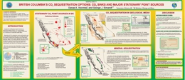 |
New and affordable ways to trap CO2 gas in a permanent way are currently being investigated as a result of Kyoto commitments. BC currently emits 65.9 Mt/tear CO2, of which some 82.4 % are the result of burning fuels for energy. CO2 can be trapped in deep saline aquifers or hydrocarbon reservoirs which are found within sedimentary basins in NE and central BC as well as Vancouver Island. Coal beds that can trap CO2 gas are near some point source emitters in SE and SC BC as well as Vancouver Island. Ultramafic Rocks can trap CO2 by converting magnesium silicates to magnesite and quartz.. Cost factors are poorly known but include the concentration of CO2 in the emitted gas, the distance from source to sink, the infrastructure in place to transport and deliver CO2 gas, and the actual cost of sequestering the CO2 gas. |
| Issue ID: | GF2003-07 |
| Title: | Atlin TGI: Geological Highlights and Mineralization, Nakina Transect |
| Author(s): | Mihalynuk, M.G. |
| Purpose: | Atlin TGI- focus attention on a little known area |
| Series Name: | GeoFile |
| Publication Year: | 2003 |
| NTS Map Sheet(s): | 104N/01, 02, and part of 03 |
| Place Keyword(s): | British Columbia, Atlin, Kuthai Lake, Deep Sheep Creek, Paint Creek |
| Lat/Long (NSWE): | 59.25, 59, -133.5, -132 |
| Theme Keyword(s): | Atlin TGI, geological mapping, paleontology, age dating, Cache Creek Terrane |
Download(s):
| PDF |
Abstract:
 |
The Targeted Geologic Initiative at Atlin provides evidence that the Nakina Transect contains geological environments that are prospective for a variety of mineral deposit types as well as raising possibility of hydrocarbon accumulations. Of key importance has been the discovery of submarine felsic volcanic rocks of Late Permian to Middle Triassic age; coeval with those hosting the volcanogenis massive sulphide accumulations at Kutcho Creek, Volcanic quartz in detrital sediments located in various parts of mapped region attest to the abundance of felsic volcanism in this part of the Cache Creek Terrane. The region around Thunder Alley is prospective for exhalites. The origin of the newly discovered Joss'alun concordant massive copper sulphide in submarine volcanic rocks also focuses on the increased prospectivity of the region. The geological framework has been updated with new stratigraphic assignments, fossil collections and age dates. |
| Issue ID: | GF2003-05 |
| Title: | Geology of Lorraine Cu-Au Porphyry; New Concepts |
| Author(s): | Nixon, G.T. |
| Purpose: | Place mineralization in a geologic context |
| Series Name: | GeoFile |
| Publication Year: | 2003 |
| NTS Map Sheet(s): | 093; |
| Place Keyword(s): | British Columbia, Takla Landing, Germansen Landing, Duckling Creek |
| Lat/Long (NSWE): | 55.95, 55.9, -126.47, -126.37 |
| Theme Keyword(s): | Porphyry Cu-Au mineralization, petrography, geochemistry, Hogem Batholith, Duckling Creek Syenite Complex |
Download(s):
| PDF |
Abstract:
 |
New mapping at Lorraine Cu-Au Prospect in central BC has distinguished two intrusive suites in the Duck Creek Complex with differing characteristics. The earlier phase consists of pyroxenite and metasyenites with cumulate textures and primary laminar flow textures, which apparently "youngs" to the west and has gradational contacts with the enclosing Hogem Batholith, and contrasts markedly with a second phase of intrusion with sharp intrusive contacts and leucosyenite composition. Oscillatory zoning, special mineralogy and textures suggest crystallization in a subvolcanic environment. The Cu-Au mineralization is associated with the leucosyenites in time and place. Layered migmatites are now thought to represent metasomatic textures variably accentuated by ductile strain. |
| Issue ID: | GF2003-04 |
| Title: | Digital Map of British Columbia: Tile NM9 (South Coast B.C.) |
| Author(s): | Massey, N.W.D., MacIntyre, D.G., Desjardins, P.J. |
| Purpose: | provide best geological background for land based decisions |
| Series Name: | GeoFile |
| Publication Year: | 2003 |
| Scale: | 1:250000 |
| NTS Map Sheet(s): | 092E,L, M, 102I,P |
| Place Keyword(s): | British Columbia, South Coast |
| Lat/Long (NSWE): | 52, 49, -130, -126 |
| Theme Keyword(s): | Compilation Map, Geological Map |
Download(s):
| ZIP (View Zip Contents) |
Abstract:
| Compilation of the Digital Map of British Columbia: Tile NM9 (NTS 103A,H,G,I,J, of south coast BC) at a scale of 1:250,000. |
| Issue ID: | GF2003-03 |
| Title: | Digital Map of British Columbia: Tile NM10 (Southwest B.C.) |
| Author(s): | Massey, N.W.D., MacIntyre, D.G., Desjardins, P.J. |
| Series Name: | GeoFile |
| Publication Year: | 2003 |
| Scale: | 1:250000 |
| NTS Map Sheet(s): | 092B, 092C, 092F, 092H, 092I, 092J, 092K, 092N, 092O, 092P |
| Place Keyword(s): | British Columbia |
| Lat/Long (NSWE): | 52, 48, -126, -120 |
| Theme Keyword(s): | Compilation Map, Geological mapping |
Download(s):
| ZIP (View Zip Contents) |
Abstract:
| Compilation of the Digital Map of British Columbia: Tile NM10 (NTS 92B,C,F,G,H,I,J,K,N,O,P of southwest BC) at a scale of 1:250,000. |
| Issue ID: | GF2003-02 |
| Title: | Digital Map of British Columbia: Tile NM11 (Southeast B.C.) |
| Author(s): | Massey, N.W.D., MacIntyre, D.G., Desjardins, P.J. |
| Series Name: | GeoFile |
| Publication Year: | 2003 |
| Scale: | 1:250000 |
| NTS Map Sheet(s): | 082E; 082F; 082G; 082J; 082K; 082L; 082M; 082N; 082O |
| Place Keyword(s): | British Columbia |
| Lat/Long (NSWE): | 52, 59, -120, -114 |
| Theme Keyword(s): | Compilation Map at 1:250000 scale |
Download(s):
| ZIP (View Zip Contents) |
Abstract:
| Compilation of the Digital Map of British Columbia: Tile NM11 (NTS 82E,F,G,J,K,L,M,N,O of southeast BC) at a scale of 1:250,000. |
| Issue ID: | GF2003-01 |
| Title: | Atlin TGI; Rock EVAL VII Program Pyrolysis Results from Whitehorse Trough |
| Author(s): | Fowler, M. |
| Purpose: | to present raw data for others to evaluate |
| Series Name: | GeoFile |
| Publication Year: | 2003 |
| NTS Map Sheet(s): | 104N/01, 104N/02, 104N/03, part of 104K/14 |
| Place Keyword(s): | British Columbia, Atlin, Whitehorse Trough |
| Lat/Long (NSWE): | 59.25, 58.75, -133.5, -132 |
| Theme Keyword(s): | hydrocarbon potential, pyrolysis, evaluation, data |
Download(s):
| ZIP (View Zip Contents) |
Abstract:
 |
An 'excel' file of raw data supporting the conclusions in Paper 15 in Geological Fieldwork 2003-1 p.187-202, by English and coworkers on a preliminary assessment of hydrocarbon potential of the Whitehorse Trough,. |
| Issue ID: | OF2004-07 |
| Title: | Operating Mines and Selected Major Exploration Projects, 2003 |
| Author(s): | Pardy, J.W. |
| Purpose: | Annual map |
| Series Name: | Open File |
| Publication Year: | 2004 |
| Scale: | 1:2000000 |
| NTS Map Sheet(s): | 082;083;092;093;094;102;103;104;114 |
| Place Keyword(s): | British Columbia |
| Lat/Long (NSWE): | 60, 48, -139, -114 |
| Theme Keyword(s): | Mines, Exploration Projects |
Download(s):
| PDF |
Abstract:
 |
Provincial Map shows the location of major projects and producing mines, in colour or in black and white. |
| Issue ID: | OF2004-03 |
| Title: | B.C. Age 2004A-1 (release 3, October 2004) - A Database of Isotopic Age Determinations for Rock Units from British Columbia |
| Author(s): | Breitsprecher, K., Mortensen, J.K. |
| Purpose: | basic data to help provide geologic background to geologists |
| Series Name: | Open File |
| Publication Year: | 2004 |
| NTS Map Sheet(s): | 082;083;092;093;094;102;103;104;114 |
| Place Keyword(s): | British Columbia |
| Lat/Long (NSWE): | 60, 48, -139, -114 |
| Theme Keyword(s): | Geochronology, isotopic age determinations, bedrock units, rock samples |
Download(s):
| ZIP (View Zip Contents) |
Abstract:
| BCAge 2004 is an MS-Access based database containing all reported non-proprietary isotopic age determinations for bedrock units from British Columbia. This release contains 7759 age determinations from 4828 rock samples, summarizing 622 published articles, theses or unpublished reports. The data is fully relational, and may be queried by the user on the basis absolute age (in Ma), location (NTS map sheet, terrane polygon, or decimal lat-long, as specified by the user) or source (e.g. author, journal title, etc.). The product is not stand-alone; the end user must install Microsoft Access, version 2000 or XP (2002). This data has also been integrated into MapPlace. |
| Issue ID: | OF2004-01 |
| Title: | Lode Gold Production and Resources in British Columbia (1890-2002) |
| Author(s): | Schroeter, T.G., Pardy, J.W. |
| Purpose: | raw data for previous brochure |
| Series Name: | Open File |
| Publication Year: | 2004 |
| Scale: | 1:2000000 |
| NTS Map Sheet(s): | 082;083;092;093;094;102;103;104;114 |
| Place Keyword(s): | British Columbia |
| Lat/Long (NSWE): | 60, 48, -139, -114 |
| Theme Keyword(s): | lode gold production, 1980-2002, production figures, gold statistics |
Download(s):
| PDF, ZIP (View Zip Contents) |
Abstract:
 |
This report is the provincial compilation of gold production and current resources for hardrock mines and deposits in British Columbia. It contains statistics updated to the end of 2002. The main data table lists 299 gold deposits which have produced or have resources totaling greater than 5 kilograms. Also included are summary tables and figures containing information about production, resources and total inventory. A map displays the location of the 299 gold deposits. The file contains a Corel 10 map and an MS Excel file with the raw data of gold production from 1980-2002. Refer to Open File 2004-18 for statistics on gold production and resources, updated to 2003. |
| Issue ID: | OF2003-05 |
| Title: | Gold Production and Resources in British Columbia |
| Author(s): | Schroeter, T.G. |
| Purpose: | brief summary of gold exploration in BC |
| Series Name: | Open File |
| Publication Year: | 2003 |
| NTS Map Sheet(s): | 082;083;092;093;094;102;103;104;114 |
| Place Keyword(s): | British Columbia |
| Lat/Long (NSWE): | 60, 48, -139, -114 |
| Theme Keyword(s): | gold production, gold prospects, gold in the regions, gold distributions |
Download(s):
| PDF |
Abstract:
 |
A summary of past gold production 1980-2002, and a brief summary by each regional geologist where the best opportunities for gold prospects in each of the regions. Contains information circular IC 2003-2 as addendum.(see link 3) |
| Issue ID: | OF2003-04 |
| Title: | Geological Setting of the Lorraine Cu-Au Porphyry Deposit, Duckling Creek Syenite Complex, North-central British Columbia (NTS 093N/14) |
| Author(s): | Nixon, G.T., Peatfield, G.R. |
| Series Name: | Open File |
| Publication Year: | 2003 |
| Scale: | 1:5000 |
| NTS Map Sheet(s): | 093N/14 |
| Place Keyword(s): | British Columbia, North Central BC, Duckling Creek |
| Lat/Long (NSWE): | 55.95, 55.9, -125.47, -125.38 |
| Theme Keyword(s): | geology, Cu - Au porphyry, syenite |
Download(s):
| PDF |
Abstract:
 |
The Geological Setting of the Lorraine Cu-Au Porphyry Deposit within the Duckling Creek Syenite Complex, is complex. The Syenite itself is found within the Hogem Batholith and shares the usual characteristics of the alkaline Cu-Au porphyries of late Triassic - early Jurassic age so well known in Stikine and Quesnel as mineral hosts. Newly recognized, cumulus layered, mainly mafic parts of the Duckling Syenite now allow another perspective to be developed with respect to the distribution of Cu mineralization. The distinguishing of primary layers from later superposed fractures provides a new tool in mapping the flow of mineralizing fluids from central locations and then permeating along the easily-melted/easily-replaced lower temperature melting components of the primary layering. |
| Issue ID: | OF2003-03 |
| Title: | Historic Mines of British Columbia |
| Author(s): | Barazzuol, L.N., Stewart, G.G. |
| Purpose: | Provide a base line for environmental studies. |
| Series Name: | Open File |
| Publication Year: | 2003 |
| NTS Map Sheet(s): | 082;083;092;093;094;102;103;104;114 |
| Place Keyword(s): | British Columbia, Sheep Creek |
| Lat/Long (NSWE): | 60, 48, -139, -114 |
| Theme Keyword(s): | Historic Mines, environmental degradation, metal leaching, acid drainage, mercury |
Download(s):
| PDF, ZIP (View Zip Contents) |
Abstract:
 |
This is a 125 page report on a scoping study of the 1887 historic mines in BC and focuses on the 1171 mines that have environmental concerns and present public health and safety issues. A number of sites (about 3%) have been selected as those which may show the greatest potential environmental impact. They include the Midway (MINFILE 082FSW021), Lenora (MINFILE 092B001), Bralorne-Takla (MINFILE 093N008), Ymir (MINFILE 082FSW067-068), Second Relief (MINFILE 082FSW187), and Sultana (MINFILE 082FSW061). It is recommended these be studied in greater detail. It is further recommended that the potential problems be addressed on a watershed by watershed approach to fully study the impact on a drainage system. |
| Issue ID: | GF2004-06 |
| Title: | Platinum Group Elements in Alkaline Cu-Au Porphyry |
| Author(s): | Nixon, G.T., Cabri, L.J., LaFlamme, J.H.G., Sylvester, P., Tubrett, M. |
| Purpose: | provide factual geological information |
| Series Name: | GeoFile |
| Publication Year: | 2004 |
| NTS Map Sheet(s): | 082; 083; 092; 093; 094; 103; 104 |
| Place Keyword(s): | British Columbia, Stikine Terrane, Quesnel Terrane |
| Lat/Long (NSWE): | 60, 48, -139, -114 |
| Theme Keyword(s): | PGE, Alkalic Cu-Au porphyry, pyrite solid solution, PGM |
Download(s):
| PDF |
Abstract:
 |
Alkali Intrusions of Late Triassic to Early Jurassic age are important hosts to porphyry style Cu-Au-Ag+/-PGE mineralization in BC. The main deposits are in Stikine and Quesnel terranes. Their economic potential is currently being explored as the PGE tenor and distribution are better understood. 7 samples from each of Afton, Lorraine, Copper Mtn, Friday Ck., Sappho, and Maple Leaf were analysed. It was found that much PGE is in solid solution in sulphides, that pyrite may be relatively enriched compared to copper sulphide mineral solid solutions (may carry up to 42 ppm Pd) and another part of the PGE budget is in discrete PGE telluride, antimonide, and arsenide minerals. |
| Issue ID: | OF2004-04 |
| Title: | Geology of the Samuel Black Range between the Finlay River and the Toodoggone River, Toodoggone River Map Area, Northcentral British Columbia |
| Author(s): | Diakow, L.J., Friedman, R. |
| Purpose: | part of Toodoggone Targeted Initiative II - Mining Company Partnerships |
| Series Name: | Open File |
| Publication Year: | 2004 |
| Other Citation Details: | one map 1:50 000 scale in PDF |
| Scale: | 1:20000 |
| NTS Map Sheet(s): | 094E/02,06,07 |
| Place Keyword(s): | British Columbia, Finlay River, Toodoggone River, Samuel Black Range |
| Lat/Long (NSWE): | 57.6287, 56.868, -127.489, -126.588 |
| Theme Keyword(s): | Geology, Bedrock Geology, Low sulphidation and Epithermal, Early Jurassic Monzonite, Subaerial volcanics |
Download(s):
| PDF |
Abstract:
 |
This map distinguishes the small higher level mineralized monzonite porphyry intrusions (Circa 197-198 Ma) from larger biotite hornblende granodiorite stocks that are characteristics of the Early Jurassic Black Lake plutonic suite. The coeval Toodoggone Formation of subaerial volcanic rocks which are locally mineralized with Cu-Au low sulphidation epithermal precious metal mineralization. |
| Issue ID: | OF2004-08 |
| Title: | Helicopter-borne gamma ray spectrometric and magnetic total field geophysical survey, Toodoggone Area, British Columbia |
| Author(s): | Shives, R.B.K., Carson, J.M., Ford, K.L., Holman, P.B., Diakow, L.J. |
| Series Name: | Open File |
| Publication Year: | 2004 |
| Other Citation Details: | Also published as GSC Open File 4613 |
| NTS Map Sheet(s): | Parts of 094D/15, 094E/02,03,06,07,10,11 |
| Place Keyword(s): | British Columbia, Toodoggone |
| Lat/Long (NSWE): | 57.6287, 56.868, -127.489, -126.588 |
| Theme Keyword(s): | gamma-ray spectrometric, magnetic total field, geophysics |
Download(s):
| PDF, ZIP (View Zip Contents) |
Abstract:
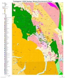 |
A joint BCMEM GSC conducted a multisensor (gamma-ray spectrometric, magnetic total field) helicopter-borne geophysical survey in the Toodoggone area, British Columbia, Canada. Flight lines were oriented NE-SW, spaced at 400 m intervals. The survey was flown under contract, by Fugro Airborne Surveys. The survey was funded through the Targeted Geoscience Initiative, and by a consortium of companies including Bishop Resources Inc., Finlay Minerals Ltd., Northgate Exploration Ltd., Sable Resources Ltd., and Stealth Minerals Ltd.. |
| Issue ID: | OF2004-09 |
| Title: | Helicopter-borne Gamma Ray Spectrometric and Magnetic Total Field Geophysical Survey, Horsefly Area, British Columbia |
| Author(s): | Shives, R.B.K., Carson, J.M., Ford, K.L., Holman, P.B., Cathro, M. |
| Series Name: | Open File |
| Publication Year: | 2004 |
| Other Citation Details: | Also published as GSC Open File 4617 |
| NTS Map Sheet(s): | Parts of 093A/03,05,06,11 |
| Place Keyword(s): | British Columbia, Horsefly |
| Lat/Long (NSWE): | 52.5799, 52.219, -121.8199, -121.133 |
| Theme Keyword(s): | gamma-ray spectrometric, magnetic total field, geophysics |
Download(s):
| PDF, ZIP (View Zip Contents) |
Abstract:
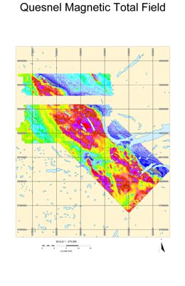 |
In 2003 the Geological Survey of Canada conducted a multisensor (gamma-ray spectrometric, magnetic total field) helicopter-borne geophysical survey in the Horsefly area, British Columbia, Canada. Flight lines were oriented NE-SW, spaced at 500 m intervals. The survey was flown under contract, by Fugro Airborne Surveys. Results are combined with the previously flown 1993 Mount Polley Survey (93A/12). The survey was funded by the British Columbia and Yukon Chamber of Mines� �Rocks to Riches� Program. |
| Issue ID: | OF2004-10 |
| Title: | Helicopter-borne Gamma Ray Spectrometric and Magnetic Total Field Geophysical Survey, Mount Polley Mine Area, British Columbia |
| Author(s): | Shives, R.B.K., Carson, J.M., Ford, K.L., Holman, P.B., Cathro, M. |
| Series Name: | Open File |
| Publication Year: | 2004 |
| Other Citation Details: | GSC Open File 4619, originally published as GSC Open File 2802 |
| NTS Map Sheet(s): | Part of 093A/12 |
| Place Keyword(s): | British Columbia, Mount Polley |
| Lat/Long (NSWE): | 52.60969, 52.49797, -121.743, -121.563696 |
| Theme Keyword(s): | gamma-ray spectrometric, magnetic total field, geophysics |
Download(s):
| PDF, ZIP (View Zip Contents) |
Abstract:
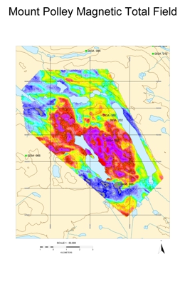 |
In 2003 Imperial Metals Corporation conducted a multisensor (gamma-ray spectrometric, magnetic total field) helicopter-borne geophysical survey over the Mount Polley Mine area, British Columbia, Canada. Flight lines were oriented east-west, spaced at 100 m intervals. The survey was flown under contract, by Fugro Airborne Surveys. The survey was funded by Imperial Metals Corporation and the British Columbia & Yukon Chamber of Mines "Rocks to Riches" Program. |
| Issue ID: | IC2004-01 |
| Title: | British Columbia Mineral Exploration Review 2003 |
| Author(s): | MEM |
| Series Name: | Information Circular |
| Publication Year: | 2004 |
| NTS Map Sheet(s): | 082;083;092;093;094;102;103;104;114 |
| Place Keyword(s): | British Columbia |
| Lat/Long (NSWE): | 60, 48, -139, -114 |
| Theme Keyword(s): | Mineral Exploration, Annual Review 2003, Mineral Statistics, Mineral and Coal Mines, Industrial Minerals |
Download(s):
| PDF |
Abstract:
 |
This annual publication provides an overview of mineral exploration and development activities in the Province of British Columbia for 2003. Ministry geologists using information provided by government, companies and individuals in the British Columbia mining industry compile the publication. It contains detailed statistical tables and illustrations, in addition to location maps and tables summarizing significant mining, exploration and development projects in the province during 2003. A total of $45 to $55 million is estimated to have been spent on direct fieldwork-related expenses during 2003 and this publication provides information on the major areas of interest. |
| Issue ID: | OF2004-02 |
| Title: | Geology and Mineral Deposits of the More Creek - Kinaskan Lake Area, NWBC (NTS 104G/1,8,9) |
| Author(s): | Alldrick, D.J., Stewart, M.L., Nelson, J.L., Simpson, K.A. |
| Series Name: | Open File |
| Publication Year: | 2004 |
| Scale: | 1:50000 |
| NTS Map Sheet(s): | 104G/1,8,9 |
| Place Keyword(s): | British Columbia, More Creek, Kinaskan Lake |
| Lat/Long (NSWE): | 57.6975, 57.05, -130.59, -130.025 |
| Theme Keyword(s): | geological map, porphyry, veins, Stratabound, Bedrock Geology |
Download(s):
| PDF |
Abstract:
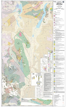 |
New Geology and a review of Mineral Deposits of the More Creek - Kinaskan Lake area. |
| Issue ID: | OF2004-06 |
| Title: | B.C. MINFILE - Mineral Deposits Database on CD-ROM |
| Author(s): | Jones, L.D., de Groot, L.L. |
| Purpose: | provide mineral occurrence information for use on local computers |
| Series Name: | Open File |
| Publication Year: | 2004 |
| Place Keyword(s): | British Columbia |
| Lat/Long (NSWE): | 60, 48, -139, -114 |
| Theme Keyword(s): | MINFILE, locations of mineral occurrences, mineral deposit models of minfile locations |
Download(s):
| PDF |
Abstract:
 |
The latest version of BC MINFILE - Mineral Deposits Database on CD-ROM. |
| Issue ID: | OF2003-01 |
| Title: | Geology of the Cariboo Lake Area, Central British Columbia |
| Author(s): | Ferri, F., O'Brien, B.H. |
| Series Name: | Open File |
| Publication Year: | 2003 |
| Scale: | 1:50000 |
| NTS Map Sheet(s): | 093A/11,12,13,14 |
| Place Keyword(s): | British Columbia, Central BC, Cariboo Lake |
| Lat/Long (NSWE): | 52.93333, 52.6167, -121.6333, -121.0333 |
| Theme Keyword(s): | Geology, Bedrock Geology |
Download(s):
| PDF |
Abstract:
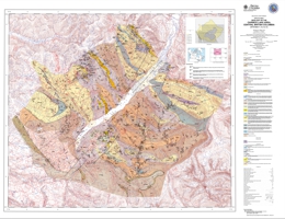 |
This new geological map covers an area of some 750 square kilometres around Cariboo Lake. This area is part of the historic Cariboo placer gold belt and also encompasses parts of the Yanks Peak lode gold occurrences and the old Cariboo Hudson mine site. The Cariboo Lake area has recently attracted interest based on the discovery of massive sulphide mineralization along Frank Creek (MINFILE 093A 152) and precious metal-rich sulphide mineralization at the Ace property, just south of Little River (093A 142). The map presents a re-interpretation of Snowshoe Group stratigraphy based on the delineation of a large, re-folded, southwest verging nappe structure some 25 kilometres in amplitude. This new geological model suggests that stratigraphic units along the western parts of the Snowshoe belt are equivalent to lithologies along the eastern margin, the latter of which hosted the bulk of lode gold mineralization. |
| Issue ID: | PGOF2003-03 |
| Title: | Exploration Assessment of Tight Gas Plays Northeastern British Columbia |
| Author(s): | Petrel Robertson Consulting Ltd. |
| Series Name: | Petroleum Geology Open File |
| Publication Year: | 2003 |
| NTS Map Sheet(s): | 094; 093I, 093J, 093K, 093L, 093M, 093N, 093O, 093P |
| Place Keyword(s): | British Columbia, Northeast BC |
| Lat/Long (NSWE): | 60, 54, -126, -120 |
| Theme Keyword(s): | Tight Gas, Exploration assessment |
Additional Link(s):
| https://www2.gov.bc.ca/gov/content?id=012699369BEF4CFCBF10DB5486D243C8 |
Abstract:
| Petrel Robertson Consulting Ltd. undertook an assessment of �tight gas� production and exploration potential in British Columbia in early 2003, for the British Columbia Ministry of Energy and Mines, Resource Development Division, New Ventures Branch. This report summarizes the project, and addresses several key areas:
� Definition of tight gas, and overview of its history and recent development in British Columbia;
� Geology and reservoir characteristics of major tight gas units in B.C.;
� Analysis of future exploration and development potential;
� Comparison with analogue basins;
� Application of current exploitation strategies, including modern drilling and completions technologies,
to exploit tight gas reservoirs.
This project is a regional overview for the purpose of assessing tight gas potential and highlighting opportunities. Isopach maps have been generated by direct interpretation of well logs from selected wells, to show regional patterns. Test, production, and reserves data are derived from commercial databases and government documents; we have not examined individual well records for this information. |
| Issue ID: | PGOF2003-03(S)-Brochure |
| Title: | Tight Gas Potential in Northeast British Columbia |
| Author(s): | Anonymous |
| Series Name: | Petroleum Geology Open File |
| Publication Year: | 2003 |
| Other Citation Details: | no longer available |
| NTS Map Sheet(s): | 094; 093I, 093J, 093K, 093L, 093M, 093N, 093O, 093P |
| Place Keyword(s): | British Columbia, Northeast BC |
| Lat/Long (NSWE): | 60, 54, -126, -120 |
| Theme Keyword(s): | coalfield, coalbed, methane, coalbed gas |
Abstract:
| A promotional brochure on tight gas potential in northeast British Columbia. This is a summary of Ministry of Energy and Mines Petroleum Geology Open File 2003-3 "Exploration Assessment of Tight Gas Plays, northeastern British Columbia". |
| Issue ID: | IP CBG Presentation-01 |
| Title: | Coalbed Methane Potential of the Anthracite Groundhog/Klappan Coalfield Northern Bowser Basin |
| Author(s): | Ryan, B.D. |
| Series Name: | Internet Publication |
| Publication Year: | 2004 |
| Other Citation Details: | no longer available |
| NTS Map Sheet(s): | 094D, 094E; 104A, 104H |
| Place Keyword(s): | British Columbia, Klappan, Groundhog, Bowser Basin |
| Lat/Long (NSWE): | 57.5, 56.75, -129.5, -127.5 |
| Theme Keyword(s): | coalfield, coalbed gas, methane |
Abstract:
| A 58-slide presentation on Coalbed Methane Potential of the Anthracite Groundhog/Klappan Coalfield Northern Bowser Basin. |
| Issue ID: | IP CBM Report-03 |
| Title: | The CBM Resource of Some Prospective Areas of the Crowsnest Coalfield |
| Author(s): | Ryan, B.D. |
| Series Name: | Internet Publication |
| Publication Year: | 2004 |
| Other Citation Details: | no longer available |
| Scale: | 1:100000 |
| NTS Map Sheet(s): | 082G |
| Place Keyword(s): | British Columbia, Crowsnest |
| Lat/Long (NSWE): | 50, 49.2, -115.4, -114.5 |
| Theme Keyword(s): | coalfield, coalbed gas, methane |
Abstract:
| This paper summarizes existing mapping data, coal quality and coal resource data in the Crowsnest Coalfield. It also attempts to delineate the resource potential of areas where the crown has clear title. |
| Issue ID: | IP CBG Map-08 |
| Title: | South Central Region Coalbed Gas Map - Bowron River Coalfield |
| Author(s): | MEM |
| Series Name: | Internet Publication |
| Publication Year: | 2002 |
| Scale: | 1:100000 |
| NTS Map Sheet(s): | 093H |
| Place Keyword(s): | British Columbia, Bowron River |
| Lat/Long (NSWE): | 54, 53.75, -122, -121.5 |
| Theme Keyword(s): | coalfield, coalbed gas, methane |
Download(s):
| PDF |
Additional Link(s):
| https://www2.gov.bc.ca/gov/content?id=E92B28B013AE48B1A165BBB997FDB9D0 |
Abstract:
| Regional Coalbed Methane Map - Bowron River Coalfield |
| Issue ID: | IP CBG Report-01 |
| Title: | Coal River Coalfield Information |
| Author(s): | MEM |
| Series Name: | Internet Publication |
| Publication Year: | 2004 |
| Other Citation Details: | no longer available |
| Larger Work Citation: | in Resource Development and Geoscience Branch, Petroleum Geology Paper 2004-1, pages 63-66 |
| Scale: | 1:100000 |
| NTS Map Sheet(s): | 094M |
| Place Keyword(s): | British Columbia, Coal River |
| Lat/Long (NSWE): | 59.93, 59.88, -126.11, -126.02 |
| Theme Keyword(s): | coalfield, coalbed gas, methane |
Abstract:
| The Coal River Coalfield is located in northern British Columbia between the Yukon border and the Liard River and is crossed by the Alaska Highway in the south. About 10 kilometres north of the highway, Coal River cuts through an area of Tertiary rocks exposing a single seam of lignite. The complete seam is not exposed but partial seam thicknesses range up to metres. |
| Issue ID: | IP CBG Report-13 |
| Title: | Vancouver Island Coalfields Information |
| Author(s): | MEM |
| Series Name: | Internet Publication |
| Publication Year: | 2004 |
| Other Citation Details: | no longer available |
| Larger Work Citation: | in Resource Development and Geoscience Branch, Petroleum Geology Paper 2004-1, pages 19-30 |
| Scale: | 1:100000 |
| NTS Map Sheet(s): | 092E, 092F, 092K, 092L; 102I |
| Place Keyword(s): | British Columbia, Comox, Nanaimo, Suquash, Vancouver Island |
| Lat/Long (NSWE): | 50.75, 48.9, -127.5, -123.5 |
| Theme Keyword(s): | coalfield, coalbed gas, methane |
Abstract:
| Along the coast of British Columbia coal deposits occur on Vancouver Island, the Queen Charlotte Islands to the north, and some of the Gulf Islands. Coal rank ranges from anthracite to lignite, with most being high-volatile bituminous. Host rocks range from Jurassic to Tertiary though most coal is found in the Upper Cretaceous Nanaimo Group. The major Upper Cretaceous coalfields on Vancouver Island are the Comox and Nanaimo fields. The Comox Coalfield includes the Quinsam underground mine, which is the only operating coal mine on the island. There are at least two coal-bearing formations within the Nanaimo Group. The first is the basal Comox Formation which is the source of coal in the Comox Coalfield, and the Extension and Protection formations in the Nanaimo Coalfield. |
| Issue ID: | IP CBG Map-13 |
| Title: | Vancouver Island Coalbed Gas Map - Comox Coalfield |
| Author(s): | MEM |
| Series Name: | Internet Publication |
| Publication Year: | 2002 |
| Scale: | 1:100000 |
| NTS Map Sheet(s): | 092F,K |
| Place Keyword(s): | British Columbia, Comox |
| Lat/Long (NSWE): | 50.25, 49.25, -125.51, -124.48 |
| Theme Keyword(s): | coalfield, coalbed gas, methane |
Download(s):
| PDF |
Additional Link(s):
| https://www2.gov.bc.ca/gov/content?id=E92B28B013AE48B1A165BBB997FDB9D0
https://cmscontent.nrs.gov.bc.ca/geoscience/Coal/Coalfields/BCGS_Coalfields_NanaimoComox.pdf |
Abstract:
| Regional Coalbed Methane Map - Comox Coalfield |
| Issue ID: | IP CBG Map 2003 |
| Title: | Coalfields and CBG Potential in B.C. (November 2003) |
| Author(s): | MEM |
| Series Name: | Internet Publication |
| Publication Year: | 2003 |
| Other Citation Details: | no longer available |
| Scale: | 1:100000 |
| NTS Map Sheet(s): | 082;083;092;093;094;102;103;104;114 |
| Place Keyword(s): | British Columbia |
| Lat/Long (NSWE): | 60, 48, -139, -114 |
| Theme Keyword(s): | coalfield, coalbed gas, methane |
Abstract:
| This BC Geological Survey map outlines the sedimentary basins and distribution of coal in British Columbia and the coalbed gas potential reserves in each basin. |
| Issue ID: | IP CBG Map-06 |
| Title: | Southeast Region Coalbed Gas Map - Crowsnest Coalfield |
| Author(s): | MEM |
| Series Name: | Internet Publication |
| Publication Year: | 2002 |
| Scale: | 1:100000 |
| NTS Map Sheet(s): | 082G/6,7,10,11,15 |
| Place Keyword(s): | British Columbia, Crowsnest |
| Lat/Long (NSWE): | 49.82, 49.28, -115.03, -114.64 |
| Theme Keyword(s): | coalfield, coalbed gas, methane |
Abstract:
| Regional Coalbed Methane Map - Crowsnest Coalfield |
| Issue ID: | IP CBG Report-06 |
| Title: | Crowsnest Coalfield Information |
| Author(s): | MEM |
| Series Name: | Internet Publication |
| Publication Year: | 2004 |
| Other Citation Details: | no longer available |
| Larger Work Citation: | in Resource Development and Geoscience Branch, Petroleum Geology Paper 2004-1, pages 11-18 |
| Scale: | 1:100000 |
| NTS Map Sheet(s): | 082G/6,7,10,11,15 |
| Place Keyword(s): | British Columbia, Crowsnest, East Kootenay, Elk Valley, Flathead |
| Lat/Long (NSWE): | 49.82, 49.28, -115.03, -114.64 |
| Theme Keyword(s): | coalfield, coalbed gas, methane |
Abstract:
| The Crowsnest Coalfield has a coal resource of over 25 billion tonnes and includes the Elkview and Coal Mountain mines (Ryan, 2003). The coalfield extends from the town of Sparwood to 20 kilometres south of the town of Fernie. This 600 square kilometre area is underlain by the Jura-Cretaceous Mist Mountain Formation, which contains from 30 to 60 cumulative metres of high to low-volatile bituminous coal. |
| Issue ID: | IP CBG Opportunities-01 |
| Title: | Coalbed Gas (CBG) Opportunities - Geological Map of the Crowsnest Coalfield |
| Author(s): | MEM |
| Series Name: | Internet Publication |
| Publication Year: | 2003 |
| Other Citation Details: | no longer available |
| Scale: | 1:75000 |
| NTS Map Sheet(s): | 082G/6,7,10,11,15 |
| Place Keyword(s): | British Columbia, Crowsnest |
| Lat/Long (NSWE): | 49.82, 49.28, -115.03, -114.64 |
| Theme Keyword(s): | coalfield, coalbed gas, methane |
Abstract:
| Regional Coalbed Methane Map - Geological Map of the Crowsnest Coalfield |
| Issue ID: | IP CBG Opportunities-03 |
| Title: | Coalbed Gas (CBG) Opportunities - Infrastructure Map of the Crowsnest Coalfield |
| Author(s): | MEM |
| Series Name: | Internet Publication |
| Publication Year: | 2003 |
| Other Citation Details: | no longer available |
| Scale: | 1:75000 |
| NTS Map Sheet(s): | 082G/6,7,10,11,15 |
| Place Keyword(s): | British Columbia, Crowsnest |
| Lat/Long (NSWE): | 49.82, 49.28, -115.03, -114.64 |
| Theme Keyword(s): | coalfield, coalbed gas, methane |
Abstract:
| Regional Coalbed Methane Map - Infrastructure Map of the Crowsnest Coalfield |
| Issue ID: | IP CBG Opportunities-04 |
| Title: | Coalbed Gas (CBG) Opportunities - Surface Land Ownership of the Crowsnest Coalfield |
| Author(s): | MEM |
| Series Name: | Internet Publication |
| Publication Year: | 2003 |
| Other Citation Details: | no longer available |
| Scale: | 1:75000 |
| NTS Map Sheet(s): | 082G/6,7,10,11,15 |
| Place Keyword(s): | British Columbia, Crowsnest |
| Lat/Long (NSWE): | 49.82, 49.28, -115.03, -114.64 |
| Theme Keyword(s): | coalfield, coalbed gas, methane |
Abstract:
| Regional Coalbed Methane Map - Surface Land Ownership of the Crowsnest Coalfield |
| Issue ID: | IP CBG Opportunities-06 |
| Title: | Coalbed Gas (CBG) Opportunities - Petroleum and Natural Gas Ownership of the Crowsnest Coalfield |
| Author(s): | MEM |
| Series Name: | Internet Publication |
| Publication Year: | 2003 |
| Other Citation Details: | no longer available |
| Scale: | 1:75000 |
| NTS Map Sheet(s): | 082G/6,7,10,11,15 |
| Place Keyword(s): | British Columbia, Crowsnest |
| Lat/Long (NSWE): | 49.82, 49.28, -115.03, -114.64 |
| Theme Keyword(s): | coalfield, coalbed gas, methane |
Abstract:
| Regional Coalbed Methane Map - Petroleum and Natural Gas Ownership of the Crowsnest Coalfield |
| Issue ID: | IP CBG Opportunities-05 |
| Title: | Coalbed Gas (CBG) Opportunities - Coal Ownership of the Crowsnest Coalfield |
| Author(s): | MEM |
| Series Name: | Internet Publication |
| Publication Year: | 2003 |
| Other Citation Details: | no longer available |
| Scale: | 1:75000 |
| NTS Map Sheet(s): | 082G/6,7,10,11,15 |
| Place Keyword(s): | British Columbia, Crowsnest |
| Lat/Long (NSWE): | 49.82, 49.28, -115.03, -114.64 |
| Theme Keyword(s): | coalfield, coalbed gas, methane |
Abstract:
| Regional Coalbed Methane Map - Coal Ownership of the Crowsnest Coalfield |
| Issue ID: | IP CBG Opportunities-07 |
| Title: | Coalbed Gas (CBG) Opportunities - Land Use Map of the Crowsnest Coalfield |
| Author(s): | MEM |
| Series Name: | Internet Publication |
| Publication Year: | 2003 |
| Other Citation Details: | no longer available |
| Scale: | 1:75000 |
| NTS Map Sheet(s): | 082G/6,7,10,11,15 |
| Place Keyword(s): | British Columbia, Crowsnest |
| Lat/Long (NSWE): | 49.82, 49.28, -115.03, -114.64 |
| Theme Keyword(s): | coalfield, coalbed gas, methane |
Abstract:
| Regional Coalbed Methane Map - Land Use Map of the Crowsnest Coalfield |
| Issue ID: | IP CBG Opportunities-08 |
| Title: | Regional Coalbed Methane Map - Topology of the Crowsnest Coalfield |
| Author(s): | MEM |
| Series Name: | Internet Publication |
| Publication Year: | 2003 |
| Other Citation Details: | no longer available |
| Scale: | 1:75000 |
| NTS Map Sheet(s): | 082G/6,7,10,11,15 |
| Place Keyword(s): | British Columbia, Crowsnest |
| Lat/Long (NSWE): | 49.82, 49.28, -115.03, -114.64 |
| Theme Keyword(s): | coalfield, coalbed gas, methane |
Abstract:
| Regional Coalbed Methane Map - Topology of the Crowsnest Coalfield |
| Issue ID: | IP CBG Opportunities-09 |
| Title: | Regional Coalbed Methane Map - Contoured Topology of the Crowsnest Coalfield |
| Author(s): | MEM |
| Series Name: | Internet Publication |
| Publication Year: | 2003 |
| Other Citation Details: | no longer available |
| Scale: | 1:75000 |
| NTS Map Sheet(s): | 082G/6,7,10,11,15 |
| Place Keyword(s): | British Columbia, Crowsnest |
| Lat/Long (NSWE): | 49.82, 49.28, -115.03, -114.64 |
| Theme Keyword(s): | coalfield, coalbed gas, methane |
Abstract:
| Regional Coalbed Methane Map - Contoured Topology of the Crowsnest Coalfield |
| Issue ID: | IP CBG Opportunities-02 |
| Title: | Coalbed Gas (CBG) Opportunities - Topology Elevation Gradation of the Crowsnest Coalfield |
| Author(s): | MEM |
| Series Name: | Internet Publication |
| Publication Year: | 2003 |
| Other Citation Details: | no longer available |
| Scale: | 1:75000 |
| NTS Map Sheet(s): | 082G/06,07,10,11,15 |
| Place Keyword(s): | British Columbia, Crowsnest |
| Lat/Long (NSWE): | 49.82, 49.28, -115.03, -114.64 |
| Theme Keyword(s): | coalfield, coalbed gas, methane |
Abstract:
| Regional Coalbed Methane Map - Topology Elevation Gradation of the Crowsnest Coalfield |
| Issue ID: | IP CBG Map-07 |
| Title: | Southeast Region Coalbed Gas Map - East Kootenay Coalfields |
| Author(s): | MEM |
| Series Name: | Internet Publication |
| Publication Year: | 2002 |
| Scale: | 1:250000 |
| NTS Map Sheet(s): | 082I,J |
| Place Keyword(s): | British Columbia, East Kootenay |
| Lat/Long (NSWE): | 50.75, 49, -115.5, -114.5 |
| Theme Keyword(s): | coalfield, coalbed gas, methane |
Download(s):
| PDF |
Additional Link(s):
| https://www2.gov.bc.ca/gov/content?id=E92B28B013AE48B1A165BBB997FDB9D0
https://cmscontent.nrs.gov.bc.ca/geoscience/Coal/Coalfields/BCGS_Coalfields_BCGS_Coalfields_Kootenay_geology.pdf |
Abstract:
| Regional Coalbed Methane Map - East Kootenay Coalfields |
| Issue ID: | IP CBG Report-07 |
| Title: | East Kootenay Coalfields Information |
| Author(s): | MEM |
| Series Name: | Internet Publication |
| Publication Year: | 2004 |
| Other Citation Details: | no longer available |
| Larger Work Citation: | in Resource Development and Geoscience Branch, Petroleum Geology Paper 2004-1, pages 11-18 |
| Scale: | 1:250000 |
| NTS Map Sheet(s): | 082G, 082I, 082J |
| Place Keyword(s): | British Columbia, East Kootenay, Crowsnest, Elk Valley, Flathead |
| Lat/Long (NSWE): | 50.75, 49, -115.5, -114.5 |
| Theme Keyword(s): | coalfield, coalbed gas, methane |
Abstract:
| The southeast corner of the province, often referred to as the East Kootenay region, contains three separate coalfields known respectively as Crowsnest, Elk Valley and Flathead. Since 1898, these coalfields have produced over 500 million tonnes of mainly coking coal and presently host five active mines. |
| Issue ID: | PGOF2003-02-1 |
| Title: | Regional Coalbed Methane Map - Hat Creek |
| Author(s): | Church, B.N., Fournier, M.A. |
| Series Name: | Petroleum Geology Open File |
| Publication Year: | 2003 |
| Scale: | 1:100000 |
| NTS Map Sheet(s): | 092I, 092J |
| Place Keyword(s): | British Columbia, Hat Creek |
| Lat/Long (NSWE): | 51, 50.5, -122.5, -121.5 |
| Theme Keyword(s): | coalfield, coalbed, methane, coalbed gas |
Download(s):
| PDF |
Abstract:
| Regional Coalbed Methane Map - Hat Creek |
| Issue ID: | PGOF2003-02-2 |
| Title: | Regional Coalbed Methane Map - Hat Creek Landsat |
| Author(s): | Tomlins, G., Church, B.N., Fournier, M.A. |
| Series Name: | Petroleum Geology Open File |
| Publication Year: | 2003 |
| Scale: | 1:100000 |
| NTS Map Sheet(s): | 092I, 092J |
| Place Keyword(s): | British Columbia, Hat Creek |
| Lat/Long (NSWE): | 51, 50.5, -122.5, -121.5 |
| Theme Keyword(s): | coalfield, coalbed, methane, coalbed gas |
Download(s):
| PDF |
Abstract:
| Regional Coalbed Methane Map - Hat Creek Landsat |
| Issue ID: | PGOF2003-02-3 |
| Title: | Regional Coalbed Methane Map - Geology of the Hat Creek Coalfield |
| Author(s): | Church, B.N., Armitage, J., Fournier, M.A. |
| Series Name: | Petroleum Geology Open File |
| Publication Year: | 2003 |
| Scale: | 1:100000 |
| NTS Map Sheet(s): | 092I, 092J |
| Place Keyword(s): | British Columbia, Hat Creek |
| Lat/Long (NSWE): | 51, 50.5, -122.5, -121.5 |
| Theme Keyword(s): | coalfield, coalbed, methane, coalbed gas |
Download(s):
| PDF |
Abstract:
| Regional Coalbed Methane Map - Geology of the Hat Creek Coalfield |
| Issue ID: | PGOF2003-02-4 |
| Title: | Regional Coalbed Methane Map - Air Photo Mosaic of the Hat Creek Coalfield |
| Author(s): | Paquin, S., Fournier, M.A. |
| Series Name: | Petroleum Geology Open File |
| Publication Year: | 2003 |
| Scale: | 1:100000 |
| NTS Map Sheet(s): | 092I, 092J |
| Place Keyword(s): | British Columbia, Hat Creek |
| Lat/Long (NSWE): | 51, 50.5, -122.5, -121.5 |
| Theme Keyword(s): | coalfield, coalbed, methane, coalbed gas |
Download(s):
| PDF |
Abstract:
| Regional Coalbed Methane Map - Air Photo Mosaic of the Hat Creek Coalfield very large PDF!) |
| Issue ID: | PGOF2003-02-5 |
| Title: | Regional Coalbed Methane - Hat Creek Coalfield - Geological Cross Sections |
| Author(s): | Paquin, S., Fournier, M.A. |
| Series Name: | Petroleum Geology Open File |
| Publication Year: | 2003 |
| NTS Map Sheet(s): | 092I, 092J |
| Place Keyword(s): | British Columbia, Hat Creek |
| Lat/Long (NSWE): | 51, 50.5, -122.5, -121.5 |
| Theme Keyword(s): | coalfield, coalbed, methane, coalbed gas |
Download(s):
| PDF |
Abstract:
| Regional Coalbed Methane - Hat Creek Coalfield - Geological Cross Sections |
| Issue ID: | IP CBG Map-02 |
| Title: | Northwest Region Coalbed Gas Map - Klappan-Groundhog Coalfields |
| Author(s): | MEM |
| Series Name: | Internet Publication |
| Publication Year: | 2002 |
| Scale: | 1:250000 |
| NTS Map Sheet(s): | 094D,E;104A,H |
| Place Keyword(s): | British Columbia, Klappan, Groundhog |
| Lat/Long (NSWE): | 57.5, 56.75, -129.5, -127.5 |
| Theme Keyword(s): | coalfield, coalbed gas, methane |
Download(s):
| PDF |
Additional Link(s):
| https://www2.gov.bc.ca/gov/content?id=E92B28B013AE48B1A165BBB997FDB9D0 |
Abstract:
| Klappan and Groundhog Coalfields map. |
| Issue ID: | IP CBG Report-02 |
| Title: | Klappan-Groundhog Coalfields Information |
| Author(s): | MEM |
| Series Name: | Internet Publication |
| Publication Year: | 2004 |
| Other Citation Details: | no longer available |
| Larger Work Citation: | in Resource Development and Geoscience Branch, Petroleum Geology Paper 2004-1, pages 31-34 |
| Scale: | 1:250000 |
| NTS Map Sheet(s): | 094D, 094E; 104A, 104H |
| Place Keyword(s): | British Columbia, Klappan, Groundhog |
| Lat/Long (NSWE): | 57.5, 56.75, -129.5, -127.5 |
| Theme Keyword(s): | coalfield, coalbed gas, methane |
Abstract:
| Anthracite coal deposits of the Klappan and Groundhog coalfields occur within the Bowser Basin in a remote region of rugged mountainous terrain in northwestern British Columbia. The basin, which encompasses an area of approximately 50,000 square kilometres, is defined by the outcrop extent of up to 3500 metres of sediments of the Bowser Lake Group of Middle Jurassic to Lower Cretaceous age. Though no coalbed gas wells have been drilled in the Bowser Basin, a potential of 8 Tcf of contained coalbed gas is conservatively estimated. The coal is contained in the Jura-Cretaceous Currier Formation which is up to 1100 metres thick and contains up to 25 seams, ranging in thickness up to 7 metres. The area is extensively folded with the regional structure dominated by a northwest trending synclinorium. |
| Issue ID: | IP CBG Map-10 |
| Title: | South Central Region Coalbed Gas Map - Merritt Coalfield |
| Author(s): | MEM |
| Series Name: | Internet Publication |
| Publication Year: | 2002 |
| Scale: | 1:50000 |
| NTS Map Sheet(s): | 092H,I |
| Place Keyword(s): | British Columbia, Merritt, Similkameen |
| Lat/Long (NSWE): | 50.25, 49.25, -121, -120 |
| Theme Keyword(s): | coalfield, coalbed gas, methane |
Download(s):
| PDF |
Additional Link(s):
| https://www2.gov.bc.ca/gov/content?id=E92B28B013AE48B1A165BBB997FDB9D0
https://cmscontent.nrs.gov.bc.ca/geoscience/Coal/Coalfields/BCGS_Coalfields_MerrittSimilkameen.pdf |
Abstract:
| Regional Coalbed Methane Map - Merritt Coalfield |
| Issue ID: | IP CBG Map-14 |
| Title: | Vancouver Island Coalbed Gas Map - Nanaimo Coalfield |
| Author(s): | MEM |
| Series Name: | Internet Publication |
| Publication Year: | 2002 |
| Scale: | 1:60000 |
| NTS Map Sheet(s): | 092G |
| Place Keyword(s): | British Columbia, Nanaimo |
| Lat/Long (NSWE): | 49.25, 49, -124, -123.5 |
| Theme Keyword(s): | coalfield, coalbed gas, methane |
Download(s):
| PDF |
Additional Link(s):
| https://www2.gov.bc.ca/gov/content?id=E92B28B013AE48B1A165BBB997FDB9D0
https://cmscontent.nrs.gov.bc.ca/geoscience/Coal/Coalfields/BCGS_Coalfields_NanaimoComox.pdf |
Abstract:
| Regional Coalbed Methane Map - Nanaimo Coalfield |
| Issue ID: | IP CBG Map-15 |
| Title: | Regional Coalbed Methane Map - Nanaimo Coalfield Landsat |
| Author(s): | MEM |
| Series Name: | Internet Publication |
| Publication Year: | 2002 |
| Other Citation Details: | no longer available |
| Scale: | 1:60000 |
| NTS Map Sheet(s): | 092G |
| Place Keyword(s): | British Columbia, Nanaimo |
| Lat/Long (NSWE): | 49.25, 49, -124, -123.5 |
| Theme Keyword(s): | coalfield, coalbed gas, methane |
Abstract:
| Regional Coalbed Methane Map - Nanaimo Coalfield Landsat |
| Issue ID: | IP CBG Map-05 |
| Title: | Northeast Region Coalbed Gas Map - Peace River |
| Author(s): | MEM |
| Series Name: | Internet Publication |
| Publication Year: | 2002 |
| Scale: | 1:500000 |
| NTS Map Sheet(s): | 093I, 093O, 093P; 094A, 094B |
| Place Keyword(s): | British Columbia, Peace River |
| Lat/Long (NSWE): | 56.5, 54.25, -123, -120 |
| Theme Keyword(s): | coalfield, coalbed gas, methane |
Download(s):
| PDF |
Additional Link(s):
| https://www2.gov.bc.ca/gov/content?id=E92B28B013AE48B1A165BBB997FDB9D0 |
Abstract:
| Regional Coalbed Methane Map - Peace River |
| Issue ID: | IP CBG Map-11 |
| Title: | South Central Region Coalbed Gas Map - Similkameen (Princeton) Coalfield |
| Author(s): | MEM |
| Series Name: | Internet Publication |
| Publication Year: | 2002 |
| Scale: | 1:50000 |
| NTS Map Sheet(s): | 092H |
| Place Keyword(s): | British Columbia, Similkameen, Princeton |
| Lat/Long (NSWE): | 49.75, 49.25, -121, -120 |
| Theme Keyword(s): | coalfield, coalbed gas, methane |
Download(s):
| PDF |
Additional Link(s):
| https://www2.gov.bc.ca/gov/content?id=E92B28B013AE48B1A165BBB997FDB9D0 |
Abstract:
| Regional Coalbed Methane Map - Similkameen (Princeton) Coalfield |
| Issue ID: | IP CBG Report-11 |
| Title: | Similkameen (Princeton) Coalfield Information |
| Author(s): | MEM |
| Series Name: | Internet Publication |
| Publication Year: | 2004 |
| Other Citation Details: | no longer available |
| Larger Work Citation: | in Resource Development and Geoscience Branch, Petroleum Geology Paper 2004-1, pages 43-46 |
| Scale: | 1:50000 |
| NTS Map Sheet(s): | 092H |
| Place Keyword(s): | British Columbia, Similkameen, Princeton |
| Lat/Long (NSWE): | 49.75, 49.25, -121, -120 |
| Theme Keyword(s): | coalfield, coalbed gas, methane |
Abstract:
| The Tertiary Princeton Coalfield is located in the south-central part of the province and is centered on the town of Princeton. It covers an area of about 170 square kilometres and is approximately 24 kilometres long and 4 to 7 kilometres wide. The coalfield is composed of a number of northwest trending synclines with faults defining the western and eastern edges. There were thirteen small underground mines and one on surface that operated in the central part of the coalfield up until about 1961. From 1919-40, about 2.1 million tonnes of coal were produced. |
| Issue ID: | IP CBG Map-03 |
| Title: | Northwest Region Coalbed Gas Map - Telkwa Coalfield |
| Author(s): | MEM |
| Series Name: | Internet Publication |
| Publication Year: | 2002 |
| Scale: | 1:100000 |
| NTS Map Sheet(s): | 093L |
| Place Keyword(s): | British Columbia, Telkwa |
| Lat/Long (NSWE): | 55, 54.5, -127.5, -126.5 |
| Theme Keyword(s): | coalfield, coalbed gas, methane |
Download(s):
| PDF |
Additional Link(s):
| https://www2.gov.bc.ca/gov/content?id=E92B28B013AE48B1A165BBB997FDB9D0
https://cmscontent.nrs.gov.bc.ca/geoscience/Coal/Coalfields/BCGS_Coalfields_Bowser.pdf |
Abstract:
| Regional Coalbed Methane Map - Telkwa Coalfield |
| Issue ID: | IP CBG Report-03 |
| Title: | Telkwa Coalfield Information |
| Author(s): | MEM |
| Series Name: | Internet Publication |
| Publication Year: | 2004 |
| Other Citation Details: | no longer available |
| Larger Work Citation: | in Resource Development and Geoscience Branch, Petroleum Geology Paper 2004-1, pages 35-38 |
| Scale: | 1:50000 |
| NTS Map Sheet(s): | 093L |
| Place Keyword(s): | British Columbia, Telkwa |
| Lat/Long (NSWE): | 55, 54.5, -127.5, -126.5 |
| Theme Keyword(s): | coalfield, coalbed gas, methane |
Abstract:
| The Telkwa Coalfield in central British Columbia extends for about 50 kilometres along the Bulkley River from north of the town of Smithers to south of the village of Telkwa. Two coal-bearing units containing up to 21 metres of coal occur in the Lower Cretaceous Skeena Group. Thermal coal and small quantities of anthracite were mined in the coalfield in the early part of the century and more recently, near Telkwa, the coalfield has been intensively explored by a number of companies with the intention of developing an open-pit thermal-coal mine. A total surface mineable coal resource is estimated at 180 million tonnes and the potential resource available for coalbed gas is about 860 million tonnes. |
| Issue ID: | IP CBG Map-04 |
| Title: | Northwest Region Coalbed Gas Map - Tuya Coalfield |
| Author(s): | MEM |
| Series Name: | Internet Publication |
| Publication Year: | 2002 |
| Scale: | 1:100000 |
| NTS Map Sheet(s): | 104J |
| Place Keyword(s): | British Columbia, Tuya |
| Lat/Long (NSWE): | 58.5, 58, -131, -130.5 |
| Theme Keyword(s): | coalfield, coalbed gas, methane |
Download(s):
| PDF |
Additional Link(s):
| https://www2.gov.bc.ca/gov/content?id=E92B28B013AE48B1A165BBB997FDB9D0 |
Abstract:
| Regional Coalbed Methane Map - Tuya Coalfield |
| Issue ID: | IP CBG Map-16 |
| Title: | Regional Coalbed Methane Map - Vancouver Island |
| Author(s): | MEM |
| Series Name: | Internet Publication |
| Publication Year: | 2002 |
| Other Citation Details: | no longer available |
| Scale: | 1:250000 |
| NTS Map Sheet(s): | 092B, 092C, 092E, 092F, 092G, 092K, 092L; 102I |
| Place Keyword(s): | British Columbia, Vancouver Island |
| Lat/Long (NSWE): | 50.92, 48.29, -128.48, -123.07 |
| Theme Keyword(s): | coalfield, coalbed gas, methane |
Abstract:
| Regional Coalbed Methane Map - Vancouver Island |
| Issue ID: | IP CBG Map-17 |
| Title: | Regional Coalbed Methane Map - Vancouver Island Energy Resource and Infrastructure |
| Author(s): | MEM |
| Series Name: | Internet Publication |
| Publication Year: | 2002 |
| Other Citation Details: | no longer available |
| Scale: | 1:250000 |
| NTS Map Sheet(s): | 092B, 092C, 092E, 092F, 092G, 092K, 092L; 102I |
| Place Keyword(s): | British Columbia, Vancouver Island |
| Lat/Long (NSWE): | 50.92, 48.29, -128.48, -123.07 |
| Theme Keyword(s): | coalfield, coalbed gas, methane, infrastructure |
Abstract:
| Regional Coalbed Methane Map - Vancouver Island Energy Resource and Infrastructure |
| Issue ID: | IP CBG Map-01 |
| Title: | Northwest Region Coalbed Gas Map - Coal River Coalfield |
| Author(s): | MEM |
| Series Name: | Internet Publication |
| Publication Year: | 2002 |
| NTS Map Sheet(s): | 094M |
| Place Keyword(s): | British Columbia, Coal River |
| Lat/Long (NSWE): | 59.75, 59.65, -127, -126.9 |
| Theme Keyword(s): | coalfield, coalbed gas, methane |
Download(s):
| PDF |
Additional Link(s):
| https://www2.gov.bc.ca/gov/content?id=E92B28B013AE48B1A165BBB997FDB9D0 |
Abstract:
| Coal River Coalfield map. |
| Issue ID: | IC2004-04 |
| Title: | MINFILE/pc 4.5 User's Manual |
| Author(s): | MINFILE Staff |
| Series Name: | Information Circular |
| Publication Year: | 2004 |
| NTS Map Sheet(s): | 082;083;092;093;094;102;103;104;114 |
| Place Keyword(s): | British Columbia |
| Theme Keyword(s): | Minfile, Users manual, BC Mineral occurrences |
Abstract:
| The User's Manual for MINFILE/pc v. 4.5, a powerful mineral inventory system for British Columbia. The MINFILE/pc User's Manual provides instructions on installing, operating, and using MINFILE/pc. This page contains links to each section and subsection of the manual. A digital version of this manual is available for download. |
| Issue ID: | IC2004-03 |
| Title: | MINFILE Coding Manual Version 4.5 |
| Author(s): | MINFILE Staff |
| Series Name: | Information Circular |
| Publication Year: | 2004 |
| NTS Map Sheet(s): | 082;083;092;093;094;102;103;104;114 |
| Place Keyword(s): | British Columbia |
| Theme Keyword(s): | Minfile, Coding manual, BC Mineral occurrences |
Abstract:
| MINFILE Coding Manual Version 4.5 contains instructions on how to code new MINFILE occurrences. This is the new manual to go along with MINFILE 4.5 system, easily available from the Ministry. New features allow users to add their own data to the personal data bank. |
| Issue ID: | IC2003-02 |
| Title: | Gold in British Columbia |
| Author(s): | MEM |
| Series Name: | Information Circular |
| Publication Year: | 2004 |
| Scale: | 1:9600000 |
| NTS Map Sheet(s): | 082;083;092;093;094;102;103;104;114 |
| Place Keyword(s): | British Columbia |
| Lat/Long (NSWE): | 60, 48, -139, -114 |
| Theme Keyword(s): | gold, gold prospects |
Download(s):
| PDF |
Abstract:
 |
A Brochure noting gold prospects in BC. |
| Issue ID: | B110 |
| Title: | Quaternary Geology and Till Geochemistry of the Babine Porphyry Copper Belt, B.C. |
| Author(s): | Levson, V.M. |
| Series Name: | Bulletin |
| Publication Year: | 2003 |
| Other Citation Details: | With contributions from: A.J. Stumpf, S.J. Cook, E.K. O�Brien, G.F. Weary, C. Churchill, J. Hobday, D.H. Huntley, D.G. Meldrum, R. Lett, T. Ferbey, W. Jackaman, K.E. Cleary, J. Dubois, and C. Rocha |
| Scale: | 1:700000 |
| NTS Map Sheet(s): | 093L09,10; 093M 12, 07,08 |
| Place Keyword(s): | British Columbia, Babine Lake, Takla Lake |
| Lat/Long (NSWE): | 55.5, 54.5, -126.75, -126 |
| Theme Keyword(s): | geochemistry, till, glacial dispersion, basal till, quaternary |
Download(s):
| PDF, ZIP (View Zip Contents) |
Abstract:
 |
New work on Quaternary Geology and Till Geochemistry of the Babine Porphyry Copper Belt has indicated that ice erosion during the last glaciation was extensive and removed most of the older quaternary deposits (they are preserved in deep valleys). The last glaciation advanced from the Skeena Mountains along major valleys such as the Babine and Takla Valleys. Ice flow direction studies indicate that the primary direction of ice flow was to the southeast. Hence till prospecting above 750 metres elevation is a viable option (below that the post glacial deposits dominate). Zones of elevated metal concentration associated with glacial dispersion of mineralized bedrocks in the Babine area are typically a few kilometres long and several hundred metres wide, with the mineralized outcrops up ice end of the dispersion. In addition to reflecting known mineralization, geochemical results also indicate further exploration is justified. |
| Issue ID: | P2003-02 |
| Title: | Earthquake Hazard Mapping for Land Use and Emergency Planning; Summary of Conference Presentations |
| Author(s): | Levson, V.M., Jonnes, S. |
| Purpose: | a conference record focussing on Earthquakes and landslides |
| Series Name: | Paper |
| Publication Year: | 2003 |
| NTS Map Sheet(s): | 082;083;092;093;094;102;103;104;114 |
| Place Keyword(s): | British Columbia |
| Lat/Long (NSWE): | 60, 48, -139, -114 |
| Theme Keyword(s): | Earthquakes, Landslides, Emergency Planning, methodology |
Download(s):
| PDF |
Abstract:
 |
A collection of 10 papers on methodologies for estimating earthquake hazards and probability of landslides. Papers are available as individual PDF. |
| Issue ID: | EXP2002-04 |
| Title: | South-Central Region |
| Author(s): | Cathro, M.S. |
| Series Name: | Exploration and Mining in BC |
| Publication Year: | 2003 |
| Other Citation Details: | pages 41 to 50, Part A |
| Larger Work Citation: | in Exploration and Mining in BC, 2002 |
| NTS Map Sheet(s): | 082E, L, M; 083D; 092H-J, N-P; 093A-C |
| Place Keyword(s): | British Columbia, South Central |
| Lat/Long (NSWE): | 52, 49, -122.75, -118 |
| Theme Keyword(s): | Exploration, Mining |
Download(s):
| PDF |
Abstract:
|
Mineral exploration in this region reached highest level in 5 years, the Highland mine will stay open until 2009, industrial plants went ahead with expansion and several metal exploration programs advanced their status. |
| Issue ID: | EXP2002-05 |
| Title: | Kootenay Region |
| Author(s): | Terry, D.A. |
| Series Name: | Exploration and Mining in BC |
| Publication Year: | 2003 |
| Other Citation Details: | pages 51 to 62, Part A |
| Larger Work Citation: | in Exploration and Mining in BC, 2002 |
| NTS Map Sheet(s): | 082; |
| Place Keyword(s): | British Columbia, Kootenay |
| Lat/Long (NSWE): | 52.4, 49, -119.25, -114 |
| Theme Keyword(s): | Exploration, Mining |
Download(s):
| PDF |
Abstract:
|
Mineral exploration decreased in this region. Less emphasis on coal, but more on metal exploration. Major metals, industrial minerals, and coal exploration projects carried out in the Kootenay Region during 2002 are documented in this report. These major projects involved significant levels of expenditures (i.e. >$100,000) on exploration drilling, bulk sampling, or underground exploration work. There were a total of 16 projects with reported expenditures of more than $100,000. in the Kootenay Region this year. |
| Issue ID: | EXP2002-06 |
| Title: | Ni-Cu-PGE Deposits in the Pacific Nickel Complex, Southwestern B.C.; Aprofile for Magmatic Ni-Cu-PGE Mineralization in a Transpressional Magmatic Arc |
| Author(s): | Metcalfe, P., McClaren, M., Gabites, J., Houle, J. |
| Purpose: | put Giant mascot mine in geologic context. |
| Series Name: | Exploration and Mining in BC |
| Publication Year: | 2003 |
| Other Citation Details: | pages 65 to 80, Part B |
| Larger Work Citation: | in Exploration and Mining in BC, 2002 Part B |
| Scale: | 1:1000000 |
| NTS Map Sheet(s): | 092G, 092H |
| Place Keyword(s): | British Columbia, South West |
| Lat/Long (NSWE): | 50.5, 49, -123.3, -121 |
| Theme Keyword(s): | Copper Nickel Mine, PGE, Pacific Nickel Complex, Spuzzum Cretaceous, Giant Mascot |
Download(s):
| PDF |
Abstract:
|
The Giant Mascot mine remains British Columbia�s only historic nickel-copper producer, yielding over 26,500 tonnes of Ni, more than 13,000 tonnes of Cu and more than 140 tonnes of Co from 4,319,976 tonnes of ore processed. Significant values of platinum group elements (PGEs) have also been reported. The economic sulphide mineralization is both massive and disseminated. It is hosted by steeply dipping pipes of varying but distinct ultramafic lithology within the Pacific Nickel Complex, proximal to pipe-like apophyses of diorite of the Spuzzum Intrusion. Previous workers noted that the mineralized pipes lie crudely paral- lel to a regional, northerly-dipping linear fabric.
The Pacific Nickel Complex is an assemblage of undeformed to weakly deformed ultramafic rocks that are spatially associated with gabbronorite and with the Spuzzum Intrusion. Both intrusions cut rocks of the Cas- cade terrane at the accreted eastern margin of Wrangellia. Pyroxenitic rocks with sulphide mineralization and microscopic and macroscopic textures identical to those at Giant Mascot occur as far north as Fir Creek, 35 km from the mine. These rocks are interpreted as a single petrologic province with a common magmatic heritage.
The pyroxenites are cumulates with a two-stage history of crystallization. In the first stage, spinel, olivine and clinopyroxene crystallized; spinel compositions overlap those of Noril�sk rift-related intrusions which host a world-class Ni-Cu-PGE deposit. The first-stage phenocrysts are overgrown by a thin rim of clear orthopyroxene and enclosed by anhedral oikocrysts of orthopyroxene, intergrown with clinopyroxene and magmatic pyrrhotite, pentlandite and chalcopyrite. The latest phase of magmatic or deuteric activity comprised replacement of orthopyroxene by hornblende.
The Pacific Nickel Complex intrudes banded paragneisses containing kyanite/sillimanite, staurolite and garnet with a metamorphic closure age of 96+6/-3 to 91.5�2 Ma. The Spuzzum suite of intermediate pyroxene and amphibole-phyric intrusive rocks that cut the Pacific Nickel Complex have a closure age between 96 and 93 Ma, indicating that the two intrusions are penecontemporaneous with the Barrovian stage of metamorphism.
Inclusions of paragneiss within Pacific Nickel Complex pyroxenite are partially or completely assimilated, contaminating the pyroxenite with felsic material. Sulphide mineralization increases next to metamorphic xenoliths. A continuous range of textures and modal compositions exists between the Pacific Nickel pyroxenites, �feldspathic pyroxenites� in the Cogburn Creek area and pyroxene or uralitic hornblende-phyric �gabbronorite� and �diorite�. Although the chemical compositions of the intrusive rocks in the Pacific Nickel and Spuzzum intrusions overlap and define a general calc-alkaline trend, their incompatible element ratios preclude generation of the more felsic rocks by crystal fractionation of phases observed in the Pacific Nickel cumulates. The near-contemporaneity of the Pacific Nickel and Spuzzum intrusions and the textural evidence of assimilation strongly suggest that the more felsic rocks in either suite were generated by contamination of an ultramafic cumulate mush with material assimilated from the gneissic wallrocks.
We propose a model for this deposit type that is based upon the model for the Aguablanca Ni-Cu-PGE deposit in Spain. According to the model, a primary Pacific Nickel magma was generated in the mantle by decompression melting facilitated by an extensional window created by re- gional transpressive tectonics. This magma ponded at inter- mediate levels in the crust and began fractional crystallization of spinel, olivine and clinopyroxene. Both the intercumulate and supernatent fluids gained substantial amounts of sulphur from assimilated pyritic paragneiss and schist, supersaturating the system in sulphur and triggering nucleation of a sulphide liquid; this process was coeval with second-stage crystallization of orthopyroxene oikocrysts. The Spuzzum intrusive suite may represent a felsic component of this hybrid system. The transpressive stress field persisted and permitted injection of both the mineralized pipes and apophyses of felsic magma. This hypothesis allows for exploitation of linear zones of weakness in the transpressive stress field, either by mechanical (sulphide-silicate crystal mush) or high-temperature hydro- thermal emplacement of sulphide mineralization. |
| Issue ID: | EXP2002-07 |
| Title: | Aluminous alteration in the Briton Hematite prospect, Chilcotin Ranges (NTS 92N/14) |
| Author(s): | Cathro, M.S. |
| Series Name: | Exploration and Mining in BC |
| Publication Year: | 2003 |
| Other Citation Details: | pages 81 to 85, Part B |
| Larger Work Citation: | in Exploration and Mining in BC, 2002 Part B |
| Scale: | 1:30000 |
| NTS Map Sheet(s): | 092N/14E |
| Place Keyword(s): | British Columbia, Chilcotin |
| Lat/Long (NSWE): | 51.812, 51.791, -125.095, -125.034 |
| Theme Keyword(s): | Aluminous alteration, nacrite, andalusite, pyrophyllite, corundum |
Download(s):
| PDF |
Abstract:
|
This article describes unusual aluminous alteration associated with hematite mineralization at the Briton iron prospect (MINFILE 92N 011), Chilcotin Ranges, southwest British Columbia. Massive specular hematite occurs adjacent to argillite in a package of intermediate volcanics. The hematite is closely associated with an alteration assemblage consisting of quartz, pyrophyllite, andalusite, corundum, and nacrite. Although this iron occurrence is itself of limited economic interest, the associated aluminous alteration assemblage is similar to advanced argillic alteration assemblages that occur around or above porphyry copper deposits, such as El Salvador, Chile, and the Empress and Equity Silver deposits in British Columbia. The potential for porphyry mineralization in the area is also supported by: anomalous Cu, F, Hg, As, Fe, Sb, As, and Co values in a stream sediment sample collected downstream to the east; vague reports of float containing high copper and gold values a few kilometres east of Briton iron at the Pin Cu prospect (92N 053); and Late Cretaceous-Tertiary intrusions that lie a few kilometres to the south. As well, the distinctive pale bluish-grey colour of the corundum-bearing alteration suggests that the potential for gem quality sapphire should be evaluated. |
| Issue ID: | GM2004-01 |
| Title: | Geology of the St. Mary Map Sheet (NTS 82F/09) |
| Author(s): | Hoy, T., Jackaman, W. |
| Series Name: | Geoscience Map |
| Publication Year: | 2004 |
| Scale: | 1:50000 |
| NTS Map Sheet(s): | 082F/09 |
| Place Keyword(s): | British Columbia, St. Mary |
| Lat/Long (NSWE): | 49.75, 49.5, -116.5, -116 |
| Theme Keyword(s): | Geology, Bedrock Geology |
Download(s):
| PDF, ZIP (View Zip Contents) |
Abstract:
 |
This new, geological map for the first time shows: the subdivision of the Lower Aldridge, distribution of the Lower Aldridge - Middle Aldridge contact, the Sullivan horizon, and distribution of key marker units within the Middle Aldridge. The St. Mary map area (1:50 000-scale ) is underlain mainly by Middle Proterozoic Aldridge Formation and younger overlying Purcell Supergroup rocks. The world-class Sullivan, sedex Cu-Pb-Zn deposit is located within the Aldridge Formation, along the eastern edge of the map sheet. Numerous base metal and precious metal veins, stratiform base-metal occurrences, and pegmatites of the Hellroaring Creek stock are located farther west.
The map is released as an Adobe PDF digital file free from the Ministry website; it is available in full-colour paper format from Crown Publications. |
| Issue ID: | GM2004-02 |
| Title: | Geology of the Nelson Map Sheet (NTS 82F/06) |
| Author(s): | Hoy, T., Dunne, K.P.E., Jackaman, W. |
| Series Name: | Geoscience Map |
| Publication Year: | 2004 |
| Scale: | 1:50000 |
| NTS Map Sheet(s): | 082F/06 |
| Place Keyword(s): | British Columbia, Nelson |
| Lat/Long (NSWE): | 49.5, 49.25, -117.5, -117 |
| Theme Keyword(s): | Geology, Bedrock Geology |
Download(s):
| PDF, ZIP (View Zip Contents) |
Abstract:
 |
The Nelson map area (1:50,000) straddles the boundaries between rocks of North America, Kootenay Terrane and Quesnellia. It is along the southern part of the Kootenay Arc, a north-trending structural zone that has been extensively explored for Cambrian-hosted lead-zinc deposits. A large variety of mineral occurrences are found on the sheet, including the Kena porphyry gold system and numerous precious metal veins of the Nelson district. A considerable part of the area is underlain by the Early Jurassic Rossland Group, host to the gold-copper vein system at Rossland farther west.
The map is released as an Adobe PDF digital file free from the Ministry website; it is available in full-colour paper format from Crown Publications. |
| Issue ID: | OF2004-05 |
| Title: | Geology of the Kliyul Creek - Johanson Lake Area (NTS 94D/08, 09) |
| Author(s): | Schiarizza, P.A., Friedman, R., Orchard, M., Jaswal, H. |
| Series Name: | Open File |
| Publication Year: | 2004 |
| Scale: | 1:50000 |
| NTS Map Sheet(s): | 094D/08, 09 |
| Place Keyword(s): | British Columbia, Johanson Lake, Kliyul Creek |
| Lat/Long (NSWE): | 56.55, 56.45, -126.28, -126 |
| Theme Keyword(s): | Geology, Bedrock Geology |
Download(s):
| PDF |
Abstract:
 |
The Kliyul Creek - Johanson Lake map area encompasses about 150 square kilometres within the Swannell Ranges of the Omineca Mountains. It is bounded to the north by the Omineca Resource Access Road. The geological map is based on fieldwork conducted during July and August 2003, as well as compilation of data available in previously published government reports and mineral exploration assessment reports. The area is underlain by Late Triassic volcanic and volcaniclastic rocks of the Takla Group, together with numerous intrusions. The map features a more accurate portrayal of the spatial distribution, compositional range and age of plutonic rocks than was available on previous maps of the area. These include a clinopyroxenite-gabbro-diorite suite of Late Triassic age, a quartz diorite-tonalite suite of Middle Jurassic age, and less common granitic stocks of Late Jurassic - Early Cretaceous age. It also contains an updated mineral occurrence database that demonstrates a strong spatial relationship between Cu-Au mineralization and dioritic intrusions of the Late Triassic suite. |
| Issue ID: | OF2004-12 |
| Title: | Bedrock Geology and Lode Gold Occurrences, Cariboo Lake to Wells, British Columbia |
| Author(s): | Schiarizza, P.A. |
| Series Name: | Open File |
| Publication Year: | 2004 |
| Scale: | 1:100000 |
| NTS Map Sheet(s): | 093A/13, 14; 093H/3,4 |
| Place Keyword(s): | British Columbia, Cariboo Lake, Wells, Barkerville |
| Lat/Long (NSWE): | 53.1, 52.7, -121.75, -121.25 |
| Theme Keyword(s): | Bedrock Geology, Lode Gold Occurrences, Cariboo Gold Quartz, Cariboo Hudson, Bonanza Ledge |
Download(s):
| PDF |
Abstract:
 |
The Cariboo Lake - Wells map area encompasses about 700 square kilometres within the northern part of the Quesnel Highlands. The interpretation of bedrock geology shown on Open File 2004-12 is based on fieldwork carried out around Cariboo Lake in 2000 and 2001, and between Cariboo Lake and the town of Wells in 2002. The map features an updated lode mineral occurrence database for the area, which includes the past-producing Cariboo Gold Quartz and Cariboo Hudson mines, as well as the recently discovered Bonanza Ledge prospect. |
| Issue ID: | OF2004-13 |
| Title: | Geology of the Bella Coola Area, (Parts of NTS 93D) |
| Author(s): | Diakow, L.J., Mahoney, J.B., Gordee, S.M., Struik, L.C., Haggart, J.W., Woodsworth, G.J., Hrudey, M.G. |
| Purpose: | To update geology and to provide a regional assessment of mineral potential in Mesozoic magmatic arc assemblages underlying the eastern half of the Bella Coola map area (NTS 093D). |
| Series Name: | Open File |
| Publication Year: | 2004 |
| Other Citation Details: | GSC Open File 4639 |
| Scale: | 1:50000 |
| NTS Map Sheet(s): | 093D |
| Place Keyword(s): | British Columbia, Bella Coola |
| Lat/Long (NSWE): | 53, 52, -127.25, -126 |
| Theme Keyword(s): | Bedrock Geology, Mesozoic Hazelton Group, Coast Complex plutonic, volcanogenic massive sulphide, Nifty |
Download(s):
| PDF |
Abstract:
 |
This 1:50 000-scale geological map of the Bella Coola area is a preliminary product from the Bella Coola Targeted Geoscience Initiative (TGI), which is a regional mapping program directed jointly by Geological Survey of Canada and the British Columbia Geological Survey in collaboration with the University of Wisconsin and the University of British Columbia. The principal objective is to update geology and to provide a regional assessment of mineral potential in Mesozoic magmatic arc assemblages underlying the eastern half to the Bella Coola map area (NTS93D). The Bella Coola area is relatively under explored and has potential for volcanogenic massive sulphide mineralization, gold-silver veins, and Cu-Mo porphyry deposits. Results of mapping suggest that volcanogenic massive sulphide potential exists within two stratigraphic successions. An older Middle Jurassic succession composed of submarine bimodal volcaniclastic rocks hosts the principal known stratabound Zn-Pb-Ag-Ba exhalite prospect at the Nifty-MINFILE 093D 006 property. A younger volcano-sedimentary succession of Early Cretaceous ago has favourable geology for volcanogenic massive sulphides; however no economic mineralization has been identified to date with this rock package.
The Bella Coola area is relatively underexplored and has potential for volcanogenic massive sulphide (VMS) mineralization (e.g. Nifty - MINFILE 093D 006), gold-silver veins, and Cu-Mo porphyry deposits. The area is underlain by the Mesozoic Hazelton Group, Coast Complex plutonic rocks and Cretaceous-Tertiary intrusive rocks. BC Geological Survey and Geological Survey of Canada geologists mapped parts of the Bella Coola area during 2002 and 2003.
Results of mapping suggest that volcanogenic massive sulphide potential exists within two stratigraphic successions. An older Middle Jurassic succession composed of submarine bimodal volcaniclastic rocks hosts the principal known stratabound Zn-Pb-Ag-Ba exhalite prospect at the Nifty property. A younger volcano-sedimentary succession of Early Cretaceous age has favourable geology for volcanogenic massive sulphides; however, no economic mineralization has been identified to date within this rock package. To the west of the project area, results of the Bella Coola Regional Geochemical Survey (RGS) identify multi-element anomalies indicative of base metal sulphides which coincide with a northwest-trending tract of Paleozoic metavolcanic and metasedimentary rocks that are believed to represent a southwestward extension of the Ecstall Belt containing numerous volcanogenic massive sulphide occurrences. |
| Issue ID: | B1910-3 |
| Title: | Geology of the Forty-Ninth Parallel, Report of the Chief Astronomer, Department of the Interior |
| Author(s): | Daly, R.A. |
| Series Name: | Bulletin |
| Publication Year: | 1910 |
| Scale: | 1:62500 |
| NTS Map Sheet(s): | 082G/1,2,3,4; 082F/1,2,3,4; 082E/1,2,3,4; 092H/1,2,3,4; 092G/1,2 |
| Place Keyword(s): | British Columbia, Sumas, Hozomeen, Midway, Purcell |
| Lat/Long (NSWE): | 49.2, 48.8, -122.5, -114 |
| Theme Keyword(s): | Geology, Bedrock Geology, Forty-ninth parallel |
Download(s):
| PDF |
Abstract:
 |
Bulletin 1910-3 is a Report of the Chief Astronomer, Department of the Interior on the Geology of the Forty-Ninth Parallel, By R.A. Daly. A series of 17 maps include: Map1 - Clarke Range; Map2 - Galton Range; Map3 - Rocky Mountain Trench; Map4 - Yahk Range; Map5 - Moyie Range; Map6 - Purcell Trench; Map7 - Pend D'Oreille River; Map8 - Rossland Mountains; Map9 - Christina Lake; Map10 - Midway Mountains; Map11 - Osoyoos Lake; Map12 - Kruger Mountain; Map13 - Okanagan Range; Map14 - Hozomeen Range; Map15 - Skagit Range; Map16 - Chilliwack River; and Map17 - Sumas Lake. |
| Issue ID: | B111 |
| Title: | The British Columbia Mineral Potential Project 1992 - 1997 - Methodology and Results |
| Author(s): | Kilby, W.E. |
| Series Name: | Bulletin |
| Publication Year: | 2003 |
| Other Citation Details: | GeoFile 2004-2 is a preliminary release |
| NTS Map Sheet(s): | 082;083;092;093;094;102;103;104;114 |
| Place Keyword(s): | British Columbia |
| Lat/Long (NSWE): | 60, 48.2, -139, -114 |
| Theme Keyword(s): | Geology, Mineral Potential, Mineral Resource Assessment |
Abstract:
| Bulletin 111 is in preparation. It details the methodology used in performing a comprehensive mineral potential assessment of 948,596 sq. km. (total area of BC). It discusses the results and the reliability of the assessments. A draft release can be viewed as GeoFile 2004-2. |
| Issue ID: | B1928-1 |
| Title: | Snowflake and Waverley-Tangier Mineral Deposits |
| Author(s): | Galloway, J.D. |
| Purpose: | Property geology |
| Series Name: | Bulletin |
| Publication Year: | 1928 |
| NTS Map Sheet(s): | 082K; 082L; 082M; 082N |
| Place Keyword(s): | British Columbia |
| Lat/Long (NSWE): | 51.5, 51.1, -118, -117.8 |
| Theme Keyword(s): | Geology, Mineral Deposits, Snowflake, Waverley-Tangier |
Download(s):
| PDF |
Abstract:
 |
Bulletin 1928-1 is an 18-page report on the Snowflake and Waverley-Tangier properties. No maps are available. |
| Issue ID: | IC2004-07 |
| Title: | Mineral Properties Available in British Columbia |
| Author(s): | MEM & BCYCM |
| Series Name: | Information Circular |
| Publication Year: | 2004 |
| Other Citation Details: | In partnership with BC & Yukon Chamber of Mines |
| NTS Map Sheet(s): | 082;083;092;093;094;102;103;104;114 |
| Place Keyword(s): | British Columbia |
| Lat/Long (NSWE): | 60, 48, -139, -114 |
| Theme Keyword(s): | Mineral Properties, Properties for Option, Mining Companies, Prospectors |
Download(s):
| PDF |
Abstract:
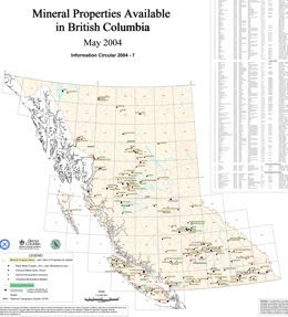 |
In partnership with the BC & Yukon Chamber of Mines (BCYCM), the Ministry of Energy and Mines developed a mineral properties for sale/option map within British Columbia. Prospectors and mining exploration companies were invited to submit property information to May 8, 2004. This information was included on a published hardcopy provincial scale map. Mineral Properties Available in BC Map was released by the BC & Yukon Chamber of Mines May 18, 2004. Information Circular 2004-7 is available at on the web as a MapPlace map, a plotter-size map and page-size map. A table is included with each map. |
| Issue ID: | GM2004-03 |
| Title: | Alkaline Cu-Au Porphyry Systems in British Columbia: Copper Mountain (NTS 092H/07, 08) |
| Author(s): | Preto, V.A., Nixon, G.T. |
| Series Name: | Geoscience Map |
| Publication Year: | 2004 |
| Scale: | 1:50000 |
| NTS Map Sheet(s): | 092H/07, 08 |
| Place Keyword(s): | British Columbia, Copper Mountain |
| Lat/Long (NSWE): | 49.4, 49.2, -120.6, -120.4 |
| Theme Keyword(s): | Geology, Bedrock Geology, Porphyry |
Download(s):
| PDF |
Abstract:
 |
This 1:50 000-scale geological map covers the area immediate to the Copper Mountain deposits and provides new information on the geological setting of an important copper-gold deposit in BC. Recent increases in the price of base and precious metals has generated renewed interest in exploration for Cordilleran Cu-Au porphyry deposits, which have produced major metal mines in British Columbia. Geoscience Map 2004-3 provides a new compilation of the geology of the Copper Mountain mining camp, an important past-producer, as originally described by Preto (1972) and Montgomery (1967). This new release captures the geological setting of the Cu-Au ores and surrounding prospects, and incorporates new and revised isotopic age dates for rocks associated with the mineralization. |
| Issue ID: | GM2004-04 |
| Title: | Geology of the Atlin Area, Northwestern British Columbia (NTS 104/11W, 12E) |
| Author(s): | Ash, C.H. |
| Series Name: | Geoscience Map |
| Publication Year: | 2004 |
| Scale: | 1:25000 |
| NTS Map Sheet(s): | 104N/11W,12E |
| Place Keyword(s): | British Columbia, Atlin |
| Lat/Long (NSWE): | 59.65, 59.5, -133.75, -133.39 |
| Theme Keyword(s): | Geology, Bedrock Geology, Placer Gold |
Download(s):
| PDF, ZIP (View Zip Contents) |
Abstract:
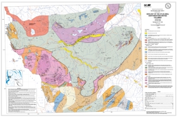 |
The 1:25 000-scale geology map of the historic Atlin placer camp, which was initially published as a supplement to Bulletin 94 (Ash, 1994), has been digitally re-mastered. The geology has been coloured and referenced to the NAD83 TRIM topographic base. Additionally, the distribution of known placer deposits (Levson and Kerr, 1992) has been added to the geological basemap. These revisions are timely and should prove to be of assistance to anyone participating in activity within the Atlin gold camp. |
| Issue ID: | MR1941-01 |
| Title: | Preliminary Investigation into Possibilities for Producing Silica Sand from British Columbia Sand Deposits |
| Author(s): | Cummings, J.M. |
| Series Name: | Miscellaneous Reports |
| Publication Year: | 1941 |
| Scale: | 1:650000 |
| NTS Map Sheet(s): | 092B;092C;092F;092G;092K |
| Place Keyword(s): | British Columbia |
| Lat/Long (NSWE): | 50.2, 48.3, -125.5, -122.6 |
| Theme Keyword(s): | Silica Sand, Sand Deposits, Silica, Sand |
Download(s):
| PDF |
Abstract:
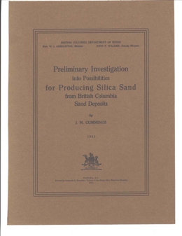 |
Miscellaneous Report 1941-1 is a 54-page report on a study of the possibility of producing silica sand through beneficiation of locally available materials. |
| Issue ID: | MR1945-01 |
| Title: | Geology and Ore Deposits of the China Creek Area, Vancouver Island, British Columbia |
| Author(s): | Stevenson, J.S. |
| Purpose: | to show geology of China Creek area |
| Series Name: | Miscellaneous Reports |
| Publication Year: | 1945 |
| Scale: | 1:63360 |
| NTS Map Sheet(s): | 092F/2 |
| Place Keyword(s): | British Columbia, Vancouver Island, China Creek, Port Alberni |
| Lat/Long (NSWE): | 49.2, 49.04, -124.8, -124.568 |
| Theme Keyword(s): | Geology, Ore Deposits, Mineral Deposits |
Download(s):
| PDF |
Abstract:
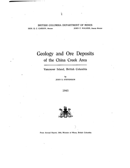 |
Miscellaneous Report 1945-1 is a 26-page report on the geology and ore deposits of the China Creek area, Vancouver Island. It includes a 1:1 mile-scale geologic map. The report and map can also be found in Annual Report 1944, pages 142-161, map after page 177. |
| Issue ID: | MR1953-01 |
| Title: | Report on the Atlin Placer Camp |
| Author(s): | Black, J.M. |
| Series Name: | Miscellaneous Reports |
| Publication Year: | 1953 |
| Scale: | 1:126720 |
| NTS Map Sheet(s): | 104N/5 , 6, 11, 12 |
| Place Keyword(s): | British Columbia, Atlin |
| Lat/Long (NSWE): | 59.6, 59.49, -134, -133.4 |
| Theme Keyword(s): | Atlin Placer, Placer, Gold |
Download(s):
| PDF |
Abstract:
 |
Miscellaneous Report 1953-1 is an 86-page report on the Atlin Placer Camp. It includes placer gold production for the various creeks from 1898 to 1946. |
| Issue ID: | MR1961-01 |
| Title: | Notes on the Physiography and Geology of British Columbia |
| Author(s): | Officers of the Department |
| Series Name: | Miscellaneous Reports |
| Publication Year: | 1961 |
| NTS Map Sheet(s): | 082;083;092;093;094;102;103;104;114 |
| Place Keyword(s): | British Columbia |
| Lat/Long (NSWE): | 60, 48, -139, -114 |
| Theme Keyword(s): | Physiography, Geology |
Download(s):
| PDF |
Abstract:
 |
Miscellaneous Report 1961-1 gives a brief summary of the physiography and geology of British Columbia. |
| Issue ID: | MR1976-01 |
| Title: | Stratigraphy of the Placers in the Atlin Placer Mining Camp, British Columbia |
| Author(s): | Proudlock, P.J., Proudlock, W.M. |
| Series Name: | Miscellaneous Reports |
| Publication Year: | 1976 |
| NTS Map Sheet(s): | 104N/5 , 6, 11, 12 |
| Place Keyword(s): | British Columbia, Atlin |
| Lat/Long (NSWE): | 59.75, 59.4, -133.7, -133.2 |
| Theme Keyword(s): | Stratigraphy, Placers, Mining Camp, Placer Deposits, Gold |
Download(s):
| PDF |
Abstract:
 |
Miscellaneous Report 1976-1 is report on stratigraphy of the placers in the Atlin area. Auriferous channel gravels, with ages between 100,000 years B.C. and 10,000 B.P. occur on McKee, Pine, Spruce, Bull, Birch, Snake, Ruby, Boulder, Otter, Wright and Wilson Creeks, and the O'Donnel River; of these only the first six creeks were being worked in 1976. The gravels are usually fairly well compacted, rest on a very weathered bedrock surface, are capped by a horizon of large boulders and covered to some depth by tills and glaciofluvial sands and gravels. The gold recovered is usually of jewellery quality - small flattened nuggets up to a quarter ounce in weight are common with occasional larger ones; fine gold does not make up a large proportion of the gold recovered. Early glacial history probably played a large role on the distribution of the placers. A single source is not predicted, and many small gold bearing quartz vein systems are known.
The report consists of 69 pages and contains approximately one hundred photographs, two maps, stratigraphic sections and assorted figures and lists. |
| Issue ID: | PM01 |
| Title: | Geological Compilation Map of the Smithers, Hazelton and Terrace Areas (parts of NTS 93L, M and 103I) |
| Author(s): | Carter, N.C., Kirkham, R.V. |
| Purpose: | to show geology of the area |
| Series Name: | Preliminary Map |
| Publication Year: | 1969 |
| Scale: | 1:250000 |
| NTS Map Sheet(s): | 093L,093M; 103I |
| Place Keyword(s): | British Columbia, Smithers, Hazelton, Terrace |
| Lat/Long (NSWE): | 55.5, 54.4, -129, -127 |
| Theme Keyword(s): | Geology, Geological Compilation, Map, Bedrock Geology |
Download(s):
| PDF |
Abstract:
 |
This Preliminary Map is a 1:250,000-scale geological compilation of the Smithers, Hazelton and Terrace areas (parts of 93L, M, and 103I). |
| Issue ID: | PM08 |
| Title: | Geological Compilation Map of the Stewart, Anyox, Alice Arm, and Terrace Area |
| Author(s): | Carter, N.C., Grove, E.W. |
| Series Name: | Preliminary Map |
| Publication Year: | 1971 |
| Scale: | 1:250000 |
| NTS Map Sheet(s): | 103I, 103P; 104A |
| Place Keyword(s): | British Columbia, Stewart, Anyox, Alice Arm, Terrace |
| Lat/Long (NSWE): | 56, 54.4, -130.5, -128 |
| Theme Keyword(s): | Geology, Geological Compilation, Map, Bedrock Geology |
Download(s):
| PDF |
Abstract:
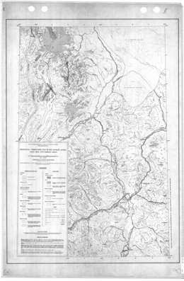 |
Preliminary Map 8 presents the geology of the Stewart, Anyox, Alice Arm and Terrace areas of British Columbia (parts of 103I and 103P). This 1:250,000-scale map includes a legend. |
| Issue ID: | PM11 |
| Title: | Preliminary Geological Map of the Buck Creek Area |
| Author(s): | Church, B.N. |
| Series Name: | Preliminary Map |
| Publication Year: | 1973 |
| Scale: | 1:50000 |
| NTS Map Sheet(s): | 093L/SE |
| Place Keyword(s): | British Columbia, Buck Creek |
| Lat/Long (NSWE): | 50.7, 50.3, -123.6, -122.6 |
| Theme Keyword(s): | Geology, Geological Map, Map, Bedrock Geology |
Download(s):
| PDF |
Abstract:
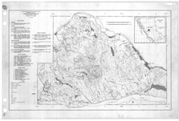 |
Preliminary Map 11 is a 1:50 000-scale preliminary geological map of the Buck Creek area in British Columbia (93L/SE). |
| Issue ID: | PM22 |
| Title: | Radioactive Occurrences in British Columbia |
| Author(s): | Christopher, P.A. |
| Series Name: | Preliminary Map |
| Publication Year: | 1976 |
| Scale: | 1:3000000 |
| NTS Map Sheet(s): | 082;083;092;093;094;102;103;104;114 |
| Place Keyword(s): | British Columbia |
| Lat/Long (NSWE): | 60, 48, -139, -114 |
| Theme Keyword(s): | Radioactivity, Radioactive, Radioactive Occurrences |
Download(s):
| PDF |
Abstract:
 |
Preliminary Map 36 is a 1:3 000 000-scale map which shows radioactive occurrences in British Columbia. |
| Issue ID: | PM32 |
| Title: | Geochemical Orientation Survey - Hazelton Area |
| Author(s): | Kalnins, T.E. |
| Series Name: | Preliminary Map |
| Publication Year: | 1979 |
| NTS Map Sheet(s): | 093M/3W,4E |
| Place Keyword(s): | British Columbia, Hazelton, Rocher Deboule Range |
| Lat/Long (NSWE): | 55.3, 55.2, -127.8, -127.6 |
| Theme Keyword(s): | Geochemistry, Geochemical, Geochemical Orientation, Survey |
Download(s):
| PDF |
Abstract:
 |
Preliminary Map 32 consists of two figures and a table. Figure 1 shows the survey areas. Figure 2 is a composite map of the geology, letter-coded mineral occurrences and numbered sample location sites. Table 1 presents analytical results of the stream sediments and stream waters. |
| Issue ID: | PM33 |
| Title: | Coal Resources, Peace River Coalfield, Northeastern British Columbia |
| Author(s): | Gilchrist, R.D., Flynn, B.P. |
| Series Name: | Preliminary Map |
| Publication Year: | 1978 |
| Scale: | 1:50000 |
| Place Keyword(s): | British Columbia, Peace River, Northeast BC |
| Lat/Long (NSWE): | 56.5, 54, -123, -120 |
| Theme Keyword(s): | Coal, Coal Resources, Coalfield |
Download(s):
| PDF |
Abstract:
 |
Preliminary Map 33 presents the geology of the Peace River Coalfield in northeastern British Columbia. This set consists of seven geological maps at 1:50 000 plus an index map (093I,J,O,P). |
| Issue ID: | PM38 |
| Title: | Geological Compilation and Mineral Occurrence Map, Driftpile Creek - Akie River Ba-Pb-Zn Mineral District |
| Author(s): | MacIntyre, D.G. |
| Series Name: | Preliminary Map |
| Publication Year: | 1980 |
| Scale: | 1:250000 |
| NTS Map Sheet(s): | 094F/2, 6, 7, 10, 11, 12, 13, 14; 094K/4; 092L/1 |
| Place Keyword(s): | British Columbia, Driftpile Creek, Akie River, Ba-Pb-Zn Mineral District |
| Lat/Long (NSWE): | 58.3, 57.7, -127, -125.4 |
| Theme Keyword(s): | Geology, Mineral Occurrence, Map, Mineral District, Bedrock Geology |
Download(s):
| PDF |
Abstract:
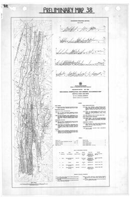 |
Preliminary Map 38 presents the geology and mineral occurrences of the Driftpile Creek - Akie River Ba-Pb-Zn Mineral District in British Columbia. The 1: 250 000-scale map includes interpretive structural sections at a 1:125 000-scale (All or part of 94F/2,6,7,10,11,12,13,14; 94K/4; 92L/1). |
| Issue ID: | PM55 |
| Title: | Areas Alienated or Restricted from Mining |
| Author(s): | Ratel, A., Fontaine, J. |
| Series Name: | Preliminary Map |
| Publication Year: | 1983 |
| Scale: | 1:2000000 |
| NTS Map Sheet(s): | 082;083;092;093;094;102;103;104;114 |
| Place Keyword(s): | British Columbia |
| Lat/Long (NSWE): | 60, 48, -139, -114 |
| Theme Keyword(s): | Alienated Areas, Restricted Areas, Mining |
Download(s):
| PDF |
Abstract:
 |
Preliminary Map 55 is a 1:2 000 000-scale map which describes areas alienated or restricted from mining in British Columbia in 1983. |
| Issue ID: | PM58 |
| Title: | Mineral and Coal Potential, Northwestern British Columbia |
| Author(s): | Schroeter, T.G. |
| Series Name: | Preliminary Map |
| Publication Year: | 1985 |
| Scale: | 1:1000000 |
| Place Keyword(s): | British Columbia, Northwestern BC |
| Lat/Long (NSWE): | 60, 55, -139, -127 |
| Theme Keyword(s): | Mineral Potential, Coal Potential |
Download(s):
| PDF |
Abstract:
 |
Preliminary Map 58 is a 1:100 000-scale map of the mineral and coal potential of northwestern British Columbia. |
| Issue ID: | PM64 |
| Title: | Gold in British Columbia |
| Author(s): | Schroeter, T.G., Panteleyev, A. |
| Series Name: | Preliminary Map |
| Publication Year: | 1986 |
| Scale: | 1:2000000 |
| NTS Map Sheet(s): | 082;083;092;093;094;102;103;104;114 |
| Place Keyword(s): | British Columbia |
| Lat/Long (NSWE): | 60, 48, -139, -114 |
| Theme Keyword(s): | Gold |
Download(s):
| PDF |
Abstract:
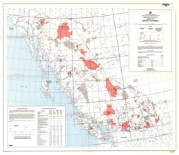 |
Preliminary Map 64 is a 1:2 000 000-scale map with accompanying table showing gold in British Columbia. |
| Issue ID: | PM65 |
| Title: | 1989 Producers and Potential Producers, Mineral and Coal |
| Author(s): | BC Geological Survey |
| Series Name: | Preliminary Map |
| Publication Year: | 2000 |
| Scale: | 1:2000000 |
| NTS Map Sheet(s): | 082;083;092;093;094;102;103;104;114 |
| Place Keyword(s): | British Columbia |
| Lat/Long (NSWE): | 60, 48, -139, -114 |
| Theme Keyword(s): | Mineral, Coal, Producers, Potential Producers, 1989 |
Download(s):
| PDF |
Abstract:
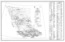 |
Preliminary Map 65 presents 1989 producers and potential producers, mineral and coal in British Columbia at a 1:2 500 000-scale. |
| Issue ID: | PM66 |
| Title: | Discovery Methods for Metal Mines Producing in British Columbia between 1965 and 1986 |
| Author(s): | Schroeter, T.G. |
| Series Name: | Preliminary Map |
| Publication Year: | 1988 |
| Scale: | 1:2000000 |
| NTS Map Sheet(s): | 082;083;092;093;094;102;103;104;114 |
| Place Keyword(s): | British Columbia |
| Lat/Long (NSWE): | 60, 48, -139, -114 |
| Theme Keyword(s): | Discovery Methods, Metal Mines, Producing Mines, 1965, 1986 |
Download(s):
| PDF |
Abstract:
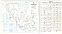 |
Preliminary Map 66 presents discovery methods for metal mines producing in British Columbia between 1965 and 1986. This 1:2 000 000-scale map has an accompanying table attached. |
| Issue ID: | MAP-05 |
| Title: | British Columbia Geological Highway Map |
| Author(s): | Jackson, E.V. |
| Series Name: | Miscellaneous Map |
| Publication Year: | 1982 |
| Scale: | 1:250000 |
| NTS Map Sheet(s): | 082;083;092;093;094;102;103;104;114 |
| Place Keyword(s): | British Columbia |
| Lat/Long (NSWE): | 60, 48, -139, -114 |
| Theme Keyword(s): | Highway Map, Geological Map |
Download(s):
| PDF |
Abstract:
 |
This map presents British Columbia Geological highways. It also provides additional resources such as literary resources and places to go for information. |
| Issue ID: | MAP-10 |
| Title: | Geothermal Resources of British Columbia |
| Author(s): | Fairbank, B.D., Faulkner, R.L. |
| Series Name: | Miscellaneous Map |
| Publication Year: | 1992 |
| Scale: | 1:2000000 |
| NTS Map Sheet(s): | 082;083;092;093;094;102;103;104;114 |
| Place Keyword(s): | British Columbia |
| Lat/Long (NSWE): | 60, 48, -139, -114 |
| Theme Keyword(s): | Geothermal Resources, Hot Springs, Bore Holes |
Download(s):
| PDF |
Abstract:
 |
This map shows the location of 107 geothermal hot springs, 115 boreholes and 22 rotary boreholes. There are also a detailed map of the Meager Creek geothermal area and descriptions of other hot spring areas. |
| Issue ID: | OF2001-07 |
| Title: | Geochemical Exploration Models, Volume 2: Shale Hosted Pb-Zn-Ag Deposits in North-eastern British Columbia |
| Author(s): | Lett, R.E. |
| Series Name: | Open File |
| Publication Year: | 2001 |
| NTS Map Sheet(s): | 094F/13; 094K/4; 094L/1 |
| Place Keyword(s): | British Columbia, Northeastern British Columbia, Gataga District |
| Lat/Long (NSWE): | 58.25, 57.45, -126.5, -125.5 |
| Theme Keyword(s): | Geochemistry, Shale, Pb-Zn-Ag, Exploration Model, Geochemical Response |
Download(s):
| PDF, ZIP (View Zip Contents) |
Abstract:
 |
Open File 2001-07 describes the results of detailed studies carried out by the British Columbia Geological Survey Branch in the Gataga District of north-eastern BC (Figure 1) to study the geochemical response of massive sulphide mineralization in stream sediment, moss mat sediment, spring sediment, spring water, soil and till. These studies were carried out in conjunction with geological mapping and mineral deposit studies (Ferri et al. 1995). Lett and Jackaman, 1995, reported the results of geochemical orientation studies around Driftpile Creek. The detailed geochemical studies reported in this Open File were carried out to improve geochemical exploration techniques for shale-hosted sedex Pb-Zn-Ag deposits and to develop geochemical models for simplifying data interpretation. The Open File is published in two parts. Part 1 describes a geochemical exploration model (GEM) for sedex Pb-Zn-Ag sulphide deposits in the Gataga District developed from detailed survey data for five areas north and south of the Driftpile Creek deposit. The geology, topography, soils and survey results for the areas are summarized in Part 1. Survey results are augmented by assessment report data. Part 2 describes the results of the geochemical surveys in more detail with all of the supporting field and analytical data. Essentially, Part 1 provides a "Readers Digest" of the information compiled in Part 2. |
| Issue ID: | OF2001-09 |
| Title: | Geochemistry Data: Nechako NATMAP Project |
| Author(s): | Struick, L.C., MacIntyre, D.G., Hastings, N.L. |
| Series Name: | Open File |
| Publication Year: | 2001 |
| NTS Map Sheet(s): | 093F; 093K; 093N; 093L/16; 093L/09; 093M/01; 093M/02; 093M/07; 093M/08 |
| Place Keyword(s): | British Columbia, Nechako, Central BC, Babine Lake, Stuart Lake |
| Lat/Long (NSWE): | 56, 53, -128, -124 |
| Theme Keyword(s): | Geochemistry Data, Geochemistry Data and Analyses, NATMAP, bedrock geology, lake, water, silt, till |
Download(s):
| ZIP (View Zip Contents) |
Abstract:
 |
Open File 2001-09 CD-ROM provides new geochemical data, acquired for central British Columbia, as part of the Nechako NATMAP project. This was a joint partnership among the Geological Survey of Canada, the BC Geological Survey of the B.C. Ministry of Energy and Mines, universities and industry. The geochemical data is in Geographic Information System (GIS) accessible format and was derived by analyses of glacial till, glacial lake sediment, lake bottom sediment, lake water, lodgepole pine bark, stream silt and rocks. The concentrations can be viewed combined with the new geological maps of the Nechako NATMAP project, which are included digitally on the CD-ROM.
This release provides an invaluable compilation of high-quality geochemical data, integrated with new bedrock and surficial geology maps, which will enhance mineral exploration and environmental studies in central B.C. The dataset is compiled to provide a baseline resource for a variety of users who may require geoscience information.
The CD-ROM includes a limited edition of SurView�, a GIS viewing application for Microsoft Windows, developed at the Geological Survey of Canada and originally released as GSC Open File 2661. SurView� runs directly from the CD-ROM. It can display, print and, to a limited extent, query spatial data. This provides an opportunity for those without specialized GIS software to create and view various geochemical and geological thematic maps on screen. The data is available in ArcInfo and various GIS transfer formats for use in the GIS software of your choice. |
| Issue ID: | OF2002-03 |
| Title: | Geology of the Ecstall Greenstone Belt, British Columbia |
| Author(s): | Alldrick, D.J. |
| Series Name: | Open File |
| Publication Year: | 2002 |
| Scale: | 1:50000 |
| NTS Map Sheet(s): | 103H/10,11,12,13,14,15; 103I/3,4 |
| Place Keyword(s): | British Columbia, Ecstall, Greenstone, West Central |
| Lat/Long (NSWE): | 55, 53, -130, -128 |
| Theme Keyword(s): | Geology, Greenstone Belt, Bedrock Geology, Maps |
Download(s):
| PDF, ZIP (View Zip Contents) |
Abstract:
 |
Open File 2002-03 presents the geology of the Ecstall Greenstone Belt, British Columbia depicted within three maps at a scale of 1:50 000. |
| Issue ID: | OF2002-08 |
| Title: | Stream Sediment and Water Geochemistry of the Triumph Bay Area (NTS 103H/6,7,8,9,10,15,16) |
| Author(s): | Jackaman, W. |
| Series Name: | Open File |
| Publication Year: | 2002 |
| Scale: | 1:50000 |
| NTS Map Sheet(s): | 103H/6,7,8,9,10,15,16 |
| Place Keyword(s): | British Columbia, Triumph Bay |
| Lat/Long (NSWE): | 53.7, 53.2, -129.2, -128.4 |
| Theme Keyword(s): | Stream Sediment, Water Geochemistry, Geochemistry |
Download(s):
| PDF, ZIP (View Zip Contents) |
Abstract:
 |
Open File 2002-08 presents field and analytical data from a stream sediment and water geochemical survey conducted by the BC Geological Survey in the Triumph Bay area during 2001. Results for over 48 different metals in stream sediments and pH, uranium, fluoride and sulphate in stream waters are included in this report. �The survey covers parts of seven 1:50,000 NTS map sheets in the Douglas Channel (NTS 103H) map. �A total of 196 sites were sampled over a combined area of approximately 1800 square kilometres at an average density of 1 site per 7 square kilometres. |
| Issue ID: | OF2002-15 |
| Title: | Geology of the Clearwater - Bowser Lake Area |
| Author(s): | Schiarizza, P.A., Heffernan, S., Israel, S., Zuber, J. |
| Series Name: | Open File |
| Publication Year: | 2002 |
| NTS Map Sheet(s): | 092P/9,10,15,16 |
| Place Keyword(s): | British Columbia, Clearwater, Bowers Lake |
| Lat/Long (NSWE): | 52, 51.5, -121, -120 |
| Theme Keyword(s): | Geology, Bedrock Geology |
Download(s):
| PDF, ZIP (View Zip Contents) |
Abstract:
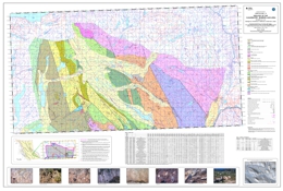 |
Open File 2002-15 maps the geology of the Clearwater - Bowser Lake area. |
| Issue ID: | OF2003-02 |
| Title: | Surficial geology of the Huckleberry Mine area, North-central BC. (NTS 93E/11) |
| Author(s): | Ferbey, T., Levson, V.M. |
| Series Name: | Open File |
| Publication Year: | 2003 |
| Other Citation Details: | Contains data from British Columbia Geological Survey Open File 2001-08 |
| Larger Work Citation: | Contains data from British Columbia Geological Survey Open File 2001-08 |
| Scale: | 1:15000 |
| NTS Map Sheet(s): | 093E/11 |
| Place Keyword(s): | British Columbia, Central BC, Huckleberry Mine |
| Lat/Long (NSWE): | 53.7, 53.65, -127.3, -127.15 |
| Theme Keyword(s): | Surficial Geology Map, Geology, Surficial Geology |
Download(s):
| PDF |
Abstract:
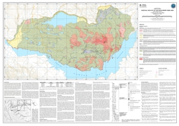 |
Open File 2003-02 presents the surficial geology of the Huckleberry Mine area. This surficial geology map is a product of the 2000 field survey of the Huckleberry Mine area and interpretations of 1:15,000 scale aerial photographs. The terrain mapping conventions used here are based on those of Howse and Kenk (1997), and focus primarily on surficial materials and surface expression. A composite stratigraphic section (figure 2) based on the detailed stratigraphic and sedimentologic studies conducted on the mine property, is included to assist in characterizing the Quaternary sediments of the Huckleberry Mine area. |
| Issue ID: | RGS-056 |
| Title: | Bella Coola - Larado Sound Regional Geochemical Survey |
| Author(s): | Lett, R.E., Jackaman, W., Friske, P.W.B. |
| Series Name: | Regional Geochemical Survey |
| Publication Year: | 2001 |
| Other Citation Details: | Also published as GSC Open File 4414 |
| NTS Map Sheet(s): | 093C/4,5,12; 093D; 103A |
| Place Keyword(s): | British Columbia, Bella Coola, Larado |
| Lat/Long (NSWE): | 53, 52, -130, -126 |
| Theme Keyword(s): | Geochemistry, Regional Geochemical Survey (RGS), stream sediment, stream water |
Abstract:
| The Bella Coola (NTS 93D/103A) reconnaissance-scale stream sediment and water survey was completed in 2001 and the resulting field and analytical data were released in 2002. A total of 1180 stream sediment and water samples were collected from 1003 sample sites over 12,000 square kilometres at an average density of 1 site every 12 sq. km. Sediment samples were analysed by INAA and aqua regia-ICPMS for base and precious metals, pathfinder and rare earth elements. Water samples were analysed for pH, uranium and fluoride. The Bella Coola area is relatively under explored and has the potential for volcanogenic massive sulphide mineralization, gold-veins and Cu-Mo porphyry deposits. |
| Issue ID: | GF2004-12 |
| Title: | Digital Map of British Columbia: Tile NN8/9 (Queen Charlotte Island - Haida Gwaii) |
| Author(s): | Massey, N.W.D., Haggart, J.W., C.L. Wagner, MacIntyre, D.G., Desjardins, P.J. |
| Series Name: | GeoFile |
| Publication Year: | 2004 |
| Scale: | 1:250000 |
| NTS Map Sheet(s): | 103B, 103C, 103F, 103G, 103J, 103K |
| Place Keyword(s): | British Columbia, Queen Charlotte Island, Haida Gwaii |
| Lat/Long (NSWE): | 55, 51.9, -134, -132 |
| Theme Keyword(s): | Geological Mapping, compilation, digital files, Geology |
Download(s):
| ZIP (View Zip Contents) |
Abstract:
| This release is the final tile of the digital regional compilation of the Geology of B.C. at 1:250,000-scale. Previous tiles were released as a series of GeoFiles during 2003 and made available as free downloads from the Geological Survey Branch website. They are also available as the geological base in the MapPlace. This compilation for the Queen Charlotte Islands/Haida Gwaii is adapted from recent studies undertaken by the Geological Survey of Canada that resulted in a compilation map by Haggart (2004). Tile numbering is similar to that used for the Cordilleran GIS Map Library (Journeay and Williams, 1995) which conforms to the International Map of the World standard used for indexing 1:1,000,000-scale topographic maps. This differs from the numbering convention used for the National Topographic System maps.
Tile NN8/9 encompasses NTS 1:250,000 sheets 102O (part), 103B, 103C, 103F, 103G (West half), 103J (West half) and 103K. As with the previously released tiles, all data sets are in shapefile format that should be readily usable by most GIS software. They are presented in decimal degrees, BC Albers or UTM projections. All use NAD83 as the datum. Haggart, J.W. 2004: Geology, Queen Charlotte Islands, British Columbia, Geological Survey of Canada, Open File 4681, scale 1:250,000. |
| Issue ID: | OF2004-18 |
| Title: | Lode Gold Production and Resources in British Columbia (1890-2003) |
| Author(s): | Schroeter, T.G., Pardy, J.W. |
| Series Name: | Open File |
| Publication Year: | 2004 |
| NTS Map Sheet(s): | 082;083;092;093;094;102;103;104;114 |
| Place Keyword(s): | British Columbia |
| Lat/Long (NSWE): | 60, 48, -139, -114 |
| Theme Keyword(s): | lode gold production, lode gold resources, 1890-2003, gold statistics |
Download(s):
| PDF |
Abstract:
 |
This publication contains statistics on gold production and resources in British Columbia updated to the end of 2003. It consists of an alphabetically-sorted main data table of 299 deposits (camps) that have produced gold or have resources totaling greater than 5 kilograms, and numerous summary tables and figures on production, resources and total inventory (production + resources). Refer to Open File 2004-1 (PDF, 5,118 Kb) for the map of the 299 deposits. |
| Issue ID: | P2005-01-00 |
| Title: | Geological Fieldwork 2004, P2005-01 Foreword |
| Author(s): | Lefebure, D.V. |
| Purpose: | To provide the introduction to Geological Fieldwork 2004, P2005-01 |
| Series Name: | Paper |
| Publication Year: | 2005 |
| Larger Work Citation: | in Geological Fieldwork 2004, B.C. Ministry of Energy and Mines, Paper 2005-01, foreword |
| NTS Map Sheet(s): | 082;083;092;093;094;102;103;104;114 |
| Place Keyword(s): | British Columbia |
| Lat/Long (NSWE): | 60, 48, -139, -114 |
| Theme Keyword(s): | Fieldwork, Geological Fieldwork, foreword, Table of Contents |
Download(s):
| PDF |
Abstract:
| Foreword to Paper 2005-01, Geological Fieldwork 2004 |
| Issue ID: | P2005-01-01 |
| Title: | Geology and Mineral Occurrences of the Upper Iskut River Area - Tracking the Eskay Rift through Northern British Columbia (Telegraph Creek NTS 104G/1, 2; Iskut River NTS 104B/9, 10, 15, 16) |
| Author(s): | Alldrick, D.J., Nelson, J.L., Barresi, T. |
| Purpose: | Geologically map and evaluate area for potential mineral deposits |
| Series Name: | Paper |
| Publication Year: | 2005 |
| Larger Work Citation: | in Geological Fieldwork 2004, B.C. Ministry of Energy and Mines, Paper 2005-01, pages 1 to 30 |
| Scale: | 1:50000 |
| NTS Map Sheet(s): | 104G, 104B |
| Place Keyword(s): | British Columbia, Eskay Creek, Eskay Rift |
| Lat/Long (NSWE): | 59, 56, -134, -129.5 |
| Theme Keyword(s): | Bedrock mapping, Mineral deposits, Hazelton / Stuhini Group, VMS, Targeted Geoscience Initiative-II (TGI-II) |
Download(s):
| PDF |
Abstract:
| This paper details the surveys of large tracts in north-central British Columbia executed to determine if favourable sites exist for formation and preservation of additional high-grade precious-metal volcanogenic massive sulphide deposits. In 2003, the British Columbia Geological Survey and the Geological Survey of Canada launched a two-year mapping program to delineate the ore horizon through the region north of the Eskay Creek gold-silver mine, and to assess potential for additional Eskay Creek type deposits. This horizon lies within Lower to Middle Jurassic, arc-related, rift sequence rocks along the northwest perimeter of the Bowser Basin, a large (48,000 km2) Middle Jurassic to Early Cretaceous sedimentary basin. |
| Issue ID: | P2005-01-02 |
| Title: | Pillow Basalt Ridge Facies - Detailed Mapping of Eskay Creek Equivalent Stratigraphy |
| Author(s): | Barresi, T., Nelson, J.L., Alldrick, D.J., Dostal, J. |
| Purpose: | Map lower Middle Jurassic, upper Hazelton Group rocks in the Telegraph Creek and Iskut River map areas of northwestern British Columbia |
| Series Name: | Paper |
| Publication Year: | 2005 |
| Larger Work Citation: | in Geological Fieldwork 2004, B.C. Ministry of Energy and Mines, Paper 2005-01, pages 31 to 38 |
| Scale: | 1:20000 |
| NTS Map Sheet(s): | 104G, 104B |
| Place Keyword(s): | British Columbia, Eskay Creek, Eskay Rift |
| Lat/Long (NSWE): | 58, 56, -132, -129.5 |
| Theme Keyword(s): | Bedrock mapping, Pillow Basalt Ridge, Hazelton Group, Bimodal Volcanism, Targeted Geoscience Initiative-II (TGI-II) |
Download(s):
| PDF |
Abstract:
| This paper describes the features of the Pillow Basalt Ridge (PBR) facies, as defined in Alldrick et al. (this volume) in the Iskut River map area. Pillow Basalt Ridge is the prominent ridge, 12 km long by 6 km wide, between the Iskut River and Forrest Kerr Creek, north of their confluence. |
| Issue ID: | P2005-01-03 |
| Title: | Geochemistry and Petrography of Upper Hazelton Group Volcanics - VHMS Favourable Stratigraphy in the Iskut River and Telegraph Creek Map Areas, Northwest B.C. |
| Author(s): | Barresi, T., Dostal, J. |
| Purpose: | Regional and detailed mapping of the upper Hazelton Group as well as geochemical and geochronological studies |
| Series Name: | Paper |
| Publication Year: | 2005 |
| Larger Work Citation: | in Geological Fieldwork 2004, B.C. Ministry of Energy and Mines, Paper 2005-01, pages 39 to 48 |
| Scale: | 1:400000 |
| NTS Map Sheet(s): | 104G, 104B |
| Place Keyword(s): | British Columbia, Eskay Creek, Eskay Rift |
| Lat/Long (NSWE): | 58, 56, -132, -129.5 |
| Theme Keyword(s): | Geochemistry, Petrochemistry, Hazelton Group, Bimodal Volcanism, Targeted Geoscience Initiative-II (TGI-II). |
Download(s):
| PDF |
Abstract:
| This paper is the first of a series that will present and interpret whole rock and mineral chemistry data from the study area. The purpose of studying these data is to better understand the igneous and tectonic processes that were dominant during the formation of the Eskay Creek VHMS deposit, and to determine the significance of similarities and variations in the geochemistry of Eskay Creek time-equivalent volcanic rocks along the length of the Eskay Rift. This study may lead to a better understanding of how whole rock geochemistry can be used as an exploration tool in finding VHMS style mineralization. The data presented in this article are whole rock geochemical analyses of seventeen volcanic and related intrusive rocks that were collected during the 2003 field season from the area between More Creek and Kinaskan Lake. The focus of this study is on Lower to Middle Jurassic, upper Hazelton Group rocks. |
| Issue ID: | EXP1999-03 |
| Title: | Southwestern Region |
| Author(s): | Pinsent, R.H. |
| Purpose: | To provide a summary of exploration activities within Southwestern British Columbia |
| Series Name: | Exploration and Mining in BC |
| Publication Year: | 2000 |
| Other Citation Details: | pages 25 to 32, Part A |
| Larger Work Citation: | in Exploration and Mining in B.C. 1999, Part A - Review of Exploration and Mining Activity |
| NTS Map Sheet(s): | 092B, C, E-O; 093C, D; 102I,P; 103A |
| Place Keyword(s): | British Columbia, Myra Falls, Vancouver Island, Duck Lake |
| Lat/Long (NSWE): | 53, 49, -128, -120 |
| Theme Keyword(s): | Producing mines and quarries, limestone, dimension stone, exploration activity |
Download(s):
| PDF |
Abstract:
 |
Boliden Westmin (Canada) Limited ceased production at its Myra Falls operation, near Campbell River, for a few months over the winter (1998-1999) while completing a planned rehabilitation program and developing a long term strategic mine plan. Quinsam Coal Corporation closed its thermal coal mine, also near Campbell River, in May and sought creditor protection. It reopened at reduced capacity in June and, in January, 2000, the corporation proposed a financial restructuring package. GTN Copper Technology Limited announced plans to build a hydrometallurgical plant to process copper concentrate at the former Island Copper mine site, near Port Hardy. Doublestar Resources Limited acquired Falconbridge Limited�s interests in several properties in the region including the Catface porphyry copper and the Chemainus and Baldwin/McVicar volcanogenic massive sulphide prospects. |
| Issue ID: | EXP1999-04 |
| Title: | South-Central Region |
| Author(s): | Cathro, M.S. |
| Purpose: | To provide a summary of exploration activities within South-Central British Columbia |
| Series Name: | Exploration and Mining in BC |
| Publication Year: | 2000 |
| Other Citation Details: | pages 33 to 39, Part A |
| Larger Work Citation: | in Exploration and Mining in B.C. 1999, Part A - Review of Exploration and Mining Activity |
| NTS Map Sheet(s): | 082E, L, M; 083D; 092H-J, N-P; 093A-C |
| Place Keyword(s): | British Columbia, south central British Columbia |
| Lat/Long (NSWE): | 53, 49, -125, -118 |
| Theme Keyword(s): | Exploration trends, mines, development projects, exploration projects |
Download(s):
| PDF |
Abstract:
|
Mining operations were suspended at Highland Valley Copper from mid-May to early September, due to low copper prices and ongoing labour negotiations. The Blackdome gold-silver mine, owned by Claimstaker Resources Ltd. and Jipangu Inc., was closed in May due to low gold prices. Development of the 250 000 tonne per year Ashcroft basalt quarry was begun by I.G. Machine and Fibers Ltd. Site preparation and definition drilling were completed in late 1999. Mining and plant construction should begin in mid-2000. Exploration was slow in 1999 with only seven major projects (vs. nine in 1998), $2.5 million in spending (vs. $4.0 million), and 12 000 metres of drilling (vs. 14 000 metres). Claim staking was relatively strong, with over 5700 new mineral claim units recorded, however, more than 10 000 units lapsed. On the positive side, good ground and significant deposits continue to come open for re-staking. Exploration interest in intrusion-related gold-bismuth tungsten deposits was quite strong, with numerous prospectors active in the Adams-Shuswap area. In addition, Teck Corp. drilled the Cam-Gloria gold prospect, an intrusion-hosted quartz vein prospect near Adams Lake, while Cassidy Gold Corp. drilled a gold-bismuth-copper prospect in high-grade metamorphic rocks on the Goldstrike (Bizar) property to the north. Reconnaissance work was conducted for gold, copper and zinc by several major and junior companies. Site preparations for the Ashcroft basalt quarry of I.G. Machine and Fibers Ltd. |
| Issue ID: | EXP1999-05 |
| Title: | Kootenay Region |
| Author(s): | Wilton, H.P. |
| Purpose: | To provide a summary of exploration activities within the Kootenay region of British Columbia |
| Series Name: | Exploration and Mining in BC |
| Publication Year: | 2000 |
| Other Citation Details: | pages 40 to 52, Part A |
| Larger Work Citation: | in Exploration and Mining in B.C. 1999, Part A - Review of Exploration and Mining Activity |
| NTS Map Sheet(s): | 082; |
| Place Keyword(s): | British Columbia, Kootenays |
| Lat/Long (NSWE): | 52, 49, -118, -114 |
| Theme Keyword(s): | Metals, Purcell Anticlinorium, Industrial Minerals, Coal, Producing mines and quarries |
Download(s):
| PDF |
Abstract:
|
Exploration expenditures in the Kootenay region in 1999, including those at operating mines and quarries, are estimated to have totaled $7.0 million, a reduction of approximately 37% from the corresponding estimate for 1998. Of that amount, about $1.6 million was spent on exploration drilling for coal at or in the vicinity of the producing coal mines in the Elk Valley, with the remaining $5.4 million spent on exploration for metals and industrial minerals throughout the region. There were 171 projects (mineral, coal, and placer) known to have been active in the region during the year, only a slight reduction from the corresponding tally for 1998. Similarly, the total amount of exploration drilling in 1999 is estimated at 60 930 metres, actually a very slight increase over the 1998 estimate. Of that total, 36 243 metres, or approximately 60%, was reverse-circulation drilling to test coal resources in the Elk Valley. |
| Issue ID: | MP-57 |
| Title: | Summary of Operations 1980 Information Report 1984-2 |
| Author(s): | Summary of Operations, Mineral Resources Division |
| Purpose: | detailed statistical information formerly incorporated in the Annual Reports |
| Series Name: | Miscellaneous Publication |
| Publication Year: | 1984 |
| Larger Work Citation: | Information Report Series |
| Place Keyword(s): | British Columbia |
| Theme Keyword(s): | mineral resource statistics |
Download(s):
| PDF |
Abstract:
 |
The Information Report series was initiated by the Ministry in 1980. The Summary of Operations, Mineral Resources Division (1980 to 1984 inclusive) contains detailed statistical information formerly incorporated in the Annual Reports of the Minister. This volume consists of three chapters: Activity of the Mining industry in the title year, activity of the Energy and Minerals Division in the title year, and detailed mineral resource statistics for the title year. |
| Issue ID: | MP-58 |
| Title: | Summary of Operations 1981 Information Report 1984-3 |
| Author(s): | Summary of Operations, Mineral Resources Division |
| Purpose: | detailed statistical information formerly incorporated in the Annual Reports |
| Series Name: | Miscellaneous Publication |
| Publication Year: | 1984 |
| Larger Work Citation: | Information Report Series |
| Place Keyword(s): | British Columbia |
| Theme Keyword(s): | mineral resource statistics |
Abstract:
| The Information Report series was initiated by the Ministry in 1980. The Summary of Operations, Mineral Resources Division (1980 to 1984 inclusive) contains detailed statistical information formerly incorporated in the Annual Reports of the Minister. |
| Issue ID: | MP-59 |
| Title: | Summary of Operations 1982 Information Report 1984-4 |
| Author(s): | Summary of Operations, Mineral Resources Division |
| Purpose: | detailed statistical information formerly incorporated in the Annual Reports |
| Series Name: | Miscellaneous Publication |
| Publication Year: | 1984 |
| Larger Work Citation: | Information Report Series |
| Place Keyword(s): | British Columbia |
| Theme Keyword(s): | mineral resource statistics |
Abstract:
| The Information Report series was initiated by the Ministry in 1980. The Summary of Operations, Mineral Resources Division (1980 to 1984 inclusive) contains detailed statistical information formerly incorporated in the Annual Reports of the Minister. |
| Issue ID: | MP-60 |
| Title: | Summary of Operations 1983 Information Report 1984-5 |
| Author(s): | Summary of Operations, Mineral Resources Division |
| Purpose: | detailed statistical information formerly incorporated in the Annual Reports |
| Series Name: | Miscellaneous Publication |
| Publication Year: | 1984 |
| Larger Work Citation: | Information Report Series |
| Place Keyword(s): | British Columbia |
| Theme Keyword(s): | mineral resource statistics |
Abstract:
| The Information Report series was initiated by the Ministry in 1980. The Summary of Operations, Mineral Resources Division (1980 to 1984 inclusive) contains detailed statistical information formerly incorporated in the Annual Reports of the Minister. The Summary of Operations, 1984, Mineral Resources Division provides a review of the mineral industry, detailed statistics of its performance, and a summary of the activities of the Mineral Resources Division. These three elements--review, statistics, and operations of the Division--form three chapters that follow the format of the equivalent chapters in the Annual Report of the Minister in 1979. |
| Issue ID: | MP-61 |
| Title: | Summary of Operations 1984 Information Report 1986-1 |
| Author(s): | Summary of Operations, Mineral Resources Division |
| Purpose: | detailed statistical information formerly incorporated in the Annual Reports |
| Series Name: | Miscellaneous Publication |
| Publication Year: | 1986 |
| Larger Work Citation: | Information Report Series |
| Place Keyword(s): | British Columbia |
| Theme Keyword(s): | mineral resource statistics |
Download(s):
| PDF |
Abstract:
 |
The Information Report series was initiated by the Ministry in 1980. The Summary of Operations, Mineral Resources Division (1980 to 1984 inclusive) contains detailed statistical information formerly incorporated in the Annual Reports of the Minister. This volume consists of three chapters: Activity of the Mining industry in the title year, activity of the Energy and Minerals Division in the title year, and detailed mineral resource statistics for the title year. |
| Issue ID: | IC2004-06 |
| Title: | Industrial Minerals in British Columbia Review and Opportunities |
| Author(s): | Simandl, G.J., Robinson, N.D., Wojdak, P.J., Terry, D., Lane, B., Cathro, M., Schroeter, T.G. |
| Series Name: | Information Circular |
| Publication Year: | 2004 |
| NTS Map Sheet(s): | 082;083;092;093;094;102;103;104;114 |
| Place Keyword(s): | British Columbia |
| Lat/Long (NSWE): | 60, 48, -139, -114 |
| Theme Keyword(s): | Industrial Minerals, Aggregates |
Download(s):
| PDF, ZIP (View Zip Contents) |
Abstract:
 |
Industrial minerals are an increasingly significant component of international trade and British Columbia is strategically located on the west coast of North America. British Columbia has a well-developed infrastructure in the southern, highly populated third of the province, several deep-water ports, and a well maintained highway system that permits efficient long distance trucking. Rail links British Columbia industrial centres to terminal points across the continent. The province has attractive energy costs and untapped mineral resources. The value of solid mineral production for 2003 is estimated at $2.9 billion. Officially, industrial minerals and construction materials account for $578 million of this total; however, this value would be substantially higher if the value-added aspect of the industry was fully taken into account. The forecast value of structural materials (including construction aggregates) is approximately $238 million, while the value for traditional industrial minerals estimated by Natural Resources of Canada reached $340 million. Our own preliminary estimates suggest that the value of industrial mineral production could be substantially higher than this figure. |
| Issue ID: | B093-01 |
| Title: | Geology of the Lunar Creek Alaskan-Type Complex |
| Author(s): | Nixon, G.T., Hammack, J.L., Paterson, W.P.E., Nuttall, C. |
| Series Name: | Bulletin |
| Publication Year: | 1997 |
| Larger Work Citation: | in Bulletin 93 |
| Scale: | 1:20000 |
| NTS Map Sheet(s): | 094E/13,14 |
| Place Keyword(s): | British Columbia, Lunar Creek |
| Lat/Long (NSWE): | 57.97, 57.85, -127.55, -127.4 |
| Theme Keyword(s): | Geology, Platinum-Group-Elements, Ultramafics, Bedrock Geology, Alaska-type Complex |
Abstract:
| Bulletin 93 discusses the geology and platinum-group-element mineralization of Alaskan-type ultramafic complexes in British Columbia. Map 1 is a revised geology map (1:20 000 scale, in colour) of the Lunar Creek Alaskan-type Complex. |
| Issue ID: | B093-02 |
| Title: | Geology of the Wrede Creek Alaskan-Type Complex |
| Author(s): | Nixon, G.T., Hammack, J.L., Paterson, W.P.E., Nuttall, C. |
| Series Name: | Bulletin |
| Publication Year: | 1997 |
| Larger Work Citation: | in Bulletin 93 |
| Scale: | 1:20000 |
| NTS Map Sheet(s): | 094D/9 |
| Place Keyword(s): | British Columbia, Wrede Creek |
| Lat/Long (NSWE): | 56.71, 56.64, -126.18, -126.08 |
| Theme Keyword(s): | Geology, Platinum-Group-Elements, Ultramafics, Bedrock Geology, Alaska-type Complex |
Abstract:
| Bulletin 93 discusses the geology and platinum-group-element mineralization of Alaskan-type ultramafic complexes in British Columbia. Map 2 is a revised geology map (1:20 000 scale, in colour) of the Wrede Creek Alaskan-type Complex. |
| Issue ID: | B093-03 |
| Title: | Geology of the Polaris Alaskan-Type Complex |
| Author(s): | Nixon, G.T., Hammack, J.L., Ash, C.H., Connelly, J.N., Case, G., Paterson, W.P.E., Nuttall, C. |
| Series Name: | Bulletin |
| Publication Year: | 1997 |
| Larger Work Citation: | in Bulletin 93 |
| Scale: | 1:20000 |
| NTS Map Sheet(s): | 094C/5 |
| Place Keyword(s): | British Columbia, Polaris |
| Lat/Long (NSWE): | 56.54, 56.43, -125.74, -125.51 |
| Theme Keyword(s): | Geology, Platinum-Group-Elements, Ultramafics, Bedrock Geology, Alaska-type Complex |
Abstract:
| Bulletin 93 discusses the geology and platinum-group-element mineralization of Alaskan-type ultramafic complexes in British Columbia. Map 3 is a revised geology map (1:20 000 scale, in colour) of the Polaris Alaskan-type Complex. |
| Issue ID: | B093-04 |
| Title: | Geology of the Northwestern part of the Polaris Alaskan-Type Complex |
| Author(s): | Nixon, G.T., Hammack, J.L., Ash, C.H., Connelly, J.N., Case, G., Paterson, W.P.E., Nuttall, C. |
| Series Name: | Bulletin |
| Publication Year: | 1997 |
| Larger Work Citation: | in Bulletin 93 |
| Scale: | 1:10000 |
| NTS Map Sheet(s): | 094C/5 |
| Place Keyword(s): | British Columbia, Northwest Polaris |
| Lat/Long (NSWE): | 56.54, 56.51, -125.73, -125.68 |
| Theme Keyword(s): | Geology, Platinum-Group-Elements, Ultramafics, Bedrock Geology, Alaska-type Complex |
Abstract:
| Bulletin 93 discusses the geology and platinum-group-element mineralization of Alaskan-type ultramafic complexes in British Columbia. Map 4 is a revised geology map (1:10 000 scale, in colour) of the northwestern part of the Polaris Alaskan-type Complex. |
| Issue ID: | B093-05 |
| Title: | Geology of the Tulameen Alaskan-Type Complex |
| Author(s): | Geology by Findlay, D.C. (1963) as modified by Nixon, G.T. |
| Series Name: | Bulletin |
| Publication Year: | 1997 |
| Larger Work Citation: | in Bulletin 93 |
| Scale: | 1:20000 |
| NTS Map Sheet(s): | 092H/7,10 |
| Place Keyword(s): | British Columbia, Tulameen |
| Lat/Long (NSWE): | 49.57, 49.39, -120.94, -120.75 |
| Theme Keyword(s): | Geology, Platinum-Group-Elements, Ultramafics, Bedrock Geology, Alaska-type Complex |
Abstract:
| Bulletin 93 discusses the geology and platinum-group-element mineralization of Alaskan-type ultramafic complexes in British Columbia. Map 5 is a revised geology map (1:20 000 scale, in colour) of the Tulameen Alaskan-type Complex. |
| Issue ID: | IC2002-03 |
| Title: | Posters and Presentations Presented at Cordilleran Roundup in Vancouver, British Columbia, January 22-25, 2002 |
| Author(s): | BCGS staff |
| Purpose: | Compilation of posters and presentations. |
| Series Name: | Information Circular |
| Publication Year: | 2002 |
| NTS Map Sheet(s): | 082;083;092;093;094;102;103;104;114 |
| Place Keyword(s): | British Columbia |
| Lat/Long (NSWE): | 60, 48, -139, -114 |
| Theme Keyword(s): | Posters, Presentations, Cordilleran Roundup 2002 |
Download(s):
| PDF, ZIP (View Zip Contents) |
Abstract:
 |
This publication contains posters and presentations that were presented at Cordilleran Roundup in Vancouver, British Columbia, January 22-25, 2002. Poster titles: 1. Targeting hotspots: metal zoning in VMS belts, D.J. Alldrick; 2. Geology and mineral potential of the east Harrison Lake area, C. Ash; 3. Sunshine Coast aggregate potential mapping, A. Bichler, E. Brooks, and P. Bobrowsky; 4. Coalbed methane opportunities and strategy in British Columbia, D. Brown 5. Coalbed methane resources in British Columbia, D. Brown; 6. Bella Coola Targeted Geoscience Initiative: VMS mineralization hosted by Middle Jurassic strata, L. Diakow; 7. Quaternary Geology studies in the Huckleberry mine area, west-central British Columbia, T. Ferbey and V. Levson; 8. Geology and massive sulphide potential of the Barkerville terrane, Cariboo Lake area, British Columbia, F. Ferri; 9. J.T. Fyles Library online, S. Ferris, M. Palmer; 10. Southwest region, British Columbia, J. Houle; 11. Harrison Lake nickel belt, British Columbia, J. Houle; 12. Geology and evolution of the Rossland camp, southern British Columbia, T. H�y; 13. BHT and Sedex deposits, Monashee Complex, SE BC, T. Hoy; 14. NGR Surveys in the BC Cordillera to target and attract mineral exploration, W. Jackaman, R. Lett, and P. Friske; 15. Explore the MapPlace, L. Jones, P. Desjardins, D. MacIntyre; 16. 2001 mining and exploration activity - north-central British Columbia, R. Lane; 17. Gold enriched porphyry copper mineralization in the Central Quesnel Terrane, R. Lane, K. MacDonald, B. McGrath; 18. Calc-alkalic porphyry Cu-Au mineralization in the Toodoggone region, R. Lane, K. MacDonald, B. McGrath; 19. A layered data approach to coalbed methane geology in NE BC, A. Legun; 20. Stream sediment geochemical exploration for platinum in BC, R. Lett and W. Jackaman; 21. Platinum group elements in British Columbia placer deposits, V. Levson; 22. Intrusion-related mineral occurrences of the mid-Cretaceous Bayonne magmatic belt, SE British Columbia, J. Logan; 23. Geological highlights of the Nakina Transect, northwestern British Columbia, M.G. Mihalynuk, S.T. Johnston, C. Lowe, J. English, F. Devine, et al.; 24. Cu-PGE mineralization in alkaline plutonic complexes, southern British Columbia, G.T. Nixon; 25. WWW MINFILE - gateway to exploration
G. Owsiacki, G. Payie, L. De Groot, and L. Jones; 26. Recent corporate donation of exploration reports to Property File: Placer Dome, Starr, Falconbridge, Chevron, G. Payie; 27. The Platinum Group Element potential of the Cogburn Ultramafic Suite, R. Pinsent; 28. The polymetallic Lustdust porphyry-skarn property, north-central BC, G.E. Ray, I.C.L. Webster, P. Megaw, J. McGlasson, K. Glover, and K.P.E. Dunne; 29. Marilla Perlite - volcanic glass occurrence, British Columbia, M.D. Rotella and G.J. Simandl; 30. Energy for the future - coal and coalbed methane in BC, B. Ryan; 31. Bonaparte Project: the geology of Quesnel and Slide Mountain terranes west of Clearwater, southern BC, P. Schiarizza, S. Heffernan, J. Zuber, and S. Israel; 32. Industrial minerals - current trends, G.J. Simandl, A. Rossley; 33. ARIS and COALFILE - digital assessment reports on the Internet, A. Wilcox, L. Jones, and L. De Groot; 34. Exploration opportunities in northwest BC, P. Wojdak; Presentation Titles: Geological Setting and Origin of Ultramafic Rocks in the East Harrison Lake Belt, C. Ash, R. Pinsent, R. Lett, W. Jackaman and J. Houle; The Barkerville Terrane: Regional Correlations and Massive Sulphide Potential, F. Ferri; The MapPlace - An Internet-based Mineral Exploration Tool, L. Jones, D. MacIntyre, P. Desjardins; British Columbia Mining, Development and Exploration - 2001, T. Schroeter; Industrial Minerals - Current Trends and Future Opportunities, G.J. Simandl. |
| Issue ID: | MP-18 |
| Title: | Provincial Geologists Journal 1984, Volume 2 |
| Author(s): | Committee of Provincial Geologists |
| Series Name: | Miscellaneous Publication |
| Publication Year: | 1984 |
| Larger Work Citation: | Provincial Geologists Journal |
| NTS Map Sheet(s): | 001 to 117 |
| Place Keyword(s): | British Columbia, Canada, Canadian Provinces, Canadian Territories |
| Lat/Long (NSWE): | 83.2, 41.6, -141, -52.6 |
| Theme Keyword(s): | Provincial Geologists Journal, Geological Survey Expenditures, Geological Programs |
Download(s):
| PDF |
Abstract:
 |
This is the second volume of the Provincial Geologist Journal, which is published annually by the Committee of Provincial Geologists. |
| Issue ID: | OGGR2006-05 |
| Title: | Supporting Evidence for a Conformable Southern Contact of the Bowser Lake and Skeena Groups |
| Author(s): | Smith, G.T., Mustard, P.S. |
| Purpose: | To confirm our previous hypothesis that the Skeena Group gradationally overlies the Bowser Lake Group and represents a southern nonmarine component of an originally contiguous Jura-Cretaceous Bowser Basin. |
| Series Name: | Oil and Gas Geoscience Reports |
| Publication Year: | 2006 |
| Larger Work Citation: | in Summary of Activities 2006, Resource Development and Geoscience Branch, 2006 |
| NTS Map Sheet(s): | 093L, 093M, 094D, 094E, 103I, 103P, 104A, 104B, 104H, 104G |
| Place Keyword(s): | British Columbia, Central Interior |
| Lat/Long (NSWE): | 58, 54, -131, -126 |
| Theme Keyword(s): | sedimentology, stratigraphy, Bowser & Skeena Groups, Muskaboo Creek Assemblage |
Download(s):
| PDF |
Abstract:
| New geologic mapping in the Hazelton and immediately adjacent map areas has clarified both Bowser Lake Group (BLG) stratigraphy in this area and the relationship of this strata to the overlying Early Cretaceous Skeena Group. The upper unit of the BLG in this area comprises a sandstone-dominated, shallow marine succession, which can be lithostratigraphically correlated to the Muskaboo Creek assemblage that is well documented from the central and northern Bowser Basin. In three widely separate geographic locations, this shallow marine succession gradationally changes upward into a nonmarine unit that has previously been considered to be a stratigraphic unit either of the Cretaceous Skeena Group or undivided Bowser/Skeena strata. These new sections confirm our previous hypothesis that the Skeena Group gradationally overlies the Bowser Lake Group and represents a southern nonmarine component of an originally contiguous Jura-Cretaceous Bowser Basin. |
| Issue ID: | OGGR2006-06 |
| Title: | A Discussion on Correction of Gas Contents to Mineral Matter Free Basis using Specific Gravity Data |
| Author(s): | Ryan, B.D. |
| Purpose: | Presents an alternative way of correcting gas content data to a uniform base. |
| Series Name: | Oil and Gas Geoscience Reports |
| Publication Year: | 2006 |
| Larger Work Citation: | in Summary of Activities 2006, Resource Development and Geoscience Branch, 2006 |
| NTS Map Sheet(s): | 082;083;092;093;094;102;103;104;114 |
| Place Keyword(s): | British Columbia |
| Lat/Long (NSWE): | 60, 48, -139, -114 |
| Theme Keyword(s): | specific gravity, coal, gas content, mineral-matter, coalbed gas |
Download(s):
| PDF |
Abstract:
| This note discusses an alternative way of correcting gas content data to a uniform base. Often data are corrected to a dry ash-free base, but this introduces errors proportional to the ash content of the original sample. It is much better to correct data to a mineral matter free base (mmfb), however this is perceived as being more difficult or costly in terms on analyses. The use of density data or an ash versus gas plot can provide the basis for making the mmf correction. |
| Issue ID: | OGGR2006-07 |
| Title: | A Discussion on Moisture in Coal Implications for Coal Gas and Coal Utilization |
| Author(s): | Ryan, B.D. |
| Purpose: | To understand the interplay of water and gas adsorption within the coal. |
| Series Name: | Oil and Gas Geoscience Reports |
| Publication Year: | 2006 |
| Larger Work Citation: | in Summary of Activities 2006, Resource Development and Geoscience Branch, 2006 |
| NTS Map Sheet(s): | 082;083;092;093;094;102;103;104;114 |
| Place Keyword(s): | British Columbia |
| Lat/Long (NSWE): | 60, 48, -139, -114 |
| Theme Keyword(s): | coal, moisture, water isotherms, methane adsorption, fracture porosity |
Download(s):
| PDF |
Abstract:
| There are a profusion of terms describing water in coal. The terms do not necessarily help in understanding the association of coal and water. Water isotherms provide the best way of indicating what component of total water in coal may interfere with gas adsorption. Most coals are saturated with water, but for coals that are under saturated with water it is important to understand the interplay of water and gas adsorption within the coal. |
| Issue ID: | OF2004-11 |
| Title: | Geology and Geochemistry of the Foremore Area |
| Author(s): | Logan, J.M. |
| Series Name: | Open File |
| Publication Year: | 2004 |
| Scale: | 1:20000 |
| NTS Map Sheet(s): | 104G/2W |
| Place Keyword(s): | British Columbia, Foremore, More Creek, Northwest BC |
| Lat/Long (NSWE): | 57.14, 57, -131.1, -130.74 |
| Theme Keyword(s): | Geology, Geochemistry, Bedrock Geology |
Download(s):
| PDF |
Abstract:
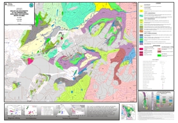 |
Open File 2004-11 maps the geology and geochemistry of the Foremore area. |
| Issue ID: | OF2004-15 |
| Title: | Communities Benefiting from B.C. Mineral Exploration Activity - 2003 |
| Author(s): | Schroeter, T.G., Pardy, J.W. |
| Series Name: | Open File |
| Publication Year: | 2004 |
| Scale: | 1:2700000 |
| NTS Map Sheet(s): | 082;083;092;093;094;102;103;104;114 |
| Place Keyword(s): | British Columbia |
| Lat/Long (NSWE): | 60, 48, -139, -114 |
| Theme Keyword(s): | Communities Benefiting, BC Mineral Exploration Activity, Exploration, Mineral |
Download(s):
| PDF |
Abstract:
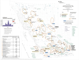 |
Every year companies and prospectors explore for new mineral and coal deposits in almost all regions of the province. This activity is crucial to find the new mines to supply the metals and minerals that are so important to meet society's needs and to provide jobs for many British Columbians.
This map documents some of the principal communities to benefit from mineral exploration activities during 2003. It shows the various exploration areas and major exploration projects. An accompanying table documents the number of exploration projects, associated seasonal jobs and total expenditures in each region. For a more complete review of exploration activity please refer to the following reports. For detailed information on industry activities in the province please also see: Mineral Exploration Review and Exploration and Mining in British Columbia. |
| Issue ID: | OF2004-16 |
| Title: | Communities Expected to Benefit from B.C. Mineral Exploration Activity - 2004 |
| Author(s): | Schroeter, T.G., Pardy, J.W. |
| Series Name: | Open File |
| Publication Year: | 2004 |
| Scale: | 1:2700000 |
| NTS Map Sheet(s): | 082;083;092;093;094;102;103;104;114 |
| Place Keyword(s): | British Columbia |
| Lat/Long (NSWE): | 60, 48, -139, -114 |
| Theme Keyword(s): | Communities Expected to Benefit, BC Mineral Exploration Activity, Exploration, Mineral, Expected |
Download(s):
| PDF |
Abstract:
 |
This map documents the anticipated rise in exploration expenditures and the principal communities expected to benefit from these activities during 2004. It also shows the various exploration areas and major exploration projects. An accompanying table documents the number of exploration projects and total expenditures for each region. |
| Issue ID: | GM2002-01 |
| Title: | Intrusion-Related Mineral Occurrences of the Cretaceous Bayonne Magmatic Melt, Southeast British Columbia |
| Author(s): | Logan, J.M. (compiler) |
| Series Name: | Geoscience Map |
| Publication Year: | 2002 |
| Scale: | 1:500000 |
| NTS Map Sheet(s): | 082E; 082F; 082G; 082J; 082K; 082L; 082M; 082N |
| Place Keyword(s): | British Columbia, Southeast BC |
| Lat/Long (NSWE): | 52, 49, -120, -114 |
| Theme Keyword(s): | Mineral Occurrences, Cretaceous Bayonne, Magmatic Melt, Intrusion, Bedrock Geology |
Download(s):
| PDF |
Abstract:
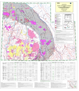 |
This map was generated from digital geological compilations of the Kootenay Mineral Assessment (H�y et al., 1994) and the East Part of the Okanagan Mineral Assessment (Schiarizza and Church, 1996). Modifications incorporate age determinations and more recent mapping associated with the Intrusive-related gold deposits project (1999-2001) and references within. |
| Issue ID: | GM2002-02 |
| Title: | Surficial geology compilation map of the Babine Porphyry district (NTS 93L/9, 16; 93M/1, 2, 7, 8) |
| Author(s): | Levson, V.M. (compiler) |
| Series Name: | Geoscience Map |
| Publication Year: | 2002 |
| Larger Work Citation: | Bulletin 110 |
| Scale: | 1:100000 |
| NTS Map Sheet(s): | 093L/09; 093L/16; 093M/01; 093M/02; 93M/07; 093M/08 |
| Place Keyword(s): | British Columbia, Babine, Babine Porphyry |
| Lat/Long (NSWE): | 55.5, 54.5, -126.8, -126 |
| Theme Keyword(s): | Surficial Geology Map, Compilation, Porphyry District, Surficial Geology |
Download(s):
| PDF |
Abstract:
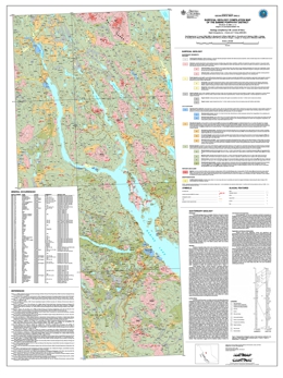 |
Geoscience Map 2002-02 is a surficial geology map of the Babine Porphyry District, a compilation following on the work of several authors from 1972 to 1998. A bedrock geology compilation map of the Babine porphyry district was completed by MacIntyre (Open File 2001-3). |
| Issue ID: | GM2002-03 |
| Title: | Geology of the Beece Creek-Niut Mountain Area, B.C. |
| Author(s): | Schiarizza, P.A., Riddell, J.M., Gaba, R.G., Melville, D.M., Umhoefer, P.J., Robinson, M.J., Jennings, B.K., Hick, D. |
| Series Name: | Geoscience Map |
| Publication Year: | 2002 |
| Scale: | 1:100000 |
| NTS Map Sheet(s): | 092N/8,9,10; 092O/5,6,12 |
| Place Keyword(s): | British Columbia, Beece Creek, Niut Mountain |
| Lat/Long (NSWE): | 51.8, 51.5, -124.5, -123 |
| Theme Keyword(s): | Geology, Bedrock Geology |
Download(s):
| PDF, ZIP (View Zip Contents) |
Abstract:
 |
Geoscience Map 2002-03 covers an area of about 2000 square kilometres in southwestern BC, and encompasses the transition from the Chilcotin and Niut ranges of the Coast Mountains to the subdued topography of the Chilcotin Plateau. The area is underlain by Late Paleozoic through Middle Jurassic sedimentary, volcanic and plutonic rocks of the Bridge River, Cadwallader, Methow and Stikine terranes, together with Jura-Cretaceous sedimentary rocks of the Tyaughton-Methow basin, Late Cretaceous subaerial volcanic rocks of the Powell Creek formation, and Miocene-Pliocene plateau lavas of the Chilcotin Group. The area also includes important suites of Late Cretaceous granitoid intrusions, and important regional structures such as the Yalakom and Tchaikazan dextral strike-slip faults. The map includes new geological information from around the Late Cretaceous Fish Lake (Prosperity) copper-gold porphyry deposit, the Eocene Skinner gold-quartz vein deposit and several porphyry-style copper-gold occurrences associated with Late Triassic tonalite intrusions of the Cadwallader terrane. |
| Issue ID: | GM2002-05 |
| Title: | Geology of the Penticton Tertiary Outlier |
| Author(s): | Church, B.N. |
| Series Name: | Geoscience Map |
| Publication Year: | 2002 |
| Scale: | 1:50000 |
| NTS Map Sheet(s): | 082E/5 |
| Place Keyword(s): | British Columbia, Penticton |
| Lat/Long (NSWE): | 49.5, 49.17, -119.51, -119.85 |
| Theme Keyword(s): | Geology, Tertiary, Outlier, Bedrock Geology |
Download(s):
| PDF |
Abstract:
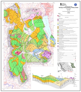 |
The Penticton Tertiary outlier is characterized by low mountainous terrain bounded by the Okanagan Valley on the east (elev.~350 m) and the Similkameen and tributary valleys on the west (elev.~550 m). From the White Lake basin (elev. ~ 530 m), in the east-central part of the Penticton outlier, slopes rise gently to an almost complete ring of hills that includes Mount Orofino (elev. 1590 m) to the southwest. The concordant summits northwest and southwest of White Lake are a remnant of a once continuous upland surface that comprises the southern extremity of the Thompson Plateau.
The principal mineral resources in the Penticton Outlier are the Dust Mac mine (MINFILE No. 082ESW078) near Okanagan Falls that produced 93 000 tonnes of gold-silver ore from 1975 to 1977 and the Vault prospect (MINFILE No. 082ESW173) west of Skaha Lake containing an estimate gold reserve of 200 000 oz.
In the Okanagan - Boundary region the early Tertiary continental sedimentary and volcanic rocks and associated intrusions fill the Penticton and Kelowna half grabens and the Toroda Creek graben that bisects the Okanagan Highlands in the Midway - Rock Creek area. The Springbrook Formation (210 metres thick) at the base of the succession is a polymictic conglomerate containing clasts derived by stream erosion from a geologically diverse pre-Tertiary metamorphic terrane. This unit is followed by the Eocene Kettle River Formation consisting of rhyolite tuffs sandstones shales and minor conglomerates that are in turn overlain conformably by the Marron Formation (1 700 m thick) consisting of phonolite, trachyte, andesite and basalt lava flows and breccias. In the same area the Marama Formation (300 m thick) forms a series of dacitic lava domes above the Marron sequence. The White Lake Formation (1000 m thick) is a sequence of fluvial lacustrine, lahar and volcanic breccias developed unconformably on the Marron and Marama Formations. Completing the Penticton Group, the Skaha Formation is a mainly chaotic landslide breccia at the top of succession. The Penticton Group is overlain unconformably locally by the (Miocene) Olalla obsidian and rhyolite breccia. In the north Okanagan area near Vernon the felsic Penticton volcanics are replaced laterally by Eocene andesites and basalts typical of the Kamloops Group.
Structural control of the Tertiary outliers is related to northerly trending faults. These are important elements in a north-south stress scheme that is responsible for the many northerly-trending grabens found scattered throughout the southern interior of British Columbia from the Fraser River to the Rocky Mountains. The period 45 to 53 Ma witnessed intense volcanic and tectonic activity across the Cordillera. This period corresponds to northerly movement of the Pacific plate that produced oblique subduction of this plate under the North American craton. This stress engine was active throughout the Cordilleran during the Eocene. This resulted in a complex inter-relationship of shears tension faults and folds and the simultaneous development of grabens folding and thrusting in coastal areas the southern interior including the Penticton area and eastern British Columbia.
The Manuel Creek tuff is a newly discovered unit within the Penticton Group. The unit is a minor one occurring directly above and conformable with the Kitley Lake member of the Marron Formation (K/Ar biotite date 53.1 ~ 1.8 Ma). These rocks are mainly gray or beige, massive and characterized by small scattered black specks of biotite and/or amphibole. In thin section the rock consists mostly of glassy shards replaced by zeolites and clay. Accessory minerals include plagioclase sanidine quartz biotite amphibole and smectite. The Manuel Creek tuff and associated sedimentary facies has been traced southerly from a point 2 km north of the West Kootenay power line to about 3 km south of the power line in the southern extremity of the Penticton Tertiary outlier. The unit ranges up to 10 m thick, strikes on average from 010 to 015 degrees and dips 15 to 30 degrees easterly. The related waterlain facies contain local concentrations of carbonaceous woody trash and fossil leaves. At the base the unit is intercalated with buff coloured siltstone and sandstone eroded from the underlying Kitley Lake member. Laterally the tuff is mixed with lapilli and breccia and interbedded brown sandstone containing lithic clasts derived from the Kearns Creek basalt. The Manuel Creek beds represents an estimate resource of 1.6 million tonnes of medium to high grade zeolitized tuff. |
| Issue ID: | PM12 |
| Title: | Geology of the Northern Babine Lake Area |
| Author(s): | Carter, N.C. |
| Series Name: | Preliminary Map |
| Publication Year: | 1973 |
| Scale: | 1:63360 |
| NTS Map Sheet(s): | 093L/9,10,15,16; 093M/1,2,7,8 |
| Place Keyword(s): | British Columbia, Babine, Northern Babine, Babine Lake |
| Lat/Long (NSWE): | 55.5, 54.66667, -126.75, -126 |
| Theme Keyword(s): | Geology, Lake |
Download(s):
| PDF |
Abstract:
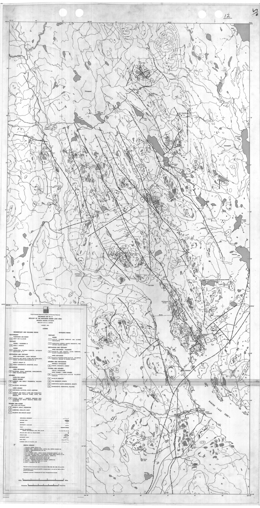 |
This 1:63 360-scale preliminary geology map of the Northern Babine Lake area is the result of field work from 1965 to 1972. The area covers porphyry copper deposits, such as Granisle (093L 146), Bell (093M 001), Morrison (093M 007) and Hearne Hill (093M 006). |
| Issue ID: | MIN1981-01 |
| Title: | Mining in British Columbia - 1981-1985 |
| Author(s): | MEMPR Staff |
| Series Name: | Mining in B.C. |
| Publication Year: | 1981-1985 |
| Larger Work Citation: | in Mining in British Columbia, 1981-1985, BC Ministry of Energy, Mines and Petroleum Resources |
| NTS Map Sheet(s): | 082;083;092;093;094;102;103;104;114 |
| Place Keyword(s): | British Columbia |
| Lat/Long (NSWE): | 60, 48, -139, -114 |
| Theme Keyword(s): | Mining, Environmental Control, Mine Rescue, Accidents, Mine Production |
Download(s):
| PDF |
Abstract:
 |
Mining in British Columbia 1981 - 1985 includes descriptions of metal mines, non-metallic mines and quarries, and coal mines for this period. Production tables for the metal and coal mines are presented. Part 2 is a report of the Chief Inspector of Mines. |
| Issue ID: | MIN1986-01 |
| Title: | Mining in British Columbia - 1986-1987 |
| Author(s): | MEMPR Staff |
| Series Name: | Mining in B.C. |
| Publication Year: | 1986-1987 |
| Larger Work Citation: | in Mining in British Columbia, 1986-1987, BC Ministry of Energy, Mines and Petroleum Resources |
| NTS Map Sheet(s): | 082;083;092;093;094;102;103;104;114 |
| Place Keyword(s): | British Columbia |
| Lat/Long (NSWE): | 60, 48, -139, -114 |
| Theme Keyword(s): | Mining, Environmental Control, Mine Rescue, Accidents, Mine Production |
Download(s):
| PDF |
Abstract:
 |
Mining in British Columbia 1986 - 1987 includes the report of the Chief Inspector of Mines in Part 1. Part 2 includes mine production tables and descriptions of metal mines, coal mines and non-metallic mines and quarries. |
| Issue ID: | MIN1988-01 |
| Title: | Mining in British Columbia - 1988 |
| Author(s): | MEMPR Staff |
| Series Name: | Mining in B.C. |
| Publication Year: | 1988 |
| Larger Work Citation: | in Mining in British Columbia, 1988, BC Ministry of Energy, Mines and Petroleum Resources |
| NTS Map Sheet(s): | 082;083;092;093;094;102;103;104;114 |
| Place Keyword(s): | British Columbia |
| Lat/Long (NSWE): | 60, 48, -139, -114 |
| Theme Keyword(s): | Mining, Environmental Control, Mine Rescue, Accidents, Mine Production |
Download(s):
| PDF |
Abstract:
 |
Mining in British Columbia 1988 includes the report of the Chief Inspector of Mines in Part 1. Part 2 includes mine production tables and descriptions of metal mines, coal mines and industrial and structural minerals. |
| Issue ID: | GF2004-07 |
| Title: | Stream Geochemical Survey Guide |
| Author(s): | Lett, R.E., Jackaman, W. |
| Purpose: | The objective is to provide an illustrated "how to" guide for regional geochemical survey procedures and logistics. |
| Series Name: | GeoFile |
| Publication Year: | 2004 |
| Scale: | 1:20000 |
| NTS Map Sheet(s): | 082;083;092;093;094;102;103;104;114 |
| Place Keyword(s): | British Columbia |
| Lat/Long (NSWE): | 60, 48, -139, -114 |
| Theme Keyword(s): | Stream, Geochemistry, Survey, Guide |
Download(s):
| PDF |
Abstract:
 |
This new publication describes the methods used by the British Columbia Geological Survey in the field to collect, prepare, store and ship sediment and water samples. It is intended as an illustrated �how to� guide for regional geochemical survey procedures and logistics. Individuals and companies working in British Columbia and similar terrains, will find this publication useful for planning their exploration programs and ensuring quality control. |
| Issue ID: | IC2001-01 |
| Title: | British Columbia Mineral Exploration Review 2000 |
| Author(s): | MEM |
| Series Name: | Information Circular |
| Publication Year: | 2001 |
| NTS Map Sheet(s): | 082;083;092;093;094;102;103;104;114 |
| Place Keyword(s): | British Columbia |
| Lat/Long (NSWE): | 60, 48, -139, -114 |
| Theme Keyword(s): | Mineral Exploration, Annual Review 2000, Mineral Statistics, Mineral and Coal Mines, Industrial Minerals |
Download(s):
| PDF |
Abstract:
 |
This annual publication provides an overview of mineral exploration and development activities in the Province of British Columbia for 2000. Ministry geologists using information provided by government, companies and individuals in the British Columbia mining industry compile the publication. It contains detailed statistical tables and illustrations, in addition to location maps and tables summarizing significant mining, exploration and development projects in the province during 2000. A total of $30 million is estimated to have been spent on mineral exploration during 2000 and this publication provides information on the major areas of interest. |
| Issue ID: | IC2003-01 |
| Title: | British Columbia Mineral Exploration Review 2002 |
| Author(s): | MEM |
| Series Name: | Information Circular |
| Publication Year: | 2003 |
| NTS Map Sheet(s): | 082;083;092;093;094;102;103;104;114 |
| Place Keyword(s): | British Columbia |
| Lat/Long (NSWE): | 60, 48, -139, -114 |
| Theme Keyword(s): | Mineral Exploration, Annual Review 2002, Mineral Statistics, Mineral and Coal Mines, Industrial Minerals |
Download(s):
| PDF |
Abstract:
 |
This annual publication provides an overview of mineral exploration and development activities in the Province of British Columbia for 2002. Ministry geologists using information provided by government, companies and individuals in the British Columbia mining industry compile the publication. It contains detailed statistical tables and illustrations, in addition to location maps and tables summarizing significant mining, exploration and development projects in the province during 2002. A total of $40 million is estimated to have been spent on mineral exploration during 2002 and this publication provides information on the major areas of interest. |
| Issue ID: | IC1997-01 |
| Title: | British Columbia Mineral Exploration Review 1996 |
| Author(s): | MEM |
| Series Name: | Information Circular |
| Publication Year: | 1997 |
| NTS Map Sheet(s): | 082;083;092;093;094;102;103;104;114 |
| Place Keyword(s): | British Columbia |
| Lat/Long (NSWE): | 60, 48, -139, -114 |
| Theme Keyword(s): | Mineral Exploration, Annual Review 1996, Mineral Statistics, Mineral and Coal Mines, Industrial Minerals |
Download(s):
| PDF |
Abstract:
 |
This annual publication provides an overview of mineral exploration and development activities in the Province of British Columbia for 1996. Ministry geologists using information provided by government, companies and individuals in the British Columbia mining industry compile the publication. It contains detailed statistical tables and illustrations, in addition to location maps and tables summarizing significant mining, exploration and development projects in the province during 1996. A total of $100 million is estimated to have been spent on mineral exploration during 1997 and this publication provides information on the major areas of interest. |
| Issue ID: | IC1998-01 |
| Title: | British Columbia Mineral Exploration Review 1997 |
| Author(s): | MEM |
| Series Name: | Information Circular |
| Publication Year: | 1998 |
| NTS Map Sheet(s): | 082;083;092;093;094;102;103;104;114 |
| Place Keyword(s): | British Columbia |
| Lat/Long (NSWE): | 60, 48, -139, -114 |
| Theme Keyword(s): | Mineral Exploration, Annual Review 1997, Mineral Statistics, Mineral and Coal Mines, Industrial Minerals |
Download(s):
| PDF |
Abstract:
 |
This document examines the exploration expenditures in 1997 which are estimated to be approximately $75 million, a 25% decrease from 1996. The number of projects with budgets in excess of $100 000 is estimated at approximately 130, a 38% decrease from 1996. |
| Issue ID: | IC1999-01 |
| Title: | British Columbia Mineral Exploration Review 1998 |
| Author(s): | MEM |
| Series Name: | Information Circular |
| Publication Year: | 1999 |
| NTS Map Sheet(s): | 082;083;092;093;094;102;103;104;114 |
| Place Keyword(s): | British Columbia |
| Lat/Long (NSWE): | 60, 48, -139, -114 |
| Theme Keyword(s): | Mineral Exploration, Annual Review 1998, Mineral Statistics, Mineral and Coal Mines, Industrial Minerals |
Download(s):
| PDF |
Abstract:
 |
This annual publication provides an overview of mineral exploration and development activities in the Province of British Columbia for 1998. Ministry geologists using information provided by government, companies and individuals in the British Columbia mining industry compile the publication. It contains detailed statistical tables and illustrations, in addition to location maps and tables summarizing significant mining, exploration and development projects in the province during 1997. A total of $75 million is estimated to have been spent on mineral exploration during 1997 and this publication provides information on the major areas of interest. |
| Issue ID: | IC2000-01 |
| Title: | British Columbia Mineral Exploration Review 1999 |
| Author(s): | MEM |
| Series Name: | Information Circular |
| Publication Year: | 2000 |
| NTS Map Sheet(s): | 082;083;092;093;094;102;103;104;114 |
| Place Keyword(s): | British Columbia |
| Lat/Long (NSWE): | 60, 48, -139, -114 |
| Theme Keyword(s): | Mineral Exploration, Annual Review 1999, Mineral Statistics, Mineral and Coal Mines, Industrial Minerals |
Download(s):
| PDF |
Abstract:
 |
This annual publication provides an overview of mineral exploration and development activities in the Province of British Columbia for 1999. Ministry geologists using information provided by government, companies and individuals in the British Columbia mining industry compile the publication. It contains detailed statistical tables and illustrations, in addition to location maps and tables summarizing significant mining, exploration and development projects in the province during 1999. A total of $25 million is estimated to have been spent on mineral exploration during 1999 and this publication provides information on the major areas of interest. |
| Issue ID: | IC2002-02 |
| Title: | GeoLogos (Puzzles) |
| Author(s): | Massey, N.W.D., Jakobsen, D. |
| Series Name: | Information Circular |
| Publication Year: | 2002 |
| NTS Map Sheet(s): | 082;083;092;093;094;102;103;104;114 |
| Place Keyword(s): | British Columbia |
| Theme Keyword(s): | Puzzles, Games, geological, mineral, education |
Download(s):
| PDF |
Abstract:
 |
A collection of word puzzles with geological and mineral themes. |
| Issue ID: | GF2002-04 |
| Title: | Broken Hill and SEDEX-Type Deposits of the Kootenay Terrane |
| Author(s): | Hoy, T. |
| Series Name: | GeoFile |
| Publication Year: | 2002 |
| NTS Map Sheet(s): | 082; 083; 092; 093; 094; 102; 103; 104; 114 |
| Place Keyword(s): | British Columbia, Kootenay |
| Lat/Long (NSWE): | 53.75, 49, -122.7, -116.8 |
| Theme Keyword(s): | SEDEX, Terrane, Deposits |
Download(s):
| PDF |
Abstract:
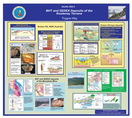 |
GeoFile 2002-04 examines Broken Hill and SEDEX types of deposits of the Kootenay Terrane. |
| Issue ID: | GF2002-05 |
| Title: | British Columbia's Fe Oxide Cu-Au-Deposit Potential - New Frontiers |
| Author(s): | Webster, I.C.L. |
| Series Name: | GeoFile |
| Publication Year: | 2002 |
| Scale: | 1:10000000 |
| NTS Map Sheet(s): | 082;083;092;093;094;102;103;104;114 |
| Place Keyword(s): | British Columbia |
| Lat/Long (NSWE): | 60, 48, -139, -114 |
| Theme Keyword(s): | Deposit Potential, Fe Oxide, Cu-Au, New Frontiers |
Download(s):
| PDF |
Abstract:
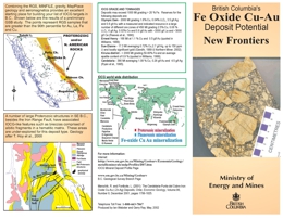 |
GeoFile 2002-05 is a brochure on Fe Oxide Cu-Au Deposit Potential in BC. Iron oxide copper gold deposits are an attractive exploration target owing to their potential for high grades and enormous size. B.C. has potential for these deposits because of its favourable geological environments, however there has been no major exploration program for this deposit type in the province. A preliminary study has identified some promising sites, many that are clear of mineral title (see facing map). |
| Issue ID: | GF2002-06 |
| Title: | Joss'alun Massive Sulphide Discovery |
| Author(s): | Mihalynuk, M.G. |
| Series Name: | GeoFile |
| Publication Year: | 2002 |
| NTS Map Sheet(s): | 104; |
| Place Keyword(s): | British Columbia, Joss'alun, Atlin, Northwest BC |
| Lat/Long (NSWE): | 59.022325, 59.020526, -132.90455, -132.902444 |
| Theme Keyword(s): | Massive Sulphide Discovery, Sulphide, Massive |
Download(s):
| PDF, ZIP (View Zip Contents) |
Abstract:
 |
Ministry of Energy and Mines personnel discovered new massive sulphide mineralization during regional mapping in the Atlin area. Called the Joss'alun occurrence, it was discovered as part of a mapping program conducted under the joint federal and provincial Atlin Targeted Geoscience Initiative. The following description is based on less than one full day of fieldwork. Accordingly, observations regarding the geological setting and the style of mineralization are preliminary. |
| Issue ID: | GF2002-07 |
| Title: | Industrial Minerals in British Columbia; 2002 Preliminary Review |
| Author(s): | Simandl, G.J., Terry, D., Cathro, M., Lane, B., Wojdak, P.J., Houle, J., Grant, B., Schroeter, T.G. |
| Series Name: | GeoFile |
| Publication Year: | 2002 |
| NTS Map Sheet(s): | 082;083;092;093;094;102;103;104;114 |
| Place Keyword(s): | British Columbia |
| Lat/Long (NSWE): | 60, 48, -139, -114 |
| Theme Keyword(s): | Industrial Minerals, minerals, review |
Download(s):
| PDF |
Abstract:
 |
British Columbia�s industrial mineral production for 2001 is estimated at $54 million, and mineral exploration expenditures are estimated at $2.6 million, which was about 8% of the province�s exploration investment. Production is expected to increase this year, even while exploration expenditures declined.
The most economically significant industrial minerals produced are: magnesite, white calcium carbonate, limestone, silica, dimension stone, gypsum, sulphur, construction aggregate and crushed rock. Commodities produced in lesser quantities include jade (nephrite), magnetite, dolomite, barite, volcanic cinder, pumice, flagstone, clay, tufa, fuller�s earth and zeolites. There are more than 40 mines or quarries and at least 20 major sites where upgrading of industrial minerals into value-added products takes place, not counting the aggregate operations listed by the British Columbia Aggregate Producers Association. |
| Issue ID: | GF2003-06 |
| Title: | Kena Gold Mountain Zone - Early Middle Jurassic Porphyry Au +/- Cu Mineralization, Southeast British Columbia |
| Author(s): | Logan, J.M., Laflamme, G., Dandy, L. |
| Series Name: | GeoFile |
| Publication Year: | 2003 |
| NTS Map Sheet(s): | 082F |
| Place Keyword(s): | British Columbia, Kena, Southeast BC, Nelson |
| Lat/Long (NSWE): | 53, 49, -120, -114 |
| Theme Keyword(s): | Gold, Jurassic, Porphyry, Mineralization, Gold Mountain Zone |
Download(s):
| PDF |
Abstract:
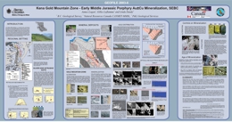 |
The Kena Gold project is a private-public partnership developed between the Ministry of Energy and Mines, Sultan Minerals Inc. And CANMET-MMSL to study and report on the new gold mineralization discovered 5 kilometres south of Nelson. |
| Issue ID: | GF2004-08 |
| Title: | Level 2 Mineral Resource Assessment Coastal British Columbia - Methodology and Results |
| Author(s): | MacIntyre, D.G., Massey, N.W.D., Kilby, W.E. |
| Purpose: | The purpose is to provide more detailed information on metallic and industrial mineral resource potential in support of a multi-disciplinary economic gain spatial analysis being done on contract to the CIT. |
| Series Name: | GeoFile |
| Publication Year: | 2004 |
| Scale: | 1:250000 |
| NTS Map Sheet(s): | 082;083;092;093;094;102;103;104;114 |
| Place Keyword(s): | British Columbia, Coastal |
| Lat/Long (NSWE): | 57, 48, -139, -121 |
| Theme Keyword(s): | Mineral Resource, Resource Assessment |
Download(s):
| PDF, ZIP (View Zip Contents) |
Abstract:
 |
This report summarizes the methodology and results of a Level 2 Mineral Resource Assessment of the Coast Information Team's (CIT) project area which encompasses approximately 11 million hectares. A review of the original Level 1 MRA is also included because the Level 2 MRA is built on the results of the original assessment. The primary purpose of this assessment was to provide more detailed information on metallic and industrial mineral resource potential in support of a multidisciplinary economic gain spatial analysis being done on contract to the CIT. The resource assessment was carried out in early October 2002 and final results delivered to the Ministry of Sustainable Resource Management and the CIT at the end of December 2002. |
| Issue ID: | GF2004-10 |
| Title: | Operating Mines and Major Exploration and Development Projects 2004 - Preliminary Estimates |
| Author(s): | Schroeter, T.G., Pardy, J.W. |
| Series Name: | GeoFile |
| Publication Year: | 2004 |
| NTS Map Sheet(s): | 082;083;092;093;094;102;103;104;114 |
| Place Keyword(s): | British Columbia |
| Lat/Long (NSWE): | 60, 48, -139, -114 |
| Theme Keyword(s): | Operating Mines, Major Exploration, Exploration and Development |
Download(s):
| PDF |
Abstract:
 |
GeoFile 2004-10 is a map showing Operating Mines and Major Exploration and Development Projects in 1994. the values on the map are all preliminary mineral exploration estimates. |
| Issue ID: | GF2004-11 |
| Title: | Significant British Columbia Porphyry Cu-Au Resources |
| Author(s): | Schroeter, T.G., Pardy, J.W., Cathro, M. |
| Series Name: | GeoFile |
| Publication Year: | 2004 |
| NTS Map Sheet(s): | 082; 083; 092; 093; 094; 102; 103; 104; 114 |
| Place Keyword(s): | British Columbia |
| Lat/Long (NSWE): | 60, 48, -139, -114 |
| Theme Keyword(s): | Porphyry Deposits, Precious Metals |
Download(s):
| PDF, ZIP (View Zip Contents) |
Abstract:
 |
GeoFile 2004-11 is a table listing significant porphyry copper-gold resources in British Columbia. It includes information on the owner/operator of specific projects, mine production, current resources, contained copper and gold, the deposit type, references, as well as a brief listing of active, significant exploration projects for porphyry Cu-Au targets that currently do not have known resources. The table is presented in PDF and Excel format. This compilation includes past producers for which some resources remain (e.g. Afton, Bell and Similco), but does not include past producers (e.g. Island Copper). |
| Issue ID: | GM2003-01 |
| Title: | Quaternary geology of the Atlin area, British Columbia (NTS 104N/11, 12) |
| Author(s): | Levson, V.M., Kerr, D.E., Lowe, C., Blyth, H. |
| Series Name: | Geoscience Map |
| Publication Year: | 2003 |
| Other Citation Details: | Also published as Geological Survey of Canada Open File 1562. Contains data from British Columbia Geological Survey Open File 1992-07 |
| Larger Work Citation: | Also published as Geological Survey of Canada Open File 1562. Contains data from British Columbia Geological Survey Open File 1992-07 |
| Scale: | 1:50000 |
| NTS Map Sheet(s): | 104N/11; 104N/12 |
| Place Keyword(s): | British Columbia, Atlin |
| Lat/Long (NSWE): | 59.75, 59.5, -133.75, -133.25 |
| Theme Keyword(s): | Surficial Geology Map, Geology, Quaternary |
Download(s):
| PDF |
Abstract:
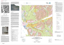 |
This surficial geology and placer potential map of the Atlin area was originally produced by the British Columbia Geological Survey (Levson and Kerr, 1992) following a 1991 field program investigating the geology of placer gold deposits in the Atlin mining district (Levson, 1992). This Map is an updated colour version of the map presented by Levson and Kerr (1992) and includes results of new work conducted under the Atlin Targeted Geoscience Initiative by the British Columbia Geological Survey Branch and the Geological Survey of Canada. New data includes recently published research on the Quaternary geology of the area (Levson and Blyth, 2001), new field observations and geochemical data on platinum in placer deposits (Levson et al., 2002), and a digital elevation model of the region produced by Lowe et al. (2001; Figure 1). Map units have been revised to include the chrono-stratigraphic designations as well as surficial materials information but unit boundaries have not been altered. |
| Issue ID: | GM2003-02 |
| Title: | Coalbed Methane Geology of the Peace River District |
| Author(s): | Legun, A.S. |
| Series Name: | Geoscience Map |
| Publication Year: | 2003 |
| Scale: | 1:200000 |
| NTS Map Sheet(s): | 094A,094B; 093I,093O,093P |
| Place Keyword(s): | British Columbia, Peace River, Northeast |
| Lat/Long (NSWE): | 56.5, 54, -123, -120 |
| Theme Keyword(s): | Geology, coalbed, methane, Bedrock Geology |
Download(s):
| PDF, ZIP (View Zip Contents) |
Abstract:
 |
This Geoscience File consists of a map at a 1:200 000 scale covering the Peace River District south of latitude 56 30' (NTS topo sheets 93P and parts of 93I, 93O, 94A and B). The map covers the surface geology of the Peace River coalfield and areas to the east where coal measures form a subsurface CBM resource. Outlined on the map are CBM land sales, experimental schemes, as well as coal leases. The digital file includes additional layers showing the distribution of coal boreholes, isoreflectance contours for the Gething Formation (from Marchioni and Kalkreuth 1992). A coal borehole database (Coalbh_nad83) is included on floppy disk in dbf and csv format.
The surface geology map draws on numerous assessment reports and the mapping results of federal and provincial programs in the 1980s and 1990s. It updates the 1978 compilation of the surface geology of the Peace River coalfield and provides a current geologic base for regional exploration planning.
A digital database of well formation-tops (Tops_map.dbf) supports the map. The database is a subset of larger datasets maintained by the Oil and Gas Commission (http://www.ogc.gov.bc.ca). The database is a compilation of stratigraphic log picks by various petroleum company geologists over the years. As such it is not standardized, but does provide a first approximation of depths to important stratigraphic markers in the coal-bearing Lower Cretaceous sequence. It can be used together with other databases (e.g. coal borehole and coal reflectance databases) available from federal and provincial archives to assess CBM potential. |
| Issue ID: | GM2003-03 |
| Title: | Geology of Anyox Mining Camp |
| Author(s): | Alldrick, D.J. |
| Series Name: | Geoscience Map |
| Publication Year: | 2003 |
| Scale: | 1:20000 |
| NTS Map Sheet(s): | 103P/5 & 12W |
| Place Keyword(s): | British Columbia, Anyox |
| Lat/Long (NSWE): | 55.537, 55.339, -129.964, -129.732 |
| Theme Keyword(s): | Geology, Mining Camp, Bedrock Geology |
Download(s):
| PDF, ZIP (View Zip Contents) |
Abstract:
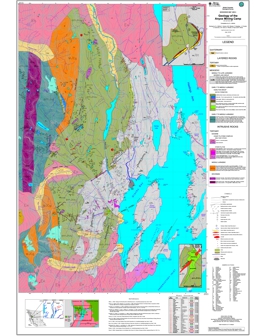 |
This 1:20 000-scale map portrays the geology of the Anyox mining camp (103P/5 and 12W) in northwestern British Columbia. |
| Issue ID: | OF2000-30 |
| Title: | Aggregate Potential Mapping - Sea to Sky Study |
| Author(s): | Hickin, A.S., Brooks, E.D., Bobrowsky, P.T. |
| Series Name: | Open File |
| Publication Year: | 2000 |
| Scale: | 1:150000 |
| NTS Map Sheet(s): | 092G/11, 14; 092J/2, 3, 6, 7, 8, 9, 10, 11, 12 |
| Place Keyword(s): | British Columbia, Sea to Sky, Squamish, Whistler, Pemberton |
| Lat/Long (NSWE): | 50.74, 49.5, -123.59, -122.4 |
| Theme Keyword(s): | Surficial Geology, Aggregate Potential, Sea to Sky |
Abstract:
| The Sea-to-Sky region, north of Vancouver, British Columbia, is currently experiencing competing land use options which range from the development of scarce, but economically important aggregate resources to complete conservation and preservation of the natural resources. However, with the continued urban growth of communities such as the Villages of Whistler and Pemberton and the City of Squamish, coupled with a potentially successful bid for the 2010 Winter Olympics, pressure on the existing local aggregate reserves will eventually reach a critical stage. To address these concerns, the Ministry of Energy and Mines with funding assistance from the Corporate Resource Inventory Initiative (CRII), British Columbia Assets and Lands (BCAL), and Ministry of Transportation and Highways (MoTH), initiated a joint project to assess, at a reconnaissance level, the aggregate potential of the Sea-to-Sky corridor. |
| Issue ID: | MAPPLACE-00 |
| Title: | MapPlace 2 |
| Author(s): | BC Geological Survey |
| Series Name: | MapPlace |
| Publication Year: | 2018 |
| NTS Map Sheet(s): | 082;083;092;093;094;102;103;104;114 |
| Place Keyword(s): | British Columbia |
| Lat/Long (NSWE): | 60, 48, -139, -114 |
| Theme Keyword(s): | Interactive Mapping, MapPlace 2, Database, spatial data, web services |
Additional Link(s):
| https://www2.gov.bc.ca/gov/content/industry/mineral-exploration-mining/british-columbia-geological-survey/mapplace/mapplace2-userguide |
Abstract:
| Since 1995, the BC Geological Survey has provided the MapPlace web service to provided industry and government agencies with comprehensive tools and open geoscience data to aid in the discovery of mineral potential in British Columbia. The mineral industry recognizes MapPlace as innovative and indispensable, with unique and interactive applications and tools to assist in investment decision making. MapPlace provide clients with efficiencies in research time, data costs, and analysis. Data themes and applications available on MapPlace include mineral potential, bedrock and surficial geology, publications, mineral and petroleum tenure, MINFILE, assessment reports, geochemistry, and geophysical surveys. Many individual map objects are linked to valuable attribute data or to a separate internet site, allowing further search and retrieval capabilities. The new MapPlace 2 is easier to use and has much improved functionality and performance. It can be used on either a Mac or a PC, does not require plug-ins, and works in most web browsers. MapPlace 2 differs from many other web services because it allows visualizing and querying province-wide geoscience data at exceptional speed and provides advanced applications to search, analyze, report and download these data. |
| Issue ID: | MAPPLACE-01 |
| Title: | BCGS Geoscience Map |
| Author(s): | BC Geological Survey |
| Series Name: | MapPlace |
| Publication Year: | 2001 |
| NTS Map Sheet(s): | 082;083;092;093;094;102;103;104;114 |
| Place Keyword(s): | British Columbia |
| Lat/Long (NSWE): | 60, 48, -139, -114 |
| Theme Keyword(s): | Interactive Mapping, MapPlace, Database, spatial data, geology |
Additional Link(s):
| http://webmap.em.gov.bc.ca/mapplace/minpot/bcgs.asp |
Abstract:
| This map has all the datasets and expanded geology layers. The Legend Window to the left of the map is organized into Layer Groups. Look for the expanded geology, mineral occurrence, ARIS and mineral title layers at the bottom of the legend window. Administrative layers are at the top. Topographic layers, including TRIM, are in the middle of the legend window. Two sets of Level 1 Mineral Resource Assessment layers are available, a shaded version above the geology layers and a solid version below the geology layers. Level 2 MRA for metallic mineral potential is also available. Map codes were recently rationalized and new updated sedimentary, volcanic, metamorphic, intrusive and ultramafic geology layers were added. Lithologies are displayed and reported by age and rock type. Geology is compiled at a 1:250K scale. Compilation scales may be shown with the legend label; scales in brackets, e.g. (<1:1.2M) or (<300K), are the scales, shown in the lower right part of the map, at which the layer is visible. |
| Issue ID: | MAPPLACE-02 |
| Title: | Exploration Assistant |
| Author(s): | BC Geological Survey |
| Series Name: | MapPlace |
| Publication Year: | 2001 |
| NTS Map Sheet(s): | 082;083;092;093;094;102;103;104;114 |
| Place Keyword(s): | British Columbia |
| Lat/Long (NSWE): | 60, 48, -139, -114 |
| Theme Keyword(s): | Interactive Mapping, MapPlace, Database, spatial data, exploration |
Additional Link(s):
| http://webmap.em.gov.bc.ca/mapplace/minpot/ex_assist.asp |
Abstract:
| This map features 10 Analysis Tools to display information based on query selections. 1. Use the Location/Gazetteer to search and display BC locations or Zoom Goto Indian Reserve, Latitude - Longitude Coordinate, Mapsheet, Municipality, Place Name, Scale, or UTM Coordinate. 2. The Discovery Potential tool displays where deposit types are likely found (based on the Mineral Resource Assessment program). 3. Search and display MINFILE by commodity, deposit type, name, Mining Division or NTS Map. 4. The Regional Geochemistry section features the selection of 38 elements, from the Regional Geochemical Survey program, for display as Provincial or Mapsheet thresholds; symbols can also be resized. 5. Display Geology by age, lithology and terrain. 6. Search and display Mineral Titles by Name, Owner ID, Anniversary Date, and Acquired Date. 7. The Image Analysis Toolbox (IAT) is a framework to add and display a variety of multi and hyperspectral imagery. 8. Metadata tool provides a complete list of the map layers, its display scale, and links to more information and source. 9. The Layer Finder helps locate any of the over 500 layers using key words. 10. The Search Publications section features searches, on the GSB publications, by Author, Title, Keyword, Abstract, Year, Scale, Series, Publication ID, Map Extent and All Fields. |
| Issue ID: | MAPPLACE-03 |
| Title: | Mineral Titles Map |
| Author(s): | BC Geological Survey |
| Series Name: | MapPlace |
| Publication Year: | 2001 |
| NTS Map Sheet(s): | 082;083;092;093;094;102;103;104;114 |
| Place Keyword(s): | British Columbia |
| Lat/Long (NSWE): | 60, 48, -139, -114 |
| Theme Keyword(s): | Interactive Mapping, Tenure, Database, spatial data, Mineral Titles |
Additional Link(s):
| http://webmap.em.gov.bc.ca/mapplace/minpot/min_titl.asp |
Abstract:
| Legacy Mineral, Placer and Coal tenures (before January 12, 2005) and Mineral and Placer Mineral Titles Online (MTO) tenures (after January 12, 2005) are displayed on this map. Crown granted two post claims are available in raster format for downloading or viewing. To access these maps turn on the Crown Grant Download theme and double click on the map area of interest. The page that appears in the lower frame will give you the option to download one of the two possible half sheets for use in some graphics program OR to view the maps interactively and integrated with other MapPlace information. When you select the interactive viewing a new window will appear with the Crown Grant raster data displayed and other information can then be added. This map is in UTM83 projection so caution must be exercised as one nears the UTM zone boundary. A Mineral Titles Archive group is available with March 2000 and May 2001 data. The Mineral Titles Online grid is available below 1:60K scale, with labels at 1:20K scale. |
| Issue ID: | MAPPLACE-04 |
| Title: | Mapper Wrapper |
| Author(s): | BC Geological Survey |
| Series Name: | MapPlace |
| Publication Year: | 2004 |
| Other Citation Details: | no longer available |
| NTS Map Sheet(s): | 082;083;092;093;094;102;103;104;114 |
| Place Keyword(s): | British Columbia |
| Lat/Long (NSWE): | 60, 48, -139, -114 |
| Theme Keyword(s): | Interactive Mapping, create layer, custom data, spatial data |
Abstract:
| The MapperWrapper provides the ability to create layers and add map objects, such as lines, polygons, symbols, text and custom grids, to existing MapPlace basemaps. This added information resides only on the client computer and is never transmitted over the Internet. A continuous Internet connection is required to obtain the basemap information such as topographic contours and imagery, as well as, being able to obtain reports from the MapPlace server. THIS MAP HAS BEEN DISCONTINUED. |
| Issue ID: | MAPPLACE-06 |
| Title: | General Map |
| Author(s): | BC Geological Survey |
| Series Name: | MapPlace |
| Publication Year: | 2002 |
| NTS Map Sheet(s): | 082;083;092;093;094;102;103;104;114 |
| Place Keyword(s): | British Columbia |
| Lat/Long (NSWE): | 60, 48, -139, -114 |
| Theme Keyword(s): | Interactive Mapping, MapPlace, Database, spatial data, base map |
Additional Link(s):
| http://webmap.em.gov.bc.ca/mapplace/minpot/general.asp |
Abstract:
| This map is useful for viewing base map layers in BC. It features Administrative, First Nations, Parks, with links to descriptions by BC Parks, Forestry, Topographic, Aquifers, Water Wells, Environment Canada Climate Stations, with links to station details, and Grid layers. It also has the LandSat and DEM Image Hillshade Raster layers. This map contains minimal geoscience data layers, including only mineral occurrences, bedrock geology, mineral resource assessment, volcanoes and earthquakes. |
| Issue ID: | MAPPLACE-07 |
| Title: | Mineral Properties Available Map |
| Author(s): | BC Geological Survey |
| Series Name: | MapPlace |
| Publication Year: | 2004 |
| Other Citation Details: | no longer available |
| NTS Map Sheet(s): | 082;083;092;093;094;102;103;104;114 |
| Place Keyword(s): | British Columbia |
| Lat/Long (NSWE): | 60, 48, -139, -114 |
| Theme Keyword(s): | Interactive Mapping, MapPlace, Database, spatial data, mineral properties |
Abstract:
| In partnership with the Association for Mineral Exploration British Columbia (AME BC), the Ministry of Energy, Mines and Petroleum Resources developed a mineral properties for sale/option map within British Columbia. Prospectors and mining exploration companies were invited to submit property information from 2004 to 2006. The last update of the map was posted January 13, 2006. THIS MAP HAS BEEN DISCONTINUED. |
| Issue ID: | MAPPLACE-08 |
| Title: | Mineral Economy Map |
| Author(s): | BC Geological Survey |
| Series Name: | MapPlace |
| Publication Year: | 2001 |
| NTS Map Sheet(s): | 082;083;092;093;094;102;103;104;114 |
| Place Keyword(s): | British Columbia |
| Lat/Long (NSWE): | 60, 48, -139, -114 |
| Theme Keyword(s): | Interactive Mapping, Mineral Activity, Mining Economy, spatial data, Exploration |
Additional Link(s):
| http://webmap.em.gov.bc.ca/mapplace/minpot/minEconomy.asp |
Abstract:
| This map features mineral activity such as Major Exploration, Development, Mines and Reclamation Projects; Electoral Boundaries; and updated Land Use Plan layers with details and links to Regional Land Use Plan web pages. Historical Mines (2959 sites), with links to 67 site visit reports, are also displayed in the Mineral Inventory group. Use the POPUP MENU to link to the following websites: Mines Directory, Metal Mines, Coal in BC, Coal Company Info and other sites. THIS MAP IS NO LONGER UPDATED. |
| Issue ID: | MAPPLACE-09 |
| Title: | Petroleum Tenure & Wells |
| Author(s): | BC Geological Survey |
| Series Name: | MapPlace |
| Publication Year: | 1999 |
| NTS Map Sheet(s): | 082;083;092;093;094;102;103;104;114 |
| Place Keyword(s): | British Columbia, Bowser Basin |
| Lat/Long (NSWE): | 60, 48, -139, -114 |
| Theme Keyword(s): | Interactive Mapping, MapPlace, Wells, petroleum, tenure |
Additional Link(s):
| http://webmap.em.gov.bc.ca/mapplace/minpot/Petroleum.asp |
Abstract:
| This map displays northeastern BC Petroleum and Natural Gas well locations, tenure, PNG grid, oil and gas fields and major pipelines. Tools allow searches for tenure owner, tenure number, range of tenure numbers, well site name, and BC Gazetteer locations. Bowser Basin geology, coal deposits, coal fields and coal tenure (visible < 1M scale) are also included on this map. |
| Issue ID: | MAPPLACE-10 |
| Title: | Offshore Map Gallery |
| Author(s): | BC Geological Survey |
| Series Name: | MapPlace |
| Publication Year: | 2003 |
| NTS Map Sheet(s): | 082;083;092;093;094;102;103;104;114 |
| Place Keyword(s): | British Columbia, offshore, Queen Charlotte Islands |
| Lat/Long (NSWE): | 60, 48, -139, -114 |
| Theme Keyword(s): | Interactive Mapping, MapPlace, Offshore, coast, tenure |
Additional Link(s):
| http://webmap.em.gov.bc.ca/mapplace/minpot/offshore.asp
https://www2.gov.bc.ca/gov/content/industry/mineral-exploration-mining/british-columbia-geological-survey/mapplace/mapplace1/offshore |
Abstract:
| Allows users free access to combine geospatial data layers for the offshore, including geology, tenure, coastal communities, fisheries data, and earthquakes into a custom, printable map. |
| Issue ID: | MAPPLACE-11 |
| Title: | Coal Map |
| Author(s): | BC Geological Survey |
| Series Name: | MapPlace |
| Publication Year: | 2001 |
| NTS Map Sheet(s): | 082;083;092;093;094;102;103;104;114 |
| Place Keyword(s): | British Columbia |
| Lat/Long (NSWE): | 60, 48, -139, -114 |
| Theme Keyword(s): | Interactive Mapping, MapPlace, Coal, Coalfields, Coalfile |
Additional Link(s):
| http://webmap.em.gov.bc.ca/mapplace/minpot/coal.asp |
Abstract:
| The Ministry of Energy and Mines maintains a library of Coal Assessment Reports submitted by exploration companies and dating from 1900. Reports off confidential are available for viewing on the Web. Some exploration data from the reports, such as trench, borehole and bulk sample information, have been summarized into a set to digital tables called COALFILE. This map features Coal Geology layers, data tables from COALFILE and links to Coal Assessment Reports and Coalfield Maps in PDF format. The Coal Geology layers consist of main Coalfields in BC and details of the Hat Creek coal area. COALFILE database layers on the Coal Map in MapPlace include an index of the Coal Assessment Reports, Bulk samples, Trench data and Borehole data. All the COALFILE layers have links to reports and table downloads. PDF versions of the Coal Assessment Reports are available through a linked report. To access the tables and reports turn on the appropriate layer, use the select tool to select the objects on the map and the view report tool to create a report or download. |
| Issue ID: | MAPPLACE-12 |
| Title: | Hat Creek Map |
| Author(s): | BC Geological Survey |
| Series Name: | MapPlace |
| Publication Year: | 2003 |
| NTS Map Sheet(s): | 092I |
| Place Keyword(s): | British Columbia, Hat Creek |
| Lat/Long (NSWE): | 50.8, 50.6, -121.69, -121.49 |
| Theme Keyword(s): | Interactive Mapping, MapPlace, Coal, Coalfields, Coalfile |
Additional Link(s):
| http://webmap.em.gov.bc.ca/mapplace/minpot/hatcreek.asp |
Abstract:
| A major resource of lignite to sub�bituminous B coal exists in a graben, 26 kilometres long and 4 kilometres wide, that occupies the Hat Creek Valley. The Tertiary rocks in the graben contain a coal member that is about 1200 metres thick, of which up to 550 metres is coal. This is one of the thickest accumulations of coal in the world. Two potential mining areas have been outlined and designated as deposits 1 in the north and 2 in the south. Deposit 1 contains two coal seams. The upper is 120 to 250 metres thick and the lower, which is 450 to 550 metres thick, is divided into 3 parts. The deposit is faulted and seams are folded and moderately to steeply dipping. The area contains a resource of about 10 billion tonnes, of which approximately 500 million tonnes of proven reserve are within the Number 1 deposit. The area was considered for development in conjunction with the construction of a thermal power plant, but at the moment plans are shelved. This interactive map displays detailed geology of the Hat Creek area and includes exploration wells, photo locations (double click to view photos), geological cross sections (double click to view sections), outcrop locations and gravity data (Petroleum Open File 2003-2). The Coal Assessment Reports layer displays the location of 31 reports, including some exploration data from the reports, such as trench, borehole and bulk sample information. This data is from the COALFILE which is available for download. The Hat Creek area also has 138 BC Hydro reports available for viewing. |
| Issue ID: | MAPPLACE-15 |
| Title: | Quesnel Geophysics |
| Author(s): | BC Geological Survey |
| Series Name: | MapPlace |
| Publication Year: | 2004 |
| NTS Map Sheet(s): | 092P,093A,B |
| Place Keyword(s): | British Columbia, Quesnel, Mount Polley, Horsefly |
| Lat/Long (NSWE): | 52.78, 51.9, -122.1, -120.5 |
| Theme Keyword(s): | Interactive Mapping, geophysics, magnetic total field, potassium, equivalent uranium |
Additional Link(s):
| http://webmap.em.gov.bc.ca/mapplace/minpot/geophysics.asp?projectName=quesnel |
Abstract:
| Quesnel Trough Geophysics covers three geophysical surveys: 1993 Quesnel and 2003 Horsefly surveys are represented in Open File 2004-9; 2003 Imperial Metals Corp. Mount Polley survey is represented in Open File 2004-10. The files are also available for download in georeferenced TIF and PNG formats and GeoSoft gridded data (.grd) format. The 2003 surveys, including the Toodoggone Geophysics, were posted to MapPlace March 26, 2004. |
| Issue ID: | MAPPLACE-16 |
| Title: | Toodoggone Geophysics and Geology |
| Author(s): | BC Geological Survey |
| Series Name: | MapPlace |
| Publication Year: | 2004 |
| NTS Map Sheet(s): | 094D,E |
| Place Keyword(s): | British Columbia, Toodoggone |
| Lat/Long (NSWE): | 57.7, 56.8, -127.5, -126.5 |
| Theme Keyword(s): | Interactive Mapping, geophysics, magnetic total field, potassium, equivalent uranium |
Additional Link(s):
| http://webmap.em.gov.bc.ca/mapplace/minpot/geophysics.asp?projectName=toodoggone |
Abstract:
| The Toodoggone map features new multisensor, airborne geophysical surveys, which includes 2 magnetic and 8 radiometric parameters (Open File 2004-8). The files are also available for download in georeferenced TIF and PNG formats and GeoSoft gridded data (.grd) format. The 2003 surveys, including the Horsefly/Mount Polley Geophysics, were posted to MapPlace March 26, 2004. |
| Issue ID: | MAPPLACE-34 |
| Title: | Regional Geophysics |
| Author(s): | BC Geological Survey |
| Series Name: | MapPlace |
| Publication Year: | 1999 |
| NTS Map Sheet(s): | 082;083;092;093;094;102;103;104;114 |
| Place Keyword(s): | British Columbia |
| Lat/Long (NSWE): | 60, 48, -139, -114 |
| Theme Keyword(s): | Interactive Mapping, geophysics, cordlink, DEM, Aeromagnetics |
Additional Link(s):
| http://webmap.em.gov.bc.ca/mapplace/minpot/geophysics.asp?projectName=pdac_lcc |
Abstract:
| This map is projected in Lambert Conformal Conic, NAD 27. This map contains most of the layers in the BCGS Geology map, plus some provincial scale images showing Gravity, Aeromagnetics, Landsat and DEM Shaded Relief. These images come directly from the CORDLINK server in Vancouver. |
| Issue ID: | MAPPLACE-35 |
| Title: | Relief and Radar Map |
| Author(s): | BC Geological Survey |
| Series Name: | MapPlace |
| Publication Year: | 1999 |
| NTS Map Sheet(s): | 082;083;092;093;094;102;103;104;114 |
| Place Keyword(s): | British Columbia |
| Lat/Long (NSWE): | 60, 48, -139, -114 |
| Theme Keyword(s): | Interactive Mapping, shaded relief, radar, DEM, MapPlace |
Additional Link(s):
| http://webmap.em.gov.bc.ca/mapplace/minpot/bc_relief.asp |
Abstract:
| This map, in Geographic projection, contains most of the layers in the BCGS Geology map, plus a colour shaded relief map based on the GTOPO30 data set and a radar mosaic for the southern portion of the province. More detailed colour relief, radar mosaic and DEM are available for Vancouver Island. These raster layers, which are located at the bottom of the map legend, are from GeoGratis (NRCan), a web sit and FTP site that distribute geospatial data of Canada free of charge. |
| Issue ID: | MAPPLACE-26 |
| Title: | SEBC Geophysics |
| Author(s): | BC Geological Survey |
| Series Name: | MapPlace |
| Publication Year: | 1999 |
| NTS Map Sheet(s): | 082F,G,J,K |
| Place Keyword(s): | British Columbia, Kootenays, Southeast |
| Lat/Long (NSWE): | 51, 49, -118, -114 |
| Theme Keyword(s): | Interactive Mapping, geophysics, Kootmag, thorium, orthophoto |
Additional Link(s):
| http://webmap.em.gov.bc.ca/mapplace/minpot/geophysics.asp?projectName=geophysSEBC |
Abstract:
| Displays three geophysical layers, Kootmag, Magnetics and Thorium ratios, from the GSC Pacific Geoscience Centre. A sample detailed orthophoto (1 metre pixels) is available for area 082F.099 at 1:35,000 scale. |
| Issue ID: | MAPPLACE-36 |
| Title: | BC Geology Map Index |
| Author(s): | BC Geological Survey |
| Series Name: | MapPlace |
| Publication Year: | 1999 |
| NTS Map Sheet(s): | 082;083;092;093;094;102;103;104;114 |
| Place Keyword(s): | British Columbia |
| Lat/Long (NSWE): | 60, 48, -139, -114 |
| Theme Keyword(s): | Interactive Mapping, Map Index, Publications, GSB, BCGS |
Additional Link(s):
| http://webmap.em.gov.bc.ca/mapplace/minpot/geolindx.asp |
Abstract:
| Displays BCGS Geology Map Index, MINFILE coverage, Regional Geochemical Survey coverage and Surficial Mapping coverage. See also GSC and GSB Geology Indexes (Mixer Map). |
| Issue ID: | MAPPLACE-37 |
| Title: | GSC & GSB Geology Map Index |
| Author(s): | BC Geological Survey |
| Series Name: | MapPlace |
| Publication Year: | 1999 |
| NTS Map Sheet(s): | 082;083;092;093;094;102;103;104;114 |
| Place Keyword(s): | British Columbia, Canada |
| Lat/Long (NSWE): | 60, 48, -139, -114 |
| Theme Keyword(s): | Interactive Mapping, Map Index, Geological Survey of Canada, GSC, MapPlace |
Additional Link(s):
| http://webmap.em.gov.bc.ca/mapplace/minpot/mixer.asp |
Abstract:
| Displays Geological Survey of Canada (GSC) and B.C. Geological Survey (GSB) map indexes on a map of the World, zoomed into Canada. Volcanoes are available on this map. See also BC Geology Map Index or view this GSC and GSB Geology Map Index. |
| Issue ID: | MAPPLACE-39 |
| Title: | Aggregate Potential Map |
| Author(s): | BC Geological Survey |
| Series Name: | MapPlace |
| Publication Year: | 2001 |
| NTS Map Sheet(s): | 082;083;092;093;094;102;103;104;114 |
| Place Keyword(s): | British Columbia, Nanaimo, Okanagan, Prince George, Sea-to-Sky |
| Lat/Long (NSWE): | 56, 48.5, -131, -119 |
| Theme Keyword(s): | Interactive Mapping, aggregate potential, aggregates, MapPlace |
Additional Link(s):
| http://webmap.em.gov.bc.ca/mapplace/minpot/aggregate.asp |
Abstract:
| This map displays the results of five aggregate potential studies: Prince George, Okanagan, Nanaimo, Sea-to-Sky, Sunshine Coast. The North Coast study is available for download. The Legend Window is organized into themes. Look for the geology, mineral occurrence, ARIS and mineral title layers at the bottom of the legend window. Administrative layers are at the top. Topographic layers, including TRIM, are in the middle of the legend window. Two sets of Mineral Potential layers are available, a shaded version above the geology layers and a solid version below the geology layers. The aggregate potential layers are located above the geology layers in the legend. Aggregate pit layers for the Okanagan, Nanaimo, Sea-to-Sky and Sunshine Coast areas are located below the mineral inventory layers in the legend. Photos of Sea-to-Sky aggregate pits are available, mainly in the north part of the study area. Reports and photos of Sunshine Coast aggregate pits are available for most of the pits. To view the reports or photos, use the select tool and double click if a hand shows while on the pit symbol. Links to the Aggregate Projects and downloads are available in the PopUp Menu on the Map. |
| Issue ID: | MAPPLACE-38 |
| Title: | Surficial Geology Map Index |
| Author(s): | BC Geological Survey |
| Series Name: | MapPlace |
| Publication Year: | 1999 |
| Other Citation Details: | See MapPlace 2 |
| NTS Map Sheet(s): | 082;083;092;093;094;102;103;104;114 |
| Place Keyword(s): | British Columbia |
| Lat/Long (NSWE): | 60, 48, -139, -114 |
| Theme Keyword(s): | Interactive Mapping, Surficial Mapping, Map Index, MapPlace |
Additional Link(s):
| https://www2.gov.bc.ca/gov/content/industry/mineral-exploration-mining/british-columbia-geological-survey/mapplace |
Abstract:
| This published index provides a compilation of about 2400 data records pertaining to surficial geology/terrain maps of British Columbia. The database is presented both as a tabulated listing (Excel table link), and graphically on the MapPlace as a series of type indexes, linked to a summary report. The tabulated database contains map name, author, NTS area, scale, type of map, year, and agency involved. This maps has been superseded by the Surficial Index layers on MapPlace 2, based on the latest Surficial Mapping Index database (BCGS OF 2019-03). |
| Issue ID: | MAPPLACE-40 |
| Title: | Digital Terrain Map Library |
| Author(s): | BC Geological Survey |
| Series Name: | MapPlace |
| Publication Year: | 2001 |
| NTS Map Sheet(s): | 082;083;092;093;094;102;103;104;114 |
| Place Keyword(s): | British Columbia |
| Lat/Long (NSWE): | 60, 48, -139, -114 |
| Theme Keyword(s): | Interactive Mapping, Terrain, Slope Stability, MapPlace, soils |
Additional Link(s):
| http://webmap.em.gov.bc.ca/mapplace/maps/frbc/projects.mwf |
Abstract:
| The Digital Terrain Map Library provides terrain and slope stability related maps in digital format. The digital maps may be constructed and viewed on-line or downloaded for use in a GIS or Desktop Mapping package. The project was operated by the Geological Survey Branch of the Ministry of Energy and Mines and funded by Forest Renewal BC. This map is no longer supported. Terrain Mapping data can be obtained from the Ministry of the Environment, Ecosystems Branch terrain website: https://www2.gov.bc.ca/gov/content/environment/air-land-water/land/terrain. |
| Issue ID: | MAPPLACE-46 |
| Title: | Jennings River |
| Author(s): | BC Geological Survey |
| Series Name: | MapPlace |
| Publication Year: | 2001 |
| Place Keyword(s): | British Columbia, Jennings River |
| Lat/Long (NSWE): | 60, 59.75, -131.26, -130.5 |
| Theme Keyword(s): | Interactive Mapping, geology, MapPlace |
Additional Link(s):
| http://webmap.em.gov.bc.ca/mapplace/minpot/jennings.asp |
Abstract:
| This map, in Albers Equal area projection, has all the datasets and Jennings River area detailed geology. It is part of the Jennings River/Wolf Lake component of the Ancient Pacific Margin NATMAP project, a cooperative effort with the Geological Survey of Canada. The present map area, 104O/14E and 15, is centrally located between other areas covered by the Jennings/Wolf project. Mapping by Nelson et al., 2001, is available at a 1:50,000 scale. The detailed map features Station Points, Features and Labels; Geology Lines, Polygons (stippled and solid) and Labels; Outcrops; and Eskers. The Legend Window is organized into themes. Administrative layers are at the top, followed by mineral occurrence, ARIS, RGS and mineral title layers. Land use planning and topographic layers, including TRIM, are in the middle of the legend window. Look for the detailed and provincial geology and raster layers (LandSat, DEM and Aeromagnetics) near the bottom of the legend window. Note that there is no Aeromag for NTS 104O, N and K. Two sets of Mineral Potential layers are available, a shaded version above the geology layers and a solid version below the geology layers. |
| Issue ID: | MAPPLACE-47 |
| Title: | Barkerville Area |
| Author(s): | BC Geological Survey |
| Series Name: | MapPlace |
| Publication Year: | 2000 |
| Place Keyword(s): | British Columbia, Barkerville, Cariboo |
| Lat/Long (NSWE): | 53.87, 51.8, -122.7, -120.1 |
| Theme Keyword(s): | Interactive Mapping, Terrane, geology, MapPlace |
Additional Link(s):
| http://webmap.em.gov.bc.ca/mapplace/minpot/barkerville.asp |
Abstract:
| The Barkerville area (NTS 093A, H and adjacent maps) map features geology layers of the Barkerville Cariboo and Kootenay terranes. |
| Issue ID: | MAPPLACE-48 |
| Title: | Guichon Batholith Map |
| Author(s): | BC Geological Survey |
| Series Name: | MapPlace |
| Publication Year: | 2000 |
| Place Keyword(s): | British Columbia, Guichon Batholith |
| Lat/Long (NSWE): | 50.79, 50.138, -121.32, -120.8 |
| Theme Keyword(s): | Interactive Mapping, MapPlace, geology |
Additional Link(s):
| http://webmap.em.gov.bc.ca/mapplace/minpot/guichon.asp |
Abstract:
| Mapping performed by W. J. McMillan, J. D. Blanch-Flower, P. McAndless, D. Coombes, P. Garvin; 1969-1974. Linework was digitally captured by Cominco Ltd. Downloads are available for the geology linework in shape format and a lithology table in Excel format. |
| Issue ID: | MAPPLACE-49 |
| Title: | Vernon Geology Map |
| Author(s): | BC Geological Survey |
| Series Name: | MapPlace |
| Publication Year: | 2001 |
| Place Keyword(s): | British Columbia, Vernon |
| Lat/Long (NSWE): | 51, 50, -119.89, -118.76 |
| Theme Keyword(s): | Interactive Mapping, MapPlace, geology |
Additional Link(s):
| http://webmap.em.gov.bc.ca/mapplace/minpot/vernon.asp |
Abstract:
| Displays Geology Unit, Lines, Structures, Mapping Stations, and Ages in the Vernon area (NTS 082L03, 06, 11, 13, 14). Geology data is based on mapping by the Geological Survey of Canada. |
| Issue ID: | MAPPLACE-56 |
| Title: | Provincial Map in UTM Zone 7 Projection |
| Author(s): | BC Geological Survey |
| Series Name: | MapPlace |
| Publication Year: | 1999 |
| NTS Map Sheet(s): | 082;083;092;093;094;102;103;104;114 |
| Place Keyword(s): | British Columbia, Zone 7 |
| Lat/Long (NSWE): | 60, 55, -140, -138 |
| Theme Keyword(s): | UTM, Zone 7, Interactive Mapping, MapPlace |
Additional Link(s):
| http://webmap.em.gov.bc.ca/mapplace/minpot/BC_UTM_z7.asp |
Abstract:
| Provincial Map in UTM Zone 7 projection. |
| Issue ID: | MAPPLACE-50 |
| Title: | Lillooet LRMP Area |
| Author(s): | BC Geological Survey |
| Series Name: | MapPlace |
| Publication Year: | 1999 |
| Place Keyword(s): | British Columbia, Lillooet |
| Lat/Long (NSWE): | 51.28, 50, -122.74, -121.25 |
| Theme Keyword(s): | Geology, MapPlace, Interactive Mapping |
Additional Link(s):
| http://webmap.em.gov.bc.ca/mapplace/minpot/lillooet.asp
https://www2.gov.bc.ca/gov/content?id=D8778C7B5BA44F419C361CBF96818464 |
Abstract:
| This map, in Universal Transverse Mercator projection, has all the datasets in the Lillooet LRMP area. The area covers NTS maps 092IW, 092J and 092O(south). In addition to standard data sets, this map has a DEM image hillshade layer, a magnetics map layer, and a magnetics raster map with legend. The Legend Window is organized into themes. Administrative layers are at the top, followed by mineral occurrence, ARIS, RGS and mineral title layers. Land use planning and topographic layers, including TRIM, are in the middle of the legend window. Look for the detailed and provincial geology and raster layers near the bottom of the legend window. Two sets of Mineral Potential layers are available, a shaded version above the geology layers and a solid version below the geology layers. |
| Issue ID: | MAPPLACE-57 |
| Title: | Provincial Map in UTM Zone 8 Projection |
| Author(s): | BC Geological Survey |
| Series Name: | MapPlace |
| Publication Year: | 1999 |
| NTS Map Sheet(s): | 082; 083; 092; 093; 094; 102; 103; 104; 114 |
| Place Keyword(s): | British Columbia, Zone 8 |
| Lat/Long (NSWE): | 60, 52.5, -138, -132 |
| Theme Keyword(s): | UTM, Zone 8, Interactive Mapping, MapPlace |
Additional Link(s):
| http://webmap.em.gov.bc.ca/mapplace/minpot/BC_UTM_z8.asp |
Abstract:
| Provincial Map in UTM Zone 8 projection. |
| Issue ID: | MAPPLACE-58 |
| Title: | Provincial Map in UTM Zone 9 Projection |
| Author(s): | BC Geological Survey |
| Series Name: | MapPlace |
| Publication Year: | 1999 |
| NTS Map Sheet(s): | 082; 083; 092; 093; 094; 102; 103; 104; 114 |
| Place Keyword(s): | British Columbia, Zone 9 |
| Lat/Long (NSWE): | 60, 48, -132, -126 |
| Theme Keyword(s): | UTM, Zone 9, Interactive Mapping, MapPlace |
Additional Link(s):
| http://webmap.em.gov.bc.ca/mapplace/minpot/BC_UTM_z9.asp |
Abstract:
| Provincial Map in UTM Zone 9 projection. |
| Issue ID: | MAPPLACE-59 |
| Title: | Provincial Map in UTM Zone 10 Projection |
| Author(s): | BC Geological Survey |
| Series Name: | MapPlace |
| Publication Year: | 1999 |
| Place Keyword(s): | British Columbia, Zone 10 |
| Lat/Long (NSWE): | 60, 48, -126, -120 |
| Theme Keyword(s): | UTM, Zone 10, Interactive Mapping, MapPlace |
Additional Link(s):
| http://webmap.em.gov.bc.ca/mapplace/minpot/BC_UTM_z10.asp |
Abstract:
| Provincial Map in UTM Zone 10 projection. |
| Issue ID: | MAPPLACE-60 |
| Title: | Provincial Map in UTM Zone 11 Projection |
| Author(s): | BC Geological Survey |
| Series Name: | MapPlace |
| Publication Year: | 1999 |
| Place Keyword(s): | British Columbia, Zone 11 |
| Lat/Long (NSWE): | 54, 49, -120, -114 |
| Theme Keyword(s): | UTM, Zone 11, Interactive Mapping, MapPlace |
Additional Link(s):
| http://webmap.em.gov.bc.ca/mapplace/minpot/BC_UTM_z11.asp |
Abstract:
| Provincial Map in UTM Zone 11 projection. |
| Issue ID: | MAPPLACE-61 |
| Title: | MINFILE Maps |
| Author(s): | BC Geological Survey |
| Series Name: | MapPlace |
| Publication Year: | 2004 |
| Other Citation Details: | linked from MINFILE |
| NTS Map Sheet(s): | 082;083;092;093;094;102;103;104;114 |
| Place Keyword(s): | British Columbia |
| Lat/Long (NSWE): | 60, 48, -139, -114 |
| Theme Keyword(s): | Minfile, Mineral, Interactive Mapping, MapPlace |
Abstract:
| This map is connected to the location link in the results from MINFILE/www Searches with MINFMAP, with MINFILE, 1:250 water and geology layers defaulted on. This change is also reflected in MapPlace links from MINFILE NTS Summary pages. |
| Issue ID: | MAPPLACE-68 |
| Title: | Colour Palette |
| Author(s): | BC Geological Survey |
| Series Name: | MapPlace |
| Publication Year: | 1999 |
| Other Citation Details: | no longer available |
| NTS Map Sheet(s): | 082;083;092;093;094;102;103;104;114 |
| Place Keyword(s): | British Columbia |
| Lat/Long (NSWE): | 60, 48, -139, -114 |
| Theme Keyword(s): | Colour, Color, Palette, MapPlace, Interactive Mapping |
Abstract:
| The colour palette map has been retired from MapPlace. The colour palette can still be viewed in the More Details page. |
| Issue ID: | MAPPLACE-13 |
| Title: | Geophysics Map |
| Author(s): | BC Geological Survey |
| Series Name: | MapPlace |
| Publication Year: | 2006 |
| NTS Map Sheet(s): | 082;083;092;093;094;102;103;104;114 |
| Place Keyword(s): | British Columbia |
| Lat/Long (NSWE): | 60, 48, -139, -114 |
| Theme Keyword(s): | Interactive Mapping, Airborne Geophysical Surveys, magnetic total field, magnetic residual total |
Additional Link(s):
| http://webmap.em.gov.bc.ca/mapplace/minpot/geophysics.asp |
Abstract:
| Archived airborne geophysical surveys are in the process of being published to the web. Links to related publications for recent and archived surveys are posted in this table. They include: 2003-2004 Geophysical Surveys: Mount Sylvester, Fran Property, Tisdall Lake and Toodoggone; 7 archived surveys: Mount Milligan, Inzana-Salmon Lakes, Fish Lake, Endako, Clisbako River, Iron Mask, and Interior Plateau (Williams Lake); 10 surveys in 2004-2005 resulted are shown on the 2005 Geophysical Surveys Map. |
| Issue ID: | MAPPLACE-17 |
| Title: | 2005 Geophysical Surveys |
| Author(s): | BC Geological Survey |
| Series Name: | MapPlace |
| Publication Year: | 2006 |
| Other Citation Details: | Source data: GSC OF 5284-5293 |
| NTS Map Sheet(s): | 092P;093A,B,G,H,K,N,O |
| Place Keyword(s): | British Columbia, Central British Columbia |
| Lat/Long (NSWE): | 55.6, 51.8, -125.5, -120.4 |
| Theme Keyword(s): | Demo, Airborne Geophysical Surveys, magnetic total field, magnetic residual total |
Additional Link(s):
| http://webmap.em.gov.bc.ca/mapplace/minpot/geophysics.asp?projectName=2005surveys
https://geoscan.nrcan.gc.ca/starweb/geoscan/servlet.starweb?path=geoscan/shorte.web&search1=R=222412:222421 |
Abstract:
| The Geological Survey of Canada released multisensor (gamma ray spectrometric and magnetic) airborne geophysical information for 10 areas of central British Columbia: Indata Lake, Sylvester Creek, Wittichica Creek , Taltapin Lake, Cottonwood, Wells, Hydraulic, Lac La Hache, Eagle (Murphy) Lake, and McKinley Creek. These surveys are shown on the 2005 Geophysics Surveys map. |
| Issue ID: | MAPPLACE-63 |
| Title: | Publications Search Application |
| Author(s): | BC Geological Survey |
| Series Name: | MapPlace |
| Publication Year: | 2006 |
| Other Citation Details: | Use MapPlace 2 for the most up to date data |
| NTS Map Sheet(s): | 082;083;092;093;094;102;103;104;114 |
| Place Keyword(s): | British Columbia |
| Lat/Long (NSWE): | 60, 48, -139, -114 |
| Theme Keyword(s): | Interactive Mapping, Geological Publications, Search Tools |
Abstract:
| The Publications Search Application is part of the Exploration Assistant. The search form allows users to search on the Geological Survey Branch publications, by Author, Title, Keyword, Abstract, Year, Scale, Series, Publication ID, Map Extent and All Fields. Results can be displayed on the map, or as in a table in a new window. An abstract report is also available with the select and report tools. |
| Issue ID: | MAPPLACE-62 |
| Title: | Image Analysis Toolbox |
| Author(s): | Cal Data Ltd. |
| Series Name: | MapPlace |
| Publication Year: | 2004 |
| Other Citation Details: | IAT not supported; images are downloadable |
| NTS Map Sheet(s): | 082;083;092;093;094;102;103;104;114 |
| Place Keyword(s): | British Columbia |
| Lat/Long (NSWE): | 60, 48, -139, -114 |
| Theme Keyword(s): | Interactive Mapping, Image Analysis, ASTER Image, Landsat Image, Alteration Mineral |
Additional Link(s):
| https://www2.gov.bc.ca/gov/content/industry/mineral-exploration-mining/british-columbia-geological-survey/mapplace/mapplace1 |
Abstract:
| The Analyze Image function in the IAT was discontinued in June 2015 in the Exploration Assistant. The ASTER and other images are still available for viewing in MapPlace and for download. The Image Analysis Toolbox (IAT) was delivered by Cal Data Ltd. As a BC and Yukon Chamber of Mines� Rocks to Riches project January 2004 and January 2005. The IAT was enhanced and ASTER images added through funding from Geoscience BC (ASTER Imagery Project) in June 2005. The IAT is a framework to add, process and display a variety of multi and hyperspectral imagery. The IAT includes Enhanced Satellite Imagery delivered by McElhanney Consulting Services Ltd. To use the IAT, open the Exploration Assistant and select the Image Analysis Toolbox, an image, then Analyze Image. |
| Issue ID: | MAPPLACE-69 |
| Title: | CGKN Data Catalogue |
| Author(s): | CGKN Staff |
| Series Name: | MapPlace |
| Publication Year: | 2015 |
| NTS Map Sheet(s): | 082;083;092;093;094;102;103;104;114 |
| Place Keyword(s): | Canada, British Columbia |
| Lat/Long (NSWE): | 80.2, 41.9, -141, -52 |
| Theme Keyword(s): | Catalogue, Metadata, CGKN, Publication |
Additional Link(s):
| http://webmap.em.gov.bc.ca/mapplace/minpot/searchcat.htm |
Abstract:
| The CGKN Data Catalogue (May 12, 2004 to 2015) has been discontinued. The BC Geological Survey continues to maintain this cataloge as the BCGS Publication Catalogue. |
| Issue ID: | COALFILE DATABASE |
| Title: | COALFILE - Coal Assessment Report index for British Columbia, version 2018-09-11 |
| Author(s): | BC Geological Survey |
| Series Name: | Digital Geoscience Data |
| Publication Year: | 2018 |
| NTS Map Sheet(s): | 082;083;092;093;094;102;103;104;114 |
| Place Keyword(s): | British Columbia |
| Lat/Long (NSWE): | 60, 48, -139, -114 |
| Theme Keyword(s): | Coal, Coalfile, Assessment reports, Coal Act, Exploration Data |
Additional Link(s):
| https://catalogue.data.gov.bc.ca/dataset/coalfile-search
https://catalogue.data.gov.bc.ca/dataset/coalfile-database
http://webmap.em.gov.bc.ca/mapplace/coal/search.asp
https://www2.gov.bc.ca/gov/content?id=69323EF2C5AB401BB7142E9F6617C6AF |
Abstract:
| The British Columbia Geological Survey maintains a collection of 1012 coal assessment reports, dating from 1900. Many of these have been submitted by exploration companies in compliance with the Coal Act. The collection also has an additional 196 reports of the Hat Creek area from BC Hydro and the Ministry Library. COALFILE contains details of coal exploration reports in a relational database, including data for 15,698 boreholes, 546 bulk samples, 5600 maps, 3645 trenches and 1905 links to MINFILE. A search engine leads clients to a summary page for each coal assessment report and a link to the PDF file. The reports, boreholes, bulk samples and trenches are spatially referenced on MapPlace. |
| Issue ID: | PROPERTYFILE INDEX |
| Title: | Property File Index, version 2018-07-20 |
| Author(s): | BC Geological Survey |
| Series Name: | Digital Geoscience Data |
| Publication Year: | 2018 |
| NTS Map Sheet(s): | 082;083;092;093;094;102;103;104;114 |
| Place Keyword(s): | British Columbia |
| Lat/Long (NSWE): | 60, 48, -139, -114 |
| Theme Keyword(s): | Property File, MINFILE, Mineral, Coal, publications |
Download(s):
| ZIP (View Zip Contents) |
Additional Link(s):
| http://propertyfile.gov.bc.ca/
https://catalogue.data.gov.bc.ca/dataset/property-file-search
https://catalogue.data.gov.bc.ca/dataset/property-file-index
https://www2.gov.bc.ca/gov/content?id=654C2D2CAC204CDB857BF19440C6EE3F |
Abstract:
| Property File is a collection of more than 83,000 documents donated to the Survey in the last 150 years by government, universities, industry, and individuals. The documents include unpublished reports, theses, field notes, company prospectuses, correspondence, hand-drawn maps, claim maps, mine plans, photographs, and geological, geochemical, geophysical, and drill data. Property File is cross-referenced to MINFILE, and MINFILE to Property File. The public can search the document index, link through MINFILE and view the PDF files, via its own web page as part of the Ministry�s website. The current version of the Property File index is 2018-07-20. |
| Issue ID: | MINPOT DATABASE |
| Title: | Mineral Potential |
| Author(s): | BC Geological Survey |
| Series Name: | Digital Geoscience Data |
| Publication Year: | 2004 |
| Scale: | 1:250000 |
| NTS Map Sheet(s): | 082;083;092;093;094;102;103;104;114 |
| Place Keyword(s): | British Columbia |
| Lat/Long (NSWE): | 60, 48, -139, -114 |
| Theme Keyword(s): | Mineral Potential, Mineral Resource Assessment, geology, Mineral deposit, database |
Additional Link(s):
| https://catalogue.data.gov.bc.ca/dataset/mineral-potential |
Abstract:
| The Mineral Potential program completed regional scale Mineral Resource Assessments for the province in 1995. This project also resulted in compiled geology of the province at a scale of 1:250 000. The results of this project are available at this site. |
| Issue ID: | IC1997-03 |
| Title: | Specification & Guidelines for Bedrock Mapping in British Columbia |
| Author(s): | MEMPR staff |
| Series Name: | Information Circular |
| Publication Year: | 1997 |
| Other Citation Details: | Resource Information Standards Committee (RISC) |
| NTS Map Sheet(s): | 082;083;092;093;094;102;103;104;114 |
| Place Keyword(s): | British Columbia |
| Lat/Long (NSWE): | 60, 48, -139, -114 |
| Theme Keyword(s): | Bedrock Mapping, Guidelines, Specifications |
Download(s):
| PDF |
Abstract:
 |
This document, part of the provincial Resource Inventory Committee initiative, provides guidelines and is a step toward development of common standards and methodologies for bedrock mapping in British Columbia. It recommends methodology for the presentation of geological information and describes the types of data that must be collected for the production of geological maps. Implementing these guidelines will make significant progress toward the goal of making comparison and exchange of geological data in the province easier. These standards will be of interest to both specialists and non-specialists, and will help users understand the underlying bedrock data that is used to produce geologic maps and reports. It is important to note that geologic maps are NOT raw data, they are interpretations of the raw data.
Although the standards contain specific recommendations, they should be treated as guidelines. The guidelines are intended to be detailed enough to provide consistency, but not so restrictive that they cannot be easily implemented. They will not be usable in every circumstance, but will cover most applications. It is hoped that this flexible approach will ensure faster and wider acceptance for the recommended standards. The conceptual design and content of this manual is based on recommendations made by the RIC Bedrock Geology Task Group of the Earth Sciences Task Force, which involved a multi-agency workshop and a client survey. The manual was compiled by W.J. McMillan, F. Ferri and C. Rees with major input and desktop publishing by B. Grant. Comments on earlier drafts were received from many sources, in particular those by M. Mihalynuk and J. Newell are gratefully acknowledged.
This document is broken into five parts:
Part 1 provides a general overview of bedrock mapping methodology.
Part 2 describes methodology involved in project planning and information about bedrock field surveys. It also describes both essential and desirable data that should be collected to produce geological maps using symbols outlined in Part 3. We strongly recommend that field data be collected on formatted field forms to facilitate digital data capture.
Part 3 covers data representation and provides guidelines for the graphical presentation of geological information.
Part 4 describes typical map symbols and refers to Appendix IX, which is a �library� containing comprehensive cartographic descriptions of specific geological symbols. Appendix IX contains geologic and digital definitions for geologic symbols. Note: the British Columbia Geological Survey Branch plans to make the descriptions and AutoCad definitions of the symbols available in digital form.
Part 5 contains the main references used to help compile this manual and to establish standards in conformance with accepted practice within the geosciences.
Nine appendices provide background information on aspects of bedrock mapping discussed in parts 1 to 3, and provide definitions for selected geological terms. |
| Issue ID: | IC1991-07 |
| Title: | NTS Location & Author Index, to Publications of the British Columbia Geological Survey Branch |
| Author(s): | Grant, B. |
| Series Name: | Information Circular |
| Publication Year: | 1991 |
| NTS Map Sheet(s): | 082;083;092;093;094;102;103;104;114 |
| Place Keyword(s): | British Columbia |
| Lat/Long (NSWE): | 60, 48, -139, -114 |
| Theme Keyword(s): | Index, Author, Location, NTS Location, publications |
Abstract:
| The British Columbia geoscience database is made available largely through a variety of reports, maps and computer data generated by the Geological Survey Branch. The Ministry of Energy and Mines and its predecessors have issued publications since 1874 but the character of these publication has varied over the years in response to changing demands from clients of government.
This publication provides a listing of 2099 geoscience publications sorted by National Topographic System (NTS) location within the Province of British Columbia and alphabetically by author. It is a comprehensive database containing references up to March 1991. The index includes all Bulletins, Paper, Open Files, maps and Information Circulars as well as individual article citations from the compilation volumes Geological Fieldwork, Exploration in British Columbia, Geology, Exploration and Mining in British Columbia, and Geology in British Columbia. |
| Issue ID: | IC1992-07 |
| Title: | Style Guide |
| Author(s): | Grant, B. |
| Series Name: | Information Circular |
| Publication Year: | 1992 |
| NTS Map Sheet(s): | 082;083;092;093;094;102;103;104;114 |
| Place Keyword(s): | British Columbia |
| Lat/Long (NSWE): | 60, 48, -139, -114 |
| Theme Keyword(s): | Style Guide, Guide, Author, Researchers, Writing |
Download(s):
| PDF |
Abstract:
 |
This guide is provided for researchers anticipating publication by the British Columbia Geological Survey Branch. Perhaps more importantly, it is a reference for editors and typesetters which will help ensure consistency in style, usage and format in Geological Survey Branch products.
This style manual, outlining the elements of good scientific writing and Geological Survey Branch usage, has been written for the guidance of authors, editors, secretarial and publications staff. Please review the guide before you start to write - this may save everyone many hours of needless work recovering from inadvertent mistakes. |
| Issue ID: | MINERAL DEPOSIT PROFILES |
| Title: | British Columbia Mineral Deposit Profiles |
| Author(s): | BC Geological Survey |
| Series Name: | Digital Geoscience Data |
| Publication Year: | 2018 |
| NTS Map Sheet(s): | 082;083;092;093;094;102;103;104;114 |
| Place Keyword(s): | British Columbia |
| Lat/Long (NSWE): | 60, 48, -139, -114 |
| Theme Keyword(s): | Mineral Deposit Type, Deposit Profiles, Deposit Descriptions, Coal, metallic and industrial mineral, Mineral deposit classification |
Download(s):
| PDF, ZIP (View Zip Contents) |
Additional Link(s):
| https://catalogue.data.gov.bc.ca/dataset/mineral-deposit-profiles |
Abstract:
| The British Columbia Geological Survey has published descriptions of many of the mineral deposit types that can be found in the Cordillera. The descriptions (called profiles) provide concise overviews of different deposit types. Economic geologists, prospectors, resource evaluation professionals and students can use the profiles to review the key characteristics of different deposit types including typical examples, tectonic setting, mineralogy, alteration, genetic models, associated deposits, typical grades and tonnages and exploration guides. Of the 160 profiles for metal, coal deposits and industrial minerals, 119 profiles are available in three volumes (Open Files 1995-20, 1996-13 and 1999-10) and online. The most up to date compilation was extracted from the BCGS website in 2018 and released as Miscellaneous Publication 86 (MP86). |
| Issue ID: | BCGS PUBLICATIONS |
| Title: | BCGS Publications Catalogue, version 2020-04-28 |
| Author(s): | BC Geological Survey |
| Series Name: | Digital Geoscience Data |
| Publication Year: | 2020 |
| NTS Map Sheet(s): | 082;083;092;093;094;102;103;104;114 |
| Place Keyword(s): | British Columbia |
| Lat/Long (NSWE): | 60, 48, -139, -114 |
| Theme Keyword(s): | Geoscience, publications, catalogue, bibliography |
Download(s):
| ZIP (View Zip Contents) |
Additional Link(s):
| http://webmap.em.gov.bc.ca/mapplace/minpot/searchcat.htm
https://catalogue.data.gov.bc.ca/dataset/bc-geological-survey-publications-catalogue
https://catalogue.data.gov.bc.ca/dataset/bcgs-publications-search
https://www2.gov.bc.ca/gov/content?id=69323EF2C5AB401BB7142E9F6617C6AF |
Abstract:
| The British Columbia Geological Survey (BCGS) Publications Catalogue is an index of over 5600 publications, articles and databases of the BCGS, Geoscience BC and Oil & Gas Division. Publications form a key element of the products of the Survey and include an archive, dating back to 1874. The catalogue is searchable through the web, Google and MapPlace. Search fields include author, title, keyword, abstract, year, NTS map, scale, series, publication no., map extent and all fields. Results to searches are displayed as footprints and a report with a URL link to the publication in PDF and/or digital formats. The catalogue is also available as an MS Access database download. This catalogue was created from the former Metadata Catalogue of the Canadian Geoscience Knowledge Network (CGKN) of the National Geological Surveys Committee initiated in 2000. The current version of the catalogue for download is 2020-04-28. |
| Issue ID: | HISTORIC MINES |
| Title: | Historic Mines |
| Author(s): | BC Geological Survey |
| Series Name: | Digital Geoscience Data |
| Publication Year: | 2003 |
| NTS Map Sheet(s): | 082;083;092;093;094;102;103;104;114 |
| Place Keyword(s): | British Columbia |
| Lat/Long (NSWE): | 60, 48, -139, -114 |
| Theme Keyword(s): | Historic Mines, MINFILE, Mine Sites, Mineral Deposits |
Additional Link(s):
| https://www2.gov.bc.ca/gov/content/industry/mineral-exploration-mining/british-columbia-geological-survey/publications/openfiles-2009-2000#OF2003-03
https://cmscontent.nrs.gov.bc.ca/geoscience/PublicationCatalogue/OpenFile/BCGS_OF2003-03.zip
https://cmscontent.nrs.gov.bc.ca/geoscience/PublicationCatalogue/OpenFile/BCGS_OF2003-03.pdf
http://webmap.em.gov.bc.ca/mapplace/HistoricMines/main.asp |
Abstract:
|
Contains known, past producing mines in BC based on information contained in MINFILE. |
| Issue ID: | EXP1975-00 |
| Title: | Exploration in British Columbia 1975 |
| Author(s): | BC Geological Survey |
| Series Name: | Exploration in B.C. |
| Publication Year: | 1976 |
| Scale: | 1:10000000 |
| NTS Map Sheet(s): | 082;083;092;093;094;102;103;104;114 |
| Place Keyword(s): | British Columbia |
| Lat/Long (NSWE): | 60, 48, -139, -114 |
| Theme Keyword(s): | Annual Review, Mineral Exploration, Statistics |
Download(s):
| PDF |
Abstract:
 |
This 256-page report describes the exploration and development highlights in British Columbia in 1975. The index lists a review of exploration and prospecting by A. Sutherland Brown and N.C. Carter; Reports on Metals Exploration, Structural Materials and Industrial Minerals Exploration including non-metallic mineral deposits and non-metallic commodities; a Coal Exploration Review by Alex Matheson and Reports on Coal Exploration for the Crowsnest Coalfield, Comox Coalfield, Similkameen Coalfield, Hat Creek Coalfield and Peace River Coalfield. |
| Issue ID: | EXP1976-00 |
| Title: | Exploration in British Columbia 1976 |
| Author(s): | BC Geological Survey |
| Series Name: | Exploration in B.C. |
| Publication Year: | 1977 |
| Scale: | 1:2000000 |
| NTS Map Sheet(s): | 082;083;092;093;094;102;103;104;114 |
| Place Keyword(s): | British Columbia |
| Lat/Long (NSWE): | 60, 48, -139, -114 |
| Theme Keyword(s): | Annual Review, Mineral Exploration, Statistics |
Download(s):
| PDF |
Abstract:
 |
This 246-page report describes the exploration and development highlights in British Columbia in 1976. There is a review of Exploration and Prospecting by A. Sutherland-Brown and J.A. Garnett; Reports on Metals Exploration; Structural Materials and Industrial Minerals Exploration; Coal Exploration review by Alex Matheson and Reports on Coal Exploration for the Crowsnest Coalfield, Similkameen Coalfield, Hat Creek Coalfield and Peace River Coalfield. |
| Issue ID: | EXP1977-00 |
| Title: | Exploration in British Columbia 1977 |
| Author(s): | BC Geological Survey |
| Series Name: | Exploration in B.C. |
| Publication Year: | 1978 |
| Scale: | 1:2000000 |
| NTS Map Sheet(s): | 082;083;092;093;094;102;103;104;114 |
| Place Keyword(s): | British Columbia |
| Lat/Long (NSWE): | 60, 48, -139, -114 |
| Theme Keyword(s): | Annual Review, Mineral Exploration, Statistics |
Download(s):
| PDF |
Abstract:
 |
This 316-page report describes the exploration and development highlights in British Columbia in 1977. There is a review of Exploration and Prospecting by A. Sutherland-Brown and J.A. Garnett; Reports on Metals Exploration; Structural Materials and Industrial Minerals Exploration; Coal Exploration review by Alex Matheson and Reports on Coal Exploration for the Crowsnest Coalfield, Hat Creek Coalfield, Similkameen Coalfield, Bowron River Coalfield and Peace River Coalfield. |
| Issue ID: | EXP1978-00 |
| Title: | Exploration in British Columbia 1978 |
| Author(s): | BC Geological Survey |
| Series Name: | Exploration in B.C. |
| Publication Year: | 1979 |
| Scale: | 1:2000000 |
| NTS Map Sheet(s): | 082;083;092;093;094;102;103;104;114 |
| Place Keyword(s): | British Columbia |
| Lat/Long (NSWE): | 60, 48, -139, -114 |
| Theme Keyword(s): | Annual Review, Mineral Exploration, Statistics |
Download(s):
| PDF |
Abstract:
 |
This 348-page report describes the exploration and development highlights in British Columbia in 1978. There is a review of Exploration and Prospecting by N.C. Carter and J.A. Garnett; Reports on Metals Exploration; A review of Exploration on non-metallic mineral deposits by Z.D. Hora; Structural Materials and Industrial Minerals Exploration; Coal Exploration review by Alex Matheson and Reports on Coal Exploration for the Crowsnest Coalfield, Comox Coalfield, Peace River Coalfield, Telkwa Coalfield, Groundhog Coalfield and Tuya River Coalfield. |
| Issue ID: | EXP1979-00 |
| Title: | Exploration in British Columbia 1979 |
| Author(s): | BC Geological Survey |
| Series Name: | Exploration in B.C. |
| Publication Year: | 1980 |
| Scale: | 1:2000000 |
| NTS Map Sheet(s): | 082;083;092;093;094;102;103;104;114 |
| Place Keyword(s): | British Columbia |
| Lat/Long (NSWE): | 60, 48, -139, -114 |
| Theme Keyword(s): | Annual Review, Mineral Exploration, Statistics |
Download(s):
| PDF |
Abstract:
 |
This 348-page report describes the exploration and development highlights in British Columbia in 1979. There is a review of Exploration and Prospecting by A. Sutherland-Brown, G. McArthur and T.E. Kalnins; Reports on Metals Exploration; A review of Exploration on non-metallic mineral deposits by Z.D. Hora; Structural Materials and Industrial Minerals Exploration; Coal Exploration review by Alex Matheson and Reports on Coal Exploration for the Crowsnest Coalfield, Comox Coalfield, Peace River Coalfield, Telkwa Coalfield, Groundhog Coalfield and Tuya River Coalfield. |
| Issue ID: | EXP1980-00 |
| Title: | Exploration in British Columbia 1980 |
| Author(s): | BC Geological Survey |
| Series Name: | Exploration in B.C. |
| Publication Year: | 1981 |
| Scale: | 1:1000000 |
| NTS Map Sheet(s): | 082;083;092;093;094;102;103;104;114 |
| Place Keyword(s): | British Columbia |
| Lat/Long (NSWE): | 60, 48, -139, -114 |
| Theme Keyword(s): | Annual Review, Mineral Exploration, Statistics |
Download(s):
| PDF |
Abstract:
 |
This 655-page report describes the exploration and development highlights in British Columbia in 1980. There is a review of Exploration and Prospecting by A. Sutherland-Brown, G. McArthur and T.E. Kalnins; Reports on Metals Exploration; A review of Exploration on non-metallic mineral deposits by Z.D. Hora; Structural Materials and Industrial Minerals Exploration; Coal Exploration review by Alex Matheson and Reports on Coal Exploration for the Crowsnest Coalfield, Comox Coalfield, Nanaimo Coalfield, Suquash Coalfield, Similkameen Coalfield, Hat Creek Coalfield, Merritt Coalfield, Bowron River Coalfield, Elk Valley Coalfield, Northeast (Peace River) Coalfield, Groundhog Coalfield, and Tuya River Coalfield. |
| Issue ID: | EXP1981-00 |
| Title: | Exploration in British Columbia 1981 |
| Author(s): | BC Geological Survey |
| Series Name: | Exploration in B.C. |
| Publication Year: | 1982 |
| Scale: | 1:20000000 |
| NTS Map Sheet(s): | 082;083;092;093;094;102;103;104;114 |
| Place Keyword(s): | British Columbia |
| Lat/Long (NSWE): | 60, 48, -139, -114 |
| Theme Keyword(s): | Annual Review, Mineral Exploration, Statistics |
Download(s):
| PDF |
Abstract:
 |
This 347-page report describes the exploration and development highlights in British Columbia in 1981. There is a review of Mining and Exploration Highlights by W.R. Smyth and a Minerals Exploration Section that covers mining and exploration highlights, government programs to encourage exploration, distribution of assessment work, major exploration properties, development and feasibility studies and exploration project costs. |
| Issue ID: | EXP1982-00 |
| Title: | Exploration in British Columbia 1982 |
| Author(s): | BC Geological Survey |
| Series Name: | Exploration in B.C. |
| Publication Year: | 1983 |
| Scale: | 1:2000000 |
| NTS Map Sheet(s): | 082;083;092;093;094;102;103;104;114 |
| Place Keyword(s): | British Columbia |
| Lat/Long (NSWE): | 60, 48, -139, -114 |
| Theme Keyword(s): | Annual Review, Mineral Exploration, Statistics |
Download(s):
| PDF |
Abstract:
 |
This 458-page report describes the exploration and development highlights in British Columbia in 1982. There is a review of Mining and Exploration Highlights by W.R. Smyth, a section on Minerals Exploration by mapsheet; and a section on Coal Exploration. |
| Issue ID: | EXP1983-00 |
| Title: | Exploration in British Columbia 1983 |
| Author(s): | BC Geological Survey |
| Series Name: | Exploration in B.C. |
| Publication Year: | 1984 |
| Scale: | 1:2000000 |
| NTS Map Sheet(s): | 082;083;092;093;094;102;103;104;114 |
| Place Keyword(s): | British Columbia |
| Lat/Long (NSWE): | 60, 48, -139, -114 |
| Theme Keyword(s): | Annual Review, Mineral Exploration, Statistics |
Download(s):
| PDF |
Abstract:
 |
This 667-page report describes the exploration and development highlights in British Columbia in 1983. There is an introduction, a section on Minerals Exploration by district; and a section on Coal Exploration. |
| Issue ID: | EXP1984-00 |
| Title: | Exploration in British Columbia 1984 |
| Author(s): | BC Geological Survey |
| Series Name: | Exploration in B.C. |
| Publication Year: | 1985 |
| Scale: | 1:2000000 |
| NTS Map Sheet(s): | 082;083;092;093;094;102;103;104;114 |
| Place Keyword(s): | British Columbia |
| Lat/Long (NSWE): | 60, 48, -139, -114 |
| Theme Keyword(s): | Annual Review, Mineral Exploration, Statistics |
Download(s):
| PDF |
Abstract:
 |
This 486-page report describes the exploration and development highlights in British Columbia in 1984. There is an introduction, a section on Minerals Exploration by district; and a section on Coal Exploration. |
| Issue ID: | EXP1985-00 |
| Title: | Exploration in British Columbia 1985 |
| Author(s): | BC Geological Survey |
| Series Name: | Exploration in B.C. |
| Publication Year: | 1986 |
| Scale: | 1:2000000 |
| NTS Map Sheet(s): | 082;083;092;093;094;102;103;104;114 |
| Place Keyword(s): | British Columbia |
| Lat/Long (NSWE): | 60, 48, -139, -114 |
| Theme Keyword(s): | Annual Review, Mineral Exploration, Statistics |
Download(s):
| PDF |
Abstract:
|
This 572-page report describes the exploration and development highlights in British Columbia in 1985. There are three parts: Part A covers Overview of Exploration Activities by district and Industrial Minerals and Structural Materials; Part B describes Geological Descriptions of Properties including Metals, Industrial Minerals and Structural Materials and Coal; Part C includes Assessment Report summaries for Minerals and Coal. |
| Issue ID: | EXP1986-00 |
| Title: | Exploration in British Columbia 1986 |
| Author(s): | BC Geological Survey |
| Series Name: | Exploration in B.C. |
| Publication Year: | 1987 |
| NTS Map Sheet(s): | 082;083;092;093;094;102;103;104;114 |
| Place Keyword(s): | British Columbia |
| Lat/Long (NSWE): | 60, 48, -139, -114 |
| Theme Keyword(s): | Annual Review, Mineral Exploration, Statistics |
Download(s):
| PDF |
Abstract:
|
This 665-page report describes the British Columbia exploration and development highlights for 1986. There are three parts: Part A covers Overview of Exploration Activities by district and Industrial Minerals and Structural Materials; Part B describes Geological Descriptions of Properties including Metals, Industrial Minerals and Structural Materials; and Part C includes Assessment Report Summaries for Minerals and Coal. |
| Issue ID: | EXP1987-00 |
| Title: | Exploration in British Columbia 1987 |
| Author(s): | BC Geological Survey |
| Series Name: | Exploration in B.C. |
| Publication Year: | 1988 |
| NTS Map Sheet(s): | 082;083;092;093;094;102;103;104;114 |
| Place Keyword(s): | British Columbia |
| Lat/Long (NSWE): | 60, 48, -139, -114 |
| Theme Keyword(s): | Annual Review, Mineral Exploration, Statistics |
Download(s):
| PDF |
Abstract:
|
This 509-page report describes the British Columbia exploration and development highlights for 1987. There are three parts: Part A covers Overview of Exploration Activities by district and Industrial Minerals and Structural Materials; Part B describes Geological Descriptions of Properties including Metals, Industrial Minerals and Structural Materials and Regional Geochemical Survey Results for Smithers (93L) and Whitesail Lake (93E) mapsheets; Part C includes Assessment Report Summaries for Minerals and Coal. |
| Issue ID: | EXP1988-00 |
| Title: | Exploration in British Columbia 1988 |
| Author(s): | BC Geological Survey |
| Series Name: | Exploration in B.C. |
| Publication Year: | 1989 |
| NTS Map Sheet(s): | 082;083;092;093;094;102;103;104;114 |
| Place Keyword(s): | British Columbia |
| Lat/Long (NSWE): | 60, 48, -139, -114 |
| Theme Keyword(s): | Annual Review, Mineral Exploration, Statistics |
Download(s):
| PDF |
Abstract:
|
This 597-page report describes the British Columbia exploration and development highlights for 1988. There are three parts: Part A covers Overview of Exploration Activities by district, FAME Program and 1988 Field Activities; Part B describes Geological Descriptions of Properties; Part C includes Assessment Report Summaries for Minerals and Coal. |
| Issue ID: | EXP1989-00 |
| Title: | Exploration in British Columbia 1989 |
| Author(s): | BC Geological Survey |
| Series Name: | Exploration in B.C. |
| Publication Year: | 1990 |
| NTS Map Sheet(s): | 082;083;092;093;094;102;103;104;114 |
| Place Keyword(s): | British Columbia |
| Lat/Long (NSWE): | 60, 48, -139, -114 |
| Theme Keyword(s): | Annual Review, Mineral Exploration, Statistics |
Download(s):
| PDF |
Abstract:
|
This 248-page report describes the British Columbia exploration and development highlights for 1989. There are two parts: Part A covers Overview of Exploration Activities by district, FAME Prospectors Assistance Program and the 1989 Field Season; Part B describes Geological Descriptions of Properties and a paper by T.E. Kalnins and A.F. Wilcox called Assessment Reports - A Source of Valuable Information. |
| Issue ID: | EXP1990-00 |
| Title: | Exploration in British Columbia 1990 |
| Author(s): | BC Geological Survey |
| Series Name: | Exploration in B.C. |
| Publication Year: | 1991 |
| Other Citation Details: | pages v to ix |
| NTS Map Sheet(s): | 082;083;092;093;094;102;103;104;114 |
| Place Keyword(s): | British Columbia |
| Lat/Long (NSWE): | 60, 48, -139, -114 |
| Theme Keyword(s): | Annual Review, Mineral Exploration, Statistics |
Download(s):
| PDF |
Abstract:
|
This 186-page report describes the British Columbia exploration and development highlights for 1990. Part A is an Overview of Exploration Activities by district with an overview of BC Exploration and Development Highlights by V.A. Preto; Part B is Geological Descriptions of Properties. |
| Issue ID: | EXP1991-00 |
| Title: | Exploration in British Columbia 1991 |
| Author(s): | Meyers, R.E. |
| Series Name: | Exploration in B.C. |
| Publication Year: | 1992 |
| Other Citation Details: | pages v to ix |
| NTS Map Sheet(s): | 082;083;092;093;094;102;103;104;114 |
| Place Keyword(s): | British Columbia |
| Lat/Long (NSWE): | 60, 48, -139, -114 |
| Theme Keyword(s): | Annual Review, Mineral Exploration, Statistics |
Download(s):
| PDF |
Abstract:
|
This 162-page report describes the British Columbia exploration and development highlights for in British Columbia in 1991. Part A is an Overview of Exploration Activities by district; Part B is Geological Descriptions of Properties. |
| Issue ID: | EXP1992-00 |
| Title: | Exploration in British Columbia 1992 |
| Author(s): | BC Geological Survey |
| Series Name: | Exploration in B.C. |
| Publication Year: | 1993 |
| Other Citation Details: | pages iii to vii |
| NTS Map Sheet(s): | 082;083;092;093;094;102;103;104;114 |
| Place Keyword(s): | British Columbia |
| Lat/Long (NSWE): | 60, 48, -139, -114 |
| Theme Keyword(s): | Annual Review, Mineral Exploration, Statistics |
Download(s):
| PDF |
Abstract:
|
This 144-page report describes the British Columbia exploration and development highlights for in British Columbia in 1992. Part A is an Overview of Exploration Activities by district; Part B is Geological Descriptions of Properties. |
| Issue ID: | EXP1993-00 |
| Title: | Exploration in British Columbia 1993 |
| Author(s): | BC Geological Survey |
| Series Name: | Exploration in B.C. |
| Publication Year: | 1994 |
| NTS Map Sheet(s): | 082;083;092;093;094;102;103;104;114 |
| Place Keyword(s): | British Columbia |
| Lat/Long (NSWE): | 60, 48, -139, -114 |
| Theme Keyword(s): | Annual Review, Mineral Exploration, Statistics |
Download(s):
| PDF |
Abstract:
|
This 68-page report describes the British Columbia mining, development, and exploration highlights in 1993. This report includes an Introduction, Regional Perspectives and Trends, Highlights at Operating Mines, Advanced Exploration and Development Projects, Coal Exploration, Highlights of Exploration Projects, Industrial Minerals, New Initiatives in BC and a Summary and Outlook for 1994. It then lists the details for each of the regions. |
| Issue ID: | EXP1994-00 |
| Title: | Exploration in British Columbia 1994 |
| Author(s): | BC Geological Survey |
| Series Name: | Exploration in B.C. |
| Publication Year: | 1995 |
| NTS Map Sheet(s): | 082;083;092;093;094;102;103;104;114 |
| Place Keyword(s): | British Columbia |
| Lat/Long (NSWE): | 60, 48, -139, -114 |
| Theme Keyword(s): | Annual Review, Mineral Exploration, Statistics |
Download(s):
| PDF |
Abstract:
|
This 82-page report describes the British Columbia mining, development and exploration highlights in 1994. This report includes an Introduction, Regional Perspectives and Trends, Highlights at Operating Mines, Advanced Exploration and Development, Highlights of Exploration Projects, New Initiatives in BC and a Summary and Outlook for 1995. It then lists the details for each of the regions. |
| Issue ID: | EXP1995-00 |
| Title: | Exploration in British Columbia 1995 |
| Author(s): | BC Geological Survey |
| Series Name: | Exploration in B.C. |
| Publication Year: | 1996 |
| NTS Map Sheet(s): | 082;083;092;093;094;102;103;104;114 |
| Place Keyword(s): | British Columbia |
| Lat/Long (NSWE): | 60, 48, -139, -114 |
| Theme Keyword(s): | Annual Review, Mineral Exploration, Statistics |
Download(s):
| PDF |
Abstract:
|
This 191-page report describes the an overview of British Columbia mining, development, and exploration in 1995. Part A is an Overview of Activity by region and Part B contains Geological Descriptions of Selected Properties. |
| Issue ID: | EXP1996-00 |
| Title: | Exploration in British Columbia 1996 |
| Author(s): | BC Geological Survey |
| Series Name: | Exploration in B.C. |
| Publication Year: | 1997 |
| Other Citation Details: | pages iii to vi |
| NTS Map Sheet(s): | 082;083;092;093;094;102;103;104;114 |
| Place Keyword(s): | British Columbia |
| Lat/Long (NSWE): | 60, 48, -139, -114 |
| Theme Keyword(s): | Annual Review, Mineral Exploration, Statistics |
Download(s):
| PDF |
Abstract:
|
This report describes the overview of mining, development, and exploration in 1996. This is the twenty-second edition of Exploration in British Columbia, a volume dedicated to providing a review of the past year's mineral industry activity. For the first time this volume is being published on the world wide web, as well as the more conventional hard copy version. |
| Issue ID: | EXP1997-00 |
| Title: | Exploration in British Columbia 1997 |
| Author(s): | BC Geological Survey |
| Series Name: | Exploration in B.C. |
| Publication Year: | 1998 |
| Other Citation Details: | pages iii to vi |
| NTS Map Sheet(s): | 082;083;092;093;094;102;103;104;114 |
| Place Keyword(s): | British Columbia |
| Lat/Long (NSWE): | 60, 48, -139, -114 |
| Theme Keyword(s): | Annual Review, Mineral Exploration, Statistics |
Download(s):
| PDF |
Abstract:
 |
This 79-page report describes the exploration and development highlights in southwestern British Columbia in 1997. Part A contains an Overview of Mineral Activity by district and Part B pertains to Mineral Assessment Reports. |
| Issue ID: | P2005-01-04 |
| Title: | Regional Studies of VMS Mineralization and Potential within the Early Jurassic Hazelton Group, British Columbia |
| Author(s): | Mortensen, J.K., Wojdak, P.J., MacDonald, R., Gordee, S.M., Gabites, J.E. |
| Purpose: | Identify the specific controls that lead to the formation of an ECT deposit instead of a more typical polymetallic, �Kuroko-type� VMS deposit |
| Series Name: | Paper |
| Publication Year: | 2005 |
| Larger Work Citation: | in Geological Fieldwork 2004, B.C. Ministry of Energy and Mines, Paper 2005-01, pages 49 to 60 |
| Scale: | 1:40000 |
| NTS Map Sheet(s): | 104G, 104B, 094E, 094L, 093L, 093D |
| Place Keyword(s): | Eskay Creek, Stikinia, Bella Coola area, Whitesail Lake area, Stewart area |
| Lat/Long (NSWE): | 59, 53, -134, -124 |
| Theme Keyword(s): | Volcanogenic massive sulphide deposits, Hazelton Group, Early Jurassic, Rocks to Riches program, southern Babine Range |
Download(s):
| PDF |
Abstract:
| In this paper we report the results of field studies including regional investigation of key features such as crystallization age, geochemistry and eruption temperature of volcanic rocks that host known VMS occurrences within the Hazelton Group. Additionally reported are water depth and paleotopography of the immediate area in which the mineralization formed and U-Pb dating and Pb isotopic studies of the Hazelton Group and contained mineralization from several parts of Stikinia |
| Issue ID: | P2005-01-05 |
| Title: | The National Geochemical Reconnaissance Program in NW British Columbia: The Bowser Lake (NTS 104A) Regional Geochemical Survey |
| Author(s): | Lett, R.E., Friske, P.W.B., Jackaman, W. |
| Purpose: | Complete NGR sampling coverage of the area linking existing regional geochemical surveys of NTS 104B (Iskut River), 103P (Nass River) and 94D (McConnell Creek). |
| Series Name: | Paper |
| Publication Year: | 2005 |
| Larger Work Citation: | in Geological Fieldwork 2004, B.C. Ministry of Energy and Mines, Paper 2005-01, pages 61 to 66 |
| Scale: | 1:2000000 |
| NTS Map Sheet(s): | 104H, 104A |
| Place Keyword(s): | British Columbia, Bowser Lake |
| Lat/Long (NSWE): | 58, 56, -130, -127 |
| Theme Keyword(s): | National Geochemical Reconnaissance Program, Regional Geochemical Survey, multi-element, stream sediment, heavy minerals |
Download(s):
| PDF |
Abstract:
| This paper describes a reconnaissance scale regional stream sediment-water survey carried out over the Bowser Lake map sheet (NTS 104A) as part of the National Geochemical Reconnaissance (NGR) program. Since 1974 this program has generated high quality stream and lake sediment and surface water data from geochemical surveys carried out across Canada. In British Columbia the NGR Program, known as the Regional Geochemical Survey (RGS), has covered roughly 70 percent of the province with stream sediment and stream water sampling at an average sample density of one sample per 13 square kilometres. In the process just over 45,000 samples have been collected and analyzed for up to 50 elements including gold copper, molybdenum and zinc. |
| Issue ID: | P2005-01-06 |
| Title: | Gold and Base Metal Mineralization near Kitsumkalum Lake North of Terrace |
| Author(s): | Mihalynuk, M.G., Friedman, R.M. |
| Purpose: | Evaluation of the regional potential for intrusive-related gold mineralization |
| Series Name: | Paper |
| Publication Year: | 2005 |
| Larger Work Citation: | in Geological Fieldwork 2004, B.C. Ministry of Energy and Mines, Paper 2005-01, pages 67 to 82 |
| Scale: | 1:1000000 |
| NTS Map Sheet(s): | 103I |
| Place Keyword(s): | British Columbia, Kalum Area, Kitsumkalum Lake, Little Cedar River |
| Lat/Long (NSWE): | 55, 54, -129, -128 |
| Theme Keyword(s): | intrusive-related gold mineralization, gold-silver-lead, carbonate alteration, U-Pb geochronology,, structural deformation |
Download(s):
| PDF |
Abstract:
| This report evaluates the potential for intrusive-related gold mineralization in an area extending ~12km east and west of Kitsumkalum Lake in west-central British Columbia. Geological field investigations were focused on interiors and contacts of intrusive bodies associated with gold mineralization
and lode vein occurrences. |
| Issue ID: | P2005-01-07 |
| Title: | Heavy Mineral Sampling and Provenance Studies for Potentially Diamond-bearing Source Rocks in the Jurassic Laberge Group, Atlin-Nakina Area (NTS 104N) |
| Author(s): | Canil, D., Mihalynuk, M.G., Charnell, C. |
| Purpose: | To examine the lateral and stratigraphic extent of the garnetiferous horizons within the Laberge Group, to understand their appearance in the sedimentary record of this basin, and to deduce the source direction for sediments containing detrital mantle minerals, and potentially diamonds. |
| Series Name: | Paper |
| Publication Year: | 2005 |
| Larger Work Citation: | in Geological Fieldwork 2004, B.C. Ministry of Energy and Mines, Paper 2005-01, pages 83 to 92 |
| NTS Map Sheet(s): | 104N |
| Place Keyword(s): | British Columbia, Atlin-Nakina Area |
| Lat/Long (NSWE): | 59.4, 58.8, -134, -132.6 |
| Theme Keyword(s): | Heavy Mineral Sampling, diamonds, Diamond-Bearing Source rocks |
Download(s):
| PDF |
Abstract:
| This paper details the fieldwork performed including detailed paleocurrent measurements, sedimentology and a more thorough sampling for heavy minerals in different horizons of the Laberge Group. The work was conducted in order to examine the lateral and stratigraphic extent of the garnetiferous horizons, to understand their appearance in the sedimentary record of this basin, and to deduce the source direction for sediments containing detrital mantle minerals, and potentially diamonds. |
| Issue ID: | P2005-01-08 |
| Title: | Toodoggone Geoscience Partnership: Preliminary Bedrock Mapping Results from the Swannell Range: Finlay River - Toodoggone River Area (NTS 94E/2 and 7), North-Central British Columbia |
| Author(s): | Diakow, L.J., Nixon, G.T., Lane, B., Rhodes, R. |
| Purpose: | To generate detailed geoscience information, including airborne geophysics and bedrock geology maps, that would support mining exploration in previously explored and more remote terrain in the east-central Toodoggone River and McConnell Creek map areas which are considered highly prospective for Cu-Au porphyry and epithermal Au-Ag mineralization. |
| Series Name: | Paper |
| Publication Year: | 2005 |
| Larger Work Citation: | in Geological Fieldwork 2004, B.C. Ministry of Energy and Mines, Paper 2005-01, pages 93 to 108 |
| Scale: | 1:200000 |
| NTS Map Sheet(s): | 094E |
| Place Keyword(s): | British Columbia, Finlay River, Black Lake, Toodoggone River |
| Lat/Long (NSWE): | 57.4, 56.9, -128, -126.4 |
| Theme Keyword(s): | Bedrock Mapping, Stratigraphy, Toodoggone formation, Black Lake Intrusive Suite, Toodoggone formation, Cu-Au Porphyry |
Download(s):
| PDF |
Abstract:
| This paper summarizes the results of geological mapping conducted in a 250 square kilometres area located east of the Pillar Fault (Diakow, 2004) and bounded by the Finlay River in the south and the Toodoggone River in the north and east. The new results reported emphasize changes in the Early Jurassic stratigraphy of the Toodoggone from west to east. |
| Issue ID: | P2005-01-09 |
| Title: | Geology and Mineral Occurrences of Quesnel Terrane between the Mesilinka River and Wrede Creek (NTS 94D/8, 9) |
| Author(s): | Schiarizza, P.A., Sen Huy Tan |
| Purpose: | To improve the quality and detail of bedrock maps for the area and determine the setting and controls of mineral occurrences. |
| Series Name: | Paper |
| Publication Year: | 2005 |
| Larger Work Citation: | in Geological Fieldwork 2004, B.C. Ministry of Energy and Mines, Paper 2005-01, pages 109 to 130 |
| Scale: | 1:15000000 |
| NTS Map Sheet(s): | 094D |
| Place Keyword(s): | Quesnel, Johanson Lake, McConnell Creek, Kliyul Creek |
| Lat/Long (NSWE): | 56.7, 56.4, -126.4, -125.9 |
| Theme Keyword(s): | Triassic-Jurassic plutons, Hogem Batholith, volcanic sandstone, volcanic breccia, diorite |
Download(s):
| PDF |
Abstract:
| This paper summarizes the geology of the belt of Mesozoic arc volcanic and plutonic rocks of the Quesnel Terrane in the eastern part of the McConnell Creek (94D) map sheet. The results of our mapping have been integrated with previous geologic studies within and adjacent to the area. The 2004 field program also included mapping and lithogeochemical sampling of gold occurrences in the upper Kliyul Creek and Mariposite Creek areas by contract geologists D. MacIntyre and G. Payie. |
| Issue ID: | P2005-01-10 |
| Title: | Geological Setting and Economic Potential of Gold Occurrences in the Kliyul Creek-Solo Lake Area, North Central B.C. |
| Author(s): | MacIntyre, D.G., Payie, G.J., Schiarizza, P.A. |
| Purpose: | To confirm the widespread distribution of gold in quartz veins as recognized by previous workers and to assess the potential for economically viable deposits in the area. |
| Series Name: | Paper |
| Publication Year: | 2005 |
| Larger Work Citation: | in Geological Fieldwork 2004, B.C. Ministry of Energy and Mines, Paper 2005-01, pages 131 to 152 |
| Scale: | 1:70000 |
| NTS Map Sheet(s): | 094D |
| Place Keyword(s): | British Columbia Creek-Solo Lake area, Kliyul Creek, Solo Lake area, Johanson Lake, Divide Lake |
| Lat/Long (NSWE): | 57, 56.5, -126.3, -126 |
| Theme Keyword(s): | lithogeochemistry, gold-quartz veins, quartz-sericite-pyrite alteration, quartz-carbonate alteration, gold skarn |
Download(s):
| PDF |
Abstract:
| This report summarizes the results of lithogeochemical sampling completed in the Kliyul Creek-Solo Lake area of north-central British Columbia. The study area is part of the larger Johanson Lake project. Geochemical sampling and geologic mapping was done in early August from two strategically located fly camps one located at Divide Lake, the other near the headwaters of Mariposite Creek. A total of 95 samples were collected and submitted to Acme Analytical Laboratories in Vancouver for multi-element ICP analysis. Stations were established using a Garmin GPS unit and databases and maps were created using Manifold 6.0 GIS software. |
| Issue ID: | P2005-01-11 |
| Title: | U-Pb And K-Ar Isotopic Dates from the Beece Creek - Tatlayoko Lake Area, Southwestern British Columbia (NTS 92N/9; 92O/5, 6) |
| Author(s): | Friedman, R., Gabites, J., Schiarizza, P.A. |
| Purpose: | To bedrock map the Tatlayoko area |
| Series Name: | Paper |
| Publication Year: | 2005 |
| Larger Work Citation: | in Geological Fieldwork 2004, B.C. Ministry of Energy and Mines, Paper 2005-01, pages 153 to 158 |
| Scale: | 1:100000 |
| NTS Map Sheet(s): | 092N, 092O |
| Place Keyword(s): | British Columbia, Skinner, Anvil Mountain, Jackass Mountain Group, Fish Lake |
| Lat/Long (NSWE): | 51.7, 51.1, -124.6, -123.5 |
| Theme Keyword(s): | Geochronology, U-Pb, K-Ar, zircon, muscovite |
Download(s):
| PDF |
Abstract:
| The geology of the eastern Coast Belt in parts of the Mount Waddington (92N) and Taseko Lakes (92O) map areas was updated during the Tatlayoko bedrock mapping project, carried out by the B.C. Geological Survey Branch in the early to mid 1990s. The results of this program are summarized in a geological report by Schiarizza and Riddell (1997) and a 1:100 000-scale Geoscience Map by Schiarizza et al. (2002). The geological mapping was supported by isotopic dating carried out at the University of British Columbia. In this paper we present previously unpublished data and age interpretations on four samples that were collected during fieldwork associated with the Tatlayoko project. |
| Issue ID: | P2005-01-12 |
| Title: | The Aley Carbonatite: A Paleozoic Iron Oxide Copper Gold (IOCG) deposit? |
| Author(s): | Johnston, S.T., Pyle, L. |
| Purpose: | To determine the origins and paragenesis of IOCG deposits, and hence mineral deposit models and related exploration strategies for IOCG deposits. |
| Series Name: | Paper |
| Publication Year: | 2005 |
| Larger Work Citation: | in Geological Fieldwork 2004, B.C. Ministry of Energy and Mines, Paper 2005-01, pages 159 to 166 |
| Scale: | 1:50000 |
| NTS Map Sheet(s): | 094C, 094D, 094E |
| Place Keyword(s): | British Columbia, Northeastern British Columbia |
| Lat/Long (NSWE): | 57, 56, -123.9, -122 |
| Theme Keyword(s): | Aley Carbonatite, Paleozoic Iron Oxide Copper Gold (IOCG) Deposit, mineralization |
Download(s):
| PDF |
Abstract:
| This paper reports on recent mapping of the west margin of the Aley carbonatite complex of northeast BC. The Aley carbonatite is one of a series of carbonatite complexes that intrude little metamorphosed continental margin strata of the Canadian Cordillera foreland belt. Of these complexes, the Aley carbonatite complex is of particular interest due to its anomalously high concentrations of Nb2O5 and its spatial association with the Ospika Pipe, an ultramafic lamprophyric diatreme breccia pipe that has been previously investigated as a possible diamond exploration target. Although carbonatites have traditionally been explored primarily for their Rare Earth Element (REE) potential, Groves and Vielreicher (2001), based on their work n he Palabora carbonatite of South Africa, recently proposed a link between IOCG deposits and carbonatites. After summarizing the characteristics of carbonatites and IOCG deposits, we present the results of recent detailed (1:5000 scale) mapping across the west margin of Aley carbonatite. Should the Aley carbonatite prove to host significant IOCG mineralization, it would suggest that the series of carbonatite complexes that characterize the Canadian Cordilleran Foreland belt may constitute a significant, newly recognized IOCG province. |
| Issue ID: | P2005-01-13 |
| Title: | New Observations on the Geology of the Turnagain Alaskan-Type Ultramafic Intrusive Suite and associated Ni-Cu-Pge Mineralization, B.C. |
| Author(s): | Scheel, J.E., Nixon, G.T., Scoates, J.S. |
| Purpose: | Recent mapping and sampling was undertaken to help better understand the petrogenesis of the Turnagain intrusive suite and the physiochemical processes responsible for its associated Ni-Cu-PGE mineralization. |
| Series Name: | Paper |
| Publication Year: | 2005 |
| Larger Work Citation: | in Geological Fieldwork 2004, B.C. Ministry of Energy and Mines, Paper 2005-01, pages 167 to 176 |
| Scale: | 1:62500 |
| NTS Map Sheet(s): | 104J, 104I |
| Place Keyword(s): | British Columbia, Dease Lake, Cry Lake |
| Lat/Long (NSWE): | 59, 58, -131.3, -128.1 |
| Theme Keyword(s): | Turnagain, ultramafic, sulphide, Alaskan-type, Ni-Cu-PGE mineralization |
Download(s):
| PDF |
Abstract:
| This paper reports on the Turnagain Alaskan-type ultramafic intrusive suite � a type originally recognized in Duke Island, Alaska (Irvine, 1962, 1967b) - that lies 65 km east of Dease Lake, north-central British Columbia. It is a fault bounded, 3.5 km x 8 km ultramafic intrusion located on the margin of Ancestral North America and is part of the Mesozoic accreted island-arc terrane of Quesnellia. Alaskan-type intrusions have been recognized in the Alaskan Panhandle, in the accreted terranes of the British Columbian Cordillera, and in the Ural Mountains in Russia. The term Alaskan-type is synonymous with Uralian-type, zoned, or concentrically zoned, the latter being descriptive of the geometrical arrangement of rock units resent in various Alaskan-type intrusive suites. |
| Issue ID: | P2005-01-14 |
| Title: | Contribution to the Mineralogy of the Arthur Point Rhodonite Deposit |
| Author(s): | Hora, Z.D., Langrova, A., Pivec, E. |
| Purpose: | To expand upon the information presented in Hancock`s description. |
| Series Name: | Paper |
| Publication Year: | 2005 |
| Larger Work Citation: | in Geological Fieldwork 2004, B.C. Ministry of Energy and Mines, Paper 2005-01, pages 177 to 186 |
| NTS Map Sheet(s): | 093D |
| Place Keyword(s): | British Columbia, Bella Coola |
| Lat/Long (NSWE): | 52.5, 52.3, -127, -126.4 |
| Theme Keyword(s): | Rhodonite, Sedimentary manganese minerals, Chert, Metamorphism, Replacement mineralization |
Download(s):
| PDF |
Abstract:
| Arthur Point rhodonite deposit near Bella Coola has been known since 1982, when discovered by the prospector Tony Karup. The property was later described by Kirk Hancock (1992) as published in Exploration in British Columbia 1991. This paper expands upon the information presented in Hancock`s description.
Rhodonite is exposed on the shoreline of a small peninsula in two outcrops some 200 metres apart, separated by 150 metres of heavy vegetation cover.
The rhodonite occurs as stratabound zones within a unit of chert and argillaceous chert several hundred metres thick. While most of the rhodonite outcrop exhibits massive, fine grained banding in a yellow-green chert, locally along the footwall of the main zone there is a lenticular, up to 10 centimetres - thick band containing irregular lenses and bands of a metallic looking mineral, mostly surrounded by pink coloured rims of manganese silicates. |
| Issue ID: | P2005-01-15 |
| Title: | Towards A BC Rock Geochemical Atlas |
| Author(s): | Lett, R.E., Ronning, C. |
| Purpose: | To develop a database of the geochemical properties of BC |
| Series Name: | Paper |
| Publication Year: | 2005 |
| Larger Work Citation: | in Geological Fieldwork 2004, B.C. Ministry of Energy and Mines, Paper 2005-01, pages 187 to 190 |
| Scale: | 1:300000 |
| NTS Map Sheet(s): | 082;083;092;093;094;102;103;104;114 |
| Place Keyword(s): | British Columbia |
| Lat/Long (NSWE): | 60, 48, -139, -114 |
| Theme Keyword(s): | British Columbia Geological Survey, Bedrock Geochemistry, Lithogeochemistry, Database, Atlas |
Download(s):
| PDF |
Abstract:
| This paper describes the development of a database intended to capture the rock geochemical information and create a lithogeochemical atlas for the Province. Other Canadian geological surveys such as Ontario, Newfoundland and Saskatchewan have lithogeochemical databases (Adcock et al., 1994, Saunders, 1996) and there is also a Canadian Geosciences Knowledge Network (CGKN) initiative for establishing a Canadian network of geoscience databases that would include lithogeochemical information (Adcock et al., 2003). |
| Issue ID: | P2005-RR01 |
| Title: | Alkalic Cu-Au Deposits of British Columbia: Sulfur Isotope Zonation as a Guide to Mineral Exploration |
| Author(s): | Deyell, C.L., Tosdal, R.M. |
| Purpose: | The focus of this study is the application of sulfur isotope analyzes to alkalic Cu-Au systems in British Columbia to test whether this technique can aid in the exploration of porphyry-style mineralization in this region. |
| Series Name: | Paper |
| Publication Year: | 2005 |
| Larger Work Citation: | in Geological Fieldwork 2004, B.C. Ministry of Energy and Mines, Paper 2005-01, Rocks to Riches pages 191 to 208 |
| NTS Map Sheet(s): | 093N, 094C, 092P |
| Place Keyword(s): | Lorraine, Mt Polley, Afton, Galore Creek., Red Chris |
| Lat/Long (NSWE): | 56.7, 51, -126.4, -120.2 |
| Theme Keyword(s): | alkalic porphyry, sulfur isotopes, Red Chris |
Download(s):
| PDF |
Abstract:
| The focus of this study is the application of sulfur isotope analyzes to alkalic Cu-Au systems in British Columbia to test whether this technique can aid in the exploration of porphyry-style mineralization in this region. |
| Issue ID: | P2005-RR02 |
| Title: | Wrangellia Terrane on Vancouver Island, British Columbia: Distribution of Flood Basalts with Implications for Potential Ni-Cu-PGE Mineralization in Southwestern British Columbia |
| Author(s): | Greene, A.R., Scoates, J.S., Weis, D. |
| Purpose: | To provide insight into the potential for Ni-Cu-PGE mineralization for the portion of the Wrangellia Terrane on Vancouver Island. |
| Series Name: | Paper |
| Publication Year: | 2005 |
| Larger Work Citation: | in Geological Fieldwork 2004, B.C. Ministry of Energy and Mines, Paper 2005-01, Rocks to Riches pages 209 to 220 |
| NTS Map Sheet(s): | 092L, 092F |
| Place Keyword(s): | British Columbia, Karmutsen Range, Schoen Lake, Mount Arrowsmith, Vancouver Island |
| Lat/Long (NSWE): | 50.6, 49, -127.5, -124.4 |
| Theme Keyword(s): | Wrangellia, large igneous province, basalt, contamination, Ni-Cu-PGE mineralization |
Download(s):
| PDF |
Abstract:
| This overview is a preliminary report of fieldwork and a summary of previous research. This study represents one important aspect of a larger study on the significance of the Wrangellia Terrane as a giant accreted oceanic plateau. |
| Issue ID: | P2005-RR03 |
| Title: | Spatsizi River Stream Sediment and Water Survey, Northwestern British Columbia (NTS 104H/1, 2, 3, 4, 5, 6, 7, 11, 12 & 13) |
| Author(s): | Jackaman, W. |
| Purpose: | To further supplement the existing provincial NGR and BC Regional Geo-chemical Survey (RGS) databases |
| Series Name: | Paper |
| Publication Year: | 2005 |
| Larger Work Citation: | in Geological Fieldwork 2004, B.C. Ministry of Energy and Mines, Paper 2005-01, Rocks to Riches pages 221 to 224 |
| Scale: | 1:800000 |
| NTS Map Sheet(s): | 104H, 104A |
| Place Keyword(s): | British Columbia, Northern Skeena Mountain Range, Spatsizi Plateau |
| Lat/Long (NSWE): | 58, 56, -130, -128 |
| Theme Keyword(s): | mineral exploration, multi-element, stream sediment, National Geochemical Reconnaissance Program, stream water |
Download(s):
| PDF |
Abstract:
| During June 2004, a helicopter and truck supported drainage sediment and water survey was successfully completed in parts of the Spatsizi River map sheet (NTS 104H). The reconnaissance-scale program covered a 5000 km2 area southwest of the Spatsizi Plateau Wilderness Provincial Park in northwestern British Columbia. Funded by the BC and Yukon Chamber of Mines� Rocks to Riches program, all aspects of the sample collection, preparation and analysis activities have been conducted according to current National Geochemical Reconnaissance (NGR) program standards and specifications (Ballantyne, 1991). Survey results are expected to fit seamlessly into the existing provincial NGR and BC Regional Geochemical Survey (RGS) databases and will compliment the Bowser Lake (NTS 104A) NGR program that was also completed in 2004 (Lett et al., 2005). |
| Issue ID: | P2005-RR04 |
| Title: | Geology and Mineral Potential of the Grand Forks Map Sheet (NTS 82E/01), Southeastern British Columbia |
| Author(s): | Hoy, T., Jackaman, W. |
| Purpose: | To spur and direct future exploration in the Grand Forks-Christina Lake area |
| Series Name: | Paper |
| Publication Year: | 2005 |
| Larger Work Citation: | in Geological Fieldwork 2004, B.C. Ministry of Energy and Mines, Paper 2005-01, Rocks to Riches pages 225 to 230 |
| Scale: | 1:50000 |
| NTS Map Sheet(s): | 082E |
| Place Keyword(s): | British Columbia, Christina Lake, Grand Forks complex |
| Lat/Long (NSWE): | 49.3, 49, -118.6, -118 |
| Theme Keyword(s): | Regional geology, Granby fault, Kettle River fault, metallogeny, mineral deposits |
Download(s):
| PDF |
Abstract:
| The paper examines the mineral potential of the Grand Forks area. This work stressed the importance of extensional tectonics throughout southern British Columbia and, within the Grand Forks area, supported a model proposed by Preto (1970) that recognized a Proterozoic core complex between extensional normal faults. Preto�s detailed mapping clearly defined the limits of these inferred Proterozoic rocks, and outlined lithologic and structural units within the complex. |
| Issue ID: | P2005-RR05 |
| Title: | MapPlace.ca Image Analysis Toolbox, British Columbia - Phase 2 |
| Author(s): | Kilby, W.E. |
| Purpose: | To increase the efficiency of the site�s operation and provide full access to all the ASTER bands for any given analysis. |
| Series Name: | Paper |
| Publication Year: | 2005 |
| Larger Work Citation: | in Geological Fieldwork 2004, B.C. Ministry of Energy and Mines, Paper 2005-01, Rocks to Riches pages 231 to 236 |
| NTS Map Sheet(s): | 082;083;092;093;094;102;103;104;114 |
| Place Keyword(s): | British Columbia |
| Lat/Long (NSWE): | 60, 48, -139, -114 |
| Theme Keyword(s): | MapPlace, Image Analysis, Landsat, Spectral Angle Mapper, Tasseled Cap |
Download(s):
| PDF |
Abstract:
| Phase 1 of this project established the framework of the Image Analysis Toolbox (IAT) that has now been operational for one year. In Phase 2, the IAT was completed with the addition of more analysis tools, imagery and imagery types. Near-complete coverage of the province with Landsat 7 (ETM+) imagery is now available. One new ASTER image was purchased and 45 new ASTER images located along the boarder with the United States were obtained and loaded into the system. All the existing and new ASTER images were orthorectified to improve their spatial accuracy. One HYPERION hyperspectral image was purchased and added to the site requiring a new style of map presentation. Two new analysis tools were added to the IAT. A variety of program modifications were made to increase the efficiency of the site�s operation and provide full access to all the ASTER bands for any given analysis. |
| Issue ID: | P2005-RR06 |
| Title: | Alkaline Magmatism and Porphyry Cu-Au Deposits at Galore Creek, Northwestern British Columbia |
| Author(s): | Logan, J.M. |
| Purpose: | To determine the spatial and temporal relationships between the alkaline (feldspathoid-bearing) volcanic rocks, mineralization and the various intrusive phases of the alkalic Galore Creek magmatic complex; characterize mineral zones located peripheral to, and as much as 1000 vertically above, the Central zone; acquire a suite of samples from the various mineralized zones, as well as a suite of least altered volcanic and intrusive rocks, for major and trace element analysis. |
| Series Name: | Paper |
| Publication Year: | 2005 |
| Larger Work Citation: | in Geological Fieldwork 2004, B.C. Ministry of Energy and Mines, Paper 2005-01, Rocks to Riches pages 237 to 248 |
| Scale: | 1:50000 |
| NTS Map Sheet(s): | 104G |
| Place Keyword(s): | British Columbia, Copper Canyon, Stikinia |
| Lat/Long (NSWE): | 57.3, 57, -131.7, -131 |
| Theme Keyword(s): | geology, mineralization, geochronology, alkaline, porphyry copper-gold |
Download(s):
| PDF |
Abstract:
| This report summarizes the regional geology and presents some of the preliminary field observations from the 2004 field mapping. The Galore Creek component of the Cu-Au Porphyry Project conducted 1:20 000-scale field mapping and sampling of the western and southern portions of the Galore Creek basin, where overburden is thin and outcrop exposure is good. In addition, regional-scale traverses were started outside the main intrusive complex and traced stratigraphy back into the Galore Creek basin,
where potassium metasomatism has typically obliterated primary protoliths. Magnetic susceptibilities of intrusive and volcanic units were measured to better utilize the low-level airborne geophysical survey and aid map compilation. A map of the intrusive complex, together with geo -chemical analytical results and petrography, will be released as a GeoFile. |
| Issue ID: | P2005-RR07 |
| Title: | Regional Geology and Setting of the Cariboo, Bell, Springer and Northeast Porphyry Cu-Au Zones at Mount Polley, South-Central British Columbia |
| Author(s): | Logan, J.M., Mihalynuk, M.G. |
| Purpose: | To update the provincial database and mineral deposit models, and promote Cu-Au porphyry exploration that will ultimately lead to new discoveries and resources in the province. |
| Series Name: | Paper |
| Publication Year: | 2005 |
| Larger Work Citation: | in Geological Fieldwork 2004, B.C. Ministry of Energy and Mines, Paper 2005-01, Rocks to Riches pages 249 to 270 |
| Scale: | 1:60000 |
| NTS Map Sheet(s): | 093A |
| Place Keyword(s): | Cariboo, Mount Polley, Likely, Springer, Nicola |
| Lat/Long (NSWE): | 52.6, 52.5, -122, -121.5 |
| Theme Keyword(s): | geology, mineralization, porphyry copper-gold, alkaline, hydrothermal breccia |
Download(s):
| PDF |
Abstract:
| The Mount Polley field component of the Cu-Au porphyry study comprised reconnaissance geological mapping and sampling of the 200 km2 area centered on the Cariboo pit. Key objectives of the project are to elucidate the stratigraphic and petrochemical relationships between the volcanic, subvolcanic and plutonic rocks that constitute the alkaline complex and to evaluate relationships between the newly discovered Northeast zone mineralization and the main hydrothermal system responsible for the Central zone (Cariboo and Bell) and West zone (Springer) mineralization. Uranium-lead dates for intrusive phases in the Mount Polley complex show Late Triassic crystallization ages (204.7 � 3 Ma; Mortensen et al., 1995) using the time scale of Palfy (2000). However, previously defined stratigraphy based on regional correlations, fossil determinations and imprecise radiometric-dating techniques, which gave cooling rather than crystallization ages, are Early Jurassic for the country rocks. Mapping around Mount Polley and additional alkaline magmatic centres (Shiko Lake, Bullion Pit and Bootjack West) was conducted to help reconcile this inconsistency. |
| Issue ID: | P2005-RR08 |
| Title: | Porphyry Cu-Au Deposits of the Iron Mask Batholith, Southeastern British Columbia |
| Author(s): | Logan, J.M., Mihalynuk, M.G. |
| Purpose: | To produce an up-to-date geological map of the Cu-Au�enriched Iron Mask batholith. |
| Series Name: | Paper |
| Publication Year: | 2005 |
| Larger Work Citation: | in Geological Fieldwork 2004, B.C. Ministry of Energy and Mines, Paper 2005-01, Rocks to Riches pages 271 to 290 |
| Scale: | 1:100000 |
| NTS Map Sheet(s): | 092I |
| Place Keyword(s): | Kamloops, Nicola, Pothook, Cherry Creek, Sugarloaf |
| Lat/Long (NSWE): | 50.8, 50.5, -120.6, -120 |
| Theme Keyword(s): | geology, mineralization, geochronology, alkaline, porphyry copper-gold |
Download(s):
| PDF |
Abstract:
| The study incorporates information from the MDRU-Porphyry Cu-Au study (ca. 1991) and company reports to update the last published regional map of Kwong (1987). The compilation has utilized the detailed, low-level, airborne geophysical survey carried out over the Iron Mask batholith by the Geological Survey of Canada (Shives, 1994) to better define structures and the distribution of individual intrusive phases, alteration and mineralization in areas of little or no outcrop. |
| Issue ID: | P2005-RR09 |
| Title: | Initial Evaluation of Bedrock Geology and Economic Mineralization Potential of Southern Whitesail Lake Map Area (NTS 93E/02, 03), West-Central British Columbia |
| Author(s): | Mahoney, J.B., Hooper, R.L., Gordee, S.M., Haggart, J.W., Mortensen, J.K. |
| Purpose: | To document the regional geological frame work and to provide a first-order assessment of the economic mineral potential in the area. |
| Series Name: | Paper |
| Publication Year: | 2005 |
| Larger Work Citation: | in Geological Fieldwork 2004, B.C. Ministry of Energy and Mines, Paper 2005-01, Rocks to Riches pages 291 to 300 |
| Scale: | 1:250000 |
| NTS Map Sheet(s): | 093D |
| Place Keyword(s): | British Columbia, Bella Coola map area, Eskay Creek, Hazelton Group, Whitesail map area |
| Lat/Long (NSWE): | 53, 52.04, -127.5, -126 |
| Theme Keyword(s): | economic mineralization, Monarch assemblage, layered mafic intrusion, volcanogenic massive sulphide deposits, Rocks to Riches program |
Download(s):
| PDF |
Abstract:
| This investigation integrates regional bedrock mapping, stratigraphic and structural analyses, geochronology, plutonic and volcanic geochemistry, and isotopic analyses to document the regional geological frame work and to provide a first-order assessment of the economic mineral potential in the area. |
| Issue ID: | P2005-RR10 |
| Title: | Gold Mineralization and Geology in the Zeballos Area, Nootka Sound, Southwestern British Columbia |
| Author(s): | Marshall, D., Close, S., Podstawskyj, N., Aichmeier, A. |
| Purpose: | To investigate the metallogeny of the Zeballos camp and to put the geology and mineral deposits of the area into a modern geological-tectonic context |
| Series Name: | Paper |
| Publication Year: | 2005 |
| Larger Work Citation: | in Geological Fieldwork 2004, B.C. Ministry of Energy and Mines, Paper 2005-01, Rocks to Riches pages 301 to 310 |
| Scale: | 1:50000 |
| NTS Map Sheet(s): | 092E, 092L |
| Place Keyword(s): | British Columbia, Nootka, Zeballos |
| Lat/Long (NSWE): | 50.5, 49.8, -128, -126 |
| Theme Keyword(s): | gold veins, fluids, thermobarometry, mineralization, Eocene |
Download(s):
| PDF |
Abstract:
| This project investigates the metallogeny of the Zeballos camp and to puts the geology and mineral deposits of the area into a modern geological-tectonic context. This included regional mapping in the area; sampling of the representative units; mapping and sampling underground at the Privateer mine to develop a detailed paragenetic and geochronological framework for gold mineralization at the main producer within the camp; and developing pressure and temperature depositional constraints for gold mineralization at the Privateer mine from stable is topes, fluid inclusions and goethermobarometric studies. |
| Issue ID: | P2005-RR11 |
| Title: | Volcanostratigraphy, Lithogeochemistry and U-Pb Geochronology of the Upper Hazelton Group, West-Central British Columbia: Implications for Eskay Creek�Type VMS Mineralization in Southwest Stikinia |
| Author(s): | Gordee, S.M., Mortensen, J.K., Mahoney, J.B., Hooper, R.L. |
| Purpose: | To constrain the evolution of the volcanic package and assess its potential for economic mineralization. |
| Series Name: | Paper |
| Publication Year: | 2005 |
| Larger Work Citation: | in Geological Fieldwork 2004, B.C. Ministry of Energy and Mines, Paper 2005-01, Rocks to Riches pages 311 to 322 |
| NTS Map Sheet(s): | 093L, 093K, 093E, 093F, 093C |
| Place Keyword(s): | British Columbia, Stikinia, Bella Coola area, Whitesail Lake area, Eskay Creek |
| Lat/Long (NSWE): | 54.5, 52.8, -127.3, -124.2 |
| Theme Keyword(s): | volcanostratigraphy, volcanogenic massive sulphide deposits, Early to Middle Jurassic, Hazelton Group, Rocks to Riches program |
Download(s):
| PDF |
Abstract:
| This study investigates Hazelton Group successions in the Bella Coola and Whitesail Lake map areas of west-central British Columbia in order to constrain the evolution of the volcanic package and assess its potential for economic
mineralization. |
| Issue ID: | P2005-RR12 |
| Title: | Helicopter-borne Gamma-Ray Spectrometric and Magnetic Surveys, Central British Columbia, 2004: Status Report |
| Author(s): | Shives, R.B.K. |
| Purpose: | To provide new geochemical/geophysical information to support improved geological knowledge and mineral exploration, by fingerprinting geological units and defining new targets within and beneath the locally thick cover. |
| Series Name: | Paper |
| Publication Year: | 2005 |
| Larger Work Citation: | in Geological Fieldwork 2004, B.C. Ministry of Energy and Mines, Paper 2005-01, Rocks to Riches pages 323 to 324 |
| NTS Map Sheet(s): | 093N, 093O |
| Place Keyword(s): | British Columbia, Horsefly, Mount Milligan, Quesnel |
| Lat/Long (NSWE): | 55.5, 55.4, -124.6, -123.7 |
| Theme Keyword(s): | airborne multisensor geophysical survey, radiometric, gamma-ray, magnetic, Quesnel mineral belt |
Download(s):
| PDF |
Abstract:
| Helicopter-borne multisensor (gamma ray spectrometer, magnetometer) geophysical surveying continued in central British Columbia in 2004, funded by the Rocks to Riches Program and a consortium of industry partners. Surveys were completed in the Mount Milligan and Horsefly-Little Fort areas of the Quesnel mineral belt. Results of these surveys will be released to the public in the late spring of 2004. Additional surveying was planned but was not completed and has been rescheduled for completion in summer, 2005. |
| Issue ID: | P2005-RR13 |
| Title: | Kimberlite Indicator Minerals in the Fort Nelson Area, Northeastern British Columbia |
| Author(s): | Simandl, G.J., Ferbey, T., Levson, V.M., Demchuk, T.E., Mallory, S., Smith, I.R., Kjarsgaard, T. |
| Purpose: | To collect and process glaciofluvial sands and gravels to analyze for the presence or absence of kimberlite indicator minerals (KIMs) in the Fort Nelson area. |
| Series Name: | Paper |
| Publication Year: | 2005 |
| Larger Work Citation: | in Geological Fieldwork 2004, B.C. Ministry of Energy and Mines, Paper 2005-01, Rocks to Riches pages 325 to 336 |
| Scale: | 1:10000 |
| NTS Map Sheet(s): | 094P |
| Place Keyword(s): | British Columbia, Fort Nelson |
| Lat/Long (NSWE): | 60, 59, -122, -120 |
| Theme Keyword(s): | Kimberlite Indicator Minerals, lamproite, diamonds, Quaternary sediments, Late Pleistocene |
Download(s):
| PDF |
Abstract:
| Parts of northeast British Columbia are underlain by Precambrian basement that belongs to the North American craton. These areas have a moderate exploration potential for diamonds in terms of the traditional "diamondiferous mantle root model". The potential of the Fort Nelson area to host kimberlite or lamproite-hosted diamond deposits may be assessed based on the thickness and age of basement rocks, geophysical anomalies, and other data sets including presence of kimberlite indicator minerals (KIMs) in Quaternary sediments. This study concentrates mainly on KIMs present in Late Pleistocene glaciofluvial sands and gravels. Of 22 samples collected and processed, 14 contain KIMs such as purple pyrope, yellowish eclogitic garnet, Cr-diopside, olivine, ilmenite or spinel. It is possible that these minerals are derived from primary, secondary or tertiary sources within the Fort Nelson area. It is also possible, however, that they were transported east and southeast, from Northwest Territories and Alberta, into the region by Late Pleistocene glacial and (or) glaciofluvial systems. Corundum and diaspore were also recovered from collected samples. At this stage, semiquantitative data does not allow for a definitive interpretation as to whether this corundum is kimberlite-related. |
| Issue ID: | P2005-RR14 |
| Title: | Cratonic Basement in Northeastern British Columbia: New U-Pb Geochronological Results and their Significance for Diamond Exploration |
| Author(s): | Simandl, G.J., Davis, W. |
| Purpose: | To enhance our understanding of crystalline basement in northeastern British Columbia. |
| Series Name: | Paper |
| Publication Year: | 2005 |
| Larger Work Citation: | in Geological Fieldwork 2004, B.C. Ministry of Energy and Mines, Paper 2005-01, Rocks to Riches pages 337 to 346 |
| Scale: | 1:800000 |
| NTS Map Sheet(s): | 094N, 094K, 094O, 094P, 094J, 094I, 094F, 094G, 094H, 094C, 094B, 094A, 093N, 093O, 093P, 093K, 093J, 093I |
| Place Keyword(s): | British Columbia, Northeastern British Columbia, Fort Simpson |
| Lat/Long (NSWE): | 59.7, 54.4, -125.7, -120 |
| Theme Keyword(s): | Cratonic Basement, U-Pb, diamondiferous kimberlites, Geochronological |
Download(s):
| PDF |
Abstract:
| This study was proposed to enhance our understanding of crystalline basement in northeastern British Columbia. Seven new U-Pb zircon ages for this area are reported from samples of drill cuttings. Samples B5 (1854�6 Ma) and B25 (minimum age 1.75Ga; inherited zircon 1.89 - 2.23 Ga) are located within, but near the edge of, the Nova terrane as it is currently defined. Sample B2 plots within the Kiskatinaw terrane and samples B11 (1994�7 Ma), B12 (1993�7 Ma) and B14 (1993�7 Ma) plot within the Ksituan terrane. Sample B34 (1859�10 Ma), is located near the British Columbia -Yukon Border, and occurs within the Fort Simpson terrane. The samples from the Nova terrane returned Paleoproterozoic ages and thus did not confirm the popular interpretation which assigns an Archean age to the Nova terrane. The age indicated by the inherited zircon from sample B25 is similar to the 2.0 and 2.3 Ga ages previously reported for the Buffalo Head terrane, which is believed to be reworked Archean basement. This finding is important from an exploration point of view since the Buffalo Head terrane in neighbouring Alberta hosts diamondiferous kimberlites. |
| Issue ID: | P2005-RR15 |
| Title: | Late Cretaceous Volcanoplutonic Arcs in Northwestern British Columbia: Implications for Porphyry and Epithermal Deposits |
| Author(s): | Simmons, A.T., Baker, D.E.L., Friedman, R.M., Ullrich, T.D. |
| Purpose: | To refine the current understanding of Late Cretaceous magmatic rocks in this region, defining the magmatic evolution and investigating the geological setting of mineralization associated with these magmatic rocks |
| Series Name: | Paper |
| Publication Year: | 2005 |
| Larger Work Citation: | in Geological Fieldwork 2004, B.C. Ministry of Energy and Mines, Paper 2005-01, Rocks to Riches pages 347 to 360 |
| Scale: | 1:400000 |
| NTS Map Sheet(s): | 104; 094; 093 |
| Place Keyword(s): | Tulsequah area, Thorn property area |
| Lat/Long (NSWE): | 59.3, 54.4, -134, -122 |
| Theme Keyword(s): | epithermal deposits, volcanic rocks, plutonic rocks, Late Cretaceous, Windy Table Suite magmatic rocks |
Download(s):
| PDF |
Abstract:
| Porphyry Cu and epithermal deposits are spatially and temporally related to specific volcanic and plutonic rocks emplaced during the formation of long-lived magmatic arcs formed along convergent plate boundaries (e.g. Sillitoe, 1972; Sutherland-Brown, 1976; Titley, 1982; Sawkins, 1990; Bissig et al. 2003). Recognizing the presence, types of deposits, and age of the mineralized volcanoplutonic complexes in under-explored terranes is an important step toward identifying the metallogenic potential of a terrane as a means to aid exploration. Historically in British Columbia (B.C.), porphyry Cu deposits have dominated exploration and mining actively (e.g. Highland Valley, Gibraltar, Afton, Copper Mountain, Galore Creek). In contrast, epithermal deposits have until recently (e.g. Toodoggone district deposits) remained largely underexplored because of their low preservation potential coupled with the Mesozoic age of most of the convergent margin arcs in the western Canadian Cordillera. For example, the known porphyry Cu and several epithermal deposits in British Columbia are associated with Jurassic arcs, with the Cretaceous arc seemingly of less interest from a metallogenic viewpoint. |
| Issue ID: | P2005-RR16 |
| Title: | Workshops on Multielement and Multisite Regional Geochemical Survey (RGS) Anomalies Meriting Follow-Up Work in British Columbia |
| Author(s): | Smyth, C.P. |
| Purpose: | Selecting areas in which to prospect is an activity undertaken at varying scales. |
| Series Name: | Paper |
| Publication Year: | 2005 |
| Larger Work Citation: | in Geological Fieldwork 2004, B.C. Ministry of Energy and Mines, Paper 2005-01, Rocks to Riches page 361 |
| Scale: | 1:500000 |
| NTS Map Sheet(s): | 082;083;092;093;094;102;103;104;114 |
| Place Keyword(s): | British Columbia |
| Lat/Long (NSWE): | 60, 48, -139, -114 |
| Theme Keyword(s): | geochemistry, regional geochemical survey, RGS, Rocks to Riches, MineMatch |
Download(s):
| PDF |
Abstract:
| This paper clarifies the goals of the 2003 Rocks to Riches MineMatch Geochemistry study, documents additional Internet resources developed for the 2004 project workshops, and summarizes the results of the six project workshops held in 2004. |
| Issue ID: | OGGR2004-00 |
| Title: | Summary of Activities 2004 Resource Development and Geoscience Branch |
| Author(s): | Ferri, F. |
| Purpose: | Summarize the activities of the Resource Development and Geoscience Branch |
| Series Name: | Oil and Gas Geoscience Reports |
| Publication Year: | 2004 |
| Larger Work Citation: | in Summary of Activities 2004, Resource Development and Geoscience Branch, 2004 |
| NTS Map Sheet(s): | 082;083;092;093;094;102;103;104;114 |
| Place Keyword(s): | British Columbia |
| Lat/Long (NSWE): | 60, 48, -139, -114 |
| Theme Keyword(s): | Summary, Activities, Oil and Gas |
Download(s):
| PDF |
Additional Link(s):
| http://www2.gov.bc.ca/assets/gov/farming-natural-resources-and-industry/natural-gas-oil/petroleum-geoscience/geoscience-reports/2004/2004_whole_summary.pdf |
Abstract:
| This inaugural Summary of Activities 2004 volume presents the results of this new work. Staff from the BC Ministry of Energy and Mines� Oil and Gas Division, Resource Development and Geoscience Branch, contributed the majority of the articles contained in the volume. The Geological Survey of Canada is a partner in several of the ongoing energy-related research projects within British Columbia. Geological Survey of Canada staff have co-authored or written several of the articles which discuss results from major projects in the Bowser Basin, Whitehorse Trough and aggregate mapping in the northeast part of the province. University research projects also play an important role. Some of the highlights of this volume are: Hydrocarbon source rock potential in northeastern British Columbia; Indications of three effective petroleum systems in the Bowser Basin; Aggregate mapping in northeastern British Columbia and its oil and gas potential; Potential CO2 sequestration of coals and ultramafic rocks; Unique aspects of coal bed gas geology in British Columbia; Thermal maturity of the central Whitehorse Trough. |
| Issue ID: | EOF2005-2 |
| Title: | Sand and Gravel Mapping in Northeast British Columbia Using Airborne Electromagnetic Surveying Methods |
| Author(s): | Best, M.E., Levson, V.M., McConnell, D. |
| Purpose: | To test the effectiveness of using airborne electromagnetic (EM) data for detecting such buried gravel deposits. |
| Series Name: | Energy Open File |
| Publication Year: | 2004 |
| Larger Work Citation: | in Summary of Activities 2004, Resource Development and Geoscience Branch, 2004, pages 1 to 6 |
| NTS Map Sheet(s): | 094I |
| Place Keyword(s): | British Columbia, Northeast British Columbia, Kotcho area |
| Lat/Long (NSWE): | 59, 58.7, -120.8, -120.2 |
| Theme Keyword(s): | Sand and gravel deposits, airborne EM, resistivity, geophysics, aggregates |
Download(s):
| PDF |
Abstract:
| The study area of this paper occurs along the Kotcho winter road, about 40 km east of the Sierra-Yoyo-Desan (SYD) Road. After initial identification of the area from the shot hole data, the Ministry of Energy and Mines contracted a geotechnical aggregate investigation in the region. The results of the study identified an area approximately 700m long by 100-400 m wide that contained an estimated 410,000 cubic metres of sandy gravel (Dewer and Polysou, 2003). Excavations in the vicinity of the deposit showed gravels underlying silt rich sediments. The buried sands and gravels were encountered in 10 test pits in an elongated, southwest-trending area, oblique to present surface stream channels. In the core of the deposit, the sands and gravels are at least 5 m thick and in six of the test holes the base of the deposit was not encountered. Surprisingly, the water table was encountered in only one test hole at the south-eastern most edge of the deposit. |
| Issue ID: | OGGR2004-02 |
| Title: | Hydrocarbon Source Rock Potential as Determined by Rock-Eval VI/TOC Pyrolysis, NEBC and NW Alberta |
| Author(s): | Ibrahimbas, A., Riediger, C. |
| Purpose: | To determine the presence of organic rich, thermally mature rock units containing oil or gasprone kerogen. |
| Series Name: | Oil and Gas Geoscience Reports |
| Publication Year: | 2004 |
| Larger Work Citation: | in Summary of Activities 2004, Resource Development and Geoscience Branch, 2004, pages 7 to 18 |
| NTS Map Sheet(s): | 094G, 094H and Alberta maps |
| Place Keyword(s): | Northeast British Columbia, Northwest Alberta |
| Lat/Long (NSWE): | 58, 57, -124, -118 |
| Theme Keyword(s): | Hydrocarbon source rocks, organic geochemistry, thermal maturity, petroleum systems |
Download(s):
| PDF |
Abstract:
| This paper investigates the Lower Triassic to Lower Cretaceous potential source rocks within a large area of northeastern British Columbia and northwestern Alberta. Hydrocarbon source rock parameters, including type and amount of kerogen, and thermal maturity of these formations, are assessed by analyzing 74 core samples from 23 wells using Rock-Eval 6/TOC pyrolysis. |
| Issue ID: | OGGR2004-03 |
| Title: | Quaternary Geology and Aggregate Potential of the Fort Nelson Airport Area |
| Author(s): | Johnsen, T., Ferbey, T., Levson, V.M., Kerr, B.J. |
| Purpose: | To explore for new, local aggregate sources in northeast British Columbia |
| Series Name: | Oil and Gas Geoscience Reports |
| Publication Year: | 2004 |
| Larger Work Citation: | in Summary of Activities 2004, Resource Development and Geoscience Branch, 2004, pages 19 to 28 |
| NTS Map Sheet(s): | 094J, 094O, 094P, 094I |
| Place Keyword(s): | Sierra-Yoyo-Desan Road, Clarke Lake By-pass, Fort Nelson |
| Lat/Long (NSWE): | 60, 58.4, -123.6, -120.5 |
| Theme Keyword(s): | Surficial geology, aggregates |
Download(s):
| PDF |
Abstract:
| To meet the aggregate needs for this initial improvement project, and to meet the needs of future resource and lease-road construction, a surficial mapping program was initiated to systematically explore for new, local aggregate sources in northeast British Columbia. Initial test pit programs were conducted in spring 2003, with follow-up work and reconnaissance-scale fieldwork and preliminary aerial photograph mapping conducted during summer 2003. To date, four main aggregate resources have been identified within the SYD Road corridor, with a total resource of approximately 5,000,000 m3 of granular material. This effort has also identified numerous other areas that are believed to have potential to host granular deposits but that require further work to sufficiently evaluate. One such area is within the Fort Nelson airport area, approximately 8 km northeast of Fort Nelson town-site. This area is of particular interest due to its proximity to the Clarke Lake By-Pass Road right-of-way. This report summarizes findings from detailed surficial mapping and test pitting conducted within Fort Nelson airport area. |
| Issue ID: | OGGR2004-04 |
| Title: | Quaternary Geology and Aggregate Mapping in Northeast British Columbia: Applications for Oil and Gas Exploration and Development |
| Author(s): | Levson, V.M., Ferbey, T., Kerr, B.J., Johnsen, T., Bednarski, J., Smith, R., Blackwell, J., Jonnes, S. |
| Purpose: | To conduct regional geological inventories of aggregate resources in the vicinity of existing and planned resource roads in northeast British Columbia |
| Series Name: | Oil and Gas Geoscience Reports |
| Publication Year: | 2004 |
| Larger Work Citation: | in Summary of Activities 2004, Resource Development and Geoscience Branch, 2004, pages 29 to 40 |
| NTS Map Sheet(s): | 094J, 094O, 094P, 094I |
| Place Keyword(s): | Northeast British Columbia |
| Lat/Long (NSWE): | 59.8, 58.7, -123.1, -120.4 |
| Theme Keyword(s): | Quaternary geology, aggregates, shallow gas, Quaternary gas, diamonds |
Download(s):
| PDF |
Abstract:
| Quaternary geology studies were initiated in northeastern most British Columbia by the Ministry of Energy and Mines in 2002, primarily in response to the critical need for aggregate (sand and gravel) in the region. Access roads to new and rapidly developing gas fields require substantial volumes of aggregate for road construction, improvement and maintenance. Current infrastructure developments in the region include a major upgrade of the Sierra-Yoyo-Desan (SYD) Road, the construction of a bypass route to the Clarke Lake Road and a number of new petroleum development road proposals. The Quaternary geology mapping program is also intended to support future exploration and development within northeast British Columbia including construction of the proposed Northern Link Road. |
| Issue ID: | OGGR2004-05 |
| Title: | The CBM Resource of Some Prospective Areas of the Crowsnest Coalfield |
| Author(s): | Ryan, B. |
| Purpose: | To summarize existing mapping data, coal quality and coal resource data. It also attempts to delineate the resource potential of areas where the crown has clear title. |
| Series Name: | Oil and Gas Geoscience Reports |
| Publication Year: | 2004 |
| Larger Work Citation: | in Summary of Activities 2004, Resource Development and Geoscience Branch, 2004, pages 41 to 56 |
| NTS Map Sheet(s): | 082G |
| Place Keyword(s): | Crowsnest, Sparwood, Elkford |
| Lat/Long (NSWE): | 49.8, 49.2, -115.1, -114.5 |
| Theme Keyword(s): | Coal rank, gas contents, coal thicknesses, Mist Mountain Formation |
Download(s):
| PDF |
Abstract:
| This paper summarizes existing mapping data, coal quality and coal resource data of the Crowsnest Coalfield. It also attempts to delineate the resource potential of areas where the crown has clear title. This means disregarding areas where various companies have at least freehold coal rights. Johnson and Smith (1991) were the first to estimate the CBM resource of the coalfield and they calculated a value of 12 Tcf. They used an average gas versus depth curve derived from data from the San Juan basin. In 1990 a number of companies drilled stratigraphic test holes in the southern part of the coalfield (Dawson et al., 2000). A best curve fit to all desorption data resulting from this drilling in the coalfield indicates a lower total resource for the coalfield of 6.7 Tcf. |
| Issue ID: | OGGR2004-06 |
| Title: | A Note on the Market Potential of Low-Volatile Bituminous Coal, Willow Creek Property, Northeastern British Columbia |
| Author(s): | Ryan, B., Todoschuck, T., Lane, B. |
| Purpose: | To determine the market potential of low-volatile bituminous coal, Willow Creek Property |
| Series Name: | Oil and Gas Geoscience Reports |
| Publication Year: | 2004 |
| Larger Work Citation: | in Summary of Activities 2004, Resource Development and Geoscience Branch, 2004, pages 57 to 68 |
| NTS Map Sheet(s): | 093P, 093I, 094A |
| Place Keyword(s): | Willow Creek property, Tumbler Ridge |
| Lat/Long (NSWE): | 56.1, 54.7, -121.9, -120.4 |
| Theme Keyword(s): | Low-volatile coking coal, low-volatile pulverized coal injection (PCI), coke oven blends |
Download(s):
| PDF |
Abstract:
| The international coking coal market is very competitive and is segmented into many non interchangeable coal products. Two products, that are more in demand than many are, low-volatile bituminous high rank coking coal for blends into coke ovens, and low-volatile bituminous coal for pulverization and injection into blast furnaces (PCI coal). The Willow Creek property contains coal that may be suitable for these two markets. The higher priced market is the low-volatile coking coal market where up to 30% of this coal can be added into coal blends for coke ovens. This is a higher priced market than the PCI market and it is advantageous for mines if possible to switch from the low-volatile PCI market to the low-volatile coking coal market. Low-volatile coking coal is also in short supply as reserves in the US and other countries are running out. This note looks at the possible use of 7 Seam from the Willow Creek property in northeastern British Columbia as a low-volatile component in a standard coke oven blend. The Willow Creek property is located 40 kilometres west of Chetwynd and overlies seams in the Gething Formation. |
| Issue ID: | OGGR2004-07 |
| Title: | Interior Basins Strategy |
| Author(s): | Hayes, M., Ferri, F., Morii, S. |
| Purpose: | To improve the knowledge and information base regarding the provinces petroleum geology and to identify new energy development opportunities within British Columbia. |
| Series Name: | Oil and Gas Geoscience Reports |
| Publication Year: | 2004 |
| Larger Work Citation: | in Summary of Activities 2004, Resource Development and Geoscience Branch, 2004, pages 69 to 72 |
| NTS Map Sheet(s): | 082;083;092;093;094;102;103;104;114 |
| Place Keyword(s): | Nechako, Bowser, Whitehorse Trough |
| Lat/Long (NSWE): | 60, 48, -139, -114 |
| Theme Keyword(s): | oil, gas, hydrocarbons, Intermontane, Interior Basins |
Download(s):
| PDF |
Abstract:
| The government of British Columbia, through the British Columbia Ministry of Energy and Mines, has a Service Plan goal of achieving a 17% increase in natural gas production and a 31% increase in the number of wells drilled over the next three fiscal years. (BC Ministry of Energy And Mines: Service Plan (2004/5 � 2006/7)). One of the key Ministry strategies developed to deliver this goal involves an improved knowledge and information base regarding the provinces petroleum geology and to identify new energy development opportunities within British Columbia. The aim of this strategy is to realize BC�s ultimate hydrocarbon potential within its relatively under explored portion of the Western Canada Sedimentary Basin (WCSB) and see development of commercial oil and gas production within its Interior and offshore basins. |
| Issue ID: | OGGR2004-08 |
| Title: | Qualitative Interpretation of Potential Field Profiles: Southern Nechako Basin |
| Author(s): | Best, M.E. |
| Purpose: | To promote the basin�s potential and to illustrate how integrated potential field data can provide constraints on basin structure, sediment thickness and volcanic structures within the sedimentary section. |
| Series Name: | Oil and Gas Geoscience Reports |
| Publication Year: | 2004 |
| Larger Work Citation: | in Summary of Activities 2004, Resource Development and Geoscience Branch, 2004, pages 73 to 78 |
| NTS Map Sheet(s): | 092O |
| Place Keyword(s): | British Columbia, Big Creek, Riske Creek, Nechako Basin |
| Lat/Long (NSWE): | 52, 51, -123.6, -122 |
| Theme Keyword(s): | potential fields, gravity, magnetics, petroleum exploration, Big Creek-Riske Creek gravity/magnetic profile |
Download(s):
| PDF |
Abstract:
| As part of the BC government�s initiative for economic development within British Columbia, Bemex Consulting International was awarded a contract to carry out ground gravity and magnetic surveys in the southern Nechako basin. This report describes the data acquisition and processing steps for the ground geophysical survey as well as a preliminary qualitative interpretation of these profiles. |
| Issue ID: | OGGR2004-09 |
| Title: | Thermal Maturity in the Central Whitehorse Trough, Northwest British Columbia |
| Author(s): | English, J.M., Fowler, M., Johnston, S.T., Mihalynuk, M.G., Wight, K.L. |
| Purpose: | The objective of this paper is to determine the level of organic maturation and source rock potential in this portion of the Whitehorse Trough. |
| Series Name: | Oil and Gas Geoscience Reports |
| Publication Year: | 2004 |
| Larger Work Citation: | in Summary of Activities 2004, Resource Development and Geoscience Branch, 2004, pages 79 to 86 |
| NTS Map Sheet(s): | 104M, 104N, 104K |
| Place Keyword(s): | Laberge Group, Sinwa Formation, Atlin Lake |
| Lat/Long (NSWE): | 59.6, 58.8, -134.3, -132.7 |
| Theme Keyword(s): | regional geology, organic maturation, programmed pyrolysis, vitrinite reflectance, Whitehorse Trough |
Download(s):
| PDF |
Abstract:
| The Whitehorse Trough is an early Mesozoic marine sedimentary basin, which extends from southern Yukon to Dease Lake in British Columbia. Early studies recognized the potential of the low-grade sedimentary rocks of the Whitehorse Trough to host hydrocarbon accumulations (e.g. Gilmore, 1985; Hannigan et al., 1995; National Energy Board, 2001). These assessments were based on data from samples collected in southern Yukon (Gilmore, 1985; National Energy Board, 2001), and indicate that the region is gas-prone. It is not known if potential hydrocarbon traps were filled and preserved, as none have been drilled. Structural complexity decreases and metamorphic grade is lower in the British Columbia portion of the Whitehorse Trough. On the basis of flatlying Eocene volcanic rocks of the Sloko Group, no widespread deformation post-dates Early Eocene time (Mihalynuk, 1999). Undeformed Middle Jurassic plutons that intrude structures within the Whitehorse Trough in British Columbia constrain deformation to between about 174 and 172 Ma (the age of youngest deformed strata and oldest cross-cutting plutons, respectively; e.g. Mihalynuk et al., 1999; Mihalynuk et al., in press). Such a simple deformational history limits the possibility of postgeneration hydrocarbon escape. Previous assessments of source rock potential in British Columbia were based on extrapolation of data from the Yukon portion of the Whitehorse Trough. The objective of this paper is to determine the level of organic maturation and source rock potential in this portion of the Whitehorse Trough. |
| Issue ID: | OGGR2004-10 |
| Title: | Petroleum Source Rock Potential of Lower to Middle Jurassic Clastics, Intermontane Basins, British Columbia |
| Author(s): | Ferri, F., Osadetz, K., Evenchick, C. |
| Purpose: | The purpose of the present study was to sample potential source bed horizons of Early and Middle Jurassic age in areas where subsurface data is lacking. |
| Series Name: | Oil and Gas Geoscience Reports |
| Publication Year: | 2004 |
| Larger Work Citation: | in Summary of Activities 2004, Resource Development and Geoscience Branch, 2004, pages 87 to 98 |
| NTS Map Sheet(s): | 094D |
| Place Keyword(s): | British Columbia, Bowser Basin, Quesnel Trough, Nechako Basin, Sustut Basin |
| Lat/Long (NSWE): | 57, 56.1, -128, -126.3 |
| Theme Keyword(s): | petroleum source rocks, petroleum, crude oil, natural gas, Jurassic |
Download(s):
| PDF |
Abstract:
| This paper summarizes some of our current understanding of Early and Middle Jurassic stratigraphy within parts of the Intermontane region of the Canadian Cordillera which may have petroleum source rock potential. It also provides an update on the activities undertaken by the Resource Development and Geoscience Branch (RDGB) of the British Columbia Ministry of Energy and Mines to address the issue through recognition and basic characterization of potential source bed horizons within the Intermontane region. This is part of a much larger collaborative program which began in 2001, between the Geological Survey of Canada (GSC) and the RDGB to look at energy related aspects of the Intermontane Basins. The RDGB is also collaborating with the GSC on a new, multiyear initiative, which started in 2003 entitled �Integrated Petroleum Resource Potential and Geoscience Studies of the Bowser and Sustut Basins�. |
| Issue ID: | OGGR2004-11 |
| Title: | Sterane Compositional Traits of Bowser and Sustut Basin Crude Oils: Indications for Three Effective Petroleum Systems |
| Author(s): | Osadetz, K.G., Jiang, C., Evenchick, C.A., Ferri, F., Stasiuk, L.D. Wilson, N.S.F., Hayes, M. |
| Purpose: | The current multi-year project is multidisciplinary in scope and broad in geographic coverage, including the length and breadth of both the Bowser and Sustut basins. Primary activities include geological framework, energy resource studies, and petroleum resource assessment. |
| Series Name: | Oil and Gas Geoscience Reports |
| Publication Year: | 2004 |
| Larger Work Citation: | in Summary of Activities 2004, Resource Development and Geoscience Branch, 2004, pages 99 to 112 |
| NTS Map Sheet(s): | 093L, 093M, 094D, 094E, 103I, 103P, 104A, 104B, 104G, 104H |
| Place Keyword(s): | British Columbia, Bowser-Sustut basins |
| Lat/Long (NSWE): | 58, 54, -131.8, -126.11 |
| Theme Keyword(s): | Crude oil, natural gas, petroleum stains, seepages, solvent extracts |
Download(s):
| PDF |
Abstract:
| Crude oils extracted from Bowser Lake and Sustut groups have distinctive compositions that are inferred to be indicative of at least three effective petroleum systems that have generated, expelled and accumulated crude oil. Compositional differences among the three effective petroleum systems are illustrated by compositional variations of steranes, complicated molecules that have retained structural similarities to their inferred biological precursor, cholesterol. Oil stains occur widely, both geographically and stratigraphically. One compositional oil family is inferred to be derived from Stikine assemblage, the sub-Hazelton succession. This petroleum is derived from pre-Jurassic marine carbonate source rocks deposited in hypersaline to mesohaline environments. A second compositional oil family is derived from Mesozoic open marine source rocks, that are inferred to be within the upper Hazelton or lower Bowser Lake Group, as the lowest stratigraphic occurrence of these oils lies in marine slope deposits of Bowser clastic wedge. A third oil family is inferred to be derived from lacustrine Mesozoic source rocks occurs in northern Bowser and Sustut Basins, where it is probably derived from thick, often coaly, non-marine Bowser Lake successions. The occurrence and composition of these crude oils expand the petroleum prospectivity of the Bowser and Sustut basins by reducing petroleum system risks and indicating a possible petroleum system for Hazelton Group, which is now attributed petroleum potential. |
| Issue ID: | OGGR2004-12 |
| Title: | Structural Relationship Between the Laberge Group and Sinwa Formation on Copper Island, Southern Atlin Lake, Northwest British Columbia |
| Author(s): | Wight, K.L., English, J.M., Johnston, S.T. |
| Purpose: | To determine if the Copper Island Fault in the southern Atlin Lake region is an extension of the King Salmon Thrust, or if it is a separate and possibly younger structure. |
| Series Name: | Oil and Gas Geoscience Reports |
| Publication Year: | 2004 |
| Larger Work Citation: | in Summary of Activities 2004, Resource Development and Geoscience Branch, 2004, pages 113 to 120 |
| NTS Map Sheet(s): | 104M, 104N |
| Place Keyword(s): | Llewellyn Fault, Whitehorse Trough, Atlin Lake |
| Lat/Long (NSWE): | 59.8, 59.44, -134.5, -133.3 |
| Theme Keyword(s): | King Salmon Thrust, Whitehorse Trough, Copper Island Fault |
Download(s):
| PDF |
Abstract:
| The main goal of this paper is to determine if the Copper Island Fault in the southern Atlin Lake region is an extension of the King Salmon Thrust, or if it is a separate and possibly younger structure. To address this question, a detailed geological mapping program was undertaken on Copper Island in southern Atlin Lake. Mapping focused on determining the nature of the Copper Island Fault, the relationship to other regional structures, and on documenting the structure and stratigraphy of adjacent strata of the Laberge. |
| Issue ID: | OGGR2004-13 |
| Title: | Unique Aspects of British Columbia CBM Geology: Influences on Produceability |
| Author(s): | Ryan, B. |
| Purpose: | To understand the timing of coal maturation relative to deformation. |
| Series Name: | Oil and Gas Geoscience Reports |
| Publication Year: | 2004 |
| Larger Work Citation: | in Summary of Activities 2004, Resource Development and Geoscience Branch, 2004, pages 121 to 136 |
| NTS Map Sheet(s): | 082J, 082G |
| Place Keyword(s): | Elk Valley, Crowsnest, Peace River |
| Lat/Long (NSWE): | 50.3, 49.4, -115.1, -114.6 |
| Theme Keyword(s): | gas composition, Lewis Thrust, deformation history, Crowsnest and Peace River coalfields |
Download(s):
| PDF |
Abstract:
| Based on the amount of public data available British Columbia is still in the grassroots stage of coalbed methane (CBM) exploration. In the last few years companies have drilled a number of holes in southeast, northeast and central British Columbia. Most of the drilling was done as part of experimental schemes, which provide a three-year confidentiality period and consequently most of the information is still confidential. This paper therefore relies in part on coal rather than CBM data and speculation as input for a discussion of influences of CBM geology on produce ability. Under this general topic a number of observations or ideas are developed. They are related only in that they may all help in delineating prospective CBM areas. |
| Issue ID: | OGGR2004-14 |
| Title: | The Potential for CO2 Sequestration in British Columbia Coal Seams |
| Author(s): | Ryan, B., Richardson, D. |
| Purpose: | To evaluate the potential for CO2 sequestration in British Columbia coal seams. |
| Series Name: | Oil and Gas Geoscience Reports |
| Publication Year: | 2004 |
| Larger Work Citation: | in Summary of Activities 2004, Resource Development and Geoscience Branch, 2004, pages 137 to 156 |
| NTS Map Sheet(s): | 082;083;092;093;094;102;103;104;114 |
| Place Keyword(s): | British Columbia |
| Lat/Long (NSWE): | 60, 48, -139, -114 |
| Theme Keyword(s): | Carbon dioxide phase diagram, coal macerals, carbon dioxide isotherms, coal rank |
Download(s):
| PDF |
Abstract:
| This report is an initial study of the CO2 sequestration potential for coals in British Columbia. British Columbia ranks fourth in total greenhouse gas emissions of the provinces in Canada but ranks eighth in terms of tonnes of CO2 per person per year. The province does not generate electricity by burning coal so that the more obvious point sources of anthropogenic CO2 emissions are less readily identifiable in the province. In fact the largest sources of CO2 emissions are commercial and private transportation. The easiest way for the province to reduce CO2 emissions may be to improve the efficiency of fuel consumption in diesel and gasoline engines. Smaller point sources may be located close to coal deposits and it may be possible to sequester some of the CO2 that they generate in seams. Ideal candidates maybe cement plants and natural gas processing plants because they produce relatively pure streams of CO2. |
| Issue ID: | OGGR2004-15 |
| Title: | Ultramafic Rocks in British Columbia: Delineating Targets for Mineral Sequestration of CO2 |
| Author(s): | Voormeij, D.A., Simandl, G.J. |
| Purpose: | To evaluate mineral potential for the province |
| Series Name: | Oil and Gas Geoscience Reports |
| Publication Year: | 2004 |
| Larger Work Citation: | in Summary of Activities 2004, Resource Development and Geoscience Branch, 2004, page 157 |
| NTS Map Sheet(s): | 082;083;092;093;094;102;103;104;114 |
| Place Keyword(s): | British Columbia |
| Lat/Long (NSWE): | 60, 48, -139, -114 |
| Theme Keyword(s): | CO2 sequestration, ultramafic, mineral potential, serpentinite, dunite |
Download(s):
| PDF |
Abstract:
| British Columbia has favourable geology and excellent exploration potential to host the raw materials suitable for CO2 mineral carbonation, suitable for CO2 mineral carbonation, one of the methods considered for lowering greenhouse gas levels. British Columbia has been situated on the active, west-facing Pacific margin of continental North America for at least the last 530 million years, and subjected to a subduction zone (accretionary) tectonic setting for the last 390 million years. Due to its tectonic history, British Columbia contains numerous Alpine-type and several Alaskan-type complexes, both types rich in Mg-silicates. Dunite zones within these complexes are currently considered as the most promising sources of raw materials for the mineral sequestration process, since they contain the most Mg by weight, the component necessary for binding with CO2 to form stable carbonates. In addition, stock piles containing short fibre chrysotile mined from serpentine-rich zones in ultramafic complexes may provide a source of starting material, thereby simultaneously disposing of CO2 as well as potentially hazardous materials. British Columbia�s ultramafic rocks were studied previously as possible hosts of base metals, precious metals and gemstones. This study draws relevant information from that research and utilizes the database originally designed to evaluate mineral potential for the province. From this database a map depicting dunite- and serpentinite-bearing ultramafic rocks has been produced. Several targets have been selected, relying on preliminary data including mineralogy, geochemistry, potential size of the resource, accessibility and proximity to major CO2 point sources. These include the dunite zone of the Alaskan-type Tulameen Complex near Princeton and the Cassiar Chrysotile tailings in northern British Columbia. These targets are the subject of current detailed research. |
| Issue ID: | IP NEBC Map-03 |
| Title: | Oil and Gas Fields in NE British Columbia |
| Author(s): | MEM RDGB Staff |
| Purpose: | To map wells, oil fields, gas fields and overlap fields in Northeastern BC. |
| Series Name: | Internet Publication |
| Publication Year: | 2004 |
| NTS Map Sheet(s): | 094A:M, 093I:M |
| Place Keyword(s): | British Columbia, Northern British Columbia |
| Lat/Long (NSWE): | 60, 54, -128, -120 |
| Theme Keyword(s): | Internet Publications, Maps, wells, oil fields, gas fields |
Download(s):
| PDF |
Abstract:
| Map of wells, oil fields, gas fields and overlap fields in northeastern BC. |
| Issue ID: | PGOF2000-01 |
| Title: | Stratigraphy and Potential Hydrocarbon Objectives in the Liard Basin Area |
| Author(s): | Monahan, P.A. |
| Purpose: | To describe the stratigraphy and potential hydrocarbon objectives from the base of the Mississippian System to the Lower Cretaceous Formation in the area. |
| Series Name: | Petroleum Geology Open File |
| Publication Year: | 2004 |
| NTS Map Sheet(s): | 094O |
| Place Keyword(s): | British Columbia, Northeastern British Columbia, Liard Basin |
| Lat/Long (NSWE): | 60, 59, -124, -122 |
| Theme Keyword(s): | Internet Publications, Report, Lower Cretaceous, hydrocarbon potential |
Download(s):
| PDF |
Additional Link(s):
| https://www2.gov.bc.ca/gov/content?id=FAFCC880EBFF4875A522C7619CFBAAC9
https://www2.gov.bc.ca/assets/gov/farming-natural-resources-and-industry/natural-gas-oil/petroleum-geoscience/petroleum-open-files/pgof-2000-1/pgof2000-1_map1.pdf
https://www2.gov.bc.ca/assets/gov/farming-natural-resources-and-industry/natural-gas-oil/petroleum-geoscience/petroleum-open-files/pgof-2000-1/pgof2000-1_map2.pdf
https://www2.gov.bc.ca/assets/gov/farming-natural-resources-and-industry/natural-gas-oil/petroleum-geoscience/petroleum-open-files/pgof-2000-1/pgof2000-1_b1.pdf
https://www2.gov.bc.ca/assets/gov/farming-natural-resources-and-industry/natural-gas-oil/petroleum-geoscience/petroleum-open-files/pgof-2000-1/pgof2000-1_b2.pdf
https://www2.gov.bc.ca/assets/gov/farming-natural-resources-and-industry/natural-gas-oil/petroleum-geoscience/petroleum-open-files/pgof-2000-1/pgof2000-1_m1.pdf
https://www2.gov.bc.ca/assets/gov/farming-natural-resources-and-industry/natural-gas-oil/petroleum-geoscience/petroleum-open-files/pgof-2000-1/pgof2000-1_m2.pdf |
Abstract:
| The Liard Basin is an asymmetric north-trending structural trough located immediately east of the Cordilleran fold and thrust belt. It is 80km wide by 200km long and has over 5000m of Paleozoic and Mesozoic sedimentary fill. This report focuses on the eastern part of the Liard Basin and part of the adjoining platform. The report area is located in the northwestern part of the Fort Nelson Lowland and is generally underlain by gently dipping Cretaceous strata (Holland, 1976), In the Liard Basin, Upper Cretaceous Dunvegan conglomerates and Kotaneelee shales outcrop, but to the east outcrops are primarily the Lower and upper Cretaceous Fort St. John Group shales. However, the Mississippian Mattson and Debolt Formations are exposed locally in a culmination of the Bovie Lake structure in the northernmost part of the study area. |
| Issue ID: | PGOF2003-04-Brochure |
| Title: | Deep Gas Potential in Northeast British Columbia |
| Author(s): | MEMPR Staff |
| Purpose: | To examine the importance of hydrothermal dolomite reservoirs as a key component of Devonian exploration potential. |
| Series Name: | Petroleum Geology Open File |
| Publication Year: | 2003 |
| NTS Map Sheet(s): | 093I, 093J, 093K, 093N, 093O, 093P; 094A, 094B, 094C, 094G, 094H, 094F, 094I , 094J, 094K, 094N, 094O, 094P |
| Place Keyword(s): | British Columbia, Northeastern British Columbia |
| Lat/Long (NSWE): | 60, 54, -126, -120 |
| Theme Keyword(s): | Internet Publications, Report, deep gas potential, hydrothermal dolomite reservoirs, Exploration Assessment |
Download(s):
| PDF |
Additional Link(s):
| http://www2.gov.bc.ca/gov/content/industry/natural-gas-oil/petroleum-geoscience/petroleum-geoscience-publications/petroleum-geology-open-files/pgof-2003-4 |
Abstract:
| A promotional brochure on deep gas potential in northeast British Columbia. This is a summary of Ministry of Energy and Mines Petroleum Geology Open File 2003-4 "Exploration Assessment of Deep Devonian Gas Plays, northeast British Columbia". |
| Issue ID: | PGOF2002-01 |
| Title: | Vitrinite and Bitumen Reflectance Data and Preliminary Organic Maturity Model for the Northern Two Thirds of the Browser and Sustut Basin, North-central British Columbia |
| Author(s): | Evenchick, C.A., Hayes, M.C., Buddell, K.A., Osadetz, K.G. |
| Purpose: | To map the vitrinite and bitumen reflectance data |
| Series Name: | Petroleum Geology Open File |
| Publication Year: | 2002 |
| Other Citation Details: | Also published as GSC OF 4343 |
| NTS Map Sheet(s): | 104A, 104H; 094E, 094D |
| Place Keyword(s): | British Columbia, North-central British Columbia, Bowser Basin, Sustut Basin |
| Lat/Long (NSWE): | 58, 54.6, -130.6, -126 |
| Theme Keyword(s): | Vitrinite reflectance, Bitumen reflectance, organic maturity model |
Download(s):
| PDF |
Additional Link(s):
| https://www2.gov.bc.ca/gov/content?id=344E1910A44C4D918465247A277DE56E
https://www2.gov.bc.ca/assets/gov/farming-natural-resources-and-industry/natural-gas-oil/petroleum-geoscience/petroleum-open-files/pgof_2002-1map_compress.pdf |
Abstract:
| This open file presents interim results of a new collaborative project between the Geological Survey of Canada and the British Columbia Ministry of Energy and Mines. The purpose of the project is to provide new data and resource models relevant to the petroleum resource potential of the Bowser and Sustut basins, and to use these to calculate improved petroleum resource assessments of these basins. Previous work identified a significant petroleum potential in this region while recognizing that there are several poorly understood, but significant risks (Hannigan et al., 1995). These risks give rise to concerns about reservoir quality and petroleum accumulation and preservation. It is essential to re-evaluate existing resource estimates by considering new stratigraphic and tectonic models and determining if the physical environment, primarily temperature, and the temporal relationships among hydrocarbon generation, migration, entrapment and preservation, are conductive for the existence of a major undiscovered petroleum resource in this region. Comparing the thermal character and history of potential petroleum source rocks and associated strata in the Bowser Basin to the diagenetic and tectonic history of potential secondary migration pathways and reservoirs will facilitate identification of regions and strata most prospective for petroleum exploration. The integration of these data, models and interpretations into the updated stratigraphic and structural framework will improve petroleum resource assessments and assist explorers dedicated to the goal of transforming a significant, but unproven, potential into a robust and economical source of petroleum supply and regional employment.
The purpose of this interim report is to release thermal maturity and reflectance data of the northern two thirds of the Bowser and Sustut basins on a geological map base of the basins. Future work on the thermal maturity aspect of the project will: 1) include additional samples to fill large gaps in data; 2) incorporate previously published data sets; and 3) integrate and interpret these data in the context of the structural and thermal histories of the region. |
| Issue ID: | PGOF2003-01 |
| Title: | Rock-Eval/TOC Results from 11 Northern British Columbia Boreholes |
| Author(s): | Osadetz, K.G., Snowdown, L.R., Obermajer, M. |
| Purpose: | To publish rock-eval/TOC results |
| Series Name: | Petroleum Geology Open File |
| Publication Year: | 2003 |
| Other Citation Details: | no longer available |
| NTS Map Sheet(s): | 094A:M, 093I:M |
| Place Keyword(s): | British Columbia, Northern British Columbia |
| Lat/Long (NSWE): | 60, 54, -128, -120 |
| Theme Keyword(s): | Open File, Rock-Eval/TOC Results |
Abstract:
| Cuttings samples have been analyzed using a Rock-Eval/TOC pyrolysis apparatus on a 30 foot or 10 metre spacing over the depth intervals noted for the eleven wells listed below from northern British Columbia. The samples are from the Geological Survey of Canada archive set for British Columbia wells and therefore a maximum of 100 mg of material is available for any depth. Duplicate or repeat analyses cannot be run if an instrument failure is suspected and thus the data are presented in an unedited form and must be used with caution. Every effort is made to obtain a representative sample from the vial of cuttings, but because of the small sample size, mixed lithology samples may not be completely representative and mixed lithology intervals may yield some scatter in the data. |
| Issue ID: | IP Bowser Regent-01 |
| Title: | Molecular Composition of Crude Oil Stains from Bowser Basin |
| Author(s): | Osadetz, K.G., Evenchick, C.A., Ferri, F., Stasiuk, L.D., Obermajer, M., Wilson, N.S.F. |
| Purpose: | To determine the molecular composition of crude oil stains from Bowser Basin |
| Series Name: | Internet Publication |
| Publication Year: | 2003 |
| Other Citation Details: | no longer available |
| NTS Map Sheet(s): | 104A, 104B, 104G, 104H; 103P; 093M; 094D, 094E |
| Place Keyword(s): | British Columbia, Bowser Basin |
| Lat/Long (NSWE): | 57.8, 54.6, -130.6, -126 |
| Theme Keyword(s): | Open File, Molecular Composition, Crude oil stains |
Abstract:
| Three petroleums, that are either residual stains in breeched oil fields or natural seepages, in Bowser Basin have been compositional characterized using standard organic geochemical methods at the GSC�s national organic geochemical laboratory in Calgary. Two extracts are from different modes of occurrence with variable petrographic characteristics in a single hand specimen. Petrographic details of those two extracts #9693 and #9694 are discussed by Osadetz et al. (2003). The results are presented for gross composition, saturate fraction gas chromatography, saturate fraction biological markers and aromatic hydrocarbon fraction molecular compositions. The results are not generally interpreted (e.g. Osadetz et al. 1994), but standard compositional ratios are suggested and may be computed from the data that is provided (for additional significance of these parameters and compounds see Peters and Moldowan, 1993). However, the results clearly show that the crude oil in the two Tsatia Mountain section extracts are similar and probably derived from a late Paleozoic to Triassic carbonate marine source rock deposited in a meshaline to hypersaline environment of deposition, suggesting that the source of this oil occurs in the underlying Stikine Assemblage succession. In contrast the third extract from near the Triangle Zone of the Skeena Fold Belt is clearly derived from a Mesozoic clastic marine source rock, as would be expected from sources in the Spatzisi Formation or the Bowser Lake Group and younger successions. |
| Issue ID: | PGSP2002-03 |
| Title: | Petroleum Exploration Potential of the Nechako Basin, British Columbia |
| Author(s): | MEM NVB |
| Purpose: | To display the petroleum exploration potential for the Nechako Basin, British Columbia |
| Series Name: | Petroleum Geology Special Paper |
| Publication Year: | 2002 |
| Other Citation Details: | no longer available |
| NTS Map Sheet(s): | 103I, 092N, 092O, 093B, 093C, 093E, 093F, 093G, 093K, 093L |
| Place Keyword(s): | British Columbia, Nechako Basin |
| Lat/Long (NSWE): | 54.7, 51, -128, -122 |
| Theme Keyword(s): | Special Paper, Petroleum Exploration potential, map, spatial data |
Abstract:
| This paper presents the petroleum exploration potential of the Nechako Basin, British Columbia and includes maps and spatial data |
| Issue ID: | PGSP2002-03-Brochure |
| Title: | Oil and Gas Opportunities in Central British Columbia: Nechako Basin |
| Author(s): | MEM |
| Purpose: | To map the oil and gas potential of central British Columbia |
| Series Name: | Petroleum Geology Special Paper |
| Publication Year: | 2002 |
| Other Citation Details: | no longer available |
| NTS Map Sheet(s): | 103I, 092N, 092O, 093B, 093C, 093E, 093F, 093G, 093K, 093L |
| Place Keyword(s): | British Columbia, Central British Columbia, Nechako Basin |
| Lat/Long (NSWE): | 54.7, 51, -128, -122 |
| Theme Keyword(s): | Brochure, Spatial File, Oil and gas opportunities |
Abstract:
| Oil and gas opportunities in central British Columbia: Nechako Basin |
| Issue ID: | IP Bowser Sustut Workshop-01 |
| Title: | Presentations from Bowser Sustut Workshop April 22, 2003 |
| Author(s): | MEM NVB staff |
| Purpose: | To digitally present the information presented in the Bowser Sustut workshop 2003 to promote the exploration for potential hydrocarbon resources |
| Series Name: | Internet Publication |
| Publication Year: | 2003 |
| Other Citation Details: | no longer available |
| NTS Map Sheet(s): | 104A, 104B, 104G, 104H; 103P; 093M; 094D, 094E |
| Place Keyword(s): | British Columbia, North- central British Columbia, Bowser Basin, Sustut Basin, Hazelton Group |
| Lat/Long (NSWE): | 57.8, 54.6, -130.6, -126 |
| Theme Keyword(s): | Presentations, Workshop, Petroleum, Coalfield, maps |
Abstract:
| Presentations from Bowser Sustut Workshop April 22, 2003, Ministry of Energy and Mines New Ventures Branch on the geology, stratigraphy and state of knowledge with relation to hydrocarbon systems |
| Issue ID: | IP Bowser Sustut Workshop-02 |
| Title: | Presentations from Bowser Sustut Workshop February 26, 2004 |
| Author(s): | MEM NVB staff |
| Purpose: | To digitally present the information presented in the Bowser Sustut workshop 2003 to promote the exploration for potential hydrocarbon resources |
| Series Name: | Internet Publication |
| Publication Year: | 2004 |
| Other Citation Details: | no longer available |
| NTS Map Sheet(s): | 104A, 104B, 104G, 104H; 103P; 093M; 094D, 094E |
| Place Keyword(s): | British Columbia, North- central British Columbia, Bowser Basin, Sustut Basin, Hazelton Group |
| Lat/Long (NSWE): | 57.8, 54.6, -130.6, -126 |
| Theme Keyword(s): | Presentations, Workshop, Petroleum, Coalbed methane potential, stratigraphy and sedimentology |
Abstract:
| Presentations from Bowser Sustut Workshop February 26, 2004 on the geology, stratigraphy, sedimentology and review of the state of knowledge with relation to hydrocarbon systems |
| Issue ID: | PGOF2000-03 |
| Title: | The Geology and Oil and Gas Potential of the Fernie - Elk Valley Area, Southeastern B.C. |
| Author(s): | Monahan, P. |
| Purpose: | To explore the geology and oil and gas potential of the Flathead Area, Southeastern BC |
| Series Name: | Petroleum Geology Open File |
| Publication Year: | 2000 |
| Other Citation Details: | Also published as Petroleum Geology Special Paper 2000-1 |
| NTS Map Sheet(s): | 082G, 082J |
| Place Keyword(s): | British Columbia, Fernie, Elk Valley, Flathead area |
| Lat/Long (NSWE): | 50.2, 49.2, -116, -114.4 |
| Theme Keyword(s): | Special Paper, oil and gas potential, coalbed methane exploration, hydrocarbon |
Download(s):
| PDF |
Additional Link(s):
| https://www2.gov.bc.ca/gov/content?id=2E4E5A06A27140CE9EF654759DB78641
https://www2.gov.bc.ca/assets/gov/farming-natural-resources-and-industry/natural-gas-oil/petroleum-geoscience/petroleum-open-files/pgof-2000-3/pgof2000-3_abstract.pdf
https://www2.gov.bc.ca/assets/gov/farming-natural-resources-and-industry/natural-gas-oil/petroleum-geoscience/petroleum-open-files/pgof-2000-3/pgof2000-3_map.pdf
https://www2.gov.bc.ca/assets/gov/farming-natural-resources-and-industry/natural-gas-oil/petroleum-geoscience/petroleum-open-files/pgof-2000-3/pgof2000-3_map2.pdf
https://www2.gov.bc.ca/assets/gov/farming-natural-resources-and-industry/natural-gas-oil/petroleum-geoscience/petroleum-open-files/pgof-2000-3/pgof2000-3_map3.pdf |
Abstract:
| The Fernie-Elk River Valley area is a geologically complex and relatively unexplored area in the Front Ranges of the southern Rocky Mountains. Although no conventional hydrocarbon reserves have been found in the area to date, large reserves have been established in adjacent parts of Alberta and British Columbia. Furthermore, the Fernie-Elk Valley area is the foremost coal mining area of British Columbia, and an active coalbed methane exploration program is currently underway. The most significant conventional hydrocarbon objectives are in thrust faulted Mississippian and Devonian carbonates beneath the Lewis thrust. Two major structural trends occur in this setting: an essentially untested 100km long trend of sub-Lewis duplexes beneath a belt of Paleozoic outcrop in the Lewis thrust sheet; and a poorly tested trend of duplexes beneath the leading edge of the Lewis thrust sheet. Both duplex trends could contain large reserves. Mississippian and Devonian strata also have potential in structures on the Lewis thrust sheet, principally west of the Flathead and Erickson normal faults. The Devonian Peechee Member (Leduc-equivalent) shelf-edge reef is prospective where it crosses structures both above and below the Lewis thrust, and stratigraphic traps could occur in this reef trend in the Lewis thrust sheet where it is deeply buried beneath the Bourgeau thrust sheet. Stratigraphic traps could also occur in the Lewis thrust sheet in Peechee pinnacle reefs and possibly in reefs in the Devonian Borsato and Nisku Formations. In most areas, Paleozoic reservoirs are potentially gas-bearing, although gases are likely to be sour and may contain high concentrations of CO2 in the southern and western parts of the area. However, oil could occur locally in Devonian strata in the hanging wall of the Lewis thrust where Cretaceous strata are present in the footwall. Mesozoic strata have potential for modest conventional hydrocarbon resources in a band a few kilometres wide beneath the leading edge of the Lewis thrust sheet. There, structural-stratigraphic traps could occur in Triassic dolomite and Jurassic and Cretaceous conglomerates and sandstones. Triassic and Jurassic reservoirs would probably be gas-bearing, but Cretaceous reservoirs could contain either gas or oil. A vast coalbed methane resource is present in the Jura-Cretaceous Mist Mountain Formation. Drilling activity for which data are available has not resulted in commercial production, due in part to incomplete well testing. Furthermore, drilling locations were not optimally located on gentle folds, where permeability could be enhanced, or to evaluate the upper coal seams of the Mist Mountain Formation, which have better developed cleat systems. A current drilling program in the Elk Valley Coalfield is still confidential but appears to include wells better located to evaluate the coalbed methane potential of the area. |
| Issue ID: | PGOF2000-02 |
| Title: | The Geology and Oil and Gas Potential of the Flathead Area, Southeastern B.C. |
| Author(s): | Monahan, P. |
| Purpose: | To explore the geology and oil and gas potential of the Flathead Area, Southeastern BC |
| Series Name: | Petroleum Geology Open File |
| Publication Year: | 2000 |
| Other Citation Details: | Also published as Petroleum Geology Special Paper 2000-2 |
| NTS Map Sheet(s): | 082G, 082J |
| Place Keyword(s): | British Columbia, Flathead, Elk Valley, Fernie |
| Lat/Long (NSWE): | 50.75, 48.5, -116, -114 |
| Theme Keyword(s): | Special Paper, oil and gas potential, coalbed methane exploration, hydrocarbon |
Download(s):
| PDF |
Additional Link(s):
| https://www2.gov.bc.ca/gov/content?id=CA957D5E0E23467985524ACF6059F227
https://www2.gov.bc.ca/assets/gov/farming-natural-resources-and-industry/natural-gas-oil/petroleum-geoscience/petroleum-open-files/pgof-2000-2/pgof2000-2_abstract.pdf
https://www2.gov.bc.ca/assets/gov/farming-natural-resources-and-industry/natural-gas-oil/petroleum-geoscience/petroleum-open-files/pgof-2000-2/pgof2000-2map1.pdf
https://www2.gov.bc.ca/assets/gov/farming-natural-resources-and-industry/natural-gas-oil/petroleum-geoscience/petroleum-open-files/pgof-2000-2/pgof2000-2maps2and3.pdf |
Abstract:
| The Flathead area in the Rocky Mountains of southeastern British Columbia has a long history of petroleum exploration. Drilling activity began in the early 1900�s, based on oil seeps in Precambrian metasediments, and resulted in some minor oil production. Subsequently, 17x109m3 (600BCF) of CO2-rich gas have been discovered in thrust faulted Paleozoic reservoirs beneath the Lewis thrust, in pools similar to those hosting large gas reserves in adjacent parts of Alberta. Significant potential remains in this area in a variety of geological settings, several of which are unusual for western Canada.
The greatest remaining potential is in additional traps in thrust faulted Mississippian and Devonian reservoirs beneath the Lewis thrust. Undrilled structures have been identified on seismic data northwest of the productive structural trend, and Devonian strata have not been tested in structures to the east. In addition, the Peechee Member shelf-edge reef could form stratigraphic traps where it changes facies updip into interbedded shelf dolomites and anhydrites. Sour hydrocarbon gases could occur east of the CO2-rich productive trend. Paleozoic strata have minor potential on structures above the Lewis thrust sheet because they are widely exposed and have been subjected to flushing by fresh water. The potential is greatest where they have been more protected from flushing by surface waters beneath Mesozoic and Tertiary strata in the Kishenehn Basin, but there Paleozoic strata were downfaulted into their current position after peak hydrocarbon generation and migration. Devonian Peechee Member pinnacle reefs could occur above and below the Lewis thrust, and because of their stratigraphic isolation, may have been less susceptible to flushing and introduction of CO2-rich gases.
Cretaceous strata have modest potential beneath the Lewis thrust sheet in combination structural stratigraphic traps. The principal targets in this setting are in conglomerate-rich trends, where they cross structures, and to a lesser extent in marine, fluvial and deltaic sandstones. Cretaceous objectives could be gas or oil bearing, although gas is more likely in the lower parts of the Cretaceous. Above the Lewis thrust, Jurassic and Cretaceous strata have minor potential where they are buried beneath the Kishenehn Basin.
The Oligocene Kishenehn Formation is an important hydrocarbon objective in the Flathead area. It is up to 4750m thick and fills a post-Laramide extensional basin. Potential reservoirs include fluvial and lacustrine sandstones and conglomerates, and megabreccias. Lacustrine oil shales in the lower part of the formation have probably generated liquid hydrocarbons where deeply buried in the axis of the basin. These strata have been tested by only two deep modern wells. Similar small lacustrine basins in China are prolific oil producers.
Two smaller extensional basins occur in the southern Rocky Mountain Trench. The basin fill succession may be similar to the Kishenehn Formation, and potential reservoirs are likely to be comparable. In addition to biogenic gas, these strata may have been buried deeply enough to generate liquid hydrocarbons locally.
The coals of the Jura-Cretaceous Mist Mountain Formation are the targets of an active coalbed methane play north of the Flathead area. However, in the Flathead area, the coal-bearing section in the Lewis thrust sheet is thinner and has a more restricted areal extent. In addition, the coals may be undersaturated and require further investigation. Locally, the Mist Mountain coals may have some potential below the Lewis thrust. |
| Issue ID: | PGSP2002-02-Brochure |
| Title: | Thrust Faulted Paleozoic Reservoirs below the Lewis Thrust |
| Author(s): | MEM |
| Purpose: | To examine the oil and gas potential of southeast British Columbia |
| Series Name: | Petroleum Geology Special Paper |
| Publication Year: | 2002 |
| Other Citation Details: | no longer available |
| NTS Map Sheet(s): | 082G, 082J |
| Place Keyword(s): | British Columbia, Southeastern British Columbia, Fernie, Sparwood |
| Lat/Long (NSWE): | 50.3, 49.3, -115, -114.7 |
| Theme Keyword(s): | Special Paper, Brochure, oil and gas potential, thrust fault, paleozoic reservoirs |
Abstract:
| A promotional brochure on thrust faulted paleozoic reservoirs below the Lewis Thrust British Columbia |
| Issue ID: | PGSP2002-02a-Brochure |
| Title: | Kishenehn Basin |
| Author(s): | MEM |
| Purpose: | To examine the oil and gas potential of southeast British Columbia |
| Series Name: | Petroleum Geology Special Paper |
| Publication Year: | 2002 |
| Other Citation Details: | no longer available |
| NTS Map Sheet(s): | 082G, 082J |
| Place Keyword(s): | British Columbia, Southeastern British Columbia, Fernie, Sparwood |
| Lat/Long (NSWE): | 50.3, 49.3, -115, -114.7 |
| Theme Keyword(s): | Special Paper, Brochure, oil and gas potential |
Abstract:
| A promotional brochure on oil and gas opportunities in southeast British Columbia, Kishenehn Basin |
| Issue ID: | OGR2002-07 |
| Title: | Bibliography on Water Handling, Environmental, and Land-Use Aspects of Coalbed Methane Development |
| Author(s): | Peterson, N.M., Peterson, E.B., Chan, Y.-H. |
| Purpose: | To provide background information for the Provincial Steering Committee and Working Group for CBG Development Produced Water Disposal. |
| Series Name: | Oil and Gas Reports |
| Publication Year: | 2002 |
| NTS Map Sheet(s): | 082;083;092;093;094;102;103;104;114 |
| Place Keyword(s): | British Columbia |
| Lat/Long (NSWE): | 60, 48, -139, -114 |
| Theme Keyword(s): | Internet Publications, Water Handling, Environmental, Land Use, Western Ecological Services Ltd. |
Download(s):
| PDF |
Abstract:
| In late October 2001, the British Columbia Ministry of Energy and Mines contracted Western Ecological Services Ltd. to review the literature on water handling, environmental, and land-use aspects of coalbed gas (CBG) development. The review�s purpose was to provide background information for the Provincial Steering Committee and Working Group for CBG Development Produced Water Disposal. |
| Issue ID: | OGR2002-06 |
| Title: | Selected Annotated References on Water Handling, Environmental, and Land-Use Aspects of Coalbed Methane Development |
| Author(s): | Peterson, N.M., Peterson, E.B., Chan, Y.-H. |
| Purpose: | To provide background information for the Provincial Steering Committee and Working Group for CBG Development Produced Water Disposal. |
| Series Name: | Oil and Gas Reports |
| Publication Year: | 2002 |
| NTS Map Sheet(s): | 082;083;092;093;094;102;103;104;114 |
| Place Keyword(s): | British Columbia |
| Lat/Long (NSWE): | 60, 48, -139, -114 |
| Theme Keyword(s): | Internet Publications, Water Handling, Environmental, Land Use, Western Ecological Services Ltd. |
Download(s):
| PDF |
Abstract:
| This selected group of 153 annotated references derives from a more comprehensive CBG bibliography on the water handling, environmental, and land-use aspects of CBG development compiled by Western Ecological Services Ltd. for the BC Ministry of Energy and Mines in February 2002. From the main bibliography, references that contain the most substantial information about water handling, environmental, and land-use aspects of CBG development were selected for annotation of their subject matter content. Emphasis was given to concerns about CBG produced water and alternatives for handling this water. |
| Issue ID: | IP Coal Report-01 |
| Title: | Selected References to Coalfields in B.C. |
| Author(s): | BC Geological Survey |
| Purpose: | To compile a list of reports as of July 6, 2000 covering coal bearing areas of BC |
| Series Name: | Internet Publication |
| Publication Year: | 2019 |
| NTS Map Sheet(s): | 082;083;092;093;094;102;103;104;114 |
| Place Keyword(s): | British Columbia |
| Lat/Long (NSWE): | 60, 48, -139, -114 |
| Theme Keyword(s): | Internet Publications, Coal report, coalfields, references, reports |
Additional Link(s):
| https://www2.gov.bc.ca/gov/content/industry/mineral-exploration-mining/british-columbia-geological-survey/geology/coal-overview |
Abstract:
| This page details of the geology, ages, resource estimates, and mining history of British Columbia�s coalfields. |
| Issue ID: | IP CBM Report-04 |
| Title: | The Geology and Oil and Gas Potential of the Fernie - Elk Valley Area, Southeastern B.C. |
| Author(s): | Monahan, P.A. |
| Purpose: | To examine the oil and gas potential of southeast British Columbia |
| Series Name: | Internet Publication |
| Publication Year: | 2001 |
| Other Citation Details: | Also published as PGSP2002-02 |
| NTS Map Sheet(s): | 082G, J |
| Place Keyword(s): | British Columbia, Fernie, Elk Valley, Flathead area |
| Lat/Long (NSWE): | 50.2, 49.2, -116, -114.4 |
| Theme Keyword(s): | Internet Publications, Coal report, oil and gas potential, coalbed methane exploration, hydrocarbon |
Download(s):
| PDF |
Abstract:
| This study has information on conventional oil and gas plus CBG exploration potential in the Fernie-Elk River Valley area. It is now available on CD-ROM for $55.00 |
| Issue ID: | IP Coal Report-02 |
| Title: | Coal in British Columbia |
| Author(s): | BC Geological Survey |
| Purpose: | To report on coal in British Columbia. |
| Series Name: | Internet Publication |
| Publication Year: | 2019 |
| NTS Map Sheet(s): | 082;083;092;093;094;102;103;104;114 |
| Place Keyword(s): | British Columbia |
| Lat/Long (NSWE): | 60, 48, -139, -114 |
| Theme Keyword(s): | Internet Publications, Coal mines and exploration, sedimentary basins |
Additional Link(s):
| https://www2.gov.bc.ca/gov/content/industry/mineral-exploration-mining/british-columbia-geological-survey/geology/coalfields |
Abstract:
| This page is an overview of coal in British Columbia�s coalfields. |
| Issue ID: | OGR2002-02 |
| Title: | In Situ Stress Regime in the Coal-Bearing Strata of the Northeastern Plains Area of British Columbia; A Study to Identify Areas of Coalbed Gas Prospectively |
| Author(s): | Sigma H Consultants Ltd. |
| Purpose: | To locate areas of good coal bed methane prospectivity. |
| Series Name: | Oil and Gas Reports |
| Publication Year: | 2002 |
| NTS Map Sheet(s): | 094A, 094B, 094G, 094H, 094I, 094J, 094O, 094P |
| Place Keyword(s): | British Columbia, Northeastern Plains area |
| Lat/Long (NSWE): | 60, 56.3, -123.4, -120.3 |
| Theme Keyword(s): | Petroleum Geology Open File, Coal, Coal bearing strata, coalbed gas |
Download(s):
| PDF |
Abstract:
| The report contains the results of an investigation aimed at mapping Cretaceous in-situ stress magnitudes and orientations in the Plains area of northeastern British Columbia. The study was undertaken as part of the BC Ministry of Energy and Mines� Coal Bed Methane Program and was designed to locate areas of good coal bed methane prospectivity. The rationale behind mapping stresses was that research work elsewhere had shown that the lower the in-situ stress magnitude the greater the permeability and productivity of coal beds, and vice versa. |
| Issue ID: | OGR2003-03 |
| Title: | A Summary of Coalbed Methane Potential in British Columbia (2003) |
| Author(s): | Ryan, B. |
| Purpose: | This report summarizes the coalbed methane potential in British Columbia |
| Series Name: | Oil and Gas Reports |
| Publication Year: | 2003 |
| NTS Map Sheet(s): | 082;083;092;093;094;102;103;104;114 |
| Place Keyword(s): | British Columbia |
| Lat/Long (NSWE): | 60, 48, -139, -114 |
| Theme Keyword(s): | coalbed methane potential, coalbed gas |
Download(s):
| PDF |
Abstract:
| This report summarizes the coalbed methane potential in British Columbia. |
| Issue ID: | IP CBG Opportunities-00 |
| Title: | Coalbed Gas (CBG) Opportunities in Crowsnest Coalfield - Information Package |
| Author(s): | MEM |
| Purpose: | This information package outlines the coal geology, CBG in-place resource, historical exploration and production activities, regulatory process and other useful information for potential investors. |
| Series Name: | Internet Publication |
| Publication Year: | 2003 |
| Other Citation Details: | no longer available |
| NTS Map Sheet(s): | 082G |
| Place Keyword(s): | British Columbia, Crowsnest, Fernie, Sparwood |
| Lat/Long (NSWE): | 50, 49.2, -115.4, -114.5 |
| Theme Keyword(s): | Internet Publication, CBG Opportunities, coalbed gas opportunities, coalfield, potential investors |
Abstract:
| An information package for Coalbed gas opportunities in Crowsnest Coalfield. An outline of the coal geology, CBG in-place resource, historical exploration and production activities, regulatory process and other useful information for potential investors are provided in the package. |
| Issue ID: | IP CBG Opportunities-00P |
| Title: | Coalbed Gas (CBG) Opportunities in Southeastern British Columbia - Promotional Brochure Crowsnest Coalfield |
| Author(s): | MEM |
| Purpose: | This promotional brochure outlines the Coalbed gas opportunities in Crowsnest Coalfield. |
| Series Name: | Internet Publication |
| Publication Year: | 2003 |
| Other Citation Details: | no longer available |
| NTS Map Sheet(s): | 082G |
| Place Keyword(s): | British Columbia, Crowsnest, Fernie, Sparwood, Southeastern British Columbia |
| Lat/Long (NSWE): | 50, 49.2, -115.4, -114.5 |
| Theme Keyword(s): | Internet Publication, CBMBrochure, coalbed gas opportunities, coalfield, opportunities |
Abstract:
| A promotional brochure on Coalbed gas opportunities in Crowsnest Coalfield. |
| Issue ID: | P2004-02 |
| Title: | 37th Forum on the Geology of Industrial Minerals, May 23-25 2001, The Geology of Industrial Minerals with emphasis on Western North America |
| Author(s): | Simandl, G.J., McMillan, W.J., Robinson, N.D. |
| Purpose: | To detail the 37th forum on Industrial Minerals |
| Series Name: | Paper |
| Publication Year: | 2004 |
| NTS Map Sheet(s): | 082;083;092;093;094;102;103;104;114 |
| Place Keyword(s): | Western North America |
| Lat/Long (NSWE): | 60, 48, -139, -114 |
| Theme Keyword(s): | Industrial Minerals, Forum, Geology, Ore Deposits |
Download(s):
| PDF |
Abstract:
 |
The 37th Forum on the Geology of Industrial Minerals was held at the Victoria Conference Centre from May 23 -25, 2001. The technical sessions focused on aggregates and transportation; value-added industrial minerals; diamonds in Canada; dimension stone; magnesite, magnesia, and magnesium metal; and exploration for and evaluation of industrial mineral deposits. There were 48 oral presentations and over 40 poster displays. |
| Issue ID: | P2004-02-01 |
| Title: | The Geology of Western North America (Abridged Version) |
| Author(s): | Nelson, J.L. |
| Purpose: | To describe the geology of Western North America |
| Series Name: | Paper |
| Publication Year: | 2004 |
| Larger Work Citation: | in 37th Forum on the Geology of Industrial Minerals, May 23-25 2001, B.C. Ministry of Energy and Mines, Paper 2004-02-01, pages 1 to 2 |
| NTS Map Sheet(s): | 082;083;092;093;094;102;103;104;114 |
| Place Keyword(s): | Western North America, British Columbia |
| Lat/Long (NSWE): | 60, 48, -139, -114 |
| Theme Keyword(s): | Industrial Minerals, History, Geology |
Download(s):
| PDF |
Abstract:
| The geological history of western North America has been, and continues to be, shaped by its position on the eastern rim of the Pacific Ocean. The modern Pacific Ocean�s basin is the successor of the original ocean which split Laurentia - our continent�s cratonic core - away from the rest of the Precambrian supercontinent Rodinia, an ocean that widened until in late Paleozoic time, it became Panthalassa, the World Ocean. Unlike the eastern side of the continent, where continental collision was followed by re-opening of the Atlantic Ocean - the �Wilson cycle� - western North America has always faced the same active ocean basin. Its tectonic evolution has always been that of an active margin, affected first by multi-episodic rifting, and then by plate-margin subduction and transcurrent faulting, over a 700 million year period of time. Throughout this long interval, fluctuating regimes determined by relative plate vectors have created the complex and varied geology and topography of the region; its thrust belts, volcanoes, and granite canyons; its scarps, plateaus, and cordilleras. |
| Issue ID: | P2004-02-03 |
| Title: | Industrial Minerals in British Columbia 2003 - Review and Opportunities |
| Author(s): | Simandl, G.J., Robinson, N.D, Wojdak, P.J., Terry, D., Lane, B., Cathro, M., Schroeter, T. |
| Purpose: | To provide a review and illustrate some of the opportunities of Industrial Minerals in British Columbia |
| Series Name: | Paper |
| Publication Year: | 2004 |
| Larger Work Citation: | in 37th Forum on the Geology of Industrial Minerals, May 23-25 2001, B.C. Ministry of Energy and Mines, Paper 2004-02-01, pages 5 to 14 |
| NTS Map Sheet(s): | 082;083;092;093;094;102;103;104;114 |
| Place Keyword(s): | British Columbia |
| Lat/Long (NSWE): | 60, 48, -139, -114 |
| Theme Keyword(s): | Industrial Minerals, Review, Opportunities, value |
Download(s):
| PDF |
Abstract:
| Industrial minerals are an increasingly significant component of international trade and British Columbia is strategically located on the west coast of North America. British Columbia has a well-developed infrastructure in the southern, highly populated third of the province, several deep-water ports, and a well-maintained highway system that permits efficient long distance trucking. Rail links British Columbia industrial centres to terminal points across the continent. The province has attractive energy costs and untapped mineral resources. |
| Issue ID: | P2004-02-04 |
| Title: | Industrial Mineral Endowment and Development Opportunities, Northeast-Central British Columbia |
| Author(s): | Lane, B., MacDonald, K., McGrath, B., Robinson, N.D., Simandl, G.J. |
| Purpose: | To detail industrial mineral endowment and development Opportunities in northeast-central British Columbia |
| Series Name: | Paper |
| Publication Year: | 2004 |
| Larger Work Citation: | in 37th Forum on the Geology of Industrial Minerals, May 23-25 2001, B.C. Ministry of Energy and Mines, Paper 2004-02-01, pages 15 to 26 |
| Scale: | 1:5000000 |
| NTS Map Sheet(s): | 082;083;092;093;094;102;103;104;114 |
| Place Keyword(s): | British Columbia, northeast central British Columbia |
| Lat/Long (NSWE): | 60, 48, -139, -114 |
| Theme Keyword(s): | Industrial Minerals, endowment, development opportunities |
Download(s):
| PDF |
Abstract:
| The industrial mineral endowment of northeast-central British Columbia is rich and varied. There are 390 industrial mineral occurrences in MINFILE, the Ministry of Energy and Mines electronic database that are located within the administrative boundary of the region. These occurrences are reviewed with respect to physiography, tectonic terrane, deposit type, character and resource potential. Commodities of interest include sand and gravel, diatomite, limestone, clay and shale, rare earth elements, volcanic material, silica, barite, dimension stone, and jade. Glaciated areas of central British Columbia make sand and gravel (aggregate), the most abundant and economically important commodity in the region. Primary aggregate sources include terraces along the Nechako and Fraser Rivers, major meltwater channels, raised shorelines of former glacial lakes and, to a lesser extent, esker systems. Sand and gravel generally have a structural end use and are not discussed further here. The region is serviced by a well-developed road and rail network. The city of Prince George is central to the region, and is the transportation hub for the northern two-thirds of the province. Major transport routes radiate east to markets in Alberta, south through the province to markets in the Lower Mainland and the United States, and west to the port of Prince Rupert. Other routes extend northward and provide access to resource-rich areas. Most industrial mineral development is close to transportation corridors, such as highways 16 and 97, and a large number of logging arteries that span the region. Summaries of selected mineral commodities highlight the economic significance of past producers and introduce the importance of potential deposits. MINFILE reference numbers follow deposit names where applicable. |
| Issue ID: | P2004-02-05 |
| Title: | Emerald and other Gem Beryl Mineralization in Northwestern Canada |
| Author(s): | Groat, L.A., Neufeld, H.L., Marshall, D.D., Falck, H., Mortensen, J.K. |
| Purpose: | To explore the formation of emerald and other gem beryl mineralization in northwestern Canada |
| Series Name: | Paper |
| Publication Year: | 2004 |
| Larger Work Citation: | in 37th Forum on the Geology of Industrial Minerals, May 23-25 2001, B.C. Ministry of Energy and Mines, Paper 2004-02-01, pages 27 to 30 |
| NTS Map Sheet(s): | 082;083;092;093;094;102;103;104;114 |
| Place Keyword(s): | Northwestern Canada, British Columbia |
| Lat/Long (NSWE): | 60, 48, -139, -114 |
| Theme Keyword(s): | Industrial Minerals, emerald, gem beryl mineralization |
Download(s):
| PDF |
Abstract:
| Emerald is green gem beryl (Be3Al2Si6O18), in which colour is related to minor amounts of contained Chromium (Cr) or Vanadium (V). Emerald is the third most valuable gemstone (after diamond and ruby) and can be worth more than US$100,000 per carat. Other gem varieties of beryl include aquamarine (blue), bixbite (red), goshenite (colourless), heliodor (yellow), morganite (pink), and rosterite (pink). Canada is not currently a producer of coloured gemstones, but this could change as a result of several exciting new discoveries in northwestern Canada. These, in turn, have prompted exploration expenditures of approximately $3 500 000 in 2003 in the Yukon Territory alone. |
| Issue ID: | P2004-02-06 |
| Title: | Kaolin and Silica Resources in Advanced Argillic (Acid Sulphate) Alteration Zones, North Vancouver Island, Canada |
| Author(s): | Shearer, J.T. |
| Purpose: | To examine the kaolin and silica resources in advanced argillic (Acid Sulphate) alteration zones on north Vancouver Island |
| Series Name: | Paper |
| Publication Year: | 2004 |
| Larger Work Citation: | in 37th Forum on the Geology of Industrial Minerals, May 23-25 2001, B.C. Ministry of Energy and Mines, Paper 2004-02-01, pages 31 to 32 |
| NTS Map Sheet(s): | 092E, 092L, 102I |
| Place Keyword(s): | Northern Vancouver Island, British Columbia |
| Lat/Long (NSWE): | 50.8, 50, -128.2, -126.8 |
| Theme Keyword(s): | Industrial Minerals, Kaolin, Silica, advanced argillic alteration zones, acid sulphate |
Download(s):
| PDF |
Abstract:
| Large Scale Advanced argillic (acid sulphate) alteration zones have been known for many years (Clapp, 1915) at Monteith Bay in Kyuquot Sound. More recently Panteleyev et al. (1993; 1994) described numerous large alteration zones on the north side of Holberg Inlet. In 1999, Monteith Bay Resources Ltd., a wholly owned subsidiary of Lehigh Cement (formerly Tilbury Cement), put the high grade silica portion of the Monteith deposit into production as a silica source for the Cement Plant in Delta, British Columbia. In 2000, Homegold Resources Ltd. excavated a large bulk sample from the PEM100 quarry, Apple Bay Project on the north side of Holberg Inlet, which was barged to the Cement Plant in Delta. |
| Issue ID: | P2004-02-12 |
| Title: | Magnesite and Related Opportunities in British Columbia, Canada |
| Author(s): | Simandl, G.J. |
| Purpose: | To detail Magnesite and related opportunities in British Columbia |
| Series Name: | Paper |
| Publication Year: | 2004 |
| Larger Work Citation: | in 37th Forum on the Geology of Industrial Minerals, May 23-25 2001, B.C. Ministry of Energy and Mines, Paper 2004-02-01, pages 57 to 60 |
| Scale: | 1:15000000 |
| NTS Map Sheet(s): | 082;083;092;093;094;102;103;104;114 |
| Place Keyword(s): | British Columbia |
| Lat/Long (NSWE): | 60, 48, -139, -114 |
| Theme Keyword(s): | Industrial Minerals, Magnesite, Opportunities, production |
Download(s):
| PDF |
Abstract:
| Magnesite is an industrial mineral used in the production of calcined, dead and fused magnesia as well as magnesium metal. In 1998, the total world magnesite production was estimated at 18 million tonnes (Coope, 1999). In that year, about 8.7 million tonnes of magnesia were produced from natural magnesite and about 1.8 million tonnes were produced from seawater or brines. North America is a major importer of magnesia products. In 1991 it brought in more than $US 43 million worth of magnesium oxide in which MgO contents exceeding 94%, $US 12.5 million of other magnesium oxides, and $US 5 million worth of magnesite. Worldwide, the use of magnesium for automotive part die casting and steel desulphurization continues to expand. Mg-metal production for 1998 was estimated at 452 500 short tonnes. If current trends continue, by the year 2003 more magnesium will be used in die casting than in aluminum alloying (Brown, 1999). Although British Columbia has important magnesite resources and access to the abundant, competitively priced energy required to transform magnesite into value-added products such as magnesium and magnesia, only the Mount Brussilof deposit is in production. |
| Issue ID: | P2004-02-13 |
| Title: | Hydromagnesite in British Columbia, Canada |
| Author(s): | Simandl, G.J., Simandl, J., Rotella, M.D., Fournier, M., Debrecini, A. |
| Purpose: | To detail the occurrence of Hydromagnesite in British Columbia. |
| Series Name: | Paper |
| Publication Year: | 2004 |
| Larger Work Citation: | in 37th Forum on the Geology of Industrial Minerals, May 23-25 2001, B.C. Ministry of Energy and Mines, Paper 2004-02-01, pages 61 to 64 |
| Scale: | 1:10000000 |
| NTS Map Sheet(s): | 082;083;092;093;094;102;103;104;114 |
| Place Keyword(s): | British Columbia |
| Lat/Long (NSWE): | 60, 48, -139, -114 |
| Theme Keyword(s): | Industrial Minerals, Hydromagnesite, occurrences |
Download(s):
| PDF |
Abstract:
| Hydromagnesite occurrences in British Columbia have been recognized since the beginning of the 19th century (Reinecke, 1920; Young, 1915). However, the known occurrences of hydromagnesite lack the size to compete with the large sparry magnesite deposits in British Columbia (Grant, 1987; Simandl et al., 1996) as potential sources of raw materials for the production of industrial grade caustic, dead-burned and fused magnesia, or magnesium metal. In British Columbia, exploration and/or re-evaluation of known hydromagnesite occurrences may result in discovery of deposits with potential as sources for natural flame retardants. Rapid growth of the inorganic natural flame retardant market and close collaboration with existing users with captive markets are needed to successfully explore and exploit these resources (Simandl, et al., 2000). |
| Issue ID: | P2004-02-14 |
| Title: | Fluid Inclusion Evidence for the Genesis of the Mt. Brussilof Magnesite Deposit |
| Author(s): | Marshall, D., Simandl, G.J. Voormeij, D. |
| Purpose: | To examine the fluid inclusion evidence for the genesis of the Mt. Brussilof Magnesite deposit |
| Series Name: | Paper |
| Publication Year: | 2004 |
| Larger Work Citation: | in 37th Forum on the Geology of Industrial Minerals, May 23-25 2001, B.C. Ministry of Energy and Mines, Paper 2004-02-01, pages 65 to 76 |
| Scale: | 1:10000000 |
| NTS Map Sheet(s): | 082J |
| Place Keyword(s): | British Columbia, Mount Brussilof |
| Lat/Long (NSWE): | 51, 50.7, -115.8, -115.5 |
| Theme Keyword(s): | Industrial Minerals, fluid inclusion evidence, genesis, magnesite deposit |
Download(s):
| PDF |
Abstract:
| The depositional environment of carbonates hosting the Mt. Brussilof deposit supports evaporitic origin for magnesite but it does not preclude either late diagenetic or hydrothermal origin. Textural evidence indicates either diagenetic recrystallization of sedimentary magnesite precursors or hydrothermal origin for the magnesite ores. Fluid inclusions studies reveal involvement of two independent but coeval fluids. One fluid inclusion population, found in quartz growth zones, is a CO2-bearing saline brine represented by three-phase fluid inclusions. The other population found in magnesite and dolomite veins, is represented at room temperature by two-phase brine inclusions containing no CO2. Petrographic work indicates that both fluid inclusion populations coexisted at the temperatures and pressures of fluid inclusion trapping. The intersection of the two isochoric constraints from the coeval fluid generations is consistent with maximum formational temperatures between 195 to 305�C and maximum pressures of approximately 2650 bars, corresponding to burial depths on the order of 8 km. This study is consistent with sedimentary/diagenetic formation of magnesite followed by a relatively minor hydrothermal overprint. Vein-forming carbonates, mainly sparry dolomite with minor magnesite are part of the hydrothermal overprint. |
| Issue ID: | P2004-02-16 |
| Title: | Driftwood Creek Magnesite |
| Author(s): | Kikauka, A.A., Klewchuk, P., Rodgers, G.M. |
| Purpose: | To examine the Driftwood Creek magnesite deposit |
| Series Name: | Paper |
| Publication Year: | 2004 |
| Larger Work Citation: | in 37th Forum on the Geology of Industrial Minerals, May 23-25 2001, B.C. Ministry of Energy and Mines, Paper 2004-02-01, pages 81 to 82 |
| NTS Map Sheet(s): | 082K |
| Place Keyword(s): | British Columbia, Driftwood Creek |
| Lat/Long (NSWE): | 51, 50.8, -116.6, -116.5 |
| Theme Keyword(s): | Industrial Minerals, magnesite deposit, metamorphism |
Download(s):
| PDF |
Abstract:
| The Driftwood Creek magnesite deposit is the largest of a northwest trending cluster of similar magnesite occurrences hosted by Helikian age Mount Nelson Formation. The property is located 30 kilometres northwest of the Canadian Pacific rail line in Brisco, British Columbia. The Driftwood Creek deposit contains a resource estimated at 20 to 30 million tonnes of raw magnesite within several west-northwest trending stratabound lenses that are up to 200 metres wide. |
| Issue ID: | P2004-02-17 |
| Title: | Engineering Geology of Aggregates, British Columbia |
| Author(s): | Shrimer, F. |
| Purpose: | To examine the engineering geology of aggregates within British Columbia |
| Series Name: | Paper |
| Publication Year: | 2004 |
| Larger Work Citation: | in 37th Forum on the Geology of Industrial Minerals, May 23-25 2001, B.C. Ministry of Energy and Mines, Paper 2004-02-01, pages 99 to 106 |
| NTS Map Sheet(s): | 082;083;092;093;094;102;103;104;114 |
| Place Keyword(s): | British Columbia |
| Lat/Long (NSWE): | 60, 48, -139, -114 |
| Theme Keyword(s): | Industrial Minerals, aggregate, engineering geology |
Download(s):
| PDF |
Abstract:
| Aggregates represent an often overlooked, but important portion of the mining industry in British Columbia. Engineering characteristics of aggregates are directly dependent on the geological composition and mode of origin of the sediments or rock being mined. A brief historical overview is provided for context, and then methods used for the engineering quality assessment of aggregates in British Columbia are presented, with examples of typical test data. Finally, a summary of problems and projected trends associated with engineering geology and quality in the British Columbia aggregate industry is provided. |
| Issue ID: | P2004-02-20 |
| Title: | Geology and Aggregate Production of the Colwood Delta |
| Author(s): | Mate, D.J., Levson, V.M. |
| Purpose: | To detail the geology and aggregate production of the Colwood Delta |
| Series Name: | Paper |
| Publication Year: | 2004 |
| Larger Work Citation: | in 37th Forum on the Geology of Industrial Minerals, May 23-25 2001, B.C. Ministry of Energy and Mines, Paper 2004-02-01, pages 107 to 112 |
| NTS Map Sheet(s): | 092B |
| Place Keyword(s): | British Columbia, Colwood Delta, Vancouver Island |
| Lat/Long (NSWE): | 48.4, 48.3, -123.8, -123.5 |
| Theme Keyword(s): | Industrial Minerals, aggregate, geology, aggregate production |
Download(s):
| PDF |
Abstract:
| Industrial minerals from the Colwood Delta, which is arguably Victoria's most significant geological feature, have played an important role in the development not only of Victoria, but also Vancouver and Seattle. Since the turn of the century the Colwood Delta, which lies immediately west of Victoria on Vancouver Island, has been one of Canada's largest aggregate producing regions. The Metchosin gravel pit, operated by Construction Aggregates Limited, is the largest aggregate mine in the area. It is part of a large, raised, post-glacial delta that occupies 611 acres, and is easily visible from the City of Victoria. The operation uses conveyor belts to transport aggregate material from the pit to the processing plant. Up to 19 different types of aggregate are produced there and cheaply shipped to markets. The dominant material types are interbedded delta foreset sands and pebble to cobble gravels. When mining of this pit is completed, plans call for the reclaimed pit to be converted into a community development. |
| Issue ID: | P2004-02-21 |
| Title: | Aggregate Potential Mapping on the Sea-to-Sky Highway, British Columbia |
| Author(s): | Hickin, A.S., Brooks, E.D., Bobrowsky, P.T. |
| Purpose: | To examine the aggregate potential mapping on the Sea-to-Sky Highway, British Columbia |
| Series Name: | Paper |
| Publication Year: | 2004 |
| Larger Work Citation: | in 37th Forum on the Geology of Industrial Minerals, May 23-25 2001, B.C. Ministry of Energy and Mines, Paper 2004-02-01, pages 113 to 118 |
| Scale: | 1:50000 |
| NTS Map Sheet(s): | 092J |
| Place Keyword(s): | British Columbia, Sea-to-Sky Highway |
| Lat/Long (NSWE): | 50.8, 50, -123.7, -122.2 |
| Theme Keyword(s): | Industrial Minerals, aggregate, aggregate potential mapping |
Download(s):
| PDF |
Abstract:
| The Sea-to-Sky region, north of Vancouver, is faced with competing land use options that range from development of scarce but economically important aggregate resources, to complete conservation and preservation of the natural resources. However, with continued growth of communities, such as the villages of Whistler and Pemberton and the city of Squamish, coupled with the successful bid for the 2010 Winter Olympics, pressure on the known local aggregate reserves will eventually reach a critical stage. To address these concerns, the Ministry of Energy and Mines, with funding assistance from the Corporate Resource Inventory Initiative (CRII), British Columbia Assets and Lands (BCAL), and Ministry of Transportation and Highways (MoTH), initiated a joint project to assess, at a reconnaissance level, the aggregate potential of the Sea-to-Sky corridor. |
| Issue ID: | P2004-02-22 |
| Title: | Some Case Histories of the Use of Sandstone as Building Cladding in Western Canada |
| Author(s): | Ovastaas, G. |
| Purpose: | To detail some case histories of the use of sandstone as building cladding in western Canada |
| Series Name: | Paper |
| Publication Year: | 2004 |
| Larger Work Citation: | in 37th Forum on the Geology of Industrial Minerals, May 23-25 2001, B.C. Ministry of Energy and Mines, Paper 2004-02-01, pages 139 to 144 |
| NTS Map Sheet(s): | 082;083;092;093;094;102;103;104;114 |
| Place Keyword(s): | Western Canada, British Columbia |
| Lat/Long (NSWE): | 60, 48, -139, -114 |
| Theme Keyword(s): | Industrial Minerals, dimension stone, sandstone, building cladding |
Download(s):
| PDF |
Abstract:
| Around the turn of the last century many buildings and structures constructed on South Vancouver Island and the Lower Mainland were clad with sandstone quarried on the various Gulf Islands located in the Straits of Georgia. The performance of the various sandstone claddings has varied significantly, some had to be replaced but some are still performing well after approximately 100 years of service. This report presents several case histories of the performance of sandstone veneers on various buildings and structures. The physical performance of the sandstone is documented and, if available, the source of the sandstone is identified. Test data are presented to document the physical characteristics of each sandstone and recommendations are made about minimum criteria for compressive strength and water absorption for sandstones that will be exposed to the weather. |
| Issue ID: | P2004-02-34 |
| Title: | Re-Opening the Hardy Island Granite Quarry, British Columbia, Canada |
| Author(s): | Sigurgeirson, H. |
| Purpose: | To provide evidence for the re-opening of the Hardy Island granite quarry, British Columbia |
| Series Name: | Paper |
| Publication Year: | 2004 |
| Larger Work Citation: | in 37th Forum on the Geology of Industrial Minerals, May 23-25 2001, B.C. Ministry of Energy and Mines, Paper 2004-02-01, pages 161 to 162 |
| NTS Map Sheet(s): | 092F |
| Place Keyword(s): | British Columbia, Hardy Island |
| Lat/Long (NSWE): | 49.8, 49.7, -124.2, -124.18 |
| Theme Keyword(s): | Industrial Minerals, dimension stone, granite |
Download(s):
| PDF |
Abstract:
| The Hardy Island Granite Quarry (MINFILE No. 092F425) is about 20 kilometres southeast of Powell River. It is one of the historic Jervis Inlet Quarries, which are on Nelson Island, Kelly Island and Fox Island (White, 1986). These quarries provided stone for many of British Columbia�s notable buildings in the early part of the last century, producing a classic grey, �salt and pepper� granite, which Parks (1917), in his survey of the Building Stones of Canada, referred to as �the best in BC�. |
| Issue ID: | P2004-02-50 |
| Title: | Leonardite at Red Lake Deposit, British Columbia, Canada |
| Author(s): | Aylen, P.B., Simandl, G.J., Simandl, J. |
| Purpose: | To examine leonardite at the Red Lake deposit, British Columbia |
| Series Name: | Paper |
| Publication Year: | 2004 |
| Larger Work Citation: | in 37th Forum on the Geology of Industrial Minerals, May 23-25 2001, B.C. Ministry of Energy and Mines, Paper 2004-02-01, pages 239 to 242 |
| NTS Map Sheet(s): | 092I, 092P |
| Place Keyword(s): | British Columbia, Red Lake, Kamloops, Cache Creek |
| Lat/Long (NSWE): | 51, 50.6, -121.3, -120.4 |
| Theme Keyword(s): | Industrial Minerals, technical and scientific papers, leonardite |
Download(s):
| PDF |
Abstract:
| �Leonardite� and �humate� are loosely used terms covering a variety of naturally occurring lithologies with high humic acid content, including weathered (oxidized) lignite, sub-bituminous coal and a variety of carbonaceous rocks, such as mudstones, shales and claystones (Kohanowski, 1957 and 1970; Hoffman et al., 1993). These raw materials are used mainly as soil conditioners; however they also have applications in wood stains, drilling fluid additives and as binder in iron pelletizing (Hoffman et al., 1993). To be of economic interest, raw humate or leonardite should contain a sufficient concentration of humic acid. New Mexico�s humate typically contains 12 to 18% humic acid, but materials used for drilling fluid applications typically contain more than 65% humic acid (Hoffman et al., 1993). Humates are generally mined by front-end loaders, stockpiled to reduce water content, then crushed and screened (Hoffman and Austin, 1994). Materials with high humic acid content may be further processed for use as a component in water-soluble wood stains, as a drilling fluid additive (Odenbaugh and Ellman, 1967, Roybal et al., 1986), as binder in iron ore pellets, and as lignite briquettes. |
| Issue ID: | P2004-02-54 |
| Title: | Marilla Perlite - Volcanic Glass Occurrence, British Columbia, Canada |
| Author(s): | Rotella, M.D., Simandl, G.J. |
| Purpose: | To examine the exploration potential in the Prince George area for expanding perlite deposits. |
| Series Name: | Paper |
| Publication Year: | 2004 |
| Larger Work Citation: | in 37th Forum on the Geology of Industrial Minerals, May 23-25 2001, B.C. Ministry of Energy and Mines, Paper 2004-02-01, pages 263 to 272 |
| NTS Map Sheet(s): | 093E, 093F, 093K, 093L |
| Place Keyword(s): | British Columbia, Francois Lake, Ootsa Lake, Uncha Lake |
| Lat/Long (NSWE): | 54.1, 53.6, -126.2, -125 |
| Theme Keyword(s): | Industrial Minerals, technical and scientific papers, marilla perlite, volcanic glass occurrence |
Download(s):
| PDF |
Abstract:
| Perlite is a natural hydrated volcanic glass that displays concentric 'onion-skin-like' fractures in hand sample or in thin section. It can occur as silicic lava domes, lava flows, welded ash-flow tuffs, glassy plugs, laccoliths and dikes. There are two main processes that cause hydration of perlite. Primary hydration occurs during formation of the rock before it has cooled; secondary hydration occurs after the rock has cooled and is the more important of the two processes. Perlite has a number of industrial and agricultural applications. There are at least 23 known occurrences in British Columbia, which are listed in MINFILE (a British Columbia computer-based mineral inventory system). There are currently no producing perlite mines in Canada. The Marilla perlite occurrence is located approximately 170 kilometres west of Prince George, directly south of Cheslatta Lake, and outcrops for 65 metres along the eastern side of Marilla Road. It consists mainly of aphyric or porphyritic biotiteplagioclase-bearing rhyolite typical of the Ootsa Lake Group, which outcrops sporadically throughout the area. Geochemical analysis confirms that the six identified lithological units are rhyolite or rhyodacite in composition. Expansion tests, using a propane torch, showed at least some degree of expansion in each sample, with a boulder found near the occurrence expanding readily. This study confirms the exploration potential in the Prince George area for expanding perlite deposits, however the distance to the market should be taken into consideration during a conceptual study. |
| Issue ID: | P2004-02-55 |
| Title: | Kyanite and Andalusite Occurrences in British Columbia, Canada |
| Author(s): | Simandl, G.J., Hancock, K.D., Rotella, M.D. |
| Purpose: | To examine the Kyanite and Andalusite occurrences in British Columbia |
| Series Name: | Paper |
| Publication Year: | 2004 |
| Larger Work Citation: | in 37th Forum on the Geology of Industrial Minerals, May 23-25 2001, B.C. Ministry of Energy and Mines, Paper 2004-02-01, pages 273 to 282 |
| NTS Map Sheet(s): | 082;083;092;093;094;102;103;104;114 |
| Place Keyword(s): | British Columbia |
| Lat/Long (NSWE): | 60, 48, -139, -114 |
| Theme Keyword(s): | Industrial Minerals, technical and scientific papers, kyanite, andalusite |
Download(s):
| PDF |
Abstract:
| Andalusite, kyanite and sillimanite are aluminosilicate polymorphs of metamorphic origin with the chemical formula Al2SiO5. When calcined, these polymorphs convert to mullite, a highly refractory material. The conversion is accompanied by an irreversible volume expansion of 5%, 18% and 7% for andalusite, kyanite and sillimanite, respectively (Skillen, 1993). Worldwide, andalusite is the preferred of the three raw materials because it converts to mullite at lower temperatures (1380�C) than sillimanite (1550�C). Although kyanite converts to mullite at 1370�C, andalusite is favoured because the volume change during mullitization is negligible; therefore no calcination is required before manufacturing refractory shapes. Approximately 4.22 x 10⁹ joules (4x10⁶ BTU) are needed to mullitize one tonne of kyanite (Skillen, 1993). Despite this, kyanite is the most widely used polymorph in North America, because of its local abundance, proximity to markets, and availability of relatively inexpensive energy. As energy costs continue to increase, this may change. |
| Issue ID: | P2004-02-57 |
| Title: | Jade (Nephrite) in British Columbia, Canada |
| Author(s): | Makepeace, K., Simandl, G.J. |
| Purpose: | To detail nephrite in British Columbia |
| Series Name: | Paper |
| Publication Year: | 2004 |
| Larger Work Citation: | in 37th Forum on the Geology of Industrial Minerals, May 23-25 2001, B.C. Ministry of Energy and Mines, Paper 2004-02-01, pages 287 to 288 |
| NTS Map Sheet(s): | 082;083;092;093;094;102;103;104;114 |
| Place Keyword(s): | British Columbia |
| Lat/Long (NSWE): | 60, 48, -139, -114 |
| Theme Keyword(s): | Industrial Minerals, technical and scientific papers, nephrite, jade |
Download(s):
| PDF |
Abstract:
| There are over fifty known nephrite occurrences in British Columbia. These are located in the Cassiar, Cry and Dease Lake, and Mount Ogden areas, as well as in southern British Columbia (Simandl, et al. 2001). These occurrences consist of individual blocks, boulder fields, talus blocks, and in situ occurrences. Most of the in situ occurrences are lens or cigar shaped. They occur at or near the contacts of ultramafic/mafic rocks (mainly serpentinites) with cherts, and other metasedimentary or igneous felsic rocks of oceanic terranes such as the Cache Creek (Mississippian to Jurassic) and Slide Mountain (Devonian to Permian) terranes. These contacts are commonly interpreted as shear/fault related. In general, it is believed that the British Columbia nephrite formed by metasomatic exchange between ultramafic and silica bearing rocks. Impurities in the nephrite are spinel group minerals (chromite, magnetite, picolite), diopside, uvarovite, titanite, chlorite and talc (Leaming, 1978; Simandl et al., 2000). |
| Issue ID: | P2004-02-61 |
| Title: | Cabin Creek Phosphate Project |
| Author(s): | Butrenchuk, S.T., Henneberry, R.T. |
| Purpose: | To detail the Cabin Creek phosphate project in British Columbia |
| Series Name: | Paper |
| Publication Year: | 2004 |
| Larger Work Citation: | in 37th Forum on the Geology of Industrial Minerals, May 23-25 2001, B.C. Ministry of Energy and Mines, Paper 2004-02-01, pages 299 to 300 |
| NTS Map Sheet(s): | 082G |
| Place Keyword(s): | British Columbia, Cabin Creek, Fernie |
| Lat/Long (NSWE): | 49.7, 49.2, -115.4, -114.6 |
| Theme Keyword(s): | Industrial Minerals, technical and scientific papers, phosphate |
Download(s):
| PDF |
Abstract:
| Phosphate is produced from three sources: marine sedimentary rocks, igneous apatite (carbonatites), and guano-derived deposits. Approximately 80% of phosphate production is from bedded sedimentary rocks, such as those located within the Jurassic Fernie Formation of southeastern British Columbia. |
| Issue ID: | P2004-02-62 |
| Title: | Report on the 1999 Ground-Penetrating Radar Investigation: Mt. Meager Pumice Deposit |
| Author(s): | Carefoot, G. |
| Purpose: | To determine the minimum thickness of pumice across the proposed new quarry. |
| Series Name: | Paper |
| Publication Year: | 2004 |
| Larger Work Citation: | in 37th Forum on the Geology of Industrial Minerals, May 23-25 2001, B.C. Ministry of Energy and Mines, Paper 2004-02-01, pages 301 to 310 |
| NTS Map Sheet(s): | 092G |
| Place Keyword(s): | British Columbia, Mt. Meager, Plinth Peak, Lillooet River |
| Lat/Long (NSWE): | 49.8, 49.5, -122.9, -122.4 |
| Theme Keyword(s): | Industrial Minerals, technical and scientific papers, ground penetrating radar investigation, pumice deposit |
Download(s):
| PDF |
Abstract:
| This report presents a summary of a geophysical investigation conducted by Golder Associates Ltd. (Golder) between September 16 and 19, 1999 on behalf of the owner, Great Pacific Pumice Inc. at the Mt. Meager Pumice Project site. The site is an operating open pit pumice mine located approximately 65 kilometres northwest of Pemberton on the North Slope of Plinth Peak at Mt. Meager. The main pumice deposit lies south of the Lillooet River, which over time has cut a 90 metre high, and 250 metre long bank at the bottom of the deposit. Ground Penetrating Radar (GPR) survey profiles were completed in the area of a planned new quarry on the west slope of the estimated 25 million cubic metre deposit. |
| Issue ID: | P2004-02-69 |
| Title: | Klinker Precious Opal Deposit, Okanagan Area, British Columbia, Canada |
| Author(s): | Simandl, G.J., Yorke-Hardy, R., Paradis, S., Callaghan, B. |
| Purpose: | To describe the Klinker, precious opal deposit in the Okanagan area, British Columbia |
| Series Name: | Paper |
| Publication Year: | 2004 |
| Larger Work Citation: | in 37th Forum on the Geology of Industrial Minerals, May 23-25 2001, B.C. Ministry of Energy and Mines, Paper 2004-02-01, pages 315 to 315 |
| NTS Map Sheet(s): | 092I, 082L |
| Place Keyword(s): | British Columbia, Okanagan Area, Vernon |
| Lat/Long (NSWE): | 50.7, 50.1, -120.2, -119.3 |
| Theme Keyword(s): | Industrial Minerals, Miscellaneous abstracts, klinker, precious opal deposit |
Download(s):
| PDF |
Abstract:
| The Klinker, a volcanic-hosted deposit, owned by Okanagan Opal, is located approximately 10 kilometres from Vernon within a paleo-basin that extends 150 kilometres from the west side of Okanagan Lake to east of Kamloops. Clast- and matrix-supported lahars and tuffs of Eocene or Miocene age host the deposit. The precious opal coexists with jelly opal, common opal and agate that occur as vesicle and fracture fillings over a 280 by 110 metre area. |
| Issue ID: | OF2005-07 |
| Title: | Communities Benefiting from B.C. Mineral Exploration Activity - 2004 |
| Author(s): | Schroeter, T.G., Pardy, J.W. |
| Purpose: | To show the communities benefiting from mineral exploration activity |
| Series Name: | Open File |
| Publication Year: | 2005 |
| NTS Map Sheet(s): | 082;083;092;093;094;102;103;104;114 |
| Place Keyword(s): | British Columbia |
| Lat/Long (NSWE): | 60, 48, -139, -114 |
| Theme Keyword(s): | Communities, BC Mineral Exploration Activity, benefit, exploration, Expected |
Download(s):
| PDF |
Abstract:
 |
This map documents the anticipated rise in mineral exploration activity and the principal communities expected to benefit from these activities during 2004. |
| Issue ID: | OF2005-01 |
| Title: | Operating Mines and Selected Exploration Projects in B.C. - 2004 |
| Author(s): | Pardy, J.W. |
| Purpose: | To show the operating mines and selected exploration projects in British Columbia, 2004 |
| Series Name: | Open File |
| Publication Year: | 2005 |
| NTS Map Sheet(s): | 082;083;092;093;094;102;103;104;114 |
| Place Keyword(s): | British Columbia |
| Lat/Long (NSWE): | 60, 48, -139, -114 |
| Theme Keyword(s): | Operating mines, exploration projects, mine, mineral |
Download(s):
| PDF |
Abstract:
 |
This map documents the operating mines and selected exploration projects in British Columbia during 2004. |
| Issue ID: | OF2005-02 |
| Title: | Digital Geology Map of British Columbia |
| Author(s): | Massey, N.W.D., MacIntyre, D.G., Desjardins, P.J., Cooney, R.T. |
| Purpose: | To provide a digital geology map of British Columbia |
| Series Name: | Open File |
| Publication Year: | 2005 |
| NTS Map Sheet(s): | 082;083;092;093;094;102;103;104;114 |
| Place Keyword(s): | British Columbia |
| Lat/Long (NSWE): | 60, 48, -139, -114 |
| Theme Keyword(s): | Digital geology, map, geology, Mineral potential project, map place |
Download(s):
| ZIP (View Zip Contents) |
Abstract:
| Digital regional compilations of the geology of B.C. at 1:250,000-scale were made by the staff of the Geological Survey Branch in 1992-96 in support of the Mineral Potential Project. These were released as Open Files and digital downloads from the GSB website (http://www.em.gov.bc.ca/geology). They were also used as the geology base for the Map Place (http://www.mapplace.ca). However, numerous errors and inconsistencies were noted within these data sets. The Digital Geology Map of British Columbia Project was designed to address these problems and, in the process, try to produce a seamless digital map of the Province with consistent geological tagging. Where feasible, updates to the geology have also been incorporated during the editing process. However, some �scratch lines� remain in the data reflecting problems due to unresolved differences in geological designations in original sources. |
| Issue ID: | OF2005-03 |
| Title: | Geology between the Finlay and Toodoggone Rivers, Toodoggone River Map Area, North-Central British Columbia |
| Author(s): | Diakow, L.J., Nixon, G.T., Rhodes, R., Lane, B. |
| Purpose: | To show the digital geology between the Finlay and Toodoggone Rivers |
| Series Name: | Open File |
| Publication Year: | 2005 |
| Scale: | 1:50000 |
| NTS Map Sheet(s): | 094E/2, 6,7 |
| Place Keyword(s): | British Columbia, Toodoggone, Finlay River, North- Central BC |
| Lat/Long (NSWE): | 57.413685, 57.072838, -127.11879, -126.624626 |
| Theme Keyword(s): | Digital geology, geoscience initiative, mining company partnership, Bedrock Geology |
Download(s):
| PDF, ZIP (View Zip Contents) |
Abstract:
 |
Bedrock mapping completed at 1:20:000 scale in 2003 and 2004 covers approximately 700 km2 of under-explored terrain in the eastern part of the Toodoggone camp between the Finlay River, at the southeast, and Toodoggone River in the northwest portion of the mapped area. Recent discoveries here include porphyry (Sofia, Alexandria) and epithermal (Sickle-Griz) exploration targets in the Early Jurassic rocks. These highly prospective rocks are extrapolated to continue northwest between the Toodoggone and Chukachida rivers. Mapping east of the Pillar Fault, has defined three new members of the uppermost, Early Jurassic Toodoggone Formation. Regional faults include the Black Fault and the Pillar Fault and field work has recognized that parallel, north trending minor structures are host to epithermal base and precious metal veins. At lower topographic levels, monzonites of the Black Lake Intrusive Suite contain new copper-gold porphyry prospects (e.g., Alexandria and Sophia). This new geology continues to expand detailed map coverage in the Toodoggone mining camp. It provides refinement to existing stratigraphy, structure, and timing constraints for magmatic and mineralizing events. This bedrock map is a result of the Federal-Provincial Targeted Geoscience Initiative (II), the University of British Columbia, and partnerships with Stealth Minerals Ltd., Northgate Exploration Ltd., Finlay Minerals Ltd., Bishop Resources Inc. and Sable Resources Ltd. We gratefully acknowledge the general financial and logistical support that these companies provided to the mapping program. �Stealth Minerals Limited is thanked for providing local geological information that enabled the authors to fine tune parts of this map.�Ryan Rhodes provided the cartographic expertise, building upon work initiated by Harpreet Jaswal. |
| Issue ID: | IC2005-02 |
| Title: | Mineral Properties Available in British Columbia |
| Author(s): | Desjardins, P.J. |
| Series Name: | Information Circular |
| Publication Year: | 2005 |
| Other Citation Details: | In partnership with BC & Yukon Chamber of Mines |
| NTS Map Sheet(s): | 082;083;092;093;094;102;103;104;114 |
| Place Keyword(s): | British Columbia |
| Lat/Long (NSWE): | 60, 48, -139, -114 |
| Theme Keyword(s): | Mineral Properties, Properties for Option, Mining Companies, Prospectors |
Download(s):
| PDF |
Abstract:
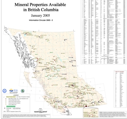 |
In partnership with the BC & Yukon Chamber of Mines (BCYCM), the Ministry of Energy and Mines developed a mineral properties for sale/option map within British Columbia. Prospectors and mining exploration companies were invited to submit property information to May 8, 2004. This information was included on a published hardcopy provincial scale map. Mineral Properties Available in BC Map was released by the BC & Yukon Chamber of Mines May 18, 2004. Information Circular 2004-7 is available at on the web as a MapPlace map, a plotter-size map and page-size map. A table is included with each map. |
| Issue ID: | EXP1998-00 |
| Title: | Exploration and Mining in British Columbia 1998 |
| Author(s): | BC Geological Survey |
| Purpose: | To provide foreward for the larger paper |
| Series Name: | Exploration and Mining in BC |
| Publication Year: | 1999 |
| Other Citation Details: | pages iii to vi |
| Larger Work Citation: | in Exploration and Mining in B.C. 1998 |
| NTS Map Sheet(s): | 082;083;092;093;094;102;103;104;114 |
| Place Keyword(s): | British Columbia, mining districts |
| Lat/Long (NSWE): | 60, 48, -139, -114 |
| Theme Keyword(s): | regional exploration, mining, potential |
Download(s):
| PDF |
Abstract:
 |
The total exploration expenditure in British Columbia in 1998 is estimated at between $35 million and $40 million, a dramatic reduction of approximately 50% from the $75 million total in 1997. Four of the five regions experienced sharp reductions ranging from 24% in the Kootenay region to 77% in the south-central region. Only the southwestern region reported an expenditure level which was roughly the same as in 1997, although two-thirds of the total was spent on one project, mine-site exploration at Myra Falls. Similarly, in the northwest region, one company, Homestake Canada Inc. Working in the Eskay Creek area, accounted for 45% of the total expenditure and 55% of the total drilling recorded in the region. Of the provincial expenditure total, it is estimated that only about 10% was on grassroots or generative projects, a situation of significant concern that has shown no improvement since 1997. About 33% was spent around mine sites and the remainder on advanced projects. All five regions reported major reductions in the amount of exploration drilling, the provincial total being estimated at approximately 170 000 metres, 58% less than the 407 000 metres recorded in 1997. Although all statistical indicators confirm that 1998 was a very bad year for exploration in British Columbia, the situation was not unique to this province. Low metal prices, coupled with the Asian economic crisis, resulted in abnormally restrained investment in mining exploration and development worldwide. To help ensure a viable mining industry in the long term, the British Columbia government introduced the BC Mining Initiative during 1998, which is designed to encourage and assist exploration and to improve the climate for secure mining investment in the province. This initiative includes a Mining Rights Amendment Act, which assures access to mineral tenures, promotes fair compensation for tenure expropriation for park creation and confirms the right to mine new discoveries, and a new Mineral Exploration Code, intended to create a one-window approach to permitting. A Mining Exploration Tax Credit was introduced, effective August 1, 1998, which provides a refundable tax credit of 20% on qualified exploration expenditures. Reviewability thresholds under the Environmental Assessment Act were raised and streamlined in order to simplify and accelerate development approvals of new mine projects. Continuation of the Prospectors Assistance Grant Program and field activities of the Geological Survey Branch, particularly in frontier areas with recognized high mineral potential, were among several other programs designed to spur grassroots exploration leading to new mineral discovery. The value of solid mineral production in 1998 is estimated at about $3 billion, a decrease of 4.8% from 1997, mainly due to lower commodity prices, especially for coal. The loss of production due to lower prices was partly offset by the opening of the Kemess South gold-copper mine, the re-opening of the Blackdome gold-silver mine, achievement of full production levels at the Huckleberry and Mount Polley copper mines, and increased silver-gold production at Eskay Creek. Only one mine, the QR gold mine, closed during 1998. However, the Gibraltar copper-molybdenum mine stopped mining and milling in December with full closure expected early in 1999. Mine Development Certificates were issued under the Environmental Assessment Act to the Tulsequah Chief polymetallic mine and to the Willow Creek coal project. The Silvertip silver-lead-zinc project near the Yukon border entered the Environmental Review process and reviews continued on the Prosperity, Getty North, Red Chris and other projects. Favoured exploration targets in 1998 continued to include precious metal and polymetallic veins, copper-gold porphyries and skarn/manto deposits. However, polymetallic massive sulphide deposits became, for the first time in many years, the most favoured targets accounting for about 37% of the total expenditure. Leading the way were major programs in the vicinity of the Myra Falls and Eskay Creek mines. Other major programs of interest included ongoing definition drilling by Taseko Mines Ltd. At the Prosperity porphyry gold-copper deposit, deep drilling and metallurgical testing by Misty Mountain Gold Ltd. At the Specogna epithermal gold deposit on Graham Island and drilling by Kennecott Canada Exploration Inc. For Sullivan-type sedex mineralization on the Findlay project in the Kootenays. |
| Issue ID: | EXP1998-02 |
| Title: | Northwest Region |
| Author(s): | Wojdak, P.J. |
| Purpose: | To provide an overview of exploration activity in Northwest BC |
| Series Name: | Exploration and Mining in BC |
| Publication Year: | 1999 |
| Other Citation Details: | pages 19 to 32, Part A |
| Larger Work Citation: | in Exploration and Mining in B.C. 1998 |
| NTS Map Sheet(s): | 093; 094; 103; 104; 114 |
| Place Keyword(s): | British Columbia, mining districts |
| Lat/Long (NSWE): | 60, 48, -139, -114 |
| Theme Keyword(s): | regional exploration, mining, potential |
Download(s):
| PDF |
Abstract:
|
The year 1998 was a difficult period for the mining industry. Endako molybdenum mine reduced production and cut costs due to the plummeting molybdenum price, in order to remain in operation. Huckleberry copper mine, faced with payback of capital costs and a low copper price, maximized concentrate production by increasing mill throughput. Eskay Creek, with its phenomenal gold and silver grades continues to be highly profitable. The new 150 tonne per day mill completed its first year in operation. Aggressive exploration drilling in the vicinity of Eskay Creek was the largest exploration project in northwest British Columbia. Snip mine, a consistently low-cost producer, poured its millionth ounce of gold on November 2. However, exploration was unsuccessful and the mine will close May 31, 1999. Four mines operated during the summer months on a bulk sample, pilot plant to full production basis. Golden Bear enjoyed its second profitable season of heap-leach mining, recovering more gold at lower cost than expected. Open-pit mining and heap-leach recovery will continue next year from the Ursa deposit. Table Mountain mine operated for a short period, mining the extension of auriferous quartz veins east of the Erickson fault. At Cassiar, a pilot plant processed chrysotile-asbestos tailings from the former mining operation, and expansion to full production is planned. Barite was produced from the Fireside quarry, east of Watson Lake, for the Alaskan and northeast British Columbia oil and gas drilling industry. Exploration spending in the Northwest declined to the lowest level recorded in recent times; $8.75 million from $28 million in 1997 and $49 million the preceding year. Claim data show a marked decline in the amount of claimed land, three times as many mineral claim units lapsed as were staked. Exploration drilling fell to 43 000 metres from 102 000 metres and 213 000 metres in the two prior years. A single company, Homestake Canada Inc. with its programs in the Eskay Creek area, accounted for 45% of the expenditure and 55% of the drill footage recorded in 1998. A major reason for reduced spending and drilling is that there was comparatively little work on advanced projects. The Red Chris, Bronson Slope and Isk Wollastonite projects were all inactive. Redfern Resources Ltd. received a Mine Development Certificate for the Tulsequah Chief polymetallic massive sulphide deposit but development progress was slow. The focus of activity at Silvertip (formerly Midway) was on entering the environmental assessment process and there was no exploration for silver-lead-zinc mantos. Work on the Harmony prospect on the Queen Charlotte Islands focused on metallurgical testing of biological oxidation followed by heap-leach gold recovery. Pre-development exploration was essentially completed on the Telkwa thermal coal project but acquisition of Manalta Coal Ltd. by Luscar Coal Ltd. slowed progress of the project through the environmental assessment process. |
| Issue ID: | EXP1998-03 |
| Title: | Northeast-Central Region |
| Author(s): | Lane, B. |
| Purpose: | To provide an overview of exploration activity in Northeast-central BC |
| Series Name: | Exploration and Mining in BC |
| Publication Year: | 1999 |
| Other Citation Details: | pages 33 to 46, Part A |
| Larger Work Citation: | in Exploration and Mining in B.C. 1998 |
| NTS Map Sheet(s): | 093; 094 |
| Place Keyword(s): | British Columbia, mining districts, Northeast British Columbia |
| Lat/Long (NSWE): | 60, 53, -128, -118.7 |
| Theme Keyword(s): | regional exploration, mining, potential |
Download(s):
| PDF |
Abstract:
|
The mining and mineral exploration industry in northeast-central British Columbia endured a turbulent 1998. The highlight of activity in the region was the opening the Kemess South gold-copper mine in the Toodoggone camp which, in spite of the tough economic times, reached commercial production in October. Depressed metal prices and lower than anticipated operating income led to the closure of two of the region�s four operating metal mines, the QR gold mine and Gibraltar copper-molybdenum mine, both located in the Cariboo. The closure of a third Cariboo-area operation, the Mount Polley copper-gold mine, was seriously considered, but averted. Weakening demand for hard coking coal in Asia drove prices for that commodity down also. Based on contracts negotiated in 1997 with the Japanese steel industry, the Quintette and Bullmoose mines near Tumbler Ridge will supply 1.35 million fewer tonnes of metallurgical coal per annum, at significantly lower prices, than stipulated in past contracts. Bulk sampling proceeded at the Willow Creek property, a permitted thermal/semi-soft coking coal project west of Chetwynd. Virtually all exploration trend indicators were negative. Total mineral exploration expenditures decreased to an estimated $4.7 million, down a staggering 66% from 1997. Lower commodity prices and closure plans had an adverse affect on the level of mine site exploration, which fell to approximately $0.66 million, down from $2.79 million in 1997. There were 15 major exploration projects in the region, 13 fewer than in 1997. Junior mining companies, recently the backbone of both advanced stage and grassroots exploration in the province, continued to have difficulty attracting risk capital for British Columbia projects. |
| Issue ID: | EXP1998-04 |
| Title: | Southwestern Region |
| Author(s): | Pinsent, R.H. |
| Purpose: | To provide an overview of exploration activity in Southwestern BC |
| Series Name: | Exploration and Mining in BC |
| Publication Year: | 1999 |
| Other Citation Details: | pages 47 to 56, Part A |
| Larger Work Citation: | in Exploration and Mining in B.C. 1998 |
| NTS Map Sheet(s): | 092B,C, E-O; 093C, D; 102I, P; 103A |
| Place Keyword(s): | British Columbia, mining districts, Southwest British Columbia |
| Lat/Long (NSWE): | 53, 49, -128, -120 |
| Theme Keyword(s): | regional exploration, mining, potential |
Download(s):
| PDF |
Abstract:
|
The Mineral Development Office in Vancouver was opened in May, 1998. It provides information and client-oriented services to researchers, prospectors and others involved in exploration and mine development. During 1998, it also handled the Regional Geology function for southwestern region. |
| Issue ID: | EXP1998-05 |
| Title: | South-Central Region |
| Author(s): | Cathro, M.S. |
| Purpose: | To provide an overview of exploration activity in South-central BC |
| Series Name: | Exploration and Mining in BC |
| Publication Year: | 1999 |
| Other Citation Details: | pages 57 to 64, Part A |
| Larger Work Citation: | in Exploration and Mining in B.C. 1998 |
| NTS Map Sheet(s): | 082E, L, M; 083D; 092H-J, N-P; 093A-C |
| Place Keyword(s): | British Columbia, mining districts, South-central |
| Lat/Long (NSWE): | 53, 49, -125, -118 |
| Theme Keyword(s): | regional exploration, mining, potential |
Download(s):
| PDF |
Abstract:
|
Highland Valley Copper produced at full capacity during the year, but profitability suffered due to the deterioration in copper prices. In early 1999, the company announced an indefinite shutdown beginning May 15, 1999. The mine employs 1046 people. The Blackdome gold-silver mine, owned by Claimstaker Resources Ltd. and Jipangu Inc., was re-opened in fall, 1998 (Figure 1). A permit was granted for a 100 000 tonne per year, open pit, thermal coal mine at the Tulameen project. Test mining and marketing are planned for 1999. The Prosperity gold-copper project of Taseko Mines Ltd. is being reviewed under the Canada and British Columbia Environmental Assessment Acts. In mid-1999 the company plans to submit a Final Project Report for review by governments and stakeholders. A feasibility study is being completed by Kilborn-SNC Lavalin. Several small industrial mineral projects were advanced towards production, including Ashcroft (roofing granules), Z2 (zeolite), Bud (bentonite) and Frenier (perlite). It was a very slow year for exploration in the south-central region with only nine major projects (vs. 26 in 1997), $4 million in spending (vs. $17.6 million), and 14 000 metres of drilling (vs. 92 000 metres). Up to the end of November 1998, the number of new mineral claim staked was up strongly to 6224 units. Unfortunately, the number of forfeited claims was even higher at 11483 units. |
| Issue ID: | EXP1998-06 |
| Title: | Kootenay Region |
| Author(s): | Wilton, H.P. |
| Purpose: | To provide an overview of exploration activity in the Kootenay Region of BC |
| Series Name: | Exploration and Mining in BC |
| Publication Year: | 1999 |
| Other Citation Details: | pages 65 to 75, Part A |
| Larger Work Citation: | in Exploration and Mining in B.C. 1998 |
| NTS Map Sheet(s): | 082; |
| Place Keyword(s): | British Columbia, mining districts, Kootenays |
| Lat/Long (NSWE): | 52, 49, -118, -114 |
| Theme Keyword(s): | regional exploration, mining, potential |
Download(s):
| PDF |
Abstract:
|
Exploration expenditures in the Kootenay region in 1998, including those at operating mines, are estimated to have totaled $11.1 million, a reduction of approximately 24% from the corresponding estimate for 1997. Of that total, approximately $1.74 million represents the cost of exploration drilling in and close to producing coal mines in the Elk Valley, with the remaining $9.36 million spent on exploration for metals and industrial minerals throughout the region. There were 176 projects (mineral, coal and placer) reported by submission of Notices of Work to the Mines Branch in 1998, about 24% fewer than the total logged in 1997. More significantly, the total amount of exploration drilling in the region was only 60 250 metres in 1998, a reduction of 39% from the 1997 total of 98 664 metres. |
| Issue ID: | EXP1998-07 |
| Title: | Geological Setting of the Gibraltar Mine, South Central British Columbia (NTS 93B/8 and 9) |
| Author(s): | Ash, C.H., Rydman, M.O., Payne, C.W., Panteleyev, A. |
| Purpose: | To summarize the preliminary results of detailed and regional geological mapping of the Gibraltar Mine and surrounding region |
| Series Name: | Exploration and Mining in BC |
| Publication Year: | 1999 |
| Other Citation Details: | pages A1 to A16, Part B |
| Larger Work Citation: | in Exploration and Mining in B.C. 1998, Part B- Geological Descriptions of Selected Properties |
| NTS Map Sheet(s): | 093B |
| Place Keyword(s): | British Columbia, Gibraltar Mine, Cache Creek |
| Lat/Long (NSWE): | 53, 52, -123.5, -122 |
| Theme Keyword(s): | copper-molybdenite deposit, Granite Mountain Batholith, Nicola-Takla Group, Quesnellia terrane, Cache Creek terrane |
Download(s):
| PDF |
Abstract:
|
This report summarizes preliminary results of detailed and regional geological mapping of the Gibraltar Mine and surrounding region conducted during August and September, 1998. The map area is situated between Quesnel and Williams Lake in east-central British Columbia. Results of this mapping are presented in Open File map format at a 1:50 000 scale (Ash et al., 1999). This work benefited from the active participation and input from Gibraltar Mines geological staff and Crest Geological consultants who are currently conducting exploration in the region. This work builds on earlier unpublished mapping in the area by Panteleyev and others (Panteleyev, 1977). Here we provide some related description and discussion to accompany Open File 1999-7 and also review recent mining and exploration activity in the Gibraltar region. |
| Issue ID: | EXP1998-08 |
| Title: | Exploration and Geology of the Tsacha Epithermal Gold Deposit |
| Author(s): | Pautler, J.M., Smith, S.W., Lane, R.A. |
| Purpose: | To detail the Tsacha epithermal gold deposit |
| Series Name: | Exploration and Mining in BC |
| Publication Year: | 1999 |
| Other Citation Details: | pages B1 to B10, Part B |
| Larger Work Citation: | in Exploration and Mining in B.C. 1998, Part B- Geological Descriptions of Selected Properties |
| NTS Map Sheet(s): | 093F |
| Place Keyword(s): | British Columbia, Tsacha, Naglico hills |
| Lat/Long (NSWE): | 53.2, 53.02, -125.4, -125.02 |
| Theme Keyword(s): | Gold, epithermal gold, silver, Teck Corporation, Tsacha |
Download(s):
| PDF |
Abstract:
|
The Tsacha epithermal gold deposit (093F 055)is an important recent discovery in the southern Nechako Plateau area of central British Columbia. The discovery of auriferous quartz vein mineralization in 1993 led to the identification of seven vein and/or stockwork zones on the property. All were located by prospecting. This report is an update of previous reports by Diakow and Webster (1994), Pautler (1994a, 1994b, 1995, 1996), Schroeter and Lane (1994), Lane and Schroeter (1995, 1997) and Smith (1997, 1998). |
| Issue ID: | EXP1998-09 |
| Title: | Volcanogenic Massive Sulphide Deposits in the Hazelton Group, Babine Range, B.C. |
| Author(s): | Wojdak, P.J. |
| Purpose: | To broaden our understanding of potential for VMS deposits in the Hazelton Group |
| Series Name: | Exploration and Mining in BC |
| Publication Year: | 1999 |
| Other Citation Details: | pages C1 to C13, Part B |
| Larger Work Citation: | in Exploration and Mining in B.C. 1998, Part B- Geological Descriptions of Selected Properties |
| NTS Map Sheet(s): | 093L |
| Place Keyword(s): | British Columbia, Hazelton Group, Smithers, Houston |
| Lat/Long (NSWE): | 55, 54.3, -127.5, -126.3 |
| Theme Keyword(s): | polymetallic mineral, volcanogenic massive sulphide deposits |
Download(s):
| PDF |
Abstract:
|
There are a number of polymetallic mineral showings in Hazelton Group strata in the Smithers-Houston area that possess characteristics of volcanogenic massive sulphide deposits. Many have a long, but rather superficial exploration history. Most work was done during the 1960s and 1970s with some notable new activity in the 1990s. Little drilling was done in the early exploration period for a variety of reasons, but probably a strong perception was that the depositional environment and mineralization in the Hazelton Group did not conform adequately to the ore deposit model of the day. Since then, the knowledge of the Hazelton Group stratigraphy and depositional setting has been improved by the work of McIntyre and co workers at the B.C. Geological Survey and discovery of the Eskay Creek, an atypical volcanogenic massive sulphide deposit, has broadened understanding of massive sulphide depositional environments. The purpose of this paper is to summarize the stratigraphic position and mineralization at the Ascot, Del Santo, Lakeview, Harry Davis and SU showings. Their stratigraphic position and tectonic setting is compared to Eskay Creek, the most notable volcanogenic massive sulphide deposit in the Hazelton Group, and found to be different. The comparison is intended to broaden our understanding of potential for VMS deposits in the Hazelton Group. There are several stratigraphic levels within Hazelton Group favourable for polymetallic massive sulphide deposits. |
| Issue ID: | EXP1998-10 |
| Title: | Exploration History and Geology of the Dominion Creek Mesothermal Vein Prospect, East-Central B.C. |
| Author(s): | Raven, A.R., Lane, R.A. |
| Purpose: | To report on the work done on the Dominion Creek property to date |
| Series Name: | Exploration and Mining in BC |
| Publication Year: | 1999 |
| Other Citation Details: | pages D1 to D8, Part B |
| Larger Work Citation: | in Exploration and Mining in B.C. 1998, Part B- Geological Descriptions of Selected Properties |
| NTS Map Sheet(s): | 093H |
| Place Keyword(s): | British Columbia, Dominion Creek, Wells, Haggen Creek, Cariboo Mountains |
| Lat/Long (NSWE): | 53.3, 53, -121.6, -121.1 |
| Theme Keyword(s): | placer gold, mineralization, multi-element anomalies, auriferous quartz-sulphide |
Download(s):
| PDF |
Abstract:
|
The Dominion Creek property (MINFILE No. 093H 133) is located along Dominion Creek, a tributary of Haggen Creek, in the northern Cariboo Mountains of central British Columbia. The terrain across the property is moderate to steep. Most of the area is forested with mature stands of spruce and balsam fir, along with a dense underbrush of dwarf willow, huckleberry and devils club. Several high grade precious and base-metal mesothermal veins were discovered by prospecting in 1986. Systematic exploration has outlined a number of new geochemical anomalies, and several of these have not yet been tested. Limited trenching and diamond drilling has mainly targeted the North and South zones. Favourable results led to the development of a small open cut and processing of a small bulk sample from the South zone. This report is a compilation of work done on the property to date. It builds on reports by Savell and Bradish (1987), Savell (1988), K.V. Campbell (1988) and T. Campbell (1988). |
| Issue ID: | EXP1998-11 |
| Title: | A Guide to Locating Mineral-related Information in B.C. |
| Author(s): | Jones, L.D. |
| Purpose: | To describe the many tools available for locating mineral-related information in BC |
| Series Name: | Exploration and Mining in BC |
| Publication Year: | 1999 |
| Other Citation Details: | pages E1 to E9, Part B |
| Larger Work Citation: | in Exploration and Mining in B.C. 1998, Part B- Geological Descriptions of Selected Properties |
| NTS Map Sheet(s): | 082;083;092;093;094;102;103;104;114 |
| Place Keyword(s): | British Columbia |
| Lat/Long (NSWE): | 52, 49, -118, -114 |
| Theme Keyword(s): | mineral related information, Minfile, geological information, locational information |
Download(s):
| PDF |
Abstract:
|
During the last few years the Internet has given users the power to access a multitude of linked information sources. The Internet facilitates low cost distribution and quicker availability of our mineral inventory data. The right tool can help you effectively and efficiently retrieve mineral-related information, develop exploration strategies, conduct geoscience research, evaluate the resource potential of an area or plan for land-related decisions. The purpose of this article is to describe and give examples of the many tools available for locating mineral-related information in British Columbia. Many of the products can be downloaded free from the Ministry of Energy and Mines website or purchased at minimal cost from Crown Publications Inc. in Victoria. MINFILE contains geological, locational and economic information on over 12,100 metallic, industrial mineral and coal occurrences in British Columbia. MINFILE/www is a simple Internet search and report tool which accesses this database. The MINFILE/pc program is the PC-based tool for searching, viewing, updating, manipulating and extracting information from the database. MINFILE on CD-ROM contains complete text reports in searchable format. Mineral inventory maps are available in hardcopy and many geological maps are published on the Web. The MapPlace is used for interactive viewing of MINFILE data, along with other Geological Survey Branch and Ministry databases, such as geological maps, geochemical surveys, assessment report index, mineral tenure and mineral potential. The ARIS and Mineral Titles websites can be searched and used to obtain summary information on mineral exploration Assessment Reports and claim locations, respectively. Several other products available are summary descriptions of map areas and mining camps; a complete table of deposits with reserves and resources; annual reviews of fieldwork and exploration; links to industry websites; and commodity and deposit type studies. |
| Issue ID: | EXP1999-00 |
| Title: | Exploration and Mining in British Columbia - 1999, Foreword and Table of Contents |
| Author(s): | Wojdak, P.J. |
| Purpose: | To provide a foreward to the larger paper, Exploration in British Columbia |
| Series Name: | Exploration and Mining in BC |
| Publication Year: | 2000 |
| Other Citation Details: | pages iii to vi |
| Larger Work Citation: | in Exploration and Mining in B.C. 1999 |
| NTS Map Sheet(s): | 082;083;092;093;094;102;103;104;114 |
| Place Keyword(s): | British Columbia |
| Lat/Long (NSWE): | 52, 49, -118, -114 |
| Theme Keyword(s): | Mineral, exploration, production |
Download(s):
| PDF |
Abstract:
|
The area of greatest exploration interest in 1999 was the East Kootenay region, where several companies searched for the elusive successor to the giant, and soon-to-be-exhausted Sullivan zinc-lead-silver deposit. Geological surveys and drilling programs conducted by Eagle Plains Resources Ltd., Billiton Exploration Canada Inc., Chapleau Resources Ltd., Rio Algom Exploration Inc. and Kennecott Canada Exploration Inc. on the North Findlay, South Findlay, Pakk, Pyramid Peak, Greenland Creek and other properties identified and tested new showings of sedex mineralization. In the north, an outstanding drill intersection by Peruvian Gold Ltd. and Imperial Metals Corp. on the Silvertip silver-lead-zinc manto prospect prompted reactivation of underground exploration. Two new volcanogenic massive sulphide discoveries sparked interest in the Cariboo district of central B.C. Barker Minerals Ltd. found a base metal sulphide lens in metamorphosed felsic volcanic rocks at Frank Creek, and the Lottie high grade float prospect was optioned from Eureka Resources Inc. by Hudson Bay Exploration and Development Co. Ltd. In the southern area of the province, at Cam Gloria and other properties, there was keen interest in intrusive-related gold deposits akin to the Pogo and Fort Knox deposits in Alaska. |
| Issue ID: | EXP1999-01 |
| Title: | Northwest Region |
| Author(s): | Wojdak, P.J. |
| Purpose: | To provide a summary of exploration activities within Northwestern British Columbia |
| Series Name: | Exploration and Mining in BC |
| Publication Year: | 2000 |
| Other Citation Details: | pages 1 to 12, Part A |
| Larger Work Citation: | in Exploration and Mining in B.C. 1999, Part A - Review of Exploration and Mining Activity |
| NTS Map Sheet(s): | 093; 094; 103; 104; 114 |
| Place Keyword(s): | British Columbia, Queen Charlotte Islands, Atlin, Eskay Creek, Smithers |
| Lat/Long (NSWE): | 60, 48, -139, -114 |
| Theme Keyword(s): | Metal Mines, Industrial mineral and gemstone operations, exploration projects |
Download(s):
| PDF |
Abstract:
|
The exploration highlight of 1999 was the outstanding drill intersection at Silvertip which prompted Imperial Metals Corp. and Peruvian Gold Ltd. to re-open the underground workings for a major diamond drilling program in early 2000. Freeport Copper Company, a major international producer, optioned the Zymo porphyry copper prospect from local prospectors and conducted a substantial initial drilling program. The acquisition is encouraging for other prospectors. Exploration activity, down again in 1999, was focused in the Babine and Smithers districts. As in 1998, there was comparatively little work on advanced projects. Luscar Coal Ltd. has yet to submit its Project Report for the Telkwa thermal coal project and progress through the environmental assessment process is stalled. Eskay Creek mine increased gold and silver production, and continues to be the leading economic performer among producers in the entire province. Drilling in the vicinity of the mine by Homestake Canada Inc. was the largest exploration project in the region, but no new discoveries were made. Golden Bear enjoyed its second profitable season of heap-leach mining, recovering more gold than expected for Wheaton River Minerals Ltd. Late in the year, Wheaton River acquired the dormant Red Mountain gold prospect near Stewart, and propose to place it into production in two years. Endako molybdenum mine drew most of its ore from low-grade stockpiles in order to reduce operating costs. |
| Issue ID: | EXP1999-02 |
| Title: | Northeast-Central Region |
| Author(s): | Lane, B. |
| Purpose: | To provide a summary of exploration activities within Northeast-Central British Columbia |
| Series Name: | Exploration and Mining in BC |
| Publication Year: | 2000 |
| Other Citation Details: | pages 13 to 24, Part A |
| Larger Work Citation: | in Exploration and Mining in B.C. 1999, Part A - Review of Exploration and Mining Activity |
| NTS Map Sheet(s): | 093; 094 |
| Place Keyword(s): | British Columbia, Mount Polly, Gibraltar, Skeena, Cariboo |
| Lat/Long (NSWE): | 60, 53, -128, -118.7 |
| Theme Keyword(s): | Metal mines, Industrial minerals operations, placer gold mining, exploration, trends |
Download(s):
| PDF |
Abstract:
|
Mining and mineral exploration in northeast-central British Columbia experienced another difficult year. Four major mines, Kemess, Mount Polley, Quintette and Bullmoose operated throughout the year, two fewer than in 1998. All managed to stay in production despite low commodity prices. Exploration expenditures dwindled to the meager total of approximately $3.2 million, the lowest annual figure on record for the region. There were only ten major projects, five fewer than in 1998 and eighteen fewer than in 1997. As in past years, exploration activity was focused on precious metal enriched porphyry copper prospects and auriferous vein deposits. For the second year in a row there was no activity in the Gataga lead zinc- silver belt and for the first time in many years there were no drilling programs in the Nechako Plateau. Despite weaker statistics there is reason for optimism. The level of early stage exploration (including grassroots prospecting and geochemical sampling) did increase modestly in 1999 and there are several very encouraging discoveries to report. |
| Issue ID: | EXP1999-06 |
| Title: | Geologic Setting of the Wadsworth Vein, An Intrusive-Related Gold Discovery near Terrace, B.C. |
| Author(s): | Wojdak, P.J., Bulmer, W., Hanson, D.J. |
| Purpose: | To provide the geologic setting of the Wadsworth Vein |
| Series Name: | Exploration and Mining in BC |
| Publication Year: | 2000 |
| Other Citation Details: | pages 53 to 58, Part B |
| Larger Work Citation: | in Exploration and Mining in B.C. 1999, Part B - Geological Descriptions of Selected Properties |
| NTS Map Sheet(s): | 103I/15W |
| Place Keyword(s): | British Columbia, Cedar River, Kitsumkalum Lake, Terrace |
| Lat/Long (NSWE): | 54.8, 54.5, -128.8, -128.3 |
| Theme Keyword(s): | Intrusive related gold quartz vein, gold, tungsten, Wadsworth, geology |
Download(s):
| PDF |
Abstract:
|
Veteran prospector Paul Wadsworth discovered spectacular coarse gold in a quartz vein on May 23, 1998. The vein is exposed on a logging road where a small amount of rock was quarried for road building. The showing is on the western flank of the Nass Ranges at the eastern edge of a broad valley, at an elevation of about 500 metres on the Hope 2 mineral claim |
| Issue ID: | EXP1999-07 |
| Title: | A Summary of Exploration Work and Geology of the Zymo Porphyry Cu-Au Prospect |
| Author(s): | Lapeare, B., Wojdak, P.J., Hanson, D. |
| Purpose: | To provide a summary of exploration work and geology of the Zymo Porphyry Cu-Au prospect |
| Series Name: | Exploration and Mining in BC |
| Publication Year: | 2000 |
| Other Citation Details: | pages 59 to 64, Part B |
| Larger Work Citation: | in Exploration and Mining in B.C. 1999, Part B - Geological Descriptions of Selected Properties |
| NTS Map Sheet(s): | 093L 324 |
| Place Keyword(s): | British Columbia, Smithers, Mulwain Creek, Zymoetz River |
| Lat/Long (NSWE): | 54.9, 54.2, -127.8, -127.3 |
| Theme Keyword(s): | Zymo property, Freeport copper company, Alberta Ltd., geology, porphyry copper-gold |
Download(s):
| PDF |
Abstract:
|
In 1998 Freeport Copper Company (FCC), a subsidiary of Freeport McMoran Copper and Gold Inc., entered into a option agreement with 811537 Alberta Ltd. To carry out exploration on a porphyry copper-gold target located on the Zymo claims. In 1999 FCC completed a diamond drilling program consisting of six vertical holes totaling 1482 metres. Drilling focused on an area defined by a copper soil anomaly located immediately south of a chalcopyrite and bornite-mineralized outcrop exposed by a north-flowing stream. Exploration of the Zymo claims by Robin Day and Larry Hewitt, assisted by a B.C. Prospector�s Assistance Grant, was instrumental in leading to the option agreement. |
| Issue ID: | EXP1999-08 |
| Title: | Volcanogenic Massive Sulphide Potential in the Slide Mountain and Barkerville Terranes, Cariboo Mountains |
| Author(s): | Lane, B., MacDonald, K. |
| Purpose: | To provide a summary of the volcanogenic massive sulphide potential in the slide mountain and Barkerville Terranes |
| Series Name: | Exploration and Mining in BC |
| Publication Year: | 2000 |
| Other Citation Details: | pages 65 to 78, Part B |
| Larger Work Citation: | in Exploration and Mining in B.C. 1999, Part B - Geological Descriptions of Selected Properties |
| NTS Map Sheet(s): | 093A, H |
| Place Keyword(s): | British Columbia, Cariboo Mountains, Slide Mountain, Barkerville, Mosquito Creek |
| Lat/Long (NSWE): | 53.9, 52, -122, -120 |
| Theme Keyword(s): | volcanogenic massive sulphide minerals, placer gold, mesothermal vein, pyrite replacement mineralization |
Download(s):
| PDF |
Abstract:
|
Exploration for volcanogenic massive sulphide (VMS) mineralization in the Cariboo Mountains, east of Highway 97, has been intermittent over at least the last four decades. Recent developments include the identification of three significant VMS float occurrences north of Wells, in an area underlain by rocks of the Slide Mountain Terrane and discovery of a VMS lens south of Cariboo Lake, in rocks of the Barkerville Subterrane. Both discoveries have important regional implications. A re-evaluation of prospective VMS belts including the Slide Mountain Terrane (Antler Formation) and Barkerville Terrane (Snowshoe Group) is warranted. The Cariboo is best known for its rich placer gold fields in the Wells-Barkerville area, where approximately 2 million ounces of gold have been recovered since the initial discovery in 1858. Lode mining, principally of mesothermal vein and pyrite-replacement mineralization from the Cariboo Gold Quartz, Mosquito Creek and Island Mountain mines, produced an additional 1.8 million ounces of gold. These gold-rich lode deposits were associated primarily with Downey succession (Snowshoe Group) stratigraphy of the Barkerville Subterrane. There is no record of lode metal mining from deposits hosted by Antler Formation strata of the Slide Mountain Terrane. A review of geological, geochemical and geophysical data relating to exploration for VMS deposits within the terranes east of Highway 97 was undertaken. Our research is not exhaustive and information presented here is intended to stimulate interest and increase exploration for volcanogenic massive sulphide deposits in these two very prospective geological belts. |
| Issue ID: | EXP1999-09 |
| Title: | Geologic Setting of the Knoll Property: An Eskay Creek Target in Cretaceous Rhyolite |
| Author(s): | Wojdak, P.J., Either, D. |
| Purpose: | To provide a summary of activities within the Knoll Property |
| Series Name: | Exploration and Mining in BC |
| Publication Year: | 2000 |
| Other Citation Details: | pages 79 to 84, Part B |
| Larger Work Citation: | in Exploration and Mining in B.C. 1999, Part B - Geological Descriptions of Selected Properties |
| NTS Map Sheet(s): | 093M 100 |
| Place Keyword(s): | British Columbia, Harold Price Creek, Smithers |
| Lat/Long (NSWE): | 55.5, 54.8, -127.6, -126.8 |
| Theme Keyword(s): | Knoll Property, epithermal massive sulphide, silver, zinc, lead |
Download(s):
| PDF |
Abstract:
|
The Knoll property is located in the Harold Price Creek valley approximately 60 kilometres north of Smithers, B.C. The claims cover a steep-sided bedrock knoll, about 600 metres long, 300 metres wide and 60 metres high, on the north side of Harold Price Creek near the centre of the valley. The location is 3 kilometres above the confluence of Harold Price Creek and the Suskwa River. The knoll is a pronounced topographic anomaly, with geologic significance, within the broad U-shaped valley bottom. Access to the claims has been rendered more difficult by road deactivation on the north side of the Suskwa - Harold Price valley, including removal of the bridge across the Suskwa River. Current access is by helicopter, or by hiking 1 kilometre from the Hamblin Main forest service road at the 11 kilometre sign, which requires wading across Harold Price Creek. Harold Price Creek is the main stem of the Suskwa River and crossing on foot should not be attempted during high water. The property was examined by the senior author on October 18, 1999. |
| Issue ID: | EXP1999-10 |
| Title: | 1998-99 British Columbia Prospectors Assistance Program |
| Author(s): | Payie, G.J. |
| Purpose: | To provide a summary of the prospectors assistance program |
| Series Name: | Exploration and Mining in BC |
| Publication Year: | 2000 |
| Other Citation Details: | pages 85 to 90, Part B |
| Larger Work Citation: | in Exploration and Mining in B.C. 1999, Prospectors Assistance Program |
| NTS Map Sheet(s): | 082;083;092;093;094;102;103;104;114 |
| Place Keyword(s): | British Columbia |
| Lat/Long (NSWE): | 60, 48, -139, -114 |
| Theme Keyword(s): | Prospector, Prospectors Assistance Program, mineral occurrences, Free Miners Certificate |
Download(s):
| PDF |
Abstract:
|
Prospectors in the 98/99 Prospectors Assistance Program (PAP) year were successful at finding a number of new mineral occurrences and six prospectors entered into agreements that will see these following properties developed further. |
| Issue ID: | EXP1999-11 |
| Title: | Preliminary Report on the Collection and Preparation of a New Lake Sediment Control Standard: Application to Regional Geochemical Exploration for Epithermal Gold Deposits in the Cordillera |
| Author(s): | Cook, S.J. |
| Purpose: | To provide a preliminary report on the collection and preparation of a new lake sediment control standard |
| Series Name: | Exploration and Mining in BC |
| Publication Year: | 2000 |
| Other Citation Details: | pages 91 to 98, Part B |
| Larger Work Citation: | in Exploration and Mining in B.C. 1999, Applied Geochemistry |
| NTS Map Sheet(s): | 082;083;092;093;094;102;103;104;114 |
| Place Keyword(s): | British Columbia |
| Lat/Long (NSWE): | 60, 48, -139, -114 |
| Theme Keyword(s): | applied geochemistry, lake sediments, control standard, mineral exploration, gold |
Download(s):
| PDF |
Abstract:
|
Geochemical samples submitted to contract laboratories for analytical work should contain appropriate control reference standards to monitor analytical accuracy. Ideally, the control standards used in any given survey should span a concentration range, from background to anomalous levels, for those elements associated with the type of mineral deposit sought. In the case of lake sediments obtained as part of the Regional Geochemical Survey (RGS) program and other studies, a variety of in-house standards (drift monitors) and certified CANMET control standards (Lynch, 1990) are used. There is however a dearth of gold standards at the appropriate concentration levels required for natural lake sediments. Background gold concentrations in most organic-rich lake sediments are very low (generally about 1 ppb), and reliable lake sediment standards with moderately high gold concentrations in the 10 ppb range are rare. Many sediment standards either contain no gold, or have gold in such high concentrations (e.g. > 50 ppb) that they are inappropriate for natural lake sediment suites. Furthermore, gold-bearing control standards which have been artificially mixed and diluted may yield imprecise and unsatisfactory results (Fletcher, 1999). |
| Issue ID: | EXP1999-12 |
| Title: | Results of Geochemical Follow-Up Investigations at Three Anomalous RGS Stream Sediment Localities in Central British Columbia |
| Author(s): | Cook, S.J. |
| Purpose: | To provide a summary of geochemical studies at three Regional Geochemical Survey sites in British Columbia |
| Series Name: | Exploration and Mining in BC |
| Publication Year: | 2000 |
| Other Citation Details: | pages 99 to 128, Part B |
| Larger Work Citation: | in Exploration and Mining in B.C. 1999, Applied Geochemistry |
| NTS Map Sheet(s): | 093L, N |
| Place Keyword(s): | British Columbia, Granisle area, Takla lake, Bivouac Creek |
| Lat/Long (NSWE): | 55.4, 54.8, -126.5, -125.2 |
| Theme Keyword(s): | geochemical studies, Regional Geochemical Survey sites, multi element, till and lake sediment, volcanogenic massive sulphide deposits |
Download(s):
| PDF |
Abstract:
|
The purpose of this paper is to describe results of follow-up geochemical studies at three Regional Geochemical Survey (RGS) sites in central British Columbia. The RGS program contains multi-element geochemical data for over 42,000 stream sediment and water sites covering approximately 65% of the province. There is complete regional geochemical coverage for the Smithers (NTS 93L), Hazelton (NTS 93M) and Manson River (NTS 93N) map areas, where bedrock mapping projects in the Babine Porphyry Belt (MacIntyre et al.,1996, 1997; MacIntyre, 1998) and the Sitlika Assemblage (Schiarizza et al., 1998, 2000) have recently been completed under the auspices of the Nechako NATMAP Project. These, and complementary surficial mapping and till and lake sediment geochemical studies are conducted, in part, to determine the potential for further mineral deposit discoveries in the region. Two important deposit types here are porphyry-style copper deposits in the Babine Belt, and volcanogenic massive sulphide (VMS) deposits in the Pennsylvanian-Jurassic Cache Creek Group and the Permo-Triassic Sitlika Assemblage. Porphyry copper deposits such as the past producing Bell (MINFILE 93M 001) and Granisle (MINFILE 93L 146) mines are the most important mineral deposit type in the Babine porphyry belt. Most are associated with Eocene-age Babine Intrusions (50.2-55.8 Ma), which are exposed in a north-trending belt extending from Fulton Lake in the south to Trail Peak in the north (MacIntyre et al., 1997). Other porphyry-style prospects, including those at Hearne Hill (MINFILE 93M 006), Morrison (MINFILE 93M 007), Nak (MINFILE 93M 010) and Trail Peak (MINFILE 93M 011), remain the primary exploration targets in the region. In the Manson River area, correlation of the Permo-Triassic Sitlika Assemblage with Permo-Triassic Kutcho Formation rocks in the King Salmon Assemblage of northern B.C. (Schiarizza et al., 1998; Childe and Schiarizza, 1997) has highlighted the potential of this part of central British Columbia for hosting polymetallic VMS deposits. The Kutcho Formation, a bimodal mafic-felsic volcanic package with subordinate sedimentary rocks, hosts the 17 Mt Kutcho Creek Cu-Zn volcanogenic massive sulphide deposit (Barrett et al., 1996). |
| Issue ID: | IC2005-01 |
| Title: | British Columbia Mines and Mineral Exploration Overview 2004 |
| Author(s): | MEM |
| Purpose: | To provide an overview of the mineral exploration activities within British Columbia within the year 2004 |
| Series Name: | Information Circular |
| Publication Year: | 2005 |
| NTS Map Sheet(s): | 082;083;092;093;094;102;103;104;114 |
| Place Keyword(s): | British Columbia |
| Lat/Long (NSWE): | 60, 48, -139, -114 |
| Theme Keyword(s): | Mineral Exploration, Annual Review 2004, Mineral Statistics, Mineral and Coal Mines, Industrial Minerals |
Download(s):
| PDF |
Abstract:
 |
This annual publication provides an overview of mineral exploration and development activities in the Province of British Columbia for 2004. Ministry geologists using information provided by government, companies and individuals in the British Columbia mining industry compile the publication. It contains detailed statistical tables and illustrations, in addition to location maps and tables summarizing significant mining, exploration and development projects in the province during 2004. A total of $120 to $130 million is estimated to have been spent mineral exploration during 2004 and this publication provides information on the major areas of interest. |
| Issue ID: | GF2005-01 |
| Title: | Digital Map of British Columbia: Whole Province |
| Author(s): | Massey, N.W.D., MacIntyre, D.G., Desjardins, P.J., Cooney, R.T. |
| Purpose: | To provide a seamless digital map of British Columbia with consistent geological tagging |
| Series Name: | GeoFile |
| Publication Year: | 2005 |
| Scale: | 1:250000 |
| NTS Map Sheet(s): | 082;083;092;093;094;102;103;104;114 |
| Place Keyword(s): | British Columbia |
| Lat/Long (NSWE): | 60, 48, -139, -114 |
| Theme Keyword(s): | Digital Geology |
Download(s):
| PDF, ZIP (View Zip Contents) |
Abstract:
 |
Digital regional compilations of the geology of B.C. at 1:250,000-scale were made by staff of the Geological Survey Branch in 1992-96 in support of the Mineral Potential Project. These were released as Open Files and digital downloads from the Geological Survey Branch website. They were also used as the geology base for the Map Place. However, numerous errors and inconsistencies were noted within these data sets. The Digital Geology Map of British Columbia Project was designed to address these problems and, in the process, try to produce a seamless digital map of the Province with consistent geological tagging. Where feasible, updates to the geology have also been incorporated during the editing process. However, some �scratch lines� remain in the data reflecting problems due to unresolved differences in geological designations in original sources. Release of the recompilation is based on the same tiles as the Cordilleran GIS Map Library (Journeay and Williams, 1995) which conforms to the International Map of the World standard used for indexing 1:1,000,000-scale topographic maps. This differs from the numbering convention used for the National Topographic System maps. Preliminary versions of the tiled data were released in 2003, with updates in 2004. This new province-wide version, and associated tiled data, supersedes the earlier files. |
| Issue ID: | GF2005-02 |
| Title: | Digital Map of British Columbia: Tile NM9 (Mid Coast) |
| Author(s): | Massey, N.W.D., MacIntyre, D.G., Desjardins, P.J., Cooney, R.T. |
| Purpose: | To provide a seamless digital map of the Mid Coast of British Columbia with consistent geological tagging |
| Series Name: | GeoFile |
| Publication Year: | 2005 |
| Scale: | 1:250000 |
| NTS Map Sheet(s): | 092E, 092L, 092M; 102I, 102P |
| Place Keyword(s): | British Columbia, Mid Coast |
| Lat/Long (NSWE): | 52, 49, -129, -126 |
| Theme Keyword(s): | Digital Geology |
Download(s):
| ZIP (View Zip Contents) |
Abstract:
| Digital regional compilations of the geology of B.C. at 1:250,000-scale were made by staff of the Geological Survey Branch in 1992-96 in support of the Mineral Potential Project. These were released as Open Files and digital downloads from the Geological Survey Branch website. They were also used as the geology base for the Map Place. However, numerous errors and inconsistencies were noted within these data sets. The Digital Geology Map of British Columbia Project was designed to address these problems and, in the process, try to produce a seamless digital map of the Province with consistent geological tagging. Where feasible, updates to the geology have also been incorporated during the editing process. However, some �scratch lines� remain in the data reflecting problems due to unresolved differences in geological designations in original sources. Release of the recompilation is based on the same tiles as the Cordilleran GIS Map Library (Journeay and Williams, 1995) which conforms to the International Map of the World standard used for indexing 1:1,000,000-scale topographic maps. This differs from the numbering convention used for the National Topographic System maps. Preliminary versions of the tiled data were released in 2003, with updates in 2004. This new province-wide version, and associated tiled data, supersedes the earlier files. |
| Issue ID: | GF2005-03 |
| Title: | Digital Map of British Columbia: Tile NM10 (Southwest B.C.) |
| Author(s): | Massey, N.W.D., MacIntyre, D.G., Desjardins, P.J., Cooney, R.T. |
| Purpose: | To provide a seamless digital map of Southwestern British Columbia with consistent geological tagging |
| Series Name: | GeoFile |
| Publication Year: | 2005 |
| Scale: | 1:250000 |
| NTS Map Sheet(s): | 092B, C, F-K, N-P |
| Place Keyword(s): | British Columbia, Southwest British Columbia |
| Lat/Long (NSWE): | 52, 48.4, -126, -123 |
| Theme Keyword(s): | Digital Geology |
Download(s):
| ZIP (View Zip Contents) |
Abstract:
| Digital regional compilations of the geology of B.C. at 1:250,000-scale were made by staff of the Geological Survey Branch in 1992-96 in support of the Mineral Potential Project. These were released as Open Files and digital downloads from the Geological Survey Branch website. They were also used as the geology base for the Map Place. However, numerous errors and inconsistencies were noted within these data sets. The Digital Geology Map of British Columbia Project was designed to address these problems and, in the process, try to produce a seamless digital map of the Province with consistent geological tagging. Where feasible, updates to the geology have also been incorporated during the editing process. However, some �scratch lines� remain in the data reflecting problems due to unresolved differences in geological designations in original sources. Release of the recompilation is based on the same tiles as the Cordilleran GIS Map Library (Journeay and Williams, 1995) which conforms to the International Map of the World standard used for indexing 1:1,000,000-scale topographic maps. This differs from the numbering convention used for the National Topographic System maps. Preliminary versions of the tiled data were released in 2003, with updates in 2004. This new province-wide version, and associated tiled data, supersedes the earlier files. |
| Issue ID: | GF2005-04 |
| Title: | Digital Map of British Columbia: Tile NM11 (Southeast B.C.) |
| Author(s): | Massey, N.W.D., MacIntyre, D.G., Desjardins, P.J., Cooney, R.T. |
| Purpose: | To provide a seamless digital map of Southeastern British Columbia with consistent geological tagging |
| Series Name: | GeoFile |
| Publication Year: | 2005 |
| Scale: | 1:250000 |
| NTS Map Sheet(s): | 082E-G, J-O |
| Place Keyword(s): | British Columbia, Southeast British Columbia |
| Lat/Long (NSWE): | 52, 49, -120, -114 |
| Theme Keyword(s): | Digital Geology |
Download(s):
| ZIP (View Zip Contents) |
Abstract:
| Digital regional compilations of the geology of B.C. at 1:250,000-scale were made by staff of the Geological Survey Branch in 1992-96 in support of the Mineral Potential Project. These were released as Open Files and digital downloads from the Geological Survey Branch website. They were also used as the geology base for the Map Place. However, numerous errors and inconsistencies were noted within these data sets. The Digital Geology Map of British Columbia Project was designed to address these problems and, in the process, try to produce a seamless digital map of the Province with consistent geological tagging. Where feasible, updates to the geology have also been incorporated during the editing process. However, some �scratch lines� remain in the data reflecting problems due to unresolved differences in geological designations in original sources. Release of the recompilation is based on the same tiles as the Cordilleran GIS Map Library (Journeay and Williams, 1995) which conforms to the International Map of the World standard used for indexing 1:1,000,000-scale topographic maps. This differs from the numbering convention used for the National Topographic System maps. Preliminary versions of the tiled data were released in 2003, with updates in 2004. This new province-wide version, and associated tiled data, supersedes the earlier files. |
| Issue ID: | GF2005-05 |
| Title: | Digital Map of British Columbia: Tile NN8-9 (North Coast and Queen Charlotte Islands/Haida Gwaii) |
| Author(s): | Massey, N.W.D., MacIntyre, D.G., Haggart, J.W., Desjardins, P.J., Wagner, C.L., Cooney, R.T. |
| Purpose: | To provide a seamless digital map of the North Coast of British Columbia and the Queen Charlotte Islands |
| Series Name: | GeoFile |
| Publication Year: | 2005 |
| Scale: | 1:250000 |
| NTS Map Sheet(s): | 093D, E, L, M; 102O; 103A-C, F-K, O, P |
| Place Keyword(s): | British Columbia, North Coast of British Columbia, Queen Charlotte Islands, Haida Gwaii |
| Lat/Long (NSWE): | 52, 56, -132, -126 |
| Theme Keyword(s): | Digital Geology |
Download(s):
| ZIP (View Zip Contents) |
Abstract:
| Digital regional compilations of the geology of B.C. at 1:250,000-scale were made by staff of the Geological Survey Branch in 1992-96 in support of the Mineral Potential Project. These were released as Open Files and digital downloads from the Geological Survey Branch website. They were also used as the geology base for the Map Place. However, numerous errors and inconsistencies were noted within these data sets. The Digital Geology Map of British Columbia Project was designed to address these problems and, in the process, try to produce a seamless digital map of the Province with consistent geological tagging. Where feasible, updates to the geology have also been incorporated during the editing process. However, some �scratch lines� remain in the data reflecting problems due to unresolved differences in geological designations in original sources. Release of the recompilation is based on the same tiles as the Cordilleran GIS Map Library (Journeay and Williams, 1995) which conforms to the International Map of the World standard used for indexing 1:1,000,000-scale topographic maps. This differs from the numbering convention used for the National Topographic System maps. Preliminary versions of the tiled data were released in 2003, with updates in 2004. This new province-wide version, and associated tiled data, supersedes the earlier files. |
| Issue ID: | GF2005-06 |
| Title: | Digital Map of British Columbia: Tile NN10 (Central B.C.) |
| Author(s): | Massey, N.W.D., MacIntyre, D.G., Desjardins, P.J., Cooney, R.T. |
| Purpose: | To provide a seamless digital map of Central British Columbia |
| Series Name: | GeoFile |
| Publication Year: | 2005 |
| Scale: | 1:250000 |
| NTS Map Sheet(s): | 093A-C, F-K, N, P |
| Place Keyword(s): | British Columbia, Central British Columbia |
| Lat/Long (NSWE): | 56, 52, -126, -120 |
| Theme Keyword(s): | Digital Geology |
Download(s):
| ZIP (View Zip Contents) |
Abstract:
| Digital regional compilations of the geology of B.C. at 1:250,000-scale were made by staff of the Geological Survey Branch in 1992-96 in support of the Mineral Potential Project. These were released as Open Files and digital downloads from the Geological Survey Branch website. They were also used as the geology base for the Map Place. However, numerous errors and inconsistencies were noted within these data sets. The Digital Geology Map of British Columbia Project was designed to address these problems and, in the process, try to produce a seamless digital map of the Province with consistent geological tagging. Where feasible, updates to the geology have also been incorporated during the editing process. However, some �scratch lines� remain in the data reflecting problems due to unresolved differences in geological designations in original sources. Release of the recompilation is based on the same tiles as the Cordilleran GIS Map Library (Journeay and Williams, 1995) which conforms to the International Map of the World standard used for indexing 1:1,000,000-scale topographic maps. This differs from the numbering convention used for the National Topographic System maps. Preliminary versions of the tiled data were released in 2003, with updates in 2004. This new province-wide version, and associated tiled data, supersedes the earlier files. |
| Issue ID: | GF2005-07 |
| Title: | Digital Map of British Columbia: Tile NN11 (Mid Rockies) |
| Author(s): | Massey, N.W.D., MacIntyre, D.G., Desjardins, P.J., Cooney, R.T. |
| Purpose: | To provide a seamless digital map of the Mid Rockies, British Columbia |
| Series Name: | GeoFile |
| Publication Year: | 2005 |
| Scale: | 1:250000 |
| NTS Map Sheet(s): | 083C-E |
| Place Keyword(s): | British Columbia, Mid Rockies |
| Lat/Long (NSWE): | 54, 52, -120, -116 |
| Theme Keyword(s): | Digital Geology |
Download(s):
| ZIP (View Zip Contents) |
Abstract:
| Digital regional compilations of the geology of B.C. at 1:250,000-scale were made by staff of the Geological Survey Branch in 1992-96 in support of the Mineral Potential Project. These were released as Open Files and digital downloads from the Geological Survey Branch website. They were also used as the geology base for the Map Place. However, numerous errors and inconsistencies were noted within these data sets. The Digital Geology Map of British Columbia Project was designed to address these problems and, in the process, try to produce a seamless digital map of the Province with consistent geological tagging. Where feasible, updates to the geology have also been incorporated during the editing process. However, some �scratch lines� remain in the data reflecting problems due to unresolved differences in geological designations in original sources. Release of the recompilation is based on the same tiles as the Cordilleran GIS Map Library (Journeay and Williams, 1995) which conforms to the International Map of the World standard used for indexing 1:1,000,000-scale topographic maps. This differs from the numbering convention used for the National Topographic System maps. Preliminary versions of the tiled data were released in 2003, with updates in 2004. This new province-wide version, and associated tiled data, supersedes the earlier files. |
| Issue ID: | GF2005-08 |
| Title: | Digital Map of British Columbia: Tile NO8 (Northwest B.C.) |
| Author(s): | Massey, N.W.D., MacIntyre, D.G., Desjardins, P.J., Cooney, R.T. |
| Purpose: | To provide a seamless digital map of Northwestern British Columbia |
| Series Name: | GeoFile |
| Publication Year: | 2005 |
| Scale: | 1:250000 |
| NTS Map Sheet(s): | 104C, F, K-N; 114I, O, P |
| Place Keyword(s): | British Columbia, Northwest British Columbia |
| Lat/Long (NSWE): | 60, 56.8, -139, -132 |
| Theme Keyword(s): | Digital Geology |
Download(s):
| ZIP (View Zip Contents) |
Abstract:
| Digital regional compilations of the geology of B.C. at 1:250,000-scale were made by staff of the Geological Survey Branch in 1992-96 in support of the Mineral Potential Project. These were released as Open Files and digital downloads from the Geological Survey Branch website. They were also used as the geology base for the Map Place. However, numerous errors and inconsistencies were noted within these data sets. The Digital Geology Map of British Columbia Project was designed to address these problems and, in the process, try to produce a seamless digital map of the Province with consistent geological tagging. Where feasible, updates to the geology have also been incorporated during the editing process. However, some �scratch lines� remain in the data reflecting problems due to unresolved differences in geological designations in original sources. Release of the recompilation is based on the same tiles as the Cordilleran GIS Map Library (Journeay and Williams, 1995) which conforms to the International Map of the World standard used for indexing 1:1,000,000-scale topographic maps. This differs from the numbering convention used for the National Topographic System maps. Preliminary versions of the tiled data were released in 2003, with updates in 2004. This new province-wide version, and associated tiled data, supersedes the earlier files. |
| Issue ID: | GF2005-09 |
| Title: | Digital Map of British Columbia: Tile NO9 (North Central B.C.) |
| Author(s): | Massey, N.W.D., MacIntyre, D.G., Desjardins, P.J., Cooney, R.T. |
| Purpose: | To provide a seamless digital map of North Central British Columbia |
| Series Name: | GeoFile |
| Publication Year: | 2005 |
| Scale: | 1:250000 |
| NTS Map Sheet(s): | 094D, E, L, M; 104A, B, G-J, O, P |
| Place Keyword(s): | British Columbia, North Central British Columbia |
| Lat/Long (NSWE): | 60, 56, -132, -126 |
| Theme Keyword(s): | Digital Geology |
Download(s):
| ZIP (View Zip Contents) |
Abstract:
| Digital regional compilations of the geology of B.C. at 1:250,000-scale were made by staff of the Geological Survey Branch in 1992-96 in support of the Mineral Potential Project. These were released as Open Files and digital downloads from the Geological Survey Branch website. They were also used as the geology base for the Map Place. However, numerous errors and inconsistencies were noted within these data sets. The Digital Geology Map of British Columbia Project was designed to address these problems and, in the process, try to produce a seamless digital map of the Province with consistent geological tagging. Where feasible, updates to the geology have also been incorporated during the editing process. However, some �scratch lines� remain in the data reflecting problems due to unresolved differences in geological designations in original sources. Release of the recompilation is based on the same tiles as the Cordilleran GIS Map Library (Journeay and Williams, 1995) which conforms to the International Map of the World standard used for indexing 1:1,000,000-scale topographic maps. This differs from the numbering convention used for the National Topographic System maps. Preliminary versions of the tiled data were released in 2003, with updates in 2004. This new province-wide version, and associated tiled data, supersedes the earlier files. |
| Issue ID: | GF2005-10 |
| Title: | Digital Map of British Columbia: Tile NO10 (Northeast B.C.) |
| Author(s): | Massey, N.W.D., MacIntyre, D.G., Okulitch, A.V., Desjardins, P.J., Cooney, R.T. |
| Purpose: | To provide a seamless digital map of Northeastern British Columbia |
| Series Name: | GeoFile |
| Publication Year: | 2005 |
| Scale: | 1:250000 |
| NTS Map Sheet(s): | 094A-C, F-K, N-P |
| Place Keyword(s): | British Columbia, Northeast British Columbia |
| Lat/Long (NSWE): | 60, 56, -126, -120 |
| Theme Keyword(s): | Digital Geology |
Download(s):
| ZIP (View Zip Contents) |
Abstract:
| Digital regional compilations of the geology of B.C. at 1:250,000-scale were made by staff of the Geological Survey Branch in 1992-96 in support of the Mineral Potential Project. These were released as Open Files and digital downloads from the Geological Survey Branch website. They were also used as the geology base for the Map Place. However, numerous errors and inconsistencies were noted within these data sets. The Digital Geology Map of British Columbia Project was designed to address these problems and, in the process, try to produce a seamless digital map of the Province with consistent geological tagging. Where feasible, updates to the geology have also been incorporated during the editing process. However, some �scratch lines� remain in the data reflecting problems due to unresolved differences in geological designations in original sources. Release of the recompilation is based on the same tiles as the Cordilleran GIS Map Library (Journeay and Williams, 1995) which conforms to the International Map of the World standard used for indexing 1:1,000,000-scale topographic maps. This differs from the numbering convention used for the National Topographic System maps. Preliminary versions of the tiled data were released in 2003, with updates in 2004. This new province-wide version, and associated tiled data, supersedes the earlier files. |
| Issue ID: | GF2005-11 |
| Title: | Bedrock Geochemistry of the Barriere Lakes - Adams Plateau Area (82L/13E; 82M/3W,4,5,12S; 92P/1E,8E) |
| Author(s): | Paulen, R.C., Lett, R.E., Schiarizza, P.A., Bobrowsky, P.T. |
| Purpose: | To describe the bedrock geochemistry and analytical data of the Barriere Lakes- Adams Plateau Area |
| Series Name: | GeoFile |
| Publication Year: | 2005 |
| Scale: | 1:2000000 |
| NTS Map Sheet(s): | 082L, M; 092P |
| Place Keyword(s): | British Columbia, Barriere, Adams Plateau, Eagle Bay, Slide Mountain |
| Lat/Long (NSWE): | 51.7, 50.8, -121, -118.6 |
| Theme Keyword(s): | Digital Geology, Bedrock Geochemistry |
Download(s):
| PDF, ZIP (View Zip Contents) |
Abstract:
 |
GeoFile 2005-11 describes analytical data for 196 bedrock samples collected during previous geological mapping and till geochemical surveys in the Barriere Lakes-Adams Plateau area. The samples were analyzed for trace elements by neutron activation and aqua regia digestion-inductively coupled argon plasma emission spectrometry (ICPES) and major oxides by lithium metaborate fusion- ICPMS. Bedrock geology of the area and the methods used in the analysis are briefly described. Analytical results are listed with sample location coordinates and sample descriptions in Excel, text and dbase formats. |
| Issue ID: | GF2005-12 |
| Title: | Precambrian Basement - NE British Columbia - New U-Pb Geochronological Data and their Significance for Diamond Exploration |
| Author(s): | Simandl, G.J., Davis, W., Hewett, T. |
| Purpose: | To enhance our understanding of crystalline basement in northeastern British Columbia. |
| Series Name: | GeoFile |
| Publication Year: | 2005 |
| NTS Map Sheet(s): | 093O, P; 094A-C, F-M |
| Place Keyword(s): | British Columbia, Northeast British Columbia |
| Lat/Long (NSWE): | 60, 54, -128, -120 |
| Theme Keyword(s): | Digital Geology, Precambrian Basement, U-Pb, Geochronological data, diamond exploration |
Download(s):
| PDF |
Abstract:
 |
This study was proposed to enhance our understanding of crystalline basement in northeastern British Columbia. Seven new U-Pb zircon ages for this area are reported for samples of drill cuttings. Samples B5 (1854�6 Ma) and B25 (minimum age 1.75 Ga; inherited zircon 1.89 - 2.23 Ga) are located within but near the edge of Nova terrane as currently defined. Sample B2 plots within the Kiskatinaw terrane and samples B11 (1994�7 Ma), B12 (1993�7 Ma) and B14 (1993�7 Ma) plot within the Ksituan terrane. Sample B34 (1859�10 Ma), located near the British Columbia -Yukon Border, occurs within the Fort Simpson terrane. The samples from the Nova terrane returned Paleoproterozoic ages and thus did not confirm the popular interpretation that assigns Archean age to Nova terrane. The age indicated by the inherited zircon from sample B25 is similar to 2.0 and 2.3 Ga ages previously reported for the Buffalo Head terrane, which is believed to be reworked Archean basement. This finding is important from the exploration point of view since the Buffalo Head terrane in neighbouring Alberta hosts diamondiferous kimberlites. |
| Issue ID: | GF2005-13 |
| Title: | Heavy Mineral Survey and its Significance for Diamond Exploration, Fort Nelson Area, B.C. |
| Author(s): | Simandl, G.J., Ferbey, T., Levson, V.M., Demchuk, T.E., Hewett, T., Smith, I.R., Kjarsgaard, I. |
| Purpose: | To collect and process glaciofluvial sands and gravels to analyze for the presence or absence of kimberlite indicator minerals (KIMs) in the Fort Nelson area. |
| Series Name: | GeoFile |
| Publication Year: | 2005 |
| NTS Map Sheet(s): | 094; |
| Place Keyword(s): | British Columbia, Fort Nelson |
| Lat/Long (NSWE): | 60, 57, -126, -120 |
| Theme Keyword(s): | Digital Geology, Heavy Mineral, survey, diamond exploration |
Download(s):
| PDF |
Abstract:
 |
The objective of this study is to collect and process glaciofluvial sands and gravels to analyze for the presence or absence of kimberlite indicator minerals (KIMs) in the Fort Nelson area. Of 20 samples collected and processed, 14 contain KIMs such as purple pyrope, yellowish eclogitic garnet, Cr-diopside, olivine, ilmenite, or spinel. It is possible that these minerals are derived from primary, secondary or tertiary sources within the Fort Nelson area. It is also possible, however, that they were brought into the region from the Northwest Territories and Alberta by Late Pleistocene glacial and glaciofluvial systems. |
| Issue ID: | GF2005-14 |
| Title: | B.C. Rock Geochemical Database |
| Author(s): | Lett, R.E., Ronning, C. |
| Purpose: | To design and populate a geochemical database that will include all of the element analysis of rock samples carried out by the GSB since the mid 1980�s. |
| Series Name: | GeoFile |
| Publication Year: | 2005 |
| NTS Map Sheet(s): | 082;083;092;093;094;102;103;104;114 |
| Place Keyword(s): | British Columbia |
| Lat/Long (NSWE): | 60, 48, -139, -114 |
| Theme Keyword(s): | Digital Geology, Geochemical database, rock |
Download(s):
| PDF, ZIP (View Zip Contents) |
Abstract:
 |
This new publication describes the BC Rock Geochemical Database. Since the 1970�s an estimated 200,000 lithogeochemical determinations and mineral identifications have been produced from the analysis of rock samples collected by Geological Survey geologists. While much of these data have been reported in British Columbia Ministry of Energy and Mines publications the lithogeochemical data has, until now, never been collected into a single database. This project was initiated in 2004 by the BC Geological Survey and Development Branch (GSDB) to design and populate a geochemical database that will include all of the element analysis of rock samples carried out by the GEOLOGICAL SURVEY BRANCH since the mid 1980�s. Currently most of the data used are captured from GEOLOGICAL SURVEY BRANCH files and reports. |
| Issue ID: | GF2005-15 |
| Title: | B.C. Rock Geochemical Database Manual |
| Author(s): | Ronning, C. |
| Purpose: | To provide a brief background to the data that is compiled in this database and how the database itself is set up. |
| Series Name: | GeoFile |
| Publication Year: | 2005 |
| NTS Map Sheet(s): | 082;083;092;093;094;102;103;104;114 |
| Place Keyword(s): | British Columbia |
| Lat/Long (NSWE): | 60, 48, -139, -114 |
| Theme Keyword(s): | Digital Geology, Geochemical database, rock, manual |
Download(s):
| PDF |
Abstract:
 |
This document will give a brief background to the data that is compiled in this database and how the database itself is set up. Having a comprehensive knowledge of how a MS Access Database works is major advantage in using this database (Simpson and Robinson, �Mastering Access 2000"). |
| Issue ID: | GF2005-17 |
| Title: | Regional Geochemical Survey Database on CD |
| Author(s): | Lett, R.E. |
| Purpose: | To provide a general outline of the regional geochemical survey program collection, preparation and analytical methods |
| Series Name: | GeoFile |
| Publication Year: | 2005 |
| Scale: | 1:250000 |
| NTS Map Sheet(s): | 082E, G, J-M; 092B, C, E-L, N-P; 093A, B, D, E, G, H, J-N; 094C-E; 103A, I-P; 104; 114 |
| Place Keyword(s): | British Columbia |
| Lat/Long (NSWE): | 60, 48, -139, -114 |
| Theme Keyword(s): | Digital Geology, regional, geochemical, survey, database |
Download(s):
| PDF, ZIP (View Zip Contents) |
Abstract:
 |
This following is a general outline of the regional geochemical survey program collection, preparation and analytical methods. The British Columbia Ministry of Energy and Mines has been involved in reconnaissance-scale stream sediment and water surveys since 1976. This program has generated high quality stream and lake sediment and surface water data from geochemical surveys carried out across Canada. In British Columbia the National Geochemical Reconnaissance (NGR) program, known as the Regional Geochemical Survey (RGS), has covered roughly 70 per cent of the province with stream sediment and stream water sampling at an average sample density of one sample per 13 square kilometres. In the process just over 45,000 samples have been collected and analyzed for up to 50 elements including gold, copper, molybdenum and zinc. As part of the NGR program, the BC RGS continues to maintain sample collection, preparation and analytical standards established by the Geological Survey of Canada. |
| Issue ID: | EXP2003-00 |
| Title: | Exploration and Mining in British Columbia - 2003, Foreword and Table of Contents |
| Author(s): | Wojdak, P.J. |
| Purpose: | To provide a foreward to the larger document |
| Series Name: | Exploration and Mining in BC |
| Publication Year: | 2004 |
| Other Citation Details: | pages iii to vi |
| Larger Work Citation: | in Exploration and Mining in B.C. 2003 |
| NTS Map Sheet(s): | 082;083;092;093;094;102;103;104;114 |
| Place Keyword(s): | British Columbia |
| Lat/Long (NSWE): | 60, 48, -139, -114 |
| Theme Keyword(s): | Mineral Exploration, Activity |
Download(s):
| PDF |
Abstract:
 |
This volume provides details of mining and exploration activity in British Columbia during 2003. Regional geologists in Mining Division offices in Cranbrook, Kamloops, Prince George and Smithers prepared reviews of activity. The year 2003 witnessed the beginning of a significant upturn in the mining industry in British Columbia. Several factors contributed to the turnaround: (1) rising prices for coal, base and precious metals, (2) a strongly renewed flow of risk capital to the mining sector that rejuvenated junior companies, and (3) new government policy on issues that affect the industry. Exploration expenditure is the traditional measure of industry health; this figure climbed to an estimated $55 million, an increase of $15 million over 2002. |
| Issue ID: | EXP2003-01 |
| Title: | Northwest British Columbia |
| Author(s): | Wojdak, P.J. |
| Purpose: | To provide a summary of exploration activities in Northwestern British Columbia |
| Series Name: | Exploration and Mining in BC |
| Publication Year: | 2004 |
| Other Citation Details: | pages 1 to 16 |
| Larger Work Citation: | in Exploration and Mining in B.C. 2003 |
| NTS Map Sheet(s): | 093; 094; 103; 104; 114 |
| Place Keyword(s): | British Columbia, Northwest British Columbia, Tulsequah-Taku, Atlin, Cassiar |
| Lat/Long (NSWE): | 60, 54, -139, -124 |
| Theme Keyword(s): | Metal mines, mineral exploration, industrial minerals, placer mining, coal projects |
Download(s):
| PDF |
Abstract:
|
Mineral exploration activity increased again in 2003 and higher metal prices benefited mines in the region. Exploration spending in the northwest doubled from 2002 to $21.1 million. Exploration drilling, a major indicator of work on advanced properties, increased substantially from 57 252 metres in 2002 to 98 872 metres in 2003. The growth in the number of mineral claims in the region vividly demonstrates the improved health of the mining industry. Activity jumped in all four mining divisions: Atlin, Omineca, Skeena and Liard. There were 14 931 units staked and only 2743 lapsed or forfeited, the fifth successive year where the number of lapsed claims decreased (Figure 3). The net increase of 12 188 claim units in 2003 reflects high activity at the grassroots level of the industry. |
| Issue ID: | EXP2003-02 |
| Title: | Northeast-Central Region |
| Author(s): | Lane, B. |
| Purpose: | To provide an overview of exploration activity in Northeast-central BC |
| Series Name: | Exploration and Mining in BC |
| Publication Year: | 2004 |
| Other Citation Details: | pages 17 to 32 |
| Larger Work Citation: | in Exploration and Mining in B.C. 2003 |
| NTS Map Sheet(s): | 093; 094 |
| Place Keyword(s): | British Columbia, Northeast-Central British Columbia, Toodoggone, Peace River, Nechako Plateau |
| Lat/Long (NSWE): | 60, 53, -128, -118.7 |
| Theme Keyword(s): | regional exploration, mining, potential |
Download(s):
| PDF |
Abstract:
|
Mineral exploration activity in the northeast-central region continued its upward trend in 2003 and reached the highest level since 1996. A much improved investment climate, significantly higher precious metal and base metal commodity prices, and strengthening coal markets all contributed to the recovery. Exploration expenditures jumped to an estimated $16.2 million, up from $10.9 million in 2002, and the amount of diamond drilling increased by one-third to about 91 000 metres. |
| Issue ID: | EXP2003-03 |
| Title: | Kootenay Region |
| Author(s): | Terry, D.A. |
| Purpose: | To provide an overview of exploration activity in the Kootenay Region of BC |
| Series Name: | Exploration and Mining in BC |
| Publication Year: | 2004 |
| Other Citation Details: | pages 33 to 48 |
| Larger Work Citation: | in Exploration and Mining in B.C. 2003 |
| NTS Map Sheet(s): | 082; |
| Place Keyword(s): | British Columbia, mining districts, Kootenays |
| Lat/Long (NSWE): | 52, 49, -118, -114 |
| Theme Keyword(s): | regional exploration, mining, potential |
Download(s):
| PDF |
Abstract:
|
Although exploration expenditures in the Kootenay region dropped approximately 6% from the $7.08 million spent in 2002 to $6.7 million during 2003, metal exploration expenditures actually rose to $4.9 million from the $3.7 spent in 2002 (Figure 1). The 2003 total also includes $1.5 million (~22%) spent on drilling for coal at, or in the vicinity of, the five producing coal mines in the Elk Valley, a drop of 48% from 2002; and $0.3 million (4%) spent on industrial mineral exploration (Figure 2). Formation of the Elk Valley Coal Partnership resulted in the significant drop in exploration by the coal companies. In large measure this was balanced out by the resurgence in metal exploration spending in this area of the province. |
| Issue ID: | EXP2003-04 |
| Title: | South-Central Region |
| Author(s): | Cathro, M.S. |
| Purpose: | To provide a summary of exploration activities within South-Central British Columbia |
| Series Name: | Exploration and Mining in BC |
| Publication Year: | 2004 |
| Other Citation Details: | pages 49 to 58 |
| Larger Work Citation: | in Exploration and Mining in B.C. 2003 |
| NTS Map Sheet(s): | 082E, L, M; 083D; 092H-J, N-P; 093A-C |
| Place Keyword(s): | British Columbia, south central British Columbia |
| Lat/Long (NSWE): | 53, 49, -125, -118 |
| Theme Keyword(s): | Exploration trends, mines, development projects, exploration projects |
Download(s):
| PDF |
Abstract:
|
The 2003 exploration year finished strongly thanks mainly to rising metal prices. By year end, exploration spending had registered a modest increase over 2002, continuing the trend of gradual improvement to the highest levels since 1997. However, levels continue to be well below those seen in the late 1980s. Weather and fire conditions slowed mineral exploration activity during the summer and early fall of 2003. The dry conditions resulted in bush and road closures, however, activity increased sharply in the fall after the danger had abated. Strong metal prices, in particular for gold and copper, resulted in improved stock market performance and financing opportunities for mining shares. A highlight is that the latter part of 2003 saw more than $40 million in financing raised for exploration projects in south-central BC, suggesting that 2004 will be a much better year. Annual exploration spending, in millions of dollars, south-central region. |
| Issue ID: | EXP2003-05 |
| Title: | Southwestern Region |
| Author(s): | Cathro, M.S. |
| Purpose: | To provide a summary of exploration activities within Southwestern British Columbia |
| Series Name: | Exploration and Mining in BC |
| Publication Year: | 2004 |
| Other Citation Details: | pages 59 to 64 |
| Larger Work Citation: | in Exploration and Mining in B.C. 2003 |
| NTS Map Sheet(s): | 092B, C, E-O; 093C, D; 102I,P; 103A |
| Place Keyword(s): | British Columbia, Myra Falls, Vancouver Island, Duck Lake |
| Lat/Long (NSWE): | 53, 49, -128, -120 |
| Theme Keyword(s): | Producing mines and quarries, limestone, dimension stone, exploration activity |
Download(s):
| PDF |
Abstract:
|
The Nanaimo office of the Mining Operations Branch of the British Columbia Ministry of Energy and Mines was closed on March 31, 2003. As a result, monitoring of exploration activity in the southwest region was reduced in 2003, and this review is much less detailed than in previous years. This report has been prepared by Mike Cathro of the Kamloops office of the Mining Operations Branch, but draws heavily on material presented previously in British Columbia Mineral Exploration Review 2003 (Schroeter et al., 2004). It is hoped that a more complete review will be possible in future years. Annual exploration spending, in millions of dollars, southwest region. Exploration activity in the southwest region was steady in 2003 with most investment directed to precious-metal rich vein, stratiform base-metal and industrial mineral targets. Exploration spending was estimated at $3.0 million, down slightly from 2002. Drilling activity was up significantly to about 40 000 metres, mainly because of a renewal of underground exploration work at the Myra Falls mine. There were nine major exploration projects. The region hosts one large underground base-metal mine, one small underground coal mine and numerous industrial mineral quarries |
| Issue ID: | EXP2004-00 |
| Title: | Exploration and Mining in British Columbia 2004, Foreword and Overview |
| Author(s): | Schroeter, T.G., Cathro, M., Grieve, D., Lane, R., Pardy, J.W., Ryan, B., Simandl, G., Wojdak, P.J. |
| Purpose: | To provide a foreward to the larger document |
| Series Name: | Exploration and Mining in BC |
| Publication Year: | 2005 |
| Other Citation Details: | pages 1 to 16 |
| Larger Work Citation: | in Exploration and Mining in B.C. 2004 |
| NTS Map Sheet(s): | 082;083;092;093;094;102;103;104;114 |
| Place Keyword(s): | British Columbia |
| Lat/Long (NSWE): | 60, 48, -139, -114 |
| Theme Keyword(s): | Mineral Exploration, Activity |
Download(s):
| PDF |
Abstract:
 |
British Columbia�s mineral resources are strategically located to play a role in the international mining industry, particularly for North American and Asian markets. The province has a well-defined potential for a wide variety of minerals and deposit types. The geoscience database is extensive and easily accessed and the provincial government is committed to aggressively improving that data and encouraging new developments. With attractive energy costs, a well-developed, all-weather highway system, rail links and a number of deep-water ports, British Columbia has the infrastructure to get coal, minerals and resulting products to markets. Mining is a strong component of the British Columbia economy with 7 metal mines and 9 coal mines, approximately 27 industrial minerals quarries and mines, numerous placer mines and more than 1100 aggregate pits in operation. The Willow Creek and Dillon (Burnt River project) coal mines opened in the northeast and the Gibraltar copper-molybdenum mine re-opened in late 2004. A number of other mine development projects are underway and new mines are expected to open in 2005. During 2004, British Columbia experienced a significant upturn in minerals-related exploration activity which will impact mining developments in the province for years to come. Commodity prices for nearly all metals and types of coal rose substantially over the year, led particularly by gold, copper, molybdenum and coking. The Willow Creek coal mine in northeastern British Columbia opened in July, 2004. coal. For example, gold reached a 16-year high of over US$450 per ounce in early December. Mineral exploration expenditures increased to their highest level since 1991 and are estimated at $120 to $130 million for 2004. The number of new mineral claim units recorded in 2004 is 47 232, an increase of 30% from the previous year. The number of total mineral units in good standing as of January 1, 2005 was 184 464, up about 18% from 2003. The number of forfeited units in 2004 was 12 209, down 10% from 2003. This is the fifth year in a row that there has been an increase in new mineral units recorded and a decrease in forfeited claims, another indicator of sustained and growing interest in the province�s mineral resources. |
| Issue ID: | EXP2004-01 |
| Title: | Northwest British Columbia |
| Author(s): | Wojdak, P.J. |
| Purpose: | To provide a summary of exploration activities in Northwestern British Columbia |
| Series Name: | Exploration and Mining in BC |
| Publication Year: | 2005 |
| Other Citation Details: | pages 19 to 35 |
| Larger Work Citation: | in Exploration and Mining in B.C. 2004 |
| NTS Map Sheet(s): | 093; 094; 103; 104; 114 |
| Place Keyword(s): | British Columbia, Northwest British Columbia, Tulsequah-Taku, Atlin, Cassiar |
| Lat/Long (NSWE): | 60, 54, -139, -124 |
| Theme Keyword(s): | Metal mines, mineral exploration, industrial minerals, placer mining, coal projects |
Download(s):
| PDF |
Abstract:
|
Mineral exploration activity increased sharply in 2004 and high metal prices were a boon to mines in the region. Exploration spending in the northwest jumped to $55 million, more than double the amount in 2003. Exploration drilling, primarily a measure of work on advanced properties, climbed to about 167 000 meters. Most of the activity was distributed among 41 large projects, 35 of which included drilling. Three major mines operated in the region. All three benefited from high metal prices but the low-cost Endako open pit mine fared particularly well as molybdenum soared to more than $30 per pound. Buoyed by the strong price, Endako began a large waste rock stripping program to access more ore and prolong mine life. The rich Eskay Creek underground mine continued to be a major producer of gold and silver but the supply of high-grade ore that is shipped to smelters will be exhausted in early 2005. Eskay Creek will continue to mine and treat lower grade ore for several more years. The open pit Huckleberry mine maintained its output of copper and by-product molybdenum, and carried out a major exploration program in hope of continuing mine life beyond 2007. |
| Issue ID: | EXP2004-02 |
| Title: | Central Region |
| Author(s): | Lane, B. |
| Purpose: | To provide a summary of exploration activities within South-Central British Columbia |
| Series Name: | Exploration and Mining in BC |
| Publication Year: | 2005 |
| Other Citation Details: | pages 36 to 48 |
| Larger Work Citation: | in Exploration and Mining in B.C. 2004 |
| NTS Map Sheet(s): | 083E, 093F-K, M-O; 094B-F, K-N |
| Place Keyword(s): | British Columbia, central British Columbia, Prince George, Fort St. James, McKenzie |
| Lat/Long (NSWE): | 60, 53, -128, -118 |
| Theme Keyword(s): | Exploration trends, mines, development projects, exploration projects |
Download(s):
| PDF |
Abstract:
|
Mineral exploration activity in the central region reached its highest level since 1989. High precious and base metal commodity prices, strong demand for minerals and a buoyant investment climate enabled many companies to raise new capital for exploration, deposit appraisal and development. As a result, exploration expenditures doubled to an estimated $33 million and the amount of exploration drilling increased by more than 75%, to approximately 160 000 metres. In all, there were 38 major exploration projects, 19 more than in 2003. The Kemess South open pit gold-copper mine was the only major operating mine in the region at the start of the year. The 50 000 tonnes per day mine operated smoothly and because of high copper prices was able to dramatically reduce its mining cost per ounce of gold. The strong base metal markets also provided the opportunity for the Gibraltar porphyry copper molybdenum mine to reopen in October, after a six-year hiatus. Reactivation of two other idle mines in the Cariboo, the Mount Polley copper-gold mine and the QR gold mine, are planned for early to middle 2005. |
| Issue ID: | EXP2004-03 |
| Title: | Thompson- Okanagan Region |
| Author(s): | Cathro, M.S. |
| Purpose: | To provide a summary of exploration activities within the Thompson- Okanagan region of British Columbia |
| Series Name: | Exploration and Mining in BC |
| Publication Year: | 2005 |
| Other Citation Details: | pages 49 to 61 |
| Larger Work Citation: | in Exploration and Mining in B.C. 2004 |
| NTS Map Sheet(s): | 082E, L, M; 083D; 092H-J, N-P; 093A-C |
| Place Keyword(s): | British Columbia, Thompson Okanagan, Ashcroft |
| Lat/Long (NSWE): | 52.4, 49, -125, -118 |
| Theme Keyword(s): | Exploration trends, mines, development projects, exploration projects |
Download(s):
| PDF |
Abstract:
|
Exploration activity increased sharply in 2004 throughout the Thompson-Okanagan region, formerly called the south-central region. Exploration spending is estimated at about $21 million, up from $7.5 million in 2003. This is the highest spending level since 1996, and is approaching the exploration activity levels of the late 1980s and early 1990s. Drilling activity was also up sharply to about 110 000 metres, versus 45 000 metres in 2003. The number of major projects, i.e., those with drilling or trenching and over $100 000 in spending, is estimated at 29, compared with 17 in 2003. These indicators highlight a strong resurgence in exploration and mine development, brought on by increased commodity prices, improved profitability for mining, a better climate for junior company financing, and an overall strengthening of the BC economy. New exploration activity continues to be led by junior companies which were responsible for over 90% of the investment. These companies are primarily targeting bulk-mineable copper-gold and copper-molybdenum porphyry deposits, high-grade gold-silver veins, and stratiform polymetallic massive sulphide deposits. More than sixty percent of the work comprises detailed drilling, bulk sampling, and engineering and metallurgical studies, as part of feasibility or resource definition programs on advanced-stage projects such as Afton, Bralorne, Elk, Brett, McKinnon Creek and Ruddock Creek. A lesser, but still significant amount of work, can be considered grassroots exploration, such as at the North Valley, Ann North, Barnes Creek, Rain, Murphy Lake, and Friendly Lake projects. In addition, early stage prospecting and claim staking appears to be picking up, particularly for porphyry copper-gold deposits in the Cariboo, gold-silver vein deposits in the Merritt area, and polymetallic deposits in the Goldstream area north of Revelstoke. |
| Issue ID: | EXP2004-04 |
| Title: | Kootenay Region |
| Author(s): | Grieve, D. |
| Purpose: | To provide an overview of exploration activity in the Kootenay Region of BC |
| Series Name: | Exploration and Mining in BC |
| Publication Year: | 2005 |
| Other Citation Details: | pages 63 to 72 |
| Larger Work Citation: | in Exploration and Mining in B.C. 2004 |
| NTS Map Sheet(s): | 082; |
| Place Keyword(s): | British Columbia, mining districts, Kootenays |
| Lat/Long (NSWE): | 52, 49, -118, -114 |
| Theme Keyword(s): | regional exploration, mining, potential |
Download(s):
| PDF |
Abstract:
|
The level of exploration activity in Kootenay region in 2004 increased significantly over the previous year. Much of the investment in mineral exploration for metals was directed to sedimentary exhalative (sedex) zinc-lead targets, and to gold in a number of geological settings. High-profile programs included: the Sullivan Deeps deep drilling project near Kimberley Stikine Gold Corporation); the Greenwood Gold program (Gold City Industries Ltd); the Willa/LH program near Silverton (Bethlehem Resources Corporation); and a second deep drilling program in the vicinity of Cranbrook (Klondike Gold Corp. And/or Golden Chalice Resources Inc.). New investments in coal resulted in major projects being carried out at coal properties some distance from the current mine production areas. After five straight years in which exploration expenditures in the Kootenay region averaged about 7 million dollars per year, exploration expenditures in 2004 saw a significant jump to approximately 11.5 million dollars. The portion of this total devoted to metals exploration was about 81%; the remainder as for coal (15%) and industrial minerals (4%). Exploration for metals almost doubled that of the previous year, from $4.9 million to $9.3 million. An estimated 61,000 metres of exploration drilling was carried out in the Kootenay region in 2004, a healthy increase of about 30% over the previous year. The year-to-year increases in drilling and related expenditures are actually even more pronounced, because in-pit development drilling at the five coal mines has not been included in the exploration totals for 2004, as they had been for previous years. Of the estimated 61,000 metres of exploration drilling in 2004, an estimated 18, 654 metres, or 31%, was for coal, while 880 metres was for industrial minerals. The remainder of the drilling was or metals. Not included in the exploration totals is an additional 13 000 metres of reverse circulation, in-pit drilling at coal mines There were 29 major mineral exploration projects in the Kootenays (defined as programs with greater than $100,000 in expenditures with ground disturbance). This number is over double the thirteen similar projects noted for 2003. Annual exploration drilling, in thousands of metres, Kootenay region. Coal, one was for barite, and the remaining were for metals. As a result of staffing changes in the Kootenay Regional Office during 2004, time available to monitor regional exploration activity by the Regional Geologist was significantly reduced. Consequently, the write-up for 2004 is much less comprehensive and detailed than is normally expected for the regional review of mining and exploration. |
| Issue ID: | EXP2004-05 |
| Title: | Southwestern Region |
| Author(s): | Pardy, J.W. |
| Purpose: | To provide a summary of exploration activities within Southwestern British Columbia |
| Series Name: | Exploration and Mining in BC |
| Publication Year: | 2005 |
| Other Citation Details: | pages 73 to 81 |
| Larger Work Citation: | in Exploration and Mining in B.C. 2004 |
| NTS Map Sheet(s): | 092B, C, E-O; 093C, D; 102I,P; 103A |
| Place Keyword(s): | British Columbia, Myra Falls, Vancouver Island, Duck Lake |
| Lat/Long (NSWE): | 53, 49, -128, -120 |
| Theme Keyword(s): | Producing mines and quarries, limestone, dimension stone, exploration activity |
Download(s):
| PDF |
Abstract:
|
The southwest region hosts one metal mine, one coal mine, numerous industrial mineral quarries and sand and gravel and crushed aggregate quarries. Exploration activity indicators for southwestern British Columbia were positive for 2004. The total exploration expenditures and the number of major exploration projects started during the period are up from the previous year. Exploration spending for 2004 is estimated to be $3.8 million, up approximately 25% over 2003. However, the southwest region has not seen the significant increases in activity over the past 5- year period as in the province overall. At year�s end 2004, twelve major exploration projects started in 2004 compared to nine major projects for the region in 2003. There were 20 drilling projects for a total amount of about 22 000 metres, down from the 40 000 estimated for 2003. The amount of drilling at the Myra Falls operation alone accounts for a good portion of the difference in metres drilled. |
| Issue ID: | EXP2004-06 |
| Title: | Northeast Region |
| Author(s): | Lane, B. |
| Purpose: | To provide an overview of exploration activity in Northeastern BC |
| Series Name: | Exploration and Mining in BC |
| Publication Year: | 2005 |
| Other Citation Details: | pages 83 to 88 |
| Larger Work Citation: | in Exploration and Mining in B.C. 2004 |
| NTS Map Sheet(s): | 093; 094 |
| Place Keyword(s): | British Columbia, Northeast British Columbia |
| Lat/Long (NSWE): | 60, 54.6, -128, -120 |
| Theme Keyword(s): | regional exploration, mining, potential |
Download(s):
| PDF |
Abstract:
|
The northeast region includes the area encompassed by the Dawson Creek, Fort St. John and Fort Nelson Forest Districts. The principal area of mining interest in the region is the Peace River Coalfield and only this area is discussed. This coalfield is within the Rocky Mountain Foothills and trends northwest from the Alberta border for more than 400 km to north of Hudson Hope. Within the coalfield there are two Lower Cretaceous, coal-bearing formations of economic significance. The younger Gates Formation is known for its medium to high-volatile bituminous coal, such as was extracted at the Bullmoose and Quintette mines. The older Gething Formation hosts low-volatile bituminous coal which has a long history of exploration, but limited mining restricted to the early 1900s. |
| Issue ID: | EXP2000-00 |
| Title: | Exploration and Mining in British Columbia - 2000, Foreword and Table of Contents |
| Author(s): | Cathro, M.S. |
| Purpose: | To provide a foreward to the larger document |
| Series Name: | Exploration and Mining in BC |
| Publication Year: | 2001 |
| Other Citation Details: | pages iii to vi |
| Larger Work Citation: | in Exploration and Mining in B.C. 2000, Part A- Review of Exploration and Mining Activity |
| NTS Map Sheet(s): | 082;083;092;093;094;102;103;104;114 |
| Place Keyword(s): | British Columbia |
| Lat/Long (NSWE): | 60, 48, -139, -114 |
| Theme Keyword(s): | Mineral Exploration, Activity |
Download(s):
| PDF |
Abstract:
 |
This volume provides details of exploration, development and mining activity in British Columbia during calendar year 2000. Reviews of activity are provided by regional geologists based in Mines Branch offices in Nanaimo, Kamloops, Cranbrook, Prince George, and Smithers. In addition, there are several short exploration-oriented papers by Mines Branch or Geological Survey Branch staff. Exploration activity in British Columbia registered a slight improvement in year 2000. Spending is estimated at $27 million, up slightly from the $25 million spent in 1999. Exploration drilling was up marginally to about 180 000 metres. A little over half of the drilling was at operating mine sites, and almost half of that was at the Elk Valley coal mines. The most encouraging sign for year 2000 is that claim staking activity was up sharply as a result of several new grassroots discoveries. Over 28 000 new claim units were recorded during the year, a gain of 68% relative to 1999. |
| Issue ID: | EXP2000-01 |
| Title: | Northwest Region |
| Author(s): | Wojdak, P.J. |
| Purpose: | To provide a summary of exploration activities in Northwestern British Columbia |
| Series Name: | Exploration and Mining in BC |
| Publication Year: | 2001 |
| Other Citation Details: | pages 1 to 8, Part A |
| Larger Work Citation: | in Exploration and Mining in B.C. 2000, Part A- Review of Exploration and Mining Activity |
| NTS Map Sheet(s): | 093; 094; 103; 104; 114 |
| Place Keyword(s): | British Columbia, Northwest British Columbia, Tulsequah-Taku, Atlin, Cassiar |
| Lat/Long (NSWE): | 60, 54, -139, -124 |
| Theme Keyword(s): | Metal mines, mineral exploration, industrial minerals, placer mining, coal projects |
Download(s):
| PDF |
Abstract:
|
Five mines operated during the year. Eskay Creek mine expanded mill capacity and increased gold and silver production but did not discover any new mineralized zones in its ongoing exploration program. Huckleberry mine produced copper ore from the new Main zone pit but the grade is lower than the East starter pit so copper production decreased. Endako mine lowered production cost by operating an in-pit crusher but may be unable to stave off closure due to the low price of molybdenum. Golden Bear mine completed the Ursa pit and accelerated mining of the Kodiak B deposit to achieve record gold output. However, heap-leach reserves are exhausted and the mine will close in 2002. Closed since 1992, Cassiar mine resumed production of chrysotile asbestos but, with start-up difficulties seemingly overcome, the rebuilt mill was destroyed by a fire during a Christmas shutdown. Major drilling programs were carried out at Eskay Creek mine, the Morrison porphyry copper prospect and the Silvertip silver-lead-zinc manto deposit. A ground geophysical survey completed on the RDN property sought an Eskay Creek-type massive sulphide deposit signature; drilling is anticipated in 2001. Drill targets were also established on the Thorn epithermal precious metal property through discovery of new showings and based on results of an airborne geophysical survey. The Chisholm Lake porphyry copper project was optioned by the Hunter Dickinson Group which performed geochemical and geophysical surveys. Exploration spending in the North |
| Issue ID: | EXP2000-02 |
| Title: | Northeast-Central Region |
| Author(s): | Lane, B. |
| Purpose: | To provide an overview of exploration activity in Northeast-central BC |
| Series Name: | Exploration and Mining in BC |
| Publication Year: | 2001 |
| Other Citation Details: | pages 9 to 24, Part A |
| Larger Work Citation: | in Exploration and Mining in B.C. 2000, Part A- Review of Exploration and Mining Activity |
| NTS Map Sheet(s): | 093; 094 |
| Place Keyword(s): | British Columbia, Northeast-Central British Columbia, Toodoggone, Peace River, Nechako Plateau |
| Lat/Long (NSWE): | 60, 53, -128, -118.7 |
| Theme Keyword(s): | regional exploration, mining, potential |
Download(s):
| PDF |
Abstract:
|
In 2000, exploration activity in the northeast-central region rebounded sharply from the record lows of 1999. Exploration expenditures were up more than 80% and the amount of diamond drilling more than doubled. Discovery of the Bonanza Ledge high grade gold zone by International Wayside Gold Mines Ltd. Was the region�s most significant exploration highlight. It led to the largest staking rush the province has witnessed since the discovery of Eskay Creek in 1989. Successful infill drilling at the Sustut copper deposit by Doublestar Resources Ltd. Led to a revised �drill-indicated� resource for a proposed starter pit, and plans for further detailed exploration in 2001. A major exploration drilling program at the Lustdust polymetallic prospect by Alpha Gold Corp. Produced very encouraging results. Hudson Bay Exploration and Development Company Limited completed phase one of a broad, multidisciplinary program on its Lottie Lake volcanogenic massive sulphide property. Several grassroots programs resulted in discoveries of vein, porphyry and volcanogenic massive sulphide showings that continue to demonstrate the unrealized mineral potential of the region. Mining companies endured another year of subdued commodity prices and the Northeast Coal Block suffered a major setback with permanent closure of the Quintette mine in August. The shut down resulted in the loss of some 500 direct jobs. The Bullmoose operation benefited in the short term with a modest increase in production. On a more positive note, Pine Valley Coal Ltd. Initiated a bulk sampling program at its Willow Creek deposit. Coal exploration in the northeast was relatively quiet with Western Canadian Coal Corp. The only company evaluating ground; however, the potential of the area for coalbed methane is being examined. |
| Issue ID: | EXP2000-03 |
| Title: | Southwestern Region |
| Author(s): | Houle, J. |
| Purpose: | To provide a summary of exploration activities within Southwestern British Columbia |
| Series Name: | Exploration and Mining in BC |
| Publication Year: | 2001 |
| Other Citation Details: | pages 25 to 32, Part A |
| Larger Work Citation: | in Exploration and Mining in B.C. 2000, Part A- Review of Exploration and Mining Activity |
| NTS Map Sheet(s): | 092B, C, E-O; 093C, D; 102I,P; 103A |
| Place Keyword(s): | British Columbia, Myra Falls, Vancouver Island, Duck Lake |
| Lat/Long (NSWE): | 53, 49, -128, -120 |
| Theme Keyword(s): | Producing mines and quarries, limestone, dimension stone, exploration activity |
Download(s):
| PDF |
Abstract:
|
The Nanaimo Regional Office of the Mines Branch of the Ministry of Energy and Mines is a small, client-focused group which advocates, monitors, and enforces provincial legislation for, all exploration and mining activities in the southwest region. These include mineral, placer, coal, industrial mineral, and sand and gravel projects. Since April, 2000 a Regional Geologist position has been based in Nanaimo. The district was formerly covered from the Vancouver office by Robert Pinsent, P.Geo., who remains with the Geological Survey Branch as a Research Geologist with the Vancouver Mineral Development Office. |
| Issue ID: | EXP2000-04 |
| Title: | South-Central Region |
| Author(s): | Cathro, M.S. |
| Purpose: | To provide a summary of exploration activities within South-Central British Columbia |
| Series Name: | Exploration and Mining in BC |
| Publication Year: | 2001 |
| Other Citation Details: | pages 33 to 41, Part A |
| Larger Work Citation: | in Exploration and Mining in B.C. 2000, Part A- Review of Exploration and Mining Activity |
| NTS Map Sheet(s): | 082E, L, M; 083D; 092H-J, N-P; 093A-C |
| Place Keyword(s): | British Columbia, south central British Columbia |
| Lat/Long (NSWE): | 53, 49, -125, -118 |
| Theme Keyword(s): | Exploration trends, mines, development projects, exploration projects |
Download(s):
| PDF |
Abstract:
|
Exciting new stratiform base-metal massive sulphide discoveries were made on the Fox property near Merritt, on the Spire claims north of Revelstoke, and on the Broken Hill property near Blue River. Large drilling programs were mounted on the Afton and Ann North porphyry copper-gold projects. Construction of the Ashcroft roofing granule plant of I.G. Machine and Fibers took place during the year. Quarrying and plant start-up are slated for mid-2001. Exploration activity rebounded slightly in 2000 with $3.5 million in spending (vs. $2.5 million in 1999), 20 000 metres of drilling (versus 12 000 metres) and 8 major projects (versus 7). Claim staking was relatively strong, with over 6700 new mineral claim units recorded (versus 5600 in 1999). A mini-staking rush around the Fox discovery between Merritt and Kamloops (1450 units) was partly responsible for the increase. |
| Issue ID: | EXP2000-05 |
| Title: | Kootenay Region |
| Author(s): | Wilton, P. |
| Purpose: | To provide an overview of exploration activity in the Kootenay Region of BC |
| Series Name: | Exploration and Mining in BC |
| Publication Year: | 2001 |
| Other Citation Details: | pages 43 to 54, Part A |
| Larger Work Citation: | in Exploration and Mining in B.C. 2000, Part A- Review of Exploration and Mining Activity |
| NTS Map Sheet(s): | 082; |
| Place Keyword(s): | British Columbia, mining districts, Kootenays |
| Lat/Long (NSWE): | 52, 49, -118, -114 |
| Theme Keyword(s): | regional exploration, mining, potential |
Download(s):
| PDF |
Abstract:
|
Exploration expenditures in the Kootenay region in 2000, including those at the operating coal mines, are estimated to have totaled about $6.5 million, a reduction of 7% from the corresponding estimate for 1999 (Figure 1). Of that total, approximately $1.9 million was spent on exploration drilling for coal at, or in the vicinity of, the five producing coal mines in the Elk Valley, an increase of about 19% from 1999. This reflects renewed optimism and plans for increased production by the coal mines. In contrast, expenditures on exploration for metals and industrial minerals decreased by roughly 15% in the year 2000. This significant reduction in activity by the no coal sectors is demonstrated most clearly by the dramatic drop in the recorded number of individual projects (mineral, coal, and placer) to 97 from a total of 171 in 1999 (Figure 2). The total amount of exploration drilling increased from about 61 000 metres in 1999 to an estimated 70 300 metres in 2000 but that, again, reflects the higher level of activity by coal companies. |
| Issue ID: | EXP2000-06 |
| Title: | An Introduction to Coalbed Methane Potential in British Columbia |
| Author(s): | Ryan, B. |
| Purpose: | To provide an overview of coal methane potential in British Columbia |
| Series Name: | Exploration and Mining in BC |
| Publication Year: | 2001 |
| Other Citation Details: | pages 55 to 70, Part B |
| Larger Work Citation: | in Exploration and Mining in B.C. 2000, Part B- Geological Descriptions of Selected Properties |
| NTS Map Sheet(s): | 082;083;092;093;094;102;103;104;114 |
| Place Keyword(s): | British Columbia |
| Lat/Long (NSWE): | 60, 48, -139, -114 |
| Theme Keyword(s): | coalbed, methane, potential, CBM |
Download(s):
| PDF |
Abstract:
|
Recently, there has been much interest in coalbed methane (CBM) potential from coal seams. Background information about CBM will be presented, then a brief description of the potential CBM resource of the province and information about CBM exploration activity to date. The geological process that forms coal also generates a major amount of volatile matter. In fact production of a tonne of anthracite generates over 200 cubic metres of methane (CH4). Most of this gas escapes into the surrounding rocks but some is retained in the coal as coalbed methane (CBM). Methane is held in coal in three ways: adsorbed onto the surfaces of microscopic pores where it exists in a quasi liquid state, as a free gas in the micro porosity in the coal, in solution in water associated with the coal. |
| Issue ID: | EXP2000-07 |
| Title: | The Mt Fleet Alkaline Complex: a Potential PGE Target |
| Author(s): | Webster, I.C.L., Ray, G.E. |
| Purpose: | To provide an overview of alkaline complexes in British Columbia |
| Series Name: | Exploration and Mining in BC |
| Publication Year: | 2001 |
| Other Citation Details: | pages 71 to 76, Part B |
| Larger Work Citation: | in Exploration and Mining in B.C. 2000, Part B- Geological Descriptions of Selected Properties |
| NTS Map Sheet(s): | 082E, L; 092I, P |
| Place Keyword(s): | British Columbia, Dobbin, Maple leaf, Sappho |
| Lat/Long (NSWE): | 52, 50, -122, -118 |
| Theme Keyword(s): | alkaline intrusive complexes, platinum group element, mineralization, exploration |
Download(s):
| PDF |
Abstract:
|
Alkaline intrusive complexes are receiving increased exploration activity due to their potential to host platinum group element (PGE) mineralization. The Dobbin, (MINFILE 082LSW005), Maple Leaf (082ENE009) and Sappho (082ESE147) are British Columbia examples that have some tested PGE potential. The Mount Fleet Alkaline Complex has also received exploration in the past but probably deserves more concentrated efforts. Elevated values for Au, Pt and Pd have been obtained in the area from geochemical surveys and there are reports of chalcopyrite, galena and sphalerite marginal to the complex. We report here the results of a brief reconnaissance visit to the area to sample and assay for PGE. |
| Issue ID: | EXP2000-08 |
| Title: | 1999-2000 British Columbia Prospectors Assistance Program |
| Author(s): | Payie, G.J. |
| Purpose: | To provide an overview of PAP for 1999-2000 |
| Series Name: | Exploration and Mining in BC |
| Publication Year: | 2001 |
| Other Citation Details: | pages 77 to 86, Part B |
| Larger Work Citation: | in Exploration and Mining in B.C. 2000, Part B- Geological Descriptions of Selected Properties |
| NTS Map Sheet(s): | 082;083;092;093;094;102;103;104;114 |
| Place Keyword(s): | British Columbia |
| Lat/Long (NSWE): | 60, 48, -139, -114 |
| Theme Keyword(s): | Prospectors Assistance Program |
Download(s):
| PDF |
Abstract:
|
Energy and Mines Minister Dan Miller announced the renewal of the 1999-2000 Prospectors Assistance Program (PAP) on April 9, 1999. The $500,000 per year program is designed to promote grassroots prospecting for new mineral deposits in British Columbia. The program is available to individual prospectors who hold a valid British Columbia Free Miners Certificate. Successful applicants can receive a maximum of $10,000 to cover 75% of their eligible expenses. The grant is paid in 2 amounts, an initial 50% award on approval of the project proposal and a final 50% award upon approval of the final report. |
| Issue ID: | EXP2001-00 |
| Title: | Exploration and Mining in British Columbia - 2001, Foreword and Table of Contents |
| Author(s): | Houle, J. |
| Purpose: | To provide a foreward to the larger document |
| Series Name: | Exploration and Mining in BC |
| Publication Year: | 2002 |
| Other Citation Details: | pages iii to vii |
| Larger Work Citation: | in Exploration and Mining in B.C. 2001, Part A- Review of Exploration and Mining Activity |
| NTS Map Sheet(s): | 082;083;092;093;094;102;103;104;114 |
| Place Keyword(s): | British Columbia |
| Lat/Long (NSWE): | 60, 48, -139, -114 |
| Theme Keyword(s): | Mineral Exploration, Activity |
Download(s):
| PDF |
Abstract:
 |
The year 2001 was pivotal for both the exploration and mining industry in British Columbia, and for the Energy and Minerals Division of the provincial Ministry of Energy and Mines. All the key mineral exploration indicators in the province improved in 2001 for the second consecutive year since the all-time low levels of 1999, confirming a positive trend in the new millennium. However, substantial increases in the annual levels of exploration activity must occur to make the new discoveries that are needed to rebuild a sustainable mining industry in British Columbia. The metal mining industry faced commodity prices that plummeted to historically low levels during 2001. By year�s end, the number of producing metal mines in the province decreased from nine to five. In contrast, the coal mining industry enjoyed a year of higher commodity prices, with higher production from most of the eight coal mines in the province, as well as accelerated exploration activity on several coal projects throughout the province. In late 2001, the Ministry of Energy and Mines announced plans both to streamline the exploration permitting process for industry, and to reduce geoscience programs as part of the provincial government�s three-year program to reduce the size and cost of government. |
| Issue ID: | EXP2001-01 |
| Title: | Northwest Region |
| Author(s): | Wojdak, P.J. |
| Purpose: | To provide a summary of exploration activities in Northwestern British Columbia |
| Series Name: | Exploration and Mining in BC |
| Publication Year: | 2002 |
| Other Citation Details: | pages 1 to 10, Part A |
| Larger Work Citation: | in Exploration and Mining in B.C. 2001, Part A- Review of Exploration and Mining Activity |
| NTS Map Sheet(s): | 093; 094; 103; 104; 114 |
| Place Keyword(s): | British Columbia, Northwest British Columbia, Tulsequah-Taku, Atlin, Cassiar |
| Lat/Long (NSWE): | 60, 54, -139, -124 |
| Theme Keyword(s): | Metal mines, mineral exploration, industrial minerals, placer mining, coal projects |
Download(s):
| PDF |
Abstract:
|
The year 2001 continued to be a difficult period for the mining industry. The value of gold, silver, copper and molybdenum metal produced from mines in the region decreased, due to a combination of lower prices and, at two mines, diminished output. Exploration activity continued at less than traditional levels. However, on a brighter note, both exploration spending and drilling increased slightly from 2000, giving cause for optimism that better times are ahead. Exploration spending in the northwest was $7.2 million, compared with $6.5 million in 2000.Exploration drilling, an indicator of work on advanced properties, increased substantially from 31 735 metres in2000 to 37 932 metres in 2001. Mine development drilling is excluded from the exploration data. Changes to the amount of land held under mineral tenure indicate grassroots activity is neutral, neither expanding nor declining. There were 5523 units acquired by staking, the second annual increase since the nadir in 1999, and nearly an identical 5521 units lapsed or were forfeit in the region. Skeena Mining District witnessed an increase of 1479 units held under mineral tenure while a decrease was experienced in Atlin (166 units), Liard (963 units) and Omineca (348 units) mining districts. New exploration in the Stewart-Iskut area and staking in the Ecstall massive sulphide belt account for activity in the Skeena district. |
| Issue ID: | EXP2001-02 |
| Title: | Northeast-Central Region |
| Author(s): | Lane, B. |
| Purpose: | To provide an overview of exploration activity in Northeast-central BC |
| Series Name: | Exploration and Mining in BC |
| Publication Year: | 2002 |
| Other Citation Details: | pages 11 to 22, Part A |
| Larger Work Citation: | in Exploration and Mining in B.C. 2001, Part A- Review of Exploration and Mining Activity |
| NTS Map Sheet(s): | 093; 094 |
| Place Keyword(s): | British Columbia, Northeast-Central British Columbia, Toodoggone, Peace River, Nechako Plateau |
| Lat/Long (NSWE): | 60, 53, -128, -118.7 |
| Theme Keyword(s): | regional exploration, mining, potential |
Download(s):
| PDF |
Abstract:
|
Mineral exploration activity in the northeast-central region increased marginally in 2001. Exploration expenditures were up by approximately $0.8 million to an estimated $7.2 million and the amount of diamond drilling jumped by roughly 13 000 metres to 49 900 metres. The number of major exploration projects increased from 12 to 14. Large drill programs at several porphyry copper-gold prospects generated very encouraging assay results and led to the expansion of mineral resources at the Kemess North deposit and reserves at the Springer zone at the Mount Polley mine. Activity in the Peace River coalfields was up considerably over last year. There was one development project, Willow Creek, and five exploration projects where significant rotary and core drilling took place. The year 2001 was a turbulent one for mining companies. Depressed metal prices resulted in closure of the Mount Polley copper-gold mine. However, the Kemess gold-copper mine continued to improve its operating efficiency by increasing both throughput and metal recoveries. There was a revival in the coal mining sector province-wide because of the recovery in world coal markets. The Bullmoose metallurgical coal mine benefited from the improved prices and was on pace for record production. |
| Issue ID: | EXP2001-03 |
| Title: | Southwestern Region |
| Author(s): | Houle, J. |
| Purpose: | To provide a summary of exploration activities within Southwestern British Columbia |
| Series Name: | Exploration and Mining in BC |
| Publication Year: | 2002 |
| Other Citation Details: | pages 23 to 32, Part A |
| Larger Work Citation: | in Exploration and Mining in B.C. 2001, Part A- Review of Exploration and Mining Activity |
| NTS Map Sheet(s): | 092B, C, E-O; 093C, D; 102I,P; 103A |
| Place Keyword(s): | British Columbia, Myra Falls, Vancouver Island, Duck Lake |
| Lat/Long (NSWE): | 53, 49, -128, -120 |
| Theme Keyword(s): | Producing mines and quarries, limestone, dimension stone, exploration activity |
Download(s):
| PDF |
Abstract:
|
The year 2001 began in the southwest region with great anticipation for both a dramatic increase in exploration activity and continued stability in mineral production. However, as happened in many other parts of the world during the latter part of the year, declining metal prices and reduced demand for industrial minerals, along with a bear investor market caused the deferral of some major exploration projects and the suspension of operations at the region�s only metal mine. As a result, the overall level of activity is about the same as in 2000 but with one profound difference: the number of major exploration projects increased from three to eight. Most activity took place on Vancouver Island and in the Hope - Harrison Lake area. Boliden-Westmin (Canada) Ltd. Was on its way to an outstanding year at the Myra Falls Cu-Zn-Au-Ag operation within Strathcona Park on central Vancouver Island. The company met or exceeded all production targets during the first three quarters. However, as a result of factors both within and outside of the company, Boliden announced a decision to suspend mining and milling operations at the mine at the end of November 2001. The company also completed corporate re-domiciliation from Toronto to Stockholm, and decided to focus solely on its Scandinavian operations. It is attempting to sell the Myra Falls Operation. Exploration at the mine, which continued to focus on upgrading known resources close to existing infrastructure, was successful in 2001. |
| Issue ID: | EXP2001-04 |
| Title: | South-Central Region |
| Author(s): | Cathro, M.S. |
| Purpose: | To provide a summary of exploration activities within South-Central British Columbia |
| Series Name: | Exploration and Mining in BC |
| Publication Year: | 2002 |
| Other Citation Details: | pages 33 to 44, Part A |
| Larger Work Citation: | in Exploration and Mining in B.C. 2001, Part A- Review of Exploration and Mining Activity |
| NTS Map Sheet(s): | 082E, L, M; 083D; 092H-J, N-P; 093A-C |
| Place Keyword(s): | British Columbia, south central British Columbia |
| Lat/Long (NSWE): | 53, 49, -125, -118 |
| Theme Keyword(s): | Exploration trends, mines, development projects, exploration projects |
Download(s):
| PDF |
Abstract:
|
Exciting grassroots prospects were explored by drilling or trenching programs at Silver Lake (Worldstock and New Discovery), Melba, Panorama Ridge, Spire, Broken Hill, Fox, and Clearwater Platinum. � The Ashcroft quarry and roofing granule plant of I.G. Machine and Fiber began operation. � A bulk sample was mined at the Tulameen coal project, which may become the region�s next operating mine. � Exploration indicators were at their highest levels in four years. Exploration spending in 2001 totaled $5.0 million, while there were 32 000 metres of drilling and 15 major projects. Nevertheless, there is room for improvement as exploration is still well below 1988-1997 activity levels. |
| Issue ID: | EXP2001-05 |
| Title: | Kootenay Region |
| Author(s): | Terry, D.A. |
| Purpose: | To provide an overview of exploration activity in the Kootenay Region of BC |
| Series Name: | Exploration and Mining in BC |
| Publication Year: | 2002 |
| Other Citation Details: | pages 45 to 54, Part A |
| Larger Work Citation: | in Exploration and Mining in B.C. 2001, Part A- Review of Exploration and Mining Activity |
| NTS Map Sheet(s): | 082; |
| Place Keyword(s): | British Columbia, mining districts, Kootenays |
| Lat/Long (NSWE): | 52, 49, -118, -114 |
| Theme Keyword(s): | regional exploration, mining, potential |
Download(s):
| PDF |
Abstract:
|
Exploration expenditures in the Kootenay region during 2001 are estimated at approximately $7.8 million, an increase of 20% over the $6.5 million spent in 2000. The 2001 total comprises $4.83 million (62%) spent on drilling for coal at, or in the vicinity of, the five producing coal mines in the Elk Valley, a 2.5 times increase over 2000 levels; $1.78 million (23%) spent on metal exploration; and $1.18 million (15%) spent on industrial mineral exploration (Figure 2). The continued strong increase in drilling expenditures by the coal companies reflects the relatively robust market for the high quality metallurgical coal produced in southeastern British Columbia, and increased levels of production at some of the mines over the past several years. An estimated 88,378 metres of drilling was carried out in the region in 2001, in all categories, up by 26% over 2000 levels. Coal companies carried out 86% of the total metres of drilling using reverse circulation drilling techniques (Figure 3a). The continued sharp decline in metal exploration spending is highlighted by the amount of exploration drilling for metals. Only about 7200 metres in 40 holes were completed in 2001 on metal projects. Overall in 2001, metals drilling accounted for just 8% of the total metres drilled. An estimated 5422 metres of drilling was carried out on industrial minerals projects, making up the remaining 6%. Figure 3b shows the total metres of drilling broken down into three categories. The �mine development� and �deposit appraisal� categories represent drilling carried out in the vicinity of the five coal mines, whereas the �exploration� category is dominated by drilling on metal and industrial mineral projects. |
| Issue ID: | EXP2001-06 |
| Title: | Platinum Group Elements in Alkaline Porphyry Deposits, British Columbia |
| Author(s): | Thompson, J., Lang, J., Stanley, C. |
| Purpose: | To detail platinum group elements in Alkaline Porphyry Deposits |
| Series Name: | Exploration and Mining in BC |
| Publication Year: | 2002 |
| Other Citation Details: | pages 57 to 64, Part B |
| Larger Work Citation: | in Exploration and Mining in B.C. 2001, Part B |
| NTS Map Sheet(s): | 082;083;092;093;094;102;103;104;114 |
| Place Keyword(s): | British Columbia |
| Lat/Long (NSWE): | 60, 48, -139, -114 |
| Theme Keyword(s): | platinum group element, alkaline intrusions, copper, geochemistry |
Download(s):
| PDF |
Abstract:
|
The alkaline suite is a distinctive group of porphyry copper-gold deposits that occur in the Cordillera of British Columbia (Barr et al., 1976; Lang et al., 1995a). These deposits are associated with alkaline to subalkaline plutons, small stocks, dikes and sills, which were emplaced into two allochthonous terranes, Quesnellia and Stikinia, prior to accretion of these terranes onto the ancient continental margin of North America (McMillan et al., 1995). Textural and geological evidence suggest that these intrusions were emplaced at a variety of paleodepths. Mineralization occurs in sulfide/oxide vein systems, breccias and disseminated zones. The deposits or camps consist of several discrete zones that cumulatively amount to significant tonnages (Lang et al., 1995a). The Copper Mountain and the Iron Mask Batholith have been mined extensively and significant resources exist at Galore Creek, Mt. Polley and Mt. Milligan. In addition to the petrological association and the style of mineralization, these deposits are characterized by unusual alteration assemblages that include potassic (orthoclase, biotite, magnetite), calc-potassic (garnet, diopside, biotite, orthoclase), and sodic/sodic-calcic (albite, diopside) all showing a distinct lack of associated quartz veining. The relationships among these styles of alteration are complex but all are directly associated with mineralization (Lang et al., 1995b). |
| Issue ID: | EXP2001-07 |
| Title: | RDN: A Shallow Marine VMS Prospect |
| Author(s): | Awmack, H., Baknes, M. |
| Purpose: | To examine a shallow marine VMS prospect |
| Series Name: | Exploration and Mining in BC |
| Publication Year: | 2002 |
| Other Citation Details: | pages 65 to 72, Part B |
| Larger Work Citation: | in Exploration and Mining in B.C. 2001, Part B |
| NTS Map Sheet(s): | 104A, B, C, F, G |
| Place Keyword(s): | British Columbia, Eskay Creek, Hazelton Group |
| Lat/Long (NSWE): | 57.6, 56, -132.5, -129.2 |
| Theme Keyword(s): | Early to Middle Jurassic, low-sulphidation epithermal, shallow marine volcanogenic massive sulphide, geochemistry |
Download(s):
| PDF |
Abstract:
|
The RDN property, owned 100% by Rimfire Minerals Corporation, is a shallow marine volcanogenic massive sulphide (VMS) prospect with striking similarities to Barrick Gold Corporation�s high-grade Eskay Creek deposit 40 kilometres to the south. The RDN property covers 68 square kilometres of mountainous terrain, approximately 120 kilometres northwest of Stewart, British Columbia. Access to the property is by helicopter from Bob Quinn airstrip, which lies on the Stewart-Cassiar highway 20 kilometres to the east. The Eskay Creek access road passes fifteen kilometres southeast of the RDN property. Eskay Creek, with production plus reserves of 3.9 million ounces Au and 175 million ounces Ag (Rogers, 2002), is considered to be the product of a low-sulphidation epithermal system venting to the sea-floor in a shallow marine setting. As such, it combines some of the features of Kuroko-style VMS deposits with those of low-sulphidation epithermal precious metal deposits. The RDN property shares a number of geological and geochemical characteristics with Eskay Creek, that form the basis for the RDN exploration model. |
| Issue ID: | EXP2001-08 |
| Title: | Blue River Carbonatites, British Columbia - Primary Exploration Targets for Tantalum |
| Author(s): | Simandl, G.J., Jones, P., Rotella, M.D. |
| Purpose: | To examine Blue River Carbonatites, B.C. |
| Series Name: | Exploration and Mining in BC |
| Publication Year: | 2002 |
| Other Citation Details: | pages 73 to 82, Part B |
| Larger Work Citation: | in Exploration and Mining in B.C. 2001, Part B |
| NTS Map Sheet(s): | 083D, M; 093A, P |
| Place Keyword(s): | British Columbia, Blue River |
| Lat/Long (NSWE): | 53, 51, -120.7, -118.2 |
| Theme Keyword(s): | Carbonatite, columbite, pyrochlore, tantalum, niobium |
Download(s):
| PDF |
Abstract:
|
Prices for tantalum raw materials skyrocketed in 2000 to US$350.00/lb, and as a result, unconventional tantalum resources such as carbonatites came into the spotlight (Simandl, 2002). British Columbia hosts several carbonatite and alkaline complex-type occurrences, specialty granites and pegmatites (Pell, 1994; Pell and Hora 1990). The carbonatites are well known for associated niobium, rare earth elements (REE), phosphate, vermiculite, fluorite, zirconium, uranium, thorium, titanium, copper and iron mineralization (Richardson and Birkett, 1996; Birkett and Simandl, 1999). The tantalum content of the minerals pyrochlore and columbite in carbonatites is generally low. Exceptional Ta concentrations in pyrochlore hosted by carbonatites are typically associated with high UO2 or Th2O5 contents. Uranium- bearing pyrochlores from Siberia are reported to contain up to 26.9% Ta2O5 (Pozharitskaya and Samoylov, 1972; Hogarth, 1989). For this reason, some of the tantalum- rich uranpyrochlore deposits were previously investigated as sources of tantalum in the former USSR (Kapustin, 1974). Pyrochlore group minerals, hosted by carbonatites, with high tantalum content were also reported at Sokli in Finland (Lindqvist and Rehtijarvi, 1979), at Crevier in Quebec (Laplante, 1980) and elsewhere. This paper outlines some observations and results of a two-day field visit of the Verity, Fir and Serpentine carbonatite deposits in the Blue River area. Nine representative surface samples, collected by the senior author, were studied using polarizing and reflecting microscopes. The composition of ore minerals was determined using electron microprobe. The methodology and whole rock analytical methods are described in Annex I. Pyrochlore and columbite are the main Ta-bearing minerals and the tantalum and niobium content of the whole rock samples are within the range of previously reported analyses. |
| Issue ID: | EXP2001-09 |
| Title: | The Fir Carbonatite: A Potential Tantalum - Niobium Resource |
| Author(s): | Dahrouge, J. |
| Purpose: | To examine the fir carbonatite potential tantalum |
| Series Name: | Exploration and Mining in BC |
| Publication Year: | 2002 |
| Other Citation Details: | pages 83 to 88, Part B |
| Larger Work Citation: | in Exploration and Mining in B.C. 2001, Part B |
| NTS Map Sheet(s): | 083D, M; 093A, P |
| Place Keyword(s): | British Columbia, Blue River |
| Lat/Long (NSWE): | 53, 51, -120.7, -118.2 |
| Theme Keyword(s): | Carbonatite, carbonatite, potential, tantalum, niobium |
Download(s):
| PDF |
Abstract:
|
Within the Blue River area of east-central British Columbia are a number of sill-like carbonatites that intrude gneissic metasedimentary rocks of the Proterozoic Horsethief Creek Group. These occurrences, which include the Bone Creek, Fir, Gum Creek, Howard Creek, Mill, Mud Lake and Verity-Paradise carbonatites, lie within a northerly trending belt of carbonatites that straddles the western side of the Rocky Mountain Trench. The Fir Carbonatite, consists of a series of contemporaneously emplaced sills with nearly identical petrological, mineralogical and geochemical properties. The host gneisses have a general strike of north and dip 10o to 15o east. Although outcrop exposure is poor, the Fir Carbonatite has been traced at surface over an area of about 350 m by 450 m. Drilling indicates that the average thickness is about 40 m. It constitutes a very large resource of tantalum, niobium and phosphate, and remains open for expansion to the north, east and south. The economic significance of the Fir Carbonatite was first recognized during the early 1980�s, while recent exploration by Commerce Resources Corp. Confirmed the Fir Carbonatite as having very good potential for large tonnages with highly anomalous concentrations of tantalum and niobium.. The carbonatite is composed almost exclusively of beforsite, with primary magmatic mineralization that includes apatite, ferrocolumbite and pyrochlore. Ferrocolumbite and pyrochlore concentrations are at levels equivalent to many of the worlds known primary tantalum deposits. Tantalum mineralization is typically coarse grained with a fairly even distribution. Grades of individual samples collected from across the carbonatite range from 100 to 400 ppm Ta2O5. |
| Issue ID: | EXP2001-10 |
| Title: | The Bill Property - A Mesothermal Gold Target In North-Central British Columbia |
| Author(s): | Weber, J., Awmack, H. |
| Purpose: | To examine the mesothermal gold target on the Bill property in North-Central BC |
| Series Name: | Exploration and Mining in BC |
| Publication Year: | 2002 |
| Other Citation Details: | pages 89 to 96, Part B |
| Larger Work Citation: | in Exploration and Mining in B.C. 2001, Part B |
| NTS Map Sheet(s): | 104A, B, G, H |
| Place Keyword(s): | British Columbia, Toodoggone |
| Lat/Long (NSWE): | 58, 56, -131.8, -128 |
| Theme Keyword(s): | gold, Devonian-Permian Asitka, Jurassic intrusions, carbonitization, sericitization |
Download(s):
| PDF |
Abstract:
|
The Bill property lies on the Spatsizi Plateau in the Liard Mining Division of north-central British Columbia, approximately 150 kilometres southeast of Dease Lake and 330 kilometres north of Smithers. The Bill property covers two distinct gold-bearing prospects. The T-Bill prospect is a 3 km2 area of carbonate alteration, highly anomalous Au-As soil geochemistry and gold-bearing quartz-sulphide veining. The Park prospect, located 3 kilometres to the north, is a poorly explained 0.5 km2 Au-Cu soil geochemical anomaly centered on a prominent gossan. |
| Issue ID: | EXP2001-11 |
| Title: | Firestorm: Precious Opal Related to Rhyolite Ignimbrite |
| Author(s): | Wojdak, P.J. |
| Purpose: | To examine firestorm: precious opal related to rhyolite ignimbrite |
| Series Name: | Exploration and Mining in BC |
| Publication Year: | 2002 |
| Other Citation Details: | pages 97 to 100, Part B |
| Larger Work Citation: | in Exploration and Mining in B.C. 2001, Part B |
| NTS Map Sheet(s): | 093L |
| Place Keyword(s): | British Columbia, Buck Creek, Ootsa Lake |
| Lat/Long (NSWE): | 56, 52, -128, -124 |
| Theme Keyword(s): | Eocene, basalt, rhyolite, ignimbrite, precious opal |
Download(s):
| PDF |
Abstract:
|
Opal is hydrated amorphous silica consisting of spherical microcrystallites of a-cristobalite with 3-10% water trapped in the sub-microscopic centres of the spheres. In common opal the microspheres are randomly arranged but in precious opal they are ordered so that their diameter and spacing causes the trapped water to diffract light producing a play in bright flashes of red, green and blue colours. This feature imparts the value to precious opal. Opal can have a range in body colour, from clear (�jelly�) to opaque black that may enhance the diffracted light and produce unique aspects to the stone. Precious opal contains more water than common opal and, because it is variably softer (Moh�s hardness scale of 5.5-6.5), can be scratched. Precious opal from some areas is unstable. The included water, which is not chemically bound, may be lost with time or in a dry environment causing the opal to craze and negate the stone�s value. The Lode 1-2 claims are located on the east side of Maxan Creek valley where Goat Creek enters from the east. Opal exploration has focused in a small area of gently west-sloping, pine-forested land south of Goat Creek. The area has sparse outcrop but outcrop is more abundant in the steep-sided valley of Goat Creek where the open, sparsely vegetated north wall contrasts with the shaded and damp south wall. Thick moss and devil�s club on the south wall mask important outcrops but, with careful work, lend insight into the genesis of the nearby precious opal. A short distance up Goat Creek, at the junction, a dramatic canyon incised by the stream is impassable. |
| Issue ID: | EXP2001-12 |
| Title: | Colliery Heritage Project: Exploration and Rehabilitation of Comox No. 3 Mine as an Underground Educational Site |
| Author(s): | Cathyl-Bickford, C.G. |
| Purpose: | To report on the Colliery heritage project |
| Series Name: | Exploration and Mining in BC |
| Publication Year: | 2002 |
| Other Citation Details: | pages 101 to 118, Part B |
| Larger Work Citation: | in Exploration and Mining in B.C. 2001, Part B |
| NTS Map Sheet(s): | 092F |
| Place Keyword(s): | British Columbia, Comox, Nanaimo, Cumberland |
| Lat/Long (NSWE): | 50, 49.4, -125.5, -124.8 |
| Theme Keyword(s): | No. 3 Mine, coal bed, industrial heritage, tourist mine, Cumberland Member |
Download(s):
| PDF |
Abstract:
|
This report is part of a series of geological and mining studies of the coalfields of Vancouver Island, begun in 1987. Knowledge of the geology and mining conditions of the coalfields is a prerequisite to informed decisions on current and future land-use and resource planning on the Island. In contrast to previous years� work, this study considers the industrial heritage and educational potential of one of the oldest coal mines in British Columbia, opened near the village of Cumberland in 1889 and abandoned in 1893. Comparisons are drawn between the educational and industrial consequences of various features of local coal geology, as exemplified by the No.3 Mine of Comox Colliery. While researching mining activities in the Cumberland area as a retirement project in the summer of 1999, former colliery surveyor Robert Williams BCLS (retired) recognized No.3 Mine�s potential for development as an industrial heritage and tourism site. The Village of Cumberland provided labour and equipment to briefly reopen three of the mine�s portals for initial examination in September of 2000, and for a more detailed exploration of the underground workings in January of 2002. |
| Issue ID: | EXP2001-13 |
| Title: | 2000-2001 British Columbia Prospectors Assistance Program |
| Author(s): | Payie, G.J. |
| Purpose: | To provide an overview of PAP for 2000-2001 |
| Series Name: | Exploration and Mining in BC |
| Publication Year: | 2002 |
| Other Citation Details: | pages 119 to 127, Part B |
| Larger Work Citation: | in Exploration and Mining in B.C. 2001, Part B |
| NTS Map Sheet(s): | 082;083;092;093;094;102;103;104;114 |
| Place Keyword(s): | British Columbia |
| Lat/Long (NSWE): | 60, 48, -139, -114 |
| Theme Keyword(s): | Prospectors Assistance Program, PAP |
Download(s):
| PDF |
Abstract:
|
Energy and Mines Minister Dan Miller announced the renewal of the 2000-2001 Prospectors Assistance Program (PAP) on April 5, 2000. The $500,000 program was designed to promote grassroots prospecting for new mineral deposits in British Columbia. The program continued in 2001-2002 with a report planned for next year�s Exploration in BC. The Prospectors Assistance Program was cancelled in January 2002 as part of a government-wide initiative to eliminate subsidies that favour particular individuals or companies. The Program was available to individual prospectors who hold a valid British Columbia Free Miners Certificate. Successful applicants were allotted a maximum of $10,000 to cover 75% of their eligible expenses. The grant was paid in 2 installments, an initial 50% award on approval of the project proposal and a final 50% award upon approval of the final report. |
| Issue ID: | GM2005-02 |
| Title: | Geology of the Grand Forks, British Columbia (NTS 82E/01) |
| Author(s): | Hoy, T. |
| Purpose: | To show the geology of Grand Forks, BC |
| Series Name: | Geoscience Map |
| Publication Year: | 2005 |
| Scale: | 1:50000 |
| NTS Map Sheet(s): | 082E/01 |
| Place Keyword(s): | British Columbia, Grand Forks |
| Lat/Long (NSWE): | 49.25, 49, -118.5, -118 |
| Theme Keyword(s): | Geology, Bedrock Geology |
Download(s):
| PDF, ZIP (View Zip Contents) |
Abstract:
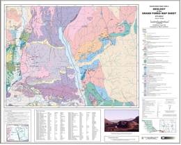 |
Shows geology of Grand Forks, British Columbia (NTS 082E/01) scale 1:50,000 |
| Issue ID: | OF2005-09 |
| Title: | Mt. Milligan and Inzana-Salmon Lakes Geophysical Surveys |
| Author(s): | Shives, R.B.K. |
| Purpose: | To show the geophysical data from the multisensor survey |
| Series Name: | Open File |
| Publication Year: | 2005 |
| NTS Map Sheet(s): | Parts of NTS 93N/01; 93N/02SE; 93N/02NE; 93O/04SW; 93O/04NW |
| Place Keyword(s): | British Columbia, Mt Milligan, Inzana Lake, Salmon Lake |
| Lat/Long (NSWE): | 55.231, 55.748, -124.761, -123.702 |
| Theme Keyword(s): | Geophysics, total field magnetics, multisensor surveys, geophysical surveys, airborne |
Download(s):
| ZIP (View Zip Contents) |
Abstract:
| In 1991 the Geological Survey of Canada conducted a multisensor (gamma-ray spectrometric, magnetic total field) helicopter-borne geophysical survey in the Mount Milligan area, British Columbia, Canada. The full product release is available as Geological Survey of Canada Open File 2535.
In 1995 the Geological Survey of Canada conducted a multisensor (gamma-ray spectrometric, magnetic total field) helicopter-borne geophysical survey in the Inzana-Salmon Lakes area, British Columbia, Canada. The full product releases are available as Geological Survey of Canada GSC Open File 2801.
These surveys were published as the Mount Milligan Geophysics Map to MapPlace on April 8, 2005 in conjunction with the 2004 Mount Sylvester (BCMEM Open File-14) and Fran Property (BCMEM Open File-15) surveys. The MapPlace data includes digital gridded images for 2 magnetic and 7 radiometric parameters for each survey area. The downloadable files from this website are in georeferenced TIF � tagged image and PNG formats (UTM NAD 83 and Albers projections) and GRD - Geosoft gridded data format (UTM NAD 83 only). PDF theme files are also available. |
| Issue ID: | OF2005-10 |
| Title: | Fish Lake Airborne Geophysical Survey |
| Author(s): | Shives, R.B.K., Holman, P.B., Rebolledo, L. |
| Purpose: | To show the geophysical data from the multisensor survey |
| Series Name: | Open File |
| Publication Year: | 2005 |
| NTS Map Sheet(s): | Parts of NTS 92O/05NE; 92O/12SE; 92O/12NE; 92O/13SE |
| Place Keyword(s): | British Columbia, Fish Lake |
| Lat/Long (NSWE): | 51.843, 51.437, -123.793, -123.453 |
| Theme Keyword(s): | Geophysics, total field magnetics, multisensor surveys, geophysical surveys, airborne |
Download(s):
| ZIP (View Zip Contents) |
Abstract:
| In 1995 the Geological Survey of Canada conducted an airborne geophysical survey in the Fish Lake area, British Columbia, Canada. The full product release are available as Geological Survey of Canada Open File 2800. This survey was published as the Fish Lake Geophysics Map to MapPlace on April 8, 2005. The MapPlace data includes digital gridded images for 2 magnetic and 7 radiometric parameters for each survey area. The downloadable files from this website are in georeferenced TIF � tagged image and PNG formats (UTM NAD 83 and Albers projections) and GRD - Geosoft gridded data format (UTM NAD 83 only). PDF theme files are also available. |
| Issue ID: | OF2005-11 |
| Title: | Endako Airborne Geophysical Survey |
| Author(s): | Geological Survey of Canada |
| Purpose: | To show the geophysical data from the multisensor survey |
| Series Name: | Open File |
| Publication Year: | 2005 |
| NTS Map Sheet(s): | Parts of NTS 94D/15, E/2,3,6,7,10,11 |
| Place Keyword(s): | British Columbia, Endako |
| Lat/Long (NSWE): | 54.255, 53.899, -125.186, -124.713 |
| Theme Keyword(s): | Geophysics, total field magnetics, multisensor surveys, geophysical surveys, airborne |
Download(s):
| ZIP (View Zip Contents) |
Abstract:
| In 1997 the Geological Survey of Canada conducted a multisensor (gamma-ray spectrometric, magnetic total field) helicopter-borne geophysical survey in the Endako area, British Columbia, Canada. The full product release is available as Geological Survey of Canada Open File 3534 and is available for download from MIRAGE. This survey was published as the Endako Geophysics Map MapPlace on April 8, 2005. The MapPlace data includes digital gridded images for 2 magnetic and 7 radiometric parameters for each survey area. The downloadable files from this website are in georeferenced TIF � tagged image and PNG formats (UTM NAD 83 and Albers projections) and GRD - Geosoft gridded data format (UTM NAD 83 only). PDF theme files are also available. |
| Issue ID: | OF2005-12 |
| Title: | Clisbako River Airborne Geophysical Survey |
| Author(s): | Shives, R.B.K., Carson, J.M. |
| Purpose: | To show the geophysical data from the multisensor survey |
| Series Name: | Open File |
| Publication Year: | 2005 |
| NTS Map Sheet(s): | Parts of NTS 93B/12SW; 93C/09NE; 93C/16SE |
| Place Keyword(s): | British Columbia, Clisbako River |
| Lat/Long (NSWE): | 52.835, 52.539, -124.206, -123.982 |
| Theme Keyword(s): | Geophysics, total field magnetics, multisensor surveys, geophysical surveys, airborne |
Download(s):
| ZIP (View Zip Contents) |
Abstract:
| In 1994 the Geological Survey of Canada conducted an airborne geophysical survey in the Clisbako River area, British Columbia, Canada. The full product release are available as Geological Survey of Canada Open File 2815. This survey was published as the Clisbako River Geophysics Map to MapPlace on April 8, 2005. The MapPlace data includes digital gridded images for 2 magnetic and 7 radiometric parameters for each survey area. The downloadable files from this website are in georeferenced TIF � tagged image and PNG formats (UTM NAD 83 and Albers projections) and GRD - Geosoft gridded data format (UTM NAD 83 only). PDF theme files are also available. |
| Issue ID: | OF2005-13 |
| Title: | Iron Mask Airborne Geophysical Survey |
| Author(s): | Shives, R.B.K., Carson, J.M. |
| Purpose: | To show the geophysical data from the multisensor survey |
| Series Name: | Open File |
| Publication Year: | 2005 |
| NTS Map Sheet(s): | Parts of NTS 92I/08NW; 92I/09SW; 92I/10; 92I/15SE |
| Place Keyword(s): | British Columbia, Ironmask Batholith, Iron Mask |
| Lat/Long (NSWE): | 50.824, 50.452, -120.8, -120.21 |
| Theme Keyword(s): | Geophysics, total field magnetics, multisensor surveys, geophysical surveys, airborne |
Download(s):
| ZIP (View Zip Contents) |
Abstract:
| In 1995 the Geological Survey of Canada conducted an airborne geophysical survey in the Iron Mask area, British Columbia, Canada. The full product release are available as Geological Survey of Canada Open File 2817. This survey was published as the Iron Mask Geophysics Map to MapPlace on April 8, 2005. The MapPlace data includes digital gridded images for 2 magnetic and 7 radiometric parameters for each survey area. The downloadable files from this website are in georeferenced TIF � tagged image and PNG formats (UTM NAD 83 and Albers projections) and GRD - Geosoft gridded data format (UTM NAD 83 only). PDF theme files are also available in Open File 2006-12: Integrated Airborne Geophysical, Geology and Mineral Occurrence Data, Iron Mask Batholith. Geology of the Iron Mask Batholith is available as Open File Map 2006-11. See GeoFile 2006-5 for a review of the regional geological setting, tectonics, geochronology, geophysics, mineralization and alteration characteristics of the Iron Mask Batholith. |
| Issue ID: | OF2005-14 |
| Title: | Mount Sylvester Multisensor Geophysical Survey |
| Author(s): | Shives, R.B.K., Carson, J.M., Dumont, R., Holman, P.B., Lane, R. |
| Purpose: | To show the geophysical data from the multisensor survey |
| Series Name: | Open File |
| Publication Year: | 2005 |
| NTS Map Sheet(s): | Parts of NTS 93N/8; 93O/5 |
| Place Keyword(s): | British Columbia, Mt Sylvester, Mt Milligan |
| Lat/Long (NSWE): | 55.37, 55.254, -124.519, -123.753 |
| Theme Keyword(s): | Geophysics, total field magnetics, multisensor surveys, geophysical surveys, airborne |
Download(s):
| ZIP (View Zip Contents) |
Abstract:
| In 2004 the Geological Survey of Canada conducted a multisensor (gamma-ray spectrometric, magnetic total field) helicopter-borne geophysical survey in the Mount Sylvester area, approximately due west of MacKenzie, British Columbia, Canada. Flight lines were oriented E-W, spaced at 500 m intervals. The survey was flown under contract by Fugro Airborne Surveys. Funding was provided by the British Columbia and Yukon Chamber of Mines Rocks to Riches Program, under a project submitted by the District of MacKenzie. Support for the Geological Survey of Canada�s Radiation Geophysics Section, acting as the Scientific Authority for the survey, was provided under Natural Resources Canada � Earth Sciences Sector�s Northern Resources Development Program. This survey covers rocks of the Quesnel Terrane, a belt prospective for bulk tonnage copper-gold deposits similar to the well-known Mount Milligan deposit.
This data was published with the Mount Milligan Geophysics Map to MapPlace as this Open File on April 8, 2005. The MapPlace data includes digital gridded images for 2 magnetic and 7 radiometric parameters for each survey area. The downloadable files from this website are in georeferenced TIF � tagged image and PNG formats (UTM NAD 83 and Albers projections) and GRD - Geosoft gridded data format (UTM Nad 83 only). PDF theme files area also available. A full product release (in late spring 2005) will be made by the Geological Survey of Canada as a series of Open Files, including printed colour maps, images of the printed maps in PDF format, and digital line and grid data. |
| Issue ID: | OF2005-15 |
| Title: | Fran Property Multisensor Geophysical Survey |
| Author(s): | Shives, R.B.K., Carson, J.M., Dumont, R., Holman, P.B., Wells, R. |
| Purpose: | To show the geophysical data from the multisensor survey |
| Series Name: | Open File |
| Publication Year: | 2005 |
| NTS Map Sheet(s): | Parts of NTS 93K/16; 93N/1 |
| Place Keyword(s): | British Columbia, Fran Property, Mt Milligan |
| Lat/Long (NSWE): | 55.027, 54.928, -124.474, -124.294 |
| Theme Keyword(s): | Geophysics, total field magnetics, multisensor surveys, geophysical surveys, airborne |
Download(s):
| ZIP (View Zip Contents) |
Abstract:
| In 2004 the Geological Survey of Canada conducted a multisensor (gamma-ray spectrometric, magnetic total field) helicopter-borne geophysical survey in the Fran Property area, southwest of Mount Milligan, British Columbia, Canada. Flight lines were oriented N-S, spaced at 150 m intervals. The survey was flown under contract by Fugro Airborne Surveys. Funding was provided by Yankee Hat Industries Corp. Support for the Geological Survey of Canada�s Radiation Geophysics Section, acting as the Scientific Authority for the survey, was provided under Natural Resources Canada � Earth Sciences Sector�s Northern Resources Development Program.
This data was published with the Mount Milligan Geophysics Map to MapPlace as this Open File on April 8, 2005. The MapPlace data includes digital gridded images for 2 magnetic and 7 radiometric parameters for each survey area. The downloadable files from this website are in georeferenced TIF � tagged image and PNG formats (UTM NAD 83 and Albers projections) and GRD - Geosoft gridded data format (UTM Nad 83 only). PDF theme files area also available. A full product release (in late spring 2005) will be made by the Geological Survey of Canada as a series of Open Files, including printed colour maps, images of the printed maps in PDF format, and digital line and grid data. |
| Issue ID: | OF2005-16 |
| Title: | Tisdall Lake Multisensor Geophysical Survey |
| Author(s): | Shives, R.B.K., Carson, J.M., Dumont, R., Holman, P.B., Yeager, D. |
| Purpose: | To show the geophysical data from the multisensor survey |
| Series Name: | Open File |
| Publication Year: | 2005 |
| NTS Map Sheet(s): | Parts of NTS 92P/15; 93A/2, 3,6,7 |
| Place Keyword(s): | British Columbia, Tisdall Lake, Quesnel trough |
| Lat/Long (NSWE): | 52.38, 51.903, -121.273, -120.538 |
| Theme Keyword(s): | Geophysics, total field magnetics, multisensor surveys, geophysical surveys, airborne |
Download(s):
| ZIP (View Zip Contents) |
Abstract:
| In 2004 the Geological Survey of Canada conducted a multisensor (gamma-ray spectrometric, magnetic total field) helicopter-borne geophysical survey in the Tisdall Lake area, southeast of Mount Polley, British Columbia, Canada. Flight lines were oriented NE-SW, spaced at 250 m intervals. The survey was flown under contract by Fugro Airborne Surveys. Funding was provided by Amarc Resources Ltd. Support for the Geological Survey of Canada�s Radiation Geophysics Section, acting as the Scientific Authority for the survey, was provided under Natural Resources Canada � Earth Sciences Sector�s Northern Resources Development Program.
This survey was published with the Quesnel Geophysics Map to MapPlace on April 8, 2005. The MapPlace data includes digital gridded images for 2 magnetic and 7 radiometric parameters for each survey area. The downloadable files from this website are in georeferenced TIF � tagged image and PNG formats (UTM NAD 83 and Albers projections) and GRD - Geosoft gridded data format (UTM NAD 83 only). PDF theme files are also available. A full product release of the Tisdall Lake survey (in late spring 2005) will be made by the Geological Survey of Canada as a series of Open Files, including printed colour maps, images of the printed maps in PDF format, and digital line and grid data. |
| Issue ID: | GF2005-16 |
| Title: | British Columbia Geological Survey Branch symbols for Manifold Geographic Information System |
| Author(s): | Mihalynuk, M.G., Mallory, M.S., Grant, B. |
| Purpose: | To provide geological symbols for use in Manifold. |
| Series Name: | GeoFile |
| Publication Year: | 2005 |
| NTS Map Sheet(s): | 082;083;092;093;094;102;103;104;114 |
| Place Keyword(s): | British Columbia |
| Lat/Long (NSWE): | 60, 48, -139, -114 |
| Theme Keyword(s): | GIS, symbols, geological, fill patterns |
Download(s):
| PDF, ZIP (View Zip Contents) |
Abstract:
 |
Manifold� is a full-featured, inexpensive, commercial Geographic Information System (GIS). It costs one or two orders of magnitude less than other GIS software suites that have comparable functionality, and it operates under Windows XP, providing formidable GIS analytical and display capabilities to anybody with a modest budget. For the production of geological maps, however, Manifold �1 right out of the box, comes up short. It lacks the ability to build custom line types (mostly an issue for thrust faults) and does not come with a library of geological symbols or patterned fills. While not entirely an aesthetically pleasing solution, Manifold�s built-in triangle barb line type can be used as a proxy for the thrust fault line type (see the figure on the cover page which is adapted from Logan and Mihalynuk, 2005). Geological symbols are more work, but Manifold does provide a facility, through a pared-down implementation of Extensible Markup Language (XML), for the production of custom symbols and fills. We have used XML to create a more than 130 symbols and two dozen fill patterns ("area styles" in Manifold) that are available as part of this publication. |
| Issue ID: | GF2005-19 |
| Title: | Potential for Gem Beryl and Schist Hosted Emerald in British Columbia |
| Author(s): | Legun, A.S. |
| Purpose: | To review the gem varieties of beryl, the associations of beryl with granitic rocks, and the particular association of emerald with ultramafic wallrocks affected by volatile-rich fluids. |
| Series Name: | GeoFile |
| Publication Year: | 2005 |
| Scale: | 1:2000000 |
| NTS Map Sheet(s): | 082;083;092;093;094;102;103;104;114 |
| Place Keyword(s): | British Columbia |
| Lat/Long (NSWE): | 60, 48, -139, -114 |
| Theme Keyword(s): | beryl, gem, granitic rocks, emerald, ultramafic wallrocks |
Download(s):
| PDF |
Abstract:
 |
This article reviews the gem varieties of beryl, the associations of beryl with granitic rocks, and the particular association of emerald with ultramafic wallrocks affected by volatile-rich fluids. The article includes an emerald potential map for the province and a general description of areas of gem beryl potential. There has been little systematic work on transparent gemstones in British Columbia in spite of a number of gem discoveries in the last fifteen years. |
| Issue ID: | PM02 |
| Title: | Geology of the McCarren Creek, Goosmus Creek Area, Greenwood Mining Division (parts NTS of 82E/2E) |
| Author(s): | Church, B.N. |
| Purpose: | to show geology of the area |
| Series Name: | Preliminary Map |
| Publication Year: | 1970 |
| NTS Map Sheet(s): | 082E/02E |
| Place Keyword(s): | British Columbia, McMarren Creek, Goosmus Creek, Greenwood |
| Lat/Long (NSWE): | 49.0643, 49.005, -118.7089, -118.5513 |
| Theme Keyword(s): | Geology, Geological Compilation, Map, Bedrock Geology |
Download(s):
| PDF |
Abstract:
 |
Geology of the McCarren Creek, Goosmus Creek area |
| Issue ID: | PM04 |
| Title: | Geology of the Rossland Area (parts of NTS 82F/4W) |
| Author(s): | Fyles, J.T. |
| Purpose: | to show geology of the area |
| Series Name: | Preliminary Map |
| Publication Year: | 1970 |
| NTS Map Sheet(s): | 082F/04W |
| Place Keyword(s): | British Columbia, Rossland, Mount Sophia, Big Sheep Creek |
| Lat/Long (NSWE): | 49.147, 49, -118.041, -117.705 |
| Theme Keyword(s): | Geology, Geological Compilation, Map, Bedrock Geology |
Download(s):
| PDF |
Abstract:
 |
Geology of the Rossland area (parts of 82F/4W) |
| Issue ID: | PM07 |
| Title: | Geology of the Highland Valley Area (parts of NTS 92I/6) |
| Author(s): | McMillan, W.J., McAndless, P.M., Blanchflower, J.D. |
| Purpose: | to show geology of the area |
| Series Name: | Preliminary Map |
| Publication Year: | 1970 |
| NTS Map Sheet(s): | 092I/06 |
| Place Keyword(s): | British Columbia, Highland Valley, Kamloops |
| Lat/Long (NSWE): | 50.625, 50.375, -121.125, -120.875 |
| Theme Keyword(s): | Geology, Geological Compilation, Map, Bedrock Geology |
Download(s):
| PDF |
Abstract:
 |
Geology of the Highland Valley area (parts of 92I/6) |
| Issue ID: | PM09 |
| Title: | Preliminary Geological Map of Part of Hogem Batholith, Duckling Creek Area (parts of NTS 93N/13, 14; 94C/3, 4) |
| Author(s): | Garnett, J.A. |
| Purpose: | to show geology of the area |
| Series Name: | Preliminary Map |
| Publication Year: | 1972 |
| NTS Map Sheet(s): | 093N/13, 14; 094C/3, 4 |
| Place Keyword(s): | British Columbia, Duckling Creek, Omineca River |
| Lat/Long (NSWE): | 56.1899, 55.452, -125.587, -124.396 |
| Theme Keyword(s): | Geology, Geological Compilation, Map, Bedrock Geology |
Download(s):
| PDF |
Abstract:
 |
Geological Map of Part of Hogem Batholith, Duckling Creek area (parts of 93N/13, 14; 94C/3, 4) |
| Issue ID: | PM15 |
| Title: | Preliminary Geological Map of the Aspen Grove Area (NTS 92H/15) |
| Author(s): | Christopher, P.A., Coombes, D., Preto, V.A., Kalnins, T.E., Thomsen, N.A., Nebocat, J. |
| Purpose: | to show geology of the area |
| Series Name: | Preliminary Map |
| Publication Year: | 1974 |
| NTS Map Sheet(s): | 092H/15 |
| Place Keyword(s): | British Columbia, Aspen Grove |
| Lat/Long (NSWE): | 50.125, 49.875, -120.6875, -120.5 |
| Theme Keyword(s): | Geology, Geological Compilation, Map, Bedrock Geology |
Download(s):
| PDF |
Abstract:
 |
Geological Map of the Aspen Grove area (92H/15) |
| Issue ID: | PM17 |
| Title: | Geology of the Allison Lake - Missezula Lake Area, British Columbia |
| Author(s): | Preto, V.A., Atkinson, S.J., Nebocat, J. |
| Purpose: | to show geology of the area |
| Series Name: | Preliminary Map |
| Publication Year: | 1974 |
| NTS Map Sheet(s): | 092H/15, 16, 09, 10 |
| Place Keyword(s): | British Columbia, Allison Lake, Missezula Lake |
| Lat/Long (NSWE): | 49.8125, 49.667, -120.625, -120.5 |
| Theme Keyword(s): | Geology, Geological Compilation, Map, Bedrock Geology |
Download(s):
| PDF |
Abstract:
 |
Geology of the Allison Lake - Missezula Lake area, British Columbia |
| Issue ID: | PM18 |
| Title: | Geological Map of the Central Part of the Nicola Group Area |
| Author(s): | Christopher, P.A., Coombes, D., Preto, V.A., Kalnins, T.E., Thomsen, N.A., Nebocat, J. |
| Purpose: | to show geology of the area |
| Series Name: | Preliminary Map |
| Publication Year: | 1975 |
| NTS Map Sheet(s): | 092I/02, 092H/15 |
| Place Keyword(s): | British Columbia, Merritt, Collettville, Nicola |
| Lat/Long (NSWE): | 50.125, 49.667, -120.6875, -120.5 |
| Theme Keyword(s): | Geology, Geological Compilation, Map, Bedrock Geology |
Download(s):
| PDF |
Abstract:
 |
Geological Map of the central Part of the Nicola Group area |
| Issue ID: | PM21 |
| Title: | Preliminary Geological Map of the Nicola Group South of Allison Lake |
| Author(s): | Preto, V.A. |
| Purpose: | to show geology of the area |
| Series Name: | Preliminary Map |
| Publication Year: | 1976 |
| NTS Map Sheet(s): | 092H/10 |
| Place Keyword(s): | British Columbia, Allison Lake, Nicola |
| Lat/Long (NSWE): | 49.667, 49.533, -120.625, -120.5 |
| Theme Keyword(s): | Geology, Geological Compilation, Map, Bedrock Geology |
Download(s):
| PDF |
Abstract:
 |
Geological Map of the Nicola Group south of Allison Lake |
| Issue ID: | OF2005-04 |
| Title: | Geology of the Johanson Lake Area |
| Author(s): | Schiarizza, P.A., Sen Huy Tan, Friedman, R., Orchard, M.J., Rhodes, R. |
| Purpose: | To show the digital geology of the Johanson Lake Area |
| Series Name: | Open File |
| Publication Year: | 2005 |
| Scale: | 1:50000 |
| NTS Map Sheet(s): | 094D/8, 9 |
| Place Keyword(s): | British Columbia, Johanson Lake, Toodoggone |
| Lat/Long (NSWE): | 56.69962, 56.33152, -126.38682, -126.00754 |
| Theme Keyword(s): | Digital geology, geoscience initiative, mining company partnership, Bedrock Geology |
Download(s):
| PDF, ZIP (View Zip Contents) |
Abstract:
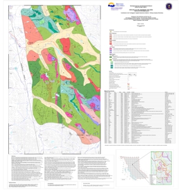 |
The Johanson Lake map area encompasses about 540 square kilometres within the Swannell Ranges of the Omineca Mountains. It extends from the upper Mesilinka River in the south to the headwaters of Wrede Creek in the north, and is transected by the Omineca Resource Access Road. The geological map is based on fieldwork conducted in 2003 and 2004, as well as compilation of data available in previously published government reports and mineral exploration assessment reports. This map is a result of the Federal-Provincial Targeted Geoscience Initiative (II) and a partnership with Northgate Minerals Corporation. The area is underlain by Upper Triassic volcanic and volcaniclastic rocks of the Takla Group, together with numerous intrusions. The intrusive rocks are subdivided into 3 main suites: a Late Triassic ultramafic-mafic suite of Alaskan-type bodies and related dioritic rocks; an early Middle Jurassic quartz monzonite-monzodiorite-diorite suite; and a suite of Early Cretaceous granites, granodiorites and tonalites. Cu-Au mineralization, as veins, disseminations, and magnetite-pyrite-chalcopyrite skarns and replacements, is associated with dioritic rocks of the Late Triassic suite. Cu-Mo porphyry mineralization is associated with the Middle Jurassic quartz monzonite suite, and porphyry Mo occurrences occur in Early Cretaceous granitic rocks. Structurally controlled Au-bearing quartz veins are locally associated with Cretaceous-Tertiary dextral strike-slip fault systems. |
| Issue ID: | IC2005-03 |
| Title: | Molybdenum in British Columbia |
| Author(s): | BC Geological Survey |
| Purpose: | To show the importance of Molybdenum in BC |
| Series Name: | Information Circular |
| Publication Year: | 2005 |
| Scale: | 1:7000000 |
| NTS Map Sheet(s): | 082;083;092;093;094;102;103;104;114 |
| Place Keyword(s): | British Columbia, Endako, Kitsault |
| Lat/Long (NSWE): | 60, 48, -139, -114 |
| Theme Keyword(s): | Molybdenum, MINFILE, exploration |
Download(s):
| PDF |
Abstract:
 |
Information Circular 2005-3 pamphlet includes an overview and location map for selected molybdenum deposits in British Columbia. Summaries of the Endako and Kitsault deposits are given. See also GeoFile 2005-23: Table of Significant British Columbia Porphyry Molybdenum Resources. |
| Issue ID: | GF2005-21 |
| Title: | Timing of Gold Mineralization at the Privateer Mine, Zeballos Gold Camp, Vancouver Island, B.C.: U-Pb and Ar-Ar Evidence |
| Author(s): | Marshall, D., Podstawskyj, N., Lesiczka, M., Aichmeier, A. |
| Purpose: | To examine gold mineralization timing at Zeballos Gold Camp |
| Series Name: | GeoFile |
| Publication Year: | 2005 |
| NTS Map Sheet(s): | 092L |
| Place Keyword(s): | British Columbia, Zeballos, Privateer Mine |
| Lat/Long (NSWE): | 50.1, 49.99, -126.89, -126.75 |
| Theme Keyword(s): | gold mineralization, gold, mafic dykes, U-Pb, geochemistry |
Download(s):
| PDF |
Abstract:
 |
This study focuses on timing relationship between the late intrusive phases of the Zeballos stock, mafic dykes and gold mineralization at the Privateer Mine and lithological, geochemical and structural controls on gold mineralization. �This work entails U-Pb chronology of the intrusive phases, geochemistry, detailed mapping, petrography, alteration, mineralogy, fluid inclusions, stable isotope and structure of the gold-bearing quartz-carbonate veins. |
| Issue ID: | EXP1998-01 |
| Title: | British Columbia 1998 Mineral Exploration Review |
| Author(s): | Schroeter, T.G. |
| Purpose: | To provide mineral exploration review |
| Series Name: | Exploration and Mining in BC |
| Publication Year: | 1999 |
| Other Citation Details: | pages 1 to 18, Part A |
| Larger Work Citation: | in Exploration and Mining in B.C. 1998 |
| NTS Map Sheet(s): | 082;083;092;093;094;102;103;104;114 |
| Place Keyword(s): | British Columbia, mining districts |
| Lat/Long (NSWE): | 60, 48, -139, -114 |
| Theme Keyword(s): | regional exploration, mining, potential |
Download(s):
| PDF |
Abstract:
|
This annual publication provides an overview of mineral exploration and development activities in the Province of British Columbia. Ministry geologists using information provided by government, companies and individuals in the British Columbia mining industry compile the publication. It contains detailed statistical tables and illustrations, in addition to location maps and tables summarizing significant mining, exploration and development projects in the province during 1997. A total of $75 million is estimated to have been spent on mineral exploration during 1997 and this publication provides information on the major areas of interest. |
| Issue ID: | ERIP DATABASE (No longer available) |
| Title: | Environmental Resource Information Project (ERIP) - No Longer Available |
| Author(s): | MEMPR |
| Purpose: | To search environmental baseline data. |
| Series Name: | Digital Geoscience Data |
| Publication Year: | 2004 |
| Other Citation Details: | no longer available |
| NTS Map Sheet(s): | 082;083;092;093;094;102;103;104;114 |
| Place Keyword(s): | British Columbia |
| Lat/Long (NSWE): | 60, 48, -139, -114 |
| Theme Keyword(s): | environmental baseline data, coalbed gas, coalfields |
Abstract:
| The Environmental Resource Information Project Database is a compilation of information about existing environmental baseline data. The ERIP Database is a searchable web-accessible information resource, with the ability to customize search and report features related to a specific geographic area or a particular topic. |
| Issue ID: | IP CBG Map-00 |
| Title: | Regional Maps of Coalbed Gas Areas |
| Author(s): | MEM |
| Series Name: | Internet Publication |
| Publication Year: | 2004 |
| Other Citation Details: | no longer available |
| NTS Map Sheet(s): | 082;083;092;093;094;102;103;104;114 |
| Place Keyword(s): | British Columbia |
| Lat/Long (NSWE): | 60, 48, -139, -114 |
| Theme Keyword(s): | coalfield, coalbed gas, methane |
Abstract:
| Displays maps on areas of coalbed gas northwest, northeast, southeast, south-central and Vancouver Island regions. |
| Issue ID: | IP CBG Report-04 |
| Title: | Tuya Coalfield Information |
| Author(s): | MEM |
| Series Name: | Internet Publication |
| Publication Year: | 2002 |
| Other Citation Details: | no longer available |
| Larger Work Citation: | in Resource Development and Geoscience Branch, Petroleum Geology Paper 2004-1, pages 47-50 |
| Scale: | 1:100000 |
| NTS Map Sheet(s): | 104J |
| Place Keyword(s): | British Columbia, Tuya |
| Lat/Long (NSWE): | 58.5, 58, -131, -130.5 |
| Theme Keyword(s): | coalfield, coalbed gas, methane |
Abstract:
| The Tuya River Coalfield is located between the communities of Dease Lake and Telegraph Creek in northwestern BC and straddles the drainage of Tuya River and its tributaries Little Tuya River and Mansfield Creek. These three drainages have incised meandering canyons up to 200 metres deep in an area of otherwise subdued relief. |
| Issue ID: | PGP2004-01 |
| Title: | Coalbed Gas Potential in British Columbia |
| Author(s): | MEM |
| Series Name: | Petroleum Geology Paper |
| Publication Year: | 2004 |
| Larger Work Citation: | in Resource Development and Geoscience Branch, Petroleum Geology Paper 2004-1, 81 pages |
| NTS Map Sheet(s): | 082;083;092;093;094;102;103;104;114 |
| Place Keyword(s): | British Columbia |
| Lat/Long (NSWE): | 60, 48, -139, -114 |
| Theme Keyword(s): | coalfield, coalbed gas, methane |
Download(s):
| PDF |
Abstract:
| This publication provides a brief overview of the major coalfields in British Columbia and their coalbed gas potential (coalbed gas (CBG) is often referred to as coalbed methane (CBM)). Each coalfield is summarized and illustrated with simple figures, images and tables. |
| Issue ID: | IP CBG Report-05 |
| Title: | Peace River Information |
| Author(s): | MEM |
| Series Name: | Internet Publication |
| Publication Year: | 2004 |
| Other Citation Details: | no longer available |
| Larger Work Citation: | in Resource Development and Geoscience Branch, Petroleum Geology Paper 2004-1, pages 3-10 |
| Scale: | 1:500000 |
| NTS Map Sheet(s): | 093I, 093O, 093P; 094A 094B |
| Place Keyword(s): | British Columbia, Peace River |
| Lat/Long (NSWE): | 56.5, 54.25, -123, -120 |
| Theme Keyword(s): | coalfield, coalbed gas, methane |
Abstract:
| The northern Inner Foothills Belt, called the Peace River Coalfield, extends 400 kilometres from the Kakwa to the Sikanni rivers in northeastern British Columbia. The coalfield contains a number of coal-bearing units that dip to the east into the Western Canadian Sedimentary Basin. In order of decreasing age these are the Jura-Cretaceous Minnes Group and Lower Cretaceous Gething and Gates formations.
The coal resource in the Peace River Coalfield to a depth of 2000 metres is estimated to be more than 160 billion tonnes of medium and low-volatile bituminous coal. This is mainly divided between the Gates (10 billion tonnes plus) and Gething formations (120 billion tonnes plus). To date, two major mines (Quintette and Bullmoose) were developed in the Gates but have recently closed. Coalbed gas potential in the area is largely restricted to the Gething and the Gates formations but potential also exists in the Minnes Group and Upper Cretaceous strata. A conservative estimate of gas content in the coalfield is 60 Tcf. Pipeline infrastructure is already well-developed in this area, the heartland of province�s oil and gas industry. |
| Issue ID: | IP CBG Map-09 |
| Title: | South Central Region Coalbed Gas Map - Hat Creek Coalfield |
| Author(s): | MEM |
| Series Name: | Internet Publication |
| Publication Year: | 2003 |
| NTS Map Sheet(s): | 092I |
| Place Keyword(s): | British Columbia, Hat Creek |
| Lat/Long (NSWE): | 50.8, 50.6, -121.69, -121.49 |
| Theme Keyword(s): | coalfield, coalbed gas, methane |
Download(s):
| PDF, ZIP (View Zip Contents) |
Additional Link(s):
| https://www2.gov.bc.ca/gov/content?id=E92B28B013AE48B1A165BBB997FDB9D0
https://cmscontent.nrs.gov.bc.ca/geoscience/Coal/Coalfields/PG_OF2003_01_Sheet1.pdf
https://cmscontent.nrs.gov.bc.ca/geoscience/Coal/Coalfields/PG_OF2003_01_Sheet2.pdf
http://cmscontent.nrs.gov.bc.ca/geoscience/Coal/Coalfields/PG_OF2003_01_Sheet3.pdf |
Abstract:
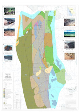 |
Regional Coalbed Methane Map - Hat Creek Coalfield |
| Issue ID: | IP CBG Map-12 |
| Title: | South Central Region Coalbed Gas Map - Similkameen (Tulameen) Coalfield |
| Author(s): | MEM |
| Series Name: | Internet Publication |
| Publication Year: | 2002 |
| Scale: | 1:50000 |
| NTS Map Sheet(s): | 092H |
| Place Keyword(s): | British Columbia, Similkameen, Tulameen |
| Lat/Long (NSWE): | 49.75, 49.25, -121, -120 |
| Theme Keyword(s): | coalfield, coalbed gas, methane |
Download(s):
| PDF |
Additional Link(s):
| https://www2.gov.bc.ca/gov/content?id=E92B28B013AE48B1A165BBB997FDB9D0 |
Abstract:
| Regional Coalbed Methane Map - Similkameen (Tulameen) Coalfield |
| Issue ID: | IP CBG Report-08 |
| Title: | Bowron River Coalfield Information |
| Author(s): | MEM |
| Series Name: | Internet Publication |
| Publication Year: | 2004 |
| Other Citation Details: | no longer available |
| Larger Work Citation: | in Resource Development and Geoscience Branch, Petroleum Geology Paper 2004-1, pages 59-62 |
| Scale: | 1:50000 |
| NTS Map Sheet(s): | 092H |
| Place Keyword(s): | British Columbia, Bowron River |
| Lat/Long (NSWE): | 54, 53.75, -122, -121.5 |
| Theme Keyword(s): | coalfield, coalbed gas, methane |
Abstract:
| The Bowron River Coalfield is located in the east-central part of the province, 50 kilometres east-southeast of Prince George. The coalfield is 2.5 kilometres wide and 15 kilometres long. Coal was first reported in 1871, however, it was not until 1910-11 that development work started with the construction of an adit and survey of the area. |
| Issue ID: | IP CBG Report-09 |
| Title: | Hat Creek Coalfield Information |
| Author(s): | MEM |
| Series Name: | Internet Publication |
| Publication Year: | 2004 |
| Other Citation Details: | no longer available |
| Larger Work Citation: | in Resource Development and Geoscience Branch, Petroleum Geology Paper 2004-1, pages 39-42 |
| Scale: | 1:50000 |
| NTS Map Sheet(s): | 092I |
| Place Keyword(s): | British Columbia, Hat Creek |
| Lat/Long (NSWE): | 50.8, 50.6, -121.69, -121.49 |
| Theme Keyword(s): | coalfield, coalbed gas, methane |
Abstract:
| The Hat Creek Coalfield is located 20 kilometres west of Cache Creek in the south-central part of the province. The coalfield contains one of the thickest Tertiary coal deposits in the world with an enormous amount of low rank coal concentrated in a small area. It consists of two poorly exposed coal deposits. The northern, Number 1 deposit covers 3.5 square kilometres and the larger Number 2 deposit, 3 kilometres to the south, covers 25 square kilometres. The Number 1 deposit has been explored as a potential open-pit mine. |
| Issue ID: | IP CBG Report-10 |
| Title: | Merritt Coalfield Information |
| Author(s): | MEM |
| Series Name: | Internet Publication |
| Publication Year: | 2004 |
| Other Citation Details: | no longer available |
| Larger Work Citation: | in Resource Development and Geoscience Branch, Petroleum Geology Paper 2004-1, pages 55-58 |
| Scale: | 1:50000 |
| NTS Map Sheet(s): | 092H, 092I |
| Place Keyword(s): | British Columbia, Similkameen, Merritt |
| Lat/Long (NSWE): | 50.25, 49.25, -121, -120 |
| Theme Keyword(s): | coalfield, coalbed gas, methane |
Abstract:
| The Merritt Coalfield is located in the south-central part of the province and comprises several isolated Tertiary sedimentary areas which in part underlie the town of Merritt and adjacent areas. The coal-bearing sedimentary rocks are assigned to the Coldwater Formation. The main area, which is under and south of Merritt, covers about 80 square kilometres. A smaller area to the east is about 25 square kilometres in size and has not been extensively explored. The Merritt area, which contains high-volatile C to A bituminous coal, was explored in 1945 and 1960 and about 2.4 million tonnes of coal were produced. |
| Issue ID: | IP CBG Report-12 |
| Title: | Similkameen (Tulameen) Coalfield Information |
| Author(s): | MEM |
| Series Name: | Internet Publication |
| Publication Year: | 2004 |
| Other Citation Details: | no longer available |
| Larger Work Citation: | in Resource Development and Geoscience Branch, Petroleum Geology Paper 2004-1, pages 51-54 |
| Scale: | 1:50000 |
| NTS Map Sheet(s): | 092H |
| Place Keyword(s): | British Columbia, Similkameen, Tulameen |
| Lat/Long (NSWE): | 49.75, 49.25, -121, -120 |
| Theme Keyword(s): | coalfield, coalbed gas, methane |
Abstract:
| The Tulameen Coalfield is located in the south-central part of the province, 20 kilometres northwest of Princeton. It forms an elliptical sedimentary basin 5 by 4 kilometres in size and contains two well-developed thick seams of high-volatile B bituminous rank. The area underlain by coal is about 10 square kilometres. Underground mining from 1919 to 1940, produced about 2 million tonnes. |
| Issue ID: | IP CBM Report-05 |
| Title: | In Situ Stress Regime in the Coal-Bearing Strata of the Northeastern Plains Area of British Columbia; A Study to Identify Areas of Coalbed Gas Prospectively (2002) |
| Author(s): | MEM |
| Purpose: | To examine the oil and gas potential of southeast British Columbia |
| Series Name: | Internet Publication |
| Publication Year: | 2002 |
| Other Citation Details: | Also published as PGSP2002-02 |
| NTS Map Sheet(s): | 093I, 093O, 093P; 094A, 094B |
| Place Keyword(s): | British Columbia, Northeast |
| Lat/Long (NSWE): | 56.5, 54.25, -123, -120 |
| Theme Keyword(s): | Internet Publications, Coal report, oil and gas potential, coalbed methane exploration, hydrocarbon |
Abstract:
| The report contains the results of an investigation aimed at mapping Cretaceous in-situ stress magnitudes and orientations in the Plains area of northeastern British Columbia. The study was undertaken as part of the BC Ministry of Energy and Mines� Coal Bed Methane Program and was designed to locate areas of good coal bed methane prospectivity. The rationale behind mapping stresses was that research work elsewhere had shown that the lower the in-situ stress magnitude the greater the permeability and productivity of coal beds, and vice versa. This research is summarized herein. |
| Issue ID: | GF2005-23 |
| Title: | Table of Significant British Columbia Porphyry Molybdenum Resources |
| Author(s): | Schroeter, T.G., Fulford, A. |
| Purpose: | To provide a table of significant molybdenum deposits in BC. |
| Series Name: | GeoFile |
| Publication Year: | 2005 |
| Scale: | 1:7000000 |
| NTS Map Sheet(s): | 082;083;092;093;094;102;103;104;114 |
| Place Keyword(s): | British Columbia, Endako |
| Lat/Long (NSWE): | 60, 48, -139, -114 |
| Theme Keyword(s): | molybdenum deposits, porphyry, resources, exploration, production |
Download(s):
| PDF, ZIP (View Zip Contents) |
Abstract:
 |
GeoFile 2005-23 is a table of British Columbia porphyry molybdenum resources. It includes information on the owner/operator of specific projects, MINFILE number, mine production, current resources, contained molybdenum, the deposit type and references. As well it includes a brief listing of active, significant exploration projects for porphyry molybdenum targets that currently do not have any published resource. Most of the resources were calculated more than 15 years ago and the reserve/resource figures do not conform to National Instrument 43-101 standards. This compilation includes current and past producers for which significant resources remain (e.g. Endako, Boss Mountain, Gibraltar, Highland Valley Copper, Huckleberry and Kitsault). Additional information on these deposits is available in the MINFILE database and in the Mineral Deposit Profiles websites. |
| Issue ID: | MAPPLACE-05 |
| Title: | MapPlace Lite WMS Viewer |
| Author(s): | BC Geological Survey |
| Series Name: | MapPlace |
| Publication Year: | 2005 |
| Other Citation Details: | no longer available |
| NTS Map Sheet(s): | 082;083;092;093;094;102;103;104;114 |
| Place Keyword(s): | British Columbia |
| Lat/Long (NSWE): | 60, 48, -139, -114 |
| Theme Keyword(s): | Interactive Mapping, MapPlace, WMS, OGC, geology |
Abstract:
| The MapPlace Lite WMS Viewer with Web Map Service is no longer available (June 2015). |
| Issue ID: | MAPPLACE-14 |
| Title: | Mount Milligan Geophysics |
| Author(s): | BC Geological Survey |
| Series Name: | MapPlace |
| Publication Year: | 2004 |
| NTS Map Sheet(s): | 093J,K,N,O |
| Place Keyword(s): | British Columbia, Mount Milligan, Inzana-Salmon Lake, Mount Sylvester, Fran Property |
| Lat/Long (NSWE): | 55.4, 54.7, -125, -123.6 |
| Theme Keyword(s): | Interactive Mapping, geophysics, magnetic total field, potassium, equivalent uranium |
Additional Link(s):
| http://webmap.em.gov.bc.ca/mapplace/minpot/geophysics.asp?projectName=milligan |
Abstract:
| Mount Milligan Geophysics covers four geophysical surveys: The 1991 Mount Milligan survey is represented in BCGS Open File 2005-9 and GSC OF 2535 and the 1995 Inzana-Salmon Lake (Mount Milligan South) survey is represented in BCGS Open File 2005-9 and GSC Open File 2801. The 2004 Mount Sylvester survey is represented in BCGS Open File 2005-14 and the 2004 Fran Property survey is represented in BCGS Open File 2005-15. The files are also available for download in georeferenced TIF and PNG formats and GeoSoft gridded data (.grd) format. The surveys were posted to MapPlace April 8, 2005. |
| Issue ID: | GF2000-12 |
| Title: | Exploring the Future - Exploration and Mining in British Columbia, Canada |
| Author(s): | Lett, R.E., Jackaman, W. |
| Purpose: | To promote mining and exploration in British Columbia |
| Series Name: | GeoFile |
| Publication Year: | 2000 |
| NTS Map Sheet(s): | 082;083;092;093;094;102;103;104;114 |
| Place Keyword(s): | British Columbia |
| Lat/Long (NSWE): | 60, 48, -139, -114 |
| Theme Keyword(s): | Exploration and Mining, Investment Opportunities, Geology, Energy |
Download(s):
| PDF |
Abstract:
 |
GeoFile 2000-12 is a 17-page brochure on exploration, mining and investment opportunities in coal, electricity, flow through shares, geological potential, health and safety, industrial minerals, mediation and arbitration, mineral titles, mining production, and reclamation and closure. |
| Issue ID: | MAPPLACE-24 |
| Title: | Endako Geophysics |
| Author(s): | BC Geological Survey |
| Series Name: | MapPlace |
| Publication Year: | 2005 |
| NTS Map Sheet(s): | 093F,K |
| Place Keyword(s): | British Columbia, Endako |
| Lat/Long (NSWE): | 54.26, 53.86, -125.2, -124.7 |
| Theme Keyword(s): | Interactive Mapping, geophysics, magnetic total field, potassium, equivalent uranium |
Additional Link(s):
| http://webmap.em.gov.bc.ca/mapplace/minpot/geophysics.asp?projectName=endako |
Abstract:
| Endako Geophysics covers the 1997 Endako area survey and is available as Geological Survey of Canada Open File 3534 and is available for download from MIRAGE. This survey was published to MapPlace on April 8, 2005. The MapPlace data includes digital gridded images for 2 magnetic and 7 radiometric parameters for each survey area. The downloadable files from this website are in georeferenced TIF � tagged image and PNG formats (UTM NAD 83 and Albers projections) and GRD - Geosoft gridded data format (UTM NAD 83 only). PDF theme files are also available. |
| Issue ID: | MAPPLACE-31 |
| Title: | Fish Lake Geophysics |
| Author(s): | BC Geological Survey |
| Series Name: | MapPlace |
| Publication Year: | 2005 |
| Other Citation Details: | Source data: GSC OF 2800 |
| NTS Map Sheet(s): | 092O |
| Place Keyword(s): | British Columbia, Fish Lake |
| Lat/Long (NSWE): | 51.86, 51.42, -123.84, -123.42 |
| Theme Keyword(s): | Interactive Mapping, geophysics, magnetic total field, potassium, equivalent uranium |
Additional Link(s):
| http://webmap.em.gov.bc.ca/mapplace/minpot/geophysics.asp?projectName=fish
https://doi.org/10.4095/205345 |
Abstract:
| Fish Lake Geophysics covers the 1995 Fish Lake area survey represented in Geological Survey of Canada Open File 2800. This survey was published to MapPlace on April 8, 2005. The MapPlace data includes digital gridded images for 2 magnetic and 7 radiometric parameters for each survey area. The downloadable files from this website are in georeferenced TIF � tagged image and PNG formats (UTM NAD 83 and Albers projections) and GRD - Geosoft gridded data format (UTM NAD 83 only). PDF theme files are also available. |
| Issue ID: | MAPPLACE-32 |
| Title: | Iron Mask Geophysics |
| Author(s): | BC Geological Survey |
| Series Name: | MapPlace |
| Publication Year: | 2005 |
| Other Citation Details: | Source data: GSC OF 2817 |
| NTS Map Sheet(s): | 092I |
| Place Keyword(s): | British Columbia, Iron Mask |
| Lat/Long (NSWE): | 50.82, 50.42, -120.8, -120.18 |
| Theme Keyword(s): | Interactive Mapping, geophysics, magnetic total field, potassium, equivalent uranium |
Additional Link(s):
| http://webmap.em.gov.bc.ca/mapplace/minpot/geophysics.asp?projectName=ironmask
https://doi.org/10.4095/203472 |
Abstract:
| Iron Mask Geophysics covers the 1995 Iron Mask survey represented in Geological Survey of Canada Open File 2817. This survey was published to MapPlace on April 8, 2005. The MapPlace data includes digital gridded images for 2 magnetic and 7 radiometric parameters for each survey area. The downloadable files from this website are in georeferenced TIF � tagged image and PNG formats (UTM NAD 83 and Albers projections) and GRD - Geosoft gridded data format (UTM NAD 83 only). PDF theme files are also available. |
| Issue ID: | MAPPLACE-33 |
| Title: | Clisbako River Geophysics |
| Author(s): | BC Geological Survey |
| Series Name: | MapPlace |
| Publication Year: | 2005 |
| Other Citation Details: | Source data: GSC OF 2815 |
| NTS Map Sheet(s): | 093B,C |
| Place Keyword(s): | British Columbia, Clisbako |
| Lat/Long (NSWE): | 52.84, 52.52, -124.36, -123.8 |
| Theme Keyword(s): | Interactive Mapping, geophysics, magnetic total field, potassium, equivalent uranium |
Additional Link(s):
| http://webmap.em.gov.bc.ca/mapplace/minpot/geophysics.asp?projectName=clisbako
https://doi.org/10.4095/194065 |
Abstract:
| In 1994 the Geological Survey of Canada conducted an airborne geophysical survey in the Clisbako River area, British Columbia, Canada. The full product release are available as Geological Survey of Canada Open File 2815.
This survey was published as the Clisbako River Geophysics Map to MapPlace on April 8, 2005. The MapPlace data includes digital gridded images for 2 magnetic and 7 radiometric parameters for each survey area. The downloadable files from this website are in georeferenced TIF � tagged image and PNG formats (UTM NAD 83 and Albers projections) and GRD - Geosoft gridded data format (UTM NAD 83 only). PDF theme files are also available. |
| Issue ID: | GF1998-01 |
| Title: | Mining in the Millennium |
| Author(s): | BC Geological Survey |
| Purpose: | To promote mining and exploration in British Columbia |
| Series Name: | GeoFile |
| Publication Year: | 1998 |
| NTS Map Sheet(s): | 082;083;092;093;094;102;103;104;114 |
| Place Keyword(s): | British Columbia |
| Lat/Long (NSWE): | 60, 48, -139, -114 |
| Theme Keyword(s): | Mineral Resources, Investment Opportunities, Mineral Deposits, Commodities, Databases |
Download(s):
| PDF |
Abstract:
 |
GeoFile 1998-1 provides an overview of British Columbia's mineral resources and investment opportunities. British Columbia encompasses the largest part of the Canadian Cordillera, a mountain belt rich in minerals and coal. The province is an important producer and exporter of copper, gold, silver, lead, zinc, molybdenum, coal and industrial minerals. British Columbia's mining industry is internationally recognized for its expertise in mineral exploration and mine development and today Vancouver is one of the great mining centres in the world. British Columbia enjoys good geology, access to an ample supply of low-cost power, good transportation systems, modern ports and a strategic location vis a vis the East Asian market. With our abundant mineral resources, a skilled industry and a positive business climate, opportunities abound for growth in the mineral sector in the years ahead. |
| Issue ID: | RGS-057 |
| Title: | Fort Fraser Regional Geochemical Survey |
| Author(s): | BC Geological Survey |
| Series Name: | Regional Geochemical Survey |
| Publication Year: | 2003 |
| Other Citation Details: | Also published as GSC Open File 1766 |
| NTS Map Sheet(s): | 093K |
| Place Keyword(s): | British Columbia, Fort Fraser, Endako |
| Lat/Long (NSWE): | 55, 54, -126, -124 |
| Theme Keyword(s): | Geochemistry, Regional Geochemical Survey (RGS), stream sediment, stream water |
Additional Link(s):
| http://webmap.em.gov.bc.ca/mapplace/minpot/chemmap.asp?LayersViewWidth=150&Lat=54.5&Lon=-125&Scale=1000000&Units=km
http://www.geosciencebc.com/major-projects/Quest-West/ |
Abstract:
| The Fort Fraser (NTS 93K) reconnaissance-scale stream sediment and water survey was completed in 2002 and the resulting field and analytical data were released in 2003. Stream sediment and water samples were collected from 795 sites covering over 10,500 square kilometres at a density of one sample per 13.2 square kilometre. Survey results include 49 variables in stream sediments, fluorine and loss-on-ignition in sediments, and pH, uranium, fluoride and conductivity in stream waters. In addition, 186 stream water samples were analyzed for trace and major elements. There are over sixty known mineral occurrences in the Fort Fraser area including the Endako molybdenum mine. This very accessible region for exploration has potential for volcanogenic massive sulphide (VMS) mineralization mesothermal vein (Au), epithermal vein (Au, Ag) and Cu-Mo porphyry mineralization. The area is underlain by volcanic and sedimentary rocks of the Mesozoic Cache Creek, Takla and Hazelton Groups and by Jurassic-Cretaceous quartz monzonite to granodiorite plutons. A NATMAP project over the area carried out by the BC Geological Survey and the Geological survey of Canada between 1995 and 1999 included geological mapping, till geochemical and lake sediment surveys. |
| Issue ID: | RGS-058 |
| Title: | Northwestern B.C. (Bowser Lake and Spatsizi River) Regional Geochemical Survey |
| Author(s): | Friske, P.W.B., Jackaman, W., Lett, R.E.W., McCurdy, M.W. |
| Series Name: | Regional Geochemical Survey |
| Publication Year: | 2005 |
| Other Citation Details: | Also published as GSC Open File 5000 |
| NTS Map Sheet(s): | 104A; 104H |
| Place Keyword(s): | British Columbia, Bowser Lake, Spatsizi River, Northwest |
| Lat/Long (NSWE): | 56, 58, -130, -128 |
| Theme Keyword(s): | Geochemistry, Regional Geochemical Survey (RGS), stream sediment, stream water |
Additional Link(s):
| https://doi.org/10.4095/220856 |
Abstract:
| The northwestern BC (NTS 104A/H) reconnaissance-scale stream sediment and water survey was completed in 2004 and the resulting field and analytical data were released in 2005. Stream sediment and water samples were collected in the Bowser Lake and Spatsizi River areas of northwestern British Columbia, a region north of Terrace and southeast of Dease Lake. These samples have been analysed for their trace metal and other element content. The surveys cover over 18,500 square kilometres of the contiguous Bowser Lake (104A) and Spatsizi River (104H) map sheets. Where, in addition to five past-producing copper-gold-lead mines and over 160 other mineral prospects, the Red Chris porphyry copper-gold deposit is at an advanced exploration stage. The world class Eskay Creek gold mine is immediately west of the surveyed area. Hazelton Group volcanic-sedimentary rocks hosting these deposits area are highly prospective for volcanogenic massive sulphide, epithermal gold-silver vein and copper-molybdenum porphyry mineralization. The Bowser Lake sedimentary rocks that underlie the eastern part of the survey area may have the potential for sedimentary-exhalative lead-zinc mineralization. A total of 1463 stream sediment and 1458 water samples were collected from 1385 sites covering over 18,500 square kilometres at a density of one sample per 13.5 square kilometres. Sediment samples were analysed for Ag, Al, As, Au, Bi, Ba, Br, Ca, Cd, Ce, Co, Cr, Cu, Eu, Fe, Ga, Hf, Hg, K, La, Loss-on-ignition, Lu, Mg, Mn, Mo, Na, Ni, P, Pb, Rb, S, Sb, Sc, Se, Sm, Sr, Ta, Tb, Te, Th, Ti, Tl, U, V, W, Yb and Zn. Water samples were analysed for pH, conductivity, Cl, F, NO3, SO4 and U. Filtered, acidified water samples from 320 of the sites were also analysed for 52 major and trace elements. The Bowser Lake survey was funded by the BC Ministry of Energy, Mines and Petroleum Resources with support from the Geological Survey of Canada under the Targeted Geoscience Initiative. The BC & Yukon Chamber of Mines Rocks to Riches program funded the Spatsizi River portion of the survey. |
| Issue ID: | RGS-011 |
| Title: | Manson River Regional Geochemical Survey |
| Author(s): | McMillan, W.J., Hornbrook, E.H. |
| Series Name: | Regional Geochemical Survey |
| Publication Year: | 1984 |
| Other Citation Details: | Also published as GSC Open File 1001 |
| NTS Map Sheet(s): | 093N |
| Place Keyword(s): | British Columbia, Northcentral British Columbia, Manson River |
| Lat/Long (NSWE): | 57, 56, -128, -126 |
| Theme Keyword(s): | Geochemistry, Regional Geochemical Survey (RGS), stream sediment, stream water |
Additional Link(s):
| https://doi.org/10.4095/129846 |
Abstract:
| The Manson River (NTS 93N) reconnaissance-scale stream sediment and water survey was completed in 1983 and the resulting field and analytical data were released in 1984. A total of 1123 sediment and 1120 water samples were collected from 1060 sample sites. |
| Issue ID: | RGS-010 |
| Title: | Hazelton Regional Geochemical Survey |
| Author(s): | McMillan, W.J., Hornbrook, E.H. |
| Series Name: | Regional Geochemical Survey |
| Publication Year: | 1984 |
| Other Citation Details: | Also published as GSC Open File 1000 |
| NTS Map Sheet(s): | 093M |
| Place Keyword(s): | British Columbia, Central British Columbia, Hazelton |
| Lat/Long (NSWE): | 56, 55, -126, -124 |
| Theme Keyword(s): | Geochemistry, Regional Geochemical Survey (RGS), stream sediment, stream water |
Additional Link(s):
| https://doi.org/10.4095/129845 |
Abstract:
| The Hazelton (NTS 93M) reconnaissance-scale stream sediment and water survey was completed in 1983 and the resulting field and analytical data were released in 1984. A total of 1099 sediment and 1092 water samples were collected from 1037 sample sites. |
| Issue ID: | RGS-007 |
| Title: | Hope Regional Geochemical Survey |
| Author(s): | Johnson, W.M., McMillan, W.J. |
| Series Name: | Regional Geochemical Survey |
| Publication Year: | 1982 |
| Other Citation Details: | Also published as GSC Open File 865 |
| NTS Map Sheet(s): | 092H |
| Place Keyword(s): | British Columbia, Southwestern British Columbia, Hope |
| Lat/Long (NSWE): | 50, 49, -122, -120 |
| Theme Keyword(s): | Geochemistry, Regional Geochemical Survey (RGS), stream sediment, stream water |
Additional Link(s):
| https://doi.org/10.4095/129750 |
Abstract:
| The Hope (NTS 92H) reconnaissance-scale stream sediment and water survey was completed in 1981 and the resulting field and analytical data were released in 1982. A total of 995 sediment and 983 water samples were collected from 940 sample sites. |
| Issue ID: | RGS-008 |
| Title: | Ashcroft Regional Geochemical Survey |
| Author(s): | Johnson, W.M., McMillan, W.J. |
| Series Name: | Regional Geochemical Survey |
| Publication Year: | 1982 |
| Other Citation Details: | Also published as GSC Open File 866 |
| NTS Map Sheet(s): | 092I |
| Place Keyword(s): | British Columbia, Southwestern British Columbia, Ashcroft, Pemberton |
| Lat/Long (NSWE): | 51, 50, -124, -122 |
| Theme Keyword(s): | Geochemistry, Regional Geochemical Survey (RGS), stream sediment, stream water |
Additional Link(s):
| https://doi.org/10.4095/215665 |
Abstract:
| The Ashcroft (NTS 92I) reconnaissance-scale stream sediment and water survey was completed in 1981 and the resulting field and analytical data were released in 1982. A total of 606 sediment and 596 water samples were collected from 572 sample sites. |
| Issue ID: | RGS-009 |
| Title: | Pemberton Regional Geochemical Survey |
| Author(s): | Johnson, W.M., McMillan, W.J. |
| Series Name: | Regional Geochemical Survey |
| Publication Year: | 1982 |
| Other Citation Details: | Also published as GSC Open File 867 |
| NTS Map Sheet(s): | 092J |
| Place Keyword(s): | British Columbia, Southwestern British Columbia, Pemberton |
| Lat/Long (NSWE): | 51, 50, -126, -124 |
| Theme Keyword(s): | Geochemistry, Regional Geochemical Survey (RGS), moss mat, stream sediment, stream water |
Additional Link(s):
| https://doi.org/10.4095/214131 |
Abstract:
| The Pemberton (NTS 92J) reconnaissance-scale stream sediment and water survey was completed in 1981 and the resulting field and analytical data were released in 1982. A total of 852 sediment and 848 water samples were collected from 806 sample sites. |
| Issue ID: | RGS-003 |
| Title: | Taseko Lakes Regional Geochemical Survey |
| Author(s): | Ballantyne, S.B., Hornbrook, E.H.W., Johnson, W.M. |
| Series Name: | Regional Geochemical Survey |
| Publication Year: | 1981 |
| Other Citation Details: | Also published as GSC Open File 774 & 735 |
| NTS Map Sheet(s): | 092O |
| Place Keyword(s): | British Columbia, Southwestern British Columbia, Taseko Lakes |
| Lat/Long (NSWE): | 52, 51, -124, -122 |
| Theme Keyword(s): | Geochemistry, Regional Geochemical Survey (RGS), stream sediment, stream water |
Additional Link(s):
| https://doi.org/10.4095/129714 |
Abstract:
| The Taseko Lakes (NTS 92O) reconnaissance-scale stream sediment and water survey was completed in 1979 and the resulting field and analytical data were released in 1980. A total of 935 sediment and 809 water samples were collected from 885 sample sites. |
| Issue ID: | RGS-004 |
| Title: | Bonaparte Lake Regional Geochemical Survey |
| Author(s): | Ballantyne, S.B., Hornbrook, E.H.W., Johnson, W.M. |
| Series Name: | Regional Geochemical Survey |
| Publication Year: | 1981 |
| Other Citation Details: | Also published as GSC Open File 775 & 735 |
| NTS Map Sheet(s): | 092P |
| Place Keyword(s): | British Columbia, Southwestern British Columbia, Bonaparte Lake |
| Lat/Long (NSWE): | 50, 49, -122, -120 |
| Theme Keyword(s): | Geochemistry, Regional Geochemical Survey (RGS), stream sediment, stream water |
Additional Link(s):
| https://doi.org/10.4095/129714 |
Abstract:
| The Bonaparte Lake (NTS 92P) reconnaissance-scale stream sediment and water survey was completed in 1979 and the resulting field and analytical data were released in 1980. A total of 913 sediment and 834 water samples were collected from 863 sample sites. |
| Issue ID: | OF2005-05 |
| Title: | Geology of the Volcano Creek - More Creek Area, British Columbia |
| Author(s): | Alldrick, D.J., Nelson, J.L., Barresi, T. |
| Purpose: | To show the digital geology of the Volcano Creek - More Creek area |
| Series Name: | Open File |
| Publication Year: | 2005 |
| Scale: | 1:50000 |
| NTS Map Sheet(s): | 104B9,10,15,16;104G1,2 |
| Place Keyword(s): | British Columbia, Volcano Creek, More Creek, Iskut-Eskay, Red Chris |
| Lat/Long (NSWE): | 57.25, 56.5, -131, -130 |
| Theme Keyword(s): | Bedrock geology, mineral potential, geochemistry, geoscience initiative, Hazelton Group |
Download(s):
| PDF |
Abstract:
 |
This geological map provides new insight into the geology and mineral potential of the Iskut-Eskay region. It is the second map produced from a mapping program designed to delineate the critical Eskay ore horizon through the region north of the mine and to assess the potential for additional Eskay-type deposits within an Early to Middle Jurassic, arc-related rift sequence of rocks along the northwest perimeter of the Bowser Basin. There are 50 mineral occurrences along the west side of Highway 37, including the Eskay Creek gold-silver mine. This map covers the southern half of the area located between the Red Chris deposit and Eskay Creek mine. The map also displays the sample sites from the Regional Geochemical Survey. Felsic volcanic horizons prospective for Eskay Creek-type volcanogenic massive sulphide deposits are highlighted. Detailed stratigraphy and structural information for the key Hazelton Group strata are included. The survey received support from the Targeted Geoscience Initiative II program, and was completed in cooperation with the Geological Survey of Canada. |
| Issue ID: | RGS-005 |
| Title: | Quesnel Lake Regional Geochemical Survey |
| Author(s): | Ballantyne, S.B., Hornbrook, E.H.W., Johnson, W.M. |
| Series Name: | Regional Geochemical Survey |
| Publication Year: | 1981 |
| Other Citation Details: | Also published as GSC Open File 776 |
| NTS Map Sheet(s): | 093A |
| Place Keyword(s): | British Columbia, Eastcentral British Columbia, Quesnel Lake |
| Lat/Long (NSWE): | 53, 52, -124, -122 |
| Theme Keyword(s): | Geochemistry, Regional Geochemical Survey (RGS), stream sediment, stream water |
Additional Link(s):
| https://doi.org/10.4095/129656 |
Abstract:
| The Quesnel Lake (NTS 93A) reconnaissance-scale stream sediment and water survey was completed in 1980 and the resulting field and analytical data were released in 1981. A total of 1286 sediment and 1281 water samples were collected from 1219 sample sites. |
| Issue ID: | RGS-001 |
| Title: | Prince Rupert - Terrace Regional Geochemical Survey |
| Author(s): | Ballantyne, S.B., Hornbrook, E.H.W., Johnson, W.M. |
| Series Name: | Regional Geochemical Survey |
| Publication Year: | 1981 |
| Other Citation Details: | Also published as GSC Open File 772 & 734 |
| NTS Map Sheet(s): | 103I, 103J, 103O, 103P |
| Place Keyword(s): | British Columbia, Westcentral British Columbia, Prince Rupert, Terrace |
| Lat/Long (NSWE): | 56, 54, -132, -130 |
| Theme Keyword(s): | Geochemistry, Regional Geochemical Survey (RGS), stream sediment, stream water |
Additional Link(s):
| https://doi.org/10.4095/129713 |
Abstract:
| The Terrace/Prince Rupert (NTS 103I/J) reconnaissance-scale stream sediment and water survey was completed in 1978 and the resulting field and analytical data were released in 1979. A total of 2253 sediment and 2237 water samples were collected from 2128 sample sites. |
| Issue ID: | RGS-002 |
| Title: | Nass River Regional Geochemical Survey |
| Author(s): | Ballantyne, S.B., Hornbrook, E.H.W., Johnson, W.M. |
| Series Name: | Regional Geochemical Survey |
| Publication Year: | 1981 |
| Other Citation Details: | Also published as GSC Open File 773 & 734 |
| NTS Map Sheet(s): | 103O, 103P |
| Place Keyword(s): | British Columbia, Northwestern British Columbia, Nass River |
| Lat/Long (NSWE): | 56, 55, -131, -128 |
| Theme Keyword(s): | Geochemistry, Regional Geochemical Survey (RGS), stream sediment, stream water |
Additional Link(s):
| https://doi.org/10.4095/129713 |
Abstract:
| The Nass River (NTS 103O/P) reconnaissance-scale stream sediment and water survey was completed in 1978 and the resulting field and analytical data were released in 1979. A total of 1880 sediment and 1863 water samples were collected from 1779 sample sites. |
| Issue ID: | GF2005-22 |
| Title: | Re-Analysis of Toodoggone River (NTS 94E) and McConnell Creek (NTS 94D) Regional Stream Sediment Samples |
| Author(s): | Lett, R.E. |
| Purpose: | Re-analysis of Toodoggone River and McConnell Creek Regional Stream Sediment Samples |
| Series Name: | GeoFile |
| Publication Year: | 2005 |
| Scale: | 1:250000 |
| NTS Map Sheet(s): | 094D, 094E |
| Place Keyword(s): | British Columbia, Toodoggone River, McConnell Creek, Kemess |
| Lat/Long (NSWE): | 58, 56, -126, -128 |
| Theme Keyword(s): | Geochemistry, Regional Geochemical Survey (RGS), stream sediment, stream water, re-analysis |
Download(s):
| PDF, ZIP (View Zip Contents) |
Abstract:
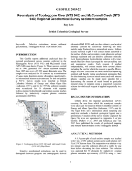 |
GeoFile 2005-22 reports new analytical data for regional geochemical survey samples collected from the Toodoggone River (NTS 94E, RGS46) and McConnell Creek (NTS 94D, RGS45) map sheets in 1996. This digital release consists of a 132-page report in PDF format, and four appendices in a ZIP format file. The original surveys were carried out in 1996, and generated about 2000 stream sediment samples from 1885 sites over a 25 000-square kilometre area. Initially, in 1996, the samples were analyzed for trace elements using aqua regia digestion-atomic absorption spectrometry and by instrumental neutron activation. These sediment samples were re-analyzed in 1997 for 30 elements using inductively coupled plasma emission spectrometry (ICP/ES) after extraction with separate hydroxylamine hydrochloride and sodium acetate leaches. This data was not previously reported. Copper-molybdenum geochemical targets highlighted by the partial extraction results in the Toodoggone River map sheet include the area of the Kemess North deposit and the TK Cu-Mo prospect. |
| Issue ID: | GF2005-24 |
| Title: | MINFILE Reserves/Resources Inventory in B.C. 2005 |
| Author(s): | Jones, L.D., the MINFILE Team |
| Series Name: | GeoFile |
| Publication Year: | 2005 |
| NTS Map Sheet(s): | 082;083;092;093;094;102;103;104;114 |
| Place Keyword(s): | British Columbia |
| Lat/Long (NSWE): | 60, 48, -139, -114 |
| Theme Keyword(s): | Geology, Reserves, Resources, MINFILE |
Download(s):
| PDF |
Abstract:
 |
GeoFile 2005-24 is an update of the tables in Open File 2000-15 MINFILE Reserves/Resource Inventory in BC 1999. These tables include a 106-page document of the known reserves and resources of 837 mineral deposits from the MINFILE database as of September 2005. Data for each deposit include name, MINFILE number, geographic location, NTS map, status, mining division, deposit type, zone name, year, reference, comments, tonnage, category, grade and commodity. The following PDF tables are available: MINFILE Reserves/Resources Inventory Report, Commodity Legend, Alphabetical Name Index, MINFILE Number Index, Mineral Deposit Profiles, Deposit Type Index. The Reserve category is used only for an inventory in an operating mine or a mine near production. Ore reserves are reported as Proven, Probable and Possible. The Resource category is used for all other inventories. Resources are reported as Measured, Indicated and Inferred. A combination of categories is reported as Combined. Reserves/Resources are not compliant with National Instrument 43-101 unless specified in comments. Please quote original source, rather than MINFILE, when referencing reserve/resource estimates. Effort has been made to ensure that the contents of this publication are as accurate as possible. The reader is encouraged to send comments or corrections to any member of the MINFILE Project. |
| Issue ID: | P2002-01-00 |
| Title: | Geological Fieldwork 2001, P2002-01 Table of Contents |
| Author(s): | BC Geological Survey |
| Purpose: | To provide the introduction to Geological Fieldwork 2001, P2002-01 |
| Series Name: | Paper |
| Publication Year: | 2002 |
| Larger Work Citation: | in Geological Fieldwork 2001, B.C. Ministry of Energy and Mines, Paper 2002-1, foreword |
| NTS Map Sheet(s): | 082;083;092;093;094;102;103;104;114 |
| Place Keyword(s): | British Columbia |
| Lat/Long (NSWE): | 60, 48, -139, -114 |
| Theme Keyword(s): | Fieldwork, Geological Fieldwork, Table of Contents |
Download(s):
| PDF |
Abstract:
| The British Columbia Ministry of Energy and Mines presents the results of provincial geoscience surveys in this edition of Geological Fieldwork: A Summary of Fieldwork and Current Research. Most articles are contributions from staff of the Geological Survey Branch, now called the Geosciences, Research and Development Branch. As in previous years, the volume also publishes studies by university and industry authors. This PDF file contains the document title page, CIP information and Table of Contents. |
| Issue ID: | OGGR2005-00 |
| Title: | Summary of Activities 2005 Resource Development and Geoscience Branch |
| Author(s): | Brown, D. |
| Purpose: | Summarize the activities of the Resource Development and Geoscience Branch |
| Series Name: | Oil and Gas Geoscience Reports |
| Publication Year: | 2005 |
| Larger Work Citation: | in Summary of Activities 2005, Resource Development and Geoscience Branch, 2005 |
| NTS Map Sheet(s): | 082;083;092;093;094;102;103;104;114 |
| Place Keyword(s): | British Columbia |
| Lat/Long (NSWE): | 60, 48, -139, -114 |
| Theme Keyword(s): | Summary, Activities, Oil and Gas |
Download(s):
| PDF |
Additional Link(s):
| http://www2.gov.bc.ca/assets/gov/farming-natural-resources-and-industry/natural-gas-oil/petroleum-geoscience/geoscience-reports/2005/summary_activities_2005.pdf
http://www2.gov.bc.ca/assets/gov/farming-natural-resources-and-industry/natural-gas-oil/petroleum-geoscience/geoscience-reports/2005/2005toc.pdf |
Abstract:
| This second volume of the �Summary of Activities� is the result of work completed by Resource Development and Geoscience Branch within the Oil and Gas Division; they have contributed the majority of the articles enclosed. Geoscientists from the Geological Survey of Canada and the Alberta Geological Survey, have authored and coauthored articles on the Skeena and Bowser Lake Groups and highlighted results from surficial geology mapping. University research projects also play an important role in this volume. Contributions by the University of Alberta, University of Calgary, University of Regina, University of Victoria, and Simon Fraser University are presented here. Some of the highlights in this volume include papers on the following: Exploration in the Middle Devonian Liard Basin; Aggregate and surficial geology mapping in northeast British Columbia; Bedrock topography mapping program and shallow gas in northeast British Columbia; Implementation of geomatics technology for aggregate exploration in northeast British Columbia; Bowser Lake Group stratigraphy and its relationship to the overlying Cretaceous Skeena Group; Cumulative coal thickness and coalbed gas potential in the Comox Coal Basin on Vancouver Island. |
| Issue ID: | P2006-01-00 |
| Title: | Geological Fieldwork 2005, Paper 2006-01 and Geoscience BC Report 2006-1 Foreword |
| Author(s): | Lefebure, D.V. |
| Purpose: | To provide the introduction to Geological Fieldwork 2005, P2006-01 |
| Series Name: | Paper |
| Publication Year: | 2006 |
| Other Citation Details: | Geoscience BC Report 2006-1 |
| Larger Work Citation: | in Geological Fieldwork 2005, B.C. Ministry of Energy and Mines, Paper 2006-1, foreword |
| NTS Map Sheet(s): | 082;083;092;093;094;102;103;104;114 |
| Place Keyword(s): | British Columbia |
| Lat/Long (NSWE): | 60, 48, -139, -114 |
| Theme Keyword(s): | British Columbia Geological Survey Fieldwork, Geological Fieldwork, Foreword, Table of Contents |
Download(s):
| PDF |
Abstract:
| The British Columbia Ministry of Energy, Mines and Petroleum Resources and Geoscience BC present the results of 2005 geoscience surveys and studies in this thirty-first edition of Geological Fieldwork: A Summary of Fieldwork and Current Research. Many articles are contributions from staff of the BC Geological Survey. Geoscience field surveys and the provision of resulting geoscience data have led to claim staking and enhanced mineral exploration expenditures, which may ultimately lead to new mines and economic support for BC communities. As in previous years, the volume also publishes studies by university and industry authors. This volume also includes 13 articles provided by Geoscience BC, a new, not-for-profit, nongovernment organization mandated to provide geoscience information to stimulate mineral, and oil and gas exploration in British Columbia. The province provided a grant of $25 million as start-up funding for the new organization. The articles span a wide spectrum from geochemical surveys and geological mapping to new tools for accessing provincial databases. For details of the Geoscience BC program, refer to the review, and the individual manuscripts, presented later in this volume. |
| Issue ID: | P2006-01-01 |
| Title: | Eskay Rift Project (NTS 103O, P, 104A, B, G, H) Northwestern B.C. |
| Author(s): | Alldrick, D.J. |
| Series Name: | Paper |
| Publication Year: | 2006 |
| Larger Work Citation: | in Geological Fieldwork 2005, B.C. Ministry of Energy, Mines and Petroleum Resources, Paper 2006-01, pages 1 to 4 |
| Scale: | 1:3000000 |
| NTS Map Sheet(s): | 103O, P, 104A, B, G, H |
| Place Keyword(s): | British Columbia |
| Lat/Long (NSWE): | 57.835, 55.2402, -130.9921, -129.6572 |
| Theme Keyword(s): | British Columbia Geological Survey Fieldwork, Bedrock Geochemistry, Lithogeochemistry, Database, Atlas |
Download(s):
| PDF |
Abstract:
| Located in northwestern British Columbia, the Eskay Rift is the geological setting for the world�s richest volcanogenic massive sulphide deposit: the Eskay Creek gold-silver mine. The rift structure was first recognized by Geological Survey of Canada geologists (Anderson and Thorkelson, 1990), and they extended the structure southward in 1998 (Evenchick et al., 1998; Evenchick and McNicoll, 2002). The BC Geological Survey began detailed mapping of the northern half of the rift in 2003, combined with lithogeochemical studies at Dalhousie University. A series of reports (Alldrick et al., 2005a, b; Barresi et al., 2005; Barresi and Dostal, 2005; Alldrick et al., 2004a, b) and coloured maps (Alldrick et al., 2006a, b; Alldrick et al., 2005a, b; Alldrick et al., 2004a, b) present the field and laboratory work completed to date. |
| Issue ID: | P2006-01-02 |
| Title: | Petrography and Geochemistry of the Late Triassic Bootjack Stock (NTS 93A/12), South-Central B.C. |
| Author(s): | Bath, A.B., Logan, J.M. |
| Series Name: | Paper |
| Publication Year: | 2006 |
| Larger Work Citation: | in Geological Fieldwork 2005, B.C. Ministry of Energy, Mines and Petroleum Resources, Paper 2006-01, pages 5 to 20 |
| Scale: | 1:30000 |
| NTS Map Sheet(s): | 093A/12 |
| Place Keyword(s): | British Columbia, Mount Polley |
| Lat/Long (NSWE): | 52.5582, 52.4968, -121.719, -121.6131 |
| Theme Keyword(s): | British Columbia Geological Survey Fieldwork, syenite, pseudoleucite, sulphide inclusions, bornite |
Download(s):
| PDF |
Abstract:
| Establishing links between mineralization and causative intrusion(s) is an important and fundamental step to understanding mineralizing systems. In particular, the ability to distinguish petrological and geochemical characteristics of mineralized versus barren intrusive systems has important implications for the exploration geologist (e.g., Frei, 1996).
This study investigated a Late Triassic alkalic intrusion, known as the Bootjack stock, from the south-central Canadian Cordillera. The Bootjack stock (BS) is part of the Quesnel arc complex that formed above an east-dipping subduction zone during the Late Triassic to Early Jurassic (Mortimer, 1987; Panteleyev et al., 1996; Logan and Mihalynuk, 2005). Other K-rich or alkaline intrusions of similar age that occur along the Quesnel arc include the Copper Mountain intrusive rocks (Copper Mountain, Ingerbelle), White Mountain, Kruger syenite, Kamloops syenite and Iron Mask batholith (Afton, Ajax and Crescent in the south; and the Hogem batholith (Lorraine) in the north. In addition, the BS is age equivalent to syenite at Galore Creek, Copper Canyon, Zippa Mountain and Rugged Mountain, which are located within the Stikine arc terran. A number of the above intrusions are spatially and temporally coincident with Cu-Au mineralization. The BS, in particular, is spatially and temporally associated with the Cu-Au mineralizing event at Mount Polley; however, no direct links have been made between it and mineralization. The purpose of this study is to examine new major and trace element data from the BS, combined with polished thin sections, to determine if there are any petrographic and geochemical features of the BS that could explain the alteration and mineralization events at Mount Polley. The study also compares the geochemistry of the BS with other intrusions of similar age at Mount Polley and in the Quesnel Lake area. |
| Issue ID: | P2006-01-03 |
| Title: | Usk Map Area (NTS 103I/9), near Terrace, B.C.: Cross-Sections and Volcanic Facies Interpretation |
| Author(s): | Barresi, T., Nelson, J.L. |
| Series Name: | Paper |
| Publication Year: | 2006 |
| Larger Work Citation: | in Geological Fieldwork 2005, B.C. Ministry of Energy, Mines and Petroleum Resources, Paper 2006-01, pages 21 to 28 |
| Scale: | 1:200000 |
| NTS Map Sheet(s): | 103I/9 |
| Place Keyword(s): | British Columbia, Terrace |
| Lat/Long (NSWE): | 54.75, 54.5, -128.5, -128 |
| Theme Keyword(s): | British Columbia Geological Survey Fieldwork, Stikine Terrane, Usk, Telkwa Formation, Zymoetz group |
Download(s):
| PDF |
Abstract:
| In the summer of 2005, one geologist and three geology students working for the British Columbia Geological Survey, along with three Kitselas First Nation resource technicians, surveyed the Usk map area, near Terrace, BC. A major objective of the project was to identify subdivisions within the Telkwa Formation, a unit that had previously been undivided in the Terrace area. This article presents four cross sections of the map area; it is a companion article to Nelson et al. (2006), where a full examination of the physical features and exploration potential of the Usk map area is presented. This paper highlights the details of the newly distinguished units within the Telkwa, as well as their stratigraphic, (paleo)geographic and structural relationships to one another and to local intrusive and older Triassic and Paleozoic units. Special emphasis is placed on variations in volcanic facies that occur between and within the divisions of the Telkwa Formation. Twenty samples have been collected along these transects for whole-rock major, trace and isotope geochemical analyses. These will be incorporated into a Ph.D. thesis currently in progress by the senior author at Dalhousie University. |
| Issue ID: | P2006-01-04 |
| Title: | Geology between the Toodoggone River and Chukachida Lake (parts of NTS 94E/06, 07, 10, 11), North-Central B.C. |
| Author(s): | Diakow, L.J., Rhodes, R. |
| Series Name: | Paper |
| Publication Year: | 2006 |
| Larger Work Citation: | in Geological Fieldwork 2005, B.C. Ministry of Energy, Mines and Petroleum Resources, Paper 2006-01, pages 29 to 38 |
| Scale: | 1:200000 |
| NTS Map Sheet(s): | 094E/06, 07, 10, 11 |
| Place Keyword(s): | British Columbia, Toodoggone |
| Lat/Long (NSWE): | 57.625, 57.4, -127.15, -126.8667 |
| Theme Keyword(s): | British Columbia Geological Survey Fieldwork, Toodoggone Formation, Junkers member, Graves member, Pillar member |
Download(s):
| PDF |
Abstract:
| Geological mapping at 1:20 000 scale, carried out from 2003 to 2005 as part of the Toodoggone Geoscience Partnership (Diakow and Shives, 2004), has expanded the distribution of the Early Jurassic Toodoggone Formation eastward, and subdivided volcanic and sedimentary rocks in a previously unknown upper part of the formation. This new mapping and complementary geochronology have significantly improved understanding of the internal stratigraphy and intrusive events, and the setting of new mineral occurrences in the central Toodoggone River area (NTS 094E). In 2005, detailed geological mapping was extended northward into a remote mountainous region of the Metsantan and Peak ranges, between the Toodoggone River in the south and Chukachida Lake in the north, an area originally mapped at regional scale by the Geological Survey of Canada (Gabrielse et al., 1977). Except for a general absence of stratigraphic units representing the lower part of the Toodoggone Formation (i.e., Duncan, Metsantan and overlying Saunders members), the stratigraphic framework in the current study region is similar to that established south of the Toodoggone River (Diakow et al., 2005a). This report emphasizes the lateral lithostratigraphic changes in recently recognized rock units that make up the upper Toodoggone Formation north of the Toodoggone River. Figure 1 shows the local geology, and representative stratigraphic sections are portrayed in Figure 2. |
| Issue ID: | P2006-01-05 |
| Title: | Picritic Lavas and Basal Sills in the Karmutsen Flood Basalt Province, Wrangellia, Northern Vancouver Island, B.C. |
| Author(s): | Greene, A.R., Scoates, J.S., Nixon, G.T., Weis, D. |
| Series Name: | Paper |
| Publication Year: | 2006 |
| Larger Work Citation: | in Geological Fieldwork 2005, B.C. Ministry of Energy, Mines and Petroleum Resources, Paper 2006-01, pages 39 to 52 |
| Scale: | 1:300000 |
| NTS Map Sheet(s): | 092B, 092C, 092E, 092F, 092L, 092I |
| Place Keyword(s): | British Columbia, Vancouver Island |
| Lat/Long (NSWE): | 50.8627, 48.2729, -128.9746, -123.2141 |
| Theme Keyword(s): | British Columbia Geological Survey Fieldwork, Wrangellia, large igneous province, oceanic plateau, flood basalt |
Download(s):
| PDF |
Abstract:
| This paper presents the first evidence of high-MgO picritic lavas, herein named the Keogh Lake picrite, within the Triassic Karmutsen flood basalt province of Wrangellia on Vancouver Island. Previously published work has revealed MgO contents up to approximately 12 wt%, compared to the high-MgO contents (13�20 wt%) for mafic pillow basalt reported here. The recognition of picritic volcanism within the Middle Triassic Karmutsen Formation on northern Vancouver Island is strong evidence that the flood basalts originated from initiation of a mantle plume. The presence of the picrite also has important implications for mineral exploration, as there may well be a higher potential for magmatic Ni-Cu-platinum-group-element (PGE) mineralization in this part of Wrangellia. Accordingly, a preliminary examination was made of part of the sediment-sill complex at the base of the Karmutsen near Schoen Lake Provincial Park. The field studies conducted in these two separate areas increase understanding of the architecture and development of a large oceanic plateau. This contribution is a review of several significant geological features of an accreted oceanic plateau based on these new data. |
| Issue ID: | P2006-01-06 |
| Title: | Bowser Basin Geochemical Survey, North-Central B.C.: Anomaly Follow-up, 2005 |
| Author(s): | Lett, R.E., Friske, P.W.B. |
| Series Name: | Paper |
| Publication Year: | 2006 |
| Larger Work Citation: | in Geological Fieldwork 2005, B.C. Ministry of Energy, Mines and Petroleum Resources, Paper 2006-01, pages 53 to 62 |
| Scale: | 1:250000 |
| NTS Map Sheet(s): | 104A, 104B, 104G, 104H |
| Place Keyword(s): | British Columbia, Bowser Basin |
| Lat/Long (NSWE): | 58, 56.0144, -130.9216, -128 |
| Theme Keyword(s): | British Columbia Geological Survey Fieldwork, geochemistry, regional geochemical survey, gold anomaly, heavy minerals |
Download(s):
| PDF |
Abstract:
| Reconnaissance-scale regional drainage surveys carried out as part of Canada�s National Geochemical Reconnaissance (NGR) program routinely analyze the �80 (<0.177 mm) fraction of sediment samples for trace elements. Standard sample preparation and analytical methods, maintained since the program was started in 1974, have minimized data leveling problems and have generated a large, uniform, high-quality stream and lake sediment geochemical database. Drainage sediment and water samples are collected at an average density of one sample per 13 km2 in British Columbia as part of the NGR Program. This low-density sampling inevitably identifies areas of bedrock with higher geochemical values, indicating a greater mineral potential, but individual mineral occurrences may remain undetected. Sampling at a higher density or using a sediment heavy mineral concentrate (HMC) as a sample medium can increase the ability of low-density reconnaissance surveys to find individual mineral occurrences, but at a greater collection and analytical cost. Economical and practical methods that complement regional surveys to improve their success in discovering new mineral deposits in BC would clearly be attractive. |
| Issue ID: | P2006-01-07 |
| Title: | Geochemical Surveys in the Lillooet Area (NTS 92J, I, O, P), Southwestern B.C. |
| Author(s): | Lett, R.E. |
| Series Name: | Paper |
| Publication Year: | 2006 |
| Larger Work Citation: | in Geological Fieldwork 2005, B.C. Ministry of Energy, Mines and Petroleum Resources, Paper 2006-01, pages 63 to 72 |
| Scale: | 1:300000 |
| NTS Map Sheet(s): | 092J, 092I, 092O, 092P |
| Place Keyword(s): | British Columbia, Lillooet |
| Lat/Long (NSWE): | 51.2379, 50.6477, -122.592, -121.7268 |
| Theme Keyword(s): | British Columbia Geological Survey Fieldwork, Spences Bridge Group, regional geochemical survey, geochemical samples |
Download(s):
| PDF |
Abstract:
| Preliminary results of detailed drainage sediment, rock and soil sampling in a 500 km2 area north of Lillooet, British Columbia are described in this paper. Volcanic and sedimentary rocks of the Spences Bridge Group underlie much of the area, and the group has been the recent focus of considerable exploration activity south of Lillooet. This activity started through the discovery of gold-mineralized quartz veins in 2002 by a company doing follow-up prospecting of government regional geochemical stream sediment survey data. The geochemical sampling described in this paper aimed to: find new mineral deposits; establish geochemical backgrounds for baseline determination; test other geochemical prospecting methods; and train First Nation and local community members in geochemical sampling methods. |
| Issue ID: | P2006-01-08 |
| Title: | The Gates Formation in the Wolverine River Area, Northeastern B.C. |
| Author(s): | Legun, A.S. |
| Series Name: | Paper |
| Publication Year: | 2006 |
| Larger Work Citation: | in Geological Fieldwork 2005, B.C. Ministry of Energy, Mines and Petroleum Resources, Paper 2006-01, pages 73 to 82 |
| NTS Map Sheet(s): | 093I, 093P |
| Place Keyword(s): | British Columbia, Peace River |
| Lat/Long (NSWE): | 55.21, 54.9005, -121.5652, -120.85 |
| Theme Keyword(s): | British Columbia Geological Survey Fieldwork, coal, Gates Formation, Wolverine River, Fahler C |
Download(s):
| PDF |
Abstract:
| The study area lies west of the town of Tumbler Ridge in the Peace River coal field of northeastern BC. It extends on either side of the Wolverine River, from Mt. Spieker in the north west to Quintette Mountain in the south-east. The area encompasses new coal mine developments at Perry Creek (Western Canadian Coal Corp. [WCCC]) and Trend (Northern Energy & Mining Inc. [NEMI]) and significant exploration at Babcock (Quintette Coal Ltd.). The current development activity is near the existing transportation and power infrastructure, and load-out coal facilities of BC Rail at Tumbler Ridge. It is spurred by prices for metallurgical coal, which have doubled since early 2004 and at the time of writing are over $120/tonne freight on board (FOB). Old and potential coal pits, as well as those in development, in the Gates Formation in the study area are shown in Figure 1. The two principal coal-bearing units in the area are the Gates and Gething formations of the Lower Cretaceous. The Gates Formation contains most of the economic coal are sources at this latitude. Up to 18.5 m of coal may be found over 60 m of section in the Middle Member of the Gates Formation. The Gething Formation, characterized by more lenticular coals, gains economic prominence north of the Sukunka River. Both formations represent material eroded from the Columbian Orogen in the west and deposited in the Rocky Mountains foreland basin during the Early Cretaceous. Deposits of the Gates Formation record shore line migrations on a coastal plain that bordered the southern end of a boreal sea. In the Wolverine area, the sea shallowed at a transverse step in the basin, which marked an area of reduced subsidence to the south. Deltas, prograding from the south, were stalled at the margin by deeper waters and were affected by destructive wave, tidal and storm activity. As a result, nearshore stillstand and littoral drift deposits mark the limits of two marine tongues in the area. This report focuses on the relations of the marine tongues and nearshore deposits with coal measures to the south. Additional exploration data has become available since work done in the early 1980s. |
| Issue ID: | P2006-01-09 |
| Title: | Geochemistry of Nicola Group Basalt from the Central Quesnel Trough at the Latitude of Mount Polley (NTS 93A/5, 6, 11, 12), Central B.C. |
| Author(s): | Logan, J.M., Bath, A.B. |
| Series Name: | Paper |
| Publication Year: | 2006 |
| Larger Work Citation: | in Geological Fieldwork 2005, B.C. Ministry of Energy, Mines and Petroleum Resources, Paper 2006-01, pages 83 to 98 |
| NTS Map Sheet(s): | 093A/5, 6, 11, 12 |
| Place Keyword(s): | British Columbia, Mount Polley |
| Lat/Long (NSWE): | 52.75, 52.25, -122, -121 |
| Theme Keyword(s): | British Columbia Geological Survey Fieldwork, Quesnel, Triassic, volcanic-arc basalt, geochemistry |
Download(s):
| PDF |
Abstract:
| Alkaline magmas are important sources of Au and Cu (Muller and Groves, 1993) and are associated with a number of world-class porphyry (Dinkidi, Philippines; Skouries, Greece; Cadia, Australia) and epithermal-style deposits (Porgera and Landolam, Papua New Guinea; Emperor, Fiji; Cripple Creek, United States; see Jensen and Barton, 2000). British Columbia is well endowed with porphyry deposits that formed during two distinct periods in the development of the Cordillera: the first in the Late Triassic to Early Jurassic and the second in the Late Cretaceous to Eocene (McMillan et al., 1995). Alkaline and cospatial calcalkaline Cu-Mo?Au porphyry deposits formed within island-arc settings, represented by the Quesnel and Stikine terranes, located on the fringes of ancestral North America, during Late Triassic to Early Jurassic time. These arcs may have extended for up to 3000 km prior to their collision with ancestral North America, between 185 and 173 Ma (Nixon et al., 1993; Mihalynuk et al., 2004), and they now account for more than half of the accreted crustal material within the BC Cordillera. Late Cretaceous to Eocene porphyry deposits formed in a continental-arc setting after amalgamation of the composite terranes to North America. |
| Issue ID: | P2006-01-10 |
| Title: | Boundary Project: Reassessment of Paleozoic Rock Units of the Greenwood Area (NTS 82E/02), Southern B.C. |
| Author(s): | Massey, N.W.D. |
| Series Name: | Paper |
| Publication Year: | 2006 |
| Larger Work Citation: | in Geological Fieldwork 2005, B.C. Ministry of Energy, Mines and Petroleum Resources, Paper 2006-01, pages 99 to 108 |
| Scale: | 1:500000 |
| NTS Map Sheet(s): | 082E/02 |
| Place Keyword(s): | British Columbia, Greenwood |
| Lat/Long (NSWE): | 50.43, 49, -119.85, -118.25 |
| Theme Keyword(s): | British Columbia Geological Survey Fieldwork, Quesnellia, Knob Hill complex, Attwood Formation, Lexington porphyry |
Download(s):
| PDF |
Abstract:
| The Boundary Project has been initiated with the purpose of better characterizing the lithological and geochemical variations within and between the various Paleozoic sequences in the southern Okanagan region along the United States border. These occur within the Quesnel Terrane, which is dominated by such Paleozoic mafic volcanic and pelitic rocks, unconformably overlain by Triassic and Jurassic volcanic and sedimentary rocks. In the Boundary District, such sequences include the Knob Hill Complex, Attwood Formation, Kobau Group and Anarchist Schist. These are exposed between down-faulted blocks of Tertiary volcanic and sedimentary cover preserved in structural keels between gneissic domes. In 2005, fieldwork was concentrated in the Greenwood � Rock Creek area (NTS 82E/02). In future years, fieldwork will progress into the Osoyoos (NTS 82E/03) and Keremeos (NTS 82E/04) map sheets. |
| Issue ID: | P2006-01-11 |
| Title: | U-Pb Isotopic Ages of Intrusive Rocks Related to Mineralization North of Terrace, B.C. |
| Author(s): | Mihalynuk, M.G., Friedman, R.M. |
| Series Name: | Paper |
| Publication Year: | 2006 |
| Larger Work Citation: | in Geological Fieldwork 2005, B.C. Ministry of Energy, Mines and Petroleum Resources, Paper 2006-01, pages 109 to 116 |
| Scale: | 1:15000000 |
| NTS Map Sheet(s): | 103I, 103P |
| Place Keyword(s): | British Columbia, Bowser Lake |
| Lat/Long (NSWE): | 54.9581, 54.75, -129, -128.6372 |
| Theme Keyword(s): | British Columbia Geological Survey Fieldwork, U-Pb zircon isotopic age, intrusive-related gold mineralization, molybdenum porphyry, Bowser Lake Group |
Download(s):
| PDF |
Abstract:
| In 2004, the BC Ministry of Energy, Mines and Petroleum Resources and Bootleg Exploration Inc. entered into a partnership agreement aimed at the evaluation of the regional potential for intrusive-related gold mineralization near Terrace, British Columbia. Bootleg Exploration Inc. is a wholly owned subsidiary of Eagle Plains Resources Ltd., and their area of interest is around Kitsum � Kalum Lake, centered approximately 35 km north of Terrace. Preliminary results from that partnership were published in Mihalynuk and Friedman (2005). Geochronological data that have come available since then are reported here. Six samples were collected for U-Pb geochronological work from widely separated localities. Results from analyses of one sample were presented in Mihalynuk and Friedman (2005), four other samples are presented here, and one sample did not yield sufficient material to permit generation of an interpretable dataset. Readers interested in the geological setting of the intrusions and mineral deposits described herein are referred to Downie and Stephens (2003) or Mihalynuk and Friedman (2005). |
| Issue ID: | P2006-01-12 |
| Title: | Geology and Mineral Potential of the Usk Map Area (NTS 103I/09), near Terrace, B.C. |
| Author(s): | Nelson, J.L., Barresi, T., Knight, E., Boudreau, N. |
| Series Name: | Paper |
| Publication Year: | 2006 |
| Larger Work Citation: | in Geological Fieldwork 2005, B.C. Ministry of Energy, Mines and Petroleum Resources, Paper 2006-01, pages 117 to 134 |
| Scale: | 1:50000 |
| NTS Map Sheet(s): | 103I/09 |
| Place Keyword(s): | British Columbia, Terrace |
| Lat/Long (NSWE): | 54.75, 54.5, -128.5, -128 |
| Theme Keyword(s): | British Columbia Geological Survey Fieldwork, Telkwa Formation, Skeena River, Hazelton Group, Kitselas |
Download(s):
| PDF |
Abstract:
| The Usk map area spans the valley of the Skeena River and its tributaries, over a 530 km2 area north and east of the town of Terrace, British Columbia. It includes the lower parts of the Zymoetz (= Copper) River and Kleanza Creek, which flow southwest from their remote headwaters in the Howson Range between Terrace and Telkwa. Chimdemash, St. Croix and Legate creeks drain the Mount O�Brien massif east of the Skeena River. Tributaries west of the river are Carpenter, Sand, Hardscrabble, Shannon, and Lowrie creeks. The topographic names suggest episodes in a long history of settlement. Zymoetz is an ancient name describing the spread of translucent pale blue colour where its waters join the turbid, brown Skeena River. Hardscrabble refers to early placer mining work; Ste.-Croix and Legate were prospectors. Mount O�Brien was named for a young Terrace man killed in World War II. |
| Issue ID: | P2006-01-13 |
| Title: | Preliminary Geology of the Nimpkish Map Area (NTS 92L/07), Northern Vancouver Island, B.C. |
| Author(s): | Nixon, G.T., Kelman, M.C., Stevenson, D., Stokes, L.A., Johnston, K.A. |
| Series Name: | Paper |
| Publication Year: | 2006 |
| Larger Work Citation: | in Geological Fieldwork 2005, B.C. Ministry of Energy, Mines and Petroleum Resources, Paper 2006-01, pages 135 to 152 |
| Scale: | 1:50000 |
| NTS Map Sheet(s): | 092L/07 |
| Place Keyword(s): | British Columbia, Vancouver Island |
| Lat/Long (NSWE): | 50.5, 50.25, -127, -126.5 |
| Theme Keyword(s): | British Columbia Geological Survey Fieldwork, Vancouver Group, Karmutsen Formation, Quatsino Formation, Parson Bay Formation |
Download(s):
| PDF |
Abstract:
| Northern Vancouver Island is richly endowed in a variety of base and precious-metal deposits. For example, the Cu-Mo-Au porphyry deposit at the former Island Copper mine (1971�1994) produced approximately 345 million tonnes of ore with average head grades of 0.41 wt% Cu, 0.017% Mo, 0.19 g/t Au and 1.4 g/t Ag (Perello et al., 1995). Other porphyry deposits are known to exist in the region (e.g., Hushamu [MINFILE occurrence 92L 240] and Red Dog [92L 200]; MINFILE, 2005) and, thanks to a recent surge in metal prices, the potential for bringing these and future discoveries into production is currently high. |
| Issue ID: | P2006-01-14 |
| Title: | Mantle-Derived Peridotite Xenoliths from the Western Intermontane Belt, Whitesail Lake Map Area (NTS 93E), Western B.C. |
| Author(s): | Peterson, N.D., Russell, J.K., Mahoney, J.B. |
| Series Name: | Paper |
| Publication Year: | 2006 |
| Larger Work Citation: | in Geological Fieldwork 2005, B.C. Ministry of Energy, Mines and Petroleum Resources, Paper 2006-01, pages 153 to 162 |
| Scale: | 1:20000000 |
| NTS Map Sheet(s): | 093E |
| Place Keyword(s): | British Columbia, Whitesail Lake |
| Lat/Long (NSWE): | 54.0863, 51.7916, -128.3876, -125.7259 |
| Theme Keyword(s): | British Columbia Geological Survey Fieldwork, mantle petrology, volcanology, peridotite, dike |
Download(s):
| PDF |
Abstract:
| Recently the Whitesail Lake map area (NTS 093E), immediately north and east of Bella Coola, BC has been the focus of regional mapping programs, including the current
Geoscience BC funded mapping program of Mahoney et al. (2006) and the mapping conducted in 2004 under the Rocks to Riches program (Mahoney et al., 2005). The regional mapping exercise discovered a new occurrence of mantle derived peridotitic xenoliths in the BC Cordillera. Specifically, they located a mafic dike near Mt. Preston that intrudes Hazelton Group rocks. The dike appears to post-date the regional metamorphism and deformation recorded by Hazelton rocks, and is therefore inferred to be Tertiary to Neogene in age. The dike contains abundant crustal and mantle-derived peridotite xenoliths, which are very fresh and unaltered in appearance. |
| Issue ID: | P2006-01-15 |
| Title: | Geology and Mineral Occurrences of the Quesnel Terrane, Canim Lake Area (NTS 92P/15), South-Central B.C. |
| Author(s): | Schiarizza, P.A., Boulton, A. |
| Series Name: | Paper |
| Publication Year: | 2006 |
| Larger Work Citation: | in Geological Fieldwork 2005, B.C. Ministry of Energy, Mines and Petroleum Resources, Paper 2006-01, pages 163 to 184 |
| Scale: | 1:1000000 |
| NTS Map Sheet(s): | 092P/15 |
| Place Keyword(s): | British Columbia, Canim Lake |
| Lat/Long (NSWE): | 52, 51.75, -121, -120.5 |
| Theme Keyword(s): | British Columbia Geological Survey Fieldwork, Quesnel Terrane, Nicola Group, Takomkane, batholith |
Download(s):
| PDF |
Abstract:
| The Takomkane Project is a multiyear bedrock mapping program initiated by the BC Geological Survey in 2005. This program will concentrate on Mesozoic arc volcanic and plutonic rocks of the Quesnel Terrane in the vicinity of the Takomkane batholith, which straddles the Bonaparte Lake (92P) and Quesnel Lake (93A) map sheets. Previous bedrock maps of the area are based on reconnaissance-scale mapping carried out by the Geological Survey of Canada in the 1960s. The purpose of the Takomkane Project is to provide more detailed maps and an improved geological framework for interpreting mineral occurrences and geochemical anomalies, and for predicting favourable settings for future discoveries. This paper presents preliminary results from the first year of mapping for the Takomkane Project, which was carried out by the authors and two assistants from mid-June to the end of August, 2005. The area mapped covers about 1000 km2 of generally subdued topography within the Fraser Plateau and adjacent Quesnel High land of south-central British Columbia, including Canim Lake and the west end of Mahood Lake. Access to Canim Lake is by paved road that branches east from Highway 97 just north of 100 Mile House. Alternate access routes include the Camp 2 logging road, which originates at Clearwater on Highway 5, and the Drewry Lake road, which branches northward from Highway 24 near Sheridan Lake. Networks of secondary logging and Forest Service roads that branch from these main roads provide easy access to most parts of the map area. |
| Issue ID: | P2006-01-16 |
| Title: | Iron (Magnetite) Ore Resources in Southwestern B.C.: Soft Niche or Steel-Hard Market? |
| Author(s): | Simandl, G.J., Robinson, N.D., Paradis, S. |
| Series Name: | Paper |
| Publication Year: | 2006 |
| Larger Work Citation: | in Geological Fieldwork 2005, B.C. Ministry of Energy, Mines and Petroleum Resources, Paper 2006-01, pages 185 to 196 |
| Scale: | 1:2000000 |
| NTS Map Sheet(s): | 092B, 092C, 092E, 092F, 092G, 092I, 092J, 092K, 092L |
| Place Keyword(s): | British Columbia |
| Lat/Long (NSWE): | 51.25, 48.25, -129.5, -122.5 |
| Theme Keyword(s): | British Columbia Geological Survey Fieldwork, industrial minerals, magnetite, iron ore, skarn |
Download(s):
| PDF |
Abstract:
| There are two types of market for iron ore: an international market, where large quantities of ore are used for iron and steel making, and niche markets, where small quantities of ore are custom processed to optimize the properties of the concentrate for a specific industrial mineral application.
The main market for iron ore is iron and steel making. The iron ore industry is truly international because of the availability of large high-grade mines and large ocean-going ore-carrying vessels.
Niche markets represent less than 5% of the total production, but the oxides sold within these markets command higher prices than the international market will tolerate.
Coal beneficiation, coloured pigments, radiation shielding, sand blasting, heavy aggregate, and ballast for pipelines and offshore oil and gas platforms are examples of existing and future potential niche markets for British Columbia magnetite.
The producers supplying iron oxides to niche markets who are able to provide custom processing, and the associated technical services, to meet clients� needs have a competitive edge over suppliers of exclusively raw material.
Before the development of large, high-grade iron deposits in Australia and Brazil, small to mid-size iron skarn deposits were mined successfully along the coast of BC. Several of these past producers closed down during periods of low iron prices. Because of this, magnetite-rich rock, or magnetite in form of tailings, may be available for future recovery. The re-examination of selected past producers, existing prospects, and magnetite-bearing tailings may represent an acceptable risk and low capital requirement if future production is aimed at niche markets.
In the long term, offshore placer deposits also represent a potential source of magnetite. If such deposits could be economically exploited under the current strict environmental regulations, placer magnetite could be potentially recovered as a co-product from the extraction of titanium oxide, garnet, zircon, silica sand and, possibly, gold or platinum.
British Columbia skarns are high-grade deposits able to supply magnetite for niche markets. Worldwide, banded iron formations and their enriched equivalents are, and will remain, the main source of iron ore for steel making, but small iron ore shipments could be extracted from BC�s skarn deposits as well. |
| Issue ID: | P2006-01-17 |
| Title: | Dolomite in B.C.: Geology, Current Producers and Possible Development Opportunities along the West Coast |
| Author(s): | Simandl, G.J., Robinson, N.D., Paradis, S. |
| Series Name: | Paper |
| Publication Year: | 2006 |
| Larger Work Citation: | in Geological Fieldwork 2005, B.C. Ministry of Energy, Mines and Petroleum Resources, Paper 2006-01, pages 197 to 208 |
| Scale: | 1:3000000 |
| NTS Map Sheet(s): | 092B, 092C, 092E, 092F, 092G, 092I, 092J, 092K, 092L |
| Place Keyword(s): | British Columbia |
| Lat/Long (NSWE): | 51.25, 48.25, -129.5, -122.5 |
| Theme Keyword(s): | British Columbia Geological Survey Fieldwork, dolomite, dolostone, markets, exploration potential |
Download(s):
| PDF |
Abstract:
| Dolomite crystals most commonly form rhombohedrons when filling open spaces. They are translucent to transparent, have a pearly lustre and are commonly white, but can be pink, colourless, yellow, grey or brown. Dolomite is characterized by perfect cleavage, and has a white streak, an approximate density of 2.86 g/cm3 and hardness in the range 3.5 to 4 on the Mohs scale. It does not effervesce when in contact with cold, diluted hydrochloric acid unless it is powdered. Dolomite�s theoretical chemical formula is CaMg(CO3)2, which is equivalent to 54.35% CaCO3 and 45.65% MgCO3. This may also be expressed as 30.4% CaO, 21.7% MgO and 47.9% CO2. |
| Issue ID: | P2006-01-18 |
| Title: | Kimberlite and Diamond Indicator Minerals in Northeastern B.C.: A Reconnaissance Survey |
| Author(s): | Simandl, G.J., Ferbey, T., Levson, V.M., Robinson, N.D., Lane, R., Smith, R., Demchuk, T.E., Raudsepp, I.M., Hickin, A.S. |
| Series Name: | Paper |
| Publication Year: | 2006 |
| Larger Work Citation: | in Geological Fieldwork 2005, B.C. Ministry of Energy, Mines and Petroleum Resources, Paper 2006-01, pages 209 to 230 |
| Scale: | 1:3000000 |
| NTS Map Sheet(s): | 093O, 093I, 093P, 094A, 094B, 094C, 094F, 094G, 094H, 094I, 094J, 094K, 094N, 094O, 094P |
| Place Keyword(s): | British Columbia, Etsho Plateau, Northeaster British Columbia |
| Lat/Long (NSWE): | 60, 55, -128, -120 |
| Theme Keyword(s): | British Columbia Geological Survey Fieldwork, diamond, kimberlite, lamproite, indicator minerals |
Download(s):
| PDF |
Abstract:
| Northeastern British Columbia is underlain by Precambrian basement that belongs to the North American craton. It has diamond exploration potential, particularly if the modified �diamondiferous mantle root model� is considered (Simandl, 2004). This heavy mineral reconnaissance project expands on an earlier study, which was restricted to kimberlite indicator minerals (KIMs) present in Late Pleistocene glaciofluvial sands and gravels sampled in the Fort Nelson region (Levson et al., 2004; Simandl et al., 2005). A variety of media were sampled and tested during this study, including bed rock and regolith of partially consolidated conglomerates of the Dunvegan Formation, active river or stream sediments, and glaciofluvial or glaciolacustrine deposits. Of the 58 samples processed, 38 contain KIMs, such as purple pyrope garnet, Cr-diopside, olivine, ilmenite or spinel. In contrast with the earlier study, no eclogitic garnets were recovered. At least a portion of the KIMs recovered from these samples may be derived from local igneous sources or from secondary or tertiary sources that originated by weathering, transportation and natural preconcentration of protolith-derived constituents. The fact that the Dunvegan Formation contains Cr-spinel, but no other indicator minerals, is noteworthy. The chemical composition of some of these spinels is suggestive of a lamproite/kimberlite provenance. Concentrations of KIMs located east of the maximum extent of the Laurentide glaciation, as delineated by Mathews (1980), may have been locally derived and reworked or brought into the region from the Northwest Territories and Alberta by Late Pleistocene glacial and/or glaciofluvial systems. Samples from the Etsho Plateau area yield a wide spectrum and relatively high concentration of potential kimberlite indicator minerals. Follow-up sampling in this area is warranted. |
| Issue ID: | GBCR2006-01-19 |
| Title: | Summary of the Geoscience BC Program Activities 2005, Report 2006-1 |
| Author(s): | Stevens, R.A. |
| Series Name: | Geoscience BC Report |
| Publication Year: | 2006 |
| Other Citation Details: | Geoscience BC Report 2006-1 |
| Larger Work Citation: | in Geological Fieldwork 2005, Geoscience BC Report 2006-01, pages 231 to 236 |
| NTS Map Sheet(s): | 082;083;092;093;094;102;103;104;114 |
| Place Keyword(s): | British Columbia, Bowser Basin |
| Lat/Long (NSWE): | 60, 48, -139, -114 |
| Theme Keyword(s): | Geoscience BC Fieldwork, geochemistry, archived data, ASTER, Bowser Basin |
Download(s):
| PDF |
Abstract:
| Geoscience BC is an innovative and applied geoscience centre formed in 2005 and dedicated to the collection, interpretation and marketing of geoscience expertise, information and products in support of resource exploration in British Columbia. The mandate is to attract investment in the mineral and oil and gas industries in BC through applied geoscience work. In support of this mandate, Geoscience BC is pleased to present its first set of technical progress reports for projects funded during the spring and summer of 2005. These projects build on previous geoscience work completed and supported by the BC Geological Survey and the Resource Development and Geosciences Branch of the BC Ministry of Energy, Mines and Petroleum Resources, by the Geological Survey of Canada and by universities and industry. |
| Issue ID: | GBCR2006-01-20 |
| Title: | Preliminary Results of the Cordilleran Geochemistry Project: A Comparative Assessment of Soil Geochemical Methods for Detecting Buried Mineral Deposits, 3Ts Au-Ag Prospect (NTS 93F/3), Central B.C. |
| Author(s): | Cook, S.J., Dunn, C.E. |
| Series Name: | Geoscience BC Report |
| Publication Year: | 2006 |
| Other Citation Details: | Geoscience BC Report 2006-1 |
| Larger Work Citation: | in Geological Fieldwork 2005, Geoscience BC Report 2006-01, pages 237 to 258 |
| NTS Map Sheet(s): | 093F/3 |
| Place Keyword(s): | British Columbia, Nechako Plateau |
| Lat/Long (NSWE): | 53.25, 53, -125.25, -124.75 |
| Theme Keyword(s): | Geoscience BC Fieldwork, exploration, geochemistry, till, soil |
Download(s):
| PDF |
Abstract:
| Effective mineral exploration in the Nechako Plateau and adjoining regions of central British Columbia has for many years been hindered by thick forest cover, an extensive blanket of till and other glacial deposits and, locally, widespread Tertiary basalt cover. Where undertaken, regional till and lake sediment geochemical surveys have been effective as reconnaissance exploration techniques. However, few publicly available studies have been conducted here into the use of surficial geochemistry to aid in prioritizing regional geochemical anomalies, or in carrying out the most effective geochemical surveys at a property scale in areas of exotic cover. In this respect, BC has lagged far behind other provincial and international jurisdictions in undertaking applied geochemical exploration research.
In response to a call from Geoscience BC for geoscience projects to promote resource investment in BC, this project investigates the geochemical response, in soil and Quaternary materials, of a Au-Ag epithermal prospect (3Ts prospect) in central BC. This region is highly prospective for the discovery of epithermal Au deposits, among other mineral deposit types, and the low-sulphidation 3Ts prospect is one of the more significant examples of this type in the region. The objective of the project is to determine and recommend the most effective field and laboratory geochemical methods for property-scale evaluation of buried mineral targets in drift-covered terrain, by 1) evaluating the most suitable soil media and horizons for field sampling, and 2) evaluating and comparing commercially available analytical methods. |
| Issue ID: | GBCR2006-01-21 |
| Title: | Halogens in Surface Exploration Geochemistry: Evaluation and Development of Methods for Detecting Buried Mineral Deposits (NTS 93F/3), Central B.C. |
| Author(s): | Dunn, C.E., Cook, S.J., Hall, G.E.M. |
| Series Name: | Geoscience BC Report |
| Publication Year: | 2006 |
| Other Citation Details: | Geoscience BC Report 2006-1 |
| Larger Work Citation: | in Geological Fieldwork 2005, Geoscience BC Report 2006-01, pages 259 to 280 |
| NTS Map Sheet(s): | 093F/3 |
| Place Keyword(s): | British Columbia |
| Lat/Long (NSWE): | 53.25, 53, -125.5, -125 |
| Theme Keyword(s): | Geoscience BC Fieldwork, exploration, geochemistry, gold, copper |
Download(s):
| PDF |
Abstract:
| A striking feature of the current MINFILE mineral occurrence map of BC is that a significant part of central BC has very few mineral discoveries. Much of this area has a cover of Quaternary deposits and/or volcanic rocks and, given the fact that it is underlain by the generally �fertile� Quesnel Terrane, there is good reason to be optimistic that significant buried mineralization may be present. The challenge is, therefore, to develop a method for detecting mineralization hidden beneath this cover. Various geochemical selective extraction methods are steadily being refined to assist the search for buried mineralization in BC (Cook and Dunn, 2006), and the present study aims at augmenting this �tool box� of techniques by developing some new methodology.
The halogens comprise five non-metallic elements whose compounds form salts. The term �halogen� means �salt-former� and, at room temperature, they exist in all three states of matter: solid (iodine, astatine), liquid (bromine) and gas (fluorine, chlorine). However, they all form diatomic molecules that are gases at normal temperatures and pressures, and therefore are mobile and play significant roles in the atmosphere, hydrosphere and biosphere. They are the most organophilic elemental family, such that they react with organic compounds on contact and are therefore readily absorbed by plants. Of these elements, astatine is radioactive and not considered in this study. The remaining halogens are commonly associated with the emplacement of mineral deposits, as witnessed by their presence in many minerals and in the saline fluid inclusions that are typical of many mineral deposits. Their volatility renders them good candidates to examine as �pathfinder elements� in surface geochemical media, where they may be captured on soil particles and taken up by vegetation. |
| Issue ID: | GBCR2006-01-22 |
| Title: | Targeted Energy-Resource Studies in the Bowser and Sustut Interior Basins of B.C. |
| Author(s): | Evenchick, C.A., O'Sullivan, P.B., Waldron, J.W.F. |
| Purpose: | The objectives are to: determine stratigraphic relationships in the Hazelton-Bowser transition, in order to understand the tectonic processes involved in the initiation of the basin and the role of the Upper Hazelton as a potential source rock; and determine the origin and relative timing of transverse structures responsible for domes and basins within the basin, with the aim of understanding their relationship to potential petroleum traps. |
| Series Name: | Geoscience BC Report |
| Publication Year: | 2006 |
| Other Citation Details: | Geoscience BC Report 2006-1 |
| Larger Work Citation: | in Geological Fieldwork 2005, Geoscience BC Report 2006-01, pages 281 to 286 |
| NTS Map Sheet(s): | 093L, 093M, 094D, 094E, 103I, 103P, 104A, 104B, 104G, 104H |
| Place Keyword(s): | British Columbia, Bowser Basin |
| Lat/Long (NSWE): | 54.5, 58, -130.75, -126 |
| Theme Keyword(s): | Geoscience BC Fieldwork, Sustut Basin, petroleum resources, apatite fission-track thermochronology, Bowser Lake Group |
Download(s):
| PDF |
Abstract:
| The Bowser and Sustut basins are interior basins of Jurassic and Cretaceous age in north-central British Columbia. They have been underexplored in terms of hydrocarbon resources because of widespread misperceptions of their prospectivity, largely due to the reconnaissance nature of all geoscience work carried out there until recently. This two-year project focuses on specific, detailed, energy-resource studies complementary to an ongoing regional project that has been a collaboration between the Geological Survey of Canada (GSC) and the British Columbia Ministry of Energy, Mines and Petroleum Resources (BCMEMPR; Evenchick et al., 2005). The project includes three elements of research and compilation: apatite fission-track thermochronology (AFTT) of the southern basins; detailed study of the early history and structural development of the Bowser Basin; and data management, integration and digital publication. The sample analysis and interpretation of AFTT data are critical to understanding petroleum systems in sedimentary basins, which is an essential element of a geoscience-resource framework on which to base sound exploration decisions. Mapping in targeted areas will provide detailed field data on the important early history and geometry of the basin. Data management, integration and publication are critical because communication of data and interpretations are essential to attracting investment to the region. This paper outlines the three elements of this project, describing the nature of the work and its relationship to the broader GSC project. It also presents the status of the project. Details of work on the early Bowser Basin history are presented in a separate paper (Waldron et al., 2006). |
| Issue ID: | GBCR2006-01-23 |
| Title: | ASTER Imagery for B.C. - An Online Exploration Resource |
| Author(s): | Kilby, W.E., Kilby, C.E. |
| Series Name: | Geoscience BC Report |
| Publication Year: | 2006 |
| Other Citation Details: | Geoscience BC Report 2006-1 |
| Larger Work Citation: | in Geological Fieldwork 2005, Geoscience BC Report 2006-01, pages 287 to 294 |
| NTS Map Sheet(s): | 082;083;092;093;094;102;103;104;114 |
| Place Keyword(s): | British Columbia |
| Lat/Long (NSWE): | 60, 48, -139, -114 |
| Theme Keyword(s): | Geoscience BC Fieldwork, ASTER, anaglyph, virtual reality, digital elevation model |
Download(s):
| PDF |
Abstract:
| The ASTER Imagery for British Columbia project, sponsored by Geoscience BC, increases the quantity and quality of Advanced Spaceborne Thermal Emission and Reflection Radiometer (ASTER) imagery available through the BC Ministry of Energy, Mines and Petroleum Resources' MapPlace website (www.MapPlace.ca). One hundred new images have been added to the collection, all available for analysis through the MapPlace�s Image Analysis Tool box (IAT) (Kilby et al., 2004; Kilby, 2005). A number of new derivative products have been generated from the imagery and made available for online viewing at the MapPlace website using the Google Earth viewer (Google, 2005). The products can also be downloaded for offline viewing. ASTER is an imaging instrument flying on the Terra satellite, launched in late 1999. ASTER is a cooperative project between the National Aeronautics and Space Administration (NASA), Japan�s Ministry of Economy, Trade and Industry and Japan�s Earth Remote Sensing Data Analysis Center. The instrument has three sub systems that capture readings from different portions of the electromagnetic spectrum at different resolutions. The three sub systems are referred to as VNIR (Visible and Near Infrared), SWIR (Shortwave Infrared) and TIR (Thermal Infrared). Reflectance values in the SWIR range are particularly useful in differentiating rock and soil mineralogy related to alteration zones. An ASTER image contains 14 bands of information, 4 bands in the VNIR with 15 m resolution, 6 bands in the SWIR with 30 m resolution and 5 bands in the TIR with 90 m resolution. Two of the VNIR bands sample the same wavelength range but one is back-looking providing the ability to generate a stereo view of the scene. A single ASTER scene covers an area of approximately 60 by 60 km. The ASTER website (asterweb.jpl.nasa.gov) is an excellent source of information on the instrument, its mission, available imagery, usage examples and analysis tools. |
| Issue ID: | GBCR2006-01-24 |
| Title: | Drainage Sediment and Water Geochemical Surveys in the Anahim Lake and Nechako River Map Areas (NTS 93C and F), central B.C. |
| Author(s): | Jackaman, W. |
| Series Name: | Geoscience BC Report |
| Publication Year: | 2006 |
| Other Citation Details: | Geoscience BC Report 2006-1 |
| Larger Work Citation: | in Geological Fieldwork 2005, Geoscience BC Report 2006-01, pages 295 to 302 |
| Scale: | 1:250000 |
| NTS Map Sheet(s): | 093C, 093F |
| Place Keyword(s): | British Columbia, Nechako Plateau |
| Lat/Long (NSWE): | 54.12, 51.88, -126.5, -123.5 |
| Theme Keyword(s): | Geoscience BC Fieldwork, Fraser Plateau, mineral exploration, geochemistry, multielement |
Download(s):
| PDF |
Abstract:
| During the 2005 field season, Geoscience BC funded two reconnaissance-scale drainage sediment and water surveys that were successfully completed in previously unsurveyed regions of central British Columbia. These surveys are part of an ongoing effort to complete first-level geochemical coverage of the province and provide the mining and exploration community with new, high-quality geochemical information. The program will help to: outline regional geochemical trend; identify new exploration targets; and profile previously explored mineral properties.
Each component of the work is being conducted according to National Geochemical Reconnaissance (NGR) and BC Regional Geochemical Survey (RGS) program standards and specifications. Resulting digital data will fit seamlessly into current NGR and RGS databases, as well as complement other geoscience information available for the region. Regional geochemical surveys have been carried out in BC since 1976. A total of 45 1:250 000-scale NTS map sheets and numerous detailed studies have been published. |
| Issue ID: | GBCR2006-01-25 |
| Title: | Geology and Mineral Deposits of the Skeena Arch, West-Central B.C.: A Geoscience BC Digital Data Compilation Project |
| Author(s): | MacIntyre, D.G. |
| Purpose: | The objective of this two year project is to promote new exploration along the Skeena arch by: compiling all existing data relevant to mineral exploration along the arch and building a GIS data-base, suing Manifold 6.5 GIS software, for use by explorationists; various data formats will be produced in order to make the data as widely useable as possible; data will be made available on CD and possibly over the internet in standard GIS format; and spatial analysis of the data and definition of explorations targets based on correlation of positive indicators, such as geochemical and geophysical anomalies and stratigraphic settings. |
| Series Name: | Geoscience BC Report |
| Publication Year: | 2006 |
| Other Citation Details: | Geoscience BC Report 2006-1 |
| Larger Work Citation: | in Geological Fieldwork 2005, Geoscience BC Report 2006-01, pages 303 to 312 |
| Scale: | 1:100000 |
| NTS Map Sheet(s): | 093E, 093L, 093M, 094D, 103I, 103P |
| Place Keyword(s): | British Columbia, Skeena arch |
| Lat/Long (NSWE): | 56, 53, -129, -126 |
| Theme Keyword(s): | Geoscience BC Fieldwork, digital data, GIS, mineral deposits, geology |
Download(s):
| PDF |
Abstract:
| The Skeena Arch is a northeast-trending belt of uplifted Jurassic and older rocks that transects central British Columbia. This uplift is believed to have formed in the Middle Jurassic and resulted in separation of the Bowser and Nechako basins (Yorath, 1991). Rocks exposed along the Skeena Arch represent a long-lived magmatic arc that has produced a diverse range of mineral deposits in a wide variety of geological settings. This area represents some of the most richly endowed terrain in BC and has been the site of mineral exploration for the past 125 years. Since 1985, the BC Geological Survey and the Geological Survey of Canada have been involved in regional mapping projects along the Skeena arch, first as part of the Whitesail and Smithers projects (e.g., MacIntyre et al., 1989) and more recently as part of the Interior Plateau (Diakow et al., 1997) and Nechako NATMAP (MacIntyre et al., 1996a, 1996b, 1997, 1998; MacIntyre 1998, 2001a, b; MacIntyre and Villeneuve, 2001) projects. This work has resulted in a much better understanding of the geological evolution of the arch, particularly during the metallogenically important Jurassic through Cretaceous time periods. Although there are gaps in the map coverage, a large part of the project area (80%) has now been mapped in detail. These data were originally compiled at 1:100 000 scale as part of the Mineral Potential Project (MacIntyre et al., 1994) and revised and updated as part of the Digital Geology of BC Project (Massey et al., 2003, 2003a). The Skeena Arch Project will provide a means of bringing this and other digital datasets together as a series of standardized, digital geological maps with linked databases for structure, mineral occurrences, geochemistry, geophysics, geochronology and paleontology. A new series of 1:100 000-scale maps will be produced for the area and made available in digital and hardcopy format. |
| Issue ID: | GBCR2006-01-26 |
| Title: | Geological Setting and Mineralization Potential of the Southwestern Whitesail Lake Map Area (NTS 93E), Western B.C.: Preliminary Assessment |
| Author(s): | Mahoney, J.B., Haggart, J.W., Hooper, R.L., Snyder, L.D., Woodsworth, G.J. |
| Purpose: | The main objective of this paper is detailed bedrock mapping and evaluation of economic mineralization potential in the southern and western Whitetail Lake map area. |
| Series Name: | Geoscience BC Report |
| Publication Year: | 2006 |
| Other Citation Details: | Geoscience BC Report 2006-1 |
| Larger Work Citation: | in Geological Fieldwork 2005, Geoscience BC Report 2006-01, pages 313 to 322 |
| Scale: | 1:250000 |
| NTS Map Sheet(s): | 093E |
| Place Keyword(s): | British Columbia, Whitesail Lake |
| Lat/Long (NSWE): | 54, 53, -128, -126 |
| Theme Keyword(s): | Geoscience BC Fieldwork, Hazelton Group, Whitesail Lake, layered mafic intrusion, Central Gneiss Complex |
Download(s):
| PDF |
Abstract:
| The primary objective of this investigation is detailed bedrock mapping and evaluation of economic mineralization potential in the southern and western Whitesail Lake map area (NTS 93E). Fieldwork in 2005 concentrated on the southwestern corner of the Whitesail Lake map area (NTS 93E/03, 04, 05, 06), extending work completed to the east under the auspices of the Rocks to Riches Program (Mahoney et al., 2005; Gordee et al., 2005). Year 2 of the project will focus on areas to the north and northeast of the present map area, with the ultimate goal of providing a comprehensive evaluation of economic mineralization potential of the southern and western Whitesail Lake map area. |
| Issue ID: | GBCR2006-01-27 |
| Title: | Update on the Mineral Deposit Potential of the Nootka Sound Region (NTS 92E), West Coast of Vancouver Island, B.C. |
| Author(s): | Marshall, D., Lesiczka, M., Xue, G., Close, S. |
| Purpose: | The objectives of this study are to promote exploration in the area through improved geological mapping, lithogeochemistry, metallogeny and mineral-deposit studies. |
| Series Name: | Geoscience BC Report |
| Publication Year: | 2006 |
| Other Citation Details: | Geoscience BC Report 2006-1 |
| Larger Work Citation: | in Geological Fieldwork 2005, Geoscience BC Report 2006-01, pages 323 to 330 |
| NTS Map Sheet(s): | 092E |
| Place Keyword(s): | British Columbia, Nootka Sound |
| Lat/Long (NSWE): | 49.9, 49.3, -126.6, -126 |
| Theme Keyword(s): | Geoscience BC Fieldwork, ore deposits, metamorphism, Sicker, Westcoast Crystalline Complex |
Download(s):
| PDF |
Abstract:
| The Nootka Sound region is host to a few small ore deposits. These are skarns (Ford and Silverado) and intrusion-related Au mineralization, such as the Privateer in the Zeballos camp. The area was mapped in the 1980s by Muller et al. (1981), a large portion being categorized as a metamorphic complex representative of mid-crustal level rocks. This oversimplification and misidentification of metamorphic grade in the area, combined with difficult access and terrain, have made exploration difficult. Preliminary work in the Nootka Sound region indicated that the rocks in the area were locally contact metamorphosed by the Jurassic Island and Tertiary Mount Washington intrusive suites, but had not been subjected to high-grade regional metamorphism and thus could be correlated with the rock units in the southern parts of Vancouver Island (cf. Massey, 1991; Massey, 1995; Yorath et al., 1999; DeBari et al., 1999;). Potential correlations of these rocks with the Sicker Group also makes these rocks prospective for volcanogenic massive sulphide (VMS) � type mineralization, such as at Myra Falls (Barrett and Sherlock, 1996). The primary goals of this study are to promote exploration in the area through improved geological mapping, lithogeochemistry, metallogeny and mineral-deposit studies. This paper summarizes this summer�s mapping and some preliminary lithogeochemistry, which are part of a Geoscience BC project focused on improving the bedrock mapping in the Nootka Sound area. Basic prospecting and sampling were undertaken during the mapping. Work continues on completion of a lithogeochemistry study of the various rock types and on a revised metallogenic interpretation of the area, based on new mapping, geochemistry and geochronology. |
| Issue ID: | GBCR2006-01-28 |
| Title: | Stratigraphic and Paleotectonic Studies of the Middle Paleozoic Sicker Group and Contained VMS Occurrences, Vancouver Island, B.C. |
| Author(s): | Mortensen, J.K. |
| Purpose: | The main objectives are to: develop a model for the physical volcanology and eruptive history of the Sicker Group; constrain the paleotectonic evolution of this portion of Wrangellia and; evaluate the nature and stratigraphic position(s) of VMS deposits and occurrences within the Sicker Group. |
| Series Name: | Geoscience BC Report |
| Publication Year: | 2006 |
| Other Citation Details: | Geoscience BC Report 2006-1 |
| Larger Work Citation: | in Geological Fieldwork 2005, Geoscience BC Report 2006-01, pages 331 to 336 |
| Scale: | 1:3000000 |
| NTS Map Sheet(s): | 093E |
| Place Keyword(s): | British Columbia, Whitesail Lake |
| Lat/Long (NSWE): | 54, 53, -128, -126 |
| Theme Keyword(s): | Geoscience BC Fieldwork, Hazelton Group, layered mafic intrusion, Central Gneiss Complex |
Download(s):
| PDF |
Abstract:
| Volcanic strata of the mid-Paleozoic Sicker Group on Vancouver Island host the Myra Falls volcanogenic massive sulphide (VMS) deposit. With combined production and proven and probable reserves in excess of 30 million tonnes of Zn-Cu-(Au-Ag) ore, this is currently the largest and most productive VMS mine in western Canada. Other VMS deposits and occurrences are known elsewhere within the Sicker, and deposits in the Mt. Sicker area (Mt. Sicker, Lenora and Twin J; MINFILE occurrences 092B 001, 002, 003) have been mined on a relatively small scale. Exploration for additional VMS deposits within the Sicker Group, however, has met with only limited success outside the immediate area of the Myra Falls deposit. Despite the considerable potential for such deposits in the Sicker and the current high base-metal prices, VMS exploration within the group has been at a low level for the past decade. A significant impediment to VMS exploration within the Sicker Group is the relatively poor overall understanding of the geology of this assemblage, which makes it difficult to develop a sound regional exploration strategy based on typical stratigraphic and volcanological criteria. Detailed studies of the group in the past have been hampered by generally poor exposure and limited access, except in the immediate vicinity of the Myra Falls deposit (e.g., Juras, 1987; Barrett and Sherlock, 1996; Robinson et al., 1996). New logging-road construction in the 1980s and 1990s greatly improved access to and exposure of the Sicker Group in central Vancouver Island, and regional mapping studies of this area were carried out by personnel of the BC Geological Survey (e.g., Massey and Friday, 1987, 1989; Massey, 1995a, b, c; see also Yorath et al., 1999). These studies did not include all of the exposed Sicker Group, however, and available data are still insufficient to produce a comprehensive analysis of the stratigraphy and evolution of the group. |
| Issue ID: | GBCR2006-01-29 |
| Title: | Glacial and Stream Sediments Sampling in Support of Kimberlite Exploration in Northeastern B.C. |
| Author(s): | Plouffe, A., Smith, I.R., McCurdy, M., Friske, P., Ferbey, T., Bednarski, J., Levson, V.M., Demchuk, T.E., Trommelen, M., Day, S., Hickin, A.S. |
| Series Name: | Geoscience BC Report |
| Publication Year: | 2006 |
| Other Citation Details: | Geoscience BC Report 2006-1 |
| Larger Work Citation: | in Geological Fieldwork 2005, Geoscience BC Report 2006-01, pages 337 to 342 |
| NTS Map Sheet(s): | 094G, 094H, 094I, 094J, 094O, 094P |
| Place Keyword(s): | British Columbia, Northeastern British Columbia |
| Lat/Long (NSWE): | 60, 56, -124.6, -120 |
| Theme Keyword(s): | Geoscience BC Fieldwork, geochemistry, kimberlite, mineral exploration, till |
Download(s):
| PDF |
Abstract:
| The objective of this project is to evaluate the mineral potential of the region northeast of Fort Nelson, BC, in particular the potential to host diamondiferous kimberlites, with the intended benefit of promoting future investment in natural resources exploration. The project is funded by the Geological Survey of Canada (GSC) and by Geoscience BC (GBC). The Resource Development and Geoscience Branch (RDGB) of the BC Ministry of Energy, Mines and Petroleum Resources (BC MEMPR) also has been conducting Quaternary geology studies in the region and in collaboration with the GSC have undertaken a surficial geology mapping project in this area since 2003. The new project outlined here builds on that collaborative work and receives additional benefit from two Masters theses projects, which are aimed at mapping surficial geology and reconstructing the glacial history of regions on and adjacent to the Etsho Plateau (Demchuk et al., 2005; Trommelen et al., 2005). This project was stimulated by the announcement of the first recorded occurrence of kimberlite indicator minerals (KIMs) in northeastern BC by members of this joint provincial-federal research group at the Mineral Exploration Roundup 2005 (Simandl, 2005). KIMs were found in 14 out of 22 samples of glaciofluvial sediment submitted for analysis (Levson et al., 2004). Soon after the official release of results, mineral staking occurred in six areas of northern BC. |
| Issue ID: | GBCR2006-01-30 |
| Title: | 2005 Regional Geochemical Survey, (NTS Areas 83C, 83D, 83E and 82N), Southeastern British Columbia |
| Author(s): | Nass, C.O. |
| Series Name: | Geoscience BC Report |
| Publication Year: | 2006 |
| Other Citation Details: | Geoscience BC Report 2006-1 |
| Larger Work Citation: | in Geological Fieldwork 2005, Geoscience BC Report 2006-01, pages 343 to 348 |
| Scale: | 1:2000000 |
| NTS Map Sheet(s): | 083C, D, E, N |
| Place Keyword(s): | British Columbia |
| Lat/Long (NSWE): | 54, 51, -120, -116 |
| Theme Keyword(s): | Geoscience BC Fieldwork, geochemistry, regional geochemical survey |
Download(s):
| PDF |
Abstract:
| Reconnaissance-scale stream sediment and water surveys have a history of success in British Columbia and are widely recognized as one of the more important exploration tools in the Cordillera. In 2005, this important geochemical data source was expanded with a new program conducted in the Valemount and Golden areas. The stream sediment and water survey in NTS map sheets 083C (Brazeau Lake), 083D (Canoe River), 083E (Mount Robson) and 082N (Golden) will complete the coverage in the southeastern portion of the province. Funding for this program was made available by Geoscience BC. The 2005 Regional Geochemical Survey program was carried out between August 26 and October 23, 2005 by CME Managing Consultants Inc. The survey covered a total of 21 560 km2 (including approximately 7% glacier and ice field coverage) at an average density of approximately one sample site per 15 km2. Samples were collected from a total of 1409 sites. Sample sites were accessed via truck, trail bike or helicopter. Sample collection, data recording, drying, packing and shipping standards were undertaken according to standards set by the BC Geological Survey and the Geological Survey of Canada for the Regional Geochemical Survey program, which is part of the Federal National Geochemical Reconnaissance program. |
| Issue ID: | GBCR2006-01-31 |
| Title: | Initiation and Deformation of the Jurassic-Cretaceous Bowser Basin: Implications for Hydrocarbon Exploration in North-Central B.C. |
| Author(s): | Waldron, J.W.F., Gagnon, J.F., Loogman, W., Evenchick, C.A. |
| Purpose: | The objectives of this paper are to improve understanding of the structural and sedimentological conditions during the initiation of Bowser Basin subsidence; and examine the Cretaceous-Tertiary deformation of the basin, with the goal of distinguishing and understanding deformation episodes in the Skeena fold belt. |
| Series Name: | Geoscience BC Report |
| Publication Year: | 2006 |
| Other Citation Details: | Geoscience BC Report 2006-1 |
| Larger Work Citation: | in Geological Fieldwork 2005, Geoscience BC Report 2006-01, pages 349 to 360 |
| NTS Map Sheet(s): | 093L, 093M; 094D, 094E; 103I, 103P; 104A, 104B, 104G, 104H |
| Place Keyword(s): | British Columbia, Bowser Basin |
| Lat/Long (NSWE): | 58, 56, -130.5, -127.5 |
| Theme Keyword(s): | Geoscience BC Fieldwork, Hazelton Group, Bowser Lake Group, structure, folds |
Download(s):
| PDF |
Abstract:
| The Bowser Basin is a large (~53 000 km2) sedimentary basin located over the Stikine Terrane in the north-central Cordillera of British Columbia. The basin is filled by up to ~6 km of Jurassic to Cretaceous sedimentary rocks, mainly as signed to the Bowser Lake Group but potentially also including upper units of the Early to Middle Jurassic Hazelton Group, as well as Cretaceous strata of the Skeena Group in the southern part of the basin (Tipper and Richards, 1976; Ricketts et al., 1992; Bassett and Kleinspehn, 1997; Evenchick and Thorkelson, 2005). The economic significance of the basin includes, at the base, mineralized units (e.g., the Eskay Creek Au-Ag deposit; Anderson, 1993; Roth et al., 1999). Higher in the succession, the Bowser Lake Group contains significant coal beds and units with potential as petroleum source and reservoir rocks. The structure of the basin, dominated by folds, provides numerous potential traps. The petroleum potential of the basin has been discussed by Osadetz et al. (2003), and Evenchick et al. (2003). The aims of this study are to 1) improve understanding of the structural and sedimentological conditions during the initiation of Bowser Basin subsidence; and 2) examine the Cretaceous-Tertiary deformation of the basin, with the goal of distinguishing and understanding deformation episodes in the Skeena fold belt. Organic-rich shale units at the base of the succession deposited in the Bowser Basin were investigated by Ferri and Boddy (2005), who reported total organic carbon contents up to 6% in samples from mature to overly mature parts of the basin; they suggested that original organic contents may have been 2�4 times greater, representing the greatest source potential in the basin. An improved understanding of the stratigraphic and structural relationships of these rocks (objective 1) is therefore important for an assessment of the petroleum potential of the basin. Structurally, the Skeena fold belt contains overprinted folds of at least two generations, producing dome-and-basin fold-interference patterns (e.g., Evenchick 1991, 2001). Structural domes represent potential traps; an improved understanding of the origin and timing of folding, and the relationships between folds and faults (objective 2), may assist in the location of such structures in the subsurface. Fieldwork in 2005 focused on selected regions, chosen on the basis of previous mapping by Greig and Evenchick (1993), Evenchick et al. (2000), Evenchick (2001) and Evenchick and Thorkelson (2005) as displaying either field relations at the base of the Bowser succession or potential overprinting relationships between folds of different generations, or both. The results presented here are preliminary, and are based entirely on field results; thin section, paleontological and analytical work will be carried out later in the project. |
| Issue ID: | EXP2005-00 |
| Title: | Exploration and Mining in British Columbia 2005, Foreword and Overview |
| Author(s): | Schroeter, T.G., Cathro, M., Grieve, D., Lane, R., Pardy, J.W., Wojdak, P. |
| Series Name: | Exploration and Mining in BC |
| Publication Year: | 2006 |
| Other Citation Details: | pages 1 to 19 |
| Larger Work Citation: | in Exploration and Mining in B.C. 2005 |
| NTS Map Sheet(s): | 082;083;092;093;094;102;103;104;114 |
| Place Keyword(s): | British Columbia |
| Lat/Long (NSWE): | 60, 48, -139, -114 |
| Theme Keyword(s): | Exploration and Mining |
Download(s):
| PDF |
Abstract:
 |
British Columbia�s mineral resources are strategically located to play a role in the international mining industry, particularly for North American and Asian markets. The province has a well-defined potential for a wide variety of minerals and deposit types. The geoscience database is extensive and easily accessed and the provincial government is committed to aggressively improving that data and encouraging new developments. With attractive energy costs, a well developed, all-weather highway system, rail links and a number of deep-water ports, British Columbia has the infrastructure to cost-effectively get coal, minerals and resulting products to markets. Mining is an important economic driver in British Columbia with 8 metal, 9 coal and approximately 32 major industrial minerals quarries and mines, numerous placer mines, and more than 1100 aggregate pits in operation during 2005. The Mount Polley copper-gold mine re-opened in early 2005. In addition, 5 projects were recently awarded Environmental Certificates for production, and another 18 applications for mines are being reviewed by the government. The Trend and Wolverine � Perry Creek coal projects in the northeast are scheduled to open in early and mid-2006, respectively. During 2005, British Columbia benefited greatly from the international resurgence in mining, mine development and mineral exploration. Commodity prices for nearly all metals and coal rose substantially over the year, led particularly by gold, copper, molybdenum and coking coal. For example, gold reached a 24-year high of over $536US per ounce in early December. Mineral exploration expenditures increased for the sixth consecutive year and are estimated at $220 million for 2005, up about 70% from 2004 (Figure 1). Through Mineral Titles Online, new mineral tenure acquisitions reached a level of 4 810 000 hectares (equivalent to about 190 000 claim units), an increase of about 400% over the previous year (Figure 2). The 2005 statistics are estimates of the volume up to about mid-December, 2005. This is the sixth year in a row that there has been an increase in mineral tenure recording. |
| Issue ID: | EXP2005-01 |
| Title: | Northwest Region |
| Author(s): | Wojdak, P.J. |
| Series Name: | Exploration and Mining in BC |
| Publication Year: | 2006 |
| Other Citation Details: | pages 21 to 40 |
| Larger Work Citation: | in Exploration and Mining in B.C. 2005 |
| NTS Map Sheet(s): | 093; 094; 103; 104; 114 |
| Place Keyword(s): | British Columbia, Northwest British Columbia, Atlin, Tulsequah-Taku, Cassiar-Rancheria |
| Lat/Long (NSWE): | 60, 54, -139, -124 |
| Theme Keyword(s): | Exploration and Mining |
Download(s):
| PDF |
Abstract:
|
Mineral exploration activity in 2005 increased significantly for the third successive year. Exploration spending in the northwest soared to $99.5 million, an 80% increase over 2004 (see Figure 2.1). Exploration drilling rose to about 197 000 metres (see Figure 2.2) which demonstrates increased work on advanced properties. There were 52 large projects, 51 of which included drilling. Robust prices for copper, molybdenum, gold and coal caused many dormant prospects to be reactivated. Three major mines continue to operate in the region; two more projects hold Environmental Assessment certificates allowing development of new mines, and a further seven are in the Environmental Assessment process. |
| Issue ID: | EXP2005-02 |
| Title: | Central Region |
| Author(s): | Lane, B. |
| Series Name: | Exploration and Mining in BC |
| Publication Year: | 2006 |
| Other Citation Details: | pages 41 to 52 |
| Larger Work Citation: | in Exploration and Mining in B.C. 2005 |
| NTS Map Sheet(s): | 083E, 093F-K, M-O; 094B-F, K-N |
| Place Keyword(s): | British Columbia, Central British Columbia, Toodoggone Camp, Omineca Mountains, Northern Rocky Mountains |
| Lat/Long (NSWE): | 60, 53, -128, -118 |
| Theme Keyword(s): | Exploration and Mining |
Download(s):
| PDF |
Abstract:
|
The level of exploration activity in the central region improved slightly from the robust level witnessed in 2004. There was a significant increase in the number of large reconnaissance-style exploration programs. These programs assessed large segments of several different geological terranes and included airborne magnetic and radiometric surveys, grid-based Induced Polarization (IP) surveys and broad geochemical sampling programs. This regional activity was spurred on by the province�s conversion to on-line electronic mineral claim staking which enabled explorationists to readily acquire tenure
over vast areas. Targets of these programs included sediment-hosted gold vein systems in Proterozoic rocks of ancestral North America and alkalic and calc-alkalic porphyry copper-gold deposits in Late Triassic to Early Jurassic arc rocks of the Quesnel Terrane. Strengthening metal markets also rekindled interest in some mineral belts, such as the Gataga zinc-lead-silver district, that have been dormant for several years. Exploration expenditures are forecast to total approximately $34.5 million, up marginally from the 2004 estimate of $33.0 million (Figure 3.1). Exploration drilling decreased approximately 15 000 metres (or 9%) to an estimated 145 000 metres (Figure 3.2). The number of major exploration projects equaled last years total of 38. |
| Issue ID: | EXP2005-03 |
| Title: | South-Central Region |
| Author(s): | Cathro, M.S. |
| Series Name: | Exploration and Mining in BC |
| Publication Year: | 2006 |
| Other Citation Details: | pages 53 to 63 |
| Larger Work Citation: | in Exploration and Mining in B.C. 2005 |
| NTS Map Sheet(s): | 082E, L, M; 083D; 092H-J, N-P; 093A-C |
| Place Keyword(s): | British Columbia, South-Central British Columbia, Kamloops-Highland Valley, Southern Cariboo-Chilcotin, Gold Bridge |
| Lat/Long (NSWE): | 52.4, 49, -125, -118 |
| Theme Keyword(s): | Exploration and Mining |
Download(s):
| PDF |
Abstract:
|
For the sixth straight year, exploration activity increased in south-central BC. Spending on exploration is estimated at about $35 million, up sharply from the $21 million spent in 2004 (Figure 4.1). The spending levels were helped by the very large underground work program at the New Afton project, which accounted for about half the total. Drilling activity was even at about 110 000 metres (Figure 4.2). The number of major projects, i.e., those with drilling or trenching and over $100 000 in spending, is estimated at 33, compared with 29 in 2004 (Figures 4.3 and 4.4, Table 4.2). |
| Issue ID: | EXP2005-04 |
| Title: | Kootenay Region |
| Author(s): | Grieve, D. |
| Series Name: | Exploration and Mining in BC |
| Publication Year: | 2006 |
| Other Citation Details: | pages 65 to 74 |
| Larger Work Citation: | in Exploration and Mining in B.C. 2005 |
| NTS Map Sheet(s): | 082; |
| Place Keyword(s): | British Columbia, Kootenay, East Kootenays, East Kootenay Coalfields, West Kootenays |
| Lat/Long (NSWE): | 52, 49, -118, -114 |
| Theme Keyword(s): | Exploration and Mining |
Download(s):
| PDF |
Abstract:
|
2005 was a good year for mineral and coal exploration in southeastern British Columbia. Exploration expenditures increased by 22% over 2004. Major programs focused on molybdenum, coal, sedex-style lead zinc, or gold, reflecting strong prices for these commodities. The highlight of 2005 was the application for, and approval of, a Small Mine permit for the MAX molybdenum project near Trout Lake, following a major underground rehabilitation and diamond drilling program (see below). Other major projects included ambitious drilling programs on the Jersey-Emerald and Sphinx molybdenum prospects. The second deep diamond-drill hole on the Sullivan Deeps project near Kimberley was completed; as with hole SD1 in 2004, SD2 successfully intersected the Sullivan stratigraphic horizon which hosts the prolific sedex Sullivan Mine (past producer). Four other deep drill holes in the East Kootenays successfully intersected the same target horizon; three of these represented the deepening of drill holes begun in 2004. Coal exploration drilling occurred at several localities, including properties such as Lodgepole, Burnt Ridge and Castle/Bare Mountains, that are not within current operations areas. Another large diamond drilling program on the Greenwood Gold project led to extension of the Grenoble deposit, and a decision to begin to assess the feasibility of production. Exploration expenditures in 2005 are projected to be about $14 million, a 22% increase over the previous year (Figure 5.1). The portion of this total devoted to metals exploration was about 61%; the remainder was for coal (37%) and industrial minerals (2%). An estimated 55 000 metres of exploration drilling was carried out in the Kootenay region in 2005, a decline from the previous year (Figure 5.2). Of this total, 55% was drilling for metals, 43% for coal (not including in-pit drilling) and 2% for industrial minerals. There were approximately 23 major exploration programs in the Kootenays in 2005 (defined as programs with greater than $100 000 in expenditures with ground disturbance), down from 29 in 2004. |
| Issue ID: | EXP2005-05 |
| Title: | Southwest Region |
| Author(s): | Pardy, J.W. |
| Series Name: | Exploration and Mining in BC |
| Publication Year: | 2006 |
| Other Citation Details: | pages 75 to 88 |
| Larger Work Citation: | in Exploration and Mining in B.C. 2005 |
| NTS Map Sheet(s): | 092B, C, E-O; 093C, D; 102I,P; 103A |
| Place Keyword(s): | British Columbia, Southwest British Columbia, North Island, Campbell River / Gold River, Port Alberni |
| Lat/Long (NSWE): | 53, 49, -128, -120 |
| Theme Keyword(s): | Exploration and Mining |
Download(s):
| PDF |
Abstract:
|
The southwest region hosts one metal mine, one coal mine and numerous industrial mineral and aggregate quarries and sand and gravel operations. Exploration activity indicators for southwest British Columbia are positive for 2005. The total exploration expenditures, number of major exploration projects started during the period and total metres of drilling are all up from the previous year (Figures 6.1 and 6.2). Exploration spending for 2005 is estimated to be $10.5 million, up significantly over the 2004 estimate of $4 million. Three 2005 projects had budgets greater than $1 million compared to only one project in 2004 and nine 2005 projects had budgets greater than $250 000 compared to only four in 2004. |
| Issue ID: | EXP2005-06 |
| Title: | Northeast Region |
| Author(s): | Lane, B. |
| Series Name: | Exploration and Mining in BC |
| Publication Year: | 2006 |
| Other Citation Details: | pages 89 to 97 |
| Larger Work Citation: | in Exploration and Mining in B.C. 2005 |
| NTS Map Sheet(s): | 093; 094 |
| Place Keyword(s): | British Columbia, Northeast British Columbia |
| Lat/Long (NSWE): | 60, 54.6, -128, -120 |
| Theme Keyword(s): | Exploration and Mining |
Download(s):
| PDF |
Abstract:
|
Exploration and mining in the northeast region was highlighted by the approval and construction of two coal mines, the Trend Small Mine and Wolverine Mine, and a surge in exploration to a level not witnessed since the 1970s and 1980s. Interest in the region was centered squarely on the Peace River coalfield. The coalfield lies within the Rocky Mountain Foothills and trends northwest from the Alberta border to the Peace Reach. Coal measures of principal economic importance are contained within Lower Cretaceous strata of the Gates and Gething formations. The Gates Formation is known for its medium to high-volatile bituminous coals, suitable for producing coke used in the steel-making industry. The underlying Gething Formation hosts both low-volatile, high-rank bituminous coal (in demand as a Pulverized Coal Injection (PCI) coal product utilized as a replacement for coke in the steel-making process), and medium to high-volatile bituminous coking coals. Outside of the coalfield there were relatively few exploration programs. Of note, however, was an early stage reconnaissance-style program in search of iron oxide-copper gold deposits in the Muskwa Ranges west of Fort Nelson. An estimated $27.1 million was spent on exploration in the region during the year. This total represents more than a seven-fold increase over the $3.6 million spent in 2004. The amount of exploration drilling totaled approximately 94 000 metres, more than seven times the amount drilled last year (c.f. 13 000 metres). A total of 162 coal licenses were issued to or applied for by industry during the first eleven months of 2005. These licenses cover 129 023 hectares and represent a more than threefold increase over the area claimed in calendar 2004 (c.f. 81 licenses covering 36,048 hectares). Unseasonably wet weather throughout the summer and fall led to the temporary suspension of activity at several properties. As a result of the delays, a number of projects operated well into December. |
| Issue ID: | OF2006-01 |
| Title: | Operating Mines and Selected Major Exploration Projects in British Columbia - 2005 |
| Author(s): | Pardy, J.W., Schroeter, T.G. |
| Purpose: | To show locations of current mining operations and major exploration projects |
| Series Name: | Open File |
| Publication Year: | 2006 |
| Scale: | 1:1000000 |
| NTS Map Sheet(s): | 082;083;092;093;094;102;103;104;114 |
| Place Keyword(s): | British Columbia |
| Lat/Long (NSWE): | 60, 48, -139, -114 |
| Theme Keyword(s): | exploration, mines |
Download(s):
| PDF |
Abstract:
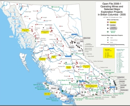 |
This Open File shows locations of current mining operations and major exploration projects in 2005. |
| Issue ID: | OF2006-02 |
| Title: | Geology of the Upper Iskut River Area, British Columbia |
| Author(s): | Alldrick, D.J., Nelson, J.L., Barresi, T., Stewart, M.L., Simpson, K.A. |
| Purpose: | To show geology and mineral occurrences of the upper Iskut River area |
| Series Name: | Open File |
| Publication Year: | 2006 |
| Scale: | 1:100000 |
| NTS Map Sheet(s): | 104G/1,2,7,8,9,10; 104B/9,10,15,16; 104H/4,5,12; 104A/12,13 |
| Place Keyword(s): | British Columbia, Upper Iskut River, Iskut River |
| Lat/Long (NSWE): | 57.73, 56.67, -130.68, -129.9 |
| Theme Keyword(s): | Upper Iskut River, geology, Bedrock Geology |
Download(s):
| PDF, ZIP (View Zip Contents) |
Abstract:
 |
This Open File shows geology and mineral occurrences of the upper Iskut River area. |
| Issue ID: | OF2006-03 |
| Title: | Geology of the Usk Map Area (NTS 103I/9) |
| Author(s): | Nelson, J.L., Barresi, T., Knight, E., Boudrea, N. |
| Purpose: | To show geology and mineral occurrences of the Usk Map-area |
| Series Name: | Open File |
| Publication Year: | 2006 |
| Scale: | 1:50000 |
| NTS Map Sheet(s): | 103I/09 |
| Place Keyword(s): | British Columbia, Usk, Terrace |
| Lat/Long (NSWE): | 54.75, 54.5, -128.5, -128 |
| Theme Keyword(s): | MINFILE Mineral Occurrence, geology, Bedrock Geology |
Download(s):
| PDF |
Abstract:
 |
This Open File shows geology and mineral occurrences of the Usk map area. |
| Issue ID: | OF2006-04 |
| Title: | Geology between the Finlay River and Chukachida Lake, Central Toodoggone River Map Area |
| Author(s): | Diakow, L.J. et al. |
| Purpose: | To show geology and mineral occurrences in the central Toodoggone River area |
| Series Name: | Open File |
| Publication Year: | 2006 |
| Scale: | 1:50000 |
| NTS Map Sheet(s): | 094E/2, 6, 7 |
| Place Keyword(s): | British Columbia, Finlay River, Chukachida Lake, Toodoggone River |
| Lat/Long (NSWE): | 57.63, 57.05, -127.17, -126.625 |
| Theme Keyword(s): | geology, Bedrock Geology |
Download(s):
| PDF |
Abstract:
 |
This Open File shows geology and mineral occurrences in the central Toodoggone River area. |
| Issue ID: | OF2006-05 |
| Title: | Geology of the Nimpkish Map Area, Northern Vancouver Island |
| Author(s): | Nixon, G.T., Kelman, M., Stevenson, D., Stokes, L., Johnston, K. |
| Purpose: | To show geology and mineral occurrences in the Nimpkish River area of Vancouver Island |
| Series Name: | Open File |
| Publication Year: | 2006 |
| Scale: | 1:50000 |
| NTS Map Sheet(s): | 092L/07 |
| Place Keyword(s): | British Columbia, Nimpkish River, Vancouver Island |
| Lat/Long (NSWE): | 50.495, 50.2583, -127, -126.47 |
| Theme Keyword(s): | geology, Bonanza Group, Vancouver Formation, Island plutonic Suite, Bedrock Geology |
Download(s):
| PDF |
Abstract:
 |
This Open File shows geology and mineral occurrences in the Nimpkish River area of Vancouver Island. |
| Issue ID: | OF2006-06 |
| Title: | Geology of the Volcano Creek - More Creek Area, British Columbia |
| Author(s): | Alldrick, D.J., Nelson, J.L., Barresi, T. |
| Purpose: | To show geology and mineral occurrences in the Volcano Creek - More Creek Area |
| Series Name: | Open File |
| Publication Year: | 2006 |
| Scale: | 1:50000 |
| NTS Map Sheet(s): | 104B/9,10,15,16; 104G/1,2 |
| Place Keyword(s): | British Columbia, Volcano Creek, More Creek |
| Lat/Long (NSWE): | 57.1642, 56.5956, -130.7047, -130.0514 |
| Theme Keyword(s): | geology, MINFILE, Bedrock Geology |
Download(s):
| PDF, ZIP (View Zip Contents) |
Abstract:
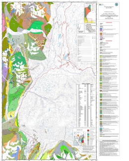 |
This Open File shows geology and mineral occurrences in the Volcano Creek - More Creek area |
| Issue ID: | OF2006-07 |
| Title: | Communities Benefiting from B.C. Mineral Exploration Activity |
| Author(s): | Schroeter, T. et al. |
| Purpose: | To show community benefits related to mining operations |
| Series Name: | Open File |
| Publication Year: | 2006 |
| Scale: | 1:1000000 |
| NTS Map Sheet(s): | 082;083;092;093;094;102;103;104;114 |
| Place Keyword(s): | British Columbia |
| Lat/Long (NSWE): | 60, 48, -139, -114 |
| Theme Keyword(s): | communities, mining, mines |
Download(s):
| PDF |
Abstract:
 |
This map shows community benefits related to mining activity. |
| Issue ID: | OF2006-08 |
| Title: | Geology of Canim Lake Area |
| Author(s): | Schiarizza, P.A., Boulton, A. |
| Purpose: | To show geology and mineral occurrences in the Canim Lake area |
| Series Name: | Open File |
| Publication Year: | 2006 |
| Scale: | 1:50000 |
| NTS Map Sheet(s): | 092P/15 |
| Place Keyword(s): | British Columbia, Canim Lake |
| Lat/Long (NSWE): | 52.0005, 51.7345, -121, -120.4 |
| Theme Keyword(s): | geology, minerals, Kamloops group, Nicola group, Bedrock Geology |
Download(s):
| PDF |
Abstract:
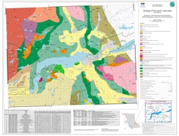 |
The Canim Lake map area covers about 1000 square kilometres within the Quesnel Highland and Fraser Plateau of south-central British Columbia. This new geological map is based on fieldwork conducted during 2005. The map area is underlain mainly by sedimentary, volcanic and volcaniclastic rocks of the Middle to Upper Triassic Nicola Group, together with Late Triassic to Early Jurassic ultramafic to granitic plutonic rocks. These rocks are part of the Quesnel magmatic arc, which hosts the Afton and Mount Polley porphyry Cu-Au deposits to the south and north, respectively. Younger rocks in the map area include mid-Cretaceous granitic stocks and batholiths, Eocene volcanic and sedimentary rocks, and Quaternary basalt. Mineral occurrences located within the map area include disseminated and fracture controlled Cu-Au (locally with Pt, Pd) within ultramafic, dioritic and monzonitic rocks of the Quesnel arc suite, as well as porphyry Mo within mid-Cretaceous granite and Au-bearing quartz-carbonate veins and mineralized shears. |
| Issue ID: | OF2006-09 |
| Title: | Communities Benefiting from Mining Activity - 2005 |
| Author(s): | Lewis, J. et al. |
| Purpose: | To show mineral properties available in BC |
| Series Name: | Open File |
| Publication Year: | 2006 |
| Scale: | 1:1000000 |
| NTS Map Sheet(s): | 082;083;092;093;094;102;103;104;114 |
| Place Keyword(s): | British Columbia |
| Lat/Long (NSWE): | 60, 48, -139, -114 |
| Theme Keyword(s): | communities, mining, mines |
Download(s):
| PDF |
Abstract:
 |
The British Columbia Ministry of Energy and Mines, in partnership with the Association for Mineral Exploration British Columbia (AME BC), new name of British Columbia and Yukon Chamber of Mines, maintains the Mineral Properties Available in British Columbia Map. This map shows the locations of mineral properties available for option or sale in British Columbia. This map is available in PDF format and digital format on MapPlace. |
| Issue ID: | OF2006-10 |
| Title: | Mineral Properties Available in British Columbia |
| Author(s): | Desjardins, P.J. |
| Purpose: | To show mineral claims across the province |
| Series Name: | Open File |
| Publication Year: | 2006 |
| Scale: | 1:6000000 |
| NTS Map Sheet(s): | 082;083;092;093;094;102;103;104;114 |
| Place Keyword(s): | British Columbia |
| Lat/Long (NSWE): | 60, 48, -139, -114 |
| Theme Keyword(s): | minerals, properties, claims |
Download(s):
| PDF |
Abstract:
 |
The British Columbia Ministry of Energy, Mines, and Petroleum Resources in partnership with the Association for Mineral Exploration British Columbia (AME BC), new name of British Columbia and Yukon Chamber of Mines, maintains the Mineral Properties Available in British Columbia Map. This map shows the locations of mineral properties available for option or sale in British Columbia. This map is no longer available in interactive format on MapPlace. |
| Issue ID: | IC1998-10 |
| Title: | British Columbia's World Class Silver Mines |
| Author(s): | MEM |
| Series Name: | Information Circular |
| Publication Year: | 1998 |
| NTS Map Sheet(s): | 082;083;092;093;094;102;103;104;114 |
| Place Keyword(s): | British Columbia |
| Lat/Long (NSWE): | 60, 48, -139, -114 |
| Theme Keyword(s): | Mineral Exploration, World Class, silver, mines, Eskay Creek |
Download(s):
| PDF |
Abstract:
 |
This information circular discusses British Columbia's World Class Silver Mines. |
| Issue ID: | AR2005-06 |
| Title: | 2005/2006-2007/2008 Service Plan Update |
| Author(s): | BC Geological Survey |
| Series Name: | Annual Reports |
| Publication Year: | 2005 |
| Larger Work Citation: | MEM Annual Report 2005 |
| NTS Map Sheet(s): | 082. 083; 092; 093; 094; 102; 103; 104; 114 |
| Place Keyword(s): | British Columbia |
| Lat/Long (NSWE): | 60, 48, -139, -114 |
| Theme Keyword(s): | Annual Reports, Reports, Catalogue, Annual |
Download(s):
| PDF |
Abstract:
 |
This report describes the British Columbia Ministry of Energy, Mines and Petroleum Resources plans, budget and important issues for 2006-2007. |
| Issue ID: | AR2004-05 |
| Title: | 2004/05 Annual Service Plan Report |
| Author(s): | BC Geological Survey |
| Series Name: | Annual Reports |
| Publication Year: | 2004 |
| Larger Work Citation: | MEM Annual Report 2004 |
| NTS Map Sheet(s): | 082; 083; 092; 093; 094; 102; 103; 104; 114 |
| Place Keyword(s): | British Columbia |
| Lat/Long (NSWE): | 60, 48, -139, -114 |
| Theme Keyword(s): | Annual Reports, Reports, Catalogue, Annual |
Download(s):
| PDF |
Abstract:
 |
This report describes the British Columbia Ministry of Energy and Mines plans, budget and issues for 2004-2005. |
| Issue ID: | AR2003-04 |
| Title: | Service Plan 2003/04-2005/2006 |
| Author(s): | BC Geological Survey |
| Series Name: | Annual Reports |
| Publication Year: | 2003 |
| Larger Work Citation: | MEM Annual Report 2003 |
| NTS Map Sheet(s): | 082; 083; 092; 093; 094; 102; 103; 104; 114 |
| Place Keyword(s): | British Columbia |
| Lat/Long (NSWE): | 60, 48, -139, -114 |
| Theme Keyword(s): | Annual Reports, Reports, Catalogue, Annual |
Download(s):
| PDF |
Abstract:
 |
This report describes the British Columbia Ministry of Energy and Mines plans, budget and issues for 2003/04-2005/06. |
| Issue ID: | AR2002-03 |
| Title: | 2002/2003 Annual Service Plan Report |
| Author(s): | BC Geological Survey |
| Series Name: | Annual Reports |
| Publication Year: | 2002 |
| Larger Work Citation: | MEM Annual Report 2002 |
| NTS Map Sheet(s): | 082; 083; 092; 093; 094; 102; 103; 104; 114 |
| Place Keyword(s): | British Columbia |
| Lat/Long (NSWE): | 60, 48, -139, -114 |
| Theme Keyword(s): | Annual Reports, Reports, Catalogue, Annual |
Download(s):
| PDF |
Abstract:
 |
This report describes the British Columbia Ministry of Energy and Mines plans, budget and important issues for 2002-2003. |
| Issue ID: | AR2001-02 |
| Title: | 2001-2002 Annual Report - A New Era Update |
| Author(s): | BC Geological Survey |
| Series Name: | Annual Reports |
| Publication Year: | 2001 |
| Larger Work Citation: | MEM Annual Report 2001 |
| NTS Map Sheet(s): | 082; 083; 092; 093; 094; 102; 103; 104; 114 |
| Place Keyword(s): | British Columbia |
| Lat/Long (NSWE): | 60, 48, -139, -114 |
| Theme Keyword(s): | Annual Reports, Reports, Catalogue, Annual |
Download(s):
| PDF |
Abstract:
 |
This report describes the British Columbia Ministry of Energy and Mines plans, budget and issues for 2001-2002. |
| Issue ID: | AR2000-01 |
| Title: | Performance Report 2000/2001 |
| Author(s): | BC Geological Survey |
| Series Name: | Annual Reports |
| Publication Year: | 2000 |
| Larger Work Citation: | MEM Annual Performance Report 2000 |
| NTS Map Sheet(s): | 082; 083; 092; 093; 094; 102; 103; 104; 114 |
| Place Keyword(s): | British Columbia |
| Lat/Long (NSWE): | 60, 48, -139, -114 |
| Theme Keyword(s): | Annual Reports, Reports, Catalogue, Annual |
Download(s):
| PDF |
Abstract:
 |
This report describes British Columbia Ministry of Energy and Mines performance, objectives and resources over 2000-2001. |
| Issue ID: | AR1999-00 |
| Title: | 1999-2000 Annual Report |
| Author(s): | BC Geological Survey |
| Series Name: | Annual Reports |
| Publication Year: | 1999 |
| Larger Work Citation: | MEM Annual Report 1999 |
| NTS Map Sheet(s): | 082; 083; 092; 093; 094; 102; 103; 104; 114 |
| Place Keyword(s): | British Columbia |
| Lat/Long (NSWE): | 60, 48, -139, -114 |
| Theme Keyword(s): | Annual Reports, Reports, Catalogue, Annual |
Download(s):
| PDF |
Abstract:
 |
This report describes British Columbia Ministry of Energy and Mines overview, current investment in the province, corporate services and the budget from January 1999 to March 2000. |
| Issue ID: | AR1998-99 |
| Title: | 1998-1999 Annual Report |
| Author(s): | BC Geological Survey |
| Series Name: | Annual Reports |
| Publication Year: | 1998 |
| Larger Work Citation: | MEM Annual Report 1998 |
| NTS Map Sheet(s): | 082; 083; 092; 093; 094; 102; 103; 104; 114 |
| Place Keyword(s): | British Columbia |
| Lat/Long (NSWE): | 60, 48, -139, -114 |
| Theme Keyword(s): | Annual Reports, Reports, Catalogue, Annual |
Download(s):
| PDF |
Abstract:
 |
This report describes British Columbia Ministry of Energy and Mines overview, highlights, investment, corporate services and budget/legislation information from January 1998 to March 1999. |
| Issue ID: | AR1997-98 |
| Title: | 1997-98 Annual Report |
| Author(s): | BC Geological Survey |
| Series Name: | Annual Reports |
| Publication Year: | 1997 |
| Larger Work Citation: | MEM Annual Report 1997 |
| NTS Map Sheet(s): | 082; 083; 092; 093; 094; 102; 103; 104; 114 |
| Place Keyword(s): | British Columbia |
| Lat/Long (NSWE): | 60, 48, -139, -114 |
| Theme Keyword(s): | Annual Reports, Reports, Catalogue, Annual |
Download(s):
| PDF |
Abstract:
 |
This report describes British Columbia Ministry of Energy and Mines overview and highlights, investment in the sector and corporate relations from January 1997 to March 1998. |
| Issue ID: | AR1996-97 |
| Title: | 1996-97 Annual Report |
| Author(s): | BC Geological Survey |
| Series Name: | Annual Reports |
| Publication Year: | 1996 |
| Larger Work Citation: | MEM Annual Report 1996 |
| NTS Map Sheet(s): | 082; 083; 092; 093; 094; 102; 103; 104; 114 |
| Place Keyword(s): | British Columbia |
| Lat/Long (NSWE): | 60, 48, -139, -114 |
| Theme Keyword(s): | Annual Reports, Reports, Catalogue, Annual |
Download(s):
| PDF |
Abstract:
 |
This report describes British Columbia Ministry of Employment and Investment overview, job creation, management and budget from January 1996 to March 1997. |
| Issue ID: | AR1995-96 |
| Title: | 1995-96 Annual Report |
| Author(s): | BC Geological Survey |
| Series Name: | Annual Reports |
| Publication Year: | 1995 |
| Larger Work Citation: | MEM Annual Report 1995 |
| NTS Map Sheet(s): | 082; 083; 092; 093; 094; 102; 103; 104; 114 |
| Place Keyword(s): | British Columbia |
| Lat/Long (NSWE): | 60, 48, -139, -114 |
| Theme Keyword(s): | Annual Reports, Reports, Catalogue, Annual |
Download(s):
| PDF |
Abstract:
 |
This report describes British Columbia Ministry of Employment and Investment overview, job creation, communication and expenditures (budget) from January 1995 to March 1996. |
| Issue ID: | AR1994-95 |
| Title: | 1994-95 Annual Report |
| Author(s): | BC Geological Survey |
| Series Name: | Annual Reports |
| Publication Year: | 1994 |
| Larger Work Citation: | MEM Annual Report 1994 |
| NTS Map Sheet(s): | 082; 083; 092; 093; 094; 102; 103; 104; 114 |
| Place Keyword(s): | British Columbia |
| Lat/Long (NSWE): | 60, 48, -139, -114 |
| Theme Keyword(s): | Annual Reports, Reports, Catalogue, Annual |
Download(s):
| PDF |
Abstract:
 |
This report describes British Columbia Ministry of Energy, Mines and Petroleum Resources overview, mineral and energy resource divisions and revenue/operation costs from January 1994 to March 1995. |
| Issue ID: | AR1993-94 |
| Title: | 1993-94 Annual Report |
| Author(s): | BC Geological Survey |
| Series Name: | Annual Reports |
| Publication Year: | 1993 |
| Larger Work Citation: | MEM Annual Report 1993 |
| NTS Map Sheet(s): | 082; 083; 092; 093; 094; 102; 103; 104; 114 |
| Place Keyword(s): | British Columbia |
| Lat/Long (NSWE): | 60, 48, -139, -114 |
| Theme Keyword(s): | Annual Reports, Reports, Catalogue, Annual |
Download(s):
| PDF |
Abstract:
 |
This report describes British Columbia Ministry of Energy, Mines and Petroleum Resources overview, mineral and energy resources, first nations and revenue from January 1993 to March 1994. |
| Issue ID: | AR1992-93 |
| Title: | 1992-93 Annual Report |
| Author(s): | BC Geological Survey |
| Series Name: | Annual Reports |
| Publication Year: | 1992 |
| Larger Work Citation: | MEM Annual Report 1992 |
| NTS Map Sheet(s): | 082; 083; 092; 093; 094; 102; 103; 104; 114 |
| Place Keyword(s): | British Columbia |
| Lat/Long (NSWE): | 60, 48, -139, -114 |
| Theme Keyword(s): | Annual Reports, Reports, Catalogue, Annual |
Download(s):
| PDF |
Abstract:
 |
This report describes British Columbia Ministry of Energy, Mines and Petroleum Resources overview, resources and management from January 1992 to March 1993. |
| Issue ID: | AR1991-92 |
| Title: | 1991-92 Annual Report |
| Author(s): | BC Geological Survey |
| Series Name: | Annual Reports |
| Publication Year: | 1991 |
| Larger Work Citation: | MEM Annual Report 1991 |
| NTS Map Sheet(s): | 082; 083; 092; 093; 094; 102; 103; 104; 114 |
| Place Keyword(s): | British Columbia |
| Lat/Long (NSWE): | 60, 48, -139, -114 |
| Theme Keyword(s): | Annual Reports, Reports, Catalogue, Annual |
Download(s):
| PDF |
Abstract:
 |
This report describes British Columbia Ministry of Energy, Mines and Petroleum Resources review, resource and energy management, legislation and expenditures from January 1991 to March 1992. |
| Issue ID: | AR1990-91 |
| Title: | 1990-91 Annual Report |
| Author(s): | BC Geological Survey |
| Series Name: | Annual Reports |
| Publication Year: | 1990 |
| Larger Work Citation: | MEM Annual Report 1990 |
| NTS Map Sheet(s): | 082; 083; 092; 093; 094; 102; 103; 104; 114 |
| Place Keyword(s): | British Columbia |
| Lat/Long (NSWE): | 60, 48, -139, -114 |
| Theme Keyword(s): | Annual Reports, Reports, Catalogue, Annual |
Download(s):
| PDF |
Abstract:
 |
This report describes British Columbia Ministry of Energy, Mines and Petroleum Resources review, legislation, budget, energy and mineral resources from January 1990 to March 1991. |
| Issue ID: | AR1989-90 |
| Title: | 1989-90 Annual Report |
| Author(s): | BC Geological Survey |
| Series Name: | Annual Reports |
| Publication Year: | 1989 |
| Larger Work Citation: | MEM Annual Report 1989 |
| NTS Map Sheet(s): | 082; 083; 092; 093; 094; 102; 103; 104; 114 |
| Place Keyword(s): | British Columbia |
| Lat/Long (NSWE): | 60, 48, -139, -114 |
| Theme Keyword(s): | Annual Reports, Reports, Catalogue, Annual |
Download(s):
| PDF |
Abstract:
 |
This report describes British Columbia Ministry of Energy, Mines and Petroleum Resources review and looks at energy and mineral resources over B.C. and legislation/revenue from January 1989 to March 1990. |
| Issue ID: | AR1988-89 |
| Title: | 1988-89 Annual Report |
| Author(s): | BC Geological Survey |
| Series Name: | Annual Reports |
| Publication Year: | 1988 |
| Larger Work Citation: | MEM Annual Report 1988 |
| NTS Map Sheet(s): | 082; 083; 092; 093; 094; 102; 103; 104; 114 |
| Place Keyword(s): | British Columbia |
| Lat/Long (NSWE): | 60, 48, -139, -114 |
| Theme Keyword(s): | Annual Reports, Reports, Catalogue, Annual |
Download(s):
| PDF |
Abstract:
 |
This report describes British Columbia Ministry of Energy, Mines and Petroleum Resources review and looks at energy and mineral resources over B.C. and legislation/revenue from January 1988 to March 1989. |
| Issue ID: | AR1987-88 |
| Title: | 1987-88 Annual Report |
| Author(s): | BC Geological Survey |
| Series Name: | Annual Reports |
| Publication Year: | 1987 |
| Larger Work Citation: | MEM Annual Report 1987 |
| NTS Map Sheet(s): | 082; 083; 092; 093; 094; 102; 103; 104; 114 |
| Place Keyword(s): | British Columbia |
| Lat/Long (NSWE): | 60, 48, -139, -114 |
| Theme Keyword(s): | Annual Reports, Reports, Catalogue, Annual |
Download(s):
| PDF |
Abstract:
 |
This report describes British Columbia Ministry of Energy, Mines and Petroleum Resources review and looks at energy and mineral resources over B.C. and legislation/revenue from January 1987 to March 1988. |
| Issue ID: | AR1986 |
| Title: | 1986 Annual Report |
| Author(s): | BC Geological Survey |
| Series Name: | Annual Reports |
| Publication Year: | 1986 |
| Larger Work Citation: | MEM Annual Report 1986 |
| NTS Map Sheet(s): | 082; 083; 092; 093; 094; 102; 103; 104; 114 |
| Place Keyword(s): | British Columbia |
| Lat/Long (NSWE): | 60, 48, -139, -114 |
| Theme Keyword(s): | Annual Reports, Reports, Catalogue, Annual |
Download(s):
| PDF |
Abstract:
 |
This report describes British Columbia Ministry of Energy, Mines and Petroleum Resources review and explores the energy, petroleum and mineral divisions along with yearly finances for 1986. |
| Issue ID: | AR1985 |
| Title: | 1985 Annual Report |
| Author(s): | BC Geological Survey |
| Series Name: | Annual Reports |
| Publication Year: | 1985 |
| Larger Work Citation: | MEM Annual Report 1985 |
| NTS Map Sheet(s): | 082; 083; 092; 093; 094; 102; 103; 104; 114 |
| Place Keyword(s): | British Columbia |
| Lat/Long (NSWE): | 60, 48, -139, -114 |
| Theme Keyword(s): | Annual Reports, Reports, Catalogue, Annual |
Download(s):
| PDF |
Abstract:
 |
This report describes British Columbia Ministry of Energy, Mines and Petroleum Resources review and explores the energy, petroleum and mineral divisions along with yearly finances for 1985. |
| Issue ID: | AR1984 |
| Title: | 1984 Annual Report |
| Author(s): | BC Geological Survey |
| Series Name: | Annual Reports |
| Publication Year: | 1984 |
| Larger Work Citation: | MEM Annual Report 1984 |
| NTS Map Sheet(s): | 082; 092; 093; 094;102; 103; |
| Place Keyword(s): | British Columbia |
| Lat/Long (NSWE): | 60, 48, -139, -114 |
| Theme Keyword(s): | Annual Reports, Reports, Catalogue, Annual |
Download(s):
| PDF |
Abstract:
 |
This report describes British Columbia Ministry of Energy, Mines and Petroleum Resources review and explores the energy, petroleum and mineral divisions along with yearly finances for 1984. |
| Issue ID: | AR1983 |
| Title: | 1983 Annual Report |
| Author(s): | BC Geological Survey |
| Series Name: | Annual Reports |
| Publication Year: | 1983 |
| Larger Work Citation: | MEM Annual Report 1983 |
| NTS Map Sheet(s): | 082; 083; 092; 093; 094; 102; 103;104; 114 |
| Place Keyword(s): | British Columbia |
| Lat/Long (NSWE): | 60, 48, -139, -114 |
| Theme Keyword(s): | Annual Reports, Reports, Catalogue, Annual |
Download(s):
| PDF |
Abstract:
 |
This report describes British Columbia Ministry of Energy, Mines and Petroleum Resources review and explores the energy, petroleum and mineral divisions along with yearly finances for 1983. |
| Issue ID: | AR1982 |
| Title: | 1982 Annual Report |
| Author(s): | BC Geological Survey |
| Series Name: | Annual Reports |
| Publication Year: | 1982 |
| Larger Work Citation: | MEM Annual Report 1982 |
| NTS Map Sheet(s): | 082; 083; 092; 093; 094; 102; 103; 104; 114 |
| Place Keyword(s): | British Columbia |
| Lat/Long (NSWE): | 60, 48, -139, -114 |
| Theme Keyword(s): | Annual Reports, Reports, Catalogue, Annual |
Download(s):
| PDF |
Abstract:
 |
This report describes British Columbia Ministry of Energy, Mines and Petroleum Resources review and explores the energy, petroleum and mineral divisions along with yearly finances for 1982. |
| Issue ID: | AR1981 |
| Title: | 1981 Annual Report |
| Author(s): | BC Geological Survey |
| Series Name: | Annual Reports |
| Publication Year: | 1981 |
| Larger Work Citation: | MEM Annual Report 1981 |
| NTS Map Sheet(s): | 082; 083; 092; 094; 104 |
| Place Keyword(s): | British Columbia |
| Lat/Long (NSWE): | 60, 48, -139, -114 |
| Theme Keyword(s): | Annual Reports, Reports, Catalogue, Annual |
Download(s):
| PDF |
Abstract:
 |
This report describes British Columbia Ministry of Energy, Mines and Petroleum Resources review of staff, geoscience projects, resource data and the budget for 1981. |
| Issue ID: | AR1980 |
| Title: | 1980 Annual Report |
| Author(s): | BC Geological Survey |
| Series Name: | Annual Reports |
| Publication Year: | 1980 |
| Larger Work Citation: | MEM Annual Report 1980 |
| NTS Map Sheet(s): | 082; 092; 093; 094; 104 |
| Place Keyword(s): | British Columbia |
| Lat/Long (NSWE): | 60, 48, -139, -114 |
| Theme Keyword(s): | Annual Reports, Reports, Catalogue, Annual |
Download(s):
| PDF |
Abstract:
 |
This report describes British Columbia Ministry of Energy, Mines and Petroleum Resources review of staff, geoscience projects, resource data and the budget for 1980. |
| Issue ID: | OF2006-11 |
| Title: | Geology of the Iron Mask Batholith, Southern British Columbia |
| Author(s): | Logan, J.M., Mihalynuk, M.G. |
| Series Name: | Open File |
| Publication Year: | 2006 |
| Scale: | 1:25000 |
| NTS Map Sheet(s): | 092I/09, 10 |
| Place Keyword(s): | British Columbia, Iron Mask |
| Lat/Long (NSWE): | 50.6793, 50.5472, -120.5508, -120.2755 |
| Theme Keyword(s): | geology, copper-gold, PGE, batholith, Bedrock Geology |
Download(s):
| PDF, ZIP (View Zip Contents) |
Abstract:
 |
This new geological map provides new insight into the geology, geochronology and mineral potential of the Iron Mask Batholith in the Kamloops region of southern British Columbia. It presents the results of new mapping and a compilation of University and private industry research designed to clarify the copper-gold metallogeny of the batholith. Past metal production from the batholith includes the Afton copper-gold-silver-PGE bearing deposit. Delineation of additional reserves and a likely return to production by New Gold Resources makes correlative rocks important exploration targets throughout the batholith and underlines the potential for new discoveries and mines in the area.
The Iron Mask survey was delivered with support from the Rocks to Riches (AMEBC) program and Geoscience Partnerships developed between Abacus Mining and Exploration, Imperial Metals Corporation and Nova Gold Corporation to study alkaline porphyry copper-gold deposits. Integrated Airborne Geophysical, Geology and Mineral Occurrence Data, Iron Mask Batholith is available in Open File 2006-12. The geophysical data represents a subset of the 1995 Iron Mask Survey completed by the Geological Survey of Canada and released as BCMEM Open File 2005-13 and GSC Open File 2817. See GeoFile 2006-5 for a review of the regional geological setting, tectonics, geochronology, geophysics, mineralization and alteration characteristics of the Iron Mask Batholith. |
| Issue ID: | OF2006-12 |
| Title: | Integrated Airborne Geophysical, Geology and Mineral Occurrence Data, Iron Mask Batholith Southern British Columbia |
| Author(s): | Logan, J.M., Mihalynuk, M.G., Lowe, C. |
| Series Name: | Open File |
| Publication Year: | 2006 |
| Scale: | 1:25000 |
| NTS Map Sheet(s): | 092I/09, 10 |
| Place Keyword(s): | British Columbia, Iron Mask |
| Lat/Long (NSWE): | 50.6793, 50.5472, -120.5508, -120.2755 |
| Theme Keyword(s): | aeromagnetic, thorium map, uranium map, geophysical surveys |
Download(s):
| PDF |
Abstract:
 |
This product comprises 3 magnetic and 6 radiometric parameters, geo-referenced and displayed on separate 1: 25 000 scale sheets with geological contacts and major mineral occurrences shown. The map area corresponds to Open File Map 2006-11, Geology of the Iron Mask Batholith. The geophysical data represents a subset of the 1995 Iron Mask Geophysical Survey completed by the Geological Survey of Canada and released as BCMEM Open File 2005-13 and GSC Open File 2817 and includes re-contoured residual, vertical gradient and horizontal gradient magnetics and potassium, thorium, uranium, thorium/potassium, uranium/potassium and uranium/thorium plots. The geophysical data provides new insight into the geology and mineral potential of the Iron Mask Batholith particularly in areas covered by overburden. |
| Issue ID: | GF2005-25 |
| Title: | Kimberlite and Diamond Indicator Minerals in Northeast British Columbia, Canada - A Reconnaissance Survey |
| Author(s): | Simandl, G.J., Ferbey, T., Levson, V.M., Robinson, N.D., Lane, R., Smith, R., Demchuk, T.E., Raudsepp, I.M., Hickin, A.S. |
| Purpose: | To evaluate the resource possibly of NE BC for diamond and non-energy related resources |
| Series Name: | GeoFile |
| Publication Year: | 2005 |
| NTS Map Sheet(s): | 082; 083; 092; 093; 094; |
| Place Keyword(s): | British Columbia, NE |
| Lat/Long (NSWE): | 60, 55, -128, -120 |
| Theme Keyword(s): | diamonds, indicators, kimberlite |
Download(s):
| PDF |
Abstract:
 |
Northeast British Columbia is an under-explored portion of the North American continent with respect to diamonds, other gemstones, and non-energy minerals. It is characterized by low relief and has a rapidly developing infrastructure that supports of the oil and gas industry. High-quality diamonds are presently mined within the Slave Craton of the Northwest Territories (Carlson, et al, 1999 and Lockhart et al, 2004). Diamond deposits have also been discovered in the Buffalo Head Terrane in neighbouring Alberta (Eccles, 2004; Hood and McCandless, 2004), approximately 400 kilometres southeast of the Fort Nelson area. Several alluvial diamond occurrences have also been reported in the Northwest Territories and in Alberta (Simandl, 2004). There are reports of diamond occurrences within the British Columbia Alkaline Province (Allan, 1999, 2002; Anonymous, 1994; McCallum, 1994; Northcote, 1983a, b; Pell, 1994; and Roberts, 2002). Recent age dating (Simandl and Davis, 2005) indicates that Precambrian crystalline basement similar in age to the Buffalo Head Terrane extends farther west than previously expected, supporting the hypothesis that northeast British Columbia may have been underlain by a thick cold lithosphere prior to rifting of the Rodinia Supercontinent. The "diamondiferous root", as described by Haggerty (1986), and Mitchell (1991), may have been destroyed after the diamonds were brought to the surface by kimberlites, lamproites, or other diamond elevators (Simandl, 2004). The results of this heavy mineral reconnaissance/orientation survey, when considered in conjunction with the findings of a previous KIM study (Simandl, et al, 2005), provide support for the use of the diamondiferous mantle root exploration model in northeast British Columbia. |
| Issue ID: | GF2006-01 |
| Title: | Till Geochemistry of the Chilanko Forks, Chezacut, Clusko River and Toil Mountain Area, British Columbia |
| Author(s): | Lett, R.E., Cook. S.J., Levson, V.M. |
| Purpose: | To improve knowledge in the Chilanko Forks, Chezacut, Clusko River and Toil Mountain area for future exploration programs |
| Series Name: | GeoFile |
| Publication Year: | 2006 |
| NTS Map Sheet(s): | 093C/1, C/8, C/9, C/16 |
| Place Keyword(s): | British Columbia, Anahim Lake, Nechako Plateau |
| Lat/Long (NSWE): | 53, 52, -124.5, -124 |
| Theme Keyword(s): | till geochemistry, drift prospecting, mineral exploration |
Download(s):
| PDF, ZIP (View Zip Contents) |
Abstract:
 |
GeoFile 2006-1 describes a till geochemical survey covering roughly 3500 km2 over the eastern part of the Anahim Lake map sheet (NTS 93C). Miocene basalt and glacial sediments cover much of the area and these add to the challenge of identifying targets of economic interest. The result is that there are only five mineral prospects known in the region. A total of 330 till samples were analysed for trace elements including gold and copper, and major oxides by a combination aqua regia digestion � inductively coupled plasma emission spectrometry (ICP-ES), instrumental neutron activation (INAA) and lithium metaborate fusion � ICP-ES. Anomalous results highlight the existing Clisbako and Oboy Au prospects and outline several other areas with a potential for additional epithermal Au mineralization. |
| Issue ID: | GM2005-03 |
| Title: | Geoscience Map 2005-3: Geology of British Columbia |
| Author(s): | Massey, N.W.D., MacIntyre, D.G., Desjardins, P.J., Cooney, R.T. |
| Purpose: | To show the geology of BC |
| Series Name: | Geoscience Map |
| Publication Year: | 2005 |
| Scale: | 1:1000000 |
| NTS Map Sheet(s): | 082; 083; 092; 093; 094; 102; 103; 104; 114 |
| Place Keyword(s): | British Columbia |
| Lat/Long (NSWE): | 60, 48, -139, -114 |
| Theme Keyword(s): | Geology, Bedrock Geology |
Download(s):
| PDF, ZIP (View Zip Contents) |
Abstract:
 |
This compilation map is a digital release from which a �hardcopy� printed version can be produced. It is a companion to Open File 2005-2 �The Digital Geology of British Columbia� which was released on DVD in January 2005. This is the first compilation of the province�s geology produced by the BC Geological Survey since 1977 and incorporates much of the new geoscience mapping and research by Ministry geoscientists and others, which has been completed during the past 25 years. |
| Issue ID: | GM2006-01 |
| Title: | Geology of the Alice Lake Area, Northern Vancouver Island (NTS 92L/6) |
| Author(s): | Nixon, G.T., Snyder, L.D., Payie, G.J., Long, S., Finnie, A., Friedman, R.M., Archibald, D.A., Orchard, M.J., Tozer, T., Poulton, T.P., Haggart, J.W. |
| Purpose: | To show the geology of Alice Lake area |
| Series Name: | Geoscience Map |
| Publication Year: | 2006 |
| Scale: | 1:50000 |
| NTS Map Sheet(s): | 092L/6 |
| Place Keyword(s): | British Columbia, Alice Lake, Vancouver Island |
| Lat/Long (NSWE): | 50.5, 50.25, -127.5, -127 |
| Theme Keyword(s): | Geology, Bedrock Geology, Paleontology, Geochronology |
Download(s):
| PDF |
Abstract:
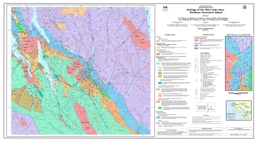 |
The British Columbia Geological Survey has completed extensive geological mapping and mineral deposits studies on northern Vancouver Island over the last several years. This is an ongoing program of mapping and mineral deposits studies. �Northern Vancouver Island, and particularly the Quatsino Sound area, is richly endowed in mineral occurrences, has had a successful mining history, such as the former Island Copper mine (092L 158). The region also has numerous mineral occurrences, some of which are under-explored but with excellent potential. The release of these three 1:50 000-scale Geoscience Maps covers an area extending from Winter Harbour - San Josef Bay on the west coast to Port Hardy - Port McNeill on the east coast, an area encompassing�NTS sheets 102I/8,�9 and 92L/6, 11, and 12. Geoscience Map 2006-1 covers the Alice Lake area, 092L/6.
The area is underlain by a folded and faulted sequence of Upper Triassic to�Middle Jurassic volcanic and sedimentary rocks of the Vancouver and Bonanza Groups intruded by granitoids of the Island Plutonic suite. The latter rocks�are associated with important calcalkaline Cu-Mo-Au�porphyry,�and base and precious-metal�skarn and epithermal mineral occurrences. Cretaceous marine clastic�and�Tertiary volcanic-sedimentary strata with lower mineral potential overlie the Triassic-Jurassic rocks.
These geoscience maps�provide a new stratigraphic framework for the Early Mesozoic sequences, calibrated by 40Ar/39Ar and U-Pb isotopic dating and macrofossil and microfossil (conodont and radiolarian)�faunas. The Bonanza group now includes the Upper Triassic Parson Bay Formation, which contains mapable volcanic/volcaniclastic horizons,�overlain by unnamed�volcaniclastic-sedimentary strata�of uppermost Triassic to lowermost Jurassic age, in turn succeeded�by Lower to Middle Jurassic, predominantly volcanic and volcaniclastic�sequences of the informally named LeMare Lake volcanics, formerly "Bonanza volcanics". The latter term is usefully retained for all volcanic lithologies within the Bonanza Group, which spans some 40 million years of magmatic arc evolution from the Late Triassic (Carnian)�to the Middle Jurassic (Bajocian). |
| Issue ID: | GM2006-02 |
| Title: | Geology of the Quatsino - Port McNeill Area, Northern Vancouver Island (NTS 92L/11, 12E) |
| Author(s): | Nixon, G.T., Hammack, J.L., Koyanagi, V.M., Payie, G.J., Haggart, J.W., Orchard, M.J., Tozer, T., Archibald, D.A., Friedman, R.M., Palfy, J., Cordey, F. |
| Purpose: | To show the geology of Quatsino/Port Mcneil |
| Series Name: | Geoscience Map |
| Publication Year: | 2006 |
| Scale: | 1:50000 |
| NTS Map Sheet(s): | 092L/11,12E |
| Place Keyword(s): | British Columbia, Quatsino, Port McNeill, Vancouver Island |
| Lat/Long (NSWE): | 50.75, 50.45, -127.75, -127 |
| Theme Keyword(s): | Geology, Bedrock Geology, Paleontology, Geochronology |
Download(s):
| PDF |
Abstract:
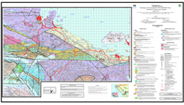 |
The British Columbia Geological Survey has completed extensive geological mapping and mineral deposits studies on northern Vancouver Island over the last several years. This is an ongoing program of mapping and mineral deposits studies. �Northern Vancouver Island, and particularly the Quatsino Sound area, is richly endowed in mineral occurrences, has had a successful mining history, such as the former Island Copper mine (092L 158). The region also has numerous mineral occurrences, some of which are under-explored but with excellent potential. The release of these three 1:50 000-scale Geoscience Maps covers an area extending from Winter Harbour - San Josef Bay on the west coast to Port Hardy - Port McNeill on the east coast, an area encompassing�NTS sheets 102I/8,�9 and 92L/6, 11, and 12. Geoscience Map 2006-2 covers the Quatsino - Port McNeill area, 092L/11, 12E.
The area is underlain by a folded and faulted sequence of Upper Triassic to�Middle Jurassic volcanic and sedimentary rocks of the Vancouver and Bonanza Groups intruded by granitoids of the Island Plutonic suite. The latter rocks�are associated with important calcalkaline Cu-Mo-Au�porphyry,�and base and precious-metal�skarn and epithermal mineral occurrences. Cretaceous marine clastic�and�Tertiary volcanic-sedimentary strata with lower mineral potential overlie the Triassic-Jurassic rocks.
These geoscience maps�provide a new stratigraphic framework for the Early Mesozoic sequences, calibrated by 40Ar/39Ar and U-Pb isotopic dating and macrofossil and microfossil (conodont and radiolarian)�faunas. The Bonanza group now includes the Upper Triassic Parson Bay Formation, which contains mapable volcanic/volcaniclastic horizons,�overlain by unnamed�volcaniclastic-sedimentary strata�of uppermost Triassic to lowermost Jurassic age, in turn succeeded�by Lower to Middle Jurassic, predominantly volcanic and volcaniclastic�sequences of the informally named LeMare Lake volcanics, formerly "Bonanza volcanics". The latter term is usefully retained for all volcanic lithologies within the Bonanza Group, which spans some 40 million years of magmatic arc evolution from the Late Triassic (Carnian)�to the Middle Jurassic (Bajocian). |
| Issue ID: | GM2006-03 |
| Title: | Geology of the Holberg - Winter Harbour Area, Northern Vancouver Island (NTS 92L/12W, 102I/8, 9) |
| Author(s): | Nixon, G.T., Hammack, J.L., Koyanagi, V.M., Payie, G.J., Snyder, L.D., Panteleyev, A., Massey, N.W.D., Archibald, D.A., Haggart, J.W., Orchard, M.J., Friedman, R.M., Tozer, T., Tipper, H.W., Poulton, T.P., Palfy, J., Cordey, F., Barron, D.J. |
| Purpose: | To show the geology of Holberg/Winter Harbour area |
| Series Name: | Geoscience Map |
| Publication Year: | 2006 |
| Scale: | 1:50000 |
| NTS Map Sheet(s): | 092L/12W, 102I/8,9 |
| Place Keyword(s): | British Columbia, Vancouver Island, Holberg, Winter Harbour |
| Lat/Long (NSWE): | 50.75, 50.44, -128.35, -127.75 |
| Theme Keyword(s): | Geology, Bedrock Geology, Paleontology, Geochronology |
Download(s):
| PDF |
Abstract:
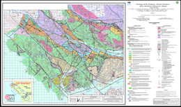 |
The British Columbia Geological Survey has completed extensive geological mapping and mineral deposits studies on northern Vancouver Island over the last several years. This is an ongoing program of mapping and mineral deposits studies. �Northern Vancouver Island, and particularly the Quatsino Sound area, is richly endowed in mineral occurrences, has had a successful mining history, such as the former Island Copper mine (092L 158). The region also has numerous mineral occurrences, some of which are under-explored but with excellent potential. The release of these three 1:50 000-scale Geoscience Maps covers an area extending from Winter Harbour - San Josef Bay on the west coast to Port Hardy - Port McNeill on the east coast, an area encompassing�NTS sheets 102I/8,�9 and 92L/6, 11, and 12. Geoscience Map 2006-3 covers the Holberg - Winter Harbour area, 092L/12W, 102I/8, 9.
The area is underlain by a folded and faulted sequence of Upper Triassic to�Middle Jurassic volcanic and sedimentary rocks of the Vancouver and Bonanza Groups intruded by granitoids of the Island Plutonic suite. The latter rocks�are associated with important calcalkaline Cu-Mo-Au�porphyry,�and base and precious-metal�skarn and epithermal mineral occurrences. Cretaceous marine clastic�and�Tertiary volcanic-sedimentary strata with lower mineral potential overlie the Triassic-Jurassic rocks.
These geoscience maps�provide a new stratigraphic framework for the Early Mesozoic sequences, calibrated by 40Ar/39Ar and U-Pb isotopic dating and macrofossil and microfossil (conodont and radiolarian)�faunas. The Bonanza group now includes the Upper Triassic Parson Bay Formation, which contains mapable volcanic/volcaniclastic horizons,�overlain by unnamed�volcaniclastic-sedimentary strata�of uppermost Triassic to lowermost Jurassic age, in turn succeeded�by Lower to Middle Jurassic, predominantly volcanic and volcaniclastic�sequences of the informally named LeMare Lake volcanics, formerly "Bonanza volcanics". The latter term is usefully retained for all volcanic lithologies within the Bonanza Group, which spans some 40 million years of magmatic arc evolution from the Late Triassic (Carnian)�to the Middle Jurassic (Bajocian). |
| Issue ID: | GM2006-04 |
| Title: | Geology of the Mahatta Creek Area, Northern Vancouver Island (NTS 92L/5) |
| Author(s): | Nixon, G.T., Hammack, J.L., Hamilton, J.V., Jennings, H., Orchard, M.J., Haggart, J.W., Tipper, H.W., Friedman, R.M., Archibald, D.A., Cordey, F., Johnston, K.A. |
| Purpose: | To show the geology of Mahatta Creek area |
| Series Name: | Geoscience Map |
| Publication Year: | 2006 |
| Scale: | 1:50000 |
| NTS Map Sheet(s): | 092L/5 |
| Place Keyword(s): | British Columbia, Mahatta Creek, Vancouver Island, Quatsino Sound |
| Lat/Long (NSWE): | 50.5, 50.25, -128, -127.5 |
| Theme Keyword(s): | Geology, Bedrock Geology |
Download(s):
| PDF |
Abstract:
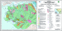 |
The British Columbia Geological Survey has completed extensive geological mapping and mineral deposits studies on northern Vancouver Island over the last several years. This is an ongoing program of mapping and mineral deposits studies. �Northern Vancouver Island, and particularly the Quatsino Sound area, is richly endowed in mineral occurrences, has had a successful mining history, such as the former Island Copper mine (092L 158). The region also has numerous mineral occurrences, some of which are under-explored but with excellent potential. The release of these three 1:50 000-scale Geoscience Maps covers an area extending from Winter Harbour - San Josef Bay on the west coast to Port Hardy - Port McNeill on the east coast, an area encompassing�NTS sheets 102I/8,�9 and 92L/6, 11, and 12. Geoscience Map 2006-4 covers the Mahatta Creek area, 092L/5.
The area is underlain by a folded and faulted sequence of Upper Triassic to�Middle Jurassic volcanic and sedimentary rocks of the Vancouver and Bonanza Groups intruded by granitoids of the Island Plutonic suite. The latter rocks�are associated with important calcalkaline Cu-Mo-Au�porphyry,�and base and precious-metal�skarn and epithermal mineral occurrences. Cretaceous marine clastic�and�Tertiary volcanic-sedimentary strata with lower mineral potential overlie the Triassic-Jurassic rocks.
These geoscience maps�provide a new stratigraphic framework for the Early Mesozoic sequences, calibrated by 40Ar/39Ar and U-Pb isotopic dating and macrofossil and microfossil (conodont and radiolarian)�faunas. The Bonanza group now includes the Upper Triassic Parson Bay Formation, which contains mapable volcanic/volcaniclastic horizons,�overlain by unnamed�volcaniclastic-sedimentary strata�of uppermost Triassic to lowermost Jurassic age, in turn succeeded�by Lower to Middle Jurassic, predominantly volcanic and volcaniclastic�sequences of the informally named LeMare Lake volcanics, formerly "Bonanza volcanics". The latter term is usefully retained for all volcanic lithologies within the Bonanza Group, which spans some 40 million years of magmatic arc evolution from the Late Triassic (Carnian)�to the Middle Jurassic (Bajocian). |
| Issue ID: | GM2006-05 |
| Title: | Geology of the Tahtsa Ranges Between Eutsuk Lake and Morice Lake Area, Whitesail Lake Map Area West-Central British Columbia (Parts of NTS 93E/5,6,9-15) |
| Author(s): | Diakow, L.J. |
| Purpose: | To show the geology of Tahtsa Ranges between Eutsuk Lake and Morice Lake, Whitesail Lake Map Area |
| Series Name: | Geoscience Map |
| Publication Year: | 2006 |
| Scale: | 1:50000 |
| NTS Map Sheet(s): | Parts of NTS 093E/5,6,9,10,11,12,13,14 and 15 |
| Place Keyword(s): | British Columbia, Tahtsa Ranges, Eutsuk Lake, Morice Lake, Whitesail Lake |
| Lat/Long (NSWE): | 54, 53.25, -128, -126 |
| Theme Keyword(s): | Geology, Bedrock Geology, Stikine Terrain, Cu-Mo |
Download(s):
| PDF |
Abstract:
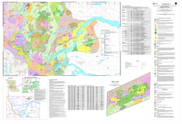 |
This geological compilation covers approximately six, 1:50 000-scale map sheets adjacent to the Coast Belt-Intermontane Belt boundary within the Whitesail Lake map area. The map is based on a compilation of geological mapping conducted by the BC Geological Survey during the Whitesail Project (1987-1990), as well as data available in previously published government reports and university theses. The area is underlain by a diverse assemblage of Late Paleozoic to Cenozoic volcanic, sedimentary and metamorphic rocks, together with numerous plutonic rocks.
The map features a collation of available fossil collections and age determinations. It also contains a mineral occurrence database that demonstrates a strong spatial relationship between Cu-Mo mineralization and hornblende-biotite-bearing intermediate intrusions of the Late Cretaceous and Eocene suites. |
| Issue ID: | GM2006-06 |
| Title: | Geology of the Central Toodoggone River Map Area, North-Central British Columbia (Parts of NTS 94E/2,6,7,10 and 11) |
| Author(s): | Diakow, L.J., Nixon, G.T., Rhodes, R., van Bui, Phu |
| Purpose: | To show the geology of Central Toodoggone River Map Area |
| Series Name: | Geoscience Map |
| Publication Year: | 2006 |
| Scale: | 1:50000 |
| NTS Map Sheet(s): | Parts of NTS 094E/2, 6, 7, 10, 11 |
| Place Keyword(s): | British Columbia, Finlay River, Chukachida Lake, Toodoggone River |
| Lat/Long (NSWE): | 57.67, 57, -127.17, -126.58 |
| Theme Keyword(s): | Geology, Bedrock Geology, Northgate Exploration Ltd, Toodoggone Formation, epithermal precious metal |
Download(s):
| PDF, ZIP (View Zip Contents) |
Abstract:
 |
This geological map is the result of a 1:20 000-scale bedrock mapping program conducted from 2003 to 2005 as part of a partnership between the BC Geological Survey and Stealth Minerals Ltd., Northgate Exploration Ltd., Finlay Minerals Ltd., Bishop Resources Inc., Sable Resources Ltd., the Geological Survey of Canada, and the University of British Columbia.
This map covers approximately 900 km2 of mountainous terrain between the Finlay River and Chukachida Lake, and extends the detailed map coverage at 1:20 000-scale farther to the north beyond published BCGS Geoscience Map 2001-1, centered on the Kemess South Au-Cu porphyry mine. It portrays an updated and revised stratigraphy for the Early Jurassic Toodoggone Formation and comagmatic plutons of the Black Lake intrusive suite. The Toodoggone Formation in the map area is largely composed of a previously unrecognized stratigraphic succession that is subdivided into 4 new units (i.e., Belle, Pillar, Graves and Junkers). These units consist mainly of subaerial basalt to rhyolite volcanic rocks and derived sedimentary rocks that were deposited between 194 Ma and 186 Ma. They overlie the previously defined, pre-194 to 200Ma Toodoggone Formation, and older Late Triassic basement and occur above an erosional unconformity.
Regionally the Toodoggone Formation is noted for numerous epithermal precious metal occurrences and quartz monzonite to monzonite plutons of the Black Lake intrusive suite locally host Au-Cu porphyry mineralization. Copper-magnetite skarns are locally developed within Early Permian limestones of the Asitka Group crosscut by Early Jurassic plutons. |
| Issue ID: | MP-15 |
| Title: | Acid Rock Drainage Technical Guide (1990) Volume II |
| Author(s): | Steffen Robertson, Kirsten (B.C.) Inc., Norecol Environmental Consultants, Gormely Process Engineering |
| Purpose: | issues of acid rock drainage |
| Series Name: | Miscellaneous Publication |
| Publication Year: | 1990 |
| Larger Work Citation: | Mineral Development Agreement Publications |
| Place Keyword(s): | British Columbia |
| Lat/Long (NSWE): | 60, 48, -139, -114 |
| Theme Keyword(s): | acid rock drainage, drainage, mines and mineral resources, waste disposal, sulphides |
Download(s):
| PDF |
Abstract:
 |
This guide is written with the goal of providing the user with an understanding of the process of acid rock drainage and to provide guidance and recommendations in the application of currently available technology. The guide consists of two volumes; Volume I being a more detailed technical guide, and this document which is the Volume II - Summary Guide. |
| Issue ID: | MP-02 |
| Title: | Resource Assessment for Coastal and Western British Columbia and the Development of a Portable Modular Mill Design |
| Author(s): | TRM Engineering Ltd. |
| Purpose: | resource assessments |
| Series Name: | Miscellaneous Publication |
| Publication Year: | 1990 |
| Larger Work Citation: | Mineral Development Agreement Publications |
| Place Keyword(s): | British Columbia, coastal, western |
| Theme Keyword(s): | resource assessment, portable modular mill |
Download(s):
| PDF |
Abstract:
 |
This report was commissioned by the Ministry of Energy, Mines and Petroleum Resources and Trader Resource Corp. In December 1985. The project is based upon the concept of establishing a design for a modular constructed portable concentrating facility. |
| Issue ID: | MP-03 |
| Title: | A Preliminary Evaluation of Heap Leaching, Energex Minerals Toodoggone Project |
| Author(s): | Energex Minerals |
| Purpose: | acid rock leaching research and development |
| Series Name: | Miscellaneous Publication |
| Publication Year: | 1990 |
| Larger Work Citation: | Mineral Development Agreement Publications |
| Place Keyword(s): | British Columbia, Toodoggone |
| Lat/Long (NSWE): | 57.5, 57.4, -127.5, -127 |
| Theme Keyword(s): | heap leaching, leaching |
Download(s):
| PDF |
Abstract:
 |
Energex commissioned Kilborn Engineering (B.C.) Ltd. to investigate the feasibility of heap leaching 30,000 tonnes of precious metal values discovered as a result of intensive exploration programs in the toodoggone area. |
| Issue ID: | MP-04 |
| Title: | Market Study of B.C.�s Gypsum in the Pacific Rim Area of North America |
| Author(s): | Queenstake Resources Ltd. |
| Purpose: | mineral economics investigation |
| Series Name: | Miscellaneous Publication |
| Publication Year: | 1990 |
| Larger Work Citation: | Mineral Development Agreement Publications |
| Place Keyword(s): | British Columbia, North America, Pacific Rim |
| Lat/Long (NSWE): | 71.5, 31, -179, -110 |
| Theme Keyword(s): | gypsum, market study |
Download(s):
| PDF |
Abstract:
 |
Queenstake Resources Ltd. Initiated a study with financial support from the Canada/British Columbia Mineral Development Agreement's participation, on gypsum markets, uses and occurrences with special emphasis on the Pacific northwest area and British Columbia. |
| Issue ID: | MP-05 |
| Title: | A Study of Markets for B.C.�s Nepheline Syenite and Feldspathic Minerals |
| Author(s): | McVey, H. |
| Purpose: | mineral economics investigation |
| Series Name: | Miscellaneous Publication |
| Publication Year: | 1990 |
| Larger Work Citation: | Mineral Development Agreement Publications |
| Place Keyword(s): | British Columbia |
| Lat/Long (NSWE): | 52, 49, -123, -116 |
| Theme Keyword(s): | market study, Feldspathic Minerals, Nepheline Syenite |
Download(s):
| PDF |
Abstract:
 |
This report shows the study to evaluate potential markets for feldspar, nepheline syenite and other feldspathic materials to be produced in British Columbia, Canada. |
| Issue ID: | MP-06 |
| Title: | The Custom Milling of Industrial Minerals in B.C. a Study of Commercial Feasibility |
| Author(s): | BC Trade |
| Purpose: | mineral economics investigation |
| Series Name: | Miscellaneous Publication |
| Publication Year: | 1990 |
| Larger Work Citation: | Mineral Development Agreement Publications |
| Place Keyword(s): | British Columbia |
| Theme Keyword(s): | Industrial Minerals, Custom Milling, Commercial Feasibility |
Abstract:
| This report describes the history and economics of three successful custom processing plants that were visited in Europe. Based on the experiences of these operations, the limitations and potential for custom processing in a British Columbia location are described. Recommendations are also made as to the types of minerals/products that may be economically viable and the markets that are potentially accessible to British Columbia producers. Factors cited that make British Columbia an attractive location for a industrial mineral custom processing facility are: its wealth of industrial minerals, its reputation as a reliable and competent trading partner, and its proximity to Pacific Rim nations. The report suggests that British Columbia could export processed materials in empty container ships returning to industrialized Pacific Rim countries. The possibility of joint ventures with European or American custom processors is also discussed. |
| Issue ID: | MP-07 |
| Title: | British Columbia Dimension Stone Market Study |
| Author(s): | Page, J.W. |
| Purpose: | mineral economics investigation |
| Series Name: | Miscellaneous Publication |
| Publication Year: | 1990 |
| Larger Work Citation: | Mineral Development Agreement Publications |
| Place Keyword(s): | British Columbia |
| Theme Keyword(s): | dimension stone, market study |
Download(s):
| PDF |
Abstract:
 |
This report examines dimension stone markets in British Columbia, Alberta, the Pacific Northwest, California and Japan. It summarizes international trade in dimension stone, discusses physical standards and stone characteristics, and examines market potential for several types of stone, particularly granites, in each of the market areas. |
| Issue ID: | MP-08 |
| Title: | A Study of Mining Shock Hazards |
| Author(s): | Bensted, Simpson & Associates Ltd. |
| Purpose: | mining safety study |
| Series Name: | Miscellaneous Publication |
| Publication Year: | 1990 |
| Larger Work Citation: | Mineral Development Agreement Publications |
| Place Keyword(s): | British Columbia |
| Theme Keyword(s): | mining hazards, shock |
Download(s):
| PDF |
Abstract:
 |
This report describes a program of site visits that were made to five open pit mines in British Columbia, measurements carried out, information gathered and the subsequent analysis of material. |
| Issue ID: | MP-09 |
| Title: | Transportation Cost Study for Industrial Mineral Deposits |
| Author(s): | BC Trade |
| Purpose: | mineral economics investigation |
| Series Name: | Miscellaneous Publication |
| Publication Year: | 1990 |
| Larger Work Citation: | Mineral Development Agreement Publications |
| Place Keyword(s): | British Columbia |
| Theme Keyword(s): | Industrial Minerals, transport cost |
Abstract:
| Frequently the cost of transporting an industrial commodity to market exceeds the cost of mining and processing. Thus, the transportation cost is a critical factor in evaluating the economics of an industrial mineral deposit. This report analyzed the cost of transporting 12 industrial minerals from 19 deposit or production sites in British Columbia to potential markets. |
| Issue ID: | MP-10 |
| Title: | Jade Tile Feasibility Study |
| Author(s): | Waldner, M., Plank, E. |
| Purpose: | mineral economics investigation |
| Series Name: | Miscellaneous Publication |
| Publication Year: | 1986 |
| Larger Work Citation: | Mineral Development Agreement Publications |
| Place Keyword(s): | British Columbia |
| Theme Keyword(s): | jade, tile, feasibility |
Download(s):
| PDF |
Abstract:
 |
This report details the findings of a study conducted to determine the production and capital costs associated with an optimum system for manufacturing tiles and slabs from British Columbia Nephrite Jade. |
| Issue ID: | MP-11 |
| Title: | The North American Barium Chemical Market |
| Author(s): | Productive Consultants Ltd. |
| Purpose: | mineral economics investigation |
| Series Name: | Miscellaneous Publication |
| Publication Year: | 1990 |
| Larger Work Citation: | Mineral Development Agreement Publications |
| Place Keyword(s): | British Columbia, North America |
| Theme Keyword(s): | Barium, Chemical Market |
Download(s):
| PDF |
Abstract:
 |
This report details the study of the North American Barium Chemical Market by Productive Consultants Company of Cleveland, Ohio, U.S.A. |
| Issue ID: | MP-12 |
| Title: | North American West Coast Pigment Markets with Emphasis on Talc Prospects |
| Author(s): | Temanex Incorporated |
| Purpose: | mineral economics investigation |
| Series Name: | Miscellaneous Publication |
| Publication Year: | 1988 |
| Larger Work Citation: | Mineral Development Agreement Publications |
| Place Keyword(s): | British Columbia, North America, west coast |
| Lat/Long (NSWE): | 54, 32, -124, -110 |
| Theme Keyword(s): | talc, pigment markets |
Download(s):
| PDF |
Abstract:
 |
This report analyzes papermaking mineral pigments market trends in western North America with special emphasis on talc potential and current limitations. |
| Issue ID: | MP-13 |
| Title: | International Symposium on Flow Through Rock Drains |
| Author(s): | B.C. Technical and Research Committee on Reclamation |
| Purpose: | research and development |
| Series Name: | Miscellaneous Publication |
| Publication Year: | 1987 |
| Larger Work Citation: | Mineral Development Agreement Publications |
| Place Keyword(s): | British Columbia, international |
| Theme Keyword(s): | flow through rock drains, reclamation |
Download(s):
| PDF |
Abstract:
 |
This report details the International Rock Drain Symposium held in Cranbrook, B.C. September 8-11, 1986. |
| Issue ID: | MP-14 |
| Title: | Acid Rock Drainage Technical Guide (1989) Volume I |
| Author(s): | Steffen Robertson, Kirsten (B.C.) Inc., Norecol Environmental Consultants, Gormely Process Engineering |
| Purpose: | acid rock leaching research and development |
| Series Name: | Miscellaneous Publication |
| Publication Year: | 1989 |
| Larger Work Citation: | Mineral Development Agreement Publications |
| Place Keyword(s): | British Columbia |
| Lat/Long (NSWE): | 60, 48, -139, -114 |
| Theme Keyword(s): | acid rock drainage, leaching, mines and mineral resources, waste disposal, sulphides |
Download(s):
| PDF |
Abstract:
 |
The objectives of this Guide are to provide the user with an understanding of the process of acid rock drainage (ARD) and to provide guidance and recommendations in the application of state-of-the-art technology in prediction, control and monitoring of ARD. The document is intended to be a working reference to government, industry, academicians and the interested public. The Guide consists of two volumes; this document, Volume I, contains detailed technical information while Volume II is a condensed "stand-alone" summary of recommendations for prediction, control and monitoring of ARD. |
| Issue ID: | MP-16 |
| Title: | Iskut Valley Road Option Study |
| Author(s): | Thurber Consultants Ltd. |
| Purpose: | feasibility study |
| Series Name: | Miscellaneous Publication |
| Publication Year: | 1989 |
| Larger Work Citation: | Mineral Development Agreement Publications |
| Place Keyword(s): | British Columbia, Iskut Valley |
| Lat/Long (NSWE): | 56.8, 56.6, -131.8, -131 |
| Theme Keyword(s): | road |
Download(s):
| PDF |
Abstract:
 |
This report presents an assessment of potential road corridors in the Iskut and Craig River valleys between Highway 37 near Bob Quinn Lake and the Alaska-B.C. border and along the Unuk River valley as far as the Sulphurets Creek area. |
| Issue ID: | MP-01 |
| Title: | Mineral Development Agreement (MDA) Canada-British Columbia 1985-1990 Sustainable Mineral Development Brochure |
| Author(s): | MDA Staff |
| Purpose: | The purpose of the MDA was to coordinate the efforts of Canada and British Columbia to strengthen and diversity the province's minerals industry. Funding of $10 million was provided for the agreement, cost shared equally by the federal and provincial governments. The term of the agreement extended from April 1,1985 to March 31,1990. |
| Series Name: | Miscellaneous Publication |
| Publication Year: | 1990 |
| Larger Work Citation: | Mineral Development Agreement Publications |
| NTS Map Sheet(s): | 082;083;092;093;094;102;103;104;114 |
| Place Keyword(s): | British Columbia, Canada |
| Lat/Long (NSWE): | 60, 48, -139, -114 |
| Theme Keyword(s): | mineral development, summary, brochure |
Download(s):
| PDF |
Abstract:
 |
This brochure summarizes the Canada-British Columbia Mineral Development Agreement (MDA), 1985-1990. This agreement was one of several subsidiary agreements developed under the Canada-British Columbia Economic and Regional Development Agreement (ERDA). |
| Issue ID: | MP-23 |
| Title: | Provincial Geologists Journal 1989, Volume 7 |
| Author(s): | Committee of Provincial Geologists |
| Series Name: | Miscellaneous Publication |
| Publication Year: | 1989 |
| Larger Work Citation: | Provincial Geologists Journal |
| NTS Map Sheet(s): | 001 to 117 |
| Place Keyword(s): | British Columbia, Canada, Canadian Provinces, Canadian Territories |
| Lat/Long (NSWE): | 83.2, 41.6, -141, -52.6 |
| Theme Keyword(s): | Provincial Geologists Journal, Geological Survey Expenditures, Geological Programs |
Download(s):
| PDF |
Abstract:
 |
This is the seventh volume of the Provincial Geologist Journal, which is published annually by the Committee of Provincial Geologists. |
| Issue ID: | MP-24 |
| Title: | Provincial Geologists Journal 1990, Volume 8 |
| Author(s): | Committee of Provincial Geologists |
| Series Name: | Miscellaneous Publication |
| Publication Year: | 1990 |
| Larger Work Citation: | Provincial Geologists Journal |
| NTS Map Sheet(s): | 001 to 117 |
| Place Keyword(s): | British Columbia, Canada, Canadian Provinces, Canadian Territories |
| Lat/Long (NSWE): | 83.2, 41.6, -141, -52.6 |
| Theme Keyword(s): | Provincial Geologists Journal, Geological Survey Expenditures, Geological Programs |
Download(s):
| PDF |
Abstract:
 |
This is the eighth volume of the Provincial Geologist Journal, which is published annually by the Committee of Provincial Geologists. |
| Issue ID: | MP-17 |
| Title: | Provincial Geologists Journal 1983, Volume 1 |
| Author(s): | Committee of Provincial Geologists |
| Series Name: | Miscellaneous Publication |
| Publication Year: | 1983 |
| Larger Work Citation: | Provincial Geologists Journal |
| NTS Map Sheet(s): | 001 to 117 |
| Place Keyword(s): | British Columbia, Canada, Canadian Provinces, Canadian Territories |
| Lat/Long (NSWE): | 83.2, 41.6, -141, -52.6 |
| Theme Keyword(s): | Provincial Geologists Journal, Geological Survey Expenditures, Geological Programs |
Download(s):
| PDF |
Abstract:
 |
The Provincial Geologists Journal is published annually by the Committee of Provincial Geologists. This is the first volume of the Provincial Geologists Journal. |
| Issue ID: | MP-19 |
| Title: | Provincial Geologists Journal 1985, Volume 3 |
| Author(s): | Committee of Provincial Geologists |
| Series Name: | Miscellaneous Publication |
| Publication Year: | 1985 |
| Larger Work Citation: | Provincial Geologists Journal |
| NTS Map Sheet(s): | 001 to 117 |
| Place Keyword(s): | British Columbia, Canada, Canadian Provinces, Canadian Territories |
| Lat/Long (NSWE): | 83.2, 41.6, -141, -52.6 |
| Theme Keyword(s): | Provincial Geologists Journal, Geological Survey Expenditures, Geological Programs |
Download(s):
| PDF |
Abstract:
 |
This is the third volume of the Provincial Geologist Journal, which is published annually by the Committee of Provincial Geologists. |
| Issue ID: | MP-20 |
| Title: | Provincial Geologists Journal 1986, Volume 4 |
| Author(s): | Committee of Provincial Geologists |
| Series Name: | Miscellaneous Publication |
| Publication Year: | 1986 |
| Larger Work Citation: | Provincial Geologists Journal |
| NTS Map Sheet(s): | 001 to 117 |
| Place Keyword(s): | British Columbia, Canada, Canadian Provinces, Canadian Territories |
| Lat/Long (NSWE): | 83.2, 41.6, -141, -52.6 |
| Theme Keyword(s): | Provincial Geologists Journal, Geological Survey Expenditures, Geological Programs |
Download(s):
| PDF |
Abstract:
 |
This is the fourth volume of the Provincial Geologist Journal, which is published annually by the Committee of Provincial Geologists. |
| Issue ID: | MP-22 |
| Title: | Provincial Geologists Journal 1988, Volume 6 |
| Author(s): | Committee of Provincial Geologists |
| Series Name: | Miscellaneous Publication |
| Publication Year: | 1988 |
| Larger Work Citation: | Provincial Geologists Journal |
| NTS Map Sheet(s): | 001 to 117 |
| Place Keyword(s): | British Columbia, Canada, Canadian Provinces, Canadian Territories |
| Lat/Long (NSWE): | 83.2, 41.6, -141, -52.6 |
| Theme Keyword(s): | Provincial Geologists Journal, Geological Survey Expenditures, Geological Programs |
Download(s):
| PDF |
Abstract:
 |
This is the sixth volume of the Provincial Geologist Journal, which is published annually by the Committee of Provincial Geologists. |
| Issue ID: | MP-25 |
| Title: | Provincial Geologists Journal 1991, Volume 9 |
| Author(s): | Committee of Provincial Geologists |
| Series Name: | Miscellaneous Publication |
| Publication Year: | 1991 |
| Larger Work Citation: | Provincial Geologists Journal |
| NTS Map Sheet(s): | 001 to 117 |
| Place Keyword(s): | British Columbia, Canada, Canadian Provinces, Canadian Territories |
| Lat/Long (NSWE): | 83.2, 41.6, -141, -52.6 |
| Theme Keyword(s): | Provincial Geologists Journal, Geological Survey Expenditures, Geological Programs |
Download(s):
| PDF |
Abstract:
 |
This is the ninth volume of the Provincial Geologist Journal, which is published annually by the Committee of Provincial Geologists. |
| Issue ID: | MP-26 |
| Title: | Provincial Geologists Journal 1992, Volume 10 |
| Author(s): | Committee of Provincial Geologists |
| Series Name: | Miscellaneous Publication |
| Publication Year: | 1992 |
| Larger Work Citation: | Provincial Geologists Journal |
| NTS Map Sheet(s): | 001 to 117 |
| Place Keyword(s): | British Columbia, Canada, Canadian Provinces, Canadian Territories |
| Lat/Long (NSWE): | 83.2, 41.6, -141, -52.6 |
| Theme Keyword(s): | Provincial Geologists Journal, Geological Survey Expenditures, Geological Programs |
Download(s):
| PDF |
Abstract:
 |
This is the tenth volume of the Provincial Geologist Journal, which is published annually by the Committee of Provincial Geologists. |
| Issue ID: | MP-27 |
| Title: | Provincial Geologists Journal 1993, Volume 11 |
| Author(s): | Committee of Provincial Geologists |
| Series Name: | Miscellaneous Publication |
| Publication Year: | 1993 |
| Larger Work Citation: | Provincial Geologists Journal |
| NTS Map Sheet(s): | 001 to 117 |
| Place Keyword(s): | British Columbia, Canada, Canadian Provinces, Canadian Territories |
| Lat/Long (NSWE): | 83.2, 41.6, -141, -52.6 |
| Theme Keyword(s): | Provincial Geologists Journal, Geological Survey Expenditures, Geological Programs |
Download(s):
| PDF |
Abstract:
 |
This is the eleventh volume of the Provincial Geologist Journal, which is published annually by the Committee of Provincial Geologists. |
| Issue ID: | MP-28 |
| Title: | Provincial Geologists Journal 1994, Volume 12 |
| Author(s): | Committee of Provincial Geologists |
| Series Name: | Miscellaneous Publication |
| Publication Year: | 1994 |
| Larger Work Citation: | Provincial Geologists Journal |
| NTS Map Sheet(s): | 001 to 117 |
| Place Keyword(s): | British Columbia, Canada, Canadian Provinces, Canadian Territories |
| Lat/Long (NSWE): | 83.2, 41.6, -141, -52.6 |
| Theme Keyword(s): | Provincial Geologists Journal, Geological Survey Expenditures, Geological Programs |
Download(s):
| PDF |
Abstract:
 |
This is the twelfth volume of the Provincial Geologist Journal, which is published annually by the Committee of Provincial Geologists. |
| Issue ID: | MP-65 |
| Title: | Provincial Geologists Journal 1995, Volume 13 |
| Author(s): | Committee of Provincial Geologists |
| Series Name: | Miscellaneous Publication |
| Publication Year: | 1995 |
| Larger Work Citation: | Provincial Geologists Journal |
| NTS Map Sheet(s): | 001 to 117 |
| Place Keyword(s): | British Columbia, Canada, Canadian Provinces, Canadian Territories |
| Lat/Long (NSWE): | 83.2, 41.6, -141, -52.6 |
| Theme Keyword(s): | Provincial Geologists Journal, Geological Survey Expenditures, Geological Programs |
Download(s):
| PDF |
Abstract:
 |
This is the thirteenth volume of the Provincial Geologist Journal, which is published annually by the Committee of Provincial Geologists. |
| Issue ID: | MP-66 |
| Title: | Provincial Geologists Journal 1996, Volume 14 |
| Author(s): | Committee of Provincial Geologists |
| Series Name: | Miscellaneous Publication |
| Publication Year: | 1996 |
| Larger Work Citation: | Provincial Geologists Journal |
| NTS Map Sheet(s): | 001 to 117 |
| Place Keyword(s): | British Columbia, Canada, Canadian Provinces, Canadian Territories |
| Lat/Long (NSWE): | 83.2, 41.6, -141, -52.6 |
| Theme Keyword(s): | Provincial Geologists Journal, Geological Survey Expenditures, Geological Programs |
Download(s):
| PDF |
Abstract:
 |
This is the fourteenth volume of the Provincial Geologist Journal, which is published annually by the Committee of Provincial Geologists. |
| Issue ID: | MP-29 |
| Title: | Report 1 - Barite in British Columbia |
| Author(s): | Richmond, A.M. |
| Purpose: | non-metal mineral economics investigation |
| Series Name: | Miscellaneous Publication |
| Publication Year: | 1932 |
| Larger Work Citation: | Non-metallic mineral investigations |
| Place Keyword(s): | British Columbia |
| Lat/Long (NSWE): | 60, 48, -139, -114 |
| Theme Keyword(s): | barite |
Download(s):
| PDF |
Abstract:
 |
This report documents a series on non-metallic investigations by A.M. Richmond. |
| Issue ID: | MP-30 |
| Title: | Report 2 - Asbestos in British Columbia |
| Author(s): | Richmond, A.M. |
| Purpose: | non-metal mineral economics investigation |
| Series Name: | Miscellaneous Publication |
| Publication Year: | 1932 |
| Larger Work Citation: | Non-metallic mineral investigations |
| Place Keyword(s): | British Columbia |
| Lat/Long (NSWE): | 60, 48, -139, -114 |
| Theme Keyword(s): | asbestos |
Download(s):
| PDF |
Abstract:
 |
This report documents a series on non-metallic investigations by A.M. Richmond. |
| Issue ID: | MP-31 |
| Title: | Report 3 - Possibilities of Manufacturing Bottles and Glassware in British Columbia |
| Author(s): | Richmond, A.M. |
| Purpose: | non-metal mineral economics investigation |
| Series Name: | Miscellaneous Publication |
| Publication Year: | 1932 |
| Larger Work Citation: | Non-metallic mineral investigations |
| Place Keyword(s): | British Columbia |
| Lat/Long (NSWE): | 60, 48, -139, -114 |
| Theme Keyword(s): | bottles, glassware, manufacturing |
Download(s):
| PDF |
Abstract:
 |
This report documents a series on non-metallic investigations by A.M. Richmond. |
| Issue ID: | MP-32 |
| Title: | Report 4 - Some Undeveloped Clay Deposits of British Columbia |
| Author(s): | Richmond, A.M. |
| Purpose: | non-metal mineral economics investigation |
| Series Name: | Miscellaneous Publication |
| Publication Year: | 1932 |
| Larger Work Citation: | Non-metallic mineral investigations |
| Place Keyword(s): | British Columbia |
| Lat/Long (NSWE): | 60, 48, -139, -114 |
| Theme Keyword(s): | clay, clay deposits, undeveloped |
Download(s):
| PDF |
Abstract:
 |
This report documents a series on non-metallic investigations by A.M. Richmond. |
| Issue ID: | MP-33 |
| Title: | Report 5 - Magnesite and Hydro-Magnesite in British Columbia |
| Author(s): | Richmond, A.M. |
| Purpose: | non-metal mineral economics investigation |
| Series Name: | Miscellaneous Publication |
| Publication Year: | 1933 |
| Larger Work Citation: | Non-metallic mineral investigations |
| Place Keyword(s): | British Columbia |
| Lat/Long (NSWE): | 60, 48, -139, -114 |
| Theme Keyword(s): | Magnesite, hydro-magnesite |
Download(s):
| PDF |
Abstract:
 |
This report documents a series on non-metallic investigations by A.M. Richmond. |
| Issue ID: | MP-34 |
| Title: | Notes on Placer Mining in British Columbia for the Information of the Individual Miner 1936 |
| Author(s): | Officers of the Department |
| Purpose: | placer information |
| Series Name: | Miscellaneous Publication |
| Publication Year: | 1936 |
| Larger Work Citation: | Other Ministry Publications |
| NTS Map Sheet(s): | 082;083;092;093;094;102;103;104;114 |
| Place Keyword(s): | British Columbia |
| Lat/Long (NSWE): | 60, 48, -139, -114 |
| Theme Keyword(s): | placer mining, gold |
Download(s):
| PDF |
Abstract:
 |
This publication provides an overview of placer mining and placer mining methods in British Columbia. |
| Issue ID: | MP-35 |
| Title: | Notes on Placer Mining in British Columbia for the Information of the Individual Miner 1937 |
| Author(s): | Officers of the Department |
| Purpose: | placer information |
| Series Name: | Miscellaneous Publication |
| Publication Year: | 1937 |
| Larger Work Citation: | Other Ministry Publications |
| NTS Map Sheet(s): | 082;083;092;093;094;102;103;104;114 |
| Place Keyword(s): | British Columbia |
| Lat/Long (NSWE): | 60, 48, -139, -114 |
| Theme Keyword(s): | placer mining, gold |
Download(s):
| PDF |
Abstract:
 |
This 35-page publication provides an overview of placer mining and placer mining methods in British Columbia. |
| Issue ID: | MR1938-01 |
| Title: | Lode-Gold Deposits of the Zeballos Area, West Coast of Vancouver Island, B.C. |
| Author(s): | Stevenson, J.S. |
| Series Name: | Miscellaneous Reports |
| Publication Year: | 1938 |
| Larger Work Citation: | Other Ministry Publications |
| Scale: | 1:54000 |
| NTS Map Sheet(s): | 092L/2; 092E/15 |
| Place Keyword(s): | British Columbia, Zeballos, Vancouver Island |
| Lat/Long (NSWE): | 50.12, 49.95, -126.9, -126.7 |
| Theme Keyword(s): | lode-gold, deposits, gold |
Download(s):
| PDF |
Abstract:
 |
Miscellaneous Report 1938-1 is a 23-page report on the lode-gold deposits of the Zeballos area, Vancouver Island. |
| Issue ID: | MP-36 |
| Title: | Notes on Placer Mining in British Columbia for the Information of the Individual Miner 1943 |
| Author(s): | Officers of the Department |
| Purpose: | placer information |
| Series Name: | Miscellaneous Publication |
| Publication Year: | 1943 |
| Larger Work Citation: | Other Ministry Publications |
| NTS Map Sheet(s): | 082;083;092;093;094;102;103;104;114 |
| Place Keyword(s): | British Columbia |
| Lat/Long (NSWE): | 60, 48, -139, -114 |
| Theme Keyword(s): | placer mining, gold |
Download(s):
| PDF |
Abstract:
 |
This publication provides an overview of placer mining and placer mining methods in British Columbia. |
| Issue ID: | MR1958-01 |
| Title: | Airborne Magnetometer Surveys 1956-57 |
| Author(s): | BC Department of Mines |
| Series Name: | Miscellaneous Reports |
| Publication Year: | 1958 |
| Larger Work Citation: | Other Ministry Publications |
| NTS Map Sheet(s): | 092E,F,L,K |
| Place Keyword(s): | British Columbia, Vancouver Island, Texada Island, Quadra Island, Port Alice |
| Lat/Long (NSWE): | 50.6, 49.5, -127.7, -124.3 |
| Theme Keyword(s): | airborne magnetometer, aeromagnetic survey |
Download(s):
| PDF |
Abstract:
 |
Miscellaneous Report 1958-1 is a 24-page report describing airborne magnetometer surveys made in 1956 and 1957. The report includes 12 aeromagnetic maps and surveys for most of Texada Island, parts of Quadra Island and several areas on Vancouver Island. |
| Issue ID: | MP-37 |
| Title: | Investigation of Beach Sands |
| Author(s): | Holland, S.S., Nasmith, H.W. |
| Series Name: | Miscellaneous Publication |
| Publication Year: | 1958 |
| Larger Work Citation: | Other Ministry Publications |
| Place Keyword(s): | British Columbia |
| Theme Keyword(s): | beach, sand |
Download(s):
| PDF |
Abstract:
 |
This report documents investigations of beach sands at Florencia (Wreck) Bay, Cape Caution, and northeastern Graham Island during the 1957 field season to determine their magnetite content. |
| Issue ID: | MP-39 |
| Title: | Variations in Uranium and Radioactivity Levels in Surface and Ground Water at Selected Sites in B.C. |
| Author(s): | Ministry of Energy, Mines and Petroleum Resources and Ministry of Health |
| Purpose: | investigate surface/ground water radioactivity |
| Series Name: | Miscellaneous Publication |
| Publication Year: | 1981 |
| Larger Work Citation: | Other Ministry Publications |
| Place Keyword(s): | British Columbia |
| Theme Keyword(s): | uranium, radioactivity, water |
Download(s):
| PDF |
Abstract:
 |
This report documents analytical work performed by Chemex Labs Limited of North Vancouver under contract for the Ministry of Energy, Mines and Petroleum Resources and Ministry of Health. |
| Issue ID: | MP-38 |
| Title: | Variations in Uranium and Radioactivity Levels of Potable Surface and Ground Water in the Okanagan and West Kootenay Regions of B.C. |
| Author(s): | Ministry of Energy, Mines and Petroleum Resources and Ministry of Health |
| Purpose: | investigate surface/ground water radioactivity |
| Series Name: | Miscellaneous Publication |
| Publication Year: | 1980 |
| Larger Work Citation: | Other Ministry Publications |
| Scale: | 1:8000000 |
| NTS Map Sheet(s): | 082E,082F,082K,082L,082M; 092O,092P; 103I,103P; 104N,104O,104P |
| Place Keyword(s): | British Columbia, Okanagan, Kootenay, Kelowna, Beaverdell |
| Lat/Long (NSWE): | 50, 49, -120, -116.5 |
| Theme Keyword(s): | uranium, radioactivity, water, surface water, ground water |
Download(s):
| PDF |
Abstract:
 |
This 69-page publication investigate surface/ground water radioactivity in the Okanagan and West Kootenay regions of B.C. Initial information on background uranium concentrations in British Columbia streams was obtained from Uranium Reconnaissance Program geochemical maps produced jointly by the Geological Survey of Canada and the B.C. Ministry of Energy, Mines and Petroleum Resources (1976 and 1977) as part of a joint Federal/Provincial program. This program was extended by the Ministry and covers the 1978 and 1979 survey areas. In several areas the measured total uranium concentrations approached the recommended MAC value. Some of these water systems supplied drinking water to local residences and should be sensitive to environmental changes and thus result in values above the maximum acceptable concentrations. The purpose of this study is to investigate temporal and geographic variations in uranium, gross alpha and beta activity levels in potable surface and ground waters in catchments where-in NGR Program maps indicated enhanced uranium concentrations and around sites of possible uranium mining activity, i.e. Known uranium deposits. Five separate study areas were chosen in the Okanagan and West Kootenay regions of south-central British Columbia. Two of these, Summerland and Nelson areas, include reportedly uranium-enriched streams. Potentially economic uranium mineralization occurs in both the Kelowna-Hydraulic Lake and Beaverdell areas. The Blueberry Creek area was selected for control purposes. |
| Issue ID: | MP-40 |
| Title: | Annual Report of the Engineering and Inspection Branch |
| Author(s): | Ministry of Energy, Mines and Petroleum Resources |
| Purpose: | annual report of inspections |
| Series Name: | Miscellaneous Publication |
| Publication Year: | 1989 |
| Larger Work Citation: | Other Ministry Publications |
| Place Keyword(s): | British Columbia |
| Theme Keyword(s): | engineering, inspection |
Download(s):
| PDF |
Abstract:
 |
This report documents the activities of the Engineering and Inspection Branch of the Ministry of Energy, Mines and Petroleum Resources which has been through several different channels since their inception in 1877. |
| Issue ID: | MP-41 |
| Title: | British Columbia: The Mining Industry |
| Author(s): | Ministry of Energy, Mines and Petroleum Resources |
| Series Name: | Miscellaneous Publication |
| Publication Year: | 1936 |
| Larger Work Citation: | Other Ministry Publications |
| Place Keyword(s): | British Columbia |
| Theme Keyword(s): | mining, industry, mining industry |
Download(s):
| PDF |
Abstract:
 |
This report documents the mining industry in 1936. |
| Issue ID: | MP-42 |
| Title: | Possibilities for the Manufacture of Mineral Wool in British Columbia |
| Author(s): | Cummings, J.M. |
| Series Name: | Miscellaneous Publication |
| Publication Year: | 1937 |
| Larger Work Citation: | Other Ministry Publications |
| Place Keyword(s): | British Columbia |
| Theme Keyword(s): | mineral wool, manufacturing |
Download(s):
| PDF |
Abstract:
 |
This report summarizes other publications on the manufacture of mineral wool in British Columbia and was written with the hope of stimulating interest in the subject of house insulation and to point out the possibilities of manufacturing mineral wool in British Columbia. |
| Issue ID: | MP-44 |
| Title: | A Review of Mining and Mineral Resources in B.C. |
| Author(s): | Sargent, H. |
| Series Name: | Miscellaneous Publication |
| Publication Year: | 1949 |
| Larger Work Citation: | Other Ministry Publications |
| Place Keyword(s): | British Columbia |
| Theme Keyword(s): | mining, mineral, resources |
Download(s):
| PDF |
Abstract:
 |
This report outlines British Columbia Production and Employment Records for Mining with discussion of mineral resources and future possibilities. |
| Issue ID: | MP-45 |
| Title: | Mining in British Columbia: An Outline of the Development of the Industry |
| Author(s): | B.C. Department of Mines |
| Series Name: | Miscellaneous Publication |
| Publication Year: | 1952 |
| Larger Work Citation: | Other Ministry Publications |
| Place Keyword(s): | British Columbia |
| Theme Keyword(s): | mining, development, industry |
Download(s):
| PDF |
Abstract:
 |
This report documents an outline of the development of the mineral industry in British Columbia in 1952. |
| Issue ID: | MP-46 |
| Title: | Mining in British Columbia: An Outline of the Development of the Industry |
| Author(s): | B.C. Department of Mines |
| Series Name: | Miscellaneous Publication |
| Publication Year: | 1954 |
| Larger Work Citation: | Other Ministry Publications |
| Place Keyword(s): | British Columbia |
| Theme Keyword(s): | mining, development, industry |
Download(s):
| PDF |
Abstract:
 |
This report documents an outline of the development of the mineral industry in British Columbia in 1954. |
| Issue ID: | MP-47 |
| Title: | B.C. Mine Rescue Manual |
| Author(s): | Ministry of Energy, Mines and Petroleum Resources, Engineering and Inspection Branch |
| Purpose: | supersedes mine rescue publications: Paper 1977-2 and Paper 1981-4 |
| Series Name: | Miscellaneous Publication |
| Publication Year: | 1989 |
| Larger Work Citation: | Other Ministry Publications |
| Place Keyword(s): | British Columbia |
| Theme Keyword(s): | mine, rescue, manual |
Download(s):
| PDF |
Abstract:
 |
This is a manual designed primarily as a text to be used in the teaching of basic rescue procedures to be used following accidents at surface and underground mining operations. |
| Issue ID: | MP-48 |
| Title: | Eastern Mineral Survey District (No.5) |
| Author(s): | Resident Mining Engineer |
| Series Name: | Miscellaneous Publication |
| Publication Year: | 1924 |
| Larger Work Citation: | Annual Reports of the Resident Mining Engineer |
| Place Keyword(s): | British Columbia, Eastern British Columbia |
| Theme Keyword(s): | mineral survey |
Abstract:
| The Annual Reports of the Resident Mining Engineer are available online in the Ministry Annual Reports. Contained in the publication for Annual Report 1924 (AR1924). |
| Issue ID: | MP-49 |
| Title: | Eastern Mineral Survey District (No.5) |
| Author(s): | Resident Mining Engineer |
| Series Name: | Miscellaneous Publication |
| Publication Year: | 1929 |
| Larger Work Citation: | Annual Reports of the Resident Mining Engineer |
| Place Keyword(s): | British Columbia, Eastern British Columbia |
| Theme Keyword(s): | mineral survey |
Abstract:
| The Annual Reports of the Resident Mining Engineer are available online in the Ministry Annual Reports. Contained in the publication for Annual Report 1929 (AR1929). |
| Issue ID: | MP-50 |
| Title: | Eastern Mineral Survey District (No.5) |
| Author(s): | Resident Mining Engineer |
| Series Name: | Miscellaneous Publication |
| Publication Year: | 1925 |
| Larger Work Citation: | Annual Reports of the Resident Mining Engineer |
| Place Keyword(s): | British Columbia, Eastern British Columbia |
| Theme Keyword(s): | mineral survey |
Abstract:
| The Annual Reports of the Resident Mining Engineer are available online in the Ministry Annual Reports. Contained in the publication for Annual Report 1925 (AR1925). |
| Issue ID: | MP-51 |
| Title: | Western Mineral Survey District (No. 6) |
| Author(s): | Resident Mining Engineer |
| Series Name: | Miscellaneous Publication |
| Publication Year: | 1929 |
| Larger Work Citation: | Annual Reports of the Resident Mining Engineer |
| Place Keyword(s): | British Columbia, Western British Columbia |
| Theme Keyword(s): | mineral survey |
Abstract:
| The Annual Reports of the Resident Mining Engineer are available online in the Ministry Annual Reports. Contained in the publication for Annual Report 1929 (AR1929). |
| Issue ID: | MP-52 |
| Title: | Northwestern Mineral Survey District (No.1) |
| Author(s): | Resident Mining Engineer |
| Series Name: | Miscellaneous Publication |
| Publication Year: | 1930 |
| Larger Work Citation: | Annual Reports of the Resident Mining Engineer |
| NTS Map Sheet(s): | 093; 094; 103; 104; 114 |
| Place Keyword(s): | British Columbia, Northwestern British Columbia |
| Theme Keyword(s): | mineral survey |
Abstract:
| The Annual Reports of the Resident Mining Engineer are available online in the Ministry Annual Reports. Contained in the publication for Annual Report 1930 (AR1930). |
| Issue ID: | MP-53 |
| Title: | Central Mineral Survey District (No.3) |
| Author(s): | Resident Mining Engineer |
| Series Name: | Miscellaneous Publication |
| Publication Year: | 1930 |
| Larger Work Citation: | Annual Reports of the Resident Mining Engineer |
| Place Keyword(s): | British Columbia, Central British Columbia |
| Theme Keyword(s): | mineral survey |
Abstract:
| The Annual Reports of the Resident Mining Engineer are available online in the Ministry Annual Reports. Contained in the publication for Annual Report 1930 (AR1930). |
| Issue ID: | MP-54 |
| Title: | Southern Survey District (No.4) |
| Author(s): | Resident Mining Engineer |
| Series Name: | Miscellaneous Publication |
| Publication Year: | 1930 |
| Larger Work Citation: | Annual Reports of the Resident Mining Engineer |
| Place Keyword(s): | British Columbia, Southern British Columbia |
| Theme Keyword(s): | mineral survey |
Abstract:
| The Annual Reports of the Resident Mining Engineer are available online in the Ministry Annual Reports. Contained in the publication for Annual Report 1930 (AR1930). |
| Issue ID: | MP-55 |
| Title: | Reclamation Permit Requirements |
| Author(s): | Resident Mining Engineer |
| Purpose: | explain requirements of reclamation |
| Series Name: | Miscellaneous Publication |
| Publication Year: | 2011 |
| Larger Work Citation: | Annual Reports of the Resident Mining Engineer |
| Place Keyword(s): | British Columbia |
| Lat/Long (NSWE): | 60, 48, -139, -114 |
| Theme Keyword(s): | reclamation, permits |
| Issue ID: | MP-56 |
| Title: | ARD Guidelines for Mine Sites in B.C. |
| Author(s): | Resident Mining Engineer |
| Purpose: | guidelines for mines |
| Series Name: | Miscellaneous Publication |
| Publication Year: | 1995 |
| Larger Work Citation: | Annual Reports of the Resident Mining Engineer |
| Place Keyword(s): | British Columbia |
| Theme Keyword(s): | ARD, safety, mines |
Download(s):
| PDF |
| Issue ID: | MP-62 |
| Title: | B.C. Mineral Quarterly |
| Author(s): | BCGS Staff (Minerals, Oil and Gas Branch) |
| Purpose: | statistics on production of B.C.�s major mineral commodities |
| Series Name: | Miscellaneous Publication |
| Publication Year: | 1982-1986 |
| Larger Work Citation: | B.C. Mineral Quarterly |
| Place Keyword(s): | British Columbia |
| Theme Keyword(s): | mineral, statistics, commodities |
Abstract:
| The B.C. Mineral Quarterly was published from 1982 through 1986. The publication contains statistics on production of B.C.�s major mineral commodities (including quantities produced and values and prices received), as well as selected significant events, studies, government initiatives and programs and items of general interest on B.C. mining. These types of statistics and information are now published in the Mineral Market Update. |
| Issue ID: | MP-63 |
| Title: | Guide to Mineral Titles in B.C. |
| Author(s): | Ministry of Energy and Mines, Mineral Titles Branch |
| Series Name: | Miscellaneous Publication |
| Publication Year: | 2011 |
| Larger Work Citation: | Guide to Mineral Titles in B.C. |
| Place Keyword(s): | British Columbia |
| Lat/Long (NSWE): | 60, 48, -139, -114 |
| Theme Keyword(s): | mineral titles, guide |
| Issue ID: | MP-64 |
| Title: | BC METAL Historical Metal Production Database 1888-1988 |
| Author(s): | Ministry of Energy and Mines, Mineral Titles Branch |
| Series Name: | Miscellaneous Publication |
| Publication Year: | 1991 |
| Larger Work Citation: | B.C. Mineral Statistics - Annual Summary Tables |
| Place Keyword(s): | British Columbia |
| Lat/Long (NSWE): | 60, 48, -139, -114 |
| Theme Keyword(s): | mineral statistics, Metal Production, Mines |
Download(s):
| PDF, ZIP (View Zip Contents) |
Abstract:
 |
BC METAL is a historical metal production database for British Columbia, containing information for 1452 mines that operated within the province from 1888 to 1988. The database contains production statistics as reported on the Annual Census of Mines. The Microsoft Access database (BCMETAL.MDB) consists of 2 tables: the BCMETAL_ID table, containing mine attributes, including mine id and name, mining division, NTS map, latitude/longitude, descriptor location, historical name changes, MINFILE number, if known, and comments; and the BCMETAL_PROD table, containing metal production data by year. The production table includes amount of ore mined and milled, type of product, comments and amount of gold, silver, copper, lead, zinc, molybdenum, and other (cadmium, iron, mercury, nickel, tin and tungsten) produced. |
| Issue ID: | GF2006-06 |
| Title: | British Columbia Geological Survey Branch symbols V1.7 and V2.0 for Manifold� Geographic Information System |
| Author(s): | Mihalynuk, M.G., Grant, B., Mallory, S.M.S. |
| Series Name: | GeoFile |
| Publication Year: | 2006 |
| NTS Map Sheet(s): | 082;083;092;093;094;102;103;104;114 |
| Place Keyword(s): | British Columbia |
| Lat/Long (NSWE): | 60, 48, -139, -114 |
| Theme Keyword(s): | Geology symbols, Fault symbols, Manifold, XML, Geographic Information System |
Download(s):
| PDF, ZIP (View Zip Contents) |
Abstract:
 |
Custom geological symbols were created for Manifold�, a full-featured, inexpensive, commercial Geographic Information System (GIS). Through the pared-down implementation of Extensible Markup Language (XML), more than 180 symbols and two dozen fill patterns ("area styles" in Manifold), and six custom line types (thrust and normal faults) were created for this publication. Fifteen digital files comprise GeoFile 2006-6. |
| Issue ID: | GF2006-07 |
| Title: | Massive Sulphide Deposits at Myra Falls Operations, Vancouver Island British Columbia Mineral Deposits Division of the Geological Association of Canada Cordilleran Round-Up Field Trip |
| Author(s): | Chong, A., Becherer, M., Sawyer, R., Wasteneys, H., Baldwin, R., Bakker, F., McWilliams, I. |
| Series Name: | GeoFile |
| Publication Year: | 2006 |
| NTS Map Sheet(s): | 092F12 |
| Place Keyword(s): | British Columbia, Myra Falls, Vancouver Island |
| Lat/Long (NSWE): | 49.6, 49.55, -125.65, -125.55 |
| Theme Keyword(s): | Mineral Deposit, Massive Sulphide Deposit, Field Trip Guide, Geology, Metallogeny |
Download(s):
| PDF |
Abstract:
 |
This paper is divided into two parts. The first part is a brief description of the location, infrastructure and general geology. Included in this section is the itinerary and guide for the underground tour. The second part examines selected geological aspects by both academic researchers and company geologists. Studies have focused on characterizing the volcanic stratigraphy, paleotopography, lithogeochemistry, structure, specific individual massive sulphide deposits, metal zoning and exploration strategy. Included in this paper is the rich exploration and mining history at Myra Falls, as well as the summaries of research and observations describing the VHMS deposits at Myra Falls on a property scale. Topics include synvolcanic faults, footwall and hanging wall hydrothermal alteration, orebody geometries, ore reserves, and property scale metal zoning.
The second part delves into selected geological aspects by both academic researchers and company geologists. Studies have focused on characterizing the volcanic stratigraphy, paleotopography, lithogeochemistry, structure, specific individual massive sulphide deposits, metal zoning and exploration strategy. Included in this paper is the rich exploration and mining history at Myra Falls, as well as summaries of research and observations describing the VHMS deposits at Myra Falls on a property scale. Topics include synvolcanic faults, footwall and hanging wall hydrothermal alteration, orebody geometries, ore reserves, and property scale metal zoning. |
| Issue ID: | MAPPLACE-65 |
| Title: | MapPlace2Go Map |
| Author(s): | BC Geological Survey |
| Series Name: | MapPlace |
| Publication Year: | 2006 |
| NTS Map Sheet(s): | 082;083;092;093;094;102;103;104;114 |
| Place Keyword(s): | British Columbia |
| Lat/Long (NSWE): | 60, 48, -139, -114 |
| Theme Keyword(s): | Interactive Mapping, Mining and Exploration, First Nations, Environmental Assessment |
Abstract:
| The MapPlace2Go map is designed for simple use. Themes include Mining, Exploration Projects, Tenure, First Nations and Environmental Assessment Projects. |
| Issue ID: | MAPPLACE-27 |
| Title: | Interior Plateau Aeromagnetics |
| Author(s): | BC Geological Survey |
| Series Name: | MapPlace |
| Publication Year: | 2006 |
| Other Citation Details: | Source data: GSC OF 3448 |
| NTS Map Sheet(s): | 092N,O;093B,C,F,G |
| Place Keyword(s): | British Columbia, Interior Plateau, Williams Lake |
| Lat/Long (NSWE): | 53.3, 50.95, -126.1, -121.9 |
| Theme Keyword(s): | Interactive Mapping, Airborne Geophysical Surveys, magnetic total field, magnetic residual total, MapPlace |
Additional Link(s):
| http://webmap.em.gov.bc.ca/mapplace/minpot/geophysics.asp?projectName=InteriorPlateau
https://doi.org/10.4095/208983
https://doi.org/10.4095/194793 |
Abstract:
| Geophysical data from the Interior Plateau Geoscience Project. |
| Issue ID: | MAPPLACE-54 |
| Title: | Google Earth Data from MapPlace |
| Author(s): | BC Geological Survey |
| Series Name: | MapPlace |
| Publication Year: | 2006 |
| NTS Map Sheet(s): | 082;083;092;093;094;102;103;104;114 |
| Place Keyword(s): | British Columbia |
| Lat/Long (NSWE): | 60, 48, -139, -114 |
| Theme Keyword(s): | Interactive Mapping, Google Earth Data, KML, Geology |
Abstract:
| Links to download BC geoscience data for viewing in Google Earth. |
| Issue ID: | MAPPLACE-55 |
| Title: | ARIS Map Builder |
| Author(s): | BC Geological Survey |
| Series Name: | MapPlace |
| Publication Year: | 2006 |
| NTS Map Sheet(s): | 082;083;092;093;094;102;103;104;114 |
| Place Keyword(s): | British Columbia |
| Lat/Long (NSWE): | 60, 48, -139, -114 |
| Theme Keyword(s): | Interactive Mapping, Property Location, Claim Maps, Mineral Tenure, Assessment Reports |
Additional Link(s):
| https://www2.gov.bc.ca/gov/content/industry/mineral-exploration-mining/british-columbia-geological-survey/assessmentreports/submissionmineral |
Abstract:
| The MapPlace can help fulfill Assessment Report requirements. Enter property name and all associated Tenure ID Numbers (separated by commas) in the form and submit to produce location and claim maps of the property. |
| Issue ID: | MAPPLACE-41 |
| Title: | Hazards Map |
| Author(s): | BC Geological Survey |
| Series Name: | MapPlace |
| Publication Year: | 2006 |
| NTS Map Sheet(s): | 092B |
| Place Keyword(s): | British Columbia, Greater Victoria |
| Lat/Long (NSWE): | 48.56, 48.39, -123.6, -123.25 |
| Theme Keyword(s): | Interactive Mapping, Earthquake Hazards and Quaternary Geology, Relative Amplification, Relative Liquefaction, Seismic Slope Stability |
Additional Link(s):
| http://webmap.em.gov.bc.ca/mapplace/minpot/hazards.htm |
Abstract:
| Map of hazards data for British Columbia including relative earthquake hazards and quaternary geology of Greater Victoria and historical earthquake data. |
| Issue ID: | GF2006-08 |
| Title: | Examining ASTER Imagery with the MapPlace Image Analysis Toolbox - A Tutorial Manual |
| Author(s): | Kilby, W.E., Kilby, C.E. |
| Series Name: | GeoFile |
| Publication Year: | 2006 |
| Other Citation Details: | Geoscience BC Report 2006-3 Contribution #GBC 015 |
| NTS Map Sheet(s): | 082;083;092;093;094;102;103;104;114 |
| Place Keyword(s): | British Columbia |
| Lat/Long (NSWE): | 60, 48, -139, -114 |
| Theme Keyword(s): | ASTER, Remote Sensing, Image Analysis, MapPlace, Tutorial Manual |
Download(s):
| PDF |
Abstract:
 |
Remote sensing images were added to the MapPlace from 2003. The Image Analysis Toolbox (IAT) was created to utilize this data. Making use of such image data is new for many clients of the website. This manual is provided as an introduction to ASTER imagery and to assist users in navigating the toolbox. Portions of this manual are derived from three B.C. Geological Survey papers in Fieldwork: Kilby et al. (2004), Kilby (2005) and Kilby and Kilby (2006), and many other sources noted in the text or under References at the end of the manual. Advanced Spaceborne Thermal Emission and Reflection Radiometer (ASTER) is an imaging instrument flying on the Terra satellite, launched in late 1999. The instrument has 3 subsystems that capture readings from different portions of the electromagnetic spectrum at different resolutions. The three subsystems are referred to as VNIR (Visible and Near Infrared), SWIR (Shortwave Infrared) and TIR (Thermal Infrared). Reflectance values in the SWIR range are particularly useful in differentiating rock and soil mineralogy related to alteration zones. An ASTER image contains 14 bands of information, 4 bands in the VNIR with 15 metre resolution, 6 bands in the SWIR with 30 metre resolution and 5 bands in the TIR with 90 metre resolution. Two of the VNIR bands sample the same wavelength range but one is back-looking providing the ability to generate a stereo view of the scene. A single ASTER scene covers an area of about 60 by 60 kilometres. The ASTER web site http://asterweb.jpl.nasa.gov is an excellent source of information on the instrument, its mission, available imagery, usage examples and analysis tools. The Image Analysis Toolbox project developed and implemented an image analysis capability for the MapPlace and was deliver by Cal Data Ltd. The Toolbox is a framework in which a variety of multi and hyperspectral imagery can be added and processed online by end users. The results of the analysis are georeferenced and can be completely integrated with the information already contained in the MapPlace. The suite of analysis tools in the IAT s added to the Exploration Assistant page of the MapPlace. The appearance and operation of the IT was designed to maintain the general look and feel of the Exploration Assistant. The purpose of the Toolbox is to provide the ability for MapPlace users to experiment with a variety of imagery and analysis procedures in their search for exploration targets. |
| Issue ID: | GF2006-05 |
| Title: | Geology and Mineralization of the Iron Mask Batholith |
| Author(s): | Logan, J.M., Mihalynuk, M.G., Ullrich, T., Friedman, R. |
| Series Name: | GeoFile |
| Publication Year: | 2006 |
| NTS Map Sheet(s): | 082;083;092;093;094;102;103;104;114 |
| Place Keyword(s): | British Columbia |
| Lat/Long (NSWE): | 50.6793, 50.5472, -120.5508, -120.2755 |
| Theme Keyword(s): | Geology symbols, Fault symbols, Manifold, XML, Geographic Information System |
Download(s):
| PDF |
Abstract:
 |
This GeoFile reviews the regional geological setting, tectonics, geochronology, geophysics, mineralization and alteration characteristics of the Iron Mask Batholith. Displayed are vein and porphyry related economic deposits associated with the batholith. It provides some exploration guidelines and conclusions on the characteristic geological features common to the batholith. This poster was created for the KEG 2006 Conference. |
| Issue ID: | IC1985-01 |
| Title: | British Columbia Mineral Exploration Review 1984 |
| Author(s): | MEMPR Staff |
| Series Name: | Information Circular |
| Publication Year: | 1985 |
| NTS Map Sheet(s): | 082;083;092;093;094;102;103;104;114 |
| Place Keyword(s): | British Columbia |
| Lat/Long (NSWE): | 60, 48, -139, -114 |
| Theme Keyword(s): | Mineral Exploration, Annual Review 1984, Mineral Statistics, Mineral and Coal Mines, Industrial Minerals |
Download(s):
| PDF |
Abstract:
 |
This annual publication provides an overview of mineral exploration activities in the Province of British Columbia for 1984. It contains statistical information, tables, illustrations and location maps which summarize significant exploration and development projects in the province. The report documents mineral exploration expenditures, active exploration areas and the companies involved. During 1984 exploration in British Columbia remained at a high level, approaching that of 1983, and continued to be driven by the search for precious metals. Total mineral claims recorded for the year are estimated at 82,454, 23 percent less than the all - time record of 106,683 set in 1983. The number of placer lease applications recorded for the year was 641, a 64 percent drop from the 1983 total of 1,787. However, the number of companies that were active in mineral exploration in the Province, and their expenditures, remained about the same as in 1983, approximately 800 and 50 million respectively, signifying more effort spent on property examination than on land acquisition, in comparison to 1983.
About $110 million was raised by mineral sector companies on the Vancouver Stock Exchange during the year, as compared t o $134 million in 1983, underlining the importance of Vancouver as a major financial centre for mineral exploration.
Although 223 coal license applications were received for the year, more than double the 109 received in 1983, coal exploration expenditures are estimated at no more than $4 million, compared to $9 million for 1983. These monies were spent almost entirely on two projects in the northwest, Klappan and Telkwa, and on exploration in the immediate vicinities of operating mines in the northeast and southeast coalfields.
In both the metal and coal sector most of the activity was concentrated in the northwest part of the Province. Here the search for precious metal-bearing deposits was highlighted by an aggressive major program by REGIONAL RESOURCES on their MIDWAY property. Major coal exploration programs were carried out by CROWSNEST RESOURCES LTD. at TELKWA and by GULF CANADA RESOURCES LTD. at MOUNT KLAPPAN.
Producing mines, particularly base metal mines, continued to fare badly in 1984. Continued depressed metal prices and high production costs caused widespread suffering , ensured the continued closure of those operations that were already shutdown, and caused several new closures. In the northwest, GRANDUC MINE closed permanently in June, while BELL COPPER, ENDAKO and KITSAULT mines remain closed indefinitely. MOSQUITO CREEK GOLD MINE near Wells also remains closed indefinitely. In the south-central part of the Province, BRENDA MINES reopened May 28 to close again indefinitely in October. GOLDSTREAM MINE closed in April and HIGHMONT MINE closed in October.
On a brighter note, DENISON'S QUINTETTE and TECK'S BULLMOOSE mines were officially opened in June, although these two large operations had been shipping coal since December 1983. FORDING COAL'S EAGLE MOUNTAIN operation was officially opened in April. In the Empire Valley area west of the Fraser River, AURUN'S MINE perlite quarry opened at an initial rate of 2 000 tonnes per year. |
| Issue ID: | IC1984-01 |
| Title: | British Columbia Mineral Exploration Review 1983 |
| Author(s): | MEMPR Staff |
| Series Name: | Information Circular |
| Publication Year: | 1984 |
| NTS Map Sheet(s): | 082;083;092;093;094;102;103;104;114 |
| Place Keyword(s): | British Columbia |
| Lat/Long (NSWE): | 60, 48, -139, -114 |
| Theme Keyword(s): | Mineral Exploration, Annual Review 1983, Mineral Statistics, Mineral and Coal Mines, Industrial Minerals |
Download(s):
| PDF |
Abstract:
 |
This annual publication provides an overview of mineral exploration activities in the Province of British Columbia for 1983. It contains statistical information, tables, illustrations and location maps which summarize significant exploration and development projects in the province. The report documents mineral exploration expenditures, active exploration areas and the companies involved. British Columbia�s exploration indicators showed a dramatic improvement in 1983. Total mineral claims staked in 1983 was an all-time record of 106,603 units, an impressive 152 percent increase over 1982. The previous record was 91,703 claims recorded in 1966. The number of placer lease applications in 1983 was 1787, a 24 percent increase over the 1982 total of 1441. However, the 109 coal license applications received was a reduction of 51 percent from 1982, as the worldwide demand for coal weakened further.
Mineral exploration expenditures are estimated at $51 million, a slight decrease from last year�s level of $54 million, but a significant reduction from the 1981 level of $113 million.
Expenditures in coal exploration are estimated at $9 million, a reduction of 50 percent from 1982. However, the number of companies active in British Columbia in 1983 is estimated at 800, up approximately 100 percent from 1982. |
| Issue ID: | IC1986-01 |
| Title: | British Columbia Mineral Exploration Review 1985 |
| Author(s): | MEMPR Staff |
| Series Name: | Information Circular |
| Publication Year: | 1986 |
| NTS Map Sheet(s): | 082;083;092;093;094;102;103;104;114 |
| Place Keyword(s): | British Columbia |
| Lat/Long (NSWE): | 60, 48, -139, -114 |
| Theme Keyword(s): | Mineral Exploration, Annual Review 1985, Mineral Statistics, Mineral and Coal Mines, Industrial Minerals |
Download(s):
| PDF |
Abstract:
 |
This annual publication provides an overview of mineral exploration activities in the Province of British Columbia for 1985. It contains statistical information, tables, illustrations and location maps which summarize significant exploration and development projects in the province. The report documents mineral exploration expenditures, active exploration areas and the companies involved. Mineral exploration in British Columbia continued at a healthy pace during 1985, due to a sustained interest in precious metals. The total number of claims recorded by years' end is estimated to be 59,000, as compared to 81,729 recorded during 1984. Placer leases are estimated to reach a total of 705, as compared to 641 for 1984.
Coal license applications are estimated at 175, as compared to 227 for 1984. Exploration expenditures are expected to reach $66.4 million in hard rock and $12.8 million in coal for a total of $79.2 million. Respective figures for 1984 are 71.2, 11.7 and 82.9 million. Major programs were carried out at the Toodoggone Camp, Muddy Lake, Windy Craggy-Mt . Henry Clay, Midway, Stewart, Cassiar, Mt. Klappan, Bralorne, Hedley, and Aylwin Creek (Willa).
Although a number of major mines continued to remain closed indefinitely, the year saw some welcome developments. BELL COPPER reopened September 24th and MOSQUITO CREEK GOLD MINE reopened in July. On Vancouver Island, Westmin Resources in September commissioned their new H.W. MINE and mill at a cost of $250 million . BLACKDOME GOLD MINE is in an advanced stage of construction, and production is expected by mid-1986 at 180 tonnes per day. |
| Issue ID: | IC1987-01 |
| Title: | British Columbia Mineral Exploration Review 1986 |
| Author(s): | MEMPR Staff |
| Series Name: | Information Circular |
| Publication Year: | 1987 |
| NTS Map Sheet(s): | 082;083;092;093;094;102;103;104;114 |
| Place Keyword(s): | British Columbia |
| Lat/Long (NSWE): | 60, 48, -139, -114 |
| Theme Keyword(s): | Mineral Exploration, Annual Review 1986, Mineral Statistics, Mineral and Coal Mines, Industrial Minerals |
Download(s):
| PDF |
Abstract:
 |
This annual publication provides an overview of mineral exploration activities in the Province of British Columbia for 1986. It contains statistical information, tables, illustrations and location maps which summarize significant exploration and development projects in the province. The report documents mineral exploration expenditures, active exploration areas and the companies involved. |
| Issue ID: | IC1988-01 |
| Title: | British Columbia Mineral Exploration Review 1987 |
| Author(s): | MEMPR Staff |
| Series Name: | Information Circular |
| Publication Year: | 1988 |
| NTS Map Sheet(s): | 082;083;092;093;094;102;103;104;114 |
| Place Keyword(s): | British Columbia |
| Lat/Long (NSWE): | 60, 48, -139, -114 |
| Theme Keyword(s): | Mineral Exploration, Annual Review 1987, Mineral Statistics, Mineral and Coal Mines, Industrial Minerals |
Download(s):
| PDF |
Abstract:
 |
This annual publication provides an overview of mineral exploration activities in the Province of British Columbia for 1987. It contains statistical information, tables, illustrations and location maps which summarize significant exploration and development projects in the province. The report documents mineral exploration expenditures, active exploration areas and the companies involved. Mineral exploration continued at a very strong pace in 1988, with the main focus remaining on gold and silver. An all-time record of $192 million in mineral exploration expenditures was registered in 1987, and 1988 is expected to reach $150 million. The number of claims staked in 1988 was 73 870, down by 24 387 from the 98 257 claims recorded in 1987. This represents a 25 per cent decrease in staking activity from the previous year, a reasonable figure assuming many companies have commenced advanced exploration programs after completing a ground acquisition phase in the earlier stages of the precious metals boom.
Capital investment in new mines, that have either opened in 1988 or are expected to open in 1989, is in excess of $315 million and represents the creation of 1100 new jobs required for the operation of these projects.
Total value of mineral production for 1987 is estimated at $3.4 billion, up marginally from $3.2 billion in 1986. Coal and copper continued to register the highest total values at about $855 million each. In 1987 gold was firmly in second place in the metal sector with the production of 369 775 ounces, or 11.48 tonnes valued at $227 million. Gold production figures for the first half of 1988 are up 38 per cent from the same period in 1987. |
| Issue ID: | IC1989-01 |
| Title: | British Columbia Mineral Exploration Review 1988 |
| Author(s): | MEMPR Staff |
| Series Name: | Information Circular |
| Publication Year: | 1989 |
| NTS Map Sheet(s): | 082;083;092;093;094;102;103;104;114 |
| Place Keyword(s): | British Columbia |
| Lat/Long (NSWE): | 60, 48, -139, -114 |
| Theme Keyword(s): | Mineral Exploration, Annual Review 1988, Mineral Statistics, Mineral and Coal Mines, Industrial Minerals |
Download(s):
| PDF |
Abstract:
 |
This annual publication provides an overview of mineral exploration activities in the Province of British Columbia for 1988. It contains statistical information, tables, illustrations and location maps which summarize significant exploration and development projects in the province. The report documents mineral exploration expenditures, active exploration areas and the companies involved. 1989 was a year of exciting new discoveries in British Columbia, and also a year of change for mineral exploration. Junior companies maintained a prominent role on the provincial stage, with exciting new precious metal discoveries such as Eskay Creek and continuing encouraging results from Mount Milligan and Windy Craggy. The year also saw a resurgence of exploration for base metals and the return of the major companies as the biggest spenders, prompted by stronger base metal prices, particularly for copper and zinc.
After reaching record levels of $192 million in 1987 and $206 million in 1988, exploration expenditures are expected to total $135-140 million in 1989, a drop of 30 to 35 per cent from the previous year. This anticipated decrease is due to softening gold and silver prices through much of the year and the virtual demise of flow-through financing. Drastically reduced programs by junior companies are expected to total $55-60 million, versus the $143 million spent in 1988. This drop will be only partially offset by an increase in expenditures by major companies which are expected to reach $80 million versus the $63 million spent in 1988.
In contrast, mineral claim staking increased appreciably over 1988 and 1987 levels. Approximately 98,000 units are expected to have been recorded by the end of the year, compared to 87 285 in 1988, an increase of 12 per cent. What little ground that was still open in the Iskut - Unuk River area was gobbled up after the Eskay Creek news releases in August, and a staking rush ensued on Vancouver Island after the Regional Geochemical Survey release on June 20. The busiest mining divisions are Liard, Omineca and Skeena, all good hunting grounds for base and precious metals.
Total value of mineral production for 1989 is estimated at $4.0 billion, compared to $3.84 billion estimated for 1988. In 1988 copper continued to register the highest total value in the metal sector at an estimated $970 million. Gold was in second place with an estimated production of 13.2 million grams valued at $238 million. Gold production for 1989 is expected to reach 14.3 million grams valued at $220 million. |
| Issue ID: | IC2006-01 |
| Title: | British Columbia Mines and Mineral Exploration Overview 2005 |
| Author(s): | MEMPR staff |
| Purpose: | To provide an overview of the mineral exploration activities within British Columbia within the year 2004 |
| Series Name: | Information Circular |
| Publication Year: | 2006 |
| Scale: | 1:10000000 |
| NTS Map Sheet(s): | 082;083;092;093;094;102;103;104;114 |
| Place Keyword(s): | British Columbia |
| Lat/Long (NSWE): | 60, 48, -139, -114 |
| Theme Keyword(s): | Mineral Exploration, Annual Review 2005, Mineral Statistics, Mineral and Coal Mines, Industrial Minerals |
Download(s):
| PDF |
Abstract:
 |
This annual publication provides an overview of mineral exploration and development activities in the Province of British Columbia for 2005. Ministry geologists using information provided by government, companies and individuals in the British Columbia mining industry compile the publication. It contains detailed statistical tables and illustrations, in addition to location maps and tables summarizing significant mining, exploration and development projects in the province during 2005. A total of $220 million is estimated to have been spent mineral exploration during 2005 and this publication provides information on the major areas of interest. |
| Issue ID: | IC1996-01 |
| Title: | British Columbia Mineral Exploration Review 1995 |
| Author(s): | MEMPR staff |
| Series Name: | Information Circular |
| Publication Year: | 1996 |
| NTS Map Sheet(s): | 082;083;092;093;094;102;103;104;114 |
| Place Keyword(s): | British Columbia |
| Lat/Long (NSWE): | 60, 48, -139, -114 |
| Theme Keyword(s): | Mineral Exploration, Annual Review 1995, Mineral Statistics, Mineral and Coal Mines, Industrial Minerals |
Download(s):
| PDF |
Abstract:
 |
This annual publication provides an overview of mineral exploration and development activities in the Province of British Columbia for 1995. Ministry geologists using information provided by government, companies and individuals in the British Columbia mining industry compile the publication. It contains detailed statistical tables and illustrations, in addition to location maps and tables summarizing significant mining, exploration and development projects in the province during 1995. A total of $88 million is estimated to have been spent on mineral exploration during 1995 and this publication provides information on the major areas of interest. |
| Issue ID: | IC1995-01 |
| Title: | British Columbia Mineral Exploration Review 1994 |
| Author(s): | MEMPR staff |
| Series Name: | Information Circular |
| Publication Year: | 1995 |
| NTS Map Sheet(s): | 082;083;092;093;094;102;103;104;114 |
| Place Keyword(s): | British Columbia |
| Lat/Long (NSWE): | 60, 48, -139, -114 |
| Theme Keyword(s): | Mineral Exploration, Annual Review 1994, Mineral Statistics, Mineral and Coal Mines, Industrial Minerals |
Download(s):
| PDF |
Abstract:
 |
This annual publication provides an overview of mineral exploration and development activities in the Province of British Columbia for 1994. Ministry geologists using information provided by government, companies and individuals in the British Columbia mining industry compile the publication. It contains detailed statistical tables and illustrations, in addition to location maps and tables summarizing significant mining, exploration and development projects in the province during 1994. A total of $100 million is estimated to have been spent on mineral exploration during 1994 and this publication provides information on the major areas of interest. |
| Issue ID: | IC1994-01 |
| Title: | British Columbia Mineral Exploration Review 1993 |
| Author(s): | MEMPR staff |
| Series Name: | Information Circular |
| Publication Year: | 1994 |
| NTS Map Sheet(s): | 082;083;092;093;094;102;103;104;114 |
| Place Keyword(s): | British Columbia |
| Lat/Long (NSWE): | 60, 48, -139, -114 |
| Theme Keyword(s): | Mineral Exploration, Annual Review 1993, Mineral Statistics, Mineral and Coal Mines, Industrial Minerals |
Download(s):
| PDF |
Abstract:
 |
This annual publication provides an overview of mineral exploration and development activities in the Province of British Columbia for 1993. Ministry geologists using information provided by government, companies and individuals in the British Columbia mining industry compile the publication. It contains detailed statistical tables and illustrations, in addition to location maps and tables summarizing significant mining, exploration and development projects in the province during 1993. A total of $45 to $50 million is estimated to have been spent on mineral exploration during 1993 and this publication provides information on the major areas of interest. |
| Issue ID: | IC1993-01 |
| Title: | British Columbia Mineral Exploration Review 1992 |
| Author(s): | MEMPR staff |
| Series Name: | Information Circular |
| Publication Year: | 1993 |
| NTS Map Sheet(s): | 082;083;092;093;094;102;103;104;114 |
| Place Keyword(s): | British Columbia |
| Lat/Long (NSWE): | 60, 48, -139, -114 |
| Theme Keyword(s): | Mineral Exploration, Annual Review 1992, Mineral Statistics, Mineral and Coal Mines, Industrial Minerals |
Download(s):
| PDF |
Abstract:
 |
This annual publication provides an overview of mineral exploration and development activities in the Province of British Columbia for 1992. Ministry geologists using information provided by government, companies and individuals in the British Columbia mining industry compile the publication. It contains detailed statistical tables and illustrations, in addition to location maps and tables summarizing significant mining, exploration and development projects in the province during 1992. A total of $50 to $60 million is estimated to have been spent on mineral exploration during 1992 and this publication provides information on the major areas of interest. |
| Issue ID: | IC1992-01 |
| Title: | British Columbia Mineral Exploration Review 1991 |
| Author(s): | MEM |
| Series Name: | Information Circular |
| Publication Year: | 1992 |
| NTS Map Sheet(s): | 082;083;092;093;094;102;103;104;114 |
| Place Keyword(s): | British Columbia |
| Lat/Long (NSWE): | 60, 48, -139, -114 |
| Theme Keyword(s): | Mineral Exploration, Annual Review 1991, Mineral Statistics, Mineral and Coal Mines, Industrial Minerals |
Download(s):
| PDF |
Abstract:
 |
This annual publication provides an overview of mineral exploration and development activities in the Province of British Columbia for 1991. Ministry geologists using information provided by government, companies and individuals in the British Columbia mining industry compile the publication. It contains detailed statistical tables and illustrations, in addition to location maps and tables summarizing significant mining, exploration and development projects in the province during 1991. A total of $80 million is estimated to have been spent on mineral exploration during 1991 and this publication provides information on the major areas of interest. |
| Issue ID: | IC1991-01 |
| Title: | British Columbia Mineral Exploration Review 1990 |
| Author(s): | MEMPR staff |
| Series Name: | Information Circular |
| Publication Year: | 1991 |
| NTS Map Sheet(s): | 082;083;092;093;094;102;103;104;114 |
| Place Keyword(s): | British Columbia |
| Lat/Long (NSWE): | 60, 48, -139, -114 |
| Theme Keyword(s): | Mineral Exploration, Annual Review 1990, Mineral Statistics, Mineral and Coal Mines, Industrial Minerals |
Download(s):
| PDF |
Abstract:
 |
This annual publication provides an overview of mineral exploration and development activities in the Province of British Columbia for 1990. Ministry geologists using information provided by government, companies and individuals in the British Columbia mining industry compile the publication. It contains detailed statistical tables and illustrations, in addition to location maps and tables summarizing significant mining, exploration and development projects in the province during 1990. A total of $143 million is estimated to have been spent on mineral exploration during 1990 and this publication provides information on the major areas of interest. |
| Issue ID: | GF2006-09 |
| Title: | Re-Analysis of Regional Geochemical Stream Sediment Samples from the McLeod Lake Area (NTS Map Sheet 93J) |
| Author(s): | Lett, R.E., Bluemel, B. |
| Series Name: | GeoFile |
| Publication Year: | 2006 |
| Scale: | 1:800000 |
| NTS Map Sheet(s): | 093J |
| Place Keyword(s): | British Columbia, McLeod lake |
| Lat/Long (NSWE): | 55, 54, -124, -122 |
| Theme Keyword(s): | Regional Geochemistry, Stream Sediment |
Download(s):
| PDF, ZIP (View Zip Contents) |
Abstract:
 |
GeoFile 2006-9 reports new gold and trace metal data from the re-analysis of archived regional geochemical survey samples from the McLeod Lake (NTS 93J, RGS15) map sheet. This digital release consists of reports and appendices in PDF format, plus ZIP files with raw data files in XLS and DBF formats. Past exploration in the McLeod Lake area has been hampered by a thick glacial sediment blanket. There are 25 reported mineral occurrences of which include 6 gold and 2 copper showings. Part of the map sheet is underlain by Triassic Takla Group rocks that can host significant porphyry gold-copper deposits, such as at Mount Milligan immediately west of the area. In 1985 a regional geochemical survey produced trace element data from the analysis of 1152 stream sediment and 940 water samples taken from 1088 sites over 14 500 km2. The sediment samples were originally analyzed for 19 trace elements including copper, lead, zinc and others. The samples were re-analyzed this year for 37 elements including gold by aqua regia digestion- inductively coupled plasma mass spectrometry. Up to 147 ppb gold in sediment was detected from an area underlain by Takla rocks.
Past exploration in the McLeod Lake area has been hampered by a thick glacial sediment blanket. There are 25 reported mineral occurrences of which include 6 gold and 2 copper showings. Part of the map sheet is underlain by Triassic Takla Group rocks that can host significant porphyry gold-copper deposits, such as at Mount Milligan immediately west of the area. In 1985 a regional geochemical survey produced trace element data from the analysis of 1152 stream sediment and 940 water samples taken from 1088 sites over 14 500 km2. The sediment samples were originally analyzed for 19 trace elements including copper, lead, zinc, uranium, fluorine, barium, tin and tungsten. They were also analysed for loss on ignition (LOI). The samples were re-analyzed this year for 37 elements including gold by aqua regia digestion - inductively coupled plasma mass spectrometry (ICP/MS). Up to 147 ppb gold in sediment was detected from an area underlain by Takla rocks. |
| Issue ID: | GF2006-10 |
| Title: | Compilation of Regional Geochemical Survey Data from the Bella Coola Area, B.C. (NTS Map Sheets 93D, C and E) |
| Author(s): | Lett, R.E., Bluemel, B. |
| Series Name: | GeoFile |
| Publication Year: | 2006 |
| Scale: | 1:800000 |
| NTS Map Sheet(s): | 093C, 093D, 093E, 103A |
| Place Keyword(s): | British Columbia, Bella Coola, Whitesail Lake, Anahim Lake |
| Lat/Long (NSWE): | 53, 52, -128, -126 |
| Theme Keyword(s): | Regional Geochemistry, Stream Sediment, Stream Water |
Download(s):
| PDF, ZIP (View Zip Contents) |
Abstract:
 |
GeoFile 2006-10 presents analytical data compiled from previous regional geochemical surveys in the Bella Coola (NTS 93D), Whitesail Lake (93E) and Anahim Lake (93C) map sheets. This digital release consists of reports and maps in PDF format, plus ZIP files with raw data files in XLS and DBF formats. The GeoFile data product comprises analyses of 790 samples for 17 trace elements, loss on ignition (LOI) and stream water pH extracted from BC Regional Geochemical Survey reports RGS56 and RGS16. This data was combined into a single file for convenience. Elements selected were determined by similar analytical methods in the two surveys. Element variations across the area are shown as symbol maps. The Bella Coola-Whitesail Lake area is underlain by Mesozoic Hazelton Group, Coast Complex plutonic rocks and Cretaceous-Tertiary intrusive rock and has the potential for volcanogenic massive sulphide (VMS) mineralization, precious metal vein and Cu-Mo porphyry deposits. A compilation of geosciences information for the Bella Coola area will be published by the Geological Survey of Canada, in cooperation with the BC Geological Survey. |
| Issue ID: | GF2006-11 |
| Title: | Regional Drainage Sediment and Water Geochemical Survey Data, Anahim Lake - Nechako River, Central British Columbia (NTS Map Sheets 93C and 93F) |
| Author(s): | Jackaman, W. |
| Series Name: | GeoFile |
| Publication Year: | 2006 |
| Other Citation Details: | Geoscience BC Report 2006-4 Contribution #GBC 016 |
| NTS Map Sheet(s): | 093C, 093F |
| Place Keyword(s): | British Columbia, Anahim Lake, Nechako River |
| Lat/Long (NSWE): | 54, 52, -126, -124 |
| Theme Keyword(s): | Regional Geochemistry, Stream Sediment, Lake Water, Lake Sediment |
Download(s):
| PDF, ZIP (View Zip Contents) |
Abstract:
 |
GeoFile 2006-11 (Geoscience BC Report 2006-4) reports new regional geochemical drainage sediment � water survey data from the Anahim Lake (NTS 93C) and Nechako River (93F) map sheets. This digital release consists of a survey summary, data listings, statistics and maps in PDF format, plus ZIP files with raw data files in XLS and DBF formats and base data in GIS importable shape files. There are over 60 base and precious metal occurrences in the Anahim Lake- Nechako River map sheets including several such as the 3T's and Clisbako, which have extensive exploration history. However, exploration for new deposits has been hampered by widespread glacial sediment and Miocene lava cover. During 2005 a total of 2070 drainage sediment and water samples were collected from 1957 sites covering 19 500 square kilometres.
There are over 60 base and precious metal occurrences in the Anahim Lake - Nechako River map sheets including several such as the 3T�s and Clisbako, which have extensive exploration history. However, exploration for new deposits has been hampered by widespread glacial sediment and Miocene lava cover. During 2005 a total of 2070 drainage sediment and water samples were collected from 1957 sites covering 19 500 square kilometres. Most of the samples were taken from lakes and analysed for trace and minor elements by instrumental neutron activation and by aqua regia digestion - inductively coupled plasma mass spectrometry (ICP/MS), for loss on ignition (LOI) and for fluorine. Water samples were analysed for pH, conductivity and fluoride. Survey data has been combined with the results of two previous lake sediment and water geochemical surveys completed near the Fawnie Range and around Ootsa Lake. Gold values up to 694 ppb and copper up to 1536 ppm have been detected in sediment samples. The 2005 surveys were fully funded by Geoscience BC (Contribution Number GBC016). |
| Issue ID: | GF2006-12 |
| Title: | Regional Stream Sediment and Water Geochemical Data - Golden, Brazeau Lake, Canoe River and Mount Robson, Southeastern British Columbia,�(NTS 82N, 83C, 83D, and 83E) |
| Author(s): | Nass, C.O. |
| Series Name: | GeoFile |
| Publication Year: | 2006 |
| Other Citation Details: | Geoscience BC Report 2006-5 Contribution #GBC 018 |
| Scale: | 1:3000000 |
| NTS Map Sheet(s): | 083C, 083D, 083E, 082N |
| Place Keyword(s): | British Columbia, Golden, Brazeau River, Canoe River, Mount Robson |
| Lat/Long (NSWE): | 54, 51, -120, -116 |
| Theme Keyword(s): | Regional Geochemistry, Stream Sediment, Stream Water |
Download(s):
| PDF, ZIP (View Zip Contents) |
Abstract:
 |
GeoFile 2006-12 (Geoscience BC Report 2006-5) reports results of regional geochemical drainage sediment � water surveys in the Golden (NTS 82N), Brazeau River (83C), Canoe River (83D) and Mount Robson (83E) map sheets. This digital release consists of a survey summary, data listings, statistics and maps in PDF format, plus a ZIP file with raw data files in XLS and DBF formats. Most of the known base and precious metal occurrences are in the Golden map sheet although much of the remaining survey area has a higher potential for metallic and industrial mineral deposits. During 2005 stream sediment and water samples were collected from 1409 sites covering 21 569 square kilometres in southeastern BC.
Most of the known base and precious metal occurrences are in the Golden map sheet although much of the remaining survey area has a higher potential for metallic and industrial mineral deposits. During 2005 stream sediment and water samples were collected from 1409 sites covering 21 560 square kilometres in southeastern BC. The samples were analysed for trace and minor elements by instrumental neutron activation and by aqua regia digestion - inductively coupled plasma mass spectrometry (ICP/MS), for loss on ignition (LOI) and for fluorine. Water samples were analysed for pH, conductivity and fluoride. Gold values up to 357 ppb and silver up to 1747 ppb were detected in sediment samples from the surveys. The 2005 surveys were fully funded by Geoscience BC (Contribution Number GBC018). |
| Issue ID: | OF2006-14 |
| Title: | Communities Benefiting from British Columbia Coal Exploration in 2005 |
| Author(s): | Schroeter, T.G., Chou, J., Man, E. |
| Purpose: | To show community benefits related to coal exploration. |
| Series Name: | Open File |
| Publication Year: | 2006 |
| Scale: | 1:1000000 |
| NTS Map Sheet(s): | 082;083;092;093;094;102;103;104;114 |
| Place Keyword(s): | British Columbia |
| Lat/Long (NSWE): | 60, 48, -139, -114 |
| Theme Keyword(s): | communities, coal exploration, mines |
Download(s):
| PDF |
Abstract:
 |
This map shows community benefits related to coal exploration activity in BC in 2005. |
| Issue ID: | OF2006-13 |
| Title: | Peace River Coalfield (NTS 93P,I,O & 94B) |
| Author(s): | Legun, A.S. |
| Purpose: | To show geology, petroleum wells and coal boreholes on the Peace River Coalfield. |
| Series Name: | Open File |
| Publication Year: | 2006 |
| Scale: | 1:500000 |
| NTS Map Sheet(s): | 093P, I, O; 094B |
| Place Keyword(s): | British Columbia, Peace River |
| Lat/Long (NSWE): | 56.5, 54, -123, -120 |
| Theme Keyword(s): | Coalfields, Geology, Petroleum wells, Coal boreholes, Manifold GIS |
Download(s):
| PDF, ZIP (View Zip Contents) |
Abstract:
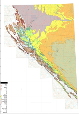 |
Open File 2006-13 presents GIS files of Peace River coalfield geology in Manifold software �map� (.map) format. The components include maps, databases, isopach plots, orthophotos, and a composite shaded relief image. The files cover the coal district south of latitude 56 30' and the area east of the coalfield extending to the Alberta border. These files update data presented in Geoscience Map 2003-2. The updates include: 1. Minor corrections to geologic contact linework. The linework has been closed and geologic polygons created under Manifold software. These are exportable into other formats such as Map Info �mif� or ESRI �shp�. 2. A current database of wells within the map area (adapted from B.C. Oil and Gas Commission download files). 4. A formation top database for wells within the map area (adapted from B.C. Oil and Gas Commission download files). Formation tops have been picked and tabulated by individual well geologists over the years. The database is suitable for a quick view of depths to an interval of interest. It should be supplemented by databases specific to each formation (for example Leckie, Hayes and Staniland 1995).
Downloads include the Manifold MAP file, geology shape file, maps in PDF format, well tables in MS Access and CSV format, and shaded relief image in ECW format. |
| Issue ID: | IC2004-05 |
| Title: | Gold in British Columbia |
| Author(s): | Schroeter, T.G., Pardy, J.W. |
| Series Name: | Information Circular |
| Publication Year: | 2004 |
| NTS Map Sheet(s): | 082;083;092;093;094;102;103;104;114 |
| Place Keyword(s): | British Columbia |
| Lat/Long (NSWE): | 60, 48, -139, -114 |
| Theme Keyword(s): | gold deposits, gold prospects, placer, lode gold |
Download(s):
| PDF |
Abstract:
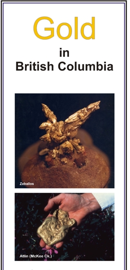 |
This brochure briefly describes gold deposits in British Columbia, highlighting the Eskay Creek and Kemess South deposits. It has a location map of selected gold deposits, by deposit type, and a table of the top 25 lode gold producers.
The MINFILE database lists nearly 1000 individual lode and 95 placer deposits in the province. Total lode gold (1890-2003) and placer gold (1858-2003) production amounts to 30 million ounces and 5.6 million ounces, respectively. The top 25 past and current producers including the Bridge River, Rossland, Hedley, Premier, Greenwood and Cariboo-Barkerville camps and the Eskay Creek, Island Copper, Snip and Kemess South mines, which have each produced in excess of one million ounces, account for 90% of total production
Total in-ground gold resources currently stand at 80 million ounces. Resources listed from 264 deposits, categorized as a percentage by deposit type, are: 74% porphyries; 18% veins; 7% massive sulphides and 1% skarns. Twenty-one deposits each contain in excess of 1 million ounces of gold. |
| Issue ID: | IC2006-02 |
| Title: | Gold in British Columbia |
| Author(s): | Schroeter, T.G., Chou, J. |
| Series Name: | Information Circular |
| Publication Year: | 2006 |
| NTS Map Sheet(s): | 082;083;092;093;094;102;103;104;114 |
| Place Keyword(s): | British Columbia |
| Lat/Long (NSWE): | 60, 48, -139, -114 |
| Theme Keyword(s): | gold deposits, gold prospects, placer, lode gold |
Download(s):
| PDF |
Abstract:
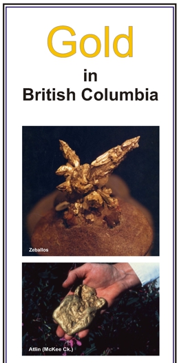 |
This brochure briefly describes gold deposits in British Columbia, highlighting the Eskay Creek and Kemess South deposits. It has a location map of selected gold deposits, by deposit type, and a table of the top 25 lode gold producers.
The MINFILE database lists nearly 1000 individual lode and 95 placer deposits in the province. Total lode gold (1890-2004) and placer gold (1858-2004) production amounts to approximately 30.7 million ounces and 5.6 million ounces, respectively. The top 25 past and current producers including the Bridge River, Rossland, Hedley, Premier, Greenwood and Cariboo-Barkerville camps and the Eskay Creek, Island Copper, Snip and Kemess South mines, which have each produced in excess of one million ounces, account for 90% of total production
Total in-ground gold resources currently stand at 80 million ounces. Resources listed from 264 deposits, categorized as a percentage by deposit type, are: 74% porphyries; 18% veins; 7% massive sulphides and 1% skarns. Twenty-one deposits each contain in excess of 1 million ounces of gold. |
| Issue ID: | IC2006-04 |
| Title: | Zinc in British Columbia |
| Author(s): | Schroeter, T.G., Chou, J., Pardy, J.W. |
| Series Name: | Information Circular |
| Publication Year: | 2006 |
| Scale: | 1:7000000 |
| NTS Map Sheet(s): | 082;083;092;093;094;102;103;104;114 |
| Place Keyword(s): | British Columbia |
| Lat/Long (NSWE): | 60, 48, -139, -114 |
| Theme Keyword(s): | zinc deposits, zinc producers, zinc resources |
Download(s):
| PDF |
Abstract:
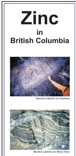 |
This brochure briefly describes zinc deposits in British Columbia, highlighting the Sullivan and Cirque deposits. It has a location map of selected zinc deposits, by deposit type, and a table of selected zinc producers and those with resources. The British Columbia Ministry of Energy, Mines and Petroleum Resources' MINFILE database lists 3814 zinc-bearing occurrences in the province. Those with mineral inventories are listed as current producers (1), past producers (876), developed prospects (201) and prospects (754). Total zinc production (1905-2005) from 64 mines is approximately 10 Mt, valued at over $6 billion. The top 13 deposits account for over 99% of total production. Many older mines did not recover zinc as a byproduct, due primarily to its low value at the time. The mine accounted for nearly 80% of the province's total zinc production. Total existing in-ground resources in 90 deposits are estimated at 10.5 Mt of zinc. |
| Issue ID: | MP-21 |
| Title: | Provincial Geologists Journal 1987, Volume 5 |
| Author(s): | Committee of Provincial Geologists |
| Series Name: | Miscellaneous Publication |
| Publication Year: | 1987 |
| Larger Work Citation: | Provincial Geologists Journal |
| NTS Map Sheet(s): | 001 to 117 |
| Place Keyword(s): | British Columbia, Canada, Canadian Provinces, Canadian Territories |
| Lat/Long (NSWE): | 83.2, 41.6, -141, -52.6 |
| Theme Keyword(s): | Provincial Geologists Journal, Geological Survey Expenditures, Geological Programs |
Download(s):
| PDF |
Abstract:
 |
This is the fifth volume of the Provincial Geologist Journal, which is published annually by the Committee of Provincial Geologists. |
| Issue ID: | MP-67 |
| Title: | Provincial Geologists Journal 1997, Volume 15 |
| Author(s): | Committee of Provincial Geologists |
| Series Name: | Miscellaneous Publication |
| Publication Year: | 1997 |
| Larger Work Citation: | Provincial Geologists Journal |
| NTS Map Sheet(s): | 001 to 117 |
| Place Keyword(s): | British Columbia, Canada, Canadian Provinces, Canadian Territories |
| Lat/Long (NSWE): | 83.2, 41.6, -141, -52.6 |
| Theme Keyword(s): | Provincial Geologists Journal, Geological Survey Expenditures, Geological Programs |
Download(s):
| PDF |
Abstract:
 |
This is the fifteenth volume of the Provincial Geologist Journal, which is published annually by the Committee of Provincial Geologists. |
| Issue ID: | MP-68 |
| Title: | Provincial Geologists Journal 1998, Volume 16 |
| Author(s): | Committee of Provincial Geologists |
| Series Name: | Miscellaneous Publication |
| Publication Year: | 1998 |
| Larger Work Citation: | Provincial Geologists Journal |
| NTS Map Sheet(s): | 001 to 117 |
| Place Keyword(s): | British Columbia, Canada, Canadian Provinces, Canadian Territories |
| Lat/Long (NSWE): | 83.2, 41.6, -141, -52.6 |
| Theme Keyword(s): | Provincial Geologists Journal, Geological Survey Expenditures, Geological Programs |
Download(s):
| PDF |
Abstract:
 |
This is the sixteenth volume of the Provincial Geologist Journal, which is published annually by the Committee of Provincial Geologists. |
| Issue ID: | MP-69 |
| Title: | Provincial Geologists Journal 1999, Volume 17 |
| Author(s): | Committee of Provincial Geologists |
| Series Name: | Miscellaneous Publication |
| Publication Year: | 1999 |
| Larger Work Citation: | Provincial Geologists Journal |
| NTS Map Sheet(s): | 001 to 117 |
| Place Keyword(s): | British Columbia, Canada, Canadian Provinces, Canadian Territories |
| Lat/Long (NSWE): | 83.2, 41.6, -141, -52.6 |
| Theme Keyword(s): | Provincial Geologists Journal, Geological Survey Expenditures, Geological Programs |
Download(s):
| PDF |
Abstract:
 |
This is theseventeenth volume of the Provincial Geologist Journal, which is published annually by the Committee of Provincial Geologists. |
| Issue ID: | MP-70 |
| Title: | Provincial Geologists Journal 2000, Volume 18 |
| Author(s): | Committee of Provincial Geologists |
| Series Name: | Miscellaneous Publication |
| Publication Year: | 2000 |
| Larger Work Citation: | Provincial Geologists Journal |
| NTS Map Sheet(s): | 001 to 117 |
| Place Keyword(s): | British Columbia, Canada, Canadian Provinces, Canadian Territories |
| Lat/Long (NSWE): | 83.2, 41.6, -141, -52.6 |
| Theme Keyword(s): | Provincial Geologists Journal, Geological Survey Expenditures, Geological Programs |
Download(s):
| PDF |
Abstract:
 |
This is the eighteenth volume of the Provincial Geologist Journal, which is published annually by the Committee of Provincial Geologists. |
| Issue ID: | MP-71 |
| Title: | Provincial Geologists Journal 2001, Volume 19 |
| Author(s): | Committee of Provincial Geologists |
| Series Name: | Miscellaneous Publication |
| Publication Year: | 2001 |
| Larger Work Citation: | Provincial Geologists Journal |
| NTS Map Sheet(s): | 001 to 117 |
| Place Keyword(s): | British Columbia, Canada, Canadian Provinces, Canadian Territories |
| Lat/Long (NSWE): | 83.2, 41.6, -141, -52.6 |
| Theme Keyword(s): | Provincial Geologists Journal, Geological Survey Expenditures, Geological Programs |
Download(s):
| PDF |
Abstract:
 |
This is the nineteenth volume of the Provincial Geologist Journal, which is published annually by the Committee of Provincial Geologists. |
| Issue ID: | MP-72 |
| Title: | Provincial Geologists Journal 2002, Volume 20 |
| Author(s): | Committee of Provincial Geologists |
| Series Name: | Miscellaneous Publication |
| Publication Year: | 2002 |
| Larger Work Citation: | Provincial Geologists Journal |
| NTS Map Sheet(s): | 001 to 117 |
| Place Keyword(s): | British Columbia, Canada, Canadian Provinces, Canadian Territories |
| Lat/Long (NSWE): | 83.2, 41.6, -141, -52.6 |
| Theme Keyword(s): | Provincial Geologists Journal, Geological Survey Expenditures, Geological Programs |
Download(s):
| PDF |
Abstract:
 |
This is the twentieth volume of the Provincial Geologist Journal, which is published annually by the Committee of Provincial Geologists. |
| Issue ID: | MP-73 |
| Title: | Provincial Geologists Journal 2003, Volume 21 |
| Author(s): | Committee of Provincial Geologists |
| Series Name: | Miscellaneous Publication |
| Publication Year: | 2003 |
| Larger Work Citation: | Provincial Geologists Journal |
| NTS Map Sheet(s): | 001 to 117 |
| Place Keyword(s): | British Columbia, Canada, Canadian Provinces, Canadian Territories |
| Lat/Long (NSWE): | 83.2, 41.6, -141, -52.6 |
| Theme Keyword(s): | Provincial Geologists Journal, Geological Survey Expenditures, Geological Programs |
Download(s):
| PDF |
Abstract:
 |
This is the twenty-first volume of the Provincial Geologist Journal, which is published annually by the Committee of Provincial Geologists. |
| Issue ID: | IC2002-06 |
| Title: | Partnerships for Geoscience |
| Author(s): | BCGS staff |
| Purpose: | To provide over view of geoscience partners. |
| Series Name: | Information Circular |
| Publication Year: | 2003 |
| NTS Map Sheet(s): | 082;083;092;093;094;102;103;104;114 |
| Place Keyword(s): | British Columbia |
| Lat/Long (NSWE): | 60, 48, -139, -114 |
| Theme Keyword(s): | Geoscience Partnerships |
Download(s):
| PDF |
Abstract:
 |
This brochure briefly describes public and private geoscience partnerships, discussing the eligibility and preferred projects along with current result and successes. It has a location map of selected partnership projects. |
| Issue ID: | IC1993-06 |
| Title: | British Columbia's Mineral Sector: Prospects for the 1990s |
| Author(s): | MEMPR staff |
| Series Name: | Information Circular |
| Publication Year: | 1993 |
| NTS Map Sheet(s): | 082;083;092;093;094;102;103;104;114 |
| Place Keyword(s): | British Columbia |
| Lat/Long (NSWE): | 60, 48, -139, -114 |
| Theme Keyword(s): | Mineral Sector, Prospects, metals, industrial minerals, coal, geoscience |
Download(s):
| PDF |
Abstract:
 |
Information Circular 1993-06 presents an overview of for development potential in BC's mineral sector covering a wide array of commodities and related processing activities for 1990's. |
| Issue ID: | IC1992-27 |
| Title: | Jade: British Columbia's Mineral Emblem |
| Author(s): | Leaming, S.F. |
| Series Name: | Information Circular |
| Publication Year: | 1992 |
| NTS Map Sheet(s): | 082;083;092;093;094;102;103;104;114 |
| Place Keyword(s): | British Columbia |
| Lat/Long (NSWE): | 60, 48, -139, -114 |
| Theme Keyword(s): | Jade, nephrite |
Download(s):
| PDF |
Abstract:
 |
This brochure briefly describes jade deposits, discussing jade in BC's history along with reserves, production and markets or opportunities for the resource. It has a location map of selected major jade occurrences. |
| Issue ID: | IC1992-22 |
| Title: | Mineral Potential Workshop: Report of Proceedings |
| Author(s): | MEMPR staff |
| Series Name: | Information Circular |
| Publication Year: | 1992 |
| NTS Map Sheet(s): | 082;083;092;093;094;102;103;104;114 |
| Place Keyword(s): | British Columbia |
| Lat/Long (NSWE): | 60, 48, -139, -114 |
| Theme Keyword(s): | mineral potential, CRII, workshops |
Download(s):
| PDF |
Abstract:
 |
The British Columbia Geological Survey Branch's workshop on mineral potential map methodology was held in Victoria on April 22 and 23, 1992. It brought together both experts on the processes and potential clients for the products. The objective was to define a methodology which would meet the goals of the BC MEMPR's mineral potential initiative. Participants from across Canada and the western United States of America were present. One day of formal presentations was followed by a day on which the delegates were divided into 4 working groups to address specific areas of concern.
This summary is a compilation of the recommendations from the workshop. A full description of the methodology to be employed on the BC Mineral Potential Initiative will be addressed in a later document. The enthusiastic sharing of expertise and expectations by workshop participants has been critical in the formation of a project strategy. |
| Issue ID: | IC1992-16 |
| Title: | Feldspar and Nepheline Syenite |
| Author(s): | MEMPR staff |
| Series Name: | Information Circular |
| Publication Year: | 1992 |
| NTS Map Sheet(s): | 082;083;092;093;094;102;103;104;114 |
| Place Keyword(s): | British Columbia |
| Lat/Long (NSWE): | 60, 48, -139, -114 |
| Theme Keyword(s): | Feldspar, Nepheline Syenite |
Download(s):
| PDF |
Abstract:
 |
This brochure provides an overview of Feldspar and Nepheline Syenite reserves, resources, occurrences and production in BC. |
| Issue ID: | IC1992-14 |
| Title: | Garnet: The Bridge to a Smooth Finish! |
| Author(s): | MEMPR staff |
| Series Name: | Information Circular |
| Publication Year: | 1992 |
| NTS Map Sheet(s): | 082;083;092;093;094;102;103;104;114 |
| Place Keyword(s): | British Columbia |
| Lat/Long (NSWE): | 60, 48, -139, -114 |
| Theme Keyword(s): | Garnet, Mineral Occurrences |
Download(s):
| PDF |
Abstract:
 |
This brochure provides an overview of Garnet reserves, resources, occurrences and production in BC. |
| Issue ID: | IC1992-11 |
| Title: | Magnesite |
| Author(s): | MEMPR staff |
| Series Name: | Information Circular |
| Publication Year: | 1992 |
| NTS Map Sheet(s): | 082;083;092;093;094;102;103;104;114 |
| Place Keyword(s): | British Columbia |
| Lat/Long (NSWE): | 60, 48, -139, -114 |
| Theme Keyword(s): | Magnesite, Mineral Occurrences |
Download(s):
| PDF |
Abstract:
 |
This brochure provides an overview of Magnesite reserves, resources, occurrences and production in BC. |
| Issue ID: | IC1992-10 |
| Title: | Limestone and Dolomite |
| Author(s): | MEMPR staff |
| Series Name: | Information Circular |
| Publication Year: | 1992 |
| NTS Map Sheet(s): | 082;083;092;093;094;102;103;104;114 |
| Place Keyword(s): | British Columbia |
| Lat/Long (NSWE): | 60, 48, -139, -114 |
| Theme Keyword(s): | dolomite, limestone |
Download(s):
| PDF |
Abstract:
 |
This brochure provides an overview of limestone and dolomite reserves, resources, occurrences and production in BC. |
| Issue ID: | MDA1985-90 |
| Title: | Mineral Development Agreement (MDA) Canada-British Columbia Summary Report 1985-1990 |
| Author(s): | Janke, B., compiled by |
| Purpose: | The purpose of the MDA was to coordinate the efforts of Canada and British Columbia to strengthen and diversity the province's minerals industry. Funding of $10 million was provided for the agreement, cost shared equally by the federal and provincial governments. The term of the agreement extended from April 1,1985 to March 31,1990. |
| Series Name: | Mineral Development Agreement |
| Publication Year: | 1990 |
| Larger Work Citation: | Mineral Development Agreement Publications |
| NTS Map Sheet(s): | 082;083;092;093;094;102;103;104;114 |
| Place Keyword(s): | British Columbia, Canada |
| Lat/Long (NSWE): | 60, 48, -139, -114 |
| Theme Keyword(s): | Geoscience, Geological Surveys, Market and Technical Studies, Geochemistry and Geophysics, Metallogenic Mapping |
Download(s):
| PDF |
Abstract:
| This report summarizes the results of projects carried out under the Canada-British Columbia Mineral Development Agreement (MDA), 1985-1990. This agreement was one of several subsidiary agreements developed under the Canada-British Columbia Economic and Regional Development Agreement (ERDA). MDA funded geoscience projects, market studies, mineral economics investigations, mining safety studies, and research and development projects. Geoscience research results are included in the various series of publications reported elsewhere in this catalog. |
| Issue ID: | IC2006-03 |
| Title: | British Columbia Regional Geochemical Survey Database |
| Author(s): | Lett, R.E. |
| Series Name: | Information Circular |
| Publication Year: | 2006 |
| NTS Map Sheet(s): | 082;083;092;093;094;102;103;104;114 |
| Place Keyword(s): | British Columbia |
| Lat/Long (NSWE): | 60, 48, -139, -114 |
| Theme Keyword(s): | Regional Geochemistry, Geochemical Surveys, Soil, Lake Sediment, Water |
Download(s):
| PDF |
Abstract:
 |
This brochure describes the Regional Geochemical Survey (RGS) program, surveys, sample media characteristics and application and uses. It has a summary table of all the RGS surveys, dating from 1977. |
| Issue ID: | IC2006-05 |
| Title: | Copper in British Columbia |
| Author(s): | Schroeter, T.G., Man, E., Chou, J. |
| Series Name: | Information Circular |
| Publication Year: | 2006 |
| Scale: | 1:7000000 |
| NTS Map Sheet(s): | 082;083;092;093;094;102;103;104;114 |
| Place Keyword(s): | British Columbia |
| Lat/Long (NSWE): | 60, 48, -139, -114 |
| Theme Keyword(s): | copper deposits, copper producers, copper resources |
Download(s):
| PDF |
Abstract:
 |
This brochure briefly describes copper deposits in British Columbia, highlighting the Galore Creek and Highland Valley Copper deposits. It has a location map of selected copper deposits, by deposit type, and a table 15 BC Copper Deposits ranked by contained copper. The MINFILE database lists 6831 copper-bearing occurrences in the province; 3566 of these list copper as the primary commodity. Total copper production (1894 to 2005) is approximately 12Mt, valued at $25 billion dollars. The top 15 deposits account for 90% of total production. Total in-ground gold resources in 215 deposits are estimated at 23 Mt of copper. The 15 largest deposits account for 92% of total resources. |
| Issue ID: | IC1992-12 |
| Title: | Silicon, Ferrosilicon, and Silicon Carbide |
| Author(s): | MEMPR staff |
| Series Name: | Information Circular |
| Publication Year: | 1992 |
| NTS Map Sheet(s): | 082;083;092;093;094;102;103;104;114 |
| Place Keyword(s): | British Columbia |
| Lat/Long (NSWE): | 60, 48, -139, -114 |
| Theme Keyword(s): | Silicon, Ferrosilicon, Silicon Carbide |
Download(s):
| PDF |
Abstract:
 |
This brochure briefly describes Silicon, Ferrosilicon, and Silicon Carbide deposits, discussing BC's reserves, production and markets for these resources. It has a location map of selected major occurrences within BC. |
| Issue ID: | IC1992-13 |
| Title: | British Columbia's Industrial Minerals |
| Author(s): | MEMPR staff |
| Series Name: | Information Circular |
| Publication Year: | 1992 |
| NTS Map Sheet(s): | 082;083;092;093;094;102;103;104;114 |
| Place Keyword(s): | British Columbia |
| Lat/Long (NSWE): | 60, 48, -139, -114 |
| Theme Keyword(s): | Industrial Minerals, 1992 Industrial Mineral Producers |
Download(s):
| PDF |
Abstract:
 |
This publication contains two location maps and a quantity/value table of industrial minerals produced in BC in 1990. The first map shows the locations of industrial mineral producers in BC and the second the location of active industrial mineral mines. |
| Issue ID: | IC1992-15 |
| Title: | Peat: Good Growing |
| Author(s): | MEMPR staff |
| Series Name: | Information Circular |
| Publication Year: | 1992 |
| NTS Map Sheet(s): | 082;083;092;093;094;102;103;104;114 |
| Place Keyword(s): | British Columbia |
| Lat/Long (NSWE): | 60, 48, -139, -114 |
| Theme Keyword(s): | Peat, Mineral Occurrences |
Download(s):
| PDF |
Abstract:
 |
This brochure briefly describes peat deposits, discussing BC's reserves, production and markets for this resource. It has a location map of selected major occurrences within BC. |
| Issue ID: | IC1992-17 |
| Title: | Zeolite, Perlite, Fullers Earth, Diatomite, Kaolin |
| Author(s): | MEMPR staff |
| Series Name: | Information Circular |
| Publication Year: | 1992 |
| NTS Map Sheet(s): | 082;083;092;093;094;102;103;104;114 |
| Place Keyword(s): | British Columbia |
| Lat/Long (NSWE): | 60, 48, -139, -114 |
| Theme Keyword(s): | Zeolite, Perlite, Fullers Earth, Diatomite, Kaolin |
Download(s):
| PDF |
Abstract:
 |
This brochure briefly describes Zeolite, Perlite, Fullers Earth, Diatomite, and Kaolin deposits, discussing BC's reserves, production and markets for these resources. It has a location map of selected major occurrences within BC. |
| Issue ID: | IC1991-20 |
| Title: | British Columbia's Coals - Quality and Resources |
| Author(s): | BC Geological Survey |
| Series Name: | Information Circular |
| Publication Year: | 1991 |
| NTS Map Sheet(s): | 082;083;092;093;094;102;103;104;114 |
| Place Keyword(s): | British Columbia |
| Lat/Long (NSWE): | 60, 48, -139, -114 |
| Theme Keyword(s): | Coal, Coal Quality, Coal Resources |
Abstract:
| Information Circular 1991-20 is a brochure providing general information concerning coal quality in the province. |
| Issue ID: | IC1994-07 |
| Title: | Rockhounding: In Search of the Earth's Treasures |
| Author(s): | BC Geological Survey |
| Series Name: | Information Circular |
| Publication Year: | 1994 |
| NTS Map Sheet(s): | 082;083;092;093;094;102;103;104;114 |
| Place Keyword(s): | British Columbia |
| Lat/Long (NSWE): | 60, 48, -139, -114 |
| Theme Keyword(s): | Rockhounding, Rocks and Minerals |
Download(s):
| PDF |
Abstract:
 |
Information Circular 1994-7 provides information on Rockhounding. |
| Issue ID: | MAPPLACE-64 |
| Title: | MapBuilder Map |
| Author(s): | BC Geological Survey |
| Series Name: | MapPlace |
| Publication Year: | 2006 |
| Other Citation Details: | no longer available |
| NTS Map Sheet(s): | 082;083;092;093;094;102;103;104;114 |
| Place Keyword(s): | British Columbia |
| Lat/Long (NSWE): | 60, 48, -139, -114 |
| Theme Keyword(s): | Interactive Mapping, Annotate maps |
Additional Link(s):
| http://webmap.em.gov.bc.ca/mapplace/minpot/mapBuilder_help.htm |
Abstract:
| The MapBuilder allows simple annotation of maps. Users can add symbols, polylines, polygons, text. The maps can be saved. |
| Issue ID: | MR1886-01 |
| Title: | Preliminary Report on Field Notes in Cariboo District, B.C., 1885 |
| Author(s): | Bowman, A. |
| Series Name: | Miscellaneous Reports |
| Publication Year: | 1886 |
| NTS Map Sheet(s): | 093A,B,G,H |
| Place Keyword(s): | British Columbia, Cariboo |
| Lat/Long (NSWE): | 52.4, 53.5, -122.2, -120.8 |
| Theme Keyword(s): | field report, mining camp |
Download(s):
| PDF |
Abstract:
 |
Miscellaneous Report 1886-1 is a 9-page report on the Cariboo District. |
| Issue ID: | PM1960 |
| Title: | Preliminary Geological Map of the Southern Queen Charlotte Islands, B.C. |
| Author(s): | Sutherland-Brown, A., Jeffrey, W.G. |
| Series Name: | Preliminary Map |
| Publication Year: | 1960 |
| Scale: | 1:125000 |
| NTS Map Sheet(s): | 103B,C;102O |
| Place Keyword(s): | British Columbia, Southern Queen Charlotte Islands, Queen Charlotte Islands |
| Lat/Long (NSWE): | 53, 51.9, -132.4, -130.9 |
| Theme Keyword(s): | Geology, Preliminary Geology, Bedrock Geology |
Download(s):
| PDF |
Abstract:
 |
Preliminary Map 1960 gives a 1:125 000-scale preliminary geological map for southern Queen Charlotte Islands. It is accompanied by 5 pages of notes. |
| Issue ID: | OGGR2005-01 |
| Title: | Stratigraphy and Reservoir Assessment of Pre-Givetian Strata in Northeastern British Columbia |
| Author(s): | Ibrahimbas, A., Walsh, W. |
| Purpose: | To examine and correlate the subsurface data with existing surface studies, and assess the reservoir potential of these strata. |
| Series Name: | Oil and Gas Geoscience Reports |
| Publication Year: | 2005 |
| Larger Work Citation: | in Summary of Activities 2005, Resource Development and Geoscience Branch, 2005 |
| NTS Map Sheet(s): | 094F, 094G, 094H, 094K, 094J, 094I, 094N, 094O, 094P |
| Place Keyword(s): | British Columbia, Northeast |
| Lat/Long (NSWE): | 60, 57, -126, -120 |
| Theme Keyword(s): | Subsurface Lower Paleozoic Stratigraphy, reservoir assessment, Wokkpash Sandstone, conventional undiscovered resource, hydrocarbons |
Download(s):
| PDF |
Abstract:
| northeastern British Columbia�s conventional undiscovered hydrocarbon resource is estimated at 30 trillion cubic feet (Tcf), the majority of which is expected to be present in high-risk deep stratigraphic and foothills plays. In northeastern British Columbia, lower Paleozoic strata record the platform to basinal transition of a passive margin miogeocline. However, only limited data are available in the subsurface; the purpose of this study is to examine and correlate the subsurface data with existing surface studies and assess the
reservoir potential of these strata.
Exposures of basinal shales of the Road River Group to platform and shelf carbonates of the Kechika, Skoki, Nonda, Muncho-McConnell, Stone, and Dunedin Formations are present in the Cordillera. In the subsurface, platform carbonates present in the westernmost part of the basin are correlative with a much thinner and discontinuous succession of carbonates and evaporates. Periodic influx of clastics, mostly sourced from the Peace River Arch (PRA), into the basin are observed as mature quartzose sediments either mixed in carbonates or deposited as sandstone sheets, as in Cambrian sandstones and Wokkpash Formation.
Potential reservoir zones exist in dolomite units of Middle to Lower Devonian Lower Keg River-Chinchaga, Dunedin, and Stone Formations and in quartz arenites of the Wokkpash Formation. Textures observed in dolomites of the Chinchaga, Stone, and Dunedin Formations are dominated by micro- to cryptocrystalline anhedral to euhedral crystals with little, if any, intercrystalline porosity. However, large saddle dolomite crystals, possibly filling vuggy or fracture porosity, offer potential for reservoir development. Drill Stem Tests (DSTs) show low to high permeabilities, with gas recoveries from these zones. Quartz arenites of Wokkpash Formation contain mature sandstones with carbonate cement. No intercrystalline porosity is observed in thin sections; however, microfractures may provide some porosity and permeability. Limited DST measurements from this unit show low to average permeability with some fluid recovery. This unit may have fractured-reservoir potential, depending on the density of the open fractures and the fracture patterns in a suitable trap setting. |
| Issue ID: | OGGR2005-02 |
| Title: | Potential Coalbed Gas Resource in the Hudson�s Hope Area of Northeast British Columbia |
| Author(s): | Ryan, B., Karst, R., Owsiacki, G., Payie, G.J. |
| Purpose: | To evaluate the potential for coal bed gas in the Hudson's Hope Area |
| Series Name: | Oil and Gas Geoscience Reports |
| Publication Year: | 2005 |
| Larger Work Citation: | in Summary of Activities 2005, Resource Development and Geoscience Branch, 2005 |
| Scale: | 1:250000 |
| NTS Map Sheet(s): | 093O/E, 093P/W, 094A/SW, 094B/SW |
| Place Keyword(s): | British Columbia, Northeast, Hudson's Hope |
| Lat/Long (NSWE): | 58, 54, -124, -120 |
| Theme Keyword(s): | Gething Formation, coalbed gas resource, isotherms, coal, rank |
Download(s):
| PDF |
Abstract:
| The Gething Formation, which underlies an area around Hudson�s Hope, east of the disturbed belt in northeast British Columbia, is prospective for coal bed gas (CBG or CBM). The formation has experienced little deformation and contains cumulative coal thicknesses up to 17 m. Coal rank is generally higher than high-volatile A bituminous. North and south of Hudson�s Hope, the formation dips moderately to the east and is generally too deep for CBM exploration. However, in the vicinity of Hudson�s Hope, dips are shallower, and a substantial area is prospective for CBM. This study estimates a potential resource of up to 25 trillion cubic feet (tcf) in the area and concentrations in places of more than 10 billion cubic feet (bcf) per section. |
| Issue ID: | OGGR2005-03 |
| Title: | Liard Basin - Middle Devonian Exploration and Liard Basin Map |
| Author(s): | Walsh, W., Salad Hersi, O., Hayes, M. |
| Purpose: | To expand our knowledge and understanding of the Liard Basin. |
| Series Name: | Oil and Gas Geoscience Reports |
| Publication Year: | 2005 |
| Larger Work Citation: | in Summary of Activities 2005, Resource Development and Geoscience Branch, 2005 |
| Scale: | 1:250000 |
| NTS Map Sheet(s): | 094N, 094O, 095B, 095C |
| Place Keyword(s): | British Columbia, Northeast, Liard Basin |
| Lat/Long (NSWE): | 60.75, 59, -126, -122.3 |
| Theme Keyword(s): | Manetoe Dolomite reservoirs, Dunedin Formation, gas |
Download(s):
| PDF |
Additional Link(s):
| http://www2.gov.bc.ca/assets/gov/farming-natural-resources-and-industry/natural-gas-oil/petroleum-geoscience/geoscience-reports/2005/2005_liardbasin_map.pdf |
Abstract:
| The Liard Basin is a sub-basin of the Western Canada Sedimentary Basin (WCSB) system, straddling the northwest and Yukon Territories boundary with the Province of British Columbia. The basin contains over 5 km of sedimentary strata of Cambrian through Upper Cretaceous age.
Exploration for Manetoe dolomite reservoirs hosted within Middle Devonian carbonates of the Dunedin and Nahanni Formations began in the 1950s. Several pools have been found within the fold and thrust belt both in northeastern British Columbia and the Yukon and Northwest Territories (NWT). Recent gas discoveries within the Devonian Nahanni Formation north of Fort Liard, NWT have renewed interest in this play. Resource assessments for the Middle Devonian play in the Liard Basin estimate between 2.8 and 6.6 trillion cubic feet (Tcf) undiscovered gas, with approximately 2.5 Tcf estimated to be located within northeastern British Columbia.
The British Columbia Ministry of Energy and Mines (BC MEM) is currently working with the University of Regina and the Geological Survey of Canada (GSC) to expand our knowledge and understanding of the Liard Basin. Through a contribution agreement, the BC MEM, in conjunction with Dr. Osman Salad Hersi of the University of Regina, is supporting graduate-level studies on the sedimentology, stratigraphy, and diagenesis of Middle Devonian shallow-marine carbonates of the Dunedin Formation of subsurface Liard Basin, with application to petroleum exploration. The BC MEM also continues their relationship with the GSC, which has recently published a reinterpretation of the Bovie Structure which included the identification of new conceptual plays within the Liard Basin. |
| Issue ID: | OGGR2005-04 |
| Title: | Surficial Geology and Aggregate Studies in the Boreal Plains of Northeast British Columbia |
| Author(s): | Levson, V.M., Ferbey, T., Hickin, A.S., Bednarski, J., Smith, R., Demchuk, T.E., Trommelen, M.S., Kerr, B.J., Church, A. |
| Purpose: | Focus on the identification of aggregate deposits in the region. |
| Series Name: | Oil and Gas Geoscience Reports |
| Publication Year: | 2005 |
| Larger Work Citation: | in Summary of Activities 2005, Resource Development and Geoscience Branch, 2005 |
| NTS Map Sheet(s): | 093I, 093P, 094A,094B, 094G, 094H, 094I,094J, 094O, 094P |
| Place Keyword(s): | British Columbia, Northeast |
| Lat/Long (NSWE): | 60, 54, -124, -120 |
| Theme Keyword(s): | quaternary geology, aggregates, surficial, shallow gas, diamonds |
Download(s):
| PDF |
Abstract:
| This paper summarizes the results of several studies conducted as part of the northeast British Columbia surficial geology and aggregate mapping program. The detailed results of some of these studies are discussed in a number of articles within this volume following this introductory paper. Much of the work has focused on the identification of aggregate deposits in the region, which typically are rare and difficult to identify with traditional mapping methods. The rarity of aggregate deposits has resulted in excessively high road construction, improvement, and maintenance costs. To address these problems, the program has applied a number of innovative techniques, such as high-resolution airborne electromagnetic surveys, LiDAR data analysis and interpretation, and digital compilation of large volumes of subsurface borehole and geophysical data.
The results of this work to date have led to the discovery of eight new major aggregate deposits, twenty five new prospects, and a large number of showings. Eleven of these new prospects have an estimated value of $120 million in direct royalty revenue to the province. Six of the new prospects were identified in a successful winter drilling program in 2005. More than half of the new deposits have been developed into aggregate operations. In addition to two new mines opened in 2004, three of the deposits were developed into gravel operations in the winter of 2005. These are the first significant aggregate mining operations that have been developed in the study region in over 15 years. Gravel from these mines has been used extensively on a number of provincially supported road initiatives. |
| Issue ID: | OGGR2005-05 |
| Title: | Surficial Geology and Aggregate Potential Mapping in Northeast British Columbia using LiDAR Imagery |
| Author(s): | Demchuk, T.E., Ferbey, T., Kerr, B.J., Levson, V.M. |
| Purpose: | To map aggregate potential for portions of NTS map areas 94 I and P. |
| Series Name: | Oil and Gas Geoscience Reports |
| Publication Year: | 2005 |
| Larger Work Citation: | in Summary of Activities 2005, Resource Development and Geoscience Branch, 2005 |
| NTS Map Sheet(s): | 094J, 094I, 094O, 094P |
| Place Keyword(s): | British Columbia, Northeast |
| Lat/Long (NSWE): | 60, 58, -125.5, -120 |
| Theme Keyword(s): | quaternary geology, aggregates, LIDAR, surficial, RADARSAT |
Download(s):
| PDF |
Abstract:
| Light detection and ranging (LiDAR) digital elevation models (DEMs) have proven to be an effective tool for mapping surficial features and aggregate potential in northeast British Columbia (BC). Northeast BC is characterized by low relief and by subtle glacial landforms commonly masked by forest cover. For these reasons aerial photograph interpretation alone is a somewhat ineffective aggregate exploration technique. The BC Ministry of Energy and Mines, in partnership with EnCana Corporation, is using LiDAR data with 10 m and 2 m horizontal resolution and vertical accuracies of up to 30 cm to map aggregate potential for portions of NTS map areas 94 I and P. To date, these data have helped in the identification and interpretation of glacial features and are responsible for numerous recent aggregate exploration successes in areas where there is a demand for construction aggregates. Some of these features are visible in lower resolution data sets, such as aerial photographs and RADARSAT DEMs, while others are visible only in LiDAR DEMs. The latter is particularly true for low-relief features (i.e., up to 3 m high), which can be masked by vegetation in aerial photographs and are often not resolved in RADARSAT DEMs. LiDAR
DEMs have also proven to be a useful tool for detailed aggregate potential assessments of glaciofluvial features that are identifiable but poorly defined in other data sets. |
| Issue ID: | OGGR2005-06 |
| Title: | Northeast British Columbia Aggregate Mapping Program: A Summary of Selected Aggregate Occurrences Northeast of Fort Nelson |
| Author(s): | Ferbey, T., Hickin, A.S., Demchuk, T.E., Levson, V.M. |
| Purpose: | The main objective of the Northeast British Columbia Aggregate Mapping Program is to complete an inventory of new and existing local sources of aggregate in areas where there is a high demand. |
| Series Name: | Oil and Gas Geoscience Reports |
| Publication Year: | 2005 |
| Larger Work Citation: | in Summary of Activities 2005, Resource Development and Geoscience Branch, 2005 |
| NTS Map Sheet(s): | 094H, 094J, 094I, 094O, 094P |
| Place Keyword(s): | British Columbia, Northeast, Fort Nelson |
| Lat/Long (NSWE): | 60, 57, -124, -120 |
| Theme Keyword(s): | quaternary geology, aggregates, surficial |
Download(s):
| PDF |
Abstract:
| The main objective of the Northeast British Columbia Aggregate Mapping Program is to complete an inventory of new and existing local sources of aggregate in areas where there is a high demand. Mapping aggregate potential in the region has been challenging due to the subdued topography and ubiquitous presence of thick organics and clay-rich morainal and glaciolacustrine sediments. Various innovative methods and data sets have been employed to meet program objectives. To date, the program has identified 8 aggregate deposits northeast of Fort Nelson, in the vicinity of the Sierra-Yoyo-Desan (SYD) Road, that contain a total resource of more than 6 000 000 m3 of aggregate. Twenty-five sand and gravel prospects have also been discovered in the same region. All are contained within a mappable geomorphic or geophysical feature and have been field tested. Based on the genesis and size of the mappable feature, field observations, and a preliminary assessment of aggregate demand, the majority of these newly identified prospects have high potential to host an economic sand and gravel deposit. |
| Issue ID: | OGGR2005-07 |
| Title: | Bedrock Topography Mapping and Shallow Gas in Northeast B.C. |
| Author(s): | Hickin, A.S., Kerr, B.J. |
| Purpose: | The program will result in the production of 1:250 000 scale bedrock topography and drift thickness maps for the plains region of northeastern BC. |
| Series Name: | Oil and Gas Geoscience Reports |
| Publication Year: | 2005 |
| Larger Work Citation: | in Summary of Activities 2005, Resource Development and Geoscience Branch, 2005 |
| NTS Map Sheet(s): | 094I, 094P |
| Place Keyword(s): | British Columbia, Northeast |
| Lat/Long (NSWE): | 60, 59, -122, -120 |
| Theme Keyword(s): | quaternary, Bedrock topography, gas, drift thickness, aggregates |
Download(s):
| PDF |
Abstract:
| The British Columbia Resource Development and Geoscience Branch is conducting a bedrock topography and drift thickness mapping program in northeastern British Columbia. The program aims to provide a basic understanding of the Quaternary geology of and shallow-gas potential in the northeastern region of the province. This paper outlines the methodology proposed for the program. The process involves 1) compiling all available data sources; 2) standardizing the data in a database; 3) analyzing data spatially and modeling subsurface horizons; and 4) adding geological interpretation. The program will result in the production of 1:250 000 scale bedrock topography and drift thickness maps for the plains region of northeastern BC. The maps provide a framework for interpreting the glacial history of the area, assisting in seismic interpretation and drilling logistics, and identifying buried paleovalleys that have the potential to host Quaternary gas deposits. |
| Issue ID: | OGGR2005-08 |
| Title: | Implementing Geomatics Technology for Aggregate Exploration, Northeast British Columbia |
| Author(s): | Kerr, B.J., Ferbey, T., Levson, V.M. |
| Purpose: | To successfully implement geomatics technologies and techniques in the exploration for construction aggregates in Northeast BC. |
| Series Name: | Oil and Gas Geoscience Reports |
| Publication Year: | 2005 |
| Larger Work Citation: | in Summary of Activities 2005, Resource Development and Geoscience Branch, 2005 |
| NTS Map Sheet(s): | 093P, 094A, 094G, 094H, 094I, 094J, 094P |
| Place Keyword(s): | British Columbia, Northeast |
| Lat/Long (NSWE): | 60, 55, -124, -120 |
| Theme Keyword(s): | GIS & GPS, surficial, aggregates, exploration |
Download(s):
| PDF |
Abstract:
| Leveraging the spatial data resources of the Province of British Columbia and industry partners, geomatics technologies and techniques have been successfully implemented in the exploration for construction aggregates in northeast British Columbia. The pairing of GIS and GPS technology on laptop computers allows for real-time navigation and for morphometric and vegetative analysis methods to be tested and refined in the field. High-resolution orthophotos and LiDAR DEMs enable precise navigation to features of interest and the discovery of geomorphic features and systems not apparent using traditional photogrammetric methods. Handheld PC data collection and nightly compilation and distribution has ensured that the entire project team is familiar with all exploration activity and that an up-to-date record of locations visited is maintained. Information on the locations of digital photographs taken and samples collected is also available from the relational database into which the data from the handheld PCs is downloaded. The integration of these technologies has provided improvements in efficiency as well as in the ability of geologists to identify potential aggregate sources in the field. |
| Issue ID: | OGGR2005-09 |
| Title: | Surficial Mapping and Granular Aggregate Resource Assessment in Northwest Alberta |
| Author(s): | Smith, R., Paulen, R., Plouffe, A., Kowalchuk, C., Peterson, R. |
| Purpose: | Identification of granular aggregate resources has been a key objective of this work |
| Series Name: | Oil and Gas Geoscience Reports |
| Publication Year: | 2005 |
| Larger Work Citation: | in Summary of Activities 2005, Resource Development and Geoscience Branch, 2005 |
| NTS Map Sheet(s): | 084M, 084L |
| Place Keyword(s): | Alberta, Northwest |
| Lat/Long (NSWE): | 60, 58, -120, -118 |
| Theme Keyword(s): | surficial, aggregates, glacial |
Download(s):
| PDF |
Abstract:
| This paper highlights results of the past two years� fieldwork and surficial geology mapping by the Geological Survey of Canada and Alberta Geological Survey in NTS map sheets 84L and 84M, northwest Alberta. Identification of granular aggregate resources has been a key objective of this work, and several new discoveries (including kames and eskers) have been made. Sedimentological investigations and aerial photograph interpretation have helped determine the nature and genesis of various glacial deposits that are exposed in existing or inactive gravel pits. Based on this work, it is now recognized that there is considerable granular aggregate potential in the Rainbow delta, the Chinchaga River valley glaciofluvial deposits, and the Elsa Hill ice-advance phase kame terrace and overlying deglacial and glaciofluvial gravel deposits. Moreover, evidence suggests that the Zama Beach gravel pit and another pit 2 km to the southwest may be stratigraphically linked as part of a larger subglacial channel system. This study has thus substantially increased the potential regional granular aggregate inventory, which is of particular benefit to ongoing and future regional petroleum resource and infrastructure development. |
| Issue ID: | OGGR2005-10 |
| Title: | Quaternary Geology of Fort Nelson (NTS 094J/SE) and Fontas River (NTS 094I/SW), Northeastern British Columbia |
| Author(s): | Trommelen, M.S., Levson, V.M., Hickin, A.S., Ferbey, T. |
| Purpose: | Objectives of this study include delineation of the surficial geology, compilation of stratigraphy and aggregate potential studies within the map area. |
| Series Name: | Oil and Gas Geoscience Reports |
| Publication Year: | 2005 |
| Larger Work Citation: | in Summary of Activities 2005, Resource Development and Geoscience Branch, 2005 |
| NTS Map Sheet(s): | 094J, 094I |
| Place Keyword(s): | British Columbia, Northeast, Fort Nelson, Prophet River, Fontas River |
| Lat/Long (NSWE): | 58.5, 58, -123, -121 |
| Theme Keyword(s): | surficial, aggregates, Laurentide Ice Sheet, deglaciation, paleovalley |
Download(s):
| PDF |
Abstract:
| During the summer of 2004, Quaternary geology studies were conducted within the Fort Nelson and Fontas River map areas (NTS 094J/SE and 094I/SW, respectively) in northeastern British Columbia. The study area is situated within the Interior Plain physiographic region, encompassing parts of the Alberta Plateau and the Fort Nelson Lowland. The plateau is dominated by Cretaceous Dunvegan sandstone, while the more recessive Fort St. John Group shales underlie the lowland. Objectives of this study include delineation of the surficial geology and compilation of stratigraphy and aggregate potential studies within the map area. As the study area is located near the western extent of the Laurentide Ice Sheet and the eastern extent of the Cordilleran Ice Sheet, possible ice sheet interactions will be addressed. Preliminary investigations of river sections suggest the Prophet River valley is a re-incised paleovalley that provides new pre-glacial to Holocene stratigraphy, including a pre-Late Wisconsinan site. One site provided radiocarbon dates of more than 44 730 and more than 45 100 years BP from peat and wood within a massive to laminated clay unit with gradational pods of diamict. |
| Issue ID: | OGGR2005-11 |
| Title: | Skeena and Bowser Lake Groups, West Half Hazelton Map Area (NTS 93M) |
| Author(s): | Ferri, F., Mustard, P.S., McMechan, M., Ritcey, D., Smith, G.T., Evenchick, C., Boddy, M. |
| Purpose: | Objective of delineating the extent of the Skeena Group and identify its relationship to underlying rocks of the Bowser Lake Group. |
| Series Name: | Oil and Gas Geoscience Reports |
| Publication Year: | 2005 |
| Larger Work Citation: | in Summary of Activities 2005, Resource Development and Geoscience Branch, 2005 |
| NTS Map Sheet(s): | 093M |
| Place Keyword(s): | British Columbia, Central Interior, Skeena River, Bowser Lake, Hazelton |
| Lat/Long (NSWE): | 56, 55.15, -128, -127.25 |
| Theme Keyword(s): | hydrocarbon potential, oil, gas, coal, Bowser Lake Group & Skeena Group |
Download(s):
| PDF |
Abstract:
| The extent of Skeena Group rocks delineated during the summer of 2004 within the western portion of Hazelton map area (93M) is very similar to patterns currently portrayed on regional-scale maps. Large areas of previously undivided Bowser-Skeena lithologies belong to the Bowser Lake Group. In west Hazelton map area, the Bowser Lake Group can be subdivided into the Ritchie-Alger and Muskaboo Creek lithofacies assemblages, representing submarine fan (or outer shelf)and inner shelf depositional environments, respectively. The Skeena Group is represented by the fluvial Bulkley Canyon Formation. Sedimentary rocks of the Skeena Group (Bulkley Canyon Formation) appear to conformably overlie and intertongue with the Bowser Lake Group (Muskaboo Creek lithofacies assemblage). All these rocks have been deformed into northeast-verging folds and faults and subsequently cut by steep structures.
In the study area, limited surface thermal maturation levels indicate Skeena Group rocks are generally mature to overmature with respect to the oil window and locally extend to the upper gas window. Bowser Lake Group rocks are mature to overmature with respect to the gas window. Skeena Group rocks are rich in Type III kerogen. Delineation of an adequate reservoir rock within Bowser and Skeena sequences is an issue. |
| Issue ID: | OGGR2005-12 |
| Title: | Geochemistry of Early to Middle Jurassic Organic-Rich Shales, Intermontane Basins, British Columbia |
| Author(s): | Ferri, F., Boddy, M. |
| Purpose: | Several sample transects of the Spatsizi Formation were made in the Joan Lake area and multi-element, ICP-MS analysis were also acquired for the purposes of characterizing the formation. |
| Series Name: | Oil and Gas Geoscience Reports |
| Publication Year: | 2005 |
| Larger Work Citation: | in Summary of Activities 2005, Resource Development and Geoscience Branch, 2005 |
| NTS Map Sheet(s): | 093M, 093N, 094C, 094D, 103P, 104A |
| Place Keyword(s): | British Columbia, Central Interior, Bowser Basin, Oweegee Dome |
| Lat/Long (NSWE): | 57, 55, -129, -126 |
| Theme Keyword(s): | source rocks, geochemistry, hydrocarbons, Spatzi & Ashcroft Formations |
Download(s):
| PDF |
Abstract:
| Rock Eval data are presented for Early to Middle Jurassic black clastics belonging to the Spatsizi and Ashcroft Formations. Samples of the Spatsizi Formation originated in northern, northeastern, and northwestern parts of the Bowser Basin and include the Joan Lake, western McConnell Creek, and Oweegee Dome areas, respectively. Samples of Ashcroft Formation and equivalent strata were taken in the Ashcroft area and in the vicinity of the town of Likely. Several sample transects of the Spatsizi Formation were made in the Joan Lake area and multi-element, ICP-MS analyses were also acquired for the purposes of characterizing the formation.
Spatsizi and Ashcroft Formations are, on average, several hundred metres thick. Total organic carbon (TOC) contents for these rocks range up to 6% and average 1.7%. The Abou Member of the Spatsizi Formation averages 30 m in thickness and contains TOC values of approximately 3.6%. Rock Eval (S2 peak) and vitrinite reflectance data indicate that these rocks are mature to overmature in these areas and have little to no remaining generative potential. Due to the high thermal maturation levels, very little can be said about the type of kerogen this organic matter represented, although considering the marine origin of the sediments it was either Type I or II. Assuming that much of the organic material was expelled during maturation of these sediments, the original organic content of these rocks may have been from 2 to 4 times greater, suggesting they were excellent source rocks.
These Early to Middle Jurassic black clastic rocks are regional in extent, underlying the entire Bowser Basin and potentially many of the other Mesozoic Intermontane clastic sedimentary basins. Under the proper conditions, these rocks would act as excellent hydrocarbon source rocks. |
| Issue ID: | OGGR2005-13 |
| Title: | The Southern Contact of the Bowser Lake and Skeena Groups: Unconformity or Transition? |
| Author(s): | Smith, G.T., Mustard, P.S. |
| Purpose: | To improve the structural and geological knowledge of the Jurassic-Cretaceous Bowser Basin of northeast BC, as well as to assess its integrated petroleum resource potential (Hayes et al., 2004, Evenchick et al., 2003). |
| Series Name: | Oil and Gas Geoscience Reports |
| Publication Year: | 2005 |
| Larger Work Citation: | in Summary of Activities 2005, Resource Development and Geoscience Branch, 2005 |
| NTS Map Sheet(s): | 093L, 093M, 103I, 103P |
| Place Keyword(s): | British Columbia, Central Interior, Hazelton |
| Lat/Long (NSWE): | 55.7, 54.7, -129, -127 |
| Theme Keyword(s): | stratigraphy, sedimentology, Skeena & Bowser Groups, Muskaboo Creek Assemblage |
Download(s):
| PDF |
Abstract:
| New geologic mapping in the west Hazelton map area and immediately adjacent areas has clarified both Bowser Lake Group (BLG) stratigraphy in this area and the relationship of these strata to the overlying Cretaceous Skeena Group. The upper unit of the BLG in this area is a sandstone-dominated shallow-marine succession that can be lithostratigraphically correlated to the Muskaboo Creek assemblage known from central and northern Bowser Basin. In at least one area, this shallow-marine succession appears to gradationally change upward into a nonmarine unit which has previously been considered as a stratigraphic unit of the Cretaceous Skeena Group. This suggests that, at least in this area, the Skeena Group is gradational from Bowser Lake Group and represents a southern nonmarine component of an originally contiguous Jura-Cretaceous Bowser Basin. |
| Issue ID: | OGGR2005-14 |
| Title: | Cumulative Coal Thickness and Coalbed Gas Potential in the Comox Coal Basin; Vancouver Island |
| Author(s): | Ryan, B., Cathyl-Bickford, C.G., Niemann, M. |
| Series Name: | Oil and Gas Geoscience Reports |
| Publication Year: | 2005 |
| Larger Work Citation: | in Summary of Activities 2005, Resource Development and Geoscience Branch, 2005 |
| NTS Map Sheet(s): | 092E, 092F, 092L, 092K |
| Place Keyword(s): | British Columbia, Vancouver Island, Comox Basin |
| Lat/Long (NSWE): | 50.3, 49.3, -126, -124.5 |
| Theme Keyword(s): | coalbed gas, desorption, isotherms, carbon isotopes, coal thickness |
Download(s):
| PDF |
Abstract:
| This paper presents desorption, isotherm, and coal thickness data for the Comox Basin on Vancouver Island, British Columbia. Cumulative coal thicknesses are presented as contours on a number of maps that together cover the Comox Basin. Cumulative coal thicknesses are greatest in the Cumberland to Tsable River areas. Based on coal rank and isotherms, the potential gas capacity of the coal increases to the south. Carbon isotope data from the northern part of the basin indicate a biogenic origin for the gas. |
| Issue ID: | OGGR2006-00 |
| Title: | Summary of Activities 2006 Resource Development and Geoscience Branch |
| Author(s): | MEMPR Resource Development & Geoscience Branch |
| Purpose: | Summarize the activities of the Resource Development and Geoscience Branch |
| Series Name: | Oil and Gas Geoscience Reports |
| Publication Year: | 2006 |
| Larger Work Citation: | in Summary of Activities 2006, Resource Development and Geoscience Branch, 2006 |
| NTS Map Sheet(s): | 082;083;092;093;094;102;103;104;114 |
| Place Keyword(s): | British Columbia |
| Lat/Long (NSWE): | 60, 48, -139, -114 |
| Theme Keyword(s): | Summary, Activities, Oil and Gas |
Download(s):
| PDF |
Additional Link(s):
| http://www2.gov.bc.ca/assets/gov/farming-natural-resources-and-industry/natural-gas-oil/petroleum-geoscience/geoscience-reports/2006/og_rpt2006_toc.pdf |
Abstract:
| This third volume of the �Summary of Activities� is the result of work completed by Resource Development and Geoscience Branch within the Oil and Gas Division; they have contributed the majority of the articles enclosed. |
| Issue ID: | OGGR2006-01 |
| Title: | The Potential for Geological Storage of Carbon Dioxide in Northeastern British Columbia |
| Author(s): | Bachu, S. |
| Purpose: | To address the effects of global climate change, scientific and policy efforts are focused in three major directions: 1) understanding better the science of climate change, 2) adaptation to predicted climate changes, and 3) mitigating the effects of climate change. |
| Series Name: | Oil and Gas Geoscience Reports |
| Publication Year: | 2006 |
| Larger Work Citation: | in Summary of Activities 2006, Resource Development and Geoscience Branch, 2006 |
| NTS Map Sheet(s): | 082;083;092;093;094;102;103;104;114 |
| Place Keyword(s): | British Columbia, Northeast |
| Lat/Long (NSWE): | 60, 48, -139, -114 |
| Theme Keyword(s): | Carbon Dioxide, CO2, sequestration or storage, hydrocarbons, reservoirs, aquifers |
Download(s):
| PDF |
Abstract:
| Carbon dioxide capture and storage in geological media is a technologically feasible mitigation measure for the reduction of emissions of anthropogenic CO2 from large stationary sources. Carbon dioxide can be sequestered underground in oil and gas reservoirs, deep saline aquifers, uneconomic coal beds, and salt caverns. The sedimentary succession in northeastern British Columbia has significant potential for CO2 storage in gas reservoirs and deep saline aquifers because this region is located in a tectonically stable area and has significant, large gas reservoirs and deep saline aquifers that are confined by thick, regional-scale shaly aquitards. In addition, there is significant infrastructure in place, there are several large CO2 sources in the area, including high-purity sources (gas plants), and there is operational and regulatory experience with acid-gas disposal in both depleted hydrocarbon reservoirs and deep saline aquifers. The CO2 storage capacity in gas reservoirs is very large (more than 1900 Mt CO2), of which approximately 1350 Mt CO2 is in the largest 80 reservoirs. This capacity alone is likely sufficient to cover BC�s needs for this century. The CO2 storage capacity in oil reservoirs is practically negligible at 5 Mt CO2, and the only reason that this capacity would ever be realized is that additional oil may be produced in CO2-EOR operations. Storage of CO2 in coal beds does not have potential unless used in conjunction with coal gas recovery (technology that has yet to be proven), and even then it is questionable given the depth of the coal beds. Besides gas reservoirs, northeastern BC has significant potential for CO2 storage in deep saline aquifers. Carbon dioxide can be injected into almost all of the deep saline aquifers in the sedimentary succession. The only aquifers that are not suitable for CO2 storage are the shallower Upper Cretaceous Dunvegan and Cardium Formations, which crop out at river valleys as a result of Tertiary to Recent erosion. Cambrian to Lower Cretaceous aquifers are well confined by intervening and overlying shales. Geographically, Carboniferous to Triassic aquifers are the best targets for CO2 storage in the southern part of northeastern BC, while Devonian aquifers should be used for CO2 storage in the northern part. Although there is great capacity and potential infrastructure for CO2 storage in gas reservoirs, they will become available for CO2 storage only after depletion, which, at current production rates, will occur in the next few decades. Until these gas reservoirs become available, deep saline aquifers can be safely used for CO2 storage in northeastern BC. |
| Issue ID: | OGGR2006-02 |
| Title: | Coal Utilization Potential of Gething Formation Coals, Northeastern British Columbia |
| Author(s): | Ryan, B.D., Lane, B. |
| Purpose: | The coal quality, oxide and trace metal data are interpreted in ways not often applied to data to help differentiate thermal coking and coal used for injection into blast furnaces (PCI coal). |
| Series Name: | Oil and Gas Geoscience Reports |
| Publication Year: | 2006 |
| Larger Work Citation: | in Summary of Activities 2006, Resource Development and Geoscience Branch, 2006in Summary of Activities 2006, Resource Development and Geoscience Branch, 2006 |
| NTS Map Sheet(s): | 093J, 093I, 093O, 093P |
| Place Keyword(s): | British Columbia, Northeast, Tumbler Ridge |
| Lat/Long (NSWE): | 56.5, 54, -124, -120 |
| Theme Keyword(s): | coal, Gething Formation, ash chemistry, rank |
Download(s):
| PDF |
Abstract:
| Existing and some new coal quality data from Gething Formation coals are organized to help document changes in rank and coal quality. The formation outcrops in a number of fold trends extending along the length of the Peace River Coalfield. Trends are separated by thrusts or reverse faults. Within the formation the maceral composition of seams is very variable also along strike within each trend rank ranges from high-volatile bituminous to semi anthracite. The coal quality, oxide and trace metal data are interpreted in ways not often applied to data to help differentiate thermal coking and coal used for injection into blast furnaces (PCI coal). |
| Issue ID: | OGGR2006-03 |
| Title: | Gas Potential of the Fernie Shale, Crowsnest Coalfield, Southeast British Columbia |
| Author(s): | Ryan, B.D., Morris, B. |
| Purpose: | To identify the potential for shale gas resources in SW BC |
| Series Name: | Oil and Gas Geoscience Reports |
| Publication Year: | 2006 |
| Larger Work Citation: | in Summary of Activities 2006, Resource Development and Geoscience Branch, 2006 |
| NTS Map Sheet(s): | 082G, 082J |
| Place Keyword(s): | British Columbia, Southeast, Fernie, Crowsnest Coalfield |
| Lat/Long (NSWE): | 51, 49, -116, -114 |
| Theme Keyword(s): | shale gas, total organic carbon (TOC), Fernie Formation |
Download(s):
| PDF |
Abstract:
| Samples from the Fernie Formation were collected from the Crowsnest Coalfield and analysed for total organic carbon (TOC). It was possible to locate most samples in terms of their stratigraphic position within the formation, however, there were no major variations in TOC with stratigraphic position. TOC values were generally low and Tmax values indicate that the formation is over mature. The formation rides on top of the Lewis thrust and has experienced considerable deformation that may increase its potential as a shale gas resource. |
| Issue ID: | OGGR2006-04 |
| Title: | The Nechako Basin Project: New Insights from the Southern Nechako Basin |
| Author(s): | Ferri, F., Riddell, J.M. |
| Purpose: | Work completed in the first year of the project included: reconnaissance and sampling of Jura-Cretaceous strata in the southern and central parts the Nechako Basin, new sampling and analysis of drill core and cuttings from 7 old oil and gas exploration wells, and new interpretations of well stratigraphy and regional geophysical data. |
| Series Name: | Oil and Gas Geoscience Reports |
| Publication Year: | 2006 |
| Larger Work Citation: | in Summary of Activities 2006, Resource Development and Geoscience Branch, 2006 |
| NTS Map Sheet(s): | 092N, 092O, 093B, 093C, 093F, 093G |
| Place Keyword(s): | British Columbia, south-central, Nechako Basin |
| Lat/Long (NSWE): | 53.3, 51.3, -126, -122 |
| Theme Keyword(s): | petroleum & hydrocarbons, oil & gas, vitrinite reflectance, source rocks, biostratigraphy |
Download(s):
| PDF |
Abstract:
| The Nechako Basin is the region of south-central BC that is underlain by poorly exposed Lower Jurassic to Upper Cretaceous sedimentary sequences overlain by extensive Tertiary volcanic rocks and thick Pleistocene to Holocene glacial deposits. Jura-Cretaceous strata have potential for oil and gas.
The Nechako Basin has seen intermittent exploration for oil and gas. The Nechako Basin Project is a multiyear research program designed to generate new geoscience data and interpretations to facilitate continued oil and gas exploration. The program includes geological field reconnaissance, biostratigraphy, radiometric dating, apatite fission track thermochronometry, and Rock-Eval and thermal maturity analyses.
Work completed in the first year of the project included: reconnaissance and sampling of Jura-Cretaceous strata in the southern and central parts the Nechako Basin, new sampling and analysis of drill core and cuttings from 7 old oil and gas exploration wells, and new interpretations of well stratigraphy and regional geophysical data. |
| Issue ID: | IP NEBC Report-01 |
| Title: | Oil and Gas Environmental Policy Program |
| Author(s): | Levson, V.M. |
| Purpose: | To identify and mitigate environmental issues in the petroleum sector. The annual report provides detailed summaries of project work. |
| Series Name: | Internet Publication |
| Publication Year: | 2005 |
| Other Citation Details: | no longer available |
| NTS Map Sheet(s): | 094A:P |
| Place Keyword(s): | British Columbia, Northeastern British Columbia |
| Lat/Long (NSWE): | 60, 55, -126, -120 |
| Theme Keyword(s): | Internet Publications, Report, research projects, oil, gas |
Abstract:
| The Environmental Policy Program helps to address the Province's strategic objective of maintaining healthy communities and sustainable environment. |
| Issue ID: | PGTP2005-01 |
| Title: | Annual Review 2004 - 2005 |
| Author(s): | MEMPR staff |
| Purpose: | To provide an overview of the Oil and Gas Division, Resource Development and the Geoscience Branch. |
| Series Name: | Petroleum Geology Technical Paper |
| Publication Year: | 2005 |
| NTS Map Sheet(s): | 082;083;092;093;094;102;103;104;114 |
| Place Keyword(s): | British Columbia |
| Lat/Long (NSWE): | 60, 48, -139, -114 |
| Theme Keyword(s): | Technical Paper, Annual Review, oil and gas, geoscience |
Download(s):
| PDF |
Abstract:
| This brochure provides an overview of the Oil and Gas Division, Resource Development and Geoscience Branch (RDGB) activities. RDGB is the lead unit within the Ministry supplying energy related geoscience information and knowledge for the province. |
| Issue ID: | OGAR2006-03 |
| Title: | British Columbia Oil and Gas Exploration Activity Report 2006 |
| Author(s): | Adams, C., Schwabe, M., Riddell, J.M. |
| Purpose: | To promote the development of conventional, unconventional and frontier oil and gas resource opportunities |
| Series Name: | Oil and Gas Activity Reports |
| Publication Year: | 2006 |
| NTS Map Sheet(s): | 082;083;092;093;094;102;103;104;114 |
| Place Keyword(s): | British Columbia, Northeast |
| Lat/Long (NSWE): | 60, 48, -139, -114 |
| Theme Keyword(s): | exploration and development, industry activity, petroleum and natural gas rights, land sales, drilling, production, reserves, |
Download(s):
| PDF |
Abstract:
| In 2006, drilling activity in British Columbia reached the second highest level ever recorded. Raw natural gas production, which has seen an increase of 40 per cent over the last ten years, reached over three billion cubic feet (Buff) per day and conventional oil production was 28,200 barrels per day. In 2006, raw gas reserves resulting from exploration and development activities were successful in replacing 176 per cent of the year�s total gas production. The established remaining raw gas reserves estimate of 16.4 trillion cubic feet (Tcf) is the highest level in the history of the province and represents a four per cent increase over 2005 year-end reserves. Bonuses collected from the sale of British Columbia�s Crown petroleum and natural gas rights in 2006 $630 million, almost reaching the record total achieved three years earlier. The annual average price per hectare of $912 was the second highest ever recorded in the province.
Exploration activity highlights in 2006 are covered for six resource regions in northeast British Columbia: Laird Basin and Fold Belt; Fort Nelson/Northern Plains; Fort St. John; Deep Basin; Northern Foothills; and the Southern Foothills. The Helmet area of the Fort Nelson region saw the highest activity in the province as producers continue to focus on Jean Marie tight gas development using horizontal drilling technology. In the Fort St. John region, the Chinchaga River and Drake areas witnessed strong drilling activity driven by development of the Lower Charlie/Lake Montney �A� pool as well as the Notikewin and Gething play trends. The western edge of the Fort St. John region has also seen significant activity with expansion of a Triassic Halfway tight gas play and the development of new concepts in Cretaceous horizons. Operators in the Deep Basin region were kept busy exploiting tight gas targets such as the Lower Cretaceous Cadomin Formation. The Cutbank, Kelly, and Noel areas continue to see the highest activity in this region but activity in the Bissette Creek/Swan Lake areas has doubled over the past year as producers exploit the Triassic shale gas potential from the Montney turbidites. In the Northern and Southern Foothills regions, Talisman Energy Inc. has used its extensive thrust and fold belt exploration experience to open a new exploration fairway in the Outer Foothills.
A number of requests for Crown petroleum and natural gas (PNG) rights and project proposals for coalbed gas (CBG) development were received in 2006. The BC Oil and Gas Commission (OGC) approved six applications for CBG test holes and eight well authorizations. A total of twelve wells/test holes were drilled in the areas of Hudson�s Hope and Elk Valley. Eighty-seven wells drilled in the province to date have been identified as coalbed gas wells.
The Nechako Basin Project is in its second full year of a multi-year research program designed to generate new geoscience data and interpretations to facilitate oil and gas exploration. The primary objective of the project is to determine whether the essential components of a petroleum system exist in the Nechako Basin. In 2006, geological reconnaissance in the Nechako Basin Project expanded to the northwest area to include the Fawnie and Nechako Ranges. Follow-up was also conducted in some of the 2005 study areas. |
| Issue ID: | OGR2006-02 |
| Title: | Northeast British Columbia's Ultimate Potential for Conventional Natural Gas |
| Author(s): | National Energy Board, Ministry of Energy and Mines |
| Purpose: | To provide information on the undiscovered conventional gas resources in the BC portion of the WCSB and also qualitatively discusses the potential that may be present in other areas of BC. BRITISH COLUMBIA'S ULTIMATE POTENTIAL FOR CONVENTIONAL NATURAL GAS (MARCH 2006) vii conventional gas resources remaining in the B.C. portion of the Western Canada Sedimentary Basin and also qualitatively discusses the gas potential that may be present in other areas of B.C. and to provide information on the undiscovered conventional gas resources remaining in the BC. |
| Series Name: | Oil and Gas Reports |
| Publication Year: | 2006 |
| NTS Map Sheet(s): | 093I,O,P;094A,B,G,H,I,J,K,P,O,N |
| Place Keyword(s): | British Columbia, Northeastern British Columbia, WCSB |
| Lat/Long (NSWE): | 60, 54, -126, -120 |
| Theme Keyword(s): | natural gas, potential, supply projections, economic analyses |
Download(s):
| PDF |
Abstract:
| The British Columbia Ministry of Energy, Mines and Petroleum Resources (MEMPR) and the National Energy Board (NEB) (the agencies) estimate supply and demand on a provincial and national scale respectively. Ultimate potential of natural gas is recognized as a key component required to project future supply. The NEB�s last complete study of the resource potential of B.C. was completed in 1994, based on year-end 1992 data. The NEB also published an update to that report in 2000, based on year-end 1997 data. The current study is based on year-end 2003 data. Between 1992 and 2003, the cumulative number of wells drilled in B.C. almost doubled from 7 582 to 14 568. In 2003, the MEMPR and NEB separately came to the conclusion that due to the increased drilling activity and the discovery of several large pools in plays not previously considered to be present, that there was a need for a new assessment of the B.C. portion of the Western Canada Sedimentary Basin. Part of the reason for the increased drilling activity was due to the provincial government�s initiatives facilitating oil and gas development including infrastructure development, targeted royalty programs, regulatory reduction and development of a B.C. based service sector. Collectively, to achieve regulatory efficiency and in line with the cooperation protocol as set out in the MEMPR/NEB Common Reserves Database Agreement, the two agencies decided to collaborate on a joint study. In addition, MEMPR undertook the development of a Play Atlas which describes, in more detail, the geology of the plays considered in this report.
This report, Northeast British Columbia�s Ultimate Potential for Conventional Natural Gas, presents the results of the joint study. The medium case estimate for northeast B.C.�s ultimate potential of marketable conventional natural gas resources was calculated to be 1 462 109m3 (51.9 Tcf) and henceforth that is the estimate that the agencies will rely on.
The new estimate of ultimate potential is two percent higher than the NEB�s previous estimate for the conventional natural gas resources in northeast B.C. The new estimate does show significant increases in some resource categories and plays, and decreases in others. The new estimate is based on increased knowledge obtained from the large number of new wells drilled to enable an enhanced geological assessment.
The agencies also recognize that unconventional resources may become a significant component of the province�s future ultimate potential. In addition, other sedimentary basins in the province have potential for both conventional and unconventional gas supplies. In most cases, no marketable volumes of gas have been assigned to individual entities in these areas, but collectively, the NEB has published marketable volumes for the offshore and interior basins.
Cumulative production to the end of 2003 was 484 109m3 (17.2 Tcf), hence the remaining gas available for future demand is 978 109m3 (34.7 Tcf). Annual production from B.C. is now about 26.8 109m3 (950 Buff). The remaining ultimate potential represents the volume of gas that could be made available in the future for Canadian domestic and export demands. Additional volumes should also be available from both unconventional and conventional supplies from other basins in B.C. Development of those additional resources could supplement long-term supply from northeast B.C. Extraction of gas resources will contribute to a healthy and vibrant oil and gas industry in B.C. for many years to come. |
| Issue ID: | GBCR2007-01-35 |
| Title: | Structural Overprinting in the Northwestern Skeena Fold Belt, Northwestern B.C. |
| Author(s): | Loogman, W., Gagnon, J-F., Waldron, J.W.F., Evenchick, C.A. |
| Purpose: | It is the aim of this study to evaluate overprinted structures and their timing relationships. |
| Series Name: | Geoscience BC Report |
| Publication Year: | 2007 |
| Other Citation Details: | Geoscience BC Report 2007-1 |
| Larger Work Citation: | in Geological Fieldwork 2006, Geoscience BC Report 2007-01, pages 325-332 |
| Scale: | 1:2000000 |
| NTS Map Sheet(s): | 104B, 104H |
| Place Keyword(s): | British Columbia, Bowser Basin, northwestern |
| Lat/Long (NSWE): | 58, 56.5, -130.5, -128.5 |
| Theme Keyword(s): | Geoscience BC Fieldwork, overprinting, structural, Skeena Fold Belt |
Abstract:
| Two regional fold trends are present within the Skeena Fold Belt: north west-trending folds are dominant in the eastern two-thirds of the fold belt, and north east-trending folds are present in the western third. Locally, these fold trends are found outside their dominant domains and over print each other. |
| Issue ID: | GBCR2007-01-36 |
| Title: | Geology and Mineral Deposits of the Skeena Arch, West-Central B.C.: Update on a Geoscience BC Digital Data Compilation Project |
| Author(s): | MacIntyre, D.G. |
| Series Name: | Geoscience BC Report |
| Publication Year: | 2007 |
| Other Citation Details: | Geoscience BC Report 2007-1 |
| Larger Work Citation: | in Geological Fieldwork 2006, Geoscience BC Report 2007-01, pages 333-340 |
| Scale: | 1:2000000 |
| NTS Map Sheet(s): | 093E, 093L, 093M; 094D; 103I, 103P |
| Place Keyword(s): | British Columbia, Skeena Arch, central |
| Lat/Long (NSWE): | 56.5, 53, -129, -126 |
| Theme Keyword(s): | Geoscience BC Fieldwork, mineral deposits, geology, metallogeny, MapPlace |
Abstract:
| This report describes how the site can be used in the exploration for new mineral resources along the trend of the Skeena Arch. |
| Issue ID: | GBCR2007-01-37 |
| Title: | New Geological Mapping and Implications for Mineralization Potential in the Southern and Western Whitesail Lake Map Area, Southwestern B.C. |
| Author(s): | Mahoney, J.B., Haggart, J.W., Hooper, R.L., Snyder, L.D., Woodsworth, G.J., Friedman, R.M. |
| Series Name: | Geoscience BC Report |
| Publication Year: | 2007 |
| Other Citation Details: | Geoscience BC Report 2007-1 |
| Larger Work Citation: | in Geological Fieldwork 2006, Geoscience BC Report 2007-01, pages 341-354 |
| Scale: | 1:250000 |
| NTS Map Sheet(s): | 093E |
| Place Keyword(s): | British Columbia, Whitesail Lake, southwestern |
| Lat/Long (NSWE): | 53.75, 53, -128, -127 |
| Theme Keyword(s): | Geoscience BC Fieldwork, bedrock mapping, economic mineralization, Hazelton Group, layered mafic intrusion |
Abstract:
| This investigation focuses on detailed bedrock mapping and economic mineralization potential in the southern and western Whitesail Lake map area (NTS 093E). |
| Issue ID: | GBCR2007-01-38 |
| Title: | Geology and Mineral Potential Update for the Muchalat-Hesquiat Region, Vancouver Island |
| Author(s): | Marshall, D., Street, E., Ullrich, T., Xue, G., Close, S., Fecova, K. |
| Series Name: | Geoscience BC Report |
| Publication Year: | 2007 |
| Other Citation Details: | Geoscience BC Report 2007-1 |
| Larger Work Citation: | in Geological Fieldwork 2006, Geoscience BC Report 2007-01, pages 355-360 |
| Scale: | 1:400000 |
| NTS Map Sheet(s): | 092E, 092F, 092K, 092I |
| Place Keyword(s): | British Columbia, Nootka Sound, Vancouver Island |
| Lat/Long (NSWE): | 49.95, 49.3, -126.72, -126.05 |
| Theme Keyword(s): | Geoscience BC Fieldwork, layered ultramafic rocks, porphyry, mineral exploration, Jurassic Island Intrusive suite |
Abstract:
| This report provides an updated geological map and details on the mineralogy and chemistry of two specific rock units within the area and their mineral potential: copper porphyry potential within the Jurassic Island intrusive suite (JI) and platinum group metals (PGM) potential within a newly discovered magnetite-rich layer within the lower Jurassic, layered ultramafic phase (lJum) of the JI. |
| Issue ID: | GBCR2007-01-39 |
| Title: | Indicator Mineral Content and Geochemistry of Stream and Glacial Sediments from the Etsho Plateau Region as an Aid to Kimberlite and Base Metal Exploration, Northeastern B.C. |
| Author(s): | McCurdy, M.W., Smith, I.R., Plouffe, A., Bednarski, J., Day, S.J.A., Friske, P.W.B., McNeil, R.J., Kjarsgaard, I.M., Ferbey, T., Levson, V.M., Hickin, A.S., Trommelen, M., Demchuk, T.E. |
| Purpose: | The objective of this paper is to present the preliminary results of the 2005 sampling program and the progress made during 2006. |
| Series Name: | Geoscience BC Report |
| Publication Year: | 2007 |
| Other Citation Details: | Geoscience BC Report 2007-1 |
| Larger Work Citation: | in Geological Fieldwork 2006, Geoscience BC Report 2007-01, pages 361-372 |
| Scale: | 1:3000000 |
| NTS Map Sheet(s): | 094I, 094P |
| Place Keyword(s): | British Columbia, Northeast |
| Lat/Long (NSWE): | 60, 56, -125, -120 |
| Theme Keyword(s): | Geoscience BC Fieldwork, mineral exploration, kimberlite, glacial sediments, geochemistry |
Abstract:
| A two-year reconnaissance-scale stream and glacial sediment sampling project, funded by Geoscience BC and the Geological Survey of Canada, was implemented by the Geological Survey of Canada in 2005 with the objective of evaluating the potential for diamond-bearing kimberlite, gold, base metal and other economic commodities in northeast BC. |
| Issue ID: | GBCR2007-01-40 |
| Title: | Aeromagnetic Survey over the Jennings River Map Area, Northern B.C. |
| Author(s): | Miles, W.F., Dumont, R., Lowe, C. |
| Purpose: | The aim of the project is to spark new private sector investment in resource exploration. |
| Series Name: | Geoscience BC Report |
| Publication Year: | 2007 |
| Other Citation Details: | Geoscience BC Report 2007-1 |
| Larger Work Citation: | in Geological Fieldwork 2006, Geoscience BC Report 2007-01, pages 373-374 |
| Scale: | 1:250000 |
| NTS Map Sheet(s): | 104O |
| Place Keyword(s): | British Columbia, Jennings River, Northern |
| Lat/Long (NSWE): | 60, 59, -132, -130 |
| Theme Keyword(s): | Geoscience BC Fieldwork, geophysics, aeromagnetic, VMS, porphyry |
Abstract:
| A high-resolution aeromagnetic survey has been completed over the 1:250 000 Jennings River map area (NTS 104O), northern British Columbia, has been completed. The survey provides aeromagnetic coverage where none previously existed. The aim of the project is to spark new private sector investment in resource exploration. |
| Issue ID: | PNG-2395 |
| Title: | Gravity Survey of the Chezacut - Chilanko Forks - Chilko River Area of the Nechako Basin |
| Author(s): | Salt, W.T., Overland Exploration Services |
| Series Name: | PNG Reports |
| Publication Year: | 1981 |
| NTS Map Sheet(s): | 092N/07,08,09,10,15,16; 092O/05,06,07,10,11,12,13,14,15; 093B/02,03,04,05,06,07,10,11,12; 093C/01,02,07,08,09,10 |
| Place Keyword(s): | British Columbia, Nechako Basin, Chilanko Forks, Chezacut |
| Lat/Long (NSWE): | 52.75, 51.25, -125, -122.5 |
| Theme Keyword(s): | Petroleum & Natural Gas, gravity survey, field reports, permits |
Download(s):
| ZIP (View Zip Contents) |
Abstract:
| The Chezacut � Chilanko Forks � Chilko River area gravity survey was one of several conducted between 1979 and 1981 in conjunction with Canadian Hunter�s oil and gas exploration program in the Nechako basin region. The Chezacut � Chilanko Forks � Chilko River survey was conducted July 23 to October 9, 1980 and February 4 to June 3, 1981. It 1100 line kilometres along twelve lines. The report is connected to the PNG Report Locations layer on MapPlace's Petroleum Map. |
| Issue ID: | PNG-2396 |
| Title: | Gravity Survey Detailing the North Chezacut Area and Reconnaissance of an Area North of the West Road River of the Nechako Basin |
| Author(s): | Salt, W.T., Overland Exploration Services |
| Series Name: | PNG Reports |
| Publication Year: | 1981 |
| NTS Map Sheet(s): | 093B/12,13; 093C/09,10,11,14,15,16; 093F/01,02,03,06,07,08,09,10,11; 093G/04,05,12 |
| Place Keyword(s): | British Columbia, Nechako Basin, North Chezacut |
| Lat/Long (NSWE): | 53.7, 52.5, -125.5, -123.5 |
| Theme Keyword(s): | Petroleum & Natural Gas, gravity survey, field reports, permits |
Download(s):
| ZIP (View Zip Contents) |
Abstract:
| The North Chezacut survey was one of several conducted between 1979 and 1981 in conjunction with Canadian Hunter�s oil and gas exploration program in the Nechako basin region. The survey was conducted October 14, 1980 to March 23, 1981. The survey 560 line kilometres along cut lines and logging roads in the Blackwater River area west of Quesnel, and the Chezacut area north of Alexis Creek. The report is connected to the PNG Report Locations layer on MapPlace's Petroleum Map. |
| Issue ID: | PNG-2397 |
| Title: | Detailed Gravity Survey of the Chezacut Area of the Nechako Basin |
| Author(s): | Salt, W.T., Overland Exploration Services |
| Series Name: | PNG Reports |
| Publication Year: | 1982 |
| NTS Map Sheet(s): | 093B/03,04,05,06,11,12,13,14; 093C/01,02,07,08,09,10,15,16 |
| Place Keyword(s): | British Columbia, Nechako Basin, Chezacut |
| Lat/Long (NSWE): | 53, 52.17, -124.67, -123 |
| Theme Keyword(s): | Petroleum & Natural Gas, gravity survey, field reports, permits |
Download(s):
| ZIP (View Zip Contents) |
Abstract:
| The Chezacut area gravity survey was one of several conducted between 1979 and 1981 in conjunction with Canadian Hunter�s oil and gas exploration program in the Nechako basin region. The Chezacut survey was conducted July 18 to October 21, 1981, and 450 line kilometres along ten lines. The report is connected to the PNG Report Locations layer on MapPlace's Petroleum Map. |
| Issue ID: | PNG-1471 |
| Title: | Geophysical Field Report, Quesnel Basin, B.C. |
| Author(s): | GEO-X Surveys Ltd. |
| Series Name: | PNG Reports |
| Publication Year: | 1969 |
| Scale: | 1:48000 |
| NTS Map Sheet(s): | 092O/14; 093B/03 |
| Place Keyword(s): | British Columbia, central, Quesnel Basin, Fraser Plateau |
| Lat/Long (NSWE): | 52.5, 51.8, -123.25, -123 |
| Theme Keyword(s): | Petroleum & Natural Gas, Airborne Magnetometer Survey, geophysics, permits, magnetic intensity |
Download(s):
| ZIP (View Zip Contents) |
Abstract:
| During the period August 29 to August 30, 1969 Geo-X Surveys conducted an Airborne Magnetometer Survey in the central region of British Columbia. The area surveyed consists of Oil and Natural Gas permits 2084 - 2086 situated on the Quesnel Basin, Oil and Natural Gas Play, located on the Fraser Plateau. The report is connected to the PNG Report Locations layer on MapPlace's Petroleum Map. |
| Issue ID: | PNG-0935 |
| Title: | Report of the Nazko River and Puntzi Permit Areas, Central B.C. |
| Author(s): | Taylor, H.W. |
| Series Name: | PNG Reports |
| Publication Year: | 1961 |
| Scale: | 1:63360 |
| NTS Map Sheet(s): | 093B/03,04,05,06,11,12,13,14; 093C/01,02,07,08,09,10,15,16 |
| Place Keyword(s): | British Columbia, Puntzi, Nazko, Central |
| Lat/Long (NSWE): | 53, 52, -125, -123 |
| Theme Keyword(s): | Petroleum & Natural Gas, areal geology, geological mapping, permits, stratigraphy |
Download(s):
| ZIP (View Zip Contents) |
Abstract:
| This report is a summary of all oil and gas exploration work conducted by the Honolulu Oil Corporation, during the year 1960, on the Nazko River and Puntzi Permits and adjacent areas. The Permit area consists of some 1,521,793 acres and is located approximately 55 miles west of Quesnel. The report is connected to the PNG Report Locations layer on MapPlace's Petroleum Map. |
| Issue ID: | PNG-0828 |
| Title: | Geological Investigations, Redstone Project, B.C. |
| Author(s): | Williams, E.P. |
| Series Name: | PNG Reports |
| Publication Year: | 1959 |
| Scale: | 1:250000 |
| NTS Map Sheet(s): | 092N; 092O; 093C; 093B |
| Place Keyword(s): | British Columbia, Chilcotin, central, Williams Lake, redstone |
| Lat/Long (NSWE): | 53, 51.25, -126, -122 |
| Theme Keyword(s): | Petroleum & Natural Gas, geology, geological mapping, permits |
Download(s):
| ZIP (View Zip Contents) |
Abstract:
| The lands included in the Redstone Project are Petroleum and Natural Gas Permits No. 1181 to 1188 inclusive which form a block 645,751 acres in area. These Class B Permits were issued to Hudson's Bay Oil and Gas Company Limited on July 31, 1959 by the British Columbia Department of Mines. The report is connected to the PNG Report Locations layer on MapPlace's Petroleum Map. |
| Issue ID: | P1995-02-18 |
| Title: | Till Geochemistry of the Mount Milligan Area, North-Central British Columbia; Recommendations for Drift Exploration for Porphyry Copper-Gold Mineralization |
| Author(s): | Sibbick, S.J., Kerr, D.E. |
| Purpose: | To improve the design and interpretation of regional till surveys for porphyry copper-gold exploration. |
| Series Name: | Paper |
| Publication Year: | 1995 |
| Larger Work Citation: | in Drift Exploration in the Canadian Cordillera, BC Ministry of Energy, Mines and Petroleum Resources, Paper 1995-2, pages 167-180 |
| NTS Map Sheet(s): | 093; |
| Place Keyword(s): | British Columbia, Central, Prince George |
| Lat/Long (NSWE): | 56, 54, -126, -123 |
| Theme Keyword(s): | Geology, Drift Exploration, Till Surveys, porphyry-style Mineralization, Mount Milligan deposit |
Abstract:
| Porphyry-style mineralization is particularly suited to regional-scale till surveys, given the large size of the mineralization-
alteration systems involved. The Interior Plateau of British Columbia has received considerable interest as an area of high mineral potential for porphyry-style mineralization. A detailed geochemical orientation survey was conducted in the vicinity of the Mount Milligan porphyry copper-gold deposit to improve the design and interpretation of regional till surveys. |
| Issue ID: | P1995-02-19 |
| Title: | Lake Sediment Versus Stream Sediment Geochemistry For Regional Mineral Exploration in the Interior Plateau of British Columbia |
| Author(s): | Earle, S. |
| Purpose: | The objective in this paper is to compare the effectiveness of stream sediment versus lake sediment geochemistry in the Interior Plateau region. |
| Series Name: | Paper |
| Publication Year: | 1995 |
| Larger Work Citation: | in Drift Exploration in the Canadian Cordillera, BC Ministry of Energy, Mines and Petroleum Resources, Paper 1995-2, pages 181-192 |
| NTS Map Sheet(s): | 092;093;094 |
| Place Keyword(s): | British Columbia, Interior Plateau, Prince George, Bulkley River Area, Gibraltar Mine Area |
| Lat/Long (NSWE): | 56, 52, -125, -121 |
| Theme Keyword(s): | Geology, Geochemistry, Lake Sediments, Stream Sediments, Drainage systems |
Abstract:
| A comparison of lake and stream sediment geochemical data from two areas within the Interior Plateau are used to determine the most effective exploration method for regional geochemical programs. |
| Issue ID: | P1995-02-20 |
| Title: | Gold Distribution in Lake Sediments near Epithermal Gold Occurrences in the Northern Interior Plateau, British Columbia |
| Author(s): | Cook, S.J. |
| Purpose: | To determine the: extent to which lake sediment geochemistry reflects the presence of nearby epithermal precious metals; distribution patterns of gold and other elements in lake sediments; effectiveness of lake sediments as an exploration medium for gold; and the most effective sampling, analytical and interpretive techniques for gold exploration in the northern Interior. |
| Series Name: | Paper |
| Publication Year: | 1995 |
| Larger Work Citation: | in Drift Exploration in the Canadian Cordillera, BC Ministry of Energy, Mines and Petroleum Resources, Paper 1995-2, pages 193-214 |
| NTS Map Sheet(s): | 093; |
| Place Keyword(s): | British Columbia, Interior Plateau, Wolf Pond, Clisbako Lake, Bentzi Lake |
| Lat/Long (NSWE): | 55, 50, -126, -121 |
| Theme Keyword(s): | Geology, Regional Geochemical Survey, Lake Sediments, Exploration, precious metals |
Abstract:
| Presently, epithermal precious metal deposits are the most important exploration target and lake sediment geochemistry is potentially an effective tool to delineate regional geochemical patterns and metal concentrations. This paper examines the geochemical control on metals in three lakes with in the Interior Plateau. These lakes are Wolf Pond, Clisbako Lake and Bentzi Lake. |
| Issue ID: | P1995-02-22 |
| Title: | Biogeochemical Prospecting in Drift-Covered Terrain of British Columbia |
| Author(s): | Dunn, Colin E. |
| Purpose: | To demonstrate that vegetation can be used productively as the subaerial extension of the chemistry of the underlying geology. |
| Series Name: | Paper |
| Publication Year: | 1995 |
| Larger Work Citation: | in Drift Exploration in the Canadian Cordillera, BC Ministry of Energy, Mines and Petroleum Resources, Paper 1995-2, pages 229-238 |
| NTS Map Sheet(s): | 082; 092; 093; 102; 103 |
| Place Keyword(s): | British Columbia, Central, Quesnel River, Mount Washington, Vancouver Island, Hedley |
| Lat/Long (NSWE): | 53, 49, -126, -118 |
| Theme Keyword(s): | Geology, Geochemistry, Vegetation, Exploration, Metals |
Abstract:
| Vegetative cover can be used as the subaerial extension of the chemistry of the underlying geology. This paper examines how to utilize the twigs and bark of shrubs and trees when searching for mineral deposits. |
| Issue ID: | P1995-02-26 |
| Title: | Drift Exploration Data from B.C. Ministry of Energy, Mines and Petroleum Resources Assessment Reports: (NTS 93N - Manson River) South Half, Northern Quesnel Trough Region, B.C. |
| Author(s): | Kerr, D.E. |
| Purpose: | This compilation is a response to the need for a greater awareness of the role of surficial geology in drift prospecting as a guide to mineral exploration. |
| Series Name: | Paper |
| Publication Year: | 1995 |
| Larger Work Citation: | in Drift Exploration in the Canadian Cordillera, BC Ministry of Energy, Mines and Petroleum Resources, Paper 1995-2, pages 265-276 |
| NTS Map Sheet(s): | 093N |
| Place Keyword(s): | British Columbia, Manson River, 093N Map Area, Central |
| Lat/Long (NSWE): | 56, 55, -126, -124 |
| Theme Keyword(s): | Geology, Geochemistry, Drift Exploration Techniques, Assessment Reports, Surficial Geology |
Abstract:
| Geological, geochemical and geophysical data relating to drift exploration techniques have been summarized from the British Columbia Ministry of Energy, Mines and Petroleum Resources assessment reports covering the southern half of the Manson River (93N) map area. |
| Issue ID: | P1995-02-27 |
| Title: | Appendix I: Annotated Bibliography of Drift Prospecting Activities in British Columbia |
| Author(s): | Kerr, D.E., Levson, V.M. |
| Series Name: | Paper |
| Publication Year: | 1995 |
| Larger Work Citation: | in Drift Exploration in the Canadian Cordillera, BC Ministry of Energy, Mines and Petroleum Resources, Paper 1995-2, pages 277-304 |
| NTS Map Sheet(s): | 082; 092; 093; 094; 103; 104; 114 |
| Place Keyword(s): | British Columbia |
| Lat/Long (NSWE): | 60, 48, -140, -114 |
| Theme Keyword(s): | Geology, Geochemistry, Annotated Bibliography, Drift Prospecting |
Abstract:
| This annotated bibliography covers several different types of drift prospecting methods, focusing mainly on lithogeochemical and biogeochemical exploration programs. Emphasis is placed on methods that are generally used at a property or local level rather than a regional scale. Emphasis is also placed on published papers. |
| Issue ID: | P1996-01-00 |
| Title: | Geological Fieldwork 1995: A Summary of Field Activities and Current research |
| Author(s): | Smyth, W.R. |
| Series Name: | Paper |
| Publication Year: | 1996 |
| NTS Map Sheet(s): | 082; 083; 092; 093; 094; 102; 103; 104; 114 |
| Place Keyword(s): | British Columbia |
| Lat/Long (NSWE): | 60, 48, -133, -114 |
| Theme Keyword(s): | Geological Fieldwork, 1995, reports, geology |
Download(s):
| PDF |
Abstract:
| A summary of the field activities and current research, the 1995 edition. |
| Issue ID: | P1999-01-00 |
| Title: | Geological Fieldwork 1998: A Summary of Field Activities and Current Research |
| Author(s): | Smyth, W.R. |
| Series Name: | Paper |
| Publication Year: | 1999 |
| NTS Map Sheet(s): | 082; 083; 093; 094; 102; 103; 104; 114 |
| Place Keyword(s): | British Columbia, Nechako Plateau, Northern, Coastal, Rocky Mountains |
| Lat/Long (NSWE): | 60, 48, -133, -114 |
| Theme Keyword(s): | Geological Fieldwork, 1998, reports, geology |
Download(s):
| PDF |
Abstract:
| The annual publication that contains reports and projects of the Geological Survey Branch from 1998. |
| Issue ID: | P1998-01-00 |
| Title: | Geological Fieldwork 1997: A Summary of Field Activities and Current Research |
| Author(s): | Smyth, W.R. |
| Series Name: | Paper |
| Publication Year: | 1998 |
| NTS Map Sheet(s): | 082; 083; 093; 094; 102; 103; 104; 114 |
| Place Keyword(s): | British Columbia, Central British Columbia, Nechako Plateau, Northern British Columbia, Queen Charlotte Islands |
| Lat/Long (NSWE): | 60, 48, -140, -114 |
| Theme Keyword(s): | Geological Fieldwork, mineral deposits, deposit types, Tertiary deposit |
Download(s):
| PDF |
Abstract:
| A geological fieldwork paper containing reports and projects from 1997. |
| Issue ID: | P1997-01-00 |
| Title: | Geological Fieldwork 1996: A Summary of Field Activities and Current Research |
| Author(s): | Smyth, W.R. |
| Series Name: | Paper |
| Publication Year: | 1997 |
| NTS Map Sheet(s): | 082; 083; 093; 094; 102; 103; 104; 114 |
| Place Keyword(s): | British Columbia |
| Lat/Long (NSWE): | 60, 48, -140, -114 |
| Theme Keyword(s): | Geological Fieldwork, mineral deposits, bedrock mapping, geochemical |
Download(s):
| PDF |
Abstract:
| A publication containing the activities and research projects of 1996. |
| Issue ID: | P1995-01-00 |
| Title: | Geological Fieldwork 1994: A Summary in Field Activities and Current Research |
| Author(s): | Smyth, W.R. |
| Series Name: | Paper |
| Publication Year: | 1995 |
| NTS Map Sheet(s): | 082; 083; 093; 094; 102; 103; 104; 114 |
| Place Keyword(s): | British Columbia |
| Lat/Long (NSWE): | 60, 48, -140, -114 |
| Theme Keyword(s): | Geology, Geological Fieldwork, geochemistry, mapping |
Download(s):
| PDF |
Abstract:
| A publication containing a summary of the activities and research projects of 1994. |
| Issue ID: | OGR2006-01 |
| Title: | Conventional Natural Gas Play Atlas Northeast British Columbia |
| Author(s): | National Energy Board, Ministry of Energy, Mines and Petroleum Resources, Oil & Gas Commission |
| Purpose: | The play atlas was created to provide a framework for the assessment process and to provide a reference point for future analyses. |
| Series Name: | Oil and Gas Reports |
| Publication Year: | 2006 |
| Other Citation Details: | Also known as Petroleum Geology Publication 2006-01 |
| NTS Map Sheet(s): | 093I,O,P;094A,B,G,H,I,J,K,P,O,N |
| Place Keyword(s): | British Columbia, Northeastern British Columbia |
| Lat/Long (NSWE): | 60, 54, -126, -120 |
| Theme Keyword(s): | conventional gas, natural gas, reserves, potential |
Download(s):
| PDF |
Additional Link(s):
| http://www2.gov.bc.ca/assets/gov/farming-natural-resources-and-industry/natural-gas-oil/petroleum-geoscience/oil-gas-reports/og_report_2006-1_nebc_atlas-2_part2.pdf
http://www2.gov.bc.ca/assets/gov/farming-natural-resources-and-industry/natural-gas-oil/petroleum-geoscience/oil-gas-reports/og_report_2006-1_nebc_atlas_part3.pdf |
Abstract:
| As a companion to the joint NEBC/MEMPR Northeast British Columbia�s Ultimate Potential for Natural Gas report, MEMPR has developed this Conventional Natural Gas Play Atlas, northeast British Columbia. The play atlas was created to provide a framework for the assessment process and to provide a reference point for future analyses. As is the case with any resource estimate, the current play definitions represent a snapshot in time as they continually evolve through the interplay of new geological concepts, technology developments, and changing commodity prices. |
| Issue ID: | PGOF2006-03 |
| Title: | Geology of the Southern Nechako Basin |
| Author(s): | Riddell, J.M. |
| Purpose: | To map the geological distribution of rocks in the basin. |
| Series Name: | Petroleum Geology Open File |
| Publication Year: | 2006 |
| NTS Map Sheet(s): | 092N, 092O, 093B, 093C, 093F, 093G |
| Place Keyword(s): | British Columbia, Nechako Basin |
| Lat/Long (NSWE): | 54, 51, -126, -122 |
| Theme Keyword(s): | geology, seismic survey, gravity survey |
Download(s):
| PDF |
Additional Link(s):
| http://www2.gov.bc.ca/assets/gov/farming-natural-resources-and-industry/natural-gas-oil/petroleum-geoscience/petroleum-open-files/pgof_2006_3_sheet2.pdf
http://www2.gov.bc.ca/assets/gov/farming-natural-resources-and-industry/natural-gas-oil/petroleum-geoscience/petroleum-open-files/pgof_2006_3_sheet3.pdf |
Abstract:
| The Southern Nechako Basin has undergone seismic and gravity surveys since the 1980's along with a number of oil and gas exploration wells dating back to the 1950's. |
| Issue ID: | IP Bowser Map-00 |
| Title: | Geology and Infrastructure of Bowser Basin |
| Author(s): | MEMPR staff |
| Series Name: | Internet Publication |
| Publication Year: | 2003 |
| Larger Work Citation: | Presentations from Bowser Sustut Workshop April 22, 2003 |
| Scale: | 1:750000 |
| NTS Map Sheet(s): | 093E,F,L,K,M,N; 094C,D,E,F,K,L; 103H,I,P; 104A,B,G,H,I,J |
| Place Keyword(s): | British Columbia, Bowser Basin, North-central British Columbia |
| Lat/Long (NSWE): | 59, 53.5, -132, -124 |
| Theme Keyword(s): | geology, infrastructure, coal fields, roads, pipeline |
Download(s):
| PDF |
Additional Link(s):
| https://www2.gov.bc.ca/gov/content?id=E92B28B013AE48B1A165BBB997FDB9D0 |
Abstract:
| Regional geology and infrastructure map of the Bowser Basin |
| Issue ID: | IP Bowser Map-01 |
| Title: | Landsat Image of Bowser Basin |
| Author(s): | MEMPR staff |
| Series Name: | Internet Publication |
| Publication Year: | 2003 |
| Other Citation Details: | no longer available |
| Larger Work Citation: | Presentations from Bowser Sustut Workshop April 22, 2003 |
| Scale: | 1:750000 |
| NTS Map Sheet(s): | 093L,M; 094D,E,L; 103I,P; 104B,G,J |
| Place Keyword(s): | British Columbia, Bowser Basin, North-central British Columbia |
| Lat/Long (NSWE): | 59, 54, -132, -126 |
| Theme Keyword(s): | landsat, infrastructure, roads, railway, pipeline |
Abstract:
| Regional landsat image of the Bowser Basin including parks and infrastructure |
| Issue ID: | PGP2006-01 |
| Title: | Reservoir Quality Assessment of Samples from the Skeena and Bowser Lake Groups, Northern British Columbia |
| Author(s): | Abid, I., Ferri, F. |
| Purpose: | To identify, quantify and promote the hydrocarbon potential of onshore regions of British Columbia |
| Series Name: | Petroleum Geology Paper |
| Publication Year: | 2006 |
| NTS Map Sheet(s): | 093K,L,M,N; 094C,D,E,F,L; 103H,I,O,P; 104A,B,G,H,I,J |
| Place Keyword(s): | British Columbia, Bowser, Skeena, Northern |
| Lat/Long (NSWE): | 58.4, 53.95, -131, -125.3 |
| Theme Keyword(s): | reservoir, thin sections, hydrocarbons, potential |
Download(s):
| PDF |
Abstract:
| The important conclusion of this study is that the source of these sediments is different in the northern and southern half of the study area. |
| Issue ID: | IP Bowser Sustut Workshop-03 |
| Title: | Presentations from Bowser Sustut Workshop February 22, 2005 |
| Author(s): | MEMPR Resource Development & Geoscience Branch |
| Purpose: | To digitally present the information presented in the Bowser Sustut workshop 2003 to promote the exploration for potential hydrocarbon resources |
| Series Name: | Internet Publication |
| Publication Year: | 2005 |
| Other Citation Details: | no longer available |
| NTS Map Sheet(s): | 104A, 104B, 104G, 104H; 103P; 093M; 094D, 094E |
| Place Keyword(s): | British Columbia, North- central British Columbia, Bowser Basin, Sustut Basin, Hazelton Group |
| Lat/Long (NSWE): | 57.8, 54.6, -130.6, -126 |
| Theme Keyword(s): | Presentations, Workshop, lithogeochemistry, seismic, petroleum systems |
Abstract:
| Presentations from Bowser Sustut Workshop February 22, 2005 on the geology, stratigraphy, sedimentology and review of the state of knowledge with relation to hydrocarbon systems |
| Issue ID: | IP Bowser Sustut Workshop-04 |
| Title: | Presentations from Bowser Sustut Workshop February 21, 2006 |
| Author(s): | MEMPR Resource Development & Geoscience Branch |
| Purpose: | To digitally present the information presented in the Bowser Sustut workshop 2003 to promote the exploration for potential hydrocarbon resources |
| Series Name: | Internet Publication |
| Publication Year: | 2006 |
| Other Citation Details: | no longer available |
| NTS Map Sheet(s): | 092M,N,O; 093B,C,D,E,F,G,J,K,L,O,N,M; 094B,C,D,E,F,G; 103A,H,I,P; 104A,H |
| Place Keyword(s): | British Columbia, North- central British Columbia, Bowser Basin, Sustut Basin, Hazelton Group |
| Lat/Long (NSWE): | 57.8, 51.3, -130.6, -122.4 |
| Theme Keyword(s): | Presentations, Workshop, Stratigraphy and Sedimentology, Thermal maturation, Apatite Fission Track Thermochronology |
Abstract:
| Presentations from Bowser Sustut Workshop February 21, 2006 on the geology, stratigraphy, sedimentology and review of the state of knowledge with relation to hydrocarbon systems |
| Issue ID: | PGPO2005-01 |
| Title: | Quantifying Shale Gas Potential of the Triassic Doig and Montney Formations, Northeast British Columbia |
| Author(s): | Walsh, W. |
| Purpose: | The focus of this study is to evaluate the shale gas potential of the Doig and Montney formations through quantifying the potential gas in place via spatial analysis |
| Series Name: | Petroleum Geology Poster |
| Publication Year: | 2005 |
| Other Citation Details: | no longer available |
| NTS Map Sheet(s): | 093I,J,P,O; 094A,B,G,H |
| Place Keyword(s): | British Columbia, Northeast |
| Lat/Long (NSWE): | 58, 54, -124, -120 |
| Theme Keyword(s): | shale gas, potential, TOC, Doig & Montney Formations |
Abstract:
| Two formations in BC which are though to have potential for shale gas production are the Triassic Doig and Montney formations. |
| Issue ID: | OGAR2007-01 |
| Title: | Summary of Shale Gas Activity In Northeast British Columbia 2007 |
| Author(s): | Adams, C., McPhail, S., Walsh, W. |
| Purpose: | The purpose of this paper is to identify a number of shale gas projects in northeast BC that are no longer on confidential status. |
| Series Name: | Oil and Gas Activity Reports |
| Publication Year: | 2007 |
| NTS Map Sheet(s): | 093N,O,P; 094A,B,C,F,G,H,I,J,K,N,O,P |
| Place Keyword(s): | British Columbia, northeastern, Liard Basin |
| Lat/Long (NSWE): | 60, 55.5, -125.5, -120.2 |
| Theme Keyword(s): | shale gas, potential, drilling, activity |
Download(s):
| PDF |
Abstract:
| There has been considerable interest by several companies in the shale gas potential of BC, along with the testing various drilling techniques to unlock the gas potential of these organic rich shales. |
| Issue ID: | IP CBG Brochure-00 |
| Title: | Coalbed Gas: Energy for our Future |
| Author(s): | MEMPR staff |
| Purpose: | To describe the potential for coalbed gas as a major opportunity for communities and the province. |
| Series Name: | Internet Publication |
| Publication Year: | 2005 |
| Other Citation Details: | no longer available |
| NTS Map Sheet(s): | 104A, 104B, 104G, 104H; 103P; 093M; 094D, 094E |
| Place Keyword(s): | British Columbia |
| Lat/Long (NSWE): | 60, 48, -139, -114 |
| Theme Keyword(s): | coalfield, coalbed gas, producing CBG, protecting the environment, potential |
Abstract:
| Coalbed gas is an emerging source of natural gas that is found in coal seams. It is the same gas we use to heat our homes and cook our food and is a building block in many products we use daily. Coalbed gas could help
meet the natural gas needs of British Columbians for generations to come. |
| Issue ID: | IP NEBC Map-04 |
| Title: | Selected New Sand and Gravel Occurrences Northeast of Fort Nelson |
| Author(s): | MEMPR staff |
| Purpose: | To display sand and gravel occurrences in NEBC |
| Series Name: | Internet Publication |
| Publication Year: | 2005 |
| NTS Map Sheet(s): | 094H,I,J,K,O,P |
| Place Keyword(s): | British Columbia, Northeastern British Columbia, Fort Nelson |
| Lat/Long (NSWE): | 60, 57, -124, -120 |
| Theme Keyword(s): | sand, gravel, occurrences, deposits, prospects |
Download(s):
| PDF |
Abstract:
| Map of gravel deposits and prospects in northeast BC |
| Issue ID: | EOF2004-2 |
| Title: | Terrain Evaluation for Aggregate Resources East of Highway 97 (NTS Sections 094G (east-half) and 094H) |
| Author(s): | Savinkoff, P.T. |
| Purpose: | To identify and map landforms within this area that may contain developable amounts of sand and gravel. From the mapping provided, it may now be possible to plan for the future development of the resource. |
| Series Name: | Energy Open File |
| Publication Year: | 2004 |
| NTS Map Sheet(s): | 094G, H |
| Place Keyword(s): | British Columbia, Northeastern British Columbia, East of Highway 97 |
| Lat/Long (NSWE): | 58, 57, -123, -120 |
| Theme Keyword(s): | aggregate resources, terrain, geology, potential |
Download(s):
| PDF |
Abstract:
| Bound within this report are 150 potential aggregate source maps defining both the extent and location of aggregate bearing landforms within the project area. |
| Issue ID: | IP NEBC Map-05 |
| Title: | Sierra-Yoyo-Desan Aggregate (Potential Map) |
| Author(s): | MEMPR staff |
| Purpose: | To display the potential for commercial aggregate resources |
| Series Name: | Internet Publication |
| Publication Year: | 2002 |
| Scale: | 1:50000 |
| NTS Map Sheet(s): | 094I/11,12,13,14; 094J/09,10,15,16; 094P/02,03,04,05,07,10 |
| Place Keyword(s): | British Columbia, Northeastern British Columbia, Sierra-Yoyo-Desan |
| Lat/Long (NSWE): | 59.75, 58.5, -123, -120.5 |
| Theme Keyword(s): | potential, aggregate, map |
Download(s):
| PDF |
Abstract:
| Fourteen aggregate potential maps for areas proximal to Sierra-Yoyo-Desan (SYD) Road. |
| Issue ID: | EOF2007-1 |
| Title: | Surficial Geology Studies in Northeast British Columbia: Quaternary Mapping and Diamonds (poster) |
| Author(s): | Levson, V.M., Ferbey, T., Kerr, B.J., Johnsen, T., Blackwell, J., Jonnes, S. |
| Purpose: | To identify aggregate resources in areas of new oil and gas road development |
| Series Name: | Energy Open File |
| Publication Year: | 2005 |
| NTS Map Sheet(s): | 094A, 094B, 094G:J, 094O, 094P |
| Place Keyword(s): | British Columbia, Northeastern British Columbia |
| Lat/Long (NSWE): | 60, 56, -124, -120 |
| Theme Keyword(s): | aggregate, potential, mapping, diamond, EM surveys |
Download(s):
| PDF |
Abstract:
| Overview of aggregate mapping in northeast BC. |
| Issue ID: | IP NEBC Report-04 |
| Title: | Preliminary Report on Aggregate Potential Investigation of Fort Nelson Airport Area, Fort Nelson, British Columbia |
| Author(s): | Ferbey, T., Levson, V.M., Johnsen, T. |
| Purpose: | To identify aggregate resources in the Fort Nelson Airport area. |
| Series Name: | Internet Publication |
| Publication Year: | 2004 |
| NTS Map Sheet(s): | 094J, O, P, I |
| Place Keyword(s): | British Columbia, Northeastern British Columbia, Sierra-Yoyo-Desan, Fort Nelson, Fort Nelson Airport |
| Lat/Long (NSWE): | 60, 58.4, -123.6, -120.5 |
| Theme Keyword(s): | aggregate, potential |
Download(s):
| PDF |
Abstract:
| Preliminary Report on the Aggregate Potential Investigation of the Fort Nelson Airport area describes a reconnaissance-scale test pit program conducted by the Ministry of Energy and Mines in 2003 to investigate the aggregate potential of the area. Based on the test pit program and laboratory results, three areas were identified as having potential to host an aggregate deposit. |
| Issue ID: | EOF2006-1 |
| Title: | Aggregate Potential of Selected Terraces along the East Kiskatinaw River, Northeast British Columbia |
| Author(s): | Hickin, A.S. |
| Series Name: | Energy Open File |
| Publication Year: | 2006 |
| Scale: | 1:50000 |
| NTS Map Sheet(s): | 093P/01, 093P/08 |
| Place Keyword(s): | British Columbia, Northeast, East Kiskatinaw River |
| Lat/Long (NSWE): | 55.5, 55, -120.5, -120 |
| Theme Keyword(s): | aggregate, potential, glaciofluvial terraces, sand & gravel |
Download(s):
| PDF |
Abstract:
| This report outlines several glaciofluvial terraces along the East Kiskatinaw River that are considered to have high potential to host sand and gravel deposits. |
| Issue ID: | IP NEBC Report-03 |
| Title: | Acid Gas Injection: A Study of Existing Operations |
| Author(s): | IFA Greenhouse Gas R&D Programme |
| Purpose: | This report covers the first phase of a study which has compiled information on the geological setting of acid gas injection sites and the operating/engineering experiences from these projects. |
| Series Name: | Internet Publication |
| Publication Year: | 2003 |
| Other Citation Details: | no longer available |
| NTS Map Sheet(s): | 093I, O, P; 094A, B, C, F, G:P |
| Place Keyword(s): | British Columbia, Northeastern British Columbia |
| Lat/Long (NSWE): | 60, 55, -124, -120 |
| Theme Keyword(s): | acid-gas injection, CO2, geology, operations |
Abstract:
| Geological Storage of CO2 is considered to be an option that could achieve deep reductions in global emissions of anthropogenic CO2, if used in conjunction with other mitigation measures, such as fuel switching, energy efficiency and renewable energy. |
| Issue ID: | P1978-05 |
| Title: | Mineral Taxation in British Columbia |
| Author(s): | Basham, F.C. |
| Series Name: | Paper |
| Publication Year: | 1979 |
| NTS Map Sheet(s): | 082;083;092;093;094;102;103;104;114 |
| Place Keyword(s): | British Columbia |
| Lat/Long (NSWE): | 60, 48, -139, -114 |
| Theme Keyword(s): | Mineral Taxation |
Abstract:
| Paper 1978-06 discusses taxation in British Columbia. |
| Issue ID: | IC1996-Brochure |
| Title: | History Still Standing: A Guide to Historical Sites of the Boundary Country |
| Author(s): | MEI Staff |
| Series Name: | Information Circular |
| Publication Year: | 1996 |
| NTS Map Sheet(s): | 082E/02 |
| Place Keyword(s): | British Columbia, Boundary Area, Greenwood, Phoenix |
| Lat/Long (NSWE): | 49.2, 49, -118.9, -118.5 |
| Theme Keyword(s): | Historic Mines, Phoenix, Mother Lode |
Download(s):
| PDF |
Abstract:
 |
This Brochure provides information on the early development and exploration in the Boundary area leading to a number of significant historic mines, such as the Phoenix and Mother Lode. |
| Issue ID: | IC1990-Brochure |
| Title: | British Columbia Mining and Geological Museums |
| Author(s): | MEMPR Staff |
| Series Name: | Information Circular |
| Publication Year: | 1990 |
| NTS Map Sheet(s): | 082;083;092;093;094;102;103;104;114 |
| Place Keyword(s): | British Columbia |
| Lat/Long (NSWE): | 60, 48, -139, -114 |
| Theme Keyword(s): | Geological Museums, Museum |
Abstract:
| This Brochure provides information on activities, educational programs and locations of mining and geology related museums or other locations. |
| Issue ID: | IC1993-Brochure |
| Title: | Mineral Assessments In Protected Area Planning |
| Author(s): | MEMPR Staff |
| Series Name: | Information Circular |
| Publication Year: | 1993 |
| NTS Map Sheet(s): | 082;083;092;093;094;102;103;104;114 |
| Place Keyword(s): | British Columbia |
| Lat/Long (NSWE): | 60, 48, -139, -114 |
| Theme Keyword(s): | Protected Areas, planning, assessments |
Download(s):
| PDF |
Abstract:
 |
British Columbia is in the process of developing a comprehensive provincial land use plan that will be a major contributor towards the goal of a sustainable environment and economy. The Protected Areas Strategy (PAS) is a key initiative within this plan, as it will raise the amount of land in B.C. protected for conservation, recreation or heritage values to 12 percent from the present approximate 7 percent. |
| Issue ID: | EDC Reports (No longer available) |
| Title: | Non-Confidential Geological and Geophysical Petroleum Exploration Reports, June 2003 - No Longer Available |
| Author(s): | MEMPR |
| Purpose: | List of reports off confidential |
| Series Name: | Energy Data Centre Reports |
| Publication Year: | 2003 |
| Other Citation Details: | no longer available |
| NTS Map Sheet(s): | 082;083;092;093;094;102;103;104;114 |
| Place Keyword(s): | British Columbia |
| Lat/Long (NSWE): | 60, 48, -139, -114 |
| Theme Keyword(s): | petroleum exploration reports, geological, seismic survey geophysical, seismic survey, gravity survey |
Abstract:
| Non-confidential geological and geophysical petroleum exploration reports, are a list of released reports, updated annually in June. The list is comprised of petroleum exploration reports released in accordance with 60 (1.2) (a) and (b) of the Drilling and Production Regulations. The reports are available for viewing at the Energy Data Centre in Victoria for a fee of $50 per day. Viewing is by appointment only, and the office hours of the Data Centre are 8:00 am to 4:30 pm, Monday to Friday. The Data Centre is located downtown on the 6th Floor of the Jack Davis Building, at 1810 Blanshard Street. The Data Centre maintains a card index on each report, which lists all the maps/enclosures in each report. |
| Issue ID: | MP-88 |
| Title: | BC METAL Historical Metal Production Database 1888-1988 |
| Author(s): | MEMPR |
| Purpose: | Historical metal production |
| Series Name: | Miscellaneous Publication |
| Publication Year: | 1988 |
| NTS Map Sheet(s): | 082;083;092;093;094;102;103;104;114 |
| Place Keyword(s): | British Columbia |
| Lat/Long (NSWE): | 60, 48, -139, -114 |
| Theme Keyword(s): | Mineral Statistics, Metal Production database, Mines, Commodities, Past Production |
Download(s):
| PDF, ZIP (View Zip Contents) |
Abstract:
 |
BC METAL is a historical metal production database for British Columbia, containing information for 1452 mines that operated within the province from 1888 to 1988. The database contains production statistics as reported on the Annual Census of Mines. The Microsoft Access database (BCMETAL.MDB) consists of 2 tables: the BCMETAL_ID table, containing mine attributes, including mine id and name, mining division, NTS map, latitude/longitude, descriptor location, historical name changes, MINFILE number, if known, and comments; and the BCMETAL_PROD table, containing metal production data by year. The production table includes amount of ore mined and milled, type of product, comments and amount of gold, silver, copper, lead, zinc, molybdenum, and other (cadmium, iron, mercury, nickel, tin and tungsten) produced. |
| Issue ID: | P2007-01-00 |
| Title: | Geological Fieldwork 2006, Paper 2007-01 and Geoscience BC Report 2007-1 Foreword |
| Author(s): | Lefebure, D.V. |
| Purpose: | To provide the introduction to Geological Fieldwork 2006, P2007-01 |
| Series Name: | Paper |
| Publication Year: | 2007 |
| Other Citation Details: | Geoscience BC Report 2006-1 |
| Larger Work Citation: | in Geological Fieldwork 2006, B.C. Ministry of Energy, Mines and Petroleum Resources, Paper 2007-01 |
| NTS Map Sheet(s): | 082;083;092;093;094;102;103;104;114 |
| Place Keyword(s): | British Columbia |
| Lat/Long (NSWE): | 60, 48, -139, -114 |
| Theme Keyword(s): | British Columbia Geological Survey Fieldwork, Geological, Foreword, Table of Contents |
Download(s):
| PDF |
Abstract:
| The British Columbia Ministry of Energy, Mines and Petroleum Resources and Geoscience BC present the results of 2006 geoscience surveys and studies in this thirty-first edition of Geological Fieldwork: A Summary of Fieldwork and Current Research. Many articles are contributions from staff of the BC Geological Survey. Geoscience field surveys and the provision |
| Issue ID: | P2007-01-01 |
| Title: | Geology, Mineral Deposits and Exploration Potential of the Skeena Group, Central B.C. |
| Author(s): | Alldrick, D.J., MacIntyre, D.G., Villeneuve, M.E. |
| Series Name: | Paper |
| Publication Year: | 2007 |
| Larger Work Citation: | in Geological Fieldwork 2006, B.C. Ministry of Energy, Mines and Petroleum Resources, Paper 2007-01, pages 1-18 |
| Scale: | 1:3000000 |
| NTS Map Sheet(s): | 093E, 093L, 093M; 103I |
| Place Keyword(s): | British Columbia, Hazelton |
| Lat/Long (NSWE): | 55, 53, -130, -126 |
| Theme Keyword(s): | British Columbia Geological Survey Fieldwork, Skeena Group, mid-cretaceous, Rocky Ridge Formation, mineral exploration |
Download(s):
| PDF |
Abstract:
| A new research project was launched to examine the wide spread exposures of Skeena Group volcanic units over the full extent of these rocks and to study all the metallic mineral occurrences hosted by Skeena Group strata. |
| Issue ID: | P2007-01-02 |
| Title: | 40Ar-39Ar and Re-O Isotopic Ages for Hydrothermal Alteration and Related Mineralization at the Highland Valley Cu-Mo Deposit, Southwestern B.C. |
| Author(s): | Ash, C.H., Reynolds, P.H., Creaser, R.A., Mihalynuk, M.G. |
| Series Name: | Paper |
| Publication Year: | 2007 |
| Larger Work Citation: | in Geological Fieldwork 2006, B.C. Ministry of Energy, Mines and Petroleum Resources, Paper 2007-01, pages 19-24 |
| Scale: | 1:300000 |
| NTS Map Sheet(s): | 092I |
| Place Keyword(s): | British Columbia |
| Lat/Long (NSWE): | 50.75, 50.15, -121.3, -120.7 |
| Theme Keyword(s): | British Columbia Geological Survey Fieldwork, Quesnellia, Highland Valley deposit, Cu-Mo porphyry, geochronology |
Download(s):
| PDF |
Abstract:
| Ore mineral assemblages were resampled with the aim of subjecting them to more precise geochronological dating techniques. |
| Issue ID: | P2007-01-03 |
| Title: | Pootlass High-Strain Zone near Bella Coola, West-Central B.C.: Preliminary Observations |
| Author(s): | Demerse, D.K., Kennedy, L.A., Hopkins J.J. |
| Series Name: | Paper |
| Publication Year: | 2007 |
| Larger Work Citation: | in Geological Fieldwork 2006, B.C. Ministry of Energy, Mines and Petroleum Resources, Paper 2007-01, pages 25-38 |
| Scale: | 1:10000 |
| NTS Map Sheet(s): | 093D/02, 07 |
| Place Keyword(s): | British Columbia, Mount Pootlass, Bella Coola |
| Lat/Long (NSWE): | 53, 52, -128, -126 |
| Theme Keyword(s): | British Columbia Geological Survey Fieldwork, Pootlass high-strain zone, PHSZ, transpression, terrane-boundary tectonics |
Download(s):
| PDF |
Abstract:
| The purpose of this research is to constrain the timing, kinematics, extent and significance of the PHSZ and to place it in a regional geological and tectonic context. |
| Issue ID: | P2007-01-04 |
| Title: | Rhodonite from the Bridge River Assemblage, Downton Creek, Southwestern B.C. |
| Author(s): | Hora, Z.D., Langrova, A., Pivec, E. |
| Series Name: | Paper |
| Publication Year: | 2007 |
| Larger Work Citation: | in Geological Fieldwork 2006, B.C. Ministry of Energy, Mines and Petroleum Resources, Paper 2007-01, pages 39-44 |
| NTS Map Sheet(s): | 092J/09 |
| Place Keyword(s): | British Columbia, Lillooet |
| Lat/Long (NSWE): | 50.75, 50.5, -122.5, -122 |
| Theme Keyword(s): | British Columbia Geological Survey Fieldwork, rhodonite, sedimentary manganese minerals, replacement mineralization, industrial minerals |
Download(s):
| PDF |
Abstract:
| A new rhodonite occurrence was discovered in the Downton Creek area, about 20 km west of Lillooet. |
| Issue ID: | P2007-01-05 |
| Title: | Update of the British Columbia Geological Survey Geospatial Databases and Applications |
| Author(s): | Jones, L.D., Desjardins, P.J., Hancock, K.D., Wilcox, A.F., de Groot, L.L., McArthur, J.G. |
| Series Name: | Paper |
| Publication Year: | 2007 |
| Larger Work Citation: | in Geological Fieldwork 2006, B.C. Ministry of Energy, Mines and Petroleum Resources, Paper 2007-01, pages 45-54 |
| Scale: | 1:100000 |
| NTS Map Sheet(s): | 082;083;092;093;094;102;103;104;114 |
| Place Keyword(s): | British Columbia |
| Lat/Long (NSWE): | 60, 48, -139, -114 |
| Theme Keyword(s): | British Columbia Geological Survey Fieldwork, MINFILE, Property File, MapPlace, ARIS |
Download(s):
| PDF |
Abstract:
| The purpose of this paper is to provide an update on the status of the following corporate databases: MINFILE, Property File, ARIS and the MapPlace. |
| Issue ID: | P2007-01-06 |
| Title: | Bedrock Geology and Mineral Potential of Mouse Mountain, Central B.C. |
| Author(s): | Jonnes, S., Logan, J.M. |
| Series Name: | Paper |
| Publication Year: | 2007 |
| Larger Work Citation: | in Geological Fieldwork 2006, B.C. Ministry of Energy, Mines and Petroleum Resources, Paper 2007-01, pages 55-66 |
| Scale: | 1:300000 |
| NTS Map Sheet(s): | 093G/01 |
| Place Keyword(s): | British Columbia, central, Mouse Mountain |
| Lat/Long (NSWE): | 53.06, 53.022, -122.375, -122.387 |
| Theme Keyword(s): | British Columbia Geological Survey Fieldwork, alkaline copper-gold porphyry, Quesnellia, monzonite intrusion |
Download(s):
| PDF |
Abstract:
| This report describes the preliminary results of a detailed bedrock geology study conducted over the Mouse Mountain property. |
| Issue ID: | P2007-01-07 |
| Title: | Mapping and Review of Coal Geology in the Wolverine River Area, Peace River Coalfield, Northeastern B.C. |
| Author(s): | Legun, A.S. |
| Series Name: | Paper |
| Publication Year: | 2007 |
| Larger Work Citation: | in Geological Fieldwork 2006, B.C. Ministry of Energy, Mines and Petroleum Resources, Paper 2007-01, pages 67-76 |
| Scale: | 1:25000 |
| NTS Map Sheet(s): | 093P/03 |
| Place Keyword(s): | British Columbia, Peace River coalfield, Wolverine River, Tumbler Ridge |
| Lat/Long (NSWE): | 55.18, 55, -121.48, -121.07 |
| Theme Keyword(s): | British Columbia Geological Survey Fieldwork, Gates Formation, Gething Formation, coal exploration, J, E, D Seam |
Download(s):
| PDF |
Abstract:
| This report discusses a compilation of coal geology in the Wolverine River area, west of the town of Tumbler Ridge, in north eastern British Columbia. |
| Issue ID: | P2007-01-08 |
| Title: | Multimedia Geochemical Surveys in the Lillooet and McLeod Lake Map Sheets, Central B.C. |
| Author(s): | Lett, R.E., Bluemel, B. |
| Series Name: | Paper |
| Publication Year: | 2007 |
| Larger Work Citation: | in Geological Fieldwork 2006, B.C. Ministry of Energy, Mines and Petroleum Resources, Paper 2007-01, pages 77-86 |
| Scale: | 1:100000 |
| NTS Map Sheet(s): | 092O; 093J |
| Place Keyword(s): | British Columbia, interior, Lillooet, McLeod Lake |
| Lat/Long (NSWE): | 55, 51, -124, -122 |
| Theme Keyword(s): | British Columbia Geological Survey Fieldwork, geochemistry, stream sediments, till |
Download(s):
| PDF |
Abstract:
| Multimedia geochemical surveys were carried out by the authors in 2006 in an area north of Lillooet between Ward Creek and French Bar Creek and in the McLeod Lake map sheet around Great Beaver Lake. |
| Issue ID: | P2007-01-09 |
| Title: | Orientation Geochemical Survey over the Jake Gold Prospect, Clearwater, South-Central B.C. |
| Author(s): | Lett, R.E., Ferbey, T., Roberts, M., Bluemel, B. |
| Series Name: | Paper |
| Publication Year: | 2007 |
| Larger Work Citation: | in Geological Fieldwork 2006, B.C. Ministry of Energy, Mines and Petroleum Resources, Paper 2007-01, pages 87-92 |
| Scale: | 1:200000 |
| NTS Map Sheet(s): | 092P/09 |
| Place Keyword(s): | British Columbia, Jake Prospect, Shuswap, Mann Creek |
| Lat/Long (NSWE): | 51.7, 51.6, -120.35, -120.2 |
| Theme Keyword(s): | British Columbia Geological Survey Fieldwork, geochemistry, stream sediments, soil geochemistry, gold occurrence |
Download(s):
| PDF |
Abstract:
| An orientation geochemical survey was carried out by the authors in 2006 in an area west of Clearwater, BC, around the Jake prospect. |
| Issue ID: | P2007-01-10 |
| Title: | U-Pb Ages of Intrusive Rocks and 40Ar-39Ar Plateau Ages of Copper-Gold-Silver Mineralization Associated with Alkaline Intrusive Centres at Mount Polley and the Iron Mask Batholith, Southern and Central B.C. |
| Author(s): | Logan, J.M., Mihalynuk M.G., Ullrich, T., Friedman, R.M. |
| Series Name: | Paper |
| Publication Year: | 2007 |
| Larger Work Citation: | in Geological Fieldwork 2006, B.C. Ministry of Energy, Mines and Petroleum Resources, Paper 2007-01, pages 93-116 |
| Scale: | 1:20000000 |
| NTS Map Sheet(s): | 082E; 082F; 082L; 092H; 092P; 093A; 094C; 104B |
| Place Keyword(s): | British Columbia, Afton, Ajax, Mount Polley |
| Lat/Long (NSWE): | 57, 49, -132, -116.5 |
| Theme Keyword(s): | British Columbia Geological Survey Fieldwork, porphyry copper-gold, U-PB zircon isotopic age, alkaline |
Download(s):
| PDF |
Abstract:
| This report presents 17 new U-Pb and 40Ar/39Ar age determinations that have become available since the study began, for the Iron Mask batholith and the Mount Polley Cu-Au mine area. |
| Issue ID: | P2007-01-11 |
| Title: | Boundary Project: Rock Creek Area, Southern B.C. |
| Author(s): | Massey, N.W.D. |
| Series Name: | Paper |
| Publication Year: | 2007 |
| Larger Work Citation: | in Geological Fieldwork 2006, B.C. Ministry of Energy, Mines and Petroleum Resources, Paper 2007-01, pages 117-128 |
| Scale: | 1:700000 |
| NTS Map Sheet(s): | 082E/02, 03 |
| Place Keyword(s): | British Columbia, southern Okanagan |
| Lat/Long (NSWE): | 49.25, 49, -119.5, -118.25 |
| Theme Keyword(s): | British Columbia Geological Survey Fieldwork, Quesnellia, Knob Hill Complex, Anarchist Schist, Brooklyn Formation |
Download(s):
| PDF |
Abstract:
| Six weeks of field work in 2006 were primarily conducted in the area south of Rock Creek and in the Johnstone Creek area, west of the Kettle River and as far north as Conkle Lake. Sampling for geochemistry and geochronology was also carried out in the Green wood area. |
| Issue ID: | P2007-01-12 |
| Title: | Lexington Porphyry Revisited, Southern B.C. |
| Author(s): | Massey, N.W.D. |
| Series Name: | Paper |
| Publication Year: | 2007 |
| Larger Work Citation: | in Geological Fieldwork 2006, B.C. Ministry of Energy, Mines and Petroleum Resources, Paper 2007-01, pages 129-136 |
| Scale: | 1:70000 |
| NTS Map Sheet(s): | 082E/02 |
| Place Keyword(s): | British Columbia, southern, Greenwood, Kettle River Valley |
| Lat/Long (NSWE): | 49.25, 48.9, -118.75, -118.5 |
| Theme Keyword(s): | British Columbia Geological Survey Fieldwork, porphyry, economic geology, Elise Formation, Lexington |
Download(s):
| PDF |
Abstract:
| During the summer of 2005, a series of samples were collected from out crops and selected drill core from both the massive dacitic porphyry and possible volcaniclastic rocks within the Lexington porphyry of Merit Mining Corporation�s Grenoble property. This paper reports petrological and petrochemical studies on these samples. |
| Issue ID: | P2007-01-13 |
| Title: | Evaluation of Mineral Inventories and Mineral Exploration Deficit of the Interior Plateau Beetle Infested Zone (BIZ), South-Central B.C. |
| Author(s): | Mihalynuk, M.G. |
| Series Name: | Paper |
| Publication Year: | 2007 |
| Larger Work Citation: | in Geological Fieldwork 2006, B.C. Ministry of Energy, Mines and Petroleum Resources, Paper 2007-01, pages 137-142 |
| Scale: | 1:20000000 |
| NTS Map Sheet(s): | 092I, 092O, 092P; 093A, 093B, 093C, 093F, 093G, 093H, 093J, 093K, 093N, 093O |
| Place Keyword(s): | British Columbia, Interior Plateau |
| Lat/Long (NSWE): | 56, 50, -127.25, -120 |
| Theme Keyword(s): | British Columbia Geological Survey Fieldwork, mountain pine beetle, mineral potential, exploration, inventory |
Download(s):
| PDF |
Abstract:
| This report is concerned with estimating the value of past mineral exploration expenditures, and measuring disparities in mineral production or inventories between geological belts out side the BIZ and those within the BIZ. |
| Issue ID: | P2007-01-14 |
| Title: | Neogene and Quaternary Chilcotin Group Cover Rocks in the Interior Plateau, South-Central B.C.: A Preliminary 3-D Thickness Model |
| Author(s): | Mihalynuk, M.G. |
| Series Name: | Paper |
| Publication Year: | 2007 |
| Larger Work Citation: | in Geological Fieldwork 2006, B.C. Ministry of Energy, Mines and Petroleum Resources, Paper 2007-01, pages 143-148 |
| Scale: | 1:2000000 |
| NTS Map Sheet(s): | 092O, 092P; 093B, 093C |
| Place Keyword(s): | British Columbia, Interior Plateau |
| Lat/Long (NSWE): | 53, 51, -126, -120 |
| Theme Keyword(s): | British Columbia Geological Survey Fieldwork, thickness model, Chilcotin Group, exploration, mineral potential |
Download(s):
| PDF |
Abstract:
| This paper is aimed at resolving uncertainty with respect to the cover thickness. It is an account of the methods and results of a first generation 3-D thickness model for Chilcotin Group cover over a large portion of the Interior Plateau. |
| Issue ID: | P2007-01-15 |
| Title: | Terrace Regional Mapping Project, Year 2: New Geological Insights and Exploration Targets, West-Central B.C. |
| Author(s): | Nelson, J.L., Kennedy, R. |
| Series Name: | Paper |
| Publication Year: | 2007 |
| Larger Work Citation: | in Geological Fieldwork 2006, B.C. Ministry of Energy, Mines and Petroleum Resources, Paper 2007-01, pages 149-162 |
| Scale: | 1:300000 |
| NTS Map Sheet(s): | 103I/16, 10 |
| Place Keyword(s): | British Columbia, northwest, Terrace |
| Lat/Long (NSWE): | 54.85, 54.5, -128.75, -128 |
| Theme Keyword(s): | British Columbia Geological Survey Fieldwork, Cu-Mo porphyry, Telkwa Formation, Stikinia, regional geology |
Download(s):
| PDF |
Abstract:
| The 2006 field season was a continuation of regional geological mapping and mineral deposit studies in the area north of Terrace, extending north and west of the Usk map area, which was completed in 2005. |
| Issue ID: | P2007-01-16 |
| Title: | Recent Revisions to the Early Mesozoic Stratigraphy of Northern Vancouver Island and Metallogenic Implications |
| Author(s): | Nixon, G.T., Orr, A.J. |
| Series Name: | Paper |
| Publication Year: | 2007 |
| Larger Work Citation: | in Geological Fieldwork 2006, B.C. Ministry of Energy, Mines and Petroleum Resources, Paper 2007-01, pages 163-178 |
| Scale: | 1:1000000 |
| NTS Map Sheet(s): | 102I; 092L |
| Place Keyword(s): | British Columbia, Vancouver Island, Wrangellia |
| Lat/Long (NSWE): | 51, 50, -128.5, -126.35 |
| Theme Keyword(s): | British Columbia Geological Survey Fieldwork, regional geology, stratigraphy, metallogeny, Bonanza Group |
Download(s):
| PDF |
Abstract:
| To improve understanding of the stratigraphy of the Bonanza island arc so as to apply predictive models for mineral exploration that target specific stratigraphic metallotects. |
| Issue ID: | P2007-01-17 |
| Title: | Geology and Mineral Occurrences of the Hendrix Lake Area, South-Central B.C. |
| Author(s): | Schiarizza, P.A., Macauley, J. |
| Series Name: | Paper |
| Publication Year: | 2007 |
| Larger Work Citation: | in Geological Fieldwork 2006, B.C. Ministry of Energy, Mines and Petroleum Resources, Paper 2007-01, pages 179-202 |
| Scale: | 1:1000000 |
| NTS Map Sheet(s): | 093A/02 |
| Place Keyword(s): | British Columbia, Bonaparte Lake, Quesnel Lake, Takomkane batholith |
| Lat/Long (NSWE): | 52.25, 51.75, -121, -120.4 |
| Theme Keyword(s): | British Columbia Geological Survey Fieldwork, bedrock mapping, mineral occurrences, Takomkane project |
Download(s):
| PDF |
Abstract:
| Here, we present preliminary results from the second year of mapping for the Takomkane project, which was carried out by the authors from mid-June to early September 2006. |
| Issue ID: | P2007-01-18 |
| Title: | Selected Industrial Minerals Trends in British Columbia, 2006 |
| Author(s): | Simandl, G.J. |
| Series Name: | Paper |
| Publication Year: | 2007 |
| Larger Work Citation: | in Geological Fieldwork 2006, B.C. Ministry of Energy, Mines and Petroleum Resources, Paper 2007-01, pages 203-210 |
| NTS Map Sheet(s): | 082;083;092;093;094;102;103;104;114 |
| Place Keyword(s): | British Columbia |
| Lat/Long (NSWE): | 60, 48, -139, -114 |
| Theme Keyword(s): | British Columbia Geological Survey Fieldwork, industrial minerals, aggregate, cement, trends |
Download(s):
| PDF |
Abstract:
| The following discussion highlights some aspects relevant to successful development of industrial minerals deposits in the province. BC�s infrastructure, its industrial minerals endowment, exploration and development trends, and initiatives, which could benefit developers, are reviewed, as well as current production levels and new development opportunities. |
| Issue ID: | P2007-01-19 |
| Title: | Early Triassic Stuhini Group and Tertiary Sloko Group Magmatism, Northwestern B.C.: New U-Pb Geochronological Results |
| Author(s): | Simmons, A.T., Tosdal, R.M., Awmack, H.J., Wooden, J.L., Friedman, R.M. |
| Series Name: | Paper |
| Publication Year: | 2007 |
| Larger Work Citation: | in Geological Fieldwork 2006, B.C. Ministry of Energy, Mines and Petroleum Resources, Paper 2007-01, pages 211-226 |
| Scale: | 1:2750000 |
| NTS Map Sheet(s): | 104K/10 |
| Place Keyword(s): | British Columbia, northwestern |
| Lat/Long (NSWE): | 58.75, 58.5, -133, -132.5 |
| Theme Keyword(s): | British Columbia Geological Survey Fieldwork, geochronology, geochemistry, Upper Triassic volcanism |
Download(s):
| PDF |
Abstract:
| In 2003, a research project initiated by the Mineral Deposit Research Unit (MDRU) at the University of British Columbia (UBC) investigated Late Cretaceous volcanoplutonic complexes in the Taku River area of the Stikine Terrane, north western British Columbia. |
| Issue ID: | GBCR2007-01-21 |
| Title: | Geoscience BC Program Activities 2006, Report 2007-1 |
| Author(s): | Anglin, C.D. |
| Series Name: | Geoscience BC Report |
| Publication Year: | 2007 |
| Other Citation Details: | Geoscience BC Report 2007-1 |
| Larger Work Citation: | in Geological Fieldwork 2006, Geoscience BC Report 2007-01, pages 227-228 |
| NTS Map Sheet(s): | 082;083;092;093;094;102;103;104;114 |
| Place Keyword(s): | British Columbia |
| Lat/Long (NSWE): | 60, 48, -139, -114 |
| Theme Keyword(s): | Geoscience BC Fieldwork, geoscience, activities, 2006 |
Abstract:
| Geoscience BC is pleased to present progress reports from projects funded during the spring and summer of 2006. |
| Issue ID: | GBCR2007-01-22 |
| Title: | Mineral Exploration Potential Beneath the Chilcotin Group, South-Central B.C.: Preliminary Insights from Volcanic Facies Analysis |
| Author(s): | Andrews, G.D.M., Russell, J.K. |
| Purpose: | The goal is to produce 3-D facies and thickness models for the CG. |
| Series Name: | Geoscience BC Report |
| Publication Year: | 2007 |
| Other Citation Details: | Geoscience BC Report 2007-1 |
| Larger Work Citation: | in Geological Fieldwork 2006, Geoscience BC Report 2007-01, pages 229-238 |
| Scale: | 1:5000000 |
| NTS Map Sheet(s): | 092O, P; 093A, B, C, F, G, J, K |
| Place Keyword(s): | British Columbia, south-central, Cariboo plateau, Chilcotin plateau |
| Lat/Long (NSWE): | 54, 50, -126, -120 |
| Theme Keyword(s): | Geoscience BC Fieldwork, exploration potential, volcanic lithofacies, Chicotin Group, mountain pine beetle |
Abstract:
| This paper reports on results of volcanological field mapping of the lithofacies, thickness variations and basement windows within the CG. |
| Issue ID: | GBCR2007-01-23 |
| Title: | New Models for Mineral Exploration in British Columbia: Is there a Continuum between Porphyry Molybdenum Deposits and Intrusion-Hosted Gold Deposits? |
| Author(s): | Arehart, G.B., Smith, J.L., Pinsent, R.H. |
| Series Name: | Geoscience BC Report |
| Publication Year: | 2007 |
| Other Citation Details: | Geoscience BC Report 2007-1 |
| Larger Work Citation: | in Geological Fieldwork 2006, Geoscience BC Report 2007-01, pages 239-242 |
| Scale: | 1:10000 |
| NTS Map Sheet(s): | 104N/11 |
| Place Keyword(s): | British Columbia, Atlin |
| Lat/Long (NSWE): | 59.72, 59.705, -133.43, -133.387 |
| Theme Keyword(s): | Geoscience BC Fieldwork, porphyry, Molybdenum, gold, exploration |
Abstract:
| There are numerous poorly understood, relatively underexplored molybdenum deposits and occurrences in the Canadian Cordillera that are likely to be explored over the next several years, and it would be of great benefit to the exploration community if more was known about high and low-fluorine type molybdenum deposits in the province. |
| Issue ID: | GBCR2007-01-24 |
| Title: | Preliminary Results from a Microseismic Noise Test Utilizing Passive Seismic Transmission Tomography, Nechako Basin, South-Central B.C. |
| Author(s): | Best, M.E., Lakings, J. |
| Series Name: | Geoscience BC Report |
| Publication Year: | 2007 |
| Other Citation Details: | Geoscience BC Report 2007-1 |
| Larger Work Citation: | in Geological Fieldwork 2006, Geoscience BC Report 2007-01, pages 243-246 |
| Scale: | 1:600000 |
| NTS Map Sheet(s): | 092O/11, 14 |
| Place Keyword(s): | British Columbia, Nechako Basin, south-central |
| Lat/Long (NSWE): | 52, 51.5, -123.5, -123 |
| Theme Keyword(s): | Geoscience BC Fieldwork, microseismic, earthquakes, petroleum, hydrocarbon exploration |
Abstract:
| Results of a reconnaissance microearthquake survey in the southern portion of the Nechako Basin are presented here. |
| Issue ID: | GBCR2007-01-25 |
| Title: | Geochemistry of Mesozoic Intrusions, Quesnel and Stikine Terranes, South-Central B.C.: Preliminary Characterization of Sampled Suites |
| Author(s): | Breitsprecher, K., Scoates, J.S., Anderson, R.G., Weis, D. |
| Series Name: | Geoscience BC Report |
| Publication Year: | 2007 |
| Other Citation Details: | Geoscience BC Report 2007-1 |
| Larger Work Citation: | in Geological Fieldwork 2006, Geoscience BC Report 2007-01, pages 247-258 |
| Scale: | 1:3000000 |
| NTS Map Sheet(s): | 082; 092; 093 |
| Place Keyword(s): | British Columbia, south-central |
| Lat/Long (NSWE): | 55.4, 49.2, -128, -120 |
| Theme Keyword(s): | Geoscience BC Fieldwork, geochemistry, isotopes, porphyry, geochronology |
Abstract:
| This study addresses the paucity of compositional information for Mesozoic igneous rocks of metallogenic importance in southern British Columbia. |
| Issue ID: | GBCR2007-01-26 |
| Title: | Toward an Integrated Model for Alkalic Porphyry Copper Deposits in British Columbia |
| Author(s): | Chamberlain, C.M., Jackson, M., Jago, C.P., Pass, H.E., Simpson, K.A., Cooke, D.R., Tosdal, R.M. |
| Series Name: | Geoscience BC Report |
| Publication Year: | 2007 |
| Other Citation Details: | Geoscience BC Report 2007-1 |
| Larger Work Citation: | in Geological Fieldwork 2006, Geoscience BC Report 2007-01, pages 259-274 |
| Scale: | 1:16000000 |
| NTS Map Sheet(s): | 093A, N; 104G |
| Place Keyword(s): | British Columbia, Mount Polley, Mount Milligan, Galore Creek |
| Lat/Long (NSWE): | 58, 52, -132, -120 |
| Theme Keyword(s): | Geoscience BC Fieldwork, alkalic, porphyry, epithermal, hydrothermal alteration |
Abstract:
| This paper reports the early stages of the collaborative research on the alkalic porphyry deposits in BC. |
| Issue ID: | GBCR2007-01-27 |
| Title: | Stratigraphic Record of Initiation of Sedimentation in the Bowser Basin, Northwestern B.C. |
| Author(s): | Gagnon, J.F., Loogman, W., Waldron, J.W.F., Cordey, F., Evenchick, C.A. |
| Series Name: | Geoscience BC Report |
| Publication Year: | 2007 |
| Other Citation Details: | Geoscience BC Report 2007-1 |
| Larger Work Citation: | in Geological Fieldwork 2006, Geoscience BC Report 2007-01, pages 275-284 |
| Scale: | 1:2000000 |
| NTS Map Sheet(s): | 104A, H |
| Place Keyword(s): | British Columbia, Bowser Basin |
| Lat/Long (NSWE): | 58, 56, -130.5, -127.5 |
| Theme Keyword(s): | Geoscience BC Fieldwork, hydrocarbon, sedimentology, stratigraphy, petroleum system |
Abstract:
| The aim of this study is to understand the conditions that led to a change in the deposition style in the Middle Jurassic from a volcanic arc-dominated environment to a subsiding sedimentary basin. |
| Issue ID: | GBCR2007-01-28 |
| Title: | Subaqueous Channel-Confined Volcanism within the Chilcotin Group, Bull Canyon Provincial Park, South-Central B.C. |
| Author(s): | Gordee, S.M., Andrews, G., Simpson, K.A., Russell, J.K. |
| Purpose: | The goal of the larger project is to create a 3-D model for facies and thickness variations across the Chilcotin volcanic province that can be used to delineate areas where the CG is thin and exploration drilling for �blind� metallic deposits be comes feasible. |
| Series Name: | Geoscience BC Report |
| Publication Year: | 2007 |
| Other Citation Details: | Geoscience BC Report 2007-1 |
| Larger Work Citation: | in Geological Fieldwork 2006, Geoscience BC Report 2007-01, pages 285-290 |
| Scale: | 1:5000000 |
| NTS Map Sheet(s): | 093B/03 |
| Place Keyword(s): | British Columbia, south-central, Bull Canyon, Chilcotin |
| Lat/Long (NSWE): | 52.11, 52.081, -123.41, -123.348 |
| Theme Keyword(s): | Geoscience BC Fieldwork, volcanology, basalt, stratigraphy, facies |
Abstract:
| The work presented here is part of a larger research program for field mapping of the volcanic lithofacies and thicknesses of the CG basalt. |
| Issue ID: | GBCR2007-01-29 |
| Title: | Geochronological and Regional Metallogenic Investigations in the Bralorne - Bridge River Mining District (Parts of NTS 092J,I,O,P), Southwestern B.C.: Project Rationale |
| Author(s): | Hart, C.J.R., Goldfarb, R.J. |
| Series Name: | Geoscience BC Report |
| Publication Year: | 2007 |
| Other Citation Details: | Geoscience BC Report 2007-1 |
| Larger Work Citation: | in Geological Fieldwork 2006, Geoscience BC Report 2007-01, pages 291-296 |
| Scale: | 1:8000000 |
| NTS Map Sheet(s): | 092J, I, O,P |
| Place Keyword(s): | British Columbia, Bralorne, southwestern |
| Lat/Long (NSWE): | 51.2, 50.55, -123, -121.8 |
| Theme Keyword(s): | Geoscience BC Fieldwork, regional metallogeny, gold deposit models, orogenic gold, geochronology |
Abstract:
| A Geoscience BC project was established to provide improved geochronological and metallogenic models upon which to base exploration programs. At this preliminary stage of the project, we present further justification for the project and anticipated outcomes from samples collected in the summer of 2006. |
| Issue ID: | GBCR2007-01-30 |
| Title: | Mineralization, Alteration and Structure of the Taseko Lakes Region, Southwestern B.C.: Preliminary Analysis |
| Author(s): | Hollis, L., Blevings, S.K., Chamberlain, C.M., Hickey, K.A., Kennedy, L.A. |
| Series Name: | Geoscience BC Report |
| Publication Year: | 2007 |
| Other Citation Details: | Geoscience BC Report 2007-1 |
| Larger Work Citation: | in Geological Fieldwork 2006, Geoscience BC Report 2007-01, pages 297-306 |
| Scale: | 1:6000000 |
| NTS Map Sheet(s): | 092O/04 |
| Place Keyword(s): | British Columbia, Taseko Lakes, Coast Belt, Bralorne |
| Lat/Long (NSWE): | 51.25, 51, -124, -123.5 |
| Theme Keyword(s): | Geoscience BC Fieldwork, porphyry, Cu - Mo, Tchaikazan fault, mineralization |
Abstract:
| The paper presents preliminary field observations concentrating on four main areas within the Taseko Lakes region: the Hub, which is a suspected Cu-Mo porphyry system; the Northwest Copper showing, which is an areally extensive, suspected epithermal Cu-Au showing; the Twin Creeks area, where anomalous Cu, Mo and Au values have been identified from prospecting and stream sediment samples (McLaren, 1990); and the Tchaikazan fault. |
| Issue ID: | GBCR2007-01-31 |
| Title: | Mountain Pine Beetle Infestation Area, Central B.C.: Regional Geochemical Data Repository Project |
| Author(s): | Jackaman, W. |
| Series Name: | Geoscience BC Report |
| Publication Year: | 2007 |
| Other Citation Details: | Geoscience BC Report 2007-1 |
| Larger Work Citation: | in Geological Fieldwork 2006, Geoscience BC Report 2007-01, pages 307-310 |
| Scale: | 1:7000000 |
| NTS Map Sheet(s): | 092I, 092O, 092P; 093A, 093B, 093C, 093E, 093F, 093G, 093K, 093J, 093N |
| Place Keyword(s): | British Columbia, central |
| Lat/Long (NSWE): | 55.5, 50, -126.5, -120 |
| Theme Keyword(s): | Geoscience BC Fieldwork, mountain pine beetle, mineral exploration, geochemistry, GIS |
Abstract:
| The primary goal of this project is to consolidate this diverse data landscape into a functional data repository. |
| Issue ID: | GBCR2007-01-32 |
| Title: | South Nechako Basin and Cariboo Basin Lake Sediment Geochemical Survey, Central B.C. |
| Author(s): | Jackaman, W., Balfour, J.S. |
| Purpose: | The results of this survey will provide access to new regional lake sediment and water geochemical information in an underexplored and geologically poorly understood region of the MPB infestation area. |
| Series Name: | Geoscience BC Report |
| Publication Year: | 2007 |
| Other Citation Details: | Geoscience BC Report 2007-1 |
| Larger Work Citation: | in Geological Fieldwork 2006, Geoscience BC Report 2007-01, pages 311-314 |
| Scale: | 1:20000000 |
| NTS Map Sheet(s): | 092N, 092O, 092P; 093A, 093B |
| Place Keyword(s): | British Columbia, Nechako Basin, Cariboo Basin |
| Lat/Long (NSWE): | 52.75, 51, -125, -120 |
| Theme Keyword(s): | Geoscience BC Fieldwork, mineral exploration, geochemistry, mountain pine beetle, surveys |
Abstract:
| A total of 1370 lakes were sampled as part of the 2006 south Nechako Basin and Cariboo Basin lake sediment and water geochemical survey. |
| Issue ID: | GBCR2007-01-33 |
| Title: | ASTER Multispectral Satellite Imagery and Product Coverage, B.C. - Phase 2 |
| Author(s): | Kilby, W.E., Kilby, C.E. |
| Series Name: | Geoscience BC Report |
| Publication Year: | 2007 |
| Other Citation Details: | Geoscience BC Report 2007-1 |
| Larger Work Citation: | in Geological Fieldwork 2006, Geoscience BC Report 2007-01, pages 315-318 |
| Scale: | 1:10000000 |
| NTS Map Sheet(s): | 082;083;092;093;094;102;103;104;114 |
| Place Keyword(s): | British Columbia |
| Lat/Long (NSWE): | 60, 48, -139, -114 |
| Theme Keyword(s): | Geoscience BC Fieldwork, MapPlace, ASTER, image analysis, KML/KMZ |
Abstract:
| This project provides access to a recent provincial scale detailed dataset of multispectral imagery that can be freely downloaded or used on line in conjunction with the MapPlace to identify alteration zones, geological features and new exposures. |
| Issue ID: | GBCR2007-01-34 |
| Title: | Ultramafic Rock Occurrences in the Jurassic Bonanza Arc near Port Renfrew, Southern Vancouver Island |
| Author(s): | Larocque, J.P., Canil, D. |
| Series Name: | Geoscience BC Report |
| Publication Year: | 2007 |
| Other Citation Details: | Geoscience BC Report 2007-1 |
| Larger Work Citation: | in Geological Fieldwork 2006, Geoscience BC Report 2007-01, pages 319-324 |
| NTS Map Sheet(s): | 092C/09, 10, 15, 16 |
| Place Keyword(s): | British Columbia, Port Renfrew, Vancouver Island, Southern |
| Lat/Long (NSWE): | 49, 48.52, -124.8, -123.9 |
| Theme Keyword(s): | Geoscience BC Fieldwork, geological mapping, ultramafic, Bonanza Arc, PGE's |
Abstract:
| During the summer of 2006, a field study was conducted as part of the first author�s MSc thesis, in order to ascertain the extent of the ultramafic bodies, to determine their relationship to other rocks of the Bonanza arc and to address their economic potential. |
| Issue ID: | GBCR2007-01-41 |
| Title: | Airborne Gamma-Ray Spectrometric and Magnetic Surveys over the Bonaparte Lake Area, South-Central B.C. |
| Author(s): | Miles, W.F., Shives, R.B.K., Carson, J., Buckle, J., Dumont, R., Coyle, M. |
| Purpose: | The aim of the project is to encourage new private sector in vestment in resource exploration, to aid in the assessment and development of targets for mineral exploration and to support future bedrock and surficial geological mapping. |
| Series Name: | Geoscience BC Report |
| Publication Year: | 2007 |
| Other Citation Details: | Geoscience BC Report 2007-1 |
| Larger Work Citation: | in Geological Fieldwork 2006, Geoscience BC Report 2007-01, pages 375-376 |
| Scale: | 1:250000 |
| NTS Map Sheet(s): | 092P |
| Place Keyword(s): | British Columbia, Bonaparte Lake, South-Central |
| Lat/Long (NSWE): | 52.25, 50.75, -122, -119.5 |
| Theme Keyword(s): | Geoscience BC Fieldwork, geophysics, spectrometric, aeromagnetic, radiometric |
Abstract:
| Airborne gamma-ray spectrometric and magnetic geophysical surveying is underway over the Bonaparte Lake area, British Columbia, in the eastern half of NTS 092P. The Bonaparte Lake area in south-central BC is prospective for a number of mineral deposit types, particularly copper porphyry. However, an extensive Quaternary cover, Tertiary volcanic cover and a lack of public domain geophysical data have resulted in limited exploration in the region. |
| Issue ID: | GBCR2007-01-42 |
| Title: | Stratigraphic Analysis of Cretaceous Strata Flanking the Southern Nechako Basin, B.C.: Constraining Basin Architecture and Reservoir Potential |
| Author(s): | Mustard, P.S., Mahoney, J.B. |
| Series Name: | Geoscience BC Report |
| Publication Year: | 2007 |
| Other Citation Details: | Geoscience BC Report 2007-1 |
| Larger Work Citation: | in Geological Fieldwork 2006, Geoscience BC Report 2007-01, pages 377-380 |
| Scale: | 1:250000 |
| NTS Map Sheet(s): | 092N, 092O, 093B |
| Place Keyword(s): | British Columbia, Nechako Basin |
| Lat/Long (NSWE): | 53, 51, -126, -122 |
| Theme Keyword(s): | Geoscience BC Fieldwork, sedimentology, stratigraphy, Jackass Mountain Group, reservoir potential |
Abstract:
| This study suggests that the JMG are the closest surface analogue and most likely directly correlative to the Skeena �Assemblage� of the subsurface, which is interpreted by Hannigan et al. (1994) to contain �the most significant petroleum plays in this assessment�. |
| Issue ID: | GBCR2007-01-43 |
| Title: | Geological Setting of Volcanogenic Massive Sulphide Occurrences in the Middle Paleozoic Sicker Group of the Southeastern Cowichan Lake Uplift , Southern Vancouver Island |
| Author(s): | Ruks, T., Mortensen, J.K. |
| Series Name: | Geoscience BC Report |
| Publication Year: | 2007 |
| Other Citation Details: | Geoscience BC Report 2007-1 |
| Larger Work Citation: | in Geological Fieldwork 2006, Geoscience BC Report 2007-01, pages 381-394 |
| Scale: | 1:3000000 |
| NTS Map Sheet(s): | 092B/13 |
| Place Keyword(s): | British Columbia, Vancouver Island, Mt. Sicker |
| Lat/Long (NSWE): | 48.9, 48.8, -123.8, -123.7 |
| Theme Keyword(s): | Geoscience BC Fieldwork, VMS deposit, mineral exploration, Sicker Group, Cowichan uplift |
Abstract:
| This report presents a preliminary version of a revised geological map of the Big Sicker Mountain area, as well as new lithogeochemical and U-Pb zircon geochronology results that bear on the geological setting of VMS mineralization in the southeastern Cowichan Lake uplift, as well as the potential for new discoveries in the area. |
| Issue ID: | GBCR2007-01-44 |
| Title: | Utility of Magnetotelluric Data in Unraveling the Stratigraphic-Structural Framework of the Nechako Basin, South-Central B.C., from a Re-Analysis of 20-Year-Old Data |
| Author(s): | Spratt, J.E., Craven, J., Jones, A.G., Ferri, F., Riddell, J.M. |
| Series Name: | Geoscience BC Report |
| Publication Year: | 2007 |
| Other Citation Details: | Geoscience BC Report 2007-1 |
| Larger Work Citation: | in Geological Fieldwork 2006, Geoscience BC Report 2007-01, pages 395-404 |
| Scale: | 1:4000000 |
| NTS Map Sheet(s): | 092N; 093C, 093B, 093G, 093H |
| Place Keyword(s): | British Columbia, Nechako Basin, South-Central |
| Lat/Long (NSWE): | 54, 51, -125.5, -122 |
| Theme Keyword(s): | Geoscience BC Fieldwork, magnetotelluric data, electromagnetic data, geophysics, crustal imaging |
Abstract:
| In the 1980s, the University of Alberta recorded MT data across the Nechako Basin between 52� and 53� latitude using short period automatic MT system (SPAM) instruments that recorded data in the frequency range of 0.016 to 130 Hz (Majorowicz and Gough, 1991). These data, along with other geophysical information, have been re-examined using modern analysis techniques. |
| Issue ID: | IC2007-01 |
| Title: | British Columbia Mines and Mineral Exploration Overview 2006 |
| Author(s): | MEM |
| Series Name: | Information Circular |
| Publication Year: | 2007 |
| NTS Map Sheet(s): | 082;083;092;093;094;102;103;104;114 |
| Place Keyword(s): | British Columbia |
| Lat/Long (NSWE): | 60, 48, -139, -114 |
| Theme Keyword(s): | mineral exploration, Annual Review 2006, Mineral Statistics, Mineral and Coal Mines, Industrial Minerals |
Download(s):
| PDF |
Abstract:
 |
This annual publication provides an overview of mineral exploration and development activities in the Province of British Columbia for 2006. Ministry geologists using information provided by government, companies and individuals in the British Columbia mining industry compile the publication. It contains detailed statistical tables and illustrations, in addition to location maps |
| Issue ID: | IC2007-02 |
| Title: | Industrial Minerals In British Columbia - 2006 Review |
| Author(s): | Simandl, G.J. |
| Series Name: | Information Circular |
| Publication Year: | 2007 |
| NTS Map Sheet(s): | 082;083;092;093;094;102;103;104;114 |
| Place Keyword(s): | British Columbia |
| Lat/Long (NSWE): | 60, 48, -139, -114 |
| Theme Keyword(s): | industrial minerals, non-metals, resources |
Download(s):
| PDF |
Abstract:
 |
This paper summarizes industrial mineral production and exploration activity in British Columbia for 2006 and identifies selected industrial mineral opportunities. It has a location map of selected industrial mineral resources. |
| Issue ID: | MAPPLACE-44 |
| Title: | Skeena Arch |
| Author(s): | BC Geological Survey |
| Series Name: | MapPlace |
| Publication Year: | 2007 |
| NTS Map Sheet(s): | 093E, 093L, 093M, 094D, 103I, 103P |
| Place Keyword(s): | British Columbia, Skeena Arch, West Central |
| Lat/Long (NSWE): | 56.5, 53, -129, -126 |
| Theme Keyword(s): | Interactive Mapping, mapplace, geoscience, geology, metallogeny |
Additional Link(s):
| http://webmap.em.gov.bc.ca/mapplace/minpot/skeena_arch.asp |
Abstract:
| This map, in Universal Transverse Mercator projection, shows the geology and mineral deposits of the Skeena Arch area of west-central British Columbia. This map, funded by Geoscience BC and delivered by D.G. MacIntyre and Associates Ltd., is one of the components of GeoFile 2007-3. Other components include GIS files for download. |
| Issue ID: | MAPPLACE-45 |
| Title: | Belt-Purcell |
| Author(s): | BC Geological Survey |
| Series Name: | MapPlace |
| Publication Year: | 2007 |
| NTS Map Sheet(s): | 082F, 082G, 082J, 082K |
| Place Keyword(s): | British Columbia, Belt-Purcell Basin, Southeast |
| Lat/Long (NSWE): | 51, 49, -118, -114 |
| Theme Keyword(s): | Interactive Mapping, geoscience, mineral occurrences, MapPlace, geology |
Additional Link(s):
| http://webmap.em.gov.bc.ca/mapplace/minpot/belt_purcell.asp |
Abstract:
| This map, in Universal Transverse Mercator projection, shows the geology and mineral deposits of the Belt-Purcell Basin area of southeast British Columbia. |
| Issue ID: | GF2007-08 |
| Title: | Review of Industrial Minerals in British Columbia - 2006 |
| Author(s): | Simandl, G.J., Irvine, M.L, Grieve, D., Lane, R., Wojdak, P.J., Madu, B., Northcote, B., Schroeter, T.G. |
| Series Name: | GeoFile |
| Publication Year: | 2007 |
| NTS Map Sheet(s): | 082;083;092;093;094;102;103;104;114 |
| Place Keyword(s): | British Columbia |
| Lat/Long (NSWE): | 60, 48, -139, -114 |
| Theme Keyword(s): | industrial minerals, construction aggregate, market trends, potential, deposits |
Download(s):
| PDF |
Abstract:
 |
This GeoFile reviews British Columbia's construction aggregate and industrial mineral production for 2006. Displayed are a number of industrial mineral deposits and selected market trends. It provides a guide to industrial mineral potential in BC. |
| Issue ID: | GF2007-02 |
| Title: | Belt-Purcell Metallogenic Data and Map |
| Author(s): | MacIntyre, D.G. |
| Purpose: | A key objective of the Belt-Purcell project was to generate a series of GIS compatible data files that could be downloaded and incorporated into standard GIS software packages. |
| Series Name: | GeoFile |
| Publication Year: | 2007 |
| Other Citation Details: | Targeted Geoscience Initiative (TGI-3) |
| NTS Map Sheet(s): | 082F, 082G, 082J, 082K |
| Place Keyword(s): | British Columbia, Belt-Purcell, Southeast |
| Lat/Long (NSWE): | 51, 49, -118, -114 |
| Theme Keyword(s): | geoscience, metallogenic, GIS map, Google earth |
Download(s):
| ZIP (View Zip Contents) |
Abstract:
| GeoFile 2007-2 presents GIS data and interactive map on the geology and mineral deposits of the Belt-Purcell Basin area of southeast British Columbia. The data and map were compiled by D.G. MacIntyre and Associates Ltd. On contract to Natural Resources Canada as part of a Targeted Geoscience Initiative (TGI-3) program, covering the Belt Purcell Basin and Kootenay Arc regions of southeastern B.C. This Geofile is the primary vehicle for distributing map based geoscience data and linking to the compilation map from this project. |
| Issue ID: | GF2007-03 |
| Title: | Skeena Arch Metallogenic Data and Map |
| Author(s): | MacIntyre, D.G. |
| Purpose: | The primary objective for the project is to generate a series of GIS compatible data files that could be downloaded and incorporated into standard GIS software packages. |
| Series Name: | GeoFile |
| Publication Year: | 2007 |
| Other Citation Details: | Geoscience BC Report 2007-5 Contribution #GBC 047 |
| NTS Map Sheet(s): | 093E, 093L, 093M, 094D, 103I, 103P |
| Place Keyword(s): | British Columbia, Skeena Arch, West Central |
| Lat/Long (NSWE): | 56.5, 53, -129, -126 |
| Theme Keyword(s): | geoscience, metallogenic, GIS map, Google earth |
Download(s):
| ZIP (View Zip Contents) |
Abstract:
| GeoFile 2007-3 (Geoscience BC Report 2007) presents the geology and mineral deposits of the Skeena Arch area of west-central British Columbia. This GeoFile is the primary vehicle for distributing map based geoscience data and linking to the map from this project. |
| Issue ID: | OF2007-01 |
| Title: | Operating Mines and Selected Major Exploration Projects in British Columbia - 2006 |
| Author(s): | Schroeter, T.G., Man, E. |
| Series Name: | Open File |
| Publication Year: | 2007 |
| NTS Map Sheet(s): | 082;083;092;093;094;102;103;104;114 |
| Place Keyword(s): | British Columbia |
| Lat/Long (NSWE): | 60, 48, -139, -114 |
| Theme Keyword(s): | mines, exploration, projects, development |
Download(s):
| PDF |
Abstract:
 |
This Provincial Map shows the location of major exploration projects and producing metal, coal and industrial mineral mines in 2006. The PDF of the map is plot size and in colour. |
| Issue ID: | OF2007-02 |
| Title: | Communities Benefiting from British Columbia Mineral Exploration Activity in 2006 |
| Author(s): | Schroeter, T.G., Man, E. |
| Series Name: | Open File |
| Publication Year: | 2007 |
| NTS Map Sheet(s): | 082;083;092;093;094;102;103;104;114 |
| Place Keyword(s): | British Columbia |
| Lat/Long (NSWE): | 60, 48, -139, -114 |
| Theme Keyword(s): | mines, communities, benefits, exploration, projects |
Download(s):
| PDF |
Abstract:
 |
This Provincial Map shows the location of major exploration projects; producing metal, coal and industrial mineral mines and the communities they influenced in 2006. The PDF of the map is plot size and in colour. |
| Issue ID: | EXP2006-00 |
| Title: | Exploration and Mining in British Columbia 2006, Foreword and Overview |
| Author(s): | Schroeter, T.G., Grieve, D., Lane, R., Madu, B., Northcote, B., Wojdak, P. |
| Series Name: | Exploration and Mining in BC |
| Publication Year: | 2007 |
| Other Citation Details: | pages 1 to 28 |
| Larger Work Citation: | in Exploration and Mining in B.C. 2006 |
| NTS Map Sheet(s): | 082;083;092;093;094;102;103;104;114 |
| Place Keyword(s): | British Columbia |
| Lat/Long (NSWE): | 60, 48, -139, -114 |
| Theme Keyword(s): | Exploration and Mining |
Download(s):
| PDF |
Abstract:
 |
British Columbia's mineral resources are strategically located to be a significant asset for the international mining industry, particularly as a supplier for North American and Asian markets. The province has a well-defined potential for a wide variety of minerals and deposit types. The geoscience database is extensive and easily accessed and the provincial government is committed to aggressively improving that data and encouraging new developments. With attractive energy costs, a well developed, all-weather highway system, rail links and a number of deep-water ports, British Columbia has the infrastructure to cost-effectively get coal, minerals and resulting products to markets. Mining is an important economic driver in British Columbia with production valued at more than $6 billion annually. There were 9 metal, 11 coal and approximately 40 major industrial minerals quarries and mines, numerous placer mines, and more than 1100 aggregate pits in operation during 2006. |
| Issue ID: | EXP2006-01 |
| Title: | Northwest Region |
| Author(s): | Wojdak, P.J. |
| Series Name: | Exploration and Mining in BC |
| Publication Year: | 2007 |
| Other Citation Details: | pages 29 to 46 |
| Larger Work Citation: | in Exploration and Mining in B.C. 2006 |
| NTS Map Sheet(s): | 093; 094; 103; 104; 114 |
| Place Keyword(s): | British Columbia, Northwest British Columbia, Atlin, Tulsequah-Taku, Cassiar-Rancheria |
| Lat/Long (NSWE): | 60, 54, -139, -124 |
| Theme Keyword(s): | Exploration and Mining |
Download(s):
| PDF |
Abstract:
|
Mineral exploration activity in 2006 increased for the fourth successive year due to robust prices for copper, molybdenum, gold and silver. Exploration spending in the northwest is estimated at $128 million, a 25% increase over 2005 (see Figure 2.1). There were 66 large projects, 63 of which included drilling. Many dormant prospects were reactivated and required confirmation drilling to bring historic resources into line with current Security Exchange standards. This contributed to the large upsurge in exploration drilling to about 310 000 metres. |
| Issue ID: | EXP2006-02 |
| Title: | Northeast Region |
| Author(s): | Lane, B. |
| Series Name: | Exploration and Mining in BC |
| Publication Year: | 2007 |
| Other Citation Details: | pages 47 to 56 |
| Larger Work Citation: | in Exploration and Mining in B.C. 2006 |
| NTS Map Sheet(s): | 093; 094 |
| Place Keyword(s): | British Columbia, Northeast British Columbia |
| Lat/Long (NSWE): | 60, 54.6, -128, -120 |
| Theme Keyword(s): | Exploration and Mining |
Download(s):
| PDF |
Abstract:
|
Exploration and mining activity in the northeast region continued at a robust level throughout 2006. The highlights for the year were the commissioning of two new coal mines. The Trend coal mine of NEMI Northern Energy and Mining Inc opened in January followed by the Wolverine coal mine of Western Canadian Coal Corp. In July. The Dillon mine exhausted its reserves, but operator Western Canadian Coal Corp. Plans to use the mine infrastructure to exploit the adjacent Brule deposit which has an Environmental Assessment certificate. At the Willow Creek mine, rising mining costs and weakening coal prices forced owner Pine Valley Coal Corp. To suspend operations indefinitely. |
| Issue ID: | EXP2006-03 |
| Title: | Central Region |
| Author(s): | Lane, B. |
| Series Name: | Exploration and Mining in BC |
| Publication Year: | 2007 |
| Other Citation Details: | pages 57 to 72 |
| Larger Work Citation: | in Exploration and Mining in B.C. 2006 |
| NTS Map Sheet(s): | 083E, 093F-K, M-O; 094B-F, K-N |
| Place Keyword(s): | British Columbia, Central British Columbia, Toodoggone Camp, Omineca Mountains, Northern Rocky Mountains |
| Lat/Long (NSWE): | 60, 53, -128, -118 |
| Theme Keyword(s): | Exploration and Mining |
Download(s):
| PDF |
Abstract:
|
Mineral exploration in the central region in 2006 was highlighted by a significant increase in the level of activity over last year. As in recent years, the majority of exploration projects targeted porphyry copper-gold deposits within the Quesnel Terrane and eastern Stikine Terrane. There was also renewed interest in other mineral deposit types in these and other terranes in the central region. These included mesothermal veins in the Barkerville and Quesnel terranes, epithermal gold deposits in the Stikine Terrane, porphyry molybdenum+/-copper deposits in the Stikine and Cache Creek terranes, and sedimentary-exhalative zinc-lead-silver deposits in the Foreland Terrane. The placer gold sector, while still a �going concern� in traditional localities within the region, is not covered in this report. |
| Issue ID: | EXP2006-04 |
| Title: | South-Central Region |
| Author(s): | Madu, B. |
| Series Name: | Exploration and Mining in BC |
| Publication Year: | 2007 |
| Other Citation Details: | pages 73 to 90 |
| Larger Work Citation: | in Exploration and Mining in B.C. 2006 |
| NTS Map Sheet(s): | 082E, L, M; 083D; 092H-J, N-P; 093A-C |
| Place Keyword(s): | British Columbia, South-Central British Columbia, Kamloops-Highland Valley, Southern Cariboo-Chilcotin, Gold Bridge |
| Lat/Long (NSWE): | 52.4, 49, -125, -118 |
| Theme Keyword(s): | Exploration and Mining |
Download(s):
| PDF |
Abstract:
|
For the seventh straight year, exploration activity increased in south-central BC. Spending on exploration is estimated at about $46 million, up sharply from the $35 million spent in 2005 (Figure 5.1). These spending levels reflect strong commodity prices, numerous financings, an overall robust exploration climate, and two very large projects at Kamloops which accounted for about 40% of the total. This level of expenditure sets a new all-time high for exploration in the south-central region. |
| Issue ID: | EXP2006-05 |
| Title: | Southwest Region |
| Author(s): | Northcote, B. |
| Series Name: | Exploration and Mining in BC |
| Publication Year: | 2007 |
| Other Citation Details: | pages 91 to 102 |
| Larger Work Citation: | in Exploration and Mining in B.C. 2006 |
| NTS Map Sheet(s): | 092B, C, E-O; 093C, D; 102I,P; 103A |
| Place Keyword(s): | British Columbia, Southwest British Columbia, North Island, Campbell River / Gold River, Port Alberni |
| Lat/Long (NSWE): | 53, 49, -128, -120 |
| Theme Keyword(s): | Exploration and Mining |
Download(s):
| PDF |
Abstract:
|
The region�s minerals related production was significant and varied during 2005, including metals, coal, industrial minerals and aggregate. The two largest revenue producers are the Myra Falls metal mine and the Quinsam coal mine. Both these operations conducted exploration during 2006, and Myra Falls made mill improvements which resulted in improved recoveries and lower smelter penalties. The industrial minerals and aggregate operations, taken together, generate revenue on an order of similar magnitude as the two big mines. Lower mainland cement plants of Lehigh Northwest Cement and Lafarge North America, as well as the Ash Grove plant in Seattle, represent important local markets for quarried materials, while the construction industry along North America�s western seaboard requires large quantities of aggregate. |
| Issue ID: | EXP2006-06 |
| Title: | Kootenay Region |
| Author(s): | Grieve, D. |
| Series Name: | Exploration and Mining in BC |
| Publication Year: | 2007 |
| Other Citation Details: | pages 103 to 112 |
| Larger Work Citation: | in Exploration and Mining in B.C. 2006 |
| NTS Map Sheet(s): | 082; |
| Place Keyword(s): | British Columbia, Kootenay, East Kootenays, East Kootenay Coalfields, West Kootenays |
| Lat/Long (NSWE): | 52, 49, -118, -114 |
| Theme Keyword(s): | Exploration and Mining |
Download(s):
| PDF |
Abstract:
|
Exploration expenditures increased for the third straight year in 2006. Major projects included exploration for coal, tungsten, molybdenum, gold, lead, zinc and silver. Exploration expenditures in 2006 are projected to be about $15.5 million, a 10% increase over the previous year (Figure 7.1). The portion of the total devoted to metals exploration was about 56%; the remainder was for coal (a significant 42%) and industrial minerals (2%). |
| Issue ID: | GF2006-03 |
| Title: | Brucite in British Columbia |
| Author(s): | Simandl, G.J., Paradis, S., Robinson, N., Simandl, L. |
| Series Name: | GeoFile |
| Publication Year: | 2006 |
| NTS Map Sheet(s): | 092E, 092F, 092K, 092L; 104K, 104J, 104N, 104P |
| Place Keyword(s): | British Columbia, Kennedy Lake, Redonda Island, Tlupana Arm, Hurricane Ridge |
| Lat/Long (NSWE): | 60, 49, -134, -124 |
| Theme Keyword(s): | Brucite, magnesium, industrial mineral, markets |
Download(s):
| PDF |
Abstract:
 |
This GeoFile reviews British Columbia's potential for marketable Brucite. Brucite is an ore of magnesium metal and raw material for magnesia production. It is an industrial mineral with an excellent market growth potential over the next 5 to 10 years. It is used in a variety of niche markets as a functional filler and flame retardant. There are several brucite occurrences in British Columbia where extent of brucite-bearing zone and its content are unknown and worth geological follow-up. |
| Issue ID: | PF-01 |
| Title: | Commodity File |
| Author(s): | BC Geological Survey |
| Series Name: | Property File |
| Publication Year: | 2004 |
| NTS Map Sheet(s): | 082;083;092;093;094;102;103;104;114 |
| Place Keyword(s): | British Columbia |
| Lat/Long (NSWE): | 60, 48, -139, -114 |
| Theme Keyword(s): | commodity file, uranium, claim maps, assessment reports, documents |
Additional Link(s):
| https://cmscontent.nrs.gov.bc.ca/geoscience/propertyfile/uranium.xls |
Abstract:
| The Commodity File Index for the web was started in November 2004 by the Geological Survey and Development Branch to track commodity material. |
| Issue ID: | PF-02 |
| Title: | Industrial Mineral Property File |
| Author(s): | BC Geological Survey |
| Series Name: | Property File |
| Publication Year: | 2007 |
| NTS Map Sheet(s): | 082;083;092;093;094;102;103;104;114 |
| Place Keyword(s): | British Columbia |
| Lat/Long (NSWE): | 60, 48, -139, -114 |
| Theme Keyword(s): | industrial mineral, property file, MINFILE, reports |
Additional Link(s):
| https://cmscontent.nrs.gov.bc.ca/geoscience/propertyfile/indmin.xls |
Abstract:
| This file is a subset (195) of the Industrial Mineral file. The Industrial Mineral file contains information on industrial minerals that cross-reference to both MINFILE occurrences and/or commodities. The Industrial Mineral file is filed by mineral occurrence number or NTS Map number in the Property File library located in Victoria. |
| Issue ID: | PF-03 |
| Title: | Prospectors Reports |
| Author(s): | BC Geological Survey |
| Series Name: | Property File |
| Publication Year: | 2001 |
| NTS Map Sheet(s): | 082;083;092;093;094;102;103;104;114 |
| Place Keyword(s): | British Columbia |
| Lat/Long (NSWE): | 60, 48, -139, -114 |
| Theme Keyword(s): | prospectors, reports, exploration, maps, prospector assistance |
Download(s):
| PDF, ZIP (View Zip Contents) |
Additional Link(s):
| https://cmscontent.nrs.gov.bc.ca/geoscience/PropertyFile/PAP/PAP1994-2001.zip |
Abstract:
| Under the Prospectors Assistance Program (now discontinued) grants were provided to encourage grassroots prospecting in British Columbia. 1994 through to 2001 reports were submitted totaling 406. These documents have been amalgamated into our Property File and have been linked to up to three MINFILE occurrences when possible. |
| Issue ID: | PF-00 |
| Title: | General Property File |
| Author(s): | BC Geological Survey |
| Series Name: | Property File |
| Publication Year: | 2011 |
| NTS Map Sheet(s): | 082;083;092;093;094;102;103;104;114 |
| Place Keyword(s): | British Columbia |
| Lat/Long (NSWE): | 60, 48, -139, -114 |
| Theme Keyword(s): | property file, general, NTS |
Abstract:
| The content of general references in each NTS area has been completed. Entries total 1363. |
| Issue ID: | PF-04 |
| Title: | Placer Dome File |
| Author(s): | BC Geological Survey |
| Series Name: | Property File |
| Publication Year: | 1999 |
| NTS Map Sheet(s): | 082;083;092;093;094;102;103;104;114 |
| Place Keyword(s): | British Columbia |
| Lat/Long (NSWE): | 60, 48, -139, -114 |
| Theme Keyword(s): | placer dome, mines, properties |
Additional Link(s):
| https://cmscontent.nrs.gov.bc.ca/geoscience/propertyfile/placerdome.xls |
Abstract:
| This file was donated in April 1999 by the Placer Dome Mining Corporation after the Kamloops exploration office closed. A catalogue of 1433 entries has been indexed to MINFILE Number or region, from the 1920's to the late 1990's. |
| Issue ID: | PF-05 |
| Title: | Starr File |
| Author(s): | BC Geological Survey |
| Series Name: | Property File |
| Publication Year: | 1999 |
| NTS Map Sheet(s): | 082;083;092;093;094;102;103;104;114 |
| Place Keyword(s): | British Columbia |
| Lat/Long (NSWE): | 60, 48, -139, -114 |
| Theme Keyword(s): | Charles C. Starr, Western Exploration Co. Ltd., MINFILE |
Additional Link(s):
| https://cmscontent.nrs.gov.bc.ca/geoscience/PropertyFile/starr-westernexploration.xlsx |
Abstract:
| This file was donated in July 1999 by the Okanogan County Historical Society, Washington USA. It contains information on mines and property visits by Charles C. Starr, Consulting Geologist, from the 1920s to late 1950s. |
| Issue ID: | PF-06 |
| Title: | Falconbridge File |
| Author(s): | BC Geological Survey |
| Series Name: | Property File |
| Publication Year: | 2004 |
| NTS Map Sheet(s): | 082;083;092;093;094;102;103;104;114 |
| Place Keyword(s): | British Columbia |
| Lat/Long (NSWE): | 60, 48, -139, -114 |
| Theme Keyword(s): | Falconbridge, MINFILE, exploration, maps, property |
Additional Link(s):
| https://cmscontent.nrs.gov.bc.ca/geoscience/propertyfile/falconbridge.xls |
Abstract:
| This file was donated to our Property File in 1994. It contains exploration reports, maps and property assessments by Falconbridge from the 1919's to late 1990s. |
| Issue ID: | PF-07 |
| Title: | Chevron File |
| Author(s): | BC Geological Survey |
| Series Name: | Property File |
| Publication Year: | 2001 |
| NTS Map Sheet(s): | 082;083;092;093;094;102;103;104;114 |
| Place Keyword(s): | British Columbia |
| Lat/Long (NSWE): | 60, 48, -139, -114 |
| Theme Keyword(s): | Chevron, MINFILE, exploration, maps, property |
Additional Link(s):
| https://cmscontent.nrs.gov.bc.ca/geoscience/propertyfile/chevron.xls |
Abstract:
| The file contains 1107 exploration reports, maps and property assessments by Chevron, from the mid 1970s to early 1990s. |
| Issue ID: | PF-08 |
| Title: | Cyprus-Anvil File |
| Author(s): | BC Geological Survey |
| Series Name: | Property File |
| Publication Year: | 2004 |
| NTS Map Sheet(s): | 082;083;092;093;094;102;103;104;114 |
| Place Keyword(s): | British Columbia |
| Lat/Long (NSWE): | 60, 48, -139, -114 |
| Theme Keyword(s): | Cyprus-Anvil, Dynasty Explorations, Atlast Explorations, reports, maps |
Additional Link(s):
| https://cmscontent.nrs.gov.bc.ca/geoscience/propertyfile/Cyprus-Anvil.xls |
Abstract:
| The file contains a collection of 1151 exploration files from Anvil Range and its predecessor companies, which include Curragh Resources, Cyprus Anvil Mining Corporation, Cyprus Mines, Dynasty Explorations, and Atlas Explorations. It contains geological, geophysical and geochemical reports, property evaluations, aeromagnetic maps and some geological survey publications. These publications date primarily from the 1960's and 1970's, although there are some from as early as 1905 and as late as 1991. |
| Issue ID: | IC2007-03 |
| Title: | Tungsten In British Columbia |
| Author(s): | Schroeter, T., Man, E. |
| Series Name: | Information Circular |
| Publication Year: | 2007 |
| Scale: | 1:7000000 |
| NTS Map Sheet(s): | 082;083;092;093;094;102;103;104;114 |
| Place Keyword(s): | British Columbia |
| Lat/Long (NSWE): | 60, 48, -139, -114 |
| Theme Keyword(s): | tungsten, minfile, production, deposits |
Download(s):
| PDF |
Abstract:
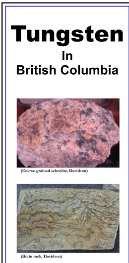 |
This brochure references tungsten deposits in British Columbia. The British Columbia Ministry of Energy, Mines and Petroleum Resources' MINFILE database lists 366 tungsten-bearing occurrences in the province. It includes a map of selected tungsten deposits in B.C. |
| Issue ID: | GF2007-09 |
| Title: | Nuggets Buried in the B.C. Regional Geochemical Survey Database |
| Author(s): | Lett, R.E., Bluemel, B. |
| Series Name: | GeoFile |
| Publication Year: | 2007 |
| NTS Map Sheet(s): | 082;083;092;093;094;102;103;104;114 |
| Place Keyword(s): | British Columbia, Lillooet |
| Lat/Long (NSWE): | 60, 48, -139, -114 |
| Theme Keyword(s): | regional geochemical survey, geochemical database, sediment geochemistry, gold |
Download(s):
| PDF, ZIP (View Zip Contents) |
Abstract:
 |
Stream sediment and water sampling covers much of British Columbia and the multi-element geochemical data generated from the reconnaissance scale surveys help locate hidden ore deposits. The poster and accompanying text highlights new gold exploration targets that have been identified by interpreting regional stream sediment survey geochemistry. The Geofile also contains new data from the analyses of rock samples collected during geochemical surveys in the Lillooet area. |
| Issue ID: | MAPPLACE-21 |
| Title: | Bonaparte Lake Geophysics |
| Author(s): | Geoscience BC/Geological Survey of Canada |
| Series Name: | MapPlace |
| Publication Year: | 2006 |
| Other Citation Details: | Joint publication of 17 - 1:50,000 total field magnetic anomaly and vertical derivative maps (Geological Survey of Canada Open Files 5488-5500 and Geoscience BC Maps 2007-3-1 to 3-9 and 2007-4-1 to 4-8) were released on April 3, 2007. |
| NTS Map Sheet(s): | 092P; 093A |
| Place Keyword(s): | British Columbia, Bonaparte Lake, central |
| Lat/Long (NSWE): | 52.5, 51, -122, -120 |
| Theme Keyword(s): | Interactive Mapping, geophysics, Geoscience BC and Geological Survey of Canada, Airborne Surveys, magnetic field |
Additional Link(s):
| http://webmap.em.gov.bc.ca/mapplace/minpot/geophysics.asp?projectName=bonaparte
https://geoscan.nrcan.gc.ca/starweb/geoscan/servlet.starweb?path=geoscan/shorte.web&search1=R=223576;223638:223644;223646:223654 |
Abstract:
| A compilation of seventeen multisensor airborne geophysical surveys was flown in 2006 in the Bonaparte Lake area of South-central BC (NTS92P & 93A). This map, in UTM Zone 10 projection, features 2 magnetic parameters, residual total magnetic field and first vertical derivative of the magnetic field, and multisensor gamma ray spectrometric geophysical data. |
| Issue ID: | OF2007-04 |
| Title: | Geology of Terrace Area (NTS 103I/9,10,15,16) |
| Author(s): | Nelson, J.L., Kennedy, R., Angen, J., Newman, S. |
| Series Name: | Open File |
| Publication Year: | 2007 |
| Scale: | 1:70000 |
| NTS Map Sheet(s): | 103I/09, 10, 15, 16 |
| Place Keyword(s): | British Columbia, Terrace, Kitsumkalum Lake, Usk |
| Lat/Long (NSWE): | 54.9, 54.5, -128.8, -128 |
| Theme Keyword(s): | geology, Hazelton Group, map, mines, exploration projects |
Download(s):
| PDF |
Abstract:
 |
This Open File map covers the area north of Terrace, BC, from Kitsumkalum Lake to the mountains east of the Skeena River. It incorporates and builds on Open File 2006-3 (Usk map area), adding geological and assay data collected during the 2006 field season. The area includes extensive volcanic exposures of the Lower Jurassic Hazelton Group, overlain by strata equivalent to the Salmon River (Troy Ridge facies) in the Iskut area, that form a distinct siliceous interval below the base of the Bowser Lake Group. Jurassic and Eocene plutons are host to precious metal veins and copper and molybdenum porphyry mineralization. The area has a core consisting of a major Paleocene-Eocene uplift of metamorphosed Hazelton Group strata and deformed ca 60 Ma plutons. Regional rock relationships shown on the map suggest that this was a footwall panel below an earlier (Cretaceous?) northeast-vergent thrust fault. Hanging wall strata are exposed east of the Skeena River. Provincial Map shows the location of major exploration projects; producing metal, coal and industrial mineral mines and the communities they influenced in 2006. The PDF of the map is plot size and in colour. |
| Issue ID: | OF2007-05 |
| Title: | Volcanology, Petrography, and Geochemistry of the Kitselas Volcanic Rocks Compared to Rocks of the Telkwa Formation |
| Author(s): | Boudreau, N.T. |
| Purpose: | This Open File Report with illustrations is a thesis submitted to Saint Mary's University, Halifax, Nova Scotia in partial fulfillment of the requirements for the degree, Bachelor of Science, Honours, Dept of Geology. The field work was carried out as part of an ongoing geoscience project in the Terrace region by the BC Geological Survey. |
| Series Name: | Open File |
| Publication Year: | 2007 |
| Scale: | 1:50000 |
| NTS Map Sheet(s): | 103I/09 |
| Place Keyword(s): | British Columbia, Northwestern, Usk, Terrace |
| Lat/Long (NSWE): | 54.75, 54.5, -128.5, -128 |
| Theme Keyword(s): | Telkwa Formation, geochemistry, petrography, volcanology, Kitselas Volcanic Sequence |
Download(s):
| PDF |
Abstract:
 |
The objective of this report was thus to characterize the Kitselas volcanic rocks in terms of volcanology, petrography, and geochemistry and to use this data to determine the primary relationship between Kitselas and Telkwa rocks. The Lower Jurassic Kitselas volcanic sequence of the Hazelton Group is located within the Intermontane Stikine Terrane in the western part of the Usk map area in north-western British Columbia. It is surrounded by intrusive units to the north and south and by Hazelton Group volcanic rocks of the Telkwa Formation to the east. Telkwa and Kitselas rocks are coeval in age; however, the primary relationship between the two map units is enigmatic due to a structural contact and differences in composition and metamorphic grade. The objective of this report was thus to characterize the Kitselas volcanic rocks in terms of volcanology, petrography, and geochemistry and to use this data to determine the primary relationship between Kitselas and Telkwa rocks. The field and petrographic characteristics are consistent with a model wherein the Kitselas volcanic rocks comprise the foot-wall of a detachment fault system, which includes the Usk Fault. The geochemical characteristics of the Telkwa and Kitselas volcanics indicate that rocks from both of these map units are part of a volcanic arc calc-alkaline suite and their trace element similarities indicate that they are genetically related. |
| Issue ID: | GF2007-10 |
| Title: | Terrace Geotour Guidebook |
| Author(s): | Turner, B., Nelson, J.L., Weary, G., Walker, T., Hayward, B., McRae, C. |
| Purpose: | To provide a source of local earth-science information in the hands of teachers, prospectors, students, visitors and interested residents. |
| Series Name: | GeoFile |
| Publication Year: | 2007 |
| NTS Map Sheet(s): | 103I |
| Place Keyword(s): | British Columbia, Terrace, Nass Valley, Skeena River |
| Lat/Long (NSWE): | 55, 54.1, -129.25, -127.7 |
| Theme Keyword(s): | GeoTours, geology, history, fossils, hot springs |
Download(s):
| PDF |
Abstract:
 |
The 15 stops described in this lively guidebook take the reader through the bedrock and glacial history of the Terrace area, natural hazards, recent events in geological history such as the 250 year old Nass basalt eruption and the joys of the deeply-sourced Lakelse hotsprings. |
| Issue ID: | IC2007-04 |
| Title: | MINFILE Coding Manual Version 5.0 |
| Author(s): | MINFILE Staff |
| Series Name: | Information Circular |
| Publication Year: | 2007 |
| NTS Map Sheet(s): | 082;083;092;093;094;102;103;104;114 |
| Place Keyword(s): | British Columbia |
| Theme Keyword(s): | MINFILE, Coding manual, BC Mineral occurrences |
Download(s):
| PDF |
Abstract:
 |
MINFILE Coding Manual Version 5.0 is a guide to the collection and entry of data into the MINFILE database. It compliments the MINFILE/pc User's Manual, which provides instructions on installing, operating, and using the MINFILE/pc program. Online help is also available from the online coding card. For comprehensive information concerning the MINFILE/pc program refer to the MINFILE/pc User's Manual. |
| Issue ID: | IC2007-05 |
| Title: | MINFILE/pc and MINFILE/www 5.0 User's Manual |
| Author(s): | MINFILE Staff |
| Series Name: | Information Circular |
| Publication Year: | 2007 |
| NTS Map Sheet(s): | 082;083;092;093;094;102;103;104;114 |
| Place Keyword(s): | British Columbia |
| Theme Keyword(s): | MINFILE, User's manual, BC Mineral occurrences |
Download(s):
| PDF |
Abstract:
 |
The MINFILE/pc User's Manual is a guide for MINFILE/pc v. 5.0, a powerful mineral inventory system for British Columbia and beyond! The MINFILE/pc User's Manual provides instructions on downloading, installing, and using MINFILE/pc and MINFILE/www. This page contains links to each section and subsection of the manual. A more concise version of the manual is available online at http://minfile.gov.bc.ca/Help/MINFILE www/MINFILE_www.htm. This manual compliments the MINFILE Coding Manual Version 5.0, which is a guide to the collection and entry of data into the MINFILE database. |
| Issue ID: | GF2007-05 |
| Title: | Results of Reconnaissance Surveys in the Interior Plateau Beetle Infested Zone (BIZ) |
| Author(s): | Mihalynuk, M.G., Harker, L.L., Lett, R.E., Grant, B. |
| Purpose: | to demonstrate how application of conventional and non-conventional exploration techniques can be successfully applied to large tracts of the BIZ, and how geoscientific information can best benefit British Columbians living within the BIZ. |
| Series Name: | GeoFile |
| Publication Year: | 2007 |
| NTS Map Sheet(s): | 092O, 092P, 093A, 093B, 093C, 093F, 093G, 093J, 093K |
| Place Keyword(s): | British Columbia, Central BC, Babine Lake, Riske Creek, Vanderhoof |
| Lat/Long (NSWE): | 55.31, 50.67, -126.63, -120.5 |
| Theme Keyword(s): | geoscience, mountain pine beetle, RGS, lithogeochemistry, magnetic susceptibility |
Download(s):
| PDF, ZIP (View Zip Contents) |
Abstract:
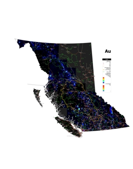 |
GeoFile 2007-5 is part of an economic diversification initiative by the Province of BC, which aids communities affected by the Mountain Pine Beetle. Pine forests extend across much of the interior plateau of southern British Columbia where they are the principal commercial tree species. These forests are infested by the Mountain Pine Beetle, and it is estimated that by 2016 less than ~10% of the already diminished 2006 volume of pine will be left standing. Economic welfare of the many forestry-dependent communities in the Beetle Infested Zone (BIZ) will be severely impacted. Anticipating an economic downturn in the forestry sector, the Provincial Government is supporting economic diversification throughout the region via stimulation of other industries. Work presented in the GeoFile 2007-5 is a part of that provincial effort aimed at stimulation of new jobs in the high-paying mineral exploration and mining industries.
Pine forests extend across much of the interior plateau of southern British Columbia where they are the principal commercial tree species. These forests are infested by the Mountain Pine Beetle, and it is estimated that by 2016 less than ~10% of the already diminished 2006 volume of pine will be left standing. Economic welfare of the many forestry-dependent communities in the Beetle Infested Zone (BIZ) will be severely impacted. Anticipating an economic downturn in the forestry sector, the Provincial Government is supporting economic diversification throughout the region via stimulation of other industries. Work presented in GeoFile 2007-5 is a part of that provincial effort aimed at stimulation new jobs in the high-paying mineral exploration and mining industries.
Reconnaissance field studies conducted during 2006 as part of the BIZ Project were aimed at optimizing the design of future BC Geological Survey field programs within the BIZ. A principal objective of the project is to demonstrate how application of conventional and non-conventional exploration techniques can be successfully applied to large tracts of the BIZ, and how geoscientific information can best benefit British Columbians living within the BIZ.
Results of the 2006 program are presented in GeoFile 2007-5 as two parts: Part A provides a summary of 2006 BIZ project activities in poster format (PDF). Part B presents analytical results together with annotations and maps. |
| Issue ID: | OF2007-03 |
| Title: | Geology of the Hendrix Lake Area (NTS 093A/02) |
| Author(s): | Schiarizza, P.A., Macauley, J. |
| Series Name: | Open File |
| Publication Year: | 2007 |
| Scale: | 1:50000 |
| NTS Map Sheet(s): | 093A/02 |
| Place Keyword(s): | British Columbia, Hendrix Lake |
| Lat/Long (NSWE): | 52.25, 51.95, -121, -120.5 |
| Theme Keyword(s): | geology, mineral occurrences |
Download(s):
| PDF, ZIP (View Zip Contents) |
Abstract:
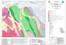 |
The Hendrix Lake map area covers about 800 square kilometres within the Quesnel Highland of south-central British Columbia. This new geological map is based on fieldwork conducted during 2006 which is part of a larger program. The map area is underlain mainly by sedimentary, volcanic and volcaniclastic rocks of the Middle to Late Triassic Nicola Group, together with Late Triassic to Early Jurassic ultramafic to granitic plutonic rocks, including the eastern part of the Takomkane Batholith. These rocks are part of the Quesnel magmatic arc, which hosts the Afton and Mount Polley porphyry Cu-Au deposits to the south and north, respectively. The map area also includes Late Paleozoic mafic schists of the Crooked amphibolite (Slide Mountain Terrane), Proterozoic and/or Paleozoic metasedimentary rocks of the Snowshoe Group (Kootenay Terrane), stocks of Cretaceous granite, and small exposures of Quaternary basalt. Many of the mineral occurrences located within the map area are associated with Cretaceous granitic rocks. These include the past-producing Boss Mountain porphyry molybdenum deposit, tungsten-molybdenum skarns, and gold-bearing shears and vein systems. |
| Issue ID: | OF2007-06 |
| Title: | Riske Creek Geology (NTS 92O/16W) |
| Author(s): | Mihalynuk, M.G., Harker, L.L. |
| Purpose: | Work presented in Open File 2007-6, Riske Creek Geology, is a part of that provincial effort, and is aimed at stimulating new jobs in the high-paying mineral exploration industry. |
| Series Name: | Open File |
| Publication Year: | 2007 |
| Scale: | 1:50000 |
| NTS Map Sheet(s): | 092O/16W |
| Place Keyword(s): | British Columbia, Riske Creek, Williams Lake |
| Lat/Long (NSWE): | 51.98, 51.81, -122.53, -122.25 |
| Theme Keyword(s): | geology, mineral occurrences, mountain pine beetle, Cache Creek complex |
Download(s):
| PDF, ZIP (View Zip Contents) |
Abstract:
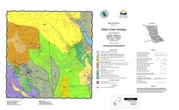 |
Pine forests extend across much of the interior plateau of southern British Columbia where they are the principal commercial tree species. These forests are infested by the Mountain Pine Beetle, and it is estimated that by 2016 less than ~10% of the already diminished 2006 volume of pine will be left standing. Economic welfare of the many forestry-dependent communities in the Beetle Infested Zone (BIZ) will be severely impacted. Anticipating an economic downturn in the forestry sector, the Provincial Government is supporting economic diversification throughout the region via stimulation of other industries. Work presented in Open File 2007-6, Riske Creek Geology, is a part of that provincial effort, and is aimed at stimulating new jobs in the high-paying mineral exploration industry.
Centered approximately 30 km southwest of Williams Lake, the Riske Creek area is part of the Interior Plateau where it is dissected by the Fraser River. It is underlain by oceanic crustal, and sedimentary rocks of the Cache Creek complex, and Eocene felsic volcanic strata. Poorly lithified gravel, basalt hyaloclastite and lavas of the Chilcotin Group mantle the older rocks. Regional geochemical stream sediment data from the area are elevated in copper (94th percentile), zinc (96th percentile), and gold (>99th percentile), with respect to the remainder of the 50 000 samples collected throughout the province. As a consequence, this area was chosen for additional sampling and geological mapping.
Open File 2007-6 presents a new version of the geology of this important area, covering about 200 km2. It outlines belts of carbonate, serpentinite and basalt not previously recognized on earlier geological maps. Geochemical data are available as part of GeoFile 2007-5. |
| Issue ID: | MAPPLACE-23 |
| Title: | Atlin Geophysics |
| Author(s): | BC Geological Survey |
| Series Name: | MapPlace |
| Publication Year: | 2001 |
| NTS Map Sheet(s): | 104N |
| Place Keyword(s): | British Columbia, Atlin, northwest |
| Lat/Long (NSWE): | 60, 59, -134, -132 |
| Theme Keyword(s): | Interactive Mapping, geophysics, aeromagnetics, MapPlace, Cache Creek terrane |
Additional Link(s):
| http://webmap.em.gov.bc.ca/mapplace/minpot/geophysics.asp?projectName=atlinGeophysics |
Abstract:
| Results of a multisensor airborne geophysical survey flown in 2001 in the Atlin area of northwestern BC (NTS 104N). |
| Issue ID: | MAPPLACE-25 |
| Title: | Findlay River |
| Author(s): | BC Geological Survey |
| Series Name: | MapPlace |
| Publication Year: | 1997 |
| Other Citation Details: | Source data: GSC OF 3495 |
| NTS Map Sheet(s): | 094E,F |
| Place Keyword(s): | British Columbia, Finlay River, Ware, north-central |
| Lat/Long (NSWE): | 58, 57, -128, -124.25 |
| Theme Keyword(s): | Interactive Mapping, geophysics, residual magnetic intensity, MapPlace |
Additional Link(s):
| http://webmap.em.gov.bc.ca/mapplace/minpot/geophysics.asp?projectName=findlay_geophysics
https://doi.org/10.4095/210115 |
Abstract:
| The Findlay River map features an airborne aeromagnetic survey conducted in 1997. The map shows residual magnetic intensity. The files are also available for download in georeferenced PNG format. |
| Issue ID: | MAPPLACE-28 |
| Title: | Cranbrook Geophysics |
| Author(s): | BC Geological Survey |
| Series Name: | MapPlace |
| Publication Year: | 1994 |
| Other Citation Details: | Source data: GSC OF 2784 |
| NTS Map Sheet(s): | 082K,N |
| Place Keyword(s): | British Columbia, Cranbrook, Southeast |
| Lat/Long (NSWE): | 52, 50, -118, -116 |
| Theme Keyword(s): | Interactive Mapping, geophysics, aeromagnetics, radiometrics, MapPlace |
Additional Link(s):
| http://webmap.em.gov.bc.ca/mapplace/minpot/geophysics.asp?projectName=cranbrook
https://doi.org/10.4095/205748 |
Abstract:
| The Cranbrook map features an airborne aeromagnetic survey, conducted in 1993 and 1994. The files are also available for download in georeferenced PNG format. |
| Issue ID: | MAPPLACE-29 |
| Title: | Wolf-Capoose Geophysics |
| Author(s): | BC Geological Survey |
| Series Name: | MapPlace |
| Publication Year: | 1997 |
| Other Citation Details: | Source data: GSC OF 2785 |
| NTS Map Sheet(s): | 092F/03, 092F/06 |
| Place Keyword(s): | British Columbia, Entiako |
| Lat/Long (NSWE): | 53.315, 53.142, -125.5, -125.1 |
| Theme Keyword(s): | Interactive Mapping, geophysics, aeromagnetics, MapPlace |
Additional Link(s):
| http://webmap.em.gov.bc.ca/mapplace/minpot/geophysics.asp?projectName=wolfCapoose
https://doi.org/10.4095/210065 |
Abstract:
| The Wolf-Capoose Lake map features multisensor, airborne geophysical surveys, which includes 1 magnetic and 8 radiometric parameters. The files are also available for download in PNG georeferenced format. This 1997 survey is included with the Interior Plateau geophysics map. |
| Issue ID: | MAPPLACE-30 |
| Title: | Cassiar Geophysics |
| Author(s): | BC Geological Survey |
| Series Name: | MapPlace |
| Publication Year: | 1996 |
| Other Citation Details: | Source data: GSC OF 3198 |
| NTS Map Sheet(s): | 092K/04, 094L; 094M/02; 094M/04; 094M/05 |
| Place Keyword(s): | British Columbia, Cassiar, Northeast |
| Lat/Long (NSWE): | 60, 58, -130, -125.75 |
| Theme Keyword(s): | Interactive Mapping, geophysics, aeromagnetics, MapPlace |
Additional Link(s):
| http://webmap.em.gov.bc.ca/mapplace/minpot/geophysics.asp?projectName=cassiarGeophysics
https://doi.org/10.4095/209245 |
Abstract:
| The Cassiar map features an airborne aeromagnetic survey, conducted in 1995 and 1996. The files are also available for download in georeferenced PNG format. |
| Issue ID: | MAPPLACE-66 |
| Title: | Historic Mines Atlas |
| Author(s): | BC Geological Survey |
| Series Name: | MapPlace |
| Publication Year: | 2003 |
| NTS Map Sheet(s): | 082;083;092;093;094;102;103;104;114 |
| Place Keyword(s): | British Columbia |
| Lat/Long (NSWE): | 60, 48, -139, -114 |
| Theme Keyword(s): | Interactive Mapping, historical mines, tailings, hazards |
Additional Link(s):
| http://webmap.em.gov.bc.ca/mapplace/HistoricMines/main.asp
https://www2.gov.bc.ca/gov/content/industry/mineral-exploration-mining/british-columbia-geological-survey/publications/openfiles-2009-2000#OF2003-03 |
Abstract:
| This interactive map presents this information through a variety of data layers and displays over 1100 past producing mines. The Atlas is based on a 142-page report of 1887 historic mines in BC (Open File 2003-3). Map is password protected (Username:View, Password:View) |
| Issue ID: | MAPPLACE-67 |
| Title: | Mineral Title Clarification |
| Author(s): | BC Geological Survey |
| Series Name: | MapPlace |
| Publication Year: | 2006 |
| Other Citation Details: | no longer available |
| NTS Map Sheet(s): | 082;083;092;093;094;102;103;104;114 |
| Place Keyword(s): | British Columbia, Atlin, Stikine, Kitimat, Cariboo |
| Lat/Long (NSWE): | 60, 48, -139, -114 |
| Theme Keyword(s): | Interactive Mapping, mineral titles, crown grants |
Abstract:
| The Mineral Title Clarification map was a pilot study, discontinued in 2007, to show details of Crown grants issued before 1960 in the Atlin Stikine, and Cariboo areas. Most of these details are now linked through the Survey Parcel layers and reports in the BC Geoscience, Exploration Assistant and Mineral Titles maps. These maps also feature a Zoom Goto Survey Parcel PIN. This map was retired in June 2017. |
| Issue ID: | GEOPHYSICAL DATA |
| Title: | Airborne Geophysical Surveys |
| Author(s): | Geological Survey of Canada |
| Purpose: | To represent areas with geophysical coverage. |
| Series Name: | Digital Geoscience Data |
| Publication Year: | 2017 |
| NTS Map Sheet(s): | 082;083;092;093;094;102;103;104;114 |
| Place Keyword(s): | British Columbia |
| Lat/Long (NSWE): | 60, 48, -139, -114 |
| Theme Keyword(s): | geophysical surveys, aeromagnetic, geochemical, gravity, radioactivity |
Abstract:
| Geophysical Surveys have been in various areas across the province to help in the exploration of mineral resources. They include: the 2006 Bonaparte Lake and Jennings River surveys; 10 surveys in 2004-2005, which are shown on the 2005 Geophysical Surveys Map; 2002-2004 Mount Sylvester, Fran Property, Tisdall Lake, Horsefly, Quesnel, Toodoggone and Atlin surveys; and 11 archived surveys: Mount Milligan, Inzana-Salmon Lakes, Fish Lake, Endako, Clisbako River, Iron Mask, Interior Plateau (Williams Lake), East Kootenay (southeast BC), Findlay River, Cassiar Mountains, Wolf-Capoose Lake, and Cranbrook area among others. |
| Issue ID: | OF2007-07 |
| Title: | Geology and Mineral Deposits of the Rock Creek Area (NTS 82E/2W, 82E/3E) |
| Author(s): | Massey, N.W.D. |
| Series Name: | Open File |
| Publication Year: | 2007 |
| Scale: | 1:25000 |
| NTS Map Sheet(s): | 082E/2W; 082E3/E |
| Place Keyword(s): | British Columbia, Rock Creek, Kettle River Valley, Southern, Boundary District |
| Lat/Long (NSWE): | 49.2, 49, -119.1, -118.87 |
| Theme Keyword(s): | geology, mineral occurrences, mapping, minfile locations |
Download(s):
| PDF, ZIP (View Zip Contents) |
Abstract:
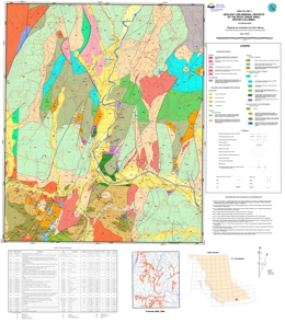 |
This new geological map builds on and expands westward, the studies by Fyles of pre-Tertiary rocks in the Greenwood area (1990). The map covers an area centered on the Kettle River Valley extending from the Washington state border to Westbridge. Paleozoic rocks, south of Highway 3, belong to the Anarchist Schist, comprising quartzite (meta-chert), argillaceous quartzite, quartz-chlorite and quartz-biotite schists, massive and tuffaceous greenstones. A white dolomite unit, south of Rock Creek, is being exploited at the Mighty White Mine but its relationship to other units is somewhat enigmatic. Minor barite in meta-argillites is an exploration target in the Budy Creek area.
The Paleozoic rocks, north of Highway 3, belong to the Devonian to Permian ophiolitic Knob Hill Complex. Serpentinite and gabbro are overlain by massive, pillowed and volcaniclastic greenstones and well-bedded to ribboned cherts and argillites. Listwanite alteration of serpentinite has resulted in some anomalous gold. The Knob Hill Complex and Anarchist Schist are separated by a postulated thrust, which is the continuation of the Mt Attwood and Lind Creek faults of the Greenwood area. Middle Triassic sharpstone conglomerate and limestone of the Brooklyn Formation overlie both Paleozoic sequences. All pre-Tertiary rocks can be host to Tertiary epithermal quartz veins, though few have yet proved to carry gold. |
| Issue ID: | Coal Reports 1 |
| Title: | Hat Creek BC Hydro Reports |
| Author(s): | BC Hydro |
| Series Name: | Coal Reports |
| Publication Year: | 2002 |
| NTS Map Sheet(s): | 092I/13,12 |
| Place Keyword(s): | British Columbia, Hat Creek |
| Lat/Long (NSWE): | 51, 50.5, -122, -121.5 |
| Theme Keyword(s): | Coal, reports, sampling, geology, environmental studies |
Additional Link(s):
| https://www2.gov.bc.ca/gov/content/industry/mineral-exploration-mining/british-columbia-geological-survey/geology/coalfields/hatcreek
https://www2.gov.bc.ca/gov/content/industry/mineral-exploration-mining/british-columbia-geological-survey/geology/coalfields/hatcreek |
Abstract:
| The Hat Creek Coal BC Hydro Reports (NTS map sheets 092I/13,12) were scanned from the BC Hydro Library in 2002. The Hat Creek BC Hydro Reports are available on a CD for $560.00. The web versions of the 56 reports are downloadable from the web pages. |
| Issue ID: | Coal Reports 2 |
| Title: | Hat Creek Library Reports |
| Author(s): | MEMPR |
| Series Name: | Coal Reports |
| Publication Year: | 2002 |
| NTS Map Sheet(s): | 092I/13,12 |
| Place Keyword(s): | British Columbia, Hat Creek |
| Lat/Long (NSWE): | 51, 50.5, -122, -121.5 |
| Theme Keyword(s): | Coal, reports, hydrology, environmental studies |
Additional Link(s):
| https://www2.gov.bc.ca/gov/content/industry/mineral-exploration-mining/british-columbia-geological-survey/geology/coalfields/hatcreek |
Abstract:
| The Hat Creek Area Library Coal Reports were scanned from the Ministry of Energy and Mines Library (Main Floor, 1810 Blanshard Street in Victoria, BC) in 2002. These reports are available on 3 CDs for $820.00. This file of 82 coal reports covers the NTS map sheets 092I13,12. |
| Issue ID: | IP Bowser Sustut-01 |
| Title: | Integrated Petroleum Resource Potential and Geoscience Studies of the Bowser and Sustut Basins |
| Author(s): | MEM & GSC |
| Purpose: | To increase the economic opportunities (and quality of life) of northern Canadians by providing improved geoscience knowledge and data to spark new private sector investment. |
| Series Name: | Internet Publication |
| Publication Year: | 2005 |
| Other Citation Details: | no longer available |
| NTS Map Sheet(s): | 104A, 104B, 104G, 104H; 103P; 093M; 094D, 094E |
| Place Keyword(s): | British Columbia, North-central British Columbia, Bowser Basin, Sustut Basin |
| Lat/Long (NSWE): | 57.8, 54.6, -130.6, -126 |
| Theme Keyword(s): | petroleum, resource potential, stratigraphy, hydrocarbon generation, source rocks |
Abstract:
| This website presents an overview of a collaborative research project between Natural Resources Canada (Geological Survey of Canada) and the British Columbia Ministry of Energy and Mines (Oil and Gas Emerging Opportunities and Geoscience Branch) on the Bowser and Sustut basins, and some basic background geological and energy resource information of the basins, including preliminary results of recent research |
| Issue ID: | PNG-0349 |
| Title: | Geological Report on Petroleum & Natural Gas Permit 512 |
| Author(s): | Fraser, D., Allen, A. |
| Series Name: | PNG Reports |
| Publication Year: | 1953 |
| Scale: | 1:25724 |
| NTS Map Sheet(s): | 092O/07,10 |
| Place Keyword(s): | British Columbia, Churn Creek, central |
| Lat/Long (NSWE): | 51.54, 51.39, -122.7, -122.58 |
| Theme Keyword(s): | exploration, mapping, stratigraphy, Petroleum & Natural Gas, geology |
Abstract:
| This survey was made to observe surface outcrops, and to map them, in order that conclusions could be made as to stratigraphy and structure within the permit area. Permit 512 is located in the Lillooet Land District of British Columbia. It lies immediately south of parallel 51o31' and about 4.5 miles west of meridian 122o30', in the southeastern extremity of the Chilcotin District. The report is connected to the PNG Report Locations layer on MapPlace's Petroleum Map. |
| Issue ID: | IP Well Reports |
| Title: | Well Reports |
| Author(s): | EMPR |
| Series Name: | Internet Publication |
| Publication Year: | 2006 |
| Other Citation Details: | no longer available |
| NTS Map Sheet(s): | 092G/01,02,03,04; 092H/04 |
| Place Keyword(s): | British Columbia, south-west, Fraser Valley, Nanaimo |
| Lat/Long (NSWE): | 49.3, 49, -124, -121.8 |
| Theme Keyword(s): | PNG, Well Reports, mapplace, drilling report, log |
Additional Link(s):
| http://webmap.em.gov.bc.ca/mapplace/minpot/petroleum.asp |
Abstract:
| This collection of Well Reports for PNG wells located in the southwest of the Province is no longer available. The PNG wells are shown on MapPlace's Petroleum Map using the PNG Wells SW layer. |
| Issue ID: | PNG-2398 |
| Title: | Gravity Survey of the South Big Creek Area of the Nechako Basin |
| Author(s): | Salt, W.T., Overland Exploration Services |
| Series Name: | PNG Reports |
| Publication Year: | 1982 |
| NTS Map Sheet(s): | 092O/06,07 |
| Place Keyword(s): | British Columbia, Nechako Basin, Big Creek |
| Lat/Long (NSWE): | 51.5, 51.25, -123.25, -122.75 |
| Theme Keyword(s): | Petroleum & Natural Gas, gravity survey, field reports, permits |
Download(s):
| ZIP (View Zip Contents) |
Abstract:
| The South Big Creek area gravity survey was one of several conducted between 1979 and 1981 in conjunction with Canadian Hunter�s oil and gas exploration program in the Nechako basin region. The South Big Creek survey was conducted October 24 to November 9, 1981, and 110 line kilometres along three lines. The report is connected to the PNG Report Locations layer on MapPlace's Petroleum Map. |
| Issue ID: | PNG-1556 |
| Title: | Geophysical Field Report, Quesnel Basin, B.C. |
| Author(s): | GEO-X Surveys Ltd. |
| Series Name: | PNG Reports |
| Publication Year: | 1969 |
| NTS Map Sheet(s): | 093F/01; 093G/04 |
| Place Keyword(s): | British Columbia, central, Quesnel Basin, Fraser Plateau |
| Lat/Long (NSWE): | 53.25, 53.1, -124.25, -123.5 |
| Theme Keyword(s): | Petroleum & Natural Gas, Airborne Magnetometer Survey, geophysics, permits, magnetic intensity |
Download(s):
| ZIP (View Zip Contents) |
Abstract:
| During the Epoc. 1969.84 Geo-X Surveys Limited conducted an Airborne Magnetometer Survey in the central region of British Columbia on behalf of Ponderay Exploration Company Limited. The area surveyed consists of Oil and Natural Gas permits 2128 - 2130 situated on the Quesnel Basin, Oil and Natural Gas Play, located on the Fraser Plateau, a geographical subdivision on the central west side of the Interior Plateau region in the Province of British Columbia. The report is connected to the PNG Report Locations layer on MapPlace's Petroleum Map. |
| Issue ID: | PNG-0904 |
| Title: | Preliminary Geological Report, Permit 1192, B.C. |
| Author(s): | Perry, R.G., D. Bruce Bullock & Associates Ltd. |
| Series Name: | PNG Reports |
| Publication Year: | 1960 |
| Scale: | 1:31680 |
| NTS Map Sheet(s): | 092O/14 |
| Place Keyword(s): | British Columbia, Chilcotin River, central, Hanceville, Haines Creek |
| Lat/Long (NSWE): | 52, 51.8, -123.5, -123.25 |
| Theme Keyword(s): | Petroleum & Natural Gas, geology, geological mapping, permits |
Download(s):
| ZIP (View Zip Contents) |
Abstract:
| The permit area lies east of the Coast Mountains within the Interior Plateau of British Columbia, an area of plateau-like upland surfaces and rolling hills dissected by deep river valleys. There are outcrops in the permit area, and its geology must be inferred from the boulders scattered over its surface, and from geological outcrops outside the area. The report is connected to the PNG Report Locations layer on MapPlace's Petroleum Map. |
| Issue ID: | PNG-0855 |
| Title: | Areal Geology and Structural Interpretation of the Redstone Area, Central British Columbia |
| Author(s): | V. Zay Smith Associates Ltd. |
| Series Name: | PNG Reports |
| Publication Year: | 1959 |
| Scale: | 1:63360 |
| NTS Map Sheet(s): | 092O/13; 093B/04 |
| Place Keyword(s): | British Columbia, Chilcotin Lake, Puntzi Lake, Central, redstone |
| Lat/Long (NSWE): | 52.75, 51.75, -124.25, -123.25 |
| Theme Keyword(s): | Petroleum & Natural Gas, areal geology, geological mapping, permits |
Download(s):
| ZIP (View Zip Contents) |
Abstract:
| The Redstone Project area comprises about 2,000 square miles in the Southern Plateau and Mountain area, south-central British Columbia. The project embraces Petroleum and Natural Gas Permits 1181 through 1188 and surrounding terrain. The report is connected to the PNG Report Locations layer on MapPlace's Petroleum Map. |
| Issue ID: | PNG-2394 |
| Title: | Gravity Survey Detailing the Honolulu Oil - Nazko Wellsite Area and Reconnaissance Lines in the North Chezacut Area of the Nechako Basin |
| Author(s): | Salt, W.T., Overland Exploration Services |
| Series Name: | PNG Reports |
| Publication Year: | 1980 |
| NTS Map Sheet(s): | 093B/05,06,11,12 |
| Place Keyword(s): | British Columbia, Nechako Basin |
| Lat/Long (NSWE): | 52.8, 52.3, -124, -123 |
| Theme Keyword(s): | Petroleum & Natural Gas, gravity survey, field reports, permits |
Download(s):
| ZIP (View Zip Contents) |
Abstract:
| The Nazko Wellsite survey was one of several conducted between 1979 and 1981 in conjunction with Canadian Hunter�s oil and gas exploration program in the Nechako basin region. The survey was conducted May 1 to August 29, 1980. The survey 650 line kilometres along six lines. The report is connected to the PNG Report Locations layer on MapPlace's Petroleum Map. |
| Issue ID: | PNG-2393 |
| Title: | Gravity Survey of the Big Creek Area of the Nechako Basin |
| Author(s): | Salt, W.T., Overland Exploration Services |
| Series Name: | PNG Reports |
| Publication Year: | 1980 |
| NTS Map Sheet(s): | 092O/06,07,10,11,14,15 |
| Place Keyword(s): | British Columbia, Nechako Basin, Big Creek |
| Lat/Long (NSWE): | 51.92, 51.25, -123.5, -122.5 |
| Theme Keyword(s): | Petroleum & Natural Gas, gravity survey, field reports, permits |
Download(s):
| ZIP (View Zip Contents) |
Abstract:
| The Big Creek area gravity survey was one of several conducted between 1979 and 1981 in conjunction with Canadian Hunter�s oil and gas exploration program in the Nechako basin region. The Big Creek survey was conducted February 5 to April 1, 1980. It 200 line kilometres along existing trails in the Big Creek area, southeast of Alexis Creek, B.C. The report is connected to the PNG Report Locations layer on MapPlace's Petroleum Map. |
| Issue ID: | PNG-1589 |
| Title: | Aeromagnetic Survey, Quesnel Basin, B.C. |
| Author(s): | Supertest Investments and Petroleum Limited |
| Series Name: | PNG Reports |
| Publication Year: | 1970 |
| Scale: | 1:48000 |
| NTS Map Sheet(s): | 092N/16; 092O/13,14; 093C/01,08,09,16; 093B/03,04,05,06,11,12,13,14; 093F/01; 093G/03,04 |
| Place Keyword(s): | British Columbia, central, Quesnel Basin, Fraser Plateau |
| Lat/Long (NSWE): | 53.25, 51.7, -124.5, -123 |
| Theme Keyword(s): | Petroleum & Natural Gas, Airborne Magnetometer Survey, Aeromagnetic, permits, magnetic intensity |
Download(s):
| ZIP (View Zip Contents) |
Abstract:
| The area surveyed consists of Oil and Gas Permits 2105 - 2111 situated in the Quesnel Basin on the central west side of the Interior Plateau region in the Province of British Columbia. The report is connected to the PNG Report Locations layer on MapPlace's Petroleum Map. |
| Issue ID: | PNG-1507 |
| Title: | Report of Seismic Operations, Chilcotin Area, B.C. |
| Author(s): | GEO-X Surveys Ltd. |
| Series Name: | PNG Reports |
| Publication Year: | 1970 |
| Scale: | 1:48000 |
| NTS Map Sheet(s): | 092N/09,10,15,16; 093C/01,02,07,08 |
| Place Keyword(s): | British Columbia, central, Redstone, Kleena Kleene |
| Lat/Long (NSWE): | 52.5, 51.5, -125, -124 |
| Theme Keyword(s): | Petroleum & Natural Gas, seismic, wells, permits, stratigraphy |
Download(s):
| ZIP (View Zip Contents) |
Abstract:
| The Chilcotin Project is located 130 miles west of Williams Lake, British Columbia on the Bella Coola Road. This project is located in the Interior Plateau region of British Columbia. No seismic recordings have previously been attempted in this area; consequently a great deal of testing was necessary to establish recording parameters. These tests included an expanded spread, interference tests, sweep and effort comparisons and several miles of CDP recording. The report is connected to the PNG Report Locations layer on MapPlace's Petroleum Map. |
| Issue ID: | PNG-1564 |
| Title: | Aeromagnetic Survey, Chilcotin Permit, B.C. |
| Author(s): | Hudson's Bay Oil and Gas Company Limited |
| Series Name: | PNG Reports |
| Publication Year: | 1971 |
| Scale: | 1:48000 |
| NTS Map Sheet(s): | 092N/09,10,15,16; 093C/01,02,07,08 |
| Place Keyword(s): | British Columbia, central, Chilcotin |
| Lat/Long (NSWE): | 52.5, 51.5, -125, -124 |
| Theme Keyword(s): | Petroleum & Natural Gas, Airborne Magnetometer Survey, Aeromagnetic, permits, magnetic intensity |
Download(s):
| ZIP (View Zip Contents) |
Abstract:
| This introductory report is intended to explain the philosophy of aeromagnetic interpretation, the method of using it in practice, and GMX�s conventions for presenting the results. All interpretations have their especial circumstances which are handled in the individual reports with whatever additional maps, sections, or other illustrations that may be necessary. The report is connected to the PNG Report Locations layer on MapPlace's Petroleum Map. |
| Issue ID: | PNG-1483 |
| Title: | Geophysical Field Report, Quesnel Basin, B.C. |
| Author(s): | GEO-X Surveys Ltd. |
| Series Name: | PNG Reports |
| Publication Year: | 1969 |
| NTS Map Sheet(s): | 093F/01; 093G/04 |
| Place Keyword(s): | British Columbia, central, Quesnel Basin, Fraser Plateau |
| Lat/Long (NSWE): | 53.25, 53.1, -124.25, -123.5 |
| Theme Keyword(s): | Petroleum & Natural Gas, Airborne Magnetometer Survey, geophysics, permits, magnetic intensity |
Download(s):
| ZIP (View Zip Contents) |
Abstract:
| During the Epoc. 1969.84 Geo-X Surveys Limited conducted an Airborne Magnetometer Survey in the central region of British Columbia on behalf of Ponderay Exploration Company Limited. The area surveyed consists of Oil and Natural Gas permits 2128 - 2130 situated on the Quesnel Basin, Oil and Natural Gas Play, located on the Fraser Plateau. The report is connected to the PNG Report Locations layer on MapPlace's Petroleum Map. |
| Issue ID: | PNG-1482 |
| Title: | Geophysical Field Report, Quesnel Basin, B.C. |
| Author(s): | GEO-X Surveys Ltd. |
| Series Name: | PNG Reports |
| Publication Year: | 1969 |
| NTS Map Sheet(s): | 092O/13; 093B/04 |
| Place Keyword(s): | British Columbia, central, Quesnel Basin, Fraser Plateau |
| Lat/Long (NSWE): | 52.25, 51.75, -124.25, -123.25 |
| Theme Keyword(s): | Petroleum & Natural Gas, Airborne Magnetometer Survey, geophysics, permits, magnetic intensity |
Download(s):
| ZIP (View Zip Contents) |
Abstract:
| During the Epoc. 1969.64 to 1969.65 Geo-X Surveys conducted an Airborne Magnetometer Survey in the central region of British Columbia on behalf of Murphy Oil Company Limited. The area surveyed consists of Oil and Natural Gas permits 2079 - 2083 situated on the Quesnel Basin, Oil and Natural Gas Play, located on the Fraser Plateau. The report is connected to the PNG Report Locations layer on MapPlace's Petroleum Map. |
| Issue ID: | PNG-1481 |
| Title: | Processing and Interpretation, Quesnel Basin, B.C. |
| Author(s): | CDP Computer Data Processors Ltd. |
| Series Name: | PNG Reports |
| Publication Year: | 1970 |
| Scale: | 1:63360 |
| NTS Map Sheet(s): | 092O/13;093B/04 |
| Place Keyword(s): | British Columbia, central, Quesnel Basin, Fraser Plateau |
| Lat/Long (NSWE): | 52.25, 51.75, -124.25, -123.25 |
| Theme Keyword(s): | Petroleum & Natural Gas, Airborne Magnetometer Survey, geophysics, permits, magnetic intensity |
Download(s):
| ZIP (View Zip Contents) |
Abstract:
| In February 1970, CDP (Computer Data Processors Ltd.) were awarded the contract for the processing and the interpretation of the Murphy Oil aeromagnetic data over parts of the Quesnel Basin, British Columbia. The area, as outlined in the Geo-X Surveys report, consists of Oil and Natural Gas Permits 2079 - 2083 for a total of approximately 600,000 acres covered by 1,500 line miles. The report is connected to the PNG Report Locations layer on MapPlace's Petroleum Map. |
| Issue ID: | PNG-0813 |
| Title: | Geology and Structural Interpretation of the Nazko River Area, Central B.C. |
| Author(s): | V. Zay Smith Associates Ltd. |
| Series Name: | PNG Reports |
| Publication Year: | 1959 |
| NTS Map Sheet(s): | 092/11,12,13,14; 093B/03,04,05,06,11,12,13 |
| Place Keyword(s): | British Columbia, Nazko River, Central |
| Lat/Long (NSWE): | 53, 51.5, -124, -123 |
| Theme Keyword(s): | Petroleum & Natural Gas, geology, geological mapping, aerial mapping, stratigraphy |
Download(s):
| ZIP (View Zip Contents) |
Abstract:
| The Kazko River project area comprises about 2540 square miles embracing the Honolulu Oil Corporation acreage block in central British Columbia. The block is made up of Petroleum and Natural Gas Permit numbers 1117 through 1130 inclusive, and total approximately 1,000,000 acres. The report is connected to the PNG Report Locations layer on MapPlace's Petroleum Map. |
| Issue ID: | PNG-0955 |
| Title: | Areal Geology and Structural Interpretation of the Redstone Area (Southeast), Central B.C. |
| Author(s): | V. Zay Smith Associates Ltd. |
| Series Name: | PNG Reports |
| Publication Year: | 1961 |
| Scale: | 1:63360 |
| NTS Map Sheet(s): | 092O/03,04,05,06,11,12,13,14 |
| Place Keyword(s): | British Columbia, redstone, south central, Taseko Lake |
| Lat/Long (NSWE): | 52, 51, -124, -123 |
| Theme Keyword(s): | Petroleum & Natural Gas, areal geology, geological mapping, permits, stratigraphy |
Download(s):
| ZIP (View Zip Contents) |
Abstract:
| The Redstone (southeast) project area is located in the Southern Plateau and Mountain area, south-central British Columbia. It consists of about 1,970 square miles and covers Petroleum and Natural Gas Permits 1235, 1236, 1237, 1238, 1239, 1240, 1241, 1242,1243, 1244 and surrounding area. The report is connected to the PNG Report Locations layer on MapPlace's Petroleum Map. |
| Issue ID: | PNG-0953 |
| Title: | Further Geological Investigations, Redstone Project, B.C. |
| Author(s): | Williams, E.P. |
| Series Name: | PNG Reports |
| Publication Year: | 1961 |
| Scale: | 1:250000 |
| NTS Map Sheet(s): | 092N;092O;093C;093B |
| Place Keyword(s): | British Columbia, Chilcotin, central, Williams Lake, redstone |
| Lat/Long (NSWE): | 53, 51.25, -126, -122 |
| Theme Keyword(s): | Petroleum & Natural Gas, geology, geological mapping, permits |
Download(s):
| ZIP (View Zip Contents) |
Abstract:
| The lands included in the Redstone Project are Petroleum and Natural Gas Permits No. 1181 to 1188 inclusive which form a block 645,751 acres in area. These Class B Permits were issued to Hudson's Bay Oil and Gas Company Limited on July 31, 1959 by the British Columbia Department of Mines. The report is connected to the PNG Report Locations layer on MapPlace's Petroleum Map. |
| Issue ID: | GBCR2007-07 |
| Title: | Final Report on Results of the Cordilleran Geochemistry Project: A Comparative Assessment of Soil Geochemical Methods for Detecting Buried Mineral Deposits -- 3Ts Au-Ag Prospect, Central British Columbia |
| Author(s): | Cook, S.J., Dunn, C.E. |
| Purpose: | The objective of this project is to determine and recommend the most effective field and laboratory geochemical methods for property-scale evaluation of buried mineral targets in drift-covered terrain. |
| Series Name: | Geoscience BC Report |
| Publication Year: | 2007 |
| NTS Map Sheet(s): | 093F/03E |
| Place Keyword(s): | British Columbia, Nechako Plateau, Central British Columbia |
| Lat/Long (NSWE): | 53.05, 53, -125.12, -124.96 |
| Theme Keyword(s): | mineral exploration, geochemistry, geochemical surveys, Au-Ag epithermal prospects, Geoscience BC |
Additional Link(s):
| http://www.geosciencebc.com/i/project_data/GBC_Report2007-7/2007-7_Report.pdf
http://www.geosciencebc.com/i/project_data/GBC_Report2007-7/2007-7_DigitalData.zip
http://www.geosciencebc.com/s/2005-009.asp |
Abstract:
| This project, funded by Geoscience BC, investigates the surficial geochemical response in soils and Quaternary materials of epithermal Au-Ag mineralization at 3Ts. This region is highly prospective for the discovery of epithermal Au deposits, among other mineral deposit types, and the low-sulphidation 3Ts prospect is one of the more significant examples in central BC of this type. |
| Issue ID: | GBCP-00 |
| Title: | Geoscience BC Publication Products |
| Author(s): | Geoscience BC |
| Purpose: | To improve exploration success in BC and maintain British Columbia as a premier destination for exploration and mining companies. |
| Series Name: | Geoscience BC Publications |
| Publication Year: | 2019 |
| NTS Map Sheet(s): | 082;083;092;093;094;102;103;104;114 |
| Place Keyword(s): | British Columbia |
| Lat/Long (NSWE): | 60, 48, -139, -114 |
| Theme Keyword(s): | Geoscience BC, publications, projects, mapping, surveys |
Additional Link(s):
| http://www.geosciencebc.com/our-research/ |
Abstract:
| Geoscience BC is a non-profit organization that receives funding from the provincial government. Our mandate is to attract mineral and oil & gas investment to British Columbia through generating, interpreting and publicly distributing geoscience data in partnership with First Nations, communities, governments and industry. Geoscience BC started in April 2005 with a $25 million investment from the Province of British Columbia. The organization received an additional $11.7 million in 2008 to support mineral geoscience in Mountain Pine Beetle-affected areas and oil & gas geoscience in frontier areas of the province. In May 2011, Geoscience BC received $12 million from the Province to continue mineral and energy geoscience initiatives in British Columbia. Geoscience products being delivered include geological mapping, geophysical surveys, geochemical surveys, and remote sensing data. In addition Geoscience BC supports the development of new geoscience techniques and methods that can be used to improve exploration success in BC. |
| Issue ID: | GBCMP2007-001 |
| Title: | QUEST Quesnellia Exploration Strategy |
| Author(s): | Geoscience BC |
| Purpose: | To stimulate mineral exploration in British Columbia, particularly in the Mountain Pine Beetle infested areas of Central BC. |
| Series Name: | Geoscience BC Major Project |
| Publication Year: | 2007 |
| NTS Map Sheet(s): | 093A,B,C,F,G,H,I,J,K,N,O,P |
| Place Keyword(s): | British Columbia, Prince George, Quesnel, Central British Columbia, Quesnellia |
| Lat/Long (NSWE): | 56.4, 52.3, -126, -120.5 |
| Theme Keyword(s): | Geoscience BC, geochemistry, airborne surveys, mineral exploration, mountain pine beetle |
Abstract:
| Geoscience BC's QUEST Project, initiated in 2007, is a program of regional geochemical and geophysical surveys designed to attract the mineral exploration industry to an under-explored region of British Columbia between Williams Lake and Mackenzie. The QUEST Project is focused on the Quesnel Terrane, which has good potential for copper and gold porphyry deposits, but in this region is covered by a thick layer of sand and gravel left behind by glaciers. The project area covers part of British Columbia heavily affected by the Mountain Pine Beetle (MPB) infestation, which has created an enormous economic challenge for BC and its affected communities. Geoscience BC hopes that the results of this project will help stimulate exploration activity which in turn will lead to diversification opportunities for the communities in the MPB area. This $5 Million project is funded by Geoscience BC with supporting funding from the Northern Development Initiative Trust.
Geoscience BC's QUEST Project included two airborne geophysical surveys: an airborne electromagnetic (EM) survey and an airborne gravity survey, which give insight into the conductivity and density of the rocks. The results of the two airborne surveys are an important tool for industry looking to understand the geology in the QUEST Project area. The QUEST Project also included the reanalysis of almost 5000 archived regional geochemical samples from parts of NTS sheets 93A, B, G, H, K and N, and the collection of 2200 new geochemical samples north and west of Prince George. This new geochemical data is helping industry to identify new exploration targets. |
| Issue ID: | GF2007-11 |
| Title: | B.C. Mineral Industry Information Sources |
| Author(s): | Schroeter, T., Pardy, J.W., Yu, D., Man, E. |
| Series Name: | GeoFile |
| Publication Year: | 2007 |
| NTS Map Sheet(s): | 082;083;092;093;094;102;103;104;114 |
| Place Keyword(s): | British Columbia |
| Lat/Long (NSWE): | 60, 48, -139, -114 |
| Theme Keyword(s): | mineral information sources, contacts, organizations, conferences, websites |
Download(s):
| PDF |
Abstract:
 |
This publication outlines various resources including contacts, organizations, conferences and websites relevant to mineral exploration in British Columbia. |
| Issue ID: | GBCR2007-06 |
| Title: | Regional Drainage Sediment and Water Geochemical Data, South Nechako Basin and Cariboo Basin, Central British Columbia (parts of NTS 92N, O, P, 93A & B) |
| Author(s): | Jackaman, W. |
| Purpose: | To provide access to new regional drainage sediment and water geochemical information in an under explored and poorly understood region of the MPB infestation zone. |
| Series Name: | Geoscience BC Report |
| Publication Year: | 2007 |
| Larger Work Citation: | Geoscience BC Project 2006-013 |
| NTS Map Sheet(s): | 092O,P; 093A, B |
| Place Keyword(s): | British Columbia, Nechako, Cariboo, Williams Lake |
| Lat/Long (NSWE): | 52.65, 51, -124.25, -120.5 |
| Theme Keyword(s): | Geoscience BC, geochemistry, mineral exploration, Lake Sediment, Lake Water |
Additional Link(s):
| http://www.geosciencebc.com/i/project_data/GBC_Report2007-6/2007-6_SURVEY_SUMMARY.pdf
http://www.geosciencebc.com/i/project_data/GBC_Report2007-6/2007-6_AppendixA.pdf
http://www.geosciencebc.com/i/project_data/GBC_Report2007-6/2007-6_AppendixB.pdf
http://www.geosciencebc.com/i/project_data/GBC_Report2007-6/2007-6_APPENDIXC.pdf
http://www.geosciencebc.com/i/project_data/GBC_Report2007-6/2007-6_DATA.zip
http://www.geosciencebc.com/s/2006-013.asp |
Abstract:
| This project, funded by Geoscience BC, contains new lake sediment and water data, covering over 16,000 square kilometres in area of previously unsampled lakes in central BC, and represents a significant addition to the provincial geochemical database. Survey results include information on sample site locations, field observations and analytical data for a total of 1451 sample points. Each sample has been determined for a range of base metals, precious metals and path-finder elements using advanced multi-element analytical techniques. |
| Issue ID: | GBCR2007-09 |
| Title: | Geoscience BC Mountain Pine Beetle Data Repository Version 1.0 |
| Author(s): | Jackaman, W. |
| Series Name: | Geoscience BC Report |
| Publication Year: | 2007 |
| NTS Map Sheet(s): | 082;092;093 |
| Place Keyword(s): | British Columbia, Central British Columbia, Prince George, Kamloops |
| Lat/Long (NSWE): | 55.5, 50.2, -127, -119.5 |
| Theme Keyword(s): | Geoscience BC, geochemistry, mineral exploration, Mountain Pine Beetle (MPB), database |
Additional Link(s):
| http://www.geosciencebc.com/i/project_data/GBC_Report2007-9/2007-9_README.pdf
http://www.geosciencebc.com/i/project_data/GBC_Report2007-9/2007-9_Bark.zip
http://www.geosciencebc.com/i/project_data/GBC_Report2007-9/2007-9_Lake.zip
http://www.geosciencebc.com/i/project_data/GBC_Report2007-9/2007-9_Stream.zip
http://www.geosciencebc.com/i/project_data/GBC_Report2007-9/2007-9_Till.zip
http://www.geosciencebc.com/i/project_data/GBC_Report2007-9/2007-9_Geospatial_GEO.zip
http://www.geosciencebc.com/projects/2006-012/ |
Abstract:
| The MPB Infestation Area Regional Geochemical Data Repository Project will produce a GIS ready database of existing regional geochemical data and associated geospatial information. The resulting digital framework will improve access to the information, assist in the planning of detailed surveys and targeted studies, identify geochemical data gaps that can be profiled for future attention, and provide long-term data management advantages. |
| Issue ID: | GF2007-01 |
| Title: | Northern British Columbia: Geological Landscapes Highway Map |
| Author(s): | Turner, R.J.W., Franklin, R., Ceh, M., Evenchick, C., Hastings, N., Massey, N.W.D., Wojdak, P.J. |
| Purpose: | To provide visual material explaining some of the more interesting geological features commonly seen while travelling the various highways in the northern part of the province. |
| Series Name: | GeoFile |
| Publication Year: | 2007 |
| Other Citation Details: | GSC Popular Geoscience 94E |
| Scale: | 1:2000000 |
| NTS Map Sheet(s): | 083;093;094;103;104;114 |
| Place Keyword(s): | British Columbia, Northern BC, Central BC, Coast Mountains, Rocky Mountains |
| Lat/Long (NSWE): | 60, 52, -139, -118 |
| Theme Keyword(s): | Geological Highway Map, geology and mineral occurrences, landscapes, photos and illustrations, hot springs |
Download(s):
| PDF |
Abstract:
 |
The Geological Landscapes Highway Map for northern British Columbia results from a cooperative project between the Geological Survey of Canada and the British Columbia Geological Survey.
The maps are designed to provide visual material explaining some of the more interesting geological features commonly seen while travelling the various highways in the northern part of the province. The land is viewed through "geological eyes" and the map's many colours represent the different geological materials that underlie this diverse landscape. The accompanying photos and illustrations, with the text explanations, help to explain what the various mountain chains are composed of, why is farmland typically so flat, and why there are so few outcrop exposures between Prince George and Smithers, etc.
Northern BC is a highly diverse landscape composed of many elements which are interesting in their form and because of the processes which led to their creation. Interestingly, the maps also provide information on the mines which have contributed to the social fabric and community well-being in the Province's north, some of which still provide jobs and significant economic benefits to their surrounding communities.
Additionally, some of the more significant major prospects, e.g., Galore Creek (6), are also located and these will prove to be significant economic assets for communities and the province well into the future. |
| Issue ID: | OF2002-14 |
| Title: | Sunshine Coast Aggregate Potential Mapping Project |
| Author(s): | Bichler, A.J., Brooks, E.D., Bobrowsky, P.T. |
| Purpose: | The purpose of this paper is to describe the methods and progress of this project, provide a summary of the results to date, and to outline the anticipated data that will be released early in 2002. |
| Series Name: | Open File |
| Publication Year: | 2002 |
| Scale: | 1:50000 |
| NTS Map Sheet(s): | 092F, 092G, 092J, 092K |
| Place Keyword(s): | British Columbia, Southwestern British Columbia, Sunshine Coast, Sechelt, Powell River |
| Lat/Long (NSWE): | 50.5802, 49.375, -125.3098, -123.2725 |
| Theme Keyword(s): | Aggregate Potential, Sand, Gravel, Inventory, Resources |
Download(s):
| PDF, ZIP (View Zip Contents) |
Abstract:
 |
The desirable outcome of the project is a regional, reconnaissance style survey that will act as a first approximation of aggregate resources within the region. The project will outline exploited and known aggregate resources as well as potential new deposits, in a qualitative manner using distinct landforms. |
| Issue ID: | OF2003-07 |
| Title: | Quaternary geology of the Hydraulic map sheet, British Columbia (NTS 93A/12) |
| Author(s): | Bichler, A.J., Bobrowsky, P.T. |
| Purpose: | To produce a quaternary geology map of the Quesnel/Likely area. |
| Series Name: | Open File |
| Publication Year: | 2003 |
| Scale: | 1:50000 |
| NTS Map Sheet(s): | 093A/12 |
| Place Keyword(s): | British Columbia, Quesnel Highlands, Fraser Plateau, Quesnel River, Caribou River |
| Lat/Long (NSWE): | 52.75, 52.5, -122, -121.5 |
| Theme Keyword(s): | Surficial Geology Map, Quaternary Geology, Surficial Geology, Pre-late/late Wisconsin, Holocene |
Download(s):
| PDF, ZIP (View Zip Contents) |
Abstract:
 |
Surficial geology of the Hydraulic map sheet (NTS 93A/12) was mapped in partial fulfillment of the Master's of Science thesis being conducted at the University of Victoria and in association with the British Columbia Geological Survey and the Geological Survey of Canada. The study area was divided into terrain units based on the surficial material, geomorphic attributes, and geologic/geomorphic processes found within their boundaries. Each enclosed terrain unit, or terrain polygon, represents a homogeneous parcel of land with respect to its inherent attributes. Three hundred and twenty eight terrain polygons were identified of which 104 were ground-truthed by 137 field stations. For all field stations, location and a description of the surficial material including its type, texture, thickness and geomorphic expression were recorded. |
| Issue ID: | P1992-01-00 |
| Title: | Geological Fieldwork 1991: A summary of Field Activities and Current Research |
| Author(s): | Grant, B., Newell, J.M., editors |
| Series Name: | Paper |
| Publication Year: | 1992 |
| Larger Work Citation: | Geological Fieldwork 1991, B.C. Ministry of Energy, Mines and Petroleum Resources, Paper 1992-1 |
| NTS Map Sheet(s): | 082;083;092;093;094;102;103;104;114 |
| Place Keyword(s): | British Columbia, Rossland, Iskut and Stikine, Babine Mountains, Quesnel |
| Lat/Long (NSWE): | 60, 48, -139, -114 |
| Theme Keyword(s): | Geological Mapping, Geological Fieldwork, Mineral Potential, Geochemistry, Quaternary geology |
Download(s):
| PDF |
Abstract:
| Geological Fieldwork 1991 contains 58 papers covering geological mapping programs, mineral potential studies, metallogenesis of the Rossland mining camp, geochemical and quaternary studies, coal papers, and research by the Mineral Deposit Research Unit at UBC. |
| Issue ID: | GF2007-06 |
| Title: | Workshop Notes: Drainage Geochemical Surveys -Stream Sediments, Lake Sediments, Moss Mats, Heavy Minerals |
| Author(s): | Lett, R.E. |
| Purpose: | This publication contains the material presented at the recent "Exploration 2007" workshop in Toronto, and presents different drainage sampling methods, and shows their usefulness in regional exploration for base and precious metals. |
| Series Name: | GeoFile |
| Publication Year: | 2007 |
| NTS Map Sheet(s): | 082;083;092;093;094;102;103;104;114 |
| Place Keyword(s): | British Columbia |
| Lat/Long (NSWE): | 60, 48, -140, -113 |
| Theme Keyword(s): | stream sediments, geochemical survey, sampling techniques, drainage sampling in British Columbia, lake sediments |
Download(s):
| PDF |
Abstract:
 |
British Columbia is suited for using drainage geochemistry to find new mineral resources. As a result the British Columbia Geological Survey started a regional stream sediment and stream water geochemical survey (RGS) in 1976 as part of the Geological Survey of Canada National Geochemical Reconnaissance Program. This survey now covers about 70 percent of the province with field and analytical data from the collection and analysis of over 50 000 stream sediment, lake sediment and surface water samples. GeoFile 2007-6 contains the slides and notes presented as part of a workshop titled �Exploration Geochemistry � Basic principals and Concepts� given as part of Exploration 07, the 5th Decennial International Conference on Mineral Exploration, Toronto, Canada. The presentation aimed to illustrate examples of the survey techniques such as the design, sampling methods for stream sediment, water, lake sediment moss sediment and heavy minerals in addition to quality control procedures, sample preparation and sample analysis. |
| Issue ID: | GF2005-18 |
| Title: | Till Geochemistry- A Viable Tool for Polymetallic Mineral Exploration in British Columbia's Southern Interior (NTS 92I, 92P, 82L, 82M) |
| Author(s): | Paulen, R.C., Lett, R.E. |
| Purpose: | To describe techniques used to collect and analyse till samples. |
| Series Name: | GeoFile |
| Publication Year: | 2005 |
| NTS Map Sheet(s): | 082L, M; 092P |
| Place Keyword(s): | British Columbia, Quesnel, Adams Plateau, Eagle Bay, Slide Mountain |
| Lat/Long (NSWE): | 51.7, 50.8, -120.6, -119 |
| Theme Keyword(s): | Till Geochemistry, Drift Prospecting, Mineral Exploration, Bedrock Geochemistry |
Download(s):
| PDF, ZIP (View Zip Contents) |
Abstract:
 |
Between 1996 and 1998, the BC Geological Survey carried out regional till geochemical surveys in the Adams Plateau area of central British Columbia. More than 1500 samples of glacial till were collected and analysed for trace elements and major oxides. The data results were released previously as BC Geological Survey Open Files. The Open File is an overview of the techniques used to collect and analyse the samples, the regional ice-flow history and the distribution of iron, calcium, titanium, chromium, arsenic, gold, nickel and copper in the till samples. There is a close relationship of till Cr2O3 and TiO2 o the underlying geology demonstrating that till geochemistry can be used to identify host rocks favourable for mineralization in drift covered areas. Numerous hill till Au, Cu and As values in the northwest part of the surveyed area may reflect concealed bedrock mineralization and potentially new exploration targets. With the GeoFile text are digital files in Excel format containing all of the element data.
GeoFile 2005-18 is an overview of the techniques used to collect and analyse the samples, the regional ice-flow history and the distribution of iron (Fe2O3), calcium (CaO), titanium (TiO2), chromium (Cr2O3), arsenic (As), gold (Au), nickel (Ni) and copper (Cu) in the till samples. There is a close relationship of tillCr2O3 and TiO2 to the underlying geology demonstrating that till geochemistry can be used to identify host rocks favourable for mineralization in drift covered areas. Numerous hill till Au, Cu and As values in the northwest part of the surveyed area may reflect concealed bedrock mineralization and potentially new exploration targets. With the GeoFile text are digital files in Excel format containing all of the element data. |
| Issue ID: | P1995-02-01 |
| Title: | Recognition and Interpretation of Flow Direction Indicators for Former Glaciers and Meltwater Streams |
| Author(s): | Ryder, J.M. |
| Purpose: | To illustrate and provide criteria for the recognition of landforms and other features that indicate the former flow directions of ice and meltwater with emphasis on air photo interpretation; and to discuss the factors that control flow directions and changes the flow direction, in both space and time, with regard to application to drift exploration. |
| Series Name: | Paper |
| Publication Year: | 1995 |
| Larger Work Citation: | in Drift Exploration in the Canadian Cordillera, BC Ministry of Energy, Mines and Petroleum Resources, Paper 1995-2 |
| NTS Map Sheet(s): | 093;094;103;104 |
| Place Keyword(s): | British Columbia, Northern, Coastal BC |
| Lat/Long (NSWE): | 60, 50, -140, -114 |
| Theme Keyword(s): | Geology, Drift Exploration, geochemical soil surveys, glaciers, Meltwater streams |
Abstract:
| This paper examines mineral exploration through the discovery of dispersal trains of mineralized debris in glacial drift. Exploration involves geochemical soil surveys and following the glacial flow path upstream. Recently drift prospecting has examined several types of drift, such as till, glaciofluvial sediments and Holocene deposits. |
| Issue ID: | P1995-02-02 |
| Title: | Drift Exploration Potential Maps Derived from Terrain Geology Maps |
| Author(s): | Proudfoot, D.N., Bobrowsky, P.T., Meldrum, D.G. |
| Purpose: | To review the basic elements of all terrain and surficial geology maps, introduce the concept of derivative maps, and detail one type of derivative map termed a Drift Exploration Potential (DEP) map which may prove beneficial to the exploration community. |
| Series Name: | Paper |
| Publication Year: | 1995 |
| Larger Work Citation: | in Drift Exploration in the Canadian Cordillera, BC Ministry of Energy, Mines and Petroleum Resources, Paper 1995-2 |
| NTS Map Sheet(s): | 092; |
| Place Keyword(s): | British Columbia, Vancouver Island, Port McNeil |
| Lat/Long (NSWE): | 51, 50, -128, -125 |
| Theme Keyword(s): | Geology, Drift Exploration, surficial maps, terrain maps, Drift Exploration Potential Map |
Abstract:
| Traditional surficial and terrain geology maps convey vast amounts of information but they do not follow a set guideline or standard. This paper reviews the basic elements of all terrain an surficial geology maps as well as introduces a Drift Exploration Potential (DEP) map. A DEP map helps design sampling programs before fieldwork begins by providing cost effective information concerning sites with poor or unreliable deposits. |
| Issue ID: | GBCR2007-10 |
| Title: | Halogens in Surface Exploration Geochemistry: Evaluation and Development of Methods for Detecting Buried Mineral Deposits |
| Author(s): | Dunn, Colin E., Cook, S.J., Hall, G.E.M. |
| Purpose: | To develop a method for detecting mineralization hidden beneath the bedrock of central British Columbia. |
| Series Name: | Geoscience BC Report |
| Publication Year: | 2007 |
| NTS Map Sheet(s): | 093A/12; 093F/3 |
| Place Keyword(s): | British Columbia, Central British Columbia, QR, Mt Polley, 3Ts |
| Lat/Long (NSWE): | 53.8, 52.5, -125.2, -121.5 |
| Theme Keyword(s): | Geoscience BC, geochemistry, mineral exploration, halogens, soil |
Additional Link(s):
| http://cdn.geosciencebc.com/project_data/GBC_Report2007-10/2007-10_Report.pdf
http://cdn.geosciencebc.com/project_data/GBC_Report2007-10/2007-10_Appendix1.zip
http://cdn.geosciencebc.com/project_data/GBC_Report2007-10/2007-10_Appendix2.zip
http://cdn.geosciencebc.com/project_data/GBC_Report2007-10/2007-10_Appendix3.pdf
http://www.geosciencebc.com/s/2005-009.asp |
Abstract:
| Much of the bedrock in central British Columbia has a cover of Quaternary deposits and/or volcanic rocks. Given the fact that the area is underlain by the generally 'fertile' Quesnellia Terrane, there is good reason to be optimistic that significant buried mineralization may be present. The Geoscience BC program along with three industry partners have funded a project aimed at enhancing the discovery of concealed mineral deposits. The objective is to investigate the distribution of halogens in order to locate any hidden mineralization.. Geoscience BC Report 2007-10 focused on soil and common vegetation from three target areas: Mount Polley (Imperial Metals Corp); QR (Cross Lake Minerals Ltd.); and 3Ts (Silver Quest Resources Ltd.). The halogen elements (Fluorine, Chlorine, Bromine, Iodine) are commonly associated with the emplacement of mineral deposits. They are contained within the structure of many minerals and in saline fluid inclusions that are typical of a wide range of mineral deposits. Their volatility renders them good candidates to examine as 'pathfinder elements' in surface geochemical media, where they may be captured on soil particles and taken up by vegetation. Other studies have demonstrated the exceptional migrational abilities of Iodine and Bromine in different geological settings, and found these elements to be highly effective in exploring for ore bodies at depths of up to 1000 metres. |
| Issue ID: | P1995-02-03 |
| Title: | Glacial Geology Applied to Drift Prospecting in Buttle Valley, Vancouver Island |
| Author(s): | Hicock, S.R. |
| Purpose: | To provide useful methods for tracing ore anomalies in till by determining the direction of ice flow. It also briefly examines the geochemical analyses of till matrices required for revealing the character of dispersal till. |
| Series Name: | Paper |
| Publication Year: | 1995 |
| Larger Work Citation: | in Drift Exploration in the Canadian Cordillera, BC Ministry of Energy, Mines and Petroleum Resources, Paper 1995-2, pages 33-42 |
| NTS Map Sheet(s): | 092; 102 |
| Place Keyword(s): | British Columbia, Vancouver Island, Buttle Valley, Myra Creek |
| Lat/Long (NSWE): | 51, 48, -129, -122 |
| Theme Keyword(s): | Geology, Drift Exploration, geochemical analyses, glacial till, sulphides |
Abstract:
| Central Vancouver Island provides an example of low-elevation, alpine glacial ore dispersal. This paper provides useful methods for determining the direction of ice flow and briefly examines the geochemical analyses of till matrices. |
| Issue ID: | P1995-02-06 |
| Title: | Glacial Dispersal Patterns of Mineralized Bedrock: With Examples from the Nechako Plateau, Central British Columbia |
| Author(s): | Levson, V.M., Giles, T.R. |
| Purpose: | To examine current methods of exploration in the region, to identify typical problems encountered by explorationists and to compile information that can be used to develop and refine drift exploration methods. |
| Series Name: | Paper |
| Publication Year: | 1995 |
| Larger Work Citation: | in Drift Exploration in the Canadian Cordillera, BC Ministry of Energy, Mines and Petroleum Resources, Paper 1995-2, pages 67-76 |
| NTS Map Sheet(s): | 093; 094; 104 |
| Place Keyword(s): | British Columbia, North Central British Columbia, Nechako Plateau |
| Lat/Long (NSWE): | 60, 53, -134, -120 |
| Theme Keyword(s): | Geology, Drift Exploration, Quaternary history, glacial till, mineral deposits |
Abstract:
| There is a high mineral potential in the Nechako Plateau region of north-central British Columbia. However the discovery of new minerals is hindered by a poor understanding of the Quaternary history of the area and by the lack of published data describing glacial dispersal patterns. This paper discusses the Quaternary geology data recently collected along with unpublished industry data to compile information to develop and refine drift exploration methods. |
| Issue ID: | P1995-02-08 |
| Title: | Terrain Analysis and the Search for Gold, Cottonwood Map Sheet (NTS 93G/1E) |
| Author(s): | Roed, M.A. |
| Purpose: | To provide a summary of activities covering an extensive overburden and bedrock drilling program based on a variety of geophysical surveys on the east half of the Cottonwood map area (NTS 093G/1E). |
| Series Name: | Paper |
| Publication Year: | 1995 |
| Larger Work Citation: | in Drift Exploration in the Canadian Cordillera, BC Ministry of Energy, Mines and Petroleum Resources, Paper 1995-2, pages 85-96 |
| NTS Map Sheet(s): | 093G |
| Place Keyword(s): | British Columbia, Cottonwood river, Fraser Plateau, Fraser Basin, Quesnel, BC |
| Lat/Long (NSWE): | 53, 51, -124, -119 |
| Theme Keyword(s): | Geology, terrain analysis, gold, surficial geology |
Abstract:
| The discovery of an unusual series of placer gold deposits in the Cottonwood map area spawns an extensive search for gold in the east half of the area. Bedrock and surficial geology of the area are examined. |
| Issue ID: | P1995-02-09 |
| Title: | Folklore+Science+Preserverance=Discovery of a Gold-Bearing Preglacial (Tertiary) Valley, Sovereign Creek, Cariboo Goldfields of British Columbia: A Case History |
| Author(s): | Reimchen, T.H.F. |
| Purpose: | To provide information on locating placer gold in the Cariboo of British Columbia. |
| Series Name: | Paper |
| Publication Year: | 1995 |
| Larger Work Citation: | in Drift Exploration in the Canadian Cordillera, BC Ministry of Energy, Mines and Petroleum Resources, Paper 1995-2, pages 97-106 |
| NTS Map Sheet(s): | 093; 094 |
| Place Keyword(s): | British Columbia, Central, Cariboo, Sovereign creek |
| Lat/Long (NSWE): | 56, 51, -127, -119 |
| Theme Keyword(s): | Geology, placer gold, Pleistocene preglacial gravels, history, preglacial valley |
Abstract:
| Placer gold can be found within the northern Cariboo area of British Columbia however the focus must be on Pleistocene preglacial gravels. This paper examines the methods used to provide the best opportunity for economic recovery of placer gold in the Cariboo area. |
| Issue ID: | P1995-02-12 |
| Title: | Effective Low-Cost Reconnaissance Drift Prospecting in Areas of Variable Terrain: An Example from the South-East Taseko Lakes Area, Central British Columbia |
| Author(s): | Broster, B.E., Huntley, D.E. |
| Purpose: | To provide an example of low-cost approach to drift prospecting in central British Columbia. |
| Series Name: | Paper |
| Publication Year: | 1995 |
| Larger Work Citation: | in Drift Exploration in the Canadian Cordillera, BC Ministry of Energy, Mines and Petroleum Resources, Paper 1995-2, pages 121-126 |
| NTS Map Sheet(s): | 092; 093 |
| Place Keyword(s): | British Columbia, Central, Taseko Lakes, Fraser River |
| Lat/Long (NSWE): | 58, 48, -125, -122 |
| Theme Keyword(s): | Geology, Drift Exploration, Drift prospecting, alpine glaciation, subalpine glaciation |
Abstract:
| Drift prospecting in areas of alpine and sub-alpine glaciations can be done in a low-cost approach when a preliminary study and a rudimentary understanding of glacigenic processes and up-ice lithologies. The dispersal patterns and target areas can be determined through the examination of physiography, directional landforms and selected lithologies. This paper examines the complex geology and variable terrain of the southeast Taseko Lakes area in central British Columbia and provides an example of low-cost preliminary drift prospecting. |
| Issue ID: | P1995-02-13 |
| Title: | The Use of the Characteristics of Gold for Exploration in Glaciated Mountainous Areas, with an Example from the Kootenay District, Southeastern British Columbia |
| Author(s): | Knight, J. |
| Purpose: | To illustrate how the characteristics of a limited number of gold particles recovered from heavy mineral sampling programs can be used to reduce the interpretive uncertainty. |
| Series Name: | Paper |
| Publication Year: | 1995 |
| Larger Work Citation: | in Drift Exploration in the Canadian Cordillera, BC Ministry of Energy, Mines and Petroleum Resources, Paper 1995-2, pages 127-134 |
| NTS Map Sheet(s): | 082; |
| Place Keyword(s): | British Columbia, Southeastern, Kootenay District |
| Lat/Long (NSWE): | 52, 49, -118, -114 |
| Theme Keyword(s): | Geology, Gold Exploration, Glaciated Areas, lode Deposits |
Abstract:
| Gold exploration conducted in glaciated, mountainous areas can result in poor interpretations. The paper examines the chemical and physical characteristics of gold to fingerprint the bedrock source of gold and make an estimate of the distance of transport in the fluvial environment. |
| Issue ID: | P1995-02-14 |
| Title: | Sample Representivity and Gold Determination in Soils at the Fish Lake Property, British Columbia |
| Author(s): | Delaney, T.A., Fletcher, W.K. |
| Purpose: | To examine the use of cyanidation as a method of extracting gold from bulk soil and sediment samples. |
| Series Name: | Paper |
| Publication Year: | 1995 |
| Larger Work Citation: | in Drift Exploration in the Canadian Cordillera, BC Ministry of Energy, Mines and Petroleum Resources, Paper 1995-2, pages 135-138 |
| NTS Map Sheet(s): | 093; |
| Place Keyword(s): | British Columbia, South-Central, Tyaughton Trough, Fish Lake |
| Lat/Long (NSWE): | 53, 50, -126, -122 |
| Theme Keyword(s): | Geology, Gold Exploration, Cyanidation |
Abstract:
| Obtaining representative gold samples for exploration can be difficult. This paper examines the use of Cyanidation, a partial extraction technique, to extract gold from bulk soil and sediment samples. The size distribution of gold in C-horizons was examined in six different locations throughout North America. Fish Lake, BC was one of these areas and here the size distribution of gold was examined in B-horizons and on A-horizon and the results analysed. |
| Issue ID: | P1994-01-00 |
| Title: | Geological Fieldwork 1993: A Summary in Field Activities and Current Research |
| Author(s): | Smyth, W.R. |
| Series Name: | Paper |
| Publication Year: | 1994 |
| NTS Map Sheet(s): | 082; 083; 093; 094; 102; 103; 104; 114 |
| Place Keyword(s): | British Columbia |
| Lat/Long (NSWE): | 60, 48, -140, -114 |
| Theme Keyword(s): | Geological Fieldwork, geochemistry, mapping |
Download(s):
| PDF |
Abstract:
| A publication containing a summary of the activities and research projects of 1993. |
| Issue ID: | P1993-01-00 |
| Title: | Geological Fieldwork 1992: A Summary of Field Activities and Current Research |
| Author(s): | Smyth, W.R. |
| Series Name: | Paper |
| Publication Year: | 1993 |
| NTS Map Sheet(s): | 082; 083; 092; 093; 094; 102; 103; 104; 114 |
| Place Keyword(s): | British Columbia |
| Lat/Long (NSWE): | 60, 48, -140, -114 |
| Theme Keyword(s): | Geological Fieldwork, mapping, mineral occurrences |
Download(s):
| PDF |
Abstract:
| A summary of the activities and research projects of 1992. |
| Issue ID: | P1991-01-00 |
| Title: | Geological Fieldwork 1990: A Summary of Field Activities and Current Research |
| Author(s): | Smyth, W.R. |
| Series Name: | Paper |
| Publication Year: | 1991 |
| NTS Map Sheet(s): | 082; 083; 093; 094; 102; 103; 104; 114 |
| Place Keyword(s): | British Columbia |
| Lat/Long (NSWE): | 60, 48, -140, -114 |
| Theme Keyword(s): | Geological Fieldwork, mapping, mineral deposits, geochemical |
Download(s):
| PDF |
Abstract:
| A summary of the activities and research projects of 1990. |
| Issue ID: | P1990-01-00 |
| Title: | Geological Fieldwork 1989: A Summary of Field Activities and Current Research |
| Author(s): | Smyth, W.R. |
| Series Name: | Paper |
| Publication Year: | 1990 |
| NTS Map Sheet(s): | 082; 083; 093; 094; 102; 103; 104; 114 |
| Place Keyword(s): | British Columbia |
| Lat/Long (NSWE): | 60, 48, -140, -114 |
| Theme Keyword(s): | Geology, mapping, geochemical surveys, mineral potential, Geological Fieldwork |
Download(s):
| PDF |
Abstract:
| A summary of the activities and research projects of 1989. |
| Issue ID: | P1989-01-00 |
| Title: | Geological Fieldwork 1988: A Summary of Field Activities and Current Research |
| Author(s): | Smyth, W.R. |
| Series Name: | Paper |
| Publication Year: | 1989 |
| NTS Map Sheet(s): | 082; 083; 093; 094; 102; 103; 104; 114 |
| Place Keyword(s): | British Columbia |
| Lat/Long (NSWE): | 60, 48, -140, -114 |
| Theme Keyword(s): | Geology, Regional Mapping, Geochemical surveys, mineral potential, Geological Fieldwork |
Download(s):
| PDF |
Abstract:
| A summary of the activities and research projects conducted by the Geological Survey Branch in 1988. |
| Issue ID: | P1988-01-00 |
| Title: | Geological Fieldwork 1987: A Summary of Field Activities and Current Research |
| Author(s): | Smyth, W.R. |
| Series Name: | Paper |
| Publication Year: | 1988 |
| NTS Map Sheet(s): | 082; 083; 093; 094; 102; 103;104; 114 |
| Place Keyword(s): | British Columbia |
| Lat/Long (NSWE): | 60, 48, -140, -114 |
| Theme Keyword(s): | Regional Geology, Regional Mapping, Geochemical Surveys, Metal Deposits, Geological Fieldwork |
Download(s):
| PDF |
Abstract:
| A summary of the research projects conducted by the Geological Survey Branch in 1987. |
| Issue ID: | P1987-01-00 |
| Title: | Geological Fieldwork 1986: A Summary of Field Activities and Current Research |
| Author(s): | Smyth, W.R. |
| Series Name: | Paper |
| Publication Year: | 1987 |
| NTS Map Sheet(s): | 082; 083; 092; 094; 102; 103; 104; 114 |
| Place Keyword(s): | British Columbia |
| Lat/Long (NSWE): | 60, 48, -140, -114 |
| Theme Keyword(s): | Geology, Mapping, Mineral Deposits, Stream Sediments, Palynology |
Download(s):
| PDF |
Abstract:
| A summary of the research projects conducted by the Geological Survey Branch in 1986. |
| Issue ID: | P1986-01-00 |
| Title: | Geological Fieldwork 1985: A Summary of Field Activities and Current Research |
| Author(s): | Smyth, W.R. |
| Series Name: | Paper |
| Publication Year: | 1986 |
| NTS Map Sheet(s): | 082; 083; 092; 093; 094; 102; 103; 104; 114 |
| Place Keyword(s): | British Columbia |
| Lat/Long (NSWE): | 60, 48, -140, -114 |
| Theme Keyword(s): | Geology, geochemistry, resource potential, Geological Fieldwork |
Download(s):
| PDF |
Abstract:
| A summary of field work conducted by the Geological Survey Branch in 1985. |
| Issue ID: | P1985-01-00 |
| Title: | Geological Fieldwork 1984: A Summary of Field Activities and Current Research |
| Author(s): | Smyth, W.R. |
| Series Name: | Paper |
| Publication Year: | 1985 |
| NTS Map Sheet(s): | 082; 083;092; 093; 094; 102; 103; 104; 114 |
| Place Keyword(s): | British Columbia |
| Lat/Long (NSWE): | 60, 48, -140, -114 |
| Theme Keyword(s): | Geological Fieldwork |
Download(s):
| PDF |
Abstract:
| A summary of field work conducted by the Geological Survey Branch in 1984. |
| Issue ID: | P1984-01-00 |
| Title: | Geological Fieldwork 1983: A Summary of Field Activities and Current Research |
| Author(s): | Sutherland Brown, A. |
| Series Name: | Paper |
| Publication Year: | 1984 |
| NTS Map Sheet(s): | 082; 083; 092; 093; 094; 102; 103; 104; 114 |
| Place Keyword(s): | British Columbia |
| Lat/Long (NSWE): | 60, 48, -140, -114 |
| Theme Keyword(s): | Geology, Metallic investigations, Coal Field Investigations, mineral properties, Geological Fieldwork |
Download(s):
| PDF |
Abstract:
| A summary of field work conducted by the Geological Survey Branch in 1983. |
| Issue ID: | P1983-01-00 |
| Title: | Geological Fieldwork 1982: A Summary of Field Activities and Current Research |
| Author(s): | Sutherland Brown, A. |
| Series Name: | Paper |
| Publication Year: | 1983 |
| NTS Map Sheet(s): | 082; 083; 092; 093; 094; 102; 103; 104; 114 |
| Place Keyword(s): | British Columbia |
| Lat/Long (NSWE): | 60, 48, -140, -114 |
| Theme Keyword(s): | Metallic Investigations, Coal Field Investigations, Mineral Properties, Geological Fieldwork |
Download(s):
| PDF |
Abstract:
| A summary of field work conducted by the Geological Survey Branch in 1982. |
| Issue ID: | P1982-01-00 |
| Title: | Geological Fieldwork 1981: A Summary of Field Activities and Current Research |
| Author(s): | Sutherland Brown, A. |
| Series Name: | Paper |
| Publication Year: | 1982 |
| NTS Map Sheet(s): | 082; 093; 092; 093; 094; 102; 103; 104; 114 |
| Place Keyword(s): | British Columbia |
| Lat/Long (NSWE): | 60, 48, -140, -114 |
| Theme Keyword(s): | Metallic investigations, Coal Field Investigations, Property examination, mineral properties, Geological Fieldwork |
Download(s):
| PDF |
Abstract:
| A summary of field work conducted by the Geological Survey Branch in 1981. |
| Issue ID: | P1981-01-00 |
| Title: | Geological Fieldwork 1980: A Summary of Field Activities and Current Research |
| Author(s): | Sutherland Brown, A. |
| Series Name: | Paper |
| Publication Year: | 1981 |
| Larger Work Citation: | in Geological Fieldwork 1980, B.C. Ministry of Energy, Mines and Petroleum Resources, Paper 1981-1 |
| NTS Map Sheet(s): | 082; 083; 092; 093; 094; 102; 103; 104; 114 |
| Place Keyword(s): | British Columbia |
| Lat/Long (NSWE): | 60, 48, -140, -114 |
| Theme Keyword(s): | metallic Investigations, Coal Field investigations, Geological Fieldwork |
Download(s):
| PDF |
Abstract:
| A summary of field work conducted by the Geological Survey Branch in 1980. |
| Issue ID: | P1980-01-00 |
| Title: | Geological Fieldwork 1979: A Summary of Field Activities and Current Research |
| Author(s): | Sutherland Brown, A. |
| Series Name: | Paper |
| Publication Year: | 1980 |
| NTS Map Sheet(s): | 082; 083; 092; 093; 094; 102; 103; 104; 114 |
| Place Keyword(s): | British Columbia |
| Lat/Long (NSWE): | 60, 48, -140, -114 |
| Theme Keyword(s): | Geological Field work, geology |
Download(s):
| PDF |
Abstract:
| A summary of field work completed by the Geological Survey Branch in 1979. |
| Issue ID: | P1979-01-00 |
| Title: | Geological Fieldwork 1978: A Summary of Field Activities and Current Research |
| Author(s): | Sutherland Brown, A. |
| Series Name: | Paper |
| Publication Year: | 1979 |
| NTS Map Sheet(s): | 082; 083; 092; 093; 094; 102; 103;104;114 |
| Place Keyword(s): | British Columbia |
| Lat/Long (NSWE): | 60, 48, -140, -114 |
| Theme Keyword(s): | Metallic Investigations, Coal Field Investigations, Mineral Properties, Geological Fieldwork |
Download(s):
| PDF |
Abstract:
| A summary of field work completed by the Geological Survey Branch in 1978. |
| Issue ID: | P1978-01-00 |
| Title: | Geological Fieldwork 1977: A Summary of Field Activities and Current Research |
| Author(s): | Sutherland Brown, A. |
| Series Name: | Paper |
| Publication Year: | 1978 |
| NTS Map Sheet(s): | 082; 083; 092; 093; 094; 102; 103; 104; 114 |
| Place Keyword(s): | British Columbia |
| Lat/Long (NSWE): | 60, 48, -140, -114 |
| Theme Keyword(s): | Geological Fieldwork, Geology |
Download(s):
| PDF |
Abstract:
| A summary of field work completed by the Geological Survey Branch in 1977. |
| Issue ID: | P1977-01-00 |
| Title: | Geological Fieldwork 1976: A Summary of Field Activities and Current Research |
| Author(s): | Sutherland Brown, A. |
| Series Name: | Paper |
| Publication Year: | 1977 |
| NTS Map Sheet(s): | 082; 083; 092; 093; 094; 102; 103;104; 114 |
| Place Keyword(s): | British Columbia |
| Lat/Long (NSWE): | 60, 48, -140, -114 |
| Theme Keyword(s): | Geological Fieldwork, Geology |
Download(s):
| PDF |
Abstract:
| A summary of the field work completed by the Geological Survey Branch in 1976. |
| Issue ID: | P1976-01-00 |
| Title: | Geological Fieldwork 1975: A Summary of Field Activities and Current Research |
| Author(s): | Sutherland Brown, A. |
| Series Name: | Paper |
| Publication Year: | 1976 |
| NTS Map Sheet(s): | 082; 083; 092; 093; 094; 102; 103; 104; 114 |
| Place Keyword(s): | British Columbia |
| Lat/Long (NSWE): | 60, 48, -140, -114 |
| Theme Keyword(s): | Geological Fieldwork, geology |
Download(s):
| PDF |
Abstract:
| A summary of the field work completed by the Geological Survey Branch in 1975. |
| Issue ID: | P1975-02-00 |
| Title: | Geological Fieldwork 1974: A Summary of Field Activities of the Geological Division, Mineral Resources Branch |
| Author(s): | Sutherland Brown, A. |
| Series Name: | Paper |
| Publication Year: | 1975 |
| NTS Map Sheet(s): | 082; 083; 092; 093; 094; 102; 103; 104; 114 |
| Place Keyword(s): | British Columbia |
| Lat/Long (NSWE): | 60, 48, -140, -114 |
| Theme Keyword(s): | Geological Fieldwork |
Download(s):
| PDF |
Abstract:
| A publication designed to acquaint the interested public with the preliminary results of the Geological Division as soon as possible after the field season. |
| Issue ID: | GF2006-04 |
| Title: | Regional Geochemical Survey Data, Yakutat/Tatshenshini River, British Columbia (NTS 114O/P) |
| Author(s): | Jackaman, W., Matysek, P.F. |
| Series Name: | GeoFile |
| Publication Year: | 2006 |
| NTS Map Sheet(s): | 114O/P |
| Place Keyword(s): | British Columbia, Northwest BC, Tatshenshini, Yakutat |
| Lat/Long (NSWE): | 60, 59, -140, -136 |
| Theme Keyword(s): | Stream Sediments, Water Survey, Samples, Field Observations |
Download(s):
| ZIP (View Zip Contents) |
Abstract:
| This GeoFile includes analytical data and field observations were compiled from a reconnaissance-scale stream sediment and water survey conducted in NTS map sheets 114O- Yakutat and 114P- Tatshenshini during the 1992 field season. A total of 890 sediment and 873 water samples were collected from 839 samples sites. |
| Issue ID: | P2008-01-00 |
| Title: | Geological Fieldwork 2007: A Summary of Fieldwork and Current Research, Paper 2008-01 |
| Author(s): | Lefebure, D.V. |
| Purpose: | To provide the introduction to Geological Fieldwork 2007, P2008-01 |
| Series Name: | Paper |
| Publication Year: | 2008 |
| Other Citation Details: | Geoscience BC Report 2008-1 |
| Larger Work Citation: | in Geological Fieldwork 2007, B.C. Ministry of Energy, Mines and Petroleum Resources, Paper 2008-01 |
| NTS Map Sheet(s): | 082;083;092;093;094;102;103;104;114 |
| Place Keyword(s): | British Columbia |
| Lat/Long (NSWE): | 60, 48, -139, -114 |
| Theme Keyword(s): | British Columbia Geological Survey Fieldwork, Geological, Foreword, Table of Contents |
Download(s):
| PDF |
Abstract:
| The British Columbia Ministry of Energy, Mines and Petroleum Resources and Geoscience BC present the results of 2007 geoscience surveys and studies in this thirty-third edition of Geological Fieldwork: A Summary of Fieldwork and Current Research. Many articles are contributions from staff of the BC Geological Survey. The report contains 19 individual geoscience reports with several reports on the mineral potential of the pine beetle impact area of central British Columbia. |
| Issue ID: | P2008-01-01 |
| Title: | Spences Bridge Mapping Project: preliminary results from the Merritt region, south-central British Columbia (parts of NTS 92H/14, 15; 92I/02) |
| Author(s): | Diakow, L.J. |
| Series Name: | Paper |
| Publication Year: | 2008 |
| Other Citation Details: | Geoscience BC Report 2008-1 |
| Larger Work Citation: | in Geological Fieldwork 2007, B.C. Ministry of Energy, Mines and Petroleum Resources, Paper 2008-01 |
| NTS Map Sheet(s): | 092H/14,15; 092I/02 |
| Place Keyword(s): | British Columbia, South Central |
| Lat/Long (NSWE): | 51, 49, -122, -120 |
| Theme Keyword(s): | Geology, Mapping, Bedrock |
Download(s):
| PDF |
Abstract:
| This paper examines the Spences Bridge Bedrock Mapping Project in south-central British Columbia. |
| Issue ID: | P2008-01-02 |
| Title: | Physical Properties and Paleomagnetic Database for South-Central British Columbia |
| Author(s): | Enkin, R.J., Vidal, B.S., Baker, J., Struyk, N.M. |
| Series Name: | Paper |
| Publication Year: | 2008 |
| Other Citation Details: | Geoscience BC Report 2008-1 |
| Larger Work Citation: | in Geological Fieldwork 2007, B.C. Ministry of Energy, Mines and Petroleum Resources, Paper 2008-01 |
| NTS Map Sheet(s): | 082; 092 |
| Place Keyword(s): | British Columbia, South Central |
| Lat/Long (NSWE): | 51, 49, -122, -118 |
| Theme Keyword(s): | Geology, Paleomagnetic database, Physical Properties |
Download(s):
| PDF |
Abstract:
| This paper examines the physical properties and paleomagnetic database for south-central British Columbia. |
| Issue ID: | P2008-01-03 |
| Title: | Evaluation of the Geology and Stratabound Base Metal Potential of the Middle and Upper Purcell Supergroup, southeastern British Columbia (NTS 82G/03, 04, 05, 06) |
| Author(s): | Hartlaub, R.P., Paradis, S. |
| Series Name: | Paper |
| Publication Year: | 2008 |
| Other Citation Details: | Geoscience BC Report 2008-1 |
| Larger Work Citation: | in Geological Fieldwork 2007, B.C. Ministry of Energy, Mines and Petroleum Resources, Paper 2008-01 |
| NTS Map Sheet(s): | 082G/03, 04, 05, 06 |
| Place Keyword(s): | British Columbia, South Eastern |
| Lat/Long (NSWE): | 50, 49, -116, -114 |
| Theme Keyword(s): | Geology, Base Metal Potential, Purcell Supergroup |
Download(s):
| PDF |
Abstract:
| This paper evaluates the geology and stratabound base metal potential of the middle and upper Purcell Supergroup in southeastern British Columbia. |
| Issue ID: | P2008-01-04 |
| Title: | Eaglet Property Revisited: Fluorite-Molybdenite Porphyry-like Hydrothermal System, east-central British Columbia (NTS 93A/10W) |
| Author(s): | Hora, Z.D., Langrova, A., Pivec, E. |
| Series Name: | Paper |
| Publication Year: | 2008 |
| Other Citation Details: | Geoscience BC Report 2008-1 |
| Larger Work Citation: | in Geological Fieldwork 2007, B.C. Ministry of Energy, Mines and Petroleum Resources, Paper 2008-01 |
| NTS Map Sheet(s): | 093BA/10W |
| Place Keyword(s): | British Columbia, East Central, Eaglet property |
| Lat/Long (NSWE): | 53, 52, -122, -120 |
| Theme Keyword(s): | Geology, Fluorite-molybdenite porphyry, hydrothermal system |
Download(s):
| PDF |
Abstract:
| This paper examines the Eaglet property, examining the fluorite-molybdenite porphyry-like hydrothermal system in east-central British Columbia. |
| Issue ID: | P2008-01-05 |
| Title: | Diatomite Resource Assessment in the Quesnel Area, Central British Columbia (NTS 93B/10E; 93G/2E) |
| Author(s): | Hora, Z.D. |
| Series Name: | Paper |
| Publication Year: | 2008 |
| Other Citation Details: | Geoscience BC Report 2008-1 |
| Larger Work Citation: | in Geological Fieldwork 2007, B.C. Ministry of Energy, Mines and Petroleum Resources, Paper 2008-01 |
| NTS Map Sheet(s): | 093B/10E; 093G/2E |
| Place Keyword(s): | British Columbia, Central, Quesnel |
| Lat/Long (NSWE): | 54, 52, -124, -122 |
| Theme Keyword(s): | Geology, Resource Assessment, Diatomite |
Download(s):
| PDF |
Abstract:
| This paper examines the diatomite resource assessment in the Quesnel area, central British Columbia. |
| Issue ID: | P2008-01-07 |
| Title: | Geochemical orientation surveys in the Quesnel Terrane between Quesnel and Williams Lake, central British Columbia (NTS 93A, B,G) |
| Author(s): | Lett, R.E., Sandwith, Z. |
| Series Name: | Paper |
| Publication Year: | 2008 |
| Other Citation Details: | Geoscience BC Report 2008-1 |
| Larger Work Citation: | in Geological Fieldwork 2007, B.C. Ministry of Energy, Mines and Petroleum Resources, Paper 2008-01 |
| NTS Map Sheet(s): | 093A, B,G |
| Place Keyword(s): | British Columbia, Central, Quesnel, Williams Lake |
| Lat/Long (NSWE): | 54, 52, -124, -120 |
| Theme Keyword(s): | Geochemistry, Orientation Surveys |
Download(s):
| PDF |
Abstract:
| This paper examines the geochemical orientation surveys in the Quesnel Terrane between Quesnel and Williams Lake in central British Columbia. |
| Issue ID: | P2008-01-08 |
| Title: | Towards a Drainage Geochemical Atlas for British Columbia |
| Author(s): | Lett, R.E., Man, E.C., Mihalynuk, M.G. |
| Series Name: | Paper |
| Publication Year: | 2008 |
| Other Citation Details: | Geoscience BC Report 2008-1 |
| Larger Work Citation: | in Geological Fieldwork 2007, B.C. Ministry of Energy, Mines and Petroleum Resources, Paper 2008-01 |
| NTS Map Sheet(s): | 082;083;092;093;094;102;103;104;114 |
| Place Keyword(s): | British Columbia |
| Lat/Long (NSWE): | 60, 48, -139, -114 |
| Theme Keyword(s): | Geochemistry, Drainage, Atlas |
Download(s):
| PDF |
Abstract:
| This paper is aimed at creating a drainage geochemical atlas for the province of British Columbia. |
| Issue ID: | P2008-01-09 |
| Title: | Geology and Mineral occurrences of the Quesnel Terrane, Cottonwood map sheet (NTS 93G/01), central British Columbia |
| Author(s): | Logan, J.M. |
| Series Name: | Paper |
| Publication Year: | 2008 |
| Other Citation Details: | Geoscience BC Report 2008-1 |
| Larger Work Citation: | in Geological Fieldwork 2007, B.C. Ministry of Energy, Mines and Petroleum Resources, Paper 2008-01 |
| NTS Map Sheet(s): | 093G/01 |
| Place Keyword(s): | British Columbia, Central, Quesnel Terrane, Cottonwood Map sheet |
| Lat/Long (NSWE): | 54, 53, -124, -122 |
| Theme Keyword(s): | Geology, Mineral Occurrences |
Download(s):
| PDF |
Abstract:
| This paper examines the Quesnel Terrane, Cottonwood map sheet and presents the geology and mineral occurrences. |
| Issue ID: | GM2006-07 |
| Title: | Bedrock Geology, Bella Coola Region (NTS 93D/01,07,08,10,15 and parts of 93D/02,03,06,09,10,11,14,16, and 92M/15 and 16) |
| Author(s): | Haggart, J.W., Diakow, L.J., Mahoney, J.B., Woodsworth, G.J., Struik, L.C., S.M Gordee, S. Israel, Hooper, R.L., van der Heyden, P., Rusmore, M., Lett, R.E., Wagner, C., Hastings, N.L., Wagner, C. |
| Purpose: | To update the geology in the region around Bella Coola with the goals of unravelling the region's complex geological history and assessing prospective rock sequences for volcanogenic massive sulphide and copper porphyry potential. |
| Series Name: | Geoscience Map |
| Publication Year: | 2006 |
| Other Citation Details: | GSC Open Files 5385 and 5410 |
| Scale: | 1:100000 |
| NTS Map Sheet(s): | 093D/01,07,08,10,15 and parts of 093D/02,03,06,09,10,11,14,16, and 092M/15 and 16 |
| Place Keyword(s): | British Columbia, Bella Coola |
| Lat/Long (NSWE): | 53, 51.8, -127.33, -126 |
| Theme Keyword(s): | Bedrock Geology, Mesozoic Hazelton Group, Coast Complex plutonic, volcanogenic massive sulphide, Nifty |
Download(s):
| PDF |
Abstract:
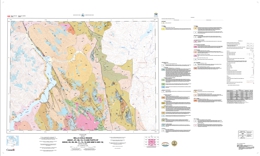 |
Geoscience Map 2006-7 is a compilation of 1:100 000-scale geological maps and supporting data tables (see Geological Survey of Canada Open File 5410 for the CD download) for the eastern part of the Bella Coola map area and adjacent regions in west-central British Columbia. The compilation encompasses more than 12 000 km� and straddles the boundary between the Intermontane and Coast Belt geomorphologic provinces. Geological mapping and data collection for the various maps on the CD was undertaken under different programs, including the Bella Coola Targeted Geoscience Initiative (TGI) Project, the British Columbia Rocks to Riches Program, and Cordilleran Energy and Minerals Project (Y15), administered by the Geological Survey of Canada. As a result of favourable mineralization results obtained in the more northerly parts of the TGI project, subsequent geological mapping was authorized in southern Whitesail Lake map area (93E) under the British Columbia Rocks to Riches program during 2003 and 2004. This project included funding from the province of British Columbia as well as the GSC, the UWEC, and the PCIGR. Regional mapping at 1:50 000-scale carried out under this program adjoins the results of the Bella Coola mapping program.
The Bella Coola TGI Project was a jointly funded mapping program undertaken during the period 2000-2003 between the Geological Survey of Canada (GSC) and the British Columbia Geological Survey (BCGS). Additional support was provided by the University of Wisconsin�Eau Claire (UWEC) and the Pacific Centre for Isotopic and Geochemical Research (PCIGR) at the University of British Columbia (UBC). The objective of the Bella Coola TGI project was to update the geology in the region around Bella Coola, with the goals of unravelling the region�s complex geological history and assessing prospective rock sequences for volcanogenic massive sulphide and copper porphyry potential.
As a result of favourable mineralization results obtained in the more northerly parts of the TGI project, subsequent geological mapping was authorized in southern Whitesail Lake map area (93E) under the British Columbia Rocks to Riches program during 2003 and 2004. This project included funding from the province of British Columbia as well as the GSC, the UWEC, and the PCIGR. Regional mapping at 1:50 000-scale carried out under this program adjoins the results of the Bella Coola mapping program.
This publication supersedes BCGS Open File 2004-13 and GSC Open File 4639. |
| Issue ID: | P1990-01-08 |
| Title: | Age of the Bootjack Stock, Quesnel Terrane, South-Central British Columbia |
| Author(s): | Bailey, D.G, Archibald, D.A. |
| Purpose: | To report new data obtained from a course-grained amphibole-rich phase of the Bootjack stock which support the conclusion that the Bootjack and Polley stocks are probably magmatically related |
| Series Name: | Paper |
| Publication Year: | 1990 |
| Larger Work Citation: | in Geological Fieldwork 1989, B.C. Ministry of Energy, Mines and Petroleum Resources, Paper 1990-1 |
| Scale: | 1:80000 |
| NTS Map Sheet(s): | 093A |
| Place Keyword(s): | British Columbia, South-Central, Bakerville Terrane, Quesnel, Bootjack Lake |
| Lat/Long (NSWE): | 53, 51, -122.2, -119 |
| Theme Keyword(s): | Geochronology, Bootjack stock, Polley stock, subvolcanic intrusive complex, Early Jurassic |
Download(s):
| PDF |
Abstract:
| Geological Fieldwork paper 1990-1, pages 79-82, examines the Bootjack stock in south-central British Columbia, a zoned nepheline syenite intrusion related to a magmatic event which gave rise to the adjacent Polley stock, host to the Cariboo Bell porphyry copper-gold deposits. Based on a whole-rock K-Ar date obtained from the fine-grained margin of the Bootjack stock, and on geological terms the Bootjack stock is considered to be much younger than the adjacent Polley stock. This notes reports new data obtained from a course-grained amphibole-rich phase of the Bootjack stock which supports the conclusion that the Bootjack and Polley stocks are probably magmatically related. |
| Issue ID: | P1993-01-48 |
| Title: | Peace River Coalfield Digital Mapping Project 1992 Fieldwork |
| Author(s): | Cunningham, J.M., Sprecher, B.W. |
| Series Name: | Paper |
| Publication Year: | 1993 |
| Larger Work Citation: | in Geological Fieldwork 1992, B.C. Ministry of Energy, Mines and Petroleum Resources, Paper 1993-1 |
| Scale: | 1:50000 |
| NTS Map Sheet(s): | 093I/9,10 |
| Place Keyword(s): | British Columbia, Peace River, Belcourt Creek park, Wapiti lake, monkman Creek |
| Lat/Long (NSWE): | 58, 55.5, -124, -120 |
| Theme Keyword(s): | Coal Geology, Digital Compilation, Stratigraphy, Coal Exploration |
Download(s):
| PDF |
Abstract:
| Geological Fieldwork paper 1993-1, pages 537 to 546, discusses the mapping completed in 1992 as well as the particular interest in the area due to proposed park additions and new parks in the Monkman Pass region which may include segments of the coalfield. The paper also examines the extensive digital database that has been compiled for the Peace River coalfield. |
| Issue ID: | P2001-01-00 |
| Title: | Geological Fieldwork 2000: A Summary of Field Activities and Current Research |
| Author(s): | Smyth, W.R. |
| Series Name: | Paper |
| Publication Year: | 2001 |
| NTS Map Sheet(s): | 082;083;092;093;094;102;103;104;114 |
| Place Keyword(s): | British Columbia |
| Lat/Long (NSWE): | 50, 48, -140, -114 |
| Theme Keyword(s): | Geology, Geochemistry, Mineral Occurrences, Mapping |
Download(s):
| PDF |
Abstract:
| This publication contains papers from the 2000 field season on a variety of topics. |
| Issue ID: | OF2007-08 |
| Title: | Geology of the Skeena Group, Central British Columbia (NTS 93E,F,K,L,M; 103I,P) |
| Author(s): | Alldrick, D.J. |
| Series Name: | Open File |
| Publication Year: | 2007 |
| Scale: | 1:250000 |
| NTS Map Sheet(s): | 093E,F,K,L,M; 103I,P |
| Place Keyword(s): | British Columbia, Skeena |
| Lat/Long (NSWE): | 56, 53, -129, -125.233 |
| Theme Keyword(s): | Geology, Bedrock geology, Mineral Occurrences, Mapping |
Download(s):
| PDF, ZIP (View Zip Contents) |
Abstract:
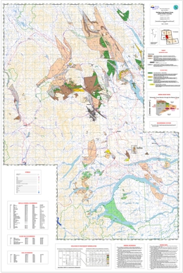 |
The Skeena Group map area covers 75,000 square kilometres in central British Columbia. Open File 2007-08 is a 1:250 000-scale geological map based on fieldwork conducted during 2006, combined with compilation from earlier regional mapping programs. The map highlights areas underlain by sedimentary, volcanic and volcaniclastic rocks of the early to middle Cretaceous Skeena Group.
This volcano-sedimentary succession hosts a major precious metal deposit at the past-producing Equity Silver mine within the Mount Ney intermediate volcanics, a series of gold prospects associated with the Kitseguecla Lake Rhyolites, and the important coal deposits of the Telkwa mining district hosted in mudstone members of the Bulkley Canyon Formation sandstones and conglomerates.
Field and laboratory studies indicate that all these deposits are contemporaneous with their hostrock successions. Regionally extensive correlative strata delineated on this map have been only partially explored for similar deposits.
This geology map is available in PDF format for printing. The digital files include the map in GIS format (Manifold GIS) and a second version of the GIS map containing 96 georeferenced files of anomalous RGS samples suites for Cu, Pb, Zn, Ag, Au, Hg, Sb, As. The zipped file also includes complementary report, poster and lecture files, plus a comprehensive bibliography of reports and maps on the Skeena Group. |
| Issue ID: | GBCR2008-08 |
| Title: | QUEST Project: Airborne Gravity Survey, Quesnellia Region, BC |
| Author(s): | Geoscience BC |
| Series Name: | Geoscience BC Report |
| Publication Year: | 2008 |
| NTS Map Sheet(s): | 082;083;092;093;094;102;103;104;114 |
| Place Keyword(s): | British Columbia, Northeast, Mackenzie, Pine Pass |
| Lat/Long (NSWE): | 60, 48, -139, -114 |
| Theme Keyword(s): | Geophysics, Airborne, Gravity Survey, QUEST |
Additional Link(s):
| http://www.geosciencebc.com/i/project_data/QUESTdata/GBCReport2008-8/Gravity_Technical_Report.pdf
http://www.geosciencebc.com/i/project_data/QUESTdata/GBCReport2008-8/GBCReport2008-8_Gravity_Data.zip
http://www.geosciencebc.com/s/Quest.asp |
Abstract:
| Sander Geophysics Limited (SGL) conducted a high-definition airborne gravity survey for Geoscience British Columbia Society (GBC) from December 2007 to March 28, 2008. The block covered much of the Quesnellia area of British Columbia. The survey was flown using SGL�s airborne gravity system designated AIRGrav (Airborne Inertially Referenced Gravimeter). Please refer to Appendix I for a Company Profile of Sander Geophysics Limited. |
| Issue ID: | LAKE GEOCHEMICAL DATABASE |
| Title: | Lake Sediment/Water Surveys |
| Author(s): | BC Geological Survey |
| Series Name: | Digital Geoscience Data |
| Publication Year: | 1986-ongoing |
| Other Citation Details: | Part of the Focused Geochemical Surveys |
| NTS Map Sheet(s): | 092;093;094;104 |
| Place Keyword(s): | British Columbia |
| Lat/Long (NSWE): | 56, 50.5, -128, -120 |
| Theme Keyword(s): | Lake Sediment, Water Surveys, Lake Surveys, Geochemistry |
Additional Link(s):
| https://catalogue.data.gov.bc.ca/dataset/regional-geochemical-lake-surveys
https://catalogue.data.gov.bc.ca/dataset/regional-geochemical-stream-water-sampling
https://www2.gov.bc.ca/gov/content?id=69323EF2C5AB401BB7142E9F6617C6AF |
Abstract:
 |
In parts of British Columbia where topography is subdued, surface drainage is poor and there is an abundance of lakes, lake sediment and water surveys are a valuable exploration tool for delineating regional geochemical patterns and detecting anomalous metal concentrations related to mineral occurrences. Samples are collected by boat or a float-equipped helicopter using a Hornbrook-type torpedo sampler. Lake bottom sediments are dried, screened to 80 mesh (0.170mm) and the -80 mesh sediments are analyzed for elements by atomic absorption spectrometry (AAS), inductively coupled plasma emission spectroscopy (ICP) and instrumental neutron activation (INA). This data is included in the Regional Geochemical Survey (RGS) database, which is released as GeoGile 2017-11. |
| Issue ID: | FOCUSED MULTI-MEDIA DATABASE |
| Title: | Focused Multi-Media and Detailed Surveys |
| Author(s): | BC Geological Survey |
| Series Name: | Digital Geoscience Data |
| Publication Year: | 1992 |
| Other Citation Details: | Part of the Focused Geochemical Surveys and RGS |
| NTS Map Sheet(s): | 082;092;093;094;103 |
| Place Keyword(s): | British Columbia |
| Lat/Long (NSWE): | 59, 49, -134, -116 |
| Theme Keyword(s): | Geochemistry, Focused Surveys, Multi-media |
Additional Link(s):
| https://www2.gov.bc.ca/gov/content?id=69323EF2C5AB401BB7142E9F6617C6AF |
Abstract:
| Focused Surveys are designed to cover an area at a higher sample density or by utilizing a sample media different from routine regional geological surveys (RGS). The surveys also investigate a specific problem with the aim of improving geochemical survey techniques. Focused Multi-Media and Detailed Surveys are located across the province and focus on glacial lake, bark, till, stream and focused surveys. Much of the data is included in the Regional Geochemical Survey (RGS) database, which is released as GeoGile 2017-11. Surveys not in the RGS database include: GeoFiles 2007-09 and 2010-09; and Fieldwork 2006. |
| Issue ID: | RGS WATER DATABASE |
| Title: | RGS Stream Water Sampling |
| Author(s): | BC Geological Survey |
| Series Name: | Digital Geoscience Data |
| Publication Year: | 2007 |
| Other Citation Details: | Part of the Focused Geochemical Surveys |
| NTS Map Sheet(s): | 082;092;093;094;103 |
| Place Keyword(s): | British Columbia |
| Lat/Long (NSWE): | 60, 49, -133, -116 |
| Theme Keyword(s): | Geochemical, Water Surveys, Trace Elements, major Elements |
Abstract:
| Stream water samples are collected as part of the Regional Geochemical Survey (RGS) program, which covers over 75% of British Columbia. An additional 797 stream water samples were analyzed for trace and minor elements in NTS map areas 093K, 103A, 104A/H and 104J. The data provides the elements found in the water sample as well as the test method and the detection limit. The data is available for download and viewing at the BC Geological Survey website. |
| Issue ID: | OF2007-10 |
| Title: | Nechako NATMAP Project - A Suite of Geoscience Information for Central British Columbia |
| Author(s): | Struik, L.C., MacIntyre, D.G., Williams, S.P. |
| Purpose: | To compile data, maps and articles on the Nechako NATMAP Project. |
| Series Name: | Open File |
| Publication Year: | 2007 |
| Other Citation Details: | Also published as Geological Survey of Canada Open File 5623 |
| Larger Work Citation: | Also published as Geological Survey of Canada Open File 5623 |
| Scale: | 1:250000 |
| NTS Map Sheet(s): | 093N, 093K, 093F, 093G/W, 093L/9,16, 093M/1,2,7,8 |
| Place Keyword(s): | British Columbia, Nechako |
| Lat/Long (NSWE): | 56, 53, -127, -123 |
| Theme Keyword(s): | NATMAP, Surficial Geology, Bedrock geology, Mineral Occurrences, Mapping |
Download(s):
| ZIP (View Zip Contents) |
Abstract:
| Geological Survey of Canada (GSC), British Columbia Survey (BCGS), universities and industry under the auspices of the Geological Survey of Canada's National Mapping Program (NATMAP) as the Nechako Project (1995-2000). The information consists of geoscience data sets for all or parts of six 1:250 000 scale National Topographic System (NTS) map sheets located in central British Columbia: Manson River (093N), Fort Fraser (093K), Nechako River (093F), Prince George (093G/W), Smithers (093L/9,16), and Hazelton (093M/1,2,7,8). |
| Issue ID: | GBCM2006-01 |
| Title: | Geology, Tesla Lake (NTS 93E/02), British Columbia |
| Author(s): | Gordee, S.M., Mahoney, J.B., Hooper, R.L. and Haggart, J.W. |
| Series Name: | Geoscience BC Map |
| Publication Year: | 2006 |
| Other Citation Details: | Also published as GSC Open File 5387 |
| Scale: | 1:50000 |
| NTS Map Sheet(s): | 093E/02 |
| Place Keyword(s): | British Columbia, Tesla Lake, Whitesail Lake |
| Lat/Long (NSWE): | 53.25, 53, -127, -126.5 |
| Theme Keyword(s): | Geoscience BC, Regional Geology, Stratigraphy, Structural Geology, Geochronology |
Additional Link(s):
| https://doi.org/10.4095/222917
https://www2.gov.bc.ca/gov/content/industry/mineral-exploration-mining/british-columbia-geological-survey/publications/geoscience-bc-releases
http://www.geosciencebc.com/projects/2006-01_02/ |
Abstract:
| The objective of this project is detailed geologic mapping (1:50,000) and economic mineral assessment of the eastern Coast Plutonic Complex and western Stikinia in the southwestern and western Whitesail Lake map area. The map area straddles the transition between the Coast and Intermontane morphogeologic belts, and contains significant exposures of Mesozoic arc assemblages, including the Jurassic (Hazelton) and Cretaceous (monarch, Kasalka) volcanic arc successions. Detailed geologic mapping, systematic geochemistry, geochronology, petrology, and economic mineral evaluation will constrain the distribution of an controls on potential economic mineralization in the region. The map covers the Tesla Lake sheet. |
| Issue ID: | GBCM2006-02 |
| Title: | Geology, Foresight Mountain (NTS 93E/03), British Columbia |
| Author(s): | Mahoney, J.B., Hooper. R.L., Gordee, S.M. and Haggart, J.W. |
| Series Name: | Geoscience BC Map |
| Publication Year: | 2007 |
| Other Citation Details: | Also published as GSC Open File 5386 |
| Scale: | 1:50000 |
| NTS Map Sheet(s): | 093E/03 |
| Place Keyword(s): | British Columbia, Foresight Mountain, Whitesail Lake |
| Lat/Long (NSWE): | 53.25, 53, -127.5, -127 |
| Theme Keyword(s): | Geoscience BC, Regional Geology, Stratigraphy, Structural Geology, Geochronology |
Additional Link(s):
| https://doi.org/10.4095/224572
https://www2.gov.bc.ca/gov/content/industry/mineral-exploration-mining/british-columbia-geological-survey/publications/geoscience-bc-releases
http://www.geosciencebc.com/projects/2006-01_02/ |
Abstract:
| The objective of this project is detailed geologic mapping (1:50,000) and economic mineral assessment of the eastern Coast Plutonic Complex and western Stikinia in the southwestern and western Whitesail Lake map area. The map area straddles the transition between the Coast and Intermontane morphogeologic belts, and contains significant exposures of Mesozoic arc assemblages, including the Jurassic (Hazelton) and Cretaceous (monarch, Kasalka) volcanic arc successions. Detailed geologic mapping, systematic geochemistry, geochronology, petrology, and economic mineral evaluation will constrain the distribution of an controls on potential economic mineralization in the region. The map was revised in 2007 and covers the Foresight Mountain sheet. |
| Issue ID: | GBCM2007-11-01 |
| Title: | Geology, Tahtsa Peak (NTS 93E/12), British Columbia |
| Author(s): | Mahoney, J.B., Haggart, J.W., Hooper, R.L., Snyder, L.D., Woodsworth, G.J. |
| Series Name: | Geoscience BC Map |
| Publication Year: | 2007 |
| Other Citation Details: | Also published as GSC Open File 5585 |
| Scale: | 1:50000 |
| NTS Map Sheet(s): | 093E/12 |
| Place Keyword(s): | British Columbia, Tahtsa Peak, Whitesail Lake |
| Lat/Long (NSWE): | 53.75, 53.5, -128, -127.5 |
| Theme Keyword(s): | Geoscience BC, Regional Geology, Stratigraphy, Structural Geology, Geochronology |
Additional Link(s):
| https://www2.gov.bc.ca/gov/content?id=E87A95DAB7D74B7E84A7C1681A0832B6
http://www.geosciencebc.com/projects/2005-032/ |
Abstract:
| This map is part of the final deliverables for the project "Distribution and Controls of Economic Mineralization along Intermontane/Coast Belt Boundary, Whitesail lake map area, British Columbia." The project is focused on detailed bedrock mapping and evaluation of economic mineralization potential in the southern and western Whitesail Lake map area. This colour map examines Tahtsa Peak at a scale of 1:50 000. |
| Issue ID: | GBCM2007-11-02 |
| Title: | Geology, parts of Chikamin Mountain and Traits Lake (NTS 93E/06 and 11), British Columbia |
| Author(s): | Mahoney, J.B., Haggart, J.W., Hooper, R.L., Snyder, L.D., Woodsworth, G.J. |
| Series Name: | Geoscience BC Map |
| Publication Year: | 2007 |
| Other Citation Details: | Also published as GSC Open File 5586 |
| Scale: | 1:50000 |
| NTS Map Sheet(s): | 093E/06,11 |
| Place Keyword(s): | British Columbia, Chikamin Mountain, Troitsa lake, Whitesail Lake |
| Lat/Long (NSWE): | 53.75, 53.25, -127.5, -127 |
| Theme Keyword(s): | Geoscience BC, Regional Geology, Stratigraphy, Structural Geology, Geochronology |
Additional Link(s):
| https://www2.gov.bc.ca/gov/content?id=E87A95DAB7D74B7E84A7C1681A0832B6
http://www.geosciencebc.com/projects/2005-032/ |
Abstract:
| This map is part of the final deliverables for the project "Distribution and Controls of Economic Mineralization along Intermontane/Coast Belt Boundary, Whitesail lake map area, British Columbia." The project focuses on detailed bedrock mapping and evaluation of economic mineralization potential in the southern and western Whitesail Lame map area. This colour map examines the geology of parts of Chikamin Mountain and Troitsa Lake, British Columbia at a scale of 1:50 000. |
| Issue ID: | GBCM2007-11-03 |
| Title: | Geology, Tastes River (NTS 93E/05), British Columbia |
| Author(s): | Mahoney, J.B., Haggart, J.W., Hooper, R.L., Snyder, L.D., Woodsworth, G.J. |
| Series Name: | Geoscience BC Map |
| Publication Year: | 2007 |
| Other Citation Details: | Also published as GSC Open File 5587 |
| Scale: | 1:50000 |
| NTS Map Sheet(s): | 093E/05 |
| Place Keyword(s): | British Columbia, Tsaytis River, Whitesail Lake |
| Lat/Long (NSWE): | 53.5, 53.25, -128, -127.5 |
| Theme Keyword(s): | Geoscience BC, Regional Geology, Stratigraphy, Structural Geology, Geochronology |
Additional Link(s):
| https://www2.gov.bc.ca/gov/content?id=E87A95DAB7D74B7E84A7C1681A0832B6
http://www.geosciencebc.com/projects/2005-032/ |
Abstract:
| This map is part of the final deliverables for the project "Distribution and Controls of Economic Mineralization along Intermontane/Coast Belt Boundary, Whitesail lake map area, British Columbia." The project focuses on detailed bedrock mapping and evaluation of economic mineralization potential in the southern and western Whitesail Lame map area. This colour map examines the geology of parts of Tsaytis River, British Columbia at a scale of 1:50 000. |
| Issue ID: | GBCM2007-11-04 |
| Title: | Geology, Kit lope Lake (east part) (NTS 93E/04), British Columbia |
| Author(s): | Mahoney, J.B., Haggart, J.W., Hooper, R.L., Snyder, L.D., Woodsworth, G.J. |
| Series Name: | Geoscience BC Map |
| Publication Year: | 2007 |
| Other Citation Details: | Also published as GSC Open File 5588 |
| Scale: | 1:50000 |
| NTS Map Sheet(s): | 093E/04 |
| Place Keyword(s): | British Columbia, Kitlope Lake, Whitesail Lake |
| Lat/Long (NSWE): | 53.25, 53, -128, -127.5 |
| Theme Keyword(s): | Geoscience BC, Regional Geology, Stratigraphy, Structural Geology, Geochronology |
Additional Link(s):
| https://www2.gov.bc.ca/gov/content?id=E87A95DAB7D74B7E84A7C1681A0832B6
http://www.geosciencebc.com/projects/2005-032/ |
Abstract:
| This map is part of the final deliverables for the project "Distribution and Controls of Economic Mineralization along Intermontane/Coast Belt Boundary, Whitesail lake map area, British Columbia." The project focuses on detailed bedrock mapping and evaluation of economic mineralization potential in the southern and western Whitesail Lame map area. This colour map examines the geology of the eastern part of Kitlope Lake, British Columbia at a scale of 1:50 000. |
| Issue ID: | P2008-01-10 |
| Title: | Boundary Project: McKinney Creek (NTS 82E/03) and Beaverdell (NTS 82E/06E, 07W, 10W, 11W) Areas, South-Central British Columbia |
| Author(s): | Massey, N.W.D., Duffy, A. |
| Series Name: | Paper |
| Publication Year: | 2008 |
| Other Citation Details: | Geoscience BC Report 2008-1 |
| Larger Work Citation: | in Geological Fieldwork 2007, B.C. Ministry of Energy, Mines and Petroleum Resources, Paper 2008-01 |
| NTS Map Sheet(s): | 082E/03, 06E, 07W, 10W, 11W |
| Place Keyword(s): | British Columbia, South Central, McKinney Creek, Beaverdell |
| Lat/Long (NSWE): | 50, 49, -120, -118 |
| Theme Keyword(s): | Geology |
Download(s):
| PDF |
Abstract:
| This paper examines the McKinney Creek and Beaverdell areas of south-central British Columbia. |
| Issue ID: | P2008-01-11 |
| Title: | Newly Discovered Volcanic-Hosted Massive Sulphide Potential within Paleozoic Volcanic Rocks of the Stikine Assemblage, Terrace Area, Northwestern British Columbia (NTS 103I/08) |
| Author(s): | McKeown, M., Nelson, J.L., Friedman, R.M. |
| Series Name: | Paper |
| Publication Year: | 2008 |
| Other Citation Details: | Geoscience BC Report 2008-1 |
| Larger Work Citation: | in Geological Fieldwork 2007, B.C. Ministry of Energy, Mines and Petroleum Resources, Paper 2008-01 |
| NTS Map Sheet(s): | 103I/08 |
| Place Keyword(s): | British Columbia, northwestern, Terrace area |
| Lat/Long (NSWE): | 55, 54, -130, -128 |
| Theme Keyword(s): | Geology, Volcanic-hosted massive sulphide potential, Paleozoic volcanic rocks, Stikine assemblage |
Download(s):
| PDF |
Abstract:
| This paper examines the newly discovered volcanic-hosted massive sulphide potential within Paleozoic volcanic rocks of the Stikine assemblage, Terrace area, northwestern British Columbia. |
| Issue ID: | P2008-01-12 |
| Title: | Regional Geology and Resource Potential of the Chezacut Map Area, Central British Columbia (NTS 93C/08) |
| Author(s): | Mihalynuk, M.G., Peat, C.R., Terhune, K., Orovan, E.A. |
| Series Name: | Paper |
| Publication Year: | 2008 |
| Other Citation Details: | Geoscience BC Report 2008-1 |
| Larger Work Citation: | in Geological Fieldwork 2007, B.C. Ministry of Energy, Mines and Petroleum Resources, Paper 2008-01 |
| NTS Map Sheet(s): | 093C/08 |
| Place Keyword(s): | British Columbia, Central, Chezacut |
| Lat/Long (NSWE): | 53, 52, -126, -124 |
| Theme Keyword(s): | Regional Geology, Resource Potential |
Download(s):
| PDF |
Abstract:
| This paper examines the regional geology and resource potential of the Chezacut map area of central British Columbia. |
| Issue ID: | P2008-01-13 |
| Title: | Geochronological results from reconnaissance investigations in the Beetle Infested Zone, south-central British Columbia |
| Author(s): | Mihalynuk, M.G., Friedman, R.M., Ullrich, T.D. |
| Series Name: | Paper |
| Publication Year: | 2008 |
| Other Citation Details: | Geoscience BC Report 2008-1 |
| Larger Work Citation: | in Geological Fieldwork 2007, B.C. Ministry of Energy, Mines and Petroleum Resources, Paper 2008-01 |
| NTS Map Sheet(s): | 082; 092 |
| Place Keyword(s): | British Columbia, South Central |
| Lat/Long (NSWE): | 51, 49, -120, -118 |
| Theme Keyword(s): | Geology, Investigation, Beetle Infested Zone, Geochronological results |
Download(s):
| PDF |
Abstract:
| This paper examines the geochronological results from reconnaissance investigations in the Beetle Infested Zone of south-central British Columbia. |
| Issue ID: | P2008-01-14 |
| Title: | Origin of the Kootenay Lake Metamorphic High, Southeastern British Columbia |
| Author(s): | Moynihan, D.P., Pattison, D.R.M. |
| Series Name: | Paper |
| Publication Year: | 2008 |
| Other Citation Details: | Geoscience BC Report 2008-1 |
| Larger Work Citation: | in Geological Fieldwork 2007, B.C. Ministry of Energy, Mines and Petroleum Resources, Paper 2008-01 |
| NTS Map Sheet(s): | 082F |
| Place Keyword(s): | British Columbia, Southeastern |
| Lat/Long (NSWE): | 50, 49, -118, -116 |
| Theme Keyword(s): | Geology |
Download(s):
| PDF |
Abstract:
| This paper examines the Kootenay Lake metamorphic high in southeastern British Columbia. |
| Issue ID: | P2008-01-15 |
| Title: | Terrace Regional Mapping Project, Year 3: Contributions to Stratigraphic, Structural and Exploration Concepts, Zymoetz River to Kitimat River, east-central British Columbia (NTS 103I/08) |
| Author(s): | Nelson, J.L., Kyba, J., McKeown, M., Angen, J. |
| Series Name: | Paper |
| Publication Year: | 2008 |
| Other Citation Details: | Geoscience BC Report 2008-1 |
| Larger Work Citation: | in Geological Fieldwork 2007, B.C. Ministry of Energy, Mines and Petroleum Resources, Paper 2008-01 |
| NTS Map Sheet(s): | 103I/08 |
| Place Keyword(s): | British Columbia, East-Central, Zymoetz River, Kitimat River |
| Lat/Long (NSWE): | 55, 54, -130, -128 |
| Theme Keyword(s): | Geology, Terrace Regional Mapping, Stratigraphic concepts, Structural concepts, Exploration |
Download(s):
| PDF |
Abstract:
| This paper examines the Terrace Regional Mapping Project in its third year. The project examines the contributions to stratigraphic, structural and exploration concepts from the Zymoetz River to Kitimat River, east-central British Columbia (NTS 103I/08). |
| Issue ID: | P2008-01-16 |
| Title: | High-Mg Lavas in the Karmutsen Flood Basalts, Northern Vancouver Island (NTS 092L): Stratigraphic Setting and Metallogenic Significance |
| Author(s): | Nixon, G.T., Larocque, J., Pals, A., Styan, J., Greene, A.R., Scoates, J.S. |
| Series Name: | Paper |
| Publication Year: | 2008 |
| Other Citation Details: | Geoscience BC Report 2008-1 |
| Larger Work Citation: | in Geological Fieldwork 2007, B.C. Ministry of Energy, Mines and Petroleum Resources, Paper 2008-01 |
| NTS Map Sheet(s): | 092L |
| Place Keyword(s): | British Columbia, Northern Vancouver Island, Coastal |
| Lat/Long (NSWE): | 51, 50, -128, -126 |
| Theme Keyword(s): | Geology, Metallogenic significance, High-Mg lavas, Karmutsen flood basalts |
Download(s):
| PDF |
Abstract:
| This paper examines the high-Mg lavas in the Karmutsen flood basalts on northern Vancouver Island, British Columbia. |
| Issue ID: | P2008-01-17 |
| Title: | Geology and Mineral Occurrences of the Timothy Lake Area, South-Central British Columbia (NTS 92P/14) |
| Author(s): | Schiarizza, P.A., Bligh, J.S. |
| Series Name: | Paper |
| Publication Year: | 2008 |
| Other Citation Details: | Geoscience BC Report 2008-1 |
| Larger Work Citation: | in Geological Fieldwork 2007, B.C. Ministry of Energy, Mines and Petroleum Resources, Paper 2008-01 |
| NTS Map Sheet(s): | 092P/14 |
| Place Keyword(s): | British Columbia, South Central, Timothy Lake |
| Lat/Long (NSWE): | 52, 51, -122, -120 |
| Theme Keyword(s): | Geology, Mineral Occurrences |
Download(s):
| PDF |
Abstract:
| This paper examines geology and mineral occurrences of the Timothy Lake area. |
| Issue ID: | P2008-01-18 |
| Title: | Newly Recognized White Talc-Carbonate Filler Potential of the Greenwood-Bridesville Area, British Columbia and Brief Talc Market Review |
| Author(s): | Simandl, G.J. |
| Series Name: | Paper |
| Publication Year: | 2008 |
| Other Citation Details: | Geoscience BC Report 2008-1 |
| Larger Work Citation: | in Geological Fieldwork 2007, B.C. Ministry of Energy, Mines and Petroleum Resources, Paper 2008-01 |
| NTS Map Sheet(s): | 082E,F |
| Place Keyword(s): | British Columbia, Southern, Greenwood, Bridesville |
| Lat/Long (NSWE): | 50, 49, -120, -116 |
| Theme Keyword(s): | Geology, white talc-carbonate filler potential, talc market review |
Download(s):
| PDF |
Abstract:
| This paper examines the newly recognized white talc-carbonate filler potential of the Greenwood-Bridesville area, British Columbia. |
| Issue ID: | P2008-01-19 |
| Title: | Fireside Deposit: Diagenetic Barite in Strata of the Kechika Group, and Vein Barite Related to Rifting of the Kechika Trough, Northwestern British Columbia (NTS 94M/14) |
| Author(s): | Wojdak, P.J. |
| Series Name: | Paper |
| Publication Year: | 2008 |
| Other Citation Details: | Geoscience BC Report 2008-1 |
| Larger Work Citation: | in Geological Fieldwork 2007, B.C. Ministry of Energy, Mines and Petroleum Resources, Paper 2008-01 |
| NTS Map Sheet(s): | 094M/14 |
| Place Keyword(s): | British Columbia, North-western |
| Lat/Long (NSWE): | 60, 59, -128, -126 |
| Theme Keyword(s): | Geology, Diagenetic barite, Kechika Group, Kechika Trough |
Download(s):
| PDF |
Abstract:
| This paper examines the diagenetic barite in strata of the Kechika Group, and vein barite related to rifting of the Kechika Trough, northwestern British Columbia. |
| Issue ID: | P2008-01-06 |
| Title: | Thickness Trends of J Seam, and its Spilt at the Falher D Shoreline, Wolverine River Area, Peace River Coalfield, Northeastern British Columbia |
| Author(s): | Legun, A.S. |
| Series Name: | Paper |
| Publication Year: | 2008 |
| Other Citation Details: | Geoscience BC Report 2008-1 |
| Larger Work Citation: | in Geological Fieldwork 2007, B.C. Ministry of Energy, Mines and Petroleum Resources, Paper 2008-01 |
| NTS Map Sheet(s): | 093; 094 |
| Place Keyword(s): | British Columbia, Northeastern, Peace River, Wolverine River |
| Lat/Long (NSWE): | 57.6, 54.9, -123.15, -119.9 |
| Theme Keyword(s): | Geochemistry, thickness trends, Falher D shoreline |
Download(s):
| PDF |
Abstract:
| This paper examines the thickness trends of J seam, and its spilt at the falher D shoreline, Wolverine River area, Peace River coalfield, northeastern British Columbia. |
| Issue ID: | OF2008-01 |
| Title: | Operating Mines and Selected Major Exploration Projects in British Columbia - 2007 |
| Author(s): | Hancock, K.D., Grant, B., with DeGrace, J., Grieve, D., Madu, B., Northcote, B., Wojdak, P.J. |
| Series Name: | Open File |
| Publication Year: | 2008 |
| NTS Map Sheet(s): | 082;083;092;093;094;102;103;104;114 |
| Place Keyword(s): | British Columbia |
| Lat/Long (NSWE): | 60, 48, -139, -114 |
| Theme Keyword(s): | mines, exploration, projects, development |
Download(s):
| PDF |
Abstract:
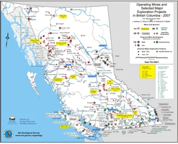 |
This poster-style map depicts metal, coal and industrial minerals operations in the Province during 2007. In addition, the location of 119 significant mineral exploration programs and 24 proposed mine developments across the province are shown. |
| Issue ID: | OF2008-07 |
| Title: | Communities Benefiting from British Columbia Mineral Exploration Activity in 2007 |
| Author(s): | Hancock, K.D., Chan, P. |
| Series Name: | Open File |
| Publication Year: | 2008 |
| NTS Map Sheet(s): | 082;083;092;093;094;102;103;104;114 |
| Place Keyword(s): | British Columbia |
| Lat/Long (NSWE): | 60, 48, -139, -114 |
| Theme Keyword(s): | mines, communities, benefits, exploration, projects |
Download(s):
| PDF |
Abstract:
 |
This Provincial Map shows the location of major exploration projects; producing metal, coal and industrial mineral mines and the communities they influenced in 2007. The PDF of the map is plot size and in colour. |
| Issue ID: | EXP2007-00 |
| Title: | Exploration and Mining in British Columbia 2007, Foreword and Overview |
| Author(s): | DeGrace, J.R., Grieve, D., Madu, B., Northcote, B., Wojdak, P.J. |
| Series Name: | Exploration and Mining in BC |
| Publication Year: | 2008 |
| Other Citation Details: | pages iii to v |
| Larger Work Citation: | in Exploration and Mining in B.C. 2007 |
| NTS Map Sheet(s): | 082;083;092;093;094;102;103;104;114 |
| Place Keyword(s): | British Columbia |
| Lat/Long (NSWE): | 60, 48, -139, -114 |
| Theme Keyword(s): | Exploration and Mining |
Download(s):
| PDF |
Abstract:
 |
This annual publication provides detailed regional reviews of mining, mineral exploration and development activities in British Columbia for 2007. Regional Geologists in the Mining and Minerals Division of the Ministry compile the publication using information provided by government, companies and individuals in the British Columbia mining industry. The report contains detailed statistical tables and illustrations, in addition to location maps and tables summarizing significant mining, exploration and development projects in the province. |
| Issue ID: | EXP2007-01 |
| Title: | Northwest Region |
| Author(s): | Wojdak, P.J. |
| Series Name: | Exploration and Mining in BC |
| Publication Year: | 2008 |
| Other Citation Details: | pages 1 to 30 |
| Larger Work Citation: | in Exploration and Mining in B.C. 2007 |
| NTS Map Sheet(s): | 093; 094; 103; 104; 114 |
| Place Keyword(s): | British Columbia, Northwest |
| Lat/Long (NSWE): | 60, 54, -139, -124 |
| Theme Keyword(s): | Exploration and Mining, Summary and Trends, Mines, Metals, Aggregate Projects |
Download(s):
| PDF |
Abstract:
|
An annual review of mineral exploration and mining activity from the northwestern region of British Columbia with a focus on mines, quarries, mine development projects, mineral exploration, porphyry copper projects, porphyry molybdenum projects, gold-silver projects, specialty metals, coal and aggregate projects. |
| Issue ID: | EXP2007-02 |
| Title: | Northeast Region |
| Author(s): | DeGrace, J.R. |
| Series Name: | Exploration and Mining in BC |
| Publication Year: | 2008 |
| Other Citation Details: | pages 31 to 36 |
| Larger Work Citation: | in Exploration and Mining in B.C. 2007 |
| NTS Map Sheet(s): | 093; 094 |
| Place Keyword(s): | British Columbia, Northeast |
| Lat/Long (NSWE): | 60, 55, -128, -120 |
| Theme Keyword(s): | Exploration and Mining, Mines, Coal, Projects, Porphyry |
Download(s):
| PDF |
Abstract:
|
An annual review of mineral exploration and mining activity from the northeastern region of British Columbia with a focus on coal mines, coal exploration projects and metal exploration projects. |
| Issue ID: | OF2009-12 |
| Title: | BCGS Open House Presentations |
| Author(s): | BC Geological Survey |
| Series Name: | Open File |
| Publication Year: | 2009 |
| Scale: | 1:25000 |
| NTS Map Sheet(s): | 082;083;092;093;094;102;103;104;114 |
| Place Keyword(s): | British Columbia |
| Lat/Long (NSWE): | 60, 48, -139, -114 |
| Theme Keyword(s): | geology, Open House, MapPlace, geochemistry, mining and mineral exploration |
Download(s):
| PDF |
Abstract:
 |
The British Columbia Geological Survey hosted an Open House on November 13th, 2009. Open File 2009-12 presents a selection of talks presented at the Open House. |
| Issue ID: | OF2008-08 |
| Title: | Geology, Spences Bridge Group southwest of Merritt, British Columbia (parts of NTS 92H/14,15 and 92I/2,3) |
| Author(s): | Diakow, L.J., Barrios, A. |
| Series Name: | Open File |
| Publication Year: | 2008 |
| Scale: | 1:50000 |
| NTS Map Sheet(s): | 092H/14,15; 092I/02,03 |
| Place Keyword(s): | British Columbia, South, Merritt |
| Lat/Long (NSWE): | 50.25, 49.75, -121.26, -120.5 |
| Theme Keyword(s): | geology, bedrock mapping, geochronology, Spences Bridge Group, Nicola Group |
Download(s):
| PDF, ZIP (View Zip Contents) |
Abstract:
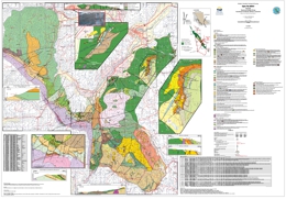 |
This geological map shows new stratigraphic subdivisions and geochronology for the Spences Bridge Group, south of Merritt. The product is based on fieldwork conducted in 2007 and 2008. The map area is underlain by two magmatic arc successions, the Late Triassic Nicola Group and overlying Early Cretaceous Spences Bridge Group. The Nicola Group near Merritt is uniquely characterized by Late Triassic (Carnian) felsic volcano-sedimentary-limestone successions containing silica-carbonate exhalite and sinter with a weakly elevated epithermal geochemical signature. Low-sulphidation epithermal gold quartz veins occur throughout the range of Spences Bridge Group stratigraphy. A new U-Pb isotopic date confirms previous work of an Early Cretaceous age for the lower, Pimainus Formation, and a contemporaneous Ar/Ar date on hydrothermal alteration is derived from a gold-bearing epithermal quartz vein system hosted by the upper, Spius Formation. |
| Issue ID: | GF2008-08 |
| Title: | A Multi-Media Analysis of Stream Geochemistry on Vancouver Island, British Columbia: Implications for Mineral Exploration |
| Author(s): | Lett, R.E. |
| Series Name: | GeoFile |
| Publication Year: | 2008 |
| NTS Map Sheet(s): | 092B,092C,092E,092F,092G,092L,092K,102I |
| Place Keyword(s): | British Columbia, Southwest, Vancouver Island |
| Lat/Long (NSWE): | 51, 48.25, -128.5, -123 |
| Theme Keyword(s): | geochemistry, island arc, porphyry Cu-Mo, VMS, skarn |
Download(s):
| PDF, ZIP (View Zip Contents) |
Abstract:
 |
There is a good potential for discovering new metallic mines on Vancouver Island because much of the geology that has formed through the evolution of island arc-related rock suites is a favourable host for a range of mineral deposit types including porphyry Cu-Mo, volcanic massive sulphides and skarn mineralization. In addition to past and present producing mines such as Island Copper and Myra Falls, numerous mineral occurrences have been found and are still being developed.
Vancouver Island is also ideal for testing new geochemical exploration methods because it not only has varied geology, numerous mineral occurrences and different styles of metallic mineralization, but has also contrasting local climates, different surficial environments and physiographies. These features were incentives for the staff of the applied geochemical unit in the British Columbia Geological Survey to carry out a number of orientation studies in 1987 and 1988 with the aim of improving drainage geochemical survey techniques on Vancouver Island. Results of the studies were fully documented but were never reported at that time. GeoFile 2008-8 contains full details of these geochemical studies. |
| Issue ID: | GBCR2006-04 |
| Title: | Regional Drainage Sediment and Water Geochemical Survey Data, Anahim Lake - Nechako River, Central British Columbia (NTS 93C and 93F) |
| Author(s): | Jackaman, W. |
| Series Name: | Geoscience BC Report |
| Publication Year: | 2006 |
| Other Citation Details: | BCGS GeoFile 2006-11 |
| Larger Work Citation: | Geoscience BC Project 2005-014 |
| NTS Map Sheet(s): | 093C, 093F |
| Place Keyword(s): | British Columbia, Anahim Lake, Nechako River |
| Lat/Long (NSWE): | 54, 52, -126, -124 |
| Theme Keyword(s): | Regional Geochemistry, Stream Sediment, Lake Water, Lake Sediment |
Additional Link(s):
| https://www2.gov.bc.ca/gov/content?id=4A39AD525D2444DDACB0DCC01E046EAA#GF2006-11
http://www.geosciencebc.com/projects/2005-014/
http://cdn.geosciencebc.com/project_data/GBC_Report2006-4/2006-4_Report.pdf
http://cdn.geosciencebc.com/project_data/GBC_Report2006-4/2006-4_APPENDIX_A-LISTINGS.pdf
http://cdn.geosciencebc.com/project_data/GBC_Report2006-4/2006-4_APPENDIX_B-STATISTICS.pdf
http://cdn.geosciencebc.com/project_data/GBC_Report2006-4/APPENDIX_C-MAPS.pdf
http://cdn.geosciencebc.com/project_data/GBC_Report2006-4/2006-4_XLSdata.zip |
Abstract:
| Geoscience BC Report 2006-4 (GeoFile 2006-11) reports new regional geochemical drainage sediment � water survey data from the Anahim Lake (NTS 93C) and Nechako River (93F) map sheets. This digital release consists of a survey summary, data listings, statistics and maps in PDF format, plus ZIP files with raw data files in XLS and DBF formats and base data in GIS importable shape files. There are over 60 base and precious metal occurrences in the Anahim Lake- Nechako River map sheets including several such as the 3T's and Clisbako, which have extensive exploration history. However, exploration for new deposits has been hampered by widespread glacial sediment and Miocene lava cover. During 2005 a total of 2070 drainage sediment and water samples were collected from 1957 sites covering 19 500 square kilometres.
There are over 60 base and precious metal occurrences in the Anahim Lake - Nechako River map sheets including several such as the 3T�s and Clisbako, which have extensive exploration history. However, exploration for new deposits has been hampered by widespread glacial sediment and Miocene lava cover. During 2005 a total of 2070 drainage sediment and water samples were collected from 1957 sites covering 19 500 square kilometres. Most of the samples were taken from lakes and analysed for trace and minor elements by instrumental neutron activation and by aqua regia digestion - inductively coupled plasma mass spectrometry (ICP/MS), for loss on ignition (LOI) and for fluorine. Water samples were analysed for pH, conductivity and fluoride. Survey data has been combined with the results of two previous lake sediment and water geochemical surveys completed near the Fawnie Range and around Ootsa Lake. Gold values up to 694 ppb and copper up to 1536 ppm have been detected in sediment samples. The 2005 surveys were fully funded by Geoscience BC (Contribution Number GBC016). |
| Issue ID: | GBCR2006-05 |
| Title: | Regional Stream Sediment and Water Geochemical Data - Golden, Brazeau Lake, Canoe River and Mount Robson, Southeastern British Columbia,�(NTS 82N, 83C, 83D, and 83E) |
| Author(s): | Nass, C.O. |
| Series Name: | Geoscience BC Report |
| Publication Year: | 2006 |
| Other Citation Details: | BCGS GeoFile 2006-12 |
| Larger Work Citation: | Geoscience BC Project 2005-050 |
| NTS Map Sheet(s): | 083C, 083D, 083E, 082N |
| Place Keyword(s): | British Columbia, Golden, Brazeau River, Canoe River, Mount Robson |
| Lat/Long (NSWE): | 54, 51, -120, -116 |
| Theme Keyword(s): | Regional Geochemistry, Stream Sediment, Stream Water |
Additional Link(s):
| https://www2.gov.bc.ca/gov/content?id=4A39AD525D2444DDACB0DCC01E046EAA#GF2006-12
http://www.geosciencebc.com/projects/2005-050/
http://cdn.geosciencebc.com/project_data/GBC_Report2006-5/2006-5_SURVEY_SUMMARY.pdf
http://cdn.geosciencebc.com/project_data/GBC_Report2006-5/2006-5_APPENDIX_A.pdf
http://cdn.geosciencebc.com/project_data/GBC_Report2006-5/2006-5_APPENDIX_B.pdf
http://cdn.geosciencebc.com/project_data/GBC_Report2006-5/2006-5_APPENDIX_C.pdf |
Abstract:
| Geoscience BC Report 2006-5 (GeoFile 2006-12) reports results of regional geochemical drainage sediment � water surveys in the Golden (NTS 82N), Brazeau River (83C), Canoe River (83D) and Mount Robson (83E) map sheets. This digital release consists of a survey summary, data listings, statistics and maps in PDF format, plus a ZIP file with raw data files in XLS and DBF formats. Most of the known base and precious metal occurrences are in the Golden map sheet although much of the remaining survey area has a higher potential for metallic and industrial mineral deposits. During 2005 stream sediment and water samples were collected from 1409 sites covering 21 569 square kilometres in southeastern BC.
Most of the known base and precious metal occurrences are in the Golden map sheet although much of the remaining survey area has a higher potential for metallic and industrial mineral deposits. During 2005 stream sediment and water samples were collected from 1409 sites covering 21 560 square kilometres in southeastern BC. The samples were analysed for trace and minor elements by instrumental neutron activation and by aqua regia digestion - inductively coupled plasma mass spectrometry (ICP/MS), for loss on ignition (LOI) and for fluorine. Water samples were analysed for pH, conductivity and fluoride. Gold values up to 357 ppb and silver up to 1747 ppb were detected in sediment samples from the surveys. The 2005 surveys were fully funded by Geoscience BC (Contribution Number GBC018). |
| Issue ID: | GF2011-07 |
| Title: | Regional Geochemical Survey (RGS) Database |
| Author(s): | Lett, R.E. |
| Series Name: | GeoFile |
| Publication Year: | 2011 |
| NTS Map Sheet(s): | 082;083;092;093;094;102;103;104;114 |
| Place Keyword(s): | British Columbia |
| Lat/Long (NSWE): | 60, 48, -140, -114 |
| Theme Keyword(s): | RGS, geochemistry, database |
Download(s):
| PDF, ZIP (View Zip Contents) |
Abstract:
 |
The British Columbia Geological Survey, Ministry of Energy and Mines has been involved in reconnaissance-scale stream sediment and water surveys since 1976. This program has generated high-quality stream and lake sediment and surface water data from geochemical surveys carried out across Canada. In British Columbia the National Geochemical Reconnaissance (NGR) program, known as the Regional Geochemical Survey (RGS), has covered roughly 75 percent of the province with stream sediment and stream water sampling at an average sample density of one sample per 13 square kilometres. A Microsoft Access database contains all of the field and analytical information from 61,425 samples collected and/or reanalyzed by the BC Geological Survey, the Geological Survey of Canada and Geoscience BC from 1976 to March 2011. |
| Issue ID: | OF2012-07 |
| Title: | Specialty Metals in Canada |
| Author(s): | Simandl, G.J., Prussin, E.A., Brown, N. |
| Purpose: | Inventory of specialty metals in Canada |
| Series Name: | Open File |
| Publication Year: | 2012 |
| NTS Map Sheet(s): | 082;083;092;093;094;102;103;104;114 |
| Place Keyword(s): | British Columbia, Canada, Canadian provinces, Canadian territories |
| Lat/Long (NSWE): | 74, 41.5, -141, -52.5 |
| Theme Keyword(s): | Specialty metals, rare metals, rare earths, global sources, geological setting |
Download(s):
| PDF |
Abstract:
 |
Specialty metals (SMs) are critical for the development of green technologies, essential raw materials for high technology industries, and deemed strategic for national security by the USA and several European countries. More than one thousand Ta, Nb, Zr, Hf, Li, REE and Be occurrences are known in Canada. Only two Canadian SM deposits are being mined, the ferroniobium producing St. Honor� carbonatite (Niobec) and the Cs- and Ta- producing Bernic Lake deposit (Tanco Mine). Several Ta, Nb, REE and Li prospects are reaching pre-feasibility or feasibility stages. Examples are: Crevier Township, Nb-Ta (QC); Aley Carbonatite, Nb (BC); Blue River, Ta-Nb (BC); Nechalacho, REE (NT); Strange Lake, REE (QC); Kipawa, REE (QC); LaCorne Township, Li (QC); and Wabouchi (also known as Lac des Montagnes) Li (QC). Ontario has the greatest number of occurrences (373), followed by Quebec (195), NWT (115), British Columbia (108), Newfoundland (86), and the remaining provinces, Yukon and Nunavut (220, combined). These occurrences can be described as anomalies (140), showings (563), prospects (204), developed prospects (109), past producers (23), current producers (8), Li-bearing oilfield brines (48), and oil sands by-products (2). Geologically, the occurrences can be grouped into 14 categories: carbonatite/syenite-related; peralkaline intrusion-related; pegmatite/granite/aplite; REE � P veins; placer/paleoplacer; sedimentary phosphates; REE- enriched Iron oxide copper gold ore (IOCG); sandstone-hosted xenotime; REE as uranium by-products; skarns; greisen/veins; Li-bearing brines; oils sands by-products; and other/unknown. Canada has excellent geological potential to supply SMs worldwide. The document was produced as part of the Targeted Initiative 4 (TGI-4) led by the Geological Survey of Canada (Natural Resources Canada) in collaboration with provincial and territorial partners. |
| Issue ID: | OGAR2012-01 |
| Title: | Summary of Shale Gas Activity in Northeast British Columbia 2011 |
| Author(s): | Adams, C. |
| Series Name: | Oil and Gas Activity Reports |
| Publication Year: | 2012 |
| NTS Map Sheet(s): | 094; |
| Place Keyword(s): | British Columbia, Northeast BC, Horn River Basin, Montney, Liard Basin |
| Lat/Long (NSWE): | 60, 54, -126, -120 |
| Theme Keyword(s): | Shale Gas, industry activity, exploration and development, petroleum and natural gas, hydraulic fracturing |
Download(s):
| PDF |
Abstract:
| Increased attention to shale gas prospects in northeast British Columbia over the last five years resulted in unprecedented levels of land sale activity. Bonuses garnered from the sale of Crown petroleum and natural gas rights reached a record total of $2.7 billion in 2008 followed by a combined total of almost $1.7 billion in 2009 and 2010. Over 90 per cent of these bonus totals were directed toward the exploration and development of British Columbia�s shale gas regions. Similarly, in 2011, over 90 per cent of the $223 million collected in land sale bonuses was the result of operators focusing on the evaluation and extraction of these world-class shale gas resources, which have the potential to hold over 1,200 trillion cubic feet of natural gas. Recoverable resource numbers for these regions continue to be dependent on advances associated with horizontal drilling techniques and hydraulic fracturing procedures, but the Horn River Basin, Liard Basin, Cordova Embayment and the Montney play region are currently playing a significant role in western Canada�s gas supply. These regions are key components to the success of British Columbia�s recently released Natural Gas Strategy and Liquefied Natural Gas Strategy. In terms of industry drilling activities, northeast British Columbia�s Montney play region has become the most active and continues to be one of the most successful and productive natural gas plays in North America.
This summary report highlights shale gas activity in the key shale gas regions of northeast British Columbia with most of the statistics presented focusing on the years 2010 and 2011. |
| Issue ID: | OGGR2012-00 |
| Title: | Oil and Gas Geoscience Report 2012 |
| Author(s): | Hickin, A.S. |
| Series Name: | Oil and Gas Geoscience Reports |
| Publication Year: | 2012 |
| Larger Work Citation: | Oil and Gas Geoscience Report 2012 |
| NTS Map Sheet(s): | 082;083;092;093;094;102;103;104;114 |
| Place Keyword(s): | British Columbia |
| Lat/Long (NSWE): | 60, 48, -139, -120 |
| Theme Keyword(s): | Summary, Activities |
Download(s):
| PDF |
Additional Link(s):
| http://www2.gov.bc.ca/assets/gov/farming-natural-resources-and-industry/natural-gas-oil/petroleum-geoscience/geoscience-reports/2012/toc_2012.pdf
http://www2.gov.bc.ca/assets/gov/farming-natural-resources-and-industry/natural-gas-oil/petroleum-geoscience/geoscience-reports/2012/foreward_2012.pdf |
Abstract:
| Geoscience Reports is the annual publication of the Geoscience Section of the Geoscience and Strategic Initiatives Branch (GSIB) in the Oil and Gas Division, BC Ministry of Energy and Mines. This publication highlights petroleum related geosciences activities carried out in British Columbia by ministry staff and affiliated partners. The Geoscience Section of the Strategic Initiatives Branch provides public geoscience information to reduce exploration and development risk and promote investment in British Columbia�s natural gas and other petroleum resources. The studies produced by staff and partners encourage responsible development and provide technical expertise to better aid policy development. Public Geoscience is identified as an important component of the British Columbia Natural Gas Strategy, announced in February 2012 (www.gov.bc.ca/ener/natural_gas_strategy.html).
Geoscience Reports 2012 includes six articles that focus on two themes; geological studies in the Liard region of northeast British Columbia and water studies related to oil and gas development. The first two articles describe mapping and thematic studies in the Liard Basin. These studies investigate rocks that are currently being targeted for shale gas development in the Liard and Horn River basins. The subsequent four articles focus on water, an important resource in northeast British Columbia, where it is critical for the petroleum industry, agriculture and domestic activities.
The first article in this year�s volume is by Filippo Ferri and Adrian Hickin of the GSIB and Julito Reyes of the Geological Survey of Canada (GSC). They present results from the 2011 summer field program that is part of a multi-year project evaluating the shale and siliceous siltstone of the Besa River Formation from measured sections of outcrop. The evaluation includes lithological description, a gamma-ray spectrometry (U, Th and K) survey and Rock-Eval� and lithogeochemical analysis of samples. The second study, by Margaret McMechan (GSC), Filippo Ferri (GSIB) and Larry MacDonald (GSC), is a regional mapping project. This article reports on summer fieldwork in 2011 within the Toad River map area (NTS 094N) and incorporates published and unpublished geological studies in the Liard River area. Rocks in this map sheet span the Mesoproterozoic to Upper Cretaceous, which have been effected by tectonic activity during the Middle Cambrian, Ordovician to Silurian, Mississippian to Permian, and Jurassic to Early Cretaceous (pre-Albian). Hydrocarbon resources occur within Middle Devonian carbonates involved in large, structural culminations (e.g. Beaver River and Crow River gas fields). In addition, the Paleozoic and Mesozoic successions contain several organic-rich horizons (Besa River Formation, Toad/Grayling formations and Garbutt Formation) that are stratigraphically equivalent to sequences being developed for shale gas resources elsewhere within the Western Canada Sedimentary Basin.
The first of the series of papers related to water resources is by Elizabeth Johnson of GSIB and Laura Johnson, an independent consultant. Their contribution investigates industry water consumption during hydraulic fracturing operations in northeast British Columbia. The paper looks at the relationships around fracture type, stimulation volume, well location and the number of fractures per well. Another contribution is a compilation of potential freshwater aquifers hosted in shallow bedrock formations by Janet Riddell, formerly with the GSIB, but now with the British Columbia Geological Survey. She notes that the most important prospective regional aquifer units are the coarse clastic Cenomanian Dunvegan and Campanian Wapiti formations. Some of these aquifers are well known in the Peace River valley, but outside that region hydrogeological data are sparse and many aquifers are not formally identified or delineated. This work indicates that new data will significantly improve our knowledge about the hydrostratigraphy of Cretaceous clastic units across northeast British Columbia.
The final two papers introduce a multi-year, inter-agency program initiated in September of 2011. This program is directed at gaining an understanding of the groundwater resources in the rural area around Dawson Creek. The principle objective of this ongoing work is to provide science based information (characterization of groundwater aquifers and water) that will benefit water resource management. The paper by Wilford et al. includes 15 authors from 10 agencies that are participating in this multi-year program. This paper describes two projects; the first is the Northeast British Columbia Aquifer Project with components that include: 1) a private water well sampling survey; 2) expansion of the British Columbia Observation Well Network; 3) an evaluation of the geological framework for the Groundbirch Paleovalley; and 4) an update to the Groundwater Level Interface database. The second project involves surface water hydrology modeling and the development of a decision-support tool for water allocation in northeast British Columbia. The final paper in the volume, by Adrian Hickin (GSIB) and Melvyn Best (Bemex Consulting International), describes the geophysical techniques that were employed to construct the geological framework of the Groundbirch Paleovalley, a feature known to host an unconsolidated groundwater aquifer. In their paper, they provide some preliminary results from the Coldstream River, where incision by the river has allowed direct observation of the paleovalley-fill secession. |
| Issue ID: | EXP2007-03 |
| Title: | North-Central Region |
| Author(s): | DeGrace, J.R. |
| Series Name: | Exploration and Mining in BC |
| Publication Year: | 2008 |
| Other Citation Details: | pages 37 to 50 |
| Larger Work Citation: | in Exploration and Mining in B.C. 2007 |
| NTS Map Sheet(s): | 083;094;104 |
| Place Keyword(s): | British Columbia, North-central, Prince George, Mackenzie Area, Nechako Plateau |
| Lat/Long (NSWE): | 60, 53, -128, -118 |
| Theme Keyword(s): | Exploration and Mining, Mines, Coal, Quarries |
Download(s):
| PDF |
Abstract:
|
An annual review of mineral exploration and mining activity from the north-central region of British Columbia with a focus on mines, quarries, and exploration highlights. |
| Issue ID: | EXP2007-04 |
| Title: | South-Central Region |
| Author(s): | Madu, B. |
| Series Name: | Exploration and Mining in BC |
| Publication Year: | 2008 |
| Other Citation Details: | pages 51 to 66 |
| Larger Work Citation: | in Exploration and Mining in B.C. 2007 |
| NTS Map Sheet(s): | 082E, L, M; 083D; 092H-J, N-P; 093A-C |
| Place Keyword(s): | British Columbia, South-central, Kamloops, North Thompson, Southern Caribou |
| Lat/Long (NSWE): | 52, 49, -125, -118 |
| Theme Keyword(s): | Exploration and Mining, Mines, Coal, Metals, Industrial minerals |
Download(s):
| PDF |
Abstract:
|
An annual review of mineral exploration and mining activity from the south-central region of British Columbia with a focus on metals, coal, industrial minerals and exploration highlights. |
| Issue ID: | EXP2007-05 |
| Title: | Southwest Region |
| Author(s): | Northcote, B. |
| Series Name: | Exploration and Mining in BC |
| Publication Year: | 2008 |
| Other Citation Details: | pages 67 to 76 |
| Larger Work Citation: | in Exploration and Mining in B.C. 2007 |
| NTS Map Sheet(s): | 092B, C, E-O; 093C, D; 102I,P; 103A |
| Place Keyword(s): | British Columbia, South-west, Vancouver Island, Central Coast, Powell River |
| Lat/Long (NSWE): | 53, 48, -128, -120 |
| Theme Keyword(s): | Exploration and Mining, Mines, Coal, Metals, Industrial minerals |
Download(s):
| PDF |
Abstract:
|
An annual review of mineral exploration and mining activity from the southwest region of British Columbia with a focus on coal production, industrial mineral quarries, aggregates, dimension stone/landscaping stone and other mineral products. |
| Issue ID: | EXP2007-06 |
| Title: | Kootenay Region |
| Author(s): | Grieve, D. |
| Series Name: | Exploration and Mining in BC |
| Publication Year: | 2008 |
| Other Citation Details: | pages 77 to 85 |
| Larger Work Citation: | in Exploration and Mining in B.C. 2007 |
| NTS Map Sheet(s): | 082; |
| Place Keyword(s): | British Columbia, South east, Kootenay |
| Lat/Long (NSWE): | 52, 49, -118, -114 |
| Theme Keyword(s): | Exploration and Mining, Mines, Coal, Metals, Industrial minerals |
Download(s):
| PDF |
Abstract:
|
An annual review of mineral exploration and mining activity from the Kootenay region of British Columbia with a focus on operating mines and quarries, coal, industrial minerals and exploration highlights. |
| Issue ID: | IC2008-01 |
| Title: | British Columbia Mines and Mineral Exploration Overview 2007 |
| Author(s): | DeGrace, J.R., Grant, B., Grieve, D., Lefebure, D.V., Madu, B., Northcote, B., Wojdak, P.J. |
| Series Name: | Information Circular |
| Publication Year: | 2008 |
| NTS Map Sheet(s): | 082;083;092;093;094;102;103;104;114 |
| Place Keyword(s): | British Columbia |
| Lat/Long (NSWE): | 60, 48, -139, -114 |
| Theme Keyword(s): | Mineral exploration, Annual Review 2007 |
Download(s):
| PDF |
Abstract:
 |
In 2007, a record $416 million was invested in mineral exploration in the Province. This annual publication provides an overview of activities at producing mines, over 20 development projects and major mineral exploration activities in the Province of British Columbia. |
| Issue ID: | OF2007-09 |
| Title: | Geology of the Equity Silver Mine Area, Central British Columbia (NTS 93L/01W) |
| Author(s): | Alldrick, D.J. |
| Series Name: | Open File |
| Publication Year: | 2007 |
| Scale: | 1:10000 |
| NTS Map Sheet(s): | 093L/01W |
| Place Keyword(s): | British Columbia, Central, Equity Silver Mine, Houston |
| Lat/Long (NSWE): | 54.5, 54, -128, -126.9 |
| Theme Keyword(s): | Geology, Mineral prospects |
Download(s):
| PDF, ZIP (View Zip Contents) |
Abstract:
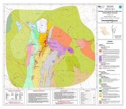 |
The Equity Silver Mine map area covers 60 square kilometres southeast of Houston in central British Columbia. Open File 2007-9 is a 1:20 000-scale geology geological map based on fieldwork conducted during 2006 combined with compilation from earlier industry mapping programs. The map area profiles areas underlain by volcanic, volcaniclastic and sedimentary rocks of the Mount Ney Volcanics, part of the early to middle Cretaceous Skeena Group. The dacite units within this volcano-sedimentary succession hosts the four precious-metal orebodies at the past-producing Equity Silver Mine plus four similar and adjacent mineral prospects. Field and laboratory studies indicate that all deposits are contemporaneous with their hostrock succession. Regionally extensive correlative strata have been only partially explored for similar deposits (see Open File 2007-8). |
| Issue ID: | OF2008-03 |
| Title: | Geology of the Chist Creek Map Area (NTS 103I/08) |
| Author(s): | Nelson, J.L., Kyba, J., McKeown, M., Angen, J. |
| Series Name: | Open File |
| Publication Year: | 2008 |
| Scale: | 1:50000 |
| NTS Map Sheet(s): | 103I/08 |
| Place Keyword(s): | British Columbia, Western, Chist Creek, Terrace, Stikinia |
| Lat/Long (NSWE): | 55, 54, -130, -128 |
| Theme Keyword(s): | Geology, sulphide deposits, Map |
Download(s):
| PDF, ZIP (View Zip Contents) |
Abstract:
 |
Open File 2008-03 presents a 1:50 000-scale geology map of the Chist Creek Map area. Located 15 kilometres south of Terrace, in northwestern BC, the Chist Creek map area is underlain by upper Paleozoic through Jurassic stratified rocks of the Stikine assemblage and overlying Telkwa Formation, and is intruded by Jurassic to Eocene intrusions. The area contains mineral showings of several types, including precious metal veins such as the Dardanelle prospect, redbed-copper style replacements such as Treasure Mountain, and � newly established in the course of 2007 mapping � significant potential for volcanogenic massive sulphide deposits in an extensive belt of Paleozoic rocks. These, called the Mt. Attree Volcanics, are analogous to the host rocks of the Tulsequah Chief deposit in northern Stikinia. This geological map is the third open-file release from the Terrace Project, which has been ongoing since 2005. Previous maps included Open File 2006-3 and Open File 2007-4. |
| Issue ID: | OF2008-05 |
| Title: | Geology of the Timothy Lake Area (NTS 92P/14) |
| Author(s): | Schiarizza, P.A., Bligh, J.S., Bluemel, B., Tait, D. |
| Series Name: | Open File |
| Publication Year: | 2008 |
| Scale: | 1:50000 |
| NTS Map Sheet(s): | 092P/14 |
| Place Keyword(s): | British Columbia, South-Central, Timothy Lake, Lac La Hache, Forest Grove |
| Lat/Long (NSWE): | 52, 51.45, -121.3, -121 |
| Theme Keyword(s): | Geology, Mineral Occurrences, Cu-Au occurrences |
Download(s):
| PDF, ZIP (View Zip Contents) |
Abstract:
 |
Open File 2008-05 presents a 1:50 000-scale geology map of the Timothy Lake area, based on fieldwork conducted in 2007. The Timothy Lake map area covers about 950 square kilometres near the eastern edge of the Interior Plateau of south-central British Columbia. It encompasses the communities of Lac La Hache, Forest Grove and the west subdivision of the main Canim Lake Indian Reserve. The map area is underlain mainly by sedimentary, volcanic and volcaniclastic rocks of the Middle to Upper Triassic Nicola Group, together with Late Triassic to Early Jurassic dioritic to granitic plutonic rocks, including the southwestern part of the Takomkane Batholith. These rocks are part of the Quesnel magmatic arc, which hosts the Afton and Mount Polley porphyry Cu-Au deposits to the south and north, respectively. The map area also includes Eocene volcanic rocks of the Kamloops Group, Neogene plateau basalts of the Chilcotin Group, and small exposures of Quaternary basalt. Numerous Cu-Au mineral occurrences are found in the north-central part of the map area, south of Spout and Peach lakes. Mineralization occurs mainly as porphyry-style fracture and vein stockworks, and local skarn zones, within and adjacent to monzodioritic stocks of the Spout Lake intrusive suite. |
| Issue ID: | OF2008-06 |
| Title: | Regional Geology of the Cottonwood Area, Central British Columbia (NTS 93G/01) |
| Author(s): | Logan, J.M., Leroux, G., Able, L. |
| Purpose: | The provide new insight into the geology, geochronology and mineral potential of the Nicola Arc of central British Columbia. |
| Series Name: | Open File |
| Publication Year: | 2008 |
| Scale: | 1:50000 |
| NTS Map Sheet(s): | 093G/01 |
| Place Keyword(s): | British Columbia, Central, Cottonwood area, Nicola Arc, Quesnel Terrane |
| Lat/Long (NSWE): | 54, 53, -124, -122 |
| Theme Keyword(s): | Geology, Geochronology, Mineral Potential, Porphyry Cu-Au mineralization |
Download(s):
| PDF, ZIP (View Zip Contents) |
Abstract:
 |
Open File 2008-06 presents a 1:50 000-scale geology map of the Cottonwood area and provides new insight into the geology, geochronology and mineral potential of the Nicola Arc of central British Columbia. It presents the results of new mapping, mineral deposit studies and compilation of private industry research that document the geologic and metallogenic evolution of this largely overburden covered portion of the Quesnel terrane. Past-producing surficial placer gold deposits are known in the area but the focus of current mineral exploration is porphyry Cu-Au mineralization like that associated with alkalic intrusions at Mouse Mountain. These magmatic/mineralized centres comprise important exploration targets for Cu-Au�Ag porphyry deposits along the length of the Nicola Arc (i.e. Copper Mountain, Mount Polley, QR). Delineation of new exploration targets by Richfield Ventures Corp. at Mouse Mountain underlines the potential for new discoveries in correlative rocks in the map area. |
| Issue ID: | OF2008-02 |
| Title: | Chezacut Area Geology (NTS 93C/08) |
| Author(s): | Mihalynuk, M.G., Peat, C.R., Orovan, E.A., Terhune, K., Ferbey, T., McKeown, M.A. |
| Series Name: | Open File |
| Publication Year: | 2008 |
| Scale: | 1:50000 |
| NTS Map Sheet(s): | 093C/08 |
| Place Keyword(s): | British Columbia, Central, Chezacut |
| Lat/Long (NSWE): | 53, 52, -126, -124 |
| Theme Keyword(s): | Geology |
Download(s):
| PDF, ZIP (View Zip Contents) |
Abstract:
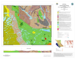 |
Open File 2008-02 presents a 1:50 000-scale geology map of the Chezacut area. See GeoFile 2008-2 for lithogeochemical data from rock samples collected with the Chezacut map area. |
| Issue ID: | GF2008-01 |
| Title: | A Drainage Geochemical Atlas for British Columbia |
| Author(s): | Lett, R.E., Nakanishi, T., Man, E., Desjardins, P.J., Mihalynuk, M.G. |
| Series Name: | GeoFile |
| Publication Year: | 2008 |
| NTS Map Sheet(s): | 082;083;092;093;094;102;103;104;114 |
| Place Keyword(s): | British Columbia |
| Lat/Long (NSWE): | 60, 48, -139, -114 |
| Theme Keyword(s): | Geochemistry, Atlas, Provincial RGS levelling, drainage, geochemical maps |
Download(s):
| PDF, ZIP (View Zip Contents) |
Abstract:
 |
British Columbia is suited for using drainage geochemistry to find new mineral resources. As a result the British Columbia Geological Survey started a regional stream sediment and stream water geochemical survey (RGS) in 1976 as part of the Geological Survey of Canada National Geochemical Reconnaissance Program. This survey now covers about 70 percent of the province with field and analytical data from the collection and analysis of over 55 000 stream sediment, lake sediment, moss mat sediment and surface water samples. GeoFile 2008-1 is an atlas of gold, arsenic, cobalt, copper, iron, manganese, molybdenum, nickel, lead, uranium and zinc geochemical maps created from the analyses of stream, lake and moss sediment samples collected throughout British Columbia. Background variations between some of the elements in the different samples types have been reduced by adjusting the source data using leveling procedures. The atlas maps are accompanied by element data files and documentation. |
| Issue ID: | GF2008-02 |
| Title: | Analytical Results from Investigations in the Chezacut Map Area (NTS 093C/08) and Other Select Areas within the Beetle Infested Zone 2007 |
| Author(s): | Peat, C.R., Mihalynuk, M.G., Ferbey, T., Diakow, L.J. |
| Series Name: | GeoFile |
| Publication Year: | 2008 |
| NTS Map Sheet(s): | 093C/08 |
| Place Keyword(s): | British Columbia, Central, Fraser Plateau, Chezacut |
| Lat/Long (NSWE): | 53, 52, -126, -124 |
| Theme Keyword(s): | Mountain Pine Beetle, Mineral Exploration |
Download(s):
| PDF, ZIP (View Zip Contents) |
Abstract:
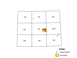 |
GeoFile 2008-2 is part of an ongoing program to help reduce the economic impact on communities within British Columbia that have been affected by the widespread infestation of mountain pine beetle. The program aims to promote mineral exploration in areas where logging is the dominant industry, as logging activity is expected to decrease once the dead trees no longer have any economic value. The Chezacut area was targeted for revision mapping because of relatively good logging road access and a historical lack of mineral exploration that we believed to be unwarranted. Significant mineralization was discovered during the first two weeks of mapping. Geological mapping demonstrated that rock exposures are more extensive and Chilcotin basalt is less extensive than previously recognized, giving incentive for future mineral exploration in the area. GeoFile 2008-2 presents lithogeochemical data from rock samples collected with the Chezacut map area, which is located on British Columbia�s Fraser Plateau (part of the Interior Plateau physiographic region). Refer to Open File 2008-2: Chezacut area Geology (93C/08) by Mihalynuk et al. For more details on the bedrock geology of the map area. |
| Issue ID: | GF2008-03 |
| Title: | Results of Field Investigations in the Beetle Infested Zone 2006: Radiometric Age Determination Data |
| Author(s): | Ullrich, T., Friedman, R.M., Mihalynuk, M.G., Logan, J.M. |
| Series Name: | GeoFile |
| Publication Year: | 2008 |
| NTS Map Sheet(s): | 092I, 092O, 093K |
| Place Keyword(s): | British Columbia |
| Lat/Long (NSWE): | 55, 50.5, -125.5, -120 |
| Theme Keyword(s): | Mountain Pine Beetle, Radiometric Age Determination data, Field Investigations |
Download(s):
| ZIP (View Zip Contents) |
Abstract:
 |
GeoFile 2008-3 is part of a Provincial program to stimulate economic diversification British Columbia communities which have been adversely impacted by the Mountain Pine Beetle. Southern interior portions of British Columbia that have been most severely affected by the Mountain Pine Beetle are included in the Beetle Impacted Zone (BIZ). GeoFile 2008-3 includes the raw digital data files for age determinations made as part of reconnaissance field investigations in the BIZ. This information will be of interest mainly to geochronologists who wish to assess the quality of the isotopic age data presented in Mihalynuk et al. (2008). Most users will find the geochronological synopsis presented in Mihalynuk et al. (2008) of more utility as it is presented together with geological background and significance of the age determinations. Location information for other samples collected for isotopic age dating as part of the study, but yet to be released, is also included in GeoFile 2008-3. All data and original plots are included as worksheets in �GeoFile2008-3_UllrichEtAl.xls�. |
| Issue ID: | GF2008-04 |
| Title: | Industrial Mineral Potential of the Interior Plateau Beetle Infested Zone (BIZ) |
| Author(s): | Hora, Z.D. |
| Series Name: | GeoFile |
| Publication Year: | 2008 |
| NTS Map Sheet(s): | 092I,J,N,O,P;093 |
| Place Keyword(s): | British Columbia |
| Lat/Long (NSWE): | 56, 50, -128, -120 |
| Theme Keyword(s): | Mountain Pine Beetle, Industrial Minerals, Mineral Potential |
Download(s):
| PDF |
Abstract:
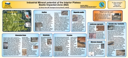 |
GeoFile 2008-4 is part of a Provincial program to stimulate mineral exploration and economic diversification within British Columbia communities which have been adversely impacted by the Mountain Pine Beetle. Southern interior portions of British Columbia that have been most severely affected by the Mountain Pine Beetle are included in the Beetle Impacted Zone (BIZ). GeoFile 2008-4 includes the digital version of a poster display created to heighten awareness about the potential for industrial mineral discovery and development within the BIZ. Information on product value, markets and exploration criteria are presented. This poster will be of most interest to those with a budding interest in industrial mineral exploration in Interior British Columbia. This poster was first presented at the Mineral Exploration Roundup 2008, in Vancouver. |
| Issue ID: | GF2008-05 |
| Title: | Mineralization Mesozoic EXPOSED in the Anahim Area |
| Author(s): | Mihalynuk, M.G., Peat, C.R. |
| Series Name: | GeoFile |
| Publication Year: | 2008 |
| NTS Map Sheet(s): | 092O, 092P, 093B, 093C |
| Place Keyword(s): | British Columbia, Interior, Anahim Area, Williams Lake, Chezacut area |
| Lat/Long (NSWE): | 53, 51, -126, -121 |
| Theme Keyword(s): | Mountain Pine Beetle, Mineralization, Geological Mapping, Copper, Silver |
Download(s):
| PDF |
Abstract:
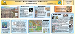 |
GeoFile 2008-5 is part of a Provincial program to help reduce the long term economic impact of the Mountain Pine Beetle through support of economic diversification. The program includes geological mapping projects aimed at locating areas of potential interest to the mining and oil and gas industries. GeoFile 2008-5 the digital version of a poster display highlighting the results of mapping in the Chezacut area (NTS 93C/08). It was first presented at Mineral Exploration Roundup 2008, in Vancouver. The Chezacut map sheet, part of the Anahim area, is ~200 kilometres west of Williams Lake. It was targeted for geological mapping because of a historical lack of mineral exploration. A network of logging roads that today provide access to large parts of the area, did not exist in the late 50�s, when regional geological mappers last passed through the region. Geological mapping does not specifically focus on the search for mineral occurrences, but occasionally significant mineralization is discovered during the course of mapping. During the summer of 2007, mapping crews in the Chezacut area discovered five mineralized zones in a ~1000 km2 area where only one mineral occurrence was known previously. One of the zones, called the �Vampire�, is of particular interest. Altered and mineralized volcanic rocks can be traced in sparse outcrops for over 100 metres. Analysis of a 1.1-metre zone speckled with copper sulphide minerals retuned over 0.2% copper. In another zone, called the �Orovain�, subparallel veins ~1 metre apart cut volcanic rocks over a 50 by 75-metre area. Most of these veins carry traces of mineralization, with the most mineralized containing more than 1% copper and 3 g/t silver. A third zone, called the �Pyro�, is a coarsely fractured rock cemented by iron and manganese oxide minerals over a 10 by 25-metre area. Oxide material has elevated zinc (to 0.3%), silver (11 ppm), bismuth (30 ppm) and gold (0.16 ppm) contents. The new showings span the Chezacut area and occur primarily in the oldest rock package which is now known over more than twice the area as previously mapped. Young basaltic and glacial cover in the region are an exploration hindrance. However, neither is as extensive as has in the past been generally assumed. These discoveries demonstrate the untapped mineral potential beneath the beetle-infested forests of Interior British Columbia. |
| Issue ID: | GM2007-01 |
| Title: | Regional Geology of the Mount Polley Area, Central British Columbia (part of NTS 93A/05,06,11 and 12) |
| Author(s): | Logan, J.M., Bath, A.B., Mihalynuk, M.G., MEMPR, Rees, C.J. |
| Series Name: | Geoscience Map |
| Publication Year: | 2007 |
| Scale: | 1:50000 |
| NTS Map Sheet(s): | 093A/05,06,11,12 |
| Place Keyword(s): | British Columbia, Central, Mount Polley, Quesnel Lake, Nicola Arc |
| Lat/Long (NSWE): | 53, 52, -122, -120 |
| Theme Keyword(s): | Regional Geology, Geochronology, Mineral Potential, Geological Evolution, Metallogenic Evolution |
Download(s):
| PDF, ZIP (View Zip Contents) |
Abstract:
 |
Geoscience Map 2007-1 presents a 1:50 000-scale geology map of the Mount Polley area. This geological map provides new insight into the geology, geochronology and mineral potential of the Nicola Arc in the Quesnel Lake region of central British Columbia. It presents the results of new mapping and compilation of University and private industry research designed to document the geologic and metallogenic evolution and architecture across this part of the Quesnel terrane. Cu-Au�Ag porphyry and propylitic Au replacement associated with alkaline intrusive centres at the Mount Polley mine and the QR mine, respectively, comprise important exploration models for this part of the Nicola Arc. Delineation of additional reserves and new exploration targets by Imperial Metals Corporation and Cross Lake Minerals Ltd. at Mount Polley and QR mines underlines the potential for new discoveries and mines in correlative rocks in the area. The Mount Polley survey was delivered through support from Geoscience BC and a Geoscience partnership developed between Abacus Mining and Exploration, Imperial Metals Corporation and Nova Gold Corporation to study British Columbian alkaline porphyry copper-gold deposits. |
| Issue ID: | GBCR2008-01-00 |
| Title: | Geoscience BC Summary of Activities for 2007 - Foreword |
| Author(s): | Anglin, C.D., Kirkham, G., and Sluggett, C. |
| Series Name: | Geoscience BC Report |
| Publication Year: | 2008 |
| Larger Work Citation: | in Geoscience BC Report 2008-1 |
| NTS Map Sheet(s): | 082;083;092;093;094;102;103;104;114 |
| Place Keyword(s): | British Columbia |
| Lat/Long (NSWE): | 60, 48, -139, -114 |
| Theme Keyword(s): | Geoscience BC, Summary of Activities, Foreword |
Additional Link(s):
| http://cdn.geosciencebc.com/pdf/SummaryofActivities2007/SoA2007-PreliminaryPages_original.pdf |
Abstract:
| Geoscience BC is an industry-led, not-for-profit, applied geoscience organization. Geoscience BC works in partnership with industry, academia, government, First Nations, and communities to fund applied geoscience projects with the objective to attract mineral and oil and gas exploration to British Columbia. Report 2008-1 summarizes the geoscience studies and surveys of 2007. This volume is divided into three sections: QUEST, Minerals, and Oil and Gas Projects and contains sixteen articles. |
| Issue ID: | GBCR2008-02 |
| Title: | Hyperspectral Demonstration Project |
| Author(s): | Geoscience BC |
| Purpose: | The project objectives were to obtain and make available high spatial and spectral resolution imagery over varied mineral deposit types with typical BC ground conditions. |
| Series Name: | Geoscience BC Report |
| Publication Year: | 2008 |
| NTS Map Sheet(s): | 082;083;092;093;094;102;103;104;114 |
| Place Keyword(s): | British Columbia |
| Lat/Long (NSWE): | 60, 48, -139, -114 |
| Theme Keyword(s): | Geoscience BC, Spatial and Spectral Resolution, Resolution Imagery, Mineral Deposits |
Additional Link(s):
| http://cdn.geosciencebc.com/pdf/SummaryofActivities2007/SoA2007-Kilby_original.pdf
http://www.geosciencebc.com/projects/2006-032/ |
Abstract:
| In British Columbia, the use of remote sensing in mineral exploration has lagged behind other mineral provinces due to extensive cover of forests. The use of hyperspectral tools, with up to 250 discrete readings per spectrum collected at each discrete sample area on the ground, has been able to further assist exploration and mapping of geology and mineral alteration at various scales down to detailed deposit scale. A variety of images from within BC has been acquired over the last several years from a number of multi- and hyperspectral instruments over mines and other areas with potentially interesting geology. These images have been processed and placed on the MapPlace website, along with a number of basic tools to enable explorationists to evaluate the usefulness of this type of information in the search for new mineral deposits. This project is the first by Geoscience BC to acquire remote images by selectively flying areas of high interest with a hyperspectral instrument in order to obtain images for online analysis by the exploration community. |
| Issue ID: | GBCR2008-03 |
| Title: | QUEST Project: Project Sample Reanalysis |
| Author(s): | Geoscience BC |
| Series Name: | Geoscience BC Report |
| Publication Year: | 2008 |
| NTS Map Sheet(s): | 082;083;092;093;094;102;103;104;114 |
| Place Keyword(s): | British Columbia |
| Lat/Long (NSWE): | 60, 48, -139, -114 |
| Theme Keyword(s): | Geoscience BC, Geochemistry, ICP-MS Techniques, Lake Sediments |
Additional Link(s):
| http://www.geosciencebc.com/i/project_data/QUESTdata/GBCReport2008-3/2008-3_README.pdf
http://www.geosciencebc.com/i/project_data/QUESTdata/GBCReport2008-3/2008-3_DATA.zip
http://www.geosciencebc.com/s/Quest.asp |
Abstract:
| This Geoscience BC publication examines 4452 sediment stream pulps and 488 lake sediment pulps from map sheets 093A, B, G, H, N and K that were reanalyzed using ICP-MS techniques. |
| Issue ID: | GBCR2008-04 |
| Title: | QUEST Project: Report on a Helicopter-Borne Versatile Time Domain Electromagnetic (VTEM) Geophysical Survey |
| Author(s): | Geoscience BC |
| Series Name: | Geoscience BC Report |
| Publication Year: | 2008 |
| NTS Map Sheet(s): | 082;083;092;093;094;102;103;104;114 |
| Place Keyword(s): | British Columbia |
| Lat/Long (NSWE): | 60, 48, -139, -114 |
| Theme Keyword(s): | Geoscience BC, Geophysics |
Additional Link(s):
| http://www.geosciencebc.com/i/project_data/QUESTdata/report/7042-GeoscienceBC_final.pdf
http://www.geosciencebc.com/s/Quest.asp |
Abstract:
| Geoscience BC Report 2008-4 examines VTEM (Versatile Time-Domain Electromagnetic) data that was collected in the fall of 2007 by Geotech Ltd. With TRK Helicopters, along with maps and contractor's report. This QUEST geophysical survey was funded in partnership with the Northern Trust. |
| Issue ID: | GBCR2008-01-01 |
| Title: | Airborne Electromagnetic and Airborne Gravity in the QUEST Project Area, Williams Lake to Mackenzie, British Columbia (NTS parts of 93A,B,G,H,J,K,N,O; 94C,D) |
| Author(s): | Barnett, C.T., Kowalczyk, P.L. |
| Series Name: | Geoscience BC Report |
| Publication Year: | 2008 |
| Larger Work Citation: | in Geoscience BC Report 2008-1 |
| NTS Map Sheet(s): | 093A,B,G,H,J,K,N,O; 094C,D |
| Place Keyword(s): | British Columbia, Central, Mackenzie, Williams Lake, Quesnellia Terrance |
| Lat/Long (NSWE): | 57, 52, -128, -120 |
| Theme Keyword(s): | Geoscience BC, Airborne gravity, airborne electromagnetics, regional geophysical surveys, QUEST project |
Additional Link(s):
| http://cdn.geosciencebc.com/pdf/SummaryofActivities2007/SoA2007-Barnett_original.pdf |
Abstract:
| Geoscience BC�s QUEST Project (QUesnellia Exploration STrategy) is designed to stimulate mineral exploration in the drift-covered section of the Quesnellia Terrane between Williams Lake and Mackenzie, British Columbia. This is a belt of highly prospective rocks that to date has had little exploration because of the till and lacustrine cover left by retreating glaciers. Geoscience BC�s QUEST Project will compile publicly available topographic, watershed, surficial and bedrock geology, geophysical, geochemical, mineral deposit and road access data for an area of approximately 150 000 km2, centered on Prince George. Geoscience BC is also collecting approximately 2 100 new lake and sediment samples to increase the density of geochemical sampling north and west of Prince George. In addition, new airborne gravity and electromagnetic surveys are being flown to help map the bedrock geology under the glacial drift and to provide a framework for further exploration in this area. |
| Issue ID: | GBCR2008-01-02 |
| Title: | QUEST Project Geochemistry: Field Surveys and Data Reanalysis, Central British Columbia (part of NTS 93A,B,G,H,J,K,N,O) |
| Author(s): | Jackaman, W., Balfour, J.S. |
| Series Name: | Geoscience BC Report |
| Publication Year: | 2008 |
| Larger Work Citation: | in Geoscience BC Report 2008-1 |
| NTS Map Sheet(s): | 093A,B,G,H,J,K,N,O |
| Place Keyword(s): | British Columbia, Central, Interior Plateau |
| Lat/Long (NSWE): | 56, 52, -126, -120 |
| Theme Keyword(s): | Geoscience BC, Mineral Exploration, Geochemistry, Multi-element, QUEST project |
Additional Link(s):
| http://cdn.geosciencebc.com/pdf/SummaryofActivities2007/SoA2007-Jackaman_original.pdf |
Abstract:
| Several exploration geochemistry activities were completed in the Prince George area of central British Columbia. These included the reanalysis of 4940 sediment pulps from previous government- funded regional geochemical surveys conducted within the QUEST project area, an infill lake sediment geochemical survey covering an area of more than 19 000km2 and a reconnaissance-scale stream sediment geochemical survey in the Pine Pass area. The results of these surveys will provide new regional drainage sediment and water geochemical information in an underexposed and geologically poorly understood region of central BC. The work will significantly enhance existing geochemical information and complement other geoscience initiatives such as the new electromagnetic and gravity surveys being flown as part of the QUEST Project. It also provides immediate economic opportunities to local service providers and potential long-term benefits from increased mineral exploration. |
| Issue ID: | GBCR2008-01-03 |
| Title: | Covers Thickness Across the Southern Interior Plateau, British Columbia: Constraints from Water-Well Records |
| Author(s): | Andrews, G.D.M., Russell, J.K. |
| Series Name: | Geoscience BC Report |
| Publication Year: | 2008 |
| Larger Work Citation: | in Geoscience BC Report 2008-1 |
| NTS Map Sheet(s): | 092O,P; 093A,B,C,F |
| Place Keyword(s): | British Columbia, Central, Interior Plateau, Chilcotin Group |
| Lat/Long (NSWE): | 54, 51, -126, -120 |
| Theme Keyword(s): | Geoscience BC, Water Wells, Thickness Models, GIS, Quaternary Deposits |
Additional Link(s):
| http://cdn.geosciencebc.com/pdf/SummaryofActivities2007/SoA2007-Andrews_original.pdf |
Abstract:
| Basalts of the Chilcotin Group (CG), situated in the southern Interior Plateau physiographic region of central British Columbia, cover an area of over 30 000 km2. Their distribution is entirely within the region of BC that is most affected by mountain pine beetle infestation. The distribution of known mineral resources and prospects on the periphery of the CG (e.g., Blackdome, Gibraltar, Mount Polley, Prosperity and Vidette) makes the potential for unexploited mineral resources extending beneath the CG compelling. However, there is currently little coherent data on the spatial distribution (e.g., thicknesses), the lithostratigraphy (facies variations) and physical properties (density, porosity, magnetic susceptibility and conductivity) of the CG and overlying Quaternary deposits. The incompleteness of geoscience in formation is one of the greatest impediments to successful exploration for resources beneath the CG. |
| Issue ID: | GBCR2008-01-04 |
| Title: | Controls on Copper and Gold Mineralization along the Contact between the Coast Plutonic Complex and the Southeast Coast Belt, Taseko Lakes Region, Southwestern British Columbia |
| Author(s): | Blevings, S.K., Kennedy, L.A., Hickey, K.A. |
| Series Name: | Geoscience BC Report |
| Publication Year: | 2008 |
| Larger Work Citation: | in Geoscience BC Report 2008-1 |
| NTS Map Sheet(s): | 092O/04 |
| Place Keyword(s): | British Columbia, South Western, Southwest Coast Belt, Taseko Lakes |
| Lat/Long (NSWE): | 52, 51, -124, -122 |
| Theme Keyword(s): | Geoscience BC, Cu porphyry, Epithermal, Coast Plutonic Complex |
Additional Link(s):
| http://cdn.geosciencebc.com/pdf/SummaryofActivities2007/SoA2007-Blevings_original.pdf |
Abstract:
| The Taseko Lakes region is located in southwestern British Columbia, approximately 215 km north of Vancouver and straddles the boundary of the southeast and southwest Coast geomorphological belts. To date, the relationship between faulting and mineralization has not been established for the Taseko Lakes region. As a result, the link between the structural history of the area and its mineral occurrences is poorly understood. A two-year M.Sc. project is in progress, integrating field mapping and laboratory analyses, to address this issue. The over all goals of this project are 1) to characterize the mineralization and alteration present at three mineral occurrences in the Taseko Lakes area (Empress, Taylor-Wind fall and Pellaire occurrences) proximal to the Coast Plutonic Complex; 2) to characterize the chronology of fault generation in the region by determining the kinematics of the faults and, in doing so, to evaluate the importance of structural controls on mineralization; and 3) to determine the timing and physical-chemical conditions of hydrothermal fluids (e.g., temperature, depth of emplacement and likely fluid source) for each of the three mineral occurrences. These results will be integrated to develop a coherent structural model for the mineralizing system(s) in the Taseko Lakes region. This report provides an update from results presented by Hollis et al. (2007) and documents results from the second field season (2007) and preliminary laboratory results. Mapping in 2007 focused mainly on areas to the south-east of Taseko Lakes, with emphasis on the Mount McLeod batholith, the Tchaikazan fault (the major strike-slip fault in the area) and the known mineral occurrences in the region. |
| Issue ID: | GBCR2008-01-05 |
| Title: | Layered Intrusions and Regional Geology of the Nootka Sound Area, Vancouver Island, British Columbia |
| Author(s): | Fecova, K., Marshall, D., Staples, R., Xue, G., Ullrich, T.D., Close, S. |
| Series Name: | Geoscience BC Report |
| Publication Year: | 2008 |
| Larger Work Citation: | in Geoscience BC Report 2008-1 |
| NTS Map Sheet(s): | 092E |
| Place Keyword(s): | British Columbia, Vancouver Island, Nootka, Wrangellia |
| Lat/Long (NSWE): | 50, 49, -128, -126 |
| Theme Keyword(s): | Geoscience BC, PGE Mineralization, Island Arc, Ultramafic Plutonic Rocks, layered Intrusions |
Additional Link(s):
| http://cdn.geosciencebc.com/pdf/SummaryofActivities2007/SoA2007-Fecova_original.pdf |
Abstract:
| Layered intrusions identified in the Conuma River region of the Nootka Sound area became the subject of a detailed study in 2007. This report contains an updated preliminary geological map of the Nootka Sound region and a cross section through the region mapped during the summers of 2004-2007. This map also shows localities with the new Ar-Ar dates. |
| Issue ID: | GBCR2008-01-06 |
| Title: | Gold, Granites, and Geochronology: Timing of Formation of the Bralorne-Pioneer Gold Orebodies and the Bendor Batholith, Southwestern British Columbia (NTS 92J/15) |
| Author(s): | Hart, C.J.R., Goldfarb, R.J., Ullrich, T.D., Friedman, R. |
| Series Name: | Geoscience BC Report |
| Publication Year: | 2008 |
| Larger Work Citation: | in Geoscience BC Report 2008-1 |
| NTS Map Sheet(s): | 092J/15 |
| Place Keyword(s): | British Columbia, Southwestern, Bridge River |
| Lat/Long (NSWE): | 51, 50, -124, -122 |
| Theme Keyword(s): | Geoscience BC, Orogenic Gold, Geochronology, Gold Deposits, Gold Deposit Models |
Additional Link(s):
| http://cdn.geosciencebc.com/pdf/SummaryofActivities2007/SoA2007-Hart_original.pdf |
Abstract:
| The Bridge River mining district in southwestern British Columbia is the largest historical lode gold producer in the Canadian Cordillera, with more than 128 tonnes (4.1 million ounces) of gold produced between 1897 and 1971. A number of geological models have been proposed to account for both the significant gold enrichments near Bralorne and for the regional metallogenic trends throughout the Bridge River district. Determining the most appropriate model is important as it can influence the types and effectiveness of exploration models and programs that are utilized, as well as influencing decisions about regional prospectivity, targeting and investment. Currently, the integrity of existing models for the Bridge River district suffers from a lack of good geochronological constraints. In order to establish temporal, and potentially genetic, associations with regional magmatic, structural, and metamorphic events, and to place constraints on the nature of the geological models responsible for the formation of gold mineralization at Bralorne-Pioneer deposit, new Ar-Ar age determinations on alteration and gangue mineral phases from the gold veins are presented in this paper. These data allow establishment of new constraints on the various interpretative models for the formation of the Bralorne-Pioneer gold veins. |
| Issue ID: | GBCR2008-01-07 |
| Title: | Mineralization and Alteration Association with an Hypothesized Copper (Molybdenum) Porphyry System in the Taseko Lakes Area, southwestern British Columbia |
| Author(s): | Hollis, L., Hickey, K.A., Kennedy, L.A. |
| Series Name: | Geoscience BC Report |
| Publication Year: | 2008 |
| Larger Work Citation: | in Geoscience BC Report 2008-1 |
| NTS Map Sheet(s): | 092O/04 |
| Place Keyword(s): | British Columbia, Southwestern, Taseko Lakes |
| Lat/Long (NSWE): | 52, 51, -124, -122 |
| Theme Keyword(s): | Mineralization, Porphyry Cu-Mo, Andesite, Veins, Geology |
Additional Link(s):
| http://cdn.geosciencebc.com/pdf/SummaryofActivities2007/SoA2007-Hollis_original.pdf |
Abstract:
| Porphyry copper deposits are one of the world's primary sources of Cu, Mo and Au. The Taseko Lakes area of British Columbia is located near the eastern limit of the Coast Plutonic Complex, and it is along this boundary that many important subalkaline Cu (Mo-Au) porphyry deposits are located. This study focuses on a porphyritic intrusion, informally the Hub, exposed along the Tchaikazan River near Fishem Lake. The main objectives of this study are to develop a framework for the evolution and development of the showings and assess their relationships to conceptual models of porphyry mineralization within a magmatic-hydrothermal system. To attain these objectives, detailed maps of geology, alteration and mineralization of selected areas will be produced. This paper is a summary of the second season of field work. |
| Issue ID: | GBCR2008-01-08 |
| Title: | Hyperspectral Imagery Demonstration Project, British Columbia |
| Author(s): | Kilby, W.E., Kilby, C.E. |
| Series Name: | Geoscience BC Report |
| Publication Year: | 2008 |
| Larger Work Citation: | in Geoscience BC Report 2008-1 |
| NTS Map Sheet(s): | 082;083;092;093;094;102;103;104;114 |
| Place Keyword(s): | British Columbia |
| Lat/Long (NSWE): | 60, 49, -134, -114 |
| Theme Keyword(s): | Remote Sensing, Hyperspectral imagery, Online analysis, Data download, MapPlace |
Additional Link(s):
| http://cdn.geosciencebc.com/pdf/SummaryofActivities2007/SoA2007-Kilby_original.pdf |
Abstract:
| Remote sensing has become a successful tool in mineral exploration in many parts of the world. Early use of Landsat imagery and other multispectral instruments has allowed regional exploration to move swiftly to areas of interest. More recently, the use of hyperspectral tools, with up to 250 discrete readings per spectrum collected at each discrete sample area on the ground, has been able to further assist exploration and mapping of geology and mineral alteration at various scales down to detailed deposit scale. A variety of images from within BC has been acquired over the last several years from a number of multi- and hyperspectral instruments over mines and other areas with potentially interesting geology. These images have been processed and placed on the MapPlace website, along with a number of basic tools to enable explorationists to evaluate the usefulness of this type of information in the search for new mineral deposits. This project is the first by Geoscience BC to acquire remote images by selectively flying areas of high interest with a hyperspectral instrument in order to obtain images for online analysis by the exploration community. |
| Issue ID: | GBCR2008-01-09 |
| Title: | Geological Setting of Volcanogenic Massive Sulphide Occurrences in the Middle Paleozoic Sicker Group of the Cowichan Lake Uplift, Southern Vancouver Island, British Columbia |
| Author(s): | Ruks, T., Mortensen, J.K. |
| Series Name: | Geoscience BC Report |
| Publication Year: | 2008 |
| Larger Work Citation: | in Geoscience BC Report 2008-1 |
| NTS Map Sheet(s): | 092F/02,07 |
| Place Keyword(s): | British Columbia, Vancouver Island, Sicker Group |
| Lat/Long (NSWE): | 50, 49, -126, -124 |
| Theme Keyword(s): | VMS deposits, Stratigraphy, U-Pb zircon geochronology, lithogeochemistry, Paleozoic |
Additional Link(s):
| http://cdn.geosciencebc.com/pdf/SummaryofActivities2007/SoA2007-Ruks_original.pdf |
Abstract:
| Volcanogenic strata of the mid-Paleozoic Sicker Group on Vancouver Island occurs in several distinct basement highs (referred to as �uplifts� herein). These rocks host the world-class Myra Falls volcanogenic massive sulphide (VMS) deposit (combined production and proven and probable reserves in excess of 30 million tonnes of Zn-Cu-(Au-Ag) ore), as well as numerous other VMS deposits and occurrences, especially in the Big Sicker Mountain area in the southeastern part of the Cowichan Lake up lift. Geological mapping suggests that the geology of the Mount Sicker area consists mainly of deformed mafic to felsic volcanic and volcaniclastic rocks of the Nitinat and McLaughlin Ridge formations, and high-level intrusions of the Saltspring intrusive suite, as well as abundant gabbroic dikes and sills of the Triassic Mount Hall gabbro. Geological mapping in the Cowichan Lake up lift of the Port Alberni area indicates that this area is largely underlain by basalt to basaltic-andesite volcanic rocks of the Duck Lake and Nitinat formations, respectively, in addition to felsic tuffaceous volcaniclastic rocks be longing to the McLaughlin Ridge Formation. The nature of the McLaughlin Ridge Formation rocks in the Port Alberni area is interpreted to represent deposition distal from a volcanic centre, which is thought to be represented in the Saltspring Island�Cowichan Lake area by felsic intrusive rocks of the Saltspring intrusive suite. Both reconnaissance and detailed geological mapping, together with sampling for lithogeochemistry, U-Pb zircon dating, and Nd, Hf and Pb isotopic studies, were conducted over a 20-day period in the Port Alberni area in October 2007. This work was concentrated in the vicinity of the Debbie 3 VMS occurrence and the area of potentially correlative exhalative iron formations to the west. This report presents a preliminary version of revised geological mapping in this area, with emphasis on understanding the geology in the vicinity of the Debbie 3 VMS occurrence and the potentially correlative Lacy and Esary Lake exhalative iron formations. |
| Issue ID: | GBCR2008-01-10 |
| Title: | New Models for Mineral Exploration in British Columbia: Is there a Continuum between Porphyry Molybdenum Deposits and Intrusion-Hosted Gold Deposits? |
| Author(s): | Smith, J.L., Arehart, G.B., Pinsent, R.H. |
| Series Name: | Geoscience BC Report |
| Publication Year: | 2008 |
| Larger Work Citation: | in Geoscience BC Report 2008-1 |
| NTS Map Sheet(s): | 082;083;092;093;094;102;103;104;114 |
| Place Keyword(s): | British Columbia, Atlin |
| Lat/Long (NSWE): | 60, 48, -139, -114 |
| Theme Keyword(s): | Isotope Geochemistry, Porphyry, Molybdenum, Whole Rock Geochemistry, Gold Deposits |
Additional Link(s):
| http://cdn.geosciencebc.com/pdf/SummaryofActivities2007/SoA2007-smith_original.pdf |
Abstract:
| There are numerous poorly understood, relatively underexplored Mo deposits and occurrences in the Canadian Cordillera that are likely to be explored over the next several years, and it would be of great benefit to the exploration community if more was known about Mo deposits of high- (climax-type) and low- (quartz-monzonite�type) fluorine type in the province. In addition, there are geochemical similarities between porphyry Mo deposits and �intrusion-hosted� Au deposits (e.g., Tombstone Belt), suggesting a possible genetic link. The Adanac deposit contains no Au itself, but placer gold is still being mined on the lower reaches of Ruby Creek below the deposit. Historically, it has always been assumed that the Mo deposit post dates Au mineralization, which occurs in quartz-carbonate shears in Cache Creek Group volcanic strata and as placer gold. The presence of Au in wolframite veins raises the question of a potential linkage between Au-depleted Mo and Au-bearing W �intrusion-related� deposits. Understanding the association, or lack thereof, is an important step toward focusing further exploration in the province for both of these deposit types. |
| Issue ID: | GBCR2008-01-11 |
| Title: | Hydrothermal Breccia in the Mount Polley Alkalic Porphyry Copper-Gold Deposit, British Columbia |
| Author(s): | Tosdal, R.M., Jackson, M., Pass, H.E., Rees, C., Simpson, K.A., Cooke, D.R., Chamberlain, C.M., Ferreira, L. |
| Series Name: | Geoscience BC Report |
| Publication Year: | 2008 |
| Larger Work Citation: | in Geoscience BC Report 2008-1 |
| NTS Map Sheet(s): | 093A/12 |
| Place Keyword(s): | British Columbia, Central, Mount Polley |
| Lat/Long (NSWE): | 53, 52, -122, -120 |
| Theme Keyword(s): | Mineral deposits, Alkalic, Hydrothermal breccia, copper-gold |
Additional Link(s):
| http://cdn.geosciencebc.com/pdf/SummaryofActivities2007/SoA2007-Tosdal_original.pdf |
Abstract:
| Hydrothermal and magmatic-hydrothermal breccias are common in porphyry Cu deposits. They can provide fluid barriers that retard fluid movement, causing the ponding of mineralizing fluids adjacent to low-grade or barren zones. Late breccia formation can also dilute ore by mixing fragments of variably mineralized rocks or by erupting, thereby venting potentially mineralizing fluids to the atmosphere and diluting the grade of the rock mass. Breccias can have strong influences on distribution of metals and the economics of the deposit. Mount Polley is one of a series of silica-undersaturated alkalic Cu-Au porphyry deposits in British Columbia. The Mount Polley deposit is composed of several porphyry Cu-Au centres, most of which are breccia hosted. This paper examines the hydrothermal breccia in the Mount Polley alkalic porphyry copper gold deposit. |
| Issue ID: | GBCR2008-01-12 |
| Title: | Mapping the Structure of the Nechako Basin Using Passive Source Seismology |
| Author(s): | Cassidy, J.F., Al-Khoubi, I., Kim, H.S. |
| Series Name: | Geoscience BC Report |
| Publication Year: | 2008 |
| Larger Work Citation: | in Geoscience BC Report 2008-1 |
| NTS Map Sheet(s): | 092N; 092O; 093B; 093C; 093F; 093G |
| Place Keyword(s): | British Columbia, Central, Nechako Basin |
| Lat/Long (NSWE): | 54, 51, -126, -122 |
| Theme Keyword(s): | Geophysics, Seismology, S-wave velocity, Oil and Gas, Mapping |
Additional Link(s):
| http://cdn.geosciencebc.com/pdf/SummaryofActivities2007/SoA2007-Cassidy_original.pdf |
Abstract:
| The key objective of this project is to help assess the hydrocarbon and mineral potential of the Nechako Basin area in central British Columbia, using passive source seismology. The Nechako Basin has been the focus of limited hydrocarbon exploration since the 1930s. This study will utilize recordings of distant earthquakes and back ground noise to map the sediment thickness, crustal thickness and overall geometry of the Nechako Basin. The results of this study will complement independent active-source seismic studies that are planned for the region by providing images using waves coming from within the earth and providing constraints on the shear-wave velocity. The results of this research will also complement magnetotelluric (MT) studies that are currently underway, providing critical new information on porosity, fractures and fluids. This paper describes the methods that will be used, the progress of the data collection to date, some preliminary results and future work. |
| Issue ID: | GBCR2008-01-13 |
| Title: | Ashman Ridge Section Revisited: New Insights for the Evolution of the Bowser Basin, Northwestern British Columbia |
| Author(s): | Gagnon, J.F., Waldron, J.W.F. |
| Purpose: | The aim of this study is to provide new detailed stratigraphic observations of the Ashman Ridge section, which exhibits continuous exposure across the Hazelton Group�Bowser Lake Group transition. In a future paper, this stratigraphic column will be integrated in a regional basin analysis study and compared with equivalent stratigraphic units previously described in the northern part of the Bowser Basin. |
| Series Name: | Geoscience BC Report |
| Publication Year: | 2008 |
| Larger Work Citation: | in Geoscience BC Report 2008-1 |
| NTS Map Sheet(s): | 093L/13 |
| Place Keyword(s): | British Columbia, Northwestern, Bowser basin, Bowser Lake Group, Hazelton Group |
| Lat/Long (NSWE): | 55, 54, -128, -126 |
| Theme Keyword(s): | Oil and Gas, Stratigraphy, Sedimentology, Evolution, Smithers Formation |
Additional Link(s):
| http://cdn.geosciencebc.com/pdf/SummaryofActivities2007/SoA2007-Gagnon_original.pdf |
Abstract:
| The Bowser Basin is a large sedimentary basin deposited above basement of the Stikine Terrane in the Intermontane Belt of northwestern British Columbia. It was the site of deposition of a large volume of siliciclastic sedimentary rocks during Middle Jurassic through Early Cretaceous time. The boundary between these units marks a major change in depositional style, from a volcanic arc setting to a subsiding sedimentary basin. Understanding the nature of this stratigraphic transition at basin scale could provide new insights for both mineral and hydrocarbon exploration. |
| Issue ID: | GBCR2008-01-14 |
| Title: | Structure of the Southeastern Nechako Basin, south-central British Columbia: Preliminary Results of Seismic Interpretation and First-Arrival Tomographic Modelling |
| Author(s): | Hayward, N., Calvert, A.J. |
| Series Name: | Geoscience BC Report |
| Publication Year: | 2008 |
| Larger Work Citation: | in Geoscience BC Report 2008-1 |
| NTS Map Sheet(s): | 092N, O; 093B, C |
| Place Keyword(s): | British Columbia, South-Central, Southeastern Nechako basin, Rocky Mountains, Coastal Mountains |
| Lat/Long (NSWE): | 53, 51, -126, -122 |
| Theme Keyword(s): | Seismic Reflection, Structural Geology, Seismic Stratigraphy, First- Arrival Tomography, Velocity Models |
Additional Link(s):
| http://cdn.geosciencebc.com/pdf/SummaryofActivities2007/SoA2007-Hayward_original.pdf |
Abstract:
| The Nechako Basin is an Upper Cretaceous to Oligocene basin located in the Interior Plateau of southern British Columbia between the Rocky and Coast mountains. The sedimentary basin formed over, and in part from, the accreted terranes of the western Canadian Cordillera, where the oceanic Cache Creek Terrane separates the Stikine and Quesnel volcanic arc terranes. The interpretation of the seismic reflection and well data, on which this study is primarily based, reveals four blocks of different geological structure and stratigraphy: 1) Block A (southern Redstone area), in the southern part of the study area, is centered on the Canadian Hunter Redstone wells b-82-C and d-94-G, and seismic lines 160-01 to 160-19. 2) Block B (western Redstone area), centrally located, includes the single seismic line 160-17, which intersects Hudson�s Bay well c-75-A. 3) Block C (Chilcotin area), in the northwestern part of the study area, contains the Canadian Hunter Chilcotin well b-22-K and seismic lines 161-01 to 161-09. |
| Issue ID: | GBCR2008-01-15 |
| Title: | New Studies of the Lower Cretaceous Jackass Mountain Group on the Southern Margin of the Nechako Basin, South-Central British Columbia: Progress and Preliminary Observations |
| Author(s): | Mustard, P.S., Mahoney, J.B., Goodin, J.R., MacLaurin, C.I, Haggart, J.W. |
| Series Name: | Geoscience BC Report |
| Publication Year: | 2008 |
| Larger Work Citation: | in Geoscience BC Report 2008-1 |
| NTS Map Sheet(s): | 092N, O; 093B, C |
| Place Keyword(s): | British Columbia, South-Central, Nechako basin, Jackass Mountain Group |
| Lat/Long (NSWE): | 54.5, 51, -126, -122 |
| Theme Keyword(s): | Sedimentology, Stratigraphy, Cretaceous, Oil and Gas |
Additional Link(s):
| http://cdn.geosciencebc.com/pdf/SummaryofActivities2007/SoA2007-Mustard_original.pdf |
Abstract:
| The Nechako Basin is part of the Interior Plateau physiographic region of British Columbia, and has been variously defined in terms of extent and age. Accurate assessment of the petroleum potential of the Nechako Basin requires a comprehensive understanding of the basin architecture developed within Cretaceous strata, which represent the most prospective targets in the subsurface. Modeling the subsurface distribution of these Cretaceous units requires a detailed stratigraphic analysis of coevaluate laterally adjacent strata exposed along the basin margins. The authors� emphasis on the Jackass Mountain Group reflects the hypothesis that this unit is probably the best candidate for major reservoir systems in the subsurface of the Nechako Basin. It is suggested that JMG strata represent the closest surface analogue and the most likely direct correlative to the �Skeena assemblage� of the subsurface to contain �the most significant petroleum plays in this assessment�. This confusion regarding stratigraphic nomenclature also high lights the confusion of �basin� names traditionally as signed to different stratigraphic successions in the region. The authors suggest that the separation of stratigraphic successions of similar age and type into separate �Nechako,� �Methow,� and possibly �Tyaughton� basins likely reflects the history of different researchers studying the same rocks in different areas, rather than discrete depositional basins. These studies will test the hypothesis that the Nechako, Methow and perhaps the Tyaughton �basins� constituted one extensive and continuous regional area of deposition during at least Early Cretaceous time (a basin that may have been linked with Early Cretaceous deposition of the southern Skeena �Basin� as well, al though the current studies will not directly test this hypothesis). If these individual �basins� were originally laterally continuous and thus represent a single Early Cretaceous depocentre, there would be major implications for the hydrocarbon potential of the Nechako �Basin�, greatly increasing both the volume of potential reservoir rocks and potential source rocks, such as the extensive black shale of the Ladner Group in the Methow Terrane. A brief regional reconnaissance study in 2006 identified two major areas of well-exposed JMG suitable for detailed stratigraphic and sedimentological studies. These detailed studies commenced in summer 2007, and form the basis for two M.Sc. Research projects. Fieldwork will continue in 2008 on both of these studies and several regional studies on Cretaceous strata in the area, including the Nechako Basin. |
| Issue ID: | GBCR2008-01-16 |
| Title: | Designing a Test Survey in the Nechako Basin, south-central British Columbia to Determine the Usefulness of the Magnectotelluric Method in Oil and Gas Exploration |
| Author(s): | Spratt, J., Craven, J., Shareef, S., Ferri, F., Riddell, J.M. |
| Series Name: | Geoscience BC Report |
| Publication Year: | 2008 |
| Larger Work Citation: | in Geoscience BC Report 2008-1 |
| NTS Map Sheet(s): | 092N, O; 093B, C, F, G |
| Place Keyword(s): | British Columbia, South-Central, Nechako Basin |
| Lat/Long (NSWE): | 54, 51, -126, -122 |
| Theme Keyword(s): | Magnetotelluric, Electromagnetic, Exploration, Oil and Gas |
Additional Link(s):
| http://cdn.geosciencebc.com/pdf/SummaryofActivities2007/SoA2007-Spratt_original.pdf |
Abstract:
| In response to the rapid spread and destructive effects of the mountain pine beetle (MPB), British Columbia is facing a challenge in developing economic diversification opportunities for forestry-based communities in the interior of the province. Geoscience BC is under taking a number of projects that will help to assess the mineral and petroleum potential in the MPB-affected area. Although only limited exploration has been carried out, the potential for hydrocarbons has been observed within several interior basins of British Columbia, including the Nechako Basin. In the fall of 2007, a field campaign was designed to record more than 800 high-frequency and broad band MT sites from within the Nechako Basin. The primary objective of the survey is to evaluate the technique as a tool both for oil and gas exploration and for geological characterization of the Nechako Basin. |
| Issue ID: | EXT001 |
| Title: | Brucite - uses, exploration guidelines and selected grass-root exploration targets |
| Author(s): | Simandl, G.J., Paradis, S., Irvine, M. |
| Series Name: | External Article |
| Publication Year: | 2008 |
| Larger Work Citation: | Paper published in the Canadian Institute of Mining, Metallurgy and Petroleum Bulletin, Volume 101, Number 1106. |
| NTS Map Sheet(s): | 092F 04E; 092K 07W; 092E 16W; 104N 13W; 104N 06W |
| Place Keyword(s): | British Columbia, Kennedy Lake, Tlupana Arm, West Redonda Island, Atlin Road |
| Lat/Long (NSWE): | 60, 49, -134, -123 |
| Theme Keyword(s): | Industrial Minerals, Brucite, Fire Retardants, Mg-metals, Exploration |
Download(s):
| PDF |
Abstract:
| Brucite is a natural magnesium hydroxide [Mg(OH)2] particularly sought after for its flame-retardant properties, as a raw mineral for the production of caustic or dead-burned magnesia, a variety of other industrial mineral uses, and as a high-grade ore mineral for the production of magnesium metal. Brucite has an advantage over magnesium carbonates, such as magnesite and dolomite, because it does not contain CO2 in its crystal structure. Consequently, there is no CO2 released during the calcining or other processing of this mineral except from fuel combustion. This advantage may become even more important in the future as CO2 is considered the main greenhouse gas contributing to global warming. Carbonate-hosted contact metamorphic/metasomatic (skarn-type) brucite deposits have the best economic potential. The sequence of calcosilicate metamorphic index minerals starting from unmetamorphosed magnesium-bearing carbonate (dolostone or magnesite-bearing rock) to igneous intrusion contact consists of talc, tremolite, forsterite and brucite/periclase. This sequence can be used to focus exploration efforts. The current worldwide brucite market is probably less than 100,000 t/y but it is increasing rapidly. High-grade brucite deposits are expected to become hot exploration targets over the next few years. |
| Issue ID: | OF2008-09 |
| Title: | Geology and Mineral Deposits of the Area East of Beaverdell, British Columbia (parts of NTS 82E/06E; 82E/07W; 82E/10W; 82E/11E) |
| Author(s): | Massey, N.W.D., A. Duffy |
| Series Name: | Open File |
| Publication Year: | 2008 |
| Scale: | 1:25000 |
| NTS Map Sheet(s): | 082E/06E, 07W, 10W, 11E |
| Place Keyword(s): | British Columbia, South-east, Beaverdell, Kettle River, West Kettle River |
| Lat/Long (NSWE): | 50, 49, -120, -118 |
| Theme Keyword(s): | Geology, Mineral Deposits, Map |
Download(s):
| PDF |
Abstract:
 |
The map covers an area to the east of Beaverdell, between the Kettle and West Kettle rivers. It focuses on rocks of the Wallace Formation, previously correlated with the Anarchist Schist in the Bridesville area, but now thought to be Triassic in age and correlative with the Brooklyn Formation of the Greenwood area. The Wallace Formation is dominated by fine to medium-grained clastic sediments which are essentially unmetamorphosed, though they do show extensive hornfelsing from Jurassic plutons. Limestone and greenstone members occur in the Crouse Creek area, and are the lowest exposed units. Except for one small area, to the west of Crouse Creek, no penetrative deformation is observed. Intrusive rocks envelope the Wallace formation. These comprise several major granodiorite plutons and stocks in the west and central part of the map area, designated the Westkettle batholith (Reinecke 1915) and probably correlative with the mid-Jurassic Nelson Intrusions. Templeman-Kluit (1989) has also ascribed some of the granodiorites to the north of the area as being part of the Jura-Cretaceous Okanagan Batholith. Megacrystic granite of the Coryell suite forms two intrusions in the east and south of the map area, as well as the small Beaverdell stock. Tertiary-age porphyry dykes abound through the area intruding all older lithologies. Gold veins of the Beaverdell camp and the surrounding area are hosted in the Wallace Formation and Jurassic intrusions but are believed to be genetically related to the Tertiary intrusions. Disseminated and porphyry style copper mineralization of the GK property is of unknown age. |
| Issue ID: | GF2008-06 |
| Title: | GeoTour Guide for Kamloops, British Columbia |
| Author(s): | Turner, R.J.W., Anderson, R.G., Franklin, R., Cathro, M., Madu. B., Huscroft, C., Frey, E., Favrholdt, K. |
| Series Name: | GeoFile |
| Publication Year: | 2008 |
| NTS Map Sheet(s): | 092I |
| Place Keyword(s): | British Columbia, Southern, Kamloops |
| Lat/Long (NSWE): | 50.97, 50.24, -121.96, -120 |
| Theme Keyword(s): | Geology, GeoTour Guide, Education, Geography, Resources |
Download(s):
| PDF |
Abstract:
 |
This new, Geotour Guide for Kamloops, BC, provides a rich source of local earth-science information for teachers, prospectors, students, visitors, and interested residents. The 16 stops described in this colour guidebook tour the reader through the geology and geography of the Kamloops area. Highlights include a canyon walk through ancient volcanoes, a look at ancient fossil beds and a discussion of how dykes protect the city from flooding. The guidebook also shows how the city depends on earth resources like sand and gravel, clean water sources and how the earth accommodates waste materials. Kamloops� mining history is highlighted by a stop at Highland Valley Copper mine as well as the Lafarge limestone quarry. Colour illustrations and photos help make this guide easy to follow and understandable. |
| Issue ID: | GF2008-07 |
| Title: | A Multi-Media Geochemical Orientation Study over the Jen Claims (Murray Property), Blackwater River, B.C. (NTS 93G/03) |
| Author(s): | Lett, R.E., Logan, J.M., Sandwith, Z. |
| Series Name: | GeoFile |
| Publication Year: | 2008 |
| NTS Map Sheet(s): | 093G/03 |
| Place Keyword(s): | British Columbia, Central, Blackwater River, Murray Property |
| Lat/Long (NSWE): | 54, 53, -124, -122 |
| Theme Keyword(s): | Geology, Geochemical Survey, Mineralization, Exploration, Resources |
Download(s):
| PDF |
Abstract:
 |
Copper mineralization has been found during past exploration of the JEN mineral claims (Murray Property) near the Blackwater River and the published results of a government regional geochemical survey detected up to 138 ppb Au in the sediment collected from streams draining the claims. GeoFile 2008-7 documents the results of detailed geochemical sampling and a geological examination of selected outcrops in the area. GeoFile 2008-7 is an example of a multi-media geochemical orientation study combined with detailed geological mapping aimed at better understanding the relationship between mineralized bedrock and the geochemistry of the overlying soil and steam sediment. High nickel and chromium in bedrock reflect mafic to ultramafic rocks within a shear zone. Anomalous gold levels in moss sediment from a creek east of the shear zone and the presence of several gold grains isolated from the bulk sediment heavy mineral concentrate may be evidence of near-by concealed gold mineralization. |
| Issue ID: | GBCR2008-05 |
| Title: | QUEST Project: Regional Lake Sediment and Water Geochemical Data, Northern Fraser Basin |
| Author(s): | Geoscience BC |
| Series Name: | Geoscience BC Report |
| Publication Year: | 2008 |
| NTS Map Sheet(s): | 082;083;092;093;094;102;103;104;114 |
| Place Keyword(s): | British Columbia |
| Lat/Long (NSWE): | 60, 48, -139, -114 |
| Theme Keyword(s): | Geoscience BC, Geochemistry, Lake Sediment, Gravity Images, QUEST |
Additional Link(s):
| http://www.geosciencebc.com/i/project_data/QUESTdata/GBCReport2008-5/2008-5_Survey_Summary.pdf
http://www.geosciencebc.com/i/project_data/QUESTdata/GBCReport2008-5/2008-5_Appendix_A_Listings.pdf
http://www.geosciencebc.com/i/project_data/QUESTdata/GBCReport2008-5/2008-5_Appendix_B_Statistics.pdf
http://www.geosciencebc.com/i/project_data/QUESTdata/GBCReport2008-5/2008-5_Appendix_C_Maps.zip
http://www.geosciencebc.com/i/project_data/QUESTdata/GBCReport2008-5/2008-5_Data.zip
http://www.geosciencebc.com/s/Quest.asp |
Abstract:
| Geoscience BC Report 2008-5 is part of the QUEST project, which was funded by Geoscience BC in partnership with the Northern Development Initiative Trust, and covers a 46,000 square kilometre area extending from Williams Lake to north west of Mackenzie. This digital release includes results of the 2007 in-fill lake sediment and water survey as well as original data and new inductively coupled plasma mass spectrometry (ICPMS) results from a 1995 survey previously conducted in the adjacent Stuart Lake area. |
| Issue ID: | GBCR2008-06 |
| Title: | QUEST Project: Preliminary Airborne Gravity Images |
| Author(s): | Geoscience BC |
| Series Name: | Geoscience BC Report |
| Publication Year: | 2008 |
| NTS Map Sheet(s): | 082;083;092;093;094;102;103;104;114 |
| Place Keyword(s): | British Columbia |
| Lat/Long (NSWE): | 60, 48, -139, -114 |
| Theme Keyword(s): | Geoscience BC, Geochemistry, Lake Sediment, Gravity Images, QUEST |
Abstract:
| This Geoscience BC publication examines new QUEST lake sediment geochemistry and preliminary airborne gravity images. |
| Issue ID: | EXT002 |
| Title: | Re-Interpretation of Snowshoe Group Stratigraphy across a Southwest-Verging Nappe Structure and its Implications for Regional Correlations within the Kootenay Terrane |
| Author(s): | Ferri, F., Schiarizza, P.A. |
| Series Name: | External Article |
| Publication Year: | 2006 |
| Other Citation Details: | in Paleozoic Evolution and Metallogeny of Pericratonic Terranes at the Ancient Pacific Margin of North America. |
| Larger Work Citation: | Pages 415-432 of Geological Association of Canada Special Paper 45: Paleozoic Evolution and Metallogeny of Pericratonic Terranes at the Ancient Pacific Margin of North America. |
| NTS Map Sheet(s): | 082; |
| Place Keyword(s): | British Columbia, Kootenay Terrane |
| Lat/Long (NSWE): | 51, 49, -119, -114 |
| Theme Keyword(s): | Geology, Tectonic Analysis, Pericratonic Terranes, Stratigraphy |
Download(s):
| PDF |
Abstract:
| The inner pericratonic terranes of the Canadian-Alaskan Cordillera have posed an enduring challenge to tectonic analysis. Are they fragments, or even extensions, of the ancestral continent margin? Or are they exotic accreted terranes that coincidentally contain continental material? Are they integral crustal blocks, or assemblages of unrelated slivers? Strong metamorphic and structural overprints, along with complex facies relationships and faults, have obscured their nature and relationships, and thus the record for Paleozoic evolution of the western margin of North America. This volume presents the results of a five year cooperative geoscience program, the Ancient Pacific Margin National Mapping Program. The eighteen papers in it address the pericratonic terranes, including the Kootenay, Yukon-Tanana and Slide Mountain/Seventy-mile terranes. Detailed field studies show advances in understanding of protolith geology, stratigraphy, and relationships between different assemblages. Syntheses of stratigraphic, geochemical, geochronological, isotopic and microfossil data provide overviews of current knowledge and future research directions. New and previously published data are compiled in digital format on CD-ROM, along with published detailed geological maps. We present a body of evidence to show that the inner belt of pericratonic terranes probably constituted the Paleozoic continental margin of western North America, as a set of offshore island arcs, marginal ocean basins and continental fragments. The pericratonic terranes are host to significant syngenetic massive sulphide deposits and the papers in this volume provide clear information about their stratigraphic and tectonic settings. |
| Issue ID: | EXT003 |
| Title: | Deformation of the Western Margin of the Omineca Belt near Crooked Lake, east-central British Columbia |
| Author(s): | Fillipone, J.A., Ross, J.V. |
| Series Name: | External Article |
| Publication Year: | 1990 |
| Other Citation Details: | in Canadian Journal of Earth Sciences |
| Larger Work Citation: | in Canadian Journal of Earth Sciences, Volume 27, pages 414-425 |
| NTS Map Sheet(s): | 082;092;093 |
| Place Keyword(s): | British Columbia, East-Central, Crooked Lake, Boss Mountain, Quesnel Lake |
| Lat/Long (NSWE): | 53, 51, -122, -118.5 |
| Theme Keyword(s): | Geology, Regional Deformation |
Abstract:
| The western margin of the Omineca Belt near Crooked Lake, British Columbia, consists of metasedimentary rocks (Snowshoe Group) and orthogneisses of the Barkerville terrane, structurally overlain by a mafic volcanic � sedimentary package of rocks belonging to the allochthonous Slide Mountain (Crooked Amphibolite) and Quesnel terranes (Triassic phyllite and Nicola Group). At least two episodes of regional deformational (phases 2 and 3) affected this composite package. Deformation and metamorphism (phase 1) in the Snowshow Group predate the formation of this package and are nowhere evident within the allochthonous terranes. Middle Jurassic metamorphism ranging from chlorite zone through sillimanite zone affected all units. Isograds are folded, together with the junction between the terranes, indicating that the metamorphic assemblages developed prior to folding of this boundary. Granitic orthogneiss (Boss Mountain, Quesnel Lake, and Perseus gneisses), having a minimum age of Late Devonian to Early Pennsylvanian, was intruded into and deformed with the Snowshoe Group during the earliest recognizable phase of deformation in the Barkerville terrane (phase 1). Slide Mountain terrane rocks occupy a narrow zone where large eastward displacement occurred during overthrusting of the Intermontane superterrane upon the western margin of North America in Middle Jurassic time. |
| Issue ID: | EXT004 |
| Title: | Paleozoic Magmatism and Syngenetic Massive Sulphide Deposits of the Eagle Bay Assemblage, Kootenay Terrane, Southern British Columbia |
| Author(s): | Paradis, S., Bailey, S.L., Creaser, R.A., Piercey, S.J., Schiarizza, P.A. |
| Series Name: | External Article |
| Publication Year: | 2006 |
| Other Citation Details: | in Geological Association of Canada, Special Paper 45 |
| Larger Work Citation: | in Paleozoic Evolution and Metallogeny of Pericratonic Terranes at the Ancient Pacific Margin of North America, Canadian and Alaskan Cordillera, Colpron, M. and Nelson, J., Editors, Geological Association of Canada, Special Paper 45, pages 383-414 |
| NTS Map Sheet(s): | 082;083;092;093;094;102;103;104;114 |
| Place Keyword(s): | British Columbia, Southern, Kootenay Terrane, Eagle Bay |
| Lat/Long (NSWE): | 60, 49, -119, -114 |
| Theme Keyword(s): | Geology, Massive Sulphide Deposits, Paleozoic Magmatism |
Download(s):
| PDF |
Abstract:
| The inner pericratonic terranes of the Canadian-Alaskan Cordillera have posed an enduring challenge to tectonic analysis. Are they fragments, or even extensions, of the ancestral continent margin? Or are they exotic accreted terranes that coincidentally contain continental material? Are they integral crustal blocks, or assemblages of unrelated slivers? Strong metamorphic and structural overprints, along with complex facies relationships and faults, have obscured their nature and relationships, and thus the record for Paleozoic evolution of the western margin of North America. This volume presents the results of a five year cooperative geoscience program, the Ancient Pacific Margin National Mapping Program. The eighteen papers in it address the pericratonic terranes, including the Kootenay, Yukon-Tanana and Slide Mountain/Seventy-mile terranes. Detailed field studies show advances in understanding of protolith geology, stratigraphy, and relationships between different assemblages. Syntheses of stratigraphic, geochemical, geochronological, isotopic and microfossil data provide overviews of current knowledge and future research directions. New and previously published data are compiled in digital format on CD-ROM, along with published detailed geological maps. We present a body of evidence to show that the inner belt of pericratonic terranes probably constituted the Paleozoic continental margin of western North America, as a set of offshore island arcs, marginal ocean basins and continental fragments. The pericratonic terranes are host to significant syngenetic massive sulphide deposits and the papers in this volume provide clear information about their stratigraphic and tectonic settings. |
| Issue ID: | EXT005 |
| Title: | The Nicola Group: Mesozoic Volcanism Related to Rifting in Southern British Columbia |
| Author(s): | Preto, V.A. |
| Series Name: | External Article |
| Publication Year: | 1977 |
| Other Citation Details: | in Geological Association of Canada, Special Paper 16 |
| Larger Work Citation: | in Volcanic Regimes in Canada, W.R.A. Baragar, L.C. Coleman and J.M. Hall, Editors, The Geological Association of Canada, Special Paper 16, pages 39-57 |
| NTS Map Sheet(s): | 082;083;092;093;102; |
| Place Keyword(s): | British Columbia, Southern |
| Lat/Long (NSWE): | 52, 49, -119, -114 |
| Theme Keyword(s): | Geology, Mesozoic Volcanism, Rifting, Nicola group |
Abstract:
| This paper examines the mesozoic volcanism related to rifting in southern British Columbia. |
| Issue ID: | EXT006 |
| Title: | Imbricate Architecture of the Upper Paleozoic to Jurassic Oceanic Cache Creek Terrane, Central British Columbia |
| Author(s): | Struik, L.C., Schiarizza, P.A., Orchard, M.J., Cordey, F., Sano, H., MacIntyre, D.G., Lapierre, H., Tardy, M. |
| Series Name: | External Article |
| Publication Year: | 2001 |
| Other Citation Details: | in Canadian Journal of Earth Sciences |
| Larger Work Citation: | in Canadian Journal of Earth Sciences, Volume 38, pages 495-514. |
| NTS Map Sheet(s): | 093;094 |
| Place Keyword(s): | British Columbia, Central, Cache Creek Terrane, Fort St. James |
| Lat/Long (NSWE): | 57.5, 53.5, -128, -122 |
| Theme Keyword(s): | Geology, Lithochemistry, Sedimentology, Oceanic Paleoenvironment |
Abstract:
| Upper Paleozoic to Lower Jurassic oceanic rocks of the Cache Creek Terrane near Fort St. James, in central British Columbia, form a stack of thrust sheets cut by steeply dipping strike-slip faults. Paleontologically dated upper Paleozoic strata include bioclastic shallow-water limestone and ribbon chert. Isotopically dated Permian rocks consist of tonalite sills and stocks and rhyolite flows intercalated with basalt flows. Paleontologically dated lower Mesozoic rocks include greywacke, sandstone, siltstone, argillite, ribbon chert, conglomerate, limestone, and basalt tuff. Trembleur Ultramafite unit of the Cache Creek Complex, in places part of an ophiolite suite, forms thrust sheets and klippen that overlie lower Mesozoic sedimentary rocks. Sedimentological, lithochemical, paleontological, petrological, and textural comparisons with other areas and established models demonstrate that Cache Creek Terrane is an accretionary complex, a structurally stacked assemblage of rocks that originated in diverse and disparate oceanic paleoenvironments. These environments include spreading ridge, oceanic plateau, atoll, trench fill, and possibly arc. Internal imbrication of the terrane is as young as Early Jurassic, as determined from fossil evidence, and the minimum age of obduction of the thrust stack westward onto Stikine Terrane is Middle Jurassic, as determined from dating of a crosscutting pluton. Triassic blueschist and eclogite of Cache Creek Terrane are interpreted to have been primarily uplifted to upper crustal levels during Triassic subduction. Cache Creek Terrane, as a remnant of that subduction process, and caught in the collision between Stikine and Quesnel terranes, marks the position of a lithosphere-scale suture zone, the Pinchi Suture. |
| Issue ID: | GF2008-11 |
| Title: | Terrace Preliminary Geodata Release (103I East Half) |
| Author(s): | Nelson, J.L., McKeown, M., Cui, Y., Desjardins, P.J., Nakanishi, T. |
| Series Name: | GeoFile |
| Publication Year: | 2008 |
| NTS Map Sheet(s): | 103I East Half |
| Place Keyword(s): | British Columbia, Northwestern, Terrace |
| Lat/Long (NSWE): | 55, 54, -129.3, -128 |
| Theme Keyword(s): | Geology, Mineral Potential, Exploration Potential, Mineral Deposits |
Download(s):
| ZIP (View Zip Contents) |
Abstract:
 |
GeoFile 2008-11 presents for the first time in digital form the geology and mineral deposit potential of the Terrace area of northwestern British Columbia. It provides an easy-to-use introduction to the geology and exploration potential of the area. This release presents results of the ongoing Terrace Geological Mapping and Mineral Assessment Project which is now in its third year with publication of 3 1:50,000 geological maps. This data release gives direct access to the digital files and geoscience data generated during the project. |
| Issue ID: | EXT007 |
| Title: | Evidence for Early to Late Cretaceous Sinistral Deformation in the Tchaikazan River Area, Southwestern British Columbia: Implications for the Tectonic Evolution for the Southern Coast Belt |
| Author(s): | Israel, S., Schiarizza, P.A., Kennedy, L.A., Friedman, R.M., Villeneuve, M. |
| Series Name: | External Article |
| Publication Year: | 2006 |
| Other Citation Details: | Geological Association of Canada |
| Larger Work Citation: | in Paleogeography of the North American Cordillera: Evidence for and against large-scale displacements, Haggart, J.W., Enkin, R.J. and J.W.H. Monger, Editors, Geological Association of Canada, Special Paper 46, pages 331-350 |
| NTS Map Sheet(s): | 092; 093 |
| Place Keyword(s): | British Columbia, Southwestern |
| Lat/Long (NSWE): | 53, 49, -132, -120 |
| Theme Keyword(s): | Geology, Tectonic Evolution, Paleogeography |
Download(s):
| PDF |
Abstract:
| The North American Cordillera has experienced a dramatic history of tectonic and paleogeographic evolution over the past 400 million years and is the birthplace of the accreted, or "suspect," terrane concept. Much of the western part of the Cordillera is composed of crustal fragments which have been shuffled along the continental margin, or across vast oceanic basins, or both, and subsequently juxtaposed along their common fault boundaries. Interpreting this evolving and complex orogenic collage relies on a variety of geological, paleontological, and geophysical evidence. Although the evidence is seemingly abundant, disagreement exists in its interpretation, and different data sets provide conflicting results. |
| Issue ID: | EXT008 |
| Title: | Relay Mountain Group, Tyaughton-Methow Basin, Southwest British Columbia: A Major Middle Jurassic to Early Cretaceous Terrane Overlap Assemblage |
| Author(s): | Umhoefer, P.J., Schiarizza, P.A., Robinson, M. |
| Series Name: | External Article |
| Publication Year: | 2002 |
| Other Citation Details: | Canadian Journal of Earth Sciences |
| Larger Work Citation: | in Canadian Journal of Earth Sciences, Volume 39, pages 1143-1167 |
| NTS Map Sheet(s): | 092; 093 |
| Place Keyword(s): | British Columbia, Southwestern, Relay Mountain, Teepee Mountain |
| Lat/Long (NSWE): | 52.5, 49, -130, -120.5 |
| Theme Keyword(s): | Geology, Tyaughton-Methow Basin, Terrane Assemblage, Relay Mountain Group |
Abstract:
| The upper Middle Jurassic to Lower Cretaceous Relay Mountain Group is the lower part of the northern Tyaughton�Methow basin, southwestern British Columbia. The Relay Mountain Group consists of ~2700�3400 m of clastic rocks that we subdivide into three formal formations. The Callovian and lower Oxfordian Tyoax Pass Formation is marine shale and sandstone turbidites. The Teepee Mountain Formation consists of upper Oxfordian to Valanginian shallow marine clastic rocks with common Buchia and fluvial and marginal marine facies in the upper part of the unit in the northwest. These rocks overlie the lower formation across an abrupt conformable to disconformable contact. The Hauterivian (and Barremian?) Potato Range Formation consists of clastic rocks that are marine in the southeast, mainly nonmarine to the northwest, and derived from the west. This unit displays an abrupt conformable to disconformable contact with the middle formation and locally rests above the lower formation across an angular unconformity. The Relay Mountain Group and correlative strata of the southeastern Coast Belt form an overlap assemblage above the Bridge River and Cadwallader (including Methow) terranes and link them by late Middle Jurassic time. The early Relay Mountain Group appears to have been a fore-arc basin, possibly along an oblique�convergent margin in the middle unit. The upper unit indicates major changes to a back-arc basin linked to the Ottarasko, and possibly Gambier, arc to the west. This is the oldest probable link (~130 Ma) between the southeastern and southwestern Coast belts. |
| Issue ID: | EXT009 |
| Title: | Timing and Tectonic Setting of Stikine Terrane Magmatism, Babine - Takla Lakes Area, Central British Columbia |
| Author(s): | MacIntyre, D.G., Villeneuve, M.E., Schiarizza, P.A. |
| Series Name: | External Article |
| Publication Year: | 2001 |
| Other Citation Details: | in Canadian Journal of Earth Sciences |
| Larger Work Citation: | in Canadian Journal of Earth Sciences, Volume 38, pages 579-601 |
| NTS Map Sheet(s): | 093; |
| Place Keyword(s): | British Columbia, Central, Babine Lake, Takla Lake |
| Lat/Long (NSWE): | 57, 54, -128, -124 |
| Theme Keyword(s): | Geology, Bedrock Mapping, Stikine Terrane magmatism, Tectonic Setting |
Abstract:
| New bedrock mapping completed as part of the Nechako NATMAP Project indicates that the area between Babine and Takla lakes in central British Columbia is underlain by rocks of the Early Permian Asitka, Late Triassic Takla, and Early to Middle Jurassic Hazelton volcanic-arc assemblages of the Stikine Terrane. These are cut by large composite stocks of quartz diorite, granodiorite, and quartz monzonite previously mapped as the Late Triassic to Early Jurassic Topley intrusions. New U/Pb (n = 6) and laser 40Ar/39Ar (n = 10) isotopic age dates reported in this paper suggest there are two distinct ages of plutons: the Topley intrusive suite with isotopic ages between 218 and 193 Ma; and, east of Babine Lake, the new Spike Peak intrusive suite with isotopic ages ranging from 179 to 166 Ma. West of the main plutonic belt is a thick volcanic succession of subaerial, porphyritic andesite flows, volcanic breccias, and rhyolitic ash-flow tuffs that have isotopic ages between 185 and 174 Ma. These rocks are assigned to the Saddle Hill Formation of the Hazelton Group. The plutonic roots of this proximal arc assemblage are most likely the coeval and compositionally similar plutons of the Spike Peak intrusive suite that have been unroofed in the area east of the Takla Fault. Major oxide and trace element data support the interpretation that the Topley and Spike Peak granitic rocks formed in a juvenile volcanic-arc environment and that magmatism is related to melts generated above a long-lived subduction zone of unknown orientation. |
| Issue ID: | EXT010 |
| Title: | Primitive Permo-Triassic Volcanism in the Canadian Cordillera: Tectonic and Metallogenic Implications |
| Author(s): | Childe, F.C., Thompson, J.F.H., Mortensen, J.K., Friedman, R.M., Schiarizza, P.A., Bellefontaine, K.A., Marr, J.M. |
| Series Name: | External Article |
| Publication Year: | 1998 |
| Other Citation Details: | in Economic Geology |
| Larger Work Citation: | in Economic Geology, Volume 93, pages 224-231 |
| NTS Map Sheet(s): | 082;083;092;093;094;102;103;104 |
| Place Keyword(s): | British Columbia |
| Lat/Long (NSWE): | 60, 49, -140, -114 |
| Theme Keyword(s): | Geology, Volcanism, Permo-Triassic, Massive sulphide Deposits, Mineralization |
Abstract:
| Volcanogenic massive sulfide deposits of various ages, types, and geochemical affinities occur within allochthonous and para-autochthonous terranes of the Cordillera of western Canada. The terrane affiliation, age, and chemical association of volcanic rocks can be used as a guide in the exploration for volcanogenic massive sulfide mineralization. The Kutcho massive sulfide deposit occurs within volcanic rocks of the Kutcho assemblage, in the fault-bounded King Salmon allochthon in northern British Columbia. The Kutcho Creek deposit is characterized by a Permo-Triassic age of mineralization and primitive chemical and radiogenic isotope compositions of the host rocks which are distinct from those of other volcanogenic massive sulfide deposits in the Canadian Cordillera. The Kutcho deposit is interpreted to have formed within a primitive intraoceanic are environment, distinct from the setting ascribed to more typical felsic volcanic-hosted (kuroko) massive sulfide deposits. The age, mineralogy, and chemical and isotopic compositions of rocks from the Kutcho assemblage are comparable to those of two other fault-bounded silvers in the Cordillera, the Sitlika assemblage and the Venables Valley-Red Hill area. These similarities suggest that rocks from the three areas may have formed within the same period and tectonic environment; as such, the latter two areas are prospective for volcanogenic massive sulfide exploration in the Canadian Cordillera. |
| Issue ID: | EXT011 |
| Title: | Large (1000 to 4000 km) Northward Movements of Tectonic Domains in the Northern Cordillera, 83 to 45 Ma |
| Author(s): | Irving, E., Wynne, P.J., Thorkelson, D.J., Schiarizza, P.A. |
| Series Name: | External Article |
| Publication Year: | 1996 |
| Other Citation Details: | in Journal of Geophysical Research |
| Larger Work Citation: | in Journal of Geophysical Research, Volume 101, pages 17901-17916 |
| NTS Map Sheet(s): | 082;083;092;093;094;102;103;104 |
| Place Keyword(s): | British Columbia |
| Lat/Long (NSWE): | 60, 49, -139, -114 |
| Theme Keyword(s): | Geology, Interior Domain, Latitudinal Displacement, Coast Domain |
Abstract:
| Using paleomagnetically derived estimates of latitudinal displacement, within the northern Cordillera we identify two major tectonic domains that were active during Late Cretaceous through Eocene time (roughly 83 to 45 Ma). At 100 to 90 Ma, the Interior Domain (comprising much of interior British Columbia, central Yukon, and eastern and central Alaska) was situated in the latitudes of Oregon and northern California, and the Coast Domain (southeastern Alaska, much of the Coast Ranges and islands of British Columbia, and the Cascade Mountains of Washington) was in latitudes similar to those of northern Mexico. Subsequently, both domains moved northward, reaching their present positions before 45 Ma. Within each domain, displacement estimates from northern locations are greater than those from southern locations, as if the domains had been elongated in an orogen-parallel sense. Evidently, during the latest Cretaceous through Eocene, the Cordillera was a huge dextral shear system, which (83 to 65 Ma) carried the Coast Domain about 2000 km northward until it combined with the Interior Domain and then (65 to 45 Ma) drove the combined domains an additional 1000 to 2000 km north northwestward, spreading them out along the continental margin. Following previous workers, we ascribe these motions to the rapid oblique subduction of the oceanic Kula Plate beneath the continental western margin of the North American Plate, and derive a model based, in part, on comparisons with the oblique subduction of the Nazca Plate beneath the central Andes. Between the Interior Domain and the craton, geologic evidence in the north has been interpreted as indicating displacements comparable in magnitude to paleomagnetic estimates; in the south, the record has been obscured by Eocene extension. Between the Interior and Coast Domains, geological relationships are complex, and most current geologically based interpretations propose that post-mid-Cretaceous relative motions between them did not exceed a few hundred kilometres, whereas paleomagnetic evidence indicates 2000 km. Our reading of the geologic evidence is that it neither requires nor precludes the very large displacements inferred from paleomagnetic observations. Hence we argue that although the paleomagnetically derived displacements far exceed those proposed by geologic interpretations, they are not inconsistent with the geologic evidence itself. |
| Issue ID: | EXT012 |
| Title: | Long-Lived Panthalassic Remnant: The Bridge River Accretionary Complex, Canadian Cordillera |
| Author(s): | Cordey, F., Schiarizza, P.A. |
| Series Name: | External Article |
| Publication Year: | 1993 |
| Other Citation Details: | in Geology |
| Larger Work Citation: | in Geology, Volume 21, pages 263-266 |
| NTS Map Sheet(s): | 092J/14,15,16; 092O/1,2,3 |
| Place Keyword(s): | British Columbia, Bridge River |
| Lat/Long (NSWE): | 51.5, 50.5, -124, -122 |
| Theme Keyword(s): | Geology, Panthalassic remant, Canadian Cordillera, Bridge River accretionary complex |
Abstract:
| This paper examines long-lived panthalassic pemnant in the Bridge River accretionary complex of the Canadian Cordillera. |
| Issue ID: | EXT013 |
| Title: | Guide to the Geology and Tectonic Evolution of the Bridge River Area, Southeastern Coast Belt, Southwestern British Columbia; A Guide to Accompany days 2 and 3 of Field Trip A5 |
| Author(s): | Schiarizza, P.A., Garner, J.I. |
| Series Name: | External Article |
| Publication Year: | 1995 |
| Other Citation Details: | Geological Association of Canada - Mineralogical Association of Canada, Annual Meeting |
| Larger Work Citation: | Geological Association of Canada - Mineralogical Association of Canada, Annual Meeting, Victoria, BC. 87 pages |
| NTS Map Sheet(s): | 092J/14,15,16; 092O/1,2,3 |
| Place Keyword(s): | British Columbia, South-west, Coast belt, Bridge River |
| Lat/Long (NSWE): | 51.2, 50.8, -123.5, -122 |
| Theme Keyword(s): | Geology, Tectonic Evolution, Field Guide |
Abstract:
| Guide to the geology and tectonic evolution of the Bridge River area, southeastern coast belt and southwestern British Columbia. This publication is a guide that accompanies days 2 and 3 of field trip A5. |
| Issue ID: | EXT014 |
| Title: | Late Paleozoic Arc and Oceanic Terranes and their External Relationships, Southern Quesnellia; A Guide to Accompany Field Trip B2 |
| Author(s): | Roback, R., Schiarizza, P.A., Nelson, J.L., Fyles, J.T., Ferri, F., Hoy, T., Ash, C.H., Danner, W.R. |
| Series Name: | External Article |
| Publication Year: | 1995 |
| Other Citation Details: | Geological Association of Canada - Mineralogical Association of Canada, Annual Meeting |
| Larger Work Citation: | Geological Association of Canada - Mineralogical Association of Canada, Annual Meeting, Victoria, BC. 79 pages |
| NTS Map Sheet(s): | 082; 092 |
| Place Keyword(s): | British Columbia, South Quesnellia |
| Lat/Long (NSWE): | 52, 49, -122, -118 |
| Theme Keyword(s): | Geology, Field Guide |
Abstract:
| This publication examines Late Paleozoic arc and Oceanic terranes and their external relationships in southern Quesnellia. This publication is a guide to accompany Field Trip B2. |
| Issue ID: | EXT015 |
| Title: | Geology and Mineral Deposits of the Adams Plateau-Clearwater Region |
| Author(s): | Preto, V.A., Schiarizza, P.A. |
| Series Name: | External Article |
| Publication Year: | 1985 |
| Other Citation Details: | in Field Guides to Geology and Mineral Deposits in the Southern Canadian Cordillera |
| Larger Work Citation: | in Field Guides to Geology and Mineral Deposits in the Southern Canadian Cordillera, edited by D.J. Tempelman-Kluit, Geological Society of America, Cordilleran Section Annual Meeting, Vancouver, BC., pages 16.1- 16.11 |
| NTS Map Sheet(s): | 082; 092 |
| Place Keyword(s): | British Columbia, Adams Plateau, Clearwater |
| Lat/Long (NSWE): | 52, 51, -121, -119 |
| Theme Keyword(s): | Geology, Mineral Deposits, Field Guide |
Abstract:
| This publication examines geology and mineral deposits of the Adams Plateau-Clearwater region. |
| Issue ID: | EXT016 |
| Title: | Latest Cretaceous to Early Tertiary Dextral Strike-Slip Faulting on the Southeastern Yalakom Fault System, Southeastern Coast Belt, British Columbia |
| Author(s): | Umhoefer, P.J., Schiarizza, P.A. |
| Series Name: | External Article |
| Publication Year: | 1996 |
| Other Citation Details: | Geological Society of America, Bulletin Volume 108 |
| Larger Work Citation: | Geological Society of America, Bulletin 108, pages 768-785 |
| NTS Map Sheet(s): | 082; 092 |
| Place Keyword(s): | British Columbia, South, Eastern, Coast Belt |
| Lat/Long (NSWE): | 53, 49, -120, -114 |
| Theme Keyword(s): | Geology, Faulting, Dextral strike slip faulting, Yalakom faulting system |
Abstract:
| This publication examines the late Cretaceous to Early Tertiary dextral strike-slip faulting on the southeastern Yalakom fault system on the southeastern Coast Belt of British Columbia. |
| Issue ID: | OF2008-04 |
| Title: | Rock Properties Database System |
| Author(s): | Geoscience BC |
| Series Name: | Open File |
| Publication Year: | 2008 |
| Other Citation Details: | Geoscience BC Report 2008-9 |
| NTS Map Sheet(s): | 082;083;092;093;094;102;103;104;114 |
| Place Keyword(s): | British Columbia |
| Lat/Long (NSWE): | 60, 49, -139, -114 |
| Theme Keyword(s): | Geology, Rock Properties, Database, Geophysics |
Download(s):
| ZIP (View Zip Contents) |
Abstract:
| Open File 2008-04 presents the Rock Properties Database, a collaborative project between Mira Geoscience, the Geological Survey of Canada and CAMIRO. This database brings together geophysical and geological information into a common format, facilitating interpretation of rock properties and corresponding geological descriptions across geological areas of British Columbia. This fully operative web based system provides a single database for all rock property data allowing aggregation of large amounts of data and in-depth analysis of rock property relationships. It is an oracle-based relational management database that stores, maintains and queries geophysical, geochemical and geotechnical property data. It also queries metadata in correlation with geological information.
Through cross-correlation, this database assigns physical property values to geological units and uses this information to characterize the rock property environment of specific ore deposits. Proper characterization of the physical properties environment of ore deposits lead directly to significant exploration benefits through improved geophysical survey design, forward modeling, inversion, and interpretation. The physical properties, mostly density and magnetic susceptibility, along with location, lithology and other metadata have been compiled for 13,555 sites and the list is continuously growing.
The rock property data for 11,582 sites are available as three layers on the main maps of MapPlace.ca. The layers display magnetic susceptibility, density, and electrical conductivity measurements. The sites are also linked to detailed reports and downloads as well as metadata, publications about the data, and the Mira Geoscience website. |
| Issue ID: | EXT017 |
| Title: | Geology and Regional Setting of Major Mineral Deposits in the Kootenay District |
| Author(s): | Legun, A.S. |
| Series Name: | External Article |
| Publication Year: | 1990 |
| Other Citation Details: | Geological Survey of Canada Open File 2167 |
| Larger Work Citation: | in Geology and Regional Setting of Major Mineral Deposits in Southern British Columbia, Field Trip 12 |
| NTS Map Sheet(s): | 082; 092 |
| Place Keyword(s): | British Columbia, Southern |
| Lat/Long (NSWE): | 52, 49, -128, -114 |
| Theme Keyword(s): | Geology, Minerals, Major Deposits, Exploration |
Abstract:
| GSC Open File 2167 presents geological and regional setting of major mineral deposits in southern British Columbia. |
| Issue ID: | EXT018 |
| Title: | Preliminary Geology of the Mount McCusker Map Area , Peace River, Cassiar District, (NTS 94G/4), British Columbia |
| Author(s): | Cecile, M.P., Legun, A.S. |
| Series Name: | External Article |
| Publication Year: | 2001 |
| Other Citation Details: | Geological Survey of Canada Open File 3767 |
| Larger Work Citation: | Open File 3767 by Geological Survey of Canada |
| NTS Map Sheet(s): | 094G/04 |
| Place Keyword(s): | British Columbia, Mount McCusker, Peace River, Cassiar District |
| Lat/Long (NSWE): | 57.25, 57, -124, -123.5 |
| Theme Keyword(s): | Geology, Bedrock Geology, Preliminary geology |
Abstract:
| GSC Open File 3767 by M.P. Cecile and A. Legun presents preliminary geology of the Mount McCusker map area (094G/04) of British Columbia. |
| Issue ID: | GBCR2008-07 |
| Title: | QUEST Project: New Regional Stream Sediment and Water Geochemical Data, Pine Pass, B.C. |
| Author(s): | Geoscience BC |
| Series Name: | Geoscience BC Report |
| Publication Year: | 2008 |
| NTS Map Sheet(s): | 082;083;092;093;094;102;103;104;114 |
| Place Keyword(s): | British Columbia, South Central, Quesnellia |
| Lat/Long (NSWE): | 60, 48, -139, -114 |
| Theme Keyword(s): | Geochemistry, Stream Sediment, Geochemical Data, Gravity Images, QUEST |
Additional Link(s):
| http://www.geosciencebc.com/i/project_data/QUESTdata/GBCReport2008-7/2008-7_Survey_Summary.pdf
http://www.geosciencebc.com/i/project_data/QUESTdata/GBCReport2008-7/2008-7_Appendix_A_Listings.pdf
http://www.geosciencebc.com/i/project_data/QUESTdata/GBCReport2008-7/2008-7_Appendix_B_Statistics.pdf
http://www.geosciencebc.com/i/project_data/QUESTdata/GBCReport2008-7/2008-7_Appendix_C_Maps.pdf
http://www.geosciencebc.com/i/project_data/QUESTdata/GBCReport2008-7/2008-7_Data.zip
http://www.geosciencebc.com/s/Quest.asp |
Abstract:
| This Geoscience BC publication examines new QUEST stream sediment and water geochemical data. |
| Issue ID: | OF2008-10 |
| Title: | Geology and Mineral Deposits of the McKinney Creek Area, British Columbia (part of NTS 82E/3E) |
| Author(s): | Massey, N.W.D., Duffy, A. |
| Series Name: | Open File |
| Publication Year: | 2008 |
| Scale: | 1:20000 |
| NTS Map Sheet(s): | 082E/3E |
| Place Keyword(s): | British Columbia, South-east, Bridesville, McKinney Creek, Baldy Mountain |
| Lat/Long (NSWE): | 49.2, 49, -119.27, -119 |
| Theme Keyword(s): | Geology, Mineral Deposits, Map |
Download(s):
| PDF |
Abstract:
 |
The map covers the McKinney Creek area, to the north of Bridesville, between Rock Creek and Baldy Mountain and bordering on Open File 2007-7. It further expands westwards, studies of the pre-Tertiary rocks by Fyles in the Greenwood area (1990). The area is underlain predominantly by Paleozoic rocks belonging to the Anarchist Schist. These comprise a meta-sedimentary unit of quartzite (meta-chert), argillaceous quartzite, quartz-chlorite and quartz-biotite schists with minor metabasalt and limestone, and a meta-volcanic unit of massive greenstone flows with minor breccias and tuffs and minor meta-sediments. The general map pattern of the metasedimentary and metavolcanic units seems to define a major northwesterly trending fold. However, the lack of conclusive way-up structures and stratigraphic relationship precludes determining if the fold is antiformal or synformal.
Intrusive rocks rim the McKinney Creek area on north, west and south sides. Jurassic intrusions comprise two major bodies � the McKinney Creek and Mount Baldy granodiorites as well as an unnamed suite of ultramafic and mafic intrusions. The granodiorites have been correlated with the mid-Jurassic Nelson Intrusions, though geochronological data is lacking. The mafic rocks may be an older phase of the Nelson suite and are both intruded by granodiorite as well as included as xenoliths in granodiorite. The north-eastern margin of the map area is marked by a white to pinkish K-spar megacrystic granite intrusion typical of the Coryell Suite. Tertiary-age porphyry dykes abound through the area intruding all older lithologies. |
| Issue ID: | GM2008-01 |
| Title: | Geology and Mineral Occurrences, northern Selkirk Mountains, Southeastern British Columbia (parts of NTS 82M/08, 09, and parts of 1 and 10) |
| Author(s): | Logan, J.M., Colpron, M., Gibson, G., Johnson, B.J., Wild, C.J. |
| Series Name: | Geoscience Map |
| Publication Year: | 2008 |
| Scale: | 1:100000 |
| NTS Map Sheet(s): | parts of NTS 082M/08, 09, and parts of 1 and 10 |
| Place Keyword(s): | British Columbia, Southeastern, Selkirk, French Creek, Goldstream |
| Lat/Long (NSWE): | 51.75, 51, -118.75, -118 |
| Theme Keyword(s): | Geology, Geochronology, Mineral Occurrences, palaeontology |
Download(s):
| PDF |
Abstract:
 |
Geoscience Map 2008-1 presents a 1:100 000-scale geology map in the northern Selkirk Mountains.
The Selkirk Mountains straddle the boundary between rocks assigned to the North American miogeocline and the pericratonic Kootenay Terrane. Lower Paleozoic rocks of the northern Selkirk Mountains host numerous volcanogenic massive sulphide occurrences, that include the Goldstream copper-zinc mine, which produced 78 270 tonnes of copper and 8 000 tonnes of zinc from 2 221 228 tonnes milled until shut down in January, 1996 and the arsenical, gold-rich J&L deposit which has probable and possible reserves in excess of 5 million tonnes averaging 2.71 % Pb, 4.33 % Zn, 7.23 g/t Au and 72 g/t Ag. The stratiform nature of these deposits makes understanding the regional stratigraphic and structural setting fundamental to exploration for new VHMS deposits.
This 1:100 000 scale colour compilation map is based on fieldwork conducted between 1994 and 1996, compilation of 3 previously published 1:50 000 scale Open file maps as well as mineral exploration assessment reports. It covers approximately 2200 km2 of the northern Selkirk Mountains in the area that extends from the northern boundary of Mount Revelstoke National Park to the head waters of French Creek and from the headwaters of Goldstream River and Downie Creek west to Revelstoke Lake. |
| Issue ID: | GF2008-12 |
| Title: | Regional to Property-Scale Drift Prospecting Surveys in British Columbia, Prospecting Surveys in British Columbia |
| Author(s): | Ferbey, T. |
| Series Name: | GeoFile |
| Publication Year: | 2008 |
| Place Keyword(s): | British Columbia |
| Lat/Long (NSWE): | 60, 48, -139, -114 |
| Theme Keyword(s): | Geology, Drift Prospecting, Geochemical |
Download(s):
| PDF |
Abstract:
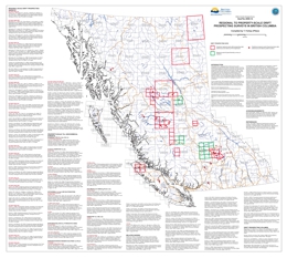 |
Presented here is a geographically referenced list of drift prospecting surveys that have been conducted in British Columbia. A list of topical studies and special volumes that are relevant to drift prospecting in British Columbia have also been included. These studies and geochemical data will be of interest to explorationists and researchers who are assessing the effectiveness of drift prospecting surveys in the context of their own exploration or research program, who are preparing to design and implement their own survey, or who have generated geochemical data on drift samples and are looking for data from orientation surveys for comparison.
This map and list of references is intended to provide a way of quickly identifying drift prospecting studies and data that are either geographically or topically of interest to those working in British Columbia. Any omission in the reference list or on the map should be brought to the attention of the compiler. This publication will be updated on an annual basis. |
| Issue ID: | MAPPLACE-18 |
| Title: | QUEST Airborne Geophysical Data |
| Author(s): | Geoscience BC/Geological Survey of Canada |
| Series Name: | MapPlace |
| Publication Year: | 2008 |
| NTS Map Sheet(s): | 082;083;092;093;094;102;103;104;114 |
| Place Keyword(s): | British Columbia, Central |
| Lat/Long (NSWE): | 60, 48, -141, -114 |
| Theme Keyword(s): | QUEST, geophysics |
Additional Link(s):
| http://webmap.em.gov.bc.ca/mapplace/minpot/geophysics.asp?projectName=quest |
Abstract:
| This map displays a high-definition airborne gravity survey of the QUEST project area. Sander Geophysics Limited (SGL) conducted a high-definition airborne gravity survey for Geoscience BC (GBC) from December 2007 to March 28, 2008. The survey was flown using SGL�s airborne gravity system designated AIRGrav (Airborne Inertially Referenced Gravimeter). The block covered much of the Quesnellia area of British Columbia and is part of Geoscience BC�s QUEST (Quesnellia Exploration Strategy Project). |
| Issue ID: | GF2008-09 |
| Title: | Reduction of CO2 Emissions - Sustainable Development (Supplementary Cementitious Materials (SCMs) in British Columbia) |
| Author(s): | Simandl, G.J., Simandl, L. |
| Series Name: | GeoFile |
| Publication Year: | 2008 |
| Place Keyword(s): | British Columbia |
| Lat/Long (NSWE): | 60, 48, -139, -114 |
| Theme Keyword(s): | Cement, Cementitous Materials, Industrial Minerals, Sustainable Development, Co2 Emissions |
Download(s):
| PDF |
Abstract:
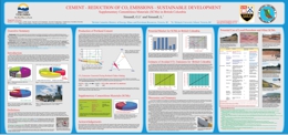 |
Portland cement production is an energy intensive process involving the use of fossil fuels. Cement plants are considered to be significant stationary sources of greenhouse gas emissions. The cement industry is succeeding in the reduction of �Fuel-related� CO2 emissions per tonne of cement produced by increasing the efficiency of cement making equipment, increasing the use of biofuels and alternative fuels, and by reducing the use of Portland Cement through the increased use of blended cements (without sacrificing quality).
This poster introduces the cement-making process, describes how CO2 is generated during Portland cement production, explains the blended cement concept, and demonstrates how the increased use of blended cement is resulting in substantial reductions of CO2 emissions.
Blended cement has chemical and physical properties similar to those of traditional Portland cement (the main cementitious material used to make concrete); however, it commonly consists of 10-30% (in some cases up to 50%) additives that do not require, or require only low temperature calcining. These additives are supplementary cementitious materials (SCMs) or natural pozzolans. They include fly ash, silica fumes, volcanic ash, scoria, pumice, silica sinter, metakaolin, slags, zeolites, diatomaceous earth, rice husk ash, calcined shale, and a number of other materials. As a result, the production of blended cement requires the combustion of a smaller quantity of fossil fuels than Portland cement. The reduction in the use of Portland cement also lowers the level of raw material - related emissions emitted by the calcination of limestone.
The most common secondary cementitious material in British Columbia (BC) is imported fly ash. BC has a variety of locally available secondary cementitious resources. Most of these resources are undeveloped and a lot of them remain untested.
In BC, the substitution of imported fly ash by domestically available pozollans would not be without challenges, but if economically and technically viable, it could benefit the mining industry, help the environment by reducing CO2 emissions and create employment. |
| Issue ID: | IC2008-02 |
| Title: | Contribution to Sustainability in Cement and Coal Production, Southwest British Columbia, Canada - 2008 |
| Author(s): | Simandl, L., Br�l�, C.J. |
| Series Name: | Information Circular |
| Publication Year: | 2008 |
| Place Keyword(s): | British Columbia |
| Lat/Long (NSWE): | 60, 48, -139, -114 |
| Theme Keyword(s): | Cement, Coal, Sustainability |
Download(s):
| PDF |
Abstract:
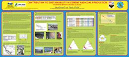 |
This Information Circular aims to enhance the sustainable development of coal and cement raw materials in British Columbia. The main objectives of this study are to confirm the chemical composition of the Quinsam coal mine rejects, find out if the rejects from the Quinsam coal mine washing plant have a favourable chemical composition for use as a raw material in cement making and demonstrate how the use of these rejects could benefit coal and cement producers, the environment, and our society.
The rejects from Quinsam coal mine's washing plant represent a valuable raw material for cement making. The inorganic components of the rejects have appropriate Al2O3 - CaO - SiO2 proportions and low Na2O and K2O content (ideal for cement making). Assuming nearly complete combustion within the conventional cement kiln, the organic components of coal rejects would burn, supplying between 6MJ and 12.5MJ of energy per kg of the feed. The use of these rejects (low grade coal) could extend the life of the mine, reduce or eliminate the problems associated with waste disposal and represent substantial savings for cement producers. The results of this conceptual study are positive; however, detailed work is needed to quantify the benefits. Such work would be most efficiently accomplished in direct collaboration with cement and coal producers.
Although this research was specific to the Quinsam Coal Mine, the same principles can be applied to other coal operations and deposits where alumina-rich clays or shales with low concentrations of alkali elements are associated with coal. |
| Issue ID: | GBCR2009-08 |
| Title: | Geoscience BC Data Explorer |
| Author(s): | Geoscience BC |
| Series Name: | Geoscience BC Report |
| Publication Year: | 2009 |
| NTS Map Sheet(s): | 082;083;092;093;094;102;103;104;114 |
| Place Keyword(s): | British Columbia |
| Lat/Long (NSWE): | 60, 48, -139, -114 |
| Theme Keyword(s): | Geoscience BC, Geochemistry |
Additional Link(s):
| https://gis.geosciencebc.com/esv/?viewer=esv |
Abstract:
| The Data Explorer allows users to query Geoscience BC's QUEST Project regional geochemical data (stream and lake sediments), providing an extra dimension of visualization. Instead of seeing every point and having to discern which samples might be of interest, the user is able to input specific geochemical criteria (e.g. copper greater than 500 parts per million) into a web form hosted in Google Earth. The result will include only those samples which match the criteria, delivered directly into Google Earth. This way each user is empowered with a tool to interact with the Geoscience BC geochemical data. |
| Issue ID: | P2009-01-01 |
| Title: | Geological Fieldwork 2008: British Columbia Geological Survey Activities in 2008 |
| Author(s): | Lefebure, D.V., Demchuk, T., Erdmer, P., Fredericks, J., Jones, L.D. |
| Purpose: | To provide the introduction to Geological Fieldwork 2007, P2008-01 |
| Series Name: | Paper |
| Publication Year: | 2009 |
| Larger Work Citation: | in Geological Fieldwork 2008, B.C. Ministry of Energy, Mines and Petroleum Resources, Paper 2009-01 |
| NTS Map Sheet(s): | 082;083;092;093;094;102;103;104;114 |
| Place Keyword(s): | British Columbia |
| Lat/Long (NSWE): | 60, 48, -140, -114 |
| Theme Keyword(s): | Geological Fieldwork, MapPlace, marketing, Mineral Development Office, partnerships |
Download(s):
| PDF |
Abstract:
| The British Columbia Ministry of Energy, Mines and Petroleum Resources and Geoscience BC present the results of 2008 geoscience surveys and studies in this thirty-fourth edition of Geological Fieldwork: A Summary of Fieldwork and Current Research. Many articles are contributions from staff of the BC Geological Survey. The report contains 18 individual geoscience reports with several reports on the mineral potential of the pine beetle impact area of central British Columbia. |
| Issue ID: | P2009-01-02 |
| Title: | Terrace Regional Mapping Project, Year 4: Extension of Paleozoic Volcanic Belt and Indicators of Volcanogenic Massive Sulphide-style Mineralization near Kitimat, British Columbia (NTS 103I/02, 07) |
| Author(s): | Nelson, J.L. |
| Series Name: | Paper |
| Publication Year: | 2009 |
| Larger Work Citation: | in Geological Fieldwork 2008, B.C. Ministry of Energy, Mines and Petroleum Resources, Paper 2009-01 |
| NTS Map Sheet(s): | 103I/02, 07 |
| Place Keyword(s): | British Columbia, Northwestern, Terrace, Kitimat, Stikinia |
| Lat/Long (NSWE): | 55, 54, -130, -128 |
| Theme Keyword(s): | Geological Fieldwork, Telkwa, Skeena River, VMS, Coast Mountains |
Download(s):
| PDF |
Abstract:
| This paper reports on the results from the fourth and final year of the Terrace regional mapping and mineral potential evaluation project. |
| Issue ID: | P2009-01-03 |
| Title: | Geospatial Structural Analysis of the Terrace Area, West-Central British Columbia (NTS 103I/08, 09, 10, 16) |
| Author(s): | Angen, J.J. |
| Series Name: | Paper |
| Publication Year: | 2009 |
| Larger Work Citation: | in Geological Fieldwork 2008, B.C. Ministry of Energy, Mines and Petroleum Resources, Paper 2009-01 |
| NTS Map Sheet(s): | 103I/02, 07 |
| Place Keyword(s): | British Columbia, South Central, Terrace, Stikinia |
| Lat/Long (NSWE): | 55, 54, -130, -128 |
| Theme Keyword(s): | Geological Fieldwork, structure, geospatial analysis, down-plunge projection |
Download(s):
| PDF |
Abstract:
| This paper reports on the results of a study using GIS-based geospatial analysis to assist in the interpretation of a large database of georeferenced structural measurements, in order to reconstruct the structural history of the Terrace area in west-central British Columbia. |
| Issue ID: | P2009-01-04 |
| Title: | Shan Deposit, East-central British Columbia (NTS 103I/09): An Emerging Deposit Model |
| Author(s): | Venable, M.E., Wojdak, P.J. |
| Series Name: | Paper |
| Publication Year: | 2009 |
| Larger Work Citation: | in Geological Fieldwork 2008, B.C. Ministry of Energy, Mines and Petroleum Resources, Paper 2009-01 |
| NTS Map Sheet(s): | 103I/09 |
| Place Keyword(s): | British Columbia, East Central, Terrace |
| Lat/Long (NSWE): | 54.75, 54.6, -128.5, -128.25 |
| Theme Keyword(s): | Geological Fieldwork, exploration, molybdenum, South Shan |
Download(s):
| PDF |
Abstract:
| This paper examines the Shan Molybdenum Deposit in east-central British Columbia. The Shan property is located 20 km north-northeast of Terrace, BC and is close to existing road, rail, power and port infrastructure. Molybdenum mineralization identified to date is located in three zones at Shan South (Las Margaritas zone, Camp zone and Triangle zone) and in the Banana Lake corridor at Shan North. |
| Issue ID: | P2009-01-05 |
| Title: | Atlin-Taku Mineral Resource Assessment, Northwestern British Columbia (NTS 104F, J, K, L, M, N): methodology and results |
| Author(s): | MacIntyre, D.G., Kilby, W.E. |
| Series Name: | Paper |
| Publication Year: | 2009 |
| Larger Work Citation: | in Geological Fieldwork 2008, B.C. Ministry of Energy, Mines and Petroleum Resources, Paper 2009-01 |
| NTS Map Sheet(s): | 104F, J, K, L, M, N |
| Place Keyword(s): | British Columbia, Northwestern, Atlin-Taku |
| Lat/Long (NSWE): | 59.74, 58.6, -132.6, -132.32 |
| Theme Keyword(s): | Geological Fieldwork, mineral resource assessment, methodology, results, Mark 3B simulator |
Download(s):
| PDF |
Abstract:
| This paper summarizes the methodology used in the Level 2 Atlin-Taku Resource Assessment, northwestern BC, and provides an initial review of the results, which are also available on the BCGS MapPlace website (http://www.mapplace.ca). |
| Issue ID: | P2009-01-06 |
| Title: | Bedrock and Coal Geology of the Wolverine River Area, Northeastern British Columbia (parts of NTS 93P/03, 93I/14) |
| Author(s): | Legun, A.S. |
| Series Name: | Paper |
| Publication Year: | 2009 |
| Larger Work Citation: | in Geological Fieldwork 2008, B.C. Ministry of Energy, Mines and Petroleum Resources, Paper 2009-01 |
| NTS Map Sheet(s): | 093P/03, 093I/14 |
| Place Keyword(s): | British Columbia, Northeastern, Wolverine River, Peace River coalfield |
| Lat/Long (NSWE): | 55.25, 54.85, -121.55, -120.85 |
| Theme Keyword(s): | Geological Fieldwork, coal exploration, geological mapping, coal seam traces, Transfer fault coalbed gas |
Download(s):
| PDF |
Abstract:
| This report updates the coal geology of the area between Bullmoose Creek and the Murray River in the Peace River coalfield, northeastern British Columbia. The study area covers approximately 300 km2 and is located southwest of Tumbler Ridge in northeastern BC. It spans parts of NTS map areas 093P/03 and 093I/14. |
| Issue ID: | P2009-01-07 |
| Title: | Geology and Mineral Occurrences of the Mid-Cretaceous Spences Bridge Group near Merritt, Southern British Columbia (parts of NTS 92H/14, 15, 92I/02, 03) |
| Author(s): | Diakow, L.J., Barrios, A. |
| Series Name: | Paper |
| Publication Year: | 2009 |
| Larger Work Citation: | in Geological Fieldwork 2008, B.C. Ministry of Energy, Mines and Petroleum Resources, Paper 2009-01 |
| NTS Map Sheet(s): | 092H/14, 15, 092I/02. 03 |
| Place Keyword(s): | British Columbia, Southern, Merritt, Castillion Creek, Gillis Lake |
| Lat/Long (NSWE): | 50.2, 49.75, -121.3, -120.7 |
| Theme Keyword(s): | Geological Fieldwork, gold mineralization, epithermal quartz veins, exhalite, sinter |
Download(s):
| PDF |
Abstract:
| This paper reports on the Spences Bridge Project near Merritt, BC. The Spences Bridge Project is a bedrock mapping program with objectives to refine stratigraphy of the Cretaceous Spences Bridge Group, determine the geological setting and characteristics of gold-bearing epithermal vein systems, and assess the regional economic potential of Cretaceous volcanic stratigraphy in southern British Columbia. |
| Issue ID: | P2009-01-08 |
| Title: | Geology, Geochronology and Mineralization of the Chilanko Forks to Southern Clusko River Area, British Columbia (NTS 93C/01, 08, 09S) |
| Author(s): | Mihalynuk, M.G., Orovan, E.A., Larocque, J.P., Friedmand, R.M., Bachiu, T. |
| Series Name: | Paper |
| Publication Year: | 2009 |
| Larger Work Citation: | in Geological Fieldwork 2008, B.C. Ministry of Energy, Mines and Petroleum Resources, Paper 2009-01 |
| NTS Map Sheet(s): | 093C/01, 08, 09S |
| Place Keyword(s): | British Columbia, West Central, Clusko River, Chilanko Forks, Chilcotin River |
| Lat/Long (NSWE): | 53, 52, -126, -124 |
| Theme Keyword(s): | Geological Fieldwork, regional geology, structure, lithogeochemistry, mineral potential |
Download(s):
| PDF |
Abstract:
| This paper describes a new exhalite and sinter discover in Late Triassic felsic stratigraphy, as well as low-sulphidation epithermal veins in the Cretaceous Spences Bridge Group near Merritt, southern British Columbia. |
| Issue ID: | P2009-01-09 |
| Title: | First Isotopic Age Constraints for the Dean River Metamorphic Belt, Anahim Lake Area: Implications for Crustal Extension and Resource Evaluation in West-Central British Columbia |
| Author(s): | Mihalynuk, M.G., Friedman, R.M. |
| Series Name: | Paper |
| Publication Year: | 2009 |
| Larger Work Citation: | in Geological Fieldwork 2008, B.C. Ministry of Energy, Mines and Petroleum Resources, Paper 2009-01 |
| NTS Map Sheet(s): | 093C |
| Place Keyword(s): | British Columbia, West Central, Anahim Lake, Tatla Lake |
| Lat/Long (NSWE): | 53.05, 51.9, -126.15, -124.05 |
| Theme Keyword(s): | Geological Fieldwork, isotopic dating, Dean River metamorphic belt, detachment mineralization, polymetallic fault-related |
Download(s):
| PDF |
Abstract:
| This paper examines the geology, geochronology and mineralization of the Chilanko Forks to southern Clusko River area, west-central British Columbia, part of the Beetle Impacted Zone. |
| Issue ID: | P2009-01-10 |
| Title: | Geochemical Character of Neogene Volcanic rocks of the Central Beetle-Infested Zone, South-central British Columbia (NTS 93B, C) |
| Author(s): | Larocque, J.P., Mihalynuk, M.G. |
| Series Name: | Paper |
| Publication Year: | 2009 |
| Larger Work Citation: | in Geological Fieldwork 2008, B.C. Ministry of Energy, Mines and Petroleum Resources, Paper 2009-01 |
| NTS Map Sheet(s): | 093B, C |
| Place Keyword(s): | British Columbia, South Central, Central Beetle Infested Zone |
| Lat/Long (NSWE): | 53, 52, -126, -122 |
| Theme Keyword(s): | Geological Fieldwork, alkaline magmatism, neogene volcanic rocks, geochemistry, chilcotin group |
Download(s):
| PDF |
Abstract:
| This paper presents age data for the Dean River metamorphic belt together with field and microscopic observations, which support a correlation with rocks in the Tatla Lake metamorphic complex. |
| Issue ID: | P2009-01-11 |
| Title: | Quaternary Geology and Till Geochemistry of the Redstone and Loomis Lake Map Areas, Central British Columbia (NTS 93B/04, 05) |
| Author(s): | Ferbey, T., Vickers, K.J., Hietava, T.J.O., Nicholson, S.C. |
| Series Name: | Paper |
| Publication Year: | 2009 |
| Larger Work Citation: | in Geological Fieldwork 2008, B.C. Ministry of Energy, Mines and Petroleum Resources, Paper 2009-01 |
| NTS Map Sheet(s): | 093B/04, 05 |
| Place Keyword(s): | British Columbia, South Central, Redstone, Loomis Lake, Central Beetle Infested Zone |
| Lat/Long (NSWE): | 52.5, 52, -124, -123.5 |
| Theme Keyword(s): | Geological Fieldwork, geochemistry, surficial geology, quaternary geology, drift exploration |
Download(s):
| PDF |
Abstract:
| This paper summarizes Quaternary geology mapping and till geochemistry studies conducted as part of the regional mineral potential assessment of the Redstone and Loomis Lake map areas. |
| Issue ID: | P2009-01-12 |
| Title: | Geology and Mineral occurrences of the Quesnel River Map Area, central British Columbia (NTS 93B/16). This program was partially funded through the Geological Survey of Canada's Geoscience for Pine Beetle Program. |
| Author(s): | Logan, J.M., Moynihan, D.P. |
| Series Name: | Paper |
| Publication Year: | 2009 |
| Larger Work Citation: | in Geological Fieldwork 2008, B.C. Ministry of Energy, Mines and Petroleum Resources, Paper 2009-01 |
| NTS Map Sheet(s): | 093B/16 |
| Place Keyword(s): | British Columbia, Central, Quesnel River, Cache Creek terrane, Quesnel terrane |
| Lat/Long (NSWE): | 53, 52.75, -122.5, -122 |
| Theme Keyword(s): | Geological Fieldwork, alkalic Cu-Au porphyry mineralization, Mesozoic copper-gold metallogeny, Nicola group, Dragon Lake limestone |
Download(s):
| PDF |
Abstract:
| This paper examines the geology and mineral occurrences of the Quesnel River map area in central British Columbia. Regional mapping in the Quesnel area was initiated by the BCGS in 2006 and continued in 2008 as part of a multiyear program designed to study and promote exploration of BC porphyry deposits in Quesnellia. |
| Issue ID: | P2009-01-13 |
| Title: | Geological Relationships on the Western Margin of the Naver Pluton, central British Columbia (NTS 93G/08). This program was partially funded through the Geological Survey of Canada's Geoscience for Pine Beetle Program. |
| Author(s): | Moynihan, D.P., Logan, J.M. |
| Series Name: | Paper |
| Publication Year: | 2009 |
| Larger Work Citation: | in Geological Fieldwork 2008, B.C. Ministry of Energy, Mines and Petroleum Resources, Paper 2009-01 |
| NTS Map Sheet(s): | 093G/08 |
| Place Keyword(s): | British Columbia, Central, Quesnel, Slide Mountain, Kootenay |
| Lat/Long (NSWE): | 53.5, 53.25, -122.5, -122 |
| Theme Keyword(s): | Geological Fieldwork, Crooked amphibolite, Snowshoe group, Nicola group, Naver pluton |
Download(s):
| PDF |
Abstract:
| This paper reports on observations made during preliminary mapping of the southwestern part of NTS map area 093G/08 (1:50 000), incorporating the western part of the Naver pluton and adjacent metasedimentary and metavolcanic rocks. |
| Issue ID: | P2009-01-14 |
| Title: | Lithogeochemistry of the Spanish Mountain Gold Deposit, East-Central British Columbia (NTS 93A/11W) |
| Author(s): | Paterson, K., Lett, R.E., Telmer, K. |
| Series Name: | Paper |
| Publication Year: | 2009 |
| Larger Work Citation: | in Geological Fieldwork 2008, B.C. Ministry of Energy, Mines and Petroleum Resources, Paper 2009-01 |
| NTS Map Sheet(s): | 093A/11W |
| Place Keyword(s): | British Columbia, Central, Spanish Mountain |
| Lat/Long (NSWE): | 52.6, 52.575, -121.475, -121.43 |
| Theme Keyword(s): | Geological Fieldwork, lithogeochemistry, alteration, carline-type deposits, sediment-hosted disseminated Au deposits |
Download(s):
| PDF |
Abstract:
| This paper examines the lithogeochemistry of the Spanish Mountain gold deposit, British Columbia. The Spanish Mountain mineral property is located in the Cariboo region of central British Columbia and is approximately 6 km east of the community of Likely in NTS map area 093A/11W. The deposit is hosted within a metasedimentary package of the Quesnel Terrane that occupies the hangingwall to the Eureka thrust, a structure that separates the Quesnel Terrane of the Intermontane Belt from the Kootenay Terrane of the Omineca Belt. |
| Issue ID: | P2009-01-15 |
| Title: | Geology and Mineral Occurrences of the Murphy Lake Area, South-Central British Columbia (NTS 93A/03). This program was partially funded through the Geological Survey of Canada's Geoscience for Pine Beetle Program. |
| Author(s): | Schiarizza, P.A., Bell, K., Bayliss, S. |
| Series Name: | Paper |
| Publication Year: | 2009 |
| Larger Work Citation: | in Geological Fieldwork 2008, B.C. Ministry of Energy, Mines and Petroleum Resources, Paper 2009-01 |
| NTS Map Sheet(s): | 093A/03 |
| Place Keyword(s): | British Columbia, South Central, Murphy Lake, Nicola Group, Quesnel terrane |
| Lat/Long (NSWE): | 52.5, 51.75, -121.5, -120.25 |
| Theme Keyword(s): | Geological Fieldwork, Takomkane batholith, Spout Lake pluton, Kamloops Group, Chilcotin group |
Download(s):
| PDF |
Abstract:
| This paper examines the geology and mineral occurrences of the Murphy Lake area, south-central British Columbia. The Takomkane Project is a multiyear bedrock mapping program initiated by the BCGS in 2005. This program focused on Mesozoic arc volcanic and plutonic rocks of the Quesnel terrane in the vicinity of the Takomkane batholith, which crops out in the northern Bonaparte Lake (NTS 092P) and southern Quesnel Lake (NTS 093A) map areas. |
| Issue ID: | P2009-01-16 |
| Title: | Southern Nicola Project: Whipsaw Creek-Eastgate-Wolfe Creek Area, Southern British Columbia (NTS 92H/01W, 02E, 07E, 08W) |
| Author(s): | Massey, N.W.D., Vineham, J.M.S., Oliver, S.L. |
| Series Name: | Paper |
| Publication Year: | 2009 |
| Larger Work Citation: | in Geological Fieldwork 2008, B.C. Ministry of Energy, Mines and Petroleum Resources, Paper 2009-01 |
| NTS Map Sheet(s): | 092H/01W, 02E, 07E, 08W |
| Place Keyword(s): | British Columbia, South, Whipsaw Creek, Eastgate-Wolfe Creek, Princeton |
| Lat/Long (NSWE): | 49.5, 49, -121, -120 |
| Theme Keyword(s): | Geological Fieldwork, Nicola Group, Eagle Pluton, Eastgate-Whipsaw metamorphic belt, mineral deposits |
Download(s):
| PDF |
Abstract:
| This paper examines the southern Nicola mapping project. Mapping in 2008 focused in the area to the southwest of Princeton. The map area stretches from the Wolfe Creek area and Copper Mountain southwest to Eastgate and the boundary of Manning Park and west to the Whipsaw Creek and Hudson Bay Meadows area. |
| Issue ID: | P2009-01-17 |
| Title: | Carbonate-Hosted, Nonsulphide, Zinc-Lead Deposits in the Southern Kootenay Arc, British Columbia (NTS 82F/03) |
| Author(s): | Simandl, G.J., Paradis, S. |
| Series Name: | Paper |
| Publication Year: | 2009 |
| Larger Work Citation: | in Geological Fieldwork 2008, B.C. Ministry of Energy, Mines and Petroleum Resources, Paper 2009-01 |
| NTS Map Sheet(s): | 082F/03 |
| Place Keyword(s): | British Columbia, South, Salmo district, Southern Kootenay arc |
| Lat/Long (NSWE): | 49.25, 49, -117.5, -117 |
| Theme Keyword(s): | Geological Fieldwork, zinc deposit, nonsulfide, carbonate-hosted, hemimorphite |
Download(s):
| PDF |
Abstract:
| This paper examines carbonate-hosted, nonsulphide, zinc-lead deposits in the southern Kootenay arc, British Columbia. The primary objective of this paper is to provide conceptual background on carbonate-hosted, nonsulphide, base-metal (CHNSBM) deposits, supply concrete examples of direct replacement, nonsulphide deposits from the Salmo district, BC (NTS 082F/03) and demonstrate that the area has significant potential host undiscovered wallrock-replacement-type CHNSBM deposits. The secondary objective is to explain the importance of deposit morphology and its spatial orientation in the preservation of such deposits within glaciated areas of southeastern BC. |
| Issue ID: | P2009-01-18 |
| Title: | Geochemistry Projects of the British Columbia Geological Survey |
| Author(s): | Lett, R.E., Doyle, J. |
| Series Name: | Paper |
| Publication Year: | 2009 |
| Larger Work Citation: | in Geological Fieldwork 2008, B.C. Ministry of Energy, Mines and Petroleum Resources, Paper 2009-01 |
| NTS Map Sheet(s): | 082;083;092;093;094;102;103;104;114 |
| Place Keyword(s): | British Columbia, Spanish Mountain |
| Lat/Long (NSWE): | 60, 48, -140, -114 |
| Theme Keyword(s): | Geological Fieldwork, geochemistry, copper, gold, soils |
Download(s):
| PDF |
Abstract:
| This paper reports on the geochemical research activities and related project work that has been carried out in the past year. |
| Issue ID: | P2009-01-19 |
| Title: | Regional Geochemical Survey: Delineation of Catchment Basins for Sample Sites in British Columbia |
| Author(s): | Cui, Y., Eckstrand, H., Lett, R.E. |
| Series Name: | Paper |
| Publication Year: | 2009 |
| Larger Work Citation: | in Geological Fieldwork 2008, B.C. Ministry of Energy, Mines and Petroleum Resources, Paper 2009-01 |
| NTS Map Sheet(s): | 082;083;092;093;094;102;103;104;114 |
| Place Keyword(s): | British Columbia |
| Lat/Long (NSWE): | 60, 48, -140, -114 |
| Theme Keyword(s): | Geological Fieldwork, catchment basins, spatial database, SQL, upstream query |
Download(s):
| PDF |
Abstract:
| This paper describes the project to develop a fully automated process to yield highly reliable catchment basins. The most current and detailed BC Provincial Terrain Resources Information Management (TRIM) watersheds with fully connected stream networks are used as the topographic base in the delineation of catchment basins for stream sediment and water sample sites. |
| Issue ID: | P2004-02-72 |
| Title: | Wood Cove Marble |
| Author(s): | Vicencio, R., Kikaukady, A. |
| Purpose: | To describe the Wood Cose marble deposit. |
| Series Name: | Paper |
| Publication Year: | 2004 |
| Larger Work Citation: | in 37th Forum on the Geology of Industrial Minerals, May 23-25 2001, B.C. Ministry of Energy and Mines, Paper 2004-02-01, pages 315 to 315 |
| NTS Map Sheet(s): | 092L03W |
| Place Keyword(s): | British Columbia |
| Lat/Long (NSWE): | 50.16, 50.15, -127.32, -127.3 |
| Theme Keyword(s): | Industrial Minerals, Miscellaneous abstracts, marble |
Download(s):
| PDF |
Abstract:
| The Wood Cove marble deposit (MINFILE Number 092L 187) is located 35 kilometres northwest of Zeballos, British Columbia. |
| Issue ID: | P2010-01-01 |
| Title: | Geological Fieldwork 2009: British Columbia Geological Survey Activities in 2009 |
| Author(s): | Demchuk, T.E., Fredericks, J., Jones, L.D., Rowins, S.M. |
| Purpose: | To provide the introduction to Geological Fieldwork 2009, P2010-01 |
| Series Name: | Paper |
| Publication Year: | 2010 |
| Larger Work Citation: | in Geological Fieldwork 2009, B.C. Ministry of Energy, Mines and Petroleum Resources, Paper 2010-01 |
| NTS Map Sheet(s): | 082;083;092;093;094;102;103;104;114 |
| Place Keyword(s): | British Columbia |
| Lat/Long (NSWE): | 60, 48, -140, -114 |
| Theme Keyword(s): | Geological Fieldwork, MapPlace, marketing, Mineral Development Office, partnerships |
Download(s):
| PDF |
Abstract:
| A report on the activities of the British Columbia Geological Survey in 2009. In 2009 the BCGS focused on creating new products from existing data, completing five significant field projects (four with partners), delivering key programs like MapPlace and the BC Mineral Development Office, and working to support a wide variety of clients. |
| Issue ID: | P2010-01-02 |
| Title: | Stratigraphic and Structural Setting of the Rock and Roll Deposit, Northwestern British Columbia (NTS 104B/11) |
| Author(s): | Mihalynuk, M.G., Stier, T.J., Jones, M.I., Johnston, S.T. |
| Series Name: | Paper |
| Publication Year: | 2010 |
| Larger Work Citation: | in Geological Fieldwork 2009, B.C. Ministry of Energy, Mines and Petroleum Resources, Paper 2010-01 |
| NTS Map Sheet(s): | 104B/11 |
| Place Keyword(s): | British Columbia, Northwestern, Iskut River, Craig River, Monsoon Lake |
| Lat/Long (NSWE): | 56.726, 56.695, -131.275, -131.726 |
| Theme Keyword(s): | Geological Fieldwork, volcanic-hosted massive sulphide, sulphide, replacement sulphide, Rock and Roll |
Download(s):
| PDF |
Abstract:
| This paper reports on the results of a six day reconnaissance field mapping program in October 2009 around the Rock and Roll deposit. |
| Issue ID: | P2010-01-03 |
| Title: | Geology and Mineral Potential of Porcher Island, Northern Grenville Channel and Vicinity, Northwestern British Columbia |
| Author(s): | Nelson, J.L., Mahoney, J.B., Gehrels, G.E., van Staal, C., Potter, J.J. |
| Series Name: | Paper |
| Publication Year: | 2010 |
| Larger Work Citation: | in Geological Fieldwork 2009, B.C. Ministry of Energy, Mines and Petroleum Resources, Paper 2010-01 |
| NTS Map Sheet(s): | 103J/01,02, 103G/15, 16, 103H/13 |
| Place Keyword(s): | British Columbia, Porcher Island, Grenville Channel, Coast Mountains |
| Lat/Long (NSWE): | 54.112, 53.799, -130.665, -129.84 |
| Theme Keyword(s): | Geological Fieldwork, Alexander terrane, Wales Group, Descon Formation, iron formation |
Download(s):
| PDF |
Abstract:
| This paper reports on year one results of a planned three year activity to examine the bedrock geology of the north coast area of BC an its potential for hosting significant mineral deposits. |
| Issue ID: | P2010-01-04 |
| Title: | Quaternary Geology and Till Geochemistry of the Nadina River Map Area (NTS 93E/15), West-Central British Columbia |
| Author(s): | Ferbey, T. |
| Series Name: | Paper |
| Publication Year: | 2010 |
| Larger Work Citation: | in Geological Fieldwork 2009, B.C. Ministry of Energy, Mines and Petroleum Resources, Paper 2010-01 |
| NTS Map Sheet(s): | 093E/15 |
| Place Keyword(s): | British Columbia, West Central, Tahtsa Lake district, Nadina River |
| Lat/Long (NSWE): | 54, 53.75, -127, -126.5 |
| Theme Keyword(s): | Geological Fieldwork, quaternary geology, surficial mapping, till geochemical survey, till geochemistry |
Download(s):
| PDF |
Abstract:
| The focus of this paper is surficial geology mapping and the sampling component of a till geochemical survey completed within the Nadina River map area (NTS 093E/15) during the 2009 field season. |
| Issue ID: | P2010-01-05 |
| Title: | Geochemistry of Volcanic and Plutonic Rocks of the Sitlika Assemblage, Takla Lake Area, Central British Columbia (NTS 93N/04,05,12,13) |
| Author(s): | Schiarizza, P.A., Massey, N.W.D. |
| Series Name: | Paper |
| Publication Year: | 2010 |
| Larger Work Citation: | in Geological Fieldwork 2009, B.C. Ministry of Energy, Mines and Petroleum Resources, Paper 2010-01 |
| NTS Map Sheet(s): | 093N/04, 05, 12, 13 |
| Place Keyword(s): | British Columbia, Central, Takla Lake |
| Lat/Long (NSWE): | 56, 53, -127, -123 |
| Theme Keyword(s): | Geological Fieldwork, Sitlika assemblage, Cache Creek terrane, island-arc basalt, ocean-floor basalt |
Download(s):
| PDF |
Abstract:
| This paper presents and briefly discusses the geochemistry of the full suite of Sitlika samples collected during the NATMAP program. This was a federal-provincial geoscience program conducted between 1995 and 1998. Samples of representative volcanic and plutonic rocks were analyzed for whole-rock geochemistry during this program. |
| Issue ID: | P2010-01-06 |
| Title: | Carbonate-Hosted Lead-Zinc Mineralization on the Cariboo Zinc Property, Quesnel Lake Area, East-Central British Columbia (NTS 93A/14E,15W) |
| Author(s): | Paradis, S., Simandl, G.J., Bradford, J., Leslie, C., Brett, C. |
| Series Name: | Paper |
| Publication Year: | 2010 |
| Larger Work Citation: | in Geological Fieldwork 2009, B.C. Ministry of Energy, Mines and Petroleum Resources, Paper 2010-01 |
| NTS Map Sheet(s): | 093A/14E, 15W |
| Place Keyword(s): | British Columbia, East Central, Quesnel Lake |
| Lat/Long (NSWE): | 52.95, 52.68, -121.23, -120.58 |
| Theme Keyword(s): | Geological Fieldwork, Cariboo terrane, carbonate-hosted, nonsulphide, oxide |
Download(s):
| PDF |
Abstract:
| This paper, based on 2009 field observations and previous work by Teck Corporation and Pembrook Mining Corporation, provides a basis for ongoing laboratory investigations of sulphide and nonsulphide minerals from the Cariboo Zinc deposits. It also contributes a better understanding of geological constraints on nonsulphide deposits of southern BC. |
| Issue ID: | P2010-01-07 |
| Title: | Vermiculite in the Blue River Area, East-Central British Columbia, Canada (NTS 83D/06) |
| Author(s): | Simandl, G.J., Paradis, S., Simandl, L., Dahrouge, J. |
| Series Name: | Paper |
| Publication Year: | 2010 |
| Larger Work Citation: | in Geological Fieldwork 2009, B.C. Ministry of Energy, Mines and Petroleum Resources, Paper 2010-01 |
| NTS Map Sheet(s): | 083D/06 |
| Place Keyword(s): | British Columbia, East Central, Blue River |
| Lat/Long (NSWE): | 52.45, 52.15, -119.25, -118.8 |
| Theme Keyword(s): | Geological Fieldwork, vermiculite, market, deposit, exfoliation |
Download(s):
| PDF |
Abstract:
| There is currently no vermiculite produced within the Province of British Columbia. Only four localities in the BC MINFILE list vermiculite as a commodity. High concentrations of vermiculite were encountered in semiconsolidated outcrops during a hike to examine the Hodgie rare earth zone in the Blue River area. Follow-up bibliographic research indicates that this is probably a new occurrence, although similar occurrences were described in the Blue River area by McCammon (1950). Based on our observations and on the data of McCammon (1950), the occurrences located in the Blue River area have above-average vermiculite content and are certainly of higher grade than other known vermiculite occurrences in the province. Reconnaissance-level field observations, in-house particle size analyses and rudimentary laboratory-scale exfoliation tests are encouraging. They indicate that detailed chemical and mineralogical studies are the next logical step in the assessment of this and other vermiculite occurrences in the Blue River area. Chemical analyses are required to establish trace-element levels of vermiculite-bearing material, to ensure that it does not contain elevated levels of environmentally sensitive substances. Mineralogical follow-up should establish the absence or presence of asbestiform particles. The presence of such particles would negatively impact the development of this vermiculite resource. If the outcomes of the above-recommended tests justify more rigorous laboratory and field investigations, then these occurrences of the Blue River area have the potential to become significant commercial sources of vermiculite. The closest operating vermiculite exfoliation plant is in Edmonton, Alberta, a relatively good location. This plant belongs to Grace Canada Inc. |
| Issue ID: | P2010-01-08 |
| Title: | Niobium-Thorium-Strontium-Rare Earth Element Mineralogy and Preliminary Sulphur Isotope Geochemistry of the Eaglet Property, East-Central British Columbia (NTS 93A/10W) |
| Author(s): | Hora, Z.D., Langrova, A., Pivec, E., Zak, K. |
| Series Name: | Paper |
| Publication Year: | 2010 |
| Larger Work Citation: | in Geological Fieldwork 2009, B.C. Ministry of Energy, Mines and Petroleum Resources, Paper 2010-01 |
| NTS Map Sheet(s): | 093A/10W |
| Place Keyword(s): | British Columbia, East Central, Quesnel Lake |
| Lat/Long (NSWE): | 52.65, 52.48, -121.05, -120.65 |
| Theme Keyword(s): | Geological Fieldwork, Eaglet deposit, rare earth element, fluorite, celestite |
Download(s):
| PDF |
Abstract:
| The Eaglet fluorite property (MINFILE 093A 046) is located on the northeastern side of Quesnel Lake in east-central British Columbia. A previous study identified several minerals not previously known from this fluorite deposit, including pyrochlore, thorite and rare earth element (REE)-enriched carbonate. In this paper, new data on the chemical composition, alteration and interrelationships of these unusual minerals have been collected. In addition, the sulphur isotope composition of celestite and common sulphide minerals was measured in several samples collected in the study area. |
| Issue ID: | P2010-01-09 |
| Title: | Evaluation of 'Reduced' Intrusive-Related Gold Mineralization in the Area West of Cranbrook, Southeastern British Columbia (NTS 82F/08,16) |
| Author(s): | Soloviev, S.G. |
| Series Name: | Paper |
| Publication Year: | 2010 |
| Larger Work Citation: | in Geological Fieldwork 2009, B.C. Ministry of Energy, Mines and Petroleum Resources, Paper 2010-01 |
| NTS Map Sheet(s): | 082F/08, 16 |
| Place Keyword(s): | British Columbia, Southeast, Cranbrook, East Kootenay |
| Lat/Long (NSWE): | 49.67, 49.36, -116.15, -115.75 |
| Theme Keyword(s): | Geological Fieldwork, intrusive-related gold, Purcell Supergroup, Bayonne plutonic belt, thrust fault |
Download(s):
| PDF |
Abstract:
| Gold mineralization is widespread in the vicinity of Cranbrook in southeastern British Columbia but especially abundant some 5�30 km west of the town, where many significant Au prospects have been known since the 19th and early 20th centuries. Since then, several exploration campaigns have been undertaken in this area, resulting in the discovery of numerous Au occurrences and delineation of local small Au resources. Recent �peaks� in exploration occurred in 2002�2004, when Chapleau Resources Ltd. conducted massive data compilation, prospecting and rock and soil sampling programs, followed by almost 7000 m of reconnaissance, structural and delineation drilling. In 2007�2008, Ruby Red Resources Inc. also undertook significant diamond-drilling. These studies identified many new mineralized showings and demonstrated styles of Au mineralization characteristic of proximal and distal intrusive-related settings. This contributed to a better understanding of likely intrusive-related Au mineralization in southeastern BC. Gold exploration continues in the area, making it worthwhile to summarize and interpret some of the existing data. |
| Issue ID: | P2010-01-10 |
| Title: | Southern Nicola Project: Granite Creek Area, Southern British Columbia (parts of NTS 92H/07,10) |
| Author(s): | Massey, N.W.D., Oliver, S.L. |
| Series Name: | Paper |
| Publication Year: | 2010 |
| Larger Work Citation: | in Geological Fieldwork 2009, B.C. Ministry of Energy, Mines and Petroleum Resources, Paper 2010-01 |
| NTS Map Sheet(s): | 092H/07, 10 |
| Place Keyword(s): | British Columbia, South, Granite Creek |
| Lat/Long (NSWE): | 49.56, 49.06, -120.96, -120.41 |
| Theme Keyword(s): | Geological Fieldwork, Nicola Group, Eastgate-Whipsaw metamorphic belt, Tulameen complex, Tulameen coal basin |
Download(s):
| PDF |
Abstract:
| The Southern Nicola Project area is located on the eastern boundary of Manning Park, about 15 km southwest of the town of Princeton (Figure 1), in southern British Columbia. Tectonically, the project area lies at the western edge of Quesnellia, just inboard of the bounding Pasayten fault, and includes the southernmost exposures of the Late Triassic Nicola Group.
The western boundary of the study area is defined by the eastern edge of the Jurassic�Cretaceous Eagle Plutonic complex. Rocks adjacent to the complex, correlated with the Nicola by Rice (1947) and Monger (1989), show significant lithological differences to the immediately adjacent Nicola volcanic rocks and have been renamed the �Eastgate�Whipsaw metamorphic belt� (Massey et al., 2009). This belt may be equivalent to the Late Permian�Early Triassic Sitlika�Kutcho sequences, including volcanic rocks and intrusions from the Ashcroft area (Childe et al., 1997), about 150 km north-northwest of Princeton.
Mapping in 2008 focused in the area to the southwest of Princeton (Figure 1). In 2009, mapping continued northwards from Whipsaw Creek into the Granite Creek and Tulameen River areas, concentrating on the Nicola Group rocks. Field observations were limited by lack of access or outcrop in the Arrastra Creek area and to the west of Lodestone Mountain. |
| Issue ID: | P2010-01-11 |
| Title: | Boundary Project, Geochronology and Geochemistry of Jurassic and Eocene Intrusions, Southern British Columbia (NTS 82E) |
| Author(s): | Massey, N.W.D., Gabites, J.E., Mortensen, J.K., Ullrich, T.D. |
| Series Name: | Paper |
| Publication Year: | 2010 |
| Larger Work Citation: | in Geological Fieldwork 2009, B.C. Ministry of Energy, Mines and Petroleum Resources, Paper 2010-01 |
| NTS Map Sheet(s): | 082E |
| Place Keyword(s): | British Columbia, South, Okanagan |
| Lat/Long (NSWE): | 49.75, 49, -119.9, -118.1 |
| Theme Keyword(s): | Geological Fieldwork, Quesnel terrane, Jurassic, Eocene, McKinney Creek stock |
Download(s):
| PDF |
Abstract:
| The Boundary Project was initiated in 2005 with the purpose of better characterizing the lithological and geochemical variations within and between the various Paleozoic sequences in the southern Okanagan region along the United States border (Massey, 2006, 2007a, b; Massey and Duffy, 2008a�c). These sequences occur within Quesnel terrane, which is dominated by Paleozoic mafic volcanic and pelitic rocks that are un conformably overlain by Triassic and Jurassic volcanic and sedimentary rocks, and intruded by various suites of Triassic, Jurassic and Eocene granitic rocks. This paper documents the results of isotopic dating and lithogeochemical studies on several of the granitic intrusions in the project area. |
| Issue ID: | P2010-01-12 |
| Title: | Boundary Project: Geochemistry of Volcanic Rocks of the Wallace Formation, Beaverdell Area, South-Central British Columbia (NTS 82E/06E,07W,10W,11W) |
| Author(s): | Massey, N.W.D |
| Series Name: | Paper |
| Publication Year: | 2010 |
| Larger Work Citation: | in Geological Fieldwork 2009, B.C. Ministry of Energy, Mines and Petroleum Resources, Paper 2010-01 |
| NTS Map Sheet(s): | 082E/06E, 07W, 10W, 11W |
| Place Keyword(s): | British Columbia, South Central, Beaverdell |
| Lat/Long (NSWE): | 49.75, 49, -119.9, -118.1 |
| Theme Keyword(s): | Geological Fieldwork, Quesnellia, Triassic, Wallace Formation, calcalkaline |
Download(s):
| PDF |
Abstract:
| The Boundary Project was initiated in 2005 with the purpose of better characterizing the lithological and geochemical variations within and between the various Paleozoic sequences in the southern Okanagan region along the United States border (Massey, 2006, 2007; Massey and Duffy, 2008a). Pre-Jurassic rocks in the Beaverdell area were assigned by Reinecke (1915) to the �Wallace Group� (single quotation marks are used to highlight the actual term used in the paper) and correlated, in part, with Paleozoic sequences to the south, including the Anarchist schist and the Attwood �series�. Little (1957, 1961) and Tempelman-Kluit (1989a, b) extended this work to the east and west including these rocks in the �Anarchist Group�. |
| Issue ID: | P2010-01-13 |
| Title: | Redefining the Southern Nicola Group: Petrographic and Structural Characterization of the Eastgate-Whipsaw Metamorphic Belt, Southern British Columbia (NTS 92H/02E) |
| Author(s): | Oliver, S.L., Hickey, K.A., Russell, J.K. |
| Series Name: | Paper |
| Publication Year: | 2010 |
| Larger Work Citation: | in Geological Fieldwork 2009, B.C. Ministry of Energy, Mines and Petroleum Resources, Paper 2010-01 |
| NTS Map Sheet(s): | 092H/02E |
| Place Keyword(s): | British Columbia, South, Manning Park, Princeton |
| Lat/Long (NSWE): | 49.25, 49, -120.75, -120.5 |
| Theme Keyword(s): | Geological Fieldwork, Nicola Group, Eastgate-Whipsaw metamorphic belt, Quesnel terrane |
Download(s):
| PDF |
Abstract:
| This ongoing MSc project is focused on a detailed geological analysis of the poorly documented Eastgate- Whipsaw metamorphic belt in southern British Columbia; this paper is reporting preliminary observations on the petrography of the metamorphic rocks and overall structure of the belt. |
| Issue ID: | P2010-01-14 |
| Title: | Age of Mineralization and 'Mine Dykes' at Copper Mountain Alkaline Copper-Gold-Silver Porphyry Deposit (NTS 92H/07), South-Central British Columbia |
| Author(s): | Mihalynuk, M.G., Logan, J.M., Friedman, R.M., Preto, V.A. |
| Series Name: | Paper |
| Publication Year: | 2010 |
| Larger Work Citation: | in Geological Fieldwork 2009, B.C. Ministry of Energy, Mines and Petroleum Resources, Paper 2010-01 |
| NTS Map Sheet(s): | 092H/07 |
| Place Keyword(s): | British Columbia, South Central, Copper Mountain |
| Lat/Long (NSWE): | 49.5, 49.25, -121, -120.5 |
| Theme Keyword(s): | Geological Fieldwork, alkalic porphyry, Cu-Au-Ag deposit, mineralization, alteration |
Download(s):
| PDF |
Abstract:
| Copper Mountain is located within the Quesnel Arc, a crustal terrane that accreted to ancestral North America (ANA) or a crustal ribbon that lay adjacent to ANA in Early Jurassic time. This paper presents and discusses new age data for the Copper Mountain deposit. |
| Issue ID: | P2010-01-15 |
| Title: | British Columbia's Property File: Project Update and a Case Study of an Integrated MapPlace Analysis of a Target Hidden in the Files |
| Author(s): | Hancock, K.D., Barlow, N.D. |
| Series Name: | Paper |
| Publication Year: | 2010 |
| Larger Work Citation: | in Geological Fieldwork 2009, B.C. Ministry of Energy, Mines and Petroleum Resources, Paper 2010-01 |
| NTS Map Sheet(s): | 082;083;092;093;094;102;103;104;114 |
| Place Keyword(s): | British Columbia |
| Lat/Long (NSWE): | 60, 48, -140, -114 |
| Theme Keyword(s): | Geological Fieldwork, Property File, catchment basins, RGS, QUEST Project |
Download(s):
| PDF |
Abstract:
| The British Columbia Geological Survey (BCGS) is the provincial agency responsible for the mineral resources of the province of BC. As part of its overall mandate, the BCGS has developed the MapPlace website as its primary research and information source. MapPlace comprises numerous integrated databases and applications related to the geology and mineral resources of the province. Property File is one part of this system. The BCGS Property File is an extensive collection of mineral development documents from throughout the province. Documents within the collection date back to 1852 and are often the only extant copies of the items. The documents have been collected primarily by BCGS staff, but also come from industry donations. Within the files, there is much original information that is not available elsewhere. Until 2009, this information was only accessible in hard copy at the Ministry�s library in Victoria. The Property File project was initiated in 2005 to index and make the documents available on line. In 2008, the first group of files, comprising approximately 3400 documents, was posted to the web. Further work on Property File documents in 2009 by Purple Rock Editing, as part of the Geoscience BC QUEST project, added a significant number of documents to the website. During the course of document cataloguing, a number of previously unrecorded mineral occurrences were catalogued and several anomalous locations were identified. This report uses one of the anomalous locations to develop a case study for the use of MapPlace to generate an exploration target based on the Property File information. |
| Issue ID: | P2010-01-16 |
| Title: | Preliminary Review of the Effect of Analytical Method Variability on Regional Geochemical Survey Data, British Columbia |
| Author(s): | Lett, R.E., Jackaman, W. |
| Series Name: | Paper |
| Publication Year: | 2010 |
| Larger Work Citation: | in Geological Fieldwork 2009, B.C. Ministry of Energy, Mines and Petroleum Resources, Paper 2010-01 |
| NTS Map Sheet(s): | 082;083;092;093;094;102;103;104;114 |
| Place Keyword(s): | British Columbia |
| Lat/Long (NSWE): | 60, 48, -140, -114 |
| Theme Keyword(s): | Geological Fieldwork, geochemistry, regional geochemical surveys, aqua-regia digestion, inductively coupled plasma-mas spectrometry |
Download(s):
| PDF |
Abstract:
| This paper will illustrate three situations common to established regional geochemical survey programs that may introduce analytical variability. The first example compares element data from regional geochemical survey sample analyses. Initially, the samples were analyzed with aqua-regia digestion followed by AAS and later the archived sediment samples were reanalyzed with a HCl-HNO3-H2O digestion followed by ICP-MS. The second example briefly comments on a comparison of results for a control reference standard analyzed by aqua-regia digestion followed by ICP-MS at a single laboratory for two analytical projects completed in different years. The final example summarizes the results of analyzing Canada Centre for Mineral and Energy Technology (CANMET) reference materials by an aqua-regia digestion followed by ICP-MS at different laboratories for a range of elements commonly reported from regional drainage surveys. It is emphasized that for all three examples, the analytical results and discussions reported in this paper are very preliminary. They are intended to illustrate that these types of data complexity are inherent to the design and structure of RGS programs that have been conducted over many years. |
| Issue ID: | P2010-01-00 |
| Title: | Geological Fieldwork 2009: Foreword |
| Author(s): | Lefebure, D.V. |
| Series Name: | Paper |
| Publication Year: | 2010 |
| Larger Work Citation: | in Geological Fieldwork 2009, B.C. Ministry of Energy, Mines and Petroleum Resources, Paper 2010-01 |
| NTS Map Sheet(s): | 082;083;092;093;094;102;103;104;114 |
| Place Keyword(s): | British Columbia |
| Lat/Long (NSWE): | 60, 48, -140, -114 |
| Theme Keyword(s): | Geological Fieldwork, Forward, Geological, Table of Contents |
Download(s):
| PDF |
Abstract:
| The British Columbia Geological Survey (BCGS) presents here the results of field surveys and geoscience research for 2009 in a thirty-fifth edition of Geological Fieldwork. Most articles are contributions by survey staff to the understanding of the geology, geochemistry and mineral deposits of the province. The volume also includes contributions about collaborative research with other organizations and projects completed by other professional geoscientists. |
| Issue ID: | P2009-01-00 |
| Title: | Geological Fieldwork 2008: A Summary of Fieldwork and Current Research, Paper 2009-01 Foreword |
| Author(s): | Lefebure, D.V. |
| Series Name: | Paper |
| Publication Year: | 2009 |
| Larger Work Citation: | in Geological Fieldwork 2008, B.C. Ministry of Energy, Mines and Petroleum Resources, Paper 2008-01 |
| NTS Map Sheet(s): | 082;083;092;093;094;102;103;104;114 |
| Place Keyword(s): | British Columbia |
| Lat/Long (NSWE): | 60, 48, -139, -114 |
| Theme Keyword(s): | British Columbia Geological Survey Fieldwork, Geological, Foreword, Table of Contents |
Download(s):
| PDF |
Abstract:
| The British Columbia Ministry of Energy, Mines and Petroleum Resources and Geoscience BC present the results of 2008 geoscience surveys and studies in this thirty-fourth edition of Geological Fieldwork: A Summary of Fieldwork and Current Research. Many articles are contributions from staff of the BC Geological Survey. The report contains 19 individual geoscience reports with several reports on the mineral potential of the pine beetle impact area of central British Columbia. |
| Issue ID: | OF2010-01 |
| Title: | Operating Mines and Selected Major Exploration Projects in B.C., 2009 |
| Author(s): | Grieve, D., Madu, B., Northcote, B., Wojdak, P.J., Fredericks, J., Meredith-Jones, S., Saunders, P. |
| Series Name: | Open File |
| Publication Year: | 2010 |
| NTS Map Sheet(s): | 082;083;092;093;094;102;103;104;114 |
| Place Keyword(s): | British Columbia |
| Lat/Long (NSWE): | 60, 48, -139, -114 |
| Theme Keyword(s): | mines, exploration, projects, development |
Download(s):
| PDF, ZIP (View Zip Contents) |
Abstract:
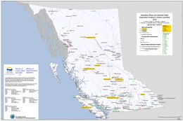 |
This Provincial Map shows the location of major exploration projects and producing metal, coal and industrial mineral mines in 2009. The PDF of the map is plot size and in colour. |
| Issue ID: | OF2009-01 |
| Title: | Operating Mines and Selected Major Exploration Projects in B.C., 2008 |
| Author(s): | DeGrace, J., Grieve, D., Madu, B., Northcote, B., Wojdak, P.J., Fredericks, J., Cobb, K. |
| Series Name: | Open File |
| Publication Year: | 2009 |
| NTS Map Sheet(s): | 082;083;092;093;094;102;103;104;114 |
| Place Keyword(s): | British Columbia |
| Lat/Long (NSWE): | 60, 48, -139, -114 |
| Theme Keyword(s): | mines, exploration, projects, development |
Download(s):
| PDF |
Abstract:
 |
This Provincial Map shows the location of major exploration projects and producing metal, coal and industrial mineral mines in 2008. The PDF of the map is plot size and in colour. |
| Issue ID: | OF2009-02 |
| Title: | Communities Benefiting from British Columbia Mineral Exploration Activity in 2008 |
| Author(s): | Northcote, B., DeGrace, J., Grieve, D., Madu, B., Wojdak, P.J., Cobb, K., Meredith-Jones, S. |
| Series Name: | Open File |
| Publication Year: | 2009 |
| NTS Map Sheet(s): | 082;083;092;093;094;102;103;104;114 |
| Place Keyword(s): | British Columbia |
| Lat/Long (NSWE): | 60, 48, -139, -114 |
| Theme Keyword(s): | mines, communities, benefits, exploration, projects |
Download(s):
| PDF |
Abstract:
 |
This Provincial Map shows the location of major exploration projects; producing metal, coal and industrial mineral mines and the communities they influenced in 2008. The PDF of the map is plot size and in colour. |
| Issue ID: | OF2010-02 |
| Title: | Communities Benefiting from British Columbia Mineral Exploration Activity in 2009 |
| Author(s): | Northcote, B., Grieve, D., Madu, B., Wojdak, P.J., Fredericks, J., Saunders, P., Meredith-Jones, S. |
| Series Name: | Open File |
| Publication Year: | 2010 |
| NTS Map Sheet(s): | 082;083;092;093;094;102;103;104;114 |
| Place Keyword(s): | British Columbia |
| Lat/Long (NSWE): | 60, 48, -139, -114 |
| Theme Keyword(s): | mines, communities, benefits, exploration, projects |
Download(s):
| PDF |
Abstract:
 |
This Provincial Map shows the location of major exploration projects; producing metal, coal and industrial mineral mines and the communities they influenced in 2009. The PDF of the map is plot size and in colour. |
| Issue ID: | OF2010-04 |
| Title: | Evidence of Westward Glacial Dispersal Along a Till Geochemical Transect of the Copper Star Cu+/-Mo+/-Au Occurrence, West-central British Columbia |
| Author(s): | Ferbey, T., Levson, V.M. |
| Series Name: | Open File |
| Publication Year: | 2010 |
| NTS Map Sheet(s): | 093L/03 |
| Place Keyword(s): | British Columbia, West Central, Chisholm Lake |
| Lat/Long (NSWE): | 54.29, 54.17, -127.35, -127.19 |
| Theme Keyword(s): | geochemistry, Copper Star, ice-flow, glacial dispersal |
Download(s):
| PDF, ZIP (View Zip Contents) |
Abstract:
 |
A 2.5 km east-west geochemical sampling transect over the Copper Star porphyry occurrence in an area of a known ice-flow reversal reveals evidence for dominantly westward (locally 290�) glacial dispersal. The highest Cu (686.1 ppm) and Mo (4.98 ppm) values in the till transect occur directly west of the occurrence and generally decrease westward. The second highest Cu value (194.78 ppm), however, occurs in till directly east of the occurrence suggesting that a component of eastward dispersal also occurred. These observations are consistent with the ice-flow model for the area that predicts both eastward and westward dispersal. Dispersal distance from the mineral occurrence to the highest Cu concentration in till is short, probably reflecting the shallow till depth (<1 m) at the occurrence. In addition elevated Au and Ag at two sites at the east end of the transect suggests potential precious metal mineralization in that area. |
| Issue ID: | OF2010-05 |
| Title: | Biogeochemical Orientation Survey Data from (NTS 93F/02 and 07) (Davidson-Blackwater): Outer bark of lodgepole pine |
| Author(s): | Dunn, C., Levson, V.M. |
| Series Name: | Open File |
| Publication Year: | 2010 |
| NTS Map Sheet(s): | 093F/02, 07 |
| Place Keyword(s): | British Columbia, Central, Interior Plateau |
| Lat/Long (NSWE): | 53.5, 53, -125, -124.5 |
| Theme Keyword(s): | biogeochemical, lodgepole pine, till geochemical survey |
Download(s):
| PDF, ZIP (View Zip Contents) |
Abstract:
 |
Results from the analyses of the outer bark of lodgepole pine collected at 51 sites in the Interior Plateau region of central British Columbia are presented. The biogeochemical samples were collected from the Tsacha Lake (NTS 93F/2) and Chedakuz Creek (NTS 93F/7) 1:50 000 scale map areas. The concentrations of 44 elements in the ash of the bark samples are presented. The mean concentrations of most elements, including lead, zinc, copper, silver, nickel, gold, arsenic and antimony, are higher than in a larger regional survey conducted just to the northwest. Likewise the maximum concentration of most elements, including gold, arsenic, silver, nickel and zinc, are higher than in the survey to the northwest. In particular, mean and maximum concentrations of gold (40ppb and 733 ppb, respectively) are an order of magnitude higher. The three highest concentrations of gold (733, 408, and 109 ppb) are clustered in one area southwest of Top Lake. Concentrations of the pathfinder element arsenic are also elevated at these sites (10-12 ppm; >75th percentile). The anomalously high gold concentrations, clustering of the three sites, and high associated arsenic concentrations, suggest that there is an undiscovered gold occurrence in this area. An additional area of interest, with the fourth highest gold occurrence in the study area (74 ppb), occurs in the Big Bend Creek area. Two nearby sites have elevated gold (18-25 ppb) and one of these shows more than 90th percentile arsenic (15 ppm) and antimony (2.6 ppm). No mineral occurrences have been recorded in this area or at a number of other identified locations with high metal concentrations. |
| Issue ID: | OF2010-06 |
| Title: | Geology and Mineral Deposits of the Granite Creek Area, British Columbia, (parts of NTS 92H/07; 92H/10) |
| Author(s): | Massey, N.W.D., Oliver, S.L. |
| Series Name: | Open File |
| Publication Year: | 2010 |
| Scale: | 1:30000 |
| NTS Map Sheet(s): | 092H/07, 10 |
| Place Keyword(s): | British Columbia, South, Granite Creek, Quesnellia, Nicola Group |
| Lat/Long (NSWE): | 49.6, 49.3, -121, -120.55 |
| Theme Keyword(s): | geology, mineral deposits, bedrock mapping |
Download(s):
| PDF, ZIP (View Zip Contents) |
Abstract:
 |
The map covers an area about 15 km to the west of Princeton. The map area stretches from the Whipsaw Creek and Hudson Bay Meadows areas in the south to the Tulameen River in the north. It partially overlaps the area covered by Open File 2009-8.
The map area lies at the western edge of Quesnellia and includes some of the southernmost exposures of the late Triassic Nicola Group. These lie to the west of the Boundary Fault and were included in the calc-alkaline �western belt� by Mortimer (1987). Clastic sedimentary rocks, dominated by black argillites, are intercalated with feldspathic tuffs and tuffaceous sediments. These pass westwards, and probably upwards, into typical Nicola pyroxene-feldspar tuffs, lapilli tuffs and breccias. A sequence of massive feldspar basalt and greenstone flows occurs in the area southeast of the Granite Creek campsite. The volcanic rocks become more deformed to the west, the change from massive to schistose rocks being transitional and gradual from east to west as foliation becomes progressively more penetrative and steeper. Both schistose metasedimentary and metavolcanic rocks occur in the aureole of the Eagle Plutonic Complex along the western margin of the map area.
The Tulameen Ultramafic-Gabbro Complex is structurally emplaced into, though probably coeval with, the Nicola Group. Several smaller bodies of diorite-gabbro or pyroxenite also occur in the map area.
In the west of the map area, rocks of the Eastgate-Whipsaw metamorphic belt have been correlated with the Nicola by Rice (1947) and Monger (1989). The belt is bound by the syntectonic Eagle Plutonic Complex to the west and the Similkameen fault to the east. The belt shows significant lithological differences to the immediately adjacent Nicola volcanic rocks. It has been divided into three northwest trending lithological assemblages to the south (Massey et al., 2009), that show increasing metamorphic grade from greenschist in the east to amphibolite in the west. Only the amphibolite unit continues north into the present map area. The belt may be equivalent to the Late Permian to Early Triassic Sitlika-Kutcho sequences, although preliminary zircon geochronology suggests an Early Permian age (Oliver, pers. comm.).
Volcanic and sedimentary rocks of the Eocene Princeton Group occur in the northern (Tulameen coal basin) and eastern (Princeton basin) parts of the map area. They lie unconformably on the Nicola Group and related intrusive rocks. Comagmatic minor intrusions occur throughout the map area as ubiquitous intermediate-felsic porphyry dikes.
Some 48 mineral occurrences are reported within the map area. The most important of these are the deposits of the Late Triassic Tulameen Complex (chromite�Pt, magnetite, copper), the Tertiary Tulameen coal basin (coal, clay, zeolites) and the various gold-platinum placers. |
| Issue ID: | OF2009-03 |
| Title: | Geology of the Murphy Lake Area (NTS 93A/03) |
| Author(s): | Schiarizza, P.A., Bell, K., Bayliss, S. |
| Series Name: | Open File |
| Publication Year: | 2009 |
| Scale: | 1:50000 |
| NTS Map Sheet(s): | 093A/03 |
| Place Keyword(s): | British Columbia, Fraser Plateau, Quesnel Highland, Murphy Lake |
| Lat/Long (NSWE): | 52.29, 52, -121.5, -121 |
| Theme Keyword(s): | geology, bedrock mapping, Mesozoic, Mountain Pine Beetle |
Download(s):
| PDF |
Abstract:
 |
The Murphy Lake map area encompasses 950 square kilometers of subdued topography within the Fraser Plateau and Quesnel Highland, including NTS map area 093A/03 and a small portion of adjoining area 093A/06. Access is via roads that branch east from Highway 97 at Lac La Hache and 150 Mile House. This new geological map is based on fieldwork conducted in 2008. The map area is underlain mainly by Mesozoic rocks of the Quesnel magmatic arc, including volcanic and volcaniclastic rocks of the Upper Triassic Nicola Group, Late Triassic monzodiorite of the Spout Lake pluton, and Early Jurassic granitic rocks of the northwestern part of the Takomkane batholith. It also includes Eocene volcanic rocks of the Kamloops Group, Neogene basalt of the Chilcotin Group, and small exposures of Quaternary basalt that are outliers of the Wells Gray volcanic field to the east. The Takomkane batholith and adjacent Nicola Group host significant Cu-Au-Mo mineralization near Woodjam Creek, and Cu-Au mineralization is hosted by the Spout Lake pluton near Murphy Lake.
This program was partially funded through the Geological Survey of Canada's Geoscience for Pine Beetle Program. |
| Issue ID: | OF2009-04 |
| Title: | Till Geochemical Exploration Targets, Babine Porphyry Copper Belt, Central British Columbia |
| Author(s): | Ferbey, T., Levson, V.M., Lett, R.E. |
| Series Name: | Open File |
| Publication Year: | 2009 |
| Other Citation Details: | Geoscience BC Report 2009-10 |
| NTS Map Sheet(s): | 093L/09,16; 093M/01,02,07,08 |
| Place Keyword(s): | British Columbia, Central, Babine |
| Lat/Long (NSWE): | 55.5, 54.5, -127, -126 |
| Theme Keyword(s): | till geochem, Babine porphyry copper belt, aqua regia digestion, ICP-MS, NATMAP |
Download(s):
| PDF, ZIP (View Zip Contents) |
Abstract:
 |
The clay-sized fraction of 533 archived basal till samples collected within the Babine porphyry copper belt was analyzed for 37 elements by aqua regia digestion followed by inductively coupled plasma mass spectrometry (ICP-MS). The spatial distribution of samples elevated in Ag, As, Cu, Hg, Mo, Pb, and Zn are the focus of this study. Data presented here confirm and further constrain previously identified till geochemical exploration targets within the Babine porphyry copper belt. These data also outline two new multi-element, multi-site till geochemical exploration targets. |
| Issue ID: | OF2009-05 |
| Title: | Surficial geology of the Redstone area (NTS 93B/4) |
| Author(s): | Vickers, K.J., Ferbey, T. |
| Series Name: | Open File |
| Publication Year: | 2009 |
| Scale: | 1:50000 |
| NTS Map Sheet(s): | 093B/04 |
| Place Keyword(s): | British Columbia, Central, Redstone |
| Lat/Long (NSWE): | 52.25, 52, -124, -123.5 |
| Theme Keyword(s): | Surficial Geology Map, Surficial Geology, Glacial Features, Till, Mineral Potential Assessment |
Download(s):
| PDF |
Abstract:
 |
Open File 2009-05 presents a 1:50 000-scale surficial geology map of the Redstone area, located approximately 150 km east of Williams Lake, British Columbia. This map characterizes the surficial materials and glacial features that occur within the map area and shows their areal distribution. This mapping was conducted as part of a mineral potential assessment of the Redstone and Loomis Lake areas (NTS 093B/04, 05). Till samples were collected for trace element analyses, heavy mineral separations, and gold grain counts to assess the base and precious metal potential of the area. Till sample locations are included in this map. The analytical portion of this assessment was supported by the Geological Survey of Canada (Natural Resources Canada) through the Mountain Pine Beetle Program.
Areas of unstable ground, and areas that contain deposits of sand and gravel, have been identified in this map. This information may be useful for future development in the map area. |
| Issue ID: | OF2009-06 |
| Title: | Chilanko Forks Area Geology (NTS 93C/01) |
| Author(s): | Mihalynuk, M.G., Orovan, E.A., Larocque, J.P., Bachiu, T., Wardle, J. |
| Series Name: | Open File |
| Publication Year: | 2009 |
| Scale: | 1:50000 |
| NTS Map Sheet(s): | 093C/01 |
| Place Keyword(s): | British Columbia, Chilanko Forks |
| Lat/Long (NSWE): | 52.25, 52, -124.5, -124 |
| Theme Keyword(s): | geology, bedrock mapping, cross sections, mountain pine beetle, mineral occurrence |
Download(s):
| PDF |
Abstract:
 |
In an area extending from Kamloops northward to Smithers, and from the Coast Mountains eastward to the Rocky Mountain Trench, infestation by Mountain Pine Beetle was essentially continuous in 2004. We refer to this area as the Beetle Impacted Zone (BIZ). It is predicted that only ~10% of the already diminished 2006 volume of pine will be left standing by 2016 (Eng et al., 2006). Anticipating an economic downturn in the forestry sector within the BIZ by 2015, the Provincial Government is supporting economic diversification throughout the region. Geological mapping and related studies in the Chilanko Forks area are part of that provincial effort.
Accelerated timber harvest and overburden disturbance, needle loss, and forest fires, create unprecedented opportunities to find never-before-seen outcrops of prospective rocks within the BIZ.
The Clusko - Chezacut - Chilanko Forks areas were targeted for revision mapping because of relatively good logging road access and a historical lack of mineral exploration that we believed to be unwarranted. This viewpoint was validated with 2007 mapping in the Chezacut area, and supported by results from 2008 mapping in the Clusko River - Chilanko Forks area. Geological mapping demonstrated that rock exposures are more extensive than previously recognized, and that the economically uninteresting Chilcotin basalt cover is less extensive. Both observations provide incentive for future mineral exploration in the area.
Open File 2009-6 presents geological data collected in 2008, plus an interpretation of the geology that is expected beneath areas of thick glacial and alluvial cover. It provides a 1:50 000 scale geological map context for new mineral occurrences that were encountered during the course of mapping the area, and which were reported in Mihalynuk et al. (2009) with geochemical analyses available from Larocque and Mihalynuk (2009). |
| Issue ID: | OF2009-07 |
| Title: | Geology of the Wolverine River Area, Peace River Coalfield (parts of NTS 93P/03, 93I/14) |
| Author(s): | Legun, A.S. |
| Series Name: | Open File |
| Publication Year: | 2009 |
| Scale: | 1:30000 |
| NTS Map Sheet(s): | 093P/03; 093I/14 |
| Place Keyword(s): | British Columbia, Northeast, Wolverine River |
| Lat/Long (NSWE): | 55.19, 54.91, -121.62, -120.92 |
| Theme Keyword(s): | geology, bedrock mapping, coal, Peace River Coalfield, Wolverine |
Download(s):
| PDF, ZIP (View Zip Contents) |
Abstract:
 |
The Wolverine river area lies southwest of the town of Tumbler Ridge in northeastern British Columbia. The map area extends from Bullmoose creek in the north to the Murray river in the south, encompassing about 300 sq km of the Peace River coalfield. The Gething and the Gates formations of early Cretaceous age are the two main coal bearing formations in the area. The Quintette and Bullmoose mines opened in the early 1980�s and exploited coal measures within the middle Gates member in a number of pits that include South Fork, Mesa, Wolverine (Frame). The Quintette mine closed in 2000 and the Bullmoose (South Fork pit) in 2003. In 2006 Western Canada Coal started production from the Perry Creek mine in the Perry syncline area on the north side of the Wolverine river.
The study was initiated to provide a more accurate geologic base for further resource development. It is based on review and compilation of previous data, fill-in mapping and stratigraphic assessment of new drill data, including petroleum well data.
Gates Coal Development and Potential
Proposed pit developments in the area include the EB pit near Mt Spieker, and the Hermann property south of the Quintette mine conveyor belt. Potential pit areas are found in the Transfer and Grizzly fold structures facing the reclaimed Shikano pit at the Murray river.
The West Fork, Transfer and Grizzly areas underwent substantial exploration drilling in the 1980�s but have not been examined recently.
Some areas of Gates exposure remain relatively untested by drilling or detailed mapping. This includes the rather tightly folded Gates that faces the Perry pit across the Wolverine River, the Fortress anticline area and the southerly portion of Mt Spieker syncline. These areas were characterized as secondary opportunities for pit development in early evaluations of the area.
The largest potential in the Gates Fm in this area is probably in the subsurface and underground mining scenarios. This includes the area on the east border of the map where fold structures bring the Gates locally within 200 metres of surface (Dupont Wolverine ddh 79-2).
Gething coals
The coals of the Gething Formation remain undeveloped in the map area. The Gething underlies a much larger area than the Gates. Upper Gething (Chamberlain member) coals underlie large portions of the northern part of the area near Mt Spieker. They include locally, underground reserves of Bird seam. In the south a resource in Lower Gething coals (Gaylard member) is known in the Hermann Gething area. Elsewhere isolated drillhole and coal outcrop data provides a basis for further exploration.
Map Elements
Elements of the map include:
A revised contact for the base of the Gates Formation. The contact is adjusted to the base of the Quintette sandstone.
Traces of the top and basal seam of the middle Gates member from company maps.
A large database of bedding data for structural analysis.
Locations of coal boreholes and oil and gas wells.
1:20000 scale orthophoto maps in ecw format.
Lidar imagery for parts of the area.
Schematic cross sections.
Old and new locations of Gething coal exposures.
Improved trace of geologic contacts, fold and fault elements based on fieldwork and compilation of numerous assessment reports.
Outlines of old, developing and potential coal mine open pits.
Photos from fieldwork linked to location symbols on the map. Some of these may be of interest in sedimentological studies of the Gates Formation (marine Falher cycles).
Links to photos is based on the URL field in the Photos table. For example C:\Wolv_OF\Wphotos\DSC00751.jpg
If the digital files are placed in a different directory the URL field will need to be changed to reflect the new location, example C:\Myname\Wolv_OF\Wphotos\DSC00751.jpg
Manifold software is required to view the .map files and databases. The BCGS symbols file, BCGSgeosymbolV.2.0.4.xml, needs to be placed in the Manifold config directory (i.e. C:\Program Files\Manifold System\config). The basic map is provided as a PDF file. Files in other formats (kml,csv,shp) will be made available.
Acknowledgements
The author was assisted in the field by Andrew Stephenson in 2006, David Lilly in 2007 and Doug Wells in 2008. Project support by chief geologist Dave Lefebure, is much appreciated. |
| Issue ID: | OF2009-08 |
| Title: | Geology and Mineral Deposits of the Whipsaw Creek-Eastgate-Wolfe Creek Area, British Columbia, (parts of NTS 92H/01W, 02E, 07E, 08W) |
| Author(s): | Massey, N.W.D., Vineham, J.M.S., Oliver, S.L. |
| Series Name: | Open File |
| Publication Year: | 2009 |
| Scale: | 1:30000 |
| NTS Map Sheet(s): | 092H/01W,02E,07E,08W |
| Place Keyword(s): | British Columbia, South, Whipsaw Creek, Eastgate-Wolfe Creek, Copper Mountain |
| Lat/Long (NSWE): | 49.36, 49.1, -120.9, -120.35 |
| Theme Keyword(s): | geology, mineral deposits, bedrock mapping, Quesnellia |
Download(s):
| PDF, ZIP (View Zip Contents) |
Abstract:
 |
The map covers an area about 15 km to the southwest of Princeton. The map area stretches from the Wolfe Creek area and Copper Mountain southwest to Eastgate and the boundary of Manning Park and west to the Whipsaw Creek and Hudson Flats areas.
The map area lies at the western edge of Quesnellia and includes the southernmost exposures of the late Triassic Nicola Group. To the east of the Boundary Fault, rocks of the Nicola group are assigned to the �Eastern Belt� (Preto 1979; Mortimer 1987). Interbedded black argillites, grey siltstones and sandstones are overlain by volcanic and volcaniclastic rocks of the Wolfe Creek Formation, which display an alkalic affinity. They host the important porphyry and skarn deposits of the Copper Mountain area (Preto, 1972).
To the west, the Nicola Group is lithologically similar to that in the east, though differing in details of stratigraphic succession. Here, clastic sedimentary rocks are intercalated with feldspathic tuffs and tuffaceous sediments. These pass westwards, and probably upwards, into typical Nicola pyroxene-feldspar tuffs, lapilli tuffs and breccias. However, in contrast to the eastern part of the map area, most of the exposed volcanic rocks are deformed and schistose. The change from massive to schistose rocks is transitional and gradual from east to west as foliation becomes progressively more penetrative and steeper.
In the west of the map area, rocks of the Eastgate-Whipsaw metamorphic belt have been correlated with the Nicola by Rice (1947) and Monger (1989). The belt is bound by the syntectonic Eagle Plutonic Complex to the west and the Similkameen fault to the east. The belt shows significant lithological differences to the immediately adjacent Nicola volcanic rocks. It can be divided it into three northwest trending lithological assemblages that show increasing metamorphic grade from greenschist in the east to amphibolite in the west. The belt is host to VMS mineralization (e.g. Red Star and S&M group), as well as porphyry-Cu style mineralization associated with the Eocene Whipsaw porphyry. The belt may be equivalent to the Late Permian to Early Triassic Sitlika-Kutcho sequences, including volcanic rocks and intrusions from the Ashcroft area (Childe et al., 1997), about 150 km to the north-northwest of Princeton.
Volcanic and sedimentary rocks of the Eocene Princeton Group occur at higher elevations in the central and eastern parts of the map area. They lie unconformably on the Nicola Group and all older intrusive rocks. Comagmatic minor intrusions occur throughout the map area, particularly to the east of the Boundary fault. They include the bimodal felsic-mafic �Mine Dykes� suite in the area around and to the east of Copper Mountain, as well as ubiquitous intermediate-felsic porphyry dykes. |
| Issue ID: | OF2009-09 |
| Title: | Till Geochemical Exploration Targets, Redstone and Loomis Lake Map Areas (NTS 93B/04 and 05), Central British Columbia |
| Author(s): | Ferbey, T. |
| Series Name: | Open File |
| Publication Year: | 2009 |
| NTS Map Sheet(s): | 093B/04,05 |
| Place Keyword(s): | British Columbia, Central, Redstone map area, Loomis Lake |
| Lat/Long (NSWE): | 52.5, 52, -124, -123.5 |
| Theme Keyword(s): | till geochem, exploration targets, aqua regia digestion, ICP-MS, INAA |
Download(s):
| PDF, ZIP (View Zip Contents) |
Abstract:
 |
The silt plus clay-sized fraction of 117 basal till samples collected within the Redstone and Loomis Lake map areas (approximately 150 km west of William�s Lake) was analyzed for 37 elements by aqua regia digestion followed by inductively coupled plasma mass spectrometry (ICP-MS) and 35 elements by instrumental neutron activation analysis (INAA), while an additional 38 basal till samples were collected for analysis of heavy metal concentrates and gold grain counts. The spatial distribution of samples elevated in Cu, Mo, Pb, Zn, Ag, Ni, Hg, As, Cr, Sb, and visible gold grains are the focus of this study. Data presented here outline two new multi-element, multi-site till geochemical exploration targets. Follow-up field work is required to assess the significance of these new exploration targets. |
| Issue ID: | OF2009-10 |
| Title: | Geology of the Quesnel River Area, Central British Columbia |
| Author(s): | Mapping, compilation by Logan, J.M., Moynihan, D.P., Leroux, G., Able, L., MEMPR, Geochronology by Ullrich, T.D., Friedman, R., The University of British Columbia |
| Series Name: | Open File |
| Publication Year: | 2009 |
| NTS Map Sheet(s): | 093B/16 |
| Place Keyword(s): | British Columbia, Central, Quesnel River |
| Lat/Long (NSWE): | 53, 52.75, -122.5, -122 |
| Theme Keyword(s): | geology, bedrock mapping, geochronological dating, Quesnel terrane |
Download(s):
| PDF, ZIP (View Zip Contents) |
Abstract:
 |
Open File 2009-10 presents a 1:50 000-scale bedrock geology map of the Quesnel River area (NTS 93B/16), encompassing and extending southeast of Quesnel, British Columbia and adjoining Open File 2008-06. It presents the results of new mapping, geochronological dating and compilation of private industry research that provides new insight into the geologic and metallogenic evolution of this largely overburden covered portion of the Quesnel terrane.
The Quesnel River map area is bounded on the west by the Fraser Fault system and bisected diagonally from northwest to southeast by the Pinchi Fault system which marks the boundary between the Cache Creek and Quesnel terranes. West of the Quesnel River, Jurassic sedimentary rocks correlative with the Ashcroft Formation in southern BC, overlie Cache Creek rocks and mask the terrane boundary with Quesnellia. Triassic to Jurassic volcanic and plutonic arc rocks and associated sedimentary rocks which comprise the Quesnel terrane crop out east of the Quesnel River.
With the exception of Tertiary and younger placer gold, coal and diatomite occurrences, mineralization in the Quesnel River area is related to Mesozoic subduction-generated arc magmatism and high-level emplacement of stocks and plutons that occupy the north-eastern half of the map area. Porphyry mineralization at Mouse Mountain (Cu-Au) to the north and at the Gibraltar mine (Cu�Mo), Mount Polley mine (Cu�Au) and QR (Au) to the south comprises important exploration models for this part of the Nicola Arc. The analytical portion of this assessment was supported by the Geological Survey of Canada (Natural Resources Canada) through the Mountain Pine Beetle Program. |
| Issue ID: | OF2009-11 |
| Title: | Saltspring Island Geology (adjoining quadrants of NTS 92B/11,12,13 and 14) |
| Author(s): | Greenwood, H.J., Mihalynuk, M.G. |
| Series Name: | Open File |
| Publication Year: | 2009 |
| Scale: | 1:25000 |
| NTS Map Sheet(s): | 092B/11,12,13,14 |
| Place Keyword(s): | British Columbia, South coast, Saltspring Island |
| Lat/Long (NSWE): | 48.95, 48.7, -123.6, -123.36 |
| Theme Keyword(s): | geology, bedrock mapping |
Download(s):
| PDF, ZIP (View Zip Contents) |
Abstract:
 |
Open File 2009-11 is a map of Saltspring Island and an accompanying document of descriptions and comments meant to enhance the 1:25,000 scale map. The accompanying notes contain photographs of key outcrops and representative lithologies, including their UTM grid locations. These can be keyed to the Open File map. The notes also contain brief summary descriptions of lithologies and structures and a list of pertinent references.
This Open File may find use in land-use planning, water resources, tourist interest, and the place of Saltspring in B.C. geology.
The map and notes have been compiled by Hugh Greenwood, Professor Emeritus, Department of Geological Sciences, The University of British Columbia. |
| Issue ID: | GF2008-13 |
| Title: | British Columbia Till Geochemical Survey Data Compilation |
| Author(s): | Lett, R.E. |
| Series Name: | GeoFile |
| Publication Year: | 2008 |
| NTS Map Sheet(s): | 082;083;092;093;094;102;103;104;114 |
| Place Keyword(s): | British Columbia |
| Lat/Long (NSWE): | 60, 48, -139, -114 |
| Theme Keyword(s): | geochemistry, regional till geochemical survey, trace elements, major oxides |
Download(s):
| PDF, ZIP (View Zip Contents) |
Abstract:
 |
Since 1991 the BC Geological Survey and Geological Survey of Canada have carried out regional till geochemical surveys in the central and southern parts of the province and on Vancouver Island. More than 5700 samples of till have been collected and analysed for trace elements and major oxides. Most results have been previously released by the BC Geological Survey, Geological Survey of Canada and Geoscience BC.
GeoFile 2008-13 is a Microsoft Excel spread sheet containing all of the analytical results published to date with additional previously unpublished data from the Mount Milligan area. All of the samples have been classified by bedrock geology and glacial sediment type based on information recorded in the data source document. A text file explaining the data file structure and with element statistics accompanies the data file. |
| Issue ID: | GF2009-01 |
| Title: | Analytical Results from Investigations in the Chilanko Forks and Clusko River Areas (NTS 93C/01, 09S) within the Beetle Impacted Zone 2008 |
| Author(s): | Larocque, J.P., Mihalynuk, M.G. |
| Series Name: | GeoFile |
| Publication Year: | 2009 |
| NTS Map Sheet(s): | 093C/01,09S |
| Place Keyword(s): | British Columbia, Beetle Infestation Zone, Chilanko Forks, Clusko River |
| Lat/Long (NSWE): | 52.75, 52, -124.5, -124 |
| Theme Keyword(s): | lithogeochemistry, Beetle Infestation Zone, Mountain Pine Beetle |
Download(s):
| ZIP (View Zip Contents) |
Abstract:
| GeoFile 2009-1 is part of an ongoing program to help reduce the economic impact on communities within British Columbia that have been affected by the widespread infestation of Mountain Pine Beetle. The program aims to promote mineral exploration in areas where logging is the dominant industry. Logging activity is expected to wane as the commercial value of the dead forests steadily declines.
The Clusko - Chezacut - Chilanko Forks areas were targeted for revision mapping because of relatively good logging road access and a historical lack of mineral exploration that we believed to be unwarranted. This viewpoint was validated with 2007 mapping in the Chezacut area, and supported by results from 2008 mapping in the Clusko River - Chilanko Forks area. Geological mapping demonstrated that rock exposures are more extensive than previously recognized, and that the economically uninteresting Chilcotin basalt cover is less extensive. Both observations provide incentive for future mineral exploration in the area.
GeoFile 2009-1 presents lithogeochemical data from rock samples collected with the Chilanko Forks and southern Clusko River map areas, which are located on British Columbia�s Fraser Plateau (part of the Interior Plateau physiographic region). For more details on the bedrock geology of the map area, please refer to: Geology, Geochronology and Mineralization of the Chilanko Forks to southern Clusko River area, west-central British Columbia (NTS 093C/01, 08, 09S)1 and Open File 2009-6, Chilanko Forks Geology (NTS 093C/01)2 (both Mihalynuk et al., 2009). |
| Issue ID: | GF2009-03 |
| Title: | Fluorspar Market Review and Selected Fluorite Deposits in British Columbia, Canada (Roundup Poster) |
| Author(s): | Simandl, G.J. |
| Series Name: | GeoFile |
| Publication Year: | 2009 |
| NTS Map Sheet(s): | 082;083;092;093;094;102;103;104;114 |
| Place Keyword(s): | British Columbia |
| Lat/Long (NSWE): | 60, 48, -139, -114 |
| Theme Keyword(s): | industrial mineral, fluorspar, fluorite, roundup poster |
Download(s):
| PDF |
Abstract:
 |
Fluorspar is the commercial term for fluorite (CaF2). Fluorite contains 51.1% Ca and 48.9% F. Collector specimens occur as cubes and octahedrons. Typical fluorspar ores are massive, disseminations, or form layered crusts, globular and botroidal aggregates and cox-comb textures. Other sources of F are cryolite and phosphate rock. Cryolite (Na3AlF6) was historically mined in Greenland. Due to environmental pressure, F compounds are now recovered during the processing of sedimentary phosphates. Fluosilic acid (H2SiF6), used in water fluoridation, is one of these compounds. Strict environmental regulations suggest that this acid will be increasingly converted into Al- or Ca-fluorides, cryolite, or H. Phosphate rock reserves in the USA alone contain 370 million tonnes of F.
Fluorspar is used largely in the manufacturing of fluorocarbons for refrigerants, foam products, polytetrafluoroethylene (�Teflon�) and other fluoropolymers. Petroleum alkylation, glass, medical, agricultural and metallurgical uses also represent important markets. Demand for fluorspar in the manufacture of fluoropolymers and fluoroelastomers, including partially fluorinated polymers or copolymers is growing. Over 70% of fluorspar used in developed countries is transformed into HF products, while in developing countries over 65% of fluorite is used in steel-making. Fluorspar uses in USA are summarized on Figure 1. Aluminum fluoride (AlF3) and synthetic cryolite, derived largely from acid grade fluorspar, are the main F compounds used in aluminum (Al) smelting. The growth of this market is favoured by increasing demand for Al in the automotive industry, but it is counterbalanced by improvements in smelting technology, increased recycling of both, Al and F, and by increased use of AlF3 derived from fluosilic acid. Fluorspar products are sold to steel mills, cement plants, foundries, glass and ceramic plants, and welding rod manufacturers where they are used as fluxes. |
| Issue ID: | GF2009-04 |
| Title: | Carbonate-Hosted Nonsulphide Zn-Pb Deposits, Salmo District, British Columbia, Canada (Roundup Poster) |
| Author(s): | Paradis, S., Simandl, G.J. |
| Series Name: | GeoFile |
| Publication Year: | 2009 |
| NTS Map Sheet(s): | 082F/03 |
| Place Keyword(s): | British Columbia, Southeast, Salmo |
| Lat/Long (NSWE): | 49.25, 49, -117.5, -117 |
| Theme Keyword(s): | carbonate-hosted, base-metal, zinc, roundup poster |
Download(s):
| PDF |
Abstract:
 |
Under favourable geological, climatic, topographic and hydrological conditions, the weathering of sulphide deposits may result in the formation of economically significant carbonate-hosted, nonsulphide, base-metal (CHNSBM) deposits. CHNSBM deposits were the main source of zinc prior to the 1930s. Following the development of differential flotation and breakthroughs in smelting technology, the mining industry turned its attention to sulphide ore (Hitzman et al., 2003). The situation is changing as evidenced by the successful operation of a dedicated processing plant, extracting Zn through direct acid leaching, solid-liquid separation, solvent extraction and electrowinning, from nonsulphide and mixed ores from the Skorpion mine in Namibia.
The Salmo district (NTS 082F/03) of British Columbia is renown for its Irish and MVT massive sulphide deposits (Paradis, 2007). It also contains associated direct-replacement CHNSBM deposits and has a potential to host undiscovered Zn-rich wallrock replacement-type CHNSBM deposits. |
| Issue ID: | GF2009-05 |
| Title: | Atlin-Taku Mineral Resource Assessment |
| Author(s): | MacIntyre, D.G., Kilby, W.E., with contributions from Duncan, R., Aspinall, C., O'Donnell, M., Panteleyev, A., Wojdak, P.J., Mihalynuk, M.G., Simandl, G.J., Hancock, K.D., Desjardins, P.J., Jones, L.D., Lefebure, D.V. |
| Series Name: | GeoFile |
| Publication Year: | 2009 |
| NTS Map Sheet(s): | 104F,J,K,L,M,N,O |
| Place Keyword(s): | British Columbia, Northeast, Atlin-Taku |
| Lat/Long (NSWE): | 60, 57.87, -135.4, -130.9 |
| Theme Keyword(s): | mineral resource assessment, level 2, land use planning, geology |
Download(s):
| ZIP (View Zip Contents) |
Abstract:
 |
At the request of the Integrated Land Management Bureau of the Ministry of Agriculture and Lands, the British Columbia Geological Survey (BCGS) undertook a Level 2 Mineral Resource Assessment of the Atlin-Taku land use planning area, which encompasses approximately four million hectares in northwestern British Columbia. This work was done in September 2008 by eight experts with specific knowledge of the geology and mineral resources of the study area and two facilitators � D. MacIntyre and W. Kilby. The primary purpose was to provide detailed up-to-date information on metallic and industrial mineral resource potential. The final results were presented at a land-use planning workshop in Atlin in late November 2008. GeoFile 2009-5 provides a Summary Report on the methodology of the results, data tables, a Manifold Map, Metallic and Industrial Mineral Potential PDF maps, a Geology Map in PDF, Shape files, MINFILE reports, links to interactive data on MapPlace, and links to additional documents of mineral potential and deposit profiles.
This new mineral assessment updates an earlier Level 1 Mineral Resource Assessment completed in 1996 and includes new estimates for an expanded list of mineral deposit types. The estimation methodology employed in the assessment was the same as that used in the earlier Level 1 assessment with the exception that known resources were not factored into the tract ranking schema. A total of 67 tracts within the study area were given relative ranks that reflected their potential for the discovery of new metallic and industrial mineral resources in the future. Highest ranked tracts for metallic mineral potential are those where the geologic framework is favourable for the presence of large tonnage, low grade porphyry copper, molybdenum, tungsten and gold deposits. |
| Issue ID: | GF2009-06 |
| Title: | GeoTour Guide for the West Kootenay, British Columbia Geology, landscapes, mines, ghost towns, caves, and hot springs |
| Author(s): | Turner, R.J.W., Anderson, R.G., Franklin, R., Anderton, L., Fowler, F. |
| Series Name: | GeoFile |
| Publication Year: | 2009 |
| NTS Map Sheet(s): | 082E,F,K,L |
| Place Keyword(s): | British Columbia, South, West Kootenay, Slocan Valley |
| Lat/Long (NSWE): | 51, 49, -118.3, -116.3 |
| Theme Keyword(s): | guide, landscape, mines, ghost towns, caves |
Download(s):
| PDF |
Abstract:
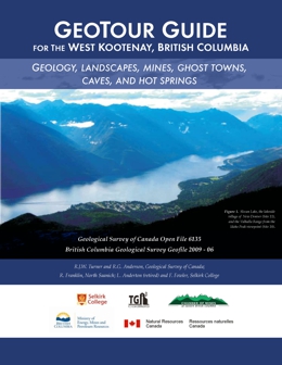 |
The West Kootenay region is a land of contrasts: the rolling pastures of the Slocan Valley and rich floodplain farms near Creston; the big Kootenay, Slocan, and Arrow Lakes; the heritage downtowns of Nelson and Kaslo; the high glacier peaks of the Selkirk and Purcell Mountains; and the industrial landscape of Trail.
To the curious mind, the West Kootenay is a landscape full of questions. Why is the West Kootenay region so mountainous? Why do most of the valleys run north-south? Why are the major lakes long and skinny? Why do the Columbia and Kootenay rivers follow such convoluted routes? Why are there hot springs? What source of wealth financed the fine heritage buildings in Nelson, Trail, Rossland and Kaslo?
This guide helps up explore these questions and others. Is there logic to the landscape? Let�s go take a look. |
| Issue ID: | GF2009-07 |
| Title: | In situ Magnetic Susceptibility measurements in the Whipsaw Creek-Eastgate-Wolfe Creek Area, southern British Columbia (NTS 92H/01W, 02E, 07E, 08W) |
| Author(s): | Massey, N.W.D., Baker, J., Vineham, J.M.S., Oliver, S.L., Jasechko, S. |
| Series Name: | GeoFile |
| Publication Year: | 2009 |
| NTS Map Sheet(s): | 092H/01W,02E,07E,08W |
| Place Keyword(s): | British Columbia, South, Whipsaw Creek, Eastgate-Wolfe Creek, Manning Park |
| Lat/Long (NSWE): | 49.36, 49.1, -120.9, -120.35 |
| Theme Keyword(s): | magnetic susceptibility, field measurements |
Download(s):
| PDF, ZIP (View Zip Contents) |
Abstract:
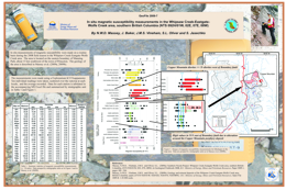 |
In situ measurements of magnetic susceptibility were made on a routine basis at most stations during the 2008 field season in the Whipsaw Creek-Eastgate-Wolfe Creek area. The area is located on the eastern boundary of Manning Park, about 15 km southwest of the town of Princeton. The geology of the area is described in Massey et al (2009a, 2009b).
The measurements were made using a Exploranium KT-9 kappameter. Ten individual readings were taken scattered over the outcrop at each station and the average recorded. Data for each station is tabulated in the MS Excel file and summarized by stratigraphic unit in Table 1 and Figure 1 on the accompanying poster. |
| Issue ID: | GF2009-08 |
| Title: | B.C. GeoMap Quest Area Update: Joint Technical Poster from KEG |
| Author(s): | BC Geological Survey, Geological Survey of Canada, Natural Resources Canada, Geoscience BC |
| Series Name: | GeoFile |
| Publication Year: | 2009 |
| NTS Map Sheet(s): | 093A,B,G,H,K,J,N,O; 094D,C |
| Place Keyword(s): | British Columbia, Quest |
| Lat/Long (NSWE): | 56.25, 52.25, -126.25, -120.5 |
| Theme Keyword(s): | Quest, KEG, technical poster, bedrock mapping |
Download(s):
| PDF |
Abstract:
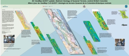 |
This collaboration of the British Columbia Geological Survey, Geological Survey of Canada and Geoscience BC brings together experts in geophysical, geochemical, bedrock and surficial geology to use new information to create a better bedrock map for the poorly exposed region along the belt from Williams Lake north through Prince George to Williston Lake. It concentrates primarily on geophysical and geochemical data recently acquired by Geoscience BC through its QUEST Program. The new bedrock map will be made through a training and awareness raising workshop (done) and follow-up interpretation, drafting, evaluation and finalization of a the new map. The workshop was held March 11 - 13, 2009. The key output will be a digital map and database available from various sources including the BCGeoMap layer on www.MapPlace.ca. This poster highlights the project, its key data sets, its approach, the principle experts, some interesting geological interpretations and the anticipated product. This work is a contribution to the Edges Project of the Natural Resources Canada, GeoMapping for Energy and Minerals Program (GEM). |
| Issue ID: | GF2009-10 |
| Title: | QUEST Project Property File Update (103I, 94D,C, 93A,B,E,F,G,H,J,K,L,M,N,O) |
| Author(s): | Barlow, N.D., Purple Rock Editing |
| Series Name: | GeoFile |
| Publication Year: | 2009 |
| Other Citation Details: | Geoscience BC Report 2009-17 |
| NTS Map Sheet(s): | 093A,B,G,H,K,J,N,O; 094D,C |
| Place Keyword(s): | British Columbia, Quest |
| Lat/Long (NSWE): | 56.25, 52.25, -126.25, -120.5 |
| Theme Keyword(s): | Quest, Property File, MINFILE |
Download(s):
| ZIP (View Zip Contents) |
Abstract:
| This project resulted in the addition to Property File of 2860 documents and maps from the QUEST areas. The items, which are from the Cyprus-Anvil, Chevron, Placer Dome and Rimfire collections, were scanned, indexed and cross-referenced with related MINFILE occurrences. In total, 481 MINFILE occurrences were updated and 17 new MINFILE occurrences were identified.
Geoscience BC Report 2009-17 includes a description of the project, a table of the items added with links to the documents, and KML files for the 17 new and 481 updated MINFILE occurrences. BCGS GeoFile 2009-10 compliments these components with display and links to reports of the new and updated occurrences on the BCGS Geoscience, Exploration Assistant, QUEST, and QUEST-West maps. The download ZIP file contains extract tables from MINFILE and MapPlace. The layers are located in the Mineral Inventory Layers group in the maps. |
| Issue ID: | GF2010-01 |
| Title: | Boundary Project: Geochronology and Geochemistry of Jurassic and Eocene Intrusions, Southern British Columbia (NTS 82E) |
| Author(s): | Massey, N.W.D. |
| Series Name: | GeoFile |
| Publication Year: | 2010 |
| NTS Map Sheet(s): | 082E |
| Place Keyword(s): | British Columbia, South, Okanagan, Quesnel terrane |
| Lat/Long (NSWE): | 49.7, 49, -120, -118.3 |
| Theme Keyword(s): | geochronology, geochemistry, eocene, Boundary Project, isotopic dating |
Download(s):
| PDF, ZIP (View Zip Contents) |
Abstract:
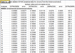 |
The Boundary Project was initiated in 2005 with the purpose of better characterizing the lithological and geochemical variations within and between the various Paleozoic sequences in the southern Okanagan region along the USA border. These occur within Quesnel terrane, which is dominated by Paleozoic mafic volcanic and pelitic rocks, unconformably overlain by Triassic and Jurassic volcanics and sediments, and intruded by various suites of Triassic, Jurassic and Eocene granitic rocks.
The results of isotopic dating and lithogeochemical studies of several of the granitic intrusions in the study area are presented in Massey et al. (2010). This Geofile complements that paper and presents the full analytical data tables for samples analysed by both laser-ablation ICP-MS on zircons and Ar40/Ar39 on hornblende and biotite separates.
Massey, N.W.D, Gabites, J.E., Mortensen, J.K. and Ullrich, T.D. (2010): Boundary Project: Geochronology and Geochemistry of Jurassic and Eocene Intrusions, southern British Columbia (NTS 082E); in Geological Fieldwork 2009, BC Ministry of Energy, Mines and Petroleum Resources, Paper 2010-1, pages 127�142. |
| Issue ID: | GF2010-02 |
| Title: | In Situ Magnetic Susceptibility Measurements in the Southern Nicola Project Area, Southern British Columbia (NTS 92H/01W, 02E, 07, 08W, 10S) |
| Author(s): | Massey, N.W.D., Baker, J., Vineham, J.M.S., Oliver, S.L., Jasechko, S. |
| Series Name: | GeoFile |
| Publication Year: | 2010 |
| NTS Map Sheet(s): | 092H/01W,02E,07E,08W |
| Place Keyword(s): | British Columbia, South, Whipsaw Creek, Eastgate-Wolfe Creek |
| Lat/Long (NSWE): | 49.36, 49.1, -120.9, -120.35 |
| Theme Keyword(s): | magnetic susceptibility, field measurements |
Download(s):
| PDF, ZIP (View Zip Contents) |
Abstract:
 |
This GeoFile updates and replaces GeoFile 2009-7. It comprises in situ measurements of magnetic susceptibility that were made on a routine basis at most stations during the 2008 (the Whipsaw Creek-Eastgate-Wolfe Creek area) and 2009 (Granite Creek area) field seasons. The project area is located on the eastern boundary of Manning Park, about 15 km southwest of the town of Princeton. The geology of the area is described in Massey et al. (2009a, 2009b) and Massey and Oliver (2010a, 2010b).
The measurements were made using a Exploranium KT-9 kappameter. Ten individual readings were taken scattered over the outcrop at each station and the average recorded. Data for each station is tabulated in the MS Excel file and summarized by stratigraphic unit in Table 1 and Figure 1 on the accompanying poster. |
| Issue ID: | GF2010-03 |
| Title: | Vermiculite Resources of British Columbia, Canada: Geology, Market Review and Economic Potential |
| Author(s): | Simandl, G.J., Paradis, S., Simandl, L., Dahrouge, J. |
| Series Name: | GeoFile |
| Publication Year: | 2010 |
| NTS Map Sheet(s): | 082;083;092;093;094;102;103;104;114 |
| Place Keyword(s): | British Columbia |
| Lat/Long (NSWE): | 60, 48, -139, -114 |
| Theme Keyword(s): | industrial minerals, vermiculite, economic potential |
Download(s):
| PDF |
Abstract:
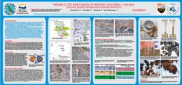 |
Expanded vermiculite is used as a lightweight aggregate in concrete, an additive in a variety of acoustic, thermal and fire insulation products, in soil conditioning, as a fertilizer or insecticide carrier, and in absorbent packing, paints and sealants. It is also used in refractory gunning and castable mixes, in vermiculite dispersions and in replacing asbestos in brake linings, primarily for the automotive market.
There is currently no vermiculite produced within the province of British Columbia. Only four localities in the BC MINFILE list vermiculite as a commodity. High concentrations of vermiculite were encountered adjacent to the Hodgie Rare Earth Zone, previously discovered by Commerce Resources Inc. in the Blue River area. This occurrence has above average vermiculite and higher grade than other known vermiculite occurrences in the province. Reconnaissance-level field observations, in-house particle-size analyses and rudimentary laboratory scale exfoliation tests are encouraging. They indicate that detailed chemical and mineralogical studies are the next logical step in the assessment of this and other vermiculite occurrences in the Blue River area. Chemical analyses are required to establish the trace-element levels in the vermiculite-bearing material, to ensure that it does not contain elevated levels of environmentally sensitive substances. Mineralogical follow-up should establish the absence or presence of asbestiform particles. The presence of such particles would negatively impact the development of this vermiculite resource.
If the outcomes of the above-recommended tests justify more rigorous laboratory and field investigations, then these occurrences of the Blue River area have the potential to become significant commercial sources of vermiculite. |
| Issue ID: | GF2010-04 |
| Title: | Carbonate-Hosted Sulphide and Nonsulphide Pb-Zn Mineralization, Cariboo Terrane, B.C., Canada |
| Author(s): | Paradis, S., Simandl, G.J., Bradford, J., Leslie, C., Brett, C. |
| Series Name: | GeoFile |
| Publication Year: | 2010 |
| NTS Map Sheet(s): | 093A/10,11,14,15 |
| Place Keyword(s): | British Columbia, Central, Cariboo |
| Lat/Long (NSWE): | 52.95, 52.67, -121.25, -120.56 |
| Theme Keyword(s): | carbonate-hosted, base-metal, zinc, Zn-Pb sulphides, mineralization |
Download(s):
| PDF |
Abstract:
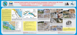 |
Under favourable geological, climatic, topographic and hydrological conditions, the weathering of carbonate-hosted, sulphide deposits may result in the formation of economically significant direct replacement and wallrock replacement nonsulphide base metal deposits. Nonsulphide deposits were the main source of zinc in the 19th century. Due to the metallurgical innovations during the early 20th century, the interest of explorationists shifted to sulphide ores. For a variety of environmental and economic reasons, nonsulphide deposits are again representing attractive exploration targets; however, they are commonly overlooked.
Cariboo Zinc property provides excellent examples of Zn-Pb sulphides and �mixed ores� (rocks consisting of sulphide and nonsulphide minerals). Mineralization is concentrated along a northwest-trending, dolomitic belt (8 km long). It consists of pervasive fine-grained sulphide and nonsulphide disseminations and pods and masses, sulphide- and nonsulphide-bearing quartz (�calcite) veins, and crackle breccias. Sulphides are galena, sphalerite, and trace amounts of pyrite. Nonsulphides are smithsonite, hemimorphite, cerussite, hydrozincite, and possibly anglesite. The main showings are Canopener, DeBasher, Flipper Creek, Dolomite Flats, Main, Gunn and Que. In most exposed occurrences, the spatial continuity and/or the close spatial relationships in combination with morphological similarities between sulphide and associated nonsulphide zones suggest direct-replacement of sulphides by nonsulphide base metal-bearing minerals. |
| Issue ID: | GF2010-05 |
| Title: | Regional to Property-Scale Drift Prospecting Surveys in British Columbia |
| Author(s): | Ferbey, T. |
| Series Name: | GeoFile |
| Publication Year: | 2010 |
| NTS Map Sheet(s): | 082;083;092;093;094;102;103;104;114 |
| Place Keyword(s): | British Columbia |
| Lat/Long (NSWE): | 60, 48, -139, -114 |
| Theme Keyword(s): | drift prospecting, geochemical, regional, property-scale |
Download(s):
| PDF |
Abstract:
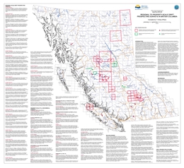 |
Presented here is a geographically referenced list of drift prospecting surveys that have been conducted in British Columbia. A list of topical studies and special volumes that are relevant to drift prospecting in British Columbia have also been included. These studies and geochemical data will be of interest to explorationists and researchers who are assessing the effectiveness of drift prospecting surveys in the context of their own exploration or research program, who are preparing to design and implement their own survey, or who have generated geochemical data on drift samples and are looking for data from orientation surveys for comparison.
This map and list of references is intended to provide a way of quickly identifying drift prospecting studies and data that are either geographically or topically of interest to those working in British Columbia. Any omission in the reference list or on the map should be brought to the attention of the compiler. This publication will be updated on an annual basis. |
| Issue ID: | GF2010-06 |
| Title: | Age of Cu-Au-Ag Mineralization at Copper Mountain: Part of a ~200 Ma Copper Epoch in B.C. |
| Author(s): | Mihalynuk, M.G., Logan, J.M., Friedman, R., Preto, V. |
| Series Name: | GeoFile |
| Publication Year: | 2010 |
| NTS Map Sheet(s): | 092H/07,08 |
| Place Keyword(s): | British Columbia, South, Copper Mountain |
| Lat/Long (NSWE): | 49.35, 49.3, -120.6, -120.45 |
| Theme Keyword(s): | age dating, mineralization, alkali Cu-Au+/-Ag-Mo porphyry deposit, Copper Mountain |
Download(s):
| PDF |
Abstract:
 |
A chain of alkali Cu-Au�Ag-Mo porphyry deposits and coeval intrusive and volcanic rocks extend the length of the Canadian Cordillera. They are the product of a prolific metallogenic event. Mineralization at Copper Mountain is part of this event; recognized by workers in the 1970�s as coeval with intrusions that host the mineralization along with nearly coeval volcanic rocks. However, by the mid 2000�s this nearly coeval relationship was challenged by time scale revisions, changes to isotopic decay constants, improvements in dating techniques and over-interpretation of earlier cooling ages. If the isotopic age data were taken at face value, the mineralization at Copper Mountain appeared to be nearly 10 million years younger than the host rocks. With a new era of deep porphyry exploration about to begin, it was imperative to know whether mineralization was related to a younger, perhaps hidden intrusion or if existing age data were misleading. |
| Issue ID: | GF2010-08 |
| Title: | Serpentinite-hosted Nickel Deposit Potential in B.C. |
| Author(s): | Hora, Z.D. |
| Series Name: | GeoFile |
| Publication Year: | 2010 |
| NTS Map Sheet(s): | 082;083;092;093;094;102;103;104;114 |
| Place Keyword(s): | British Columbia |
| Lat/Long (NSWE): | 60, 48, -139, -114 |
| Theme Keyword(s): | nickel, serpentinization, ultramafic, deposit potential, opaque minerals |
Download(s):
| PDF |
Abstract:
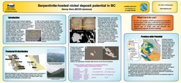 |
A number of opaque nickel minerals (sulphides, arsenides and antimonides, as well as NiFe alloys) can occur as a by-product of serpentinization of ultramafic rocks, a variety of phases of Fe, Ni and Co minerals originate as these metals are released from the oxide-silicate-bound olivine structure. In British Columbia, "some nickeliferous sand" was identified in alluvial gold from Fraser River in 1888, and Bridge River, awaruite (Ni3Fe) on Wheaton Creek (with native Cu nuggets) in Cassiar District (Holland, 1940), Letain Creek (Krishnarao, 1964) and awaruite in Yukon from Pelly River in 1908. In Cassiar asbestos deposit, O'Hanley et al. (1992) listed pentlandite and heazelwoodite. Recent discoveries of several coarser awaruite zones have been reported over a large tract of ultramafic rocks in the area between Fort St. James and Ogden Mountain (First Point Minerals, 2009). Awaruite is also reported in 2008 from Dease Lake area in northern BC. Hard Creek Nickel - Turnagain Project in a serpentinized Alaskan type ultramafic intrusion contains some Ni minerals with low sulphur content like millerite and heazelwoodite (Hard Creek Nickel, 2009), the typical serpentinization products. |
| Issue ID: | P2009-02 |
| Title: | Nonmetallic Minerals other than Coal (Industrial Minerals, Gemstones and Aggregate) in British Columbia, Canada |
| Author(s): | Simandl, G.J. |
| Purpose: | To detail the 37th forum on Industrial Minerals |
| Series Name: | Paper |
| Publication Year: | 2009 |
| NTS Map Sheet(s): | 082;083;092;093;094;102;103;104;114 |
| Place Keyword(s): | British Columbia |
| Lat/Long (NSWE): | 60, 48, -139, -114 |
| Theme Keyword(s): | Industrial Minerals, non-metallic minerals, gemstones, aggregate, crushed stone |
Download(s):
| PDF |
Abstract:
 |
Nonmetallic minerals other than coal (NMsOC) are key components of economies in developed countries. For the purpose of this paper, the term NMsOC includes traditional industrial minerals, natural aggregate and crushed stone, dual minerals that can be used both as industrial minerals and metal ore (e.g., magnesite for magnesia and magnesium metal; chromite for ferrochrome alloys; quartzite for silicon metal), specialty metals (e.g. Ta, Nb and REE that are commonly used in oxide form as industrial minerals), and gemstones.
NMsOC are an increasingly significant component of international trade. British Columbia is strategically located on the west coast of North America and has well-developed infrastructure in the southern, more populated third of the Province, including several deep-water ports, and a well-maintained highway system. Rail links British Columbia's industrial centres to terminal points across the continent. The Province has attractive energy costs and untapped mineral resources.
The main NMsOC produced in British Columbia are magnesite, limestone, gypsum, sulphur (derived as a byproduct from oil and gas processing), construction aggregate, crushed rock, silica, dimension stone and white calcium carbonate. NMsOC produced in lesser quantities include jade (nephrite), magnetite, dolomite, barite, volcanic cinder, pumice, flagstone, clay, tufa, bentonite, Fuller�s earth and zeolites.
The value of NMsOC produced in British Columbia during 2008 was estimated at $754 million; however, this estimate does not reflect value-added processing. In 2009, the value of NMsOC is expected to be lower than in 2008. Production of low-value, large tonnage NMsOC (with the exception of resources located along the coast) is constrained by the size of British Columbia�s industrial base and the needs of local populations. |
| Issue ID: | EXP2008-00 |
| Title: | Exploration and Mining in British Columbia 2008, Foreword, Overview and Table of Contents |
| Author(s): | DeGrace, J.R., Grieve, D., Madu, B., Northcote, B., Wojdak, P.J. |
| Series Name: | Exploration and Mining in BC |
| Publication Year: | 2009 |
| Other Citation Details: | pages iii to vi |
| Larger Work Citation: | in Exploration and Mining in B.C. 2008 |
| NTS Map Sheet(s): | 082;083;092;093;094;102;103;104;114 |
| Place Keyword(s): | British Columbia |
| Lat/Long (NSWE): | 60, 48, -139, -114 |
| Theme Keyword(s): | Exploration and Mining, Summary and Trends |
Download(s):
| PDF |
Abstract:
 |
This annual publication provides detailed regional reviews of mining, mineral exploration and development activities in British Columbia for 2008. Regional Geologists in the Mining and Minerals Division of the Ministry compile the publication using information provided by government, companies and individuals in the British Columbia mining industry. The report contains detailed statistical tables and illustrations, in addition to location maps and tables summarizing significant mining, exploration and development projects in the province. |
| Issue ID: | EXP2008-01 |
| Title: | Northwest Region |
| Author(s): | Wojdak, P.J., Febbo, G. |
| Series Name: | Exploration and Mining in BC |
| Publication Year: | 2009 |
| Other Citation Details: | pages 1 to 33 |
| Larger Work Citation: | in Exploration and Mining in B.C. 2008 |
| NTS Map Sheet(s): | 093; 094; 103; 104; 114 |
| Place Keyword(s): | British Columbia, Northwest |
| Lat/Long (NSWE): | 60, 54, -139, -124 |
| Theme Keyword(s): | Exploration and Mining, Mines, Metals, Aggregate Projects |
Download(s):
| PDF |
Abstract:
|
An annual review of mineral exploration and mining activity from the northwestern region of British Columbia with a focus on mines, quarries, mine development and construction, mineral exploration, porphyry copper projects, porphyry molybdenum projects, polymetallic massive sulphide projects, gold-silver projects, coal and aggregate projects. |
| Issue ID: | EXP2008-02 |
| Title: | Northeast Region |
| Author(s): | DeGrace, J.R. |
| Series Name: | Exploration and Mining in BC |
| Publication Year: | 2009 |
| Other Citation Details: | pages 35 to 42 |
| Larger Work Citation: | in Exploration and Mining in B.C. 2008 |
| NTS Map Sheet(s): | 093; 094 |
| Place Keyword(s): | British Columbia, Northeast |
| Lat/Long (NSWE): | 60, 55, -128, -120 |
| Theme Keyword(s): | Exploration and Mining, Mines, Coal, Projects, Porphyry |
Download(s):
| PDF |
Abstract:
|
An annual review of mineral exploration and mining activity from the northeastern region of British Columbia with a focus on coal mines, and coal exploration projects. |
| Issue ID: | EXP2008-03 |
| Title: | North-Central Region |
| Author(s): | DeGrace, J.R. |
| Series Name: | Exploration and Mining in BC |
| Publication Year: | 2009 |
| Other Citation Details: | pages 43 to 57 |
| Larger Work Citation: | in Exploration and Mining in B.C. 2008 |
| NTS Map Sheet(s): | 083;094;104 |
| Place Keyword(s): | British Columbia, North-central, Prince George, Mackenzie Area, Nechako Plateau |
| Lat/Long (NSWE): | 60, 53, -128, -118 |
| Theme Keyword(s): | Exploration and Mining, Mines, Coal, Quarries |
Download(s):
| PDF |
Abstract:
|
An annual review of mineral exploration and mining activity from the north-central region of British Columbia with a focus on mines, quarries, metal mines, and exploration highlights. |
| Issue ID: | EXP2008-04 |
| Title: | South-Central Region |
| Author(s): | Madu, B. |
| Series Name: | Exploration and Mining in BC |
| Publication Year: | 2009 |
| Other Citation Details: | pages 59 to 75 |
| Larger Work Citation: | in Exploration and Mining in B.C. 2008 |
| NTS Map Sheet(s): | 082E, L, M; 083D; 092H-J, N-P; 093A-C |
| Place Keyword(s): | British Columbia, South-central, Kamloops, North Thompson, Southern Caribou |
| Lat/Long (NSWE): | 52, 49, -125, -118 |
| Theme Keyword(s): | Exploration and Mining, Mines, Coal, Metals, Industrial minerals |
Download(s):
| PDF |
Abstract:
|
An annual review of mineral exploration and mining activity from the south-central region of British Columbia with a focus on metals, coal, industrial minerals and exploration highlights. |
| Issue ID: | EXP2008-05 |
| Title: | Southwest Region |
| Author(s): | Northcote, B. |
| Series Name: | Exploration and Mining in BC |
| Publication Year: | 2009 |
| Other Citation Details: | pages 77 to 90 |
| Larger Work Citation: | in Exploration and Mining in B.C. 2008 |
| NTS Map Sheet(s): | 092B, C, E-O; 093C, D; 102I,P; 103A |
| Place Keyword(s): | British Columbia, South-west, Vancouver Island, Central Coast, Powell River |
| Lat/Long (NSWE): | 53, 48, -128, -120 |
| Theme Keyword(s): | Exploration and Mining, Mines, Coal, Metals, Industrial minerals |
Download(s):
| PDF |
Abstract:
|
An annual review of mineral exploration and mining activity from the southwest region of British Columbia with a focus on operating mines and quarries, metals, coal, industrial minerals and aggregate. |
| Issue ID: | EXP2008-06 |
| Title: | Southeast Region |
| Author(s): | Grieve, D. |
| Series Name: | Exploration and Mining in BC |
| Publication Year: | 2009 |
| Other Citation Details: | pages 91 to 100 |
| Larger Work Citation: | in Exploration and Mining in B.C. 2008 |
| NTS Map Sheet(s): | 082; |
| Place Keyword(s): | British Columbia, South east, Kootenay |
| Lat/Long (NSWE): | 52, 49, -118, -114 |
| Theme Keyword(s): | Exploration and Mining, Mines, Coal, Metals, Industrial minerals |
Download(s):
| PDF |
Abstract:
|
An annual review of mineral exploration and mining activity from the southeast region of British Columbia with a focus on operating mines and quarries, metals, coal, industrial minerals and exploration highlights. |
| Issue ID: | EXP2009-00 |
| Title: | Exploration and Mining in British Columbia 2009, Foreword and Overview |
| Author(s): | Grieve, D., Madu, B., Northcote, B., Wojdak, P.J., Fredericks, J. |
| Series Name: | Exploration and Mining in BC |
| Publication Year: | 2010 |
| Other Citation Details: | pages iii to vi |
| Larger Work Citation: | in Exploration and Mining in B.C. 2009 |
| NTS Map Sheet(s): | 082;083;092;093;094;102;103;104;114 |
| Place Keyword(s): | British Columbia |
| Lat/Long (NSWE): | 60, 48, -139, -114 |
| Theme Keyword(s): | Exploration and Mining, Summary and Trends |
Download(s):
| PDF |
Abstract:
 |
This annual publication provides detailed regional reviews of mining, mineral exploration and development activities in British Columbia for 2009. Regional Geologists in the Mining and Minerals Division of the Ministry compile the publication using information provided by government, companies and individuals in the British Columbia mining industry. The report contains detailed statistical tables and illustrations, in addition to location maps and tables summarizing significant mining, exploration and development projects in the province. |
| Issue ID: | EXP2009-01 |
| Title: | Northwest Region |
| Author(s): | Wojdak, P.J. |
| Series Name: | Exploration and Mining in BC |
| Publication Year: | 2010 |
| Other Citation Details: | pages 1 to 21 |
| Larger Work Citation: | in Exploration and Mining in B.C. 2009 |
| NTS Map Sheet(s): | 093; 094; 103; 104; 114 |
| Place Keyword(s): | British Columbia, Northwest |
| Lat/Long (NSWE): | 60, 54, -139, -124 |
| Theme Keyword(s): | Exploration and Mining, Mines, Metals, Aggregate Projects |
Download(s):
| PDF |
Abstract:
|
An annual review of mineral exploration and mining activity from the northwestern region of British Columbia with a focus on mines and quarries, metal mines, industrial mineral quarries, mine development projects, mine evaluation projects, porphyry copper projects, porphyry molybdenum projects, magmatic deposits, polymetallic massive sulphide projects, and gold-silver projects. |
| Issue ID: | EXP2009-02 |
| Title: | Northeast Region |
| Author(s): | Fredericks, J. |
| Series Name: | Exploration and Mining in BC |
| Publication Year: | 2010 |
| Other Citation Details: | pages 23 to 30 |
| Larger Work Citation: | in Exploration and Mining in B.C. 2009 |
| NTS Map Sheet(s): | 093; 094 |
| Place Keyword(s): | British Columbia, Northeast |
| Lat/Long (NSWE): | 60, 55, -128, -120 |
| Theme Keyword(s): | Exploration and Mining, Mines, Coal, Projects, Porphyry |
Download(s):
| PDF |
Abstract:
|
An annual review of mineral exploration and mining activity from the northeastern region of British Columbia with a focus on mines and quarries, coal mines, mine development projects, mine evaluation projects, and coal exploration. |
| Issue ID: | EXP2009-03 |
| Title: | North-Central Region |
| Author(s): | Wojdak, P.J. |
| Series Name: | Exploration and Mining in BC |
| Publication Year: | 2010 |
| Other Citation Details: | pages 31 to 38 |
| Larger Work Citation: | in Exploration and Mining in B.C. 2009 |
| NTS Map Sheet(s): | 083;094;104 |
| Place Keyword(s): | British Columbia, North-central, Prince George, Mackenzie Area, Nechako Plateau |
| Lat/Long (NSWE): | 60, 53, -128, -118 |
| Theme Keyword(s): | Exploration and Mining, Mines, Coal, Quarries |
Download(s):
| PDF |
Abstract:
|
An annual review of mineral exploration and mining activity from the north-central region of British Columbia with a focus on metal mines, mine development projects, mine evaluation projects, gold-silver projects, rare earth metals, and industrial mineral projects. |
| Issue ID: | EXP2009-04 |
| Title: | South-Central Region |
| Author(s): | Madu, B. |
| Series Name: | Exploration and Mining in BC |
| Publication Year: | 2010 |
| Other Citation Details: | pages 39 to 59 |
| Larger Work Citation: | in Exploration and Mining in B.C. 2009 |
| NTS Map Sheet(s): | 082E, L, M; 083D; 092H-J, N-P; 093A-C |
| Place Keyword(s): | British Columbia, South-central, Kamloops, North Thompson, Southern Caribou |
| Lat/Long (NSWE): | 52, 49, -125, -118 |
| Theme Keyword(s): | Exploration and Mining, Mines, Coal, Metals, Industrial minerals |
Download(s):
| PDF |
Abstract:
|
An annual review of mineral exploration and mining activity from the south-central region of British Columbia with a focus on mines and quarries, metal mines, coal, coal mines, industrial mineral quarries and aggregates, porphyry projects, skarn projects, vein and breccias projects, sediment-hosted gold projects, massive sulphide projects, magmatic projects, and exploration highlights. |
| Issue ID: | EXP2009-05 |
| Title: | Southwest Region |
| Author(s): | Northcote, B. |
| Series Name: | Exploration and Mining in BC |
| Publication Year: | 2010 |
| Other Citation Details: | pages 61 to 76 |
| Larger Work Citation: | in Exploration and Mining in B.C. 2009 |
| NTS Map Sheet(s): | 092B, C, E-O; 093C, D; 102I,P; 103A |
| Place Keyword(s): | British Columbia, South-west, Vancouver Island, Central Coast, Powell River |
| Lat/Long (NSWE): | 53, 48, -128, -120 |
| Theme Keyword(s): | Exploration and Mining, Mines, Coal, Metals, Industrial minerals |
Download(s):
| PDF |
Abstract:
|
An annual review of mineral exploration and mining activity from the southwest region of British Columbia with a focus on mines and quarries, metal, coal, placer gold, industrial minerals and aggregates, limestone, clay, silica and alumina, pumice, building and landscaping stone, mine development and evaluation projects, exploration highlights, copper porphyry, volcanogenic massive sulphide, tungsten skarns, and iron skarns. |
| Issue ID: | EXP2009-06 |
| Title: | Southeast Region |
| Author(s): | Grieve, D. |
| Series Name: | Exploration and Mining in BC |
| Publication Year: | 2010 |
| Other Citation Details: | pages 77 to 89 |
| Larger Work Citation: | in Exploration and Mining in B.C. 2009 |
| NTS Map Sheet(s): | 082; |
| Place Keyword(s): | British Columbia, South east, Kootenay |
| Lat/Long (NSWE): | 52, 49, -118, -114 |
| Theme Keyword(s): | Exploration and Mining, Mines, Coal, Metals, Industrial minerals |
Download(s):
| PDF |
Abstract:
|
An annual review of mineral exploration and mining activity from the southeast region of British Columbia with a focus on operating mines and quarries, coal, metals, industrial minerals, mine development and evaluation projects, coal projects, gold projects, base metal projects, polymetallic projects, molybdenum projects, industrial mineral projects and exploration highlights. |
| Issue ID: | IC2009-01 |
| Title: | British Columbia Mines and Mineral Exploration Overview 2008 |
| Author(s): | DeGrace, J.R., Fredericks, J., Grieve, D., Lefebure, D.V., Madu, B., Northcote, B., Wojdak, P.J. |
| Series Name: | Information Circular |
| Publication Year: | 2009 |
| NTS Map Sheet(s): | 082;083;092;093;094;102;103;104;114 |
| Place Keyword(s): | British Columbia |
| Lat/Long (NSWE): | 60, 48, -139, -114 |
| Theme Keyword(s): | Mineral exploration, Annual Review 2008 |
Download(s):
| PDF |
Abstract:
 |
This annual publication provides an overview of mineral exploration activities in the Province of British Columbia for 2008. It contains statistical information, tables, illustrations and location maps which summarize significant exploration and development projects in the province. The report documents mineral exploration expenditures, active exploration areas and the companies involved. |
| Issue ID: | IC2010-01 |
| Title: | British Columbia Mines and Mineral Exploration Overview 2009 |
| Author(s): | Fredericks, J., Grieve, D., Lefebure, D.V., Madu, B., Northcote, B., Wojdak, P.J. |
| Series Name: | Information Circular |
| Publication Year: | 2010 |
| NTS Map Sheet(s): | 082;083;092;093;094;102;103;104;114 |
| Place Keyword(s): | British Columbia |
| Lat/Long (NSWE): | 60, 48, -139, -114 |
| Theme Keyword(s): | Mineral exploration, Annual Review 2009 |
Download(s):
| PDF |
Abstract:
 |
This annual publication provides an overview of mineral exploration activities in the Province of British Columbia for 2009. It contains statistical information, tables, illustrations and location maps which summarize significant exploration and development projects in the province. The report documents mineral exploration expenditures, active exploration areas and the companies involved. |
| Issue ID: | IC2009-02 |
| Title: | British Columbia Regional Geochemical Survey Database |
| Author(s): | Lett, R.E. |
| Series Name: | Information Circular |
| Publication Year: | 2009 |
| NTS Map Sheet(s): | 082;083;092;093;094;102;103;104;114 |
| Place Keyword(s): | British Columbia |
| Lat/Long (NSWE): | 60, 48, -139, -114 |
| Theme Keyword(s): | geochemical survey, database |
Download(s):
| PDF |
Abstract:
 |
This brochure describes the Regional Geochemical Survey (RGS) program, surveys, sample media characteristics and application and uses. It has a summary table of all the RGS surveys, dating from 1977. Visit the Geochemical Surveys website for more information. |
| Issue ID: | IC2009-03 |
| Title: | Geoscience for Pine Beetle: Economic Diversification through Public Geoscience Programs |
| Author(s): | Hutton, C., GSC, Lefebure, D.V., BC Geological Survey, MEMPR, Levson, V.M., Oil & Gas Division, Resource Development and Geoscience Branch, MEMPR |
| Series Name: | Information Circular |
| Publication Year: | 2009 |
| NTS Map Sheet(s): | 082;083;092;093;094;102;103;104;114 |
| Place Keyword(s): | British Columbia |
| Lat/Long (NSWE): | 60, 48, -139, -114 |
| Theme Keyword(s): | public geoscience, mountain pine beetle, economic diversification |
Download(s):
| PDF |
Abstract:
 |
Natural Resources Canada, the BC Ministry of Energy, Mines and Petroleum Resources and Geoscience BC have joined forces to provide the high-resolution geological, geochemical and geophysical databases and technologies capable of imaging beneath the sediments and volcanic rocks. |
| Issue ID: | IC2009-04 |
| Title: | World Fluorspar Resources, Market and Deposit Examples from British Columbia |
| Author(s): | Simandl, G.J. |
| Series Name: | Information Circular |
| Publication Year: | 2009 |
| NTS Map Sheet(s): | 082;083;092;093;094;102;103;104;114 |
| Place Keyword(s): | British Columbia |
| Lat/Long (NSWE): | 60, 48, -139, -114 |
| Theme Keyword(s): | industrial minerals, fluorspar, economic diversification, mineral engineering economics, mineral deposit |
Download(s):
| PDF |
Abstract:
 |
Key questions addressed in this paper are: �Will the demand for fluorspar outstrip supply in foreseeable future?� and �Will there be enough raw materials to cover projected demand?� The demand for fluorspar is linked to global economic cycles. This paper concentrates on the global availability of fluorspar from the perspective of geological and mineral engineering economics. British Columbia has several fluorite-bearing deposits that are discussed in this paper. |
| Issue ID: | IC2009-05 |
| Title: | Mapping the Future and Building on Strengths: British Columbia Geological Survey Workshop Overview (March 11-12, 2008) |
| Author(s): | BC Geological Survey |
| Series Name: | Information Circular |
| Publication Year: | 2009 |
| NTS Map Sheet(s): | 082;083;092;093;094;102;103;104;114 |
| Place Keyword(s): | British Columbia |
| Lat/Long (NSWE): | 60, 48, -139, -114 |
| Theme Keyword(s): | workshop, BC Geological Survey |
Download(s):
| PDF |
Abstract:
 |
British Columbia Geological Survey staff and some key guests met for two days in March 2008 to discuss the future for the organization. The Workshop was a particularly timely given the plans to hire more staff and the approaching retirement over the next eight years of a number of staff. The objective was to determine how best to chart the future path of the Survey. The meeting started with a series of presentations by government and industry leaders to set the stage for the rest of the Workshop. The speakers provided context for how to proceed and presented a variety of visions for the future of the British Columbia Geological Survey. Several speakers spoke about the Survey�s mandate. Their recommendations ranged from staying close to the status quo to an ambitious and aggressive approach to responding to emerging societal issues related to geosciences, such as climate change.
The first day concluded with an initial breakout session to analyse gaps in government geoscience delivery relevant to British Columbians. The list was then shortened to reflect only those gaps considered relevant to the British Columbia Geological Survey at the present time. As the Survey frequently works and collaborates with other agencies, the gap analysis included identifying potential partners. The second day was devoted to a series of targeted sessions for staff participation. These included focus sessions with smaller groups to discuss Survey activities � coal, database management and website, geochemistry, geoscience assistants, industrial minerals, mapping, mineral deposits, publications: products and marketing and Quaternary geology. As well, all participants were included in sessions regarding Clients; GIS, Geomatics and Geophysics and Post-retirement Work Options. Comments and recommendations were recorded for all the sessions. The Workshop ended by compiling a list of the most important recommendations which are profiled in this Overview Report.
The Workshop clearly identified a desire from most staff and some of the invited guests to continue to focus the Branch�s efforts on traditional activities with a primary focus on the mineral industry and existing government clients. Several aspects of the Survey were identified as needing new staff and/or enhanced resources, including aggregate, coal, geochemistry and geophysics. The importance of staff succession planning was brought up several times and the need for the coal geologist and geochemist positions were strongly profiled. The Workshop outlined some of the steps/products that needed to be addressed over the next five years to ensure the Branch continues to innovate and produce more valuable products. For example, the discussions included using Google Earth, presenting 3D geology and starting continuous updates of the province digital bedrock geology map. |
| Issue ID: | IC2010-02 |
| Title: | MapPlace and MTO short course notes from the Mineral Exploration Roundup 2010 |
| Author(s): | Hancock, K.D., Desjardins, P.J., Meredith-Jones, S., Samuelson, K., Kohli, N. |
| Series Name: | Information Circular |
| Publication Year: | 2010 |
| NTS Map Sheet(s): | 082;083;092;093;094;102;103;104;114 |
| Place Keyword(s): | British Columbia |
| Lat/Long (NSWE): | 60, 48, -139, -114 |
| Theme Keyword(s): | short course, Mineral Exploration Roundup, MapPlace, Mineral Titles Online, MINFILE |
Download(s):
| PDF |
Abstract:
 |
Information Circular 2010-2 includes Part I and Part II of the course notes from the MapPlace/MTO short course offered at Mineral Exploration Roundup 2010 on January 17, 2010. The short course was presented by the Ministry of Energy, Mines and Petroleum Resources and AME BC. Part I of the notes includes an introduction to the MapPlace and a review of its layout and functions. There are exercises to help the user become familiar with the ARIS MapBuilder, buffers, Mapper Wrapper, MapPlace2Go, and the Image Analysis Tool (IAT). The final section of Part I includes an integrated MapPlace exercise incorporating aspects from several of the related databases, including MINFILE, ARIS, and Property File. Part II of the notes outlines the steps required to login and use the Mineral Titles Online application to manage and stake tenure in British Columbia, including staking claims, filing Exploration and Development Work or making a payment in lieu. There are several hands-on exercises for clarification. How to obtain a Tenure Overlap Report and Landowner Notification procedures is reviewed, as well as other general information regarding mineral titles in British Columbia. |
| Issue ID: | GM2009-01 |
| Title: | Geology Map of British Columbia |
| Author(s): | Cui, Y. and Erdmer, P. |
| Series Name: | Geoscience Map |
| Publication Year: | 2009 |
| Scale: | 1:2000000 |
| NTS Map Sheet(s): | 082;083;092;093;094;102;103;104;114 |
| Place Keyword(s): | British Columbia |
| Lat/Long (NSWE): | 60, 48, -139, -114 |
| Theme Keyword(s): | Geology, bedrock map, compilation |
Download(s):
| PDF, ZIP (View Zip Contents) |
Abstract:
 |
Geoscience Map 2009-1 is a print-ready, one-sheet geological map of British Columbia. It is a summary of bedrock geology at 1:2 000 000 or 1:1 500 000 scale. This map was compiled from geological maps by the British Columbia Geological Survey, Geological Survey of Canada, and university and industry geologists.
The current digital coverage of BC bedrock geology is viewable on MapPlace and MapPlace 2 and freely available from the BC Digital Geology Data Download site. |
| Issue ID: | GM2009-02 |
| Title: | Geology of the Nimpkish-Telegraph Cove Area, Northern Vancouver Island (NTS 92L/7, 10) |
| Author(s): | Nixon, G.T., Kelman, M.C., Larocque, J.P., Stevenson, J.P., Stokes, L.A., Pals, A., Styan, J., Johnston, K.A., Orchard, M.J., McRoberts, C.A. |
| Series Name: | Geoscience Map |
| Publication Year: | 2009 |
| Scale: | 1:50000 |
| NTS Map Sheet(s): | 092L/07,10 |
| Place Keyword(s): | British Columbia, West coast, Vancouver Island, Nimpkish-Telegraph Cove |
| Lat/Long (NSWE): | 50.59, 50.25, -127, -126.5 |
| Theme Keyword(s): | Geology, bedrock map, Triassic, Vancouver group, Bonanza Group |
Download(s):
| PDF |
Abstract:
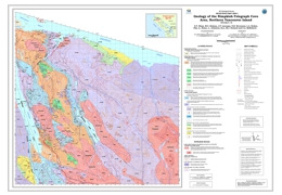 |
Geoscience Map 2009-2 (1:50 000) describes the bedrock geology of the Nimpkish-Telegraph Cove area of northern Vancouver Island (NTS 092L/7, 10). The map complements Geoscience Maps 2006-1 to -4 showing the geology of the Quatsino Sound area to the northwest and supersedes Open File Map 2006-5. The map area is underlain by a folded and faulted sequence of Triassic volcanic and sedimentary rocks of the Vancouver and Bonanza groups intruded by granitoids of the Early to Middle Jurassic Island Plutonic Suite. The latter intrusions are associated with important calc-alkaline Cu-Mo-Au porphyry, base- and precious-metal skarn and rare, manto-type massive sulphide occurrences. The deformed Triassic-Jurassic rocks are unconformably overlain by Late Cretaceous marine clastics equivalent in part to the Nanaimo Group. Minor intrusions include subvolcanic dikes and sills comagmatic with volcanic strata of the Karmutsen Formation and Bonanza Group, granitoids of the Island Plutonic Suite and a Tertiary dike possibly related to the Neogene Alert Bay volcanic unit to the north.
The oldest rocks in the map area belong to the thick (~6 km) flood basalt succession of the Triassic (Carnian to possibly Ladinian) Karmutsen Formation (Vancouver Group) which comprises three distinct members: a lower pillow basalt unit; a middle hyaloclastite unit; and an upper subaerial flow unit. This emergent succession represents the evolution of an oceanic plateau and is well exposed in coastal outcrops between Telegraph Cove and Robson Bight. The Quatsino limestone at the top of the Vancouver Group rests disconformably on Karmutsen basalt and marks subsidence of the plateau prior to deposition of predominantly carbonate-siliciclastic strata of the Late Triassic (latest Carnian/Norian to Rhaetian) Parson Bay Formation at the base of the Bonanza Group. The youngest volcanic strata form basaltic to rhyolitic volcaniclastic deposits and minor flows, and are mainly preserved in the core of a north-northwesterly-trending syncline in the Hankin Range just east of Nimpkish Lake. Early Jurassic strata of the LeMare Lake volcanic succession, the main phase of Bonanza volcanism, are entirely absent due to erosion or non-deposition. |
| Issue ID: | GM2010-01 |
| Title: | Bedrock Geology of the QUEST Map Area, Central British Columbia |
| Author(s): | Logan, J.M., Schiarizza, P.A., Struik, L.C., Barnett, C., Nelson, J.L., Kowalczyk, P., Ferri, F., Mihalynuk, M.G., Thomas, M.D., Gammon, P., Lett, R.E., Jackaman, W., Ferbey, T. |
| Series Name: | Geoscience Map |
| Publication Year: | 2010 |
| Scale: | 1:500000 |
| NTS Map Sheet(s): | 093A,B,F,G,H,I,J,K,N,M,O;094G,C,D |
| Place Keyword(s): | British Columbia, Central, Quest |
| Lat/Long (NSWE): | 56.25, 52.25, -126.25, -120.5 |
| Theme Keyword(s): | Geology, bedrock map, Quest |
Download(s):
| PDF, ZIP (View Zip Contents) |
Abstract:
 |
The British Columbia Geological Survey, Geoscience BC and Natural Resources Canada - Geological Survey of Canada have collaborated to update the BC Geology Map (the Province's digital geology map) in central BC. The update area corresponds to Geoscience BC�s QUEST Project geophysical survey footprint, which extends from Williams Lake to Mackenzie (an area larger than Vancouver Island).
The revised geology for this region has been generated by geological, geophysical and geochemical experts from the three organizations. The project incorporates geophysical and geochemical data from Geoscience BC�s QUEST Project, geophysical data from Natural Resources Canada and recent bedrock mapping by the British Columbia Geological Survey. The BC Geology Map QUEST Area update focuses on the volcanic and intrusive rocks of the Quesnel Terrane in central British Columbia, which are prospective for copper and gold deposits but covered by glacial deposits in the center of the update area. New interpretations are expected to benefit to the mineral exploration community working in the region.
In addition to the new map for the area, the update is also being seamlessly incorporated into the digital bedrock geology for BC. A preliminary version of the digital file is also available in shape or Manifold files as part of this release. A second update will be released and incorporated into MapPlace when the final digital data is available. (www.mapplace.ca). |
| Issue ID: | GBCR2009-01-00 |
| Title: | Geoscience BC Summary of Activities for 2008 - Foreword |
| Author(s): | Sluggett, C. |
| Series Name: | Geoscience BC Report |
| Publication Year: | 2009 |
| Larger Work Citation: | in Geoscience BC Report 2009-1 |
| NTS Map Sheet(s): | 082;083;092;093;094;102;103;104;114 |
| Place Keyword(s): | British Columbia |
| Lat/Long (NSWE): | 60, 48, -139, -114 |
| Theme Keyword(s): | Geoscience BC, Summary of Activities |
Additional Link(s):
| http://cdn.geosciencebc.com/pdf/SummaryofActivities2008/SoA2008-PreliminaryPages_original.pdf |
Abstract:
| Geoscience BC (GBC) is a unique, industry-led, industry-focused, not-for-profit geoscience organization. Geoscience BC works in partnership with industry, academia, government, First Nations, and communities to fund applied geoscience projects with the objective to attract mineral and oil and gas exploration to British Columbia. Report 2009-1 summarizes the geoscience studies and surveys of 2008. This volume is divided into three sections: QUEST-West, Minerals, the Nechako Seismic Project, and contains twenty one papers. |
| Issue ID: | GBCR2009-01-01 |
| Title: | QUEST-West Geophysics in Central British Columbia: New Regional Gravity and Helicopter-Borne Time-Domain Electromagnetic Data |
| Author(s): | Kowalczyk, P.L. |
| Series Name: | Geoscience BC Report |
| Publication Year: | 2009 |
| Larger Work Citation: | in Geoscience BC Report 2009-1 |
| NTS Map Sheet(s): | 093E,F,G,K,L,M,N; 103I |
| Place Keyword(s): | British Columbia, Central, Terrace, Kitimat, Quesnellia |
| Lat/Long (NSWE): | 55.45, 53.61, -129.25, -123.58 |
| Theme Keyword(s): | Geoscience BC, Airborne gravity, airborne electromagnetics, QUEST-West Project |
Additional Link(s):
| http://cdn.geosciencebc.com/pdf/SummaryofActivities2008/SoA2008-Kowalczyk_original.pdf |
Abstract:
| Geoscience BC�s 2008 QUEST-West Project continues the successful 2007 QUEST program. The survey area adjoins the QUEST area, and extends westward past Terrace and Kitimat. Similar to the QUEST Project, the QUEST-West Project combines airborne geophysical surveys with new regional geochemical data, providing new geoscience datasets that will help uncover the significant mineral potential of central British Columbia. This paper describes the new regional geophysical data acquired in the QUEST-West Project, comprising an airborne gravity survey and a helicopter-borne time domain electromagnetic survey. |
| Issue ID: | GBCR2009-01-02 |
| Title: | QUEST-West Project Geochemistry: Field Survey and Data Reanalysis, Central British Columbia |
| Author(s): | Jackaman, W., Balfour, J.S., Reichheld, S.A. |
| Series Name: | Geoscience BC Report |
| Publication Year: | 2009 |
| Larger Work Citation: | in Geoscience BC Report 2009-1 |
| NTS Map Sheet(s): | 093E,F,G,K,L,M,N |
| Place Keyword(s): | British Columbia, Central, Terrace, Kitimat, Quesnellia |
| Lat/Long (NSWE): | 55.45, 53.61, -129.25, -123.58 |
| Theme Keyword(s): | Geoscience BC, regional geochemistry, QUEST-West Project |
Additional Link(s):
| http://cdn.geosciencebc.com/pdf/SummaryofActivities2008/SoA2008-JackamanQW_original.pdf |
Abstract:
| Geoscience BC�s 2008 QUEST-West Project continues the successful 2007 QUEST program. The survey area adjoins the QUEST area, and extends westward past Terrace and Kitimat. Similar to the QUEST Project, the QUEST-West Project combines airborne geophysical surveys with new regional geochemical data, providing new geoscience datasets that will help uncover the significant mineral potential of central British Columbia. This paper describes the new regional geochemical data acquired in the QUEST-West Project. |
| Issue ID: | GBCR2009-01-03 |
| Title: | Stream Geochemical Survey Sample Reanalysis, Terrace and Prince Rupert Map Areas, Western British Columbia |
| Author(s): | Jackaman, W. |
| Series Name: | Geoscience BC Report |
| Publication Year: | 2009 |
| Larger Work Citation: | in Geoscience BC Report 2009-1 |
| NTS Map Sheet(s): | 103I; 103J |
| Place Keyword(s): | British Columbia, West, Terrace, Prince Rupert |
| Lat/Long (NSWE): | 55, 54, -131, -128 |
| Theme Keyword(s): | Geoscience BC, stream geochemical survey, ICP-MS |
Additional Link(s):
| http://cdn.geosciencebc.com/pdf/SummaryofActivities2008/SoA2008-JackamanT_original.pdf |
Abstract:
| This paper presents the results of the reanalysis of archived stream sediment samples by inductively coupled-plasma mass spectrometry (ICP-MS) in the Terrace and Prince Rupert map areas. |
| Issue ID: | GBCR2009-01-04 |
| Title: | Trace-Element Analysis of Clay-Sized Fraction of Archived Till Samples, Babine Porphyry Copper District, West-Central British Columbia |
| Author(s): | Ferbey, T. |
| Series Name: | Geoscience BC Report |
| Publication Year: | 2009 |
| Larger Work Citation: | in Geoscience BC Report 2009-1 |
| NTS Map Sheet(s): | 093L/09,16; 093M/01, 02,07,08 |
| Place Keyword(s): | British Columbia, West Central, Babine, Beetle Infestation Zone |
| Lat/Long (NSWE): | 55.25, 54.5, -127, -126 |
| Theme Keyword(s): | Geoscience BC, trace-element analysis, porphyry copper, till, mountain pine beetle |
Additional Link(s):
| http://cdn.geosciencebc.com/pdf/SummaryofActivities2008/SoA2008-Ferbey_original.pdf |
Abstract:
| The goal of this study is to provide to the mineral exploration community a new, high quality, regional-scale, geochemical dataset that will help guide exploration efforts in the Babine porphyry copper district. This study will also serve as a reintroduction to the original surficial geology and till geochemistry work completed by Levson (2001a, 2002), and the other geological and geochemical data collected as part of the Nechako NATMAP project (Struik and MacIntyre, 2000). It is hoped that the new geochemical data generated as part of this study will contribute toward longer-term benefits from increased mineral exploration activity in an area adversely affected by the mountain pine beetle infestation. |
| Issue ID: | GBCR2009-01-05 |
| Title: | Ice-Flow History, Drift Thickness and Drift Prospecting for a portion of the QUEST Project Area, Central British Columbia |
| Author(s): | Ward, B., Maynard, D.E., Geertsema, M., Rabb, T. |
| Series Name: | Geoscience BC Report |
| Publication Year: | 2009 |
| Larger Work Citation: | in Geoscience BC Report 2009-1 |
| NTS Map Sheet(s): | 093G;H;J |
| Place Keyword(s): | British Columbia, Central, Quest |
| Lat/Long (NSWE): | 55, 53, -124, -121 |
| Theme Keyword(s): | Geoscience BC, ice-flow history, geochemical survey, drift prospecting, terrain mapping |
Additional Link(s):
| http://cdn.geosciencebc.com/pdf/SummaryofActivities2008/SoA2008-Ward_original.pdf |
Abstract:
| Central British Columbia has areas of highly prospective bedrock geology but mineral exploration has been limited due to the thick cover of surficial deposits. To help spur economic growth in this region, which has been severely affected by the mountain pine beetle, the federal and provincial governments are funding geological projects such as QUEST. Significant knowledge gaps exist in the glacial history of the QUEST Project area and thus pose a significant hindrance to mineral exploration. Knowledge of the glacial history, specifically the ice-flow history and dominant transport direction, is vital to interpret data from geochemical surveys of the area. This project is designed to address this knowledge gap by providing a Quaternary framework along with both regional and detailed till geochemical surveys. The study area comprises NTS map sheets 093G, H (west half) and J. |
| Issue ID: | GBCR2009-01-06 |
| Title: | Distribution of Alteration in an Alkalic Porphyry Copper-Gold Deposit at Mount Milligan, central British Columbia |
| Author(s): | Jago, C.J., Tosdal, R.M. |
| Series Name: | Geoscience BC Report |
| Publication Year: | 2009 |
| Larger Work Citation: | in Geoscience BC Report 2009-1 |
| NTS Map Sheet(s): | 094N/01 |
| Place Keyword(s): | British Columbia, Central, Mount Milligan |
| Lat/Long (NSWE): | 59.25, 59, -124.5, -124 |
| Theme Keyword(s): | Geoscience BC, alkalic porphyry Cu-Au, alteration assemblages, zonation |
Additional Link(s):
| http://cdn.geosciencebc.com/pdf/SummaryofActivities2008/SoA2008-Jago_original.pdf |
Abstract:
| The Mount Milligan alkalic porphyry Cu-Au deposit provides an excellent example of sulphide and alteration-mineral zonation for alkalic porphyry systems in British Columbia. The Mount Milligan site is located 155 km northwest of Prince George. It is the youngest dated (183�182 Ma) of the known major mineralized alkalic porphyry systems in BC (Afton-Ajax, Copper Mountain�Ingerbelle, Galore Creek, Lorraine, Mount Polley and Red Chris; Barr et al., 1976; Mortensen et al., 1995), and represents one of the silica-saturated deposits (Lang et al., 1995). The deposit is located in central Quesnellia, at the terminus of an ~45 km east-south-east structural trend that extends from the southern edge of the Hogem Batholith along Chuchi Lake. |
| Issue ID: | GBCR2009-01-07 |
| Title: | Investigations of orogenic Gold Deposits in the Cariboo Gold District, East-central British Columbia: progress report |
| Author(s): | Rhys, D.A., Mortensen, J.K., Ross, K. |
| Series Name: | Geoscience BC Report |
| Publication Year: | 2009 |
| Larger Work Citation: | in Geoscience BC Report 2009-1 |
| NTS Map Sheet(s): | 093A,H |
| Place Keyword(s): | British Columbia, East-central, Cariboo gold district |
| Lat/Long (NSWE): | 53.25, 53.15, -122, -120.35 |
| Theme Keyword(s): | Cariboo gold district, Barkerville terrane, orogenic Au, Vein, replacement |
Additional Link(s):
| http://cdn.geosciencebc.com/pdf/SummaryofActivities2008/SoA2008-Rhys_original.pdf |
Abstract:
| This report documents the initial results of a one-year, reconnaissance-level study of lode-Au mineralization and potential of the Cariboo Gold District (CGD), which began in 2008. The main goals of the study are to provide constraints on the age(s) and structural controls on mineralization in different parts of the CGD. This is being achieved through a synthesis of previous work in the region combined with focused structural, geochronological and Pb isotopic studies of some of the main lode-Au occurrences in the belt. The objective of this work is to improve the understanding of some key aspects of the geology and Au metallogeny of the CGD, providing guidelines to the future exploration of the district and enabling comparisons to other similar Au districts globally. |
| Issue ID: | GBCR2009-01-08 |
| Title: | Mineralization and Alteration of Cretaceous Rocks of the Taseko Lakes Region, southwestern British Columbia |
| Author(s): | Hollis, L., Kennedy, L.A., Hickey, K.A. |
| Series Name: | Geoscience BC Report |
| Publication Year: | 2009 |
| Larger Work Citation: | in Geoscience BC Report 2009-1 |
| NTS Map Sheet(s): | 092O/04 |
| Place Keyword(s): | British Columbia, Southwest, Taseko Lakes |
| Lat/Long (NSWE): | 51.18, 51.1, -123.7, -123.55 |
| Theme Keyword(s): | porphyry, copper, hydrothermal, Taseko Lakes |
Additional Link(s):
| http://cdn.geosciencebc.com/pdf/SummaryofActivities2008/SoA2008-Hollis_original.pdf |
Abstract:
| This report is a summary of the results of the main author�s Geoscience BC-funded M.Sc. study on a porphyry copper deposit and spatially associated hydrothermal showings that lie in rocks of similar age, composition and tectonic setting to those of the Prosperity deposit. The study area is located in southwestern BC, approximately 50 km south of the town of Williams Lake and 25 km south of the well-defined Prosperity copper-gold porphyry deposit. |
| Issue ID: | GBCR2009-01-09 |
| Title: | Sulphur Sources for Gold Deposits in the Bridge River-Bralorne Mineral District, Southwestern British Columbia |
| Author(s): | Moore, L.H., Hart, C.J.R., Marsh, E.E. |
| Series Name: | Geoscience BC Report |
| Publication Year: | 2009 |
| Larger Work Citation: | in Geoscience BC Report 2009-1 |
| NTS Map Sheet(s): | 092J |
| Place Keyword(s): | British Columbia, southwest, Bridge River-Bralorne Mineral District |
| Lat/Long (NSWE): | 51, 50.65, -123, -122.3 |
| Theme Keyword(s): | sulphur isotopes, sulphur source, orogenic gold, fluids |
Additional Link(s):
| http://cdn.geosciencebc.com/pdf/SummaryofActivities2008/SoA2008-Moore_original.pdf |
Abstract:
| The Bridge River�Bralorne mineral district is the largest historical lode-Au producer in British Columbia, collectively producing over 4 million oz of Au between 1897 and 1971 (Church, 1996). The district covers an area of approximately 1700 km2 and is located 180 km north of Vancouver, on the eastern side of the Coast Belt, in southwestern BC. |
| Issue ID: | GBCR2009-01-10 |
| Title: | Preliminary Results of Geological Mapping, Uranium-Lead Zircon Dating, and Micropaleontological and Lead Isotopic Studies of VMS-Hosting Stratigraphy of the Middle and Late Paleozoic Sicker and Lower Buttle Lake Groups on Vancouver Island, B.C. |
| Author(s): | Ruks, T., Mortensen, J.K., Cordey, F. |
| Series Name: | Geoscience BC Report |
| Publication Year: | 2009 |
| Larger Work Citation: | in Geoscience BC Report 2009-1 |
| NTS Map Sheet(s): | 092B/13; 092C/16; 092E/09,16; 092F/02,07 |
| Place Keyword(s): | British Columbia, Southwest, Vancouver Island |
| Lat/Long (NSWE): | 50, 48.25, -126.7, -123 |
| Theme Keyword(s): | Sicker Group, Paleozoic, Cowichan Lake uplift, volcanogenic massive sulphide, stratigraphy |
Additional Link(s):
| http://cdn.geosciencebc.com/pdf/SummaryofActivities2008/SoA2008-Ruks_original.pdf |
Abstract:
| This report presents a summary of 2008 fieldwork in the Sicker Group commenced in early August and finished in mid-October 2008 with an emphasis on key stratigraphic relationships and areas of economic importance. |
| Issue ID: | GBCR2009-01-11 |
| Title: | Sediment-Hosted Stratabound Copper-Silver-Cobalt Potential of the Creston Formation, Purcell Supergroup, Southeastern British Columbia |
| Author(s): | Hartlaub, R.P. |
| Series Name: | Geoscience BC Report |
| Publication Year: | 2009 |
| Larger Work Citation: | in Geoscience BC Report 2009-1 |
| NTS Map Sheet(s): | 082G/03,04,05,06,12 |
| Place Keyword(s): | British Columbia, Southeast |
| Lat/Long (NSWE): | 49.75, 49, -116, -115 |
| Theme Keyword(s): | Purcell Supergroup, sediment-hosted Cu, red bed, Creston Formation, Revett Formation |
Additional Link(s):
| http://cdn.geosciencebc.com/pdf/SummaryofActivities2008/SoA2008-Hartlaub_original.pdf |
Abstract:
| A two-year research project was launched in 2007 to examine the stratabound Cu potential of the Purcell Supergroup. Field studies by the author were conducted primarily in areas south and east of Cranbrook (NTS 082G/03, /04, /05, /06, /12), an area that was previously mapped by H�y and Carter (1988). Initial results of a regional examination of known sediment-hosted Cu occurrences from the Purcell Supergroup were published by Hartlaub and Paradis (2008). The present paper moves to an examination of the potential for �Revett style� (Cox et al., 2007) deposits in the Belt-Purcell Basin in Canada. |
| Issue ID: | GBCR2009-01-12 |
| Title: | Time-Domain Electromagnetic and Magnetic Survey over the Kootenay Arc, Southeastern British Columbia |
| Author(s): | Kirkham, G.D., Miles, W.F., Paradis, S., Finley, B., Troop, A. |
| Series Name: | Geoscience BC Report |
| Publication Year: | 2009 |
| Larger Work Citation: | in Geoscience BC Report 2009-1 |
| NTS Map Sheet(s): | 082F/03,04,06 |
| Place Keyword(s): | British Columbia, Southeast, Kootenay Arc |
| Lat/Long (NSWE): | 49.45, 49, -117.65, -117 |
| Theme Keyword(s): | Kootenay Arc, geophysics, electromagnetic, magnetic |
Additional Link(s):
| http://cdn.geosciencebc.com/pdf/SummaryofActivities2008/SoA2008-Kirkham_original.pdf |
Abstract:
| The Kootenay Arc is located in southeastern British Columbia (BC), in the Omineca Belt of the Canadian Cordillera. It is defined as a lens-shaped belt of highly deformed rocks that extends approximately 400 km from north of Revelstoke to the Canada�United States border. It is located between the Purcell Mountains to the east and the Monashee metamorphic complex to the west. The survey area extends from the United States border east of Salmo to latitude 49�22�N. The survey will acquire time-domain electromagnetic and magnetic data. The electromagnetic system will require a dipole moment with a minimum of 200 000 Am2, a dual-axis receiver and a stinger-mounted magnetometer. The traverse flight-line spacing is 200 m with an orientation of 100�, with the addition of the 100 m infill lines as mentioned above. In addition, control lines are to be flown perpendicular to the traverse lines at a spacing of 1000 m, per standard practice. It should be noted that, due to the rugged terrain, the survey will be by helicopter. The survey will consist of 4367 line-km (including industry infill lines) once completed. |
| Issue ID: | GBCR2009-01-13 |
| Title: | Development and Application of a Rock Property Database for British Columbia |
| Author(s): | Parsons, S., McGaughy, J., Mitchinson, D., Phillips, N., Lane, T. |
| Series Name: | Geoscience BC Report |
| Publication Year: | 2009 |
| Larger Work Citation: | in Geoscience BC Report 2009-1 |
| NTS Map Sheet(s): | 082;083;092;093;094;102;103;104;114 |
| Place Keyword(s): | British Columbia |
| Lat/Long (NSWE): | 60, 48, -139, -114 |
| Theme Keyword(s): | geophysics, physical rock property data |
Additional Link(s):
| http://cdn.geosciencebc.com/pdf/SummaryofActivities2008/SoA2008-Parsons_original.pdf |
Abstract:
| The Rock Property Database System currently houses 881 064 physical rock property records from borehole wireline, drillcore and surface samples within BC. Physical properties measured in boreholes include density, magnetic susceptibility, conductivity, resistivity, density count, gamma-ray count, induced polarization (IP), total field magnetic, spectral gamma-gamma ratio, self potential (SP), SP gradient, single-point resistivity, temperature and temperature gradient. All data have been entered into RPDS and meta-classifications, unit conversions, and coordinate system conversions have been applied, and general data-quality assessment and control completed. The following sections describe the datasets in more detail. Tables 1a�c summarize the BC data in RPDS. The spatial distribution of data collected from BC and entered into RPDS is shown in Figure 1. |
| Issue ID: | GBCR2009-01-14 |
| Title: | Vibroseis Survey Acquisition in the Central Nechako Basin, South-Central British Columbia (parts of NTS 93B,C,F,G) |
| Author(s): | Calvert, A.J., Hayward, N., Smithyman, B.R., Takham Takougang, E.M. |
| Series Name: | Geoscience BC Report |
| Publication Year: | 2009 |
| Larger Work Citation: | in Geoscience BC Report 2009-1 |
| NTS Map Sheet(s): | 093B,C,F,G |
| Place Keyword(s): | British Columbia, South-Central |
| Lat/Long (NSWE): | 53.5, 51.5, -125, -122.5 |
| Theme Keyword(s): | Nechako Basin, seismic reflection |
Additional Link(s):
| http://cdn.geosciencebc.com/pdf/SummaryofActivities2008/SoA2008-Calvert_original.pdf |
Abstract:
| A report on a seismic survey focused primarily on the north-north westerly trend of the Early Cretaceous rocks that are partly exposed in the central part of the basin and were the focus of Canadian Hunter�s extensive exploration effort near Nazko. |
| Issue ID: | GBCR2009-01-15 |
| Title: | Preliminary First-Arrival Modelling Constraints on the Character, Thickness and Distribution of Neogene and Eocene Volcanic Rocks in the Southeastern Nechako Basin, South-Central B.C. |
| Author(s): | Hayward, N., Calvert, A.J. |
| Series Name: | Geoscience BC Report |
| Publication Year: | 2009 |
| Larger Work Citation: | in Geoscience BC Report 2009-1 |
| NTS Map Sheet(s): | 092N,O; 093B,C |
| Place Keyword(s): | British Columbia, South-Central, Nechako Basin |
| Lat/Long (NSWE): | 53, 51, -125, -123.5 |
| Theme Keyword(s): | seismic reflection, structural geology, seismic stratigraphy, first-arrival tomography, velocity models |
Additional Link(s):
| http://cdn.geosciencebc.com/pdf/SummaryofActivities2008/SoA2008-Hayward_original.pdf |
Abstract:
| A report on a seismic reflection survey of the Nechako Basin which is primarily a Mesozoic sedimentary basin located between the Rocky and Coast mountains of southern British Columbia. The basin formed over, and in part from, the accreted terranes of the western Canadian Cordillera. Transpressional tectonic processes were dominant until the Eocene (Best, 2004), when there was a shift to a dextral transtensional regime (Price, 1994). This episode of transtension was responsible for the formation of the Yalakom and Fraser faults, and was associated with widespread volcanism. |
| Issue ID: | GBCR2009-01-16 |
| Title: | Enhanced Velocity Structure from Waveform Tomography of Seismic First-Arrival Data: Application to the Nechako Basin, South-Central British Columbia (parts of NTS 93B,C,F,G) |
| Author(s): | Clowes, R.M., Smithyman, B.R. |
| Series Name: | Geoscience BC Report |
| Publication Year: | 2009 |
| Larger Work Citation: | in Geoscience BC Report 2009-1 |
| NTS Map Sheet(s): | 093B,C,F,G |
| Place Keyword(s): | British Columbia, South-Central, Nechako Basin |
| Lat/Long (NSWE): | 53.5, 52.5, -125, -123 |
| Theme Keyword(s): | Nechako Basin, seismic reflection, waveform tomography, velocity structure, attenuation models |
Additional Link(s):
| http://cdn.geosciencebc.com/pdf/SummaryofActivities2008/SoA2008-Clowes_original.pdf |
Abstract:
| This project first addresses the feasibility of the application of wave form tomography to vibroseis first-arrival data because no such study has yet been published. The technique will then be applied to some of the seismic lines recorded in 2008, to generate the enhanced velocity structure and its subsequent interpretation in terms of geological features. |
| Issue ID: | GBCR2009-01-17 |
| Title: | Mapping the Sedimentary Rocks and Crustal Structure of the Nechako Basin, British Columbia (NTS 92N,O, 93B,C,F,G), Using Teleseismic Receiver Functions |
| Author(s): | Kim, H.S., Cassidy, J.F., Dosso, S.E., Kao, H. |
| Series Name: | Geoscience BC Report |
| Publication Year: | 2009 |
| Larger Work Citation: | in Geoscience BC Report 2009-1 |
| NTS Map Sheet(s): | 092N,O; 093B,C,F,G |
| Place Keyword(s): | British Columbia, South-Central, Nechako Basin |
| Lat/Long (NSWE): | 54, 51, -126, -122 |
| Theme Keyword(s): | geophysics, Nechako Basin, seismology, S-wave velocity |
Additional Link(s):
| http://cdn.geosciencebc.com/pdf/SummaryofActivities2008/SoA2008-Kim_original.pdf |
Abstract:
| This paper describes a passive-source seismic mapping project in the Nechako Basin of central British Columbia, with the goal of assessing the hydrocarbon and mineral potential of the region. |
| Issue ID: | GBCR2009-01-18 |
| Title: | Seismic Tomography of the Nechako Basin, South-central British Columbia, using Ambient Seismic Noise |
| Author(s): | Idowu, O., Fredericksen, A., Cassidy, J.F. |
| Series Name: | Geoscience BC Report |
| Publication Year: | 2009 |
| Larger Work Citation: | in Geoscience BC Report 2009-1 |
| NTS Map Sheet(s): | 092N,O; 093B,C,F,G |
| Place Keyword(s): | British Columbia, South-Central, Nechako Basin |
| Lat/Long (NSWE): | 54, 51, -126, -122 |
| Theme Keyword(s): | Nechako Basin, seismic noise, shear-wave velocity, sedimentary rocks |
Additional Link(s):
| http://cdn.geosciencebc.com/pdf/SummaryofActivities2008/SoA2008-Idowu_original.pdf |
Abstract:
| The authors are in the process of using ambient-noise surface-wave tomography to examine the Nechako Basin, British Columbia. The basin has been difficult to explore due to the presence of Tertiary volcanic outcrops. The volcanic rock that covers a major part of the basin has a strong velocity inversion at its base, making it difficult to use conventional seismic methods. Ambient-noise surface-wave tomography will help unravel the structural composition of the basin by estimating thicknesses of volcanic and sedimentary rocks, lateral velocity variations and crustal thicknesses within the basin area. These results will have applications to mineral and hydrocarbon exploration in the region by providing constraints on S-wave velocity, P-wave velocity, Poisson�s ratio and layer thickness. In this study, the method, data and preliminary results as of October 2008 are described. In a related study (Kim et al., 2009), teleseismic receiver functions are providing site-specific constraints on S-wave velocity. |
| Issue ID: | GBCR2009-01-19 |
| Title: | Preliminary Images of the Conductivity Structure of the Nechako Basin, South-Central British Columbia (NTS 92N,O, 93B,C,F,G) from the Magnetotelluric Method |
| Author(s): | Spratt, J.E., Craven, J.A. |
| Series Name: | Geoscience BC Report |
| Publication Year: | 2009 |
| Larger Work Citation: | in Geoscience BC Report 2009-1 |
| NTS Map Sheet(s): | 092N,O; 093B,C,F,G |
| Place Keyword(s): | British Columbia, South-Central, Nechako Basin |
| Lat/Long (NSWE): | 54, 51, -126, -122 |
| Theme Keyword(s): | hydrocarbon exploration, magnetotelluric, electromagnetic, conductivity structure, Nechako Basin |
Additional Link(s):
| http://cdn.geosciencebc.com/pdf/SummaryofActivities2008/SoA2008-Spratt_original.pdf |
Abstract:
| In order to gain a better understanding of the potential for hydrocarbon resources in the region, a magnetotelluric survey, designed to evaluate the usefulness of the method in oil and gas exploration and to characterize the conductivity structure of the Nechako Basin, was conducted in the fall of 2007 (Spratt et al., 2008; Spratt and Craven, 2008; Figure 1). |
| Issue ID: | GBCR2009-01-20 |
| Title: | Regional Facies Patterns in the Northern Jackass Mountain Group, Northern Methow Basin, Southwestern British Columbia (NTS 92O) |
| Author(s): | Mahoney, J.B., Haggart, J.W., MacLaurin, C.I., Forgette, M.M., Goodin, J.R., Balgord, E.A., Mustard, P.S. |
| Series Name: | Geoscience BC Report |
| Publication Year: | 2009 |
| Larger Work Citation: | in Geoscience BC Report 2009-1 |
| NTS Map Sheet(s): | 092O |
| Place Keyword(s): | British Columbia, Southwest, Northern Methow Basin |
| Lat/Long (NSWE): | 52, 51, -124, -122 |
| Theme Keyword(s): | sedimentology, stratigraphy, Jackass Mountain Group, Nechako, Methow |
Additional Link(s):
| http://cdn.geosciencebc.com/pdf/SummaryofActivities2008/SoA2008-Mahoney_original.pdf |
Abstract:
| The primary objective of this investigation is to undertake a comprehensive regional analysis of temporal and spatial lithofacies variations in Lower Cretaceous strata along the southern mar gin of the Nechako Basin; this will assist in constraining basin evolution and depositional history. |
| Issue ID: | GBCR2009-01-21 |
| Title: | Sedimentation Patterns and Reservoir Distribution in a Siliciclastic, Tectonically Active Slope Environment, Bowser Basin, Northwestern British Columbia (NTS 104B/01) |
| Author(s): | Gagnon, J.F., Waldron, J.W.F. |
| Series Name: | Geoscience BC Report |
| Publication Year: | 2009 |
| Larger Work Citation: | in Geoscience BC Report 2009-1 |
| NTS Map Sheet(s): | 104B/01 |
| Place Keyword(s): | British Columbia, Northwest |
| Lat/Long (NSWE): | 56.53, 55.79, -130.32, -129.24 |
| Theme Keyword(s): | submarine channels, turbidites, debris flows, Bowser Basin, petroleum exploration |
Additional Link(s):
| http://cdn.geosciencebc.com/pdf/SummaryofActivities2008/SoA2008-Gagnon_original.pdf |
Abstract:
| Deepwater submarine channels constitute important potential hydrocarbon reservoirs in offshore petroleum exploration. The spatial distribution and thickness of those sandstone bodies are highly unpredictable because they tend to be localized and interbedded with mass-transport complexes. Looking at well-preserved analogues in the rock record assists in understanding the behaviour of sedimentation processes in such environments. Sedimentary rocks mapped as Lower to Middle Jurassic Hazelton Group and exposed at Mount Dilworth, north of Stewart in British Columbia represent an excellent analogue of slope processes in deep-marine siliciclastic-dominated depositional systems. Furthermore, the reservoir units associated with this stratigraphic interval are potentially charged with hydrocarbons in laterally equivalent units farther northeast in the Bowser Basin, where thermal maturation levels are favourable (Evenchick et al., 2002; Stasiuk et al., 2005). The relationships between the different sedimentary facies identified in a tectonically active slope environment described in this report assist in understanding the distribution of reservoir units and assessing the petroleum potential of this stratigraphic interval. |
| Issue ID: | GBCR2010-01-00 |
| Title: | Geoscience BC Summary of Activities for 2009 - Foreword |
| Author(s): | Sluggett, C. |
| Series Name: | Geoscience BC Report |
| Publication Year: | 2010 |
| Larger Work Citation: | in Geoscience BC Report 2010-1 |
| NTS Map Sheet(s): | 082;083;092;093;094;102;103;104;114 |
| Place Keyword(s): | British Columbia |
| Lat/Long (NSWE): | 60, 48, -139, -114 |
| Theme Keyword(s): | Geoscience BC, Summary of Activities |
Additional Link(s):
| http://cdn.geosciencebc.com/pdf/SummaryofActivities2009/SoA2009_Foreword.pdf |
Abstract:
| Geoscience BC presents the results of ongoing and recently completed geoscience projects and surveys the third edition of the Geoscience BC Summary of Activities 2009. The volume is divided into three sections, and contains a total of 25 papers. Industry consultants and contractors, university-based researchers and government geoscientists working on Geoscience BC-funded projects in British Columbia prepared most of the papers. |
| Issue ID: | GBCR2010-01-01 |
| Title: | QUEST-South Geophysics: New Airborne Gravity Survey in Southern British Columbia (parts of NTS 93A,B, 92H,I,O,P, 82A, E) |
| Author(s): | Simpson, K.A. |
| Series Name: | Geoscience BC Report |
| Publication Year: | 2010 |
| Larger Work Citation: | in Geoscience BC Report 2010-1 |
| NTS Map Sheet(s): | 093A,B; 092H,I,O,P; 082A,E |
| Place Keyword(s): | British Columbia, South, QUEST-South |
| Lat/Long (NSWE): | 52.3, 49, -122.5, -119 |
| Theme Keyword(s): | airborne gravity, regional geophysics, Quesnel Terrane, QUEST-South Project, Geoscience BC |
Additional Link(s):
| http://cdn.geosciencebc.com/pdf/SummaryofActivities2009/SoA2009_Simpson.pdf |
Abstract:
| Geoscience BC�s QUEST-South Project builds on the successful QUEST and QUEST-West exploration geoscience projects. The QUEST-South Project is focused on the Quesnel Terrane, south of Williams Lake, and will provide new geoscience information over an area of 130 000 km2. This region of the province has been explored and mined for decades and remains one of the most actively explored and prospective areas for discovery of new Cu, Mo and Au resources in British Columbia. |
| Issue ID: | GBCR2010-01-02 |
| Title: | QUEST-South Geochemical Database Upgrades: New Survey and Sample Reanalysis Data, Southern British Columbia (NTS 82E,L,M, 92H,I,J,O,P) |
| Author(s): | Jackaman, W., Reichheld, S.A. |
| Series Name: | Geoscience BC Report |
| Publication Year: | 2010 |
| Larger Work Citation: | in Geoscience BC Report 2010-1 |
| NTS Map Sheet(s): | 082E,L,M; 092H,I,J,O,P |
| Place Keyword(s): | British Columbia, South, QUEST-South |
| Lat/Long (NSWE): | 52, 49, -124, -118 |
| Theme Keyword(s): | mineral exploration, geochemistry, multi-element, stream sediment, reconnaissance |
Additional Link(s):
| http://cdn.geosciencebc.com/pdf/SummaryofActivities2009/SoA2009_Jackaman.pdf |
Abstract:
| The QUEST-South Project is the third of a series of large scale regional geochemical studies that have been sponsored by Geoscience BC since 2007. Each of these projects (QUEST, QUEST-West and QUEST-South) has included a number of important initiatives such as infill sampling and the reanalysis of archived sediment pulps. Project results have significantly improved the availability of existing geochemical data for each of the study areas and have made a major contribution of new data to the provincial geochemical dataset. Covering a total area of over 275 000 km2, over 5000 drainage sediment samples have been collected and 20 000 sediment samples from previous surveys have been reanalyzed using current laboratory methods. The work not only produced a vast array of geochemical information, it also complements other geoscience initiatives, such as airborne geophysical surveys funded by Geoscience BC that are also aimed at promoting and stimulating exploration interest in the project areas. |
| Issue ID: | GBCR2010-01-03 |
| Title: | Comparative Study of Partial and Selective Extractions of Soils over Blind Porphyry Copper-Gold Mineralization at Kwanika and Mount Milligan, Central British Columbia (NTS 93N/01, 19): Fieldwork, Soil Conductivity and pH Results |
| Author(s): | Heberlein, D.R. |
| Series Name: | Geoscience BC Report |
| Publication Year: | 2010 |
| Larger Work Citation: | in Geoscience BC Report 2010-1 |
| NTS Map Sheet(s): | 093N/01,19 |
| Place Keyword(s): | British Columbia, Central, Mount Milligan |
| Lat/Long (NSWE): | 56, 55, -126, -124 |
| Theme Keyword(s): | deep-penetrating geochemistry, copper-gold porphyry, conductivity, soil pH, Kwanika |
Additional Link(s):
| http://cdn.geosciencebc.com/pdf/SummaryofActivities2009/SoA2009_Heberlein.pdf |
Abstract:
| This report documents fieldwork carried out at Kwanika and Mount Milligan projects between August 10 and 21, 2009. It also examines the preliminary results of soil pH and conductivity tests on soil samples from both projects. Results from partial and selective extractions will be the subject of a subsequent report as the analytical results are pending at the time of writing. |
| Issue ID: | GBCR2010-01-04 |
| Title: | Porphyry Indicator Minerals (PIMs): Exploration for Concealed Deposits in South-Central British Columbia (NTS 92I/06, 93A/12, 93N/01,14) |
| Author(s): | Bouzari, F., Hart, C.J.R., Barker, S., Bissig, T. |
| Series Name: | Geoscience BC Report |
| Publication Year: | 2010 |
| Larger Work Citation: | in Geoscience BC Report 2010-1 |
| NTS Map Sheet(s): | 092I/06; 093A/12; 093N/01,14 |
| Place Keyword(s): | British Columbia, South-central, Stikine, Quesnel, Highland Valley |
| Lat/Long (NSWE): | 54, 51, -126, -122 |
| Theme Keyword(s): | indicator minerals, porphyry copper deposits, geochemistry, Geoscience BC, mountain pine beetle |
Additional Link(s):
| http://cdn.geosciencebc.com/pdf/SummaryofActivities2009/SoA2009_Bouzari.pdf |
Abstract:
| This study presents a summary of field observations, sampling and preliminary results on contrasting characteristics of apatite crystals associated with mineralized and barren hostrocks at the Highland Valley porphyry copper district. These results suggest that apatite associated with porphyry copper mineralization has distinct physical and chemical properties, which can help to easily distinguish it from apatite associated with barren hostrocks. |
| Issue ID: | GBCR2010-01-05 |
| Title: | Terrain Mapping, Glacial History and Drift Prospecting in the Northwest Corner of McLeod Lake Map Area (part of NTS 93J), Central British Columbia |
| Author(s): | Sacco, D.A., Ward, B.C., Maynard, D.E., Geertsema, M., Reichheld, S. |
| Series Name: | Geoscience BC Report |
| Publication Year: | 2010 |
| Larger Work Citation: | in Geoscience BC Report 2010-1 |
| NTS Map Sheet(s): | 093J |
| Place Keyword(s): | British Columbia, Central, McLeod Lake |
| Lat/Long (NSWE): | 55, 53, -124, -121 |
| Theme Keyword(s): | terrain mapping, drift prospecting, geochemical survey, ice-flow history, striations |
Additional Link(s):
| http://cdn.geosciencebc.com/pdf/SummaryofActivities2009/SoA2009_Sacco.pdf |
Abstract:
| This year two of a three-year project. The study area comprises NTS map sheets 093G, H (west half) and J. The overall objectives of this three-year program are to provide: 1) the regional glacial geological framework for NTS map areas 093G, H (west half) and J (i.e., the central portion of the QUEST area; Figure 1); 2) a map of approximate drift cover thickness (based on existing surficial geology, soils and landform mapping augmented with reconnaissance field observations) for areas within NTS map area 093J, the southern half of NTS 093G, and the western half of NTS 093H; 3) terrain mapping of six 1:50 000 scale map areas (NTS 093J/05, /06, /11, /12, /13, /14); 4) regional-scale, major, minor and trace-element till geochemical data (through aqua-regia digestion followed by inductively coupled plasma�mass spectrometry [ICP-MS] and instrumental neutron activation analysis [INAA], gold grain counts and heavy mineral separations) for samples collected within these six sheets; and 5) detailed-scale till geochemical data down-ice of two geophysical anomalies, which were interpreted from airborne gravity survey data (Barnett and Kowalczyk, 2008).
The focus of this report is the detailed work carried out in the western half of NTS map area 093J. Field work began in 2008, late June to early July, with the majority of it being completed in 2009, July and August. The 2008 field season concentrated on the collection of striation data for the reconstruction of ice-flow history and assessing the accuracy of the existing soil and landform and surficial geology mapping to be used for drift thickness mapping throughout the project area. Also, detailed-scale till geochemistry sampling occurred in areas down-ice from two geophysical anomalies (described in Ward et al., 2009). The 2009 field season concentrated on the terrain mapping of the six 1:50 000 map areas in NTS 093J, while collecting ice-flow data and conducting regional-scale till geochemical sampling for the map areas. |
| Issue ID: | GBCR2010-01-06 |
| Title: | Quaternary Geology and Till Geochemistry of the Nadina River Map Area (NTS 093E/15), West-Central British Columbia |
| Author(s): | Ferbey, T. |
| Series Name: | Geoscience BC Report |
| Publication Year: | 2010 |
| Larger Work Citation: | in Geoscience BC Report 2010-1 |
| NTS Map Sheet(s): | 093E/15 |
| Place Keyword(s): | British Columbia, West-central, Tahtsa Lake district |
| Lat/Long (NSWE): | 54, 53.75, -127, -126.5 |
| Theme Keyword(s): | till geochemical survey, trace-element geochemistry, heavy minerals, gold grain counts, porphyry Cu |
Additional Link(s):
| http://cdn.geosciencebc.com/pdf/SummaryofActivities2009/SoA2009_Ferbey.pdf |
Abstract:
| The focus of this paper is surficial geology mapping, and the sampling component of a till geochemical survey, completed within the Nadina River map area (NTS 093E/15) during the 2009 field season. |
| Issue ID: | GBCR2010-01-07 |
| Title: | Geochemical and Physical Variations in the Late Triassic Nicola Arc and Metallogenic Implications, Central British Columbia (NTS 92P, 93A, N): Preliminary Results |
| Author(s): | Bissig, T., Vaca, S., Schiarizza, P.A., Hart, C.J.R. |
| Series Name: | Geoscience BC Report |
| Publication Year: | 2010 |
| Larger Work Citation: | in Geoscience BC Report 2010-1 |
| NTS Map Sheet(s): | 092P; 093A,N |
| Place Keyword(s): | British Columbia, Central, QUEST |
| Lat/Long (NSWE): | 57, 52, -128, -120 |
| Theme Keyword(s): | Nicola Group, alkalic porphyry, physical properties, basalt, petrochemistry |
Additional Link(s):
| http://cdn.geosciencebc.com/pdf/SummaryofActivities2009/SoA2009_Bissig.pdf |
Abstract:
| Exploration for alkalic porphyry copper-gold deposits in BC is challenging because of poor exposure and locally thick glacial overburden. Moreover, unlike their calcalkalic cousins, alkalic porphyry deposits have more cryptic alteration footprints (e.g., Jensen and Barton, 2000). This project aims to provide new exploration guidelines by looking at along-strike variations in the Quesnel volcanic arc and identifying physical, chemical and volcanological characteristics unique to areas where porphyry copper-gold mineralization is known. Field work initiated in June 2009 and observations presented herein are preliminary. |
| Issue ID: | GBCR2010-01-08 |
| Title: | Enhancing Geophysical Interpretation and Mineral Deposit Modelling Through Knowledge of Physical Rock Properties: Magnetic Susceptibility Studies for Porphyry Deposits in the QUEST and QUEST-West Areas (NTS 93E,K,N) |
| Author(s): | Mitchinson, D.E., Bissig, T. |
| Series Name: | Geoscience BC Report |
| Publication Year: | 2010 |
| Larger Work Citation: | in Geoscience BC Report 2010-1 |
| NTS Map Sheet(s): | 093E,K,N |
| Place Keyword(s): | British Columbia, Central, QUEST, QUEST-West, Endako |
| Lat/Long (NSWE): | 56, 53, -128, -124 |
| Theme Keyword(s): | porphyry deposit, physical properties, magnetic susceptibility, geophysical inversion, Mount Milligan |
Additional Link(s):
| http://cdn.geosciencebc.com/pdf/SummaryofActivities2009/SoA2009_Mitchinson.pdf |
Abstract:
| A post doctoral project was initiated by the Mineral Deposit Research Unit at the University of British Columbia that focuses on understanding the relationships between geology and physical properties in porphyry deposit settings. Study sites for this project include the Mount Milligan copper-gold deposit, the Endako molybdenum mine and the Huckleberry copper-molybdenum mine. These porphyry deposits were surveyed as part of the Geoscience BC QUEST and QUEST-West airborne electromagnetic (EM) and magnetic geophysical surveys. Magnetic susceptibility is the first physical property dataset to be compiled. This report provides a preliminary summary of the characteristic susceptibility ranges for suites of rocks from the three deposits. Data collected from the three deposits reveal three distinct susceptibility distributions. In each case, however, the presence or absence of magnetite may help to distinguish prospective versus barren zones, or else enhance geological mapping in these areas of extensive cover and limited outcrop. |
| Issue ID: | GBCR2010-01-09 |
| Title: | Characterization of Placer- and Lode-Gold Grains as an Exploration Tool in East-Central British Columbia (NTS 93A,B,G,H) |
| Author(s): | Mortensen, J.K., Chapman, R. |
| Series Name: | Geoscience BC Report |
| Publication Year: | 2010 |
| Larger Work Citation: | in Geoscience BC Report 2010-1 |
| NTS Map Sheet(s): | 093A,B,G,H |
| Place Keyword(s): | British Columbia, East-central |
| Lat/Long (NSWE): | 53.5, 51.85, -123, -119.5 |
| Theme Keyword(s): | Cariboo gold district, gold, placer, lode, composition |
Additional Link(s):
| http://cdn.geosciencebc.com/pdf/SummaryofActivities2009/SoA2009_Mortensen.pdf |
Abstract:
| The current project involves a one-year reconnaissance study of placer and lode-gold compositions from a large area in east-central BC, including both the CGD and a large region to the west and northwest |
| Issue ID: | GBCR2010-01-10 |
| Title: | Preliminary Study of the Magmatic Evolution, Mineralization and Alteration of the Red Chris Copper-Gold Porphyry Deposit, Northwestern British Columbia (NTS 104H/12W) |
| Author(s): | Norris, J.R., Hart, C.J.R., Tosdal, R.M., Rees, C. |
| Series Name: | Geoscience BC Report |
| Publication Year: | 2010 |
| Larger Work Citation: | in Geoscience BC Report 2010-1 |
| NTS Map Sheet(s): | 104H/12W |
| Place Keyword(s): | British Columbia, Northwest |
| Lat/Long (NSWE): | 57.75, 57.6, -129.9, -129.7 |
| Theme Keyword(s): | Stikine Terrane, copper porphyry deposits, alteration |
Additional Link(s):
| http://cdn.geosciencebc.com/pdf/SummaryofActivities2009/SoA2009_Norris.pdf |
Abstract:
| A research project was jointly initiated by the Mineral Deposit Research Unit at the University of British Columbia, Imperial Metals Corporation and Geoscience BC. Observations and results presented herein are from investigations at the Red Chris deposit during a seven-week period in July and August of 2009, and provide the foundation for an M.Sc. research project. This project focuses on increasing the understanding of the magmatic evolution, mineralization styles and alteration of the deposit, with particular emphasis on the deeper parts of the system. |
| Issue ID: | GBCR2010-01-11 |
| Title: | Coherent and Clastic Rocks in the Southwest zone Alkalic Porphyry Copper-Gold System, Galore Creek, Northwestern British Columbia (NTS 104G) |
| Author(s): | Byrne, K., Tosdal, R.M., Simpson, K.A. |
| Series Name: | Geoscience BC Report |
| Publication Year: | 2010 |
| Larger Work Citation: | in Geoscience BC Report 2010-1 |
| NTS Map Sheet(s): | 104G |
| Place Keyword(s): | British Columbia, Northwest |
| Lat/Long (NSWE): | 58, 57, -132, -130 |
| Theme Keyword(s): | Galore Creek, breccia, intrusive rocks, alkalic porphyry |
Additional Link(s):
| http://cdn.geosciencebc.com/pdf/SummaryofActivities2009/SoA2009_Byrne.pdf |
Abstract:
| Galore Creek is an alkalic porphyry Cu-Au district located within the Stikine Terrane at the western margin of the Intermontane Belt in the Canadian Cordillera of northwestern BC. The southwest Zone Cu-Au breccia-centered deposit is one of 12 mineralized centres in the Galore Creek alkalic porphyry district and provides an important case study in the role of breccias in alkalic porphyry systems. Hosted in brecciated intrusive rocks that are distinctly younger than Central Zone Cu-Au mineralization, the Au-rich Southwest Zone preserves late stages of magmatic-hydro thermal activity in the Galore Creek district (Enns et al., 1995; Schwab et al., 2008). This paper presents detailed coherent and clastic rock descriptions and parageneses in the southwest Zone. The data presented are based on detailed drillcore logging of boreholes and a compilation of NovaGold Resources Inc. Data on two cross sections. |
| Issue ID: | GBCR2010-01-12 |
| Title: | Volcanic Facies, Deformation and Economic Mineralization in Paleozoic Strata of the Terrace-Kitimat Area, British Columbia (NTS 103I) |
| Author(s): | Pignotta, G.S., Mahoney, J.B., Hardel, B.G., Meyers, J.L. |
| Series Name: | Geoscience BC Report |
| Publication Year: | 2010 |
| Larger Work Citation: | in Geoscience BC Report 2010-1 |
| NTS Map Sheet(s): | 103I |
| Place Keyword(s): | British Columbia, Northwest, Terrace, Kitimat |
| Lat/Long (NSWE): | 54.75, 54, -129, -128 |
| Theme Keyword(s): | geochemistry, geochronology, Mount Attree volcanic complex, QUEST-West, Zymoetz Group |
Additional Link(s):
| http://cdn.geosciencebc.com/pdf/SummaryofActivities2009/SoA2009_Pignotta.pdf |
Abstract:
| This work focuses on the structural analysis, geochemical characterization, geochronology, and economic-mineral assessment of six targeted exposures of potential Paleozoic volcanogenic and marine sedimentary strata in the Terrace�Kitimat area. During the summer of 2009, detailed mapping and sample collection was completed in the six target areas. Petrographic, structural, geochemical and geochronological analyses are in progress. These analyses will constrain the nature and timing of economic mineralization and deformation, establish a geochemical framework for volcanic and plutonic rocks in the area and assess the regional economic potential of these Paleozoic strata. |
| Issue ID: | GBCR2010-01-13 |
| Title: | Isotopic Investigation of the Adanac Porphyry Molybdenum Deposit in Northwestern British Columbia (NTS 104N/11): Final Project Report |
| Author(s): | Smith, J.L., Arehart, G.B. |
| Series Name: | Geoscience BC Report |
| Publication Year: | 2010 |
| Larger Work Citation: | in Geoscience BC Report 2010-1 |
| NTS Map Sheet(s): | 104N/11 |
| Place Keyword(s): | British Columbia, Northwest, Atlin |
| Lat/Long (NSWE): | 59.75, 59.5, -133.5, -133 |
| Theme Keyword(s): | porphyry Mo, placer Au, Re-Os isotope, U-Pb isotope, Surprise Lake Batholith |
Additional Link(s):
| http://cdn.geosciencebc.com/pdf/SummaryofActivities2009/SoA2009_Smith.pdf |
Abstract:
| Rhenium-osmium ages of molybdenite and UPb ages of various rock types at Adanac were determined to compare ages of mineralization and magmatism. One goal of this study was to identify the causative or mineralizing intrusion by matching a mineralization age with a magmatic age. A second goal was to constrain the lifespan of the hydrothermal system at Adanac. The results of this study can also be used to compare Adanac to other porphyry Mo deposits, because the age of the deposit is an important consideration used in classification. Also, to test the theory of a possible linkage between Adanac and placer Au mineralization downstream of the deposit, the Os signature of Au from Ruby Creek was compared to the Os signature of magnetite from drillcore of the Adanac Mo deposit. |
| Issue ID: | GBCR2010-01-14 |
| Title: | Geology of the Deer Park Map Area, Southeastern British Columbia (NTS 82E/08) |
| Author(s): | Hoy, T. |
| Series Name: | Geoscience BC Report |
| Publication Year: | 2010 |
| Larger Work Citation: | in Geoscience BC Report 2010-1 |
| NTS Map Sheet(s): | 082E/08 |
| Place Keyword(s): | British Columbia, Southeast, Deer Park |
| Lat/Long (NSWE): | 49.5, 49.25, -118.5, -118 |
| Theme Keyword(s): | Grand Forks complex, Granby fault, Kettle River fault, Jurassic Nelson intrusions, Coryell intrusions |
Additional Link(s):
| http://cdn.geosciencebc.com/pdf/SummaryofActivities2009/SoA2009_Hoy.pdf |
Abstract:
| The Deer Park map area NTS 082E/08 (1:50 000 sheet) is located in the southern Monashee Mountains of southeastern British Columbia. It extends from Lower Arrow Lake in the eastern part of the sheet to west of the Granby River, covering an area of more than 1000 km2. The 2009 Geoscience BC project involved geological mapping of a large part of the 1:50 000 sheet, with publication in 2010 of a regional geological map (NTS 082E/08) and several 1:20 000 sheets. Accompanying papers will discuss mineral deposits and exploration models for the area, with particular reference to Tertiary mineralization. |
| Issue ID: | GBCR2010-01-15 |
| Title: | Ultramafic Intrusions, Detailed Geology and Geobarometry of the Jurassic Bonanza Arc in the Port Renfrew Region, Southern Vancouver Island (NTS 92C) |
| Author(s): | Canil, D. |
| Series Name: | Geoscience BC Report |
| Publication Year: | 2010 |
| Larger Work Citation: | in Geoscience BC Report 2010-1 |
| NTS Map Sheet(s): | 092B; 092C; 092F; 092G |
| Place Keyword(s): | British Columbia, Southwest, Vancouver Island, Port Renfrew |
| Lat/Long (NSWE): | 50, 48, -126, -123.25 |
| Theme Keyword(s): | ultramafic, arc, Jurassic, nickel, Bonanza |
Additional Link(s):
| http://cdn.geosciencebc.com/pdf/SummaryofActivities2009/SoA2009_Canil.pdf |
Abstract:
| Several isolated bodies of ultramafic rock were discovered in the Port Renfrew area of southern Vancouver Is land over the past nine years by G. Pearson. A field mapping study jointly funded by Geoscience BC and Emeralds Fields Resources was conducted to ascertain the areal extent of the ultramafic bodies and to determine their relationship with other rocks of southern Vancouver Island. The objective was to use this and other petrological information from the surrounding area to assess the economic significance of the ultramafic bodies as a potential target for Ni-Cu or platinum-group element (PGE) deposits, and the overall structural thickness and setting of the Jurassic Bonanza Arc. This report summarizes results of the geological fieldwork, including detailed mapping, sampling, geobarometry and geochemical assays of the ultramafic rocks. |
| Issue ID: | GBCR2010-01-16 |
| Title: | New Results of Geological Mapping and Micropaleontological and Lead Isotopic Studies of Volcanogenic Massive Sulphide-Hosting Stratigraphy of the Middle and late Paleozoic Sicker and Buttle Lake Groups on Vancouver Island, British Columbia (NTS 92B/13) |
| Author(s): | Ruks, T., Mortensen, J.K., Cordey, F. |
| Series Name: | Geoscience BC Report |
| Publication Year: | 2010 |
| Larger Work Citation: | in Geoscience BC Report 2010-1 |
| NTS Map Sheet(s): | 092B/13; 092C/16; 092E/09; 092F/02,05,07 |
| Place Keyword(s): | British Columbia, Southwest, Vancouver Island |
| Lat/Long (NSWE): | 50.45, 48.3, -126.75, -123.25 |
| Theme Keyword(s): | Paleozoic, Cowichan Lake uplift, waveform tomography, volcanogenic massive sulphide, stratigraphy |
Additional Link(s):
| http://cdn.geosciencebc.com/pdf/SummaryofActivities2009/SoA2009_Ruks.pdf |
Abstract:
| Fieldwork in the Sicker Group in 2009 commenced in late July and finished in mid-October. Both reconnaissance and detailed geological mapping, together with sampling for lithogeochemistry, U-Pb zircon dating, and Nd, Hf and Pb isotopic studies, were conducted in the Cowichan Lake, Port Alberni, Nanoose, Bedingfield, Gold River and Hesquiat areas during this period. This paper presents a summary of this field work, with emphasis on key stratigraphic relationships and areas of economic importance. |
| Issue ID: | GBCR2010-01-17 |
| Title: | Development of a Google Earth Query Tool for Wider Dissemination of British Columbia Geochemical Data to the Geoscience Community |
| Author(s): | Cadell, W.M., Mulligan, G. |
| Series Name: | Geoscience BC Report |
| Publication Year: | 2010 |
| Larger Work Citation: | in Geoscience BC Report 2010-1 |
| NTS Map Sheet(s): | 093A,B,G,H,K,J,N,O; 094D,C |
| Place Keyword(s): | British Columbia, Central, QUEST |
| Lat/Long (NSWE): | 57, 52, -128, -120 |
| Theme Keyword(s): | geochemistry, Google Earth, GIS, web, data sharing |
Additional Link(s):
| http://cdn.geosciencebc.com/pdf/SummaryofActivities2009/SoA2009_Cadell.pdf |
Abstract:
| Timberline Natural Resource Group and Golder Associates have developed a Google Earth�-based query tool. This tool is for the exploration of the QUEST Project geochemical data recently released by Geoscience BC and is available through Geoscience BC�s website (http://www.geosciencebc.com/s/DataReleases.asp). |
| Issue ID: | GBCR2010-01-18 |
| Title: | QUEST and QUEST-West Property File: Analysis and Integration of Property File's Industry File Documents with British Columbia's MINFILE (NTS 93; 94A,B,C,D; 103I) |
| Author(s): | Barlow, N.D., Flower, K.E., Sweeney, S.B., Robinson, G.L., Barlow, J.R. |
| Series Name: | Geoscience BC Report |
| Publication Year: | 2010 |
| Larger Work Citation: | in Geoscience BC Report 2010-1 |
| NTS Map Sheet(s): | 093; 094A,B,C,D; 103I |
| Place Keyword(s): | British Columbia, Central, QUEST, QUEST-West |
| Lat/Long (NSWE): | 57, 52, -128, -120 |
| Theme Keyword(s): | QUEST, QUEST-West, Property File, mineral exploration, MINFILE |
Additional Link(s):
| https://www2.gov.bc.ca/gov/content?id=654C2D2CAC204CDB857BF19440C6EE3F
http://cdn.geosciencebc.com/pdf/SummaryofActivities2009/SoA2009_Barlow.pdf |
Abstract:
| This paper outlines contributions to the British Columbia Geological Survey�s Property File digital database, implemented by Purple Rock Editing and funded by Geoscience BC as part of their QUEST initiative. It describes a number of previously discovered but not publicly reported mineral occurrences. Highlighted herein are a potential Zn target in the Kimball Creek�Black Stuart Mountain area, a potential stockwork Mo deposit near Burns Lake and a potential epithermal Au system near Clisbako. These and other locations examined in the past and documented in Property File may have since become of economic significance. |
| Issue ID: | GBCR2010-01-19 |
| Title: | MINFILE Update of the QUEST Project Area, Central British Columbia (parts of NTS 93A,B,G,H,J,K,N,O, 94C,D) |
| Author(s): | Owsiacki, G., Payie, G.J. |
| Series Name: | Geoscience BC Report |
| Publication Year: | 2010 |
| Larger Work Citation: | in Geoscience BC Report 2010-1 |
| NTS Map Sheet(s): | 093A,B,G,H,J,K,N,O; 094C,D |
| Place Keyword(s): | British Columbia, Central, QUEST |
| Lat/Long (NSWE): | 57, 52, -128, -120 |
| Theme Keyword(s): | QUEST project area, mineral exploration, assessment reports, MINFILE updates, new showings |
Additional Link(s):
| https://www2.gov.bc.ca/gov/content?id=4AFF9349E99448C198394D5425104F55
http://cdn.geosciencebc.com/pdf/SummaryofActivities2009/SoA2009_Owsiacki.pdf |
Abstract:
| The objectives of this project were to update or create new MINFILE occurrences in the QUEST area based on a review of assessment reports, Property File documents (BC Geological Survey, 2009b), news releases, formal publications and recent exploration data. |
| Issue ID: | GBCR2010-01-20 |
| Title: | Near-Surface Volcanic Rocks in the Southeastern Nechako Basin, South-central British Columbia (parts of NTS 92N,O, 93B,C): Interpretation of the Canadian Hunter Seismic Reflection Surveys and First-Arrival Tomographic Inversion |
| Author(s): | Hayward, N., Calvert, A.J. |
| Series Name: | Geoscience BC Report |
| Publication Year: | 2010 |
| Larger Work Citation: | in Geoscience BC Report 2010-1 |
| NTS Map Sheet(s): | 092N,O; 093B,C |
| Place Keyword(s): | British Columbia, South-central, Nechako Basin |
| Lat/Long (NSWE): | 53, 51, -125, -122.5 |
| Theme Keyword(s): | Nechako Basin, tomography, potential field, physical properties |
Additional Link(s):
| http://cdn.geosciencebc.com/pdf/SummaryofActivities2009/SoA2009_Hayward.pdf |
Abstract:
| In this paper, the geology and structure of near-surface rocks in the Nechako Basin are investigated using first-arrival tomographic inversion velocity models. |
| Issue ID: | GBCR2010-01-21 |
| Title: | Improved Near-Surface Velocity Models from the Nechako Basin Seismic Survey, South-Central British Columbia (parts of NTS 93B,C,F,G), Part 1: Traveltime Inversions |
| Author(s): | Smithyman, B.R., Clowes, R.M. |
| Series Name: | Geoscience BC Report |
| Publication Year: | 2010 |
| Larger Work Citation: | in Geoscience BC Report 2010-1 |
| NTS Map Sheet(s): | 093B,C,F,G |
| Place Keyword(s): | British Columbia, South-Central, Nechako Basin |
| Lat/Long (NSWE): | 55, 52, -128, -122 |
| Theme Keyword(s): | seismic surveys, seismic tomography, seismic inversion, first-arrival interpretation, waveform tomography |
Additional Link(s):
| http://cdn.geosciencebc.com/pdf/SummaryofActivities2009/SoA2009_Smithyman.pdf |
Abstract:
| Multichannel vibroseis reflection data were collected in the Nechako Basin during the summer of 2008 to identify possible features of interest to the petroleum industry (Calvert et al., 2009). The data were processed by CGGVeritas primarily to identify targets at depth. Knowledge of the near-surface seismic structure can improve resolution of these deeper targets and provide valuable information for geological interpretation. Since the downgoing signal energy used in seismic reflection must travel twice through the shallow subsurface, an improved model of near-surface velocity can substantially improve the resolution of deeper reflections. As well, good velocity models can help identify rock types and thus aid geological interpretations. This paper describes results from processing vibroseis data of the 2008 Nechako Basin seismic survey to generate velocity models for the upper 3000 m using tomography techniques. The initial results come from the processing of hand-picked first arrivals using traveltime-tomography methods. The paper also discusses the benefits and challenges of processing the long-off set early-arriving waveforms using full waveform�inversion methods, which is part of our continuing research. |
| Issue ID: | GBCR2010-01-22 |
| Title: | Passive Source Seismic Studies of the Sediments, Crust and Mantle Beneath the Nechako Basin, South-Central British Columbia (NTS 92O, 93B,C,F,G) |
| Author(s): | Cassidy, J.F., Kim, H., Idowu, O., Kao, H., Dosso, S., Frederiksen, A., Mercier, J-P, Bostock, M., Frassetto, A., Zandt, G. |
| Series Name: | Geoscience BC Report |
| Publication Year: | 2010 |
| Larger Work Citation: | in Geoscience BC Report 2010-1 |
| NTS Map Sheet(s): | 092O; 093B,C,F,G |
| Place Keyword(s): | British Columbia, South-Central, Nechako Basin |
| Lat/Long (NSWE): | 55, 52, -128, -122 |
| Theme Keyword(s): | seismic, regional geophysical survey, Nechako Basin |
Additional Link(s):
| http://cdn.geosciencebc.com/pdf/SummaryofActivities2009/SoA2009_Cassidy.pdf |
Abstract:
| During the summer of 2006, an array of seven three-component broad band POLARIS seismic stations was deployed across the Nechako Basin. The goal of this deployment was to record large distant earthquakes, which could be used to image the Earth�s structure beneath central British Columbia. Two additional seismic stations were deployed in the autumn of 2007 to study an unusual swarm of local earthquakes near the Nazko cone (unofficial place name). The passive-source seismic datasets are being used for a wide range of studies, including mapping the near-surface structure (e.g., sediment and volcanic cover thickness); mapping the overall basin geometry; estimating crustal thickness; mapping upper-mantle structure; and inferring flow patterns in the upper mantle based on SKS-splitting observations. Key parameters useful for resource assessment (oil, gas and mineral potential) that are obtained from these passive-source seismic datasets include S-wave velocity (sensitive to fluids and fractures), Poisson�s ratio (sensitive to lithology, porosity and fracture density), thickness of sediments and volcanic cover, and over all basin geometry (key for oil and gas potential). This report provides an update on the field operations and data collection, and briefly summarizes some of the applications of this passive-source seismic dataset to both resource assessment and improved estimates of volcanic and seismic hazards in the region. |
| Issue ID: | GBCR2010-01-23 |
| Title: | Horn River Basin Aquifer Characterization Project, Northeastern British Columbia (NTS 94I,J,O,P): Progress Report |
| Author(s): | Hayes, B.J.R. |
| Series Name: | Geoscience BC Report |
| Publication Year: | 2010 |
| Larger Work Citation: | in Geoscience BC Report 2010-1 |
| NTS Map Sheet(s): | 094I,J,O,P |
| Place Keyword(s): | British Columbia, Northeast |
| Lat/Long (NSWE): | 60, 58.5, -124, -120.6 |
| Theme Keyword(s): | Horn River Basin, shale gas, Muskwa Member, Debolt Formation, Rundle Group |
Additional Link(s):
| http://cdn.geosciencebc.com/pdf/SummaryofActivities2009/SoA2009_Hayes.pdf |
Abstract:
| Progress report on the Horn River Basin (HRB) aquifer characterization project in northeastern British Columbia. To determine whether subsurface aquifers have sufficient water volumes and flow capacity to support long-term development in the HRB, comprehensive regional mapping and reservoir characterization is required. The Horn River Basin Producers Group (HRBPG), a consortium of industry operators, recognized this issue in 2008, and asked Geoscience BC to undertake such a study. Geoscience BC commissioned Petrel Robertson Consulting Ltd. (PRCL) to develop a project workplan, manage the collection of test data from new HRBPG wells, undertake the required technical work, and to produce a report summarizing the findings. |
| Issue ID: | GBCR2010-01-24 |
| Title: | Biostratigraphic and Sedimentological Studies of Natural Gas-Bearing Triassic Strata in the Halfway River Map Area (NTS 94B), Northeastern British Columbia: Progress Report |
| Author(s): | Golding, M.L., Ferri, F., Mortensen, J.K., Zonneveld, J-P., Orchard, M.J. |
| Series Name: | Geoscience BC Report |
| Publication Year: | 2010 |
| Larger Work Citation: | in Geoscience BC Report 2010-1 |
| NTS Map Sheet(s): | 094B |
| Place Keyword(s): | British Columbia, Northeast, Halfway River |
| Lat/Long (NSWE): | 57.1, 55.9, -124, -122 |
| Theme Keyword(s): | triassic, Western Canada Sedimentary Basin, conodont, detrital zircon, sediment provenance |
Additional Link(s):
| http://cdn.geosciencebc.com/pdf/SummaryofActivities2009/SoA2009_Golding.pdf |
Abstract:
| A detailed provenance study of Triassic clastic strata in the Halfway River map area in northeastern BC is being undertaken with the goal of evaluating the two-stage depositional model for Triassic units in this region. This study includes detailed conodont biostratigraphic work that will build on previous research by M. Orchard and coworkers. |
| Issue ID: | GBCR2010-01-25 |
| Title: | Tectonic History, Biostratigraphy and Fracture Analysis of Upper Paleozoic and Lowest Triassic Strata of East-Central British Columbia (NTS 93I,O,P): Preliminary Report |
| Author(s): | Henderson, C.M., Zubin-Stathopoulos, K., Dean, G., Spratt, D., Chau, Y.P. |
| Series Name: | Geoscience BC Report |
| Publication Year: | 2010 |
| Larger Work Citation: | in Geoscience BC Report 2010-1 |
| NTS Map Sheet(s): | 093I,O,P |
| Place Keyword(s): | British Columbia, East-Central |
| Lat/Long (NSWE): | 55.75, 54, -122, -120 |
| Theme Keyword(s): | Pennsylvanian, Permian, Lower Triassic, stratigraphy, biostratigraphy |
Additional Link(s):
| http://cdn.geosciencebc.com/pdf/SummaryofActivities2009/SoA2009_Henderson.pdf |
Abstract:
| No detailed stratigraphic and sedimentological studies of upper Paleozoic strata have been conducted in the Sukunka-Kakwa area. This study seeks to address this gap by developing detailed predictive sedimentary-facies and diagenetic models within a sequence biostratigraphic frame work for known and potential reservoir intervals in upper Paleozoic and Lower Triassic strata within the Sukunka-Kakwa area of east-central BC. Fieldwork was conducted in August 2009, so the results provided in this report are very preliminary. Additional fieldwork is planned in 2010. This paper will also identify some of the essential objectives, methods and expected outcomes, and provide an initial assessment of how this research will benefit the exploration community. |
| Issue ID: | GBCR2010-04 |
| Title: | QUEST-South Project Sample Reanalysis |
| Author(s): | Jackaman, W. |
| Series Name: | Geoscience BC Report |
| Publication Year: | 2010 |
| Larger Work Citation: | Geoscience BC's 2009 QUEST-South Project |
| NTS Map Sheet(s): | 082E,L,M; 092H,I,J,O,P |
| Place Keyword(s): | British Columbia, Southeast, QUEST-South |
| Lat/Long (NSWE): | 52, 49, -124, -118 |
| Theme Keyword(s): | QUEST-South, geochemistry, ICP-MS, ICP-AES, drainage sediment sample |
Additional Link(s):
| http://cdn.geosciencebc.com/project_data/GBC_Report2010-4/GBC_Report_2010-04.pdf
http://cdn.geosciencebc.com/project_data/GBC_Report2010-4/GBC_REPORT_2010-04.xls
http://cdn.geosciencebc.com/project_data/GBC_Report2010-4/QS_Map_Geochem_Cu.pdf
http://cdn.geosciencebc.com/project_data/GBC_Report2010-4/QS_Map_Geochem_Ag.pdf
http://cdn.geosciencebc.com/project_data/GBC_Report2010-4/QS_Map_Geochem_Mo.pdf
http://cdn.geosciencebc.com/project_data/GBCReport2018-15_RGS_QC.zip
http://www.geosciencebc.com/major-projects/quest-south/ |
Abstract:
| As part of Geoscience BC's 2009 QUEST-South Project, a selection of archived drainage sediment samples have been reanalyzed by inductively coupled plasma mass spectrometry (ICP-MS) and inductively coupled plasma atomic emission spectrometry (ICP-AES) by ALS Chemex (North Vancouver). These techniques provide a wide range of new analytical information at improved detection levels plus greater data compatibility with analytical methods currently being employed (Jackaman and Reichheld, 2009). Geoscience BC Report 2010-4 includes new analytical results for a total of 8256 stream sediment samples that cover parts of NTS map sheets 082E, L, M and 092H, I, J, O, P. These government-funded surveys were originally conducted from 1976 to 1981 as part of the National Geochemical Reconnaissance (NGR) program (Lett, 2005). The new data has been carefully checked for analytical quality using blind duplicate samples and control reference material. When determined to be complete and accurate, the reanalysis data were merged with sample site location information acquired from the original survey published reports. It should be noted that although efforts have been made to include all samples from the target survey areas, there are gaps in the final data set due to missing archive material for a total of 280 samples. The project was funded by Geoscience BC and managed by W. Jackaman (Noble Exploration Services Ltd.) in cooperation with M. McCurdy, J. Pinard and P. Friske of NRCan, and R. Lett and D. Lefebure of the BCGS. |
| Issue ID: | GBCR2010-06 |
| Title: | Airborne Gravity Survey QUEST-South, British Columbia |
| Author(s): | Sander Geophysics Limited |
| Series Name: | Geoscience BC Report |
| Publication Year: | 2010 |
| Larger Work Citation: | Geoscience BC's 2009 QUEST-South Project |
| NTS Map Sheet(s): | 082E,L,M,D; 092H,I,J,O,P; 093A,B |
| Place Keyword(s): | British Columbia, South-central, QUEST-South |
| Lat/Long (NSWE): | 53, 49, -124, -119 |
| Theme Keyword(s): | QUEST-South, geophysics, airborne gravity survey |
Additional Link(s):
| http://cdn.geosciencebc.com/project_data/GBC_Report2010-6/GBC_Report2010-6_Technical_Report.pdf
http://cdn.geosciencebc.com/project_data/GBC_Report2010-6/GBC_Report2010-6_ReadMe.txt
http://cdn.geosciencebc.com/project_data/GBC_Report2010-6/GBC_Report2010-6_xyz.zip |
Abstract:
| Geoscience BC Report 2010-6 presents the results of the QUEST-South airborne gravity survey, which covers over 45,000 square kilometres of southern BC (from Williams Lake to the USA border). This dataset was collected by Sander Geophysics Ltd. over the fall of 2009. |
| Issue ID: | GBCM2010-02-01 |
| Title: | Distribution of the Chilcotin Group, Taseko Lakes and Bonaparte Lake Map Areas, British Columbia |
| Author(s): | Dohaney, J., Andrews, G.D.M., Russell, J.K., Anderson, R.G. |
| Series Name: | Geoscience BC Map |
| Publication Year: | 2010 |
| Other Citation Details: | Also published as GSC Open File 6344 |
| Larger Work Citation: | Geoscience BC Project 2006-003 |
| Scale: | 1:250000 |
| NTS Map Sheet(s): | 092O,P |
| Place Keyword(s): | British Columbia, South-central, Taseko Lakes, Bonaparte Lake |
| Lat/Long (NSWE): | 51, 49, -124, -120 |
| Theme Keyword(s): | Chilcotin Group, geology, spatial datasets, olivine-phyric basaltic flows, map |
Additional Link(s):
| http://www.geosciencebc.com/projects/2006-003/
http://geoscan.ess.nrcan.gc.ca/cgi-bin/starfinder/0?path=geoscan.fl&id=fastlink&pass=&format=FLSHORTORG&search=R=261655 |
Abstract:
| The Oligocene to Late Pleistocene Chilcotin Group comprises stratified olivine�phyric basaltic flows that underlie much of the Interior Plateau of British Columbia. The distribution of the Chilcotin Group portrayed on published maps is imprecise because of poor outcrop exposure on the plateau, multiple generations of mappers, and lack of consensus concerning definition of the Group. The thickest and most extensive sections are exposed in the valley�margins of major rivers (e.g. the Fraser River). This map contains part of the M.Sc. thesis work by Dohaney (2009) to collate and interpret multiparameter spatial datasets leading to a reassessment of the distribution of the Chilcotin Group within the Taseko Lakes (NTS 092O) and Bonaparte Lake (NTS 092P) map areas. |
| Issue ID: | GBCR2010-03 |
| Title: | An Assessment of Soil Geochemical Methods for Detecting Copper-Gold Porphyry Mineralization through Quaternary Glaciofluvial Sediments at the Kwanika Central Zone, North-Central British Columbia (NTS 93N) |
| Author(s): | Heberlein, D.R., Samson, H. |
| Series Name: | Geoscience BC Report |
| Publication Year: | 2010 |
| Larger Work Citation: | Geoscience BC Project 2009-019 |
| NTS Map Sheet(s): | 093N |
| Place Keyword(s): | British Columbia, North-central, Kwanika |
| Lat/Long (NSWE): | 56, 55, -126, -124 |
| Theme Keyword(s): | copper-gold porphyry, soil geochemistry, Kwanika central zone, glaciofluvial sediments |
Additional Link(s):
| http://cdn.geosciencebc.com/project_data/GBC_Report2010-3/GBC_Report2010-03_Report.pdf
http://cdn.geosciencebc.com/project_data/GBC_Report2010-3/GBC_Report2010-03_App1.pdf
http://cdn.geosciencebc.com/project_data/GBC_Report2010-3/GBC_Report2010-03_App2.zip
http://cdn.geosciencebc.com/project_data/GBC_Report2010-3/GBC_Report2010-03_App3.pdf
http://cdn.geosciencebc.com/project_data/GBC_Report2010-3/GBC_Report2010-03_App4.zip
http://cdn.geosciencebc.com/project_data/GBC_Report2010-3/GBC_Report2010-03_App5.zip |
Abstract:
| As part of a Geoscience BC funded study, a geochemical orientation survey was carried out over the blind Central Zone Cu-Au porphyry deposit at Serengeti's Kwanika project in north-central BC. The objective of this study was to test various widely used partial and selective extractions in a challenging cover environment to determine which performs the best at detecting the mineralization. In addition, the study aims to provide the mining industry with guidance on the optimum combination of soil horizon and extraction method for detecting deeply buried mineralization in areas of thick glacial cover. Results of this study show that in order to be successful, a soil sampling program over Quaternary glacial sediments in north-central British Columbia should collect the Ah horizon samples and use aqua regia-low detection limit ICP-MS analyses. In addition field based soil pH and conductivity measurements should be utilized in order to identify potential reduced chimneys over blind sulphide mineralization. |
| Issue ID: | GBCM2010-07-01 |
| Title: | Geology of the Deer Park Map Sheet (NTS 082E/08) |
| Author(s): | Hoy, T., Jackaman, W. |
| Series Name: | Geoscience BC Map |
| Publication Year: | 2010 |
| Larger Work Citation: | Geoscience BC Project 2008-022 |
| Scale: | 1:50000 |
| NTS Map Sheet(s): | 082E/08 |
| Place Keyword(s): | British Columbia, Southeast, Deer Park |
| Lat/Long (NSWE): | 49.5, 49.25, -118.5, -118 |
| Theme Keyword(s): | mapping, spatial data |
Additional Link(s):
| http://cdn.geosciencebc.com/project_data/GBC_Report2010-7/GBC_Map2010-7-1_Deer-Park.pdf
http://cdn.geosciencebc.com/project_data/GBC_Report2010-7/Report%202010-7_Deer-Park_Data.zip
http://www.geosciencebc.com/projects/2008-022/ |
Abstract:
| Geoscience BC Map 2010-7-1 is a 1:50 000 scale geology map of the Deer Park sheet (NTS 82E/08) in southeast British Columbia. The map sheet is located along the eastern edge of the Penticton (082E) sheet, northwest of the Rossland Camp and northeast of the Greenwood Camp. The Franklin gold camp is located immediately north of the map sheet. Recent exploration activity has been moderate concentrated mainly in the Franklin Camp and south into the Deer Park sheet, and in the southern part of the map sheet. |
| Issue ID: | GBCR2010-08 |
| Title: | An Assessment of Soil Geochemical Methods for Detecting Copper-Gold Porphyry Mineralization through Quaternary Glaciofluvial Sediments at the WBX-MBX and 66 Zones, Mt. Milligan, North-Central British Columbia |
| Author(s): | Heberlein, D.R. |
| Series Name: | Geoscience BC Report |
| Publication Year: | 2010 |
| Larger Work Citation: | Geoscience BC Project 2009-019 |
| NTS Map Sheet(s): | 093N |
| Place Keyword(s): | British Columbia, North-central, Mt. Milligan |
| Lat/Long (NSWE): | 56, 55, -126, -124 |
| Theme Keyword(s): | copper-gold porphyry, soil geochemistry, glaciofluvial sediments |
Additional Link(s):
| http://cdn.geosciencebc.com/project_data/GBC_Report2010-8/GBC_Report2010-8_Report.pdf
http://cdn.geosciencebc.com/project_data/GBC_Report2010-8/GBC_Report2010-8_App1.zip
http://cdn.geosciencebc.com/project_data/GBC_Report2010-8/GBC_Report2010-8_App2.zip
http://cdn.geosciencebc.com/project_data/GBC_Report2010-8/GBC_Report2010-8_App3.zip
http://cdn.geosciencebc.com/project_data/GBC_Report2010-8/GBC_Report2010-8_App4.zip
http://cdn.geosciencebc.com/project_data/GBC_Report2010-8/GBC_Report2010-8_App5.zip |
Abstract:
| This study is the second and final part of a Geoscience BC funded project (Project 2009-019) carried out by the author to test the effectiveness of a variety of commonly used chemical extractions at detecting mineralization through thick Quaternary glaciofluvial cover. The first part of the study was carried out at the Kwanika Central Zone and released as Geoscience BC Report 2010-03. This final report focuses on Terrane Metals Corp.'s Mt. Milligan Copper-Gold Project. Results of this study show that surface disturbance has significantly downgraded the effectiveness of most of the chemical extractions tested in this study. Nevertheless, results indicate that the Ah and upper B horizons are the most appropriate sample media and that aqua regia is the favoured digestion method, which is consistent with the outcomes of the Kwanika study. Poor element responses for just about all of the extractions are attributable to destruction of the soil profile over the mineralization. Nevertheless, SGH and the ratio of weak extraction Ca to aqua regia Ca, accurately locate the position of the mineralization through the cover. |
| Issue ID: | GBCR2010-09 |
| Title: | QUEST Project Compilation |
| Author(s): | Williams, S.P., Ma, F. |
| Series Name: | Geoscience BC Report |
| Publication Year: | 2010 |
| Larger Work Citation: | Geoscience BC QUEST Project |
| NTS Map Sheet(s): | 093A,B,G,H,K,L,N,O; 094C,D |
| Place Keyword(s): | British Columbia, Central, QUEST |
| Lat/Long (NSWE): | 56.25, 52.25, -126.25, -120.5 |
| Theme Keyword(s): | QUEST, interactive mapping application |
Abstract:
| Geoscience BC Report 2010-9 "QUEST Project Compilation" is a one-stop product that uses an ArcReader/ArcMap interactive mapping application to view the QUEST Project data in central BC, as well as other public data such as MINFILE, regional geochemistry and geophysics, geology, digital elevation model, and topography. The application also allows easy access to information on other Geoscience BC projects located in central BC, including previously released reports and data (up to mid-2009). Geoscience BC Report 2010-9 is available on a DVD (no charge) or USB drive ($20 charge) from Geoscience BC's office in downtown Vancouver. Contact info@geosciencebc.com for more information. |
| Issue ID: | GBCR2010-11 |
| Title: | Horn River Basin Subsurface Aquifer Project - Phase I Data Columbia |
| Author(s): | Petrel Roberston Consulting Ltd. |
| Series Name: | Geoscience BC Report |
| Publication Year: | 2010 |
| Larger Work Citation: | Horn River Basin Aquifer Project |
| NTS Map Sheet(s): | 094J,I,O,P |
| Place Keyword(s): | British Columbia, Northeast |
| Lat/Long (NSWE): | 60, 58.5, -124, -121 |
| Theme Keyword(s): | shale gas, aquifer analysis, reservoir capacity, Horn River Basin |
Additional Link(s):
| http://cdn.geosciencebc.com/project_data/GBC_Report2010-11/HRB_Aquifer_Project_Report.pdf
http://cdn.geosciencebc.com/project_data/GBC_Report2010-11/GBCReport2010-11_Appendix_I_Databases.zip
http://cdn.geosciencebc.com/project_data/GBC_Report2010-11/GBCReport2010-11_Appendix_II_Applecores.zip
http://cdn.geosciencebc.com/project_data/GBC_Report2010-11/GBCReport2010-11_Appendix_III_Cuttings_Logs.zip
http://cdn.geosciencebc.com/project_data/GBC_Report2010-11/GBCReport2010-11_Appendix_IV_Petrography.zip
http://cdn.geosciencebc.com/project_data/GBC_Report2010-11/GBCReport2010-11_Appendix_V_Hydrogeology_Report_Supplementary_Data.zip
http://cdn.geosciencebc.com/project_data/GBC_Report2010-11/GBCReport2010-11_Cross_Sections.zip |
Abstract:
| In October 2008, Geoscience BC announced a $5 million program to undertake geoscience studies in the Horn River Basin, focused on identifying and evaluating deep geological water sources for shale gas production. The $3.5 million Phase I research was supported by $5 million of in-kind contributions from the Horn River Basin Producers Group to provide confidential data from their drilling activities for Geoscience BC to analyze and interpret.
Phase I results include:
. A Horn River Basin stratigraphic framework for hydrogeological and deep aquifer analysis.
. Aquifer and fluid data from deep water wells that may be used for water source and fluid disposal.
. Systematic hydrogeological investigation of potential aquifers in the Horn River Basin to quantify and map reservoir capacity and productivity / injectivity potential. |
| Issue ID: | GBCR2009-02 |
| Title: | Indicator Mineral Content and Geochemistry of Stream Sediments and Waters from Northeast British Columbia (NTS 94A,B,G,H,I,K,N,O,P) |
| Author(s): | McCurdy, M.W., Kjarsgaard, I.M., Day, S.J.A., McNeil, R.J., Friske, P.W.B., Plouffe, A. |
| Series Name: | Geoscience BC Report |
| Publication Year: | 2009 |
| Other Citation Details: | GSC Open File 6311 |
| Larger Work Citation: | Geoscience BC Project 2005-016 |
| NTS Map Sheet(s): | 094A,B,G,H,I,K,N,O,P |
| Place Keyword(s): | British Columbia, Northeast |
| Lat/Long (NSWE): | 60, 56, -126, -114 |
| Theme Keyword(s): | geochemistry, indicator mineral, stream sediment, kimberlite |
Additional Link(s):
| http://www.geosciencebc.com/projects/2005-016/
https://geoscan.nrcan.gc.ca/starweb/geoscan/servlet.starweb?path=geoscan/shorte.web&search1=R=261331 |
Abstract:
| A two-year reconnaissance-scale stream and glacial sediment sampling project was implemented by the Geological Survey of Canada (GSC) in 2005 with the objective of evaluating the potential for diamond-bearing kimberlite, gold, base metal and other economic commodities in northeast British Columbia. The first year of the project involved reconnaissance-scale sampling of stream and glacial sediments. In the second and final year of the project, additional sediment samples were collected along three east-west transects located between Fort St. John and Fort Nelson.
The objective of this report (Geoscience BC Report 2009-2/GSC Open File 6311) is to present the final results of the 2005 and 2006 stream sediment and water sampling program. This report includes an interpretation of kimberlite indicator mineral data in addition to baseline geochemical data for stream silts, waters, heavy mineral concentrates and mineralogical data for heavy mineral concentrates. This activity was funded by Geoscience BC and the Geological Survey of Canada. |
| Issue ID: | GBCR2009-03 |
| Title: | Using Geochemistry and Neural Networks to Map Geology under Glacial Cover (NTS 93; 94A,B,C,D) |
| Author(s): | Barnett, C.T., Williams, P.M. |
| Series Name: | Geoscience BC Report |
| Publication Year: | 2009 |
| Larger Work Citation: | Geoscience BC Project 2008-003 |
| NTS Map Sheet(s): | 093; 094A,B,C,D |
| Place Keyword(s): | British Columbia, Central, QUEST |
| Lat/Long (NSWE): | 56.25, 52.25, -126.25, -120.5 |
| Theme Keyword(s): | geochemistry, neural networks, glacial cover |
Additional Link(s):
| http://www.geosciencebc.com/i/project_data/QUESTdata/GBCReport2009-3/GBC_Report_2009-3.pdf
http://www.geosciencebc.com/i/project_data/QUESTdata/GBCReport2009-3/GBC_Report_2009-3-Addendum1.pdf
http://www.geosciencebc.com/i/project_data/QUESTdata/GBCReport2009-3/GBC_Report_2009-3-Addendum2.pdf |
Abstract:
| Geoscience BC's QUEST project was designed to stimulate mineral exploration in the Quesnellia Terrane of British Columbia. During 2007, about 2100 new lake and stream sediment samples were collected, and almost 5000 older drainage sediment pulps were re-assayed, to improve the geochemical data base in the project area. One of the programs initiated by QUEST in 2008 was to discover what might be learned from a systematic analysis and evaluation of the new multi-element geochemical data. This report describes the results of one such study.
Since the samples were collected from different media and analysed by different laboratories over nearly 30 years, it was first necessary to assemble the "best picks" from each sub-population, and then to relevel the various surveys, for each element, to provide uniform blends. Estimates were also made of missing data over some small areas. As a result, syntheses of the various surveys are now available on uniform grids, over a common area, for as many as 42 of the elements. These can form the basis for systematic analysis.
As a start, we have applied various clustering methods to the 42 element data. The results show marked correlations with geology. This leads to the idea of using a neural network to model the geochemistry in areas where the geology is known, and then to apply this model to infer the bedrock geology in the non-outcropping areas. The resulting inferred geology, wherever geochemistry is known, is then almost identical to mapped geology in areas of outcrop, and blends well with mapped geology along the margins, where there is no geochemistry. These results show that geochemistry combined with neural networks can provide a powerful tool for mapping bedrock geology concealed by a veneer of glacial overburden in the QUEST project area. |
| Issue ID: | GBCR2009-04 |
| Title: | QUEST Project Compilation Maps |
| Author(s): | Geoscience BC |
| Series Name: | Geoscience BC Report |
| Publication Year: | 2009 |
| Larger Work Citation: | QUEST Project |
| Scale: | 1:500000 |
| NTS Map Sheet(s): | 093A,B,G,H,K,L,N,O; 094C,D |
| Place Keyword(s): | British Columbia, Central, QUEST |
| Lat/Long (NSWE): | 56.25, 52.25, -126.25, -120.5 |
| Theme Keyword(s): | project compilation maps, geology, mineral deposits, airborne gravity, magnetics |
Additional Link(s):
| http://www.geosciencebc.com/major-projects/Quest/ |
Abstract:
| Geoscience BC's QUEST Project, initiated in 2007, is a program of regional geochemical and geophysical surveys designed to attract the mineral exploration industry to an under-explored region of British Columbia between Williams Lake and Mackenzie. The QUEST Project is focused on the Quesnel Terrane, which has good potential for copper and gold porphyry deposits, but in this region is covered by a thick layer of sand and gravel left behind by glaciers. The project area covers part of British Columbia heavily affected by the Mountain Pine Beetle (MPB) infestation, which has created an enormous economic challenge for BC and its affected communities. Geoscience BC hopes that the results of this project will help stimulate exploration activity which in turn will lead to diversification opportunities for the communities in the MPB area. This $5 Million project is funded by Geoscience BC with supporting funding from the Northern Development Initiative Trust.
Geoscience BC's QUEST Project included two airborne geophysical surveys: an airborne electromagnetic (EM) survey and an airborne gravity survey, which give insight into the conductivity and density of the rocks. The results of the two airborne surveys are an important tool for industry looking to understand the geology in the QUEST Project area. The QUEST Project also included the reanalysis of almost 5000 archived regional geochemical samples from parts of NTS sheets 93A, B, G, H, K and N, and the collection of 2200 new geochemical samples north and west of Prince George. This new geochemical data is helping industry to identify new exploration targets. |
| Issue ID: | GBCR2009-05 |
| Title: | QUEST-West Project Sample Reanalysis |
| Author(s): | Jackaman, W. |
| Series Name: | Geoscience BC Report |
| Publication Year: | 2009 |
| Larger Work Citation: | QUEST-West Project |
| NTS Map Sheet(s): | 093E,F,L,M |
| Place Keyword(s): | British Columbia, West-Central, QUEST-West, Bulkley-Nechako, Kitimat-Stikine |
| Lat/Long (NSWE): | 55.45, 53.7, -129.25, -123.6 |
| Theme Keyword(s): | ICP-MS, geochemistry, stream sediment sample, lake sediment sample, reanalysis |
Additional Link(s):
| http://cdn.geosciencebc.com/project_data/QUEST-West/Geochemistry/GBC_Report_2009-5/GBC_Report_2009-05.pdf
http://cdn.geosciencebc.com/project_data/QUEST-West/Geochemistry/GBC_Report_2009-5/GBC_Report_2009-05_Data.zip |
Abstract:
| Geoscience BC Report 2009-5 is part of the QUEST-West project, which covers over 40,000 kilometres from Vanderhoof and Fort St. James to Terrace and Kitimat. The Regional District of Bulkley-Nechako, Northern Development Initiative Trust and the BC Geological Survey (Ministry of Energy, Mines and Petroleum Resources) partner with Geoscience BC on this project. This digital release includes inductively coupled plasma mass spectrometry (ICP-MS) results for a total of 3479 archived stream and lake sediment samples that cover parts of NTS map sheets 93E, F, L, and M. |
| Issue ID: | GBCR2009-06 |
| Title: | QUEST-West: Report on a Helicopter-Borne AeroTEM System Electromagnetic and Magnetic Survey |
| Author(s): | Aeroquest Surveys |
| Series Name: | Geoscience BC Report |
| Publication Year: | 2009 |
| Larger Work Citation: | QUEST-West Project |
| NTS Map Sheet(s): | 093E,F,G,J,K,L,M,N; 103I |
| Place Keyword(s): | British Columbia, West-Central, QUEST-West |
| Lat/Long (NSWE): | 55.4, 53.55, -129.4, -123.5 |
| Theme Keyword(s): | geophysics, electromagnetic, magnetic, QUEST-West |
Additional Link(s):
| http://www.geosciencebc.com/reports/gbcr-2009-06/
http://cdn.geosciencebc.com/project_data/QUEST-West/Electromagentics/GBCReport2009-6_Quest_West_Report.pdf |
Abstract:
| This survey consists of two blocks (Block 1 in UTM Zone 9 and Block 2 in UTM Zone 10), which are subdivided into smaller blocks. Six infill blocks were also flown over known mineralization. Map below shows the QUEST-West survey blocks and the 6 infill survey blocks. |
| Issue ID: | GBCR2009-07 |
| Title: | Helicopter-borne Z-Axis Tipper Electromagnetic (ZTEM) and Aeromagnetic Survey, Mt. Milligan Test Block |
| Author(s): | Geotech Limited |
| Series Name: | Geoscience BC Report |
| Publication Year: | 2009 |
| Larger Work Citation: | Geoscience BC Project 2008-032 |
| NTS Map Sheet(s): | 093N,O |
| Place Keyword(s): | British Columbia, Central, Mt. Milligan |
| Lat/Long (NSWE): | 55.2, 55.05, -124.3, -123.8 |
| Theme Keyword(s): | geophysics, electromagnetic, aeromagnetic, Z-TEM |
Additional Link(s):
| http://www.geosciencebc.com/i/project_data/GBC_Report2009-7/2009-7_Report.pdf
http://www.geosciencebc.com/i/project_data/GBC_Report2009-7/2009-7_Data.zip |
Abstract:
| Z-TEM (Z-Axis Tipper Electromagnetic System) is a passive airborne electromagnetic system, which uses the natural time varying changes in the earth's magnetic field to detect conductors, map geology and explore for large poorly conductive features such as regional faults and porphyry copper deposits. Geoscience BC and Terrane Metals Corp. Partnered on this Z-TEM survey of the Mt Milligan property. The report is composed of two short summaries on the survey and a set of PDF maps. The data is provided in geosoft format. |
| Issue ID: | GBCR2009-09 |
| Title: | Geoscience BC Nechako Seismic Survey Data Download |
| Author(s): | Geoscience BC |
| Series Name: | Geoscience BC Report |
| Publication Year: | 2009 |
| Larger Work Citation: | Nechako Seismic Project |
| NTS Map Sheet(s): | 092N,O; 093B,C,F,G |
| Place Keyword(s): | British Columbia, Central, Nechako Basin |
| Lat/Long (NSWE): | 53.4, 51.6, -124.8, -122.8 |
| Theme Keyword(s): | seismic survey, data download |
Abstract:
| In July 2008, Geoscience BC (GBC) initiated a Vibroseis seismic reflection survey in the Northern Nechako Basin in British Columbia. This seismic reflection survey was the first seismic work to be carried out in the area since Canadian Hunter's (CH) work in the 1980's. The 2008 GBC survey focused on: maximizing source effort, recovering deep reflections and QC signal penetration through volcanics, low frequencies for transmission through volcanics, long source-receiver offsets for first arrival tomography to basement, extended correlation to recover deep reflections, coincident seismic and magnetotelluric profiles.
A map shows appropriate line data and image downloads for "Structure Stack", "Migration" and "Compressed Plot" of each dataset. Prestack data can also be provided on request at cost of reproduction as uncorrelated field records (SEGD), correlated unprocessed shot gathers (SEGY), and processed CDP gathers (SEGY). Please contact Andy Calvert at acalvert@sfu.ca for further information. |
| Issue ID: | GBCR2009-11 |
| Title: | Regional Drainage Sediment and Water Geochemical Data, Central British Columbia |
| Author(s): | Jackaman, W. |
| Series Name: | Geoscience BC Report |
| Publication Year: | 2009 |
| Larger Work Citation: | QUEST-West Project |
| NTS Map Sheet(s): | 093E,F,G,J,K,L,M,N,O |
| Place Keyword(s): | British Columbia, West-Central, QUEST-West |
| Lat/Long (NSWE): | 55.45, 53.7, -129.25, -123.6 |
| Theme Keyword(s): | geochemistry, QUEST-West |
Additional Link(s):
| http://cdn.geosciencebc.com/project_data/QUEST-West/Geochemistry/GBC_Report_2009-11/GBCR09_11_REPORT.pdf
http://cdn.geosciencebc.com/project_data/QUEST-West/Geochemistry/GBC_Report_2009-11/GBCR09_11_Appendix_A.pdf
http://cdn.geosciencebc.com/project_data/QUEST-West/Geochemistry/GBC_Report_2009-11/GBCR09-11_Appendix_B.pdf
http://cdn.geosciencebc.com/project_data/QUEST-West/Geochemistry/GBC_Report_2009-11/GBCR09_11_APP_C1_C2_C3.zip
http://cdn.geosciencebc.com/project_data/QUEST-West/Geochemistry/GBC_Report_2009-11/GBCR09_11_APP_C4.zip
http://cdn.geosciencebc.com/project_data/QUEST-West/Geochemistry/GBC_Report_2009-11/GBCR09_11_APP_C5.zip
http://cdn.geosciencebc.com/project_data/QUEST-West/Geochemistry/GBC_Report_2009-11/GBCR09_11_DATA.zip |
Abstract:
| Geoscience BC Report 2009-11 is part of the QUEST-West project, which covers over 40,000 kilometres from Vanderhoof and Fort St. James to Terrace and Kitimat. Geoscience BC in partnership with the Northern Development Initiative Trust and the Regional District of Bulkley-Nechako funded an infill drainage sediment and water survey in 2008 conducted in central British Columbia. This digital release includes results of the 2008 infill survey and parts of this package incorporate data from a number of previous lake and stream based surveys completed in the study area as well as the new reanalysis data that were released in January 2009 as part of the QUEST-West Project. |
| Issue ID: | GBCR2009-13 |
| Title: | Nechako Basin Magnetotelluric Data Release: A Geoscience for Mountain Pine Beetle Response Product |
| Author(s): | Craven, J.A. |
| Series Name: | Geoscience BC Report |
| Publication Year: | 2009 |
| Other Citation Details: | GSC Open File 5988 |
| Larger Work Citation: | Geoscience BC Project 2006-016 |
| NTS Map Sheet(s): | 092N,O; 093B,C,F,G |
| Place Keyword(s): | British Columbia, West, Nechako Basin |
| Lat/Long (NSWE): | 54, 51, -126, -122 |
| Theme Keyword(s): | geophysics, magnetotelluric interpretations, petroleum exploration, electromagnetic mapping, hydrocarbon potential |
Additional Link(s):
| https://geoscan.nrcan.gc.ca/starweb/geoscan/servlet.starweb?path=geoscan/shorte.web&search1=R=226269 |
Abstract:
| This report contains magnetotelluric data from the Nechako Basin collected as part of a joint NRCan�Geoscience BC project. |
| Issue ID: | GBCR2009-14 |
| Title: | QUEST Project: An Investigation using SiroSOM for the Analysis of QUEST Stream-Sediment and Lake-Sediment Geochemical Data |
| Author(s): | Fraser, S.J., Hodgkinson, J.H. |
| Series Name: | Geoscience BC Report |
| Publication Year: | 2009 |
| Larger Work Citation: | Geoscience BC Project 2008-005 |
| NTS Map Sheet(s): | 093A,B,C,D,E,F,G,H,I,J,K,L,M,N,O,P; 094A,B,C,D |
| Place Keyword(s): | British Columbia, Central, QUEST |
| Lat/Long (NSWE): | 56.25, 51.9, -126.5, -120 |
| Theme Keyword(s): | geochemical data, QUEST, SiroSOM, exploratory data mining technology |
Additional Link(s):
| http://www.geosciencebc.com/projects/2008-005/
http://www.geosciencebc.com/i/project_data/GBC_Report2009-14/GBC_Report_2009-14.pdf
http://www.geosciencebc.com/i/project_data/GBC_Report2009-14/GBC_Report_2009-14_Figures.zip
http://www.geosciencebc.com/i/project_data/GBC_Report2009-14/GBC_Report_2009-14_Digital_ASCII_Data.zip
http://www.geosciencebc.com/i/project_data/GBC_Report2009-14/GBC_Report_2009-14_KMeans_NearestNeighbour.zip |
Abstract:
| C SIRO Exploration & Mining has used a Self-Organizing Map approach to analyze a database of stream and lake sediment geochemical analytical results compiled and collected as part of the Geoscience BC's QUEST Project. The study's objective was to use CSIRO's implementation of the Self-Organizing Map (SiroSOM) to identify patterns and establish relationships amongst the various stream sediment and lake sediment geochemical data that may be indicative of geochemical dispersion related to mineralization. Anomalous samples and some spatially-coherent responses for some elements result from the study.
Sample point data, extracted from the levelled and imputed elemental grids produced by Barnett and Williams (2009) were used as inputs to this study. The levelled and imputed grids were intersected by the sample point locations and the relevant grid (elemental) values subsequently assigned to the sample point location and number. The input data set consisted of some 15,020 samples each with 42 elemental values. |
| Issue ID: | GBCR2009-15 |
| Title: | QUEST Project: 3D Inversion Modelling, Integration, and Visualization of Airborne Gravity, Magnetic, and Electromagnetic Data, B.C., Canada |
| Author(s): | Phillips, N., Ngyen, T.N.H., Thomson, V. |
| Series Name: | Geoscience BC Report |
| Publication Year: | 2009 |
| Larger Work Citation: | QUEST Project |
| NTS Map Sheet(s): | 093A,B,G,H,J,K,N,O; 094C,D |
| Place Keyword(s): | British Columbia, Central, QUEST |
| Lat/Long (NSWE): | 56.25, 52.25, -126.25, -120.5 |
| Theme Keyword(s): | 3D inversion modelling, airborne gravity, electromagnetic data, QUEST |
Additional Link(s):
| http://www.geosciencebc.com/projects/2008-009/
http://www.geosciencebc.com/i/project_data/GBC_Report2009-15/Report/Mira_AGIC_GeoscienceBC_Quest_Geop_Modelling_Report_2009-15.pdf
http://www.geosciencebc.com/i/project_data/GBC_Report2009-15/Report/Mira_AGIC_GeoscienceBC_Quest_Geop_Modelling_Appendix1_Deliverables_2009-15.xls |
Abstract:
| The Mira Geoscience Advanced Geophysical Interpretation Centre has completed 3D inversion modeling, integration, and visualization of airborne gravity, magnetic, and electromagnetic data for the QUEST project area, BC, Canada. This was undertaken for Geoscience BC as follow-up analysis of QUEST project geoscience data. The objective of this work is to provide useful 3D physical property products that can be directly employed in regional exploration to target prospective ground based on different exploration criteria.
This work considers all airborne gravity, magnetic and electromagnetic data available for the QUEST project area. The inversions were performed using the UBC-GIF GRAV3D, MAG3D, and EM1DTM, suite of algorithms for the gravity, magnetic, and AEM data respectively. The products are 3D inversion models of density contrast, magnetic susceptibility, and electrical conductivity, and integrated products combining the individual physical property models. These are provided for each of the five regions of the project area (A, B, C, D, and NT).
The gravity and magnetic data were modelled in 3D using several smaller tiles after separation of regional signal. The tiles were combined to construct a detailed model over the whole area. The conductivity data were inverted for 1D (layered earth) models using a laterally parameterized method and subsequently interpolated in 3D. A late-time, background conductivity map has also been produced for the survey area. An estimate of the depth of penetration has been provided for the AEM conductivity models. The resulting models provide guidance to the regional structure and prospective geology and location of alteration and mineralization.
Final density contrast, magnetic susceptibility, conductivity models have been integrated into a Common Earth Model ready for 3D GIS analysis, interpretation, and integration with geologic, drill-hole, and other geophysical information. The extensive set of digital deliverable products that accompany this report include: physical property cut-off iso-surfaces, observed and predicted data, and the inversion models in several different, commonly used formats. A suite of 3D PDF scenes have been produced to aid in visualization and communication. |
| Issue ID: | GBCM2009-16-01 |
| Title: | Geology, Chasm Provincial Park and vicinity, British Columbia |
| Author(s): | Farrell, R.E., Anderson, R.G., Simpson, K.A., Andrews, G.D.M., Russell, J.K. |
| Series Name: | Geoscience BC Map |
| Publication Year: | 2009 |
| Other Citation Details: | Also published as GSC Open File 6230 |
| Larger Work Citation: | Geoscience BC Project 2006-003 |
| Scale: | 1:20000 |
| NTS Map Sheet(s): | 092P/03 |
| Place Keyword(s): | British Columbia, Central, Chasm Provincial Park |
| Lat/Long (NSWE): | 51.23, 51.13, -121.5, -121.38 |
| Theme Keyword(s): | mapping, geology, georeferenced magnetic susceptibility data, geochronology sample location |
Additional Link(s):
| http://www.geosciencebc.com/projects/2006-003/
http://www.geosciencebc.com/s/Report2009-16.asp
https://geoscan.nrcan.gc.ca/starweb/geoscan/servlet.starweb?path=geoscan/shorte.web&search1=R=261496 |
Abstract:
| Chasm Provincial Park is located northeast of Clinton, British Columbia, occupies 3067 hectares. Within the park, which includes the Chasm Canyon, extending approximately 8 km to the south and ranging from 500 - 3000 m wide and 300 m deep, the Chilcotin Group basalt dominates the landscape and bedrock geology. The Chilcotin Group basalt overlies rocks of the Permian Cache Creek Group, Eocene Kamloops Group and Miocene Deadman River Formation. This Geoscience BC Report/GSC Open File provides the distribution of these units as well as graphic logs, georeferenced magnetic susceptibility data, geochronology sample locations, and location and mineral deposits. All of these data are referenced on the map. It also provides a summary of interim reports on the area. A main focus of this publication is the volcanic facies distribution of the Chilcotin Group basalt, which is well exposed in the Chasm Canyon. |
| Issue ID: | GBCR2009-19 |
| Title: | Apatite Fission Track Data for Seventeen Rock Samples from the Bowser and Sustut Basins, British Columbia |
| Author(s): | O'Sullivan, P.B., Evenchick, C.A., Osadetz, K.G., Ferri, F., Donelick, R.A. |
| Series Name: | Geoscience BC Report |
| Publication Year: | 2009 |
| Other Citation Details: | Petroleum Open File 2009-05; GSC Open File 6325 |
| Larger Work Citation: | Geoscience BC Project 2005-036 |
| NTS Map Sheet(s): | 093L,M; 094D; 103I,P; 104A,B,H |
| Place Keyword(s): | British Columbia, Northwest, Bowser Basin, Sustut Basin |
| Lat/Long (NSWE): | 58, 54, -132, -126 |
| Theme Keyword(s): | apatite fission track data, petroleum resource potential |
Additional Link(s):
| http://www.geosciencebc.com/projects/2005-036/
https://geoscan.nrcan.gc.ca/starweb/geoscan/servlet.starweb?path=geoscan/shorte.web&search1=R=222403
http://webmap.em.gov.bc.ca/mapplace/minpot/Publications_Summary.asp?key=4542
https://ftp.maps.canada.ca/pub/nrcan_rncan/publications/ess_sst/248/248204/of_6325.pdf
https://geoscan.nrcan.gc.ca/starweb/geoscan/servlet.starweb?path=geoscan/fulle.web&search1=R=248204 |
Abstract:
| This report is a final product of a broad 4 year collaborative project between the Geological Survey of Canada and the British Columbia Ministry of Energy and Mines and Petroleum Resources initiated in 2003, and a collaborative project between Geoscience BC and the Geological Survey of Canada started in 2005. The broader project, called "Integrated Petroleum Resource Potential and Geoscience Studies of the Bowser and Sustut Basins", was multidisciplinary in scope and broad in geographic coverage, including the length and breadth of the Bowser and Sustut basins Evenchick et al., 2003; Evenchick and Ferri, 2007). Primary activities included geological framework studies, energy resource studies, thermal history, thermal state, and petroleum resource assessment. The Geoscience BC project, called "Targeted Energy Resource Studies in the Bowser and Sustut Interior Basins of British Columbia", focused on: thermochronology of the southern Bowser Basin through apatite fission-track chronology (AFT); stratigraphic studies of the early Bowser Basin history; and digital compilation and publication of field data (Evenchick et al., 2006).
This report presents an explanation of the geological context, purpose, and sampling strategy of the AFT study followed by a report of data for 17 samples analyzed by Apatite to Zircon Inc. of Viola, Idaho, USA. The latter is reproduced from Apatite to Zircon Inc. Reports 682 and 781, and comprises a summary of the data, an explanation of laboratory and modeling procedures, and the results of modeling. Report 682 is for 14 samples from the northern basin collected in 2002 as part of the broader Bowser Basin study, and report 781 is for 3 samples collected from the southern basin in 2006 as part of the Geoscience BC project. Changes to the Apatite to Zircon Reports are limited to renumbering of chapters, sections, figures and tables to accommodate this introduction chapter, the addition of references cited in the introduction, a revised method of reporting data of standards, and correction of sample number errors in report 682 (02-FF-53 and 02-OE-42 should in all cases be 02-FF-53B, and 02-OE-42A, respectively). |
| Issue ID: | GBCR2009-18 |
| Title: | QUEST-West: Report on 1D Inversion Modelling of the QUEST West Helicopter-Borne AeroTEM System Electromagnetic Data |
| Author(s): | Aeroquest Surveys |
| Series Name: | Geoscience BC Report |
| Publication Year: | 2009 |
| Larger Work Citation: | QUEST-West Project |
| NTS Map Sheet(s): | 093E,F,G,J,K,L,M,N,O |
| Place Keyword(s): | British Columbia, West-Central, QUEST-West |
| Lat/Long (NSWE): | 55.45, 53.7, -129.25, -123.6 |
| Theme Keyword(s): | geophysics, electromagnetic data, 1D inversion modelling, QUEST-West |
Additional Link(s):
| http://www.geosciencebc.com/i/project_data/GBC_Report2009-18/GBCR2009-18_report.pdf
http://www.geosciencebc.com/i/project_data/GBC_Report2009-18/GBCR2009-18_GDB.zip
http://www.geosciencebc.com/major-projects/Quest-West/
http://www.geosciencebc.com/i/project_data/GBC_Report2009-18/GBCR2009-18_voxel_models.zip
http://www.geosciencebc.com/i/project_data/GBC_Report2009-18/GBCR2009-18_geosoftmaps.zip
http://www.geosciencebc.com/i/project_data/GBC_Report2009-18/GBC2009-18_pdfmaps.zip |
Abstract:
| Geoscience BC Report 2009-18 is part of the QUEST-West project, which covers over 40,000 square kilometres from Vanderhoof and Fort St. James to Terrace and Kitimat. This report describes the EM1DTM Inversion modeling carried out on the AeroTEM electromagnetic data from Geoscience BC's QUEST West Project. Data collected over the two large-scale blocks of the QUEST West area and the six infill areas (Huckleberry, Bell, Granisle, Equity Silver, Endako and Morrison) were inverted to produce pseudo 3D resistivity models. The UBC-GIF EM1DTM code was used to produce a 1D resistivity model at each sounding location. These 1D models were then concatenated to produce a 2D image of the subsurface along the survey lines. Two-dimensional lines were then displayed in 3D space. |
| Issue ID: | GBCR2008-09 |
| Title: | Development and Application of a Relational Rock Property Database System for B.C. |
| Author(s): | Lane, T. |
| Series Name: | Geoscience BC Report |
| Publication Year: | 2008 |
| Other Citation Details: | BCGS Open File 2008-4 |
| Larger Work Citation: | Geoscience BC Project 2006-015 |
| NTS Map Sheet(s): | 082;083;092;093;094;102;103;104;114 |
| Place Keyword(s): | British Columbia |
| Lat/Long (NSWE): | 60, 48, -140, -114 |
| Theme Keyword(s): | physical rock properties, database, 1D inversion modelling |
Additional Link(s):
| http://www.geosciencebc.com/i/pdf/FinalReports/GBCReport_2008-9.pdf
http://www.mirageoscience.com/
http://www.geosciencebc.com/projects/2006-015/ |
Abstract:
| Geoscience BC Report 2008-9 contains two separate reports: "Development and Application of a Relational Rock Property Database System for British Columbia" and "Application of Physical Rock Property Data for British Columbia: Mt. Milligan Case Study". |
| Issue ID: | GBCR2008-10 |
| Title: | Airborne Gravity Survey QUEST-West, British Columbia - 2008 |
| Author(s): | Sander Geophysics Limited |
| Series Name: | Geoscience BC Report |
| Publication Year: | 2008 |
| Larger Work Citation: | QUEST-West Project |
| NTS Map Sheet(s): | 093E,F,G,J,K,L,M,N,O |
| Place Keyword(s): | British Columbia, West-Central, QUEST-West |
| Lat/Long (NSWE): | 55.45, 53.7, -129.25, -123.6 |
| Theme Keyword(s): | geophysics, airborne gravity survey, QUEST-West |
Additional Link(s):
| http://cdn.geosciencebc.com/project_data/QUEST-West/Gravity/GBCReport2008-10_GravReport.pdf
http://cdn.geosciencebc.com/project_data/QUEST-West/Gravity/GBCR2008-10_Data_Readme.txt
http://www.geosciencebc.com/major-projects/Quest-West/ |
Abstract:
| Geoscience BC Report 2008-10 is part of the QUEST-West project, which covers over 40,000 square kilometres from Vanderhoof and Fort St. James to Terrace and Kitimat. The Regional District of Bulkley-Nechako, Northern Development Initiative Trust and the BC Geological Survey (Ministry of Energy, Mines and Petroleum Resources) partner with Geoscience BC on this project. This data release is on the airborne gravity survey conducted by Sander Geophysics Limited in the QUEST-West area of British Columbia. |
| Issue ID: | GBCR2008-11 |
| Title: | Regional Stream Sediment and Water Geochemical Data - Terrace & Prince Rupert (NTS 103I and 103J), British Columbia |
| Author(s): | Jackaman, W. |
| Series Name: | Geoscience BC Report |
| Publication Year: | 2008 |
| Larger Work Citation: | Geoscience BC Project 2007-007 |
| NTS Map Sheet(s): | 103I,J |
| Place Keyword(s): | British Columbia, Northwest, Terrace, Prince Rupert |
| Lat/Long (NSWE): | 55, 54, -131, -128 |
| Theme Keyword(s): | geochemistry, regional stream sediment data, water geochemical data, ICP-MS |
Additional Link(s):
| http://cdn.geosciencebc.com/project_data/GBC_Report2008-11/GBCR2008-11_Survey_Summary.pdf
http://cdn.geosciencebc.com/project_data/GBC_Report2008-11/GBCR2008-11_DATA.zip
http://www.geosciencebc.com/projects/2007-007/ |
Abstract:
| The reanalysis of archived stream sediment samples by inductively coupled plasma mass spectrometry (ICP-MS) is accepted as a cost-effective means of obtaining new and improved regional geochemical information. This technique provides a significant upgrade from the atomic absorption spectroscopy (AAS) method routinely used for federal and provincial government-funded reconnaissance-scale drainage sediment surveys conducted before 1999. The use of ICP-MS not only provides a wide range of new analytical information at improved detection levels but also offers greater data compatibility with laboratory methods currently being employed.
Recognizing the advantages associated with this type of initiative, Geoscience BC in partnership with the Terrace Economic Development Authority, the Regional District of Kitimat-Stikine through the Northern Development Initiative Trust and the KT Industrial Development Society provided funding for the recovery and analyses of stream sediment pulps from a 1978 geochemical survey conducted in the Terrace and Prince Rupert areas.
Geoscience BC Report 2008-11 includes results from the original 1978 survey, instrumental neutron activation analysis (INAA) data released in 1995, and the new ICP-MS data. The information has been provided in a variety of digital formats. PDF files include survey descriptions and details regarding methods, field and analytical data listings, summary statistics, sample location map, geology map and maps for individual metals. Raw digital data files used in the production process are included in XLS and DBF formats.
The resulting geochemical data compilation will provide the mining and exploration community with over 90 elements in stream sediments for each of the 2128 sample sites at an average density of one site every 8 km2. In addition, the work will complement other geoscience research and data mining activities as well as ongoing efforts to develop a comprehensive collection of geochemical information for the province. Currently, the provincial database includes analytical information for approximately 65 000 sample sites and covers over 70% of BC1.
1Lett, R.E.W. (2005): Regional Geochemical Survey database on CD; BC Ministry of Energy, Mines and Petroleum Resources, GeoFile 2005-17, CD-ROM. |
| Issue ID: | GBCM2007-01 |
| Title: | Jennings River Aeromagnetic Survey (NTS 104O) Residual Total Magnetic Field |
| Author(s): | Dumont, R., Potvin, J., Kiss, F. |
| Series Name: | Geoscience BC Map |
| Publication Year: | 2007 |
| Other Citation Details: | Also published as GSC Open Files 5351 to 5366 |
| Larger Work Citation: | Geoscience BC Project 2005-059 |
| NTS Map Sheet(s): | 104O |
| Place Keyword(s): | British Columbia, Northwest, Jennings River |
| Lat/Long (NSWE): | 60, 59, -132, -130 |
| Theme Keyword(s): | geophysics, aeromagnetic survey, residual total magnetic field |
Additional Link(s):
| http://webmap.em.gov.bc.ca/mapplace/minpot/jenningsGeophysics.cfm
https://geoscan.nrcan.gc.ca/starweb/geoscan/servlet.starweb?path=geoscan/shorte.web&search1=R=223258:223273 |
Abstract:
| Geoscience BC Maps 2007-1-01 to 16 and 2007-2-01 to 16 (GSC Open Files 5351 to 5382) represent final deliverables from the Jennings River high-resolution aeromagnetic survey (NTS 104O) that was completed in 2006. Funding for the survey was provided by Geoscience BC. Project management was undertaken by the Geological Survey of Canada. The survey was flown under contract by Goldak Airborne Surveys, Saskatoon. Maps 2007-1-01 to 16 display the residual total magnetic field data. |
| Issue ID: | GBCM2007-02 |
| Title: | Jennings River Aeromagnetic Survey (NTS 104O) First Vertical Derivative of the Magnetic Field |
| Author(s): | Dumont, R., Potvin, J., Kiss, F. |
| Series Name: | Geoscience BC Map |
| Publication Year: | 2007 |
| Other Citation Details: | Also published as GSC Open Files 5367 to 5382 |
| Larger Work Citation: | Geoscience BC Project 2005-059 |
| NTS Map Sheet(s): | 104O |
| Place Keyword(s): | British Columbia, Northwest, Jennings River |
| Lat/Long (NSWE): | 60, 59, -132, -130 |
| Theme Keyword(s): | geophysics, aeromagnetic survey, first vertical derivative, magnetic field |
Additional Link(s):
| http://webmap.em.gov.bc.ca/mapplace/minpot/jenningsGeophysics.cfm
https://geoscan.nrcan.gc.ca/starweb/geoscan/servlet.starweb?path=geoscan/shorte.web&search1=R=223274:223289 |
Abstract:
| Geoscience BC Maps 2007-1-01 to 16 and 2007-2-01 to 16 (GSC Open Files 5351 to 5382) represent final deliverables from the Jennings River high-resolution aeromagnetic survey (NTS 104O) that was completed in 2006. Funding for the survey was provided by Geoscience BC. Project management was undertaken by the Geological Survey of Canada. The survey was flown under contract by Goldak Airborne Surveys, Saskatoon. Maps 2007-2-01 to 16 displays the first vertical derivative of the magnetic field data. |
| Issue ID: | GBCM2007-03 |
| Title: | Airborne Gamma-Ray Spectrometric and Magnetic Data in Bonaparte Lake East Area |
| Author(s): | Dumont, R., Potvin, J., Carson, J.M. Harvey, B.J.A., Coyle, M., Shives, R.B.K., Ford, K.L. |
| Series Name: | Geoscience BC Map |
| Publication Year: | 2007 |
| Other Citation Details: | Also published as GSC Open Files 5488-5504 |
| Larger Work Citation: | Geoscience BC Project 2006-008 |
| NTS Map Sheet(s): | 092P; 093A |
| Place Keyword(s): | British Columbia, South-central, Bonaparte Lake |
| Lat/Long (NSWE): | 52.1, 51, -121.57, -120 |
| Theme Keyword(s): | geophysics, gamma-ray spectrometric, magnetic survey |
Additional Link(s):
| http://webmap.em.gov.bc.ca/mapplace/minpot/geophysics.asp?projectName=bonaparte
https://geoscan.nrcan.gc.ca/starweb/geoscan/servlet.starweb?path=geoscan/shorte.web&search1=R=223576;223638:223644;223646:223654
http://www.geosciencebc.com/projects/2006-008/ |
Abstract:
| A high-resolution aeromagnetic and airborne gamma-ray spectrometric geophysical survey in the Bonaparte Lake area (parts of NTS 92P and 093A) was completed in 2006. Funding for the survey was provided by Geoscience BC, Natural Resources Canada's Targeted Geoscience Initiative (TGI3), Candorado Operating Company Ltd., GWR Resources Inc. and Amarc Resources Ltd. Project management was undertaken by the Geological Survey of Canada. The western portion of the survey area was surveyed with a fixed-wing by Sander Geophysics Ltd., while the eastern portion was surveyed with a helicopter by Fugro Airborne Surveys. This map, in UTM Zone 10 projection, features 2 magnetic parameters, residual total magnetic field and first vertical derivative of the magnetic field, and multisensor gamma ray spectrometric geophysical data. |
| Issue ID: | GBCM2007-04 |
| Title: | Airborne Gamma-Ray Spectrometric and Magnetic Data in Bonaparte Lake West Area |
| Author(s): | Dumont, R., Potvin, J., Carson, J.M. Harvey, B.J.A., Coyle, M., Shives, R.B.K., Ford, K.L. |
| Series Name: | Geoscience BC Map |
| Publication Year: | 2007 |
| Other Citation Details: | Also published as GSC Open Files 5488-5504 |
| Larger Work Citation: | Geoscience BC Project 2006-008 |
| NTS Map Sheet(s): | 092P; 093A |
| Place Keyword(s): | British Columbia, South-central, Bonaparte Lake |
| Lat/Long (NSWE): | 52.1, 51, -121.57, -120 |
| Theme Keyword(s): | geophysics, gamma-ray spectrometric, magnetic survey |
Additional Link(s):
| http://webmap.em.gov.bc.ca/mapplace/minpot/geophysics.asp?projectName=bonaparte
https://geoscan.nrcan.gc.ca/starweb/geoscan/servlet.starweb?path=geoscan/shorte.web&search1=R=223576;223638:223644;223646:223654 |
Abstract:
| A high-resolution aeromagnetic and airborne gamma-ray spectrometric geophysical survey in the Bonaparte Lake area (parts of NTS 92P and 093A) was completed in 2006. Funding for the survey was provided by Geoscience BC, Natural Resources Canada's Targeted Geoscience Initiative (TGI3), Candorado Operating Company Ltd., GWR Resources Inc. And Amarc Resources Ltd. Project management was undertaken by the Geological Survey of Canada. The western portion of the survey area was surveyed with a fixed-wing by Sander Geophysics Ltd., while the eastern portion was surveyed with a helicopter by Fugro Airborne Surveys. This map, in UTM Zone 10 projection, features 2 magnetic parameters, residual total magnetic field and first vertical derivative of the magnetic field, and multisensor gamma ray spectrometric geophysical data. |
| Issue ID: | GBCR2006-02 |
| Title: | Apatite fission track data for twenty-nine rock samples from the southern Bowser Basin region, British Columbia |
| Author(s): | O'Sullivan, P.B., Donelick, R.A., Evenchick, C.A. |
| Series Name: | Geoscience BC Report |
| Publication Year: | 2006 |
| Other Citation Details: | Also published as GSC Open File 5332 |
| Larger Work Citation: | Geoscience BC Project 2005-036 |
| NTS Map Sheet(s): | 093L,M; 094D; 103I,P; 104A,B,H |
| Place Keyword(s): | British Columbia, Northwest, Bowser Basin |
| Lat/Long (NSWE): | 58, 54, -132, -126 |
| Theme Keyword(s): | apatite fission track, petroleum resource potential |
Additional Link(s):
| http://www.geosciencebc.com/projects/2005-036/
https://doi.org/10.4095/222403 |
Abstract:
| This report is the product of a collaborative project between Geoscience BC and the Geological Survey of Canada called "Targeted Energy Resource Studies in the Bowser and Sustut Interior Basins of British Columbia" (Evenchick et al., 2006a). The targeted study augments a broader 4 year collaborative project between the Geological Survey of Canada and the British Columbia Ministry of Energy and Mines initiated in 2003. The broader collaborative project, called "Integrated Petroleum Resource Potential and Geoscience Studies of the Bowser and Sustut Basins", is multidisciplinary in scope and broad in geographic coverage, including the length and breadth of both the Bowser and Sustut basins. Primary activities of the broader project include geological framework studies, energy resource studies, thermal history, thermal state, and petroleum resource assessment. The Geoscience BC project focuses on the following themes: thermochronology of the southern Bowser Basin through apatite fission-track chronology (AFT); stratigraphic studies of the early Bowser Basin history; and digital compilation and publication of field data. This 2 year project began in the spring of 2005.
This report presents an explanation of the geological context, purpose, and sampling strategy of the AFT study of the Geoscience BC project followed by a report of data from 29 samples submitted to Apatite to Zircon Inc. of Viola, Idaho, USA, for analysis in September 2005. The latter is reproduced from Apatite to Zircon Inc. Report Number 709, and comprises a summary of the data, an explanation of laboratory and modeling procedures, and the results of modeling. Changes to Apatite to Zircon Report 709 are limited to renumbering of chapters, sections, figures and tables to accommodate an introduction chapter, the addition of references cited in the introduction, and correcting several errors of sample number in the original report. |
| Issue ID: | GF2010-09 |
| Title: | GeoTour Guide for the Hazeltons, British Columbia. Our Land Sustains Us: Geology, Landscapes, and Earth Resources |
| Author(s): | Turner, R.J.W., Van Heek, B., Dodd, S. |
| Series Name: | GeoFile |
| Publication Year: | 2010 |
| NTS Map Sheet(s): | 093M/03,04,05,06 |
| Place Keyword(s): | British Columbia, Northwest, Hazelton |
| Lat/Long (NSWE): | 55.5, 55, -128, -127 |
| Theme Keyword(s): | GeoTour, Geology, Landscapes, Earth Resources |
Download(s):
| PDF |
Abstract:
 |
This guide tells its story about the landscape of the Hazelton area by taking you on a tour through the local area. These locations will be familiar to many but the guide may inspire a new look with �landscape eyes�. |
| Issue ID: | GF2010-10 |
| Title: | GeoTour Guide for Prince George, British Columbia. Our Land Sustains Us: Geology, Landscapes, and Earth Resources |
| Author(s): | Turner, R.J.W., Nowlan, G., Franklin, R., Focht, N. |
| Series Name: | GeoFile |
| Publication Year: | 2010 |
| NTS Map Sheet(s): | 093G/15 |
| Place Keyword(s): | British Columbia, Central, Prince George |
| Lat/Long (NSWE): | 54, 53.75, -123, -122.5 |
| Theme Keyword(s): | GeoTour, Geology, Landscapes, Earth Resources |
Download(s):
| PDF |
Abstract:
 |
Prince George, like any other community, is dependent on the Earth for water, food, materials and energy. Not only does the Earth provide resources but it accepts our wastes. The purpose of this field guide is to explore how the community of Prince George �lives off the land�. How has the local landscape shaped human use of the area? Where does the drinking water supply come from? Where does the sewage go? Where does the garbage go? Where does the energy, which fuels people�s lives, come from? What earth materials underlie this landscape and how do they affect us? What local earth resources to people in Prince George depend on? Are we sustaining the land that sustains us? This guide takes a tour of the city area. The sites will be familiar to many but the guide may inspire a new look with �landscape eyes�. A better understanding of how we depend on the land, helps us to better consider how �best practices� can protect the land and ensure that the land continues to sustain us. |
| Issue ID: | GF2010-11 |
| Title: | Table of British Columbia Coal Resources |
| Author(s): | Northcote, B. |
| Series Name: | GeoFile |
| Publication Year: | 2010 |
| NTS Map Sheet(s): | 082;083;092;093;094;102;103;104;114 |
| Place Keyword(s): | British Columbia |
| Lat/Long (NSWE): | 60, 48, -140, -114 |
| Theme Keyword(s): | Coal, resource estimate |
Download(s):
| PDF, ZIP (View Zip Contents) |
Abstract:
 |
GeoFile 2010-11 presents a table of approximately 100 of British Columbia�s published coal resource estimates, publicly available as of early 2010. Sources are mainly British Columbia Coal Assessment Reports and other documents made public by exploration and mining companies, such as technical reports, annual reports or project descriptions filed for environmental assessment purposes. The estimates in the table must be read with caution. They are both historical and recent, and range from regional, order-of-magnitude estimates of exploration potential to National Instrument 43-101 or JORC-compliant estimates of reserves. Estimates intended to comply with NI-43-101 are flagged as such. Historical and other non-compliant estimates should not be considered comparable to compliant estimates. Resource categories are given similar names to compliant estimates simply for consistency with the Ministry of Energy, Mines and Petroleum Resources MINFILE database. Similarly, indications of ASTM rank are not necessarily definitive. They are generally taken as-published in the cited references and may be based on very few analyses. Readers are encouraged to conduct further research on deposits of interest and contact owners and operators where appropriate. Other sources of coal quality information include previous publications of the BC Geological Survey, which undertook a coal quality project in the 1990�s resulting in compilations of coal quality data and washability characteristics for samples from the principal BC coalfields. Reports include those of Grieve (1992), Holuszko (1994) and Grieve et al. (1995). Ryan (2002) provides an overview of coal resources in BC, including potentially mineable resources by coalfield, average coal quality data and an extensive list of references organized by coalfield.
In a Geological Survey of Canada publication, Smith (1989) also provides information of a general nature on Canada�s coal resources, including those of BC. Owner/operator information available as of early 2010 is provided to assist in further research, but is not authoritative. The Ministry of Energy Mines and Petroleum Resources� Mineral Titles Branch administers most coal tenures in the province, with the exception of freehold and federally-administered coal lands. |
| Issue ID: | GF2010-12 |
| Title: | Information Sources Pertaining to the Mining Industry |
| Author(s): | BC Geological Survey |
| Series Name: | GeoFile |
| Publication Year: | 2010 |
| NTS Map Sheet(s): | 082;083;092;093;094;102;103;104;114 |
| Place Keyword(s): | British Columbia |
| Lat/Long (NSWE): | 60, 48, -140, -114 |
| Theme Keyword(s): | mining industry, contact links |
Download(s):
| PDF |
Abstract:
 |
GeoFile 2010-12 is a listing of contact links within the mining industry in BC, up to date in 2010. |
| Issue ID: | GM2010-02 |
| Title: | Quaternary geology of Richmond, British Columbia (parts of NTS 92G/02 and 03) |
| Author(s): | Monahan, P.A., Levson, V.M., Kerr, B.J. |
| Series Name: | Geoscience Map |
| Publication Year: | 2010 |
| Scale: | 1:20000 |
| NTS Map Sheet(s): | 092G/02; 092G/03 |
| Place Keyword(s): | British Columbia, Southwest, Richmond |
| Lat/Long (NSWE): | 49.25, 49.11, -123.2, -122.9 |
| Theme Keyword(s): | Surficial Geology Map, Earthquake hazard map, Deltaic sediments, Liquefaction, Surficial Geology |
Download(s):
| PDF, ZIP (View Zip Contents) |
Abstract:
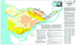 |
This map shows geological variation in the Quaternary deposits underlying the City of Richmond, British Columbia, and has been prepared as part of an earthquake hazard mapping project in the city. Richmond is located in one of the most seismically active regions in Canada (Rogers, 1998), and the deltaic sediments on which the city is built can amplify ground motions and are susceptible to earthquake induced liquefaction (e.g. Byrne, 1978; Finn et al., 1989; Byrne and Anderson, 1991; Clague et al., 1992, 1997, 1998b; Watts et al., 1992; Rogers et al., 1998; Harris et al., 1995, 1998; Cassidy et al., 1997; Cassidy and Rogers, 1999; Levson and Monahan, 2004). Because the variation in earthquake hazards is most affected by geological conditions in the upper 20 to 30 metres, this map primarily reflects geological variation in the upper 20 to 30 metres of the Quaternary sequence. |
| Issue ID: | GM2010-03 |
| Title: | Liquefaction Hazard Map of Richmond, British Columbia (parts of NTS 92G/02 and 03) |
| Author(s): | Monahan, P.A., Levson, V.M., Kerr, B.J. |
| Series Name: | Geoscience Map |
| Publication Year: | 2010 |
| Scale: | 1:20000 |
| NTS Map Sheet(s): | 092G/02,03 |
| Place Keyword(s): | British Columbia, Southwest, Richmond |
| Lat/Long (NSWE): | 49.25, 49.05, -123.2, -122.9 |
| Theme Keyword(s): | Quaternary geology, earthquake hazard map, deltaic sediments, liquefaction |
Download(s):
| PDF |
Abstract:
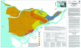 |
The City of Richmond, British Columbia, is located in one of the most seismically active regions in Canada (Rogers, 1998). The effects of earthquakes are not only dependent upon the magnitude of the earthquake and the distance from the source, but can vary considerably due to local geological conditions. These conditions can be mapped using existing geological and geotechnical data. This map shows the variation in the earthquake-induced liquefaction hazard in the City of Richmond, BC. The city is located entirely within the modern Fraser River delta, and the deltaic sediments on which the city is built are particularly susceptible to earthquake induced liquefaction (e.g. Byrne, 1978; Finn et al., 1989; Byrne and Anderson, 1991; Clague et al., 1992, 1997, 1998b; Watts et al., 1992). This map has been prepared as part of an earthquake hazard mapping project in the city. An accompanying map shows the Quaternary geology of the Richmond area (Geoscience Map 2010-2). |
| Issue ID: | GM2010-04 |
| Title: | Geology of the Area South and West of Princeton, British Columbia (parts of NTS 92H/01,02,07,08, and 10), 1:50 000 scale |
| Author(s): | Massey, N.W.D., Vineham, J.M.S., Oliver, S.L. |
| Series Name: | Geoscience Map |
| Publication Year: | 2010 |
| Scale: | 1:50000 |
| NTS Map Sheet(s): | 092H/01,02,07,08,10 |
| Place Keyword(s): | British Columbia, South, Princeton |
| Lat/Long (NSWE): | 49.58, 49, -121, -120.35 |
| Theme Keyword(s): | Geology, bedrock map, late Triassic Nicola Group, Quesnellia |
Download(s):
| PDF, ZIP (View Zip Contents) |
Abstract:
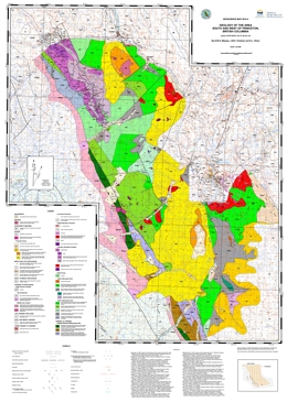 |
The map covers an area centered about 15 km to the southwest of Princeton. The map area stretches from the Copper Mountain and Wolfe Creek area southwest to East Gate and the boundary of Manning Park and northwest to the Tulameen River. The map area lies at the western edge of Quesnellia and includes some of the southernmost exposures of the late Triassic Nicola Group. To the east of the Boundary Fault, rocks of the Nicola group are assigned to the �Eastern Belt� (Preto 1979; Mortimer 1987). Interbedded black argillites, grey siltstones and sandstones are overlain by volcanic and volcaniclastic rocks of the Wolfe Creek Formation, which display an alkalic affinity. They host the important porphyry and skarn deposits of the Copper Mountain area (Preto, 1972). To the west, rocks of the Nicola Group were included in the calc-alkaline �western belt� by Mortimer (1987). They are lithologically similar to those in the east, though differing in details of stratigraphic succession.
Clastic sedimentary rocks, dominated by black argillites, are intercalated with feldspathic tuffs and tuffaceous sediments. These pass westwards, and probably upwards, into typical Nicola pyroxene-feldspar tuffs, lapilli tuffs and breccias. A sequence of massive feldspar basalt and greenstone flows occurs in the area southeast of the Granite Creek campsite. The volcanic rocks become more deformed to the west, the change from massive to schistose rocks being transitional and gradual from east to west as foliation becomes progressively more penetrative and steeper. Both schistose metasediments and metavolcanic rocks occur in the aureole of the Jurassic to Cretaceous Eagle Plutonic Complex along the western margin of the map area.
The Late Triassic Tulameen Ultramafic-Gabbro Complex is structurally emplaced into, though probably coeval with, the Nicola Group. Several smaller bodies of diorite-gabbro or pyroxenite also occur in the map area. The Tulameen Complex is host to chromite�Pt, magnetite, and copper deposits and an important source of platinum and gold-platinum placers of the area.
In the west of the map area, rocks of the Eastgate-Whipsaw metamorphic belt have been correlated with the Nicola by Rice (1947) and Monger (1989). The belt is bound by the syntectonic Eagle Plutonic Complex to the west and the Similkameen fault to the east. The belt shows significant lithological differences to the immediately adjacent Nicola volcanic rocks. It can be divided it into three northwest trending lithological assemblages that show increasing metamorphic grade from greenschist in the east to amphibolite in the west. The belt is host to VMS mineralization (e.g. Red Star and S&M group), as well as porphyry-Cu style mineralization associated with the Whipsaw porphyry. The belt may, in part, be equivalent to the Late Permian to Early Triassic Sitlika-Kutcho sequences, although preliminary zircon geochronometry suggests an Early Permian age (Oliver, work in progress).
Volcanic and sedimentary rocks of the Eocene Princeton Group occur in the northern (Tulameen coal basin), central (Princeton basin) and eastern parts of the map area. They lie unconformably on the Nicola Group and all older intrusive rocks. Comagmatic minor intrusions occur throughout the map area, particularly to the east of the Boundary fault. |
| Issue ID: | OF2010-07 |
| Title: | Till Geochemistry of the Nadina River Map Area (093E/15), West-Central British Columbia |
| Author(s): | Ferbey, T. |
| Series Name: | Open File |
| Publication Year: | 2010 |
| NTS Map Sheet(s): | 093E/15 |
| Place Keyword(s): | British Columbia, West-Central, Nadina River Area |
| Lat/Long (NSWE): | 54, 53.75, -127, -126.5 |
| Theme Keyword(s): | till geochemistry, basal till, ICP-MS, INAA, aqua regia digestion |
Download(s):
| PDF, ZIP (View Zip Contents) |
Abstract:
 |
The silt plus clay-sized fraction of 79 basal till samples collected within the Nadina River map area (093E/15), located approximately 100 km south of Houston, B.C., was analyzed for 37 elements by inductively coupled plasma mass spectrometry (ICP-MS), following an aqua regia digestion, and 35 elements by instrumental neutron activation analysis (INAA). An additional 16 basal till samples were collected for analysis of heavy metal concentrates and gold grain counts. The spatial distribution of samples elevated in Cu, Mo, Pb, Zn, Ag, Ni, Hg, Au, As, Sb, Cr, and visible gold grains are the focus of this study. Data presented here highlight four areas of geochemical interest. Follow-up field work is required to assess the significance of the elevated element values used to identify these areas. |
| Issue ID: | GF2010-13 |
| Title: | Unprocessed Ground Penetrating Radar for the Komie North Glaciofluvial Delta, Northeast British Columbia (NTS 94P/05) |
| Author(s): | Demchuk, T.E. |
| Series Name: | GeoFile |
| Publication Year: | 2010 |
| NTS Map Sheet(s): | 094P/05 |
| Place Keyword(s): | British Columbia, Northeast, Komie North |
| Lat/Long (NSWE): | 59.5, 59.25, -122, -121.5 |
| Theme Keyword(s): | ground penetrating radar, GPR, glaciofluvial delta |
Download(s):
| PDF, ZIP (View Zip Contents) |
Abstract:
 |
GeoFile 2010-13 provides unprocessed ground penetrating radar (GPR) data collected during field studies at the Komie North glaciofluvial delta in northeastern British Columbia. The data was collected as part of a research project investigating the genesis of the glaciofluvial delta. This work was also part of the northeast BC Aggregate Program of the Ministry of Energy, Mines and Petroleum Resources. Further information about this area, including surficial geology and sedimentology, are presented by Demchuk (2010). The data presented here include JPEGs of unprocessed GPR data and raw data files for processing. |
| Issue ID: | GF2010-14 |
| Title: | QUEST-South Regional Geochemical Survey: Catchment Basins for 2009 Stream Sample Sites |
| Author(s): | Cui, Y. |
| Series Name: | GeoFile |
| Publication Year: | 2010 |
| NTS Map Sheet(s): | 082E,L; 092H,I,O,P; 093A,B |
| Place Keyword(s): | British Columbia, South, QUEST-South |
| Lat/Long (NSWE): | 52.33, 49, -122.3, -119.2 |
| Theme Keyword(s): | QUEST-South, geochemical survey, catchment basins |
Download(s):
| PDF, ZIP (View Zip Contents) |
Abstract:
 |
As part of the QUEST South regional geochemical studies sponsored by Geoscience BC, a total of 785 stream samples were collected in southern British Columbia in 2009, with analytical results published in 2010 (Jackaman, 2010). The BC Geological Survey recently delineated catchment basins for these new infill stream sample sites, after extensive validation and adjustment of the sample locations to the TRIM streams. Detailed methodology on the delineation of catchment basins was described and published by Cui, et al. (2009). The release of the catchment basin data for these sample sites is to complement and enhance the values of the Geoscience BC publication, in the advancement of the leveling, interpretation, application and presentation of the geochemical results for mineral exploration. |
| Issue ID: | GF2011-01 |
| Title: | Lithogeochemical results from the Iskut Project 2010 |
| Author(s): | Mihalynuk, M.G., Logan, J.M. |
| Series Name: | GeoFile |
| Publication Year: | 2011 |
| NTS Map Sheet(s): | 104B/14E, 11E |
| Place Keyword(s): | British Columbia, Northwest, Hoodoo Mountain-Iskut River, Andrei Icefield, Twin Glacier River |
| Lat/Long (NSWE): | 57, 56.67, -131.25, -131 |
| Theme Keyword(s): | volcanic-hosted massive sulphide, Rock and Roll, copper porphyry, Stikine assemblage, Stuhini Group |
Download(s):
| PDF, ZIP (View Zip Contents) |
Abstract:
 |
GeoFile 2011-1 contains tabulated digital geochemical results from samples collected in the East Hoodoo-Iskut River area (NTS 104B/14E, 11NE). Selected elements from Instrumental Neutron Activation Analysis (INAA) and Inductively Coupled Mass Spectrographic analyses (ICPMS) are presented. The GeoFile also contains a map with the samples plotted in Manifold GIS format. Users of other GIS systems can import the sample locations from the Excel file. |
| Issue ID: | GF2011-02 |
| Title: | Final Frontier in the Golden Triangle: East Hoodoo Mountain Area |
| Author(s): | Mihalynuk, M.G., Logan, J.M., Zagorevski, A. |
| Series Name: | GeoFile |
| Publication Year: | 2011 |
| NTS Map Sheet(s): | 104B/14E, 11E |
| Place Keyword(s): | British Columbia, Northwest, Hoodoo Mountain-Iskut River, Andrei Icefield, Twin Glacier River |
| Lat/Long (NSWE): | 57, 56.67, -131.25, -131 |
| Theme Keyword(s): | volcanic-hosted massive sulphide, Rock and Roll, copper porphyry, Stikine assemblage, Stuhini Group |
Download(s):
| PDF |
Abstract:
 |
The Iskut River area of northwestern BC is characterized by exceptional mineral endowment, it is mostly enveloped by the fabled �Golden Triangle�. Westflowing lower Iskut River marks the northern edge of the south-pointing Golden Triangle. Rocks which host stratabound mineralization, such as at the Rock and Roll deposit, are apparently barren north of the river. There is no obvious geological explanation for the dearth of deposits north of the Iskut River edge of the Golden Triangle. However, a reason for the lack of deposits in the Hoodoo Mtn area (104B/14) may arise from the lack of a geological framework; much of the area has never been systematically mapped. A working partnership was established between the BC Ministry of Forests, Mines and Lands, the Geological Survey of Canada (GEMS), Pacific North West Capital Corp. and the University of Victoria to address this lack of public geologic knowledge. |
| Issue ID: | GF2011-03 |
| Title: | Regional to Property-Scale Drift Prospecting Surveys in British Columbia |
| Author(s): | Ferbey, T. |
| Series Name: | GeoFile |
| Publication Year: | 2011 |
| NTS Map Sheet(s): | 082;083;092;093;094;102;103;104;114 |
| Place Keyword(s): | British Columbia |
| Lat/Long (NSWE): | 60, 48, -140, -114 |
| Theme Keyword(s): | drift prospecting survey, geochemical data |
Download(s):
| PDF |
Abstract:
 |
Presented here is a geographically referenced list of drift prospecting surveys that have been conducted in British Columbia. A list of topical studies and special volumes that are relevant to drift prospecting in British Columbia have also been included. These studies and geochemical data will be of interest to explorationists and researchers who are assessing the effectiveness of drift prospecting surveys in the context of their own exploration or research program, who are preparing to design and implement their own survey, or who have generated geochemical data on drift samples and are looking for data from orientation surveys for comparison. This map and list of references is intended to provide a way of quickly identifying drift prospecting studies and data that are either geographically or topically of interest to those working in British Columbia. Any omission in the reference list or on the map should be brought to the attention of the compiler. This publication will be updated on an annual basis. |
| Issue ID: | GF2011-04 |
| Title: | Geology and Geochemistry of Carbonate-hosted Nonsulphide Zn-Pb Mineralization in Southern and Central B.C. |
| Author(s): | Paradis, S., Simandl, G.J., Keevil, H., Raudsepp, M. |
| Series Name: | GeoFile |
| Publication Year: | 2011 |
| NTS Map Sheet(s): | 082;083;092;093;094;102;103;104;114 |
| Place Keyword(s): | British Columbia |
| Lat/Long (NSWE): | 60, 48, -140, -114 |
| Theme Keyword(s): | carbonate-hosted, nonsulphide, Zn-Pb |
Download(s):
| PDF |
Abstract:
 |
Carbonate-hosted, nonsulphide base metal deposits of the Kootenay terrane (Salmo district), adjacent Cariboo terrane (Quesnel Lake district), and elsewhere in BC have near-surface Zn- and Pb-bearing iron oxide-rich gossans formed by supergene processes. The nonsulphide deposits of the Salmo district, which occur mainly as large irregular replacement masses, encrustations, or open-space fillings, consist predominantly of Fe-oxyhydroxides, goethite, hematite, hemimorphite, and minor smithsonite, hydrozincite and cerussite. They contain 0.8-23% Zn, 0.7-5% Pb, and >20% Fe. Deposits of the Quesnel Lake district consist of pervasive fine-grained sulphide and nonsulphide disseminations and aggregates forming pods and masses, sulphide- and nonsulphide-bearing quartz (�calcite) veins, and crackle breccias. Sulphides are galena, sphalerite, and trace amounts of pyrite. Nonsulphides are smithsonite, hemimorphite, cerussite, hydrozincite, and anglesite. Grab samples assayed 17.3-51.0% Zn, 0.1-1.5% Pb, and 0.4-0.8% Fe. In most occurrences of both districts, the spatial continuity and/or the close spatial relationships in combination with morphological similarities between sulphide and associated nonsulphide zones suggest direct replacement of sulphides by nonsulphide base metal-bearing minerals. |
| Issue ID: | GF2011-05 |
| Title: | Biogeochemical Exploration Vectors in Search of Carbonatite, Blue River, British Columbia |
| Author(s): | Simandl, G.J., Fajber, R., Dunn, C.E., Ulry, B., Dahrouge, J. |
| Series Name: | GeoFile |
| Publication Year: | 2011 |
| NTS Map Sheet(s): | 083D/03 |
| Place Keyword(s): | British Columbia, East, Blue River |
| Lat/Long (NSWE): | 52.34, 52.28, -119.2, -119.12 |
| Theme Keyword(s): | carbonatite, biogeochemical exploration, REE, Coniferous trees |
Download(s):
| PDF |
Abstract:
 |
Coniferous trees represent suitable sampling media in the exploration for carbonatites and related rare earth elements (REE), Ta, Nb, phosphate and fluorspar mineralization referred to in the British Columbia �Carbonatite Deposit profile N01� (Birkett and Simandl, 1999). Twenty four samples of twigs with needles from coniferous trees (Subalpine Fir and White Spruce) were collected over the Upper Fir Ta, Nb and apatite-bearing carbonatite. The results indicate that carbonatite is detectable by biogeochemical methods. Light rare earth elements (LREE), Y, Zr and P are good exploration vectors for REE and apatite mineralization; whereas Ta and Nb are direct indicators for their own ores. Ta is found in detectable concentrations only in White Spruce twigs (41% of samples), and mainly those directly overlying mineralization, concentrations range from 0.001 to 0.003 ppm Ta. Nb concentrations are higher than those of Ta; concentrations range from 0.02 to 0.24 ppm Nb in White Spruce twigs, 0.00496 to 0.070814 ppm Nb in White Spruce needles (ash values normalized to dry weights), and 0.012011 ppm to 0.030214 ppm in Subalpine Fir needles (ash values normalized to dry weights). |
| Issue ID: | GF2011-06 |
| Title: | Hand-held, Portable XRF in Exploration for Carbonate-hosted Sulphide and Nonsulphide Pb-Zn Deposits |
| Author(s): | Simandl, G.J., Paradis, S., Fajber, R., Rogers. N. |
| Series Name: | GeoFile |
| Publication Year: | 2011 |
| NTS Map Sheet(s): | 082;083;092;093;094;102;103;104;114 |
| Place Keyword(s): | British Columbia |
| Lat/Long (NSWE): | 60, 48, -140, -114 |
| Theme Keyword(s): | Portable XRF, Carbonate-hosted, exploration |
Download(s):
| PDF |
Abstract:
 |
Carbonate-hosted nonsulphide base metal mineralization is derived from sulphide deposits by supergene processes. In the field such occurrences can be described as �red ores� or �white ores�. Red ores consist mainly of Fe-oxyhydroxides: goethite, hematite, and hemimorphite, as well as minor smithsonite, hydrozincite and cerussite (+/- vestiges of galena ). They are difficult to distinguish macroscopically from barren gossans. White ores consist mainly of hemimorphite, smithsonite, and hydrozincite, as well as minor Fe-oxyhydroxides. In some cases white ores are difficult to distinguish from the enclosing carbonate host rock. Samples from the red and white nonsulphide mineralization were analysed first using portable hand-held X-Ray Fluorescence (XRF) spectrometry and secondly using laboratory ICP-MS/ICP-ES methods (following lithium metaborate fusion). Comparison between the methods indicates that the portable hand-held XRF is a useful field tool in exploration for carbonate-hosted nonsulphide mineralization. The instrument is able to distinguish between barren, moderately mineralized and high grade mineralized samples; making it useful where rapid decisions are needed (on a drill site, during helicopter supported geological work, or for semi-quantitative verification of ore grades at a mine site). Our tests also indicate that currently available portable hand-held XRF analysis is not a substitute for analytical laboratory methods (such as ICP-MS/ICP-ES or assays). |
| Issue ID: | IC2010-03 |
| Title: | Major Coal and Mineral Deposits of British Columbia, 1:2 000 000-scale |
| Author(s): | Desjardins, P.J., Lefebure, D.V. |
| Series Name: | Information Circular |
| Publication Year: | 2010 |
| NTS Map Sheet(s): | 082;083;092;093;094;102;103;104;114 |
| Place Keyword(s): | British Columbia |
| Lat/Long (NSWE): | 60, 48, -140, -114 |
| Theme Keyword(s): | MINFILE, major coal deposits, major mineral deposits, map, geology |
Download(s):
| PDF, ZIP (View Zip Contents) |
Abstract:
 |
The province�s MINFILE mineral occurrence database was used to identify the major coal and mineral deposits, mines and past producers for British Columbia. A larger size threshold was used for identifying open pit mines than the criteria for underground mines. The deposits and mines are plotted on a 1:2M provincial geology map. The resulting map is useful for geologists, prospectors and others wishing to relate rich mineral resources to the geology of the province. |
| Issue ID: | IC2010-04 |
| Title: | Copper in British Columbia |
| Author(s): | Fredericks, J., Northcote, B., Schroeter, T.G., Wilkin, L. |
| Series Name: | Information Circular |
| Publication Year: | 2010 |
| NTS Map Sheet(s): | 082;083;092;093;094;102;103;104;114 |
| Place Keyword(s): | British Columbia |
| Lat/Long (NSWE): | 60, 48, -140, -114 |
| Theme Keyword(s): | copper, MINFILE, brochure |
Download(s):
| PDF |
Abstract:
 |
This updated brochure briefly introduces the copper deposits in British Columbia, including the Highland Valley Copper, New Afton and Copper Mountain deposits. It has a location map of selected copper deposits, by deposit type, and a table of the 20 largest ranked by contained copper. The MINFILE database lists over 6,950 copper-bearing occurrences in the province; 3,643 of these list copper as the primary commodity. Total copper production (1894 to 2010) is approximately 13 Mt. The top 15 mines account for 90% of total production, with these dominated by calcalkalic porphyries, followed by alkalic porphyries and VMS deposits. |
| Issue ID: | IC2010-05 |
| Title: | Gold in British Columbia |
| Author(s): | Fredericks, J., Northcote, B., Schroeter, T.G., Wilkin, L. |
| Series Name: | Information Circular |
| Publication Year: | 2010 |
| NTS Map Sheet(s): | 082;083;092;093;094;102;103;104;114 |
| Place Keyword(s): | British Columbia |
| Lat/Long (NSWE): | 60, 48, -140, -114 |
| Theme Keyword(s): | gold, MINFILE, brochure |
Download(s):
| PDF |
Abstract:
 |
This updated brochure briefly describes gold deposits in British Columbia, including the Kemess South, Sulphurets Camp and Mount Milligan deposits. It has a location map of selected gold deposits, by deposit type, and a table of the top 20 lode gold producers. The MINFILE database lists over 2,700 occurrences for which gold is identified as the primary commodity. Of these nearly 700 have recorded gold production (398 lode, 294 placer). Total lode gold (1890-2010) and placer gold (1858-2010) production amounts to 32.6 million ounces and 6 million ounces, respectively. The top 25 producers include the Bridge River, Rossland, Hedley, Premier, Greenwood and Cariboo-Barkerville camps and the Eskay Creek, Island Copper, Snip and Kemess South mines, which have each produced over a million ounces, account for 90% of total production. The province's remaining in-ground gold resources are estimated at more than 130 million ounces. |
| Issue ID: | IC2011-01 |
| Title: | British Columbia Mines and Mineral Exploration Overview 2010 |
| Author(s): | Hancock, K.D., Northcote, B., Grieve, D., Madu, B., Wojdak, P.J. |
| Series Name: | Information Circular |
| Publication Year: | 2011 |
| NTS Map Sheet(s): | 082;083;092;093;094;102;103;104;114 |
| Place Keyword(s): | British Columbia |
| Lat/Long (NSWE): | 60, 48, -140, -114 |
| Theme Keyword(s): | Mineral exploration, Annual Review 2010 |
Download(s):
| PDF |
Abstract:
 |
This annual publication provides an overview of mineral exploration activities in the Province of British Columbia for 2010. It contains statistical information, tables, illustrations and location maps which summarize significant exploration and development projects in the province. The report documents mineral exploration expenditures, active exploration areas and the companies involved. |
| Issue ID: | IC2011-02 |
| Title: | Rare Metals in British Columbia |
| Author(s): | Johal, A., Northcote, B., Hancock, K.D. |
| Series Name: | Information Circular |
| Publication Year: | 2011 |
| NTS Map Sheet(s): | 082;083;092;093;094;102;103;104;114 |
| Place Keyword(s): | British Columbia |
| Lat/Long (NSWE): | 60, 48, -140, -114 |
| Theme Keyword(s): | Rare Metals, MINFILE, brochure, REE |
Download(s):
| PDF |
Abstract:
 |
This brochure briefly describes rare metal deposits in British Columbia, including the Aley, Upper Fir, Wicheeda, Carbo, Mount Copeland and Mount Bisson deposits. It has a location map of selected rare metal deposits. The MINFILE database lists over 90 rare metal occurrences hosted by carbonatites, nepheline syenites, rare element enriched pegmatites, skarns, massive sulphide deposits, sedimentary phosphate deposits and placer deposits. In approximately 25 of these occurrences, rare metals are considered the primary commodities. The recent surge in interest has added a number of new occurrences. To date, only a handful of prospects are developed beyond very early stage exploration. |
| Issue ID: | OF2010-08 |
| Title: | Surficial geology of the Komie Creek area (NTS 94P/5) |
| Author(s): | Demchuk, T.E. |
| Series Name: | Open File |
| Publication Year: | 2010 |
| Other Citation Details: | Also published as Geological Survey of Canada Open File 6568 |
| Larger Work Citation: | Also published as Geological Survey of Canada Open File 6568 |
| Scale: | 1:50000 |
| NTS Map Sheet(s): | 094P/05 |
| Place Keyword(s): | British Columbia, Northeast, Komie Creek |
| Lat/Long (NSWE): | 59.5, 59.25, -122, -121.5 |
| Theme Keyword(s): | Surficial Geology Map, Surficial Geology, Glacial Features |
Download(s):
| PDF |
Abstract:
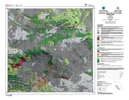 |
Komie Creek map area was fully glaciated by the Laurentide Ice Sheet (LIS) during the Late Wisconsinan Fraser Glaciation. Ice flow during the glacial maximum was towards the southwest, as indicated by the orientation of streamlined landforms on the Etsho Plateau. At some time after the Fraser Glaciation maximum, the LIS divided into two lobes (upland and lowland). The subsequent landform assemblages, highlighted well in LiDAR imagery, provide evidence that the upland lobe retreated to the northeast and the lateral margin of the lowland lobe dropped to the southwest. Organic deposits are the dominant surficial material type in the Komie Creek map area. They have accumulated and been deposited on poorly drained clay and silt-rich morainal and glacio-lacustrine deposits. Morainal deposits are the next most common surficial material type in the area and dominate along the top of the Etsho Escarpment and in the northeast corner of the study area. Glaciofluvial deposits are rare.
During ice retreat, an ice-marginal lake formed in the south-central part of the study area where the lowland lobe prevented drainage of meltwater out of the area. An aerially extensive landform, interpreted as an ice-contact glaciofluvial delta complex, was deposited into this dynamic glacial lake. The lake levels rose abruptly several times during delta deposition as a result of large west-flowing outburst floods in the Cabin Creek melt water channel, generated when a glacial lake breached its margins on or under the upland lobe. The delta is composed of several lobate landforms that sedimentologically are highly variable. A new, detailed 1:50,000-scale surficial geology map for the Komie Creek map area is presented in this Open File. This map was generated using aerial photographs, LiDAR DEMs, ground-based geophysics and field observations. |
| Issue ID: | OF2010-10 |
| Title: | International Workshop Geology of Rare Metals: Abstract Volume |
| Author(s): | Simandl, G.J., Lefebure, D.V. |
| Series Name: | Open File |
| Publication Year: | 2010 |
| NTS Map Sheet(s): | 082;083;092;093;094;102;103;104;114 |
| Place Keyword(s): | British Columbia |
| Lat/Long (NSWE): | 60, 48, -140, -114 |
| Theme Keyword(s): | Rare Metals, Workshop, Abstract Volume, REE, TGI4 |
Download(s):
| PDF |
Abstract:
 |
The International Workshop on the Geology of Rare Metals was held at the Harbour Towers Hotel in Victoria, Canada on November 9-10, 2010. It was organized by the British Columbia Geological Survey in collaboration with the Geological Survey of Canada�s Targeted Geoscience Initiative 4 and the Pacific Section of the Geological Association of Canada. The Workshop focused on various aspects of rare earth elements (lanthanides, Y and Sc) and other rare metals (mainly Nb, Ta, Li, Be, Zr, Hf). The program consisted of 26 oral presentations and 6 poster displays. Extended abstracts are included in this volume for all the technical presentations. They are arranged in order that they were presented. The Workshop is the first deliverable of the Rare Metals Project that is part of the renewed Targeted Geoscience Initiative. This Project is co-led by the Geological Survey of Canada and a number of Canadian provinces and territories.
The Rare Metals Project was be implemented to: focus and coordinate research efforts across Canada that are designed to improve the understanding of the tectonic and depositional environments of this suite of deposit types, which in turn will lead to the development of better predictive models and more effective exploration methods and techniques; and facilitate greater interaction between interested provincial and territorial geological surveys, industry representatives and academics in order to generate sub-projects and foster greater Canadian expertise in the geoscience of rare metals through the staging of workshops and seminars. Project activities will be carried out by federal, provincial and territorial geoscientists and academia. The research direction will be influenced by consultation with industry as to their present and future requirements for public geoscience data and knowledge. The Rare Metals Project will employ a number of geoscience methodologies including: geological, geophysical and geochemical mapping; geochronological and isotopic studies; and geometallurgical evaluations. |
| Issue ID: | OF2011-01 |
| Title: | Operating Mines and Selected Major Exploration Projects in B.C., 2010 |
| Author(s): | Grieve, D., Madu, B., Northcote, B., Wojdak, P.J., Fredericks, J., Meredith-Jones, S., Desjardins, P.J. |
| Series Name: | Open File |
| Publication Year: | 2011 |
| NTS Map Sheet(s): | 082;083;092;093;094;102;103;104;114 |
| Place Keyword(s): | British Columbia |
| Lat/Long (NSWE): | 60, 48, -140, -114 |
| Theme Keyword(s): | mines, exploration, projects, development |
Download(s):
| PDF, ZIP (View Zip Contents) |
Abstract:
 |
This Provincial Map shows the location of major exploration projects and producing metal, coal and industrial mineral mines in 2010. The PDF of the map is plot size and in colour. |
| Issue ID: | OF2011-03 |
| Title: | Geology of the Mid-Coast Region of British Columbia near Klemtu (parts of Laredo Sound Map Area, 103A/08, 09, 15, 16) |
| Author(s): | Nelson, J.L., Diakow, L.J., Karl, S., Mahoney, J.B., Gehrels, G.E., Pecha, M., van Staal, C. |
| Series Name: | Open File |
| Publication Year: | 2011 |
| NTS Map Sheet(s): | 103A/08,09,15,16 |
| Place Keyword(s): | British Columbia, West Coast, Klemtu |
| Lat/Long (NSWE): | 53, 52.2, -128.75, -128 |
| Theme Keyword(s): | geology, bedrock mapping, Cretaceous, Coast Plutonic Complex |
Download(s):
| PDF, ZIP (View Zip Contents) |
Abstract:
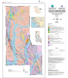 |
This open file map displays new geological mapping conducted in 2010 of the mid-coast region of British Columbia, centered on the channels of the Inside Passage near the village of Klemtu. The area lies within the western Coast Plutonic Complex. It is mostly underlain by large Cretaceous plutonic bodies, which contain screens of metamorphosed stratified rocks assigned to the Alexander terrane. These are assigned to the Mathieson Channel Formation, a mainly clastic sequence that contains detrital zircons as young as Early Devonian (G. Gehrels and B. Mahoney, unpublished data, 2011). It is probably correlative with mid-Paleozoic clastic units of the Alexander terrane in southeastern Alaska. The Grenville Channel fault transects the western part of the area. It is a regionally extensive, sinistral fault with unknown amounts of displacement in Early to mid-Cretaceous time. |
| Issue ID: | P2011-01-00 |
| Title: | Geological Fieldwork 2010: Foreword |
| Author(s): | Lefebure, D.V. |
| Series Name: | Paper |
| Publication Year: | 2011 |
| Larger Work Citation: | in Geological Fieldwork 2010, B.C. Ministry of Forest, Mines and Lands, Paper 2011-01 |
| NTS Map Sheet(s): | 082;083;092;093;094;102;103;104;114 |
| Place Keyword(s): | British Columbia |
| Lat/Long (NSWE): | 60, 48, -140, -114 |
| Theme Keyword(s): | Geological Fieldwork, Forward, Geological, Table of Contents |
Download(s):
| PDF |
Abstract:
| The British Columbia Geological Survey (BCGS) presents here the results of 2010 field surveys and geoscience research in the thirty-sixth edition of Geological Fieldwork. The articles profile some of the considerable staff expertise housed in the Survey. The provision of new geoscience data about British Columbia is a key activity of the BCGS that leads to mineral tenure acquisition and increased mineral exploration activity in the Province. Most articles are contributions by Survey staff to the understanding of the geology, geochemistry, and mineral deposits of the Province. The volume also includes contributions from the Geoscience and Natural Gas Development Branch of the Ministry of Energy and other professional geoscientists. Late in 2010, the government of British Columbia reorganized the natural resource sector ministries. The BCGS moved to the new Ministry of Forests, Mines and Lands along with the Mineral Policy Branch, while the regional geologists and the remaining Mines and Minerals Division staff of the former Ministry of Energy, Mines and Petroleum Resources moved to the new Ministry of Natural Resource Operations. |
| Issue ID: | P2011-01-01 |
| Title: | Geological Fieldwork 2010: British Columbia Geological Survey Activities in 2010 |
| Author(s): | Rowins, S.M., Jones, L.D., Lefebure, D.V., Fredericks, J. |
| Series Name: | Paper |
| Publication Year: | 2011 |
| Larger Work Citation: | in Geological Fieldwork 2010, B.C. Ministry of Forest, Mines and Lands, Paper 2011-01 |
| NTS Map Sheet(s): | 082;083;092;093;094;102;103;104;114 |
| Place Keyword(s): | British Columbia |
| Lat/Long (NSWE): | 60, 48, -140, -114 |
| Theme Keyword(s): | Geological Fieldwork, MapPlace, marketing, Mineral Development Office, partnerships |
Download(s):
| PDF |
Abstract:
| A report on the activities of the British Columbia Geological Survey in 2010. The mineral exploration and mining industry continued to perform well throughout the 2008-10 recession and helped lead the economic recovery in BC. Exploration expenditures in 2010 are estimated between $220 and $300 million, a significant increase over the $154 million spent in 2009. |
| Issue ID: | P2011-01-02 |
| Title: | Bedded Barite-Pyrite Occurrences in Upper Besa River Formation, Western Liard Basin, British Columbia and Regional Correlations with Devonian to Mississippian Sub-surface Formations (NTS 94N) |
| Author(s): | Ferri, F., Hickin, A.S., Huntley, D.H. |
| Series Name: | Paper |
| Publication Year: | 2011 |
| Larger Work Citation: | in Geological Fieldwork 2010, B.C. Ministry of Forest, Mines and Lands, Paper 2011-01 |
| NTS Map Sheet(s): | 094; |
| Place Keyword(s): | British Columbia, Northeast, Liard River, Toad River, Caribou Range |
| Lat/Long (NSWE): | 60, 56, -128, -120 |
| Theme Keyword(s): | Geological Fieldwork, Liard Basin, Horn River Basin, gamma ray, oil |
Download(s):
| PDF |
Abstract:
| This study is part of a collaborative program between the Geological Survey of Canada and the British Columbia Ministry of Energy, and is under the umbrella of the federal government's Geo-mapping for Energy and Minerals program (GEM) that is specifically examining petroleum related geoscience of the Liard and Horn river basins. |
| Issue ID: | P2011-01-03 |
| Title: | Nickeliferous Minerals in the Cassiar Asbestos Deposit, Northern British Columbia (NTS 104P/05) - Relevance for Nickel Exploration |
| Author(s): | Hora, Z.D., Langrova, A., Pivec, E. |
| Series Name: | Paper |
| Publication Year: | 2011 |
| Larger Work Citation: | in Geological Fieldwork 2010, B.C. Ministry of Forest, Mines and Lands, Paper 2011-01 |
| NTS Map Sheet(s): | 104P/05 |
| Place Keyword(s): | British Columbia, North |
| Lat/Long (NSWE): | 59.5, 59.25, -130, -129.5 |
| Theme Keyword(s): | Geological Fieldwork, Cassiar deposit, MINFILE 104P 005, chrysotile asbestos, awaruite |
Download(s):
| PDF |
Abstract:
| The discovery of nickel and cobalt bearing minerals in a rhodonite sample from the Bridge River Complex in 2006 raised our interest in nickel occurrences associated with the serpentinization of ultramafic rocks in British Columbia. The Cassiar mine tailings pile was sampled during the summer of 2008 and several fresh samples collected from the minesite ore zone in 1990 were selected for a preliminary study with specific attention given to minerals with nickel content. |
| Issue ID: | P2011-01-04 |
| Title: | Geology and Mineralization of the Hoodoo Mountain Area (NTS 104B/14E) |
| Author(s): | Mihalynuk, M.G., Logan, J.M., Zagorevski, A., Joyce, N. |
| Series Name: | Paper |
| Publication Year: | 2011 |
| Larger Work Citation: | in Geological Fieldwork 2010, B.C. Ministry of Forest, Mines and Lands, Paper 2011-01 |
| NTS Map Sheet(s): | 104B/14E |
| Place Keyword(s): | British Columbia, Northwest, Hoodoo Mountain, Andrei Icefield, Galore Creek |
| Lat/Long (NSWE): | 57, 56.67, -131.25, -131 |
| Theme Keyword(s): | Geological Fieldwork, Volcanic-hosted massive sulphide, Rock and Roll, copper porphyry, Stikine assemblage |
Download(s):
| PDF |
Abstract:
| This paper focuses on geological mapping of the Iskut River area conducted in 2010. Supplementary goals were to provide a more accurate geological setting for the Rock and Roll deposit and to evaluate the potential for similar precious metal rich polymetallic massive sulphide mineralization within the Iskut and adjacent regions. The work was mainly focused where published mapping was entirely lacking: the eastern half of the Hoodoo Mountain map sheet (NTS 104B/14E). |
| Issue ID: | P2011-01-05 |
| Title: | Atlin Placer Gold Nuggets Containing Mineral and Rock Matter: Implications for Lode Gold Exploration |
| Author(s): | Mihalynuk, M.G., Ambrose, T.K., Devine, F.A.M., Johnston, S.T. |
| Series Name: | Paper |
| Publication Year: | 2011 |
| Larger Work Citation: | in Geological Fieldwork 2010, B.C. Ministry of Forest, Mines and Lands, Paper 2011-01 |
| NTS Map Sheet(s): | 104N/11,12,13,14 |
| Place Keyword(s): | British Columbia, Northwest, Atlin, Surprise Lake, Boulder Creek |
| Lat/Long (NSWE): | 60, 59.3, -133.75, -132.6 |
| Theme Keyword(s): | Geological Fieldwork, placer gold, intrusive-related gold, listwanite, quartz-carbonate-mariposite alteration |
Download(s):
| PDF |
Abstract:
| As a test for the utility of searching for more subtle intrusive-related lode gold sources of gold, this project looked for intrusive-related mineral matter intergrown with gold in nuggets recovered from give established placer streams in the Atlin camp. |
| Issue ID: | P2011-01-06 |
| Title: | Geology and Mineral Potential of the Southern Alexander Terrane and western Coast Plutonic Complex near Klemtu, Northwestern British Columbia |
| Author(s): | Nelson, J.L., Diakow, L.J., Karl, S., Mahoney, J.B., Gehrels, G.E., Pecha, M., van Staal, C. |
| Series Name: | Paper |
| Publication Year: | 2011 |
| Larger Work Citation: | in Geological Fieldwork 2010, B.C. Ministry of Forest, Mines and Lands, Paper 2011-01 |
| NTS Map Sheet(s): | 094P/05 |
| Place Keyword(s): | British Columbia, Northwest, Klemtu |
| Lat/Long (NSWE): | 53, 52.2, -128.75, -128 |
| Theme Keyword(s): | Geological Fieldwork, Alexander terrane, Grenville Channel fault, Coast Mountains, Coast Plutonic Complex |
Download(s):
| PDF |
Abstract:
| This report covers the second of a planned 3-year program study of the bedrock geology and mineral potential study of the bedrock geology and mineral potential of the British Columbia North Coast area. |
| Issue ID: | P2011-01-07 |
| Title: | Geology of the Kutcho Assemblage between Kutcho Creek and the Tucho River, Northern British Columbia (NTS 104I/01) |
| Author(s): | Schiarizza, P.A. |
| Series Name: | Paper |
| Publication Year: | 2011 |
| Larger Work Citation: | in Geological Fieldwork 2010, B.C. Ministry of Forest, Mines and Lands, Paper 2011-01 |
| NTS Map Sheet(s): | 104I/01 |
| Place Keyword(s): | British Columbia, North, Kutcho Creek |
| Lat/Long (NSWE): | 58.25, 58.1, -128.5, -128.15 |
| Theme Keyword(s): | Geological Fieldwork, Kutcho assemblage, Cache Creek terrane, King Salmon fault, Nahlin fault |
Download(s):
| PDF |
Abstract:
| The Kutcho project is a two-year bedrock mapping program initiated by the British Columbia Geological Survey in 2010. The aim of the project is to gain a better understanding of, and provide more detailed geological maps for, the Permo-Triassic Kutcho assemblage, which hosts the Kutcho Creek volcanogenic massive sulphide deposit. This report summarizes preliminary results from the first year�s fieldwork on the Kutcho project. |
| Issue ID: | P2011-01-08 |
| Title: | Quaternary Geology and Till Geochemistry of the Colleymount Map Area (NTS 93L/01), West-Central British Columbia |
| Author(s): | Ferbey, T. |
| Series Name: | Paper |
| Publication Year: | 2011 |
| Larger Work Citation: | in Geological Fieldwork 2010, B.C. Ministry of Forest, Mines and Lands, Paper 2011-01 |
| NTS Map Sheet(s): | 093L/01 |
| Place Keyword(s): | British Columbia, West-central, Nechako Plateau, Colleymount |
| Lat/Long (NSWE): | 54.25, 54, -126.5, -126 |
| Theme Keyword(s): | Geological Fieldwork, Quaternary geology, surficial mapping, till geochemistry, heavy minerals |
Download(s):
| PDF |
Abstract:
| A two-year Quaternary geology and till geochemistry program is currently underway within the northern portion of the Tahtsa Lake district; present here are observations made, and details on the till samples collected, during the 2010 field season within Colleymount map area. This is the second and final year of this program and builds on previous Quaternary geology and till geochemistry work by Ferbey (2010a, b) conducted immediately to the southwest in NTS 093E/15. |
| Issue ID: | P2011-01-09 |
| Title: | Age Constraints of Mineralization at the Brenda and Woodjam Cu-Mo+/-Au Porphyry Deposits - An Early Jurassic Calcalkaline Event, South-Central British Columbia |
| Author(s): | Logan, J.M., Mihalynuk, M.G., Friedman, R.M., Creaser, R.A. |
| Series Name: | Paper |
| Publication Year: | 2011 |
| Larger Work Citation: | in Geological Fieldwork 2010, B.C. Ministry of Forest, Mines and Lands, Paper 2011-01 |
| NTS Map Sheet(s): | 093A;092H |
| Place Keyword(s): | British Columbia, South-Central |
| Lat/Long (NSWE): | 53, 49, -122, -120 |
| Theme Keyword(s): | Geological Fieldwork, calcalkaline porphyry, copper-molybdenum-gold deposit, Early Jurassic, alteration |
Download(s):
| PDF |
Abstract:
| This report aims to briefly outline the geological setting, age, mineralization and alteration within the Takomkane/Wildhorse magmatic belt as displayed at two deposits, the past producing Brenda mine, and the actively developing Woodjam prospect. |
| Issue ID: | P2011-01-10 |
| Title: | Southern Nicola Project: Geochemistry of Volcanic Rocks of the Nicola Group West of the Boundary Fault (parts of NTS 92H/02, 07 and 10) |
| Author(s): | Massey, N.W.D. |
| Series Name: | Paper |
| Publication Year: | 2011 |
| Larger Work Citation: | in Geological Fieldwork 2010, B.C. Ministry of Forest, Mines and Lands, Paper 2011-01 |
| NTS Map Sheet(s): | 092H/02,07,10 |
| Place Keyword(s): | British Columbia, South, Copper Mountain, Wolfe Creek, Manning Park |
| Lat/Long (NSWE): | 49.56, 49.06, -120.96, -120.41 |
| Theme Keyword(s): | Geological Fieldwork, Quesnellia, Nicola Group, volcanic geochemistry, calcalkaline |
Download(s):
| PDF |
Abstract:
| The Southern Nicola Project area is located on the eastern boundary of Manning Park, about 15 km southwest of the town of Princeton, in southern British Columbia. Tectonically, the project area lies at the western edge of Quesnellia, just east of the bounding Pasayten fault, and includes the southernmost exposures of the Late Triassic Nicola Group.
This paper focuses on the results of geochemical analyses of samples of Nicola Group volcanic and volcaniclastic rocks collected in 2008 and 2009. These results confirm correlation of the Nicola Group rocks west of the Boundary fault with the �Western Belt� as suggested by Mortimer (1989). |
| Issue ID: | P2011-01-11 |
| Title: | Improving the Efficiency in the Maintenance of the Provincial Geological Database |
| Author(s): | Cui, Y. |
| Series Name: | Paper |
| Publication Year: | 2011 |
| Larger Work Citation: | in Geological Fieldwork 2010, B.C. Ministry of Forest, Mines and Lands, Paper 2011-01 |
| NTS Map Sheet(s): | 082;083;092;093;094;102;103;104;114 |
| Place Keyword(s): | British Columbia |
| Lat/Long (NSWE): | 60, 48, -140, -114 |
| Theme Keyword(s): | Geological Fieldwork, geological map, spatial database, MapPlace, GIS |
Download(s):
| PDF |
Abstract:
| This paper describes some of the best practices that are promoted at the British Columbia Geological Survey (BCGS) to improve the efficiency in maintaining geological maps. The main focus is to leverage interoperable (including freely available) spatial database technology to reduce the redundancy and efforts in map compilation and data integration while enhancing the data quality. |
| Issue ID: | P2011-01-12 |
| Title: | Regional Geochemical Survey: Validation and Refitting of Stream Sample Locations |
| Author(s): | Cui, Y. |
| Series Name: | Paper |
| Publication Year: | 2011 |
| Larger Work Citation: | in Geological Fieldwork 2010, B.C. Ministry of Forest, Mines and Lands, Paper 2011-01 |
| NTS Map Sheet(s): | 082;083;092;093;094;102;103;104;114 |
| Place Keyword(s): | British Columbia |
| Lat/Long (NSWE): | 60, 48, -140, -114 |
| Theme Keyword(s): | Geological Fieldwork, spatial data quality, regional geochemical survey, RGS, sample locations |
Download(s):
| PDF |
Abstract:
| This paper summarizes recent work at the British Columbia Geological Survey (BCGS) in data quality assurance, data refitting and the results of the refitted Regional Geochemical Survey (RGS) stream sample sites in the province of British Columbia. |
| Issue ID: | P2011-01-13 |
| Title: | A Comparison of Several Commercially Available Methods for the Geochemical Analysis of Rare Earth, Rare Metal and High Field Strength Elements in Geological Samples |
| Author(s): | Lett, R.E., Paterson, K. |
| Series Name: | Paper |
| Publication Year: | 2011 |
| Larger Work Citation: | in Geological Fieldwork 2010, B.C. Ministry of Forest, Mines and Lands, Paper 2011-01 |
| NTS Map Sheet(s): | 082;083;092;093;094;102;103;104;114 |
| Place Keyword(s): | British Columbia |
| Lat/Long (NSWE): | 60, 48, -140, -114 |
| Theme Keyword(s): | Geological Fieldwork, REE, RM, HFES, geochemical analyses |
Download(s):
| PDF |
Abstract:
| This paper describes a study using commercial laboratory analysis of bedrock samples from the Spanish Mountain Au deposit and the Galore Creek porphyry Cu-Au deposit in British Columbia and a reference standard, for rare earth elements, rare metals and high field strength elements by instrumental neutron activation, sodium peroxide sinter and inductively coupled plasma mass spectrometry (ICPMS), lithium metaborate-tetraborate fusion-inductively coupled plasma mass spectrometry, 4 acid digestion-ICPMS, x-ray fluorescence and AR(hydrochloric-nitric acid) digestion-ICPMS. |
| Issue ID: | P2011-01-14 |
| Title: | Carbonate-Hosted, Nonsulphide Zn-Pb (supergene) Mineral Deposit Profile B09 |
| Author(s): | Paradis, S., Simandl, G.J. |
| Series Name: | Paper |
| Publication Year: | 2011 |
| Larger Work Citation: | in Geological Fieldwork 2010, B.C. Ministry of Forest, Mines and Lands, Paper 2011-01 |
| NTS Map Sheet(s): | 082;083;092;093;094;102;103;104;114 |
| Place Keyword(s): | British Columbia |
| Lat/Long (NSWE): | 60, 48, -140, -114 |
| Theme Keyword(s): | Geological Fieldwork, mineral deposit profile, carbonate-hosted, nonsulphide Zn-Pb |
Download(s):
| PDF |
Abstract:
| The British Columbia Geological Survey has published descriptions of many of the mineral deposit types that can be found in the Cordillera. The descriptions (called profiles) provide concise overviews of different deposit types. Economic geologists, prospectors, resource evaluation professionals and students can use the profiles to review the key characteristics of different deposit types including typical examples, tectonic setting, mineralogy, alteration, genetic models, associated deposits, typical grades and tonnages and exploration guides. Over 100 profiles for metal, coal deposits and industrial minerals are available online. |
| Issue ID: | EXP2010-00 |
| Title: | Exploration and Mining in British Columbia 2010, Foreword and Table of Contents |
| Author(s): | Grieve, D., Madu, B., Northcote, B., Wojdak, P.J., Lefebure, D.V., Fredericks, J. |
| Series Name: | Exploration and Mining in BC |
| Publication Year: | 2011 |
| Other Citation Details: | pages iii to v |
| Larger Work Citation: | Exploration and Mining in B.C. 2010 |
| NTS Map Sheet(s): | 082;083;092;093;094;102;103;104;114 |
| Place Keyword(s): | British Columbia |
| Lat/Long (NSWE): | 60, 48, -140, -114 |
| Theme Keyword(s): | Exploration and Mining, Summary and Trends |
Download(s):
| PDF |
Abstract:
 |
This annual publication provides detailed regional reviews of mining, mineral exploration and development activities in British Columbia for 2010. Regional Geologists compile the publication using information provided by government, companies and individuals in the British Columbia mining industry. The report contains detailed statistical tables and illustrations, in addition to location maps and tables summarizing significant mining, exploration and development projects in the province. |
| Issue ID: | EXP2010-01 |
| Title: | Skeena Region |
| Author(s): | Wojdak, P.J. |
| Series Name: | Exploration and Mining in BC |
| Publication Year: | 2011 |
| Other Citation Details: | pages 17 to 54 |
| Larger Work Citation: | Exploration and Mining in B.C. 2010 |
| NTS Map Sheet(s): | 093;094;103;104;114 |
| Place Keyword(s): | British Columbia, Northwest, Skeena |
| Lat/Long (NSWE): | 60, 52, -139, -125 |
| Theme Keyword(s): | Exploration and Mining, Mines, Metals, Aggregate Projects |
Download(s):
| PDF |
Abstract:
|
An annual review of mineral exploration and mining activity from the Skeena region of British Columbia with a focus on mines and quarries, metal mines, industrial mineral quarries, mine development projects, mine evaluation projects, porphyry copper projects, porphyry molybdenum projects, nickel in ultramafic rocks; massive sulphide projects, and gold-silver projects. |
| Issue ID: | EXP2010-02 |
| Title: | Northeast Region |
| Author(s): | Lefebure, D.V. |
| Series Name: | Exploration and Mining in BC |
| Publication Year: | 2011 |
| Other Citation Details: | pages 55 to 57 |
| Larger Work Citation: | Exploration and Mining in B.C. 2010 |
| NTS Map Sheet(s): | 093; 094 |
| Place Keyword(s): | British Columbia, Northeast |
| Lat/Long (NSWE): | 60, 54, -129, -120 |
| Theme Keyword(s): | Exploration and Mining, Mines, Coal |
Download(s):
| PDF |
Abstract:
|
An annual review of mineral exploration and mining activity from the northeastern region of British Columbia with a focus on coal mines and coal exploration projects. |
| Issue ID: | EXP2010-03 |
| Title: | Omineca Region |
| Author(s): | Wojdak, P.J. |
| Series Name: | Exploration and Mining in BC |
| Publication Year: | 2011 |
| Other Citation Details: | pages 1 to 16 |
| Larger Work Citation: | Exploration and Mining in B.C. 2010 |
| NTS Map Sheet(s): | 083;093;094 |
| Place Keyword(s): | British Columbia, North-central, Omineca, Cache Creek, Nechako Plateau |
| Lat/Long (NSWE): | 59, 52, -129, -118 |
| Theme Keyword(s): | Exploration and Mining, Mines, metals, mine development, mine evaluation |
Download(s):
| PDF |
Abstract:
|
An annual review of mineral exploration and mining activity from the Omineca region of British Columbia with a focus on metal mines, mine development projects, mine evaluation projects, porphyry copper projects, nickel projects, magnesium projects, gold projects, gold-silver projects, polymetallic massive sulphide projects, rare metals projects, and industrial mineral projects. |
| Issue ID: | EXP2010-04 |
| Title: | Thompson-Okanagan-Cariboo Region |
| Author(s): | Madu, B. |
| Series Name: | Exploration and Mining in BC |
| Publication Year: | 2011 |
| Other Citation Details: | pages 59 to 84 |
| Larger Work Citation: | Exploration and Mining in B.C. 2010 |
| NTS Map Sheet(s): | 082;083;092;093;094 |
| Place Keyword(s): | British Columbia, South-central, Thompson-Okanagan-Cariboo, North Thompson, Southern Caribou |
| Lat/Long (NSWE): | 53, 49, -126, -118 |
| Theme Keyword(s): | Exploration and Mining, Mines, Coal, Metals, Industrial minerals |
Download(s):
| PDF |
Abstract:
|
An annual review of mineral exploration and mining activity from the Thompson-Okanagan-Cariboo region of British Columbia with a focus on mines and quarries, metal mines, coal, coal mines, industrial mineral quarries and aggregates, mine development projects, porphyry projects, skarn projects, vein and breccia projects, sediment-hosted gold projects, massive sulphide projects, magmatic projects, and exploration highlights. |
| Issue ID: | EXP2010-05 |
| Title: | Coast Region |
| Author(s): | Northcote, B. |
| Series Name: | Exploration and Mining in BC |
| Publication Year: | 2011 |
| Other Citation Details: | pages 85 to 101 |
| Larger Work Citation: | Exploration and Mining in B.C. 2010 |
| NTS Map Sheet(s): | 092;093; 102;103 |
| Place Keyword(s): | British Columbia, South-west, Coast, Vancouver Island |
| Lat/Long (NSWE): | 54, 48, -134, -120 |
| Theme Keyword(s): | Exploration and Mining, Mines, Coal, Metals, Industrial minerals |
Download(s):
| PDF |
Abstract:
|
An annual review of mineral exploration and mining activity from the Coast region of British Columbia with a focus on mines and quarries, metal, coal, industrial minerals and aggregates, marble, building and landscaping stone, major aggregate mines, mine development and mine evaluation projects and exploration highlights. |
| Issue ID: | EXP2010-06 |
| Title: | Kootenay-Boundary |
| Author(s): | Grieve, D. |
| Series Name: | Exploration and Mining in BC |
| Publication Year: | 2011 |
| Other Citation Details: | pages 103 to 114 |
| Larger Work Citation: | Exploration and Mining in B.C. 2010 |
| NTS Map Sheet(s): | 082; |
| Place Keyword(s): | British Columbia, Southeast, Kootenay-Boundary |
| Lat/Long (NSWE): | 52, 49, -119, -114 |
| Theme Keyword(s): | Exploration and Mining, Mines, Coal, Metals, Industrial minerals |
Download(s):
| PDF |
Abstract:
|
An annual review of mineral exploration and mining activity from the Kootenay-Boundary region of British Columbia with a focus on operating mines, coal, metals, industrial minerals, mine evaluation projects, gold projects, base metal projects, polymetallic projects, east Kootenay coalfields projects and exploration highlights. |
| Issue ID: | GBCR2011-03 |
| Title: | The Application of Surface Organic Materials as Sample Media over Deeply Buried Mineralization at the Kwanika Central Zone, North-Central B.C. |
| Author(s): | Heberlein, D.R., Dunn, C.E. |
| Series Name: | Geoscience BC Report |
| Publication Year: | 2011 |
| Larger Work Citation: | Geoscience BC Project 2010-003 |
| NTS Map Sheet(s): | 093N/06 |
| Place Keyword(s): | British Columbia, Kwanika |
| Lat/Long (NSWE): | 55.55, 55.28, -125.37, -125.18 |
| Theme Keyword(s): | geochemistry, Cu-Au porphyry, Ah horizon soil, organic materials |
Additional Link(s):
| http://cdn.geosciencebc.com/project_data/GBC_Report2011-3/GBC2011-3_Report.pdf
http://cdn.geosciencebc.com/project_data/GBC_Report2011-3/GBC2011-3_Appendices.zip
http://cdn.geosciencebc.com/project_data/GBC_Report2011-3/GBC2011-3_Analytical_Results.zip
http://www.geosciencebc.com/projects/2010-003/ |
Abstract:
| As a follow up to the 2009 Geoscience BC study by Heberlein and Samson (2010), the authors carried out an expanded geochemical orientation survey over the Kwanika Central Zone focusing on the geochemical responses in organic materials to the mineralization. Results of the original study showed that the most effective combination of sampling medium and chemical extraction for detection of the deeply buried Cu-Au porphyry mineralization was Ah horizon soil with a modified aqua regia (Ultratrace) digestion with ICP-MS determinations. This project further investigates the use of Ah horizon by comparing sampling results from an offset 100 by 100 metre grid with other organic materials, namely vegetation and charcoal. |
| Issue ID: | GM2011-01 |
| Title: | Geology, Geochronology, Lithogeochemistry and Metamorphism of the Holberg-Winter Harbour Area, Northern Vancouver Island (parts of NTS 92L/05, 12, 13; 102I/08, 09 and 16) 1:50 000 scale |
| Author(s): | Nixon, G.T., Hammack, J.L., Koyanagi, V.M., Snyder, L.D., Payie, G.J., Panteleyev, A., Massey, N.W.D., Hamilton, J.V., Orr, A.J., Friedman, R.M., Archibald, D.A., Haggart, J.W., Orchard, M.J., Tozer, E.T., Tipper, H.W., Poulton, T.P., Palfy, J., Cordey, F |
| Series Name: | Geoscience Map |
| Publication Year: | 2011 |
| Scale: | 1:50000 |
| NTS Map Sheet(s): | 092L/05,12,13; 102I/08,09,16 |
| Place Keyword(s): | British Columbia, Southwest, Vancouver Island |
| Lat/Long (NSWE): | 50.89, 50.435, -128.43, -127.66 |
| Theme Keyword(s): | Geology, bedrock map, geochronology, lithogeochemistry, metamorphism |
Download(s):
| PDF |
Abstract:
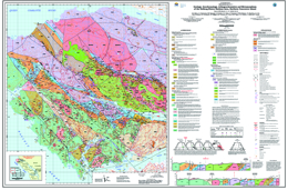 |
Geoscience Map 2011-1 (1:50 000-scale), the first in a series of five new geological maps for northern Vancouver Island, describes the geology, geochronology, lithogeochemistry and metamorphism of the Holberg-Winter Harbour area (parts of NTS 092L/05, 12, 13; 102I/08, 09 and 16). The map area is underlain by a folded and faulted sequence of Late Triassic to Middle Jurassic volcanic and sedimentary rocks of the Vancouver and Bonanza groups intruded by granitoids of the Early to Middle Jurassic Island Plutonic Suite. The deformed Triassic-Jurassic rocks are unconformably overlain by Cretaceous marine clastics and cut locally by Tertiary minor intrusions. Middle Jurassic intrusions of the Island Plutonic Suite (e.g., Hushamu Creek and Goodspeed River plutons) are spatially and genetically associated with important calc-alkaline Cu-Au-Mo porphyry-style mineralization similar to the deposit at the former Island Copper mine, as well as coeval high-sulphidation base- and precious-metal epithermal prospects in the Pemberton Hills � Mount McIntosh area. A major northwesterly-trending structure along Holberg-Rupert inlets, the Holberg Fault, separates the well-mineralized Middle Jurassic intrusions and broadly coeval Holberg volcanic unit of the Bonanza Group from their Early Jurassic counterparts to the west. Regional metamorphism is generally characterized by very low grade mineral assemblages (prehnite-pumpellyite to zeolite facies) except in the vicinity of faults and intrusive contacts where the rocks reach upper greenschist to amphibolite grade. |
| Issue ID: | GBCR2011-01-00 |
| Title: | Geoscience BC Summary of Activities for 2010 - Foreword |
| Author(s): | Sluggett, C. |
| Series Name: | Geoscience BC Report |
| Publication Year: | 2011 |
| Larger Work Citation: | in Geoscience BC Report 2011-1 |
| NTS Map Sheet(s): | 082;083;092;093;094;102;103;104;114 |
| Place Keyword(s): | British Columbia |
| Lat/Long (NSWE): | 60, 48, -139, -114 |
| Theme Keyword(s): | Geoscience BC, Summary of Activities, Foreword |
Additional Link(s):
| http://cdn.geosciencebc.com/pdf/SummaryofActivities2010/SoA2010_Foreword_red.pdf
http://cdn.geosciencebc.com/pdf/SummaryofActivities2010/SoA2010_Foreword.pdf |
Abstract:
| Geoscience BC presents the results of ongoing and recently completed geoscience projects and surveys in the fourth edition of the Geoscience BC Summary of Activities 2010. The volume is divided into two sections, and contains a total of 25 papers. Industry consultants and contractors, university-based researchers and government geoscientists working on Geoscience BC-funded projects in British Columbia prepared most of the papers. |
| Issue ID: | GBCR2011-01-01 |
| Title: | Porphyry Integration Project: Combining British Columbia's Wealth of Datasets with Modern Exploration Geoscience at the District Scale to Provide New Insight into Porphyry-Deposit Exploration Strategies |
| Author(s): | Devine, F. |
| Series Name: | Geoscience BC Report |
| Publication Year: | 2011 |
| Larger Work Citation: | in Geoscience BC Report 2011-1 |
| NTS Map Sheet(s): | 082;083;092;093;094;102;103;104;114 |
| Place Keyword(s): | British Columbia |
| Lat/Long (NSWE): | 60, 48, -139, -114 |
| Theme Keyword(s): | porphyry deposits, data compilation, integration, exploration targeting, Geoscience BC |
Additional Link(s):
| http://cdn.geosciencebc.com/pdf/SummaryofActivities2010/SoA2010_Devine_red.pdf
http://cdn.geosciencebc.com/pdf/SummaryofActivities2010/SoA2010_Devine.pdf |
Abstract:
| British Columbia is home to one of the world�s major alkalic porphyry districts and also hosts numerous calcalkalic porphyry deposits. The majority of copper production in the province since the 1960s has come from porphyry deposits and six of the top ten producing or past-producing copper mines in BC are porphyry deposits. These deposits also contain other metals as the primary or secondary commodity, including molybdenum, gold and silver. The discovery record has proven Stikine and Quesnel arc terranes to be two of the most prospective geological terranes in BC for porphyry deposits. Over 2000 porphyry-related showings, prospects, developed prospects and deposits have been reported in BC. |
| Issue ID: | GBCR2011-01-02 |
| Title: | Preliminary Results of a Vegetation, Ah-Horizon Soil and Charcoal Geochemical Investigation at the Kwanika Central Zone, North-Central British Columbia (NTS 93N/19) |
| Author(s): | Heberlein, D.R., Dunn, C.E. |
| Series Name: | Geoscience BC Report |
| Publication Year: | 2011 |
| Larger Work Citation: | in Geoscience BC Report 2011-1 |
| NTS Map Sheet(s): | 093N/06 |
| Place Keyword(s): | British Columbia, Kwanika |
| Lat/Long (NSWE): | 55.55, 55.28, -125.37, -125.18 |
| Theme Keyword(s): | deep-penetrating geochemistry, copper-gold porphyry, biogeochemistry, pine and spruce bark, fir needles |
Additional Link(s):
| http://cdn.geosciencebc.com/pdf/SummaryofActivities2010/SoA2010_Heberlein&Dunn_red.pdf
http://cdn.geosciencebc.com/pdf/SummaryofActivities2010/SoA2010_Heberlein&Dunn.pdf |
Abstract:
| The current study builds on the results documented in Geoscience BC Report 2010-3 (Heberlein and Sam son, 2010) by investigating the geochemical response to the Kwanika Central zone in surficial organic materials. It further investigates the effectiveness of the Ah horizon as a sample medium by testing three different chemical digestions (distilled water leach, sodium pyrophosphate leach and aqua regia) on an offset 100 by 100 m grid over the mineralization. It also examines the relationship between the metal contents of vegetation and the Ah horizon and attempts to determine whether metal anomalies detected in Ah horizon material are formed by accumulation from shed plant tissues or by entrapment of mobile metal ions by organic matter in the soil. In addition, charcoal debris in the Ah horizon is investigated as a potential sample medium. Char coal is a common component of boreal and sub-boreal forest soils. It is formed by the thermochemical decomposition of wood by fire (DeLuca and Aplet, 2008). This highly porous material is known to have a strong metal sorption capacity (Johns et al., 1993; McMahon, 2006) and therefore should behave as an effective trap for mobile metal ions in the near-surface environment. It is potentially a useful sampling medium in areas of recent forest fires and logged areas where the vegetation and the Ah horizon may have been damaged or completely destroyed.
This paper describes the field sampling program carried out by the authors in late August to early September, 2010, and discusses the preliminary results of the charcoal sampling. A complete synthesis of the results of this study, including a discussion of the vegetation and Ah horizon geochemistry, will be published in a separate Geoscience BC report and presented at Mineral Exploration Roundup 2011. |
| Issue ID: | GBCR2011-01-03 |
| Title: | Continued Investigations of Physical Property-Geology Relationships in Porphyry-Deposit Settings in the QUEST and QUEST-West Project Areas, Central British Columbia (NTS 93E,K,L,M,N) |
| Author(s): | Mitchinson, D.E., Enkin, R.J. |
| Series Name: | Geoscience BC Report |
| Publication Year: | 2011 |
| Larger Work Citation: | in Geoscience BC Report 2011-1 |
| NTS Map Sheet(s): | 093E,K,L,M,N |
| Place Keyword(s): | British Columbia, QUEST, QUEST-West |
| Lat/Long (NSWE): | 56.25, 52.25, -129.25, -120.5 |
| Theme Keyword(s): | porphyry deposit, physical properties, density, conductivity, magnetic susceptibility |
Additional Link(s):
| http://cdn.geosciencebc.com/pdf/SummaryofActivities2010/SoA2010_Mitchinson&Enkin_red.pdf
http://cdn.geosciencebc.com/pdf/SummaryofActivities2010/SoA2010_Mitchinson&Enkin.pdf |
Abstract:
| In 2007 and 2008, Geoscience BC supported regional-scale airborne electromagnetic and magnetic surveys over central and west-central British Columbia with the intent to improve geological understanding in Quaternary sediment�covered areas, and thus to encourage mineral exploration in these underexplored regions. As part of the QUEST and QUEST-West geophysical programs, six known porphyry deposits were also surveyed on a more detailed scale. Physical rock property studies based on sample suites from these deposits attempt to define relationships between porphyry deposit geology and geophysics. The results of these studies presented herein are of interest not only for interpretation of the recently collected geophysical datasets, but for application to geophysical exploration programs in similar geological settings throughout central BC. |
| Issue ID: | GBCR2011-01-04 |
| Title: | Magmatic Evolution, Mineralization and Alteration of the Red Chris Copper-Gold Porphyry Deposit, Northwestern British Columbia (NTS 104H/12W) |
| Author(s): | Norris, J.R., Hart, C.J.R., Tosdal, R.M., Rees, C. |
| Series Name: | Geoscience BC Report |
| Publication Year: | 2011 |
| Larger Work Citation: | in Geoscience BC Report 2011-1 |
| NTS Map Sheet(s): | 104H/12 |
| Place Keyword(s): | British Columbia, Northwest |
| Lat/Long (NSWE): | 57.75, 57.67, -129.9, -129.7 |
| Theme Keyword(s): | Stikine terrane, copper, porphyry deposits, alteration, Red Chris |
Additional Link(s):
| http://cdn.geosciencebc.com/pdf/SummaryofActivities2010/SoA2010_Norris_etal_red.pdf
http://cdn.geosciencebc.com/pdf/SummaryofActivities2010/SoA2010_Norris_etal.pdf |
Abstract:
| This paper focuses on increasing the understanding of the magmatic evolution, mineralization styles and alteration of the Red Chris deposit, with particular emphasis on the deeper parts of the East zone. Specifically, the emphasis is along a 500 m long section trending N50�E, where the nature of the intrusive rocks, mineralization, veins and alteration were investigated in eight diamond-drill holes in 2010. Additionally, a diamond-drill hole studied in 2009 (RC07-335) lies on this section (Norris et al., 2010). Samples were taken roughly every 50 m as 10�15 cm slabs of previously cut drillcore, for a total of 324 samples along the N50E section. |
| Issue ID: | GBCR2011-01-05 |
| Title: | Carbonaceous Mudstone Hosting the Eskay Creek Deposit, Northwestern British Columbia (NTS 104B/09,10): Multivariate Statistical Analysis of Compositional Trends |
| Author(s): | Meuzelaar, T., Monecke, T. |
| Series Name: | Geoscience BC Report |
| Publication Year: | 2011 |
| Larger Work Citation: | in Geoscience BC Report 2011-1 |
| NTS Map Sheet(s): | 104B/09,10 |
| Place Keyword(s): | British Columbia, Northwest |
| Lat/Long (NSWE): | 56.68, 56.62, -130.5, -130.35 |
| Theme Keyword(s): | Eskay Creek, geochemistry, carbonaceous mudstone, gold, massive sulphides |
Additional Link(s):
| http://cdn.geosciencebc.com/pdf/SummaryofActivities2010/SoA2010_Meuzelaar&Monecke_red.pdf
http://cdn.geosciencebc.com/pdf/SummaryofActivities2010/SoA2010_Meuzelaar&Monecke.pdf |
Abstract:
| This paper reports initial results of a comprehensive mineralogical and geochemical study of the ore-hosting mudstone of the Eskay Creek deposit, and demonstrates that hydrothermal alteration can be recognized up to tens to hundreds of metres from the ore-bodies. Identification of compositional gradients within the alteration halo permits the delineation of a set of vectors to ore that can be used in the exploration for this unusual deposit type in BC and elsewhere. |
| Issue ID: | GBCR2011-01-06 |
| Title: | Quaternary Geology and Till Geochemistry of the Bulkley River Valley, West-Central British Columbia (part of NTS 93L) |
| Author(s): | Stumpf, A.J. |
| Series Name: | Geoscience BC Report |
| Publication Year: | 2011 |
| Larger Work Citation: | in Geoscience BC Report 2011-1 |
| NTS Map Sheet(s): | 093L |
| Place Keyword(s): | British Columbia, West-central, Buckley River Valley |
| Lat/Long (NSWE): | 55, 54.25, -127.3, -126 |
| Theme Keyword(s): | geochemistry, till, Quaternary geology, mineral exploration, QUEST-West Project |
Additional Link(s):
| http://cdn.geosciencebc.com/pdf/SummaryofActivities2010/SoA2010_Stumpf_red.pdf
http://cdn.geosciencebc.com/pdf/SummaryofActivities2010/SoA2010_Stumpf.pdf |
Abstract:
| The goal of this project is to provide the mineral exploration community additional information characterizing the glacial materials, which in this region form a near continuous cover masking the bed rock surface. Combined with existing geological and geophysical data collected by Geoscience BC, and historical databases archived at the BCGS and GSC, this information will assist companies to identify new exploration targets and re-evaluate known mineral occurrences. These activities will promote further investment in the resource exploration and development sector in this part of BC. |
| Issue ID: | GBCR2011-01-07 |
| Title: | Quaternary Geology and Till Geochemistry of the Colleymount Map Area, West-Central British Columbia (NTS 93L/01) |
| Author(s): | Ferbey, T. |
| Series Name: | Geoscience BC Report |
| Publication Year: | 2011 |
| Larger Work Citation: | in Geoscience BC Report 2011-1 |
| NTS Map Sheet(s): | 093L/01 |
| Place Keyword(s): | British Columbia, Central, QUEST-West, Nechako Plateau |
| Lat/Long (NSWE): | 54.25, 54, -126.5, -126 |
| Theme Keyword(s): | Quaternary geology, surficial mapping, till geochemistry, heavy minerals, gold grain counts |
Additional Link(s):
| http://cdn.geosciencebc.com/pdf/SummaryofActivities2010/SoA2010_Ferbey_red.pdf
http://cdn.geosciencebc.com/pdf/SummaryofActivities2010/SoA2010_Ferbey.pdf |
Abstract:
| The objectives of this two-year Quaternary geology and till geochemistry program are to characterize and delineate the Quaternary materials that occur in the study area and reconstruct the region�s glacial and ice-flow history; and to assess the economic potential of covered bedrock (subcrop) by conducting till geochemistry surveys.
The study area falls within the Mountain Pine Beetle Impacted Zone and Geoscience BC�s QUEST-West Project area. The goal of this project is to provide the mineral exploration community with high quality, regional-scale, geochemical data that will help guide exploration efforts. In addition to geochemical and geophysical data recently. |
| Issue ID: | GBCR2011-01-08 |
| Title: | Drift Prospecting within the QUEST Project Area, Central British Columbia (NTS 93J): Potential for Porphyry Copper-Gold, Volcanogenic Massive Sulphide Mineralization and Gold-Copper Veins |
| Author(s): | Ward, B.C., Leybourne, M.I., Sacco, D.A. |
| Series Name: | Geoscience BC Report |
| Publication Year: | 2011 |
| Larger Work Citation: | in Geoscience BC Report 2011-1 |
| NTS Map Sheet(s): | 093A,B,G,H,K,L,N,O; 094C,D |
| Place Keyword(s): | British Columbia, Central, QUEST |
| Lat/Long (NSWE): | 56.25, 52.25, -126.25, -120.5 |
| Theme Keyword(s): | geochemistry, regional till geochemical survey, Cu-Au porphyry, VMS |
Additional Link(s):
| http://cdn.geosciencebc.com/pdf/SummaryofActivities2010/SoA2010_Ward_etal_red.pdf
http://cdn.geosciencebc.com/pdf/SummaryofActivities2010/SoA2010_Ward_etal.pdf |
Abstract:
| The objective of this study is to use regional-scale major-, minor- and trace-element till geochemical data (by inductively coupled plasma�mass spectrometry [ICP-MS] following aqua-regia digestion, instrumental neutron activation analysis [INAA], gold grain counts and heavy mineral separations) to identify mineralized bedrock and predict bedrock lithologies. These data will provide new exploration targets and also provide geological context for companies to interpret their own geochemical and geological datasets. This paper is a summary of a future Geoscience BC publication that will include all data tables, statistical analysis and proportional dot maps of elements analyzed. In the interests of brevity, data for some of the elements mentioned here are not shown. |
| Issue ID: | GBCR2011-01-09 |
| Title: | Investigations of Orogenic Gold Deposits in the Cariboo Gold District, East-Central British Columbia (parts of NTS 93A, H): Final Report |
| Author(s): | Mortensen, J.K., Rhys, D.A., Ross, K. |
| Series Name: | Geoscience BC Report |
| Publication Year: | 2011 |
| Larger Work Citation: | in Geoscience BC Report 2011-1 |
| NTS Map Sheet(s): | 093A,H |
| Place Keyword(s): | British Columbia, East-central, Cariboo Gold district |
| Lat/Long (NSWE): | 53.25, 53.15, -122, -120.35 |
| Theme Keyword(s): | orogenic gold, Cariboo gold district, vein, gold-rich replacement |
Additional Link(s):
| http://cdn.geosciencebc.com/pdf/SummaryofActivities2010/SoA2010_Mortensen_etal_red.pdf
http://cdn.geosciencebc.com/pdf/SummaryofActivities2010/SoA2010_Mortensen_etal.pdf |
Abstract:
| In this paper, the authors report new 40Ar/39Ar dating results and discuss the implications for the timing of orogenic gold systems in the region. Discussions also include the age and petrochemistry of intrusive rocks in the vicinity of gold mineralization in the Spanish Mountain area, and the use of Pb-isotopic constraints to identify possible sources of the gold and other metals in deposits and occurrences throughout the CGD. |
| Issue ID: | GBCR2011-01-10 |
| Title: | Characterization of Placer- and Lode-Gold Grains as an Exploration Tool in East-Central British Columbia (parts of NTS 93A,B,G,H) |
| Author(s): | Chapman, R.C., Mortensen, J.K. |
| Series Name: | Geoscience BC Report |
| Publication Year: | 2011 |
| Larger Work Citation: | in Geoscience BC Report 2011-1 |
| NTS Map Sheet(s): | 093A,B,G,H |
| Place Keyword(s): | British Columbia, East-central, Cariboo Gold district |
| Lat/Long (NSWE): | 53.25, 53.15, -122, -120.35 |
| Theme Keyword(s): | placer gold, lode gold, alloy composition, micro-inclusions |
Additional Link(s):
| http://cdn.geosciencebc.com/pdf/SummaryofActivities2010/SoA2010_Chapman&Mortensen_red.pdf
http://cdn.geosciencebc.com/pdf/SummaryofActivities2010/SoA2010_Chapman&Mortensen.pdf |
Abstract:
| This paper describes the results of a project designed to evaluate the use of microchemistry of placer-gold grains (alloy compositions plus opaque inclusion suite) as an exploration tool in the Cariboo gold district (CGD) in east-central British Columbia. Fieldwork was completed in July 2009 and the analysis of gold grains was completed in late 2009. Some earlier results of the work have been discussed previously by Mortensen and Chapman (2010). |
| Issue ID: | GBCR2011-01-11 |
| Title: | Variability in the Basaltic Rocks Hosting Copper-Gold Porphyry Mineralization in the Quesnel Terrane, South-Central British Columbia (NTS 92, 93): Geochemistry, Stable Isotopes and Physical Properties |
| Author(s): | Vaca, S., Bissig, D.E., Mitchinson, S., Barker, S., Hart, C.J.R. |
| Series Name: | Geoscience BC Report |
| Publication Year: | 2011 |
| Larger Work Citation: | in Geoscience BC Report 2011-1 |
| NTS Map Sheet(s): | 092; 093 |
| Place Keyword(s): | British Columbia, South-central, Quesnel |
| Lat/Long (NSWE): | 56, 48, -128, -120 |
| Theme Keyword(s): | Quesnel terrain, alkalic porphyry, geochemistry, physical properties, stable isotopes |
Additional Link(s):
| http://cdn.geosciencebc.com/pdf/SummaryofActivities2010/SoA2010_Vaca_etal_red.pdf
http://cdn.geosciencebc.com/pdf/SummaryofActivities2010/SoA2010_Vaca_etal.pdf |
Abstract:
| This paper presents the results of whole-rock geochemical and magnetic susceptibility analysis of coherent basalts from arc segments with known deposits, and compares them to arc segments without known mineralization. |
| Issue ID: | GBCR2011-01-12 |
| Title: | Geological Investigations of the Basement of the Quesnel Terrane in Southern British Columbia (NTS 82E,F,L, 92H,I): Progress Report |
| Author(s): | Mortensen, J.K., Lucas, K., Monger, J.W.H., Cordey, F. |
| Series Name: | Geoscience BC Report |
| Publication Year: | 2011 |
| Larger Work Citation: | in Geoscience BC Report 2011-1 |
| NTS Map Sheet(s): | 082E,F,L; 092H,I |
| Place Keyword(s): | British Columbia, Quesnel terrane, southern Okanagan |
| Lat/Long (NSWE): | 51, 49, -122, -117.5 |
| Theme Keyword(s): | Paleozoic basement, volcanic, chert, detrital zircon, lithogeochemistry |
Additional Link(s):
| http://cdn.geosciencebc.com/pdf/SummaryofActivities2010/SoA2010_Mortensen&Lucas_etal_red.pdf
http://cdn.geosciencebc.com/pdf/SummaryofActivities2010/SoA2010_Mortensen&Lucas_etal.pdf |
Abstract:
| Geoscience BC is currently undertaking a major investigation of the geology and mineral potential of the southern Quesnel terrane as part of the QUEST-South Project, which includes regional soil and silt geochemical surveys of the entire southern part of the Quesnel terrane, as well as airborne geophysical surveys of the western portion of the terrane. The geology of most pre-Mesozoic basement assemblages of the southern Quesnel terrane, however, is not well understood at present, and without such information it is not possible to fully interpret the geochemical or geophysical results of the QUEST-South Project. |
| Issue ID: | GBCR2011-01-13 |
| Title: | Geology and Mineralogy of Carbonate-Hosted Nonsulphide Zn-Pb Mineralization in Southern (NTS 82F/03) and Central (NTS 93A/14E, 15W) British Columbia |
| Author(s): | Paradis, S., Keevil, H., Simandl, G.J., Raudsepp, M. |
| Series Name: | Geoscience BC Report |
| Publication Year: | 2011 |
| Larger Work Citation: | in Geoscience BC Report 2011-1 |
| NTS Map Sheet(s): | 082F/03; 093A/14E,15W |
| Place Keyword(s): | British Columbia, South, Central |
| Lat/Long (NSWE): | 54, 49, -123.5, -116.5 |
| Theme Keyword(s): | zinc-lead deposits, nonsulphides, carbonate-hosted, sphalerite, galena |
Additional Link(s):
| http://cdn.geosciencebc.com/pdf/SummaryofActivities2010/SoA2010_Paradis_etal_red.pdf
http://cdn.geosciencebc.com/pdf/SummaryofActivities2010/SoA2010_Paradis_etal.pdf |
Abstract:
| The primary objective of this paper is to define the geological and mineralogical attributes of representative CHNSBM deposits in southern and central BC, which will also provide the foundation for the B.Sc. honours thesis of H. Keevil. These attributes could be used as a tool for the identification of areas of maximum prospectivity in southern and central BC, as well as elsewhere in the province. |
| Issue ID: | GBCR2011-01-14 |
| Title: | Physical Properties of Carbonate-Hosted Nonsulphide Zn-Pb Mineralization in Southern (NTS 082F/03) and Central (NTS 93A/14E, 15W) British Columbia |
| Author(s): | Enkin, R.J., Paradis, S., Simandl, G.J. |
| Series Name: | Geoscience BC Report |
| Publication Year: | 2011 |
| Larger Work Citation: | in Geoscience BC Report 2011-1 |
| NTS Map Sheet(s): | 082F/03; 093A/14E,15W |
| Place Keyword(s): | British Columbia, Kootenays, Salmo district, Quesnel Lake area |
| Lat/Long (NSWE): | 54, 49, -123.5, -116.5 |
| Theme Keyword(s): | zinc-lead deposits, nonsulphides, carbonate-hosted, geophysical surveys, physical properties |
Additional Link(s):
| http://cdn.geosciencebc.com/pdf/SummaryofActivities2010/SoA2010_Enkin_etal_red.pdf
http://cdn.geosciencebc.com/pdf/SummaryofActivities2010/SoA2010_Enkin_etal.pdf |
Abstract:
| The study forms one part of Geoscience BC Project 2009-030: �Geology and mineralogy of carbonate hosted nonsulphide Zn-Pb mineralization in southern (NTS 082F/03) and central BC (NTS 093A/14E, 15W)�. |
| Issue ID: | GBCR2011-01-15 |
| Title: | British Columbia Regional Geochemical Survey Program: New Analytical Data and Sample Archive Upgrades |
| Author(s): | Jackaman, W. |
| Series Name: | Geoscience BC Report |
| Publication Year: | 2011 |
| Larger Work Citation: | in Geoscience BC Report 2011-1 |
| NTS Map Sheet(s): | 082;083;092;093;094;102;103;104;114 |
| Place Keyword(s): | British Columbia |
| Lat/Long (NSWE): | 60, 48, -140, -114 |
| Theme Keyword(s): | mineral exploration, geochemistry, regional geochemical survey, RGS, multi-element |
Additional Link(s):
| http://cdn.geosciencebc.com/pdf/SummaryofActivities2010/SoA2010_Jackaman_red.pdf
http://cdn.geosciencebc.com/pdf/SummaryofActivities2010/SoA2010_Jackaman.pdf |
Abstract:
| Efforts to maximize the utility of the regional geochemical database are ongoing and include both new sampling and enhancements to available analytical information. In 2010, Geoscience BC supported the following database upgrade projects to:
- reanalyze moss-mat sediment samples originally collected in 1988 and 1989 from creeks located on Vancouver Island; the samples were analyzed for 51 elements by aqua-regia digestion followed by inductively coupled plasma�mass spectrometry (ICP-MS) and Pt and Pd by fire assay;
- reanalyze drain age sediment samples from several surveys originally con ducted in northern BC from 1977 to 1995 for 53 elements by aqua-regia ICP-MS; and
- catalogue and transfer sample pulps retained from surveys conducted in BC into a single materials archival facility maintained by Natural Resources Canada (NRCan). |
| Issue ID: | GBCR2011-01-16 |
| Title: | Deep Aquifer Characterization in Support of Montney Gas Development, Northeastern British Columbia (parts of NTS 93, 94): Progress Report |
| Author(s): | Hayes, B.J.R., Hume, D.W., Webb, G. Costanzo, S., Hopkins, M., McDonald, D. |
| Series Name: | Geoscience BC Report |
| Publication Year: | 2011 |
| Larger Work Citation: | in Geoscience BC Report 2011-1 |
| NTS Map Sheet(s): | 093;094 |
| Place Keyword(s): | British Columbia, Northeast |
| Lat/Long (NSWE): | 59, 53, -124, -116 |
| Theme Keyword(s): | Montney Formation, tight gas, aquifer, Halfway Formation, Baldonnel Formation |
Additional Link(s):
| http://cdn.geosciencebc.com/pdf/SummaryofActivities2010/SoA2010_Hayes_etal_red.pdf
http://cdn.geosciencebc.com/pdf/SummaryofActivities2010/SoA2010_Hayes_etal.pdf |
Abstract:
| Geoscience BC assembled a project team to address deep subsurface, shallow subsurface and surface water distribution in the Montney play area. Petrel Robertson Consulting Ltd. (PRCL) and Canadian Discovery Ltd. have been commissioned to undertake and report upon the technical assessment of deep subsurface aquifers, and this report summarizes their work to fall 2010. |
| Issue ID: | GBCR2011-01-17 |
| Title: | Overview of the Montney Water Project: A New Geoscience BC Initiative in Northeastern British Columbia (NTS 93P, 94A, B) |
| Author(s): | Brown, D.A. |
| Series Name: | Geoscience BC Report |
| Publication Year: | 2011 |
| Larger Work Citation: | in Geoscience BC Report 2011-1 |
| NTS Map Sheet(s): | 093P;094A,B |
| Place Keyword(s): | British Columbia, Northeast |
| Lat/Long (NSWE): | 59, 53, -124, -116 |
| Theme Keyword(s): | unconventional gas, shale gas, tight sandstone and shale, surface water, Triassic Montney Formation |
Additional Link(s):
| http://cdn.geosciencebc.com/pdf/SummaryofActivities2010/SoA2010_Brown_red.pdf
http://cdn.geosciencebc.com/pdf/SummaryofActivities2010/SoA2010_Brown.pdf |
Abstract:
| This paper is an overview of Geoscience BC�s Montney Water Project (MWP), which is a collaboration between industry, government, communities and stakeholders to provide a regional overview of water resources in the Montney shale gas play area of northeastern British Columbia. |
| Issue ID: | GBCR2011-01-18 |
| Title: | Quantification of the Gas-in-Place and Flow Characteristics of Tight Gas-Charged Rocks and Gas-Shale Potential in British Columbia |
| Author(s): | Bustin, R.M., Chalmers, G., Bustin, A.A.M. |
| Series Name: | Geoscience BC Report |
| Publication Year: | 2011 |
| Larger Work Citation: | in Geoscience BC Report 2011-1 |
| NTS Map Sheet(s): | 082;083;092;093;094;102;103;104;114 |
| Place Keyword(s): | British Columbia |
| Lat/Long (NSWE): | 60, 48, -140, -114 |
| Theme Keyword(s): | gas shale, unconventional gas, reservoir development |
Additional Link(s):
| http://cdn.geosciencebc.com/pdf/SummaryofActivities2010/SoA2010_Bustin_etal_red.pdf
http://cdn.geosciencebc.com/pdf/SummaryofActivities2010/SoA2010_Bustin_etal.pdf |
Abstract:
| In February 2010, in response to a funding application submitted in 2008, Geoscience BC awarded the authors a two-year grant to investigate factors that determine the gas-in-place and flow characteristics of gas (and oil) producing shales. The proposed research project targets the Devonian strata in the Horn River Basin and Cordova Embayment, Montney and Doig formations, Gordondale Member (formerly the informal �Nordegg Member�), Buckinghorse and Shaftesbury formations, and Fort St. John Group, covering a broad area of northeastern BC |
| Issue ID: | GBCR2011-01-19 |
| Title: | Tectonic Evolution and Paleogeography of Pennsylvanian-Permian Strata in East-Central British Columbia (NTS 93I, O, P): Implications from Stratigraphy, Fracture Analysis and Sedimentology |
| Author(s): | Zubin-Stathopoulos, K.D., Dean, G.J., Spratt, D., Beauchamp, B., Spratt, D.A., Henderson, C.M. |
| Series Name: | Geoscience BC Report |
| Publication Year: | 2011 |
| Larger Work Citation: | in Geoscience BC Report 2011-1 |
| NTS Map Sheet(s): | 093I,O,P |
| Place Keyword(s): | British Columbia, East-central |
| Lat/Long (NSWE): | 56, 54, -123.5, -119.5 |
| Theme Keyword(s): | biostratigraphy, Pennsylvanian, Permian, tectonics, carbonates |
Additional Link(s):
| http://cdn.geosciencebc.com/pdf/SummaryofActivities2010/SoA2010_KZS_etal_red.pdf
http://cdn.geosciencebc.com/pdf/SummaryofActivities2010/SoA2010_KZS_etal.pdf |
Abstract:
| This paper presents new data that show how tectonic and paleogeographic features had significant control on the environments of deposition of Pennsylvanian-Permian strata, as well as the inheritance of some of these tectonic and paleogeographic trends during the Late Cretaceous to Paleogene development of the fold-and-thrust belt. |
| Issue ID: | GBCR2011-01-20 |
| Title: | Biostratigraphic Correlation and Shale Fabric of Lower Triassic Strata, East-Central British Columbia (NTS 93I, O, P) |
| Author(s): | Henderson, C.M. |
| Series Name: | Geoscience BC Report |
| Publication Year: | 2011 |
| Larger Work Citation: | in Geoscience BC Report 2011-1 |
| NTS Map Sheet(s): | 093I,O,P |
| Place Keyword(s): | British Columbia, Northeast, East-central |
| Lat/Long (NSWE): | 56, 54, -123.5, -119.5 |
| Theme Keyword(s): | conodont biostratigraphy, latest Permian, Lower Triassic, shale fabric, depositional rates |
Additional Link(s):
| http://cdn.geosciencebc.com/pdf/SummaryofActivities2010/SoA2010_Henderson_red.pdf
http://cdn.geosciencebc.com/pdf/SummaryofActivities2010/SoA2010_Henderson.pdf |
Abstract:
| This preliminary study addresses the current biostratigraphic potential for the interval (latest Permian to earliest Middle Triassic) and discusses lithology and depositional rates at four different locations. The sequence biostratigraphic framework is still in progress. |
| Issue ID: | GBCR2011-01-21 |
| Title: | Stratigraphic Correlation and Sedimentary Provenance of Triassic Natural Gas-Bearing Rocks in Northeastern British Columbia (NTS 94B): Correlation of Outcrop to the Subsurface |
| Author(s): | Golding, M.L., Zonneveld, J-P., Orchard, M.J., Ferri, F., Mortensen, J.K. |
| Series Name: | Geoscience BC Report |
| Publication Year: | 2011 |
| Larger Work Citation: | in Geoscience BC Report 2011-1 |
| NTS Map Sheet(s): | 094B |
| Place Keyword(s): | British Columbia, Northeast |
| Lat/Long (NSWE): | 57, 55.75, -124, -122 |
| Theme Keyword(s): | Triassic, Western Canada Sedimentary Basin, correlation, conodont, detrital zircon |
Additional Link(s):
| http://cdn.geosciencebc.com/pdf/SummaryofActivities2010/SoA2010_Golding_etal_red.pdf
http://cdn.geosciencebc.com/pdf/SummaryofActivities2010/SoA2010_Golding_etal.pdf |
Abstract:
| Fieldwork was undertaken in the summer of 2009, with a single section studied south of the Halfway River, named the South Halfway section. A detailed report of this work was published in Ferri et al. (2010). Since that time, work on the biostratigraphy of the section has been completed, and preliminary results from the detrital zircon samples are reported here. This paper also provides an update on fieldwork conducted along the east arm of Williston Lake during the summer of 2010. |
| Issue ID: | GBCR2011-01-22 |
| Title: | Characterization and Structural Framework of Eocene Volcanic Sequences in the Nechako Region, Central British Columbia (NTS 92N,O, 93B,C,G) |
| Author(s): | Bordet, E., Hart, C.J.R. |
| Series Name: | Geoscience BC Report |
| Publication Year: | 2011 |
| Larger Work Citation: | in Geoscience BC Report 2011-1 |
| NTS Map Sheet(s): | 092N,O; 093B,C,G |
| Place Keyword(s): | British Columbia, Central, Nechako |
| Lat/Long (NSWE): | 55, 51, -128, -120 |
| Theme Keyword(s): | regional mapping, Eocene volcanic rocks, Eocene stratigraphy, structural framework |
Additional Link(s):
| http://cdn.geosciencebc.com/pdf/SummaryofActivities2010/SoA2010_Bordet&Hart_red.pdf
http://cdn.geosciencebc.com/pdf/SummaryofActivities2010/SoA2010_Bordet&Hart.pdf |
Abstract:
| Over the course of this project, the authors propose to evaluate the nature, thickness and structural frame work of Eocene volcanic rocks in the Nechako region, which will lead to increased understanding of the area�s Cenozoic history, contribute to improved interpretations and add value to existing seismic and magnetotelluric data sets. In this paper, the authors present the significant outcomes of their 2010 field season, document the nature, structure and extent of the different packages of volcanic sequences currently inferred to be Eocene in age, and discuss the latter�s relationships with underlying and overlying rocks. |
| Issue ID: | GBCR2011-01-23 |
| Title: | Improved Near-Surface Velocity Models from the Nechako Basin Seismic Survey, South-Central British Columbia (parts of NTS 93B,C,F,G), Part 2: Full-Waveform Inversion |
| Author(s): | Smithyman, B.R., Clowes, R.M. |
| Series Name: | Geoscience BC Report |
| Publication Year: | 2011 |
| Larger Work Citation: | in Geoscience BC Report 2011-1 |
| NTS Map Sheet(s): | 093B,C,F,G |
| Place Keyword(s): | British Columbia, Central, Nechako |
| Lat/Long (NSWE): | 55, 52, -128, -122 |
| Theme Keyword(s): | seismic surveys, seismic tomography, seismic inversion, first-arrival interpretation, waveform tomography |
Additional Link(s):
| http://cdn.geosciencebc.com/pdf/SummaryofActivities2010/SoA2010_Smithyman&Clowes_red.pdf
http://cdn.geosciencebc.com/pdf/SummaryofActivities2010/SoA2010_Smithyman&Clowes.pdf |
Abstract:
| The goal of this project was to process first-arrival data from a multichannel vibroseis reflection survey in the Nechako Basin of south-central British Columbia (BC) to provide an improved near-surface velocity model. |
| Issue ID: | GBCR2011-01-24 |
| Title: | Velocity Models from Three-Dimensional Traveltime Tomography in the Nechako Basin, South-Central British Columbia (parts of NTS 93B,C,F,G) |
| Author(s): | Talinga, D.A., Calvert, A.J. |
| Series Name: | Geoscience BC Report |
| Publication Year: | 2011 |
| Larger Work Citation: | in Geoscience BC Report 2011-1 |
| NTS Map Sheet(s): | 093B,C,F,G |
| Place Keyword(s): | British Columbia, Central, Nechako |
| Lat/Long (NSWE): | 53.5, 52.5, -125, -123 |
| Theme Keyword(s): | hydrocarbon exploration, three-dimensional seismic tomography, imaging, volcanic cover, velocity models |
Additional Link(s):
| http://cdn.geosciencebc.com/pdf/SummaryofActivities2010/SoA2010_Talinga&Calvert_red.pdf
http://cdn.geosciencebc.com/pdf/SummaryofActivities2010/SoA2010_Talinga&Calvert.pdf |
Abstract:
| The 2008 Geoscience BC seismic survey consists of seven two-dimensional (2-D) crooked lines acquired in the east-central part of the Nechako basin. In this paper we present velocity models obtained from three-dimensional (3-D) tomographic inversion of refracted waves recorded on two of the Geoscience BC seismic lines:
- east-trending line 2008-15, shot across Tertiary deposits comprising volcanic rocks of the Eocene Endako Group and Ootsa Lake Group
- roughly east-trending line 2008-11, shot mainly across upper Tertiary volcanic rocks of the Chilcotin Group but with Quaternary cover to the east and outcropping Cretaceous volcanic rocks to the west |
| Issue ID: | GBCR2011-01-25 |
| Title: | Modelling and Investigation of Airborne Electromagnetic Data and Reprocessing of Vibroseis Data from the Nechako Basin of South-Central British Columbia (NTS 93B,C,F,G), Guided by Magnetotelluric Results |
| Author(s): | Farquharson, C.G., Craven, J.A., Hurich, C.A., Spratt, J.E., Welford, J.K., Pilkington, M. |
| Series Name: | Geoscience BC Report |
| Publication Year: | 2011 |
| Larger Work Citation: | in Geoscience BC Report 2011-1 |
| NTS Map Sheet(s): | 093B,C,F,G |
| Place Keyword(s): | British Columbia, Central, Nechako |
| Lat/Long (NSWE): | 55, 52, -128, -122 |
| Theme Keyword(s): | Nechako Basin, magnetotellurics, ZTEM, vibroseis |
Additional Link(s):
| http://cdn.geosciencebc.com/pdf/SummaryofActivities2010/SoA2010_Farquharson_etal_red.pdf
http://cdn.geosciencebc.com/pdf/SummaryofActivities2010/SoA2010_Farquharson_etal.pdf |
Abstract:
| In this project, the 2007 MT data and the conductivity models derived from them will be used to model and assess the data that would likely be acquired if a ZTEM survey were to be carried out over the Nechako Basin. |
| Issue ID: | GBCR2011-02 |
| Title: | Northern B.C. Sample Reanalysis Project |
| Author(s): | Jackaman, W. |
| Series Name: | Geoscience BC Report |
| Publication Year: | 2011 |
| Larger Work Citation: | Geoscience BC Project 2010-006 |
| NTS Map Sheet(s): | 094C,D,E,L,M; 104B,G,I,O,P |
| Place Keyword(s): | British Columbia, North |
| Lat/Long (NSWE): | 60, 56, -132, -124 |
| Theme Keyword(s): | regional geochemistry survey, ICP-MS, drainage sediment sample, aqua-regia digestion |
Additional Link(s):
| http://cdn.geosciencebc.com/project_data/GBC_Report2011-2/GBC_Report_2011-02.pdf
http://cdn.geosciencebc.com/project_data/GBC_Report2011-2/GBC_REPORT_2011-02.zip
http://cdn.geosciencebc.com/project_data/GBC_Report2011-2/GBCMaps/GBC_RPT2011-02_Cu_Claims.pdf
http://www.geosciencebc.com/projects/2010-006/ |
Abstract:
| Efforts by Geoscience BC to update older government funded regional geochemical survey (RGS) information have been ongoing since 2007. In 2010, drainage sediment samples from previous RGS programs conducted in northern BC from 1978 to 1997 were targeted for reanalysis by aqua-regia digestion ICP-MS. These surveys cover parts of NTS map areas 094C, D, E, L, M and 104B, G, I, O, P. This extremely prospective region contains the Stewart, Toodoggone and Cassiar mining camps which host numerous mineral prospects and producing mines.
A total of 7651 samples were analyzed for 53 analyses by ICP-MS and the data have now been prepared for public release as Geoscience BC Report 2011-2. The digital compilation combines original survey information with new data for base, precious, pathfinder plus rare earth elements. In order to provide full coverage of the study area, data from more recent RGS programs conducted in NTS map areas 104A, H and J have also been included in the compilation. |
| Issue ID: | GBCR2011-04 |
| Title: | Regional Stream Sediment and Water Geochemical Data - Vancouver Island, British Columbia |
| Author(s): | Jackaman, W. |
| Series Name: | Geoscience BC Report |
| Publication Year: | 2011 |
| Larger Work Citation: | Geoscience BC Project 2009-020 |
| NTS Map Sheet(s): | 092B,C,E,F,G,K,L; 102I |
| Place Keyword(s): | British Columbia, South, Coast, Vancouver Island |
| Lat/Long (NSWE): | 51, 48.25, -128.5, -123 |
| Theme Keyword(s): | geochemistry, moss-mat, aqua-regia digestion, ICP-MS, fire assay |
Additional Link(s):
| http://cdn.geosciencebc.com/project_data/GBC_Report2011-4/GBC2011-4_AppendixA-Listings.pdf
http://cdn.geosciencebc.com/project_data/GBC_Report2011-4/GBC2011-4_SUMMARY.pdf
http://cdn.geosciencebc.com/project_data/GBC_Report2011-4/GBC2011-4_AppendixB-Statistics.pdf |
Abstract:
| Geoscience BC has supported the reanalysis of moss-trapped stream sediment samples originally collected in the late 1980s from creeks located on Vancouver Island by the BC Geological Survey and the Geological Survey of Canada. These samples have been recovered from storage and analyzed for 51 elements by aqua-regia digestion followed by inductively coupled plasma-mass spectrometry (ICP-MS) and Pt and Pd by fire assay. Geoscience BC Report 2011-4 contains results of the 2010 Vancouver Island Reanalysis project plus previously published data for gold, fluorine and loss on ignition in stream sediments and fluoride, uranium and pH in stream waters. This information has been provided in a variety of digital formats. PDF files include survey descriptions and details regarding methods, field and analytical data listings, summary statistics, sample location map, geology map and maps for individual metals. Raw digital data of original field and analytical information plus new reanalysis results are included in Excel (XLS) format. |
| Issue ID: | GBCR2010-12 |
| Title: | QUEST-West Project Compilation Maps |
| Author(s): | Geoscience BC |
| Series Name: | Geoscience BC Report |
| Publication Year: | 2010 |
| Larger Work Citation: | Geoscience BC QUEST-West Project |
| NTS Map Sheet(s): | 093E,F,G,J,K,L,N,M; 103L |
| Place Keyword(s): | British Columbia, QUEST-West |
| Lat/Long (NSWE): | 55.45, 53.7, -129.25, -123.6 |
| Theme Keyword(s): | QUEST-West, map, geology, geophysics, geochemistry |
Additional Link(s):
| http://cdn.geosciencebc.com/project_data/GBC_Report2010-12/map_2010_12_2_minfile.pdf
http://cdn.geosciencebc.com/project_data/GBC_Report2010-12/map_2010_12_1_geology.pdf
http://cdn.geosciencebc.com/project_data/GBC_Report2010-12/map_2010_12_3_geology_hillshade.pdf |
Abstract:
| This report consists of the final version of a suite of maps prepared for the QUEST-West project, mapping public geology, geophysics, geochemistry and topography data for the QUEST-West project area. The previously released QUEST-West geophysical and geochemical data included on the maps can be accessed from the Additional Links section below. |
| Issue ID: | GBCR2010-13 |
| Title: | QUEST-South Regional Geochemical Data, Southern British Columbia |
| Author(s): | Jackaman, W. |
| Series Name: | Geoscience BC Report |
| Publication Year: | 2010 |
| Larger Work Citation: | Geoscience BC QUEST-South Project |
| NTS Map Sheet(s): | 082E,L; 092H,I,O,P; 093A,B |
| Place Keyword(s): | British Columbia, South, QUEST-South |
| Lat/Long (NSWE): | 52.33, 49, -122.3, -119.2 |
| Theme Keyword(s): | QUEST-South, geochemistry |
Additional Link(s):
| http://cdn.geosciencebc.com/project_data/GBC_Report2010-13/GBC_Report2010-13_Report.pdf
http://cdn.geosciencebc.com/project_data/GBC_Report2010-13/GBC_Report2010-13_Data.zip |
Abstract:
| The QUEST South project is the third of a series of large-scale regional geochemical studies that have been sponsored by Geoscience BC since 2007. Each of these projects (QUEST, QUEST-West and QUEST-South) has included a number of important initiatives such as in-fill sampling and the reanalysis of archived sediment pulps. Project results have significantly improved the availability of existing geochemical data for each of the study areas and have made a major contribution of new data to the provincial geochemical data set (see Jackaman and Reichheld, 2010).
As part of the 2009 QUEST-South Project being conducted in southern British Columbia, Geoscience BC funded infill stream based and basal till geochemical surveys. The QUEST-South Project also included the reanalysis of over 9 000 sample pulps from government funded surveys that were originally completed in the late 1970s and early 1980s. Results from the reanalysis work were released in January 2010 (Geoscience BC Report 2010-4).
This report, Geoscience BC Report 2010-13, contains results of the 2009 infill surveys and parts of this package incorporate data from previous regional stream and lake based surveys completed in the study area as well as the new reanalysis results. This information has been provided in a variety of digital formats. PDF files include survey descriptions and details regarding methods, field and analytical data listings, summary statistics, sample location map, geology map and maps for individual metals. Raw digital data files used in the production process are included in XLS formats. |
| Issue ID: | GBCR2010-14 |
| Title: | Relative Drift Thickness Map, North-Central B.C. |
| Author(s): | Maynard, D.M., Ward, B.C., Geertsema, M., Roberts, N., Sacco, D. |
| Series Name: | Geoscience BC Report |
| Publication Year: | 2010 |
| Larger Work Citation: | Geoscience BC Project 2007-026 |
| Scale: | 1:250000 |
| NTS Map Sheet(s): | 092G,H,J |
| Place Keyword(s): | British Columbia, North-central |
| Lat/Long (NSWE): | 54.5, 53, -124, -121 |
| Theme Keyword(s): | drift thickness, ice flow history, surficial sediments, mineral exploration, drift prospecting |
Additional Link(s):
| http://cdn.geosciencebc.com/project_data/GBC_Report2010-14/GBC_Map_2010-14-1.pdf
http://cdn.geosciencebc.com/project_data/GBC_Report2010-14/GBC_Report2010-14_MapData.zip |
Abstract:
| The map shows relative drift thickness in north-central BC, covering NTS map sheets 93G, 93H/w and 93J/s. Constructed from previous mapping and recent field-checking, the map is intended as an aid to mineral exploration, providing information on the distribution and relative thickness of surficial sediments and generalized ice flow history. This will help to determine areas that are more suited for drift prospecting and bedrock prospecting, as well as provide guidance as to the dominant transport direction when interpreting the results of geochemical surveys. The map in PDF format, the ESRI ArcGIS map document and data used to produce the map are included in this release. The datasets include ice flow indicators, drift thickness and outcrop locations, along with base map features providing background context. |
| Issue ID: | GBCM2010-15-01 |
| Title: | Bedrock Cross-Sections in Chasm Provincial Park |
| Author(s): | Farrell, R.E., Russell, J.K., Simpson, K.A. |
| Series Name: | Geoscience BC Map |
| Publication Year: | 2010 |
| Other Citation Details: | GSC Open File 6657 |
| Larger Work Citation: | Geoscience BC Project 2006-003 |
| NTS Map Sheet(s): | 092P |
| Place Keyword(s): | British Columbia, Chasm Provincial Park |
| Lat/Long (NSWE): | 51.23, 51.13, -121.5, -121.38 |
| Theme Keyword(s): | cross-section, photomosaic, architectural element analysis, lava, paleosols |
Additional Link(s):
| https://doi.org/10.4095/287189
http://www.geosciencebc.com/s/2006-003.asp |
Abstract:
| This report contains four photomosaic and associated line drawing cross sections related to GBC Map 2009-16-1 / GSC Open File 6320 "Geology, Chasm Provincial Park and vicinity, British Columbia." The modified method of Architectural Element Analysis used at Chasm, and inter-relationships of the lavas and paleosols at Chasm, are described in Farrell, 2010. |
| Issue ID: | GBCR2010-16 |
| Title: | 2-D Land Joint Inversion of Seismic, Magnetotelluric and Gravity for Pre-Stack Depth Migration Imaging |
| Author(s): | Western Geco MDIC |
| Series Name: | Geoscience BC Report |
| Publication Year: | 2010 |
| Larger Work Citation: | Geoscience BC Project 2009-043 |
| NTS Map Sheet(s): | 093B,C,F,G |
| Place Keyword(s): | British Columbia, Central, Nechako |
| Lat/Long (NSWE): | 55, 52, -128, -122 |
| Theme Keyword(s): | seismic, magnetotelluric, gravity, pre-stack depth migration imaging |
Additional Link(s):
| http://cdn.geosciencebc.com/project_data/GBC_Report2010-16/GBCReport2010-16.pdf |
Abstract:
| Geoscience BC Report 2010-16 describes the analysis and processing applied to the Nechako Basin 2-D data set. The processing is aimed at better defining the regional structure of the Nechako basin, which is largely covered by volcanic rock of variable thickness. The processing is based on a joint inversion technique using different geophysical domains such as seismic, gravity and magnetotellurics in order to obtain a better velocity model. This report contains a technical report describing the analysis and processing applied to the Nechako Basin 2-D data set, as well as nine Pre-Stack Depth Migration (PSDM) datasets in sgy format (filtered PSDM stack, PSDM converted to time stack and PSDM final velocity field files for seismic lines 05, 10, and 15).
The work was performed by WesternGeco MDIC for Geoscience BC, in WesternGeco's processing centre in Milan, Italy, from July 2010 to September 2010. |
| Issue ID: | GBCR2010-05 |
| Title: | Bedrock Geology of the QUEST Map Area, Central British Columbia |
| Author(s): | Logan, J.M., Schiarizza, P.A., Struik, L.C., Barnett, C., Nelson, J.L., Kowalczyk, P., Ferri, F., Mihalynuk, M.G., Thomas, M.D., Gammon, P., Lett, R.E., Jackaman, W., Ferbey, T. |
| Series Name: | Geoscience BC Report |
| Publication Year: | 2010 |
| Other Citation Details: | BCGS Geoscience Map 2010-01; GSC Open File 6476 |
| Larger Work Citation: | Geoscience BC QUEST Project |
| Scale: | 1:500000 |
| NTS Map Sheet(s): | 093A,B,F,G,H,I,J,K,N,M,O;094G,C,D |
| Place Keyword(s): | British Columbia, Central, Quest |
| Lat/Long (NSWE): | 56.25, 52.25, -126.25, -120.5 |
| Theme Keyword(s): | Geology, bedrock map, Quest |
Additional Link(s):
| https://doi.org/10.4095/261517
https://www2.gov.bc.ca/gov/content/industry/mineral-exploration-mining/british-columbia-geological-survey/publications/geosciencemaps#GM2010-01
https://cmscontent.nrs.gov.bc.ca/geoscience/PublicationCatalogue/GeoscienceMap/BCGS_GM2010-01.pdf
http://cmscontent.nrs.gov.bc.ca/geoscience/PublicationCatalogue/GeoscienceMap/BCGS_GM2010-01.zip |
Abstract:
| The British Columbia Geological Survey, Geoscience BC and Natural Resources Canada - Geological Survey of Canada have collaborated to update the BC Geology Map (the Province's digital geology map) in central BC. The update area corresponds to Geoscience BC�s QUEST Project geophysical survey footprint, which extends from Williams Lake to Mackenzie (an area larger than Vancouver Island).
The revised geology for this region has been generated by geological, geophysical and geochemical experts from the three organizations. The project incorporates geophysical and geochemical data from Geoscience BC�s QUEST Project, geophysical data from Natural Resources Canada and recent bedrock mapping by the British Columbia Geological Survey. The BC Geology Map QUEST Area update focuses on the volcanic and intrusive rocks of the Quesnel Terrane in central British Columbia, which are prospective for copper and gold deposits but covered by glacial deposits in the center of the update area. New interpretations are expected to benefit to the mineral exploration community working in the region.
In addition to the new map for the area, the update is also being seamlessly incorporated into the digital bedrock geology for BC. A preliminary version of the digital file is also available in shape or Manifold files as part of this release. A second update will be released and incorporated into MapPlace when the final digital data is available. (www.mapplace.ca). |
| Issue ID: | GBCR2010-10 |
| Title: | Till Geochemistry of the Nadina River Map Area (NTS 93E/15), West-Central British Columbia |
| Author(s): | Ferbey, T. |
| Series Name: | Geoscience BC Report |
| Publication Year: | 2010 |
| Other Citation Details: | BCGS Open File 2010-07 |
| Larger Work Citation: | Geoscience BC Project 2008-031 |
| NTS Map Sheet(s): | 093E/15 |
| Place Keyword(s): | British Columbia, West-Central, Nadina River Area |
| Lat/Long (NSWE): | 54, 53.75, -127, -126.5 |
| Theme Keyword(s): | till geochemistry, basal till, ICP-MS, INAA, aqua regia digestion |
Download(s):
| PDF, ZIP (View Zip Contents) |
Additional Link(s):
| https://www2.gov.bc.ca/gov/content?id=9C6C634A04184AEFA75EC2816764EF9D#OF2010-07 |
Abstract:
| The silt plus clay-sized fraction of 79 basal till samples collected within the Nadina River map area (093E/15), located approximately 100 km south of Houston, BC, was analyzed for 37 elements by inductively coupled plasma mass spectrometry (ICP-MS), following an aqua regia digestion, and 35 elements by instrumental neutron activation analysis (INAA). An additional 16 basal till samples were collected for analysis of heavy metal concentrates and gold grain counts. The spatial distribution of samples elevated in Cu, Mo, Pb, Zn, Ag, Ni, Hg, Au, As, Sb, Cr, and visible gold grains are the focus of this study. Data presented here highlight four areas of geochemical interest. Follow-up field work is required to assess the significance of the elevated element values used to identify these areas. |
| Issue ID: | PGOF2009-05 |
| Title: | Apatite Fission Track Data for Seventeen Rock Samples from the Bowser and Sustut Basins, British Columbia |
| Author(s): | O'Sullivan, P.B., Evenchick, C.A., Osadetz, K.G., Ferri, F., Donelick, R.A. |
| Series Name: | Petroleum Geology Open File |
| Publication Year: | 2009 |
| Other Citation Details: | GBC Report 2009-19; GSC Open File 6325 |
| Larger Work Citation: | Geoscience BC Project 2005-036 |
| NTS Map Sheet(s): | 093L,M; 094D; 103I,P; 104A,B,H |
| Place Keyword(s): | British Columbia, Northwest, Bowser Basin, Sustut Basin |
| Lat/Long (NSWE): | 58, 54, -132, -126 |
| Theme Keyword(s): | apatite fission track data, petroleum resource potential |
Download(s):
| PDF |
Additional Link(s):
| https://doi.org/10.4095/248204 |
Abstract:
| This report is a final product of a broad 4 year collaborative project between the Geological Survey of Canada and the British Columbia Ministry of Energy and Mines and Petroleum Resources initiated in 2003, and a collaborative project between Geoscience BC and the Geological Survey of Canada started in 2005. The broader project, called "Integrated Petroleum Resource Potential and Geoscience Studies of the Bowser and Sustut Basins", was multidisciplinary in scope and broad in geographic coverage, including the length and breadth of the Bowser and Sustut basins (Evenchick et al., 2003; Evenchick and Ferri, 2007). Primary activities included geological framework studies, energy resource studies, thermal history, thermal state, and petroleum resource assessment. The Geoscience BC project, called "Targeted Energy Resource Studies in the Bowser and Sustut Interior Basins of British Columbia", focused on: thermochronology of the southern Bowser Basin through apatite fission-track chronology (AFT); stratigraphic studies of the early Bowser Basin history; and digital compilation and publication of field data (Evenchick et al., 2006).
This report presents an explanation of the geological context, purpose, and sampling strategy of the AFT study followed by a report of data for 17 samples analyzed by Apatite to Zircon Inc. of Viola, Idaho, USA. The latter is reproduced from Apatite to Zircon Inc. Reports 682 and 781, and comprises a summary of the data, an explanation of laboratory and modeling procedures, and the results of modeling. Report 682 is for 14 samples from the northern basin collected in 2002 as part of the broader Bowser Basin study, and report 781 is for 3 samples collected from the southern basin in 2006 as part of the Geoscience BC project. Changes to the Apatite to Zircon Reports are limited to renumbering of chapters, sections, figures and tables to accommodate this introduction chapter, the addition of references cited in the introduction, a revised method of reporting data of standards, and correction of sample number errors in report 682 (02-FF-53 and 02-OE-42 should in all cases be 02-FF-53B, and 02-OE-42A, respectively). |
| Issue ID: | GBCR2009-17 |
| Title: | QUEST Project Property File Update (103I, 94D,C, 93A,B,E,F,G,H,J,K,L,M,N,O) |
| Author(s): | Barlow, N.D., Purple Rock Editing |
| Series Name: | Geoscience BC Report |
| Publication Year: | 2009 |
| Other Citation Details: | BCGS GeoFile 2009-10 |
| Larger Work Citation: | QUEST Project |
| NTS Map Sheet(s): | 093A,B,G,H,K,J,N,O; 094D,C |
| Place Keyword(s): | British Columbia, Quest |
| Lat/Long (NSWE): | 56.25, 52.25, -126.25, -120.5 |
| Theme Keyword(s): | Quest, Property File, MINFILE |
Additional Link(s):
| https://www2.gov.bc.ca/gov/content?id=4A39AD525D2444DDACB0DCC01E046EAA#GF2009-10
https://cmscontent.nrs.gov.bc.ca/geoscience/PublicationCatalogue/GeoFile/BCGS_GF2009-10.zip
http://www.geosciencebc.com/projects/2008-007/
http://www.geosciencebc.com/i/project_data/GBC_Report2009-17/Property_File_QUEST_spreadsheet.xls
http://www.geosciencebc.com/i/project_data/GBC_Report2009-17/QUEST_Property_File_Location_Map.pdf |
Abstract:
| This project resulted in the addition to Property File of 2860 documents and maps from the QUEST areas. The items, which are from the Cyprus-Anvil, Chevron, Placer Dome and Rimfire collections, were scanned, indexed and cross-referenced with related MINFILE occurrences. In total, 481 MINFILE occurrences were updated and 17 new MINFILE occurrences were identified.
Geoscience BC Report 2009-17 includes a description of the project, a table of the items added with links to the documents, and KML files for the 17 new and 481 updated MINFILE occurrences. BCGS GeoFile 2009-10 compliments these components with display and links to reports of the new and updated occurrences on the BCGS Geoscience, Exploration Assistant, QUEST, and QUEST-West maps. The download ZIP file contains extract tables from MINFILE and MapPlace. The layers are located in the Mineral Inventory Layers group in the maps. |
| Issue ID: | GBCR2009-10 |
| Title: | Till Geochemical Exploration Targets, Babine Porphyry Copper Belt, Central British Columbia |
| Author(s): | Ferbey, T., Levson, V.M., Lett, R.E. |
| Series Name: | Geoscience BC Report |
| Publication Year: | 2009 |
| Other Citation Details: | BCGS Open File 2009-4 |
| Larger Work Citation: | Geoscience BC Project 2007-027 |
| NTS Map Sheet(s): | 093L/09,16; 093M/01,02,07,08 |
| Place Keyword(s): | British Columbia, Central, Babine |
| Lat/Long (NSWE): | 55.5, 54.5, -127, -126 |
| Theme Keyword(s): | till geochem, Babine porphyry copper belt, aqua regia digestion, ICP-MS, NATMAP |
Additional Link(s):
| https://www2.gov.bc.ca/gov/content?id=2783EFF854A240388B28EE22FF17D3A4#OF2009-04 |
Abstract:
| The clay-sized fraction of 533 archived basal till samples collected within the Babine porphyry copper belt was analyzed for 37 elements by aqua regia digestion followed by inductively coupled plasma mass spectrometry (ICP-MS). The spatial distribution of samples elevated in Ag, As, Cu, Hg, Mo, Pb, and Zn are the focus of this study. Data presented here confirm and further constrain previously identified till geochemical exploration targets within the Babine porphyry copper belt. These data also outline two new multi-element, multi-site till geochemical exploration targets. |
| Issue ID: | GBCR2007-05 |
| Title: | Skeena Arch Metallogenic Data and Map (NTS 93E, L, M, L; south half of 94D, east half of 103I and southeast corner of 103P) |
| Author(s): | MacIntyre, D.G. |
| Purpose: | The primary objective for the project is to generate a series of GIS compatible data files that could be downloaded and incorporated into standard GIS software packages. |
| Series Name: | Geoscience BC Report |
| Publication Year: | 2007 |
| Other Citation Details: | BCGS GeoFile 2007-3 |
| Larger Work Citation: | Geoscience BC Project 2005-003 |
| NTS Map Sheet(s): | 093E, 093L, 093M, 094D, 103I, 103P |
| Place Keyword(s): | British Columbia, Skeena Arch, West Central |
| Lat/Long (NSWE): | 56.5, 53, -129, -126 |
| Theme Keyword(s): | geoscience, metallogenic, GIS map, google earth |
Additional Link(s):
| http://www.geosciencebc.com/projects/2005-003/
http://www.geosciencebc.com/i/project_data/GBC_Report2007-5/2007-5_Skeena_Arch_ll.zip
http://www.geosciencebc.com/i/project_data/GBC_Report2007-5/2007-5_Skeena_Arch_ll.zip
http://www.geosciencebc.com/i/project_data/GBC_Report2007-5/2007-5_Skeena_Arch_utm.zip
http://www.geosciencebc.com/i/project_data/GBC_Report2007-5/2007-5_Skeena_Arch_Map.zip
http://www.geosciencebc.com/i/project_data/GBC_Report2007-5/2007-5_Skeena_Arch_KML.zip |
Abstract:
| GeoFile 2007-3 (Geoscience BC Report 2007) presents the geology and mineral deposits of the Skeena Arch area of west-central British Columbia. This GeoFile is the primary vehicle for distributing map based geoscience data and linking to the map from this project. |
| Issue ID: | GBCR2006-03 |
| Title: | Examining ASTER Imagery with the MapPlace Image Analysis Toolbox - A Tutorial Manual |
| Author(s): | Kilby, W.E., Kilby, C.E. |
| Series Name: | Geoscience BC Report |
| Publication Year: | 2006 |
| Other Citation Details: | BCGS GeoFile 2006-8 |
| Larger Work Citation: | Geoscience BC Project 2005-038 |
| NTS Map Sheet(s): | 082;083;092;093;094;102;103;104;114 |
| Place Keyword(s): | British Columbia |
| Lat/Long (NSWE): | 60, 48, -139, -114 |
| Theme Keyword(s): | ASTER, Remote Sensing, Image Analysis, MapPlace, Tutorial Manual |
Additional Link(s):
| https://www2.gov.bc.ca/gov/content?id=4A39AD525D2444DDACB0DCC01E046EAA#GF2006-08
http://cdn.geosciencebc.com/project_data/GBC_Report2006-3.pdf |
Abstract:
| Remote sensing images were added to the MapPlace from 2003. The Image Analysis Toolbox (IAT) was created to utilize this data. Making use of such image data is new for many clients of the website. This manual is provided as an introduction to ASTER imagery and to assist users in navigating the toolbox. Portions of this manual are derived from three B.C. Geological Survey papers in Fieldwork: Kilby et al. (2004), Kilby (2005) and Kilby and Kilby (2006), and many other sources noted in the text or under References at the end of the manual. Advanced Spaceborne Thermal Emission and Reflection Radiometer (ASTER) is an imaging instrument flying on the Terra satellite, launched in late 1999. The instrument has 3 subsystems that capture readings from different portions of the electromagnetic spectrum at different resolutions. The three subsystems are referred to as VNIR (Visible and Near Infrared), SWIR (Shortwave Infrared) and TIR (Thermal Infrared). Reflectance values in the SWIR range are particularly useful in differentiating rock and soil mineralogy related to alteration zones. An ASTER image contains 14 bands of information, 4 bands in the VNIR with 15 metre resolution, 6 bands in the SWIR with 30 metre resolution and 5 bands in the TIR with 90 metre resolution. Two of the VNIR bands sample the same wavelength range but one is back-looking providing the ability to generate a stereo view of the scene. A single ASTER scene covers an area of about 60 by 60 kilometres. The ASTER web site http://asterweb.jpl.nasa.gov is an excellent source of information on the instrument, its mission, available imagery, usage examples and analysis tools. The Image Analysis Toolbox project developed and implemented an image analysis capability for the MapPlace and was deliver by Cal Data Ltd. The Toolbox is a framework in which a variety of multi and hyperspectral imagery can be added and processed online by end users. The results of the analysis are georeferenced and can be completely integrated with the information already contained in the MapPlace. The suite of analysis tools in the IAT s added to the Exploration Assistant page of the MapPlace. The appearance and operation of the IT was designed to maintain the general look and feel of the Exploration Assistant. The purpose of the Toolbox is to provide the ability for MapPlace users to experiment with a variety of imagery and analysis procedures in their search for exploration targets. |
| Issue ID: | GF2011-08 |
| Title: | Rare Earth Element Concentrations in Phosphate Deposits, Fernie Formation, Southeastern British Columbia, Canada |
| Author(s): | Simandl, G.J., Fajber, R., Grieve, D. |
| Series Name: | GeoFile |
| Publication Year: | 2011 |
| NTS Map Sheet(s): | 082G, J |
| Place Keyword(s): | British Columbia, southeast, Fernie |
| Lat/Long (NSWE): | 50.75, 49, -115.5, -114 |
| Theme Keyword(s): | REE, Phosphate deposits, Yttrium, lanthanides |
Download(s):
| PDF |
Abstract:
 |
Sedimentary phosphate deposits are known to contain non-negligible concentrations of Rare Earth Elements (REE). This conceptual study, based on 53 samples, gives an indication of the REE concentrations in phosphate rock occurrences located in southeast British Columbia. The emphasis of this study is on the Fernie Formation which is covered by 31 samples. This study indicates that there is good positive correlation between P2O5 content and REE as well as strong positive correlation between Yttrium and the lanthanides. The Yttrium and neodymium concentrations of the Fernie Formation in particular are higher than expected.
Current prices of rare earth oxides are at or near an all time high. Assuming sufficient resources could be established, a follow-up study to investigate the economic potential of REE extraction as a by-product of the transformation of phosphate rock into fertilizers may be justified. |
| Issue ID: | OF2011-04 |
| Title: | East Hoodoo Mountain - Iskut River Geology (NTS 104B/14E, 11NE) |
| Author(s): | Mihalynuk, M.G., Logan, J.M., Zagorevski, A. |
| Series Name: | Open File |
| Publication Year: | 2011 |
| NTS Map Sheet(s): | 104B/11, 14 |
| Place Keyword(s): | British Columbia, Northwest, Hoodoo Mountain, Galore Creek, Iskut River |
| Lat/Long (NSWE): | 56.8, 56.65, -131.4, -131.15 |
| Theme Keyword(s): | geology, bedrock mapping, VMS, copper porphyry, Stikine assemblage |
Download(s):
| PDF |
Abstract:
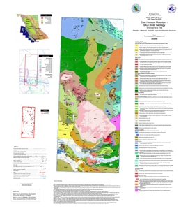 |
Open File 2011-4 covers NTS map area 104B/14E and the northern part of 11E within the Iskut River area of northwestern British Columbia. This region is characterized by exceptional mineral endowment, as described by Mihalynuk et al. (2011, Geological Fieldwork 2010, Paper 2011-1): �� a 20km-wide corridor south of the Iskut River includes the Bronson Slope, Snip, Johnny Mountain, Eskay Creek and Rock and Roll deposits -all with past production or defined resources. These deposits formed in a surprisingly diverse set of environments ranging from intrusion hosted sulphide veins to shallow subaqueous hotspring settings. No deposits with past production or defined resources occur within a 20km corridor immediately north of the Iskut River, yet those farther afield include Galore Creek, Copper Canyon and Schaft Creek deposits that are hosted by alkalic and calc-alkalic porphyries. An obvious explanation for the dearth of deposits within the northern corridor is not forthcoming from existing geological maps; however, a significant part of the corridor has either never been systematically mapped or at least not since it was surveyed by Forrest Kerr in the 1920�s. A working partnership was established between the BC Ministry of Energy, Mines and Petroleum Resources, the Geological Survey of Canada (under the auspices of the Geoscience for Energy and Minerals Strategy: GEMS), Pacific North West Capital Corp., and the University of Victoria to address this lack of public geologic knowledge through systematic mapping. Supplementary goals were to provide a more accurate geological setting for the Rock and Roll deposit and to evaluate the potential for similar precious metal rich polymetallic massive sulfide mineralization within the Iskut and adjacent regions. Our work was mainly focused where published mapping was entirely lacking: the eastern half of the Hoodoo Mountain map sheet (NTS 104B/14E). This map sheet is bordered to the north by the Galore Creek map sheet (104G/3) and to the east by Forrest Kerr map sheet (104B/15), both covered by relatively recent regional geological surveys (Logan and Koyanagi, 1994, 104G/3, 4; and Logan et al., 2000, 104B/10, 15, 104G2, 7W).� |
| Issue ID: | OF2011-06 |
| Title: | Till Geochemistry of the Colleymount Map Area (93L/01), West-central British Columbia |
| Author(s): | Ferbey, T. |
| Series Name: | Open File |
| Publication Year: | 2011 |
| Other Citation Details: | Also published as Geoscience BC Report 2011-09 |
| Larger Work Citation: | Geoscience BC Project 2008-031 |
| NTS Map Sheet(s): | 093L/01 |
| Place Keyword(s): | British Columbia, West-central, Colleymount |
| Lat/Long (NSWE): | 54.25, 54, -126.5, -126 |
| Theme Keyword(s): | till geochemistry, ICP-MS, basal till samples, Equity Silver Mine, detrial dispersal |
Download(s):
| PDF, ZIP (View Zip Contents) |
Abstract:
 |
The silt plus clay-sized fraction of 84 basal till samples collected within the Colleymount map area (093L/01), located approximately 40 km southeast of Houston, BC, was analyzed for 37 elements by inductively coupled plasma mass spectrometry (ICP-MS), following an aqua regia digestion, and 35 elements by instrumental neutron activation analysis (INAA). An additional 18 basal till samples were collected for analysis of heavy metal concentrates and gold grain counts. The spatial distribution of till samples elevated in Cu, Mo, Pb, Zn, Ag, Hg, Au, As, Sb, and visible gold grains are the focus of this study. Detrital dispersal of commodity metals and pathfinder elements from known sources of mineralization is discussed (e.g., past producing Equity Silver mine) as are areas of geochemical interest. |
| Issue ID: | IC2011-03 |
| Title: | Molybdenum in British Columbia |
| Author(s): | Johal, A., Northcote, B., Hancock, K.D. |
| Series Name: | Information Circular |
| Publication Year: | 2011 |
| NTS Map Sheet(s): | 082;083;092;093;094;102;103;104;114 |
| Place Keyword(s): | British Columbia |
| Lat/Long (NSWE): | 60, 48, -140, -114 |
| Theme Keyword(s): | Molybdenum, MINFILE, brochure, commodity, porphyry |
Download(s):
| PDF |
Abstract:
 |
This brochure briefly describes molybdenum deposits in British Columbia, including the Endako and Kitsault deposits. It has a location map of selected molybdenum deposits. The MINFILE database lists 1275 molybdenum bearing occurrences, 439 of which list molybdenum as the primary commodity. Principal deposit types are Mo and Cu-Mo porphyries. The developed Mo porphyries in BC are classified as low-fluorine type, distinct from the high-fluorine climax type known in the western US. BC is one of the world's premier locations for primary molybdenum porphyry deposits. |
| Issue ID: | MAPPLACE-53 |
| Title: | Atlin-Taku Mineral Potential |
| Author(s): | BC Geological Survey |
| Series Name: | MapPlace |
| Publication Year: | 2006 |
| NTS Map Sheet(s): | 104F,J,K,L,M,N,O |
| Place Keyword(s): | British Columbia, Northwest, Atlin-Taku |
| Lat/Long (NSWE): | 60, 57.88, -135.36, -130.93 |
| Theme Keyword(s): | Interactive Mapping, mineral potential, Atlin-Taku, GeoFile 2009-5 |
Additional Link(s):
| http://webmap.em.gov.bc.ca/mapplace/minpot/atlinTaku.asp |
Abstract:
| The BC Geological Survey conducted a Level 2 Mineral Resource Assessment of the Atlin-Taku Land Planning area which encompasses approximately 4 million hectares in northwest B.C. The primary purpose of this assessment was to provide more detailed and up-to-date information on metallic and industrial mineral resource potential in the Atlin-Taku land use planning area.
The new Atlin-Taku mineral resource assessment reflects the knowledge and understanding of a panel of experts who know the geology and mineral resources of the area through many years of on-the-ground exploration and mapping expertise. However, as more exploration and geologic mapping is done in this relatively remote part of British Columbia, the perceived potential of the different geologic tracts might also be expected to change. Therefore, users are cautioned to consider the current mineral potential map of the Atlin-Taku area to be a snapshot in time only.
This interactive map displays metallic and industrial mineral potential, inventory values, and geology of the Atlin-Taku land-use area. It is one component of GeoFile 2009-5, Atlin-Taku Mineral Resource Assessment by D.G. MacIntyre and W.E. Kilby. |
| Issue ID: | MAPPLACE-42 |
| Title: | Terrace Geology |
| Author(s): | BC Geological Survey |
| Series Name: | MapPlace |
| Publication Year: | 2008 |
| NTS Map Sheet(s): | 103I |
| Place Keyword(s): | British Columbia, Northwest, Terrace |
| Lat/Long (NSWE): | 54.9, 54.25, -128.8, -128 |
| Theme Keyword(s): | Interactive Mapping, geology, GIS, google |
Additional Link(s):
| http://webmap.em.gov.bc.ca/mapplace/minpot/terrace_2008_geodata_release.asp |
Abstract:
| This map shows the geology and mineral deposits of the Terrace area of west-central British Columbia. This map was produced by a partnership between the BC Geological Survey and the Terrace Economic Development Authority. Other components include GIS files for download and KML/KMZ files for use in Google Earth. |
| Issue ID: | MAPPLACE-43 |
| Title: | Nechako NATMAP |
| Author(s): | BC Geological Survey |
| Series Name: | MapPlace |
| Publication Year: | 2008 |
| NTS Map Sheet(s): | 093N;093K;093F;093G/W; 093L/9,16; 093M/1,2,7,8 |
| Place Keyword(s): | British Columbia, Central, Nechako |
| Lat/Long (NSWE): | 56, 53, -126.8, -123.48 |
| Theme Keyword(s): | Interactive Mapping, geology, mineral deposit, GIS |
Additional Link(s):
| http://webmap.em.gov.bc.ca/mapplace/minpot/nechakoNATMAP.asp |
Abstract:
| This map shows the geology and mineral deposits of central British Columbia. This map was produced by the NATMAP Project in conjunction with the Geological Survey of Canada. Other components include GIS files for download. |
| Issue ID: | MAPPLACE-51 |
| Title: | Vancouver Island LRMP |
| Author(s): | BC Geological Survey |
| Series Name: | MapPlace |
| Publication Year: | 2006 |
| NTS Map Sheet(s): | 092B,C,E,F,G,L,K; 102I |
| Place Keyword(s): | British Columbia, Southwest, Vancouver Island |
| Lat/Long (NSWE): | 51, 48, -128.9, -122.8 |
| Theme Keyword(s): | Interactive Mapping, land use, land resource management plan, LRMP |
Additional Link(s):
| https://www2.gov.bc.ca/gov/content?id=08842C9E2FD142B5889BCA2F683399D5 |
Abstract:
| This map displays the Land Resource Management Plan for Vancouver Island. |
| Issue ID: | MAPPLACE-52 |
| Title: | Mackenzie LRMP |
| Author(s): | BC Geological Survey |
| Series Name: | MapPlace |
| Publication Year: | 2002 |
| NTS Map Sheet(s): | 093H,N,O; 094B,C,D,E,F,G,K,L |
| Place Keyword(s): | British Columbia, Central, MacKenzie |
| Lat/Long (NSWE): | 58.7, 54.85, -127.8, -122.2 |
| Theme Keyword(s): | Interactive Mapping, land use, land resource management plan, LRMP |
Additional Link(s):
| https://www2.gov.bc.ca/gov/content?id=3E6B048F8D1646F9A2AD7A1E21AF63D6 |
Abstract:
| This map displays the Land Resource Management Plan for Mackenzie. |
| Issue ID: | MAPPLACE-19 |
| Title: | QUEST-West Airborne Geophysical Data |
| Author(s): | Geoscience BC |
| Series Name: | MapPlace |
| Publication Year: | 2008 |
| NTS Map Sheet(s): | 093E,F,G,J,K,L,N,M; 103L |
| Place Keyword(s): | British Columbia, Central, QUEST-West, Vanderhoof, Fraser Lake |
| Lat/Long (NSWE): | 55.45, 53.7, -129.25, -123.6 |
| Theme Keyword(s): | QUEST-West, geophysics, airborne gravity |
Additional Link(s):
| http://webmap.em.gov.bc.ca/mapplace/maps/minpot/quest_west.mwf |
Abstract:
| This map displays a high-definition airborne gravity survey of the QUEST-West project area for Geoscience BC (GBC) from May to July 2008. The survey was flown using Sander Geophysics Limited�s airborne gravity system designated AIRGrav (Airborne Inertially Referenced Gravimeter). The survey covered an area of over 40,000 square kilometres, and includes the communities of Vanderhoof, Fraser Lake, Burns Lake, Topley, Granisle, Houston, Telkwa, Smithers and Kitimat. |
| Issue ID: | MAPPLACE-20 |
| Title: | QUEST-South Airborne Geophysical Data |
| Author(s): | Geoscience BC |
| Series Name: | MapPlace |
| Publication Year: | 2011 |
| NTS Map Sheet(s): | 082E,L; 092H,I,O,P; 093A,B |
| Place Keyword(s): | British Columbia, South, QUEST-South |
| Lat/Long (NSWE): | 52.33, 49, -122.3, -119.2 |
| Theme Keyword(s): | QUEST-South, geophysics, airborne gravity |
Additional Link(s):
| http://webmap.em.gov.bc.ca/mapplace/maps/minpot/quest_south.mwf |
Abstract:
| This map displays a high-definition airborne gravity survey of the QUEST-South project area. Sander Geophysics Limited (SGL) conducted a high-definition airborne gravity survey for Geoscience BC (GBC) in the QUEST South area of British Columbia. The survey was flown from September 1 to November 1, 2009. The survey block is situated in the southwestern part of British Columbia and consists of an irregular polygon, with a maximum length of 352 km and a maximum width of 171 km. The survey was flown using SGL's airborne gravity system designated AIRGrav (Airborne Inertially Referenced Gravimeter). |
| Issue ID: | GBCR2011-05 |
| Title: | Catchment analysis and interpretation of stream sediment data from QUEST-South, British Columbia |
| Author(s): | Arne, D.C., Bluemel, E.B. |
| Series Name: | Geoscience BC Report |
| Publication Year: | 2011 |
| Larger Work Citation: | Geoscience BC Project 2009-023 |
| NTS Map Sheet(s): | 082E,L; 092H,I,O,P; 093A,B |
| Place Keyword(s): | British Columbia, South, QUEST-South |
| Lat/Long (NSWE): | 52.33, 49, -122.3, -119.2 |
| Theme Keyword(s): | QUEST-South, geochemistry, catchment basins, RGS |
Additional Link(s):
| http://cdn.geosciencebc.com/project_data/GBC_Report2011-5/GBCReport_2011-5.zip
http://www.geosciencebc.com/projects/2010-006/
http://www.geosciencebc.com/projects/2009-023/ |
Abstract:
| Catchment analysis and interpretation of geochemical data have been undertaken for 9041 stream sediment samples from the QUEST-South project area of southern British Columbia. The geochemical data consist of new analyses for 8536 archived regional geochemical samples (RGS) that were previously re-analyzed by Geoscience BC (Report 2010-4) using modern analytical methods and 785 new stream sediment samples collected to augment the existing RGS samples (Report 2010-13).
A range of digital products accompany this report. These include a spreadsheet containing the compiled stream sediment data, catchment areas and dominant bedrock type; GIS files showing sample locations and catchments; a series of gridded geotiff images for raw, levelled and residual data for most elements; gridded pathfinder associations for a number of common mineral deposit types (orogenic Au, epithermal Au, base metals and porphyry Cu deposits) as geoTIFF and PDF maps; and RGB thematic maps for these pathfinder associates. The levelled and residual data provide new insights into the regional stream sediment geochemical data, and reveal subtle trends and areas of elevated metal concentration that may warrant follow-up investigation. |
| Issue ID: | EOF2004-1 |
| Title: | Quaternary Geology and Aggregate Potential of the Fort Nelson Airport Area |
| Author(s): | Johnsen, T., Ferbey, T., Levson, V.M., Kerr, B.J. |
| Series Name: | Energy Open File |
| Publication Year: | 2004 |
| Place Keyword(s): | British Columbia, Fort Nelson, Clarke Lake By-pass |
| Lat/Long (NSWE): | 59, 58, -124, -122 |
| Theme Keyword(s): | Surficial Geology, Aggregate, Sierra-Yoyo-Desan Road |
Download(s):
| PDF |
Abstract:
| The study area includes part of the Fort Nelson airport area and is comprised of the area south and east of the main runway, down to the floodplain of Fort Nelson River below. |
| Issue ID: | EOF2003-1 |
| Title: | Quaternary Geology and Aggregate Mapping in Northeast British Columbia: Applications for Oil and Gas Exploration and Development |
| Author(s): | Levson, V.M., Ferbey, T., Kerr, B.J., Johnsen, T., Bednarski, J., Smith, R., Blackwell, J., Jonnes, S. |
| Series Name: | Energy Open File |
| Publication Year: | 2003 |
| NTS Map Sheet(s): | 094I,J,P |
| Place Keyword(s): | British Columbia, Northeast |
| Lat/Long (NSWE): | 60, 59, -124, -120 |
| Theme Keyword(s): | Quaternary Geology, Aggregate Potential, Shallow Gas, Quaternary Gas, Diamonds |
Download(s):
| PDF |
Abstract:
| The study area occurs within the Boreal plains region of northeast British Columbia and includes the area between the Alberta border and the Alaska highway, extending north from Ft. St. John to the Northwest Territories. The main areas of focus for the 2003 field season (Figure 1) were the Fontas River and Petitot River map areas (NTS 94 I and P, respectively) and the eastern half of the Fort Nelson map area (NTS 94 J). Results of some of the work conducted in the Fort Nelson area are proved elsewhere in this volume (see paper by Johnsen et al.) |
| Issue ID: | EOF2008-1 |
| Title: | Aggregate Potential of the Kimea Creek Area, Northeast British Columbia |
| Author(s): | Ferbey, T. |
| Series Name: | Energy Open File |
| Publication Year: | 2008 |
| NTS Map Sheet(s): | 094P |
| Place Keyword(s): | British Columbia, Kimea Creek, Northeast |
| Lat/Long (NSWE): | 60, 59, -123, -120 |
| Theme Keyword(s): | Aggregate Potential, Aggregate, Construction Aggregate, Aggregate Occurrences, Glaciofluvial Terrace |
Download(s):
| PDF |
Abstract:
| The study presented here focuses on the aggregate potential of the Kimea Creek meltwater system, within NTS map area 94P, and adjacent areas. |
| Issue ID: | EOF2009-1 |
| Title: | Fontas Road Aggregate Prospect - Kilometre 47 |
| Author(s): | Hickin, A.S., Ferbey, T. |
| Series Name: | Energy Open File |
| Publication Year: | 2009 |
| NTS Map Sheet(s): | 094H |
| Place Keyword(s): | British Columbia, Northeast |
| Lat/Long (NSWE): | 58, 57, -122, -120 |
| Theme Keyword(s): | Aggregate, Sand and Gravel, Road Construction, Oil and Gas |
Download(s):
| PDF |
Abstract:
| This report details the results of a site investigation of a glaciofluvial feature identified as having aggregate potential. |
| Issue ID: | EOF2009-2 |
| Title: | Aggregate Potential of Green Creek Area |
| Author(s): | Marich, A., Hickin, A., Barchyn, T. |
| Series Name: | Energy Open File |
| Publication Year: | 2009 |
| NTS Map Sheet(s): | 094G,H |
| Place Keyword(s): | British Columbia, Northeast |
| Lat/Long (NSWE): | 58, 57, -124, -122 |
| Theme Keyword(s): | Aggregate, Sand and Gravel, Capacitively-Coupled Resistivity, Road Construction, Oil and Gas |
Download(s):
| PDF |
Abstract:
| This study is a preliminary assessment of aggregate potential in the Green Creek area. The objective is to draw attention to the area as an aggregate prospect for further evaluation. |
| Issue ID: | EOF2009-3 |
| Title: | Geoscience Needs for Geothermal Energy Development in Western Canada: Findings and Recommendations |
| Author(s): | Ministry of Energy and Mines, Geological Survey of Canada |
| Series Name: | Energy Open File |
| Publication Year: | 2009 |
| NTS Map Sheet(s): | 093;094;103;104 |
| Place Keyword(s): | British Columbia |
| Lat/Long (NSWE): | 60, 48, -140, -120 |
| Theme Keyword(s): | Geothermal |
Download(s):
| PDF |
Abstract:
| The goal of the workshop was to assess the geothermal geoscience needs of western Canada and the appropriate role of government geological science agencies in supporting geothermal energy exploration and development. The focus was on using moderate- to high-temperature geothermal systems for direct heat or electricity generation. |
| Issue ID: | EOF2011-1 |
| Title: | Preliminary Bedrock Topography and Drift Thickness of the Montney Play Area |
| Author(s): | Hickin, A.S. |
| Series Name: | Energy Open File |
| Publication Year: | 2011 |
| Other Citation Details: | Also published as Geoscience BC Report 2011-07 |
| NTS Map Sheet(s): | 093P; 094A,B |
| Place Keyword(s): | British Columbia, Northeast |
| Lat/Long (NSWE): | 57, 55, -124, -120 |
| Theme Keyword(s): | Montney Play, Bedrock Topography |
Download(s):
| PDF |
Additional Link(s):
| http://www2.gov.bc.ca/assets/gov/farming-natural-resources-and-industry/natural-gas-oil/petroleum-geoscience/energy-open-files/eof20111_readme.pdf |
Abstract:
| Five maps are presented that depict bedrock topography (Map A), thickness of unconsolidated sediments (drift thickness; Map B), modern topography (Map C), interpretation of paleovalleys (paleovalley outline; Map D), and density of bedrock contact point data (Map E). The bedrock topography has been modelled based on ~1500 subsurface data records from several shallow subsurface data sources including: water well data from British Columbia Ministry of Environment and Prairie Farmers Rehabilitation Administration, several academic sources (Rutter, 1977; Mathews, 1978, 1980; Hartman, 2005; Hartman and Clague, 2008), and geological sections logged from exposures in the Murray, Pine, and Pouce Coupe river valleys and more than 500 surface observations stations from fieldwork and aerial photographs.
Funding for this work was provided, in part, by the Montney Water Project, a collaborative effort between Geoscience BC, industry partners and the BC government, with support from the Science and Community Environmental Knowledge (SCEK) Fund. |
| Issue ID: | EOF2011-2 |
| Title: | Compilation of Geological Survey of Canada Surficial Geology Maps (NTS 94A and 93P) |
| Author(s): | Hickin, A.S., Fournier, M.A. |
| Series Name: | Energy Open File |
| Publication Year: | 2011 |
| Other Citation Details: | Also published as Geoscience BC Map 2011-08-1 |
| NTS Map Sheet(s): | 093P;094A |
| Place Keyword(s): | British Columbia |
| Lat/Long (NSWE): | 57, 55, -122, -120 |
| Theme Keyword(s): | Surficial Geology Map, Map |
Download(s):
| PDF |
Additional Link(s):
| http://www2.gov.bc.ca/assets/gov/farming-natural-resources-and-industry/natural-gas-oil/petroleum-geoscience/energy-open-files/eof2011_2_read_me.pdf |
Abstract:
| Compilation of Geological Survey of Canada Surficial Geology Maps for NTS 94A and 93P. The map presented is a compilation of surface materials from two previously published 1:250 000 surficial geology maps completed by the Geological Survey of Canada. The extent, geometry, and interpretation of surface material polygons has not been changed from the original maps with the exception of those along the map boundary. Polygon labels have been modified and summarized to conform to the Geological Survey of Canada's preliminary national surficial geology legend.
Funding for this work was provided, in part, by the Montney Water Project, a collaborative effort between Geoscience BC, industry partners and the BC government, with support from the Science and Community Environmental Knowledge Fund. |
| Issue ID: | PGOF2009-04 |
| Title: | Preliminary Geology of the Jones Peak Area |
| Author(s): | Ferri, F. |
| Series Name: | Petroleum Geology Open File |
| Publication Year: | 2009 |
| NTS Map Sheet(s): | 094B |
| Place Keyword(s): | British Columbia, Jones Peak Area |
| Lat/Long (NSWE): | 57, 56, -124, -122 |
| Theme Keyword(s): | Geology |
Download(s):
| PDF |
Abstract:
| Preliminary Geology of the Jones Peak area (Map at 1:50 000 of NTS 94B/2 and 7) |
| Issue ID: | PGOF2008-01 |
| Title: | Shale Units of the Horn River Formation, Horn River Basin and Cordova Embayment, Northeastern British Columbia |
| Author(s): | McPhail, S., Walsh, W., Lee, C., Monahan Petroleum Consulting/Penn West Energy Trust |
| Series Name: | Petroleum Geology Open File |
| Publication Year: | 2008 |
| NTS Map Sheet(s): | 094; |
| Place Keyword(s): | British Columbia, Northeast |
| Lat/Long (NSWE): | 60, 56, -126, -120 |
| Theme Keyword(s): | Shale Units, Horn River Formation, Cordova Embayment |
Download(s):
| PDF |
Additional Link(s):
| https://www2.gov.bc.ca/assets/gov/farming-natural-resources-and-industry/natural-gas-oil/petroleum-geoscience/petroleum-open-files/panel2.zip
https://www2.gov.bc.ca/assets/gov/farming-natural-resources-and-industry/natural-gas-oil/petroleum-geoscience/petroleum-open-files/pgof2008panel3.pdf
https://www2.gov.bc.ca/assets/gov/farming-natural-resources-and-industry/natural-gas-oil/petroleum-geoscience/petroleum-open-files/pgof2008panel4.pdf |
Abstract:
| The purpose of this display is to highlight the main shale units that are the focus of shale gas activity in the HRB and CE, using available core, core analysis data, and geophysical well logs. A brief overview of the basinal stratigraphy is provided, supplemented by a cross section (Appendix B). |
| Issue ID: | PGOF2007-02 |
| Title: | Shale Gas Potential: Core and Cutting Analysis, Northeast British Columbia |
| Author(s): | Walsh, W., McPhail, S. |
| Series Name: | Petroleum Geology Open File |
| Publication Year: | 2007 |
| NTS Map Sheet(s): | 094; |
| Place Keyword(s): | British Columbia, Northeast |
| Lat/Long (NSWE): | 60, 56, -126, -120 |
| Theme Keyword(s): | Shale, Core and Cutting Analysis |
Abstract:
| Core and Cutting Analysis, northeast British Columbia |
| Issue ID: | PGOF2007-01 |
| Title: | The Nechako Initiative - Geoscience Update 2007 |
| Author(s): | Riddell, J.M. |
| Series Name: | Petroleum Geology Open File |
| Publication Year: | 2007 |
| NTS Map Sheet(s): | 092N,O;093B,C,F,G |
| Place Keyword(s): | British Columbia, Nechako |
| Lat/Long (NSWE): | 58, 55, -126, -122 |
| Theme Keyword(s): | Geology, Nechako |
Download(s):
| PDF |
Additional Link(s):
| https://www2.gov.bc.ca/gov/content?id=C56A8086EA87459CAAA91A98B918BCA5 |
Abstract:
| The Nechako Initiative - Geoscience Update 2007 |
| Issue ID: | PGOF2006-02 |
| Title: | Regional "Shale Gas" Potential of the Triassic Doig and Montney Formations, Northeastern British Columbia |
| Author(s): | Walsh, W., Adams, C., Kerr, B.J., Korol, J. |
| Series Name: | Petroleum Geology Open File |
| Publication Year: | 2006 |
| NTS Map Sheet(s): | 094; |
| Place Keyword(s): | British Columbia, Northeast |
| Lat/Long (NSWE): | 60, 56, -128, -120 |
| Theme Keyword(s): | Shale Gas, Doig and Montney Formations |
Download(s):
| PDF |
Abstract:
| The purpose of this study is to evaluate the shale gas potential of the Doig and Montney formations by quantifying the potential gas-in-place via spatial analysis. A quantitative spatial estimate of gas-in-place was calculated using the variables of depth, formation (shale) isopach, total organic (TOC) estimated from geophysical logs, and estimated adsorption isotherms. |
| Issue ID: | PGOF2006-01 |
| Title: | Reservoir Quality Assessment of Samples from the Skeena and Bowser Lake Groups, Northeastern British Columbia |
| Author(s): | Iftikhar, A., Ferri, F. |
| Series Name: | Petroleum Geology Open File |
| Publication Year: | 2006 |
| NTS Map Sheet(s): | 093M;094D,E; 103P;104A,G,H |
| Place Keyword(s): | British Columbia, Northern |
| Lat/Long (NSWE): | 58, 55, -132, -124 |
| Theme Keyword(s): | Assessment, Samples |
Download(s):
| PDF |
Abstract:
| Reservoir Quality Assessment of samples from the Skeena and Bowser Lake Groups, northern British Columbia. |
| Issue ID: | PGOF2004-02 |
| Title: | Rock-Eval VI analysis of Samples from the Central Whitehorse Trough by the Geological Survey of Canada Calgary in partnership with the B.C. Ministry of Energy and Mines |
| Author(s): | Fowler, M. |
| Series Name: | Petroleum Geology Open File |
| Publication Year: | 2004 |
| NTS Map Sheet(s): | 104; |
| Place Keyword(s): | British Columbia |
| Lat/Long (NSWE): | 60, 56, -134, -128 |
| Theme Keyword(s): | Rock-Evaluation, Whitehorse Trough |
Download(s):
| PDF |
Abstract:
| Rock-Evaluation VI Analysis from the Central Whitehorse Trough |
| Issue ID: | PGOF2004-01 |
| Title: | Gravity and Magnetic Survey, Nechako Basin Study, Acquisition and Processing Phase |
| Author(s): | Bemex Consulting International |
| Purpose: | To carry out a high resolution ground gravity and magnetic survey across this gravity low to demonstrate their usefulness in mapping basement structure and topography (for example potential sedimentary basins), basement faults and lineaments, as well as their usefulness for determining the extent of near surface volcanic cover. |
| Series Name: | Petroleum Geology Open File |
| Publication Year: | 2004 |
| NTS Map Sheet(s): | 092N,O;093B,C,F,G |
| Place Keyword(s): | British Columbia, Nechako Basin, Big Creek |
| Lat/Long (NSWE): | 52, 51, -123.6, -122 |
| Theme Keyword(s): | Nechako Basin, Gravity and Magnetic Survey, petroleum |
Download(s):
| PDF |
Abstract:
| The purpose of the present project is to carry out a high resolution ground gravity and magnetic survey across this gravity low to demonstrate their usefulness in mapping basement structure and topography (for example potential sedimentary basins), basement faults and lineaments, as well as their usefulness for determining the extent of near surface volcanic cover. Bemex Consulting International was contracted therefore to conduct a combined gravity and magnetic survey along an approximately east-west line approximately midway (in the north-south direction) along the gravity low. The survey was carried out between October 1 and October 12, 2003. This report discusses the field procedures, data manipulation and processing steps applied to the gravity and magnetic data. The report does not provide a detailed interpretation of the data. |
| Issue ID: | OGR2013-03 |
| Title: | The Ultimate Potential for Unconventional Petroleum from the Montney Formation of British Columbia and Alberta |
| Author(s): | National Energy Board, BC Oil & Gas Commission, Alberta Energy Regulator, Ministry of Natural Gas Development |
| Series Name: | Oil and Gas Reports |
| Publication Year: | 2013 |
| NTS Map Sheet(s): | 083, 084, 094 |
| Place Keyword(s): | British Columbia, Northeastern British Columbia, Horn River |
| Lat/Long (NSWE): | 59, 53, -123, -115 |
| Theme Keyword(s): | oil and gas exploration, Montney Formation, industry activity, shale gas, hydraulic fracturing |
Download(s):
| PDF |
Abstract:
| The Montney Formation�s marketable, unconventional petroleum potential has been evaluated for the first time in a joint assessment by the National Energy Board, the British Columbia Oil and Gas Commission, the Alberta Energy Regulator, and the British Columbia Ministry of Natural Gas Development. The thick and geographically extensive siltstones of the Montney Formation are expected to contain 12,719 billion m3 (449 Tcf) of marketable natural gas, 2,308 million m3 (14,521 million barrels) of marketable NGLs, and 179 million m3 (1,125 million barrels) of marketable oil. |
| Issue ID: | PGOF2003-05 |
| Title: | Molecular Composition of Crude Oil Stains from Bowser Basin |
| Author(s): | Osadetz, K.G., Evenchick, C.A., Ferri, F., Stasiuk, L.D., Obermajer, M., Wilson, N.S.F. |
| Series Name: | Petroleum Geology Open File |
| Publication Year: | 2003 |
| NTS Map Sheet(s): | 094M;104A |
| Place Keyword(s): | British Columbia |
| Lat/Long (NSWE): | 57, 55, -130, -126 |
| Theme Keyword(s): | Bowser Basin, Crude Oil, Molecular Composition |
Download(s):
| PDF |
Abstract:
| Three petroleums, that are either residual stains in breeched oil fields or natural seepages, in Bowser Basin have been compositional characterized using standard organic geochemical methods at the GSC�s national organic geochemical laboratory in Calgary. Two extracts are from different modes of occurrence with variable petrographic characteristics in a single hand specimen. Petrographic details of those two extracts #9693 and #9694 are discussed by Osadetz et al. (2003). |
| Issue ID: | PGOF2002-03 |
| Title: | Oil and Gas Resource Potential of the Nechako-Chilcotin Area of British Columbia |
| Author(s): | Hannigan, P., Lee, P.J., Osadetz, K.G., Dietrich, J.R., Olsen-Heise, K. |
| Series Name: | Petroleum Geology Open File |
| Publication Year: | 2002 |
| Other Citation Details: | Also known as BCGS GeoFile 2001-06 |
| NTS Map Sheet(s): | 092N,O;093B,C,F,G |
| Place Keyword(s): | British Columbia, Nechako-Chilcotin |
| Lat/Long (NSWE): | 58, 55, -126, -122 |
| Theme Keyword(s): | Oil and Gas Resource, Potential |
Download(s):
| PDF |
Additional Link(s):
| https://www2.gov.bc.ca/gov/content?id=4A39AD525D2444DDACB0DCC01E046EAA#GF2001-06
https://cmscontent.nrs.gov.bc.ca/geoscience/PublicationCatalogue/GeoFile/BCGS_GF2001-06.pdf |
Abstract:
| This particular report deals with Phase III, which describes the results obtained from an oil and gas assessment of the Nechako-Chilcotin region of west-central British Columbia. Results from these assessments are to be employed by British Columbia's Commission on Resources and Environment, which is currently performing a detailed land-use planning study of
selected areas in the Province. |
| Issue ID: | OGM2002-01 |
| Title: | Sierra-Yoyo-Desan Aggregate (Potential Map) 1 |
| Author(s): | Blyth, H., Levson, V.M. |
| Series Name: | Oil and Gas Maps and Misc. |
| Publication Year: | 2002 |
| Scale: | 1:50000 |
| NTS Map Sheet(s): | 094I/14 |
| Place Keyword(s): | British Columbia |
| Lat/Long (NSWE): | 59, 58.75, -121.5, -121 |
| Theme Keyword(s): | Aggregate, Aggregate potential |
Download(s):
| PDF |
Abstract:
| Sierra-Yoyo-Desan Aggregate Potential Map for 094I/14 |
| Issue ID: | OGM2002-02 |
| Title: | Sierra-Yoyo-Desan Aggregate (Potential Map) 2 |
| Author(s): | Blyth, H., Levson, V.M. |
| Series Name: | Oil and Gas Maps and Misc. |
| Publication Year: | 2002 |
| Scale: | 1:50000 |
| NTS Map Sheet(s): | 094J/09 |
| Place Keyword(s): | British Columbia |
| Lat/Long (NSWE): | 58.75, 58.5, -122.5, -122 |
| Theme Keyword(s): | Aggregate, Aggregate potential |
Download(s):
| PDF |
Abstract:
| Sierra-Yoyo-Desan Aggregate Potential Map for 094J/09 |
| Issue ID: | OGM2002-03 |
| Title: | Sierra-Yoyo-Desan Aggregate (Potential Map) 3 |
| Author(s): | Blyth, H., Levson, V.M. |
| Series Name: | Oil and Gas Maps and Misc. |
| Publication Year: | 2002 |
| Scale: | 1:50000 |
| NTS Map Sheet(s): | 094P/07 |
| Place Keyword(s): | British Columbia |
| Lat/Long (NSWE): | 59.5, 59.25, -121, -120.5 |
| Theme Keyword(s): | Aggregate, Aggregate potential |
Download(s):
| PDF |
Abstract:
| Sierra-Yoyo-Desan Aggregate Potential Map for 094P/07 |
| Issue ID: | OGM2002-04 |
| Title: | Sierra-Yoyo-Desan Aggregate (Potential Map) 4 |
| Author(s): | Blyth, H., Levson, V.M. |
| Series Name: | Oil and Gas Maps and Misc. |
| Publication Year: | 2002 |
| Scale: | 1:50000 |
| NTS Map Sheet(s): | 094P/10 |
| Place Keyword(s): | British Columbia |
| Lat/Long (NSWE): | 59.75, 59.5, -121, -120.5 |
| Theme Keyword(s): | Aggregate, Aggregate potential |
Download(s):
| PDF |
Abstract:
| Sierra-Yoyo-Desan Aggregate Potential Map for 094P/10 |
| Issue ID: | OGM2002-05 |
| Title: | Sierra-Yoyo-Desan Aggregate (Potential Map) 5 |
| Author(s): | Blyth, H., Levson, V.M. |
| Series Name: | Oil and Gas Maps and Misc. |
| Publication Year: | 2002 |
| Scale: | 1:50000 |
| NTS Map Sheet(s): | 094I/11 |
| Place Keyword(s): | British Columbia |
| Lat/Long (NSWE): | 58.75, 58.5, -121.5, -121 |
| Theme Keyword(s): | Aggregate, Aggregate potential |
Download(s):
| PDF |
Abstract:
| Sierra-Yoyo-Desan Aggregate Potential Map for 094I/11 |
| Issue ID: | OGM2002-06 |
| Title: | Sierra-Yoyo-Desan Aggregate (Potential Map) 6 |
| Author(s): | Blyth, H., Levson, V.M. |
| Series Name: | Oil and Gas Maps and Misc. |
| Publication Year: | 2002 |
| Scale: | 1:50000 |
| NTS Map Sheet(s): | 094I/12 |
| Place Keyword(s): | British Columbia |
| Lat/Long (NSWE): | 58.75, 58.5, -122, -121.5 |
| Theme Keyword(s): | Aggregate, Aggregate potential |
Download(s):
| PDF |
Abstract:
| Sierra-Yoyo-Desan Aggregate Potential Map for 094I/12 |
| Issue ID: | OGM2002-07 |
| Title: | Sierra-Yoyo-Desan Aggregate (Potential Map) 7 |
| Author(s): | Blyth, H., Levson, V.M. |
| Series Name: | Oil and Gas Maps and Misc. |
| Publication Year: | 2002 |
| Scale: | 1:50000 |
| NTS Map Sheet(s): | 094I/13 |
| Place Keyword(s): | British Columbia |
| Lat/Long (NSWE): | 59, 58.75, -122, -121.5 |
| Theme Keyword(s): | Aggregate, Aggregate potential |
Download(s):
| PDF |
Abstract:
| Sierra-Yoyo-Desan Aggregate Potential Map for 094I/13 |
| Issue ID: | OGM2002-08 |
| Title: | Sierra-Yoyo-Desan Aggregate (Potential Map) 8 |
| Author(s): | Blyth, H., Levson, V.M. |
| Series Name: | Oil and Gas Maps and Misc. |
| Publication Year: | 2002 |
| Scale: | 1:50000 |
| NTS Map Sheet(s): | 094J/10 |
| Place Keyword(s): | British Columbia |
| Lat/Long (NSWE): | 58.75, 58.5, -123, -122.5 |
| Theme Keyword(s): | Aggregate, Aggregate potential |
Download(s):
| PDF |
Abstract:
| Sierra-Yoyo-Desan Aggregate Potential Map for 094J/10 |
| Issue ID: | OGM2002-09 |
| Title: | Sierra-Yoyo-Desan Aggregate (Potential Map) 9 |
| Author(s): | Blyth, H., Levson, V.M. |
| Series Name: | Oil and Gas Maps and Misc. |
| Publication Year: | 2002 |
| Scale: | 1:50000 |
| NTS Map Sheet(s): | 094J/15 |
| Place Keyword(s): | British Columbia |
| Lat/Long (NSWE): | 59, 58.75, -123, -122.5 |
| Theme Keyword(s): | Aggregate, Aggregate potential |
Download(s):
| PDF |
Abstract:
| Sierra-Yoyo-Desan Aggregate Potential Map for 094J/15 |
| Issue ID: | OGM2002-10 |
| Title: | Sierra-Yoyo-Desan Aggregate (Potential Map) 10 |
| Author(s): | Blyth, H., Levson, V.M. |
| Series Name: | Oil and Gas Maps and Misc. |
| Publication Year: | 2002 |
| Scale: | 1:50000 |
| NTS Map Sheet(s): | 094J/16 |
| Place Keyword(s): | British Columbia |
| Lat/Long (NSWE): | 59, 58.75, -122.5, -122 |
| Theme Keyword(s): | Aggregate, Aggregate potential |
Download(s):
| PDF |
Abstract:
| Sierra-Yoyo-Desan Aggregate Potential Map for 094J/16 |
| Issue ID: | OGM2002-11 |
| Title: | Sierra-Yoyo-Desan Aggregate (Potential Map) 11 |
| Author(s): | Blyth, H., Levson, V.M. |
| Series Name: | Oil and Gas Maps and Misc. |
| Publication Year: | 2002 |
| Scale: | 1:50000 |
| NTS Map Sheet(s): | 094P/02 |
| Place Keyword(s): | British Columbia |
| Lat/Long (NSWE): | 59.25, 59, -121, -120.5 |
| Theme Keyword(s): | Aggregate, Aggregate potential |
Download(s):
| PDF |
Abstract:
| Sierra-Yoyo-Desan Aggregate Potential Map for 094P/02 |
| Issue ID: | OGM2002-12 |
| Title: | Sierra-Yoyo-Desan Aggregate (Potential Map) 12 |
| Author(s): | Blyth, H., Levson, V.M. |
| Series Name: | Oil and Gas Maps and Misc. |
| Publication Year: | 2002 |
| Scale: | 1:50000 |
| NTS Map Sheet(s): | 094P/03 |
| Place Keyword(s): | British Columbia |
| Lat/Long (NSWE): | 59.25, 59, -121.5, -121 |
| Theme Keyword(s): | Aggregate, Aggregate potential |
Download(s):
| PDF |
Abstract:
| Sierra-Yoyo-Desan Aggregate Potential Map for 094P/03 |
| Issue ID: | OGM2002-13 |
| Title: | Sierra-Yoyo-Desan Aggregate (Potential Map) 13 |
| Author(s): | Blyth, H., Levson, V.M. |
| Series Name: | Oil and Gas Maps and Misc. |
| Publication Year: | 2002 |
| Scale: | 1:50000 |
| NTS Map Sheet(s): | 094P/04 |
| Place Keyword(s): | British Columbia |
| Lat/Long (NSWE): | 59.25, 59, -122, -121.5 |
| Theme Keyword(s): | Aggregate, Aggregate potential |
Download(s):
| PDF |
Abstract:
| Sierra-Yoyo-Desan Aggregate Potential Map for 094P/04 |
| Issue ID: | OGM2002-14 |
| Title: | Sierra-Yoyo-Desan Aggregate (Potential Map) 14 |
| Author(s): | Blyth, H., Levson, V.M. |
| Series Name: | Oil and Gas Maps and Misc. |
| Publication Year: | 2002 |
| Scale: | 1:50000 |
| NTS Map Sheet(s): | 094P/05 |
| Place Keyword(s): | British Columbia |
| Lat/Long (NSWE): | 59.5, 59.25, -122, -121.5 |
| Theme Keyword(s): | Aggregate, Aggregate potential |
Download(s):
| PDF |
Abstract:
| Sierra-Yoyo-Desan Aggregate Potential Map for 094P/05 |
| Issue ID: | OGM2009-01 |
| Title: | Northeast Oil and Gas Fields Map |
| Author(s): | Fournier, M.A. |
| Series Name: | Oil and Gas Maps and Misc. |
| Publication Year: | 2009 |
| NTS Map Sheet(s): | 094 |
| Place Keyword(s): | British Columbia, Northeast |
| Lat/Long (NSWE): | 56, 48, -128, -120 |
| Theme Keyword(s): | Oil, Gas |
Download(s):
| PDF |
Abstract:
| Oil and gas map of showing the Oil and Gas fields in northeast BC. |
| Issue ID: | OGM2011-01 |
| Title: | Correlation Chart Model (Stratigraphic) Northeastern British Columbia |
| Author(s): | Ministry of Energy and Mines |
| Series Name: | Oil and Gas Maps and Misc. |
| Publication Year: | 2009 |
| NTS Map Sheet(s): | 094 |
| Place Keyword(s): | British Columbia, Northeast |
| Lat/Long (NSWE): | 56, 48, -128, -120 |
| Theme Keyword(s): | Stratigraphic, Correlation, Chart |
Download(s):
| PDF |
Abstract:
| Stratigraphic Correlation Chart of northeastern British Columbia. |
| Issue ID: | OGM2011-02 |
| Title: | Diagrammatic SW - Northeastern B.C. Geologic Cross Section through Northeastern British Columbia |
| Author(s): | Ministry of Energy and Mines |
| Series Name: | Oil and Gas Maps and Misc. |
| Publication Year: | 2011 |
| NTS Map Sheet(s): | 094 |
| Place Keyword(s): | British Columbia, Northeast, Southwest |
| Lat/Long (NSWE): | 56, 48, -128, -120 |
| Theme Keyword(s): | Diagrammatic |
Download(s):
| PDF |
Abstract:
| Diagrammatic SW - NE Geologic Section through northeastern British Columbia |
| Issue ID: | OGM2005-01 |
| Title: | Selected New Sand and Gravel Occurrences Northeast of Fort Nelson |
| Author(s): | Ministry of Energy and Mines |
| Series Name: | Oil and Gas Maps and Misc. |
| Publication Year: | 2005 |
| NTS Map Sheet(s): | 094H;094I;094J;094O;094P |
| Place Keyword(s): | British Columbia, Northeast |
| Lat/Long (NSWE): | 60, 57, -124, -120 |
| Theme Keyword(s): | Sand and Gravel, Occurrences |
Download(s):
| PDF |
Abstract:
| Selected New Sand and Gravel Occurrences northeast of Fort Nelson |
| Issue ID: | OGR2011-01 |
| Title: | The Ultimate Potential for Unconventional Natural Gas in Northeastern British Columbia's Horn River Basin |
| Author(s): | Ministry of Energy and Mines, National Energy Board |
| Series Name: | Oil and Gas Reports |
| Publication Year: | 2011 |
| NTS Map Sheet(s): | 094 |
| Place Keyword(s): | British Columbia, Northeast |
| Lat/Long (NSWE): | 61, 58, -124, -120 |
| Theme Keyword(s): | Unconventional, Potential, Horn River Basin |
Download(s):
| PDF |
Abstract:
| Northeast British Columbia�s Ultimate Potential for Conventional Natural Gas, presents the results of the joint study. The medium case estimate for northeast B.C.�s ultimate potential of marketable conventional natural gas resources was calculated to be 1 462 109m3 (51.9 Tcf) and henceforth that is the estimate that the agencies will rely on.
The new estimate of ultimate potential is two percent higher than the NEB�s previous estimate for the conventional natural gas resources in northeast B.C. The new estimate does show significant increases in some resource categories and plays, and decreases in others. The new estimate is based on increased knowledge obtained from the large number of new wells drilled to enable an enhanced geological assessment.
The agencies also recognize that unconventional resources may become a significant component of the province�s future ultimate potential. In addition, other sedimentary basins in the province have potential for both conventional and unconventional gas supplies. In most cases, no marketable volumes of gas have been assigned to individual entities in these areas, but collectively, the NEB has published marketable volumes for the offshore and interior basins.
Cumulative production to the end of 2003 was 484 109m3 (17.2 Tcf), hence the remaining gas available for future demand is 978 109m3 (34.7 Tcf). Annual production from B.C. is now about 26.8 109m3 (950 Buff). The remaining ultimate potential represents the volume of gas that could be made available in the future for Canadian domestic and export demands. Additional volumes should also be available from both unconventional and conventional supplies from other basins in B.C. Development of those additional resources could supplement long-term supply from northeast B.C. Extraction of gas resources will contribute to a healthy and vibrant oil and gas industry in B.C. for many years to come. |
| Issue ID: | OGR2008-08 |
| Title: | Petrographic Analyses of Potential Reservoir Units of the Nechako Region of British Columbia |
| Author(s): | Brown, D., Simpson, J., Daniels, H., Riddell, J.M. |
| Series Name: | Oil and Gas Reports |
| Publication Year: | 2008 |
| Other Citation Details: | Also known as Petroleum Geology Open File 2008-9 |
| NTS Map Sheet(s): | 092O,N, 093B,C,F,G |
| Place Keyword(s): | British Columbia |
| Lat/Long (NSWE): | 56, 51, -126, -122 |
| Theme Keyword(s): | Petrographic, Nechako |
Download(s):
| PDF |
Additional Link(s):
| http://www2.gov.bc.ca/assets/gov/farming-natural-resources-and-industry/natural-gas-oil/petroleum-geoscience/petroleum-open-files/og_report2008-8_part2.pdf
http://www2.gov.bc.ca/assets/gov/farming-natural-resources-and-industry/natural-gas-oil/petroleum-geoscience/petroleum-open-files/og_report2008-8_part3.pdf |
Abstract:
| The Nechako Basin Project is a multi-year program designed to generate new geoscience data and interpretations to facilitate oil and gas exploration in central British Columbia. The primary goal of the project is to determine whether the essential components of a petroleum system exist in the Nechako region. This publication includes two reports that were commissioned by the Oil and Gas Division of the British Columbia Ministry of Energy, Mines and Petroleum Resources to address reservoir quality.
Samples were collected by Ministry geoscientists from surface outcrops of coarse clastic sedimentary rocks in the Nechako region during the 2005 and 2006 field seasons. In addition, samples were obtained from archived core from oil and gas exploration wells drilled in the 1960s and 1980s. Thin sections of the samples were submitted to Core Laboratories Canada Limited Petroleum Services of Calgary for analysis. Detailed descriptions of 68 sample thin sections address properties that relate to oil and gas reservoir quality, including framework mineralogy, diagenetic minerals and cements, textures, average grain size, estimates of porosity and permeability, and pore type. Four photomicrographs and 250 point-count analyses were produced for each sample. |
| Issue ID: | OGR2005-01 |
| Title: | Gas Shale Potential of Devonian Strata, Northeastern British Columbia |
| Author(s): | CBM Solutions |
| Purpose: | To provide information on the potential for natural gas in devonian shales of NE BC |
| Series Name: | Oil and Gas Reports |
| Publication Year: | 2005 |
| NTS Map Sheet(s): | 093I,J,O; 094B,C,F,G,K,L,M,N |
| Place Keyword(s): | British Columbia, Northeastern British Columbia |
| Lat/Long (NSWE): | 60, 54, -128, -120 |
| Theme Keyword(s): | Gas Shale, Devonian Strata, potential, natural gas |
Download(s):
| PDF |
Abstract:
| With increasing demand for natural gas, exploration focus is shifting to unconventional resources. Projections for conventional reserves predict a serious decline which falls well short of future demands for natural gas. Devonian shales of northeastern British Columbia provide potential for large scale reserves within organic rich intervals. CBM Solutions undertook a study to determine the gas capacity and potential gas in place within the Besa River, Exshaw, Fort Simpson and Muskwa formations. This study provide pertinent mineralogical data that will help assess the ease with which the shales maybe completed (fraced) which is being increasingly recognized as a key factor to successful exploitation. To determine the zones with the highest potential for gas in place, a sampling program was initiated to determine, sorption capacity, total organic carbon (TOC), porosity, thermal maturity (using Rock-Eval pyroloysis) clay mineralogy (using x-ray diffraction), aerial extent and shale zone thickness. The results are provided for the Exshaw, Besa River, Fort Simpson and Muskwa formations of northeastern British Columbia. Areas of interest include parts of the Liard Plateau and Basin and Prophet Trough in northeastern BC, and western extensions of the Peace River Arch/Embayment in eastern central BC. |
| Issue ID: | OGR2003-02 |
| Title: | Project Overview Report Sierra-Yoyo-Desan Road Area Gravel Investigation, Northeastern British Columbia |
| Author(s): | AMEC Earth & Environmental Limited |
| Purpose: | To identify aggregate resources in the Sierra-Yoyo-Desan area. |
| Series Name: | Oil and Gas Reports |
| Publication Year: | 2003 |
| NTS Map Sheet(s): | 094 |
| Place Keyword(s): | British Columbia, Northeast, Sierra-Yoyo-Desan, Komie North & Kimea Pit, Kotcho East & Elleh Creek |
| Lat/Long (NSWE): | 60, 56, -128, -120 |
| Theme Keyword(s): | Gravel, roads, potential, aggregate |
Download(s):
| PDF |
Abstract:
| The British Columbia Ministry of Energy and Mines (MEM) retained AMEC Earth & Environmental Limited (AMEC) to conduct gravel investigations in the Sierra-Yoyo-Desan Road (SYD Road) area in northeastern British Columbia. The initial scope of services for this assignment were detailed in AMEC�s proposal of 9 January, 2003 to the MEM. This report provides a summary of AMEC�s background research and the findings of 17 site specific gravel/rock quarry investigations conducted within the SYD Road area. |
| Issue ID: | OGR2002-01 |
| Title: | Chemical Analysis of Formation Waters in Northeastern British Columbia |
| Author(s): | Alberta Geological Survey, Utilities Board, Ministry of Energy and Mines |
| Series Name: | Oil and Gas Reports |
| Publication Year: | 2002 |
| NTS Map Sheet(s): | 094 |
| Place Keyword(s): | British Columbia, Northeast |
| Lat/Long (NSWE): | 60, 56, -128, -120 |
| Theme Keyword(s): | Chemical |
Download(s):
| PDF |
Additional Link(s):
| https://www2.gov.bc.ca/assets/gov/farming-natural-resources-and-industry/natural-gas-oil/petroleum-geoscience/oil-gas-reports/og_report_2002-1.accdb |
Abstract:
| The sedimentary succession in northeastern British Columbia is part of the Western Canada Sedimentary Basin (WCSB), which spans the provinces of British Columbia, Alberta, Saskatchewan, and Manitoba and is in a mature stage of petroleum exploration. In British Columbia, 10,744 samples of formation water were analyzed from 4945 wells. The formation water samples were collected mainly by the petroleum industry. The chemical analyses data are submitted in their raw form to the B.C. Ministry of Energy and Mines, and data up to 2002 were electronically entered in two phases into a database by the Alberta Geological Survey of the Alberta Energy and Utilities Board. The first phase included water analyses submitted by the industry approximately until 1993 and in the second phase data were added that were submitted from 1993 to 2002. |
| Issue ID: | OGGR2011-00 |
| Title: | Oil and Gas Geoscience Report 2011 |
| Author(s): | Hickin, A.S. |
| Series Name: | Oil and Gas Geoscience Reports |
| Publication Year: | 2011 |
| Larger Work Citation: | Oil and Gas Geoscience Report 2011 |
| NTS Map Sheet(s): | 082;083;092;093;094;102;103;104;114 |
| Place Keyword(s): | British Columbia |
| Lat/Long (NSWE): | 60, 48, -139, -120 |
| Theme Keyword(s): | Summary, Activities |
Download(s):
| PDF |
Additional Link(s):
| http://www2.gov.bc.ca/assets/gov/farming-natural-resources-and-industry/natural-gas-oil/petroleum-geoscience/geoscience-reports/2011/2011__toc.pdf
http://www2.gov.bc.ca/assets/gov/farming-natural-resources-and-industry/natural-gas-oil/petroleum-geoscience/geoscience-reports/2011/2011_foreward.pdf |
Abstract:
| Geoscience Reports is the annual publication of the Geoscience and Natural Gas Branch (formerly Resource Development and Geoscience Branch) of the Oil and Gas Division, BC Ministry of Energy and Mines (BCMEM). This publication highlights petroleum related geosciences activities carried out in British Columbia by ministry staff and affiliated partners. All of the studies in the 2011 volume were conducted as part of a collaborative Provincial-Federal partnership between the Geological Survey of Canada (GSC) and BCMEM. The studies are a component of the Yukon and Liard Basins Project under the GSC�s Geo-mapping for Energy and Minerals (GEMs) initiative. This initiative is in cooperation with the Provinces and Territories and designed to provide geoscience knowledge necessary to sustain investment through socially and environmentally responsible energy resource development.
The 2011 volume includes five articles. The first four papers relate to recent field activities in the Horn River and Liard basins. Two contributions are thematic shale gas outcrop studies from the Liard Plateau. Another two papers relate to the application of surficial geology with implications for gas infrastructure development, surface engineering and completion operations. The final paper focuses on laboratory experiments involving hydraulic fracture proppant from a northeast BC sand source.
The first two papers in this volume by Ferri et al. highlight results of recent fieldwork in the Selwyn Mountains. These rocks are the equivalent to those currently being explored for shale gas in the subsurface. The first paper focuses on the Devono-Mississippian Besa River and Exshaw formations that contain intervals equivalent to the Horn River Group, the target for shale gas development in the Liard and Horn River basins. Cretaceous Garbutt Formation is the subject of the second paper, as these rocks may have natural gas potential. Both of these studies describe and discuss lithostratigraphy, geochemistry, and gamma ray spectrometer response from the outcrop. The papers examine the relationship between organic preservation and redox conditions at the time of deposition.
The papers by Huntley and Hickin and Huntley et al. focus on surficial geology and glacial history. These papers provide geoscience information on surficial earth materials, geohazards and resource potential for granular aggregate, frac sand and groundwater that is critical for infrastructure development, surface engineering and completion operations. The first paper presents the provisional distribution of surficial deposits and landforms, and describes the sedimentology, surface morphology and facies associations. The second paper describes remote predictive digital terrain mapping and field-based reconnaissance studies in the Horn River and Liard basins. It provides new insight into limits of glaciation, the range of subglacial processes, the patterns of ice flow and the history of ice retreat and glacial lake formation during the late Quaternary and Holocene.
The final paper in the volume is by Hickin and Huntley and examines beneficiation of potential hydraulic fracture sand from northeast BC. Several experiments are presented that focus on washing, sizing and attrition to improve the quality of a promising aeolian sand deposit. This work is part of an initiative to promote the development of a local frac sand industry in BC thereby reducing completion costs and making BC a more competitive jurisdiction. |
| Issue ID: | OGGR2010-00 |
| Title: | Oil and Gas Geoscience Report 2010 |
| Author(s): | Levson, V.M. |
| Series Name: | Oil and Gas Geoscience Reports |
| Publication Year: | 2010 |
| Larger Work Citation: | Oil and Gas Geoscience Report 2010 |
| NTS Map Sheet(s): | 082;083;092;093;094;102;103;104;114 |
| Place Keyword(s): | British Columbia |
| Lat/Long (NSWE): | 60, 48, -139, -120 |
| Theme Keyword(s): | Summary, Activities |
Download(s):
| PDF |
Additional Link(s):
| http://www2.gov.bc.ca/assets/gov/farming-natural-resources-and-industry/natural-gas-oil/petroleum-geoscience/geoscience-reports/2010/2010_whole_report.pdf
http://www2.gov.bc.ca/assets/gov/farming-natural-resources-and-industry/natural-gas-oil/petroleum-geoscience/geoscience-reports/2010/2010_toc.pdf |
Abstract:
| This volume of Geoscience Reports is published annually by the Resource Development and Geoscience Branch of the Oil and Gas Division, British Columbia Ministry of Energy, Mines and Petroleum Resources. This publication highlights petroleum-related geological activities carried out in British Columbia by ministry staff and affiliated universities, federal government and industry researchers. The 2010 volume contains seven articles that cover a wide range of topics focusing mainly on new play concepts and unconventional gas development in the Horn River Basin, the northern Foothills and the Dawson � Ft. St. John region (Montney play area). Other contributions include a paper on Triassic porosity-trend mapping to identify possible sites for carbon sequestration and a paper on oil and gas prospectivity in the Nechako Basin.
The first paper in the volume by Chelsea Fefchak and John-Paul Zonneveld, both from the University of Alberta, focuses on the sedimentology of the Upper Triassic Artex Member of the Charlie Lake Formation in northeastern British Columbia. The economic significance of the Artex Member is exemplified by prolific hydrocarbon production in the Brassey Field. The authors show that the Artex Member at the Brassey Field is an aeolian sand dune succession. The paper demonstrates the importance of lithofacies interpretations and highlights how paleo-topographic depressions control deposition of the Artex reservoir facies.
Evaluation of potential source rocks in pre-Givetian (Middle Devonian) strata in northeast BC is critical to furthering the exciting play concept that tremendous hydrocarbon accumulations may occur in these strata. Filippo Ferri from the BC Resource Development and Geoscience Branch and Martyn Golding from the University of British Columbia, address this important question in an evaluation of the hydrocarbon source rock potential of Ordovician and Silurian sediments in Halfway River map area in the northern foothills. Over 500 metres of silty dolomite, calcareous siltstone, and quartzite of the upper Skoki Formation and Road River Group were examined. Calcareous siltstones of the Road River Group are shown to have the best source rock characteristics. More basinal equivalents of the Skoki Formation, farther west in the Kechika Trough, are identified as potential source-rocks that require further testing.
New data on surface equivalents of the prolific Montney and Doig formations are provided by Filippo Ferri (BC Resource Development and Geoscience Branch), Martyn Golding and James Mortensen (University of British Columbia), John-Paul Zonneveld (University of Alberta) and Michael Orchard (Geological Survey of Canada). Ferri and his co-authors studied a key section of the Toad Formation in the Halfway River map area. Sedimentologic descriptions, spectral gamma-ray measurements, and samples for Rock-Eval analysis and thermal maturation determination were obtained for a 600 m thick sequence of the Toad Formation. The sequence of calcareous siltstones and fine sandstones is interpreted as a coarsening-upward succession of distal turbidites, which become more proximal in the upper part of the section. A correlation of the surface sequence with subsurface sections is also presented.
Two articles directly relating to development within the Horn River shale basin deal with potential sand sources for hydraulic fracturing (paper by Hickin et al.) and water budget information in the basin (see paper by Johnson). A timely study of potential hydraulic fracture sand sources is provided by Adrian Hickin, Filippo Ferri and Travis Ferbey, from the BC Ministry of Energy, Mines and Petroleum Resources, and Rod Smith from the Geological Survey of Canada. The study was prompted by a dramatic increase in the demand for hydraulic fracture proppant (frac sand), required to develop the enormous unconventional gas resources of the Horn River and Montney plays. A preliminary assessment of bedrock and unconsolidated samples collected during previous regional projects is presented. Thin sections and distribution maps of prospective bedrock units are provided. For unconsolidated samples, geochemistry and grain-size data and grain photographs are also provided. Results suggest that quartz arenites of the Liard, Monteith and Monach formations and feldspathic arenites of the Charlie Lake Formation are the most prospective bedrock units of those assessed. The most prospective Quaternary sand units include: well-rounded, quartz-rich sands in the Komie area on the western edge of the Horn River Basin; fine-grained quartz sand in the Fontas dune field; and quartz-rich glaciofluvial deltaic sands from the Redwillow area south of Dawson Creek. Other dune fields in the Kiskatinaw and Pine River areas and eskers, in and around the Horn River Basin, are also identified as potential exploration targets.
A second paper, applicable to the Horn River Basin, is a conceptual water model for the basin presented by Elizabeth Johnson of the BC Resource Development and Geoscience Branch. This paper provides a valuable information base needed for water management in areas of shale gas development in northeast British Columbia. Johnson discusses water modeling, important information sources, specific features that will affect hydrological predictions in the region and information gaps. Results of the analyses show that precipitation is not uniform across the basin, and that evapotranspiration is a very important component, at times exceeding precipitation. Other important parameters in the water balance include groundwater flow, which maintains stream water quality and quantity, and frost/permafrost, which controls subsurface flow, infiltration and recharge rates.
Ed Janicki from the BC Resource Development and Geoscience Branch provides an update on Triassic porosity-trend mapping initially conducted 2008. The work is intended to identify possible sites for carbon sequestration. Wireline logs from an additional 200 wells were added to the initial study of 600 wells to improve data density and extend the study area. The best prospects for carbon storage identified in the paper are thick, porous sections of the Halfway and Baldonnel formations near the southern end of the studied area. Secure locations might also include more isolated, lightly drilled areas around the edge of existing Triassic oil and gas producing regions.
The most recent results of a multi-year project aimed at evaluating the oil and gas prospectivity of the Nechako Basin, in British Columbia�s interior, are provided in the paper by Riddell from the BC Resource Development and Geoscience Branch. This paper presents a summary of 17 radiometric dates and 69 apatite fission-track analyses. The new radiometric ages provide constraints on the distribution of prospective rocks and the locations of important structures. The apatite fission-track data constrain the time limits of a rock�s most recent passage through oil and gas windows and indicate whether it has been heated enough for hydrocarbon generation since trap-forming tectonic events occurred. |
| Issue ID: | OGGR2009-00 |
| Title: | Oil and Gas Geoscience Report 2009 |
| Author(s): | Levson, V.M. |
| Series Name: | Oil and Gas Geoscience Reports |
| Publication Year: | 2009 |
| Larger Work Citation: | Oil and Gas Geoscience Report 2009 |
| NTS Map Sheet(s): | 082;083;092;093;094;102;103;104;114 |
| Place Keyword(s): | British Columbia |
| Lat/Long (NSWE): | 60, 48, -139, -120 |
| Theme Keyword(s): | Summary, Activities |
Download(s):
| PDF |
Additional Link(s):
| http://www2.gov.bc.ca/assets/gov/farming-natural-resources-and-industry/natural-gas-oil/petroleum-geoscience/geoscience-reports/2009/2009_toc.pdf |
Abstract:
| Geoscience Reports is published by the Resource Development and Geoscience Branch of the Oil and Gas Division, British Columbia Ministry of Energy, Mines and Petroleum Resources. Like its predecessor, Summary of Activities, Geoscience Reports is an annual publication highlighting petroleum-related geological activities carried out by staff of the Resource Development and Geoscience Branch. Articles in this volume cover a wide range of topics, including: 1) CO2 sequestration; 2) geology and geophysics within the Nechako Basin; 3) organic-rich siltstones along northern Vancouver Island; 4) coal and coal bed gas; 5) studies in northeast BC, including Triassic porosity trends and well disposal; 6) the history of oil and gas exploration in BC and 7) water sampling guidelines. This year�s volume has benefited from an editorial review by Justine Pearson and the excellent services of Tetrad Communications. |
| Issue ID: | OGGR2008-00 |
| Title: | Oil and Gas Geoscience Report 2008 |
| Author(s): | Levson, V.M. |
| Series Name: | Oil and Gas Geoscience Reports |
| Publication Year: | 2008 |
| Larger Work Citation: | Oil and Gas Geoscience Report 2008 |
| NTS Map Sheet(s): | 082;083;092;093;094;102;103;104;114 |
| Place Keyword(s): | British Columbia |
| Lat/Long (NSWE): | 60, 48, -139, -120 |
| Theme Keyword(s): | Summary, Activities |
Download(s):
| PDF |
Additional Link(s):
| http://www2.gov.bc.ca/assets/gov/farming-natural-resources-and-industry/natural-gas-oil/petroleum-geoscience/geoscience-reports/2008/2008toc.pdf |
Abstract:
| Geoscience Reports is published by the Resource Development and Geoscience Branch of the Oil and Gas Division, British Columbia Ministry of Energy, Mines and Petroleum Resources. Like its predecessor, Summary of Activities, Geoscience Reports is an annual publication highlighting petroleum-related geological activities carried out by staff of the Resource Development and Geoscience Branch.
Articles in this volume cover a wide range of topics, including: 1) CO2 sequestration; 2) geology and geophysics within the Nechako Basin; 3) organic-rich siltstones along northern Vancouver Island; 4) coal and coal bed gas; 5) studies in northeast BC, including Triassic porosity trends and well disposal; 6) the history of oil and gas exploration in BC and 7) water sampling guidelines.
This year�s volume has benefited from an editorial review by Justine Pearson and the excellent services of Tetrad Communications. |
| Issue ID: | OGAR2005-A |
| Title: | British Columbia Oil and Gas Activity Report 2005 |
| Author(s): | Adams, C., Hayes, M., Ferri, F., Morii, S. |
| Series Name: | Oil and Gas Activity Reports |
| Publication Year: | 2005 |
| NTS Map Sheet(s): | 092;093;094;095;102;104;105 |
| Place Keyword(s): | British Columbia, Northeast |
| Lat/Long (NSWE): | 60, 48, -134, -120 |
| Theme Keyword(s): | Exploration, Development, Industry, Activity, Petroleum |
Download(s):
| PDF |
Abstract:
| Drilling activity in British Columbia reached another record level in 2005. The number of wells drilled increased by 11% from 2004. Raw natural gas production reached three Buff per day, and conventional oil production was 31,000 barrels per day. In 2005, raw gas reserves resulting from exploration and development activities were successful in replacing 328% of the year�s gas production. The established remaining 2005 raw gas reserves are at 15.8 Tcf, which represents a 14% increase over 2004 year-end reserves. Bonuses collected from the sale of British Columbia�s Crown petroleum and natural gas rights in 2005 $534 million, just short of the record total achieved two years earlier. The average price per hectare of $922 was the highest ever recorded in the province.
Exploration activity highlights in 2005 are covered for six resource regions in northeastern British Columbia: Laird Basin and Fold Belt; Fort Nelson/Northern Plains; Fort St. John; Northern Foothills; Southern Foothills; and the Deep Basin. The Fort Nelson region, particularly in the areas around Helmet and Gunnels Creek, saw the highest activity in the province as producers focused on Jean Marie development. In the Drake area of the Fort St. John region, strong drilling activity was driven by development of the Notikewin and Gething play trends. The Deep Basin region continued to keep operators busy as they exploited relatively undeveloped tight gas targets such as the Cadomin Formation. Another significant deep gas discovery was made in the Southern Foothills region, where Talisman Energy Inc. Drilled a successful Paleozoic well in the Sukunka field.
Land tenure and drilling activity for coalbed gas exploration in 2005 continued throughout the province with a total of $4 million in bonuses paid to acquire 12,448 hectares of land. Canadian Spirit Resources Inc. Successfully acquired petroleum and natural gas rights in the Farrell Creek area near Hudson�s Hope. Under the freehold coal tenure agreement, the Elk Valley Coal Partnership secured a 10,359-hectare tenure disposition in the Crowsnest coalfield. Drilling activity during the year was completed near the areas of Hudson�s Hope, Elkford, and Sparwood.
Highlights of 2005 results from the third summer of a four-year cooperative program between the Resource Development and Geoscience Branch/Geological Survey of Canada included summer field work carried out in the Nazko and Redstone areas of the Nechako Basin and in the Chilcotin Ranges. Field activities were also carried out in the southern Bowser and Sustut basins to gain a better understanding of the hydrocarbon potential by examining the relationships between the Skeena and Bowser Lake groups. |
| Issue ID: | OGAR2008-01 |
| Title: | British Columbia Oil and Gas Exploration Activity Report 2007-2008 |
| Author(s): | Adams, C., Schwabe, M. |
| Series Name: | Oil and Gas Activity Reports |
| Publication Year: | 2008 |
| Other Citation Details: | Also known as Information Circular 2009-1 |
| NTS Map Sheet(s): | 092;093;094;095;102;104;105 |
| Place Keyword(s): | British Columbia, Northeast |
| Lat/Long (NSWE): | 60, 48, -134, -120 |
| Theme Keyword(s): | Exploration, Development, Industry, Activity, Petroleum |
Download(s):
| PDF |
Abstract:
| Drilling activity in British Columbia moderated in 2007 and 2008 after reaching unprecedented levels over the previous four years. Raw natural gas production, which has seen an increase of 31 per cent over the last ten years, kept pace at three billion cubic feet (Buff) per day in 2007 and 2008. Conventional oil production was 26,205 barrels per day in 2007. Raw gas reserves resulting from exploration and development activities in 2007 were successful in replacing 177 per cent of the year�s total gas production. The established remaining raw gas reserves estimate of 17.1 trillion cubic feet (Tcf) is the highest level in the history of the province and represents a four per cent increase over 2006 year-end reserves. Bonuses collected from the sale of British Columbia�s Crown petroleum and natural gas rights in 2007 $1.05 billion and, in 2008, reached a record total of $2.66 billion. The average price per hectare of $3,519 in 2008 was the highest ever recorded in the province.
This report focuses mainly on exploration activity in 2007, but 2008 data is also presented when information for that year was readily available at the time of writing. Unless otherwise specified, data presented here refers to 2007 activity. |
| Issue ID: | OGAR2009-01 |
| Title: | Summary of Shale Gas Activity in Northeast British Columbia 2008/09 |
| Author(s): | Adams, C. |
| Series Name: | Oil and Gas Activity Reports |
| Publication Year: | 2009 |
| NTS Map Sheet(s): | 094; |
| Place Keyword(s): | British Columbia, Northeast |
| Lat/Long (NSWE): | 60, 54, -126, -120 |
| Theme Keyword(s): | Shale Gas, Activity |
Download(s):
| PDF |
Abstract:
| Increased attention to shale gas prospects in British Columbia has sparked a significant boost in the sale of petroleum and natural gas (PNG) rights in the province over the last three years. The Horn River Basin, Cordova Embayment and the Montney play trends, all of which are prospective for shale gas, have been generating much of the interest. In 2008, the Horn River Basin and Cordova Embayment garnered over 41 per cent of the province�s record land sale bonus total of $2.66 billion. Land sales directed toward Montney exploration and development accounted for over 49 per cent of the 2008 bonus total. The Montney play encompasses the southern Fort St. John region and the northern section of the Deep Basin region in northeast British Columbia. Over the four-year period from 2005 to 2008, total PNG rights sales in the Montney play region increase dramatically from $84.5 million to $1.32 billion. This report is a summary of shale gas activity in northeast British Columbia 2008/09. |
| Issue ID: | OGGR2011-01 |
| Title: | Besa River Formation, Western Liard Basin, British Columbia (NTS 94N): Geochemistry and Regional Correlations |
| Author(s): | Ferri, F., Hickin, A.S., Huntley, D.H. |
| Series Name: | Oil and Gas Geoscience Reports |
| Publication Year: | 2011 |
| Larger Work Citation: | Oil and Gas Geoscience Report 2011 |
| NTS Map Sheet(s): | 094N,O;095B,C |
| Place Keyword(s): | British Columbia, Northeast, Liard River, Toad River |
| Lat/Long (NSWE): | 61, 59, -126, -122 |
| Theme Keyword(s): | Liard Basin, Horn River Basin, Caribou Range, Besa River Formation, Horn River Formation |
Download(s):
| PDF |
Abstract:
| The Besa River Formation in the northern Toad River map area contains correlatives of the subsurface Muskwa Member, which is being exploited for its shale gas potential. In the Caribou Range, more than 285 m of fine-grained carbonaceous siliciclastic sediments of the Besa River Formation were measured along the northwestern margin of the Liard Basin (the upper 15 m and lower 25 m of the section are not exposed). The formation has been subdivided into six informal lithostratigraphic units comprised primarily of dark grey to black, carbonaceous siltstone to shale. The exception is a middle unit comprising distinctive pale grey weathering siliceous siltstone. A handheld gamma-ray spectrometer was used to produce a gamma ray log across the section, which delineated two radioactive zones that are correlated with the Muskwa and Exshaw markers in the subsurface. Rock-Eval geochemistry indicates that there are several zones of high organic carbon, with levels as high as 6%. Abundances of major oxides and trace elements show distinct variability across the section. The concentration of major oxides generally correlates with lithological subdivisions, whereas some of the trace-element abundances display a relationship with organic carbon content, suggesting that these levels are tied to redox conditions at the time of deposition. |
| Issue ID: | OGGR2011-02 |
| Title: | Geochemistry and Shale Gas Potential of the Garbutt Formation, Liard Basin, British Columbia (parts NTS 94N,O; 95B,C) |
| Author(s): | Ferri, F., Hickin, A.S., Huntley, D.H. |
| Series Name: | Oil and Gas Geoscience Reports |
| Publication Year: | 2011 |
| Larger Work Citation: | Oil and Gas Geoscience Report 2011 |
| NTS Map Sheet(s): | 094N,O;095B,C |
| Place Keyword(s): | British Columbia, Northeast |
| Lat/Long (NSWE): | 61, 59, -126, -122 |
| Theme Keyword(s): | Liard Basin, Fort St. John Group, Garbutt Formations, Scatter Formation, Rock-Eval |
Download(s):
| PDF |
Abstract:
| An examination of the Garbutt Formation was undertaken in the Liard Basin of British Columbia to better understand the geochemical composition of the unit and how it relates to overall lithostratigraphy and shale gas potential. The Garbutt Formation is approximately 285 m thick in the Toreva�Scatter River area and consists of dark grey to black or dark grey brown shale, siltstone and lesser fine sandstone. Sedimentary structures suggest deposition by turbiditic flows below the storm wave base, which is consistent with a position near the shelf edge or prodelta environment. Rock-Eval data show average total organic carbon contents of 1.12 wt.% with peaks between 1.2 and 1.67%. The kerogen is type III in nature and average hydrocarbon abundances in kerogen are 60 mg HC/g TOC. The Tmax maturation levels suggest the beginning of the dry gas generation window. The concentration of Mn, Fe, V and other elements suggest the sediments were deposited near the boundary between anoxic and oxic water conditions. |
| Issue ID: | OGGR2011-03 |
| Title: | Provisional Surficial Geology, Glacial History and Paleogeographic Reconstructions of the Toad River (NTS 094N) and Maxhamish Lake Map Areas (NTS 94O) |
| Author(s): | Huntley, D.H., Hickin, A.S., Ferri, F. |
| Series Name: | Oil and Gas Geoscience Reports |
| Publication Year: | 2011 |
| Larger Work Citation: | Oil and Gas Geoscience Report 2011 |
| NTS Map Sheet(s): | 094O,N |
| Place Keyword(s): | British Columbia, Toad River Map Area |
| Lat/Long (NSWE): | 60, 59, -126, -122 |
| Theme Keyword(s): | GEM-Energy Program, Yukon Basins Project, Physiography, Bedrock Geology, Surficial Geology |
Download(s):
| PDF |
Abstract:
| The Geological Survey of Canada (GSC) and British Columbia Ministry of Energy and Mines (BC MEM) are collaborating to provide new insight into surficial and applied geology of northeastern British Columbia as part of the Geo-mapping for Energy and Minerals (GEM-Energy) Program Yukon Basins Project. Remote predictive digital terrain mapping and field-based reconnaissance studies are leading to a better understanding of the regional distribution of surficial deposits, permafrost, landslides and other geomorphic processes in the Toad River (NTS 094N) and Maxhamish Lake (NTS 094O) map areas. This work is improving our knowledge of the limits of glaciation, the range of subglacial processes, the patterns of ice flow, and the history of ice retreat and glacial lake formation during a dynamic period of climate change and geomorphic adjustment in the region. From an applied perspective, our work aims to encourage new investment in northern Canada by reducing the future risks for exploration, sustainable development and management of energy and mineral resources. |
| Issue ID: | OGGR2011-04 |
| Title: | Geo-Mapping for Energy and Minerals Program (GEM-Energy): Preliminary Surficial Geology, Geomorphology, Resource Evaluation and Geohazard Assessment for the Maxhamish Lake Map Area (NTS 094O), Northeastern British Columbia |
| Author(s): | Huntley, D.H., Hickin, A.S. |
| Series Name: | Oil and Gas Geoscience Reports |
| Publication Year: | 2011 |
| Larger Work Citation: | Oil and Gas Geoscience Report 2011 |
| NTS Map Sheet(s): | 094O |
| Place Keyword(s): | British Columbia, Maxhamish Lake |
| Lat/Long (NSWE): | 60, 59, -124, -122 |
| Theme Keyword(s): | Geo-Mapping, Yukon and Liard Basin Project, Surficial Geology, Data Model, Granular Aggregate |
Download(s):
| PDF |
Abstract:
| As part of the Geo-mapping for Energy and Minerals program (GEM-Energy) Yukon Basins project, the Geological Survey of Canada (GSC) and British Columbia Ministry of Energy and Mines (BC MEM) are collaborating to produce digital surficial geology and landform maps and geodatabases of terrain, landforms and geomorphic processes in the Maxhamish Lake map area (NTS 094O), British Columbia. Our work is providing reliable geoscience information on surficial earth materials, geohazards and resource potential for granular aggregate, frac sand and groundwater to government agencies, industry, communities and the public access. In this paper we present the provisional distribution of surficial deposits and landforms; and describe the sedimentology, surface morphology and facies associations of major terrain units and landforms. This terrain inventory is evaluated to better define the regional potential for granular aggregate and frac sand resources in the map area; identify key geohazards that could impact surface infrastructure (e.g., road design, well pad locations, pipeline routing); and provide baseline information useful for future land management decisions on resource development in northeastern British Columbia. The intent of our work is to attract new investment and reduce risks for exploration and development of natural resources in northern British Columbia. |
| Issue ID: | OGGR2011-05 |
| Title: | Attrition Experiments for the Beneficiation of Unconsolidated Sand Sources of Potential Hydraulic Fracture Sand, Northeastern British Columbia |
| Author(s): | Hickin, A.S., Huntley, D.H. |
| Series Name: | Oil and Gas Geoscience Reports |
| Publication Year: | 2011 |
| Larger Work Citation: | Oil and Gas Geoscience Report 2011 |
| NTS Map Sheet(s): | 094I |
| Place Keyword(s): | British Columbia |
| Lat/Long (NSWE): | 59, 58, -122, -120 |
| Theme Keyword(s): | Frac Sand, Proppant, Attrition, Beneficiation, Silica Sand |
Download(s):
| PDF |
Abstract:
| Sand for use as a hydraulic fracture proppant is critical in the development of shale gas. The cost of transporting proppants from distant suppliers has prompted the evaluation of local sand sources to meet or subsidize demand in northeastern British Columbia. Several sand deposits have been identified as potential proppant sources; however, in their natural state, these sand deposits do not meet industry standards. Several experiments are presented in this paper that focus on washing, sizing and attrition to improve the quality of a promising aeolian sand deposit. These beneficiation methods were selected because they are the least expensive processing steps for improving silica sand proppants.
Results suggest attrition will reduce the content of deleterious sand grains; however, success was limited and attrition alone is insufficient to elevate the SiO2 content to industry standards. Other physical, physiochemical or chemical treatments will be required. The most substantial improvement in the silica content was achieved early in the experiments (i.e., in the first 5 minutes), after which results were negligible. A short period of attrition is a beneficial processing step, but prolonged attrition will be of little advantage. Prolonged attrition may, in fact, be detrimental to the quality of the proppant because grain breakage may result in an abundance of undesirable angular grains. Aggressive milling tended to produce the greatest increase in SiO2 and greatest decrease in Al2O3 and Fe2O3. |
| Issue ID: | OGGR2010-01 |
| Title: | Sedimentary Geology of the Artex Member, Brassey Field, Northeastern British Columbia |
| Author(s): | Fefchak, C., Zonneveld, J-P |
| Series Name: | Oil and Gas Geoscience Reports |
| Publication Year: | 2010 |
| Larger Work Citation: | Oil and Gas Geoscience Report 2010 |
| NTS Map Sheet(s): | 093P |
| Place Keyword(s): | British Columbia, Northeast |
| Lat/Long (NSWE): | 56, 55, -122, -120 |
| Theme Keyword(s): | Sedimentology, Facies Analysis, Aeolian, Brassey Field, Charlie Lake Formation |
Download(s):
| PDF |
Abstract:
| Hydrocarbon production from the lower Charlie Lake Formation (Upper Triassic) of northeastern British Columbia occurs primarily from sandstone units such as the Artex Member. The Brassey Field is one of the more prolific fields producing from the Artex Member. At the Brassey Field, the Artex Member comprises an aeolian sand dune succession encased in an anhydritic and dolomitic interdune/supratidal package. Despite the economic importance of this member, few studies have focused on the sedimentology of this interval; consequently, the facies relationships, geological history and depositional controls of this member remain unconstrained.
Detailed core analysis and petrography augmented with wireline log correlations have aided in the development of a preliminary facies model for the Artex Member at the Brassey Field. Ten lithofacies grouped into three facies associations have been identified. These facies associations are interpreted to record deposition in aeolian sand dune, interdune/supratidal sabhka, lagoon and lake, and transgressive shoreface environments. Reservoir-quality lithofacies are limited to aeolian sandstone interval (Brassey Member) usually 1 to 3 m thick. Net reservoir thickness is a function of total sandstone thickness minus the proportion of sandstone characterized by porosity-occluding cements (primarily anhydrite). These cements are interpreted to be early postdepositional and related to dissolution of gypsum and anhydrite interbeds that interfinger with other rock types in the interdune/supratidal flat successions. The Artex Member in Brassey Field is preserved within a local topographic depression on the surface of the underlying Halfway Formation. Recognition of these hollows is critical to aid in the development of predictable models for the Artex Member sand. |
| Issue ID: | OGGR2010-02 |
| Title: | Evaluation of Ordovician and Silurian Stratigraphy for Hydrocarbon Source-Rock Potential in the Northern Halfway River Map Area, British Columbia (NTS 94B/13) |
| Author(s): | Ferri, F., Golding, M. |
| Series Name: | Oil and Gas Geoscience Reports |
| Publication Year: | 2010 |
| Larger Work Citation: | Oil and Gas Geoscience Report 2010 |
| NTS Map Sheet(s): | 094B |
| Place Keyword(s): | British Columbia, Rocky Mountains, Halfway River |
| Lat/Long (NSWE): | 57, 56, -124, -122 |
| Theme Keyword(s): | Lower Paleozoic, Road River Group, Skoki Formation, Stratigraphy, Measured Section |
Download(s):
| PDF |
Abstract:
| Over 500 m of Middle Ordovician to Lower Silurian silty dolomite, calcareous siltstone and quartzite of the upper Skoki Formation and the Road River Group were examined and sampled for hydrocarbon source-rock potential in the northern Halfway River map area. Road River Formation units investigated are basinal equivalents of the Nonda and Muncho-McConnell formations and an unnamed quartzite-dolomite unit. Source-rock potential for the upper Skoki Formation is poor, whereas limited data from the overlying calcareous siltstone of the Road River Group exhibit values that suggest they originally may have had fair to good source-rock characteristics. Further sampling is required to verify these limited results and to test the more basinal, Lower�Middle Ordovician succession for source-rock potential. |
| Issue ID: | OGGR2010-03 |
| Title: | Toad Formation (Montney and Doig Equivalent) in the Northwestern Halfway River Map Area, British Columbia (NTS 94B/14) |
| Author(s): | Ferri, F., Golding, M., Mortensen, J., Zonneveld, J-P, Orchard, M. |
| Series Name: | Oil and Gas Geoscience Reports |
| Publication Year: | 2010 |
| Larger Work Citation: | Oil and Gas Geoscience Report 2010 |
| NTS Map Sheet(s): | 094B |
| Place Keyword(s): | British Columbia, Halfway River, Foothills |
| Lat/Long (NSWE): | 57, 56, -124, -122 |
| Theme Keyword(s): | Triassic, Toad Formation, Montney Formation, Stratigraphy, Measured Section |
Download(s):
| PDF |
Abstract:
| Approximately 600 m of calcareous siltstone and fine sandstone of the Toad Formation (Montney and Doig equivalent strata) were measured in a section immediately south of Halfway River, within the northwestern part of the Mount Laurier map area (NTS 094B/14). Spectral gamma-ray measurements were obtained every metre throughout the section. In addition, semicontinuous chip samples were collected every 5 m for Rock-Eval analysis together with 11 representative samples across the section for thermal maturation determination via reflective microscopy.
The basal part of the Toad Formation is not exposed in this area. The Toad Formation comprises a coarsening-upward succession of distal turbidites, which become more proximal in the uppermost part of the succession. The lower 140 m of the measured section is dominated by uniform dark, calcareous to dolomitic carbonaceous siltstone, which locally displays faint laminar bedforms. This sequence is followed by a repetitive section some 200 m thick, containing metre-thick beds of slightly coarser and cleaner dolomitic siltstone displaying laminar and graded bedding. The upper 250 m of the section records a greater influx of coarser siltstone with a corresponding decrease in carbonaceous content. Thinly laminated and graded sequences of coarse siltstone to very fine sandstone are common, together with thicker metre-thick successions of cleaner fine sandstone containing current ripples and soft sediment deformation. These increase in abundance up-section until the base of the Liard Formation, designated by continuous thinly to thickly bedded fine�medium sandstone. The base of the Liard Formation also corresponds to the first appearance of bioturbation.
Thin-section examination of representative samples indicates that the darker siltstone samples are rich in carbonate, containing on average 30% carbonate. Siltstone and fine sandstone are dominated by angular to semirounded quartz with up to 20% feldspar (potassium feldspar and plagioclase) followed by mica, chert and minor mafic minerals (hornblende).
Comparisons of gamma-ray patterns obtained from the measured section with subsurface sections immediately to the east suggest correlation of these rocks with the Montney and Doig formations. This is based primarily on the presence of a relatively more radioactive section some 150 m thick, which is correlated with the Doig phosphate zone. The succeeding section displays a pattern consistent with the upper Doig Formation. |
| Issue ID: | OGGR2010-04 |
| Title: | Preliminary Assessment of Potential Hydraulic Fracture Sand Sources and their Depositional Origin, Northeast British Columbia |
| Author(s): | Hickin, A.S., Ferri, F., Ferbey, T., Smith, R. |
| Series Name: | Oil and Gas Geoscience Reports |
| Publication Year: | 2010 |
| Larger Work Citation: | Oil and Gas Geoscience Report 2010 |
| NTS Map Sheet(s): | 094A,B,G,H,I,J,O,P |
| Place Keyword(s): | British Columbia |
| Lat/Long (NSWE): | 60, 56, -124, -120 |
| Theme Keyword(s): | Hydraulic Fracturing, Frac Sand, Proppants, Shale Gas, Oil and Gas |
Download(s):
| PDF |
Abstract:
| The demand for hydraulic fracture proppant (�frac sand�) in northeast British Columbia has increased because of the enormous volume of frac sand required to develop unconventional shale gas resources. The increased North American demand on existing frac sand sources and the tremendous cost of transporting the product to northeast British Columbia means that local sand sources once deemed marginal or unsatisfactory may be economic despite the expense of processing.
A preliminary assessment of 7 bedrock samples and 17 unconsolidated sand samples from northeast British Columbia is presented. For bedrock samples, thin sections and a distribution map of prospective units in the Rocky Mountain Foothills are provided. For unconsolidated samples, thin sections, grain photographs (binocular, plane light and crossed nicols), major oxide geochemistry and grain-size distribution are provided.
Results suggest that the Liard and Charlie Lake formations (Triassic) and the Monteith and Monach formations of the Minnes Group (Late Jurassic to Cretaceous) are the most prospective bedrock units of those assessed. The Liard Formation is mainly a quartz arenite and the Charlie Lake Formation is a feldspathic arenite, both with carbonate cement. The Monteith and Monach formations are quartz arenites.
The unconsolidated deposits that are most prospective originate from three depositional environments: glaciodeltaic, aeolian and glaciofluvial. The Komie area is a priority target, located near the intersection of Geetla and Komie roads on the western edge of the Horn River Basin. It is a glaciofluvial delta (~8 km2) comprising mainly well-rounded, medium-grained quartz-rich sand. The Redwillow glaciofluvial delta is a large (2 km2) sand deposit south of Dawson Creek with abundant quartz grains mixed with lithic grains. Aeolian deposits of the Fontas Dune Field (Wolfe et al., 2007) contain monocrystalline, fine-grained quartz sand and are an excellent target. Other potential dune sources include the Kiskatinaw and Pine River dune fields, but abundant lithic grains make these fields less prospective than those of the Fontas Dune Field. Eskers associated with the Laurentide Ice Sheet, including the Courvoisier Esker Complex, eskers of the Horn River Basin and those found near the northern part of the Sierra-Yoyo-Desan Road may also be viable exploration targets. Despite common lithic fragments, they also contain abundant, well-rounded quartz grains. |
| Issue ID: | OGGR2010-05 |
| Title: | Triassic Porosity Trends in Northeastern British Columbia |
| Author(s): | Janicki, E. |
| Series Name: | Oil and Gas Geoscience Reports |
| Publication Year: | 2010 |
| Larger Work Citation: | Oil and Gas Geoscience Report 2010 |
| NTS Map Sheet(s): | 094 |
| Place Keyword(s): | British Columbia, Northeast |
| Lat/Long (NSWE): | 60, 56, -128, -120 |
| Theme Keyword(s): | Triassic, Porosity, Halfway Formation, Baldonnel Formation, Carbon Capture |
Download(s):
| PDF |
Abstract:
| This report updates Triassic porosity-trend mapping from 2008 to identify possible sites for carbon storage and sequestration (CCS). Wireline logs from an additional 200 wells were added to the initial study of 600 wells to improve data density and extend the study area. A strong southeast Halfway Formation porosity trend, roughly adjacent to the edge of the deformed belt, was reaffirmed. The best prospects for CCS are likely to be found in thick, porous sections of the Halfway and Baldonnel formations near the southern end of the map area. Secure locations for CCS might also be located in several more isolated, lightly drilled areas around the edge of existing Triassic oil and gas production. |
| Issue ID: | OGGR2010-06 |
| Title: | Conceptual Water Model for the Horn River Basin, Northeast British Columbia (parts of NTS 94I,J,O,P) |
| Author(s): | Johnson, E. |
| Series Name: | Oil and Gas Geoscience Reports |
| Publication Year: | 2010 |
| Larger Work Citation: | Oil and Gas Geoscience Report 2010 |
| NTS Map Sheet(s): | 094I,J,O,P |
| Place Keyword(s): | British Columbia, Northeast |
| Lat/Long (NSWE): | 60, 58, -124, -120 |
| Theme Keyword(s): | Horn River Basin, Surface Water, Climate, Peatland, Muskeg |
Download(s):
| PDF |
Abstract:
| Work was undertaken to develop a conceptual water model for the Horn River Basin (HRB). Water models are needed for resource management because of a rapidly growing water demand associated with shale gas development in northeast British Columbia. Lumped-parameter models are easier to generate, but for the scale of watersheds in the HRB, distributed-parameter models are more appropriate. A representative distributed-parameter model already exists for the Liard Basin. Modeling the spatial distribution and interrelationship between evapotranspiration, permafrost and muskeg is challenging in this relatively flat-lying region of forests, fens, bogs, numerous small and shallow lakes and discontinuous permafrost. Groundwater represents the mechanism by which peatlands retain water, lakes and uplands exchange water, and stream water quality and quantity is maintained. Information gaps were also identified. |
| Issue ID: | OGGR2010-07 |
| Title: | Summary of Apatite Fission-Track Analyses and Radiometric Dates from the Nechako Region, British Columbia (NTS 92O,N; 93B,C,E,F,G,L) |
| Author(s): | Riddell, J.M. |
| Series Name: | Oil and Gas Geoscience Reports |
| Publication Year: | 2010 |
| Larger Work Citation: | Oil and Gas Geoscience Report 2010 |
| NTS Map Sheet(s): | 092O,N; 93B,C,E,F,L |
| Place Keyword(s): | British Columbia |
| Lat/Long (NSWE): | 55, 51, -128, -122 |
| Theme Keyword(s): | Nechako Basin, Apatite Fission-Track Analysis, Thermochronology, U-Pb Radiometric Dates, Hydrocarbon Generation |
Download(s):
| PDF |
Abstract:
| The Nechako Geoscience Project of the BC Ministry of Energy, Mines and Petroleum Resources� Oil and Gas Division began in 2004. Fieldwork and sample gathering ended in 2007, and sample analyses are largely complete. Interpretation and publication of data continues. This paper presents a summary of 17 radiometric dates and 69 apatite fission-track analyses completed during the life of the project. New radiometric ages from surface outcrops and wells provide constraints on the distribution of prospective rocks and the locations of important structures. Apatite fission-track (AFT) ages constrain the time limits of a rock�s most recent passage through the oil and gas windows. The AFT data for each sample indicate whether it has been heated enough for hydrocarbon generation since trap-forming compressional tectonic events occurred in the central Cordillera. |
| Issue ID: | OGGR2009-01 |
| Title: | Exploring the Fate of CO2 at British Columbia's Planned Fort Nelson Carbon Capture and Storage Project |
| Author(s): | Crockford, P., Telmar, K. |
| Series Name: | Oil and Gas Geoscience Reports |
| Publication Year: | 2009 |
| Larger Work Citation: | Oil and Gas Geoscience Report 2009 |
| NTS Map Sheet(s): | 094J |
| Place Keyword(s): | British Columbia, Fort Nelson |
| Lat/Long (NSWE): | 59, 58, -124, -122 |
| Theme Keyword(s): | Carbon Capture, CO2 |
Download(s):
| PDF |
Abstract:
| The geochemical reactions involved in injecting fluids into reservoirs remain poorly understood, yet this information is critical to the success of carbon capture and storage (CCS) projects. Remarkably, no standard methodology exists to estimate storage capacity for CCS, largely because of the inadequacy of thermo-kinetic databases needed to model geochemical processes at the pressures, temperatures, and salinities of deep reservoir conditions. Thermodynamic and kinetic constants and coefficients, reactive surface area estimates, and understanding of pore-scale physical processes that control geochemical reactivity are particularly lacking. This information is required to predict long-term CO2 trapping. The University of Victoria is aiming to develop this information by performing high-quality research on a case-by-case basis.
In collaboration with the Ministry of Energy, Mines and Petroleum Resources and Spectra Energy, researchers at the University of Victoria are performing laboratory experimental work to measure empirical and site-specific thermo-kinetic properties of reservoir materials from the planned Fort Nelson CCS project. These results and a conceptual model based on field data will be integrated into the project to produce a reactive transport simulation to predict the fate of the injected CO2. |
| Issue ID: | OGGR2009-02 |
| Title: | Geology of the Jones Peak Area (NTS 94B/02 and 07), Halfway River Mapsheet (NTS 94B) |
| Author(s): | Ferri, F. |
| Series Name: | Oil and Gas Geoscience Reports |
| Publication Year: | 2009 |
| Larger Work Citation: | Oil and Gas Geoscience Report 2009 |
| NTS Map Sheet(s): | 094B |
| Place Keyword(s): | British Columbia, Northeast |
| Lat/Long (NSWE): | 57, 56, -124, -122 |
| Theme Keyword(s): | Foothills, Regional Mapping, Triassic Stratigraphy, Structure, Hydrocarbons |
Download(s):
| PDF |
Abstract:
| During the summer of 2008, an area in the Jones Peak region (94B/02 and 07) of northeastern British Columbia was mapped at a scale of 1:50 000. Digital data were collected at the outcrop using hand-held computers running GanFeld software. Over 4000 m of Carboniferous, Permian, Triassic, Jurassic, and Cretaceous rocks were delineated in the map area. Triassic stratigraphy is by far the most really extensive and covers over three-quarters of the map area. Sedimentary rocks have been shortened through a combination of folding and lesser thrust faulting. Mapping and structural cross sections suggest the lower Toad and Grayling formations and the Stoddart Group probably acted as detachment horizons above the thick Prophet carbonates. Detrital zircon geochronology of lowermost Liard Formation sandstones returned ages as young as middle Mississippian, together with Early to Middle Devonian, Silurian, Early Ordovician, Cambrian, Proterozoic and Archean ages. Thermal maturation of Pardonet carbonates reached the middle to upper oil window, and the base of the Grayling Formation records upper gas window conditions. Exploration has historically targeted structural plays within the Mississippian Prophet Formation and its subsurface equivalent, the Debolt Formation. Recent efforts tested the thick Devonian carbonates west of the Brewster Thrust Fault. |
| Issue ID: | OGGR2009-03 |
| Title: | The Role of Quaternary Geology in Northeastern British Columbia�s Oil and Gas Industry: A Summary |
| Author(s): | Hickin, A.S. |
| Series Name: | Oil and Gas Geoscience Reports |
| Publication Year: | 2009 |
| Larger Work Citation: | Oil and Gas Geoscience Report 2009 |
| NTS Map Sheet(s): | 093P; 094A,G,I,P |
| Place Keyword(s): | British Columbia, Northeast |
| Lat/Long (NSWE): | 60, 55, -124, -120 |
| Theme Keyword(s): | Quaternary Geology, Surficial Geology, Surficial Mapping, Shallow Gas, Sand and Gravel |
Download(s):
| PDF |
Abstract:
| Quaternary geology, the field within the earth sciences that is concerned with the geological record of the last 2.6 million years, has typically received little attention from the oil and gas industry. Quaternary-aged sediments are, however, significant to the oil and gas industry for a variety of reasons. This paper discusses four aspects of Quaternary geology in northeast British Columbia that have a direct impact on the development of oil and gas resources: (1) shallow gas; (2) groundwater aquifers; (3) surficial geology; and (4) aggregate resources.
Quaternary-aged sediments host natural gas in northeast British Columbia and northwest Alberta. Gas was discovered in Quaternary reservoirs in Alberta in 1988 and has seen modest development. Several wells in British Columbia have produced from reservoirs within Quaternary sediments. These reservoirs are likely associated with the valley-fill sediments of incised paleovalleys that have little or no surface expression. The reservoirs are fluvial and glaciofluvial units underlying clay-rich till and glaciolacustrine seals. Gas in these reservoirs is rare; however, these same units commonly host water, of which some form artesian aquifers. With water demand continuing to increase, particularly where tight or shale gas plays require large volumes of water for hydraulic fracturing, groundwater aquifers may be an important water source.
Surface engineering and infrastructure development associated with the oil and gas industry require an understanding of the properties and distribution of surface materials, most of which are Quaternary deposits. Surficial geology mapping, therefore, provides important baseline data for these activities. The British Columbia Ministry of Energy, Mines and Petroleum Resources and its partners, the Geological Survey of Canada and the University of Victoria, are currently mapping regions of northeast British Columbia at the 1:50 000 scale in an effort to provide industry with this fundamental data. In addition, the Ministry�s Oil and Gas Division, through the Aggregate and Surficial Mapping Program, is continuing to work with industry, government, and academic partners to identify and evaluate local sources of construction aggregate for new, quality roads into undeveloped areas and to extend the drilling season to non-winter months. |
| Issue ID: | OGGR2009-04 |
| Title: | Water Potential of the Mississippian Debolt Formation in the Horn River Basin, Northeastern British Columbia |
| Author(s): | Johnson, E. |
| Series Name: | Oil and Gas Geoscience Reports |
| Publication Year: | 2009 |
| Larger Work Citation: | Oil and Gas Geoscience Report 2009 |
| NTS Map Sheet(s): | 094O,P,J |
| Place Keyword(s): | British Columbia, Northeast |
| Lat/Long (NSWE): | 59, 58, -124, -120 |
| Theme Keyword(s): | Aquifer, Groundwater Disposal, 094, Debolt, Mattson |
Download(s):
| PDF |
Abstract:
| Water demand in the Horn River Basin is increasing rapidly as a result of shale gas exploration and development. The British Columbia Ministry of Energy, Mines and Petroleum Resources is studying the suitability of shallow subsurface strata, the Debolt Formation in particular, to supply the water needs of industry. There is little known of the geology or hydrogeology relative to the size of the area. The Debolt Formation subcrops against an unconformity throughout the basin. Water has been produced from the Mattson Formation in association with gas production. Drill-stem tests indicate there are highly permeable zones in the Mattson, Golata, Bluesky, and Debolt formations. The lithology and stratigraphy studies at the contact may help locate highly permeable zones in the Debolt. |
| Issue ID: | OGGR2009-05 |
| Title: | An Overview of Geothermal Energy in British Columbia |
| Author(s): | Lee, C. |
| Series Name: | Oil and Gas Geoscience Reports |
| Publication Year: | 2009 |
| Larger Work Citation: | Oil and Gas Geoscience Report 2009 |
| NTS Map Sheet(s): | 093;094;103;104;114 |
| Place Keyword(s): | British Columbia |
| Lat/Long (NSWE): | 60, 48, -140, -120 |
| Theme Keyword(s): | Geothermal, Clean Energy, Electricity, Direct Use, Baseload |
Download(s):
| PDF |
Abstract:
| In British Columbia there is significant interest in finding ways to meet increasing demand for energy without producing additional greenhouse gases. The provincial government is also committed to becoming self sufficient in electricity generation. There is potential in British Columbia for geothermal resources to provide a clean source of energy and help the province meet these objectives.
The last major geothermal energy program by the Canadian government ended in 1986. Due to a revival of interest in geothermal, the British Columbia Ministry of Energy, Mines and Petroleum Resources and the Geological Survey of Canada are working to establish the geothermal geoscience needs of western Canada and to determine the role of government geoscience agencies in addressing these needs. |
| Issue ID: | OGGR2009-06 |
| Title: | Evaluation of Potential Petroleum Systems in the Nechako Basin |
| Author(s): | Riddell, J.M. |
| Series Name: | Oil and Gas Geoscience Reports |
| Publication Year: | 2009 |
| Larger Work Citation: | Oil and Gas Geoscience Report 2009 |
| NTS Map Sheet(s): | 092O; 093B,C,G |
| Place Keyword(s): | British Columbia |
| Lat/Long (NSWE): | 54, 51, -126, -122 |
| Theme Keyword(s): | Nechako Basin, Oil and Gas, Petroleum, Hydrocarbons, Rock-Eval |
Download(s):
| PDF |
Abstract:
| Three rock suites were assembled to evaluate components of potential petroleum systems in the Nechako region. Skeena Group sandstones collected from the north-westernmost part of the Nechako region in 2007 showed low permeability, indicating generally poor reservoir quality. Surface samples collected in 2007 and 2008 along the southeastern edge of the Nechako region of mainly Jackass Mountain Group rocks returned TOC values over 1% from 5 of 8 samples. Vitrinite reflectance data indicate that rocks in the southern part of the basin region are mainly in the oil and gas window. Three of 11 samples of sandstones from the Yalakom River area have moderate permeability and porosity values that could be sufficient for a gas reservoir. Subsurface samples collected from archived drill cuttings from oil and gas exploration wells were analysed to constrain age, stratigraphic, and structural issues raised by previous work. Results identify complexities in the structural relationships between prospective units in the Nazko River area. |
| Issue ID: | OGGR2009-07 |
| Title: | Possible Use of Water Isotherms to Measure Porosity and Related Properties of Shales |
| Author(s): | Ryan, B., Wells, D. |
| Series Name: | Oil and Gas Geoscience Reports |
| Publication Year: | 2009 |
| Larger Work Citation: | Oil and Gas Geoscience Report 2009 |
| NTS Map Sheet(s): | 082;083;092;093;094;102;103;104;114 |
| Place Keyword(s): | British Columbia |
| Lat/Long (NSWE): | 60, 48, -139, -120 |
| Theme Keyword(s): | Water Isotherms, Shale Porosity, Gas Saturation, Shale Gas |
Download(s):
| PDF |
Abstract:
| A variable but important component of the gas resource of shale is held in meso- and microporosity. As depth increases, this gas resource component becomes more important and can exceed the resource component held by adsorption on the total organic carbon. This paper introduces a new process to estimate shale porosity on cuttings at surface in a way that is minimally stressful on the shale matrix. The procedure relies on the principles outlined in the Kelvin-Laplace equation, which predicts the way porous media release water as the relative humidity of the surrounding air decreases. Water is lost from successively smaller pores as relative humidity decreases. The weight loss versus relative humidity plot (a water isotherm) therefore can provide information on pore-size distribution and total porosity. |
| Issue ID: | OGGR2009-08 |
| Title: | Note on Desorption Results of Comox Formation Coals from the Quinsam Area, Vancouver Island, British Columbia |
| Author(s): | Wells, D., Ryan, B. |
| Series Name: | Oil and Gas Geoscience Reports |
| Publication Year: | 2009 |
| Larger Work Citation: | Oil and Gas Geoscience Report 2009 |
| NTS Map Sheet(s): | 092F |
| Place Keyword(s): | British Columbia, Vancouver Island |
| Lat/Long (NSWE): | 50, 49, -126, -124 |
| Theme Keyword(s): | Coal, Comox Formation Coals, Quinsam Area |
Download(s):
| PDF |
Abstract:
| This paper presents desorption and gas chemistry data from a small-scale study of gas content of coals from the Quinsam area, Vancouver Island, British Columbia. Seven coal samples from two holes in the Comox Formation were taken from depths ranging from 245 to 333 m. Desorption data are compared to pre-existing isotherms and indicate near-saturated conditions. Gas contents range from 2.61 to 4.80 cm3/g on a mineral-matter-free basis. Gas chemistry data display a high proportion of methane gas. |
| Issue ID: | OGGR2009-09 |
| Title: | Geochemistry of the Fracture-Filling Dolomite and Calcite Cements in Middle Devonian Dunedin Formation: Implication For the Strata Dolomitization Model |
| Author(s): | Yip, S., Quing, H., Salad Hersi, O. |
| Series Name: | Oil and Gas Geoscience Reports |
| Publication Year: | 2009 |
| Larger Work Citation: | Oil and Gas Geoscience Report 2009 |
| NTS Map Sheet(s): | 094O,N |
| Place Keyword(s): | British Columbia, Northeast |
| Lat/Long (NSWE): | 60, 59, -126, -122 |
| Theme Keyword(s): | Devonian Dunedin Formation |
Download(s):
| PDF |
Abstract:
| Coarsely crystalline saddle dolomite and blocky calcite cements in the dolomitized reservoir of the Dunedin and Stone formations of northeast British Columbia have been studied over the last two decades. Vitrinite reflectance study, and isotopic composition and fluid inclusion geochemical analyses supported that these two crystalline phases were precipitated during the Latest Devonian to Early Carboniferous from modified Devonian seawater. Coarsely crystalline saddle dolomite has been interpreted to be the product of hydrothermal dolomitization. Hydrothermal dolomitization and secondary porosity creation are therefore interpreted to have occurred during the Latest Devonian to Early Carboniferous.
Recent core investigation identified three sets of fractures within the strata that cross-cut the two coarsely crystalline cement phases. Some of the fractures are filled with dolomite, some are filled with calcite and others remain open. Geochemical analyses have shown similarities between coarsely crystalline saddle dolomite and fracture-filling dolomite. Similarities were also found between coarsely crystalline calcite and fracture-filling calcite. Petrological observation and geochemical analytical results suggest the fracturing-filling dolomite was precipitated at the same time as or immediately after its void-filling, coarsely crystalline saddle dolomite counterpart, and that fracture-filling calcite was precipitated at the same time as or immediately after its void-filling, coarsely crystalline blocky calcite counterpart. High dip angles measured from both dolomite and calcite-filled fractures indicate that the dominant compression direction was from top to bottom. These findings help to put an additional and essential time constraint on the relative timing of hydrothermal dolomitization. |
| Issue ID: | OGGR2008-01 |
| Title: | Preliminary Interpretation of the Southern Nechako Basin from Potential Field Data |
| Author(s): | Best, M.E. |
| Series Name: | Oil and Gas Geoscience Reports |
| Publication Year: | 2008 |
| Larger Work Citation: | Oil and Gas Geoscience Report 2008 |
| NTS Map Sheet(s): | 093B |
| Place Keyword(s): | British Columbia |
| Lat/Long (NSWE): | 53, 52, -124, -122 |
| Theme Keyword(s): | Nechako Basin |
Download(s):
| PDF |
Abstract:
| This report discusses the steps involved in processing the Canadian Hunter gravity data, from a survey in 1980, and the Geological Survey of Canada aeromagnetic data for the southern Nechako Basin. The derivative and shaded relief maps generated from the gravity and magnetic data provides a preliminary interpretation of the potential field data. Many lineaments derived from the second vertical derivative of the TMI were found to correlate with known geology and helped define boundaries within the survey area. A qualitative relationship can be observed between known geology and the gravity and magnetic data, even though no detailed modeling was carried out. Further modeling of the combined data set would be a useful exercise to help quantify the geology in areas of Quaternary and basalt cover. |
| Issue ID: | OGGR2008-02 |
| Title: | Synopsis of the Report �Recommended Sampling, Analysis, and Reporting Protocols for Baseline Groundwater Sampling in Advance of Coalbed Gas Development in the Telkwa Coalfield, British Columbia� |
| Author(s): | Chaytor, S., Shaw, R. |
| Series Name: | Oil and Gas Geoscience Reports |
| Publication Year: | 2008 |
| Larger Work Citation: | Oil and Gas Geoscience Report 2008 |
| NTS Map Sheet(s): | 093L |
| Place Keyword(s): | British Columbia |
| Lat/Long (NSWE): | 55, 54, -128, -126 |
| Theme Keyword(s): | Groundwater Sampling, Coalbed Gas, Coalbed Methan, Sampling Procedures, Stable Isotopes |
Download(s):
| PDF |
Abstract:
| This synopsis provides a summary of the key points from the report, �Recommended sampling, analysis, and reporting protocols for baseline groundwater sampling in advance of coalbed gas development in the Telkwa Coalfield, British Columbia� (the Protocols Report) by Dr. Tony Gorody of Universal Geoscience Consulting, Inc.
The advent of baseline groundwater sampling, analysis, and monitoring in the oil and gas industry in advance of drilling new wells is a relatively new concept; however, the protocols recommended in the Protocols Report have been gradually developed and successfully tested for 15 years. These include protocols for field sampling, sample analysis, data documentation, and quality control/quality assurance procedures. By using the consistent procedures outlined in the Protocols Report, the quality of groundwater data collected may be improved, and this can help stakeholders reliably evaluate whether groundwater in a producing basin is being adversely affected by oil and gas operations. |
| Issue ID: | OGGR2008-03 |
| Title: | Organic Geochemistry of Late Triassic to Early Jurassic Sedimentary Rocks in Northern Vancouver Island |
| Author(s): | Ferri, F., Nixon, G.T., Reyes, J. |
| Series Name: | Oil and Gas Geoscience Reports |
| Publication Year: | 2008 |
| Larger Work Citation: | Oil and Gas Geoscience Report 2008 |
| NTS Map Sheet(s): | 092L;102I |
| Place Keyword(s): | British Columbia, Vancouver Island |
| Lat/Long (NSWE): | 51, 50, -130, -126 |
| Theme Keyword(s): | Organic Carbon, Hydrocarbons, Source Bed, Bonanza Group, Triassic |
Download(s):
| PDF |
Abstract:
| Regional mapping in northern Vancouver Island has recognized the presence near the Triassic-Jurassic boundary of an organic-rich horizon up to 50 m thick. Detailed sampling of a section exposed in road cuts overlooking Neroutsos Inlet was undertaken to determine the thermal maturity and organic geochemistry of this horizon. Thermal maturity of these rocks, based on Ro reflectance analysis, indicates that the section is at or near the upper limit of the dry gas preservation zone, and results from Rock-Eval pyrolysis show residual organic carbon contents as high as 34%, with an average of approximately 6%. Very little or no generative capacity is present in these rocks due to the high thermal maturity, and, based on Rock-Eval results no information can be obtained concerning the original type of organic material present. Sampling of a horizon within this section at or near the Triassic-Jurassic boundary was carried out in an attempt to obtain from a Re-Os isochron a more accurate absolute age of this boundary; preliminary analysis suggests several of these samples will have high enough Re levels for this procedure and that further sampling is warranted. |
| Issue ID: | OGGR2008-04 |
| Title: | Carbon Capture and Storage in British Columbia |
| Author(s): | Hartling, A. |
| Series Name: | Oil and Gas Geoscience Reports |
| Publication Year: | 2008 |
| Larger Work Citation: | Oil and Gas Geoscience Report 2008 |
| NTS Map Sheet(s): | 092;093;094;095;102;103;104;105;114;115 |
| Place Keyword(s): | British Columbia |
| Lat/Long (NSWE): | 60, 48, -140, -120 |
| Theme Keyword(s): | Carbon Dioxide, Greenhouse Gas, Capture, Storage, Sequestration |
Download(s):
| PDF |
Abstract:
| The British Columbia government has implemented ambitious targets to reduce atmospheric discharge of greenhouse gases. One possible mitigation strategy is carbon capture and storage - the collection of carbon dioxide (CO2) produced at large industrial facilities and its permanent sequestration deep underground in geological rock formations. Large sources of anthropogenic greenhouse gases in BC have been identified and matched where possible with potential storage sites. Some industries, such as natural gas processing, are well suited for carbon capture because the technology is available with storage opportunities often located reasonably nearby. In northeastern BC, there are a number of large natural-gas processing plants and several commercial-scale sequestration projects and the Western Canada Sedimentary Basin (WCSB) provides suitable porous and permeable reservoirs for CO2 storage in depleted natural gas pools and deep saline formations. |
| Issue ID: | OGGR2008-05 |
| Title: | Northeastern British Columbia Disposal Well Studies |
| Author(s): | Janicki, E. |
| Series Name: | Oil and Gas Geoscience Reports |
| Publication Year: | 2008 |
| Larger Work Citation: | Oil and Gas Geoscience Report 2008 |
| NTS Map Sheet(s): | 094G |
| Place Keyword(s): | British Columbia, Northeast |
| Lat/Long (NSWE): | 58, 57, -124, -122 |
| Theme Keyword(s): | Waste-Water Disposal, Disposal Well, Volumes, Engineering and Geological Parameters, Volumetric Calculations |
Download(s):
| PDF |
Abstract:
| Discussion of northeastern British Columbia disposal well studies. |
| Issue ID: | OGGR2008-06 |
| Title: | Petroleum Exploration History of Northeastern British Columbia |
| Author(s): | Janicki, E. |
| Series Name: | Oil and Gas Geoscience Reports |
| Publication Year: | 2008 |
| Larger Work Citation: | Oil and Gas Geoscience Report 2008 |
| NTS Map Sheet(s): | 094 |
| Place Keyword(s): | British Columbia, Peace River, Fort St. John, Clarke Lake |
| Lat/Long (NSWE): | 60, 56, -128, -120 |
| Theme Keyword(s): | White Area, Surface Structure, Seep, Cycles, Leduc |
Download(s):
| PDF |
Abstract:
| A decade-by-decade analysis of the history of petroleum exploration in northeastern British Columbia attempts to understand why some regions remain relatively unexplored. Most development followed the trends of previous discoveries or the construction of infrastructure such as roads. Some portions of the unexplored regions are now opening up due to technical advancements in drilling and completions. Exploration patterns were largely influenced by events outside the province, such as the two world wars and discoveries in other parts of the Western Canada Sedimentary Basin. |
| Issue ID: | OGGR2008-07 |
| Title: | Triassic Porosity Trends In Northeastern British Columbia |
| Author(s): | Janicki, E. |
| Series Name: | Oil and Gas Geoscience Reports |
| Publication Year: | 2008 |
| Larger Work Citation: | Oil and Gas Geoscience Report 2008 |
| NTS Map Sheet(s): | 094 |
| Place Keyword(s): | British Columbia, Northeast |
| Lat/Long (NSWE): | 60, 56, -128, -120 |
| Theme Keyword(s): | Subsurface Disposal, Triassic, Trends, Sequestration, Reservoir |
Download(s):
| PDF |
Abstract:
| Interest has increased recently in finding suitable locations for subsurface disposal (sequestration) of carbon dioxide (CO2) and water incidental to hydrocarbon production. Wireline logs from approximately 600 wells in northeastern British Columbia were evaluated for porosity of Triassic formations with the goal of outlining possible disposal sites. Total porosity for the Doig, Halfway, and Baldonnel Formations was mapped for much of the area with known Triassic sedimentation. Strong northwest trends, roughly coincident with Triassic shorelines, appear for the Halfway Formation. A number of isolated occurrences of porosity (especially wet porosity) have also been outlined for further study. Maps for the Baldonnel and Doig Formations also show potential disposal/sequestration sites within those formations. |
| Issue ID: | OGGR2008-08 |
| Title: | Nechako Project Update |
| Author(s): | Riddell, J.M., Ferri, F. |
| Series Name: | Oil and Gas Geoscience Reports |
| Publication Year: | 2008 |
| Larger Work Citation: | Oil and Gas Geoscience Report 2008 |
| NTS Map Sheet(s): | 093E,L |
| Place Keyword(s): | British Columbia |
| Lat/Long (NSWE): | 55, 53, -128, -126 |
| Theme Keyword(s): | Nechako Basin, Oil and Gas, Petroleum, Hydrocarbons, Rock-Eval |
Download(s):
| PDF |
Abstract:
| Evaluation of the oil and gas potential of the Nechako Basin continued for the third consecutive year.
Fieldwork during the 2007 season was concentrated in the northwesternmost part of the basin and in the Skeena Arch. The Jurassic Smithers and Ashman Formations and the Early Cretaceous Skeena Group were evaluated for source and reservoir potential. Source potential is very poor in the Smithers Formation but is fair to good in the Ashman Formation and in the shale members of the Skeena Group. Thermal maturation data indicate Skeena rocks are currently in the oil window and Ashman and Smithers units are in the peak to upper dry gas zone. Results are pending for analysis of the Skeena Group coarse clastics, but indications for good reservoir quality in these rocks are lacking. Two new U-Pb dates from andesites on the southern fringe of the basin indicate that these volcanics are latest Early Cretaceous rather than Middle to Late Jurassic as previously thought. |
| Issue ID: | OGGR2008-09 |
| Title: | Diffusivity and Diffusion Coefficients of Anthracite |
| Author(s): | Ryan, B., Mannhardt, K. |
| Series Name: | Oil and Gas Geoscience Reports |
| Publication Year: | 2008 |
| Larger Work Citation: | Oil and Gas Geoscience Report 2008 |
| NTS Map Sheet(s): | 093;094;095;103;104,105;114 |
| Place Keyword(s): | British Columbia |
| Lat/Long (NSWE): | 60, 52, -140, -120 |
| Theme Keyword(s): | Anthracite, Diffusion Coefficients, Isotherms, Unipore Equation, Airey Equation |
Download(s):
| PDF |
Abstract:
| Permeability is one of the most important properties influencing the produce ability of a coal seam. Generally diffusivity is given less consideration; however, if diffusivity is low then it may be as important as permeability. Anthracites like the maceral vitrinite are often considered to have low diffusivity, which may affect produce ability. There is little data on the direct measurement of methane diffusivity in coal and even less on the direct measurement of methane diffusivity in anthracites. This paper uses transient adsorption and transient desorption data obtained during isotherm experiments to investigate methane diffusivity in an anthracite sample. |
| Issue ID: | OGGR2008-10 |
| Title: | Preliminary Analyses of Coal Refuse Material from Vancouver Island |
| Author(s): | Ryan, B. |
| Series Name: | Oil and Gas Geoscience Reports |
| Publication Year: | 2008 |
| Larger Work Citation: | Oil and Gas Geoscience Report 2008 |
| NTS Map Sheet(s): | 092F |
| Place Keyword(s): | British Columbia, Vancouver Island |
| Lat/Long (NSWE): | 50, 49, -126, -124 |
| Theme Keyword(s): | Waste Coal, Trace Metals, Coal Refuse |
Download(s):
| PDF |
Abstract:
| The first period of coal mining on Vancouver Island lasted from 1847 to 1967, and during that period, waste material from the coal cleaning accumulated in a number of areas along the east coast of Vancouver Island. Three of these areas were sampled and analysed for coal related properties, major oxides, and trace metals. Results indicate that the material is generally similar in composition to average shale. |
| Issue ID: | OGGR2008-11 |
| Title: | A First Look at the Electrical Resistivity Structure in the Nechako Basin from Magnetotelluric Studies West of Nazko |
| Author(s): | Spratt, J., Craven, J. |
| Series Name: | Oil and Gas Geoscience Reports |
| Publication Year: | 2008 |
| Larger Work Citation: | Oil and Gas Geoscience Report 2008 |
| NTS Map Sheet(s): | 092N,O; 093B,C,F,G |
| Place Keyword(s): | British Columbia |
| Lat/Long (NSWE): | 54, 51, -126, -122 |
| Theme Keyword(s): | Electromagnetics, Magnetotellurics, Nechako Basin |
Download(s):
| PDF |
Abstract:
| The Mesozoic Nechako sedimentary basin, located within the Intermontane belt of the Canadian Cordillera in central British Columbia, is a forearc basin deposited in response to terrane amalgamation along the western edge of ancestral North America. Limited exploration of the basin to date has indicated the potential for significant oil and gas reservoirs. An important impediment to hydrocarbon exploration, however, is the inability of traditional geophysical methods to see through the thick Neogene volcanic sequence burying the basin. As the magnetotelluric method is not hampered by these volcanics, 734 combined AMT and MT sites were recorded throughout the southern Nechako Basin in the fall of 2007. The survey was designed to evaluate the technique as a tool in both hydrocarbon exploration as well as geological characterization of the basin. Preliminary analyses of these data suggest that they are sensitive to variations in the depth extent of the sedimentary basin and that there are lateral changes in the conductivity structure within the sediments. These lateral variations could be attributed to compositional differences, the presence of fluids, or changes in porosity. |
| Issue ID: | GF2011-09 |
| Title: | Rare Earth Element Concentrations in Phosphate Deposits, Sulphur Mountain Formation, Northeastern British Columbia, Canada |
| Author(s): | Simandl, G.J., Fajber, R., Ferri, F. |
| Series Name: | GeoFile |
| Publication Year: | 2011 |
| NTS Map Sheet(s): | 083E; 093F,G,H,I,J,K,N,O,P; 094A,B,C,F,G,H,I,J,K,N,O,P |
| Place Keyword(s): | British Columbia, Northeast, Sulphur Mountain |
| Lat/Long (NSWE): | 60, 53.5, -126, -117 |
| Theme Keyword(s): | REE, Phosphate deposits, Yttrium, lanthanides, Sulphur Mountain Formation |
Download(s):
| PDF |
Abstract:
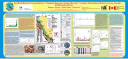 |
This study covers concentrations of lanthanides and Y in phosphate deposits in northeastern British Columbia. Fifty representative samples of phosphate rocks (containing from 0.1 to 29% P2O5), collected during the mid 1980's were re-analysed in 2009 for REEs using modern analytical technique (ICP-MS, following Li-metaborate fusion). They contain from 6 ppm to 972 ppm REE�s (not including Y) and from 5 ppm to 590 ppm Y.
The emphasis of this study is on the Sulphur Mountain formation (SMF) and more specifically at its Whistler member. In general, in decreasing order, Y, La, Nd and Ce are the most abundant REE�s in northeastern British Columbia. Samples from the Kechika formation are an exception because Ce, La, and Nd (in decreasing order) are more abundant than Y.
Within the SMF, there is a good agreement between results obtained using ICP-MS and historical data for P and some of the REEs; however, results of historical La analyses are significantly lower than corresponding results obtained using modern ICP-MS.
Should any of the British Columbia phosphate deposits be considered as sources of phosphate raw material for fertilizer manufacturing, at current REE prices, the economic viability of REE recovery as a by-product of phosphate mining should be considered. |
| Issue ID: | OF2011-05 |
| Title: | Surficial geology, Adsett Creek (NTS 94J/SE), British Columbia |
| Author(s): | Trommelen, M., Levson, V.M. |
| Series Name: | Open File |
| Publication Year: | 2011 |
| Other Citation Details: | Also published as Geological Survey of Canada Open File 6832 |
| Larger Work Citation: | Also published as Geological Survey of Canada Open File 6832 |
| Scale: | 1:100000 |
| NTS Map Sheet(s): | 094J/01; 094J/02; 094J/07; 094J/08 |
| Place Keyword(s): | British Columbia, Northeast, Fort Nelson, Adsett Creek |
| Lat/Long (NSWE): | 58.5, 58, -123, -122 |
| Theme Keyword(s): | Surficial Geology Map, Quaternary, Aggregate, Surficial Geology |
Download(s):
| PDF |
Abstract:
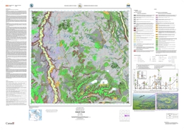 |
The Adsett Creek map area (NTS 094J/SE) is situated in northeastern British Columbia, south of Fort Nelson. Most of the study area is located within the Fort Nelson Lowland physiographic region (Holland 1976), a generally flat, low-lying area 450-600 m above sea level (asl). Flat-topped mesas in the southern map area are located within the Alberta Plateau physiographic region (Holland 1976), rising 60-90 m above the lowland to an elevation 910 m asl. The Prophet River flows north through the study area, and eventually joins the Muskwa River. The area is blanketed by Boreal forest (white and black spruce, aspen, lodgepole pine) and underlain by soils with high clay content that result in abundant poorly drained bog and fen areas. The main economic activities in the map area include oil and gas exploitation and forestry.
Operating funds for the 2010 mapping program were provided by the BC Geological Survey, a private-public partnership agreement with Kutcho Copper Corporation, the Geological Survey of Canada (EDGES component of the GEM program) and a partnership agreement with the University of Victoria. |
| Issue ID: | OF2011-07 |
| Title: | Bedrock Geology of the Andrea Creek Area, part of NTS 104I/01 |
| Author(s): | Schiarizza, P.A. |
| Series Name: | Open File |
| Publication Year: | 2011 |
| NTS Map Sheet(s): | 104I/01 |
| Place Keyword(s): | British Columbia, Northwest, Dease Lake |
| Lat/Long (NSWE): | 58.262, 58.112, -128.505, -128.19 |
| Theme Keyword(s): | Bedrock geology, bedrock mapping, Permo-Triassic Kutcho assemblage, MINFILE 104I 060, VMS |
Download(s):
| PDF |
Abstract:
 |
The Andrea Creek map area is located in northern British Columbia, about 100 km east of Dease Lake. It covers about 200 square kilometres and encompasses the transition between the Stikine Ranges of the Cassiar Mountains to the north and the Spatsizi Plateau to the south. Open File 2011-07 presents a 1:25 000-scale geologic map of this area based on fieldwork conducted in 2010. The map features new subdivisions of the Permo-Triassic Kutcho assemblage, a heterogeneous package of schists derived from felsic and mafic volcanic and volcaniclastic rocks and associated felsic and mafic intrusions, which hosts the Kutcho Creek Cu-Zn volcanogenic massive sulphide occurrence (MINFILE 104I 060). The Kutcho assemblage is part of the King Salmon allochthon, which also includes a structurally underlying unit of metabasalt and serpentinite assigned to the Cache Creek Complex, and a Triassic-Jurassic metasedimentary succession that overlies the Kutcho assemblage across an erosional unconformity. The latter succession includes a local conglomerate unit containing clasts derived from the Kutcho assemblage, and overlying limestone, slate, siltstone and sandstone correlated with the regionally extensive Late Triassic Sinwa and Early to Middle Jurassic Inklin formations. The allochthon is bounded to the south by the north-dipping King Salmon thrust fault, and to the north by the Nahlin fault. Jurassic chert-pebble conglomerate of the Bowser Lake Group occurs in the footwall of the King Salmon fault, and serpentinized ultramafic rocks of the Cache Creek complex crop out on the north side of the Nahlin fault. The northwest-striking Kutcho fault truncates the King Salmon allochthon near the northeast edge of the map area, and juxtaposes it against undated plutonic rocks, mainly granodiorite and quartz diorite, which are part of the Quesnel terrane.
Operating funds for the 2010 mapping program were provided by the BC Geological Survey, a private-public partnership agreement with Kutcho Copper Corporation, the Geological Survey of Canada (EDGES component of the GEM program) and a partnership agreement with the University of Victoria.
Details and descriptions of the geologic units and structures within this map area can be found in: Schiarizza, P. (2011): Geology of the Kutcho assemblage between Kutcho Creek and the Tucho River, northern British Columbia (NTS 104I/01); in Geological Fieldwork 2010, British Columbia Ministry of Energy and Mines, Paper 2011-1, pages 99-117 |
| Issue ID: | GM2011-02 |
| Title: | Geology, Geochronology, Lithogeochemistry and Metamorphism of the Quatsino-Port McNeill Area, Northern Vancouver Island (NTS 92L/11, and parts of 92L/05, 12 and 13) 1:50 000 scale |
| Author(s): | Nixon, G.T., Hammack, J.L., Koyanagi, V.M., Payie, G.J., Orr, A.J., Haggart, J.W., Orchard, M.J., Tozer, E.T., Friedman, R.M., Archibald, D.A., Palfy, J., Cordey, F. |
| Series Name: | Geoscience Map |
| Publication Year: | 2011 |
| Scale: | 1:50000 |
| NTS Map Sheet(s): | 092L/05,12,13,11 |
| Place Keyword(s): | British Columbia, Southwest, Vancouver Island, Quatsino, Port McNeill |
| Lat/Long (NSWE): | 51, 50.35, -127.75, -127 |
| Theme Keyword(s): | Geology, bedrock map, geochronology, lithogeochemistry, metamorphism |
Download(s):
| PDF |
Abstract:
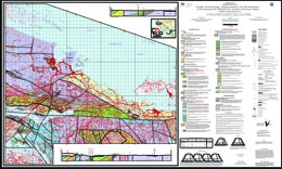 |
Geoscience Map 2011-2 (1:50 000-scale) is the second in a series of five new geological maps (Geoscience Maps 2011-1 to 2011-5) of northern Vancouver Island which together provide a revised Early Mesozoic stratigraphic framework and Mesozoic-Tertiary plutonic history for southern Wrangellia. Geoscience Map 2011-2 describes the geology, geochronology, lithogeochemistry and metamorphism of the Quatsino � Port McNeill area (NTS 092L/11 and parts of 092L/05, 12 and 13). The map area is underlain by a folded and faulted sequence of Late Triassic to Middle Jurassic volcanic and sedimentary rocks of the Vancouver and Bonanza groups intruded by granitoids of the Early to Middle Jurassic Island Plutonic Suite. The deformed Triassic-Jurassic rocks are unconformably overlain by Cretaceous marine clastics and cut locally by Tertiary dikes and minor intrusions. Middle Jurassic intrusions of the Island Plutonic Suite (e.g. Rupert Inlet Pluton) are spatially and genetically associated with important calc-alkaline Cu-Au-Mo porphyry-style mineralization at the former Island Copper mine, as well as coeval high-sulphidation, base- and precious-metal epithermal prospects hosted by rhyolitic flows and pyroclastic rocks in the Pemberton Hills � Mount McIntosh area to the west (Geoscience Map 2011-1). Intriguingly, a dyke similar to the one associated with mineralization at Island Copper extends over 5 km east of the Rupert Inlet Pluton beneath a thick cover of glacial drift, as inferred from geophysical surveys, and remains to be drill-tested. A major, westerly-trending fault zone, the Holberg Fault, exposed in cliffs on the headland between Rupert and Holberg inlets, separates well-mineralized, Middle Jurassic intrusions and the largely coeval Holberg volcanic unit of the Bonanza Group from their Early Jurassic counterparts to the south. Radical changes in lowermost Jurassic stratigraphy are also evident across this structural corridor: a thick, predominantly subaerial, volcanic-volcaniclastic sequence (Le Mare Lake volcanic unit) south of the Holberg Fault largely correlates with a more condensed succession of intercalated, marine sedimentary and volcaniclastic strata north of the fault zone (Nahwitti River siltstone-wacke unit and lower part of the overlying Holberg volcanic unit). In the eastern part of the area, outliers of Neogene Alert Bay volcanic rocks rest unconformably on a downdropped block of Upper Cretaceous sedimentary strata of the Nanaimo Group. Regional metamorphism is generally characterized by very low-grade mineral assemblages (prehnite-pumpellyite to zeolite facies) except in the vicinity of faults and intrusive contacts where the rocks may reach upper greenschist to amphibolite grade, respectively. |
| Issue ID: | IC2011-04 |
| Title: | Coal in British Columbia |
| Author(s): | Johal, A., Northcote, B., Lefebure, D.V. |
| Series Name: | Information Circular |
| Publication Year: | 2011 |
| NTS Map Sheet(s): | 082;083;092;093;094;102;103;104;114 |
| Place Keyword(s): | British Columbia |
| Lat/Long (NSWE): | 60, 48, -140, -114 |
| Theme Keyword(s): | Coal, MINFILE, brochure |
Download(s):
| PDF |
Abstract:
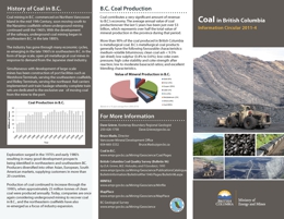 |
This brochure briefly describes coal deposits in British Columbia, including the East Kootenay, Peace River, and Vancouver Island Coalfields. It has a location map of selected coal deposits. Coal contributes a very significant amount of revenue to B.C.�s economy. The average annual value of coal production over the last 5 years has been just over $3 billion, which represents over half the total value of mineral production in the province during that period. More than 90% of the coal produced in British Columbia is metallurgical coal. B.C.�s metallurgical coal products generally have the following favourable characteristics: medium-volatile bituminous; clean coal ash < 9.5% (air dried); low sulphur (0.4% to 0.6%); low coke oven pressure; high coke stability and coke strength after reaction; low to moderate base/acid ratios; and excellent blending characteristics. |
| Issue ID: | GBCR2011-06 |
| Title: | Ground Testing of Predicted Geology based on Stream and Lake Sediment Geochemistry in the QUEST Area, using previously Undocumented Bedrock Exposures |
| Author(s): | Bissig, T., Logan, J.M., Heberlein, D.R., Ma, F. |
| Series Name: | Geoscience BC Report |
| Publication Year: | 2011 |
| Larger Work Citation: | Geoscience BC QUEST |
| NTS Map Sheet(s): | 093A,B,G,H,K,L,N,O; 094C,D |
| Place Keyword(s): | British Columbia, Central |
| Lat/Long (NSWE): | 56.25, 52.25, -126.25, -120.5 |
| Theme Keyword(s): | QUEST, geochemistry, stream sediment, lake sediment |
Additional Link(s):
| http://cdn.geosciencebc.com/project_data/GBC_Report2011-6/GBCReport_2011-6.pdf
http://cdn.geosciencebc.com/project_data/GBC_Report2011-6/GBCReport_2011-6_Analytical_Results.zip
http://www.geosciencebc.com/projects/2008-003/ |
Abstract:
| Large parts of central British Columbia are covered by fluvioglacial sediment which has prompted researchers to develop ways to constrain the geology under cover. One such study has predicted the geology undercover by applying a neural network approach to regional stream and lake sediment data (Barnett and Williams, 2009a).
The report presented here, describes the results of a study aimed at ground-truthing the predicted bedrock geology map of Barnett and Williams (2009). Exposures, largely of previously undocumented bedrock, have been mapped and sampled in 33 locations in the Prince George and Fort Saint James area. These samples have been analyzed for whole rock geochemistry. In addition, stream sediments were collected from six previously unsampled locations on first order streams within 1.2 km from sampled bedrock exposures. The new field exposures were mapped and then compared to the BC Geological Survey bedrock map (Massey et al., 2005).
The results presented herein are only applicable to areas with relatively thin overburden since no areas with deeply covered bedrock could be tested. However, the data show that the neural network was able to predict the bedrock geology well (i.e., most probable predicted bedrock matches the observed unit) in about 75% of the cases. In another 10% of the cases the observed geological unit matches the second or third most probable unit.
The new field exposures correlate well with the predicted geology map, thereby validating the neural network approach for predicting bedrock geology. This is also supported by the fact that, on the basis of empiric comparisons, the local rock geochemistry is reflected in the stream sediment samples collected nearby.
There are, however, important limitations to the use of neural network technology to predict bedrock geology. For instance, the predictions of the distribution of lithologically and geochemically heterogeneous map units, such as the "Cache Creek Complex", are less trustworthy than those for geochemically more defined units like the Chilcotin Group. Similarly, if intrusive rocks are divided according to age rather than composition, the neural network approach will have problems correctly assigning intrusive units to its corresponding age group.
Three of the bedrock samples yielded geochemical results of interest when exploring for magmatic hydrothermal base or precious metal and Ni-PGE deposits. In addition, one stream sediment sample yielded elevated Au and Hg values.
An earlier version of this report was presented at the Kamloops Exploration Group Conference in April 2011. |
| Issue ID: | GBCR2011-10 |
| Title: | Rock Physical Property Measurements to Aid Geophysical Surveys in the Nechako Basin Oil and Gas Region, Central British Columbia |
| Author(s): | Andrews, G., Quane, S., Enkin, R.J., Russell, K., Kushnir, A., Kennedy, L., Hayward, N., Heap, M. |
| Series Name: | Geoscience BC Report |
| Publication Year: | 2011 |
| Larger Work Citation: | Geoscience BC Project 2008-028 |
| NTS Map Sheet(s): | 092O,N; 093B,C,E,F,L |
| Place Keyword(s): | British Columbia, Central, Nechako |
| Lat/Long (NSWE): | 55, 51, -128, -122 |
| Theme Keyword(s): | Physical properties, geophysical survey, oil and gas |
Additional Link(s):
| http://cdn.geosciencebc.com/project_data/GBC_Report2011-10/GBCRpt2011-10-Nechako_RxPhys_Database.xls
http://cdn.geosciencebc.com/project_data/GBC_Report2011-10/GBCRpt2011-10-Nechako_GeophysProp.pdf |
Abstract:
| Miocene and younger basalts (e.g., Chilcotin Group) and Eocene to Jurassic age volcanic and sedimentary rocks (e.g., Endako Group, Ootsa Lake Group, Taylor Creek Group) underlie significant portions of the Interior Plateau and Nechako Basin of central British Columbia. There is potential for unexploited hydrocarbon and base metal resources underlying these younger volcanic and sedimentary successions, making this area of significant economic interest.
Geophysical surveys (both seismic reflection and magnetotellurics), funded by Geoscience BC and the Geological Survey of Canada, have concentrated on (1) portions of the Nechako Basin for hydrocarbon potential within Jurassic and Cretaceous sedimentary rocks and (2) portions of the Interior Plateau for base metal exploration. To help interpret variations in geophysical signals, we have measured the geophysical properties (density, porosity, magnetic susceptibility and remanence, electrical resistivity and chargeability, and seismic velocity) for 107 samples of the key lithologies of the Nechako Basin. This report was funded by Geoscience BC to aid in processing raw seismic and magnetotelluric data with the intention of extracting more accurate geophysical images of the subsurface and delineation of exploration targets. |
| Issue ID: | GBCR2011-13 |
| Title: | Preliminary Lithological and Structural Framework of Eocene Volcanic Rocks in the Nechako Region, Central British Columbia |
| Author(s): | Bordet, E., Hart, C.J.R., Mitchinson, D. |
| Series Name: | Geoscience BC Report |
| Publication Year: | 2011 |
| Larger Work Citation: | Geoscience BC Project 2009-046 |
| NTS Map Sheet(s): | 092O,P; 093A,B,C,G |
| Place Keyword(s): | British Columbia, Central, Nechako |
| Lat/Long (NSWE): | 53.5, 51.5, -125, -121.5 |
| Theme Keyword(s): | Eocene, volcanic rocks, lithological and structural framework, geophysics |
Additional Link(s):
| http://cdn.geosciencebc.com/project_data/GBC_Report2011-13/Appendix_Report_2011-13.xls
http://cdn.geosciencebc.com/project_data/GBC_Report2011-13/GBC_Report_2011-13.pdf |
Abstract:
| This report presents the preliminary interpretations of an ongoing PhD thesis project by Esther Bordet. The report documents new mapping and proposes an improved stratigraphic and structural model for the Eocene period in the Nechako Basin. Characterization of the nature, thickness and structural framework of Eocene volcanic rocks in the Nechako region provides new insights into the area's Early Cenozoic history, contributes to improved interpretations and adds value to existing geophysical, particularly seismic and magnetotelluric, data sets.
The proposed GIS thickness model combined with interpreted structural and stratigraphic lineaments can be compared with magnetotelluric and seismic 2D profiles to define the structure of the underlying basin and interpret the abrupt changes in the thickness of the overlying Paleocene and Eocene packages. In addition, physical property measurements of mapped lithologies help constrain the geophysical responses of these rocks.
The new stratigraphic and structural model proposed for the Eocene volcanic sequence will provide a more robust framework for future mineral and oil and gas exploration in the Nechako region. |
| Issue ID: | GF2011-10 |
| Title: | Specialty (Rare) Metals in British Columbia, Canada |
| Author(s): | Simandl, G.J., Prussin, E.A., Brown, N. |
| Series Name: | GeoFile |
| Publication Year: | 2011 |
| NTS Map Sheet(s): | 082;083;092;093;094;102;103;104;114 |
| Place Keyword(s): | British Columbia |
| Lat/Long (NSWE): | 60, 48, -140, -114 |
| Theme Keyword(s): | REE, rare metals, specialty metals, map |
Download(s):
| PDF |
Abstract:
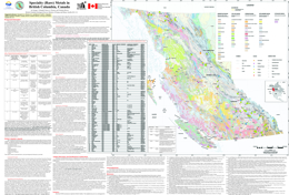 |
GeoFile 2011-10 provides background information regarding Specialty Metals (�Rare Metals�) in British Columbia and can be considered a Specialty Metals primer for prospectors and geologists. The accompanying 1:2 000 000 scale map shows the location and geological setting of 106 rare metal occurrences. The GeoFile also lists 45 references on the subject.
Most of the primary occurrences are part of the belt-shaped British Columbia alkaline province which parallels the Rocky Mountain Trench. They can be grouped into seven main geological categories based on the association between mineralization and host-rock or key lithological units: 1) Carbonatite/syenite-related deposits, 2) Peralkaline/alkaline intrusion-related deposits, 3) Skarns, 4) Pegmatites/granite hosted 5) Placers and paleoplacers, 6) Phosphate-hosted REE deposits and 7) Others. Aley carbonatite (niobium) and the Upper Fir carbonatite (niobium and tantalum) are the two most developed rare metal prospects approaching the feasibility study stage.
The Aley carbonatite (niobium) (094B 027) and the Upper Fir carbonatite (niobium and tantalum) (083D 035) are the two most developed rare metal prospects, approaching the feasibility study stage. The less developed Wicheeda Lake rare earth element occurrence (093J 014) is also promising. Carbonatite/syenite-related deposits appear to be the primary exploration targets for niobium and rare earth element exploration in British Columbia. |
| Issue ID: | GBCR2011-12 |
| Title: | Montney Water Project: Watershed Posters |
| Author(s): | Foundry Spatial Ltd. |
| Series Name: | Geoscience BC Report |
| Publication Year: | 2011 |
| Larger Work Citation: | Geoscience BC Project: Montney Water Project |
| NTS Map Sheet(s): | 093I,O,P; 094A,B,P |
| Place Keyword(s): | British Columbia, Northeast |
| Lat/Long (NSWE): | 60, 54, -124, -120 |
| Theme Keyword(s): | oil and gas, watershed |
Additional Link(s):
| http://www.geosciencebc.com/major-projects/Montney/
http://cdn.geosciencebc.com/project_data/GBC_Report2011-12/GBCR2011-12_MontneyWatershedOverview.pdf |
Abstract:
| As part of the Montney Water Project, Geoscience BC commissioned Foundry Spatial Ltd. to compile a comprehensive database on surface water sources and to conduct analysis of this information by overlaying watersheds with other available information. Analysis of surface water resources in the Montney took a broad approach, considering several aspects of the hydrologic cycle that influence timing and movement of water through the region, including: streamflow; lakes; water balance; surficial materials, land use and vegetation; climate; future climate model; ground water and paleovalleys; and ungauged watersheds. Results of this analysis are presented in the seven watershed posters that make up this report.
Funding for this work was provided by the Montney Water Project, a collaborative effort between Geoscience BC, industry partners and the BC government, with support from the Science and Community Environmental Knowledge (SCEK) Fund. |
| Issue ID: | GM2011-03 |
| Title: | Geology, Geochronology, Lithogeochemistry and Metamorphism of the Mahatta Creek Area, Northern Vancouver Island (NTS 92L/05) 1:50 000 scale |
| Author(s): | Nixon, G.T., Hammack, J.L., Hamilton, J.V., Jennings, H., Larocque, J.P., Orr, A.J., Friedman, R.M., Archibald, D.A., Creaser, R.A., Orchard, M.J., Haggart, J.W., Tipper, H.W., Tozer, E.T., Cordey, F., McRoberts, C.A. |
| Series Name: | Geoscience Map |
| Publication Year: | 2011 |
| Scale: | 1:50000 |
| NTS Map Sheet(s): | 092L/05 |
| Place Keyword(s): | British Columbia, Southwest, Vancouver Island, Mahatta Creek |
| Lat/Long (NSWE): | 50.5, 50.25, -128, -127.5 |
| Theme Keyword(s): | Geology, bedrock map, geochronology, lithogeochemistry, metamorphism |
Download(s):
| PDF |
Abstract:
 |
Geoscience Map 2011-3 (1:50 000-scale) is the third in a series of five new geological maps (Geoscience Maps 2011-1 to 2011-5) of northern Vancouver Island which together provide a revised Early Mesozoic stratigraphic framework and Mesozoic-Tertiary plutonic history for southern Wrangellia. Geoscience Map 2011-3 describes the geology, geochronology, lithogeochemistry and metamorphism of the Mahatta Creek area (NTS 092L/05). The map area is underlain by a folded and faulted sequence of Late Triassic to Middle Jurassic volcanic and sedimentary rocks of the Vancouver and Bonanza groups intruded by granitoids of the Early to Middle Jurassic Island Plutonic Suite. The deformed Triassic-Jurassic rocks are unconformably overlain by Cretaceous marine clastics and cut locally by Tertiary dikes. Of note stratigraphically is the radical change in thickness of the Late Triassic Quatsino limestone across the Mahatta Creek area from the west coast (~40 m thick) to the east (Neroutsos Inlet >900 m). A young Tertiary (Neogene) granodiorite, the Klaskish River Pluton, which is the founding member of the Late Miocene � Early Pliocene Klaskish Plutonic Suite, intrudes Late Triassic Karmutsen and Early Jurassic Bonanza (Le Mare Lake unit) volcanic rocks near the foot of the Brooks Peninsula. Recent exploration at the northern margin of this pluton has targeted a Cu-Mo porphyry system similar to mineralization at the former Island Copper mine hosted by a Middle Jurassic intrusion of the Island Plutonic Suite. Major northwesterly-trending faults with inferred vertical and/or strike-slip offsets occupy drift-filled valleys subparallel to the coast and appear to repeat Bonanza Group stratigraphy. One such fault system, the Le Mare Lake - Red Stripe Mountain faults, has demonstrably displaced stratigraphic units about 5 kilometres in a right-lateral sense. These structures are intersected by a set of steeply-dipping, northeasterly-trending, subparallel faults comprising the Brooks Peninsula Fault Zone, one of which (the Klaskish River Fault) cuts the Late Miocene Klaskish River Pluton. Regional metamorphism is generally characterized by very low-grade mineral assemblages (prehnite-pumpellyite to zeolite facies) except in the vicinity of faults and intrusive contacts where the rocks may reach upper greenschist to amphibolite grade, respectively. |
| Issue ID: | P2012-01-00 |
| Title: | Geological Fieldwork 2011: Foreword |
| Author(s): | Rowins, S.M. |
| Series Name: | Paper |
| Publication Year: | 2012 |
| Larger Work Citation: | in Geological Fieldwork 2011, B.C. Ministry of Energy and Mines, Paper 2012-01 |
| NTS Map Sheet(s): | 082;083;092;093;094;102;103;104;114 |
| Place Keyword(s): | British Columbia |
| Lat/Long (NSWE): | 60, 48, -140, -114 |
| Theme Keyword(s): | Geological Fieldwork, Forward, Geological, Table of Contents |
Download(s):
| PDF |
Abstract:
| The British Columbia Geological Survey (BCGS) presents here the results of 2011 field surveys and geoscience research in the thirty-seventh edition of Geological Fieldwork. Collectively, these papers demonstrate the breadth of staff expertise and our many research partners highlight the organization�s collaborative nature. The provision of new geoscience data about British Columbia is a key activity of the BCGS that leads to mineral tenure acquisition and increased mineral exploration activity in the Province. Most articles are contributions by Survey staff to the understanding of the geology, geochemistry, and mineral deposits of the Province. The volume also includes several contributions from other professional geoscientists that contain new data of interest to the exploration community. |
| Issue ID: | P2012-01-01 |
| Title: | Geological Fieldwork 2011: British Columbia Geological Survey Activities in 2011 |
| Author(s): | Rowins, S.M., Jones, L.D., Madu, B. |
| Series Name: | Paper |
| Publication Year: | 2012 |
| Larger Work Citation: | in Geological Fieldwork 2011, B.C. Ministry of Energy and Mines, Paper 2012-01 |
| NTS Map Sheet(s): | 082;083;092;093;094;102;103;104;114 |
| Place Keyword(s): | British Columbia |
| Lat/Long (NSWE): | 60, 48, -140, -114 |
| Theme Keyword(s): | Geological Fieldwork, MapPlace, marketing, Mineral Development Office, partnerships |
Download(s):
| PDF |
Abstract:
| A report on the activities of the British Columbia Geological Survey in 2010. British Columbia�s mineral exploration and mining industry continued to perform well and helped lead the economic recovery in BC. The total value of solid mineral production for 2010 was $7 billion and mineral exploration spending was $322 million, more than double the $154 million spent in 2009. The industry continued to perform well and helped lead the economic recovery in BC. The total value of solid mineral production for 2010 was $7 billion and mineral exploration spending was $322 million, more than double the $154 million spent in 2009. It is anticipated that similar, if not stronger, numbers are expected for 2011. Nevertheless, core funding levels for the BCGS in 2011 were similar to those in 2010 and 2009. This resulted in the BCGS continuing to focus on creating new geoscience products in partnerships with universities, industry, and other public geoscience agencies. |
| Issue ID: | P2012-01-02 |
| Title: | Irarsite (IrAsS), Osarsite (OsAsS) and Gold from Placer Black Sands, Ruby Creek and Wright Creek, Atlin, British Columbia |
| Author(s): | Hora, Z.D., Pivec, E., Langrova, A. |
| Series Name: | Paper |
| Publication Year: | 2012 |
| Larger Work Citation: | in Geological Fieldwork 2011, B.C. Ministry of Energy and Mines, Paper 2012-01 |
| Place Keyword(s): | British Columbia, Northwest, Atlin, Wright Creek, Feather Creek |
| Lat/Long (NSWE): | 59.7, 59.6, -133.4, -133.25 |
| Theme Keyword(s): | Geological Fieldwork, placer mineralogy, PGE, osarsite, osmium |
Download(s):
| PDF |
Abstract:
| Atlin gold placers have been known to contain a wide variety of metallic minerals for almost one hundred years. T.L. Gledhill (1921) lists among others iridosmine, cassiterite, wolframite, magnetite, native gold, copper, bismuth, chalcopyrite, pyrite, amalgam and mercury. Some mineral relationships observed from black sands of Feather Creek were published recently by Sack and Mihalynuk (2004). For this study, three samples of about 10 grams each comprising 2 mm hand-panned black sand were provided by M. Mihalynuk from Ruby, Wright and Feather creeks. The samples were observed under the microscope and analyzed by the electron microprobe. The results are presented in this paper. |
| Issue ID: | P2012-01-03 |
| Title: | Geoscience Project, Part IV: Tsaybahe Group: Lithological and Geochemical Characterization of Middle Triassic Volcanism in the Stikine Arch, North-Central British Columbia |
| Author(s): | Iverson, O., Mahoney, J.B., Logan, J.M. |
| Series Name: | Paper |
| Publication Year: | 2012 |
| Larger Work Citation: | in Geological Fieldwork 2011, B.C. Ministry of Energy and Mines, Paper 2012-01 |
| Place Keyword(s): | British Columbia, Northwest, Dease Lake |
| Lat/Long (NSWE): | 58.5, 58, -131, -129 |
| Theme Keyword(s): | Geological Fieldwork, Tsaybahe group, detrital zircon geochronology, Triassic stratigraphy, geochemistry |
Download(s):
| PDF |
Abstract:
| The Tsaybahe group study is one of four integrated projects that comprise the British Columbia Geological Survey Dease Lake Geoscience Project (Logan et al., 2012), which is itself part of Geoscience BC�s QUEST Northwest initiative, a program initiated in 2011 to stimulate exploration in the northwestern part of the province along Highway 37. Collectively, these programs provide detailed, high-quality geoscience data that is intended to enhance metallic mineral exploration in an area of prospective geology adjacent to Highway 37, near Dease Lake, in northern British Columbia. The Dease Lake study area is situated within the
Stikine terrane, an extensive subduction-generated island arc magmatic system responsible for recurring calcalkaline and/or alkaline plutonic events and associated Cu-Au mineralization, mainly during the Late Triassic and Early Jurassic. Previous mapping in the area identified two Triassic volcanic-sedimentary assemblages, the Stuhini and Tsaybahe groups. The Stuhini Group is a Late Triassic assemblage that is characterized by pyroxene porphyry breccias, volcaniclastic rocks, and basalt flows. The underlying Early to Middle Triassic Tsaybahe group was defined by Read (1984) as a succession of cherty volcanic-rich sediments and crowded augite porphyry breccias containing Early and Middle Triassic fossils. The two units are strikingly similar in terms of lithology and are difficult to differentiate in the field. This project is designed to compare and contrast the lithostratigraphic features, detrital zircon geochronology, and volcanic geochemistry of the Stuhini and Tsaybahe groups, thereby providing insight into the stratigraphic
relationships and tectonic evolution of this part of the Stikine terrane. This paper reports the initial results of the senior authors B.Sc. thesis project currently underway at the University of Wisconsin�Eau Claire under the supervision of Professor J.B. Mahoney. |
| Issue ID: | P2012-01-04 |
| Title: | Dease Lake Geoscience Project, Part I: Geology and Mineralization of the Dease Lake (NTS 104J/08) and East-Half of the Little Tuya River (NTS 104J/07E) Map Sheets, Northern British Columbia |
| Author(s): | Logan, J.M., Moynihan, D.P., Diakow, L.J. |
| Series Name: | Paper |
| Publication Year: | 2012 |
| Larger Work Citation: | in Geological Fieldwork 2011, B.C. Ministry of Energy and Mines, Paper 2012-01 |
| Place Keyword(s): | British Columbia, Northwest, Dease Lake |
| Lat/Long (NSWE): | 58.5, 58, -131, -129 |
| Theme Keyword(s): | Geological Fieldwork, QUEST-Northwest, Geoscience BC, bedrock mapping, geological mapping |
Download(s):
| PDF |
Abstract:
| The British Columbia Geological Survey�s Dease Lake Geoscience Project is part of Geoscience BC�s QUEST-Northwest initiative, a program launched in 2011 to stimulate exploration in the north western part of the
province along Highway 37. The 2011 program of bedrock mapping and mineral deposit studies undertaken by the British Columbia Geological Survey is complementary to the geophysical and geochemical programs directly administered through Geoscience BC. Collectively these programs will provide detailed, high quality geoscience data that is intended to enhance metallic mineral exploration in an area of prospective geology. The Dease Lake study area is situated within the Stikine terrane, an extensive subduction-generated island arc magmatic system responsible for recurring calcalkaline and/or alkaline plutonic events and associated Cu-Au mineralization, mainly during Late Triassic and Early Jurassic time. Prospective Mesozoic volcanic rocks exposed around the margins of the Bowser Basin form an arcuate belt containing porphyry deposits that include KSM (MINFILE 104B 103), Galore Creek (MINFILE 104G 090) and Shaft Creek (MINFILE 104G 015) deposits to the west, and the Kemess deposits (MINFILE 094E 094) to the east. The Dease Lake study area is located at the apex of this arcuate belt, immediately north of the Red Chris Cu-Au porphyry deposit (MINFILE 104H 005) and adjacent to the Hotailuh batholith, a large composite intrusive complex similar in age to the intrusions hosting porphyry mineralization at the Galore and Shaft Creek deposits. Numerous small plutons intrude mainly Late Triassic arc stratigraphy in the Dease Lake area. Neither the plutons nor the volcano-sedimentary rocks have undergone a thorough regional geological re-evaluation for mineral potential since being mapped by the Geological Survey of Canada in the late 1970s and early 1980s (Gabrielse et al., 1980; Anderson 1983, 1984). Modern detailed bedrock mapping is essential to characterize time�space relationships of this arc segment, which will allow an improved assessment of the potential for mineralization, comparison with mineralized arc segments elsewhere, and integration with the airborne magnetic program. In addition, the project will provide supplementary databases including rock geochemical classification, magnetic susceptibility and geochronology. These data will integrate with regional stream geochemical survey data and airborne geophysics to ensure cost effective exploration targeting for porphyry style mineralization. In 2011, the British Columbia Geological Survey completed four field-based geology studies located within a 70 km radius of the Dease Lake community. The four components, which collectively make up the Dease Lake Geoscience Project are:
� Dease Lake regional bedrock mapping
� Hotailuh batholith: intrusive phases, ages and related mineralization
� Snow Peak pluton: age, emplacement and molybdenum mineralization
� Tsaybahe group: lithological and geochemical characterization of Middle Triassic volcanism. |
| Issue ID: | P2012-01-05 |
| Title: | Geology of the Hoodoo Mountain Area (NTS 104B/14W) |
| Author(s): | Mihalynuk, M.G., Zagorevski, A., Cordey, F. |
| Series Name: | Paper |
| Publication Year: | 2012 |
| Larger Work Citation: | in Geological Fieldwork 2011, B.C. Ministry of Energy and Mines, Paper 2012-01 |
| Place Keyword(s): | British Columbia, Northwest, Hoodoo Mountain, Iskut River |
| Lat/Long (NSWE): | 57.25, 56.5, -131.5, -131.25 |
| Theme Keyword(s): | Geological Fieldwork, geological mapping, Stikine assemblage, Stuhini Group, copper porphyry |
Download(s):
| PDF |
Abstract:
| Hoodoo Mountain area is located between the enormous copper-gold resource defined at Galore Creek and the past-producing gold deposits of the Bronson Camp. Reserves at Galore Creek in proven and probable categories are 528 Mt grading 0.58% Cu, 0.32 g/t Au and 6.02 g/t Ag (Gill et al., 2011). In the Bronson Camp, the Snip mine produced 32 million grams of gold, 12 million grams silver and nearly 250 000 kilograms copper from about 1.2 million tonnes between 1991 and 1999; Johnny Mountain produced for less than two years with produced, proven, probable and �possible� categories totaling 0.622 Mt at 19.54 g/t Au (MINFILE, 2011). Bronson Slope is underlain by a low-grade porphyry with a measured and indicated resource estimate stated to meet �CIMM resource standards and classifications� of 225 Mt grading 0.36 g/t Au, 2.22 g/t Ag, 0.13% Cu and 0.008% Mo plus 163 Mt grading 7.28% magnetite. Despite the region�s exceptional mineral endowment, large parts of the Hoodoo Mountain area lacked systematic mapping or were last mapped by Forrest Kerr in the 1920s during International Boundary Commission, which also generated the first topographical maps. To address this geoscience knowledge gap, a program of geological mapping and sampling was initiated in 2010, funded principally by the federal GEM program (Geoscience for Energy and Minerals Strategy) over the eastern half of the Hoodoo map area (NTS 104B/14E). Continuation of that mapping in 2011 focused on the western half of the Hoodoo Mountain area (NTS 104B/14W), and is the subject of this report. |
| Issue ID: | P2012-01-06 |
| Title: | Dease Lake Geoscience Project, Part III: Age, Emplacement and Mineralization of the Snow Peak Pluton (NTS 104J/08) |
| Author(s): | Moynihan, D.P., Logan, J.M. |
| Series Name: | Paper |
| Publication Year: | 2012 |
| Larger Work Citation: | in Geological Fieldwork 2011, B.C. Ministry of Energy and Mines, Paper 2012-01 |
| Place Keyword(s): | British Columbia, Northwest, Dease Lake |
| Lat/Long (NSWE): | 58.5, 58.4, -130.5, -130.3 |
| Theme Keyword(s): | Geological Fieldwork, Snow Peak pluton, Geoscience BC, Mo-Au mineralization, geochronology |
Download(s):
| PDF |
Abstract:
| The Snow Peak pluton is a small, steep sided, equidimensional body located in the northwestern part of the Dease Lake map sheet (NTS 104/J08). The intrusion is a relatively homogeneous, locally porphyritic quartz monzodiorite-granodiorite, which is hosted by Early Jurassic rocks of the Takwahoni Formation (Stikine terrane) immediately south of the terrane-bounding King Salmon fault. Mo�Au, W mineralization is
developed along west-northwest trending fracture planes in the central part of the pluton. This paper reviews the geology of the pluton and surrounding area and presents new geochronological and petrological data concerning its age and emplacement depth. Additional information on the regional geology is included in the accompanying paper by Logan et al., 2012a. |
| Issue ID: | P2012-01-07 |
| Title: | Geology of the Kutcho Assemblage between the Kehlechoa and the Tucho Rivers, Northern British Columbia (NTS 104I/01, 02) |
| Author(s): | Schiarizza, P.A. |
| Series Name: | Paper |
| Publication Year: | 2012 |
| Larger Work Citation: | in Geological Fieldwork 2011, B.C. Ministry of Energy and Mines, Paper 2012-01 |
| Place Keyword(s): | British Columbia, Northwest, Dease Lake, Stikine River |
| Lat/Long (NSWE): | 58.26, 58.11, -128.78, -128.19 |
| Theme Keyword(s): | Geological Fieldwork, Kutcho assemblage, Cache Creek complex, Sinwa Formation, Inklin Formation |
Download(s):
| PDF |
Abstract:
| The Kutcho project is a two-year bedrock mapping program initiated by the British Columbia Geological Survey Branch in 2010. The main goals of the project are to gain a better understanding of, and provide more detailed geological maps for, the Permo-Triassic Kutcho assemblage, which hosts the Kutcho Creek volcanogenic massive sulphide deposit. This study is a component of the Natural Resources Canada-led Edges (Multiple Metals-Northwest Canadian Cordillera (Yukon, British Columbia)) project, which is a contribution to the GEM (Geomapping for Energy and Minerals) program. The GEM program was initiated by the Federal Government in 2008 to enhance public geoscience knowledge in northern Canada, in order to stimulate economic activity in the energy and mineral sectors. The 2010 mapping program covered about 200
square kilometres east of upper Kutcho Creek (Schiarizza, 2011). Fieldwork in July and August 2011 covered an additional 200 square kilometres west of the creek, but also included some fill-in traverses within the 2010 map area. The 2011 field program was carried out by a single traverse team comprising the author and student assistant Matthew Newman (Simon Fraser University). Work was conducted from Kutcho Copper Corporation�s exploration camp on Kutcho Creek. Operating funds were provided by the British Columbia Geological Survey Branch, a private-public partnership agreement with Kutcho Copper Corporation (a subsidiary of Capstone Mining Corporation) and the Geological Survey of Canada (Edges project). The Kutcho project area is located in the southeast corner of NTS map sheet 104I (Cry Lake), and encompasses the transition between the Stikine Ranges of the Cassiar Mountains to the north and the Spatsizi Plateau to the south. The nearest community is Dease Lake, located on Highway 37, 100 km west-northwest of the Kutcho Creek deposit. A poor tote road connects the map area to Dease Lake, but the most efficient access is by air, facilitated by a gravel airstrip at the exploration camp on the west side of Kutcho Creek. The geological interpretation presented here builds on studies carried out by the Geological Survey of Canada in the Cry Lake and Dease Lake map areas from 1956 to 1991 (summarized by Gabrielse, 1998), including regional studies of the Kutcho assemblage by Monger (1977), Monger and Thorstad (1978), Thorstad (1979, 1984) and Thorstad and Gabrielse (1986). It also incorporates work carried out in the vicinity of Kutcho Creek deposit by provincial government geologists from 1974 to 1977 (Panteleyev and Pearson, 1975-1978), and detailed studies of the deposit and surrounding rocks by Bridge et al. (1986), Barrett et al. (1996) and Childe and Thompson (1997). This report summarizes the geology of the entire project area, because the 2011 mapping program has prompted revisions to several aspects of the geology presented by Schiarizza (2011a) for the area east of Kutcho Creek. Those map units and structures for which the interpretation remains unchanged will be briefly summarized, with reference to the earlier report. |
| Issue ID: | P2012-01-08 |
| Title: | Dease Lake Geoscience Project, Part II: Preliminary Report on the Mesozoic Magmatic History and Metallogeny of the Hotailuh Batholith and Surrounding Volcanic and Sedimentary Rocks |
| Author(s): | van Straaten, B.I., Logan, J.M., Diakow, L.J. |
| Series Name: | Paper |
| Publication Year: | 2012 |
| Larger Work Citation: | in Geological Fieldwork 2011, B.C. Ministry of Energy and Mines, Paper 2012-01 |
| Place Keyword(s): | British Columbia, Northwest, Dease Lake, Stikine River |
| Lat/Long (NSWE): | 58.4, 57.9, -130, -129.25 |
| Theme Keyword(s): | Geological Fieldwork, Hotailuh batholith, Geoscience BC, Stikine terrane, metallogeny |
Download(s):
| PDF |
Abstract:
| This paper reports the preliminary results of a study on the magmatic history and metallogeny of the Hotailuh batholith, and is part of a larger British Columbia Geological Survey Dease Lake Geoscience Project. Collectively, these programs will provide detailed, high quality geoscience data that is intended to enhance metallic mineral exploration in an area of prospective geology adjacent to Highway 37, near Dease Lake, in northwestern British Columbia. The main objectives of the Hotailuh project are to: 1) further refine the temporal magmatic and geochemical evolution of the batholith; 2) build a metallogenic framework that relates mineralization to magmatic events; and 3) identify prospective magmatic-hydrothermal systems in the area. Here, we present the field results, as well as results from assay analyses of mineralized samples. Results will be refined using techniques such as petrography (thin section study, feldspar staining), lithogeochemistry of least altered samples and geochronology. Furthermore, the results will be integrated with Geoscience BC's geophysical survey and updated regional stream sediment geochemistry databases as such information becomes available. |
| Issue ID: | P2012-01-09 |
| Title: | Geochemical Characteristics of Mississippian to Pliensbachian Volcanic and Hypabyssal Rocks in the Hoodoo Mountain Area (NTS 104B/14E) |
| Author(s): | Zagorevski, A., Mihalynuk, M.G., Logan, J.M. |
| Series Name: | Paper |
| Publication Year: | 2012 |
| Larger Work Citation: | in Geological Fieldwork 2011, B.C. Ministry of Energy and Mines, Paper 2012-01 |
| Place Keyword(s): | British Columbia, Northwest, Hoodoo Mountain, Iskut River |
| Lat/Long (NSWE): | 57.25, 56.5, -131.25, -131 |
| Theme Keyword(s): | Geological Fieldwork, whole rock geochemistry, Stikine assemblage, Stuhini Group, Hazelton Group |
Download(s):
| PDF |
Abstract:
| Carboniferous to Jurassic rocks of the northwestern Stikinia commonly comprise thick successions of petrographically similar sedimentary, volcaniclastic and consanguineous hypabyssal rocks. The similarity of these sequences leads to ambiguity in correlations of units, hampering the establishment of a consistent stratigraphic framework in the predominantly ice and snow-covered Hoodoo Mountain area (NTS 104B/14; Figure 1). In addition, this part of Stikinia contains economically important, diverse and epoch specific metallotects that include; Carboniferous Kuroko type VHMS, Triassic Besshi type VMS, Triassic and Jurassic calcalkaline and alkaline Cu-Au-Ag�Mo porphyry, skarn and vein deposits and Jurassic submarine exhalative Au-Ag-rich VMS mineralization. The majority of these deposits are either stratabound or directly related to short-lived magmatic events making stratigraphic position a critical factor in understanding which deposit types are likely to be present. The purpose of this contribution is to test the utility of whole rock geochemistry to discriminate and calibrate the Mississippian to liensbachian stratigraphy proposed by Mihalynuk et al. (2011a; 2011b), thereby providing a means of directing cost effective and successful mineral exploration throughout the varied stratigraphy of the area. |
| Issue ID: | P2012-01-10 |
| Title: | Structural Geology of the Alexander Terrane in the Vicinity of Porcher Island, Northwestern British Columbia |
| Author(s): | Angen, J.J., van Staal, C.R., Lin, S. |
| Series Name: | Paper |
| Publication Year: | 2012 |
| Larger Work Citation: | in Geological Fieldwork 2011, B.C. Ministry of Energy and Mines, Paper 2012-01 |
| Place Keyword(s): | British Columbia, Coastal, Porcher Island |
| Lat/Long (NSWE): | 54.1, 53.8, -130.6, -129.8 |
| Theme Keyword(s): | Geological Fieldwork, Alexander terrane, Coast Plutonic Complex, geochronology, structural geology |
Download(s):
| PDF |
Abstract:
| This report summarizes the preliminary results of a two year study, mainly using detailed structural analysis combined with U-Pb geochronology, to elucidate the structural history of Porcher Island and the surrounding area in northwestern British Columbia. This work is a contribution to the North Coast subproject of the Edges Multiple Metals � NW Canadian Cordillera (British Columbia and Yukon) Project, the overall scope and results of which are elaborated upon by Nelson et al. (2012). The study area is situated near the eastern margin of the southern Alexander terrane. The tectonic and paleogeographic history of the Alexander terrane is complex, and differs significantly from that of terranes which developed closer to the paleo-Pacific margin of North America. Excellent coastal exposures and a polyphase structural history make this area a strategic location to study the various tectonic events recorded by the southern Alexander terrane. New U-Pb geochronology combined with structural observations within the Ogden Channel complex (Nelson et al., 2010) has led to the identification of a Late Silurian to Early Devonian tectonomagmatic event. Original interaction of the Alexander terrane with the paleo-Pacific margin of North America is interpreted as pre-Middle Jurassic. The boundary has since undergone significant contraction and extension-related deformation, with both sinistral and dextral transcurrent components. New evidence indicates that sinistral and dextral shear zones were in part coeval, forming a conjugate set. |
| Issue ID: | P2012-01-11 |
| Title: | U-Pb Isotopic Ages from Volcanic Rocks near Ootsa Lake and Francois Lake, West-Central British Columbia |
| Author(s): | Ferbey, T., Diakow, L.J. |
| Series Name: | Paper |
| Publication Year: | 2012 |
| Larger Work Citation: | in Geological Fieldwork 2011, B.C. Ministry of Energy and Mines, Paper 2012-01 |
| Place Keyword(s): | British Columbia, Central, Ootsa Lake, Shelford Hills |
| Lat/Long (NSWE): | 54, 53.75, -127, -126.5 |
| Theme Keyword(s): | Geological Fieldwork, U/Pb geochronology, Kasalka Group, Ootsa Lake Group |
Download(s):
| PDF |
Abstract:
| Uranium-lead isotopic dates have been determined for porphyritic dacites previously assigned to the Eocene Ootsa Lake Group by Massey et al. (2005). Two rock samples were collected for U-Pb geochronology from isolated exposures in central Stikine terrane between Ootsa Lake and Francois Lake during a Quaternary geology and till geochemistry program conducted in Nadina River map area (NTS 093E/15) in 2009 (Ferbey, 2010; Figure 1). The new dates indicate that they are Late Cretaceous and are provisionally included as late volcanic components of the Kasalka Group, a continental margin, magmatic-arc sequence that extends across central Stikine terrane. Regionally, Late Cretaceous magmatic-arc rocks in central Stikine terrane are an important source for porphyry style Cu-Mo mineralization, and currently the focus of exploration for volcanic-hosted, bulk tonnage gold-silver-base metal mineralization. |
| Issue ID: | P2012-01-12 |
| Title: | North Coast Project: Tectonics and Metallogeny of the Alexander Terrane, and Cretaceous Sinistral Shearing of the Western Coast Belt |
| Author(s): | Nelson, J.L., Diakow, L.J., Mahoney, J.B., van Staal, C., Pecha, M., Angen, J.J., Gehrels, G., Lau, T. |
| Series Name: | Paper |
| Publication Year: | 2012 |
| Larger Work Citation: | in Geological Fieldwork 2011, B.C. Ministry of Energy and Mines, Paper 2012-01 |
| NTS Map Sheet(s): | 093D,E,L;103A,H,I,J |
| Place Keyword(s): | British Columbia, Coastal, Surf Inlet, Porcher Island |
| Lat/Long (NSWE): | 54.5, 52.5, -131, -127 |
| Theme Keyword(s): | Geological Fieldwork, regional geological mapping, Alexander terrane, Grenville Channel fault, Coast Plutonic Complex |
Download(s):
| PDF |
Abstract:
| This article presents the results of the final field season of a three year collaborative geological investigation of north coastal British Columbia between the British Columbia Geological Survey, Geological Survey of Canada, and university partners University of Wisconsin at Eau Claire and University of Arizona. The North Coast bedrock mapping and mineral deposit study is part of a cooperative, Natural Resources Canada (NRCan)-led endeavour, the Edges Multiple Metals � NW Canadian Cordillera (B.C. and Yukon) Project. The first two years involved detailed mapping on and near Porcher Island in 2009 and near Klemtu in 2010, and production of open file maps (Nelson et al.). In this final field season the focus was 1) to complete regional-scale geological coverage of the intervening area from Grenville Channel to northern Princess Royal Island in order to update the provincial geological map for all of north coastal British Columbia; and 2) to address problems and questions arising from mapping and U-Pb isotopic results obtained earlier in the program. Highlights from the 2011 field season include:
� Discovered new VMS showings on southern Kennedy Island, hosted by Ordovician rhyolite.
� Visited the Pitt showings on Pitt Island, the only
previously documented VMS occurrence in the southern Alexander terrane of British Columbia, and collected sulphide samples for lead isotopic signatures, for comparison with Neoproterozoic
and Ordovician deposits in southeast Alaska.
� Collected and analysed a suite of samples of meta-igneous rocks east of northern Grenville and Telegraph channels; Permian ages throughout this belt document a previously unknown, late Paleozoic volcanic-sedimentary unit with related dikes in intrusive contact with the Alexander terrane.
� Investigated a large tract of Late Silurian to Early Devonian (ca. 424-411 Ma) orthogneissplutonic complex on Porcher Island, intruded during a Caledonian-age deformational event that probably marked the amalgamation of pericratonic and primitive arc elements within the composite Alexander terrane.
� Traced out Grenville Channel fault for 300 kilometres along strike, collecting key plutonic phases that precisely constrain stages of sinistral motion in Early to mid-Cretaceous time. |
| Issue ID: | P2012-01-13 |
| Title: | Compositional Features and Rare Metal Mineralization of the Hellroaring Creek Stock, Southeastern British Columbia (NTS 82F/09) |
| Author(s): | Soloviev, S.G. |
| Series Name: | Paper |
| Publication Year: | 2012 |
| Larger Work Citation: | in Geological Fieldwork 2011, B.C. Ministry of Energy and Mines, Paper 2012-01 |
| Place Keyword(s): | British Columbia, Southeast, Cranbrook |
| Lat/Long (NSWE): | 49.58, 49.54, -116.2, -116.14 |
| Theme Keyword(s): | Geological Fieldwork, Hellroaring Creek stock, Purcell anticlinorium, REE, pegmatite |
Download(s):
| PDF |
Abstract:
| For a long time, the Hellroaring Creek stock has attracted significant interest due to its association with a large body of granitic pegmatites and substantial beryllium and other rare metal (Nb, Ta, Sn) mineralization. Most efforts, however, were spent on studying the large-crystalline pegmatite outcropping within the Hellroaring Creek stock (MINFILE 082FNE110), and the term �Hellroaring Creek pegmatite� is often equalized to the term �Hellroaring Creek stock�. Meantime, this large-crystalline pegmatite composes just a minor fraction of the stock that incorporates much larger volumes of various granitic rocks bearing signatures of the �specialty granites� (Pollard). This is consistent with many characteristic features of the granites including their distinct rare metal metallogeny and a broad occurrence of the rare metal mineralization in the granites in addition to the much more localized pegmatitic bodies. Other, more evolved pegmatite bodies are located distal to the Hellroaring Creek stock. Field observations on the pegmatites, granites and their relationships combined with the compositional data allow revealing evolutional trends of the Hellroaring Creek stock granites and pegmatites similar to general trend documented by London (2008). In total, the data on the textural and compositional features of the granites make it possible to compare these with similar �specialty rare metal granites� worldwide (Simandl, 2002). If the �specialty granites� are recognized in British Columbia as a distinct rare metal deposit type, this can further contribute to a better understanding of the rare metal metallogeny of this region. |
| Issue ID: | P2012-01-14 |
| Title: | Evaluation of Rare Earth Element-enriched Sedimentary Phosphate Deposits Using Portable X-ray Fluorescence (XRF) Instruments |
| Author(s): | Fajber, R., Simandl, G.J. |
| Series Name: | Paper |
| Publication Year: | 2012 |
| Larger Work Citation: | in Geological Fieldwork 2011, B.C. Ministry of Energy and Mines, Paper 2012-01 |
| Place Keyword(s): | British Columbia |
| Lat/Long (NSWE): | 51, 49, -116, -114 |
| Theme Keyword(s): | Geological Fieldwork, Portable XRF, REE, sedimentary phosphate, Fernie Formation |
Download(s):
| PDF |
Abstract:
| Sedimentary phosphate deposits (Mineral deposit profile F07; Simandl et al., 2012), consist mainly of the apatite group mineral [(Ca5(PO4)3(OH,F,Cl)] commonly referred to as francolite. Such deposits supply most of the phosphate rock used by the ammonia phosphate fertilizer industry. The 2010 world phosphate rock production is estimated at 176 million tonnes (Cordier, 2011). In recent years sedimentary phosphate deposits have also been considered as a potential fluorine resource (Simandl, 2009) and it is possible that rare earth elements (REE) may also be recovered from some sedimentary deposits as by-products (Simandl et al., 2011). Portable XRF technology is relatively new. To the authors� knowledge there are no publicly available documents describing its use in the exploration and development of sedimentary phosphate deposits containing elevated concentrations of lanthanides and Y as by-products. Thirty-two samples of phosphate rock (pulps) from the Fernie Formation (southeastern British Columbia) were analysed using a hand-held XRF analyser as well as by a lithium metaborate fusion�inductively coupled plasma (LMBICPMS) method. The results from both methods were compared; correction factors for the portable XRF analyser were established and their effectiveness was tested. Portable hand-held XRF analysers that are currently on the market have their technical limitations. If correction factors are established, hand-held instruments can be used in exploration for phosphate deposits by analyzing samples directly for phosphorus (P), identifying zones of phosphate rocks rich in rare earth elements (REE), and delineating zones with unacceptable levels of deleterious elements such as uranium (U). |
| Issue ID: | P2012-01-15 |
| Title: | Carbonate-Hosted, Nonsulphide Zn (hypogene) Mineral Deposit Profile E18 |
| Author(s): | Paradis, S., Simandl, G.J. |
| Series Name: | Paper |
| Publication Year: | 2012 |
| Larger Work Citation: | in Geological Fieldwork 2011, B.C. Ministry of Energy and Mines, Paper 2012-01 |
| Place Keyword(s): | British Columbia |
| Lat/Long (NSWE): | 60, 48, -139, -114 |
| Theme Keyword(s): | Geological Fieldwork, mineral deposit profile, carbonate-hosted, zinc-oxides, willemite |
Download(s):
| PDF |
Abstract:
| Zinc oxide minerals, such as willemite, franklinite or zincite, occur as massive to disseminated zones hosted primarily by carbonate rocks. The two subtypes of hypogene carbonate-hosted nonsulphide Zn-Pb deposits are: 1) structurally-controlled replacement deposits in the form of podiform bodies, veins, and irregular pipes consisting mainly of willemite (+/- sphalerite, +/-hematite, +/-franklinite and +/-zincite) and spatially associated with fractures and fault zones; and 2) stratiform deposits forming lenses of franklinite-willemite-zincite (+/-gahnite) located in highly metamorphosed terrains. |
| Issue ID: | P2012-01-16 |
| Title: | Sedimentary Phosphate Deposits Mineral Deposit Profile F07 |
| Author(s): | Simandl, G.J., Paradis, S., Fajber, R. |
| Series Name: | Paper |
| Publication Year: | 2012 |
| Larger Work Citation: | in Geological Fieldwork 2011, B.C. Ministry of Energy and Mines, Paper 2012-01 |
| Place Keyword(s): | British Columbia |
| Lat/Long (NSWE): | 60, 48, -139, -114 |
| Theme Keyword(s): | Geological Fieldwork, mineral deposit profile, sedimentary phosphate, phosphorite, REE |
Download(s):
| PDF |
Abstract:
| Sedimentary phosphate deposits are stratiform or lens-shaped, measuring from less than 1 metre to tens of metres in thickness. They extend for tens to hundreds of kilometres in their longest dimension. Mineralized zones consist of phosphorites (=18% P2O5) or phosphate rocks (<18% P2O5). These rocks are bedded. They may be primary or reworked (secondary). The main ore mineral is microcrystalline francolite, commonly in form of laminae, pellets, oolites, nodules and fragments of bones or shells. This mineral may be also present within the rock matrix. |
| Issue ID: | GM2011-04 |
| Title: | Geology, Geochronology, Lithogeochemistry and Metamorphism of the Alice Lake Area, Northern Vancouver Island (NTS 92L/06 and part of 92L/03) 1:50 000 scale |
| Author(s): | Nixon, G.T., Snyder, L.D., Payie, G.J., Long, S., Finnie, A., Orr, A.J., Friedman, R.M., Archibald, D.A., Orchard, M.J., Tozer, E.T., Poulton, T.P., Haggart, J.W. |
| Series Name: | Geoscience Map |
| Publication Year: | 2011 |
| Scale: | 1:50000 |
| NTS Map Sheet(s): | 092L/03,06 |
| Place Keyword(s): | British Columbia, Southwest, Vancouver Island, Alice Lake |
| Lat/Long (NSWE): | 50.5, 50.2, -127.5, -127 |
| Theme Keyword(s): | Geology, bedrock map, geochronology, lithogeochemistry, metamorphism |
Download(s):
| PDF |
Abstract:
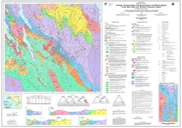 |
Geoscience Map 2011-4 (1:50 000-scale) is the fourth in a series of five new geological maps (Geoscience Maps 2011-1 to 2011-5) of northern Vancouver Island which together provide a revised Early Mesozoic stratigraphic framework and Mesozoic-Tertiary plutonic history for southern Wrangellia. Geoscience Map 2011-4 describes the geology, geochronology, lithogeochemistry and metamorphism of the Alice Lake area (NTS 092L/06 and part of 92L/03). The map area is underlain by a folded and faulted sequence of Late Triassic to Early Jurassic volcanic and sedimentary rocks of the Vancouver and Bonanza groups intruded by granitoids of the Early to Middle Jurassic Island Plutonic Suite. The deformed Triassic-Jurassic rocks are unconformably overlain by Cretaceous marine clastics and the eroded remnants of Tertiary (Neogene) volcanic edifices (Alert Bay volcanic unit). Intrusive counterparts of the Tertiary rocks include dikes and a granitoid pluton. The Late Triassic Quatsino limestone attains its maximum thickness (>900 m) and youngest age (Carnian to Early Norian) in the Alice Lake area. The limestone hosts significant base- and precious-metal skarn occurrences (e.g. the former Merry Widow and Old Sport mines) associated with Early Jurassic gabbroic and more leucocratic intrusions of the Island Plutonic Suite (Merry Widow Mountain Pluton). Skarn mineralization is also associated with the Early Pliocene Victoria Lake Pluton, the youngest member of the Late Miocene to Early Pliocene Klaskish Plutonic Suite. This composite pluton comprises an older granodiorite-porphyry phase (5.15 Ma) which has engulfed an enclave of Alert Bay volcanic rocks, and a younger quartz monzodiorite phase (4.6 Ma). Major structures in the area include steeply dipping, northerly and northwesterly-trending faults, and a younger intersecting set of northeasterly-trending structures related to the Brooks Peninsula Fault Zone. One such structure east of Neroutsos Inlet exhibits Early Pliocene or younger motion where it cuts the western margin of the Victoria Lake Pluton. Regional metamorphism is generally characterized by very low-grade mineral assemblages (prehnite-pumpellyite to zeolite facies) except in the vicinity of faults and intrusive contacts where the rocks may reach upper greenschist to amphibolite grade, respectively. |
| Issue ID: | GM2011-05 |
| Title: | Geology, Geochronology, Lithogeochemistry and Metamorphism of the Nimpkish-Telegraph Cove Area, Northern Vancouver Island (NTS 92L/07 and part of 92L/10) 1:50 000 scale |
| Author(s): | Nixon, G.T., Kelman, M.C., Larocque, J.P., Stevenson, D.B., Stokes, L.A., Pals, A., Styan, J., Johnston, K.A., Friedman, R.M., Mortensen, J.K., Orchard, M.J., McRoberts, C.A. |
| Series Name: | Geoscience Map |
| Publication Year: | 2011 |
| Scale: | 1:50000 |
| NTS Map Sheet(s): | 092L/07,10 |
| Place Keyword(s): | British Columbia, Southwest, Vancouver Island, Nimpkish-Telegraph Cove |
| Lat/Long (NSWE): | 50.585, 50.25, -127, -126.5 |
| Theme Keyword(s): | Geology, bedrock map, geochronology, lithogeochemistry, metamorphism |
Download(s):
| PDF |
Abstract:
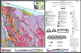 |
Geoscience Map 2011-5 (1:50 000-scale) is the final map in a series of five new geological maps (Geoscience Maps 2011-1 to 2011-5) of northern Vancouver Island which together provide a revised Early Mesozoic stratigraphic framework and Mesozoic-Tertiary plutonic history for southern Wrangellia. Geoscience Map 2011-5 describes the geology, geochronology, lithogeochemistry and metamorphism of the Nimpkish � Telegraph Cove area (NTS 092L/07 and part of 92L/10). The map area is underlain by a folded and faulted sequence of Late Triassic volcanic and sedimentary rocks of the Vancouver and Bonanza groups intruded by granitoids of the Early to Middle Jurassic Island Plutonic Suite. The deformed Triassic rocks are unconformably overlain by Upper Cretaceous marine clastics (Nanaimo Group equivalents) and intruded by rare Tertiary dykes. The Late Triassic Quatsino limestone thins radically from west to east across the map area, reaching a maximum thickness of ~800 m between Nimpkish and Bonanza lakes and a minimum thickness of <250 m in coastal exposures west of Beaver Cove. Small base-metal skarn occurrences are concentrated between Bonanza and Nimpkish lakes where the limestone is thickest near contacts with Early-Middle Jurassic granitoid intrusions of the Island Plutonic Suite (e.g. northern margins of the Noomas Creek Pluton and Nimpkish Batholith west of Bonanza Lake). The underlying Karmutsen Formation has a minimum estimated thickness of ~6 km and comprises a basal submarine pillowed basalt unit (>3 km), a middle hyaloclastite unit (~1.5 km) and an upper subaerial flow unit (>1.5 km). This stratigraphy is well-exposed in oblique section along the east coast of the island between Telegraph Cove and Robson Bight. Younger augite-plagioclase-phyric volcanic sequences in the area are assigned to the Late Triassic Parson Bay Formation; Early to Middle Jurassic volcanic stratigraphy equivalent to the Le Mare Lake and Holberg volcanic units to the west and north, respectively, are entirely lacking. Major structures in the area include steeply dipping, northerly and northwesterly-trending faults (e.g. Huston Lake, Nimpkish and Bonanza Lake faults), and an intersecting set of northeasterly-oriented structures in the northernmost part of the map area. A major north-northwesterly-trending synclinal axis delineated by strata of the Parson Bay and Quatsino formations passes through the crest of the Hankin Range and extends northwards to the Beaver Cove Fault. Regional metamorphism is generally characterized by very low-grade mineral assemblages (prehnite-pumpellyite to zeolite facies) except in the vicinity of faults and intrusive contacts where the rocks may reach upper greenschist to amphibolite grade, respectively. |
| Issue ID: | GF2011-11 |
| Title: | A Digital Atlas of Terranes for the Northern Cordillera |
| Author(s): | Colpron, M., Nelson, J.L. |
| Series Name: | GeoFile |
| Publication Year: | 2011 |
| NTS Map Sheet(s): | 082;083;092;093;094;102;103;104;114 |
| Place Keyword(s): | British Columbia, Yukon |
| Lat/Long (NSWE): | 60, 48, -140, -114 |
| Theme Keyword(s): | Northern Cordillera, Terrane, digital |
Download(s):
| PDF, ZIP (View Zip Contents) |
Abstract:
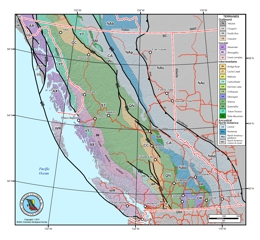 |
The framework of the Cordilleran orogen of northwestern North America is commonly depicted as a �collage� of terranes � crustal blocks containing records of a variety of geodynamic environments including continental fragments, pieces of island arc crust and oceanic crust. The series of maps available here are derived from a GIS compilation of terranes based on the map published by Colpron et al. (2007) and Nelson and Colpron (2007), and include modifications from recent regional mapping. These maps are presented here in a variety of digital format including ArcGIS file geodatabase (.gdb), shapefiles (.shp and related files) and Map Packages (.mpk), as well as in a number of graphic formats (Adobe Illustrator CS3, CorelDraw X3, PDF and JPEG). The GIS data includes individual terrane layers for British Columbia, Yukon and Alaska, as well as a layer showing selected major Late Cretaceous and Tertiary strike-slip faults. Graphic files derived from the GIS compilation were prepared for the Northern Cordillera (Alaska, Yukon and BC), the Canadian Cordillera (BC and Yukon), Yukon, and British Columbia. These maps are intended for page-size display (~1:5,000,000 and smaller). Polygons are accurate to ~1 km for Yukon and BC, and ~5 km for Alaska. More detailed geological data are available from both BC Geological Survey and Yukon Geological Survey websites. Descriptions of the terranes, their tectonic evolution and metallogeny can be found in Colpron et al. (2007), Nelson and Colpron (2007), Colpron and Nelson (2009), and references therein. |
| Issue ID: | GF2011-12 |
| Title: | Surficial Geochemistry of the Galaxy Porphyry Copper-Gold Deposit, Kamloops, B.C. (NTS 92I/09) |
| Author(s): | Lett, R.E. |
| Series Name: | GeoFile |
| Publication Year: | 2011 |
| NTS Map Sheet(s): | 092I/09 |
| Place Keyword(s): | British Columbia, Kamloops |
| Lat/Long (NSWE): | 50.65, 50.625, -120.44, -120.4 |
| Theme Keyword(s): | geochemistry, surficial geology, porphyry copper-gold deposit, till |
Download(s):
| PDF, ZIP (View Zip Contents) |
Abstract:
 |
In a preliminary report of a geochemical orientation survey carried out in 1992 over the Galaxy Cu-Au deposit (MINFILE 092INE007) southwest of Kamloops, BC, Kerr, Sibbick and Getchell, 1993 describe the geology, sampling and analytical methods. A map shows the distribution of Cu in the surficial deposits (till). No other elements were reported in their Geological Fieldwork paper (BCGS Paper 1993-1, pages 439-442). This GeoFile reports digital data for 47 elements, location coordinates for 169 sample sites on a grid extending 1500 metres southeast of the deposit and field notes in digital records. |
| Issue ID: | PGOF2011-03 |
| Title: | Rock-Eval and Lithogeochemistry of Early to Middle Jurassic Black Clastic Rocks within the Intermontane Basins of British Columbia |
| Author(s): | Ferri, F., Riddell, J.M., Evenchick, C., Osadetz, K. |
| Series Name: | Petroleum Geology Open File |
| Publication Year: | 2011 |
| NTS Map Sheet(s): | 082;083;092;093;094;102;103;104;114 |
| Place Keyword(s): | British Columbia |
| Lat/Long (NSWE): | 60, 48, -140, -114 |
| Theme Keyword(s): | rock-eval, lithogeochemistry, black clastic rocks, intermontane basin |
Download(s):
| PDF |
Additional Link(s):
| https://www2.gov.bc.ca/assets/gov/farming-natural-resources-and-industry/natural-gas-oil/petroleum-geoscience/petroleum-open-files/petroluem_geology_openfile_2011-3_data.xlsx |
Abstract:
| This open file presents lithogeochemistry and Rock-Eval analysis of over 225 outcrop samples of Early to Middle Jurassic clastic rocks from the Intermontane Basins of British Columbia. Parts of the data presented in this open file have been interpreted within Ferri (2011). The reader is referred to Ferri (2011) for the regional geological synopsis in the vicinity of the data sets. The relative stratigraphic position of samples within the Spatsizi Formation in the Joan Lake area are shown in one of the data spread sheets. These elevation numbers were used to construct the elemental concentration profiles across the Spatsizi Formation shown in Ferri (2011). |
| Issue ID: | GF2012-01 |
| Title: | Use of Portable XRF in evaluation of Rare Earth Element-bearing Phosphate Deposits |
| Author(s): | Simandl, G.J., Fajber, R., Prussin, E.A., Paradis, S., Grattan, K. |
| Series Name: | GeoFile |
| Publication Year: | 2012 |
| NTS Map Sheet(s): | 082;083;092;093;094;102;103;104;114 |
| Place Keyword(s): | British Columbia |
| Lat/Long (NSWE): | 60, 48, -140, -114 |
| Theme Keyword(s): | REE, rare metals, specialty metals, phosphate deposit, XRF |
Download(s):
| PDF |
Abstract:
 |
GeoFile 2012-01 describes hand-held portable XRF instruments, such as Thermo Scientific Niton XL3t, which can be effectively used in exploration and development of phosphate (�REE) deposits. An orientation study is recommended before the use of the hand-held XRF instrument is applied on a large scale. |
| Issue ID: | EXP2011-00 |
| Title: | Exploration and Mining in British Columbia 2011, Foreword and Table of Contents |
| Author(s): | Grieve, D., Madu, B., Kyba, J., Jago, P., Britton, J. |
| Series Name: | Exploration and Mining in BC |
| Publication Year: | 2012 |
| Other Citation Details: | pages iii to vi |
| Larger Work Citation: | Exploration and Mining in B.C. 2011 |
| NTS Map Sheet(s): | 082;083;092;093;094;102;103;104;114 |
| Place Keyword(s): | British Columbia |
| Lat/Long (NSWE): | 60, 48, -140, -114 |
| Theme Keyword(s): | Exploration and Mining, Summary and Trends |
Download(s):
| PDF |
Abstract:
 |
This annual publication provides detailed regional reviews of mining, mineral exploration and development activities in British Columbia for 2011. Regional Geologists compile the publication using information provided by government, companies and individuals in the British Columbia mining industry. The report contains detailed statistical tables and illustrations, in addition to location maps and tables summarizing significant mining, exploration and development projects in the province. |
| Issue ID: | EXP2011-01 |
| Title: | Skeena Region |
| Author(s): | Kyba, J. |
| Series Name: | Exploration and Mining in BC |
| Publication Year: | 2012 |
| Other Citation Details: | pages 11 to 36 |
| Larger Work Citation: | Exploration and Mining in B.C. 2011 |
| NTS Map Sheet(s): | 093;094;103;104;114 |
| Place Keyword(s): | British Columbia, Northwest, Skeena |
| Lat/Long (NSWE): | 60, 52, -139, -125 |
| Theme Keyword(s): | Exploration and Mining, Mines, Metals, Aggregate Projects |
Download(s):
| PDF |
Abstract:
|
An annual review of mineral exploration and mining activity from the Skeena region of British Columbia with a focus on mines and quarries, metal mines, industrial mineral quarries, mine development projects, mine evaluation projects, porphyry copper projects, porphyry molybdenum projects, nickel in ultramafic rocks; massive sulphide projects, and gold-silver projects. |
| Issue ID: | EXP2011-02 |
| Title: | Northeast Region |
| Author(s): | Jago, P., DeGrace, J.R. |
| Series Name: | Exploration and Mining in BC |
| Publication Year: | 2012 |
| Other Citation Details: | pages 37 to 46 |
| Larger Work Citation: | Exploration and Mining in B.C. 2011 |
| NTS Map Sheet(s): | 093; 094 |
| Place Keyword(s): | British Columbia, Northeast |
| Lat/Long (NSWE): | 60, 54, -129, -120 |
| Theme Keyword(s): | Exploration and Mining, Mines, Coal |
Download(s):
| PDF |
Abstract:
|
An annual review of mineral exploration and mining activity from the northeastern region of British Columbia with a focus on coal mines and coal exploration projects. |
| Issue ID: | EXP2011-03 |
| Title: | Omineca Region |
| Author(s): | Kyba, J. |
| Series Name: | Exploration and Mining in BC |
| Publication Year: | 2012 |
| Other Citation Details: | pages 1 to 10 |
| Larger Work Citation: | Exploration and Mining in B.C. 2011 |
| NTS Map Sheet(s): | 083;093;094 |
| Place Keyword(s): | British Columbia, North-central, Omineca, Cache Creek, Nechako Plateau |
| Lat/Long (NSWE): | 59, 52, -129, -118 |
| Theme Keyword(s): | Exploration and Mining, Mines, metals, mine development, mine evaluation |
Download(s):
| PDF |
Abstract:
|
An annual review of mineral exploration and mining activity from the Omineca region of British Columbia with a focus on metal mines, mine development projects, mine evaluation projects, porphyry copper projects, nickel projects, magnesium projects, gold projects, gold-silver projects, polymetallic massive sulphide projects, rare metals projects, and industrial mineral projects. |
| Issue ID: | EXP2011-04 |
| Title: | Thompson-Okanagan-Cariboo Region |
| Author(s): | Britton, J. |
| Series Name: | Exploration and Mining in BC |
| Publication Year: | 2012 |
| Other Citation Details: | pages 48 to 62 |
| Larger Work Citation: | Exploration and Mining in B.C. 2011 |
| NTS Map Sheet(s): | 082;083;092;093;094 |
| Place Keyword(s): | British Columbia, South-central, Thompson-Okanagan-Cariboo, North Thompson, Southern Caribou |
| Lat/Long (NSWE): | 53, 49, -126, -118 |
| Theme Keyword(s): | Exploration and Mining, Mines, Coal, Metals, Industrial minerals |
Download(s):
| PDF |
Abstract:
|
An annual review of mineral exploration and mining activity from the Thompson-Okanagan-Cariboo region of British Columbia with a focus on mines and quarries, metal mines, coal, coal mines, industrial mineral quarries and aggregates, mine development projects, porphyry projects, skarn projects, vein and breccia projects, sediment-hosted gold projects, massive sulphide projects, magmatic projects, and exploration highlights. |
| Issue ID: | EXP2011-05 |
| Title: | Coast Region |
| Author(s): | Northcote, B. |
| Series Name: | Exploration and Mining in BC |
| Publication Year: | 2012 |
| Other Citation Details: | pages 63 to 78 |
| Larger Work Citation: | Exploration and Mining in B.C. 2011 |
| NTS Map Sheet(s): | 092;093; 102;103 |
| Place Keyword(s): | British Columbia, South-west, Coast, Vancouver Island |
| Lat/Long (NSWE): | 54, 48, -134, -120 |
| Theme Keyword(s): | Exploration and Mining, Mines, Coal, Metals, Industrial minerals |
Download(s):
| PDF |
Abstract:
|
An annual review of mineral exploration and mining activity from the Coast region of British Columbia with a focus on mines and quarries, metal, coal, industrial minerals and aggregates, marble, building and landscaping stone, major aggregate mines, mine development and mine evaluation projects and exploration highlights. |
| Issue ID: | EXP2011-06 |
| Title: | Kootenay-Boundary |
| Author(s): | Grieve, D. |
| Series Name: | Exploration and Mining in BC |
| Publication Year: | 2012 |
| Other Citation Details: | pages 79 to 96 |
| Larger Work Citation: | Exploration and Mining in B.C. 2011 |
| NTS Map Sheet(s): | 082; |
| Place Keyword(s): | British Columbia, Southeast, Kootenay-Boundary |
| Lat/Long (NSWE): | 52, 49, -119, -114 |
| Theme Keyword(s): | Exploration and Mining, Mines, Coal, Metals, Industrial minerals |
Download(s):
| PDF |
Abstract:
|
An annual review of mineral exploration and mining activity from the Kootenay-Boundary region of British Columbia with a focus on operating mines, coal, metals, industrial minerals, mine evaluation projects, gold projects, base metal projects, polymetallic projects, east Kootenay coalfields projects and exploration highlights. |
| Issue ID: | OF2012-01 |
| Title: | Operating Mines and Selected Major Exploration Projects in B.C., 2011 |
| Author(s): | Britton, J., DeGrace, J., Grieve, D., Kyba, J., Madu, B., Northcote, B., Chu, R. |
| Series Name: | Open File |
| Publication Year: | 2012 |
| NTS Map Sheet(s): | 082;083;092;093;094;102;103;104;114 |
| Place Keyword(s): | British Columbia |
| Lat/Long (NSWE): | 60, 48, -140, -114 |
| Theme Keyword(s): | mines, exploration, projects, development |
Download(s):
| PDF, ZIP (View Zip Contents) |
Abstract:
 |
This Provincial Map shows the location of major exploration projects and producing metal, coal and industrial mineral mines in 2011. The PDF of the map is plot size and in colour. |
| Issue ID: | IC2012-01 |
| Title: | British Columbia Mines and Mineral Exploration Overview 2011 |
| Author(s): | Britton, J., DeGrace, J., Grieve, D., Kyba, J., Madu, B., Northcote, B. |
| Series Name: | Information Circular |
| Publication Year: | 2012 |
| NTS Map Sheet(s): | 082;083;092;093;094;102;103;104;114 |
| Place Keyword(s): | British Columbia |
| Lat/Long (NSWE): | 60, 48, -140, -114 |
| Theme Keyword(s): | Mineral exploration, Annual Review 2011 |
Download(s):
| PDF |
Abstract:
 |
This annual publication provides an overview of mineral exploration activities in the Province of British Columbia for 2011. It contains statistical information, tables, illustrations and location maps which summarize significant exploration and development projects in the province. The report documents mineral exploration expenditures, active exploration areas and the companies involved. |
| Issue ID: | GF2012-03 |
| Title: | A KML file to display producing mines in British Columbia at any range or point of time over the last 160 years |
| Author(s): | Cui, Y. |
| Series Name: | GeoFile |
| Publication Year: | 2012 |
| NTS Map Sheet(s): | 082;083;092;093;094;102;103;104;114 |
| Place Keyword(s): | British Columbia |
| Lat/Long (NSWE): | 60, 48, -140, -114 |
| Theme Keyword(s): | Mines, KML, Time Slider, Google Earth� |
Download(s):
| PDF, ZIP (View Zip Contents) |
Abstract:
 |
The KML file MinFile_production_ts.kmz contains 1,696 past and current producing mines over the last 160 years in British Columbia that can be displayed at any range or point of time by using the Time Slider on Google Earth�. |
| Issue ID: | GF2012-04 |
| Title: | Using Regionated KML Files to Display the Status of a Large Number of Mineral Occurrences in British Columbia |
| Author(s): | Cui, Y. |
| Series Name: | GeoFile |
| Publication Year: | 2012 |
| NTS Map Sheet(s): | 082;083;092;093;094;102;103;104;114 |
| Place Keyword(s): | British Columbia |
| Lat/Long (NSWE): | 60, 48, -140, -114 |
| Theme Keyword(s): | Mineral Occurrences, KML, Regionated, Google Earth� |
Download(s):
| PDF, ZIP (View Zip Contents) |
Abstract:
 |
Regionated KML files have been created to provide a lightweight and quick display of over 12,500 mineral occurrences on Google Earth�. The regionation technique allows the display of only a small number of higher scored sites (e.g., producing mines with higher mined quantity) while zoomed out (or viewing the sites at a higher altitude on Google Earth�). When zoomed in or viewing an area at a lower altitude, lower scored sites (Prospect and Showing) start to appear as well. |
| Issue ID: | GF2012-05 |
| Title: | Using Regionated KML files to Speed Up the Display of a Large Number of Regional Geochemical Survey Sites in British Columbia |
| Author(s): | Cui, Y. |
| Series Name: | GeoFile |
| Publication Year: | 2012 |
| NTS Map Sheet(s): | 082;083;092;093;094;102;103;104;114 |
| Place Keyword(s): | British Columbia |
| Lat/Long (NSWE): | 60, 48, -140, -114 |
| Theme Keyword(s): | Regional Geochemical Survey, KML, Regionated, Google Earth� |
Download(s):
| PDF, ZIP (View Zip Contents) |
Abstract:
 |
To speed up the display of over 60,000 Regional Geochemical Survey (RGS) sites on Google Earth�, regionated KML files have been produced. In this release, the data is extracted from the RGS database and the sample sites are ranked or scored by based the copper contents. When zoomed out (or viewing the sites at a higher altitude on Google Earth�), only the higher ranked or scored sites are displayed. When zoomed in or viewing an area at a lower altitude, lower scored sites (i.e., with lower copper contents) start to appear as well. |
| Issue ID: | MP-74 |
| Title: | Opportunities to Explore: B.C. Minerals and Coal Industry |
| Author(s): | BCGS Staff (Mineral Development Office) |
| Series Name: | Miscellaneous Publication |
| Publication Year: | 2012 |
| Larger Work Citation: | Opportunities to Explore |
| NTS Map Sheet(s): | 082;083;092;093;094;102;103;104;114 |
| Place Keyword(s): | British Columbia |
| Lat/Long (NSWE): | 60, 48, -140, -114 |
| Theme Keyword(s): | Opportunities to explore, minerals and coal, investment guide, permitting, First Nations |
Abstract:
| Opportunities to Explore: BC Minerals and Coal Industry introduces potential investors to the exploration and mining of minerals and coal in British Columbia. Primarily intended for a foreign audience, it answers questions commonly posed by those interested in pursuing investment opportunities in the province. It includes sections on
- what minerals and coal commodities British Columbia produces
- investment in the province by international companies
- the infrastructure that British Columbia offers
- how mineral and coal interests are acquired
- the process for permitting mines
- the relationship between First Nations and the Government of British Columbia
- how to take advantage of the opportunities in British Columbia�s mineral and coal industry
- how mining is taxed in British Columbia
- government incentives for investing in mining and mineral opportunities in British Columbia
- sources of further information |
| Issue ID: | OF2012-02 |
| Title: | Till Geochemistry of the Huckleberry Mine Area, West-Central British Columbia (NTS 93E/11) |
| Author(s): | Ferbey, T., Levson, V.M., Lett, R.E. |
| Series Name: | Open File |
| Publication Year: | 2012 |
| NTS Map Sheet(s): | 093E |
| Place Keyword(s): | British Columbia, West-central, Houston, Huckleberry Mine, Tahtsa Lake |
| Lat/Long (NSWE): | 54.25, 53.5, -127.5, -126 |
| Theme Keyword(s): | surficial geology, till geochemistry, ice flow, Quaternary, sediment dispersal |
Download(s):
| PDF, ZIP (View Zip Contents) |
Abstract:
 |
The silt plus clay-sized fraction of 106 near-surface (<4 m below surface) and 193 sub-surface (up to 30 m below surface) basal till samples collected in the Huckleberry Mine area was analyzed for 37 elements by inductively coupled plasma mass spectrometry (ICP-MS), following an aqua regia digestion, and 35 elements by instrumental neutron activation analysis (INAA). These data show that there is a good spatial relationship between elevated commodity element concentrations in basal tills and the known locations of porphyry Cu-Mo mineralization in bedrock. Geochemical data presented here will enable meaningful assessments of new regional-scale till geochemical data that have been collected in areas adjacent to the mine and provide a means of comparison for other explorationists working in the area who are using other geochemical sample types (e.g., stream sediments, till, etc.). As well, these results will help with the development of strategies for the design and implementation of till geochemistry programs in areas with similar physical and geological characteristics and complex glacial histories. |
| Issue ID: | IC2012-02 |
| Title: | British Columbia Coal Industry Overview 2011 |
| Author(s): | Grieve, D., Madu, B., Chu, R. |
| Series Name: | Information Circular |
| Publication Year: | 2012 |
| NTS Map Sheet(s): | 082;083;092;093;094;102;103;104;114 |
| Place Keyword(s): | British Columbia |
| Lat/Long (NSWE): | 60, 48, -140, -126 |
| Theme Keyword(s): | Exploration and Mining, Coal, Mines, coal tenure |
Download(s):
| PDF |
Abstract:
 |
This booklet is intended to provide a concise snapshot of the BC coal industry in 2011 for the interested public, including those looking to invest. It includes sections on coal resources, mining, exploration, the tenure system, sources of information, and contacts. |
| Issue ID: | OF2012-04 |
| Title: | Dease Lake - Little Tuya River Geology (NTS 104J/08 and 7E) |
| Author(s): | Logan, J.M., Moynihan, D.P., Diakow, L.J., van Straaten, B.I. |
| Series Name: | Open File |
| Publication Year: | 2012 |
| Other Citation Details: | Also published as Geoscience BC Map 2012-08-1 |
| NTS Map Sheet(s): | 104J/08,07 |
| Place Keyword(s): | British Columbia, Northwest, Dease Lake, Tuya River |
| Lat/Long (NSWE): | 58.5, 58.25, -130.75, -130 |
| Theme Keyword(s): | Geology, bedrock map, geophysical map, Cu-Au porphyry, Cache Creek Terrane |
Download(s):
| PDF, ZIP (View Zip Contents) |
Abstract:
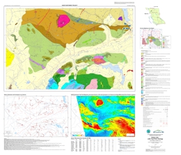 |
Geoscience BC's QUEST-Northwest Project is a multidisciplinary, integrated project designed to help focus mineral exploration in a highly prospective area of northwestern BC. The project's main activities include: two airborne magnetic surveys flown at line spacing of 250 metres, bedrock geological mapping and a geochemical program. The digital bedrock data set presents the field mapping results of the QUEST-Northwest Dease Lake Geoscience project - a partnership between Geoscience BC and the BC Geological Survey. The project completed regional scale bedrock geological mapping over a 1275 km2 area extending southwest from the community of Dease Lake to the Tuya River that coincides with the northwest corner of the QUEST-Northwest Block 1 airborne magnetic survey area (released through Geoscience BC in January).
The Dease Lake map sheet 104J/08 and the east half of Little Tuya River map sheet 104J/07 are underlain mainly by Paleozoic to Late Triassic sedimentary, volcanic and plutonic arc rocks of the Stikine Terrane, which locally host large Cu-Au porphyry deposits like Red Chris, Schaft Creek and Galore Creek. In the northeast part of the map these rocks are thrust imbricated with similar aged volcanic and sedimentary oceanic rocks of the Cache Creek Terrane along the north-dipping King Salmon Fault. Early to Middle Jurassic sedimentary rocks of the Takwahoni and Inklin formations of the Whitehorse Trough overlie the Stikine and Cache Creek terrane rocks respectively. Middle Jurassic granodiorite and an equi-dimensional Paleocene granite with associated molybdenum mineralization intrudes the Early Jurassic Takwahoni sedimentary rocks. Unconformably capping some of the highest peaks in the area are columnar basalts of the Miocene to Pliocene Tuya Formation. Preserved beneath these young basalts in the southwest corner of the map are lower Tertiary coal-bearing sediments of the Tanzilla Canyon Formation.
The map provides revised geology, geochemical analyses of alteration and mineralization and new isotopic dates for volcanic and plutonic rocks in the area which when integrated with regional exploration target models and the new airborne magnetic and geochemical data collected by Geoscience BC are expected to benefit the exploration community. |
| Issue ID: | OF2012-05 |
| Title: | Geology of the Turnagain Ultramafic Intrusion, Northern British Columbia (parts of NTS 104I/07 and 10) |
| Author(s): | Nixon, G.T., Hitchins, A.C., Ross, G.P. |
| Series Name: | Open File |
| Publication Year: | 2012 |
| NTS Map Sheet(s): | 104I/07,10 |
| Place Keyword(s): | British Columbia, Northwest, Cry Lake, Dease Lake, Turnagain Lake |
| Lat/Long (NSWE): | 58.51, 58.45, -128.95, -128.79 |
| Theme Keyword(s): | Geology, bedrock map, geophysical map, Magmatic Ni-Cu-PGE sulphide deposits, Turnagain ultramafic intrusion |
Download(s):
| PDF |
Abstract:
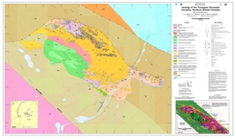 |
Magmatic Ni-Cu-PGE sulphide deposits in supra-subduction zone (SSZ) settings are becoming an increasingly important economic resource worldwide yet remain poorly understood and underexplored. Projects initiated recently under the Targeted Geoscience Initiative No 4 in the Canadian Cordillera seek to address critical knowledge gaps in order to develop new mineral deposit models and robust exploration criteria. The Turnagain ultramafic intrusion is an Early Jurassic Alaskan-type body emplaced in a SSZ setting and unusually enriched in Ni-Cu-PGE sulphides. The new geology map incorporates previous BCGS mapping supplemented by geological, geophysical and ongoing exploration work (drillhole and trenching information) supplied by Hard Creek Nickel Corporation (HNC). The main mineralization is hosted by wehrlite and dunite (Horsetrail zone), and the principal sulphide minerals are pyrrhotite, pentlandite and chalcopyrite. Regional geophysical surveys conducted by HNC indicate that the highly conductive graphitic metasedimentary wallrocks (Mississippian in part) of the Turnagain intrusion are separated from miogeoclinal strata of Ancestral North American by a steeply dipping reverse fault, and represent the basement to the accreted Quesnel Terrane (Yukon-Tanana Terrane). This interpretation appears consistent with the tight to slightly overturned, eastward-verging folds in the graphitic phyllites documented by Erdmer et al. (2005) and juxtaposed strata of the Ancestral North American miogeocline which occupy the southwesterly-dipping limb of a large homoclinal structure (Gabrielse, 1998). |
| Issue ID: | GF2012-02 |
| Title: | Rare Metal-Bearing Deposits in British Columbia with Selected Examples |
| Author(s): | Simandl, G.J. Prussin, E.A., Hancock, K.D., Meredith-Jones, S. |
| Series Name: | GeoFile |
| Publication Year: | 2012 |
| NTS Map Sheet(s): | 082;083;092;093;094;102;103;104;114 |
| Place Keyword(s): | British Columbia |
| Lat/Long (NSWE): | 60, 48, -140, -114 |
| Theme Keyword(s): | rare metals, specialty metals, strategic metals, REE, map |
Download(s):
| PDF |
Abstract:
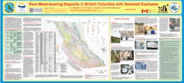 |
More than 100 RM occurrences are reported in BC. This compilation may serve as a starting point for those considering RM exploration programs in BC. There is uncertainty in the classification of some occurrences due to the scarcity of available information or the unusual nature of particular occurrences. The economic significance of many of these occurrences is poorly known because the size, shape, depth, grade, composition and orientation are not well defined. Based on currently available information, carbonatite-/syenite-related deposits are the most promising for the recovery of RMs, especially Nb and REE. |
| Issue ID: | GF2012-06 |
| Title: | Mapping B.C.�s Golden Triangle Using ASTER Imagery |
| Author(s): | Han, T., Nelson, J.L., Kyba, J. |
| Series Name: | GeoFile |
| Publication Year: | 2012 |
| NTS Map Sheet(s): | 104A |
| Place Keyword(s): | British Columbia, Northwest |
| Lat/Long (NSWE): | 56.83, 56.3, -130.56, -129.3 |
| Theme Keyword(s): | remote sensing, mapping, Golden Triangle, ASTER, SWIR |
Download(s):
| PDF |
Abstract:
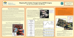 |
The Advanced Space-borne Thermal Emission and Reflection Radiometer (ASTER) has been found effective for geological mapping applications due to its high spectral resolution in the Shortwave Infrared (SWIR) wavelengths of the electromagnetic wave; frequent revisit cycle and wide swath; and affordability of acquiring images to cover large geographic areas. Using ASTER imagery to map BC's geology, however, faces a few challenges, among others, including complex terrain and dense vegetation coverage. This may partially explain why there are not many documented studies in this regard. This study focuses on testing ASTER's ability on mapping the general rock groups in BC's �Golden Triangle� area, including Triassic Stuhini, Jurassic Jack Formation, Jurassic Hazelton, and the �Combined� which was the combination of �Altered and Mineralized� and �Late Jurassic Intrusion�. An average of 79.8% classification accuracy was achieved. The result indicated that ASTER was capable of distinguishing the above general rock groups. Since this study was conducted exclusively using the spectral information extracted from ASTER imagery and employing a standard image analysis method based on a supervised classification, the result and method of this study can be considered as the baseline, upon which other data sources and advanced image analysis methods need to be explored to take advantage of ASTER�s full potential for geological mapping in BC. |
| Issue ID: | GF2012-07 |
| Title: | QUEST-Northwest Mapping: BC Geological Survey Dease Lake Geoscience Project (NTS 104J, 104I), Northern British Columbia |
| Author(s): | Logan, J.M., Diakow, L.J., van Straaten, B.I., Moynihan, D.P., Iverson, O. |
| Series Name: | GeoFile |
| Publication Year: | 2012 |
| NTS Map Sheet(s): | 104J, 104I |
| Place Keyword(s): | British Columbia, Northwest, Dease Lake, Tuya River |
| Lat/Long (NSWE): | 58.5, 58.25, -130.75, -130 |
| Theme Keyword(s): | Geology, bedrock map, geophysical map, Cache Creek terrane, Stikine terrane |
Download(s):
| PDF |
Abstract:
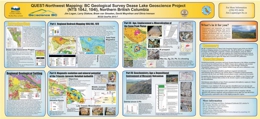 |
Geoscience BC's QUEST-Northwest Project is a multidisciplinary, integrated project designed to help focus mineral exploration in a highly prospective area of northwestern BC. The project's main activities include: two airborne magnetic surveys flown at line spacing of 250 metres, bedrock geological mapping and a geochemical program. Collectively these programs will provide detailed, high quality geoscience data that is intended to assist metallic mineral exploration in this area of highly prospective geology. |
| Issue ID: | GF2012-08 |
| Title: | Mesozoic Magmatic History and Metallogeny of the Hotailuh Batholith (NW BC) |
| Author(s): | van Straaten, B.I., Logan, J.M., Diakow, L.J. |
| Series Name: | GeoFile |
| Publication Year: | 2012 |
| NTS Map Sheet(s): | 104I/03,04,05; H/13 |
| Place Keyword(s): | British Columbia, Northwest, Dease Lake, Highway 37, Stikine River |
| Lat/Long (NSWE): | 58.25, 58, -130, -129 |
| Theme Keyword(s): | Geology, bedrock map, geophysical map, Hotailuh Batholith, magmatic-hydrothermal mineralization |
Download(s):
| PDF |
Abstract:
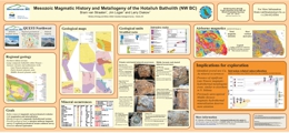 |
The composite Late Triassic to Middle Jurassic Hotailuh batholith occupies 2275 km2 at the centre of the Stikine arch, close to the northern margin of the Stikine terrane in northwestern BC. We present the preliminary results of detailed mapping, geochemical and geochronological sampling aimed at refining the temporal magmatic evolution of the batholith, and building a metallogenic framework that relates mineralization to magmatic events. The project is part of the Geoscience BC funded QUEST-Northwest program developed to stimulate mineral exploration in the northwestern part of the province.
This study confirms that the Hotailuh batholith is prospective for intrusion-related mineral deposits that formed during at least two mineralizing events � an older event at ca. 220 Ma and a younger event at ca. 170 Ma. The Late Triassic calc-alkaline metallogenic event produced the Gnat Pass porphyry Cu and several other Cu and Cu-Au occurrences on the edges of the Hotailuh batholith, and may be temporally related with Cu mineralization at Schaft Creek further to the southwest. Newly discovered mineral occurrences in Middle Jurassic calc-alkaline plutonic rocks represent a relatively unrecognized metallogenic event that deserves more attention. |
| Issue ID: | OGGR2012-01 |
| Title: | Horn River Basin-Equivalent Strata in Besa River Formation Shale, Northeastern British Columbia (NTS 94K/15) |
| Author(s): | Ferri, F., Hickin, A.S., Reyes, J. |
| Series Name: | Oil and Gas Geoscience Reports |
| Publication Year: | 2012 |
| Larger Work Citation: | Oil and Gas Geoscience Report 2012 |
| NTS Map Sheet(s): | 094K/15 |
| Place Keyword(s): | British Columbia, Northeast, Liard and Toad rivers, Caribou Range, Stone Mountain |
| Lat/Long (NSWE): | 58.9, 58.75, -125.1, -124.75 |
| Theme Keyword(s): | Geology, Liard Basin, stratigraphy, geochemistry, gamma ray |
Download(s):
| PDF |
Abstract:
| In the summer of 2011, approximately 310 m of shale and siliceous siltstone of the Besa River Formation was measured in the Stone Mountain area of northeastern British Columbia (NTS 094K/15). In addition to a lithological description, a gamma-ray spectrometry (U, Th and K) survey was conducted and Rock Eval� samples were collected across the section. Results show similarities between this section and a section of the Besa River Formation measured in the Caribou Range along the northern border of the Toad River map area (NTS 094N) in 2010. Although a comparison of U, Th and K logs from each section are in general agreement, absolute levels, particularly with respect to U, are higher within the Caribou Range. Comparison of the gamma-ray log with similar subsurface sections shows good correlation and indicates the presence of the Evie and Muskwa markers of the Horn River succession, and the Exshaw Formation within the Besa River section. Total organic carbon levels are high (up to 7 wt.%) within Evie-, Muskaw- and Exshaw-equivalent strata. There is also a zone with high total organic carbon (up to 8 wt.%) above the Exshaw marker, in the upper part of the Besa River Formation. |
| Issue ID: | OGGR2012-02 |
| Title: | Geology of the Toad River Area (NTS 94N), Northeast British Columbia |
| Author(s): | McMechan, M. Ferri, F., McDonald, L. |
| Series Name: | Oil and Gas Geoscience Reports |
| Publication Year: | 2012 |
| Larger Work Citation: | Oil and Gas Geoscience Report 2012 |
| NTS Map Sheet(s): | 094N |
| Place Keyword(s): | British Columbia, Northeast, Toad River |
| Lat/Long (NSWE): | 60, 59, -126, -124 |
| Theme Keyword(s): | Geology, bedrock map, Liard fold and thrust belt, Liard Basin, Rocky Mountain Foothills |
Download(s):
| PDF |
Abstract:
| Regional mapping within the Toad River map area (NTS 094N) during the summer of 2011 will be incorporated with published and unpublished geological studies, including the unpublished detailed mapping along the Liard River corridor for BC Hydro, to update the geological database of this map area. More than 8000 m of strata spanning the Mesoproterozoic to Upper Cretaceous occur in the area. Abrupt changes in thickness and facies, and the local absence of specific stratigraphic intervals indicate that block faulting was active during the Middle Cambrian, Ordovician to Silurian, Mississippian to Permian, and Jurassic to Early Cretaceous (pre-Albian). These early faults were commonly reactivated during Cretaceous shortening and controlled the trend and position of younger structures. Thrust faulting is the dominant form of shortening within the competent Mesoproterozoic to Paleozoic successions, whereas detachment folding is the prevailing mechanism within the interlayered competent and incompetent Upper Devonian to Cretaceous successions. Principal detachment horizons include Upper Devonian to Mississippian shale of the Besa River Formation, Triassic shale and siltstone of the Toad/Grayling formations and shale of the Lower Cretaceous Buckinghorse and Garbutt formations. Shortening at the top of the Triassic in the eastern part of the Rocky Mountain Foothills near the Toad River is estimated to be approximately 5�6 km. Shortening at the top of the Triassic across the eastern part of the Liard Fold and Thrust Belt is even less. Hydrocarbon resources occur within large, structural culminations of the Beaver River and Crow River gas fields. In addition, the Paleozoic and Mesozoic successions contain several organic-rich horizons (Besa River Formation, Toad/Grayling formations and Garbutt Formation) that are stratigraphically equivalent to sequences being developed for shale gas resources elsewhere within the Western Canada Sedimentary Basin. |
| Issue ID: | OGGR2012-03 |
| Title: | Hydraulic Fracture Water Usage in Northeast British Columbia: Locations, Volumes and Trends |
| Author(s): | Johnson, E.G., Johnson, L.A. |
| Series Name: | Oil and Gas Geoscience Reports |
| Publication Year: | 2012 |
| Larger Work Citation: | Oil and Gas Geoscience Report 2012 |
| NTS Map Sheet(s): | 093O,P; 94A,B,J,O,P |
| Place Keyword(s): | British Columbia, Northeast, Fort Nelson, Fort St. John |
| Lat/Long (NSWE): | 60, 54, -124, -120 |
| Theme Keyword(s): | Water, hydraulic fracturing, Horn Basin, Liard Basin, Cordova embayment |
Download(s):
| PDF |
Abstract:
| Water demand for gas development in northeast British Columbia is dictated by certain aspects of multistage hydraulic fracturing. Approximately 500 wells, dating from 2005 to 2010, each with more than three fracture stages, were analyzed in terms of water use and gas production. Special focus was placed on fracture type, stimulation volume, well location and number of fractures per well. The water volume per fracture stage can vary by an order of magnitude depending on the completion method used. Water use is amplified by the number of completions per well. Slickwater completions are a preferred method because of their low cost and their ability to generate high stimulated reservoir volumes. The completion method and (to a lesser extent) the number of completions per well, is dictated by the geology of the basin. Gas production in the Montney Trend is very economical is terms of water use compared to the Horn River Basin. Water demand is expected to be high in the Cordova Embayment and the Montney North Trend. As water use is increasing rapidly, ongoing monitoring and improved database access are recommended for the Horn River Basin, the Montney North Trend, the Cordova Embayment and the Liard Basin. |
| Issue ID: | OGGR2012-04 |
| Title: | Potential for Freshwater Bedrock Aquifers in Northeast British Columbia: Regional Distribution and Lithology of Surface and Shallow Subsurface Bedrock Units (NTS 93I,O,P; 94A,B,G,H,I,J,N,O,P) |
| Author(s): | Riddell, J.M. |
| Series Name: | Oil and Gas Geoscience Reports |
| Publication Year: | 2012 |
| Larger Work Citation: | Oil and Gas Geoscience Report 2012 |
| NTS Map Sheet(s): | 093I,O,P; 094A,B,G,H,I,J,N,O,P |
| Place Keyword(s): | British Columbia, Northeast |
| Lat/Long (NSWE): | 60, 54.5, -126, -120 |
| Theme Keyword(s): | Groundwater, Cretaceous aquifers, hydrostratigraphy, hydrogeology, Liard Basin |
Download(s):
| PDF |
Abstract:
| Freshwater bedrock aquifers are hosted almost entirely by Cretaceous strata in northeast British Columbia. The most important prospective regional bedrock units for freshwater aquifers are the coarse clastic Cenomanian Dunvegan and Campanian Wapiti formations. Much of the Lower Cretaceous Fort St. John Group and the Upper Cretaceous Kotaneelee, Puskwaskau and Kaskapau formations are dominated by shale strata and generally behave as regional aquitards, but locally contain members that may host aquifers, including fractured shale sequences and coarse clastic intervals. In the Peace River valley, some of these aquifers are well known, but outside that region, hydrogeological data are sparse and many aquifers remain to be formally identified and delineated. Hydrocarbon exploration activity is occurring in new areas because of shale gas development. New exploration will generate lithological and geochemical data from areas where data is currently sparse, and will significantly improve our knowledge about the hydrostratigraphy of Cretaceous clastic units across northeast British Columbia. The most important prospective regional bedrock units for freshwater aquifers are the coarse clastic Cenomanian Dunvegan and Campanian Wapiti formations. Much of the Lower Cretaceous Fort St. John Group and the Upper Cretaceous Kotaneelee, Puskwaskau and Kaskapau formations are dominated by shale strata and generally behave as regional aquitards, but locally contain members that may host aquifers, including fractured shale sequences and coarse clastic intervals. In the Peace River valley, some of these aquifers are well known, but outside that region, hydrogeological data are sparse and many aquifers remain to be formally identified and delineated. Hydrocarbon exploration activity is occurring in new areas because of shale gas development. New exploration will generate lithological and geochemical data from areas where data is currently sparse, and will significantly improve our knowledge about the hydrostratigraphy of Cretaceous clastic units across northeast British Columbia. |
| Issue ID: | OGGR2012-05 |
| Title: | Collaborative Interagency Water Projects in British Columbia: Introduction to the Northeast British Columbia Aquifer Project and Streamflow Modelling Decision Support Tool |
| Author(s): | Wilford, D., Hickin, A.S., Chapman, A., Kelly, J., Janicki, E.P., Kerr, B.J., van Geloven, C., Dessouki, T., Henry, K., Heslop, K., Kirsten, D., McCarville, M., Ronneseth, K., Sakals, M., Wei, M. |
| Series Name: | Oil and Gas Geoscience Reports |
| Publication Year: | 2012 |
| Larger Work Citation: | Oil and Gas Geoscience Report 2012 |
| NTS Map Sheet(s): | 093P, 094A |
| Place Keyword(s): | British Columbia, Northeast BC, Dawson Creek |
| Lat/Long (NSWE): | 56.07, 55.6, -121.6, -120.1 |
| Theme Keyword(s): | Groundwater, hydrogeology, aquifer, Northeast British Columbia Aquifer Project, Montney gas play |
Download(s):
| PDF |
Abstract:
| Allocation of water to domestic, agricultural and industrial uses that is mindful of environmental requirements requires knowledge of the surface and below-ground water resources. The allocation of water in northeastern British Columbia has recently become significant due to demands associated with the development of the unconventional shale gas resource through hydraulic fracturing. To address the lack of surface water information in northeast British Columbia, a streamflow modeling project has been initiated to provide information to government agencies and water license applicants. Groundwater aquifers in the Montney gas play area are being described using traditional and geophysical investigation techniques. The projects involve provincial and federal government agencies, the British Columbia Oil and Gas Commission, Simon Fraser University, private well owners and the oil and gas industry. This paper provides an overview of these projects. |
| Issue ID: | OGGR2012-06 |
| Title: | Stratigraphy and Proposed Geophysical Survey of the Groundbirch Paleovalley: A Contribution to the Collaborative Northeast British Columbia Aquifer Project |
| Author(s): | Hickin, A.S., Best, M.E. |
| Series Name: | Oil and Gas Geoscience Reports |
| Publication Year: | 2012 |
| Larger Work Citation: | Oil and Gas Geoscience Report 2012 |
| NTS Map Sheet(s): | 093P/16 |
| Place Keyword(s): | British Columbia, Northeast BC, Dawson Creek |
| Lat/Long (NSWE): | 55.9, 55.5, -121.6, -120.15 |
| Theme Keyword(s): | Groundbirch paleovalley, hydrogeology, Quaternary stratigraphy, electromagnetic survey, shallow seismic survey |
Download(s):
| PDF |
Abstract:
| In northeast British Columbia, the increasing pressure on water supply that supports domestic, agriculture and industrial activities has made water a valuable resource. The increasing rural population and expansion of industrial development have led to an escalating need to understand water systems and availability. To this end, the British Columbia Ministry of Forests, Lands and Natural Resource Operations has partnered with the British Columbia Ministry of Energy and Mines, the British Columbia Ministry of Environment, Simon Fraser University and the Geological Survey of Canada to investigate shallow bedrock and unconsolidated groundwater aquifers within the Montney natural gas play. One component of this project is to delineate the geological framework of the unconsolidated aquifers within the Groundbirch paleovalley. This will be achieved by integrating three geophysical surveys with other geological datasets. Downhole electromagnetic and gamma surveys will be conducted in a recently drilled 85 m deep British Columbia observation well constructed with a nonconductive casing. The detailed geology provided by this well will be used to calibrate the other surveys. A ground-based time-domain electromagnetic survey and a shallow seismic reflection survey will be carried out to provide two-dimensional sections across the paleovalley. This information will be supplemented by field data from an exposure of the paleovalley succession along the Coldstream River canyon, along with water well data from the British Columbia Ministry of Environment�s WELLS database, the latter of which houses British Columbia�s water well information. |
| Issue ID: | GBCR2012-07 |
| Title: | QUEST-Northwest Regional Geochemical Data, Northwest British Columbia (NTS 104F, G, H, I and J) |
| Author(s): | Jackaman, W. |
| Series Name: | Geoscience BC Report |
| Publication Year: | 2012 |
| NTS Map Sheet(s): | 104F, G, H, I & J |
| Place Keyword(s): | British Columbia, Northwest BC, Dease Lake, Telegraph Creek |
| Lat/Long (NSWE): | 59, 57, -134.4, -130 |
| Theme Keyword(s): | Regional geochemistry, QUEST-Northwest, RGS, mineral exploration geochemistry, Geoscience BC |
Additional Link(s):
| http://cdn.geosciencebc.com/project_data/GBC_Report2012-7/GBCReport2012-07_Report.pdf |
Abstract:
| The QUEST-Northwest project is part of a series of large-scale regional geochemical studies that have been sponsored by Geoscience BC since 2007. Each of these projects (QUEST, QUEST-West, QUEST-South and QUEST-Northwest) has included a number of important geochemical initiatives such as new surveys and the reanalysis of archived sediment pulps. These types of projects generate a vast array of new information that significantly enhances the utility of the provincial geochemical database and complements other components of the projects, such as airborne geophysical surveys and bedrock mapping. This collection of high-quality geoscience information promotes exploration interest in the project areas and helps guide the development follow-up activities. As part of the 2011 QUEST-Northwest Project, Geoscience BC funded new infill stream based geochemical surveys plus the reanalysis of over 2400 sample pulps from government funded surveys that were originally completed in NTS map sheets 104F, G and K during the mid-1980s. Geoscience BC Report 2012-07 includes results of the 2011 infill sampling programs. Data generated by the reanalysis work was released in April 2012 (GBC Reports 2011-05 and 2011-06).
Parts of this report include data from previous regional stream surveys completed in the study areas as well as the recently released reanalysis results. This information has been provided in a variety of digital formats. PDF files include survey descriptions and details regarding methods, field and analytical data listings, summary statistics, sample location maps and maps for individual metals. Raw digital data files used in the production process are included in Microsoft� Excel (XLS) format. |
| Issue ID: | GBCR2011-07 |
| Title: | Preliminary Bedrock Topography and Drift Thickness of the Montney Play Area |
| Author(s): | Hickin, A.S. |
| Series Name: | Geoscience BC Report |
| Publication Year: | 2011 |
| Other Citation Details: | Also published as Energy Open File 2011-01 |
| NTS Map Sheet(s): | 093I,O,P, 094A,B |
| Place Keyword(s): | British Columbia, Northeast BC |
| Lat/Long (NSWE): | 57, 55, -124, -120 |
| Theme Keyword(s): | Bedrock topography, Drift thickness, Montney Play area, Geoscience BC |
Additional Link(s):
| http://www2.gov.bc.ca/gov/topic.page?id=E6304A61203648E7832D8AF534417F53&title=Energy%20Open%20File%202011-1 |
Abstract:
| Five maps are presented that depict bedrock topography (Map A), thickness of unconsolidated sediments (drift thickness; Map B), modern topography (Map C), interpretation of paleovalleys (paleovalley outline; Map D), and density of bedrock contact point data (Map E). The bedrock topography has been modelled based on ~1500 subsurface data records from several shallow subsurface data sources including: water well data from British Columbia Ministry of Environment and Prairie Farmers Rehabilitation Administration, several academic sources (Rutter, 1977; Mathews, 1978, 1980; Hartman, 2005; Hartman and Clague, 2008), and geological sections logged from exposures in the Murray, Pine, and Pouce Coupe river valleys and more than 500 surface observations stations from fieldwork and aerial photographs. Funding for this work was provided, in part, by the Montney Water Project, a collaborative effort between Geoscience BC, industry partners and the BC government, with support from the Science and Community Environmental Knowledge (SCEK) Fund. |
| Issue ID: | GBCM2011-08-01 |
| Title: | Compilation of Geological Survey of Canada surficial geology maps for (NTS 94A and 93P) |
| Author(s): | Hickin, A.S., Fournier, M.A. |
| Series Name: | Geoscience BC Map |
| Publication Year: | 2011 |
| Other Citation Details: | Also published as Energy Open File 2011-02. Contains data from Geological Survey of Canada Map 1460A and Map 1467A |
| Larger Work Citation: | Also published as Energy Open File 2011-02. Contains data from Geological Survey of Canada Map 1460A and Map 1467A |
| Scale: | 1:250000 |
| NTS Map Sheet(s): | 093P; 094A |
| Place Keyword(s): | British Columbia, Northwest BC |
| Lat/Long (NSWE): | 57, 55, -122, -120 |
| Theme Keyword(s): | Surficial Geology Map, Surficial geology map compilation, Geological Survey of Canada, Geoscience BC |
Additional Link(s):
| https://www2.gov.bc.ca/gov/topic.page?id=4A66BB43B2DB4888B64BC567DF01D071&title=Energy%20Open%20File%202011-2
https://doi.org/10.4095/109097 |
Abstract:
| Compilation of Geological Survey of Canada Surficial Geology Maps for NTS 94A and 93P. The map presented is a compilation of surface materials from two previously published 1:250 000 surficial geology maps completed by the Geological Survey of Canada. The extent, geometry, and interpretation of surface material polygons has not been changed from the original maps with the exception of those along the map boundary. Polygon labels have been modified and summarized to conform to the Geological Survey of Canada's preliminary national surficial geology legend. Funding for this work was provided, in part, by the Montney Water Project, a collaborative effort between Geoscience BC, industry partners and the BC government, with support from the Science and Community Environmental Knowledge Fund. |
| Issue ID: | GBCR2011-09 |
| Title: | Till geochemistry of the Colleymount Map Area (NTS 93L/01), West-Central British Columbia |
| Author(s): | Ferbey, T. |
| Series Name: | Geoscience BC Report |
| Publication Year: | 2011 |
| Other Citation Details: | Also published as BCGS Open File 2011-06 |
| Larger Work Citation: | Geoscience BC Project 2008-031 |
| NTS Map Sheet(s): | 093L/01 |
| Place Keyword(s): | British Columbia, West-central, Colleymount |
| Lat/Long (NSWE): | 54.25, 54, -126.5, -126 |
| Theme Keyword(s): | till geochemistry, ICP-MS, basal till samples, Equity Silver Mine, detrial dispersal |
Download(s):
| PDF, ZIP (View Zip Contents) |
Additional Link(s):
| https://www2.gov.bc.ca/gov/content?id=9C6C634A04184AEFA75EC2816764EF9D#OF2011-06 |
Abstract:
| The silt plus clay-sized fraction of 84 basal till samples collected within the Colleymount map area (093L/01), located approximately 40 km southeast of Houston, BC, was analyzed for 37 elements by inductively coupled plasma mass spectrometry (ICP-MS), following an aqua regia digestion, and 35 elements by instrumental neutron activation analysis (INAA). An additional 18 basal till samples were collected for analysis of heavy metal concentrates and gold grain counts. The spatial distribution of till samples elevated in Cu, Mo, Pb, Zn, Ag, Hg, Au, As, Sb, and visible gold grains are the focus of this study. Detrital dispersal of commodity metals and pathfinder elements from known sources of mineralization is discussed (e.g., past producing Equity Silver mine) as are areas of geochemical interest. |
| Issue ID: | GBCR2011-11 |
| Title: | Deep Subsurface Aquifer Characterization in support of Montney Tight Gas Development: Geological Report (NTS 93O,P, 94A,B,G,H) |
| Author(s): | Petrel Robertson Consulting Ltd., Canadian Discovery Ltd. |
| Series Name: | Geoscience BC Report |
| Publication Year: | 2011 |
| NTS Map Sheet(s): | 093O,P; 094A,B,G,H |
| Place Keyword(s): | British Columbia, Northeast BC |
| Lat/Long (NSWE): | 57.25, 55.3, -122.5, -119.75 |
| Theme Keyword(s): | Subsurface Aquifer characterization, Montney Tight Gas, Hydraulic fracture, Geoscience BC |
Additional Link(s):
| http://cdn.geosciencebc.com/project_data/GBC_Report2011-11/GBC2011-11_Montney_Aquifer_Characterization_Report.pdf |
Abstract:
| Horizontal wells and multiple hydraulic fracture stimulation technology have unlocked immense gas resources in the Montney tight gas / shale gas play fairway of northeastern British Columbia. These operations require large quantities of water -- up to several thousand cubic metres per wellbore. In addition, safe disposal must be ensured for substantial volumes of contaminated produced and flow-back water. Deep subsurface aquifers carrying saline waters are ideal sources and sinks for the water volumes required. Following upon successful completion of the Horn River Basin Deep Subsurface Aquifer Characterization Project, Geoscience BC commissioned Petrel Robertson Consulting Ltd. and Canadian Discovery Ltd. to undertake a similar study of deep saline aquifers in the Montney play fairway, as a component of the regional Montney Water Project.
The fairway was divided into Plains and Foothills study areas, based primarily on subsurface stratigraphic and structural aspects. In the Plains, potential aquifers ranging from Middle Triassic Halfway to Upper Cretaceous Cardium were assessed. The best aquifer characteristics -- thick net porous sandstones, high storativity, good to excellent potential deliverability, moderate to low salinities, and little or no H2S -- were found in the Cadomin and Nikanassin aquifers. The Baldonnel, Bluesky, and Peace River formations offer more modest aquifer characteristics, but may still have local importance.
In the Foothills, potential aquifers range from the Mississippian Debolt to the Lower Cretaceous Bluesky; younger Cretaceous strata have shaled out in this area. In general, more extensive diagenetic degradation has reduced aquifer quality in the sandstone reservoirs, compared to the Plains Study area. Aquifer quality in Debolt and Baldonnel carbonates is difficult to assess from logs, but test data indicate variable aquifer quality, with waters of moderate salinity and some H2S present. Foothills drilling and gas production are focused on the crests of regional northwest-southeast structural (anticlinal) trends, so there are insufficient data to adequately characterize aquifer quality off-trend. Key observations arising from the project include:
Deep subsurface aquifers with sufficient quality to support Montney water requirements are distributed unevenly across the play fairway. The Northern Plains Study area contains substantial stacked aquifer potential, while there is much less potential in the southern Plains area, where a Deep Basin (gas-saturated) regime occurs in many of the units. Good aquifer potential is present only in the southeastern Foothills area. More detailed work is required to determine whether gas production along regional anticlinal trends can be linked to fracturing, and whether such fractured reservoirs are capable of water production outside of established pool areas. The Montney Water Project is a collaborative effort by Geoscience BC in partnership with seven companies active in the Montney Play, with support from the Science and Community Environmental Knowledge (SCEK) Fund, B.C. Ministry of Energy, Mines and Petroleum Resources, Ministry of Environment, Ministry of Healthy Living and Sport and the Northern Health Authority and contributions from the Kiskatinaw River Watershed Project being undertaken at the University of Northern British Columbia in partnership with the City of Dawson Creek. |
| Issue ID: | GBCR2011-14 |
| Title: | QUEST-South: Regional 3D Inversion Modelling of Airborne Gravity and Magnetic Data (parts of NTS 82E,L, 92H,I,O,P, 93A,B) |
| Author(s): | Mira Geoscience Ltd. |
| Series Name: | Geoscience BC Report |
| Publication Year: | 2011 |
| NTS Map Sheet(s): | 082E,L; 092H,I,O,P; 093A, B |
| Place Keyword(s): | British Columbia, South-central BC |
| Lat/Long (NSWE): | 52.3, 49, -122.3, -119.25 |
| Theme Keyword(s): | 3D inversion model, airborne gravity, airborne magnetic, QUEST-South, Geoscience BC |
Abstract:
| The Mira Geoscience Advanced Geophysical Interpretation Centre completed 3D inversion modeling, integration, and visualization of airborne gravity and magnetic data for the QUEST-South regional area in south-central British Columbia, Canada. This project is an enhanced continuation of the completed Geoscience BC inversion modeling project for the QUEST survey area. The objective of this work is to provide useful 3D physical property products and accessible knowledge for the exploration of different resources in BC following the release of the data sets. This work considers all airborne gravity and magnetic data available for the QUEST-South project area. The inversions were performed using the UBC-GIF GRAV3D and MAG3D suite of algorithms. The products are 3D inversion models of density contrast, magnetic susceptibility and integrated products combining the individual physical property models. The extensive set of digital deliverable products that accompany this report include: physical property cut-off isosurfaces, observed and predicted data, and the inversion models in several commonly used formats. A suite of 3D PDF scenes has been produced to aid in visualization and communication. The deliverables from this project are consistent with past project deliverables allowing seamless regional exploration in south-central BC.
The gravity and magnetic data were modelled in 3D using 9 tiles after separation of regional signal. The tiles were combined to construct a detailed model over the whole area. Final density contrast and magnetic susceptibility models were integrated into a Common Earth Model ready for 3D-GIS analysis, interpretation, and integration with geologic, drillhole, and other geophysical information. The resulting physical property models provide guidance to the regional structure, prospective geology and location of alteration and mineralization and can be used to guide regional targeting and help design more detailed, follow-up data acquisition. The inclusion of geologic or physical property information in the inversion from maps, drillholes, and samples was not within the scope of this project, although it is expected that the integration of these data would improve the resulting models, especially at the local scale.
Similar inversion modeling projects have been undertaken for the QUEST and QUEST-West/Nechako Basin project areas. QUEST inversion modeling results were released in 2009 as GBC Report 2009-15. QUEST-West/Nechako Basin inversion modeling was released as GBC Report 2011-15. |
| Issue ID: | GBCR2011-15 |
| Title: | QUEST Regional 3D Inversion Modelling of Airborne Gravity, Magnetic, and Electromagnetic Data: Central B.C., Canada (parts of NTS 93B,C,E,F,G,J,K,L,M,N, 103I) |
| Author(s): | Mira Geoscience Ltd. |
| Series Name: | Geoscience BC Report |
| Publication Year: | 2011 |
| NTS Map Sheet(s): | 093B,C,E,F,G,J; 093K,L,M,N; 103I |
| Place Keyword(s): | British Columbia, Central BC |
| Lat/Long (NSWE): | 56.25, 49, -129.25, -119.25 |
| Theme Keyword(s): | 3D inversion model, airborne gravity, airborne magnetic, QUEST-West, Geoscience BC |
Abstract:
| The Mira Geoscience Advanced Geophysical Interpretation Centre completed 3D inversion modeling, integration, and visualization of airborne gravity, magnetic, and electromagnetic data for central BC (including QUEST-West and Nechako), and integrating it with the QUEST and QUEST-South project areas. This was undertaken for Geoscience BC as follow-up analysis of geoscience data. The objective of this work is to provide useful 3D physical property products that can be directly employed in regional exploration to target prospective ground based on different exploration criteria. This work considers all airborne gravity, magnetic and electromagnetic data available for the project area. The inversions were performed using the UBC-GIF GRAV3D, MAG3D, and EM1DTM, suite of algorithms for the gravity, magnetic, and AEM data respectively. The products are 3D inversion models of density contrast, magnetic susceptibility, and electrical conductivity, and integrated products combining the individual physical property models. In addition, detailed plate modeling of specific EM anomalies in several in-fill survey areas have been modeling using Maxwell discrete plates to provide a better interpretation where the target is less flat-lying in nature.
The gravity and magnetic data were modelled in 3D using several smaller tiles after separation of regional signal. The tiles for the QUEST-West and Nechako Basin areas were combined and merged with QUEST and QUEST-South models to construct a detailed model over the whole central BC area. The conductivity data were inverted for 1D (layered earth) models using a laterally parameterized method and subsequently interpolated in 3D. A late-time, background conductivity map has also been produced for the survey area. An estimate of the depth of penetration has been provided for the AEM conductivity models. The resulting models provide guidance to the regional structure and prospective geology and location of alteration and mineralization.
Final density contrast, magnetic susceptibility and conductivity models have been provided in different formats ready for 3D GIS analysis, interpretation, and integration with geologic, drillhole, and other geophysical information. The extensive set of digital deliverable products that accompany this report include: physical property cut-off iso-surfaces, observed and predicted data, and the inversion models in several different, commonly used formats. A suite of 3D PDF scenes have been produced to aid in visualization and communication.
The resulting physical property models can be used to guide regional targeting and help design more detailed, follow-up data acquisition. The inclusion of geologic or physical property information in the inversion from maps, drill-holes, and samples was not within the scope of this project, although it is expected that the integration of these data would improve the resulting models, especially at the local scale.
Results of the QUEST and QUEST-South inversion modeling projects were released by Geoscience BC as Reports 2009-15 and 2011-14 respectively. |
| Issue ID: | GBCR2011-16 |
| Title: | The Characteristics, Origin and Exploration Potential for Sediment-Hosted Cu�Ag Mineralization in the Purcell Supergroup, Canada (NTS 82G) |
| Author(s): | Hartlaub, R.P., Davis, W.J., Dunn, C.E. |
| Series Name: | Geoscience BC Report |
| Publication Year: | 2011 |
| NTS Map Sheet(s): | 082G |
| Place Keyword(s): | British Columbia, Southeast BC |
| Lat/Long (NSWE): | 49.25, 49.15, -115.8, -115.7 |
| Theme Keyword(s): | Mineral exploration potential, Sediment-hosted Cu+/-Ag, Purcell Supergroup, Geoscience BC |
Additional Link(s):
| http://cdn.geosciencebc.com/project_data/GBC_Report2011-16/GBCReport2011-16_report.pdf |
Abstract:
| Large cratonic basins filled with immature siliciclastic sediments are excellent source regions for sediment-hosted copper deposits. The Mesoproterozoic Belt-Purcell basin has sedimentary rock thickness of at least 19 km within the central part of the basin in BC and up to 18 km in the U.S. This large thickness of sediment was deposited in a relatively rapid period, leading to the formation of numerous sediment-hosted stratabound Cu-Ag occurrences in the quartzite-dominated Revett Formation. These deposits, including Troy, Rock Creek and Montanore, are all located in western Montana; however, evidence for sediment-hosted copper mineralization has recently been identified in southeastern British Columbia.
Several sediment-hosted copper occurrences from the Cranbrook area were examined in detail as part of this project. U-Pb geochronology samples were collected in order to better constrain the age of these mineral occurrences. An important factor limiting exploration and development in the area is the limited bedrock exposure due to thick deposits of glacial drift. Fifty samples of lodgepole pine bark were collected to test biogeochemical exploration for concealed mineralization. |
| Issue ID: | GBCR2011-17 |
| Title: | Porphyry Indicator Minerals (PIMS): A New Exploration Tool for Concealed Deposits in South-Central British Columbia |
| Author(s): | Bouzari, F., Hart, C.J.R., Barker, S., Bissig, T. |
| Series Name: | Geoscience BC Report |
| Publication Year: | 2011 |
| NTS Map Sheet(s): | 082;083;092;093;094;102;103;104;114 |
| Place Keyword(s): | British Columbia, South-central BC |
| Lat/Long (NSWE): | 58.5, 49, -132, -120 |
| Theme Keyword(s): | Porphyry indicator minerals, mineral exploration, Geoscience BC |
Additional Link(s):
| http://cdn.geosciencebc.com/project_data/GBC_Report2011-17/GBCReport2011-17_report.pdf |
Abstract:
| The common occurrence of resistate minerals, such as apatite, rutile, titanite and titanomagnetite, as alteration products in BC porphyry copper deposits suggest that these minerals could be utilized as porphyry indicator minerals (PIMS) and potentially provide a new exploration tool for BC explorers. The research project evaluated several resistate minerals but focused mainly on apatite and Fe-oxide phases from the Highland Valley, Mt. Polley, Mount Milligan, Huckleberry, Lorraine and Endako porphyry deposits. This research project has successfully recognized, characterized and documented the occurrence, types, relative abundances and compositions of selected resistate minerals in several BC porphyry deposits, such that the "proof of concept" of PIMS has been established. In short, we can now recognize features of resistate minerals that indicate their association with mineralized porphyry systems. This tool will be particularly beneficial in improving exploration targeting in terrains covered by glacial till. Apatite occurs as grains 50 to 200 �m long in both fresh and altered host-rocks. Under visible light, the binocular microscope and the SEM, there are no notable differences between apatite in fresh and altered rocks, however significant differences in their characteristics are easily observable under cathodoluminescence. Apatite in fresh rocks associated with porphyry deposits displays yellow, yellow-brown and brown luminescence. Apatite associated with K-silicate altered host-rock in all studies deposits displays characteristic green luminescence. The green-luminescent apatite replaces yellow or brown luminescent apatite and less commonly overgrows it. Apatite associated with muscovite alteration displays characteristic grey luminescence.
The chemistry of the apatites reflect their alteration and luminescence. The yellow luminescent apatite reflects its high concentrations of Mn, while the brown-luminescent apatite has low Mn, but higher concentrations of Cl, S and probably REE. The green luminescence is caused by lower Mn/Fe ratio. Other trace elements such as Cl, S, and Na were also depleted during K-silicate alteration. Grey luminescent apatite with muscovite alteration is the result of significant Mn and trace element loss during low pH phyllic alteration. Such apatites are not expected widely in alkalic deposits because such fluids were not developed in alkalic porphyry deposits.
Magnetite occurs as a common accessory mineral in the host-rocks of BC porphyry deposits and displays uniform pink color when examined under reflected light (e.g. titanomagnetite). Magnetite in fresh rocks hosting porphyry deposits has a characteristic rim of hematite or titanite which is interpreted as evidence of an increasing oxidation state of the late crystallizing melts which led to the generation of the porphyry deposit. Magnetite grains associated with altered host-rocks in all studied porphyry deposits display remnant of pink magnetite replaced by hematite indicating that the oxidation state of the porphyry systems progressively increased to stabilize hematite during the transition from K-silicate to sericite or chlorite alteration. The Ti from titanomagnetite commonly forms rutile lamella or grains within or near magnetite-hematite bodies. More advanced stages of magnetite alteration forms spongy hematite, with rutile, cemented by hydrothermal quartz thus forming more resistate aggregates.
These textural observations and chemical characteristics indicate that the footprints of porphyry-related alteration on apatite and Fe-oxide phases can provide a unique and reliable tool to search for porphyry deposits. The correlation between apatite luminescence and magnetite replacement textures with the degree and intensity of porphyry alteration offers a fast and effective method to utilize these minerals as indicators for porphyry mineralization in the weathered environment. |
| Issue ID: | GBCR2012-02 |
| Title: | QUEST-Northwest Block 1 Airborne Magnetic Survey, British Columbia |
| Author(s): | Aeroquest Airborne Ltd. |
| Series Name: | Geoscience BC Report |
| Publication Year: | 2012 |
| NTS Map Sheet(s): | 104G15,16; 104H13,14; 104I3,4,5,6; 104J1,2,7,8,9,10 |
| Place Keyword(s): | British Columbia, Northwest BC |
| Lat/Long (NSWE): | 58.6, 57.83, -130.7, -128.9 |
| Theme Keyword(s): | Airborne magnetic survey, QUEST-Northwest, Geoscience BC |
Abstract:
| Geoscience BC Report 2012-2 presents the results of the QUEST-Northwest Block 1 airborne magnetic survey, located between the communities of Dease Lake and Iskut. This dataset was collected by Aeroquest Airborne over the summer and fall of 2011. The survey was flown with a line spacing of 250 m, and the total survey coverage is 27,012 line-km. The QUEST-Northwest Block 2 survey flown by GeoData Solutions is available as Geoscience BC Report 2012-3. |
| Issue ID: | GBCR2012-03 |
| Title: | QUEST-Northwest Block 2 Airborne Magnetic Survey, British Columbia |
| Author(s): | Geo Data Solutions GDS Inc. |
| Series Name: | Geoscience BC Report |
| Publication Year: | 2012 |
| NTS Map Sheet(s): | 104G11,12,13,14; 104J2,3,4 |
| Place Keyword(s): | British Columbia, Northwest BC |
| Lat/Long (NSWE): | 58.14, 57.52, -132, -130.78 |
| Theme Keyword(s): | Airborne magnetic survey, QUEST-Northwest, Geoscience BC |
Abstract:
| Geoscience BC Report 2012-3 presents the results of the QUEST-Northwest Block 2 airborne magnetic survey, located near the community of Telegraph Creek. This dataset was collected by Geo Data Solutions Inc. over the summer and fall of 2011. The survey was flown with a line spacing of 250 m, and the total survey coverage is 11,345 line-km. The QUEST-Northwest Block 1 survey flown by GeoData Solutions is available as Geoscience BC Report 2012-2. |
| Issue ID: | GBCR2012-04 |
| Title: | Results from a Pilot Airborne Electromagnetic Survey, Horn River Basin, British Columbia |
| Author(s): | SkyTEM Canada Inc. |
| Series Name: | Geoscience BC Report |
| Publication Year: | 2012 |
| NTS Map Sheet(s): | 094O/01,15,16 |
| Place Keyword(s): | British Columbia, Northeast, Fort Nelson |
| Lat/Long (NSWE): | 59.9, 59.1, -122.8, -122.1 |
| Theme Keyword(s): | airborne electromagnetic mapping, aeromagnetic mapping, groundwater mapping, hydrogeology |
Abstract:
| Geoscience BC Report 2012-4 presents the results of a collaborative airborne electromagnetic geophysical survey. This pilot survey, which was undertaken in April 2011 by SkyTEM Canada Inc, is focused on examining the applicability of airborne electromagnetic surveys to mapping near-surface groundwater in northeast British Columbia.
The survey includes four non-contiguous blocks in the Horn River Basin region, flown over ground held by Horn River Basin Producers Group member companies. Over 2400 line-km of electromagnetic and magnetic data were collected over the four blocks held by EOG Resources Canada, Imperial Oil Resources, Quicksilver and Stone Mountain Resources, at a 200 metre line-spacing. Each data package above includes a report and data files (electromagnetic and magnetic data and inversion results) for the given block.
This electromagnetic survey is part of Phase II of the collaborative Horn River Basin Water Study led by Geoscience BC and the Horn River Basin Producers Group, which is undertaking baseline research on water resources in the Horn River Basin. In addition to the electromagnetic survey released today, Phase II work includes a three-year surface study of the quantity and quality of surface water sources, and a continuation of the study of deep saline aquifers undertaken in Phase I. |
| Issue ID: | GBCR2012-05 |
| Title: | QUEST-Northwest Sample Reanalysis (ICP-MS) (NTS 104K) |
| Author(s): | Jackaman, W. |
| Series Name: | Geoscience BC Report |
| Publication Year: | 2012 |
| NTS Map Sheet(s): | 104K |
| Place Keyword(s): | British Columbia, Northwest |
| Lat/Long (NSWE): | 59, 58, -134, -132 |
| Theme Keyword(s): | water geochemistry, sediment geochemistry, geochemical database, ICPMS |
Abstract:
| The QUEST-Northwest Project includes a continuation of a series of large-scale reanalysis initiatives that have been sponsored by Geoscience BC since 2007. Recognized as a cost-effective means of updating information collected during older government funded regional geochemical surveys, these programs have significantly improved the BC geochemical database by providing a wide range of new analytical information at improved detection levels plus greater data compatibility with analytical methods currently being employed.
The original regional geochemical survey targeted for this project was conducted in 1987 and included parts of the Tulsequah map area (NTS 104K). In co-operation with the BC Geological Survey (BCGS) and Natural Resources Canada (NRCan), samples saved from the survey work were retrieved from storage facilities in Ottawa. A total of 932 drainage-sediment and quality-control samples were subsequently delivered to Acme Analytical Laboratories Ltd. (Vancouver, BC) and analyzed by an ultra-trace aqua-regia digestion (0.5 g) ICP-MS technique for 53 elements. Due to a deficiency of available material, 65 samples were not able to be included in the reanalysis work.
New ICP-MS analytical results generated by the QUEST-Northwest Project have been provided in the Microsoft� Excel (XLS) file GBC REPORT 2012-05.XLS. The data has been carefully checked for analytical quality using blind duplicate samples and control reference material. When determined to be complete and accurate, the reanalysis data were merged with sample site location information acquired from the original survey publications. Detailed information on data structure, abbreviations and field observation codes has been provided in Appendix A. In addition, code definitions have been included as a tab in the XLS file. |
| Issue ID: | GBCR2012-06 |
| Title: | QUEST-Northwest Sample Reanalysis (INAA) (NTS 104F and G) |
| Author(s): | Jackaman, W. |
| Series Name: | Geoscience BC Report |
| Publication Year: | 2012 |
| NTS Map Sheet(s): | 104K |
| Place Keyword(s): | British Columbia, Northwest |
| Lat/Long (NSWE): | 59, 58, -134, -132 |
| Theme Keyword(s): | water geochemistry, sediment geochemistry, geochemical database, INAA |
Abstract:
| The QUEST-Northwest Project includes a continuation of a series of large-scale reanalysis initiatives that have been sponsored by Geoscience BC since 2007. Recognized as a cost-effective means of updating information collected during older government funded regional geochemical surveys, these programs have significantly improved the BC geochemical database by providing a wide range of new analytical information at improved detection levels plus greater data compatibility with analytical methods currently being employed.
The original regional geochemical survey targeted for this project was conducted in 1987 and included parts of the Sumdum and Telegraph Creek map areas (NTS 104F and G). In co-operation with the BC Geological Survey (BCGS) and Natural Resources Canada (NRCan), samples saved from the survey work were retrieved from storage facilities in Ottawa. A total of 1414 drainage-sediment and quality-control samples were subsequently delivered to Becquerel Laboratories Inc. (Mississauga, ONT) and analyzed by instrumental neutron activation analysis (INAA) for 35 elements. Due to a deficiency of available material, 17 samples were not able to be included in the reanalysis work. Weighed and encapsulated samples were packaged for irradiation along with internal standards and international reference materials. Samples and standards were irradiated together with neutron flux monitors in a two-megawatt pool type reactor. After a seven-day decay period, samples were measured with a high-resolution germanium detector. Typical counting times were 500 seconds.
New INAA results generated by the QUEST-Northwest Project have been provided in the Microsoft� Excel (XLS) file GBC REPORT 2012-06.XLS. The data has been carefully checked for analytical quality using blind duplicate samples and control reference material. When determined to be complete and accurate, the reanalysis data were merged with sample site location information acquired from the original survey publications. Detailed information on data structure, abbreviations and field observation codes has been provided in Appendix A. In addition, code definitions have been included as a tab in the XLS file. |
| Issue ID: | GBCM2012-08-01 |
| Title: | Dease Lake - Little Tuya River Geology, (NTS 104J/08 and 07E) |
| Author(s): | Logan, J.M., Moynihan, D.P., Diakow, L.J., Van Straaten, B.I. |
| Series Name: | Geoscience BC Map |
| Publication Year: | 2012 |
| Other Citation Details: | Also published as BCGS Open File 2012-04 |
| NTS Map Sheet(s): | 104J/08,07 |
| Place Keyword(s): | British Columbia, Northwest, Dease Lake, Tuya River |
| Lat/Long (NSWE): | 58.5, 58.25, -130.75, -130 |
| Theme Keyword(s): | Geology, bedrock map, geophysical map, Cu-Au porphyry, Cache Creek Terrane |
Download(s):
| PDF, ZIP (View Zip Contents) |
Additional Link(s):
| https://www2.gov.bc.ca/gov/content?id=9C6C634A04184AEFA75EC2816764EF9D#OF2012-04 |
Abstract:
| Geoscience BC's QUEST-Northwest Project is a multidisciplinary, integrated project designed to help focus mineral exploration in a highly prospective area of northwestern BC. The project's main activities include: two airborne magnetic surveys flown at line spacing of 250 metres, bedrock geological mapping and a geochemical program. The digital bedrock data set presents the field mapping results of the QUEST-Northwest Dease Lake Geoscience project - a partnership between Geoscience BC and the BC Geological Survey. The project completed regional scale bedrock geological mapping over a 1275 km2 area extending southwest from the community of Dease Lake to the Tuya River that coincides with the northwest corner of the QUEST-Northwest Block 1 airborne magnetic survey area (released through Geoscience BC in January).
The Dease Lake map sheet 104J/08 and the east half of Little Tuya River map sheet 104J/07 are underlain mainly by Paleozoic to Late Triassic sedimentary, volcanic and plutonic arc rocks of the Stikine Terrane, which locally host large Cu-Au porphyry deposits like Red Chris, Schaft Creek and Galore Creek. In the northeast part of the map these rocks are thrust imbricated with similar aged volcanic and sedimentary oceanic rocks of the Cache Creek Terrane along the north-dipping King Salmon Fault. Early to Middle Jurassic sedimentary rocks of the Takwahoni and Inklin formations of the Whitehorse Trough overlie the Stikine and Cache Creek terrane rocks respectively. Middle Jurassic granodiorite and an equi-dimensional Paleocene granite with associated molybdenum mineralization intrudes the Early Jurassic Takwahoni sedimentary rocks. Unconformably capping some of the highest peaks in the area are columnar basalts of the Miocene to Pliocene Tuya Formation. Preserved beneath these young basalts in the southwest corner of the map are lower Tertiary coal-bearing sediments of the Tanzilla Canyon Formation.
The map provides revised geology, geochemical analyses of alteration and mineralization and new isotopic dates for volcanic and plutonic rocks in the area which when integrated with regional exploration target models and the new airborne magnetic and geochemical data collected by Geoscience BC are expected to benefit the exploration community. |
| Issue ID: | GBCR2012-09 |
| Title: | Horn River Basin Aquifer Characterization Project Phase 2: Geological Report (NTS 94I, 94J, 94O and 94P) |
| Author(s): | Petrel Robertson Consulting Ltd. |
| Series Name: | Geoscience BC Report |
| Publication Year: | 2012 |
| NTS Map Sheet(s): | 094I,J,O,P |
| Place Keyword(s): | British Columbia, Northeast, Fort Nelson |
| Lat/Long (NSWE): | 60, 58.5, -123.6, -121 |
| Theme Keyword(s): | hydrogeology, aquifer, reservoir quality, Horn River Basin |
Additional Link(s):
| http://www.geosciencebc.com/our-research/ |
Abstract:
| Geoscience BC's Phase 1 Horn River Basin Aquifer Characterization Project (PRCL, 2010) concluded that the Mississippian Debolt-Rundle carbonate platform demonstrates the best potential to act as a productive water source and sink for the completions activities of producers in the Horn River Basin. Phase 2 of the study reinforces this conclusion and adds data from new wells drilled since completion of the Phase 1 report. Resulting map revisions increase the overall enhanced reservoir volume, particularly in the centre of the basin, where well control had been sparse.
The Debolt-Rundle carbonate platform has been subdivided into four units that are mappable across the basin: the lower, middle and upper Rundle, capped by the Debolt. At the top of the upper Rundle and Debolt, reservoir quality is enhanced by leaching and dolomitization beneath the pre-Cretaceous unconformity, forming a unit referred to as the "Detrital Zone". The highest-quality and most continuous water-bearing reservoirs thus occur within the upper Rundle and Debolt where they subcrop beneath the pre-Cretaceous unconformity in the eastern part of the Horn River Basin.
Reservoir quality mapping was focused on the Debolt-Rundle succession. Net porous reservoir and porosity-thickness maps from the Phase 1 study were updated using sample cuttings observations and well logs from Phase 2 wells. As in Phase 1, approximations regarding reservoir quality had to be applied because of the highly heterogeneous nature of the "Detrital Zone". These were kept as consistent as possible with the Phase 1 project to ensure continuity. The updates show local increases and decreases in the porosity thickness within the Mississippian detrital zone and the lower enhanced reservoir zone, but there was an overall increase in "confirmed? porosity thickness and net porous reservoir.
No new fluid and test data were available for the Phase 2 study, but hydrogeological work in the Phase 1 study concluded that more than 10 billion m3 of water is present in the enhanced reservoir portion of Mississippian carbonates, and far greater volumes are present in the lower quality reservoirs. Core and test analyses demonstrate that the good quality reservoirs, in particular in the east of the basin, could support long term high-rate water pumping and injection, but that the regional poorer quality reservoir strata could not support high rates.
Data from the Phase 1 study, and from the new Apache/Encana Debolt Water Plant show total dissolved solids within the Debolt-Rundle to be between 15,000 and 40,000 mg/l, and H2S concentrations to be up to 65 mg/L. These values indicate that the water is non-potable, but is suitable for hydraulic fracturing. It should be noted that it was necessary for Apache/Encana to remove the H2S found in the water before use as a hydraulic fracturing fluid.
Upper Mississippian Mattson sandstones and basal Cretaceous Gething, Bluesky, and Chinkeh sandstones are considered to have good aquifer potential locally, but their distributions are limited, and test data are scanty. Few wells added for the Phase 2 study contributed significantly to the Phase 1 data already compiled for these units, and therefore, no updates were undertaken for them.
The first water production and treatment plant of its kind -- the Apache/Encana Debolt Water Plant -- is currently producing water from the Debolt aquifer at a rate of 16,000 m3 per day and is predicted to supply at least 90% of the water needs for drilling and completions in the area in 2011 (Waterman, 2011). This plant has provided a successful, economic and environmentally responsible water source, and proves the potential of the Debolt reservoir. |
| Issue ID: | GBCR2012-11 |
| Title: | Till Geochemistry and Clast Lithology Studies of the Bulkley River Valley, West-Central British Columbia (NTS 93L) |
| Author(s): | Stumpf, A.J. |
| Series Name: | Geoscience BC Report |
| Publication Year: | 2012 |
| NTS Map Sheet(s): | 093L |
| Place Keyword(s): | British Columbia, Interior BC, Smithers, Bulkley River |
| Lat/Long (NSWE): | 54.25, 55, -127.5, -126 |
| Theme Keyword(s): | till geochemistry, clast composition, Quaternary geology, dispersal trains, Geoscience BC |
Additional Link(s):
| http://www.geosciencebc.com/our-research/ |
Abstract:
| Regional till geochemistry and clast lithology studies were undertaken in the Bulkley River valley and adjacent areas (NTS map areas 093L/06, 07, 08, 09, 10, 11, 14, 15, 16) with the objectives of determining the background elemental concentrations in the till within the region and to locate new potential areas of mineralization in the bedrock. To achieve these objectives, 165 samples were collected and submitted for geochemical analyses and study of their clast lithologies.
The Quaternary geology of the Bulkley River valley area is characterized by an extensive cover of Late Wisconsinan deposits consisting of glacial, glaciofluvial, and glaciolacustrine sediments that in many places masks the bedrock surface. Where the bedrock outcrops, ice-flow indicators present on its surface document a complex glacial history comprising three main phases of glaciation. At the glacial maximum, glaciers overtopped the confining topography and ice flowed westward across the Skeena, Hazelton, and Coast Mountains to the Pacific Ocean. In some places, this direction of glacier flow was opposite in direction to ice movements that occurred during earlier and later phases of glaciation.
Elevated concentrations of copper, molybdenum, arsenic, and other elements were measured in till in the vicinity and down-ice of known mineral occurrences. Several others having anomalous concentrations for some elements were collected at sites far away from mapped bedrock mineralization. A high proportion of some pebble-sized lasts in the till also document dispersal of material down-ice of bedrock sources. Some dispersal trains are over 20 km long. Results of the clast lithology can also be used to predict the lithology of the underlying bedrock where glacial sediments completely cover the bedrock surface. |
| Issue ID: | GBCR2012-01-00 |
| Title: | Geoscience BC Summary of Activities for 2011 - Foreword |
| Author(s): | Sluggett, C. |
| Series Name: | Geoscience BC Report |
| Publication Year: | 2012 |
| Larger Work Citation: | in Geoscience BC Report 2012-1 |
| NTS Map Sheet(s): | 082;083;092;093;094;102;103;104;114 |
| Place Keyword(s): | British Columbia |
| Lat/Long (NSWE): | 60, 48, -139, -114 |
| Theme Keyword(s): | Geoscience BC, Summary of Activities, Foreword |
Additional Link(s):
| http://cdn.geosciencebc.com/pdf/SummaryofActivities2011/SoA2011_Foreword.pdf |
Abstract:
| Geoscience BC presents the results of ongoing and recently completed geoscience projects and surveys in the fifth edition of the Geoscience BC Summary of Activities 2011. The volume is divided into three sections, and contains a total of 16 papers. The first section contains three papers from the QUEST-Northwest project, Geoscience BC�s latest major mineral geoscience initiative. The second section describes ongoing Geoscience BC�supported mineral geoscience projects throughout BC, and is roughly organized by project type and area. The third section discusses Geoscience BC�s oil and gas projects, which are split between northeastern BC and the Nechako Basin in central BC. |
| Issue ID: | GBCR2012-01-01 |
| Title: | QUEST-Northwest: Geoscience BC's New Minerals Project in Northwestern British Columbia (NTS 104G, J, parts of NTS 104A, B, F, H, I, K, 103O, P) |
| Author(s): | Simpson, K.A. |
| Series Name: | Geoscience BC Report |
| Publication Year: | 2012 |
| Larger Work Citation: | in Geoscience BC Report 2012-1 |
| NTS Map Sheet(s): | 104A, B, F, G, H, I, J, K, 103O, P |
| Place Keyword(s): | British Columbia, Northwest BC |
| Lat/Long (NSWE): | 59, 55.5, -134.4, -128 |
| Theme Keyword(s): | QUEST-Northwest mapping, airborne magnetics, geochemistry, mapping, Geoscience BC |
Additional Link(s):
| http://cdn.geosciencebc.com/pdf/SummaryofActivities2011/SoA2011_Simpson.pdf |
Abstract:
| Geoscience BC launched its latest regional project, QUEST-Northwest, in April 2011. The QUEST-Northwest area is host to a number of known mineral deposits and remains a highly prospective area for the discovery of new copper, gold, silver and molybdenum resources. The project aims to compile and update existing datasets as well as provide new geoscience data to help focus exploration. The QUEST-Northwest project coincides with the approval of the Northwest Transmission Line, which will provide critical infrastructure that will make exploration and development in this part of the province more viable and attractive. The QUEST-Northwest project�s main activities include bedrock geological mapping, a regional ground geochemical program and two airborne magnetic surveys flown at a line spacing of 250 m. The high-resolution airborne magnetic surveys in the north will be complemented by a compilation of existing high-quality industry airborne magnetic data in the Stewart area to the south.
Additional projects in the QUEST-Northwest area will involve adding value to the airborne magnetic surveys and regional geochemical data as well as acquisition of new data. |
| Issue ID: | GBCR2012-01-02 |
| Title: | QUEST-Northwest mapping: BC Geological Survey Dease Lake Geoscience Project, Northern British Columbia (NTS 104I, J) |
| Author(s): | Logan, J.M., Diakow, L.J., van Straaten, B.I., Moynihan, D.P., Iverson, O. |
| Series Name: | Geoscience BC Report |
| Publication Year: | 2012 |
| Larger Work Citation: | in Geoscience BC Report 2012-1 |
| NTS Map Sheet(s): | 104I, J |
| Place Keyword(s): | British Columbia, Northwest BC, Dease Lake |
| Lat/Long (NSWE): | 58.5, 58, -131, -129 |
| Theme Keyword(s): | QUEST-Northwest mapping, bedrock mapping, geology, geochemistry, Geoscience BC |
Additional Link(s):
| http://cdn.geosciencebc.com/pdf/SummaryofActivities2011/SoA2011_Logan.pdf |
Abstract:
| The British Columbia Geological Survey�s Dease Lake Geoscience Project is part of Geoscience BC�s QUEST-Northwest initiative, a program launched in 2011 to stimulate exploration in the north western part of the province along Highway 37. The 2011 program of bedrock mapping and mineral deposit studies undertaken by the British Columbia Geological Survey is complementary to the geophysical and geochemical programs directly administered through Geoscience BC. Collectively these programs will provide detailed, high quality geoscience data that is intended to enhance metallic mineral exploration in an area of prospective geology. The Dease Lake study area is situated within the Stikine terrane, an extensive subduction-generated island arc magmatic system responsible for recurring calcalkaline and/or alkaline plutonic events and associated Cu-Au mineralization, mainly during Late Triassic and Early Jurassic time. Prospective Mesozoic volcanic rocks exposed around the margins of the Bowser Basin form an arcuate belt containing porphyry deposits that include KSM (MINFILE 104B 103), Galore Creek (MINFILE 104G 090) and Shaft Creek (MINFILE 104G 015) deposits to the west, and the Kemess deposits (MINFILE 094E 094) to the east. The Dease Lake study area is located at the apex of this arcuate belt, immediately north of the Red Chris Cu-Au porphyry deposit (MINFILE 104H 005) and adjacent to the Hotailuh batholith, a large composite intrusive complex similar in age to the intrusions hosting porphyry mineralization at the Galore and Shaft Creek deposits. Numerous small plutons intrude mainly Late Triassic arc stratigraphy in the Dease Lake area. Neither the plutons nor the volcano-sedimentary rocks have undergone a thorough regional geological re-evaluation for mineral potential since being mapped by the Geological Survey of Canada in the late 1970s and early 1980s (Gabrielse et al., 1980; Anderson 1983, 1984). Modern detailed bedrock mapping is essential to characterize time�space relationships of this arc segment, which will allow an improved assessment of the potential for mineralization, comparison with mineralized arc segments elsewhere, and integration with the airborne magnetic program. In addition, the project will provide supplementary databases including rock geochemical classification, magnetic susceptibility and geochronology. These data will integrate with regional stream geochemical survey data and airborne geophysics to ensure cost effective exploration targeting for porphyry style mineralization. In 2011, the British Columbia Geological Survey completed four field-based geology studies located within a 70 km radius of the Dease Lake community. The four components, which collectively make up the Dease Lake Geoscience Project are:
� Dease Lake regional bedrock mapping
� Hotailuh batholith: intrusive phases, ages and related mineralization
� Snow Peak pluton: age, emplacement and molybdenum mineralization
� Tsaybahe group: lithological and geochemical characterization of Middle Triassic volcanism. |
| Issue ID: | GBCR2012-01-03 |
| Title: | QUEST-Northwest Project: New Regional Geochemical Survey and Sample Reanalysis Data, Northern British Columbia (NTS 104F, G, H, I, J, K) |
| Author(s): | Jackaman, W. |
| Series Name: | Geoscience BC Report |
| Publication Year: | 2012 |
| Larger Work Citation: | in Geoscience BC Report 2012-1 |
| NTS Map Sheet(s): | 104F, G, H, I, J, K |
| Place Keyword(s): | British Columbia, Northwest BC, Telegraph Creek, Dease Lake |
| Lat/Long (NSWE): | 59, 57, -134.4, -130 |
| Theme Keyword(s): | QUEST-Northwest geochemistry, mineral exploration geochemistry, regional geochemical survey, RGS, Geoscience BC |
Additional Link(s):
| http://cdn.geosciencebc.com/pdf/SummaryofActivities2011/SoA2011_Jackaman.pdf |
Abstract:
| As part of Geoscience BC�s QUEST-Northwest initiative, regional geochemical sample reanalysis work covers NTS 104F, G and K 1:250 000map areas. The infill sampling component included parts of NTS 104G, H, I and J 1:250 000 map areas. To co-ordinate geochemical coverage with the airborne geophysics work, the stream sampling was divided into the Telegraph Creek and Dease Lake survey areas. |
| Issue ID: | GBCR2012-01-04 |
| Title: | Porphyry Integration Project: Bringing Together Geoscience and Exploration Datasets for British Columbia's Porphyry Districts |
| Author(s): | Devine, F. |
| Series Name: | Geoscience BC Report |
| Publication Year: | 2012 |
| Larger Work Citation: | in Geoscience BC Report 2012-1 |
| NTS Map Sheet(s): | 082;083;092;093;094;102;103;104;114 |
| Place Keyword(s): | British Columbia |
| Lat/Long (NSWE): | 58.5, 49, -132, -120 |
| Theme Keyword(s): | Porphyry deposits, mineral exploration, integration, geology, Geoscience BC |
Additional Link(s):
| http://cdn.geosciencebc.com/pdf/SummaryofActivities2011/SoA2011_Devine.pdf |
Abstract:
| Some of BC�s more advanced porphyry districts have exploration datasets that span decades, and full compilation of these data has not yet been completed. Integrating the data and then interpreting the geological, geophysical and geochemical context for known mineralization in these districts, some of which have developed mines, will provide an excellent resource to aid in the development of focused exploration strategies for other porphyry occurrences in BC. Compiling examples of how porphyry system features manifest in exploration datasets and explaining the significance of the findings in the context of the current understanding of porphyry systems, is fundamental to strong science-based exploration and is the concept for the porphyry integration project. The porphyry integration project is working to develop integrated geological, geophysical and geochemical maps and datasets for thirteen important porphyry districts in BC. The exploration data are drawn from public and, where possible, private company contributions. The goal is to develop an integrated model for porphyry discovery that links conceptual geological models with practical field exploration. |
| Issue ID: | GBCR2012-01-05 |
| Title: | Geochemical-Exploration Models for Porphyry Deposits in British Columbia |
| Author(s): | Blaine, F.A., Hart, C.J.R. |
| Series Name: | Geoscience BC Report |
| Publication Year: | 2012 |
| Larger Work Citation: | in Geoscience BC Report 2012-1 |
| NTS Map Sheet(s): | 082;083;092;093;094;102;103;104;114 |
| Place Keyword(s): | British Columbia |
| Lat/Long (NSWE): | 60, 49, -139, -114 |
| Theme Keyword(s): | geochemical exploration models, geochemistry, porphyry deposits, assessment reports, Geoscience BC |
Additional Link(s):
| http://cdn.geosciencebc.com/pdf/SummaryofActivities2011/SoA2011_Blaine.pdf |
Abstract:
| Available data from multiple sources, including government, Geoscience BC, academic institutions and industry, have been compiled to allow the generation of empirically derived geochemical-exploration models. This compilation included geochemical data for over 70 000 surficial material samples collected by industry; although publicly available, these data were only available in a largely unusable PDF format. The data were integrated into a comprehensive geochemical database for 41 porphyry deposits throughout BC. This database is being used, along with data for known mineralization, surficial-material mapping, digital elevation models, climate models, geology and geophysics, to generate geochemical-exploration models showing generalized or expected geochemical dispersion and dispersal patterns for porphyry deposits in BC. These models, developed for specific deposit types and climatic environments, provide the framework for the interpretation of geochemical-exploration�program design and data in areas not covered by proper orientation surveys, maximizing the potential for success in areas for which limited information is available. |
| Issue ID: | GBCR2012-01-06 |
| Title: | Fluid controls on ore genesis in the Eskay Creek deposit, northwestern British Columbia (NTS 104B/09, /10) |
| Author(s): | Meuzelaar, T., Monecke, T. |
| Series Name: | Geoscience BC Report |
| Publication Year: | 2012 |
| Larger Work Citation: | in Geoscience BC Report 2012-1 |
| NTS Map Sheet(s): | 104B/09, /10 |
| Place Keyword(s): | British Columbia, Northwest BC |
| Lat/Long (NSWE): | 56.66, 56.63, -130.5, -130.4 |
| Theme Keyword(s): | Eskay Creek deposit, massive sulphide deposits, gold, ore genesis, Geoscience BC |
Additional Link(s):
| http://cdn.geosciencebc.com/pdf/SummaryofActivities2011/SoA2011_Meuzelaar.pdf |
Abstract:
| Geochemical modeling was performed to constrain fluid controls on the formation of the Eskay Creek sulphide and sulphosalt deposit in northwestern British Columbia. Using recently published H2S solubility data, models of seafloor sulphide precipitation were developed for several modern seafloor vents of known fluid compositions. The modeling suggests that a fluid with a pH of 4.5�5.0 could have precipitated sphalerite at Eskay Creek at temperatures of 180�220�C. Such a fluid could have sufficient alkalinity to reach carbonate saturation, which is required to explain the origin of the carbonate-kaolinite alteration in the mudstone hosting the stratiform orebodies of clastic sulphide and sulphosalt deposits. The geochemical modeling demonstrates that the Eskay Creek deposit formed from a near-neutral and relatively reducing fluid. As the chemical character of the hydrothermal fluid is not unusual for submarine hydrothermal systems, exploration for volcanic hosted, precious-metal deposits such as Eskay Creek can be guided by criteria not unlike those used in the search for conventional massive sulphide deposits. |
| Issue ID: | GBCR2012-01-07 |
| Title: | Development of a Database for Geoscience Field Observations, West-Central British Columbia (part of NTS 93L) |
| Author(s): | Stumpf, A.J. |
| Series Name: | Geoscience BC Report |
| Publication Year: | 2012 |
| Larger Work Citation: | in Geoscience BC Report 2012-1 |
| NTS Map Sheet(s): | 093L |
| Place Keyword(s): | British Columbia, West-central BC |
| Lat/Long (NSWE): | 55, 54.25, -127.3, -126 |
| Theme Keyword(s): | geoscience database, Quaternary geology, mineral exploration, QUEST-West, Geoscience BC |
Additional Link(s):
| http://cdn.geosciencebc.com/pdf/SummaryofActivities2011/SoA2011_Stumpf.pdf |
Abstract:
| A database was developed to store observations made in the field for the Geoscience BC�supported project, Surficial Geochemistry and Lithology of the Bulkley River Valley, central British Columbia. This database will assist users of the accompanying till geochemistry and clast lithology data to explore and query other information collected at each sampling site (e.g., location, drainage class, topographic position, character of sampled material, lithology of clasts in the material and bedrock lithology if observed at the sampling site). This paper is a preliminary guide to the structure of the database, which will be released as part of the final project report through Geoscience BC. |
| Issue ID: | GBCR2012-01-08 |
| Title: | Heavy Mineral Analysis of Till Samples within the QUEST Project Area, Central British Columbia (NTS 93J) |
| Author(s): | Ward, B.C., Leybourne, M.I., Sacco, D.A. |
| Series Name: | Geoscience BC Report |
| Publication Year: | 2012 |
| Larger Work Citation: | in Geoscience BC Report 2012-1 |
| NTS Map Sheet(s): | 093J |
| Place Keyword(s): | British Columbia, Central BC |
| Lat/Long (NSWE): | 55, 54.25, -124, -123 |
| Theme Keyword(s): | geochemistry, regional till geochemical survey, heavy minerals, Cu-Au porphyry, Geoscience BC |
Additional Link(s):
| http://cdn.geosciencebc.com/pdf/SummaryofActivities2011/SoA2011_Ward.pdf |
Abstract:
| The McLeod Lake map area (NTS 093J), within Geoscience BC�s Quesnellia Exploration Strategy (QUEST) Project area, has shown good potential for Cu and Au porphyry and volcanogenic massive sulphide (VMS) mineralization. Previously, mineral exploration activity has been hindered in this area due to the thick cover of surficial deposits, therefore, regional scale till sampling has been carried out to target potential zones of mineralized bedrock. Detailed investigations of regional-scale till samples with elevated or anomalous values help identify potentially mineralized zones within covered bedrock units. The preferred sampling medium for till geochemical surveys is basal till, as it is commonly considered a first derivative of bedrock. In its entirety, this Quaternary geology project is designed to provide both regional and detailed till geochemical surveys and the Quaternary framework necessary to interpret these data. Geochemical data from this project provide new exploration targets and also provide geological context for companies to interpret their own geochemical and geological datasets. This report adds to previous Geoscience BC publications that have dealt with the Quaternary geology and analysis of the clay and silt+clay fractions of basal till by inductively coupled plasma�mass spectrometry (ICP-MS) following aquaregia digestion and induced neutron activation analysis. This paper discusses INAA results from the heavy mineral fraction of 136 samples from six 1:50 000 map areas in the QUEST Project area. |
| Issue ID: | GBCR2012-01-09 |
| Title: | Chemical variations of pyroxene and Fe-Ti--oxide crystals in basalts hosting Cu-Au porphyry mineralization in the Quesnel terrane, interior British Columbia (NTS 92H,I,P, 93A,J,N) |
| Author(s): | Vaca, S., Bissig, T., Raudsepp, M., Hart, C.J.R. |
| Series Name: | Geoscience BC Report |
| Publication Year: | 2012 |
| Larger Work Citation: | in Geoscience BC Report 2012-1 |
| NTS Map Sheet(s): | 092H, I, P, 093A, J, N |
| Place Keyword(s): | British Columbia, Interior BC |
| Lat/Long (NSWE): | 55.25, 49, -125, -120 |
| Theme Keyword(s): | Nicola Group, alkalic porphyry, microprobe, pyroxene, Geoscience BC |
Additional Link(s):
| http://cdn.geosciencebc.com/pdf/SummaryofActivities2011/SoA2011_Vaca.pdf |
Abstract:
| The Quesnel terrane in British Columbia is known to host several alkalic porphyry Cu-Au deposits, including (from north to south) Lorraine, Mount Milligan, Mount Polley, Afton/Ajax and Copper Mountain. Variation in the magnetic susceptibility values and Fe2+/Fe3+ ratios in basalts from different localities in central Quesnel terrane have been previously documented by Bissig et al. (2010) and Vaca et al. (2011). These authors showed that the volcanic arc can be subdivided on the basis of variation in oxidation state and magnetic susceptibility. Porphyry Cu-Au deposits broadly coeval with volcanism at Mount Polley are hosted in a relatively oxidized and alkaline part of the arc when compared to areas devoid of coeval porphyry style of mineralization. Although the least altered basalts were studied, the magnetic susceptibility and Fe3+ content may be influenced by low temperature alteration processes. This paper presents an alternate way to estimate oxidation state and alkalinity of magmas using the chemistry of effectively unaltered phenocrysts |
| Issue ID: | GBCR2012-01-10 |
| Title: | Geological Mapping, Regional Data Compilation and Mineral Evaluation in the Burrell Creek Map Area, Southeastern British Columbia (NTS 82E/09) |
| Author(s): | Hoy, T., Jackaman, W. |
| Series Name: | Geoscience BC Report |
| Publication Year: | 2012 |
| Larger Work Citation: | in Geoscience BC Report 2012-1 |
| NTS Map Sheet(s): | 082E/09 |
| Place Keyword(s): | British Columbia, Southeastern BC |
| Lat/Long (NSWE): | 49.75, 49.5, -118, -118.5 |
| Theme Keyword(s): | bedrock geology, regional compilations, mineral deposit evaluation, Franklin mining camp, Geoscience BC |
Additional Link(s):
| http://cdn.geosciencebc.com/pdf/SummaryofActivities2011/SoA2011_Hoy.pdf |
Abstract:
| The Burrell Creek project involves geological mapping and compilation of a large part of the area covered by the 1:50 000 scale Burrell Creek map sheet (NTS 082E/09), located in the Columbia Mountains of southeastern British Columbia. The project is a northward extension of the Deer Park mapping project completed in 2009, which focused on the potential for Tertiary mineralization within the southern Monashee Mountains along the northern margins of the Grand Forks gneiss complex, and recognized and defined a variety of base-metal and precious-metal mineral deposits seemingly related to prominent north- and northwest-trending regional structures. The Burrell Creek project will extend this work into an area that has attracted considerable historical exploration, due in large part to development of the Franklin mining camp, but that has seen little university- or government-led research since a regional (1:250 000 scale) mapping project by Little in the 1950s and a regional (1:250 000 scale) compilation map done in the late 1980s. |
| Issue ID: | GBCR2012-01-11 |
| Title: | Hydrological Modelling and Decision-Support Tool Development for Water Allocation, Northeastern British Columbia |
| Author(s): | Chapman, A., Kerr, B.J., Wilford, D. |
| Series Name: | Geoscience BC Report |
| Publication Year: | 2012 |
| Larger Work Citation: | in Geoscience BC Report 2012-1 |
| NTS Map Sheet(s): | 083, 084, 085, 093, 094, 095 |
| Place Keyword(s): | British Columbia, Northeastern BC |
| Lat/Long (NSWE): | 62, 54.75, -126.25, -116 |
| Theme Keyword(s): | hydrological modelling, hydrology, water allocation, unconventional gas development, Geoscience BC |
Additional Link(s):
| http://cdn.geosciencebc.com/pdf/SummaryofActivities2011/SoA2011_Chapman.pdf |
Abstract:
| In northeastern British Columbia, unconventional gas development requires large quantities of water, with the largest volumes of water used for hydraulic fracturing for well stimulation and completion. The management of water for industrial uses is the responsibility of the BC Oil and Gas Commission (OGC), through short-term water use approvals, and the BC Ministry of Forests, Lands and Natural Resource Operations (FLNRO), through long-term water licenses. For much of northeastern BC, there is a dearth of hydrometric measurements to directly support decision making under the Water Act. As a result, there is a strong need for hydrological modeling to provide quantified estimates of monthly, seasonal and annual runoff thus allowing estimations of water availability for water use approvals. A hydrological modeling pilot project, utilizing available gridded climate data and land cover/vegetation data, and encompassing the Horn River Basin and Liard Basin gas play areas, concluded that there is utility in pursuing a monthly water balance modeling approach. Following the pilot project, the OGC, in partnership with Geoscience BC and FLNRO, is now extending and fine-tuning the hydrological modeling to all of northeastern BC. This paper summarizes the current status of the modeling project as of November 2011. The project is anticipated to be completed in early 2012. |
| Issue ID: | GBCR2012-01-12 |
| Title: | Geological Controls on Matrix Permeability of the Doig-Montney Hybrid Shale-Gas--Tight-Gas Reservoir, northeastern British Columbia (NTS 93P) |
| Author(s): | Chalmers, G.R.L., Bustin, R.M., Bustin, A.A.M. |
| Series Name: | Geoscience BC Report |
| Publication Year: | 2012 |
| Larger Work Citation: | in Geoscience BC Report 2012-1 |
| NTS Map Sheet(s): | 093P |
| Place Keyword(s): | British Columbia, Northeastern British Columbia, Peace River |
| Lat/Long (NSWE): | 55.75, 55.75, -121, -121 |
| Theme Keyword(s): | pulse-decay permeability, mineralogy, total organic carbon content, porosity and pore-size distribution, Geoscience BC |
Additional Link(s):
| http://cdn.geosciencebc.com/pdf/SummaryofActivities2011/SoA2011_Chalmers.pdf |
Abstract:
| Exploration and development of the hybrid shale-gas�tight-gas play of the Lower Triassic Montney Formation in northeastern British Columbia in recent years has led to attention being focused on the overlying
Doig Formation, with the objective to coproduce the Doig and Montney plays. The Doig Formation has proven production from the Doig sandstone tight-gas play within the Groundbirch-field area and, currently, positive tests are reported from the Doig phosphate zone shale-gas play (Proust, 2010). The majority of production is associated with the middle Doig Formation and, to a lesser extent, with the upper Doig Formation within the Groundbirch area. As very large gas-in-place estimates are common for shale-gas plays (i.e., 250 tcf for the Montney Formation; Adams, 2010), a better understanding of the geological controls on matrix permeability is needed. Fluid flow and the production rates of a shale-gas play are influenced by the matrix permeability of the reservoir and the length of the flow path, and hence, by the size of matrix blocks. Sedimentology has a large impact on the mineralogy, total organic carbon (TOC) content, fabric and texture of shale. The combination of these characteristics governs the pore-size distribution and the matrix permeability of the reservoir, which directly affects the productivity of the shale-gas play and development strategies. As part of this study to quantify and interpret the reservoir characteristics of gas-shale units in northeastern BC, a detailed study of the Montney�Doig interval in the productive Groundbirch area, south of Fort St. John, will be conducted. This preliminary report describes the results of high-resolution stratigraphic analyses of the mineralogy and pore system of strata in the 11-7-78-20W6 well. The objectives of this study are to:
- determine the influence sedimentology has on the TOC content distribution, the mineralogy, the porosity and the pore-size distribution;
- resolve the influence mineralogy has on the porosity and the pore-size distribution; and
- identify the controls on matrix permeability. |
| Issue ID: | GBCR2012-01-13 |
| Title: | Biostratigraphy and sedimentary provenance of Lower and Middle Triassic natural gas-bearing rocks in northeastern British Columbia (parts of NTS 93P, 94A,B,K): progress report |
| Author(s): | Golding, M.L., Mortensen, J.K., Zonneveld, J-P, Orchard, M.J. |
| Series Name: | Geoscience BC Report |
| Publication Year: | 2012 |
| Larger Work Citation: | in Geoscience BC Report 2012-1 |
| NTS Map Sheet(s): | 093P, 094A,B,K |
| Place Keyword(s): | British Columbia, Northeastern British Columbia, Williston Lake, Alaska Highway |
| Lat/Long (NSWE): | 59, 55, -126, -120 |
| Theme Keyword(s): | Triassic, Western Canada Sedimentary Basin, Doig phosphate zone, conodont, detrital zircon |
Additional Link(s):
| http://cdn.geosciencebc.com/pdf/SummaryofActivities2011/SoA2011_Golding.pdf |
Abstract:
| The Triassic natural gas�bearing rocks of the Western Canada Sedimentary Basin (WCSB) in British Columbia have been the subject of a multiyear interdisciplinary study designed to improve the biostratigraphic correlation of the gas-producing formations and to assess changes in sediment distribution patterns within this biostratigraphic framework. Initially, the focus of the work was on surface outcrop equivalents to the subsurface gas-producing formations, but it has since extended to encompass subsurface sections as well. Biostratigraphic correlation has been conducted through the identification of conodonts, and to a lesser extent, ammonoids and bivalves. Changes in sediment transport, including the sediment source and direction of input, have been formulated by the dating of detrital zircons, which gives an age for the protoliths from which the sediment was derived. Although the majority of sediment entering the WCSB during the Triassic came from the North American craton to the east, it is becoming more apparent that at least some of the sediment was derived from rocks to the north and west, and that this began to occur during the Triassic. This has implications not only for the source of sediment and therefore for the transport pathways of that sediment into the basin, but also for the timing of terrane accretion along the western margin of ancestral North America. Evidence from detrital zircon analyses in the Yukon (Beranek, 2009) and in this study points towards Permo-Triassic accretion of the Yukon-Tanana terrane, as first suggested by Nelson et al. (2006). This is much earlier than the Jurassic age that has previously been accepted for this event (e.g., Monger and Price, 2002). Previous progress reports on this study have described the sampling and analysis of samples from surface localities at South Halfway and Williston Lake, and subsurface samples from an oil well in the Dawson Creek map area. These sections encompass an age range from the Smithian up to the Rhaetian. This report presents the results from those analyses, and describes a new round of fieldwork that was designed to build upon the results from previous field seasons. As such, outcrop was examined on the Alaska Highway in the summer of 2011, and six new subsurface cores were examined. The sections on the Alaska Highway cover an interval from the Anisian to Ladinian, which has previously been poorly covered by the sampling of this study. This time period was one of anomalous sediment thickness in the WCSB (Gibson, 1975) and also includes an unusual, highly phosphatic interval that is equivalent to the Doig phosphate zone in the subsurface. Additionally, these sections extend the area of study to the north. The extra subsurface sections cover an interval from the Spathian to the Anisian, and are therefore of a similar age to that from the previously studied borehole. They contain rocks belonging to the Doig phosphate zone, part of the Doig Formation that shows promise for producing natural gas (Walsh et al., 2006). Study of these cores will allow concepts derived from surface outcrop studies to be tested in the subsurface. This interdisciplinary study has involved collaboration between the University of British Columbia, the University of Alberta, the Geological Survey of Canada, the BC Ministry of Energy and Mines, Geoscience BC and the petroleum industry. |
| Issue ID: | GBCR2012-01-14 |
| Title: | Chronostratigraphic and tectonostratigraphic summary of the Late Paleozoic and Early Triassic succession in east-central British Columbia (NTS 93I,O,P) |
| Author(s): | Henderson, C.M., Zubin-Stathopoulos, K.D., Dean, G.J. |
| Series Name: | Geoscience BC Report |
| Publication Year: | 2012 |
| Larger Work Citation: | in Geoscience BC Report 2012-1 |
| NTS Map Sheet(s): | 093I,O,P |
| Place Keyword(s): | British Columbia, East-Central British Columbia, Sukunka-Kakwa |
| Lat/Long (NSWE): | 56, 54, -124, -120 |
| Theme Keyword(s): | Pennsylvanian, Permian, Lower Triassic, conodont biostratigraphy, tectonostratigraphic framework |
Additional Link(s):
| http://cdn.geosciencebc.com/pdf/SummaryofActivities2011/SoA2011_Henderson.pdf |
Abstract:
| The northwest margin of Pangea during the late Paleozoic has been historically depicted as a relatively passive margin (Barclay et al., 1990), but there is increasing evidence for active compressive tectonics. The latest Devonian Antler orogeny is recognized in the Roberts Mountain allochthon in central Nevada (Dickinson, 2006), and evidence for this event is present within the pericratonic Kootenay terrane in southern British Columbia (Richards, 1989; Dickinson, 2004). The Sonoma orogeny is recorded in the western United States by latest Permian to earliest Triassic thrusting of the Havallah Basin succession over the Antler Belt (Brueckner and Snyder, 1985; Dickenson, 2006). Several additional deformation events are recognized between the Antler and Sonoman events in the western United States during the Mississippian to Permian (Trexler et al., 2003, 2004). Critical to our understanding of the evolution of the Cordilleran margin in Canada and the United States is whether these collision and assembly events affected the North American margin or occurred in the Panthalassic Ocean, as in the SAYBIA model of Johnston (2008) and RUBIA model of Hildebrand (2009). S. Johnston (2008) argued that the best evidence for a ribbon continent forming well away from the North American margin is the fact that there was no evidence of loading causing isostatic flexure of the lithosphere within the �Rocky Mountain Platform� (i.e., the Front Ranges of the Canadian Rockies). Root (2001), however, proposed that a Middle Devonian (upper Eifelian) event mapped in southeastern BC resulted in the development of a peripheral bulge in the Front Ranges where Frasnian strata unconformably overlie Middle Cambrian units. He suggested that this was an early manifestation of the Antler event, but admitted that one problem with his interpretation was the lack of evidence for activity on this bulge during the Antler orogeny in latest Devonian to Early Carboniferous. However, D. Johnston et al. (2010), using a detailed isopachmap based on both surface sections and subsurface wells, and supported by high-resolution conodont biostratigraphy, showed that the lack of Early Tournaisian strata of the upper Exshaw and middle Bakken formations in southwestern Alberta may indicate slight eastward migration of this same peripheral bulge. In addition, research during the past ten years on the North American craton of west-central Alberta and east-central British Columbia (BC) has shown evidence for structural inversion of block faults during the Late Paleozoic and earliest Triassic that significantly affects the paleogeography of the margin and the potential for hydrocarbon resources. This paper builds on the initial stratigraphic framework of Bamber and Macqueen (1979), and represents a summary of three years of research in east-central BC that includes other evidence in support of tectonic controls on the cratonic platform succession during the Pennsylvanian and Permian. These effects, which are sometimes subtle, are now recognized because we re-examined, using high-resolution biostratigraphy, the timing of widespread unconformities that correlate all the way to Nevada. The complexity of the tectonostratigraphic framework means that this research summary is really only a beginning. |
| Issue ID: | GBCR2012-01-15 |
| Title: | Rock Physical-Property Measurements for the Nechako Basin Oil and Gas Region, Central British Columbia (parts of NTS 93B,C,E,F,G,K,L) |
| Author(s): | Kushnir, A., Andrews, G., Russell, J.K., Enkin, R.J., Kennedy, L.A., Heap, M.J., Quane, S. |
| Series Name: | Geoscience BC Report |
| Publication Year: | 2012 |
| Larger Work Citation: | in Geoscience BC Report 2012-1 |
| NTS Map Sheet(s): | 093B,C,E,F,G,K,L |
| Place Keyword(s): | British Columbia, Central British Columbia, Nechako Basin |
| Lat/Long (NSWE): | 54, 51, -126, -122 |
| Theme Keyword(s): | Nechako Basin, rock properties, physical properties, geophysical properties, Geoscience BC |
Additional Link(s):
| http://cdn.geosciencebc.com/pdf/SummaryofActivities2011/SoA2011_Kushnir.pdf |
Abstract:
| The Mesozoic hydrocarbon-prospective Nechako (sedimentary) Basin in central British Columbia is buried by a variably thick and variably extensive, lithologically diverse assemblage of Cenozoic volcanic and sedimentary rocks. To assist in the interpretation of geophysical surveys, physical and geophysical properties (density, porosity, magnetic susceptibility and remanence, electrical resistivity and chargeability, and seismic velocity) have been measured on a sample suite covering the eleven stratigraphic units within, and stratigraphically above, the Nechako Basin. The eleven basic stratigraphic units are grouped into six major lithostratigraphic packages (combined on the basis of age, geography and lithology) for the purposes of comparing physical and geophysical properties. Each lithostratigraphic package is distinguishable on the basis of one or more physical or geophysical properties; for example, potential Cretaceous reservoir rocks (e.g., Jackass Mountain Group) have relatively high porosities (=17%), low resistivities and low seismic velocities. Generally, volcanic rocks are easily distinguished from sedimentary rocks, and the crystalline basement is distinguished from both. This dataset is available for incorporation into ongoing and future geophysical surveys of the Nechako Basin, and can be used retrospectively to assess previous interpretations. Such integrated datasets are necessary to provide a comprehensive geological and geophysical interpretation. |
| Issue ID: | GBCR2012-01-16 |
| Title: | Analysis of magnetotelluric transfer functions to determine the usefulness of ZTEM data in the Nechako Basin, south-central British Columbia (parts of NTS 92O,N, 93B,C,F,G) |
| Author(s): | Spratt, J.E., Farquharson, C.G., Craven, J.A. |
| Series Name: | Geoscience BC Report |
| Publication Year: | 2012 |
| Larger Work Citation: | in Geoscience BC Report 2012-1 |
| NTS Map Sheet(s): | 092O,N, 093B,C,F,G |
| Place Keyword(s): | British Columbia, Central British Columbia, Nechako Basin |
| Lat/Long (NSWE): | 53.25, 51.5, -124.5, -122.5 |
| Theme Keyword(s): | Nechako Basin, magnetotellurics, ZTEM, hydrocarbon exploration, electromagnetics |
Additional Link(s):
| http://cdn.geosciencebc.com/pdf/SummaryofActivities2011/SoA2011_Spratt.pdf |
Abstract:
| As part of Geoscience BC�s initiative to develop the potential for hydrocarbon resources in central British Columbia (BC), several geological and geophysical projects have been undertaken within the Nechako Basin, including a high-density broadband and audio-magnetotelluric survey. The Nechako Basin is an Upper Cretaceous to Oligocene sedimentary basin located in the interior plateau of BC between the Coastal Mountains and the Rocky Mountains. The potential for reservoir sands has been noted in the Cretaceous sedimentary packages of the basin (Hannigan et al., 1994; Riddell, 2006); however, these packages are extensively overlain by variable thicknesses of Eocene and Neogene volcanics, as well as Quaternary and glacial deposits, thus limiting the surficial exposure of the sediments and interfering with interpretations of the subsurface structure. Magnetotelluric (MT) data collected within the Nechako Basin in 2007 were used successfully to image the conductivity structure beneath two-dimensional (2-D) profiles and show that the method can differentiate between varying rock types and identify structural features in the subsurface (Spratt and Craven, 2011). It has been suggested that acquiring airborne z-axis tipper electromagnetic (ZTEM) data over the Nechako Basin could be useful for mapping the thickness of overlying volcanic layers and identifying areas of reservoir potential, particularly in the regions between the MT profiles where the conductivity structure is unknown. The ZTEM method measures airborne electromagnetic data that provide information on the 3-D conductivity structure of the shallow subsurface. It is a cost-effective way to record tipper data, calculated from the vertical component of the magnetic field, over a broad region with a high-density sampling distribution; however, the data are not sensitive to 1-D layers (Holtham and Oldenburg, 2010), and limitations on the frequencies measured may result in low resolution of the models and shallow penetration depths. As MT data record the horizontal and vertical components of magnetic field, along with the electric fields, the tipper data are available at each recorded site. Transfer functions from measured MT data, as well as synthetic data calculated from the existing 2-D conductivity models, have been analyzed to determine which features could be resolved with additional airborne ZTEM data. |
| Issue ID: | IC2012-03 |
| Title: | Jade in British Columbia |
| Author(s): | Madu, B., Chu, R. |
| Series Name: | Information Circular |
| Publication Year: | 2012 |
| NTS Map Sheet(s): | 082;083;092;093;094;102;103;104;114 |
| Place Keyword(s): | British Columbia |
| Lat/Long (NSWE): | 60, 48, -140, -126 |
| Theme Keyword(s): | Jade, Nephrite |
Download(s):
| PDF |
Abstract:
 |
Jade is a commercial term for green, white, black, or yellow-brown jadeite and nephrite. Jadeitite is a rock that consists of the mineral jadeite (a sodium-rich, high pressure pyroxene), whereas nephrite consists of amphibole minerals (tremolite-actinolite) in which prismatic to needle-like crystals are arranged in randomly oriented bundles. All of the known jade deposits in British Columbia are nephrite. |
| Issue ID: | PGOF2008-09 |
| Title: | Petrographic Analyses of Potential Reservoir Units of the Nechako Region of British Columbia |
| Author(s): | Brown, D., Simpson, J., Daniels, H., Riddell, J.M. |
| Series Name: | Petroleum Geology Open File |
| Publication Year: | 2008 |
| Other Citation Details: | Also known as Oil & Gas Report 2008-8 |
| NTS Map Sheet(s): | 092O,N, 093B,C,F,G |
| Place Keyword(s): | British Columbia |
| Lat/Long (NSWE): | 56, 51, -126, -122 |
| Theme Keyword(s): | Petrographic, Nechako |
Download(s):
| PDF |
Additional Link(s):
| https://www2.gov.bc.ca/assets/gov/farming-natural-resources-and-industry/natural-gas-oil/petroleum-geoscience/petroleum-open-files/og_report2008-8_part2.pdf
https://www2.gov.bc.ca/assets/gov/farming-natural-resources-and-industry/natural-gas-oil/petroleum-geoscience/petroleum-open-files/og_report2008-8_part3.pdf
https://www2.gov.bc.ca/assets/gov/farming-natural-resources-and-industry/natural-gas-oil/petroleum-geoscience/petroleum-open-files/og_report2008-8_part4.pdf
https://www2.gov.bc.ca/assets/gov/farming-natural-resources-and-industry/natural-gas-oil/petroleum-geoscience/petroleum-open-files/og_report2008-8_part5.pdf
https://www2.gov.bc.ca/assets/gov/farming-natural-resources-and-industry/natural-gas-oil/petroleum-geoscience/petroleum-open-files/og_report2008-8_part6.pdf
https://www2.gov.bc.ca/assets/gov/farming-natural-resources-and-industry/natural-gas-oil/petroleum-geoscience/petroleum-open-files/og_report2008-8_part7.pdf |
Abstract:
| The Nechako Basin Project is a multi-year program designed to generate new geoscience data and interpretations to facilitate oil and gas exploration in central British Columbia. The primary goal of the project is to determine whether the essential components of a petroleum system exist in the Nechako region. This publication includes two reports that were commissioned by the Oil and Gas Division of the British Columbia Ministry of Energy, Mines and Petroleum Resources to address reservoir quality.
Samples were collected by Ministry geoscientists from surface outcrops of coarse clastic sedimentary rocks in the Nechako region during the 2005 and 2006 field seasons. In addition, samples were obtained from archived core from oil and gas exploration wells drilled in the 1960s and 1980s. Thin sections of the samples were submitted to Core Laboratories Canada Limited Petroleum Services of Calgary for analysis. Detailed descriptions of 68 sample thin sections address properties that relate to oil and gas reservoir quality, including framework mineralogy, diagenetic minerals and cements, textures, average grain size, estimates of porosity and permeability, and pore type. Four photomicrographs and 250 point-count analyses were produced for each sample. |
| Issue ID: | PGSP2000-01 |
| Title: | The Geology and Oil and Gas Potential of the Fernie - Elk Valley Area, Southeastern B.C. |
| Author(s): | Monahan, P. |
| Purpose: | To explore the geology and oil and gas potential of the Flathead Area, Southeastern BC |
| Series Name: | Petroleum Geology Special Paper |
| Publication Year: | 2002 |
| Other Citation Details: | Also published as Petroleum Geology Open File 2000-3 |
| NTS Map Sheet(s): | 082G, 082J |
| Place Keyword(s): | British Columbia, Fernie, Elk Valley, Flathead area |
| Lat/Long (NSWE): | 50.2, 49.2, -116, -114.4 |
| Theme Keyword(s): | Special Paper, oil and gas potential, coalbed methane exploration, hydrocarbon |
Additional Link(s):
| http://www2.gov.bc.ca/gov/topic.page?id=2E4E5A06A27140CE9EF654759DB78641 |
Abstract:
| The Fernie-Elk River Valley area is a geologically complex and relatively unexplored area in the Front Ranges of the southern Rocky Mountains. Although no conventional hydrocarbon reserves have been found in the area to date, large reserves have been established in adjacent parts of Alberta and British Columbia. Furthermore, the Fernie-Elk Valley area is the foremost coal mining area of British Columbia, and an active coalbed methane exploration program is currently underway. The most significant conventional hydrocarbon objectives are in thrust faulted Mississippian and Devonian carbonates beneath the Lewis thrust. Two major structural trends occur in this setting: an essentially untested 100km long trend of sub-Lewis duplexes beneath a belt of Paleozoic outcrop in the Lewis thrust sheet; and a poorly tested trend of duplexes beneath the leading edge of the Lewis thrust sheet. Both duplex trends could contain large reserves. Mississippian and Devonian strata also have potential in structures on the Lewis thrust sheet, principally west of the Flathead and Erickson normal faults. The Devonian Peechee Member (Leduc-equivalent) shelf-edge reef is prospective where it crosses structures both above and below the Lewis thrust, and stratigraphic traps could occur in this reef trend in the Lewis thrust sheet where it is deeply buried beneath the Bourgeau thrust sheet. Stratigraphic traps could also occur in the Lewis thrust sheet in Peechee pinnacle reefs and possibly in reefs in the Devonian Borsato and Nisku Formations. In most areas, Paleozoic reservoirs are potentially gas-bearing, although gases are likely to be sour and may contain high concentrations of CO2 in the southern and western parts of the area. However, oil could occur locally in Devonian strata in the hanging wall of the Lewis thrust where Cretaceous strata are present in the footwall. Mesozoic strata have potential for modest conventional hydrocarbon resources in a band a few kilometres wide beneath the leading edge of the Lewis thrust sheet. There, structural-stratigraphic traps could occur in Triassic dolomite and Jurassic and Cretaceous conglomerates and sandstones. Triassic and Jurassic reservoirs would probably be gas-bearing, but Cretaceous reservoirs could contain either gas or oil. A vast coalbed methane resource is present in the Jura-Cretaceous Mist Mountain Formation. Drilling activity for which data are available has not resulted in commercial production, due in part to incomplete well testing. Furthermore, drilling locations were not optimally located on gentle folds, where permeability could be enhanced, or to evaluate the upper coal seams of the Mist Mountain Formation, which have better developed cleat systems. A current drilling program in the Elk Valley Coalfield is still confidential but appears to include wells better located to evaluate the coalbed methane potential of the area. |
| Issue ID: | GBCMP2008-001 |
| Title: | QUEST-West Project |
| Author(s): | Geoscience BC |
| Purpose: | To stimulate mineral exploration in British Columbia. |
| Series Name: | Geoscience BC Major Project |
| Publication Year: | 2008 |
| NTS Map Sheet(s): | 093E,F,G,L,K,M,N, 103I |
| Place Keyword(s): | British Columbia, Terrace, West-central British Columbia |
| Lat/Long (NSWE): | 55.5, 53.5, -129.3, -123.5 |
| Theme Keyword(s): | Geoscience BC, geochemistry, airborne surveys, mineral exploration |
Abstract:
| Following up on the success of the QUEST Project, Geoscience BC launched the QUEST-West Project in June 2008. The project will help identify the mineral potential of over 40,000 square kilometers from Vanderhoof and Fort St. James to Terrace and Kitimat. The Regional Districts of Bulkley-Nechako and Kitimat-Stikine, Northern Development Initiative Trust and the BC Geological Survey (Ministry of Energy, Mines and Petroleum Resources) are partnering with Geoscience BC on this project. QUEST-West includes two new airborne geophysical surveys, a new ground geochemical survey and additional geoscience data compilation. To date, Geoscience BC's Board has approved $4.5 Million for data collection, compilation, analysis and distribution. Geoscience BC's QUEST-West activities are funded by a generous $6 million grant from the Province of BC, and an additional $750,000 from the Regional District of Bulkley�Nechako and the Northern Development Initiative Trust. |
| Issue ID: | GBCMP2009-001 |
| Title: | QUEST-South Project |
| Author(s): | Geoscience BC |
| Purpose: | To stimulate mineral exploration in British Columbia. |
| Series Name: | Geoscience BC Major Project |
| Publication Year: | 2009 |
| NTS Map Sheet(s): | 092E,L,M, 092H,I,J,O,P |
| Place Keyword(s): | British Columbia, Merritt, South-central British Columbia |
| Lat/Long (NSWE): | 52, 49, -124, -118 |
| Theme Keyword(s): | Geoscience BC, geochemistry, airborne surveys, mineral exploration |
Abstract:
| QUEST-South applies the QUEST and QUEST-West Project approach to British Columbia's southern interior. The project will create new geoscience information over an area of 130,000 square kilometers from Williams Lake to the USA border, and aid mineral exploration companies in their quest to make new discoveries. QUEST-South includes a new airborne gravity survey which covers 45,000 square kilometers between Williams Lake and the USA border, a new ground geochemical survey in the Merritt area, and the reanalysis of almost 9000 existing geochemical samples over eight 1:250 000 NTS map sheets (an area of approximately 126,000 square kilometers). |
| Issue ID: | GBCMP2011-001 |
| Title: | QUEST-Northwest Project |
| Author(s): | Geoscience BC |
| Purpose: | To stimulate mineral exploration in British Columbia. |
| Series Name: | Geoscience BC Major Project |
| Publication Year: | 2011 |
| NTS Map Sheet(s): | 103O,P, 104A,B,G,H,I,J |
| Place Keyword(s): | British Columbia, Dease Lake, Northwest British Columbia |
| Lat/Long (NSWE): | 58.65, 55.25, -132, -128.75 |
| Theme Keyword(s): | Geoscience BC, geochemistry, airborne surveys, mineral exploration |
Abstract:
| Expanding on the success of Geoscience BC's other QUEST projects, the QUEST-Northwest Project is designed to stimulate exploration interest and investment in the northwest part of the Province, and to enhance the success of exploration activities in the region. The QUEST-Northwest project currently includes three separate activities: airborne geophysical surveys, a regional ground geochemical program and bedrock geological mapping. In addition to the new high-resolution airborne surveys in the north, an airborne magnetic data compilation project is in development in the Stewart area to the south.
Two airborne magnetic surveys in the Dease Lake and Telegraph Creek areas (Block 1 and Block 2) were flown in August and September 2011. Both surveys were flown at 250 m line spacing, in an east-west orientation using a HeliMAG stinger system. Block 1 was flown by Aeroquest and Block 2 was flown by GeoData Solutions. New stream sediment and water samples were collected in the Dease Lake and Telegraph Creek areas in August 2011. The reanalysis component of the project will use existing samples collected in 1987 from northwest of Telegraph Creek. The regional bedrock mapping program in the Dease Lake area is a partnership between Geoscience BC and the BC Geological Survey (BC Ministry of Energy and Mines). Field mapping was led by the BC Geological Survey and was undertaken in July and August 2011. Mapping was conducted by a small team of geologists accessing the area by truck and helicopter. |
| Issue ID: | GBCMP2010-002 |
| Title: | Porphyry Integration Project |
| Author(s): | Geoscience BC |
| Purpose: | To stimulate mineral exploration in British Columbia. |
| Series Name: | Geoscience BC Major Project |
| Publication Year: | 2010 |
| NTS Map Sheet(s): | 082;083;092;093;094;102;103;104;114 |
| Place Keyword(s): | British Columbia |
| Lat/Long (NSWE): | 60, 49, -139, -114 |
| Theme Keyword(s): | Geoscience BC, porphyry, integration, district, exploration |
Abstract:
| Geoscience BC has launched a 1.5 to 2 year project to determine the geochemical, geological and geophysical signatures for select alkalic and calc-alkalic porphyry districts through compilation, interrogation and interpretation of public, and where possible, company datasets. The project will build on existing data and research collected through Geoscience BC's QUEST projects (QUEST, QUEST-West, and QUEST-South) to maximize the value of that investment. It will incorporate results from the various research projects into an integrated model for porphyry system discovery in BC. In addition, the project includes one targeted geochemistry project that will complement the existing geochemical data and research. The project consists of three modules that are coordinated by Geoscience BC and are led by consultants in collaboration with MDRU. The final product will include case studies of approximately ten porphyry deposits as well as a revised understanding of porphyry footprints in BC at local, district and where possible, regional scales to assist in guiding future exploration projects.
The Geoscience BC project team is led by three principal technical members: Dave Heberlein (Geochemistry module); Peter Kowalczyk (Geophysics module); Fionnuala Devine (Geology module).
The Mineral Deposit Research Unit (University of British Columbia) is also collaborating on the project. Fred Blaine is leading an MDRU project developing on geochemical models for BC porphyry deposits which will dovetail with the Geoscience BC porphyry project geochemistry module. Dianne Mitchinson is completing a Geoscience BC-supported post-doc project working on geophysical inversions of select BC porphyry deposits. Her work will be incorporated into the Porphyry Integration Project which will benefit from her on-going involvement. |
| Issue ID: | GBCMP2008-002 |
| Title: | Nechako Seismic Project |
| Author(s): | Geoscience BC |
| Purpose: | To stimulate oil and gas exploration in British Columbia. |
| Series Name: | Geoscience BC Major Project |
| Publication Year: | 2008 |
| NTS Map Sheet(s): | 093B,C,F,G |
| Place Keyword(s): | British Columbia, Nechako, Central British Columbia |
| Lat/Long (NSWE): | 53.5, 52.5, -125, -123 |
| Theme Keyword(s): | Geoscience BC, seismic, geophysics, oil and gas |
Abstract:
| Geoscience BC's Nechako Seismic Project is located in the Nechako Basin west of Quesnel, in the heart of the Mountain Pine Beetle affected area of interior BC. This project includes a $2.5 million survey, totaling approximately 350 line-kilometres of new seismic data acquisition. It has been funded with $2 million from Geoscience BC and $0.5 million from the Northern Development Initiative Trust Pine Beetle Recovery Account. This project represents a major component of Geoscience BC's interior basins oil and gas geoscience program originally funded in April 2005 with a $5 million grant to Geoscience BC from the Provincial government. The area of the survey is largely contained within the Nazko First Nation's Traditional Territory, and CGGVeritas is providing training and employment opportunities to some members of the Nazko FN.
Seismic surveys use sound waves to produce images of the rock formations below the earth's surface. These images provide critical data needed to identify formations and structures with the potential to host oil and gas deposits. Vibroseis surveys create sounds waves using vibrator plates mounted on the base of a series of large trucks. This survey complements ongoing seismic monitoring, geophysical and geological studies of the Nechako Basin being supported by Geoscience BC in partnership with Simon Fraser University, the University of British Columbia the BC Ministry of Energy, Mines and Petroleum Resources, and Natural Resources Canada. |
| Issue ID: | GBCMP2008-003 |
| Title: | Horn River Basin Aquifer Project |
| Author(s): | Geoscience BC |
| Purpose: | To stimulate gas exploration in British Columbia. |
| Series Name: | Geoscience BC Major Project |
| Publication Year: | 2008 |
| NTS Map Sheet(s): | 094I,J,O,P |
| Place Keyword(s): | British Columbia, Horn River, Northeast British Columbia |
| Lat/Long (NSWE): | 60, 58.5, -123.5, -121 |
| Theme Keyword(s): | Geoscience BC, aquifer, hydrogeology, oil and gas, hydraulic fracturing |
Abstract:
| In 2008, Geoscience BC secured $5 million in funding from the BC Ministry of Energy, Mines and Petroleum Resources, dedicated to geoscience studies supporting timely and efficient appraisal and development of the enormous shale gas resource of the Horn River Basin. In consultation with the Horn River Basin Producers Group (HRBPG), Geoscience BC determined a key geoscience challenge in identifying aquifers capable of producing high volumes of water to support completions (fraccing) operations, and also capable of accepting disposal of large volumes of spent frac fluids. The Horn River Basin Aquifer Characterization Project, a cooperative effort between Geoscience BC and the HRBPG, was conceived as a result, and Petrel Robertson Consulting Ltd. (PRCL) was appointed project manager. In a series of meetings commencing November 2008, three primary project objectives were defined:
- Synthesize available geological information to produce a stratigraphic framework for hydrogeological / aquifer analysis.
- Facilitate collection of aquifer and fluid data from new Producer Group wells, particularly those being drilled for water supply and disposal.
- Undertake a systematic hydrogeological investigation of potential aquifers in the Horn River Basin in order to quantify and map reservoir capacity and productivity / injectivity potential.
In September 2011, Geoscience BC and the HRBPG launched Phase II of a collaborative geoscience project to undertake baseline research on water resources in the Horn River Basin. Phase II of the Horn River Basin Water Study expands and builds on the deep saline aquifer research completed in Phase I, to include surface and ground water hydrological research. Specifically, Phase II of the Horn River Basin Water Study includes three core components:
- A three-year surface water study focused on collecting data on the quantity and quality of surface water sources in the Horn River Basin and assessing its availability for shale gas development. Kerr Wood Leidal Associated Ltd. (KWL) is carrying out this work with assistance from Peace Country Technical Services and Environmental Dynamics Inc.
- A previously announced pilot project to examine the applicability of airborne electromagnetic surveys to mapping of near-surface groundwater. The data collection was completed in April 2011 by SkyTEM Canada Inc.
- A continuation of the Phase I data collection and integration on select deep saline aquifers. This work is being undertaken by PRCL. |
| Issue ID: | GBCMP2010-001 |
| Title: | Montney Water Project |
| Author(s): | Geoscience BC |
| Purpose: | To stimulate shale gas exploration in British Columbia. |
| Series Name: | Geoscience BC Major Project |
| Publication Year: | 2010 |
| NTS Map Sheet(s): | 093P, 094A |
| Place Keyword(s): | British Columbia, Montney, Northeast British Columbia, Dawson Creek, Charlie Lake |
| Lat/Long (NSWE): | 57, 55, -122, -120 |
| Theme Keyword(s): | Geoscience BC, shale gas, water, surficial geology |
Abstract:
| The Montney Shale Gas Play in northeast British Columbia is a world-class unconventional natural gas resource. Operations in the Montney are moving into development drilling, which will increase the demand for water and deep sites for the disposal of fluids. Provincial, First Nations and local governments, industry, communities, and environmental groups all want to ensure that water sources are carefully managed during natural gas development. In response to this challenge, Geoscience BC met with industry and government in early 2010 and began planning for a collaborative project to undertake water studies in the Montney area.
The Montney Water Project is designed to provide a comprehensive inventory of water sources and potential for deep geological disposal sites in the Montney Gas Play area, by creating a comprehensive database of surface water, ground water and deep saline aquifers in the Montney area. Water is an essential component of shale gas development, and is used for drilling and hydraulic fracturing. Hydraulic fracturing or fraccing is a process where a mixture of water and sand is injected into the deep shale at a high pressure to create small cracks in the rock which allows gas to flow.
Collaborative Geoscience for Resource Development and Resource Management in the Montney Gas Play, northeast British Columbia Phase I of the project focuses on collecting, analyzing and interpreting available water information in the Montney region. This phase includes three components: surface water, water in unconsolidated materials and shallow bedrock, and deep bedrock aquifers and disposal zones. The latter component is designed to assess the availability of non-potable deep saline aquifers for natural gas development (this is a water source that is not suitable for other uses such as drinking water or agriculture), and the usefulness of these aquifers for disposal of fluids. Data and results from this project will be made publicly available. If required, a second phase of the study will focus research on addressing remaining data gaps.
The Montney Water Project is a collaborative effort by Geoscience BC in partnership with seven companies active in the Montney Play, with support from the Science and Community Environmental Knowledge (SCEK) Fund, B.C. Ministry of Energy, Mines and Petroleum Resources, Ministry of Environment, Ministry of Healthy Living and Sport and the Northern Health Authority and contributions from the Kiskatinaw River Watershed Project being undertaken at the University of Northern British Columbia in partnership with the City of Dawson Creek. |
| Issue ID: | GBCMP2012-001 |
| Title: | Northern Vancouver Island Exploration Geoscience Project |
| Author(s): | Geoscience BC |
| Purpose: | To stimulate mineral exploration in British Columbia. |
| Series Name: | Geoscience BC Major Project |
| Publication Year: | 2012 |
| NTS Map Sheet(s): | 092K,L, 102I |
| Place Keyword(s): | British Columbia, North Vancouver Island |
| Lat/Long (NSWE): | 50.9, 50, -128.4, -125.25 |
| Theme Keyword(s): | Geoscience BC, geochemistry, airborne surveys, mineral exploration |
Abstract:
| Geoscience BC and the Island Coastal Economic Trust (ICET) announced funding of the Northern Vancouver Island (NVI) Exploration Geoscience Project. Geoscience BC's Board has approved $530,000 for project activities, which is being matched by $400,000 from ICET, for a total project budget of $930,000. In addition, the Ministry of Jobs, Tourism and Innovation provided support for stakeholder engagement in the project development phase, through the Campbell River Regional Economic Pilot initiative.
The NVI Exploration Geoscience Project will generate new geoscience data for northern Vancouver Island, near the communities of Campbell River, Port Hardy, Port McNeill, Alert Bay, Port Alice and Zeballos. This new regional information will help attract mineral exploration interest and investment, increase the understanding of the mineral potential, and provide local First Nations and communities with more information on the geology of the region.
The project activities will include an airborne magnetic survey and a stream sediment geochemical sampling and reanalysis program. Both of these programs will commence this summer, with data collection taking place over the summer and fall. Project results are expected to be released in early 2013. In addition, the project will support two community awareness sessions on geoscience, mineral exploration and mining. Scroll down for a map showing the project area. |
| Issue ID: | GBCMP2011-002 |
| Title: | SEEK: Stimulating Exploration in the East Kootenays |
| Author(s): | Geoscience BC |
| Purpose: | To stimulate mineral exploration in British Columbia. |
| Series Name: | Geoscience BC Major Project |
| Publication Year: | 2011 |
| NTS Map Sheet(s): | 082; |
| Place Keyword(s): | British Columbia, East Kootenays, Southeast British Columbia |
| Lat/Long (NSWE): | 50.5, 49, -118, -115 |
| Theme Keyword(s): | Geoscience BC, database, mineral deposits, mineral exploration |
Abstract:
| In November 2011 Geoscience BC launched the SEEK project, which is aimed at increasing economic activity related to mineral exploration in the East Kootenay region through the acquisition, compilation and addition of value to public and private sector mineral exploration information. The East Kootenays have a long and successful history of mineral exploration and mining. One of the world's largest lead-zinc mines, the former Sullivan Mine, sustained the economy of Kimberley and the East Kootenay region for almost 100 years. The initial phase of the SEEK Project will capitalize on the region's rich exploration history, concentrating on compiling existing mineral prospect and exploration information with a particular focus on capturing knowledge from local prospectors and exploration geologists. This local knowledge represents invaluable information that is not yet in the public domain. Dr. Russell Hartlaub, faculty member in the Department of Mining and Mineral Exploration at BCIT, will manage all activities as project coordinator. He will be working closely with Geoscience BC staff and the East Kootenay Chamber of Mines to deliver this project. Geoscience BC's Minerals Technical Advisory Committee will provide technical oversight on the project. |
| Issue ID: | OF2012-08 |
| Title: | Bedrock Geology of the Upper Kutcho Creek Area (parts of NTS 104I/01, 02) |
| Author(s): | Schiarizza, P.A. |
| Series Name: | Open File |
| Publication Year: | 2012 |
| Other Citation Details: | Also published as Geological Survey of Canada Open File 7234 |
| Scale: | 1:40000 |
| NTS Map Sheet(s): | 104-I/01, 02 |
| Place Keyword(s): | British Columbia, Northwest, Dease Lake, Stikine River |
| Lat/Long (NSWE): | 58.26, 58.11, -128.78, -128.19 |
| Theme Keyword(s): | Geology, bedrock map, Kutcho assemblage, Cache Creek complex, Sinwa and Inklin formations |
Download(s):
| PDF |
Abstract:
 |
The upper Kutcho Creek map area is in northern British Columbia, about 100 km east of Dease Lake. It covers about 400 square kilometres and encompasses the transition between the Stikine Ranges of the Cassiar Mountains to the north and the Spatsizi Plateau to the south. Open File 2012-08 presents a 1:40 000-scale geologic map of this area based on fieldwork conducted in 2010 and 2011. The map features new subdivisions of the Permo-Triassic Kutcho assemblage, a heterogeneous package of schists derived from felsic and mafic volcanic and volcaniclastic rocks and associated felsic and mafic intrusions. The Kutcho assemblage hosts the Kutcho Creek Cu-Zn volcanogenic massive sulphide deposit (MINFILE 104I 060), as well as several other VMS prospects and younger vein occurrences. The Kutcho assemblage is in the King Salmon allochthon, a narrow belt of penetratively deformed, greenschist-grade metamorphic rocks that also includes slivers of the late Paleozoic to early Mesozoic Cache Creek Complex, and a Triassic-Jurassic metasedimentary succession, the Whitehorse trough, that unconformably overlies both Kutcho and Cache Creek rocks. The allochthon is bounded to the south by the north-dipping King Salmon thrust fault, and to the north by the Nahlin fault; it is truncated by the northwest-striking Kutcho dextral strike-slip fault near the northeast edge of the map area. |
| Issue ID: | GBCR2012-13 |
| Title: | Subsurface Structure of the Eastern Nechako Basin from Coincident Three-Dimensional Tomographic Velocity and Reflection Data (parts of NTS 93B,C,F,G) |
| Author(s): | Talinga, D.A., Calvert, A.J. |
| Series Name: | Geoscience BC Report |
| Publication Year: | 2012 |
| NTS Map Sheet(s): | 093B,C,F,G |
| Place Keyword(s): | British Columbia, Interior BC, Nechako Basin, Central BC |
| Lat/Long (NSWE): | 53.42, 52.48, -124.75, -122.45 |
| Theme Keyword(s): | tomographic velocity modelling, subsurface structures, Nechako Basin, seismic, Geoscience BC |
Additional Link(s):
| http://www.geosciencebc.com/our-research/
http://cdn.geosciencebc.com/project_data/GBCReport2012-13.pdf |
Abstract:
| Extensive Tertiary basalt flows of the Chilcotin, Endako, and Ootsa Lake groups cover most of the Nechako Basin, and up to date, no discoveries have been made in this region. The inability to define prospects results from the lack of clear reflections in many areas due to the heterogeneous subsurface geology and the effects of near-surface volcanic rocks on seismic imaging. Basin analysis identified that petroleum systems in the area reside mainly within Jurassic and Cretaceous lithologies, which remain poorly imaged and in many instances unknown. Due to the complexity of the velocity model, post-stack time migrations of the 2008 Geoscience BC long-offset two-dimensional (2-D) seismic data show no dramatic improvement, with almost no coherent data below the basaltic lavas. However, significant progress in deciphering the complex geology can be made using 3-D tomographic imaging of velocity structures, when correlated with surface geology, seismic data, borehole information and laboratory velocity measurements. Tomographic velocity modeling suggests the existence of faults and velocity inversions, and a number of several buried intrusive bodies of various ages have been identified in the area. |
| Issue ID: | GBCR2012-14 |
| Title: | Modelling and Investigation of Airborne Electromagnetic Data, and Reprocessing of Vibroseis Data, from Nechako Basin, B.C., Guided by Magnetotelluric Results (parts of NTS 93B,C,F,G) |
| Author(s): | Spratt, J., Welford, J.K., Farquharson, C., Craven, J. |
| Series Name: | Geoscience BC Report |
| Publication Year: | 2012 |
| NTS Map Sheet(s): | 093B,C,F,G |
| Place Keyword(s): | British Columbia, Interior BC, Nechako Basin, Central BC |
| Lat/Long (NSWE): | 53.42, 51.5, -124.75, -122.45 |
| Theme Keyword(s): | airborne electromagnetic, vibroseis, Nechako Basin, magnetotelluric, Geoscience BC |
Additional Link(s):
| http://www.geosciencebc.com/our-research/
http://cdn.geosciencebc.com/project_data/GBCReport2012-14.pdf |
Abstract:
| Magnetotelluric (MT) data collected in the Nechako Basin during 2007 have previously been inverted to produce 2D conductivity sections along seven profiles through the region. In the work reported here, these conductivity sections were used to assess the ability of z-axis tipper electromagnetic (ZTEM) data to determine and resolve the conductivity structure of the Nechako Basin, and to investigate the possibility of using the MT-derived conductivity sections to assist in processing the multichannel seismic reflection data collected across the basin in 2008. The results indicated that, although highly dependent on the actual conductivity structure in different parts of the basin, ZTEM data may be capable of identifying the conductive Eocene volcaniclastic rocks to shallow depths but may struggle to differentiate between the Eocene groups and the Cretaceous sedimentary rocks.
Multichannel seismic reflection data were acquired along a number of profiles through the Nechako Basin in 2008. To date, processing of this data-set has proved challenging because of the complex structure of the region, with results not giving as much information about the subsurface as hoped. Here, an attempt was made to use the MT-derived 2D conductivity sections in the processing of the seismic data. The reprocessing of the seismic data resulted in sections with moderately improved reflectivity, although no new structures were revealed that had not been discernible previously. The MT-derived velocity models provided surprisingly decent starting models for the velocity analysis required for stacking the seismic data, but nothing that could not be obtained by conventional velocity analysis of the seismic data alone. Finally, work was performed to integrate the interpretations derived from the MT data with those from other existing geophysical and geological data in order to improve our understanding of the structure and formation of the Nechako Basin. The results of this integration work appear in the special section "New insights in Cordilleran Intermontane geoscience: reducing exploration risk in the mountain pine beetle-affected area, British Columbia" of the Canadian Journal of Earth Sciences (v. 48, n. 6). |
| Issue ID: | GBCR2012-12 |
| Title: | Stimulating Exploration in the East Kootenays (SEEK Project): East Kootenay Gravity Database |
| Author(s): | Sanders, T. |
| Series Name: | Geoscience BC Report |
| Publication Year: | 2012 |
| NTS Map Sheet(s): | 082F(E), 082G(W) |
| Place Keyword(s): | British Columbia, East Kootenays |
| Lat/Long (NSWE): | 49, 50, -117.5, -115 |
| Theme Keyword(s): | gravity data, assessment reports, Bouguer Anomaly, SEEK, Geoscience BC |
Additional Link(s):
| http://www.geosciencebc.com/our-research/
http://cdn.geosciencebc.com/project_data/GBC_Report2012-12/GBCR2012-12_TechnicalReport_updated.pdf |
Abstract:
| The East Kootenay ground station Gravity Database is a component of the SEEK (Stimulating Exploration in the East Kootenays) project. This project is funded by Geoscience BC and is a partnership with the East Kootenay Chamber of Mines. This report describes a collection of ground station gravity data. The majority of gravity data in the database was obtained from data listings in assessment reports on the Mineral Titles Online ARIS (Assessment Report Indexing System) website. Other sources include: contributed data from gravity surveys not presently available on the ARIS website, a subset of the Geological Survey of Canada (GSC) database, and a digitized Bouguer Anomaly posting map (obtained from an ARIS file which did not contain raw data).
All of the original gravity data listings in the ARIS PDF files include Bouguer Anomaly values for each station. However, Bouguer Anomaly values from different contractors used different data reduction formulae and parameters. Some processing errors were also detected in the raw data listings. As a result, leveling adjustments have been made to some of the ARIS GPS survey data, Observed Gravity values, and Bouguer Anomaly data prior to reprocessing and the creation of a uniform Gravity Database. In addition, 30 km Outer Terrain Corrections were calculated for each station as part of data reduction to Bouguer Anomaly values in the database.
This project enables users to download digital (.csv) files of the original ARIS gravity data listings and raw Inner Terrain Correction data. In addition, the complete database (27 fields) of levelled and reprocessed gravity data can be downloaded and includes raw and reduced Bouguer Anomaly values for all stations using three rock densities. |
| Issue ID: | IP FOSSIL REPORT-01 |
| Title: | McAbee Fossil Site Assessment |
| Author(s): | Wilson, M.V.H. |
| Purpose: | A provincially-funded assessment of the McAbee fossil beds was completed in 2007 |
| Series Name: | Internet Publication |
| Publication Year: | 2007 |
| Other Citation Details: | Land Tenures Branch, FLNRO |
| NTS Map Sheet(s): | 092I/14E |
| Place Keyword(s): | British Columbia, Southwest British Columbia, McAbee, Battle Creek |
| Lat/Long (NSWE): | 50.86, 50.75, -121.23, -121.03 |
| Theme Keyword(s): | paleontology, fossil beds, eocene geology |
Download(s):
| PDF |
Abstract:
| The McAbee fossil site is a fossil mining operation operated by claim holders David Langevin of Kamloops and Robert Drachuk of Utah. The fossil site is contained within the Zugg 1 mineral claim.
The fossil-bearing strata are part of the McAbee beds, an informally named rock unit that is contained within the Kamloops Group of Eocene age. It is located east of Cache Creek, B.C., and west of Kamloops, lying just north of and visible from Highway 1/97.
This report was prepared after making inquiries of both professional scientists and amateur and semi-professional collectors as to the history and significance of the fossil site. A thorough literature review was also carried out, and a site visit was made to the fossil site itself and also to interview local interested persons and to view collections of fossils in private and institutional collections in Kamloops.
Fossils are collected regularly at McAbee by professional collectors, amateurs and school groups, and occasionally by scientists. Fossils from the site are variously retained by collectors for their private collections, sold on the internet and by other means, or donated or sold to institutional collections such as that of Thompson Rivers University in Kamloops. Institutions holding fossils from the site include museums and universities in British Columbia, Alberta, Saskatchewan, Ontario, New York, Illinois, and Washington State. Some of those museum holdings result from purchases from dealers or claim holders.
The fossil site is the most diverse known in British Columbia for species of plants and insects of Eocene age, although only a small fraction of the diversity has yet been formally described or at least identified to genus and species. Nevertheless there are more scientific papers about McAbee fossils than any other Eocene site in B.C. There is also a low-diversity fish fauna, and occasional finds of birds, spiders, and crayfish. Compared to other sites in British Columbia, it has a much greater diversity of known fossil species of plants and insects (and probably a greater potential for future discoveries of new species). Its advantages include its accessibility, the abundance, diversity, and intact preservation of its fossils, and their ready recognition by collectors in the field and by the public. Some aspects of the fossil preservation are exceeded by fossil localities elsewhere in the province, most notably by the Horsefly beds (because of the annual diatom layers of that deposit) and by the Princeton Chert (because of the cellular-level plant anatomy). Nevertheless the McAbee deposit has the greatest known taxonomic diversity by far in the region, offering a unique window into the animals and plants living in B.C. during one of the warmest periods in the history of the earth.
Some scientists are concerned about the barriers to scientific research caused by the activities of the claim holders, and about the loss of scientifically valuable fossil specimens through accidental destruction, excavation activities, private collecting, and sale for profit. The claim holders and certain serious amateur collectors believe that the activities of the claim holders are bringing numerous important specimens to light for scientific study and that most scientists have made too little effort themselves toward doing serious scientific research on the deposit, relying instead on specimens made available to them by the collectors. Individuals on both sides desire to see a museum or interpretive centre on site for public education and other purposes, though the details of this vision differ between the scientists and the collectors.
The McAbee fossil site is already one of the two or three most significant sites in British Columbia for scientific study of Cenozoic (early Eocene) fossils. Given its key advantages of high taxonomic diversity, fossil abundance, site accessibility, excellent preservation, and recognizable fossils, the McAbee site has the potential to become as useful for scientific, educational, museum exhibition, and tourism purposes as the Florissant Fossil Beds National Monument in the USA. |
| Issue ID: | IP FOSSIL REPORT-02 |
| Title: | Geological Setting and Paleontology of the Fossiliferous Eocene Beds near McAbee, Southwestern British Columbia |
| Author(s): | Read, P.B., Hebda, R. |
| Purpose: | A provincially-funded geological and paleontological survey of the McAbee fossil beds was completed in December 2009 |
| Series Name: | Internet Publication |
| Publication Year: | 2009 |
| Other Citation Details: | Land Tenures Branch, FLNRO |
| NTS Map Sheet(s): | 092I/14E |
| Place Keyword(s): | British Columbia, Southwest British Columbia, McAbee, Battle Creek |
| Lat/Long (NSWE): | 50.86, 50.75, -121.23, -121.03 |
| Theme Keyword(s): | paleontology, fossil beds, eocene geology |
Download(s):
| PDF |
Abstract:
| Near McAbee in southwestern British Columbia, richly fossiliferous beds of early Eocene age (48.6 to 55.8 million years ago) have attracted the conflictive interests of amateur and professional paleontologists and the mineral industry. The B.C. Ministry of Agriculture and Lands financed this study to obtain scientific data to assist it in developing strategies and setting policies for the best management and protection of fossils at McAbee.
To a maximum thickness, the fossiliferous beds form the uppermost hundred metre of shallow-water sediments deposited in an ancient lake. Erosion has removed most of the lake sediments except for three remnants ranging from 0.5 to 3.5 kilometres in length, which lie on the north side of the Thompson River between six and thirteen kilometres east of the village of Cache Creek and within two kilometres of the Trans Canada Highway.
Contouring of the rugged, ancient topography at the base of the Eocene deposits shows that the first Eocene rocks were deposited in at least three deeply incised, ancient rivers with a confluence near the present mouth of Battle Creek. The lower part of the Eocene rocks consists of coarse conglomerate (gravel) and debris flows (lahars) with up to four different episodes of volcanic flows partly filling the ancient valleys, but never crossing or damming the valleys. As the ancient valleys filled, the stream gradients decreased and the clast size of the sediments diminished to form pebble conglomerate.
Finally, beyond the area mapped, the ancient river system was dammed, possibly by lava flows or a land slide, and for a short period of geological time an ancient lake formed within the ancient drainage system near McAbee. During this interval, a diverse and abundant warm temperate flora and fauna of modern aspect flourished in and around the ancient lake. Remains of these animals and plants fell or were washed into the near-shore lake waters settled to the bottom and were buried and preserved as compression fossils within the lake sediments. The fossil flora consists of delicately preserved leaves, twigs, cones, nuts, flowers, pollen and spores. The fossil fauna includes an exceptionally diverse assemblage of well preserved insects, a few species of fish and crayfish, and rare occurrences of birds including their feathers. The fossils lie flattened on the bedding of the enclosing rock which splits easily along this surface to display the fossils. The rich abundance, wide diversity and excellent preservation of fossils in fissile rock make the easily accessible fossiliferous beds near McAbee a unique site for Eocene fossils in Canada and North America.
Later in the Eocene, a massive outpouring of basalt flows and breccia ended the deposition of lake sediments and completely buried the ancient topography under hundreds to possibly thousands of metres of volcanic rocks. More recently erosion and glaciation have removed much of the Eocene rock, but preserved three remnants on the north side of the Thompson River composed of Eocene volcanic and fossiliferous sedimentary rocks. These three remnants, the Zugg, Perry Ranch and Battle Creek, contain fossiliferous beds with a length of 2.7 km, 1.3 km and 0.4 km and thicknesses ranging up to 100 m, 30 m and 15 m respectively.
Field inspection of selected exposures and review of representative collections and published literature demonstrate that exposures on the Zugg 1 claim are superior to all others with respect to access, quality, diversity and abundance of fossils. |
| Issue ID: | OF2013-01 |
| Title: | Operating Mines and Selected Major Exploration Projects in B.C., 2012 |
| Author(s): | Britton, J., Chu, R., Grieve, D., Jago, P., Kyba, J., Madu, B., Northcote, B. |
| Series Name: | Open File |
| Publication Year: | 2013 |
| NTS Map Sheet(s): | 082;083;092;093;094;102;103;104;114 |
| Place Keyword(s): | British Columbia |
| Lat/Long (NSWE): | 60, 48, -140, -114 |
| Theme Keyword(s): | mines, exploration, projects, development |
Download(s):
| PDF, ZIP (View Zip Contents) |
Abstract:
 |
This Provincial Map shows the location of major exploration projects and producing metal, coal and industrial mineral mines in 2012. |
| Issue ID: | OF2013-02 |
| Title: | Regional to Property-Scale Drift Prospecting Surveys in British Columbia |
| Author(s): | Ferbey, T. |
| Series Name: | Open File |
| Publication Year: | 2013 |
| NTS Map Sheet(s): | 082;083;092;093;094;102;103;104;114 |
| Place Keyword(s): | British Columbia |
| Lat/Long (NSWE): | 60, 48, -140, -114 |
| Theme Keyword(s): | drift prospecting, surficial, geochemistry |
Download(s):
| PDF |
Abstract:
 |
Presented here is a geographically referenced list of drift prospecting surveys that have been conducted in British Columbia. A list of topical studies and special volumes that are relevant to drift prospecting in British Columbia have also been included. These studies and geochemical data will be of interest to explorationists and researchers who are assessing the effectiveness of drift prospecting surveys for their own exploration or research program, who are preparing to design and implement their own survey, or who have generated geochemical data on drift samples and are looking for data from orientation surveys for comparison.
This map and list of references is intended to provide a way of quickly identifying drift prospecting studies and data that are either geographically or topically of interest to those working in British Columbia. This publication will be updated annually; we would appreciate being notified of errors or omissions.
in 2012. |
| Issue ID: | OF2013-03 |
| Title: | Compilation of Micro- to Macro-Scale Ice-Flow Indicators for the Interior Plateau, Central British Columbia |
| Author(s): | Ferbey, T., Arnold, H. |
| Series Name: | Open File |
| Publication Year: | 2013 |
| Scale: | 1:900000 |
| NTS Map Sheet(s): | 082E,L,M; 083D; 092H,I,J,N,O,P; 093 |
| Place Keyword(s): | British Columbia, Central, Interior Plateau |
| Lat/Long (NSWE): | 56, 49, -124, -118 |
| Theme Keyword(s): | ice-flow indicator, surficial, terrain, glacial, drift prospecting |
Download(s):
| PDF, ZIP (View Zip Contents) |
Abstract:
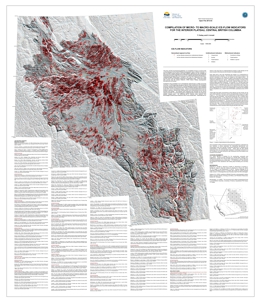 |
This compilation consists of about 89,000 ice-flow indicators digitally captured from published and unpublished surficial geology, terrain, and glacial features maps for the Interior Plateau physiographic region. Ice-flow indicators include micro-scale features such as striae and rat tails to macro-scale features such as drumlins and flutes. These data illustrate major ice-flow directions for the Cordilleran ice sheet during the Late Pleistocene. This compilation will be of interest to those seeking to understand ice-flow histories, a critical parameter for interpreting geochemical and mineralogical data from glacially transported sediments typically collected in drift prospecting surveys. These data will also benefit researchers who are more generally interested in landscape interactions of the Cordilleran ice sheet during the Late Pleistocene and the locations and evolution of ice divides. |
| Issue ID: | OF2013-04 |
| Title: | British Columbia Digital Geology |
| Author(s): | Cui, Y., Katay, F., Nelson, J.L., Han, T., Desjardins, P.J., Sinclair, L. |
| Series Name: | Open File |
| Publication Year: | 2013 |
| NTS Map Sheet(s): | 082;083;092;093;094;102;103;104;114 |
| Place Keyword(s): | British Columbia |
| Lat/Long (NSWE): | 60, 48, -140, -114 |
| Theme Keyword(s): | bedrock geology, bedrock mapping, gis, Digital Geology |
Download(s):
| ZIP (View Zip Contents) |
Abstract:
 |
Open File 2013-4 is the data source used to create the digital BC Geological Map, which is provided by the British Columbia Geological Survey to clients in mineral exploration, mining, land-use planning, and other areas. This data release consists of integrated datasets including: geological contacts that delineate bedrock units and structures as linear features associated with descriptions or attributions; and bedrock as polygons formed from the geological contacts and attributed with descriptions of the geological units. It also contains: tables for geological units and colours (RGB); an ESRI layer file containing the bedrock colour symbols; and a map of British Columbia illustrating the suggested colour theme for the bedrock polygons. |
| Issue ID: | OF2013-05 |
| Title: | Bedrock Geology between Thuya and Woodjam creeks, south-central British Columbia (NTS 92P/7, 8, 9, 10, 14, 15, 16; 93A/2, 3, 6) |
| Author(s): | Schiarizza, P.A., Israel, S., Heffernan, S., Boulton, A., Bligh, J., Bell, K., Bayliss, S., Macauley, J., Bluemel, B., Zuber, J., Friedman, R.M., Orchard, M.J., Poulton, T.P. |
| Series Name: | Open File |
| Publication Year: | 2013 |
| Scale: | 1:100000 |
| NTS Map Sheet(s): | 092P/07,08,09,10,14,15; 093A/02,03,06 |
| Place Keyword(s): | British Columbia, south-central, Shuswap highlands, Quesnel highlands |
| Lat/Long (NSWE): | 52.5, 51.25, -121.5, -120 |
| Theme Keyword(s): | bedrock geology, bedrock mapping, mesozoic, Nicola Group |
Download(s):
| PDF |
Abstract:
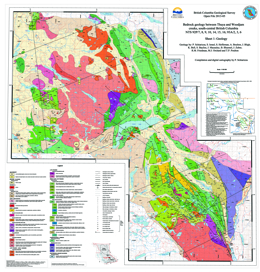 |
The Thuya Creek � Woodjam Creek map area encompasses about 5400 square kilometres, mainly in the Shuswap and Quesnel highlands and adjacent Fraser and Thompson plateaus. The geology is based on fieldwork conducted between 2000 and 2008, and integrates, with revisions, the interpretations presented in Open File maps 2002-4 (Nehalliston Plateau), 2002-15 (Clearwater-Bowers Lake), 2006-8 (Canim Lake), 2007-3 (Hendrix Lake), 2008-5 (Timothy Lake), and 2009-3 (Murphy Lake).
The area is underlain mainly by Mesozoic rocks of the Quesnel magmatic arc, including volcanic, volcaniclastic, and sedimentary rocks of the Nicola Group, which is separated into several regionally significant subdivisions. Associated plutonic rocks include a Late Triassic monzodiorite suite, Late Triassic to Early Jurassic calc-alkaline rocks of the Takomkane and Thuya batholiths, Early Jurassic Alaskan-type ultramafic-mafic complexes, and small stocks of Early Jurassic diorite, monzonite and quartz monzonite. The map area also includes Early Cretaceous granitic plutons, Eocene volcanic rocks of the Kamloops Group, Neogene basalt of the Chilcotin Group, and small exposures of Quaternary basalt that are part of the Wells Gray volcanic field.
Important mineral occurrences include porphyry Cu-Au deposits associated with the Late Triassic monzodiorite suite, porphyry Cu-Mo-Au deposits associated with Early Jurassic calc-alkaline plutons, Cu-Au skarns associated with Early Jurassic diorite, and Mo-W deposits associated with Early Cretaceous granitic plutons. |
| Issue ID: | P2013-01-07 |
| Title: | Geological setting of Late Triassic porphyry Cu-Au mineralization at Miner Mountain, Princeton, southern British Columbia |
| Author(s): | Mihalynuk, M.G., Logan, J.M. |
| Series Name: | Paper |
| Publication Year: | 2013 |
| Larger Work Citation: | in Geological Fieldwork 2012, B.C. Ministry of Energy, Mines and Natural Gas, Paper 2013-01 |
| NTS Map Sheet(s): | 092H/08 |
| Place Keyword(s): | British Columbia, south, Miner Mountain |
| Lat/Long (NSWE): | 49.5, 49.46, -120.5, -120.42 |
| Theme Keyword(s): | Geological Fieldwork, alkalic porphyry copper gold, Nicola Group, Quesnel terrane, Late Triassic |
Download(s):
| PDF |
Abstract:
| Porphyry copper style mineralization at Miner Mountain is associated with dioritic intrusions in a predominantly sedimentary arc flank setting, not a predominantly volcanic arc axial setting as has commonly been assumed. It is generally difficult to distinguish epiclastic and pyroclastic (or even flow) units, particularly where altered. Nonetheless, argillaceous beds, limestone layers, and local rounding of clasts in arenites indicate a significant epiclastic component. The mixed sedimentary volcanic setting is akin to the Copper Mountain deposit, ~25 km to the south-southwest. Mineralization that has received the most exploration attention is concentrated on the disrupted western flank of an open syncline that mainly plunges gently to the north. Minor folds and faults produce more locally intense deformation zones. Carbonate-quartz-feldspar alteration predates calcite-chalcopyrite-bornite cementation of fragments in diorite breccias. K-feldspar-magnetite alteration is best developed in mineralized rocks, and these display Au, Pt and Pd enrichments, features typical of British Columbian alkalic porphyry deposits. |
| Issue ID: | P2013-01-08 |
| Title: | Geological setting of Late Triassic porphyry Cu-Au mineralization at the Dillard Creek property near Merritt, southern British Columbia |
| Author(s): | Mihalynuk, M.G., Logan, J.M. |
| Series Name: | Paper |
| Publication Year: | 2013 |
| Larger Work Citation: | in Geological Fieldwork 2012, B.C. Ministry of Energy, Mines and Natural Gas, Paper 2013-01 |
| NTS Map Sheet(s): | 092H/09,16 |
| Place Keyword(s): | British Columbia, south, Dillard Creek, Dill Lake |
| Lat/Long (NSWE): | 49.78, 49.69, -120.5, -120.38 |
| Theme Keyword(s): | Geological Fieldwork, copper gold porphyry, Nicola Group, Late Triassic, Quesnel terrane |
Download(s):
| PDF |
Abstract:
| Porphyry copper mineralization in dioritic intrusive rocks that cut a volcanosedimentary section of the Nicola Group (Late Triassic) is exposed on the rolling hillsides and logging clearcuts at the Dillard Creek property, ~45 km southeast of Merritt. Three high-level tabular dioritic bodies display both potassic and calcic alteration assemblages. Two of the bodies (at the Primer South and Dill Lake prospects) are on the opposite limbs of a gently north-plunging syncline, and are partly elongated east-west. Although these bodies appear to form centres from which sets of moderately to steeply dipping diorite to quartz monzodiorite dikes (1 - >10 m wide) cut across the syncline, it remains unclear if they represent discrete stocks or sites of particularly high dike concentration. Geochemical and petrographic similarities between a hornblende-pyroxene volcanic breccia unit in the upper, predominantly epiclastic, part of the Nicola Group and the mineralized intrusions suggest emplacement of the latter shortly after a transition from mainly volcanic deposition, characterized by pyroxene (augite) units, to mainly epiclastic sedimentation. The apparent change in magma composition may signal increases in volatile and potassium content of the source region, chemical changes that enhance the Cu-Au fertility of the magma. Copper sulphides have commonly been liberated from the volcano-magmatic pile during low-grade metamorphism, demonstrating the high potential for Cu concentration by an efficient hydromagmatic system. |
| Issue ID: | P2013-01-09 |
| Title: | Geology, U-Pb Geochronology, and Geochemistry of the Miocene Phenol Mountain Complex, Hoodoo Mountain Area, British Columbia |
| Author(s): | Zagorevski, A., Dziawa, C., Friedman, R.M., Mihalynuk, M.G. |
| Series Name: | Paper |
| Publication Year: | 2013 |
| Larger Work Citation: | in Geological Fieldwork 2012, B.C. Ministry of Energy, Mines and Natural Gas, Paper 2013-01 |
| NTS Map Sheet(s): | 104B/14 |
| Place Keyword(s): | British Columbia, northwest, Hoodoo Mountain, Pheno Mountain |
| Lat/Long (NSWE): | 57, 56.75, -131.5, -131.25 |
| Theme Keyword(s): | Geological Fieldwork, Northern Cordilleran Volcanic Province, silica-saturated, felsic magmatism, alkaline rhyolite |
Download(s):
| PDF |
Abstract:
| The Pheno Mountain complex comprises rhyolite, trachyte and intrusive quartz feldspar porphyry that form extrusive and hypabyssal portions of a volcanic complex. A subvolcanic quartz feldspar porphyry with columnar jointing and brecciated margins underlies petrographically identical volcanic rocks. It yielded a 7.78 �0.01 Ma U-Pb zircon crystallization age, which is interpreted to constrain the age of the Pheno Mountain complex. Both the volcanic and hypabyssal rocks are characterized by high Nb/Y, Nb, Y, and Zr suggesting that they formed in a within-plate setting by fractional crystallization from an alkali basalt parent. These data support correlation of the Pheno Mountain complex with the Neogene to Quaternary Northern Cordilleran Volcanic Province. However, in contrast to the coeval Mount Edziza and Level Mountain volcanic centres, magmatism in the Pheno Mountain complex does not appear to be preceded by construction of a basaltic shield. |
| Issue ID: | IC1989-09 |
| Title: | MINFILE/pc |
| Author(s): | BC Geological Survey |
| Series Name: | Information Circular |
| Publication Year: | 1989 |
| NTS Map Sheet(s): | 082;083;092;093;094;102;103;104;114 |
| Place Keyword(s): | British Columbia |
| Lat/Long (NSWE): | 60, 48, -139, -114 |
| Theme Keyword(s): | MINFILE/pc, brochure |
Download(s):
| PDF |
Abstract:
 |
Information Circular 1989-09 is a MINFILE/pc brochure. |
| Issue ID: | IC1989-10 |
| Title: | MINFILE/vax |
| Author(s): | BC Geological Survey |
| Series Name: | Information Circular |
| Publication Year: | 1989 |
| NTS Map Sheet(s): | 082;083;092;093;094;102;103;104;114 |
| Place Keyword(s): | British Columbia |
| Lat/Long (NSWE): | 60, 48, -139, -114 |
| Theme Keyword(s): | MINFILE/vax, brochure |
Download(s):
| PDF |
Abstract:
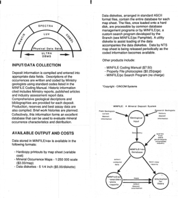 |
Information Circular 1989-10 is a MINFILE/vax brochure. |
| Issue ID: | IC1989-11 |
| Title: | Property File |
| Author(s): | BC Geological Survey |
| Series Name: | Information Circular |
| Publication Year: | 1989 |
| NTS Map Sheet(s): | 082;083;092;093;094;102;103;104;114 |
| Place Keyword(s): | British Columbia |
| Lat/Long (NSWE): | 60, 48, -139, -114 |
| Theme Keyword(s): | Property File, brochure |
Download(s):
| PDF |
Abstract:
 |
Information Circular 1989-11 is a Property File brochure. |
| Issue ID: | IC1989-16 |
| Title: | B.C. Geological Survey Branch 1989-1990 Project Inventory |
| Author(s): | BC Geological Survey |
| Series Name: | Information Circular |
| Publication Year: | 1989 |
| NTS Map Sheet(s): | 082;083;092;093;094;102;103;104;114 |
| Place Keyword(s): | British Columbia |
| Lat/Long (NSWE): | 60, 48, -139, -114 |
| Theme Keyword(s): | Geological Survey, Project Inventory |
Download(s):
| PDF |
Abstract:
 |
This annual publication documents the project inventory for the BC Geological Survey Branch for 1989-1990 fiscal year. |
| Issue ID: | IC1989-24 |
| Title: | B.C. Geological Survey Branch 1989-1990 Plan |
| Author(s): | BC Geological Survey |
| Series Name: | Information Circular |
| Publication Year: | 1989 |
| NTS Map Sheet(s): | 082;083;092;093;094;102;103;104;114 |
| Place Keyword(s): | British Columbia |
| Lat/Long (NSWE): | 60, 48, -139, -114 |
| Theme Keyword(s): | Geological Survey, Branch Plan |
Download(s):
| PDF |
Abstract:
 |
This annual publication documents the mission statement, goals and programs for the BC Geological Survey Branch for 1989-1990 fiscal year. |
| Issue ID: | IC1990-06 |
| Title: | Mines in the Making - Northwestern British Columbia |
| Author(s): | Lefebure, D.V., Malott, M.L. |
| Series Name: | Information Circular |
| Publication Year: | 1990 |
| NTS Map Sheet(s): | 093;094;102;103;104;114 |
| Place Keyword(s): | British Columbia, Northwest |
| Lat/Long (NSWE): | 60, 52, -139, -128 |
| Theme Keyword(s): | Mines, Review 1989, Mining Activity |
Download(s):
| PDF |
Abstract:
 |
Information Circular 1990-06 details a review of 1989 exploration and mining activity in northwestern British Columbia. |
| Issue ID: | IC1990-07 |
| Title: | B.C. Geological Survey Branch 1990-1991 Plan |
| Author(s): | BC Geological Survey |
| Series Name: | Information Circular |
| Publication Year: | 1990 |
| NTS Map Sheet(s): | 082;083;092;093;094;102;103;104;114 |
| Place Keyword(s): | British Columbia |
| Lat/Long (NSWE): | 60, 48, -139, -114 |
| Theme Keyword(s): | Branch Plan, Geological Survey Branch |
Download(s):
| PDF |
Abstract:
 |
This annual publication documents the mission statement, goals and programs for the BC Geological Survey Branch for the 1990-91 fiscal year. |
| Issue ID: | IC1990-12 |
| Title: | B.C. Geological Survey Branch 1990-1991 Project Inventory |
| Author(s): | BC Geological Survey |
| Series Name: | Information Circular |
| Publication Year: | 1990 |
| NTS Map Sheet(s): | 082;083;092;093;094;102;103;104;114 |
| Place Keyword(s): | British Columbia |
| Lat/Long (NSWE): | 60, 48, -139, -114 |
| Theme Keyword(s): | Information Circular, Geological Survey Branch, Project Inventory |
Download(s):
| PDF |
Abstract:
 |
Information Circular 1990-12 presents the B.C. Geological Survey Branch 1990-1991 project inventory. |
| Issue ID: | IC1991-08 |
| Title: | Some Significant Industrial Mineral Producers of the Southern Rocky Mountains - Guidebook for Fieldtrips 2 and 3 |
| Author(s): | Hancock, K.D. |
| Series Name: | Information Circular |
| Publication Year: | 1991 |
| NTS Map Sheet(s): | 082; |
| Place Keyword(s): | British Columbia, Southern Rocky Mountains, Banff, Golden, Radium |
| Lat/Long (NSWE): | 52, 50, -117.5, -115 |
| Theme Keyword(s): | Guidebook, Fieldtrip, Industrial Mineral, Forum |
Download(s):
| PDF |
Abstract:
 |
Information Circular 1991-8 describes the Guidebook for Fieldtrips 2 and 3 taken on May 9-10, 1991 in the Banff - Golden - Radium Area of British Columbia. |
| Issue ID: | IC1991-11 |
| Title: | B.C. Geological Survey Branch 1991-1992 Project Inventory |
| Author(s): | BC Geological Survey |
| Series Name: | Information Circular |
| Publication Year: | 1991 |
| NTS Map Sheet(s): | 082;083;092;093;094;102;103;104;114 |
| Place Keyword(s): | British Columbia |
| Lat/Long (NSWE): | 60, 48, -139, -114 |
| Theme Keyword(s): | Project Inventory, Geological Survey Branch |
Download(s):
| PDF |
Abstract:
 |
Information Circular presents the B.C. Geological Survey Branch 1991-92 Project Inventory. |
| Issue ID: | IC1991-12 |
| Title: | B.C. Geological Survey Branch 1991-92 Plan |
| Author(s): | BC Geological Survey |
| Series Name: | Information Circular |
| Publication Year: | 1991 |
| NTS Map Sheet(s): | 082;083;092;093;094;102;103;104;114 |
| Place Keyword(s): | British Columbia |
| Lat/Long (NSWE): | 60, 48, -139, -114 |
| Theme Keyword(s): | Branch Plan, Geological Survey Branch |
Download(s):
| PDF |
Abstract:
 |
Information Circular presents the B.C. Geological Survey Branch 1991-92 Plan. |
| Issue ID: | IC1991-17 |
| Title: | Information Motherlode - Geological Source Material for BC |
| Author(s): | BC Geological Survey |
| Series Name: | Information Circular |
| Publication Year: | 1991 |
| NTS Map Sheet(s): | 082;083;092;093;094;102;103;104;114 |
| Place Keyword(s): | British Columbia |
| Lat/Long (NSWE): | 60, 48, -139, -114 |
| Theme Keyword(s): | Information Circular, Geological Survey Branch, Motherlode, Information |
Download(s):
| PDF |
Abstract:
 |
Information Circular is a booklet to assist students, teachers, prospectors, rockhounds and the general public in finding general information on the rocks, minerals and fossils of British Columbia. |
| Issue ID: | IC1991-21 |
| Title: | British Columbia Exploration and Development Highlights for 1991 |
| Author(s): | BC Geological Survey |
| Series Name: | Information Circular |
| Publication Year: | 1991 |
| NTS Map Sheet(s): | 082;083;092;093;094;102;103;104;114 |
| Place Keyword(s): | British Columbia, Spokane, NW Mining Association |
| Lat/Long (NSWE): | 60, 48, -139, -114 |
| Theme Keyword(s): | Exploration and Development, Highlights, Geological Survey Branch |
Download(s):
| PDF |
Abstract:
 |
Information Circular 1991-21 presents the Exploration and Development Highlights for 1991 in B.C. which was presented at the 97th Annual Northwest Mining Association Convention in Spokane, Washington, U.S.A. December 1-6, 1991. |
| Issue ID: | IC1992-08 |
| Title: | B.C. Geological Survey Branch 1992-93 Plan |
| Author(s): | BC Geological Survey |
| Series Name: | Information Circular |
| Publication Year: | 1992 |
| NTS Map Sheet(s): | 082;083;092;093;094;102;103;104;114 |
| Place Keyword(s): | British Columbia |
| Lat/Long (NSWE): | 60, 48, -139, -114 |
| Theme Keyword(s): | Branch Plan, Geological Survey Branch |
Download(s):
| PDF |
Abstract:
 |
Information Circular presents the B.C. Geological Survey Branch 1992-93 Plan. |
| Issue ID: | IC1992-09 |
| Title: | B.C. Geological Survey Branch 1992-1993 Project Inventory |
| Author(s): | BC Geological Survey |
| Series Name: | Information Circular |
| Publication Year: | 1992 |
| NTS Map Sheet(s): | 082;083;092;093;094;102;103;104;114 |
| Place Keyword(s): | British Columbia |
| Lat/Long (NSWE): | 60, 48, -139, -114 |
| Theme Keyword(s): | Project Inventory, Geological Survey Branch |
Download(s):
| PDF |
Abstract:
 |
Information Circular presents the B.C. Geological Survey Branch 1992-93 Project Inventory. |
| Issue ID: | IC1992-31 |
| Title: | British Columbia: Exploration and Development Highlights and Initiatives 1992 |
| Author(s): | Meyers, R.E. |
| Series Name: | Information Circular |
| Publication Year: | 1992 |
| NTS Map Sheet(s): | 082;083;092;093;094;102;103;104;114 |
| Place Keyword(s): | British Columbia |
| Lat/Long (NSWE): | 60, 48, -139, -114 |
| Theme Keyword(s): | Exploration and Development, Highlights, Initiatives |
Download(s):
| PDF |
Abstract:
 |
Information Circular 1992-31 presents the Exploration and Developments and Initiatives for 1992 by the BC Geological Survey. |
| Issue ID: | IC1993-10 |
| Title: | B.C. Geological Survey Branch, 1993-1994 Business Plan |
| Author(s): | BC Geological Survey |
| Series Name: | Information Circular |
| Publication Year: | 1993 |
| NTS Map Sheet(s): | 082;083;092;093;094;102;103;104;114 |
| Place Keyword(s): | British Columbia |
| Lat/Long (NSWE): | 60, 48, -139, -114 |
| Theme Keyword(s): | Business Plan, Geological Survey Branch |
Download(s):
| PDF |
Abstract:
 |
Information Circular 1993-10 presents the Geological Survey Branch 1993-1994 Business Plan. |
| Issue ID: | IC1993-13 |
| Title: | British Columbia: Mining, Exploration and Development 1994 Highlights |
| Author(s): | BC Geological Survey |
| Series Name: | Information Circular |
| Publication Year: | 1993 |
| NTS Map Sheet(s): | 082;083;092;093;094;102;103;104;114 |
| Place Keyword(s): | British Columbia |
| Lat/Long (NSWE): | 60, 48, -139, -114 |
| Theme Keyword(s): | Mining, Exploration and Development, Highlights |
Download(s):
| PDF |
Abstract:
 |
Information Circular 1993-13 presents the Exploration and Development Highlights for 1993 by the BC Geological Survey. |
| Issue ID: | IC1994-16 |
| Title: | Geological Survey Branch 1994-95 - 1995-96 Business Plan |
| Author(s): | BC Geological Survey |
| Series Name: | Information Circular |
| Publication Year: | 1994 |
| NTS Map Sheet(s): | 082;083;092;093;094;102;103;104;114 |
| Place Keyword(s): | British Columbia |
| Lat/Long (NSWE): | 60, 48, -139, -114 |
| Theme Keyword(s): | Business Plan, Geological Survey Branch |
Download(s):
| PDF |
Abstract:
 |
Information Circular 1995-16 presents Geological Survey Branch 1994/95 - 1995/96 Business Plan. |
| Issue ID: | IC1994-19 |
| Title: | British Columbia Mining, Exploration and Development: 1994 Highlights |
| Author(s): | BC Geological Survey |
| Series Name: | Information Circular |
| Publication Year: | 1994 |
| NTS Map Sheet(s): | 082;083;092;093;094;102;103;104;114 |
| Place Keyword(s): | British Columbia |
| Lat/Long (NSWE): | 60, 48, -139, -114 |
| Theme Keyword(s): | Mining, Exploration and Development, Highlights |
Download(s):
| PDF |
Abstract:
 |
Information Circular 1994-19 presents British Columbia Mining, Exploration and Development 1994 Highlights. |
| Issue ID: | IC1995-08 |
| Title: | Geological Survey Branch 1995/96 Project Updates - Supplement to IC1994-16 |
| Author(s): | BC Geological Survey |
| Series Name: | Information Circular |
| Publication Year: | 1995 |
| NTS Map Sheet(s): | 082;083;092;093;094;102;103;104;114 |
| Place Keyword(s): | British Columbia |
| Lat/Long (NSWE): | 60, 48, -139, -114 |
| Theme Keyword(s): | Project Updates, Business Plan, Geological Survey Branch, Supplement |
Download(s):
| PDF |
Abstract:
 |
This Information Circular presents the Geological Survey Branch 1995/96 Project Updates. It is a supplement to Information Circular 1994-16. |
| Issue ID: | IC1995-09 |
| Title: | British Columbia: Mining, Development and Exploration 1995 Overview |
| Author(s): | Schroeter, T.G. |
| Series Name: | Information Circular |
| Publication Year: | 1995 |
| NTS Map Sheet(s): | 082;083;092;093;094;102;103;104;114 |
| Place Keyword(s): | British Columbia |
| Lat/Long (NSWE): | 60, 48, -139, -114 |
| Theme Keyword(s): | Exploration and Development, Highlights, Geological Survey Branch |
Download(s):
| PDF |
Abstract:
 |
British Columbia Mining, Development and Exploration 1995 Overview presented at the 101th Annual Northwest Mining Association Convention, Spokane Washington, U.S.A. In December 1995. |
| Issue ID: | IC1996-09 |
| Title: | Specifications & Guidelines for Bedrock Mapping in British Columbia. See IC 1997-03. |
| Author(s): | BC Geological Survey |
| Series Name: | Information Circular |
| Publication Year: | 1996 |
| NTS Map Sheet(s): | 082;083;092;093;094;102;103;104;114 |
| Place Keyword(s): | British Columbia |
| Lat/Long (NSWE): | 60, 48, -139, -114 |
| Theme Keyword(s): | Specifications, Guidelines, Bedrock Mapping |
Abstract:
| This Information Circular reports on Specifications & Guidelines for Bedrock Mapping in British Columbia. See IC1997-03. |
| Issue ID: | IC1996-10 |
| Title: | Reports, Maps and Geoscience Databases (superceded by the web catalogue) |
| Author(s): | Fehr, D. |
| Series Name: | Information Circular |
| Publication Year: | 1996 |
| NTS Map Sheet(s): | 082;083;092;093;094;102;103;104;114 |
| Place Keyword(s): | British Columbia |
| Lat/Long (NSWE): | 60, 48, -139, -114 |
| Theme Keyword(s): | Reports, Maps, Geoscience Databases, Catalogue, Publications |
Abstract:
| This Information Circular presents a catalogue of all publications of the BC Geological Survey (superceded by this web catalogue). |
| Issue ID: | GF2012-09 |
| Title: | Southern British Columbia: Geological Landscapes Highway Map |
| Author(s): | Turner, R.J.W., Anderson, R.G., Franklin, R., Ceh, M., Hastings, N., Wagner, C.L. |
| Series Name: | GeoFile |
| Publication Year: | 2012 |
| NTS Map Sheet(s): | 082; 083; 092; 093; 102; 103 |
| Place Keyword(s): | British Columbia, south |
| Lat/Long (NSWE): | 53, 48, -129, -114 |
| Theme Keyword(s): | geology, landscape, natural history |
Download(s):
| PDF |
Abstract:
 |
British Columbia has a rich geological heritage extending back in time for over 2.3 billion years. Because of a long history of mountain-building processes that continue today, much of this geoheritage is well exposed. The map is accessible to anyone with an interest in natural history. With over a hundred photographs of roadside geological wonders throughout southern BC and many synoptic diagrams that illustrate basic processes and principles, the map is a self guide to many of the geological features of the southern Cordillera. |
| Issue ID: | GF2013-01 |
| Title: | Geochemistry of Metabasalts from the Knob Hill Complex and Anarchist Group in the Paleozoic Basement to Southern Quesnellia |
| Author(s): | Massey, N.W.D., Dostal, J. |
| Series Name: | GeoFile |
| Publication Year: | 2013 |
| NTS Map Sheet(s): | 082E |
| Place Keyword(s): | British Columbia, Quesnellia |
| Lat/Long (NSWE): | 49.5, 48.5, -120, -118 |
| Theme Keyword(s): | basalt geochemistry, Okanagan subterrane, Knob Hill complex, Anarchist Group, supra-subduction zone basin |
Download(s):
| ZIP (View Zip Contents) |
Abstract:
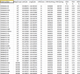 |
GeoFile 2013-1 supplements the geological synthesis in Massey and Dostal (2013), by providing spreadsheets containing a complete geochemical dataset from the Knob Hill Complex and Anarchist Group and additional geochemical plots.
The Knob Hill Complex and Anarchist Group constitute part of the Paleozoic basement to southern Quesnellia. These units occupy adjacent northward-dipping, south-vergent thrust sheets extending along the Canada-Washington State border. Metabasalts in both units are tholeiitic to transitional or alkalic, comprising three magma types. The ophiolitic Knob Hill Complex contains rocks of predominantly island arc affinity (IAT), with local MORB and E-MORB varieties. They probably formed by subduction-related rifting processes, but the precise setting remains unclear. The Anarchist Group metabasalts display predominantly within-plate E-MORB geochemical traits; local IAT and MORB signatures are indistinguishable from those in the Knob Hill Complex. The basalt geochemistry suggests that that the two units share a magmatic history and may have once been contiguous, with the Anarchist Group having formed off axis relative to spreading represented by the Knob Hill Complex. |
| Issue ID: | GF2013-02 |
| Title: | The Lonnie Niobium Deposit and Its Relationship to Metamorphism, British Columbia, Canada |
| Author(s): | Reid, H.M., Simandl, G.J., Ferri, F., Veltheer, J. |
| Series Name: | GeoFile |
| Publication Year: | 2013 |
| NTS Map Sheet(s): | 093N/09 |
| Place Keyword(s): | British Columbia, north-central |
| Lat/Long (NSWE): | 55.72, 55.67, -124.45, -124.37 |
| Theme Keyword(s): | REE, niobium, metamorphism, rare earths |
Download(s):
| PDF |
Abstract:
 |
The Lonnie Nb deposit is spatially associated with the Wolverine Fault, which is in turn related to the Manson Creek Fault system. The Lonnie deposit is the third most developed Nb prospect in British Columbia. In the larger Aley Carbonatite and Upper Fir deposits, the Nb and Nb�Ta zones are carbonatite-hosted. Historical work done on the Lonnie deposit suggests that the highest Nb grades are associated with quartz-free feldspathic rocks; nevertheless, carbonatite (metacarbonatite) zones also contain significant concentrations of Nb. Limited sampling, carried out in 2012, agrees with historical findings in these respects. It also indicates that metacarbonatites have similar chondrite-normalized REE patterns to quartz-free feldspathic rocks, fenites, and nearby outcropping limestone; however, they have the highest REE concentrations. Fenitization extends for more than 30 metres from the complex southwestward into the host rock, perpendicularly to the strike of the Lonnie mineralization and the projection of the Wolverine fault. Carbonatite emplacement predates 4 periods of tectonic activity and the upper-amphibolite grade metamorphic climax. Pyrochlore is the main Nb-bearing mineral within aegirine-bearing metacarbonatite; however, it is absent, or a trace constituent in quartz-free feldspathic rocks - suggesting that Nb mineralization is present as columbite-series minerals or fersmite. Microprobe analysis is needed to confirm the presence and nature of these ore minerals. The adjusted Wolverine Fault Zone, as shown here, is probably the main Nb metalotect in the area; it aligns with a recently-available magnetic survey. Geochemical anomalies identified by Rara Terra Minerals Corp. at the Vergil carbonatite complex also appear to be located on the re-interpreted projection of the Wolverine fault.
Poster presented at the annual Mineral Exploration Roundup Conference, sponsored by the Association for Mineral Exploration British Columbia (AMEBC) in January, 2013 |
| Issue ID: | GF2013-05 |
| Title: | Lithogeochemical Data from Porphyry Environments between Princeton and Merritt |
| Author(s): | Mihalynuk, M.G., Logan, J.M. |
| Series Name: | GeoFile |
| Publication Year: | 2013 |
| NTS Map Sheet(s): | 092H/07,08,09,10,15,16; 092I/01,02 |
| Place Keyword(s): | British Columbia, south-central |
| Lat/Long (NSWE): | 50.1, 49.45, -121, -120 |
| Theme Keyword(s): | lithogeochemical, porphyry, Miner Mountain, Axe, Dillard Creek |
Download(s):
| PDF, ZIP (View Zip Contents) |
Abstract:
 |
GeoFile 2013-5 contains analytical results from samples collected during fieldwork conducted as part of the ongoing Porphyry Copper-Gold project. This component of the project was focused on the geological setting of porphyry and related mineralization between Princeton and McLure. |
| Issue ID: | GF2013-06 |
| Title: | Determination of Major and Trace Element Concentrations in Canadian Sediment Reference Samples using Portable Energy-Dispersive X-ray Fluorescence (ED-XRF) Spectrometer and Implications for Geochemical Surveys |
| Author(s): | Rukhlov, A.S. |
| Series Name: | GeoFile |
| Publication Year: | 2013 |
| NTS Map Sheet(s): | 082; 083; 092; 093; 102; 103 |
| Place Keyword(s): | British Columbia |
| Lat/Long (NSWE): | 60, 48, -140, -114 |
| Theme Keyword(s): | geochemistry, sediment reference samples, ED-XRF |
Download(s):
| PDF |
Abstract:
 |
Concentrations of 24 elements (S, K, Ca, Ti, V, Cr, Mn, Fe, Ni, Cu, Zn, As, Se, Rb, Sr, Zr, Mo, Sn, Cs, Ba, W, Pb, Th, U) were determined in 12 Canadian sediment reference samples using a portable energy-dispersive X-ray fluorescence (ED-XRF) spectrometer and Compton scatter radiation for matrix correction. The reference samples represent till, stream sediments, and lake sediments that have been widely used as quality-control standards in geochemical surveys. A total of 11 international certified reference materials were analyzed to calibrate the ED-XRF spectrometer using error-weighted least-squares regression of the measured and the recommended data. The ED-XRF results are consistent with the published data within the uncertainties for V, Cr, Ni, Cu, Zn, As, Rb, Sr, Zr, Mo, W, and Pb in the reference sediment samples. Magnitude of bias for S, Ca, K and Ba concentrations appears to correlate with high loss-on-ignition (mainly H2O) contents (up to 44 wt. %) in these samples. Concentrations of Ti, Mn and Fe in all samples show small but significant systematic error, whereas Cs, Ba, Th and U concentrations may reflect spectral interferences in some samples. Concentrations of Co, Ag, Cd, Sb, Au, and Hg in the analyzed reference samples are all below the detection levels of the portable ED-XRF. Precision of the ED-XRF analyses is better than 6% (average 1.6%) at the 2s level for most of the trace elements, except Cs. The portable ED-XRF spectrometer, with Compton scatter normalization for matrix correction, can be used for precise and accurate analysis of till, stream- or lake-sediment samples in mineral exploration, geochemical mapping and environmental monitoring. Compared to other analytical methods, the technique is fast, non-destructive, and requires less sample preparation.
Poster presented at the annual Mineral Exploration Roundup Conference, sponsored by the Association for Mineral Exploration British Columbia (AMEBC) in January, 2013 |
| Issue ID: | EXP2012-00 |
| Title: | Regional Geologist Summaries - Exploration and Mining in British Columbia 2012, Foreword and Table of Contents |
| Author(s): | Grieve, D., Madu, B., Northcote, B., Kyba, J., Jago, P., Britton, J. |
| Series Name: | Exploration and Mining in BC - Regional Geologist Summaries |
| Publication Year: | 2013 |
| Other Citation Details: | pages iii to viii |
| Larger Work Citation: | Regional Geologist Summaries - Exploration and Mining in B.C. 2012 |
| NTS Map Sheet(s): | 082;083;092;093;094;102;103;104;114 |
| Place Keyword(s): | British Columbia |
| Lat/Long (NSWE): | 60, 48, -140, -114 |
| Theme Keyword(s): | Exploration and Mining, Summary and Trends |
Download(s):
| PDF |
Abstract:
 |
This annual publication provides detailed regional reviews of mining, mineral exploration and development activities in British Columbia for 2012. Regional Geologists compile the publication using information provided by government, companies and individuals in the British Columbia mining industry. The report contains detailed statistical tables and illustrations, in addition to location maps and tables summarizing significant mining, exploration and development projects in the province. |
| Issue ID: | EXP2012-01 |
| Title: | Omineca Region |
| Author(s): | Jago, C. Paul |
| Series Name: | Exploration and Mining in BC - Regional Geologist Summaries |
| Publication Year: | 2013 |
| Other Citation Details: | pages 1 to 24 |
| Larger Work Citation: | Regional Geologist Summaries - Exploration and Mining in B.C. 2012 |
| NTS Map Sheet(s): | 083;093;094 |
| Place Keyword(s): | British Columbia, North-central, Thompson-Okanagan-Cariboo |
| Lat/Long (NSWE): | 59, 52, -129, -118 |
| Theme Keyword(s): | Exploration and Mining, Mines, metals, mine development, mine evaluation |
Download(s):
| PDF |
Abstract:
|
An annual review of mineral exploration and mining activity from the Omineca region of British Columbia with a focus on metal mines, mine development projects, mine evaluation projects, porphyry copper projects, nickel projects, magnesium projects, gold projects, gold-silver projects, polymetallic massive sulphide projects, rare metals projects, and industrial mineral projects. |
| Issue ID: | EXP2012-02 |
| Title: | Skeena Region |
| Author(s): | Kyba, J. |
| Series Name: | Exploration and Mining in BC - Regional Geologist Summaries |
| Publication Year: | 2013 |
| Other Citation Details: | pages 25 to 51 |
| Larger Work Citation: | Regional Geologist Summaries - Exploration and Mining in B.C. 2012 |
| NTS Map Sheet(s): | 093;094;103;104;114 |
| Place Keyword(s): | British Columbia, Northwest |
| Lat/Long (NSWE): | 60, 52, -135, -125 |
| Theme Keyword(s): | Exploration and Mining, Mines, metals, aggregate projects |
Download(s):
| PDF |
Abstract:
|
An annual review of mineral exploration and mining activity from the Skeena region of British Columbia with a focus on mines and quarries, metal mines, industrial mineral quarries, mine development projects, mine evaluation projects, porphyry copper projects, porphyry molybdenum projects, nickel in ultramafic rocks; massive sulphide projects, and gold-silver projects. |
| Issue ID: | EXP2012-03 |
| Title: | Northeast Region |
| Author(s): | Jago, C. Paul |
| Series Name: | Exploration and Mining in BC - Regional Geologist Summaries |
| Publication Year: | 2013 |
| Other Citation Details: | pages 53 to 66 |
| Larger Work Citation: | Regional Geologist Summaries - Exploration and Mining in B.C. 2012 |
| NTS Map Sheet(s): | 093; 094 |
| Place Keyword(s): | British Columbia, Northeast |
| Lat/Long (NSWE): | 60, 54, -129, -120 |
| Theme Keyword(s): | Exploration and Mining, Mines, coal |
Download(s):
| PDF |
Abstract:
|
An annual review of mineral exploration and mining activity from the northeastern region of British Columbia with a focus on coal mines and coal exploration projects. |
| Issue ID: | EXP2012-04 |
| Title: | Thompson-Okanagan-Cariboo Region |
| Author(s): | Regional Office, Kamloops |
| Series Name: | Exploration and Mining in BC - Regional Geologist Summaries |
| Publication Year: | 2013 |
| Other Citation Details: | pages 67 to 78 |
| Larger Work Citation: | Regional Geologist Summaries - Exploration and Mining in B.C. 2012 |
| NTS Map Sheet(s): | 082;083;092;093;094 |
| Place Keyword(s): | British Columbia, South-central, Thompson-Okanagan-Cariboo, North Thompson, Southern Caribou |
| Lat/Long (NSWE): | 53, 49, -126, -118 |
| Theme Keyword(s): | Exploration and Mining, Mines, Coal, Metals, Industrial minerals |
Download(s):
| PDF |
Abstract:
|
An annual review of mineral exploration and mining activity from the Thompson-Okanagan-Cariboo region of British Columbia with a focus on mines and quarries, metal mines, coal, coal mines, industrial mineral quarries and aggregates, mine development projects, porphyry projects, skarn projects, vein and breccia projects, sediment-hosted gold projects, massive sulphide projects, magmatic projects, and exploration highlights. |
| Issue ID: | EXP2012-05 |
| Title: | South-West Coast Regions |
| Author(s): | Northcote, B. |
| Series Name: | Exploration and Mining in BC - Regional Geologist Summaries |
| Publication Year: | 2013 |
| Other Citation Details: | pages 79 to 93 |
| Larger Work Citation: | Regional Geologist Summaries - Exploration and Mining in B.C. 2012 |
| NTS Map Sheet(s): | 092B, C, E-O; 093C, D; 102I,P; 103A |
| Place Keyword(s): | British Columbia, South-west, Coast, Vancouver Island |
| Lat/Long (NSWE): | 54, 48, -134, -120 |
| Theme Keyword(s): | Exploration and Mining, Mines, Coal, Metals, Industrial minerals |
Download(s):
| PDF |
Abstract:
|
An annual review of mineral exploration and mining activity from the southwest coast regions of British Columbia with a focus on mines and quarries, metal, coal, industrial minerals and aggregates, marble, building and landscaping stone, major aggregate mines, mine development and mine evaluation projects and exploration highlights. |
| Issue ID: | EXP2012-06 |
| Title: | Kootenay-Boundary |
| Author(s): | Grieve, D. |
| Series Name: | Exploration and Mining in BC - Regional Geologist Summaries |
| Publication Year: | 2013 |
| Other Citation Details: | pages 95 to 108 |
| Larger Work Citation: | Regional Geologist Summaries - Exploration and Mining in B.C. 2012 |
| NTS Map Sheet(s): | 082; |
| Place Keyword(s): | British Columbia, Southeast, Kootenay-Boundary |
| Lat/Long (NSWE): | 52, 49, -119, -114 |
| Theme Keyword(s): | Exploration and Mining, Mines, Coal, Metals, Industrial minerals |
Download(s):
| PDF |
Abstract:
|
An annual review of mineral exploration and mining activity from the Kootenay-Boundary region of British Columbia with a focus on operating mines, coal, metals, industrial minerals, mine evaluation projects, gold projects, base metal projects, polymetallic projects, east Kootenay coalfields projects and exploration highlights. |
| Issue ID: | B1934-2 |
| Title: | Preliminary Report on the Mineral Industry of B.C. for the Year 1934 |
| Author(s): | Walker, J.F. |
| Series Name: | Bulletin |
| Publication Year: | 1934 |
| NTS Map Sheet(s): | 082;083;092;093;094;102;103;104;114 |
| Place Keyword(s): | British Columbia |
| Lat/Long (NSWE): | 60, 48, -139, -114 |
| Theme Keyword(s): | Geology, Mining, Mineral Industry |
Download(s):
| PDF |
Abstract:
 |
Bulletin 1934-2 is a preliminary report on the mineral industry in British Columbia in the year 1934. |
| Issue ID: | MR1935-01 |
| Title: | Report on the Properties of Goldside Mines Limited, Lillooet Mining Division |
| Author(s): | O'Grady, B.T. |
| Series Name: | Miscellaneous Reports |
| Publication Year: | 1935 |
| NTS Map Sheet(s): | 082;083;092;093;094;102;103;104;114 |
| Place Keyword(s): | British Columbia, Lillooet Mining Division |
| Lat/Long (NSWE): | 51.5, 50.3, -123.7, -120.9 |
| Theme Keyword(s): | Geology, Mining, Mineral Industry |
Download(s):
| PDF |
Abstract:
 |
Miscellaneous Report 1935-1 is a report on the properties of Goldside Mines Limited, Lillooet Mining Division. |
| Issue ID: | MR1935-02 |
| Title: | Report on the Properties of the Bonanza Cache Gold Mines Limited, Cayoosh Creek, Lillooet Mining Division |
| Author(s): | O'Grady, B.T. |
| Series Name: | Miscellaneous Reports |
| Publication Year: | 1935 |
| NTS Map Sheet(s): | 082;083;092;093;094;102;103;104;114 |
| Place Keyword(s): | British Columbia, Lillooet Mining Division, Cayoosh Creek |
| Lat/Long (NSWE): | 50.8, 50.2, -122.3, -121 |
| Theme Keyword(s): | Geology, Mining, Mineral Industry |
Download(s):
| PDF |
Abstract:
 |
Miscellaneous Report 1935-2 is a report on the properties of the Bonanza Cache Gold Mines Limited, Cayoosh Creek, Lillooet Mining Division. |
| Issue ID: | MR1936 |
| Title: | Report on the Properties of Cardinal Mining & Development Company, Limited, N.P.L., Yale Mining Division |
| Author(s): | O'Grady, B.T. |
| Series Name: | Miscellaneous Reports |
| Publication Year: | 1936 |
| NTS Map Sheet(s): | 082;083;092;093;094;102;103;104;114 |
| Place Keyword(s): | British Columbia, Yale Mining Division |
| Lat/Long (NSWE): | 49.6, 49.2, -121.5, -121 |
| Theme Keyword(s): | Geology, Mining, Mineral Industry |
Download(s):
| PDF |
Abstract:
 |
Miscellaneous Report 1936 is a report on the properties of Cardinal Mining & Development Company, Limited, N.P.L., Yale Mining Division. |
| Issue ID: | IC2013-01 |
| Title: | Provincial Summary Exploration and Mining in British Columbia 2012 |
| Author(s): | Britton, J., Chu, R., Grieve, D., Jago, P., Kyba, J., Madu, B., Northcote, B. |
| Series Name: | Information Circular |
| Publication Year: | 2013 |
| NTS Map Sheet(s): | 082;083;092;093;094;102;103;104;114 |
| Place Keyword(s): | British Columbia |
| Lat/Long (NSWE): | 60, 48, -140, -114 |
| Theme Keyword(s): | Mineral exploration, Annual Review 2012 |
Download(s):
| PDF |
Abstract:
 |
This annual publication provides an overview of mineral exploration activities in the Province of British Columbia for 2012. It contains statistical information, tables, illustrations and location maps which summarize significant exploration and development projects in the province. The report documents mineral exploration expenditures, active exploration areas and the companies involved. |
| Issue ID: | IC2013-02 |
| Title: | British Columbia Coal Industry Overview 2012 |
| Author(s): | BC Geological Survey |
| Series Name: | Information Circular |
| Publication Year: | 2013 |
| NTS Map Sheet(s): | 082;083;092;093;094;102;103;104;114 |
| Place Keyword(s): | British Columbia |
| Lat/Long (NSWE): | 60, 48, -140, -126 |
| Theme Keyword(s): | coal, coal industry |
Download(s):
| PDF |
Abstract:
 |
British Columbia�s coal industry was busy in 2012. Production tonnages, exploration expenditures, and tenure applications all reached record levels. The estimated total coal output was over 30 million tonnes, which accounted for about $5.1 billion of the $7.4 billion in production revenues from all mines in the province. Major markets for British Columbia coal include Asian countries, notably Japan, China, South Korea and India, and countries in South America and Europe. Looking forward, new mine proposals are being evaluated, and several port facilities are planning to increase export capacity. This booklet provides a snapshot of the coal industry in British Columbia, including sections on trends, resources, mining, exploration, the tenure system, sources of information, and contacts in government and industry. |
| Issue ID: | P2013-01-00 |
| Title: | Geological Fieldwork 2012: Foreword |
| Author(s): | Rowins, S.M. |
| Series Name: | Paper |
| Publication Year: | 2013 |
| Larger Work Citation: | in Geological Fieldwork 2012, B.C. Ministry of Energy, Mines and Natural Gas, Paper 2013-01 |
| NTS Map Sheet(s): | 082;083;092;093;094;102;103;104;114 |
| Place Keyword(s): | British Columbia |
| Lat/Long (NSWE): | 60, 48, -140, -114 |
| Theme Keyword(s): | Geological Fieldwork, Forward, Geological, Table of Contents |
Download(s):
| PDF |
Abstract:
| The British Columbia Geological Survey (BCGS) presents here the results of 2012 field surveys and geoscience research in the thirty-eighth edition of Geological Fieldwork. Collectively, these papers demonstrate the breadth of staff expertise and our many research partners highlight the organization�s collaborative nature. The provision of new geoscience data about British Columbia is a key activity of the BCGS that leads to mineral tenure acquisition and increased mineral exploration activity in the Province. Most articles are contributions by Survey staff to the understanding of the geology, geochemistry, and mineral deposits of the Province. The volume also includes several contributions from other professional geoscientists that contain new data of interest to the exploration community. |
| Issue ID: | P2013-01-01 |
| Title: | Geological Fieldwork 2012: British Columbia Geological Survey Activities in 2012 |
| Author(s): | Hickin, A.S., Jones, L.D., Rowins, S.M., Madu, B. |
| Series Name: | Paper |
| Publication Year: | 2013 |
| Larger Work Citation: | in Geological Fieldwork 2012, B.C. Ministry of Energy, Mines and Natural Gas, Paper 2013-01 |
| NTS Map Sheet(s): | 082;083;092;093;094;102;103;104;114 |
| Place Keyword(s): | British Columbia |
| Lat/Long (NSWE): | 60, 48, -140, -114 |
| Theme Keyword(s): | Geological Fieldwork, MapPlace, marketing, Mineral Development Office, partnerships |
Download(s):
| PDF |
Abstract:
| Established in 1895, the British Columbia Geological Survey (BCGS) maintains its tradition of providing geological data and expertise to diverse clients. In 2012, BCGS field geologists, in collaboration with geoscientists from industry, universities, and other government agencies: 1) completed projects to determine the evolution and mineral potential of terranes on the northwestern flank of the Cordillera (as part of the Geo-mapping for Energy and Minerals program, GEM-Edges); 2) continued investigating specialty metals, rare earth elements, and Ni-Cu-PGE-Cr ore systems (as part of the Targeted Geoscience Initiative, TGI4), working on compilations to better understand tectonic controls on Cordilleran metallogeny, and researching porphyry deposits, which constitute a significant part of British Columbia�s mineral wealth; and 3) started studies evaluating the use of mineral and geochemical indicators for detecting buried porphyry-style mineralization in drift-covered areas (TGI4). Results from these research projects were published extensively in the provincial, national, and international literature. The BCGS continues its web-based archiving and public access function via its MapPlace portal, Property File, MINFILE, and ARIS databases, and collection of Survey publications, all of which are available free of charge. Staff renewal included hiring a geologist to rebuild capacity in coal geology and GIS experts to revise and enhance the digital geology map of the Province. The Survey�s in-house geochemical laboratory was completely refurbished, and a new archive was constructed to house over 600,000 samples. Through technical marketing campaigns that highlighted the Province�s mineral and coal endowment, geoscience expertise, geological knowledge, and business climate, the Mineral Development Office in Vancouver (MDO) promoted industry domestically and abroad. Through the work of five Regional Geologists, the MDO monitored and reported the year�s exploration and mining activities. From a pool of 118 nominations submitted by 16 BC Public Service agencies representing 27,000 civil servants, BCGS Emeritus Scientist Dr. Ray Lett was selected as a finalist for a 2012 �Premier�s Award� in the Legacy category, and thirteen past and present BCGS staff who contributed to developing MapPlace were selected in the Innovation category. |
| Issue ID: | P2013-01-02 |
| Title: | Ordovician Volcanogenic Sulphides in the Southern Alexander Terrane, Coastal NW British Columbia: Geology, Pb Isotopic Signature, and a Case for Correlation with Appalachian and Scandinavian Deposits |
| Author(s): | Nelson, J.L., Diakow, L.J., van Staal, C., Chipley, D. |
| Series Name: | Paper |
| Publication Year: | 2013 |
| Larger Work Citation: | in Geological Fieldwork 2012, B.C. Ministry of Energy, Mines and Natural Gas, Paper 2013-01 |
| NTS Map Sheet(s): | 093D,E,L;103A,H,I,J |
| Place Keyword(s): | British Columbia, northwest, west coast |
| Lat/Long (NSWE): | 54.5, 52.5, -131, -127 |
| Theme Keyword(s): | Geological Fieldwork, Alexander terrane, volcanogenic massive sulphides, Ordovician, Pb isotopes |
Download(s):
| PDF |
Abstract:
| The southern part of the Craig subterrane of the Alexander terrane, which extends from Prince of Wales Island southward into coastal British Columbia, contains an Ordovician volcanic-sedimentary-intrusive suite of probable back-arc affinity, the Moira Sound unit. Mapping, prospecting, and geochronological work as part of the GEM-Edges project in 2009-2011 identified small sulphide occurrences within and adjacent to Ordovician rhyolites and rhyolite breccias of this unit. The previously known Pitt VMS occurrence on Pitt Island consists of a 3.5 kilometre-long trend of base-metal sulphide bodies aligned along a major shear zone that marks the southwestern limit of ductile shearing related to the mid-Cretaceous Grenville Channel fault. Deformation of the sulphides and their host quartz-muscovite schists is so intense that an epigenetic, synkinematic origin cannot be ruled out on geological grounds. However, chalcopyrite and sphalerite separates from the main Pitt showing yield lead isotopic ratios of 206Pb/204Pb: 18.1701-18.1911; 207Pb/204Pb: 15.5643-15.5660 and 208Pb/204Pb: 38.1015-38.0893. These values, in particular the 206Pb/204Pb ratio, are significantly lower than those of Cretaceous syngenetic and epigenetic deposits elsewhere in the Coast belt (ca. 18.4 � 18.7) and are thus incompatible with an epigenetic origin linked to the Grenville Channel fault or its splays, the spatial association notwithstanding. Instead, they closely match leads from Ordovician volcanogenic deposits of New Brunswick, Newfoundland, Quebec, and Norway. In terms of 208Pb/204Pb vs. 206Pb/204Pb, the Pitt lead is identical to that of the Bathurst camp. Current tectonic models place the Alexander terrane near the northern end of the Caledonide chain in early to mid-Paleozoic time, based on faunal affinities and Baltican-Caledonian detrital zircon patterns. The Pitt Pb isotopic data support these models. They indicate that Ordovician volcanogenic massive sulphides in the Alexander terrane may link to a chain of deposits that originated in now dismembered arcs and back arcs that constituted a circum-lapetus ocean ring of fire. |
| Issue ID: | P2013-01-03 |
| Title: | LA-ICP-MS geochronology of the Greenwood gabbro, Knob Hill complex, southern Okanagan, British Columbia |
| Author(s): | Massey, N.W.D., Gabites, J.E., Mortensen, J.K. |
| Series Name: | Paper |
| Publication Year: | 2013 |
| Larger Work Citation: | in Geological Fieldwork 2012, B.C. Ministry of Energy, Mines and Natural Gas, Paper 2013-01 |
| NTS Map Sheet(s): | 082E/01,02,03;082F/04 |
| Place Keyword(s): | British Columbia, south, Okanagan |
| Lat/Long (NSWE): | 49.25, 49, -119.1, -117.75 |
| Theme Keyword(s): | Geological Fieldwork, Quesnellia, Knob Hill complex, Greenwood gabbro, geochronology |
Download(s):
| PDF |
Abstract:
| The Paleozoic basement of Quesnellia in the southern Okanagan region includes rocks of the Knob Hill Complex, an ophiolitic suite of gabbros, serpentinites, basaltic rocks, cherts, and argillites. Near the towns of Rock Creek and Greenwood, the Knob Hill Complex is exposed in an east-trending belt of inliers within south-vergent thrust panels. These rocks are considered to record intraoceanic arc to back-arc basin environments, but precise U-Pb zircon ages have been lacking. Using laser ablation inductively coupled plasma mass spectrometry (LA-ICP-MS), four samples of pegmatitic gabbro from the Greenwood gabbro unit of the Knob Hill Complex yielded U-pb zircon ages of: 389.3 �2.5 Ma; 387.3 �2.5 Ma; 386.9 �3.0 Ma; and 380.0 �2.9 Ma (all errors at the 2! Level). Together with tectonostratigraphic and geochemical data, the new ages indicate that intraoceanic subduction processes represented by the Knob Hill Complex began as early as 390-380 Ma, entirely outboard of Laurentia. Combined with sparse paleontologic age determinations, these new ages help reveal a protracted history in the Knob Hill Complex, spanning the interval from ~390 to 300 Ma, that is now largely masked by younger structures and cover rocks. With the notable exception of the Trail gneiss complex, exposed about 75 km northeast of Greenwood and with a published U-Pb zircon age of ~372 Ma, potentially equivalent rocks elsewhere in the Okanagan subterrane, such as the Anarchist Group west of Osoyoos, the Old Tom Formation southwest of Penticton, and the Palmer Mountain Greenstone in Washington State, remain undated. |
| Issue ID: | P2013-01-04 |
| Title: | Geochemistry of Metabasalts from the Knob Hill Complex and Anarchist Group in the Paleozoic Basement to Southern Quesnellia |
| Author(s): | Massey, N.W.D., Dostal, J. |
| Series Name: | Paper |
| Publication Year: | 2013 |
| Larger Work Citation: | in Geological Fieldwork 2012, B.C. Ministry of Energy, Mines and Natural Gas, Paper 2013-01 |
| NTS Map Sheet(s): | 082E/01,02,03;082F/04 |
| Place Keyword(s): | British Columbia, south, Okanagan |
| Lat/Long (NSWE): | 49.25, 48.5, -120, -117.75 |
| Theme Keyword(s): | Geological Fieldwork, Quesnellia, Okanagan subterrane, Knob Hill complex, Anarchist Group |
Download(s):
| PDF |
Abstract:
| The Knob Hill Complex and Anarchist Group constitute part of the Paleozoic basement to southern Quesnellia. These units occupy adjacent northward dipping, south-vergent thrust sheets extending along the Canada-Washington State border. Metabasalts in both units are tholeiitic to transitional or alkalic, comprising three magma types. The ophiolitic Knob Hill Complex contains rocks of predominantly island arc affinity (IAT), with local MORB and E-MORB varieties. They probably formed by subduction-related rifting processes, but the precise setting remains unclear. The Anarchist Group metabasalts display predominantly within-plate E-MORB geochemical traits; local IAT and MORB signatures are indistinguishable from those in the Knob Hill Complex. The basalt geochemistry suggests that the two units share a magmatic history and may have once been contiguous, with the Anarchist Group having formed off axis relative to spreading represented by the Knob Hill Complex. |
| Issue ID: | P2013-01-05 |
| Title: | The Wineglass Assemblage, Lower Chilcotin River, South-central British Columbia: Late Permian Volcanic and Plutonic Rocks that Correlate with the Kutcho Assemblage of Northern British Columbia |
| Author(s): | Schiarizza, P.A. |
| Series Name: | Paper |
| Publication Year: | 2013 |
| Larger Work Citation: | in Geological Fieldwork 2012, B.C. Ministry of Energy, Mines and Natural Gas, Paper 2013-01 |
| NTS Map Sheet(s): | 092O/09,10,15,16 |
| Place Keyword(s): | British Columbia, south-central, Chilcotin River |
| Lat/Long (NSWE): | 51.808, 51.73, -122.622, -122.425 |
| Theme Keyword(s): | Geological Fieldwork, Late Permian Wineglass assemblage, rhyolite, basalt, tonalite |
Download(s):
| PDF |
Abstract:
| Late Permian volcanic and plutonic rocks that were identified along the lower Chilcotin River by Read (1993) were examined to evaluate a possible correlation with the Kutcho assemblage of northern British Columbia, host to the Kutcho Creek volcanogenic massive sulphide deposit. These rocks, herein named the Wineglass assemblage, include a lower volcanic unit of mainly basalt, an upper volcanic unit that includes rhyolite, basalt, and felsic volcaniclastic rocks, and an intrusive body of tonalite, quartz diorite, and granodiorite, referred to as the Wineglass pluton. The Wineglass assemblage is correlated with the Kutcho assemblage on the basis of its striking lithologic similarity, overlapping U-Pb zircon ages, similar unconformable relationship with an overlying Triassic-Jurassic sedimentary sequence, and similar relationship to structurally overlying Cache Creek Complex. Clastic sedimentary rocks that unconformably overlie the Wineglass assemblage are part of the predominantly Late Triassic-Middle Jurassic Cadwallader arc terrane. Expanding the definition of Cadwallader terrane to include the Wineglass assemblage and correlatives makes for a compelling correlation with Wallowa terrane, in the Blue Mountains region of northeastern Oregon and west-central Idaho. |
| Issue ID: | P2013-01-06 |
| Title: | Bonaparte Gold: another 195 Ma porphyry Au-Cu deposit in southern British Columbia? |
| Author(s): | Logan, J.M., Mihalynuk, M.G. |
| Series Name: | Paper |
| Publication Year: | 2013 |
| Larger Work Citation: | in Geological Fieldwork 2012, B.C. Ministry of Energy, Mines and Natural Gas, Paper 2013-01 |
| NTS Map Sheet(s): | 092P/01 |
| Place Keyword(s): | British Columbia, south |
| Lat/Long (NSWE): | 51.01, 51, -120.45, -120.44 |
| Theme Keyword(s): | Geological Fieldwork, calcalkaline diorite porphyries, gold quartz veins, chalcopyrite, quartz stockwork |
Download(s):
| PDF |
Abstract:
| An erosional window in the Miocene Chilcotin Group basalt blanket exposes deformed Early Jurassic (?) porphyritic quartz diorite and monzodiorite on the Bonaparte Plateau, 38 km north of Kamloops. These plutonic rocks host Au-Cu quartz veins and reported W-Mo quartz stockworks at the Bonaparte mine. Intrusion and mineralization appear to have coincided temporally and spatially with motion along a greenschist-grade, north-trending reverse (east-side-up) shear zone. Shear strain, characterized by mylonitic fabrics, a prominent down-dip lineation, and local kinematic indicators (sigma and delta porphyroclasts, displaced broken grains) culminated with a later phase of extensive hydrothermal quartz and quartz-carbonate veins, and stockworks. Auriferous veins form at least eight separate, metre to cm-wide, north-trending zones. Two bulk samples (3700 tonnes in 1994 and 364 tonnes in 2009) of mineralized quartz veins from the Bonaparte have produced ~103 kg of gold or 25.58 g/t Au from the total 4064 tonnes shipped. Biotite, sericite and carbonate-alteration of the intrusions adjacent to the vein structures is accompanied by disseminated pyrite, chalcopyrite and arsenopyrite � molybdenite, and gold mineralization. Historically, exploration at Bonaparte has focused on quartz vein networks. Yet the Bonaparte intrusions align with a north-trending belt of Early Jurassic porphyry deposits in the Takomane-Wildhorse magmatic belt, some of which have similar metal and alteration assemblages. We speculate that the Bonaparte deposit represents an upper level of a buried porphyry system. |
| Issue ID: | P2013-01-10 |
| Title: | Geological setting of the Lonnie Niobium Deposit, British Columbia, Canada |
| Author(s): | Simandl, G.J., Reid, H.M., Ferri, F. |
| Series Name: | Paper |
| Publication Year: | 2013 |
| Larger Work Citation: | in Geological Fieldwork 2012, B.C. Ministry of Energy, Mines and Natural Gas, Paper 2013-01 |
| NTS Map Sheet(s): | 093N/09 |
| Place Keyword(s): | British Columbia, central |
| Lat/Long (NSWE): | 55.73, 55.65, -124.475, -124.27 |
| Theme Keyword(s): | Geological Fieldwork, niobium, quartz-free feldspathic rocks, carbonatite, fenite |
Download(s):
| PDF |
Abstract:
| The Lonnie Nb deposit lies along the Wolverine fault, which is related to the Manson Creek fault system. It is the third-most developed Nb prospect in British Columbia. Unlike the larger Aley Carbonatite and Upper Fir deposits, where the Nb and Nb+Ta zones are carbonatite-hosted, historical work suggests that the highest Nb grades at the Lonnie complex are in quartz-free feldspathic rocks. The carbonatite (metacarbonatite) zones also contain significant concentrations of Nb. Limited sampling carried out in 2012, including 12 samples from the Lonnie deposit, agrees with the historical findings: the highest Nb value (>2500 ppm) is from one of three quartz-free feldspathic samples; the next highest values (1670 and 1210 ppm) are from two of five carbonatite samples. The 2012 sampling indicates that the metacarbonatites have chondrite-normalized REE patterns that are similar to the quartz-free feldspathic rocks, fenites, and nearby limestone; however, they have the highest REE concentrations. Fenitization extends for more than 30 metres southwestward into the host rock, perpendicular to the strike of the Lonnie mineralization and projection of the Wolverine fault. Carbonatite emplacement predates 4 periods of tectonic activity and the metamorphic peak. Pyrochlore is the main Nb-bearing mineral within the aegirine carbonatite. However, its paucity in quartz-free feldspathic rocks, suggests the presence of minerals of the columbite series or fersmite, a possibility that remains to be tested by microprobe analysis. Projection of the Wolverine fault zone, probably the main Nb metallotect in the area, was shifted northeast to reflect results of a recent magnetic survey. Geochemical anomalies identified by Rara Terra Minerals Corp. at the Vergil carbonatite, less than 5 km northwest of the Lonnie complex, lie along the reinterpreted projection of the Wolverine fault. |
| Issue ID: | P2013-01-11 |
| Title: | The Riddle Creek Prospect, An Unusual Example of Sr-Ba-REE-F Mineralization Outside the Alkaline Province, British Columbia, Canada |
| Author(s): | Trofanenko, J., Williams-Jones, A.E., Simandl, G.J., Reid, H.M. |
| Series Name: | Paper |
| Publication Year: | 2013 |
| Larger Work Citation: | in Geological Fieldwork 2012, B.C. Ministry of Energy, Mines and Natural Gas, Paper 2013-01 |
| NTS Map Sheet(s): | 082E/12 |
| Place Keyword(s): | British Columbia, south-central, Riddle Creek |
| Lat/Long (NSWE): | 49.58, 49.5, -119.95, -119.8 |
| Theme Keyword(s): | Geological Fieldwork, alkaline volcanics, hydrothermal concentration, rare earth element, shear zone |
Download(s):
| PDF |
Abstract:
| The Riddle Creek prospect is an unusual occurrence of Sr-Ba-REE-F mineralization in the Okanagan Valley of British Columbia. It is hosted by alkaline volcaniclastic and sedimentary rocks of the Tertiary Penticton outlier, which are interpreted to have formed adjacent to a "Kula-Farallon" slab window, and lies west of the Alkaline Province, hosting the bulk of the known REE mineralization in the province. Macroscopically, the REE-mineralized rocks are fine grained, brown to purple and are contained in a narrow, steeply dipping zone, interpreted to be a shear zone. The surrounding rocks are fine-grained greyish green porphyries comprising anorthoclase and pyroxene in a largely devitrified matrix (Yellow Lake rhomb porphyry). Contacts between the fresh and mineralized rocks are sharp and are most evident by a change in colour from green through yellow and gray, to pale purple (weak mineralization), and dark purple (strong mineralization). This colour change provides an excellent vector to the mineralization. Rocks hosting the REE have been intensely altered, and consist mainly of small fragments of sericitized anorthoclase set in a matrix of purple fluorite, subordinate baritecelestite, and minor dolomite, quartz, and hematite. Alteration was accompanied by major losses of silica, alumina and alkalis (Na+K) and large additions of calcium, fluorine, barium, strontium, and sulphur (sulphate). Unlike most REE deposits, the rare earth elements are not concentrated in a REE-rich phase such as, bastn�site-(Ce) or monazite-(Ce). Instead, the REE occur mainly as a minor component in barite-celestite and, to a much lesser extent, in fluorite. The prospect is light-REE enriched with a La/Lu ratio of 359 compared to 153 in the unaltered porphyry. The TREO concentration of seven mineralized samples averages 0.7 wt.% and ranges between 0.6 and 0.8 wt.%. Cerium and lanthanum concentrations reach 0.4 wt.% and 0.3 wt.%, respectively. A preliminary model is proposed in which the REE (preferentially the light-REE) were mobilized as chloride complexes by a fluorine-sulphate-bearing hydrothermal fluid of possible magmatic origin and were deposited due to mixing with an external calcium-(strontium-barium)-bearing fluid in a shear zone. The Riddle Creek Sr-Ba-REE-F showing demonstrates the potential for REE exploration opportunities outside the Alkaline Province, particularly in �slab window� tectonic settings of the type represented in the Penticton Tertiary outlier. |
| Issue ID: | GBCR2013-01-00 |
| Title: | Geoscience BC Summary of Activities for 2012 - Foreword |
| Author(s): | Sluggett, C. |
| Series Name: | Geoscience BC Report |
| Publication Year: | 2013 |
| Larger Work Citation: | in Geoscience BC Report 2013-1 |
| NTS Map Sheet(s): | 082;083;092;093;094;102;103;104;114 |
| Place Keyword(s): | British Columbia |
| Lat/Long (NSWE): | 60, 48, -139, -114 |
| Theme Keyword(s): | Geoscience BC, Summary of Activities |
Additional Link(s):
| http://cdn.geosciencebc.com/pdf/SummaryofActivities2012/SoA2012_Foreword.pdf |
Abstract:
| Geoscience BC presents the results of ongoing and recently completed geoscience projects and surveys in the sixth edition of the Geoscience BC Summary of Activities 2012. The volume is divided into two sections, �Minerals� and �Oil and Gas� and contains a total of 15 papers. The first section contains twelve papers from Geoscience BC minerals projects throughout the province. The first three papers provide updates on Geoscience BC�s most recent major projects: QUEST-Northwest and the Northern Vancouver Island Exploration Geoscience projects. The rest of the papers in the �Minerals� section present interim results from smaller Geoscience BC partnership projects across the province. The second section discusses some of Geoscience BC�s oil and gas projects, all of which are focused on northeastern BC. |
| Issue ID: | GBCR2013-01-01 |
| Title: | Update on Geoscience BC's 2012 Geophysical Programs |
| Author(s): | Simpson, K.A., Kowalczyk, P.L., Kirkham, G.D. |
| Series Name: | Geoscience BC Report |
| Publication Year: | 2013 |
| Larger Work Citation: | in Geoscience BC Report 2013-1 |
| NTS Map Sheet(s): | 092E,L; 102I; 104F,G,H,I,J,K |
| Place Keyword(s): | British Columbia, northwest, northern Vancouver Island |
| Lat/Long (NSWE): | 59, 49.9, -132, -126.75 |
| Theme Keyword(s): | geophysical survey, QUEST-Northwest, aeromagnetics, Northern Vancouver Island Exploration Geoscience |
Additional Link(s):
| http://cdn.geosciencebc.com/pdf/SummaryofActivities2012/SoA2012_Simpson.pdf |
Abstract:
| Geoscience BC continued to fly new geophysical surveys in 2012 with the acquisition of aeromagnetic data at a line spacing of 250 m in northwestern British Columbia and on northern Vancouver Island. These new, regional, tightly spaced and high-quality aeromagnetic datasets are a game changer for exploration in BC. The quality of these new datasets allows them to be used for district-scale to property-scale targeting and mapping. In addition to the acquisition of new data, Geoscience BC is implementing a new program to purchase proprietary industry geophysical data that will then be released to the public. |
| Issue ID: | GBCR2013-01-02 |
| Title: | Updating the British Columbia Regional Geochemical Survey Database with New Field Survey and Sample Reanalysis Data to Support Mineral Exploration (NTS 82F,K, 92K,L, 93J, 102I) |
| Author(s): | Jackaman, W., Lett, R.E.W. |
| Series Name: | Geoscience BC Report |
| Publication Year: | 2013 |
| Larger Work Citation: | in Geoscience BC Report 2013-1 |
| NTS Map Sheet(s): | 082F,K;092K,L;093J;102I |
| Place Keyword(s): | British Columbia, Vancouver Island, Nelson, Lardeau, McLeod Lake |
| Lat/Long (NSWE): | 55, 49, -128.6, -116 |
| Theme Keyword(s): | geochemistry, Regional Geochemical Survey, RGS, mineral exploration, multi-element |
Additional Link(s):
| http://cdn.geosciencebc.com/pdf/SummaryofActivities2012/SoA2012_Jackaman.pdf |
Abstract:
| Results compiled from government-funded regional geochemical surveys are routinely used by the mining sector to focus and support mineral exploration projects throughout British Columbia. Introduced in 1976, efforts to develop and maintain survey results as a consistent and functional multi-element geochemical database have been ongoing. Currently, the BC Regional Geochemical Survey database has analytical results and site information for more than 63 000 sediment and water samples and sample locations that cover approximately 80% of BC at an average density of one site every 12 km2. In 2012, Geoscience BC supported the following upgrades to the BC RGS database:
- reanalysis of approximately 1150 stream sediment samples originally collected in 1985 from sites located in the McLeod Lake (NTS 093J) map area (W. Jackaman, unpublished data, 2012). The samples have been analyzed for 35 elements by instrumental neutron activation analysis (INAA);
- reanalysis of approximately 2690 stream sediment samples originally collected in 1977 from sites in the Nelson (NTS 082F) and Lardeau (NTS 082K) map areas (W. Jackaman, unpublished data, 2012). The samples have been analyzed for 51 elements by aqua-regia digestion followed by inductively coupled plasma�mass spectrometry (ICP-MS); and
- new sample collection and till sample reanalysis covering parts of the Alert Bay (NTS 092L), Bute Inlet (NTS 092K) and Cape Scott (NTS 102I) map areas as part of the Northern Vancouver Island Exploration Geoscience Project (W. Jackaman, unpublished data, 2012). |
| Issue ID: | GBCR2013-01-03 |
| Title: | Dease Lake Geoscience Project: Geochemical Characteristics of Tsaybahe, Stuhini and Hazelton Volcanic Rocks, Northwestern British Columbia (NTS 104I, J) |
| Author(s): | Logan, J.M., Iverson, O. |
| Series Name: | Geoscience BC Report |
| Publication Year: | 2013 |
| Larger Work Citation: | in Geoscience BC Report 2013-1 |
| NTS Map Sheet(s): | 104H,I,J |
| Place Keyword(s): | British Columbia, northwest, Dease Lake, Cry Lake |
| Lat/Long (NSWE): | 58.5, 57.75, -131, -129 |
| Theme Keyword(s): | regional bedrock mapping, QUEST-Northwest, integrated multidisciplinary studies, geochemistry, Stikine terrane |
Additional Link(s):
| http://cdn.geosciencebc.com/pdf/SummaryofActivities2012/SoA2012_Logan.pdf |
Abstract:
| The BC Geological Survey�s Dease Lake Geoscience Project was part of Geoscience BC�s QUEST-Northwest initiative, a program launched in 2011 to stimulate exploration in the northwestern part of the province along Highway 37. In 2011, the BC Geological Survey completed four field-based studies located within a 70 km radius of the Dease Lake community. In this paper major, trace and rare earth element chemical characteristics of volcanic rocks collected during the 2011 programs, carried out by the BC Geological Survey in the area of the Dease Lake (104J) and Cry Lake (104I) map sheets (Figure 1), are presented. Volcanic rocks were collected from the Middle Triassic Tsaybahe Group to characterize the initiation of Triassic arc magmatism and from the Late Triassic Stuhini Group to characterize its ongoing evolution, which periodically culminated in porphyry Cu�Au�Mo mineralization (i.e., Schaft Creek, Galore Creek and Red Chris deposits). A third suite comprises samples collected from a Early to Middle Jurassic volcanic and sedimentary succession, assigned to the Hazelton Group, that is the same age as the host rocks at the Eskay Creek goldmine (Alldrick et al., 2004). |
| Issue ID: | GBCR2013-01-04 |
| Title: | Re-Release of the Mineral Deposit Research Unit�s Iskut River Area Maps (1989�1993), Northwestern British Columbia (NTS 104B/08,09,10, parts of 104B/01, 07,11) |
| Author(s): | Lewis, P.D., Hart, C.J.R., Simpson, K.A. |
| Series Name: | Geoscience BC Report |
| Publication Year: | 2013 |
| Larger Work Citation: | in Geoscience BC Report 2013-1 |
| NTS Map Sheet(s): | 104B/01,07,08,09,10,11 |
| Place Keyword(s): | British Columbia, northwest, Iskut River |
| Lat/Long (NSWE): | 56.75, 56.15, -131.25, -130 |
| Theme Keyword(s): | volcanic facies mapping, structural mapping, Mineral Deposit Research Unit |
Additional Link(s):
| http://cdn.geosciencebc.com/pdf/SummaryofActivities2012/SoA2012_Lewis.pdf
http://www.mdru.ubc.ca/home/publications/IskutCD.php
http://www.geosciencebc.com/reports/gbcr-2013-05/ |
Abstract:
| Between 1989 and 1993, the Mineral Deposit Research Unit (MDRU) at the University of British Columbia conducted the study Metallogenesis of the Iskut River area, northwestern British Columbia (the Iskut River area Project). This project was undertaken in response to intense interest by the mineral exploration and mining industry and the need for an integrated approach to metallogenesis and discovery in the region. The original maps associated with this project were released in Lewis et al. (2001) as Adobe Acrobat� PDF files of AutoCAD� line drawings. Geoscience BC and MDRU are re-releasing these highly detailed maps to the public in a modern GIS format, which will be a valuable contribution to the BC exploration industry. |
| Issue ID: | GBCR2013-01-05 |
| Title: | Porphyry Indicator Minerals (PIMs) from Alkalic Porphyry Copper-Gold Deposits in South-Central British Columbia (NTS 92, 93) |
| Author(s): | Celis, M.A., Hart, C.J.R., Bouzari, F., Bissig, T., Ferbey, T. |
| Series Name: | Geoscience BC Report |
| Publication Year: | 2013 |
| Larger Work Citation: | in Geoscience BC Report 2013-1 |
| NTS Map Sheet(s): | 092;093 |
| Place Keyword(s): | British Columbia, south-central |
| Lat/Long (NSWE): | 56, 49, -128, -120 |
| Theme Keyword(s): | PIMs, resistate minerals, alkalic porphyry deposits |
Additional Link(s):
| http://cdn.geosciencebc.com/pdf/SummaryofActivities2012/SoA2012_Celis.pdf |
Abstract:
| This report summarizes results of fieldwork and sampling from the Mount Polley, Mount Milligan and Copper Mountain deposits in BC during August and October 2012; sampling at the Lorraine deposit is planned for 2013. Preliminary observations on the alteration assemblages and resistate minerals from each site are presented. |
| Issue ID: | GBCR2013-01-06 |
| Title: | Use of Organic Media in the Geochemical Detection of Blind Porphyry Copper-Gold Mineralization in the Woodjam Property Area, South-Central British Columbia (NTS 93A/03, 06) |
| Author(s): | Heberlein, D.R., Dunn, C.E., MacFarlane, W. (Bill) |
| Series Name: | Geoscience BC Report |
| Publication Year: | 2013 |
| Larger Work Citation: | in Geoscience BC Report 2013-1 |
| NTS Map Sheet(s): | 093A/03,06 |
| Place Keyword(s): | British Columbia, south-central |
| Lat/Long (NSWE): | 52.28, 52.2, -121.44, -121.32 |
| Theme Keyword(s): | Woodjam, deep-penetrating geochemistry, copper-gold porphyry, biogeochemistry, exudates |
Additional Link(s):
| http://cdn.geosciencebc.com/pdf/SummaryofActivities2012/SoA2012_Heberlein.pdf |
Abstract:
| This paper covers activities conducted under a Geoscience BC project entitled �Evaluation of plant exudates to assist in mineral exploration and the development of simple and cost effective field procedures and analytical methods�. Large areas prospective for porphyry and epithermal-style mineralization in central British Columbia are covered by either glaciofluvial sediments or young basalt units. In areas where the cover is unconsolidated material of glacial origin, recently completed Geoscience BC-funded projects significantly advanced the understanding of the underlying bedrock geology and have demonstrated means of seeing through this type of cover using geochemistry (e.g., Cook and Dunn, 2007; Dunn et al., 2007; Barnett and Williams, 2009; Heberlein, 2010; Heberlein and Samson, 2010; Heberlein and Dunn, 2011). However, geochemistry is not commonly used to investigate the underlying geology in those areas covered by young basalt flows. The present study is aimed at establishing a geochemical strategy to see through basalt cover, using a variety of analytical techniques on a variety of organic or organically-derived sample media to test what works best. |
| Issue ID: | GBCR2013-01-07 |
| Title: | Geochemical Techniques for Detection of Blind Porphyry Copper-Gold Mineralization under Basalt Cover, Woodjam Prospect, South-Central British Columbia (NTS 93A/03, 06) |
| Author(s): | Bissig, T., Heberlein, D.R., Dunn, C.E. |
| Series Name: | Geoscience BC Report |
| Publication Year: | 2013 |
| Larger Work Citation: | in Geoscience BC Report 2013-1 |
| NTS Map Sheet(s): | 093A/03,06 |
| Place Keyword(s): | British Columbia, south-central |
| Lat/Long (NSWE): | 52.28, 52.2, -121.44, -121.32 |
| Theme Keyword(s): | Woodjam, deep-penetrating geochemistry, copper-gold porphyry, basalt cover, selective leach |
Additional Link(s):
| http://cdn.geosciencebc.com/pdf/SummaryofActivities2012/SoA2012_Bissig.pdf |
Abstract:
| This paper outlines activities conducted under the Geoscience BC project entitled: �Seeing through Chilcotin basalts: the geochemical signal of what is hidden underneath (092P, 093A, C)�. Field components of the study were undertaken in conjunction with another Geoscience BC project in the same area entitled: �Evaluation of plant exudates to assist in mineral exploration and the development of simple and cost effective field procedures and analytical methods� (see Heberlein et al., 2013). |
| Issue ID: | GBCR2013-01-08 |
| Title: | Paragenesis and Alteration of the Southeast Zone and Deerhorn Porphyry Deposits, Woodjam Property, Central British Columbia (parts of 93A) |
| Author(s): | del Real, I., Hart, C.J.R., Bouzari, F., Blackwell, J.L., Rainbow, A., Sherlock, R., Skinner, T. |
| Series Name: | Geoscience BC Report |
| Publication Year: | 2013 |
| Larger Work Citation: | in Geoscience BC Report 2013-1 |
| NTS Map Sheet(s): | 093A/03,06 |
| Place Keyword(s): | British Columbia, south-central |
| Lat/Long (NSWE): | 52.28, 52.2, -121.44, -121.32 |
| Theme Keyword(s): | Woodjam, alkalic porphyry, calcalkalic porphyry |
Additional Link(s):
| http://cdn.geosciencebc.com/pdf/SummaryofActivities2012/SoA2012_del_Real.pdf |
Abstract:
| Fieldwork was carried out during July and August 2012 and was focused on the Deerhorn and SEZ deposits. Five drillholes along a single cross section were graphically relogged from each deposit (Figures 2, 3) and sampled. Hostrock texture, alteration assemblages and intensity, vein types, and crosscutting relationships were recorded and form the basis for ongoing detailed petrographic and chemical analyses. Results and discussions presented in this summary are based largely on data and observations collected during this field program. |
| Issue ID: | GBCR2013-01-09 |
| Title: | Burrell Creek Map Area: Setting of the Franklin Mining Camp, Southeastern British Columbia (NTS 82E/09) |
| Author(s): | Hoy, T. |
| Series Name: | Geoscience BC Report |
| Publication Year: | 2013 |
| Larger Work Citation: | in Geoscience BC Report 2013-1 |
| NTS Map Sheet(s): | 082E/09 |
| Place Keyword(s): | British Columbia, south, Grand Forks, Franklin Mining Camp |
| Lat/Long (NSWE): | 49.75, 49.5, -118.5, -118 |
| Theme Keyword(s): | bedrock mapping, Grand Forks Gneiss Complex, Coryell syenite, Averill Plutonic Complex, epithermal gold |
Additional Link(s):
| http://cdn.geosciencebc.com/pdf/SummaryofActivities2012/SoA2012_Hoy.pdf |
Abstract:
| The Burrell Creek project includes geological mapping and data compilation of a large part of the 1:50 000 scale Burrell Creek map area (NTS 82E/09), located in the Columbia Mountains of southeastern British Columbia. The project is a northward extension of the Deer Park (H�y, 2010; H�y and Jackaman, 2010) and Grand Forks (H�y and Jackaman, 2005) mapping projects, which focused on the potential and controls of Tertiary mineralization within the southern Monashee Mountains in the Penticton (east half) map area (NTS 082E, east half). These projects recognized and defined a variety of base- and precious-metal occurrences that appear to be related to prominent north- and northwest-trending regional structures. The Burrell Creek project focused mainly on a mafic intrusive complex that hosts deposits in the historical Franklin mining camp, and recognized and mapped a similar deeper level intrusive complex to the east in the footwall of the Granby extensional fault. Dating of both these complexes, in progress through a contract with the University of British Columbia (UBC), may allow insights into role of Tertiary extension in the development of the camp and further controls on the displacement along a major Eocene extensional fault. |
| Issue ID: | GBCR2013-01-10 |
| Title: | Metamorphism and Structure of the Southern Kootenay Arc and Purcell Anticlinorium, Southeastern British Columbia (parts of NTS 82F/02, 03, 06, 07) |
| Author(s): | Webster, E.R., Pattison, D.R.M. |
| Series Name: | Geoscience BC Report |
| Publication Year: | 2013 |
| Larger Work Citation: | in Geoscience BC Report 2013-1 |
| NTS Map Sheet(s): | 082F/02,03,06,07 |
| Place Keyword(s): | British Columbia, southeast, Kootenays |
| Lat/Long (NSWE): | 49.3, 49, -117.2, -116.3 |
| Theme Keyword(s): | metamorphism, structure, tectonics, intrusions, deformation |
Additional Link(s):
| http://cdn.geosciencebc.com/pdf/SummaryofActivities2012/SoA2012_Webster.pdf |
Abstract:
| This paper provides a summary of preliminary metamorphic, structural and geochronological work within the region between Nelson, Salmo and Creston in southeastern British Columbia. The aim of this study is to elucidate the complex tectonothermal history of the area as a means of putting the mineral deposits in a geological context. The results presented in this report are based on two field seasons. |
| Issue ID: | GBCR2013-01-11 |
| Title: | The SEEK Project: Stimulating Exploration in the East Kootenays, Southeastern British Columbia (parts of NTS 82F, G, J, K) |
| Author(s): | Hartlaub, R.P. |
| Series Name: | Geoscience BC Report |
| Publication Year: | 2013 |
| Larger Work Citation: | in Geoscience BC Report 2013-1 |
| NTS Map Sheet(s): | 082F,G,J,K |
| Place Keyword(s): | British Columbia, southeast, Kootenays |
| Lat/Long (NSWE): | 51, 49, -118, -114 |
| Theme Keyword(s): | Purcell Basin, SEDEX, Aldridge Formation, sediment-hosted copper, core library |
Additional Link(s):
| http://www.geosciencebc.com/major-projects/Seek/
http://cdn.geosciencebc.com/pdf/SummaryofActivities2012/SoA2012_Hartlaub.pdf |
Abstract:
| Geoscience BC, in partnership with the East Kootenay Chamber of Mines (EKCM), announced the launch of the SEEK (Stimulating Exploration in the East Kootenays) Project in November 2011. The goal of the SEEK Project is to increase economic activity related to mineral exploration in the Purcell Basin by acquiring, compiling and adding value to public and private sector mineral exploration information. The East Kootenay area in southeastern British Columbia has a long and successful history of mineral exploration and mining. The former Sullivan mine alone represented $43 billion of production and sustained the economy of Kimberley and the East Kootenay area for almost 100 years.
A working group, composed of EKCM members and Geoscience BC staff, identified several main project activities, within the larger SEEK Project, focusing on the Purcell Basin (known as the Belt Basin in the United States; Figure 1). The first activity aims to categorize and add value to existing discoveries. This includes compiling the knowledge of local prospectors and exploration geologists, identifying high-interest mineral occurrences, and adding geological information that is not presently in the public record. A second activity focuses on the acquisition and dissemination of high value, historical, private sector, mineral exploration information, such as maps, core and core logs, and geochemical databases. To this end, Geoscience BC contributed funding to help support the development of a new EKCM core library. A third activity includes the acquisition, compilation and dissemination of public and private geophysical data. The final activity is the promotion of the mineral potential of the East Kootenay area. In particular, there is a need to highlight the key deposit types in the region and link up with current mineral exploration knowledge from the American side of the border. This paper reviews the geology and mineral potential of the East Kootenay area and highlights some results from the first year of the SEEK Project. |
| Issue ID: | GBCR2013-01-12 |
| Title: | Documentation and assessment of exploration activities generated by Geoscience BC Data Publications |
| Author(s): | Reichheld, S.A. |
| Series Name: | Geoscience BC Report |
| Publication Year: | 2013 |
| Larger Work Citation: | in Geoscience BC Report 2013-1 |
| NTS Map Sheet(s): | 082;083;092;093;094;102;103;104;114 |
| Place Keyword(s): | British Columbia |
| Lat/Long (NSWE): | 60, 48, -140, -114 |
| Theme Keyword(s): | QUEST Project, mineral exploration, grassroots, public funding, assessment report |
Additional Link(s):
| http://www.geosciencebc.com/major-projects/Quest/
http://cdn.geosciencebc.com/pdf/SummaryofActivities2012/SoA2012_Reichheld.pdf |
Abstract:
| The purpose of this preliminary summary report is to lay out a framework for reviewing and/or assessing the impact of any public exploration initiative by synthesizing various information streams as they become available. Identifying which metrics to use and what timeframes to study are difficult to pin down, but in order to ensure that the methodology will be repeatable in the future, this study will use public sources of information. |
| Issue ID: | GBCR2013-01-13 |
| Title: | Creating a Regional Seismograph Network in Northeastern British Columbia to Study the Effect of Induced Seismicity from Unconventional Gas Completions (NTS 94C, G, I, O, P) |
| Author(s): | Salas, C.J., Walker, D., Kao, H. |
| Series Name: | Geoscience BC Report |
| Publication Year: | 2013 |
| Larger Work Citation: | in Geoscience BC Report 2013-1 |
| NTS Map Sheet(s): | 094C,G,I,O,P |
| Place Keyword(s): | British Columbia, northeast |
| Lat/Long (NSWE): | 60, 55.75, -126, -120 |
| Theme Keyword(s): | seismicity, unconventional gas, seismograph, fraccing, Horn River Basin |
Additional Link(s):
| http://cdn.geosciencebc.com/pdf/SummaryofActivities2012/SoA2012_Salas_Seismograph_Network.pdf |
Abstract:
| The BCOGC has recommended augmenting the Canadian National Seismograph Network (CNSN) to better track the effects of completions and induced seismicity. Enhancements to the seismograph network will increase the understanding of induced seismicity and its relationship to oil and gas operations, such as fraccing and injection. Natural gas policy makers and regulators, the natural gas industry, communities and First Nations have a common interest in learning more about this issue to support the responsible development of BC�s natural gas resources, and improving this seismograph array network is one step in increasing the understanding of this relationship.
A consortium headed by Geoscience BC, along with the Canadian Association of Petroleum Producers (CAPP), BCOGC and Natural Resources Canada (NRCan), has initiated a project to add six seismograph stations to complement the two pre-existing CNSN stations. The state-of the- art stations will provide the necessary data needed to further understand the relationship between multistage fraccing and induced low magnitude events and ultimately aid in the responsible development of unconventional gas resources. |
| Issue ID: | GBCR2013-01-14 |
| Title: | Developing a Water Monitoring Network in the Horn River Basin, Northeastern British Columbia (parts of NTS 94I, J, O, P) |
| Author(s): | Salas, C.J., Murray, D. |
| Series Name: | Geoscience BC Report |
| Publication Year: | 2013 |
| Larger Work Citation: | in Geoscience BC Report 2013-1 |
| NTS Map Sheet(s): | 094I,J,O,P |
| Place Keyword(s): | British Columbia, northeast |
| Lat/Long (NSWE): | 60, 58.6, -124, -121 |
| Theme Keyword(s): | hydrometric station, climate station, Horn River Basin, slick water, fraccing |
Additional Link(s):
| http://cdn.geosciencebc.com/pdf/SummaryofActivities2012/SoA2012_Salas_Water_Monitoring.pdf |
Abstract:
| As part of the Horn River Basin Aquifer Characterization Project, a three-year water study was initiated in the summer of 2011. The study objectives are to collect accurate water flow, water quality and climatic data for the key watersheds in the Horn River Basin, with the goal of providing the necessary data to support sustainable use of water for shale gas development. The project partners include Geoscience BC, First Nations, the Horn River Basin Producers Group, the BC Oil and Gas Commission, the BC Ministry of Energy, Mines and Natural Gas and the BC Ministry of Environment. The project manager, Kerr Wood Leidal Associates Ltd. (Kerr Wood Leidal), began planning seven hydrometric and three climate stations in the summer of 2011 and installed them in late spring 2012. Additionally, one of the hydrometric sites is being investigated for a program to monitor wetland groundwater. Water quality and benthic invertebrates are also being monitored. |
| Issue ID: | GBCR2013-01-15 |
| Title: | Investigation of Land-Use Change and Groundwater�Surface Water Interaction in the Kiskatinaw River Watershed, Northeastern British Columbia (parts of NTS 93P/01, /02, /07�/10) |
| Author(s): | Saha, G.C., Paul, S.S., Li, J., Hirshfield, F., Sui, J. |
| Series Name: | Geoscience BC Report |
| Publication Year: | 2013 |
| Larger Work Citation: | in Geoscience BC Report 2013-1 |
| NTS Map Sheet(s): | 093P/01,02,07,08,09,10 |
| Place Keyword(s): | British Columbia, northeast |
| Lat/Long (NSWE): | 56, 54.85, -121, -120 |
| Theme Keyword(s): | land-use change, groundwater-surface water interaction, Kiskatinaw River watershed |
Additional Link(s):
| http://cdn.geosciencebc.com/pdf/SummaryofActivities2012/SoA2012_Saha.pdf |
Abstract:
| The Kiskatinaw River watershed (KRW) comprises an environmentally critical riparian region that plays an essential role in the ecosystem of northern British Columbia. The Kiskatinaw River provides the water supply to the City of Dawson Creek, the Village of Pouce Coupe and thousands of rural residents of the Peace River regional district. As a result, effective water-resources management within the KRW is of critical importance. However, water-resources management can be affected by a number of factors, such as the patterns of land-use change and the groundwater�surface water interaction. |
| Issue ID: | GBCR2013-02 |
| Title: | Heliborne High Resolution Aeromagnetic Survey: Northern Vancouver Island, B.C. |
| Author(s): | Geo Data Solutions GDS Inc. |
| Series Name: | Geoscience BC Report |
| Publication Year: | 2013 |
| NTS Map Sheet(s): | 092L,K;102I |
| Place Keyword(s): | British Columbia, southwest, Northern Vancouver Island, Port Hardy, Port McNeill |
| Lat/Long (NSWE): | 51, 50, -128.5, -125 |
| Theme Keyword(s): | aeromagnetic survey |
Additional Link(s):
| http://cdn.geosciencebc.com/project_data/GBC_Report2013-02/GBCR2013-02_Technical_Report.zip
http://cdn.geosciencebc.com/project_data/GBC_Report2013-02/GBCR2013-02_Database.zip
http://cdn.geosciencebc.com/project_data/GBC_Report2013-02/GBCR2013-02_Grids.zip |
Abstract:
| Geoscience BC Report 2013-02 presents the results of the northern Vancouver Island airborne magnetic survey, located near the communities of Port Hardy, Port McNeill, Port Alice and Zeballos. Geo Data Solutions Inc. flew the survey during August and September 2012. The survey was flown at a line spacing of 250 m, and the total survey coverage is 19,342 line-km. This survey is part of the Northern Vancouver Island Exploration Geoscience Project. The project is partially funded by the Island Coastal Economic Trust, through matching funding provided to Geoscience BC. The Ministry of Jobs, Tourism and Skills Training and Rivercorp have also provided support for the project. Regional geochemical data collected as part of the Northern Vancouver Island Exploration Geoscience Project was released as Geoscience BC Report 2013-11. |
| Issue ID: | GBCR2013-03 |
| Title: | Heliborne High Resolution Aeromagnetic Survey: QUEST-Northwest Project Area, B.C., Block 3 |
| Author(s): | Geo Data Solutions GDS Inc. |
| Series Name: | Geoscience BC Report |
| Publication Year: | 2013 |
| NTS Map Sheet(s): | 104G/09,10,15,16;104H/12,13 |
| Place Keyword(s): | British Columbia, northwest |
| Lat/Long (NSWE): | 58, 57.5, -130.65, -129.5 |
| Theme Keyword(s): | aeromagnetic survey, QUEST-Northwest |
Additional Link(s):
| http://cdn.geosciencebc.com/project_data/GBC_Report2013-03/GBCR2013-03_Technical_Report.zip
http://cdn.geosciencebc.com/project_data/GBC_Report2013-03/GBCR2013-03_Database.zip
http://cdn.geosciencebc.com/project_data/GBC_Report2013-03/GBCR2013-03_Grids.zip |
Abstract:
| Geoscience BC Report 2012-03 presents the results of the QUEST-Northwest Block 3 airborne magnetic survey, located near the community of Iskut, BC. Geo Data Solutions Inc. flew the survey during July and August of 2012. The survey was flown at a line spacing of 250 m, and the total survey coverage is 5746 line-km. The report also includes 2200 line-km of airborne magnetic data purchased from New Chris Minerals Ltd. This dataset was collected in late 2011 and early 2012 at a 100 m line-spacing, and lies in the center of the QUEST-Northwest Block 3 area. The QUEST-Northwest Block 1 survey flown by Aeroquest is available as Geoscience BC Report 2012-02. The QUEST-Northwest Block 2 survey flown by Geo Data Solutions is available as Geoscience BC Report 2012-03. |
| Issue ID: | GBCR2013-04 |
| Title: | Lardeau (NTS 82K) Sample Reanalysis (ICP-MS) |
| Author(s): | Jackaman, W. (Noble Exploration Services Ltd.) |
| Series Name: | Geoscience BC Report |
| Publication Year: | 2013 |
| Scale: | 1:250000 |
| NTS Map Sheet(s): | 082K |
| Place Keyword(s): | British Columbia, southeast, Lardeau |
| Lat/Long (NSWE): | 51, 50, -118, -116 |
| Theme Keyword(s): | Regional Geochemical Survey, ICP-MS, sample reanalysis |
Additional Link(s):
| http://www.geosciencebc.com/projects/2011-018/ |
Abstract:
| Ongoing efforts by government-funded agencies to update and maintain the geochemical database established by the British Columbia Regional Geochemical Survey (RGS) and the National Geochemical Reconnaissance programs have produced one of the most comprehensive collections of field information and multi-element analytical data in Canada (Jackaman, 2011; Jackaman and Lett, 2013). The database has benefitted from a series of large-scale reanalysis initiatives that have been sponsored by Geoscience BC since 2007. Recognized as a cost-effective means of updating information collected during older government funded regional geochemical surveys, these programs have significantly improved the BC geochemical database by providing a wide range of new analytical information at improved detection levels plus greater data compatibility with analytical methods currently being employed. Geoscience BC Report 2013-04 presents ICP-MS results for stream sediment samples collected during the original 1977 Lardeau RGS program. The Lardeau regional geochemical survey was conducted in 1977 and included the collection of 1297 stream sediment samples. In co-operation with the BC Geological Survey and Natural Resources Canada, samples saved from the survey work were retrieved from storage facilities in Ottawa. A total of 1435 drainage-sediment and quality-control samples were subsequently delivered to Acme Analytical Laboratories Ltd. (Vancouver, BC) and analyzed by an ultra-trace aqua-regia digestion (0.5 g) ICP-MS technique for 53 elements. Due to a deficiency of available material, one sample was not included in the reanalysis work. ICP-MS results have been provided in the Microsoft� Excel (XLS) file GBC REPORT 2013-04.XLS. The data have been carefully checked for analytical quality using blind duplicate samples and control reference material. When determined to be complete and accurate, the reanalysis data were merged with sample site location information acquired from the original survey publication. |
| Issue ID: | GBCR2013-05 |
| Title: | Iskut River Area Geology, Northwest B.C. (104B/08, 09, 10 and part of 104B/01, 07, 11) |
| Author(s): | Lewis, P.D. |
| Series Name: | Geoscience BC Report |
| Publication Year: | 2013 |
| Scale: | 1:50000 |
| NTS Map Sheet(s): | 104B/01,07,08,09,10,11 |
| Place Keyword(s): | British Columbia, northwest, Iskut River |
| Lat/Long (NSWE): | 56.75, 56.15, -131.25, -130 |
| Theme Keyword(s): | bedrock mapping, MDRU |
Additional Link(s):
| http://www.mdru.ubc.ca/home/publications/IskutCD.php
http://cdn.geosciencebc.com/project_data/GBC_Report2013-05/GBCR2013-05_Readme.pdf |
Abstract:
| Between 1989 and 1993, the Mineral Deposit Research Unit (MDRU) at the University of British Columbia conducted the study "Metallogenesis of the Iskut River area, northwestern British Columbia" (the Iskut River area Project). This project was undertaken in response to intense interest by the mineral exploration and mining industry and the need for an integrated approach to metallogenesis and discovery in the region. The original MDRU maps associated with this project were released in Lewis et al. (2001) as Adobe Acrobat� PDF files of AutoCAD� line drawings. Geoscience BC has converted the original AutoCAD linework to topologically correct features in GIS format and the revised maps are now available as ArcGIS shapefiles and PDF digital maps. The three 1:50 000 scale maps cover an area of approximately 1512 km2 and include NTS map sheets 104B/08, /09, /10 and parts of 104B/01, /07, /11. They illustrate the complex volcano-sedimentary stratigraphy, structural architecture and intrusive complexity of this highly prospective region of the province and provide some of the most detailed and comprehensive mapping data available to the public for this region. |
| Issue ID: | GBCR2013-06 |
| Title: | McLeod Lake (NTS 093J) Sample Reanalysis (INAA) |
| Author(s): | Jackaman, W. (Noble Exploration Services Ltd.) |
| Series Name: | Geoscience BC Report |
| Publication Year: | 2013 |
| Scale: | 1:250000 |
| NTS Map Sheet(s): | 093J |
| Place Keyword(s): | British Columbia, central, McLeod Lake |
| Lat/Long (NSWE): | 55, 54, -124, -122 |
| Theme Keyword(s): | geochemistry, RGS, sample reanalysis, INAA |
Additional Link(s):
| http://www.geosciencebc.com/projects/2012-003/ |
Abstract:
| Ongoing efforts by government-funded agencies to update and maintain the geochemical database established by the British Columbia Regional Geochemical Survey (RGS) and the National Geochemical Reconnaissance (NGR) programs have produced one of the most comprehensive collections of field information and multi-element analytical data in Canada (Jackaman, 2011; Jackaman and Lett, 2013). The database has benefitted from several initiatives including the reanalysis of archived sediment samples by instrumental neutron activation analysis (INAA). In the 1990s, over 20,000 samples from earlier BC RGS and NGR programs were retrieved from archive storage and analyzed by INAA producing previously unavailable data for gold and a range other important metals such as pathfinder and rare earth elements. More recently, Geoscience BC's QUEST-Northwest Project generated new INAA data from samples collected in 1987 during surveys conducted in the Sumdum and Telegraph Creek map areas (Jackaman, 2012).
This report, Geoscience BC Report 2013-06, presents INAA results for stream sediment samples collected during the original 1985 McLeod Lake RGS program. The McLeod Lake regional geochemical survey was conducted in 1985 and included the collection of 1152 stream sediment samples. In co-operation with the BC Geological Survey and Natural Resources Canada, samples saved from the survey work were retrieved from storage facilities in Ottawa. A total of 1273 drainage-sediment and quality-control samples were subsequently delivered to Becquerel Laboratories Inc. (Mississauga, ONT) and analyzed by INAA for 35 elements. Due to a deficiency of available material, seven samples were not included in the reanalysis work. Weighed and encapsulated samples were packaged for irradiation along with internal standards and international reference materials. Samples and standards were irradiated together with neutron flux monitors in a two-megawatt pool type reactor. After a seven-day decay period, samples were measured with a high-resolution germanium detector. Typical counting times were 500 seconds.
INAA results have been provided in the Microsoft� Excel (XLS) file GBC REPORT 2013-06.XLS. The data have been carefully checked for analytical quality using blind duplicate samples and control reference material. When determined to be complete and accurate, the reanalysis data were merged with sample site location information acquired from the original survey publication. |
| Issue ID: | GBCM2013-07-01 |
| Title: | Geology of the Burrell Creek Map Sheet (NTS 082E/09) |
| Author(s): | Hoy, T., Jackaman, W. |
| Series Name: | Geoscience BC Map |
| Publication Year: | 2013 |
| Scale: | 1:50000 |
| NTS Map Sheet(s): | 082E/09 |
| Place Keyword(s): | British Columbia, southeast, Burrell Creek |
| Lat/Long (NSWE): | 49.75, 49.5, -118.5, -118 |
| Theme Keyword(s): | bedrock mapping, geology, GIS |
Additional Link(s):
| http://cdn.geosciencebc.com/project_data/GBC_Report2013-07/GBC_Map2013-07-1_Burrell.pdf
http://cdn.geosciencebc.com/project_data/GBC_Report2013-07/Report2013-07_Burrell_Data.zip
http://www.geosciencebc.com/projects/2009-022/ |
Abstract:
| Geoscience BC Report 2013-07 is a 1:50 000 scale geology map of the Burrell Creek map sheet (NTS 82E/09) in southeast British Columbia, derived from new 1:20 000 scale mapping of selected areas of the Burrell Creek map sheet and compilation of previously existing regional geological, geophysical and geochemical data. This report includes shapefiles, RGS and MINFILE compilations, and new Ar-Ar dates for the map sheet.
The Burrell Creek map sheet is located along the eastern edge of the Penticton (082E) sheet, 60 km northwest of the Rossland Gold camp and approximately 50 km northeast of the Greenwood camp. The Franklin camp, comprising numerous past producing precious metal-lead-zinc-silver deposits is located in the southwestern part of the sheet, and a few other mineral occurrences, of largely unknown character and age, are scattered throughout the rest of the map sheet. Recent exploration activity in the area has been largely concentrated in the immediate vicinity of the Franklin camp and in the Deer Park map sheet immediately to the south. An updated geology map for the Deer Park map sheet was released by Geoscience BC in 2010 as GBC Map 2010-07-1. |
| Issue ID: | GBCR2013-08 |
| Title: | Ice Flow Patterns in NTS 093G, H (west half), & J, and Detailed Ice Flow History for (NTS 93J/05, 06, 11, 12, 13 and 14) |
| Author(s): | Sacco, D.A., Ward, B.C., Maynard, D.E. |
| Series Name: | Geoscience BC Report |
| Publication Year: | 2013 |
| Scale: | 1:500000 |
| NTS Map Sheet(s): | 093G,H; 093J/05,06,11,12,13,14 |
| Place Keyword(s): | British Columbia, central |
| Lat/Long (NSWE): | 55, 53, -124, -121 |
| Theme Keyword(s): | surficial geology, ice flow patterns, ice flow history, ice flow model, GIS |
Additional Link(s):
| http://cdn.geosciencebc.com/project_data/GBC_Report2013-08/GBCR2013-08_iceflowmaps.pdf
http://cdn.geosciencebc.com/project_data/GBC_Report2013-08/GBCR2013-08_data.zip
http://www.geosciencebc.com/projects/2007-026/ |
Abstract:
| The maps contained within this report show ice flow patterns for NTS 093G, H (west) and J, and detailed ice flow history for parts of NTS 093J (near Prince George, BC). The report also contains a regional ice flow model for the northern Interior Plateau region. Constructed from previous mapping and recent field studies, the report is intended as an aid to mineral exploration in central BC. The report consists of one PDF sheet, and the ESRI ArcGIS shapefiles of striations, regional ice flow and detailed ice flow data. A drift thickness map for the same area was previously released by Geoscience BC as GBC Report 2010-14. |
| Issue ID: | GBCR2013-09 |
| Title: | Nelson (NTS 082F) Sample Reanalysis (ICP-MS) |
| Author(s): | Jackaman, W. (Noble Exploration Services Ltd.) |
| Series Name: | Geoscience BC Report |
| Publication Year: | 2013 |
| Scale: | 1:250000 |
| NTS Map Sheet(s): | 082F |
| Place Keyword(s): | British Columbia, south, Nelson |
| Lat/Long (NSWE): | 50, 49, -118, -116 |
| Theme Keyword(s): | geochemistry, RGS, sample reanalysis, ICP-MS |
Additional Link(s):
| http://www.geosciencebc.com/projects/2011-018/ |
Abstract:
| Ongoing efforts by government-funded agencies to update and maintain the geochemical database established by the British Columbia Regional Geochemical Survey (RGS) and the National Geochemical Reconnaissance programs have produced one of the most comprehensive collections of field information and multi-element analytical data in Canada (Jackaman, 2011; Jackaman and Lett, 2013). The database has benefitted from a series of large-scale reanalysis initiatives that have been sponsored by Geoscience BC since 2007. Recognized as a cost-effective means of updating information collected during older government funded regional geochemical surveys, these programs have significantly improved the BC geochemical database by providing a wide range of new analytical information at improved detection levels plus greater data compatibility with analytical methods currently being employed. Geoscience BC Report 2013-09 presents ICP-MS results for stream sediment samples collected during the original 1977 Nelson RGS program. Results from the 1977 Lardeau RGS program were released in January 2013 as Geoscience BC Report 2013-04. The Nelson regional geochemical survey was conducted in 1977 and included the collection of 1394 stream sediment samples. In co-operation with the BC Geological Survey (BCGS) and Natural Resources Canada (NRCan), samples saved from the survey work were retrieved from storage facilities in Ottawa. A total of 1554 drainage-sediment and quality-control samples were subsequently delivered to Acme Analytical Laboratories Ltd. (Vancouver, BC) and analyzed by an ultra-trace aqua-regia digestion (0.5 g) ICP-MS technique for 53 elements ICP-MS results have been provided in the Microsoft� Excel (XLS) file GBC REPORT 2013-09.XLS. The data have been carefully checked for analytical quality using blind duplicate samples and control reference material. Reanalysis data determined to be complete and accurate were merged with sample site location information acquired from the original survey publication. Routine comparison of the original determinations with the ICP-MS analyses for elements such as copper, lead, nickel and zinc, identified inconsistencies in some samples. As a result, ICP-MS data for 382 samples have been removed from the data set until further investigations can be completed. |
| Issue ID: | GBCR2013-10 |
| Title: | New Terrain Maps in the McLeod Lake Map Area (NTS 093J), British Columbia |
| Author(s): | Sacco, D.A., Ward, B.C., Geertsema, M., Maynard, D.E. |
| Series Name: | Geoscience BC Report |
| Publication Year: | 2013 |
| Scale: | 1:50000 |
| NTS Map Sheet(s): | 093J/05,06,11,12,13,14 |
| Place Keyword(s): | British Columbia, central |
| Lat/Long (NSWE): | 55, 54.25, -124, -123 |
| Theme Keyword(s): | surficial geology, terrain map |
Additional Link(s):
| http://cdn.geosciencebc.com/project_data/GBC_Report2013-10/GBC_Map2013-10-2.pdf
http://cdn.geosciencebc.com/project_data/GBC_Report2013-10/GBC_Map2013-10-1.pdf
http://www.geosciencebc.com/projects/2007-026/ |
Abstract:
| Geoscience BC Report 2013-10 comprises six 1:50,000 terrain maps (NTS 093J05,06,11,12,13,14) in the McLeod Lake map sheet (NTS 093J), as well as a digital data package. The maps are hybrid surficial geology / terrain maps that were produced using standardized terrain mapping methods. Surficial material, surface expression and geomorphological processes were used to delineate terrain polygons on 1:40,000 black-and-white aerial photographs. The map legend is a closed, surficial geology format based on the dominant surficial material and is used to assign polygon colours. Individual polygon labels can contain more detailed terrain information based on the terrain classification system. Where applicable, additional polygon information such as sediment descriptions and minor surficial materials and surface expressions are recorded in the terrain database. The maps will be useful to the resource industry by indicating areas that contain till and therefore can be used in drift prospecting. The maps can also be used to identify various types of granular resources, such as aggregate for road building, fine grained (clay) material for lining tailings ponds, and bulk fill. A drift thickness map and ice flow maps for the same area were previously released by Geoscience BC as GBC Report 2010-14 and GBC Report 2013-08 respectively. |
| Issue ID: | GBCMP2013-001 |
| Title: | TREK: Targeting Resources Through Exploration and Knowledge |
| Author(s): | Geoscience BC |
| Purpose: | To stimulate mineral exploration in British Columbia. |
| Series Name: | Geoscience BC Major Project |
| Publication Year: | 2013 |
| NTS Map Sheet(s): | 093B,C,F,G |
| Place Keyword(s): | British Columbia, north, northern interior plateau region |
| Lat/Long (NSWE): | 54, 52.2, -125.64, -123.4 |
| Theme Keyword(s): | airborne geophysics, geochemical sampling, mineral deposit study |
Abstract:
| Geoscience BC's TREK (Targeting Resources for Exploration and Knowledge) Project, initiated in 2013, will focus on BC's northern interior plateau region, an area which is highly prospective for mineral resources and may also have some geothermal potential. However, the area is underexplored for these resources due to complicated and poorly understood bedrock geology and overburden.
Geoscience BC's TREK Project will include new airborne geophysics; new stream, lake, soil and till geochemical sampling; and new geological mapping and mineral deposit studies. The project will cover an area of over 20,000 km2, extending south from Vanderhoof and Fraser Lake, and west from Quesnel. Project partners in TREK include the BC Geological Survey (Ministry of Energy, Mines and Natural Gas), the Mineral Deposits Research Unit at the University of British Columbia, PK Geophysics, based in Surrey, BC, and Noble Exploration Services Ltd., based in Sooke, BC.
The TREK project represents the first time Geoscience BC has undertaken research related to assessing geothermal potential. Some of the First Nations in the region indicated to Geoscience BC that they were very interested in knowing if there are any geothermal opportunities in the area, particularly around some of their remote, off-grid communities where people rely on propane and diesel fuel for heat and power. |
| Issue ID: | GBCR2013-07 |
| Title: | Geology of the Burrell Creek Map Sheet (NTS 82E/09) |
| Author(s): | Hoy, T., Jackaman, W. |
| Series Name: | Geoscience BC Report |
| Publication Year: | 2013 |
| Scale: | 1:50000 |
| NTS Map Sheet(s): | 082E/09 |
| Place Keyword(s): | British Columbia, southeast, Burrell Creek |
| Lat/Long (NSWE): | 49.75, 49.5, -118.5, -118 |
| Theme Keyword(s): | bedrock mapping, geology, GIS |
Additional Link(s):
| http://cdn.geosciencebc.com/project_data/GBC_Report2013-07/GBC_Map2013-07-1_Burrell.pdf
http://cdn.geosciencebc.com/project_data/GBC_Report2013-07/Report2013-07_Burrell_Data.zip
http://www.geosciencebc.com/projects/2009-022/ |
Abstract:
| Geoscience BC Report 2013-07 is a 1:50 000 scale geology map of the Burrell Creek map sheet (NTS 82E/09) in southeast British Columbia, derived from new 1:20 000 scale mapping of selected areas of the Burrell Creek map sheet and compilation of previously existing regional geological, geophysical and geochemical data. This report includes shapefiles, RGS and MINFILE compilations, and new Ar-Ar dates for the map sheet. The Burrell Creek map sheet is located along the eastern edge of the Penticton (082E) sheet, 60 km northwest of the Rossland Gold camp and approximately 50 km northeast of the Greenwood camp. The Franklin camp, comprising numerous past producing precious metal-lead-zinc-silver deposits is located in the southwestern part of the sheet, and a few other mineral occurrences, of largely unknown character and age, are scattered throughout the rest of the map sheet. Recent exploration activity in the area has been largely concentrated in the immediate vicinity of the Franklin camp and in the Deer Park map sheet immediately to the south. An updated geology map for the Deer Park map sheet was released by Geoscience BC in 2010 as GBC Map 2010-07-1. |
| Issue ID: | GBCM2013-10-01 |
| Title: | Terrain Map Salmon Lake (NTS 93J/13), British Columbia |
| Author(s): | Sacco, D.A., Ward, B.C., Geertsema, M., Maynard, D.E. |
| Series Name: | Geoscience BC Map |
| Publication Year: | 2013 |
| Scale: | 1:50000 |
| NTS Map Sheet(s): | 093J/13 |
| Place Keyword(s): | British Columbia, Salmon Lake |
| Lat/Long (NSWE): | 55, 54.75, -124, -123.5 |
| Theme Keyword(s): | Surficial Geology Map, Terrain map, Surficial Geology |
Additional Link(s):
| http://cdn.geosciencebc.com/project_data/GBC_Report2013-10/GBC_Map2013-10-1.pdf
http://cdn.geosciencebc.com/project_data/GBC_Report2013-10/GBCR2013-10_data.zip
http://www.geosciencebc.com/projects/2007-026/ |
Abstract:
| Geoscience BC Report 2013-10 comprises six 1:50,000 terrain maps (NTS 093J05,06,11,12,13,14) in the McLeod Lake map sheet (NTS 093J), as well as a digital data package. The maps are hybrid surficial geology / terrain maps that were produced using standardized terrain mapping methods. Surficial material, surface expression and geomorphological processes were used to delineate terrain polygons on 1:40,000 black-and-white aerial photographs. The map legend is a closed, surficial geology format based on the dominant surficial material and is used to assign polygon colours. Individual polygon labels can contain more detailed terrain information based on the terrain classification system. Where applicable, additional polygon information such as sediment descriptions and minor surficial materials and surface expressions are recorded in the terrain database. The maps will be useful to the resource industry by indicating areas that contain till and therefore can be used in drift prospecting. The maps can also be used to identify various types of granular resources, such as aggregate for road building, fine grained (clay) material for lining tailings ponds, and bulk fill. A drift thickness map and ice flow maps for the same area were previously released by Geoscience BC as GBC Report 2010-14 and GBC Report 2013-08 respectively. Geoscience BC Map 2013-10-1 covers the Salmon Lake map sheet NTS 093J/13. |
| Issue ID: | GBCM2013-10-02 |
| Title: | Terrain Map Carp Lake (NTS 93J/14), British Columbia |
| Author(s): | Sacco, D.A., Ward, B.C., Geertsema, M., Maynard, D.E. |
| Series Name: | Geoscience BC Map |
| Publication Year: | 2013 |
| Scale: | 1:50000 |
| NTS Map Sheet(s): | 093J/14 |
| Place Keyword(s): | British Columbia, Carp Lake |
| Lat/Long (NSWE): | 55, 54.75, -123.5, -123 |
| Theme Keyword(s): | Surficial Geology Map, Terrain map, Surficial Geology |
Additional Link(s):
| http://cdn.geosciencebc.com/project_data/GBC_Report2013-10/GBC_Map2013-10-2.pdf
http://cdn.geosciencebc.com/project_data/GBC_Report2013-10/GBCR2013-10_data.zip
http://www.geosciencebc.com/projects/2007-026/ |
Abstract:
| Geoscience BC Report 2013-10 comprises six 1:50,000 terrain maps (NTS 093J05,06,11,12,13,14) in the McLeod Lake map sheet (NTS 093J), as well as a digital data package. The maps are hybrid surficial geology / terrain maps that were produced using standardized terrain mapping methods. Surficial material, surface expression and geomorphological processes were used to delineate terrain polygons on 1:40,000 black-and-white aerial photographs. The map legend is a closed, surficial geology format based on the dominant surficial material and is used to assign polygon colours. Individual polygon labels can contain more detailed terrain information based on the terrain classification system. Where applicable, additional polygon information such as sediment descriptions and minor surficial materials and surface expressions are recorded in the terrain database. The maps will be useful to the resource industry by indicating areas that contain till and therefore can be used in drift prospecting. The maps can also be used to identify various types of granular resources, such as aggregate for road building, fine grained (clay) material for lining tailings ponds, and bulk fill. A drift thickness map and ice flow maps for the same area were previously released by Geoscience BC as GBC Report 2010-14 and GBC Report 2013-08 respectively. Geoscience BC Map 2013-10-2 covers the Carp Lake map sheet NTS 093J/14. |
| Issue ID: | GBCM2013-10-03 |
| Title: | Terrain map Weedon Lake (NTS 93J/11), British Columbia |
| Author(s): | Maynard, D.E., Geertsema, M., Ward, B.C., Sacco, D.A. |
| Series Name: | Geoscience BC Map |
| Publication Year: | 2013 |
| Scale: | 1:50000 |
| NTS Map Sheet(s): | 093J/11 |
| Place Keyword(s): | British Columbia, Weedon Lake |
| Lat/Long (NSWE): | 54.75, 54.5, -123.5, -123 |
| Theme Keyword(s): | Surficial Geology Map, Surficial Geology |
Additional Link(s):
| http://cdn.geosciencebc.com/project_data/GBC_Report2013-10/GBC_Map2013-10-3.pdf
http://cdn.geosciencebc.com/project_data/GBC_Report2013-10/GBCR2013-10_data.zip
http://www.geosciencebc.com/projects/2007-026/ |
Abstract:
| Geoscience BC Report 2013-10 comprises six 1:50,000 terrain maps (NTS 093J05,06,11,12,13,14) in the McLeod Lake map sheet (NTS 093J), as well as a digital data package. The maps are hybrid surficial geology / terrain maps that were produced using standardized terrain mapping methods. Surficial material, surface expression and geomorphological processes were used to delineate terrain polygons on 1:40,000 black-and-white aerial photographs. The map legend is a closed, surficial geology format based on the dominant surficial material and is used to assign polygon colours. Individual polygon labels can contain more detailed terrain information based on the terrain classification system. Where applicable, additional polygon information such as sediment descriptions and minor surficial materials and surface expressions are recorded in the terrain database. The maps will be useful to the resource industry by indicating areas that contain till and therefore can be used in drift prospecting. The maps can also be used to identify various types of granular resources, such as aggregate for road building, fine grained (clay) material for lining tailings ponds, and bulk fill. A drift thickness map and ice flow maps for the same area were previously released by Geoscience BC as GBC Report 2010-14 and GBC Report 2013-08 respectively. Geoscience BC Map 2013-10-3 covers the Weedon Lake map sheet NTS 093J/11. |
| Issue ID: | GBCM2013-10-04 |
| Title: | Terrain Map Carrier Lake (NTS 93J/12), British Columbia |
| Author(s): | Ward, B.C., Maynard, D.E., Sacco, D.A., Geertsema, M. |
| Series Name: | Geoscience BC Map |
| Publication Year: | 2013 |
| Scale: | 1:50000 |
| NTS Map Sheet(s): | 093J/12 |
| Place Keyword(s): | British Columbia, Carrier Lake |
| Lat/Long (NSWE): | 54.75, 54.5, -124, -123.5 |
| Theme Keyword(s): | Surficial Geology Map, Surficial Geology, Glacial Features |
Additional Link(s):
| http://cdn.geosciencebc.com/project_data/GBC_Report2013-10/GBC_Map2013-10-4.pdf
http://cdn.geosciencebc.com/project_data/GBC_Report2013-10/GBCR2013-10_data.zip
http://www.geosciencebc.com/projects/2007-026/ |
Abstract:
| Geoscience BC Report 2013-10 comprises six 1:50,000 terrain maps (NTS 093J05,06,11,12,13,14) in the McLeod Lake map sheet (NTS 093J), as well as a digital data package. The maps are hybrid surficial geology / terrain maps that were produced using standardized terrain mapping methods. Surficial material, surface expression and geomorphological processes were used to delineate terrain polygons on 1:40,000 black-and-white aerial photographs. The map legend is a closed, surficial geology format based on the dominant surficial material and is used to assign polygon colours. Individual polygon labels can contain more detailed terrain information based on the terrain classification system. Where applicable, additional polygon information such as sediment descriptions and minor surficial materials and surface expressions are recorded in the terrain database. The maps will be useful to the resource industry by indicating areas that contain till and therefore can be used in drift prospecting. The maps can also be used to identify various types of granular resources, such as aggregate for road building, fine grained (clay) material for lining tailings ponds, and bulk fill. A drift thickness map and ice flow maps for the same area were previously released by Geoscience BC as GBC Report 2010-14 and GBC Report 2013-08 respectively. Geoscience BC Map 2013-10-4 covers the Carrier Lake map sheet NTS 093J/12. |
| Issue ID: | GBCM2013-10-05 |
| Title: | Terrain Map Great Beaver Lake (NTS 93J/05), British Columbia |
| Author(s): | Maynard, D.E., Ward, B.C., Sacco, D.A., Geertsema, M. |
| Series Name: | Geoscience BC Map |
| Publication Year: | 2013 |
| Scale: | 1:50000 |
| NTS Map Sheet(s): | 093J/05 |
| Place Keyword(s): | British Columbia, Great Beaver Lake |
| Lat/Long (NSWE): | 54.5, 54.25, -124, -123.5 |
| Theme Keyword(s): | Surficial Geology Map, Surficial Geology |
Additional Link(s):
| http://cdn.geosciencebc.com/project_data/GBC_Report2013-10/GBC_Map2013-10-5.pdf
http://cdn.geosciencebc.com/project_data/GBC_Report2013-10/GBCR2013-10_data.zip
http://www.geosciencebc.com/projects/2007-026/ |
Abstract:
| Geoscience BC Report 2013-10 comprises six 1:50,000 terrain maps (NTS 093J05,06,11,12,13,14) in the McLeod Lake map sheet (NTS 093J), as well as a digital data package. The maps are hybrid surficial geology / terrain maps that were produced using standardized terrain mapping methods. Surficial material, surface expression and geomorphological processes were used to delineate terrain polygons on 1:40,000 black-and-white aerial photographs. The map legend is a closed, surficial geology format based on the dominant surficial material and is used to assign polygon colours. Individual polygon labels can contain more detailed terrain information based on the terrain classification system. Where applicable, additional polygon information such as sediment descriptions and minor surficial materials and surface expressions are recorded in the terrain database. The maps will be useful to the resource industry by indicating areas that contain till and therefore can be used in drift prospecting. The maps can also be used to identify various types of granular resources, such as aggregate for road building, fine grained (clay) material for lining tailings ponds, and bulk fill. A drift thickness map and ice flow maps for the same area were previously released by Geoscience BC as GBC Report 2010-14 and GBC Report 2013-08 respectively. Geoscience BC Map 2013-10-5 covers the Great Beaver Lake map sheet NTS 093J/05. |
| Issue ID: | GBCM2013-10-06 |
| Title: | Terrain Map Bugle Lake (NTS 93J/06), British Columbia |
| Author(s): | Maynard, D.E., Ward, B.C., Sacco, D.A., Geertsema, M. |
| Series Name: | Geoscience BC Map |
| Publication Year: | 2013 |
| Scale: | 1:50000 |
| NTS Map Sheet(s): | 093J/06 |
| Place Keyword(s): | British Columbia, Bugle Lake |
| Lat/Long (NSWE): | 54.5, 54.25, -123.5, -123 |
| Theme Keyword(s): | Surficial Geology Map, Surficial Geology |
Additional Link(s):
| http://cdn.geosciencebc.com/project_data/GBC_Report2013-10/GBC_Map2013-10-6.pdf
http://cdn.geosciencebc.com/project_data/GBC_Report2013-10/GBCR2013-10_data.zip
http://www.geosciencebc.com/projects/2007-026/ |
Abstract:
| Geoscience BC Report 2013-10 comprises six 1:50,000 terrain maps (NTS 093J05,06,11,12,13,14) in the McLeod Lake map sheet (NTS 093J), as well as a digital data package. The maps are hybrid surficial geology / terrain maps that were produced using standardized terrain mapping methods. Surficial material, surface expression and geomorphological processes were used to delineate terrain polygons on 1:40,000 black-and-white aerial photographs. The map legend is a closed, surficial geology format based on the dominant surficial material and is used to assign polygon colours. Individual polygon labels can contain more detailed terrain information based on the terrain classification system. Where applicable, additional polygon information such as sediment descriptions and minor surficial materials and surface expressions are recorded in the terrain database. The maps will be useful to the resource industry by indicating areas that contain till and therefore can be used in drift prospecting. The maps can also be used to identify various types of granular resources, such as aggregate for road building, fine grained (clay) material for lining tailings ponds, and bulk fill. A drift thickness map and ice flow maps for the same area were previously released by Geoscience BC as GBC Report 2010-14 and GBC Report 2013-08 respectively. Geoscience BC Map 2013-10-6 covers the Bugle Lake map sheet NTS 093J/06. |
| Issue ID: | IP NEBC Report-05 |
| Title: | Sierra-Yoyo-Desan Road Area Gravel Investigation, Northern B.C.: Field and Laboratory Work - Summary Report for Areas 1, 2, 3, 4, 5, 5A, 7 and 7A |
| Author(s): | AMEC Earth & Environmental Limited |
| Purpose: | To conduct gravel investigations in the Sierra-Yoyo-Desan Road area |
| Series Name: | Internet Publication |
| Publication Year: | 2003 |
| Scale: | 1:15000 |
| NTS Map Sheet(s): | 094I, P |
| Place Keyword(s): | British Columbia, Northeastern British Columbia, Sierra-Yoyo-Desan, Komie North & Kimea Pit, Kotcho East & Elleh Creek |
| Lat/Long (NSWE): | 59.25, 58.7, -122.3, -120.7 |
| Theme Keyword(s): | gravel, road, potential, aggregate |
Abstract:
| This summary report for the Ministry of Energy and Mines by AMEC Earth & Environmental Limited describes the gravel investigations in the Sierra-Yoyo-Desan Road area of northeastern British Columbia. It includes field and laboratory work for Areas 1, 2,3, 4, 5, 5A, 7 and 7A. Areas 8, 9, 10 and Elleh Creek area are covered in separate reports. |
| Issue ID: | IP NEBC Report-06 |
| Title: | Sierra-Yoyo-Desan Road Area Gravel Investigation, Northern B.C.: Area 8 (Komie North) |
| Author(s): | AMEC Earth & Environmental Limited |
| Purpose: | To conduct gravel investigations in the Sierra-Yoyo-Desan Road area |
| Series Name: | Internet Publication |
| Publication Year: | 2003 |
| Scale: | 1:100000 |
| NTS Map Sheet(s): | 094P |
| Place Keyword(s): | British Columbia, Northeastern British Columbia, Sierra-Yoyo-Desan, Komie North |
| Lat/Long (NSWE): | 59.3, 59.25, -121.9, -121.7 |
| Theme Keyword(s): | gravel, road, potential, aggregate |
Download(s):
| PDF |
Additional Link(s):
| http://www2.gov.bc.ca/assets/gov/farming-natural-resources-and-industry/natural-gas-oil/petroleum-geoscience/energy-open-files/eof_2003c_area8-2_compressed.pdf
http://www2.gov.bc.ca/assets/gov/farming-natural-resources-and-industry/natural-gas-oil/petroleum-geoscience/energy-open-files/eof_2003c_area83.pdf |
Abstract:
| This report for the Ministry of Energy and Mines by AMEC Earth & Environmental Limited describes the gravel investigations in the Sierra-Yoyo-Desan Road area of northeastern British Columbia. It includes field and laboratory work for Area 8 (Komie North). Areas 1, 2,3, 4, 5, 5A, 7 and 7A, 9, 10 and Elleh Creek area are covered in separate reports. |
| Issue ID: | IP NEBC Report-07 |
| Title: | Sierra-Yoyo-Desan Road Area Gravel Investigation, Northern B.C.: Area 9 |
| Author(s): | AMEC Earth & Environmental Limited |
| Purpose: | To conduct gravel investigations in the Sierra-Yoyo-Desan Road area |
| Series Name: | Internet Publication |
| Publication Year: | 2003 |
| Scale: | 1:100000 |
| NTS Map Sheet(s): | 094P |
| Place Keyword(s): | British Columbia, Northeastern British Columbia, Sierra-Yoyo-Desan, Kimea Pit |
| Lat/Long (NSWE): | 59.55, 59.5, -120.95, -120.85 |
| Theme Keyword(s): | gravel, road, potential, aggregate |
Download(s):
| PDF |
Additional Link(s):
| http://www2.gov.bc.ca/assets/gov/farming-natural-resources-and-industry/natural-gas-oil/petroleum-geoscience/energy-open-files/eof_2003d_area9_2a.pdf
http://www2.gov.bc.ca/assets/gov/farming-natural-resources-and-industry/natural-gas-oil/petroleum-geoscience/energy-open-files/eof_2003d_area93.pdf |
Abstract:
| This report for the Ministry of Energy and Mines by AMEC Earth & Environmental Limited describes the gravel investigations in the Sierra-Yoyo-Desan Road area of northeastern British Columbia. It includes field and laboratory work for Area 9 (Kimea Pit). Areas 1, 2,3, 4, 5, 5A, 7 and 7A, 8, 10 and Elleh Creek area are covered in separate reports. |
| Issue ID: | IP NEBC Report-08 |
| Title: | Sierra-Yoyo-Desan Road Area Gravel Investigation, Northern B.C.: Area 10 |
| Author(s): | AMEC Earth & Environmental Limited |
| Purpose: | To conduct gravel investigations in the Sierra-Yoyo-Desan Road area |
| Series Name: | Internet Publication |
| Publication Year: | 2003 |
| Scale: | 1:100000 |
| NTS Map Sheet(s): | 094P |
| Place Keyword(s): | British Columbia, Northeastern British Columbia, Sierra-Yoyo-Desan, Kotcho East |
| Lat/Long (NSWE): | 58.95, 58.9, -120.7, -120.6 |
| Theme Keyword(s): | gravel, road, potential, aggregate |
Download(s):
| PDF |
Abstract:
| This report for the Ministry of Energy and Mines by AMEC Earth & Environmental Limited describes the gravel investigations in the Sierra-Yoyo-Desan Road area of northeastern British Columbia. It includes field and laboratory work for Area 10 (Kotcho East). Areas 1, 2,3, 4, 5, 5A, 7 and 7A, 8, 9, and Elleh Creek area are covered in separate reports. |
| Issue ID: | IP NEBC Report-09 |
| Title: | Sierra-Yoyo-Desan Road Area Gravel Investigation, Northern B.C.: Elleh Creek |
| Author(s): | AMEC Earth & Environmental Limited |
| Purpose: | To conduct gravel investigations in the Sierra-Yoyo-Desan Road area |
| Series Name: | Internet Publication |
| Publication Year: | 2003 |
| Scale: | 1:6000 |
| NTS Map Sheet(s): | 094O |
| Place Keyword(s): | British Columbia, Northeastern British Columbia, Sierra-Yoyo-Desan, Elleh Creek |
| Lat/Long (NSWE): | 58.55, 58.5, -122.15, -122 |
| Theme Keyword(s): | gravel, road, potential, aggregate |
Download(s):
| PDF |
Abstract:
| This report for the Ministry of Energy and Mines by AMEC Earth & Environmental Limited describes the gravel investigations in the Sierra-Yoyo-Desan Road area of northeastern British Columbia. It includes field and laboratory work for Elleh Creek area. Areas 1, 2,3, 4, 5, 5A, 7 and 7A, 8, 9 and 10 are covered in separate reports. |
| Issue ID: | IP Geophysics Report-03 |
| Title: | Interpretation of Apparent Resistivity Maps and Resistivity Cross Sections from the Kotcho Region, N.E. British Columbia |
| Author(s): | Bemex Consulting International |
| Purpose: | To interpret the RESOLVE EM survey |
| Series Name: | Internet Publication |
| Publication Year: | 2004 |
| NTS Map Sheet(s): | 094I/15 |
| Place Keyword(s): | British Columbia, Northeastern British Columbia, Kotcho |
| Lat/Long (NSWE): | 58.95, 58.94, -120.66, -120.65 |
| Theme Keyword(s): | geophysical, resolve survey, resistivity, interpretation, airborne |
Download(s):
| PDF |
Abstract:
| This report is an interpretation of the results of a 2003 RESOLVE airborne geophysical survey carried out over the Kotcho area in northeastern BC by Fugro Airborne Surveys. The report discusses the various data sets and integrates them into a potential resistivity model of the subsurface within the survey area. |
| Issue ID: | OGM2004-01C |
| Title: | Geophysical Resolve EM Survey over Kotcho Area - Apparent Resistivity 6200 Hz Coplanar Frequency |
| Author(s): | Fugro Airborne Surveys |
| Series Name: | Oil and Gas Maps and Misc. |
| Publication Year: | 2003 |
| Scale: | 1:20000 |
| NTS Map Sheet(s): | 094I/15 |
| Place Keyword(s): | British Columbia, Northeastern British Columbia, Kotcho |
| Lat/Long (NSWE): | 58.95, 58.94, -120.66, -120.65 |
| Theme Keyword(s): | resistivity, coplanar, magnetic field, geophysical, airborne |
Download(s):
| PDF |
Abstract:
| This map shows the apparent resistivity 6200 Hz coplanar for the 2003 RESOLVE airborne geophysical survey carried out over the Kotcho area in northeastern British Columbia. |
| Issue ID: | OGM2004-01D |
| Title: | Geophysical Resolve EM Survey over Kotcho Area - Apparent Resistivity 25 000 Hz Coplanar Frequency |
| Author(s): | Fugro Airborne Surveys |
| Series Name: | Oil and Gas Maps and Misc. |
| Publication Year: | 2003 |
| Scale: | 1:20000 |
| NTS Map Sheet(s): | 094I/15 |
| Place Keyword(s): | British Columbia, Northeastern British Columbia, Kotcho |
| Lat/Long (NSWE): | 58.95, 58.94, -120.66, -120.65 |
| Theme Keyword(s): | resistivity, coplanar, magnetic field, geophysical, airborne |
Download(s):
| PDF |
Abstract:
| This map shows the apparent resistivity 25 000 Hz coplanar for the 2003 RESOLVE airborne geophysical survey carried out over the Kotcho area in northeastern British Columbia. |
| Issue ID: | OGM2004-01E |
| Title: | Geophysical Resolve EM Survey over Kotcho Area - Apparent Resistivity 150 000 Hz Coplanar Frequency |
| Author(s): | Fugro Airborne Surveys |
| Series Name: | Oil and Gas Maps and Misc. |
| Publication Year: | 2003 |
| Scale: | 1:20000 |
| NTS Map Sheet(s): | 094I/15 |
| Place Keyword(s): | British Columbia, Northeastern British Columbia, Kotcho |
| Lat/Long (NSWE): | 58.95, 58.94, -120.66, -120.65 |
| Theme Keyword(s): | resistivity, coplanar, magnetic field, geophysical, airborne |
Download(s):
| PDF |
Abstract:
| This map shows the apparent resistivity 115 000 Hz coplanar for the 2003 RESOLVE airborne geophysical survey carried out over the Kotcho area in northeastern British Columbia. |
| Issue ID: | GBCR2013-11 |
| Title: | Regional Stream Sediment and Water Geochemical Data, Northern Vancouver Island, British Columbia |
| Author(s): | Jackaman, W. |
| Series Name: | Geoscience BC Report |
| Publication Year: | 2013 |
| NTS Map Sheet(s): | 092L, 092K, 102I |
| Place Keyword(s): | British Columbia, North Vancouver Island |
| Lat/Long (NSWE): | 50.9, 50, -128.4, -125.4 |
| Theme Keyword(s): | water geochemistry, sediment geochemistry, geochemical database, ICPMS, INAA |
Additional Link(s):
| http://cdn.geosciencebc.com/project_data/GBC_Report2013-11/GBC_Report2013-11_SummaryReport.pdf
http://cdn.geosciencebc.com/project_data/GBC_Report2013-11/GBC_Report2013-11_Maps.zip
http://cdn.geosciencebc.com/project_data/GBC_Report2013-11/GBC_Report2013-11_Data.zip |
Abstract:
| A total of 721 moss-trapped sediment samples plus water were acquired from 681 stream sites located in a 10,000 km2 survey area north of the communities of Campbell River and Zeballos, within NTS 1:250 000 map sheets 092L, 092K and 102I. Sample locations were selected to increase geochemical coverage and combined with historical survey work, the resulting average sample site density has been improved to one site every 5 km2. Samples were processed at ALS Global Ltd. in North Vancouver, BC, where the stream sediment pulps were analyzed for base and precious metals, pathfinder elements and rare earth elements by aqua-regia digestion followed by combination of inductively-coupled plasma - mass spectrometry (ICP-MS) analysis for 53 elements. Control reference material and analytical duplicate samples were inserted in each block of twenty sediment and water samples. Splits of the processed sediment material were sent to ALS Global Ltd. and Becquerel Laboratories (Mississauga, ON) for analysis. Pulps were also analyzed by instrumental neutron activation analysis (INAA). Loss-on-ignition and fluorine were determined for the sediment material and fluoride, conductivity and pH were determined for the stream water samples. These analytical data plus field data have been provided in the Microsoft� Excel (XLS) files GBC Reports 2013-11A.XLS and -11B.XLS. PDF files include sample location maps and maps for individual metals. |
| Issue ID: | GBCR2013-12 |
| Title: | Northern Vancouver Island Till Sample Reanalysis (ICP-MS) |
| Author(s): | Jackaman, W. |
| Series Name: | Geoscience BC Report |
| Publication Year: | 2013 |
| NTS Map Sheet(s): | 092L/05, 092L/06, 092L/11, 092L/12 |
| Place Keyword(s): | British Columbia, North Vancouver Island |
| Lat/Long (NSWE): | 50.75, 50.25, -128, -127.25 |
| Theme Keyword(s): | geochemistry, till geochemistry, geochemical database, ICPMS |
Additional Link(s):
| http://cdn.geosciencebc.com/project_data/GBC_Report2013-12.zip |
Abstract:
| Regional till surveys covering parts of 1:50000 scale NTS map sheets 092L/05 (Mahatta Lake), 092L/06 (Alice Lake), 092L/11 (Port McNeill) and 092L/12 (Quatsino) were completed in the 1990s by the British Columbia Geological Survey Branch (BCGS) as part of the northern Vancouver Island Drift Prospecting Program (Bobrowsky and Sibbick, 1996, BCGS Open File 1996-07). The original data publication included inductively coupled plasma atomic emission spectroscopy (ICP-AES), instrumental neutron activation analysis (INAA) and whole rock analytical results for approximately 430 basal till and colluviated till samples.
Recognized as a cost-effective means of updating information collected during older government funded regional geochemical surveys, sample reanalysis by inductively coupled plasma-mass spectrometry (ICP-MS) has significantly improved the BC geochemical database by providing a wide range of new analytical information at improved detection levels plus greater data compatibility with analytical methods currently being employed (Jackaman and Lett, 2013, GBC Report 2013-01, pages 5-10). Geoscience BC Report 2013-12 presents new ICP-MS results for 433 till samples collected during the original northern Vancouver Island till surveys done in the 1990s. These new results provide a coherent dataset when combined with the results from the new sampling completed in 2012 (see Geoscience BC Report 2013-11). The silt and clay fractions for these till samples, plus 36 quality-control samples, were delivered to Acme Analytical Laboratories Ltd. (Vancouver, BC) and analyzed by an ultra-trace aqua-regia digestion (0.5 g) ICP-MS technique for 53 elements. ICP-MS results have been provided in the Microsoft� Excel (XLS) file GBC REPORT 2013-12.XLS. The data have been carefully checked for analytical quality using blind duplicate samples and control reference material. When determined to be complete and accurate, the reanalysis data were merged with sample site location information downloaded from the BCGS website. |
| Issue ID: | OF2012-06 |
| Title: | Mesozoic Magmatism and Metallogeny of the Hotailuh Batholith, Northwestern British Columbia |
| Author(s): | van Straaten, B.I., Logan, J.M., Diakow, L.J. |
| Series Name: | Open File |
| Publication Year: | 2012 |
| Other Citation Details: | Also published as Geoscience BC Report 2012-10 and Map 2012-10-1 |
| NTS Map Sheet(s): | 104I/04, 104I/03W, 104I/05, 104H/13 |
| Place Keyword(s): | British Columbia, Northwest, Gnat Lake |
| Lat/Long (NSWE): | 57.3, 58.95, -130.05, -129.2 |
| Theme Keyword(s): | Geology, bedrock geology, metallogeny, Hotailuh Batholith, QUEST-Northwest |
Download(s):
| PDF |
Abstract:
 |
A regional-scale reconnaissance bedrock mapping study was conducted in the Hotailuh batholith area, near the town of Dease Lake, as part of Geoscience BC�s QUEST-Northwest Project. This mapping is a partnership between the BC Geological Survey and Geoscience BC. This study combines one summer of field bedrock mapping with detailed petrography, geochemistry of both altered/mineralized and unaltered samples, geochronological data, and integration with airborne geophysical survey results.
The 2275 km2 composite Late Triassic to Middle Jurassic Hotailuh batholith is in the Stikine terrane of northern British Columbia. The investigation aimed to refine the temporal magmatic and geochemical evolution of the batholith, and specifically focused on relating mineralization with magmatic events.
The Late Triassic plutonic suite comprises the Gnat Lake ultramafic to mafic bodies, Cake Hill felsic pluton and Beggerlay Creek ultramafic to mafic pluton. The absence of equivocal crosscutting relationships, lack of absolute crystallization age determinations for the ultramafic to mafic intrusions, and the absence of detailed mineral chemistry data makes it difficult to determine the genetic and temporal relationships between the different Late Triassic intrusions. The Late Triassic intrusions are spatially associated with, and in places intrude, poorly exposed and poorly dated, intermediate-mafic volcanic and sedimentary rocks of the Triassic Stuhini group. The Middle Jurassic Three Sisters pluton comprises at least four phases, namely the fine-grained mafic-intermediate phase, a mafic phase, central felsic phase, and a crosscutting potassic phase. U-Pb zircon crystallization ages and Ar-Ar cooling ages confirm that all phases formed during a relatively short time span in the Middle Jurassic. The northern and eastern margin of the batholith is nonconformably overlain by a succession of Early Jurassic basal sedimentary rocks grading upward into Early-Middle Jurassic volcanic rocks. The volcanic rocks were previously mapped as Triassic Stuhini group, but new geochronological data and mapping suggest they are part of the Jurassic Hazelton group.
Geochronology and geochemistry confirm the presence of at least two discrete magmatic events in the Late Triassic and Middle Jurassic. Both magmatic events have a strong calc-alkaline subduction-modified subcontinental mantle geochemical signature, and formed in a volcanic island arc to continental volcanic arc setting. At least two episodes of mineralization associated with Late Triassic and Middle Jurassic magmatism are found in the area. In addition to the known mineral occurrences within the batholith and its immediate surroundings, this study identified several new mineral occurrences. The intrusion-related magmatic-hydrothermal mineralization comprises predominantly copper, gold, silver, molybdenum and/or tungsten occurrences. Mineral occurrences occur peripheral to the main batholith and along contact zones between different magmatic phases within the batholith. The Gnat Pass ductile to brittle shear zone on the western margin of the batholith appears especially well endowed with mineral occurrences, and includes the newly dated (ca. 216.5 Ma) porphyry copper prospect at Gnat Pass.
BCGS Open File 2012-06 is also published as Geoscience BC Report 2012-10 and Map 2012-10-1. |
| Issue ID: | GBCR2012-10 |
| Title: | Mesozoic Magmatism and Metallogeny of the Hotailuh Batholith, Northwestern British Columbia |
| Author(s): | van Straaten, B.I., Logan, J.M., Diakow, L.J. |
| Series Name: | Geoscience BC Report |
| Publication Year: | 2012 |
| Other Citation Details: | Also published as Geoscience BC Map 2012-10-1 and BCGS OF 2012-06 |
| NTS Map Sheet(s): | 104I/04, 104I/03W, 104I/05, 104H/13 |
| Place Keyword(s): | British Columbia, Northwest, Gnat Lake |
| Lat/Long (NSWE): | 57.3, 58.95, -130.05, -129.2 |
| Theme Keyword(s): | Geology, bedrock geology, metallogeny, Hotailuh Batholith, QUEST-Northwest |
Additional Link(s):
| http://cdn.geosciencebc.com/project_data/GBC_Report2012-10/GBCR2012-10_hotailuh_geology_map.pdf
http://cdn.geosciencebc.com/project_data/GBC_Report2012-10/GBCR2012-10_Hotailuh-BCGS_GBC_report.pdf
https://www2.gov.bc.ca/gov/content?id=9C6C634A04184AEFA75EC2816764EF9D#OF2012-06
http://cmscontent.nrs.gov.bc.ca/geoscience/PublicationCatalogue/OpenFile/BCGS_OF2012-06.pdf |
Abstract:
| A regional-scale reconnaissance bedrock mapping study was conducted in the Hotailuh batholith area, near the town of Dease Lake, as part of Geoscience BC�s QUEST-Northwest Project. This mapping is a partnership between the BC Geological Survey and Geoscience BC. This study combines one summer of field bedrock mapping with detailed petrography, geochemistry of both altered/mineralized and unaltered samples, geochronological data, and integration with airborne geophysical survey results.
The 2275 km2 composite Late Triassic to Middle Jurassic Hotailuh batholith is in the Stikine terrane of northern British Columbia. The investigation aimed to refine the temporal magmatic and geochemical evolution of the batholith, and specifically focused on relating mineralization with magmatic events.
The Late Triassic plutonic suite comprises the Gnat Lake ultramafic to mafic bodies, Cake Hill felsic pluton and Beggerlay Creek ultramafic to mafic pluton. The absence of equivocal crosscutting relationships, lack of absolute crystallization age determinations for the ultramafic to mafic intrusions, and the absence of detailed mineral chemistry data makes it difficult to determine the genetic and temporal relationships between the different Late Triassic intrusions. The Late Triassic intrusions are spatially associated with, and in places intrude, poorly exposed and poorly dated, intermediate-mafic volcanic and sedimentary rocks of the Triassic Stuhini group. The Middle Jurassic Three Sisters pluton comprises at least four phases, namely the fine-grained mafic-intermediate phase, a mafic phase, central felsic phase, and a crosscutting potassic phase. U-Pb zircon crystallization ages and Ar-Ar cooling ages confirm that all phases formed during a relatively short time span in the Middle Jurassic. The northern and eastern margin of the batholith is nonconformably overlain by a succession of Early Jurassic basal sedimentary rocks grading upward into Early-Middle Jurassic volcanic rocks. The volcanic rocks were previously mapped as Triassic Stuhini group, but new geochronological data and mapping suggest they are part of the Jurassic Hazelton group.
Geochronology and geochemistry confirm the presence of at least two discrete magmatic events in the Late Triassic and Middle Jurassic. Both magmatic events have a strong calc-alkaline subduction-modified subcontinental mantle geochemical signature, and formed in a volcanic island arc to continental volcanic arc setting. At least two episodes of mineralization associated with Late Triassic and Middle Jurassic magmatism are found in the area. In addition to the known mineral occurrences within the batholith and its immediate surroundings, this study identified several new mineral occurrences. The intrusion-related magmatic-hydrothermal mineralization comprises predominantly copper, gold, silver, molybdenum and/or tungsten occurrences. Mineral occurrences occur peripheral to the main batholith and along contact zones between different magmatic phases within the batholith. The Gnat Pass ductile to brittle shear zone on the western margin of the batholith appears especially well endowed with mineral occurrences, and includes the newly dated (ca. 216.5 Ma) porphyry copper prospect at Gnat Pass.
Geoscience BC Report 2012-10 and Map 2012-10-1 is also published as BCGS Open File 2012-06. |
| Issue ID: | GBCM2012-10-01 |
| Title: | Mesozoic Magmatism and Metallogeny of the Hotailuh Batholith, Northwestern British Columbia |
| Author(s): | van Straaten, B.I., Logan, J.M., Diakow, L.J. |
| Series Name: | Geoscience BC Map |
| Publication Year: | 2012 |
| Other Citation Details: | Also published as Geoscience BC Report 2012-10 and BCGS OF 2012-06 |
| NTS Map Sheet(s): | 104I/04, 104I/03W, 104I/05, 104H/13 |
| Place Keyword(s): | British Columbia, Northwest, Gnat Lake |
| Lat/Long (NSWE): | 57.3, 58.95, -130.05, -129.2 |
| Theme Keyword(s): | Geology, bedrock geology, metallogeny, Hotailuh Batholith, QUEST-Northwest |
Additional Link(s):
| http://cdn.geosciencebc.com/project_data/GBC_Report2012-10/GBCR2012-10_Hotailuh-BCGS_GBC_report.pdf
http://cdn.geosciencebc.com/project_data/GBC_Report2012-10/GBCR2012-10_hotailuh_geology_map.pdf
http://cdn.geosciencebc.com/project_data/GBC_Report2012-10/GBCR2012-10_data_package.zip |
Abstract:
| A regional-scale reconnaissance bedrock mapping study was conducted in the Hotailuh batholith area, near the town of Dease Lake, as part of Geoscience BC�s QUEST-Northwest Project. This mapping is a partnership between the BC Geological Survey and Geoscience BC. This study combines one summer of field bedrock mapping with detailed petrography, geochemistry of both altered/mineralized and unaltered samples, geochronological data, and integration with airborne geophysical survey results.
The 2275 km2 composite Late Triassic to Middle Jurassic Hotailuh batholith is in the Stikine terrane of northern British Columbia. The investigation aimed to refine the temporal magmatic and geochemical evolution of the batholith, and specifically focused on relating mineralization with magmatic events.
The Late Triassic plutonic suite comprises the Gnat Lake ultramafic to mafic bodies, Cake Hill felsic pluton and Beggerlay Creek ultramafic to mafic pluton. The absence of equivocal crosscutting relationships, lack of absolute crystallization age determinations for the ultramafic to mafic intrusions, and the absence of detailed mineral chemistry data makes it difficult to determine the genetic and temporal relationships between the different Late Triassic intrusions. The Late Triassic intrusions are spatially associated with, and in places intrude, poorly exposed and poorly dated, intermediate-mafic volcanic and sedimentary rocks of the Triassic Stuhini group. The Middle Jurassic Three Sisters pluton comprises at least four phases, namely the fine-grained mafic-intermediate phase, a mafic phase, central felsic phase, and a crosscutting potassic phase. U-Pb zircon crystallization ages and Ar-Ar cooling ages confirm that all phases formed during a relatively short time span in the Middle Jurassic. The northern and eastern margin of the batholith is nonconformably overlain by a succession of Early Jurassic basal sedimentary rocks grading upward into Early-Middle Jurassic volcanic rocks. The volcanic rocks were previously mapped as Triassic Stuhini group, but new geochronological data and mapping suggest they are part of the Jurassic Hazelton group.
Geochronology and geochemistry confirm the presence of at least two discrete magmatic events in the Late Triassic and Middle Jurassic. Both magmatic events have a strong calc-alkaline subduction-modified subcontinental mantle geochemical signature, and formed in a volcanic island arc to continental volcanic arc setting. At least two episodes of mineralization associated with Late Triassic and Middle Jurassic magmatism are found in the area. In addition to the known mineral occurrences within the batholith and its immediate surroundings, this study identified several new mineral occurrences. The intrusion-related magmatic-hydrothermal mineralization comprises predominantly copper, gold, silver, molybdenum and/or tungsten occurrences. Mineral occurrences occur peripheral to the main batholith and along contact zones between different magmatic phases within the batholith. The Gnat Pass ductile to brittle shear zone on the western margin of the batholith appears especially well endowed with mineral occurrences, and includes the newly dated (ca. 216.5 Ma) porphyry copper prospect at Gnat Pass.
Geoscience BC Report 2012-10 and Map 2012-10-1 is also published as BCGS Open File 2012-06. |
| Issue ID: | IC1992-25 |
| Title: | MDA Project Summary |
| Author(s): | MEMPR staff |
| Series Name: | Information Circular |
| Publication Year: | 1992 |
| NTS Map Sheet(s): | 082;083;092;093;094;102;103;104;114 |
| Place Keyword(s): | British Columbia |
| Lat/Long (NSWE): | 60, 48, -139, -114 |
| Theme Keyword(s): | MDA, Project, Summary, Mineral Development Agreement |
Download(s):
| PDF |
Abstract:
 |
This publication summaries the MDA Projects in the 1992/93 fiscal year. |
| Issue ID: | IC1996-08 |
| Title: | 1996-97 Project Inventory |
| Author(s): | MEMPR staff |
| Series Name: | Information Circular |
| Publication Year: | 1996 |
| NTS Map Sheet(s): | 082;083;092;093;094;102;103;104;114 |
| Place Keyword(s): | British Columbia |
| Lat/Long (NSWE): | 60, 48, -139, -114 |
| Theme Keyword(s): | Mining, Project, Inventory |
Download(s):
| PDF |
Abstract:
 |
This publication reports on the Project Inventory for 1996-97 fiscal year. |
| Issue ID: | IC1986-03 |
| Title: | B.C. Geological Survey Branch 1986-1987 Project Inventory |
| Author(s): | MEMPR Staff |
| Series Name: | Information Circular |
| Publication Year: | 1986 |
| NTS Map Sheet(s): | 082;083;092;093;094;102;103;104;114 |
| Place Keyword(s): | British Columbia |
| Lat/Long (NSWE): | 60, 48, -139, -114 |
| Theme Keyword(s): | Geological Survey, Project Inventory |
Abstract:
| This annual publication documents the project inventory for the BC Geological Survey Branch for 1986-87 fiscal year. |
| Issue ID: | IC1986-02 |
| Title: | B.C. Geological Survey Branch 1986-1987 Plan |
| Author(s): | MEMPR Staff |
| Series Name: | Information Circular |
| Publication Year: | 1986 |
| NTS Map Sheet(s): | 082;083;092;093;094;102;103;104;114 |
| Place Keyword(s): | British Columbia |
| Lat/Long (NSWE): | 60, 48, -139, -114 |
| Theme Keyword(s): | Geological Survey, Branch Plan |
Download(s):
| PDF |
Abstract:
 |
This annual publication documents the mission statement, goals and programs for the BC Geological Survey Branch for 1986-87 fiscal year. |
| Issue ID: | IC1987 |
| Title: | B.C. Geological Survey Branch 1987-1988 Plan |
| Author(s): | BC Geological Survey |
| Series Name: | Information Circular |
| Publication Year: | 1987 |
| NTS Map Sheet(s): | 082;083;092;093;094;102;103;104;114 |
| Place Keyword(s): | British Columbia |
| Lat/Long (NSWE): | 60, 48, -139, -114 |
| Theme Keyword(s): | Geological Survey, Branch Plan |
Download(s):
| PDF |
Abstract:
 |
This annual publication documents the mission statement, goals and programs for the BC Geological Survey Branch for 1987-88 fiscal year. |
| Issue ID: | IC1987-07 |
| Title: | B.C. Geological Survey Branch 1987-1988 Project Inventory |
| Author(s): | BC Geological Survey |
| Series Name: | Information Circular |
| Publication Year: | 1987 |
| NTS Map Sheet(s): | 082;083;092;093;094;102;103;104;114 |
| Place Keyword(s): | British Columbia |
| Lat/Long (NSWE): | 60, 48, -139, -114 |
| Theme Keyword(s): | Geological Survey, Project Inventory |
Download(s):
| PDF |
Abstract:
 |
This annual publication documents the project inventory for the BC Geological Survey Branch for 1987-88 fiscal year. |
| Issue ID: | IC1988-03 |
| Title: | B.C. Geological Survey Branch 1988-1989 Project Inventory |
| Author(s): | BC Geological Survey |
| Series Name: | Information Circular |
| Publication Year: | 1988 |
| NTS Map Sheet(s): | 082;083;092;093;094;102;103;104;114 |
| Place Keyword(s): | British Columbia |
| Lat/Long (NSWE): | 60, 48, -139, -114 |
| Theme Keyword(s): | Geological Survey, Project Inventory |
Abstract:
| This annual publication documents the project inventory for the BC Geological Survey Branch for 1988-89 fiscal year. |
| Issue ID: | IC1988-02 |
| Title: | B.C. Geological Survey Branch 1988-1989 Plan |
| Author(s): | BC Geological Survey |
| Series Name: | Information Circular |
| Publication Year: | 1988 |
| NTS Map Sheet(s): | 082;083;092;093;094;102;103;104;114 |
| Place Keyword(s): | British Columbia |
| Lat/Long (NSWE): | 60, 48, -139, -114 |
| Theme Keyword(s): | Geological Survey, Branch Plan |
Download(s):
| PDF |
Abstract:
 |
This annual publication documents the mission statement, goals and programs for the BC Geological Survey Branch for 1988-89 fiscal year. |
| Issue ID: | IC1989-08 |
| Title: | 13th Annual Advanced Prospecting Course, Cowichan Lake Research Station, Mesachie Lake, B.C. |
| Author(s): | BC Geological Survey |
| Series Name: | Information Circular |
| Publication Year: | 1989 |
| NTS Map Sheet(s): | 082;083;092;093;094;102;103;104;114 |
| Place Keyword(s): | British Columbia, Mesachie Lake, Cowichan Lake |
| Lat/Long (NSWE): | 60, 48, -139, -114 |
| Theme Keyword(s): | Prospecting Course, Advanced |
Download(s):
| PDF |
Abstract:
 |
Information Circular 1989-08 documents the 13th Annual Advanced Prospecting Course held at the Cowichan Lake Research Station in Mesachie Lake, B.C. from April 24 to May 11, 1989. |
| Issue ID: | GSC156 |
| Title: | Sixteen surficial geology maps of parts of the Columbia river valley from Donald to Revelstoke, British Columbia |
| Author(s): | Achard, R.A. |
| Series Name: | Geological Survey of Canada Open File |
| Publication Year: | 1973 |
| Scale: | 1:50000 |
| NTS Map Sheet(s): | 082M/01; 082M/08; 082M/09; 082M/10; 082M/15; 082M/16; 082N/06; 082N/11; 082N/12; 082N/13; 083D/01; 083D/02; 083D/07; 083D/08 |
| Place Keyword(s): | British Columbia, Columbia River valley, Donald, Revelstoke |
| Lat/Long (NSWE): | 52.257, 51, -118.725, -117 |
| Theme Keyword(s): | Surficial Geology Map, Surficial Geology, Glacial Features, Landslide Deposits |
Abstract:
| Open File 156 is published by the Geological Survey of Canada. This map shows the sixteen surficial geology maps of parts of the Columbia River Valley from Donald to Revelstoke, British Columbia. |
| Issue ID: | GSC53-1959 |
| Title: | Surficial geology, Chilliwack, west half, New Westminster and Yale Districts, British Columbia |
| Author(s): | Armstrong, J.E. |
| Series Name: | Geological Survey of Canada Map |
| Publication Year: | 1960 |
| Other Citation Details: | Data used in Geological Survey of Canada Map 39-1960, 1487A |
| Larger Work Citation: | Data used in Geological Survey of Canada Map 39-1960, 1487A |
| Scale: | 1:63360 |
| NTS Map Sheet(s): | 092H/04 |
| Place Keyword(s): | British Columbia, Chilliwack, New Westminster District, Yale District |
| Lat/Long (NSWE): | 49.25, 49, -122, -121.75 |
| Theme Keyword(s): | Surficial Geology Map, Surficial Geology, Aggregates, Regional Geology, Industrial Minerals |
Additional Link(s):
| https://doi.org/10.4095/108877 |
Abstract:
| The southeastern half of the map-area is occupied by the Cascade Mountains, where the relief may exceed 6,000 feet. The westward-flowing Chilliwack River, in a deep, U-shaped, narrow valley, provides the main drainage for this part of the Cascade Mountains. Along the northern border of the map-area, isolated hills up to 2,000 feet high, constitute the southern limits of the Coast Mountains. Between these hills and the Cascade Mountains is the flat-bottomed valley of the Fraser River, averaging 7 miles in width.
Except for the Ryder Lake district � a rolling hilly area east of Vedder Crossing and north of Chilliwack River � the Cascade Mountains have bedrock at the surface or are covered by only a thin mantle of drift, generally less than 25 feet thick. The same is true for the front hills of the Coast Mountains.
Glacial deposits (2, 3) and older non-glacial deposits (1) are well exposed only in the Ryder Lake district and along the north wall of Chilliwack River valley where they reach a thickness of at least 400 feet.
The Chilliwack River valley is underlain by stream deposits (4a) up to 50 feet or more thick, and the Fraser River valley is underlain by post-Glacial Salish deposits (4-7) at least 600 feet thick in places.
A Cordilleran ice-sheet is known to have covered the area more than 12,000 and probably less than 25,000 years ago. The only deposits exposed in the area that are believed to be related to this ice-sheet form a thin mantle on bedrock in the higher mountains. The oldest known deposits in the lower mountains and the lowlands are the Huntingdon gravels (1). They appear to be stream deposits laid down following the retreat of the Cordilleran ice-sheet. These gravels and related deposits are overlain by sediments (2, 3) transported by the Sumas ice-sheet. The westward advance of this glacier was restricted to the Fraser lowland east of Abbotsford. It was apparently a valley glacier that originated in the Cascade Mountains about 11,000 years ago. A more detailed discussion is contained in the report on Sumas map-area, (Geol. Surv., Canada, Paper 59-9). The Salish deposits (4-7) are still in the process of formation.
Adequate data on the nature and distribution of surficial deposits aid the engineer, planner, and contractor in solving many problems pertaining to foundation materials, sewage disposal, flood control, slides, drainage, and construction materials. For a more detailed treatment of these subjects see the paper referred to above. The peat bogs (7) and some of the slopewash deposits (6b) are unsatisfactory foundation materials. Septic-tank sewage disposal systems will not operate satisfactorily in areas where the ground-water level is up to or nearly up to the absorption tile, or in areas that are periodically flooded. These conditions exist in much of the lowland areas.
At least ten gravel and sand pits now operate in the area and as many may been seen from the study of the map the potential supply of gravel is very large.
The geologist is able to help the soil scientist by outlining the distribution of parent material and advising on the geological environment under which they were formed. The soil profiles in most of the Chilliwack map-area are poorly developed and the texture and composition of the parent material is still dominant. The writer believes that when the agricultural soils of the area are remapped the broad divisions of the completed soil map will show a very marked similarity to the divisions on the geological map. A paper dealing with ground-water resources of the area is to be published separately. |
| Issue ID: | GSC44-1959 |
| Title: | Surficial geology, Sumas, New Westminster Districts, British Columbia |
| Author(s): | Armstrong, J.E. |
| Series Name: | Geological Survey of Canada Map |
| Publication Year: | 1960 |
| Other Citation Details: | Data used in Geological Survey of Canada Map 39-1960, 1485A |
| Larger Work Citation: | Data used in Geological Survey of Canada Map 39-1960, 1485A |
| Scale: | 1:63360 |
| NTS Map Sheet(s): | 092G/01 |
| Place Keyword(s): | British Columbia, Sumas, New Westminster District |
| Lat/Long (NSWE): | 49.25, 49, -122.5, -122 |
| Theme Keyword(s): | Surficial Geology Map, Surficial Geology, Aggregates, Regional Geology, Industrial Minerals |
Additional Link(s):
| https://doi.org/10.4095/108875 |
Abstract:
| Map 44-1959 is an A Series Map published by the Geological Survey of Canada. This map shows the surficial geology of the Chilliwack, Sumas and Kent Municipalities, New Westminster and Yale Districts, British Columbia at a scale of 1:63,360. |
| Issue ID: | GSC5270 |
| Title: | Surficial geology, Cottonwood, British Columbia |
| Author(s): | Blais-Stevens, A., Clague, J.J. |
| Series Name: | Geological Survey of Canada Open File |
| Publication Year: | 2007 |
| Other Citation Details: | Data used in Geological Survey of Canada Open File 5274 |
| Larger Work Citation: | Data used in Geological Survey of Canada Open File 5274 |
| Scale: | 1:50000 |
| NTS Map Sheet(s): | 093G/01 |
| Place Keyword(s): | British Columbia, Cottonwood |
| Lat/Long (NSWE): | 53.25, 53, -122.5, -122 |
| Theme Keyword(s): | Surficial Geology Map, Surficial Geology, Landslides, Glacial Features |
Additional Link(s):
| https://doi.org/10.4095/224162 |
Abstract:
| The surficial geology of the Cottonwood map area provides a record of the late Quaternary history of central British Columbia near the centre of the former Cordilleran Ice Sheet. The map depicts a variety of sediment units of glacial and non-glacial origin superposed on a hillshade derived from a Digital Elevation Model (DEM). From oldest to youngest, the units are bedrock, till, glaciofluvial deposits, glaciolacustrine deposits, colluvium, alluvium, and organic deposits. Till, the most aerially extensive deposit, was deposited by glacier ice and consists of boulder- to pebble-sized clasts in a matrix of sand, silt, and clay. Till underlies north-trending drumlins that indicate ice flow to the north. Glaciofluvial deposits consist of stratified, well-sorted to poorly-sorted sand and gravel. They are associated with eskers, terraces, and blankets. Some glaciofluvial deposits are kettled. Glaciolacustrine deposits comprise sand, silt, and clay deposited in a former glacial lake impounded by decaying ice masses. Colluvium is derived mainly from glaciolacustrine deposits that failed along river banks. Alluvium consists of fine silt, sand, and minor gravel deposited along modern streams after deglaciation. Organic deposits include peat and organic-rich mud that have accumulated in poorly drained depressions formed in older sediments and bedrock. |
| Issue ID: | GSC5271 |
| Title: | Surficial geology, Cottonwood Canyon, British Columbia |
| Author(s): | Blais-Stevens, A., Clague, J.J. |
| Series Name: | Geological Survey of Canada Open File |
| Publication Year: | 2007 |
| Other Citation Details: | Data used in Geological Survey of Canada Open File 5274 |
| Larger Work Citation: | Data used in Geological Survey of Canada Open File 5274 |
| Scale: | 1:50000 |
| NTS Map Sheet(s): | 093G/02 |
| Place Keyword(s): | British Columbia, Cottonwood Canyon |
| Lat/Long (NSWE): | 53.25, 53, -123, -122.5 |
| Theme Keyword(s): | Surficial Geology Map, Surficial Geology, Landslides, Glacial Features |
Additional Link(s):
| https://doi.org/10.4095/224162 |
Abstract:
| The surficial geology of the Cottonwood Canyon map area provides a record of the late Quaternary history of central British Columbia near the centre of the former Cordilleran Ice Sheet. The map depicts a variety of sediment units of glacial and non-glacial origin superposed on a hillshade derived from a Digital Elevation Model (DEM). From oldest to youngest, the units are bedrock, till, glaciofluvial deposits, glaciolacustrine deposits, colluvium, alluvium, and organic deposits. Till, the most aerially extensive deposit, was deposited by glacier ice and consists of boulder- to pebble-sized clasts in a matrix of sand, silt, and clay. Till underlies north-trending drumlins that indicate ice flow to the north. Glaciofluvial deposits consist of stratified, well-sorted to poorly-sorted sand and gravel. They are associated with eskers, terraces, and blankets. Some glaciofluvial deposits are kettled. Glaciolacustrine deposits comprise sand, silt, and clay deposited in a former glacial lake impounded by decaying ice masses. Colluvium is derived mainly from glaciolacustrine deposits that failed along river banks. Alluvium consists of fine silt, sand, and minor gravel deposited along modern streams after deglaciation. Organic deposits include peat and organic-rich mud that have accumulated in poorly drained depressions formed in older sediments and bedrock. |
| Issue ID: | GSC5272 |
| Title: | Surficial geology, Hixon, British Columbia |
| Author(s): | Blais-Stevens, A., Clague, J.J. |
| Series Name: | Geological Survey of Canada Open File |
| Publication Year: | 2007 |
| Other Citation Details: | Data used in Geological Survey of Canada Open File 5274 |
| Larger Work Citation: | Data used in Geological Survey of Canada Open File 5274 |
| Scale: | 1:50000 |
| NTS Map Sheet(s): | 093G/07 |
| Place Keyword(s): | British Columbia, Hixon |
| Lat/Long (NSWE): | 53.5, 53.25, -123, -122.5 |
| Theme Keyword(s): | Surficial Geology Map, Surficial Geology, Landslides, Glacial Features |
Additional Link(s):
| https://doi.org/10.4095/224162 |
Abstract:
| The surficial geology of the Hixon map area provides a record of the late Quaternary history of central British Columbia near the centre of the former Cordilleran Ice Sheet. The map depicts a variety of sediment units of glacial and non-glacial origin superposed on a hillshade derived from a Digital Elevation Model (DEM). From oldest to youngest, the units are bedrock, till, glaciofluvial deposits, glaciolacustrine deposits, colluvium, alluvium, and organic deposits. Till, the most aerially extensive deposit, was deposited by glacier ice and consists of boulder- to pebble-sized clasts in a matrix of sand, silt, and clay. Till underlies north-trending drumlins that indicate ice flow to the north. Glaciofluvial deposits consist of stratified, well-sorted to poorly-sorted sand and gravel. They are associated with eskers, terraces, and blankets. Some glaciofluvial deposits are kettled. Glaciolacustrine deposits comprise sand, silt, and clay deposited in a former glacial lake impounded by decaying ice masses. Colluvium is derived mainly from glaciolacustrine deposits that failed along river banks. Alluvium consists of fine silt, sand, and minor gravel deposited along modern streams after deglaciation. Organic deposits include peat and organic-rich mud that have accumulated in poorly drained depressions formed in older sediments and bedrock. |
| Issue ID: | GBCR2014-04 |
| Title: | Fixed Wing and Acquired Helicopter-borne Magnetic Geophysical Survey, TREK Project, Interior Plateau/Nechako Region, British Columbia |
| Author(s): | Aeroquest Airborne Ltd. |
| Series Name: | Geoscience BC Report |
| Publication Year: | 2014 |
| NTS Map Sheet(s): | 093B, C, F, G |
| Place Keyword(s): | British Columbia, Central British Columbia |
| Lat/Long (NSWE): | 54, 52, -126, -122 |
| Theme Keyword(s): | TREK Project, airborne magnetics, magnetic geophysical survey, Interior Plateau, Geoscience BC |
Additional Link(s):
| http://cdn.geosciencebc.com/project_data/GBCReport2014-04/GBCReport2014-04_AQ130250_Logistics_Report.zip
http://cdn.geosciencebc.com/project_data/GBCReport2014-04/GBCReport2014-04_GoogleKML.zip
http://www.geosciencebc.com/reports/gbcr-2014-06/ |
Abstract:
| Geoscience BC Report 2014-04 presents the results of the TREK airborne magnetic survey flown over BC's northern Interior Plateau region. Aeroquest Airborne Ltd. flew the survey from August through November 2013. The survey was flown at a line spacing of 250 m, and the survey coverage totals 103,839 line-km. Heliborne magnetic data from two large blocks within the greater TREK survey were purchased from Amarc Resources Ltd. prior to Aeroquest commencing the survey. As a result, these large blocks, Amarc's Galileo and Hubble properties, were omitted from the TREK flight plan. Information for both the merged and original (unmerged) datasets are included with this report. The merged database includes only the mag channel from the fixed-wing tail sensor because the Amarc data only had single-sensor magnetic data to merge with. The channels for the wingtip mag data and measured gradient can be found in the original dataset. |
| Issue ID: | GBCR2014-05 |
| Title: | Acquired Heliborne High Resolution Aeromagnetic Surveys in the Blackwater District, TREK Project Area, British Columbia |
| Author(s): | Geoscience BC |
| Series Name: | Geoscience BC Report |
| Publication Year: | 2014 |
| NTS Map Sheet(s): | 093F/02,03,06,07 |
| Place Keyword(s): | British Columbia, Central British Columbia |
| Lat/Long (NSWE): | 53.5, 53, -125.2, -124.5 |
| Theme Keyword(s): | TREK Project, airborne magnetics, magnetic geophysical survey, Interior Plateau, Geoscience BC |
Additional Link(s):
| http://cdn.geosciencebc.com/project_data/GBCReport2014-05/GBCReport2014-05_Reports.zip
http://cdn.geosciencebc.com/project_data/GBCReport2014-05/GBCReport2014-05_Datasets.zip
http://cdn.geosciencebc.com/project_data/GBCReport2014-05/GBCReport2014-05_Grids.zip |
Abstract:
| Geoscience BC Report 2014-05 combines high resolution, helicopter-borne magnetic data in the TREK project area from RJK Explorations Ltd. (RJK) and Deveron (Greencastle) Resources Ltd. (Deveron) properties in the Blackwater District, Nechako Region. The magnetic surveys total 1584 line-km and 1450 line-km, respectively, and each were flown using 100 m line spacing. Despite their relatively small sizes, the surveys were purchased because of their high quality and their location within an area of high interest. The aeromagnetic data contained within this report consists of data from 3 blocks comprising 2 separate surveys. Both datasets were acquired as part of DIGHEM EM surveys, with the magnetometer on the EM bird. The RJK data was flown by Fugro as Job 10071 from 19 December 2010 to 11 January 2011. The RJK survey comprises approximately 1584 km in total over two survey blocks. The Deveron data was flown by Fugro as job 10059 from 21 October to 27 October 2010. The Deveron data comprises approximately 1450 km of data collected as one survey block. Both surveys had an average sensor height of 48 m on east-west lines with an average flight line separation of 100 m and with north-south tie lines approximately every 1000 m. All data is presented in the NAD83 UTM Zone 10 datum and projection.
It should be noted that the acquisition of EM data was the primary purpose of these surveys. As a result, the acquisition drape was as close to the ground surface as possible consistent with safe operation of the EM system, and the resulting drape may not be as smooth as it would be if the magnetometer was the primary sensor. The area was also flown by Geoscience BC during the TREK data acquisition and the TREK data was flown on a designed drape surface over the same area. The two datasets are highly compatible with the heliborne magnetic data presented in this report, providing high resolution data acquired closer to the ground surface and at tighter line spacing. For additional details, the user is referred to the Fugro logistics reports for the two surveys. |
| Issue ID: | IC2014-05 |
| Title: | British Columbia Coal Industry Overview 2013 |
| Author(s): | BC Geological Survey |
| Series Name: | Information Circular |
| Publication Year: | 2014 |
| NTS Map Sheet(s): | 082;083;092;093;094;102;103;104;114 |
| Place Keyword(s): | British Columbia |
| Lat/Long (NSWE): | 60, 48, -140, -126 |
| Theme Keyword(s): | coal, coal industry |
Download(s):
| PDF |
Abstract:
 |
In 2013, British Columbia produced an estimated 31 million tonnes of coal. This production accounted for about $4.6 billion, or close to 58% of revenues from all mines in the province. Coal exploration remained active although, because of lower prices for metallurgical and thermal coal, some exploration projects were reduced and others postponed. For the first time since 2007, two new coal leases were issued. The number of coal exploration licenses issued was steady, but new coal applications dropped from record levels set in 2012. Information Circular 2014-05 provides a snapshot of the provincial coal industry. It describes industry trends and coal regions, highlights 2013 mining and exploration, describes transportation infrastructure, outlines the tenure system, and lists sources of information and contacts. |
| Issue ID: | EXT084 |
| Title: | Stratigraphic and isotopic link between the northern Stikine terrane and an ancient continental margin assemblage |
| Author(s): | Jackson, J.L., Gehrels, G.E., Patchett, P.J., Mihalynuk, M.G. |
| Series Name: | External Article |
| Publication Year: | 1991 |
| Other Citation Details: | 19, 1177-1180 |
| Place Keyword(s): | British Columbia, Canadian Cordillera |
| Lat/Long (NSWE): | 60, 48, -139, -114 |
| Theme Keyword(s): | stratigraphic, isotopic link, northern Stikine terrane, ancient continental, margin assemblage |
Abstract:
| Stratigraphic and isotopic link between the northern Stikine terrane and an ancient continental margin assemblage |
| Issue ID: | EXT085 |
| Title: | An Introduction to 1100 Million Years of Earth History - A field guide to southern Atlin Lake |
| Author(s): | Mihalynuk, M.G., Currie, L.D. |
| Series Name: | External Article |
| Publication Year: | 1989 |
| Place Keyword(s): | British Columbia, southern Atlin Lake |
| Lat/Long (NSWE): | 60, 48, -139, -114 |
| Theme Keyword(s): | 1100 million years, earth history, field trip |
Abstract:
| An Introduction to 1100 Million Years of Earth History - A field guide to southern Atlin Lake. |
| Issue ID: | EXT086 |
| Title: | Metamorphic, structural and stratigraphic evolution of the Telkwa Formation, Zymoetz River area (NTS 103I/8 and 93L/5), near Terrace, British Columbia |
| Author(s): | Mihalynuk, M.G. |
| Series Name: | External Article |
| Publication Year: | 1987 |
| Other Citation Details: | 128 pages |
| NTS Map Sheet(s): | 103I/8; 093L/5 |
| Place Keyword(s): | British Columbia, Terrace |
| Lat/Long (NSWE): | 60, 48, -139, -114 |
| Theme Keyword(s): | metamorphic, structural, stratigraphic, evolution, Telkwa formation |
Abstract:
| Metamorphic, structural and stratigraphic evolution of the Telkwa Formation, Zymoetz River area (103I/8 and 93L/5), near Terrace, British Columbia |
| Issue ID: | EXT087 |
| Title: | Geological, Petrographic and Geochemical Aspects of Toodoggone Volcanics |
| Author(s): | Mihalynuk, M.G. |
| Series Name: | External Article |
| Publication Year: | 1983 |
| Place Keyword(s): | British Columbia, Toodoggone |
| Lat/Long (NSWE): | 60, 48, -139, -114 |
| Theme Keyword(s): | geological, petrographic, geochemical, Toodoggone volcanics |
Abstract:
| Geological, Petrographic and Geochemical Aspects of Toodoggone Volcanics |
| Issue ID: | EXT088 |
| Title: | The Cordillera of British Columbia, Yukon and Alaska: tectonics and metallogeny |
| Author(s): | Nelson, J.L., Colpron, M., Israel, S. |
| Series Name: | External Article |
| Publication Year: | 2013 |
| Other Citation Details: | Special Publication 17: 53-109 |
| NTS Map Sheet(s): | 082;083;092;093;094;102;103;104;114 |
| Place Keyword(s): | North America, Cordillera, British Columbia, Yukon, Alaska |
| Theme Keyword(s): | tectonics, metallogeny, discovery |
Abstract:
| The Cordillera of British Columbia, Yukon and Alaska: tectonics and metallogeny. In: Colpron, M., Bissig, T., Rusk, B., and Thompson, J.F.H., (Editors), Tectonics, Metallogeny, and Discovery - the North American Cordillera and similar accretionary settings |
| Issue ID: | EXT089 |
| Title: | Chromian spinel from PGE-bearing placer deposits, British Columbia, Canada: Mineralogical associations and provenance |
| Author(s): | Barkov, A.Y., Nixon, G.T., Levson, V.M., Martin, R.F., Fleet, M.E. |
| Series Name: | External Article |
| Publication Year: | 2013 |
| Other Citation Details: | Vol. 15, 501-536. |
| Place Keyword(s): | British Columbia |
| Lat/Long (NSWE): | 60, 48, -139, -114 |
| Theme Keyword(s): | chromian, spinel, PGE-bearing placer deposits |
Abstract:
| Chromian spinel from PGE-bearing placer deposits, British Columbia, Canada: Mineralogical associations and provenance. |
| Issue ID: | EXT090 |
| Title: | Portable X-ray fluorescence in the assessment of rare earth element-enriched sedimentary phosphate deposits. Geochemistry: Exploration, Environment, Analysis. |
| Author(s): | Simandl, G.J., Fajber, R., Paradis, S. |
| Series Name: | External Article |
| Publication Year: | 2014 |
| Other Citation Details: | Available online. doi: 10.1144/geochem2012-180 |
| NTS Map Sheet(s): | 082; |
| Place Keyword(s): | British Columbia, southeastern |
| Lat/Long (NSWE): | 60, 48, -139, -114 |
| Theme Keyword(s): | portable XRF, phosphate deposit, pulps, REE, recalibration |
Abstract:
| Phosphate deposits are the main source of raw materials used by the phosphate fertilizer industry and, in recent years, they have also been considered as potential sources of rare earth elements (REEs) and fluorine (F). Based on 160 portable XRF (pXRF) measurements taken on 32 pulps of naturally occurring phosphate rocks from the Fernie Formation (British Columbia, Canada) with a representative range of P and REE concentrations, the pXRF analyser was able to provide data with acceptable precision, accuracy, and excellent coefficients of determination (r2 = 0.85) relative to the laboratory data for Ba, Mo, Y, Sr, U, Rb, Zn, Fe, Ca, P, Si and S. Results with coefficients of determination of 0.5 = r2 < 0.85 between the pXRF and laboratory-derived datasets were achieved for Nd, Ce, La, Zr, W, and Al. From an exploration geologist�s point of view, P and Fe were measured accurately enough by pXRF using the factory-set calibration. Portable XRF analysis for Nd, Pr, Ce, La, Ba, Mo, Zr, Y, Sr, U, Rb, Zn, Ca, K, Al, Si and S had to be recalibrated relative to laboratory results. Using factory pXRF settings, light REEs (La, Ce, Pr, Nd) were subject to systematic overestimation relative to laboratory results whereas Y was subject to systematic underestimation. This study presents the first stage of an orientation survey (pulp analyses) for sedimentary phosphate occurrences containing REEs in southeastern British Columbia. If sample preparation (to pulps) and field recalibration are carried out, pXRF can identify zones of phosphate rocks enriched in REEs, and delimit zones with unacceptable levels of deleterious elements, such as uranium. |
| Issue ID: | PGOF2005-01 |
| Title: | Poster presentations of Quaternary studies in northeastern British Columbia and northwestern Alberta; Mineral Exploration Roundup 2005 |
| Author(s): | Hickin, A.S., Paulen, R.C. (compilers) |
| Series Name: | Petroleum Geology Open File |
| Publication Year: | 2005 |
| NTS Map Sheet(s): | 094; |
| Place Keyword(s): | British Columbia, northeast BC |
| Lat/Long (NSWE): | 60, 48, -139, -114 |
| Theme Keyword(s): | poster presentations, quaternary studies |
Abstract:
| Poster presentations of Quaternary studies in northeastern British Columbia and northwestern Alberta; Mineral Exploration Roundup 2005 |
| Issue ID: | EXT091 |
| Title: | Applicability of handheld X-ray fluorescence spectrometry in the exploration and development of carbonatite-related niobium deposits: a case study of the Aley Carbonatite, British Columbia, Canada. Geochemistry: Exploration, Environment, Analysis |
| Author(s): | Simandl, G.J., Paradis, S., Stone, R.S., Fajber, R., Kressall, R., Grattan, K., Crozier, J., Simandl, L.J. |
| Series Name: | External Article |
| Publication Year: | 2014 |
| Other Citation Details: | Available online. doi: 10.1144/geochem2012-177 |
| NTS Map Sheet(s): | 094B |
| Place Keyword(s): | British Columbia, Aley Carbonatite |
| Lat/Long (NSWE): | 57, 56, -124, -122 |
| Theme Keyword(s): | portable XRF, evaluation, niobium, REE, carbonatite |
Abstract:
| This study evaluates the suitability of portable (handheld) X-Ray fluorescence spectrometry (pXRF) in the exploration for Aley-type �hard-rock� (primary) carbonatite-hosted Nb deposits. The assessment consists of comparisons between: (1) results of pXRF analyses on selected pulp samples and results of analyses of the same pulps using traditional laboratory methods; (2) results of averaged, multiple pXRF spot field analyses performed directly on 10 to 15 cm long pieces of core (before pulverization) compared with those of traditional laboratory analyses of the same pieces of core after pulverization; and (3) results of a manual core scanning method compared with the results of conventional analytical methods of the pulps of the corresponding scanned sections. |
| Issue ID: | P2016-01-08 |
| Title: | Application of trace-element compositions of detrital apatite to explore for porphyry deposits in central British Columbia |
| Author(s): | Rukhlov, A.S., Plouffe, A., Ferbey, T., Mao, M., and Spence, J. |
| Series Name: | Paper |
| Publication Year: | 2016 |
| Larger Work Citation: | in Geological Fieldwork 2015, B.C. Ministry of Energy and Mines, Paper 2015-01 |
| NTS Map Sheet(s): | 092I,J,O,P; 093A,B |
| Place Keyword(s): | British Columbia, central British Columbia, Highland Valley, Mount Polley, Woodjam |
| Lat/Long (NSWE): | 53, 50, -124, -120 |
| Theme Keyword(s): | Apatite, trace-element compositions, LA-ICP-MS, EMPA, porphyry Cu-Mo |
Download(s):
| PDF |
Abstract:
| Apatite grains recovered from tills (14 samples) at the Highland Valley, Gibraltar, Mount Polley, and Woodjam porphyry deposits, and mineralized bedrock (2 samples) at the Woodjam Southeast Zone were analysed by electron microprobe and laser ablation-inductively coupled plasma mass spectrometry. The Cl/F and Cl/OH ratios of these grains, assuming molar (F + OH + Cl) = 1, are similar to those of apatites from producing porphyry deposits elsewhere (e.g., Yerrington, Nevada; Bingham, Utah; Henderson, Colorado). Most apatite grains in till from Mount Polley have higher SO3, SiO2, Na2O, Sr, Mg, V, Ba, Zr, Mo, Nb contents and (La/Sm)CN, and lower Mn, Y, and SHREE (total heavy rare earth elements) contents relative to those from the Highland Valley, Gibraltar and Woodjam deposits. Only apatite grains from till overlying the contact between the Takomkane batholith and Nicola Group volcano-sedimentary rocks at Woodjam show higher As abundances (121�1191 ppm) than those from Mount Polley (mostly 5.5�158 ppm As), perhaps refl ecting a sedimentary source. Apatite grains in till from Mount Polley show weak negative Ce anomalies (Ce/Ce*; mostly 0.89�1.03) and moderate to weak negative Eu anomalies (Eu/Eu*; mostly 0.50�0.99). In contrast, those from the Highland Valley, Gibraltar and Woodjam deposits show weak positive Ce anomalies (Ce/Ce* mostly between 1.00 and 1.24) and strong negative Eu anomalies (Eu/Eu* mostly between 0.11 and 0.47). Most apatite grains from tills at Woodjam and a few from other deposits indicate variable degrees of depletion in minor and trace elements and LREEs (light rare earth elements), with highly variable (Ce/Yb)CN (<0.01�47), (La/Sm)CN (0.06�6.0), (Gd/Yb)CN (0.01�39), Ce/Ce* (0.23�3.8) and elevated Eu/Eu* (up to 1.5), probably refl ecting metasomatic alteration of primary apatite. |
| Issue ID: | P2016-01-09 |
| Title: | Trace element composition of fluorite and its potential use as an indicator in mineral exploration |
| Author(s): | Mao, M., Simandl, G.J., Spence, J., Neetz, M., and Marshall, D., |
| Series Name: | Paper |
| Publication Year: | 2016 |
| Larger Work Citation: | in Geological Fieldwork 2015, B.C. Ministry of Energy and Mines, Paper 2015-01 |
| NTS Map Sheet(s): | 082;083;092;093;094;102;103;104;114 |
| Place Keyword(s): | British Columbia |
| Lat/Long (NSWE): | 60, 48, -139, -114 |
| Theme Keyword(s): | Fluorite, REE, indicator mineral, exploration, LA-ICP-MS |
Download(s):
| PDF |
Abstract:
| Fluorite is an accessory and a gangue mineral in many metalliferous deposits, and the trace element composition of fl uorite has been used to discriminate different deposit types. We examined fl uorite from 14 North American deposits by performing 514 LA-ICP-MS analyses for thirty four elements, to improve our database. This database will be required for future studies aiming to produce reliable discrimination diagrams for use in mineral exploration. Results of this study revealed that fl uorite from sedimentary-hosted deposits (Liard, Kootenay Florence, vein; Hastie Quarry, Barnett mine, Elmwood, Gordonsville, Young mine, MVT) has Sr concentrations less than 200 ppm (with the exception of two outliers), and Y concentrations less than 31 ppm. REE chondrite-normalized patterns are convex or have a negative slope; 75% of the data have a chondrite-normalized REE ratio below 3. Seventy-fi ve percent of fl uorite analyses from peralkaline/alkaline-related deposits (Kipawa, Rexspar, Eaglet, Rock Candy), and Rock Canyon Creek have chondrite-normalized ratios higher than 2 for each lanthanide, and fl at to weakly negative patterns. The 4th tetrad portion of the chondrite-normalized REE plots of sedimentary-hosted deposits has a weakly negative to negative slope, whereas the pattern for alkaline/peralkaline-related deposits varies from weakly negative to positive. Fifty percent of the data (between the 1st and 3rd quartile) from carbonatite-related deposits (Eldor and Wicheeda Lake) show sinusoidal patterns on chondrite-normalized REE plots, with wide element ranges in their fi rst tetrad. Barium, Th, and U also show potential for use in indicator mineral discrimination diagrams. Analyses of single crystals reveals compositional zoning that may not be optically apparent. Fifty analyses on a single Rock Candy fl uorite crystal identified three compositional zones. One of these zones shows variations of trace elements (Ce, 14.5%; Pr, 13.9%; Nd, 14.9%; Sm, 16.9%; Eu 11.4%; Gd, 19.2%; Dy, 18.8%) with similar or lower variability than NIST glass (615). This zone may be useful as a matrix-matched secondary standard. Intra-grain chemical zoning is unlikely to be a major cause of elemental variation within a deposit and, by extrapolation, between deposit types. Our results suggest that Y, Sr and REE are essential for constructing discrimination diagrams that use fl uorite as an indicator mineral. |
| Issue ID: | P2016-01-10 |
| Title: | Appendix: British Columbia Geological Survey publications, 2015 |
| Author(s): | Aspler, L. |
| Series Name: | Paper |
| Publication Year: | 2016 |
| Larger Work Citation: | in Geological Fieldwork 2015, B.C. Ministry of Energy and Mines, Paper 2015-01 |
| NTS Map Sheet(s): | 082;083;092;093;094;102;103;104;114 |
| Place Keyword(s): | British Columbia |
| Lat/Long (NSWE): | 60, 48, -139, -114 |
| Theme Keyword(s): | publications, peer-reviewed journal papers, authored by BCGS staff, releases |
Download(s):
| PDF |
Abstract:
| British Columbia Geological Survey publications and peer reviewed journal papers authored by BCGS staff and released in 2015. |
| Issue ID: | GBCR2016-04 |
| Title: | Interpretation of Quaternary Sediments and Depth to Bedrock Through Data Compilation and Correction of Gamma Logs |
| Author(s): | Petrel Robertson Consulting Ltd. |
| Series Name: | Geoscience BC Report |
| Publication Year: | 2016 |
| Larger Work Citation: | Geoscience BC Peace Project |
| NTS Map Sheet(s): | 094A,B,G,H |
| Place Keyword(s): | British Columbia, Northeastern British Columbia, Peace, Charlie Lake |
| Lat/Long (NSWE): | 58, 56, -123.5, -120.5 |
| Theme Keyword(s): | stratigraphic database, interpretations, petroleum boreholes, surficial geology maps, paleovalley systems |
Additional Link(s):
| http://cdn.geosciencebc.com/project_data/GBCReport2016-04/R2016-04_Map%201%20-%20Surficial%20geology_depth%20to%20bedrock%20-%20Peace%20Project%20area.pdf
http://cdn.geosciencebc.com/project_data/GBCReport2016-04/R2016-04_Final%20Report.pdf
http://cdn.geosciencebc.com/project_data/GBCReport2016-04/R2016-04_Map%202%20-%20Surficial%20geology_depth%20to%20bedrock%20-%20Charlie%20Lake%20sub-area.pdf |
Abstract:
| Geoscience BC has undertaken the Peace Project to map groundwater resources in an 8000+ km2 area in the Peace Region, through the use of airborne geophysics (Geoscience BC Report 2016-03). In support, Petrel Robertson Consulting Ltd. (PRCL) and Quaternary Geosciences Inc.(QGI) have completed a geological characterization of Quaternary and other nearsurface formations in the Peace Project area. Building on existing geological mapping and hydrogeological reports, the investigations used cased-hole gamma logs run through surface casing in petroleum boreholes to map depth to bedrock (and hence thickness of Quaternary cover), and the distribution of aquifer sands in the Quaternary section. |
| Issue ID: | EXT154 |
| Title: | Indicator mineral-based exploration for carbonatites and related specialty metal deposits -- A QEMSCAN� orientation survey, British Columbia, Canada |
| Author(s): | Mackay, D.A.R., Simandl, G.J., Ma, W., Redfearn, M., Gravel, J. |
| Series Name: | External Article |
| Publication Year: | 2016 |
| Other Citation Details: | Volume 165, June 2016 |
| Place Keyword(s): | British Columbia, Aley Carbonatite, Lonnie Carbonatite, Wicheeda Carbonatite |
| Theme Keyword(s): | indicator mineral, specialty metals, QEMSCAN, carbonatite, exploration |
Abstract:
| This orientation survey indicates that Quantitative Evaluation of Materials by Scanning electron microscopy (QEMSCAN�) is a viable alternative to traditional indicator mineral exploration approaches which involve complex processing followed by visual indicator mineral hand-picking with a binocular microscope. Representative polished smear sections of the 125�250 �m fraction (dry sieved and otherwise unprocessed) and corresponding Mozley C800 table concentrates from the drainages of three carbonatites (Aley, Lonnie, and Wicheeda) in the British Columbia Alkaline Province of the Canadian Cordillera were studied. Polished smear sections (26 � 46 mm slide size) contained an average of 20,000 exposed particles. A single section can be analyzed in detail using the Particle Mineral Analysis routine in approximately 3.5�4.5 h. If only mineral identification and mineral concentrations are required, the Bulk Mineral Analysis routine reduces the analytical time to 30 min. |
| Issue ID: | GBCR2016-05 |
| Title: | Reconnaissance Biogeochemical Survey Using Spruce-Tops in the West Road (Blackwater) River Area, Fraser Plateau, British Columbia (NTS 093C) |
| Author(s): | Jackaman, W., Sacco, D.A. |
| Series Name: | Geoscience BC Report |
| Publication Year: | 2016 |
| NTS Map Sheet(s): | 093C |
| Place Keyword(s): | British Columbia, Interior Plateau, Fraser Plateau, West Road (Blackwater) River |
| Lat/Long (NSWE): | 53, 52, -126, -124 |
| Theme Keyword(s): | TREK, spruce-top, twig and needle survey, biogeochemical, Geoscience BC |
Additional Link(s):
| http://cdn.geosciencebc.com/project_data/GBCReport2016-05/GBC%20Report%202016-05_Appendix%20A_DATA.pdf
http://cdn.geosciencebc.com/project_data/GBCReport2016-05/GBC%20Report%202016-05_SURVEY%20SUMMARY.pdf
http://cdn.geosciencebc.com/project_data/GBCReport2016-05/GBC%20Report%202016-05_Appendix%20B_STATS.pdf |
Abstract:
| The survey was conducted during a six-day period in June 2015. A total of 421 side-branch samples, comprising twigs,needles and cones, were systematically collected near the tops of 399 healthy spruce trees spaced 1500 metres apart. For each 1 kg field sample, cones were removed and the branches were trimmed to include only 5-7 years of growth. Samples weighing approximately 500 g were sent to a commercial analytical laboratory for drying, followed by separation into twigs and needles. The twigs were macerated to 1 mm size and a 1 g split digested in HNO3 then aqua-regia and analyzed for 53 elements by inductively coupled plasma-mass spectrometry (ICP-MS). A 50 g split of dry needles were reduced to ash at 475�C and approximately 0.25 g of ash material was analyzed for 53 elements plus rare-earth elements by ICP-MS following aqua-regia digestion. |
| Issue ID: | IC2016-07 |
| Title: | Online databases at the British Columbia Geological Survey |
| Author(s): | BC Geological Survey |
| Series Name: | Information Circular |
| Publication Year: | 2016 |
| NTS Map Sheet(s): | 082;083;092;093;094;102;103;104;114 |
| Place Keyword(s): | British Columbia |
| Lat/Long (NSWE): | 60, 48, -139, -114 |
| Theme Keyword(s): | online databases, British Columbia Geological Survey, MapPlace, MINFILE, ARIS, COALFILE, Property File, geochemical, digital geology, publications catalog |
Download(s):
| PDF |
Abstract:
 |
Information Circular 2016-7 summarizes the British Columbia Geological Survey's online databases, including MapPlace, ARIS, MINFILE, COALFILE, Property File, geochemical, digital geology and publications catalogue. |
| Issue ID: | GF2016-11 |
| Title: | Geochemical, mineralogical, and textural data from tills in the Highland Valley Copper mine area, south-central British Columbia |
| Author(s): | Ferbey, T., Plouffe, A., Bustard, A. |
| Series Name: | GeoFile |
| Publication Year: | 2016 |
| Other Citation Details: | Also released as Geological Survey of Canada Open File 8119 |
| NTS Map Sheet(s): | 092I |
| Place Keyword(s): | British Columbia, Highland Valley Copper Mine, Canadian Cordillera |
| Lat/Long (NSWE): | 51, 50, -122, -120 |
| Theme Keyword(s): | Till geochemistry, till mineralogy, porphyry indicator minerals, calc-alkine porphyry deposit, subglacial till |
Download(s):
| PDF, ZIP (View Zip Contents) |
Abstract:
 |
GeoFile 2016-11 is a joint federal-provincial publication that outlines till sampling surveys. Although rocks of Quesnel terrane in the Intermontane Belt of south-central British Columbia have long-been known as prolific producers of porphyry mineralization, much of the bedrock in the region is covered by glacial sediments. Nonetheless, geochemical and mineralogical data, particularly from locally derived tills, can help detect deposits buried under Quaternary sediments. We collected till samples from 99 sites near the Highland Valley Copper mine for geochemical, indicator mineral, and grain size determinations to test the utility of the method at a site where the configuration and tenor of ore-grade porphyry Cu mineralization are known. Landform-scale features such as drumlins, flutings, crag-and-tails mapped on aerial photographs, outcrop-scale features such as striations, grooves, and rat tails measured in the field, and data from previous studies indicate a relatively simple regional Late Wisconsinan ice-flow history with generally southward sediment transport, making provenance determinations on subglacial tills relatively straightforward. Commonly a first derivative of bedrock, subglacial till is the ideal sample medium for till geochemical and mineralogical surveys. Most of our samples were taken from a regionally developed till facies interpreted as a subglacial till deposited by moving ice (well compacted, markedly fissile, massive, cobble-boulder diamicton with a relatively clay-rich matrix and abundant faceted and striated clasts). For comparison, we also collected from a more locally developed till facies interpreted as an ablation till (poorly compacted, non-fissile, massive cobble-boulder diamicton with a relatively clay-deficient matrix) that overlies the subglacial till. Quality assurance/quality control results indicate that, uncontrolled by analytical artefact, the geochemical and mineralogical results for the dataset presented herein are suitable for geological interpretations that will be considered in future publications. |
| Issue ID: | MR1976-02 |
| Title: | British Columbia Standard System of Mapping |
| Author(s): | Department of Environment |
| Series Name: | Miscellaneous Reports |
| Publication Year: | 1976 |
| NTS Map Sheet(s): | 082;083;092;093;094;102;103;104;114 |
| Place Keyword(s): | British Columbia |
| Lat/Long (NSWE): | 60, 48, -139, -114 |
| Theme Keyword(s): | mapping system, mapping standards, Universal Transverse Mercator, U.T.M., geo-referencing |
Download(s):
| PDF |
Abstract:
 |
Miscellaneous Report 1976-2 is a report on the standard system of mapping for British Columbia. This booklet describes the Standard System of Mapping for British Columbia. A description is included of the Universal Transverse Mercator projection, to be used for all standard mapping , and the U.T.M. Rectangular Grid which the E.L.U.C. Technical Committee has recommended for geo-referencing purposes in connection with the storage and retrieval of data. It is clearly advantageous for all mapping agencies in British Columbia to adopt a standard system of mapping with common scales, neatlines and numbering systems. Such a system, if accompanied by the free exchange of maps and mapping material between agencies, will assist in avoiding duplication of effort and will enable the comparison and correlation of different mapping themes by the simple process of overlay. |
| Issue ID: | GSC39-1960 |
| Title: | Surficial geology, Chilliwack, Sumas and Kent Municipalities, New Westminster and Yale Districts, British Columbia |
| Author(s): | Armstrong, J.E. |
| Series Name: | Geological Survey of Canada Map |
| Publication Year: | 1961 |
| Other Citation Details: | Contains data from Geological Survey of Canada Maps 44-1959, 53-1959 |
| Larger Work Citation: | Contains data from Geological Survey of Canada Maps 44-1959, 53-1959 |
| Scale: | 1:63360 |
| NTS Map Sheet(s): | 092G/01; 092H/04 |
| Place Keyword(s): | British Columbia, Chilliwack, Sumas, Kent, New Westminster District |
| Lat/Long (NSWE): | 49.25, 49, -122.337, -121.75 |
| Theme Keyword(s): | Surficial Geology Map, Surficial Geology, Regional Geology |
Additional Link(s):
| https://doi.org/10.4095/108652 |
Abstract:
| Map 39-1960 is an A Series Map published by the Geological Survey of Canada. This map shows the surficial geology of the Chilliwack, Sumas and Kent Municipalities of British Columbia at a scale of 1:63,360. |
| Issue ID: | GSC1487A |
| Title: | Surficial geology, Chilliwack (west half), west of sixth meridian, British Columbia |
| Author(s): | Armstrong, J.E. |
| Series Name: | Geological Survey of Canada Map |
| Publication Year: | 1980 |
| Other Citation Details: | Contains data from Geological Survey of Canada 39-1960, 53-1959. Data used in Geological Survey of Canada Open File 2894 |
| Larger Work Citation: | Contains data from Geological Survey of Canada 39-1960, 53-1959. Data used in Geological Survey of Canada Open File 2894 |
| Scale: | 1:50000 |
| NTS Map Sheet(s): | 092H/04 |
| Place Keyword(s): | British Columbia, Chilliwack |
| Lat/Long (NSWE): | 49.25, 49, -122, -121.75 |
| Theme Keyword(s): | Surficial Geology Map, Surficial Geology, Glacial Features |
Additional Link(s):
| https://doi.org/10.4095/194084 |
Abstract:
| Map 1487A is an A Series Map published by the Geological Survey of Canada. This map shows the surficial geology of the Chilliwack (West Half), West of Sixth Meridian, British Columbia at a scale of 1:50,000. |
| Issue ID: | GSC1485A |
| Title: | Surficial geology, Mission, British Columbia |
| Author(s): | Armstrong, J.E. |
| Series Name: | Geological Survey of Canada Map |
| Publication Year: | 1980 |
| Other Citation Details: | Contains data from Geological Survey of Canada Map 44-1959, 39-1960. Data used in Geological Survey of Canada Open File 2894 |
| Larger Work Citation: | Contains data from Geological Survey of Canada Map 44-1959, 39-1960. Data used in Geological Survey of Canada Open File 2894 |
| Scale: | 1:50000 |
| NTS Map Sheet(s): | 092G/01 |
| Place Keyword(s): | British Columbia, Mission |
| Lat/Long (NSWE): | 49.25, 49, -122.5, -122 |
| Theme Keyword(s): | Surficial Geology Map, Surficial Geology, Glacial Features, Landslide Deposits |
Additional Link(s):
| https://doi.org/10.4095/108739
https://doi.org/10.4095/194084 |
Abstract:
| Map 1485A is an A Series Map published by the Geological Survey of Canada. This map shows the surficial geology of the Mission area of British Columbia at a scale of 1:50,000. |
| Issue ID: | GSC16-1957 |
| Title: | Surficial geology, New Westminster District, British Columbia |
| Author(s): | Armstrong, J.E., Brown, W.L. |
| Series Name: | Geological Survey of Canada Map |
| Publication Year: | 1957 |
| Other Citation Details: | Data used in Geological Survey of Canada Map 1484A |
| Larger Work Citation: | Data used in Geological Survey of Canada Map 1484A |
| Scale: | 1:63360 |
| NTS Map Sheet(s): | 092G/02; 092G/07 |
| Place Keyword(s): | British Columbia, New Westminster District |
| Lat/Long (NSWE): | 49.333, 49, -123, -122.5 |
| Theme Keyword(s): | Surficial Geology Map, Surficial Geology, Aggregates, Fossil Distribution, Industrial Minerals |
Additional Link(s):
| https://doi.org/10.4095/108874 |
Abstract:
| Map 16-1957A is an A Series Map published by the Geological Survey of Canada. This map shows the surficial geology of the New Westminster area of British Columbia. |
| Issue ID: | GSC1486A |
| Title: | Surficial geology, Vancouver, British Columbia |
| Author(s): | Armstrong, J.E., Hicock, S.R. |
| Series Name: | Geological Survey of Canada Map |
| Publication Year: | 1979 |
| Other Citation Details: | Data used in Geological Survey of Canada Open File 2894 |
| Larger Work Citation: | Data used in Geological Survey of Canada Open File 2894 |
| Scale: | 1:50000 |
| NTS Map Sheet(s): | 092G/03; 092G/06 |
| Place Keyword(s): | British Columbia, Vancouver |
| Lat/Long (NSWE): | 49.375, 49, -123.3, -123 |
| Theme Keyword(s): | Surficial Geology Map, Surficial Geology, Glacial Features, Landslides |
Additional Link(s):
| https://doi.org/10.4095/194084 |
Abstract:
| Map 1486A is an A Series Map published by the Geological Survey of Canada. This map shows the surficial geology of the Fraser lowlands digitized from GSC Maps 1484A, 1485A, 1486A and 1487A (92G/1,2,3,6,7; 92H/4). |
| Issue ID: | GSC1484A |
| Title: | Surficial geology, New Westminster, west of sixth meridian, British Columbia |
| Author(s): | Armstrong, J.E., Hicock, S.R. |
| Series Name: | Geological Survey of Canada Map |
| Publication Year: | 1980 |
| Other Citation Details: | Contains data from Geological Survey of Canada Map 16-1957. Data used in Geological Survey of Canada Open File 2894 |
| Larger Work Citation: | Contains data from Geological Survey of Canada Map 16-1957. Data used in Geological Survey of Canada Open File 2894 |
| Scale: | 1:50000 |
| NTS Map Sheet(s): | 092G/02; 092G/07 |
| Place Keyword(s): | British Columbia, New Westminster |
| Lat/Long (NSWE): | 49.333, 49, -123, -122.5 |
| Theme Keyword(s): | Surficial Geology Map, Surficial Geology, Glacial Features, Landslides |
Additional Link(s):
| https://doi.org/10.4095/194084 |
Abstract:
| Map 1484A is an A Series Map published by the Geological Survey of Canada. This map shows the surficial geology of the New Westminster area, West of Sixth Meridian, British Columbia at a scale of 1:50,000. |
| Issue ID: | GSC980A |
| Title: | Surface deposits, Carp Lake, Cariboo District, British Columbia |
| Author(s): | Armstrong, J.E., Tipper, H.W. |
| Series Name: | Geological Survey of Canada Map |
| Publication Year: | 1949 |
| Scale: | 1:253440 |
| NTS Map Sheet(s): | 093G/13; 093G/14; 093J/03; 093J/04; 093J/05; 093J/06; 093J/11; 093J/12; 093J/13; 093J/14 |
| Place Keyword(s): | British Columbia, Carp Lake, Cariboo District |
| Lat/Long (NSWE): | 55, 53.833, -124, -123 |
| Theme Keyword(s): | Surficial Geology Map, Surficial Geology, Eskers |
Abstract:
| During Pleistocene time the Carp Lake map-area was probably overridden by two or more ice-sheets, the last of which destroyed most of the evidence of earlier advances. Two till sheets, commonly separated by stratified gravel and sand, have been found to the east and south of the area, and although they have not been recognized within the area itself, other glacial features are strongly suggestive of repeated glaciations.
The distribution of erratic and till, the elongation of drumlin-like till ridges, and the observed glacial striae indicate that the last ice movement in the Carp Lake area was from southwest to northeast, varying from north 70 degrees east in the south, to north 40 degrees east in the north.
The drumlinized till plain (1) consists essentially of parallel ridges of till and gravel derived from the till. The till contains variable amounts of well-rounded pebbles and boulders ranging to as much as 4 inches in diameter, embedded in grey to reddish brown clay and sandy clay. Much of the gravel associated with the till occurs at the tops of ridges, grades downward into till, and is evidently till from which the clay and sandy clay have been removed by post-Glacial run-ff. This gravel is rarely stratified, but may exhibit a rough sorting. Poorly stratified gravels observed elsewhere in the till plain consist of lenticular bodies of sand, gravel, and a little clay.
The surface of the till plain exposes nearly parallel, drumlin-like ridges elongated in the direction of ice movement. In plan these ridges vary from nearly circular to 5 to 10 times as long as they are wide. The length commonly varies from � mile to 1 � miles, although a few more than 2 miles long were observed. Most of them are � miles wide or less and a few reach widths of � mile or more. Their stoss or upstream ends are generally much steeper, higher, and wider than those facing downstream. The sides slope at varying angles from the gentle to steep, and the surfaces of the individual ridges commonly show shallow, well-defined, lengthwise grooves.
The drumlin-like ridges are, for the most part, aligned in groups 5 to 6 miles long, separated by trough-like valleys 50 to 100 feet deep and as much as 6000 feet wide. Less commonly the ridges are closely spaced, and in some places arranged en echelon and linked together laterally by relatively inconspicuous valleys. In air photographs, the trough-like valleys and the shallow, lengthwise depressions along the crests and sides of the ridges stand out as will-defined grooves aligned with the direction of ice movement.
The MacKinnon ester (2) rests on, and cuts into, the drumlinized till plain (1). It is well exposed on both sides of Salmon River. West of this stream, the esker is represented by a series of reticulate, subparallel ridges each about � mile long and 75 to 100 feet high, with steep sides enclosing undrained or poorly drained depressions. These ridges lie above the level of the till plain. Just east of Salmon River they join to form a single ridge 150 feet high, the top of which is level with the surface of the till plain. This ridge lies in a trough about � mile wide that has been cut into the till. About 5 miles east of the river, the esker emerges from this trough-like valley to rest once more on the surface of the till plain.
The Stuart River esker (3) is mainly a vein-like maze of steep-sided ridges with deep, elongated or circular depressions between. At its northwest end, east of Shamrock Lake, the ridges are 200 feet below the level of the till plain; near Taginchil Lake they are at the same level; and near Nukko Lake they stand 150 feet above the silt basins that apparently overlie the till plain in this vicinity.
The Bednesti esker (4) consists of a network of ridges 100 to 150 feet high separately by kettles and resting on top of the till plain but in part buried beneath silt and clay of the Bednesti basin.
The glacial-river beds (5) probably were formed by late-Glacial streams that had been diverted from their natural courses by ice barriers. In places small terraces were formed along their banks. Some of these old river channels are now the sites of much smaller streams, as well as meadows, swamps, and sand flats.
The Carp Lake basin (6) is occupied by deltaic beds deposited by large glacial streams in the vicinity of Carp and McLeod Lakes. The main part of the basin is represented by a terraced, fan-shaped deposit near McLeod Lake.
The Great Beaver Lake and Upper Stuart River basins (7, 8) are eastern extremities of a large area glacial-lake deposits that were laid down in the valleys of Stuart, Pinchi, and Tezzeron Lakes to the west of the map-area. In the Upper Stuart River basin, deposits 100 feet or more thick of white silt, with some interbedded sand, lie in a valley eroded from the drumlinized till plain, and the surface of the deposit is 200 feet below that of the plain. In the Great Beaver Lake basin, the deposits are a heterogeneous assortment of sediments that evidently accumulated in water at vary depths, and under changing conditions. They occupy a shallow basin in the till plain, through which drumlin-like ridges project as islands.
The Lower Salmon River basin (9) occupies an old drainage channel from the Great Beaver Lake basin. Its exposed deposits consist in most places of at least 15 feet of compact, bluish grey clay, overlain near the mouth of Docs Creek by as much as 45 feet of till and poorly sorted gravel. Overlying the gravel is a little bedded sand and gravel, and this is succeeded by 5 to 10 feet of silt. The till and gravel decreases in thickness upstream to where, at a point on Salmon River south of Mossvale Lake, the silt immediately overlies the bluish grey clay. This material occupies a valley below the level of the till plain.
The Nukko Lake basin (10) forms a southern arm of the Lower Salmon River basin and was probably connected with the Reid Lake and Bednesti basins (11, 12). All three are probably the western parts of a much more extensive lake centering around Prince George and Fraser River. The silt, clay, and sand of the basin deposits are in part finely interbedded, but include thick sections of silt and clay. Varving is a prominent feature of the clay along Nechako River. The basins probably all rest on top of the till plain, and have derived much of their material from glacial streams draining Great Beaver Lake, upper Stuart River, and Vanderhoof basins to the west.
The Vanderhoof basin (13) extends west of the map-area to the vicinity of Fort Fraser. The silt and sand of this basin are intimately interbedded; are crossbedded on a minute scale; and appear to lie on top of clay. Numerous pebbles are included in the clay and silt near the margins of the basin, and may be the result of ice rafting in the glacial lake.
All productive farms are concentrated within the glacial-lake basins of the area. Only a few, scattered, abandoned farms are known in the drumlinized till plain.
The Recent river deposits (14) vary in composition depending upon that of the glacial material from which they were derived. In many places the areas they occupy are the bottoms of valleys eroded to depths of as much as 400 feet in glacial till. |
| Issue ID: | GSC1329A |
| Title: | Surficial geology, Bella Coola, British Columbia |
| Author(s): | Baer, A.J. |
| Series Name: | Geological Survey of Canada Map |
| Publication Year: | 1973 |
| Scale: | 1:250000 |
| NTS Map Sheet(s): | 093D |
| Place Keyword(s): | British Columbia, Bella Coola |
| Lat/Long (NSWE): | 53, 52, -128, -126 |
| Theme Keyword(s): | Surficial Geology Map, Surficial Geology, Alluvium, Cirques |
Abstract:
| Map 1329A is an A Series Map published by the Geological Survey of Canada. This map shows the surficial geology of the Bella Coola area of British Columbia at a scale of 1:250,000. |
| Issue ID: | GSC3885 |
| Title: | Surficial geology, Trutch, British Columbia (NTS 94G) |
| Author(s): | Bednarski, J.M. |
| Series Name: | Geological Survey of Canada Open File |
| Publication Year: | 2000 |
| Other Citation Details: | Data used in Geological Survey of Canada Open File 3815 |
| Larger Work Citation: | Data used in Geological Survey of Canada Open File 3815 |
| Scale: | 1:250000 |
| NTS Map Sheet(s): | 094G |
| Place Keyword(s): | British Columbia, Trutch |
| Lat/Long (NSWE): | 58, 57, -124, -122 |
| Theme Keyword(s): | Surficial Geology Map, Surficial Geology, Glacial History, Glacial Features |
Additional Link(s):
| https://doi.org/10.4095/212287 |
Abstract:
| The Trutch map area was glaciated during the last (Late Wisconsinan) glaciations (ca. 25000-10000 years ago) by the continental Laurentide Ice Sheet flowing from the northeast and by Cordilleran glaciers flowing from the west. The Cordilleran glaciers included valley glaciers originating from local cirques and the Cordilleran Ice Sheet originating west of the continental divide.
The Cordilleran Ice Sheet dispersed distinctive slate and schist erratic (Hadrynlan exposures east of the Rocky Mountain Trench) to the eastern edge of the Rocky Mountain Foothills. The ice was sufficiently thick to flow unhindered by the north-south trending mountain divides. At the same time, the Laurentide Ice Sheet advanced to the mountain front from the northeast, dispersing crystalline erratics from the Canadian Shield to elevations of 1566m above sea level. Some of these erratics originate from the Great Bear batholiths, at least 600 km to the northeast. It is very likely that during the height of the last glaciations, about 18 ka BP, the Cordilleran and Laurentide ice sheets were in contact. Nonetheless, no moraine systems marking the contact were preserved. This is probably because, as each of the ice sheets withdrew, out-of-phase fluctuation of the ice margins effectively smeared the contact zone.
Cosmogenic chlorine-36 exposure dating of striated surfaces shows that Cordilleran ice retreated from summits along the mountain front as late as 14 020 +/- 760 to 13 100 +/- 1560 calendar years ago. Shortly after the Cordilleran ice retreated, the last Laurentide readvance penetrated some valleys along the mountain front. For example, Laurentide till mantles the upper Buckinghorse River valley as far as Nevis Creek, 10 km west of the mountain front.
When the Cordilleran Ice Sheet thinned during deglaciation, its flow became directed by the underlying topography. The dominant eastward flow of the glacial maximum was replaced by a northward flow in the main valleys bordering the main ranges and foothills. With further thinning of the ice, the northward flow was diverted again to the east as the Cordilleran ice assumed the character of a valley glacier system.
The Laurentide Ice sheet blocked eastward drainage during its eastward recession from the area. This created glacial lakes in many mountain valleys. Ice-dammed lakes previously confined to the valleys expanded onto the plains as the Laurentide ice front retreated eastward. Most of these lakes were short-lived because of changing base levels as new spillways formed. The largest glacial lake occupied the lowland between the Muskwa and Prophet River and the lower Sikanni Chief River. Complete deglaciation was marked by glacial lake drainage and rapid fluvial incision.
Quaternary sediments and weakly lithified Cretaceous rocks were deeply incised by rivers causing extensive mass wasting. Active and relic landslides suggest that mass wasting has been occurring throughout the postglacial time. Some large failures appear to have been catastrophic (e.g. south of Mount Stearns and along Crehan Creek), whereas, a very large landslide-earthflow occupying ~7 km2 along Besa River appears to be ongoing for decades. In the eastern part of the map area, extensive mass wasting occurs along deeply incised valleys and thick colluvial deposits mantle most of the valleys. Radiocarbon dates on buried trees indicate large mass movements throughout Holocene time. |
| Issue ID: | GSC3815 |
| Title: | Drift composition and surficial geology of the Trutch map area (NTS 94G), northeastern British Columbia |
| Author(s): | Bednarski, J.M. |
| Series Name: | Geological Survey of Canada Open File |
| Publication Year: | 2001 |
| Other Citation Details: | Contains data from Geological Survey of Canada Open File 3885 |
| Larger Work Citation: | Contains data from Geological Survey of Canada Open File 3885 |
| Scale: | 1:250000 |
| NTS Map Sheet(s): | 094G |
| Place Keyword(s): | British Columbia, Trutch |
| Lat/Long (NSWE): | 58, 57, -124, -122 |
| Theme Keyword(s): | Surficial Geology Map, Surficial Geology, Drift Geochemistry, Glacial History, Glacial Features |
Additional Link(s):
| https://doi.org/10.4095/211480 |
Abstract:
| Open File 3815 is published by the Geological Survey of Canada. This map shows the surficial geology of the Trutch area of British Columbia at a scale of 1:250,000. |
| Issue ID: | GSC4825 |
| Title: | Surficial geology, Estsine Lake, British Columbia |
| Author(s): | Bednarski, J.M. |
| Series Name: | Geological Survey of Canada Open File |
| Publication Year: | 2005 |
| Scale: | 1:50000 |
| NTS Map Sheet(s): | 094P/13 |
| Place Keyword(s): | British Columbia, Estsine Lake |
| Lat/Long (NSWE): | 60, 59.75, -122, -121.5 |
| Theme Keyword(s): | Surficial Geology Map, Surficial Geology, Glacial Features, Glacial History |
Abstract:
| The continental Laurentide Ice Sheet glaciated the Estsine Lake (NTS 94P/13) map area during the Late Wisconsinan (ca. 25 000- 10 000 years ago). Extensive glacial flutings show that the ice flowed in from the northeast. The flutings are most pronounced south of Petitot River where the ice flowed uphill under compression. Compressive ice flow in this area probably resulted in the thick accumulations of till, which are evident as broad ridges in the west part of the map area along the southern Petitot River valley. Nevertheless, sandstone and shale outcrops along Dilly Creek show that the underlying bedrock also controls much of the topography.
In places, numerous small ridges drape over the glacial flutings in crosscutting patterns. These features are likely a combination of crevasse fillings and minor moraines and can provide some indication of the ice sheet configuration, particularly during deglaciation. The patterns indicate that the ice margin generally receded to the northeast, but esker systems on either side of the modern Petitot River, and numerous kettle lakes south of the river, indicate that stagnant glacier ice also remained in the area.
At some point during deglaciation, glacial lakes formed in the lowland when the Laurentide Ice Sheet and local stagnant ice masses blocked the regional drainage. A series of nested moraines near Estsine Lake outline various positions of a lobate ice margin extending from the northeast. This lobe seems to crosscut the overall pattern of minor moraines and crevasse fills, suggesting a local standstill or minor readvance during regional ice retreat. Subaerial channels, and possibly subglacial channels bounded by glacier ice, routed meltwaters to the Petitot River valley lowland. A large confluent channel formed in the west half of the map area where extensive glaciofluvial deposits occur as terraces along Petitot River.
Poorly drained areas underlain by clayey till and glaciolacustrine sediments are covered by extensive muskeg, forming hummocky peatlands. These areas are in large part underlain by permafrost and probably contain significant amounts of ground ice. |
| Issue ID: | GSC4846 |
| Title: | Surficial geology, Gote Creek, British Columbia |
| Author(s): | Bednarski, J.M. |
| Series Name: | Geological Survey of Canada Open File |
| Publication Year: | 2005 |
| Scale: | 1:50000 |
| NTS Map Sheet(s): | 094P/12 |
| Place Keyword(s): | British Columbia, Gote Creek |
| Lat/Long (NSWE): | 59.75, 59.5, -122, -121.5 |
| Theme Keyword(s): | Surficial Geology Map, Surficial Geology, Glacial Features, Glacial History |
Abstract:
| The Etsho Plateau occupies most of the southern part of the Gote Creek map area. The plateau is more than 600 m above sea level and is underlain by flat lying sandstone and minor shale of the Dunvegan Formation, which is more resistant than the Cretaceous shales of the surrounding area. The plateau is bound in the northeast by the Petitot River lowland, especially by a 10 km wide valley that lies about 150 km below the level of the plateau. This valley may be part of a preglacial valley system because the modern Petitot River occupies a narrow channel, about 500 m wide, which is incised a further 50 m below the level of the broad valley. When the continental Laurentide Ice Sheet glaciated the map are during the Late Wisconsinan (ca. 25 000-10 000 years ago), it covered the area with glacial drift. Borrow pits along the Cabin Geetla road show that the bedrock is covered by 3 to 10 m of till, sporadic glaciofluvial gravels, and ice-thrust blocks of sandstone and shale. The surface of the drift covering the Etsho Plateau is extensively moulded, indicating glacial flow from the east-northeast. In places, some glacial flutings are over 10 km long. Small ridges, which are probably crevasse fillings and minor moraines, overlie some of the flutings in a transverse pattern. Depending on their origin, these features could have been deposited shortly after the flute-forming advance, or some time later during deglaciation. Northward-flowing esker systems on the northeast flank Etsho Plateau indicate that parts of the ice sheet became stagnant. The eskers are composed of till and glaciofluvial gravel and likely exploited pre-existing crevasses patterns beneath the ice sheet. Poorly drained areas are usually underlain by clayey till on the plateau, and glaciolacustrine sediments on the lowlands in the northern part of the map area. These areas are mainly covered by swamps and bogs, forming hummocky peatlands and probably contain significant amounts of ground ice. |
| Issue ID: | GSC5505 |
| Title: | Surficial geology, Kimea Creek, British Columbia |
| Author(s): | Bednarski, J.M. |
| Series Name: | Geological Survey of Canada Open File |
| Publication Year: | 2007 |
| Scale: | 1:50000 |
| NTS Map Sheet(s): | 094P/10 |
| Place Keyword(s): | British Columbia, Kimea Creek |
| Lat/Long (NSWE): | 59.75, 59.5, -121, -120.5 |
| Theme Keyword(s): | Surficial Geology Map, Surficial Geology, Glacial Features, Glacial History |
Abstract:
| Kimea Creek (NTS 94P/10) map area was glaciated by the Laurentide Ice Sheet during the Late Wisconsinan (ca. 25 000-10 000 years ago), which deposited clayey till over most of the area. Glacially streamlined landforms in the northwest quadrant show that the main ice flow was from the northeast. However, most of the area is flat and boggy, with peat accumulations of 2 to 3 m, which locally form hummocky surfaces underlain by discontinuous permafrost. Till is usually found underlying broad forested uplands, which commonly lie only a few metres above the surrounding wetlands. Numerous small moraines and crevasse-fill ridges mark the pattern of glacial retreat and minor readvances. These probably formed when the ice sheet thinned and the ice margin became lobed. During deglaciation, when the ice margin retreated to the northeast, meltwater was routed westward between the ice margin and gradually rising topography to the south. Several large meltwater channels were cut at this time. The southern channels are relatively older than the ones to the north. One of the largest meltwater channels lies in the southern part of the map area, which is currently occupied by Kimea Creek and lower Sahdoanah Creek. This channel was the main drainage when the Petitot River to the north was still covered by ice and the most significant glaciofluvial deposits in the map area are found within its banks. With subsequent ice retreat, younger meltwater channels were cut further northward. The northernmost one is currently occupied by the modern Petitot River. |
| Issue ID: | GSC5506 |
| Title: | Surficial geology, Etset Lake, British Columbia |
| Author(s): | Bednarski, J.M. |
| Series Name: | Geological Survey of Canada Open File |
| Publication Year: | 2007 |
| Scale: | 1:50000 |
| NTS Map Sheet(s): | 094P/11 |
| Place Keyword(s): | British Columbia, Etset Lake |
| Lat/Long (NSWE): | 59.75, 59.5, -121.5, -121 |
| Theme Keyword(s): | Surficial Geology Map, Surficial Geology, Glacial Features, Glacial History |
Abstract:
| Etset Lake (NTS 94P/11) map area was glaciated by the Laurentide Ice Sheet during the Late Wisconsinan (ca. 25 000-10 000 years ago), which deposited clayey till over most of the area. Glacial flutings in the east central part of the map area record the ice flow from the north-northeast. Much of the area is now flat and boggy, with peat accumulations of 2 to 3 m that form hummocky terrain underlain by discontinuous permafrost. Till underlies the surface of broad forested uplands. The uplands are usually only a few metres above the surrounding wetlands. Deglaciation was recorded by numerous small moraines and crevasse-fill ridges that mark the pattern of glacial retreat as the ice sheet thinned and the margin became lobed. A tongue of ice persisted in the broad lowland incised by the modern Petitot River. Meltwater issuing from the retreating ice margin cut several large channels trending northwest across the map area. The largest of these, now occupied by Sahdoanah Creek, was the main drainage when Petitot River to the north was still covered by ice. These former meltwater channels can have significant, but localized, accumulations of glaciofluvial gravels. |
| Issue ID: | GSC5479 |
| Title: | Surficial geology, Thinahtea Lake, British Columbia |
| Author(s): | Bednarski, J.M. |
| Series Name: | Geological Survey of Canada Open File |
| Publication Year: | 2008 |
| Scale: | 1:50000 |
| NTS Map Sheet(s): | 094P/09 |
| Place Keyword(s): | British Columbia, Thinahtea Lake |
| Lat/Long (NSWE): | 59.75, 59.5, -120.5, -120 |
| Theme Keyword(s): | Surficial Geology Map, Surficial Geology, Glacial Features, Glacial History |
Abstract:
| The surficial geology of the Thinahtea Lake (NTS 94 P/9) map area is dominated by the effects of continental glaciation during the Late Wisconsinan (ca. 25 000-10 000 years ago). In general the ice sheet advanced from the northeast, but the ice thinned during deglaciation and divided into distinct lobes. The map area became dominated by one lobe flowing southward from the Mackenzie River valley in the north, and a second lobe in the south, occupying the Shekilie River. Glacial flutings in the northern part of the map area record the southern flow of the northern lobe. Thinahtea Lake itself occupies a large meltwater channel that was probably the mouth of a large subglacial tunnel emanating from the northern ice lobe. Numerous eskers lie along the northern edge of the lake. Initially the northern and southern lobes were in contact along an area of hummocky moraine, just south of the Petitot River, but once they separated meltwater collected between the lobes along the lowland occupied by the modern Petitot River with drainage to the west. The western part of the Petitot River valley, however, was initially occupied by the northern ice lobe and the main drainage was forced southward along the northern margin of the Etsho Plateau. The Petitot River did not occupy its present course until the northern ice lobe retreated northward. Much of the map area is underlain by thick clayey till and glaciolacustrine deposits, which are poorly drained and covered by extensive muskeg. Areas of thick peat are likely underlain by permafrost and probably contain significant amounts of ground ice. |
| Issue ID: | GSC5480 |
| Title: | Surficial geology, June Lake, British Columbia |
| Author(s): | Bednarski, J.M. |
| Series Name: | Geological Survey of Canada Open File |
| Publication Year: | 2008 |
| Scale: | 1:50000 |
| NTS Map Sheet(s): | 094P/16 |
| Place Keyword(s): | British Columbia, June Lake |
| Lat/Long (NSWE): | 60, 59.75, -120.5, -120 |
| Theme Keyword(s): | Surficial Geology Map, Surficial Geology, Glacial Features, Glacial History |
Abstract:
| The surficial geology of the June Lake (NTS 94 P/16) map area is dominated by the effects of continental glaciation during the Late Wisconsinan stage (ca. 25 000-10 000 years ago). In general the ice sheet advanced from the northeast, but as the ice thinned during deglaciation, the flow emanated from the Mackenzie River valley from the north-northwest. This ice flow was caused by a lobe in the ice sheet that filled a broad lowland, centered down the east half of the map area. The central axis of the lowland is occupied by a large meltwater channel in which Thinahtea Creek, and a string of small lakes, currently lie. Several eskers also run along the channel floor, which suggest that the channel may have initially formed as a subglacial tunnel. The lobate pattern of the ice margin is marked by numerous small ridges of till, which form nested arcuate patterns. The ridges are thought to be either end moraine segments or crevasse fillings and their arcuate is thought to show the progressive retreat of the ice margin to the northwest, when considered with the nested pattern of meltwater channels. Much of the map area is underlain by thick clayey till, which is poorly drained and covered by extensive muskeg, which forms hummocky peatlands. Areas of thick peat are likely underlain by permafrost and probably contain significant amounts of ground ice. |
| Issue ID: | GSC5481 |
| Title: | Surficial geology, Pesh Creek, British Columbia |
| Author(s): | Bednarski, J.M. |
| Series Name: | Geological Survey of Canada Open File |
| Publication Year: | 2008 |
| Scale: | 1:50000 |
| NTS Map Sheet(s): | 094P/08 |
| Place Keyword(s): | British Columbia, Pesh Creek |
| Lat/Long (NSWE): | 59.5, 59.25, -120.5, -120 |
| Theme Keyword(s): | Surficial Geology Map, Surficial Geology, Glacial Features, Glacial History |
Abstract:
| The surficial geology of the Pesh Creek (NTS 94 P/8) map area is dominated by the effects of continental glaciation during the Late Wisconsinan (ca. 25 000-10 000 years ago). In general the ice sheet advanced from the northeast and occupied the broad Shekilie River valley, but at some point, the ice flowed westward across the valley and onto the Etsho Plateau, which borders the western part of the map area. The Shekilie River valley lies about 250 m below the plateau. During deglaciation, when the ice sheet thinned and separated into topographically-controlled lobes, an ice margin within the Shekilie River valley migrated southward and dammed a proglacial lake in the process. This lake migrated southward with the ice margin and eventually merged into glacial Lake Hay. Shekilie River valley is underlain by Cretaceous shale, clayey till and fine glaciolacustrine sediments, which are all poorly drained, and thick organic sediments accumulated over most of the area. Currently, extensive muskeg forms hummocky peatlands which are probably underlain by permafrost and significant amounts of ground ice. |
| Issue ID: | GSC5839 |
| Title: | Surficial geology, Bridge Lake, British Columbia |
| Author(s): | Bednarski, J.M. |
| Series Name: | Geological Survey of Canada Open File |
| Publication Year: | 2009 |
| Scale: | 1:50000 |
| NTS Map Sheet(s): | 092P/07 |
| Place Keyword(s): | British Columbia, Bridge Lake |
| Lat/Long (NSWE): | 51.5, 51.25, -121, -120.5 |
| Theme Keyword(s): | Surficial Geology Map, Surficial Geology, Glacial Features |
Abstract:
| Open File 5839 is published by the Geological Survey of Canada. This map shows the surficial geology for the Bridge Lake area of British Columbia at a scale of 1:50,000. |
| Issue ID: | GSC6133 |
| Title: | Surficial geology, Clearwater, British Columbia |
| Author(s): | Bednarski, J.M. |
| Series Name: | Geological Survey of Canada Open File |
| Publication Year: | 2009 |
| Scale: | 1:50000 |
| NTS Map Sheet(s): | 092P/09 |
| Place Keyword(s): | British Columbia, Clearwater |
| Lat/Long (NSWE): | 51.75, 51.5, -120.5, -120 |
| Theme Keyword(s): | Surficial Geology Map, Surficial Geology, Glacial Features |
Abstract:
| The Clearwater map area consists of gently rolling to rugged uplands at about 1200 m in elevation, with summits reaching over 1900 m in three separate areas. The uplands are dissected into three roughly triangular sectors by the North Thompson and Clearwater Rivers in the east and a broad valley running from the northwest corner of the map area to the southeast. A maximum of about 1500 m of topographic relief occurs between the floor of the North Thompson valley and the rugged mountains to the east, part the Shuswap Highlands. The bedrock is very diverse with Mesozoic granitic rock intruding into sedimentary and volcanic formations of Paleozoic age. Moreover, flat lying or gently dipping Tertiary lavas usually obscure the older rocks. Most of the ridges in the area are rounded and appear to be glacially overtopped in the past. Long glacial flutings are usually discernible on rock surfaces and areas of discontinuous till cover on local uplands. Till cover is usually thicker down valley slopes where it forms continuous blankets. Several ice-flow directions are prominent in the area. In the northern sector, between the North Thompson River and Mann Creek valley, the dominant flow was from the north likely completely inundating Grizzly Mountain and Clearwater Peak (>1900 m above sea level). In the southwest sector of the map area, the dominant flow was to the southeast. This is approximately along the axis of the Mann Creek valley and a broad valley running parallel to it, now partially occupied by Taweel Lake. A third major flow direction from the northeast, is found east of North Thompson River. Ice flows contrary to the main flow directions are found in small areas within the main flow zones. These flows may be remnants of older ice advances or they may be short-lived deglacial flows of thinner ice tongues where the local topography exerted a greater influence on the glaciers. Unfortunately, because the contrary flows are found in isolation, it was not possible to determine their relative age. Deglaciation in the northwest part of the map area likely progressed to the north and to the northwest in the western part of the map area. However, in the eastern half of the map area, the ice margin likely receded to the east up the North Thompson River toward the accumulation areas on the Cariboo Mountains. Ice retreat was probably dynamic for the most part, however, numerous kettle lakes and areas of hummocky moraine, mainly over the plateau area south of Taweel Lake, suggests that the some stagnant ice masses remained. Numerous short-lived meltwater channels were produced as base levels continually dropped. There were likely numerous proglacial lakes but glaciolacustrine deposits are rare or limited to isolated sand bodies. However, remnant ice lobes in the larger valleys created temporary glacial lakes as evidenced by extensive silt terraces along the North Thompson River valley just south of the map area. Glaciofluvial deposits in much or the area are thought to relate to deposition by meltwater during deglaciation. An exception to this is found at the confluence of the Clearwater and North Thompson rivers where thick glaciofluvial gravels exposed in sections are partially covered by a surface till. Some water well logs in the vicinity of Clearwater record thick gravel deposits beneath several metres of till. It is clear that a glacial advance occurred over pre-existing gravels. Some of these gravels may predate glaciation if the North Thompson valley was a depositional trough since the Tertiary. This is likely given that the valley is deeply incised and runs along a prominent lithological boundary. |
| Issue ID: | GSC6278 |
| Title: | Surficial geology, Chu Chua Creek (west half), British Columbia |
| Author(s): | Bednarski, J.M. |
| Series Name: | Geological Survey of Canada Open File |
| Publication Year: | 2010 |
| Scale: | 1:50000 |
| NTS Map Sheet(s): | 092P/08 |
| Place Keyword(s): | British Columbia, Chu Chua Creek |
| Lat/Long (NSWE): | 51.5, 51.25, -120.5, -120.25 |
| Theme Keyword(s): | Surficial Geology Map, Surficial Geology, Glacial Features |
Abstract:
| The Chu Chua Creek (west half) map area is a gently rolling to rugged upland 900 to 1700 m in elevation. The topography is controlled by the underlying bedrock. Most of the area is underlain by Mesozoic batholiths with some Paleozoic volcanic and metamorphic rocks and limestone underlying the southern part, east Bonaparte Lake. Tertiary volcanic rocks also outcrop along the northwest margin of the map area and a small area about 4 km east of Bonaparte Lake. Many of the upland areas have been glacially streamlined during the last glaciation by a dominant ice flow from the northwest by the Cordilleran Ice Sheet. Glacial till covers most of the area and ranges from several metres thick, in valley bottoms, to thin discontinuous veneer over local uplands. Moraines and the orientation of meltwater channels indicate that deglaciation progressed across the map area to the northwest. |
| Issue ID: | GSC6279 |
| Title: | Surficial geology, Louis Creek (west half), British Columbia |
| Author(s): | Bednarski, J.M. |
| Series Name: | Geological Survey of Canada Open File |
| Publication Year: | 2010 |
| Scale: | 1:50000 |
| NTS Map Sheet(s): | 092P/01 |
| Place Keyword(s): | British Columbia, Louis Creek |
| Lat/Long (NSWE): | 51.25, 51, -120.5, -120.25 |
| Theme Keyword(s): | Surficial Geology Map, Surficial Geology, Glacial Features |
Abstract:
| The Louis Creek (west half) is a rugged upland lying 1200 to 1800 m above sea level. The eastern half of the map area is underlain by Paleozoic volcanic, metamorphic and sedimentary rocks. The west is dominated by Mesozoic batholiths and Tertiary plateau lavas. Glacial till blankets most of the area, but till cover is thin on local uplands and bedrock outcrops are prevalent. Drumlins and flutings show that during the last glaciation the dominant ice flow was from the northwest in the western half of the map area. Nevertheless a former ice flow from the north dominates the eastern half of the area. This is part of the southward flow directed by the North Thompson River valley immediately to the east of the map area. Based on till provenance and mapping in adjacent areas, there was a gradual swing in flow direction as the Cordilleran Ice Sheet flowed in from the northeast and deflected south west flowing glaciers originating from the Cariboo Mountains east of the map area. Moraines and the orientation of meltwater channels indicate that deglaciation progressed to the northwest across the map area. |
| Issue ID: | GSC6562 |
| Title: | Surficial geology, Kwokullie Lake, British Columbia |
| Author(s): | Bednarski, J.M. |
| Series Name: | Geological Survey of Canada Open File |
| Publication Year: | 2011 |
| Scale: | 1:50000 |
| NTS Map Sheet(s): | 094P/07 |
| Place Keyword(s): | British Columbia, Kwokullie Lake |
| Lat/Long (NSWE): | 59.5, 59.25, -121, -120.5 |
| Theme Keyword(s): | Surficial Geology Map, Surficial Geology, Glacial Features |
Abstract:
| Kwokullie Lake map area (NTS 94P/07) covers the northeast part of the Etsho Plateau whose northern boundary is defined by a large meltwater channel that is now occupied by Kimea lake and creek at about 460 m above sea level (asl). The Kimea meltwater channel was cut by an ancestral Petitot River that flowed westward during deglaciation when the retreating Laurentide Ice Sheet still covered the land to the north. Prior to this time (ca. 25 000-11 000 years ago), the Laurentide Ice Sheet covered the entire map area with a dominant ice flow from the northeast. Etsho Plateau gradually rises to 720 m asl in the southeast quadrant of the map area and, although it offers some relief, most of the area is underlain by poorly-drained clayey till that is mantled by extensive organic deposits. Hummocky organic deposits containing ground various amounts of ground ice are common on the upper plateau, especially around Kwokullie and Desan lakes, where recent disturbances have led to thermokarst terrain. Glacial flutings and drumlins concentrated on the upstream flank of the Etsho Plateau indicate that at least two distinct ice lobes emanated from the ice sheet at some time after the glacial maximum. A persistent northern lobe was responsible for the widespread northeast ice flow however, in the southeast quadrant of the map area, it was deflected by a second lobe flowing westward up the plateau. A southwest-trending moraine system appears to mark the interlobate boundary. Subsequent episodic retreat of the two lobes is marked by groups of recessional moraines to the north and east. There are at least two main concentrations of recessional moraines on the northern flank of the plateau. Within these moraine concentrations, cross-cutting relationships are common, indicating that many stillstands and minor readvances of the northern lobe occurred as it thinned and retreated to the north. In general the end moraines are thin and rise above the boggy terrain with only a few metres of relief. They are composed mainly of till but, in places, they also contain discontinuous deposits of stratified material, with minor amounts of ice-thrust glaciofluvial and glaciolacustrine sediment. |
| Issue ID: | GSC5322 |
| Title: | Surficial geology and landslide inventory of the lower Sea to Sky corridor, British Columbia |
| Author(s): | Blais-Stevens, A. |
| Series Name: | Geological Survey of Canada Open File |
| Publication Year: | 2008 |
| Scale: | 1:50000 |
| NTS Map Sheet(s): | 092G/06; 092G/11 |
| Place Keyword(s): | British Columbia |
| Lat/Long (NSWE): | 49.7, 49.33, -123.3, -123.047 |
| Theme Keyword(s): | Surficial Geology Map, Surficial Geology, Landslides, Glacial Features |
Abstract:
| The surficial geology and landslide inventory of the Lower Sea to Sky Corridor provides a record of the late Quaternary history of the map area in southern British Columbia near the edge of the former Cordilleran Ice Sheet. The map depicts a variety of sediment units of glacial and non-glacial origin superposed on a hillshade DEM. From oldest to youngest, the units are bedrock, till, glaciofluvial deposits, glaciomarine deposits, alluvium, colluvium, and organic deposits. Landslides are identified and classified in the colluvium units. Till, was deposited by glacier ice and consists of boulder- to pebble-sized clasts in a matrix of sand, silt, and clay. Glaciofluvial deposits consist of stratified, well sorted to poorly sorted sand and gravel. They are associated with terraces and blankets. Glaciomarine deposits consist of stratified, well sorted to poorly sorted sand, gravel and silty clay muds. They are also fossiliferous in some places. They are associated with terraces and blankets. Alluvium consists of fine silt, sand, and minor gravel deposited along modern streams after deglaciation. Colluvium is derived from bedrock, till, or glaciofluvial deposits that failed. Organic deposits include peat and organic-rich muds that have accumulated in poorly drained depressions formed in older sediments and bedrock. |
| Issue ID: | GSC5323 |
| Title: | Surficial geology and landslide inventory of the middle Sea to Sky corridor, British Columbia |
| Author(s): | Blais-Stevens, A. |
| Series Name: | Geological Survey of Canada Open File |
| Publication Year: | 2008 |
| Scale: | 1:50000 |
| NTS Map Sheet(s): | 092G/11; 092G/14 |
| Place Keyword(s): | British Columbia |
| Lat/Long (NSWE): | 50, 49.7, -123.254, -123.0465 |
| Theme Keyword(s): | Surficial Geology Map, Surficial Geology, Landslides, Glacial Features |
Abstract:
| The surficial geology and landslide inventory of the middle Sea to Sky Corridor provides a record of the late Quaternary history of the map area in southern British Columbia near the edge of the former Cordilleran Ice Sheet. The map depicts a variety of sediment units of glacial and non-glacial origin superposed on a hillshade DEM. From oldest to youngest, the units are bedrock, till, glaciofluvial deposits, glaciomarine deposits, alluvium, colluvium, and organic deposits. Landslides are identified and classified in the colluvium units. Till was deposited by glacier ice and consists of boulder- to pebble-sized clasts in a matrix of sand, silt, and clay. Glaciofluvial deposits consist of stratified, well sorted to poorly sorted sand and gravel. They are associated with terraces and blankets. Glaciomarine deposits consist of stratified, well sorted to poorly sorted sand and gravel and silty clay muds. They are also fossiliferous in some places. They are associated with terraces and blankets. Alluvium consists of fine silt, sand, and minor gravel deposited along modern streams after deglaciation. Colluvium is derived from bedrock, till, glaciofluvial deposits that failed. Organic deposits include peat and organic-rich muds that have accumulated in poorly drained depressions formed in older sediments and bedrock. |
| Issue ID: | GSC5324 |
| Title: | Surficial geology and landslide inventory of the upper Sea to Sky corridor, British Columbia |
| Author(s): | Blais-Stevens, A. |
| Series Name: | Geological Survey of Canada Open File |
| Publication Year: | 2008 |
| Scale: | 1:50000 |
| NTS Map Sheet(s): | 092J/02; 092J/03; 092J/07 |
| Place Keyword(s): | British Columbia |
| Lat/Long (NSWE): | 50.355, 50, -123.214, -122.686 |
| Theme Keyword(s): | Surficial Geology Map, Surficial Geology, Landslides, Glacial Features |
Abstract:
| The surficial geology and landslide inventory of the Upper Sea to Sky Corridor provides a record of the late Quaternary history of the map area in southern British Columbia near the edge of the former Cordilleran Ice Sheet. The map depicts a variety of sediment units of glacial and non-glacial origin superposed on a hillshade DEM. From oldest to youngest, the units are bedrock, till, glaciofluvial deposits, alluvium, colluvium, and organic deposits. Landslides are identified and classified in the colluvium units. Till was deposited by glacier ice and consists of boulder- to pebble-sized clasts in a matrix of sand, silt, and clay. Glaciofluvial deposits consist of stratified, well sorted to poorly sorted sand and gravel. They are associated with terraces, and blankets. Alluvium consists of fine silt, sand, and minor gravel deposited along modern streams after deglaciation. Colluvium is derived from bedrock, till, glaciofluvial deposits that failed. Organic deposits include peat and organic-rich muds that have accumulated in poorly drained depressions formed in older sediments and bedrock. |
| Issue ID: | GSC5273 |
| Title: | Surficial geology, Ahbau Lake, British Columbia |
| Author(s): | Blais-Stevens, A., Clague, J.J. |
| Series Name: | Geological Survey of Canada Open File |
| Publication Year: | 2007 |
| Other Citation Details: | Data used in Geological Survey of Canada Open File 5274 |
| Larger Work Citation: | Data used in Geological Survey of Canada Open File 5274 |
| Scale: | 1:50000 |
| NTS Map Sheet(s): | 093G/08 |
| Place Keyword(s): | British Columbia, Ahbau Lake |
| Lat/Long (NSWE): | 53.5, 53.25, -122.5, -122 |
| Theme Keyword(s): | Surficial Geology Map, Surficial Geology, Landslides, Glacial Features |
Additional Link(s):
| https://doi.org/10.4095/224162 |
Abstract:
| The surficial geology of the Ahbau Lake map area provides a record of the late Quaternary history of central British Columbia near the centre of the former Cordilleran Ice Sheet. The map depicts a variety of sediment units of glacial and non-glacial origin superposed on a hillshade derived from a Digital Elevation Model (DEM). From oldest to youngest, the units are bedrock, till, glaciofluvial deposits, glaciolacustrine deposits, colluvium, alluvium, and organic deposits. Till, the most aerially extensive deposit, was deposited by glacier ice and consists of boulder- to pebble-sized clasts in a matrix of sand, silt, and clay. Till underlies north-trending drumlins that indicate ice flow to the north. Glaciofluvial deposits consist of stratified, well-sorted to poorly-sorted sand and gravel. They are associated with eskers, terraces, and blankets. Some glaciofluvial deposits are kettled. Glaciolacustrine deposits comprise sand, silt, and clay deposited in a former glacial lake impounded by decaying ice masses. Colluvium is derived mainly from glaciolacustrine deposits that failed along river banks. Alluvium consists of fine silt, sand, and minor gravel deposited along modern streams after deglaciation. Organic deposits include peat and organic-rich mud that have accumulated in poorly drained depressions formed in older sediments and bedrock. |
| Issue ID: | GSC5274 |
| Title: | Surficial geology, southeastern portion of the Prince George map area, British Columbia |
| Author(s): | Blais-Stevens, A., Clague, J.J. |
| Series Name: | Geological Survey of Canada Open File |
| Publication Year: | 2007 |
| Other Citation Details: | Contains data from Geological Survey of Canada Open Files 5270, 5271, 5272, 5273 |
| Larger Work Citation: | Contains data from Geological Survey of Canada Open Files 5270, 5271, 5272, 5273 |
| Scale: | 1:100000 |
| NTS Map Sheet(s): | 093G/01; 093G/02; 093G/07; 093G/08 |
| Place Keyword(s): | British Columbia, Prince George |
| Lat/Long (NSWE): | 53.5, 54, -123, -122 |
| Theme Keyword(s): | Surficial Geology Map, Surficial Geology, Landslides, Glacial Features |
Additional Link(s):
| https://doi.org/10.4095/223223 |
Abstract:
| The surficial geology of the southeastern portion of the Prince George map area provides a record of the late Quaternary history of central British Columbia near the centre of the former Cordilleran Ice Sheet. The map depicts a variety of sediment units of glacial and non-glacial origin superposed on a hillshade derived from a Digital Elevation Model (DEM). From oldest to youngest, the units are bedrock, till, glaciofluvial deposits, glaciolacustrine deposits, colluvium, alluvium, and organic deposits. Till, the most aerially extensive deposit, was deposited by glacier ice and consists of boulder- to pebble-sized clasts in a matrix of sand, silt, and clay. Till underlies north-trending drumlins that indicate ice flow to the north. Glaciofluvial deposits consist of stratified, well-sorted to poorly-sorted sand and gravel. They are associated with eskers, terraces, and blankets. Some glaciofluvial deposits are kettled. Glaciolacustrine deposits comprise sand, silt, and clay deposited in a former glacial lake impounded by decaying ice masses. Colluvium is derived mainly from glaciolacustrine deposits that failed along river banks. Alluvium consists of fine silt, sand, and minor gravel deposited along modern streams after deglaciation. Organic deposits include peat and organic-rich mud that have accumulated in poorly drained depressions formed in older sediments and bedrock. |
| Issue ID: | GSC470 |
| Title: | Surficial geology, Kitimat, British Columbia |
| Author(s): | Clague, J.J. |
| Series Name: | Geological Survey of Canada Open File |
| Publication Year: | 1977 |
| Scale: | 1:50000 |
| NTS Map Sheet(s): | 103H/15; 103I/02 |
| Place Keyword(s): | British Columbia, Kitimat |
| Lat/Long (NSWE): | 54.19, 54, -128.75, -128.52 |
| Theme Keyword(s): | Surficial Geology Map, Surficial Geology, Glaciomarine Deposits, Alluvial Fans |
Abstract:
| Open File 470 is published by the Geological Survey of Canada. This map shows the surficial geology of the Kitimat area of British Columbia at a scale of 1:50,000. |
| Issue ID: | GSC1557A |
| Title: | Surficial geology, Skeena River-Bulkley River area, British Columbia |
| Author(s): | Clague, J.J. |
| Series Name: | Geological Survey of Canada Map |
| Publication Year: | 1983 |
| Scale: | 1:100000 |
| NTS Map Sheet(s): | 093L/14; 093L/15; 093M/03; 093M/04; 093M/05; 093M/06; 103I/01; 103I/02; 103I/04; 103I/05; 103I/06; 103I/07; 103I/08; 103I/09; 103I/10; 103I/15; 103I/16; 103J/01; 103J/08; 103P/01 |
| Place Keyword(s): | British Columbia, Skeena River, Buckley River |
| Lat/Long (NSWE): | 55.3915, 54, -130.5, -126.836 |
| Theme Keyword(s): | Surficial Geology Map, Surficial Geology, Glacial Features |
Abstract:
| Map 1557A is an A Series Map published by the Geological Survey of Canada. This map shows the surficial geology of the Skeena River - Bulkley River area of British Columbia at a scale of 1:100,000. |
| Issue ID: | GSC3638 |
| Title: | Surficial geology, Cluculz Lake, British Columbia |
| Author(s): | Clague, J.J. |
| Series Name: | Geological Survey of Canada Open File |
| Publication Year: | 1998 |
| Scale: | 1:100000 |
| NTS Map Sheet(s): | 093G/11; 093G/12; 093G/13; 093G/14 |
| Place Keyword(s): | British Columbia, Cluculz Lake |
| Lat/Long (NSWE): | 54, 53.5, -124, -123 |
| Theme Keyword(s): | Surficial Geology Map, Surficial Geology, Glacial Features, Landslides |
Abstract:
| Open File 3638 is published by the Geological Survey of Canada. This map shows the surficial geology for the Cluculz Lake area of British Columbia at a scale of 1:100,000. |
| Issue ID: | GSC3639 |
| Title: | Surficial geology, West Road (Blackwater) River, British Columbia |
| Author(s): | Clague, J.J. |
| Series Name: | Geological Survey of Canada Open File |
| Publication Year: | 1998 |
| Scale: | 1:100000 |
| NTS Map Sheet(s): | 093G/03; 093G/04; 093G/05; 093G/06 |
| Place Keyword(s): | British Columbia, West Road River, Blackwater River |
| Lat/Long (NSWE): | 53.5, 53, -124, -123 |
| Theme Keyword(s): | Surficial Geology Map, Surficial Geology, Glacial Features, Landslides |
Abstract:
| Open File 3639 is published by the Geological Survey of Canada. This map shows the surficial geology of West Road (Blackwater) River of British Columbia at a scale of 1:100,000. |
| Issue ID: | GSC837 |
| Title: | Surficial geology, Vancouver Island and adjacent mainland, British Columbia, map |
| Author(s): | Clague, J.J., Fulton, R.J., Ryder, J.M. |
| Series Name: | Geological Survey of Canada Open File |
| Publication Year: | 1982 |
| Scale: | 1:1000000 |
| NTS Map Sheet(s): | 092; 102I/08; 102I/09; 102I/14; 102I/15; 102I/16; 102P/08; 102P/09; 102P/15; 102P/16 |
| Place Keyword(s): | British Columbia, Vancouver Island, Mainland |
| Lat/Long (NSWE): | 52, 48.2968, -129.1, -120 |
| Theme Keyword(s): | Surficial Geology Map, Surficial Geology, Glacial Features |
Abstract:
| Open File 837 is published by the Geological Survey of Canada. This map shows the surficial geology of Vancouver Island and adjacent mainland of British Columbia. |
| Issue ID: | GSC71A |
| Title: | Victoria sheet, Vancouver Island, British Columbia |
| Author(s): | Clapp, C.H. |
| Series Name: | Geological Survey of Canada Map |
| Publication Year: | 1915 |
| Scale: | 1:62500 |
| NTS Map Sheet(s): | 092B/06 |
| Place Keyword(s): | British Columbia, Victoria, Vancouver Island |
| Lat/Long (NSWE): | 48.5, 48.384, -123.5, -123.224 |
| Theme Keyword(s): | Surficial Geology Map, Surficial Geology |
Abstract:
| Map 71A is an A Series Map published by the Geological Survey of Canada. This map shows the surficial geology of the Victoria area of British Columbia at a scale of 1:62,500. |
| Issue ID: | GSC73A |
| Title: | Saanich sheet, Vancouver Island, British Columbia |
| Author(s): | Clapp, C.H. |
| Series Name: | Geological Survey of Canada Map |
| Publication Year: | 1915 |
| Scale: | 1:62500 |
| NTS Map Sheet(s): | 092B/11 |
| Place Keyword(s): | British Columbia, Saanich, Vancouver Island |
| Lat/Long (NSWE): | 48.75, 48.5, -123.5, -123.264 |
| Theme Keyword(s): | Surficial Geology Map, Surficial Geology |
Abstract:
| Map 73A is an A Series Map published by the Geological Survey of Canada. This map shows the superficial geology and topography of the Saanich area of Vancouver Island in British Columbia at a 1:62,500 scale. |
| Issue ID: | GSC159A |
| Title: | Nanaimo sheet, Vancouver Island, British Columbia |
| Author(s): | Clapp, C.H. |
| Series Name: | Geological Survey of Canada Map |
| Publication Year: | 1916 |
| Scale: | 1:62500 |
| NTS Map Sheet(s): | 092G/04 |
| Place Keyword(s): | British Columbia, Nanaimo, Vancouver Island |
| Lat/Long (NSWE): | 49.24, 49, -124, -123.743 |
| Theme Keyword(s): | Surficial Geology Map, Surficial Geology |
Abstract:
| Map 159A is an A Series Map published by the Geological Survey of Canada. This map shows the geology of the Nanaimo area of Vancouver Island in British Columbia at a 1:62,500 scale. |
| Issue ID: | GSC2894 |
| Title: | Surficial geology of Fraser Lowlands digitized from GSC Maps 1484A, 1485A, 1486A, and 1487A (NTS 92G/1,2,3,6,7; 92H/4) |
| Author(s): | Dunn, D., Ricketts, B. |
| Series Name: | Geological Survey of Canada Open File |
| Publication Year: | 1994 |
| Other Citation Details: | Contains data from Geological Survey of Canada Maps 1484A, 1485A, 1486A, and 1487A |
| Larger Work Citation: | Contains data from Geological Survey of Canada Maps 1484A, 1485A, 1486A, and 1487A |
| Scale: | 1:50000 |
| NTS Map Sheet(s): | 092G/01; 092G/02, 092G/03; 092G/06; 092G/70; 092H/04 |
| Place Keyword(s): | British Columbia, Mission, Chilliwack, New Westminster, Vancouver |
| Lat/Long (NSWE): | 49.375, 49, -123.3, -121.75 |
| Theme Keyword(s): | Surficial Geology Map, Surficial Geology |
Additional Link(s):
| https://doi.org/10.4095/108875
https://doi.org/10.4095/108877 |
Abstract:
| The Surficial Geology of the Fraser Lowland, originally published by J.E. Armstrong and S.R. Hicock at 1:50,000 scale, is released in digital format under the auspices of the Geological Survey of Canada, Vancouver Hydrogeology Program. The maps were digitized in ARC/INFO Version 6.1 using UTM Coordinates (NAD27) and converted to DXF format for each layer. These files were then loaded into Autocad Version 12 and compiled and converted to a single DXF file. The Legend for each map was scanned and converted to an ASCII text form. The .DXF and .TXT files on this MS-DOS disk are distributed as self-extracting archive files (*.EXE files). |
| Issue ID: | GSC25 |
| Title: | Two surficial geology maps of southern British Columbia; Twenty-four less detailed surficial geology maps of valley bottom parts of Arrow and Duncan lake reservoir areas, British Columbia |
| Author(s): | Fluton, R.J., Achard, R.A., Smith, G.W. |
| Series Name: | Geological Survey of Canada Open File |
| Publication Year: | 1970 |
| Scale: | 1:50000 |
| NTS Map Sheet(s): | 082E/08; 082E/09; 082E/16; 082F/04; 082F/05; 082F/13; 082K/02; 082K/03; 082K/04; 082K/05; 082K/06; 082K/07; 082K/10; 082K/11; 082K/12; 082K/13; 082L/01; 082L/08; 082L/09; 082L/10; 082L/15; 082L/16; 082M/01 |
| Place Keyword(s): | British Columbia, Arrow, Ducan Lake reservoir |
| Lat/Long (NSWE): | 51.09, 49.1, -119, -116.9 |
| Theme Keyword(s): | Surficial Geology Map, Surficial Geology |
Abstract:
| Open File 25 is published by the Geological Survey of Canada. This contains two surficial geology maps of southern British Columbia; Twenty-four less detailed surficial geology maps of the valley bottom parts of Arrow and Ducan Lake Reservoir areas, British Columbia. |
| Issue ID: | GSC8-1962 |
| Title: | Surficial geology, Merritt, British Columbia |
| Author(s): | Fulton, R.J. |
| Series Name: | Geological Survey of Canada Map |
| Publication Year: | 1962 |
| Other Citation Details: | Data used in Geological Survey of Canada Map 1393A |
| Larger Work Citation: | Data used in Geological Survey of Canada Map 1393A |
| Scale: | 1:126720 |
| NTS Map Sheet(s): | 092I/01; 092I/02; 092I/07; 092I/08 |
| Place Keyword(s): | British Columbia, Merritt |
| Lat/Long (NSWE): | 50.5, 50, -121, -120 |
| Theme Keyword(s): | Surficial Geology Map, Surficial Geology, Aggregates |
Additional Link(s):
| https://doi.org/10.4095/109075 |
Abstract:
| Merritt map-area is a hilly upland divided into blocks by deep, and in some places broad valleys. Below an elevation of about 3,500 feet much of the country is accessible rangeland; above this elevation the upland is thickly forested and largely inaccessible.
The best rock exposures � are found along the main valleys. Outcrops in the upland area are generally small and widely scattered because of the thin but extensive drift cover. The bedrock has been studied by Cockfield.
The sub-till stratified deposits (1) southwest of Merritt consist of poorly sorted sandy gravel and poorly sorted sand and silt containing fresh-water molluscan shells, and are thought to be of interglacial origin. The stratified material near Trapp Lake consists of well-sorted gravel and sand, varved clay, and silt, and is believed to be ice-advance outwash. Exposures of similar material, too small to show on the map, are present at other places along the main valleys.
Large areas of undifferentiated drift (2) occur in forested parts of the map-area. Their boundaries have been drawn from air-photo analysis.
Extensive areas of drumlinized till (3a) occur on the lower parts of the north-facing slopes of the plateau blocks in several places. In most of the ridges the till is compact but in some it is loose and gravelly. The hummocks and short sinuous ridges were probably formed by ice-marginal shearing and pushing, but in places may have been formed by the squeezing of basal till into crevasses. The hummocky-till areas shown on the east side of Guichon Creek are characterized by large kettles and almost equidimensional hummocks and may have resulted from the irregular loading of plastic till by stagnant blocks of ice.
The large deposits of gravel on the west side of Guichon Creek vary from poorly sorted morainal gravels (4), generally occupying central parts of the valley, to well-sorted terrace and deltaic deposits (6), found mainly near the valley wall. These gravel deposits were probably laid down on the top and along the sides of an ice tongue that occupied the centre of the valley after the ice had receded from the upland area.
Rill deposits (5) consist of channel-bottom gravels and sands with local pockets of clay and silt, and were derived from till by glacial meltwater. The deposits are invariably associated with abandoned ice-marginal channels that occur singly or in series and trend across the slope of the local hillsides. Most of the material was probably derived from the actual cutting of the meltwater channels, because most of the glacially derived sediment was trapped in local ice-marginal lakes upstream from these channels.
Three glacial-lake stages have been recognized in Nicola valley. The lakes, as delineated by abandoned deltas and wave-cut benches, stood at elevations of approximately 3,450, 3,150, and 2,450 feet. The �collapsed� silt deposits (8a) are thought to have been deposited on ice; the thick silts (8b) are considered to be near-source deposits, whereas the veneer lake deposits (8c) were probably laid down some distance from their source. Veneer deposits of silt and clay, the most extensive lake-sediments in the area, are up to 10 feet thick, and are found in pockets and patches near the centres of the drained lake basins. Their patchy distribution is controlled by topography as the silts occur only in depressions and on gentle slopes. Areas of complex lake-deposits (8d) are characterized by irregularly distributed patches of gravel, silt, sand, and alluvium. Deposits of this type in Highland Valley and Meadow Creek valley are thought to have resulted from deposition in short-lived glacial lakes in which the water level was never stable long enough to allow a normal pattern of lake features to develop.
In Stumplake Creek valley, lower Nicola valley (west of Nicola Lake), and in Coldwater River valley, the glacial-lake deposits have been partly covered by Recent alluvium (9, 10). The nature of the cover in each place was determined by the supply of material and regimen of the stream occupying the valley. Stumplake Creek valley, which is drained by a small stream, contains a system of coalescing alluvial fans; lower Nicola valley, which is occupied by a large stream, is characterized by a flood plain that occupies most of the debris-chocked valley; Coldwater River valley, however, is drained by a medium-sized stream, and is characterized in part by coalescing fans and in part by a stream flood plain.
Thin (1 foot to 4 feet thick), mucky peat is present in most of the poorly drained depressions and abandoned or underfit stream-channels, but was not mapped separately from the stream-channel and flood-plain deposits (10). |
| Issue ID: | GSC9-1963 |
| Title: | Surficial geology, Kamloops Lake, British Columbia |
| Author(s): | Fulton, R.J. |
| Series Name: | Geological Survey of Canada Map |
| Publication Year: | 1963 |
| Other Citation Details: | Data used in Geological Survey of Canada Map 1394A |
| Larger Work Citation: | Data used in Geological Survey of Canada Map 1394A |
| Scale: | 1:126720 |
| NTS Map Sheet(s): | 092I/09; 092I/10; 092I/15; 092I/16 |
| Place Keyword(s): | British Columbia, Kamloops Lake |
| Lat/Long (NSWE): | 51, 50.5, -121, -120 |
| Theme Keyword(s): | Surficial Geology Map, Surficial Geology, Aggregates |
Additional Link(s):
| https://doi.org/10.4095/109076 |
Abstract:
| The Kamloops Lake map-area consists of a series of rolling uplands separated by deep, in some places broad valleys. The valley bottoms and lower uplands are easily-studied, open rangeland whereas on the higher uplands the surficial deposits are masked by vegetation.
Bedrock outcrops on the steeper slopes and the tops of hills but in most areas rock is covered by a varying thickness of unconsolidated material. Areas shown as rock (R) are characterized by 25 percent or more actual outcrop. The bedrock of the area was studied by Cockfield.
About 90 feet of stratified sand, silt, clay, and gravel containing oxidized plant fragments and gastropod shells are exposed on Peterson Creek south of Kamloops separating two tills. Up to 350 feet of sub-till stratified deposits (1), correlated with this inter-till deposits, are exposed at other localities along and near Thompson Valley, but the lower till is seen only on Peterson Creek, a succession of silt, over gravel, over tan silt, over rusty gravel, near Cherry Creek, occupies the stratigraphic position of the inter-till deposits and silt over gravel that overlies a tan silt containing gastropod shells and oxidized plant fragments is exposed below till on Paul and Heffley Creeks. The tan silt and rusty gravel are considered to be remnants of a non-glacial (interstadial or interglacial) valley-fill; the silt and gravel directly below the upper till an ice-advance outwash. Poorly sorted rusty gravel and poorly sorted rusty sand and silt containing freshwater gastropod and pelecypod shells � radio carbon age 25,200 +/- 460 (date no. GSC-79) � is exposed on the south side of Thompson Valley north of Dufferin Hill. This material may also, it is believed, be correlated with the inter-till deposits exposed on Peterson Creek, even though neither till is present and geological evidence might lead one to anticipate a greater age for the sub-till deposit.
Undifferentiated drift (2) consists of unconsolidated material not encompassed by other map-units. The unit 2a is for areas underlain largely by ground moraine and the unit 2b largely for complexes of glacial and glacio-fluvial deposits. By more detailed study both could be further subdivided but, as much of unit 2 is in forested and largely inaccessible areas, further breakdown is not warranted.
During the last period of glaciation, ice overrode the entire map-area depositing a mantle of till from 0 to 70 feet thick (the upper till of the Peterson Creek section). The composition and texture of the till reflects the nature of the underlying material. Where derived from granite the till is loose, sandy, and stony; where derived from greenstone and argillite the till is compact and silt-rich; where the till has a provenance in the clay-rich Tertiary sediments it is plastic and clay-rich; and in the main valleys where the ice overrode unconsolidated gravel and sand the till is scarcely distinguishable from the stratified material it overlies. The drumlinized till (3a) is marked by an abundance of streamlined landforms developed by the movement of the ice-sheet. The hummocky and ridged till (3b) probably resulted from several processes, such as ice squeeze and ice shove, active near the retreating margin of the ice. Glacial till lacking these distinguishing landforms is included with undifferentiated drift (2a).
The last ice-sheet retreated largely by downwasting, tongues of ice remaining in the main valleys after the surrounding uplands were bare. During this phase of partial deglaciation glacio-fluvial, fluvial, glacio-lacustrine, and lacustrine deposits formed in valleys tributary to Thompson Valley. The terrace deposit (7a) of lower Tunkwa Creek formed where meltwater form the north entered a small ice-marginal lake that occupied the lower valley of the Tunkwa Creek; the kettled stream terraces (6a) and kettled deltaic terraces (6b) south and east of Kamloops and similar terraces (6a and 6b) at the mouth of Campbell Creek are composed of material deposited where meltwater from the south and west dumped debris on the edge of the ice tongue occupying Thompson Valley; morainal gravel in the valley of Durand Creek, on lower Carabine Creek, and south of Kamloops, was deposited where meltwater and runoff from the deglaciated uplands carried debris onto ice that extended into these areas from Thompson Valley.
Abandoned channels on the surface of the large kettled deltaic terrace (6b) at the mouth of the Deadman River indicate that the debris was transported from the north but the specific source is not known. The stream terrace (7a) west and 200 feet below the main delta is thought to be composed largely of consanguineous material reworked at a later time by a large eastward flowing river occupying Thompson Valley.
The thick (up to 650 feet), extensive silt deposit east of Kamloops forms a mappable unit referred to as the South Thompson Silt. 1- to 2-inch varves at the top of the silt grad downwards into varves as much as 200 inches thick, indicating anomalous conditions of erosion, transportation, and deposition during early silt deposition. The South Thompson Silt was deposited in a glacial lake, referred to as Lake Thompson, which formed in Thompson Valley between an ice-dam east of the Kamloops Lake map-are and an ice tongue lying in the basin of Kamloops Lake. Lake Thompson came into existence during the deglaciation of the lower uplands south, west, and north of Kamloops. Meltwater from the retreating ice- cutting ice-marginal channels and flushing out pre-glacial drainageways- eroded large quantities of till. The coarse fraction of the reworked till was left on the uplands in fluvial and glacio-fluvial deposits, and the silt and finer grained fraction was deposited in Lake Thompson.
The greatest number of varves seen in any one section is 75 and the entire silt deposit is thought to consist of no more than 200 varves, it therefore occupies a relatively short span of history of the area. |
| Issue ID: | GSC1244A |
| Title: | Surficial geology, Shuswap Lake (west of sixth meridian), British Columbia |
| Author(s): | Fulton, R.J. |
| Series Name: | Geological Survey of Canada Map |
| Publication Year: | 1969 |
| Other Citation Details: | Data used in Geological Survey of Canada Map 1391A |
| Larger Work Citation: | Data used in Geological Survey of Canada Map 1391A |
| Scale: | 1:126720 |
| NTS Map Sheet(s): | 082L/11; 082L/12; 082L/13; 082L/14; 082L/15 |
| Place Keyword(s): | British Columbia, Shuswap Lake |
| Lat/Long (NSWE): | 51, 50.5, -120, -119 |
| Theme Keyword(s): | Surficial Geology Map, Surficial Geology, Aggregates |
Additional Link(s):
| https://doi.org/10.4095/109073 |
Abstract:
| Map 1244A is an A Series Map published by the Geological Survey of Canada. This map shows the surficial geology of the Shuswap Lake area, west of Sixth Meridian, British Columbia at a scale of 1:126,720. |
| Issue ID: | GSC1245A |
| Title: | Surficial geology, Vernon (west of sixth meridian), British Columbia |
| Author(s): | Fulton, R.J. |
| Series Name: | Geological Survey of Canada Map |
| Publication Year: | 1969 |
| Other Citation Details: | Data used in Geological Survey of Canada Map 1392A |
| Larger Work Citation: | Data used in Geological Survey of Canada Map 1392A |
| Scale: | 1:126720 |
| NTS Map Sheet(s): | 082L/03; 082L/04; 082L/05; 082L/06 |
| Place Keyword(s): | British Columbia, Vernon |
| Lat/Long (NSWE): | 50.5, 50, -120, -119 |
| Theme Keyword(s): | Surficial Geology Map, Surficial Geology, Aggregates |
Additional Link(s):
| https://doi.org/10.4095/109074 |
Abstract:
| Map 1245A is an A Series Map published by the Geological Survey of Canada. This map shows the surficial geology of the Vernon area of British Columbia at a scale of 1:126,720. |
| Issue ID: | GSC1393A |
| Title: | Surficial geology, Merritt (west of sixth meridian), British Columbia |
| Author(s): | Fulton, R.J. |
| Series Name: | Geological Survey of Canada Map |
| Publication Year: | 1975 |
| Other Citation Details: | Contains data from Geological Survey of Canada Map 9-1963 |
| Larger Work Citation: | Contains data from Geological Survey of Canada Map 9-1963 |
| Scale: | 1:126720 |
| NTS Map Sheet(s): | 092I/01; 092I/02; 092I/07; 092I/08 |
| Place Keyword(s): | British Columbia, Merritt |
| Lat/Long (NSWE): | 50.5, 50, -121, -120 |
| Theme Keyword(s): | Surficial Geology Map, Surficial Geology, Aggregates |
Additional Link(s):
| https://doi.org/10.4095/108795 |
Abstract:
| Map 1393A is an A Series Map published by the Geological Survey of Canada. This map shows the surficial geology of the Merritt, West of the Sixth Meridian British Columbia. |
| Issue ID: | GSC1394A |
| Title: | Surficial geology, Kamloops Lake (west of sixth meridian), British Columbia |
| Author(s): | Fulton, R.J. |
| Series Name: | Geological Survey of Canada Map |
| Publication Year: | 1976 |
| Other Citation Details: | Contains data from Geological Survey of Canada Map 8-1962 |
| Larger Work Citation: | Contains data from Geological Survey of Canada Map 8-1962 |
| Scale: | 1:126720 |
| NTS Map Sheet(s): | 092I/09; 092I/10; 092I/15; 092I/16 |
| Place Keyword(s): | British Columbia, Kamloops Lake |
| Lat/Long (NSWE): | 51, 50.5, -121, -120 |
| Theme Keyword(s): | Surficial Geology Map, Surficial Geology, Aggregates |
Additional Link(s):
| https://doi.org/10.4095/108672 |
Abstract:
| Map 1394A is an A Series Map published by the Geological Survey of Canada. This map shows the surficial geology of the Kamloops Lake area of Columbia at a scale of 1:126,720. |
| Issue ID: | GSC1880A |
| Title: | Surficial materials of Canada |
| Author(s): | Fulton, R.J. |
| Series Name: | Geological Survey of Canada Map |
| Publication Year: | 1995 |
| Scale: | 1:5000000 |
| NTS Map Sheet(s): | 082; 083; 092; 093; 094; 102; 103; 104; 114 |
| Place Keyword(s): | British Columbia, Canada |
| Lat/Long (NSWE): | 60, 48.3, -139.02, -114.089 |
| Theme Keyword(s): | Surficial Geology Map, Glacial Features |
Abstract:
| Map 1880A is an A Series Map published by the Geological Survey of Canada. This map shows the surficial materials of Canada at a scale of 1:5 000 000. |
| Issue ID: | GSC1609A |
| Title: | Surficial geology, Seymour Arm, British Columbia |
| Author(s): | Fulton, R.J., Alley, N.G., Achard, R.A. |
| Series Name: | Geological Survey of Canada Map |
| Publication Year: | 1986 |
| Scale: | 1:250000 |
| NTS Map Sheet(s): | 082M |
| Place Keyword(s): | British Columbia, Seymour Arm |
| Lat/Long (NSWE): | 52, 51, -120, -118 |
| Theme Keyword(s): | Surficial Geology Map, Surficial Geology, Landslide deposits |
Abstract:
| Seymour Arm map area lies in the Interior System of British Columbia; the west half is in the Shuswap Highlands of the Interior Plateau and the east half in the Monashee and Selkirk mountains of the Columbia Mountains (Holland, 1964). The Shuswap Highlands consist predominantly of gently to moderately sloping plateau areas dissected by several large valleys; the Monashee and Selkirk mountains consist predominantly of ridges of sharp peaks separated by steep sided valleys. The west-central and southwestern part of the area is underlain by schist, limestone, argillite, and greenstone with several large granitic intrusions; the central and northwestern part is underlain mainly by crystalline gneiss with minor quartzite, marble, and granitic intrusions; the area east of Columbia River is underlain by slate, siltstone, quartzite, greenstone, and schist (Campbell, 1963; Wheeler, 1965).
Geological information gathered in this area can be fitted into the Quaternary framework developed from other studies in the southern interior of British Columbia (Fulton and Smith, 1978). The Quaternary events framework consists of Olympia, a nonglacial period preceding the last glaciation; Fraser, the last glaciation; and postglacial, the nonglacial period since disappearance of the last ice sheet. The Olympia began prior to 43.8 ka and ended about 20 ka and Fraser Glaciation ice advanced into the valleys about 20 ka and had retreated by about 10 ka. Fulton (1975) provided a description of the Quaternary history of the area immediately south of the west half of this map area. |
| Issue ID: | GSC1391A |
| Title: | Surficial geology, Shuswap Lake (west of sixth meridian), British Columbia |
| Author(s): | Fulton, R.J., Berti, A.A., Smith, G.W. |
| Series Name: | Geological Survey of Canada Map |
| Publication Year: | 1974 |
| Other Citation Details: | Contains data from Geological Survey of Canada Map 1244A |
| Larger Work Citation: | Contains data from Geological Survey of Canada Map 1244A |
| Scale: | 1:126720 |
| NTS Map Sheet(s): | 082L/11; 082L/12; 082L/13; 082L/14 |
| Place Keyword(s): | British Columbia, Shuswap Lake |
| Lat/Long (NSWE): | 51, 50.5, -120, -119 |
| Theme Keyword(s): | Surficial Geology Map, Surficial Geology, Aggregates |
Additional Link(s):
| https://doi.org/10.4095/109185 |
Abstract:
| Map 1391A is an A Series Map published by the Geological Survey of Canada. This map shows the surficial geology of the Shuswap Lake area, west of Sixth Meridian, British Columbia at a scale of 1:126,720. |
| Issue ID: | GSC1392A |
| Title: | Surficial geology, Vernon (west of sixth meridian), British Columbia |
| Author(s): | Fulton, R.J., Berti, A.A., Smith, G.W. |
| Series Name: | Geological Survey of Canada Map |
| Publication Year: | 1974 |
| Other Citation Details: | Contains data from Geological Survey of Canada Map 1245A |
| Larger Work Citation: | Contains data from Geological Survey of Canada Map 1245A |
| Scale: | 1:126720 |
| NTS Map Sheet(s): | 082L/03; 082L/04; 082L/05; 082L/06 |
| Place Keyword(s): | British Columbia, Vernon |
| Lat/Long (NSWE): | 50.5, 50, -120, -119 |
| Theme Keyword(s): | Surficial Geology Map, Surficial Geology, Aggregates |
Additional Link(s):
| https://doi.org/10.4095/109186 |
Abstract:
| Map 1392A is an A Series Map published by the Geological Survey of Canada. This map shows the surficial geology of the Vernon area (west of Sixth Meridian) of British Columbia at a scale of 1:126,720. |
| Issue ID: | GSC1084 |
| Title: | Surficial geology, Kootenay Lake, British Columbia-Alberta |
| Author(s): | Fulton, R.J., Shetsen, I., Rutter, N.W. |
| Series Name: | Geological Survey of Canada Open File |
| Publication Year: | 1984 |
| Scale: | 1:1000000 |
| NTS Map Sheet(s): | 082E; 082F; 082G; 082J; 082K; 082L; 082M; 082N; 082O |
| Place Keyword(s): | British Columbia, Kootenay Lake |
| Lat/Long (NSWE): | 52, 49, -120, -114.089 |
| Theme Keyword(s): | Surficial Geology Map, Surficial Geology |
Abstract:
| Open File 1084 is published by the Geological Survey of Canada. This map shows the surficial geology of the Kootenay Lake area of British Columbia. |
| Issue ID: | GSC49-1959 |
| Title: | Surficial geology, Oyster River, Comox, Nanaimo and Sayward districts, British Columbia |
| Author(s): | Fyles, J.G. |
| Series Name: | Geological Survey of Canada Map |
| Publication Year: | 1960 |
| Scale: | 1:63360 |
| NTS Map Sheet(s): | 092F/14 |
| Place Keyword(s): | British Columbia, Oyster River, Nanaimo, Sayward, Vancouver Island |
| Lat/Long (NSWE): | 50, 49.75, -125.5, -125 |
| Theme Keyword(s): | Surficial Geology Map, Surficial Geology, Aggregates |
Abstract:
| Map 49-1959 is an A Series Map published by the Geological Survey of Canada. This map shows the surficial geology of the Oyster River area of British Columbia at a scale of 1:63,360. |
| Issue ID: | GSC32-1960 |
| Title: | Surficial geology, Courtenay, Comox, Nelson, Nanaimo and Newcastle districts, Vancouver Island, British Columbia |
| Author(s): | Fyles, J.G. |
| Series Name: | Geological Survey of Canada Map |
| Publication Year: | 1960 |
| Scale: | 1:63360 |
| NTS Map Sheet(s): | 092F/10; 092F/11 |
| Place Keyword(s): | British Columbia, Courtenay, Comox, Nelson, Vancouver Island |
| Lat/Long (NSWE): | 49.75, 49.5, -125.25, -124.75 |
| Theme Keyword(s): | Surficial Geology Map, Surficial Geology, Aggregates |
Abstract:
| Map 32-1960 is an A Series Map published by the Geological Survey of Canada. This map shows the surficial geology of the Comox, Nelson, Nanaimo and Newcastle Districts, Vancouver Island of British Columbia. |
| Issue ID: | GSC1112A |
| Title: | Surficial geology, Parksville, Vancouver Island, British Columbia |
| Author(s): | Fyles, J.G. |
| Series Name: | Geological Survey of Canada Map |
| Publication Year: | 1963 |
| Scale: | 1:63360 |
| NTS Map Sheet(s): | 092F/08 |
| Place Keyword(s): | British Columbia, Parksville, Vancouver Island |
| Lat/Long (NSWE): | 49.369, 49.25, -124.5, -124.06 |
| Theme Keyword(s): | Surficial Geology Map, Surficial Geology, Regional Geology |
Abstract:
| Map 1112A is an A Series Map published by the Geological Survey of Canada. This map shows the surficial geology of the Parksville area of Vancouver Island in British Columbia at a scale of 1:63,360. |
| Issue ID: | GSC1111A |
| Title: | Surficial geology, Horne Lake, Vancouver Island, British Columbia |
| Author(s): | Fyles, J.G. |
| Series Name: | Geological Survey of Canada Map |
| Publication Year: | 1963 |
| Scale: | 1:63360 |
| NTS Map Sheet(s): | 092F/07 |
| Place Keyword(s): | British Columbia, Horne Lake, Vancouver Island |
| Lat/Long (NSWE): | 49.5, 49.25, -125, -124.5 |
| Theme Keyword(s): | Surficial Geology Map, Surficial Geology, Regional Geology |
Abstract:
| Map 111A is an A Series Map published by the Geological Survey of Canada. This map shows the surficial geology of the Horne Lake area of Vancouver Island, British Columbia at a scale of 1:63,360. |
| Issue ID: | GSC27-1963 |
| Title: | Surficial geology, Nanaimo, British Columbia |
| Author(s): | Halstead, E.C. |
| Series Name: | Geological Survey of Canada Map |
| Publication Year: | 1963 |
| Scale: | 1:63360 |
| NTS Map Sheet(s): | 092F/01; 092F/08; 092G/04 |
| Place Keyword(s): | British Columbia, Nanaimo |
| Lat/Long (NSWE): | 49.258, 49, -124.254, -123.56 |
| Theme Keyword(s): | Surficial Geology Map, Surficial Geology |
Abstract:
| The west half of the map-area is mountainous, with elevations rising to more than 4,400 feet above sea-level. The east half is part of the east coast lowland of Vancouver Island, which extends diagonally across the map-area with a maximum width of about 8 miles. Except for volcanic rocks exposed at Cottle Hill and Woodley Range, bedrock that underlies the lowland consists of shale, sandstone, and conglomerate, whose weaker units have been eroded to form longitudinal valleys; the more resistant units provide cuesta-like ridges. Quennel, Holden, Beck, and Long Lakes, and other smaller lakes, occupy the deepened parts of these longitudinal valleys. The largest of these valleys is drowned at its northern and southern ends to form Nanaimo and Ladysmith Harbours, respectively. Midway in its course, it is entered from the west by the largest of the transverse valleys; through the latter, Nanaimo River flows eastward from the upland. Upon entering the longitudinal valley it flows north to Nanaimo Harbour, in which it is building a large delta.
In most places the glaciers that overrode the area contributed little more than a rounding and polishing of the rock surfaces and deepening of the longitudinal valleys. However, much of the lowland north of Nanaimo is mantled with drift, which in places is more than 250 feet thick. South of Nanaimo, and on the islands adjacent to the lowland, bedrock lies at the surface or is covered by a few feet of marine veneer, chiefly clay.
The unconsolidated deposits throughout much of the area are related to the regimen and wasting of the last major ice-sheet that occupied Vancouver Island, the British Columbia mainland, and the Strait of Georgia. The drift left from this glaciations is recognized in the area as the classical Wisconsin.
Older glacial deposits identified in the sea cliffs at Icarus Point indicate at least two earlier periods of ice accumulation and wasting. At this locality the oldest glacial deposits (unit B on section X-Y) are believed to rest on bedrock (unit A) and consist of grey stony clayey till. The oldest till (unit B, on section X-Y), is exposed at two places. It extends beneath the rubble on boulders of the present beach deposits and is assumed to continue beneath present sea-level. Laminated silts and clays with minor sand (unit C) overlie the oldest till and are exposed continuously along the base of the cliff. The maximum exposed thickness of these clays is about 120 feet, and they continue beneath recent beach deposits and extend beneath present sea-level. Unit C has also been identified in logs of the deeper drilled wells and has been exposed in an excavation at Nanaimo. The uneven, dissected surface of this unit represents an erosion surface upon which a second ice-sheet advanced and deposited a grey stony clay (unit D), much of which has been removed by subsequent erosion leaving remnants as shown. Resting on the second till (unit D), or on unit C where the till has been removed, is unit E, consisting of oxidized sand, silt, and clay, with peat layers. The peat is continuous throughout the cliff face. Its thickness is commonly less than 1 inch, but in places is as much as 10 inches. Crossbedded buff sands (unit F on section X-Y) and unit 1 on map), in places as much as 90 feet thick, overlie unit E and are correlated with Quadra sediments mapped in Courtenay and Oyster River map-areas, north of Nanaimo.
The last major ice-sheet, which attained a thickness of more than 7,000 feet, overrode the Quadra sediments and upon retreat left a blanket of till (unit 2). During retreat and wastage of this ice, sea-level was considerably higher than present. Heavily loaded streams issuing from valley glaciers in Nanaimo River and Haslam Creek valleys, deposited sand and gravel as deltas (3b) into a sea that was about 500 feet higher than present sea-level. That sea-level reached these higher elevations is evidenced not only by the elevation of the top beds of the deltas but by erosion features such as wave-eroded caves on sandstone and conglomerate cliffs at elevations 380 to 420 feet near Extension, and also by gravel deposits that occur at a common elevation of about 500 feet along the west side of the lowland. Marine and glacio-marine deposits (4) were laid down in the seas that overlapped the lowland and left a marine veneer of gravel, sand, or silty clay with fossils. The age of shells collected from silty sand overlying the top till was determined by radiocarbon methods as 12,420 +/- 150 years BP (GSC � 80). During the period of lowering of sea-level to the present, streams deposited gravel and sand and cut terraces in older deposits (5), and clays and silts were continually being deposited in the deeper waters.
Present sea-level has been maintained for a considerable time, during which Nanaimo River has built a sizeable delta in Nanaimo Harbour, and silt and clays have accumulated in Ladysmith Harbour. In the upland areas, swamp deposits are filling the depressions.
The deltaic deposits in Nanaimo River valley are the source of aggregate material for the sand and gravel industry. During 1961, production from pits in this area was valued at more than $197,000. The sand and gravel over much of this same area provide an extensive aquifer, which is recharged partly by rainfall and partly by Nanaimo River. It supplies about 23 million gallons daily to meet the requirements for process and service water at the bleached sulphate pulp mill, Harmac, near Nanaimo. |
| Issue ID: | GSC14-1965 |
| Title: | Surficial geology, Duncan, British Columbia |
| Author(s): | Halstead, E.C. |
| Series Name: | Geological Survey of Canada Map |
| Publication Year: | 1966 |
| Scale: | 1:63360 |
| NTS Map Sheet(s): | 092B/13 |
| Place Keyword(s): | British Columbia, Duncan |
| Lat/Long (NSWE): | 49, 48.75, -124, -123.5 |
| Theme Keyword(s): | Surficial Geology Map, Surficial Geology |
Abstract:
| Map 14-1965 is an A Series Map published by the Geological Survey of Canada. This map shows the surficial geology of the Duncan area of British Columbia at a scale of 1:63,360. See also Paper 65-24. |
| Issue ID: | GSC15-1965 |
| Title: | Surficial geology, Shawnigan, British Columbia |
| Author(s): | Halstead, E.C. |
| Series Name: | Geological Survey of Canada Map |
| Publication Year: | 1966 |
| Scale: | 1:63360 |
| NTS Map Sheet(s): | 092B/12 |
| Place Keyword(s): | British Columbia, Shawnigan |
| Lat/Long (NSWE): | 48.75, 48.5, -123.754, -123.5 |
| Theme Keyword(s): | Surficial Geology Map, Surficial Geology |
Abstract:
| Map 15-1965 is an A Series Map published by the Geological Survey of Canada. This map shows the surficial geology of the Shawnigan Lake area of Vancouver Island in British Columbia at a scale of 1:63,360. |
| Issue ID: | GSC2-1972 |
| Title: | Surficial geology, Taseko Lake, British Columbia |
| Author(s): | Heginbottom, J.A. |
| Series Name: | Geological Survey of Canada Map |
| Publication Year: | 1972 |
| Scale: | 1:250000 |
| NTS Map Sheet(s): | 092O |
| Place Keyword(s): | British Columbia, Taseko Lakes |
| Lat/Long (NSWE): | 52, 51, -124, -122 |
| Theme Keyword(s): | Surficial Geology Map, Surficial Geology, Ice-flow indicators |
Abstract:
| Map 2-1972 is an A Series Map published by the Geological Survey of Canada. This map shows the surficial geology of the Taseko Lakes area of British Columbia at a scale of 1:250,000. |
| Issue ID: | GSC105 |
| Title: | Surficial geology, Sahtaneh River, British Columbia |
| Author(s): | Huntley, D., Hickin, A.S., Chow, W., Mirmohammadi, M. |
| Series Name: | Canadian Geoscience Map |
| Publication Year: | 2013 |
| Other Citation Details: | Preliminary map |
| Scale: | 1:50000 |
| NTS Map Sheet(s): | 094O/01 |
| Place Keyword(s): | British Columbia, Sahtaneh River |
| Lat/Long (NSWE): | 59.25, 58.3, -122.5, -122 |
| Theme Keyword(s): | Surficial Geology Map, Surficial Geology, Glacial Features |
Additional Link(s):
| https://doi.org/10.4095/291997 |
Abstract:
| Canadian Geoscience Map 105 depicts the surficial geology over some 790 km2 covered by the Sahtaneh River map sheet (NTS 94-O/01) in northeastern British Columbia. The map area lies within the Fort Nelson Lowland and is incised by southwest-draining Sahtaneh River and a number of smaller tributaries to the northwest-flowing Fort Nelson River. Bedrock is mantled by unconsolidated earth materials dating to the Late Pleistocene (Late Wisconsinan Glaciation, > 25 ka to ca. 10 ka ) and non-glacial Holocene (ca. 10 ka to present). Deposits of till, green on the map, are generally suitable for placement of infrastructure. Glaciofluvial and eolian deposits with mineral, aggregate, and groundwater potential are coloured orange and buff. Slopes disturbed by landslides and debris flows appear brown. Glaciolacustrine and organic deposits with sporadically discontinuous permafrost are coloured purple and grey. Alluvial deposits prone to flooding, erosion, and sedimentation appear yellow on the map. |
| Issue ID: | GSC106 |
| Title: | Surficial geology, Tsimeh Creek, British Columbia |
| Author(s): | Huntley, D., Hickin, A.S., Chow, W., Mirmohammadi, M. |
| Series Name: | Canadian Geoscience Map |
| Publication Year: | 2013 |
| Other Citation Details: | Preliminary map |
| Scale: | 1:50000 |
| NTS Map Sheet(s): | 094O/02 |
| Place Keyword(s): | British Columbia, Tsimeh Creek |
| Lat/Long (NSWE): | 59.25, 59, -123, -122.5 |
| Theme Keyword(s): | Surficial Geology Map, Surficial Geology, Glacial Features |
Additional Link(s):
| https://doi.org/10.4095/291998 |
Abstract:
| Canadian Geoscience Map 106 depicts the surficial geology over some 790 km2 covered by the Tsimeh Creek map sheet (NTS 94-O/02) in northeastern British Columbia. The map area lies within the Fort Nelson Lowland and is incised by west-flowing Fort Nelson River and north-draining Tsimeh Creek. Bedrock is mantled by unconsolidated earth materials dating to the Late Pleistocene (Late Wisconsinan Glaciation, >25 to 10 ka) and non-glacial Holocene (10 ka to present). Deposits of till, green on the map, are generally suitable for placement of infrastructure. Glaciofluvial and eolian deposits with mineral, aggregate and groundwater potential are coloured orange and buff. Slopes disturbed by landslides and debris flows appear brown. Glaciolacustrine and organic deposits with sporadically discontinuous permafrost are coloured purple and grey. Alluvial deposits prone to flooding, erosion, and sedimentation appear yellow on the map. |
| Issue ID: | GSC107 |
| Title: | Surficial geology, Stanolind Creek, British Columbia |
| Author(s): | Huntley, D., Hickin, A.S., Chow, W., Mirmohammadi, M. |
| Series Name: | Canadian Geoscience Map |
| Publication Year: | 2013 |
| Other Citation Details: | Preliminary map |
| Scale: | 1:50000 |
| NTS Map Sheet(s): | 094O/03 |
| Place Keyword(s): | British Columbia, Stanolind Creek |
| Lat/Long (NSWE): | 59.25, 59, -123.5, -123 |
| Theme Keyword(s): | Surficial Geology Map, Surficial Geology, Glacial Features |
Additional Link(s):
| https://doi.org/10.4095/291999 |
Abstract:
| Canadian Geoscience Map 107 depicts the surficial geology over some 790 km2 covered by the Stanolind Creek map sheet (NTS 94-O/03) in northeastern British Columbia. The map area encompasses the western limit of the Tsoo Tablelands (Alberta Plateau) and is incised by Tsoo and Stanolind creeks draining north into the west-flowing Fort Nelson River. Bedrock is mantled by unconsolidated sediments dating to the Late Pleistocene (Late Wisconsinan Glaciation, >25 to 10 ka) and non-glacial Holocene (10 ka to present). Deposits of till, green on the map, are generally suitable for placement of infrastructure. Glaciofluvial and eolian deposits with mineral, aggregate, and groundwater potential are coloured orange and buff. Slopes disturbed by landslides, debris flows and rock falls appear brown and pink. Glaciolacustrine and organic deposits with sporadically discontinuous permafrost are coloured purple and grey. Alluvial deposits prone to flooding, erosion, and sedimentation appear yellow on the map. |
| Issue ID: | GSC108 |
| Title: | Surficial geology, Etane Creek, British Columbia |
| Author(s): | Huntley, D., Hickin, A.S., Chow, W., Mirmohammadi, M. |
| Series Name: | Canadian Geoscience Map |
| Publication Year: | 2013 |
| Other Citation Details: | Preliminary map |
| Scale: | 1:50000 |
| NTS Map Sheet(s): | 094O/04 |
| Place Keyword(s): | British Columbia, Etane Creek |
| Lat/Long (NSWE): | 59.25, 59, -124, -123.5 |
| Theme Keyword(s): | Surficial Geology Map, Surficial Geology, Glacial Features |
Additional Link(s):
| https://doi.org/10.4095/292000 |
Abstract:
| Canadian Geoscience Map 108 depicts the surficial geology over some 790 km2 covered by the Etane Creek map sheet (NTS 94-O/04) in northeastern British Columbia. The map area encompasses a significant portion of the Tsoo Tablelands (Alberta Plateau) and is incised by creeks drain south and west into Odayin Creek and Muskwa River; and northeast into the Fort Nelson River. Bedrock is mantled by unconsolidated glacial deposits dating to the Late Pleistocene (Late Wisconsinan Glaciation, > 25 ka to ca. 10 ka) and non-glacial Holocene (ca. 10 ka to present). Deposits of till, green on the map, are generally suitable for placement of infrastructure. Glaciofluvial and eolian deposits with mineral, aggregate, and groundwater potential are coloured orange and buff. Slopes disturbed by landslides, debris flows, and rock falls appear brown and pink. Glaciolacustrine and organic deposits with sporadically discontinuous permafrost are coloured purple and grey. Alluvial deposits prone to flooding, erosion, and sedimentation appear yellow on the map. |
| Issue ID: | GSC109 |
| Title: | Surficial geology, Capot-Blanc Creek, British Columbia |
| Author(s): | Huntley, D., Hickin, A.S., Chow, W., Mirmohammadi, M. |
| Series Name: | Canadian Geoscience Map |
| Publication Year: | 2013 |
| Other Citation Details: | Preliminary map |
| Scale: | 1:50000 |
| NTS Map Sheet(s): | 094O/05 |
| Place Keyword(s): | British Columbia, Capot-Blanc Creek |
| Lat/Long (NSWE): | 59.5, 59.25, -124, -123.5 |
| Theme Keyword(s): | Surficial Geology Map, Surficial Geology, Glacial Features |
Additional Link(s):
| https://doi.org/10.4095/292001 |
Abstract:
| Canadian Geoscience Map 109 depicts the surficial geology and landforms over some 790 km2 covered by the Capot-Blanc Creek map sheet (NTS 94-O/05) in northeastern British Columbia. The map area lies at the northern limit of the Tsoo Tablelands (Alberta Plateau) and western limit of the Liard Plateau. Respectively, these uplands are incised by the Fort Nelson River and north-draining tributaries; and the Capot-Blank Creek, draining west into the Liard River. Bedrock is mantled by unconsolidated earth materials dating to the Late Pleistocene (Late Wisconsinan Glaciation, > 25 ka to ca. 10 ka before present, BP) and non-glacial Holocene (ca. 10 ka BP to present). Deposits of till, green on the map, are generally suitable for placement of infrastructure. Glaciofluvial and eolian deposits with mineral, aggregate and groundwater potential are coloured orange and buff. Slopes disturbed by landslides, debris flows and rock falls appear brown and pink. Glaciolacustrine and organic deposits with sporadically discontinuous permafrost are coloured purple and grey. Alluvial deposits prone to flooding, erosion and sedimentation appear yellow on the map. |
| Issue ID: | GSC128 |
| Title: | Surficial geology, Patry Lake, British Columbia |
| Author(s): | Huntley, D., Hickin, A.S., Chow, W., Mirmohammadi, M. |
| Series Name: | Canadian Geoscience Map |
| Publication Year: | 2013 |
| Other Citation Details: | Preliminary map |
| Scale: | 1:50000 |
| NTS Map Sheet(s): | 094O/06 |
| Place Keyword(s): | British Columbia, Patry Lake |
| Lat/Long (NSWE): | 59.5, 59.25, -123.5, -123 |
| Theme Keyword(s): | Surficial Geology Map, Surficial Geology, Glacial Features |
Additional Link(s):
| https://doi.org/10.4095/292405 |
Abstract:
| Canadian Geoscience Map 128 depicts the surficial geology over some 790 km2 covered by the Patry Lake map sheet (NTS 94-O/06) in northeastern British Columbia. The map area encompasses the southeastern limit of the Liard Plateau, which terminates along the southwest to northeast-oriented Maxhamish Escarpment; and the southwest limit of the Fort Nelson Lowland. The plateau and lowland are incised by east- and south-draining tributaries to the Fort Nelson River. Bedrock is mantled by unconsolidated earth materials dating to the Late Pleistocene (Late Wisconsinan Glaciation, > 25 ka to ca. 10 ka) and non-glacial Holocene (ca. 10 ka to present). Deposits of till, green on the map, are suitable for placement of infrastructure. Glaciofluvial and eolian deposits with mineral, aggregate, and groundwater potential are coloured orange and buff. Slopes disturbed by landslides and debris flows appear brown. Glaciolacustrine and organic deposits with sporadically discontinuous permafrost are coloured purple and grey. Alluvial deposits prone to flooding, erosion, and sedimentation appear yellow on the map. |
| Issue ID: | GSC124 |
| Title: | Surficial geology, Two Island Lake, British Columbia |
| Author(s): | Huntley, D., Hickin, A.S., Chow, W., Mirmohammadi, M. |
| Series Name: | Canadian Geoscience Map |
| Publication Year: | 2013 |
| Other Citation Details: | Preliminary map |
| Scale: | 1:50000 |
| NTS Map Sheet(s): | 094O/08 |
| Place Keyword(s): | British Columbia, Two Island Lake |
| Lat/Long (NSWE): | 59.5, 59.25, -122.5, -122 |
| Theme Keyword(s): | Surficial Geology Map, Surficial Geology, Glacial Features |
Additional Link(s):
| https://doi.org/10.4095/292401 |
Abstract:
| Canadian Geoscience Map 124 depicts the surficial geology over some 790 km2 covered by the Two Island Lake map sheet (NTS 94-O/08), in northeastern British Columbia. The southern two thirds of the map area include a portion of the Fort Nelson Lowland, drained by the southwest-flowing Kiwigana River and tributaries. The Etsho Plateau occupies the northern third of the map area. Bedrock is mantled by unconsolidated earth materials dating to the Late Pleistocene (Late Wisconsinan Glaciation, > 25 ka to ca. 10 ka) and non-glacial Holocene (ca. 10 ka to present). Deposits of till, green on the map, are generally suitable for placement of infrastructure. Glaciofluvial deposits with mineral, aggregate and groundwater potential are coloured orange. Slopes disturbed by landslides and debris flows appear as brown. Organic deposits with sporadically discontinuous permafrost are coloured grey. Alluvial deposits prone to flooding, erosion, and sedimentation appear yellow on the map. |
| Issue ID: | GSC127 |
| Title: | Surficial geology, Kiwigana River, British Columbia |
| Author(s): | Huntley, D., Hickin, A.S., Chow, W., Mirmohammadi, M. |
| Series Name: | Canadian Geoscience Map |
| Publication Year: | 2013 |
| Other Citation Details: | Preliminary map |
| Scale: | 1:50000 |
| NTS Map Sheet(s): | 094O/07 |
| Place Keyword(s): | British Columbia, Kiwigana River |
| Lat/Long (NSWE): | 59.5, 59.25, -123, -122.5 |
| Theme Keyword(s): | Surficial Geology Map, Surficial Geology, Glacial Features |
Additional Link(s):
| https://doi.org/10.4095/292404 |
Abstract:
| Canadian Geoscience Map 127 depicts the surficial geology over some 790 km2 covered by the Kiwigana River map sheet (NTS 94-O/07), in northeastern British Columbia. The map area lies in the Fort Nelson Lowland, and is drained by the west-flowing Kiwigana River. Bedrock is mantled by unconsolidated earth materials dating to the Late Pleistocene (Late Wisconsinan Glaciation, > 25 ka to ca. 10 ka) and non-glacial Holocene (ca. 10 ka to present). Deposits of till, green on the map, are generally suitable for placement of infrastructure. Glaciofluvial deposits with mineral, aggregate, and groundwater potential are coloured orange. Slopes disturbed by landslides, rock slides, and debris flows appear brown. Glaciolacustrine and organic deposits with sporadically discontinuous permafrost are coloured purple and grey, respectively. Alluvial deposits prone to flooding, erosion, and sedimentation appear yellow on the map. |
| Issue ID: | GSC123 |
| Title: | Surficial geology, Trail Lake, British Columbia |
| Author(s): | Huntley, D., Hickin, A.S., Chow, W., Mirmohammadi, M. |
| Series Name: | Canadian Geoscience Map |
| Publication Year: | 2013 |
| Other Citation Details: | Preliminary map |
| Scale: | 1:50000 |
| NTS Map Sheet(s): | 094O/09 |
| Place Keyword(s): | British Columbia, Trail Lake |
| Lat/Long (NSWE): | 59.75, 59.5, -122.5, -122 |
| Theme Keyword(s): | Surficial Geology Map, Surficial Geology, Glacial Features |
Additional Link(s):
| https://doi.org/10.4095/292400 |
Abstract:
| Canadian Geoscience Map 123 depicts the surficial geology over some 790 km2 covered by the Trail Lake map sheet (NTS 94-O/09), in northeastern British Columbia. Here, the Etsho Plateau lies within the Petitot River watershed and is drained by east-flowing Gote Creek, and northward by Dilly and Yesshadle creeks. To the north of the plateau, the Stanislas Creek drains northeast into the Petitot River. Bedrock is mantled by unconsolidated earth materials dating to the Late Pleistocene (Late Wisconsinan Glaciation, > 25 ka to ca. 10 ka) and non-glacial Holocene (ca. 10 ka to present). Deposits of till, green on the map, are generally suitable for placement of infrastructure. Glaciofluvial and eolian deposits with mineral, aggregate, and groundwater potential are coloured orange and buff. Slopes disturbed by landslides, debris flows and rock falls appear brown and pink. Glaciolacustrine and organic deposits with sporadically discontinuous permafrost are coloured purple and grey. Alluvial deposits prone to flooding, erosion, and sedimentation appear yellow on the map. |
| Issue ID: | GSC126 |
| Title: | Surficial geology, Tightfit Lake, British Columbia |
| Author(s): | Huntley, D., Hickin, A.S., Chow, W., Mirmohammadi, M. |
| Series Name: | Canadian Geoscience Map |
| Publication Year: | 2013 |
| Other Citation Details: | Preliminary map |
| Scale: | 1:50000 |
| NTS Map Sheet(s): | 094O/10 |
| Place Keyword(s): | British Columbia, Tightfit Lake |
| Lat/Long (NSWE): | 59.75, 59.5, -123, -122.5 |
| Theme Keyword(s): | Surficial Geology Map, Surficial Geology, Glacial Features |
Additional Link(s):
| https://doi.org/10.4095/292403 |
Abstract:
| Canadian Geoscience Map 126 depicts the surficial geology over some 790 km2 covered by the Tightfit Lake map sheet (NTS 94-O/10) in northeastern British Columbia. The map area lies at the western limit of the Etsho Plateau and northwest limit of the Fort Nelson Lowland. This boundary is a major drainage divide: Klenteh Creek and other tributaries to Kiwigana and Fort Nelson rivers drain the south-facing escarpment of the Etsho Plateau and Fort Nelson Lowland; to the north, the plateau and Tightfit Lake drain north into the Petitot River valley. Bedrock is mantled by unconsolidated earth materials that dates to the Late Pleistocene (Late Wisconsinan Glaciation, > 25 ka to ca. 10 ka) and non-glacial Holocene (ca. 10 ka to present). Deposits of till, green on the map, are generally suitable for placement of infrastructure. Glaciofluvial and eolian deposits with mineral, aggregate, and groundwater potential are coloured orange and buff. Slopes disturbed by landslides, debris flows, and rock falls appear brown and pink. Glaciolacustrine and organic deposits with sporadically discontinuous permafrost are coloured purple and grey. Alluvial deposits prone to flooding, erosion, and sedimentation appear yellow on the map. |
| Issue ID: | GSC125 |
| Title: | Surficial geology, Tsinhia Creek, British Columbia |
| Author(s): | Huntley, D., Hickin, A.S., Chow, W., Mirmohammadi, M. |
| Series Name: | Canadian Geoscience Map |
| Publication Year: | 2013 |
| Other Citation Details: | Preliminary map |
| Scale: | 1:50000 |
| NTS Map Sheet(s): | 094O/11 |
| Place Keyword(s): | British Columbia, Tsinhia Creek |
| Lat/Long (NSWE): | 59.75, 59.5, -123.5, -123 |
| Theme Keyword(s): | Surficial Geology Map, Surficial Geology, Glacial Features |
Additional Link(s):
| https://doi.org/10.4095/292402 |
Abstract:
| Canadian Geoscience Map 125 depicts the surficial geology over some 790 km2 covered by the Tsinhia Lake map sheet (NTS 94-O/11) in northeastern British Columbia. The map area lies at the western limit of the Liard Plateau and is incised by the Liard River and its tributaries. Bedrock is mantled by unconsolidated earth materials dating to the Late Pleistocene (Late Wisconsinan Glaciation, > 25 ka to ca. 10 ka) and non-glacial Holocene (ca. 10 ka to present). Deposits of till, green on the map, are generally suitable for placement of infrastructure. Glaciofluvial and eolian deposits with mineral, aggregate, and groundwater potential are coloured orange and buff. Slopes disturbed by landslides, debris flows, and rock falls appear brown and pink. Glaciolacustrine and organic deposits with sporadically discontinuous permafrost are coloured purple and grey. Alluvial deposits prone to flooding, erosion, and sedimentation appear yellow on the map. |
| Issue ID: | GSC122 |
| Title: | Surficial geology, La Jolie Butte, British Columbia |
| Author(s): | Huntley, D., Hickin, A.S., Chow, W., Mirmohammadi, M. |
| Series Name: | Canadian Geoscience Map |
| Publication Year: | 2013 |
| Other Citation Details: | Preliminary map |
| Scale: | 1:50000 |
| NTS Map Sheet(s): | 094O/12 |
| Place Keyword(s): | British Columbia, La Jolie Butte |
| Lat/Long (NSWE): | 59.75, 59.5, -124, -123.5 |
| Theme Keyword(s): | Surficial Geology Map, Surficial Geology, Glacial Features |
Additional Link(s):
| https://doi.org/10.4095/292399 |
Abstract:
| Canadian Geoscience Map 122 depicts the surficial geology over some 790 km2 covered by the La Jolie Butte map sheet (NTS 94-O/12) in northeastern British Columbia. The map area lies at the western limit of the Liard Plateau and is incised by the Liard River and its tributaries. Bedrock is mantled by unconsolidated earth materials dating to the Late Pleistocene (Late Wisconsinan Glaciation, > 25 ka to ca. 10 ka) and non-glacial Holocene (ca. 10 ka to present). Deposits of till, green on the map, are generally suitable for placement of infrastructure. Glaciofluvial and eolian deposits with mineral, aggregate, and groundwater potential are coloured orange and buff. Slopes disturbed by landslides, debris flows, and rock falls appear brown and pink. Glaciolacustrine and organic deposits with sporadically discontinuous permafrost are coloured purple and grey. Alluvial deposits prone to flooding, erosion, and sedimentation appear yellow on the map. |
| Issue ID: | GSC121 |
| Title: | Surficial geology, Sandy Creek, British Columbia |
| Author(s): | Huntley, D., Hickin, A.S., Chow, W., Mirmohammadi, M. |
| Series Name: | Canadian Geoscience Map |
| Publication Year: | 2013 |
| Other Citation Details: | Preliminary map |
| Scale: | 1:50000 |
| NTS Map Sheet(s): | 094O/13 |
| Place Keyword(s): | British Columbia, Sandy Creek |
| Lat/Long (NSWE): | 60, 59.75, -124, -123.5 |
| Theme Keyword(s): | Surficial Geology Map, Surficial Geology, Glacial Features |
Additional Link(s):
| https://doi.org/10.4095/292398 |
Abstract:
| Canadian Geoscience Map 121 depicts the surficial geology over some 790 km2 covered by the Sandy Creek map sheet (NTS 94-O/13) in northeastern British Columbia. The map area lies at the western limit of the Liard Plateau and is incised by the Liard River and its tributaries. Bedrock is mantled by unconsolidated earth materials dating to the Late Pleistocene (Late Wisconsinan Glaciation, > 25 ka to ca. 10 ka) and non-glacial Holocene (ca. 10 ka to present). Deposits of till, green on the map, are generally suitable for placement of infrastructure. Glaciofluvial deposits with mineral, aggregate, and groundwater potential are coloured orange. Slopes disturbed by landslides, debris flows, and rock falls appear brown and pink. Glaciolacustrine and organic deposits with sporadically discontinuous permafrost are coloured purple and grey. Alluvial deposits prone to flooding, erosion, and sedimentation appear yellow on the map. |
| Issue ID: | GSC120 |
| Title: | Surficial geology, Maxhamish Lake, British Columbia |
| Author(s): | Huntley, D., Hickin, A.S., Chow, W., Mirmohammadi, M. |
| Series Name: | Canadian Geoscience Map |
| Publication Year: | 2013 |
| Other Citation Details: | Preliminary map |
| Scale: | 1:50000 |
| NTS Map Sheet(s): | 094O/14 |
| Place Keyword(s): | British Columbia, Maxhamish Lake |
| Lat/Long (NSWE): | 60, 59.75, -123.5, -123 |
| Theme Keyword(s): | Surficial Geology Map, Surficial Geology, Glacial Features |
Additional Link(s):
| https://doi.org/10.4095/292397 |
Abstract:
| Canadian Geoscience Map 120 depicts the surficial geology and landforms over some 790 km2 covered by the Maxhamish Lake map sheet (NTS 94-O/14) in northeastern British Columbia. In the map area, the western limit of the Liard Plateau terminates along the north-trending Maxhamish Escarpment. West of Maxhamish Lake, Itssi Creek and tributaries to Sandy Creek drain west into the Liard River, d'Easum Creek flows northeast into the Petitot River. Maxhamish Lake occupies a centrally located basin with a small catchment area and an outlet draining into d'Easum Creek. Bedrock is mantled by unconsolidated earth materials dating to the Late Pleistocene (Late Wisconsinan Glaciation, > 25 ka to ca. 10 ka) and non-glacial Holocene (ca. 10 ka to present). Deposits of till, green on the map, are generally suitable for placement of infrastructure. Glaciofluvial deposits with mineral, aggregate, and groundwater potential are coloured orange. Slopes disturbed by landslides, debris flows, and rock falls appear brown and pink. Glaciolacustrine and organic deposits with sporadically discontinuous permafrost are coloured purple and grey. Alluvial deposits prone to flooding, erosion, and sedimentation appear yellow on the map. |
| Issue ID: | GSC119 |
| Title: | Surficial geology, Emile Creek, British Columbia |
| Author(s): | Huntley, D., Hickin, A.S., Chow, W., Mirmohammadi, M. |
| Series Name: | Canadian Geoscience Map |
| Publication Year: | 2013 |
| Other Citation Details: | Preliminary map |
| Scale: | 1:50000 |
| NTS Map Sheet(s): | 094O/15 |
| Place Keyword(s): | British Columbia, Emile Creek |
| Lat/Long (NSWE): | 60, 59.75, -122.5, -122.5 |
| Theme Keyword(s): | Surficial Geology Map, Surficial Geology, Glacial Features |
Additional Link(s):
| https://doi.org/10.4095/292396 |
Abstract:
| Canadian Geoscience Map 119 depicts the surficial geology over some 790 km2 covered by the Emile Creek map sheet (NTS 94-O/15) in northeastern British Columbia. The Maxhamish Escarpment lies along the west margin of the map sheet. Much of the map area encompasses the northwest limit of the Etsho Plateau and a portion of the Petitot River watershed. Much of the map area is drained by Emile Creek and its tributaries which flow north into the Petitot River. Bedrock is mantled by unconsolidated earth materials dating to the Late Pleistocene (Late Wisconsinan Glaciation, > 25 ka to ca. 10 ka) and non-glacial Holocene (ca. 10 ka to present). Deposits of till, green on the map, are generally suitable for placement of infrastructure. Glaciofluvial deposits with mineral, aggregate, and groundwater potential are coloured orange. Slopes disturbed by landslides, debris flows. and rock falls appear brown and pink. Glaciolacustrine and organic deposits with sporadically discontinuous permafrost are coloured purple and grey. Alluvial deposits prone to flooding, erosion, and sedimentation appear yellow on the map. |
| Issue ID: | GSC118 |
| Title: | Surficial geology, Stanislas Creek, British Columbia |
| Author(s): | Huntley, D., Hickin, A.S., Chow, W., Mirmohammadi, M. |
| Series Name: | Canadian Geoscience Map |
| Publication Year: | 2013 |
| Other Citation Details: | Preliminary map |
| Scale: | 1:50000 |
| NTS Map Sheet(s): | 094O/16 |
| Place Keyword(s): | British Columbia, Stanislas Creek |
| Lat/Long (NSWE): | 60, 59.75, -122.5, -122 |
| Theme Keyword(s): | Surficial Geology Map, Surficial Geology, Glacial Features |
Additional Link(s):
| https://doi.org/10.4095/292395 |
Abstract:
| Canadian Geoscience Map 118 depicts the surficial geology over some 790 km2 covered by the Stanislas Creek map sheet (NTS 94-O/16) in northeastern British Columbia. The map area is drained by the Fortune and Stanislas creeks and their tributaries which flow north into the northwest-draining Petitot River. Bedrock is mantled by unconsolidated earth materials dating to the Late Pleistocene (Late Wisconsinan Glaciation, > 25 ka to ca. 10 ka) and non-glacial Holocene (ca. 10 ka to present). Deposits of till, green on the map, are generally suitable for placement of infrastructure. Glaciofluvial deposits with mineral, aggregate, and groundwater potential are coloured orange. Slopes disturbed by landslides, debris flows, and rock falls appear brown and pink. Glaciolacustrine and organic deposits with sporadically discontinuous permafrost are coloured purple and grey. Alluvial deposits prone to flooding, erosion, and sedimentation appear yellow on the map. |
| Issue ID: | GSC3155 |
| Title: | Surficial geology of the Churn Creek, Dog Creek, Empire Valley and Mount Alex map areas, British Columbia |
| Author(s): | Huntley, D.H. |
| Series Name: | Geological Survey of Canada Open File |
| Publication Year: | 1995 |
| Scale: | 1:50000 |
| NTS Map Sheet(s): | 092O/07; 092O/08; 092O/09; 092O/10 |
| Place Keyword(s): | British Columbia, Churn Creek, Dog Creek, Empire Valley, Mount Alex |
| Lat/Long (NSWE): | 51.75, 51.25, -123, -122 |
| Theme Keyword(s): | Surficial Geology Map, Surficial Geology, Glacial Features |
Abstract:
| The Churn Creek map area comprises three physiographic regions: a) South and southeast portions are montane landscapes. Above 6500 ft (1980 m), bedrock (R) is locally mantled by patterned ground (Cp), felsenmeer (Cb), protalus ramparts (Ct) and solifluxion terraces. These units are interpreted as a relict permafrost terrain formed above a sable minimum surface elevation of the Cordilleran Ice Sheet during the Fraser Glaciation. At lower elevations, bedrock is covered by Fraser Glaciation till (Mb, Mv), late or postglacial debris flows (Cv) and talus (Cf). Glacial troughs, cirques, flutes, drumlins and striae indicate that ice flow was generally northeast; b) A moderately undulating portion of the Fraser Plateau, ranging in elevation from 4400 ft (1341 m) to 5000 ft (1524 m), flanks montane areas. The plateau is covered by Frasier Glaciation till (Mb), deglacial stagnation (Mh) and ridge (Mr) moraines; c) Montane and plateau areas are dissected by Churn Creek and its tributaries. Fraser Glaciation advance- stage glaciofluvial sediments (FG) are confined to the Churn Creek valley. This unit is truncated, locally drumlinised and overlain by Fraser Glaciation till (Mb) and retreat- stage glaciofluvial sediments (FGb). Fraser Glaciation units, postglacial debris flows (Cv) and alluvial sediments (Ft) are extensively incised and terraced. Fluvial sediments (Fb) and landslide debris (C) are confined to the present valley floor. A late glacial meltwater system, confined to tributary valleys and the adjacent portions of the plateau, drained northwest to Big Creek and northeast toward Churn Creek. The distribution of relic channels and eskers reflects the pattern of ice decay and orientation of regional structural lineaments. Fraser Glaciation retreat-stage glaciofluvial sediments (FGb, FGv, FGr) are overlain by postglacial lacustrine (Lb) and fluvial units (Fb).
The Mt. Alex map-are comprises two physiographic regions with distinct landform and sediment assemblages: a) Upland areas in the northeast and southwest reach a maximum elevation of 6300 ft (1920 m). Northwest-oriented glacial troughs, cirques and flutes indicate that ice flow was focused along valleys. Late glacial meltwater channels and eskers on valley sides re transverse to ice flow. This suggests that stagnant ice was confined to valleys during deglaciation. Bedrock (R) is mantled by Fraser Glaciation till (Mb, Mv), late or postglacial debris flow (Cv) and talus (Cf). Till (Mb), glaciofluvial (FGb, FGr) and fluvial (Fb) sediments are restricted to upland valley floors; b) A moderately undulating portion of the Fraser Plateau, ranging in elevation from 3500 ft (1067 m) to 4400 ft (1341 m), flanks upland areas. Locally preserved glacigenic deformation structures in Fraser Glaciation advance-stage glaciofluvial sediments (FGd) and clast fabrics in lodgement till are consistent with early northwest ice flow from upland valleys. However, drumlins and flute orientations indicate a later regional flow to the north and northeast. The plateau is dissected by a late-glacial meltwater system that drained northwest to Big Creek and southeast towards Churn Creek. The distribution of relict channels and eskers reflects the pattern of ice decay and orientation of regional structural lineaments. Fraser Glaciation till (Mb) is locally overlain by stagnation (Mh) or ridge (Mr) moraine and glaciofluvial sediments (FGb, FGr). Fluvial sediments (Fb) are confined to present valley floors.
The Empire Valley map-area comprises three physiographic regions with distinct landform and sediment assemblages: a) The Camelsfoot and Marble ranges are glaciated montane landscapes. Above 6500 ft (1980 m), bedrock (R) is locally mantled by patterned ground (Cp), felsenmeer (Cb) and solifluxion terraces. These units are interpreted as a relict permafrost terrain formed about a stable minimum surface elevation of the Cordilleran Ice Sheet during the Fraser Glaciation. At lower elevations, bedrock is covered by Fraser Glaciation till (Mb, Mv), stagnation moraine (Mh), late or postglacial debris flows (Cv) and talus (Cf). Cirques, glacial troughs, flutes, drumlins, striae and till fabrics indicated regional ice flow into the Fraser Valley; b) Montane areas are flanked by Fraser and Green Timber plateaux. These plateaux are covered by Fraser Glaciation till (Mb, Mv) which is locally drumlinised or overlain by stagnation (Mh) and ridge (Mr) moraine. Kames (FGt) and glaciofluvial sediments (FGb, FGv, FGr) are confined to late glacial meltwater channels that drained towards major valleys. The distribution of relict channels and eskers reflects the pattern of ice decay and orientation of regional structural lineaments; c) Montane and plateau areas are dissected by the Fraser River and its tributaries. Fraser Glaciation advance-stage glaciofluvial (FG) and glaciolacustrine sediments (LG) are exposed along major valley floors. Advance-stage units are truncated, locally drumlinised and overlain by Fraser Glaciation till (Mb) and deglacial stagnation moraine (Mh). Fraser Glaciation retreat-stage glaciolacustrine sediments (LGt) are restricted to the mouths of Canoe and Lone Cabin creeks and China Gulch, suggesting deposition occurred in interlobate lakes formed in these areas. Ridge moraines (Mr) lying adjacent to tributaries confluences are interpreted as crevasse-fills deposited along glacial lake margins. Fraser Glaciation units, postglacial debris flows (Ct, Cv) and alluvial sediments (Ft) are extensively incised and terraced. Fluvial sediments (F, Fb, Ff) and landslide debris (C) occur along present valley floors.
The Dog Creek map-area comprises three physiographic regions with distinct landform and sediment assemblages: a) Upland areas are found in the west and southeast, and reach a maximum elevation of 5400 ft (1646 m) south of Dog Creek. In these areas, bedrock (R) is mantled by Fraser Glaciation till (Mb, Mv), stagnation moraine (Mh), late or postglacial debris flows (Cv) and talus (Cf). Glacial troughs, drumlins and striae indicate regional ice flow into the Fraser Valley; b) The gently to moderately undulating Fraser Plateau, ranging in elevation from 2500 ft (726 m) to 3500 ft (1067 m), flanks upland areas. The plateau is covered by Fraser Glaciation till (Mb), which is locally and overlain by stagnation moraine (Mh). Morainal units are incised by meltwater channels that drained toward major valleys. Glaciofluvial sediments (FGb, FGv, FGr) are confined to channel floors. The distribution of relict channels and eskers reflects the pattern of ice decay over the plateau; c) Upland and plateau areas are dissected by the Fraser River and its tributaries. Paleochannels exposed along the Fraser, Churn and Gaspard valleys are cut into bedrock (R) or deformed pre-late Wisconsinan glaciolacustrine sediments (LGd) and infilled with Fraser Glaciation advance-stage glaciolacustrine sediments (LG). These units are truncated, locally deformed and overlain by Fraser Glaciation till (Mb). Fraser Glaciation retreat-stage kame deposits (FGt), glaciofluvial sediments (FGb) and debris flows (Cv, Ct) are confined to valley sides. Retreat-stage glaciolacustrine sequences (LGt) are restricted to the mouths of Alkali, Dog and Churn creeks, suggesting sediments were deposited in lobate glacial lakes formed in these areas. Ridge moraines (Mr) laying adjacent to tributary confluences are interpreted as crevasse-fills deposited along glacial lake margins. Fraser Glaciation units, postglacial debris flows (CV) and alluvial sediments (Ft) are extensively incised and terraced. Fluvial sediments (Fb) and landslide debris � are confined to contemporary valley floors. |
| Issue ID: | GSC5932 |
| Title: | Surficial geology, Criss Creek, British Columbia |
| Author(s): | Huscroft, C.A. |
| Series Name: | Geological Survey of Canada Open File |
| Publication Year: | 2009 |
| Scale: | 1:50000 |
| NTS Map Sheet(s): | 092P/02 |
| Place Keyword(s): | British Columbia, Criss Creek |
| Lat/Long (NSWE): | 51.25, 51, -121, -120.5 |
| Theme Keyword(s): | Surficial Geology Map, Surficial Geology, Glacial Features |
Abstract:
| Open File 5932 is published by the Geological Survey of Canada. This map shows the surficial geology for the Criss Creek area of British Columbia at a scale of 1:50,000. |
| Issue ID: | GSC6172 |
| Title: | Surficial geology, Mahood Lake, British Columbia |
| Author(s): | Huscroft, C.A. |
| Series Name: | Geological Survey of Canada Open File |
| Publication Year: | 2009 |
| Scale: | 1:50000 |
| NTS Map Sheet(s): | 092P/16 |
| Place Keyword(s): | British Columbia, Mahood Lake |
| Lat/Long (NSWE): | 52, 51.75, -120.5, -120 |
| Theme Keyword(s): | Surficial Geology Map, Surficial Geology, Glacial Features |
Abstract:
| The Mahood Lake map area (92P/16) straddles the contact between the Shuswap and Quesnel highlands of south central British Columbia. It is a mountainous region with an average elevation above 1300 m above sea level. Part of the map area is located within the Wells Gray Provincial Park. Most of the region drains to the east and south via Clearwater River which is a tributary of Thompson River to the south. The region is predominantly underlain by till which consists of a poorly sorted diamicton with clasts of all size. Bedrock exposures are large and continuous on top of mountains and on certain hill sides. Till is overlain in places by glaciofluvial sediments which were deposited in meltwater streams at the end of the last glaciation. Glaciolacustrine sediments, deposited in glacial lakes which formed at the end of the last glaciation, were only mapped within a meltwater channel north of Murtle River. Lacustrine sediments are present at the periphery of modern lakes. These were deposited at a time when the lakes occupied a higher level. Modern stream sediments (alluvium) are present in extent large enough to be mapped in some of the valleys. Colluvial deposits are mapped on steep slopes and are predominantly present in the Mahood Lake and Clearwater River valleys. During the last glaciation, probably at glacial maximum, ice was dominantly moving to the south southeast as recorded by flutings, crag-and-tails and drumlins. However, an earlier phase of ice flow to the west to southwest was recorded from the glacial striation record observed in adjacent map areas. The drumlins oriented south-westerly in the Pendleton Lake valley attest to this first phase of ice-flow. A number of landslides have been mapped in the region indicating the potential for this natural hazard on some of the steep slopes. |
| Issue ID: | GSC2862 |
| Title: | Surficial geology, quaternary stratigraphy and paleoenvironments of Queen Charlottes Basin |
| Author(s): | Josenhans, H. |
| Series Name: | Geological Survey of Canada Open File |
| Publication Year: | 1994 |
| Scale: | 1:750000 |
| NTS Map Sheet(s): | 092L/13; 092M/04; 102I/14; 102I/15; 102I/16; 102P; 103A/02; 103A/03; 103A/04; 103A/05; 103A/07; 103A/12; 103A/13; 103B/01; 103B/02; 103B/06; 103B/07; 103B/08; 103B/09; 103B/10; 103B/11; 103B/14; 103B/15; 103B/16; 103G/S; 103H/04 |
| Place Keyword(s): | British Columbia, Queen Charlotte Basin |
| Lat/Long (NSWE): | 53.285, 50.81, -131.35, -127.95 |
| Theme Keyword(s): | Surficial Geology Map, Surficial Geology, Seismic Reflection Survey, Geophysical Interpretations, Sea Level Fluctuations |
Abstract:
| The illustrated surficial geology map and Quaternary cross sections are interpreted from 3400 km of high resolution, single channel airgun, Huntec DTS and sidescan sonar data. This regional seismic data base was verified by surface grab samples and subsurface piston core samples. The data indicate that grounded piedmont type glaciers deposited sediments in the deep troughs which indent the continental shelf as far west as the shelf break. Glaciers do not appear to have covered the offshore bank tops. Ice retreated from the shelf at approximately 13,500 y.b.p. and this was rapidly followed by emergence of the crust which caused a relative fall in sea level. By 10,400 y.b.p. relative sea-level had fallen up to 150 m and large areas of the Queen Charlotte Basin were subaerially exposed. Eustatic sea-level rise coupled with subsidence of the glacioisostatic forebulge allowed sea-levels to rise very rapidly, and reached present shoreline positions by about 9000 y.b.p. Dated shoreline deposits and submerged wood remnants suggest sea-level rise of 13 cm per year between 10,700 and 9000 y.b.p. Similar but slightly lower rates of isostatic recovery have also been documented in the Kitimat area (Clague 1984).
The winnowing action within the wave zone of the rising sea, effectively reworked the sediment to produce the aerially extensive transgressive sand deposit. The lateral distribution of the transgressive sand, shown as yellow on the surficial map, effectively shows the extent of post glacial subaerial exposure. Sea-level transgression was the dominant post glacial process in determining the morphology and texture of the Western Canadian Shelf. The map also shows the lateral distribution of seafloor slumping which is generally restricted to the post glacial transgressive sand deposits and most prominent on the western margin of the shelf. |
| Issue ID: | GSC3166 |
| Title: | Huston and Skincuttle Inlets: surficial geology, Quaternary stratigraphy and paleo-sea levels |
| Author(s): | Josenhans, H., Zevenhuizen, J. |
| Series Name: | Geological Survey of Canada Open File |
| Publication Year: | 1996 |
| Scale: | 1:50000 |
| NTS Map Sheet(s): | 103B/06 |
| Place Keyword(s): | British Columbia |
| Lat/Long (NSWE): | 52.4, 52.2636, -131.34, -131.149 |
| Theme Keyword(s): | Surficial Geology Map, Surficial Geology, Seismic Reflection Survey, Geophysical Interpretations, Sea Level Fluctuations |
Abstract:
| The illustrated bathymetric map, seismic reflection profiles and piston cores from Huston/Skincuttle Inlet reveal evidence of drowned rivers and paleo-lakes. The seismic reflection profiles image, well-stratified sequences of sediments within bedrock controlled depressions. These sediments have been cored in Huston Inlet and Skincuttle Inlet. The cores have been analyzed for pollen content, diatom and foram assemblages, radiocarbon age, color and texture. The core analyses reveal rapidly deposited fresh water sediments at the base of cores which are interpreted to have originated from local cirque glacier outwash. Sediments become finer upsection possibly in response to decreasing glacial activity. A pronounced textural change from lacustrine rhythmites to gravelly sand in the upper section of the Skincuttle cores marks an erosional unconformity which was cut as sea level transgressed across the lake basin. The transition to marine inundation in Huston Inlet is marked by marine clays which were deposited on top of the lacustrine sediments within the quiescent inlet. Multiple C-14 dates at the transition from freshwater to marine inundation establish the time when sea level rose above the sill of Huston and Skincuttle Inlets. These definitive sea-level markers from these two inlets (and four adjacent inlets) are used to construct the illustrated sea-level curve. |
| Issue ID: | GSC3207 |
| Title: | Logan Inlet and northern Darwin Sound: Surficial Geology, Quaternary Stratigraphy and Paleo-Sea Levels |
| Author(s): | Josenhans, H., Zevenhuizen, J. |
| Series Name: | Geological Survey of Canada Open File |
| Publication Year: | 1996 |
| Scale: | 1:50000 |
| NTS Map Sheet(s): | 103B/12; 103B/13 |
| Place Keyword(s): | British Columbia, Logan Inlet, Darwin Sound |
| Lat/Long (NSWE): | 52.8078, 52.699, -131.823, -131.583 |
| Theme Keyword(s): | Surficial Geology Map, Surficial Geology, Seismic Reflection Survey, Geophysical Interpretations, Sea Level Fluctuations |
Abstract:
| Bathymetry, seismic reflection profiles and interpreted piston cores provide evidence of drowned proglacial lakes. The seismic reflection profiles show well-stratified sequences of laminated sediments within bedrock controlled depressions. These sediments have been cored in Logan Inlet and Klunkwoi Bay. The cores have been analyzed for pollen content, diatom and foram assemblages, radiocarbon age, color and texture. Rapidly deposited fresh water sediment rhythmites occur at the base of the core and are interpreted to have originated from local glacial outwash. Sediments become finer upsection, possibly in response to decreasing glacial activity and retreating ice-fronts. The transition to a marine environment in Logan Inlet is marked by the deposition of weakly stratified and bioturbated marine clay at 470 cm depth within core VEC 94A-18. The transition from marine diatoms and foraminifera to the disappearance of forams and the onset of freshwater diatoms, marks the interval of marine incursion over a sill at the bay mouth. Multiple C-14 dates at the transition from freshwater to marine inundation establish the time when sea-level rose above the 77 m deep sill of Logan Inlet. These sea-level markers from the marine environment (including results from four adjacent inlets) are combined with dated marine incursions of lake above the present marine limit (Fedje 1993) and used to construct a sea-level curve which indicates a maximum sea-level rise of 6 cm per year. |
| Issue ID: | GSC3234 |
| Title: | Ninstints and approaches: surficial geology, Quaternary stratigraphy and paleo-sea levels |
| Author(s): | Josenhans, H., Zevenhuizen, J. |
| Series Name: | Geological Survey of Canada Open File |
| Publication Year: | 1996 |
| Scale: | 1:50000 |
| NTS Map Sheet(s): | 103B/03 |
| Place Keyword(s): | British Columbia |
| Lat/Long (NSWE): | 52.16, 52, -131.267, -131.119 |
| Theme Keyword(s): | Surficial Geology Map, Surficial Geology, Seismic Reflection Survey, Geophysical Interpretations, Sea Level Fluctuations |
Abstract:
| Bathymetry, seismic reflection profiles and piston cores from the marine areas around Ninstints (Anthony Island) illustrate the character of the seabed and provide evidence of drowned river valleys and lakes which were formed since the last glaciation � about 12,000 years B.P. when sea levels were as much as 150 m lower than present. The interpretations area based on high resolution seismic reflection profiles (Huntec DTS, Seistic) and sample data obtained on three cruises. Bottom samples were obtained by piston corer, vibracorer and large volume grabs. Only short samples were retrieved due to the very unconsolidated nature of the sea floor within this energetic wave climate. The seismic reflection profiles show, well-stratified sequences of laminated basin fill sediments within glacially overdeepened bedrock controlled depressions. Similar sediments within glacially overdeepened bedrock controlled depressions. Similar sediment deposits have been seismically profiled, cored and dated in Logan Inlet, Matheson Inlet and Huston Inlet: three embayments located northeast of this study area. The cores from adjacent inlets have been analyzed for pollen content, diatom and foram assemblages, radiocarbon age, color and texture. By dating the transition from fresh to marine inundation in these nearby basins which are constrained by sills of varying depth we have established a sea level curve for the Haida Gwaii (Queen Charlotte Islands) area. Applying this sea level history to the Ninstints area has allowed us to generate the time series paleo-sea level maps shown on the far right. |
| Issue ID: | GSC3242 |
| Title: | Juan Perez Sound: surficial geology, Quaternary stratigraphy and paleo-sea levels |
| Author(s): | Josenhans, H., Zevenhuizen, J. |
| Series Name: | Geological Survey of Canada Open File |
| Publication Year: | 1996 |
| Scale: | 1:75000 |
| NTS Map Sheet(s): | 103B/06; 103B/11; 103B/12 |
| Place Keyword(s): | British Columbia |
| Lat/Long (NSWE): | 52.71, 52.424, -131.757, -131.184 |
| Theme Keyword(s): | Surficial Geology Map, Surficial Geology, Seismic Reflection Survey, Geophysical Interpretations, Sea Level Fluctuations |
Abstract:
| Seabed morphology, seismic reflection and sidescan sonar profiles and interpreted piston cores provide evidence of glacial and proglacial deposits overlain by drowned proglacial lakes, rivers and deltas. The cores have been analyzed for pollen content, diatom and foram assemblages, radiocarbon age, color and texture. The seismic reflection profiles show well-stratified sequences of laminated sediments within bedrock controlled depressions. Rapidly deposited ice proximal sediments overlay glacial tills in the deep areas of Juan Perex Sound. A well developed end moraine complex with a bedrock core occurs at the eastern end of the study area and is interpreted to mark the eastern margin of a glacial ice lobe which occupied Juan Perez Sound sometime between 13,000 and 12,000 years before present. Ice proximal stratified sediment overlain by distal glaciomarine sediments occur as a wedge shaped deposit east of this end moraine complex, and are interpreted to have originated from local glacial outwash. Overlyi8ng the glacial deposits between Huxley Island and Werner Bay is a sequence of meandering coarse grained deposits which grades towards the southern margin of the deep part of Juan Perex Sound. This drowned paleo river system terminates as a delta with the transition from topset to foreset beds situated at a depth of 153 m below modern sea level. This transition from topset to foreset marks the maximum lowstand of sea level for this region. A well preserved spruce cone was found within this deltaic deposit together with fresh water and brackish diatoms � clear indication of a river flowing into the sea.
Stone tools were found in raised marine deposits near Matheson Inlet with attached barnacles which were dated at 9300 +/- 190 radiocarbon years before present. This artifact indicates that early humans occupied this area during a time when the landscape was rapidly changing in response to dramatic sea level change. |
| Issue ID: | GSC594 |
| Title: | Surficial geology, southern Yukon-northern British Columbia |
| Author(s): | Klassen, R.W., Morison, S.R. |
| Series Name: | Geological Survey of Canada Open File |
| Publication Year: | 1978 |
| Scale: | 1:100000 |
| NTS Map Sheet(s): | 104P/15; 104P/16 |
| Place Keyword(s): | British Columbia |
| Lat/Long (NSWE): | 60, 59.75, -129, -128 |
| Theme Keyword(s): | Surficial Geology Map, Surficial Geology |
Abstract:
| Open File 594 is published by the Geological Survey of Canada. This map shows the surficial geology of southern Yukon-northern British Columbia at a scale of 1:100,000. |
| Issue ID: | GSC3-1969 |
| Title: | Surficial geology, Prince George, British Columbia |
| Author(s): | Leaming, S.P., Armstrong, J.E. |
| Series Name: | Geological Survey of Canada Map |
| Publication Year: | 1969 |
| Scale: | 1:250000 |
| NTS Map Sheet(s): | 093G |
| Place Keyword(s): | British Columbia, Prince George |
| Lat/Long (NSWE): | 54, 53, -124, -122 |
| Theme Keyword(s): | Surficial Geology Map, Surficial Geology, Aggregates, Glacial Features, Landslides |
Abstract:
| Map 3-1969 is an A Series Map published by the Geological Survey of Canada. This map shows the surficial geology of the Prince George area of British Columbia at a scale of 1:250,000. |
| Issue ID: | GSC7041 |
| Title: | Surficial geology, Fort Nelson, British Columbia |
| Author(s): | Levson, V.M., Fournier, M.A. |
| Series Name: | Geological Survey of Canada Open File |
| Publication Year: | 2012 |
| Other Citation Details: | Also published as British Columbia Geological Survey Geoscience Map 2011-06 |
| Larger Work Citation: | Also published as British Columbia Geological Survey Geoscience Map 2011-06 |
| Scale: | 1:100000 |
| NTS Map Sheet(s): | 094J/09; 094J/10; 094J/15; 094J/16 |
| Place Keyword(s): | British Columbia, Fort Nelson |
| Lat/Long (NSWE): | 59, 58.5, -123, -122 |
| Theme Keyword(s): | Surficial Geology Map, Surficial Geology, Glacial history, Glacial deposits, Glaciolacustrine Deposits |
Additional Link(s):
| https://cmscontent.nrs.gov.bc.ca/geoscience/PublicationCatalogue/GeoscienceMap/BCGS_GM2011-06.pdf |
Abstract:
| Open File 7041 is published by the Geological Survey of Canada. This map shows the surficial geology of Fort Nelson, (94J/NE) in British Columbia at a scale of 1:100,000. |
| Issue ID: | GSC284 |
| Title: | Surficial geology of Charlie Lake map-area, British Columbia |
| Author(s): | Mathews, W.H. |
| Series Name: | Geological Survey of Canada Open File |
| Publication Year: | 1975 |
| Other Citation Details: | Data used in Geological Survey of Canada Map 1460A |
| Larger Work Citation: | Data used in Geological Survey of Canada Map 1460A |
| Scale: | 1:250000 |
| NTS Map Sheet(s): | 094A |
| Place Keyword(s): | British Columbia, Charlie Lake |
| Lat/Long (NSWE): | 57, 56, -122, -120 |
| Theme Keyword(s): | Surficial Geology Map, Surficial Geology, Aggregates |
Additional Link(s):
| https://doi.org/10.4095/109097 |
Abstract:
| Open File 284 is published by the Geological Survey of Canada. This map shows the surficial geology of the Charlie Lake area of British Columbia at a scale of 1:250,000. |
| Issue ID: | GSC1460A |
| Title: | Surficial geology, Charlie Lake, Peace River district, British Columbia |
| Author(s): | Mathews, W.H. |
| Series Name: | Geological Survey of Canada Map |
| Publication Year: | 1978 |
| Other Citation Details: | Contains data from Geological Survey of Canada Open File 284. Data used in British Columbia Geological Survey Open File 2011-02 |
| Larger Work Citation: | Contains data from Geological Survey of Canada Open File 284. Data used in British Columbia Geological Survey Open File 2011-02 |
| Scale: | 1:250000 |
| NTS Map Sheet(s): | 094A |
| Place Keyword(s): | British Columbia, Charlie Lake, Peace River |
| Lat/Long (NSWE): | 57, 56, -122, -120 |
| Theme Keyword(s): | Surficial Geology Map, Surficial Geology, Aggregates |
Additional Link(s):
| http://www.geosciencebc.com/reports/gbcr-2011-08/
http://www2.gov.bc.ca/gov/topic.page?id=4A66BB43B2DB4888B64BC567DF01D071&title=Energy%20Open%20File%202011-2 |
Abstract:
| Map 1460A is an A Series Map published by the Geological Survey of Canada. This map shows the surficial geology of the Charlie Lake area, Peace River District of British Columbia. |
| Issue ID: | GSC274 |
| Title: | Glacial map of Beatton River map-area, British Columbia |
| Author(s): | Mathews, W.H., Gabrielse, H., Rutter, N.W. |
| Series Name: | Geological Survey of Canada Open File |
| Publication Year: | 1975 |
| Scale: | 1:1000000 |
| NTS Map Sheet(s): | 094; |
| Place Keyword(s): | British Columbia, Beatton river |
| Lat/Long (NSWE): | 60, 56, -128, -120 |
| Theme Keyword(s): | Surficial Geology Map, Glacial Features |
Abstract:
| A record of the last ice sheets of northeastern British Columbia and of their retreat is preserved in the materials and topography of the present surface. Interpretations of air photographs of the entire area covered in the map and spot sampling of surface materials by the authors in the course of their field work have provided the basis for the present map.
Erratics from known source regions aid in the delimitation of areas glaciated by ice originating in (1) the Cordilleran region west of the Rocky Mountain Trench, (2) the northern Rocky Mountains between latitudes 57o and 59 o north, and (3) the Canadian Shield far to the northeast. Only locally is it possible to discern a sharp boundary between these three areas. Commonly detritus from each source region is intermingled over a zone from a few to many miles wide. This mixing can be ascribed to (1) transport by preglacial and interglacial streams of Cordilleran and Rocky Mountain detritus far out into the plains to the east from whence some material may have later been picked up and transported back by Laurentide ice from the Canadian Shield, (2) distribution of erratics derived from the Canadian Shield by berg rafting in lakes which were dammed by Laurentide ice and which extended west to the vicinity of the mountain front from whence these erratics could later be carried eastward by Cordilleran ice, and (3) shifting during time of till deposition of the line of intersection of the various ice sheets. The inferred boundary between the ice sheets, after allowance has been made for possible methods of mixing, is indicated on the map by a broad line.
Glacial grooves and drumlinoid ridges mark the trend of ice motion during the latest active stages of the glaciers at any one site. In some places the landforms do not record the sense of ice motion; elsewhere a distinction between leading and trailing edges of these features reveal the sense as well as the trend of the former ice movement. In the western half of the sheet, wherever sense of motion is considered to be unambiguous on the basis of regional patterns, arrowheads have been utilized to indicate this; in the eastern half arrowheads have been applied only where local land forms are diagnostic of the sense of motion.
Strips of highly irregular terrain are recognizable as eskers; gravelly to sandy deposits of former streams flowing over or within the former ice sheets. The melting-away of the surrounding ice has led to a reworking of the stream deposits to give rise to the irregular terrain. Closed depressions, partly or completely drained of surface water, are common indicate relatively high permeability of the underlying materials. Such areas can provide important local sources of construction materials and ground water.
Meltwater channels, some of exceptional sizes especially considering their present catchment basins, were created by streams draining from, or along, the edges of the former ice sheets during their retreat. Such channels fall into two main categories: (1) those running across the general slope of the land and clearly deflected into these anomalous courses along, or close to, the glacier margins by ice which was still occupying the lower ground, and (2) those running down the regional slope of along the valley bottoms, evidently receiving meltwater temporarily diverted into ice-free drainage way by the ice. Many of these latter channels evidently drained former ice-dammed lakes. Although the abandoned channels are commonly floored by a veneer of gravel, this does not as a rule provide large quantities of structural materials and is commonly too shallow to serve as a reservoir for ground water.
Areas inundated for a time by ice-dammed lakes are identified by the presence of more or less extensive deposits of lacustrine silts and clays with or without berg-rafted stones. In the mountains many of these deposits are both thick enough and sufficiently dissected to be recognizable in air photos. On the plains a ground examination is generally necessary to demonstrate their presence, but the occurrence of a landslide-prone veneer at the tops of river cutbanks, and the absence of meltwater channels over an extensive area are highly suggestive of a former lake. Where lake deposits are known their limits have been drawn as far as possible parallel to the present contours along the inferred shores of the lakes within which these deposits were formed. Deep lacustrine sediments in this region present problems for foundations of roads etc. Because of (1) susceptibility to have frost heave and loss of strength of thawing, (2) poor drainage, and (3) tendency to landsliding even on moderately low slopes. Ground water is not generally available in these deposits and they can interfere with recharge of any underlying aquifers.
Crevasse fillings, recognizable as swarms of low straight ridges with two or three dominant directions in any one locality, are locally present in the northeastern corner of the sheet. Their composition is not known. |
| Issue ID: | GSC3901 |
| Title: | Surficial geology, Nass Valley and Kitsault Valley, British Columbia |
| Author(s): | McCuaig, S.J. |
| Series Name: | Geological Survey of Canada Open File |
| Publication Year: | 2003 |
| Scale: | 1:100000 |
| NTS Map Sheet(s): | 103P/03; 103P/04; 103P/05; 103P/06; 103P/07; 103P/11; 103P/12; 103P/13; 103P/14; 103O/01; 103O/08; 103O/09; 103O/16 |
| Place Keyword(s): | British Columbia, Kitsault Valley, Nass Valley |
| Lat/Long (NSWE): | 56, 55, -130.236, -128.77 |
| Theme Keyword(s): | Surficial Geology Map, Surficial Geology |
Abstract:
| Surficial geology mapping, shallow seismic reflection, ground penetrating radar and drilling were used to determine the stratigraphy of the Nass Valley and the glacial history of the Nass River region.
At the height of the last glaciation, ice flowed southwest over the entire region. It deposited a compact till called �Kwinatahi Till�. This till is dominated by Bowser Lake Group metasedimentary rocks which outcrop in the eastern part of the map area. Kwinatahi Till deposits can be more than 50 m thick.
As ice thinned during deglaciation, it became confined to valleys and fjords. �Kinskuch Till�, a till containing rounded clasts and volcanic material, formed in the northeastern part of the study area at this time (map 103P/NW). Kinskuch Till overlies Kwinatahi Till and occurs in an area of drumlinized terrain.
Sea level rise at the start of deglaciation caused calving and rapid retreat of glaciers in fjord areas. The maximum marine limit was 230 m above present sea level. This sea level is thought to have been achieved around 10 200 years BP, and was followed by rapid deglaciation and rapid sea level fall.
Interbedded gravel, sand and silt were deposited subaqueously at this time in ice-proximal glaciomarine environments. These deposits grade distally to massive silty clay. Apparently, there were no stillstands; proximal to distal depositional environments migrated as the ice margins retreated. Distal silty clay deposits in the Nass Valley can be up to 25 m thick.
Eventually, ice became grounded as valley glaciers retreated and sea level dropped. Extensive meltwater braid plains formed in front of the glaciers, terminating in marine water and forming large deltas. These deltas and braidplains record sea levels of 185, 150 and 135 m, of which the 150 m highstand was the longest lived.
In the upper Nass Valley, one such braidplain formed during the 185 m highstand. This was succeeded by an extensive braidplain that formed northeast of the town of New Aiyansh when sea level had dropped to 150 m. The meltwater river then moved back to its original location (further west) when sea level was at 135m, forming a small braidplain southwest of the 185 m braidplain. Sea level then fell to its current level. The meltwater river evolved into the modern Nass River and assumed its current course, which incises the 185 m and 135 m braidplains.
The most complete Quaternary stratigraphic sequence is found in the Nass Valley. Less complete sequences occur elsewhere in the study area. Form oldest to youngest, the region�s stratigraphy comprises bedrock, till, glaciomarine proximal deposits, glaciomarine distal deposits and glaciofluvial braidplain/braid delta deposits. Holocene peat bots, colluviums and alluvium overlie all of these units. |
| Issue ID: | GSC6173 |
| Title: | Surficial geology, Deka Lake, British Columbia |
| Author(s): | McCuaig, S.J. |
| Series Name: | Geological Survey of Canada Open File |
| Publication Year: | 2009 |
| Scale: | 1:50000 |
| NTS Map Sheet(s): | 092P/10 |
| Place Keyword(s): | British Columbia, Deka Lake |
| Lat/Long (NSWE): | 51.75, 51.5, -121, -120.5 |
| Theme Keyword(s): | Surficial Geology Map, Surficial Geology |
Abstract:
| The Deka Lake map area (92P/10) lies within the Fraser Plateau of south central British Columbia. It is a region of rolling topography with an average elevation of approximately 1200 m above sea level. Most of the region drains to the west via Bridge Creek which ultimately turns to the north and east and drains into Canim Lake, Mahood Lake, Clearwater River, and North Thompson River. The region is predominantly underlain by till which consists of a poorly sorted diamicton with clasts of all size. Bedrock outcrops are rare and limited in extent. Till is overlain in places by glaciofluvial sediments which were deposited in meltwater streams at the end of the last glaciation. Glaciolacustrine sediments, deposited in glacial lakes which formed at the end of the last glaciation, were mapped in the Bridge Creek and Deka Lake valleys as well as in the tributary valleys of Sheridan and Bridge lakes. Lacustrine sediments are present at the periphery of modern lakes throughout the map area. These were deposited at a time when the lakes occupied a higher level. Modern streams sediments (alluvium) are present in extent large enough to be mapped in some of the valleys. Colluvial deposits including a few large landslides are mapped on steep slopes throughout the map area. During the last glaciation, probably at glacial maximum, ice was dominantly moving to the south southeast as recorded by flutings, crag-and-tails and drumlins (see for instance the region north and northwest of Bridge Lake). However, an earlier phase of ice flow to the southwest is recorded from the glacial striations. During deglaciation, the drainage through Bridge Creek was dammed and a glacial lake developed in that valley and its tributaries. Part of the region drained in a subglacial setting, as indicated by the corridor of glaciofluvial sediment, including eskers, east and northeast of Sheridan Lake. |
| Issue ID: | GSC1625A |
| Title: | Geology, Mount Selwyn, British Columbia |
| Author(s): | McMechan, M.E., Rutter, N.W. |
| Series Name: | Geological Survey of Canada Map |
| Publication Year: | 1986 |
| Scale: | 1:50000 |
| NTS Map Sheet(s): | 093O/13 |
| Place Keyword(s): | British Columbia, Mount Selwyn |
| Lat/Long (NSWE): | 56, 55.75, -124, -123.5 |
| Theme Keyword(s): | Surficial Geology Map, Surficial Geology, Igneous Rocks, Bedrock Geology Map, Stratigraphy |
Abstract:
| Map 1625A is an A Series Map published by the Geological Survey of Canada. This map shows the geology of the Mount Selwyn area of British Columbia at a 1:50 000 scale. |
| Issue ID: | GSC6146 |
| Title: | Surficial geology, Kelowna, British Columbia |
| Author(s): | Paradis, S.J. |
| Series Name: | Geological Survey of Canada Open File |
| Publication Year: | 2009 |
| Scale: | 1:50000 |
| NTS Map Sheet(s): | 082E/13; 082E/14; 082L/03; 082L/04 |
| Place Keyword(s): | British Columbia, Kelowna |
| Lat/Long (NSWE): | 50.167, 49.75, -119.75, -119 |
| Theme Keyword(s): | Surficial Geology Map, Surficial Deposits, Glacial Features |
Abstract:
| Open File 6146 is published by the Geological Survey of Canada. This map shows the surficial geology of the Kelowna area of British Columbia at a scale of 1:50,000. |
| Issue ID: | GSC2118A |
| Title: | Surficial geology and shaded seafloor relief, Nanaimo, British Columbia |
| Author(s): | Picard, K. |
| Series Name: | Geological Survey of Canada Map |
| Publication Year: | 2010 |
| Scale: | 1:50000 |
| NTS Map Sheet(s): | 092G/04 |
| Place Keyword(s): | British Columbia, Nanaimo |
| Lat/Long (NSWE): | 49.25, 49, -124, -123.5 |
| Theme Keyword(s): | Surficial Geology Map, Surficial Geology, Bathymetry, Geophysics |
Abstract:
| The complex and variable seafloor geology of the Nanaimo area is the result of multiple processes which have been the agents of geological change for the modern Georgia Basin. Today�s basin includes three main bodies of water: Juan de Fuca Strait, Puget Sound, and the Strait of Georgia. It is surrounded to the west by Late Cretaceous Nanaimo Group, most visible on the southern Gulf Island and Nanaimo area (Mustard, 1994; Mustard and Rouse, 1994; England and Bustin, 1998; Barrie et al., 2005), and to the east by deeply buried Tertiary sedimentary rocks of the Chuckanut Formation (Johnson, 1984; Mustard and Rouse, 1994; Barrie et al., 2005). The modern basin structure has developed during 40 MA as a result of tectonic regime in a series of structural depressions and overdeepening by Tertiary erosion and Quaternary glaciations, and partially infilled by glacial and postglacial sediments.
During the Quaternary Period, several glaciations affect the Pacific margin, including the Strait of Georgia. Most evidence of older glacial episodes has been eroded by the Fraser Glaciation, the most recent glaciation, leaving few remnant outcrops of older glacial deposits on the seafloor. The last glaciation reached its maximum by 11 300 BP (14C) and the following deglaciation is known to have been very rapid (Barrie and Conway, 2002; Guibault et al., 2003). Consequently, these processes resulted in a stratigraphy comprised of thick diamicton (ice-contact sediments), overlain by a unit of ice-proximal glaciomarine sediments and a thin, discontinuous ice-distal glaciomarine unit (Barrie and Conway, 2002; Barrie et al., 2005). Following deglaciation, relative sea level fell only slightly below present (James et al., 2000, 2002).
Throughout the Holocene, oceanographic conditions and sedimentation have been controlled by the intense outflow from the Fraser River. A massive delta has been constructed and a thick unit of mud overlies older (pre-Holocene) units (Clague et al., 1983, 1991, 1998; Mosher and Hamilton, 1998). Sponge reefs have developed at a few locations are located on the western side of the strait and are thus common in the Nanaimo area (Barrie and Hill, 2004).
This surficial geology map is the last of the three A-series maps for the Nanaimo area, British Columbia. The series includes; Map 2117A, displaying the sun-illuminated seafloor topography along with colour-coded bathymetry derived from multibeam-sonar data (Picard and MacLeod, 2008) and Map 2119A, displaying the backscatter-strength data also derived from multibeam-sonar data (Picard, 2009). |
| Issue ID: | GSC2842 |
| Title: | Surficial geology, Chuchi Lake, British Columbia |
| Author(s): | Plouffe, A. |
| Series Name: | Geological Survey of Canada Open File |
| Publication Year: | 1994 |
| Other Citation Details: | Data used in Geological Survey of Canada Open File 2270 |
| Larger Work Citation: | Data used in Geological Survey of Canada Open File 2270 |
| Scale: | 1:100000 |
| NTS Map Sheet(s): | 093N/01; 093N/02; 093N/07; 093N/08 |
| Place Keyword(s): | British Columbia, Chuchi Lake |
| Lat/Long (NSWE): | 55.5, 55, -125, -124 |
| Theme Keyword(s): | Surficial Geology Map, Surficial Geology, Glacial Features |
Additional Link(s):
| https://doi.org/10.4095/211898 |
Abstract:
| Open File 2842 is published by the Geological Survey of Canada. This map shows the surficial geology for the Chuchi Lake area of British Columbia at a scale of 1:100,000. |
| Issue ID: | GSC2846 |
| Title: | Surficial geology, Tezzeron Lake, British Columbia |
| Author(s): | Plouffe, A. |
| Series Name: | Geological Survey of Canada Open File |
| Publication Year: | 1994 |
| Other Citation Details: | Data used in Geological Survey of Canada Open File 2270 |
| Larger Work Citation: | Data used in Geological Survey of Canada Open File 2270 |
| Scale: | 1:100000 |
| NTS Map Sheet(s): | 093K/09; 093K/10; 093K/15; 093K/16 |
| Place Keyword(s): | British Columbia, Tezzeron Lake |
| Lat/Long (NSWE): | 55, 54.5, -125, -124 |
| Theme Keyword(s): | Surficial Geology Map, Surficial Geology, Glacial Features |
Additional Link(s):
| https://doi.org/10.4095/211898 |
Abstract:
| Open File 2846 is published by the Geological Survey of Canada. This map shows the surficial geology of Tezzeron Lake area of British Columbia at a scale of 1:100,000. |
| Issue ID: | GSC3071 |
| Title: | Surficial geology, Tsayta Lake, British Columbia (NTS 93N/SW) |
| Author(s): | Plouffe, A. |
| Series Name: | Geological Survey of Canada Open File |
| Publication Year: | 1996 |
| Other Citation Details: | Data used in Geological Survey of Canada Open File 2270 |
| Larger Work Citation: | Data used in Geological Survey of Canada Open File 2270 |
| Scale: | 1:100000 |
| NTS Map Sheet(s): | 093N/03; 093N/04; 093N/05; 093N/06 |
| Place Keyword(s): | British Columbia, Tsayta Lake |
| Lat/Long (NSWE): | 55.5, 55, -126, -125 |
| Theme Keyword(s): | Surficial Geology Map, Surficial Geology, Glacial Features |
Additional Link(s):
| https://doi.org/10.4095/211898 |
Abstract:
| Open File 3071 is published by the Geological Survey of Canada. This map shows the surficial geology of Tsayta Lake area of British Columbia at a scale of 1:100,000. |
| Issue ID: | GSC3182 |
| Title: | Surficial geology, Fraser Lake, British Columbia (NTS 93K/SE) |
| Author(s): | Plouffe, A. |
| Series Name: | Geological Survey of Canada Open File |
| Publication Year: | 1996 |
| Other Citation Details: | Data used in Geological Survey of Canada Open File 2270 |
| Larger Work Citation: | Data used in Geological Survey of Canada Open File 2270 |
| Scale: | 1:100000 |
| NTS Map Sheet(s): | 093K/01; 093K/02; 093K/07; 093K/08 |
| Place Keyword(s): | British Columbia, Fraser Lake |
| Lat/Long (NSWE): | 54.5, 54, -125, -124 |
| Theme Keyword(s): | Surficial Geology Map, Surficial Geology, Glacial Features |
Additional Link(s):
| https://doi.org/10.4095/211898 |
Abstract:
| Open File 3182 is published by the Geological Survey of Canada. This map shows the surficial geology for the Fraser Lake area of British Columbia at a scale of 1:100,000. |
| Issue ID: | GSC3183 |
| Title: | Surficial geology, Cunningham Lake, British Columbia |
| Author(s): | Plouffe, A. |
| Series Name: | Geological Survey of Canada Open File |
| Publication Year: | 1996 |
| Other Citation Details: | Data used in Geological Survey of Canada Open File 2270 |
| Larger Work Citation: | Data used in Geological Survey of Canada Open File 2270 |
| Scale: | 1:100000 |
| NTS Map Sheet(s): | 093K/11; 093K/12; 093K/13; 093K/14 |
| Place Keyword(s): | British Columbia, Cunningham Lake |
| Lat/Long (NSWE): | 55, 54.5, -126, -125 |
| Theme Keyword(s): | Surficial Geology Map, Surficial Geology, Glacial Features |
Additional Link(s):
| https://doi.org/10.4095/211898 |
Abstract:
| Open File 3183 is published by the Geological Survey of Canada. This map shows the surficial geology for the Cunningham Lake area of British Columbia at a scale of 1:100,000. |
| Issue ID: | GSC3184 |
| Title: | Surficial geology, Burns Lake, British Columbia (NTS 93K/SW) |
| Author(s): | Plouffe, A. |
| Series Name: | Geological Survey of Canada Open File |
| Publication Year: | 1996 |
| Other Citation Details: | Data used in Geological Survey of Canada Open File 2270 |
| Larger Work Citation: | Data used in Geological Survey of Canada Open File 2270 |
| Scale: | 1:100000 |
| NTS Map Sheet(s): | 093K/03; 093K/04; 093K/05; 093K/06 |
| Place Keyword(s): | British Columbia, Burns Lake |
| Lat/Long (NSWE): | 54.5, 54, -126, -125 |
| Theme Keyword(s): | Surficial Geology Map, Surficial Geology, Glacial Features |
Additional Link(s):
| https://doi.org/10.4095/211898 |
Abstract:
| Open File 3184 is published by the Geological Survey of Canada. This map shows the surficial geology for the Burns Lake area of British Columbia at a scale of 1:100,000. |
| Issue ID: | GSC3312 |
| Title: | Surficial geology, Manson Creek, British Columbia (NTS 93N/NE) |
| Author(s): | Plouffe, A. |
| Series Name: | Geological Survey of Canada Open File |
| Publication Year: | 1997 |
| Other Citation Details: | Data used in Geological Survey of Canada Open File 2270 |
| Larger Work Citation: | Data used in Geological Survey of Canada Open File 2270 |
| Scale: | 1:100000 |
| NTS Map Sheet(s): | 093N/09; 093N/10; 093N/15; 093N/16 |
| Place Keyword(s): | British Columbia, Manson Creek |
| Lat/Long (NSWE): | 56, 55.5, -125, -124 |
| Theme Keyword(s): | Surficial Geology Map, Surficial Geology, Glacial Features |
Additional Link(s):
| https://doi.org/10.4095/211898 |
Abstract:
| Open File 3312 is published by the Geological Survey of Canada. This map shows the surficial geology of the Manson Creek area of British Columbia at a scale of 1:100,000. |
| Issue ID: | GSC3313 |
| Title: | Surficial geology, Old Hogem, British Columbia (NTS 93N/NW) |
| Author(s): | Plouffe, A. |
| Series Name: | Geological Survey of Canada Open File |
| Publication Year: | 1997 |
| Other Citation Details: | Data used in Geological Survey of Canada Open File 2270 |
| Larger Work Citation: | Data used in Geological Survey of Canada Open File 2270 |
| Scale: | 1:100000 |
| NTS Map Sheet(s): | 093N/11; 093N/12; 093N/13; 093N/14 |
| Place Keyword(s): | British Columbia, Old Hogem |
| Lat/Long (NSWE): | 56, 55.5, -126, -125 |
| Theme Keyword(s): | Surficial Geology Map, Surficial Geology, Glacial Features |
Additional Link(s):
| https://doi.org/10.4095/211898 |
Abstract:
| Open File 3313 is published by the Geological Survey of Canada. This map shows the surficial geology of the Old Hogem area of British Columbia at a scale of 1:100,000. |
| Issue ID: | GSC3620 |
| Title: | Surficial geology, Tahultzu Lake, British Columbia |
| Author(s): | Plouffe, A. |
| Series Name: | Geological Survey of Canada Open File |
| Publication Year: | 1998 |
| Other Citation Details: | Data used in Geological Survey of Canada Open File 2270 |
| Larger Work Citation: | Data used in Geological Survey of Canada Open File 2270 |
| Scale: | 1:100000 |
| NTS Map Sheet(s): | 093F/09; 093F/10; 093F/15; 093F/16 |
| Place Keyword(s): | British Columbia, Tahultzu Lake |
| Lat/Long (NSWE): | 54, 53.5, -125, -124 |
| Theme Keyword(s): | Surficial Geology Map, Surficial Geology, Glacial Features |
Additional Link(s):
| https://doi.org/10.4095/211898 |
Abstract:
| Open File 3620 is published by the Geological Survey of Canada. This map shows the surficial geology of Tahultzu Lake area of British Columbia at a scale of 1:100,000. |
| Issue ID: | GSC3640 |
| Title: | Surficial geology, Binta Lake, British Columbia |
| Author(s): | Plouffe, A. |
| Series Name: | Geological Survey of Canada Open File |
| Publication Year: | 1998 |
| Other Citation Details: | Data used in Geological Survey of Canada Open File 2270 |
| Larger Work Citation: | Data used in Geological Survey of Canada Open File 2270 |
| Scale: | 1:100000 |
| NTS Map Sheet(s): | 093F/11; 093F/13; 093F/14 |
| Place Keyword(s): | British Columbia, Binta Lake |
| Lat/Long (NSWE): | 54, 53.5, -126, -125 |
| Theme Keyword(s): | Surficial Geology Map, Surficial Geology, Glacial Features |
Additional Link(s):
| https://doi.org/10.4095/211898 |
Abstract:
| Open File 3640 is published by the Geological Survey of Canada. This map shows the surficial geology for the Binta Lake area of British Columbia at a scale of 1:100,000. |
| Issue ID: | GSC1986A |
| Title: | Surficial geology, Fort Fraser, British Columbia |
| Author(s): | Plouffe, A. |
| Series Name: | Geological Survey of Canada Map |
| Publication Year: | 2000 |
| Other Citation Details: | Data used in Geological Survey of Canada Open File 2270 |
| Larger Work Citation: | Data used in Geological Survey of Canada Open File 2270 |
| Scale: | 1:250000 |
| NTS Map Sheet(s): | 093K |
| Place Keyword(s): | British Columbia, Fort Fraser |
| Lat/Long (NSWE): | 55, 54, -126, -124 |
| Theme Keyword(s): | Surficial Geology Map, Surficial Geology, Glacial Features |
Additional Link(s):
| https://doi.org/10.4095/211898 |
Abstract:
| Map 1986A is an A Series Map published by the Geological Survey of Canada. This map shows the surficial geology of the Fort Fraser area of British Columbia. |
| Issue ID: | GSC1987A |
| Title: | Surficial geology, Manson River, British Columbia |
| Author(s): | Plouffe, A. |
| Series Name: | Geological Survey of Canada Map |
| Publication Year: | 2000 |
| Other Citation Details: | Data used in Geological Survey of Canada Open File 2270 |
| Larger Work Citation: | Data used in Geological Survey of Canada Open File 2270 |
| Scale: | 1:250000 |
| NTS Map Sheet(s): | 093N |
| Place Keyword(s): | British Columbia, Manson River |
| Lat/Long (NSWE): | 56, 55, -126, -124 |
| Theme Keyword(s): | Surficial Geology Map, Surficial Geology, Glacial Features |
Additional Link(s):
| https://doi.org/10.4095/211898 |
Abstract:
| Map 1987A is an A Series Map published by the Geological Survey of Canada. This map shows the surficial geology of the Manson River area of British Columbia. |
| Issue ID: | GSC5933 |
| Title: | Surficial geology, Loon Lake, British Columbia |
| Author(s): | Plouffe, A. |
| Series Name: | Geological Survey of Canada Open File |
| Publication Year: | 2009 |
| Scale: | 1:50000 |
| NTS Map Sheet(s): | 092P/03 |
| Place Keyword(s): | British Columbia, Loon Lake |
| Lat/Long (NSWE): | 51.25, 51, -121.5, -121 |
| Theme Keyword(s): | Surficial Geology Map, Surficial Geology, Glacial Features |
Abstract:
| Open File 5933 is published by the Geological Survey of Canada. This map shows the surficial geology of the Loon Lake area of British Columbia at a scale of 1:50,000. |
| Issue ID: | GSC5939 |
| Title: | Surficial geology, Green Lake, British Columbia |
| Author(s): | Plouffe, A. |
| Series Name: | Geological Survey of Canada Open File |
| Publication Year: | 2009 |
| Scale: | 1:50000 |
| NTS Map Sheet(s): | 092P/06 |
| Place Keyword(s): | British Columbia, Green Lake |
| Lat/Long (NSWE): | 51.5, 51.75, -121.5, -121 |
| Theme Keyword(s): | Surficial Geology Map, Surficial Geology, Glacial Features |
Abstract:
| Open File 5939 is published by the Geological Survey of Canada. This map shows the surficial geology for the Green Lake area of British Columbia at a scale of 1:50,000. |
| Issue ID: | GSC6179 |
| Title: | Surficial geology, Canim Lake, British Columbia |
| Author(s): | Plouffe, A. |
| Series Name: | Geological Survey of Canada Open File |
| Publication Year: | 2009 |
| Scale: | 1:50000 |
| NTS Map Sheet(s): | 092P/15 |
| Place Keyword(s): | British Columbia, Canim Lake |
| Lat/Long (NSWE): | 52, 51.75, -121, -120.5 |
| Theme Keyword(s): | Surficial Geology Map, Surficial Geology, Glacial Features |
Abstract:
| The Canim Lake map area (92P/15) straddles the contact of three physiographic region of south-central British Columbia: the Fraser Plateau to the west, the Shuswap Highland southeast of Canim Lake and south of Canim River and the Quesnel Highland northeast of the Canim Lake. The Fraser Plateau is a region of rolling topography with an average elevation of approximately 1200 m above sea level. The highlands represent uplifted and dissected plateaus. Most of the region drains to the east through Canim River which empties in Mahood Lake. This system is part of the North Thompson River drainage. The region is predominantly underlain by till which consists of a poorly sorted diamicton with clasts of all size. Bedrock outcrops are rare and limited in extent. In some of the valleys, till is overlain by glaciofluvial sediments which were deposited in meltwater streams at the end of the last glaciation. In places, till has been completely eroded by meltwater erosion. Glaciolacustrine sediments, deposited in glacial lakes which formed at the end of the last glaciation, were mapped in the Bridge Creek and Canim Lake valleys. Lacustrine sediments are present at the periphery of modern lakes throughout the map area. These were deposited at a time when the lakes occupied a higher level. Modern streams sediments (alluvium) are present in extent large enough to be mapped in some of the valleys. Colluvial deposits are mapped on steep slopes throughout the map area. Four large landslides have been mapped in the region: in the Canim River and Hendrix Creek valleys, two kilometres south of Hawkins Lake, and one kilometre southeast of McNeil Lake along the map boundary. During the last glaciation, probably at glacial maximum, ice was dominantly moving to the south southwest as recorded by flutings, crag-and-tails, drumlins, and striations. Only west of Roger Lake was the ice moving to the south southeast. However, an earlier phase of ice flow to the west is recorded in the northwest sector of the map area in the region of Boomerang Lake. During deglaciation, the eastward drainage through Canim River was dammed and a glacial lake developed in that valley and its tributaries. |
| Issue ID: | GSC6193 |
| Title: | Surficial geology, Lac la Hache, British Columbia |
| Author(s): | Plouffe, A. |
| Series Name: | Geological Survey of Canada Open File |
| Publication Year: | 2009 |
| Scale: | 1:50000 |
| NTS Map Sheet(s): | 092P/14 |
| Place Keyword(s): | British Columbia, Lac La Hache |
| Lat/Long (NSWE): | 52, 51.75, -121.5, -121 |
| Theme Keyword(s): | Surficial Geology Map, Surficial Geology, Glacial Features |
Abstract:
| The Lac La Hache map area (92P/14) dominantly lies within the Fraser Plateau physiographic region except for the valley of Lac la Hache which is part of the Fraser Basin. The Fraser Plateau is a region of rolling topography with an average elevation of approximately 1200 m above sea level and the Fraser Basin is the dissected portion of the plateau. The Lac la Hache map area includes an important drainage divide. A large part of the map area drains to the west towards Lac la Hache which empties into San Jose River, a tributary of Fraser River. The eastern sector of the map area drains to the east and is part of the North Thompson River drainage. The region is predominantly underlain by till which consists of a poorly sorted diamicton with clasts of all size. Bedrock outcrops are rare and limited in extent. In some of the valleys and the low areas, till is overlain by glaciofluvial sediments which were deposited in meltwater streams at the end of the last glaciation. Glaciolacustrine sediments, deposited in glacial lakes which formed at the end of the last glaciation, were mapped in the Bridge Creek, Lac la Hache, and the upper Bradley Creek valleys. Lacustrine sediments are present at the periphery of modern lakes throughout the map area. These were deposited at a time when the lakes occupied a higher level. Modern stream sediments (alluvium) are present in extent large enough to be mapped in some of the valleys. Colluvial deposits are mapped on steep slopes throughout the map area. One large landslide was mapped approximately 5 km south of Spring Lake. During the last glaciation, probably at glacial maximum, ice was dominantly moving to the south southwest to southeast as recorded by flutings, crag-and-tails, drumlins, and striations. However, an earlier phase of ice flow generally to the west is recorded by flutings southwest of Lang Lake, southeast of Rail Lake, and north of Timothy Lake. This first ice-movement is also recorded in the glacial striation record. During deglaciation, both the eastward and westward drainages were blocked by ice and/or sediments which lead to the development of glacial lakes in the valleys. A large partly buried valley, probably related to a Tertiary drainage system, extends southeast from Lac la Hache. This valley was in part eroded by glacial meltwater and hence is mapped as a large meltwater channel. |
| Issue ID: | GSC4001 |
| Title: | Surficial geology, Tatelkuz Lake, British Columbia |
| Author(s): | Plouffe, A., Levson, V.M. |
| Series Name: | Geological Survey of Canada Open File |
| Publication Year: | 2001 |
| Other Citation Details: | Data used in Geological Survey of Canada Map 2067A |
| Larger Work Citation: | Data used in Geological Survey of Canada Map 2067A |
| Scale: | 1:100000 |
| NTS Map Sheet(s): | 093F/01; 093F/02; 093F/07; 093F/08 |
| Place Keyword(s): | British Columbia, Tatelkuz Lake |
| Lat/Long (NSWE): | 53.5, 53, -125, -124 |
| Theme Keyword(s): | Surficial Geology Map, Surficial Geology, Glacial Features |
Additional Link(s):
| https://doi.org/10.4095/215892 |
Abstract:
| Open File 4001 is published by the Geological Survey of Canada. This map shows the surficial geology of Tatelkuz Lake area of British Columbia at a scale of 1:100,000. |
| Issue ID: | GSC4157 |
| Title: | Surficial geology, Entiako Lake, British Columbia |
| Author(s): | Plouffe, A., Levson, V.M. |
| Series Name: | Geological Survey of Canada Open File |
| Publication Year: | 2002 |
| Other Citation Details: | Data used in Geological Survey of Canada Map 2067A |
| Larger Work Citation: | Data used in Geological Survey of Canada Map 2067A |
| Scale: | 1:100000 |
| NTS Map Sheet(s): | 093F/03; 093F/04; 093F/05; 093F/06 |
| Place Keyword(s): | British Columbia, Entiako Lake |
| Lat/Long (NSWE): | 53.5, 53, -126, -125 |
| Theme Keyword(s): | Surficial Geology Map, Surficial Geology, Glacial Features |
Additional Link(s):
| https://doi.org/10.4095/215892 |
Abstract:
| Open File 4157 is published by the Geological Survey of Canada. This map shows the surficial geology for the Entiako Lake area of British Columbia at a scale of 1:100,000. |
| Issue ID: | GSC3686 |
| Title: | Surficial geology, Binta Lake, British Columbia |
| Author(s): | Plouffe, A., Mate, D.J. |
| Series Name: | Geological Survey of Canada Open File |
| Publication Year: | 2001 |
| Other Citation Details: | Data used in Geological Survey of Canada Map 2067A |
| Larger Work Citation: | Data used in Geological Survey of Canada Map 2067A |
| Scale: | 1:100000 |
| NTS Map Sheet(s): | 093F/11; 093F/12; 093F/13; 093F/14 |
| Place Keyword(s): | British Columbia, Binta Lake |
| Lat/Long (NSWE): | 54, 53.5, -126, -125 |
| Theme Keyword(s): | Surficial Geology Map, Surficial Geology, Glacial Features |
Additional Link(s):
| https://doi.org/10.4095/215892 |
Abstract:
| The Binta Lake map area is characterized by an extensive cover of till deposited during the Late Wisconsinan Fraser Glaciation. Glaciofluvial sand and gravel are dominantly present in the valleys. Glacial lake sediments, which consist of well sorted fine sand, silt and clay were mapped in the Fran�ois Lake, Takysie Lake, Ootsanee Lake, and Ootsa Lake valleys. During the last glaciation, ice was generally flowing from west to east and was deflected by topographic high. Ice retreat was generally from east to west with complex ice front configuration. Surficial geology mapping of the Binta Lake map area was completed under the Nechako Natmap Project (1995-2000). |
| Issue ID: | GSC2270 |
| Title: | Quaternary geology data: Manson River (NTS 93N), Fort Fraser (NTS 93K) and Nechako River (NTS 93F), central British Columbia |
| Author(s): | Plouffe, A., Williams, S.P. |
| Series Name: | Geological Survey of Canada Open File |
| Publication Year: | 2001 |
| Other Citation Details: | Contains data from Geological Survey of Canada Open Files 2842, 2846 ,3071, 3182, 3183, 3184, 3312, 3313, 3620, 3640; Geological Survey of Canada Maps 1986A, 1987A |
| Larger Work Citation: | Contains data from Geological Survey of Canada Open Files 2842, 2846 ,3071, 3182, 3183, 3184, 3312, 3313, 3620, 3640; Geological Survey of Canada Maps 1986A, 1987A |
| Scale: | 1:250000 |
| NTS Map Sheet(s): | 093F; 093K; 093N |
| Place Keyword(s): | British Columbia, Manson River, Fort Fraser, Nechako River |
| Lat/Long (NSWE): | 56, 53, -126, -124 |
| Theme Keyword(s): | Surficial Geology Map, Surficial Geology, Glacial Features, Till Geochemistry, Aggregate |
Additional Link(s):
| https://doi.org/10.4095/207486 |
Abstract:
| Open File 2270 is published by the Geological Survey of Canada. This map shows the quaternary geology data for Manson River (93N), Fort Fraser (93K) and Nechako River (93F), in central British Columbia. |
| Issue ID: | GSC2067A |
| Title: | Surficial geology, Nechako River, British Columbia |
| Author(s): | Plouffe, A., Levson, V.M., Mate, D.J. |
| Series Name: | Geological Survey of Canada Map |
| Publication Year: | 2004 |
| Other Citation Details: | Contains data from Geological Survey of Canada Open Files 4001, 4157, 3686; British Columbia Geological Survey Open File 2000-09 |
| Larger Work Citation: | Contains data from Geological Survey of Canada Open Files 4001, 4157, 3686; British Columbia Geological Survey Open File 2000-09 |
| Scale: | 1:250000 |
| NTS Map Sheet(s): | 093F |
| Place Keyword(s): | British Columbia, Nechako River |
| Lat/Long (NSWE): | 54, 53, -126, -124 |
| Theme Keyword(s): | Surficial Geology Map, Surficial Geology, Glacial Features |
Additional Link(s):
| https://doi.org/10.4095/213387
https://doi.org/10.4095/212600 |
Abstract:
| The surficial geology of the Nechako River map area (NTS 93F) depicts the distribution of unconsolidated glacial and nonglacial sediments and landforms. This A-series map was compiled, modified and generalized from previously published open files produced by the Geological Survey of Canada and the British Columbia Geological Survey. The map shows a variety of units of glacial and non-glacial origin. From oldest to youngest, the units on the map include bedrock and till and, glaciofluvial, glaciolacustrine, colluvial, alluvial, organic, and anthropogenic deposits. Till is the most areally extensive surficial deposit in the map area. It consists of a poorly sorted sediment directly deposited by glaciers, containing boulder- to pebble-sized clasts in a matrix of sand, silt, and clay. Glaciofluvial deposits generally consist of sand and gravel which can represent aggregate resources, but their quality for such usage depends on the sediment sorting and the induration of the clast lithologies. Glaciolacustrine deposits are composed of well sorted fine sand, silt, and clay. These sediments were deposited in former glacial lakes that developed at the end of the last glaciation when the drainage was blocked by decaying ice masses. Colluvial deposits represent sediments reworked by mass-wasting processes in steep terrain. Alluvial deposits (sediments of modern streams) are present along all streams in the region but only in the larger ones are such deposits extensive enough to be mapped. Organic deposits accumulate in poorly drained depressions in sediments and bedrock. They are particularly abundant in regions underlain by impermeable till, in valleys with underfit streams, and within low-gradient meltwater channels. Anthropogenic deposits, consisting of sediments reworked by human activities, were only mapped at the Kenney Dam site. A variety of glacial and non-glacial landforms are represented on the map. They provide and indication of the glacial and non-glacial history of the region. More details on the surficial geology and ice-flow history of the region is provided as marginal notes on the map. |
| Issue ID: | GSC13-1981 |
| Title: | Surficial geology and geomorphology, Kusawak Ranges, British Columbia |
| Author(s): | Rampton, V.N., Paradis, S. |
| Series Name: | Geological Survey of Canada Map |
| Publication Year: | 1982 |
| Scale: | 1:100000 |
| NTS Map Sheet(s): | 114P/09; 114P/10; 114P/15; 114P/16 |
| Place Keyword(s): | British Columbia, Kusawak Ranges |
| Lat/Long (NSWE): | 60, 59.5, -137, -136.25 |
| Theme Keyword(s): | Surficial Geology Map, Surficial Geology |
Abstract:
| The Boundary Ranges consist of highlands dotted with irregularly scattered groups of peaks and carved into blocks by deeply entrenched steep-walled valleys. Small tributary hanging valleys have local relieve in excess of 1375 m. Many peaks and ridges are sharp crested, although an intensely glacially scoured plateau-like area occurs northeast of Mount Kelsall. Small glaciers and icefields are scattered throughout the Boundary Ranges. The ranges are well drained except for some broad, gently sloping alpine valleys. Most streams are tributary to Tatshenshini, Kusawa, and Kelsall rivers; the Kusawa drains towards Yukon Territory whereas the others drain more directly to the Pacific. The Boundary Ranges consist mainly of Jurassic and Cretaceous schists, hornfels, and gneiss intruded by Cretaceous and Tertiary granodiorites and isolated Tertiary volcanics.
The Alsek Ranges are precipitous with sharp serrated peaks, steep valley walls, and relief in excess of 1000 m. The Kusawak Range and the group of peaks including Seltat Peak are separated from the main part of the Alsek Ranges by a plateau-like area flaking Haines Road. The undulating plateau surface stands 300 to 600 m above adjacent valleys. Most of the area is well drained with the northern part draining to Tatshenshini River and the southern part draining more directly to the Pacific Ocean via Kelsall and Klehini rivers. The Alsek Ranges are mostly Paleozoic carbonates and greywackes intruded by granitic rocks varying in age from late Paleozoic to Tertiary. The northeastern edge of the Alsek Ranges are marked by two major fault systems that superimpose late Paleozoic and Mesozoic sediments and volcanic rocks against the above sequence.
The area lies outside the southern limit of continuous permafrost, but within an area noted for high altitude permafrost. Permafrost is absent under valley bottoms and south-facing slopes but is present under north-facing slopes at high altitudes.
During the Pleistocene, periglacial processes have affected the terrain at high elevations. Solifluction lobes and sorted stripes, steps, and polygons are present at high elevations and indicate frost creep and sporadic active solifluction. The origin of nivation terraces and hollows, which are common in the area, is related to the presence of snowbanks that persist during the summer; nivation terraces commonly form on moderately sloping valley walls, along benches formed by meltwater channels, along moronic ridges, and along the toes of solifluction lobes.
The area has been subjected to a number of late Pleistocene glaciations, but most glacial landforms in the area are attributed to late Wisconsin glaciation. During this glaciation, a large ice cap in the Boundary Ranges appears to have been present in the area east and northeast of Kelsall Lake; from this ice cap, glacier ice flowed north along Kusawa River valley, west through Kelsall Lake valley, and south to the east of the map area. Some high peaks and ridges above 2000 m probably stood as nunataks above the ice.
In the Alsek Ranges, glaciers built up in valleys and on the plateau-like area southwest of Kusawak Range. Accumulating ice generally flowed north towards the northern edge of the map area, coalescing with ice from the Boundary Ranges at Kelsall Lake. In the valley just south of Scottie Mountain, ice appears to have flowed in a westerly direction for most of the lake Wisconsinan, although in waning stages ice flow map have reversed direction. At the ice divide near Three Guardsmen Mountain, some ice flowed southeast down Kelsall valley, some down Klehini valley, and some north towards Kelsall Lake. Divergent direction of flutings southwest of Kusawak Range suggest that frequent changes in direction of glacial flow occurred in this area. West of Kusawak Lake, it appears that ice flow was from west to east during the waning stages of late Wisconsinan glaciation, whereas earlier it had been from south to north.
Deglaciation proceeded from north to south in Tatshenshini valley; a large channel was eroded by meltwater from the receding glacier front parallel to the present course of Tatshenshini River. At the west end of Kelsall Lake deglaciation was complex: it appears that an outwash plain was deposited here when ice still occupied Kelsall, Nadahini, and Tatshenshini valleys; after deglaciation of upper Tatshenshini valley, the lake drained northward; stream piracy and damming of the valley by alluvial fans then established the present drainage pattern.
During the Neoglacial, from about 3000 years ago to the present, a series of major glacier readvances has occurred in the St. Elias Mountains to the northwest. Locally, evidence suggests that Neoglacial readvances have been restricted to the last 500 years. Multiple Neoglacial moraines front many glaciers, but most lack lichens, preventing estimates to be made of their age. The glacier at the head of West Nadahini River is fronted by Neoglacial moraines of at least four ages: the oldest has Rhizocarpon geographical diameters of up to 46 mm, the next of up to 23 mm, the next of up to 3 mm, and a zone with no lichens. The glacier front has retreated about 550 m since 1948 when the aerial photographs were taken. The present trend of glacial retreat has been confirmed by volumetric surveys of Nadahini Glacier between 1964 and 1976. During the Neoglacial, the persistence of snow patches in summer has also become common and has probably accelerated the formation of nivation terraces.
Some small fresh-looking scarps just west of Bear Camp within Duke River/Dalton Fault zones may be the result of recent faulting. The area lies within a zone of high seismic activity, and evidence of postglacial faulting is present to the northwest. |
| Issue ID: | GSC1467A |
| Title: | Surficial geology, Dawson Creek (west of sixth meridian), British Columbia |
| Author(s): | Reimchen, T.H.F. |
| Series Name: | Geological Survey of Canada Map |
| Publication Year: | 1980 |
| Other Citation Details: | Data used in British Columbia Geological Survey Open File 2011-02 |
| Larger Work Citation: | Data used in British Columbia Geological Survey Open File 2011-02 |
| Scale: | 1:250000 |
| NTS Map Sheet(s): | 093P |
| Place Keyword(s): | British Columbia, Dawson Creek |
| Lat/Long (NSWE): | 56, 55, -122, -120 |
| Theme Keyword(s): | Surficial Geology Map, Surficial Geology, Glacial Features |
Additional Link(s):
| http://www2.gov.bc.ca/gov/topic.page?id=4A66BB43B2DB4888B64BC567DF01D071&title=Energy%20Open%20File%202011-2 |
Abstract:
| Map 1467A is an A Series Map published by the Geological Survey of Canada. This map shows the surficial geology of the Dawson Creek area (west of Sixth Meridian), British Columbia. |
| Issue ID: | GSC1383A |
| Title: | Surficial geology and landforms of Williston Lake area (map 3), British Columbia |
| Author(s): | Rutter, N.W. |
| Series Name: | Geological Survey of Canada Map |
| Publication Year: | 1974 |
| Scale: | 1:125000 |
| NTS Map Sheet(s): | 093N/09; 093N/16; 093O/01; 093O/02; 093O/03; 093O/05; 093O/06; 093O/07; 093O/11; 093O/12; 093O/13; 093O/14 |
| Place Keyword(s): | British Columbia, Williston Lake |
| Lat/Long (NSWE): | 56, 55, -124.235, -122.385 |
| Theme Keyword(s): | Surficial Geology Map, Surficial Geology |
Abstract:
| Map 1383A is an A Series Map published by the Geological Survey of Canada. This map is the third of three maps that show the surficial geology and landforms of the Williston Lake Area of British Columbia at a 1:125,000 scale. See also Maps 1381A and 1382A. |
| Issue ID: | GSC1381A |
| Title: | Surficial geology and landforms of Williston Lake area (map 1), British Columbia |
| Author(s): | Rutter, N.W. |
| Series Name: | Geological Survey of Canada Map |
| Publication Year: | 1974 |
| Scale: | 1:125000 |
| NTS Map Sheet(s): | 094C/01; 094C/02; 094C/07; 094C/08; 094C/09; 094C/10; 094C/11 094C/14; 094C/15 |
| Place Keyword(s): | British Columbia, Williston Lake |
| Lat/Long (NSWE): | 57, 56, -125.306, -124 |
| Theme Keyword(s): | Surficial Geology Map, Surficial Geology |
Abstract:
| Map 1381A is an A Series Map published by the Geological Survey of Canada. This map is the first of three maps that show the surficial geology and landforms of the Williston Lake Area of British Columbia at a 1:125,000 scale. See also Maps 1382A and 1383A. |
| Issue ID: | GSC1382A |
| Title: | Surficial geology and landforms of Williston Lake area (map 2), British Columbia |
| Author(s): | Rutter, N.W. |
| Series Name: | Geological Survey of Canada Map |
| Publication Year: | 1974 |
| Scale: | 1:125000 |
| NTS Map Sheet(s): | 093N/16; 093O/13; 093O/14; 093O/16; 094B/01; 094B/02; 094B/03; 094B/04; 094B/05; 094C/01; 094C/08 |
| Place Keyword(s): | British Columbia, Williston Lake |
| Lat/Long (NSWE): | 56.465, 55.75, -124.255, -122 |
| Theme Keyword(s): | Surficial Geology Map, Surficial Geology |
Abstract:
| Map 1382A is an A Series Map published by the Geological Survey of Canada. This map is the second of three maps that show the surficial geology and landforms of the Williston Lake Area of British Columbia at a 1:125,000 scale. See also maps 1381A and 1838A. |
| Issue ID: | GSC1405A |
| Title: | Surficial geology, Ashcroft British Columbia |
| Author(s): | Ryder, J.M. |
| Series Name: | Geological Survey of Canada Map |
| Publication Year: | 1976 |
| Scale: | 1:126720 |
| NTS Map Sheet(s): | 092I/11; 092I/12; 092I/13; 092I/14 |
| Place Keyword(s): | British Columbia, Ashcroft |
| Lat/Long (NSWE): | 51, 50.5, -122, -121 |
| Theme Keyword(s): | Surficial Geology Map, Surficial Geology |
Abstract:
| Map 1405A is an A Series Map published by the Geological Survey of Canada. This map shows the surficial geology of the Ashcroft area of British Columbia at a scale of 1:126,720. |
| Issue ID: | GSC1511A |
| Title: | Surficial geology Lytton (west of sixth meridian), British Columbia |
| Author(s): | Ryder, J.M. |
| Series Name: | Geological Survey of Canada Map |
| Publication Year: | 1982 |
| Scale: | 1:126720 |
| NTS Map Sheet(s): | 092I/03; 092I/04; 092I/05; 092I/06 |
| Place Keyword(s): | British Columbia, Lytton |
| Lat/Long (NSWE): | 50.5, 50, -122, -121 |
| Theme Keyword(s): | Surficial Geology Map, Surficial Geology |
Abstract:
| Map 1511A is an A Series Map published by the Geological Survey of Canada. This map shows the surficial geology of Lytton, British Columbia (west of the sixth meridian). |
| Issue ID: | GSC5305 |
| Title: | Surficial geology, Gunnell Creek, British Columbia |
| Author(s): | Smith, I.R. |
| Series Name: | Geological Survey of Canada Open File |
| Publication Year: | 2009 |
| Other Citation Details: | Also published as British Columbia Geological Survey Map 2009-03 |
| Larger Work Citation: | Also published as British Columbia Geological Survey Map 2009-03 |
| Scale: | 1:50000 |
| NTS Map Sheet(s): | 094I/13 |
| Place Keyword(s): | British Columbia, Gunnell Creek |
| Lat/Long (NSWE): | 59, 58.75, -122, -121.5 |
| Theme Keyword(s): | Surficial Geology Map, Surficial Geology, Glacial Features |
Abstract:
| The Gunnell Creek (NTS 94I/13) map sheet was inundated by the Laurentide Ice Sheet during the late Wisconsinan glaciation (ca. 25 000 - 10 000 years ago). A thick blanket of clay and fine-silt-rich till was deposited by westward flowing ice across the region. Observations of large shear structures in till (some demarcated by intra-till winnowed sand and gravel lenses and larger bodies), and prevalent clast pavements (including three distinct clast pavements in a single 10 m vertical section) suggest till in this area underwent extensive deformation, thrusting and stacking. This likely accounts for the considerable thicknesses of till (>3-10 m) seen here and elsewhere in the region. During deglaciation, the eastward retreat of ice appears to have undergone increasing degrees of topographic constraint. A regional full-glacial flow path curving west-northwest around the Etsho Plateau (to the north) and down the axis of the Sahtaneh River, eventually separated into two lobes. The point of divergence appears to have been a bedrock high situated ~20 km east of the map area. Ice in the northeastern quadrant of the map retreated first, and in an eastward fashion. The second lobe of ice which occupied much of the central and southern half of the map area, became increasingly lobate, and retreated in an east-northeast direction. Thick till deposits (Tb and Th) and prominent ice-marginal meltwater channels recorded in the southern areas of the map are associated with the retreat of this latter ice lobe. A prominent esker in the central part of the map area, paralleling the Sahtaneh River, was identified as part of this surficial geology study. At its proximal (eastern) end, it is up to 7m thick, declining to 2-4 m along the rest of its ~6 km length. The esker is bisected by the South Gunnell Road, and as such has locally been exploited as a source of gravel in support of road construction. Other smaller eskers situated north of here are predominantly composed of sand, offering little in the way of granular aggregate potential. Another esker identified from airphotographs in the southwestern corner of the map area has yet to be verified or its granular aggregate potential assessed by ground reconnaissance. Glaciofluvial terraces situated along Gunnell Creek and Sahtaneh River may also represent potential granular aggregate resources. Only those terraces situated on either side of the road crossing on Gunnell Creek have been inspected in the field, and these were predominantly found to be coarse sand deposits; the granular aggregate potential of other terraces in the map area remains to be assessed. Extensive crevasse-squeeze ridges and the hummocky character of till deposits in the map area are accentuated by bog and fen deposits that infill much of this flat to gently rolling terrain. Unique, long, linear (1-3 m high, 10-40 m wide), generally flat-topped ridges situated in the central part of the map area, paralleling the Sahtaneh River, are considered to be the product of longitudinal shearing in the ice and squeezing of till during full-glacial time. This may mark the separation of more dynamic ice flowing west-northwest around the Etsho Plateau from a more passive regional ice cover, akin to shear moraines and similar deposits associated with ice streams. Given their topographic expression and linear extent, these ridges make ideal corridors for road development. |
| Issue ID: | GSC5306 |
| Title: | Surficial geology, Nogah Creek, British Columbia |
| Author(s): | Smith, I.R. |
| Series Name: | Geological Survey of Canada Open File |
| Publication Year: | 2009 |
| Other Citation Details: | Also published as British Columbia Geological Survey Map 2009-02 |
| Larger Work Citation: | Also published as British Columbia Geological Survey Map 2009-02 |
| Scale: | 1:50000 |
| NTS Map Sheet(s): | 094I/12 |
| Place Keyword(s): | British Columbia, Nogah Creek |
| Lat/Long (NSWE): | 58.75, 58.5, -122, -121.5 |
| Theme Keyword(s): | Surficial Geology Map, Surficial Geology, Glacial Features |
Abstract:
| The Nogah Creek (NTS 94I/12) map sheet was inundated by the Laurentide Ice Sheet during the late Wisconsinan glaciation (ca. 25 000 - 10 000 years ago). Bedrock was not encountered during field operations anywhere in the map area, instead thick clay and fine-silt-rich till deposits appear to blanket almost the entire region. One particularly deep borrow pit exposed >24 m of till, suggesting that thrusting and stacking of till sheets is likely to have occurred. The remarkably flat topography, coupled with the relative impermeability of the regional till has led to surface ponding of water and the development of extensive organic fen and bog deposits. Given the impermeability of the till, much of the area is characterized by a perched aquifer at surface. Several borrow pits dug in such a manner as to prevent surface drainage from the surrounding peatlands into them were observed to remain dry, excepting that attributable to meteoric water accumulation, for two or more years. This suggests that the groundwater table is situated well below surface. Where peat has accumulated, it is likely underlain by permafrost, and probably contains significant amounts of ground ice as evidenced by extensive thermokarst and kettled topography. During deglaciation, the region was occupied by an increasingly lobate eastward retreating ice mass. Moraines in the southern part of the map area likely record terminal ice margin positions, while large meltwater channels in the northern map area correspond to drainage along earlier lateral ice margins. The southwestern corner of the map area borders what is interpreted to have been a subglacial tunnel valley. Evidence in support of this interpretation include its regional morphology, the presence of extensive glaciofluvial sand and gravel deposits flooring its base and lateral margins that are capped by 1-4 m of till, and moraines that drape the landscape, transverse to the long-profile of the valley. The sub-till gravel deposits (Tb/Gt) were exposed in numerous borrow pits dug during construction of the Nogah side road. There, 1-4 m of clay-rich till overly, 2-4 m of well sorted, foreset and planar-cross bedded fine to medium gravels and sand. Used opportunistically to top-dress local roads, these deposits are projected to extend laterally across a 5 x 0.5 km area, but pale in comparison to the enormous (>1 million m3) Elleh Creek coarse gravel deposit situated 5 km to the southwest of the map area. |
| Issue ID: | GSC5307 |
| Title: | Surficial geology, Kyklo Creek, British Columbia |
| Author(s): | Smith, I.R. |
| Series Name: | Geological Survey of Canada Open File |
| Publication Year: | 2009 |
| Other Citation Details: | Also published as British Columbia Geological Survey Map 2009-01 |
| Larger Work Citation: | Also published as British Columbia Geological Survey Map 2009-01 |
| Scale: | 1:50000 |
| NTS Map Sheet(s): | 094I/11 |
| Place Keyword(s): | British Columbia, Kyklo Creek |
| Lat/Long (NSWE): | 58.75, 58.5, -121.5, -121 |
| Theme Keyword(s): | Surficial Geology Map, Surficial Geology, Glacial Features |
Abstract:
| Kyklo Creek (NTS 94I/11) map area was inundated by the Laurentide Ice Sheet during the late Wisconsinan glaciation (ca. 25 000 - 10 000 years ago). A thick blanket of clay and fine-silt-rich till was deposited by westward flowing ice across most of the region; glacial flow direction is depicted by west and southwestward-oriented flutings that also exhibit a rotation of flow around a bedrock-cored upland situated in the northeast part of the map. The area is dominantly flat, and covered extensively by bog and fen deposits. Thick peat accumulations (>2-3 m) locally form hummocky surfaces, accentuated by thermokarst (melt) of underlying discontinuous permafrost (units O1k, Ok). Hummocky till, including patterns interpreted to represent controlled moraines and crevasse-squeeze ridges lie only a few metres above the surrounding wetlands, and are typically covered by an aspen-dominated Boreal forest cover. Prominent ice-marginal channels that formed during regional deglaciation are depicted in the northwest part of the map area. There, a small glaciofluvial fan (unit Gf) provided a local aggregate source (now exhausted). It is likely that other such deposits occur in similar geographic associations, however, the ability to detect them is greatly limited by the extensive wetland and forest cover, in addition to the general difficulty accessing this terrain. Outcrops of Shaftesbury Formation shale bedrock are found in the northeast part of the map area. Only a thin till veneer mantles this bedrock-cored upland in contrast to the rest of the map area where borrow pits expose thickness of till >4-10 m. |
| Issue ID: | GSC5309 |
| Title: | Surficial geology, Lichen Creek, British Columbia |
| Author(s): | Smith, I.R. |
| Series Name: | Geological Survey of Canada Open File |
| Publication Year: | 2009 |
| Other Citation Details: | Also published as British Columbia Geological Survey Map 2009-04 |
| Larger Work Citation: | Also published as British Columbia Geological Survey Map 2009-04 |
| Scale: | 1:50000 |
| NTS Map Sheet(s): | 094I/14 |
| Place Keyword(s): | British Columbia, Lichen Creek |
| Lat/Long (NSWE): | 59, 58.75, -121.5, -121 |
| Theme Keyword(s): | Surficial Geology Map, Surficial Geology, Glacial Features |
Abstract:
| Lichen Creek (NTS 94I/14) map area was inundated by the Laurentide Ice Sheet during the late Wisconsinan glaciation (ca. 25 000 - 10 000 years ago). A thick blanket of clay and fine-silt-rich till was deposited across most of the region by westward flowing ice; glacial flow direction is depicted by flutings that show divergent flow directions around a bedrock headland in the southeast part of the map. Bedrock is also exposed beneath till veneer in a road cut and borrow pit in the north-central map area. Till exposures in regional borrow pits exhibit thicknesses >4 m, and the presence of clast-pavements and other unconformities suggests considerable thrusting and stacking of till sheets has occurred in this area. The area is flat to gently northward inclined, and is extensively blanketed by bog and fen deposits. Areas of hummocky peatland and thermokarst are present but generally less extensive here than in adjoining map areas; discontinuous permafrost conditions are likely to exist in the map area. Hummocky areas extending only a few metres above the regional organic terrain are covered by an aspen-dominated Boreal forest cover. Regional patterns of these forested-hummocks correlate with interpreted crevasse-squeeze ridges, and small, discontinuous recessional moraines that mark the east-southeastward retreat of ice. Lateral meltwater channels that run oblique and perpendicular across the bedrock-cored upland in the southern part of the map indicate that ice persisted to the south of the Lichen Creek map after the northern and central regions were deglaciated. No new granular aggregate resources were discovered in the map area, although the various galiofluvial terraces (Gt) in the northwest and along the Sahtaneh River may be candidates for field exploration. The esker complex in the northwest corner is comprised of almost entirely sand and therefore offers little aggregate potential. Bedrock exposed in the region is poorly consolidated Shaftesbury Formation shale, and similarly offers little granular aggregate potential. |
| Issue ID: | GSC5540 |
| Title: | Surficial geology, Kahntah River, British Columbia |
| Author(s): | Smith, I.R. |
| Series Name: | Geological Survey of Canada Open File |
| Publication Year: | 2009 |
| Other Citation Details: | Also published as British Columbia Geological Survey Map 2009-05 |
| Larger Work Citation: | Also published as British Columbia Geological Survey Map 2009-05 |
| Scale: | 1:100000 |
| NTS Map Sheet(s): | 094I/01; 094I/02; 094I/07; 094I/08 |
| Place Keyword(s): | British Columbia, Khntah River |
| Lat/Long (NSWE): | 58.5, 58, -121, -120 |
| Theme Keyword(s): | Surficial Geology Map, Surficial Geology, Glacial Features |
Abstract:
| The Kahntah River map area (NTS 94I/SE) is located in northeastern British Columbia, adjacent to the Alberta border. It lies within the Fort Nelson Lowlands, part of the Alberta Plateau, and is a dominantly flat to southwest-oriented basinal area (400-450 m above sea level (asl)), bordered by the Milligan Hills to southeast, which rise locally to 675 m asl. Much of the subdued topography of the map area is inherited from the underlying horizontal to gently dipping Cretaceous Fort St. John Group Shaftesbury Formation shale and Smokey Group Dunvegan Formation sandstone (outcrops of the latter are found along incised stream channels in the southeast part of the map area). Drainage is generally poor, with secondary streams exhibiting little incision, other than those which occupy conspicuous glacial meltwater channels. Organic bog and fen deposits abound. |
| Issue ID: | GSC1845A |
| Title: | Geology, Ilgachuz Range and adjacent parts of the Interior Plateau, British Columbia |
| Author(s): | Souther, J.G., Souther, M.E.K. |
| Series Name: | Geological Survey of Canada Map |
| Publication Year: | 1994 |
| Scale: | 1:50000 |
| NTS Map Sheet(s): | 093C/11; 093C/14 |
| Place Keyword(s): | British Columbia, Ilgachuz Range, Interior Plateau |
| Lat/Long (NSWE): | 53, 52.5, -125.5, -125 |
| Theme Keyword(s): | Surficial Geology Map, Bedrock Geology Map, Surficial Geology |
Abstract:
| Map 1845A is an A Series Map published by the Geological Survey of Canada. This map shows the geology of the Ilgachuz Range and adjacent parts of the interior plateau in British Columbia at a 1:50 000 scale. |
| Issue ID: | GSC2439 |
| Title: | Geology of the McLeod Lake map area (NTS 93J), British Columbia |
| Author(s): | Struik, L.C. |
| Series Name: | Geological Survey of Canada Open File |
| Publication Year: | 1994 |
| Other Citation Details: | Contains data from Geological Survey of Canada Map 1287A |
| Larger Work Citation: | Contains data from Geological Survey of Canada Map 1287A |
| Scale: | 1:250000 |
| NTS Map Sheet(s): | 093J |
| Place Keyword(s): | British Columbia, McLeod Lake |
| Lat/Long (NSWE): | 55, 54, -124, -122 |
| Theme Keyword(s): | Surficial Geology Map, Bedrock Geology Map, Fossil Localities, Mineral Occurrences |
Additional Link(s):
| https://doi.org/10.4095/108919 |
Abstract:
| Open File 2439 is published by the Geological Survey of Canada. This map shows the surficial geology of the McLeod Lake area of British Columbia at a scale of 1:250,000. |
| Issue ID: | GSC3203 |
| Title: | Geology, Chilako River and Hulatt, British Columbia |
| Author(s): | Struik, L.C., Wetherup, S. |
| Series Name: | Geological Survey of Canada Open File |
| Publication Year: | 1996 |
| Scale: | 1:100000 |
| NTS Map Sheet(s): | 093G/12; 093G/13 |
| Place Keyword(s): | British Columbia, Chilako River, Hulatt |
| Lat/Long (NSWE): | 54, 53.5, -124, -123.5 |
| Theme Keyword(s): | Surficial Geology Map, Bedrock Geology Map, Quaternary Map |
Abstract:
| Open File 3203 is published by the Geological Survey of Canada. This map shows the geology of the Chilako River and Hulatt area of British Columbia at a scale of 1:100,000. |
| Issue ID: | GSC2172 |
| Title: | Geology of Prince George [east half] map area, British Columbia |
| Author(s): | Struik, L.C., Fuller, E.A., Lynch, T.E. |
| Series Name: | Geological Survey of Canada Open File |
| Publication Year: | 1990 |
| Scale: | 1:250000 |
| NTS Map Sheet(s): | 093G/01; 093G/02; 093G/07; 093G/08; 093G/09; 093G/10; 093G/15; 093G/16 |
| Place Keyword(s): | British Columbia, Prince George |
| Lat/Long (NSWE): | 54, 53, -123, -122 |
| Theme Keyword(s): | Surficial Geology Map, Bedrock Geology Map, Fossil Localities |
Abstract:
| Open File 2172 is published by the Geological Survey of Canada. This map shows the geology of the Prince George (East Half) area of British Columbia at a scale of 1:250,000. |
| Issue ID: | GSC1287A |
| Title: | Surficial geology, McLeod Lake, British Columbia |
| Author(s): | Tipper, H.W. |
| Series Name: | Geological Survey of Canada Map |
| Publication Year: | 1971 |
| Scale: | 1:250000 |
| NTS Map Sheet(s): | 093J |
| Place Keyword(s): | British Columbia, McLeod Lake |
| Lat/Long (NSWE): | 55, 54, -124, -122 |
| Theme Keyword(s): | Surficial Geology Map, Glacial Features |
Abstract:
| Map 1287A is an A Series Map published by the Geological Survey of Canada. This map shows the surficial geology of the McLeod Lake area of British Columbia at a scale of 1:250,000. |
| Issue ID: | GSC1288A |
| Title: | Surficial geology, Prince George, British Columbia |
| Author(s): | Tipper, H.W. |
| Series Name: | Geological Survey of Canada Map |
| Publication Year: | 1971 |
| Scale: | 1:250000 |
| NTS Map Sheet(s): | 093G |
| Place Keyword(s): | British Columbia, Prince George |
| Lat/Long (NSWE): | 54, 53, -124, -122 |
| Theme Keyword(s): | Surficial Geology Map, Glacial Features |
Abstract:
| Map 1288A is an A Series Map published by the Geological Survey of Canada. This map shows the surficial geology of the Prince George area of British Columbia. |
| Issue ID: | GSC1289A |
| Title: | Surficial geology, Anahim Lake, British Columbia |
| Author(s): | Tipper, H.W. |
| Series Name: | Geological Survey of Canada Map |
| Publication Year: | 1971 |
| Scale: | 1:250000 |
| NTS Map Sheet(s): | 093C |
| Place Keyword(s): | British Columbia, Anahim Lake |
| Lat/Long (NSWE): | 53, 52, -126, -124 |
| Theme Keyword(s): | Surficial Geology Map, Glacial Features |
Abstract:
| Map 1289A is an A Series Map published by the Geological Survey of Canada. This map shows the surficial geology of the Anahim Lake area of British Columbia at a scale of 1:250,000. |
| Issue ID: | GSC1291A |
| Title: | Surficial geology, Mount Waddington, British Columbia |
| Author(s): | Tipper, H.W. |
| Series Name: | Geological Survey of Canada Map |
| Publication Year: | 1971 |
| Scale: | 1:250000 |
| NTS Map Sheet(s): | 092N |
| Place Keyword(s): | British Columbia, Mount Waddington |
| Lat/Long (NSWE): | 52, 51, -126, -124 |
| Theme Keyword(s): | Surficial Geology Map, Glacial Features |
Abstract:
| Map 1291A is an A Series Map published by the Geological Survey of Canada. This map shows the surficial geology of the Mount Waddington area of British Columbia at a scale of 1:250,000. |
| Issue ID: | GSC1292A |
| Title: | Surficial geology, Taseko Lake, British Columbia |
| Author(s): | Tipper, H.W. |
| Series Name: | Geological Survey of Canada Map |
| Publication Year: | 1971 |
| Scale: | 1:250000 |
| NTS Map Sheet(s): | 092O |
| Place Keyword(s): | British Columbia, Taseko Lake |
| Lat/Long (NSWE): | 52, 51, -124, -122 |
| Theme Keyword(s): | Surficial Geology Map, Glacial Features |
Abstract:
| Map 1292A is an A Series Map published by the Geological Survey of Canada. This map shows the surficial geology of the Taseko Lakes area of British Columbia at a scale of 1:250,000. |
| Issue ID: | GSC1293A |
| Title: | Surficial geology, Bonaparte Lake, British Columbia |
| Author(s): | Tipper, H.W. |
| Series Name: | Geological Survey of Canada Map |
| Publication Year: | 1971 |
| Scale: | 1:250000 |
| NTS Map Sheet(s): | 092P |
| Place Keyword(s): | British Columbia, Bonaparte Lake |
| Lat/Long (NSWE): | 52, 51, -122, -120 |
| Theme Keyword(s): | Surficial Geology Map, Glacial Features |
Abstract:
| Map 1239A is an A Series Map published by the Geological Survey of Canada. This map shows the surficial geology of the Bonaparte Lake area of British Columbia at a scale of 1:250,000. |
| Issue ID: | GSC1290A |
| Title: | Surficial geology, Quesnel, British Columbia |
| Author(s): | Tipper, H.W. |
| Series Name: | Geological Survey of Canada Map |
| Publication Year: | 1971 |
| Scale: | 1:250000 |
| NTS Map Sheet(s): | 093B |
| Place Keyword(s): | British Columbia, Quesnel |
| Lat/Long (NSWE): | 53, 52, -124, -122 |
| Theme Keyword(s): | Surficial Geology Map, Glacial Features |
Abstract:
| Map 1290A is an A Series Map published by the Geological Survey of Canada. This map shows the surficial geology of the Quesnel area of British Columbia at a scale of 1:250,000. |
| Issue ID: | GSC2837 |
| Title: | Preliminary interpretations of glacial and geomorphic features of Smithers map area (NTS 93L), British Columbia |
| Author(s): | Tipper, H.W. |
| Series Name: | Geological Survey of Canada Open File |
| Publication Year: | 1994 |
| Scale: | 1:250000 |
| NTS Map Sheet(s): | 093L |
| Place Keyword(s): | British Columbia, Smithers |
| Lat/Long (NSWE): | 55, 54, -128, -126 |
| Theme Keyword(s): | Surficial Geology Map, Glacial Features |
Abstract:
| Open File 2837 is published by the Geological Survey of Canada. This map shows the preliminary interpretation of glacial and geomorphic features of the Smithers map area of British Columbia at a scale of 1:250,000. |
| Issue ID: | GSC5527 |
| Title: | Surficial geology, Dazo Creek, British Columbia |
| Author(s): | Trommelen, M., Smith, I.R. |
| Series Name: | Geological Survey of Canada Open File |
| Publication Year: | 2007 |
| Other Citation Details: | Also published as British Columbia Geological Survey Map 2007-01 |
| Larger Work Citation: | Also published as British Columbia Geological Survey Map 2007-01 |
| Scale: | 1:100000 |
| NTS Map Sheet(s): | 094I/03; 094I/04; 094I/05; 094I/06 |
| Place Keyword(s): | British Columbia, Dazo Creek |
| Lat/Long (NSWE): | 58.5, 58, -122, -121 |
| Theme Keyword(s): | Surficial Geology Map, Surficial Geology, Glacial Features |
Abstract:
| The Dazo Creek map area (NTS 94I/SW) is situated in the generally flat, low-lying Fort Nelson Lowland physiographic region of northeastern British Columbia. The map area is dissected by the Fort Nelson, Sikanni Chief and Fontas rivers. It is blanketed by Boreal forest (white and black spruce, aspen, lodgepole pine) and underlain by soils with high fine silt and clay contents that result in extensive, poorly drained bogs and fens. The main economic activities in the map area are oil and gas extraction, with lesser amounts of forestry and trapping. The surficial geology of the Dazo Creek map area was interpreted from 1:60 000 scale black and white airphotos (British Columbia Integrated Land Management Bureau, 1986). Aspects of the regional surficial geology were also interpreted from shuttle radar topography mission (SRTM) imagery (3-arc second), and to a lesser extent, light ranging and detecting (LiDAR) imagery. Fieldwork was conducted over a four week period in the summers of 2004 and 2005, largely truck-based, but also including a traverse by rail truck along the CN rail line, jet boat along the Fort Nelson and Sikanni Chief rivers, and helicopter access in remote areas. Till is the most extensive surficial material in the Dazo Creek map area and is a clayey-silt diamicton with a clast content varying from 5-15%. Clast lithologies consist of locally derived sandstone, ironstone, chert and shale, intermixed with Canadian Shield and Proterozoic to Paleozoic sedimentary rocks transported from the northeast. Glacial lake sediments are primarily situated in a flat, low-lying region bounded by the Fontas and Sikanni Chief rivers and Niteal Creek. A small, inactive dune field (4 by 2 km) occurs in the eastern part of the map area, near the Fontas River. Dune orientation is to the southeast, interpreted to reflect katabatic winds which were funneled between the Laurentide and Cordilleran Ice Sheets. The map area is susceptible to slope movement and there are a number of large landslides along the deeply entrenched river valleys, especially where cutbanks incise thick (>10 m) Quaternary sediment, and poorly-indurated shale. The map region is dominated by the presence of clast-poor tills and massive clays and silts unsuited for aggregate use beyond road-bed material. A very extensive mantle of organics throughout the study area adds difficulty in identifying granular aggregate resources. Possible sources are limited to glaciofluvial gravels adjacent to meltwater channels, or occurring as glaciofluvial terraces. No gravel pits occur in the study area, although a significant, large aggregate deposit occurs just to the north at Elleh Creek (NTS 094J/09). This map represents a product of the Shallow Gas and Diamond Opportunities in Northern Alberta and British Columbia project, conducted under the Northern Resources Development Program of the Geological Survey of Canada (Natural Resources Canada). The project involved the collaboration of the British Columbia Ministry of Energy, Mines and Petroleum Resources, Oil and Gas Division, Resource Development and Geoscience Branch, and the Alberta Geological Survey (Alberta Energy and Utilities Board). This mapping exercise was also undertaken as part of an M.Sc. research project conducted by Trommelen at the University of Victoria, British Columbia. |
| Issue ID: | GSC2984 |
| Title: | Preliminary geological map, Charlotte Lake-Junker Lake (east half), British Columbia |
| Author(s): | van der Heyden, P., Calderwood, A., Huntley, D.H. |
| Series Name: | Geological Survey of Canada Open File |
| Publication Year: | 1994 |
| Scale: | 1:50000 |
| NTS Map Sheet(s): | 093C/03; 093C/04 |
| Place Keyword(s): | British Columbia, Charlotte Lake, Junker Lake |
| Lat/Long (NSWE): | 52.25, 52, -125.752, -125 |
| Theme Keyword(s): | Surficial Geology Map, Bedrock Geology Map, Quaternary Map, Volcanic rocks, Igneous Rocks |
Abstract:
| The southwest portion of the map is dominated by an alpine landscape, deeply incised by northeast trending glaciated valleys, including Whitton and McClinchy creeks. Glacial erosion focussed in these valleys has emphasized prominent NE-SW structural lineaments. Above 1770 m asl., the dominant surficial deposits are talus and felsenmeer veneer on bedrock; below this elevation, locally derived till veneers bedrock. Along valley floors, reworked till and glacio-fluvial sediments predominate. Glacial scouring west of Charlotte Lake has exposed bedrock and emphasized the local fracture and fault pattern, producing roches moutonnees, glacial grooves, drumlins, and crag and tail features. These landforms indicate a northeast iceflow from Whitton Creek.
The remainder of the map area is dominated by plateau terrain, lying between 1040 and 1540 m asl. Charlotte Lake is the major landform in the area and lies on trend with regional NW-SE lineaments. This lake drains into the Atnarko River, which occupies a major north-northwest trending glacial trough northwest of the study area. The entire eastern part of the study area is blanketed by till (QMb, QMh). Directional iceflow indicators preserved in till, including drumlins and grooves, indicate northeast and southeast iceflow. Tipper (1969) suggested that the dominant iceflow direction throughout the Fraser glaciation was north-easterly, with a later southeasterly readvance from the Anahim Lake area. However, mapping provided evidence for only one glaciation, during which ice lobe interaction occurred between glaciers derived from the southwest and northwest of Charlotte Lake. Till is locally reworked (QMr), overlain by esker (QGRf) and crevasse (QMh) deposits. The glacial deposits and landforms are eroded and incised by meltwater channels that drain to Charlotte Lake and Dean River. Glaciofluvial deposits in these channels (QGFb, QGFr) are laterally transitional with terraced glaciolacustrine sediments (QGLt) around Charlotte Lake. These terraces are interpreted as former stands of Charlotte Lake. |
| Issue ID: | IC2013-04 |
| Title: | British Columbia Geological Survey Brochure |
| Author(s): | BC Geological Survey |
| Series Name: | Information Circular |
| Publication Year: | 2013 |
| NTS Map Sheet(s): | 082;083;092;093;094;102;103;104;114 |
| Place Keyword(s): | British Columbia |
| Lat/Long (NSWE): | 60, 48, -139, -114 |
| Theme Keyword(s): | Information Circular, Geological Survey Branch, Brochure, projects and activities |
Download(s):
| PDF |
Abstract:
 |
Information Circular 2013-04 summarizes the British Columbia Geological Survey's core programs, projects, and activities for 2013. |
| Issue ID: | IC2013-03 |
| Title: | Cascadia Subduction Zone Earthquakes: A Magnitude 9.0 Earthquake Scenario |
| Author(s): | Cascadia Region Earthquake Workgroup (CREW) |
| Series Name: | Information Circular |
| Publication Year: | 2013 |
| NTS Map Sheet(s): | 092;102;103 |
| Place Keyword(s): | British Columbia, California, Washington, Oregon |
| Lat/Long (NSWE): | 52, 40, -131, -120 |
| Theme Keyword(s): | Earthquake planning, Cascadia subduction zone |
Download(s):
| PDF |
Abstract:
 |
On January 26, 1700 an estimated M9 earthquake unzipped the 700+ mile Cascadia Subduction Zone fault from northern California, USA to southern British Columbia, Canada, much like recent events in 2011 in Japan and 2010 in Chile. The �Cascadia Subduction Zone Earthquakes: A Magnitude 9.0 Earthquake Scenario� examines how the Pacific Northwest may fare after the next great �megathrust� earthquake and tsunami. The report by the Cascadia Region Earthquake Workgroup (CREW) summarizes not only why these earthquakes occur repeatedly, but also the likely consequences of the next Cascadia fault rupture. Future Cascadia earthquakes and tsunamis will have lasting impacts to coastal communities and the potential to inflict tens of billions of dollars in physical damage, dramatically impacting the region�s economy. Written by a team of social scientists, emergency managers, earth scientists, engineers, public administrators, and businessmen under the umbrella of CREW, the new scenario provides a guide to citizens curious about the geologic processes that make the Pacific Northwest so rich in natural beauty and resources, to planners wanting to know what hazards they face, and to policy makers striving to make the Pacific Northwest more resilient. The report and other free preparedness materials to help Cascadia residents, schools, businesses, and emergency managers become better prepared for future earthquakes are accessible online at www.crew.org. Production of the new scenario was made possible with support from the Federal Emergency Management Agency (FEMA) and CREW�s member organizations. |
| Issue ID: | OF2013-06 |
| Title: | Ice-Flow Indicator Compilation, British Columbia |
| Author(s): | Ferbey, T., Arnold, H., Hickin, A.S. |
| Series Name: | Open File |
| Publication Year: | 2013 |
| Scale: | 1:1650000 |
| NTS Map Sheet(s): | 082;083;092;093;094;102;103;104;114 |
| Place Keyword(s): | British Columbia |
| Lat/Long (NSWE): | 60, 48, -139, -114 |
| Theme Keyword(s): | ice-flow indicator, surficial, terrain, glacial, drift prospecting |
Download(s):
| PDF, ZIP (View Zip Contents) |
Abstract:
 |
This compilation consists of over 119,000 ice-flow indicators digitally captured from published and unpublished surficial geology, terrain, glacial features, and bedrock geology maps in British Columbia. Ice-flow indicators include outcrop-scale features such as striations and grooves and landform-scale features such as drumlins and flutes. These data illustrate ice-flow directions for the Cordilleran ice sheet during the Late Pleistocene. This compilation will be of interest to those seeking to understand ice-flow histories, a critical parameter for interpreting geochemical and mineralogical data from glacially transported sediments typically collected in drift prospecting surveys. These data will also benefit researchers who are more generally interested in landscape interactions of the Cordilleran ice sheet during the Late Pleistocene and the locations and evolution of ice divides. |
| Issue ID: | OF2013-07 |
| Title: | Map of Communities, Mineral and Coal Exploration Investmen |
| Author(s): | Britton, J., Chu, R., Grieve, D., Harman, H., Jago, P., Kyba, J., Madu, B., Northcote, B. |
| Series Name: | Open File |
| Publication Year: | 2013 |
| NTS Map Sheet(s): | 082;083;092;093;094;102;103;104;114 |
| Place Keyword(s): | British Columbia |
| Lat/Long (NSWE): | 60, 48, -139, -114 |
| Theme Keyword(s): | mines, exploration, projects, development, infographic |
Download(s):
| PDF |
Abstract:
 |
Open File map 2013-7 provides a geographic representation of estimated expenditures by the mineral and coal exploration industries across British Columbia, allowing local communities to visualize investment in their regions. The map, generated using Arc Map GIS software, is intended for anyone with an interest in mineral exploration activities, including government officials, political representatives, industry associations, students, resource planners, and the general public. In contrast to previous versions (BCGS Open File 2010-02), Open File 2013-07 includes data from grassroots and early stage projects, recorded in the Mineral Titles database, in addition to expenditures from major projects. It also captures data from multiple years which, given the high annual variation in expenditures, may provide a better indication of mineral exploration interest. |
| Issue ID: | PGOF2013-01 |
| Title: | 2007-2011 Core and Cuttings Analysis Northeastern British Columbia |
| Author(s): | Ferri, F., Hayes, M., Goodman, E. |
| Series Name: | Petroleum Geology Open File |
| Publication Year: | 2013 |
| NTS Map Sheet(s): | 093O; 093P; 094A; 094B; 094G; 094H; 094I; 094J; 094N; 094O; 094P |
| Place Keyword(s): | British Columbia, Northeast BC |
| Lat/Long (NSWE): | 60, 55, -124.5, -120 |
| Theme Keyword(s): | Core analysis wells, core cutting, Oil and Gas Commission |
Additional Link(s):
| https://www2.gov.bc.ca/gov/content?id=73066D3039C242D9B959CA7FE5048995
https://www2.gov.bc.ca/assets/gov/farming-natural-resources-and-industry/natural-gas-oil/petroleum-geoscience/petroleum-open-files/pgof-2013-1/readme.txt
https://www2.gov.bc.ca/assets/gov/farming-natural-resources-and-industry/natural-gas-oil/petroleum-geoscience/petroleum-open-files/pgof-2013-1/core_and_cutting_map.pdf
https://www2.gov.bc.ca/assets/gov/farming-natural-resources-and-industry/natural-gas-oil/petroleum-geoscience/petroleum-open-files/pgof-2013-1/all_wells.zip
https://www2.gov.bc.ca/assets/gov/farming-natural-resources-and-industry/natural-gas-oil/petroleum-geoscience/petroleum-open-files/pgof-2013-1/arcmap_shapefiles.zip |
Abstract:
| Data within Open File 2013-1 spans the years 2007 to 2011 and were compiled from public documents filed within individual well reports housed by the BC Oil and Gas Commission, Victoria, British Columbia. These documents are submitted by individuals or corporations as part of the requirements under the Drilling and Production Regulations created under the Oil and Gas Activity Act. |
| Issue ID: | PGOF2013-02 |
| Title: | Conventional Oil Pools of northeastern British Columbia |
| Author(s): | Janicki, E. |
| Series Name: | Petroleum Geology Open File |
| Publication Year: | 2013 |
| NTS Map Sheet(s): | 093P; 094A; 094G; 094H; 094I; 094O; 094P |
| Place Keyword(s): | British Columbia, Northeast BC |
| Lat/Long (NSWE): | 60, 55.5, -123.25, -120 |
| Theme Keyword(s): | Conventional Oil Pools, Oil and Gas Commission |
Download(s):
| PDF |
Abstract:
| Open File 2013-2 profiles over 100 conventional oil pools selected from the several hundred designated by the Oil and Gas Commission (OGC) of British Columbia. They are generally representative for each field and oil producing formation within that field. A complete source of basic information on all fields and pools can be found at the Government of BC�s geospatial information website (http://geobc.gov.bc.ca). This information is also housed at the BC Oil and Gas Commission (OGC; http://bcogc.ca), which is the regulator of oil and gas activity in the province. |
| Issue ID: | GSC539 |
| Title: | Surficial geology of Rancheria River, Meister River, Swift River, Tagish, Takhini River, southern Yukon |
| Author(s): | Klassen, R.W. |
| Series Name: | Geological Survey of Canada Open File |
| Publication Year: | 1978 |
| Scale: | 1:100000 |
| NTS Map Sheet(s): | 104O/13; 104O/14; 104N/16 |
| Place Keyword(s): | British Columbia, Swift River |
| Lat/Long (NSWE): | 60, 59.75, -132.5, -131 |
| Theme Keyword(s): | Surficial Geology Map, Surficial Geology |
Download(s):
| PDF |
Additional Link(s):
| http://ftp.maps.canada.ca/pub/nrcan_rncan/publications/ess_sst/129/129393/gscof_539_e_1978_lg01.pdf |
Abstract:
| Open File 539 is published by the Geological Survey of Canada. A series of 100,000 scale maps show the surficial geology of the Rancheria, Meister, Swift, Tagish, and Takhini rivers area, southern Yukon and northern British Columbia (Swift River sheet). |
| Issue ID: | GBCR2013-23 |
| Title: | Stimulating Exploration in the East Kootenays (SEEK Project): The Updated East Kootenay Gravity Database (EKGDB) and The 2013 St. Mary Gravity Survey |
| Author(s): | Sanders, T. |
| Series Name: | Geoscience BC Report |
| Publication Year: | 2013 |
| NTS Map Sheet(s): | 082F(E), 082G(W) |
| Place Keyword(s): | British Columbia, East Kootenays |
| Lat/Long (NSWE): | 49, 50, -117.5, -115 |
| Theme Keyword(s): | gravity data, assessment reports, Bouguer Anomaly, SEEK, Geoscience BC |
Additional Link(s):
| http://www.geosciencebc.com/our-research/
http://cdn.geosciencebc.com/project_data/GBC_Report2013-23/GBCReport2013-23_TechnicalReport.pdf |
Abstract:
| The Updated East Kootenay ground station Gravity Database and St. Mary Gravity Survey are components of the SEEK (Stimulating Exploration in the East Kootenays) project. The SEEK Project is funded by Geoscience BC and is a partnership with the East Kootenay Chamber of Mines. This data release builds on Geoscience BC Report 2012-12. The entire updated EKGDB contains records for over 5300 individual ground gravity stations. The majority of gravity data in the database were obtained from data listings in assessment reports on the Mineral Titles Online ARIS (Assessment Report Indexing System) website. ARIS and contributed data amount to 3888 stations in the EKGDB. 485 stations were compiled from Geological Survey of Canada (GSC) data, and data for 735 ground gravity stations were acquired from a digitized Bouguer Anomaly posting map (obtained from an ARIS file which did not contain raw data). 217 new ground gravity stations were collected in 2013 during the St. Mary Gravity Survey. These stations were laid out to complement gravity data already compiled within the EKGDB. The St. Mary Gravity survey data was acquired in an area of predominantly Aldridge Formation rocks. The survey identified that the Matthew Creek gravity anomaly, which was only partially constrained due to limited data, closely corresponds to the outline for the extent of the Matthew Creek Metamorphic Zone. In addition, the new data reveal there is no deep-sourced anomaly associated with the Hellroaring Creek pegmatite stock and suggest possible significant structural movement. The database listing contains 27 fields, and shows all relevant data from the raw and processed gravity data. The report provides detailed evaluations of all gravity data sources. Leveling adjustments have been made to some of the ARIS GPS survey data, Observed Gravity values, and Bouguer Anomaly data prior to reprocessing and the creation of a uniform Gravity Database. In addition, 30 km Outer Terrain Corrections were calculated for each station as part of data reduction to Bouguer Anomaly values in the database. This project enables users to download digital (.csv) files of the original ARIS gravity data listings and raw Inner Terrain Correction data. In addition, the complete database (27 fields) of levelled and reprocessed gravity data can be downloaded and includes raw and reduced Bouguer Anomaly values for all stations using three rock densities. |
| Issue ID: | GBCR2013-13 |
| Title: | Leveraging International Earth Science Standards to Enhance Mineral Exploration Success in British Columbia; Seeking the Efficiencies of Order |
| Author(s): | Smyth, C. |
| Series Name: | Geoscience BC Report |
| Publication Year: | 2013 |
| NTS Map Sheet(s): | 082;083;092;093;094;102;103;104;114 |
| Place Keyword(s): | British Columbia |
| Lat/Long (NSWE): | 60, 49, -139, -114 |
| Theme Keyword(s): | International Earth Science Standards, mineral exploration, GeoSciML, EarthResourcesML, Geoscience BC |
Additional Link(s):
| http://www.geosciencebc.com/our-research/
http://cdn.geosciencebc.com/project_data/GBC_Report2013-13/GBC_Report2013-13.pdf |
Abstract:
| Adherence to standards by disparate groups compiling information for a common good has been a controversial subject for centuries. However, in the computer age, it has assumed greater importance and it is easier to demonstrate the high cost of ignoring available standards. The computer age also makes it easier for us to work with multiple standards alongside each other, if agreement cannot be reached on which standard to adopt. Geoscience BC Report 2013-13 and its associated web pages introduce the use of international earth science standards and how their use can improve the science of minerals exploration in British Columbia. This report relates GeoSciML and EarthResourcesML standard terminologies to a few key BC geoscience databases to demonstrate the effectiveness of using standard terminologies to improve mineral exploration in BC. |
| Issue ID: | GBCR2013-17 |
| Title: | Geochemical Techniques for Detection of Blind Porphyry Copper-Gold Mineralization under Basalt Cover, Woodjam Property, South-Central British Columbia (NTS 93A/03, 06) |
| Author(s): | Bissig, T., Heberlein, D.R., Dunn, C.E. |
| Series Name: | Geoscience BC Report |
| Publication Year: | 2013 |
| NTS Map Sheet(s): | 093A/03; 093A/06 |
| Place Keyword(s): | British Columbia |
| Lat/Long (NSWE): | 52.28, 52.2, -121.4, -121.25 |
| Theme Keyword(s): | geochemical techniques, basalt cover, porphyry, Chilcotin Basalt |
Additional Link(s):
| http://www.geosciencebc.com/our-research/ |
Abstract:
| Miocene to Pleistocene basaltic rocks of the Chilcotin Group cover bedrock prospective for porphyry Cu-Au mineralization over a large area of south-central British Columbia and has provided significant challenges to exploration in these areas. Geoscience BC Report 2013-17 presents the findings of a study aimed at identifying deep penetrating geochemical techniques potentially capable of detecting mineralization under basalt cover. Samples have been collected over known porphyry style Cu-Au mineralization at the Deerhorn and Three Firs prospects in the Woodjam Area (MINFILE No. 093A 078). In both areas, Chilcotin Group basalt cover occurs adjacent to concealed mineralization at Three Firs an angled drill hole intersected basalt before hitting mineralization. A variety of sample media have been collected, including Ae-horizon and B-horizon soils, spruce bark and spruce twigs as well as a limited number of clay and carbonate amygdules in basalt. Electrical conductivity, pH, H+ and H+a measurements were performed on Ae- or upper B-horizon soils whereas B-horizon soils have been analyzed using seven different leach techniques. Field components of this study were undertaken in conjunction with Geoscience BC Project 2012-001 entitled: "Evaluation of plant exudates to assist in mineral exploration and the development of simple and cost effective field procedures and analytical methods". |
| Issue ID: | GBCR2013-21 |
| Title: | Geology of the Mount Polley Intrusive Complex (Draft version) (part of NTS 93A/12) |
| Author(s): | Rees, C., Gillstrom, G., Ferreira, L., Bjornson, L., Taylor, C. |
| Series Name: | Geoscience BC Report |
| Publication Year: | 2013 |
| NTS Map Sheet(s): | 093A/12 |
| Place Keyword(s): | British Columbia, Central British Columbia |
| Lat/Long (NSWE): | 52.58, 52.53, -121.66, -121.6 |
| Theme Keyword(s): | Porphyry deposits, geology map, porphyry integration, Mount Polley, Geoscience BC |
Additional Link(s):
| http://www.geosciencebc.com/reports/gbcr-2014-08/
http://cdn.geosciencebc.com/project_data/GBCReport2013-21_map.pdf |
Abstract:
| The map presents a draft version PDF map of the geology of the Mount Polley porphyry copper-gold deposit in central BC. The currently operating Mount Polley mine has focused on several individual mineralized zones that are hosted by hydrothermal breccias associated with emplacement of Late Triassic-age alkalic monzonitic to dioritic rocks within Quesnel terrane. This map is based on several years of work by Imperial Metals Corporation geologists and includes lithology and structural layers, as well as mineralization and alteration maps that draw on surface observations as well as the detailed drill hole database in the mine area. It is produced in partnership with Imperial Metals Corporation through Geoscience BC's Porphyry Integration Project. |
| Issue ID: | GBCR2013-22 |
| Title: | A Geo-exploration Atlas of the Endako Porphyry Molybdenum District (Draft version) |
| Author(s): | Devine, F.A.M., Pond, M., Heberlein, D.R., Kowalczyk, P., Kilby, W.E., Ma, F. |
| Series Name: | Geoscience BC Report |
| Publication Year: | 2013 |
| NTS Map Sheet(s): | 093F/13, 14, 15; 093K/02, 03, 04 |
| Place Keyword(s): | British Columbia, Central British Columbia |
| Lat/Long (NSWE): | 54.4, 53.8, -125.87, -124.35 |
| Theme Keyword(s): | Porphyry deposits, geology map, porphyry integration, Endako, Geoscience BC |
Additional Link(s):
| http://www.geosciencebc.com/our-research/
http://cdn.geosciencebc.com/project_data/GBCReport2013-22.pdf |
Abstract:
| Geoscience BC Report 2013-22 is an atlas of maps that summarizes the geology, geophysics and geochemistry of the Endako porphyry molybdenum district. Quartz-molybdenite veins were first discovered in the area in 1927, and the Endako mine was opened in 1965. In this atlas, the early exploration data as well as geological mapping at the district and mine scale are combined with more recent geophysics and satellite imagery to provide an integrated, exploration-oriented view of BC's premier porphyry molybdenum district. This is a DRAFT product release produced in partnership with Thompson Creek Mining Ltd. through Geoscience BC's Porphyry Integration Project. |
| Issue ID: | OF2013-08 |
| Title: | A Review of Skarns in the Canadian Cordillera |
| Author(s): | Ray, G.E. |
| Series Name: | Open File |
| Publication Year: | 2013 |
| NTS Map Sheet(s): | 082;083;092;093;094;095;102;103;104;105;114 |
| Place Keyword(s): | British Columbia, Yukon, Northwest Territories, Cordillera |
| Lat/Long (NSWE): | 66, 48, -139, -114 |
| Theme Keyword(s): | Canadian Cordillera, Skarns, Mineral Occurrences, Geology |
Download(s):
| PDF |
Abstract:
 |
The Cordillera of western Canada has a long history of mining metal from skarn. The British Columbia and Yukon MINFILES and the NWT NORMIN databases contain details on more than 1000 occurrences of skarn, recording alteration and mineral assemblages, host-rock descriptions, the nature and age of associated intrusive rocks, and details of scientific investigations, exploration, and mining. Open File 2013-08 compiles significant skarns and skarn deposits in the Canadian Cordillera, examining their distribution, age, tectonic setting, mineralogy, and chemistry. With voluminous extent and high metal grades, some Cordilleran Au, Cu, Fe and W deposits can be classed as �megaskarns�. This paper presents a new model that considers the origin of megaskarns in terms of the diachronous migration of hydromagmatic and meteoric fluid cells, with prograde and retrograde alteration expanding through time and space. |
| Issue ID: | GF2013-07 |
| Title: | Geochemistry of Gossans and Float in the Kootenay, Slide Mountain, and Quesnel terranes (NTS 92P, 82M, 82L) |
| Author(s): | Paulen, R.C., Lett, R.E. |
| Series Name: | GeoFile |
| Publication Year: | 2013 |
| NTS Map Sheet(s): | 082L; 082M; 092P |
| Place Keyword(s): | British Columbia |
| Lat/Long (NSWE): | 51.75, 50.5, -121, -118.5 |
| Theme Keyword(s): | geochemistry, gossan, till geochemistry |
Download(s):
| PDF, ZIP (View Zip Contents) |
Abstract:
 |
In 1997 and 1998, the British Columbia Geological Survey and the Geological Survey of Canada conducted till geochemistry surveys north of Kamloops. Trace, minor, and major element analyses from 1513 till samples contributed to the Eagle Bay Project, an integrated regional exploration program that focused on Devonian-Mississippian rocks of the Eagle Bay assemblage and Permian to Devonian rocks of the Fennell Formation. During the till geochemistry surveys, 60 grab samples were collected, 37 from gossanous outcrops and 23 from mineralized float. GeoFile 2013-07 presents analytical data derived from these samples, with a report and three spreadsheets. |
| Issue ID: | OGGR2013-00 |
| Title: | Oil and Gas Geoscience Reports 2013 |
| Author(s): | Ferri, F. |
| Series Name: | Oil and Gas Geoscience Reports |
| Publication Year: | 2013 |
| Larger Work Citation: | Oil and Gas Geoscience Report 2013 |
| NTS Map Sheet(s): | 082;083;092;093;094;102;103;104;114 |
| Place Keyword(s): | British Columbia |
| Lat/Long (NSWE): | 60, 48, -139, -120 |
| Theme Keyword(s): | Summary, Activities |
Download(s):
| PDF |
Additional Link(s):
| http://www2.gov.bc.ca/assets/gov/farming-natural-resources-and-industry/natural-gas-oil/petroleum-geoscience/geoscience-reports/2013/toc_2013.pdf
http://www2.gov.bc.ca/assets/gov/farming-natural-resources-and-industry/natural-gas-oil/petroleum-geoscience/geoscience-reports/2013/foreward_2013.pdf |
Abstract:
| Geoscience Reports, together with its precursor the Summary of Activities, is in its ninth year of publication. This report is an annual publication of the Petroleum Geoscience Section of the Geoscience and Strategic Initiatives Branch, Oil and Gas Division, BC Ministry of Natural Gas Development. The annual Geoscience Reports summarizes petroleum-related projects undertaken by branch staff and their collaborators within the province of British Columbia. This public geoscience information provides baseline regional data that can be utilized by those embarking on petroleum exploration and development within the province. These reports promote the petroleum resources of the province, and will also support responsible development and the formulation of related policy and regulation.
The 2013 volume of Geoscience Reports contains five articles related to oil and gas research which include:
1. A summary of field activities in the western Liard Basin by Filippo Ferri, which describes two field-related projects in 2012. The first an ongoing regional mapping program within the Toad River map area in conjunction with Margot McMechan of the Geological Survey of Canada and the second an examination of Besa River lithologies in western and northern Liard Basin. Collaborators on this project included Tiffani Fraser of the Yukon Geological Survey, Kathryn Fiess and Leanne Pyle representing the Northwest Territories Geoscience Office and Fabrice Cordey of the University of Lyon.
2. A paper by Ed Janicki, Conventional Oil Pools of British Columbia, describes an upcoming publication which will provide updated information on major oil pools in the province. This has not been made available in a concise format since the mid-1990�s
3. An examination of porosity development within Horn River shales by Nick Harris and Tiang Dong of the University of Alberta.
4. A snapshot of the helium potential within natural gas pools of northeast British Columbia by Elizabeth Johnson.
5. A determination of the gas, liquids and oil windows of the Montney Formation based on thermal maturity and well production data by Filippo Ferri, Aaron Nelson, Royalty Branch, Oil and Gas Division, and Mark Hayes of the BC Oil and Gas Commission. |
| Issue ID: | OGGR2013-01 |
| Title: | Liquids potential of the Lower to Middle Triassic Montney and Doig formations, British Columbia |
| Author(s): | Ferri, F., Hayes, M., Nelson, A. |
| Series Name: | Oil and Gas Geoscience Reports |
| Publication Year: | 2013 |
| Larger Work Citation: | Oil and Gas Geoscience Report 2013 |
| NTS Map Sheet(s): | 093P, 094A, 094B, 094G, 094H |
| Place Keyword(s): | British Columbia, Northeast BC |
| Lat/Long (NSWE): | 58.5, 54.75, -123.5, -120 |
| Theme Keyword(s): | Montney and Doig, natural gas, oil, thermal maturity |
Download(s):
| PDF |
Abstract:
| Zones of dry gas, wet gas and oil potential within the Montney Formation were outlined using Tmax values from Rock Eval� analysis of core and cuttings, and from raw gas production and allocated gas plant sales data. Results from both techniques are, for the most part, in general agreement, but discrepancies are present in the southern part of the Montney play trend. These departures may be either due to the suppression of the Tmax value by migrated oil/bitumen or contamination by oil-based drilling fluids. Alternatively, low production of liquids in the southern Montney trend may be the result of a higher percentage of type III kerogen, which produces considerably less liquid hydrocarbons. |
| Issue ID: | OGGR2013-02 |
| Title: | Summary of field activities in the western Liard Basin, British Columbia |
| Author(s): | Ferri, F., McMechan, M., Fraser, T., Fiess, K., Pyle, L., Cordey, F. |
| Series Name: | Oil and Gas Geoscience Reports |
| Publication Year: | 2013 |
| Larger Work Citation: | Oil and Gas Geoscience Report 2013 |
| NTS Map Sheet(s): | 094N |
| Place Keyword(s): | British Columbia, Northcentral BC |
| Lat/Long (NSWE): | 60, 59, -126, -124 |
| Theme Keyword(s): | Bedrock mapping, Besa River Formation, geology, shale gas |
Download(s):
| PDF |
Abstract:
| The second and final year of a regional bedrock mapping program within the Toad River map area (NTS 094N) was completed in 2012. The program will result in three� 100 000 scale maps of the northwest, northeast and southeast quadrants of 094N and with four 1:50 000 scale maps covering the southwest quadrant. Surface samples were also collected for Rock Eval�, reflective light thermal maturity and apatite fission-track analysis. Cuttings from several petroleum wells in the map area were also sampled for Rock Eval analysis and vitrinite reflectance.
Composite sections of the Besa River Formation were measured in the southern Caribou Range and along the Alaska Highway, south of Stone Mountain. Approximately 170 m of the Besa River Formation were measured in three separate sections in the southern Caribou Range. Lithological, gamma-ray spectrometry and lithogeochemical data are similar to those observed in other sections of the formation, suggesting similar depositional conditions within the western Liard Basin. Changes in abundances of several trace elements, particularly, V, Mo, Ba and P, suggest variations in redox conditions during the deposition of the formation. Radiolarian and conodont fragments from the upper part of the section in the Caribou Range indicate a mid-Tournaisian age. Characteristics of the lower Besa River Formation observed along the Alaska Highway south of Stone Mountain are similar to the Evie member of the Horn River Formation. |
| Issue ID: | OGGR2013-03 |
| Title: | Characterizing porosity in the Horn River shale, northeastern British Columbia |
| Author(s): | Harris, N.B., Dong, T. |
| Series Name: | Oil and Gas Geoscience Reports |
| Publication Year: | 2013 |
| Larger Work Citation: | Oil and Gas Geoscience Report 2013 |
| NTS Map Sheet(s): | 094F,G,H,I,J,K,N,O,P; 095A,B,C |
| Place Keyword(s): | British Columbia, Northeast BC |
| Lat/Long (NSWE): | 60.75, 58, -126, -120 |
| Theme Keyword(s): | Horn River Basin, Horn River Formation, Muskwa Formation, Shale, Porosity |
Download(s):
| PDF |
Abstract:
| Models for controls on porosity and permeability are critical to building robust reservoir models. Relationships between porosity, pore size, total organic carbon and mineralogy can help to identify sites of porosity and possible mechanisms for porosity development. The authors analyze porosity, organic carbon and mineral abundance data from two Horn River shale cores, taken from well files at the British Columbia Ministry of Energy, Mines and Natural Gas, quantitative assessment of pore sizes determined from scanning electron microscope (SEM) images and nitrogen adsorption-desorption and high-pressure mercury injection capillary pressure (MICP) experiments at the University of Alberta.
Porosity is moderately strongly correlated with total organic carbon content in samples from the Evie and Otter Park members of the Horn River Formation, suggesting that porosity dominantly occurs in organic matter, possibly as a function of kerogen cracking, and that porosity can be predicted from models of organic carbon distribution. Data from the Muskwa Formation shows no clear relationship between porosity and organic carbon or any one mineral, indicating a more complicated distribution of porosity.
Estimates of pore size depend on the analytical technique applied. SEM images show pores in the size range of 20 nm to more than 1000 nm; however, MICP data and nitrogen adsorption-desorption experiments indicate that the preponderance of pores are in the size range of 2�10 nm. This demonstrates that most pores are smaller than the resolution of most SEM imaging systems, which accounts for the systematic underestimation of total porosity in SEM images. |
| Issue ID: | OGGR2013-04 |
| Title: | Conventional Oil Pools of British Columbia |
| Author(s): | Janicki, E. |
| Series Name: | Oil and Gas Geoscience Reports |
| Publication Year: | 2013 |
| Larger Work Citation: | Oil and Gas Geoscience Report 2013 |
| NTS Map Sheet(s): | 094 |
| Place Keyword(s): | British Columbia, Northeast BC |
| Lat/Long (NSWE): | 60, 54, -126, -120 |
| Theme Keyword(s): | conventional oil fields, conventional oil pools, porosity, permeability |
Download(s):
| PDF |
Abstract:
| Little new information has been published about British Columbia�s conventional oil fields since production began to decline in the late 1990s. Until 1997, the British Columbia Ministry of Energy and Mines regularly published updated sets of oil and gas pool maps. Although the British Columbia Oil and Gas Commission maintains a current set of pool maps and data, their maps are not available to the public in a readily accessible, consolidated format. This paper summarizes the key points of an upcoming open file publication that will take the Oil and Gas Commission�s oil pool database and reproduce it in a format that details the main points of major oil pools and provides pertinent comments on geological characteristics.
This paper presents one example from the many pools to be profiled in an upcoming open file report. To some extent, the information provided will be patterned after Sikabonyi (1964), who put together a �reference volume helpful during their (oil companies) daily work�. Although Sikabonyi stated that the purpose �was not to outline and interpret, but to collect and to compile the existing information�, the open file will include some interpretational content to direct users� attention to important aspects of each pool that might not be obvious at first glance. Each pool to be profiled in the open file has been selected because it either has more than one well or some other significance. The format will allow for the addition of more pools in revisions. |
| Issue ID: | OGGR2013-05 |
| Title: | Helium in northeastern British Columbia |
| Author(s): | Johnson, E.G. |
| Series Name: | Oil and Gas Geoscience Reports |
| Publication Year: | 2013 |
| Larger Work Citation: | Oil and Gas Geoscience Report 2013 |
| NTS Map Sheet(s): | 094 |
| Place Keyword(s): | British Columbia, Northeast BC |
| Lat/Long (NSWE): | 60, 54, -126, -120 |
| Theme Keyword(s): | Helium, liquid natural gas |
Download(s):
| PDF |
Abstract:
| Global demand for helium is increasing at a time when world reserves are in decline. The price of grade A helium has quadrupled in the past 12 years. Liquefied natural gas (LNG) processing can be used to capture helium as a value-added byproduct at concentrations as low as 0.04% by volume. The Slave Point, Jean Marie (Redknife) and Wabamun formations of northeastern British Columbia preferentially have helium associated with many of their natural gas pools. The mechanism for this accumulation appears to be flow in hydrothermal brines from helium-enriched basement granitic rocks along deeply seated faults. Separately, the Evie member of the Horn River Formation also has anomalous helium accumulation in its shale gas related to uranium decay in organic-rich shales. |
| Issue ID: | OGAR2013-01 |
| Title: | Summary of Shale Gas Activity in Northeast British Columbia 2012 |
| Author(s): | Adams, C. |
| Purpose: | To provide a summary of shale gas activity in NEBC |
| Series Name: | Oil and Gas Activity Reports |
| Publication Year: | 2013 |
| NTS Map Sheet(s): | 094; |
| Place Keyword(s): | British Columbia, Northeast BC, Horn River Basin, Montney, Liard Basin |
| Lat/Long (NSWE): | 60, 54, -126, -120 |
| Theme Keyword(s): | Shale Gas, industry activity, exploration and development, petroleum and natural gas, hydraulic fracturing |
Download(s):
| PDF |
Abstract:
| Attention to shale gas prospects in Northeast British Columbia continued in 2012 with most land sale and drilling activity occurring in the Montney play trend. Bonuses garnered from the sale of Crown petroleum and natural gas rights reached a total of $139.3 million in 2012; this followed a 13-year run of record annual land sale bonuses, which peaked at $2.7 billion in 2008. Almost 87% of the 2012 bonus total was directed toward the exploration and development of British Columbia�s shale gas regions, a slight drop from the 90% share in 2011. Operators are now focusing on the evaluation and extraction of these world-class shale gas resources, which have the potential to hold more than 1200 trillion cubic feet of natural gas. Recoverable resource numbers for these regions continue to improve with advances associated with horizontal drilling techniques and hydraulic fracturing procedures. The four major shale gas regions in Northeast British Columbia�the Horn River Basin, the Liard Basin, the Cordova Embayment and the Montney play regions�continue to add substantially to Western Canada�s natural gas supply base. Operators in these regions are showing extensive flexibility in being able to respond quickly to a strengthening of natural gas prices and the development of natural gas export capacity. British Columbia�s shale gas resources are the apparatus for success of British Columbia�s Natural Gas Strategy and Liquefied Natural Gas Strategy. In terms of industry drilling activities, Northeast British Columbia�s Montney play region has a significant advantage over other shale gas regions in the province because of its liquids-rich gas content. It continues to be one of the most active and productive natural gas plays in North America with production now more than 1.6 billion cubic feet per day.
This report highlights shale gas activity in the key shale gas regions of Northeast British Columbia with most of the statistics presented focusing on 2012 and early 2013. |
| Issue ID: | OF2013-09 |
| Title: | British Columbia Surficial Geology Map Index |
| Author(s): | Arnold, H., Ferbey, T. |
| Series Name: | Open File |
| Publication Year: | 2013 |
| NTS Map Sheet(s): | 082;083;092;093;094;102;103;104;114 |
| Place Keyword(s): | British Columbia |
| Lat/Long (NSWE): | 60, 48, -139, -114 |
| Theme Keyword(s): | Surficial Geology Map Index, Quaternary, Map Index Compilation, Surficial Geology |
Download(s):
| ZIP (View Zip Contents) |
Abstract:
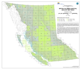 |
Open File is a surficial geology map index for British Columbia. The maps indexed were produced by the British Columbia Geological Survey, the Geological Survey of Canada (GSC), and Geoscience BC. We included only those maps available for digital download. Each map is represented by the actual map extent rather than a bounding box or NTS sheet that it falls within. The index provides an accurate representation of the areal extent of surficial geology mapping for British Columbia.
The index is presented by map scale. In the digital versions of this index, advanced searches can be conducted on fields such as author, source type (data available in digital or PDF form), or source series (Preliminary maps to A Series or Geoscience maps). Publication page URLs are supplied for each map from which the source files, PDFs or digital data can be downloaded. Also included is supplemental information about where data were derived and/or used elsewhere. Instances of this would be when an author published a map that was then revised and published as a GSC A Series map or when a map was used in a subsequent compilation. In such cases, not only are the publication numbers provided for these other maps, but links to their publication pages as well. This enables users to see all sources of the same data. In some cases original mapping is only available as a PDF but a subsequent map or compilation has made it available as an attributed vector file (e.g., shapefile). This publication is released in PDF, ESRI Geodatabase, ESRI Map Package, Shapefile, and KMZ formats. |
| Issue ID: | GBCR2013-14 |
| Title: | Linking Porphyry Deposit Geology to Geophysics via Physical Properties: Adding Value to Geoscience BC Geophysical Data |
| Author(s): | Mitchinson, D., Enkin, R.J., Hart, C.J.R. |
| Series Name: | Geoscience BC Report |
| Publication Year: | 2013 |
| NTS Map Sheet(s): | 093E,F,K,L,M,N |
| Place Keyword(s): | British Columbia, Central British Columbia |
| Lat/Long (NSWE): | 55.25, 53.5, -127.5, -124 |
| Theme Keyword(s): | Porphyry deposits, geology, porphyry integration, geophysics, Geoscience BC |
Additional Link(s):
| http://cdn.geosciencebc.com/project_data/GBC_Report2013-14/GBC_Report2013-14.pdf |
Abstract:
| Geoscience BC Report 2013-14 presents physical rock property data from the six above-listed BC porphyry deposits, and discusses observed trends within the detailed QUEST and QUEST-West geophysical datasets and mapped geology. The resulting physical rock property data compilation has implications for improving interpretations of geophysical data from porphyry deposits. A synopsis of physical property criteria defining hydrothermally altered or mineralized rocks in BC porphyry settings is provided, which can ultimately be used for ranking similar mineral exploration targets throughout BC, thereby minimizing exploration risk. |
| Issue ID: | GBCR2013-20 |
| Title: | Use of Organic Media in the Geochemical Detection of Blind Porphyry Copper-Gold Mineralization in the Woodjam Property Area, South-Central British Columbia (NTS 93A/03, 06) |
| Author(s): | Heberlein, D.R., Dunn, C.E., MacFarlane, W. (Bill) |
| Series Name: | Geoscience BC Report |
| Publication Year: | 2013 |
| NTS Map Sheet(s): | 093A/03; 093A/06 |
| Place Keyword(s): | British Columbia |
| Lat/Long (NSWE): | 52.28, 52.2, -121.4, -121.25 |
| Theme Keyword(s): | geochemical techniques, organic media, porphyry, Woodjam |
Additional Link(s):
| http://cdn.geosciencebc.com/project_data/GBC_Report2013-20/GBC_Report2013-20.pdf |
Abstract:
| Plant exudates can contain metals that have been transported from underlying mineralization. These materials include saps, transpired fluids, salts and particulates on leaf surfaces and may offer simple and cost-effective sample media for detecting mineralization under cover. Geoscience BC Report 2013-20 describes a "proof of concept" study carried out at the Woodjam project in central BC that tested the geochemical response of exudates and spruce tissues collected over the "blind", or covered Deerhorn and Three Firs porphyry Cu-Au systems. Both systems are concealed beneath glacial cover and/or basalt. HR-ICP-MS (High Resolution ICP-MS) was required to obtain low detection limits for some ore and pathfinder elements in the exudates. Results are compared with data from Ah horizon and soil charcoal samples. Extensive analyses proved that each sample medium had a signature that could be related to the buried porphyry mineralization, though several "responsive" elements common to most sample media were not always the same. This was likely due to the fact that different components of the geochemical cycle are collected, stored and discarded by each sample medium. Field components of this study were undertaken in conjunction with Geoscience BC Project 2011-016 entitled: "Seeing through Chilcotin basalts: the geochemical signal of what is hidden underneath". |
| Issue ID: | GBCR2013-15 |
| Title: | Drift Prospecting for Porphyry Copper-Gold, Volcanogenic Massive Sulphide Mineralization and Precious and Base Metal Veins within the QUEST Project Area, Central British Columbia (NTS 93J) |
| Author(s): | Ward, B., Leybourne, M., Sacco, D., Lett, R.E., Struik, L. |
| Series Name: | Geoscience BC Report |
| Publication Year: | 2013 |
| NTS Map Sheet(s): | 093J |
| Place Keyword(s): | British Columbia, Central British Columbia |
| Lat/Long (NSWE): | 55, 54.25, -124, -123 |
| Theme Keyword(s): | Drift prospecting, Porphyry deposits, Volcanogenic massive sulphide, QUEST Project, Geoscience BC |
Additional Link(s):
| http://cdn.geosciencebc.com/project_data/GBC_Report2013-15/GBC_Report2013-15.pdf |
Abstract:
| Geoscience BC Report 2013-15 presents a large dataset and summarizes the results of regional till surveys and Quaternary studies conducted in the heart of the QUEST Project area under Geoscience BC Project 2007-026, entitled "Glacial Geological Framework and Drift Prospecting for a Portion of the QUEST Project Area (NTS 093G, 093H, 093J)." Thick surficial deposits within the QUEST Project area have hindered mineral exploration activity. Regional-scale till sampling followed by detailed surveys around samples with elevated or anomalous values was carried out to assess the mineral potential of this area, specifically targeting Cu-Au porphyry and volcanogenic massive sulphide (VMS) mineralization. Till is the preferred sampling medium for geochemical and mineralogical surveys in glaciated terrain because it is commonly considered a first derivative of bedrock and has been shown to aid in identifying potentially mineralized bedrock units covered by thick glacial deposits. The results include aqua-regia ICP-MS analysis on the clay fraction, INAA on the silt plus clay fraction, INAA on heavy mineral separates and mineralogical data including counts of gold grains, pyrite grains and cinnabar grains from the heavy mineral fraction. The clay fraction, digested by aqua regia with an ICP-MS finish, provides a more robust data set with lower detection limits than the coarser fraction by INAA. All raw data is attached in appendices, which give exploration geochemists regional data sets to compare with property-scale geochemical results. The geochemical data are also graphically displayed and some broad interpretations are made in terms of potential mineralization, such as porphyry Cu-Au, VMS, precious and base metal veins and mercury. Many of the geochemical anomalies suggested by the mapped data are not explained by known mineral showings. |
| Issue ID: | GBCR2013-19 |
| Title: | Examining Present and Future Water Resources for the Kiskatinaw River Watershed, British Columbia |
| Author(s): | Sui, J., Li, J., Saha, G., Hirshfield, F., Paul, P. |
| Series Name: | Geoscience BC Report |
| Publication Year: | 2013 |
| Larger Work Citation: | Geoscience BC Project: Montney Water Project |
| NTS Map Sheet(s): | 093I,O,P; 094A,B,P |
| Place Keyword(s): | British Columbia, Northeast |
| Lat/Long (NSWE): | 60, 54, -124, -120 |
| Theme Keyword(s): | oil and gas, watershed, Kiskatinaw River, Montney Water Project |
Additional Link(s):
| http://cdn.geosciencebc.com/project_data/GBC_Report2013-19/GBC_Report2013-19.zip |
Abstract:
| Geoscience BC Report 2013-19 is a collection of interrelated research projects undertaken at the University of Northern British Columbia (UNBC) as part of the Kiskatinaw Watershed Research Project. This project was incorporated into Geoscience BC's Montney Water Project because of the importance of the Kiskatinaw River Watershed (KRW) as a water source for natural gas development and the requirement for a better understanding of the water availability and quality in the region to effectively balance the needs of industrial water users with local water users. The main objective of the study was to quantify current and future available water quantity and quality in the KRW. This was achieved by several means, including: selecting and calibrating a hydrologic model for the KRW; analyzing land use and land cover change in the KRW; and modeling the impacts of future climate change on groundwater-surface water interaction and baseflow quantification in the KRW. In total, two Ph.D. research projects and one M.Sc. Research project were produced in this study. Northern BC communities depend on the available water resources for drinking water supply and other activities. For sustainable water resources management, it is crucial to balance water utilization from various stakeholders against available water resources at the watershed level. The research undertaken here comprehensively examines the water resources issues in the KRW through field studies and numerical model developments, which will help the oil and gas industry better plan its natural gas exploration activities. Knowing the variations of water quantity and quality under different land-use and climate change scenarios will aid in minimizing the effect of natural gas development on water resources in the KRW. |
| Issue ID: | P2014-01-00 |
| Title: | Geological Fieldwork 2013: Foreword |
| Author(s): | Rowins, S.M. |
| Series Name: | Paper |
| Publication Year: | 2014 |
| Larger Work Citation: | in Geological Fieldwork 2013, B.C. Ministry of Energy and Mines, Paper 2014-01 |
| NTS Map Sheet(s): | 082;083;092;093;094;102;103;104;114 |
| Place Keyword(s): | British Columbia |
| Lat/Long (NSWE): | 60, 48, -140, -114 |
| Theme Keyword(s): | Geological Fieldwork, Forward, Geological, Table of Contents |
Download(s):
| PDF |
Abstract:
| This is the thirty-ninth edition of Geological Fieldwork, a volume of peer-reviewed papers that present the results of geological research conducted by the British Columbia Geological Survey (BCGS) and its partners in 2013. The papers address different aspects of British Columbia�s geology, with many highlighting the enormous mineral wealth of the Province. The annual Geological Fieldwork publication is one way that the BCGS helps to unlock this mineral wealth by providing comprehensive, objective, and up-to-date geoscience information, advice, and knowledge to the minerals industry. Following the spring election in 2013, the new government of British Columbia reorganized the natural resource sector ministries. The Ministry of Energy, Mines and Natural Gas (MEMNG) was split into two separate ministries: the Ministry of Energy and Mines (MEM) and the Ministry of Natural Gas Development (MNGD). The BCGS remained with MEM as did the five geologists that deliver the Regional Geologists Program. |
| Issue ID: | P2014-01-01 |
| Title: | Geological Fieldwork 2013: British Columbia Geological Survey Activities in 2013 |
| Author(s): | Hickin, A.S., Rowins, S.M., Jones, L.D., Madu, B. |
| Series Name: | Paper |
| Publication Year: | 2014 |
| Larger Work Citation: | in Geological Fieldwork 2013, B.C. Ministry of Energy and Mines, Paper 2014-01 |
| NTS Map Sheet(s): | 082;083;092;093;094;102;103;104;114 |
| Place Keyword(s): | British Columbia |
| Lat/Long (NSWE): | 60, 48, -140, -114 |
| Theme Keyword(s): | Geological Fieldwork, MapPlace, marketing, Mineral Development Office, partnerships |
Download(s):
| PDF |
Abstract:
| The BCGS was established in 1895 and is the oldest science agency in the British Columbia government. The BCGS links government, the minerals industry, and British Columbians to the province�s geology and mineral resources. Publications are the primary means by which the BCGS delivers on its mission to attract exploration to British Columbia. In 2013, the Survey produced 68 publications the results of which were also presented at regional, national, and international scientific meetings. Industry is the main client of the BCGS and our efforts are largely directed at providing new geoscience products to the minerals industry. All publications, data releases, conference presentations, web updates and new databases on MapPlace (MINFILE, ARIS, Coalfile, Property File) are profiled annually at the Association for Mineral Exploration in BC (AMEBC) Mineral Exploration Roundup in Vancouver, Canada. |
| Issue ID: | P2014-01-02 |
| Title: | The Rayfield River pluton, south-central British Columbia (NTS 92P/6): Geologic setting and copper mineralization |
| Author(s): | Logan, J.M., Schiarizza, P.A. |
| Series Name: | Paper |
| Publication Year: | 2014 |
| Larger Work Citation: | in Geological Fieldwork 2013, B.C. Ministry of Energy and Mines, Paper 2014-01 |
| NTS Map Sheet(s): | 092P/06 |
| Place Keyword(s): | British Columbia, Rayfield River |
| Lat/Long (NSWE): | 51.4, 51.22, -120.16, -121 |
| Theme Keyword(s): | alkalic, nepheline syenite, Copper Mountain suite, copper-gold mineralization |
Download(s):
| PDF |
Abstract:
| The Rayfield River syenite pluton (Late Triassic, > 201 Ma) is exposed along the lower reaches of the Rayfield River, 20 km east of 70 Mile House. On its southern margin, the pluton intrudes volcaniclastic rocks of the Nicola Group (Upper Triassic). On its southeastern flank, it is apparently cut by granites of the Thuya batholith, and is otherwise overlapped by Neogene and younger basalts. The pluton consists primarily of
nepheline-normative hornblende syenite, but also includes a leucosyenite phase, and dikes of quartz-normative monzonite, pegmatite, and quartzfeldspar porphyry. Copper mineralization is widespread but low grade, and is accompanied by weak potassic, albitic and sericite alteration. The composition, age, and location of the Rayfield River pluton suggest that it is part of the highly prospective Late Triassic (205-200 Ma) Copper Mountain magmatic belt. |
| Issue ID: | P2014-01-03 |
| Title: | Southern Nicola Arc Project (SNAP): Preliminary results |
| Author(s): | Mihalynuk, M.G., Logan, J.M., Diakow, L.J., Friedman, R.M., Gabites, J. |
| Series Name: | Paper |
| Publication Year: | 2014 |
| Larger Work Citation: | in Geological Fieldwork 2013, B.C. Ministry of Energy and Mines, Paper 2014-01 |
| NTS Map Sheet(s): | 092H/07W, 092H/09W, 092H/10E |
| Place Keyword(s): | British Columbia, Princeton, Tulameen |
| Lat/Long (NSWE): | 50.5, 49, -121, -120.25 |
| Theme Keyword(s): | Geology, porphyry copper gold, volcanogenic massive sulphide, Miner Mountain, paleogeography |
Download(s):
| PDF |
Abstract:
| Geological field studies in 2013 took advantage of new access and exposures from extensive clear-cut timber harvesting between Princeton and Tulameen. Revision mapping and laboratory investigation reveal new facets of the prolifically mineralized Nicola arc. 40Ar/39Ar cooling and U-Pb crystallization ages show that volcanism, long considered restricted to the Late Triassic, extends into the Early Jurassic. Volcanism changes near the Triassic-Jurassic boundary from feldspar-pyroxene � olivine-phyric, to hornblende as an accessory or even principal phenocryst phase, perhaps indicating a change to more hydrated magma sources. Felsic volcanic rocks interpreted as part of the Nicola arc occur north of Princeton and near Tulameen, where a bimodal submarine succession contains previously unreported, possible exhalite horizons with copper mineralization. A northerly trending high-strain zone can be traced intermittently for ~ 20 km. It bisects the study area, with strain focused in calcareous strata. Extensive uplift and erosion of the Nicola arc, including its plutonic roots, preceded deposition of the Spences Bridge Group (middle Cretaceous). This volcanosedimentary succession, less than 500 m thick, includes ignimbrite and rhyolite flows not found elsewhere. In the early Eocene, down-to-the-west extension faulting is associated with syn-deformational silicic volcanism. One of these faults, the Boundary Fault, marks the western limit of copper-gold porphyry mineralization at both Copper Mountain and Miner Mountain. Deformation caused brecciation of the basin strata and offset alkali olivine basalt dikes interpreted as feeders to Miocene plateau lavas. Accurate reconstruction of geological events since the Late Triassic is a critical aid to finding offset portions of known porphyry deposits as well as successful exploration for undiscovered deposits. |
| Issue ID: | P2014-01-04 |
| Title: | U-Pb and Ar/Ar ages from the Bonaparte mine, southern British Columbia: Late Middle Jurassic Au � Cu vein mineralization |
| Author(s): | Friedman, R.M., Gabites, J.E., Logan, J.M. |
| Series Name: | Paper |
| Publication Year: | 2014 |
| Larger Work Citation: | in Geological Fieldwork 2013, B.C. Ministry of Energy and Mines, Paper 2014-01 |
| NTS Map Sheet(s): | 092I/16W, 092P/01W |
| Place Keyword(s): | British Columbia |
| Lat/Long (NSWE): | 53, 49, -121.25, -119.5 |
| Theme Keyword(s): | Zircon crystallization ages, 40Ar/39Ar cooling ages, calcalkaline diorite porphyries, gold quartz veins, synkinematic alteration and mineralization |
Download(s):
| PDF |
Abstract:
| An erosional window in the Miocene Chilcotin Group basalt blanket exposes deformed Jurassic monzodiorite and porphyritic quartz diorite on the Bonaparte Plateau, 38 km north of Kamloops. These plutonic rocks host at least eight separate, metre- to cm-wide Au-Cu quartz veins at the Bonaparte mine. Intrusion and mineralization appear to have coincided temporally and spatially with motion along a greenschist-grade, northtrending reverse (east side-up) shear zone. Based on its position along the Wildhorse-Takomkane intrusive belt, we previously assumed that the Bonaparte complex was ~ 195 Ma. However, new U-Pb zircon crystallization ages demonstrate that parts are significantly younger. These data indicate at least two magmatic events: Early Jurassic (~ 189 Ma) for the monzodiorite and Middle Jurassic (~ 166 Ma) for the quartz diorite. Hydrothermal muscovite associated with late stage copper-arsenopyrite-gold mineralization yields an 40Ar/39Ar cooling age of 160.4 � 2.4 Ma linking mineralization to the ~ 166 Ma episode. |
| Issue ID: | P2014-01-05 |
| Title: | Geology and physicochemical conditions of copper-gold mineralization at the Three Firs porphyry prospect, Woodjam district, south-central British Columbia |
| Author(s): | Vanderkerkhove, S., Rowins, S.M., Johnston, S.T. |
| Series Name: | Paper |
| Publication Year: | 2014 |
| Larger Work Citation: | in Geological Fieldwork 2013, B.C. Ministry of Energy and Mines, Paper 2014-01 |
| NTS Map Sheet(s): | 093A/03, 093A/06 |
| Place Keyword(s): | British Columbia |
| Lat/Long (NSWE): | 52.27, 52.22, -121.4, -121.3 |
| Theme Keyword(s): | porphyry, copper and gold, fluid inclusions, epithermal |
Download(s):
| PDF |
Abstract:
| The Three Firs prospect is one of six Cu-Au properties in the newly discovered Woodjam porphyry Cu-Au district of south-central British Columbia. It is hosted in Late Triassic volcanic and volcaniclastic rocks of the Nicola Group that form part of the southern Quesnel terrane, approximately 50 km northeast of Williams Lake. Copper-gold mineralization is spatially associated with medium-K, calc-alkaline, sub-vertical dikes ranging from monzonite to quartz monzonite in composition. Eight stages of vein formation and hydrothermal alteration are identified, with five stages directly associated with Cu-Au mineralization. Early potassic alteration occurs with stage 1 magnetite veins (�M� veins) and stage 2 hornblende � actinolite veins. Main-stage veins include sinuous quartz-chalcopyrite-pyrite � hornblende � magnetite veins (stage 3 �A� veins) and straight, sharp-edged quartz-chalcopyrite-pyrite � sercite � hornblende � magnetite veins with distinct medial suture lines (stage 4 �B� veins). Stages 3 and 4 veins are associated with calc-potassic and phyllic alteration, which replaces the earlier potassic alteration. Main-stage 5 sulphide stringer veins and veinlets consist of chalcopyrite-pyrite � quartz, and are analogous to �D� veins in other calc-alkaline porphyry systems. Native gold has been found in the alteration halos of these veins. Stage 6 veins are weakly mineralized with open space crustification textures including layers of comb-textured quartz-carbonate � sphalerite � chalcopyrite � pyrite � tetrahedrite. These veins represent a minor carbonate-base metal stage of mineralization. Stage 7 veins consist of quartz � pyrite � carbonate � epidote � chlorite � tourmaline and they are related to zones of propylitic alteration. The youngest veins recognized (stage 8) are unrelated to mineralization and consist of irregular and bifurcating calcite-ankerite veins. Fluid inclusion microthermometry indicates that the main stages of Cu-Au mineralization formed from saline (35 to 50 equiv. Wt.% NaCl) aqueous fluids at temperatures between 300 and 400� C and pressures ranging from 0.6 to 1.42 kbar, which correspond to 2 to 4.6 km depth assuming lithostatic conditions. This P-T-X window is optimal for depositing Cu and Au, and exploration should continue to focus on the Three Firs area and its immediate environs. The Three Firs system is probably too deep for shallow, high-grade epithermal-style Au (Ag) zones, but there is the possibility, suggested by Au solubility studies, for slight enrichment of Au in zones immediately above the current level of Cu-Au mineralization. |
| Issue ID: | P2014-01-06 |
| Title: | Geological setting of the Granite Mountain batholith, host to the Gibraltar porphyry Cu-Mo deposit, south-central British Columbia |
| Author(s): | Schiarizza, P.A. |
| Series Name: | Paper |
| Publication Year: | 2014 |
| Larger Work Citation: | in Geological Fieldwork 2013, B.C. Ministry of Energy and Mines, Paper 2014-01 |
| NTS Map Sheet(s): | 093B/09 |
| Place Keyword(s): | British Columbia |
| Lat/Long (NSWE): | 52.63, 52.54, -122.27, -122.15 |
| Theme Keyword(s): | Granite Mountain batholith, Late Triassic tonalite, Burgess Creek stock, Gibraltar Cu-Mo porphyry deposit, Nicola Group |
Download(s):
| PDF |
Abstract:
| The Granite Mountain project was initiated in 2013 to clarify the contact relationships, structural history, and terrane affinity of the Granite Mountain batholith (Late Triassic), host to the Gibraltar porphyry Cu-Mo deposit. Rocks mapped along the northeast margin of the batholith include a succession of predominantly volcanogenic sandstone (locally gritty to pebbly), intercalated with conglomerate, mafic and felsic volcanic breccia, siltstone, limestone, and basalt. This succession has yielded Middle or Late Triassic conodonts from one locality. On the basis of its strong lithologic similarity, this succession is likely part the Nicola Group of Quesnel terrane. Felsic volcanic breccias, which have no counterpart in nearby Nicola exposures, suggest possible affinities with the western Nicola belt of the Merritt-Ashcroft area. In contrast to historical interpretations, the Granite Mountain batholith is inferred to be part of Quesnel terrane, on the basis of its spatial association with the Nicola Group, and a link provided by a common overlap assemblage, the Dragon Mountain succession, which is part of a Lower to Middle Jurassic intra-Quesnel clastic basin. The Granite Mountain batholith, together with adjacent Nicola Group and Dragon Mountain succession, form a panel of Quesnel rocks that is bounded to the east, south, and west by rocks of Cache Creek terrane. The eastern boundary is inferred to be significant north-northwest striking fault, previously unrecognized, that may record more than 20 km of sinistral strike slip. |
| Issue ID: | P2014-01-07 |
| Title: | Structural and stratigraphic control of porphyry and related mineralization in the Treaty Glacier � KSM � Brucejack � Stewart trend of western Stikinia |
| Author(s): | Nelson, J.L., Kyba, J. |
| Series Name: | Paper |
| Publication Year: | 2014 |
| Larger Work Citation: | in Geological Fieldwork 2013, B.C. Ministry of Energy and Mines, Paper 2014-01 |
| NTS Map Sheet(s): | 104B/07E, 104B/08, 104B/09, 104B/10E |
| Place Keyword(s): | British Columbia, Stewart |
| Lat/Long (NSWE): | 56.68, 56.25, -130.63, -130.05 |
| Theme Keyword(s): | Treaty Glacier, Iskut region, KSM, Brucejack, Hazelton Group |
Download(s):
| PDF |
Abstract:
| One of the most important mineral trends of northwestern British Columbia extends from near the town of Stewart north to the Treaty Glacier, in the western part of the Stikine arc terrane. Major deposits along this trend include Kerr-Sulphurets-Mitchell (KSM), Brucejack, Silbak-Premier, Big Missouri, Scottie Gold and Red Mountain. All are hosted by volcanic and sedimentary rocks of the Hazelton Group (Lower Jurassic) and its subvolcanic feeders (193-195 Ma Premier porphyries near Stewart; Mitchell intrusions at KSM). Although the Hazelton Group is widespread throughout Stikinia, the narrow, consistently NNW-SSE trend of mineralization along a 60 km strike length suggests structure controlled magmatic and hydrothermal systems, possibly influenced by basement anisotropies. The Jack Formation, a unique basal Hazelton unit restricted to the flanks of the McTagg anticlinorium, is characterized by quartz-rich arkoses and polymictic pebble conglomerates with high-level intrusive, felsic volcanic and quartz clasts. Stratigraphic and sedimentologic data from Jack Formation sections are consistent with depositional control by penecontemporaneous, basin-bounding faults and by volcanic centres. The McTagg anticlinorium was probably a topographic high during sedimentation. Initial sedimentation at the Treaty Glacier and Brucejack sections on the eastern side of the anticlinorium is marked by sharpstone conglomerates derived from immediately underlying Stuhini Group (Triassic) and may represent mechanical weathering fronts on a gently sloping upland, whereas at the Bruce Glacier section to the west, basal units include isolated remnants of carbonaceous mudstone that are overlain by thick (100 m +) sections of polymictic cobble-boulder conglomerate, which imply abrupt basin deepening and underfilled conditions followed by uplifting, significant relief, and a proximal but integrated drainage system. An overlying predominantly fine-grained siliciclastic section thins eastward from ~ 400 m at the Bruce Glacier section to = 80 m at the Treaty Glacier section. Local cross beds in mass flow sandstones at the Bruce Glacier section indicate derivation from the east, away from the area now occupied by the McTagg anticlinorium. Sandstone megaclast-bearing olistostromes in equivalent carbonaceous mudstones at the Brucejack section attest to fault-induced uplift and cannibalization of previously deposited Jack Formation sandstones. Andesitic pyroclastic and epiclastic volcaniclastic rocks in the middle of the Jack Formation represent an episode of intense volcanism. Black mudstone intraclasts in the volcaniclastic units indicate that background deep-water sedimentation resumed during intervals of volcanic quiescence. Thick coarse volcaniclastic sections at the Bruce Glacier and Treaty glacier sections suggest proximity to discrete coeval volcanic centres. In the Iron Cap section, highly altered lower Jack Formation arkosic sandstones and polymictic pebble conglomerates occur as screens within the potassic and phyllic-altered porphyry body, which is overlain by a thin andesitic volcaniclastic blanket and unaltered Jack conglomerates, showing the coeval relationship of sedimentation, intrusion, alteration and local volcanism. At the Bruce Glacier section, the volcaniclastic facies grades back into a mudstone-rich sedimentary section and a return to deep- water sedimentation. In marked contrast, at the Treaty Glacier section to the east, rocks above the volcaniclastic facies indicate shallowmarine sedimentation (basal limestone beds with shelly fauna, sandstones with interference ripples and plant debris, polymodal paleocurrents). Apparently, as with the onset of Jack Formation sedimentation, the region on the eastern side of the McTagg anticlinorium was high standing relative to the eastern side. Integration of facies variations in the Jack Formation with first-order Cretaceous structures leads to a model in which the eastern margin of the McTagg anticlinorium was once a basin-bounding master growth fault. Accordingly, the KSM porphyries and their associated alteration haloes were channeled along this fault, and the Brucejack epithermal system to the east developed adjacent to a complex set of related north-trending and east-trending faults. The Early Jurassic structural regime may have been transtensional or purely extensional. |
| Issue ID: | P2014-01-08 |
| Title: | Platinum-group mineralogy of the Giant Mascot Ni-Cu-PGE deposit, Hope, B.C. |
| Author(s): | Manor, M.J., Scoates, J.S., Nixon, G.T., Ames, D.E. |
| Series Name: | Paper |
| Publication Year: | 2014 |
| Larger Work Citation: | in Geological Fieldwork 2013, B.C. Ministry of Energy and Mines, Paper 2014-01 |
| NTS Map Sheet(s): | 092H/05 06, 11, 12 |
| Place Keyword(s): | British Columbia, Hope |
| Lat/Long (NSWE): | 49.48, 49.44, -121.54, -121.48 |
| Theme Keyword(s): | Giant Mascot, platinum-group minerals, Ni-Cu-PGE mineralization, ultramafic, magmatic sulphide |
Download(s):
| PDF |
Abstract:
| The Giant Mascot Ni-Cu-PGE deposit is British Columbia�s only past-producing nickel mine (1958-1974), having yielded ~ 4.2 Mt of ore grading 0.77% Ni and 0.34% Cu with minor Co, Ag and Au. Intrusive ultramafic rocks (olivine-orthopyroxene � hornblende � clinopyroxene cumulates) host the Ni-Cu sulphide mineralization. Field mapping and petrographic study have revealed primary magmatic cumulus textures and minimal alteration of the ultramafic rocks. Platinum-group minerals (PGM) determined by microbeam techniques are predominantly bismuthotellurides, primarily moncheite [(Pt,Pd)(Te,Bi)2], merenskyite [Pd(Te,Bi)2], and palladian melonite [(Ni,Pd)(Te,Bi)2]. Other precious-metal minerals include sperrylite (PtAs2), hessite (Ag2Te) and altaite (PbTe). Pt-, Pd- and Ni-bismuthotellurides are in or at the margins of base metal sulphides, predominantly pentlandite, or in fractures; precious-metal minerals are mostly along fractures in silicate minerals. Textures are consistent with an orthomagmatic origin for sulphides and PGM involving exsolution from base metal sulphides during cooling. Locally abundant fractures filled by chalcopyrite and platinum-rich moncheite are evidence for relatively late-stage mobilization of residual Cu-rich sulphide melts. PGE-enriched sulphides containing identifiable PGM and associated precious-metal minerals in the Giant Mascot intrusion indicate that �orogenic� Ni-Cu mineralization in the Canadian Cordillera and elsewhere may provide significant exploration targets for economic Ni-Cu-PGE deposits. |
| Issue ID: | P2014-01-09 |
| Title: | Mineralogy of sulphide, arsenide, and platinum group minerals from the DJ/DB Zone of the Turnagain Alaskan-type ultramafic intrusion, north-central British Columbia |
| Author(s): | Jackson-Brown, S., Scoates, J.S., Nixon, G.T., Ames, D.E. |
| Series Name: | Paper |
| Publication Year: | 2014 |
| Larger Work Citation: | in Geological Fieldwork 2013, B.C. Ministry of Energy and Mines, Paper 2014-01 |
| NTS Map Sheet(s): | 104I/07 |
| Place Keyword(s): | British Columbia |
| Lat/Long (NSWE): | 58.52, 58.45, -128.94, -128.78 |
| Theme Keyword(s): | platinum group elements, platinum-group minerals, ultramafic intrusion, Alaskan-type, Turnagain intrusion |
Download(s):
| PDF |
Abstract:
| The Turnagain intrusion (ca. 190 Ma) is an Alaskan-type, ultramafic body emplaced in an orogenic setting that is host to a significant nickelcobalt resource (865 Mt at 0.21% per tonne Ni and 0.013% per tonne Co). The 24 km2 intrusion comprises a suite of ultramafic rocks including dunite, wehrlite, clinopyroxenite, and hornblendite with minor late-stage dioritic intrusions and inclusions of hornfelsed country rocks. Soil geochemistry and drilling led to the discovery of an area of copper and platinum group element (PGE) enrichment in a previously underexplored area of the intrusion, the DJ/DB zone, 2.5 km northwest of the nickel resource. We conducted a detailed mineralogical investigation to assess the range of compositions and textures of platinum group minerals (PGM) and associated sulphides in the DJ/DB zone. Mineralized clinopyroxenites and hornblendites, typically with less than 5 vol.% sulphide, contain mainly chalcopyrite and pyrrhotite with minor pyrite and pentlandite, and host a variety of arsenides, arsenic-antimony sulphides, and PGM. Arsenic and antimony-bearing phases are typically related to chalcopyrite and include cobaltite (CoAsS), nickeline (NiAs), gersdorffite (NiAsS), ullmannite (NiSbS) tucekite (Ni9Sb2S8), and hauchecornite (Ni9Bi(Sb,Bi) S8). Identified PGM are predominantly sperrylite (PtAs2) and sudburyite (PdSb), with minor Pd-melonite [(Ni,Pd)Te2], hongshiite (PdCu), testibiopalladite [PdTe(Sb,Te)], and genkinite [(Pt,Pd)4Sb3]. Platinum- and palladium-bearing minerals commonly form equant 1 - 40 �m grains, within chalcopyrite, pyrrhotite, pentlandite, cobaltite and silicates. Sperrylite and sudburyite also occur as veinlets within and as partial rims (~ 1 - 10 �m thick) on the periphery of base metal sulphides. The textural paragenesis and mineral chemistry of PGM and associated minerals in the DJ/DB zone of the Turnagain intrusion are compared to those observed from other Alaskan-type intrusions. These findings highlight the potential for finding PGE-mineralized units in other Alaskan-type intrusions in the Canadian Cordillera and older orogenic ultramafic-mafic intrusions elsewhere in Canada. |
| Issue ID: | P2014-01-10 |
| Title: | Portable X-ray fluorescence in stream sediment chemistry and indicator mineral surveys, Lonnie carbonatite complex, British Columbia |
| Author(s): | Luck, P., Simandl, G.J. |
| Series Name: | Paper |
| Publication Year: | 2014 |
| Larger Work Citation: | in Geological Fieldwork 2013, B.C. Ministry of Energy and Mines, Paper 2014-01 |
| NTS Map Sheet(s): | 093N/09 |
| Place Keyword(s): | British Columbia, central |
| Lat/Long (NSWE): | 55.73, 55.65, -124.475, -124.27 |
| Theme Keyword(s): | niobium, rare earth elements, carbonatite, indicator minerals, stream sediments |
Download(s):
| PDF |
Abstract:
| The Lonnie carbonatite complex is the third most developed Nb prospect in the British Columbia alkaline province. The objective of this study was to determine the best size fraction of stream sediments for carbonatite related indicator mineral surveys. Sediments from seven sites along Granite Creek, a stream that transects the Lonnie deposit and adjacent bedrock units, were sampled for pXRF and pathfinder element studies. The results for key pathfinder elements including Nb, Ta, La, Ce, Pr, Nd, Y, P, Sr, Ba, Th, and U were precise (most having %RSD less than 5%) and prone to bias. Results for eight size fractions separated by laboratory sieves indicated a systematic distribution of key elements, with the highest abundances found in the finer size fractions. Of these, the +125�m fraction was chosen for further consideration due to its suitability for continued indicator mineral studies. With the exception of Ba, Sr, and possibly Nb samples upstream from the Lonnie deposit display higher concentrations of carbonatite pathfinder elements than samples downstream of the deposit. This indicates source(s) farther upstream, probably the Vergil carbonatite and Nb and TREE + Y soil geochemical anomalies. Indicator mineral studies are ongoing. |
| Issue ID: | P2014-01-11 |
| Title: | Portable x-ray fluorescence to optimize stream sediment chemistry and indicator mineral surveys, case 1: Carbonatite-hosted Nb deposits, Aley carbonatite, British Columbia, Canada |
| Author(s): | Mackay, D.A.R., Simandl, G.J. |
| Series Name: | Paper |
| Publication Year: | 2014 |
| Larger Work Citation: | in Geological Fieldwork 2013, B.C. Ministry of Energy and Mines, Paper 2014-01 |
| NTS Map Sheet(s): | 094B/05 |
| Place Keyword(s): | British Columbia, central |
| Lat/Long (NSWE): | 56.48, 56.4, -123.79, -123.69 |
| Theme Keyword(s): | niobium, tantalum, indicator minerals, pathfinder elements, stream sediments |
Download(s):
| PDF |
Abstract:
| The Aley carbonatite-hosted deposit is the most important Nb resource in the British Columbia alkaline province. Portable X-ray fluorescence (pXRF) was used effectively to determine concentrations of carbonatite pathfinder elements (Nb, Ta, La, Ce, Pr, Nd, Y, Th, U, Ba, and Sr) in stream sediments. Investigation of sediments of the unnamed creek (�Al creek�) draining the Aley carbonatite area, indicates that the + 250 �m, + 125 �m, and + 63 �m size fractions contain high concentrations of carbonatite pathfinder elements (Nb, Ta, La, Ce, Pr, Nd, U, and Th) relative to other size fractions. The + 125 �m fraction was chosen for systematic evaluation of the pathfinder element distribution in Al Creek sediments because it is suitable for chemical analysis and Quantitative Evaluation of Materials by Scanning electron microscopy (QEMSCAN). This method will be used in the second part of this study, which will concentrate on indicator minerals. The same samples enriched in pathfinder elements are expected to contain minerals characteristic of carbonatites such as pyrochlore, columbite-(Fe), fersmite, monazite-(Ce), rare earth element (REE)-bearing fluorocarbonates, barite, and apatite. As expected, samples overlying the deposit and immediately downstream from the Aley carbonatite have the highest concentrations of pathfinder elements. Optical microscopy, electron microprobe (EMP), laser ablation inductively coupled plasma mass spectrometry (LA-ICP-MS), and QEMSCAN studies of these samples are required to identify the most useful carbonatite indicator minerals and quantify their relative abundances with increasing distance from the deposit. |
| Issue ID: | P2014-01-12 |
| Title: | Portable x-ray fluorescence to optimize stream sediment chemistry and indicator mineral surveys, case 2: Carbonatite-hosted REE deposits, Wicheeda Lake, British Columbia, Canada |
| Author(s): | Mackay, D.A.R., Simandl, G.J. |
| Series Name: | Paper |
| Publication Year: | 2014 |
| Larger Work Citation: | in Geological Fieldwork 2013, B.C. Ministry of Energy and Mines, Paper 2014-01 |
| NTS Map Sheet(s): | 093J/09 |
| Place Keyword(s): | British Columbia, central |
| Lat/Long (NSWE): | 54.56, 54.49, -122.12, -122.03 |
| Theme Keyword(s): | indicator minerals, pathfinder elements, rare earth elements, specialty metals, portable x-ray fluorescence |
Download(s):
| PDF |
Abstract:
| The Wicheeda carbonatite-hosted deposit is one of the most promising rare earth element (REE) prospects within the British Columbia alkaline province. Portable x-ray fluorescence (pXRF) allows for determination of several pathfinder elements (Nb, Ta, REEs, Th, Ba, and Sr) in stream sediment samples collected downstream of this deposit. These samples are expected to contain indicator minerals derived from the main carbonatite complex such as monazite, REE-bearing carbonates and fluorocarbonates, pyrochlore, columbite-(Fe), barite-celestine, apatite, and others. Study of these samples indicates that the + 250 �m, + 125 �m, and + 63 �m size fractions contain high concentrations of Nb, La, Ce, and Th relative to other size fractions. The + 125 �m fraction was chosen for systematic chemical analyses and pathfinder element studies. Although there is no noticeable decreasing trend in pathfinder elements with increasing distance downstream, there is co-variation of Nb, Ta, La, Ce, Pr, Nd, Y, and Th. This reflects the presence of multiple mineral phases including pyrochlore, monazite-(Ce), REE-fluorocarbonates, and REE-carbonates. Mineralogical studies using optical microscopy, scanning electron microscopy (SEM), electron microprobe (EMP), and Quantitative Evaluation of Materials by Scanning electron microscopy (QEMSCAN) are required to identify and quantify minerals and their distributions downstream of the deposit. |
| Issue ID: | P2014-01-13 |
| Title: | Fluorite and its potential as an indicator mineral for carbonatite-related rare earth element deposits |
| Author(s): | Makin, S.A., Simandl, G.J., Marshall, D. |
| Series Name: | Paper |
| Publication Year: | 2014 |
| Larger Work Citation: | in Geological Fieldwork 2013, B.C. Ministry of Energy and Mines, Paper 2014-01 |
| NTS Map Sheet(s): | 082;083;092;093;094;102;103;104;114 |
| Place Keyword(s): | British Columbia, central |
| Lat/Long (NSWE): | 60, 48, -139, -114 |
| Theme Keyword(s): | fluorite, REE exploration, discrimination diagrams, specialty metals |
Download(s):
| PDF |
Abstract:
| Fluorite has potential as a proximal indicator mineral for the exploration of specialty metals, particularly rare earth elements and Nb in carbonatite-related deposits. Plots of Tb/La - Tb/Ca were generated using all available published data (worldwide) to compare REE concentrations in fluorite from carbonatite, peralkaline-alkaline, Mississippi Valley Type (MVT), and vein (sedimentary, igneous, and metamorphic hosted) deposits. Y-Yb plots distinguish between fluorites from carbonatite and MVT deposits. Fluorite from carbonatite-related and MVT deposits form compositional fields with minor overlap. Ongoing investigations include: microchemical analyses of fluorites from key Canadian and foreign deposits, diagram refinement by contouring, the production of probability plots, and experimentation with discrimination diagrams incorporating normalized REE slope calculations with the presence or absence of Ce and Eu anomalies. |
| Issue ID: | P2014-01-14 |
| Title: | The nature and origin of the carbonatite-hosted Wicheeda Lake rare earth element deposit |
| Author(s): | Trofanenko, J., Williams-Jones, A.E., Simandl, G.J. |
| Series Name: | Paper |
| Publication Year: | 2014 |
| Larger Work Citation: | in Geological Fieldwork 2013, B.C. Ministry of Energy and Mines, Paper 2014-01 |
| NTS Map Sheet(s): | 093J/09 |
| Place Keyword(s): | British Columbia, Wicheeda Lake |
| Lat/Long (NSWE): | 54.54, 54.52, -122.11, -122.08 |
| Theme Keyword(s): | rare earth element deposit, carbonatite, fenitization, bastnasite, monazite |
Download(s):
| PDF |
Abstract:
| The Wicheeda rare earth element (REE) deposit is an example of high-grade REE mineralization in the British Columbia alkaline province. The deposit is hosted by a 145 m thick, steeply dipping lens-shaped carbonatite that intruded metasedimentary rocks of the Kechika Group, and is exposed over an area of ~ 20,000 m2. The metasedimentary rocks comprise steeply dipping limestone and siltstone that were regionally metamorphosed to greenschist facies. These rocks were subjected to alkali metasomatism, which produced potassic fenite (K-feldspar- and biotite-rich) adjacent to the carbonatite and sodic fenite (sodic amphibole- and albite-rich) at a greater distance from it. Most of the REE mineralization is hosted by pervasively altered carbonatite, consisting of coarse-grained cream-coloured dolomite crystals rimmed by hematite, together with disseminated fine-grained biotite, pyrite, and trace apatite. The intrusion was affected by multi-stage dolomitization and fracture-associated dissolution of dolomite followed by precipitation of REE-bearing minerals (e.g., bastn�site-(Ce) and monazite-(Ce)) along fractures and in vugs. Monazite-(Ce) occurs as fine-grained aggregates and rarely as lath-shaped inclusions in bastn�site-(Ce), suggesting that it preceded bastn�site-(Ce). The deposit is light-REE (LREE) enriched with a La/Lu ratio of 4314 in the dolomite carbonatite compared to 1249 in the potassic fenite and 46 in the sodic fenite. Total rare earth oxide concentrations in the deposit range from 1.1 to 11 wt.%. Cerium and lanthanum concentrations reach 5.3 and 4.1 wt.%, respectively. We propose a preliminary model in which a halogen- (mainly chlorine) and alkali-bearing hydrothermal fluid exsolved from the carbonatite magma, altered the adjacent sedimentary rocks to potassic fenite, and mobilized the REEs as chloride complexes. Distal to the intrusion, heating of formational waters by the carbonatite altered the sedimentary rocks to sodic fenite. The magmatic hydrothermal fluid partially dissolved the carbonatite, leading to deposition of bastn�site-(Ce) and monazite-(Ce) in veins and vugs in response to an increase in pH. The Wicheeda carbonatite demonstrates the potential for economic carbonatite-hosted hydrothermal REE deposits in British Columbia. |
| Issue ID: | OF2014-01 |
| Title: | Operating Mines and Selected Major Exploration Projects in British Columbia, 2013 |
| Author(s): | Britton, J., Jago, P., Katay, F., Kyba, J., Li, G., Madu, B., Northcote, B. |
| Series Name: | Open File |
| Publication Year: | 2014 |
| NTS Map Sheet(s): | 082;083;092;093;094;102;103;104;114 |
| Place Keyword(s): | British Columbia |
| Lat/Long (NSWE): | 60, 48, -140, -114 |
| Theme Keyword(s): | mines, exploration, projects, development |
Download(s):
| PDF, ZIP (View Zip Contents) |
Abstract:
 |
This provincial map shows the coal, industrial mineral and metal mines, and selected exploration projects of British Columbia that were active in 2013. Some sites were active for only part of 2013. Large exporting aggregate producers are shown but not the many aggregate quarries serving local markets around the Province. Not all exploration projects in the Province are shown on this map. |
| Issue ID: | IC2014-01 |
| Title: | Provincial Summary Exploration and Mining in British Columbia 2013 |
| Author(s): | Madu, B., Britton, J., Jago, P., Katay, F., Kyba, J., Li, G., Northcote, B. |
| Series Name: | Information Circular |
| Publication Year: | 2014 |
| NTS Map Sheet(s): | 082;083;092;093;094;102;103;104;114 |
| Place Keyword(s): | British Columbia |
| Lat/Long (NSWE): | 60, 48, -140, -114 |
| Theme Keyword(s): | Mineral exploration, Annual Review 2013 |
Download(s):
| PDF |
Abstract:
 |
This annual publication provides an overview of mineral exploration activities in the Province of British Columbia for 2013. It contains statistical information, tables, illustrations and location maps which summarize significant exploration and development projects in the province. The report documents mineral exploration expenditures, active exploration areas and the companies involved. |
| Issue ID: | EXP2013-00 |
| Title: | Regional Geologist Summaries - Exploration and Mining in British Columbia 2013, Foreword and Table of Contents |
| Author(s): | Madu, B., Northcote, B., Kyba, J., Jago, P., Britton, J., Katay, F. |
| Series Name: | Exploration and Mining in BC - Regional Geologist Summaries |
| Publication Year: | 2014 |
| Other Citation Details: | pages iii to vii |
| Larger Work Citation: | Regional Geologist Summaries - Exploration and Mining in B.C. 2013 |
| NTS Map Sheet(s): | 082;083;092;093;094;102;103;104;114 |
| Place Keyword(s): | British Columbia |
| Lat/Long (NSWE): | 60, 48, -140, -114 |
| Theme Keyword(s): | Exploration and Mining, Summary and Trends |
Download(s):
| PDF |
Abstract:
 |
This annual publication provides detailed regional reviews of mining, mineral exploration and development activities in British Columbia for 2013. Regional Geologists compile the publication using information provided by government, companies and individuals in the British Columbia mining industry. The volume provides a region-by-region perspective with an in-depth look at significant projects in British Columbia. The report contains detailed statistical tables and illustrations, in addition to location maps and tables summarizing significant mining, exploration and development projects in the province. An index of projects contained in the regional summary papers has been prepared. It looks back six years and it intended to add value to the documents by making property searches easier. |
| Issue ID: | EXP2013-01 |
| Title: | Exploration and Mining in the Omineca Region, British Columbia |
| Author(s): | Jago, C. Paul |
| Series Name: | Exploration and Mining in BC - Regional Geologist Summaries |
| Publication Year: | 2014 |
| Other Citation Details: | pages 1 to 38 |
| Larger Work Citation: | Regional Geologist Summaries - Exploration and Mining in B.C. 2013 |
| NTS Map Sheet(s): | 083;093;094 |
| Place Keyword(s): | British Columbia, North-central |
| Lat/Long (NSWE): | 59, 52, -129, -118 |
| Theme Keyword(s): | Exploration and Mining, Mines, metals, mine development, mine evaluation |
Download(s):
| PDF |
Abstract:
|
An annual review of mineral exploration and mining activity from the Omineca region of British Columbia with a focus on metal mines, mine development projects, mine evaluation projects, porphyry copper projects, nickel projects, magnesium projects, gold projects, gold-silver projects, polymetallic massive sulphide projects, rare metals projects, and industrial mineral projects. |
| Issue ID: | EXP2013-02 |
| Title: | Exploration and Mining in the Skeena Region, British Columbia |
| Author(s): | Kyba, J. |
| Series Name: | Exploration and Mining in BC - Regional Geologist Summaries |
| Publication Year: | 2014 |
| Other Citation Details: | pages 39 to 68 |
| Larger Work Citation: | Regional Geologist Summaries - Exploration and Mining in B.C. 2013 |
| NTS Map Sheet(s): | 093;094;103;104;114 |
| Place Keyword(s): | British Columbia, Northwest |
| Lat/Long (NSWE): | 60, 52, -135, -125 |
| Theme Keyword(s): | Exploration and Mining, Mines, metals, aggregate projects |
Download(s):
| PDF |
Abstract:
|
An annual review of mineral exploration and mining activity from the Skeena region of British Columbia with a focus on mines and quarries, metal mines, industrial mineral quarries, mine development projects, mine evaluation projects, porphyry copper projects, porphyry molybdenum projects, nickel in ultramafic rocks; massive sulphide projects, and gold-silver projects. |
| Issue ID: | EXP2013-03 |
| Title: | Exploration and Mining in the Northeast Region, British Columbia |
| Author(s): | Jago, C. Paul |
| Series Name: | Exploration and Mining in BC - Regional Geologist Summaries |
| Publication Year: | 2014 |
| Other Citation Details: | pages 69 to 90 |
| Larger Work Citation: | Regional Geologist Summaries - Exploration and Mining in B.C. 2013 |
| NTS Map Sheet(s): | 093;094 |
| Place Keyword(s): | British Columbia, Northeast |
| Lat/Long (NSWE): | 60, 54, -129, -120 |
| Theme Keyword(s): | Exploration and Mining, Mines, Coal |
Download(s):
| PDF |
Abstract:
|
An annual review of mineral exploration and mining activity from the northeastern region of British Columbia with a focus on coal mines and coal exploration projects. |
| Issue ID: | EXP2013-04 |
| Title: | Exploration and Mining in the Thompson-Okanagan-Cariboo Region, British Columbia |
| Author(s): | Regional Office, Kamloops |
| Series Name: | Exploration and Mining in BC - Regional Geologist Summaries |
| Publication Year: | 2014 |
| Other Citation Details: | pages 91 to 106 |
| Larger Work Citation: | Regional Geologist Summaries - Exploration and Mining in B.C. 2013 |
| NTS Map Sheet(s): | 082;083;092;093;094 |
| Place Keyword(s): | British Columbia, South-central, Thompson-Okanagan-Cariboo, North Thompson, Southern Cariboo |
| Lat/Long (NSWE): | 53, 49, -126, -118 |
| Theme Keyword(s): | Exploration and Mining, Mines, Coal, Metals, Industrial minerals |
Download(s):
| PDF |
Abstract:
|
An annual review of mineral exploration and mining activity from the Thompson-Okanagan-Cariboo region of British Columbia with a focus on mines and quarries, metal mines, coal, coal mines, industrial mineral quarries and aggregates, mine development projects, porphyry projects, skarn projects, vein and breccia projects, sediment-hosted gold projects, massive sulphide projects, magmatic projects, and exploration highlights. |
| Issue ID: | EXP2013-05 |
| Title: | Exploration and Mining in the South and West Coast Regions, British Columbia |
| Author(s): | Northcote, B. |
| Series Name: | Exploration and Mining in BC - Regional Geologist Summaries |
| Publication Year: | 2014 |
| Other Citation Details: | pages 107 to 122 |
| Larger Work Citation: | Regional Geologist Summaries - Exploration and Mining in B.C. 2013 |
| NTS Map Sheet(s): | 092;093; 102;103 |
| Place Keyword(s): | British Columbia, South-west, Coast, Vancouver Island |
| Lat/Long (NSWE): | 54, 48, -134, -120 |
| Theme Keyword(s): | Exploration and Mining, Mines, Coal, Metals, Industrial minerals |
Download(s):
| PDF |
Abstract:
|
An annual review of mineral exploration and mining activity from the southwest coast regions of British Columbia with a focus on mines and quarries, metal, coal, industrial minerals and aggregates, marble, building and landscaping stone, major aggregate mines, mine development and mine evaluation projects and exploration highlights. |
| Issue ID: | EXP2013-06 |
| Title: | Exploration and Mining in the Kootenay-Boundary Region, British Columbia |
| Author(s): | Katay, F. |
| Series Name: | Exploration and Mining in BC - Regional Geologist Summaries |
| Publication Year: | 2014 |
| Other Citation Details: | pages 123 to 144 |
| Larger Work Citation: | Regional Geologist Summaries - Exploration and Mining in B.C. 2013 |
| NTS Map Sheet(s): | 082; |
| Place Keyword(s): | British Columbia, Southeast, Kootenay-Boundary |
| Lat/Long (NSWE): | 52, 49, -119, -114 |
| Theme Keyword(s): | Exploration and Mining, Mines, Coal, Metals, Industrial minerals |
Download(s):
| PDF |
Abstract:
|
An annual review of mineral exploration and mining activity from the Kootenay-Boundary region of British Columbia with a focus on operating mines, coal, metals, industrial minerals, mine evaluation projects, gold projects, base metal projects, polymetallic projects, east Kootenay coalfields projects and exploration highlights. |
| Issue ID: | IC2014-02 |
| Title: | The Dominion Coal Block |
| Author(s): | Madu, B., Johal, A., Riddell, J.M. |
| Series Name: | Information Circular |
| Publication Year: | 2014 |
| NTS Map Sheet(s): | 082G/07, 082G/10 |
| Place Keyword(s): | British Columbia, Kootenay |
| Lat/Long (NSWE): | 49.8, 49.2, -115.1, -114.5 |
| Theme Keyword(s): | coal, Dominion Coal Block, Crows Nest coalfield, Fernie Basin |
Download(s):
| PDF |
Abstract:
 |
The Government of Canada announced on August 30, 2013 that it is �considering an open competitive sale of the Dominion Coal Blocks in the Kootenay region of British Columbia�. This sale would open up coal lands for development for the first time since 1905. These coal lands are located in the Crowsnest Coalfield, in the south easternmost corner of the Province. Information Circular 2014-2 provides information about the geology and coal resources of the Dominion Coal Block. |
| Issue ID: | IC2014-03 |
| Title: | Opportunities to Explore Infographic |
| Author(s): | Madu, B., Johal, A., Li, G. |
| Series Name: | Information Circular |
| Publication Year: | 2014 |
| NTS Map Sheet(s): | 082;083;092;093;094;102;103;104;114 |
| Place Keyword(s): | British Columbia |
| Lat/Long (NSWE): | 60, 48, -140, -114 |
| Theme Keyword(s): | Metal and coal mines, Infographic, opportunities to explore |
Download(s):
| PDF |
Abstract:
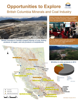 |
Information Circular 2014-3 is a 2-page "Infographic" highlighting British Columbia minerals and coal industry. It displays a map showing coal and metal mines and metal mines in development, and facts about the industry. |
| Issue ID: | GF2014-01 |
| Title: | Lithogeochemical data from the Late Triassic Rayfield River nepheline-normative syenite pluton, 70 Mile House |
| Author(s): | Logan, J.M., Schiarizza, P.A. |
| Series Name: | GeoFile |
| Publication Year: | 2014 |
| NTS Map Sheet(s): | 092P/06 |
| Place Keyword(s): | British Columbia, Rayfield River |
| Lat/Long (NSWE): | 51.4, 51.22, -120.16, -121 |
| Theme Keyword(s): | lithogeochemical, analytical results, nepheline syenite pluton, copper-gold mineralization |
Download(s):
| PDF, ZIP (View Zip Contents) |
Abstract:
 |
Geofile 2014-1 contains analytical results from 15 samples collected during a two-week field investigation at Rayfield River conducted as part of the on-going BC Porphyry Deposit Initiative. The central Nicola Arc project; a component of this initiative focused on the geological setting and copper-gold mineralization of the Late Triassic alkalic Rayfield River pluton. The pluton, 20 km east of 70 Mile House consists primarily of nepheline-normative hornblende syenite, but also includes a leucosyenite phase, and dikes of quartz-normative monzonite, pegmatite, and quartz-feldspar porphyry. Copper mineralization is widespread but generally low grade. |
| Issue ID: | OF2014-03 |
| Title: | Preliminary Geology and Geochemistry of the Giant Mascot Ultramafic-Mafic Intrusion, Hope, Southwestern British Columbia (parts of NTS 92H/05 and 06) |
| Author(s): | Manor, M.J., Wall, C.J., Nixon, G.T., Scoates, J.S., Pinsent, R.H., Ames, D.E. |
| Series Name: | Open File |
| Publication Year: | 2014 |
| Other Citation Details: | Geological Survey of Canada Open File 7570 |
| NTS Map Sheet(s): | 092H/05, 06, 11, 12 |
| Place Keyword(s): | British Columbia, Hope |
| Lat/Long (NSWE): | 49.48, 49.44, -121.54, -121.48 |
| Theme Keyword(s): | Giant Mascot, platinum-group minerals, Ni-Cu-PGE mineralization, ultramafic, magmatic sulphide |
Download(s):
| PDF |
Abstract:
 |
The Giant Mascot Ni-Cu-PGE deposit is British Columbia�s only past-producing nickel mine (1958-1974), having yielded ~ 4.2 Mt of ore grading 0.77% Ni and 0.34% Cu with minor Co, Ag and Au. Intrusive ultramafic rocks (olivine-orthopyroxene � hornblende � clinopyroxene cumulates) host the Ni-Cu sulphide mineralization. Field mapping and petrographic study have revealed primary magmatic cumulus textures and minimal alteration of the ultramafic rocks. Platinum-group minerals (PGM) determined by microbeam techniques are predominantly bismuthotellurides, primarily moncheite [(Pt,Pd)(Te,Bi)2], merenskyite [Pd(Te,Bi)2], and palladian melonite [(Ni,Pd)(Te,Bi)2]. Other precious-metal minerals include sperrylite (PtAs2), hessite (Ag2Te) and altaite (PbTe). Pt-, Pd- and Ni-bismuthotellurides are in or at the margins of base metal sulphides, predominantly pentlandite, or in fractures; precious-metal minerals are mostly along fractures in silicate minerals. Textures are consistent with an orthomagmatic origin for sulphides and PGM involving exsolution from base metal sulphides during cooling. Locally abundant fractures filled by chalcopyrite and platinum-rich moncheite are evidence for relatively late-stage mobilization of residual Cu-rich sulphide melts. PGE-enriched sulphides containing identifiable PGM and associated precious-metal minerals in the Giant Mascot intrusion indicate that �orogenic� Ni-Cu mineralization in the Canadian Cordillera and elsewhere may provide significant exploration targets for economic Ni-Cu-PGE deposits. |
| Issue ID: | GBCR2014-02 |
| Title: | Subsurface Aquifer Study to Support Liard Basin Unconventional Gas and Oil Development, Northeastern B.C. (NTS 94J, K, N, O) |
| Author(s): | Petrel Robertson Consulting Ltd. |
| Series Name: | Geoscience BC Report |
| Publication Year: | 2014 |
| NTS Map Sheet(s): | 094J,K,N,O |
| Place Keyword(s): | British Columbia, Northeast, Fort Nelson |
| Lat/Long (NSWE): | 60, 58, -126, -122 |
| Theme Keyword(s): | hydrogeology, aquifer, reservoir quality, Liard Basin, Unconventional Gas and Oil |
Additional Link(s):
| http://www.geosciencebc.com/our-research/
http://cdn.geosciencebc.com/project_data/GBCReport2014-02/GBCReport2014-02_PRCL-Liard%20Basin%20Aquifer%20Report.pdf |
Abstract:
| Geoscience BC Report 2014-02 is a comprehensive study of deep subsurface aquifers in the Liard Basin in support of systematic sourcing and disposal of waters used for hydraulic fracturing as part of the development of BC's vast natural gas resource. Petrel Robertson has conducted similar studies on behalf of Geoscience BC in the Horn River Basin and Montney areas.
Relevant well data from both public and proprietary data sources were collected across aquifer intervals and supplemented with regional geological mapping and information from outcrop. Regional correlations were created by building a grid of regional stratigraphic cross-sections tied to core and sample cuttings data; these formed the basis for picking a stratigraphic database focused on potential aquifer intervals. Hydrogeological characterization was undertaken drawing on a well test database consisting of 256 tests from 157 well entities. Drillstem tests were used to interpret formation permeabilities and reservoir pressures. Four aquifer intervals were investigated in detail and showed that reservoir quality, based on the limited data presently available in the Liard Basin, ranges from very poor to excellent. |
| Issue ID: | IC2014-04 |
| Title: | Gold production and resources in British Columbia, 1890-2013 (excluding placer) |
| Author(s): | Northcote, B., Madu, B., Schroeter, T., Li, G. |
| Series Name: | Information Circular |
| Publication Year: | 2014 |
| NTS Map Sheet(s): | 082;083;092;093;094;102;103;104;114 |
| Place Keyword(s): | British Columbia |
| Lat/Long (NSWE): | 60, 48, -139, -114 |
| Theme Keyword(s): | lode gold production, lode gold resources, 1890-2013, gold statistics |
Download(s):
| PDF, ZIP (View Zip Contents) |
Abstract:
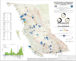 |
Consisting of a province-wide map (1:175 000 scale) and an appendix with 314 files summarizing camps and individual deposits, Information Circular 2014-04 updates previous British Columbia Geological Survey gold inventories to then end of 2013. Between 2003 and 2013, gold exploration in British Columbia surged, resulting in new discoveries and expansion at known deposits. The growth in total gold resources has far exceeded production over the ten-year period. Since 2003, the total estimated resource has grown from about 78.8 million ounces to about 290 million ounces. Currently, most gold in British Columbia is produced as a byproduct or coproduct at porphyry copper mines; with few exceptions, production has moved away from small vein deposits. British Columbia's rich porphyry copper endowment suggests that a focus on the porphyry copper-gold model will continue, although the possibility of smaller, high-grade deposits remains. |
| Issue ID: | GF2014-02 |
| Title: | Southern Nicola Arc Project 2013: Geochemical data |
| Author(s): | Mihalynuk, M.G., Logan, J.M. |
| Series Name: | GeoFile |
| Publication Year: | 2014 |
| NTS Map Sheet(s): | 092H/07W, 092H/09W, 092H/10E |
| Place Keyword(s): | British Columbia, Princeton, Tulameen |
| Lat/Long (NSWE): | 50.5, 49, -121, -120.25 |
| Theme Keyword(s): | Geology, porphyry copper gold, volcanogenic massive sulphide, Miner Mountain, paleogeography |
Download(s):
| PDF, ZIP (View Zip Contents) |
Abstract:
 |
Geofile 2014-2 contains analytical results from samples collected during fieldwork conducted as part of the Southern Nicola Arc Project (see Geological Fieldwork 2013), which is a component of the BC Porphyry Deposit Initiative and augments data released as part of Geofile 2013-5. In 2014, SNAP focused on systematic quadrangle mapping of ~1000km2 centered on Allison Creek, in the Princeton area. The area is north of the Copper Mountain mine site and includes developed porphyry Cu�Au-Ag prospects with published resources: Miner Mountain, Axe, and Primer (Dillard Lake). For a province-wide overview of the prolific Late Triassic � Early Jurassic porphyry copper-gold deposit epoch, see Logan and Mihalynuk (Geological Fieldwork 2013). |
| Issue ID: | GF2014-03 |
| Title: | Southern Nicola Arc Project 2013: Geochronological data |
| Author(s): | Mihalynuk, M.G., Friedman, R.M., Gabites, J.E., Logan, J.M. |
| Series Name: | GeoFile |
| Publication Year: | 2014 |
| NTS Map Sheet(s): | 092H/07W, 092H/09W, 092H/10E |
| Place Keyword(s): | British Columbia, Princeton, Tulameen |
| Lat/Long (NSWE): | 50.5, 49, -121, -120.25 |
| Theme Keyword(s): | Geology, porphyry copper gold, volcanogenic massive sulphide, Miner Mountain, paleogeography |
Download(s):
| PDF, ZIP (View Zip Contents) |
Abstract:
 |
Geofile 2014-3 contains the results, methodology and quality control data from geochronological analyses of samples collected during fieldwork conducted as part of the Southern Nicola Arc Project (see Geological Fieldwork 2013), which is a component of the BC Porphyry Deposit Initiative. In 2014, SNAP focused on systematic quadrangle mapping of ~1000km2 centered on Allison Creek, in the Princeton area. The area is north of the Copper Mountain mine site and includes developed porphyry Cu�Au-Ag prospects with published resources: Miner Mountain, Axe, and Primer (Dillard Lake). For a province-wide overview of the prolific Late Triassic � Early Jurassic porphyry copper-gold deposit epoch, see Logan and Mihalynuk (Geological Fieldwork 2013). The geological context of the samples dated is provided in the Fieldwork volume and sample descriptions and implications of the age dating are paraphrased from that report in this Geofile. |
| Issue ID: | GF2014-04 |
| Title: | Stream sediment geochemical/indicator mineral orientation survey, Lonnie Nb Prospect, British Columbia, Canada |
| Author(s): | Luck, P., Simandl, G.J. |
| Series Name: | GeoFile |
| Publication Year: | 2014 |
| NTS Map Sheet(s): | 093N/09 |
| Place Keyword(s): | British Columbia, central |
| Lat/Long (NSWE): | 55.73, 55.65, -124.475, -124.27 |
| Theme Keyword(s): | niobium, rare earth elements, carbonatite, indicator minerals, stream sediments |
Download(s):
| PDF |
Abstract:
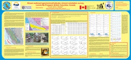 |
The Lonnie carbonatite complex is the third most developed Nb prospect in the British Columbia alkaline province. The objective of this study was to determine the best size fraction of stream sediments for carbonatite related indicator mineral surveys. Sediments from seven sites along Granite Creek, a stream that transects the Lonnie deposit and adjacent bedrock units, were sampled for pXRF and pathfinder element studies. The results for key pathfinder elements including Nb, Ta, La, Ce, Pr, Nd, Y, P, Sr, Ba, Th, and U were precise (most having %RSD less than 5%) and prone to bias. Results for eight size fractions separated by laboratory sieves indicated a systematic distribution of key elements, with the highest abundances found in the finer size fractions. Of these, the +125�m fraction was chosen for further consideration due to its suitability for continued indicator mineral studies. With the exception of Ba, Sr, and possibly Nb samples upstream from the Lonnie deposit display higher concentrations of carbonatite pathfinder elements than samples downstream of the deposit. This indicates source(s) farther upstream, probably the Vergil carbonatite and Nb and TREE + Y soil geochemical anomalies. Indicator mineral studies are ongoing. |
| Issue ID: | GF2014-05 |
| Title: | Stream sediment orientation survey, Aley carbonatite niobium deposit, British Columbia, Canada |
| Author(s): | Mackay, D.A.R., Simandl, G.J. |
| Series Name: | GeoFile |
| Publication Year: | 2014 |
| NTS Map Sheet(s): | 094B/05 |
| Place Keyword(s): | British Columbia, central |
| Lat/Long (NSWE): | 56.48, 56.4, -123.79, -123.69 |
| Theme Keyword(s): | niobium, tantalum, indicator minerals, pathfinder elements, stream sediments |
Download(s):
| PDF |
Abstract:
 |
The Aley carbonatite-hosted deposit is the most important Nb resource in the British Columbia alkaline province. Portable X-ray fluorescence (pXRF) was used effectively to determine concentrations of carbonatite pathfinder elements (Nb, Ta, La, Ce, Pr, Nd, Y, Th, U, Ba, and Sr) in stream sediments. Investigation of sediments of the unnamed creek (�Al creek�) draining the Aley carbonatite area, indicates that the + 250 �m, + 125 �m, and + 63 �m size fractions contain high concentrations of carbonatite pathfinder elements (Nb, Ta, La, Ce, Pr, Nd, U, and Th) relative to other size fractions. The + 125 �m fraction was chosen for systematic evaluation of the pathfinder element distribution in Al Creek sediments because it is suitable for chemical analysis and Quantitative Evaluation of Materials by Scanning electron microscopy (QEMSCAN). This method will be used in the second part of this study, which will concentrate on indicator minerals. The same samples enriched in pathfinder elements are expected to contain minerals characteristic of carbonatites such as pyrochlore, columbite-(Fe), fersmite, monazite-(Ce), rare earth element (REE)-bearing fluorocarbonates, barite, and apatite. As expected, samples overlying the deposit and immediately downstream from the Aley carbonatite have the highest concentrations of pathfinder elements. Optical microscopy, electron microprobe (EMP), laser ablation inductively coupled plasma mass spectrometry (LA-ICP-MS), and QEMSCAN studies of these samples are required to identify the most useful carbonatite indicator minerals and quantify their relative abundances with increasing distance from the deposit. |
| Issue ID: | GF2014-06 |
| Title: | Fine-tuning stream sediment chemistry and indicator mineral methodology in exploration for carbonatite-related REE targets, Wicheeda Lake, BC, Canada |
| Author(s): | Mackay, D.A.R., Simandl, G.J. |
| Series Name: | GeoFile |
| Publication Year: | 2014 |
| NTS Map Sheet(s): | 093J/09 |
| Place Keyword(s): | British Columbia, central |
| Lat/Long (NSWE): | 54.56, 54.49, -122.12, -122.03 |
| Theme Keyword(s): | indicator minerals, pathfinder elements, rare earth elements, specialty metals, portable x-ray fluorescence |
Download(s):
| PDF |
Abstract:
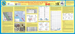 |
The Wicheeda carbonatite-hosted deposit is one of the most promising rare earth element (REE) prospects within the British Columbia alkaline province. Portable x-ray fluorescence (pXRF) allows for determination of several pathfinder elements (Nb, Ta, REEs, Th, Ba, and Sr) in stream sediment samples collected downstream of this deposit. These samples are expected to contain indicator minerals derived from the main carbonatite complex such as monazite, REE-bearing carbonates and fluorocarbonates, pyrochlore, columbite-(Fe), barite-celestine, apatite, and others. Study of these samples indicates that the + 250 �m, + 125 �m, and + 63 �m size fractions contain high concentrations of Nb, La, Ce, and Th relative to other size fractions. The + 125 �m fraction was chosen for systematic chemical analyses and pathfinder element studies. Although there is no noticeable decreasing trend in pathfinder elements with increasing distance downstream, there is co-variation of Nb, Ta, La, Ce, Pr, Nd, Y, and Th. This reflects the presence of multiple mineral phases including pyrochlore, monazite-(Ce), REE-fluorocarbonates, and REE-carbonates. Mineralogical studies using optical microscopy, scanning electron microscopy (SEM), electron microprobe (EMP), and Quantitative Evaluation of Materials by Scanning electron microscopy (QEMSCAN) are required to identify and quantify minerals and their distributions downstream of the deposit. |
| Issue ID: | GF2014-07 |
| Title: | Columbite-tantalite and pyrochlore as indicator minerals for specialty metal deposits |
| Author(s): | Mackay, D.A.R., Simandl, G.J. |
| Series Name: | GeoFile |
| Publication Year: | 2014 |
| NTS Map Sheet(s): | 082;083;092;093;094;102;103;104;114 |
| Place Keyword(s): | British Columbia, central |
| Lat/Long (NSWE): | 60, 48, -139, -114 |
| Theme Keyword(s): | fluorite, REE exploration, discrimination diagrams, specialty metals |
Download(s):
| PDF |
Abstract:
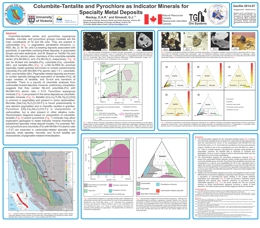 |
Fluorite has potential as a proximal indicator mineral for the exploration of specialty metals, particularly rare earth elements and Nb in carbonatite-related deposits. Plots of Tb/La - Tb/Ca were generated using all available published data (worldwide) to compare REE concentrations in fluorite from carbonatite, peralkaline-alkaline, Mississippi Valley Type (MVT), and vein (sedimentary, igneous, and metamorphic hosted) deposits. Y-Yb plots distinguish between fluorites from carbonatite and MVT deposits. Fluorite from carbonatite-related and MVT deposits form compositional fields with minor overlap. Ongoing investigations include: microchemical analyses of fluorites from key Canadian and foreign deposits, diagram refinement by contouring, the production of probability plots, and experimentation with discrimination diagrams incorporating normalized REE slope calculations with the presence or absence of Ce and Eu anomalies. |
| Issue ID: | EXP2013-07 |
| Title: | 2007-2013 Index Exploration and Mining in British Columbia |
| Author(s): | Mineral Development Office |
| Series Name: | Exploration and Mining in BC - Regional Geologist Summaries |
| Publication Year: | 2014 |
| Other Citation Details: | pages a to k |
| Larger Work Citation: | Regional Geologist Summaries - Exploration and Mining in B.C. 2013 |
| NTS Map Sheet(s): | 082;083;092;093;094;102;103;104;114 |
| Place Keyword(s): | British Columbia |
| Lat/Long (NSWE): | 60, 48, -140, -114 |
| Theme Keyword(s): | Exploration and Mining, Index |
Download(s):
| PDF |
Abstract:
|
This is a 2007 to 2013 index of exploration and mining projects contained in the regional geologists summary papers. It is intended to add value to the documents by making property searches easier. |
| Issue ID: | EXP2012-07 |
| Title: | 2007-2011 Index Exploration and Mining in British Columbia |
| Author(s): | Mineral Development Office |
| Series Name: | Exploration and Mining in BC - Regional Geologist Summaries |
| Publication Year: | 2013 |
| Other Citation Details: | pages a to h |
| Larger Work Citation: | Regional Geologist Summaries - Exploration and Mining in B.C. 2012 |
| NTS Map Sheet(s): | 082;083;092;093;094;102;103;104;114 |
| Place Keyword(s): | British Columbia |
| Lat/Long (NSWE): | 60, 48, -140, -114 |
| Theme Keyword(s): | Exploration and Mining, Index |
Download(s):
| PDF |
Abstract:
|
This is a 2007 to 2011 index of exploration and mining projects contained in the regional geologists summary papers. It is intended to add value to the documents by making property searches easier. |
| Issue ID: | GBCR2014-01-00 |
| Title: | Geoscience BC Summary of Activities for 2013 - Foreword |
| Author(s): | Clifford, A. |
| Series Name: | Geoscience BC Report |
| Publication Year: | 2014 |
| Larger Work Citation: | in Geoscience BC Report 2014-1 |
| NTS Map Sheet(s): | 082;083;092;093;094;102;103;104;114 |
| Place Keyword(s): | British Columbia |
| Lat/Long (NSWE): | 60, 48, -139, -114 |
| Theme Keyword(s): | Geoscience BC, Summary of Activities, Foreword |
Additional Link(s):
| http://cdn.geosciencebc.com/pdf/SummaryofActivities2013/SoA2013_Foreword.pdf |
Abstract:
| Geoscience BC presents results from several of ongoing geoscience projects and surveys in the seventh edition of the Geoscience BC Summary of Activities 2013. The volume is divided into two sections, �Minerals� and �Oil and Gas�, and contains a total of 14 papers. The �Minerals� section contains 11 papers from Geoscience BC minerals projects throughout the province. In the �Oil and Gas� section three papers are presented. |
| Issue ID: | GBCR2014-01-01 |
| Title: | Documentation and assessment of exploration activities generated by Geoscience BC data publications, QUEST Project, central British Columbia (NTS 93A, B, G, H, J, K, N, O, 94C, D) |
| Author(s): | Reichheld, S.A. |
| Series Name: | Geoscience BC Report |
| Publication Year: | 2014 |
| Larger Work Citation: | in Geoscience BC Report 2014-1 |
| NTS Map Sheet(s): | 093A, B, G, H, J, K, N, O, 094C, D |
| Place Keyword(s): | British Columbia, Central British Columbia |
| Lat/Long (NSWE): | 57, 52, -128, -120 |
| Theme Keyword(s): | QUEST Project, mineral exploration, grassroots, public funding, Geoscience BC |
Additional Link(s):
| http://cdn.geosciencebc.com/pdf/SummaryofActivities2013/SoA2013_Reichheld.pdf |
Abstract:
| This study focuses on the QUEST (QUesnellia Exploration STrategy) Project, launched by Geoscience BC in 2007. Its goal was to stimulate exploration interest and investment in the underexplored region between Williams Lake and the District Municipality of Mackenzie, in part to help diversify the local forestry-based economies impacted by the mountain pine beetle infestation. Geoscience BC initially funded the re-analysis of 5000 archived regional geochemical samples and the collection of 2200 new geochemical samples, plus two large-scale airborne geophysical surveys. The raw data was made available to the public starting in 2008, at which point Geoscience BC also commissioned a number of follow-up, value added projects that were released in subsequent years, providing the industry with announcements and data to continue to attract exploration to the area. As indicated in the preliminary paper for this project it is felt that the QUEST Project, with its years of data and development, now has a sufficient track record to produce quantifiable and meaningful results. This paper details the research completed in order to lay out a framework for reviewing and assessing the impact of this and any public exploration initiative. To ensure the method remains repeatable into the future, only public sources of information are used. |
| Issue ID: | GBCR2014-01-02 |
| Title: | Targeting Resources through Exploration and Knowledge (TREK): Geoscience BC�s newest minerals project, Interior Plateau Region, central British Columbia (NTS 93B, C, F, G) |
| Author(s): | Clifford, A.L., Hart, C.J.R. |
| Series Name: | Geoscience BC Report |
| Publication Year: | 2014 |
| Larger Work Citation: | in Geoscience BC Report 2014-1 |
| NTS Map Sheet(s): | 093B, C, F, G |
| Place Keyword(s): | British Columbia, Central British Columbia |
| Lat/Long (NSWE): | 54, 52, -126, -122 |
| Theme Keyword(s): | TREK Project, airborne magnetics, geochemical survey, Interior Plateau, Geoscience BC |
Additional Link(s):
| http://cdn.geosciencebc.com/pdf/SummaryofActivities2013/SoA2013_CliffordHart.pdf |
Abstract:
| Geoscience BC�s newest multiyear regional minerals project is called the TREK Project, which stands for Targeting Resources through Exploration and Knowledge. The TREK Project is focused on British Columbia�s northern Interior Plateau region and covers more than 25 000 km2, extending south from Fraser Lake and Vanderhoof to Anahim Lake, and west from Quesnel to the eastern edges of Entiako and Tweedsmuir South provincial parks. The project area includes the active Blackwater gold district and is considered highly prospective for mineral resources. It is characterized by thick overburden and is presently considered to be underexplored due to the difficulties caused by its complicated and poorly understood bedrock geology. The $3.9 million in funding for the TREK Project was announced by Geoscience BC in March 2013. First-year TREK activities, undertaken in summer 2013, included an airborne geophysical survey, a regional geochemical survey (stream, lake, soil and till sampling) and local biogeochemical and geothermal sampling programs. |
| Issue ID: | GBCR2014-01-03 |
| Title: | Targeted geochemical and mineralogical surveys in the TREK Project area, central British Columbia (parts of NTS 93B, C, F, G) |
| Author(s): | Sacco, D.A., Jackaman, W., Ferbey, T. |
| Series Name: | Geoscience BC Report |
| Publication Year: | 2014 |
| Larger Work Citation: | in Geoscience BC Report 2014-1 |
| NTS Map Sheet(s): | 093B, C, F, G |
| Place Keyword(s): | British Columbia, Central British Columbia |
| Lat/Long (NSWE): | 54, 52, -126, -122 |
| Theme Keyword(s): | TREK Project, till geochemistry, regional geochemistry, basal till potential mapping, Geoscience BC |
Additional Link(s):
| http://cdn.geosciencebc.com/pdf/SummaryofActivities2013/SoA2013_Sacco.pdf |
Abstract:
| As a part of the TREK Project, a surficial geochemistry program aims to provide comprehensive geochemical dataset for the project area. Presented here are the program details and results from the first year of the two- to three-year program. The TREK geochemistry program consists of three components: 1. compilation of historical data from previous geochemical; 2. collection of new geochemical and mineralogical data; and 3. reanalysis of archived till samples. The survey discussed here targets basal till, a common material throughout the region, which is well suited to assessing the mineral potential of areas covered by glacial drift. Basal till potential maps (BTPMs) were produced and used to assist in the planning and execution of this survey. Where basal till could not be sampled, higher order bedrock derivatives, such as lake or stream sediments that are comparable to the historic geochemical data, were collected. Till geochemical data from previous surveys will be integrated with new data from this survey. Different analytical methods were used to produce these older data and so available archived till samples will be reanalyzed using modern laboratory techniques to produce a directly comparable master till geochemical dataset for the project area. |
| Issue ID: | GBCR2014-01-04 |
| Title: | Geochemical Expression in Soil and Water of Carbon Dioxide Seepages Near the Nazko Cone, Central British Columbia (NTS 93B/13) |
| Author(s): | Lett, R.E., Jackaman, W. |
| Series Name: | Geoscience BC Report |
| Publication Year: | 2014 |
| Larger Work Citation: | in Geoscience BC Report 2014-1 |
| NTS Map Sheet(s): | 093B/13 |
| Place Keyword(s): | British Columbia, Central British Columbia |
| Lat/Long (NSWE): | 53, 52.75, -124, -123.5 |
| Theme Keyword(s): | TREK Project, geochemistry, geothermal, soil and water, Geoscience BC |
Additional Link(s):
| http://cdn.geosciencebc.com/pdf/SummaryofActivities2013/SoA2013_Lett.pdf |
Abstract:
| This paper includes a description of groundwater, surface water and soil sampling in the Nazko bogs and the surrounding area to study the geochemical signature associated with carbon dioxide gas seepages. This study is being supported by Geoscience BC as part of the 2013 TREK Project and was designed to complement earlier investigations on the potential for geothermal occurrences in the region and support local community interest in geothermal resources. |
| Issue ID: | GBCR2014-01-05 |
| Title: | Three-dimensional thickness model for the Eocene volcanic sequence, Chilcotin and Nechako plateaus, central British Columbia (NTS 92O, P, 93A, B, C, E, F,G, K, L) |
| Author(s): | Bordet, E., Mihalynuk, M.G., Hart, C.J.R., Sanchez, M. |
| Series Name: | Geoscience BC Report |
| Publication Year: | 2014 |
| Larger Work Citation: | in Geoscience BC Report 2014-1 |
| NTS Map Sheet(s): | 092O, P, 093A, B, C, E, F,G, K, L |
| Place Keyword(s): | British Columbia, Central British Columbia |
| Lat/Long (NSWE): | 55, 51, -127, -120 |
| Theme Keyword(s): | Nechako Plateau, Chilcotin Plateau, thickness model, mineral exploration, Geoscience BC |
Additional Link(s):
| http://cdn.geosciencebc.com/pdf/SummaryofActivities2013/SoA2013_Bordet.pdf |
Abstract:
| In order to better define the distribution of Eocene volcanic rocks in central British Columbia, a three-dimensional (3-D) thickness model for the OLG in the Chilcotin and Nechako plateaus is developed and presented in this paper. This model is generated from geological constraints, including field maps, cross-sections and stratigraphic columns, and interpreted geophysical-survey data. Objectives of this model are to 1) image regional thickness variations of the OLG where it has been mapped previously; 2) identify areas of eroded or covered Eocene volcanic rocks; 3) investigate the spatial and temporal correlation between Eocene volcanic rock accumulations and fault-bounded basins; 4) generate new surface and volume estimates for the Eocene volcanic event; and 5) correlate and extend OLG intervals containing known mineralization into regions covered by CGB and glacial till, with implications for mineral exploration. |
| Issue ID: | GBCR2014-01-06 |
| Title: | Petrographic characteristics of porphyry indicator minerals from alkalic porphyry copper-gold deposits in south-central British Columbia (NTS 92, 93) |
| Author(s): | Celis, M.A., Bouzari, F., Bissig, T., Hart, C.J.R., Ferbey, T. |
| Series Name: | Geoscience BC Report |
| Publication Year: | 2014 |
| Larger Work Citation: | in Geoscience BC Report 2014-1 |
| NTS Map Sheet(s): | 092; 093 |
| Place Keyword(s): | British Columbia, Central British Columbia |
| Lat/Long (NSWE): | 56, 49, -126, -120 |
| Theme Keyword(s): | alkalic porphyry deposits, indicator minerals, petrographic characteristics, copper-gold deposits, Geoscience BC |
Additional Link(s):
| http://cdn.geosciencebc.com/pdf/SummaryofActivities2013/SoA2013_Celis.pdf |
Abstract:
| This paper presents the results of a project that evaluates PIMs that are directly associated with alkalic porphyry deposits, and builds upon information previously presented. A detailed petrographic study of 60 samples representing various hostrocks, and alteration and mineralization assemblages from the Copper Mountain, Mount Polley and Mount Milligan deposits, was undertaken using transmitted and reflected light microscopy, as well as scanning electron microscopy (SEM). In addition, heavy mineral separates derived from bedrock (16 samples) and from till sediments (14 samples), covering the Mount Polley and Mount Milligan deposits, were collected and are currently under investigation. This paper summarizes the results of the petrographic study, characterizing PIMs occurring within the porphyry deposit. |
| Issue ID: | GBCR2014-01-07 |
| Title: | Relationships between calcalkalic and alkalic mineralization styles at the copper-molybdenum Southeast Zone and copper-gold Deerhorn porphyry deposit, Woodjam property, central British Columbia (NTS 93A) |
| Author(s): | del Real, I., Hart, C.J.R., Bouzari, F., Blackwell, J.L., Rainbow, A., Sherlock, R. |
| Series Name: | Geoscience BC Report |
| Publication Year: | 2014 |
| Larger Work Citation: | in Geoscience BC Report 2014-1 |
| NTS Map Sheet(s): | 093A |
| Place Keyword(s): | British Columbia, Central British Columbia |
| Lat/Long (NSWE): | 52.3, 52.2, -121.4, -121.3 |
| Theme Keyword(s): | alkalic porphyry deposits, calcalkalic porphyry deposits, Woodjam property, copper-gold deposits, Geoscience BC |
Additional Link(s):
| http://cdn.geosciencebc.com/pdf/SummaryofActivities2013/SoA2013_delReal.pdf |
Abstract:
| The Woodjam property is located in the Cariboo Mining Division, central British Columbia, approximately 50 km east-northeast of Williams Lake. Recent exploration at the Deerhorn Cu-Au deposit has shown two contrasting alteration assemblages of K-feldspar+magnetite, typical of alkalic systems, and illite (�tourmaline) and Mo mineralization typical of calcalkalic systems. The SEZ, located less than 4 km from the Deerhorn deposit, displays some features not typical of calcalkalic deposits, such as infrequent quartz veining. These observations suggest that temporal and paragenetic relationships between the two deposits may exist, thus providing a unique opportunity to study the relationship between alkalic and calcalkalic deposits in BC. Fieldwork focused on the SEZ and Deerhorn deposits and was carried out in summer 2012 and June 2013. A total of seven drillholes for the SEZ and ten for the Deerhorn deposit were graphically relogged and sampled. Hostrock texture, alteration assemblages and intensity, vein types and crosscutting relationships, sulphide ratios and shortwave infrared spectroscopy (SWIR) sampling were recorded and form the basis for ongoing detailed petrographic and chemical analyses. Paragenesis and alteration relationships were previously discussed on the basis of 2012 field observations. In this paper, results of the 2013 fieldwork, detailed geology and alteration cross-sections, petrography of the hostrocks and alteration assemblages, SWIR analysis and preliminary geochemical analyses are presented. |
| Issue ID: | GBCR2014-01-08 |
| Title: | U-Pb ages, geochemistry and Pb-isotopic compositions of Jurassic intrusions, and associated Au(-Cu) skarn mineralization, in the southern Quesnel terrane, southern British Columbia (NTS 82E, F, L, 92H, I) |
| Author(s): | Mortensen, J.K. |
| Series Name: | Geoscience BC Report |
| Publication Year: | 2014 |
| Larger Work Citation: | in Geoscience BC Report 2014-1 |
| NTS Map Sheet(s): | 082E, F, L, 092H, I |
| Place Keyword(s): | British Columbia, Central British Columbia |
| Lat/Long (NSWE): | 49.4, 49.3, -121.12, -119.9 |
| Theme Keyword(s): | Quesnel terrane, Jurassic intrusions, Au-Cu skarn, U-Pb geochronology, Geoscience BC |
Additional Link(s):
| http://cdn.geosciencebc.com/pdf/SummaryofActivities2013/SoA2013_Mortensen.pdf |
Abstract:
| Mesozoic and Cenozoic intrusive rocks constitute a major component of the Quesnel terrane in southern British Columbia. Early and Middle Jurassic intrusions in this region are of particular interest because of their inferred linkages with a variety of styles of intrusion-related mineralization. World-class Au and Au-Cu skarns that are interpreted as being temporally and genetically related to Jurassic intrusions in the region include the Nickel Plate mine in the Hedley�Apex Mountain area, which produced a total of 71 tonnes of gold from 13.4 million tonnes of ore, and the Phoenix mine in the Greenwood area, which produced 28.3 tonnes of gold and 235.7 tonnes of copper from 13.1 million tonnes of ore. Despite the clear economic significance of Jurassic intrusions and their associated mineralization in this region, these bodies have been the subject of relatively little detailed study. An investigation of Jurassic intrusive rocks between Hedley and Osoyoos was undertaken as part of a larger study of Paleozoic basement rocks and superimposed Mesozoic magmatism in the southern Quesnel terrane. Locations and brief lithological descriptions of the samples that were included in this study are tabled in the paper. Uranium-lead zircon ages are reported here for a total of eight intrusions. The geochemical compositions of these bodies are also compared with Early and Middle Jurassic intrusions in the Greenwood area and the Buckhorn Mountain area in northern Washington. In addition, Pb-isotopic compositions are reported for all of the intrusive rocks and for Au-Cu skarn mineralization from the areas of the Nickel Plate and Phoenix mines. The implications of these results are discussed in terms of constraints on the tectonic evolution of the region and the age(s) of the Au-Cu skarns present. |
| Issue ID: | GBCR2014-01-09 |
| Title: | U-Pb dates for the Nelson and Bayonne magmatic suites in the Salmo-Creston area, southeastern British Columbia: tectonic implications for the southern Kootenay Arc (parts of NTS 82F/02, 03, 06, 07) |
| Author(s): | Webster, E.R., Pattison, D.R.M. |
| Series Name: | Geoscience BC Report |
| Publication Year: | 2014 |
| Larger Work Citation: | in Geoscience BC Report 2014-1 |
| NTS Map Sheet(s): | 082F/02, /03, /06, /07 |
| Place Keyword(s): | British Columbia, Kootenay |
| Lat/Long (NSWE): | 49.5, 49, -117.3, -116.5 |
| Theme Keyword(s): | U-Pb LA-MC-ICP-MS, Nelson plutonic suite, Bayonne magmatic suite, Kootenay Arc, Geoscience BC |
Additional Link(s):
| http://cdn.geosciencebc.com/pdf/SummaryofActivities2013/SoA2013_Webster.pdf |
Abstract:
| This paper presents new U-Pb zircon dates for igneous intrusions belonging to the Nelson and Bayonne magmatic suites between Creston and Salmo in southeastern British Columbia. This area experienced magmatism, metamorphism and deformation from the Early Jurassic through to the Eocene. Determining the age of these intrusions provides constraints on the tectonometamorphic evolution of the area and associated mineralization events. |
| Issue ID: | GBCR2014-01-10 |
| Title: | SEEK Project update: stimulating exploration in the East Kootenays, southeastern British Columbia (parts of NTS 82F, G, J, K) |
| Author(s): | Clifford, A.L. |
| Series Name: | Geoscience BC Report |
| Publication Year: | 2014 |
| Larger Work Citation: | in Geoscience BC Report 2014-1 |
| NTS Map Sheet(s): | 082F, G, J, K |
| Place Keyword(s): | British Columbia, East Kootenay |
| Lat/Long (NSWE): | 50.5, 49, -117.5, -115 |
| Theme Keyword(s): | SEEK Project, gravity survey, paleomagnetic study, Hughes Range, Geoscience BC |
Additional Link(s):
| http://cdn.geosciencebc.com/pdf/SummaryofActivities2013/SoA2013_Clifford.pdf |
Abstract:
| The East Kootenay region has a long successful history of mineral exploration and mining. One of the world�s largest Pb-Zn deposits, the former Sullivan mine, sustained the economy of Kimberley and the East Kootenay region for almost 100 years. In November 2011, Geoscience BC, in partnership with the East Kootenay Chamber of Mines, announced the SEEK Project (Stimulating Exploration in the East Kootenays; Geoscience BC, 2011). The SEEK Project was initiated to capitalize on the region�s rich exploration history through the compilation of existing mineral prospect and exploration information, primarily by capturing knowledge from local prospectors and exploration geologists. This local knowledge represents invaluable information that the SEEK Project aims to compile and release into the public domain. Hartlaub (2013) presented a review of the geology, metallogeny and mineral potential of the SEEK Project area within the Belt-Purcell Basin. The SEEK Project recently extended funding to help create the new East Kootenay Chamber of Mines Core Library. This core library collects, restores and catalogues a selection of historically important core from the region, including core from the Sullivan sedimentary exhalative (SEDEX) deposit and surrounding areas. Individuals or companies engaging in mineral exploration in the area are able to examine type sections of both mineralized and nonmineralized strata of the Belt-Purcell Basin. The contents of this library are available to individuals, companies and research institutions. A second SEEK project, completed in 2012, was a compilation of ground-station gravity data from the region. The majority of gravity data in the database were obtained from data listings in assessment reports on the Assessment Report Indexing System website (BC Ministry of Energy and Mines, 2013). |
| Issue ID: | GBCR2014-01-11 |
| Title: | British Columbia geothermal power and heat favourability maps and database |
| Author(s): | Derry, A.A., Thompson, A., Deibert, L., Yang, D., Pollock, A. |
| Series Name: | Geoscience BC Report |
| Publication Year: | 2014 |
| Larger Work Citation: | in Geoscience BC Report 2014-1 |
| NTS Map Sheet(s): | 082;083;092;093;094;102;103;104;114 |
| Place Keyword(s): | British Columbia |
| Lat/Long (NSWE): | 60, 48, -139, -114 |
| Theme Keyword(s): | geothermal, favourability mapping, global protocol, reporting code, Geoscience BC |
Additional Link(s):
| http://cdn.geosciencebc.com/pdf/SummaryofActivities2013/SoA2013_Derry.pdf |
Abstract:
| Despite the abundance of widespread geothermal resources, a geothermal power industry has yet to develop in Canada due, in part, to a lack of understanding of the resource potential and the technologies available to harness the resources. In order to unlock Canada�s geothermal potential and encourage exploration and investment, key geothermal resources need to be well defined and inventoried, and made available in a standardized format that allows for geothermal resources to be evaluated consistently around the world. To accomplish this, the Canadian Geothermal Energy Association (CanGEA) has initiated the Canadian National Geothermal Database (CNGD), which comprises both a series of maps and a database created for each province and territory. The maps and database have already been completed for the province of Alberta (Canadian Geothermal Energy Association, 2013); mapping for the province of British Columbia is currently underway. Following the guidelines set forth by the global protocol, a document that sets a global standard for determining how the electrical power potential of geothermal systems are estimated consistently, and The Canadian Geothermal Code for Public Reporting, CanGEA, in conjunction with Geoscience BC and BC Hydro, have facilitated the development of a geothermal favourability map of BC with the goal of providing a �transparent� and �competent� picture of BC�s geothermal resource potential in a global energy market. Presented to the public in a universal mapping platform format and centralized national geothermal database, the project deliverables provide a means to share, collaborate or update data necessary for making informed commercial decisions around geothermal development. The geothermal favourability map and associated database are essential tools for mitigating investment risks associated with geothermal development. |
| Issue ID: | GBCR2014-01-12 |
| Title: | Update on regional seismograph network in northeastern British Columbia (NTS 94C, G, I, O, P) |
| Author(s): | Salas, C.J., Walker, D. |
| Series Name: | Geoscience BC Report |
| Publication Year: | 2014 |
| Larger Work Citation: | in Geoscience BC Report 2014-1 |
| NTS Map Sheet(s): | 094C, G, I, O, P |
| Place Keyword(s): | British Columbia, Northeast British Columbia |
| Lat/Long (NSWE): | 60, 55.5, -130, -120 |
| Theme Keyword(s): | seismicity, unconventional gas, seismograph, fraccing, Geoscience BC |
Additional Link(s):
| http://cdn.geosciencebc.com/pdf/SummaryofActivities2013/SoA2013_SalasWalker.pdf |
Abstract:
| In mid-2012, a consortium headed by Geoscience BC, along with the Canadian Association of Petroleum Producers (CAPP), BCOGC and Natural Resources Canada (NRCan), initiated a project to add six seismograph stations to complement the two pre-existing CNSN stations in northeastern BC. The state-of-the-art stations were installed by late March 2013 and fully integrated into the CNSN by August 2013. |
| Issue ID: | GBCR2014-01-13 |
| Title: | Subsurface aquifer study to support unconventional oil and gas development, Liard Basin, northeastern British Columbia (NTS 94J,K,N,O) |
| Author(s): | Hayes, B.J.R., Costanzo, S. |
| Series Name: | Geoscience BC Report |
| Publication Year: | 2014 |
| Larger Work Citation: | in Geoscience BC Report 2014-1 |
| NTS Map Sheet(s): | 094J, K, N, O |
| Place Keyword(s): | British Columbia, Northeast British Columbia |
| Lat/Long (NSWE): | 61, 58, -128, -124 |
| Theme Keyword(s): | Liard Basin, shale gas, aquifer, unconventional oil and gas, Geoscience BC |
Additional Link(s):
| http://cdn.geosciencebc.com/pdf/SummaryofActivities2013/SoA2013_Hayes.pdf |
Abstract:
| The Liard Basin in northeastern British Columbia is highly prospective for unconventional gas and oil development. Stacked, regionally extensive, unconventional reservoirs have great potential for long-term development, which will eventually encompass large continuous areas. Validation of this potential in northeastern BC occurred in 2012, when both Apache Corporation (Apache) and Paramount Resources Ltd. announced major shale gas discoveries in the Liard Basin. Petrel Robertson Consulting Ltd. (PRCL) has recently completed a comprehensive six-month study of deep subsurface aquifers in the Liard Basin for Geoscience BC, in support of systematic sourcing and disposal of frac waters for unconventional hydrocarbon development. |
| Issue ID: | GBCR2014-01-14 |
| Title: | Horn River Basin Water Project update, northeastern British Columbia (parts of NTS 94I, J, O, P) |
| Author(s): | Salas, C.J., Murray, D., Davey, C. |
| Series Name: | Geoscience BC Report |
| Publication Year: | 2014 |
| Larger Work Citation: | in Geoscience BC Report 2014-1 |
| NTS Map Sheet(s): | 094I, J, O, P |
| Place Keyword(s): | British Columbia, Northeast British Columbia |
| Lat/Long (NSWE): | 60, 59.5, -123.5, -121 |
| Theme Keyword(s): | hydrometric station, climate station, fracking, Horn River Basin, Geoscience BC |
Additional Link(s):
| http://cdn.geosciencebc.com/pdf/SummaryofActivities2013/SoA2013_SalasMurray.pdf |
Abstract:
| Water availability plays a pivotal role in the development of the Horn River Basin; however, the available hydrological and climate information in the basin is very limited. Geoscience BC and the Horn River Basin Producers Group (HRBPG), the Fort Nelson First Nation and the Fort Liard First Nation (Acho Dene Koe) all have a strong commitment to effective water management in the area. In order to meet this commitment, the Horn River Basin Water Project was initiated in 2008 to study the deep, shallow and surface water components. The deep and shallow water components of the study are complete, and work on the surface water aspect of the study is ongoing. The objectives of the study are to 1) understand water quantity in the region, 2) determine water quality, 3) use alternate biomonitoring methodology (benthic sampling) to evaluate environmental health, and 4) build First Nation capacity in water management.
As part of Phase II of the project, a three-year program was started in the late spring of 2011 to study the regional surface water system. This program included the installation of seven hydrometric stations and three climate stations to help provide the baseline water quantity information needed. This year provided the first full season of environmental information. Information collected from this project is now available from the Geoscience BC website. Water quality sampling was initiated this year with the benthic sampling. A new important component to the study was initiated this year by the Cold Regions Research Centre. They will examine the water balance in areas of muskeg and discontinuous permafrost along with temporal variations in discontinuous permafrost. |
| Issue ID: | GF2014-08 |
| Title: | Carlin-type gold in British Columbia? |
| Author(s): | Rukhlov, A., Han, T., Hickin, A., Ferri , F. |
| Series Name: | GeoFile |
| Publication Year: | 2014 |
| NTS Map Sheet(s): | 094L, 094M, 104I, 104P |
| Place Keyword(s): | British Columbia, Northern BC |
| Lat/Long (NSWE): | 59.9, 58.4, -128.6, -126.3 |
| Theme Keyword(s): | Carlin-type gold, gold deposits, Kechika trough, Roundup poster |
Download(s):
| PDF |
Abstract:
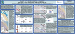 |
Eocene Carlin-type gold deposits (CTGD) in Nevada constitute the second largest concentration of Au in the world. Similar structure-controlled Au and realgar-orpiment showings have recently been discovered in Proterozoic-Paleozoic Selwyn basin strata of the Rackla belt in east-central Yukon. These discoveries raise the possibility of similar occurrences in equivalent settings in British Columbia. This reconnaissance project uses the provincial regional geochemical databases and digital geology to test for Au�As�Hg�Tl�Sb anomalies that may be spatially related to long-lived structures and to platform to deep-water transitions in the Kechika trough (the southward extension of Selwyn basin) of north-central British Columbia. GeoFile 2014-08 is a poster that was presented at the annual Mineral Exploration Roundup Conference, 2014. |
| Issue ID: | EXT019 |
| Title: | U-Pb zircon age constraint for late Neoproterozoic rifting and initiation of the lower Paleozoic passive margin of western Laurentia |
| Author(s): | Colpron, M., Logan, J.M., Mortensen, J.K. |
| Series Name: | External Article |
| Publication Year: | 2002 |
| Other Citation Details: | Canadian Journal of Earth Sciences, v. 39, p. 133-143 |
| Larger Work Citation: | Canadian Journal of Earth Sciences, v. 39 |
| NTS Map Sheet(s): | 082;083;092;093;094;102;103;104;114 |
| Place Keyword(s): | British Columbia, Yukon, Western USA |
| Lat/Long (NSWE): | 68, 35, -141, -109 |
| Theme Keyword(s): | Cordillera, Windermere Supergroup, Hamill-Gog |
Abstract:
| A concordant U�Pb zircon age of 569.6 � 5.3 Ma from synrift volcanic rocks of the Hamill Group, southeastern Canadian Cordillera, provides the first direct U�Pb geochronologic constraint on timing of latest Neoproterozoic rifting along western Laurentia. This age confirms a previous estimate of 575 � 25 Ma for timing of continental breakup, as derived from the analysis of tectonic subsidence in lower Paleozoic miogeoclinal strata of the North American Cordillera. It also corresponds to the timing of passive margin deposition in the �underlying� Windermere Supergroup of the northern Cordillera, as determined by chemostratigraphic correlations. These timing relationships imply a different breakup history for the northern, as compared to the southern, Cordillera. We propose a model that attempts to explain this paradox of Cordilleran geology. The earlier Neoproterozoic (Windermere-age) rifting event probably records breakup of a continental mass from northern Laurentia followed by development of a passive margin. Accordingly, the Windermere Supergroup of the southern Canadian Cordillera was deposited in an intracontinental rift. The second Neoproterozoic rifting (Hamill�Gog) is interpreted to indicate continental breakup and establishment of a passive margin along western Laurentia. |
| Issue ID: | EXT020 |
| Title: | Porphyry systems of central and southern BC: Overview and field trip road log |
| Author(s): | Logan, J.M. |
| Series Name: | External Article |
| Publication Year: | 2013 |
| Other Citation Details: | Society of Economic Geologists Guidebook Series, Vol. 44, p. 1-45 |
| Larger Work Citation: | Society of Economic Geologists Guidebook Series, Vol. 44 |
| NTS Map Sheet(s): | 082;083;092;093;094;102;103;104;114 |
| Place Keyword(s): | British Columbia, Central BC, Southern BC |
| Lat/Long (NSWE): | 60, 49, -135, -114 |
| Theme Keyword(s): | Porphyry deposits, Canadian Cordillera, Island-arc settings |
Abstract:
| British Columbia is remarkably well-endowed with porphyry deposits. Associated with episodes of arc magmatism, these include porphyry Cu-Mo � Au (calc-alkaline) and porphyry Cu-Au deposits (alkaline). The deposits formed in island-arc settings, represented by Quesnel and Stikine terranes, on the fringes of ancestral North America in Late Triassic - Early Jurassic time. A second, protracted episode of porphyry formation in the Late Mesozoic to Cenozoic followed accretion of the island-arc terranes and porphyry deposits onto the western margin of North America. The Late Mesozoic to Cenozoic porphyry Cu-Mo, Cu-Au, and Mo deposits developed in an intracontinental arc setting after east-dipping subduction was re-established. In central and southern British Columbia, Mesozoic arc magmatism and related porphyry mineralization migrated eastward through time, beginning in the west at ca. 212 Ma with calc-alkaline Cu-Mo�Au deposits at Highland Valley. East of the Guichon batholith, arc volcanic rocks are predominantly Na and K rich, and Cu-Au porphyry deposits center on comagmatic 205 Ma alkalic intrusions. Nicola arc magmatism culminated with intrusion of 195 Ma calc-alkaline batholiths in the eastern part of the Quesnel terrane prior to terrane accretion in late Early Jurassic. This trip presents the geological setting and structural history of the central Intermontane belt, a composite of Late Triassic to Early Jurassic volcanic and plutonic arc rocks and porphyry-related mineral deposits that developed on the fringes of ancestral North America before terrane accretion in late Early Jurassic. The trip comprises transects of southern Stikine, Cache Creek, and Quesnel terranes, with visits to six operating mines: Endako (Thompson Creek Metals Company Inc.), Gibraltar (Taseko Mines Limited), Mount Polley (Imperial Metals Corporation), Highland Valley (Teck Resources Limited), New Afton (New Gold Incorporated), and Copper Mountain (Copper Mountain Mining Corporation). |
| Issue ID: | GBCR2014-03 |
| Title: | Regional Stream Sediment Geochemical Data, Sample Reanalysis (INAA), Northern Vancouver Island, British Columbia |
| Author(s): | Jackaman, W. |
| Series Name: | Geoscience BC Report |
| Publication Year: | 2014 |
| NTS Map Sheet(s): | 092L, 102I |
| Place Keyword(s): | British Columbia, Northern Vancouver Island |
| Lat/Long (NSWE): | 50, 51, -128.4, -126 |
| Theme Keyword(s): | geochemistry, Regional Geochemical Survey (RGS), stream sediment, INAA, Geoscience BC |
Additional Link(s):
| http://cdn.geosciencebc.com/project_data/GBCReport2014-03.zip |
Abstract:
| Geoscience BC Report 2014-03 presents reanalysis results from stream sediment samples collected during a 1988 geochemical survey completed in the Alert Bay and Cape Scott map sheet areas by the British Columbia Ministry of Energy, Mines and Petroleum Resources (MEMPR). A total of 1042 moss-trapped stream sediment samples from northern Vancouver Island and 165 conventional stream samples from the adjacent mainland were collected. The samples were reanalyzed by instrumental neutron activation analysis (INAA) to update the original 1989 release of analytical results. Recognized as a cost-effective means of updating information collected during older government funded regional geochemical surveys, sample reanalysis has significantly improved the BC geochemical database by providing a wide range of new analytical information at improved detection levels plus greater data compatibility with analytical methods currently being employed. This report is the final component of the Northern Vancouver Island Exploration Geoscience Project. The project was partially funded by the Island Coastal Economic Trust, through matching funding provided to Geoscience BC. The Ministry of Jobs, Tourism and Skills Training and Rivercorp also provided support for the project. |
| Issue ID: | GM2011-06 |
| Title: | Surficial geology, Fort Nelson (NTS 94J/NE), British Columbia |
| Author(s): | Levson, V.M., Fournier, M.A. |
| Series Name: | Geoscience Map |
| Publication Year: | 2012 |
| Other Citation Details: | Also published as Geological Survey of Canada Open File 7041 |
| Larger Work Citation: | Also published as Geological Survey of Canada Open File 7041 |
| Scale: | 1:100000 |
| NTS Map Sheet(s): | 094J/NE) |
| Place Keyword(s): | British Columbia, Fort Nelson |
| Lat/Long (NSWE): | 59, 58.5, -123, -122 |
| Theme Keyword(s): | Surficial Geology Map, Surficial Geology, Glacial history, Glacial deposits, Glaciolacustrine Deposits |
Download(s):
| PDF |
Abstract:
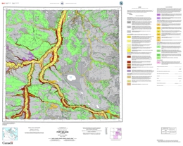 |
Geoscience Map 2011-6 (1:100 000-scale) shows the surficial geology of the Fort Nelson area (094J/NE). |
| Issue ID: | GF2014-09 |
| Title: | Integration and delivery of British Columbia digital geology |
| Author(s): | Cui, Y. |
| Series Name: | GeoFile |
| Publication Year: | 2014 |
| NTS Map Sheet(s): | 082;083;092;093;094;102;103;104;114 |
| Place Keyword(s): | British Columbia |
| Lat/Long (NSWE): | 60, 48, -139, -114 |
| Theme Keyword(s): | Digital Geology, Geologic Framework Data, bedrock geology, Roundup poster |
Download(s):
| PDF |
Abstract:
 |
The British Columbia Geological Survey has developed techniques to deliver to the exploration industry a continuously updated geological map of the province. Our �geologic framework data� (GFD) model enables rapid integration of new mapping. These techniques are transferable, and the exploration industry can advance their own map integration by adopting our model.
The GFD model builds on the 2005 edition of our provincial bedrock map and operates in a spatial database. The spatial database makes it possible to handle large volumes of data, and permits multiple users to perform concurrent operations on the same GFD base. We have developed applications as part of the spatial database management system to automate checking-out, anchoring, and integration. These applications not only simplify the integration process, but also streamline rules-driven data quality assurance and content standardization, and automate auditing changes, populating bedrock attributes, generating map unit colour schemes, and creating customized maps for delivery via web services.
GeoFile 2014-09 is a poster that was presented at the annual Mineral Exploration Roundup Conference, 2014. |
| Issue ID: | OGR2013-02 |
| Title: | Microfossil report, Besa River Formation, Caribou Range, northeastern British Columbia |
| Author(s): | Cordey, F. |
| Series Name: | Oil and Gas Reports |
| Publication Year: | 2013 |
| NTS Map Sheet(s): | 094N/12 |
| Place Keyword(s): | British Columbia, Northeast British Columbia, Beas River |
| Lat/Long (NSWE): | 59.72, 59.7, -125.52, -125.5 |
| Theme Keyword(s): | microfossil, taxonomic results, radiolarian, conodont |
Download(s):
| PDF |
Abstract:
| This report summarizes taxonomic results from the processing and identification of radiolarian and conodont microfossils recovered from two samples of the Besa River Formation. Further information on the geologic framework and stratigraphic position of the samples can be found in Ferri et al. (2013). |
| Issue ID: | OF2014-06 |
| Title: | Basal till potential of the Clusko River map area (NTS 93C/09) |
| Author(s): | Sacco, D., Ferbey, T., Jackaman, W. |
| Series Name: | Open File |
| Publication Year: | 2014 |
| Other Citation Details: | Also published as Geoscience BC Map 2014-06-1 |
| Scale: | 1:50000 |
| NTS Map Sheet(s): | 093C/09 |
| Place Keyword(s): | British Columbia, Interior Plateau, Clusko River |
| Lat/Long (NSWE): | 52.75, 52.5, -124.5, -124 |
| Theme Keyword(s): | basal till, potential maps, TREK Project |
Download(s):
| PDF, ZIP (View Zip Contents) |
Abstract:
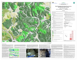 |
Mainly drift covered and with sparse outcrop, the Clusko River area remains underexplored despite being underlain by the Stikine terrane island-arc assemblage, which has high potential for mineralization. Basal tills have a relatively simple transport and depositional history, thus are an ideal sampling media to explore for buried deposits. This basal till potential map is designed to help plan exploration projects in drift-covered areas by guiding surficial sediment geochemistry and mineralogy sampling programs to where basal till is most likely to occur. Current work in the Clusko River map area is part of Geoscience BC's Targeting Resources for Exploration and Knowledge (TREK) project. The basal till potential map presented here is one of a series of 10 maps that were completed for the TREK geochemical program. |
| Issue ID: | OF2014-07 |
| Title: | Basal till potential of the Clisbako River map area (NTS 93B/12) |
| Author(s): | Sacco, D., Ferbey, T., Jackaman, W. |
| Series Name: | Open File |
| Publication Year: | 2014 |
| Other Citation Details: | Also published as Geoscience BC Map 2014-06-2 |
| Scale: | 1:50000 |
| NTS Map Sheet(s): | 093B/12 |
| Place Keyword(s): | British Columbia, Interior Plateau, Clisbako River |
| Lat/Long (NSWE): | 52.75, 52.5, -124, -123.5 |
| Theme Keyword(s): | basal till, potential maps, TREK Project |
Download(s):
| PDF, ZIP (View Zip Contents) |
Abstract:
 |
Mainly drift covered and with sparse outcrop, the Clisbako River area remains underexplored despite being underlain by the Stikine terrane island-arc assemblage, which has high potential for mineralization. Basal tills have a relatively simple transport and depositional history, thus are an ideal sampling media to explore for buried deposits. This basal till potential map is designed to help plan exploration projects in drift-covered areas by guiding surficial sediment geochemistry and mineralogy sampling programs to where basal till is most likely to occur. Current work in the Clisbako River map area is part of Geoscience BC's Targeting Resources for Exploration and Knowledge (TREK) project. The basal till potential map presented here is one of a series of 10 maps that were completed for the TREK geochemical program. |
| Issue ID: | OF2014-08 |
| Title: | Basal till potential of the Marmot Lake map area (NTS 93B/13) |
| Author(s): | Sacco, D., Ferbey, T., Jackaman, W. |
| Series Name: | Open File |
| Publication Year: | 2014 |
| Other Citation Details: | Also published as Geoscience BC Map 2014-06-3 |
| Scale: | 1:50000 |
| NTS Map Sheet(s): | 093B/13 |
| Place Keyword(s): | British Columbia, Interior Plateau, Marmot Lake |
| Lat/Long (NSWE): | 53, 52.75, -124, -123.5 |
| Theme Keyword(s): | basal till, potential maps, TREK Project |
Download(s):
| PDF, ZIP (View Zip Contents) |
Abstract:
 |
Mainly drift covered and with sparse outcrop, the Marmot Lake area remains underexplored despite being underlain by the Stikine terrane island-arc assemblage, which has high potential for mineralization. Basal tills have a relatively simple transport and depositional history, thus are an ideal sampling media to explore for buried deposits. This basal till potential map is designed to help plan exploration projects in drift-covered areas by guiding surficial sediment geochemistry and mineralogy sampling programs to where basal till is most likely to occur. Current work in the Marmot Lake map area is part of Geoscience BC's Targeting Resources for Exploration and Knowledge (TREK) project. The basal till potential map presented here is one of a series of 10 maps that were completed for the TREK geochemical program. |
| Issue ID: | OF2014-09 |
| Title: | Basal till potential of the Toil Mountain map area (NTS 93C/16) |
| Author(s): | Sacco, D., Ferbey, T., Jackaman, W. |
| Series Name: | Open File |
| Publication Year: | 2014 |
| Other Citation Details: | Also published as Geoscience BC Map 2014-06-4 |
| Scale: | 1:50000 |
| NTS Map Sheet(s): | 093C/16 |
| Place Keyword(s): | British Columbia, Interior Plateau, Toil Mountain |
| Lat/Long (NSWE): | 53, 52.75, -124.5, -124 |
| Theme Keyword(s): | basal till, potential maps, TREK Project |
Download(s):
| PDF, ZIP (View Zip Contents) |
Abstract:
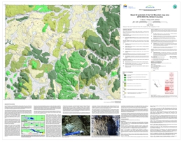 |
Mainly drift covered and with sparse outcrop, the Toil Mountain area remains underexplored despite being underlain by the Stikine terrane island-arc assemblage, which has high potential for mineralization. Basal tills have a relatively simple transport and depositional history, thus are an ideal sampling media to explore for buried deposits. This basal till potential map is designed to help plan exploration projects in drift-covered areas by guiding surficial sediment geochemistry and mineralogy sampling programs to where basal till is most likely to occur. Current work in the Toil Mountain map area is part of Geoscience BC's Targeting Resources for Exploration and Knowledge (TREK) project. The basal till potential map presented here is one of a series of 10 maps that were completed for the TREK geochemical program. |
| Issue ID: | OF2014-10 |
| Title: | Basal till potential of the Suscha Creek map area (NTS 93F/01) |
| Author(s): | Sacco, D., Ferbey, T., Jackaman, W. |
| Series Name: | Open File |
| Publication Year: | 2014 |
| Other Citation Details: | Also published as Geoscience BC Map 2014-06-5 |
| Scale: | 1:50000 |
| NTS Map Sheet(s): | 093F/01 |
| Place Keyword(s): | British Columbia, Interior Plateau, Sascha Creek |
| Lat/Long (NSWE): | 53.25, 53, -124.5, -124 |
| Theme Keyword(s): | basal till, potential maps, TREK Project |
Download(s):
| PDF, ZIP (View Zip Contents) |
Abstract:
 |
Mainly drift covered and with sparse outcrop, the Suscha Creek area remains underexplored despite being underlain by the Stikine terrane island-arc assemblage, which has high potential for mineralization. Basal tills have a relatively simple transport and depositional history, thus are an ideal sampling media to explore for buried deposits. This basal till potential map is designed to help plan exploration projects in drift-covered areas by guiding surficial sediment geochemistry and mineralogy sampling programs to where basal till is most likely to occur. Current work in the Suscha Creek map area is part of Geoscience BC's Targeting Resources for Exploration and Knowledge (TREK) project. The basal till potential map presented here is one of a series of 10 maps that were completed for the TREK geochemical program. |
| Issue ID: | OF2014-11 |
| Title: | Basal till potential of the Coglistiko River map area (NTS 93G/04) |
| Author(s): | Sacco, D., Ferbey, T., Jackaman, W. |
| Series Name: | Open File |
| Publication Year: | 2014 |
| Other Citation Details: | Also published as Geoscience BC Map 2014-06-6 |
| Scale: | 1:50000 |
| NTS Map Sheet(s): | 093G/04 |
| Place Keyword(s): | British Columbia, Interior Plateau, Coglistko River |
| Lat/Long (NSWE): | 53.25, 53, -124, -123.5 |
| Theme Keyword(s): | basal till, potential maps, TREK Project |
Download(s):
| PDF, ZIP (View Zip Contents) |
Abstract:
 |
Mainly drift covered and with sparse outcrop, the Coglistiko River area remains underexplored despite its western half being underlain by the Stikine terrane island-arc assemblage, which has high potential for mineralization. Basal tills have a relatively simple transport and depositional history, thus are an ideal sampling media to explore for buried deposits. This basal till potential map is designed to help plan exploration projects in drift-covered areas by guiding surficial sediment geochemistry and mineralogy sampling programs to where basal till is most likely to occur. Current work in the Coglistiko River map area is part of Geoscience BC's Targeting Resources for Exploration and Knowledge (TREK) project. The basal till potential map presented here is one of a series of 10 maps that were completed for the TREK geochemical program. |
| Issue ID: | OF2014-12 |
| Title: | Basal till potential of the Pelican Lake map area (NTS 93G/05) |
| Author(s): | Sacco, D., Ferbey, T., Jackaman, W. |
| Series Name: | Open File |
| Publication Year: | 2014 |
| Other Citation Details: | Also published as Geoscience BC Map 2014-06-7 |
| Scale: | 1:50000 |
| NTS Map Sheet(s): | 093G/05 |
| Place Keyword(s): | British Columbia, Interior Plateau, Pelican Lake |
| Lat/Long (NSWE): | 53.5, 53.25, -124, -123.5 |
| Theme Keyword(s): | basal till, potential maps, TREK Project |
Download(s):
| PDF, ZIP (View Zip Contents) |
Abstract:
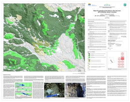 |
Mainly drift covered and with sparse outcrop, the Pelican Lake area remains underexplored despite its western third being underlain by the Stikine terrane island-arc assemblage, which has high potential for mineralization. Basal tills have a relatively simple transport and depositional history, thus are an ideal sampling media to explore for buried deposits. This basal till potential map is designed to help plan exploration projects in drift-covered areas by guiding surficial sediment geochemistry and mineralogy sampling programs to where basal till is most likely to occur. Current work in the Pelican Lake map area is part of Geoscience BC's Targeting Resources for Exploration and Knowledge (TREK) project. The basal till potential map presented here is one of a series of 10 maps that were completed for the TREK geochemical program. |
| Issue ID: | OF2014-13 |
| Title: | Basal till potential of the Euchiniko River map area (NTS 93F/08) |
| Author(s): | Sacco, D., Ferbey, T., Jackaman, W. |
| Series Name: | Open File |
| Publication Year: | 2014 |
| Other Citation Details: | Also published as Geoscience BC Map 2014-06-8 |
| Scale: | 1:50000 |
| NTS Map Sheet(s): | 093F/08 |
| Place Keyword(s): | British Columbia, Interior Plateau, Euchiniko River |
| Lat/Long (NSWE): | 53.5, 53.25, -124.5, -124 |
| Theme Keyword(s): | basal till, potential maps, TREK Project |
Download(s):
| PDF, ZIP (View Zip Contents) |
Abstract:
 |
Mainly drift covered and with sparse outcrop, the Euchiniko River area remains underexplored despite its western third being underlain by the Stikine terrane island-arc assemblage, which has high potential for mineralization. Basal tills have a relatively simple transport and depositional history, thus are an ideal sampling media to explore for buried deposits. This basal till potential map is designed to help plan exploration projects in drift-covered areas by guiding surficial sediment geochemistry and mineralogy sampling programs to where basal till is most likely to occur. Current work in the Euchiniko River map area is part of Geoscience BC's Targeting Resources for Exploration and Knowledge (TREK) project. The basal till potential map presented here is one of a series of 10 maps that were completed for the TREK geochemical program. |
| Issue ID: | OF2014-14 |
| Title: | Basal till potential of the Chilako River map area (NTS 93G/12) |
| Author(s): | Sacco, D., Ferbey, T., Jackaman, W. |
| Series Name: | Open File |
| Publication Year: | 2014 |
| Other Citation Details: | Also published as Geoscience BC Map 2014-06-9 |
| Scale: | 1:50000 |
| NTS Map Sheet(s): | 093G/12 |
| Place Keyword(s): | British Columbia, Interior Plateau, Chilako River |
| Lat/Long (NSWE): | 53.75, 53.5, -124, -123.5 |
| Theme Keyword(s): | basal till, potential maps, TREK Project |
Download(s):
| PDF, ZIP (View Zip Contents) |
Abstract:
 |
Mainly drift covered, the Chilako River area is thought to be underlain by Cache Creek terrain, a belt of oceanic crustal and sedimentary rocks that separates Stikine terrane (to the west) and Quesnel terrane (to the east). These two neighbouring island-arc assemblages have high potential for mineralization, but because of sparse outcrop, the area remains underexplored. Basal tills have a relatively simple transport and depositional history, thus are an ideal sampling media to explore for buried deposits. This basal till potential map is designed to help plan exploration projects in drift-covered areas by guiding surficial sediment geochemistry and mineralogy sampling programs to where basal till is most likely to occur. Current work in the Chilako River map area is part of Geoscience BC's Targeting Resources for Exploration and Knowledge (TREK) project. The basal till potential map presented here is one of a series of 10 maps that were completed for the TREK geochemical program. |
| Issue ID: | OF2014-15 |
| Title: | Basal till potential of the Hulatt map area (NTS 93G/13) |
| Author(s): | Sacco, D., Ferbey, T., Jackaman, W. |
| Series Name: | Open File |
| Publication Year: | 2014 |
| Other Citation Details: | Also published as Geoscience BC Map 2014-06-10 |
| Scale: | 1:50000 |
| NTS Map Sheet(s): | 093G/13 |
| Place Keyword(s): | British Columbia, Interior Plateau, Hulatt |
| Lat/Long (NSWE): | 54, 53.75, -124, -123.5 |
| Theme Keyword(s): | basal till, potential maps, TREK Project |
Download(s):
| PDF, ZIP (View Zip Contents) |
Abstract:
 |
Mainly drift covered, the Hulatt area is thought to be underlain by Cache Creek terrain, a belt of oceanic crustal and sedimentary rocks that separates Stikine terrane (to the west) and Quesnel terrane (to the east). These two neighbouring island-arc assemblages have high potential for mineralization, but because of sparse outcrop, the area remains underexplored. Basal tills have a relatively simple transport and depositional history, thus are an ideal sampling media to explore for buried deposits. This basal till potential map is designed to help plan exploration projects in drift-covered areas by guiding surficial sediment geochemistry and mineralogy sampling programs to where basal till is most likely to occur. Current work in the Hulatt map area is part of Geoscience BC's Targeting Resources for Exploration and Knowledge (TREK) project. The basal till potential map presented here is one of a series of 10 maps that were completed for the TREK geochemical program. |
| Issue ID: | GBCR2014-06 |
| Title: | Basal till potential maps for the Interior Plateau, TREK Project, (NTS 93B/12, 13, 93C/09, 16, 93F/01, 08, 93G/04, 05, 12, and 13) |
| Author(s): | Sacco, D., Ferbey, T., Jackaman, W. |
| Series Name: | Geoscience BC Report |
| Publication Year: | 2014 |
| Other Citation Details: | Also published as BCGS Open File 2014-06 to 2014-15 |
| Scale: | 1:50000 |
| NTS Map Sheet(s): | 093B/12, 13; 093C/09, 16; 093F/01, 08; 093G/04, 05, 12, 13 |
| Place Keyword(s): | British Columbia, Interior Plateau, Stikine Terrane, Quesnel Terrane |
| Lat/Long (NSWE): | 54, 52.5, -124.5, -123.5 |
| Theme Keyword(s): | basil till, potential maps, buried bedrock mineralization, TREK, Geoscience BC |
Additional Link(s):
| https://www2.gov.bc.ca/gov/content?id=9C6C634A04184AEFA75EC2816764EF9D#OF2014-06
https://www2.gov.bc.ca/gov/content?id=9C6C634A04184AEFA75EC2816764EF9D#OF2014-07 |
Abstract:
| Because of extensive drift cover, large parts of the Interior Plateau that are underlain by prospective rocks of the Stikine and Quesnel terranes remain underexplored. Nonetheless, buried bedrock mineralization may be defined by examining the geochemistry and mineralogy of glacial sediments. With a relatively simple transport and depositional history, basal tills are particularly well suited for this type of exploration. Till geochemical and mineralogical surveys are a central component of the TREK project (short for Targeting Resources through Exploration and Knowledge), initiated in 2013 to better understand the geology and metallogeny of the southern Interior Plateau. Released as joint British Columbia Geological Survey and Geoscience BC publications, these basal till potential maps were completed for the planning and implementation phases of TREK. By identifying areas where basal till is most likely to occur, the maps are intended to help design exploration projects and guide surficial sediment geochemistry and mineralogy sampling programs. |
| Issue ID: | GBCR2014-08 |
| Title: | Geology of the Mount Polley Intrusive Complex (Final version) (NTS 93A/12) |
| Author(s): | Rees, C., Gillstrom, G., Ferreira, L., Bjornson, L., Taylor, C. |
| Series Name: | Geoscience BC Report |
| Publication Year: | 2014 |
| Scale: | 1:50000 |
| NTS Map Sheet(s): | 093A/12 |
| Place Keyword(s): | British Columbia, Central British Columbia, Mount Polley, Quesnel Terrane |
| Lat/Long (NSWE): | 52.58, 52.2, -121.66, -121.6 |
| Theme Keyword(s): | Porphyry deposits, geology map, porphyry integration, Mount Polley, Geoscience BC |
Additional Link(s):
| http://cdn.geosciencebc.com/project_data/GBCReport2014-08/GBCReport2014-08_map.pdf |
Abstract:
| This report presents the final PDF map with accompanying data for the geology of the Mount Polley porphyry copper-gold deposit in central BC. The currently operating Mount Polley mine has focused on several individual mineralized zones that are hosted by hydrothermal breccias associated with emplacement of Late Triassic-age alkalic monzonitic to dioritic rocks within Quesnel terrane. This map is based on several years of work by Imperial Metals Corporation geologists and includes lithology and structural layers, as well as mineralization and alteration maps that draw on surface observations as well as the detailed drill hole database in the mine area. It was produced in partnership with Imperial Metals Corporation through Geoscience BC's Porphyry Integration Project. |
| Issue ID: | GBCM2014-06-01 |
| Title: | Basal till potential of the Clusko River map area (NTS 93C/09) |
| Author(s): | Sacco, D., Ferbey, T., Jackaman, W. |
| Series Name: | Geoscience BC Map |
| Publication Year: | 2014 |
| Other Citation Details: | Also published as BCGS Open File 2014-06 |
| Larger Work Citation: | Geoscience BC Report 2014-06 |
| Scale: | 1:50000 |
| NTS Map Sheet(s): | 093C/09 |
| Place Keyword(s): | British Columbia, Interior Plateau, Central British Columbia, Clusko River |
| Lat/Long (NSWE): | 52.5, 52.75, -124.5, -124 |
| Theme Keyword(s): | Basil Till Potential Map, TREK, Geoscience BC |
Additional Link(s):
| http://cdn.geosciencebc.com/project_data/GBCReport2014-06/GBCMap2014-06-01.pdf
https://www2.gov.bc.ca/gov/content?id=9C6C634A04184AEFA75EC2816764EF9D#OF2014-06
https://cmscontent.nrs.gov.bc.ca/geoscience/PublicationCatalogue/OpenFile/BCGS_OF2014-06.pdf |
Abstract:
| This map is part of Geoscience BC Report 2014-06: Basal Till Potential Maps for the Interior Plateau, TREK Project, British Columbia. The Clusko River Map area (NTS 093C/09) is in flat to gently rolling country of the Fraser Plateau, a subdivision of Interior Plateau physiographic region. Mainly drift covered with sparse outcrop (Holland, 1976), the area remains underexplored despite being underlain by the Stikine terrane Island-arc assemblage, which has high potential for mineralization such as calc-alkalic Cu-Mo+/-Au and alkaline Cu-Au porphyries (Logan, 2013). |
| Issue ID: | GBCM2014-06-02 |
| Title: | Basal till potential of the Clisbako River map area (NTS 93B/12) |
| Author(s): | Sacco, D., Ferbey, T., Jackaman, W. |
| Series Name: | Geoscience BC Map |
| Publication Year: | 2014 |
| Other Citation Details: | Also published as BCGS Open File 2014-07 |
| Larger Work Citation: | Geoscience BC Report 2014-06 |
| Scale: | 1:50000 |
| NTS Map Sheet(s): | 093B/12 |
| Place Keyword(s): | British Columbia, Interior Plateau, Central British Columbia, Clisbako River |
| Lat/Long (NSWE): | 52.75, 52.5, -124, -123.5 |
| Theme Keyword(s): | Basil Till Potential Map, TREK, Geoscience BC |
Additional Link(s):
| http://cdn.geosciencebc.com/project_data/GBCReport2014-06/GBCMap2014-06-02.pdf
https://www2.gov.bc.ca/gov/content?id=9C6C634A04184AEFA75EC2816764EF9D#OF2014-07
https://cmscontent.nrs.gov.bc.ca/geoscience/PublicationCatalogue/OpenFile/BCGS_OF2014-07.pdf |
Abstract:
| This map is part of Geoscience BC Report 2014-06: Basal Till Potential Maps for the Interior Plateau, TREK Project, British Columbia. The Clisbako River Map area (NTS 093B/12) is in flat to gently rolling country of the Fraser Plateau, a subdivision of Interior Plateau physiographic region. Mainly drift covered with sparse outcrop (Holland, 1976), the area remains underexplored despite being underlain by the Stikine terrane Island-arc assemblage, which has high potential for mineralization such as calc-alkalic Cu-Mo+/-Au and alkaline Cu-Au porphyries (Logan, 2013). |
| Issue ID: | GBCM2014-06-03 |
| Title: | Basal till potential of the Marmot Lake map area (NTS 93B/13) |
| Author(s): | Sacco, D., Ferbey, T., Jackaman, W. |
| Series Name: | Geoscience BC Map |
| Publication Year: | 2014 |
| Other Citation Details: | Also published as BCGS Open File 2014-08 |
| Larger Work Citation: | Geoscience BC Report 2014-06 |
| Scale: | 1:50000 |
| NTS Map Sheet(s): | 093B/13 |
| Place Keyword(s): | British Columbia, Interior Plateau, Central British Columbia, Marmot Lake |
| Lat/Long (NSWE): | 53, 52.75, -124.5, -124 |
| Theme Keyword(s): | Basil Till Potential Map, TREK, Geoscience BC |
Additional Link(s):
| http://cdn.geosciencebc.com/project_data/GBCReport2014-06/GBCMap2014-06-03.pdf
https://www2.gov.bc.ca/gov/content?id=9C6C634A04184AEFA75EC2816764EF9D#OF2014-08
https://cmscontent.nrs.gov.bc.ca/geoscience/PublicationCatalogue/OpenFile/BCGS_OF2014-08.pdf |
Abstract:
| This map is part of Geoscience BC Report 2014-06: Basal Till Potential Maps for the Interior Plateau, TREK Project, British Columbia. The Marmot Lake Map area (NTS 093B/13) is in flat to gently rolling country of the Fraser Plateau, a subdivision of Interior Plateau physiographic region. Mainly drift covered with sparse outcrop (Holland, 1976), the area remains underexplored despite being underlain by the Stikine terrane Island-arc assemblage, which has high potential for mineralization such as calc-alkalic Cu-Mo+/-Au and alkaline Cu-Au porphyries (Logan, 2013). |
| Issue ID: | GBCM2014-06-04 |
| Title: | Basal till potential of the Toil Mountain map area (NTS 93C/16) |
| Author(s): | Sacco, D., Ferbey, T., Jackaman, W. |
| Series Name: | Geoscience BC Map |
| Publication Year: | 2014 |
| Other Citation Details: | Also published as BCGS Open File 2014-09 |
| Larger Work Citation: | Geoscience BC Report 2014-06 |
| Scale: | 1:50000 |
| NTS Map Sheet(s): | 093C/16 |
| Place Keyword(s): | British Columbia, Interior Plateau, Central British Columbia, Toil Mountain |
| Lat/Long (NSWE): | 53, 52.75, -124.5, -124 |
| Theme Keyword(s): | Basil Till Potential Map, TREK, Geoscience BC |
Additional Link(s):
| http://cdn.geosciencebc.com/project_data/GBCReport2014-06/GBCMap2014-06-04.pdf
https://www2.gov.bc.ca/gov/content?id=9C6C634A04184AEFA75EC2816764EF9D#OF2014-09
https://cmscontent.nrs.gov.bc.ca/geoscience/PublicationCatalogue/OpenFile/BCGS_OF2014-09.pdf |
Abstract:
| This map is part of Geoscience BC Report 2014-06: Basal Till Potential Maps for the Interior Plateau, TREK Project, British Columbia. The Toil Mountain Map area (NTS 093C/16) is in flat to gently rolling country of the Fraser Plateau, a subdivision of Interior Plateau physiographic region. Mainly drift covered with sparse outcrop (Holland, 1976), the area remains underexplored despite being underlain by the Stikine terrane Island-arc assemblage, which has high potential for mineralization such as calc-alkalic Cu-Mo+/-Au and alkaline Cu-Au porphyries (Logan, 2013). |
| Issue ID: | GBCM2014-06-05 |
| Title: | Basal till potential of the Suscha Creek map area (NTS 93F/01) |
| Author(s): | Sacco, D., Ferbey, T., Jackaman, W. |
| Series Name: | Geoscience BC Map |
| Publication Year: | 2014 |
| Other Citation Details: | Also published as BCGS Open File 2014-10 |
| Larger Work Citation: | Geoscience BC Report 2014-06 |
| Scale: | 1:50000 |
| NTS Map Sheet(s): | 093F/01 |
| Place Keyword(s): | British Columbia, Interior Plateau, Central British Columbia, Suscha Creek |
| Lat/Long (NSWE): | 53.25, 53, -124.5, -124 |
| Theme Keyword(s): | Basil Till Potential Map, TREK, Geoscience BC |
Additional Link(s):
| http://cdn.geosciencebc.com/project_data/GBCReport2014-06/GBCMap2014-06-05.pdf
https://www2.gov.bc.ca/gov/content?id=9C6C634A04184AEFA75EC2816764EF9D#OF2014-10
https://cmscontent.nrs.gov.bc.ca/geoscience/PublicationCatalogue/OpenFile/BCGS_OF2014-10.pdf |
Abstract:
| This map is part of Geoscience BC Report 2014-06: Basal Till Potential Maps for the Interior Plateau, TREK Project, British Columbia. The Suscha Creek Map area (NTS 093F/01) is in flat to gently rolling country of the Fraser Plateau, a subdivision of Interior Plateau physiographic region. Mainly drift covered with sparse outcrop (Holland, 1976), the area remains underexplored despite being underlain by the Stikine terrane Island-arc assemblage, which has high potential for mineralization such as calc-alkalic Cu-Mo+/-Au and alkaline Cu-Au porphyries (Logan, 2013). |
| Issue ID: | GBCM2014-06-06 |
| Title: | Basal till potential of the Coglistiko River map area (NTS 93G/04) |
| Author(s): | Sacco, D., Ferbey, T., Jackaman, W. |
| Series Name: | Geoscience BC Map |
| Publication Year: | 2014 |
| Other Citation Details: | Also published as BCGS Open File 2014-11 |
| Larger Work Citation: | Geoscience BC Report 2014-06 |
| Scale: | 1:50000 |
| NTS Map Sheet(s): | 093G/04 |
| Place Keyword(s): | British Columbia, Interior Plateau, Central British Columbia, Coglistiko River |
| Lat/Long (NSWE): | 53.25, 53, -124, -123.5 |
| Theme Keyword(s): | Basil Till Potential Map, TREK, Geoscience BC |
Additional Link(s):
| http://cdn.geosciencebc.com/project_data/GBCReport2014-06/GBCMap2014-06-06.pdf
https://www2.gov.bc.ca/gov/content?id=9C6C634A04184AEFA75EC2816764EF9D#OF2014-11
https://cmscontent.nrs.gov.bc.ca/geoscience/PublicationCatalogue/OpenFile/BCGS_OF2014-11.pdf |
Abstract:
| This map is part of Geoscience BC Report 2014-06: Basal Till Potential Maps for the Interior Plateau, TREK Project, British Columbia. The Coglistiko River Map area (NTS 093G/04) is in flat to gently rolling country of the Fraser Plateau, a subdivision of Interior Plateau physiographic region. Mainly drift covered with sparse outcrop (Holland, 1976), the area remains underexplored despite being underlain by the Stikine terrane Island-arc assemblage, which has high potential for mineralization such as calc-alkalic Cu-Mo+/-Au and alkaline Cu-Au porphyries (Logan, 2013). |
| Issue ID: | GBCM2014-06-07 |
| Title: | Basal till potential of the Pelican Lake map area (NTS 93G/05) |
| Author(s): | Sacco, D., Ferbey, T., Jackaman, W. |
| Series Name: | Geoscience BC Map |
| Publication Year: | 2014 |
| Other Citation Details: | Also published as BCGS Open File 2014-12 |
| Larger Work Citation: | Geoscience BC Report 2014-06 |
| Scale: | 1:50000 |
| NTS Map Sheet(s): | 093G/05 |
| Place Keyword(s): | British Columbia, Interior Plateau, Central British Columbia, Pelican Lake |
| Lat/Long (NSWE): | 52.5, 52.25, -124, -123.5 |
| Theme Keyword(s): | Basil Till Potential Map, TREK, Geoscience BC |
Additional Link(s):
| http://cdn.geosciencebc.com/project_data/GBCReport2014-06/GBCMap2014-06-07.pdf
https://www2.gov.bc.ca/gov/content?id=9C6C634A04184AEFA75EC2816764EF9D#OF2014-12
https://cmscontent.nrs.gov.bc.ca/geoscience/PublicationCatalogue/OpenFile/BCGS_OF2014-12.pdf |
Abstract:
| This map is part of Geoscience BC Report 2014-06: Basal Till Potential Maps for the Interior Plateau, TREK Project, British Columbia. The Pelican Lake Map area (NTS 093G/05) is in flat to gently rolling country of the Fraser Plateau, a subdivision of Interior Plateau physiographic region. Mainly drift covered with sparse outcrop (Holland, 1976), the area remains underexplored despite being underlain by the Stikine terrane Island-arc assemblage, which has high potential for mineralization such as calc-alkalic Cu-Mo+/-Au and alkaline Cu-Au porphyries (Logan, 2013). |
| Issue ID: | GBCM2014-06-08 |
| Title: | Basal till potential of the Euchiniko River map area (NTS 93F/08) |
| Author(s): | Sacco, D., Ferbey, T., Jackaman, W. |
| Series Name: | Geoscience BC Map |
| Publication Year: | 2014 |
| Other Citation Details: | Also published as BCGS Open File 2014-13 |
| Larger Work Citation: | Geoscience BC Report 2014-06 |
| Scale: | 1:50000 |
| NTS Map Sheet(s): | 093F/08 |
| Place Keyword(s): | British Columbia, Interior Plateau, Central British Columbia, Euchiniko River |
| Lat/Long (NSWE): | 52.5, 52.25, -124.5, -124 |
| Theme Keyword(s): | Basil Till Potential Map, TREK, Geoscience BC |
Additional Link(s):
| http://cdn.geosciencebc.com/project_data/GBCReport2014-06/GBCMap2014-06-08.pdf
https://www2.gov.bc.ca/gov/content?id=9C6C634A04184AEFA75EC2816764EF9D#OF2014-13
https://cmscontent.nrs.gov.bc.ca/geoscience/PublicationCatalogue/OpenFile/BCGS_OF2014-13.pdf |
Abstract:
| This map is part of Geoscience BC Report 2014-06: Basal Till Potential Maps for the Interior Plateau, TREK Project, British Columbia. The Euchiniko River Map area (NTS 093F/08) is in flat to gently rolling country of the Fraser Plateau, a subdivision of Interior Plateau physiographic region. Mainly drift covered with sparse outcrop (Holland, 1976), the area remains underexplored despite being underlain by the Stikine terrane Island-arc assemblage, which has high potential for mineralization such as calc-alkalic Cu-Mo+/-Au and alkaline Cu-Au porphyries (Logan, 2013). |
| Issue ID: | GBCM2014-06-09 |
| Title: | Basal till potential of the Chilako River map area (NTS 93G/12) |
| Author(s): | Sacco, D., Ferbey, T., Jackaman, W. |
| Series Name: | Geoscience BC Map |
| Publication Year: | 2014 |
| Other Citation Details: | Also published as BCGS Open File 2014-14 |
| Larger Work Citation: | Geoscience BC Report 2014-06 |
| Scale: | 1:50000 |
| NTS Map Sheet(s): | 093G/12 |
| Place Keyword(s): | British Columbia, Interior Plateau, Central British Columbia, Chilako River |
| Lat/Long (NSWE): | 52.75, 52.5, -124, -123.5 |
| Theme Keyword(s): | Basil Till Potential Map, TREK, Geoscience BC |
Additional Link(s):
| http://cdn.geosciencebc.com/project_data/GBCReport2014-06/GBCMap2014-06-09.pdf
https://www2.gov.bc.ca/gov/content?id=9C6C634A04184AEFA75EC2816764EF9D#OF2014-14
https://cmscontent.nrs.gov.bc.ca/geoscience/PublicationCatalogue/OpenFile/BCGS_OF2014-14.pdf |
Abstract:
| This map is part of Geoscience BC Report 2014-06: Basal Till Potential Maps for the Interior Plateau, TREK Project, British Columbia. The Chilako River Map area (NTS 093G/12) is in flat to gently rolling country of the Fraser Plateau, a subdivision of Interior Plateau physiographic region. Mainly drift covered with sparse outcrop (Holland, 1976), the area remains underexplored despite being underlain by the Stikine terrane Island-arc assemblage, which has high potential for mineralization such as calc-alkalic Cu-Mo+/-Au and alkaline Cu-Au porphyries (Logan, 2013). |
| Issue ID: | GBCM2014-06-10 |
| Title: | Basal till potential of the Hulatt map area (NTS 93G/13) |
| Author(s): | Sacco, D., Ferbey, T., Jackaman, W. |
| Series Name: | Geoscience BC Map |
| Publication Year: | 2014 |
| Other Citation Details: | Also published as BCGS Open File 2014-15 |
| Larger Work Citation: | Geoscience BC Report 2014-06 |
| Scale: | 1:50000 |
| NTS Map Sheet(s): | 093G/13 |
| Place Keyword(s): | British Columbia, Interior Plateau, Central British Columbia, Hulatt |
| Lat/Long (NSWE): | 53, 52.75, -124, -123.5 |
| Theme Keyword(s): | Basil Till Potential Map, TREK, Geoscience BC |
Additional Link(s):
| http://cdn.geosciencebc.com/project_data/GBCReport2014-06/GBCMap2014-06-10.pdf
https://www2.gov.bc.ca/gov/content?id=9C6C634A04184AEFA75EC2816764EF9D#OF2014-15
https://cmscontent.nrs.gov.bc.ca/geoscience/PublicationCatalogue/OpenFile/BCGS_OF2014-15.pdf |
Abstract:
| This map is part of Geoscience BC Report 2014-06: Basal Till Potential Maps for the Interior Plateau, TREK Project, British Columbia. The Hulatt Map area (NTS 093G/13) is in flat to gently rolling country of the Fraser Plateau, a subdivision of Interior Plateau physiographic region. Mainly drift covered with sparse outcrop (Holland, 1976), the area remains underexplored despite being underlain by the Stikine terrane Island-arc assemblage, which has high potential for mineralization such as calc-alkalic Cu-Mo+/-Au and alkaline Cu-Au porphyries (Logan, 2013). |
| Issue ID: | EXT021 |
| Title: | Magmatic and Structural Controls on Porphyry-Style Cu-Au-Mo Mineralization at Kemess South, Toodoggone district of British Columbia, Canada |
| Author(s): | Duuring, P., Rowins, S.M., McKinley, B., Dickinson, J.M., Diakow, L.J., Kim, Y-S., Creaser, R. |
| Series Name: | External Article |
| Publication Year: | 2009 |
| Other Citation Details: | Mineralium Deposita, v. 44, p. 435-462 |
| Place Keyword(s): | British Columbia, Toodoggone, Kemess South |
| Lat/Long (NSWE): | 58, 56, -128, -125 |
| Theme Keyword(s): | Magmatic, Structural Controls, Porphyry-style Cu-Au-Mo |
Download(s):
| PDF |
Abstract:
| Magmatic and Structural Controls on Porphyry-Style Cu-Au-Mo Mineralization at Kemess South, Toodoggone district of British Columbia, Canada. |
| Issue ID: | EXT022 |
| Title: | Examining Potential Genetic Links between Jurassic Porphyry Cu-Au +/- Mo and Epithermal Au +/- Ag Mineralization in the Toodoggone district of north-central British Columbia, Canada |
| Author(s): | Duuring, P., Rowins, S.M., McKinley, B., Dickinson, J.M., Diakow, L.J., Kim, Y-S., Creaser, R. |
| Series Name: | External Article |
| Publication Year: | 2009 |
| Other Citation Details: | Mineralium Deposita, v. 44, p. 463-496 |
| Place Keyword(s): | British Columbia, Toodoggone, North-central BC |
| Lat/Long (NSWE): | 58, 56, -128, -125 |
| Theme Keyword(s): | Jurassic Porphyry Cu-Au +/-Mo, Epithermal Au +/- Ag |
Download(s):
| PDF |
Abstract:
| Examining Potential Genetic Links between Jurassic Porphyry Cu-Au +/- Mo and Epithermal Au +/- Ag Mineralization in the Toodoggone district of north-central British Columbia, Canada |
| Issue ID: | EXT023 |
| Title: | Geology of the British Columbia Parliament Buildings, Victoria, B.C. |
| Author(s): | Hora, Z.D., Hancock, K.D. |
| Series Name: | External Article |
| Publication Year: | 2008 |
| Other Citation Details: | Geoscience Canada, Volume 35, Number 2 |
| NTS Map Sheet(s): | 092B |
| Place Keyword(s): | British Columbia, Victoria, Vancouver Island |
| Lat/Long (NSWE): | 48.5, 48.35, -123.7, -123.6 |
| Theme Keyword(s): | Haddington Island andesite, Nelson Island granite, Parliament Buildings, Building stones |
Download(s):
| PDF |
Abstract:
| This article presents a brief history of the parliament buildings and their construction, a description of building stones, and an overview of a century-long performance record of the exterior building stones, which have long resisted the effects of British Columbia coastal weather. |
| Issue ID: | EXT025 |
| Title: | Surficial deposits, landforms, glacial history and potential for granular aggregate and frac sand: Maxhamish Lake map sheet |
| Author(s): | Huntley, D.H., Hickin, A.S. |
| Series Name: | External Article |
| Publication Year: | 2010 |
| Larger Work Citation: | Geological Survey of Canada Open File 6430 |
| NTS Map Sheet(s): | 094O |
| Place Keyword(s): | British Columbia, Maxhamish Lake, Northeast BC, Laurentide Ice Sheet |
| Lat/Long (NSWE): | 60, 59, -124, -122 |
| Theme Keyword(s): | Terrain, Landforms, Geomorphic processes, surficial geology, Glacial history |
Download(s):
| PDF |
Abstract:
| This paper provides a preliminary interpretation of surficial geology from air photos, satellite imagery, field observations and digital elevation models; and provides new insight into the range of subglacial processes, patterns of ice flow, deglacial history, and associated sedimentary environments associated with the Late Wisconsinan Laurentide Ice Sheet. |
| Issue ID: | EXT026 |
| Title: | Geology of Southern Vancouver and Saltspring Islands, British Columbia |
| Author(s): | Levson, V.M., Massey, N.W.D., Mustard, P., Ferri, F., Hickin, A., Walsh, W. |
| Series Name: | External Article |
| Publication Year: | 2011 |
| Other Citation Details: | 5th British Columbia Unconventional Gas Technical Forum |
| Larger Work Citation: | 5th British Columbia Unconventional Gas Technical Forum |
| NTS Map Sheet(s): | 092B, 092G |
| Place Keyword(s): | British Columbia, Vancouver Island, Saltspring Island, Southern Vancouver Island |
| Lat/Long (NSWE): | 49.25, 48.25, -124.25, -123 |
| Theme Keyword(s): | Geology, Late Cretaceous, Quaternary, Nanaimo Group, earthquake hazards |
Download(s):
| PDF |
Abstract:
| This field trip focuses on the Late Cretaceous to Quaternary geology of the southern part of Vancouver Island and Saltspring Island. Topics to be discussed include the regional geological setting, deposition of the Late Cretaceous Nanaimo Group, Quaternary geology and earthquake hazards. Enroute to various stops, discussion will also include information on the local engineering geology. |
| Issue ID: | EXT027 |
| Title: | A GIS dataset of geological features for the Mount McCusker map area (NTS 94G/4), Peace River, Cassiar District, British Columbia |
| Author(s): | Cecile, M.P., Legun, A.S. |
| Series Name: | External Article |
| Publication Year: | 2003 |
| NTS Map Sheet(s): | 094G/4 |
| Place Keyword(s): | British Columbia, Mount McCusker, Peace River, Cassiar District |
| Lat/Long (NSWE): | 57.25, 57, -124, -123 |
| Theme Keyword(s): | Geology, Structural Geology, Bedrock Geology, Sedimentary Rocks, Limestones, shales |
Abstract:
| This map displays a GIS dataset of geological features for the Mount McCusker, Peace River - Cassiar District area of British Columbia. |
| Issue ID: | EXT028 |
| Title: | Porphyry copper assessment of British Columbia and Yukon Territory, Canada |
| Author(s): | Mihalasky, M.J., Bookstrom, A.A., Frost, T.P., Ludington, S., with contributions from Logan, J.M., Panteleyev, A., Abbot, G. |
| Series Name: | External Article |
| Publication Year: | 2013 |
| Other Citation Details: | Scientific Investigations Report 2010-5090-C |
| NTS Map Sheet(s): | 082;083;092;093;094;102;103;104;114 and Yukon |
| Place Keyword(s): | British Columbia, Yukon, western Canadian Cordillera, Island-Arc, Continental Arc |
| Lat/Long (NSWE): | 60, 48, -139, -114 |
| Theme Keyword(s): | Global Assessment, Land Management, Mineral Resource Assessment, porphyry-copper, estimates |
Download(s):
| PDF |
Abstract:
| The U.S. Geological Survey does regional, national, and global assessments of resources (mineral, energy, water, biologic) to provide science in support of land management and decision making. Mineral resource assessments provide a synthesis of available information about where mineral deposits are known and suspected to be in the Earth�s crust, which commodities may be present, and estimates of amounts of resources that may be present in undiscovered deposits. Canada is an important source of copper, consistently ranking as one of the top 10 world producers during the past decade (2000-2010). The preponderance of this production has been from porphyry-copper-type deposits in the western Canadian Cordillera. A probabilistic mineral resource assessment of undiscovered resources associated with porphyry copper deposits in western Canada was completed as part of a global mineral resource assessment. The purpose of the assessment was to (1) compile a database of known deposits and significant prospects, (2) delineate permissive areas (tracts) for undiscovered porphyry copper deposits that may be present in the upper kilometer (minimally) of the Earth�s crust, and (3) provide probabilistic estimates of amounts of copper (Cu), molybdenum (Mo), gold (Au), and silver (Ag) that could be contained in undiscovered porphyry copper deposits in the tracts. The study was done by the U.S. Geological Survey (USGS) in collaboration with geologists from the British Columbia Geological Survey, Yukon Geological Survey, and industry consultants. |
| Issue ID: | EXT029 |
| Title: | Stratigraphy, geochemistry, syngenetic sulfide occurrences and tectonic setting of the lower Paleozoic Lardeau Group, northern Selkirk Mountains, British Columbia |
| Author(s): | Logan, J.M., Colpron, M. |
| Series Name: | External Article |
| Publication Year: | 2006 |
| Other Citation Details: | Special Paper 45, p. 361-382 |
| Place Keyword(s): | British Columbia, northern, Selkirk Mountains |
| Lat/Long (NSWE): | 52, 51, -120, -118 |
| Theme Keyword(s): | Stratigraphy, Geochemistry, Syngenetic sulfide occurrences, tectonic setting, Lower Paleozoic Lardeau Group |
Abstract:
| This paper shows the stratigraphy, geochemistry, syngenetic sulfide occurrences and tectonic setting of the lower Paleozoic Lardeau Group, northern Selkirk Mountains in British Columbia. |
| Issue ID: | EXT030 |
| Title: | Plutonic-related gold-quartz veins and their potential in British Columbia |
| Author(s): | Logan, J.M., Lefebure, D.V., Cathro, M.S. |
| Series Name: | External Article |
| Publication Year: | 2000 |
| Other Citation Details: | in Jambour, J.L., ed. The Tintina Gold Belt Concepts, Exploration and Discoveries, British Columbia and Yukon Chamber of Mines, Cordilleran Exploration Roundup 2000, Special Volume 2, p. 197-225 |
| Larger Work Citation: | in Jambour, J.L., ed. The Tintina Gold Belt Concepts, Exploration and Discoveries, British Columbia and Yukon Chamber of Mines, Cordilleran Exploration Roundup 2000, Special Volume 2, p. 197-225 |
| Place Keyword(s): | British Columbia |
| Lat/Long (NSWE): | 60, 48, -139, -114 |
| Theme Keyword(s): | Plutonic-related, gold-quartz veins, potential, BCYCM, AMEBC |
Download(s):
| PDF |
Abstract:
| This paper reports on plutonic-related gold-quartz veins and their potential in British Columbia. |
| Issue ID: | EXT031 |
| Title: | Tectonic controls on early Mesozoic paired alkaline porphyry deposit belts (Cu-Au + Ag-Pt-Pd-Mo) within the Canadian Cordillera |
| Author(s): | Logan, J.M., Mihalynuk, M.G. |
| Series Name: | External Article |
| Publication Year: | 2014 |
| Other Citation Details: | Economic Geology |
| Place Keyword(s): | British Columbia, Canadian Cordillera |
| Lat/Long (NSWE): | 60, 49, -139, -114 |
| Theme Keyword(s): | Tectonic controls, alkaline porphyry, Early Mesozoic, deposit belts |
Abstract:
| This paper reports on the tectonic controls on early Mesozoic paired alkaline porphyry deposit belts (Cu-Au + Ag-Pt-Pd-Mo) within the Canadian Cordillera |
| Issue ID: | EXT032 |
| Title: | Chronostratigraphy of Eocene volcanism, central British Columbia |
| Author(s): | Bordet, E., Mihalynuk, M.G., Hart, C.J.R., Mortensen, J.K., Freidman, R.M., Gabites, J. |
| Series Name: | External Article |
| Publication Year: | 2014 |
| Other Citation Details: | Canadian Journal of Earth Sciences |
| NTS Map Sheet(s): | 093B, 093C |
| Place Keyword(s): | British Columbia, central, Chilcotin Plateau, Ootsa Lake Group, Nechako Plateau |
| Lat/Long (NSWE): | 60, 48, -139, -114 |
| Theme Keyword(s): | Chronostratigraphy, Eocene, Volcanism, magma compositions, rhyolitic compositions |
Abstract:
| Onset and termination of Eocene felsic volcanism in the Chilcotin Plateau of central British Columbia is constrained between 54.6 and 46.6 Ma by 33 new U�Pb and 40Ar/39Ar isotopic age determinations. Dates were obtained from representative felsic coherent and fragmental volcanic rocks that comprise the Ootsa Lake Group. The resulting chronostratigraphy shows that magma compositions evolved from felsic to intermediate, with no spatial migration of the volcanic activity. Rhyolitic compositions are oldest; and are overlain by dacitic rocks with varied phenocrysts assemblages. In many parts of the Chilcotin Plateau, the Eocene stratigraphy is capped by distinctive vitreous black dacite lavas, which are contemporaneous with andesitic lavas of the Endako Group in the Nechako Plateau to the north. Crystallization ages from Ootsa Lake Group rocks of the Chilcotin Plateau overlap age determinations from correlative rocks of the Nechako Plateau and southern BC. Collectively, this geochronological dataset supports previous suggestions of a voluminous Early Eocene-aged (~55�46 Ma) period of volcanism in the Intermontane Belt. The abrupt initiation of volcanism, as well as the wide extent, thickness, and compositions that characterize Eocene volcanic rocks may be explained by cessation of subduction and formation of a slab gap beneath British Columbia in the Early Eocene. |
| Issue ID: | EXT033 |
| Title: | Three-Dimensional Thickness Model for the Eocene Volcanic Sequence, Chilcotin and Nechako Plateaus, Central British Columbia |
| Author(s): | Bordet, E., Mihalynuk, M.G., Hart, C.J.R., Sanchez, M. |
| Series Name: | External Article |
| Publication Year: | 2013 |
| NTS Map Sheet(s): | 092O,P; 093A,B,C,E,F,G,K,L |
| Place Keyword(s): | British Columbia, central, Chilcotin Plateau, Nechako Plateau |
| Lat/Long (NSWE): | 55, 51, -128, -120 |
| Theme Keyword(s): | Three-Dimensional, Thickness Model, Eocene Volcanic Sequence, volcanic rocks, felsic sequences |
Abstract:
| Eocene volcanic rocks in the Chilcotin and Nechako plateaus of central British Columbia are mapped over ~ 26,400 km2 (Figure 1; Massey et al., 2005). The original extend of these volcanic rocks, deposited during a short-lived episode of continental magmatism (~55-46 Ma; Bordet et al., in press), is presumed to have been much greater. Regionally included in the Ootsa Lake Group, these widespread, dominantly felsic sequences display significant lateral thickness variations. In particular, Eocene volcanic successions >3000 m thick are preserved in extensional basins, characterized by north-trending half-grabens in southern BC, with similarly thick sections inferred in central BC. Of central British Columbia are mapped over ~26 400 km2 (Figure 1; Massey et al., 2005). The original extent of these volcanic rocks, deposited during a short-lived episode of continental magmatism (~55�46 Ma; Bordet et al., in press), is presumed to have been much greater. Regionally included in the Ootsa Lake Group (OLG; Figure 2), these widespread, dominantly felsic sequences display significant lateral thickness variations. In particular, Eocene volcanic successions >3000 m thick are preserved in extensional basins, characterized by north-trending half-grabens in southern BC (Church, 1973, 1985; Ewing, 1981; Thorkelson, 1988; Souther, 1991), with similarly thick sections
inferred in central BC (Hayward and Calvert, 2011; Bordet et al., 2013, work in progress). |
| Issue ID: | EXT034 |
| Title: | Intra-oceanic subduction shaped the assembly of Cordilleran North America. |
| Author(s): | Sigloch, K., Mihalynuk, M.G. |
| Series Name: | External Article |
| Publication Year: | 2013 |
| Place Keyword(s): | North America, Cordilleran |
| Theme Keyword(s): | Intra-oceanic, subduction, assembly |
Abstract:
| Intra-oceanic subduction shaped the assembly of Cordilleran North America. |
| Issue ID: | EXT035 |
| Title: | Geochemistry of the northern Cache Creek terrane and implications for accretionary processes in the Canadian Cordillera |
| Author(s): | English, J.M., Mihalynuk, M.G., Johnston, S.T. |
| Series Name: | External Article |
| Publication Year: | 2010 |
| Other Citation Details: | Volume 47, pages 13-34 |
| NTS Map Sheet(s): | 092I/14 |
| Place Keyword(s): | British Columbia, Northern, Cache Creek, Canadian Cordillera |
| Lat/Long (NSWE): | 60, 48, -139, -114 |
| Theme Keyword(s): | Subduction complex, Late Paleozoic, Mesozoic, ocean basin, Lithogeochemical data |
Download(s):
| PDF |
Abstract:
| The northern Cache Creek terrane in the Canadian Cordillera includes a subduction complex that records the existence of a late Paleozoic � Mesozoic ocean basin and provides an opportunity to assess accretionary processes that involve the transfer of material from a subducting plate to an upper plate. Lithogeochemical data from basaltic rocks indicate that the northern Cache Creek terrane is dominated by two different petrogenetic components: (1) a dominant suite of subalkaline intrusive and extrusive rocks mostly of arc affinity and (2) a volumetrically less significant suite of alkaline volcanic rocks of within-plate affinity. The subalkaline intrusive and extrusive rocks constitute a section of oceanic lithosphere that is interpreted to have occupied a fore-arc position during the Late Triassic and Early Jurassic before it was accreted during collisional orogenesis in the Middle Jurassic. Alkaline volcanic rocks in the northern Cache Creek terrane are stratigraphically associated with carbonate strata that contain Tethyan fauna that are exotic with respect to the rest of North America; together, they are interpreted as remnants of oceanic seamounts and (or) plateaux. The volcanic rocks are a minor component of the carbonate stratigraphy, and it appears that the majority of the volcanic basement was either subducted completely at the convergent margin or underplated at greater depth in the subduction zone. In summary, accretion in the northern Canadian Cordillera occurred principally by the accretion of island arcs and emplacement of fore-arc ophiolites during collisional orogenesis. The transfer of oceanic sediments and the upper portions of oceanic seamounts from the subducting plate to an accretionary margin accounts for only small volumes of growth of the upper plate. |
| Issue ID: | EXT036 |
| Title: | Detrital zircon Hf isotopic compositions indicate a northern Caledonian connection for the Alexander terrane |
| Author(s): | Beranek, L.P., van Staal, C.R., McClelland, W.C., Israel, S., Mihalynuk, M.G. |
| Series Name: | External Article |
| Publication Year: | 2012 |
| Other Citation Details: | online December 19, 2012 |
| NTS Map Sheet(s): | 115 |
| Place Keyword(s): | North American Cordillera, Saint Elias Mountains, Appalachian-Caledonian, Laurussia, Prince of Wales Island |
| Lat/Long (NSWE): | 62, 59, -141.25, -138 |
| Theme Keyword(s): | Detrital, zircon, Hf, isotopic compositions, crustal |
Download(s):
| PDF |
Abstract:
| Various plate reconstructions predict that the Alexander terrane, a Neoproterozoic�Jurassic crustal fragment now located in the North American Cordillera, evolved in proximity to the northern Appalachian-Caledonian convergent margin during assembly of supercontinent Laurussia. To test stratigraphic connections with Laurussia that are implied by these plate reconstructions, we measured the Hf isotopic compositions of 176 detrital zircons from two relevant sedimentary sequences of the Alexander terrane. An older, Upper Silurian�Lower Devonian terrestrial to shallow-marine molasse sequence yields 405�490 Ma detrital zircons with negative eHf(t) values and Mesoproterozoic to Paleoproterozoic Hf model ages. In combination with paleomagnetic and biogeographic constraints, these Hf data argue for the molasse strata to be now-displaced equivalents of the Old Red Sandstone and primarily sourced from crustally contaminated granitoids in the Greenland, Svalbard, or British Caledonides. Late Silurian�Early Devonian orogenesis in the Alexander terrane is therefore likely related to the Scandian-Salinic phase of Appalachian-Caledonian mountain building. Younger, Middle Devonian sequences of the Alexander terrane are endowed in 390�490 Ma detrital zircons with positive eHf(t) values and Neoproterozoic Hf model ages. These isotopic signatures are consistent with the erosion of local basement rocks during the opening of the Slide Mountain�Angayucham backarc rift and tectonic separation of the Alexander terrane from northern Laurussia. |
| Issue ID: | EXT037 |
| Title: | Baltican crustal provenance for Cambrian-Ordovician sandstones of the Alexander terrane, North American Cordillera: evidence from detrital zircon U-Pb geochronology and Hf isotope geochemistry |
| Author(s): | Beranek, L.P., van Staal, C.R., McClelland, W.C., Israel, S., Mihalynuk, M.G. |
| Series Name: | External Article |
| Publication Year: | 2013 |
| Other Citation Details: | Volume 170, pages 7-18 |
| NTS Map Sheet(s): | 115 |
| Place Keyword(s): | North American Cordillera, Saint Elias Mountains, Duke River Fault, Field Creek, volcanics |
| Lat/Long (NSWE): | 62, 59, -141.25, -138 |
| Theme Keyword(s): | Baltican, crustal, provenance, Cambrian-Ordovician, sandstones |
Download(s):
| PDF |
Abstract:
| Detrital zircon U�Pb geochronology and hf isotope geochemistry allow us to decipher the crustal provenance of Cambrian�Ordovician backarc basin strata of the Alexander terrane, North American Cordillera, and evaluate models for its origin and displacement history relative to Baltica, Gondwana, Siberia, and Laurentia. Quartzose shallow-marine sandstones of the Alexander terrane contain a range of Neoproterozoic to Neoarchaean detrital zircons with the most dominant age groupings c. 565�760, 1000�1250, 1450, and 1650 Ma. Subordinate volcaniclastic sandstones yield Cambrian and Ordovician detrital zircons with a prominent age peak at 477 Ma. The detrital zircon age signatures resemble coeval strata in the Eurasian high Arctic, and in combination with faunal and palaeomagnetic constraints suggest provenance from local magmatic rocks and the Timanide orogenic belt and Fennoscandian Shield of NE Baltica. The hf isotopic compositions of Palaeozoic to Neoarchaean detrital zircons strongly favour Baltican crustal sources instead of similar-aged domains of Gondwana. The Alexander terrane formed part of an arc system that fringed the Uralian passive margin, and its position in the Uralian Seaway allowed faunal exchange between the Siberian and Baltican platforms. The available evidence suggests that the Alexander terrane originated in the Northern hemisphere and migrated to the palaeo-Pacific Ocean by travelling around northern Laurentia. |
| Issue ID: | EXT038 |
| Title: | Tectonic significance of Upper Cambrian-Middle Ordovician mafic volcanic rocks on the Alexander terrane, Saint Elias Mountains, northwestern Canada |
| Author(s): | Beranek, L.P., van Staal, C.R., Gordee, S.M., McClelland, W.C., Israel, S., Mihalynuk, M.G. |
| Series Name: | External Article |
| Publication Year: | 2012 |
| Other Citation Details: | Volume 120, pages 293-314 |
| NTS Map Sheet(s): | 115 |
| Place Keyword(s): | North American Cordillera, Saint Elias Mountains, Duke River Fault, Field Creek, Donjek assemblage |
| Lat/Long (NSWE): | 62, 59, -141.25, -138 |
| Theme Keyword(s): | Mafic, Volcanic rocks, lithotectonic realms, orogen evolution, terranes |
Download(s):
| PDF |
Abstract:
| Upper Cambrian to Middle Ordovician mafic volcanic rocks of the Donjek assemblage comprise the oldest exposed units of the Alexander terrane in the Saint Elias Mountains of northwestern Canada. In this study, we use the geochemical and geological characteristics of these rocks to decipher their tectonic setting, petrogenetic history, and relationship to the early Paleozoic Descon arc system of the Alexander terrane in southeastern Alaska. Donjek assemblage volcanic rocks are subdivided into three geochemical types: transitional basalt (type I), light rare earth�enriched island-arc tholeiite to calc-alkaline basalt (type II), and enriched mid-ocean ridge basalt to ocean-island basalt (type III). Simple petrogenetic models illustrate that the basalts were generated by the decompressional partial melting of enriched asthenospheric mantle and variably mixed with depleted mantle and subduction-related components. Analogous geochemical signatures for modern Sumisu Rift and Okinawa Trough lavas imply that the Donjek assemblage basalts erupted during the rifting of the Descon arc. This model provides a new comparative framework for terranes of Siberian, Baltican, and Caledonian affinity in the North American Cordillera and, in particular, suggests a paleogeographic connection to rift-related magmatism in the Seward Peninsula region of the Arctic Alaska�Chukotka terrane. |
| Issue ID: | EXT039 |
| Title: | Mantle redox in Cordilleran ophiolites as a record of oxygen fugacity during partial melting and the lifetime of mantle lithosphere |
| Author(s): | Canil, D., Johnston, S.T., Mihalynuk, M.G. |
| Series Name: | External Article |
| Publication Year: | 2006 |
| Other Citation Details: | Volume 248, pages 91-102 |
| Place Keyword(s): | North American Cordillera, Cache Creek terrane, Atlin-Nakina, Pinchi Lake, Monarch Mountain |
| Theme Keyword(s): | Ophiolites, mantle redox, oxygen fugacity, lithosphere, peridotites |
Download(s):
| PDF |
Abstract:
| We examine controls on mantle oxygen fugacity ( fO2) during the partial melting process that forms mantle lithosphere at spreading centers. We compare the paleo fO2 at the time of melting inferred by V/Sc systematics of ophiolite peridotites, with the thermobarometric fO2 recorded by olivine�orthopyroxene�spinel assemblages during simple cooling in relatively young oceanic lithosphere. Modelling of the V/Sc in the ophiolite peridotites from Alaska, Yukon and British Columbia is permissive of only a narrow range in log fO2 during melting between NNO and NNO-1 (where NNO is the nickel�nickel oxide buffer), depending on the choice of partition coefficients for Sc. This result is within uncertainty of the thermobarometric fO2 recorded by most samples (within 1 log unit of NNO-1). The same cannot be said for more complex peridotite residues from continental mantle, where V/Sc systematics show a narrow paleo fO2 during formation but wide range of thermobarometric fO2 after equilibration in the lithosphere. In continental mantle with a complex history, thermobarometric fO2 is an ambiguous measure of that attendant during partial melting. Graphite-saturated melting in a system closed to oxygen controls melt Fe3+/Fe2+and CO2 content, and creates a shift in fO2 of about 2 log units [1] in a peridotite residue. In contrast, for the phiolite mantle samples in this study, both paleo- and thermobarometric fO2 are near values predicted by carbon�fluid equilibria, yet show no relationship with depletion, suggesting the melt-residue system in the mantle may be open to oxygen during the partial melting process. |
| Issue ID: | EXT040 |
| Title: | Protolith age and deformation history of the Big Salmon complex, relicts of a Paleozoic continental arc in northern British Columbia |
| Author(s): | Mihalynuk, M.G., Friedman, R.M., Devine, F., Heaman, L.M. |
| Series Name: | External Article |
| Publication Year: | 2006 |
| Other Citation Details: | Special Paper 45, pages 179-200 |
| Place Keyword(s): | North American Cordillera, Big Salmon complex, northern BC, Jennings, Finlayson Lake |
| Lat/Long (NSWE): | 68, 55, -160, -124 |
| Theme Keyword(s): | Protolith age, deformation history, continental arc, submarine volcanics, sedimentary |
Download(s):
| PDF |
Abstract:
| The Big Salmon Complex is a belt of polydeformed sedimentary and submarine volcanic rocks that extends from northwestern British Columbia into southern Yukon. It includes newly discovered volcanogenic massive sulphide (VMS) mineralization and shares age and lithologic characteristics with the Finlayson Lake VMS district. A distinctive marker succession, the Jennings marker, is affected by four phases of deformation. Determination of protolith and deformation ages employing the U-Pb zircon technique is complicated by inheritance and lead loss. Oldest parts of the Jennings marker are apparently intruded by a polyphase granitoid interpreted to be as old as ca. 362 Ma. Interbedded and structurally underlying quartz-rich strata are intruded by a ca. 353 Ma quartz porphyry intrusion. The marker is overlain by heterolithic strata including ca. 325 Ma tuffaceous layers in limestone. Evidence of the oldest deformation, Di, is preserved only locally as relicts of amphibolite grade porphyroblasts. Di is correlated tentatively with Antler orogeny deformation that preceded opening of the Slide Mountain basin. D1 deformation postdated the Jennings marker and the ca. 362 Ma and 353 Ma granitoid units, and predated a ca. 331 Ma intrusion that cuts D1 fabrics. D2 is the youngest regional transposition fabric. Its age is constrained to between ca. 325 and ca. 198 Ma; it may be related to a Late Permian collisional event that is well represented in central Yukon-Tanana terrane. D3, the youngest regional deformation event, is characterized by large-scale, recumbent closures north of the Simpson Peak batholith and northeast-verging folds that involved Triassic strata and ca. 198 Ma intrusions. D3 fabrics are cut by late syn- to post-kinematic phases of the ca. 185 Ma Simpson Peak batholith, and are coeval with a profound Jurassic (ca. 185 Ma) lead-loss event. D3 is correlated with rapid uplift of parts of Yukon-Tanana terrane during early collision with the northern continental margin. Deformational events younger than D3 probably were related to motion on the crustal-scale Teslin fault that marks the western limit of the Big Salmon Complex. These include the development of D4 kink folds and ductile shear fabrics affecting the 57 Ma Charlie Cole pluton. Such young ductile shear fabrics are not recognized in older rocks; a cautionary reminder that strain tends to concentrate in weak units, such as cooling plutons, and need not be regionally represented. |
| Issue ID: | EXT041 |
| Title: | Erratum to �Geological Symbol Set for Manifold(R) Geographic Information System� |
| Author(s): | Mihalynuk, M.G., Mallory, S.M.S., Grant, B. |
| Series Name: | External Article |
| Publication Year: | 2007 |
| Other Citation Details: | Volume 33, Issue 3, Page 447 |
| Theme Keyword(s): | Geological, Symbol Set, Manifold(R), GIS, Erratum |
Abstract:
| Erratum to "Geological Symbol Set for Manifold(R) Geographic Information System |
| Issue ID: | EXT042 |
| Title: | Geological Symbol Set for Manifold(R) Geographic Information System |
| Author(s): | Mihalynuk, M.G., Mallory, S.M.S., Grant, B. |
| Series Name: | External Article |
| Publication Year: | 2006 |
| Other Citation Details: | Volume 32, pages 1228-1233 |
| Theme Keyword(s): | Geological, Symbol Set, Manifold(R), GIS |
Abstract:
| Symbol Set for Manifold(R) Geographic Information System |
| Issue ID: | EXT043 |
| Title: | The sedimentary record for exhumation of ultrahigh pressure (UHP) rocks in the northern Cordillera, British Columbia, Canada |
| Author(s): | Canil, D., Mihalynuk, M.G., Charnell, C. |
| Series Name: | External Article |
| Publication Year: | 2006 |
| Other Citation Details: | Bulletin |
| Place Keyword(s): | British Columbia, Cache Creek terrane, Laberge Group, Stikinia, Yukon Tanana |
| Lat/Long (NSWE): | 60, 48, -139, -114 |
| Theme Keyword(s): | Ultrahigh pressure (UHP), exhumation, protolith, detrital, mantle-derived |
Abstract:
| We use field relationships, paleoflow indicators, petrography, and major and trace element mineral chemistry to examine the protolith and provenance of detrital mantle-derived ultrahigh pressure (UHP�2.8 Gpa) minerals in immature clastic sediments of an Early Jurassic basin (Laberge Group) in northwestern British Columbia, Canada. Our results show that fresh mantle detritus in the Laberge Group was derived from mantle lithosphere that equilibrated at >2.8 Gpa and temperatures of 850�1100 �C, exhumed in orogenic massifs and quickly deposited over a restricted time interval. Two models are proposed for the exhumation and denudation of the UHP rocks in either (1) an arc-continent collision between the Stikinia and Yukon Tanana terranes, or (2) an exposed forearc and accretionary m�lange in a convergent margin in the Cache Creek terrane. A collision between the Stikinia and Yukon Tanana terranes has not previously been documented, but this scenario is the most consistent with widespread evidence or rapid exposure of deep-seated rocks at the required time period for deposition of UHP detritus ca. 185 Ma. |
| Issue ID: | EXT044 |
| Title: | Diamond in the Atlin�Nakina region, British Columbia: insights from heavy minerals in stream sediments |
| Author(s): | Canil, D., Mihalynuk, M.G., MacKenzie, J.M., Johnston, S.T., Grant, B. |
| Series Name: | External Article |
| Publication Year: | 2005 |
| Other Citation Details: | Volume 42, pages 2161-2171 |
| Place Keyword(s): | British Columbia, northwest, Jurassic, Laberge Group, Atlin |
| Lat/Long (NSWE): | 60, 48, -139, -114 |
| Theme Keyword(s): | rare diamonds, bedrock, high-pressure igneous, metamorphic rocks, ferro-magnetic |
Abstract:
| The sources of rare diamonds reported in northwestern British Columbia, southwestern Yukon, and parts of Alaska are enigmatic. We carried out a heavy-mineral survey of 17 streams draining bedrock in the Atlin�Nakina region in northwestern British Columbia to determine if high-pressure igneous and metamorphic rocks exhumed in the area could be potential sources for the diamond. Heavy-mineral fractions returned flakes of gold but no diamond. The ferromagnetic fractions were examined optically and by electron microprobe analysis of key indicator minerals, namely olivine, orthopyroxene, clinopyroxene, garnet, spinel, and titanite. Detritus from a horizon of coarse pebble conglomerate in the Jurassic Laberge Group south of Atlin is the most likely source of the anomalous diamond. Garnets and pyroxenes in the latter sedimentary unit were derived by rapid erosion of peridotite and eclogite massif bodies exhumed from depths approaching the diamond stability field during collision and Pliensbachian uplift in the northern Cordillera. Evidence is shown for glacial transport of detritus from both the Laberge Group sediments and Neogene volcanics, the latter of which evidently covered a much wider area before the last glaciation. |
| Issue ID: | EXT045 |
| Title: | Structure, stratigraphy and petroleum potential of the central Whitehorse Trough, northern Canadian Cordillera |
| Author(s): | English, J.M., Johannson, G.G., Johnston, S.T., Mihalynuk, M.G., Fowler, M., Wight, K.L. |
| Series Name: | External Article |
| Publication Year: | 2005 |
| Other Citation Details: | Volume 53, pages 130-153 |
| NTS Map Sheet(s): | 104J |
| Place Keyword(s): | British Columbia, northwest, Dease Lake, central Whitehorse Trough, Sinwa Formation |
| Lat/Long (NSWE): | 59, 58.4, -130.5, -129.5 |
| Theme Keyword(s): | marine sedimentary basin, stratigraphy, structure, petroleum resource potential |
Abstract:
| The Whitehorse Trough is an early Mesozoic marine sedimentary basin, which extends from southern Yukon to Dease Lake in British Columbia. This paper outlines the stratigraphy and structure, and characterises the overall petroleum resource potential of the central Whitehorse Trough. Strata within the central Whitehorse Trough include carbonate rocks of the Upper Triassic Sinwa Formation, and interbedded sandstone, siltstone and argillite of the Lower Jurassic Inklin Formation. The central Whitehorse Trough is structurally dominated by a Middle Jurassic southwest-vergent fold and thrust belt. Programmed pyrolysis data indicate that potential source rocks in the Inklin Formation are gas-prone, and, along the northeastern flank of the central Whitehorse Trough, are within the oil and gas window. Variably tuffaceous feldspathic arenites in the Inklin Formation have fair to good reservoir characteristics, but are a minor component of the stratigraphy. Potential petroleum traps are provided by antiforms, thrust faults and stratigraphic pinch-outs. Three conceptual gas plays for the central Whitehorse Trough are proposed: (1) the Sinwa Structural Gas Play; (2) the Inklin Structural Gas Play; and (3) the Inklin Stratigraphic Gas Play. The Inklin Structural Gas Play presents the greatest potential in the central Whitehorse Trough because levels of organic maturation along the northeastern flank of the basin are favourable and structural traps are readily identifiable. This prospective belt of strata may extend to the northeast beneath the structurally overlying Cache Creek terrane. |
| Issue ID: | EXT046 |
| Title: | First evidence for ultrahigh-pressure garnet peridotite in the North American Cordillera |
| Author(s): | MacKenzie, J.M., Canil, D., Johnston, S.T., English, J.M., Mihalynuk, M.G., Grant, B. |
| Series Name: | External Article |
| Publication Year: | 2005 |
| Other Citation Details: | Volume 33, pages 105-108 |
| Place Keyword(s): | North American Cordillera, Laberge Group |
| Theme Keyword(s): | ultrahigh-pressure, garnet, periodotite |
Abstract:
| Constraints on the thickness of mantle lithosphere involved in collisional orogenesis are fundamental for understanding the geodynamics of mountain building and the overall growth of continents by accretionary tectonics. Garnet peridotite and ultrahigh-pressure (UHP) crustal rocks provide such a constraint in many collisional orogens but have hitherto been unrecognized in western North America's Cordillera. Here we show the first evidence for exhumation of UHP (>2.8 Gpa) garnet peridotite and eclogite and for deposition of these rocks as detritus in an Early Jurassic forearc basin (Laberge Group, Yukon Territory and British Columbia). Our results suggest that collision in this part of the North American Cordillera must have been thick skinned, involving a Proterozoic continental mass with a lithosphere >100 km (and possibly to 150 km) thick. Our discovery also provides insight into the vigor of uplift and erosion of deep-seated rocks in a nascent continental arc. |
| Issue ID: | EXT047 |
| Title: | Mississippian volcanic assemblage conformably overlying Cordilleran miogeoclinal strata, Turnagain River area, northern British Columbia, is not part of an accreted terrane |
| Author(s): | Erdmer, P., Mihalynuk, M.G., Gabrielse, H., Heaman, L.M., Creaser, R.A. |
| Series Name: | External Article |
| Publication Year: | 2005 |
| Other Citation Details: | Volume 42, pages 1-18 |
| Place Keyword(s): | British Columbia, Turnagain River, northern, Atan, Kechika |
| Lat/Long (NSWE): | 60, 48, -139, -114 |
| Theme Keyword(s): | Mississippian, volcanic, assemblage, miogeoclinal strata, accreted terrane |
Abstract:
| A Paleozoic volcanic assemblage exposed in northern British Columbia, near the Turnagain River, previously considered to be part of an accreted terrane, was reported to be in depositional contact with a part of the Cordilleran miogeocline. This paper presents an integrated field, U�Pb geochronology, Sm�Nd isotopic, and geochemical study across the basal contact of the volcanic assemblage. Strongly evolved eNd(T) values, between �13 and �21, from samples of lower Paleozoic sedimentary rocks exposed below the volcanic rocks, and correlated with Atan � Kechika � Road River � Earn strata of the miogeocline farther east, support a North American miogeoclinal affinity, consistent with previously established regional stratigraphic and structural relationships. Nd isotopic data from the volcanic assemblage contrast significantly with data from the sedimentary rocks and record a mantle source (eNd(T) values between +4.0 and +7.0), consistent with a magmatic arc or back arc; negative Nb anomalies are similarly compatible with either arc- or back-arc-related magmatism. A concordant 339.7 � 0.6 Ma U�Pb zircon date was obtained from the volcanic assemblage. The mixed gradational contact between the miogeoclinal and volcanic rocks is marked by interlayering of finely laminated grey and green phyllites on the scale of centimetres, with no evidence of a tectonic contact. Bedding at the contact is folded into tight outcrop-scale folds that are intruded by an Early Jurassic (187.5 � 2.9 Ma) granodiorite. On the basis of all available evidence, the contact is interpreted as a facies transition. The Mississippian volcanic assemblage may link the miogeocline with the early development of an Angayucham � Slide Mountain basin. |
| Issue ID: | EXT048 |
| Title: | Emplacement of French Range blueschist: Subduction to exhumation in less than 2.5 m.y.? |
| Author(s): | Mihalynuk, M.G., Erdmer, P., Ghent, E.D., Archibald, D.A., Friedman, R.M., Cordey, F., Johannson, G.G. |
| Series Name: | External Article |
| Publication Year: | 2004 |
| Other Citation Details: | Bulletin, Volume 116, pages 910-922 |
| NTS Map Sheet(s): | 104N |
| Place Keyword(s): | British Columbia, Cache Creek, French Range, Stikine, Quesnel |
| Lat/Long (NSWE): | 60.5, 59.5, -132.5, -131.5 |
| Theme Keyword(s): | blueschist, geochronology, structure, radiolarians, microfossils |
Download(s):
| PDF |
Abstract:
| Coherent oceanic strata in the French Range belong to the exotic Cache Creek terrane of the Canadian Cordillera. They were metamorphosed to blueschist grade, tectonically extruded, eroded, and intruded by plutons�perhaps in <2.5 m.y. Sodic amphibole overprint chert as young as late Pliensbachian to Toarcian age (ca. 191 to ca. 177 Ma). Blueschist mineral assemblages define the early metamorphic fabric along with phengite dated by 40Ar/39Ar as 173.7 � 0.8 Ma. Lack of evidence for phengite recrystallization, secondary muscovite growth, local plutonism, or overprinting of regional prehnite-pumpellyite metamorphic facies limits the possibility of Ar loss subsequent to formation of the blueschist in a subduction zone that had formed >150 m.y. Earlier. Southwest-verging folds and northeast-dipping thrust faults along which the blueschist was emplaced affected the width of the northern Cache Creek terrane and the adjacent Whitehorse Trough. Exhumation is recorded by eclogite clasts and by early Bajocian chert granule deposition in Whitehorse Trough before ca. 171 Ma. Oldest postkinematic plutons require that emplacement-related regional deformation, pluton crystallization, and cooling was complete by ca. 172 Ma. Exhumation may have accelerated upon rupture of Cache Creek oceanic crust as it subducted between two conjoined arc segments (Stikine and Quesnel) that were rotating into parallelism. Paleogeographic changes are recorded by dramatic arc uplift, paleoflow reversal, and changes in ammonite zonation as the last vestiges of Cache Creek ocean crust became isolated. Blueschist was tectonically extruded over the colliding Stikine arc segment from beneath a backstop of Quesnel arc, which had been accreted to the continental margin by ca. 180 Ma. |
| Issue ID: | EXT049 |
| Title: | Paleozoic and Mesozoic rocks of Stikinia exposed in northwestern British Columbia: Implications for correlations in the northern Cordillera |
| Author(s): | Johnston, S.T., Mihalynuk, M.G., Brew, D.A., Hart, C.J.R., Erdmer, P., Gehrels, G.E. |
| Series Name: | External Article |
| Publication Year: | 1999 |
| Other Citation Details: | Bulletin, Volume 111, pages 1103-1106 |
| Place Keyword(s): | British Columbia, northwestern |
| Lat/Long (NSWE): | 60, 48, -139, -114 |
| Theme Keyword(s): | correlations, Paleozoic, Mesozoic, Stikinia |
Abstract:
| Paleozoic and mesozoic rocks of Stikinia exposed in northwestern British Columba: Implications for correlations in the northern Cordillera: Discussion and reply |
| Issue ID: | EXT050 |
| Title: | Regional, Depth-Controlled Metamorphism in the Zymoetz River Area, British Columbia |
| Author(s): | Mihalynuk, M.G., Ghent, E.D. |
| Series Name: | External Article |
| Publication Year: | 1996 |
| Other Citation Details: | Volume 33, pages 1169-1184 |
| NTS Map Sheet(s): | 092I, 092L |
| Place Keyword(s): | British Columbia, Zymoetz River, Telkwa Formation |
| Theme Keyword(s): | regional, depth-controlled, hydrothermal, metamorphism, silicic volcanic flows |
Abstract:
| An estimated 6 km of basic to silicic volcanic flows and clastic rocks of the Early Jurassic Telkwa Formation is exposed in moderately east-dipping fault blocks along the Zymoetz River, British Columbia. Extensive wholesale zeolitic replacement of porous tuff beds suggests widespread hydrothermal activity. Metamorphic grade increases regionally from laumontite�albite facies to prehnite�pumpellyite facies with increasing stratigraphic depth. Telkwa Formation strata and the imparted metamorphic zonation are cut and tilted by rotational block faulting, and are repeated in each of the upturned blocks. Late Mesozoic to Tertiary plutonism locally thermally overprinted the regional facies, particularly in the western part of the area. Fluid-inclusion isochores, combined with calculated mineral equilibria, suggest that metamorphism took place at fluid pressures of 2 kbar (1 kbar = 100 Mpa) or less, consistent with estimates of stratigraphic burial. Metamorphic fluids were H2O rich and low in dissolved salts. Maximum temperatures during regional depth-controlled hydrothermal metamorphism, based upon the widespread presence of laumontite and the lack of wairakite in the middle to upper parts of the Telkwa Formation, probably did not exceed about 250 �C at H2O pressures of 2 kbar. Mineral zones, estimated paleotemperatures, and geothermal gradients are comparable to regional hydrothermal metamorphism in active volcanic settings such as Iceland. |
| Issue ID: | EXT051 |
| Title: | Cache Creek Terrane entrapment: oroclinal paradox within the Canadian Cordillera |
| Author(s): | Mihalynuk, M.G., Nelson, J.L., Diakow, L.J. |
| Series Name: | External Article |
| Publication Year: | 1994 |
| Other Citation Details: | Volume 13, pages 575-595 |
| Place Keyword(s): | Canadian Cordillera, Cache Creek |
| Theme Keyword(s): | terrane, entrapment, oroclinal, paradox |
Download(s):
| PDF |
Abstract:
| Exotic and far-traveled oceanic crustal rocks of the Cache Creek terrane (CC) are bordered by less exotic Quesnel (QN) and Stikine (ST) arc terranes to the east, north, and west. All of these terranes are enveloped by an arcuate belt of displaced continental margin rocks; the Kootenay (KO), Nisling (NS), and parts of the Yukon-Tanana (YTT) Terranes, that have indirect ties to ancestral North America (NA). Initial 87~r/86~r isopleths conform to this arcuate pattern. Such a pattern of concentric belts presents a geological conundrum: How did the QN, ST, and CC come to be virtually enveloped by terranes with ties to NA? Past and current models that explain assembly of the Canadian Cordillera are deficient in their treatment of this problem. We propose that Early Mesozoic QN and ST were joined through their northern ends as two adjacent arc festoons that faced south toward the Cache Creek ocean (Panthalassa?). Oceanic plateau remnants within the CC today were transported from the Tethyan realm and collided with these arcs during subduction of the Cache Creek ocean. Counterclockwise oroclinal rotation of ST and NS terranes in the Late Triassic to Early Jurassic caused enclosure of the CC. Rotation continued until these terranes collided with QN in the Middle Jurassic. Paleomagnetic declination data provide support for this model in the form of large average anticlockwise rotations for Permian to Early Jurassic sites in ST but moderate clockwise rotations for sites in QN. Specific modem analogues for the Cordilleran orocline include the Yap trench, where the Caroline rise is colliding end-on with the Mariana Arc and the Banda Arc, located on the southeastern "tail" of the Asian plate, which is being deformed into a tight loop by interactions with the Australian and Pacific plates. |
| Issue ID: | EXT052 |
| Title: | Northern Intermontane Superterrane�a NUNA conference summary and '93 GAC NUNA Field Trip Guide |
| Author(s): | Johnston, S.T., Hart, C.J.R., Mihalynuk, M.G. |
| Series Name: | External Article |
| Publication Year: | 1994 |
| Other Citation Details: | Volume 21, pages 27-30 |
| Place Keyword(s): | British Columbia, Yukon, Southern BC, Central BC, Northern BC |
| Lat/Long (NSWE): | 60, 48, -139, -114 |
| Theme Keyword(s): | Intermontane, Superterrane, northern, NUNA, tectonic evolution |
Abstract:
| A NUNA Conference on "The Northern Intermontane Superterrane" was held 22-28 August, 1993 at the Lakeview Marina in southern Yukon. There were 34 participants from across Canada and the United States. NUNA is an Inuvialuit term that, loosely translated, means "the earth around us". NUNA Conferences are sponsored by the Geological Association of Canada (GAC) and are intended to address specific geological problems or problem areas. Participants are generally actively involved in the research in that area. The Northern Mountain Superterrane is covered in this summary and some of the reasons for convening a conference on this topic, to review the field trips held during the conference and to summarize areas of consensus and disagreement that arose out of discussions at the conference. |
| Issue ID: | EXT053 |
| Title: | Evidence of the Pacific Faunal Province in the northern Alexander Terrane, recognition of two Middle Ordovician graptolite zones in northwestern British Columbia |
| Author(s): | Norford, B.S., Mihalynuk, M.G. |
| Series Name: | External Article |
| Publication Year: | 1994 |
| Other Citation Details: | Volume 31, pages 1389-1396 |
| NTS Map Sheet(s): | 114P |
| Place Keyword(s): | St. Elias Mountains, northern BC |
| Lat/Long (NSWE): | 60, 59, -139, -136 |
| Theme Keyword(s): | Lower, Paleozoic, rocks, highly deformed, volcanics |
Abstract:
| The Middle Ordovician Pseudoclimacograptus decoratus Zone (Llanvirn) and Climacograptus bicomis Zone (early Caradoc) of the Pacific Faunal Province are documented from the Tatshenshini River map area in the northern Alexander Terrane. Graptolites were collected from three separate localities of uncertain stratigraphic position within the informal unit 1Pza. The ages of the collections are critical to dating the stratigraphic succession of the Lower Paleozoic rocks within the highly deformed terrane. Regionally, unit lPza can be correlated with the Descon Formation of Prince of Wales Island, southeastern Alaska, which also forms part of the Alexander Terrane. The original position of the Alexander Terrane is uncertain, but there are broad similarities between the Paleozoic stratigraphic package of the terrane and those of the Sierra Nevada of the western United States, southeastern Australia, and eastern Siberia. |
| Issue ID: | EXT054 |
| Title: | Cache Creek Ocean: Closure or Enclosure |
| Author(s): | Nelson, J.L., Mihalynuk, M.G. |
| Series Name: | External Article |
| Publication Year: | 1993 |
| Other Citation Details: | Volume 21, pages 173-176 |
| Place Keyword(s): | British Columbia, Cache Creek, ocean |
| Lat/Long (NSWE): | 60, 48, -139, -114 |
| Theme Keyword(s): | Cache Creek, ocean, closure, enclosure |
Abstract:
| Cache Creek ocean: Closure or enclosure? |
| Issue ID: | EXT055 |
| Title: | Age of Emplacement and Basement Character of the Cache Creek Terrane as Constrained by New Isotopic and Geochemical Data |
| Author(s): | Mihalynuk, M.G., Smith, M.T., Gabites, J.E. et al. |
| Series Name: | External Article |
| Publication Year: | 1992 |
| Other Citation Details: | Volume 29, pages 2463-2477 |
| NTS Map Sheet(s): | 104K,L.M,N |
| Place Keyword(s): | British Columbia, Cache Creek, ocean basin, Stikine terrane |
| Lat/Long (NSWE): | 60, 58, -135, -132.5 |
| Theme Keyword(s): | REE, Trace element, Geochemistry, isotopic data, geologic relationship |
Download(s):
| PDF |
Abstract:
| New U-Pb and Rb-Sr isotopic and major and trace element geochemical data are reported for Late Triassic to Eocene granite bodies that intrude the Cache Creek and Stikine terranes in the Atlin-Bennett area of northwestern British Columbia. The U-Pb isotopic age data help constrain closure of the Cache Creek ocean and obduction of the Cache Creek terrane to before 172 Ma (Middle Jurassic). Low s7Sr/86Sr initial ratios (0.7037-0.7046) and lack of evidence for inheritance in zircons suggest that rocks underlying the Cache Creek terrane are largely primitive in nature, with derivation of intrusive rocks predominantly from unevolved sources. |
| Issue ID: | EXT056 |
| Title: | Stratigraphy of the Upper Hazelton Group and the Jurassic evolution of the Stikine terrane |
| Author(s): | Gagnon, J.F., Barresi, T., Waldron, J.F., Nelson, J.L., Polton, T.P., Cordy, F. |
| Series Name: | External Article |
| Publication Year: | 2012 |
| Other Citation Details: | Volume 49, pages 1027-1052 |
| NTS Map Sheet(s): | 092L,M; 0924D,E; 103J,K,O,P; 104A,B,G,H |
| Place Keyword(s): | British Columbia, Hazelton Group, Stikine terrane, Cordilleran terrane, Bowser Basin |
| Lat/Long (NSWE): | 58, 54, -131, -126 |
| Theme Keyword(s): | Stratigraphy, Jurassic evolution, magmatic arc, back-arc, clastic basin fill |
Download(s):
| PDF |
Abstract:
| The Lower to Middle Jurassic Hazelton Group represents the final stage of magmatic arc activity in the intraoceanic Stikine terrane, which was followed by accretion within the Cordilleran terrane collage. The Hazelton Group is exposed in the following areas: (i) on the periphery of the Bowser Basin, where arc and back-arc strata are overlain by mainly sedimentary strata of the upper Hazelton Group and then by the clastic basin fill of the Bowser Lake Group; and (ii) within a 300 km long rift system, the Eskay rift, west of the Bowser basin, where a predominantly bimodal volcanic succession contains significant mineral deposits. Examination of representative stratigraphic sections throughout the regional extent of the upper Hazelton Group has suggested significant revisions and clarification of its stratigraphy and include the following: (i) informal division of the Hazelton Group into upper and lower parts and recognition of a diachronous unconformity or unconformities at the boundary between them; (ii) establishment of a type section for the sandstone-dominated Smithers Formation; (iii) establishment of separate Quock and revised Spatsizi formations in the north and extension of the Quock Formation to include all lithostratigraphically equivalent units of blocky, thinly bedded siliceous mudstone and tuff around the periphery of the Bowser basin; and (iv) introduction of the Iskut River Formation for rift-related and volcanic facies in the Eskay rift area. Two independent rifting events occurred during deposition of the Hazelton Group: a Late Sinemurian to Early Pliensbachian phase in the northwest-trending Hazelton trough and a more restricted Aalenian to Bajocian extensional event in the Eskay rift. |
| Issue ID: | EXT057 |
| Title: | Geology of British Columbia, A Journey through Time (new edition) |
| Author(s): | Cannings, S., Nelson, J.L., Cannings, R. |
| Series Name: | External Article |
| Publication Year: | 2011 |
| Other Citation Details: | 154 pages |
| NTS Map Sheet(s): | 082;083;092;093;094;102;103;104;114 |
| Place Keyword(s): | British Columbia |
| Lat/Long (NSWE): | 60, 48, -139, -114 |
| Theme Keyword(s): | Geology, History, Living Creatures, Plate tectonics, geological history |
Abstract:
| This book tells the story of the province's geology and the history of its living creatures. The first edition of Geology of British Columbia, with its accessible but rigorous science, struck a chord with readers. Since it was first published, theories about plate tectonics and the geological history of BC have evolved, and this new edition reflects the current thinking. This book also features updated content throughout, seven new maps, and a number of new photographs. A brand new appendix lists and describes key geological sites in British Columbia, adding a field-guide component to this informative book that will engage readers and compel them to go see these rocks for themselves. |
| Issue ID: | EXT058 |
| Title: | A Palaeozoic NW Passage and the Timanian, Caledonian and Uralian connections of some exotic terranes in the North American Cordillera |
| Author(s): | Colpron, M., Nelson, J.L. |
| Series Name: | External Article |
| Publication Year: | 2011 |
| Other Citation Details: | Arctic Petroleum Geology, Memoir 35, pages 463-484 |
| Place Keyword(s): | North American Cordillera, NW Passage, Arctic Ocean |
| Theme Keyword(s): | Palaeozoic, Timanian, Caledonian, Uralian, terranes |
Download(s):
| PDF |
Abstract:
| Exotic terranes of inferred Arctic affinity form an outer belt within the North American Cordillera extending from Alaska to northern California. The geological history, fossil and detrital zircon data for these terranes show strong correlations and linkages among them, and many features in common with the northern Caledonides, the Timanide orogen and the Urals. They probably occupied an intermediate position between Baltica, Laurentia and Siberia, in proximity to the northern Caledonides in Early Palaeozoic time. Westward dispersion of these terranes is interpreted to result from development of a Scotia-style subduction system between Laurentia�Baltica and Siberia in Mid-Palaeozoic time � the NW Passage � following closure of the Iapetus ocean. Diachronous orogenic activity from Late Silurian in Arctic Canada to Early Devonian in north Yukon and Alaska records passage of some of these terranes. Westward propagation of a narrow subduction zone coupled with a global change in plate motion, linked to closure of the Rheic Ocean are proposed to have led to initiation of subduction along the western margin of Laurentia. This is recorded by the Late Devonian initiation of arc magmatism along western Laurentia, and the Late Devonian�Early Mississippian Antler orogeny in the western US and Ellesmerian orogeny in the Canadian Arctic. |
| Issue ID: | EXT059 |
| Title: | A Palaeozoic Northwest Passage: Incursion of Caledonian, Baltican and Siberian Terranes into eastern Panthalassa, and the early evolution of the North American Cordillera |
| Author(s): | Colpron, M., Nelson, J.L. |
| Series Name: | External Article |
| Publication Year: | 2009 |
| Other Citation Details: | Special Publications, Volume 318, pages 273-307 |
| Place Keyword(s): | North American Cordillera, Northwest Passage, Siberian terranes, eastern Panthalassa |
| Theme Keyword(s): | Palaeozoic, Caledonian, Baltican, Siberian, terranes |
Download(s):
| PDF |
Abstract:
| Palaeozoic to early Mesozoic terranes of the North American Cordillera mostly originated from three distinct regions in Palaeozoic time: the western peri-Laurentian margin, western (Asian) Panthalassa, and the northern Caledonides�Siberia. A review of geological history, fossil and provenance data for the Caledonian�Siberian terranes suggests that they probably occupied an intermediate position between northern Baltica, northeastern Laurentia and Siberia, in proximity to the northern Caledonides, in early Palaeozoic time. |
| Issue ID: | EXT060 |
| Title: | Tectonics and Metallogeny of the British Columbia, Yukon and Alaskan Cordillera, 1.9 Ga to the present |
| Author(s): | Nelson, J.L., Colpron, M. |
| Series Name: | External Article |
| Publication Year: | 2007 |
| Other Citation Details: | Special Publication No. 5, pages 755-791 |
| Place Keyword(s): | North American Cordillera, British Columbia Cordillera, Yukon Cordillera, Alaskan Cordillera, west coast |
| Theme Keyword(s): | Tectonics, Metallogeny, 1.8 Ga, history, cratonization |
Download(s):
| PDF |
Abstract:
| The northern Cordilleran Orogen of western Canada and Alaska comprises rocks that attest to over 1.8 billion years of tectonic history, from cratonization of the Laurentian continental core to current subduction and transform motion off the west coast today. Evolving tectonic styles, ranging from Proterozoic intracratonic basin formation through Paleozoic rifting through the construction of Mesozoic and younger intraoceanic and continent margin arcs, has led to the wide variety of metallogenetic styles that define the mineral wealth of the northern Cordillera. The northern Cordillera is made up of five large-scale tectonic provinces: the Laurentian craton and its deformed margins; allochthonous terranes of the peri-Laurentian realm, that represent offshore rifted continental fragments, arcs, and ocean basins formed in a setting similar to the modern western Pacific province; the Arctic and Insular terranes, a group of crustal fragments that originated in the Arctic realm between Laurentia and Siberia and were transported separately southwards to impinge on the outer peri-Laurentian margin in Mesozoic time; and the late-accreted Pacific terranes, Mesozoic to Cenozoic accretionary prisms that developed along an active Pacific plate margin with a configuration much like the present one. Each tectonic province carries its own metallogenetic signature. Superimposed postaccretionary magmatic arcs and compressional and extensional tectonic regimes have also given rise to important mineral deposit suites. Seafloor hotspring deposits forming presently along the Juan de Fuca Ridge off the southwest coast of British Columbia show the continuation of Cordilleran metallogeny into the foreseeable future.
Of tectonic history, from cratonization of the Laurentian continental core to current subduction and transform motion
off the west coast today. Evolving tectonic styles, ranging from Proterozoic intracratonic basin formation through
Paleozoic rifting through the construction of Mesozoic and younger intraoceanic and continent margin arcs, has led to
the wide variety of metallogenetic styles that define the mineral wealth of the northern Cordillera.
The northern Cordillera is made up of five large-scale tectonic provinces: the Laurentian craton and its deformed margins; allochthonous terranes of the peri-Laurentian realm, that represent offshore rifted continental fragments, arcs, and ocean basins formed in a setting similar to the modern western Pacific province; the Arctic and Insular terranes, a group of crustal fragments that originated in the Arctic realm between Laurentia and Siberia and were transported separately southwards to impinge on the outer peri-Laurentian margin in Mesozoic time; and the late-accreted Pacific terranes, Mesozoic to Cenozoic accretionary prisms that developed along an active Pacific plate margin with a configuration much like the present one. Each tectonic province carries its own metallogenetic signature. Superimposed postaccretionary magmatic arcs and compressional and extensional tectonic regimes have also given rise to important mineral deposit suites. Seafloor hotspring deposits forming presently along the Juan de Fuca Ridge off the southwest coast of British Columbia show the continuation of Cordilleran metallogeny into the foreseeable future. |
| Issue ID: | EXT061 |
| Title: | Northern Cordilleran Terranes and their Interactions through Time |
| Author(s): | Colpron, M., Nelson, J.L., Murphy, D.C. |
| Series Name: | External Article |
| Publication Year: | 2007 |
| Other Citation Details: | Volume 17, pages 4-10 |
| Place Keyword(s): | North American cordillera, Canadian Cordillera, Laurentian continent |
| Theme Keyword(s): | Terranes, suspect, pattern, interterrane, intrusive linkages |
Download(s):
| PDF |
Abstract:
| In the 25 years since the first application of the terrane concept to the North American Cordillera and the introduction of the term �suspect,� a pattern of interterrane stratigraphic and intrusive linkages and shared isotopic and faunal elements has emerged. Far from being restricted to late, postamalgamation overlaps, these linkages can be as old as the oldest rocks within the terranes. In the Canadian Cordillera, these linkages give a coherent sense to terranes that otherwise might appear to be a collection of isolated and unrelated fragments. Such observed linkages effectively eliminate some of the paleogeographic uncertainties that were previously inferred between adjacent terranes (although not necessarily with respect to the Laurentian continent) and highlight their common history. In light of these relationships, it is now possible to interpret terranes of the Canadian Cordillera in terms of shared geodynamic scenarios, such as repeated arc superposition on older arcs and/or basement and coexisting arc system components. A primary result of this analysis is that the Intermontane terranes represent one interrelated set of arcs, marginal seas, and continental fragments that once formed a Paleozoic to early Mesozoic fringe to North America, the peri-Laurentian realm. By contrast, the Insular terranes, along with the Farewell and Arctic-Alaska terranes, include crustal fragments that originated from separate sites within the Arctic realm in Paleozoic time. |
| Issue ID: | EXT062 |
| Title: | The Architecture of Oceanic Plateaus revealed by Volcanic Stratigraphy of the accreted Wrangellia Oceanic Plateau |
| Author(s): | Greene, A.R., Scoates, J.S., Weis, D., Katvala, E.C., Israel, S., Nixon, G.T. |
| Series Name: | External Article |
| Publication Year: | 2010 |
| Other Citation Details: | Volume 6, pages 47-73 |
| Place Keyword(s): | North American Cordillera, Wrangellia, Pacific northwest, Central Alaska, Vancouver Island |
| Theme Keyword(s): | Oceanic plateaus, architecture, volcanic stratigraphy, flood basalts, sedimentary rocks |
Download(s):
| PDF |
Abstract:
| The accreted Wrangellia flood basalts and associated sedimentary rocks that compose the prevolcanic and postvolcanic stratigraphy provide an unparalleled view of the architecture, eruptive environment, and accumulation and subsidence history of an oceanic plateau. This Triassic large igneous province extends for ~2300 km in the Pacific Northwest of North America, from central Alaska and western Yukon (Nikolai Formation) to Vancouver Island (Karmutsen Formation), and contains exposures of submarine and subaerial volcanic rocks representing composite stratigraphic thicknesses of 3.5�6 km. Here we provide a model for the construction of the Wrangellia oceanic plateau using the following information and visualization tools: (1) stratigraphic summaries for different areas of Wrangellia; (2) new 40Ar/39Ar geochronology results; (3) compilation and assessment of geochronology and biostratigraphy for Wrangellia; (4) compiled digital geologic maps; (5) an online photographic archive of field relationships; and (6) a Google Earth file showing the mapped extent of Wrangellia flood basalts and linked field photographs. |
| Issue ID: | EXT063 |
| Title: | Melting History and Magmatic Evolution of Basalts and Picrites from the accreted Wrangellia Oceanic Plateau |
| Author(s): | Greene, A.R., Scoates, J.S., Weis, D., Nixon, G.T., Kieffer, B. |
| Series Name: | External Article |
| Publication Year: | 2009 |
| Other Citation Details: | Volume 50, pages 467-505 |
| NTS Map Sheet(s): | 092B,C,E,F,K,L |
| Place Keyword(s): | British Columbia, Vancouver Island, Wrangellia Oceanic Plateau |
| Lat/Long (NSWE): | 51, 48, -128.5, -123 |
| Theme Keyword(s): | Karmutsen Formation, mantle plume, igneous province, picrite, tholeiitic basalt |
Download(s):
| PDF |
Abstract:
| The accreted Wrangellia oceanic plateau in the Pacific Northwest of North America provides important insights into the volcanic architecture of major oceanic plateaus, as well as the nature of their mantle source, conditions of melting and subsequent magmatic evolution. The ~20 000 km2 Karmutsen Formation flood basalts (Vancouver Island) were emplaced at c. 225-230 Ma onto Middle Triassic marine sediments and Late Devonian to Early Permian island-arc volcanic and sedimentary sequences, and are overlain by Late Triassic platformal carbonates. The basalts form an emergent sequence consisting of a basal sediment^sill complex (600-900 m thick), pillowed and massive submarine flows (>2.5 km), pillow breccia and hyaloclastite (<1.5 km), and massive subaerial flows(<2.5 km). Although the Karmutsen Formation is predominantly composed of tholeiitic basalt, the submarine part of the stratigraphy on northern Vancouver Island also contains picritic basalts. These high-MgO (9-20 wt %) lavas are depleted in light rare earth elements (LREE; La/YbCN=0.5 +/-0.2), whereas the tholeiitic lavas (6-8 wt % MgO) are LREE-enriched (La/YbCN=2.2+/-0.3). Both lava groups have overlapping initial eHf(+10.3+/-2.1) and eNd(+7.7+/-1.3), indicating a common, plume-type Pacific mantle source with geochemical characteristics similar to the source of basalts from the Ontong Java and Caribbean plateaus. Major-element modeling results indicate that the picrites formed by extensive melting (23-27%) of anomalously hot mantle (~15008C), which is consistent with a mantle plume initiation model for formation of the Karmutsen flood basalts on Vancouver Island. Trace element constraints indicate that the picrites require melting of a depleted spinel lherzolite source, whereas the tholeiitic basalts involved melting of garnet and spinel lherzolite. The tholeiitic basalts underwent significant fractional crystallization (450%) and the fractionated residues may be represented by high-velocity rocks beneath Vancouver Island identified from seismic reflection studies. |
| Issue ID: | EXT064 |
| Title: | Chromian Spinel in Turnagain Alaskan-type Ultramafic Intrusion, northern British Columbia, Canada |
| Author(s): | Scheel, J.E., Scoates, J.S., Nixon, G.T. |
| Series Name: | External Article |
| Publication Year: | 2009 |
| Other Citation Details: | Volume 47, pages 63-80 |
| NTS Map Sheet(s): | 094L,M, 104I,P |
| Place Keyword(s): | British Columbia, northwest BC, Turnagain Creek, Dease Lake |
| Lat/Long (NSWE): | 59.5, 58, -129, -127 |
| Theme Keyword(s): | Turnagain intrusion, Alaskan-type intrusion, chromian spinel, chromitite, ultramafic rocks |
Download(s):
| PDF |
Abstract:
| The Early Jurassic Turnagain intrusion (24 km2) in northern British Columbia, Canada, is one of a number of Alaskan-type intrusions that occur within the Mesozoic Quesnel accreted arc terrane. It is distinguished by the presence of magmatic Ni sulfide mineralization hosted by ultramafic cumulate rocks. Chromian spinel is a common accessory mineral (<0.5�4 vol.%) in the ultramafic rocks of the intrusion and is locally found as massive chromitite schlieren, pods, and rare layers in dunite. Although the composition of spinel from the Turnagain intrusion is highly variable, systematic compositional trends may be distinguished within individual samples and between samples from the different lithological units. Primary spinel compositions [Fe3+/(Fe3+ + Cr + Al) < 0.1, Cr/(Cr + Al) > 0.85, Fe2+/(Fe2+ + Mg) < 0.4] are preserved in magnesiochromite grains from the chromitites, which were isolated from nearby olivine and interstitial melt and thus did not significantly re-equilibrate during cooling. Extensive re-equilibration with evolved interstitial melt, defined by broadly linear trends of increasing Al, Fe3+, Ti, V and Fe2+/(Fe2+ + Mg) with decreasing Cr content, is recorded in chromian spinel grains from dunite, wehrlite, and olivine clinopyroxenite. These trends converge toward the compositional field of grains from the chromitites. Rims of Fe3+-rich chromite and Cr-bearing magnetite, up to 30 mm thick, formed around chromian spinel grains during subsolidus infiltration of oxygenated fluids and serpentinization. Relative to the global database of spinel compositions from Alaskan-type intrusions, the majority of the chromian spinel compositions from the Turnagain intrusion are characterized by lower Fe3+/(Fe3+ + Cr + Al) and higher Cr/ (Cr + Al), which is consistent with a relatively low oxygen fugacity for the parental magmas to the ultramafic cumulates. The Turnagain parental magmas were likely reduced by assimilation of graphite- and pyrite-bearing phyllite host-rocks, which led to local saturation in a sulfide liquid. |
| Issue ID: | EXT065 |
| Title: | Patterns of Zonation in Magnesiochromite-Chromite from Placers of British Columbia, Canada |
| Author(s): | Barkov, A.Y., Nixon, G.T., Levson, V.M., Martin, R.F. |
| Series Name: | External Article |
| Publication Year: | 2009 |
| Other Citation Details: | Volume 47, No. 4, pages 953-968 |
| NTS Map Sheet(s): | 082;083;092;093;094;102;103;104;114 |
| Place Keyword(s): | British Columbia, Cariboo, Manson Creek, Atlin, northwest British Columbia |
| Lat/Long (NSWE): | 60, 48, -139, -114 |
| Theme Keyword(s): | zoning, magnesiochromite, chromite, placer deposits, ultramafic-mafic rocks |
Download(s):
| PDF |
Abstract:
| Patterns of compositional zoning are documented in nine grains of magnesiochromite�chromite (Mgc�Chr), 0.3�0.4 mm in size, subhedral or subrounded, recovered from six placer deposits in British Columbia. Their core zones correspond to Mgc or magnesian Chr, mantled by zones of Chr. A rim of Zn-rich chromite (9.1% ZnO) occurs in one grain. In most of these grains, Fe2+ increases and Mg decreases toward the margin. In contrast, an �anomalous� rim, slightly richer in Mg than the core, is developed in one grain, in which an increase in Mg (=2% MgO) is accompanied by a corresponding increase in Fe3+, Al, minor Ti, and by a decrease in Fe2+ and Cr. In the other zoned grains, contrasting trends are documented for Fe3+ and Cr, which decrease or increase during crystallization toward the margin. Aluminum covaries with Fe3+ and Cr, as a reflection of different mechanisms of coupled substitution. In general, various factors may have exerted a control over the observed zoning, such as 1) loss of Mg during subsolidus re-equilibration between the Mgc�Chr and coexisting olivine, 2) the regime and variations in levels of oxygen fugacity, f(O2), 3) a re-equilibration between the Mgc�Chr and a late melt enriched in Cr, and (4) accumulation of Al in a remaining melt or loss of Al during a re-equilibration at a lower temperature. The Zn was probably introduced into the rim by a reaction involving a late-stage fluid phase. The rim richer in Mg may reflect a diffusion-controlled mechanism of growth resulted from a late-stage reaction with an isolated portion of the more oxygenated melt rich in Fe3+, Al and Ti and relatively depleted in Cr. Two types of potential source-rocks, ophiolitic and Alaskan-type, are evaluated for these placer grains of zoned Mgc�Chr. |
| Issue ID: | EXT066 |
| Title: | A cryptically zoned amalgam (Au1.5-1.9Ag1.1-1.4) sum 2.8-3.0Hg1.0-1.2 from a placer deposit in the Tulameen - Similkameen River System, British Columbia, Canada: natural or man-made? |
| Author(s): | Barkov, A.Y., Nixon, G.T., Levson, V.M., Martin, R.F. |
| Series Name: | External Article |
| Publication Year: | 2009 |
| Other Citation Details: | Volume 47, pages 433-440 |
| NTS Map Sheet(s): | 092H |
| Place Keyword(s): | British Columbia, Tulameen, Similkameen River |
| Lat/Long (NSWE): | 50, 49, -122, -120 |
| Theme Keyword(s): | Amalgam, placer deposit, cryptically zoned, Au, Ag |
Download(s):
| PDF |
Abstract:
| We describe an unusual pattern of zoning in an amalgam of Au and Ag; it occurs as peripheral zones in a 0.3 X 0.15 mm grain in a placer deposit associated with the Tulameen � Similkameen river system, British Columbia. This amalgam formed at the expense of primary Au�Ag alloy, which is present as relics in the core: Au54�55Ag45�46 (Hg-free; not zoned). Abundances of Au gradually increase outward and complement decreasing levels of Ag in the amalgam. Values of Au/Ag increase from 1.1�1.2 in the core to 1.8 at the margin of the grain. The observed range of compositions, (Au 1.50�1.87 Ag 1.06�1.40 ) E 2.81�3.00 Hg 1.00�1.19, is limited. Two possibilities are discussed to explain the formation of the zoned amalgam. (1) This phase could be natural, formed by reaction between primary Au�Ag alloy and a late melt or oxidizing fluid, which may have remobilized and transported Hg as a result of destabilization and oxidation of cinnabar. If so, the observed zonation would reflect an increasing activity of Au species (and decreasing activity of Ag) during crystallization. (2) This phase may have formed under supergene conditions, as a result of anthropogenic introduction of Hg into placer gravels during historic mining operations in this region; we favor this hypothesis. Zoning in the amalgam may have been controlled principally by electrochemical factors related to the process of �self-electrorefining�. Gold is more �noble� than silver, so that ions of Au probably migrated and were preferentially deposited closer to the margin of the grain. This mechanism is similar to that responsible for the �secondary� rim rich in Au (poor in Ag) in placer grains of Au�Ag alloy, as reported from other localities worldwide. |
| Issue ID: | EXT067 |
| Title: | New data on associations of platinum-group minerals in placer deposits of British Columbia, Canada |
| Author(s): | Barkov, A.Y., Martin, R.F., Fleet, M.E., Nixon, G.T., Levson, V.M. |
| Series Name: | External Article |
| Publication Year: | 2008 |
| Other Citation Details: | Volume 92, pages 9-29 |
| NTS Map Sheet(s): | 082;083;092;093;094;102;103;104;114 |
| Place Keyword(s): | British Columbia, Cache Creek, Slide Mountain, terranes, Quesnellia |
| Lat/Long (NSWE): | 60, 48, -139, -114 |
| Theme Keyword(s): | placer, platinum-group elements, electron-microprobe (EMP) |
Download(s):
| PDF |
Abstract:
| We have conducted electron microprobe (EMP) analysis of 158 grains of platinum group minerals (PGM; 0.1�1mm in size) from 11 placer samples collected from Holocene fluvial placers and buried paleochannel placers at various localities in British Columbia. These grains principally comprise Pt-Fe-(Cu) alloy minerals: Fe-rich platinum [E PGE:(Fe+Cu+Ni)=3.6�7.6], Pt3Fe-type alloy (isoferroplatinum or Fe-rich platinum), subordinate ��Pt2Fe��-type alloy (probably, a compositional variant of Fe-rich platinum) and the tulameenite-tetraferroplatinum series. Less-abundant are iridium [Ir-dominant Ir-Os-(Pt) alloy] and osmium [Os-dominant Os-Ir-(Pt) alloy]. Ruthenium [Ru-dominant Ru-Ir-Os alloy] occurs as a single grain. One of these Pt-Fe alloy grains is unusually zoned; its core zone is: Pt 74.0 Fe 20.4 Cu 1.9 Ir 1.5 Rh 1.1 Pd 1.0 Os 0.08 Ru 0.01 Ni 0.01 (in at%) [E PGE:(Fe+Cu+Ni)=3.5], and its rim zone is: Pt 78.5 Fe 15.5 Cu 1.7 Ir 1.5 Rh 1.4 Pd 1.2 Ni 0.15 Os 0.06 Ru <0.01 [E PGE:(Fe+Cu+Ni)=4.8]. This zoning indicates late-stagee removal of Fe and corresponding addition of Pt, probably as a result of interaction with a late fluid phase. Various combinations of minor elements: Ir-Rh, Rh-Pd, and Ir-Rh-Pd are observed in the analysed Pt-Fe-Cu alloys. However, the Ir-Pd pair appears to be prohibited because of crystallochemical factors. Minute PGM inclusions in Pt-Fe alloy grains, likely derived from the Tulameen complex, comprise: hongshiite (Pt 1.04 Pd 0.02 Cu 0.93), sperrylite (Pt 0.93 Ir 0.03) E 0.96 (As 2.02 Sb 0.01)�E 2.03, hollingworthite-platarsite (Rh 0.74 Pt 0.21 Fe 0.02 Pd 0.02 Ir 0.01)�E 1.00 S 0.91 As 1.10, cuprorhodsite-malanite (Cu0. 0.91 Fe 0.03 Ni<0.01)�E 0.95 (Rh 1.06 Pt 0.89 Ir<0.01)�E 1.95 S 4.10, a rare Te-rich isomertieite (Pd 10.96 Fe 0.03)�E 10.99 (Sb 1.13 Te 0.94)�E 2.07 As 1.93, and an unusual Pt-Pd-Rh antimonide [(Pt+Pd+Rh):(Sb+As)= 1.2�1.25], related to genkinite. This antimonide may exhibit a minor solid solution extending from genkinite toward stumpflite. In addition, 20 grains of diopside [Ca4 46.4�49.1 Mg 42.8�48.2 Fe 3.1�8.1; |
| Issue ID: | EXT068 |
| Title: | Platinum-group minerals from five placer deposits in British Columbia, Canada |
| Author(s): | Barkov, A.Y., Fleet, M.E., Nixon, G.T., Levson, V.M. |
| Series Name: | External Article |
| Publication Year: | 2005 |
| Other Citation Details: | Volume 43, pages 1687-1710 |
| NTS Map Sheet(s): | 082;083;092;093;094;102;103;104;114 |
| Place Keyword(s): | British Columbia, O'Donnel River, Dease Creek, Lockie Creek, Quesnel River |
| Lat/Long (NSWE): | 60, 48, -139, -114 |
| Theme Keyword(s): | Platinum-group elements, Platinum-group minerals, Pt-Fe alloys, Pt-Fe-Cu alloys, zoning |
Download(s):
| PDF |
Abstract:
| Platinum-group minerals (PGM) from a selected suite of gold- and platinum-group-element (PGE) placer deposits in British Columbia have been analyzed using the electron-microprobe (EMP). The PGM placer grains (n = 70, 0.1�1.5 mm in size) principally comprise various Pt�Fe�(Cu) alloys: �Pt3Fe�-type alloys [Fe-rich platinum (formerly, ferroan platinum: Bayliss et al. 2005) or isoferroplatinum], Fe-rich Pt with an atomic E PGE:(Fe + Cu + Ni) ratio of 3.6�5.6, �(Pt,Ir)2Fe�-type alloy, members of the tulameenite�tetraferroplatinum solid-solution series extending from Pt2Fe(Cu,Ni) toward PGE 1+x(Fe,Cu,Ni)1�x, less common Ir-dominant Ir�Os�(Ru�Pt) alloys, subordinate Os-dominant alloys, and minor Ru-rich alloys and rutheniridosmine, the latter with an atomic Ir:Os:Ru proportion close to 1:1:1. Trace amounts of PGE sulfides and sulfarsenides: cooperite PtS, Ni-rich cuproiridsite (Cu,Ni,Fe)(Ir,Rh,Pt)2S4, unusual sperrylite-type [(Pt,Rh,Fe)(As,S)2�x] and platarsite-type [PtAs1�x S1+x, or unnamed Pt(S,As)2�x] phases, and unnamed (Ir,Rh,Pt)S (?) crystallized at a late stage in low-S environments. Some PGM grains contain micro-inclusions of diopside, augite, ferro-edenite, a potassian sodic-calcic amphibole (richterite?), talc, clinochlore and euhedral quartz. High values of mg# [100Mg/(Mg + Fe)] of the ferromagnesian minerals in these inclusions suggest highly magnesian source-rocks. Textural and compositional data, in particular the zoned intergrowths of Pt�Fe�(Cu) alloy grains, which broadly resemble the zoned Pt�Pd�Cu stannides from the Noril�sk complex, indicate the following sequence of crystallization: (Pt,Ir,Rh)3Fe --> (Pt,Ir,Rh)1+x(Fe,Cu)1�x or Pt2Fe(Cu,Ni). The zoned Pt�Fe�Cu alloys likely formed by fractional crystallization of primary solid-solutions under closed-system conditions as a result of increase in the activity of Cu in the residual liquid after an early-stage (magmatic) crystallization of the Cu-poor core. The Cu-rich Pt�Fe alloys formed around these core zones and at their peripheries during a significant drop in temperature at a late stage of crystallization of the composite alloy grains. The compositions of micro-inclusions and exsolution lamellae of Os- and Ir-dominant alloys in Pt�Fe alloys imply uniform temperatures of equilibration within the range 750�800�C. The compositions of Cu-rich Pt�Fe alloys, PGE sulfides and sulfarsenides, and exsolution lamellae of Os- and Ir-dominant alloys, observed in intimate association with Pt�Fe alloys, are likely related to the crystallization of the coexisting Pt�Fe alloys. Narrow zones of Pt�Fe alloys richer in Pt and poor in Fe, observed at the boundary of placer Pt�Fe alloy grains, provide evidence for a removal of Fe and corresponding addition of Pt as a result of interaction with a low-temperature fluid. The terrane affinities, compositions and associations of the placer PGM examined appear consistent with two types of potential source-rocks, associated with Alaskan-type intrusions and the Atlin ophiolite complex. The preservation of faceted morphologies on many of the placer PGM grains implies a relatively short distance of transport from their source. |
| Issue ID: | EXT069 |
| Title: | Platinum-group elements in Tulameen coal, British Columbia, Canada - A discussion |
| Author(s): | Nixon, G.T. |
| Series Name: | External Article |
| Publication Year: | 1992 |
| Other Citation Details: | Volume 97, pages 1679-1682 |
| NTS Map Sheet(s): | 092H |
| Place Keyword(s): | British Columbia, southern BC, Tulameen River, Blakeburn Creek, Olivine Creek |
| Lat/Long (NSWE): | 50, 49, -122, -120 |
| Theme Keyword(s): | Platinum-group elements, Tulameen coals, tonsteins, bentonites, basalt |
Download(s):
| PDF |
Abstract:
| In her article concerning the origin of platinum-group elements (PGE) in Tulameen coals (Van der Flier-Keller, 1991) and in a companion paper treating the same data (Van der Flier-Keller, 1990), Van der Flier-Keller concluded that the distribution of PGE in coal was primarily controlled by dissolution and precipitation processes occurring in circulating PGE-rich groundwaters. Specifically, she concluded that the concentration of PGE in coal measures at the Blakeburn opencast pit was due to selective fixation by organic complexing of Au and PGE carried as solute or colloidal suspensions. Anomalously high concentrations of PGE in fault zones were explained by enhanced ground-water flow along more permeable channelways which promoted greater fluid-rock(coal)interactions. Two sources for the PGE were identified: an external Pt-rich source, the nearby Tulameen Ultramafic Complex; and an internal source comprising volcanic units interbedded with the coal, including tonsteins, bentonites and basalt. On the basis of the relative abundances of Pt, Pd and Au in stream sediments, coals, and ultramafic rocks of the Tulameen Complex Vander Flier-Keller (1991, p. 394) further proposed that the precipitation of PGE from ground waters could also account for the origin of these metals in alluvial placers of the region. It was the latter conclusion, requiring wholesale mobility and precipitation of PGE in the surficial environment, that prompted a close examination of the data that led Van der Flier-Keller to favor a low-temperature origin for PGE in coals and alluvial sediments of the Tulameen District. |
| Issue ID: | EXT070 |
| Title: | Platinum-group-element mineralization in lode and placer deposits associated with the Tulameen Alaskan-type complex, British Columbia |
| Author(s): | Nixon, G.T., Cabri, L.J., Laflamme, J.H.G. |
| Series Name: | External Article |
| Publication Year: | 1990 |
| Other Citation Details: | Volume 28, pages 503-535 |
| NTS Map Sheet(s): | 092H |
| Place Keyword(s): | British Columbia, southern BC, Tulameen River, Olivine Creek, Hines Creek |
| Lat/Long (NSWE): | 50, 49, -122, -120 |
| Theme Keyword(s): | Platinum-group elements, Platinum-group minerals, electron microprobe, platinum nuggets, placers |
Download(s):
| PDF |
Abstract:
| Textures and compositions of platinum-group minerals (PGM) and coexisting silicate, oxide and base-metal minerals have been examined in platinum-group-element-enriched chromitites of the Alaskan-type Tulameen complex and spatially associated placers. Major objectives of this study were to compare the PGM in bedrock and placer occurrences and to evaluate their origin. The common Pt-Fe-Ni-Cu alloys in chromitites are tentatively identified as "tetraferroplatinum" Pt(Fe,Ni,Cu)] and "isoferroplatinum" (Pt2.5(Fe,Ni,Cu),1.5], whereas placers commonly contain isoferroplatinum [Pt3Fe to Pt 2.6(Fe,Cu,Ni) 1.4], native and ferroan platinum. Most alloys (with the notable exception of tulameenite and platinian copper), laurite and erlichmanite are considered to represent a primary high temperature paragenesis. Other PGM, most notably Pt arsenides and antimonides, Rh-Ir sulfarsenides and platinian copper, are secondary, and formed by metasomatic replacement and localized remobilization of PGE during serpentinization and regional metamorphism. A low temperature hydrothermal original also is indicated for small quantities of base-metal sulfides (pyrite, millerite-heazlewoodite, pentlandite, violarite, bravoite, chalcopyrite, and an undetermined Ni-Co-Fc sulfide), antimonides (breithauptite, Ni2Sb and Ni3Sb), arsenides |maucherite(?) and Ni7 As3], native copper, native silver, magnetite, and copper and nickel oxides. Cumulus chromile embedded in platinum alloy in placer nuggets has high Cr (35-50 wt.% Cr2O3), Fe3+ (12-28 wt.% Fe 2O3) and Cr/(Cr+Al) ratios (0.79-0.83), and low Al (6-9 wt.% A1 2O3), and falls within the compositional field defined by Tulameen chromitites. Olivine in these nuggets is anomalously forsteritic (Fo 93-95) compared to compositions in Tulameen dunite (Fo 88-91), but similar to olivine compositions (Fo 92-95) found in chromitites. These data indicate quite conclusively that the PGE mineralization in the placers was derived from chromitites it the dunite core of the Tulameen complex. Other silicate inclusions in the nuggets comprise primary clinopyroxene (Mg- to Fe-rich diopside), magnesian phlogopite to Fe-rich biotite, ferroan pargasitic hornblende and plagioclase, and secondary sericitic mica, chromian chlorite and Cr-bearing epidote. The primary mineral assemblage evidently crystallized from inclusions of silicate melt trapped within platinum alloy at the time of chromitite formation; the secondary minerals formed during subsequent greenschist-facies metamorphism. The origin of PGE-enriched chromitites in the Tulameen and other Alaskan-type intrusions is related to segregation of predominantly Pt-Fe alloys directly from the melt during conditions that enhanced the precipitation of chromite [e.g., increase in f(02)]. There is no evidence for high-temperature subsolidus concentration of PGE by either exsolution from chromite or desulfurization of primary magmatic sulfides. |
| Issue ID: | EXT071 |
| Title: | Late Cretaceous age of the Hutshi, Mount Nansen, and Carmacks groups, southwestern Yukon Territory and northwestern British Columbia |
| Author(s): | Grond, H.C., Churchill, S.J., Armstrong, R.L., Harakal, J.E., Nixon, G.T. |
| Series Name: | External Article |
| Publication Year: | 1984 |
| Other Citation Details: | Volume 21, pages 554-558 |
| NTS Map Sheet(s): | 104M |
| Place Keyword(s): | British Columbia/Yukon, northern BC, Miners Range, Carmacks, Whitehorse |
| Lat/Long (NSWE): | 64.5, 59, -141, -134 |
| Theme Keyword(s): | volcanic rock, chemical, isotopic, age data, volcanic sample |
Download(s):
| PDF |
Abstract:
| Volcanic rocks of the Hutshi, Mount Nansen, and Carmacks groups occur in the southwestern Yukon where they unconformably overlie the Yukon Crystalline Terrane and deformed strata of the Whitehorse Trough. The volcanic rocks are faulted and tilted, locally altered, and largely postorogenic. The more basic Carmacks volcanics locally overlie intermediate to acid rocks of the Mount Nansen Group, but are mostly in isolated exposures northwest of the Hutshi and Mount Nansen volcanics. Hutshi - Mount Nansen volcanics of the Miners Range are porphyritic, partly vesicular calc-alkaline andesite flows and flow breccias intruded by calc-alkaline alkali-rich rhyolite and two-feldspar andesite dikes. A low-greenschist metamorphic overprint affects most rocks. Carmacks volcanics, near Carmacks, are flows, epiclastic breccias, and sintered tuffs interbedded with immature volcanic sandstone. One analysed breccia clast is calc-alkaline andesite, but the flows are potassic basalt, trachy basalt, and tristanite. Recent assignments of the Hutshi - Mount Nansen and Carmacks volcanic suites to early and mid-Tertiary ages, respectively, are incorrect as all are late Cretaceous. K-Ar dates for a Hutshi - Mount Nansen whole rock and plagioclase of 72.4 +/- 2.5 and 69.1 +/- 2.6 Ma and Carmacks whole rocks and biotite of 73.1 +/- 2.5, 67.9 +/- 2.3, and 68.0 +/- 2.2 Ma are concordant among themselves and agree with a Rb-Sr whole-rock date of 72.4 +/- 2.1 Ma for rhyolite from the Hutshi Group in northern British Columbia. This widespread late Cretaceous volcanic episode has typical subduction-related volcanic arc chemical polarity: calc-alkaline to alkaline from active trench towards stable craton. There is a dearth of documented early to mid-Cenozoic rocks in the Yukon. |
| Issue ID: | EXT072 |
| Title: | Lithostratigraphic and tectonic framework of Jurassic and Cretaceous Intermontane sedimentary basins of south-central British Columbia |
| Author(s): | Riddell, J.M. |
| Series Name: | External Article |
| Publication Year: | 2011 |
| Other Citation Details: | Volume 48, pages 870-896 |
| NTS Map Sheet(s): | 092I,J,K,L,M,N,O,P; 093A-G; 103A,H |
| Place Keyword(s): | British Columbia, central BC, Interior Plateau, Coast Mountains, Intermontane belt |
| Lat/Long (NSWE): | 54.5, 50.5, -129.5, -121.5 |
| Theme Keyword(s): | lithostratigraphic framework, sedimentary successions, exposed successions, outboard terranes, overlap assemblages |
Download(s):
| PDF |
Abstract:
| The south-central Intermontane belt of British Columbia has a complex architecture comprising late Paleozoic to Mesozoic volcanic and plutonic arc magmatic suites, marine and nonmarine clastic basins, high-grade metamorphic complexes, and accretionary rocks. Jurassic and Cretaceous clastic basins within this framework contain stratigraphy with hydrocarbon potential. The geology is complicated by Cretaceous to Eocene deformation, dismemberment, and dislocation. The Eocene to Neogene history of the southern Intermontane belt is dominated by non-arc volcanism, followed by Pleistocene to Recent glaciation. The volcanic and glacial cover makes this a difficult region to explore for resources. Much recent work has involved re-evaluating the challenges that the overlying volcanic cover has historically presented to geophysical imaging of the sedimentary rocks in this region in light of technological advances in geophysical data collection and analysis. This paper summarizes the lithological and stratigraphic framework of the region, with emphasis on description of the sedimentary units that have been the targets of hydrocarbon exploration. |
| Issue ID: | EXT073 |
| Title: | Terrane (definition) |
| Author(s): | Colpron, M., Nelson, J.L. |
| Series Name: | External Article |
| Publication Year: | 2014 |
| Other Citation Details: | Springer-Verlag, DOI 10.1007/978-94-007-6644-0_214-1 |
| Place Keyword(s): | British Columbia, Yukon |
| Theme Keyword(s): | Terrane |
Abstract:
| Terrane (definition) |
| Issue ID: | EXT074 |
| Title: | U-Pb and Hf isotope analysis of detrital zircons from the Banks Island assemblage (coastal British Columbia) and southern Alexander terrane (southeast Alaska) |
| Author(s): | Tochilin, C.J., Gehrels, G., Nelson, J.L., Mahoney, J.B. |
| Series Name: | External Article |
| Publication Year: | 2014 |
| Other Citation Details: | v. 6, p. 200-215 |
| Place Keyword(s): | British Columbia/Alaska, coastal BC, Banks Island, Alexander terrane |
| Lat/Long (NSWE): | 60, 48, -139, -114 |
| Theme Keyword(s): | U-Pb, Hf isotope, detrital zircons |
Abstract:
| U-Pb and Hf isotope analysis of detrital zircons from the Banks Island assemblage (coastal British Columbia) and southern Alexander terrane (southeast Alaska) |
| Issue ID: | EXT075 |
| Title: | Timing and kinematics of shear zone deformation in the western Coast belt: Evidence for mid-Cretaceous orogen-parallel extension |
| Author(s): | Angen, J.J., van Staal, C.R., Lin, S., Nelson, J.L., Mahoney, B., Davis, D.W., McClelland, W.C. |
| Series Name: | External Article |
| Publication Year: | 2014 |
| Other Citation Details: | D. Jiang, editor |
| NTS Map Sheet(s): | 103G,H,J |
| Place Keyword(s): | British Columbia, western coast belt |
| Lat/Long (NSWE): | 60, 48, -139, -114 |
| Theme Keyword(s): | Kinematics, shear zone, deformation, mid-Cretaceous, orogen-parallel extension |
Abstract:
| Timing and kinematics of shear zone deformation in the western Coast belt: Evidence for mid-Cretaceous orogen-parallel extension. |
| Issue ID: | EXT076 |
| Title: | The Leading Role of the GAC (Geological Association of Canada) in Canadian Geoscience |
| Author(s): | Rowins, S.M. |
| Series Name: | External Article |
| Publication Year: | 2012 |
| Other Citation Details: | pp. 66-67 |
| Place Keyword(s): | Canada |
| Theme Keyword(s): | GAC, scientific debate |
Abstract:
| The Leading Role of the GAC (Geological Association of Canada) in Canadian Geoscience |
| Issue ID: | EXT077 |
| Title: | Reduced granitic magmas in an arc setting: The Catface porphyry Cu-Mo deposit of the Paleogene Cascade Arc |
| Author(s): | Smith, C.M., Canil, D., Rowins, S.M., Friedman, R. |
| Series Name: | External Article |
| Publication Year: | 2012 |
| Other Citation Details: | 154, pp. 361-373 |
| Place Keyword(s): | British Columbia, Catface |
| Lat/Long (NSWE): | 60, 48, -139, -114 |
| Theme Keyword(s): | granitic magmas, arc setting, porphyry, Cu-Mo, Paleogene Cascade Arc |
Download(s):
| PDF |
Abstract:
| Reduced granitic magmas in an arc setting: The Catface porphyry Cu-Mo deposit of the Paleogene Cascade Arc |
| Issue ID: | EXT078 |
| Title: | Mapping the geometry and lithostratigraphy of a paleovalley with a time-domain electromagnetic technique in an area with small resistivity contrasts, Groundbirch, British Columbia, Canada |
| Author(s): | Hickin, A.S., Best, M.E. |
| Series Name: | External Article |
| Publication Year: | 2013 |
| Other Citation Details: | Vol. 18, pages 119-135 |
| Place Keyword(s): | British Columbia, Groundbirch |
| Lat/Long (NSWE): | 60, 48, -139, -114 |
| Theme Keyword(s): | Mapping, geometry, lithostratigraphy, paleovalley, resistivity contrasts |
Abstract:
| Mapping the geometry and lithostratigraphy of a paleovalley with a time-domain electromagnetic technique in an area with small resistivity contrasts, Groundbirch, British Columbia, Canada |
| Issue ID: | EXT079 |
| Title: | Using ground-penetrating radar and capacitively coupled resistivity to investigate 3-D fluvial architecture and grain-size distribution of a gravel floodplain in northeast British Columbia, Canada |
| Author(s): | Hickin, A.S., Kerr, B.J., Barchyn, T.E., Paulen, R.C. |
| Series Name: | External Article |
| Publication Year: | 2009 |
| Other Citation Details: | Vol. 79, pages 457-477 |
| Place Keyword(s): | British Columbia, northeast BC |
| Lat/Long (NSWE): | 60, 48, -139, -114 |
| Theme Keyword(s): | ground-penetrating, radar, capacitively coupled, resistivity, 3-D fluvial architecture |
Download(s):
| PDF |
Abstract:
| Using ground-penetrating radar and capacitively coupled resistivity to investigate 3-D fluvial architecture and grain-size distribution of a gravel floodplain in northeast British Columbia, Canada |
| Issue ID: | EXT080 |
| Title: | Mapping Quaternary paleovalleys and drift thickness using petrophysical logs, northeast British Columbia, Fontas map sheet, (NTS 94I) |
| Author(s): | Hickin, A.S., Kerr, B.J., Turner, D.G., Barchyn, T.E. |
| Series Name: | External Article |
| Publication Year: | 2008 |
| Other Citation Details: | Vol. 45, pages 577-591 |
| NTS Map Sheet(s): | 094I |
| Place Keyword(s): | British Columbia, northeast BC, Fontas |
| Lat/Long (NSWE): | 59, 58, -122, -120 |
| Theme Keyword(s): | mapping, quaternary, paleovalleys, petrophysical logs |
Download(s):
| PDF |
Abstract:
| Mapping Quaternary paleovalleys and drift thickness using petrophysical logs, northeast British Columbia, Fontas map sheet, NTS 94I |
| Issue ID: | EXT081 |
| Title: | Mapping High Resistivity Buried Channel Deposits with Airborne Electromagnetic Surveys and Other Methods |
| Author(s): | Levson, V.M., Hickin, A.S., Ferbey, T., Best, M. |
| Series Name: | External Article |
| Publication Year: | 2006 |
| Other Citation Details: | Pages 152-161 |
| Place Keyword(s): | British Columbia |
| Lat/Long (NSWE): | 60, 48, -139, -114 |
| Theme Keyword(s): | mapping, high resistivity, buried channel deposits, airborne, electromagnetic surveys |
Download(s):
| PDF |
Abstract:
| Mapping High Resistivity Buried Channel Deposits with Airborne Electromagnetic Surveys and Other Methods |
| Issue ID: | EXT082 |
| Title: | A Provincial Geological Mapping Strategy |
| Author(s): | Mihalynuk, M.G., Brown, D.A. |
| Series Name: | External Article |
| Publication Year: | 1992 |
| Other Citation Details: | 14 pages |
| NTS Map Sheet(s): | 082;083;092;093;094;102;103;104;114 |
| Place Keyword(s): | British Columbia |
| Lat/Long (NSWE): | 60, 48, -139, -114 |
| Theme Keyword(s): | mapping, geological, strategy |
Abstract:
| A Provincial Geological Mapping Strategy |
| Issue ID: | EXT083 |
| Title: | BCGS Centennial Geology Map Proposal |
| Author(s): | Mihalynuk, M.G., Brown, D.A., Ferri, F. |
| Series Name: | External Article |
| Publication Year: | 1992 |
| Other Citation Details: | 11 pages |
| NTS Map Sheet(s): | 082;083;092;093;094;102;103;104;114 |
| Place Keyword(s): | British Columbia |
| Lat/Long (NSWE): | 60, 48, -139, -114 |
| Theme Keyword(s): | mapping, geology |
Abstract:
| BCGS Centennial Geology Map Proposal |
| Issue ID: | EXT092 |
| Title: | An assessment of a handheld X-ray fluorescence instrument for use in exploration and development with an emphasis on REEs and related specialty metals |
| Author(s): | Simandl, G.J., Stone, R.S., Paradis, S., Fajber, R., Reid, H.M., Grattan, K. |
| Series Name: | External Article |
| Publication Year: | 2013 |
| Other Citation Details: | Available online. doi: 10.1007/s00126-013-0493-0 |
| Place Keyword(s): | British Columbia |
| Lat/Long (NSWE): | 60, 48, -139, -114 |
| Theme Keyword(s): | portable XRF, fluorescence instrument, exploration and development, REE, specialty metals |
Abstract:
| Handheld (portable) X-ray fluorescence (pXRF) instruments are designed for use in the exploration for base metals, precious metals, and specialty metals (e.g. rare earth elements (REE), Ta, and Nb) and allow rapid decision-making directly in the field. This paper evaluates the technical merits and limitations of pXRF technology in the exploration for specialty metals using data generated from the analysis of three geochemical standards and a silica blank: Standard Reference Material NIST 2780 from the National Institute of Standards and Technology, Gaithersburg; the Certified Reference Material �TRLK� Rare Earth Ore �CGL 124� from the Mongolia Central Geological Laboratory; the Reference Niobium Ore OKA-1 (CANMET); and a silica blank described as Si (IV) oxide (99.8 % on metal basis) from Alpha Aesar (Ward Hill, MA, USA). The data was acquired over a period of nearly 2 years as a by-product of several distinct specialty metal-related projects using the same pXRF instrument and the same settings. Instrumental analytical accuracy was determined using the percent difference (%diff) between the average concentrations of the pXRF instrument readings and the reported certified values of the standard. Percent relative standard deviation (%RSD) was used as a measure of precision. Smaller %diff and %RSD indicate more accurate and precise data, and the accuracy and precision of the pXRF depended strongly on the elemental concentrations in the standards used. Box and whisker diagrams were used to illustrate characteristics of pXRF data sets (mean, lower and upper quartiles, and range) corresponding to individual standards. The bias of the pXRF determinations (under/overestimation) relative to certified values of individual standards are also depicted on these diagrams. |
| Issue ID: | EXT093 |
| Title: | BC Minerals seek new heights |
| Author(s): | Simandl, G.J. |
| Series Name: | External Article |
| Publication Year: | 2007 |
| Other Citation Details: | No. 480, Metallic Bulletin Plc, UK, pages 62-69 |
| NTS Map Sheet(s): | 082;083;092;093;094;102;103;104;114 |
| Place Keyword(s): | British Columbia |
| Lat/Long (NSWE): | 60, 48, -139, -114 |
| Theme Keyword(s): | industrial minerals industry, mineral exploration |
Abstract:
| British Columbia's industrial minerals industry has grown steadily over the last 15 years. The success of certain minerals has sparked further exploitation which could lead to a promising future. |
| Issue ID: | EXT094 |
| Title: | Brucite � The Industrial Mineral with a Future |
| Author(s): | Simandl, G.J., Paradis, S., Irvine, M. |
| Series Name: | External Article |
| Publication Year: | 2007 |
| Other Citation Details: | pages 57-64 |
| NTS Map Sheet(s): | 082;083;092;093;094;102;103;104;114 |
| Place Keyword(s): | British Columbia |
| Lat/Long (NSWE): | 60, 48, -139, -114 |
| Theme Keyword(s): | brucite, industrial minerals |
Abstract:
| Brucite � The Industrial Mineral with a Future � Geology and Exploration Methodology. Geoscience Canada, pages 57-64. |
| Issue ID: | EXT095 |
| Title: | Magnesium � Raw Materials and Mineral Economics |
| Author(s): | Simandl, G.J., Schultes, H. |
| Series Name: | External Article |
| Publication Year: | 2007 |
| Other Citation Details: | Pages 15-16 |
| NTS Map Sheet(s): | 082;083;092;093;094;102;103;104;114 |
| Place Keyword(s): | British Columbia |
| Lat/Long (NSWE): | 60, 48, -139, -114 |
| Theme Keyword(s): | magnesium, raw materials, mineral economics |
Abstract:
| Magnesium � Raw Materials and Mineral Economics .. Minerals South 2007 Conference, November 6th-9th, 2007, Fernie, BC |
| Issue ID: | EXT096 |
| Title: | Magnesium - Raw Materials, Metal Extraction and Economics - Global Picture |
| Author(s): | Simandl, G.J., Schultes, H., Simandl, J., Paradis, S. |
| Series Name: | External Article |
| Publication Year: | 2007 |
| Other Citation Details: | pages 827-831 |
| Place Keyword(s): | North America |
| Theme Keyword(s): | magnesium, metal, resources, extraction methods, economics |
Download(s):
| PDF |
Abstract:
| Magnesium raw materials are available worldwide. In the free market, the prevailing price of primary magnesium metal determines which combinations of raw material/extraction method are economically viable. Over the last 20 years, China�s exports benefited from favourable currency exchange rates and positive relations with the USA and European countries. Lax environmental regulations, in conjunction with low labour costs, availability of inexpensive energy and a favourable tax regime resulted in China�s domination of the magnesium market. The Pidgeon process (dolomite - main ore, ferrosilicon - reducing agent and coal - energy source) is the main production method in China. It involves lower capital costs but it is less environment-friendly relative to the electrolytic processes favoured in the west. As the magnesium production costs in China are rising and environmental restrictions are being enforced the potential of development of magnesium resources outside of China, especially in North America is increasing. |
| Issue ID: | EXT097 |
| Title: | Primary Magnesium Industry at the Crossroads? |
| Author(s): | Simandl, G.J., Irvine, M., Simandl, J. |
| Series Name: | External Article |
| Publication Year: | 2007 |
| Other Citation Details: | Vol. 65, No. 2, pages 32-35 |
| Place Keyword(s): | North America |
| Theme Keyword(s): | magnesium, prices, supply and demand, metal production |
Download(s):
| PDF |
Abstract:
| Magnesium is the 8th most abundant element on Earth. There are over 80 minerals with more than 20% magnesium within their crystal structure; however, magnesium does not occur as a native metal. Magnesite, dolomite, brucite, bishofite, carnalite, and olivine have been used or are considered as raw materials for magnesium metal production along with brines, bitterns, fly ash, serpentine-rich ultramafic rocks, and asbestos tailings (Figure 1). Magnesite and brucite are also used in the production of caustic, dead-burned, and fused magnesia. Huntite and hydromagnesite have a high Mg content, but unless large deposits amenable to mechanized mining are found, their greatest potential will remain in flame-retardant applications. |
| Issue ID: | EXT098 |
| Title: | Phase relations and metamorphism in the sapphirine bearing granulites of the Valhalla complex, Slocan Valley, BC |
| Author(s): | Marshall, D., Simandl, G.J. |
| Series Name: | External Article |
| Publication Year: | 2006 |
| Other Citation Details: | Vol. 31, page 96 |
| NTS Map Sheet(s): | 082F, 082K |
| Place Keyword(s): | British Columbia, Slocan Valley |
| Lat/Long (NSWE): | 50.5, 49, -118, -116 |
| Theme Keyword(s): | phase relations, metamorphism, sapphirine-bearing granulites |
Abstract:
| Sapphirine bearing granulites occur in conjunction with gem-quality cordierite in the Valhalla metamorphic core complex in the Omineca Belt of the Slocan Valley located in southeastern British Columbia. The Valhalla metamorphic core complex (Reesor, 1965) which is characterized as a structural culmination with outward-dipping metamorphic layering and foliation (Schaubs and Carr, 1998; Simony and Carr, 1996). The complex consists of the Valhalla and Passmore domes and is delineated by the ductile Valkyr shear zone to the north, west and south and Slocan Lake fault to the east. The rocks are typical of the central portions of a metamorphic core complex and can be modeled as a typical metamorphic assemblage at peak metamorphic conditions near migmatite grade (Spear and Parrish; 1996) isothermally decompressing during uplift Norlander et al. (2002). |
| Issue ID: | EXT099 |
| Title: | Selected Industrial Minerals Trends in British Columbia, Canada, 2006; Proceedings of the 18th Annual Canadian Conference on Markets for Industrial Minerals, October 17-18, 2006, Vancouver, Canada |
| Author(s): | Simandl, G.J. |
| Series Name: | External Article |
| Publication Year: | 2006 |
| Other Citation Details: | 8 pages |
| NTS Map Sheet(s): | 082;083;092;093;094;102;103;104;114 |
| Place Keyword(s): | British Columbia |
| Lat/Long (NSWE): | 60, 48, -139, -116 |
| Theme Keyword(s): | trends, industrial minerals |
Abstract:
| Selected Industrial Minerals Trends in British Columbia, Canada, 2006; Proceedings of the 18th Annual Canadian Conference on Markets for Industrial Minerals, October 17-18, 2006, Vancouver, Canada |
| Issue ID: | EXT100 |
| Title: | Options for Sequestration of C02 from Major Stationary Point Sources, British Columbia Canada; Proceedings of 7th International Conference on Greenhouse Gas Control Technologies |
| Author(s): | Voormeij, D.A., Simandl, G.J. |
| Series Name: | External Article |
| Publication Year: | 2005 |
| Other Citation Details: | Vol. 1, Peer-Reviewed Papers and Plenary Presentations |
| Place Keyword(s): | British Columbia |
| Lat/Long (NSWE): | 60, 48, -139, -116 |
| Theme Keyword(s): | Sequestration, C02, major stationary point sources |
Abstract:
| Options for Sequestration of CO2 from Major Stationary Point Sources, British Columbia Canada; in: E.S. Rubin, D.W. Keith and C.F. Gilboy (Eds.), Proceedings of 7th International Conference on Greenhouse Gas Control Technologies. Volume 1: Peer-Reviewed Papers and Plenary Presentations, IEA Greenhouse Gas Programme, Elsevier, UK, pages 611-622. |
| Issue ID: | EXT101 |
| Title: | Systematic Assessment of Ultramafic Rocks and their Suitability for Mineral Sequestration of C02; Proceedings of 7th International Conference on Greenhouse Gas Control Technologies |
| Author(s): | Voormeij, D.A., Simandl, G.J. |
| Series Name: | External Article |
| Publication Year: | 2005 |
| Other Citation Details: | Vol 2. IEA Greenhouse Gas Programme |
| Place Keyword(s): | British Columbia |
| Lat/Long (NSWE): | 60, 48, -139, -114 |
| Theme Keyword(s): | systematic, assessment, ultramafic rocks, suitability, C02 sequestration |
Download(s):
| PDF |
Abstract:
| Systematic Assessment of Ultramafic Rocks and their Suitability for Mineral Sequestration of CO2; in: M. Wilson, T. Morris, J. Gale and K. Thambimuthu(Eds.), Proceedings of 7th International Conference on Greenhouse Gas Control Technologies. Volume 2: IEA Greenhouse Gas Programme, Elsevier, UK, pages 2405-2410. |
| Issue ID: | EXT102 |
| Title: | Concepts for diamond exploration in "on/off craton" areas�British Columbia, Canada |
| Author(s): | Simandl, G.J. |
| Series Name: | External Article |
| Publication Year: | 2004 |
| Other Citation Details: | Vol. 77, pages 749-764 |
| NTS Map Sheet(s): | 082;083;092;093;094;102;103;104;114 |
| Place Keyword(s): | British Columbia |
| Lat/Long (NSWE): | 60, 48, -139, -114 |
| Theme Keyword(s): | diamond exploration, craton areas |
Abstract:
| Concepts for diamond exploration in "on/off craton" areas�British Columbia, Canada |
| Issue ID: | EXT103 |
| Title: | Geological, Ocean and Mineral CO2 Sequestration Options: A Technical Review |
| Author(s): | Voormeij, D.A., Simandl, G.J. |
| Series Name: | External Article |
| Publication Year: | 2004 |
| Other Citation Details: | Vol. 31, No. 1, p. 11-22 |
| NTS Map Sheet(s): | 082;083;092;093;094;102;103;104;114 |
| Place Keyword(s): | British Columbia |
| Lat/Long (NSWE): | 60, 48, -139, -114 |
| Theme Keyword(s): | Geological, ocean, mineral c02 sequestration, technical review |
Abstract:
| Geological, Ocean and Mineral CO2 Sequestration Options: A Technical Review |
| Issue ID: | EXT104 |
| Title: | "On" and "Off" Craton Diamond Potential - Western Margin of North America |
| Author(s): | Simandl, G.J. |
| Series Name: | External Article |
| Publication Year: | 2004 |
| Other Citation Details: | Open House, Alberta Geological Survey |
| Place Keyword(s): | North America, western margin |
| Theme Keyword(s): | diamond, potential, craton |
Abstract:
| "On" and "Off" Craton Diamond Potential - Western Margin of North America, in: 13th Calgary Mining Forum, Minerals Program Open House, Alberta Geological Survey, March 31-April 1, 2004; abstract; p.41. |
| Issue ID: | EXT105 |
| Title: | Green Minerals and Market Changes driven by Environmental Regulations |
| Author(s): | Simandl, G.J. |
| Series Name: | External Article |
| Publication Year: | 2003 |
| Other Citation Details: | p. 153-161 |
| Place Keyword(s): | North America |
| Theme Keyword(s): | green minerals, market changes, environmental regulations |
Abstract:
| Green Minerals and Market Changes driven by Environmental Regulations; in: Lindsey Taylor, editor; 16th Industrial Minerals International Congress, Montreal; Industrial Minerals Information, Surrey, UK, pages 153-161. |
| Issue ID: | EXT106 |
| Title: | Industrial Minerals in Canada |
| Author(s): | Simandl, G.J. (Co-Editor) |
| Series Name: | External Article |
| Publication Year: | 2002 |
| Other Citation Details: | Special Volume 53, 391 pages |
| Place Keyword(s): | Canada |
| Theme Keyword(s): | industrial minerals |
Abstract:
| Industrial Minerals in Canada (2002): Special Volume 53. Canadian Institute of Mining, Metallurgy and Petroleum, 391 pages. (Book). |
| Issue ID: | EXT107 |
| Title: | Non Metals Mining - What the Future will Bring; Sustainable Mining in the 21st Century; A Workshop for Geoscientists |
| Author(s): | Simandl, G.J. |
| Series Name: | External Article |
| Publication Year: | 2002 |
| Other Citation Details: | Extended abstract, pg. 17-18 |
| Place Keyword(s): | North America |
| Theme Keyword(s): | non-metals mining, future, sustainable mining, workshop |
Abstract:
| Non Metals Mining - What the Future will Bring; Sustainable Mining in the 21st Century; A Workshop for Geoscientists; Organized by the NUNA 2001 Committee on Sustainable Mineral Resources Development; May 2-3 2003; Fletcher Challenge Theatre, Vancouver - British Columbia (extended abstract), p. 17-18. |
| Issue ID: | EXT108 |
| Title: | The Chemical Characteristics and Development Potential of Magnesite Deposits in British Columbia, Canada |
| Author(s): | Simandl, G.J. |
| Series Name: | External Article |
| Publication Year: | 2002 |
| Other Citation Details: | p. 169-178 |
| NTS Map Sheet(s): | 082;083;092;093;094;102;103;104;114 |
| Place Keyword(s): | British Columbia |
| Lat/Long (NSWE): | 60, 48, -139, -114 |
| Theme Keyword(s): | chemical, characteristics, development potential, magnesite deposits |
Abstract:
| The Chemical Characteristics and Development Potential of Magnesite Deposits in British Columbia, Canada; in Scott P.W. and Bristow, C.M. Editors; Industrial Minerals and Extractive Industry Geology. Geological Society, London, p. 169-178. |
| Issue ID: | EXT109 |
| Title: | Green Industrial Minerals; In: Industrial Minerals 2002; The 14th Annual Canadian Conference on Markets for Industrial Minerals- Toronto |
| Author(s): | Simandl, G.J. |
| Series Name: | External Article |
| Publication Year: | 2002 |
| Other Citation Details: | 5 pages |
| Place Keyword(s): | Canada |
| Theme Keyword(s): | green, industrial, minerals |
Abstract:
| Green Industrial Minerals; In: Industrial Minerals 2002; The 14th Annual Canadian Conference on Markets for Industrial Minerals- Toronto |
| Issue ID: | EXT110 |
| Title: | Dimension and Ornamental Stone in British Columbia |
| Author(s): | Simandl, G.J., Gunning, D.F. |
| Series Name: | External Article |
| Publication Year: | 2002 |
| Other Citation Details: | Special Volume 53, pp. 21-26 |
| NTS Map Sheet(s): | 082;083;092;093;094;102;103;104;114 |
| Place Keyword(s): | British Columbia |
| Lat/Long (NSWE): | 60, 48, -139, -114 |
| Theme Keyword(s): | dimension stone, ornamental stone |
Abstract:
| Dimension and Ornamental Stone in British Columbia; in; Dunlop, S. and Simandl, G.J. editors. Industrial Minerals in Canada, Special Volume 53, Canadian Institute of Mining, Metallurgy and Petroleum; p. 21-26. |
| Issue ID: | EXT111 |
| Title: | The Role of an Industrial Minerals Geologist in Exploration, Project Development and Financing |
| Author(s): | Simandl, G.J. |
| Series Name: | External Article |
| Publication Year: | 2002 |
| Other Citation Details: | Special Volume 53, pp. 367-370 |
| Place Keyword(s): | Canada |
| Theme Keyword(s): | industrial minerals geologist, role in exploration, role in project development, role in financing |
Abstract:
| The Role of an Industrial Minerals Geologist in Exploration, Project Development and Financing; in: Dunlop, S. and Simandl, G.J. editors. Industrial Minerals in Canada, Special Volume 53, Canadian Institute of Mining, Metallurgy and Petroleum; p. 367-370 |
| Issue ID: | EXT112 |
| Title: | Jade and Rhodonite Deposits, British Columbia, Canada |
| Author(s): | Simandl, G.J., Paradis, S., Nelson, J.L. |
| Series Name: | External Article |
| Publication Year: | 2001 |
| Other Citation Details: | p. 163-172 |
| NTS Map Sheet(s): | 082;083;092;093;094;102;103;104;114 |
| Place Keyword(s): | British Columbia |
| Lat/Long (NSWE): | 60, 48, -139, -114 |
| Theme Keyword(s): | jade, rhodonite |
Abstract:
| Jade and Rhodonite Deposits, British Columbia, Canada; Proceedings of the 35th Forum on the Geology of Industrial Minerals-Intermountain West Forum, in; Roger, L. Bon editor, Salt Lake City 1999, p. 163-172. |
| Issue ID: | EXT113 |
| Title: | Jade (Nephrite) in British Columbia, Canada |
| Author(s): | Makepeace, K., Simandl, G.J. |
| Series Name: | External Article |
| Publication Year: | 2001 |
| Other Citation Details: | p. 209-210 |
| NTS Map Sheet(s): | 082;083;092;093;094;102;103;104;114 |
| Place Keyword(s): | British Columbia |
| Lat/Long (NSWE): | 60, 48, -139, -114 |
| Theme Keyword(s): | jade, nephrite |
Download(s):
| PDF |
Abstract:
| Jade (Nephrite) in British Columbia, Canada; Program and Extended Abstracts for 37th Forum on the Geology of Industrial Minerals, Victoria, Canada, p. 209-210. |
| Issue ID: | EXT114 |
| Title: | Classification of Magnesite Deposits with Emphasis on the Mount Brussilof and Kunwarara Types |
| Author(s): | Simandl, G.J. |
| Series Name: | External Article |
| Publication Year: | 2001 |
| Other Citation Details: | p. 147-148 |
| NTS Map Sheet(s): | 082J |
| Place Keyword(s): | British Columbia, Mount Brussilof |
| Lat/Long (NSWE): | 51, 50, -116, -115 |
| Theme Keyword(s): | classification, magnesite deposits, Mount Brussilof, Kunwarara |
Download(s):
| PDF |
Abstract:
| Classification of Magnesite Deposits with Emphasis on the Mount Brussilof and Kunwarara Types; Program and Extended Abstracts for 37th Forum on the Geology of Industrial Minerals, Victoria, Canada, p. 147-148. |
| Issue ID: | EXT115 |
| Title: | Industrial Minerals in British Columbia |
| Author(s): | Simandl, G.J., Cathro, M., Wilton, H.P., Houle, J., Wojdak, P.J., Schroeter, T.G. |
| Series Name: | External Article |
| Publication Year: | 2001 |
| Other Citation Details: | p. 5-13 |
| NTS Map Sheet(s): | 082;083;092;093;094;102;103;104;114 |
| Place Keyword(s): | British Columbia |
| Lat/Long (NSWE): | 60, 48, -139, -114 |
| Theme Keyword(s): | industrial minerals |
Download(s):
| PDF |
Abstract:
| Industrial Minerals in British Columbia; Program and Extended Abstracts for 37th Forum on the Geology of Industrial Minerals, Victoria, Canada, p. 5-13. |
| Issue ID: | EXT116 |
| Title: | Hydromagnesite in British Columbia, Canada |
| Author(s): | Simandl, G.J., Simandl, J., Rotella, M.D., Debreceni, A. |
| Series Name: | External Article |
| Publication Year: | 2001 |
| Other Citation Details: | p. 217-220 |
| NTS Map Sheet(s): | 082;083;092;093;094;102;103;104;114 |
| Place Keyword(s): | British Columbia |
| Lat/Long (NSWE): | 60, 48, -139, -114 |
| Theme Keyword(s): | hydromagnesite |
Download(s):
| PDF |
Abstract:
| Hydromagnesite in British Columbia, Canada; Program and Extended Abstracts for 37th Forum on the Geology of Industrial Minerals, Victoria, Canada, p. 217-220. |
| Issue ID: | EXT117 |
| Title: | Klinker Precious Opal Deposit, Okanagan Area, British Columbia, Canada |
| Author(s): | Simandl, G.J., Yorke-Hardy, R., Paradis, S., Callaghan, B. |
| Series Name: | External Article |
| Publication Year: | 2001 |
| Other Citation Details: | page 211 |
| NTS Map Sheet(s): | 082L/5 |
| Place Keyword(s): | British Columbia, Okanagan |
| Lat/Long (NSWE): | 50.5, 50.25, -120, -119.5 |
| Theme Keyword(s): | precious opal, klinker |
Download(s):
| PDF |
Abstract:
| Klinker Precious Opal Deposit, Okanagan Area, British Columbia, Canada; Program and Extended Abstracts for 37th Forum on the Geology of Industrial Minerals, Victoria, Canada, page 211. |
| Issue ID: | EXT118 |
| Title: | Short-Wave Infrared Spectroscopy (SWIR); in: Magnesite Exploration |
| Author(s): | Thompson, A.J.B., Simandl, G.J. |
| Series Name: | External Article |
| Publication Year: | 2001 |
| Other Citation Details: | p. 155-157 |
| Theme Keyword(s): | short-wave, infrared, spectroscopy, magnesite, exploration |
Download(s):
| PDF |
Abstract:
| Short-Wave Infrared Spectroscopy (SWIR); in: Magnesite Exploration; Program and Extended Abstracts for 37th Forum on the Geology of Industrial Minerals, Victoria, Canada, pages 155-157. |
| Issue ID: | EXT119 |
| Title: | B.C. Gemstone Potential: Geological Setting and Circum-Pacific Analogues, Vancouver |
| Author(s): | Simandl, G.J. |
| Series Name: | External Article |
| Publication Year: | 2000 |
| Other Citation Details: | page 5 |
| NTS Map Sheet(s): | 082;083;092;093;094;102;103;104;114 |
| Place Keyword(s): | British Columbia |
| Lat/Long (NSWE): | 60, 48, -139, -114 |
| Theme Keyword(s): | gemstone, potential, geological setting, Circum-Pacific analogues |
Abstract:
| B.C. Gemstone Potential: Geological Setting and Circum-Pacific Analogues, Vancouver; Gateway to Discoveries, 17th Annual Roundup Abstracts, page 5. |
| Issue ID: | EXT120 |
| Title: | Dimension and Ornamental Stone in British Columbia |
| Author(s): | Simandl, G.J., Gunning, D.F. |
| Series Name: | External Article |
| Publication Year: | 1999 |
| Other Citation Details: | p. 47-51 |
| NTS Map Sheet(s): | 082;083;092;093;094;102;103;104;114 |
| Place Keyword(s): | British Columbia |
| Lat/Long (NSWE): | 60, 48, -139, -114 |
| Theme Keyword(s): | dimension stone, ornamental stone |
Abstract:
| Dimension and Ornamental Stone in British Columbia; in: Natural Stone in Canada, Roc Maquina, 47-51. |
| Issue ID: | EXT121 |
| Title: | Systematic Evaluation of Industrial Mineral Potential, British Columbia, Canada - Possible worldwide applications |
| Author(s): | Kilby, W.E., Simandl, G.J., Lefebure, D.V., Hora, Z.D., Desjardins, P.J. |
| Series Name: | External Article |
| Publication Year: | 1998 |
| Other Citation Details: | p. 254-260 |
| NTS Map Sheet(s): | 082;083;092;093;094;102;103;104;114 |
| Place Keyword(s): | British Columbia |
| Theme Keyword(s): | systematic evaluation, industrial mineral potential |
Abstract:
| Systematic Evaluation of Industrial Mineral Potential, British Columbia, Canada - Possible worldwide applications. 33rd Forum on Geology of Industrial Minerals, Canadian Institute of Mining and Metallurgy, Special Volume 50, pages 254-260 |
| Issue ID: | EXT122 |
| Title: | Precious Opal in B.C. |
| Author(s): | Paradis, S., Simandl, G.J. |
| Series Name: | External Article |
| Publication Year: | 1998 |
| Other Citation Details: | Spring, 1998, pages 8-10 |
| NTS Map Sheet(s): | 082;083;092;093;094;102;103;104;114 |
| Place Keyword(s): | British Columbia |
| Lat/Long (NSWE): | 60, 48, -139, -114 |
| Theme Keyword(s): | precious opal |
Abstract:
| Precious Opal in B.C.; What on Earth, Spring 1998, pages 8-10. |
| Issue ID: | EXT123 |
| Title: | Systematic Evaluation of Industrial Mineral Potential, British Columbia, Canada - Possible worldwide applications |
| Author(s): | Simandl, G.J., Kilby, W.E., Lefebure, D.V., Hora, Z.D., Desjardins, P.J. |
| Series Name: | External Article |
| Publication Year: | 1997 |
| Other Citation Details: | p. 29-30 |
| NTS Map Sheet(s): | 082;083;092;093;094;102;103;104;114 |
| Place Keyword(s): | British Columbia |
| Lat/Long (NSWE): | 60, 48, -139, -114 |
| Theme Keyword(s): | systematic evaluation, industrial mineral potential |
Abstract:
| Systematic Evaluation of Industrial Mineral Potential, British Columbia, Canada - Possible worldwide applications. 33rd Forum on Geology of Industrial Minerals, Quebec City, Program and Abstracts, pages 29-30. |
| Issue ID: | EXT124 |
| Title: | Sapphires/rubies, emeralds deposit models;-possible applications to British Columbia |
| Author(s): | Simandl, G.J., Paradis, S., Hancock, K.D. |
| Series Name: | External Article |
| Publication Year: | 1997 |
| Other Citation Details: | page 89 |
| NTS Map Sheet(s): | 082;083;092;093;094;102;103;104;114 |
| Place Keyword(s): | British Columbia |
| Lat/Long (NSWE): | 60, 48, -139, -114 |
| Theme Keyword(s): | sapphires/rubies, emeralds, deposit models, possible applications |
Abstract:
| Sapphires/rubies, emeralds deposit models;-possible applications to British Columbia; Canadian Institute of Mining and Metallurgy; CIM Annual General Meeting, Vancouver, Program with abstracts, page 89. |
| Issue ID: | EXT125 |
| Title: | Gemstone occurrences in British Columbia - An Overview |
| Author(s): | Zeilstra, R., Willson, B., Simandl, G.J. |
| Series Name: | External Article |
| Publication Year: | 1997 |
| Other Citation Details: | p. 60-61 |
| NTS Map Sheet(s): | 082;083;092;093;094;102;103;104;114 |
| Place Keyword(s): | British Columbia |
| Lat/Long (NSWE): | 60, 48, -139, -114 |
| Theme Keyword(s): | gemstone, occurrences, overview |
Abstract:
| Gemstone occurrences in British Columbia - An Overview; Canadian Institute of Mining and Metallurgy, CIM Annual General Meeting, Vancouver, Program with abstracts, page 60-61. |
| Issue ID: | EXT126 |
| Title: | Rhodonite in British Columbia |
| Author(s): | Simandl, G.J., Hancock, K.D., Nelson, J.L., Massey, N.W.D., Paradis S. |
| Series Name: | External Article |
| Publication Year: | 1997 |
| Other Citation Details: | pp. 69-70 |
| NTS Map Sheet(s): | 082;083;092;093;094;102;103;104;114 |
| Place Keyword(s): | British Columbia |
| Lat/Long (NSWE): | 60, 48, -139, -114 |
| Theme Keyword(s): | rhodonite |
Abstract:
| Rhodonite in British Columbia. Canadian Institute of Mining and Metallurgy, Canadian Institute of Mining and Metallurgy Annual General Meeting, Vancouver, Program with abstracts, page 69-70. |
| Issue ID: | EXT127 |
| Title: | Okanagan Precious Opal Deposit, British Columbia, Canada - An Australian Analogue? |
| Author(s): | Yorke-Hardy, R., Paradis, S., Simandl, G.J., Callaghan, B., Hancock, K.D. |
| Series Name: | External Article |
| Publication Year: | 1997 |
| Other Citation Details: | page 61 |
| NTS Map Sheet(s): | 082L/5 |
| Place Keyword(s): | British Columbia, Okanagan |
| Lat/Long (NSWE): | 50.5, 50.25, -120, -119.5 |
| Theme Keyword(s): | precious opal, deposit, Okanagan |
Abstract:
| Okanagan Precious Opal Deposit, British Columbia, Canada - An Australian Analogue? Canadian Institute of Mining and Metallurgy; CIM Annual General Meeting, Vancouver, Program with abstracts, page 61. |
| Issue ID: | EXT128 |
| Title: | Rhodonite Occurrences of the Cowichan Lake Area and Salt Spring Island, Southwest British Columbia |
| Author(s): | Simandl, G.J., Hancock, K.D., Paradis, S., Massey, N.W.D. |
| Series Name: | External Article |
| Publication Year: | 1997 |
| Other Citation Details: | Abstract Volume, page A137 |
| NTS Map Sheet(s): | 092B, 092C |
| Place Keyword(s): | British Columbia, Cowichan Lake, Saltspring Island |
| Lat/Long (NSWE): | 49, 48, -124.5, -122 |
| Theme Keyword(s): | rhodonite, occurrences |
Abstract:
| Rhodonite Occurrences of the Cowichan Lake Area and Salt Spring Island, Southwest British Columbia; GAC-MAC Meeting in Ottawa, Abstract Volume, page A137. |
| Issue ID: | EXT129 |
| Title: | Microstructure and Crystallinity of Opals - Tertiary Basins, British Columbia |
| Author(s): | Paradis, S., Percival, J.B., Carpenter, G.J.C., Simandl, G.J. |
| Series Name: | External Article |
| Publication Year: | 1997 |
| Other Citation Details: | p. 111-112 |
| NTS Map Sheet(s): | 082;083;092;093;094;102;103;104;114 |
| Place Keyword(s): | British Columbia |
| Lat/Long (NSWE): | 60, 48, -139, -114 |
| Theme Keyword(s): | microstructure, crystallinity, opals, tertiary basins |
Abstract:
| Microstructure and Crystallinity of Opals - Tertiary Basins, British Columbia; GAC-MAC Annual Meeting, May 19-21, Ottawa, pages 111-112. |
| Issue ID: | EXT130 |
| Title: | Corundum from Empress deposit, British Columbia |
| Author(s): | Hudon, P., Simandl, G.J., Martignole, J. |
| Series Name: | External Article |
| Publication Year: | 1997 |
| Other Citation Details: | p A70 |
| NTS Map Sheet(s): | 092O |
| Place Keyword(s): | British Columbia, Cariboo South, Empress deposit |
| Lat/Long (NSWE): | 52, 51, -123, -124 |
| Theme Keyword(s): | corundum |
Abstract:
| Corundum from Empress deposit, British Columbia; GAC-MAC Annual Meeting, May 19-21, Ottawa, Abstract Volume, p.A70. |
| Issue ID: | EXT131 |
| Title: | Sediment-hosted Magnesite Deposits; in: New Mineral Deposit Models of the Cordillera |
| Author(s): | Simandl, G.J., Hancock, K.D. |
| Series Name: | External Article |
| Publication Year: | 1996 |
| Place Keyword(s): | British Columbia |
| Lat/Long (NSWE): | 60, 48, -139, -114 |
| Theme Keyword(s): | sediment-hosted, magnesite, deposits, mineral deposit models, cordillera |
Abstract:
| Sediment-hosted Magnesite Deposits; in: New Mineral Deposit Models of the Cordillera; Cordilleran Roundup; Short Course Notes; Vancouver-1996. |
| Issue ID: | EXT132 |
| Title: | Magnesite in British Columbia, Canada: A Neglected Resource |
| Author(s): | Simandl, G.J., Hancock, K.D. |
| Series Name: | External Article |
| Publication Year: | 1996 |
| Other Citation Details: | No. 1030, p. 33-44 |
| NTS Map Sheet(s): | 082;083;092;093;094;102;103;104;114 |
| Place Keyword(s): | British Columbia |
| Lat/Long (NSWE): | 60, 48, -139, -114 |
| Theme Keyword(s): | magnesite, neglected resource |
Abstract:
| Magnesite in British Columbia, Canada: A Neglected Resource. Mineral Industry International, no.1030, p.33-44. |
| Issue ID: | EXT133 |
| Title: | Wollastonite; in Atlas of Alterations - A Field and Petrographic guide to Hydrothermal Alteration Minerals |
| Author(s): | Ray, G.E., Simandl, G.J. |
| Series Name: | External Article |
| Publication Year: | 1997 |
| Other Citation Details: | Mineral Deposits Division, p. 110-112 |
| Theme Keyword(s): | wollastonite, Atlas of Alterations, field guide, petrographic guide, hydrothermal alteration minerals |
Abstract:
| Wollastonite; in Atlas of Alterations - A Field and Petrographic guide to Hydrothermal Alteration Minerals, ed: Thompson J. and Thompson J.B. Geological Association of Canada, Mineral Deposits Division pages 110-112. |
| Issue ID: | EXT134 |
| Title: | Paleomagnetic Evidence of Laramide Fluid Flow in the Cambrian Dolostone Host Rocks of the Mt. Brussilof magnesite Deposit, Southeastern British Columbia |
| Author(s): | Symons, D.T.A., Lewchuk, M.T., Simandl, G.J., Sangster, D.F. |
| Series Name: | External Article |
| Publication Year: | 1996 |
| NTS Map Sheet(s): | 082J |
| Place Keyword(s): | British Columbia, Mount Brussilof |
| Lat/Long (NSWE): | 51, 50, -116, -115 |
| Theme Keyword(s): | Paleomagnetic, evidence, laramide fluid flow, cambrian, dolostone host rocks |
Abstract:
| Paleomagnetic Evidence of Laramide Fluid Flow in the Cambrian Dolostone Host Rocks of the Mt. Brussilof magnesite Deposit, Southeastern British Columbia |
| Issue ID: | EXT135 |
| Title: | An Under-Developed Resource Magnesite Deposits, British Columbia |
| Author(s): | Simandl, G.J., Simandl, J., Hancock, K.D. |
| Series Name: | External Article |
| Publication Year: | 1996 |
| Other Citation Details: | Technical Program, Abstract, p. 119, proceedings p. 42-43 |
| NTS Map Sheet(s): | 082;083;092;093;094;102;103;104;114 |
| Place Keyword(s): | British Columbia |
| Lat/Long (NSWE): | 60, 48, -139, -114 |
| Theme Keyword(s): | magnesite, under-developed resource |
Abstract:
| An Under-Developed Resource Magnesite Deposits, British Columbia; (Abstract), Technical Program, 1996 SME Annual Meeting & Exhibit, March 11-14, Phoenix, Arizona, page 119 and proceedings pages 42-43. |
| Issue ID: | EXT136 |
| Title: | Magnesite deposits in B.C. - Economic Potential |
| Author(s): | Simandl, G.J., Hancock, K.D., Duncan, L. |
| Series Name: | External Article |
| Publication Year: | 1996 |
| Other Citation Details: | April 1996, No. 343, p. 125-132 |
| NTS Map Sheet(s): | 082;083;092;093;094;102;103;104;114 |
| Place Keyword(s): | British Columbia |
| Lat/Long (NSWE): | 60, 48, -139, -114 |
| Theme Keyword(s): | magnesite, economic potential |
Abstract:
| Magnesite deposits in B.C. - Economic Potential; Industrial Minerals, April 1996, No. 343, pages 125-132. |
| Issue ID: | EXT137 |
| Title: | Refractory Minerals in British Columbia and Related Opportunities |
| Author(s): | Simandl, G.J., Hancock, K.D. |
| Series Name: | External Article |
| Publication Year: | 1995 |
| NTS Map Sheet(s): | 082;083;092;093;094;102;103;104;114 |
| Place Keyword(s): | British Columbia |
| Lat/Long (NSWE): | 60, 48, -139, -114 |
| Theme Keyword(s): | refractory minerals, related opportunities |
Abstract:
| Refractory Minerals in British Columbia and Related Opportunities; The Seventh Annual Conference on Markets for Industrial Minerals; Blendon Information Services, 115 Cliff Drive, Victoria, B.C. V9C 4A9, 23 pages. |
| Issue ID: | EXT138 |
| Title: | Flake Graphite in the Coast and Omineca Belts, British Columbia |
| Author(s): | Simandl, G.J., Marchildon, N., Hancock, K.D. |
| Series Name: | External Article |
| Publication Year: | 1995 |
| Other Citation Details: | Vol. 20, p. A-98 |
| NTS Map Sheet(s): | 082;083;092;093;094;102;103;104;114 |
| Place Keyword(s): | British Columbia, Coast Belt, Omineca Belt |
| Lat/Long (NSWE): | 60, 48, -139, -114 |
| Theme Keyword(s): | flake graphite |
Abstract:
| Flake Graphite in the Coast and Omineca Belts, British Columbia, GAC/MAC Annual Meeting in Victoria, May 17-19, 1995; Program and Abstracts, Vol.20, p.A-98. |
| Issue ID: | EXT139 |
| Title: | Andalusite in British Columbia |
| Author(s): | Simandl, G.J., Hancock, K.D., Church, B.N., Woodsworth, G.J. |
| Series Name: | External Article |
| Publication Year: | 1995 |
| Other Citation Details: | Vol. 20, p. A-97 |
| NTS Map Sheet(s): | 082;083;092;093;094;102;103;104;114 |
| Place Keyword(s): | British Columbia |
| Lat/Long (NSWE): | 60, 48, -139, -114 |
| Theme Keyword(s): | andalusite |
Abstract:
| Andalusite in British Columbia. GAC/MAC Annual Meeting in Victoria, May 17-19, 1995; Program and Abstracts, Vol.20, p.A-97. |
| Issue ID: | EXT140 |
| Title: | Refractory Minerals and derived, Value-Added Products, British Columbia |
| Author(s): | Simandl, G.J., Hancock, K.D., MacGregor, D.H.G., Boucher, M., Irvine, R., Stipdonk, C.G., Kehl, C.G. |
| Series Name: | External Article |
| Publication Year: | 1994 |
| Other Citation Details: | District 6 Meeting, Industrial Minerals Section, p. 17-38 |
| NTS Map Sheet(s): | 082;083;092;093;094;102;103;104;114 |
| Place Keyword(s): | British Columbia |
| Lat/Long (NSWE): | 60, 48, -139, -114 |
| Theme Keyword(s): | refractory minerals, value-added products, industrial minerals |
Download(s):
| PDF |
Abstract:
| Refractory Minerals and derived, Value-Added Products, British Columbia, Canada, Canadian Institute of Mining and Metallurgy, District 6 meeting in Vancouver, Industrial Minerals Section, pp. 17-38. |
| Issue ID: | EXT141 |
| Title: | Refractory Minerals and derived, Electricity Intensive products |
| Author(s): | Simandl, G.J., Hancock, K.D., MacGregor, D.H.G., Boucher, M., Irvine, R., Stipdonk, C.G., Kehl, C.G. |
| Series Name: | External Article |
| Publication Year: | 1994 |
| Other Citation Details: | District 6 Meeting, abstract, 1 page |
| NTS Map Sheet(s): | 082;083;092;093;094;102;103;104;114 |
| Place Keyword(s): | British Columbia |
| Lat/Long (NSWE): | 60, 48, -139, -114 |
| Theme Keyword(s): | refractory minerals, electricity intensive products, industrial minerals |
Abstract:
| Refractory Minerals and derived, Electricity Intensive products. Canadian Institute of Mining and Metallurgy, District 6 meeting in Vancouver (abstract), 1 page. |
| Issue ID: | EXT142 |
| Title: | Field identification of magnesite-bearing rocks using sodium polytungstate |
| Author(s): | Simandl, G.J., Hancock, K.D., Paradis, S., Simandl, J. |
| Series Name: | External Article |
| Publication Year: | 1993 |
| Other Citation Details: | No. 966, p. 68-72 |
| NTS Map Sheet(s): | 082;083;092;093;094;102;103;104;114 |
| Place Keyword(s): | British Columbia |
| Lat/Long (NSWE): | 60, 48, -139, -114 |
| Theme Keyword(s): | field identification, magnesite-bearing rocks, sodium polytungstate |
Abstract:
| Field identification of magnesite-bearing rocks using sodium polytungstate. Canadian Institute of Mining and Metallurgy Bulletin, no. 966, p.68-72. |
| Issue ID: | EXT143 |
| Title: | New Middle Cambrian Fossil and Geologic Data from the Mount Brussilof Magnesite Mine Area, Southeastern British Columbia |
| Author(s): | Fritz, W., Simandl, G.J. |
| Series Name: | External Article |
| Publication Year: | 1993 |
| Other Citation Details: | Part A, Paper 93-1A, p. 183-190 |
| NTS Map Sheet(s): | 082J |
| Place Keyword(s): | British Columbia, Mount Brussilof |
| Lat/Long (NSWE): | 51, 50, -116, -115 |
| Theme Keyword(s): | middle cambrian, fossil, geologic data |
Abstract:
| New Middle Cambrian Fossil and Geologic Data from the Mount Brussilof Magnesite Mine Area, Southeastern British Columbia, Canada. Geological Survey of Canada, in: Current Research, Part A, Paper 93-1A, p.183-190. |
| Issue ID: | EXT144 |
| Title: | Investment Opportunities in British Columbia Refractory Minerals and Related Energy Intensive, Value-Added Products |
| Author(s): | Simandl, G.J., Boucher, M.A., Macgregor, D.H.G., Fournier, M.A., Hancock, K.D. |
| Series Name: | External Article |
| Publication Year: | 1992 |
| NTS Map Sheet(s): | 082;083;092;093;094;102;103;104;114 |
| Place Keyword(s): | British Columbia |
| Lat/Long (NSWE): | 60, 48, -139, -114 |
| Theme Keyword(s): | investment, opportunities, refractory minerals, related energy intensive, value-added products |
Abstract:
| Investment Opportunities in British Columbia Refractory Minerals and Related Energy Intensive, Value-Added Products; Blendon Information Services, 26 pages. |
| Issue ID: | EXT145 |
| Title: | Refractory Minerals in British Columbia; A fresh view |
| Author(s): | Simandl, G.J., Jakobsen, D., Fischl, P. |
| Series Name: | External Article |
| Publication Year: | 1992 |
| Other Citation Details: | May 1992, No. 296, p. 67-77 |
| NTS Map Sheet(s): | 082;083;092;093;094;102;103;104;114 |
| Place Keyword(s): | British Columbia |
| Lat/Long (NSWE): | 60, 48, -139, -114 |
| Theme Keyword(s): | refractory minerals, fresh view, industrial minerals, high temperature |
Download(s):
| PDF |
Abstract:
| Refractory Minerals in British Columbia; A fresh view. Industrial Minerals, May 1992, no: 296, 67-77. |
| Issue ID: | EXT146 |
| Title: | Fersmite-goyazite-apatite from the Mount Brussilof Magnesite Mine, British Columbia |
| Author(s): | Birkett, T., Simandl, G.J. |
| Series Name: | External Article |
| Publication Year: | 1992 |
| Other Citation Details: | Wolfville 1992, Abstract volume 17, p. A9 |
| NTS Map Sheet(s): | 082J |
| Place Keyword(s): | British Columbia, Mount Brussilof |
| Lat/Long (NSWE): | 51, 50, -116, -115 |
| Theme Keyword(s): | fersmite-goyazite-apatite |
Abstract:
| Fersmite-goyazite-apatite from the Mount Brussilof Magnesite Mine, British Columbia. GAC-MAC annual joint meeting, Wolfville'92, Abstract volume 17, p.A9. |
| Issue ID: | EXT147 |
| Title: | Regional geology of the carbonate-hosted Mount Brussilof magnesite deposit, Southeastern British Columbia |
| Author(s): | Simandl, G.J., Hancock, K.D., Hora, Z.D., Paradis, S., MacLean, M.E. |
| Series Name: | External Article |
| Publication Year: | 1991 |
| Other Citation Details: | Proceedings, p. 57-65 |
| NTS Map Sheet(s): | 082J |
| Place Keyword(s): | British Columbia, Mount Brussilof |
| Lat/Long (NSWE): | 51, 50, -116, -115 |
| Theme Keyword(s): | regional geology, carbonate-hosted, magnesite |
Abstract:
| Regional geology of the carbonate-hosted Mount Brussilof magnesite deposit, SE British Columbia, Canada. Proceedings of the International Forum on the Geology of Industrial minerals, Banff, Alberta, p.57-65. |
| Issue ID: | GBCM2014-09-02 |
| Title: | Surficial geology of the Colleymount map area (NTS 93L/01), British Columbia |
| Author(s): | Ferbey, T. |
| Series Name: | Geoscience BC Map |
| Publication Year: | 2014 |
| Other Citation Details: | Also released as BCGS Geoscience Map 2014-02 |
| Scale: | 1:50000 |
| NTS Map Sheet(s): | 093L/01 |
| Place Keyword(s): | British Columbia, West-central, Nechako Plateau, Colleymount area |
| Lat/Long (NSWE): | 54.25, 54, -126.5, -126 |
| Theme Keyword(s): | Quaternary geology, Surficial geology, surficial mapping |
Additional Link(s):
| https://cmscontent.nrs.gov.bc.ca/geoscience/PublicationCatalogue/GeoscienceMap/BCGS_GM2014-02.pdf
https://cmscontent.nrs.gov.bc.ca/geoscience/PublicationCatalogue/GeoscienceMap/BCGS_GM2014-01.zip |
Abstract:
| The Colleymount map area is in the Nechako Plateau, a subdivision of the Interior Plateau with flat to gently rolling topography. The area has an extensive drift cover and sparse bedrock outcrop. This map is an ancillary product of earlier work devoted to till geochemistry (Open File 2011-06), and is based on air photo interpretation and widely spaced ground observations. |
| Issue ID: | OF2014-04 |
| Title: | Basal till potential of the Colleymount area (NTS 93L/01), British Columbia |
| Author(s): | Ferbey, T. |
| Series Name: | Open File |
| Publication Year: | 2014 |
| NTS Map Sheet(s): | 093L/01 |
| Place Keyword(s): | British Columbia, West-central, Nechako Plateau, Colleymount |
| Lat/Long (NSWE): | 54.25, 54, -126.5, -126 |
| Theme Keyword(s): | Basal till potential, till geochemistry |
Download(s):
| PDF, ZIP (View Zip Contents) |
Abstract:
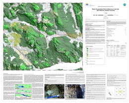 |
The Colleymount map area is underlain by Stikinia an island-arc terrane with high potential for mineralization. Exploration in the area is challenging due to extensive drift cover and sparse bedrock outcrop. Basal tills have a relatively simple transport and depositional history, thus are an ideal sampling media to explore for buried deposits. This basal till potential map is designed to help plan exploration projects in drift-covered areas by guiding surficial sediment geochemistry and mineralogy sampling programs to where basal till is most likely to occur. |
| Issue ID: | GM2014-01 |
| Title: | Surficial geology of the Nadina River area (NTS 93E/15), British Columbia |
| Author(s): | Ferbey, T. |
| Series Name: | Geoscience Map |
| Publication Year: | 2014 |
| Other Citation Details: | Also released as Geoscience BC Map 2014-09-01 |
| Scale: | 1:50000 |
| NTS Map Sheet(s): | 093E/15 |
| Place Keyword(s): | British Columbia, West-central, Nadina River area |
| Lat/Long (NSWE): | 54, 53.75, -127, -126.5 |
| Theme Keyword(s): | Quaternary geology, Surficial geology, surficial mapping |
Download(s):
| PDF, ZIP (View Zip Contents) |
Abstract:
 |
The silt plus clay-sized fraction of 79 basal till samples collected within the Nadina River map area (093E/15), located approximately 100 km south of Houston, B.C., was analyzed for 37 elements by inductively coupled plasma mass spectrometry (ICP-MS), following an aqua regia digestion, and 35 elements by instrumental neutron activation analysis (INAA). An additional 16 basal till samples were collected for analysis of heavy metal concentrates and gold grain counts. The spatial distribution of samples elevated in Cu, Mo, Pb, Zn, Ag, Ni, Hg, Au, As, Sb, Cr, and visible gold grains are the focus of this study. Data presented here highlight four areas of geochemical interest. Follow-up field work is required to assess the significance of the elevated element values used to identify these areas. |
| Issue ID: | OF2014-02 |
| Title: | Basal till potential of the Nadina River area (NTS 93E/15), British Columbia |
| Author(s): | Ferbey, T. |
| Series Name: | Open File |
| Publication Year: | 2014 |
| NTS Map Sheet(s): | 093E/15 |
| Place Keyword(s): | British Columbia, West-Central, Nadina River Area |
| Lat/Long (NSWE): | 54, 53.75, -127, -126.5 |
| Theme Keyword(s): | Basal till potential, till geochemistry |
Download(s):
| PDF, ZIP (View Zip Contents) |
Abstract:
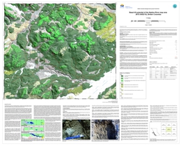 |
The Nadina River map area is underlain by Stikinia, an island-arc terrane with high potential for mineralization. Exploration in the area is challenging due to extensive drift cover and sparse bedrock outcrop. Basal tills have a relatively simple transport and depositional history, thus are an ideal sampling media to explore for buried deposits. This basal till potential map is designed to help plan exploration projects in drift-covered areas by guiding surficial sediment geochemistry and mineralogy sampling programs to where basal till is most likely to occur. |
| Issue ID: | GM2014-02 |
| Title: | Surficial geology of the Colleymount map area (NTS 93L/01), British Columbia |
| Author(s): | Ferbey, T. |
| Series Name: | Geoscience Map |
| Publication Year: | 2014 |
| Other Citation Details: | Also released as Geoscience BC Map 2014-09-02 |
| Scale: | 1:50000 |
| NTS Map Sheet(s): | 093L/01 |
| Place Keyword(s): | British Columbia, West-central, Nechako Plateau, Colleymount area |
| Lat/Long (NSWE): | 54.25, 54, -126.5, -126 |
| Theme Keyword(s): | Quaternary geology, Surficial geology, surficial mapping |
Download(s):
| PDF, ZIP (View Zip Contents) |
Abstract:
 |
The Colleymount map area is in the Nechako Plateau, a subdivision of the Interior Plateau with flat to gently rolling topography. The area has an extensive drift cover and sparse bedrock outcrop. This map is an ancillary product of earlier work devoted to till geochemistry (Open File 2011-06), and is based on air photo interpretation and widely spaced ground observations. |
| Issue ID: | GBCM2014-09-01 |
| Title: | Surficial geology of the Nadina River area (NTS 93E/15, British Columbia |
| Author(s): | Ferbey, T. |
| Series Name: | Geoscience BC Map |
| Publication Year: | 2014 |
| Other Citation Details: | Also released as BCGS Geoscience Map 2014-01 |
| Scale: | 1:50000 |
| NTS Map Sheet(s): | 093E/15 |
| Place Keyword(s): | British Columbia, West-Central, Nadina River area |
| Lat/Long (NSWE): | 54, 53.75, -127, -126.5 |
| Theme Keyword(s): | Quaternary geology, Surficial geology, surficial mapping |
Additional Link(s):
| https://cmscontent.nrs.gov.bc.ca/geoscience/PublicationCatalogue/GeoscienceMap/BCGS_GM2014-01.pdf
https://cmscontent.nrs.gov.bc.ca/geoscience/PublicationCatalogue/GeoscienceMap/BCGS_GM2014-01.zip |
Abstract:
| The Nadina River map area is in the Nechako Plateau, a subdivision of the Interior Plateau with flat to gently rolling topography. The area has an extensive drift cover and sparse bedrock outcrop. This map is an ancillary product of earlier work devoted to till geochemistry (Open File 2010-07), and is based on air photo interpretation and widely spaced ground observations. |
| Issue ID: | GBCR2014-09 |
| Title: | Surficial geology of the Nadina River and Colleymount map areas (NTS 93E/15 and 93L/01), British Columbia |
| Author(s): | Ferbey, T. |
| Series Name: | Geoscience BC Report |
| Publication Year: | 2014 |
| Other Citation Details: | Also released as BCGS Geoscience Maps 2014-01 and 2014-02 |
| Scale: | 1:50000 |
| NTS Map Sheet(s): | 093E/15 |
| Place Keyword(s): | British Columbia, West-Central, Nadina River area, Colleymount area |
| Lat/Long (NSWE): | 54.25, 53.75, -127, -126 |
| Theme Keyword(s): | Quaternary geology, Surficial geology, surficial mapping |
Additional Link(s):
| https://www2.gov.bc.ca/gov/content?id=27F1C8EB78234EFEBA1A7D012739B024#GM2014-02
https://cmscontent.nrs.gov.bc.ca/geoscience/PublicationCatalogue/GeoscienceMap/BCGS_GM2014-01.pdf |
Abstract:
| The Nadina River and Colleymount map areas are in the Nechako Plateau, a subdivision of the Interior Plateau with flat to gently rolling topography. The area has an extensive drift cover and sparse bedrock outcrop. These maps are an ancillary product of earlier work devoted to till geochemistry (GBC Reports 2010-10 and 2011-09, or BCGS Open Files 2010-07 and 2011-06), and are based on air photo interpretation and widely spaced ground observations. These maps are the final deliverables for Geoscience BC Project 2008-031 "Till Geochemistry of Tahtsa Lake District North and Adjacent Areas, West-Central British Columbia -- A Key Ingredient for the Discovery of New Porphyry, VMS, and Polymetallic Vein Mineralization", a Geoscience BC -- British Columbia Geological Survey partnership project. |
| Issue ID: | GBCR2014-10 |
| Title: | Regional Geochemical and Mineralogical Data, TREK Project, Interior Plateau, British Columbia |
| Author(s): | Jackaman, W.. |
| Series Name: | Geoscience BC Report |
| Publication Year: | 2014 |
| NTS Map Sheet(s): | 093B, C, F, G |
| Place Keyword(s): | British Columbia, Central British Columbia |
| Lat/Long (NSWE): | 54.2, 52.2, -126, -123 |
| Theme Keyword(s): | TREK Project, till geochemistry, regional geochemistry, basal till potential mapping, Geoscience BC |
Abstract:
| Geoscience BC Report 2014-10 presents the geochemical and mineralogical data from the first year of the TREK surface geochemistry survey. TREK, short for Targeting Resources through Exploration and Knowledge, is a regional project designed to provide a new geological understanding of the central part of British Columbia's Interior Plateau to encourage exploration in this highly prospective, yet underexplored, region of the province. To accomplish this goal, regional data including surface geochemistry, airborne geophysics and geology data will be integrated. The surface geochemistry program will compile a comprehensive data set consisting of new and historical geochemical data and the reanalysis results of archived samples. This first year (2013) of the TREK surface geochemistry survey focused on the eastern portion of the TREK project area. Basal till is the primary sample medium of the geochemistry survey and is targeted using basal till potential maps produced for this project (Sacco et al., 2014). Where till was not present, lake sediment samples were collected. These sample results alone, and combined with the TREK airborne geophysical survey (Geoscience BC Report 2014-04), will provide new geological information to help vector exploration efforts in BC's Interior. |
| Issue ID: | IC2014-08 |
| Title: | Opportunities to Explore - British Columbia Minerals and Coal Industry |
| Author(s): | BC Geological Survey |
| Series Name: | Information Circular |
| Publication Year: | 2014 |
| NTS Map Sheet(s): | 082;083;092;093;094;102;103;104;114 |
| Place Keyword(s): | British Columbia |
| Lat/Long (NSWE): | 60, 48, -140, -114 |
| Theme Keyword(s): | Metal and coal mines, exploration and mining, opportunities to explore, regulatory process, investment |
Download(s):
| PDF |
Abstract:
 |
Intended for investors and the general public, Information Circular 2014-08 describes opportunities in British Columbia's minerals and coal industries. It summarizes what commodities the province produces, infrastructure supporting exploration and mining, tenure and permitting procedures, First Nations relations, taxation rules, and investment incentives, and provides contacts and sources of detailed information. |
| Issue ID: | IC2014-06 |
| Title: | Refractory minerals in British Columbia, Canada, 2014 |
| Author(s): | Simandl, G.J., Paradis, S., Luck, P. |
| Series Name: | Information Circular |
| Publication Year: | 2014 |
| NTS Map Sheet(s): | 082;083;092;093;094;102;103;104;114 |
| Place Keyword(s): | British Columbia |
| Lat/Long (NSWE): | 60, 48, -140, -114 |
| Theme Keyword(s): | refractory minerals, heat insulation products, magnesite, kyanite, andalusite |
Download(s):
| PDF |
Abstract:
 |
Magnesite, silica, olivine, kyanite, andalusite, refractory clays and shale, pyrophyllite, graphite , chromite, and dolomite are some of the traditional refractory minerals in British Columbia. Besides these, the province also has deposits of lightweight heat-insulating materials such as pumice, mineral wool, perlite and vermiculite. The internal demand for traditional heavy-duty refractory raw materials in British Columbia is limited. However, these minerals also have a non-refractory applications and are traded internationally, either in raw form or after processing. |
| Issue ID: | IC2014-07 |
| Title: | British Columbia Geological Survey Brochure |
| Author(s): | BC Geological Survey |
| Series Name: | Information Circular |
| Publication Year: | 2014 |
| NTS Map Sheet(s): | 082;083;092;093;094;102;103;104;114 |
| Place Keyword(s): | British Columbia |
| Lat/Long (NSWE): | 60, 48, -139, -114 |
| Theme Keyword(s): | Information Circular, Geological Survey Branch, Brochure, projects and activities |
Download(s):
| PDF |
Abstract:
 |
Information Circular 2014-07 summarizes the British Columbia Geological Survey's core programs, projects, and activities for 2014. |
| Issue ID: | IC2014-09 |
| Title: | Online databases at the British Columbia Geological Survey |
| Author(s): | BC Geological Survey |
| Series Name: | Information Circular |
| Publication Year: | 2014 |
| NTS Map Sheet(s): | 082;083;092;093;094;102;103;104;114 |
| Place Keyword(s): | British Columbia |
| Lat/Long (NSWE): | 60, 48, -139, -114 |
| Theme Keyword(s): | online databases, British Columbia Geological Survey, MapPlace, MINFILE, ARIS, COALFILE, Property File, geochemical, digital geology, publications catalog |
Download(s):
| PDF |
Abstract:
 |
Information Circular 2014-09 summarizes the British Columbia Geological Survey's online databases, including MapPlace, ARIS, MINFILE, COALFILE, Property File, geochemical, digital geology and publications catalogue. |
| Issue ID: | OGAR2014-01 |
| Title: | Summary of Shale Gas Activity in Northeast British Columbia 2013 |
| Author(s): | Adams, C. |
| Series Name: | Oil and Gas Activity Reports |
| Publication Year: | 2014 |
| NTS Map Sheet(s): | 094; |
| Place Keyword(s): | British Columbia, Northeast BC, Montney, Horn River Basin, Liard Basin |
| Lat/Long (NSWE): | 60, 54, -126, -120 |
| Theme Keyword(s): | Shale Gas, industry activity, exploration and development, petroleum and natural gas |
Download(s):
| PDF |
Abstract:
| Shale gas prospects in Northeast British Columbia continued to be the focus of industry in 2013 with most load sale and drilling activity occurring in the Montney play trend. |
| Issue ID: | OGR2003-01 |
| Title: | Exploration Assessment of Deep Devonian Gas Plays, Northeast British Columbia |
| Author(s): | Petrel Robertson for MEM |
| Series Name: | Oil and Gas Reports |
| Publication Year: | 2003 |
| NTS Map Sheet(s): | 094 |
| Place Keyword(s): | British Columbia, Northeast |
| Lat/Long (NSWE): | 60, 56, -128, -120 |
| Theme Keyword(s): | Oil, Gas, Devonian, Reservoirs, high-impact |
Download(s):
| PDF |
Abstract:
| Deep Devonian reservoirs in northeastern British Columbia, including the Chinchaga, Keg River, Sulphur Point and Slave Point formations, have been prolific gas producers since the 1950's. However, there is still abundant potential for high-impact gas discoveries along new and established exploration fairways, as outlined in this report. |
| Issue ID: | OGR2000-01 |
| Title: | Belloy Formation and Stoddart Group Zone Designations: Fort St. John Graben, British Columbia |
| Author(s): | Hayes, M. |
| Series Name: | Oil and Gas Reports |
| Publication Year: | 2000 |
| NTS Map Sheet(s): | 094 |
| Place Keyword(s): | British Columbia, Northeast, Peace River Block, Belloy Formation, Stoddart Group |
| Lat/Long (NSWE): | 60, 56, -128, -120 |
| Theme Keyword(s): | zone, designation, P&NG rights, geological interval |
Download(s):
| PDF |
Additional Link(s):
| http://www2.gov.bc.ca/assets/gov/farming-natural-resources-and-industry/natural-gas-oil/petroleum-geoscience/oil-gas-reports/og-report2000-1/report-fsj.pdf |
Abstract:
| The Petroleum Lands Branch uses a zone designation to formally type a geological section for the purpose of describing petroleum and natural gas (P&NG) rights held under title by stratigraphic interval. A zone designation is meant to represent a specific related geological interval and be clear enough that no disputes will arise over the ownership of P&NG rights within this interval, even when correlated over large distances. |
| Issue ID: | OGR1993-01 |
| Title: | Jean Marie Member in the Hossitl-Ring Area, British Columbia |
| Author(s): | McAdam, K.A. |
| Series Name: | Oil and Gas Reports |
| Publication Year: | 1993 |
| NTS Map Sheet(s): | 094 |
| Place Keyword(s): | British Columbia, Northeast, Redknife Formation, Jean Marie, Trout River |
| Lat/Long (NSWE): | 60, 57, -122, -120 |
| Theme Keyword(s): | Jean Marie, exploration leads, limestone, dolomitic, calcilutite |
Download(s):
| PDF |
Additional Link(s):
| http://www2.gov.bc.ca/assets/gov/farming-natural-resources-and-industry/natural-gas-oil/petroleum-geoscience/oil-gas-reports/og_report1993-1_part2.pdf
http://www2.gov.bc.ca/assets/gov/farming-natural-resources-and-industry/natural-gas-oil/petroleum-geoscience/oil-gas-reports/og_report1993-1-2_part3.pdf |
Abstract:
| This study covers that part of the Interior Plains in northeastern British Columbia. The study purpose is to update an earlier (1981) internal report, to review general exploration and production activity, and to highlight potentially significant Jean Marie exploration leads. Three subsurface maps and two wireline log cross-sections were prepared in the course of this study. |
| Issue ID: | OGR1992-01 |
| Title: | Cadomin/Buick Creek Subsurface Correlations |
| Author(s): | Rudolph, T. |
| Series Name: | Oil and Gas Reports |
| Publication Year: | 1992 |
| NTS Map Sheet(s): | 094 |
| Place Keyword(s): | British Columbia, Northeast BC, Peace River |
| Lat/Long (NSWE): | 60, 54, -126, -120 |
| Theme Keyword(s): | Map, Cross-section, subsurface, correlation |
Download(s):
| PDF |
Additional Link(s):
| http://www2.gov.bc.ca/assets/gov/farming-natural-resources-and-industry/natural-gas-oil/petroleum-geoscience/oil-gas-reports/og-report1992-1/statigraphic_cross_section_b-b.pdf
http://www2.gov.bc.ca/assets/gov/farming-natural-resources-and-industry/natural-gas-oil/petroleum-geoscience/oil-gas-reports/og-report1992-1/statigraphic_cross_section_c-c_comp.pdf |
Abstract:
| Map showing Cadomin/Buick Creek Subsurface Correlation, Peace River Area, BC |
| Issue ID: | OGR1990-01 |
| Title: | Sedimentology and Petroleum Geology of the Artex Member (Charlie Lake Formation), Northeastern British Columbia |
| Author(s): | Higgs, R. |
| Series Name: | Oil and Gas Reports |
| Publication Year: | 1990 |
| NTS Map Sheet(s): | 094 |
| Place Keyword(s): | British Columbia, Northeast BC, Charlie Lake, Artex Member |
| Lat/Long (NSWE): | 60, 56, -122, -120 |
| Theme Keyword(s): | Sedimentology, Petroleum, Geology |
Download(s):
| PDF |
Additional Link(s):
| http://www2.gov.bc.ca/assets/gov/farming-natural-resources-and-industry/natural-gas-oil/petroleum-geoscience/oil-gas-reports/og_report1990-1_artex_higgs_part1.pdf
http://www2.gov.bc.ca/assets/gov/farming-natural-resources-and-industry/natural-gas-oil/petroleum-geoscience/oil-gas-reports/og_report1990-1_artex_higgs_part2.pdf
http://www2.gov.bc.ca/assets/gov/farming-natural-resources-and-industry/natural-gas-oil/petroleum-geoscience/oil-gas-reports/og_report1990-1_artex_higgs-part3.pdf |
Abstract:
| Nine maps showing the sedimentology and petroleum geology of the Artex Member (Charlie Lake Formation), Northeastern British Columbia |
| Issue ID: | OGR1987-01 |
| Title: | Mississippian Subsurface Correlation 1987 |
| Author(s): | English, J. |
| Series Name: | Oil and Gas Reports |
| Publication Year: | 1987 |
| NTS Map Sheet(s): | 094 |
| Place Keyword(s): | British Columbia, Northeast BC, Banff Formation |
| Lat/Long (NSWE): | 60, 56, -122, -120 |
| Theme Keyword(s): | Mississippian, Subsurface, Correlations, Stratigraphic, Cross-sections |
Download(s):
| PDF |
Abstract:
| Stratigraphic Cross Sections for Mississippian Subsurface Correlations, Northeast British Columbia |
| Issue ID: | OGR1986-01 |
| Title: | Mississippian Subsurface Correlation 1986 |
| Author(s): | English, J. |
| Series Name: | Oil and Gas Reports |
| Publication Year: | 1986 |
| NTS Map Sheet(s): | 094 |
| Place Keyword(s): | British Columbia, Northeast BC, Banff Formation |
| Lat/Long (NSWE): | 60, 56, -122, -120 |
| Theme Keyword(s): | Mississippian, Subsurface, Correlations, Stratigraphic, Cross-sections |
Download(s):
| PDF |
Abstract:
| Stratigraphic Cross Sections for Mississippian Subsurface Correlations, Northeast British Columbia |
| Issue ID: | OGR1983-01 |
| Title: | Devonian Subsurface Correlations |
| Author(s): | McAdam, K.A. |
| Series Name: | Oil and Gas Reports |
| Publication Year: | 1983 |
| NTS Map Sheet(s): | 094 |
| Place Keyword(s): | British Columbia, Northeast BC |
| Lat/Long (NSWE): | 60, 56, -122, -120 |
| Theme Keyword(s): | Devonian, Subsurface, Correlations, Stratigraphic, Cross-sections |
Download(s):
| PDF |
Abstract:
| Stratigraphic Cross Sections for Devonian Subsurface Correlations, Northeast British Columbia |
| Issue ID: | OGR1979-01 |
| Title: | Charlie Lake Formation Preliminary Gamma Log Correlations |
| Author(s): | McAdam, K.A. |
| Series Name: | Oil and Gas Reports |
| Publication Year: | 1979 |
| NTS Map Sheet(s): | 094; |
| Place Keyword(s): | British Columbia, Northeast BC, Charlie Lake |
| Lat/Long (NSWE): | 60, 54, -122, -120 |
| Theme Keyword(s): | Preliminary, Gamma, Log, Correlations, Cross-section |
Download(s):
| PDF |
Abstract:
| Charlie Lake Formation - Preliminary Gamma Log Correlations |
| Issue ID: | OGR2015-01 |
| Title: | Unconventional Natural Gas Assessment for the Cordova Embayment in Northeastern British Columbia |
| Author(s): | British Columbia Ministry of Natural Gas Development |
| Series Name: | Oil and Gas Reports |
| Publication Year: | 2015 |
| NTS Map Sheet(s): | 094P;095A |
| Place Keyword(s): | British Columbia, Northeast BC |
| Lat/Long (NSWE): | 60.5, 59.5, -121, -120.5 |
| Theme Keyword(s): | Shale gas potential, Cordova Embayment, Geological setting |
Download(s):
| PDF |
Abstract:
| The marketable unconventional shale gas potential within the Cordova Embayment in British Columbia has been evaluated by the British Columbia Ministry of Natural Gas Development and the British Columbia Oil and Gas Commission. The volume of marketable natural gas for shale formations within the Cordova Embayment is estimated to be 249.2 billion m3 (8.8 trillion cubic feet (Tcf)). |
| Issue ID: | GM2014-03 |
| Title: | Geology of the north and mid-coast regions, British Columbia (Parts of NTS 103 -A, -G, -H, -I and -J) |
| Author(s): | Nelson, J.L., Diakow, L.J., Mahoney, J.B., Gehrels, G.E., van Staal, C.R., Karl, S., Pecha, M., Angen, J.J. |
| Series Name: | Geoscience Map |
| Publication Year: | 2014 |
| NTS Map Sheet(s): | 103A,G,H,I,J |
| Place Keyword(s): | British Columbia, West-central, Mid Coast, Coast Mountains, Inside Passage |
| Lat/Long (NSWE): | 55, 52, -132, -128 |
| Theme Keyword(s): | Geology, Alexander Terrane, Coast Plutonic Complex, plutonic suites, geochronology |
Download(s):
| PDF |
Abstract:
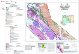 |
This set of two 1:150,000 sheets includes the westernmost Coast Mountains, the Inside Passage and surrounding islands between Porcher Island and Klemtu. The area is underlain by metamorphosed rocks of the Alexander terrane, which are intruded by eastward-younging Late Jurassic to Paleocene plutonic belts of the Coast Plutonic Complex. This work has subdivided the Alexander terrane in coastal northwestern British Columbia for the first time, and has demonstrated correlations with better-known exposures in southeastern Alaska and the St. Elias Range. It also assigns intrusive bodies to plutonic suites, based on new U-Pb geochronology. Mapping between 2008 and 2012 was supported by the Natural Resources Canada Geoscience for Energy and Minerals Program, Multi-metals Northwest Cordillera Project (Geological Survey of Canada) and the British Columbia Geological Survey. |
| Issue ID: | OGGR2004-01 |
| Title: | Sand and Gravel Mapping in Northeast British Columbia Using Airborne Electromagnetic Surveying Methods |
| Author(s): | Best, M.E., Levson, V.M., McConnell, D. |
| Purpose: | To test the effectiveness of using airborne electromagnetic (EM) data for detecting such buried gravel deposits. |
| Series Name: | Oil and Gas Geoscience Reports |
| Publication Year: | 2004 |
| Larger Work Citation: | in Summary of Activities 2004, Resource Development and Geoscience Branch, 2004, pages 1 to 6 |
| NTS Map Sheet(s): | 094I |
| Place Keyword(s): | British Columbia, northeast British Columbia, Kotcho area |
| Lat/Long (NSWE): | 59, 58.7, -120.8, -120.2 |
| Theme Keyword(s): | Sand and gravel deposits, airborne EM, resistivity, geophysics, aggregates |
Download(s):
| PDF |
Abstract:
| The study area of this paper occurs along the Kotcho winter road, about 40 km east of the Sierra-Yoyo-Desan (SYD) Road. After initial identification of the area from the shot hole data, the Ministry of Energy and Mines contracted a geotechnical aggregate investigation in the region. The results of the study identified an area approximately 700m long by 100-400 m wide that contained an estimated 410,000 cubic metres of sandy gravel (Dewer and Polysou, 2003). Excavations in the vicinity of the deposit showed gravels underlying silt rich sediments. The buried sands and gravels were encountered in 10 test pits in an elongated, southwest-trending area, oblique to present surface stream channels. In the core of the deposit, the sands and gravels are at least 5 m thick and in six of the test holes the base of the deposit was not encountered. Surprisingly, the water table was encountered in only one test hole at the south-eastern most edge of the deposit. |
| Issue ID: | OGGR2014-00 |
| Title: | Oil and Gas Geoscience Report 2014 |
| Author(s): | Ferri, F. |
| Series Name: | Oil and Gas Geoscience Reports |
| Publication Year: | 2014 |
| Larger Work Citation: | Oil and Gas Geoscience Report 2014 |
| NTS Map Sheet(s): | 094 |
| Place Keyword(s): | British Columbia, Northeast BC, Cordova Embayment, Halfway Formation, North Pine oil pool |
| Lat/Long (NSWE): | 60, 54, -126, -120 |
| Theme Keyword(s): | Passey log based methodology, petroleum hydrogeology, condensate production, air-photo study, historical aerial data |
Download(s):
| PDF |
Additional Link(s):
| http://www2.gov.bc.ca/assets/gov/farming-natural-resources-and-industry/natural-gas-oil/petroleum-geoscience/geoscience-reports/2014/toc_2014.pdf
http://www2.gov.bc.ca/assets/gov/farming-natural-resources-and-industry/natural-gas-oil/petroleum-geoscience/geoscience-reports/2014/foreword_ferri.pdf |
Abstract:
| Geoscience Reports is an annual publication that summarized petroleum-related projects undertaken by staff within the Petroleum Geoscience Section. This public geoscience information provides baseline, regional data that can be used by those undertaking exploration and development within the petroleum sector of the province. These reports not only promote the petroleum resources of the province, but also support responsible development and the formulation of related policy. |
| Issue ID: | OGGR2014-01 |
| Title: | Organic Shale Potential of the Muskwa-Otter Park Interval Within the Cordova Embayment Area of Northeastern British Columbia using Sonic and Resistivity Logs |
| Author(s): | Balogun, A. |
| Series Name: | Oil and Gas Geoscience Reports |
| Publication Year: | 2014 |
| Larger Work Citation: | Oil and Gas Geoscience Report 2014 |
| NTS Map Sheet(s): | 094 |
| Place Keyword(s): | British Columbia, Northeast BC, Cordova Embayment, Muskwa-Otter Park |
| Lat/Long (NSWE): | 60, 54, -126, -120 |
| Theme Keyword(s): | Organic shale, potential, sonic, resistivity logs, organic carbon |
Download(s):
| PDF |
Abstract:
| The objective of this study was to use well logs to appraise the amount and distribution of total organic carbon (TOC) within the Muskwa-Otter Park interval of the Cordova Embayment. Data obtained from this study will supplement available TOC data to estimate volume of hydrocarbon in-place within the Cordova Embayment. |
| Issue ID: | OGGR2014-02 |
| Title: | Petroleum Hydrogeology of the Halfway Formation, Northeastern British Columbia |
| Author(s): | Janicki, E. |
| Series Name: | Oil and Gas Geoscience Reports |
| Publication Year: | 2014 |
| Larger Work Citation: | Oil and Gas Geoscience Report 2014 |
| NTS Map Sheet(s): | 094 |
| Place Keyword(s): | British Columbia, Northeast BC, Halfway Formation, Peace River, Fort St. John |
| Lat/Long (NSWE): | 60, 54, -126, -120 |
| Theme Keyword(s): | petroleum, potentiometric, hydrodynamics, drillstem test, salinity |
Download(s):
| PDF |
Abstract:
| The petroleum hydrogeology of the Halfway Formation is one component of a detailed examination of British Columbia's exciting Halfway Formation oil producers. Petroleum hydrodynamics provides insight on factors important for exploration and development such as fluid flow direction, connectivity of reservoirs, trapping mechanisms and oil-gas-water contacts. |
| Issue ID: | OGGR2014-03 |
| Title: | Fort St. John Oil Field: North Pine A Pool |
| Author(s): | Janicki, E. |
| Series Name: | Oil and Gas Geoscience Reports |
| Publication Year: | 2014 |
| Larger Work Citation: | Oil and Gas Geoscience Report 2014 |
| NTS Map Sheet(s): | 094 |
| Place Keyword(s): | British Columbia, Northeast BC, North Pine, Fort St. John oil field, Alaska Highway |
| Lat/Long (NSWE): | 60, 54, -126, -120 |
| Theme Keyword(s): | pool, oil, permit, water-cut, Triassic |
Download(s):
| PDF |
Abstract:
| The North Pine A pool in the Fort St. John Oil Field is one of the oldest discoveries in British Columbia. Like most early oil discoveries in the province, exploration was facilitated by proximity to the Alaska Highway, which was built in the 1940s to improve access to Alaska during World War II. Oil and gas rights for this pool were first issued as permit 22 by the Government of British Columbia to the Peace River Natural Gas Company in 1949. |
| Issue ID: | OGGR2014-04 |
| Title: | Thermal Maturity and Regional Distribution of the Muskwa Formation, Northeastern British Columbia |
| Author(s): | Ferri, F., Griffiths, M. |
| Series Name: | Oil and Gas Geoscience Reports |
| Publication Year: | 2014 |
| Larger Work Citation: | Oil and Gas Geoscience Report 2014 |
| NTS Map Sheet(s): | 094 |
| Place Keyword(s): | British Columbia, Northeast BC, Muskwa Formation, Horn River Formation, Horn River Basin |
| Lat/Long (NSWE): | 60, 54, -126, -120 |
| Theme Keyword(s): | thermal maturity, condensate, oil |
Download(s):
| PDF |
Abstract:
| The Muskwa Formation is a Late Devonian (Frasnian) unit that conformably underlies the Fort Simpson shale and is likely found throughout all of northeastern British Columbia, except in the region of the Peace River high. In northeastern British Columbia, the Muskwa Formation also overlies the Slave Point, Waterways and Keg River Formations (Evie reef complex) and Otter Park carbonates as its lower contact moves from shelf to basin. |
| Issue ID: | GF2014-10 |
| Title: | Supplementary data for Carlin-type geochemical signal in lake and stream sediments from Kechika trough, north-central British Columbia |
| Author(s): | Rukhlov, A., Han, T., Nelson, J.L., Hickin, A., Ferri , F. |
| Series Name: | GeoFile |
| Publication Year: | 2014 |
| NTS Map Sheet(s): | 094L, 094M, 104I, 104P, 095D, 105A |
| Place Keyword(s): | British Columbia, Northern BC, Yukon |
| Lat/Long (NSWE): | 61, 58.4, -128.6, -126.3 |
| Theme Keyword(s): | Carlin-type gold, gold deposits, Kechika trough, Rackla belt |
Download(s):
| ZIP (View Zip Contents) |
Abstract:
 |
GeoFile 2014-10 provides tables for geochemical analyses of lake- and stream-sediment samples collected by the Regional Geochemical Survey (RGS) and National Geochemical Reconnaissance (NGR) from the Kechika trough, north-central British Columbia and the Rackla belt, east-central Yukon. It serves as a data repository for interpretations presented by Rukhlov et al., 2015 in BC Geological Fieldwork 2014. |
| Issue ID: | OGM2003-03 |
| Title: | Geophysical Resolve EM Survey over Kotcho Area - Total Magnetic Field Map |
| Author(s): | Fugro Airborne Surveys |
| Series Name: | Oil and Gas Maps and Misc. |
| Publication Year: | 2003 |
| NTS Map Sheet(s): | 094I/15 |
| Place Keyword(s): | British Columbia, Northeastern British Columbia, Kotcho |
| Lat/Long (NSWE): | 58.95, 58.94, -120.66, -120.65 |
| Theme Keyword(s): | magnetic field, geophysical, resolve survey, airborne, electromagnetic |
Download(s):
| PDF |
Abstract:
| This map shows the total magnetic field for the 2003 RESOLVE airborne geophysical survey carried out over the Kotcho area in northeastern British Columbia by Fugro Airborne Surveys. |
| Issue ID: | OGM2003-02 |
| Title: | Geophysical Resolve EM Survey over Kotcho Area - Inversions and Sections |
| Author(s): | Fugro Airborne Surveys |
| Purpose: | To detect aggregate deposits. |
| Series Name: | Oil and Gas Maps and Misc. |
| Publication Year: | 2003 |
| NTS Map Sheet(s): | 094I/15 |
| Place Keyword(s): | British Columbia, Northeastern British Columbia, Kotcho |
| Lat/Long (NSWE): | 58.95, 58.94, -120.66, -120.65 |
| Theme Keyword(s): | geophysical, resolve survey, inversion, electromagnetic, aggregate |
Download(s):
| PDF |
Abstract:
| This report compliments the summary report with layer inversion and differential resistivity results from the 2003 RESOLVE airborne geophysical survey carried out over the Kotcho area, British Columbia. |
| Issue ID: | OGM2004-01B |
| Title: | Geophysical Resolve EM Survey over Kotcho Area - Apparent Resistivity 1500 Hz Coplanar Frequency |
| Author(s): | Fugro Airborne Surveys |
| Series Name: | Oil and Gas Maps and Misc. |
| Publication Year: | 2003 |
| Scale: | 1:20000 |
| NTS Map Sheet(s): | 094I/15 |
| Place Keyword(s): | British Columbia, Northeastern British Columbia, Kotcho |
| Lat/Long (NSWE): | 58.95, 58.94, -120.66, -120.65 |
| Theme Keyword(s): | resistivity, coplanar, magnetic field, geophysical, airborne |
Download(s):
| PDF |
Abstract:
| This map shows the apparent resistivity 1500 Hz coplanar for the 2003 RESOLVE airborne geophysical survey carried out over the Kotcho area in northeastern British Columbia. |
| Issue ID: | OGM2004-01A |
| Title: | Geophysical Resolve EM Survey over Kotcho Area - Apparent Resistivity 400 Hz Coplanar Frequency |
| Author(s): | Fugro Airborne Surveys |
| Series Name: | Oil and Gas Maps and Misc. |
| Publication Year: | 2003 |
| Scale: | 1:20000 |
| NTS Map Sheet(s): | 094I/15 |
| Place Keyword(s): | British Columbia, Northeastern British Columbia, Kotcho |
| Lat/Long (NSWE): | 58.95, 58.94, -120.66, -120.65 |
| Theme Keyword(s): | resistivity, coplanar, magnetic field, geophysical, airborne |
Download(s):
| PDF |
Abstract:
| This map shows the apparent resistivity 400 Hz coplanar for the 2003 RESOLVE airborne geophysical survey carried out over the Kotcho area in northeastern British Columbia. |
| Issue ID: | OGM2003-01 |
| Title: | Geophysical Resolve EM Survey over Kotcho Area - Summary Report |
| Author(s): | Fugro Airborne Surveys |
| Purpose: | To detect aggregate deposits |
| Series Name: | Oil and Gas Maps and Misc. |
| Publication Year: | 2003 |
| NTS Map Sheet(s): | 094I/15 |
| Place Keyword(s): | British Columbia, Northeaster British Columbia, Kotcho |
| Lat/Long (NSWE): | 58.95, 58.94, -120.66, -120.65 |
| Theme Keyword(s): | geophysical, resolve survey, airborne, aggregate, electromagnetic |
Download(s):
| PDF |
Abstract:
| This summary report describes the logistics, data acquisition and processing of a RESOLVE airborne geophysical survey carried out over the Kotcho area, British Columbia in 2003. |
| Issue ID: | OGM2004-02 |
| Title: | Terrain Stability and Landslide Mapping for Northeast British Columbia |
| Author(s): | Ministry of Energy, Mines and Petroleum Resources |
| Series Name: | Oil and Gas Maps and Misc. |
| Publication Year: | 2004 |
| NTS Map Sheet(s): | 093I; 093P; 094A,B,G,H,I,J,K,L,N,O,P |
| Place Keyword(s): | British Columbia, Northeastern British Columbia, Peace Forest District |
| Lat/Long (NSWE): | 60, 54, -129, -120 |
| Theme Keyword(s): | terrain, stability, landslide, mapping |
Download(s):
| PDF |
Abstract:
| This map shows terrain stability and landslide mapping for northeastern British Columbia. |
| Issue ID: | OGM2005-02 |
| Title: | Surficial Geology and Aggregate Potential Mapping for Northeast British Columbia |
| Author(s): | Ministry of Energy, Mines and Petroleum Resources |
| Series Name: | Oil and Gas Maps and Misc. |
| Publication Year: | 2005 |
| NTS Map Sheet(s): | 093I; 093P; 094A,B,G,H,I,J,O,P |
| Place Keyword(s): | British Columbia, Northeastern British Columbia |
| Lat/Long (NSWE): | 60, 54, -124, -120 |
| Theme Keyword(s): | surficial geology, aggregate, potential, mapping |
Additional Link(s):
| http://www2.gov.bc.ca/gov/content/industry/natural-gas-oil/petroleum-geoscience/petroleum-geoscience-publications/petroleum-maps-and-figures |
Abstract:
| This map shows surficial geology and aggregate potential for northeast British Columbia. |
| Issue ID: | OGM2011-02a |
| Title: | Compilation of Geological Survey of Canada surficial geology maps (NTS 94A and 93P) |
| Author(s): | Hickin, A.S., Fournier, M.A. |
| Series Name: | Oil and Gas Maps and Misc. |
| Publication Year: | 2011 |
| NTS Map Sheet(s): | 094A; 093P |
| Place Keyword(s): | British Columbia, Northeast |
| Lat/Long (NSWE): | 57, 55, -122, -120 |
| Theme Keyword(s): | surficial, geology, compilation map |
Download(s):
| PDF |
Abstract:
| Compilation of Geological Survey of Canada Surficial Geology Maps for NTS 94A and 93P. The map presented is a compilation of surface materials from two previously published 1:250 000 surficial geology maps completed by the Geological Survey of Canada. The extent, geometry, and interpretation of surface material polygons has not been changed from the original maps with the exception of those along the map boundary. Polygon labels have been modified and summarized to conform to the Geological Survey of Canada's preliminary national surficial geology legend.
Funding for this work was provided, in part, by the Montney Water Project, a collaborative effort between Geoscience BC, industry partners and the BC government, with support from the Science and Community Environmental Knowledge Fund. |
| Issue ID: | OGMP1998-01 |
| Title: | Coalfields and Coalbed Gas Potential in British Columbia |
| Author(s): | Hannigan, P., Lee, P.J., Osadetz, K.G., et al |
| Series Name: | Oil and Gas Maps and Misc. |
| Publication Year: | 1998 |
| NTS Map Sheet(s): | 082;083;092;093;094;102;103;104;114 |
| Place Keyword(s): | British Columbia |
| Lat/Long (NSWE): | 60, 49, -139, -114 |
| Theme Keyword(s): | Coalfields, Coalbed gas, potential |
Download(s):
| PDF |
Abstract:
| Estimated Coalbed Methane Gas in Place |
| Issue ID: | OGMP2001-01 |
| Title: | Nechako Oil and Gas Assessment |
| Author(s): | Ministry of Energy and Mines |
| Series Name: | Oil and Gas Maps and Misc. |
| Publication Year: | 2001 |
| NTS Map Sheet(s): | 082;083;092;093 |
| Place Keyword(s): | British Columbia, Nechako |
| Lat/Long (NSWE): | 55, 49, -139, -114 |
| Theme Keyword(s): | Oil, Gas, assessment |
Download(s):
| PDF |
Abstract:
| This map shows Map 1 of 5 of the Nechako Oil and Gas Assessment. |
| Issue ID: | OGMP2001-02 |
| Title: | Nechako Oil and Gas Assessment |
| Author(s): | Ministry of Energy and Mines |
| Series Name: | Oil and Gas Maps and Misc. |
| Publication Year: | 2001 |
| NTS Map Sheet(s): | 082;083;092;093 |
| Place Keyword(s): | British Columbia, Nechako |
| Lat/Long (NSWE): | 55, 49, -139, -114 |
| Theme Keyword(s): | Oil, Gas, assessment |
Download(s):
| PDF |
Abstract:
| This map shows Map 2 of 5 of the Nechako Oil and Gas Assessment. |
| Issue ID: | OGMP2001-03 |
| Title: | Nechako Oil and Gas Assessment |
| Author(s): | Ministry of Energy and Mines |
| Series Name: | Oil and Gas Maps and Misc. |
| Publication Year: | 2001 |
| NTS Map Sheet(s): | 082;083;092;093 |
| Place Keyword(s): | British Columbia, Nechako |
| Lat/Long (NSWE): | 55, 49, -139, -114 |
| Theme Keyword(s): | Oil, Gas, assessment |
Download(s):
| PDF |
Abstract:
| This map shows Map 3 of 5 of the Nechako Oil and Gas Assessment. |
| Issue ID: | OGMP2001-04 |
| Title: | Nechako Oil and Gas Assessment |
| Author(s): | Ministry of Energy and Mines |
| Series Name: | Oil and Gas Maps and Misc. |
| Publication Year: | 2001 |
| NTS Map Sheet(s): | 082;083;092;093 |
| Place Keyword(s): | British Columbia, Nechako |
| Lat/Long (NSWE): | 55, 49, -139, -114 |
| Theme Keyword(s): | Oil, Gas, assessment |
Download(s):
| PDF |
Abstract:
| This map shows Map 4 of 5 of the Nechako Oil and Gas Assessment. |
| Issue ID: | OGMP2001-05 |
| Title: | Nechako Oil and Gas Assessment |
| Author(s): | Ministry of Energy and Mines |
| Series Name: | Oil and Gas Maps and Misc. |
| Publication Year: | 2001 |
| NTS Map Sheet(s): | 082;083;092;093 |
| Place Keyword(s): | British Columbia, Nechako |
| Lat/Long (NSWE): | 55, 49, -139, -144 |
| Theme Keyword(s): | Oil, Gas, assessment |
Download(s):
| PDF |
Abstract:
| This map shows Map 5 of 5 of the Nechako Oil and Gas Assessment. |
| Issue ID: | OGMP2003-01 |
| Title: | Bowser Basin Landsat Image |
| Author(s): | Ministry of Energy and Mines |
| Series Name: | Oil and Gas Maps and Misc. |
| Publication Year: | 2003 |
| Scale: | 1:750000 |
| NTS Map Sheet(s): | 093E,F,K,L,M,N, 094C-F,K-M, 103H,I,O,P, 104A,B,G,H,I,J |
| Place Keyword(s): | British Columbia, Northern BC, Bowser Basin |
| Lat/Long (NSWE): | 59, 53, -132, -124 |
| Theme Keyword(s): | Landsat, Image |
Download(s):
| PDF |
Abstract:
| This map shows the Bowser Basin Landsat Image at a scale of 1:750 000. |
| Issue ID: | OGMP2003-05 |
| Title: | Bowser Basin - Geology and Infrastructure |
| Author(s): | Ministry of Energy and Mines |
| Series Name: | Oil and Gas Maps and Misc. |
| Publication Year: | 2003 |
| Scale: | 1:750000 |
| NTS Map Sheet(s): | 093E,F,K,L,M,N, 094C-F,K-M, 103H,I,O,P, 104A,B,G,H,I,J |
| Place Keyword(s): | British Columbia, Northern BC, Bowser Basin |
| Lat/Long (NSWE): | 59, 53, -132, -124 |
| Theme Keyword(s): | Geology, Infrastructure |
Download(s):
| PDF |
Abstract:
| This map shows the geology and infrastructure of the Bowser Basin. |
| Issue ID: | OGMP2007-01 |
| Title: | Cretaceous Shale Gas Activity in Northeast British Columbia |
| Author(s): | Ministry of Energy, Mines and Petroleum Resources |
| Series Name: | Oil and Gas Maps and Misc. |
| Publication Year: | 2007 |
| Scale: | 1:250000 |
| NTS Map Sheet(s): | 094A,B,G,H,I,J |
| Place Keyword(s): | British Columbia, Northeast |
| Lat/Long (NSWE): | 60, 56, -124, -120 |
| Theme Keyword(s): | Shale, Gas, Activity, Cretaceous |
Download(s):
| PDF |
Abstract:
| This map shows cretaceous shale gas activity in northeast British Columbia at a scale of 1:250 000. |
| Issue ID: | OGMP2008-02 |
| Title: | Shale Gas Activity, Horn River Basin, British Columbia |
| Author(s): | Ministry of Energy and Mines |
| Series Name: | Oil and Gas Maps and Misc. |
| Publication Year: | 2008 |
| Scale: | 1:350000 |
| NTS Map Sheet(s): | 094I, J, K, N, O, P |
| Place Keyword(s): | British Columbia, Northeast, Horn River Basin |
| Lat/Long (NSWE): | 60, 58, -126, -120 |
| Theme Keyword(s): | Shale, Gas, Activity, Land Sales |
Download(s):
| PDF |
Abstract:
| This map shows Shale Gas Activity in the Horn River Basin, Brit |
| Issue ID: | OGMP2008-01 |
| Title: | Landsales in the Horn River Basin, Liard Basin and Cordova Embayment, NE British Columbia |
| Author(s): | Ministry of Energy and Mines |
| Series Name: | Oil and Gas Maps and Misc. |
| Publication Year: | 2008 |
| Scale: | 1:350000 |
| NTS Map Sheet(s): | 094I, J, K, N, O, P |
| Place Keyword(s): | British Columbia, Northeast, Horn River Basin, Liard Basin, Cordova Embayment |
| Lat/Long (NSWE): | 60, 58, -126, -120 |
| Theme Keyword(s): | Landsales |
Download(s):
| PDF |
Abstract:
| This map shows landsales in the Horn River Basin, Liard Basin, and Cordova Embayment, NE British Columbia |
| Issue ID: | OGMP2009-01 |
| Title: | Oil and Gas Fields NE British Columbia |
| Author(s): | Ministry of Energy and Mines |
| Series Name: | Oil and Gas Maps and Misc. |
| Publication Year: | 2009 |
| Scale: | 1:750000 |
| NTS Map Sheet(s): | 094; |
| Place Keyword(s): | British Columbia, Northeast |
| Lat/Long (NSWE): | 60, 56, -128, -120 |
| Theme Keyword(s): | Oil, Gas, Fields |
Download(s):
| PDF |
Abstract:
| This map shows the oil and gas fields in northeast British Columbia at a scale of 1:750 000. |
| Issue ID: | OGMP2013-01 |
| Title: | Liard Basin Drilling and Landsale Activity, Northeast British Columbia |
| Author(s): | Ministry of Energy, Mines and Natural Gas |
| Series Name: | Oil and Gas Maps and Misc. |
| Publication Year: | 2013 |
| NTS Map Sheet(s): | 094N, 094O, 095B, 095C |
| Place Keyword(s): | British Columbia, Northeast, Liard Basin |
| Lat/Long (NSWE): | 56, 55, -126, -122 |
| Theme Keyword(s): | Oil, Gas, Basin, Drilling, Landsale |
Download(s):
| PDF |
Abstract:
| This map shows the Liard Basin Drilling and Landsale Activity, Northeast British Columbia |
| Issue ID: | OGMP_Montney_Ongoing |
| Title: | Montney Activity and Land Sale Map, Northeastern British Columbia |
| Author(s): | Ministry of Natural Gas Development |
| Series Name: | Oil and Gas Maps and Misc. |
| Publication Year: | 2013 |
| Scale: | 1:400000 |
| NTS Map Sheet(s): | 094; |
| Place Keyword(s): | British Columbia, Northeast, Montney |
| Lat/Long (NSWE): | 60, 56, -128, -120 |
| Theme Keyword(s): | Activity, Land Sale, Map |
Download(s):
| PDF |
Abstract:
| Map showing the Montney Activity and Land Sale Map, Northeastern British Columbia (1:400 000) |
| Issue ID: | PGOF2001-05 |
| Title: | Oil and Gas Resource Potential of the Bowser-Whitehorse Area of British Columbia |
| Author(s): | Hannigan, P., Lee, P.J., Osadetz, K.G. |
| Series Name: | Petroleum Geology Open File |
| Publication Year: | 2001 |
| Other Citation Details: | Also published as GeoFile 2001-05 |
| NTS Map Sheet(s): | 093J,K,L,M,N,O,;094,103I,J,K,O,P; 104 |
| Place Keyword(s): | British Columbia, Bowser, Whitehorse |
| Lat/Long (NSWE): | 60, 54, -136, -123.16 |
| Theme Keyword(s): | Petroleum, Gas, Resource, Potential, Geology |
Download(s):
| PDF |
Additional Link(s):
| https://www2.gov.bc.ca/gov/content?id=A7C269ECA4CD4DF991530EDC04046BBC
https://www2.gov.bc.ca/assets/gov/farming-natural-resources-and-industry/natural-gas-oil/petroleum-geoscience/petroleum-open-files/pgof-2001-5/pgof2001-5_app1.pdf
https://www2.gov.bc.ca/assets/gov/farming-natural-resources-and-industry/natural-gas-oil/petroleum-geoscience/petroleum-open-files/pgof-2001-5/pgof2001-5_app2.pdf
https://www2.gov.bc.ca/assets/gov/farming-natural-resources-and-industry/natural-gas-oil/petroleum-geoscience/petroleum-open-files/pgof-2001-5/pgof2001-5_figures.pdf |
Abstract:
| This report examines oil and gas resource potential of the Bowser-Whitehorse area of British Columbia. Please Note: Since the time these reports were generated much new work has been done in the area. Therefore, the oil and gas volumes and conclusions reached in these reports may be impacted significantly in the light of this new information. |
| Issue ID: | PGOF2002-04 |
| Title: | Indications for Effective Petroleum Systems in Bowser Basin: Implications for Petroleum Exploration and Resource Assessments |
| Author(s): | Osadetz, K.G., Evenchick, C.A., Ferri, F., Stasiuk, L.D., Wilson, N.S.F. |
| Purpose: | To digitally present the information presented at the CSPG Luncheon on October 21, 2003 |
| Series Name: | Petroleum Geology Open File |
| Publication Year: | 2003 |
| NTS Map Sheet(s): | 104A, 104B, 104G, 104H; 103P; 093M; 094D, 094E |
| Place Keyword(s): | British Columbia, North- central British Columbia, Bowser Basin |
| Lat/Long (NSWE): | 57.8, 54.6, -130.6, -126 |
| Theme Keyword(s): | Presentations, Petroleum Systems, Petroleum Exploration, Resource Assessments |
Download(s):
| PDF |
Abstract:
| This is a talk presented at the CSPG (Canadian Society of Petroleum Geologists) Luncheon on October 21, 2003. It includes information on petroleum systems in Bowser basin. |
| Issue ID: | PGOF2002-05 |
| Title: | Atlin TGI, Part VI: Early to Middle Jurassic Sedimentation, Deformation, and a Preliminary Assessment of Hydrocarbon Potential, Central Whitehorse Trough and Northern Cache Creek Terrane. |
| Author(s): | English, J.M., Mihalynuk, M.G., Johnston, S.J., Orchard, M.J., Fowler, M., Leonard, L.J. |
| Purpose: | Estimate of Hydrocarbon potential |
| Series Name: | Petroleum Geology Open File |
| Publication Year: | 2003 |
| Larger Work Citation: | in Geological Fieldwork 2002, B.C. Ministry of Energy and Mines, Paper 2003-1, pages 187 to 202 |
| Scale: | 1:50000 |
| NTS Map Sheet(s): | 104N/01, 02, 03, part of 104K/14 |
| Place Keyword(s): | British Columbia, Nakina, Tulsequah, Chakluk Mountain |
| Lat/Long (NSWE): | 59.25, 58.75, -133.5, -132 |
| Theme Keyword(s): | hydrocarbon potential, organic maturation, regional geology, Cache Creek terrane, Fieldwork |
Download(s):
| PDF |
Abstract:
| The relatively simple geology of the BC portion of the White Horse Trough suggested the possibility of a hydrocarbon resource. Work on the component rocks in 104N indicate that Cache Creek rocks in the Nakina area are at prehnite pumpellyite grade, and are thus overmature and not prospective for hydrocarbons. Potential source within the Laberge Group in the Nakina and Chakluk areas are gas prone, although many are overmature and have no remaining gas potential. Mature organic rich, gas prone rocks occur in the northern part of the Nakina Map area. A major phase of gas generation probably occurred during structural burial of the Laberge sediments associated middle Jurassic deformational event. The hydrocarbon potential of the central Whitehorse Trough hinges on the preservation of structural stratigraphic traps that may have filled at this time. |
| Issue ID: | PGOF1993-01 |
| Title: | Oil and Gas Resource Potential of the Kootenay Area of British Columbia |
| Author(s): | Hannigan, P., Lee, P.J., Osadetz, K.G., Olsen-Heise, K. |
| Series Name: | Petroleum Geology Open File |
| Publication Year: | 2001 |
| Other Citation Details: | Also known as GeoFile 2001-07 |
| NTS Map Sheet(s): | 082F, 082G, 082J, 082K,082N, 082O |
| Place Keyword(s): | British Columbia, Southeastern British Columbia, Kootenay Area |
| Lat/Long (NSWE): | 52, 49, -118, -114 |
| Theme Keyword(s): | Geology, Oil Resource Potential, Gas Resource Potential |
Download(s):
| PDF |
Additional Link(s):
| https://cmscontent.nrs.gov.bc.ca/geoscience/PublicationCatalogue/GeoFile/BCGS_GF2001-07.pdf |
Abstract:
| GeoFile 2001-07 examines oil and gas resource potential of the Kootenay area of southeastern British Columbia. Please Note: Since the time these reports were generated much new work has been done in the area. Therefore, the oil and gas volumes and conclusions reached in these reports may be impacted significantly in the light of this new information. These reports are provided for the convenience of clients and recent information should also be researched. |
| Issue ID: | PGOF2003-04 |
| Title: | Exploration Assessment of Deep Devonian Gas Plays, NEBC |
| Author(s): | Petrel Robertson Consulting Ltd. |
| Series Name: | Petroleum Geology Open File |
| Publication Year: | 2004 |
| NTS Map Sheet(s): | 093I, 093J, 093K, 093N, 093O, 093P; 094A, 094B, 094C, 094G, 094H, 094F, 094I , 094J, 094K, 094N, 094O, 094P |
| Place Keyword(s): | British Columbia, Northeast BC |
| Lat/Long (NSWE): | 60, 54, -126, -120 |
| Theme Keyword(s): | Exploration, Assessment, deep devonian, gas plays |
Download(s):
| PDF |
Additional Link(s):
| https://www2.gov.bc.ca/gov/content?id=6FA71FFF21E34182AE3BCC6DFD7C943D |
Abstract:
| Deep Devonian reservoirs in northeastern British Columbia, including the Chinchaga, Keg River, Sulphur Point and Slave Point formations, have been prolific gas producers since the 1950's. However, there is still abundant potential for high-impact gas discoveries along new and established exploration fairways, as outlined in this report. |
| Issue ID: | PNG-1953 |
| Title: | Investigation of Geothermal Resources, Southwestern B.C. |
| Author(s): | Nevin, Sadley-Brown & Goodbrand Ltd. |
| Series Name: | PNG Reports |
| Publication Year: | 1953 |
| Other Citation Details: | no longer available |
| Scale: | 1:250000 |
| NTS Map Sheet(s): | 092A; 092B; 092G; 092H; 092I; 092J; 092K; 092N; 092O |
| Place Keyword(s): | British Columbia, south-western, Lillooet River |
| Lat/Long (NSWE): | 51.5, 49, -124.75, -121.5 |
| Theme Keyword(s): | Petroleum & Natural Gas, geothermal, hotsprings, permits, Airborne Magnetometer Survey |
Download(s):
| ZIP (View Zip Contents) |
Abstract:
| The purpose of this investigation is to compare the surface alteration and mineralogy of the chemical precipitates from an economic geothermal area, The Geysers, California, with the alteration and mineralogy of surface samples from four hot spring areas in southwestern British Columbia. The report is connected to the PNG Report Locations layer on MapPlace's Petroleum Map. |
| Issue ID: | EXT148 |
| Title: | Geology and market-dependent significance of rare-earth element resources |
| Author(s): | Simandl, G.J. |
| Series Name: | External Article |
| Publication Year: | 2014 |
| Other Citation Details: | 49 (8): 889-904 |
| Place Keyword(s): | British Columbia |
| Theme Keyword(s): | geology, rare-earth element, resources |
Abstract:
| Geology and market-dependent significance of rare earth element resources. |
| Issue ID: | IC2018-06 |
| Title: | The East Kootenay coalfields (poster) |
| Author(s): | British Columbia Geological Survey |
| Series Name: | Information Circular |
| Publication Year: | 2018 |
| NTS Map Sheet(s): | 082G,J |
| Place Keyword(s): | British Columbia, East Kootenay |
| Lat/Long (NSWE): | 50.5, 49, -115.25, -114 |
| Theme Keyword(s): | coalfields, coal deposits, coal quality, geology, coal production |
Download(s):
| PDF |
Abstract:
 |
Extending along the northwest-southeast structural grain of the Rocky Mountain Front Ranges in southern British Columbia, the East Kootenay coalfields includes three fields: Flathead, Crowsnest, and Elk River. In the last 20 years, these fields have produced more coal than the rest of British Columbia's coalfields combined. Since 1898, more than 830 million tonnes, mainly of metallurgical coal, have been produced from the Crowsnest and Elk River fields. The East Kootenay fields produce coal from multiple seams in the Mist Mountain Formation, a 100 to 700 m thick unit of sandstone, siltstone, shale, and mudstone in the middle part of the Kootenay Group (Upper Jurassic to Lower Cretaceous). They are predominantly medium-volatile bituminous in rank and have low sulphur contents. High-volatile A bituminous coals occur near the top of the unit; low-volatile bituminous coals occur near the base of the section. Since 2008, Teck Coal Limited has been the operator and primary owner of all active mines. |
| Issue ID: | EXT150 |
| Title: | Pyrochlore and columbite-tantalite as indicator minerals for specialty metal deposits |
| Author(s): | Mackay, D.A.R., Simandl, G.J. |
| Series Name: | External Article |
| Publication Year: | 2015 |
| Other Citation Details: | Geochemistry: Exploration, Environment, Analysis, Volume 15, Number 2-3 |
| Place Keyword(s): | British Columbia, Eastern Canada, Quebec |
| Theme Keyword(s): | pyrochlore, columbite-tantalite, indicator minerals, specialty metal deposits |
Abstract:
| Pyrochlore supergroup and columbite-tantalite series minerals can be used as indicators for specialty metal deposits. Their mineral chemistry can be used to target specific specialty metal deposit-types and provide a vector towards mineralisation. A ternary Nb-Ti-Ta discrimination diagram for the pyrochlore supergroup shows that minerals from carbonatites and related deposits occupy the pyrochlore field and extend slightly into the betafite and microlite fields (>35% Nb, <65% Ti, and <45% Ta). Those from peralkaline complexes define a narrow zone paralleling the Nb-Ti join (>40% Nb, <60% Ti, and <10% Ta). Pyrochlore supergroup minerals from Li-Cs-Ta enriched (LCT) pegmatites occupy the microlite field (<90% Nb, =40% Ti, and > 15% Ta) whereas those from peraluminous granites plot in the microlite field along the Nb-Ta join, extending slightly into the pyrochlore field (<65% Nb, <10% Ti, and >35% Ta) on the Nb-Ti-Ta ternary diagram. The discrimination diagram for pyrochlore supergroup minerals is based on 349 new electron microprobe analyses from British Columbia and Qu�bec, Canada, combined with 879 published analyses from 50 deposits worldwide.
A columbite-tantalite series discrimination quadrilateral indicates that minerals from carbonatites and related deposits are Nb-rich, with Mn/(Mn+Fe) and Ta/(Ta+Nb) atomic ratios = 0.25 and = 0.20, respectively. Columbite from peralkaline complexes plot along the FeNb2O6�MnNb2O6 join of the quadrilateral and have Mn/(Mn+Fe) ratios of = 0.65 and Ta/(Ta+Nb) ratios of = 0.15. Fe-Nb-rich varieties within this zone slightly overlap with those from carbonatites. Columbite-tantalite series minerals from Li-Cs-Ta (LCT) pegmatites and peraluminous granites are not well constrained but do slightly overlap with columbite-(Fe) from carbonatites. A minor overlap exists between the fields from carbonatites, peralkaline complexes, LCT pegmatites, and peraluminous granites near the columbite-(Fe) corner of the quadrilateral. The discrimination diagram for columbite-tantalite series minerals is based on 153 new electron microprobe analyses from British Columbia combined with over 2500 analyses complied from the literature. Combining the two discrimination diagrams presented here enhances their effectiveness to explore for specialty metal deposits. |
| Issue ID: | EXT151 |
| Title: | Geology, market and supply chain of niobium and tantalum-a review |
| Author(s): | Mackay, D.A.R., Simandl, G.J. |
| Series Name: | External Article |
| Publication Year: | 2014 |
| Other Citation Details: | 49 (8): 1025-1047 |
| Place Keyword(s): | British Columbia |
| Theme Keyword(s): | geology, market, supply chain, niobium, tantalum |
Abstract:
| Geology, market and supply chain of niobium and tantalum-a review. |
| Issue ID: | EXT152 |
| Title: | Carbonate-hosted nonsulphide Zn-Pb mineralization of Southern British Columbia, Canada |
| Author(s): | Paradis, S., Keevil, H., Simandl, G.J., Raudsepp, E. |
| Series Name: | External Article |
| Publication Year: | 2014 |
| Other Citation Details: | DOI 10.1007/s00126-014-0565-9 |
| Place Keyword(s): | British Columbia, southern BC, Salmo district |
| Theme Keyword(s): | zinc-lead deposits, sulphides, nonsulphides, supergene, carbonate-hosted |
Abstract:
| Many carbonate-hosted sulphide deposits in the Salmo district of southern British Columbia have near-surface Zn- and Pb-bearing iron oxide-rich gossans. The gossans formed when carbonate-hosted, base metal sulphides were subjected to intense supergene weathering processes and metals were liberated by the oxidation of sulphide minerals. Two types of supergene carbonate-hosted nonsulphide deposits, direct replacement ('red ore') and wallrock replacement ('white ore'), are present in the Salmo district. The direct replacement deposits formed by the oxidation of primary sulphides; the base metals passed into solution and were redistributed and trapped within the space occupied by the oxidized portion of the sulphide protore. |
| Issue ID: | IC2015-01 |
| Title: | Provincial Overview of Mines and Exploration, 2014 |
| Author(s): | Clarke, G., Britton, J., Jago, P., Katay, F., Kyba, J., Northcote, B. |
| Series Name: | Information Circular |
| Publication Year: | 2015 |
| NTS Map Sheet(s): | 082;083;092;093;094;102;103;104;114 |
| Place Keyword(s): | British Columbia |
| Lat/Long (NSWE): | 60, 48, -140, -114 |
| Theme Keyword(s): | Mineral exploration, Annual Review 2014 |
Download(s):
| PDF |
Abstract:
 |
This annual publication provides an overview of mineral exploration activities in the Province of British Columbia for 2014. It contains statistical information, tables, illustrations and location maps which summarize significant exploration and development projects in the province. The report documents mineral exploration expenditures, active exploration areas and the companies involved. |
| Issue ID: | OF2015-01 |
| Title: | Operating Mines and Selected Exploration Projects in British Columbia, 2014 |
| Author(s): | Clarke, G., Britton, J., Jago, P., Katay, F., Kyba, J., Northcote, B. |
| Series Name: | Open File |
| Publication Year: | 2015 |
| NTS Map Sheet(s): | 082;083;092;093;094;102;103;104;114 |
| Place Keyword(s): | British Columbia |
| Lat/Long (NSWE): | 60, 48, -140, -114 |
| Theme Keyword(s): | mines, exploration, projects, development |
Download(s):
| PDF, ZIP (View Zip Contents) |
Abstract:
 |
This provincial map shows the coal, industrial mineral and metal mines, and selected exploration projects of British Columbia that were active in 2014. Some sites were active for only part of 2014. Large exporting aggregate producers are shown but not the many aggregate quarries serving local markets around the Province. Not all exploration projects in the Province are shown on this map. |
| Issue ID: | P2015-01-00 |
| Title: | Geological Fieldwork 2014: Foreword |
| Author(s): | Rowins, S.M. |
| Series Name: | Paper |
| Publication Year: | 2015 |
| Larger Work Citation: | in Geological Fieldwork 2014, B.C. Ministry of Energy and Mines, Paper 2015-01 |
| NTS Map Sheet(s): | 082;083;092;093;094;102;103;104;114 |
| Place Keyword(s): | British Columbia |
| Lat/Long (NSWE): | 60, 48, -140, -114 |
| Theme Keyword(s): | Geological Fieldwork, Foreword, Geological, Table of Contents |
Download(s):
| PDF |
Abstract:
| This is the 40th edition of Geological Fieldwork, a volume of peer-reviewed papers that present the results of geological research conducted by the British Columbia Geological Survey (BCGS) and its partners in 2014. The papers address various aspects of British Columbia�s geology, with many highlighting the mineral wealth of the Province. The annual Geological Fieldwork publication is one way that the BCGS helps to unlock this mineral wealth by providing comprehensive, objective, and up-to-date geoscience information, advice, and knowledge to the minerals industry. The BCGS underwent considerable renewal this year with the addition of 7 new permanent staff to fill both new positions and several longstanding vacancies. |
| Issue ID: | GF2015-01 |
| Title: | Using lead isotopes and elemental abundances in till for mineral exploration in Cordillera |
| Author(s): | Rukhlov, A.S., Ferby, T. |
| Series Name: | GeoFile |
| Publication Year: | 2015 |
| NTS Map Sheet(s): | 092;093 |
| Place Keyword(s): | British Columbia |
| Lat/Long (NSWE): | 53.5, 48.5, -128.5, -121.5 |
| Theme Keyword(s): | Basal till, lead isotopes, Roundup poster |
Download(s):
| PDF |
Abstract:
 |
Elemental abundances and Pb isotopic ratios for 2.5N HCl leachates from Chehalis valley basal till samples (<0.063 mm fraction) highlight down-ice glacial dispersal for volcanogenic massive sulphide (VMS) occurrences. In spite of the relatively young age of the VMS deposit and surrounding volcanic-arc rocks (middle Jurassic), the Pb isotopic ratios show 3-9% difference between the ore and the background crustal samples. This is 2-3 orders of magnitude above the analytical uncertainties of the state-of-the-art results by multi-collector inductively coupled plasma mass spectrometry (MC-ICP-MS) after Pb purification by ion-exchange separation. The simplified method, measuring Pb isotopic ratios directly in bulk 2.5N HCl leachate solution by high-resolution inductively coupled plasma mass spectrometry (HR-ICP-MS), also has acceptable analytical uncertainties (0.4-0.6%) for the 206Pb/204Pb and 207Pb/206Pb, tracing down-ice dispersal, consistent with the MC-ICP-MS results. For the direct-leachate analyses using quadrupole ICP-MS, the analytical uncertainties of the uncorrected for mass bias Pb isotopic ratios (2-9 times those of HR-ICP-MS and 200-300 times those of MC-ICP-MS) may be too large for the applications requiring <10% resolution. Although Pb, Zn, Cu, and Ba abundances are enriched in the Seneca VMS deposit (10-1000 times typical crustal values), they show inconsistent down-ice till anomalies. In contrast, Pb isotopic ratios for leachates from <0.063 mm fraction of the tills appear to be robust indicators of down-ice glacial dispersal for the VMS mineralization. The Pb abundances and isotopic compositions are consistent with the model that Chehalis valley tills are derived from the isotopically heterogeneous local bedrock sources and have variable proportions of lead from the VMS mineralization. The latter has low 206Pb/204Pb, 207Pb/204Pb, and 208Pb/204Pb, and high 207Pb/206Pb and 208Pb/206Pb ratios that are similar to those of galena from the Seneca deposit (Godwin, 1988). The slope of the 207Pb/204Pb vs.206Pb/204Pb near-linear array defined by Chehalis till and rock samples (n = 13, excluding diorite from Mt. Jasper pluton) corresponds to a secondary isochron age of 2131�180 Ma, with the lower intercept of the Stacey and Kramers (1975) growth curve at 2271 Ma. This is much older than the emplacement age of the Seneca VMS deposit and the surrounding volcanic-arc rocks but falls within the range of the Paleoproterozoic ages of the major crust-forming events worldwide. If the near-linear array had a geochronological significance, it would imply that both the Seneca VMS deposit and the surrounding volcanic rocks shared the same, closed-system Paleoproterozoic source, such as a sub-continental lithosphere. |
| Issue ID: | GF2015-03 |
| Title: | New British Columbia�s Regional Geochemical Survey (RGS) Database |
| Author(s): | Rukhlov, A.S., Naziri, M. |
| Series Name: | GeoFile |
| Publication Year: | 2015 |
| NTS Map Sheet(s): | 082;083;092;093;094;102;103;104;114 |
| Place Keyword(s): | British Columbia |
| Lat/Long (NSWE): | 60, 48, -140, -114 |
| Theme Keyword(s): | RGS database, regional geochemistry, stream sediment, lake sediment, moss mat-trapped drainage sediment |
Download(s):
| ZIP (View Zip Contents) |
Abstract:
 |
The joint federal-provincial regional geochemical surveys (RGS) have been carried out in British Columbia since 1976 as part of the National Geochemical Reconnaissance (NGR) program to aid exploration and development of mineral resources. The British Columbia Geological Survey maintains provincial geochemical databases capturing information from multi-media surveys. In 2014, RGS database was compiled from a total of 110 original sources, including both NGR and RGS government reports and Geoscience BC releases (since 2006). The new database format distinguishes the analytical determinations below the minimum detection limits (DL) from the quantitative results. The results below DL are now stored as negative DL values instead of arbitrary positive replacement values, so that the users of the RGS database will have a choice of handling the below DL values as needed. The current version of the RGS database consists of five MS Access tables capturing locations, field observations, analytical results and laboratories, and geology underlying sample sites for a total of 64,828 stream-, lake- and moss-sediment (<0.18 mm fraction) and water samples. The analytical determinations include up to 63 analyses from sediment samples and up to 78 analyses from water samples. These samples, collected at an average density of about 1 site per 7�13 km2, provide representative geochemical data for the catchment basin upstream from the sample site. The RGS currently covers approximately 80 percent of the province. |
| Issue ID: | IC2015-03 |
| Title: | British Columbia Coal Industry Overview 2014 |
| Author(s): | BC Geological Survey |
| Series Name: | Information Circular |
| Publication Year: | 2015 |
| NTS Map Sheet(s): | 082;083;092;093;094;102;103;104;114 |
| Place Keyword(s): | British Columbia |
| Lat/Long (NSWE): | 60, 48, -140, -126 |
| Theme Keyword(s): | coal, coal industry, overview |
Download(s):
| PDF |
Abstract:
 |
In 2014, the number of operating coal mines in the province dropped from nine to six as operations at three mines in the Peace River Coalfield were suspended. However, production at the five coal mines in the southeastern part of the province remained steady, and total coal production dipped only slightly from 2013 levels. Coal is currently produced from six mines in two regions. Five mines in the southeastern part of the province produce mainly coking and PCI (pulverized coal injection) coal, whereas the Quinsam mine on Vancouver Island produces thermal coal. Major markets for British Columbia coal include Asian countries, especially Japan, China, South Korea and India, and countries in South America and Europe. This pamphlet provides a snapshot of the provincial coal industry. It describes British Columbia�s coal regions, industry trends, coal transportation infrastructure, and summarizes mining and exploration activities for the past year. It also describes the tenure system, and lists sources of information and contacts. This publication complements more detailed British Columbia Geological Survey annual publications. |
| Issue ID: | GBCR2015-01-00 |
| Title: | Geoscience BC Summary of Activities for 2014 - Foreword |
| Author(s): | Pellett, C. |
| Series Name: | Geoscience BC Report |
| Publication Year: | 2015 |
| Larger Work Citation: | in Geoscience BC Report 2015-1 |
| NTS Map Sheet(s): | 082;083;092;093;094;102;103;104;114 |
| Place Keyword(s): | British Columbia |
| Lat/Long (NSWE): | 60, 48, -139, -114 |
| Theme Keyword(s): | Geoscience BC, Summary of Activities, Foreword |
Additional Link(s):
| http://cdn.geosciencebc.com/pdf/SummaryofActivities2014/SoA2014_Foreword.pdf |
Abstract:
| Geoscience BC is pleased to present results from several of our ongoing geoscience projects in this, our eighth edition of the Geoscience BC Summary of Activities 2014. The volume is divided into three sections, 'Minerals', 'Oil and Gas' and 'Scholarship Recipients', and contains a total of 21 papers. |
| Issue ID: | GBCR2015-01-01 |
| Title: | Targeted Geochemical and Mineralogical Surveys in the TREK Project Area, Central British Columbia (Parts of NTS 93B,C,F,G); Year Two |
| Author(s): | Sacco, D.A., Jackaman, W. |
| Series Name: | Geoscience BC Report |
| Publication Year: | 2015 |
| Other Citation Details: | pages 1-12 |
| Larger Work Citation: | in Geoscience BC Report 2015-1 |
| NTS Map Sheet(s): | 093B,C,F,G |
| Place Keyword(s): | British Columbia, Central British Columbia, Interior Plateau, Stikine Terrane |
| Lat/Long (NSWE): | 54, 52, -126, -123 |
| Theme Keyword(s): | geochemical, mineralogical surveys, TREK, surficial geochemistry, airborne geophysics |
Additional Link(s):
| http://cdn.geosciencebc.com/pdf/SummaryofActivities2014/SoA2014_Sacco.pdf |
Abstract:
| The surficial geochemistry survey of the TREK project is currently underway and aims to provide a comprehensive geochemical database for the project area. Presented here are the program details and summary of the first two years� activities. The TREK geochemistry program consists of three components: compilation of historical data from previous geochemical surveys; collection of new geochemical and mineralogical data; and reanalyses of archived till samples. |
| Issue ID: | GBCR2015-01-02 |
| Title: | Tracing the Source of Anomalous Geochemical Patterns in Carbonate-Rich Bog Soils near the Nazko Volcanic Cone, Central British Columbia (NTS 93B/13) |
| Author(s): | Lett, R.E., Jackaman, W. |
| Series Name: | Geoscience BC Report |
| Publication Year: | 2015 |
| Other Citation Details: | pages 13-20 |
| Larger Work Citation: | in Geoscience BC Report 2015-1 |
| NTS Map Sheet(s): | 093B |
| Place Keyword(s): | British Columbia, wetlands, Nazko volcanic zone, North Bog, South Bog |
| Lat/Long (NSWE): | 53, 52, -124, -122 |
| Theme Keyword(s): | geochemical, anomalous, patterns, carbonate-rich, bog soils |
Additional Link(s):
| http://cdn.geosciencebc.com/pdf/SummaryofActivities2014/SoA2014_Lett.pdf |
Abstract:
| Two wetlands, informally named the North and South bogs, near the Nazko volcanic cone in central British Columbia have CO2 gas seepages, travertine deposits and organic soil mixed with abundant CaCO3. In 2013, soil, water and rock samples were collected in the bogs and in the surrounding area to identify the possible surface geochemical expression of concealed geothermal activity (Lett and Jackaman, 2014). |
| Issue ID: | GBCR2015-01-03 |
| Title: | TREK Geology Project: Recognizing Endako Group and Chilcotin Group Basalts from Airborne Magnetic Data in the Interior Plateau Region, South-Central British Columbia (NTS 93B,C,F,G) |
| Author(s): | Angen, J.J., Westberg, E., Hart, C.J.R., Kim, R., Raley, C. |
| Series Name: | Geoscience BC Report |
| Publication Year: | 2015 |
| Other Citation Details: | pages 21-32 |
| Larger Work Citation: | in Geoscience BC Report 2015-1 |
| NTS Map Sheet(s): | 093B,C,F,G |
| Place Keyword(s): | British Columbia, South-Central British Columbia, Northern Interior Plateau, Endako Group, Chilcotin Group |
| Lat/Long (NSWE): | 54, 52, -126, -123 |
| Theme Keyword(s): | magnetic susceptibility, TREK, airborne magnetic data |
Additional Link(s):
| http://cdn.geosciencebc.com/pdf/SummaryofActivities2014/SoA2014_Angen.pdf |
Abstract:
| The TREK geology project utilizes recently acquired airborne magnetic data (Figure 2; Aeroquest Airborne, 2014; Geoscience BC, 2014) to support improved interpretations of the regional geology, geochronology and structure, and to update the regional geological map of this portion of the Interior Plateau. In order to correlate features observed in the airborne magnetic data to rock types and unit distributions, ground-truthing is supported with magnetic susceptibility readings that were routinely carried out in conjunction with 1:50 000 scale regional mapping. |
| Issue ID: | GBCR2015-01-04 |
| Title: | Characterization of Late Cretaceous Volcanic Suites in the TREK Project Area, Central British Columbia (NTS 93F,K) |
| Author(s): | Kim, R., Hart, C.J.R., Angen, J.J., Westberg, E. |
| Series Name: | Geoscience BC Report |
| Publication Year: | 2015 |
| Other Citation Details: | pages 33-40 |
| Larger Work Citation: | in Geoscience BC Report 2015-1 |
| NTS Map Sheet(s): | 093F,K |
| Place Keyword(s): | British Columbia, Central-British Columbia, Kasalka Group |
| Lat/Long (NSWE): | 55, 53, -126, -124 |
| Theme Keyword(s): | volcanic suites, geochronology, TREK, Late Cretaceous, characterization |
Additional Link(s):
| http://cdn.geosciencebc.com/pdf/SummaryofActivities2014/SoA2014_Kim.pdf |
Abstract:
| With the discovery of the large gold resource at the Blackwater deposit of 344Mt grading 0.74 g/t Au, 5.5 g/t Ag (10 million oz., Christie et al., 2014), volcanic rocks of the associated Kasalka Group have increasingly been recognized as an important exploration target. However, these rocks are not well understood or represented on geological maps as they are poorly exposed over much of the northern Interior Plateau region in central BC. Moreover, they share similar lithological features to older Jurassic and younger Eocene volcanic rocks, making them difficult to confidently identify. In order to provide increased knowledge about these important rocks, Geoscience BC, in partnership with the Mineral Deposit Research Unit at the University of British Columbia, is undertaking the TREK (Targeting Resources for Exploration and Knowledge) project. The TREK project was developed to increase the geological knowledge about controls on mineralization in this important area, and as an initiative to promote exploration in central BC, by combining surficial, bedrock and geophysical data (Clifford and Hart, 2014). The focus of this research subproject is to characterize the Kasalka Group, and to identify those features that allow for differentiation of Late Cretaceous volcanic rocks from similar looking Jurassic and Eocene volcanic suites in and around the TREK project area. |
| Issue ID: | GBCR2015-01-05 |
| Title: | Catchment Analysis Applied to the Interpretation of New Stream Sediment Data from Northern Vancouver Island, British Columbia (NTS 102I, 92L) |
| Author(s): | Arne, D.C., Brown, O. |
| Series Name: | Geoscience BC Report |
| Publication Year: | 2015 |
| Other Citation Details: | pages 41-46 |
| Larger Work Citation: | in Geoscience BC Report 2015-1 |
| NTS Map Sheet(s): | 102I, 092L |
| Place Keyword(s): | British Columbia, Northern Vancouver Island |
| Lat/Long (NSWE): | 51, 50, -129.5, -126 |
| Theme Keyword(s): | geochemistry, regional geochemical survey, RGS, catchment analysis |
Additional Link(s):
| http://cdn.geosciencebc.com/pdf/SummaryofActivities2014/SoA2014_Arne.pdf |
Abstract:
| For many years, Geoscience BC has been engaged in the reanalysis of archived Regional Geochemical Survey (RGS) sample material, as well as in the collection of new samples to cover areas where historical sample coverage was not adequate. A number of projects in the past have examined ways to add value to these new regional geochemistry datasets, including the use of catchment analysis to level the geochemical data for dominant bedrock types in the catchments, and to assess whether the catchment areas used for sampling were appropriate. Arne and Bluemel (2011) is an example of a project using a catchment analysis approach previously sponsored by Geoscience BC with the then newly acquired QUEST-South stream sediment geochemical data. A summary of the approach used can be found in that paper. Such approaches are designed to identify second- and third-order geochemical anomalies often overlooked during a routine analysis of the data by accounting for the effects of metal scavenging by secondary Fe and Mn oxides, as well as variable background levels for important pathfinder elements due to the exposure of different bedrock types in catchment basins. In this way, the analysis adds value to the existing datasets by providing additional information not readily available to most prospectors and geologists working for small exploration companies. The approach to catchment analysis proposed herein is aligned with the concept of productivity described by Hawkes (1976) and further expanded on by Pan and Harris (1990) and Moon (1999). |
| Issue ID: | GBCR2015-01-06 |
| Title: | Use of a Field Portable Photometer for Rapid Geochemical Analysis of Streamwater and Springwater: a Case History from Poison Mountain, Southwestern British Columbia (NTS 92O/02) |
| Author(s): | Yehia, R., Heberlein, D.R. |
| Series Name: | Geoscience BC Report |
| Publication Year: | 2015 |
| Other Citation Details: | pages 47-52 |
| Larger Work Citation: | in Geoscience BC Report 2015-1 |
| NTS Map Sheet(s): | 092O/02 |
| Place Keyword(s): | British Columbia, Southwestern British Columbia, Poison Mountain |
| Lat/Long (NSWE): | 51.5, 51, -123, -122 |
| Theme Keyword(s): | hydrogeochemistry, photometer, rapid field analysis, water sampling, pathfinders |
Additional Link(s):
| http://cdn.geosciencebc.com/pdf/SummaryofActivities2014/SoA2014_Yehia.pdf |
Abstract:
| Mineral exploration traditionally focuses on the analysis of rock, soil and stream sediment sampling for the detection of primary and secondary dispersion anomalies derived from outcropping mineralization. In the past, the analysis of surficial water samples for this purpose has been underutilized by the mineral exploration community because of the perceived difficulty of sampling and the relatively high cost of analysis at commercial laboratories. Now, alternative techniques are available that can provide rapid field analysis of waters at a relatively low cost and, hence, can significantly improve the ability to make exploration decisions by providing near real-time analyses. |
| Issue ID: | GBCR2015-01-07 |
| Title: | Toward an Improved Basis for Beneath-Cover Mineral Exploration in the QUEST Area, Central British Columbia: New Structural Interpretation of Geophysical and Geological Datasets (NTS 93A,B,G,H,J,K,N) |
| Author(s): | Sanchez, M.G., Bissig, T., Kowalcyzk, P. |
| Series Name: | Geoscience BC Report |
| Publication Year: | 2015 |
| Other Citation Details: | pages 53-62 |
| Larger Work Citation: | in Geoscience BC Report 2015-1 |
| NTS Map Sheet(s): | 093A,B,G,H,J,K,N |
| Place Keyword(s): | British Columbia, Central British Columbia, QUEST |
| Lat/Long (NSWE): | 56, 52, -126, -120 |
| Theme Keyword(s): | QUEST, structure, geophysics, magnetometry, gravity |
Additional Link(s):
| http://cdn.geosciencebc.com/pdf/SummaryofActivities2014/SoA2014_Sanchez.pdf |
Abstract:
| Geoscience BC�s QUEST survey area in central British Columbia (Figure 1) has a large amount of regional geophysical and geochemical data available to the exploration industry; however, despite the wealth of data, the bedrock geology remains poorly constrained, especially in the extensive areas covered by glacial drift in the Prince George area. The area is generally prospective for porphyry Cu-Au mineralization beneath covering glacial drift. Previous attempts to integrate geophysical, geochemical and geological information to constrain the geology beneath cover (Logan et al., 2010) provided results that were heavily biased toward interpolation between known outcrops and failed to take into consideration much of the geophysical and geochemical evidence. Moreover, this bedrock geology interpretation could only be poorly reconciled with new outcrops documented recently (Bissig et al., 2011) during ground-truthing of maps based on neural-network processing of stream and lake-sediment geochemical data (Barnett and Williams, 2009). The existing map interpretations from Logan et al. (2010) and Barnett and Williams (2009) are vastly different and neither considers the structural fabric evident from magnetic data. This project aims to improve previous geological maps by using a new and systematic multi-dataset �stacking� methodology (S�nchez et al., 2014) for the interpretation of Geoscience BC�s Bouguer and isostatic residual (IR) gravity grids, Natural Resources Canada�s (NRCan) regional reduced-to-pole (RTP) aeromagnetic data (Figure 1b, c) and the satellite-derived Shuttle Radar Topography Mission (SRTM) digital elevation model. |
| Issue ID: | GBCR2015-01-08 |
| Title: | Mineralogical Characteristics of Porphyry-Fertile Plutons: Guichon Creek, Takomkane and Granite Mountain Batholiths, South-Central British Columbia |
| Author(s): | Bouzari, F., Hart, C.J.R., Bissig, T. |
| Series Name: | Geoscience BC Report |
| Publication Year: | 2015 |
| Other Citation Details: | pages 63-68 |
| Larger Work Citation: | in Geoscience BC Report 2015-1 |
| NTS Map Sheet(s): | 092I, P, 093A, B |
| Place Keyword(s): | British Columbia, South-Central British Columbia, Guichon Creek, Takomkane Batholith, Granite Mountain Batholith |
| Lat/Long (NSWE): | 53.3, 49, -122.8, -188.8 |
| Theme Keyword(s): | fertile plutons, porphyry copper, mineralogical characteristics, porphyry-fertile plutons |
Additional Link(s):
| http://cdn.geosciencebc.com/pdf/SummaryofActivities2014/SoA2014_Bouzari.pdf |
Abstract:
| Distinguishing metal-fertile from barren plutons continues to be a significant challenge for geologists exploring for porphyry Cu (Au, Mo) deposits. Information that contributes such a priori knowledge provides guidance early in the exploration process to make decisions more effectively and efficiently on focusing exploration resources on more prospective targets. However, geologists do not have access to such tools that can effectively identify features of enhanced fertility and prospectivity. This research project, therefore, provides tools and strategies that emphasize porphyry fertility in the BC context (see Figure 2 for project location). |
| Issue ID: | GBCR2015-01-09 |
| Title: | Geological Mapping, Compilation and Mineral Evaluation of the Almond Mountain Map Area, Southern British Columbia (NTS 82E/07) |
| Author(s): | Hoy, T., Jackaman, W. |
| Series Name: | Geoscience BC Report |
| Publication Year: | 2015 |
| Other Citation Details: | pages 69-72 |
| Larger Work Citation: | in Geoscience BC Report 2015-1 |
| NTS Map Sheet(s): | 082E/07 |
| Place Keyword(s): | British Columbia, Southern British Columbia, Almond Mountain |
| Lat/Long (NSWE): | 49.75, 49, -119, -118.5 |
| Theme Keyword(s): | geology, regional compilation, Eocene Coryell alkalic intrusions, Jurassic-Cretaceous intrusions, Eocene extensional tectonics |
Additional Link(s):
| http://cdn.geosciencebc.com/pdf/SummaryofActivities2014/SoA2014_Hoy.pdf |
Abstract:
| The Almond Mountain project includes geological mapping and compilation of a large part of the 1:50 000 scale Almond Mountain map area (NTS 082E/07), located in the Monashee Mountains of southern British Columbia. The project is an extension to the west of mapping, compilation and mineral-potential evaluation of the east half of the 1:250 000 scale Penticton map area (NTS 082E), which included the Grand Forks (NTS 082E/01), Deer Park (NTS 082E/08) and Burrell Creek (NTS 082E/09) map areas (H�y and Jackaman, 2005, 2010, 2013; Figure 1). These projects focused mainly on the potential and controls of Tertiary mineralization along the northern margin of the Grand Forks gneiss complex (Preto, 1970), and recognized and defined a variety of base-metal and precious-metal mineral deposits that appear to be related to prominent north and northwest-trending regional structures. Geological mapping in the Burrell Creek and Deer Park map areas recognized that metallic mineral deposits, including the Franklin mining camp, are controlled by two prominent structural trends: north-trending Eocene extensional faults and earlier northwest-trending structural zones (H�y, 2013). Furthermore, it was recognized that most deposits occur in the hangingwall of the north-trending faults due, in part, to a genetic relationship to these faults but also to the realization that hangingwall panels expose higher intrusive and structural levels, both of which are more favourable settings for mineralization. |
| Issue ID: | GBCR2015-01-10 |
| Title: | Structural Controls on the Kimberley Gold Trend, Southeastern British Columbia (NTS 82F,G) |
| Author(s): | Seabrook, M., Hoy, T. |
| Series Name: | Geoscience BC Report |
| Publication Year: | 2015 |
| Other Citation Details: | pages 73-76 |
| Larger Work Citation: | in Geoscience BC Report 2015-1 |
| NTS Map Sheet(s): | 082F,G |
| Place Keyword(s): | British Columbia, Southern British Columbia, Cranbrook |
| Lat/Long (NSWE): | 50, 49, -118, -114 |
| Theme Keyword(s): | geology, regional compilations, Belt-Purcell Supergroup, Laramide orogeny, gold deposit evaluation |
Additional Link(s):
| http://cdn.geosciencebc.com/pdf/SummaryofActivities2014/SoA2014_Seabrook.pdf |
Abstract:
| The Kimberley Gold Trend project involves geological mapping and historical data compilation as part of Geoscience BC�s Stimulating Exploration in the East Kootenays (SEEK) program. The project is focused in the Purcell Mountains west-southwest of the town of Cranbrook and covers parts of NTS map areas 082F and G. The purpose of the project is to identify important structural features that are associated with known gold occurrences and to develop a model for the emplacement of gold within the Kimberley gold trend. |
| Issue ID: | GBCR2015-01-11 |
| Title: | Mud Volcanoes in the Purcell Basin and Their Relevance to Mesoproterozoic Massive-Sulphide Ag-Pb-Zn Deposits, Southeastern British Columbia (NTS 82F/01, 08, 09, 82G/04, 05, 12) |
| Author(s): | Kennedy, S., Hoy, T. |
| Series Name: | Geoscience BC Report |
| Publication Year: | 2015 |
| Other Citation Details: | pages 77-78 |
| Larger Work Citation: | in Geoscience BC Report 2015-1 |
| NTS Map Sheet(s): | 082F,G |
| Place Keyword(s): | British Columbia, Southern British Columbia, Purcell Basin |
| Lat/Long (NSWE): | 50, 49, -118, -114 |
| Theme Keyword(s): | SEEK, geology, geochemistry, massive sulphide, mud volcanism |
Additional Link(s):
| http://cdn.geosciencebc.com/pdf/SummaryofActivities2014/SoA2014_Kennedy.pdf |
Abstract:
| The Purcell Basin fragmental project involves the mapping and rock sampling of various sedimentary fragmental units believed to be related to mud volcanism within the Mesoproterozoic synrift Aldridge Formation in southeastern British Columbia (NTS 082F/01, /08, /09, 082G/04, /05, / 12; Figure 1). The project is part of the larger Stimulating Exploration in the East Kootenays (SEEK) program developed by Geoscience BC. The Purcell Basin project is focused on several key areas within the Aldridge Formation, with the intention of creating schematic diagrams of the geometry, local setting and character of the fragmental units. Geochemical analyses of selected alteration assemblages will form a database for later comparison of the study areas. The overarching objective of the project is to highlight the potential for undiscovered massive-sulphide mineralization related to fragmental activity and mud volcanism in the Purcell Basin. |
| Issue ID: | GBCR2015-01-12 |
| Title: | Historical Exploration Data Capture Pilot Project, Northwestern British Columbia (NTS 93L) |
| Author(s): | Kilby, C.E., Fournier, M.A. |
| Series Name: | Geoscience BC Report |
| Publication Year: | 2015 |
| Other Citation Details: | pages 79-84 |
| Larger Work Citation: | in Geoscience BC Report 2015-1 |
| NTS Map Sheet(s): | 093L |
| Place Keyword(s): | British Columbia, Northwestern British Columbia |
| Lat/Long (NSWE): | 55, 54, -128, -126 |
| Theme Keyword(s): | ARIS, MINFILE, GIS, analogue, digital |
Additional Link(s):
| http://cdn.geosciencebc.com/pdf/SummaryofActivities2014/SoA2014_Kilby.pdf |
Abstract:
| There are over 32 000 mineral assessment reports available to the public in the British Columbia Assessment Report Indexing System (ARIS;BC Geological Survey, 2014a). This likely represents the largest privately funded, public geoscience databank in BC. Every exploration project beginning on newly acquired ground should start with a review of the mineral assessment reports that were written at some time in the past about that ground or the surrounding area. The new project must then present the results of some new work, which might be geological mapping, trenching, sampling or drilling. In many cases the reports will contain the geochemistry results from the analysis of samples. However, the information provided in these reports remains locked in their analogue format. Therefore, in many cases today, preparation for the field season begins with the creation of a geographic information system (GIS) database collecting together all layers of public (and privately obtained) data. How much of the data from the assessment reports actually make it into these databases remains linked to the budget of the project and the time and abilities of the personnel employed. What if the primary data found in these assessment reports were already available as digital layers that could be loaded into a company�s GIS? At the very least it could mean work performed in the past would not be duplicated, and beyond that could spur exploration work that may not have been undertaken without the insight of earlier results. This pilot project aims to extract and convert primary analogue data from the BC assessment reports (and possibly property files and prospector�s reports). Types of data being extracted include analytical chemistry information (e.g., geochemical surveys), drillhole samples, trench samples and grab samples, as well as maps displaying unique geological and geophysical information. |
| Issue ID: | GBCR2015-01-13 |
| Title: | Characterization of Belloy, Kiskatinaw and Debolt Water Disposal Zones in the Montney Play Area, Northeastern British Columbia |
| Author(s): | Hayes, B.J.R., Macleod, S., Carey, J. |
| Series Name: | Geoscience BC Report |
| Publication Year: | 2015 |
| Other Citation Details: | pages 85-88 |
| Larger Work Citation: | in Geoscience BC Report 2015-1 |
| NTS Map Sheet(s): | 093I,O,P; 094A,B,G,H |
| Place Keyword(s): | British Columbia, Northeaster British Columbia, Montney Play Area |
| Lat/Long (NSWE): | 58, 54, -124, -120 |
| Theme Keyword(s): | water disposal, Belloy, Kiskatinaw, Debolt, tight gas |
Additional Link(s):
| http://cdn.geosciencebc.com/pdf/SummaryofActivities2014/SoA2014_Hayes.pdf |
Abstract:
| Intensive development of the Montney Formation tight siltstone and shale play in northeastern British Columbia presents new challenges to operators and to the BC Oil and Gas Commission. One of the key challenges is in accessing appropriate water source and disposal zones to support horizontal drilling and multiple hydraulic fracture completions. Source water can be obtained from surface water bodies, shallow nonsaline aquifers or deep saline aquifers. However, spent completion fluids and produced waters must be injected into deep saline aquifers to ensure that no contamination of surface water or nonsaline groundwater takes place. The Montney Formation unconventional play fairway spans a broad area across the plains and foothills of the Peace River region, as outlined by the BC Oil and Gas Commission (2012; Figure 1). Potential disposal zones in deep saline aquifers exist across the fairway, but their distribution and injectivity characteristics are highly variable. Geoscience BC�s Montney Water Project (http:// www.geosciencebc.com/s/Montney.asp) provides a comprehensive regional inventory of water resources and potential for deep geological disposal sites in the Montney area, and is an excellent starting point for detailed local work on specific water disposal issues. |
| Issue ID: | GBCR2015-01-14 |
| Title: | Quantification of the Gas- and Liquid-in-Place and Flow Characteristics of Shale and Other Fine-Grained Facies in Northeastern British Columbia |
| Author(s): | Bustin, R.M., Munson, E., Letham, E., Bustin, A.M.M. |
| Series Name: | Geoscience BC Report |
| Publication Year: | 2015 |
| Other Citation Details: | pages 89-94 |
| Larger Work Citation: | in Geoscience BC Report 2015-1 |
| Place Keyword(s): | British Columbia, Northeastern British Columbia |
| Theme Keyword(s): | shale oil, gas shale, unconventional reservoir rocks |
Additional Link(s):
| http://cdn.geosciencebc.com/pdf/SummaryofActivities2014/SoA2014_Bustin.pdf |
Abstract:
| The total resource potential of gas shales in British Columbia is estimated to be in the hundreds to thousands of trillions of cubic feet (3 x 10¹⁰ to 3 x 10¹¹m3) of gas and as yet an unquantified amount of liquid hydrocarbons (condensate, natural gas, liquid and oil). Liquid production from shales is particularly important since the liquids currently drive the economics of most unconventional prospects due to depressed gas prices. Success in developing shales as petroleum reservoirs has not been paralleled with increased understanding of the geological processes that determine gas- and liquid- in-place or their production potential. Simple analyses of the current level of organic maturity has not proved satisfactory in predicting liquids production particularly in areas where maturity, kerogen type, reservoir conditions (pressure and temperature) and rock character changes laterally, such as in northeastern BC. With the support of Geoscience BC and industry partners, a multifaceted study of strata in northeastern BC has been initiated with the objective to better predict the areal distribution of potential liquid-producing shale and its production potential. |
| Issue ID: | GBCR2015-01-15 |
| Title: | Carbonate Alteration Footprints of Carbonate-Hosted Zinc-Lead Deposits in Southeastern British Columbia (NTS 82F/03): Applying Carbon and Oxygen Isotopes |
| Author(s): | Cook, N.L., Hart, C.J.R. |
| Series Name: | Geoscience BC Report |
| Publication Year: | 2015 |
| Other Citation Details: | pages 95-102 |
| Larger Work Citation: | in Geoscience BC Report 2015-1 |
| NTS Map Sheet(s): | 082F/03 |
| Place Keyword(s): | British Columbia, Southeastern British Columbia |
| Lat/Long (NSWE): | 49.25, 49, -117.5, -117 |
| Theme Keyword(s): | carbonate, Zn-Pb deposits, C and O isotopes, isotopic footprint |
Additional Link(s):
| http://cdn.geosciencebc.com/pdf/SummaryofActivities2014/SoA2014_Cook.pdf |
Abstract:
| This particular project is focused on characterizing the carbonate alteration footprints of the relatively poorly understood Zn-Pb deposits in southeastern British Columbia. These deposits are poorly classified and have been variably attributed to a range of mineral deposit models, such as sedimentary exhalative, Irish-type, carbonate replacement type and skarns (Fyles, 1970; Simandl and Paradis, 2009), and further complications arise because many deposits also include oxidized Zn ores (Simandl and Paradis, 2009). |
| Issue ID: | GBCR2015-01-16 |
| Title: | Preliminary Results from a Trace-Element Study of Amphibole-Cumulate Rocks from the Bonanza Arc, Vancouver Island, British Columbia (NTS 92C/09) |
| Author(s): | D'Souza, R.J., Canil, D. |
| Series Name: | Geoscience BC Report |
| Publication Year: | 2015 |
| Other Citation Details: | pages 103-110 |
| Larger Work Citation: | in Geoscience BC Report 2015-1 |
| NTS Map Sheet(s): | 092C/09 |
| Place Keyword(s): | British Columbia, Southeastern British Columbia, Vancouver Island, Bonanza Arc |
| Lat/Long (NSWE): | 48.75, 48.5, -124.5, -124 |
| Theme Keyword(s): | geochemistry, Bonanza Arc, amphibole, pyroxene, sulphides |
Additional Link(s):
| http://cdn.geosciencebc.com/pdf/SummaryofActivities2014/SoA2014_DSouza.pdf |
Abstract:
| This paper describes the results of preliminary work to test the hypotheses of Davidson et al. (2007) and Lee et al. (2012) using intrusive rocks of the Jurassic Bonanza Arc exposed on Vancouver Island. Trace-element chemistry of amphiboles and pyroxenes from sulphide-bearing, amphibole-rich cumulate ultramafic rocks that have been described in the Bonanza Arc by Larocque and Canil (2010) is examined to determine whether amphibole crystallization could control magma evolution. The origin of amphibole in these rocks is contentious, with arguments having been made for both primary (e.g., Larocque and Canil, 2010) and secondary (e.g., Fecova, 2009) origin. |
| Issue ID: | GBCR2015-01-17 |
| Title: | Evaluation of Mozley C800 Laboratory Mineral Separator for Heavy Mineral Concentration of Stream Sediments in Exploration for Carbonatite-Hosted Specialty Metal Deposits: Case Study at the Aley Carbonatite, Northeastern British Columbia (NTS 94B) |
| Author(s): | Mackay, D.A.R., Simandl, G.J., Grcic, B., Li, C., Luck, P., Redfearn, M., Gravel, J. |
| Series Name: | Geoscience BC Report |
| Publication Year: | 2015 |
| Other Citation Details: | pages 111-122 |
| Larger Work Citation: | in Geoscience BC Report 2015-1 |
| NTS Map Sheet(s): | 094B |
| Place Keyword(s): | British Columbia, Northeastern British Columbia, Aley Carbonatite |
| Lat/Long (NSWE): | 57, 56, -124, -122 |
| Theme Keyword(s): | indicator minerals, carbonatite, niobium, tantalum, rare earth elements |
Additional Link(s):
| http://cdn.geosciencebc.com/pdf/SummaryofActivities2014/SoA2014_Mackay.pdf |
Abstract:
| Finding tools to explore for overburden-covered or poorly exposed ore deposits is one objective of Natural Resources Canada�s Targeted Geoscience Initiative 4 (TGI-4). Indicator minerals and geochemical studies are particularly effective tools. General principles about stream sediment surveys are given by Levinson (1974), Hawkes (1976), Rose et al. (1979) and Fletcher (1997). Lett (2007), Friske (2005) and McCurdy et al. (2006, 2009) provided guidelines for regional geochemical surveys. Methods for regional indicator mineral studies at the regional scale are also well established (McCurdy et al., 2006, 2009; McClenaghan, 2011). Indicator mineral studies generally require large samples that need to be treated by heavy liquid separation, isodynamic magnetic separation, optical identification and hand picking. The limited budgets of exploration companies targeting specific deposit types or commodities, or following up on regional geochemical or indicator mineral surveys, necessitate a more focused, customized approach. One of the objectives of the specialty metal component of the TGI-4 is to develop simpler, more inexpensive methods to explore for rare earth element (REE), niobium (Nb) and, potentially, tantalum (Ta) deposits. This research comprises three stages. |
| Issue ID: | GBCR2015-01-18 |
| Title: | Assessing Fracture Network Connectivity of Prefeasibility-Level High-Temperature Geothermal Projects Using Discrete Fracture Network Modelling at the Meager Creek Site, Southwestern British Columba (NTS 92J) |
| Author(s): | Mak, S.W., Eberhardt, E., Meech, J.A. |
| Series Name: | Geoscience BC Report |
| Publication Year: | 2015 |
| Other Citation Details: | pages 123-128 |
| Larger Work Citation: | in Geoscience BC Report 2015-1 |
| NTS Map Sheet(s): | 092J |
| Place Keyword(s): | British Columbia, Southwestern British Columbia, Meager Creek |
| Lat/Long (NSWE): | 51, 50, -124, -122 |
| Theme Keyword(s): | geothermal, discrete fracture network, DFN, connectivity |
Additional Link(s):
| http://cdn.geosciencebc.com/pdf/SummaryofActivities2014/SoA2014_Mak.pdf |
Abstract:
| Geothermal energy represents a clean, renewable, baseload source of energy that is underutilized in Canada. The current status of geothermal energy usage in Canada is limited to heating/cooling systems for residential and commercial infrastructure through the use of low-temperature heat exchangers. Despite having a wide distribution of potential high-temperature geothermal sites, there is currently no commercial electricity production derived from geothermal energy in Canada. The amount of energy stored within Canada�s in-place geothermal resources is estimated to be greater than one million times current electrical consumption, although only a fraction of this energy can be accessed. The location of high-temperature geothermal sites that have the greatest potential of being developed are concentrated in the western provinces of British Columbia and Alberta, the Yukon and the Northwest Territories (Grasby et al., 2011). |
| Issue ID: | GBCR2015-01-19 |
| Title: | Structural Geology of the Granite Lake Pit, Gibraltar Copper-Molybdenum Mine, South-Central British Columbia (NTS 93B/08, 09): Preliminary Observations |
| Author(s): | Mostaghimi, N., Kennedy, L. |
| Series Name: | Geoscience BC Report |
| Publication Year: | 2015 |
| Other Citation Details: | pages 129-140 |
| Larger Work Citation: | in Geoscience BC Report 2015-1 |
| NTS Map Sheet(s): | 093B/08, /09 |
| Place Keyword(s): | British Columbia, South-Central British Columbia, Granite Lake Pit, Gibraltar Mine |
| Lat/Long (NSWE): | 52.75, 52.25, -120.5, -120 |
| Theme Keyword(s): | copper-molybdenum deposit, porphyry, deformation, structural geology, Granite Mountain batholith |
Additional Link(s):
| http://cdn.geosciencebc.com/pdf/SummaryofActivities2014/SoA2014_Mostaghimi.pdf |
Abstract:
| This project is part of the Geological Survey of Canada�s Intrusion Related Ore Systems TGI-4 program, where the Gibraltar copper-molybdenum open-pit mine is one of several mineralized systems currently being investigated. The objectives of this study are to 1) unravel the geometry and kinematics of deformation that have affected ore distribution, 2) place constraints on the timing of deformation structures and 3) determine if batholith emplacement and mineralization were synkinematic with the earliest deformation structures or if structural modification of the deposit occurred after emplacement and mineralization. In this paper, the authors present preliminary field observations from detailed structural mapping of select benches in the Granite Lake operational pit. |
| Issue ID: | GBCR2015-01-20 |
| Title: | Magnetite as a Porphyry Copper Indicator Mineral in Till: a Test Using the Mount Polley Porphyry Copper-Gold Deposit, South-Central British Columbia (NTS 93A) |
| Author(s): | Pisiak, L.K., Canil, D., Grondahl, C., Plouffe, A., Ferbey, T., Anderson, R.G. |
| Series Name: | Geoscience BC Report |
| Publication Year: | 2015 |
| Other Citation Details: | pages 141-150 |
| Larger Work Citation: | in Geoscience BC Report 2015-1 |
| NTS Map Sheet(s): | 093A |
| Place Keyword(s): | British Columbia, South-Central British Columbia, Mount Polley |
| Lat/Long (NSWE): | 53, 52, -122, -120 |
| Theme Keyword(s): | magnetite, mineral chemistry, indicator mineral, till provenance, hydrothermal |
Additional Link(s):
| http://cdn.geosciencebc.com/pdf/SummaryofActivities2014/SoA2014_Pisiak.pdf |
Abstract:
| Magnetite (Fe3O4) is a common oxide mineral in a wide variety of igneous and metamorphic rocks, as well as in some ore-related hydrothermal systems. The composition of magnetite may be indicative of its environment including such factors as temperature, pressure, magma or fluid composition, and oxygen and sulphur fugacities (e.g.,Buddington and Lindsley, 1964; Frost, 1991). Previous studies have demonstrated the utility of magnetite as a petrogenetic indicator because it can incorporate a wide variety of substituting cations such as Mn, Ni, Co, Zn, Al, Cr, Ti, V and Ga (e.g., Irvine, 1965, 1967; Dick and Bullen, 1984; Roeder, 1994; Barnes and Roeder, 2001). These studies predominantly focus on end-member compositions of spinel from igneous systems. More recent work has documented the variation in the trace-element composition of hydrothermal magnetite (Beaudoin and Dupuis, 2010; Nadoll et al., 2012, 2014; Dare et al., 2014). |
| Issue ID: | GBCR2015-01-21 |
| Title: | Uranium-Lead Age Constraints and Structural Analysis for the Ruddock Creek Zinc-Lead Deposit: Insight into the Tectonic Evolution of the Neoproterozoic Metalliferous Windermere Supergroup, Northern Monashee Mountains, Southern British Columbia (NTS 82M) |
| Author(s): | Theny, L.M., Gibson, H.D., Crowley, J.L. |
| Series Name: | Geoscience BC Report |
| Publication Year: | 2015 |
| Other Citation Details: | pages 151-164 |
| Larger Work Citation: | in Geoscience BC Report 2015-1 |
| NTS Map Sheet(s): | 082M |
| Place Keyword(s): | British Columbia, Southern British Columbia, Northern Monashee Mountains |
| Lat/Long (NSWE): | 52, 51, -120, -118 |
| Theme Keyword(s): | U-PB geochronology, Windermere Supergroup, SEDEX deposit, Cordilleran tectonics |
Additional Link(s):
| http://cdn.geosciencebc.com/pdf/SummaryofActivities2014/SoA2014_Theny.pdf |
Abstract:
| The Ruddock Creek property is situated within the Windermere Supergroup of the northern Monashee Mountains of British Columbia. Structurally, the Ruddock Creek property is interpreted to reside within the base of the Selkirk allochthon, in the immediate hanging wall of the Monashee d�collement, a crustal-scale, thrust-sense ductile shear zone. Crustal thickening associated with polyphase deformation involved at least three episodes of superposed folding of rocks in the region and two prograde metamorphic events (Fyles, 1970; Scammell and Brown, 1990; Scammell, 1993; H�y, 2001). At Ruddock Creek, Fyles (1970) identified three phases of ductile deformation. |
| Issue ID: | P2015-01-01 |
| Title: | Geological Fieldwork 2014: British Columbia Geological Survey Annual Program Review 2014-2015 |
| Author(s): | Hickin, A.S., Jones, L.D., Rowins, S.M., Clarke, G. |
| Series Name: | Paper |
| Publication Year: | 2015 |
| Larger Work Citation: | in Geological Fieldwork 2014, B.C. Ministry of Energy and Mines, Paper 2015-01 |
| NTS Map Sheet(s): | 082;083;092;093;094;102;103;104;114 |
| Place Keyword(s): | British Columbia |
| Lat/Long (NSWE): | 60, 48, -139, -114 |
| Theme Keyword(s): | annual review, highlights, activities, BC Geological Survey, summary of projects |
Download(s):
| PDF |
Abstract:
| This annual review highlights the activities of the British Columbia Geological Survey (BCGS) in 2014, providing a summary of projects, events, and accomplishments. In 2015, the BCGS will celebrate 120 years of service to British Columbia and the mineral exploration industry. Throughout this long history, the core role of the Survey has been to link government, the minerals industry, and British Columbians to the Province�s geology and mineral resources (see The British Columbia Geological Survey, IC2014-71). |
| Issue ID: | P2015-01-02 |
| Title: | Geological Setting of the Granite Mountain batholith, south-central British Columbia |
| Author(s): | Schiarizza, P.A. |
| Series Name: | Paper |
| Publication Year: | 2015 |
| Larger Work Citation: | in Geological Fieldwork 2014, B.C. Ministry of Energy and Mines, Paper 2015-01 |
| NTS Map Sheet(s): | 093A,B |
| Place Keyword(s): | British Columbia, South-Central British Columbia, Granite Mountain |
| Lat/Long (NSWE): | 53.01, 52.1, -123, -121.5 |
| Theme Keyword(s): | geological setting, mapping, contact relationships, terrane affinity, Granite Mountain batholith |
Download(s):
| PDF |
Abstract:
| The Granite Mountain mapping project, initiated in 2013 and continued in 2014, was implemented to clarify the contact relationships and terrane affinity of the Granite Mountain batholith (Late Triassic), host to the Gibraltar porphyry Cu-Mo deposit. The batholith is included in Quesnel terrane because, on its northeast margin, it intrudes the slightly older Burgess Creek stock, which itself intrudes an assemblage of Upper Triassic sedimentary and volcanic rocks correlated with the Nicola Group, the defining stratigraphic unit of Quesnel terrane. These Nicola rocks have yielded Late Triassic conodonts from one locality, and consist mainly of volcanogenic sandstone (locally gritty to pebbly), intercalated with conglomerate, mafic and felsic volcanic breccia, siltstone, limestone and basalt. The Nicola rocks, and possibly the northern part of the Granite Mountain batholith, are overlain by a younger assemblage that includes slate, siltstone, sandstone and conglomerate, and is correlated with the Dragon Mountain succession (Lower to Middle Jurassic), another characteristic element of Quesnel terrane. A narrow belt of rocks along the southwest margin of the Granite Mountain batholith is assigned to the Cuisson Lake unit. It consists mainly of chlorite schist, foliated limestone and skarn, and was derived from a succession of feldspathic volcaniclastic �volcanic rocks intercalated with limestone. These rocks were previously included in the Cache Creek Complex, but herein are correlated with the Nicola Group. The Granite Mountain batholith, and rocks of the Nicola Group, Cuisson Lake unit, Burgess Creek stock, and Dragon Mountain succession, form a panel of Quesnel rocks that is bounded to the east and south by rocks of Cache Creek terrane. The eastern boundary is an unexposed north-northwest striking fault that may record more than 20 km of sinistral strike slip. The southern boundary of the Quesnel panel is an east-trending fault that juxtaposes the Cuisson Lake unit against Early Cretaceous tonalite of the Sheridan Creek stock, which apparently intrudes Cache Creek rocks farther south. This structure is inferred to be a south-dipping thrust or reverse fault that formed in conjunction with greenschist facies metamorphism and the development of south-dipping foliations in the Sheridan Creek stock, the Cuisson Lake unit, and the southern part of the Granite Mountain batholith. |
| Issue ID: | P2015-01-03 |
| Title: | Stratigraphic and tectonic framework of the Khyber-Sericite-Pins mineralized trend, lower Iskut River, northwest British Columbia |
| Author(s): | Kyba, J., Nelson, J.L. |
| Series Name: | Paper |
| Publication Year: | 2015 |
| Larger Work Citation: | in Geological Fieldwork 2014, B.C. Ministry of Energy and Mines, Paper 2015-01 |
| NTS Map Sheet(s): | 103O,P, 104A,B,G,H |
| Place Keyword(s): | British Columbia, Northwest British Columbia, Lower Iskut River, Bronson Corridor, Snippaker unit |
| Lat/Long (NSWE): | 57.5, 55.75, -132, -129 |
| Theme Keyword(s): | KSP Trend, Cu-Au porphyries, Early Jurassic, Stikinia, Hazelton Group |
Download(s):
| PDF |
Abstract:
| The Khyber-Sericite-Pins trend is part of the �Bronson corridor�, a belt of mineralization in northwest Stikinia that extends southeast from the past-producing Snip and Johnny Mountain gold mines. Within the mineralized belt, a series of Early Jurassic (195-190 Ma) plutons, stocks and dikes of the Lehto plutonic suite cut stratified Stuhini Group and Hazelton Group rocks. Large quartz-sericite-pyrite (QSP) alteration zones and precious-metal veins and stockworks are spatially associated with the intrusive suite. The corridor is bounded to the southwest by the Sky fault system, a 20 kilometre-long set of normal faults and reactivated post-mineral reverse faults. Notable among the latter is the Khyber reverse fault, which forms the immediate hanging wall to intense QSP alteration and mineralization at the Khyber-Inel prospects. Previous workers distinguished between the Stuhini and Hazelton groups on chronostratigraphic grounds, placing the contact at the Triassic-Jurassic boundary (201 Ma). In contrast, we use lithostratigraphic criteria, and place the base of the Hazelton Group at an angular unconformity cut into Stuhini Group volcaniclastic rocks that is overlain by a distinctive Upper Norian conglomerate-bearing siliciclastic unit, herein referred to as the Snippaker unit. |
| Issue ID: | P2015-01-04 |
| Title: | Geology of the Mitchell Au-Cu-Ag-Mo porphyry deposit, northwestern British Columbia, Canada |
| Author(s): | Febbo, G.E., Kennedy, L.A., Savell, M., Creaser, R.A., Friedman, R.M. |
| Series Name: | Paper |
| Publication Year: | 2015 |
| Larger Work Citation: | in Geological Fieldwork 2014, B.C. Ministry of Energy and Mines, Paper 2015-01 |
| NTS Map Sheet(s): | 104B |
| Place Keyword(s): | British Columbia, Northwest British Columbia, Sulphurets District, Iskut, Kerr-Sulphurets-Mitchell |
| Lat/Long (NSWE): | 57, 56, -132, -130 |
| Theme Keyword(s): | Cu-Au porphyry, Triassic-Jurassic Porphyry, Jack Formation, Mitchell, Snowfield |
Download(s):
| PDF |
Abstract:
| The Mitchell Au-Cu-Ag-Mo porphyry deposit, hosted by Early Jurassic volcanosedimentary and intrusive rocks in the Stikine terrane of northwestern British Columbia, is considered the largest undeveloped gold resource in Canada. It contains 1740 Mt of measured and indicated resource grading 0.61 g/t Au, 0.17% Cu, 3.1 g/t Ag, and 58 ppm Mo based on a 0.5 gold-equivalent gram per tonne cut-off. The deposit is genetically related to multiple diorite intrusions (Sulphurets suite) that cut sedimentary and volcanic rocks of the Stuhini Group (Upper Triassic) and sandstones, conglomerates, and andesitic rocks of the Jack Formation (basal Hazelton Group; Lower Jurassic). Mineralization and accompanying alteration and stockworks proceeded in four stages. |
| Issue ID: | P2015-01-05 |
| Title: | U-Pb geochronology of the Hazelton Group in the McTagg anticliinorium, Iskut River area, northwestern British Columbia |
| Author(s): | Cutts, J.A., McNicoll, V.J., Zagorevski, A., Anderson, R.G., Martin, K. |
| Series Name: | Paper |
| Publication Year: | 2015 |
| Larger Work Citation: | in Geological Fieldwork 2014, B.C. Ministry of Energy and Mines, Paper 2015-01 |
| NTS Map Sheet(s): | 104B |
| Place Keyword(s): | British Columbia, Eskay Rift, Bruce Glacier, Treaty Ridge, Iskut |
| Lat/Long (NSWE): | 57, 56, -130, -128 |
| Theme Keyword(s): | geochronology, Hazelton Group, Betty Creek Formation, Iskut River Formation, Salmon River Formation |
Download(s):
| PDF |
Abstract:
| Early to Middle Jurassic rocks of the Hazelton Group are extensively mineralized, including the precious metal-rich Eskay Creek deposit that is hosted by bimodal volcanic successions in the Eskay rift. In this study, we present U-Pb zircon ages of seven Hazelton Group volcanic, epiclastic and hypabyssal rocks to establish the absolute ages of Hazelton Group units in the McTagg anticlinorium, east of the Eskay Creek deposit. A felsic volcaniclastic sample from the Brucejack Lake member (Betty Creek Formation) yielded a 187.1�1.9 Ma U-Pb crystallization age that is consistent with previous fossil and U-Pb age determinations. Six samples from the Bruce Glacier member (Iskut River/Salmon River Formation) yielded U-Pb crystallization ages of 178.5�1.8, 174.6�1.8, 174.4�1.7, 174.7�1.8, 173.6�1.7, and 173.3�1.8 Ma. These ages indicate that volcanic rocks coeval with the Eskay member occur in the McTagg anticlinorium, as far south as Mt. Dilworth. |
| Issue ID: | P2015-01-06 |
| Title: | Mapping hydrothermally altered rocks with Landsat 8 imagery: A case study in the KSM and Snowfield zones, northwestern British Columbia |
| Author(s): | Han, T., Nelson, J.L. |
| Series Name: | Paper |
| Publication Year: | 2015 |
| Larger Work Citation: | in Geological Fieldwork 2014, B.C. Ministry of Energy and Mines, Paper 2015-01 |
| NTS Map Sheet(s): | 104B |
| Place Keyword(s): | British Columbia, Northwestern British Columbia |
| Lat/Long (NSWE): | 56.5, 56.25, -131, -130 |
| Theme Keyword(s): | hydrothermal alteration mapping, remote sensing, Landsat 8, spectral unmixing, altered rock |
Download(s):
| PDF |
Abstract:
| Mapping hydrothermally altered rocks, which are common indicators of mineralization, is integral to reconnaissance mineral exploration. Multispectral moderate-resolution satellite remote sensing has long-been applied to map altered rocks, offering wide spatial coverage, low cost, and simple image analysis. Most previous studies have been in un-vegetated arid or semi-arid areas. Use of this technique in much of the Canadian Cordillera faces the challenge of extensive cover by vegetation, ice, snow, and water along with high relief. We use Landsat 8 imagery, generated in August, 2013, of the Iskut region in northwestern British Columbia, a recently deglaciated area with abundant porphyry copper-related gossans, to develop a regional map depicting hydrothermal alteration. Integrated with ground observations of rock type, alteration, vegetation, and overburden at 100 field sites, traditional spectral unmixing image analysis was only partly successful in discriminating the spectral responses of altered and unaltered rocks. |
| Issue ID: | P2015-01-07 |
| Title: | Fieldwork in the Sylvester allochthon, Cassiar Mountains, British Columbia: Investigations of the Rapid River tectonite and the Slide Mountain terrane |
| Author(s): | Ryan, J., Nelson, J.L., van Staal, C. |
| Series Name: | Paper |
| Publication Year: | 2015 |
| Larger Work Citation: | in Geological Fieldwork 2014, B.C. Ministry of Energy and Mines, Paper 2015-01 |
| NTS Map Sheet(s): | 104I,J,O,P |
| Place Keyword(s): | British Columbia, Northwestern British Columbia, Cassiar Mountains |
| Lat/Long (NSWE): | 60, 58, -130.5, -128 |
| Theme Keyword(s): | Sylvester allochthon, Slide Mountain Terrane, Rapid River tectonite, Devonian, ophiolites |
Download(s):
| PDF |
Abstract:
| Back-arc extension during Devonian-Mississippian eastward subduction beneath the western flank of ancestral North America led to separation of Yukon-Tanana terrane from Laurentia, and opening of the Slide Mountain marginal ocean basin. Rocks exposed in imbricated thrust sheets of the Sylvester allochthon record the opening and closing of this marginal basin. At the highest structural level in the allochthon, the Rapid River tectonite is interpreted as a remnant of Yukon-Tanana basement. Pre-Late Devonian deformation in the Rapid River tectonite may represent collision of an exotic arc terrane with the outer peri-Laurentian margin that was the precursor to east-dipping subduction. Preliminary observations indicate that at least part of the Rapid River tectonite has a protolith of mafic mylonite and marble, possibly representing parts of a primitive arc. |
| Issue ID: | P2015-01-08 |
| Title: | Preliminary geology of the Shrimpton Creek Area (NTS 92H/15E, 16W) Southern Nicola Arc Project |
| Author(s): | Mihalynuk, M.G., Diakow, L.J., Logan, J.M., Friedman, R.M. |
| Series Name: | Paper |
| Publication Year: | 2015 |
| Larger Work Citation: | in Geological Fieldwork 2014, B.C. Ministry of Energy and Mines, Paper 2015-01 |
| NTS Map Sheet(s): | 092H/15E, /16W |
| Place Keyword(s): | British Columbia, Southern British Columbia, Shrimpton Creek, Southern Nicola Arc |
| Lat/Long (NSWE): | 50, 49.75, -121, -120 |
| Theme Keyword(s): | porphyry copper gold, volcanogenic massive sulphide, gold vein, Siwash Mine, Par prospect |
Download(s):
| PDF |
Abstract:
| Geological maps and analytical results of the Southern Nicola Arc Project (SNAP) change the way that we view the evolution of southern Quesnel terrane. Nicola arc rocks host the Copper Mountain mine to the south and the Highland Valley and Afton mines to the north of the SNAP study area. Nicola Arc has been classically thought of as Late Triassic, felsic in the west, and relatively unaffected by contractional deformation. Our work indicates that magmatism is older (~238 Ma) than previously known and that the oldest dated Nicola Group rocks are felsic units in the central part of the arc. Felsic volcanism is not restricted to the classical �Western belt� where it is now well dated at 224 to 225 Ma. Here we report on the Shrimpton area (NTS 092H/15E, 16W) where the oldest rocks are inferred to be turbiditic strata of the Eastern siliciclastic succession, which underlie the eastern map boundary. |
| Issue ID: | P2015-01-09 |
| Title: | Carlin-type geochemical signal in lake and stream sediments from the Kechika trough, north-central British Columbia |
| Author(s): | Rukhlov, A.S., Han, T., Nelson, J.L., Hickin, A.S., Ferri, F. |
| Series Name: | Paper |
| Publication Year: | 2015 |
| Larger Work Citation: | in Geological Fieldwork 2014, B.C. Ministry of Energy and Mines, Paper 2015-01 |
| NTS Map Sheet(s): | 094L,M; 104I,P |
| Place Keyword(s): | British Columbia, North-Central British Columbia, Kechika Trough, Selwyn Basin |
| Lat/Long (NSWE): | 60, 58.25, -128.5, -126 |
| Theme Keyword(s): | Carlin-type, Regional Geochemical Survey, stream sediment geochemistry, lake sediment geochemistry |
Download(s):
| PDF |
Abstract:
| Statistically robust treatment of multi-element geochemical data using simultaneous regression analysis, principal components analysis, and weighted sum indices can reveal economically significant anomalies that might otherwise be masked. Robust analysis of data from the National Geochemical Reconnaissance and the Regional Geochemical Survey programs document Au�As�Hg�Tl�Sb enrichment in stream and lake sediments from the Kechika trough, a long-lived (Neoproterozoic to Paleozoic) deep-water basin in north-central British Columbia. A similar enrichment is found in stream sediments sourced from recently discovered Carlin-type gold and realgar occurrences in Selwyn basin, the northward continuation of Kechika trough in the Rackla belt of east-central Yukon. In both areas, anomalous values are spatially related to platform to deep-water basin transitions and to extensional structures that originated during basin subsidence and then reactivated as thrusts during regional shortening. These anomalies and geologic setting are comparable to those of Carlin-type gold deposits of the Great Basin in Nevada. The Kechika trough may hold potential for Carlin-type deposits. |
| Issue ID: | P2015-01-10 |
| Title: | Concentration of carbonatite indicator minerals using a Wilfley gravity shaking table: A case history from the Aley carbonatite, British Columbia, Canada |
| Author(s): | Mackay, D.A.R., Simandl, G.J., Luck, P., Grcic, B., Li, C., Redfearn, M., Gravel, J. |
| Series Name: | Paper |
| Publication Year: | 2015 |
| Larger Work Citation: | in Geological Fieldwork 2014, B.C. Ministry of Energy and Mines, Paper 2015-01 |
| NTS Map Sheet(s): | 094B |
| Place Keyword(s): | British Columbia, Northern British Columbia, Aley Carbonatite |
| Lat/Long (NSWE): | 56.5, 56, -124, -123 |
| Theme Keyword(s): | indicator minerals, heavy mineral separation, carbonatite, niobium, tantalum |
Download(s):
| PDF |
Abstract:
| A Wilfley shaking table was used to concentrate specialty metal indicator minerals, with an emphasis on Nb- and REE-bearing minerals. This paper presents an assessment of the Wilfley shaking table using a synthetic sample and natural samples from the Aley carbonatite drainage area. The Wilfley shaking table successfully concentrated key indicator minerals from stream-sediment samples from the Aley carbonatite drainage area. The key carbonatite indicator minerals (in order of importance) are: pyrochlore, columbite-(Fe); fersmite, REE-fluorocarbonates; monazite; apatite; and possibly magnetite, Na- and K-amphibole, and Na pyroxene. The concentrations of these minerals correlate with the concentrations of pathfinder elements (Nb, Ta, LREE [La, Ce, Pr, and Nd], Ba, Sr, P, U, and Th) in the Aley stream sediments. Relative to unprocessed sediments, the Wilfley table concentrated Nb by 4.8 times, Ta by 3.6 times, and LREE by 3.9 times. This indicates that heavy minerals previously identified as potential indicators were successfully concentrated by the Wilfley shaking table. High coefficients of determination (R2 > 0.85) between the raw stream sediment and Wilfley concentrates for Nb, Ta, LREE, Y, Th, U, and Fe content indicate the targeted heavy minerals were consistently concentrated and Wilfley table treatment preserves the carbonatite geochemical signature. |
| Issue ID: | P2015-01-11 |
| Title: | Appendix: British Columbia Geological Survey publications, 2014 |
| Author(s): | Aspler, L. |
| Series Name: | Paper |
| Publication Year: | 2015 |
| Larger Work Citation: | in Geological Fieldwork 2014, B.C. Ministry of Energy and Mines, Paper 2015-01 |
| NTS Map Sheet(s): | 082;083;092;093;094;102;103;104;114 |
| Place Keyword(s): | British Columbia |
| Lat/Long (NSWE): | 60, 48, -139, -114 |
| Theme Keyword(s): | appendix, listing of publications, 2014 |
Download(s):
| PDF |
Abstract:
| A List of Appendices: British Columbia Geological Survey Publications, 2014.. |
| Issue ID: | IC2015-02 |
| Title: | Exploration and Mining in British Columbia, 2014 |
| Author(s): | Clarke, G., Britton, J., Jago, P., Katay, F., Kyba, J., Northcote, B. |
| Series Name: | Information Circular |
| Publication Year: | 2015 |
| Other Citation Details: | Exploration and Mining in British Columbia, 2014 |
| NTS Map Sheet(s): | 082;083;092;093;094;102;103;104;114 |
| Place Keyword(s): | British Columbia |
| Lat/Long (NSWE): | 60, 48, -140, -114 |
| Theme Keyword(s): | exploration, mining, annual, information circular, 2014 |
Download(s):
| PDF |
Abstract:
 |
This volume is the latest in a series of annual reviews that dates back to 1874, when the first Annual Report of the Minister of Mines was published. Detailing significant projects region-by-region, the volume is a companion to the Provincial Overview of Mines and Mineral Exploration, 2014 (British Columbia Geological Survey Information Circular 2015-1) and the British Columbia Coal Industry Overview (British Columbia Geological Survey Information Circular 2015-3). |
| Issue ID: | GM2015-01 |
| Title: | Geology, geochronology and Ni-Cu-PGE orebodies of the Giant Mascot ultramafic intrusion, Hope, southwestern British Columbia |
| Author(s): | Manor, M.M., Wall, C.J., Friedman, R.M., Gabites, J., Nixon, G.T., Scoates, J.S., Ames, D.E. |
| Series Name: | Geoscience Map |
| Publication Year: | 2015 |
| NTS Map Sheet(s): | 092H/05, /06 |
| Place Keyword(s): | British Columbia, Southwestern British Columbia, Hope |
| Lat/Long (NSWE): | 49.5, 49.25, -122, -121 |
| Theme Keyword(s): | Geology, geochronology, Ni-Cu-PGE orebodies, ultramafic intrusion |
Download(s):
| PDF |
Abstract:
 |
The Giant Mascot mine (1958-1974) is the only past-producer of nickel in British Columbia. The Giant Mascot ores belong to a class of convergent margin Ni-Cu-PGE deposits that are becoming an increasingly important, yet under-explored, economic resource. Mineralization is generally hosted by small ultramafic-mafic intrusions containing hornblende and characteristic orthopyroxene. The orthopyroxene distinguishes these bodies from Alaskan-type intrusions in the supra-subduction zone environment. Geoscience Map 2015-01 summarizes new and historic data for the Giant Mascot Ni-Cu-PGE sulphide deposit. This project is part of the Targeted Geoscience Initiative 4 (TGI-4) program funded by Natural Resources Canada and administered by the Geological Survey of Canada in collaboration with the British Columbia Geological Survey. |
| Issue ID: | OF2014-05 |
| Title: | Allison Creek area preliminary geology (NTS 92H/9W and 10E) (and parts of adjacent sheets north and south) |
| Author(s): | Mihalynuk, M.G., Logan, J.M., Diakow, L.J., Henderson, M.A., Jacob, J., Watson, A.K.G. |
| Series Name: | Open File |
| Publication Year: | 2014 |
| NTS Map Sheet(s): | 092H/09W, /10E |
| Place Keyword(s): | British Columbia, Southern British Columbia, Summers Creek |
| Lat/Long (NSWE): | 50, 49, -121, -120 |
| Theme Keyword(s): | preliminary geology, revision mapping, Nicola arc |
Download(s):
| PDF, ZIP (View Zip Contents) |
Abstract:
 |
Open File 2014-5 is revision mapping of ~1000 km2 area between Merritt and Princeton, in the prolifically mineralized southern Nicola arc. Roots of the Nicola arc include a belt of mineralized intrusions emplaced during an epoch of magmatism centered on ~205 Ma. Known as the Copper Mountain suite, these intrusions and Nicola Group arc rocks mineralized adjacent to them, have been the main source of British Columbia mining wealth for 50 years. Because of this wealth, many geological investigations have focused on the Late Triassic to Early Jurassic Nicola arc rocks. In recent years, substantial logging activities have generated new exposures throughout the region, and together with the wide availability of accurate geochronological techniques, provide opportunity for a new level of understanding of the ancient arc between Princeton and Merritt. The new mapping presented in Open File 2014-5 focused on areas where new access and outcrops provide previously unrecorded views of southern Nicola Arc geology. |
| Issue ID: | GF2015-02 |
| Title: | Southern Nicola Arc Project 2014: geochronological data |
| Author(s): | Mihalynuk, M.G., Friedman, R.M., Logan, J.M. |
| Series Name: | GeoFile |
| Publication Year: | 2015 |
| NTS Map Sheet(s): | 092H/15E, /16W |
| Place Keyword(s): | British Columbia, Southern BC, Merritt, Princeton |
| Lat/Long (NSWE): | 50, 49.75, -121, -120 |
| Theme Keyword(s): | geochronological data, SNAP |
Download(s):
| ZIP (View Zip Contents) |
Abstract:
 |
GeoFile 2015-2 contains the results, methodology and quality control data from geochronological analyses of samples collected during fieldwork conducted as part of the Southern Nicola Arc Project (SNAP, 2012 � 2013) between Merritt and Princeton. It is the second installment of geochronological data released as part of SNAP (following Mihalynuk et al., 2014a), and augments other published project results (Mihalynuk and Logan 2013a, b; Mihalynuk et al., 2014a, b, c; Mihalynuk et al., 2015), as a component of the BC Porphyry Deposit Initiative (Hickin et al., 2014). |
| Issue ID: | MR1978-01 |
| Title: | Minerals in British Columbia |
| Author(s): | Ministry of Energy, Mines and Petroleum Resources |
| Series Name: | Miscellaneous Reports |
| Publication Year: | 1978 |
| NTS Map Sheet(s): | 082;083;092;093;094;102;103;104;114 |
| Place Keyword(s): | British Columbia |
| Lat/Long (NSWE): | 60, 48, -139, -114 |
| Theme Keyword(s): | overview, historical perspective, mineral deposits, exploration, underground operations |
Abstract:
| Miscellaneous Report 1978-1 is a comprehensive overview of the mineral industry for the layman. |
| Issue ID: | MAPPLACE-22 |
| Title: | Jennings River Geophysics |
| Author(s): | BC Geological Survey |
| Series Name: | MapPlace |
| Publication Year: | 2007 |
| Other Citation Details: | Source data: GSC OF 5351-5382 |
| NTS Map Sheet(s): | 104O |
| Place Keyword(s): | British Columbia, Jennings River, northwest |
| Lat/Long (NSWE): | 60, 59, -132, -130 |
| Theme Keyword(s): | Interactive Mapping, geophysics, aeromagnetics, MapPlace |
Additional Link(s):
| http://webmap.em.gov.bc.ca/mapplace/minpot/geophysics.asp?projectName=jenningsGeophysics
https://geoscan.nrcan.gc.ca/starweb/geoscan/servlet.starweb?path=geoscan/shorte.web&search1=R=223258:223289 |
Abstract:
| A Jennings River high-resolution aeromagnetic survey (NTS 104O) was completed in 2006. Funding for the survey was provided by Geoscience BC (Project 2005-059) and project management was undertaken by the Geological Survey of Canada. The survey was flown under contract by Goldak Airborne Surveys, Saskatoon. This map, in UTM Zone 9 projection, features 2 magnetic parameters, residual total magnetic field and first vertical derivative of the magnetic field. |
| Issue ID: | GBCR2014-11 |
| Title: | Geochemical Expression in Soil and Water of Carbon Dioxide Seepages near the Nazko Volcanic Cone, Interior Plateau, central BC (NTS 93B/13) |
| Author(s): | Lett, R.E., Jackaman, W. |
| Series Name: | Geoscience BC Report |
| Publication Year: | 2014 |
| NTS Map Sheet(s): | 093B/13 |
| Place Keyword(s): | British Columbia, Central British Columbia, Nazko Volcanic Cone, Interior Plateau |
| Lat/Long (NSWE): | 53, 52.75, -124, -123.5 |
| Theme Keyword(s): | TREK Project, geochemical, soil, water, Geoscience BC |
Additional Link(s):
| http://cdn.geosciencebc.com/project_data/GBCReport2014-11/GBCReport2014-11_report.pdf |
Abstract:
| Geoscience BC Report 2014-11 presents the results of a geochemical study of ground water, surface water, travertine and soil samples collected from the Nazko area in 2013. The study was designed to examine the signature of associated with carbon dioxide gas seepage in the region. This work was funded by Geoscience BC through the TREK Project, and was designed to compliment previous investigations on the potential for geothermal occurrences in the region as well as support local community interest in geothermal resources. |
| Issue ID: | GBCR2014-12 |
| Title: | Geologically-Constrained Gravity and Magnetic Earth Modelling of the Nechako-Chilcotin Plateau, British Columbia, Canada |
| Author(s): | Mira Geoscience Ltd. |
| Series Name: | Geoscience BC Report |
| Publication Year: | 2014 |
| NTS Map Sheet(s): | 093B,C,F,G, |
| Place Keyword(s): | British Columbia, Central British Columbia, Nechako-Chilcotin Plateau |
| Lat/Long (NSWE): | 54, 52, -126, -122 |
| Theme Keyword(s): | 3D Earth Modelling, interpretation of gravity, magnetic data, sedimentary basins, Geoscience BC |
Additional Link(s):
| http://cdn.geosciencebc.com/project_data/GBCReport2014-12/GBCRpt2014-12_Nechako_3D_Integrated_Modelling_Project_Report.pdf |
Abstract:
| Mira Geoscience has completed geologically-constrained 3D Earth modelling and interpretation of gravity and magnetic data for the Nechako-Chilcotin plateau, British Columbia. This work has been conducted for Geoscience BC to aid in the geologic understanding of the extents of existing sedimentary basins, or remnants of former basins, that are only partly recognized beneath the volcanic and glacial cover. Understanding of this basin system, as well as basin-bounding faults, and lithological variability in volcanic units and basement rocks, can help economic prioritization of mineral, oil and gas, and geothermal exploration targets. |
| Issue ID: | GF2014-11 |
| Title: | Jurassic to Recent tectonic evolution of North America: A preliminary model using GPlates software |
| Author(s): | Henderson, M., Mihalynuk, M.G., Sigloch, K., Johnston, S.T., Shephard, G.A. |
| Series Name: | GeoFile |
| Publication Year: | 2014 |
| Place Keyword(s): | British Columbia |
| Theme Keyword(s): | Gplates, paleo-GIS, paleogeographic model, model, land geology |
Download(s):
| PDF, ZIP (View Zip Contents) |
Abstract:
 |
GeoFile 2014-11 uses the paleo-GIS program GPlates, to develop a paleogeographic model for much of the North American Cordillera between 200 Ma and the present. It is the preliminary release of ongoing work to produce a model that best incorporates land geology, paleomagnetic data, and geometric constraints on volcanic arc geometry from detailed mantle tomography. |
| Issue ID: | MP-75 |
| Title: | Provincial Geologists Journal 2006, Volume 24 |
| Author(s): | Committee of Provincial Geologists |
| Series Name: | Miscellaneous Publication |
| Publication Year: | 2006 |
| Larger Work Citation: | Provincial Geologists Journal |
| NTS Map Sheet(s): | 001 to 117 |
| Place Keyword(s): | British Columbia, Canada, Canadian Provinces, Canadian Territories |
| Lat/Long (NSWE): | 83.2, 41.6, -141, -52.6 |
| Theme Keyword(s): | Provincial Geologists Journal, Geological Survey Expenditures, Geological Programs |
Abstract:
| The Provincial Geologists Journal is published annually by the Committee of Provincial Geologists. |
| Issue ID: | EXT153 |
| Title: | Exploratory data analysis and singularity mapping in geochemical anomaly identification in Karamay, Xinjiang, China |
| Author(s): | Shuguang, Z., Kefa, Z., Cui, Y., Jinlin, W., Jianli, D. |
| Series Name: | External Article |
| Publication Year: | 2014 |
| Place Keyword(s): | China, Karamay, Xinjiang, China |
| Theme Keyword(s): | gold, magmatism, regional-scale faults, hydrothermally altered felsic rocks, quartz veins |
Abstract:
| Hatu and Baogutu are two typical gold deposits in the study area. Hatu gold deposit is associated with magmatism and controlled by regional-scale faults; mineralisation mainly occurs within hydrothermally altered felsic rocks and quartz veins. In the west region of the Hatu mining area, Cu, Ag, As and Sb are present in high concentrations in carbon tuffaceous shale. Baogutu gold deposit is associated with the evolution of felsic magmas, and the porphyry copper-gold mineralisation and copper-gold ore body dominated by sulphide were formed in the rock or near the contract zone in the faults, respectively. The ore-forming elements include Au, As and Sb. In this study, exploratory data analysis (EDA) and singularity mapping (SM) techniques were applied to identify geochemical anomalies caused by Au-related mineralisation according to stream sediment geochemical data set in Karamay mineral district, northwestern China. Silver, As, Au and Sb were chosen as indicator elements. The results show that EDA could not well identify weak anomalies within the strong variance of the background, while SM can recognise effectively weak anomalies, and quantify the properties of enrichment caused by mineralisation. The results obtained by SM demonstrated that the anomalies are closely associated with the known Au deposits in the study area. The anomalous areas delineated by the SM have potential for follow-up mineral exploration. In addition, the results document that Ag, As, Au and Sb may be reliable indicator elements for Au-related mineralisation in the study area. |
| Issue ID: | GBCR2015-02 |
| Title: | Investigation of Tree Sap as a Sample Medium for Regional Geochemical Exploration in Glacial Sediment Covered Terrains: A Case History from the Endako area, North-Central BC (NTS 93F/14 ,15, and 93K/02 and 03) |
| Author(s): | Heberlein, D.R., Dunn, C.E., Hoffman, E. |
| Series Name: | Geoscience BC Report |
| Publication Year: | 2015 |
| NTS Map Sheet(s): | 093F/14,15;093K/2,3 |
| Place Keyword(s): | British Columbia, North-Central British Columbia, Endako |
| Lat/Long (NSWE): | 54.5, 53.5, -125.5, -124 |
| Theme Keyword(s): | Tree Sap, Geochemical Exploration, Sample Medium, Glacial Sediment Covered Terrains, Buried Mineralization |
Additional Link(s):
| http://cdn.geosciencebc.com/project_data/GBC_Report2015-02/GBCReport2015-02_report.pdf |
Abstract:
| Geoscience BC Report 2015-02 presents the results of a geochemical study undertaken to determine if tree sap could provide a useful and possibly unique geochemical signal to buried mineralization. Congealed sap samples were collected in two sampling campaigns (September 2013 and May 2014) from the surfaces of more than 100 white spruce trees from over an area of 1000 km2 surrounding the Endako Mo mine. For comparison, soil pH measurements were made, and Ah soils were collected at the same locations. Lodgepole pine sap was also obtained from a few sites in order to compare the spruce sap chemistry with that of pine. An additional database of element concentrations in pine bark collected in the 1990s from the same general area also was available for comparison. |
| Issue ID: | GBC |
| Title: | Geoscience BC Earth Science Viewer |
| Author(s): | Geoscience BC |
| Series Name: | Geoscience BC |
| Publication Year: | 2015 |
| NTS Map Sheet(s): | 082;083;092;093;094;102;103;104;114 |
| Place Keyword(s): | British Columbia |
| Lat/Long (NSWE): | 60, 48, -139, -114 |
| Theme Keyword(s): | Earth Science Viewer, online tool, geology, topography, satellite imagery |
Additional Link(s):
| https://gis.geosciencebc.com/esv/?viewer=esv |
Abstract:
| Geoscience BC's earth science viewer is an online tool that consolidates all project and report data released through Geoscience BC and its project proponents. If desired, available backgrounds include geology, topography and/or satellite imagery. This site uses HTML 5 and can be viewed on all platforms and devices such as workstations, tablets and smartphones. The application provides users with simple mapping functionality and allows basic geoprocessing tasks through a web browser without the need for specialized GIS software. This web mapping application can be used to visualize Geoscience BC's datasets alongside other public geoscience and various open data initiatives. |
| Issue ID: | GM2015-02 |
| Title: | Surficial geology, Bootjack Mountain area, British Columbia (Parts of NTS 93A/5,6,11,12) |
| Author(s): | Hashmi, S., Plouffe, A., Ward, B.C. |
| Series Name: | Geoscience Map |
| Publication Year: | 2015 |
| Other Citation Details: | Also published as Geological Survey of Canadian Geoscience Map 209 |
| Scale: | 1:50000 |
| NTS Map Sheet(s): | 093A/05,06,11,12 |
| Place Keyword(s): | British Columbia, Bootjack Mountain |
| Lat/Long (NSWE): | 53, 52, -122, -120 |
| Theme Keyword(s): | Surficial Geology, glaciofluvial sediments, kame terrace, ice-contact deposits, Holocene colluvial sediments |
Download(s):
| PDF |
Abstract:
 |
Till deposited during the Fraser Glaciation (Late Wisconsinan) is the predominant surficial material in the Bootjack Mountain area. Distributed as a regional blanket, till also defines streamlined, hummocky, and ridged landforms. Glaciofluvial sediments, mainly outwash terraces, mark ice retreat; kame terrace and ice-contact deposits record ice stagnation. Glaciolacustrine deposits form veneers and blankets along Beaver Valley. Holocene colluvial and alluvial sediments are exposed along the Beaver, Quesnel, and Cariboo river valleys. The colluvium forms blankets, veneers, aprons, landslide, and hummocky deposits, whereas the alluvium forms terraces, plains, and fans. Meltwater channels align mainly along the general ice-flow direction (northwest-southeast). Northwest-trending ice-flow indicators (293��330�) overprint those trending west-southwest (255��275�), indicating two glacier movement directions. |
| Issue ID: | GBCR2015-03 |
| Title: | Characterization of Belloy and Debolt Water Disposal Zones in the Montney Play Fairway, Northeast, B.C. (NTS 93P, 94A,B,G,H) |
| Author(s): | Petrel Robertson Consulting Ltd. |
| Series Name: | Geoscience BC Report |
| Publication Year: | 2015 |
| NTS Map Sheet(s): | 093P, 094A,B,G,H |
| Place Keyword(s): | British Columbia, Northeastern British Columbia, Montney Play Area |
| Lat/Long (NSWE): | 58, 55, -124, -120 |
| Theme Keyword(s): | Water Disposal Zones, Source water, deep saline aquifers, deep geological disposal sites, regional reservoir characterization |
Additional Link(s):
| http://cdn.geosciencebc.com/project_data/GBC_Report2015-03/GBCReport2015-03_report.pdf |
Abstract:
| Petrel Robertson Consulting Ltd. (PRCL) was engaged by Geoscience BC to undertake regional reservoir characterization of the Belloy, Kiskatinaw, and Debolt formations, with emphasis on identifying their capacity to act as secure disposal zones. This report summarizes PRCL�s findings, and is designed to support future focused reservoir engineering assessments. |
| Issue ID: | GF2015-04 |
| Title: | Structural and stratigraphic controls on mineralization in the Bronson corridor, Iskut region, northwest BC (104B) |
| Author(s): | Nelson, J.L., Kyba, J. |
| Series Name: | GeoFile |
| Publication Year: | 2015 |
| NTS Map Sheet(s): | 104B |
| Place Keyword(s): | British Columbia, Northwest BC, Khyber-Sericite-Pins, lower Iskut River, Bronson Corridor |
| Lat/Long (NSWE): | 57, 56, -132, -130 |
| Theme Keyword(s): | Early Jurassic, stratigraphic, tectonic framework, mineralized trend, Lehto plutonic suite |
Download(s):
| PDF |
Abstract:
 |
The Bronson corridor is a belt of mineralization in northwest Stikinia that extends southeast from the past-producing Snip and Johnny Mountain gold mines, and includes the Khyber Pass - Sericite Ridge - Pins trend (KSP), currently being explored by Colorado Resources. Within the mineralized belt, a series of Early Jurassic (195-190 Ma) plutons, stocks and dikes of the Lehto plutonic suite cut stratified Stuhini Group and Hazelton Group rocks. Large quartz-sericite-pyrite (QSP) alteration zones and precious metal veins and stockworks are spatially associated with the intrusive suite. |
| Issue ID: | GF2015-05 |
| Title: | Geological setting of the Granite Mountain batholith, south-central British Columbia |
| Author(s): | Schiarizza, P. |
| Series Name: | GeoFile |
| Publication Year: | 2015 |
| NTS Map Sheet(s): | 093A,B |
| Place Keyword(s): | British Columbia, Northeast-Central BC, Granite Mountain |
| Lat/Long (NSWE): | 53, 52, -123, -121.5 |
| Theme Keyword(s): | Granite Mountain batholith, Quesnel terrane, geological setting, terrane affinity, structural history |
Download(s):
| PDF |
Abstract:
 |
The Granite Mountain project, initiated in 2013, and continued in 2014, was implemented to clarify the geological setting, terrane affinity, and structural history of the Granite Mountain batholith (Late Triassic), which hosts the Gibraltar porphyry Cu-Mo deposit. This project builds on the work of Ash et al (1999), who challenged the long-hold view that the Granite Mountain batholith was part of Cache Creek terrane. |
| Issue ID: | GF2015-06 |
| Title: | Assessment of Mozley and Wilfley shaking tables for concentrating carbonatite indicator minerals, Aley carbonatite, British Columbia |
| Author(s): | Mackay, D., Simandl, G., Ma, W., Grcic, B., Redfearn, M., Luck, P., Li, C. |
| Series Name: | GeoFile |
| Publication Year: | 2015 |
| Place Keyword(s): | British Columbia |
| Theme Keyword(s): | Specialty Metals TGI4, concentrate carbonatite indicator minerals, quantitative assessment, electron microscopy, Mozley and Wilfley tables |
Download(s):
| PDF |
Abstract:
 |
The main purpose of this study is to determine if Mozley and Wilfley tables can concentrate carbonatite indicator minerals to a degree that additional processing is not required for quantitative assessment using Quantitative Evaluation of Minerals by Scanning electron microscopy. |
| Issue ID: | GF2015-07 |
| Title: | Assessment of Mozley C800 laboratory mineral separator for specialty metal indicator mineral exploration: Aley carbonatite, British Columbia Canada |
| Author(s): | Mackay, D., Simandl, G., Grcic, B., Luck, P., Li, C., Ma. W., Redfearn, M., Gravel, J. |
| Series Name: | GeoFile |
| Publication Year: | 2015 |
| Place Keyword(s): | British Columbia |
| Theme Keyword(s): | Mozley C800, mineral separator, specialty metal indicator, Aley carbonatite, assessment |
Download(s):
| PDF |
Abstract:
 |
The main objective of this study is to refine customized indicator mineral and geochemical methodologies to explore for poorly exposed specialty metal deposits in the Canadian Cordillera. To assess heavy mineral separation by Mozley C800 Laboratory Mineral Separator. To evaluate the advantages of automated methods (QEMSCAN) over hand picking for advanced mineralogical studies. |
| Issue ID: | GF2015-09 |
| Title: | Detrital apatite trace-element compositions: A robust new tool for mineral exploration |
| Author(s): | Mao, M., Rukhlov, A.S., Rowins, S.M., Spence, J., Coogan, L.A. |
| Series Name: | GeoFile |
| Publication Year: | 2015 |
| Place Keyword(s): | British Columbia |
| Lat/Long (NSWE): | 60, 48, -139, -114 |
| Theme Keyword(s): | detrital apatite, trace-element compositions, mineral exploration tool, apatite, indicators |
Download(s):
| PDF |
Abstract:
 |
Apatite from different deposits, including alkalic porphyry Cu-Au, porphyry Cu-Au, porphyry Cu-Mo, porphyry Mo, porphyry-related breccia Cu-Au, iron oxide copper gold (IOCG), orogenic Au, Au-Co skarn, W skarn, orogenic Ni-Cu deposits and carbonatites, along with apatites from unmineralized rocks, have been analyzed by electron microprobe (EMPA) and laser-ablation inductively coupled plasma mass spectrometry (LA-ICPMS). Selected trace elements (Mg, V, Mn, Sr, Y, La, Ce, Eu, Dy, Yb, Pb, Th and U) are used for discriminant analysis of apatite from different deposit and rock types. Our results show that apatites from the different deposits can be distinguished from apatites in carbonatites and unmineralized rocks. |
| Issue ID: | GF2015-12 |
| Title: | Exploration and mining in the Omineca and Northeast regions, British Columbia |
| Author(s): | Jago, P. |
| Series Name: | GeoFile |
| Publication Year: | 2015 |
| NTS Map Sheet(s): | 093; 094 |
| Place Keyword(s): | British Columbia, Northeast BC, Omineca region, Nechako Plateau, Quesnel Trough |
| Lat/Long (NSWE): | 60, 52, -128, -120 |
| Theme Keyword(s): | deposit types, minerals, feasibility study, coal, exploration expenditures |
Download(s):
| PDF |
Abstract:
 |
The Omineca region is prospective for metals including niobium, rare-earth elements (REE), molybdenum, nickel, copper, zinc, lead, silver and gold, whereas coal is of primary focus in the Northeast region. The main deposit types explored for in the Omineca region were epithermal gold-silver (Nechako Plateau), porphyry copper-gold (Nechako Plateau, Quesnel Trough and Toodoggone area), and stratiform zinc-lead-silver (Kechika Trough). |
| Issue ID: | GF2015-13 |
| Title: | 2014 Exploration and mining, Kootenay-Boundary Region |
| Author(s): | Katay, F. |
| Series Name: | GeoFile |
| Publication Year: | 2015 |
| NTS Map Sheet(s): | 082E,F,G,J,K,L,M,N;083C/D,092H,I |
| Place Keyword(s): | British Columbia, Southeast BC, Kootenay-Boundary region |
| Lat/Long (NSWE): | 52.5, 49, -120.5, -114 |
| Theme Keyword(s): | mining, exploration opportunities, regional focus, coal, exploration expenditures |
Download(s):
| PDF |
Abstract:
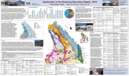 |
The Kootenay-Boundary region offers a variety of mining and exploration opportunities, and is accessible by well-developed infrastructure. Five operating coal mines produce the bulk of Canada's coal exports. The historic, past-producing lead-zinc-silver Sullivan Mine is in the region, and exploration for base metals and precious metals continues to be a focus. Several mines produce industrial minerals including silica, magnesite, gypsum, and graphite. |
| Issue ID: | GF2015-15 |
| Title: | Exploration and mining in the South and West Coast Regions, 2014 |
| Author(s): | Northcote, B. |
| Series Name: | GeoFile |
| Publication Year: | 2015 |
| NTS Map Sheet(s): | 092B,C,E,F,G,J,K,L,M,N; 102I; 103B,C,F,G |
| Place Keyword(s): | British Columbia, Southwest BC, Coastal BC, Vancouver Island, Haida Gwaii |
| Lat/Long (NSWE): | 54.5, 48, -133.5, -122.5 |
| Theme Keyword(s): | mining, exploration opportunities, regional focus, exploration expenditures |
Download(s):
| PDF |
Abstract:
 |
The Coast area, comprising the West Coast and South Coast Resource Regions, has one major metal mine, Myra Falls Operations, one thermal coal mine, Quinsam, and numerous non-metallic industrial minerals and aggregate mines. |
| Issue ID: | GBCR2015-04 |
| Title: | Catchment Analysis Applied to the Interpretation of New Stream Sediment Data, Northern Vancouver Island (NTS 102I and 92L) |
| Author(s): | Arne, D., Brown, O. |
| Series Name: | Geoscience BC Report |
| Publication Year: | 2015 |
| NTS Map Sheet(s): | 102I, 092L |
| Place Keyword(s): | British Columbia, Northern Vancouver Island |
| Lat/Long (NSWE): | 51, 50, -129, -126 |
| Theme Keyword(s): | Catchment Analysis, Stream Sediment data, copper data, mafic volcanic rocks, diabase sills |
Additional Link(s):
| http://cdn.geosciencebc.com/project_data/GBCReport2015-04/GBCReport2015-04_report.pdf |
Abstract:
| Raw copper data in stream sediment samples obtained from moss mats on Northern Vancouver Island are dominated by the presence of mafic volcanic rocks of the Karmutsen Formation and, to a lesser extent, by the presence of diabase sills of the Mount Hall Gabbro. These units can effectively be traced using the first principal component from multivariate analysis of the raw geochemical data. High background copper in these lithological units potentially obscures copper anomalies associated with exposed copper deposits in the region. By examining previously published geochemical data from 1725 samples from Northern Vancouver Island, and using copper as the demonstration element, this study illustrates that there are a variety of ways to process raw copper data in areas strongly influenced by a particular rock type. Nested catchments for the samples were delineated automatically from digital elevation data using a procedure developed by the B.C. Geological Survey. A limited number of map products are included in this report, designed to illustrate the relative effects of different data processing options for copper. Digital data files that accompany this report contain the catchment polygons as well as the leveled and residual data for a number of elements. |
| Issue ID: | GBCR2015-06 |
| Title: | Historical Exploration Data Capture Pilot Project, Northwestern British Columbia (NTS 93L) |
| Author(s): | Kilby, C.E. |
| Series Name: | Geoscience BC Report |
| Publication Year: | 2015 |
| NTS Map Sheet(s): | 093L |
| Place Keyword(s): | British Columbia, Northwestern British Columbia |
| Lat/Long (NSWE): | 55, 54, -128, -126 |
| Theme Keyword(s): | historical data, pilot project, assessment reports, digital format, geopositioned |
Additional Link(s):
| http://cdn.geosciencebc.com/project_data/GBCReport2015-06/GBCReport2015-06_report.pdf |
Abstract:
| A program to convert mineral exploration Assessment Report data of various types from their original analogue form to more useful digital form was undertaken as a pilot project with a fixed budget. The purpose was to undertake this work in order to see what could be accomplished within budget (time) and what challenges would arise. At the end of the project 81 figures (maps, cross-sections and profiles) had been converted to geopositioned raster images and 2,292 geochemistry analyses from various samples types (soil, stream sediment/silt, rock, and drillhole core) had been captured along with their locations. Numerous challenges were encountered along the way, including high errors encountered during geopositioning of maps and a minimal amount of geochemistry in digital form submitted from property owners. This report documents the work performed and makes recommendations based on the experience gained during the project. |
| Issue ID: | GM2015-03 |
| Title: | Surficial geology, Gnawed Mountain area, British Columbia (Parts of NTS 92I/6,7,10,11) |
| Author(s): | Plouffe, A., Ferbey, T. |
| Series Name: | Geoscience Map |
| Publication Year: | 2015 |
| Other Citation Details: | Also published as Geological Survey of Canadian Geoscience Map 214 |
| Scale: | 1:50000 |
| NTS Map Sheet(s): | 092I/6,7,10,11 |
| Place Keyword(s): | British Columbia, Gnawed Mountain, Highland Valley Copper Mine |
| Lat/Long (NSWE): | 50.75, 50.25, -121.5, -120.5 |
| Theme Keyword(s): | Surficial Geology, glaciofluvial sediments, copper, mine tailings, porphyry Cu-Mo |
Download(s):
| PDF |
Abstract:
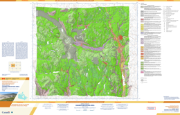 |
The Gnawed Mountain area includes the Highland Valley Copper mine (porphyry Cu-Mo), which is a major copper producer in Canada. Near the mine, till deposited during the Late Wisconsinan Fraser Glaciation is the most extensive glacial sediment. Glaciers flowed predominantly south to southeastward during this glacial event, as indicated by the orientation of numerous drumlins and flutings. During ice retreat, lateral meltwater channels cut into the flanks of valleys and mountain slopes indicating that ice occupied low ground when higher elevations were ice free. Accumulations of glaciofluvial sand and gravel, too small to be mapped at this scale, can be found close to these meltwater channels. The glaciofluvial drainage was generally to the south during ice retreat, with aggradation of glaciofluvial sediments in the Guichon Creek valley. Glaciolacustrine sediments in the Witches Brook valley were deposited in a glacial lake that formed when the eastward drainage was blocked by a mixture of ice and sediment. Mine tailings (anthropogenic deposits) are near open pits and in the valley that extends northwest from the mine (previously occupied by Pukaist Creek). |
| Issue ID: | GBCR2015-09 |
| Title: | Geochemical Reanalysis of Archived Till Samples, TREK Project, Interior Plateau, central BC (parts of NTS 93C, 93B, 93F and 93K) |
| Author(s): | Jackaman, W., Sacco, D., Lett, R.E. |
| Series Name: | Geoscience BC Report |
| Publication Year: | 2015 |
| NTS Map Sheet(s): | 093C, 093B, 093F, 093K |
| Place Keyword(s): | British Columbia, Central British Columbia |
| Lat/Long (NSWE): | 55, 52, -126, -122 |
| Theme Keyword(s): | surficial geochemistry, data, reanalysis, till samples |
Additional Link(s):
| http://cdn.geosciencebc.com/project_data/GBCReport2015-09.zip |
Abstract:
| The TREK surficial geochemistry project is developing a comprehensive and comparable geochemical dataset for the project area (Sacco et. Al, 2014; Sacco and Jackaman, 2015). This objective is being supported by the reanalysis of till samples archived from previous regional geochemical surveys. Many of these projects were completed in the 1990's when sampling protocols were less strict and a considerable amount of the original results were generated using analytical methods that are now outdated. Reanalysis by modern laboratory techniques and genetic interpretations of the sample medium have significantly upgraded the till geochemical data set and the information is now directly comparable with new till data collected during the TREK project (Jackaman and Sacco, 2014). A total of 1456 archive till samples plus quality control samples were analyzed for minor and trace elements by inductively coupled plasma--mass spectrometry (ICP-MS; 53 elements) following an aqua-regia digestion. A total of 873 archive till samples plus quality control samples were also analysed for major and minor elements by inductively coupled plasma--emission spectrometry (ICP-ES) following a lithium borate fusion and dilute acid digestion (11 major oxides, 13 elements and loss on ignition). |
| Issue ID: | IC2015-10 |
| Title: | The East Kootenay Coalfields |
| Author(s): | BC Geological Survey |
| Series Name: | Information Circular |
| Publication Year: | 2015 |
| NTS Map Sheet(s): | 082G, J |
| Place Keyword(s): | British Columbia |
| Lat/Long (NSWE): | 50.5, 49, -118, -116.5 |
| Theme Keyword(s): | coalfields, foredeep deposits, Late Cretaceous, Paleogene |
Download(s):
| PDF |
Abstract:
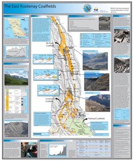 |
Extending along the northwest-southeast structural grain of the Rocky Mountain Front Ranges in southern British Columbia, the East Kootenay Coalfields includes three fields: Flathead, Crowsnest, and Elk River. In the last 20 years, these fields have produced more coal than the rest of British Columbia's coalfields combined. Since 1898, over 780 million tonnes, mainly of metallurgical coal, have been produced from the Crowsnest and Elk River fields. The East Kootenay fields produce coal from multiple seams in the Mist Mountain Formation, a 100 to 700 m thick unit of sandstone, siltstone, shale, and mudstone in the middle part of the Kootenay Group (Upper Jurassic to Lower Cretaceous). Most coals in the Mist Mountain Formation are coking coals. They are predominantly medium-volatile bituminous in rank and have low sulphur contents. High-volatile A bituminous coals occur near the top of the unit; low-volatile bituminous coals occur near the base of the section. Since 2008, Teck Coal Limited has been the operator and primary owner of all five active mines. These mines produce about 70% of Canada�s total annual coal exports. |
| Issue ID: | IC2015-04 |
| Title: | Coal in British Columbia |
| Author(s): | BC Geological Survey |
| Series Name: | Information Circular |
| Publication Year: | 2015 |
| NTS Map Sheet(s): | 082;083;092;093;094;102;103;104;114 |
| Place Keyword(s): | British Columbia |
| Lat/Long (NSWE): | 60, 48, -140, -114 |
| Theme Keyword(s): | coal, history, distribution, production, uses |
Download(s):
| PDF |
Abstract:
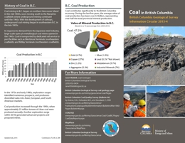 |
Information Circular 2015-4 is a pamphlet describing the distribution, origin, production, and uses of coal in the province. |
| Issue ID: | IC2015-05 |
| Title: | Copper in British Columbia |
| Author(s): | BC Geological Survey |
| Series Name: | Information Circular |
| Publication Year: | 2015 |
| NTS Map Sheet(s): | 082;083;092;093;094;102;103;104;114 |
| Place Keyword(s): | British Columbia |
| Lat/Long (NSWE): | 60, 48, -140, -114 |
| Theme Keyword(s): | copper, distribution, production, uses |
Download(s):
| PDF |
Abstract:
 |
Information Circular 2015-5 is a pamphlet describing the distribution, origin, production, and uses of copper mined in the province. |
| Issue ID: | IC2015-06 |
| Title: | Gold in British Columbia |
| Author(s): | BC Geological Survey |
| Series Name: | Information Circular |
| Publication Year: | 2015 |
| NTS Map Sheet(s): | 082;083;092;093;094;102;103;104;114 |
| Place Keyword(s): | British Columbia |
| Lat/Long (NSWE): | 60, 48, -140, -114 |
| Theme Keyword(s): | gold, distribution, production, uses |
Download(s):
| PDF |
Abstract:
 |
Information Circular 2015-6 is a pamphlet describing the distribution, origin, production, and uses of gold mined in the province. |
| Issue ID: | IC2015-07 |
| Title: | Molybdenum in British Columbia |
| Author(s): | BC Geological Survey |
| Series Name: | Information Circular |
| Publication Year: | 2015 |
| NTS Map Sheet(s): | 082;083;092;093;094;102;103;104;114 |
| Place Keyword(s): | British Columbia |
| Lat/Long (NSWE): | 60, 48, -140, -114 |
| Theme Keyword(s): | molybdenum, distribution, production, uses |
Download(s):
| PDF |
Abstract:
 |
Information Circular 2015-7 is a pamphlet describing the distribution, origin, production, and uses of molybdenum mined in the province. |
| Issue ID: | IC2015-08 |
| Title: | Nickel in British Columbia |
| Author(s): | BC Geological Survey |
| Series Name: | Information Circular |
| Publication Year: | 2015 |
| NTS Map Sheet(s): | 082;083;092;093;094;102;103;104;114 |
| Place Keyword(s): | British Columbia |
| Lat/Long (NSWE): | 60, 48, -140, -114 |
| Theme Keyword(s): | nickel, distribution, production, uses |
Download(s):
| PDF |
Abstract:
 |
Information Circular 2015-8 is a pamphlet describing the distribution, origin, production, and uses of nickel mined in the province. |
| Issue ID: | IC2015-09 |
| Title: | Jade in British Columbia |
| Author(s): | BC Geological Survey |
| Series Name: | Information Circular |
| Publication Year: | 2015 |
| NTS Map Sheet(s): | 082;083;092;093;094;102;103;104;114 |
| Place Keyword(s): | British Columbia |
| Lat/Long (NSWE): | 60, 48, -140, -114 |
| Theme Keyword(s): | jade, distribution, production, uses |
Download(s):
| PDF |
Abstract:
 |
Information Circular 2015-9 is a pamphlet describing the distribution, origin, production, and uses of jade mined in the province. |
| Issue ID: | EXP1997-07 |
| Title: | Mineral Assessment Reports Review of Operations 1947 - 1997 |
| Author(s): | Wilcox, A.F. |
| Series Name: | Exploration in B.C. |
| Publication Year: | 1998 |
| Other Citation Details: | pages 65 to 71, Part B |
| Larger Work Citation: | in Exploration in British Columbia 1997, BC Ministry of Energy, Mines and Petroleum Resources, pages 83 to 85. |
| NTS Map Sheet(s): | 082;083;092;093;094;102;103;104;114 |
| Place Keyword(s): | British Columbia |
| Lat/Long (NSWE): | 60, 48, -139, -114 |
| Theme Keyword(s): | Mineral Exploration, Mineral Assessment Reports, Assessment Report Index, History, Exploration Statistics |
Download(s):
| PDF |
Abstract:
|
This report describes mineral assessment report operations in British Columbia. It includes the history of mineral assessement reports, portable assessment credit, exploration expenditures and assessment report costs, and statistical data. |
| Issue ID: | EXP1997-01 |
| Title: | British Columbia Mining, Development and Exploration - 1997 Overview |
| Author(s): | Schroeter, T.G. |
| Series Name: | Exploration in B.C. |
| Publication Year: | 1998 |
| Other Citation Details: | pages 1 to 8, Part A |
| Larger Work Citation: | in Exploration in British Columbia 1997, BC Ministry of Energy, Mines and Petroleum Resources, pages 83 to 85. |
| NTS Map Sheet(s): | 082;083;092;093;094;102;103;104;114 |
| Place Keyword(s): | British Columbia |
| Lat/Long (NSWE): | 60, 48, -139, -114 |
| Theme Keyword(s): | Economic Geology, Exploration, Porphyry Copper, Gold, Massive Sulphide Deposits |
Download(s):
| PDF |
Abstract:
|
This report describes the overview of mining, development, and exploration in 1997. |
| Issue ID: | EXP1997-02 |
| Title: | Mine and Exploration Highlights - Northwest British Columbia - 1997 |
| Author(s): | Wojdak, P.J. |
| Series Name: | Exploration in B.C. |
| Publication Year: | 1998 |
| Other Citation Details: | pages 9 to 18, Part A |
| Larger Work Citation: | in Exploration in British Columbia 1997, BC Ministry of Energy, Mines and Petroleum Resources, pages 83 to 85. |
| NTS Map Sheet(s): | 082;083;092;093;094;102;103;104;114 |
| Place Keyword(s): | British Columbia, Northwestern British Columbia |
| Lat/Long (NSWE): | 60, 54, -139, -126 |
| Theme Keyword(s): | Annual Review, Development, Statistics, Land Use, Operating Mines |
Download(s):
| PDF |
Abstract:
|
This report describes the mine and exploration highlights from northwestern British Columbia in 1997. |
| Issue ID: | EXP1997-03 |
| Title: | Mining and Exploration Review for Northeast-Central Region of British Columbia - 1997 |
| Author(s): | Lane, B. |
| Series Name: | Exploration in B.C. |
| Publication Year: | 1998 |
| Other Citation Details: | pages 19 to 32, Part A |
| Larger Work Citation: | in Exploration in British Columbia 1997, BC Ministry of Energy, Mines and Petroleum Resources, pages 83 to 85. |
| NTS Map Sheet(s): | 082;083;092;093;094;102;103;104;114 |
| Place Keyword(s): | British Columbia, Northeast-Central Region |
| Lat/Long (NSWE): | 60, 52.284, -128.018, -118.198 |
| Theme Keyword(s): | Annual Review, Development, Statistics, Land Use, Operating Mines |
Download(s):
| PDF |
Abstract:
|
This report describes the exploration and development highlights for the northeast-central region of British Columbia in 1997. |
| Issue ID: | EXP1997-04 |
| Title: | Exploration and Development Highlights in South-Central British Columbia - 1997 |
| Author(s): | Cathro, M.S. |
| Series Name: | Exploration in B.C. |
| Publication Year: | 1998 |
| Other Citation Details: | pages 33 to 42, Part A |
| Larger Work Citation: | in Exploration in British Columbia 1997, BC Ministry of Energy, Mines and Petroleum Resources, pages 83 to 85. |
| NTS Map Sheet(s): | 082;083;092;093;094;102;103;104;114 |
| Place Keyword(s): | British Columbia, Southcentral British Columbia |
| Lat/Long (NSWE): | 52, 49, -122.75, -118 |
| Theme Keyword(s): | Annual Review, Development, Statistics, Land Use, Operating Mines |
Download(s):
| PDF |
Abstract:
|
This report describes the exploration and development highlights from south-central British Columbia in 1997. |
| Issue ID: | EXP1997-05 |
| Title: | Exploration and Development Highlights, Kootenay Region - 1997 |
| Author(s): | Wilton, H.P. |
| Series Name: | Exploration in B.C. |
| Publication Year: | 1998 |
| Other Citation Details: | pages 43 to 52, Part A |
| Larger Work Citation: | in Exploration in British Columbia 1997, BC Ministry of Energy, Mines and Petroleum Resources, pages 83 to 85. |
| NTS Map Sheet(s): | 082; |
| Place Keyword(s): | British Columbia, Southeastern British Columbia, Kootenay Region |
| Lat/Long (NSWE): | 52.4, 49, -119.25, -114 |
| Theme Keyword(s): | Annual Review, Development, Statistics, Land Use, Operating Mines |
Download(s):
| PDF |
Abstract:
|
This report describes the exploration and development highlights in the Kootenay region in southeastern British Columbia in 1997. |
| Issue ID: | EXP1997-06 |
| Title: | Exploration and Development Highlights, Southwestern British Columbia - 1997 |
| Author(s): | Pinsent, R.H. |
| Series Name: | Exploration in B.C. |
| Publication Year: | 1998 |
| Other Citation Details: | pages 53 to 64, Part A |
| Larger Work Citation: | in Exploration in British Columbia 1997, BC Ministry of Energy, Mines and Petroleum Resources, pages 83 to 85. |
| NTS Map Sheet(s): | 082;083;092;093;094;102;103;104;114 |
| Place Keyword(s): | British Columbia, Southwestern British Columbia |
| Lat/Long (NSWE): | 53.25, 48, -132.5, -121.8 |
| Theme Keyword(s): | Annual Review, Development, Statistics, Land Use, Operating Mines |
Download(s):
| PDF |
Abstract:
|
This report describes the exploration and development highlights in southwestern British Columbia in 1997. |
| Issue ID: | EXP1995-12 |
| Title: | Angel Hot Spring Deposit, Kelowna Area (NTS 82E/14W) |
| Author(s): | Church, B.N. |
| Series Name: | Exploration in B.C. |
| Publication Year: | 1996 |
| Other Citation Details: | pages 131 to 133, Part B |
| Larger Work Citation: | in Exploration in British Columbia 1995, BC Ministry of Energy, Mines and Petroleum Resources, pages 131 to 133. |
| NTS Map Sheet(s): | 082;083;092;093;094;102;103;104;114 |
| Place Keyword(s): | British Columbia, Kelowna |
| Lat/Long (NSWE): | 49.82, 49.76, -119.4, -119.25 |
| Theme Keyword(s): | Hotspring, Travertine, Tufa |
Download(s):
| PDF |
Abstract:
|
This report describes the geological setting and economics of the Angel Hot Spring deposit. |
| Issue ID: | EXP1995-13 |
| Title: | Mineral Deposit Model Abstracts |
| Author(s): | BC Geological Survey |
| Series Name: | Exploration in B.C. |
| Publication Year: | 1996 |
| Other Citation Details: | pages 135 to 185, Part B |
| Larger Work Citation: | in Exploration in British Columbia 1995, BC Ministry of Energy, Mines and Petroleum Resources, pages 135 to 185. |
| NTS Map Sheet(s): | 082;083;092;093;094;102;103;104;114 |
| Place Keyword(s): | British Columbia |
| Lat/Long (NSWE): | 60, 48, -139, -114 |
| Theme Keyword(s): | Mineral Deposit Models, Mineral Deposit Profiles |
Download(s):
| PDF |
Abstract:
|
This report presents abstracts and articles on several mineral deposit models by various authors from industry and government. Deposit types described include gold skarns, Carlin type, sediment-hosted, intrusive, porhyry-related, gold veins, VMS, epithermal, and cordilleran targets. The report also includes an article on Making Models Matter by M.S. Etheridge and R.W. Henley. |
| Issue ID: | EXP1990-05 |
| Title: | Kootenay District |
| Author(s): | Legun, A., Buttner, C. |
| Series Name: | Exploration in B.C. |
| Publication Year: | 1991 |
| Other Citation Details: | pages 61 to 68, Part A |
| Larger Work Citation: | in Exploration in British Columbia 1990, BC Ministry of Energy, Mines and Petroleum Resources, pages 61 to 68. |
| NTS Map Sheet(s): | 082; |
| Place Keyword(s): | British Columbia, Southeastern British Columbia, Kootenay Region |
| Lat/Long (NSWE): | 52.4, 49, -119.25, -114 |
| Theme Keyword(s): | Annual Review, Development, Statistics, Land Use, Operating Mines |
Download(s):
| PDF |
Abstract:
|
This report describes the exploration and development highlights in the Kootenay region in southeastern British Columbia in 1990. |
| Issue ID: | EXP1990-07 |
| Title: | 1990-91 British Columbia Prospectors Assistance Program |
| Author(s): | Pardy, J. |
| Purpose: | To provide a summary of the prospectors assistance program |
| Series Name: | Exploration in B.C. |
| Publication Year: | 1991 |
| Other Citation Details: | pages 75 to 77, Part A |
| Larger Work Citation: | in Exploration in British Columbia 1990, Prospectors Assistance Program |
| NTS Map Sheet(s): | 082;083;092;093;094;102;103;104;114 |
| Place Keyword(s): | British Columbia |
| Lat/Long (NSWE): | 60, 48, -139, -114 |
| Theme Keyword(s): | Prospector, Prospectors Assistance Program, mineral occurrences, Free Miners Certificate |
Download(s):
| PDF |
Abstract:
|
The 1990-91 British Columbia Prospectors Assistance Program was a $500,000 one-year program to promote prospecting activity in the province by providing training, financial and technical assistance to prospectors. |
| Issue ID: | EXP1989-01 |
| Title: | British Columbia Exploration and Development Highlights - 1989 |
| Author(s): | Preto, V.A.G. |
| Series Name: | Exploration in B.C. |
| Publication Year: | 1990 |
| Other Citation Details: | pages 1 to 28, Part A |
| Larger Work Citation: | in Exploration in British Columbia 1989, BC Ministry of Energy, Mines and Petroleum Resources, pages 1 to 28. |
| NTS Map Sheet(s): | 082;083;092;093;094;102;103;104;114 |
| Place Keyword(s): | British Columbia |
| Lat/Long (NSWE): | 60, 48, -139, -114 |
| Theme Keyword(s): | Economic Geology, Massive Sulphide Deposits, Epithermal Deposits, Porphyry Deposits, Mesothermal Veins |
Download(s):
| PDF |
Abstract:
|
This report describes the British Columbia exploration and development highlights for 1989. |
| Issue ID: | EXP1989-02 |
| Title: | Northwestern District |
| Author(s): | Lefebure, D.V., Malott, M.L. |
| Series Name: | Exploration in B.C. |
| Publication Year: | 1990 |
| Other Citation Details: | pages 29 to 42, Part A |
| Larger Work Citation: | in Exploration in British Columbia 1989, BC Ministry of Energy, Mines and Petroleum Resources, pages 29 to 42. |
| NTS Map Sheet(s): | 093; 094; 103; 104; 114 |
| Place Keyword(s): | British Columbia, Northwestern District, Tulsequah River, Dease Lake, Galore |
| Lat/Long (NSWE): | 60, 50, -138, -124 |
| Theme Keyword(s): | Regional Geology, Mining, Exploration, Tatshenshini, Atlin |
Download(s):
| PDF |
Abstract:
|
This report describes the northwestern District of British Columbia for 1989. |
| Issue ID: | EXP1989-06 |
| Title: | Central District |
| Author(s): | Faulkner, E.L. |
| Series Name: | Exploration in B.C. |
| Publication Year: | 1990 |
| Other Citation Details: | pages 57 to 60, Part A |
| Larger Work Citation: | in Exploration in British Columbia 1989, BC Ministry of Energy, Mines and Petroleum Resources, pages 57 to 60. |
| NTS Map Sheet(s): | 082;083;092;093;094;102;103;104;114 |
| Place Keyword(s): | British Columbia, Central District, Quesnel Trough, Cariboo Mountains, Fraser Plateau |
| Lat/Long (NSWE): | 58, 50, -128, -116 |
| Theme Keyword(s): | Exploration, Mining |
Download(s):
| PDF |
Abstract:
|
This report describes the central District of British Columbia for 1989. |
| Issue ID: | EXP1989-04 |
| Title: | South Central District |
| Author(s): | Meyers, R.E., Hubner, T.B. |
| Series Name: | Exploration in B.C. |
| Publication Year: | 1990 |
| Other Citation Details: | pages 49 to 52, Part A |
| Larger Work Citation: | in Exploration in British Columbia 1989, BC Ministry of Energy, Mines and Petroleum Resources, pages 49 to 52. |
| Scale: | 1:6000000 |
| NTS Map Sheet(s): | 082E, L, M; 083D; 092H-J, N-P; 093A-C |
| Place Keyword(s): | British Columbia, Southcentral District |
| Lat/Long (NSWE): | 52, 49, -122.75, -118 |
| Theme Keyword(s): | Exploration, Mining |
Download(s):
| PDF |
Abstract:
|
This report describes the south-central District of British Columbia for 1989. |
| Issue ID: | EXP1989-05 |
| Title: | Kootenay District |
| Author(s): | Legun, A. |
| Series Name: | Exploration in B.C. |
| Publication Year: | 1990 |
| Other Citation Details: | pages 53 to 56, Part A |
| Larger Work Citation: | in Exploration in British Columbia 1989, BC Ministry of Energy, Mines and Petroleum Resources, pages 53 to 55. |
| NTS Map Sheet(s): | 082; |
| Place Keyword(s): | British Columbia, Southeastern British Columbia, Kootenay Region |
| Lat/Long (NSWE): | 52.4, 49, -119.25, -114 |
| Theme Keyword(s): | Annual Review, Development, Statistics, Land Use, Operating Mines |
Download(s):
| PDF |
Abstract:
|
This report describes the exploration and development highlights in the Kootenay region in southeastern British Columbia in 1989. |
| Issue ID: | EXP1989-03 |
| Title: | Southwestern District |
| Author(s): | Wilton, H.P., Pfuetzenreuter, S.N. |
| Series Name: | Exploration in B.C. |
| Publication Year: | 1990 |
| Other Citation Details: | pages 43 to 48, Part A |
| Larger Work Citation: | in Exploration in British Columbia 1989, BC Ministry of Energy, Mines and Petroleum Resources, pages 43 to 48. |
| Scale: | 1:6250000 |
| NTS Map Sheet(s): | 092B, C, E-O; 093C, D; 102I,P; 103A |
| Place Keyword(s): | British Columbia, Southwestern District |
| Lat/Long (NSWE): | 53.25, 48, -132.5, -121.8 |
| Theme Keyword(s): | Exploration, Mining |
Download(s):
| PDF |
Abstract:
|
This report describes the southwestern District of British Columbia for 1989. |
| Issue ID: | EXP1989-07 |
| Title: | Fame - Financial Assistance for Mineral Exploration Prospectors Assistance Program |
| Author(s): | Pardy, J. |
| Purpose: | To provide a summary of the prospectors assistance program |
| Series Name: | Exploration in B.C. |
| Publication Year: | 1990 |
| Other Citation Details: | pages 61 to 64, Part A |
| Larger Work Citation: | in Exploration in British Columbia 1989, Prospectors Assistance Program |
| NTS Map Sheet(s): | 082;083;092;093;094;102;103;104;114 |
| Place Keyword(s): | British Columbia |
| Lat/Long (NSWE): | 60, 48, -139, -114 |
| Theme Keyword(s): | Prospector, Prospectors Assistance Program, mineral occurrences, Free Miners Certificate |
Download(s):
| PDF |
Abstract:
|
The 1989-90 British Columbia Prospectors Assistance Program was FAME (Financial Assistance for Mineral Exploration) funded $500,000 one-year program to promote prospecting activity in the province by providing training, financial and technical assistance to prospectors. |
| Issue ID: | EXP1989-08 |
| Title: | 1989 Field Season Geological Survey Branch |
| Author(s): | BC Geological Survey |
| Series Name: | Exploration in B.C. |
| Publication Year: | 1990 |
| Other Citation Details: | pages 65 to 70, Part A |
| Larger Work Citation: | in Exploration in British Columbia 1989, BC Ministry of Energy, Mines and Petroleum Resources, pages 65 to 70. |
| NTS Map Sheet(s): | 082;083;092;093;094;102;103;104;114 |
| Place Keyword(s): | British Columbia |
| Lat/Long (NSWE): | 60, 48, -139, -114 |
| Theme Keyword(s): | Fieldwork and mapping, Mineral Deposits, District Geology, Coal Resources, Mineral Inventory |
Download(s):
| PDF |
Abstract:
|
Part of the Geological Survey Branch mandate is to produce and interpret geological data that will aid government policy decision making, and encourage and guide private sector exploration to the ultimate benefit of all the citizens of British Columbia. Activities in support of this mandate during 1989 are briefly described in this report. |
| Issue ID: | EXP1988-01 |
| Title: | British Columbia Exploration and Development Highlights - 1988 |
| Author(s): | Preto, V.A.G. |
| Series Name: | Exploration in B.C. |
| Publication Year: | 1989 |
| Other Citation Details: | pages 1 to 28, Part A |
| Larger Work Citation: | in Exploration in British Columbia 1988, BC Ministry of Energy, Mines and Petroleum Resources, pages 1 to 28. |
| NTS Map Sheet(s): | 082;083;092;093;094;102;103;104;114 |
| Place Keyword(s): | British Columbia |
| Lat/Long (NSWE): | 60, 48, -139, -114 |
| Theme Keyword(s): | Economic Geology, Massive Sulphide Deposits, Epithermal Deposits, Porphyry Deposits, Mesothermal Veins |
Download(s):
| PDF |
Abstract:
|
This report describes the British Columbia exploration and development highlights for 1988. |
| Issue ID: | EXP1988-02 |
| Title: | Northwestern District |
| Author(s): | Lefebure, D.V., Malott, M.L. |
| Series Name: | Exploration in B.C. |
| Publication Year: | 1989 |
| Other Citation Details: | pages 29 to 36, Part A |
| Larger Work Citation: | in Exploration in British Columbia 1988, BC Ministry of Energy, Mines and Petroleum Resources, pages 29 to 36. |
| NTS Map Sheet(s): | 093; 094; 103; 104; 114 |
| Place Keyword(s): | British Columbia, Northwestern District, Tulsequah River, Dease Lake, Galore |
| Lat/Long (NSWE): | 60, 50, -138, -124 |
| Theme Keyword(s): | Regional Geology, Mining, Exploration, Tatshenshini, Atlin |
Download(s):
| PDF |
Abstract:
|
This report describes the northwestern District of British Columbia for 1988. |
| Issue ID: | EXP1988-06 |
| Title: | Southwestern District |
| Author(s): | Wilton, H.P. |
| Series Name: | Exploration in B.C. |
| Publication Year: | 1989 |
| Other Citation Details: | pages 47 to 51, Part A |
| Larger Work Citation: | in Exploration in British Columbia 1988, BC Ministry of Energy, Mines and Petroleum Resources, pages 47 to 51. |
| Scale: | 1:6250000 |
| NTS Map Sheet(s): | 092B, C, E-O; 093C, D; 102I,P; 103A |
| Place Keyword(s): | British Columbia, Southwestern District |
| Lat/Long (NSWE): | 53.25, 48, -132.5, -121.8 |
| Theme Keyword(s): | Exploration, Mining |
Download(s):
| PDF |
Abstract:
|
This report describes the southwestern District of British Columbia for 1988. |
| Issue ID: | EXP1988-05 |
| Title: | South-Central District |
| Author(s): | Meyers, R.E. |
| Series Name: | Exploration in B.C. |
| Publication Year: | 1989 |
| Other Citation Details: | pages 43 to 46, Part A |
| Larger Work Citation: | in Exploration in British Columbia 1988, BC Ministry of Energy, Mines and Petroleum Resources, pages 43 to 46. |
| Scale: | 1:6000000 |
| NTS Map Sheet(s): | 082E, L, M; 083D; 092H-J, N-P; 093A-C |
| Place Keyword(s): | British Columbia, Southcentral District |
| Lat/Long (NSWE): | 52, 49, -122.75, -118 |
| Theme Keyword(s): | Exploration, Mining |
Download(s):
| PDF |
Abstract:
|
This report describes the south-central District of British Columbia for 1988. |
| Issue ID: | EXP1988-04 |
| Title: | Kootenay District |
| Author(s): | Legun, A. |
| Series Name: | Exploration in B.C. |
| Publication Year: | 1989 |
| Other Citation Details: | pages 41 to 42, Part A |
| Larger Work Citation: | in Exploration in British Columbia 1988, BC Ministry of Energy, Mines and Petroleum Resources, pages 41 to 42. |
| NTS Map Sheet(s): | 082; |
| Place Keyword(s): | British Columbia, Southeastern British Columbia, Kootenay Region |
| Lat/Long (NSWE): | 52.4, 49, -119.25, -114 |
| Theme Keyword(s): | Annual Review, Development, Statistics, Land Use, Operating Mines |
Download(s):
| PDF |
Abstract:
|
This report describes the exploration and development highlights in the Kootenay region in southeastern British Columbia in 1988. |
| Issue ID: | EXP1988-03 |
| Title: | Central District |
| Author(s): | Faulkner, E.L. |
| Series Name: | Exploration in B.C. |
| Publication Year: | 1989 |
| Other Citation Details: | pages 37 to 40, Part A |
| Larger Work Citation: | in Exploration in British Columbia 1988, BC Ministry of Energy, Mines and Petroleum Resources, pages 37 to 40. |
| NTS Map Sheet(s): | 082;083;092;093;094;102;103;104;114 |
| Place Keyword(s): | British Columbia, Central District, Quesnel Trough, Cariboo Mountains, Fraser Plateau |
| Lat/Long (NSWE): | 58, 50, -128, -116 |
| Theme Keyword(s): | Exploration, Mining |
Download(s):
| PDF |
Abstract:
|
This report describes the central District of British Columbia for 1988. |
| Issue ID: | EXP1988-07 |
| Title: | Fame - Financial Assistance for Mineral Exploration Prospectors Assistance Program |
| Author(s): | Pardy, J. |
| Purpose: | To provide a summary of the prospectors assistance program |
| Series Name: | Exploration in B.C. |
| Publication Year: | 1989 |
| Other Citation Details: | pages 52 to 54, Part A |
| Larger Work Citation: | in Exploration in British Columbia 1988, Prospectors Assistance Program |
| NTS Map Sheet(s): | 082;083;092;093;094;102;103;104;114 |
| Place Keyword(s): | British Columbia |
| Lat/Long (NSWE): | 60, 48, -139, -114 |
| Theme Keyword(s): | Prospector, Prospectors Assistance Program, mineral occurrences, Free Miners Certificate |
Download(s):
| PDF |
Abstract:
|
The 1988 British Columbia Prospectors Assistance Program was FAME (Financial Assistance for Mineral Exploration) funded $500,000 one-year program to promote prospecting activity in the province by providing training, financial and technical assistance to prospectors. |
| Issue ID: | EXP1988-08 |
| Title: | 1988 Field Activities - Geological Survey Branch |
| Author(s): | BC Geological Survey |
| Series Name: | Exploration in B.C. |
| Publication Year: | 1989 |
| Other Citation Details: | pages 55 to 58, Part A |
| Larger Work Citation: | in Exploration in British Columbia 1988, BC Ministry of Energy, Mines and Petroleum Resources, pages 55 to 58. |
| NTS Map Sheet(s): | 082;083;092;093;094;102;103;104;114 |
| Place Keyword(s): | British Columbia |
| Lat/Long (NSWE): | 60, 48, -139, -114 |
| Theme Keyword(s): | Fieldwork and mapping, Mineral Deposits, District Geology, Coal Resources, Mineral Inventory |
Download(s):
| PDF |
Abstract:
|
The 1988 field program was the largest in the history on the Geological Survey Branch. Most of the increase was in the area of regional mapping, but a high level of activity was maintained in mineral deposits, land use and coal studies, and industrial mineral programs. New mapping projects were initiated in the Atlin, Stikine and Telegraph Creek map-areas, work was extended in the Chilko Lake area, new coal mapping and evaluation studies were started, and wollastonite, gypsum and fluorite studies begun. The geoscience database was also further enhanced during the year, with improvements to MINFILE, COALFILE, the Assessment Report Files and the Property Files. |
| Issue ID: | EXP1987-01 |
| Title: | Overview on Mineral Exploration in British Columbia 1987 |
| Author(s): | Preto, V.A. |
| Series Name: | Exploration in B.C. |
| Publication Year: | 1988 |
| Other Citation Details: | pages 5 to 37, Part A |
| Larger Work Citation: | in Exploration in British Columbia 1987, BC Ministry of Energy, Mines and Petroleum Resources, pages 5 to 37. |
| NTS Map Sheet(s): | 082;083;092;093;094;102;103;104;114 |
| Place Keyword(s): | British Columbia |
| Lat/Long (NSWE): | 60, 48, -139, -114 |
| Theme Keyword(s): | Economic Geology, Massive Sulphide Deposits, Epithermal Deposits, Porphyry Deposits, Mesothermal Veins |
Download(s):
| PDF |
Abstract:
|
This report describes the British Columbia exploration and development highlights for 1987. |
| Issue ID: | EXP1987-02 |
| Title: | Northwestern District |
| Author(s): | Lefebure, D.V., Malott, M.L. |
| Series Name: | Exploration in B.C. |
| Publication Year: | 1988 |
| Other Citation Details: | pages 38 to 51, Part A |
| Larger Work Citation: | in Exploration in British Columbia 1987, BC Ministry of Energy, Mines and Petroleum Resources, pages 38 to 51. |
| NTS Map Sheet(s): | 093; 094; 103; 104; 114 |
| Place Keyword(s): | British Columbia, Northwestern District, Tulsequah River, Dease Lake, Galore |
| Lat/Long (NSWE): | 60, 50, -138, -124 |
| Theme Keyword(s): | Regional Geology, Mining, Exploration, Tatshenshini, Atlin |
Download(s):
| PDF |
Abstract:
|
This report describes the northwestern District of British Columbia for 1987. |
| Issue ID: | EXP1987-03 |
| Title: | Central District |
| Author(s): | Faulkner, E.L. |
| Series Name: | Exploration in B.C. |
| Publication Year: | 1988 |
| Other Citation Details: | pages 52 to 56, Part A |
| Larger Work Citation: | in Exploration in British Columbia 1987, BC Ministry of Energy, Mines and Petroleum Resources, pages 52 to 56. |
| NTS Map Sheet(s): | 082;083;092;093;094;102;103;104;114 |
| Place Keyword(s): | British Columbia, Central District, Quesnel Trough, Cariboo Mountains, Fraser Plateau |
| Lat/Long (NSWE): | 58, 50, -128, -116 |
| Theme Keyword(s): | Exploration, Mining |
Download(s):
| PDF |
Abstract:
|
This report describes the central District of British Columbia for 1987. |
| Issue ID: | EXP1987-06 |
| Title: | West Kootenay District |
| Author(s): | Addie, G.G. |
| Series Name: | Exploration in B.C. |
| Publication Year: | 1988 |
| Other Citation Details: | pages 62 to 66, Part A |
| Larger Work Citation: | in Exploration in British Columbia 1987, BC Ministry of Energy, Mines and Petroleum Resources, pages 62 to 66. |
| NTS Map Sheet(s): | 082; |
| Place Keyword(s): | British Columbia, West Kootenay District, Kootenay Region |
| Lat/Long (NSWE): | 52.4, 49, -119.25, -114 |
| Theme Keyword(s): | Annual Review, Development, Statistics, Land Use, Operating Mines |
Download(s):
| PDF |
Abstract:
|
This report describes the exploration and development highlights in the West Kootenay region in southeastern British Columbia in 1987. |
| Issue ID: | EXP1987-07 |
| Title: | South-Central District |
| Author(s): | Meyers, R.E. |
| Series Name: | Exploration in B.C. |
| Publication Year: | 1988 |
| Other Citation Details: | pages 67 to 72, Part A |
| Larger Work Citation: | in Exploration in British Columbia 1987, BC Ministry of Energy, Mines and Petroleum Resources, pages 67 to 72. |
| Scale: | 1:6000000 |
| NTS Map Sheet(s): | 082E, L, M; 083D; 092H-J, N-P; 093A-C |
| Place Keyword(s): | British Columbia, Southcentral District |
| Lat/Long (NSWE): | 52, 49, -122.75, -118 |
| Theme Keyword(s): | Exploration, Mining |
Download(s):
| PDF |
Abstract:
|
This report describes the south-central District of British Columbia for 1987. |
| Issue ID: | EXP1987-08 |
| Title: | Southwestern District |
| Author(s): | Wilton, H.P. |
| Series Name: | Exploration in B.C. |
| Publication Year: | 1988 |
| Other Citation Details: | pages 73 to 80, Part A |
| Larger Work Citation: | in Exploration in British Columbia 1987, BC Ministry of Energy, Mines and Petroleum Resources, pages 73 to 80. |
| Scale: | 1:6250000 |
| NTS Map Sheet(s): | 092B, C, E-O; 093C, D; 102I,P; 103A |
| Place Keyword(s): | British Columbia, Southwestern District |
| Lat/Long (NSWE): | 53.25, 48, -132.5, -121.8 |
| Theme Keyword(s): | Exploration, Mining |
Download(s):
| PDF |
Abstract:
|
This report describes the southwestern District of British Columbia for 1987. |
| Issue ID: | EXP1987-10 |
| Title: | Fame - Financial Assistance to Mineral Exploration |
| Author(s): | Pardy, J. |
| Purpose: | To provide a summary of the prospectors assistance program |
| Series Name: | Exploration in B.C. |
| Publication Year: | 1988 |
| Other Citation Details: | pages 84 to 87, Part A |
| Larger Work Citation: | in Exploration in British Columbia 1987, Prospectors Assistance Program |
| NTS Map Sheet(s): | 082;083;092;093;094;102;103;104;114 |
| Place Keyword(s): | British Columbia |
| Lat/Long (NSWE): | 60, 48, -139, -114 |
| Theme Keyword(s): | Prospector, Prospectors Assistance Program, mineral occurrences, Free Miners Certificate, FAME |
Download(s):
| PDF |
Abstract:
|
The FAME program, first introduced the 1986/87 fiscal year, is a provincial initiative with $5 million in funding to promote private sector mineral exploration and development in British Columbia. The program was introduced in response to the recession of tho early 1980s and the resulting reduction in mineral exploration and development activity in the province. By 1987 conditions were starting to improve. Metal markets were stronger the economy was stable with lower inflation, and the mineral exploration sector had become extremely competitive, particularly with regard to raising risk capital. FAME was renewed in the 1987/88 fiscal year in order to maintain growing investor confidence in the province. |
| Issue ID: | EXP1987-09 |
| Title: | Industrial Minerals |
| Author(s): | Hora, Z.D. |
| Series Name: | Exploration in B.C. |
| Publication Year: | 1988 |
| Other Citation Details: | pages 81 to 83, Part A |
| Larger Work Citation: | in Exploration in British Columbia 1987, BC Ministry of Energy, Mines and Petroleum Resources, pages 81 to 83. |
| NTS Map Sheet(s): | 082;083;092;093;094;102;103;104;114 |
| Place Keyword(s): | British Columbia |
| Lat/Long (NSWE): | 60, 48, -139, -114 |
| Theme Keyword(s): | Fieldwork and mapping, Mineral Deposits, District Geology, Coal Resources, Mineral Inventory |
Download(s):
| PDF |
Abstract:
|
Exploration for nonmetallic industrial minerals in British Columbia in 1987 was quite diverse. A number of properties received only token attention from the industry, while a few had significant exploration programs. |
| Issue ID: | EXP1987-04 |
| Title: | Northeastern District |
| Author(s): | Legun, A. |
| Series Name: | Exploration in B.C. |
| Publication Year: | 1988 |
| Other Citation Details: | pages 57 to 59, Part A |
| Larger Work Citation: | in Exploration in British Columbia 1987, BC Ministry of Energy, Mines and Petroleum Resources, pages 57 to 59. |
| NTS Map Sheet(s): | 093; 094 |
| Place Keyword(s): | British Columbia, Northeastern District |
| Lat/Long (NSWE): | 60, 54, -125, -120 |
| Theme Keyword(s): | Exploration, Mining |
Download(s):
| PDF |
Abstract:
|
This report describes the northeastern District of British Columbia for 1987. |
| Issue ID: | EXP1987-05 |
| Title: | Southeastern District |
| Author(s): | Grieve, D.A. |
| Series Name: | Exploration in B.C. |
| Publication Year: | 1988 |
| Other Citation Details: | pages 60 to 61, Part A |
| Larger Work Citation: | in Exploration in British Columbia 1987, BC Ministry of Energy, Mines and Petroleum Resources, pages 60 to 61. |
| NTS Map Sheet(s): | 082; |
| Place Keyword(s): | British Columbia, Southeastern British Columbia, Kootenay Region |
| Lat/Long (NSWE): | 52.4, 49, -118, -114 |
| Theme Keyword(s): | Annual Review, Development, Statistics, Land Use, Operating Mines |
Download(s):
| PDF |
Abstract:
|
This report describes the exploration and development highlights in the southeastern district British Columbia in 1987. |
| Issue ID: | EXP1987-C00 |
| Title: | Assessment Report Summaries, Minerals and Coal Exploration 1987 |
| Author(s): | BC Geological Survey |
| Series Name: | Exploration in B.C. |
| Publication Year: | 1988 |
| Other Citation Details: | pages 1 to 414, Part C; 55 pages after includes Indices to Part C and map |
| Larger Work Citation: | in Exploration in British Columbia 1987, BC Ministry of Energy, Mines and Petroleum Resources, pages C1 to 414. |
| NTS Map Sheet(s): | 082;083;092;093;094;102;103;104;114 |
| Place Keyword(s): | British Columbia |
| Lat/Long (NSWE): | 60, 48, -139, -114 |
| Theme Keyword(s): | Assessment Reports, Mineral and Coal Exploration |
Download(s):
| PDF |
Abstract:
|
Assessment reports on geology, geophysics, geochemistry, drilling, and prospecting submitted by the mineral exploration and development industry are the primary sources of detailed technical data. Ministry staff geologists prepare reports on mineralized areas, deposits, and mines which may be extracted from this volume. The 1987 edition of Exploration in British Columbia includes assessment reports submitted between January 1, 1987 to December 31, 1987. |
| Issue ID: | EXP1987-B22 |
| Title: | Regional Geochemical Stream Sediment Survey Results for Smithers (NTS 93L) and Whitesail Lake (NTS 93E) Map Sheets |
| Author(s): | Lefebure D.V. and Gunning, M.H. |
| Series Name: | Exploration in B.C. |
| Publication Year: | 1988 |
| Other Citation Details: | pages 126 to 148 |
| Larger Work Citation: | in Exploration in British Columbia 1987, BC Ministry of Energy, Mines and Petroleum Resources, pages B126 to 148. |
| NTS Map Sheet(s): | 093E;093L |
| Place Keyword(s): | British Columbia, Smithers, Whitesail Lake |
| Lat/Long (NSWE): | 55, 53, -129, -126 |
| Theme Keyword(s): | Regional Geochemistry, Stream Sediment, Database |
Download(s):
| PDF |
Abstract:
|
The Smithers and Whitesail Lake regional geochemical surveys (RGS) are part of an ongoing program by the British Columbia Ministry of Energy, Mines and Petroleum Resources to provide industry with a high
quality reconnaissance geochemical database to aid in the exploration for mineral deposits. This database can also be used to identify metallogenic provinces, to assist in 'land use decisions, and to provide
data for environmental studies. The results of the stream sediment analyses from these two surveys are reviewed in this report to identify geochemically anomalous areas and to suggest their origin. The correlation between predominant rock type, stratigraphic age and element threshs is examined to illustrate the potential for using the entire database to define and explain more subtle anomalies. |
| Issue ID: | EXP1988-C00 |
| Title: | Assessment Report Summaries, Minerals and Coal Exploration 1988 |
| Author(s): | BC Geological Survey |
| Series Name: | Exploration in B.C. |
| Publication Year: | 1989 |
| Other Citation Details: | pages 1 to 237, Part C; 112 pages after includes Indices to Part C and location maps |
| Larger Work Citation: | in Exploration in British Columbia 1988, BC Ministry of Energy, Mines and Petroleum Resources, pages C1 to 350. |
| NTS Map Sheet(s): | 082;083;092;093;094;102;103;104;114 |
| Place Keyword(s): | British Columbia |
| Lat/Long (NSWE): | 60, 48, -139, -114 |
| Theme Keyword(s): | Assessment Reports, Mineral and Coal Exploration |
Download(s):
| PDF |
Abstract:
|
Assessment reports on geology, geophysics, geochemistry, drilling, and prospecting submitted by the mineral exploration and development industry are the primary sources of detailed technical data. Ministry staff geologists prepare reports on mineralized areas, deposits, and mines which may be extracted from this volume. The 1988 edition of Exploration in British Columbia includes assessment reports submitted up between January 1, 1988 to December 31, 1987. |
| Issue ID: | EXP1986-01 |
| Title: | Overview on Mineral Exploration in British Columbia 1986 |
| Author(s): | Preto, V.A. |
| Series Name: | Exploration in B.C. |
| Publication Year: | 1987 |
| Other Citation Details: | pages 11 to 38, Part A |
| Larger Work Citation: | in Exploration in British Columbia 1986, BC Ministry of Energy, Mines and Petroleum Resources, pages 11 to 38. |
| NTS Map Sheet(s): | 082;083;092;093;094;102;103;104;114 |
| Place Keyword(s): | British Columbia |
| Lat/Long (NSWE): | 60, 48, -139, -114 |
| Theme Keyword(s): | Economic Geology, Massive Sulphide Deposits, Epithermal Deposits, Porphyry Deposits, Mesothermal Veins |
Download(s):
| PDF |
Abstract:
|
This report describes the British Columbia exploration and development highlights for 1986. |
| Issue ID: | EXP1986-02 |
| Title: | Northwestern District |
| Author(s): | Lefebure, D.V. |
| Series Name: | Exploration in B.C. |
| Publication Year: | 1987 |
| Other Citation Details: | pages 39 to 49, Part A |
| Larger Work Citation: | in Exploration in British Columbia 1986, BC Ministry of Energy, Mines and Petroleum Resources, pages 39 to 49. |
| NTS Map Sheet(s): | 093; 094; 103; 104; 114 |
| Place Keyword(s): | British Columbia, Northwestern District, Tulsequah River, Dease Lake, Galore |
| Lat/Long (NSWE): | 60, 50, -138, -124 |
| Theme Keyword(s): | Regional Geology, Mining, Exploration, Tatshenshini, Atlin |
Download(s):
| PDF |
Abstract:
|
This report describes the northwestern District of British Columbia for 1986. |
| Issue ID: | EXP1986-03 |
| Title: | Central District |
| Author(s): | Faulkner, E.L. |
| Series Name: | Exploration in B.C. |
| Publication Year: | 1987 |
| Other Citation Details: | pages 50 to 53, Part A |
| Larger Work Citation: | in Exploration in British Columbia 1986, BC Ministry of Energy, Mines and Petroleum Resources, pages 50 to 53. |
| NTS Map Sheet(s): | 082;083;092;093;094;102;103;104;114 |
| Place Keyword(s): | British Columbia, Central District, Quesnel Trough, Cariboo Mountains, Fraser Plateau |
| Lat/Long (NSWE): | 58, 50, -128, -116 |
| Theme Keyword(s): | Exploration, Mining |
Download(s):
| PDF |
Abstract:
|
This report describes the central District of British Columbia for 1986. |
| Issue ID: | EXP1986-04 |
| Title: | Northeastern District |
| Author(s): | Lefebure, D.V. |
| Series Name: | Exploration in B.C. |
| Publication Year: | 1987 |
| Other Citation Details: | pages 53 to 56, Part A |
| Larger Work Citation: | in Exploration in British Columbia 1986, BC Ministry of Energy, Mines and Petroleum Resources, pages 53 to 56. |
| NTS Map Sheet(s): | 093; 094 |
| Place Keyword(s): | British Columbia, Northeastern District |
| Lat/Long (NSWE): | 60, 54, -125, -120 |
| Theme Keyword(s): | Exploration, Mining |
Download(s):
| PDF |
Abstract:
|
This report describes the northeastern District of British Columbia for 1986. |
| Issue ID: | EXP1986-05 |
| Title: | Southeastern District |
| Author(s): | Grieve, D.A. |
| Series Name: | Exploration in B.C. |
| Publication Year: | 1987 |
| Other Citation Details: | pages 56 to 57, Part A |
| Larger Work Citation: | in Exploration in British Columbia 1986, BC Ministry of Energy, Mines and Petroleum Resources, pages 56 to 57. |
| NTS Map Sheet(s): | 082; |
| Place Keyword(s): | British Columbia, Southeastern British Columbia, Kootenay Region |
| Lat/Long (NSWE): | 52.4, 49, -118, -114 |
| Theme Keyword(s): | Annual Review, Development, Statistics, Land Use, Operating Mines |
Download(s):
| PDF |
Abstract:
|
This report describes the exploration and development highlights in the southeastern district British Columbia in 1986. |
| Issue ID: | EXP1986-06 |
| Title: | West Kootenay District |
| Author(s): | Addie, G.G. |
| Series Name: | Exploration in B.C. |
| Publication Year: | 1987 |
| Other Citation Details: | pages 58 to 61, Part A |
| Larger Work Citation: | in Exploration in British Columbia 1986, BC Ministry of Energy, Mines and Petroleum Resources, pages 58 to 61. |
| NTS Map Sheet(s): | 082; |
| Place Keyword(s): | British Columbia, West Kootenay District, Kootenay Region |
| Lat/Long (NSWE): | 52.4, 49, -119.25, -114 |
| Theme Keyword(s): | Annual Review, Development, Statistics, Land Use, Operating Mines |
Download(s):
| PDF |
Abstract:
|
This report describes the exploration and development highlights in the West Kootenay region in southeastern British Columbia in 1986. |
| Issue ID: | EXP1986-07 |
| Title: | South-Central District |
| Author(s): | Crawford, S.A. and Meyers, R.E. |
| Series Name: | Exploration in B.C. |
| Publication Year: | 1987 |
| Other Citation Details: | pages 61 to 67, Part A |
| Larger Work Citation: | in Exploration in British Columbia 1986, BC Ministry of Energy, Mines and Petroleum Resources, pages 61 to 67. |
| Scale: | 1:6000000 |
| NTS Map Sheet(s): | 082E, L, M; 083D; 092H-J, N-P; 093A-C |
| Place Keyword(s): | British Columbia, Southcentral District |
| Lat/Long (NSWE): | 52, 49, -122.75, -118 |
| Theme Keyword(s): | Exploration, Mining |
Download(s):
| PDF |
Abstract:
|
This report describes the south-central District of British Columbia for 1986. |
| Issue ID: | EXP1986-08 |
| Title: | Southwestern District |
| Author(s): | Wilton, H.P. |
| Series Name: | Exploration in B.C. |
| Publication Year: | 1987 |
| Other Citation Details: | pages 68 to 75, Part A |
| Larger Work Citation: | in Exploration in British Columbia 1986, BC Ministry of Energy, Mines and Petroleum Resources, pages 68 to 75. |
| Scale: | 1:6250000 |
| NTS Map Sheet(s): | 092B, C, E-O; 093C, D; 102I,P; 103A |
| Place Keyword(s): | British Columbia, Southwestern District |
| Lat/Long (NSWE): | 53.25, 48, -132.5, -121.8 |
| Theme Keyword(s): | Exploration, Mining |
Download(s):
| PDF |
Abstract:
|
This report describes the southwestern District of British Columbia for 1986. |
| Issue ID: | EXP1986-09 |
| Title: | Industrial Minerals |
| Author(s): | Hora, Z.D. |
| Series Name: | Exploration in B.C. |
| Publication Year: | 1987 |
| Other Citation Details: | pages 75 to 79, Part A |
| Larger Work Citation: | in Exploration in British Columbia 1986, BC Ministry of Energy, Mines and Petroleum Resources, pages 75 to 79. |
| NTS Map Sheet(s): | 082;083;092;093;094;102;103;104;114 |
| Place Keyword(s): | British Columbia |
| Lat/Long (NSWE): | 60, 48, -139, -114 |
| Theme Keyword(s): | Fieldwork and mapping, Mineral Deposits, District Geology, Coal Resources, Mineral Inventory |
Download(s):
| PDF |
Abstract:
|
The 1986 production levels of the traditional industrial minerals, aggregate, asbestos, gypsum, jade, limestone (used for lime, cement and fillers), magnesite and silica, followed established patterns in 1986 and have not changed significantly from previous years. There are, however, several new developments which are outlined in the article. |
| Issue ID: | EXP1986-C00 |
| Title: | Assessment Report Summaries, Minerals and Coal Exploration 1986 |
| Author(s): | BC Geological Survey |
| Series Name: | Exploration in B.C. |
| Publication Year: | 1987 |
| Other Citation Details: | pages 1 to 479, Part C; 43 pages after includes Indices to Part C and maps |
| Larger Work Citation: | in Exploration in British Columbia 1986, BC Ministry of Energy, Mines and Petroleum Resources, pages C1 to 479. |
| NTS Map Sheet(s): | 082;083;092;093;094;102;103;104;114 |
| Place Keyword(s): | British Columbia |
| Lat/Long (NSWE): | 60, 48, -139, -114 |
| Theme Keyword(s): | Assessment Reports, Mineral and Coal Exploration |
Download(s):
| PDF |
Abstract:
|
Assessment reports on geology, geophysics, geochemistry, drilling, and prospecting submitted by the mineral exploration and development industry are the primary sources of detailed technical data. Ministry staff geologists prepare reports on mineralized areas, deposits, and mines which may be extracted from this volume. The 1986 edition of Exploration in British Columbia includes assessment reports submitted between January 1, 1986 to December 31, 1986. |
| Issue ID: | EXP1985-B04 |
| Title: | QR, (NTS 93A/12W) |
| Author(s): | Faulkner, E.L. |
| Series Name: | Exploration in B.C. |
| Publication Year: | 1986 |
| Other Citation Details: | pages B15 to B16 |
| Larger Work Citation: | in Exploration in British Columbia 1985, BC Ministry of Energy, Mines and Petroleum Resources, pages 15 to 16. |
| NTS Map Sheet(s): | 093A |
| Place Keyword(s): | British Columbia, Eastcentral British Columbia |
| Lat/Long (NSWE): | 52.75, 52.5, -122, -121.75 |
| Theme Keyword(s): | Economic Geology, QR |
Download(s):
| PDF |
Abstract:
|
This report describes the Quesnel Lake area in east-central British Columbia which includes the QR Property. |
| Issue ID: | EXP1985-B09 |
| Title: | Elk Valley Coalfield (Line Creek, Burnt Ridge, Castle Mountain North), (82G/15W, 82J/2W) |
| Author(s): | Grieve, D.A. |
| Series Name: | Exploration in B.C. |
| Publication Year: | 1986 |
| Other Citation Details: | pages B35 to B38 |
| Larger Work Citation: | in Exploration in British Columbia 1985, BC Ministry of Energy, Mines and Petroleum Resources, pages 35 to 38. |
| Scale: | 1:1000000 |
| NTS Map Sheet(s): | 082G/10W, 082J/2W |
| Place Keyword(s): | British Columbia, Southeastern British Columbia, Elk Valley Coalfield |
| Lat/Long (NSWE): | 50.833, 49, -115.2, -114 |
| Theme Keyword(s): | Coal, Alexander Creek Syncline, Mist Mountain Formation, Line Creek Extension |
Download(s):
| PDF |
Abstract:
|
This report describes the Elk Valley coalfields in British Columbia namely Line Creek Extension, Burnt Ridge Extension and Castle Mountain North. A geological map of 1:1000000 is included. |
| Issue ID: | EXP1985-02 |
| Title: | Northwestern District |
| Author(s): | Schroeter, T.G. |
| Series Name: | Exploration in B.C. |
| Publication Year: | 1986 |
| Other Citation Details: | pages 16 to 28, Part A |
| Larger Work Citation: | in Exploration in British Columbia 1985, BC Ministry of Energy, Mines and Petroleum Resources, pages 16 to 28. |
| NTS Map Sheet(s): | 093; 094; 103; 104; 114 |
| Place Keyword(s): | British Columbia, Northwestern District, Tulsequah River, Dease Lake, Galore |
| Lat/Long (NSWE): | 60, 50, -138, -124 |
| Theme Keyword(s): | Regional Geology, Mining, Exploration, Tatshenshini, Atlin |
Download(s):
| PDF |
Abstract:
|
This report describes the northwestern District of British Columbia for 1985. |
| Issue ID: | EXP1985-03 |
| Title: | Central District |
| Author(s): | Faulkner, E.L. |
| Series Name: | Exploration in B.C. |
| Publication Year: | 1986 |
| Other Citation Details: | pages 28 to 30, Part A |
| Larger Work Citation: | in Exploration in British Columbia 1985, BC Ministry of Energy, Mines and Petroleum Resources, pages 28 to 30. |
| NTS Map Sheet(s): | 082;083;092;093;094;102;103;104;114 |
| Place Keyword(s): | British Columbia, Central District, Quesnel Trough, Cariboo Mountains, Fraser Plateau |
| Lat/Long (NSWE): | 58, 50, -128, -116 |
| Theme Keyword(s): | Exploration, Mining |
Download(s):
| PDF |
Abstract:
|
This report describes the central District of British Columbia for 1985. |
| Issue ID: | EXP1985-04 |
| Title: | Northeastern District |
| Author(s): | Legun, A. |
| Series Name: | Exploration in B.C. |
| Publication Year: | 1986 |
| Other Citation Details: | pages 31 to 33, Part A |
| Larger Work Citation: | in Exploration in British Columbia 1985, BC Ministry of Energy, Mines and Petroleum Resources, pages 31 to 33. |
| NTS Map Sheet(s): | 093; 094 |
| Place Keyword(s): | British Columbia, Northeastern District |
| Lat/Long (NSWE): | 60, 54, -125, -120 |
| Theme Keyword(s): | Exploration, Mining |
Download(s):
| PDF |
Abstract:
|
This report describes the northeastern District of British Columbia for 1985. |
| Issue ID: | EXP1985-05 |
| Title: | Southeastern District |
| Author(s): | Grieve, D.A. |
| Series Name: | Exploration in B.C. |
| Publication Year: | 1986 |
| Other Citation Details: | pages 34 to 35, Part A |
| Larger Work Citation: | in Exploration in British Columbia 1985, BC Ministry of Energy, Mines and Petroleum Resources, pages 34 to 35. |
| NTS Map Sheet(s): | 082; |
| Place Keyword(s): | British Columbia, Southeastern British Columbia, Kootenay Region |
| Lat/Long (NSWE): | 52.4, 49, -118, -114 |
| Theme Keyword(s): | Annual Review, Development, Statistics, Land Use, Operating Mines |
Download(s):
| PDF |
Abstract:
|
This report describes the exploration and development highlights in the southeastern district British Columbia in 1985. |
| Issue ID: | EXP1985-06 |
| Title: | West Kootenay District |
| Author(s): | Addie, G.G. |
| Series Name: | Exploration in B.C. |
| Publication Year: | 1986 |
| Other Citation Details: | pages 36 to 38, Part A |
| Larger Work Citation: | in Exploration in British Columbia 1985, BC Ministry of Energy, Mines and Petroleum Resources, pages 36 to 38. |
| NTS Map Sheet(s): | 082; |
| Place Keyword(s): | British Columbia, West Kootenay District, Kootenay Region |
| Lat/Long (NSWE): | 52.4, 49, -119.25, -114 |
| Theme Keyword(s): | Annual Review, Development, Statistics, Land Use, Operating Mines |
Download(s):
| PDF |
Abstract:
|
This report describes the exploration and development highlights in the West Kootenay region in southeastern British Columbia in 1985. |
| Issue ID: | EXP1985-07 |
| Title: | South-Central District |
| Author(s): | White, G.P.E. |
| Series Name: | Exploration in B.C. |
| Publication Year: | 1986 |
| Other Citation Details: | pages 39 to 41, Part A |
| Larger Work Citation: | in Exploration in British Columbia 1985, BC Ministry of Energy, Mines and Petroleum Resources, pages 39 to 41. |
| Scale: | 1:6000000 |
| NTS Map Sheet(s): | 082E, L, M; 083D; 092H-J, N-P; 093A-C |
| Place Keyword(s): | British Columbia, Southcentral District |
| Lat/Long (NSWE): | 52, 49, -122.75, -118 |
| Theme Keyword(s): | Exploration, Mining |
Download(s):
| PDF |
Abstract:
|
This report describes the south-central District of British Columbia for 1985. |
| Issue ID: | EXP1985-08 |
| Title: | Southwestern District |
| Author(s): | Wilton, H.P. |
| Series Name: | Exploration in B.C. |
| Publication Year: | 1986 |
| Other Citation Details: | pages 41 to 46, Part A |
| Larger Work Citation: | in Exploration in British Columbia 1985, BC Ministry of Energy, Mines and Petroleum Resources, pages 41 to 46. |
| Scale: | 1:6250000 |
| NTS Map Sheet(s): | 092B, C, E-O; 093C, D; 102I,P; 103A |
| Place Keyword(s): | British Columbia, Southwestern District |
| Lat/Long (NSWE): | 53.25, 48, -132.5, -121.8 |
| Theme Keyword(s): | Exploration, Mining |
Download(s):
| PDF |
Abstract:
|
This report describes the southwestern District of British Columbia for 1985. |
| Issue ID: | EXP1985-09 |
| Title: | Industrial Minerals |
| Author(s): | Hora, Z.D. |
| Series Name: | Exploration in B.C. |
| Publication Year: | 1986 |
| Other Citation Details: | pages 46 to 49, Part A |
| Larger Work Citation: | in Exploration in British Columbia 1985, BC Ministry of Energy, Mines and Petroleum Resources, pages 46 to 49. |
| NTS Map Sheet(s): | 082;083;092;093;094;102;103;104;114 |
| Place Keyword(s): | British Columbia |
| Lat/Long (NSWE): | 60, 48, -139, -114 |
| Theme Keyword(s): | Fieldwork and mapping, Mineral Deposits, District Geology, Coal Resources, Mineral Inventory |
Download(s):
| PDF |
Abstract:
|
The 1986 production levels of the traditional industrial minerals, aggregate, asbestos, gypsum, jade, limestone (used for lime, cement and fillers), magnesite and silica, followed established patterns in 1986 and have not changed significantly from previous years. There are, however, several new developments which are outlined in the article. |
| Issue ID: | EXP1985-01 |
| Title: | Overview on Mineral Exploration in British Columbia 1985 |
| Author(s): | BC Geological Survey |
| Series Name: | Exploration in B.C. |
| Publication Year: | 1986 |
| Other Citation Details: | pages 11 to 16, Part A; exploration table A2, page A50 to A71 |
| Larger Work Citation: | in Exploration in British Columbia 1985, BC Ministry of Energy, Mines and Petroleum Resources, pages 11 to 16, 50 to 71. |
| NTS Map Sheet(s): | 082;083;092;093;094;102;103;104;114 |
| Place Keyword(s): | British Columbia |
| Lat/Long (NSWE): | 60, 48, -139, -114 |
| Theme Keyword(s): | Economic Geology, Massive Sulphide Deposits, Epithermal Deposits, Porphyry Deposits, Mesothermal Veins |
Download(s):
| PDF |
Abstract:
|
This report describes the British Columbia exploration and development highlights for 1985. |
| Issue ID: | EXP1985-C00 |
| Title: | Assessment Report Summaries, Minerals and Coal Exploration 1985 |
| Author(s): | BC Geological Survey |
| Series Name: | Exploration in B.C. |
| Publication Year: | 1986 |
| Other Citation Details: | pages 1 to 426, Part C; 38 pages after includes Indices to Part C and map |
| Larger Work Citation: | in Exploration in British Columbia 1985, BC Ministry of Energy, Mines and Petroleum Resources, pages C1 to 426. |
| NTS Map Sheet(s): | 082;083;092;093;094;102;103;104;114 |
| Place Keyword(s): | British Columbia |
| Lat/Long (NSWE): | 60, 48, -139, -114 |
| Theme Keyword(s): | Assessment Reports, Mineral and Coal Exploration |
Download(s):
| PDF |
Abstract:
|
Assessment reports on geology, geophysics, geochemistry, drilling, and prospecting submitted by the mineral exploration and development industry are the primary sources of detailed technical data. Ministry staff geologists prepare reports on mineralized areas, deposits, and mines which may be extracted from this volume. The 1986 edition of Exploration in British Columbia includes assessment reports submitted between January 1, 1985 to December 31, 1985. |
| Issue ID: | GSC209 |
| Title: | Surficial geology, Bootjack Mountain area, British Columbia, (parts of NTS 93A/5, 6, 11 and 12) |
| Author(s): | Hashmi, S., Plouffe, A., Ward, B.C. |
| Series Name: | Canadian Geoscience Map |
| Publication Year: | 2015 |
| Other Citation Details: | Preliminary map, also published as BC Geological Survey Geoscience Map 2015-02 |
| Scale: | 1:50000 |
| NTS Map Sheet(s): | 093A/05,06,11,12 |
| Place Keyword(s): | British Columbia, Bootjack Mountain |
| Lat/Long (NSWE): | 52.7, 52.4167, -121.95, -121.3667 |
| Theme Keyword(s): | Surficial Geology, glaciofluvial sediments, kame terrace, ice-contact deposits, Holocene colluvial sediments |
Additional Link(s):
| https://doi.org/10.4095/296029 |
Abstract:
| The Bootjack Mountain region is bounded by the Quesnel and Cariboo river valleys to the north, Beaver Valley to the west and Quesnel Lake to the east. Till, of the Late Wisconsinan Fraser Glaciation, is the dominant surficial material, mapped primarily as blankets but also as streamlined, hummocky and ridged topography. Glaciofluvial sediments, marking glacial retreat, are mapped predominantly as outwash terraces, as well as kame terrace and ice-contact deposits interpreted to reflect ice-stagnation. Glaciolacustrine sediment veneers and blankets are mapped along Beaver Valley. Holocene colluvial and alluvial sediments are mapped in Beaver Valley and the Quesnel and Cariboo river valleys. Colluvium is mapped as blankets, veneers, aprons, landslide and hummocky deposits whereas alluvial deposits include terraces, plains, and fans. Meltwater channels are generally oriented parallel to ice flow (northwest-southeast). Two distinct ice-flow movements have been recorded in this region. An earlier west-southwestward flow (255�-275�) followed by a later, northwestward flow (293�-330�). |
| Issue ID: | GSC214 |
| Title: | Surficial geology, Gnawed Mountain area, British Columbia, (parts of NTS 92I/6, 7, 10 and 11) |
| Author(s): | Plouffe, A., Ferbey, T. |
| Series Name: | Canadian Geoscience Map |
| Publication Year: | 2015 |
| Other Citation Details: | Preliminary map, also published as BC Geological Survey Geoscience Map 2015-03 |
| Scale: | 1:50000 |
| NTS Map Sheet(s): | 092I/6,7,10,11 |
| Place Keyword(s): | British Columbia, Gnawed Mountain, Highland Valley Copper Mine |
| Lat/Long (NSWE): | 50.75, 50.33, -121.2, -120.75 |
| Theme Keyword(s): | Surficial Geology, glaciofluvial sediments, copper, mine tailings, porphyry Cu-Mo |
Additional Link(s):
| https://doi.org/10.4095/296285 |
Abstract:
| The Gnawed Mountain area includes the Highland Valley Copper mine (porphyry Cu-Mo), which is a major copper producer in Canada. Near the mine, till deposited during the Late Wisconsinan Fraser Glaciation is the most extensive glacial sediment. Glaciers flowed predominantly south to southeastward during this glacial event, as indicated by the orientation of numerous drumlins and flutings. During ice retreat, lateral meltwater channels cut into the flanks of valleys and mountain slopes indicating that ice occupied low ground when higher elevations were ice free. Accumulations of glaciofluvial sand and gravel, too small to be mapped at this scale, can be found close to these meltwater channels. The glaciofluvial drainage was generally to the south during ice retreat, with aggradation of glaciofluvial sediments in the Guichon Creek valley. Glaciolacustrine sediments in the Witches Brook valley were deposited in a glacial lake that formed when the eastward drainage was blocked by a mixture of ice and sediment. Mine tailings (anthropogenic deposits) are near open pits and in the valley that extends northwest from the mine (previously occupied by Pukaist Creek). |
| Issue ID: | GM2015-04 |
| Title: | Surficial geology, Granite Mountain area, British Columbia (Parts of NTS 93B/8 and 93B/9) |
| Author(s): | Plouffe, A., Ferbey, T. |
| Series Name: | Geoscience Map |
| Publication Year: | 2015 |
| Other Citation Details: | Also published as Geological Survey of Canadian Geoscience Map 223 |
| Scale: | 1:50000 |
| NTS Map Sheet(s): | 093B/8,9 |
| Place Keyword(s): | British Columbia, Granit Mountain, Gibraltar Mine |
| Lat/Long (NSWE): | 52.7, 52.4, -122.48, -122.05 |
| Theme Keyword(s): | Surficial Geology, glaciofluvial sediments, organic deposits, alluvial deposits, glacial features |
Download(s):
| PDF |
Abstract:
 |
The Granite Mountain area, located in south central British Columbia, includes the Gibraltar Mine (porphyry Cu-Mo deposit). Most of the map area is underlain by till of the Late Wisconsinan Fraser Glaciation. During deglaciation, meltwater channels were eroded in the hillsides of Granite Mountain and the mountainous ridge north of the mine indicating that ground at high elevation was deglaciated first. Meltwater was generally routed to the north through two dominant corridors: one in the west, in the region trending north from Cuisson Lake and a second one in the east, in the valleys of Ben and Skelton lakes and Arbuthnot Creek. Glaciofluvial sediments deposited during ice retreat represent potential granular resources. A glacial lake and associated delta are mapped north of Ben Lake from aerial photograph interpretation. At the western edge of the map area, large landslides most likely in bedrock and unconsolidated sediments occurred along the bedrock escarpment of the Fraser River valley. Anthropogenic deposits including wet and dry tailings surround Gibraltar Mine.
This map was produced as part of a joint initiative of the Geological Survey of Canada and the British Columbia Geological Survey, conducted under the auspices of the Intrusion-Related Ore System project as part of Natural Resources Canada�s Targeted Geoscience Initiative-4 program. |
| Issue ID: | GSC223 |
| Title: | Surficial geology, Granite Mountain area, British Columbia, (parts of NTS 93B/8 and 9) |
| Author(s): | Plouffe, A., Ferbey, T. |
| Series Name: | Canadian Geoscience Map |
| Publication Year: | 2015 |
| Other Citation Details: | Preliminary map, also published as BC Geological Survey Geoscience Map 2015-04 |
| Scale: | 1:50000 |
| NTS Map Sheet(s): | 093B/8,9 |
| Place Keyword(s): | British Columbia, Granit Mountain, Gibraltar Mine |
| Lat/Long (NSWE): | 52.6833, 52.4167, -122.4333, -122.0667 |
| Theme Keyword(s): | Surficial Geology, glaciofluvial sediments, organic deposits, alluvial deposits, glacial features |
Additional Link(s):
| https://doi.org/10.4095/296793 |
Abstract:
| The Granite Mountain area, located in south central British Columbia, includes the Gibraltar Mine (porphyry Cu-Mo deposit). Most of the map area is underlain by till of the Late Wisconsinan Fraser Glaciation. During deglaciation, meltwater channels were eroded in the hillsides of Granite Mountain and the mountainous ridge north of the mine indicating that ground at high elevation was deglaciated first. Meltwater was generally routed to the north through two dominant corridors: one in the west, in the region trending north from Cuisson Lake and a second one in the east, in the valleys of Ben and Skelton lakes and Arbuthnot Creek. Glaciofluvial sediments deposited during ice retreat represent potential granular resources. A glacial lake and associated delta are mapped north of Ben Lake from aerial photograph interpretation. At the western edge of the map area, large landslides most likely in bedrock and unconsolidated sediments occurred along the bedrock escarpment of the Fraser River valley. Anthropogenic deposits including wet and dry tailings surround Gibraltar Mine. |
| Issue ID: | GSC203 |
| Title: | Surficial geology, district of North Vancouver, British Columbia |
| Author(s): | Bednarski, J.M. |
| Series Name: | Canadian Geoscience Map |
| Publication Year: | 2014 |
| Other Citation Details: | Preliminary map |
| Scale: | 1:20000 |
| NTS Map Sheet(s): | 092G/06; 092G/07 |
| Place Keyword(s): | British Columbia, North Vancouver |
| Lat/Long (NSWE): | 49.375, 49.2917, -123.1333, -122.9333 |
| Theme Keyword(s): | Surficial Geology, glaciofluvial sediments, organic deposits, alluvial deposits, glacial features |
Additional Link(s):
| https://doi.org/10.4095/295128 |
Abstract:
| The map area on the flank of North Shore Mountains is incised by three glacially-widened valleys. Glacial cycles caused sporadic erosion and deposition of sediments mantling the slopes. Most surficial deposits are from the last glaciation; however, some exposures and seismic data show older sediments, especially within buried valleys. During deglaciation, the sea level reached 200 m and meltwater issuing from the valleys formed glaciomarine deltas. Falling postglacial sea levels caused the deltas to be incised. Modern rivers mainly re-mobilize the older sediments. Other contemporary deposits include alluvial fans and debris flows on steep mountain slopes, and landslides on the flanks of incised valleys. Anthropogenic alterations of the landscape include land reclamation along the waterfront and infilling of valleys and slopes to provide level building sites and to mitigate the affects of flooding from mountain streams. |
| Issue ID: | IC2015-09c |
| Title: | Jade in British Columbia (Chinese) BC ? |
| Author(s): | BC Geological Survey |
| Series Name: | Information Circular |
| Publication Year: | 2015 |
| NTS Map Sheet(s): | 082;083;092;093;094;102;103;104;114 |
| Place Keyword(s): | British Columbia |
| Lat/Long (NSWE): | 60, 48, -140, -114 |
| Theme Keyword(s): | jade, distribution, production, uses |
Download(s):
| PDF |
Abstract:
 |
Information Circular 2015-9c is a Chinese translation of the pamphlet describing the distribution, origin, production, and uses of jade mined in the province. Information Circular 2015-9c ??????BC?????????????? |
| Issue ID: | GBCR2015-11 |
| Title: | Economic Viability of Selected Geothermal Resources in British Columbia (Selected Sites in BC) |
| Author(s): | Kerr Wood Leidal Associates Ltd. and GeothermEX Inc. |
| Series Name: | Geoscience BC Report |
| Publication Year: | 2015 |
| NTS Map Sheet(s): | 082;083;092;093;094;102;103;104;114 |
| Place Keyword(s): | British Columbia |
| Lat/Long (NSWE): | 60, 48, -139, -114 |
| Theme Keyword(s): | geothermal energy, electrical power development, geothermal assessment |
Additional Link(s):
| http://cdn.geosciencebc.com/project_data/GBCReport2015-11/GBC2015-11_KWL_Geothermal%20Economics_Project_AppendixB.pdf
http://cdn.geosciencebc.com/project_data/GBCReport2015-11/GBC2015-11_KWL_Geothermal%20Economics_Project_Report_27Sep16.pdf
http://cdn.geosciencebc.com/project_data/GBCReport2015-11/GBC2015-11_KWL_Geothermal%20Economics_Project_Database_27Sep16.zip |
Abstract:
| Geothermal exploration has occurred in British Columbia for a number of years. Currently however, no electricity is produced in British Columbia from geothermal sources. To better understand the economic viability of geothermal energy in British Columbia, Geoscience BC and partner BC Hydro retained Kerr Wood Leidal Associates Ltd. (KWL) in January 2015, who with its partner GeothermEx Inc. undertook a high level technical and economic assessment using publicly available information for 18 specified geothermal sites around the province.
There have been various estimates of the potential for geothermal power in British Columbia in recent years; this study takes into account the particulars of each site and estimates the combined potential of the nine most favourable of the 18 specified geothermal sites at under 400 MW. Based on public data and the Geothermal Electricity Technology Evaluation Model, or GETEM analysis used in this report, the levelized cost of electricity for these nine favourable sites ranges from 6.9-7.1 CAD ?/kWh for Pebble Creek/Meager Creek, to 17.6 CAD ?/kWh for Clarke Lake.
The GETEM model was originally developed by the US National Renewable Energy Laboratory for the Department of Energy's Geothermal Technologies Program to provide both a method for quantifying the power generation cost from geothermal energy, and a means of assessing how technology advances might impact those generation costs. Though GETEM is a complex tool and US-focussed, it has the capability to permit the input of specific values reflecting British Columbia conditions. Inputs to this model include: resource exploration, confirmation, and development costs; investment in a power plant; field and power plant operational and maintenance costs; and other economic inputs (e.g. costs for power lines, roads, permitting and leasing etc.). Where sufficient information was available to estimate the input parameters above, these parameters were included as inputs to GETEM. Otherwise, default parameters, internal to the GETEM program, were used.
Proprietary information gathered by individual proponents exploring for geothermal resources often represents more in-depth knowledge and could potentially result in a different cost of electricity than the cost produced by the GETEM model. |
| Issue ID: | GBCR2015-14 |
| Title: | Characterization of Belloy and Debolt Water Disposal Zones in the Montney Play Fairway, Northeast B.C., Phase 2 |
| Author(s): | Canadian Discovery Ltd. |
| Series Name: | Geoscience BC Report |
| Publication Year: | 2015 |
| NTS Map Sheet(s): | 093I,O,P; 094A,B,G,H |
| Place Keyword(s): | British Columbia, Northeastern British Columbia, Montney Play Area |
| Lat/Long (NSWE): | 58, 54, -124, -120 |
| Theme Keyword(s): | water disposal, Belloy, Debolt, Montney, tight gas |
Additional Link(s):
| http://cdn.geosciencebc.com/project_data/GBC_Report2015-14/GBCReport2015-14_report.pdf |
Abstract:
| This study addresses the hydrogeological and geomechanical favourability of wastewater injection into the Belloy and Debolt formations in Northeastern British Columbia. Initial work on reservoir characterization and geologic favourability mapping was performed by Petrel Robertson Consulting Ltd. (Geoscience BC Report 2015-03), and that work helped define the two focus areas for this analysis. The Belloy focus area is a Northwest-Southeast trending, irregularly shaped strip approximately 20 to 30 km wide centered on the Northeast portion of T.80, R.18W6. The Debolt focus area is also irregularly shaped, approximately 30 km in diameter and centered on E-94-A.
The study is divided into two main components -- a hydrogeological analysis and a geomechanical analysis. The results of the hydrogeological analysis indicates that the Belloy and Debolt are hydrodynamically distinct from the Lower Montney in the focus areas. Pressure difference mapping across the contact with the Lower Montney indicates that the pressure difference across the Montney/Belloy boundary ranges from 28 Mpa in the southwest to near zero in the northwest. Similarly the pressure difference across the Montney/Debolt boundary ranges from 78 Mpa in the foothills region to approximately 4 Mpa in the northeast. Hydraulic head in the Belloy ranges from 67 5m to 775 m, consistent with a relatively high permeability aquifer, and shows gradual variation except in a few regions disrupted by faulting. Hydraulic head in the Debolt is more compartmentalized than in the Belloy due to the higher prevalence of faults. Debolt head values range from under 500m to just under 1,200m. Faulting in both areas also has a significant effect on salinity trends, although salinity data were particularly sparse in the Belloy focus area, limiting the ability to make a regional interpretation.
The geomechanical analysis found that in both focus areas, the minimum and maximum principal stresses are both horizontal, and the vertical stress is the intermediate principal stress. The ratio of horizontal stresses ranges from approximately 1.5 to 2. Maximum horizontal stress is generally oriented Northeast-Southwest and is slightly more rotated to the east in the Debolt area than in the Belloy. To the extent possible, fracture populations were measured in image logs throughout the two study areas. Fractures in the Montney tend to strike more to the East- West than in the underlying target formations, especially in the Belloy study area. Fractures also seem less abundant in the Montney. The evaluation of geomechanical risk revealed that, in general, lower pressure increases are required to cause fractures in the Debolt Formation to become critically-stressed than in the Belloy. From a critically-stressed fracture/fault perspective, the southeastern part of the Belloy study area and the southwestern part of the Debolt study area are the most favourable for injection, however it should be noted that there are several mapped faults at the southwestern edge of the Debolt area.
The results of this study are significantly limited by both data availability and the limited evaluation of geomechanical risk. This study should be considered useful for a regional perspective on potential fluid injection sites, but specific injection programs should not be planned without site-specific data gathering and geomechanical modeling.
This study was completed with support from the BC Oil and Gas Commission and the BC Oil and Gas Research and Innovation Society (BC OGRIS). |
| Issue ID: | OGGR2015-00 |
| Title: | Oil and Gas Geoscience Report 2015 |
| Author(s): | Ferri, F. |
| Series Name: | Oil and Gas Geoscience Reports |
| Publication Year: | 2015 |
| Larger Work Citation: | Oil and Gas Geoscience Report 2015 |
| NTS Map Sheet(s): | 094I,J,K,N,O,P |
| Place Keyword(s): | British Columbia, Northeast BC, Besa River, Liard Basin |
| Lat/Long (NSWE): | 60, 58, -126, -120 |
| Theme Keyword(s): | unconventional resources, Besa River Formation, Liard Basin, shale gas, depositional model |
Download(s):
| PDF |
Abstract:
| The 2015 volume of Geoscience Reports presents research from the Tenure and Geoscience Branch that continues the focus on unconventional resources. The paper by Ferri, McMechan, and Creaser describes the regional setting and stratigraphic relationships of the Besa River Formation in Liard Basin. Although this unit host significant shale gas resources, it is poorly understood. The paper also examines and analyzes recently released data from core of the Apache b-23-K well, which was cut from the gas-rich zone of the Besa River Formation. This paper suggests possible correlations of the �pay zone� with known formations in other parts of the Western Canada Sedimentary Basin and proposes a depositional model for this sequence. |
| Issue ID: | OGGR2015-01 |
| Title: | The Besa River Formation in Liard Basin, British Columbia |
| Author(s): | Ferri, F., McMechan, M., and Creaser, R. |
| Series Name: | Oil and Gas Geoscience Reports |
| Publication Year: | 2015 |
| Larger Work Citation: | Oil and Gas Geoscience Report 2015 |
| NTS Map Sheet(s): | 094I,J,K,N,O,P |
| Place Keyword(s): | British Columbia, Northeast BC, Besa River, Liard Basin |
| Lat/Long (NSWE): | 60, 58, -126, -120 |
| Theme Keyword(s): | unconventional gas, Besa River Formation, Liard Basin, shale gas, Devonian-Mississippian |
Download(s):
| PDF |
Abstract:
| The Besa River Formation (Middle Devonian to Middle Mississippian) is a predominantly shale succession that was deposited in Liard Basin and now outcrops along the eastern slopes of the Rocky Mountains in northeast British Columbia. It contains the deep-water basin equivalents to carbonate and shale developed to the east, in the subsurface of the Western Canada Sedimentary Basin. In westernmost Liard Basin, the Besa River Formation is about 300 m thick whereas near the Bovie structure, the correlative carbonate and shale are over 2000 m thick. In central Liard Basin, the upper Besa River Formation contains a gas-saturated, silica- and organic-rich section equivalent to the Exshaw Formation and an underlying unit informally referred to herein as the Patry member. This succession has recently been the focus of shale-gas exploration and has proven to be quite prolific, with the initial development well producing over 6.5 billion cubic feet (184 x 106m3) of natural gas since 2011. This organic-rich sequence is developed in central and western Liard Basin and is considerably thicker along its eastern limit where it defines a north to north-easterly trending section that is over 200 m thick. We propose a depositional model in which a west-side-down normal fault similar to the Bovie structure created the accommodation space for accumulation of a thick section of organic-rich rocks in anoxic bottom waters. |
| Issue ID: | IC1992-02 |
| Title: | MINFILE - A Mineral Deposit Information System for British Columbia |
| Author(s): | Jones, L.D., McPeek, C.B. |
| Series Name: | Information Circular |
| Publication Year: | 1992 |
| NTS Map Sheet(s): | 082;083;092;093;094;102;103;104;114 |
| Place Keyword(s): | British Columbia |
| Lat/Long (NSWE): | 60, 48, -139, -114 |
| Theme Keyword(s): | MINFILE, Mineral Deposit Information System, MINFILE/pc |
Download(s):
| PDF |
Abstract:
 |
Information on mineral deposits in a country or province is valuable to the mining industry and essential for government planning, particularly when it is easily stored, searched and distributed. The British Columbia Geological Survey Branch maintains a comprehensive mineral inventory database of over 10 500 metallic, industrial mineral and coal occurrences, known as MINFILE. This database has evolved over the past 20 years from a simple card-based file to a powerful mainframe and microcomputer-based geoscience information system. Each occurrence record contains 43 data elements which describe mineral deposits in terms of geography, geology and economics. The data elements are organized within a relational database management system and application development software, and operate within both mainframe and micro-computer environments. The strength of the MINFILE system is its ability to efficiently and easily search, sort and manipulate data in various information fields, which include location, tectonic belt, commodity, mineralogy, host-rock name and age, deposit type, lithology, production, and reserves. An expanded geological description in text form is in the capsule geology and information sources are included in the bibliography.
The MINFILE database is available to a diverse and vast user-community through MINFILE/pc, a menu-driven data-entry, search and report program for the IBM/PC-compatible computer. This program is used to provide answers to specific queries, such as the relationship between mineralization and geologic features of an area, thus forming a basis for prospecting, ground acquisition and other geoscience and environmental research.
MINFILE/pc helps provide solutions in mineral exploration, land-use planning and mineral resource management. Industry geologists may use MINFILE to better predict the location of new mineral deposits; land-use experts query MINFILE and channel extracted data into external support systems to make informed land-use decisions. A comprehensive mineral inventory database is an invaluable tool for academic research in metallogeny and related disciplines. MINFILE information may be used in other programs such as word processors, plotted using computer-aided mapping systems, and integrated with conventional Geographic Information Systems. MINFILE data are sold in both hard-copy and digital formats and the MINFILE system is licensed for sale worldwide for use by other geological surveys. |
| Issue ID: | IP Terrain Hazard-01 |
| Title: | Stage 1 Review of Terrain Hazard Assessments and Mapping in Northeast British Columbia - Final Report |
| Author(s): | Leir, M., BGC Engineering Inc. |
| Series Name: | Internet Publication |
| Publication Year: | 2006 |
| NTS Map Sheet(s): | 093O,P, 094 |
| Place Keyword(s): | British Columbia, Northeast BC |
| Lat/Long (NSWE): | 60, 54, -129, -120 |
| Theme Keyword(s): | terrain, hazard, assessments, mapping |
Abstract:
| The oil and gas sector is currently operating over a wide geographic area in northeastern British Columbia. In some instances, there are terrain hazards that are affecting or could potentially affect oil and gas activities. These hazards need to be inventoried, described, and understood so the development companies can avoid or manage the risk in these areas. The purpose of this study was to: � Describe the current state of knowledge on terrain hazard mapping and work completed to date. � Include a summary of terrain hazards relevant to northeastern BC and to oil and gas development. � Provide a synopsis of current information gaps and recommendations on how to best address the information needs. � Include recommended methodologies for future terrain hazard assessment work. The deliverables for this project include a report, hardcopy map (Figure 1) and accompanying prototype Internet database and linked online mapping application in Google Earth and ArcIMS. The database is accessible on the Internet and contains geologic hazard locations with linked references, photos, and co-ordinates. It currently contains about 100 named hazards, 1500 landslide points, and over 70 indexed documents and maps. Hardcopy papers, reports, and drill hole logs have been supplied in to binders and the reports indexed in the database. |
| Issue ID: | IP Terrain Hazard-02 |
| Title: | Sources of Terrain and Soils Mapping Information - Appendix IV from IP Terrain Hazard-01 document called Stage 1 Review of Terrain Hazard Assessments and Mapping in Northeast British Columbia - Final Report |
| Author(s): | Leir, M., BGC Engineering Inc. |
| Series Name: | Internet Publication |
| Publication Year: | 2006 |
| NTS Map Sheet(s): | 093O,P, 094 |
| Place Keyword(s): | British Columbia, Northeast BC |
| Lat/Long (NSWE): | 60, 54, -129, -120 |
| Theme Keyword(s): | terrain, stability, bibliography, hazard, resources |
Abstract:
| Bibliography of resources on Terrain Stability from Appendix IV from IP Terrain Hazard-01 document called Stage 1 Review of Terrain Hazard Assessments and Mapping in Northeast British Columbia - Final Report |
| Issue ID: | GBCR2015-08 |
| Title: | A Geo-exploration Atlas of the Endako Porphyry Molybdenum District (FINAL version) |
| Author(s): | Davine, F.A.M., Pond, M., Heberlein, D.R., Kowalczyk, P., Kilby, W. |
| Series Name: | Geoscience BC Report |
| Publication Year: | 2015 |
| NTS Map Sheet(s): | 093K |
| Place Keyword(s): | British Columbia, Central British Columbia, Endako Mine, Nechako Plateau |
| Lat/Long (NSWE): | 55, 52.5, -128, -124 |
| Theme Keyword(s): | atlas series, porphyry, molybdenum, low-fluorine, molybdenite-quartz veins |
Additional Link(s):
| http://cdn.geosciencebc.com/project_data/GBCReport2015-08/EndakoAtlas_Final_Release.pdf |
Abstract:
| Geoscience BC Report 2015-08 is an atlas of maps that summarizes the geology, geophysics and geochemistry of the Endako porphyry molybdenum district. Quartz-molybdenite veins were first discovered in the area in 1927, and the Endako mine was opened in 1965. In this atlas, the early exploration data as well as geological mapping at the district and mine scale are combined with more recent geophysics and satellite imagery to provide an integrated, exploration-oriented view of BC's premier porphyry molybdenum district. This atlas was produced in partnership with Thompson Creek Mining Ltd. Through Geoscience BC's Porphyry Integration Project. |
| Issue ID: | GBCR2015-10 |
| Title: | Preliminary Geological Map of the TREK Project Area, Central British Columbia |
| Author(s): | Angen, J.J., Westberg, E., Hart, C.J.R., Kim, R. and Rahami, M. |
| Series Name: | Geoscience BC Report |
| Publication Year: | 2015 |
| NTS Map Sheet(s): | 093B,C,F,G |
| Place Keyword(s): | British Columbia, Central British Columbia, Interior Plateau |
| Lat/Long (NSWE): | 55, 52, -126, -123 |
| Theme Keyword(s): | map, interpretation, surface-of-bedrock, geology, TREK |
Additional Link(s):
| http://cdn.geosciencebc.com/project_data/GBCReport2015-10/TREK_Geology_PrelimMap_2015-10-1.pdf |
Abstract:
| This map presents a draft version of the interpreted surface-of-bedrock geology of the TREK (Targeting Resources through Exploration and Knowledge) study area in British Columbia's Interior Plateau. This is a region that is widely considered to have high exploration potential yet is also considered underexplored. This is due to poorly understood bedrock geology which, in turn, is due to the masking effects of Eocene and younger basalt flows as well as glacial till. By carrying out targeted mapping during the summers of 2014 and 2015 in conjunction with processing and interpretation of geophysical data and compilation of previous mapping, we have developed a better understanding of the local bedrock geology. The improved geological map provides a valuable tool for identifying prospective regions in the TREK area, thus reducing the exploration risk. This is a draft release produced in partnership with the Mineral Deposit Research Unit at The University of British Columbia through Geoscience BC's TREK project. |
| Issue ID: | GBCR2015-12 |
| Title: | Regional Geochemical and Mineralogical Data - TREK Project Year 2, Interior Plateau, British Columbia |
| Author(s): | Jackaman, W., Sacco, D.A. and Lett, R.E. |
| Series Name: | Geoscience BC Report |
| Publication Year: | 2015 |
| NTS Map Sheet(s): | 093B,C,F,G |
| Place Keyword(s): | British Columbia, Central British Columbia, Interior Plateau, Stikine Terrace |
| Lat/Long (NSWE): | 55, 52, -126, -123 |
| Theme Keyword(s): | integrated studies, surficial sampling, geochemical, mineralogical data, basal till samples |
Additional Link(s):
| http://cdn.geosciencebc.com/project_data/GBCReport2015-12/GBC%20Report%202015-12_SURVEY%20SUMMARY.pdf |
Abstract:
| The TREK Project is a multi-year activity focused on generating a new geological understanding of part of the Interior Plateau of British Columbia. The project involves several integrated geochemical, geophysical and geological studies over this area, where rocks of the Stikine Terrace are mantled by younger volcanic rocks and glacial deposits. A part of the program, this project is a continuation (Year 2) of a surficial sampling program started in 2013. Presented in this report, is the geochemical and mineralogical data obtained from analysis of basal till samples that were collected throughout the area. The report includes descriptions of 566 till samples and geochemical analyses (ICP and INAA). Gold grain and pebble counts were also conducted on selected samples. The results are provided in digital format as excel (xlsx) files and as maps displaying proportion symbol plots of the ranges of various metals within the till samples. |
| Issue ID: | GBCR2015-15 |
| Title: | Toward an Improved Basis for Beneath-Cover Mineral Exploration in the QUEST Area, Central British Columbia: New Structural Interpretation of Geophysical and Geological Datasets |
| Author(s): | Sanchez, M., Bissig, T., and Kowalczyk, P. |
| Series Name: | Geoscience BC Report |
| Publication Year: | 2015 |
| NTS Map Sheet(s): | 093A,B,G,H,J,K,N |
| Place Keyword(s): | British Columbia, Central British Columbia |
| Lat/Long (NSWE): | 56, 52, -126, -120 |
| Theme Keyword(s): | interpretative, ArcGIS, geophysical, geological, QUEST |
Additional Link(s):
| http://cdn.geosciencebc.com/project_data/GBCReport2015-15/ExecutiveSummary_2015_015.pdf |
Abstract:
| This data release consists of three interpretive ArcGIS projects available in Map Package formats (*mpk) and ArcMap Document (*mxd) format. Map Package projects can be accessed by double-clicking the *.mpk files if ArcGIS is installed. Unpacked versions are also provided in the zipfiles, for non- ArcGIS users that would need a direct access to individual shapefiles (*.shp) files. An extensive suite of digital deliverables have been prepared for distribution. The deliverables include several format types: ArcGIS shape, Geosoft, and geotiff files. Please refer to the report and data summary spreadsheet for more information. |
| Issue ID: | P2015-02 |
| Title: | Application of lead isotopes in till for mineral exploration: A simplified method using ICP-MS |
| Author(s): | Rukhlov, A.S., Ferbey, T. |
| Series Name: | Paper |
| Publication Year: | 2015 |
| NTS Map Sheet(s): | 092H/05, 092G/08 |
| Place Keyword(s): | British Columbia, Southern British Columbia, Chehalis River |
| Lat/Long (NSWE): | 49.3, 49.15, -122.25, -121.45 |
| Theme Keyword(s): | Pb isotope ratios, basal till, glacial dispersal, volcanogenic massive sulphide, Harrison Lake Formation |
Download(s):
| PDF, ZIP (View Zip Contents) |
Abstract:
 |
Elemental abundances and Pb isotopic ratios for 2.5N HCl leachates from Chehalis valley basal till samples (<0.063 mm fraction) highlight down-ice glacial dispersion of volcanogenic massive sulphide (VMS) occurrences. Despite the relatively young age of the Seneca VMS deposit and surrounding volcanic rocks (Middle Jurassic), the contrast in Pb isotopic ratios between tills derived from country rocks and tills containing ore material is 3-7%. This contrast is 2-3 orders of magnitude above the analytical uncertainties of state-of-the-art multi-collector inductively coupled plasma mass spectrometry (MC-ICP-MS). Our simplified method, in which Pb isotopic ratios are measured directly on bulk 2.5N HCl leachate solution by high-resolution inductively coupled plasma mass spectrometry (HR-ICP-MS), is consistent with the MC-ICP-MS results. It also has low analytical uncertainties (0.4-0.6%) capable of distinguishing between tills derived mainly from country rocks and those containing ore materials. Direct-leachate measurements using a quadrupole ICP-MS lack the resolution for tracing <10% isotopic contrast. Although elevated Pb, Zn, Cu, and Ba abundances in till overlying the Seneca deposit identify the latter, they show different down-ice dispersion patterns. In contrast, Pb isotopic ratios for leachates from the <0.063 mm till fraction appear to be robust indicators of down-ice glacial dispersion for the VMS mineralization. The Pb abundances and isotopic compositions are consistent with derivation of the Chehalis valley tills from isotopically heterogeneous local bedrock sources mixed with variable proportions of lead from VMS mineralization. The relatively inexpensive method of determining Pb isotopic ratios in tills by measuring 2.5N HCl leachates using HR-ICP-MS constitutes a robust exploration tool for a broad range of concealed Pb-rich deposits including relatively young deposits. |
| Issue ID: | GBCR2015-17 |
| Title: | Use of a Field Portable Photometer for Rapid Geochemical Analysis of Stream and Spring Waters: A Case History from Poison Mountain, British Columbia (92O/02) |
| Author(s): | Yehia, R., Heberlein, D.R. |
| Series Name: | Geoscience BC Report |
| Publication Year: | 2015 |
| NTS Map Sheet(s): | 092O/02 |
| Place Keyword(s): | British Columbia, Southcentral British Columbia |
| Lat/Long (NSWE): | 51.25, 51, -122.5, -123 |
| Theme Keyword(s): | viability, in-field water analysis, hydrogeochemistry, exploration technique, element distribution patterns |
Additional Link(s):
| http://cdn.geosciencebc.com/project_data/GBCReport2015-17/GBC%20Report%202015-17.pdf
http://cdn.geosciencebc.com/project_data/GBCReport2015-17/GBC%20Report%202015-17_DIGITAL%20Data.zip |
Abstract:
| This project was a proof of concept study designed to test the viability of in-field water analysis, for use in mineral exploration. Hydrogeochemistry is widely used in exploration for geothermal resources. While the authors report that some studies have shown the method can identify commodity and pathfinder element patterns related to outcropping and unexposed mineralized rock, the technique has not been widely used in mineral exploration. The objective of this project was to assess the effectiveness of hydrogeochemistry as an exploration technique, using one of the commercially available analytical instruments. Water from select sites within drainages surrounding the Poison Mountain copper-gold porphyry prospect was analyzed to assess element distribution patterns. The results of in-field real time water analysis using a Palintest Photometer 8000 were compared with laboratory water and stream sediment analytical results from each site. Sampling was also conducted during the summer and fall. The results of this project are presented as a comprehensive report, together with digital files for both in-field and laboratory analytical results. They can be used to help explorers consider the method as a tool in their hunt for mineral deposits in British Columbia . |
| Issue ID: | GBCR2015-13 |
| Title: | The Structural Controls of the Kimberley Gold Trend, East Kootenay District, Southeast British Columbia (parts of NTS 82F and 82G) |
| Author(s): | Seabrook, M., Hoy, T. |
| Series Name: | Geoscience BC Report |
| Publication Year: | 2015 |
| NTS Map Sheet(s): | 082F, G |
| Place Keyword(s): | British Columbia, Southeastern British Columbia, Purcell Mountains, Western Ranges of Rocky Mountains, Kimberley Gold Trend |
| Lat/Long (NSWE): | 50, 49, -118, -114 |
| Theme Keyword(s): | lode gold, gold depositation, complex structural, tectonic, stratigraphic controls |
Additional Link(s):
| http://cdn.geosciencebc.com/project_data/GBCReport2015-13/MAP_GM2015-13-01.pdf
http://cdn.geosciencebc.com/project_data/GBCReport2015-13/2015-13_Executive%20Summary.pdf
http://cdn.geosciencebc.com/project_data/GBCReport2015-13/MAP_GM2015-13-02.pdf |
Abstract:
| It has long been recognized that most known lode gold and placer deposits, as well as base metal deposits, in the southern Purcell Mountains occur in a southwest-trending structural/tectonic corridor that extends from the Western Ranges of the Rocky Mountains to the southern Kootenay Arc (Kanasewich, 1968; H�y, 1982). This zone, referred to as the Kimberley Gold Trend (Thompson, 2010), includes the placer deposits of the Wild Horse and Moyie Rivers, vein and sediment hosted gold deposits in the Northern Hughes Range and along the Perry River drainage, and several vein deposits in the Kidd Creek drainage, including Thea Gold and David. The objective of this project was to better understand the complex structural, tectonic and possibly stratigraphic controls of gold deposition within this zone. The data products generated from this study can help focus gold exploration on an area that has traditionally been explored for massive sulphide SEDEX mineralization. In addition, the work has presented updated models for known occurrences, as a result of detailed mapping. These results were summarized in a poster at Roundup 2014, and also in a presentation at the Minerals South Conference in 2014. The lead researchers, M. Seabrook and T. H�y, have spent many years exploring in the east Kootenays, and in particular within the Kimberley Gold Trend. Through their collaboration with active exploration companies within the region, private company data files have generously been made available for this data compilation and for public dissemination. |
| Issue ID: | P2015-03 |
| Title: | Symposium on Critical and Strategic Materials Proceedings, November 13-14, 2015, Victoria, British Columbia |
| Author(s): | Simandl, G.J., Neetz, M. |
| Series Name: | Paper |
| Publication Year: | 2015 |
| NTS Map Sheet(s): | 082;083;092;093;094;102;103;104;114 |
| Place Keyword(s): | British Columbia |
| Lat/Long (NSWE): | 60, 48, -139, -114 |
| Theme Keyword(s): | strategic materials, critical materials, industrial processes, abstracts, specialty metals |
Download(s):
| PDF |
Abstract:
 |
The demand for strategic and critical materials has grown rapidly in recent years, as ever more technologically advanced devices and industrial processes make use of their unique properties. This volume contains extended abstracts of papers presented at the Critical and Strategic Materials Symposium held in Victoria, British Columbia, November 13-14, 2015. The Symposium coincides with the end of the �Specialty Metals Project�, a five-year collaborative effort between the British Columbia Geological Survey, the Geological Survey of Canada, and several academic and industry partners. �Specialty metals�, also known as �rare metals� are uncommon, nonferrous metals used in quantities of typically less than 150,000 tonnes/year or derived from geographically restricted areas. The Specialty Metals Project ran from 2010 to 2015 and was supported by the fourth iteration of the Targeted Geoscience Initiative Program (TGI-4). The International Workshop on the Geology of Rare Metals, held in Victoria in 2010, launched the TGI-4 Specialty Metals Project and brought together an international group of research scientists and industry professionals. Interest in specialty metals was peaking in 2010 owing to their growing global demand, high value, declining exports from China, and the ongoing challenges of finding new deposits. These factors created a window of opportunity for Canada to establish itself as a world leader in specialty metal exploration and, potentially, exploitation given the favourable geology in parts of Canada. The two main components of the TGI-4 Specialty Metals Project included: 1) a review of specialty metal ore deposits and their mineral economics in Canada; and 2) the development of techniques to guide exploration towards ore-grade zones. |
| Issue ID: | P2015-03-27 |
| Title: | Biogeochemical methods to explore for carbonatites and related mineral deposits: An orientation survey, Blue River area, British Columbia, Canada |
| Author(s): | Fajber, R., Simandl, G.J., Luck, O., Neetz, M., |
| Series Name: | Paper |
| Publication Year: | 2015 |
| Larger Work Citation: | in BCGS Open File 2015-03 |
| NTS Map Sheet(s): | 083D |
| Place Keyword(s): | British Columbia, Southeastern British Columbia, Blue River |
| Lat/Long (NSWE): | 52.35, 52.25, -119.25, -119.05 |
| Theme Keyword(s): | biogeochemical methods, carbonatite exploration, orientation survey, carbonatite-related REEs, Rare Earth Elements (REEs) |
Download(s):
| PDF |
Abstract:
| In this document we present the results of an orientation survey designed to determine the biogechemical signature of a typical carbonatite in the Canadian Cordillera. This survey suggests that needles and twigs of White Spruce (Picea glauca) and Subalpine Fir (Abies lasio carpa) are suitable sampling media to explore for carbonatites and carbonatite-related rare earth elements (REE), niobium (Nb), and tantalum (Ta) deposits. |
| Issue ID: | OF2015-02 |
| Title: | British Columbia Digital Geology update |
| Author(s): | Cui, Y., Miller. D., Nixon, G. and Nelson, J. |
| Series Name: | Open File |
| Publication Year: | 2015 |
| NTS Map Sheet(s): | 082;083;092;093;094;102;103;104;114 |
| Place Keyword(s): | British Columbia |
| Lat/Long (NSWE): | 60, 48, -139, -114 |
| Theme Keyword(s): | Digital Geology, bedrock geology, faults, geological map |
Download(s):
| ZIP (View Zip Contents) |
Abstract:
 |
British Columbia Digital Geology is the data source used to create the digital Geological Map of British Columbia. The latest release is based on a framework data model, which consists of attributed geological contacts and faults as linework, and outcrops or centroids as points attributed with bedrock information. It also contains: tables for geological units and colours; ESRI layer files containing bedrock colour symbols; and a map of British Columbia illustrating the suggested colour theme for the bedrock polygons.
British Columbia Digital Geology provides province-wide coverage of bedrock geology, consisting of integrated geological maps. The British Columbia Geological Survey releases updates as new data are integrated into the corporate database. Data within the current BC Digital Geology may include information that has not yet been released as GeoFile, OpenFile or Geoscience maps.
The data package includes a lookup table for geological units and colours (RGB); a number of ESRI layer files with the recommended bedrock colour symbols, compatible to various versions of ArcGIS (designated by suffix_a##_# in file names); and a map of British Columbia illustrating the suggested colour theme for bedrock polygons. |
| Issue ID: | GBCR2015-16 |
| Title: | Tracing the Source of Anomalous Geochemical Patterns in Soil, Water and Seepage Gas near the Nazko Volcanic Cone, BC (NTS 93B/13) |
| Author(s): | Lett, Ray, Jackaman, Wayne |
| Series Name: | Geoscience BC Report |
| Publication Year: | 2015 |
| NTS Map Sheet(s): | 093B/13 |
| Place Keyword(s): | British Columbia, Central British Columbia |
| Lat/Long (NSWE): | 53, 52.75, -124, -123.5 |
| Theme Keyword(s): | geothermal potential, magmatic activity, anomalous geochemical patterns, mercury levels, TREK |
Additional Link(s):
| http://cdn.geosciencebc.com/project_data/GBCReport2015-16/GBCReport2015-16_report.pdf |
Abstract:
| This work was funded by Geoscience BC through the TREK Project, and was designed to compliment previous investigations on the potential for geothermal occurrences in the region as well as support local community interest in geothermal resources. Since 2013, the TREK geothermal Phase 1 (Report 2014-11) and Phase 2 projects (this report) have investigated geochemical evidence of possible geothermal - magmatic activity in the area of the Nazko bogs, through identification of the source for the anomalous geochemical patterns and explanation of the source for elevated mercury levels in soil. This Geoscience BC Report 2015-16 compiles all of the geochemical data generated from sampling conducted in 2013, 2014 and 2015 - including re-sampling and the analysis of ground and stream water from the North Bog, soil and tree bark sampling around the travertine cone -CO2 seep in the North bog, and sampling CO2 -rich seepage gas for 3He:/4He isotope analysis. |
| Issue ID: | OF2016-01 |
| Title: | Selected Exploration Projects and Operating Mines in British Columbia, 2015 |
| Author(s): | Clarke, G., Britton, J., Jago, P., Katay, F., Kyba, J., Northcote, B. |
| Series Name: | Open File |
| Publication Year: | 2016 |
| NTS Map Sheet(s): | 082;083;092;093;094;102;103;104;114 |
| Place Keyword(s): | British Columbia |
| Lat/Long (NSWE): | 60, 48, -140, -114 |
| Theme Keyword(s): | mines, exploration, projects, development |
Download(s):
| PDF, ZIP (View Zip Contents) |
Abstract:
 |
This provincial map shows the coal, industrial mineral and metal mines, and selected exploration projects of British Columbia that were active in 2015. Some sites were active for only part of 2015. |
| Issue ID: | IC2016-01 |
| Title: | Provincial Overview of Exploration and Mining in British Columbia, 2015 |
| Author(s): | Clarke, G., Northcote, B., Kyba, J., Jago, P., Britton, J., Katay, F. |
| Series Name: | Information Circular |
| Publication Year: | 2016 |
| Other Citation Details: | Information Circular 2016-1 |
| Larger Work Citation: | British Columbia Geological Survey Information Circular 2016-1 |
| NTS Map Sheet(s): | 082;083;092;093;094;102;103;104;114 |
| Place Keyword(s): | British Columbia |
| Lat/Long (NSWE): | 60, 52, -140, -114 |
| Theme Keyword(s): | Exploration and Mining, Summary and Trends, Provincial Overview |
Download(s):
| PDF |
Abstract:
 |
Information Circular 2016-1 combines a provincial overview of significant projects with detailed, region-by-region summaries. The volume complements the British Columbia Coal Industry Overview (British Columbia Geological Survey Information Circular 2016-2). |
| Issue ID: | P2016-01-00 |
| Title: | Geological Fieldwork 2015, A Summary of Field Activities and Current Research, British Columbia Geological Survey |
| Author(s): | Rowins, S.M. |
| Series Name: | Paper |
| Publication Year: | 2016 |
| Larger Work Citation: | in Geological Fieldwork 2015, B.C. Ministry of Energy and Mines, Paper 2015-01 |
| NTS Map Sheet(s): | 082;083;092;093;094;102;103;104;114 |
| Place Keyword(s): | British Columbia |
| Lat/Long (NSWE): | 60, 48, -139, -114 |
| Theme Keyword(s): | Geological Fieldwork, Preface, Geological, Table of Contents |
Download(s):
| PDF |
Abstract:
| The 41st edition of Geological Fieldwork is a volume of peer-reviewed papers that present the results of geological research conducted by the British Columbia Geological Survey (BCGS) and its partners in 2015. The papers address various aspects of British Columbia�s geology, with many highlighting the mineral wealth of the Province. The Geological Fieldwork publication is one way that the BCGS helps the minerals industry unlock this wealth by providing comprehensive, objective, and up-to-date geoscience information at no cost. |
| Issue ID: | GF2016-01 |
| Title: | Supplementary data for application of trace-element compositions of detrital apatite to explore for porphyry deposits in central British Columbia |
| Author(s): | Rukhlov, A., Plouffe, A., Ferbey, T., Mao, M., Spence, J. |
| Series Name: | GeoFile |
| Publication Year: | 2016 |
| NTS Map Sheet(s): | 082;083;092;093;094;102;103;104;114 |
| Place Keyword(s): | British Columbia |
| Lat/Long (NSWE): | 60, 48, -140, -114 |
| Theme Keyword(s): | coal, production, exploration expenditures, coal licenses |
Download(s):
| PDF, ZIP (View Zip Contents) |
Abstract:
 |
GeoFile 2016-01 provides tables with electron microprobe (EMPA) and laser ablation � inductively coupled plasma mass spectrometer (LA-ICP-MS) analytical results of apatite grains separated from till and mineralized bedrock samples collected as part of the Geological Survey of Canada�s collaborative Targeted Geoscience Initiative-4 Program. The samples were obtained from the regions of porphyry mineralization at the Gibraltar, Highland Valley Copper and Mount Polley mines, and the Woodjam developed prospect in central British Columbia. This GeoFile serves as a data repository for interpretations presented by Rukhlov et al. (2016) in BC Geological Fieldwork 2015. In addition, Appendix 4 lists calculated parameters for the apatite grains discussed in Rukhlov et al. (2016). |
| Issue ID: | OF2016-03 |
| Title: | British Columbia Surficial Geology Map Index, updated January 2018 |
| Author(s): | Arnold, H., Ferbey, T. |
| Series Name: | Open File |
| Publication Year: | 2018 |
| NTS Map Sheet(s): | 082;083;092;093;094;102;103;104;114 |
| Place Keyword(s): | British Columbia |
| Lat/Long (NSWE): | 60, 48, -139, -114 |
| Theme Keyword(s): | Surficial Geology Map Index, Quaternary, Map Index Compilation, Surficial Geology |
Download(s):
| PDF, ZIP (View Zip Contents) |
Abstract:
 |
Presented here is a surficial geology map index for British Columbia. These maps have been produced by the British Columbia Geological Survey, the Geological Survey of Canada (GSC), and Geoscience BC. To be included in this index maps have to be available for digital download. Each map is represented by the actual map extent or footprint rather than a bounding box or NTS sheet that it falls within. This provides an accurate representation of the areal extent of surficial geology mapping for British Columbia. The index is presented by map scale. In the digital versions of this index advanced searches can also be conducted on fields such as source author, source type (data available in digital or PDF form), or source series (Preliminary maps to A Series or Geoscience maps) to name a few. Publication page URLs are supplied for each map where the source files, PDFs or digital data can be downloaded. Also included is supplemental information which, when applicable, states where data are originally from and/or have elsewhere been used. Instances of this would be when an author published a map which was then revised and published as a GSC A Series map or when a map was used in a subsequent compilation. When this has occurred not only are the publication numbers provided for these other maps but links to their publication pages as well. This enables users to see all sources of the same data. In some cases original mapping is only available as a PDF but a subsequent map or compilation has made it available as an attributed vector file (e.g., shapefile). The publication was updated January 2018. |
| Issue ID: | GF2016-08 |
| Title: | Mining, exploration and discovery in the Omineca and Northeast regions, 2015 (poster) |
| Author(s): | Jago, C.P. |
| Series Name: | GeoFile |
| Publication Year: | 2016 |
| NTS Map Sheet(s): | 093;094 |
| Place Keyword(s): | British Columbia, Northeast, Omineca |
| Lat/Long (NSWE): | 60, 52, -128, -120 |
| Theme Keyword(s): | regional exploration highlights, mining, trends |
Download(s):
| PDF |
Abstract:
 |
GeoFile 2016-08 is a poster showing the mining, exploration and discovery in the Omineca and Northeast Regions for 2015. |
| Issue ID: | GF2016-09 |
| Title: | Exploration and mining in the Kootenay-Boundary Region, 2015 (poster) |
| Author(s): | Katay, F. |
| Series Name: | GeoFile |
| Publication Year: | 2016 |
| NTS Map Sheet(s): | 082E,F,G,J,K,L,M,N;083C/D,092H,I |
| Place Keyword(s): | British Columbia, Kootenay-Boundary, southeastern British Columbia |
| Lat/Long (NSWE): | 52.5, 49, -120.5, -114 |
| Theme Keyword(s): | regional exploration highlights, mining, trends |
Download(s):
| PDF |
Abstract:
 |
GeoFile 2016-09 is a poster showing the exploration and mining in the Kootenay-Boundary region, 2015. |
| Issue ID: | IC2016-02 |
| Title: | British Columbia Coal Industry Overview 2015 |
| Author(s): | BC Geological Survey |
| Series Name: | Information Circular |
| Publication Year: | 2016 |
| NTS Map Sheet(s): | 082;083;092;093;094;102;103;104;114 |
| Place Keyword(s): | British Columbia |
| Lat/Long (NSWE): | 60, 48, -140, -114 |
| Theme Keyword(s): | coal, history, distribution, production, uses |
Download(s):
| PDF |
Abstract:
 |
In 2015, annual coal production in British Columbia dipped about 16% from 2014 values to an estimated 24-25 million tonnes. This production accounted for about $3.04 billion, or close to 44% of revenues from all mines in the province. Exploration expenditures amounted to about $69.1 million in 2015, down from $105 million in 2014. New coal license applications numbered 68 in 2015 for a total of 74,100 hectares. New coal licenses issued numbered 87, covering 70,806 hectares. No new leases were issued. |
| Issue ID: | P2016-01-01 |
| Title: | British Columbia Geological Survey annual program review 2015-2016 |
| Author(s): | Hickin, A.S., Jones, L.D., Clarke, G. |
| Series Name: | Paper |
| Publication Year: | 2016 |
| Larger Work Citation: | in Geological Fieldwork 2015, B.C. Ministry of Energy and Mines, Paper 2015-01 |
| NTS Map Sheet(s): | 082;083;092;093;094;102;103;104;114 |
| Place Keyword(s): | British Columbia |
| Lat/Long (NSWE): | 60, 48, -139, -114 |
| Theme Keyword(s): | Highlights, Projects, Events, Accomplishments |
Download(s):
| PDF |
Abstract:
| Providing a summary of projects, events, and accomplishments over the past year, this review highlights activities of the British Columbia Geological Survey (BCGS). Established in 1895, the Survey links government, the minerals industry, and British Columbians to the Province�s geology and mineral resources. |
| Issue ID: | P2016-01-02 |
| Title: | Toward a regional stratigraphic framework for the Nicola Group: Preliminary results from the Bridge Lake � Quesnel River area |
| Author(s): | Schiarizza, P. |
| Series Name: | Paper |
| Publication Year: | 2016 |
| Larger Work Citation: | in Geological Fieldwork 2015, B.C. Ministry of Energy and Mines, Paper 2015-01 |
| NTS Map Sheet(s): | 082E,L; 092H,I,P; 093A,B,G |
| Place Keyword(s): | British Columbia, Quesnel River, Nicola Group |
| Lat/Long (NSWE): | 54, 49, -124, -118 |
| Theme Keyword(s): | Stratigraphic framework, Preliminary Results, informal subdivisions, regional temporal and spatial variation, subunits |
Download(s):
| PDF |
Abstract:
| In 2015, the British Columbia Geological Survey initiated a multi-year program to establish the regional temporal and spatial variation of Nicola Group subunits. Preliminary investigations were in the Bridge Lake � Quesnel River area of south-central British Columbia, which encompasses a wide belt of Nicola rocks that have been mapped in suffi cient detail to allow an initial assessment of stratigraphic divisions over a relatively large area. Some Triassic rocks previously included in the Nicola Group are reassigned to the Slocan Group, and those retained as Nicola Group are separated into four assemblages. |
| Issue ID: | P2016-01-03 |
| Title: | Chronology of southern Nicola arc stratigraphy and deformation |
| Author(s): | Mihalynuk, M.G., Diakow, L.J., Friedman, R.M., Logan, J.M. |
| Series Name: | Paper |
| Publication Year: | 2016 |
| Larger Work Citation: | in Geological Fieldwork 2015, B.C. Ministry of Energy and Mines, Paper 2015-01 |
| NTS Map Sheet(s): | 082;083;092;093;094;102;103;104;114 |
| Place Keyword(s): | British Columbia, Nicola Arc |
| Lat/Long (NSWE): | 60, 48, -139, -114 |
| Theme Keyword(s): | arc stratigraphy, deformation, isotopic age determinations, field observations, SNAP |
Download(s):
| PDF |
Abstract:
| Field obervations and new isotopic age determinations from the Southern Nicola Arc Project (SNAP) necessitate further revision of the Nicola arc stratigraphy. New U-Pb CA-TIMS dates signifi cantly extend igneous limits of the Nicola Group. Volcanic crystallization ages now range from ~238 Ma, latest Middle Triassic (Ladinian), to ~202 Ma, latest Triassic (Rhaetian). |
| Issue ID: | P2016-01-04 |
| Title: | Age of magmatism and mineralization at the Star (Sheslay, Copper Creek) copper porphyry prospect: Inception of the Late Triassic mineralized arc |
| Author(s): | Mihalynuk, M.G., Zagorevski, A., Joyce, N.L. and Creaser, R.A. |
| Series Name: | Paper |
| Publication Year: | 2016 |
| Larger Work Citation: | in Geological Fieldwork 2015, B.C. Ministry of Energy and Mines, Paper 2015-01 |
| NTS Map Sheet(s): | 082;083;092;093;094;102;103;104;114 |
| Place Keyword(s): | British Columbia, Copper Creek, Dick Creek, Schaft Creek, Sheslay |
| Lat/Long (NSWE): | 60, 48, -139, -114 |
| Theme Keyword(s): | copper, gold, molybdenum, silver, porphyry mineralization |
Download(s):
| PDF |
Abstract:
| Cu-Mo porphyry style mineralization near the Star prospect was likely discovered during construction of the Telegraph Trail in the early 1900s, but it was probably not until about 1976 that the main Dick Creek zone was discovered. Previously, all mineralization was attributed to the Kaketsa pluton (~226 Ma), a small body extending across an area of ~20 km2, and related satellite intrusions. New U-Pb zircon magmatic (229 �3 Ma) and Re-Os mineralization (227.2 �1.0 Ma) ages from the main Dick zone confi rm this affi liation. Cu-Mo calc-alkalic style porphyry mineralization of this age is uncommon in the Canadian Cordillera. Although the Star mineralization is broadly similar in style to the huge Schaft Creek deposit (~222 Ma), Dick Creek zone mineralization is signifi cantly older. It is perhaps the oldest well-dated Triassic porphyry mineralization in the Canadian Cordillera, and marks inception of porphyry mineralization in the Late Triassic arc. |
| Issue ID: | P2016-01-05 |
| Title: | Circa 180 Ma Ag-Bi-Pb-Mo-Cu-bearing quartz veins in a post-thrust calc-alkaline intrusion near Surprise Mountain, Iskut River area, northwestern British Columbia |
| Author(s): | Martin, K., Zagorevski, A., Mihalynuk, M.G., and Creaser, R. |
| Series Name: | Paper |
| Publication Year: | 2016 |
| Larger Work Citation: | in Geological Fieldwork 2015, B.C. Ministry of Energy and Mines, Paper 2015-01 |
| NTS Map Sheet(s): | 104; |
| Place Keyword(s): | British Columbia, Iskut River, Stikinia, Surprise Mountain |
| Lat/Long (NSWE): | 60, 56, -136, -128 |
| Theme Keyword(s): | polymetallic vein, Cone Mountain, plutonic suite, Early Jurassic |
Download(s):
| PDF |
Abstract:
| Polymetallic mineralized quartz veins are hosted by quartz diorite to quartz monzodiorite near Surprise Mountain, western Iskut River area. The intrusion is a homogeneous calc-alkaline, magnetite series granitoid that crosscuts an Early Jurassic thrust. New 40Ar/39Ar hornblende ages (178 �2 and 179 �2 Ma) from quartz diorite and a Re-Os molybdenite (180.2 �0.8 Ma) age from a mineralized quartz vein provide minimums for the time of pluton emplacement. Both age and composition suggest affi liation with the Cone Mountain plutonic suite. Polymetallic quartz veins contain pyrite, galena, and molybdenite; minor bismuthinite, covellite, chalcocite, chalcopyrite and pyrrhotite; and traces of sphalerite. Geochemical analysis of veins reveals elevated Ag, Bi, Cu, Mo, Pb and Zn. Overall, the sporadic mineralization lacks clear horizontal metal zonation but may be related to polymetallic Ag-Pb-Zn�Au or Cu�Ag quartz deposit types, or may be peripheral to skarn or porphyry mineralization. Weak alteration, erratic and weak Au enrichment, and lack of metal zonation differentiates this occurrence from other Jurassic deposits in the area. |
| Issue ID: | P2016-01-06 |
| Title: | Petrology of explosive Middle-Upper Triassic ultramafic rocks in the Mess Creek area, northern Stikine terrane |
| Author(s): | Milidragovic, D., Joyce, N.L., Zagorevski, A., Chapman, J.B. |
| Series Name: | Paper |
| Publication Year: | 2016 |
| Larger Work Citation: | in Geological Fieldwork 2015, B.C. Ministry of Energy and Mines, Paper 2015-01 |
| NTS Map Sheet(s): | 104G |
| Place Keyword(s): | British Columbia, Mess Creek, Stikine Terrane, Stuhini Group |
| Lat/Long (NSWE): | 58, 56, -132, -130 |
| Theme Keyword(s): | Triassic, pyroclastic, ultramafic, Stikinia, Stuhini Group |
Download(s):
| PDF |
Abstract:
| The Mess Lake facies of the Stuhini Group (Middle to Upper Triassic) in northwestern British Columbia includes a unit of pervasively serpentinized, olivine-rich, subaqueous lapilli breccia, lapilli tuff, and ash tuff. Relatively high whole-rock MgO concentrations (29-38 wt.%; loss on ignition-free) of pyroclastic samples from this unit refl ect signifi cant accumulation of olivine. These ultramafi c pyroclastic rocks also exhibit strong enrichment in Ba and depletion in Nb+Ta relative to La, consistent with derivation from slab-metasomatized mantle asthenosphere in a volcanic arc setting. The restored parental liquid is a primitive, mantle-derived, arc magma that contained up to 16-20 wt.% MgO. The unit contains fresh volcanic glass indicating low-grade regional metamorphism, and suggesting that it postdates emplacement of the nearby Hickman pluton, which yielded 40Ar/39Ar hornblende ages of 222.2 �2.8 Ma, 221.6 �2.5 Ma, and 220.1 �2.7 Ma. The Alaskan-type ultramafic plutons of the Polaris suite (Middle to Late Triassic) and a post-Hickman basaltic diatreme, containing picritic fragments, are spatially associated and broadly coeval with the ultramafi c pyroclastic rocks of the Mess Lake facies, but a petrogenetic link has yet to be established. |
| Issue ID: | P2016-01-07 |
| Title: | Syncollisional late Early to early Late Jurassic volcanism, plutonism, and porphyry-style alteration on the northeastern margin of Stikinia |
| Author(s): | van Straaten, B.I., and Nelson, J. |
| Series Name: | Paper |
| Publication Year: | 2016 |
| Larger Work Citation: | in Geological Fieldwork 2015, B.C. Ministry of Energy and Mines, Paper 2015-01 |
| Place Keyword(s): | British Columbia, Horn Mountain Formation, Spatsizi Formation, Hazelton Group, Three Sisters plutonic suite |
| Lat/Long (NSWE): | 60, 54.5, -133.5, -126.25 |
| Theme Keyword(s): | Kehlechoa fault, Jurassic, Tanzilla, lithocap, advanced argillic alteration |
Download(s):
| PDF |
Abstract:
| A previously enigmatic Jurassic volcanic succession on the northeastern margin of Stikinia hosts several early-stage mineral exploration projects, including the Tanzilla porphyry system. Based on new fi eld mapping and preliminary lithogeochemical and geochronological data, we consider these rocks as part of the Hazelton Group and formally defi ne them as the Horn Mountain Formation. The Horn Mountain Formation (ca. 5.4 km thick) consists mainly of green to maroon augite�plagioclase-phyric trachybasalt to trachybasaltic andesite volcanic breccias and lesser plagioclase-phyric to aphyric trachyte to trachyandesite, and is cut by numerous, roughly coeval subvolcanic feeder dikes, sills and stocks. It conformably overlies Toarcian sedimentary rocks of the Spatsizi Formation, which unconformably overlies the Cake Hill pluton (Late Triassic). |
| Issue ID: | IC2015-13 |
| Title: | British Columbia Geological Survey Brochure |
| Author(s): | BC Geological Survey |
| Series Name: | Information Circular |
| Publication Year: | 2015 |
| NTS Map Sheet(s): | 082;083;092;093;094;102;103;104;114 |
| Place Keyword(s): | British Columbia |
| Lat/Long (NSWE): | 60, 48, -139, -114 |
| Theme Keyword(s): | Information Circular, Geological Survey Branch, Brochure, projects and activities |
Download(s):
| PDF |
Abstract:
 |
Information Circular 2015-13 summarizes the British Columbia Geological Survey's core programs, projects, and activities for 2015. |
| Issue ID: | IC2015-12 |
| Title: | Zinc in British Columbia |
| Author(s): | BC Geological Survey |
| Series Name: | Information Circular |
| Publication Year: | 2015 |
| NTS Map Sheet(s): | 082;083;092;093;094;102;103;104;114 |
| Place Keyword(s): | British Columbia |
| Lat/Long (NSWE): | 60, 48, -140, -114 |
| Theme Keyword(s): | zinc, distribution, production, uses |
Download(s):
| PDF |
Abstract:
 |
Information Circular 2015-12 is a pamphlet describing the distribution, origin, production, and uses of zinc mined in the province. |
| Issue ID: | IC2015-11 |
| Title: | The Peace River Coalfields (NTS 93P,I,O & 94B) |
| Author(s): | BC Geological Survey |
| Series Name: | Information Circular |
| Publication Year: | 2015 |
| NTS Map Sheet(s): | 093P, I, O; 094B |
| Place Keyword(s): | British Columbia, Peace River |
| Lat/Long (NSWE): | 56.5, 54, -123, -120 |
| Theme Keyword(s): | Coalfields, Geology, coal deposits |
Download(s):
| PDF |
Abstract:
 |
Coal deposits in northeast British Columbia occur in the Foothills and Plains coalfields, together commonly referred to as the Peace River coalfield. The Foothills coalfield, which extends for over 400 km along the Rocky Mountains foothills, has produced approximately 130 million tonnes of bituminous coal. The Plains coalfield has not yet been profitably mined. In the Foothills, economically significant coal deposits occur in the Gething and Gates formations (Lower Cretaceous). Although the Minnes Group and Boulder Creek Formation contain coal, beds of adequate thickness and continuity to be profitably mined have not been discovered. Gates Formation coals are generally medium-volatile bituminous, although some of the deposits at the south end of the Foothills coalfield contain high-volatile bituminous coal. Gates Formation coals are low in sulphur and phosphorus. The rank of coal in the Gething Formation is variable, ranging from high-volatile bituminous to semianthracite. Gething coals generally wash easily to low clean ash content; some Gething coals are sufficiently low in ash that they do not require washing. Not all Gething coal seams yield coking coal, but the ultra-low volatile coal is marketed as pulverized coal injection (PCI) coal. |
| Issue ID: | GF2016-06 |
| Title: | Graphite deposits: Origin and economic significance (poster) |
| Author(s): | Simandl, G.J., Paradis, S., Neetz, M., and Akam, C. |
| Series Name: | GeoFile |
| Publication Year: | 2016 |
| NTS Map Sheet(s): | 082;083;092;093;094;102;103;104;114 |
| Place Keyword(s): | British Columbia |
| Lat/Long (NSWE): | 60, 48, -139, -114 |
| Theme Keyword(s): | graphite, economic |
Download(s):
| PDF |
Abstract:
 |
GeoFile 2016-6 is a poster on graphite deposits: origin and economic significance presented at the annual Mineral Exploration Roundup Conference (2016) sponsored by the Association for Mineral Exploration British Columbia (AMEBC). |
| Issue ID: | GBCR2016-01-00 |
| Title: | Geoscience BC Summary of Activities for 2015 - Foreword |
| Author(s): | Fingler, J. |
| Series Name: | Geoscience BC Report |
| Publication Year: | 2016 |
| Larger Work Citation: | in Geoscience BC Report 2016-1 |
| NTS Map Sheet(s): | 082;083;092;093;094;102;103;104;114 |
| Place Keyword(s): | British Columbia |
| Lat/Long (NSWE): | 60, 48, -139, -114 |
| Theme Keyword(s): | Geoscience BC, Summary of Activities, Foreword |
Additional Link(s):
| http://cdn.geosciencebc.com/pdf/SummaryofActivities2015/SoA2015_Foreword.pdf |
Abstract:
| Geoscience BC presents results from several of ongoing geoscience projects in the ninth edition of the Geoscience BC Summary of Activities 2015. The volume is divided into three sections, �Minerals�, �Energy�and �ScholarshipRecipients�, and contains a total of 22 papers. |
| Issue ID: | GBCR2016-01-18 |
| Title: | Stratigraphic and Lithological Constraints of Late Cretaceous Volcanic Rocks in the TREK Project Area, Central British Columbia (NTS 93E) |
| Author(s): | Kim, R.S., Hart, C.J.R., Angen, J.J., Logan, J.M. |
| Series Name: | Geoscience BC Report |
| Publication Year: | 2016 |
| Larger Work Citation: | in Geoscience BC Report 2016-1 |
| NTS Map Sheet(s): | 093E |
| Place Keyword(s): | British Columbia, Central British Columbia |
| Lat/Long (NSWE): | 54, 53, -128, -126 |
| Theme Keyword(s): | Kasalka Group, stratigraphy, TREK, volcanic, Late Cretaceous |
Additional Link(s):
| http://cdn.geosciencebc.com/pdf/SummaryofActivities2015/SoA2015_Kim.pdf |
Abstract:
| Fieldwork conducted in 2015 focused on the correlation of geophysical signatures to rock units and structures in the TREK area, as well as their relationships to mineral occurrences in the region (Angen et al., 2016). Comparisons to the Late Cretaceous Kasalka Group type section, defined byMacIntyre (1977, 1985, 1988) in the Tahtsa and Whitesail Lake areas (NTS 093E), will be made to better define the regional distribution of Late Cretaceous volcanic rocks throughout central BC. This project is a joint initiative between the Mineral Deposit Research Unit (MDRU) at the University of British Columbia (UBC) and Geoscience BC to characterize the Kasalka Group and to distinguish Late Cretaceous volcanic rocks from visually comparable Jurassic and Eocene volcanic suites in the area. The results from new regional 1:20 000 scale bedrock mapping, aided by high-resolution geophysical surveys (Angen et al., 2015), along with geochronological and geochemical analysis of field samples,will enable easier identification of the Kasalka Group rocks, thereby aiding in future exploration targeting initiatives within the TREK project area. |
| Issue ID: | GBCR2016-01-19 |
| Title: | Geology of the Cache Creek Terrane in the Peridotite Peak - Menatatuline Range Area, Northwestern British Columbia (Parts of NTS 104K/15, 16) |
| Author(s): | McGoldrick, S., Zagorevski, A., Canil, D., Corriveau, A.-S., Bichlmaier, S., Carroll, S. |
| Series Name: | Geoscience BC Report |
| Publication Year: | 2016 |
| Larger Work Citation: | in Geoscience BC Report 2016-1 |
| NTS Map Sheet(s): | 104K |
| Place Keyword(s): | British Columbia, Northwestern British Columbia |
| Lat/Long (NSWE): | 59, 58, -134, -132 |
| Theme Keyword(s): | Cache Creek terrane, field relations, TRIM Mapsheet, ophiolite, Geoscience BC |
Additional Link(s):
| http://cdn.geosciencebc.com/pdf/SummaryofActivities2015/SoA2015_McGoldrick.pdf |
Abstract:
| A collaborative Geomapping for Energy and Minerals (GEM-2) project led by the Geological Survey of Canada aims to update the geological framework of the northern Cache Creek terrane through detailed mapping and regional map compilation. This paper presents preliminary results from 1:20 000 scale mapping and sampling of the Cache Creek terrane in 2015. The two study areas for this project are located in northwestern BC. |
| Issue ID: | GBCR2016-01-20 |
| Title: | Preliminary Report: Biogenic Controls on Reservoir Properties in the Lower Triassic Montney Formation, Dawson Creek Area, Northeastern British Columbia and Northwestern Alberta |
| Author(s): | Prenoslo, D.T., Gegolick, A.E., Gingras, M.K., Zonneveld, J.-P. |
| Series Name: | Geoscience BC Report |
| Publication Year: | 2016 |
| Larger Work Citation: | in Geoscience BC Report 2016-1 |
| NTS Map Sheet(s): | 093P, 094A (into Alberta also) |
| Place Keyword(s): | British Columbia, Northeastern British Columbia |
| Lat/Long (NSWE): | 57, 55, -122, -118 |
| Theme Keyword(s): | Montney Formation, ichnology, sedimentology, stratigraphy, unconventional resources |
Additional Link(s):
| http://cdn.geosciencebc.com/pdf/SummaryofActivities2015/SoA2015_Prenoslo.pdf |
Abstract:
| The goal of this research is to 1) investigate the influence of bioturbation on reservoir quality in the Montney Formation; 2) characterize the depositional setting and develop a stratigraphic framework for the Montney Formation in the Pouce Coupe�Dawson Creek area; 3) refine stratigraphic and sedimentological models used for defining reservoir units, reservoir correlations and properties important to reservoir quality; and 4) develop predictive models to help decrease exploration risk. |
| Issue ID: | GBCR2016-01-01 |
| Title: | TREK geological mapping project, year 2: update on bedrock geology and mineralization in the TREK project area, central British Columbia |
| Author(s): | Angen, J.J., Logan, J.M., Hart, C.J.R., Kim, R. |
| Series Name: | Geoscience BC Report |
| Publication Year: | 2016 |
| Larger Work Citation: | in Geoscience BC Report 2016-1 |
| NTS Map Sheet(s): | 092B,C,F,G |
| Place Keyword(s): | British Columbia, Central British Columbia, Interior Plateau |
| Lat/Long (NSWE): | 54, 52, -126, -122 |
| Theme Keyword(s): | Geoscience BC, TREK Geological Mapping Project, regional mapping, geochemistry, mineralization |
Additional Link(s):
| http://cdn.geosciencebc.com/pdf/SummaryofActivities2015/SoA2015_Angen.pdf |
Abstract:
| The Interior Plateau region of British Columbia is considered to have high exploration potential as it hosts a variety of deposit types including Late Cretaceous and Eocene epithermal Au and Ag deposits (e.g., Blackwater, Capoose and Wolf) and porphyryCu and Mo deposits (e.g., Endako and Chu) ranging in age from Late Jurassic to Eocene. Exploration activity has historically been hindered by a limited understanding of the character and distribution of prospective units owing to the masking effects of overlying Eocene and Neogene basalt flows and extensive glacial till cover. The Targeting Resources through Exploration and Knowledge (TREK) project is a Geoscience BC initiative to integrate geophysical, geological and geochemical data in order to improve our geological understanding and, ultimately, reduce the risk associated with exploration in such a poorly understood region (Clifford and Hart, 2014). As a component of the TREK project, a targeted regional mapping program was undertaken to provide new geological information to integrate with existing geochemical and geophysical datasets. |
| Issue ID: | GBCR2016-01-02 |
| Title: | Mineralogical and geochemical characteristics of porphyry-fertile plutons: Guichon Creek, Takomkane and Granite Mountain batholiths, south-central British Columbia |
| Author(s): | Bouzari, F., Hart, C.J.R., Bissig, T., Lesage, G. |
| Series Name: | Geoscience BC Report |
| Publication Year: | 2016 |
| Larger Work Citation: | in Geoscience BC Report 2016-1 |
| NTS Map Sheet(s): | 083D,E; 082E,L,M; 092H,I,P; 093A,H |
| Place Keyword(s): | British Columbia, Southcentral British Columbia, Guichon Creek, Takomkane, Granite Mountain Batholiths |
| Lat/Long (NSWE): | 53.5, 49, -122.8, -118.8 |
| Theme Keyword(s): | fertile plutons, porphyry copper, Geoscience BC, intrusive rocks |
Additional Link(s):
| http://cdn.geosciencebc.com/pdf/SummaryofActivities2015/SoA2015_Bouzari.pdf |
Abstract:
| The fundamental relationship of porphyry Cu (Au,Mo) deposits with bodies of intrusive rocks is well established (e.g., Sillitoe, 1973), but distinguishing metal-fertile from barren plutons remains a significant challenge for exploration. Information that contributes such a priori knowledge provides guidance early in the exploration process to make decisions more effectively and efficiently on focusing exploration resources on more prospective targets. This research project, therefore, provides tools and strategies that emphasize porphyry fertility in the British Columbia context. |
| Issue ID: | GBCR2016-01-03 |
| Title: | Geology of the Kettle River area, Almond Mountain project, southern British Columbia |
| Author(s): | Hoy, T. |
| Series Name: | Geoscience BC Report |
| Publication Year: | 2016 |
| Larger Work Citation: | in Geoscience BC Report 2016-1 |
| NTS Map Sheet(s): | 082E/07 |
| Place Keyword(s): | British Columbia, Southern British Columbia, Kettle River Area, Almond Mountain |
| Lat/Long (NSWE): | 49.5, 49.25, -119.5, -119 |
| Theme Keyword(s): | geology, regional compilation, Republic District, Jurassic-Eocene intrusions, Eocene extensional tectonics |
Additional Link(s):
| http://cdn.geosciencebc.com/pdf/SummaryofActivities2015/SoA2015_Hoy.pdf |
Abstract:
| The Almond Mountain project, funded by Geoscience BC, includes geological mapping and compilation of a large part of the 1:50 000 scale Almond Mountain map area (NTS 082/07), located in the Monashee Mountains of southern British Columbia (BC). The project is an extension to the west of mapping, compilation and mineral-potential evaluation of the east half of the 1:250 000 scale Pentictonmap area (NTS 082E), which included the Grand Forks (NTS 082E/01), Deer Park (NTS 082E/08) and Burrell Creek (NTS 082E/09) map areas (Figure 1; H�y and Jackaman, 2005, 2010, 2013). This project, and the continuation to the north in the Christian Valley map area (NTS 082E/10) in 2016, focuses mainly on the structural, stratigraphic and magmatic controls of base- and precious-metal mineralization in areas dominated by Tertiary 1 extensional tectonics. |
| Issue ID: | GBCR2016-01-04 |
| Title: | Reconnaissance biogeochemical survey using spruce tops in the West Road (Blackwater) River area, Fraser Plateau, central British Columbia |
| Author(s): | Jackaman, W., Sacco, D.A. |
| Series Name: | Geoscience BC Report |
| Publication Year: | 2016 |
| Larger Work Citation: | in Geoscience BC Report 2016-1 |
| NTS Map Sheet(s): | 093C/14,15; 093F/02,03 |
| Place Keyword(s): | British Columbia, Central British Columbia, Fraser Plateau, Blackwater River |
| Lat/Long (NSWE): | 53.25, 52.75, -125.5, -124.5 |
| Theme Keyword(s): | TREK, tree-top biogeochemistry, regional geochemistry, multimedia, analytical data |
Additional Link(s):
| http://cdn.geosciencebc.com/pdf/SummaryofActivities2015/SoA2015_Jackaman.pdf |
Abstract:
| The fundamental objective of the TREK project is to promote mineral exploration in underexplored parts of the Interior Plateau, British Columbia. This is accomplished through the production of high-quality integrated geoscience data that can be used to advance the understanding of the economic geology in a region with potential to host porphyry copper, porphyry molybdenum and epithermal gold deposits. Historically, exploration activities within the region have been hindered by Neogene Chilcotin Group basalt flows and extensive glacial drift that obscure the underlying, and potentially prospective, bedrock units. To address these difficulties, the TREK project combines information from ground geochemical, airborne geophysical, and geological initiatives to provide a foundation for more advanced resource development in this important region (Clifford and Hart, 2014). The surficial geochemistry component of the TREK project began in 2013 and includes a collection of 1233 subglacial till samples and 281 lake sediment samples. In addition, 1711 archived till samples have been reanalyzed and geochemical data from previous geochemical surveys have been compiled. This has resulted in one of the highest quality and most comprehensive geochemical datasets available (Jackaman et al., 2015a; Sacco and Jackaman, 2015). |
| Issue ID: | GBCR2016-01-05 |
| Title: | Search: Geoscience BC's new minerals project in west-central British Columbia (Phases I and II) (covering NTS 093E,F,G,K,L,M,N, 103I) |
| Author(s): | Madu, B.E. |
| Series Name: | Geoscience BC Report |
| Publication Year: | 2016 |
| Larger Work Citation: | in Geoscience BC Report 2016-1 |
| NTS Map Sheet(s): | 093E,F,G,K,L,M,N; 103I |
| Place Keyword(s): | British Columbia, Westcentral British Columbia, Skeena Arch, Stikine terrane, Quesnel terrane |
| Lat/Long (NSWE): | 56, 53, -130, -122 |
| Theme Keyword(s): | Search Project, airborne survey, geophysics, magnetics |
Additional Link(s):
| http://cdn.geosciencebc.com/pdf/SummaryofActivities2015/SoA2015_Madu.pdf |
Abstract:
| The Search project was conceived by the Geoscience BC�s Minerals Technical Advisory Committee to generate high quality regional magnetic data and complementary geoscience for key mineral areas of the province. Geoscience BC has previously conducted similar projects that included regional magnetic surveys, including the TREK, Northern Vancouver Island, QUEST-Northwest and Jennings River projects. The minerals industry will be able to use this new information to focus their exploration efforts in underexplored areas of the province. Communities and First Nations will also benefit from new geoscience information to assist with resource management decisions and realizing economic opportunities. The project will include up to three years of work, to be accomplished in four phases. Phases I and II of the Search project are based on the successful QUEST-West project of 2008 to 2010. In June 2015, the planning process for Phase I of the Search project was announced and $2.415 million allocated to the project. |
| Issue ID: | GBCR2016-01-06 |
| Title: | SkyTEM airborne electromagnetic systems for hydrogeological mapping in northeastern British Columbia |
| Author(s): | Brown, B., Gisselo, P., Best, M. |
| Series Name: | Geoscience BC Report |
| Publication Year: | 2016 |
| Larger Work Citation: | in Geoscience BC Report 2016-1 |
| Place Keyword(s): | British Columbia, Northeastern British Columbia, Peace Region |
| Lat/Long (NSWE): | 57.3, 56, -122.3, -120.5 |
| Theme Keyword(s): | airborne geophysical survey, groundwater, hydro-geology, aquifer, geology |
Additional Link(s):
| http://cdn.geosciencebc.com/pdf/SummaryofActivities2015/SoA2015_Brown.pdf |
Abstract:
| Information presented in this report is the result of the Peace Project, a Geoscience BC�funded project focused on mapping and assessing groundwater in the Peace Region of British Columbia. This report presents data from a Sky-TEM airborne electromagnetic (AEM) geophysical survey that was employed to map the hydrogeology in the Peace Project area. |
| Issue ID: | GBCR2016-01-07 |
| Title: | Potential for natural-gas liquid from western Canadian shales: regional variation in thermal maturity and gas composition, northeastern British Columbia |
| Author(s): | Bustin, R.M., Bustin, A.M.M. |
| Series Name: | Geoscience BC Report |
| Publication Year: | 2016 |
| Larger Work Citation: | in Geoscience BC Report 2016-1 |
| Place Keyword(s): | British Columbia, Northeastern British Columbia |
| Lat/Long (NSWE): | 58.2, 53.5, -123, -116 |
| Theme Keyword(s): | shale gas, shale oil, unconventional reservoir rocks, thermal maturity |
Additional Link(s):
| http://cdn.geosciencebc.com/pdf/SummaryofActivities2015/SoA2015_Bustin.pdf |
Abstract:
| Over the last thirty years a large volume of data has been collected on petroleum source rocks inWestern Canada by government laboratories, university researchers and industry. The retained (nonmigrated) hydrocarbons in petroleum source rocks are now being exploited by horizontal drilling and fracturing as unconventional petroleum reservoirs. Much of the data collected for petroleum source-rock evaluation has new relevance for predicting the distribution and producibility of retained hydrocarbons referred to as shale gas and shale oil. As part of this study on predicting the distribution and producibility of liquid-bearing, fine-grained unconventional rocks (shales) in northeastern British Columbia (BC), new, publicly available data on maturity, source rock properties and production are being compiled, and integrated with EXbase1 data to map and predict the liquids production potential of source rocks. The gaps in the datasets are being filled by data from additional sampling and analyses. The maps and related data in turn will be used to achieve the overall research goal of constraining petroleum-system models. The present study builds on many excellent, previous studies and data compilations on source rocks in the Western Canadian Sedimentary Basin (WCSB) that have been produced to date. |
| Issue ID: | GBCR2016-01-08 |
| Title: | Apparent permeability effective stress laws: misleading predictions resulting from gas slippage, northeastern British Columbia |
| Author(s): | Letham, E.A., Bustin, R.M. |
| Series Name: | Geoscience BC Report |
| Publication Year: | 2016 |
| Larger Work Citation: | in Geoscience BC Report 2016-1 |
| Place Keyword(s): | British Columbia, Northeastern British Columbia |
| Lat/Long (NSWE): | 58, 55, -123, -120 |
| Theme Keyword(s): | shale, fine-grained, gas slippage, effective stress, permeability |
Additional Link(s):
| http://cdn.geosciencebc.com/pdf/SummaryofActivities2015/SoA2015_Letham.pdf |
Abstract:
| Northeastern British Columbia hosts a tremendous oil and gas resource trapped in fine-grained, unconventional reservoirs (shale oil and shale gas). To efficiently harness the potential economic benefit this resource represents, basin-scale inventories and distributions of gas and liquid hydrocarbons need to be determined. Equally important to inventories and distributions is petrophysical characterization of the host strata�s storage and transport properties, which in large part govern production potential. |
| Issue ID: | GBCR2016-01-09 |
| Title: | Interpretation of Quaternary sediments and depth to bedrock, Peace project area, northeastern British Columbia: project update |
| Author(s): | Hayes, B.J.R., Levson, V., Carey, J., Mykula, Y. |
| Series Name: | Geoscience BC Report |
| Publication Year: | 2016 |
| Larger Work Citation: | in Geoscience BC Report 2016-1 |
| Place Keyword(s): | British Columbia, Northeastern British Columbia, Montney Formation, Peace Area |
| Lat/Long (NSWE): | 57.5, 56.1, -123.3, -121.1 |
| Theme Keyword(s): | Peace project, airborne geophysics, Quaternary geology, shallow bedrock, cased-hole gamma-ray log |
Additional Link(s):
| http://cdn.geosciencebc.com/pdf/SummaryofActivities2015/SoA2015_Hayes.pdf |
Abstract:
| The Peace Project has been undertaken to map groundwater resources in an area of more than 8000 km2 in the Peace Region through the use of airborne geophysics (Figure 1; Brown et al., 2016). Information from the project will serve as a key component of the Northeast Water Strategy, currently under development by the provincial government in partnership with local governments, regulatory bodies, Treaty 8 First Nations,Geoscience BC and industry, by providing knowledge to enable the Northeast Water Strategy�s enhanced water monitoring system. |
| Issue ID: | GBCR2016-01-10 |
| Title: | Investigating the potential for direct-use geothermal resources in British Columbia: a new Geoscience BC project |
| Author(s): | Hickson, C.J., Huttrer, G., Kunkel, T., Mojorowicz, J., Yehia, R., Lund, J., Kaffle, K., Moore, M., Woodsworth, G., Boyd, T., Hjorth, L. |
| Series Name: | Geoscience BC Report |
| Publication Year: | 2016 |
| Larger Work Citation: | in Geoscience BC Report 2016-1 |
| NTS Map Sheet(s): | 082;083;092;093;094;102;103;104;114 |
| Place Keyword(s): | British Columbia |
| Lat/Long (NSWE): | 60, 48, -139, -114 |
| Theme Keyword(s): | geothermal, direct use, Geoscience BC |
Additional Link(s):
| http://cdn.geosciencebc.com/pdf/SummaryofActivities2015/SoA2015_Hickson.pdf |
Abstract:
| Direct-use geothermal resources are an underutilized potential asset in British Columbia. The development hurdles for direct-use applications are significantly lower than for electrical applications, thus there are untapped resources that could be developed. This project will provide the Province of British Columbia (BC) with evaluations of these underutilized resources and will suggest their potential for development. The project will comprise reviews of existing geoscience information for BC and will also work with communities to assess their levels of understanding of direct-use applications. The project will help them identify potential direct-use projects in their regions, as well as ascertain barriers to development. As one of the aids to overcome barriers, the projectwill create a �Road Map�for community-development use. Tuya Terra Geo Corp., a BC-based company, and Geothermal Management Company Inc. have combined forces to complete this evaluation and document the results. The project will be carried out over the next six months, with products expected in mid-2016. |
| Issue ID: | GBCR2016-01-11 |
| Title: | Regional monitoring of induced seismicity in northeastern British Columbia |
| Author(s): | Mahani, A. Babaie, Kao, H., Walker, D., Johnson, J., Salas, C. |
| Series Name: | Geoscience BC Report |
| Publication Year: | 2016 |
| Larger Work Citation: | in Geoscience BC Report 2016-1 |
| NTS Map Sheet(s): | 093N,O,P; 094A,B,C,F,G,H,I,J,K,N,O,P |
| Place Keyword(s): | British Columbia, Northeastern British Columbia |
| Lat/Long (NSWE): | 60, 55, -125, -120 |
| Theme Keyword(s): | induced seismicity, network performance, regional monitoring, Geoscience BC |
Additional Link(s):
| http://cdn.geosciencebc.com/pdf/SummaryofActivities2015/SoA2015_Babaie.pdf |
Abstract:
| Northeastern British Columbia (NEBC; latitude 55�60�N, longitude 120�125�W) has hosted major hydrocarbon production since the early 1950s (National EnergyBoard et al., 2013). With the advancement in horizontal drilling and hydraulic fracturing (also known as fracking) in the mid 1990s, unconventional resources of natural gas have been
developed within the Montney play and Horn River Basin of NEBC (BC Oil and Gas Commission, 2012b). |
| Issue ID: | GBCR2016-01-12 |
| Title: | Permafrost ecosystems in transition: understanding and predicting hydrological and ecological change in the southern Taiga Plains, northeastern British Columbia and southwestern Northwest Territories |
| Author(s): | Quinton, W.L., Adams, J.R., Baltzer, J.L., Berg, A.A., Craig, J.R., Johnson, E. |
| Series Name: | Geoscience BC Report |
| Publication Year: | 2016 |
| Larger Work Citation: | in Geoscience BC Report 2016-1 |
| NTS Map Sheet(s): | 093O,P; 095 |
| Place Keyword(s): | British Columbia, Northeastern British Columbia, Southwestern Northwest Territories, Taiga Plains |
| Lat/Long (NSWE): | 61.18, 59.29, -122.16, -120.53 |
| Theme Keyword(s): | permafrost, environmental change, transition, Hydrological change, Ecological change |
Additional Link(s):
| http://cdn.geosciencebc.com/pdf/SummaryofActivities2015/SoA2015_Quinton.pdf |
Abstract:
| The southern Taiga Plains ecoregion is one of the most rapidly warming regions on Earth, and is experiencing unprecedented rates of industrial expansion and related human disturbance. The permafrost in this region is relatively warm (e.g., between �1 and 0�C), thin and discontinuous. As a result, permafrost thaw is widespread and often leads to the transformation of forested permafrost terrains to permafrost-free, treeless wetlands. Such land-cover change, induced by permafrost thaw, has the potential to disrupt the hydrological cycle. Despite the demonstrated pan-arctic occurrence of this effect, the hydrological implications of this land-cover transformation remain poorly understood. As a result, there is an urgent need for an improved understanding of, and ability to predict, permafrost thaw and its hydrological consequences. This paper describes the Consortium for Permafrost Ecosystems in Transition (CPET)�a new project that arose in direct response to these challenges. The CPET will develop and mobilize new knowledge on permafrost-thaw�induced land-cover change and the resulting hydrological and ecological impacts, and will use this new knowledge to develop a new suite of predictive hydrological modelling tools. |
| Issue ID: | GBCR2016-01-13 |
| Title: | Quantifying the Water Budget for a Northern Boreal Watershed: The Coles Lake Study, Northeastern British Columbia |
| Author(s): | Abadzadesahraei, S., Dery, S.J., Rex, J. |
| Series Name: | Geoscience BC Report |
| Publication Year: | 2016 |
| Larger Work Citation: | in Geoscience BC Report 2016-1 |
| NTS Map Sheet(s): | 094O |
| Place Keyword(s): | British Columbia, Northeastern British Columbia, Coles Lake |
| Lat/Long (NSWE): | 59.5, 59.35, -122.5, -122 |
| Theme Keyword(s): | water resources, oil and gas extraction, Geoscience BC |
Additional Link(s):
| http://cdn.geosciencebc.com/pdf/SummaryofActivities2015/SoA2015_Abadzadesahraei.pdf |
Abstract:
| Northeastern British Columbia is undergoing rapid development for oil and gas extraction and this depends largely on subsurface hydraulic fracturing (fracking), which depends on the available freshwater. Even though this industrial activity has made substantial contributions to regional and provincial economies, it is important to ensure that sufficient and sustainable water supplies are available for all those dependent on the resource, including ecological systems. This in turn demands comprehensive understanding of how water in all its forms interacts within the watershed, and of the potential impacts of changing climatic conditions on these processes. The aim of this study is to characterize and quantify all components of the water budget in the small watershed of Coles Lake, northeastern BC through a combination of fieldwork, observational data analysis and numerical modelling. Baseline information generated from this project will support the assessment of the sustainability of current and future plans for freshwater extraction in the region by the oil and gas industry. This research will not only quantify the short-term water budget (hydrological year 2013�2014) for Coles Lake but will also examine its historical and regional context, research which aims to benefit the larger northeastern region. |
| Issue ID: | GBCR2016-01-14 |
| Title: | Integration of Surface Regolith Mapping and Soil Field Measurements with Geochemistry in a Till-Covered Terrain, Lara Volcanogenic Massive-Sulphide Deposit, Southern Vancouver Island (NTS 092B/13) |
| Author(s): | Bodnar, M.M., Winterburn, P.A. |
| Series Name: | Geoscience BC Report |
| Publication Year: | 2016 |
| Larger Work Citation: | in Geoscience BC Report 2016-1 |
| NTS Map Sheet(s): | 092B/13 |
| Place Keyword(s): | British Columbia, Southern Vancouver Island |
| Lat/Long (NSWE): | 49, 48.75, -124, -123.5 |
| Theme Keyword(s): | exploration geochemistry, surficial geology, anomaly, soil sample, Geoscience BC |
Additional Link(s):
| http://cdn.geosciencebc.com/pdf/SummaryofActivities2015/SoA2015_Bodnar.pdf |
Abstract:
| A technical challenge faced by mineral exploration is the detection of mineral deposits buried under younger exotic geological units. Conventional surface-media geochemical methods using strong acid digestion examines endogenic mineral particles. Sample types such as soil, stream sediment and till are capable of detecting a primary metal signal hat has been eroded and dispersed from a bedrock source McClenaghan and Cabri, 2011); however, this method may not be appropriate if mineralization is buried by thick or complex cover (Eppinger et al., 2013). The Lara VMS deposit was selected for this study on the basis of satisfying three criteria: sulphide mineralization in bedrock; widespread, relatively uniform surface cover; and minimal anthropogenic surface disturbance. Available geographic and drillhole data was consulted in order to select the optimal sampling area with proven mineralization and
the least surface disturbance. |
| Issue ID: | GBCR2016-01-15 |
| Title: | Facies Analysis and Ichnology of the Upper Montney Formation in Northeastern British Columbia |
| Author(s): | Gegolick, A.E., Furlong, C.M., Playter, T.L., Prenoslo, D.T., Gingras, M.K., Zonneveld, J.-P. |
| Series Name: | Geoscience BC Report |
| Publication Year: | 2016 |
| Larger Work Citation: | in Geoscience BC Report 2016-1 |
| NTS Map Sheet(s): | 094A,B |
| Place Keyword(s): | British Columbia, Northeastern British Columbia, Lower Triassic, Montney Formation |
| Lat/Long (NSWE): | 57, 56, -124, -120 |
| Theme Keyword(s): | porosity, permeability, oil and gas, sedimentology, biogenic structures |
Additional Link(s):
| http://cdn.geosciencebc.com/pdf/SummaryofActivities2015/SoA2015_Gegolick.pdf |
Abstract:
| The purpose of this study is to understand the variability in bioturbated intervals in the Montney Formation and its affect on the porosity and permeability of this siltstone reservoir. This study will integrate sedimentology, ichnology and petrography from core studies with various petrophysical analyses to develop predictive models. |
| Issue ID: | GBCR2016-01-16 |
| Title: | Advanced Geoscience Targeting via Focused Machine Learning Applied to the QUEST Project Dataset, British Columbia |
| Author(s): | Granek, J., Haber, E. |
| Series Name: | Geoscience BC Report |
| Publication Year: | 2016 |
| Larger Work Citation: | in Geoscience BC Report 2016-1 |
| Place Keyword(s): | British Columbia |
| Lat/Long (NSWE): | 56.22, 52.28, -126.22, -120.52 |
| Theme Keyword(s): | mineral-prospectivity mapping, machine learning, support vector machine, SVM, data mining |
Additional Link(s):
| http://cdn.geosciencebc.com/pdf/SummaryofActivities2015/SoA2015_Granek.pdf |
Abstract:
| As mineral exploration matures in the technological age, new methods for leveraging computational resources for prospecting continue to gain popularity. One such advance has been the widespread adoption of geographic information systems (GIS) for geoscientific-data management and integration, and the associated interest in spatial-data analysis. At the forefront of this effort is the emerging field of mineral-prospectivity mapping (MPM). With origins in Bayesian probability in the 1980s (Hart et al., 1978; Agterberg et al., 1990), the concept of linking numerous georeferenced datasets to derive a map of mineral potential has evolved to a suite of machine-learning algorithms, ranging from weights of evidence (WofE; Bonham-Carter et al., 1988; Agterberg et al., 1990; Carranza 2004) to neural networks (NN; Singer and Kouda, 1997; Porwal et al., 2003; Barnett and Williams, 2006) and support vector machines (SVM; Porwal et al., 2010; Zuo and Carranza, 2011; Abedi et al., 2012). Although many solution methods have been presented, certain characteristics of the MPM problem present difficulties related to uncertainty management and computational efficiency that have yet to be fully addressed. As a test case for this problem, the algorithmis run on the Geoscience BC QUEST (Quesnellia Exploration Strategy) dataset that covers parts of NTS 093A, B, G, H, J, K, N and O, and comprises, amongst other available public data, airborne gravity, magnetics and electromagnetics, geochemical analysis, geological mapping and a database of known mineral occurrences in the region. |
| Issue ID: | GBCR2016-01-17 |
| Title: | Structure of a High-Grade, Electrum-Bearing, quartz-Carbonate Vein Stockwork at the Brucejack Deposit, Northwestern British Columbia (NTS 104) |
| Author(s): | Harrichhausen, N.J., Rowe, C.D., Board, W.S., Greig, C.J. |
| Series Name: | Geoscience BC Report |
| Publication Year: | 2016 |
| Larger Work Citation: | in Geoscience BC Report 2016-1 |
| NTS Map Sheet(s): | 104B |
| Place Keyword(s): | British Columbia, Northwestern British Columbia, Brucejack |
| Lat/Long (NSWE): | 57, 56, -132, -130 |
| Theme Keyword(s): | stockwork, veins, quartz-carbonate, gold, electrum |
Additional Link(s):
| http://cdn.geosciencebc.com/pdf/SummaryofActivities2015/SoA2015_Harrichhausen.pdf |
Abstract:
| The purpose of the study at Brucejack reported herein is to test the potential for colloidal deposition and contextualize the role of colloidal transport within the vein system by examining both quartz and electrum for evidence of relict colloids (cf. Saunders, 1990; Hough et al., 2011; Kirkpatrick et al., 2013; Faber et al., 2014). An essential aspect of the study is to describe and interpret the structural relationships within the faults, extensional veins and stockworks that constitute the vein system, and to understand the roles of hydrofracture, fault slip and static fluid flow in controlling vein-mineral precipitation and gold distribution. The aim of the project is to understand the specific deformational context of the formation of enriched veins, including the differentiation of sites of structural dilation that may have contributed to precipitation of electrum and quartz, and the identification of structural-trapping sites (e.g., vein jogs and intersections) where colloids may have ponded or adhered during hydrothermal flow. This paper presents preliminary field observations from detailed vein mapping of a surface outcrop and underground intersections of mineralized quartz-carbonate stockwork systems that extend to depth within the Brucejack mineral resource. These observations led the authors to believe that quartz-carbonate stockwork veining is a result of multiple episodes of cyclic fault motion, with vein precipitation occurring between slip/fracture events. |
| Issue ID: | GF2016-05 |
| Title: | Ice-Flow Indicator Compilation for the Cordilleran ice sheet |
| Author(s): | Arnold, H. and Ferbey, T. |
| Series Name: | GeoFile |
| Publication Year: | 2016 |
| NTS Map Sheet(s): | 082;083;092;093;094;095;102;103;104;105;114;115 |
| Place Keyword(s): | British Columbia, Cordilleran |
| Lat/Long (NSWE): | 65, 46, -144, -112 |
| Theme Keyword(s): | ice-flow indicator, surficial, terrain, glacial, drift prospecting |
Download(s):
| PDF |
Abstract:
 |
Surficial geology maps for large areas of northern British Columbia (BC) do not exist. As a result, local glacial transport histories are poorly understood, thus hindering the use of mineral exploration methods that utilize glacially transported sediments. Detailed Quaternary geology studies conducted in BC have revealed complex glacial flow history issues that must be understood for drift prospecting programs to be successful. A revised Quaternary ice-flow indicator compilation, based on existing and new infill feature mapping, is required to improve our understanding of Cordilleran ice sheet movements and the effectiveness of surficial sediment geochemistry and mineralogy exploration methods. This poster shows the initiative to build on the success of a previous ice-flow indicator compilation for
BC and produce an ice-flow indicator compilation for the Cordilleran ice sheet. This larger compilation will better illustrate major ice-flow directions for the northern sector of Cordilleran ice sheet during the Late Pleistocene. |
| Issue ID: | GF2016-07 |
| Title: | Skeena Region 2015 Highlights |
| Author(s): | Kyba, J. |
| Series Name: | GeoFile |
| Publication Year: | 2016 |
| NTS Map Sheet(s): | 093;103;104;114 |
| Place Keyword(s): | British Columbia, Northwest, Skeena |
| Lat/Long (NSWE): | 60, 52, -139, -124.8 |
| Theme Keyword(s): | regional exploration highlights, mining, trends |
Download(s):
| PDF |
Abstract:
 |
GeoFile 2016-07 is a poster showing the mining, exploration and discovery in the Skeen Region for 2015. |
| Issue ID: | GSC252 |
| Title: | Surficial geology, Moffat Creek area, British Columbia, (parts of NTS 93A/3,4,5,6) |
| Author(s): | Ferbey, T., Levson, V.M., Plouffe, A. |
| Series Name: | Canadian Geoscience Map |
| Publication Year: | 2016 |
| Other Citation Details: | Also published as Geoscience Map 2016-1 by the BC Geological Survey |
| Scale: | 1:50000 |
| NTS Map Sheet(s): | 093A/3,4,5,6 |
| Place Keyword(s): | British Columbia, Moffat Creek, Woodjam Creek |
| Lat/Long (NSWE): | 56.5, 56, -122, -121 |
| Theme Keyword(s): | Surficial Geology Map, Surficial Geology, Glacial Features, ice-flow indicators, drumlins |
Additional Link(s):
| https://www2.gov.bc.ca/gov/content/industry/mineral-exploration-mining/british-columbia-geological-survey/publications/geosciencemaps#GM2016-01 |
Abstract:
| The Moffat creek area includes the Woodjam porphyry Cu-Au-Mo developed prospect. Between Moffat and Woodjam creeks, this prospect consists of six mineralized zones: Megabuck, Deerhorn, Spellbound, Southeast, Takom, and Three Firs. Till deposited during the Late Wisconsinan Fraser Glaciation is the predominant glacial sediment in the area. Landform-scale ice-flow indicators such as drumlins and crag-and-tail ridges, and outcrop-scale features, such as striations, demonstrate that ice initially flowed south-southwest and later flowed north-northwest. Hummocky topography and eskers suggest that deglaciation was, at least in part, via downwasting of stagnant ice masses. Important accumulations of glaciofluvial sand and gravel deposits in the Horsefly River valley, and in lower volumes in the southwest part of the study area, represent sources of construction aggregate. Retreat-phase glaciolacustrine sediments were deposited in the Horsefly area and Beaver Creek valley at elevations of up to 800 m above sea level. These deposits could be contemporaneous with, and related to, higher water levels in the Fraser or Quesnel river systems during deglaciation and the formation of glacial Lake Fraser. Alternatively, they could be related to local damming of the Beaver Creek and Horsefly River drainages. |
| Issue ID: | GM2016-01 |
| Title: | Surficial geology, Moffat Creeke area, British Columbia (Parts of NTS 93A/3,4,5,6) |
| Author(s): | Ferbey, T., Levson, V.M., Plouffe, A. |
| Series Name: | Geoscience Map |
| Publication Year: | 2016 |
| Other Citation Details: | Also published as Geological Survey of Canada Geoscience Map 252 |
| Scale: | 1:50000 |
| NTS Map Sheet(s): | 093A/3,4,5,6 |
| Place Keyword(s): | British Columbia, Moffat Creek, Woodjam Creek |
| Lat/Long (NSWE): | 56.5, 56, -122, -121 |
| Theme Keyword(s): | Surfical Geology, glaciofluvial sediments, drumlins, crag-and-tail ridges, hummocky topography |
Download(s):
| PDF |
Abstract:
 |
The Moffat creek area includes the Woodjam porphyry Cu-Au-Mo developed prospect. Between Moffat and Woodjam creeks, this prospect consists of six mineralized zones: Megabuck, Deerhorn, Spellbound, Southeast, Takom, and Three Firs. Till deposited during the Late Wisconsinan Fraser Glaciation is the predominant glacial sediment in the area. Landform-scale ice-flow indicators such as drumlins and crag-and-tail ridges, and outcrop-scale features, such as striations, demonstrate that ice initially flowed south-southwest and later flowed north-northwest. Hummocky topography and eskers suggest that deglaciation was, at least in part, via downwasting of stagnant ice masses. Important accumulations of glaciofluvial sand and gravel deposits in the Horsefly River valley, and in lower volumes in the southwest part of the study area, represent sources of construction aggregate. Retreat-phase glaciolacustrine sediments were deposited in the Horsefly area and Beaver Creek valley at elevations of up to 800 m above sea level. These deposits could be contemporaneous with, and related to, higher water levels in the Fraser or Quesnel river systems during deglaciation and the formation of glacial Lake Fraser. Alternatively, they could be related to local damming of the Beaver Creek and Horsefly River drainages. |
| Issue ID: | GBCR2016-01-21 |
| Title: | Geochemical Mapping of the Deerhorn Copper-Gold Porphyry Deposit and Associated Alteration through Transported Cover, Central British Columbia (93A/03) |
| Author(s): | Rich, S.D., Winterburn, P.A. |
| Series Name: | Geoscience BC Report |
| Publication Year: | 2016 |
| Larger Work Citation: | in Geoscience BC Report 2016-1 |
| NTS Map Sheet(s): | 093A/03 |
| Place Keyword(s): | British Columbia, Central British Columbia |
| Lat/Long (NSWE): | 52.25, 52, -121.5, -121 |
| Theme Keyword(s): | geochemistry, geophysics, anomaly recognition, porphyry, soil sampling |
Additional Link(s):
| http://cdn.geosciencebc.com/pdf/SummaryofActivities2015/SoA2015_Rich.pdf |
Abstract:
| Central British Columbia comprises at least three volcanic arc terranes that are considered important hosts of porphyry copper deposits (McMillan and Panteleyev, 1995; Logan and Mihalynuk, 2014). These deposits are significant contributors to the economy of BC; however, discoveries of new economic deposits, which are mostly discovered from outcrop, have declined in the past 20 years. Deposits may be overlain by young (<9000 years) glacial overburden, making their discovery challenging. Anomalous geochemical responses have been reported in several independent initiatives targeting sulphide deposits buried by younger glacial cover (Hamilton et al., 2004; Bissig et al., 2013; Eppinger et al., 2013); however, the transfer of these results into practical exploration tools has been inhibited by a lack of understanding surrounding the genesis of the anomalies. Innovative research into geochemical technology, surface materials and surface processes will lead to the development of novel exploration tools, increasing the likelihood of new discoveries. The Deerhorn Cu-Au porphyry deposit (MINFILE 093A 269; BC Geological Survey, 2015), located 70 km northeast ofWilliams Lake (Figure 1), is one of at least five undeveloped porphyry systems that form the Woodjam area, which is currently being explored by Consolidated Woodjam Copper (and previously by Gold Fields Canada Exploration). |
| Issue ID: | GBCR2016-01-22 |
| Title: | Hydrothermal Alteration and Mineralization at the Kerr and Deep Kerr Copper-Gold Porphyry Deposits, Northwestern British Columbia (Parts of NTS 104B/08) |
| Author(s): | Rosset, S., Hart, C.J.R. |
| Series Name: | Geoscience BC Report |
| Publication Year: | 2016 |
| Larger Work Citation: | in Geoscience BC Report 2016-1 |
| NTS Map Sheet(s): | 104B/08 |
| Place Keyword(s): | British Columbia, Northwestern British Columbia |
| Lat/Long (NSWE): | 56.5, 56.25, -130.5, -130 |
| Theme Keyword(s): | Stikine Terrane, Stuhini Group, Hazelton Group, Texas Creek Plutonic Suite, porphyry |
Additional Link(s):
| http://cdn.geosciencebc.com/pdf/SummaryofActivities2015/SoA2015_Rosset.pdf |
Abstract:
| The Kerr and Deep Kerr deposits are part of the Kerr-Sulphurets-Mitchell(KSM) property, which represents one of the largest undeveloped porphyry systems in the world. A research project jointly initiated by the Mineral Deposit Research Unit at the University of British Columbia and Seabridge Gold Inc., with support from Geoscience BC, will focus on the characterization and evolution of hydrothermal-alteration assemblages andmineralization to provide a better understanding of their correlation. This will be achieved through 1) detailed petrographic analysis and macroscopic observations; 2) shortwave infrared spectroscopy (SWIR); 3) major- and minor-element geochemistry and verification of SWIR results through scanning electron microscopy (SEM), X-ray powder diffraction (XRD), and electron probemicro-analysis (EPMA); and 4) sulphur-isotope analysis of sulphide and sulphate minerals to identify variability with respect to mineralization and alteration mineral assemblages. This research project aims to contribute to the improvement of exploration tools and geometallurgical decision making, thereby increasing exploration and economic success in British Columbia and similar environments globally. |
| Issue ID: | GBCR2016-02 |
| Title: | Search Project 2015 Airborne Magnetic Survey (Part of West-Central British Columbia) |
| Author(s): | Precision GeoSurveys Inc. |
| Series Name: | Geoscience BC Report |
| Publication Year: | 2016 |
| NTS Map Sheet(s): | 093L; 103I |
| Place Keyword(s): | British Columbia, Northwestern British Columbia, Smithers, Terrace |
| Lat/Long (NSWE): | 55, 54, -129, -127 |
| Theme Keyword(s): | aeromagnetic data, Search 2015 Project, Geoscience BC |
Additional Link(s):
| http://cdn.geosciencebc.com/project_data/GBCReport2016-02/Search_2015_AMAG%20Survey%20Report_2016-02_no%20maps.pdf
http://cdn.geosciencebc.com/project_data/GBCReport2016-02/Search_2015_AMAG%20Survey%20Report_2016-02.pdf
http://www.geosciencebc.com/major-projects/SeArch/ |
Abstract:
| Geoscience BC Report 2016-02 presents the results of an airborne geophysical survey flown over a part of west-central British Columbia, covering a 6756 square kilometre area between the towns of Kitimat, Terrace and Smithers. Precision GeoSurveys Inc. conducted the aeromagnetic ("AMAG") survey between August and November 2015, using a heliborne stinger mounted system. The survey completed a total of of 29,821 line kilometres which were flown along 250 metre spaced lines using a pre-calculated drape.
This report presents details of the survey instrumentation, survey operations, data collection, QA-QC, data processing methods and survey results. Data processing included diurnal, lag and heading corrections. The data was leveled and the IGRF (International Geomagnetic Reference Field) was removed from the total magnetic intensity (TMI) to calculate residual magnetic intensity (RMI). To better match the Search data to other regional datasets, such as Geoscience BC's TREK project, the RMI was also leveled to that of the NRCan Aeromagnetic Database. |
| Issue ID: | IC2016-03 |
| Title: | British Columbia Geological Survey Mineral Development Office |
| Author(s): | BC Geological Survey |
| Series Name: | Information Circular |
| Publication Year: | 2016 |
| NTS Map Sheet(s): | 082;083;092;093;094;102;103;104;114 |
| Place Keyword(s): | British Columbia, Vancouver |
| Lat/Long (NSWE): | 60, 48, -140, -114 |
| Theme Keyword(s): | Mineral Development Office, MDO, links, distribution, mineral opportunities |
Download(s):
| PDF |
Abstract:
 |
The Mineral Development Office (MDO) is the Vancouver base of the British Columbia Geological Survey (BCGS). The MDO links the Survey with more than 800 global exploration and mining companies headquartered in Vancouver. The MDO distributes BCGS data and provides technical information and expertise about mineral opportunities to the investment community. It also coordinates the Provincial Overview of Mining and Exploration volume, the first Information Circular of every year. |
| Issue ID: | GBCR2016-03 |
| Title: | SkyTEM Survey: British Columbia, Canada; Data Report |
| Author(s): | SkyTEM Surveys ApS |
| Series Name: | Geoscience BC Report |
| Publication Year: | 2016 |
| Larger Work Citation: | Geoscience BC Peace Project |
| NTS Map Sheet(s): | 094A,B,G,H |
| Place Keyword(s): | British Columbia, Northeastern British Columbia, Peace, Charlie Lake |
| Lat/Long (NSWE): | 58, 56, -123.5, -120.5 |
| Theme Keyword(s): | electromagnetic, magnetic survey, digital elevation model, data report, Geoscience BC |
Additional Link(s):
| http://cdn.geosciencebc.com/project_data/GBCReport2016-03/R2016-03_Digital_Data.pdf
http://cdn.geosciencebc.com/project_data/GBCReport2016-03/R2016-03_Survey_Report.pdf |
Abstract:
| Geoscience BC Report 2016-03 presents the results of an airborne geophysical survey flown over a part of northeastern BC's Peace region. This study was conducted as a first step towards mapping the distribution of shallow groundwater systems in this area. SkyTEM Surveys ApS conducted the time domain electromagnetic and magnetic ("TEM"), heliborne survey during July and August 2015. The survey completed a total of of 20,999 line kilometres which were flown along 250 metre spaced lines. The survey area included the main Peace block, three additional blocks (NE Extension, Doig and Charlie Lake) and infill lines over the HRFN block. |
| Issue ID: | EXT155 |
| Title: | Industrial Minerals in British Columbia |
| Author(s): | Simandl, G.J., Neetz, M. |
| Series Name: | External Article |
| Publication Year: | 2016 |
| Other Citation Details: | March 2016 issue, pp. 26-28 |
| NTS Map Sheet(s): | 082;083;092;093;094;102;103;104;11 |
| Place Keyword(s): | British Columbia |
| Lat/Long (NSWE): | 60, 48, -139, -114 |
| Theme Keyword(s): | non-metallic mineral activity, potential, industrial minerals, value of solid mineral production, economic importance |
Download(s):
| PDF |
Abstract:
| Canada�s most southwesterly province is one of its most active in terms of industrial minerals. George Simandl and Michaela Neetz of the British Columbia Geological Survey at the BC Ministry of Energy and Mines give a detailed overview of its non-metallic mineral activity and potential. |
| Issue ID: | OF2016-05 |
| Title: | Geometry and valley-fill stratigraphic framework for aquifers in the Groundbirch paleovalley assessed through shallow seismic and ground-based electromagnetic survey |
| Author(s): | Hickin, Adrian S., Best, Melvyn E., Pugin Andr� |
| Series Name: | Open File |
| Publication Year: | 2016 |
| NTS Map Sheet(s): | 093P; 094A |
| Place Keyword(s): | British Columbia, Peace River, Groundbirch paleovalley, glacial Lake Matthews, glacial Lake Peace |
| Lat/Long (NSWE): | 55.75, 55.5, -121.25, -120.45 |
| Theme Keyword(s): | aquifer, groundwater, Quaternary, glacial stratigraphy, seismic velocity data |
Download(s):
| PDF, ZIP (View Zip Contents) |
Abstract:
 |
Paleovalleys are significant sources of groundwater in the South Peace River region. To better understand groundwater availability it is necessary to determine the thickness, lateral extent, and connectivity of Quaternary sediments filling these paleovalleys. Direct observations of subsurface lithologic units (through sediment coring) combined with ground-based electromagnetic (EM) and shallow reflection seismic surveys document the geometry of the Groundbirch paleovalley and establishes the three-dimensional configuration of its sediment fill. The combined data suggest that the Groundbirch paleovalley is 3-4 km wide at its top and trends east-west. Based mainly on seismic velocity data, the paleovalley may plunge to the west. Although the EM and seismic data are only effective in the upper 150 m, our interpretation of the seismic data suggests that the paleovalley may extend to depths of >350 m, an interpretation that can be tested by drilling. The stratigraphy of the valley fill includes advance phase glaciolacustrine sediments (glacial Lake Mathews), ice-contact glacial sediments (Late Wisconsinan glaciation), and retreat phase glaciolacustrine sediments (glacial Lake Peace). Gravels and sands deposited during ice margin advance and retreat have the highest potential to host significant aquifers. |
| Issue ID: | EXT156 |
| Title: | Characterization of the Paleoproterozoic Hottah terrane, Wopmay Orogen using multi-isotopic (U-Pb, Hf and O) detrital zircon analyses: An evaluation of linkages to northwest Laurentian Paleoproterozoic domains |
| Author(s): | Davis, W.J., Ootes, L., Newton, L., Jackson, V.A., Stern, R |
| Series Name: | External Article |
| Publication Year: | 2015 |
| Other Citation Details: | Volume 269, pp. 296-310 |
| NTS Map Sheet(s): | 086D/E |
| Place Keyword(s): | Northwest Territories, Hottah terrane |
| Theme Keyword(s): | multi-isotopic, detrital zircon analysis, linkages |
Abstract:
| Characterization of the Paleoproterozoic Hottah terrane, Wopmay Orogen using multi-isotopic (U-Pb, Hf and O) detrital zircon analyses: An evaluation of linkages to northwest Laurentian Paleoproterozoic domains. |
| Issue ID: | EXT157 |
| Title: | Exploration for carbonatite-hosted niobium-tantalum deposits using biogeochemical methods (orientation survey), Blue River Area, British Columbia, Canada |
| Author(s): | Fajber, R., Simandl, G.J., Luck, P. |
| Series Name: | External Article |
| Publication Year: | 2015 |
| Other Citation Details: | In Proceedings of the 47th Forum on the Geology of Industrial Minerals, May 15-17, 2011, Circular 587 |
| NTS Map Sheet(s): | 083D |
| Place Keyword(s): | British Columbia, Blue River, Rocky Mountain Trench |
| Lat/Long (NSWE): | 52.25, 52, -119.25, -119 |
| Theme Keyword(s): | Nb-Ta deposits, needles and twigs, coniferous trees, carbonatites, carbonate-related REE |
Abstract:
| This orientation survey over the Upper Fir carbonatite suggests that needles and twigs of coniferous trees are suitable sampling media in direct exploration for carbonatites and carbonatite-related rare earth element, tantalum, and niobium deposits. Carbonatites also host important phosphate, vermiculite, and fluorspar deposits. Lanthanum, cerium, praseodymium, neodymium, samarium, dysprosium, iron, niobium, tantalum, phosphorus, and expected to be common to other areas in the Cordillera, is the vegetation change related to abrupt changes in elevation above sea level. This orientation survey represents an excellent starting point; at least one additional orientation survey over carbonatite is required to confirm our findings and optimize the technique. This biogeochemical survey is expected to provide results comparable to those of the soil geochemistry carried out by the Commerce Resources Corp.yttrium are the most promising pathfinder elements. Concentrations of tantalum and heavy rare earth elements (with the exception of dysprosium and yttrium) are near or below the lower limit of detection in Spruce twigs (without ashing), and all samples in which tantalum was detected in concentrations higher than 0.002 ppm are spatially related to carbonatite or fenitization. Ashing of both sample media tested (twigs and needles) prior to analysis is recommended for future surveys. This procedure concentrates most trace elements to well above the lower limit of detection. Twigs appear to be more suitable as a sampling medium than needles because they show consistently higher concentrations of the pathfinder trace elements. A difficulty encountered in the Upper Fir carbonatite area, which is expected to be common to other areas in the Cordillera, is the vegetation change related to abrupt changes in elevation above sea level. This orientation survey represents an excellent starting point; at least one additional orientation survey over carbonatite is required to confirm our findings and optimize the technique. This biogeochemical survey is expected to provide results comparable to those of the soil geochemistry carried out by the Commerce Resources Corp. |
| Issue ID: | EXT158 |
| Title: | Coalescence of late Wisconsinan Cordilleran and Laurentide ice sheets east of the Rocky Mountain Foothills in the Dawson Creek region, Northeast British Columbia, Canada |
| Author(s): | Hickin, A.S., Lian, O.B., Levson, V.M. |
| Series Name: | External Article |
| Publication Year: | 2016 |
| Other Citation Details: | DOI:10,1016/j.yqres.2016.02.005 |
| Place Keyword(s): | British Columbia, Wisconsinan Cordilleran, Laurentide ice sheet, Rocky Mountain foothills, Dawson Creek |
| Lat/Long (NSWE): | 56.25, 55, -122, -119 |
| Theme Keyword(s): | coalescence, ice sheets |
Abstract:
| Coalescence of late Wisconsinan Cordilleran and Laurentide ice sheets east of the Rocky Mountain Foothills in the Dawson Creek region, Northeast British Columbia, Canada |
| Issue ID: | EXT159 |
| Title: | Apatite trace-element compositions: A robust new tool for mineral exploration. |
| Author(s): | Mao, M., Rukhlov, A.S., Rowins, S.M., Spence, J., Coogan, L.A. |
| Series Name: | External Article |
| Publication Year: | 2016 |
| Other Citation Details: | DOI: 10.2113/econgeo.111.5.1187 |
| Place Keyword(s): | British Columbia |
| Lat/Long (NSWE): | 60, 48, -139, -114 |
| Theme Keyword(s): | apatite, trace-element, compositions, exploration tool |
Abstract:
| Apatite is a widespread accessory mineral that incorporates significant quantities of a wide range of trace elements (e.g., Na, Mg, Mn, Fe, Sr, Y, Ba, REE, Pb, Th, U, V, As, Si and S). This study shows that trace-element compositions can be used to discriminate between apatites associated with mineral deposits and those in unmineralized rocks and to identify major deposit types. |
| Issue ID: | EXT160 |
| Title: | The Giant Mascot Ni-Cu-PGE deposit, southwestern British Columbia: mineralized conduits and sulphide saturation mechanisms in a convergent margin tectonic setting |
| Author(s): | Manor, M.J., Scoates, J.S., Nixon, G.T., Ames, D.E. |
| Series Name: | External Article |
| Publication Year: | 2016 |
| Other Citation Details: | Volume 111, pp. 57-87 |
| NTS Map Sheet(s): | 092H |
| Place Keyword(s): | British Columbia, southwest BC, Hope, Giant Mascot |
| Lat/Long (NSWE): | 49.75, 49.25, -122, -121 |
| Theme Keyword(s): | platinum-group minerals, Ni-Cu-PGE mineralization, ultramafic, magmatic sulphide, Coast Plutonic Complex |
Abstract:
| The Giant Mascot Ni-Cu-PGE deposit is the only past-producing nickel mine (1958�1974) in the Canadian Cordillera of British Columbia, Canada, with ~4.2 Mt of ore grading 0.77% Ni and 0.34% Cu (Ni/Cu = 2.3). The deposit is part of an emerging class of convergent margin Ni-Cu-PGE sulfide deposits where the host rocks are characterized by abundant orthopyroxene and magmatic hornblende. The Giant Mascot intrusion is a crudely elliptical, 3- � 2-km plug composed of ultramafic arc cumulates (olivine-orthopyroxene, hornblende-clinopyroxene) that intruded the Late Cretaceous Spuzzum dioritic pluton. The ores are contained within subvertical pipe-like, lensoid, and tabular bodies (n = 28), interpreted to represent mineralized conduits and consist of pyrrhotite, pentlandite (+argentopentlandite), chalcopyrite, minor pyrite, troilite, and Pt-Pd-Ni bismuthotellurides. The sulfides have moderate tenors (3�14 wt % Ni, 0.1�17.1 wt % Cu, 84 ppb to 5 ppm total PGE), and variations in PGE concentrations distinguish two geographic mineralized zones (western and eastern). Sulfur isotopes for sulfides span a restricted range of d34S values (-3.4 to -1.3�) and overlap with analyses from locally pyritiferous Settler schist (-5.4 to -1.2�). Olivine chemistry reveals a wide range of both Fo (80�89 mol %) and Ni contents (336�3,859 ppm) and provides evidence that Ni contents of olivine were locally upgraded during equilibration with sulfide liquid. Sulfide saturation in the Giant Mascot parental magma(s) was triggered in response to (1) reduction of an oxidized, mantle-derived arc magma, producing ores that formed at an oxidation state of ~ ?QFM +1; (2) addition of external sulfur and silica by assimilation of Settler schist and Spuzzum diorites; and (3) fractional crystallization of olivine � orthopyroxene. The presence of high-tenor sulfides in the Giant Mascot deposit indicates that orthomagmatic Ni-Cu-PGE deposits in convergent margin tectonic settings may be of significance to future global exploration. |
| Issue ID: | EXT161 |
| Title: | Chronostratigraphy of the Hottah terrane and Great Bear magmatic zone of Wopmay orogen, Canada, and exploration of a terrane translation model |
| Author(s): | Ootes, L., Davis, W.J., Jackson, V.A., van Breemen, O. |
| Series Name: | External Article |
| Publication Year: | 2015 |
| Other Citation Details: | Volume 52, pp. 1062-1092 |
| NTS Map Sheet(s): | 086D/E |
| Place Keyword(s): | Northwest Territories, Hottah terrane, Great Bear magmatic zone, Wopmay Orogen |
| Theme Keyword(s): | chronostratigraphy, terrane translation model |
Abstract:
| The Paleoproterozoic Hottah terrane is the westernmost exposed bedrock of the Canadian Shield and a critical component for understanding the evolution of the Wopmay Orogen. Thirteen new high-precision U�Pb zircon crystallization ages are presented and support field observations of a volcano-plutonic continuum from Hottah terrane through to the end of the Great Bear magmatism, from >1950 to 1850 Ma. The new crystallization ages, new geochemical data, and newly published detrital zircon U�Pb data are used to challenge hitherto accepted models for the evolution of the Hottah terrane as an exotic arc and microcontinent that arrived over a west-dipping subduction zone and collided with the Slave craton at ca. 1.88 Ga. Although the Hottah terrane does have a tectonic history that is distinct from that of the neighbouring Slave craton, it shares a temporal history with a number of domains to the south and east � domains that were tied to the Slave craton by ca. 1.97 Ga. It is interpreted herein that Hottah terrane began to the south of its current position and evolved in an active margin over an always east-dipping subduction system that began prior to ca. 2.0 Ga and continued to ca. 1.85 Ga, and underwent tectonic switching and migration. The stratigraphy of the ca. 1913�1900 Ma Hottah plutonic complex and Bell Island Bay Group includes a subaerial rifting arc sequence, followed by basinal opening represented by marginal marine quartz arenite and overlying ca. 1893 Ma pillowed basalt flows and lesser rhyodacites. We interpret this stratigraphy to record Hottah terrane rifting off its parental arc crust � in essence the birth of the new Hottah terrane. This model is similar to rapidly rifting arcs in active margins � for example, modern Baja California. These rifts generally occur at the transition between subduction zones (e.g., Cocos�Rivera plates) and transtensional shear zones (e.g., San Andreas fault), and we suggest that extension-driven transtensional shearing, or, more simply, terrane translation, was responsible for the evolution of Bell Island Bay Group stratigraphy and that it transported this newly born Hottah terrane laterally (northward in modern coordinates), arriving adjacent to the Slave craton at ca. 1.88 Ga. Renewed east-dipping subduction led to the Great Bear arc flare-up at ca. 1876 Ma, continuing to ca. 1869 Ma. This was followed by voluminous Great Bear plutonism until ca. 1855 Ma. The model implies that it was the westerly Nahanni terrane and its subducting oceanic crust that collided with this active margin, shutting down the >120 million year old, east-dipping subduction system. |
| Issue ID: | EXT162 |
| Title: | Carbonate-Hosted Nonsulfide Pb-Zn Deposits of the Quesnel Lake District, British Columbia, Canada |
| Author(s): | Paradis, S., Simandl, G.J., Keevil, H., Raudsepp, M. |
| Series Name: | External Article |
| Publication Year: | 2016 |
| Other Citation Details: | Volume 11, pp. 179-198 |
| NTS Map Sheet(s): | 093A/15 |
| Place Keyword(s): | British Columbia, Quesnel Lake, Cariboo terrane, Flipper Creek |
| Lat/Long (NSWE): | 52.9, 52.7, -121, -120.8 |
| Theme Keyword(s): | economic geology, carbonates, carbonate rocks, lead, zinc |
Abstract:
| Many carbonate-hosted sulphide deposits in the Salmo district of southern British Columbia have near-surface Zn- and Pb-bearing iron oxide-rich gossans. The gossans formed when carbonate-hosted, base metal sulphides were subjected to intense supergene weathering processes and metals were liberated by the oxidation of sulphide minerals. Two types of supergene carbonate-hosted nonsulphide deposits, direct replacement ('red ore') and wallrock replacement ('white ore'), are present in the Salmo district. The direct replacement deposits formed by the oxidation of primary sulphides; the base metals passed into solution and were redistributed and trapped within the space occupied by the oxidized portion of the sulphide protore. Depending on the extent of replacement of the sulphides by Zn-, Pb- and Fe-bearing oxides, silicates, carbonates and phosphates, the resulting ore can be called 'mixed' (sulphides and nonsulphides) or simply 'nonsulphide'. The wallrock replacement deposits formed when base metals liberated by the oxidation of sulphides were transported by circulating supergene solutions down and/or away from the sulphides to form wallrock replacement deposits. The direct replacement nonsulphide zones of the Salmo district overlay the sulphide bodies in which they replaced the sulphides and carbonates, forming large irregular replacement masses, encrustations and open-space fillings. They consist predominantly of hematite, goethite, hemimorphite [Zn4Si2O7(OH)2.H2O], minor hydrozincite [Zn5(CO3)2(OH)6], cerussite [PbCO3] and traces of willemite [Zn2SiO4]. The wallrock replacement zones consist mainly of hemimorphite with local occurrences of iron oxides, hopeite [Zn3(PO4)2.4H2O] and tarbuttite [Zn2(PO4)(OH)]. No remnants of sulphides were observed in the replacement zones. The Salmo nonsulphide deposits were formed by prolonged weathering of Mississippi Valley-type (MVT) mineralization that underwent dissolution and oxidation of the pyrite, sphalerite and galena protore. The weathering also leached out highly mobile Zn, less mobile Pb and left behind the iron oxides, precipitating Zn and Pb silicates within the protore or at a distance from the protore. Carbonate-hosted nonsulphide Zn-Pb mineralization of southern British Columbia, Canada (PDF Download Available). Available from: https://www.researchgate.net/publication/276834465_Carbonate-hosted_nonsulphide_Zn-Pb_mineralization_of_southern_British_Columbia_Canada [accessed Apr 26, 2016]. |
| Issue ID: | EXT163 |
| Title: | Direct and indirect indicator minerals in exploration for carbonatite and related ore deposits � an orientation survey, British Columbia, Canada - Short Course SC02 at 27th International Applied Geochemistry Symposium, April 20-24, 2015 in Tuscon, Arizona |
| Author(s): | Simandl, G.J., Mackay, D.A.R., Ma, X., Luck, P., Gravel, J., Grcic, B., Redfearn, M. |
| Series Name: | External Article |
| Publication Year: | 2015 |
| Other Citation Details: | Application of Indicator Mineral Methods to Mineral Exploration, 27th International Applied Geochemistry Symposium, April 20-24, 2015, Tucson, Arizona,Short course SC02, 7p. |
| Place Keyword(s): | British Columbia |
| Theme Keyword(s): | indicator minerals, carbonate, ore deposits, orientation survey |
Abstract:
| Direct and indirect indicator minerals in exploration for carbonatite and related ore deposits � an orientation survey, British Columbia, Canada. In: Application of Indicator Mineral Methods to Mineral Exploration, 27th International Applied Geochemistry Symposium, April 20-24, 2015, Tucson, Arizona. Association of Applied Geochemists, Short course SC02, 7p. |
| Issue ID: | EXT164 |
| Title: | The nature and origin of the REE mineralization in the Wicheeda carbonatite, British Columbia, Canada |
| Author(s): | Trofanenko, J., Williams-Jones, A.E., Simandl, G.J., Migdisov, A.A. |
| Series Name: | External Article |
| Publication Year: | 2016 |
| Other Citation Details: | Volume 111, pp. 199-223 |
| NTS Map Sheet(s): | 093I,J |
| Place Keyword(s): | British Columbia, north-central British Columbia, Wicheeda Lake |
| Lat/Long (NSWE): | 54.5, 54, -122.25, -121.75 |
| Theme Keyword(s): | rare earth element deposit, REE, carbonatite, fenitization, hydrothermal concentration |
Abstract:
| The Wicheeda carbonatite is a deformed plug or sill that hosts relatively high grade light rare earth elements (LREE) mineralization in the British Columbia alkaline province. It was emplaced within metasedimentary rocks belonging to the Kechika Group, which have been altered to potassic fenite near the intrusion and sodic fenite at greater distances from it. The intrusion comprises a ferroan dolomite carbonatite core, which passes gradationally outward into calcite carbonatite. The potentially economic REE mineralization is hosted by the dolomite carbonatite. Three types of dolomite have been recognized. Dolomite 1 constitutes the bulk of the dolomite carbonatite, dolomite 2 replaced dolomite 1 near veins and vugs, and dolomite 3 occurs in veins and vugs together with the REE mineralization. Carbon and oxygen isotope ratios indicate that the calcite carbonatite crystallized from a magma of mantle origin, that dolomite 1 is of primary igneous origin, that dolomite 2 has a largely igneous signature with a small hydrothermal component, and that dolomite 3 is of hydrothermal origin. The REE minerals comprise REE fluorocarbonates, ancylite-(Ce), and monazite-(Ce). In addition to dolomite 3, they occur with barite, molybdenite, pyrite, and thorite. Minor concentrations of niobium are present as magmatic pyrochlore in the calcite carbonatite. A model is proposed in which crystallization of calcite carbonatite preceded that of dolomite carbonatite. During crystallization of the latter, an aqueous-carbonic fluid was exsolved, which mobilized the REE as chloride complexes into vugs and fractures in the dolomite carbonatite, where they precipitated mainly in response to the increase in pH that accompanied fluid-rock interaction and, in the case of the REE fluorocarbonates, decreasing temperature. These fluids altered the host metasedimentary rock to potassic fenite adjacent to the carbonatite and, distal to it, they mixed with formational waters to produce sodic fenite. |
| Issue ID: | EXT165 |
| Title: | Initiation and early evolution of a continental flood basalt province preserved in the 720 Ma Natkusiak Formation, Victoria Island, Canadian Arctic |
| Author(s): | Williamson, N., Ootes, L., Rainbird, R., and B�dard, J., Cousens, B. |
| Series Name: | External Article |
| Publication Year: | 2016 |
| Other Citation Details: | Volume 78, pp. 1-19 |
| NTS Map Sheet(s): | 087G/H; 088A/B |
| Place Keyword(s): | Northwest Territories, Victoria Island, Canadian Arctic |
| Theme Keyword(s): | flood basalt volcanism, volcanic succession, basal unit, mafic volcaniclastic deposit, small river channels |
Abstract:
| Our understanding of the onset and evolution of flood basalt volcanism is rooted in the study of the character and internal architecture of its eruptive products. Neoproterozoic continental flood basalts of the ca. 720 Ma Franklin magmatic event are preserved as the Natkusiak Formation and are exposed within the Minto Inlier on Victoria Island, Northwest Territories, Canada. The 200 m volcanic succession evaluated in this study has features similar to those of other continental flood basalt provinces and consists of four volcanic units: a basal unit of laterally discontinuous flows with evidence for lava-sediment interactions, a mafic volcaniclastic deposit emplaced as a mass flow, a quartz-rich volcanic sandstone that records the re-establishment of small river channels, and a unit of thick, high-titanium tholeiitic sheet flows that mark the onset of the main phase of flood volcanism. The basal units show marked lateral thickness variations that imply the existence of paleotopography during their eruption and/or deposition. In addition, two newly discovered volcanic vent complexes within the Natkusiak succession preserve the products of explosive, vent-forming basaltic pyroclastic fall eruptions. Differences in major element geochemistry between the basal and upper basaltic flow units, in conjunction with the lithological characteristics of each volcanic unit, are used to correlate the units on a scale of over 100 km from the south of Minto Inlier to the north. |
| Issue ID: | GBCR2016-07 |
| Title: | Direct-Use Geothermal Resources in British Columbia |
| Author(s): | Tuya Terra Geo Corp.; Geothermal Management Company Inc. |
| Series Name: | Geoscience BC Report |
| Publication Year: | 2016 |
| NTS Map Sheet(s): | 082;083;092;093;094;102;103;104;114 |
| Place Keyword(s): | British Columbia |
| Lat/Long (NSWE): | 59, 49.5, -132, -115 |
| Theme Keyword(s): | Direct-Use geothermal, low temperature geothermal, geothermal resource exploration program, geothermal energy, Geoscience BC |
Additional Link(s):
| http://cdn.geosciencebc.com/project_data/GBCReport2016-07/GBC%20Report%202016-07_Section%20B_ROADMAP.pdf
http://cdn.geosciencebc.com/project_data/GBCReport2016-07/GBC%20Report%202016-07_Section%20A_SUMMARY.pdf |
Abstract:
| Tuya Terra Geo Corporation (TT Geo), a BC-based company, working in collaboration with Geothermal Management Company Inc. (GMC) and their respective teams, were retained by Geoscience BC in September 2015 to identify and evaluate Direct-use geothermal energy opportunities for BC communities, providing them with data and an opportunity to potentially lower greenhouse gas emissions and advance economic development through the use of geothermal energy. Direct-use geothermal developments can typically utilize lower temperatures waters than required for electrical generation. These lower temperature fluids are more easily attainable with simpler, lower cost exploration strategies in a much shorter time frame than electrical generation development. Additionally, the exploitation of these low temperature geothermal resources can have significant economic benefits for communities. However, communities and local governments may not have access to the expert knowledge required to oversee a geothermal resource exploration program, or the cost of exploration may be a major barrier to wider adoption of Direct-use geothermal energy. The purpose of this project was to first identify and evaluate Direct-use geothermal energy opportunities for BC communities that have the potential to reduce green-house gas emissions or be economic development drivers. To do this, a review of various Direct-use development possibilities was undertaken and compiled as applicable to BC. The gathering of detailed community information focused on the 11 sites deemed 'favourable' for electrical generation in the KWL and GeothermEx 2015 report. A list of communities associated with these sites was compiled under the assumption that if there was a resource sufficient for electrical generation, then Direct-use (with its lower hurdles to development) was possible. A total of 63 communities were contacted and provided with information about their nearby resource. In this process, the Project sought to give communities and businesses in BC an understanding of what resources are available and what steps they need take to evaluate these geothermal resources. This study did not evaluate the use of heat pumps for ground based geothermal (geoexchange). The deliverables for this project include a Report as two sections: Section A, Summary of Findings and Section B, Roadmap, with datafiles as excel spreadsheets and a series of compiled GIS shape files. The Direct-use Geothermal Roadmap embodies the information needed by the communities to assist them in pursuing geothermal projects for economic development and greenhouse gas emissions (GHGE) reductions. This document, along with the resource information gathered by KWL and GeothermEx (2015) and updated by ourselves as part of the GDDM, is crucially important in assisting Communities. |
| Issue ID: | IC2016-05 |
| Title: | The Groundhog coalfield |
| Author(s): | BC Geological Survey |
| Series Name: | Information Circular |
| Publication Year: | 2016 |
| NTS Map Sheet(s): | 104A, 104H |
| Place Keyword(s): | British Columbia, Bowser Basin, Groundhog Mountain, Skeena Ranges, Klappan |
| Lat/Long (NSWE): | 58, 56, -129, -125 |
| Theme Keyword(s): | coalfield, anthracite, early Cretaceous marine, non-marine strata |
Download(s):
| PDF |
Abstract:
 |
In the Skeena Ranges of northwestern British Columbia, the Groundhog coal?eld defines an ovoid (30 x 80 km) area extending southeastwards from the headwaters of the Klappan and Little Klappan rivers to Groundhog Mountain. Coal occurs in several units of the Bowser Lake Group, which consists of Jurassic and early Cretaceous marine and non-marine strata deposited in Bowser Basin. The Groundhog coalfield contains the only significant occurrences of anthracite in Canada. Anthracite is relatively rare, making up about 1% of all coals globally. Of all coals, anthracite has the highest heat content per unit weight. The most significant market for anthracite is as PCI (pulverized coal injection) coal, which is used in making steel. |
| Issue ID: | EOF2004-3 |
| Title: | Resolve Survey for the British Columbia Geological Survey, Kotcho Area, BC (094I/15) |
| Author(s): | Cain, Michael J.; Fugro Airborne Surveys Corp. |
| Series Name: | Energy Open File |
| Publication Year: | 2004 |
| NTS Map Sheet(s): | 094I |
| Place Keyword(s): | British Columbia, Northeastern British Columbia, Kotcho area |
| Lat/Long (NSWE): | 59, 58.5, -121.2, -120.3 |
| Theme Keyword(s): | aggregate deposits, geophysical survey, RESOLVE, airborne |
Download(s):
| PDF |
Abstract:
| This report describes the logistics, data acquisition and processing of a RESOLVE airborne geophysical survey carried out for the British Columbia Geological Survey, over the Kotcho area, British Columbia. Total coverage of the survey blocks amounted to 252 km. The
survey was flown from on November 23, 2003. The purpose of the survey was to detect aggregate deposits. This was accomplished by using a RESOLVE multi-coil, multi-frequency electromagnetic system, supplemented by two high sensitivity cesium magnetometers in a horizontal gradiometer configuration. The information from these sensors was processed to produce maps that display the magnetic and conductive properties of the survey area. A GPS electronic navigation system ensured accurate positioning of the geophysical data with respect to the base maps. The survey data were processed and compiled in the Fugro Airborne Surveys Toronto office. Map products and digital data were provided in accordance with the scales and formats specified in the Survey Agreement. |
| Issue ID: | GF2016-10 |
| Title: | Till geochemistry, mineralogy and textural data near four Cu porphyry deposits in British Columbia (also released as Geological Survey of Canada Open File 8038) |
| Author(s): | Plouffe, A., Ferbey, T. |
| Series Name: | GeoFile |
| Publication Year: | 2016 |
| Other Citation Details: | Also released as Geological Survey of Canada Open File 8028 |
| NTS Map Sheet(s): | 092I,J,O,P; 093A,B,G,H |
| Place Keyword(s): | British Columbia, Highland Valley Copper Mine, Gibraltar Mine, Mount Polley Mine, Woodjam Prospect |
| Lat/Long (NSWE): | 54, 50, -124, -120 |
| Theme Keyword(s): | till sampling, buried porphyry mineralization, new mineral exploration methods, Cu-porphry |
Download(s):
| PDF, ZIP (View Zip Contents) |
Abstract:
 |
GeoFile 2016-10 is a joint federal-provincial publication that outlines till sampling surveys completed in 2011, 2012 and 2013 near four Cu-porphyry mineralized zones in British Columbia: Highland Valley Copper Mine (Cu-Mo porphyry); Gibraltar Mine (Cu-Mo porphyry); Mount Polley Mine (Cu-Au porphyry), and the Woodjam prospect (Cu-Au-Mo porphyry). The goal of these till surveys is to develop new mineral exploration methods using till geochemistry and mineralogy to detect buried porphyry mineralization. Presented herein are the resulting geochemical, mineralogical and grain size (textural) data. Quality control and quality assurance measures demonstrate that analytical results are unaffected by analytical artefact or sampling and thus fit for geological interpretation. |
| Issue ID: | IN1 |
| Title: | Index to Bedrock Geological Mapping |
| Author(s): | BC Geological Survey |
| Series Name: | Indices |
| Publication Year: | 1983 |
| NTS Map Sheet(s): | 082;083;092;093;094;102;103;104;114 |
| Place Keyword(s): | British Columbia |
| Lat/Long (NSWE): | 60, 48, -139, -114 |
| Theme Keyword(s): | Index, geological mapping, bedrock geological features, compilation |
Download(s):
| PDF |
Abstract:
| This index provides a list of the geological mapping of British Columbia according to the National Topographic System location. It represents a comprehensive review of the Geological Survey of Canada and British Columbia Ministry of Energy, Mines, and Petroleum Resources publications, journal articles, theses, and some other unpublished material up to 1982, with additions to 1983. For all purposes of this index, geological mapping has been defined as the map representation of bedrock geological features, exposed or inferred, over a given area. Other geological studies, such as stratigraphy for example, area beyond the scope of this index, unless of course they are accompanied by a geological time. This index includes geological mapping derived from fieldwork and/or compilation. It does not include articles which simply reproduce some previously published geological map. Mapping of a generalized nature or of limited extent has been omitted. This index is designed to be used in conjunction with the Assessment Report Index. Both indexes are computer based and together provide ready access to geological and historical information on a given piece of ground. |
| Issue ID: | IN2 |
| Title: | Index to Annual Reports of the Minister of Mines of the Province of British Columbia for the years 1874 to 1936 (Index No. 1) |
| Author(s): | Nation, H.T. |
| Series Name: | Indices |
| Publication Year: | 1937 |
| NTS Map Sheet(s): | 082;083;092;093;094;102;103;104;114 |
| Place Keyword(s): | British Columbia |
| Lat/Long (NSWE): | 60, 48, -139, -114 |
| Theme Keyword(s): | Index, Annual Reports, historical |
Download(s):
| PDF |
Abstract:
| This is the first General Index to the Annual Reports of the Minister of Mines of the Province of British Columbia. The Index covers the complete series from 1874 to 1936, inclusive. It has been prepared after a careful card index was made to include every subject considered of sufficient importance to those seeking information from the Reports. Cross indexing has been carried on where subjects have appeared under different forms, such as changes in names of mineral claims, mining companies, and geographical terms. Asterisks have been attached to references which are of particular interest in various cases. Geographical terms have been spelled in accordance with the usage of the Geographic Board of Canada. Some difficulty was found in the correlation of personal names owing to lack of initials, misspelling in various Reports, and changes in the field of operations by persons concerned. Adjustments in these and names of claims, mining companies, and geographical names have been made through information obtained from members of the Department. Names of Mining Divisions have been added in brackets after claim names to distinguish the latter when several are similar. Old names such as Cassiar, East and West Kootenay, Cariboo. Okanagan are not used, as the present Mining Divisions supersede these. |
| Issue ID: | IN4 |
| Title: | Index No. 3 to Annual Reports of the Minister of Mines of the Province of British Columbia for the years 1937 to 1953 and Bulletins Nos. 1 to 35 (Index No. 3, supercedes Index No. 2) |
| Author(s): | Nation, H.T. |
| Series Name: | Indices |
| Publication Year: | 1954 |
| NTS Map Sheet(s): | 082;083;092;093;094;102;103;104;114 |
| Place Keyword(s): | British Columbia |
| Lat/Long (NSWE): | 60, 48, -139, -114 |
| Theme Keyword(s): | Index, Annual Reports, historical, Bulletins, publications |
Download(s):
| PDF |
Abstract:
| This volume, entitled "Index No. 3 to Publications of the British Columbia Department of Mines," is the third such index published by the Department. It is intended to supplement the first index and to serve as the index to Department publications issued from the publication of the first index until December 1954; consequently, it replaces the second index. This volume is designed as an index of the publications indicated on the title page, and also to provide an index to some of the Department's earlier publications that were not covered in the Index to Annual Reports, 1874 to 1936, inclusive. A list of the titles of the publications indexed appears on pages v and vi. Another function of this volume is to correct errors and supply omissions that have come to attention in the 1874-1936 index. Where an entry in that index has been found to be incorrect, or where a complete omission has been detected, the present volume is intended to supply the complete list of references to the particular subject, from the earliest Department publication in which the subject was mentioned to publications released in the latter half of 1954. |
| Issue ID: | IN5 |
| Title: | Index No. 4 to Publications of the British Columbia Department of Mines and Petroleum Resources |
| Author(s): | Department of Mines and Petroleum Resources |
| Series Name: | Indices |
| Publication Year: | 1964 |
| NTS Map Sheet(s): | 082;083;092;093;094;102;103;104;114 |
| Place Keyword(s): | British Columbia |
| Lat/Long (NSWE): | 60, 48, -139, -114 |
| Theme Keyword(s): | Index, Annual Reports, historical, Bulletins, publications |
Download(s):
| PDF |
Abstract:
| This volume, entitled "Index No. 4 to Publications of the British Columbia Department of Mines" is the fourth such index published by the Department. It covers Reports of the Minister for the years 1954 to 1964, inclusive; Bulletin Nos. 36 to 51; and other publications of the calendar years 1955 to 1965, inclusive. The Report of the Minister covers all aspects of the mineral industry, including exploration, development, and production of metals, industrial minerals, structural materials, coal, petroleum, and natural gas. This index has been prepared largely by Mrs. C. Cameron, formerly responsible for preparation of manuscripts, from the Mineralogical Branch continuous card-index, posted as each publication is being printed. Revisions mainly relating to cross-indexing and to elimination of duplicate entries for cross-indexed intems have been made following study of the manuscript by Stuart S. Holland. These revisions as well as checking the manuscript have been done by Mrs. R. Moir, currently responsible for manuscript preparation, and Mrs. T. Regan. This index, like Index No. 3, incorporates corrections for any errors or omissions in previous indexes that have been discovered and noted on cards. Where corrections or additions have been required, the complete references to all publications of the Department are given. Thus the reader seeking the complete list of references, say, to a particular property should first consult Index No. 4; if he finds references earlier than to the Report of the Minister for 1954, or to Bulletin No. 36, he may properly assume that Index No. 4 is intended to list all the references to that property. However, if he finds no pre-1954 references, he should consult also Index No. 3 and Index No. 1. |
| Issue ID: | IN3 |
| Title: | Index No. 2 to Annual Reports of the Minister of Mines 1937 to 1943 and Bulletins No.s 1 to 17 (this index is superceded by Index No. 3) |
| Author(s): | Nation, H.T. |
| Series Name: | Indices |
| Publication Year: | 1944 |
| NTS Map Sheet(s): | 082;083;092;093;094;102;103;104;114 |
| Place Keyword(s): | British Columbia |
| Lat/Long (NSWE): | 60, 48, -139, -114 |
| Theme Keyword(s): | Index, Annual Reports, historical, Bulletins, publications |
Download(s):
| PDF |
Abstract:
| This volume, entitled "Index No. 2 to Publications of the British Columbia Department of Mines," is the second such index published by the Department. It has been replaced in its entirety by Index No. 3. |
| Issue ID: | OGGR2015-02 |
| Title: | Distribution of arenites in the Fernie Formation in Northeastern British Columbia |
| Author(s): | Janicki, E., Balogun, A. |
| Series Name: | Oil and Gas Geoscience Reports |
| Publication Year: | 2015 |
| Larger Work Citation: | Oil and Gas Geoscience Report 2015 |
| NTS Map Sheet(s): | 093I.J,O,P, 094A,B |
| Place Keyword(s): | British Columbia, Northeast BC, Rock Creek, Fernie Sand |
| Lat/Long (NSWE): | 57, 54.5, -123, -120 |
| Theme Keyword(s): | unconventional hydrocarbon development, Jurassic, erosional edge, Bajocian |
Download(s):
| PDF |
Abstract:
| Although a unit of quartzose sandstone in the Fernie Formation (Jurassic) of northeastern British Columbia has produced hydrocarbons, a detailed investigation of this sandstone has not yet been published. Bounding beds have high organic content; therefore the presence of clean sandstone could enhance the Jurassic�s potential for unconventional development. A similar correlatable sandstone unit, which produces hydrocarbons in central and southern Alberta, is called Rock Creek Member. There it contains Middle Jurassic (Bajocian) fauna. The age (Upper Jurassic?), stratigraphic affinity, and tectonostratigraphic significance of the rocks in northeastern British Columbia remain unclear, however we refer to them simply as Fernie Sand. As observed in core, and described in drill cuttings, the Fernie Sand consists of light greyish brown, bioturbated, glauconitic sandstone and siltstone. Despite subtle differences in grain size relative to bounding units, the Fernie Sand can be recognized on well logs by a leftward shift of the gamma-ray curve. An isopach map of relatively clean sand based on more than 700 wells indicates that: 1) the Peace River arch was a paleotopographic low during Jurassic sedimentation; 2) Fernie Sand appears to define discontinuous lenses encased in finer grained rocks rather than continuous tabular bodies; 3) ovoid accumulations of Fernie Sand define a northwest-southeast oriented trend extending across the axis of the Peace River arch; and a smaller body is present near the depositional-erosional edge of the unit farther to the northwest. |
| Issue ID: | IN6 |
| Title: | Index No. 5 Numerical List of Geological, Geophysical and Geochemical Reports |
| Author(s): | Department of Mines and Petroleum Resources |
| Series Name: | Indices |
| Publication Year: | 1971 |
| NTS Map Sheet(s): | 082;083;092;093;094;102;103;104;114 |
| Place Keyword(s): | British Columbia |
| Lat/Long (NSWE): | 60, 48, -139, -114 |
| Theme Keyword(s): | Index, numerical list, reports accepted for assessment, assessment report, Mineral Act |
Download(s):
| PDF |
Abstract:
| This volume, entitled "Index No. 5" Numerical List of Geological, Geophysical and Geochemical Reports Accepted for Assessment 1947-70 outlines reports accepted for credit on assessment requirements for properties held under the Mineral Act and the Placer-mining Act since January 17, 1947, reports on geochemical surveys accepted since April 6, 1951, and survey plots or line-cutting grids accepted since January 1968 are listed numerically. |
| Issue ID: | OF2016-04 |
| Title: | Ice-flow indicator compilation, British Columba and Yukon |
| Author(s): | Arnold, H., Ferbey, T., Hickin, A.S. |
| Series Name: | Open File |
| Publication Year: | 2016 |
| Other Citation Details: | Also published as Geological Survey of Canada Open File 8083 |
| NTS Map Sheet(s): | 082;083;092;093;094;095;102;103;104;105;114 |
| Place Keyword(s): | British Columbia, Cordilleran ice sheet, Canadian Sector, Yukon |
| Lat/Long (NSWE): | 65, 48, -124, -114 |
| Theme Keyword(s): | Ice-flow indicator, drift prospecting, Late Pleistocene, directions, digital stereo air photos |
Download(s):
| PDF, ZIP (View Zip Contents) |
Abstract:
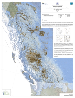 |
A better understanding of the Cordilleran ice sheet flow history is important for designing, implementing, and interpreting geochemical and mineralogical data from drift prospecting surveys. Building on ice-flow indicator compilations for British Columbia by Ferbey et al. (2013) and Yukon Territory (Lipovsky and Bond, 2014), this map and database illustrate major ice-flow directions for the Canadian sector of Cordilleran ice sheet during the Late Pleistocene. The data were derived from published and unpublished surficial geology, terrain, and glacial feature maps. Because field data are sparse in the area ~ 300 km south of the British Columbia -Yukon border, new data were generated using digital stereo airphotos, digital derived-stereo orthophoto mosaics, and digital derived-stereo Satellite Pour l'Observation de la Terre (SPOT ) imagery. The raw data are integrated into a single database; no attempt was made to reconcile cases where data from different sources conflict. |
| Issue ID: | OGAR2016-01 |
| Title: | Summary of Shale Gas Activity in Northeast British Columbia 2014 |
| Author(s): | Adams, C., Janicki, E., Balogun, A. |
| Series Name: | Oil and Gas Activity Reports |
| Publication Year: | 2015 |
| NTS Map Sheet(s): | 094; |
| Place Keyword(s): | British Columbia, Northeast BC, Montney, Horn River Basin, Liard Basin |
| Lat/Long (NSWE): | 60, 54, -126, -120 |
| Theme Keyword(s): | Shale Gas, Industry activity, exploration and development, petroleum and natural gas, petroleum and natural gas rights |
Download(s):
| PDF |
Abstract:
| Exploration and production companies appear to have three clear business objectives in the near term: lowering their break-even points, solidifying their capital structure and focusing on the operating assets that hold less economic risk. Approximately 86.6% of wells drilled in British Columbia are now targeting worldclass regionally extensive unconventional gas plays, such as the Horn River Basin, the Cordova Embayment, the Liard Basin and the Montney play trend. |
| Issue ID: | PGOF2009-03 |
| Title: | Geoscience Needs for Geothermal Energy Development in Western Canada: Findings and Recommendations |
| Author(s): | Label, Daniel |
| Series Name: | Petroleum Geology Open File |
| Publication Year: | 2009 |
| Other Citation Details: | with Geological Survey of Canada, Natural Resources Canada |
| NTS Map Sheet(s): | 082;083;092;093;094;102;103;104;114 |
| Place Keyword(s): | British Columbia |
| Lat/Long (NSWE): | 60, 48, -139, -114 |
| Theme Keyword(s): | geothermal, workshop, geoscience needs, geothermal energy development |
Download(s):
| PDF |
Abstract:
| The goal of the workshop was to assess the geothermal geoscience needs of western Canada and the appropriate role of government geological science agencies in supporting geothermal energy exploration and development. The focus was on using moderate- to high-temperature geothermal systems for direct heat or electricity generation. |
| Issue ID: | OGR2001-01 |
| Title: | Adsorption Characteristics of Coals with Special Reference to the Gething Formation, Northeast British Columbia |
| Author(s): | Ryan, B., Lane, B. |
| Series Name: | Oil and Gas Reports |
| Publication Year: | 2002 |
| Larger Work Citation: | in Geological Fieldwork 2001, B.C. Ministry of Energy and Mines, Paper 2002-1, pages 331 to 346 |
| Scale: | 1:1000000 |
| NTS Map Sheet(s): | 093O, 093J, 093I |
| Place Keyword(s): | British Columbia, Northeastern British Columbia, Peace River Coalfield |
| Lat/Long (NSWE): | 56.2397, 54.5, -123.0346, -120 |
| Theme Keyword(s): | Coalbed Methane Geology, Adsorption, Fieldwork, Petrography, Coal Ash |
Download(s):
| PDF |
Abstract:
| This document presents the adsorption characteristics of coals with special reference to the Gething Formation of northeast British Columbia. |
| Issue ID: | OGR2014 |
| Title: | Geological and Geophysical Reports Index - Released to September 2014 |
| Author(s): | various |
| Series Name: | Oil and Gas Reports |
| Publication Year: | 2014 |
| NTS Map Sheet(s): | 082;083;092;093;094;102;103;104;114 |
| Place Keyword(s): | British Columbia |
| Lat/Long (NSWE): | 60, 48, -139, -114 |
| Theme Keyword(s): | petroleum, exploration reports, index |
Download(s):
| PDF |
Abstract:
| The attached list is updated annually. The list is comprised of petroleum exploration reports collected under the authority of the Petroleum and Natural Gas Act.
The reports are available for viewing by appointment at the Information Resource Centre in Victoria for a nominal fee. |
| Issue ID: | OF2016-02 |
| Title: | An index of base and precious metal regional- to property-scale subglacial till geochemical and mineralogical surveys in British Columbia |
| Author(s): | Bustard, A.L. and Ferbey, T. |
| Series Name: | Open File |
| Publication Year: | 2016 |
| NTS Map Sheet(s): | 082;083;092;093;094;102;103;104;114 |
| Place Keyword(s): | British Columbia |
| Lat/Long (NSWE): | 60, 48, -139, -114 |
| Theme Keyword(s): | till index, till geochemical surveys, till mineralogical surveys |
Download(s):
| PDF, ZIP (View Zip Contents) |
Abstract:
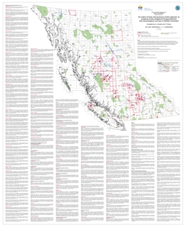 |
Released in PDF, ESRI Map Package, Shapefile, File Geodatabase, and KMZ formats, Open File 2016-2 indexes geographically referenced, regional- and property-scale subglacial till geochemical and mineralogical surveys targeting base and precious metals in British Columbia. It also lists topical studies relevant to drift prospecting in the province and elsewhere. Original source reports can be downloaded using the URLs provided, as can publications that use the data, such as compilations. The digital versions of the index enable advanced searches using fields such as author, source type (digital or PDF), or source. |
| Issue ID: | IC2016-04 |
| Title: | Rare Metals in British Columbia |
| Author(s): | BC Geological Survey |
| Series Name: | Information Circular |
| Publication Year: | 2016 |
| NTS Map Sheet(s): | 082;083;092;093;094;102;103;104;114 |
| Place Keyword(s): | British Columbia |
| Lat/Long (NSWE): | 60, 48, -140, -114 |
| Theme Keyword(s): | Rare Metals, MINFILE, brochure, REE |
Download(s):
| PDF |
Abstract:
 |
This brochure briefly describes rare metal deposits in British Columbia, including the Aley, Blue River, Wicheeda and Rock Canyon Creek deposits. It has a location map of selected rare metal deposits. The MINFILE database contains rare metal occurrences hosted by carbonatites, nepheline syenites, rare element enriched pegmatites, skarns, massive sulphide deposits, sedimentary phosphate deposits and placer deposits. |
| Issue ID: | GBCR2016-08 |
| Title: | Geology of the Almond Mountain Map Sheet (NTS 082E/07) |
| Author(s): | H�y, T., Jackaman, W., and Elder, B. |
| Series Name: | Geoscience BC Report |
| Publication Year: | 2016 |
| Larger Work Citation: | Geoscience BC Project 2014-006 |
| Scale: | 1:50000 |
| NTS Map Sheet(s): | 082E/07 |
| Place Keyword(s): | British Columbia, Southern British Columbia, Kettle River Area, Almond Mountain |
| Lat/Long (NSWE): | 49.5, 49.25, -119.5, -119 |
| Theme Keyword(s): | geology, bedrock geology, Geoscience BC |
Additional Link(s):
| http://cdn.geosciencebc.com/project_data/GBCReport2016-08/GBC_Map2016-08_Almond.pdf
http://cdn.geosciencebc.com/project_data/GBCReport2016-08/Report2016-08_Almond_Data.zip |
Abstract:
| Geoscience BC Report 2016-08 is a 1:50 000 scale geology map of the Almond Mountain map sheet (NTS 082E/07) in southeast British Columbia, derived from new 1:20 000 scale mapping of selected areas of the Almond Mountain map sheet and compilation of previously existing regional geological, geophysical and geochemical data. This report includes shapefiles, and RGS and Minfile compilations. The Almond Mountain map sheet is located north of the community of Greenwood in southern B.C., situated between the base- and precious-metal deposits of the Franklin, Greenwood and Beaverdell camps. The author has previously released updated geological maps east of this project area (Grand Forks, Deer Park and Burrell Creek), and a map for the Christian Valley area to the north is planned for release in 2017. |
| Issue ID: | GBCR2016-12 |
| Title: | Distribution and nature of the Eocene Ootsa Lake Group in the Chilcotin Plateau, parts of Quesnel and Anahim Lake map areas (NTS 093B & 093C), central British Columbia |
| Author(s): | Bordet, Esther., and Hart, Craig J.R. |
| Series Name: | Geoscience BC Report |
| Publication Year: | 2016 |
| Other Citation Details: | Also published as MDRU Map M-10 |
| Scale: | 1:100000 |
| NTS Map Sheet(s): | 093B,C |
| Place Keyword(s): | British Columbia, Central, Nechako, Chilcotin |
| Lat/Long (NSWE): | 53.2, 52.6, -124.3, -123 |
| Theme Keyword(s): | Eocene, volcanic rocks, lithological and structural framework, field database |
Additional Link(s):
| http://cdn.geosciencebc.com/project_data/GBCReport2016-12.zip |
Abstract:
| Geoscience BC Report 2016-12 contains a new geological map of a portion of the Chilcotin and Nechako Plateau. The map highlights previously unmapped rock outcrops and will support mineral exploration in a region which is known for poor rock exposure. The 1:100 000 scale geology map is in PDF format, and supported with GIS files, a field and analytical database and a brief report. A PhD thesis (Esther Bordet, 2014) and previous Geoscience BC report (2011-13) are also available. |
| Issue ID: | GBCR2016-14 |
| Title: | Curie Point Depth Mapping Pilot Study in Northwest British Columbia |
| Author(s): | Witter, Jeff; Mira Geoscience Ltd., and Miller, Craig; SFU |
| Series Name: | Geoscience BC Report |
| Publication Year: | 2016 |
| NTS Map Sheet(s): | 094C,D,E,F,K,L,M,N; 104A,B,C,F,G,H,I,J,K,N,O,P |
| Place Keyword(s): | British Columbia, Northwestern British Columbia |
| Lat/Long (NSWE): | 56, 60, -133, -125 |
| Theme Keyword(s): | Depth Mapping, Curie point depth, magnetic survey data, heat flow, geothermal prospecting tool |
Additional Link(s):
| http://cdn.geosciencebc.com/project_data/GBCReport2016-14/GBCReport2016-14.pdf |
Abstract:
| Geoscience BC Report 2016-14 presents a Curie point depth mapping pilot study over a small area of northwestern British Columbia. Curie point depth mapping uses regional-scale magnetic survey data to map the depth in the Earth's crust where magnetization disappears. When used in combination with other data (e.g. heat flow) it can be used as a regional-scale geothermal prospecting tool. In the report results are compared with the BC heat flow map, known volcanism, hot springs and regional geology. Based on the results, the authors recommend using the Curie point depth mapping technique across BC to help guide geothermal exploration programs. |
| Issue ID: | IC2016-06 |
| Title: | British Columbia Geological Survey Brochure |
| Author(s): | BC Geological Survey |
| Series Name: | Information Circular |
| Publication Year: | 2016 |
| NTS Map Sheet(s): | 082;083;092;093;094;102;103;104;114 |
| Place Keyword(s): | British Columbia |
| Lat/Long (NSWE): | 60, 48, -139, -114 |
| Theme Keyword(s): | Information Circular, Geological Survey Branch, Brochure, projects and activities |
Download(s):
| PDF |
Abstract:
 |
Information Circular 2016-6 summarizes the British Columbia Geological Survey's core programs, projects, and activities for 2016. |
| Issue ID: | GBCR2016-17 |
| Title: | Aeromagnetic Data Processing, Peace Region, British Columbia |
| Author(s): | Hogg, Scott & Associates |
| Series Name: | Geoscience BC Report |
| Publication Year: | 2016 |
| NTS Map Sheet(s): | 094A,B,G,H |
| Place Keyword(s): | British Columbia, Peace River, Fort Simpson, Hay River |
| Lat/Long (NSWE): | 58, 56, -123.75, -120.25 |
| Theme Keyword(s): | magnetic survey, magnetic survey data, crystalline basement, Precambrian basement |
Additional Link(s):
| http://cdn.geosciencebc.com/project_data/GBCReport2016-17-PeaceRegion-AirborneMagneticProcessingandInterpretationReport.pdf |
Abstract:
| Geoscience BC Report 2016-17 presents the results of a study focused on using airborne magnetic data to map the crystalline basement rocks in northeast BC. Using airborne magnetic data recently collected as part of the Peace Project airborne survey as well as existing Geological Survey of Canada data, the report presents an interpretation of faults and the depth to basement. Digital products include geosoft-format grid files and maps, images (jpeg, pdf and geotiff), and 3-D inversion files (geosoft, UBC and ASCII formats). |
| Issue ID: | GBCR2016-09 |
| Title: | Processing and Inversion of SkyTEM data |
| Author(s): | Aarhus Geophysics APS |
| Series Name: | Geoscience BC Report |
| Publication Year: | 2016 |
| Larger Work Citation: | Geoscience BC Peace Project |
| NTS Map Sheet(s): | 094A,B,G,H |
| Place Keyword(s): | British Columbia, Northeastern British Columbia, Peace, Charlie Lake |
| Lat/Long (NSWE): | 58, 56, -123.5, -120.5 |
| Theme Keyword(s): | inversion, qualitative interpretation, airborne, electromagnetic data, Geoscience BC |
Additional Link(s):
| http://www.geosciencebc.com/major-projects/peace/ |
Abstract:
| Following the release of new airborne electromagnetic data in northeast BC (Geoscience BC Report 2016-03: SkyTEM Survey: British Columbia, Canada; Data Report), Aarhus Geophysics was contracted to complete an inversion and qualitative interpretation of the data. The results are divided into ten files for download: two for each of the five main inversion blocks (Main, Charlie Lake, Doig, Conoco and Sikanni). From a geophysical standpoint, the main results of this study include: spatial variability of the resistivity models reflecting the expected variance, both near surface and at depth; excellent fit between measured and modelled data, independent of geology or flight lines; seamless models despite data were acquired under varying conditions and over a period of several weeks; depth of investigation exceeding, in places, 300 m; effective removal of potential canopy effects; good correlation with depth to bedrock inferred from boreholes. The derived qualitative geological interpretation highlights include: differentiation of different facies within the glacial cover, confirmation of several near surface resistive features associated to paleovalleys and/or areas of thick Quaternary cover identified by previous studies of borehole data, and the presence of other near surface resistive features that could be of hydrogeological relevance. |
| Issue ID: | GBCR2016-15 |
| Title: | Surficial Geochemical Exploration Data for British Columbia Porphyry Copper Deposits |
| Author(s): | Blaine, F.A., Hart, C.J.R., and Jenkins, S. |
| Series Name: | Geoscience BC Report |
| Publication Year: | 2016 |
| NTS Map Sheet(s): | 082;083;092;093;094;102;103;104;114 |
| Place Keyword(s): | British Columbia |
| Lat/Long (NSWE): | 60, 48, -139, -114 |
| Theme Keyword(s): | surficial geochemistry, data, porphyry copper deposits |
Abstract:
| Geoscience BC Report 2016-15 provides the the mineral-exploration community with easy access to surficial geochemistry data and related information to facilitate exploration and discovery of BC porphyry deposits. For a selected group of 15 porphyry deposits, geochemical information available in print form has been compiled, digitized and updated to meet modern geospatial standards, and paired with spatial datasets related to the physiographic setting, glacial history, surficial materials and other geological factors that may influence geochemical distributions. These data packages are presented as 15 self-extracting data archives in ArcGIS� .mpk map package format that allow the user a high degree of flexibility to visualize the data with their own constraints. Users can thus visually and mathematically interrogate data to reveal relationships within the datasets, and potentially develop new models of geochemical dispersion in postglacial environments. Examples of how such data can be utilized to understand the relative importance of surficial processes, terrain and climate in producing modern geochemical signals in these types of environments are briefly discussed. |
| Issue ID: | GBCR2016-18 |
| Title: | Peace Area Project - Well Selection for Testing Geological Model based on Gamma and Airborne Electromagnetic (AEM) Studies |
| Author(s): | Bemex Consulting International and Quaternary Geosciences Inc. |
| Series Name: | Geoscience BC Report |
| Publication Year: | 2016 |
| Larger Work Citation: | Geoscience BC Peace Project |
| NTS Map Sheet(s): | 094A,B,G,H |
| Place Keyword(s): | British Columbia, Northeastern British Columbia, Peace |
| Lat/Long (NSWE): | 58, 56, -123.5, -120.5 |
| Theme Keyword(s): | validity of geological models, well selection, gamma, airborne electromagnetic studies |
Additional Link(s):
| http://cdn.geosciencebc.com/project_data/GBCReport2016-18.pdf |
Abstract:
| This reports presents the results of a study undertaken to test the validity of the geological models generated as a result of the Peace Project Aarhus and Petrel Robertson/QGI studies (Geoscience BC Reports 2016-09 and 2016-04, respectively). Several potential well locations have been selected within five blocks, based on surficial geology, resistivity, and road accessibility. The locations of the test wells are placed close to existing petroleum and water wells, where possible, to provide calibration. The objective is to test the validity of the geological model; not to locate shallow Quaternary and/or bedrock aquifers. The report provides a rationale as to why each area was selected. The locations of potential wells are overlain on resistivity depth slices and sections from the Peace project area, and a well prognosis provides the information on resistivity values and geological formations versus depth for each of the proposed locations. |
| Issue ID: | GBCR2016-19 |
| Title: | Mud Volcanoes in the Purcell Basin and Their Relevance to Middle Proterozoic Massive-Sulphide Ag-Pb-Zn Deposits, Southeastern British Columbia |
| Author(s): | Kennedy, Sean; Hoy, Trygve |
| Series Name: | Geoscience BC Report |
| Publication Year: | 2016 |
| NTS Map Sheet(s): | 082F/01,/08,/09; 082G/04,/05,/12 |
| Place Keyword(s): | British Columbia, Southeastern British Columbia, Purcell Basin |
| Lat/Long (NSWE): | 49.75, 49, -116.5, -115.5 |
| Theme Keyword(s): | SEEK, geology, geochemistry, mud volcanism, massive sulphide |
Additional Link(s):
| http://cdn.geosciencebc.com/project_data/GBCReport2016-19_final.pdf |
Abstract:
| Fragmental rocks related to mud/sediment volcanism and venting were developed episodically during deposition of the Aldridge Formation and may be genetically related to the giant Sullivan Pb-Zn-Ag deposit at Kimberley. The goal of this project, funded as part of Geoscience BC's SEEK program, was to determine if it was possible to differentiate the favourability of various fragmental complexes to host base metal mineralization, or vector within the complexes to areas of higher mineralization potential, by cataloguing fragmental facies, defining controlling structures and alteration zones, and determining geochemical signatures as they may relate to the venting process. Five previously identified fragmental occurrences were selected as study areas based on access, current level of exploration interest, and stratigraphic location. Geological mapping of fragmental alteration assemblages was shown to be an effective tool for evaluating fragmental facies and their potential for base metal mineralization. Additionally, mapping of mud/sediment volcano facies and structural trends was shown to be a useful tool for interpreting the local sedimentary environment. Geochemical variations between sample sites were identified and further whole rock and trace element analyses should help identify the geochemical signature of mineralized fragmental complexes. |
| Issue ID: | GBCR2016-13 |
| Title: | 2015 Horn River Basin Surface Water Monitoring Program - Final Report |
| Author(s): | Kerr Wood Leidal Associates Ltd. |
| Series Name: | Geoscience BC Report |
| Publication Year: | 2016 |
| NTS Map Sheet(s): | 094I,J,O,P |
| Place Keyword(s): | British Columbia, Northeastern British Columbia, Horn River Basin |
| Lat/Long (NSWE): | 60, 58.5, -123.5, -121 |
| Theme Keyword(s): | surface water sources, water quality, water quantity, water availability, shale gas development |
Additional Link(s):
| http://cdn.geosciencebc.com/project_data/GBCReport2016-13_Dec16.pdf |
Abstract:
| The Horn River Basin Water Monitoring Study (part of Geoscience BC's Horn River Basin Aquifer Project) was undertaken by Kerr Wood Leidal Associates in partnership with local First Nations and Peace Country Technical Services) from 2012-2015. The program involved hydrometric data, climate data monitoring, and water quality and biological sample collection. The report presents a project overview and the final data sets, providing a valuable baseline surface water data set for the Horn River Basin. 'Real-time' hydrometric and climate station data can be accessed through FlowWorks. |
| Issue ID: | GBCR2017-01-01 |
| Title: | Monitoring and Risk Assessment of Anomalous Induced Seismicity Due to Hydraulic Fracturing in the Montney Formation, Northeastern British Columbia |
| Author(s): | Bustin, A.M.M. and Bustin, R.M. |
| Series Name: | Geoscience BC Report |
| Publication Year: | 2017 |
| Larger Work Citation: | in Geoscience BC Report 2017-1 |
| NTS Map Sheet(s): | 093M,N,O,P; 094A-P |
| Place Keyword(s): | British Columbia, Montney Formation |
| Lat/Long (NSWE): | 60, 55, -127, -119 |
| Theme Keyword(s): | hydraulic fracturing, induced seismicity, attenuation model, traffic-light protocol, hydrogeomechanical modelling |
Additional Link(s):
| http://cdn.geosciencebc.com/pdf/SummaryofActivities2016/SoA2016_Bustin.pdf |
Abstract:
| Shale gas operations in northeastern British Columbia (NEBC) have induced the largest occurrence and magnitude of anomalous induced seismicity (AIS) due to hydraulic fracturing. Occurrences of AISwithmagnitudes of up to ML 4.6 have been recorded in seven clusters within the Montney play due to hydraulic fracturing. Two of these clusters have been linked to waste-water disposal and another five to hydraulic fracturing. Environmental and safety concerns associated with wellbore damage resulting from AIS are important, as are public concerns, especially as shale-gas extraction is expected to ramp up over the next several years. The goal of this Geoscience BC research project is to better understand AIS due to hydraulic fracturing in NEBC. The project is designed to investigate the variables and processes controlling AIS and its associated ground motions, as well as to investigate and develop methods or protocols for the reduction and mitigation of the seismicity. The program has two objectives in order to accomplish these goals: � build and deploy additional accelerograph and three component (3C) seismometer sensors (up to 15 additional sensors during the tenure of the grant) to monitor hydraulic fracturing in the Montney Formation for the purpose ofmitigatingAIS through the development of a traffic-light/early-warning protocol based on ground motions, and to develop attenuation models (i.e., the relationship between magnitude and ground motions) � develop probabilistic hydrogeomechanical models for the occurrence and magnitude of AIS due to hydraulic fracturing in theMontney Formation by integrating data from field studies and laboratory analysis into numerical simulations. |
| Issue ID: | GBCR2017-03 |
| Title: | Search Project Phase II: 2016 Airborne Magnetic Survey |
| Author(s): | Sander Geophysics |
| Series Name: | Geoscience BC Report |
| Publication Year: | 2017 |
| NTS Map Sheet(s): | 093E,F,K,L,M,N; 094C,D |
| Place Keyword(s): | British Columbia, Search area |
| Lat/Long (NSWE): | 54, 52, -128, -124 |
| Theme Keyword(s): | magnetic gradiometry, radiometric data, magnetic survey |
Additional Link(s):
| http://www.geosciencebc.com/major-projects/SeArch/
http://cdn.geosciencebc.com/project_data/GBCReport2017-03/2017-03_FinalTechnicalReport.pdf |
Abstract:
| Geoscience BC Report 2017-03 presents the results of the Search Phase II airborne magnetic and radiometric survey, located near the communities of Smithers, Houston, Burns Lake, Fraser Lake and Vanderhoof. The survey was flown at a line spacing of 250 m, and the total survey coverage is 117,000 line-km. The survey adjoins Geoscience BC's TREK and Search Phase I airborne magnetic surveys in the south and west respectively. |
| Issue ID: | GBCR2017-04 |
| Title: | 2016 RGS Sample Reanalysis Project (parts of NTS 082G, 082J, 092N, 093E, 093H, 103O, 103P and 104N) |
| Author(s): | Jackaman, W., Noble Exploration Services Ltd. |
| Series Name: | Geoscience BC Report |
| Publication Year: | 2017 |
| NTS Map Sheet(s): | 082;083;092;093;094;102;103;104;114 |
| Place Keyword(s): | British Columbia |
| Lat/Long (NSWE): | 60, 48, -139, -114 |
| Theme Keyword(s): | RGS, regional geochemical survey, reanalysis, sample |
Additional Link(s):
| http://cdn.geosciencebc.com/project_data/GBCReport2017-04.zip |
Abstract:
| Geoscience BC Report 2017-04 presents results of a Geoscience BC--funded reanalysis project that was conducted in 2016. The samples acquired for reanalysis originated from surveys conducted in NTS map areas 082G, 082J, 092N, 093E, 093H, 103O, 103P and 104N. Specific details regarding the methods and specifications utilized during original RGS programs can be found in Rukhlov and Naziri (2015). |
| Issue ID: | GBCR2017-01-02 |
| Title: | Ground Motion from the August 17, 2015, Moment Magnitude 4.6 Earthquake Induced by Hydraulic Fracturing in Northeastern British Columbia |
| Author(s): | Mahani, A. Babaie, Kao, H., Johnson, J., Salas, C.J. |
| Series Name: | Geoscience BC Report |
| Publication Year: | 2017 |
| Larger Work Citation: | in Geoscience BC Report 2017-1 |
| NTS Map Sheet(s): | 094G,H,I,J |
| Place Keyword(s): | British Columbia, Montney |
| Lat/Long (NSWE): | 56.5, 57.5, -123, -121 |
| Theme Keyword(s): | induced seismicity, ground motion |
Additional Link(s):
| http://cdn.geosciencebc.com/pdf/SummaryofActivities2016/SoA2016_BabaieMahani.pdf |
Abstract:
| Analysis of earthquake ground motion from data recorded by regional and local seismograph networks is essential in understanding the potential seismic hazard in a region. Geoscience BC Report 2017-01-02 presents the results of a study focussed on Groundmotion from the August 17, 2015 Moment Magnitude 4.6 Earthquake induced by hydraulic fracturing in northeastern British Columbia. Groundmotion prediction equations (GMPE) are routinely developed and modified as more data become available, then they are used to update the available seismic hazard maps and building codes. However, the majority of the available GMPE lack data resolution at distances close to the source of the earthquakes. This lack of resolution is especially important with regard to the ground motion from larger, shallow, fluid-injection�induced events, which has the potential to damage the structures around the injection point (Novakovic and Atkinson, 2015). |
| Issue ID: | GBCR2017-01-03 |
| Title: | Identification and Evaluation of New Resource Oil Plays in Northeastern British Columbia |
| Author(s): | Hayes, B.J.R., Nassichuk, B., Bachman, R., Clarke, J.S., Wust, R., Michaud, K. |
| Series Name: | Geoscience BC Report |
| Publication Year: | 2017 |
| Larger Work Citation: | in Geoscience BC Report 2017-1 |
| NTS Map Sheet(s): | 093M,N,O,P; 094A-P |
| Place Keyword(s): | British Columbia, Northeast British Columbia |
| Lat/Long (NSWE): | 60, 54.5, -124.6, -119 |
| Theme Keyword(s): | resource oil, tight oil, halo oil, reservoir engineering, Maxhamish field |
Additional Link(s):
| http://cdn.geosciencebc.com/pdf/SummaryofActivities2016/SoA2016_Hayes.pdf |
Abstract:
| Horizontal drilling and multiple-stage hydraulic fracturing (multi-frac) stimulation technologies have greatly augmented gas and liquids resources and reserves in the unconventional reservoirs of British Columbia (BC) over the past several years. However, little new unconventional oil potential has been identified, even though substantial conventional oil pools have been producing for decades. To address this issue, Geoscience BC commissioned a study to determine the potential for new tight oil exploration and exploitation fairways, accessible throughmodern drilling and completions technologies. |
| Issue ID: | GBCR2017-01-04 |
| Title: | Remote Dynamic Triggering of Earthquakes in Three Canadian Shale Gas Basins, Northeastern British Columbia and Alberta, Northwest Territories and New Brunswick: Progress Report |
| Author(s): | Wang, B., Harrington, R., Liu, Y., Kao, H. |
| Series Name: | Geoscience BC Report |
| Publication Year: | 2017 |
| Larger Work Citation: | in Geoscience BC Report 2017-1 |
| NTS Map Sheet(s): | 082;083;092;093;094;102;103;104;114 |
| Place Keyword(s): | British Columbia |
| Lat/Long (NSWE): | 60, 48, -139, -114 |
| Theme Keyword(s): | dynamic triggering, shale basins, induced seismicity |
Additional Link(s):
| http://cdn.geosciencebc.com/pdf/SummaryofActivities2016/SoA2016_Wang.pdf |
Abstract:
| In Geoscience BC Report 2017-01-04, a search for dynamic triggering in three shale basins in Canada will be undertaken to see if these three regions, which represent different types of tectonic regimes, are susceptible to triggering. At the same time, the current stress state of local faults will also be investigated. If triggering happens, the specific triggering response properties for each of the different basins will be examined, as well as the factors that could be causing dynamic triggering. For the three shale basins (Figure 1), one basin is situated in northeastern British Columbia and western Alberta (BCAB), one basin is situated in the Northwest Territories (NWT) and one basin is situated in New Brunswick (NB). These three areas have all seen an increase in the number of seismic stations installed; studies show that they have experienced relatively high seismicity rates recently,which may be related to the fluid injection from unconventional oil/gas production (Rivard et al., 2014; Schultz et al., 2014, 2015; Eaton and Mahani, 2015; Farahbod et al. , 2015; Lamontagne et al., 2015; Atkinson et al., 2016). For example, the number of earthquakes catalogued by Natural Resources Canada (NRCan) in BCAB was 24 in 2002 compared with a total of 168 in 2014 (Natural Resources Canada, 2016). Figure 2 shows the newly installed seismic stations and catalogued earthquakes (2013�2015) in the three areas of this study. |
| Issue ID: | GBCR2017-01-05 |
| Title: | Status Report on Petroleum System Analysis Study of the Triassic Doig Formation, Western Canada Sedimentary Basin, Northeastern British Columbia |
| Author(s): | Silva, P.L., Bustin, R.M. |
| Series Name: | Geoscience BC Report |
| Publication Year: | 2017 |
| Larger Work Citation: | in Geoscience BC Report 2017-1 |
| NTS Map Sheet(s): | 093M,N,O,P; 094A-P |
| Place Keyword(s): | British Columbia, Northeastern British columbia |
| Lat/Long (NSWE): | 60, 55, -127, -119 |
| Theme Keyword(s): | shale gas, shale oil, unconventional reservoir, petroleum system analysis |
Additional Link(s):
| http://cdn.geosciencebc.com/pdf/SummaryofActivities2016/SoA2016_Silva.pdf |
Abstract:
| The purpose of the ongoing research project reported herein is to determine the unconventional hydrocarbon potential of the Doig Formation through a petroleum system analysis (PSA). The principal goal of the study is to delineate the distribution of producible liquids from tight reservoirs in northeastern BC. |
| Issue ID: | GBCR2017-01-06 |
| Title: | Unconventional Petroleum Systems Analysis of Upper Devonian Organic-Rich Shale Units in the Horn River and Liard Basins, Northeastern British Columbia and Adjacent Western Alberta: Preliminary Report |
| Author(s): | Wilson, T.K., Bustin, R.M. |
| Series Name: | Geoscience BC Report |
| Publication Year: | 2017 |
| Larger Work Citation: | in Geoscience BC Report 2017-1 |
| NTS Map Sheet(s): | 093M,N,O,P; 094A-P |
| Place Keyword(s): | British Columbia, Northeastern British columbia |
| Lat/Long (NSWE): | 60, 55, -127, -119 |
| Theme Keyword(s): | shale gas, unconventional reservoirs, petrophysics, porosity, basin modelling |
Additional Link(s):
| http://cdn.geosciencebc.com/pdf/SummaryofActivities2016/SoA2016_Wilson.pdf |
Abstract:
| The objective of this study is to contribute to the prediction of hydrocarbon distribution, reservoir quality and producibility of Devonian shales in the Horn River and Liard Basins, Cordova Embayment, and adjacent western Alberta. Specifically, the goal is to determine the geological factors controlling the distribution of potentially producible wet gas, condensate and oil. The multifaceted study uses petroleum systems analysis, ground-truthed with fluid analysis, and petrophysical and geochemical analyses of cuttings and core samples, to predict the types and volumes of generated and retained hydrocarbons throughout the basins' evolution. |
| Issue ID: | GBCR2017-01-07 |
| Title: | Diagenetic Model for the Deep Montney Formation, Northeastern British Columbia |
| Author(s): | Vaisblat, N. Harris, N.B., DeBhur, C., Euzen, T., Gasparrini, M., Crombez, V., Rohais, S., Krause, F., Ayranci, K. |
| Series Name: | Geoscience BC Report |
| Publication Year: | 2017 |
| Larger Work Citation: | in Geoscience BC Report 2017-1 |
| NTS Map Sheet(s): | 093M,N,O,P; 094A-P |
| Place Keyword(s): | British Columbia, Montney Formation |
| Lat/Long (NSWE): | 60, 55, -127, -119 |
| Theme Keyword(s): | diagenesis, paragenesis, quartz cement, dolomite cement, dissolution |
Additional Link(s):
| http://cdn.geosciencebc.com/pdf/SummaryofActivities2016/SoA2016_Vaisblat.pdf |
Abstract:
| The Lower Triassic Montney Formation of the Western Canada Sedimentary Basin (WCSB) is a world-class unconventional resource with 450 Tcf gas reserves, 14 520 mmbbl natural gas liquids reserves and 1125 mmbbl oil reserves (National Energy Board, 2013). Although commonly described as a shale, the Montney Formation is a siltstone in most of its subcrop. Unlike sandstone and shale reservoirs, little is known about the diagenetic evolution and pore development of siltstone reservoirs, and a better understanding of diagenetic controls on reservoir quality in this type of reservoir is essential to improve resource and reserve estimates and to maximize hydrocarbon recovery. This work focuses on the deepest section of the Montney Formation in British Columbia (BC). An isopach map of the formation thickness and the location of the study area are presented in Figure 1. In this area, theMontney Formation is within the gas window and highly mature (temperature at maximum release of hydrocarbons [Tmax] is >470�C, vitrinite reflectance [Ro] is 1.3%). Diagenetic studies are crucial for understanding pore system evolution and predicting reservoir quality. The objective of this paper is to describe the major authigenic phases that are present in theMontney Formation siltstone and interpret the temporal sequence of events leading to the consolidation of the formation. |
| Issue ID: | GBCR2017-01-08 |
| Title: | Implications of the Inorganic Geochemistry of FlowbackWater from the Montney Formation, Northeastern British Columbia and Northwestern Alberta: Progress Report |
| Author(s): | Owen, J.N., Bustin, R.M. |
| Series Name: | Geoscience BC Report |
| Publication Year: | 2017 |
| Larger Work Citation: | in Geoscience BC Report 2017-1 |
| NTS Map Sheet(s): | 093M,N,O,P; 094A-P |
| Place Keyword(s): | British Columbia, Montney Formation |
| Lat/Long (NSWE): | 60, 55, -127, -119 |
| Theme Keyword(s): | inorganic geochemistry, stable isotopes, hydraulic fracturing, flowback water |
Additional Link(s):
| http://cdn.geosciencebc.com/pdf/SummaryofActivities2016/SoA2016_Owen.pdf |
Abstract:
| The development of unconventional oil and gas resources requires injections of large volumes of fluid at high pressures and rates, in order to hydraulically fracture the reservoir and hence create a system permeability high enough that hydrocarbons can be produced economically. Fracturing fluid, used in completions of the Montney Formation in the Western Canada Sedimentary Basin as well as almost all shale completions elsewhere, previously consisted mainly of freshwater as the base fluid. There is currently a trend to blend freshwater with flowback water from previously fractured wells and/or produced water from other wells to reduce freshwater usage. Much of the motivation for reducing freshwater usage during hydraulic fracturing is based on economics and real, or perceived, environmental issues related to depletion of freshwater resources. |
| Issue ID: | GBCR2017-01-09 |
| Title: | Preliminary Report on Hydration-Induced Swelling of Shale in the Horn River Basin, Northeastern British Columbia |
| Author(s): | Gupta, A., Xu, M., Dehgahnpour, H., Bearinger, D. |
| Series Name: | Geoscience BC Report |
| Publication Year: | 2017 |
| Larger Work Citation: | in Geoscience BC Report 2017-1 |
| NTS Map Sheet(s): | 093M,N,O,P; 094A-P |
| Place Keyword(s): | British Columbia, Horn River Basin |
| Lat/Long (NSWE): | 60, 55, -127, -119 |
| Theme Keyword(s): | hydraulic fracturing, optimization, soaking of gas shale, hydration-induced tensile stress, expansion of clay-rich shale |
Additional Link(s):
| http://cdn.geosciencebc.com/pdf/SummaryofActivities2016/SoA2016_Gupta.pdf |
Abstract:
| The goals of this study are to 1) extend previous work on water uptake of HRBasin shales and quantify its hydration induced stress and expansion characteristics, 2) investigate the effects of fluid chemistry on water uptake and swelling, and 3) investigate the effects of hydration-induced stress and strain on enhancement of hydrocarbon production. In this paper are presented the preliminary results of the most direct measurements of hydration-induced tensile stress and strain in HR Basin shales. |
| Issue ID: | GBCR2017-01-10 |
| Title: | Investigating the Role of Buried Valley Aquifer Systems in the Regional Hydrogeology of the Peace River Region, Northeastern British Columbia (Parts of NTS 094A, B) |
| Author(s): | Morgan, S.E., Allen, D.M., Kirste, D., Salas, C.J. |
| Series Name: | Geoscience BC Report |
| Publication Year: | 2017 |
| Larger Work Citation: | in Geoscience BC Report 2017-1 |
| NTS Map Sheet(s): | 094A,B,G |
| Place Keyword(s): | British Columbia, Northeastern British Columbia, Peace River region |
| Lat/Long (NSWE): | 58, 56, -124, -120 |
| Theme Keyword(s): | buried valley aquifers, regional groundwater flow, hydrogeology, Petrel, MODFLOW |
Additional Link(s):
| http://cdn.geosciencebc.com/pdf/SummaryofActivities2016/SoA2016_Morgan.pdf |
Abstract:
| Several studies have explored the hydraulic role of buried valley aquifers through both field techniques (e.g., Troost and Curry, 1991; Shaver and Pusc, 1992; van der Kamp and Maathuis, 2012) and numerical modeling (e.g., Shaver and Pusc, 1992; Seifert et al., 2008; Seyoum and Eckstein, 2014). Investigations into buried valley aquifers using numerical modeling have incorporated their geological structure and have explored the continuity of the permeable units within their fill, which are among the key factors that control the effect that buried valleys have on groundwater flow (Russell et al., 2004). These studies, however, end to be localized (e.g., one buried valley). �At the regional scale, there has been limited investigation of aquifer extent and continuity along buried valleys, the groundwater resource potential of buried valley aquifer systems, and the hydraulic role of buried valleys on regional flow� (Russell, 2004). To examine the resource potential of buried valley aquifers, the impact that buried valleys have on the regional groundwater flow regime must be investigated. The purpose of this research is to contribute to the knowledge of buried valley aquifer hydrogeology and explore the influence that buried valley aquifers have on groundwater flow at a regional scale. The study area is the Peace River region of northeastern British Columbia (BC). The aim of this work is also to extend the research conducted for Geoscience BC�s Peace Project, a project aimed at contributing new information about the available water resources in northeastern BC. The specific objectives of the research are to � determine the nature of the continuity of the permeable units within the buried valley network in the Peace River region, � characterize the regional groundwater flow system for the buried valley aquifer network, and � analyze the regional water budget under the influence of the buried valley aquifers and assess the validity of the buried valley aquifers as a water resource. |
| Issue ID: | GBCR2017-01-11 |
| Title: | Quantifying the Water Balance of Coles Lake in Northeastern British Columbia Using In Situ Measurements and Comparisons with Other Regional Sources of Water Information |
| Author(s): | Abadzadesahraei, S., Dery, S.J., Rex, J. |
| Series Name: | Geoscience BC Report |
| Publication Year: | 2017 |
| Larger Work Citation: | in Geoscience BC Report 2017-1 |
| NTS Map Sheet(s): | 094O |
| Place Keyword(s): | British Columbia, Northeastern British Columbia, Coles Lake watershed |
| Lat/Long (NSWE): | 59.35, 60, -122.5, -122 |
| Theme Keyword(s): | water resources, oil and gas extraction |
Additional Link(s):
| http://cdn.geosciencebc.com/pdf/SummaryofActivities2016/SoA2016_Abadzadesahraei.pdf |
Abstract:
| Northeastern British Columbia (BC) is undergoing rapid development for oil and gas extraction, largely depending on subsurface hydraulic fracturing (fracking), which relies on freshwater. Even though this industrial activity has made substantial contributions to regional and provincial economies, it is important to ensure that sufficient and sustainable water supplies are available for socioeconomic sectors dependent on the resource, including ecological systems. This, in turn, demands a comprehensive understanding of how water in all its forms interacts within the watershed and an identification of the potential impacts of changing climatic conditions on these processes. The aim of this study is to characterize and quantify all components of the water balance in the Coles Lake watershed, northeastern BC, through a combination of fieldwork and observational data analysis. Baseline information generated from this study will support the assessment of the sustainability of current and future plans for freshwater extraction in the region by the oil and gas industry. The initial results of fieldwork and a partial observational analysis were already published by Abadzadesahraei et al. (2016). This paper provides a complete observational analysis for the hydrological year 2013�2014, providing a better understanding of boreal wetland dynamics by identifying the water balance of Coles Lake. In addition, the outcomes of this study are compared with other available regional sources of water in northeastern BC. |
| Issue ID: | GBCR2017-01-12 |
| Title: | British Columbia Natural Gas Atlas Project: 2016 Project Update |
| Author(s): | Evans, C., Whiticar, M.J. |
| Series Name: | Geoscience BC Report |
| Publication Year: | 2017 |
| Larger Work Citation: | in Geoscience BC Report 2017-1 |
| NTS Map Sheet(s): | 093M,N,O,P; 094A-P |
| Place Keyword(s): | British Columbia, Northeastern British Columbia |
| Lat/Long (NSWE): | 60, 55, -127, -119 |
| Theme Keyword(s): | natural gas, methane, isotopes, geochemistry, mapping |
Additional Link(s):
| http://cdn.geosciencebc.com/pdf/SummaryofActivities2016/SoA2016_Evans.pdf |
Abstract:
| Natural gas is associated with many sedimentary basins and marine depositional areas in British Columbia (BC). The BC Natural Gas Atlas (BC NGA) project (http://bc-NGA.ca/BC-NGA_Home.html) has just launched and proposes to map the major known gas occurrences throughout BC during the next few years, in a series ofmapping phases. The initial phase of mapping has been focused on the areas of commercial natural gas production in northeastern BC (NEBC). The BC NGA project was initiated in response to regulatory changes, industry need and increased public recognition for geochemical data and basic interpretation. The industry uses gas geochemistry to understand hydrocarbon occurrences to aid in the identification and prioritization of areas of interest. Public interest stems from increased awareness of potential contamination issues, fugitive emissions, and supply and demand issues, such as the need for gas pipelines and LNG terminals. |
| Issue ID: | GBCR2017-01-13 |
| Title: | Consortium for Permafrost Ecosystems in Transition: Traversing the Southern Margin of Discontinuous Permafrost with Hydrological, Ecological and Remote Sensing Research, Northeastern British Columbia and Southwestern Northwest Territories |
| Author(s): | Quinton, W.L., Adams, J.R., Baltzer, J.L., Berg, A.A., Craig, J.R., Johnson, E. |
| Series Name: | Geoscience BC Report |
| Publication Year: | 2017 |
| Larger Work Citation: | in Geoscience BC Report 2017-1 |
| NTS Map Sheet(s): | 093M,N,O,P; 094A-P |
| Place Keyword(s): | British Columbia, Northeastern British Columbia |
| Lat/Long (NSWE): | 60, 55, -127, -119 |
| Theme Keyword(s): | permafrost, environmental change, linear disturbances |
Additional Link(s):
| http://cdn.geosciencebc.com/pdf/SummaryofActivities2016/SoA2016_Quinton.pdf |
Abstract:
| The southern margin of discontinuous permafrost, over a region comprising northeastern British Columbia (NEBC) and southwestern Northwest Territories (NWT), has experienced rising air temperatures in recent decades (Quinton et al., 2009). Analysis of streamflow records from gauged basins in the lower Liard River valley of this region shows that discharge is also increasing over a similar period despite no apparent changes to total annual precipitation (St. Jacques and Sauchyn, 2009; Connon et al., 2014). The land cover of this region mainly consists of upland and lowland forests and wetlands (e.g., bogs and fens), with a portion of the forested land cover underlain by permafrost. Bogs and fens have unique hydrological functions. Bogs are storage features whereas fens are channels that transport water laterally through the landscape. Degradation of permafrost ultimately leads to the conversion of forested plateaus to wetlands (Baltzer et al., 2014). Reported estimates of permafrost degradation for this region indicate that the change in aerial extent of permafrost coverage (i.e., decrease in forest/wetland expansion) is 28% from 1970 to 2012 (Coleman et al., 2015), 27% from 1947 to 2008 (Chasmer et al., 2010) and up to 50% from ~1950 to 2000 (Beilman and Robinson, 2003). Accordingly, various studies have attributed rising streamflow in gauged basins over the region to both shrinking aerial extent and thickness of permafrost (e.g., St. Jacques and Sauchyn, 2009; Quinton and Baltzer, 2013a; Connon et al., 2014). |
| Issue ID: | GBCR2017-01-14 |
| Title: | Techno-Economic Assessment of Geothermal Energy Resources in the Western Canada Sedimentary Basin, Northeastern British Columbia |
| Author(s): | Palmer-Wilson, K., Walsh, W., Banks, J., Wild, P. |
| Series Name: | Geoscience BC Report |
| Publication Year: | 2017 |
| Larger Work Citation: | in Geoscience BC Report 2017-1 |
| NTS Map Sheet(s): | 093M,N,O,P; 094A-P |
| Place Keyword(s): | British Columbia, Northeastern British Columbia |
| Lat/Long (NSWE): | 60, 55, -127, -119 |
| Theme Keyword(s): | geothermal energy, favourability map, spatial decision making, GETEM, economic assessment |
Additional Link(s):
| http://cdn.geosciencebc.com/pdf/SummaryofActivities2016/SoA2016_Palmer-Wilson.pdf |
Abstract:
| To date, no commercial geothermal electric power plant has been successfully developed in Canada. Much of the research and development activities in British Columbia (BC) have concentrated around the high-temperature volcanic geology of the Mount Meager complex, but these have yet to yield a commercial power plant. The Western Canada Sedimentary Basin (WCSB) in northeastern BC has received less attention, in part due to its lower temperature resource. However, this region has been subject to substantial oil and gas development, and a significant amount of data from drilling activities is available (Grasby et al., 2012). This data has been successfully applied to estimate the electric power potential for a project in the Clarke Lake gas field (Walsh, 2013). In this study, this data is applied to a broader region to assess the potential and the cost for geothermal power plants in the WCSB within BC. |
| Issue ID: | GBCR2017-01-15 |
| Title: | Search Project: Phase II Activities in West-Central British Columbia (Phases I and II, covering NTS 093E, F, G, K, L, M, N, 103I) |
| Author(s): | Madu, B. |
| Series Name: | Geoscience BC Report |
| Publication Year: | 2017 |
| Larger Work Citation: | in Geoscience BC Report 2017-1 |
| NTS Map Sheet(s): | 093E,F,G,K,L,M,N; 103I |
| Place Keyword(s): | British Columbia, Search Project, Skeena Arch, Stikine terrane, Quesnel terrane |
| Lat/Long (NSWE): | 56, 53, -130, -122 |
| Theme Keyword(s): | airborne survey, geophysics, magnetic data, radiometric data |
Additional Link(s):
| http://cdn.geosciencebc.com/pdf/SummaryofActivities2016/SoA2016_Madu.pdf |
Abstract:
| The Search project was conceived by Geoscience BC�s Minerals Technical Advisory Committee to generate regional magnetic data and complementary geoscience information for prospective mineral areas of British Columbia (BC). The exploration sector will use this new information to focus or renew its efforts in discovering and developing opportunities within the province. Communities, First Nations and governments will also benefit from new geoscience data that will assist in making informed resource management decisions and highlighting economic opportunities. The project name �Search� was selected as it contains the word �arch�, which refers to the program�s initial focus on the Skeena arch: a paleotopographic high that was eroded into the Bowser and Nechako Basins (Tipper and Richards, 1976) and today bridges the span between the Stikine and Quesnel geological terranes. Proximity to infrastructure, modest topography and skilled labour are some of the advantages that make developing projects in this region attractive. The Search project started with an initial budget of $2.415 million to fund Phase I and II activities and is planned to be completed in four phases (Figure 1). A primary objective of the project is to complete airborne magnetic surveys with a line spacing of 250 m�creating an opportunity to formulate new geological interpretations at a property-size scale as an aid to explorers. Other Geoscience BC-funded projects making use of similar high-resolution magnetic surveys are the TREK, Northern Vancouver Island, QUESTNorthwest and Jennings River projects. The regional scale of the surveys also supports the development of a refined tectonic framework, especially in areas with poor access or limited rock outcrop such as those identified in the adjoining TREK project area. Phases I and II boundaries roughly coincidewith the QUESTWest project. This project completed airborne time-domain electromagnetic (TEM) and gravity surveys at a line spacing of 4 and 2 km, respectively, in this region (Kowalczyk, 2009). |
| Issue ID: | GBCR2017-01-16 |
| Title: | Ongoing Development of British Columbia's Regional Geochemical Database Using Material Saved from Previous Field Surveys |
| Author(s): | Jackaman, W. |
| Series Name: | Geoscience BC Report |
| Publication Year: | 2017 |
| Larger Work Citation: | in Geoscience BC Report 2017-1 |
| NTS Map Sheet(s): | 082;083;092;093;094;102;103;104;114 |
| Place Keyword(s): | British Columbia |
| Lat/Long (NSWE): | 60, 48, -139, -114 |
| Theme Keyword(s): | geochemistry, regional geochemical survey, RGS, sample archive, multimedia |
Additional Link(s):
| http://cdn.geosciencebc.com/pdf/SummaryofActivities2016/SoA2016_Jackaman.pdf |
Abstract:
| Reconnaissance-scale regional geochemical surveys (RGS) are designed to produce high-quality information that can be used to guide mineral exploration activities. These government-funded programs have been conducted throughout British Columbia (BC) since the early 1970s. At the outset, stringent methodologies were developed and have been maintained to ensure survey results remain useful and comparable (Ballantyne, 1991; Friske, 1991; Cook, 1997; Levson, 2001; Dunn, 2007). Opportunely, the original survey design included archiving representative splits of all samples collected. Having access to these materials saved from previous RGS field programs has contributed to the long-term viability and utility of the database. To date, thousands of archived samples have been successfully reanalyzed using modern analytical techniques such as instrumental neutron activation analysis (INAA) and by inductively coupled plasma�mass spectrometry (ICP-MS). The methods are cost effective and provide significant upgrades to original analytical data reports (McCurdy et al., 2014). They provide lower detection levels for base and precious metals as well as pathfinder and rare-earth elements. They also generate improved data continuity between surveys completed at different times and samples analyzed by different commercial laboratories. |
| Issue ID: | GBCR2017-01-17 |
| Title: | Identifying Mineral Exploration Targets in the TREK Project Area, Central British Columbia (Parts of NTS 093B, C, F, G), Using a Multimedia and Multivariate Analysis of Geochemical Data and a Preliminary Method of Sediment Transport Modelling |
| Author(s): | Sacco, D.A., Jackaman, W., Lett, R.E., Elder, B. |
| Series Name: | Geoscience BC Report |
| Publication Year: | 2017 |
| Larger Work Citation: | in Geoscience BC Report 2017-1 |
| NTS Map Sheet(s): | 093B,C,F,G |
| Place Keyword(s): | British Columbia |
| Lat/Long (NSWE): | 54, 52, -126, -122 |
| Theme Keyword(s): | TREK, regional geochemical survey, target generation, multivariate analysis, anomaly |
Additional Link(s):
| http://cdn.geosciencebc.com/pdf/SummaryofActivities2016/SoA2016_Sacco.pdf |
Abstract:
| This project has two primary objectives: identify low-risk exploration targets within the TREK project area, and develop and test a method to delineate potential source regions for till and lake sediment samples. Exploration targets will be identified through a multimedia and multivariate analysis that highlights samples with geochemical signatures similar to specific common deposit types. Till and lake sediment samples are good candidates for the multimedia comparison as they have been shown to correlate (Cook et al., 1995). This correlation is likely a result of erosion and transport of the region�s ubiquitous till cover by watercourses. Priority will be placed on targets that show spatially correlative dispersal in both till and lake sediment geochemistry. Potential source areas, or areas of influence (AOI), for the two media are delineated using their unique transport mechanisms. Lake sediment samples are transported by watercourses, so a catchment basin analysis will be used that is similar to those used for stream sediment samples (e.g., Bonham-Carter and Goodfellow, 1986; Arne and Bluemel, 2011; Heberlein, 2013). Till samples are transported by glaciers, so their AOI will be delineated using ice-flow data, and will build on concepts related to provenance envelopes (Stea and Finck, 2001; Plouffe et al., 2011). Till AOI are designed to spatially link till samples to a dominant bedrock source unit. Contrasting rock types forming the bedrock geology within the TREK project area will be reflected in the till geochemistry. The till data will be levelled using the dominant bedrock source unit tomitigate the influence of these contrasting rock types on the regional dataset, which should improve anomaly identification. |
| Issue ID: | GBCR2017-01-18 |
| Title: | Clay-Fraction Till Geochemistry of the TREK Project Area, Central British Columbia (Parts of NTS 093B, C, F, G): Progress Report |
| Author(s): | van Geffen, P.W.G., Bluemel, E.B. |
| Series Name: | Geoscience BC Report |
| Publication Year: | 2017 |
| Larger Work Citation: | in Geoscience BC Report 2017-1 |
| NTS Map Sheet(s): | 093B,C,F,G |
| Place Keyword(s): | British Columbia, Central British Columbia |
| Lat/Long (NSWE): | 54, 52, -126, -122 |
| Theme Keyword(s): | TREK, till geochemistry, hydromorphic dispersion, exploration |
Additional Link(s):
| http://cdn.geosciencebc.com/pdf/SummaryofActivities2016/SoA2016_vanGeffen.pdf |
Abstract:
| Geoscience BC has actively engaged in the generation of high quality public geoscience in the province for more than a decade, including geoscience in large areas of covered terrain such as the Targeting Resources through Exploration and Knowledge (TREK) project area, which covers parts of the NTS map areas 093B, C, F and G. The size fraction that was selected for the till geochemistry in the TREK project was <63 �m(silt + clay). Although this is standard practice in till analysis because dry sieving to a finer fraction would be impractical, the geochemical response may still be overwhelmed by matrix components such as carbonateminerals and organic matter. To remedy the effect of matrix materials on the analysis of till and reduce its heterogeneity, the clay fraction (<2 �m) can be extracted and analyzed, which has been known to provide superior results for trace elements transported by hydromorphic dispersion through the till cover (Slavek and Pickering, 1981; DiLabio, 1995; van Geffen et al., 2012). |
| Issue ID: | GBCR2017-01-19 |
| Title: | Adding Value to Regional Till Geochemical Data through Exploratory Data Analysis, TREK Project Area, Central British Columbia (parts of NTS 093B, C, F, G) |
| Author(s): | Bluemel, E.B. and van Geffen, P.W.G. |
| Series Name: | Geoscience BC Report |
| Publication Year: | 2017 |
| Larger Work Citation: | in Geoscience BC Report 2017-1 |
| NTS Map Sheet(s): | 093B,C,F,G |
| Place Keyword(s): | British Columbia, Central British Columbia |
| Lat/Long (NSWE): | 54, 52, -126, -122 |
| Theme Keyword(s): | TREK, geochemistry, exploratory data analysis, till, anomaly |
Additional Link(s):
| http://cdn.geosciencebc.com/pdf/SummaryofActivities2016/SoA2016_Bluemel.pdf |
Abstract:
| The TREK (Targeting Resources through Exploration and Knowledge) project was initiated in 2013 to generate new information on BC�s northern Interior Plateau region, an area which is highly prospective for mineral resources. However, the area is underexplored for these resources due to overburden of variable thickness covering complicated and poorly understood bedrock geology. Across the TREK project area almost 3000 samples were collected by the British Columbia Geological Survey (BCGS), Geological Survey of Canada (GSC) and Geoscience BC. Samples from the BCGS and GSC campaigns were reanalyzed as part of the TREK project (Jackaman et al., 2015) to ensure state-of-the-art data quality. The geochemical interpretation presented in this study has three main steps, the deliverables of which will contribute to Geoscience BC�s mandate to stimulate mineral exploration. |
| Issue ID: | GBCR2017-01-20 |
| Title: | Surficial Geochemical Footprint of Buried Porphyry Cu-Mo Mineralization at the Highland Valley Copper Operations, South-Central British Columbia: Project Update |
| Author(s): | Chouinard, R.L., Winterburn, P.A., Ross, M., Lee, R.G. |
| Series Name: | Geoscience BC Report |
| Publication Year: | 2017 |
| Larger Work Citation: | in Geoscience BC Report 2017-1 |
| NTS Map Sheet(s): | 092I |
| Place Keyword(s): | British Columbia, South-Central British columbia |
| Lat/Long (NSWE): | 51, 50, -122, -120 |
| Theme Keyword(s): | exploration, geochemistry, surficial geology, footprints, porphyry |
Additional Link(s):
| http://cdn.geosciencebc.com/pdf/SummaryofActivities2016/SoA2016_Chouinard.pdf |
Abstract:
| South-central British Columbia (BC) is well known for its endowment in porphyry copper deposits (McMillan and Panteleyev, 1995). These deposits include calc alkaline porphyry Cu-Mo (�Au) and alkaline porphyry Cu-Au systems (Logan and Schroeter, 2013). The economy of BC has benefited greatly from the development of many of these deposits, mostly discovered from mineralized outcrop or geochemical anomalies from suboutcropping mineralization under till of reasonably local origin. As the number of outcropping and suboutcropping discoveries declines, exploration geologists must develop ways to explore through to those covered with glacial material of remote origin, such as glaciofluvial cover that conceals mineralized bedrock. This research is part of the Porphyry Cu Subproject of the National Sciences and Engineering Research Council (NSERC) and Canada Mining Innovation Council (CMIC)�s mineral exploration Footprints Project. This subproject aims to quantify and identify the footprint of porphyry Cu-(Mo) mineralization at the Highland Valley Copper (HVC) operations in south-central BC, through a multidisciplinary, integrated approach. The research is also part of the MineralDeposit Research Unit (MDRU) Exploration Geochemistry Initiative, a collaborative research program established at the University of British Columbia (UBC) to understand mobility and transport of elements from buried mineralized bedrock to surface environment. |
| Issue ID: | GBCR2017-01-21 |
| Title: | Rapid, Field-Based Hydrogeochemical-Survey Analysis and Assessment of Seasonal Variation Using a Field-Portable Photometer and Voltammeter, Marmot Lake NTS Area, South-Central British Columbia (NTS 093B/13) |
| Author(s): | Yehia, R., Heberlein, D.R., Lett, R.E. |
| Series Name: | Geoscience BC Report |
| Publication Year: | 2017 |
| Larger Work Citation: | in Geoscience BC Report 2017-1 |
| NTS Map Sheet(s): | 093B/13 |
| Place Keyword(s): | British Columbia, South-Central British columbia, Marmot Lake |
| Lat/Long (NSWE): | 53.5, 52.5, -124.5, -123.5 |
| Theme Keyword(s): | hydrogeochemistry, photometer, voltammeter, rapid, field analysis |
Additional Link(s):
| http://cdn.geosciencebc.com/pdf/SummaryofActivities2016/SoA2016_Yehia.pdf |
Abstract:
| Water geochemistry can provide useful information in support of many resource sectors, such as mineral (Taufen 1997; Leybourne and Cameron, 2010), geothermal (Yehia et al., 2013), petroleum and environmental (Saha and Sahu, 2015). Building on the successful outcome of the 2014 project (Yehia and Heberlein, 2015) and on the wealth of data available in the TREK project area (Angen et al., 2015; Jackaman et al., 2015; Lett and Jackaman, 2015; Bordet and Hart, 2016), this project aims to extend the real-time hydrogeochemical-survey methodology to a regional setting and, at the same time, investigate the effects of seasonal variations and the potential for rapid, field-based detection of anomalous hydro geochemistry indicative of mineral occurrences. As well, this project assesses the application of another technology for the rapid, field-based analysis of water-sample chemistry, the Modern Water PDV6000 ultra voltammeter (PDV; Braungardt et al., 2010; Lewtas et al., 2010), an electrochemical method based on anodic stripping voltammetry (ASV). Photometer technology and field-data-collection methodology are discussed in detail in Yehia and Heberlein (2015). This project aims to expand upon the results of that study. |
| Issue ID: | GBCR2017-01-22 |
| Title: | Preliminary Results of a Geochemical Investigation of Halogen and Other Volatile Compounds Related to Mineralization, Part 1: Lara Volcanogenic Massive-Sulphide Deposit, Vancouver Island (NTS 092B/13) |
| Author(s): | Heberlein, D.R., Dunn, C.E. |
| Series Name: | Geoscience BC Report |
| Publication Year: | 2017 |
| Larger Work Citation: | in Geoscience BC Report 2017-1 |
| NTS Map Sheet(s): | 092B/13 |
| Place Keyword(s): | British Columbia, Vancouver Island |
| Lat/Long (NSWE): | 48.55, 48.5, -123.56, -123.5 |
| Theme Keyword(s): | deep-penetrating geochemistry, Lara, base metals, biogeochemistry, halogens |
Additional Link(s):
| http://cdn.geosciencebc.com/pdf/SummaryofActivities2016/SoA2016_Heberlein-Lara.pdf |
Abstract:
| In 2005, GeoscienceBC sponsored a project entitled �Halogens in surface exploration geochemistry: evaluation and development of methods for detecting buried mineral deposits� (Dunn et al., 2007). This initial study investigated the optimal analytical procedures available at the time for determining halogen concentrations in soil and vegetation, and provided new halogen data from the Mount Polley, QR and 3Ts deposits. A recommendation from this study was that, since a clear response of labile halogens in soils and vegetation over known mineralization had been established, targets concealed by overburden (both Quaternary and volcanic) needed to be tested and analytical methodology needed to be refined. Bissig et al. (2013), as part of a wider study looking at geochemical responses of blind Cu-Au porphyry�style mineralization beneath Chilcotin basalt cover at the Woodjam property (near the community of Horsefly, central BC), demonstrated that the partial-extraction techniques Bioleach and Enzyme LeachSM produced robust Br and I anomalies over blind mineralization at the Three Firs prospect. The current project expands on the 2005 study. It aims to further investigate responses of halogen and other volatile compounds (not included in the 2005 study) in organicmedia over blind and thinly covered mineralization. Two study sites, both on Vancouver Island, have been selected for this investigation: Lara is a volcanogenic massive-sulphide (VMS) target that is buried by 5�10 m of glacial till; Mount Washington is an epithermal system with a thin veneer of overburden. This paper summarizes the field program and objectives of the first of these�Lara. A second paper in this volume outlines the approach at Mt.Washington (Heberlein and Dunn, 2017). Objectives of this study are to broaden the range of samplemedia tested and to look at the effectiveness of commercially available analytical methods and new instrumentation (some not available in 2005) for detecting mineralization-related halogen and volatile-compound responses. |
| Issue ID: | GBCR2017-01-23 |
| Title: | Preliminary Results of a Geochemical Investigation of Halogen and Other Volatile Compounds Related to Mineralization, Part 2: Mount Washington Epithermal Gold Prospect, Vancouver Island (NTS 092F/14) |
| Author(s): | Heberlein, D.R., Dunn, C.E. |
| Series Name: | Geoscience BC Report |
| Publication Year: | 2017 |
| Larger Work Citation: | in Geoscience BC Report 2017-1 |
| NTS Map Sheet(s): | 092F |
| Place Keyword(s): | British Columbia, Mount Washington, Vancouver Island |
| Lat/Long (NSWE): | 49.5, 49.4, -125.2, -125.1 |
| Theme Keyword(s): | deep-penetrating geochemistry, biogeochemistry, halogens, ion traps, mountain hemlock |
Additional Link(s):
| http://cdn.geosciencebc.com/pdf/SummaryofActivities2016/SoA2016_Heberlein-MtWashington.pdf |
Abstract:
| The Mount Washington epithermal Au prospect is located near the city of Courtenay on Vancouver Island. A biogeochemical study of the area, conducted by the Geological Survey of Canada in 1990, revealed strong geochemical signals of the commodity and pathfinder elements related to the underlying mineralization (Dunn, 1995, 2007). This indicated that Mount Washington would be a suitable area for testing the volatile components sought in this study. Furthermore, archived samples from the 1990 survey were available for additional analysis. |
| Issue ID: | GBCR2017-01-24 |
| Title: | Surficial Geochemical Map Packages for British Columbia Porphyry Systems |
| Author(s): | Hart, C.J.R., Jenkins, S. |
| Series Name: | Geoscience BC Report |
| Publication Year: | 2017 |
| Larger Work Citation: | in Geoscience BC Report 2017-1 |
| NTS Map Sheet(s): | 082;083;092;093;094;102;103;104;114 |
| Place Keyword(s): | British Columbia |
| Lat/Long (NSWE): | 60, 48, -139, -114 |
| Theme Keyword(s): | geochemical exploration model, surficial geochemistry, ARIS, geochemical survey, porphyry deposit |
Additional Link(s):
| http://cdn.geosciencebc.com/pdf/SummaryofActivities2016/SoA2016_Hart.pdf |
Abstract:
| This Geoscience BC�sponsored MDRU research project aims to create a framework to considerably expand on the conceptual models presented by Bradshaw (1975), by providing an abundance of spatially enabled data that can contribute toward the development of real and constrained, empirically defined geochemical-exploration models for BC porphyry deposits in various surficial environments. The largest step toward improving GEMs comprises the compilation and updating of information relevant to evaluating such models, which can be sourced from the accumulated historical exploration data from both industry and government sources. The purpose of this project and these results is to provide the mineral-exploration community with easy access to surficial geochemistry data and related information that facilitates exploration and discovery of BC porphyry deposits. For a selected group of porphyry deposits, geochemical information available in print form has been compiled, digitized and updated to meet modern geospatial standards, and paired with spatial datasets related to the physiographic setting, glacial history, surficialmaterials and other geological factors that may influence geochemical distributions. Examples of how such data can be utilized to understand the importance of surficial process, terrain and climate in modifying the geochemical signals are provided in Blaine and Hart (2012). |
| Issue ID: | GBCR2017-01-25 |
| Title: | Synthesis of U-Pb and Fossil Age, Lithogeochemical and Pb-Isotopic Studies of the Paleozoic Basement of the Quesnel Terrane in South-Central British Columbia and Northern Washington State |
| Author(s): | Mortensen, J.K., Lucas, K., Monger, J.W.H., Cordey, F. |
| Series Name: | Geoscience BC Report |
| Publication Year: | 2017 |
| Larger Work Citation: | in Geoscience BC Report 2017-1 |
| NTS Map Sheet(s): | 082E, 092H |
| Place Keyword(s): | British Columbia, Quesnel terrane |
| Lat/Long (NSWE): | 49.3, 49, -120.5, -119 |
| Theme Keyword(s): | Paleozoic, basement, volcanic, sedimentary, fossils |
Additional Link(s):
| http://cdn.geosciencebc.com/pdf/SummaryofActivities2016/SoA2016_Mortensen.pdf |
Abstract:
| A Geoscience BC-funded project was begun in 2010 aimed at better understanding the nature and origin of the Paleozoic volcanic and sedimentary rocks that make up the basement of the Quesnel terrane in the southern Okanagan area of south-central BC, and contributing new information regarding the mineral potential of the region (Mortensen et al., 2011; Mortensen, 2014). The Paleozoic rocks in this part of the Cordillera were involved inMesozoic compressional deformation, and early Cenozoic crustal extension has divided them into a series of blocks bounded by large normal faults (Parrish et al., 1988). In addition to the complex deformation, the basement assemblages have been intruded by extensive Late Triassic to Early Jurassic and younger plutonic suites, and are widely overlain by mainly Paleogene volcanic and sedimentary sequences. As a result, the basement rocks are now exposed in a number of scattered outcrop areas, making regional correlations difficult. |
| Issue ID: | AR1937 |
| Title: | Ministry of Energy and Mines Annual Reports 1874 to 1979 |
| Author(s): | BC Geological Survey |
| Series Name: | Annual Reports |
| Publication Year: | 1937 |
| NTS Map Sheet(s): | 082;083;092;093;094;102;103;104;114 |
| Place Keyword(s): | British Columbia |
| Lat/Long (NSWE): | 60, 48, -139, -114 |
| Theme Keyword(s): | Annual Reports, Reports, Catalogue, Annual |
Download(s):
| PDF, ZIP (View Zip Contents) |
Abstract:
 |
The Ministry of Energy and Mines manages the province's energy and mineral resources for the benefit of British Columbians, including the regulation of the oil, gas and mining industries to ensure public and worker health and safety. The Annual Reports document mineral exploration and development, and economic activity related to the mineral resource sector within the province on an annual basis. They contain details of geology, individual and company activity, mineral production, and reserves/resources statistics. These reports contain a wealth of historical information on British Columbia's mining industry.
Printed copies of the Annual Reports of the Ministry, 1874-1979, are available through Crown Publications Inc. In Victoria, however, most of these volumes are "out of print" and no longer available. Many volumes are now only available as the downloadable digital files on this website.
The Lode Metals sections of the Annual Report, is equivalent in many ways to the publication Geology, Exploration and Mining in British Columbia, for the years 1956 to 1968. From 1969 to 1974, technical reports on geology, mineral exploration, metal mines, placer, industrial minerals, structural materials and coal, formerly included in the Annual Report, were published separately in Geology, Exploration and Mining in British Columbia. In 1975, Geology, Exploration and Mining in British Columbia was divided into three publications: Geology in BC, Exploration in BC and Mining in BC.
The Annual Reports for 1969 to 1970 inclusive, comprise chapters on the mining and petroleum industries, activity of the Ministry, mineral resource statistics, and petroleum and natural gas statistics. In 1980 detailed statistics were transferred to the Information Report series and this volume was entitled the Summary of Operations. In 1985 the statistics were again transferred within the Information Report series to the volume entitled the B.C. Mineral Quarterly.
The 1988 Annual Report covers the 15-month time period January 1, 1987 to March 31, 1988. It represents the transition of the Ministry�s Annual Report from the calendar year to a fiscal year reporting period. This change puts the report of the Ministry�s activity, its annual budget, and its Business Plan on a common 12-month, fiscal-year basis from April 1 to March 31 each year. Annual Reports commencing in 1989, cover this 12-month period. |
| Issue ID: | AR1938 |
| Title: | Ministry of Energy and Mines Annual Reports 1874 to 1979 |
| Author(s): | BC Geological Survey |
| Series Name: | Annual Reports |
| Publication Year: | 1938 |
| NTS Map Sheet(s): | 082;083;092;093;094;102;103;104;114 |
| Place Keyword(s): | British Columbia |
| Lat/Long (NSWE): | 60, 48, -139, -114 |
| Theme Keyword(s): | Annual Reports, Reports, Catalogue, Annual |
Download(s):
| PDF, ZIP (View Zip Contents) |
Abstract:
 |
The Ministry of Energy and Mines manages the province's energy and mineral resources for the benefit of British Columbians, including the regulation of the oil, gas and mining industries to ensure public and worker health and safety. The Annual Reports document mineral exploration and development, and economic activity related to the mineral resource sector within the province on an annual basis. They contain details of geology, individual and company activity, mineral production, and reserves/resources statistics. These reports contain a wealth of historical information on British Columbia's mining industry.
Printed copies of the Annual Reports of the Ministry, 1874-1979, are available through Crown Publications Inc. In Victoria, however, most of these volumes are "out of print" and no longer available. Many volumes are now only available as the downloadable digital files on this website.
The Lode Metals sections of the Annual Report, is equivalent in many ways to the publication Geology, Exploration and Mining in British Columbia, for the years 1956 to 1968. From 1969 to 1974, technical reports on geology, mineral exploration, metal mines, placer, industrial minerals, structural materials and coal, formerly included in the Annual Report, were published separately in Geology, Exploration and Mining in British Columbia. In 1975, Geology, Exploration and Mining in British Columbia was divided into three publications: Geology in BC, Exploration in BC and Mining in BC.
The Annual Reports for 1969 to 1970 inclusive, comprise chapters on the mining and petroleum industries, activity of the Ministry, mineral resource statistics, and petroleum and natural gas statistics. In 1980 detailed statistics were transferred to the Information Report series and this volume was entitled the Summary of Operations. In 1985 the statistics were again transferred within the Information Report series to the volume entitled the B.C. Mineral Quarterly.
The 1988 Annual Report covers the 15-month time period January 1, 1987 to March 31, 1988. It represents the transition of the Ministry�s Annual Report from the calendar year to a fiscal year reporting period. This change puts the report of the Ministry�s activity, its annual budget, and its Business Plan on a common 12-month, fiscal-year basis from April 1 to March 31 each year. Annual Reports commencing in 1989, cover this 12-month period. |
| Issue ID: | AR1939 |
| Title: | Ministry of Energy and Mines Annual Reports 1874 to 1979 |
| Author(s): | BC Geological Survey |
| Series Name: | Annual Reports |
| Publication Year: | 1939 |
| NTS Map Sheet(s): | 082;083;092;093;094;102;103;104;114 |
| Place Keyword(s): | British Columbia |
| Lat/Long (NSWE): | 60, 48, -139, -114 |
| Theme Keyword(s): | Annual Reports, Reports, Catalogue, Annual |
Download(s):
| PDF |
Abstract:
 |
The Ministry of Energy and Mines manages the province's energy and mineral resources for the benefit of British Columbians, including the regulation of the oil, gas and mining industries to ensure public and worker health and safety. The Annual Reports document mineral exploration and development, and economic activity related to the mineral resource sector within the province on an annual basis. They contain details of geology, individual and company activity, mineral production, and reserves/resources statistics. These reports contain a wealth of historical information on British Columbia's mining industry.
Printed copies of the Annual Reports of the Ministry, 1874-1979, are available through Crown Publications Inc. In Victoria, however, most of these volumes are "out of print" and no longer available. Many volumes are now only available as the downloadable digital files on this website.
The Lode Metals sections of the Annual Report, is equivalent in many ways to the publication Geology, Exploration and Mining in British Columbia, for the years 1956 to 1968. From 1969 to 1974, technical reports on geology, mineral exploration, metal mines, placer, industrial minerals, structural materials and coal, formerly included in the Annual Report, were published separately in Geology, Exploration and Mining in British Columbia. In 1975, Geology, Exploration and Mining in British Columbia was divided into three publications: Geology in BC, Exploration in BC and Mining in BC.
The Annual Reports for 1969 to 1970 inclusive, comprise chapters on the mining and petroleum industries, activity of the Ministry, mineral resource statistics, and petroleum and natural gas statistics. In 1980 detailed statistics were transferred to the Information Report series and this volume was entitled the Summary of Operations. In 1985 the statistics were again transferred within the Information Report series to the volume entitled the B.C. Mineral Quarterly.
The 1988 Annual Report covers the 15-month time period January 1, 1987 to March 31, 1988. It represents the transition of the Ministry�s Annual Report from the calendar year to a fiscal year reporting period. This change puts the report of the Ministry�s activity, its annual budget, and its Business Plan on a common 12-month, fiscal-year basis from April 1 to March 31 each year. Annual Reports commencing in 1989, cover this 12-month period. |
| Issue ID: | AR1940 |
| Title: | Ministry of Energy and Mines Annual Reports 1874 to 1979 |
| Author(s): | BC Geological Survey |
| Series Name: | Annual Reports |
| Publication Year: | 1940 |
| NTS Map Sheet(s): | 082;083;092;093;094;102;103;104;114 |
| Place Keyword(s): | British Columbia |
| Lat/Long (NSWE): | 60, 48, -139, -114 |
| Theme Keyword(s): | Annual Reports, Reports, Catalogue, Annual |
Download(s):
| PDF |
Abstract:
 |
The Ministry of Energy and Mines manages the province's energy and mineral resources for the benefit of British Columbians, including the regulation of the oil, gas and mining industries to ensure public and worker health and safety. The Annual Reports document mineral exploration and development, and economic activity related to the mineral resource sector within the province on an annual basis. They contain details of geology, individual and company activity, mineral production, and reserves/resources statistics. These reports contain a wealth of historical information on British Columbia's mining industry.
Printed copies of the Annual Reports of the Ministry, 1874-1979, are available through Crown Publications Inc. In Victoria, however, most of these volumes are "out of print" and no longer available. Many volumes are now only available as the downloadable digital files on this website.
The Lode Metals sections of the Annual Report, is equivalent in many ways to the publication Geology, Exploration and Mining in British Columbia, for the years 1956 to 1968. From 1969 to 1974, technical reports on geology, mineral exploration, metal mines, placer, industrial minerals, structural materials and coal, formerly included in the Annual Report, were published separately in Geology, Exploration and Mining in British Columbia. In 1975, Geology, Exploration and Mining in British Columbia was divided into three publications: Geology in BC, Exploration in BC and Mining in BC.
The Annual Reports for 1969 to 1970 inclusive, comprise chapters on the mining and petroleum industries, activity of the Ministry, mineral resource statistics, and petroleum and natural gas statistics. In 1980 detailed statistics were transferred to the Information Report series and this volume was entitled the Summary of Operations. In 1985 the statistics were again transferred within the Information Report series to the volume entitled the B.C. Mineral Quarterly.
The 1988 Annual Report covers the 15-month time period January 1, 1987 to March 31, 1988. It represents the transition of the Ministry�s Annual Report from the calendar year to a fiscal year reporting period. This change puts the report of the Ministry�s activity, its annual budget, and its Business Plan on a common 12-month, fiscal-year basis from April 1 to March 31 each year. Annual Reports commencing in 1989, cover this 12-month period. |
| Issue ID: | EXT179 |
| Title: | British Columbia Mineral and Coal Exploration Survey 2019 |
| Author(s): | Ernst & Young LLP |
| Series Name: | External Article |
| Publication Year: | 2020 |
| NTS Map Sheet(s): | 082;083;092;093;094;102;103;104;114 |
| Place Keyword(s): | British Columbia |
| Lat/Long (NSWE): | 60, 48, -139, -114 |
| Theme Keyword(s): | mineral and coal, exploration survey, exploration expenditure, Ernst & Young EY, AME |
Download(s):
| PDF |
Additional Link(s):
| https://www.ey.com/en_ca/mining-metals
https://assets.ey.com/content/dam/ey-sites/ey-com/en_ca/topics/mining-metals/ey-british-columbia-mineral-and-coal-exploration-survey-2019.pdf |
Abstract:
 |
Following two consecutive years of exploration growth, 2019 was relatively steady, with exploration expenditure down less than a percentage point from 2018. The positive momentum gained between 2016 and 2018 has flattened out, with exploration expenditure shifting across the province�s regions. Investors continued to broaden their focus from gold toward copper, silver and nickel, as noted in the 2018 report. Exploration spend across the province totaled CA $329m, almost unchanged from the previous year of CA $330m but still an increase of 34% from 2017. Globally, base metals outpaced gold as exploration for precious metal declined. Results in the 2019 survey are consistent with global exploration trends, as gold experienced a decrease, whereas copper and other base metals posted increases. Nationally, Canada�s exploration expenditure slid to fourth in global rankings � behind South America, Australia and Europe/Mainland Asia � for the first time since 2001.
Relative to exploration expenditures across all Canadian provinces, BC saw a decline of 16.8% in exploration expenditure year on year, compared with both Qu�bec and Ontario, which saw declines of 9% and 13%, respectively. BC�s exploration sector continued the trend from 2018 with a �commodity refocus,� as investors shifted investment toward copper, silver and nickel deposits. Decreases in gold were offset by increases in copper, whereas declines in coal were balanced by increases in nickel. The Northwest region continued to attract investment, whereas the Southeast experienced the largest decrease. It remains unclear if this is a long-term trend. |
| Issue ID: | GBCR2020-04 |
| Title: | A geochemical investigation of halogens in spruce treetops and integration with existing multi-element data - Blackwater/TREK regions, central British Columbia (NTS 093C, 092F) |
| Author(s): | Dunn, C.E. and Heberlein, D.R. |
| Series Name: | Geoscience BC Report |
| Publication Year: | 2020 |
| Larger Work Citation: | Geoscience BC Project 2018-031 |
| NTS Map Sheet(s): | 093C/14,15; 093F/02,03 |
| Place Keyword(s): | British Columbia, Central British Columbia |
| Lat/Long (NSWE): | 53.1, 52.7, -125.5, -124.7 |
| Theme Keyword(s): | halogens, treetop sampling, TREK Project, Blackwater, Geoscience BC |
Download(s):
| PDF, ZIP (View Zip Contents) |
Additional Link(s):
| http://www.geohttp://www.geosciencebc.com/i/project_data/GBCReport2020-04/Geoscience%20BC%20Report%202020-04%20Laboratory%20Certificates.zip
http://www.geosciencebc.com/i/project_data/GBCReport2020-04/Geoscience%20BC%20Report%202020-04%20Shapefiles.zip
http://www.geosciencebc.com/i/project_data/GBCReport2020-04/Geoscience%20BC%20Report%202020-04%20Gridded%20GeoTIFFs.zip |
Abstract:
| In June 2015, spruce branches were collected by helicopter from near the tops of 399 healthy mature interior spruce (a central BC hybrid of white and Engelmann spruce species). The survey followed a 1500 m offset grid pattern covering 1000 km2 of the Blackwater River/TREK areas of central British Columbia. Samples were analyzed for 65 elements by ICP-MS and results published by Jackaman and Sacco (2016). There remained a surplus portion of ashed needles from each site. In the current study, these samples were analyzed for the four halogen elements (F, Cl, Br and I) after some further analytical method development at ALS-Geochemistry, North Vancouver. Results show that there are areas with Br-Cl-I index anomalies without corresponding metal signatures. Conversely, there are PC1 multi-element anomalies without halogen responses. Most of the latter consist of single sample anomalies scattered over the southern two thirds of the grid. The most curious feature of these anomalies is that they appear to align along two parallel NW-SE trends. The significance of these trends is not known but potentially they reflect structures beneath the volcanic and glacial cover. |
| Issue ID: | GBCP2018-004 |
| Title: | Garibaldi Geothermal Volcanic Belt Assessment Project |
| Author(s): | Geoscience BC, Grasby, S. (Lead Resarcher) |
| Series Name: | Geoscience BC Project |
| Publication Year: | 2018 |
| NTS Map Sheet(s): | 092J, 092G |
| Place Keyword(s): | British Columbia, Southwestern British Columbia, Garibaldi |
| Lat/Long (NSWE): | 51, 49.2, -123.8, -121.7 |
| Theme Keyword(s): | Geoscience BC, geothermal potential, Garibaldi Volcanic Belt |
Abstract:
| This project is assessing the geothermal potential of the Garibaldi Volcanic Belt in BC�s Southwest Region, building on research stretching back to the mid-1970s. The multi-partner collaborative project is using modern geophysical and geological techniques and concepts. |
| Issue ID: | GBCR2020-09 |
| Title: | The Garibaldi Volcanic Belt Geothermal Energy Project � Mount Meager 2019 Field Program |
| Author(s): | Grasby, S.E., Ansari, S.M., Bryant, R., Calahorrano-DiPatre, A., Chen, Z., Craven, J.A., Demer, J., Gilbert, H., Hanneson, C., Harris, M., Hormozzade, F., Liu, J., Montezadian, D., Muhammad, M., Russell, J.K., Salvage, R.O., Savard, G., et. al. |
| Series Name: | Geoscience BC Report |
| Publication Year: | 2020 |
| Larger Work Citation: | Geoscience BC Project 2018-004 |
| NTS Map Sheet(s): | 092J |
| Place Keyword(s): | British Columbia, Southwestern British Columbia, Garibaldi |
| Lat/Long (NSWE): | 50.75, 50.5, -123.75, -123.25 |
| Theme Keyword(s): | geothermal resource potential, Garibaldi Volcanic Belt, bedrock mapping, geophysics, Geoscience BC |
Additional Link(s):
| http://www.geosciencebc.com/i/project_data/GBCReport2020-09/GeoscienceBC%20Report%202020-09.pdf |
Abstract:
| This report details initial field work examining the geology and groundwater beneath the Mount Meager volcano in British Columbia�s Southwest Region to assess its potential as a source of geothermal energy. The Mount Meager volcano is in the Garibaldi Volcanic Belt, one of the highest potential geothermal areas in Canada. The 2019 field program included detailed bedrock mapping to help identify rocks with preferential reservoir properties and examine the nature of fracture systems and their potential influence on bulk-rock permeability. Together with geophysical surveys, new hydrogeological models will be developed to characterize potential fluid flow at depth. |
| Issue ID: | GBCR2019-12 |
| Title: | British Columbia Natural Gas Atlas (BCNGA) Database Current to October 30, 2019 (parts of NTS 093, 094) |
| Author(s): | Whiticar, M.J. and Evans, C. |
| Series Name: | Geoscience BC Report |
| Publication Year: | 2019 |
| Larger Work Citation: | Geoscience BC Project 2015-013 |
| NTS Map Sheet(s): | 093; 094 |
| Place Keyword(s): | British Columbia, Northeastern British Columbia |
| Lat/Long (NSWE): | 60, 55, -125, -120 |
| Theme Keyword(s): | Geoscience BC, natural gas atlas, geochemical database, well locations, BCNGA |
Additional Link(s):
| http://www.geosciencebc.com/i/pdf/FinalReports/Report%202019-12_BCNGA_Database_Current_to_Oct30_2019.zip |
Abstract:
| The BC Natural Gas Atlas (BC-NGA) is an MS Access database of wells and geochemical analysis of samples of the major natural gas �varieties� found across northeast British Columbia from natural gas fields and pools. The database contains gas chemistry and isotope data, as well as geochemical ratios and calculated parameters for use as gas �fingerprints�. The BC-NGA database is current to October 30, 2019. |
| Issue ID: | GF2020-08 |
| Title: | Update of the provincial Regional Geochemical Survey (RGS) database at the British Columbia Geological Survey |
| Author(s): | Han, T. and Rukhlov, A.S. |
| Series Name: | GeoFile |
| Publication Year: | 2020 |
| NTS Map Sheet(s): | 082;083;092;093;094;102;103;104;114 |
| Place Keyword(s): | British Columbia |
| Lat/Long (NSWE): | 60, 48, -140, -114 |
| Theme Keyword(s): | Regional Geochemical Survey RGS database, stream-sediment geochemistry, water samples, lake sediment, moss mat-trapped drainage sediment |
Download(s):
| PDF, ZIP (View Zip Contents) |
Abstract:
|
This GeoFile is an update of the earlier release (GeoFile 2017-11) of the complete province-wide geochemical data set collected under the Regional Geochemical Survey (RGS) program. The database was then populated with data compiled from 111 original sources with 64,828 samples and about 5 million determinations analyzed using 18 methods in 18 laboratories. This release augments the database with new RGS data compiled from BCGS and Geoscience BC publications between 2016 and 2019. The new data include 656 samples with about 70,000 determinations analyzed by 12 analytical methods in seven laboratories. Compared with the data in the last release, data in this release have been given further quality control treatment and revision. |
| Issue ID: | GBCR2021-02 |
| Title: | Geoscience BC Summary of Activities for 2020: Energy and Water |
| Author(s): | Geoscience BC |
| Series Name: | Geoscience BC Report |
| Publication Year: | 2021 |
| NTS Map Sheet(s): | 082;083;092;093;094;102;103;104;114 |
| Place Keyword(s): | British Columbia |
| Lat/Long (NSWE): | 60, 48, -139, -114 |
| Theme Keyword(s): | Geoscience BC, Summary of Activities, Energy, Water, Natural Resources |
Additional Link(s):
| http://www.geosciencebc.com/i/pdf/SummaryofActivities2020/EW/2020%20Summary%20of%20Activities%20EW.pdf |
Abstract:
| Geoscience BC Summary of Activities 2020: Energy and Water, contains 16 papers from Geoscience BC-funded projects or scholarship recipients that are within Geoscience BC's strategic focus area of energy (including oil and gas, and geothermal) and water. |
| Issue ID: | GBCR2018-04 |
| Title: | Geoscience BC Summary of Activities for 2017: Energy |
| Author(s): | Geoscience BC |
| Series Name: | Geoscience BC Report |
| Publication Year: | 2018 |
| NTS Map Sheet(s): | 082;083;092;093;094;102;103;104;114 |
| Place Keyword(s): | British Columbia |
| Lat/Long (NSWE): | 60, 48, -139, -114 |
| Theme Keyword(s): | Geoscience BC, Summary of Activities, Energy, Natural Resources |
Additional Link(s):
| http://cdn.geosciencebc.com/pdf/SummaryofActivities2017/Energy/SoA2017_Energy_volume.pdf |
Abstract:
| Geoscience BC Summary of Activities 2017: Energy includes 10 papers from ongoing and completed Energy geoscience projects. Authors include both Geoscience BC proponents and Scholarship winners. |
| Issue ID: | GBCR2008-01 |
| Title: | Geoscience BC Summary of Activities for 2008 |
| Author(s): | Geoscience BC |
| Series Name: | Geoscience BC Report |
| Publication Year: | 2008 |
| Larger Work Citation: | in Geoscience BC Report 2008-1 |
| NTS Map Sheet(s): | 082;083;092;093;094;102;103;104;114 |
| Place Keyword(s): | British Columbia |
| Lat/Long (NSWE): | 60, 48, -139, -114 |
| Theme Keyword(s): | Geoscience BC, Summary of Activities |
Additional Link(s):
| http://cdn.geosciencebc.com/pdf/SummaryofActivities2007/SoA2007_fullvolume.pdf |
Abstract:
| Geoscience BC Report 2008-1 summarizes the geoscience studies and surveys of 2007. This volume is divided into three sections: QUEST, Minerals, and Oil and Gas Projects and contains sixteen articles. |
| Issue ID: | GBCR2009-01 |
| Title: | Geoscience BC Summary of Activities for 2008 |
| Author(s): | Geoscience BC |
| Series Name: | Geoscience BC Report |
| Publication Year: | 2009 |
| NTS Map Sheet(s): | 082;083;092;093;094;102;103;104;114 |
| Place Keyword(s): | British Columbia |
| Lat/Long (NSWE): | 60, 48, -139, -114 |
| Theme Keyword(s): | Geoscience BC, Summary of Activities |
Additional Link(s):
| http://cdn.geosciencebc.com/pdf/SummaryofActivities2008/SoA2008_fullvolume.pdf |
Abstract:
| Geoscience BC Report 2009-1 summarizes the geoscience studies and surveys of 2008. This volume is divided into three sections: QUEST-West, Minerals, the Nechako Seismic Project, and contains twenty one papers. |
| Issue ID: | GBCR2010-01 |
| Title: | Geoscience BC Summary of Activities for 2009 |
| Author(s): | Geoscience BC |
| Series Name: | Geoscience BC Report |
| Publication Year: | 2010 |
| NTS Map Sheet(s): | 082;083;092;093;094;102;103;104;114 |
| Place Keyword(s): | British Columbia |
| Lat/Long (NSWE): | 60, 48, -139, -114 |
| Theme Keyword(s): | Geoscience BC, Summary of Activities |
Additional Link(s):
| http://cdn.geosciencebc.com/pdf/SummaryofActivities2009/SoA2009_fullvolume.pdf |
Abstract:
| Geoscience BC presents the results of ongoing and recently completed geoscience projects and surveys the third edition of the Geoscience BC Summary of Activities 2009. The volume is divided into three sections, and contains a total of 25 papers. Industry consultants and contractors, university-based researchers and government geoscientists working on Geoscience BC-funded projects in British Columbia prepared most of the papers. |
| Issue ID: | GBCR2011-01 |
| Title: | Geoscience BC Summary of Activities for 2010 |
| Author(s): | Geoscience BC |
| Series Name: | Geoscience BC Report |
| Publication Year: | 2011 |
| NTS Map Sheet(s): | 082;083;092;093;094;102;103;104;114 |
| Place Keyword(s): | British Columbia |
| Lat/Long (NSWE): | 60, 48, -139, -114 |
| Theme Keyword(s): | Geoscience BC, Summary of Activities |
Additional Link(s):
| http://cdn.geosciencebc.com/pdf/SummaryofActivities2010/SoA2010_fullvolume.pdf |
Abstract:
| Geoscience BC presents the results of ongoing and recently completed geoscience projects and surveys in the fourth edition of the Geoscience BC Summary of Activities 2010. The volume is divided into two sections, and contains a total of 25 papers. Industry consultants and contractors, university-based researchers and government geoscientists working on Geoscience BC-funded projects in British Columbia prepared most of the papers. |
| Issue ID: | GBCR2012-01 |
| Title: | Geoscience BC Summary of Activities for 2011 |
| Author(s): | Geoscience BC |
| Series Name: | Geoscience BC Report |
| Publication Year: | 2012 |
| NTS Map Sheet(s): | 082;083;092;093;094;102;103;104;114 |
| Place Keyword(s): | British Columbia |
| Lat/Long (NSWE): | 60, 48, -139, -114 |
| Theme Keyword(s): | Geoscience BC, Summary of Activities |
Additional Link(s):
| http://cdn.geosciencebc.com/pdf/SummaryofActivities2011/SoA2011_FullVolume.pdf |
Abstract:
| Geoscience BC presents the results of ongoing and recently completed geoscience projects and surveys in the fifth edition of the Geoscience BC Summary of Activities 2011. The volume is divided into three sections, and contains a total of 16 papers. The first section contains three papers from the QUEST-Northwest project, Geoscience BC�s latest major mineral geoscience initiative. The second section describes ongoing Geoscience BC�supported mineral geoscience projects throughout BC, and is roughly organized by project type and area. The third section discusses Geoscience BC�s oil and gas projects, which are split between northeastern BC and the Nechako Basin in central BC. |
| Issue ID: | GBCR2013-01 |
| Title: | Geoscience BC Summary of Activities for 2012 |
| Author(s): | Geoscience BC |
| Series Name: | Geoscience BC Report |
| Publication Year: | 2013 |
| NTS Map Sheet(s): | 082;083;092;093;094;102;103;104;114 |
| Place Keyword(s): | British Columbia |
| Lat/Long (NSWE): | 60, 48, -139, -114 |
| Theme Keyword(s): | Geoscience BC, Summary of Activities |
Additional Link(s):
| http://cdn.geosciencebc.com/pdf/SummaryofActivities2012/SoA2012_fullvolume.pdf |
Abstract:
| Geoscience BC presents the results of ongoing and recently completed geoscience projects and surveys in the sixth edition of the Geoscience BC Summary of Activities 2012. The volume is divided into two sections, �Minerals� and �Oil and Gas� and contains a total of 15 papers. The first section contains twelve papers from Geoscience BC minerals projects throughout the province. The first three papers provide updates on Geoscience BC�s most recent major projects: QUEST-Northwest and the Northern Vancouver Island Exploration Geoscience projects. The rest of the papers in the �Minerals� section present interim results from smaller Geoscience BC partnership projects across the province. The second section discusses some of Geoscience BC�s oil and gas projects, all of which are focused on northeastern BC. |
| Issue ID: | GBCR2014-01 |
| Title: | Geoscience BC Summary of Activities for 2013 |
| Author(s): | Geoscience BC |
| Series Name: | Geoscience BC Report |
| Publication Year: | 2014 |
| NTS Map Sheet(s): | 082;083;092;093;094;102;103;104;114 |
| Place Keyword(s): | British Columbia |
| Lat/Long (NSWE): | 60, 48, -139, -114 |
| Theme Keyword(s): | Geoscience BC, Summary of Activities |
Additional Link(s):
| http://cdn.geosciencebc.com/pdf/SummaryofActivities2013/SoA2013_volume.pdf |
Abstract:
| Geoscience BC presents results from several of ongoing geoscience projects and surveys in the seventh edition of the Geoscience BC Summary of Activities 2013. The volume is divided into two sections, �Minerals� and �Oil and Gas�, and contains a total of 14 papers. The �Minerals� section contains 11 papers from Geoscience BC minerals projects throughout the province. In the �Oil and Gas� section three papers are presented. |
| Issue ID: | GBCR2015-01 |
| Title: | Geoscience BC Summary of Activities for 2014 |
| Author(s): | Geoscience BC |
| Series Name: | Geoscience BC Report |
| Publication Year: | 2015 |
| NTS Map Sheet(s): | 082;083;092;093;094;102;103;104;114 |
| Place Keyword(s): | British Columbia |
| Lat/Long (NSWE): | 60, 48, -139, -114 |
| Theme Keyword(s): | Geoscience BC, Summary of Activities |
Additional Link(s):
| http://cdn.geosciencebc.com/pdf/SummaryofActivities2014/SoA2014_volume.pdf |
Abstract:
| Geoscience BC is pleased to present results from several of our ongoing geoscience projects in this, our eighth edition of the Geoscience BC Summary of Activities 2014. The volume is divided into three sections, 'Minerals', 'Oil and Gas' and 'Scholarship Recipients', and contains a total of 21 papers. |
| Issue ID: | EXT192 |
| Title: | Northern Cordillera: Canada and Alaska |
| Author(s): | Colpron, M., and Nelson, J.L. |
| Series Name: | External Article |
| Publication Year: | 2021 |
| Other Citation Details: | in Encyclopedia of Geology, 2nd edition, S.A. Elias and D. Alderton (eds.). Elsevier, Reference Module in Earth Systems and Environmental Science, p. 93-106 |
| NTS Map Sheet(s): | 103, 104, 105, 114, 115, 116 |
| Place Keyword(s): | British Columbia, Yukon, Alaska |
| Lat/Long (NSWE): | 69, 54, -154, -124 |
| Theme Keyword(s): | Northern Cordillera, orogenic belt, tectonics, terranes |
Abstract:
| For a copy of this paper please contact the Yukon Geological Survey; geology@gov.yk.ca |
| Issue ID: | EXT193 |
| Title: | Triassic-Jurassic accretionary history and tectonic origin of Stikinia from U-Pb geochronology and Lu-Hf isotope analysis, British Columbia |
| Author(s): | George, S.W.M., Nelson, J.L., Alberts, D., Greig, C.J., and Gehrels, G.E. |
| Series Name: | External Article |
| Publication Year: | 2021 |
| Other Citation Details: | Tectonics Volume 40, Issue 4 |
| NTS Map Sheet(s): | 093, 094, 103, 104 |
| Place Keyword(s): | British Columbia |
| Lat/Long (NSWE): | 60, 51.4, -135.5, -123 |
| Theme Keyword(s): | Canadian Cordillera, accretion, Stikinia, Yukon-Tanana, orocline |
Abstract:
| The timing of assembly and tectonic origins of terranes in the northern Cordillera of Alaska, British Columbia, and the Pacific Northwest are debated. Stikinia, a long-lived arc terrane, has an enigmatic regional Mesozoic accretionary history and its tectonic origins remain unconstrained. Zircon U-Pb geochronology and Lu-Hf isotopic data on Triassic�Jurassic sedimentary and igneous rocks from central Stikinia shed light on the terrane-scale effects of a latest Triassic�Early Jurassic collision between Stikinia and pericratonic Yukon-Tanana terrane. Main age peaks from central Stikinia are 250�160 Ma, reflecting ongoing Mesozoic arc-related igneous activity within Stikinia. Comparison of isotopic evolution and unconformity development between central Stikinia and northern Stikinia (Whitehorse trough) provide new constraints on regional latest Triassic�earliest Jurassic deformation. We attribute the shortening-related deformation to variable along-strike interactions during end-on collision with the Yukon-Tanana terrane, with significant crustal thickening at the northern apex of Stikinia that did not persist farther south. A small pre-Devonian zircon population is significant, as the oldest exposed rocks in Stikinia are Early Devonian. Pre-Devonian age peaks differ from those of the northern Yukon-Tanana terrane, but resemble zircons from southern Wrangellia. These zircons are likely multi-cyclic, derived from crust that originated in the Arctic region near the northern end of the Caledonide orogeny. We suggest that Stikinia was an independent crustal block prior to latest Triassic onset of collision with Yukon-Tanana terrane. The ongoing, end-on collision in turn promoted oroclinal assembly of the peri-Laurentian terranes. |
| Issue ID: | EXT194 |
| Title: | Potential of recovering elements from produced water at oil and gas fields, British Columbia, Canada |
| Author(s): | Simandl, G.J., Akam, C., Yakimoski, M., Richardson, D., Teucher, A., Cui, Y., Paradis, S., McPhail, S., and Ferri, F. |
| Series Name: | External Article |
| Publication Year: | 2018 |
| Other Citation Details: | CIM Journal, Vol. 9, No. 4, 2018 |
| NTS Map Sheet(s): | 093, 094 |
| Place Keyword(s): | British Columbia, Northeast British Columbia |
| Lat/Long (NSWE): | 60, 54, -125, -120 |
| Theme Keyword(s): | Flowback water, Industiral minerals, Lithium, Magnesia, Oil and gas |
Abstract:
| Historically, extracting dissolved solids from formation water was economically motivated. Today, main drivers are environmental benefits and regulations, as large volumes of water needed for hydraulic fracturing require treatment before reuse or disposal. The concentration of dissolved solids in flowback water increases with each use and may require treatment prior to disposal. Element recovery from produced water is not profitable unless market conditions are favourable, recoverable elements are abundant, and economical recovery methods are established. Sale of recovered materials could offset recycling and disposal costs. This paper describes markets for Cl, Na, Ca, K, Sr, Mg, Br, Ba, I, B, and Li, and their concentrations in produced water from oil and gas wells in British Columbia. It recommends revising sampling protocol for produced water. |
| Issue ID: | GBCR2021-10 |
| Title: | Assessment of Fugitive Natural Gas on Near-Surface Groundwater Quality |
| Author(s): | Ladd, B., Van De Ven, C.J.C., Chao, J., Soares, J., Cary, T., Finke, N., Manning, C., Popp, A.L., Chopra, C., Cahill, A.G., Mayer, K.U., Black, A., Lauer, R., van Geloven, C., Welch, L., Crowe, S., Mayer, B. and Beckie, R.D. |
| Series Name: | Geoscience BC Report |
| Publication Year: | 2021 |
| NTS Map Sheet(s): | 094A/04 |
| Place Keyword(s): | British Columbia, Northeastern British Columbia, Hudson's Hope |
| Lat/Long (NSWE): | 56.25, 56, -122, -121.5 |
| Theme Keyword(s): | Geoscience BC, gas migration, fugitive gas, Hudson�s Hope Field Research Station, groundwater systems |
Additional Link(s):
| http://www.geosciencebc.com/i/project_data/GBCReport2021-10/GBCR%202021-10%20Assessment%20of%20Fugitive%20Natural%20Gas%20on%20Near-Surface%20Groundwater%20Quality.pdf |
Abstract:
| Subsurface fugitive gas associated with oil and gas activity raises environmental concern because, due to its composition of primarily methane, it can contribute to greenhouse gas emissions if it reaches the atmosphere, and potentially affect shallow groundwater quality. While the issue of fugitive gas is not confined to unconventional resource development, the rapid growth of unconventional gas extraction and exploration of the late 2000s led to increased attention and concern about potential environmental impacts of fugitive gas, in large part because it was not well understood. In British Columbia (BC), where large unconventional resource reserves have enabled accelerated growth in development in the past two decades, there was particular need for the science to catch up with resource development. This project addresses the knowledge gaps regarding subsurface fugitive gas migration, environmental impacts, and environmental fate in geology typical of northeastern BC. The project centered around a controlled natural gas release experiment conducted in the shallow subsurface of an area of active oil and gas activity, in order to trace, monitor, and quantify gas migration from a 'leakage' point analogous to that of a leaking oil and gas well. |
| Issue ID: | GBCR2017-01-26 |
| Title: | Mineralogical and Geochemical Characteristics of Porphyry-Fertile Plutons: Guichon Creek, Takomkane and Granite Mountain Batholiths, South-Central British Columbia (NTS 092I, P, 093A, B) |
| Author(s): | Bouzari, F., Hart, C.J.R., Bissig, T., Lesage, G. |
| Series Name: | Geoscience BC Report |
| Publication Year: | 2017 |
| Larger Work Citation: | in Geoscience BC Report 2017-1 |
| NTS Map Sheet(s): | 092I,P; 093A,B |
| Place Keyword(s): | British Columbia |
| Lat/Long (NSWE): | 53, 50, -124, -120 |
| Theme Keyword(s): | fertility, plutons, porphyry copper |
Additional Link(s):
| http://cdn.geosciencebc.com/pdf/SummaryofActivities2016/SoA2016_Bouzari.pdf |
Abstract:
| Distinguishing metal-fertile from barren plutons provides a significant advantage for exploration for porphyry Cu deposits, particularly in British Columbia (BC), where many porphyry systems occur within or around the edges of large batholiths. The fundamental relationship of porphyry Cu (Au,Mo) deposits with bodies of intrusive rocks is well established (e.g., Sillitoe, 1973, 2010), but distinguishing metal-fertile from barren plutons remains a significant challenge for exploration. This is largely because porphyry-related intrusive rocks are common in convergent margin settings, yet very few host ore deposits. Information that contributes such a priori knowledge provides guidance early in the exploration process to make decisions more effectively and efficiently, in order to focus exploration resources on the most prospective targets. This research project, therefore, provides tools and strategies that emphasize porphyry fertility in the BC context. The formation of porphyry Cu deposits is fundamentally controlled by magmatic processes that generate hydrothermal fluids enriched in metals, Cl and S. These buoyant fluids are focused in cupolas above the batholiths at shallow depths of 2�4 km, which leads to the formation of porphyry Cu deposits. In many districts, large deposits are hosted within or adjacent to the large plutons that form part of the mineralizing system. These plutons host mineralogical evidence that records fertility characteristics, such as presence of Cl and S, favourable oxidation state and suitable depths of emplacement. The relationship between magmatic processes and ore deposits has long been the focus of ore-deposit research, but past studies have generally concentrated on the deposit scale. This project investigates district- to batholith-scale porphyry fertility in the Guichon Creek, Takomkane and Granite Mountain batholiths, which will provide a level of assessment not previously documented in BC. |
| Issue ID: | GBCR2017-01-27 |
| Title: | Detrital Gold as a Deposit-Specific Indicator Mineral, British Columbia: Analysis by Laser-Ablation Inductively Coupled Plasma--Mass Spectrometry |
| Author(s): | Chapman, R.J., Banks, D.A., Spence-Jones, C. |
| Series Name: | Geoscience BC Report |
| Publication Year: | 2017 |
| Larger Work Citation: | in Geoscience BC Report 2017-1 |
| NTS Map Sheet(s): | 093A,H |
| Place Keyword(s): | British Columbia |
| Lat/Long (NSWE): | 53.5, 52, -122, -120 |
| Theme Keyword(s): | detrital gold, indicator mineal, LA-ICP-MS |
Additional Link(s):
| http://cdn.geosciencebc.com/pdf/SummaryofActivities2016/SoA2016_Chapman.pdf |
Abstract:
| This project involves analysis of populations of gold grains from throughout BC whose microchemical signature has already been determined. The aims of the project are to provide the first large-scale dataset that would allow: 1) evaluation of the suitability of LA-ICP-MS for gold analyses, 2) comparison ofmicrochemical signatureswith trace-element signatures, and 3) identification of any trace-element signatures diagnostic for gold formed in specific environments. This paper contains the preliminary findings of this study, which commenced in August 2016. Analysis of some target sample suites is complete, while others remain to be analyzed. Consequently, it is not yet possible to interrogate the full database to answer points 1�3. |
| Issue ID: | GBCR2017-01-28 |
| Title: | Large-Scale Sodic-Calcic Alteration Around Porphyry Copper Systems: Examples from the Highland Valley Copper District, Guichon Batholith, South-Central British Columbia |
| Author(s): | Byrne, K., Lesage, G., Gleeson, S.A., Lee, R.G. |
| Series Name: | Geoscience BC Report |
| Publication Year: | 2017 |
| Larger Work Citation: | in Geoscience BC Report 2017-1 |
| NTS Map Sheet(s): | 092I |
| Place Keyword(s): | British Columbia, Highland Valley |
| Lat/Long (NSWE): | 52, 51, -122, -120 |
| Theme Keyword(s): | Guichon batholith, actinolite, albite, alteration, epidote |
Additional Link(s):
| http://cdn.geosciencebc.com/pdf/SummaryofActivities2016/SoA2016_Byrne.pdf |
Abstract:
| Porphyry Cu deposits are the primary source of Cu globally and, although demand ebbs and flows and recycling is increasing, a pipeline of quality projects and resources is needed to replace decreasing inventories (Seedorff et al., 2005; Sillitoe, 2010; Thompson, 2016). Exploration costs and expenditures have increased approximately threefold during the last 12 years (Wilburn et al., 2015; Wood, 2016), yet discovery rates are down and very few new deposits have been found (Sillitoe, 2013). As a result, exploration is moving into underexplored, high-risk political jurisdictions and beneath cover (systems with no surface expression) in known productive belts, necessitating more effective and efficient exploration methodologies and techniques (Sillitoe, 2013; Schodde, 2014; Wood, 2016). The volume of hydrothermally altered rocks outboard of economically significant concentrations of Cu-Fe�sulphide minerals is termed the porphyry footprint. An understanding of the fluid types that can be present during porphyry Cu formation, how they manifest in the footprint and their spatial distribution with respect to Cu-mineralized portions of the systemis critical to developing better exploration tools. This work is part of the Porphyry Copper Footprints Subproject of the Canada Mining Innovation Council (CMIC) and Natural Sciences and Engineering Research Council of Canada (NSERC). Its purpose is to investigate the petrophysical, structural, mineralogical, geochemical and isotopic footprints of the porphyry Cu (�Mo) deposits in the Highland Valley Copper (HVC) district of south-central British Columbia. |
| Issue ID: | GBCR2017-01-29 |
| Title: | Nature and Origin of the Brucejack High-Grade Epithermal Gold Deposit, Northwestern British Columbia (NTS 104B) |
| Author(s): | McLeish, D.F., Williams-Jones, A.E., Board, W.S. |
| Series Name: | Geoscience BC Report |
| Publication Year: | 2017 |
| Larger Work Citation: | in Geoscience BC Report 2017-1 |
| NTS Map Sheet(s): | 104B |
| Place Keyword(s): | British Columbia, Stikine Terrane, Hazelton Group, Brucejack |
| Lat/Long (NSWE): | 56.5, 56.43, -130.25, -130.15 |
| Theme Keyword(s): | Brucejack, geochemistry, gold, solubility, hydrothermal fluids |
Additional Link(s):
| http://cdn.geosciencebc.com/pdf/SummaryofActivities2016/SoA2016_McLeish.pdf |
Abstract:
| This paper presents preliminary results from a recently initiated study of the Brucejack deposit, the purpose of which is to petrographically and chemically (including isotopically) characterize its ores and associated hydrothermal alteration, and determine the composition of its mineralizing fluids through fluid-inclusion analysis. These data will be used to reconstruct, through thermodynamic analysis, the physicochemical conditions that controlled gold mineralization, and to quantitatively test plausible models of ore formation. If successful, the study will improve on existing models for the genesis of epithermal Au deposits and the strategies that guide their exploration. |
| Issue ID: | GBCR2017-01-30 |
| Title: | Magmatic History of the Kerr-Sulphurets-Mitchell Copper-Gold Porphyry District, Northwestern British Columbia (NTS 104B) |
| Author(s): | Campbell, M.E., Dilles, J.H. |
| Series Name: | Geoscience BC Report |
| Publication Year: | 2017 |
| Larger Work Citation: | in Geoscience BC Report 2017-1 |
| NTS Map Sheet(s): | 104B |
| Place Keyword(s): | British Columbia, Stikine Terrane |
| Lat/Long (NSWE): | 56.6, 56.4, -130.4, -130.1 |
| Theme Keyword(s): | Early Jurassic, porphyry deposit, igneous petrology, calcalkaline, magmatism |
Additional Link(s):
| http://cdn.geosciencebc.com/pdf/SummaryofActivities2016/SoA2016_Campbell.pdf |
Abstract:
| Porphyry deposits contain the world�s most important reserves of Cu and are important sources of Au, Mo, Ag and Re (e.g., Sillitoe, 2010). Globally, these deposits are concentrated along convergent plate margins, including western Canada. The economic importance of porphyry Cu-Au and related magmatic-hydrothermal deposits to Canada is profound, and the total of past production, reserves and resources of Cu-Au deposits in the Canadian Cordillera has likely surpassed $200 billion in net contained metal value (Lydon, 2007). Furthermore, a recent study, based on statistical modelling, estimated that only 60% of the total Cu contained within porphyry deposits in western Canada has been discovered to date (Mihalasky et al., 2011). Porphyry deposits in British Columbia (BC) are located mainly within two volcanic-arc terranes, the Quesnel and Stikine terranes, where most porphyry mineralization occurred within a relatively short (~15m.y.) time span during the Late Triassic and Early Jurassic (Logan and Mihalynuk, 2014). The Kerr-Sulphurets-Mitchell (KSM) project, owned by Seabridge Gold Inc., is located approximately 65 km northwest of the town of Stewart in the Iskut�Stikine River region of northwestern BC. The KSM project is situated within the Stikine terrane and features four distinct centres of early Jurassic Cu-Au-Ag-Mo porphyry mineralization, located along a northerly trend and contained within an area measuring roughly 2 km by 10 km. From south to north, these deposits are Kerr, Sulphurets, Mitchell and Iron Cap. The KSM project has proven and probable reserves totalling 1.08 million kilograms (38 million ounces) of Au, 4.5 billion kilograms (9.9 billion pounds) of Cu, 5.41 million kilograms (191 million ounces) of Ag and 96.6 million kilograms (213 million pounds) of Mo, for a total of 2.2 billion tonnes averaging 0.55 g/t Au, 0.21% Cu, 2.6 g/t Ag and 42.6 ppm Mo (Seabridge Gold Inc., 2016). The KSM district represents one of the largest undeveloped Cu-Au deposits in the world, with significant potential economic importance for the surrounding region of northwestern BC. |
| Issue ID: | GBCR2017-01-31 |
| Title: | Geology of the Northern Extension of the Rock Creek Graben, Christian Valley Map Area, South-Central British Columbia (NTS 082E/10) |
| Author(s): | Hoy, T., DeFields, G.M. |
| Series Name: | Geoscience BC Report |
| Publication Year: | 2017 |
| Larger Work Citation: | in Geoscience BC Report 2017-1 |
| NTS Map Sheet(s): | 082E/10 |
| Place Keyword(s): | British Columbia |
| Lat/Long (NSWE): | 49.75, 49.5, -119, -118.5 |
| Theme Keyword(s): | geology, regional compilation, Eocene stratigraphy and magmatism, Eocene extensional tectonics, uranium |
Additional Link(s):
| http://cdn.geosciencebc.com/pdf/SummaryofActivities2016/SoA2016_Hoy.pdf |
Abstract:
| The Christian Valley project, funded by Geoscience BC, is a continuation to the north of geological mapping of the Rock Creek graben located in south-central British Columbia (BC) that was begun in 2015 in the Almond Mountain map area. The project is part of a regional mapping, compilation and mineral-potential evaluation of the east half of the 1:250 000 scale Penticton map area (NTS 082E) that has focused mainly on the structural, stratigraphic and magmatic controls of base- and precious-metal mineralization in an area dominated by Eocene extensional tectonics. |
| Issue ID: | GBCR2017-01-32 |
| Title: | Merging Geological, Seismic-Reflection and Magnetotelluric Data in the Purcell Anticlinorium, Southeastern British Columbia |
| Author(s): | Cook, F. |
| Series Name: | Geoscience BC Report |
| Publication Year: | 2017 |
| Larger Work Citation: | in Geoscience BC Report 2017-1 |
| NTS Map Sheet(s): | 082F,G |
| Place Keyword(s): | British Columbia, Purcell Anticlinorium, Sullivan deposit |
| Lat/Long (NSWE): | 50, 49, -116.5, -115 |
| Theme Keyword(s): | geophysics, seismic reflection, magnetotelluric |
Additional Link(s):
| http://cdn.geosciencebc.com/pdf/SummaryofActivities2016/SoA2016_Cook.pdf |
Abstract:
| The purpose of this project is to combine geological, seismic-reflection and magnetotelluric (MT) data in southeastern British Columbia (BC) to target concentrations of sulphide mineralization in the subsurface. Existing MT data will be reprocessed with two-dimensional (2-D) inversions, where possible, and the results will be combined with reprocessed seismic-reflection profiles and drillhole information. The seismic data and drillholes allow detailed mapping of structural and stratigraphic variations, while the MT data will help to characterize the electrical properties, and thus perhaps the presence or not of metals, at different stratigraphic levels. |
| Issue ID: | GBCR2017-01-33 |
| Title: | Unlocking the Value of Open Data in British Columbia: A Mining Industry Knowledge Hub |
| Author(s): | Flynn, M.J., Madu, B.E. |
| Series Name: | Geoscience BC Report |
| Publication Year: | 2017 |
| Larger Work Citation: | in Geoscience BC Report 2017-1 |
| NTS Map Sheet(s): | 082;083;092;093;094;102;103;104;114 |
| Place Keyword(s): | British Columbia |
| Lat/Long (NSWE): | 60, 48, -139, -114 |
| Theme Keyword(s): | environmental data, water quality data, baseline data, data preservation, open data |
Additional Link(s):
| http://cdn.geosciencebc.com/pdf/SummaryofActivities2016/SoA2016_Flynn.pdf |
Abstract:
| In January 2016, the Canada Mining Innovation Council (CMIC) and Geoscience BC signed a one-year working agreement for the development of an initiative entitled Mining Industry Knowledge Hub (�Knowledge Hub�). The central aims of the initiative are to compile, centralize and disseminate key water quality data that are related to the mining sector. The working agreement covers the pilot/proof-of-concept phase of the initiative. This allows the project participants to evaluate the technical feasibility of the project while gauging stakeholder buy-in. As CMIC is a national organization, the initiative may be used as a model for the development of additional Knowledge Hubs in other major mining jurisdictions across Canada. The strategic partnership between CMIC and Geoscience BC capitalizes on the unique skills and expertise of the organizations. The project lead is CMIC,with its role as a key mining industry association for developing innovation projects. It provides overall project management and is the interface between the project participants and project stakeholders (i.e., mining companies, regulatory agencies, communities, etc.).Given Geoscience BC�s strong track record of collecting, curating and distributing earth-science data, it serves as the technical lead for the initiative. |
| Issue ID: | P2017-01-00 |
| Title: | Geological Fieldwork 2016, Preface |
| Author(s): | Rowins, S.M. |
| Series Name: | Paper |
| Publication Year: | 2017 |
| Larger Work Citation: | in Geological Fieldwork 2016, B.C. Ministry of Energy and Mines, Paper 2017-01 |
| NTS Map Sheet(s): | 082;083;092;093;094;102;103;104;114 |
| Place Keyword(s): | British Columbia |
| Lat/Long (NSWE): | 60, 48, -139, -114 |
| Theme Keyword(s): | Geological Fieldwork, Preface, Geological, Table of Contents |
Download(s):
| PDF |
Abstract:
| The 42nd edition of Geological Fieldwork is a volume of peer-reviewed papers that present the results of geological research conducted by the British Columbia Geological Survey (BCGS) and its partners in 2016. The volume is a key publication of the BCGS because it provides objective and up-to-date geoscience information at no cost to the public. Many geoscience projects in 2016 were collaborative efforts with partners including the Geological Survey of Canada (GSC), the University of Victoria, the Geological Survey of Japan, Geoscience BC and the Mineral Deposit Research Unit (MDRU) at the University of British Columbia.
Papers in the volume address various aspects of British Columbia�s geology, with an emphasis on regional geological studies and associated mineral systems. Papers also include site-specific investigations of mineral deposits and their local geological features. Collaboration between the BCGS and the GSC focused on the second iteration of the fi ve-year Geo-mapping for Energy and Minerals program (GEM 2) and the fi fth iteration of the Targeted Geoscience Initiative (TGI-5) program. The GEM 2 program saw Survey geologists investigating the bedrock geology and crustal architecture of northern BC in order to better understand the genesis and distribution of Jurassic and Triassic porphyry copper-gold-molybdenum deposits. The TGI-5 projects ramped up in 2016 and included an investigation of the relationship between gold deposits, magmatism and the Llewellyn fault in northwest BC, specialty metals at the Rock Canyon Creek deposit in southeast BC, and Ni-Cu-PGE-Cr deposits associated with Alaskan-type ultramafic-mafic intrusions.
The Survey delivered a workshop, field trip, and special session on using indicator minerals in Cordilleran exploration, in partnership with the Yukon Geological Survey and the GSC, at the 2016 Geological Association of Canada-Mineralogical Association of Canada (GAC-MAC) annual meeting in Whitehorse. A collection of papers from the workshop will be released as a joint GAC-MAC publication at the 2017 GAC-MAC meeting in Kingston, Ontario. The volume will be the inaugural publication in the new �Topics in Minerals Science� series by the MAC.
January 2016 marked the second year of the �BC Pavilion� at the Vancouver Convention Centre, the home of the Mineral Exploration Roundup. The Pavilion affords the Survey and its sister government agencies the opportunity to present program highlights and new geoscience information in addition to assisting delegates with permitting and tenure issues. In 2017, the Pavilion will be part of the new �Passport to Explore� fl oor, a themed space hosting Canadian provincial and territorial geological surveys and several US state geoscience agencies. The BCGS led designing the fl oor and developing its technical program, which includes oral sessions that highlight new public geoscience.
MapPlace 2 was launched in November at the annual BCGS Open House in Victoria. MapPlace 2 replaces the original MapPlace, which was developed in 1995 as a web service to help clients browse, visualize, and analyze geoscience and mineral resources data. MapPlace 2 is easier to use, has much improved functionality and performance, can be used on either a Mac or a PC, does not require plug-ins, and works in most web browsers. The power of MapPlace 2 derives from databases that �talk� to each other, enabling users to conduct queries and generate custom results by connecting many data sources.
The Survey was strengthened in 2016 by the addition of Gabe Fortin and Dejan Milidragovic. Gabe joins us as a Geomatics Geologist focused on advancing MapPlace 2 and Dejan is a Senior Project Geologist specializing in Ni-Cu-PGE metallogeny and ultramafic-mafi c rocks. Congratulations also go out to JoAnne Nelson, a 30-year veteran of the BCGS and recipient of a Special Tribute by the Association for Mineral Exploration in recognition of her distinguished career in geoscience work focused on Cordilleran tectonics and metallogeny.
Finally, 2016 ended on a sad note with the passing of Dr. Atholl Sutherland Brown. Atholl served as British Columbia�s 8th Chief Geologist (1975-1984) and was instrumental in advancing Canadian geoscience and building the BCGS that exists today. |
| Issue ID: | P2017-01-01 |
| Title: | British Columbia Geological Survey annual program review 2016-2017 |
| Author(s): | Hickin, A.S., Jones, L.D., Clarke, G. |
| Series Name: | Paper |
| Publication Year: | 2017 |
| Larger Work Citation: | in Geological Fieldwork 2016, B.C. Ministry of Energy and Mines, Paper 2017-01 |
| NTS Map Sheet(s): | 082;083;092;093;094;102;103;104;114 |
| Place Keyword(s): | British Columbia |
| Lat/Long (NSWE): | 60, 48, -139, -114 |
| Theme Keyword(s): | Highlights, Projects, Events, Accomplishments |
Download(s):
| PDF |
Abstract:
| Providing a summary of projects, events, and accomplishments over the past year, this review highlights activities of the British Columbia Geological Survey (BCGS) in 2016. Established in 1895, the Survey links government, the minerals industry, and British Columbians to the Province�s geology and mineral resources. |
| Issue ID: | P2017-01-02 |
| Title: | Ongoing stratigraphic studies in the Nicola Group: Stump Lake - Salmon River area, south-central British Columbia |
| Author(s): | Schiarizza, P. |
| Series Name: | Paper |
| Publication Year: | 2017 |
| Larger Work Citation: | in Geological Fieldwork 2016, B.C. Ministry of Energy and Mines, Paper 2017-01 |
| NTS Map Sheet(s): | 082E,L,M; 083D,E; 092H,I,P; 093A,H |
| Place Keyword(s): | British Columbia, Stump Lake, Salmon River |
| Lat/Long (NSWE): | 53.3, 49, -122.8, -118.8 |
| Theme Keyword(s): | Nicola Group, Upper Triassic, volcanic sandstone, pyroxene-phyric basalt, conglomerate |
Download(s):
| PDF |
Abstract:
| A regional-scale stratigraphic framework for arc-related volcano-sedimentary rocks of the Nicola Group (Triassic), the defi ning supracrustal element of the Quesnel arc terrane in southern British Columbia, remains lacking. As part of a multi-year project to address this problem, and building on work started in 2015 in the Bridge Lake � Quesnel River area, mapping in 2016 covered the eastern part of the Nicola belt southeast of Kamloops, between Stump Lake and the Salmon River. Here, the Nicola Group is subdivided into 3 units, which show strong similarities to 3 of the 4 assemblages established in the Bridge Lake � Quesnel River area. Most widespread is the volcanic sandstone unit (assemblage two), consisting of plagioclase-pyroxene sandstone, locally intercalated with volcanic conglomerate and siltstone. The pyroxene basalt unit (assemblage three), overlies the volcanic sandstone unit in the western part of the area, and consists of massive pyroxene-phyric basalt and related breccia. The polymictic conglomerate unit (assemblage 4) comprises conglomerate with a distinctive clast population that includes mafi c plutonic rocks. It overlies the volcanic sandstone unit in the eastern part of the area, across a suspected unconformity. Another Triassic unit, the Salmon River succession, includes conglomerate, carbonate-cemented sandstone, and siltstone that occur east of the Nicola Group, where they overlie Paleozoic schist of the Chapperon Group across an angular unconformity. These rocks are correlated with the Slocan Group, and are part of a siliciclastic basin that formed east of, and coeval with, the Nicola arc. |
| Issue ID: | P2017-01-03 |
| Title: | Mapping in the Tatsi and Zymo ridge areas of west-central British Columbia: Implications for the origin and history of the Skeena Arch |
| Author(s): | Angen, J.J., Nelson, J.L., Rahimi, M., Hart, C.J.R. |
| Series Name: | Paper |
| Publication Year: | 2017 |
| Larger Work Citation: | in Geological Fieldwork 2016, B.C. Ministry of Energy and Mines, Paper 2017-01 |
| NTS Map Sheet(s): | 092;093;094;102;103;104;114 |
| Place Keyword(s): | British Columbia, Tatsi, Zymo Ridge, west-central British Columbia |
| Lat/Long (NSWE): | 59, 50, -134, -122 |
| Theme Keyword(s): | Skeena arch, Skeena Group, Netalzul volcanics, Telkwa Formation, Bulkley Suite |
Download(s):
| PDF |
Abstract:
| Economically significant porphyry and related mineralization is genetically associated with the Bulkley (Late Cretaceous) and Babine and Nanika intrusive suites (Eocene) in central British Columbia. These intrusions and mineral occurrences are largely restricted to the Skeena arch, a northeast-trending paleohigh that extends transverse to the general trend of Stikine terrane. Elongate intrusions and linear trends of intrusions that suggest emplacement was partially localized along the Skeena arch, and strata of the Skeena Group (Lower Cretaceous) are deformed into northeast trending folds. Stratigraphic relationships across the Skeena arch indicate that it became an arc-transverse paleotopographic high between the Middle Jurassic and Early Cretaceous. The northeast-trending folds, along with the northeasterly orientation of plutonic suites and the Skeena arch as a whole, are thought to be manifestations of a fundamental arc-transverse structural anisotropy. |
| Issue ID: | P2017-01-04 |
| Title: | Testing the relationship between the Llewellyn fault, gold mineralization, and Eocene volcanism in northwest British Columbia: A preliminary report |
| Author(s): | Ootes, L., Elliott, J.M., Rowins, S.M. |
| Series Name: | Paper |
| Publication Year: | 2017 |
| Larger Work Citation: | in Geological Fieldwork 2016, B.C. Ministry of Energy and Mines, Paper 2017-01 |
| NTS Map Sheet(s): | 104M, N |
| Place Keyword(s): | British Columbia, Mount Skukum Mine, Engineer Mine |
| Lat/Long (NSWE): | 60, 58, -135, -133 |
| Theme Keyword(s): | Llewellyn fault, gold mineralization, Eocene magmatism |
Download(s):
| PDF |
Abstract:
| The Llewellyn fault represents a significant geological feature in northwest British Columbia. The fault is at least 100 km long, northwest striking, and steeply dipping. An early ductile history is preserved as foliations, lineations, and local folds in the wallrocks. The fault has a later brittle history, preserved as gouge and multiple fracture sets. Dextral offset related to the brittle deformation overprints earlier ductile fabrics. The quartz-carbonate vein-hosted, past-producing Engineer gold deposit (epithermal, low-sulphidation type) is related to this late brittle deformation. Available geochronological data indicate that the deposit formed in the Eocene (ca. 55-50 Ma). Along the likely extension of the Llewellyn fault to the north in the Yukon (Tally-Ho shear zone) are the Mount Skukum gold deposit and a series of gold deposits at Montana Mountain, also of the low-sulphidation epithermal-type. Both the host volcanic rocks at Mount Skukum (Sloko Group) and gold mineralization are coeval (ca. 55 Ma). Because Mount Skukum gold mineralization is directly related to Eocene volcanism, and Engineer gold mineralization is both spatially and temporally coincident with Eocene magmatism, preliminary comparisons suggest a three-part relationship between large-scale structure, gold mineralization, and Eocene magmatism in northwest British Columbia and southwest Yukon. |
| Issue ID: | P2017-01-05 |
| Title: | Composite pericratonic basement of west-central Stikinia and its influence on Jurassic magma conduits: Examples from the Terrace-Ecstall and Anyox areas |
| Author(s): | Nelson, J. |
| Series Name: | Paper |
| Publication Year: | 2017 |
| Larger Work Citation: | in Geological Fieldwork 2016, B.C. Ministry of Energy and Mines, Paper 2017-01 |
| NTS Map Sheet(s): | 093E,L,M; 103H,I,J |
| Place Keyword(s): | British Columbia, Mt. Clashmore, Eskay |
| Lat/Long (NSWE): | 56, 53, -131, -126.5 |
| Theme Keyword(s): | Stikinia, Stikine assemblage, Ecstall belt, Anyox, Kleanza pluton |
Download(s):
| PDF |
Abstract:
| The nature and affinity of the pre-mid-Paleozoic basement of Stikinia remains poorly known. However, this basement exerted a fundamental control on the location and distribution of intrusions and intrusion-related mineral deposits. A transect from west-central Stikinia near Terrace to the Ecstall belt (considered a possible correlative of the Yukon-Tanana terrane in the central Coast Mountains) indicates commonalities of basement; a comparison of detrital zircons from a Jurassic conglomerate (considered part of the Eskay rift) suggests that basement of central Stikinia differs from the Yukon-Tanana basement in the north. Near Terrace, stratified upper Paleozoic and Mesozoic rocks of western Stikinia are cut by the Kleanza pluton, an ENE-elongate, multiphase Early Jurassic body. To the west, this section is juxtaposed with highly strained lower crustal rocks of the Central Gneiss Complex and Shames River intrusive complex (Early Jurassic) across the Shames River normal fault. Farther west, the Coast Shear zone marks the eastern boundary of the Ecstall belt, a mid-Paleozoic (in part Middle Devonian) magmatic arc complex cut by a Mississippian �central diorite suite� and Early Jurassic plutons (Foch and Johnson). Geological continuity across the Terrace-Ecstall transect is demonstrated by similar igneous geochemical signatures of coeval Mississippian and Early Jurassic suites. Volcanic rocks of the Mt. Attree Formation and a small cogenetic pluton in the Terrace area are ca. 323-325 Ma (U-Pb zircon), somewhat younger than, but within error of, a previously published Mississippian age (336.8 �17.7 Ma) from a pluton in the Ecstall belt. Both suites are silica bimodal, showing strong subduction infl uence in felsic rocks and non-arc immobile element signatures in metabasalts. Early Jurassic intrusive phases from all three areas show a continuum on modifi ed alkali-lime, aluminum saturation and Fe* vs. silica plots, and generally increasing LREE/HREE and HREE/MREE with silica. Trace and major element chemistry show strong influence of plagioclase and hornblende fractionation. The Early Jurassic intrusions (ca. 200-180 Ma) are interpreted as having evolved in related magma chambers in a structurally controlled permeability corridor corresponding to the Skeena arch, which trends across the terrane at a high angle. Late Early to Middle Jurassic stratifi ed rocks on Mt. Clashmore, west of the Anyox deposit at the southern end of the Eskay rift, consist of basalt, rhyolite, and sedimentary rocks including monomictic breccias and cherty argillites with tuffaceous laminae. They are correlated with the Iskut River Formation of the Eskay rift in the Iskut region. Evenchick and McNicoll (2002) reported non-northwest Laurentian detrital zircons (1058-517 Ma) from a conglomerate at Mt. Clashmore that may have been derived from a fragment of accreted exotic pericratonic basement that was exposed in a horst or rift shoulder adjacent to the Eskay rift in the mid-Jurassic. Rocks of the Ecstall belt and the cryptic Precambrian source of detrital zircons at Mt. Clashmore are parts of the composite, pre-late Paleozoic basement of Stikinia. Major long-lived (Late Devonian to Recent) N-S and E-W fault corridors in the terrane cut across different basement components, suggesting that their precursors formed after amalgamation of its basement but before or coeval with the oldest units in the Stikine assemblage. |
| Issue ID: | P2017-01-06 |
| Title: | Late Early to Middle Jurassic Hazelton Group volcanism and mineral occurrences in the McBride-Tanzilla area, northwest British Columbia |
| Author(s): | van Straaten, B.I., Gibson, R. |
| Series Name: | Paper |
| Publication Year: | 2017 |
| Larger Work Citation: | in Geological Fieldwork 2016, B.C. Ministry of Energy and Mines, Paper 2017-01 |
| NTS Map Sheet(s): | 104I,J |
| Place Keyword(s): | British Columbia, McBride, Tanzilla, northwest British Columbia |
| Lat/Long (NSWE): | 58.5, 58, -130, -129 |
| Theme Keyword(s): | Horn Mountain Formation, Spatsizi Formation, Hazelton Group, Stuhini Group, Cake Hill pluton |
Download(s):
| PDF |
Abstract:
| A previously poorly understood volcanic succession (Horn Mountain Formation) on the northeastern margin of Stikinia hosts several earlystage porphyry copper exploration projects. Stratigraphic and structural data based on 1:20,000-scale mapping, and preliminary geochronology indicate that the oldest units in the McBride-Tanzilla area are mafic volcanic rocks of the Stuhini Group (Triassic) that are cut by the Cake Hill pluton (Late Triassic). Separated by a regional unconformity, these units are overlain by the Spatsizi Formation (Hazelton Group, late Pliensbachian to Toarcian), a sedimentary succession up to 1 km thick. The unconformity provides one of the few well-documented examples of unroofed Stuhini arc in northern Stikinia. The Spatsizi Formation grades laterally and vertically to a volcanic succession (about 4.5 km thick), recently defined as the Horn Mountain Formation (late Early to Middle Jurassic) in the upper part of the Hazelton Group. This succession is unusual because it postdates typical Late Triassic to Early Jurassic arc volcanism in northern Stikinia, and is concurrent with accretion of the Stikine and Cache Creek terranes. Units in the lower part of the Horn Mountain Formation include massive green augite-plagioclase-phyric volcanic breccia and rare grey coarse platy plagioclase-phyric lapilli tuff and pillows that were, at least in part, deposited in a subaqueous environment. Overlying units of interlayered maroon augite-plagioclase-phyric fl ows, volcanic breccia and tuff suggest increasingly greater volumes of volcanism and the formation of a subaerial volcanic edifice. During a hiatus in volcanism, these rocks were cut and hydrothermally altered by a 173 Ma (Aalenian) porphyry. An unconformity separates these units from Bajocian mafic volcanic fl ows in the upper part of the Horn Mountain Formation. The Horn Mountain Formation is cut by the Three Sisters pluton (ca. 173-169 Ma, Aalenian-Bajocian), and is unconformably overlain by sedimentary rocks of the Bowser Lake Group (Bajocian). In the northern part of the map area, folded Takwahoni Formation siliciclastic rocks deposited in the Whitehorse trough (Laberge Group, Pliensbachian) are in the hanging wall of the south-verging Kehlechoa thrust fault, and structurally overlie the Horn Mountain volcanic succession. Regionally, these sedimentary rocks record unroofing of the Stuhini arc. The Snowdrift Creek pluton (Late Jurassic) cuts the Kehlechoa fault and constrains movement on the foreland thrust of the Stikinia-Quesnellia accretionary welt to ca. 170-160 Ma. |
| Issue ID: | P2017-01-07 |
| Title: | The Mount Hickman ultramafic complex: An Fe-rich Alaskan-type ultramafic intrusion |
| Author(s): | Milidragovic, D., Zagorevski, A., Chapman, J.B. |
| Series Name: | Paper |
| Publication Year: | 2017 |
| Larger Work Citation: | in Geological Fieldwork 2016, B.C. Ministry of Energy and Mines, Paper 2017-01 |
| NTS Map Sheet(s): | 104A,B,G,H |
| Place Keyword(s): | British Columbia, Mount Hickman |
| Lat/Long (NSWE): | 58, 56, -132, -129 |
| Theme Keyword(s): | Hickman ultramafic complex, Alaskan-type intrusion, Triassic, Stikinia, cumulate |
Download(s):
| PDF |
Abstract:
| The Mount Hickman ultramafic complex (Triassic) is a composite Alaskan-type ultramafic pluton in Stikine terrane, northwestern British Columbia. Cumulate rocks in the complex are mainly olivine �magnetite clinopyroxenite, but include subordinate serpentinized dunite, wehrlite, and gabbro. Magnetite is a volumetrically signifi cant primary phase, especially in magnetite-olivine clinopyroxenite, where it may constitute up to 40% by volume. In contrast to most other Alaskan-type intrusions, and terrestrial ultramafi c plutons in general, the Mount Hickman ultramafic complex has an unusually high concentration of FeOTOT, including ~21 wt.% in dunite. We currently favour a model in which the high contents of FeOTOT in the Mount Hickman ultramafic complex reflect mixing of two types of magma: a relatively primitive ultramafi c (picritic/basaltic silicate magma, and a dense Fe-Ti-P�rich highly oxidized magma. |
| Issue ID: | P2017-01-08 |
| Title: | Late Cretaceous magmatism in the Atlin-Tagish area, northern British Columbia (104M, 104N) |
| Author(s): | Zagorerevski, A., Mihalynuk, M.G., Joyce, N., Anderson, R.G. |
| Series Name: | Paper |
| Publication Year: | 2017 |
| Larger Work Citation: | in Geological Fieldwork 2016, B.C. Ministry of Energy and Mines, Paper 2017-01 |
| NTS Map Sheet(s): | 104M,N |
| Place Keyword(s): | British Columbia, Atlin, Tagish |
| Lat/Long (NSWE): | 60, 59, -136, -132 |
| Theme Keyword(s): | Late Cretaceous magmatism, Windy-Table suite, Peninsula Mountain suite, Surprise Lake batholith, Graham Inlet suite |
Download(s):
| PDF |
Abstract:
| The Cache Creek and Stikine terranes in northern British Columbia are unconformably overlain by Upper Cretaceous volcanic, hypabyssal, and sedimentary rocks of the Montana Mountain complex and Windy-Table suite and cut by intrusive rocks of the Surprise Lake plutonic suite. Although these rocks are commonly spatially and temporally associated with mineral prospects, their regional distribution and inter-relationships are not well understood. Herein we present three new U-Pb zircon ages for Upper Cretaceous volcanic and plutonic rocks and new geochemical data. A sample of Peninsula Mountain rhyolite yielded a 85.0 �1.6 Ma age indicating that it forms part of the Windy-Table suite. Mafic volcanic rocks previously assigned to Peninsula Mountain suite have the same geochemical characteristics as ophiolitic rocks of the Graham Inlet suite (Cache Creek terrane). These data indicate that the stratigraphy of the area requires signifi cant revision. Ages from the Surprise Lake batholith of 79.70 �0.15 Ma and from a granite near Tutshi Lake of 76.5 �1.3 Ma are slightly younger than the Windy-Table suite volcanism. The age of these volcanic and plutonic rocks overlaps the age of magmatism and prolifi c mineralization in northern British Columbia and Yukon. |
| Issue ID: | P2017-01-09 |
| Title: | Geology of the Sinwa Creek area (104K/14) |
| Author(s): | Mihalynuk, M.G., Zagorevski, A., English, J.M., Orchard, M.J., Bidgood, A.K., Joyce, N., Friedman, R.M. |
| Series Name: | Paper |
| Publication Year: | 2017 |
| Larger Work Citation: | in Geological Fieldwork 2016, B.C. Ministry of Energy and Mines, Paper 2017-01 |
| NTS Map Sheet(s): | 104K/14 |
| Place Keyword(s): | British Columbia, Sinwa Creek, northwest British Columbia |
| Lat/Long (NSWE): | 59, 58.5, -133.5, -133 |
| Theme Keyword(s): | Sinwa Formation, Stuhini Group, Lewes River Group, Whitehorse Trough, Cache Creek terrane |
Download(s):
| PDF |
Abstract:
| Stikine terrane is one of the largest crustal blocks in the Cordillera, measuring more than 1100 km long and 250 km wide. In northern British Columbia it is well known for its large porphyry Cu-Au �Mo-Ag deposits. Stikine terrane tapers northward, replaced by a broadening wedge of oceanic crustal rocks of the Cache Creek terrane, interpreted to have overthrust Stikine terrane reducing its exposed width to ~10 km at 60�N. This overthrust region is where Triassic-Jurassic magmatic belts with known porphyry deposits disappear, and it is mostly underlain by Triassic-Jurassic arc-derived clastic rocks of the Whitehorse trough. Overthrusting has traditionally been attributed to the northwest-trending King Salmon fault, which carries conspicuous Late Norian Sinwa Formation limestone in its hanging wall. On many terrane maps, the Sinwa Formation marks the western margin of the oceanic Cache Creek terrane. However, clast provenance, biochronology, conodont fossil fauna, and sedimentary facies carried by the King Salmon fault are inconsistent with this interpretation. Instead, these data suggest that rocks in the hangingwall of the King Salmon fault were deposited in the Triassic forearc of the Stikine terrane, isolated from the subducting Cache Creek oceanic lithosphere by an intervening trench. Thus, the King Salmon fault is not a terrane boundary, and although regionally important, it is but one of several faults that carry Sinwa Formation limestone. Complicating this simple tectonic picture are detrital zircons from one sample collected in the footwall of the King Salmon fault. They form a nearly unimodal population with a main peak at 242 Ma, an age unknown in Stikinia but common within volcanic and plutonic rocks of the Kutcho-Sitlika-Venables arc, which have historically been included in the Cache Creek terrane. If this provenance link is correct, it supports the Kutcho-Sitlika-Venables arc as a separate terrane, distinct from the Cache Creek, and juxtaposed with the Stikine forearc before the Bajocian (~173 Ma) juxtaposition of Cache Creek terrane. King Salmon and adjacent fault panels carry steep northeast plunging folds having southeast-dipping axial surfaces, consistent with a top to the north component of motion (or sinistral if originally steep) that may be related to a phase of deformation during latest Triassic Kutcho-Sitlika-Venables arc collision. |
| Issue ID: | P2017-01-10 |
| Title: | A new lode gold discovery at Otter Creek: Another source for the Atlin placers |
| Author(s): | Mihalynuk, M.G., Zagorevski, A., Devine, F.A.M., Humphrey, E. |
| Series Name: | Paper |
| Publication Year: | 2017 |
| Larger Work Citation: | in Geological Fieldwork 2016, B.C. Ministry of Energy and Mines, Paper 2017-01 |
| NTS Map Sheet(s): | 104K/N |
| Place Keyword(s): | British Columbia, Otter Creek, Atlin |
| Lat/Long (NSWE): | 59.8, 59.5, -133.7, -133.2 |
| Theme Keyword(s): | Lode gold, placer gold, Surprise Lake batholith, Fourth of July batholith, Kedahda Formation |
Download(s):
| PDF |
Abstract:
| Primary exploration targets for lode gold near Atlin, northwestern British Columbia have historically been quartz-carbonate-maripositealtered (�listwanite�) ultramafi c and mafic bedrocks. These have long been considered the source of nearby placer deposits, and locally do contain fine visible gold. However, despite more than a century of searching, coarse gold such as found in the placer gravels has never been discovered. This has prompted the belief that the �listwanites� are mere erosional remnants of bedrock sources of the coarse placer gold, and that these sources have been almost entirely lost to erosion. An alternative hypothesis argues that, although gold is found with listwanite, it was not the only bedrock source. Streams with placer deposits are distributed around the evolved Surprise Lake batholith (Sn-U-Th-Mo-W-F rich) and rare gold nuggets contain Sn- and Th-rich mineral intergrowths (cassiterite and thorite), demonstrating that at least some of the placer gold may be related to the batholith. Discovery of coarse lode gold (>5 mm) in graphitic and quartz-rich phyllitic bedrock beneath placer deposits along Otter Creek in 2016 confirms that listwanite-altered mafic and ultramafic rocks are not required for lode gold mineralization. At the discovery site, native gold is intergrown with quartz-albite veins and occurs as open space fi llings. Rutile in quartz veins, and perhaps altered titanite in the adjacent phyllite may have grown along with gold deposition. Geochemical analysis of pyrite-rich phyllite adjacent to the gold veins yields no appreciable gold, but is slightly elevated in Cu (11-54 ppm), Pb (~33 ppm) and zinc (60-70 ppm). These results are consistent with petrographic observations that show abundant chalcopyrite inclusions but no gold inclusions in pyrite. Discovery of coarse gold in quartz veins cutting graphitic and quartz-rich phyllitic country rocks signifi cantly expands the lode gold exploration target in the Atlin placer camp. |
| Issue ID: | P2017-01-11 |
| Title: | Geological setting of the Rock Canyon Creek REE-fluorite deposit, British Columbia, Canada |
| Author(s): | Green, C., Simandl, G.J., Paradis, S., Katay, F., Hoshino, M., Kon, Y., Kodama, S., Graf, C. |
| Series Name: | Paper |
| Publication Year: | 2017 |
| Larger Work Citation: | in Geological Fieldwork 2016, B.C. Ministry of Energy and Mines, Paper 2017-01 |
| NTS Map Sheet(s): | 082F,G |
| Place Keyword(s): | British Columbia, Rock Canyon Creek |
| Lat/Long (NSWE): | 50, 49, -117, -115 |
| Theme Keyword(s): | Rare earth elements, fluorite, breccia, Cedared Formation, Burnais Formation |
Download(s):
| PDF |
Abstract:
| The Rock Canyon Creek REE-fluorite deposit is in the Foreland Fold and Thrust belt of the Canadian Cordillera, 300 metres east of the Munroe Lake thrust fault which, in the deposit area, divides the Main Ranges from the Front Ranges of the Canadian Rocky Mountains. A literature review and preliminary fieldwork indicate that the deposit is hosted by Middle Devonian rocks of the Cedared and Burnais formations and consist mainly of dolostone, breccia, and laminated silty, calcareous gypsum. Fluorite-bearing outcrops extend across an area 3300 by 750 metres. The steeply dipping REE-fl uorite zone was intersected by drilling. It may be more than 50 metres thick for more than 1100 metres along strike, and to a depth of 124 metres. It remains open along strike and dip, and its thickness locally exceeds 50 metres. Based on surface mapping and borehole logging, the deposit appears to be concordant with stratigraphy. Most of the mineralization occurs as breccias and fracture fillings in fluorite-impregnated dolostone. Fluorite concentrations vary from less than 1% to 13.5% by weight, and light REE (Ce+La+Nd) concentrations vary from trace to 2.8%. REE are hosted mainly by bastnasite-(Ce), parisite-(Ce), synchysite-(Ce), and REE-bearing phosphates. Ongoing work will focus on better characterizing the deposit to address questions about the origin of ore forming fluids and the temporal, structural, and stratigraphic relationship to Mississippi Valley-type and sparry magnesite deposits along the eastern flank of the Canadian Cordillera. |
| Issue ID: | P2017-01-12 |
| Title: | Mineralogy of the Rock Canyon Creek REE-fluorite deposit, British Columbia, Canada |
| Author(s): | Hoshimo, M., Kon, Y., Kodama, S., Simandl, G.J., Paradis, S., Green, C., Namatame, C., Matsunaga, I., Takagi, T. |
| Series Name: | Paper |
| Publication Year: | 2017 |
| Larger Work Citation: | in Geological Fieldwork 2016, B.C. Ministry of Energy and Mines, Paper 2017-01 |
| NTS Map Sheet(s): | 082F,G |
| Place Keyword(s): | British Columbia, Rock Canyon Creek |
| Lat/Long (NSWE): | 50, 49, -117, -115 |
| Theme Keyword(s): | Rare earth elements, hydrothermal, bastnasite, synchysite, parisite |
Download(s):
| PDF |
Abstract:
| The main REE-fluorite mineralized zone at the Rock Canyon Creek deposit was intersected by drilling along a strike length of 1100 metres and to a depth of more than 124 metres. Samples of drill core from this zone were analyzed by SEM-EDS, powder-XRD and Raman Spectroscopy. Mineralization consists of dolomite, fluorite, quartz, K-feldspar, barite, porous apatite, pyrite, REE-bearing fl uorocarbonates [bastn�site-(Ce), parisite-(Ce), synchysite-(Ce)], and REE-bearing phosphates [monazite-(Ce), crandallite group minerals] in various proportions. Barite and fluorite veinlets and those containing REE minerals, fluorite, barite and pyrite are cut by calcite-fi lled fractures. REE carbonates and REE phosphates are spatially associated with pyrite, barite and fluorite. Most of the pyrite in weathered surface samples is replaced by hematite. Preliminary results indicate that the bastn�site-(Ce) contains 8.7 to 26.7 wt.% La, 24.3 to 34.4 wt.% Ce, from detection limit to 4.7 wt.% Pr, 8.2 to 24.1 wt.% Nd, undetected to 2.84 wt.% Sm, and undetected to 8.42 wt.% Th. Synchysite-(Ce) contains 5.2 to 17.4 wt.% La, 16.6 to 25.3 wt.% Ce, undetected to 8.3 wt.% Pr, 2.6 to 19.4 wt.% Nd, undetected to 2.13 wt.% Y, and undetected to 3.7 wt.% Th. Monazite contains 11.03 to 13.03 wt.% P, 14.15 to 18.95 wt.% La, 21.46 to 32.98 wt.% Ce, 4.01 to 8.80 wt.% Nd, and undetected to 3.55 wt.% Th. The monazite-(Ce) grains analyzed include impurity elements like Al, and Ca, suggesting that monazite-(Ce) is altered or formed in the supergene environment. Cross cutting relationships and replacement textures suggest that REE-bearing carbonates, fluorite, barite and pyrite are of hydrothermal origin. |
| Issue ID: | P2017-01-13 |
| Title: | Using derived-stereo imagery to map macroscale ice-flow features |
| Author(s): | Arnold, H., Hickin, A.S. |
| Series Name: | Paper |
| Publication Year: | 2017 |
| Larger Work Citation: | in Geological Fieldwork 2016, B.C. Ministry of Energy and Mines, Paper 2017-01 |
| NTS Map Sheet(s): | 094L,M; 104I,J,K,L,M,N,O,P |
| Place Keyword(s): | British Columbia, Atlin |
| Lat/Long (NSWE): | 60, 58.5, -134.4, -127 |
| Theme Keyword(s): | Derived-stereoscopic imagery, stereoscopic imagery, subglacial streamlined landforms, ice-flow feature compilation |
Download(s):
| PDF |
Abstract:
| Understanding the extent, flow paths, and history of glaciers and ice sheets comes from interpreting landforms, some of which were created by subglacial processes. Subglacial streamlined landforms, such as crag-and-tails, drumlins, drumlinoids, and flutes (ice-fl ow features), form parallel to ice flow. Given the cost of fi eldwork in remote regions, even the most recent compilations of these landforms in the Canadian Cordillera are incomplete. Derived-stereo imagery provides the ability to incorporate single-frame imagery into traditional stereo airphoto methods to remotely map these features at significantly less cost. A comparison of stereoscopic air photographs and two derived-stereo imagery types (Satellite Pour l�Observation de la Terre and orthomosaics) to map ice-fl ow features in the Atlin and Liard Plain areas of northern British Columbia indicates that derived-stereo orthomosaics provide government agencies, who can access the orthomosaics at no cost, the best value to map ice-flow features for the British Columbia Geological Survey ice-flow feature compilation. Although derived-stereo SPOT imagery is inferior to airphotos and derived-stereo orthomosaics, it may be adequate for regional ice-flow studies and, freely accessed, may be better suited to the general public. |
| Issue ID: | IC2017-01-01 |
| Title: | Provincial Overview of Exploration and Mining in British Columbia, 2016 |
| Author(s): | Clarke, G., Britton, J., Jago, P., Katay, F., Northcote, B. |
| Series Name: | Information Circular |
| Publication Year: | 2017 |
| Larger Work Citation: | British Columbia Geological Survey Information Circular 2017-1 |
| NTS Map Sheet(s): | 082;083;092;093;094;102;103;104;114 |
| Place Keyword(s): | British Columbia |
| Lat/Long (NSWE): | 60, 48, -139, -114 |
| Theme Keyword(s): | exploration, mining, annual, information circular, 2016 |
Download(s):
| PDF |
Abstract:
| British Columbia is Canada�s largest exporter of coal, leading producer of copper, and only producer of molybdenum. Also produced are significant amounts of gold and silver, and more than 30 industrial minerals including gypsum, magnesite, limestone, and dimension stone. Numerous quarries produce sand and gravel or crushed aggregate. Exploration benefits from an extensive geoscience database, a web-based mineral tenure system, and investment incentives such as the British Columbia Mining Exploration Tax Credit and the British Columbia Mining Flow-Through Share Tax Credit. This summary uses information from the British Columbia Coal Industry Overview (British Columbia Geological Survey Information Circular 2017-2) and incorporates reports, presented in this volume from Regional Geologists. The Ministry of Energy and Mines estimates total value of mine production for 2016 at $7.15 billion, including coal, copper, industrial minerals, aggregate, gold, molybdenum, and silver. In 2016, eight metal mines operated during at least part of the year. One metal mine went on care and maintenance during 2016. Coal was produced at five large open pit operations in the southeastern part of the province, one open pit operation in the northeastern part of the province and one underground mine on Vancouver Island. The underground coal operation went on care and maintenance early in 2016. The open-pit operation in the northeast is a former mine that restarted in the fall. About 30 industrial mineral mines and more than 1000 aggregate mines/quarries were in operation. Total metal, industrial mineral and coal exploration expenditures are estimated at $205 million for 2016, down $67 million from the 2015 survey total of $272 million. Of this, $38.5 million was contributed by coal projects and $166.5 million by metal and industrial mineral projects. |
| Issue ID: | IC2017-01-02 |
| Title: | Exploration and mining in the North Central and Northeast regions |
| Author(s): | Jago, C.P. |
| Series Name: | Information Circular |
| Publication Year: | 2017 |
| Larger Work Citation: | British Columbia Geological Survey Information Circular 2017-1 |
| NTS Map Sheet(s): | 083; 093; 094 |
| Place Keyword(s): | British Columbia, Northeast and central British Columbia |
| Lat/Long (NSWE): | 60, 52, -128, -114 |
| Theme Keyword(s): | exploration, mining, annual, information circular, 2016 |
Download(s):
| PDF |
Abstract:
| The North Central (Omineca) Region has subdued to mountainous physiography and varied geology refl ecting a history of volcanic arc and oceanic terrane accretion onto the western margin of ancestral North America followed by episodes of mountain-building, post-accretionary volcanism and sedimentation, regional transcurrent faulting, and glaciation. The Omineca Mountains cover much of northcentral British Columbia, west and northwest of the town of Mackenzie. Rocks of the region are prospective for metals including copper, molybdenum, gold, silver, zinc, lead, nickel, niobium, rare-earth elements, for anthracite coal, and for other industrial, construction and ornamental minerals including silica, limestone, aggregate, and nephrite jade. |
| Issue ID: | IC2017-01-03 |
| Title: | Exploration and mining in the Southeast Region |
| Author(s): | Katay, F. |
| Series Name: | Information Circular |
| Publication Year: | 2017 |
| Larger Work Citation: | British Columbia Geological Survey Information Circular 2017-1 |
| NTS Map Sheet(s): | 082; 083 |
| Place Keyword(s): | British Columbia, Southeast British Columbia |
| Lat/Long (NSWE): | 52, 49, -120, -114 |
| Theme Keyword(s): | exploration, mining, annual, information circular, 2016 |
Download(s):
| PDF |
Abstract:
| The Southeast (Kootenay-Boundary) Region, in the southeast corner of the province, offers a variety of mining and exploration opportunities accessible by well developed infrastructure. Five operating metallurgical coal mines in the Elk Valley account for most of Canada�s coal production, and exports. Several mines produce industrial minerals including silica, magnesite, gypsum, graphite, and phosphate. Placer mining occurs throughout the region, and several small operations produce aggregate, sand and gravel, and dimension stone. The region also hosts the historic lead zinc- silver Sullivan mine, which operated from 1909 to 2001, and produced over 8 Mt of zinc, 8.5 Mt of lead, and 298 Moz of silver throughout its life. The Trail smelter (Teck Resources Ltd.) is still in operation, and expected volumes for 2016 are approximately 295,000 tonnes of refi ned zinc, 90,000 tonnes of refined lead, and up to 25 million ounces of silver. Exploration for both base metals and precious metals continues to be an exploration focus for the region. |
| Issue ID: | IC2017-01-04 |
| Title: | Exploration and mining in the South Central Region |
| Author(s): | Britton, J. |
| Series Name: | Information Circular |
| Publication Year: | 2017 |
| Larger Work Citation: | British Columbia Geological Survey Information Circular 2017-1 |
| NTS Map Sheet(s): | 082E,L,M; 083D; 092G,H,I,J,O,P; 093A,B |
| Place Keyword(s): | British Columbia, South central British Columbia |
| Lat/Long (NSWE): | 53, 49, -122.5, -119 |
| Theme Keyword(s): | exploration, mining, annual, information circular, 2016 |
Download(s):
| PDF |
Abstract:
| South Central region (formerly Thompson-Okanagan- Cariboo) was established as an administrative area in 2010 after the province reorganized its natural resource agencies. In 2016 the Ministry of Energy and Mines resumed the use of an older name for the region, while retaining its newer boundaries. For over 150 years the region has been a locus of mining. It is now home to five of BC�s largest metal mines, several industrial mineral mines, and many small placer operations, gravel pits and rock quarries. Mineral products include: copper; molybdenum; gold; silver; limestone; bentonite; zeolite; diatomaceous earth; high-alumina shale; precious opal; dimension stone; and aggregate. The region�s diverse geology, natural endowment, infrastructure (road, rail, power), and skilled workers sustain the search for new deposits. |
| Issue ID: | IC2017-01-05 |
| Title: | Exploration and mining in the Southwest Region |
| Author(s): | Northcote, B. |
| Series Name: | Information Circular |
| Publication Year: | 2017 |
| Larger Work Citation: | British Columbia Geological Survey Information Circular 2017-1 |
| NTS Map Sheet(s): | 092B,C,E,F,G,J,K,L,M,N,O; 093B,C,D,E,F,G,J,K,L; 102; 103 A-K |
| Place Keyword(s): | British Columbia, Southwest British Columbia |
| Lat/Long (NSWE): | 54.5, 48, -133, -122 |
| Theme Keyword(s): | exploration, mining, annual, information circular, 2016 |
Download(s):
| PDF |
Abstract:
| This report covers the Southwest Region, conterminous with the South Coast and West Coast natural resource regions. The area has one major polymetallic metal mine, Myra Falls, one coal mine, Quinsam, and numerous industrial minerals and aggregate operations. Industrial minerals and aggregate operations serving the construction industry have generally continued in steady production. However, both Myra Falls and Quinsam are on care and maintenance. Nyrstar N.V. is in discussions with potential purchasers of Myra Falls Operations. Vitol Group has also been in discussions on the sale of the Quinsam mine. Both companies have curtailed mine site exploration programs and, in the case of Quinsam, regional exploration programs. |
| Issue ID: | IC2017-01-06 |
| Title: | Exploration and mining in the Northwest Region |
| Author(s): | Mineral Development Office |
| Series Name: | Information Circular |
| Publication Year: | 2017 |
| Larger Work Citation: | British Columbia Geological Survey Information Circular 2017-1 |
| NTS Map Sheet(s): | 093C,D,E,F,L,K,M,N; 094C,D,E,F,K,L,M,N; 103A.H.I,J,O,P; 104, 114 |
| Place Keyword(s): | British Columbia, Northwest British columbia |
| Lat/Long (NSWE): | 60, 52, -139, -124 |
| Theme Keyword(s): | exploration, mining, annual, information circular, 2016 |
Download(s):
| PDF |
Abstract:
| The Northwest Region (Skeena) covers approximately 263,213 square kilometres of British Columbia, approximately 25% of the province. The region has one operating mine, two mine development projects and eight proposed mine projects. Over eighty exploration projects were active in 2016 and activities were predominantly focussed on precious metal and porphyry style copper-gold mineralization. In 2016, exploration expenditures, drilling estimates and other metrics for British Columbia were captured in the British Columbia Mineral and Coal Exploration Survey, which replaces the annual Ministry of Energy and Mines mineral exploration expenditures survey. The survey is a joint initiative between the Province of British Columbia Ministry of Energy and Mines, the Association for Mineral Exploration, and Ernst & Young LLP. For the Northwest Region, exploration expenditures were estimated at 83.9 million dollars and exploration drilling was estimated at approximately 115,000 m. |
| Issue ID: | IC2017-02 |
| Title: | British Columbia Coal Industry Overview |
| Author(s): | BC Geological Survey |
| Series Name: | Information Circular |
| Publication Year: | 2017 |
| NTS Map Sheet(s): | 082;083;092;093;094;102;103;104;114 |
| Place Keyword(s): | British Columbia |
| Lat/Long (NSWE): | 60, 48, -139, -114 |
| Theme Keyword(s): | coal, coal industry, overview, information circular, 2016 |
Download(s):
| PDF |
Abstract:
 |
In 2016, the value of coal production for the province is forecast at $3.32 billion for 2016, an increase of 9% over 2015. This constitutes about 46% of all mineral production value in the province. Coal exploration expenditures are estimated at $38.5 million. As of November 1, 2016, new coal license applications numbered 27 for a total of 37,875 hectares. New coal licenses issued numbered 89, covering 105,071 hectares. No new leases were issued in 2016, annual coal production in British Columbia. |
| Issue ID: | GF2016-02 |
| Title: | Geochemical results from GEM2 Reconnaissance surveys between the Stikine River and Atlin, British Columbia |
| Author(s): | Mihalynuk, M.G., Zagorevski, A. |
| Series Name: | GeoFile |
| Publication Year: | 2016 |
| NTS Map Sheet(s): | 104F,G,K,J |
| Place Keyword(s): | British Columbia, Stikine River, Tahltan River, Trapper Lake, Sinwa Creek |
| Lat/Long (NSWE): | 59, 56, -134, -131 |
| Theme Keyword(s): | Geochronology, Geochemistry, copper porphyry mineralization, GEM2 |
Download(s):
| PDF, ZIP (View Zip Contents) |
Abstract:
 |
Geofile 2016-2 reports on work conducted as part of the GEM2 Porphyry Transitions activity which is aimed at characterizing volcanic and intrusive rocks across the BC-Yukon border, especially in terms of their potential to contain copper porphyry mineralization. The footprint of the sampling program extends from northwest BC into southwest Yukon. The report contains analyses of sample sets collected during various excursions along the lower Stikine River, near the lower Tahltan River, near Trapper Lake, near Atlin, and in the Sinwa Creek map area. Included in this report are observations from the first three regions that are not part of the public record elsewhere, and which provide some geological context for the geochemical analyses reported in the accompanying tables. |
| Issue ID: | GF2016-03 |
| Title: | Southern Nicola Arc Project 2015: Geochronologic data constraining Nicola Arc history along a transect near 50�N |
| Author(s): | Friedman, R.M., Mihalynuk, M.G., Diakow, L.J., and Gabites, J.E. |
| Series Name: | GeoFile |
| Publication Year: | 2016 |
| NTS Map Sheet(s): | 092H/9,10,15,16 |
| Place Keyword(s): | British Columbia, Summers Creek, Shrimpton Creek, Princeton, Merritt |
| Lat/Long (NSWE): | 50, 49.45, -120.75, -120.25 |
| Theme Keyword(s): | Geochronology, Southern Nicola Arc, SNAP |
Download(s):
| ZIP (View Zip Contents) |
Abstract:
 |
Geofile 2016-3 contains the results, methodology and quality control data from geochronological analyses of samples collected during fieldwork conducted as part of the Southern Nicola Arc Project. The release of 352 files, include an overview document, plus tabular and related data for each of: - 10 samples analyzed by U-Pb zircon Chemical Abrasion - Thermal Ionization Mass Spectroscopy; 5 detrital U-Pb zircon samples analyzed by Laser Ablation - Inductively Coupled Plasma - Mass Spectroscopy, including 330 cathololuminescence images of zircon grains in 5 zip files; and 1 sample analyzed by 40Ar/39Ar step heating. |
| Issue ID: | GF2016-04 |
| Title: | New British Columbia lithogeochemical database: Development and preliminary data release |
| Author(s): | Han, T., Rukhlov, A.S., Naziri, M., and Moy, A. |
| Purpose: | To design and populate a geochemical database that will include all of the element analysis of rock samples carried out by the GSB since the mid 1980�s. |
| Series Name: | GeoFile |
| Publication Year: | 2016 |
| NTS Map Sheet(s): | 082;083;092;093;094;102;103;104;114 |
| Place Keyword(s): | British Columbia |
| Lat/Long (NSWE): | 60, 48, -139, -114 |
| Theme Keyword(s): | Lithogeochemical database, Geochemical database, rock geochemistry |
Download(s):
| PDF, ZIP (View Zip Contents) |
Abstract:
 |
Geofile 2016-4 is the results from a new database system developed to maintain, update, and manage province-wide lithogeochemical data collected by British Columbia Geological Survey (BCGS) geoscientists and their research partners. The database is populated with data compiled from 214 BCGS publications released between 1986 and 2015. It includes ~11,000 samples with about 250,000 determinations analyzed by 26 analytical methods in 21 laboratories. The database operates through a semi-automated process for data compilation, quality control, upload, and product generation, which helps provide consistent, standardized, and long-term data storage and update, and regular release. The data product derived from the database provided in this release is in a user-friendly format (CVS), which can be easily brought into GIS and geochemical data evaluation software for visualization and analysis. |
| Issue ID: | IC2017-03 |
| Title: | MapPlace 2 (beta) workshop |
| Author(s): | Cui, Y., Fortin, G., Meredith-Jones, S., Zhao, S., and Jones, L. |
| Series Name: | Information Circular |
| Publication Year: | 2017 |
| NTS Map Sheet(s): | 082;083;092;093;094;102;103;104;114 |
| Place Keyword(s): | British Columbia |
| Lat/Long (NSWE): | 60, 48, -139, -114 |
| Theme Keyword(s): | short course, Mineral Exploration Roundup, MapPlace 2, workshop, web services |
Download(s):
| PDF |
Abstract:
 |
In the modern world of digital data sharing and online web delivery of geospatial and geological information, the need for a reliable, high-performance web service is paramount to the success of any geoscience organization. MapPlace 2 is such a web service. Developed entirely in-house by the British Columbia Geological Survey (BCGS), MapPlace 2 serves the diverse needs of the mineral exploration industry, resource planners, public safety agencies, communities, First Nations, government, research organizations, and the general public. It builds on the success of the original MapPlace, which was created in 1995 and has a proven record of helping decision makers reduce the costs of accessing and analyzing geoscience data in British Columbia.
The revamped MapPlace 2 is easier to use and has much improved functionality and performance. It can be used on either a Mac or a PC, does not require plug-ins, and works in most web browsers. MapPlace 2 differs from many other web services because it allows visualizing and querying province-wide geoscience data at exceptional speed and provides advanced applications to search, analyze, report, and download these data. MapPlace 2 embraces the most appropriate open-source software for rendering maps, integrating databases, and developing web applications. The real power of MapPlace 2 derives from databases that �talk� to each other. This enables users to conduct queries and generate personalized results by connecting many data sources that are continuously updated.
This handbook introduces readers to the new MapPlace 2 interface and provides a review of how the basic tools function and what datasets are available. A series of scenario-based exercises teach readers how to get the most out of MapPlace 2 by doing drills and actions designed to reinforce the basic MapPlace 2 functions and some of its more advanced features. MapPlace 2 results from the efforts of a dedicated team of Survey geoscientists. These efforts continue as BCGS continues to improve the service. Proud to release this beta version of MapPlace 2 to the general public, we gratefully acknowledge the support of our friends in the mineral exploration industry who challenged us to overcome past limitations and develop a web service to carry us into the future. |
| Issue ID: | OF2017-01 |
| Title: | Selected exploration projects and operating mines in British Columbia, 2016 |
| Author(s): | Clarke, G., Britton, J., Jago, P., Katay, F., Northcote, B. |
| Series Name: | Open File |
| Publication Year: | 2017 |
| NTS Map Sheet(s): | 082;083;092;093;094;102;103;104;114 |
| Place Keyword(s): | British Columbia |
| Lat/Long (NSWE): | 60, 48, -139, -114 |
| Theme Keyword(s): | mines, exploration, projects, development |
Download(s):
| PDF, ZIP (View Zip Contents) |
Abstract:
 |
This provincial map shows the coal, industrial mineral and metal mines, and selected exploration projects of British Columbia that were active in 2016. Some sites were active for only part of 2016. Large exporting aggregate producers are shown but not the many aggregate quarries serving local markets around the Province. Not all exploration projects in the Province are shown on this map. |
| Issue ID: | IC2017-01 |
| Title: | Provincial Overview of Exploration and Mining in British Columbia, 2016 |
| Author(s): | Clarke, G., Britton, J., Jago, P., Katay, F., Northcote, B. |
| Series Name: | Information Circular |
| Publication Year: | 2017 |
| Larger Work Citation: | British Columbia Geological Survey Information Circular 2017-1 |
| NTS Map Sheet(s): | 082;083;092;093;094;102;103;104;114 |
| Place Keyword(s): | British Columbia |
| Lat/Long (NSWE): | 60, 52, -140, -114 |
| Theme Keyword(s): | Exploration and Mining, Summary and Trends, Provincial Overview |
Download(s):
| PDF |
Abstract:
 |
Information Circular 2017-1 combines a provincial overview of significant projects with detailed, region-by-region summaries. It is a companion to the British Columbia Coal Industry Overview (British Columbia Geology Survey Information Circular 2017-2) and the map "Selected Exploration Projects and operating mines in British Columbia, 2016" Open File 2017-1. This volume is the latest in a series of annual reviews that dates back to 1874, when the first Annual Report of the Minister of Mines was published. Detailing significant projects region-by-region, the volume complements the British Columbia Coal Industry Overview (British Columbia Geological Survey Information Circular 2017-2). To prepare the district chapters in this volume, the Regional Geologists visit project sites to view outcrops and drill core and to discuss results and progress. A significant amount of information is gleaned from corporate press releases, websites and reports. In 2016, exploration expenditures, drilling estimates and other metrics for British Columbia were captured in the British Columbia Mineral and Coal Exploration Survey, which replaces the annual Ministry of Energy and Mines mineral exploration expenditures survey. The survey is a joint initiative between the Province of British Columbia Ministry of Energy and Mines, the Association for Mineral Exploration, and Ernst & Young LLP. |
| Issue ID: | IC2016-01-01 |
| Title: | Provincial Overview of Exploration and Mining in British Columbia, 2015 |
| Author(s): | Clarke, G., Northcote, B., Kyba, J., Jago, P., Britton, J., Katay, F. |
| Series Name: | Information Circular |
| Publication Year: | 2016 |
| Larger Work Citation: | British Columbia Geological Survey Information Circular 2016-1 |
| NTS Map Sheet(s): | 082;083;092;093;094;102;103;104;114 |
| Place Keyword(s): | British Columbia |
| Lat/Long (NSWE): | 60, 48, -139, -114 |
| Theme Keyword(s): | exploration, mining, annual, information circular, 2016 |
Download(s):
| PDF |
Abstract:
| British Columbia is Canada�s largest exporter of coal, leading producer of copper, and only producer of molybdenum. Also produced are significant amounts of gold and silver, and more than 30 industrial minerals including gypsum, magnesite, limestone, and dimension stone. Numerous quarries produce sand and gravel or crushed aggregate. Exploration benefits from an extensive geoscience database, a web-based mineral tenure system, and investment incentives such as the British Columbia Mining Exploration Tax Credit and the British Columbia Mining Flow-Through Share Tax Credit. This summary uses information from the British Columbia Coal Industry Overview (British Columbia Geological Survey Information Circular 2017-2) and incorporates reports, presented in this volume from Regional Geologists. The Ministry of Energy and Mines estimates total value of mine production for 2015 at $6.9 billion, including coal, copper, industrial minerals, aggregate, gold, molybdenum, silver, zinc, and lead. In 2015, 11 metal mines operated during at least part of the year and coal was produced at five large open pit operations in the southeastern part of the province and one underground mine on Vancouver Island. About 30 industrial mineral mines and more than 1,000 aggregate mines/quarries were in operation. At the start of 2016, mine closures reduced the number of operating metal mines to seven and operating coal mines to five. Total metal, aggregate, industrial mineral and coal exploration expenditures are estimated at $272 million for 2015, down $66 million from the 2014 total of $338 million. Of this, $69 million was contributed by coal projects and $203 million by metal, aggregate, and industrial mineral projects. |
| Issue ID: | IC2016-01-02 |
| Title: | Exploration and mining in the North Central and Northeast regions |
| Author(s): | Jago, C.P. |
| Series Name: | Information Circular |
| Publication Year: | 2016 |
| Larger Work Citation: | British Columbia Geological Survey Information Circular 2016-1 |
| NTS Map Sheet(s): | 083; 093; 094 |
| Place Keyword(s): | British Columbia, Northeast and central British Columbia |
| Lat/Long (NSWE): | 60, 52, -128, -114 |
| Theme Keyword(s): | exploration, mining, annual, information circular, 2016 |
Download(s):
| PDF |
Abstract:
| The Omineca (Northcentral) Region has subdued-tomountainous physiography and varied geology reflecting a tectonic history of volcanic-arc and oceanic terrane accretion onto the western margin of ancestral North America followed by episodes of mountain-building, regional transcurrent faulting, and glaciation. The region is named after the Omineca Mountains which cover much of northcentral British Columbia, west and northwest of the town of Mackenzie. Rocks of the region are known to be prospective for copper, molybdenum, gold, silver, zinc, lead, nickel, niobium, rare-earth elements (REE), and anthracitic coal. Ore deposit types typically explored for in 2015 included epithermal gold-silver (Stikine terrane), porphyry copper-gold �molybdenum (Stikine and Quesnel terrane), stratiform zinc-lead-silver (ancestral North America), and anthracitic coal (post-accretionary). Total exploration expenditure in 2015 is estimated at $39.6 million, largely from mine evaluation-stage projects, and is about 7% less than in 2014. Drilling, at 55,200 m, was 32% more than in 2014. |
| Issue ID: | IC2016-01-03 |
| Title: | Exploration and mining in the Southeast Region |
| Author(s): | Katay, F. |
| Series Name: | Information Circular |
| Publication Year: | 2016 |
| Larger Work Citation: | British Columbia Geological Survey Information Circular 2016-1 |
| NTS Map Sheet(s): | 082; 083 |
| Place Keyword(s): | British Columbia, Southeast British Columbia |
| Lat/Long (NSWE): | 52, 49, -120, -114 |
| Theme Keyword(s): | exploration, mining, annual, information circular, 2016 |
Download(s):
| PDF |
Abstract:
| The Kootenay-Boundary Region, in the southeast corner of the province, offers a variety of mining and exploration opportunities, and is accessible by well-developed infrastructure. Five operating metallurgical coal mines in the Elk Valley account for the majority of Canada�s coal production, and exports. Several mines produce industrial minerals including silica, magnesite, gypsum, and graphite. The region also hosts the historic lead-zinc-silver Sullivan Mine, which contributed over $50 billion in current US dollars throughout its life, and the Trail smelter is still in operation. Exploration for both base metals and precious metals continues to be an exploration focus for the region. In 2015, total exploration spending was similar to 2014, with about $50.8 million spent on exploration in the region. Relative to last year, spending on mine lease projects remained flat (40%), and there was an increased amount spent on mine evaluation projects (46%), as mine expansion plans moved forward in Environmental Assessment. There were fewer projects in the early (5%) and advanced (7%) exploration stages, and an increased focus on grassroots work (2%) as companies completed assessment work to maintain their claims in good standing. The decrease in early and advanced stage projects is also reflected by decreased exploration drilling, approximately 92,000 m for 2015. |
| Issue ID: | IC2016-01-04 |
| Title: | Exploration and mining in the South Central Region |
| Author(s): | Britton, J. |
| Series Name: | Information Circular |
| Publication Year: | 2016 |
| Larger Work Citation: | British Columbia Geological Survey Information Circular 2016-1 |
| NTS Map Sheet(s): | 082E,L,M; 083D; 092G,H,I,J,O,P; 093A,B |
| Place Keyword(s): | British Columbia, South central British Columbia |
| Lat/Long (NSWE): | 53, 49, -122.5, -119 |
| Theme Keyword(s): | exploration, mining, annual, information circular, 2016 |
Download(s):
| PDF |
Abstract:
| Thompson-Okanagan-Cariboo is an administrative region in south-central BC, established after the province reorganized its natural resource agencies in 2010. The region is home to five of BC�s largest metal mines, several industrial mineral mines, and many small placer operations, gravel pits, and rock quarries. Mineral products include: copper; molybdenum; gold; silver; limestone; bentonite; zeolite; diatomaceous earth; high-alumina shale; precious opal; dimension stone; and aggregate. In 2015, major mines focused on their tailings storage facilities in the aftermath of the breach at Mount Polley mine in August 2014. Most small mines remained on care and maintenance. Some projects in the pre-application stage of environmental review made progress while others were suspended pending better economic conditions. Exploration focused on defining or expanding porphyry and porphyry-related deposits (copper-gold; copper-molybdenum), gold deposits of various types, and stratiform base-metal deposits. The pace of exploration slowed in 2015, continuing a decline that started in late 2011. Many projects were inactive because operators were unable to raise venture capital or unwilling to spend it in the region. |
| Issue ID: | IC2016-01-05 |
| Title: | Exploration and mining in the Southwest Region |
| Author(s): | Northcote, B. |
| Series Name: | Information Circular |
| Publication Year: | 2016 |
| Larger Work Citation: | British Columbia Geological Survey Information Circular 2016-1 |
| NTS Map Sheet(s): | 092B,C,E,F,G,J,K,L,M,N,O; 093B,C,D,E,F,G,J,K,L; 102; 103 A-K |
| Place Keyword(s): | British Columbia, Southwest British Columbia |
| Lat/Long (NSWE): | 54.5, 48, -133, -122 |
| Theme Keyword(s): | exploration, mining, annual, information circular, 2016 |
Download(s):
| PDF |
Abstract:
| This report covers the Coast Area natural resource sector, comprising the South Coast and West Coast regions, including Haida Gwaii. The area has one major polymetallic metal mine, Myra Falls, one coal mine, Quinsam, and numerous industrial minerals and aggregate operations. Industrial minerals and aggregate operations serving the construction industry have generally continued in steady production. Nyrstar N.V. suspended production at Myra Falls mid-year and halted further investment in the operation in the fall. Following a workforce reduction at the Quinsam coal mine in 2014, Hillsborough Resources Ltd. Continues to produce below that operation�s capacity. The Raven coal project�s application for environmental assessment was withdrawn from the BC Environmental Assessment Office�s screening process. In a more positive development, BURNCO Rock Products Ltd. Submitted an environmental assessment application for its large aggregate project, BURNCO Aggregate, on Howe Sound. Exploration spending in 2015 is estimated at $3.7 million. Exploration projects were generally limited to surface surveys, with no significant off-lease exploration drilling programs reported during 2015. Total metres drilled were approximately 19,000. Exploration spending in the region is at a 10 year low. A significant portion of spending and nearly all drilling is attributable to a largely successful on-lease exploration campaign that continued until October at Myra Falls. |
| Issue ID: | IC2016-01-06 |
| Title: | Exploration and mining in the Skeena Region |
| Author(s): | Kyba, J. |
| Series Name: | Information Circular |
| Publication Year: | 2016 |
| Larger Work Citation: | British Columbia Geological Survey Information Circular 2016-1 |
| NTS Map Sheet(s): | 093C,D,E,F,L,K,M,N; 094C,D,E,F,K,L,M,N; 103A.H.I,J,O,P; 104, 114 |
| Place Keyword(s): | British Columbia, Northwest British columbia |
| Lat/Long (NSWE): | 60, 52, -139, -124 |
| Theme Keyword(s): | exploration, mining, annual, information circular, 2016 |
Download(s):
| PDF |
Abstract:
| The Skeena Region covers approximately 263,213 square kilometres of northwestern British Columbia, roughly 25% of the province. The region transects all of the physiographic belts of the Canadian Cordillera. There are 2,951 documented MINFILE occurrences distributed through all of the geologic terranes of the Skeena Region. Current exploration and mining activities are predominantly hosted in the Stikine terrane of the Intermontane tectonic province. At least 92 projects remained active in the Skeena Region in 2015. Of which, 52 were monitored by the author. Thirtytwo grassroots, early and advanced staged projects, five mine evaluation stage projects, two mine development stage projects, three producing metal mines and seven industrial mineral quarries were also monitored. Mineral exploration expenditure in 2015 totalled
approximately $117 million, down 27% from 2014. The previous four years of strong activity have yielded six permitted metal mines including the Red Chris copper-gold mine, now in production, and the Brucejack gold-silver mine now in construction. Remaining permitted mine projects including Kitsault, KSM, Tulsequah Chief and Silvertip all require critical capital investment prior to commencing construction. Regional exploration drilling metres totalled 103,000. Grassroots and early stage exploration projects were responsible for 23,830 metres and represent roughly 21% of the overall regional exploration expenditure. Mine development investment totalled approximately $347.5 million and is attributed to mine construction and expansion costs. |
| Issue ID: | GBCR2017-01-00 |
| Title: | Geoscience BC Summary of Activities for 2016 - Foreword |
| Author(s): | Pellett, C. |
| Series Name: | Geoscience BC Report |
| Publication Year: | 2017 |
| Larger Work Citation: | in Geoscience BC Report 2017-1 |
| NTS Map Sheet(s): | 082;083;092;093;094;102;103;104;114 |
| Place Keyword(s): | British Columbia |
| Lat/Long (NSWE): | 60, 48, -139, -114 |
| Theme Keyword(s): | Geoscience BC, Summary of Activities, Foreword |
Additional Link(s):
| http://cdn.geosciencebc.com/pdf/SummaryofActivities2016/SoA2016_Foreword.pdf |
Abstract:
| Geoscience BC presents results from several of our ongoing geoscience projects in the tenth edition of the Geoscience BC Summary of Activities 2016. The volume is divided into two sections, �Energy�and �Minerals�, and contains a total of 33 papers from Geoscience BC�funded projects and 2016 scholarship winners. |
| Issue ID: | EXT166 |
| Title: | The pattern and style of deglaciation at the Late Wisconsinan Laurentide and Cordilleran ice sheet limits in northeastern British Columbia |
| Author(s): | Huntley, D.H., Hickin, A.S., Lian, O.B. |
| Series Name: | External Article |
| Publication Year: | 2017 |
| Other Citation Details: | doi:10.1139/cjes-2016-0066 |
| NTS Map Sheet(s): | 094O,N |
| Place Keyword(s): | British Columbia, Wisconsinan Cordilleran, Laurentide ice sheet, Rocky Mountain foothills, Northeast British Columbia |
| Lat/Long (NSWE): | 60, 59, -126, -122 |
| Theme Keyword(s): | deglaciation, Cordilleran ice sheets |
Abstract:
| This paper reports on the landform assemblages at the northern confluence of the Late Wisconsinan Laurentide and Cordilleran ice sheets with montane and piedmont glaciers in the northern Rockies and southern Mackenzie Mountains. Recent observations in northeastern British Columbia refine our knowledge of the pattern and style of ice sheet retreat, glacial lake formation, and meltwater drainage. At the onset of deglaciation, confluent Laurentide and Cordilleran terminal ice margins lay between 59�N, 124�30'W and 60�N, 125�15'W. From this terminal limit, ice sheets retreated into north-central British Columbia and Yukon Territory, with remnant Cordilleran ice and montane glaciers confined to mountain valleys and the Liard Plateau. Distinctive end moraines are not associated with the retreat of Cordilleran ice in these areas. Laurentide ice retreated northeastward from uplands and the plateaus; then separated into lobes occupying the Fort Nelson and Petitot river valleys. Ice-retreat landforms include recessional end moraines (sometimes overridden and drumlinized), hill�hole pairs, crevasse-fill deposits, De Geer-like ribbed till ridges, hummocky moraines, kames, meltwater features, and glacial lake deposits that fall within the elevation range of glacial Lake Liard and glacial Lake Fort Nelson (ca. 840�380 m). Meltwater and sediment transport into glacial lakes Fort Nelson, Liard, Nahanni, and Mackenzie was sustained by remnant ice in the Liard River and Fort Nelson River drainage basins until the end of glaciation. Optical dating of sand from stabilized parabolic dunes on the Liard Plateau indicates that proglacial conditions, lake formation, and drainage began before 13.0 � 0.5 ka (calendar years). The Petitot, Fort Nelson, and Liard rivers all occupy spillways incised into glacial deposits and bedrock by meltwater overflow from glacial lakes Peace and Hay. |
| Issue ID: | GF2017-01 |
| Title: | U-Pb and geochemical data from late Paleozoic and Jurassic rocks of western Stikinia and the Coast Mountains |
| Author(s): | Nelson, J., Friedman, R.M. |
| Series Name: | Geofile |
| Publication Year: | 2017 |
| NTS Map Sheet(s): | 093E,L,M; 103H,I,J |
| Place Keyword(s): | British Columbia |
| Lat/Long (NSWE): | 56, 53, -131, -126.5 |
| Theme Keyword(s): | Geochronology, U-Pb, Geochemical data, Stikinia |
Download(s):
| ZIP (View Zip Contents) |
Abstract:
 |
This data release accompanies and supports the isochrons and geochemical plots in Nelson (2017). It includes 3 TIMS zircon analyses and major and trace element analyses of 28 igneous rocks. Nelson, J., 2017: Composite pericratonic basement of west-central Stikinia and its influence on Jurassic magma conduits: Examples from the Terrace-Ecstall and Anyox areas. In: Geological Fieldwork 2016, British Columbia Ministry of Energy and Mines, British Columbia Geological Survey Paper 2017-1, pp. 61-82. |
| Issue ID: | GF2017-02 |
| Title: | Apatite compositions as a proxy for the oxidation states of porphyry Cu-Mo-Au deposits |
| Author(s): | Rukhlov, A.S., Rowins, S.M., Mao, M., Coogan, L.A., Spence, J. |
| Series Name: | Geofile |
| Publication Year: | 2017 |
| NTS Map Sheet(s): | 082;083;092;093;094;102;103;104 |
| Place Keyword(s): | British Columbia |
| Lat/Long (NSWE): | 60, 49, -130, -114 |
| Theme Keyword(s): | Apatite, Porphyry Cu-Mo-Au deposits, Mineral Exploration Roundup poster |
Download(s):
| PDF |
Abstract:
 |
This poster was presented at the annual Mineral Exploration Roundup Conference (2017) sponsored by the Association for Mineral Exploration (AME). A wide range of oxidation states characterize magmatic-hydrothermal systems that form porphyry Cu-Mo-Au deposits. High oxidation states are recognized as an important factor in the genesis of giant porphyry systems, but the wide range of oxidation states that accompany porphyry formation indicates that the role of oxygen fugacity in the ore-forming process is complex. Previous studies have shown that concentrations of multivalent elements S, V, Cr, Mn, Fe, Ga, As, Ce, and Eu in apatite can be used as redox sensors in magmas and fluids. Here we follow up the utility of apatite chemistry as a redox proxy using both new and published electron microprobe (n = 528) and laserablation inductively coupled plasma mass spectrometry (n = 570) data from five Neoarchean monzonite-syenite plutons of the southern Abitibi belt and nineteen porphyry Cu-Mo-Au deposits with oxidation states ranging between ?FMQ = -3 to +3, based on independent estimates from petrologic buffers. Apatites from reduced, ilmenite-bearing, calc-alkaline porphyry systems (e.g., Catface, North Fork, San Anton, Troilus) have much lower S, V, and Eu contents than those of oxidized monzonite-syenite intrusions and alkalic porphyry Cu-Au systems (e.g., Mount Polley, Redgold). Apatites from oxidized, magnetite-bearing, calc-alkaline porphyry Cu�Mo�Au (e.g., Kemess, Highland Valley) and porphyry Mo (e.g., Boss Mountain, Endako) systems have intermediate contents of these elements. These elements in apatite appear to correlate with the oxidation state of the magmas. Concentrations of Mn, As, and Ce vary up to three orders of magnitude between individual deposits suggesting additional controls of their behavior. |
| Issue ID: | GF2017-03 |
| Title: | Up to speed on MapPlace 2 (poster) |
| Author(s): | Cui, Y., Zhao, S., Jones, L., Fortin, G., Meredith-Jones, S. |
| Series Name: | Geofile |
| Publication Year: | 2017 |
| NTS Map Sheet(s): | 082;083;092;093;094;102;103;104;114 |
| Place Keyword(s): | British Columbia |
| Lat/Long (NSWE): | 60, 48, -139, -114 |
| Theme Keyword(s): | MapPlace 2, Mineral Exploration Roundup poster, web services |
Download(s):
| PDF |
Abstract:
 |
This poster was presented at the annual Mineral Exploration Roundup Conference (2017) sponsored by the Association for Mineral Exploration (AME). In the modern world of digital data sharing and online web delivery of geospatial and geological information, the need for a reliable, high-performance web service is paramount to the success of any geoscience organization. MapPlace 2 is such a web service. Developed entirely in-house by the British Columbia Geological Survey (BCGS), MapPlace 2 serves the diverse needs of the mineral exploration industry, resource planners, public safety agencies, communities, First Nations, government, research organizations, and the general public. It builds on the success of the original MapPlace, which was created in 1995 and has a proven record of helping decision makers reduce the costs of accessing and analyzing geoscience data in British Columbia. The revamped MapPlace 2 is easier to use and has much improved functionality and performance. It can be used on either a Mac or a PC, does not require plug-ins, and works in most web browsers. MapPlace 2 differs from many other web services because it allows visualizing and querying province-wide geoscience data at exceptional speed and provides advanced applications to search, analyze, report, and download these data. MapPlace 2 embraces the most appropriate open-source software for rendering maps, integrating databases, and developing web applications. The real power of MapPlace 2 derives from databases that �talk� to each other. This enables users to conduct queries and generate personalized results by connecting many data sources that are continuously updated. |
| Issue ID: | GF2017-04 |
| Title: | The Mount Hickman ultramafic complex, northwestern British Columbia: An Fe-rich Alaskan-type ultramafic intrusion (poster) |
| Author(s): | Milidragovic, D., Zagorevski, A., Chapman, J.B. |
| Series Name: | Geofile |
| Publication Year: | 2017 |
| NTS Map Sheet(s): | 104A,B,G,H |
| Place Keyword(s): | British Columbia, Mount Hickman |
| Lat/Long (NSWE): | 58, 56, -132, -129 |
| Theme Keyword(s): | Hickman ultramafic complex, Alaskan-type intrusion, petrography, geochemistry |
Download(s):
| PDF |
Abstract:
 |
This poster was presented at the annual Mineral Exploration Roundup Conference (2017) sponsored by the Association for Mineral Exploration (AME). The poster presents the petrography and geochemistry of the Mount Hickman ultramafic complex and the nearby Middle Scud ultramafic body, two poorly studied Alaskan-type intrusions of Middle-Late Triassic age in the Stikine terrane of northwestern British Columbia. The relation between the ultramafic plutons and the spatially and temporally associated Stuhini Group (volcanic) and Stikine suite (plutonic) is unknown, as is the Ni-Cu-PGE potential of the ultramafic plutons. |
| Issue ID: | GF2017-05 |
| Title: | New till geochemical targets for potential porphyry Cu�Mo�Au mineralization in the Pendleton Bay area (poster) |
| Author(s): | Bustard, A., Ferbey, T., Levson, V.M. |
| Series Name: | Geofile |
| Publication Year: | 2017 |
| NTS Map Sheet(s): | 092K/12 |
| Place Keyword(s): | British Columbia, Pendelton Bay |
| Lat/Long (NSWE): | 54.75, 54.5, -126, -125.5 |
| Theme Keyword(s): | Regional till geochemistry, Pendelton Bay, porphyry cu, mo, au, ice-flow |
Download(s):
| PDF |
Abstract:
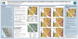 |
This poster was presented at the annual Mineral Exploration Roundup Conference (2017) sponsored by the Association for Mineral Exploration (AME). Regional till geochemical sampling in the Pendelton Bay area (NTS mapsheet 93K/12) has detected dispersal from known porphyry Cu�Mo�Au mineralization at the Fort showing (MINFILE 93K 093) and identified three new areas of geochemical interest. Situated 30 km southwest of the past producing porphyry Cu�Mo�Au Bell and Granisle mines, the Pendleton Bay area has potential to host new porphyry Cu�Mo�Au mineralization. However, access to the area is limited and glacial sediment cover is extensive. To better assess mineral potential here, 182 subglacial till samples were collected by the British Columbia Geological Survey in 1998 for geochemical analysis of the <63 �m size fraction by inductively coupled plasma emission spectroscopy (ICP-ES) and instrumental neutron activation analysis (INAA). Ice-flow features indicate that glacial dispersal was predominantly towards the east and southeast. The maximum Cu value (522 ppm Cu) is 700 m northeast of the main Fort showing, and anomalous values greater than the 90th percentile (60 ppm Cu) continue for about 2 km down ice (southeast). The Mo footprint in till at the Fort showing is smaller, with the maximum (29 ppm Mo) occurring 300 m to the northeast, and concentrations fall to near detection limit 800 m to the east. Three additional areas have been identified with anomalous values of Cu (up to 167 ppm), Cr (up to 263 ppm), and Ni (up to 101 ppm). These anomalies provide a starting point for future exploration work in the area. |
| Issue ID: | GF2017-06 |
| Title: | New British Columbia lithogeochemical database: Development and preliminary data release (poster) |
| Author(s): | Han, T., Rukhlov, A.S., Naziri, M., and Moy, A. |
| Purpose: | To design and populate a geochemical database that will include all of the element analysis of rock samples carried out by the GSB since the mid 1980�s. |
| Series Name: | GeoFile |
| Publication Year: | 2017 |
| NTS Map Sheet(s): | 082;083;092;093;094;102;103;104;114 |
| Place Keyword(s): | British Columbia |
| Lat/Long (NSWE): | 60, 48, -139, -114 |
| Theme Keyword(s): | Lithogeochemical database, Geochemical database, rock geochemistry |
Download(s):
| PDF |
Abstract:
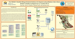 |
This poster was presented at the annual Mineral Exploration Roundup Conference (2017) sponsored by the Association for Mineral Exploration (AME). A new lithogeochemical database resulted from a systematic compilation of publicly available provincial lithogeochemical data from BCGS publications released between 1986 and 2015. |
| Issue ID: | GF2017-07 |
| Title: | Geological setting of the Rock Canyon Creek REE-fluorite deposit, British Columbia, Canada (poster) |
| Author(s): | Green, C., Simandl, G.J., Paradis, S., Katay, F., Hoshino, M., Kon, Y., Kodama, S., Graf, C. |
| Series Name: | Geofile |
| Publication Year: | 2017 |
| NTS Map Sheet(s): | 082F,G |
| Place Keyword(s): | British Columbia, Rock Canyon Creek |
| Lat/Long (NSWE): | 50, 49, -117, -115 |
| Theme Keyword(s): | Rare earth elements, fluorite, breccia, Cedared Formation, Burnais Formation |
Download(s):
| PDF |
Abstract:
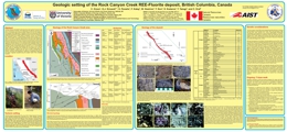 |
This poster was presented at the annual Mineral Exploration Roundup Conference (2017) sponsored by the Association for Mineral Exploration (AME). The Rock Canyon Creek REE-fluorite deposit is in the Foreland Fold and Thrust belt of the Canadian Cordillera, 300 metres east of the Munroe Lake thrust fault which, in the deposit area, divides the Main Ranges from the Front Ranges of the Canadian Rocky Mountains. A literature review and preliminary fieldwork indicate that the deposit is hosted by Middle Devonian rocks of the Cedared and Burnais formations and consist mainly of dolostone, breccia, and laminated silty, calcareous gypsum. Fluorite-bearing outcrops extend across an area 3300 by 750 metres. The steeply dipping REE-fluorite zone was intersected by drilling. It may be more than 50 metres thick for more than 1100 metres along strike, and to a depth of 124 metres. It remains open along strike and dip, and its thickness locally exceeds 50 metres. Based on surface mapping and borehole logging, the deposit appears to be concordant with stratigraphy. Most of the mineralization occurs as breccias and fracture fillings in fluorite-impregnated dolostone. Fluorite concentrations vary from less than 1% to 13.5% by weight, and light REE (Ce+La+Nd) concentrations vary from trace to 2.8%. REE are hosted mainly by bastnasite-(Ce), parisite-(Ce), synchysite-(Ce), and REE-bearing phosphates. Ongoing work will focus on better characterizing the deposit to address questions about the origin of ore forming fluids and the temporal, structural, and stratigraphic relationship to Mississippi Valley-type and sparry magnesite deposits along the eastern flank of the Canadian Cordillera. |
| Issue ID: | GF2017-08 |
| Title: | Mineralogy of the Rock Canyon Creek REE-fluorite deposit, British Columbia, Canada (poster) |
| Author(s): | Hoshimo, M., Kon, Y., Kodama, S., Simandl, G.J., Paradis, S., Green, C., Namatame, C., Matsunaga, I., Takagi, T. |
| Series Name: | Geofile |
| Publication Year: | 2017 |
| NTS Map Sheet(s): | 082F,G |
| Place Keyword(s): | British Columbia, Rock Canyon Creek |
| Lat/Long (NSWE): | 50, 49, -117, -115 |
| Theme Keyword(s): | Rare earth elements, hydrothermal, bastnasite, synchysite, parisite |
Download(s):
| PDF |
Abstract:
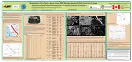 |
This poster was presented at the annual Mineral Exploration Roundup Conference (2017) sponsored by the Association for Mineral Exploration (AME). The main objective of this study was to document mineralogy of the rare earth element (REE)-fluorite zone at the Rock Canyon Creek deposit. This zone was intersected by drilling along a strike length of 1100 metres and to a depth of more than 124 metres. Detailed mineral identification was performed using SEM-EDS, Powder XRD, and Raman spectroscopy on selected mineralized samples from the drill hole RCC-09-14 which intersected high grade REE mineralization. |
| Issue ID: | P2017-01-14 |
| Title: | Appendix: British Columbia Geological Survey publications, 2016 |
| Author(s): | Aspler, L. |
| Series Name: | Paper |
| Publication Year: | 2017 |
| Larger Work Citation: | in Geological Fieldwork 2016, B.C. Ministry of Energy and Mines, Paper 2017-01 |
| NTS Map Sheet(s): | 082;083;092;093;094;102;103;104;114 |
| Place Keyword(s): | British Columbia |
| Lat/Long (NSWE): | 60, 48, -139, -114 |
| Theme Keyword(s): | publications, peer-reviewed journal papers, authored by BCGS staff, releases |
Download(s):
| PDF |
Abstract:
| British Columbia Geological Survey publications and peer reviewed journal papers authored by BCGS staff and released in 2016. |
| Issue ID: | GBCR2017-07 |
| Title: | Direct-Use Geothermal Resources in British Columbia: Follow-up Project |
| Author(s): | Tuya Terra Geo Corp. |
| Series Name: | Geoscience BC Report |
| Publication Year: | 2017 |
| NTS Map Sheet(s): | 082;083;092;093;094;102;103;104;114 |
| Place Keyword(s): | British Columbia |
| Lat/Long (NSWE): | 59, 49.5, -132, -115 |
| Theme Keyword(s): | Direct-Use geothermal, low temperature geothermal, geothermal resource exploration program, geothermal energy, opportunities for BC communities |
Additional Link(s):
| http://cdn.geosciencebc.com/project_data/GBCReport2017-07.pdf |
Abstract:
| Geoscience BC Report 2017-07 presents the results of a follow-up project designed to carry out recommendations from Geoscience BC Report 2016-07, which included raising awareness of Direct-use development possibilities in BC and interacting closely with communities (including First Nations) to provide guidance as to the value and variety of Direct-use geothermal applications. The report documents the work that was completed and proposes recommendations based on the results of this follow-up project. This project was jointly funded by Geoscience BC and the BC government's ICE Fund. |
| Issue ID: | GBCR2017-09 |
| Title: | Hughes Range Paleomagnetic Study: Paleomagnetic evidence for extreme block faulting east of the Rocky Mountain Trench near Kimberley, British Columbia |
| Author(s): | Ransom, P.W., Day, T., Enkin, R.J. |
| Series Name: | Geoscience BC Report |
| Publication Year: | 2017 |
| NTS Map Sheet(s): | 082G |
| Place Keyword(s): | British Columbia, Kimberley |
| Lat/Long (NSWE): | 49.9, 49.45, -116, -115 |
| Theme Keyword(s): | Paleomagnetic study, block faulting, Sullivan, Rocky Mountain Trench |
Additional Link(s):
| http://www.geosciencebc.com/major-projects/Seek/
http://cdn.geosciencebc.com/project_data/GBCReport2017-09_finalJuly2017.pdf |
Abstract:
| The concept that steep west dipping normal faults were tilted into low angle normal faults (LANF) during block faulting of the Northern Hughes Range (NHR) east of the Rocky Mountain Trench (RMT) near Kimberley, British Columbia is supported by a reconnaissance paleomagnetic study of late Cretaceous stocks. The East Wild Horse and Nivlac stocks, 17 kilometres apart along the east side of the NHR, have down on east tilts of 42� and 56� respectively, the largest tilts of intrusions obtained to date in British Columbia. Contradictory results in the western part of the range from a small plug at Estella mine and from a 0.5 m wide dike at Saugum Canyon are probably intrusions that postdate the rotation. Two stocks and a small dike outside the NHR have magnetic remanances that overlap the mid Cretaceous value at the 95% confidence level. |
| Issue ID: | OF2017-09 |
| Title: | Preliminary bedrock geology of the Tanzilla and McBride area |
| Author(s): | van Straaten, B.I., Gibson, R. Nelson, J. |
| Series Name: | Open File |
| Publication Year: | 2017 |
| NTS Map Sheet(s): | 104I/03,04,05,06 |
| Place Keyword(s): | British Columbia, McBride, Tanzilla, northwest British Columbia |
| Lat/Long (NSWE): | 58.5, 58, -130, -129 |
| Theme Keyword(s): | Bedrock Geology, Spatsizi Formation, Hazelton Group, Stuhini Group, Cake Hill pluton |
Download(s):
| PDF, ZIP (View Zip Contents) |
Abstract:
 |
The Tanzilla � McBride area, including parts of NTS sheets 104I/03, 04, 05 and 06, is immediately east-southeast of the community of Dease Lake in northwestern British Columbia. Detailed field mapping (1:20,000-scale) in 2015 and 2016 revealed a previously poorly understood volcanic succession, the Horn Mountain Formation, a late Early to Middle Jurassic unit about 5.4 km thick in the upper part of the Hazelton Group.
The oldest units in the area are mafic volcanic rocks of the Stuhini Group (Triassic) that are cut by the Cake Hill pluton (Late Triassic). Separated by a regional unconformity, these units are overlain by the Spatsizi Formation (Hazelton Group, late Pliensbachian to Toarcian), a sedimentary succession up to 1 km thick. The Spatsizi Formation grades laterally and vertically to the Horn Mountain Formation. Units in the lower part of the Horn Mountain Formation include massive green augite-plagioclase-phyric volcanic breccia and rare grey coarse platy plagioclase-phyric lapilli tuff and pillows that were, at least in part, deposited in a subaqueous environment. Overlying units of interlayered maroon augite-plagioclase-phyric flows, volcanic breccia and tuff suggest increasingly greater volumes of volcanism and the formation of a subaerial volcanic edifice. During a hiatus in volcanism, these rocks were cut and hydrothermally altered by a 173 Ma (Aalenian) porphyry. These units are overlain by Bajocian mafic volcanic flows in the upper part of the Horn Mountain Formation. The Horn Mountain Formation is cut by the Three Sisters pluton (ca 173-169 Ma, Aalenian-Bajocian), and is unconformably overlain by sedimentary rocks of the Bowser Lake Group (Bajocian). In the northern part of the map area, folded Takwahoni Formation siliciclastic rocks deposited in the Whitehorse trough (Laberge Group, Pliensbachian to Toarcian(?)) are in the hanging wall of the south-verging Kehlechoa thrust fault, and structurally overlie the Horn Mountain volcanic succession. The Snowdrift Creek pluton (Late Jurassic) cuts the Kehlechoa fault. The Takwahoni Formation is structurally overlain by undifferentiated limestone, siliciclastic, volcanic and ultramafic rocks of the Cache Creek terrane in the hanging wall of the King Salmon thrust fault.
At least three magmatic-hydrothermal events are recognized in the map area. Late Triassic porphyry-style copper mineralization occurs at the Gnat Pass developed prospect and nearby Moss showing. The Horn Mountain Formation hosts aerially extensive gossans at Tanzilla and McBride (both early-stage porphyry projects) interpreted as Middle Jurassic in age. At Tanzilla, an advanced argillic lithocap overlies porphyry-style alteration at depth. Quartz-sericite-pyrite to potassic alteration with anomalous copper and molybdenum is hosted by a syn-mineral 173 Ma plagioclase porphyry. Our mapping extends the advanced argillic alteration at Tanzilla for at least 17 km along strike. It is interpreted as a lithocap formed by acidic hydrothermal fluid flow along an unconformity or fault in the upper Horn Mountain Formation. At the McBride showing, widespread quartz-sericite-pyrite and local potassic alteration hosts elevated copper and gold in volcanic rocks of the middle Horn Mountain Formation. Molybdenum mineralization is locally in the Snowdrift Creek pluton (Late Jurassic) and its immediate wall rocks, and in a satellite stock to the south. |
| Issue ID: | GM2017-01 |
| Title: | Geology and geochronology of the Turnagain ultramafic-mafic intrusion, British Columbia |
| Author(s): | Nixon, G.T., Scheel, J.E., Friedman, F.M., Wall, C.J, Gabites, J., Miller, D., Scoates, J.S. |
| Series Name: | Geoscience Map |
| Publication Year: | 2017 |
| NTS Map Sheet(s): | 104I/07,10 |
| Place Keyword(s): | British Columbia |
| Lat/Long (NSWE): | 58.52, 58.4, -129, -128.6 |
| Theme Keyword(s): | platinum group elements, platinum-group minerals, ultramafic intrusion, Alaskan-type, Turnagain intrusion |
Download(s):
| PDF |
Abstract:
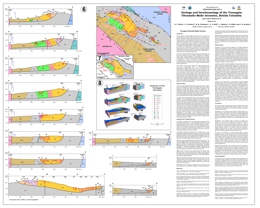 |
The Turnagain Alaskan-type intrusion in northern British Columbia belongs to a global class of ultramafic-mafic intrusions emplaced at convergent margin tectonic settings that are gaining prominence as exploration targets for magmatic Ni-Cu-PGE sulphide mineralization. The Turnagain body is unusually enriched in Ni(-Co) sulphides compared to typical Alaskan-type intrusions. In terms of contained Ni metal, the low-grade mineralization at Turnagain ranks ninth among the world�s largest deposits, constituting a total resource of 1842 Mt @ 0.21 wt % Ni and 0.013 wt % Co.
Geoscience Map 2017-1 provides a compilation of the geology (1:10,000 scale), incorporating historical and modern exploration work, and geochronological results (U-Pb, 40Ar/39Ar) for the intrusion and its host rocks. A series of transverse and longitudinal sections controlled in part by drillhole information are used to construct a conceptual 3-D model of the intrusion. Field observations and geochronology establish a multi-stage history of emplacement in the Early Jurassic, with four distinct intrusive phases spanning at least 3 million years (~188-185 Ma). The geochronological results indicate two separate episodes of sulphide mineralization hosted by different intrusive phases: an early event that produced the main Ni(-Co) resource; and a younger event that gave rise to significant Cu(-PGE) mineralization, a potential future resource. From regional geological studies and geophysical surveys, we infer that deformation of the Turnagain intrusion was during accretion of an outboard arc assemblage (Quesnellia/Yukon-Tanana terranes) onto miogeoclinal strata of the ancient North American margin. The geochronological data bracket this accretionary event to after ca. 185 Ma (mid-Early Jurassic) and before ca. 171 Ma (early Middle Jurassic). |
| Issue ID: | GF2017-10 |
| Title: | Ash chemistry database for British Columbia Rocky Mountain bituminous coals |
| Author(s): | Riddell, Janet and Han, Tian |
| Series Name: | Geofile |
| Publication Year: | 2017 |
| NTS Map Sheet(s): | 082G,J,K,N; 093I,O,P; 094B |
| Place Keyword(s): | British Columbia, Rocky Mountains |
| Lat/Long (NSWE): | 56.5, 49, -124, -114 |
| Theme Keyword(s): | Coal ash geochemistry database, bituminous coal, coking coal quality, Gates Formation, Gething Formation |
Download(s):
| PDF, ZIP (View Zip Contents) |
Abstract:
 |
Ash is the inorganic residue remaining after coal combusts. It is composed of oxides of the mineral content in the coal. Coal ash chemistry can have a significant influence on coke strength after reaction (CSR), an important measure of coking coal quality. Coals that were overlain by non-marine deposits (which includes most Canadian Rocky Mountain coals) generally have mineral assemblages that form ashes with low ratios of reactive oxides (i.e. Fe2O3, CaO, MgO, Na2O and K2O) to refractory oxides (i.e. SiO2, Al2O3 and TiO2), which favours good coke strength under blast furnace conditions. Coal ash chemistry is also used to predict slagging and fouling potential in the furnaces or kilns of all types of coals. This database compiles ash chemistry analyses of British Columbia Rocky Mountain bituminous coals from public sources into a standardized relational format to facilitate its distribution and use. |
| Issue ID: | GBCM2016-08 |
| Title: | Geology of the Almond Mountain Map Sheet (NTS 082E/07) |
| Author(s): | Hoy, T., Jackaman, W., Elder, B. |
| Series Name: | Geoscience BC Map |
| Publication Year: | 2016 |
| Larger Work Citation: | Geoscience BC Project 2014-006 |
| Scale: | 1:50000 |
| NTS Map Sheet(s): | 082E/07 |
| Place Keyword(s): | British Columbia, southeast, Almond Mountain, Kettle River |
| Lat/Long (NSWE): | 49.5, 49.25, -119.5, -119 |
| Theme Keyword(s): | bedrock mapping, geology, GIS |
Additional Link(s):
| http://cdn.geosciencebc.com/project_data/GBCReport2016-08/GBC_Map2016-08_Almond.pdf
http://cdn.geosciencebc.com/project_data/GBCReport2016-08/Report2016-08_Almond_Data.zip
http://www.geosciencebc.com/projects/2014-006/ |
Abstract:
| Geoscience BC Report 2016-08 is a 1:50 000 scale geology map of the Almond Mountain map sheet (NTS 082E/07) in southeast British Columbia, derived from new 1:20 000 scale mapping of selected areas of the Almond Mountain map sheet and compilation of previously existing regional geological, geophysical and geochemical data. This report includes shapefiles, and RGS and Minfile compilations. The Almond Mountain map sheet is located north of the community of Greenwood in southern B.C., situated between the base- and precious-metal deposits of the Franklin, Greenwood and Beaverdell camps. The author has previously released updated geological maps east of this project area (Grand Forks, Deer Park and Burrell Creek), and a map for the Christian Valley area to the north is planned for release in 2017. |
| Issue ID: | GBCM2017-10 |
| Title: | Geology of the Christian Valley Map Sheet (NTS 082E/10) |
| Author(s): | Hoy, T., Jackaman, W. |
| Series Name: | Geoscience BC Map |
| Publication Year: | 2017 |
| Scale: | 1:50000 |
| NTS Map Sheet(s): | 082E/10 |
| Place Keyword(s): | British Columbia, Southeast British Columbia, Christian Valley, Kootenay-Boundary |
| Lat/Long (NSWE): | 49.75, 49.5, -119, -118.5 |
| Theme Keyword(s): | bedrock mapping, geology, age dates, mineral occurrences |
Additional Link(s):
| http://cdn.geosciencebc.com/project_data/GBCReport2017-10/GBC_Map2017-10_CV.pdf
http://cdn.geosciencebc.com/project_data/GBCReport2017-10/GBC_Map2017_CV_MapAndData.zip |
Abstract:
| The Christian Valley map sheet, released in 2017, comprises an area northeast of Beaverdell and a southwest portion of Granby Provincial Park. Mineral exploration in the Christian Valley map sheet has mainly been directed towards uranium, and to a minor extent, base- and precious-metals. Discovery of mineralized skarn -- formed at the contact zone between intrusions of granite magma and sedimentary rocks -- and both vein and disseminated (microscopic) mineralization, suggest that several stages of mineralization occurred during the Jurassic and Eocene geological time periods. This has been demonstrated in the Highland Bell and Carmi mines to the south. Mapping as part of this project was focused on the Rock Creek graben, and was used to produce the updated geological map for this area. |
| Issue ID: | GBCMP2015-001 |
| Title: | PEACE Project |
| Author(s): | Geoscience BC |
| Purpose: | contribute to the understanding of shallow groundwater aquifers. |
| Series Name: | Geoscience BC Major Project |
| Publication Year: | 2015 |
| NTS Map Sheet(s): | 094A,B,G,H |
| Place Keyword(s): | British Columbia, northeast |
| Lat/Long (NSWE): | 57.7, 56, -123.25, -120.5 |
| Theme Keyword(s): | airborne geophysics, groundwater |
Abstract:
| The Peace Project will generate new information about groundwater, initially within a 8,000 square kilometre area in northeast BC's Peace Region. To protect groundwater in northeast BC, strong technical knowledge of the region's shallow aquifers is necessary. The project will map groundwater resources in the Peace Region through the use of airborne geophysics. Information from the Peace Project will serve as a key component of the Northeast Water Strategy, currently under development by the Provincial government in partnership with local governments, regulatory bodies, Treaty 8 First Nations, Geoscience BC and industry. The Peace Project will provide the knowledge that will enable the Northeast Water Strategy's Enhanced Water Monitoring System. The Peace Project is a collaborative effort involving the Ministry of Forests, Lands and Natural Resource Operations, the Ministry of Environment, the BC Oil and Gas Commission, the Ministry of Natural Gas Development, Progress Energy Canada Ltd., ConocoPhillips Canada, Northern Development Initiative Trust, and the BC Oil & Gas Research and Innovation Society, with additional support from the Peace River Regional District and the Canadian Association of Petroleum Producers. |
| Issue ID: | GBCMP2015-002 |
| Title: | SEARCH Project |
| Author(s): | Geoscience BC |
| Purpose: | contribute to the understanding of shallow groundwater aquifers. |
| Series Name: | Geoscience BC Major Project |
| Publication Year: | 2015 |
| NTS Map Sheet(s): | 093E,F,G,J,K,L,M,N,O |
| Place Keyword(s): | British Columbia, north-central |
| Lat/Long (NSWE): | 57, 53.25, -128.75, -124.25 |
| Theme Keyword(s): | airborne geophysics |
Abstract:
| The Search Project is a $2.4 million multi-year minerals program in British Columbia's north-central region (Bulkley-Stikine and Skeena Districts). Phase I kicked off in August 2015 and Phase II was completed in the summer of 2016. Deliverables include Geoscience BC Reports 2016-02 and 2017-03. |
| Issue ID: | GBCMP2015-003 |
| Title: | BC Natural Gas Atlas Project |
| Author(s): | Geoscience BC |
| Purpose: | contribute to the understanding hydrocarbons. |
| Series Name: | Geoscience BC Major Project |
| Publication Year: | 2015 |
| NTS Map Sheet(s): | 094; |
| Place Keyword(s): | British Columbia, northeast |
| Lat/Long (NSWE): | 57.7, 56, -123.25, -120.5 |
| Theme Keyword(s): | hydrocarbons, natural gas |
Additional Link(s):
| www.bc-nga.ca |
Abstract:
| The BC Natural Gas Atlas (BC-NGA) is a Geoscience BC-supported, 3-year project, starting in 2015, led by Dr. Michael Whiticar of the University of Victoria. The project has two major goals: 1) to aid the understanding and prediction of hydrocarbon-type occurrences, maturation histories and production prediction of natural gas in BC; 2) create a carbon isotope/geochemical baseline which can be used to discern potential fugitive emitters into groundwater and/or the atmosphere. The BC-NGA will be available as an open-access comprehensive geochemical database of the major natural gas pools/fields in northeast BC. For additional technical information, visit the BC Natural Gas Atlas website. |
| Issue ID: | GBCP-01 |
| Title: | Geoscience BC Posters |
| Author(s): | Geoscience BC |
| Series Name: | Geoscience BC Posters |
| Publication Year: | 2017 |
| Other Citation Details: | no longer available |
| NTS Map Sheet(s): | 082;083;092;093;094;102;103;104;114 |
| Place Keyword(s): | British Columbia |
| Lat/Long (NSWE): | 60, 48, -139, -114 |
| Theme Keyword(s): | Geoscience BC, posters |
Additional Link(s):
| http://www.geosciencebc.com |
Abstract:
| Active Geoscience BC Projects and current Geoscience BC scholarship students are required to design and present a poster annually, either at the Association for Mineral Exploration BC's Mineral Exploration Roundup Convention in Vancouver in January, or at the Canadian Society of Petroleum Geologists Convention in Calgary in May. Many of these posters are subsequently presented at local conferences and workshops. |
| Issue ID: | GBCR2017-08 |
| Title: | Constraints on the Metallogeny and Geochronology of the Bridge River Gold District and Associated Intrusions, southwestern British Columbia (NTS 092J/15) |
| Author(s): | Hart, C.J.R., Goldfarb, R.J. |
| Series Name: | Geoscience BC Report |
| Publication Year: | 2017 |
| Larger Work Citation: | Geoscience BC Project 2006-005 |
| NTS Map Sheet(s): | 092J/15 |
| Place Keyword(s): | British Columbia, Bralorne, southwestern |
| Lat/Long (NSWE): | 51.25, 50.5, -123.4, -121.8 |
| Theme Keyword(s): | geochronology, gold deposits, gold deposit models, orogenic gold |
Additional Link(s):
| http://cdn.geosciencebc.com/pdf/2006-005-FinalReport.pdf |
Abstract:
| Report 2017-08 describes how using radiometric dating techniques determine that gold deposits formed in the Bridge River district between 64 and 68 million years ago: between 10-30 million years later than previous estimates. This timing complements other constraints, such as those determined by dating of pre-mineral and cross-cutting dikes. Mineralization in the adjacent antimony zone suggest that the veins are no older than circa 67 Ma. The Bendor batholith was emplaced at 65 Ma, and pre-dates to overlaps Bralorne-Pioneer mineralization, but related dikes exploit structures hosting some of the antimony zone veins. Faulting in this part of the Cordillera has resulted in gold mineralization at deeper crustal levels. Antimony, mercury and polymetallic (multiple ore) deposits occur across zones at shallower crustal levels. These patterns may be the result of the thermal regime associated with the emplacement of the mineralization, or there may have been subsequent uplift in the west to expose deeper crustal levels. Bridge River is the most productive gold camp in BC history. Almost 130 tonnes of gold were mined there between 1892 and 1971 from mines including Bralorne, Congress, Minto, Pioneer, Pioneer-Extension, and Wayside. The project was funded by Geoscience BC and conducted by University of British Columbia (UBC) Mineral Deposit Research Unit (MDRU) Director Craig Hart and Richard Goldfarb, previously at the United States Geological Survey. |
| Issue ID: | GBCM2017-06-01 |
| Title: | Bedrock Geology, TREK Project Area, Northern Interior Plateau, Central British Columbia |
| Author(s): | Angen, J.J., Rahimi, M., Hart, C.J.R., Westberg, E., Logan, J.M., Kim, R. |
| Series Name: | Geoscience BC Map |
| Publication Year: | 2017 |
| Other Citation Details: | Also published as MDRU Map 12-2017 |
| Larger Work Citation: | TREK Project |
| NTS Map Sheet(s): | 092B,C,F,G |
| Place Keyword(s): | British Columbia, Central British Columbia, Interior Plateau |
| Lat/Long (NSWE): | 54, 52, -126.8, -122 |
| Theme Keyword(s): | Geoscience BC, TREK Geological Mapping Project, bedrock mapping, MDRU, mineralization |
Additional Link(s):
| http://cdn.geosciencebc.com/project_data/GBCReport2017-06/GBCMap2017-06-01.pdf |
Abstract:
| The Bedrock Geology, TREK Project Area, Northern Interior Plateau, Central British Columbia 1:250,000 scale map covers an area of 24,000 square kilometers from Anahim Lake north and east towards Burns Lake, Vanderhoof and Williams Lake. The field work was completed by researchers and students at the University of British Columbia�s (UBC) Mineral Research Deposit Unit (MDRU) during 2014 and 2015. |
| Issue ID: | GBCM2017-06-02 |
| Title: | Aeromagnetic Correlation with Bedrock Geology, TREK Project Area, Northern Interior Plateau, Central British Columbia |
| Author(s): | Angen, J.J., Rahimi, M., Hart, C.J.R., Westberg, E., Logan, J.M., Kim, R. |
| Series Name: | Geoscience BC Map |
| Publication Year: | 2017 |
| Other Citation Details: | Also published as MDRU Map 13-2017 |
| Larger Work Citation: | TREK Project |
| NTS Map Sheet(s): | 092B,C,F,G |
| Place Keyword(s): | British Columbia, Central British Columbia, Interior Plateau |
| Lat/Long (NSWE): | 54, 52, -126.8, -122 |
| Theme Keyword(s): | Geoscience BC, TREK Project, MDRU, aeromagnetic survey, bedrock mapping |
Additional Link(s):
| http://cdn.geosciencebc.com/project_data/GBCReport2017-06/GBCMap2017-06-02.pdf |
Abstract:
| The Aeromagnetic Correlation with Bedrock Geology, TREK Project Area, Northern Interior Plateau, Central British Columbia 1:250,000 scale map covers an area of 24,000 square kilometers from Anahim Lake north and east towards Burns Lake, Vanderhoof and Williams Lake. The field work, represented in GBC Map 2017-06-01, was completed by researchers and students at the University of British Columbia�s (UBC) Mineral Research Deposit Unit (MDRU) during 2014 and 2015. TREK airborne magnetic surveys are represented in GBC reports 2014-04 and 05. |
| Issue ID: | GF2017-09 |
| Title: | Compiled till geochemical data for British Columbia |
| Author(s): | Bustard, A.L., Han, T., Ferbey, T. |
| Series Name: | GeoFile |
| Publication Year: | 2017 |
| NTS Map Sheet(s): | 082;083;092;093;094;102;103;104;114 |
| Place Keyword(s): | British Columbia |
| Lat/Long (NSWE): | 60, 48, -139, -114 |
| Theme Keyword(s): | till geochemistry, regional geochemical survey, mineral exploration, till database |
Download(s):
| PDF, ZIP (View Zip Contents) |
Abstract:
 |
The complete data set of publically available, regional-scale, till geochemical surveys carried out in British Columbia by the British Columbia Geological Survey, the Geological Survey of Canada, and Geoscience BC compiles 39 reports released between 1992 and 2017, and includes geochemical data for 10,454 samples. Five Microsoft Excel tables generated from this database provide analytical determinations for the clay (<2 �m) and silt plus clay (<63 �m) size fractions of tills by inductively coupled plasma mass spectrometry after an aqua regia or modified aqua regia digestion, after a lithium fusion, and by instrumental neutron activation. These data tables can be brought into GIS software and integrated with other geoscience data to generate new exploration targets and design follow-up exploration programs. |
| Issue ID: | GF2017-11 |
| Title: | Regional Geochemical Survey (RGS) data update and release using the newly developed RGS database. |
| Author(s): | Han, T. and Rukhlov, A.S. |
| Series Name: | GeoFile |
| Publication Year: | 2017 |
| NTS Map Sheet(s): | 082;083;092;093;094;102;103;104;114 |
| Place Keyword(s): | British Columbia |
| Lat/Long (NSWE): | 60, 48, -140, -114 |
| Theme Keyword(s): | Regional Geochemical Survey RGS database, stream-sediment geochemistry, water samples, lake sediment, moss mat-trapped drainage sediment |
Download(s):
| PDF, ZIP (View Zip Contents) |
Abstract:
|
This GeoFile is a release of the most current and complete province-wide geochemical data set collected under the Regional Geochemical Survey (RGS) program. This data set was generated by integrating RGS data previously published by the British Geological Survey and Geoscience BC. It was compiled from 111 original sources with 64,828 samples and about 5 million determinations analyzed using 18 methods in 18 laboratories. For the ease of use and consistency with previously published data, the data set is in a flat tabular format. Behind the scenes is the newly developed RGS database that operates through a semi-automated process for data compilation, quality control, upload, and product generation. This RGS database provides a solution for consistent, standardized, and long-term data storage and for timely data update and regular data release. The RGS data set is just one of many potential data products that can be generated from the RGS database. |
| Issue ID: | GBCR2017-13 |
| Title: | Rapid, Field-Based Hydrogeochemical-Survey Analysis and Assessment of Seasonal Variation Using a Field-Portable Photometer and Voltammeter, Marmot Lake NTS Area, South-Central British Columbia (NTS 093B/13) |
| Author(s): | Yehia, R., Heberlein, D.R., Lett, R.E. |
| Series Name: | Geoscience BC Report |
| Publication Year: | 2017 |
| Larger Work Citation: | Geoscience BC Project 2006-008 |
| NTS Map Sheet(s): | 093B/13 |
| Place Keyword(s): | British Columbia, South-Central British Columbia, Marmot Lake, Nazko |
| Lat/Long (NSWE): | 53.5, 52.5, -124.5, -123.5 |
| Theme Keyword(s): | hydrogeochemistry, photometer, voltammeter, rapid field analysis |
Additional Link(s):
| http://cdn.geosciencebc.com/project_data/GBCReport2017-13/GBCReport2017-13_Report.pdf
http://cdn.geosciencebc.com/project_data/GBCReport2017-13/GBCReport2017-13_Report.pdf |
Abstract:
| This TREK project extends the real-time hydrogeochemical-survey methodology to a regional setting while at the same time investigating the effects of seasonal variation. Stream water samples were collected and analysed in an area immediately southwest of Nazko, BC. Underlying bedrock consists of widespread Tertiary basalts (Endako Group) overlying older volcanic and sedimentary rocks belonging to the early to middle Cretaceous Skeena Group and middle to late Jurassic Hazelton Group. One hundred and fifty-five water samples were collected and analyzed at Nazko during sampling campaigns in June, August and October 2016. A suite of cations and anions was analysed for by portable photometer and electrochemical voltammeter. Nineteen samples were also sent to an ALS Environmental laboratory in Burnaby, BC for cations and anions analysis. Considering the above average precipitation during the field season, results still provide a good understanding of how the analyte responds to seasonal variations. Results show a good correlation between field and laboratory analyses with acceptable levels of accuracy and precision. Anomalous values for Cu and As were detected in streams draining two known mineral occurrences. |
| Issue ID: | GM2017-02 |
| Title: | Aeromagnetic survey of the Llewellyn area, NTS 104-M/8 and parts of 104-M/1,2,6,7, British Columbia |
| Author(s): | Boulanger, O., and Kiss, F. |
| Series Name: | Geoscience Map |
| Publication Year: | 2017 |
| Other Citation Details: | Also published as GSC Open Files 8287 and 8290 |
| Scale: | 1:100000 |
| NTS Map Sheet(s): | 104M/1,2,6,7,8 |
| Place Keyword(s): | British Columbia, Northwest British Columbia, Llewellyn area |
| Lat/Long (NSWE): | 59.5, 59, -135.25, -134 |
| Theme Keyword(s): | aeromagnetic survey, residual total magnetic field, first vertical derivative, airborne magnetic survey, geophysical |
Download(s):
| PDF, ZIP (View Zip Contents) |
Abstract:
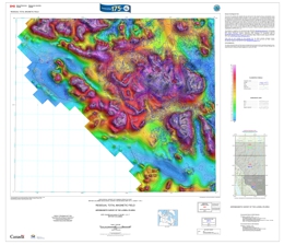 |
These maps were derived from data acquired during an aeromagnetic survey carried out by Goldak Airborne Surveys from March 10, 2017 to July 6, 2017. The nominal traverse and control line spacings were, respectively, 400 m and 2400 m, and the airplane flew at a nominal terrain clearance of 150 m. Traverse lines were oriented N45�E with orthogonal control lines. The flight path was recovered following postflight differential corrections to the raw Global Positioning System (GPS) data and inspection of ground images recorded by a vertically-mounted video camera. The survey was flown on a pre-determined flight surface to minimize differences in magnetic values at the intersections of control and traverse lines. These differences were computer-analysed to obtain a mutually levelled set of flight-line magnetic data. The levelled values were then interpolated to a 100 m grid. The International Geomagnetic Reference Field (IGRF) defined at the average GPS altitude of 1950 m for the current mid-survey date of 2017/06/08 was removed. Removal of the IGRF, representing the magnetic field of the Earth's core, produces a residual component related almost entirely to magnetizations within the Earth's crust. The first vertical derivative of the magnetic field is the rate of change of the magnetic field in the vertical direction. Computation of the first vertical derivative removes long-wavelength features of the magnetic field and significantly improves the resolution of closely spaced and superposed anomalies. A property of first vertical derivative maps is the coincidence of the zero-value contour with vertical contacts at high magnetic latitudes (Hood, 1965). For data along strike to the north, see BCGS Geoscience Map 2017-4. Data coverage extends from northwestern British Columbia into Yukon as Geological Survey of Canada Open File 8289 and Yukon Geological Survey Open File 2017-61. |
| Issue ID: | GM2017-04 |
| Title: | Aeromagnetic survey of the Llewellyn area, NTS 104-M/9,10,15,16 and parts of 104-M/11,14, British Columbia |
| Author(s): | Boulanger, O., and Kiss, F. |
| Series Name: | Geoscience Map |
| Publication Year: | 2017 |
| Other Citation Details: | Also published as GSC Open Files 8288 and 8291 |
| Scale: | 1:100000 |
| NTS Map Sheet(s): | 104M/9,10,15,16 |
| Place Keyword(s): | British Columbia, Northwest British Columbia, Llewellyn area |
| Lat/Long (NSWE): | 60, 59.5, -135.5, -134 |
| Theme Keyword(s): | aeromagnetic survey, residual total magnetic field, first vertical derivative, airborne magnetic survey, geophysical |
Download(s):
| PDF, ZIP (View Zip Contents) |
Abstract:
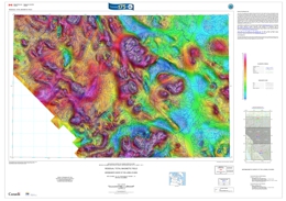 |
These maps were derived from data acquired during an aeromagnetic survey carried out by Goldak Airborne Surveys from March 10, 2017 to July 6, 2017. The nominal traverse and control line spacings were, respectively, 400 m and 2400 m, and the airplane flew at a nominal terrain clearance of 150 m. Traverse lines were oriented N45�E with orthogonal control lines. The flight path was recovered following postflight differential corrections to the raw Global Positioning System (GPS) data and inspection of ground images recorded by a vertically-mounted video camera. The survey was flown on a pre-determined flight surface to minimize differences in magnetic values at the intersections of control and traverse lines. These differences were computer-analysed to obtain a mutually levelled set of flight-line magnetic data. The levelled values were then interpolated to a 100 m grid. The International Geomagnetic Reference Field (IGRF) defined at the average GPS altitude of 1950 m for the current mid-survey date of 2017/06/08 was removed. Removal of the IGRF, representing the magnetic field of the Earth's core, produces a residual component related almost entirely to magnetizations within the Earth's crust. The first vertical derivative of the magnetic field is the rate of change of the magnetic field in the vertical direction. Computation of the first vertical derivative removes long-wavelength features of the magnetic field and significantly improves the resolution of closely spaced and superposed anomalies. A property of first vertical derivative maps is the coincidence of the zero-value contour with vertical contacts at high magnetic latitudes (Hood, 1965). For data along strike to the south, see BCGS Geoscience Map 2017-2. Data coverage extends from northwestern British Columbia into Yukon as Geological Survey of Canada Open File 8289 and Yukon Geological Survey Open File 2017-61. |
| Issue ID: | GSC8289 |
| Title: | Residual total magnetic field, aeromagnetic survey of the Llewellyn area, NTS 105-D/1, 2, 3 and parts of 105-D/6, 7, 8, Yukon |
| Author(s): | Boulanger, O., and Kiss, F. |
| Series Name: | Geological Survey of Canada Open File |
| Publication Year: | 2017 |
| Other Citation Details: | Also published as Yukon Geological Survey Open File 2017-61 |
| Scale: | 1:100000 |
| NTS Map Sheet(s): | 105D/1,2,3,6,7,8 |
| Place Keyword(s): | Yukon, Llewellyn area |
| Lat/Long (NSWE): | 60.5, 60, -135.5, -134 |
| Theme Keyword(s): | aeromagnetic survey, residual total magnetic field, first vertical derivative, airborne magnetic survey, geophysical |
Additional Link(s):
| http://data.geology.gov.yk.ca/Reference/79486 |
Abstract:
| These maps were derived from data acquired during an aeromagnetic survey carried out by Goldak Airborne Surveys from March 10, 2017 to July 6, 2017. The nominal traverse and control line spacings were, respectively, 400 m and 2400 m, and the airplane flew at a nominal terrain clearance of 150 m. Traverse lines were oriented N45�E with orthogonal control lines. The flight path was recovered following postflight differential corrections to the raw Global Positioning System (GPS) data and inspection of ground images recorded by a vertically-mounted video camera. The survey was flown on a pre-determined flight surface to minimize differences in magnetic values at the intersections of control and traverse lines. These differences were computer-analysed to obtain a mutually levelled set of flight-line magnetic data. The levelled values were then interpolated to a 100 m grid. The International Geomagnetic Reference Field (IGRF) defined at the average GPS altitude of 1950 m for the current mid-survey date of 2017/06/08 was removed. Removal of the IGRF, representing the magnetic field of the Earth's core, produces a residual component related almost entirely to magnetizations within the Earth's crust. The first vertical derivative of the magnetic field is the rate of change of the magnetic field in the vertical direction. Computation of the first vertical derivative removes long-wavelength features of the magnetic field and significantly improves the resolution of closely spaced and superposed anomalies. A property of first vertical derivative maps is the coincidence of the zero-value contour with vertical contacts at high magnetic latitudes (Hood, 1965). For data along strike to the south, see BCGS Geoscience Map 2017-2 and Map 2017-4. |
| Issue ID: | OF2017-08 |
| Title: | British Columbia Digital Geology (updated December 19, 2019) |
| Author(s): | Cui, Y., Miller. D., Schiarizza, P., and Diakow, L.J. |
| Series Name: | Open File |
| Publication Year: | 2017 |
| NTS Map Sheet(s): | 082;083;092;093;094;102;103;104;114 |
| Place Keyword(s): | British Columbia |
| Lat/Long (NSWE): | 60, 48, -139, -114 |
| Theme Keyword(s): | Digital Geology, bedrock geology, faults, geological map |
Download(s):
| PDF, ZIP (View Zip Contents) |
Additional Link(s):
| https://www2.gov.bc.ca/gov/content?id=69323EF2C5AB401BB7142E9F6617C6AF#Geology
https://www2.gov.bc.ca/gov/content?id=C7272EC6A61C4410836D5651BE62A468 |
Abstract:
|
British Columbia digital geology contains geological maps integrated at scales from 1:250,000 to 1:50,000. Whereas the stratigraphic nomenclature we adopt resembles the classification and hierarchy specified in the North American Stratigraphic Code, we distinguish bedrock in terms of three units: lithostratigraphic, lithodemic, and lithotectonic. The present edition includes updates to Chilcotin-Bonaparte, northern Vancouver Island, North Coast, Kutcho, QUEST, and Terrace. The data package includes a lookup table for geological units and colours (RGB); shapefiles in Geographic and BC Albers; and a map of British Columbia illustrating the suggested colour theme for bedrock polygons. The current version of BC bedrock geology is �2019-12-19�. |
| Issue ID: | GBCR2017-14 |
| Title: | TREK project area gravity compilation, enhancement filtering and structure detection |
| Author(s): | Buckingham, A.J., Core, D.P., Hart, C.J.R., and S. Jenkins |
| Series Name: | Geoscience BC Report |
| Publication Year: | 2017 |
| Larger Work Citation: | Geoscience BC TREK Project |
| NTS Map Sheet(s): | 092B,C,F,G |
| Place Keyword(s): | British Columbia, Central British Columbia, Interior Plateau |
| Lat/Long (NSWE): | 54, 52, -126.8, -122 |
| Theme Keyword(s): | Geoscience BC, TREK Project, gravity compilation, isostatic residual gravity |
Additional Link(s):
| http://cdn.geosciencebc.com/project_data/GBCReport2017-14/GBCReport2017-14.pdf
http://cdn.geosciencebc.com/project_data/GBCReport2017-14/GBCReport2017-14_RptMapData.zip |
Abstract:
| This report summarizes the generation of a new, isostatic residual gravity grid; the application of various colour schemes, illuminations and stretches; and the application of enhancement filters using differential upward continuations and various gradients. In addition, structure detection methods have been applied at different scales, and structures have been extracted, attributed and combined. Lastly, domains have been created based on 14 classes of gravity characteristics, and used to make a domain and structure map. In all, 43 new data layers with images have been created. The compilation is part of the Targeting Resources for Exploration and Knowledge (TREK) project which covers the Central Interior Plateau. The report is accompanied by GIS-ready grids, images, shapefiles and Geo-PDF maps. |
| Issue ID: | GBCR2016-06 |
| Title: | Detrital gold Grains as Indicators of Alkalic Copper-Gold Porphyry Mineralization |
| Author(s): | Chapman, Robert J. and Mileham, Thomas J. |
| Series Name: | Geoscience BC Report |
| Publication Year: | 2017 |
| Larger Work Citation: | Geoscience BC Project 2014-007 |
| NTS Map Sheet(s): | 092; 093 |
| Place Keyword(s): | British Columbia |
| Lat/Long (NSWE): | 55.5, 49.5, -125, -120 |
| Theme Keyword(s): | alkalic porphyries, placer gold, gold compositions, microchemical characterization, Geoscience BC |
Additional Link(s):
| http://cdn.geosciencebc.com/project_data/GBCR2016-06.pdf |
Abstract:
| The use of gold as a pathfinder for alkalic porphyries has been compromised by the potential for a single heavy mineral concentrate sample to contain gold particles derived from different source styles of mineralization. This report describes compositional studies of gold particles recovered from hypogene mineralization in four alkalic porphyries, and samples of local placer expressions. Gold formed in mineralization associated with the potassic alteration zone is compositionally distinctive, but too small to be collected by standard field techniques. The placer expression of alkalic porphyries comprises grains formed in the later stages of the magmatic hydrothermal system, which exhibit a distinctive copper-mercury enrichment in the alloy coupled with sporadic but ubiquitous palladium signature in both alloy and the suite of mineral inclusions. Consequently, populations of gold grains derived from alkalic porphyries may be distinguished from those originating from orogenic or calc-alkaline related hydrothermal mineralization. |
| Issue ID: | GBCP2017-006 |
| Title: | Mount Meager geothermal data compilation project |
| Author(s): | Geoscience BC, Hickson, C.J. (Lead Researcher) |
| Series Name: | Geoscience BC Project |
| Publication Year: | 2017 |
| NTS Map Sheet(s): | 092J |
| Place Keyword(s): | British Columbia, Southwestern British Columbia, Meager Creek |
| Lat/Long (NSWE): | 51, 50, -124, -122 |
| Theme Keyword(s): | Geoscience BC, geothermal |
Abstract:
| The Mount Meager geothermal area, 160 km north of Vancouver in southwestern British Columbia, has been mapped, studied, and assessed for its geothermal energy potential. Research and information available from the Geoscience BC website includes links to raw data, maps, and reports from companies, government agencies, researchers and students who have worked in the area since the early 1970s. |
| Issue ID: | GBCR2017-15 |
| Title: | Orogenic gold mineralization of the eastern Cordilleran gold belt, British Columbia: Structural ore controls in the Cariboo (093A/H), Cassiar (104P) and Sheep Creek (082F) mining districts |
| Author(s): | Allan, M.M., Rhys, D.A. and Hart, C.J.R. |
| Series Name: | Geoscience BC Report |
| Publication Year: | 2017 |
| Larger Work Citation: | Geoscience BC Project 2006-010 |
| NTS Map Sheet(s): | 093A,H; 104P; 082F |
| Place Keyword(s): | British Columbia, Cariboo, Wells-Barkerville, Cassiar, Salmo |
| Lat/Long (NSWE): | 59, 49, -130, -116 |
| Theme Keyword(s): | Geoscience BC, orogenic gold, structural geology, Cordilleran orogen, ore controls |
Additional Link(s):
| http://cdn.geosciencebc.com/project_data/GBCReport2017-15/GBCR2017-15_EastCordGoldBelt.pdf |
Abstract:
| This report summaries a study of the structural relationship of British Columbia�s �eastern Cordilleran gold belt� to Cordilleran deformation, and establishes new structural frameworks that differ from those documented in the economic geology literature. The study area are the Bralorne-Pioneer mining camp and the 'eastern Cordilleran gold belt', which includes the Cariboo Gold district, Sheep Creek gold camp, and the Cassiar gold district. |
| Issue ID: | IC2017-05 |
| Title: | Online databases at the British Columbia Geological Survey |
| Author(s): | BC Geological Survey |
| Series Name: | Information Circular |
| Publication Year: | 2017 |
| NTS Map Sheet(s): | 082;083;092;093;094;102;103;104;114 |
| Place Keyword(s): | British Columbia |
| Lat/Long (NSWE): | 60, 48, -139, -114 |
| Theme Keyword(s): | online databases, British Columbia Geological Survey, MapPlace, MINFILE, ARIS, COALFILE, Property File, geochemical, digital geology, publications catalog |
Download(s):
| PDF |
Abstract:
 |
Information Circular 2017-5 summarizes the British Columbia Geological Survey's online databases, including MapPlace, ARIS, MINFILE, COALFILE, Property File, geochemical, digital geology and publications catalogue. |
| Issue ID: | IC2017-04 |
| Title: | British Columbia Geological Survey Brochure |
| Author(s): | BC Geological Survey |
| Series Name: | Information Circular |
| Publication Year: | 2017 |
| NTS Map Sheet(s): | 082;083;092;093;094;102;103;104;114 |
| Place Keyword(s): | British Columbia |
| Lat/Long (NSWE): | 60, 48, -139, -114 |
| Theme Keyword(s): | Information Circular, Geological Survey Branch, Brochure, projects and activities |
Download(s):
| PDF |
Abstract:
 |
Information Circular 2017-4 summarizes the British Columbia Geological Survey's core programs, projects, and activities for 2017. |
| Issue ID: | IC2017-06 |
| Title: | British Columbia Geological Survey Mineral Development Office |
| Author(s): | BC Geological Survey |
| Series Name: | Information Circular |
| Publication Year: | 2017 |
| NTS Map Sheet(s): | 082;083;092;093;094;102;103;104;114 |
| Place Keyword(s): | British Columbia, Vancouver |
| Lat/Long (NSWE): | 60, 48, -140, -114 |
| Theme Keyword(s): | Mineral Development Office, MDO, links, distribution, mineral opportunities |
Download(s):
| PDF |
Abstract:
 |
The Mineral Development Office (MDO) is the Vancouver base of the British Columbia Geological Survey (BCGS). The MDO links the Survey with more than 800 global exploration and mining companies headquartered in Vancouver. The MDO distributes BCGS data and provides technical information and expertise about mineral opportunities to the investment community. It also coordinates the Provincial Overview of Mining and Exploration volume, the first Information Circular of every year. |
| Issue ID: | GSC8292 |
| Title: | First vertical derivative of the magnetic field, aeromagnetic survey of the Llewellyn area, NTS 105-D/1, 2, 3 and parts of 105-D/6, 7, 8, Yukon |
| Author(s): | Boulanger, O., and Kiss, F. |
| Series Name: | Geological Survey of Canada Open File |
| Publication Year: | 2017 |
| Other Citation Details: | Also published as Yukon Geological Survey Open File 2017-62 |
| Scale: | 1:100000 |
| NTS Map Sheet(s): | 105D/1,2,3,6,7,8 |
| Place Keyword(s): | Yukon, Llewellyn area |
| Lat/Long (NSWE): | 60.5, 60, -135.5, -134 |
| Theme Keyword(s): | aeromagnetic survey, residual total magnetic field, first vertical derivative, airborne magnetic survey, geophysical |
Additional Link(s):
| http://data.geology.gov.yk.ca/Reference/79487 |
Abstract:
| These maps were derived from data acquired during an aeromagnetic survey carried out by Goldak Airborne Surveys from March 10, 2017 to July 6, 2017. The nominal traverse and control line spacings were, respectively, 400 m and 2400 m, and the airplane flew at a nominal terrain clearance of 150 m. Traverse lines were oriented N45�E with orthogonal control lines. The flight path was recovered following postflight differential corrections to the raw Global Positioning System (GPS) data and inspection of ground images recorded by a vertically-mounted video camera. The survey was flown on a pre-determined flight surface to minimize differences in magnetic values at the intersections of control and traverse lines. These differences were computer-analysed to obtain a mutually levelled set of flight-line magnetic data. The levelled values were then interpolated to a 100 m grid. The International Geomagnetic Reference Field (IGRF) defined at the average GPS altitude of 1950 m for the current mid-survey date of 2017/06/08 was removed. Removal of the IGRF, representing the magnetic field of the Earth's core, produces a residual component related almost entirely to magnetizations within the Earth's crust. The first vertical derivative of the magnetic field is the rate of change of the magnetic field in the vertical direction. Computation of the first vertical derivative removes long-wavelength features of the magnetic field and significantly improves the resolution of closely spaced and superposed anomalies. A property of first vertical derivative maps is the coincidence of the zero-value contour with vertical contacts at high magnetic latitudes (Hood, 1965). For data along strike to the south, see BCGS Geoscience Map 2017-2 and Map 2017-4. |
| Issue ID: | OF2017-02 |
| Title: | Basal till potential of the Anahim Lake map area (NTS 093C/06) |
| Author(s): | Sacco, D., Arnold, H., Ferbey, T., Jackaman, W. |
| Series Name: | Open File |
| Publication Year: | 2017 |
| Other Citation Details: | Also published as Geoscience BC Map 2017-02-01 |
| Scale: | 1:50000 |
| NTS Map Sheet(s): | 093C/06 |
| Place Keyword(s): | British Columbia, Interior Plateau, Anahim Lake |
| Lat/Long (NSWE): | 52.25, 52.5, -125.5, -125 |
| Theme Keyword(s): | basal till, potential maps, TREK Project |
Download(s):
| PDF, ZIP (View Zip Contents) |
Abstract:
 |
Mainly drift covered and with sparse outcrop, the Anahim Lake area remains underexplored despite being underlain by the Stikine terrane island-arc assemblage, which has high potential for mineralization. Basal tills have a relatively simple transport and depositional history, thus are an ideal sampling media to explore for buried deposits. This basal till potential map is designed to help plan exploration projects in drift-covered areas by guiding surficial sediment geochemistry and mineralogy sampling programs to where basal till is most likely to occur. Work in the Anahim Lake map area is part of Geoscience BC's Targeting Resources for Exploration and Knowledge (TREK) project. The basal till potential map presented here is one of a series of 16 maps that were completed for the TREK geochemical program. |
| Issue ID: | OF2017-03 |
| Title: | Basal till potential of the Satah Mountain map area (NTS 093C/07) |
| Author(s): | Sacco, D., Arnold, H., Ferbey, T., Jackaman, W. |
| Series Name: | Open File |
| Publication Year: | 2017 |
| Other Citation Details: | Also published as Geoscience BC Map 2017-02-02 |
| Scale: | 1:50000 |
| NTS Map Sheet(s): | 093C/07 |
| Place Keyword(s): | British Columbia, Interior Plateau, Satah Mountain |
| Lat/Long (NSWE): | 52.25, 52.5, -125, -124.5 |
| Theme Keyword(s): | basal till, potential maps, TREK Project |
Download(s):
| PDF, ZIP (View Zip Contents) |
Abstract:
 |
Mainly drift covered and with sparse outcrop, the Satah Mountain area remains underexplored despite being underlain by the Stikine terrane island-arc assemblage, which has high potential for mineralization. Basal tills have a relatively simple transport and depositional history, thus are an ideal sampling media to explore for buried deposits. This basal till potential map is designed to help plan exploration projects in drift-covered areas by guiding surficial sediment geochemistry and mineralogy sampling programs to where basal till is most likely to occur. Work in the Satah Mountain map area is part of Geoscience BC's Targeting Resources for Exploration and Knowledge (TREK) project. The basal till potential map presented here is one of a series of 16 maps that were completed for the TREK geochemical program. |
| Issue ID: | OF2017-04 |
| Title: | Basal till potential of the Downton Creek map area (NTS 093C/10) |
| Author(s): | Sacco, D., Arnold, H., Ferbey, T., Jackaman, W. |
| Series Name: | Open File |
| Publication Year: | 2017 |
| Other Citation Details: | Also published as Geoscience BC Map 2017-02-03 |
| Scale: | 1:50000 |
| NTS Map Sheet(s): | 093C/10 |
| Place Keyword(s): | British Columbia, Interior Plateau, Downton Creek |
| Lat/Long (NSWE): | 52.5, 52.75, -125, -124.5 |
| Theme Keyword(s): | basal till, potential maps, TREK Project |
Download(s):
| PDF, ZIP (View Zip Contents) |
Abstract:
 |
Mainly drift covered and with sparse outcrop, the Downton Creek area remains underexplored despite being underlain by the Stikine terrane island-arc assemblage, which has high potential for mineralization. Basal tills have a relatively simple transport and depositional history, thus are an ideal sampling media to explore for buried deposits. This basal till potential map is designed to help plan exploration projects in drift-covered areas by guiding surficial sediment geochemistry and mineralogy sampling programs to where basal till is most likely to occur. Work in the Downton Creek map area is part of Geoscience BC's Targeting Resources for Exploration and Knowledge (TREK) project. The basal till potential map presented here is one of a series of 16 maps that were completed for the TREK geochemical program. |
| Issue ID: | OF2017-05 |
| Title: | Basal till potential of the Christensen Creek map area (NTS 093C/11) |
| Author(s): | Sacco, D., Arnold, H., Ferbey, T., Jackaman, W. |
| Series Name: | Open File |
| Publication Year: | 2017 |
| Other Citation Details: | Also published as Geoscience BC Map 2017-02-04 |
| Scale: | 1:50000 |
| NTS Map Sheet(s): | 093C/11 |
| Place Keyword(s): | British Columbia, Interior Plateau, Christensen Creek |
| Lat/Long (NSWE): | 52.5, 52.75, -125.5, -125 |
| Theme Keyword(s): | basal till, potential maps, TREK Project |
Download(s):
| PDF, ZIP (View Zip Contents) |
Abstract:
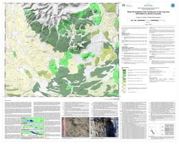 |
Mainly drift covered and with sparse outcrop, the Christensen Creek area remains underexplored despite being underlain by the Stikine terrane island-arc assemblage, which has high potential for mineralization. Basal tills have a relatively simple transport and depositional history, thus are an ideal sampling media to explore for buried deposits. This basal till potential map is designed to help plan exploration projects in drift-covered areas by guiding surficial sediment geochemistry and mineralogy sampling programs to where basal till is most likely to occur. Work in the Christensen Creek map area is part of Geoscience BC's Targeting Resources for Exploration and Knowledge (TREK) project. The basal till potential map presented here is one of a series of 16 maps that were completed for the TREK geochemical program. |
| Issue ID: | OF2017-06 |
| Title: | Basal till potential of the Carnlick Creek map area (NTS 093C/14) |
| Author(s): | Sacco, D., Arnold, H., Ferbey, T., Jackaman, W. |
| Series Name: | Open File |
| Publication Year: | 2017 |
| Other Citation Details: | Also published as Geoscience BC Map 2017-02-05 |
| Scale: | 1:50000 |
| NTS Map Sheet(s): | 093C/14 |
| Place Keyword(s): | British Columbia, Interior Plateau, Carnlick Creek |
| Lat/Long (NSWE): | 52.75, 53, -125.5, -125 |
| Theme Keyword(s): | basal till, potential maps, TREK Project |
Download(s):
| PDF, ZIP (View Zip Contents) |
Abstract:
 |
Mainly drift covered and with sparse outcrop, the Carnlick Creek area remains underexplored despite being underlain by the Stikine terrane island-arc assemblage, which has high potential for mineralization. Basal tills have a relatively simple transport and depositional history, thus are an ideal sampling media to explore for buried deposits. This basal till potential map is designed to help plan exploration projects in drift-covered areas by guiding surficial sediment geochemistry and mineralogy sampling programs to where basal till is most likely to occur. Work in the Carnlick Creek map area is part of Geoscience BC's Targeting Resources for Exploration and Knowledge (TREK) project. The basal till potential map presented here is one of a series of 16 maps that were completed for the TREK geochemical program. |
| Issue ID: | OF2017-07 |
| Title: | Basal till potential of the Kushya River map area (NTS 093C/15) |
| Author(s): | Sacco, D., Arnold, H., Ferbey, T., Jackaman, W. |
| Series Name: | Open File |
| Publication Year: | 2017 |
| Other Citation Details: | Also published as Geoscience BC Map 2017-02-06 |
| Scale: | 1:50000 |
| NTS Map Sheet(s): | 093C/15 |
| Place Keyword(s): | British Columbia, Interior Plateau, Kushya River |
| Lat/Long (NSWE): | 52.75, 53, -125, -124.5 |
| Theme Keyword(s): | basal till, potential maps, TREK Project |
Download(s):
| PDF, ZIP (View Zip Contents) |
Abstract:
 |
Mainly drift covered and with sparse outcrop, the Kushya River area remains underexplored despite being underlain by the Stikine terrane island-arc assemblage, which has high potential for mineralization. Basal tills have a relatively simple transport and depositional history, thus are an ideal sampling media to explore for buried deposits. This basal till potential map is designed to help plan exploration projects in drift-covered areas by guiding surficial sediment geochemistry and mineralogy sampling programs to where basal till is most likely to occur. Work in the Kushya River map area is part of Geoscience BC's Targeting Resources for Exploration and Knowledge (TREK) project. The basal till potential map presented here is one of a series of 16 maps that were completed for the TREK geochemical program. |
| Issue ID: | GBCM2017-02-01 |
| Title: | Basal till potential of the Anahim Lake map area (NTS 093C/06) |
| Author(s): | Sacco, D., Arnold, H., Ferbey, T., Jackaman, W. |
| Series Name: | Geoscience BC Map |
| Publication Year: | 2017 |
| Other Citation Details: | Also published as BCGS Open File 2017-02 |
| Scale: | 1:50000 |
| NTS Map Sheet(s): | 093C/06 |
| Place Keyword(s): | British Columbia, Interior Plateau, Anahim Lake |
| Lat/Long (NSWE): | 52.25, 52.5, -125.5, -125 |
| Theme Keyword(s): | basal till, potential maps, TREK Project |
Download(s):
| PDF |
Additional Link(s):
| http://cdn.geosciencebc.com/project_data/GBCReport2017-02/GBCMap2017-02_Index_2017.pdf
https://cmscontent.nrs.gov.bc.ca/geoscience/PublicationsCatalogue/OpenFiles/2017/Documents/OF2017_02-07_shape.zip
http://cdn.geosciencebc.com/project_data/GBCReport2017-02/GBCMap2017-02_shapefiles.zip
http://cmscontent.nrs.gov.bc.ca/geoscience/PublicationsCatalogue/OpenFiles/2017/PublishingImages/OF2017_2index.jpg |
Abstract:
| Mainly drift covered and with sparse outcrop, the Anahim Lake area remains underexplored despite being underlain by the Stikine terrane island-arc assemblage, which has high potential for mineralization. Basal tills have a relatively simple transport and depositional history, thus are an ideal sampling media to explore for buried deposits. This basal till potential map is designed to help plan exploration projects in drift-covered areas by guiding surficial sediment geochemistry and mineralogy sampling programs to where basal till is most likely to occur. Work in the Anahim Lake map area is part of Geoscience BC's Targeting Resources for Exploration and Knowledge (TREK) project. The basal till potential map presented here is one of a series of 16 maps that were completed for the TREK geochemical program. |
| Issue ID: | GBCM2017-02-02 |
| Title: | Basal till potential of the Satah Mountain map area (NTS 093C/07) |
| Author(s): | Sacco, D., Arnold, H., Ferbey, T., Jackaman, W. |
| Series Name: | Geoscience BC Map |
| Publication Year: | 2017 |
| Other Citation Details: | Also published as BCGS Open File 2017-03 |
| Scale: | 1:50000 |
| NTS Map Sheet(s): | 093C/07 |
| Place Keyword(s): | British Columbia, Interior Plateau, Satah Mountain |
| Lat/Long (NSWE): | 52.25, 52.5, -125, -124.5 |
| Theme Keyword(s): | basal till, potential maps, TREK Project |
Download(s):
| PDF |
Additional Link(s):
| http://cdn.geosciencebc.com/project_data/GBCReport2017-02/GBCMap2017-02_Index_2017.pdf
https://cmscontent.nrs.gov.bc.ca/geoscience/PublicationsCatalogue/OpenFiles/2017/Documents/OF2017_02-07_shape.zip
http://cdn.geosciencebc.com/project_data/GBCReport2017-02/GBCMap2017-02_shapefiles.zip
http://cmscontent.nrs.gov.bc.ca/geoscience/PublicationsCatalogue/OpenFiles/2017/PublishingImages/OF2017_3index.jpg |
Abstract:
| Mainly drift covered and with sparse outcrop, the Satah Mountain area remains underexplored despite being underlain by the Stikine terrane island-arc assemblage, which has high potential for mineralization. Basal tills have a relatively simple transport and depositional history, thus are an ideal sampling media to explore for buried deposits. This basal till potential map is designed to help plan exploration projects in drift-covered areas by guiding surficial sediment geochemistry and mineralogy sampling programs to where basal till is most likely to occur. Work in the Satah Mountain map area is part of Geoscience BC's Targeting Resources for Exploration and Knowledge (TREK) project. The basal till potential map presented here is one of a series of 16 maps that were completed for the TREK geochemical program. |
| Issue ID: | GBCM2017-02-03 |
| Title: | Basal till potential of the Downton Creek map area (NTS 093C/10) |
| Author(s): | Sacco, D., Arnold, H., Ferbey, T., Jackaman, W. |
| Series Name: | Geoscience BC Map |
| Publication Year: | 2017 |
| Other Citation Details: | Also published as BCGS Open File 2017-04 |
| Scale: | 1:50000 |
| NTS Map Sheet(s): | 093C/10 |
| Place Keyword(s): | British Columbia, Interior Plateau, Downton Creek |
| Lat/Long (NSWE): | 52.5, 52.75, -125, -124.5 |
| Theme Keyword(s): | basal till, potential maps, TREK Project |
Download(s):
| PDF |
Additional Link(s):
| http://cdn.geosciencebc.com/project_data/GBCReport2017-02/GBCMap2017-02_Index_2017.pdf
https://cmscontent.nrs.gov.bc.ca/geoscience/PublicationsCatalogue/OpenFiles/2017/Documents/OF2017_02-07_shape.zip
http://cdn.geosciencebc.com/project_data/GBCReport2017-02/GBCMap2017-02_shapefiles.zip
http://cmscontent.nrs.gov.bc.ca/geoscience/PublicationsCatalogue/OpenFiles/2017/PublishingImages/OF2017_4index.jpg |
Abstract:
| Mainly drift covered and with sparse outcrop, the Downton Creek area remains underexplored despite being underlain by the Stikine terrane island-arc assemblage, which has high potential for mineralization. Basal tills have a relatively simple transport and depositional history, thus are an ideal sampling media to explore for buried deposits. This basal till potential map is designed to help plan exploration projects in drift-covered areas by guiding surficial sediment geochemistry and mineralogy sampling programs to where basal till is most likely to occur. Work in the Downton Creek map area is part of Geoscience BC's Targeting Resources for Exploration and Knowledge (TREK) project. The basal till potential map presented here is one of a series of 16 maps that were completed for the TREK geochemical program. |
| Issue ID: | GBCM2017-02-04 |
| Title: | Basal till potential of the Christensen Creek map area (NTS 093C/11) |
| Author(s): | Sacco, D., Arnold, H., Ferbey, T., Jackaman, W. |
| Series Name: | Geoscience BC Map |
| Publication Year: | 2017 |
| Other Citation Details: | Also published as BCGS Open File 2017-05 |
| Scale: | 1:50000 |
| NTS Map Sheet(s): | 093C/11 |
| Place Keyword(s): | British Columbia, Interior Plateau, Christensen Creek |
| Lat/Long (NSWE): | 52.5, 52.75, -125.5, -125 |
| Theme Keyword(s): | basal till, potential maps, TREK Project |
Download(s):
| PDF |
Additional Link(s):
| http://cdn.geosciencebc.com/project_data/GBCReport2017-02/GBCMap2017-02_Index_2017.pdf
https://cmscontent.nrs.gov.bc.ca/geoscience/PublicationsCatalogue/OpenFiles/2017/Documents/OF2017-5.pdf
https://cmscontent.nrs.gov.bc.ca/geoscience/PublicationsCatalogue/OpenFiles/2017/Documents/OF2017_02-07_shape.zip
http://cmscontent.nrs.gov.bc.ca/geoscience/PublicationsCatalogue/OpenFiles/2017/PublishingImages/OF2017_5index.jpg |
Abstract:
| Mainly drift covered and with sparse outcrop, the Christensen Creek area remains underexplored despite being underlain by the Stikine terrane island-arc assemblage, which has high potential for mineralization. Basal tills have a relatively simple transport and depositional history, thus are an ideal sampling media to explore for buried deposits. This basal till potential map is designed to help plan exploration projects in drift-covered areas by guiding surficial sediment geochemistry and mineralogy sampling programs to where basal till is most likely to occur. Work in the Christensen Creek map area is part of Geoscience BC's Targeting Resources for Exploration and Knowledge (TREK) project. The basal till potential map presented here is one of a series of 16 maps that were completed for the TREK geochemical program. |
| Issue ID: | GBCM2017-02-05 |
| Title: | Basal till potential of the Carnlick Creek map area (NTS 093C/14) |
| Author(s): | Sacco, D., Arnold, H., Ferbey, T., Jackaman, W. |
| Series Name: | Geoscience BC Map |
| Publication Year: | 2017 |
| Other Citation Details: | Also published as BCGS Open File 2017-06 |
| Scale: | 1:50000 |
| NTS Map Sheet(s): | 093C/14 |
| Place Keyword(s): | British Columbia, Interior Plateau, Carnlick Creek |
| Lat/Long (NSWE): | 52.75, 53, -125.5, -125 |
| Theme Keyword(s): | basal till, potential maps, TREK Project |
Download(s):
| PDF |
Additional Link(s):
| http://cdn.geosciencebc.com/project_data/GBCReport2017-02/GBCMap2017-02_Index_2017.pdf
https://cmscontent.nrs.gov.bc.ca/geoscience/PublicationsCatalogue/OpenFiles/2017/Documents/OF2017-6.pdf
https://cmscontent.nrs.gov.bc.ca/geoscience/PublicationsCatalogue/OpenFiles/2017/Documents/OF2017_02-07_shape.zip
http://cmscontent.nrs.gov.bc.ca/geoscience/PublicationsCatalogue/OpenFiles/2017/PublishingImages/OF2017_6index.jpg |
Abstract:
| Mainly drift covered and with sparse outcrop, the Carnlick Creek area remains underexplored despite being underlain by the Stikine terrane island-arc assemblage, which has high potential for mineralization. Basal tills have a relatively simple transport and depositional history, thus are an ideal sampling media to explore for buried deposits. This basal till potential map is designed to help plan exploration projects in drift-covered areas by guiding surficial sediment geochemistry and mineralogy sampling programs to where basal till is most likely to occur. Work in the Carnlick Creek map area is part of Geoscience BC's Targeting Resources for Exploration and Knowledge (TREK) project. The basal till potential map presented here is one of a series of 16 maps that were completed for the TREK geochemical program. |
| Issue ID: | GBCM2017-02-06 |
| Title: | Basal till potential of the Kushya River map area (NTS 093C/15) |
| Author(s): | Sacco, D., Arnold, H., Ferbey, T., Jackaman, W. |
| Series Name: | Geoscience BC Map |
| Publication Year: | 2017 |
| Other Citation Details: | Also published as BCGS Open File 2017-07 |
| Scale: | 1:50000 |
| NTS Map Sheet(s): | 093C/15 |
| Place Keyword(s): | British Columbia, Interior Plateau, Kushya River |
| Lat/Long (NSWE): | 52.75, 53, -125, -124.5 |
| Theme Keyword(s): | basal till, potential maps, TREK Project |
Download(s):
| PDF |
Additional Link(s):
| http://cdn.geosciencebc.com/project_data/GBCReport2017-02/GBCMap2017-02_Index_2017.pdf
https://cmscontent.nrs.gov.bc.ca/geoscience/PublicationsCatalogue/OpenFiles/2017/Documents/OF2017-7.pdf
https://cmscontent.nrs.gov.bc.ca/geoscience/PublicationsCatalogue/OpenFiles/2017/Documents/OF2017_02-07_shape.zip
http://cmscontent.nrs.gov.bc.ca/geoscience/PublicationsCatalogue/OpenFiles/2017/PublishingImages/OF2017_7index.jpg |
Abstract:
| Mainly drift covered and with sparse outcrop, the Kushya River area remains underexplored despite being underlain by the Stikine terrane island-arc assemblage, which has high potential for mineralization. Basal tills have a relatively simple transport and depositional history, thus are an ideal sampling media to explore for buried deposits. This basal till potential map is designed to help plan exploration projects in drift-covered areas by guiding surficial sediment geochemistry and mineralogy sampling programs to where basal till is most likely to occur. Work in the Kushya River map area is part of Geoscience BC's Targeting Resources for Exploration and Knowledge (TREK) project. The basal till potential map presented here is one of a series of 16 maps that were completed for the TREK geochemical program. |
| Issue ID: | GBCR2017-02 |
| Title: | Basal till potential for the Ahahim Lake (NTS 093C/06), Satah Mountain (NTS 093C/07), Downtown Creek (NTS 093C/10), Christensen Creek (NTS 093C/11), Carnlick Creek (NTS 093C/14), Kushya River (NTS 093C/15) map areas, British Columbia |
| Author(s): | Sacco, D., Arnold, H., Ferbey, T., Jackaman, W. |
| Series Name: | Geoscience BC Report |
| Publication Year: | 2017 |
| Other Citation Details: | Also published as BCGS Open File 2017-02 to 2017-07 |
| Larger Work Citation: | Geoscience BC TREK Project |
| Scale: | 1:50000 |
| NTS Map Sheet(s): | 093C/06, 07, 10, 11, 14, 15 |
| Place Keyword(s): | British Columbia, Interior Plateau, Stikine Terrane, Quesnel Terrane |
| Lat/Long (NSWE): | 53, 52.25, -125.5, -124.5 |
| Theme Keyword(s): | basil till, potential maps, buried bedrock mineralization, TREK, Geoscience BC |
Additional Link(s):
| http://cdn.geosciencebc.com/project_data/GBCReport2017-02/GBCMap2017-02-01_AnahimLake_93C06.pdf
http://cdn.geosciencebc.com/project_data/GBCReport2017-02/GBCMap2017-02-02_SatahMountain_93C07.pdf
http://cdn.geosciencebc.com/project_data/GBCReport2017-02/GBCMap2017-02-03_DowntonCreek_93C010.pdf
http://www.geosciencebc.com/i/project_data/GBCReport2017-02/GBCMap2017-02-04_ChristensenCreek_93C11.pdf
http://www.geosciencebc.com/i/project_data/GBCReport2017-02/GBCMap2017-02-05_CarnlickCreek_93C14.pdf
http://www.geosciencebc.com/i/project_data/GBCReport2017-02/GBCMap2017-02-06_KushyaRiver_93C15.pdf |
Abstract:
| Basal till potential for the Ahahim Lake, Satah Mountain, Downtown Creek, Christensen Creek, Carnlick Creek, and Kushya River map areas continues the series published by Sacco et al. in 2014 for Geoscience BC�s Targeting Resources for Exploration and Knowledge (TREK) project area. These publications are released in digital format including composed maps (PDF) and polygons (shapefile). They are represented by Geoscience BC Maps 2017-02-01 to 2017-02-06 and British Columbia Geological Survey Open File 2017-02 to 2017-07. |
| Issue ID: | GBCMP2013-002 |
| Title: | Northeast BC Regional Seismographic Network |
| Author(s): | Geoscience BC |
| Purpose: | contribute to the understanding hydrocarbons. |
| Series Name: | Geoscience BC Major Project |
| Publication Year: | 2014 |
| NTS Map Sheet(s): | 094C, G, I, O, P |
| Place Keyword(s): | British Columbia, northeast, Horn River Basin |
| Lat/Long (NSWE): | 60, 56, -126, -120 |
| Theme Keyword(s): | seismicity, unconventional gas, seismograph, hydraulic fracturing |
Abstract:
| Geoscience BC, the BC Oil and Gas Commission, Natural Resources Canada and the Canadian Association of Petroleum Producers have partnered to launch a five-year $1 million collaborative geoscience program to study seismicity in northeast British Columbia. Geoscience BC and the Canadian Association of Petroleum Producers (through the Science and Community Environmental Knowledge fund) will equally share the program costs, and the BC Oil and Gas Commission and Natural Resources Canada will provide in-kind technical support. The program partners will install a state-of-the-art network to collect seismic data in northeast British Columbia. The seismic array network will include six new stations, which will complement two existing Canadian National Seismograph Network stations. Nanometrics Inc. will install the new stations in early 2013. Once the array has been calibrated, real-time seismic data will be provided to researchers for ongoing analysis and interpretation. The state-of-the-art stations will provide the necessary data needed to further understand the relationship between multistage hydraulic fracturing and induced low magnitude events and ultimately aid in the responsible development of unconventional gas resources. |
| Issue ID: | GBCMP2014-001 |
| Title: | Deep Aquifer Fluid Disposal |
| Author(s): | Geoscience BC |
| Series Name: | Geoscience BC Major Project |
| Publication Year: | 2015 |
| NTS Map Sheet(s): | 093I,O,P; 094A,B,G,H |
| Place Keyword(s): | British Columbia, Northeastern British Columbia, Montney Play Area |
| Lat/Long (NSWE): | 58, 54, -124, -120 |
| Theme Keyword(s): | water disposal, Belloy, Debolt, Montney, tight gas |
Abstract:
| The Deep Aquifer Fluid Disposal, or DAFD project, will characterize the capacity of deep disposal zones within the Montney unconventional play fairway in northeast B.C. Petrel Roberston Consulting Ltd. (PCRL) was contracted to perform the first step of the DAFD project: map and characterize three different deep saline aquifers identified as high-priority disposal zone targets. A regional map suite was created by PCRL using the region's pre-existing well information in combination with rock samples to examine the ability of the zones to accommodate large volumes of produced water. The maps also give a high/medium/low favourability ranking for each potential aquifer or zone, where high favourability indicates areas with good aquifer characteristics and capacity with little or no risks arising from development of potential nearby shale gas reservoirs. On the other hand, a low favourability ranking for a target aquifer indicates poor aquifer characteristics and/or significant risks of impacts from existing or potential shale gas development. In early 2015, Geoscience BC engaged Canadian Discovery Ltd. To perform step two of the DAFD project. This will involve a focused assessment of aquifer hydrogeology, including projections of the capacity of the aquifers to accept produced fluids. |
| Issue ID: | GBCR2017-16 |
| Title: | North-East BC Drilling Project Physical Log Descriptions and Interpretations |
| Author(s): | Levson, V., Best, M. |
| Series Name: | Geoscience BC Report |
| Publication Year: | 2017 |
| Larger Work Citation: | Geoscience BC Peace Project |
| NTS Map Sheet(s): | 094A,B,G,H |
| Place Keyword(s): | British Columbia, Northeastern British Columbia, Peace, Montney region |
| Lat/Long (NSWE): | 57.75, 56, -123, -120.5 |
| Theme Keyword(s): | stratigraphic interpretations, sonic drilling, Quaternary geology, surficial geology, paleovalley systems |
Additional Link(s):
| http://cdn.geosciencebc.com/project_data/GBCR2017-16-CoreDescriptionsInterpretations.pdf |
Abstract:
| Geoscience BC Report 2017-16 details the results of a sonic drilling program conducted to evaluate a model of Quaternary and bedrock geology of the Montney gas field study region. The model was based on a map of the Quaternary geology of the study area compiled by Quaternary Geosciences Inc. and an airborne electromagnetic (AEM) survey conducted by Aarhus Geophysics. The AEM survey provided relatively high resolution, resistivity data for five areas and 11 test well sites were selected in these areas. In the 2017 program, a total of ten sonic holes were drilled at eight different sites, including two groundwater monitoring wells. Quaternary paleovalley fill sediments were encountered in all the wells providing a first level of verification of the geological model. Sands and gravels deposited during the last ice-age, approximately 25 000 years ago, were encountered in each of the holes. |
| Issue ID: | GBCR2017-17 |
| Title: | Summary Report on Proposed Water Well Locations for Halfway River First Nation Area |
| Author(s): | Levson, V., Best, M. |
| Series Name: | Geoscience BC Report |
| Publication Year: | 2017 |
| Larger Work Citation: | Geoscience BC Peace Project |
| NTS Map Sheet(s): | 094A,B |
| Place Keyword(s): | British Columbia, Northeastern British Columbia, Peace, Halfway River |
| Lat/Long (NSWE): | 56.56, 56.45, -123, -121.8 |
| Theme Keyword(s): | water wells, ground water, Quaternary geology, surficial geology, aquifer |
Additional Link(s):
| http://cdn.geosciencebc.com/project_data/GBCR2017-17_ProposedWaterWell-HRFN.pdf |
Abstract:
| Geoscience BC Report 2017-17 details the results of an analysis of available geological and geophysical information near the Halfway River First Nation community. The objective of the analysis was to identify potential water well drill sites in the area that might help provide additional groundwater sources for the community. Targets close to the community are the most economically feasible, so the initial investigation focussed on the community area and then expanded outwards. Seven potential targets close to the community were identified. |
| Issue ID: | GBCR2017-18 |
| Title: | Petrophysical Interpretation on Six Shallow Wells in the Peace Region of BC |
| Author(s): | Mykula, Y. |
| Series Name: | Geoscience BC Report |
| Publication Year: | 2017 |
| Larger Work Citation: | Geoscience BC Peace Project |
| NTS Map Sheet(s): | 094A |
| Place Keyword(s): | British Columbia, Northeastern British Columbia, Peace |
| Lat/Long (NSWE): | 56.5, 56, -122, -120.5 |
| Theme Keyword(s): | petrophysical interpretations, shallow wells, porosity, saturation |
Additional Link(s):
| http://cdn.geosciencebc.com/project_data/GBCR2017-18_Petrophysical_Interpretation_6wells.pdf |
Abstract:
| The geophysical logs from six shallow wells were analysed to characterize sediment types and determine properties needed for the modeling of regional aquifers. The result of the work is available in digital (las-file) and image (pdf-file) format. |
| Issue ID: | P2021-01-03 |
| Title: | U-Pb zircon dates for the Granite Mountain batholith, Burgess Creek stock, and Sheridan Creek stock, Gibraltar Mine area, south-central British Columbia |
| Author(s): | Schiarizza, P., and Friedman, R.M. |
| Series Name: | Paper |
| Publication Year: | 2021 |
| Larger Work Citation: | in Geological Fieldwork 2020, B.C. Ministry of Energy, Mines and Petroleum Resources, Paper 2021-01 |
| NTS Map Sheet(s): | 093B/08, 093B/09 |
| Place Keyword(s): | British Columbia, Granite Mountain, Burgess Creek, South-central British Columbia |
| Lat/Long (NSWE): | 52.435, 42.644, -122.37, -122.09 |
| Theme Keyword(s): | Triassic, Quesnel terrane, U-Pb zircon date, Cretaceous, CA-TIMS |
Download(s):
| PDF |
Abstract:
| The Granite Mountain batholith (Late Triassic), host to the Gibraltar porphyry Cu-Mo deposit, is east of the Fraser River between Williams Lake and Quesnel. Previously considered part of Cache Creek terrane, the batholith is in a panel of Quesnel terrane rocks that is faulted against Cache Creek terrane to the east and south, as established by mapping carried out in 2013 and 2014. Samples collected during this mapping, dated using the U-Pb zircon chemical abrasion thermal ionization mass spectrometry method (CA-TIMS), provide crystallization ages for the batholith and two adjacent plutonic units. Three samples from the Granite Mountain batholith yield Late Triassic dates of 217.15 �0.37 Ma (Granite Mountain phase leucocratic tonalite), 215.71 �0.36 Ma (Mine phase tonalite), and 214.98 �0.38 Ma (quartz-plagioclase porphyry dike cutting Mine phase tonalite). The Burgess Creek stock, on the northeast margin of the Granite Mountain batholith, provides dates of 222.71 �0.39 Ma (tonalite) and 221.25 �0.39 Ma (quartz diorite), demonstrating that it is also Late Triassic, but several million years older than the Granite Mountain batholith. Tonalite from the Sheridan Creek stock, south of the Granite Mountain batholith, returns an Early Cretaceous date of 108.57 �0.18 Ma. The Sheridan Creek contains a foliation with the same orientation and characteristics as a prominent foliation in the southern part of the Granite Mountain batholith, demonstrating that deformation of both is mid-Cretaceous or younger. |
| Issue ID: | P2018-01-01 |
| Title: | British Columbia Geological Survey annual program review 2017-2018 |
| Author(s): | Hickin, A.S., Jones, L.D., Clarke, G. |
| Series Name: | Paper |
| Publication Year: | 2018 |
| Larger Work Citation: | in Geological Fieldwork 2017, B.C. Ministry of Energy, Mines and Petroleum Resources, Paper 2018-01 |
| NTS Map Sheet(s): | 082;083;092;093;094;102;103;104;114 |
| Place Keyword(s): | British Columbia |
| Lat/Long (NSWE): | 60, 48, -139, -114 |
| Theme Keyword(s): | Highlights, Projects, Events, Accomplishments |
Download(s):
| PDF |
Abstract:
| Providing a summary of projects, events, and accomplishments over the past year, this review highlights activities of the British Columbia Geological Survey (BCGS) in 2017. Established in 1895, the Survey links government, the minerals industry, and British Columbians to the Province�s geology and mineral resources. |
| Issue ID: | P2018-01-02 |
| Title: | Revised stratigraphy of the Hazelton Group in the Iskut River region, northwestern British Columbia |
| Author(s): | Nelson, J., Waldron, J., van Straaten, B., Zagorevski, A., and Rees, C. |
| Series Name: | Paper |
| Publication Year: | 2018 |
| Larger Work Citation: | in Geological Fieldwork 2017, B.C. Ministry of Energy, Mines and Petroleum Resources, Paper 2018-01 |
| NTS Map Sheet(s): | 103A,H |
| Place Keyword(s): | British Columbia, Iskut, Stewart |
| Lat/Long (NSWE): | 58, 56, -132, -128 |
| Theme Keyword(s): | Golden Triangle, Hazelton Group, Iskut River Formation, Betty Creek Formation, regional mapping |
Download(s):
| PDF |
Abstract:
| The Iskut River region hosts many significant porphyry, precious-metal vein and volcanogenic massive sulphide deposits. Most of these deposits are related to the Hazelton Group (latest Triassic to Middle Jurassic) and affi liated intrusions. Current knowledge of the Hazelton Group is the outcome of piecemeal, local mapping contributions over many years by different workers at different scales, resulting in inconsistencies and errors in stratigraphic nomenclature. Given that exploration interest in the region remains high, and that considerable work has recently been done in the region, a reappraisal of this nomenclature, applying provisions in the North American Stratigraphic Code is required. In our new stratigraphic framework, newly recognized units are given local geographic names; others are correlated with previously established units. Two newly defined lowermost Hazelton units, the Klastline formation (new informal name) and the Snippaker unit, are latest Triassic, showing that earliest Hazelton volcanism and sedimentation were coeval with formation of the Red Chris porphyry deposit. These, along with siliciclastic rocks of the Jack Formation (Lower Jurassic) and mainly andesite successions such as the Betty Creek Formation, comprise the lower Hazelton Group. The upper Hazelton Group includes the Iskut River Formation (mainly Aalenian-Bajocian) comprising the bimodal volcanicsedimentary succession within the Eskay rift that hosts the Eskay volcanogenic massive sulphide deposit; mainly sedimentary units such as the Spatsizi Formation and Quock Formation that occur throughout central Stikinia; the Mount Dilworth Formation, a stratified Middle Jurassic felsic volcanic unit that occurs outside but near the Eskay rift; and the Eddontenajon formation (new informal name), an unusual Pleinsbachian-Toarcian bimodal volcanic-sedimentary sequence that outcrops near the hamlet of Iskut. |
| Issue ID: | P2018-01-03 |
| Title: | Late Early to Middle Jurassic Hazelton Group volcanism and its tectonic setting, McBride River area, northwest British Columbia |
| Author(s): | van Straaten, B.I., and Bichlmaier, S. |
| Series Name: | Paper |
| Publication Year: | 2018 |
| Larger Work Citation: | in Geological Fieldwork 2017, B.C. Ministry of Energy, Mines and Petroleum Resources, Paper 2018-01 |
| NTS Map Sheet(s): | 104I3,4,5,6 |
| Place Keyword(s): | British Columbia, McBride, Tanzilla, northwest British Columbia |
| Lat/Long (NSWE): | 58.5, 57.75, -130, -128.5 |
| Theme Keyword(s): | Horn Mountain Formation, Spatsizi Formation, Hazelton Group, Stuhini Group, regional mapping |
Download(s):
| PDF |
Abstract:
| Continued mapping and geochronologic studies on the northeast margin of Stikinia east of Dease Lake indicate that Late Triassic plutonic rocks of the Cake Hill pluton are unconformably overlain by late Early to Middle Jurassic rocks in the upper part of the Hazelton Group. The unconformity, which has been traced laterally for 50 km, spans at least 30 m.y. and represents one of the few examples of unroofed Stuhini arc in northern Stikinia. The unconformity is overlain by sedimentary rocks of the Spatsizi Formation (up to 0.2 km thick, Toarcian) and volcanic rocks of the Horn Mountain Formation (at least 3.5 km thick, Aalenian-Bajocian). The recently-defined Horn Mountain Formation is unusual because it postdates typical Late Triassic to Early Jurassic arc volcanism in northern Stikinia, and was deposited during accretion of the Stikine and Cache Creek terranes. In the lower part of the Horn Mountain Formation, partly or wholly subaqueous, massive green augite-plagioclase-phyric volcanic breccia pass upward to a subaerial volcanic edifice composed of interlayered maroon augite-plagioclase-phyric flows, volcanic breccia and tuff. Felsic volcanic rocks cap the succession. The Horn Mountain Formation is cut by the Three Sisters pluton (ca. 173-169 Ma, Aalenian- Bajocian) and McBride River pluton. The McBride River granodiorite has hitherto been interpreted as Early Jurassic (ca. 184 Ma), but based on crosscutting relationships we suggest a Middle Jurassic or younger age to be more plausible. The Bowser Lake Group (Bajocian) conformably overlies the Horn Mountain Formation; it records initiation of erosion from the Stikinia-Cache Creek tectonic welt. Chert and limestone clastbearing pebble to cobble conglomerate (>330 m thick) is interpreted to have formed close to range front faults along the building orogen. The coarse clastic facies transitions to interbedded subaerial siltstone, sandstone, chert clast-bearing conglomerate, and mafic flows (>430 m thick) farther south. In the northern part of the study area, the Horn Mountain Formation and Bowser Lake Group are structurally overlain by rocks of the Whitehorse trough, juxtaposed along the Kehlechoa thrust fault (south vergent). In the hanging wall, Sinwa Formation limestones (Upper Triassic) are unconformably overlain by Takwahoni Formation sedimentary rocks (Lower Jurassic). The Takwahoni Formation succession comprises a lithologically variable unit of fine-grained siliciclastic rocks, polymictic conglomerate and volcanic rocks (Sinemurian?) that appears to grade upward to a thick unit of interbedded sandstone and siltstone (Pliensbachian). In the northernmost part of the map area, rocks of the Whitehorse trough are structurally overlain by rocks of the Cache Creek terrane along the King Salmon thrust fault (south vergent).
At Tanzilla and McBride, northwest of the study area, the Horn Mountain Formation hosts large advanced argillic alteration systems. However in the present area, evidence of alteration and mineralization is more modest. Four grab samples from two intrusion-related hydrothermal alteration zones west and southeast of the McBride River returned no anomalous metal values. Several Cu-Ag mineral occurrences with limited alteration footprints are hosted in the middle and upper part of the Horn Mountain Formation in the southeast part of the map area. Polymetallic veins near the Kehlechoa and King Salmon thrust faults locally contain signifi cant gold and silver. |
| Issue ID: | P2018-01-04 |
| Title: | Testing the relationship between the Llewellyn fault, Tally-Ho shear zone, and gold mineralization in northwest British Columbia |
| Author(s): | Ootes, L., Castonguay, S., Friedman, R., Devine, F., and Simmonds, R. |
| Series Name: | Paper |
| Publication Year: | 2018 |
| Larger Work Citation: | in Geological Fieldwork 2017, B.C. Ministry of Energy, Mines and Petroleum Resources, Paper 2018-01 |
| NTS Map Sheet(s): | 104M, 105D |
| Place Keyword(s): | British Columbia, Mount Skukum Mine, Engineer Mine |
| Lat/Long (NSWE): | 60.4, 59.4, -135.5, -134.2 |
| Theme Keyword(s): | Llewellyn fault, gold mineralization, Tally-Ho shear zone, U-Pb geochronology, regional mapping |
Download(s):
| PDF |
Abstract:
| The Llewellyn fault represents a significant geological feature in northwest British Columbia. The fault is a southeast-striking, steeply dipping brittle dextral strike-slip structure that overprints �early� ductile deformation, which is preserved as foliations, lineations, and folds in the host rocks. The Tally-Ho shear zone, Yukon, shares similar early ductile deformation and is overprinted by the Llewellyn fault. In general, the deformation corridor demarcates the eastern limit of metamorphic suites (Triassic and older rocks of the Nisling terrane and Boundary Ranges metamorphic suite) and the western limit of the younger Stuhini (Triassic) and Laberge (Jurassic) groups. Previous work and this study demonstrate that brittle strike-slip deformation along the Llewellyn fault occurred between ca. 56 and 50 Ma. New field observations indicate the early ductile deformation is represented by one foliation (Smain) along the Llewellyn fault and Tally-Ho shear zone corridor. Two granodiorite intrusions crosscut the early deformation features, and new U-Pb zircon chemical abrasion ID-TIMS results indicate they crystallized at ca. 75 Ma. In the Tally-Ho shear zone, the Smain is parallel to a foliation in an adjacent granodiorite, mapped as part of the Whitehorse plutonic complex (ca. 120 Ma). In British Columbia, a deformed rhyolite along the Llewellyn fault yielded a preliminary ca. 120 Ma age. Based on these results, we infer that the early ductile fabrics formed before ca. 75 Ma and, potentially, after ca. 120 Ma. A goal of this study was to establish if the early ductile and late brittle structures represent a crustal-scale, ductile-brittle deformation continuum. If so, could various gold mineralization styles (epithermal, mesothermal, intrusion-related) along the structural corridor be related in time and be part of an orogenic gold mineralizing system? This study demonstrates that, although the early ductile and late brittle deformation share the same space, they developed at least ca. 20 Ma apart and are not part of a structural continuum. This result indicates the various styles of gold mineralization developed during temporally distinct tectonic events. |
| Issue ID: | P2018-01-05 |
| Title: | Geologic and geochronologic update of the Turtle Lake area, NTS 104M/15, northwest British Columbia |
| Author(s): | Mihalynuk, M.G., Zagorevski, A., Milidragovic, D., Tsekhmistrenko, M., Friedman, R.M., Joyce, N., Camacho, A., and Golding, M. |
| Series Name: | Paper |
| Publication Year: | 2018 |
| Larger Work Citation: | in Geological Fieldwork 2017, B.C. Ministry of Energy, Mines and Petroleum Resources, Paper 2018-01 |
| NTS Map Sheet(s): | 104M/16 |
| Place Keyword(s): | British Columbia, Turtle Lake, Tagish Lake, Atlin |
| Lat/Long (NSWE): | 60, 59.75, -134.5, -134 |
| Theme Keyword(s): | Cache Creek terrane, Stikine terrane, Laberge Group, regional mapping, geochronology |
Download(s):
| PDF |
Abstract:
| The Turtle Lake map area straddles the boundary between exotic, oceanic crustal and mantle rocks of the Cache Creek terrane, and Laberge Group (Early Jurassic) Whitehorse trough forearc strata atop the Stikine terrane. Exposed in the Turtle Lake area are extensive platformal carbonate rocks of the Horsefeed Formation, a regional hallmark of the Cache Creek terrane, that were deposited over at least 25 m.y. Juxtaposition of Stikine and Cache Creek terranes was accommodated by collapse of the Whitehorse trough in mid-Middle Jurassic (starting ~174 Ma) and creation of a fold and thrust fault belt. This belt was cut by the Fourth of July batholith (~172 Ma) and lamprophyre dikes, emplaced and cooled by ~162 Ma, and followed by a magmatic lull between ~165-130 Ma. In the Turtle Lake area, we find a single granitic dike that crystallized in this time interval, at ~145 Ma. By 125 Ma, the Coast Belt arc had ignited, as recorded by voluminous volcanic and intrusive rocks in the west, and persisted until ~50 Ma. In the Turtle Lake area, volcanism accompanied uplift by ~110 Ma, as indicated by a unimodal detrital zircon population in karst deposits. The youngest known representative intrusions are ~56 Ma quartz diorite stocks. One of these stocks cuts the faulted contact between Whitehorse trough strata and harzburgite mantle tectonite. An analogous geological setting hosts epithermal gold-silver vein mineralization at the Engineer Mine, ~30 km to the south-southwest. The youngest rocks affected by crustal scale faulting and linked, mainly south-side-down, extensional faults are the ~80 Ma Windy-Table suite volcanic strata. We have yet to properly document the extensional faulting episode, but future work aimed at doing so will have important implications for regional tectonic reconstruction, and evaluation of mineral potential. |
| Issue ID: | P2018-01-06 |
| Title: | Geology of the Decar area north of Trembleur Lake, NTS 93K/14 |
| Author(s): | Milidragovic, D., Grundy, R., and Schiarizza, P. |
| Series Name: | Paper |
| Publication Year: | 2018 |
| Larger Work Citation: | in Geological Fieldwork 2017, B.C. Ministry of Energy, Mines and Petroleum Resources, Paper 2018-01 |
| NTS Map Sheet(s): | 093K/14 |
| Place Keyword(s): | British Columbia |
| Lat/Long (NSWE): | 55, 54.45, -125.5, -125 |
| Theme Keyword(s): | Cache Creek terrane, Decar, awaruite, Trembleur, regional mapping |
Download(s):
| PDF |
Abstract:
| Upper Paleozoic to Lower Jurassic deformed rocks of the Cache Creek terrane in the Decar area, central British Columbia, include partly to completely serpentinized or carbonate-altered mantle tectonite (Trembleur ultramafite), flanked on both sides by predominantly argillaceous and siliceous fine-grained sedimentary rocks and aphanitic mafi c volcanic rocks of the Sowchea succession and Sitlika assemblage. The volcanosedimentary units have been metamorphosed at greenschist-facies as evidenced by actinolite-chlorite-epidote mineral assemblages in the metabasalts. Minor wacke, marble, and conglomerate are interbedded with the fine-grained metasedimentary rocks. The highest metamorphic grade (amphibolite facies) in the area are in the Rubyrock igneous complex, a Late Permian predominantly gabbro-dioritic intrusive complex that may represent the crustal portion of a dismembered ophiolitic sequence, formed above the harzburgite and lesser dunite of the Trembleur ultramafite. The entire Decar area displays a strong, relatively uniform, steeply dipping, northwest-striking structural fabric that may reflect regional northeast-southwest directed shortening during the collision of the Cache Creek terrane with Stikinia. |
| Issue ID: | P2018-01-07 |
| Title: | Geology of the Spanish Lake area, south-central British Columbia |
| Author(s): | Schiarizza, P. |
| Series Name: | Paper |
| Publication Year: | 2018 |
| Larger Work Citation: | in Geological Fieldwork 2017, B.C. Ministry of Energy, Mines and Petroleum Resources, Paper 2018-01 |
| NTS Map Sheet(s): | 093A/11,12 |
| Place Keyword(s): | British Columbia, Quesnel River, Nicola Group |
| Lat/Long (NSWE): | 52.75, 52.5, -121.6, -121 |
| Theme Keyword(s): | Nicola Group, Slocan Group, bedrock mapping, Quesnel terrane, volcanic arc |
Download(s):
| PDF |
Abstract:
| In 2015, the British Columbia Geological Survey initiated a multi-year program to establish a regional stratigraphic framework for the Nicola Group (Triassic), the principal volcano-sedimentary component the Quesnel arc terrane in central and southern British Columbia. Field studies in the Spanish Lake area in 2017 were part of this program, and focused on a predominantly fine-grained sedimentary unit in the eastern part of the Nicola belt. This unit (assemblage one of the Nicola Group) consists mainly of Middle Triassic siltstone and argillite, but also includes pillowed basalt that has geochemical characteristics of mid-ocean ridge basalt, and volcanic sandstone that becomes predominant upsection. Assemblage one forms a northwest-trending belt that dips steeply, youngs to the southwest, and is stratigraphically overlain by Late Triassic Nicola Group assemblages. It, and adjacent Nicola rocks, are on the partially preserved forelimb of a major southwest-verging fold that probably formed in the Middle Jurassic. To the northeast, assemblage one is juxtaposed against Middle Triassic rocks of the Slocan Group, across a fault that postdates the southwest-verging fold. Assemblage one is inferred to represent the remnants of a back-arc basin that formed east of the Nicola arc. The Middle Triassic age of the basin implies that the Nicola arc, although represented mainly by Late Triassic rocks, was initiated during, or before, the Middle Triassic. |
| Issue ID: | P2018-01-08 |
| Title: | Eaglet property, southeastern British Columbia: Re-Os geochronology, sulphur isotopes, and thermobarometry |
| Author(s): | Hora, Z.D., Stein, H., ��k, K., and Dobe�, P. |
| Series Name: | Paper |
| Publication Year: | 2018 |
| Larger Work Citation: | in Geological Fieldwork 2017, B.C. Ministry of Energy, Mines and Petroleum Resources, Paper 2018-01 |
| NTS Map Sheet(s): | 093A/10W |
| Place Keyword(s): | British Columbia, East Central, Quesnel Lake |
| Lat/Long (NSWE): | 52.6, 52.5, -121.05, -120.8 |
| Theme Keyword(s): | Eaglet deposit, MINFILE 093A 046, fluorite, celestite, molybdenite |
Download(s):
| PDF |
Abstract:
| New Re-Os age data from three molybdenite samples collected at the Eaglet property in southeastern British Columbia yielded model ages of 200.3, 233.8 and 251.6 Ma, but the signifi cance of these multiple ages remains unclear. Sulphur values of d34S +6.00 to +12.91� for celestite are outside the range of published values for sulphates of marine origin and indicate some other crustal source of sulphate. Galena intergrown with celestite shows an overlapping d34S of +12.07�, but pyrite displays much lower d34S values: +0.99 to -4.84�. With d34S restricted to -3.93 to -5.04�, molybdenite suggests a single homogeneous sulphur source, in spite of the three significantly different model ages. Fluid inclusions in fluorite samples display varied fluid types corresponding to three types of fluorite identified macroscopically. This is consistent with the idea of multiphase mineralization described for this deposit in previous reports. The minimum trapping pressure, constrained by temperature and composition, is 2.1 to 2.6 Kb. |
| Issue ID: | P2018-01-09 |
| Title: | Rapid identification of sand-size mineral grains using portable XRF: A new method for indicator mineral surveys |
| Author(s): | Rukhlov, A.S., Mao, M., and Rippon, C. |
| Series Name: | Paper |
| Publication Year: | 2018 |
| Larger Work Citation: | in Geological Fieldwork 2017, B.C. Ministry of Energy, Mines and Petroleum Resources, Paper 2018-01 |
| NTS Map Sheet(s): | 082;083;092;093;094;102;103;104;114 |
| Place Keyword(s): | British Columbia |
| Lat/Long (NSWE): | 60, 48, -139, -114 |
| Theme Keyword(s): | Portable energy dispersive X-ray fluorescence, indicator minerals, non-destructive analysis, REE |
Download(s):
| PDF |
Abstract:
| Qualitative portable X-ray fluorescence (pXRF) offers a novel method of rapid, non-destructive identification of sand-size, single mineral grains. Using a (pXRF) instrument on 60 single-grain (0.5-1.0 mm) samples comprising 17 different rock-forming and accessory minerals, we detected essential constituents that readily identify ambiguous grains recovered from concentrates (e.g., Ca-P for apatite, Ca-Ti-Si for titanite, Ca-Nb-Ta for pyrochlore). Thus real-time readings (30-150 s) from a factory-calibrated instrument can help identify separated sand-sized single mineral grains in the field or laboratory. Considering the popularity of pXRF instruments, this simple method will be useful in mineral exploration and in other areas using mineral separates, such as industrial mineral, geochronologic, and provenance studies. |
| Issue ID: | P2018-01-10 |
| Title: | Development of MapPlace 2 geospatial web service to disseminate geoscience in British Columbia |
| Author(s): | Cui, Y., Zhao, S., Fortin, G., Meredith-Jones, S., and Jones, L.D. |
| Series Name: | Paper |
| Publication Year: | 2018 |
| Larger Work Citation: | in Geological Fieldwork 2017, B.C. Ministry of Energy, Mines and Petroleum Resources, Paper 2018-01 |
| NTS Map Sheet(s): | 082;083;092;093;094;102;103;104;114 |
| Place Keyword(s): | British Columbia |
| Lat/Long (NSWE): | 60, 48, -139, -114 |
| Theme Keyword(s): | MapPlace 2, geospatial web service, spatial database, geoscience, interactive map |
Download(s):
| PDF |
Abstract:
| MapPlace 2 is a geospatial web service developed in-house by the British Columbia Geological Survey. Based on user requirements determined from operating the original MapPlace for more than 20 years, MapPlace 2 has a modernized interface for visualization, and has improved performance. Through this interface, MapPlace 2 enables effi cient browsing, displaying, searching, reporting, and analyzing data from multiple geoscience, mineral resource and tenure databases. It works on any web browser, requires no plug-ins, and can rapidly retrieve and display large volumes of data and third-party topographic maps and imagery, thus facilitating data mining by anyone interested in British Columbia geoscience. Built on open-source geospatial software, MapPlace 2 uses MapGuide Open Source as the web service platform, OpenLayers for rendering, and PostgreSQL/PostGIS for the application database. BCGS continues to add new data and databases and is developing a light version for mobile devices. |
| Issue ID: | P2018-01-11 |
| Title: | Methods to update the digital geology of British Columbia and synopses of recently integrated mapping programs |
| Author(s): | Cui, Y., Hickin, A.S., Schiarizza, P., Diakow, L.J., Miller, D., Nixon, G.T., Nelson, J.L., and Ferri, F. |
| Series Name: | Paper |
| Publication Year: | 2018 |
| Larger Work Citation: | in Geological Fieldwork 2017, B.C. Ministry of Energy, Mines and Petroleum Resources, Paper 2018-01 |
| NTS Map Sheet(s): | 082;083;092;093;094;102;103;104;114 |
| Place Keyword(s): | British Columbia |
| Lat/Long (NSWE): | 60, 48, -139, -114 |
| Theme Keyword(s): | bedrock geology, digital map compilation, geospatial frame data model, geological map |
Download(s):
| PDF |
Abstract:
| The British Columbia Geological Survey (BCGS) provides digital coverage of British Columbia�s bedrock geology. The standardized stratigraphic nomenclature that BCGS uses for encoding bedrock across the province resembles that specified in the North American Stratigraphic Code and includes lithostratigraphic, lithodemic, and lithotectonic units. A spatial database handles the large volume of data, rapidly integrates new data, and allows multiple users to work at the same time. The bedrock geology integrates all details from compilations of field mapping at scales from 1:50,000 to 1:250,000, maintains consistent stratigraphic nomenclature, and is free of topological errors. A new �geospatial frame data� model simplifies integration and reduces the time needed to move from field mapping to data delivery. The data, in shapefile format, are freely available for download from the BCGS web site. The geological map is available for display and query on MapPlace 2, the BCGS geospatial web service. The most recent edition of the digital geology includes updates to the Terrace, Kutcho, QUEST, North Coast, northern Vancouver Island, and Chilcotin-Bonaparte areas. It will soon include Bowser and Sustut basins and the southern Nicola arc area. |
| Issue ID: | P2018-01-12 |
| Title: | Estimating the thickness of drift using a 3D depth-to-bedrock GOCAD model in the Ootsa Lake porphyry Cu-Mo-Au district of west-central British Columbia |
| Author(s): | Rowins, S.M., Miller, D.R., and Cui, Y. |
| Series Name: | Paper |
| Publication Year: | 2018 |
| Larger Work Citation: | in Geological Fieldwork 2017, B.C. Ministry of Energy, Mines and Petroleum Resources, Paper 2018-01 |
| NTS Map Sheet(s): | 093E/11 |
| Place Keyword(s): | British Columbia, Oostsa Lake |
| Lat/Long (NSWE): | 53.8, 53.6, -127.4, -127 |
| Theme Keyword(s): | Seel deposit, Huckleberry mine, porphyry, overburden and depth to bedrock, GOCAD 3D modelling |
Download(s):
| PDF |
Abstract:
| Digital datasets were used to build a three-dimensional (3D) GOCAD model that estimates the thickness of unconsolidated Quaternary glacial and non-glacial sediments covering bedrock in the Ootsa Lake area of west-central British Columbia. The area hosts several porphyry Cu�Mo�Au deposits and the past-producing Huckleberry Cu-Mo mine. Estimates of drift thickness in the depth-to-bedrock model were based on interpolation between bedrock surfaces identified in diamond drillholes, outcrop, and surface topography derived from aerial Light Detection and Ranging survey (LiDAR) data. Where combined with geophysical data, structural (fault) data, and geochemical anomalies identified in soils from Regional Geochemical Survey (RGS) data, the depth-to-bedrock model is a useful aid in ranking exploration targets and understanding subsurface paleotopography. Most simply, geochemical anomalies in areas of shallow drift may be ranked higher than similar geochemical anomalies in areas of thicker drift because drilling is less costly and drillholes are easier to complete. However, not all areas of thick drift are necessarily low ranking targets in the present study. For example, anomalies that abruptly disappear or show decreased intensity upon crossing known post-mineralization faults and entering areas of thick drift may reflect transitions to grabens that contain deeper mineralized stratigraphy. Such geological interpretations, supported by geophysical data, may allow for a high-rank assignment to such grabens. The depth-to-bedrock map also may help identify previously undocumented faults, such as where abrupt changes in drift thickness defi ne a strong linear feature with significant strike length. The construction of a 3D depth-to-bedrock GOCAD model on a mineral exploration property with suffi cient existing digital data from drilling, mapping, and geochemical surveying is an inexpensive way to further interrogate the geology of a property and assess its exploration potential. |
| Issue ID: | P2018-01-13 |
| Title: | Appendix: British Columbia Geological Survey publications and peer-reviewed journal papers authored by BCGS staff and released in 2017 |
| Author(s): | Aspler, L. |
| Series Name: | Paper |
| Publication Year: | 2018 |
| Larger Work Citation: | in Geological Fieldwork 2017, B.C. Ministry of Energy, Mines and Petroleum Resources, Paper 2018-01 |
| NTS Map Sheet(s): | 082;083;092;093;094;102;103;104;114 |
| Place Keyword(s): | British Columbia |
| Lat/Long (NSWE): | 60, 48, -139, -114 |
| Theme Keyword(s): | publications, peer-reviewed journal papers, authored by BCGS staff, releases |
Download(s):
| PDF |
Abstract:
| British Columbia Geological Survey publications and peer reviewed journal papers authored by BCGS staff and released in 2017. |
| Issue ID: | GF2017-12 |
| Title: | Unravelling arc mantle using trace element and isotopic intelligence from the Middle-Late Triassic Stikine arc. (Poster) |
| Author(s): | Milidragovic, D., Zagorevski, A., Weis, D. |
| Series Name: | Geofile |
| Publication Year: | 2017 |
| Other Citation Details: | Poster presented at the Geological Society of America Annual Meeting, 2017. |
| NTS Map Sheet(s): | 104G |
| Place Keyword(s): | British Columbia |
| Lat/Long (NSWE): | 58, 56, -132, -130 |
| Theme Keyword(s): | Stikine terrane, trace element geochemistry, picritic tuff |
Download(s):
| PDF |
Abstract:
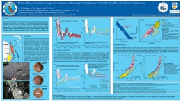 |
This Poster was presented at the Geological Society of America Annual Meeting, 2017. Near-primary, Middle-Late Triassic, volatile-rich picritic tuff gives insight into the trace element and isotopic composition of the mantle wedge beneath the Stikine terrane of the North American Cordillera. The most mobile isotopes (Pb) suggest <-2% addition of molten subducted sediment to the depleted asthenospheric mantle wedge. The least mobile isotopes (Hf) are similar to modern E-MORB presently erupted at the southern end of the Explorer Ridge and suggest that enriched domains in the northeastern Pacific mantle may be long-lived (>=222 Ma). |
| Issue ID: | IC2018-01 |
| Title: | Provincial Overview of Exploration and Mining in British Columbia, 2017 |
| Author(s): | Clarke, G., Northcote, Katay, F., DeGrace, J. |
| Series Name: | Information Circular |
| Publication Year: | 2018 |
| Larger Work Citation: | British Columbia Geological Survey Information Circular 2018-1 |
| NTS Map Sheet(s): | 082;083;092;093;094;102;103;104;114 |
| Place Keyword(s): | British Columbia |
| Lat/Long (NSWE): | 60, 52, -140, -114 |
| Theme Keyword(s): | Exploration and Mining, Summary and Trends, Provincial Overview |
Download(s):
| PDF |
Abstract:
 |
Information Circular 2018-1 is the latest in a series of annual reviews that dates back to 1874, when the first Annual Report of the Minister of Mines was published. Detailing significant projects region-by-region, the volume complements the British Columbia Coal Industry Overview (Information Circular 2018-2). To prepare the district chapters in this volume, the Regional Geologists visit project sites to view outcrops and drill core and to discuss results and progress. A significant amount of information is gleaned from corporate press releases, websites and reports. Exploration expenditures, drilling estimates and other metrics for British Columbia were captured in the British Columbia Mineral and Coal Exploration Survey. The survey is a joint initiative between the Province of British Columbia Ministry of Energy, Mines and Petroleum Resources, the Association for Mineral Exploration, and Ernst & Young LLP. |
| Issue ID: | IC2018-01-01 |
| Title: | Exploration and Mining in British Columbia, 2017: A summary |
| Author(s): | Clarke, G., Northcote, Katay, F., DeGrace, J. |
| Series Name: | Information Circular |
| Publication Year: | 2018 |
| Larger Work Citation: | British Columbia Geological Survey Information Circular 2018-1 |
| NTS Map Sheet(s): | 082;083;092;093;094;102;103;104;114 |
| Place Keyword(s): | British Columbia |
| Lat/Long (NSWE): | 60, 48, -139, -114 |
| Theme Keyword(s): | exploration, mining, annual, information circular, 2017 |
Download(s):
| PDF |
Abstract:
| Reflecting its complex geological history, British Columbia is endowed with diverse minerals and deposit types. British Columbia is Canada�s largest exporter of coal, leading producer of copper, and only producer of molybdenum. Also produced are significant amounts of gold, silver, lead, and zinc, and over 30 industrial minerals including gypsum, magnesite, limestone, and dimension stone. Numerous quarries produce sand and gravel or crushed aggregate. An increase in commodity prices and an improved venture capital market meant numerous mineral exploration projects remained active in 2017. Flanked by the Pacific Ocean, British Columbia offers easy access to global markets. Mine operations benefit from tax incentives and a well-developed infrastructure, including low-cost electricity, an integrated road and rail network, and large deep-water ports. Exploration benefits from an extensive geoscience database and a web-based mineral tenure system. This summary uses information from the British Columbia Coal Industry Overview (Information Circular 2018-2) and incorporates reports, presented in this volume, from Regional Geologists. The Regional Geologists represent the provincial government on geological matters at a regional level. Within their communities, they provide information on exploration trends, possible investment opportunities, land use processes, First Nation capacity building, and public outreach. The Ministry of Energy, Mines and Petroleum Resources forecasts the total value of mine production for 2017 at $9.82 billion including coal, copper, industrial minerals, aggregate, gold, molybdenum, and silver. This is an increase of $3.19 billion over the 2016 preliminary NRCan estimate of $6.63 billion. Total metal, industrial mineral and coal exploration expenditures are estimated at $246.6 million for 2017, up $41.6 million from the 2016 survey total of $205 million. Of this, $31.8 million was contributed by coal projects and $214.8 million by metal and industrial mineral projects. |
| Issue ID: | IC2018-01-02 |
| Title: | Exploration and mining in the North Central and Northeast regions, British Columbia 2017 |
| Author(s): | DeGrace, J. |
| Series Name: | Information Circular |
| Publication Year: | 2018 |
| Larger Work Citation: | British Columbia Geological Survey Information Circular 2018-1 |
| NTS Map Sheet(s): | 083; 093; 094 |
| Place Keyword(s): | British Columbia, Northeast and central British Columbia |
| Lat/Long (NSWE): | 60, 52, -128, -114 |
| Theme Keyword(s): | exploration, mining, annual, information circular, 2017 |
Download(s):
| PDF |
Abstract:
| From northeast to southwest, a transect from the Northeast Region to the North Central Region provides a cross section from undeformed rocks deposited above Precambrian basement to allocthonous terranes accreted to ancestral North America. Platformal sedimentary rocks in the Northeast Region transition to deep-water basin strata as the eastern limit of Cordilleran deformation is approached, close to the border of the North Central Region. The North Central Region shows a history of ocean opening and closing, island arc volcanism, and terrane accretion onto the western margin of ancestral North America. Terrane emplacement was followed by continued orogeny, magmatism and sedimentation. Both regions were extensively glaciated. In 2017, for the North Central Region, exploration expenditures were estimated at $31.3 million and exploration drilling was estimated at approximately 32,350 m. For the Northeast Region exploration expenditures were estimated at $2.4 million and exploration drilling was estimated at approximately 2830 m. |
| Issue ID: | IC2018-01-03 |
| Title: | Exploration and mining in the Southeast Region, British Columbia 2017 |
| Author(s): | Katay, F. |
| Series Name: | Information Circular |
| Publication Year: | 2018 |
| Larger Work Citation: | British Columbia Geological Survey Information Circular 2018-1 |
| NTS Map Sheet(s): | 082; 083 |
| Place Keyword(s): | British Columbia, Southeast British Columbia |
| Lat/Long (NSWE): | 52, 49, -120, -114 |
| Theme Keyword(s): | exploration, mining, annual, information circular, 2017 |
Download(s):
| PDF |
Abstract:
| The Southeast Region, in the southeast corner of the province, offers a variety of mining and exploration opportunities accessible by well-developed infrastructure. Five operating metallurgical coal mines in the Elk Valley account for most of Canada�s coal production and exports. Several mines produce industrial minerals including silica, magnesite, gypsum, graphite, and phosphate. Placer mining occurs throughout the region, and several small operations produce aggregate, sand and gravel, and dimension stone. The region also hosts the historic lead-zinc-silver Sullivan Mine, which operated from 1909 to 2001, and produced more than 7.9 Mt of zinc, 8.4 Mt of lead, and 298 Moz of silver. The Trail smelter is still in operation, and produces approximately 305,000 t of refined zinc, 99,000 t of refined lead, and up to 25 Moz of silver annually. As in 2016, estimates for exploration expenditures, drilling programs and other metrics were captured in the British Columbia Mineral and Coal Exploration Survey. For the Southeast Region, exploration expenditures were estimated at $43.4 million and exploration drilling was estimated at approximately 69,450 m. |
| Issue ID: | IC2018-01-04 |
| Title: | Exploration and mining in the South Central Region, British Columbia 2017 |
| Author(s): | Northcote, B. |
| Series Name: | Information Circular |
| Publication Year: | 2018 |
| Larger Work Citation: | British Columbia Geological Survey Information Circular 2018-1 |
| NTS Map Sheet(s): | 082E,L,M; 083D; 092G,H,I,J,O,P; 093A,B |
| Place Keyword(s): | British Columbia, South central British Columbia |
| Lat/Long (NSWE): | 53, 49, -122.5, -119 |
| Theme Keyword(s): | exploration, mining, annual, information circular, 2017 |
Download(s):
| PDF |
Abstract:
| With five major mines, the South Central Region is currently the most productive copper mining district in Canada. In addition, an underground gold mine re-started in 2017. The region�s varied geology, infrastructure, and access to markets have made it an important industrial minerals centre as well. The Cariboo area is the province�s largest placer gold camp, with active permits numbering in the hundreds. Thermal coal resources in Cenozoic basins were last mined in 2013. The region has six major proposed metal mines, and 80 exploration projects were tracked in 2017, although the number of mineral properties with some level of activity was likely greater. For the South Central region, exploration expenditures are estimated to be $61.1 million; exploration drilling is estimated at 237,600 m. This represents a significant rebound from 2016 although the increase is mainly attributable to the Cariboo Gold project. |
| Issue ID: | IC2018-01-05 |
| Title: | Exploration and mining in the Southwest Region, British Columbia 2017 |
| Author(s): | Northcote, B. |
| Series Name: | Information Circular |
| Publication Year: | 2018 |
| Larger Work Citation: | British Columbia Geological Survey Information Circular 2018-1 |
| NTS Map Sheet(s): | 092B,C,E,F,G,J,K,L,M,N,O; 093B,C,D,E,F,G,J,K,L; 102; 103 A-K |
| Place Keyword(s): | British Columbia, Southwest British Columbia |
| Lat/Long (NSWE): | 54.5, 48, -133, -122 |
| Theme Keyword(s): | exploration, mining, annual, information circular, 2017 |
Download(s):
| PDF |
Abstract:
| The Southwest Region has a long history of mining. This history includes: the use of native copper by aboriginal people; silver, gold and coal mining by the mid 19th century; mining of iron in the mid 20th century; and substantial copper production throughout the 20th century. Although mining and exploration for metal and coal continue in the region, most mining is for construction materials, mainly aggregates for local markets. For the Southwest Region, exploration expenditures were estimated at $9.3 million and exploration drilling was estimated at approximately 10,600 m. Expenditures and exploration drilling are up over the previous year�s $2 million and 3800 m but still reflect a small number of major exploration projects and reduced activity at Quinsam and Myra Falls until late in the year. |
| Issue ID: | IC2018-01-06 |
| Title: | Exploration and mining in the Northwest Region, British Columbia 2017 |
| Author(s): | Clarke, G. |
| Series Name: | Information Circular |
| Publication Year: | 2018 |
| Larger Work Citation: | British Columbia Geological Survey Information Circular 2018-1 |
| NTS Map Sheet(s): | 093C,D,E,F,L,K,M,N; 094C,D,E,F,K,L,M,N; 103A.H.I,J,O,P; 104, 114 |
| Place Keyword(s): | British Columbia, Northwest British columbia |
| Lat/Long (NSWE): | 60, 52, -139, -124 |
| Theme Keyword(s): | exploration, mining, annual, information circular, 2017 |
Download(s):
| PDF |
Abstract:
| The Northwest Region includes about 263,000 sq km of British Columbia, approximately 25% of the province. The region has two operating mines, one mine on temporary shutdown and seven proposed mine projects. More than 60 exploration projects were active in 2017, with activities predominantly focussed on precious metal and porphyry style copper-gold mineralization. In 2017, exploration expenditures, drilling estimates and other metrics for British Columbia were captured in the British Columbia Mineral and Coal Exploration Survey. For the Northwest Region, exploration expenditures were estimated at $99.1 million and exploration drilling was estimated at approximately 274,100 m. |
| Issue ID: | IC2018-02 |
| Title: | British Columbia Coal Industry Overview 2017 |
| Author(s): | BC Geological Survey |
| Series Name: | Information Circular |
| Publication Year: | 2018 |
| NTS Map Sheet(s): | 082;083;092;093;094;102;103;104;114 |
| Place Keyword(s): | British Columbia |
| Lat/Long (NSWE): | 60, 48, -139, -114 |
| Theme Keyword(s): | coal, coal industry, overview, information circular, 2017 |
Download(s):
| PDF |
Abstract:
 |
Coal prices stabilized in 2017 following a price spike in the second half of 2016. Coal production volumes for the province are forecast to total 31.5 million tonnes, the highest volume since 2013. The value of coal production is forecast at $5.96 billion, up sharply from $2.63 billion in 2016, and representing about 61% of all mineral revenue in the province. |
| Issue ID: | OF2018-01 |
| Title: | Operating mines and selected exploration projects in British Columbia, 2017 |
| Author(s): | Clarke, G., Northcote, B., Katay, F., DeGrace, J. |
| Series Name: | Open File |
| Publication Year: | 2018 |
| NTS Map Sheet(s): | 082;083;092;093;094;102;103;104;114 |
| Place Keyword(s): | British Columbia |
| Lat/Long (NSWE): | 60, 48, -139, -114 |
| Theme Keyword(s): | mines, exploration, projects, development |
Download(s):
| PDF, ZIP (View Zip Contents) |
Abstract:
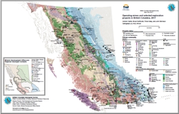 |
This provincial map shows the coal, industrial mineral and metal mines, and selected exploration projects of British Columbia that were active in 2017. Some sites were active for only part of 2017. Large exporting aggregate producers are shown but not the many aggregate quarries serving local markets around the Province. Not all exploration projects in the Province are shown on this map. |
| Issue ID: | EXT167 |
| Title: | Indicator minerals in till and stream sediments of the Canadian Cordillera |
| Author(s): | Ferbey, T., Plouffe, A., and Hickin, A.S. (Editors) |
| Series Name: | External Article |
| Publication Year: | 2017 |
| Other Citation Details: | Geological Association of Canada Special Paper Volume 50 and Mineralogical Association of Canada Topics in Mineral Sciences Volume 47 |
| NTS Map Sheet(s): | 082;083;092;093;094;095;102;103;104;105;106;114;115;116;117 |
| Place Keyword(s): | British Columbia, Yukon, Canadian Cordillera |
| Lat/Long (NSWE): | 69.5, 49, -141, -114 |
| Theme Keyword(s): | indicator minerals, till and stream sediments, Canadian Cordillera, Geological Association of Canada, Mineralogical Association of Canada |
Abstract:
| This volume stems from a workshop given in 2016 at the annual Geological Association of Canada-Mineralogical Association of Canada (GAC-MAC) meeting in Whitehorse, Yukon. The workshop was led by the British Columbia Geological Survey with support from the Yukon Geological Survey and the Geological Survey of Canada. It was designed to address a subject of importance to the mineral exploration community: the use of indicator minerals in the Canadian Cordillera. History has shown that indicator minerals are an efficient and cost-effective exploration tool. Samples are now routinely collected for mineral separations during regional till surveys and commercial laboratories offer analytical packages that target specific minerals and deposit types. This volume consists of a series of papers of importance to indicator minerals in the Canadian Cordillera. Topics include the glacial history of the Cordilleran Ice Sheet, drift prospecting methods, the evolution of survey sampling strategies, new analytical methods, and recent advances in applying indicators minerals to mineral exploration. This volume fills a notable knowledge gap on the use of indicator minerals in the Canadian Cordillera. We hope that the volume serves as a user guide, encouraging the wider application of indicator minerals by the exploration community. This volume is the first joint publication of the GAC and the MAC. It is a GAC Special Paper and the inaugural contribution to the MAC's new Topics in Mineral Sciences series, which replaces the MAC Short Course series. |
| Issue ID: | EXT168 |
| Title: | Introduction to the geology, physiography, and glacial history of the Canadian Cordillera in British Columbia and Yukon |
| Author(s): | Hickin, A.S., Ward, B.C., Plouffe, A., and Nelson, J. |
| Series Name: | External Article |
| Publication Year: | 2017 |
| Other Citation Details: | Geological Association of Canada Special Paper Volume 50 and Mineralogical Association of Canada Topics in Mineral Sciences Volume 47, pp. 1-25 |
| Larger Work Citation: | Indicator minerals in till and stream sediments of the Canadian Cordillera, GAC SP 50; MAC TMS 47 |
| NTS Map Sheet(s): | 082;083;092;093;094;095;102;103;104;105;106;114;115;116;117 |
| Place Keyword(s): | British Columbia, Yukon, Canadian Cordillera |
| Lat/Long (NSWE): | 69.5, 49, -141, -114 |
| Theme Keyword(s): | geology and physiography, glacial history, Canadian Cordillera, Geological Association of Canada, Mineralogical Association of Canada |
Abstract:
| This paper is part of the Indicator minerals in till and stream sediments of the Canadian Cordillera volume that stems from a workshop given in 2016 at the annual Geological Association of Canada-Mineralogical Association of Canada (GAC-MAC) meeting in Whitehorse, Yukon. The paper covers the geology, physiography and glacial history of the Canadian Cordillera. |
| Issue ID: | EXT169 |
| Title: | Sampling and interpreting stream, lake, and glacial sediments for mineral exploration in the Canadian Cordillera, a review |
| Author(s): | Hickin, A.S. and Plouffe, A. |
| Series Name: | External Article |
| Publication Year: | 2017 |
| Other Citation Details: | Geological Association of Canada Special Paper Volume 50 and Mineralogical Association of Canada Topics in Mineral Sciences Volume 47, pp. 27-51 |
| Larger Work Citation: | Indicator minerals in till and stream sediments of the Canadian Cordillera, GAC SP 50; MAC TMS 47 |
| NTS Map Sheet(s): | 082;083;092;093;094;095;102;103;104;105;106;114;115;116;117 |
| Place Keyword(s): | British Columbia, Yukon, Canadian Cordillera |
| Lat/Long (NSWE): | 69.5, 49, -141, -114 |
| Theme Keyword(s): | sampling techniques, mineral exploration, Canadian Cordillera, Geological Association of Canada, Mineralogical Association of Canada |
Abstract:
| This paper is part of the Indicator minerals in till and stream sediments of the Canadian Cordillera volume that stems from a workshop given in 2016 at the annual Geological Association of Canada-Mineralogical Association of Canada (GAC-MAC) meeting in Whitehorse, Yukon. The paper covers the techniques for sampling and interpreting stream, lake, and glacial sediments for mineral exploration in the Canadian Cordillera. |
| Issue ID: | EXT170 |
| Title: | A review of analytical methods for regional geochemical survey (RGS) programs in the Canadian Cordillera |
| Author(s): | Lett, R., and Rukhlov, A.S. |
| Series Name: | External Article |
| Publication Year: | 2017 |
| Other Citation Details: | Geological Association of Canada Special Paper Volume 50 and Mineralogical Association of Canada Topics in Mineral Sciences Volume 47, pp. 53-108 |
| Larger Work Citation: | Indicator minerals in till and stream sediments of the Canadian Cordillera, GAC SP 50; MAC TMS 47 |
| NTS Map Sheet(s): | 082;083;092;093;094;095;102;103;104;105;106;114;115;116;117 |
| Place Keyword(s): | British Columbia, Yukon, Canadian Cordillera |
| Lat/Long (NSWE): | 69.5, 49, -141, -114 |
| Theme Keyword(s): | analytical methods, regional geochemical survey, Canadian Cordillera, Geological Association of Canada, Mineralogical Association of Canada |
Abstract:
| This paper is part of the Indicator minerals in till and stream sediments of the Canadian Cordillera volume that stems from a workshop given in 2016 at the annual Geological Association of Canada-Mineralogical Association of Canada (GAC-MAC) meeting in Whitehorse, Yukon. The paper covers analytical methods for regional geochemical survey (RGS) programs in the Canadian Cordillera. |
| Issue ID: | EXT171 |
| Title: | Origin and character of till and other diamictons and their applicability to mineral prospecting |
| Author(s): | Lian, O.B., and Hickin, A.S. |
| Series Name: | External Article |
| Publication Year: | 2017 |
| Other Citation Details: | Geological Association of Canada Special Paper Volume 50 and Mineralogical Association of Canada Topics in Mineral Sciences Volume 47, pp. 109-127 |
| Larger Work Citation: | Indicator minerals in till and stream sediments of the Canadian Cordillera, GAC SP 50; MAC TMS 47 |
| NTS Map Sheet(s): | 082;083;092;093;094;095;102;103;104;105;106;114;115;116;117 |
| Place Keyword(s): | British Columbia, Yukon, Canadian Cordillera |
| Lat/Long (NSWE): | 69.5, 49, -141, -114 |
| Theme Keyword(s): | till and diamictons, mineral prospecting, Canadian Cordillera, Geological Association of Canada, Mineralogical Association of Canada |
Abstract:
| This paper is part of the Indicator minerals in till and stream sediments of the Canadian Cordillera volume that stems from a workshop given in 2016 at the annual Geological Association of Canada-Mineralogical Association of Canada (GAC-MAC) meeting in Whitehorse, Yukon. The paper covers the origin and character of till and other diamictons and their applicability to mineral prospecting in the Canadian Cordillera. |
| Issue ID: | EXT172 |
| Title: | Porphyry Cu indicator minerals in till: A method to discover buried mineralization |
| Author(s): | Plouffe, A., and Ferbey, T. |
| Series Name: | External Article |
| Publication Year: | 2017 |
| Other Citation Details: | Geological Association of Canada Special Paper Volume 50 and Mineralogical Association of Canada Topics in Mineral Sciences Volume 47, pp. 129-159 |
| Larger Work Citation: | Indicator minerals in till and stream sediments of the Canadian Cordillera, GAC SP 50; MAC TMS 47 |
| NTS Map Sheet(s): | 082;083;092;093;094;095;102;103;104;105;106;114;115;116;117 |
| Place Keyword(s): | British Columbia, Yukon, Canadian Cordillera |
| Lat/Long (NSWE): | 69.5, 49, -141, -114 |
| Theme Keyword(s): | porphyry Cu indicator minerals, till, Canadian Cordillera, Geological Association of Canada, Mineralogical Association of Canada |
Abstract:
| This paper is part of the Indicator minerals in till and stream sediments of the Canadian Cordillera volume that stems from a workshop given in 2016 at the annual Geological Association of Canada-Mineralogical Association of Canada (GAC-MAC) meeting in Whitehorse, Yukon. The paper covers porphyry Cu indicator minerals in till as a method to discover buried mineralization in the Canadian Cordillera. |
| Issue ID: | EXT173 |
| Title: | Magnetite as an indicator mineral in porphyry Cu�Au�Mo deposits of British Columbia, Canada |
| Author(s): | Canil, D., Pisiak, L., Lacourse, T., Plouffe, A., Ferbey, T., and Grondahl, C. |
| Series Name: | External Article |
| Publication Year: | 2017 |
| Other Citation Details: | Geological Association of Canada Special Paper Volume 50 and Mineralogical Association of Canada Topics in Mineral Sciences Volume 47, pp. 161-174 |
| Larger Work Citation: | Indicator minerals in till and stream sediments of the Canadian Cordillera, GAC SP 50; MAC TMS 47 |
| NTS Map Sheet(s): | 082;083;092;093;094;095;102;103;104;105;106;114;115;116;117 |
| Place Keyword(s): | British Columbia, Canadian Cordillera |
| Lat/Long (NSWE): | 60, 49, -139, -114 |
| Theme Keyword(s): | porphyry Cu�Au�Mo deposits, magnetite, indicator mineral, Geological Association of Canada, Mineralogical Association of Canada |
Abstract:
| This paper is part of the Indicator minerals in till and stream sediments of the Canadian Cordillera volume that stems from a workshop given in 2016 at the annual Geological Association of Canada-Mineralogical Association of Canada (GAC-MAC) meeting in Whitehorse, Yukon. The paper covers magnetite as an indicator mineral in porphyry Cu�Au�Mo deposits of British Columbia. |
| Issue ID: | EXT174 |
| Title: | The direct indicator mineral concept and QEMSCAN� applied to exploration for carbonatite and carbonatite-related ore deposits |
| Author(s): | Simandl, G.J., Mackay, D.A.R., Ma, X., Luck, P., Gravel, J., and Akam, C. |
| Series Name: | External Article |
| Publication Year: | 2017 |
| Other Citation Details: | Geological Association of Canada Special Paper Volume 50 and Mineralogical Association of Canada Topics in Mineral Sciences Volume 47, pp. 175-190 |
| Larger Work Citation: | Indicator minerals in till and stream sediments of the Canadian Cordillera, GAC SP 50; MAC TMS 47 |
| NTS Map Sheet(s): | 082;083;092;093;094;095;102;103;104;105;106;114;115;116;117 |
| Place Keyword(s): | British Columbia, Yukon, Canadian Cordillera |
| Lat/Long (NSWE): | 69.5, 49, -141, -114 |
| Theme Keyword(s): | indicator minerals, carbonatite, Canadian Cordillera, Geological Association of Canada, Mineralogical Association of Canada |
Abstract:
| This paper is part of the Indicator minerals in till and stream sediments of the Canadian Cordillera volume that stems from a workshop given in 2016 at the annual Geological Association of Canada-Mineralogical Association of Canada (GAC-MAC) meeting in Whitehorse, Yukon. The paper covers indicator mineral concepts applied to exploration for carbonatite and carbonatite-related ore deposits in the Canadian Cordillera. |
| Issue ID: | EXT175 |
| Title: | A novel approach using detrital apatite and till geochemistry to identify covered mineralization in the TREK area of the Nechako Plateau, British Columbia |
| Author(s): | Mao, M., Rukhlov, A.S., Rowins, S.M., Hickin, A.S., Ferbey, T., Bustard, A., Spence, J., and Coogan, L.A. |
| Series Name: | External Article |
| Publication Year: | 2017 |
| Other Citation Details: | Geological Association of Canada Special Paper Volume 50 and Mineralogical Association of Canada Topics in Mineral Sciences Volume 47, pp. 191-243 |
| Larger Work Citation: | Indicator minerals in till and stream sediments of the Canadian Cordillera, GAC SP 50; MAC TMS 47 |
| NTS Map Sheet(s): | 082;083;092;093;094;095;102;103;104;105;106;114;115;116;117 |
| Place Keyword(s): | British Columbia, Canadian Cordillera, Nechako |
| Lat/Long (NSWE): | 53, 50, -124, -120 |
| Theme Keyword(s): | detrital apatite, till geochemistry, Canadian Cordillera, Geological Association of Canada, Mineralogical Association of Canada |
Abstract:
| This paper is part of the Indicator minerals in till and stream sediments of the Canadian Cordillera volume that stems from a workshop given in 2016 at the annual Geological Association of Canada-Mineralogical Association of Canada (GAC-MAC) meeting in Whitehorse, Yukon. The paper covers an approach to using detrital apatite and till geochemistry to identify covered mineralization in the the Nechako Plateau, British Columbia. |
| Issue ID: | GBCR2018-01-00 |
| Title: | Geoscience BC Summary of Activities for 2017: Minerals and Mining - Foreword |
| Author(s): | Pellett, C. |
| Series Name: | Geoscience BC Report |
| Publication Year: | 2018 |
| Larger Work Citation: | in Geoscience BC Report 2018-01 |
| NTS Map Sheet(s): | 082;083;092;093;094;102;103;104;114 |
| Place Keyword(s): | British Columbia |
| Lat/Long (NSWE): | 60, 48, -139, -114 |
| Theme Keyword(s): | Geoscience BC, Summary of Activities, Minerals and mining, Foreword |
Additional Link(s):
| http://cdn.geosciencebc.com/pdf/SummaryofActivities2017/MM/SoA2017_MM_Foreword.pdf |
Abstract:
| This volume presents results from ongoing projects of Geoscience BC. For the past 10 years, results from minerals and energy projects were published together in one volume. This year the �Minerals and Mining�and �Energy�papers are published in two separate volumes. This volume, Summary of Activities 2017: Minerals and Mining, contains 11 papers from Geoscience BC�funded projects and 2017 scholarship winners. A second volume (GBC Report 2018-04), Summary of Activities 2017: Energy, contains 10 papers on projects in northeastern British Columbia. |
| Issue ID: | GBCR2018-01-01 |
| Title: | Search Project: Phase III Activities in North-Central British Columbia (Phase III, covering NTS 094C, D, E, F, 093M, N) |
| Author(s): | Madu, B.E. and Ballantyne, T. |
| Series Name: | Geoscience BC Report |
| Publication Year: | 2018 |
| Larger Work Citation: | in Geoscience BC Report 2018-01 |
| NTS Map Sheet(s): | 094C, D, E, F, 093M, N |
| Place Keyword(s): | British Columbia, Search Project, Skeena Arch, Stikine terrane, Quesnel terrane |
| Lat/Long (NSWE): | 57.3, 55.75, -127.3, -125 |
| Theme Keyword(s): | airborne survey, geophysics, magnetic data, radiometric data |
Additional Link(s):
| http://cdn.geosciencebc.com/pdf/SummaryofActivities2017/MM/SoA2017_MM_Madu.pdf |
Abstract:
| The Search project is, in part, a generation of airborne geophysical surveys with a line spacing of 250 m that creates opportunities for geological interpretations at a property scale. The large scale of the surveys can also support the development of refined tectonic frameworks. The Search project in 2017 surveyed an area to complement the joint BC Geological Survey�Geological Survey of Canada Toodoggone survey completed in 2003. The approximate centre of the survey area is located 250 km north of Fort St. James, 225 km northwest of Mackenzie, 200 km northeast of Smithers and 325 km west of Fort St. John. As the survey area is remote and the terrain rugged, a budget of $1.7 million was identified for this year�s program. Significant support of $250 000 from the Northern Development Initiative Trust allowed the survey to expand to the north and include the proposed Kemess underground mine. The extension will provide valuable new data on this important mining camp for explorers to interrogate in their regional programs. In addition to the proposed mine area, the survey flew the greater �camp�, where encouraging potential is being recognized in areas such as the Kemess East project. The survey also overflew several significant projects, such as the Kliyul, Lorraine and Sustut. |
| Issue ID: | GBCR2018-01-02 |
| Title: | Application of ASTER data to identify potential alteration zones on Microwave ridge, northeastern Search project area, west-central British Columbia (part of NTS 093L) |
| Author(s): | Rahimi, M., Angen, J.J. and Hart, C.J.R. |
| Series Name: | Geoscience BC Report |
| Publication Year: | 2018 |
| Larger Work Citation: | in Geoscience BC Report 2018-01 |
| NTS Map Sheet(s): | 093L |
| Place Keyword(s): | British Columbia, Search Project, Skeena Arch, Stikine terrane |
| Lat/Long (NSWE): | 54.8, 54.6, -127.65, -127.25 |
| Theme Keyword(s): | ASTER, remote sensing, alteration zones, mineralization |
Additional Link(s):
| http://cdn.geosciencebc.com/pdf/SummaryofActivities2017/MM/SoA2017_MM_Rahimi.pdf |
Abstract:
| Microwave ridge is an informal name given to a northwest trending ridge in the central portion of the Skeena arch, approximately 15 km southwest of Hudson Bay Mountain, west of the town of Smithers. This area hosts three Cu-(Ag-Au) occurrences and was chosen to test the effectiveness of alteration mapping using ASTER data in distinguishing between intrusion-related and volcanic-hosted redbed-copper types of mineral occurrences. Microwave ridge is an ideal location due to the relatively simple geology of this area, such that variations in spectral responses are likely the product of hydrothermal alteration, and not simply caused by the underlying lithology. |
| Issue ID: | GBCR2018-01-03 |
| Title: | Integrated assessment of regional stream-sediment geochemistry for metallic deposits in northwestern British Columbia (parts of NTS 093, 094, 103, 104) |
| Author(s): | Arne, D.C., Mackie, R., Pennimpede, C. and Grunsky, E. |
| Series Name: | Geoscience BC Report |
| Publication Year: | 2018 |
| Larger Work Citation: | in Geoscience BC Report 2018-01 |
| NTS Map Sheet(s): | 093, 094, 103, 104 |
| Place Keyword(s): | British Columbia, Northwestern British Columbia, Stikine terrane, Quesnel terrane, Cache Creek terrane |
| Lat/Long (NSWE): | 59, 53, -134, -124 |
| Theme Keyword(s): | stream-sediment geochemistry, metallic deposits, RGS, data quality |
Additional Link(s):
| http://cdn.geosciencebc.com/pdf/SummaryofActivities2017/MM/SoA2017_MM_Arne.pdf |
Abstract:
| This project is a regional assessment of stream-sediment geochemical data from various Geoscience BC reanalysis programs encompassing parts of twenty 1:250 000 scale NTS map areas. The limits of the project were generally based on areas reanalyzed by ICP-MS, areas with absence of extensive Quaternary cover, areas with a lack of previous geochemical interpretations of stream-sediment data, and areas of interest for mineral exploration. The study area also included only regions underlain by the Stikine, Quesnel and Cache Creek terranes. |
| Issue ID: | GBCR2018-01-04 |
| Title: | Nature and origin of the Brucejack high-grade epithermal gold deposit, northwestern British Columbia (NTS 104B) |
| Author(s): | McLeish, D.F., Williams-Jones, A.E., Board, W.S. and Clark, J.R. |
| Series Name: | Geoscience BC Report |
| Publication Year: | 2018 |
| Larger Work Citation: | in Geoscience BC Report 2018-01 |
| NTS Map Sheet(s): | 104B |
| Place Keyword(s): | British Columbia, Northwestern British Columbia, Stikine terrane |
| Lat/Long (NSWE): | 56.5, 56.43, -130.25, -130.15 |
| Theme Keyword(s): | Brucejack, geochemistry, epithermal gold, mineralization |
Additional Link(s):
| http://cdn.geosciencebc.com/pdf/SummaryofActivities2017/MM/SoA2017_MM_McLeish.pdf |
Abstract:
| This paper provides an update on the nature and origin of the Brucejack high-grade epithermal gold deposit and presents findings made since the initial project overview was published last year. Specific attention is given to recent advances in understanding the different styles of Au mineralization in the deposit, including the recent discovery of invisible Au mineralization in arsenian pyrite, as well as progress made in other areas of ore- and alteration-mineral chemistry. |
| Issue ID: | GBCR2018-01-05 |
| Title: | Geology of the Greenwood Map Area (NTS 082E/02), Boundary District, Southern British Columbia |
| Author(s): | H�y, T. |
| Series Name: | Geoscience BC Report |
| Publication Year: | 2018 |
| Larger Work Citation: | in Geoscience BC Report 2018-01 |
| NTS Map Sheet(s): | 082E/02 |
| Place Keyword(s): | British Columbia, Greenwood, Boundary District |
| Lat/Long (NSWE): | 49.25, 49, -119, -118.5 |
| Theme Keyword(s): | geology, regional compilation, Eocene stratigraphy and magmatism, Eocene extensional tectonics |
Additional Link(s):
| http://cdn.geosciencebc.com/pdf/SummaryofActivities2017/MM/SoA2017_MM_Hoy.pdf |
Abstract:
| Geological mapping and compilation of the Greenwood map area in the Boundary district of southern British Columbia is a continuation of work completed in the eastern half of the Penticton map area (NTS 082E). Five 1:50 000 NTS maps have been published and the Greenwood map (NTS 082E/02) will be released in 2018. The project is focused mainly on the potential and controls of Paleogene and older base- and precious metal mineralization. Compilation of the eastern part of the Penticton map area, including correlation of all units and a standardized nomenclature, will also be completed in 2018. The project includes radiometric dating of intrusive and volcanic rocks throughout the area, done in conjunction with The University of British Columbia, that will better constrain magmatic and coeval mineral and tectonic events. |
| Issue ID: | GBCR2018-01-06 |
| Title: | Preliminary investigations of the metamorphic and thermochronological interface between the Purcell Anticlinorium and the Kootenay Arc, southeastern British Columbia (NTS 082F, G) |
| Author(s): | Rioseco, N.A. and Pattison, D.R.M. |
| Series Name: | Geoscience BC Report |
| Publication Year: | 2018 |
| Larger Work Citation: | in Geoscience BC Report 2018-01 |
| NTS Map Sheet(s): | 082F, G |
| Place Keyword(s): | British Columbia, southeast British Columbia, Creston |
| Lat/Long (NSWE): | 49.8, 49, -116.75, -115.3 |
| Theme Keyword(s): | geology, metamorphism and thermachronology, Purcell Anticlinorium, Kootenay Arc |
Additional Link(s):
| http://cdn.geosciencebc.com/pdf/SummaryofActivities2017/MM/SoA2017_MM_Rioseco.pdf |
Abstract:
| The mineralogically rich East Kootenay region encompasses the interface between two major Cordilleran tectonic domains, the Purcell Anticlinorium and the Kootenay Arc. This project is a regional study that seeks to 1) elucidate the nature of differences in metamorphism, structure and cooling history between these two domains; and 2) draw potential links between the tectonic significance of these differences and the mineralization that occurs within the region. |
| Issue ID: | GBCR2018-01-07 |
| Title: | Responses of the soil microbial community to weathering of ore minerals |
| Author(s): | Simister, R.L., Winterburn, P.A. and Crowe, S.A. |
| Series Name: | Geoscience BC Report |
| Publication Year: | 2018 |
| Larger Work Citation: | in Geoscience BC Report 2018-01 |
| NTS Map Sheet(s): | 093A/06 |
| Place Keyword(s): | British Columbia, central British Columbia |
| Lat/Long (NSWE): | 52.3, 52.2, -121.5, -121.25 |
| Theme Keyword(s): | soil, micro-organisms, DNA sequencing, mineralization, Deerhorn deposit |
Additional Link(s):
| http://cdn.geosciencebc.com/pdf/SummaryofActivities2017/MM/SoA2017_MM_Simister.pdf |
Abstract:
| This study investigated the use of soil microbial-community fingerprinting with modern DNA sequencing technologies to detect changes in soil microbial communities in response to varying levels of exposure to chalcopyrite ore and copper. Soil microbial communities can be coherently sampled such that there is little variability between samples. Exposure of soil microbial communities to ore constituents elicits a response detectable on laboratory time scales of several weeks. These responses are readily resolved through standard statistical analyses, and the specific species that exhibited the strongest responses have known affinities for environments rich in heavy metals. The strong microbial responses observed are encouraging signs for the use of microbial-community fingerprinting in mineral deposit exploration. Soil samples from near the Deerhorn copper-gold porphyry in central British Columbia were analysed. |
| Issue ID: | GBCR2018-01-08 |
| Title: | Producing clean coal from western Canadian coalfields using the water-based Roben Jig process |
| Author(s): | Mackay, M.L., Leeder, R.L., Giroux, L., Dexter, H., Holuszko, M., Halko, J., Howey, C. and Thomas, D. |
| Series Name: | Geoscience BC Report |
| Publication Year: | 2018 |
| Larger Work Citation: | in Geoscience BC Report 2018-01 |
| NTS Map Sheet(s): | 082G, J; 093I, P |
| Place Keyword(s): | British Columbia, southeast British Columbia, northeast British Columbia |
| Lat/Long (NSWE): | 55.5, 49, -122.8, -114.5 |
| Theme Keyword(s): | coal, Roben Jig process, coke, clean-coal carbonization |
Additional Link(s):
| http://cdn.geosciencebc.com/pdf/SummaryofActivities2017/MM/SoA2017_MM_Mackay.pdf |
Abstract:
| The objective of this study was to verify that the Roben Jig can be used commercially to wash a broad range of coal types to ultimately produce representative clean-coal composites for coal and coke analysis. This is beneficial to the coal industry. It would eliminate the potential negative effects of perchloroethylene and other organic liquids on coaland coke-quality parameters. And it would reduce the exposure of lab technicians/operators to carcinogenic organic liquids. |
| Issue ID: | GBCR2018-01-09 |
| Title: | Occurrence of rare-earth elements in selected British Columbian coal deposits and their derivative products |
| Author(s): | Kumar, V., Kumar, A. and Holuszko, M.E. |
| Series Name: | Geoscience BC Report |
| Publication Year: | 2018 |
| Larger Work Citation: | in Geoscience BC Report 2018-01 |
| NTS Map Sheet(s): | 082G, J |
| Place Keyword(s): | British Columbia, southeast British Columbia |
| Lat/Long (NSWE): | 50.3, 49.4, -115, -114.5 |
| Theme Keyword(s): | coal, rare-earth elements, REE |
Additional Link(s):
| http://cdn.geosciencebc.com/pdf/SummaryofActivities2017/MM/SoA2017_MM_Kumar.pdf |
Abstract:
| This paper shows the preliminary results from studies conducted on coal samples originating from coal deposits in southeastern BC. The purpose of the study is to characterize and quantify the REE and their mode of occurrence in BC coal deposits and coal processing products, and to study the possible extraction of these elements. Five coal samples from BC coal deposits were tested for the presence of REE and it was found that total REE concentration on an ash basis varied from 240 to 570 ppm. It was inferred from the data that REE in the coal samples are associated with both the organic and inorganic portions of the coal constituents. The highest concentration was reported in the flotation product with low ash content, indicating that some of the REE are associated with the organic matter of the coal. Additionally, correlation analysis showed a significant amount of organic matter associated with REE is due to the organic affinity of REE with humic acid. |
| Issue ID: | GBCR2018-01-10 |
| Title: | Geochemistry of selenium in the residual from biologically treated mine impacted waters |
| Author(s): | Volden, L.M., Kirste, D., Gordon, R.A. and Bianchin, M. |
| Series Name: | Geoscience BC Report |
| Publication Year: | 2018 |
| Larger Work Citation: | in Geoscience BC Report 2018-01 |
| NTS Map Sheet(s): | 082;083;092;093;094;102;103;104;114 |
| Place Keyword(s): | British Columbia |
| Lat/Long (NSWE): | 60, 49, -139, -114 |
| Theme Keyword(s): | selenium, biological wastewater treatment, geochemistry |
Additional Link(s):
| http://cdn.geosciencebc.com/pdf/SummaryofActivities2017/MM/SoA2017_MM_Volden.pdf |
Abstract:
| The purpose of this study is to determine the selenium (Se) speciation within the solid-phase fraction of the residual produced from biological wastewater treatment, and to advance the understanding of mobilization mechanisms within this residual. The aim is to determine the conditions under which the risk of remobilization is elevated and precisely which Se species are the most vulnerable. Understanding the geochemistry of Se mobility and transport is essential to the development of strategies for mitigating the negative effects of Se in the environment. |
| Issue ID: | GBCR2018-01-11 |
| Title: | Carbon mineralization in ultramafic tailings, central British Columbia: a prospect for stabilizing mine waste and reducing greenhouse gas emissions |
| Author(s): | Vanderzee, S.S.S., Power, I.M., Dipple, G.M. and Bradshaw, P.M.D. |
| Series Name: | Geoscience BC Report |
| Publication Year: | 2018 |
| Larger Work Citation: | in Geoscience BC Report 2018-01 |
| NTS Map Sheet(s): | 093K |
| Place Keyword(s): | British Columbia, central British Columbia |
| Lat/Long (NSWE): | 55, 54.8, -125.6, -125 |
| Theme Keyword(s): | ultramafic tailings, nickel deposit, carbon mineralization, mine waste, brucite |
Additional Link(s):
| http://cdn.geosciencebc.com/pdf/SummaryofActivities2017/MM/SoA2017_MM_Vanderzee.pdf |
Abstract:
| The goal of this study is to assess the prospect of reducing the costs and risks associated with the storage of ultramafic mine tailings by sequestering carbon dioxide (CO2) through carbon mineralization. The prospect of stabilizing brucite-bearing ultramafic mine tailings through carbon mineralization is assessed by testing their unconfined compressive strength as a proxy for stability after they have been compacted and exposed to a 10% CO2 gas while partially saturated with water. The effect of the initial brucite abundance within �prospective tailings� (from the Baptiste nickel deposit) on unconfined compressive strength after exposure to the 10% CO2 gas stream is studied. |
| Issue ID: | GBCR2018-04-00 |
| Title: | Geoscience BC Summary of Activities for 2017: Energy - Foreword |
| Author(s): | Pellett, C. |
| Series Name: | Geoscience BC Report |
| Publication Year: | 2018 |
| Larger Work Citation: | in Geoscience BC Report 2018-04 |
| NTS Map Sheet(s): | 082;083;092;093;094;102;103;104;114 |
| Place Keyword(s): | British Columbia |
| Lat/Long (NSWE): | 60, 48, -139, -114 |
| Theme Keyword(s): | Geoscience BC, Summary of Activities, Energy, Foreword |
Additional Link(s):
| http://cdn.geosciencebc.com/pdf/SummaryofActivities2017/Energy/SoA2017_E_Foreword.pdf |
Abstract:
| This volume presents results from ongoing projects of Geoscience BC. For the past 10 years, results from energy and minerals projects were published together in one volume. This year the �Energy�and �Minerals and Mining�papers are published in two separate volumes. This volume, Summary of Activities 2017: Energy, contains 10 papers from Geoscience BC�funded projects and 2017 scholarship winners. A second volume (GBC Report 2018-01), Summary of Activities 2017: Minerals and Mining, contains 11 papers on projects throughout British Columbia. |
| Issue ID: | GBCR2018-04-01 |
| Title: | GHGMap: novel approach for aerial measurements of greenhouse gas emissions, British Columbia |
| Author(s): | Whiticar, M.J., Christensen, L.E., Salas, C.J. and Reece, P. |
| Series Name: | Geoscience BC Report |
| Publication Year: | 2018 |
| Larger Work Citation: | in Geoscience BC Report 2018-04 |
| NTS Map Sheet(s): | 082;083;092;093;094;102;103;104;114 |
| Place Keyword(s): | British Columbia |
| Lat/Long (NSWE): | 60, 48, -139, -114 |
| Theme Keyword(s): | greenhouse gases GHG, carbon dioxide, GHGMap |
Additional Link(s):
| http://cdn.geosciencebc.com/pdf/SummaryofActivities2017/Energy/SoA2017_E_Whiticar.pdf |
Abstract:
| The three-year GHGMap project is jointly funded by Geoscience BC and Western Economic Diversification Canada. The project�s aim is to measure and map, in real-time and at high spatial resolution, the concentration distributions of primary GHG emissions using an optical microsensor mounted on a small unmanned aerial vehicle. The primary component of GHGMap is the deployment of a unique 400 g optical spectrometer on a specialized drone for the detection, location, quantification and flux calculation of GHGs over natural and fugitive GHG emitters. The GHGMap project will provide data from detailed, unmanned site-specific surveys in the western provinces of Canada. Initial testing was undertaken over a landfill site, sewage screening plant and natural gas processing, compression and distribution plants and well pad sites in BC. |
| Issue ID: | GBCR2018-04-02 |
| Title: | British Columbia Natural Gas Atlas update 2017: recorrelation changes the picture |
| Author(s): | Evans, C. and Hayes, B.J. |
| Series Name: | Geoscience BC Report |
| Publication Year: | 2018 |
| Larger Work Citation: | in Geoscience BC Report 2018-04 |
| NTS Map Sheet(s): | 093O,P; 094A,B,G,H,I,J,O,P |
| Place Keyword(s): | British Columbia, northeast British Columbia |
| Lat/Long (NSWE): | 60, 55, -124, -120 |
| Theme Keyword(s): | Natural Gas Atlas, gas composition, isotopic data |
Additional Link(s):
| http://cdn.geosciencebc.com/pdf/SummaryofActivities2017/Energy/SoA2017_E_Evans.pdf
http://bc-nga.ca/BC-NGA_Home.html |
Abstract:
| This project is a recorrelation of gas composition and isotopic data submitted by industry to the BC Oil and Gas Commission. It is an update to the British Columbia Natural Gas Atlas (BCNGA) project. |
| Issue ID: | GBCR2018-04-03 |
| Title: | Attenuation of ground-motion amplitudes from small-magnitude earthquakes in the Montney play, northeastern British Columbia |
| Author(s): | Babaie Mahani, A. and Kao, H. |
| Series Name: | Geoscience BC Report |
| Publication Year: | 2018 |
| Larger Work Citation: | in Geoscience BC Report 2018-04 |
| NTS Map Sheet(s): | 093O,P; 094A,B |
| Place Keyword(s): | British Columbia, northeast British Columbia |
| Lat/Long (NSWE): | 56.6, 55.6, -122.5, -120 |
| Theme Keyword(s): | seismic hazard, earthquakes, ground-motion amplification, Montney Play, Site C |
Additional Link(s):
| http://cdn.geosciencebc.com/pdf/SummaryofActivities2017/Energy/SoA2017_E_Mahani.pdf |
Abstract:
| This project analyzes a database of ground-motion amplitudes from small-magnitude, potentially induced earthquakes in the Montney play of northeastern BC recorded at short hypocentral distance. The majority of data used in this study are from waveforms recorded by the private seismograph stations near hydraulic fracturing and wastewater injection operations. Of particular interest is understanding the characteristics of the observed ground-motion amplitudes from events with amplitudes large enough for the onset of damage. This paper details the datasets used in this study, followed by the analysis of attenuation of ground-motion amplitudes in the Montney play. Understanding the local ground-motion parameters in the study area is important for the assessment of the potential seismic hazard from induced events to infrastructure, such as the BC Hydro Site C dam on the Peace River near Fort St. John. |
| Issue ID: | GBCR2018-04-04 |
| Title: | Collecting ground-motion data for the mitigation and prevention of seismicity induced by hydraulic fracturing in the Montney Formation, northeastern British Columbia |
| Author(s): | Bustin,, A.M.M. and Longobardi, M. |
| Series Name: | Geoscience BC Report |
| Publication Year: | 2018 |
| Larger Work Citation: | in Geoscience BC Report 2018-04 |
| NTS Map Sheet(s): | 093P; 094A,B,G |
| Place Keyword(s): | British Columbia, northeast British Columbia |
| Lat/Long (NSWE): | 58, 55.6, -123, -120 |
| Theme Keyword(s): | seismic hazard, hydraulic fracturing, ground-motion amplification, Montney Formation |
Additional Link(s):
| http://cdn.geosciencebc.com/pdf/SummaryofActivities2017/Energy/SoA2017_E_Bustin.pdf |
Abstract:
| This project aims to better understand the variables and processes controlling anomalous induced seismicity (AIS) and its associated ground motions due to hydraulic fracturing in the Montney Formation, with the ultimate goal of developing protocols to reduce and mitigate the rate and magnitude of events. The research program has two components: 1) a field component, whereby hydraulic fracture completions will be densely monitored; and 2) 3-dimensional (3-D) hydrogeomechanical modelling. |
| Issue ID: | GBCR2018-04-05 |
| Title: | Mapping the amplification of seismic ground-motion hazard in the Montney play area, northeastern British Columbia |
| Author(s): | Monahan, P.A., Levson, V.M., Hayes, B.J., Dorey, K., Mykula, Y., Brenner, R., Clarke, J., Galambos, B., Candy, C. and Krumbiegel, C. |
| Series Name: | Geoscience BC Report |
| Publication Year: | 2018 |
| Larger Work Citation: | in Geoscience BC Report 2018-04 |
| NTS Map Sheet(s): | 093P; 094A,B,G |
| Place Keyword(s): | British Columbia, northeast British Columbia |
| Lat/Long (NSWE): | 58, 55.6, -123, -120 |
| Theme Keyword(s): | seismic ground-motion hazard, hydraulic fracturing, ground-motion amplification, Montney Formation |
Additional Link(s):
| http://cdn.geosciencebc.com/pdf/SummaryofActivities2017/Energy/SoA2017_E_Monahan.pdf |
Abstract:
| The objectives the project are to map NEHRP site classes in the Montney play area of northeastern BC, and acquire sufficient Vs data in the area to develop a shear-wave velocity model for shallow geological materials, for use in future earthquake studies in the region. The project area was defined on the basis of where significant induced seismicity has been observed within the Montney play area, and where the BC Oil and Gas Commission requires seismic monitoring for hydraulic fracturing operations. This paper presents the results of this study to date, which include surficial geological map compilation, subsurface geological database compilation and acquisition of new shear-wave velocity data. |
| Issue ID: | GBCR2018-04-06 |
| Title: | Preliminary liquid hydrocarbon potential assessment of the Doig Formation, northeastern British Columbia and west-central Alberta, based on thickness, organic richness and maturity |
| Author(s): | Silva, P.L. and Bustin, R.M. |
| Series Name: | Geoscience BC Report |
| Publication Year: | 2018 |
| Larger Work Citation: | in Geoscience BC Report 2018-04 |
| NTS Map Sheet(s): | 093I,J,O,P; 094A,B,G,H |
| Place Keyword(s): | British Columbia, northeast British Columbia, Alberta |
| Lat/Long (NSWE): | 58, 54, -123, -118 |
| Theme Keyword(s): | hydrocarbon potential, geology, petroleum system analysis, Doig Formation |
Additional Link(s):
| http://cdn.geosciencebc.com/pdf/SummaryofActivities2017/Energy/SoA2017_E_Silva.pdf |
Abstract:
| The goal of the project is to evaluate the potential of the Doig Formation through a petroleum system analysis (PSA), with focus on the distribution of producible liquids. The PSA is based on the quantification and mapping of source-rock properties, characterization of reservoir properties such as storage capacity and producibility, and backstrip modelling of the basin to reconstruct and determine the timing of thermogenic hydrocarbon generation, migration, expulsion and retention. This paper presents preliminary findings on the aspect dealing with the source-rock properties of the Doig Formation. Organic matter type, abundance and level of thermal maturity are the primary factors controlling the quantity and type of hydrocarbons generated. Combined with the spatial distribution of thickness, they are the most fundamental properties for assessing the potential of a source-rock reservoir. |
| Issue ID: | GBCR2018-04-07 |
| Title: | Regional variability of reservoir properties of the Devonian shales of northeastern British Columbia |
| Author(s): | Wilson, T.K. and Bustin, R.M. |
| Series Name: | Geoscience BC Report |
| Publication Year: | 2018 |
| Larger Work Citation: | in Geoscience BC Report 2018-04 |
| NTS Map Sheet(s): | 094I,J,K,N,O,P |
| Place Keyword(s): | British Columbia, northeast British Columbia, Horn River Basin, Liard Basin |
| Lat/Long (NSWE): | 60, 58, -126, -120 |
| Theme Keyword(s): | Devonian shales, hydrocarbon reservoir, mineralogy |
Additional Link(s):
| http://cdn.geosciencebc.com/pdf/SummaryofActivities2017/Energy/SoA2017_E_Wilson.pdf |
Abstract:
| The objective of this study is to contribute to the prediction of hydrocarbon distribution, reservoir quality and producibility of Devonian shales in the Horn River and Liard basins, and Cordova Embayment. Specifically, the goal is to determine the geological factors controlling the distribution of gas and condensate/natural-gas liquids. This multifaceted study uses petroleum systems analysis ground truthed with fluid analysis, and petrophysical and organic geochemical analyses of cuttings and core samples to predict the types and volumes of generated and retained hydrocarbons throughout the basins� evolution. This paper provides an update on the study, focusing on the characterization of various reservoir properties such as organic content, thermal maturity and mineralogy, their regional variations, and how the evolution of the basin may have affected the distribution of such properties. |
| Issue ID: | GBCR2018-04-08 |
| Title: | Establishment of field stations for the multidisciplinary study of fugitive gas, northeastern British Columbia |
| Author(s): | Cahill, A.G., Chao, J., Ford, O., Ladd, B., Prystupa, E., Mayer, K.U., Tannant, D., Black, A., Crowe, S., Hallam, S., Mayer, B., van Geloven, C., Welch, L.A., Levson, V. and Beckie, R.D. |
| Series Name: | Geoscience BC Report |
| Publication Year: | 2018 |
| Larger Work Citation: | in Geoscience BC Report 2018-04 |
| NTS Map Sheet(s): | 094A,B |
| Place Keyword(s): | British Columbia, northeast British Columbia, Hudson Hope |
| Lat/Long (NSWE): | 56.3, 56, -122.2, -121.6 |
| Theme Keyword(s): | fugitive gas, methane, field station |
Additional Link(s):
| http://cdn.geosciencebc.com/pdf/SummaryofActivities2017/Energy/SoA2017_E_Cahill.pdf |
Abstract:
| Fugitive gas, comprising primarily methane, can be unintentionally released from upstream oil and gas development either at surface from leaky infrastructure or in the subsurface through failure of well bore integrity. This project aims to collect field data concerning fugitive gas. This paper descriibes a proposed groundwater-focused, controlled natural gas release investigation at a field station located in the Peace region of northeastern BC. Progress on site selection and field station characterization and setup undertaken during 2017 is also presented. |
| Issue ID: | GBCR2018-04-09 |
| Title: | Toward understanding the trajectory of hydrological change in the southern Taiga Plains, northeastern British Columbia and southwestern Northwest Territories |
| Author(s): | Quinton, W.L., Berg, A.A., Carpino, O., Connon, R.F., Craig, J.R., Devoie, E. and Johnson, E. |
| Series Name: | Geoscience BC Report |
| Publication Year: | 2018 |
| Larger Work Citation: | in Geoscience BC Report 2018-04 |
| NTS Map Sheet(s): | 095H |
| Place Keyword(s): | British Columbia, northeast British Columbia, Northwest Territories, southwestern Northwest Territories, Taiga Plains |
| Lat/Long (NSWE): | 61.4, 61.2, -121.6, -121.1 |
| Theme Keyword(s): | permafrost thaw, hydrological change |
Additional Link(s):
| http://cdn.geosciencebc.com/pdf/SummaryofActivities2017/Energy/SoA2017_E_Quinton.pdf |
Abstract:
| The Consortium for Permafrost Ecosystems in Transition (CPET) is focused on a ~200 km north-south transect traversing the southern margin of thawing discontinuous to sporadic permafrost in the southern Taiga Plains. Field studies are concentrated at the northern (Scotty Creek, NWT) and southern (Suhm Creek, BC) end members of this transect. Between the end-member sites, twelve areas of interest (AOI), each with a footprint of 36 km2 (432 km2 total area), were established to examine the temporal (1970 to present) and spatial (within and between AOIs) variations of permafrost-thaw�induced landcover change. The focus of this report is on the Scotty Creek basin, which drains a 152 km2 area dominated by peat plateau�bog complexes and channel fens. |
| Issue ID: | GBCR2018-04-10 |
| Title: | Modelling the disposal of highly saline wastewater in the Paddy and Cadotte members, northeastern British Columbia (NTS 093P) |
| Author(s): | Simons, M.S., Allen, D.M., Kirste, D. and Welch, L.A. |
| Series Name: | Geoscience BC Report |
| Publication Year: | 2018 |
| Larger Work Citation: | in Geoscience BC Report 2018-04 |
| NTS Map Sheet(s): | 093P |
| Place Keyword(s): | British Columbia, northeast British Columbia, Dawson Creek |
| Lat/Long (NSWE): | 55.9, 55.7, -120.7, -120.1 |
| Theme Keyword(s): | wastewater disposal, hydraulic fracturing, Paddy Member, Cadotte Member |
Additional Link(s):
| http://cdn.geosciencebc.com/pdf/SummaryofActivities2017/Energy/SoA2017_E_Simons.pdf |
Abstract:
| This paper presents a numerical modelling study that investigates modifications to the formation/reservoir pressure at a disposal well in a deep formation as a result of wastewater disposal. This model will provide insights into factors that influence the potential for disposal well operations to exceed the required limit of 120% of initial virgin reservoir pressure (IVRP) in the Paddy and Cadotte members, northeast British Columbia. Model parameterization is based on the Paddy and Cadotte members, which have only recently (within the last five years) become a target for wastewater disposal. |
| Issue ID: | GBCR2018-02 |
| Title: | Geophysical Survey Report MIDAS High Resolution Magnetic and Radiometric Survey Search Project Phase III |
| Author(s): | CGG Canada Services Ltd. |
| Series Name: | Geoscience BC Report |
| Publication Year: | 2018 |
| Larger Work Citation: | Geoscience BC SeArch Project |
| NTS Map Sheet(s): | 093M,N; 094C,D,E |
| Place Keyword(s): | British Columbia, Search area |
| Lat/Long (NSWE): | 57.25, 55.75, -127.2, -125 |
| Theme Keyword(s): | magnetic survey, radiometric data, geophysical data, MIDAS System |
Additional Link(s):
| https://geosciencebc2015-my.sharepoint.com/:f:/g/personal/pellett_geosciencebc_com/EvmEhR31RVBMpyMVA5lOP9AB2siCxta4mgp8zs11Qz76jQ?e=rNfycZ
https://geosciencebc2015-my.sharepoint.com/:f:/g/personal/pellett_geosciencebc_com/Ekayu-CvqGJOhdGUr83uADYBakrwulwdPuoD5GdgBPgU-A?e=MbOvGV
https://geosciencebc2015-my.sharepoint.com/:f:/g/personal/pellett_geosciencebc_com/EmyX2ZFiJTlKrxZTrdjlij8Bm51-fwC7SQ0WkprfNN3uxw?e=lZmfxq
http://cdn.geosciencebc.com/project_data/GBCReport2018-02/GBCR2018-02-Report.pdf |
Abstract:
| This report describes the logistics, data acquisition, processing and presentation of results of a MIDAS magnetic and radiometric airborne geophysical survey over the Search Phase III area in north central and northeastern British Columbia. Total coverage of the survey block amounted to 42,337 km. The survey was flown between June 28 and November 5, 2017. The purpose of the survey was to map the geology and structure of the area. Data were acquired using a MIDAS magnetic system with two high-sensitivity cesium magnetometers. The information from these sensors was processed to produce maps and images that display the magnetic properties of the survey area. A GPS electronic navigation system ensured accurate positioning of the geophysical data with respect to the base map coordinates. The survey was performed by CGG Canada Services Ltd., Toronto office. Maps and data in digital format are provided with this report. |
| Issue ID: | GBCR2018-03 |
| Title: | Producing clean coal from western Canadian coal fields using the water-based Roben Jig |
| Author(s): | Mackay, M.L., Leeder, R.L., Giroux, L., Holuszko, M., Dexter, H., and Thomas, D. |
| Series Name: | Geoscience BC Report |
| Publication Year: | 2018 |
| Larger Work Citation: | Geoscience BC Project 2016-067 |
| NTS Map Sheet(s): | 082G, J; 093I, P |
| Place Keyword(s): | British Columbia, southeast British Columbia, northeast British Columbia |
| Lat/Long (NSWE): | 55.5, 49, -122.8, -114.5 |
| Theme Keyword(s): | coal, Roben Jig process, coke, clean-coal carbonization |
Additional Link(s):
| http://cdn.geosciencebc.com/project_data/GBCReport2018-03.pdf |
Abstract:
| The Canadian Carbonization Research Association (CCRA) in close collaboration with federal and provincial partners including Geoscience BC, Natural Resources Canada/CanmetENERGY, University of British Columbia, Gwil/Birtley Coal & Minerals Testing and Teck Coal, has tested the Roben Jig for washing metallurgical coal from various mine sites in British Columbia. Due to higher inherent ash, coal in British Columbia is almost always washed prior to coal and coke quality characterization. The coking characteristics for metallurgical coal deposit drill core exploration samples are both imperative and critical in properly evaluating project economics, which are intimately linked to the expected market price for the clean coal.
The main objective of the project has been to verify that the water-based Roben Jig cleaning equipment can be commercially used to wash a broad range of coal types found in British Columbia coking coal basins to ultimately produce representative clean coal composites leading to qualities of coal (Thermal rheology properties) and coke (Coke Strength after Reaction, CSR) that are either superior or at least equivalent to those achievable via conventional organic liquids treatment. This would benefit the coal industry in British Columbia, and globally by eliminating the potential negative effects of perchloroethylene and other organic liquids on coal and coke quality parameters and reduce the exposure of lab technicians/operators to these carcinogenic organic liquids.
This research has found that the Roben Jig can produce a clean coal sample that is very similar to that produced using the traditional float/sink method. It was found that perchloroethylene had negative impacts on coal rheology, however coke strength and size was not affected. It was found that higher ash particles did contaminate lower density slices in the jig, but it is unknown if this misplaced material impacted coke quality. More research need to be undertaken to understand the characteristics of the misplaced material and the effects on coke quality. New jigging methods also need to be tested to develop a procedure to mitigate misplaced material in the lower density fractions. |
| Issue ID: | GF2018-02 |
| Title: | Cu-PGE sulphide mineralization in the Tulameen Alaskan-type intrusion: Analogue for Cu-PGE reefs in layered intrusions? |
| Author(s): | Nixon, G.T., Manor, M.J., and Scoates, J.S. |
| Series Name: | Geofile |
| Publication Year: | 2018 |
| NTS Map Sheet(s): | 092H/07, 10 |
| Place Keyword(s): | British Columbia, Tulameen |
| Lat/Long (NSWE): | 49.7, 49.3, -121, -120.6 |
| Theme Keyword(s): | platinum group elements, platinum-group minerals, ultramafic intrusion, Alaskan-type, Tulameen intrusion |
Download(s):
| PDF |
Abstract:
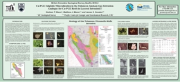 |
GeoFile 2018-02 is a poster presented at the annual Mineral Exploration Roundup Conference in 2018. The Tulameen Alaskan-type intrusion (Late Triassic) belongs to a global class of ultramafic-mafic bodies emplaced in convergent margin or supra-subduction zone environments. This class of intrusions is gaining prominence as an exploration target for magmatic Ni-Cu platinum group element (PGE) mineralization. The subclass of Alaskan-type intrusions is well known for economic concentrations of Pt in placer deposits derived from chromitites in the dunite core. However, Ni-depleted Cu mineralization spatially associated with such intrusions has not been adequately investigated. Here we present preliminary petrographic, mineralogical and geochemical data pertinent to the development of a new mineral deposit model for orthomagmatic Cu-PGE(-Au-Ag) sulphide mineralization in Alaskan-type intrusions in convergent margin settings. We focus on a well-exposed zone of chalcopyrite-bornite mineralization, the Champion Zone, containing low modal proportions of magmatic sulphides and highly anomalous PGE abundances. The nature of the mineralization resembles aspects of stratiform Cu-PGE reefs in layered intrusions which host most of the world�s Ni and PGE resources. |
| Issue ID: | GF2018-03 |
| Title: | Geochronologic data from samples collected in the Turtle Lake area, NTS 104M/16, northwest British Columbia |
| Author(s): | Mihalynuk, M.G., Friedman, R.M., Joyce, N., Camacho, A., and Zagorevski, A. |
| Series Name: | Geofile |
| Publication Year: | 2018 |
| NTS Map Sheet(s): | 104M/16 |
| Place Keyword(s): | British Columbia, northwest British Columbia, Turtle Lake, Tagish Lake, Atlin |
| Lat/Long (NSWE): | 60, 59.75, -134.5, -134 |
| Theme Keyword(s): | geochronology, thermal ionization mass spectrometry, zircon, Stikine terrane, Cache Creek terrane |
Download(s):
| PDF, ZIP (View Zip Contents) |
Abstract:
 |
Geofile 2018-3 contains the results, methods, and quality control data from geochronological analyses of samples collected during fieldwork conducted as part of the Federal Geo-mapping for Energy and Minerals (GEM) program near the British Columbia � Yukon border, in the Atlin area. In 2016, systematic quadrangle mapping activities conducted under GEM focused on a critical boundary segment between Stikine volcanic arc and Cache Creek oceanic crustal terranes in the Turtle Lake area northwest of Atlin. Results of that mapping, and implications of most of the data included in this Geofile, are discussed in Mihalynuk et al., Fieldwork 2017. Geological frameworks for the samples dated are provided in Mihalynuk et al., Fieldworks 2017 and 2018) and some of that material is paraphrased in this Geofile to provide context for the data presented. |
| Issue ID: | OF2018-02 |
| Title: | Geology of the Tulameen Alaskan-type ultramafic-mafic intrusion, British Columbia |
| Author(s): | Nixon, G.T. |
| Series Name: | Open File |
| Publication Year: | 2018 |
| NTS Map Sheet(s): | 092H/07, 10 |
| Place Keyword(s): | British Columbia, Tulameen |
| Lat/Long (NSWE): | 49.7, 49.3, -121, -120.6 |
| Theme Keyword(s): | bedrock mapping, geological mapping, platinum group elements, Alaskan-type, Tulameen ultramafic intrusion |
Download(s):
| PDF |
Abstract:
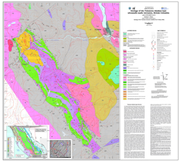 |
The Tulameen Alaskan-type ultramafic-mafic intrusion lies -20 km due east of Princeton in southern British Columbia near the western margin of the accreted arc terrane of Quesnellia. The intrusion belongs to a
global class of ultramafic-mafic intrusions emplaced in convergent margin or supra-subduction zone tectonic settings that are gaining prominence as an exploration target for magmatic Ni-Cu-platinum group element (PGE) mineralization. The Tulameen ultramafic-mafic intrusion is a classic Alaskan-type body zoned from a dunite core (with minor chromitite) through olivine clinopyroxenite to hornblende clinopyroxenite (with minor hornblendite and magnetitite) at the margin. The geology of the intrusion is modified slightly from the original work of Findlay (1963) and subsequent mapping (Nixon et al., 1997). The principal modifications include inferred northeasterly trending faults cross-cutting the intrusion along major topographic lineaments; northwesterly trending faults oriented subparallel to lithological contacts in an area of complex geology at the southern end on the intrusion; and a reinterpretation of contacts with Late Triassic host rocks of the Nicola Group as ductile faults. Despite faulted contacts, rafts of hornfelsed Nicola rocks within the Tulameen complex confirm its intrusive nature. Minor satellite bodies of hornblende clinopyroxenite and hornblendite intrude Nicola rocks peripheral to the Tulameen complex. |
| Issue ID: | GF2018-01 |
| Title: | Mineral chemistry and isotopic systematics of carbonatites and related rocks from the Blue River area |
| Author(s): | Rukhlov, A.S., Mao, M., Spence, J., Creaser, R.A., Czech, E., Gabites, J., and Kieffer, B. |
| Series Name: | Geofile |
| Publication Year: | 2018 |
| NTS Map Sheet(s): | 083D |
| Place Keyword(s): | British Columbia, Southeastern British Columbia, Blue River |
| Lat/Long (NSWE): | 52.5, 52, -119.4, -118.6 |
| Theme Keyword(s): | petrography, carbonatite exploration, mineral chemistry, isotopic systematics, Rare Earth Elements (REEs) |
Download(s):
| PDF |
Abstract:
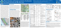 |
GeoFile 2018-02 is a poster presented at the annual Mineral Exploration Roundup Conference in 2018. Petrography, mineral chemistry, and isotopic systematics of carbonatites and related rocks from nine intrusive complexes in the Blue River area are examined to investigate their origin and Nb-Ta-REE mineralization. Separated mineral fractions (carbonates, silicates, oxides, sulphides, apatite) from 34 rock samples were analyzed by EPMA and LA-ICP-MS, solution MC-ICP-MS, TIMS, and IRMS using standard methods. |
| Issue ID: | IC2018-03 |
| Title: | Saanich Inlet, southern Vancouver Island, Geology of an Aspiring Global Geopark |
| Author(s): | BC Geological Survey |
| Series Name: | Information Circular |
| Publication Year: | 2018 |
| NTS Map Sheet(s): | 092B |
| Place Keyword(s): | British Columbia, Saanich Inlet |
| Lat/Long (NSWE): | 48.8, 48.3, -123.8, -123.2 |
| Theme Keyword(s): | global geopark, Saanich Inlet, UNESCO, geology |
Download(s):
| PDF |
Abstract:
 |
In anticipation of a proposal to the UNESCO Global Geopark Network, the Canadian National Committee for Global Geoparks has accepted Saanich Inlet and its watershed on southern Vancouver Island as an Aspiring Geopark. This Geopark initiative, led by the Saanich Inlet Protection Society, is seeking the support of local residents, First Nation communities, businesses, marine groups and scientists from government, universities, and industry. Geoparks are community-driven enterprises that reflect the desires and values of the people living in them. This Geopark will protect the natural resources and cultural heritage of Saanich Inlet while encouraging environmentally sound economic development. Geoheritage recognizes the continuum between the geological record and cultural values. |
| Issue ID: | GBCR2018-05 |
| Title: | Enhancing Geochemical Precision by Analyzing the Clay Fraction in Till: Cost-Benefit Study from the TREK Project Area, British Columbia |
| Author(s): | van Geffen, P.W.G. and Bluemel, E.B. |
| Series Name: | Geoscience BC Report |
| Publication Year: | 2018 |
| Larger Work Citation: | Geoscience BC Project 2016-036 |
| NTS Map Sheet(s): | 093B,C,F,G |
| Place Keyword(s): | British Columbia, Central British Columbia |
| Lat/Long (NSWE): | 54, 52, -126, -122.4 |
| Theme Keyword(s): | TREK, till geochemistry, clay fraction, exploration |
Additional Link(s):
| http://cdn.geosciencebc.com/project_data/GBCR2018-05.zip |
Abstract:
| This study presents new data obtained from the clay-sized fraction (< 2 �m) of previously collected basal till material from the TREK Project area. A total of 1,222 samples were analyzed by aqua-regia digest and ICP-MS finish, following a wet clay-separation process. Data-quality assessment assures reliable and reproducible results for most of the reported suite of 53 elements. The high-quality clay-fraction data are a valuable addition to the already available data for the TREK Project and can be readily integrated with other regional geoscientific information. Exploratory data analysis is used to compare the clay-fraction geochemistry to that of the previously acquired coarser fraction (< 63 �m). Higher trace-element contents ensure improved data precision and a more homogenous mineralogical composition leads to enhanced anomaly-to-background contrast, relative to the coarser size fraction. Particularly, trace elements such as Au, Hg, and Tl show significant improvements in precision, leading to better maps and greater confidence in the interpretation of spatial patterns and relationships. Large-scale features such as the Tatuk and Nechako Fault zones are recognized in trace-element distributions, as well as multi-element anomalies related to known mineralization. |
| Issue ID: | GBCR2018-10 |
| Title: | Adding Value to Regional Till Geochemical Data through Exploratory Data Analysis, TREK Project Area, Central BC: Final results |
| Author(s): | Bluemel, E.B. and van Geffen, P.W.G. |
| Series Name: | Geoscience BC Report |
| Publication Year: | 2018 |
| Larger Work Citation: | Geoscience BC Project 2016-036 |
| NTS Map Sheet(s): | 093B,C,F,G |
| Place Keyword(s): | British Columbia, Central British Columbia |
| Lat/Long (NSWE): | 54, 52, -126, -122 |
| Theme Keyword(s): | TREK, geochemistry, exploratory data analysis, till, anomaly |
Additional Link(s):
| http://cdn.geosciencebc.com/project_data/GBCR2018-05.zip |
Abstract:
| The TREK (Targeting Resources through Exploration and Knowledge) project was initiated in 2013 to generate new information on BC�s northern Interior Plateau region, an area which is highly prospective for mineral resources and may also have some geothermal potential. Across the TREK project area almost 3000 samples were collected by the British Columbia Geological Survey (BCGS), Geological Survey of Canada (GSC) and Geoscience BC. Samples from the BCGS and GSC campaigns were reanalyzed as part of the TREK project. Appropriateness and limitations of data: this exploratory data analysis (EDA) project produced derivative data columns based on raw till data (XLS). The derivative data columns can be used "as-is", and the associated GIS package (SHP) can be imported and viewed directly. For a full description of work undertaken, refer Summary of Activities 2016, Bluemel, et. al. |
| Issue ID: | EXT176 |
| Title: | British Columbia Mineral and Coal Exploration Survey 2016 |
| Author(s): | Ernst & Young LLP |
| Series Name: | External Article |
| Publication Year: | 2017 |
| NTS Map Sheet(s): | 082;083;092;093;094;102;103;104;114 |
| Place Keyword(s): | British Columbia |
| Lat/Long (NSWE): | 60, 48, -139, -114 |
| Theme Keyword(s): | mineral and coal, exploration survey, exploration expenditure, Ernst & Young EY, AME |
Download(s):
| PDF |
Additional Link(s):
| https://www.ey.com/en_ca/mining-metals
https://assets.ey.com/content/dam/ey-sites/ey-com/en_ca/topics/mining-metals/ey-bc-minerals-coal-exploration-survey-2016.pdf |
Abstract:
 |
The British Columbia Mineral and Coal Exploration Survey is a joint initiative between the Government of British Columbia�s Ministry of Energy and Mines (MEM), the Association for Mineral Exploration (AME) and EY that has been conducted to provide a view of the state of the mineral and coal exploration sector in British Columbia. The survey examines a wide range of economic, sociopolitical, and organizational issues that impact companies in 2016 and prospectors exploring in the Province, and has been designed to provide previously unavailable insight into the mineral and coal exploration industry in BC. Data and analysis presented in this report are for the period 1 January through 31 December 2016 and are based on data collected directly from 30 prospectors and 177 companies operating in BC. The mining companies that responded to the survey collectively represent 259 projects across the Province. Exploration expenditures across BC totaled $205 million in 2016, down $70 million (25%), from the year before. |
| Issue ID: | EXT177 |
| Title: | British Columbia Mineral and Coal Exploration Survey 2017 |
| Author(s): | Ernst & Young LLP |
| Series Name: | External Article |
| Publication Year: | 2018 |
| NTS Map Sheet(s): | 082;083;092;093;094;102;103;104;114 |
| Place Keyword(s): | British Columbia |
| Lat/Long (NSWE): | 60, 48, -139, -114 |
| Theme Keyword(s): | mineral and coal, exploration survey, exploration expenditure, Ernst & Young EY, AME |
Download(s):
| PDF |
Additional Link(s):
| https://www.ey.com/en_ca/mining-metals
https://assets.ey.com/content/dam/ey-sites/ey-com/en_ca/topics/mining-metals/ey-bc-minerals-coal-exploration-survey-2017.pdf |
Abstract:
 |
The British Columbia Mineral and Coal Exploration Survey is a joint initiative between the Government of British Columbia�s Ministry of Energy, Mines and Petroleum Resources (EMPR), the Association for Mineral Exploration (AME) and EY that has been conducted to provide a view of the state of the mineral and coal exploration sector in British Columbia. The survey examines a wide range of economic, sociopolitical, and organizational issues that impact companies in 2017 and prospectors exploring in the Province, and has been designed to provide previously unavailable insight into the mineral and coal exploration industry in BC. Data and analysis presented in this report are for the period 1 January through 31 December 2017 and are based on data collected directly from 20 prospectors and 175 companies operating in BC. The 159 mining companies that adequately responded to the survey, collectively represent 219 projects across the Province. Exploration expenditures across BC totaled $246 million in 2017, up $41 million (20%), from the year before. Gold exploration accounted for $37 million (87%) of that increase, driven by increased activity in the province�s Golden Triangle and Cariboo gold belt regions. Other metals also saw a surge in activity. Exploration expenditure on primary-silver projects more than doubled to $9.8 million, while zinc grew by almost 50% to $8.2 million, driven by increasing prices. Coal exploration, however, decreased by 18% or $7 million. |
| Issue ID: | GBCR2018-06 |
| Title: | Processing and Inversion of SkyTEM data leading to a hydrogeological interpretation of the Peace River Northwestern Area |
| Author(s): | Aarhus Geophysics APS and GEUS (the Geological Survey of Denmark and Greenland) |
| Series Name: | Geoscience BC Report |
| Publication Year: | 2018 |
| Larger Work Citation: | Geoscience BC Peace Project |
| NTS Map Sheet(s): | 094B/9,10,15,16; 094G/1,2 |
| Place Keyword(s): | British Columbia, Northeastern British Columbia, Peace River |
| Lat/Long (NSWE): | 57.1, 56.5, -123.15, -122 |
| Theme Keyword(s): | inversion, qualitative interpretation, airborne, electromagnetic data, SkyTEM |
Additional Link(s):
| http://cdn.geosciencebc.com/project_data/GBCReport2018-06/GBCR2018-06-Report.pdf |
Abstract:
| In 2017, Aarhus and GEUS processed a portion of the EM dataset in the northwest corner of the Peace project area, incorporating well log information from previous studies. The main purpose of this work was to create a reliable 3D model of the area and use it to identify structures and sediment units that could potentially host groundwater resources. The Aarhus models identified over 30 layers within the top 300 metres and two generations of paleovalleys, narrowing down the location of these potential groundwater host units. |
| Issue ID: | GBCR2018-08 |
| Title: | Peace Area Project � Comparison of resistivity gamma and geological logs with airborne EM inversions |
| Author(s): | Best, M. and Levson, V. |
| Series Name: | Geoscience BC Report |
| Publication Year: | 2018 |
| Larger Work Citation: | Geoscience BC Peace Project |
| NTS Map Sheet(s): | 094A,B,G |
| Place Keyword(s): | British Columbia, Northeastern British Columbia, Peace River |
| Lat/Long (NSWE): | 57.2, 56.1, -123, -120.5 |
| Theme Keyword(s): | inversion, resistivity gamma, geological logs, electromagnetic data |
Additional Link(s):
| http://cdn.geosciencebc.com/project_data/GBCR2018-08_ComparisonOfLogsWithEMInversion.pdf |
Abstract:
| In 2017, Best and Levson compared the airborne EM inversions (GBC Report 2016-09) with the new borehole geological logs and the resistivity and gamma logs collected in earlier 2017. In this report, Best and Levson overlay the drill hole information with the relevant 2D slices through the geophysics to see how well the predictions from the geophysical models match the sediments encountered. These correlations can be used to improve the detail and accuracy of the geological models in areas where wells and drill logs are unavailable. |
| Issue ID: | IP Porphyry Map |
| Title: | Interactive Porphyry Map |
| Author(s): | BC Geological Survey |
| Series Name: | Internet Publication |
| Publication Year: | 2015 |
| NTS Map Sheet(s): | 082;083;092;093;094;102;103;104;114 |
| Place Keyword(s): | British Columbia |
| Lat/Long (NSWE): | 60, 48, -139, -114 |
| Theme Keyword(s): | KMZ, Porphyry Map, MINFILE, porphyry deposits |
Additional Link(s):
| https://www2.gov.bc.ca/assets/gov/farming-natural-resources-and-industry/mineral-exploration-mining/documents/mineral-development-office/bc_porphyry_deposits_dec31.kmz |
Abstract:
| Some of B.C.�s largest copper and gold deposits are porphyry deposits. Notable deposits include the Highland Valley Copper mine, KSM, Prosperity, and New Afton. This Google Earth compatible map (KMZ format) shows the contained metal(s) for each deposit. Larger circles correspond to larger deposits. Clicking on a circle will bring up a table with comprehensive information about the deposit and a link to the deposit webpage in MINFILE. The porphyry map was last updated December 31, 2015. Google Earth is required to view this map. |
| Issue ID: | TILL SURVEY INDEX |
| Title: | Till Survey Index, version 2020-01 |
| Author(s): | BC Geological Survey |
| Series Name: | Digital Geoscience Data |
| Publication Year: | 2020 |
| NTS Map Sheet(s): | 082;083;092;093;094;102;103;104;114 |
| Place Keyword(s): | British Columbia |
| Lat/Long (NSWE): | 60, 48, -139, -114 |
| Theme Keyword(s): | till survey index, till geochemical surveys, till mineralogical surveys |
Download(s):
| PDF, ZIP (View Zip Contents) |
Additional Link(s):
| https://catalogue.data.gov.bc.ca/dataset/till-geochemistry-surveys |
Abstract:
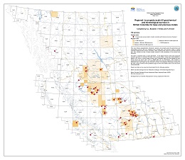 |
Till geochemistry surveys are targeted at regions of high mineral potential where glacial sediments cover and obscure the underlying bedrock. These surveys are conducted in conjunction with surficial geology mapping. British Columbia Geological Survey Open File 2019-04 indexes geographically referenced, regional- and property-scale subglacial till geochemical and mineralogical surveys targeting base and precious metals in British Columbia. It also lists topical studies relevant to drift prospecting in the province and elsewhere. Original source reports can be downloaded using the URLs provided, as can publications that use the data, such as compilations. The digital versions of the index enable advanced searches using fields such as author, source type (digital or PDF), or source. The survey index is released in PDF, ESRI Map Package, Shapefile, File Geodatabase, and KMZ formats. The Shapefile and KMZ formats are available with this catalogue entry. BCGS GeoFile 2017-09 provides the complete data set of publically available, regional-scale, till geochemical surveys. The current version of the Till index is 2020-01. |
| Issue ID: | TILL DATABASE |
| Title: | Till Geochemical Database, version 2017-08-23 |
| Author(s): | BC Geological Survey |
| Series Name: | Digital Geoscience Data |
| Publication Year: | 2017 |
| NTS Map Sheet(s): | 082;083;092;093;094;102;103;104;114 |
| Place Keyword(s): | British Columbia |
| Lat/Long (NSWE): | 60, 48, -139, -114 |
| Theme Keyword(s): | till geochemistry, regional geochemical survey, mineral exploration, till database |
Additional Link(s):
| https://cmscontent.nrs.gov.bc.ca/geoscience/PublicationCatalogue/GeoFile/BCGS_GF2017-09.pdf
https://www2.gov.bc.ca/gov/content/industry/mineral-exploration-mining/british-columbia-geological-survey/publications/geofiles#GF2017-09
https://cmscontent.nrs.gov.bc.ca/geoscience/PublicationCatalogue/GeoFile/BCGS_GF2017-09.zip |
Abstract:
|
Till geochemistry surveys are targeted at regions of high mineral potential where glacial sediments cover and obscure the underlying bedrock. These surveys are conducted in conjunction with surficial geology mapping. British Columbia Geological Survey GeoFile 2017-09 provides the complete data set of publically available, regional-scale, till geochemical surveys. The surveys, carried out by the British Columbia Geological Survey, the Geological Survey of Canada, and Geoscience BC, compiles 39 reports released between 1992 and 2017, and includes geochemical data for 10,454 samples. Five Microsoft Excel tables generated from this database provide analytical determinations for the clay (<2 �m) and silt plus clay (<63 �m) size fractions of tills by inductively coupled plasma mass spectrometry after an aqua regia or modified aqua regia digestion, after a lithium metaborate fusion, and by instrumental neutron activation. These data tables can be brought into GIS software and integrated with other geoscience data to generate new exploration targets and design follow-up exploration programs. BCGS Open File 2016-2 is an index of geographically referenced, regional- and property-scale till geochemical surveys. |
| Issue ID: | LITHOGEOCHEMICAL DATABASE |
| Title: | Lithogeochemical Database, version 2020-01-20 |
| Author(s): | BC Geological Survey |
| Purpose: | To design and populate a geochemical database that will include all of the element analysis of rock samples carried out by the GSB since the mid 1980�s. |
| Series Name: | Digital Geoscience Data |
| Publication Year: | 2020 |
| NTS Map Sheet(s): | 082;083;092;093;094;102;103;104;114 |
| Place Keyword(s): | British Columbia |
| Lat/Long (NSWE): | 60, 48, -139, -114 |
| Theme Keyword(s): | Lithogeochemical database, Geochemical database, rock geochemistry |
Download(s):
| PDF, ZIP (View Zip Contents) |
Additional Link(s):
| https://catalogue.data.gov.bc.ca/dataset/lithogeochemical-database
https://www2.gov.bc.ca/gov/content/industry/mineral-exploration-mining/british-columbia-geological-survey/publications/geofiles#GF2016-04 |
Abstract:
|
Province-wide lithogeochemical data collected by British Columbia Geological Survey (BCGS) geoscientists and their research partners. The database is populated with data compiled from 230 BCGS publications released between 1986 and 2019. It includes 11,635 samples with more than 520,000 determinations analyzed by 27 analytical methods in 23 laboratories. The database operates through a semi-automated process for data compilation, quality control, upload, and product generation, which helps provide consistent, standardized, and long-term data storage and update, and regular release. The data product derived from the database provided in this release is in a user-friendly format (CVS), which can be easily brought into GIS and geochemical data evaluation software for visualization and analysis. The complete database is released as a set of relational tables in MS Access format. |
| Issue ID: | RGS SURVEY INDEX |
| Title: | RGS Regional Geochemical Survey Index |
| Author(s): | BC Geological Survey |
| Purpose: | Inventory of regional geochemical sample sites and analytical results. |
| Series Name: | Digital Geoscience Data |
| Publication Year: | 2017 |
| NTS Map Sheet(s): | 082;083;092;093;094;102;103;104;114 |
| Place Keyword(s): | British Columbia |
| Lat/Long (NSWE): | 60, 48, -139, -114 |
| Theme Keyword(s): | Geochemistry, silt geochemistry, water geochemistry, Regional Geochemical Survey, Digital Data |
Additional Link(s):
| https://catalogue.data.gov.bc.ca/dataset/regional-geochemical-survey-areas |
Abstract:
| The joint federal-provincial Regional Geochemical Surveys (RGS) have been carried out in British Columbia since 1976 as part of the National Geochemical Reconnaissance (NGR) program to aid exploration and development of mineral resources. The British Columbia Geological Survey maintains provincial geochemical databases capturing information from multi-media surveys. This 2020 release of the most current and complete province-wide geochemical data set collected under the (RGS) program. The database was compiled from 116 original sources with 65,429 samples and about 5 million determinations analyzed using 18 methods in 18 laboratories. Results of the surveys are presented in the 2020 RGS Database and is published as BCGS GeoFile 2020-08. |
| Issue ID: | ICE-FLOW INDICATORS |
| Title: | Ice-flow indicator compilation, version 2020-01-20 |
| Author(s): | BC Geological Survey |
| Series Name: | Digital Geoscience Data |
| Publication Year: | 2020 |
| Other Citation Details: | Also published as Geological Survey of Canada Open File 8083 |
| NTS Map Sheet(s): | 082;083;092;093;094;095;102;103;104;105;114 |
| Place Keyword(s): | British Columbia, Cordilleran ice sheet, Canadian Sector, Yukon |
| Lat/Long (NSWE): | 65, 48, -124, -114 |
| Theme Keyword(s): | Ice-flow indicator, drift prospecting, Late Pleistocene, directions, digital stereo air photos |
Download(s):
| PDF, ZIP (View Zip Contents) |
Additional Link(s):
| https://www2.gov.bc.ca/gov/content/industry/mineral-exploration-mining/british-columbia-geological-survey/geology/ice-flow-indicators |
Abstract:
| Building on previous ice-flow indicator compilations for British Columbia, this map and database illustrate major ice-flow directions for the Canadian sector of the Cordilleran ice sheet during the Late Pleistocene. The data were derived from published and unpublished surficial geology, terrain, and glacial feature maps. Because field data are sparse in the area ~ 300 km south of the British Columbia -Yukon border, new data were generated using digital stereo airphotos, digital derived-stereo orthophoto mosaics, and digital derived-stereo Satellite Pour l'Observation de la Terre (SPOT) imagery. The raw data are integrated into a single database; no attempt was made to reconcile cases where data from different sources conflict. Open File 2020-03 is the most recent compilation and consists of 152,980 ice-flow indicators across British Columbia and Yukon. |
| Issue ID: | COAL ASH |
| Title: | Coal Ash Chemistry Database, version 2017-06-29 |
| Author(s): | BC Geological Survey |
| Series Name: | Digital Geoscience Data |
| Publication Year: | 2017 |
| NTS Map Sheet(s): | 082G,J,K,N; 093I,O,P; 094B |
| Place Keyword(s): | British Columbia, Rocky Mountains |
| Lat/Long (NSWE): | 56.5, 49, -124, -114 |
| Theme Keyword(s): | Coal ash geochemistry database, bituminous coal, coking coal quality, Gates Formation, Gething Formation |
Additional Link(s):
| https://cmscontent.nrs.gov.bc.ca/geoscience/PublicationCatalogue/GeoFile/BCGS_GF2017-10.pdf
https://www2.gov.bc.ca/gov/content/industry/mineral-exploration-mining/british-columbia-geological-survey/publications/geofiles#GF2017-10
https://cmscontent.nrs.gov.bc.ca/geoscience/PublicationCatalogue/GeoFile/BCGS_GF2017-10.zip |
Abstract:
| Ash is the inorganic residue remaining after coal combusts. It is composed of oxides of the mineral content in the coal. Coal ash chemistry can have a significant influence on coke strength after reaction (CSR), an important measure of coking coal quality. Coals that were overlain by non-marine deposits (which includes most Canadian Rocky Mountain coals) generally have mineral assemblages that form ashes with low ratios of reactive oxides (i.e. Fe2O3, CaO, MgO, Na2O and K2O) to refractory oxides (i.e. SiO2, Al2O3 and TiO2), which favours good coke strength under blast furnace conditions. Coal ash chemistry is also used to predict slagging and fouling potential in the furnaces or kilns of all types of coals. This database, released as GeoFile 2017-10, compiles 484 ash chemistry analyses of British Columbia Rocky Mountain bituminous coals from public sources into a standardized relational format to facilitate its distribution and use. |
| Issue ID: | SURFICIAL GEOLOGY MAPS |
| Title: | Surficial Geology Map Index, version 2020-01 |
| Author(s): | BC Geological Survey |
| Series Name: | Digital Geoscience Data |
| Publication Year: | 2020 |
| NTS Map Sheet(s): | 082;083;092;093;094;102;103;104;114 |
| Place Keyword(s): | British Columbia |
| Lat/Long (NSWE): | 60, 48, -139, -114 |
| Theme Keyword(s): | Surficial Geology Map Index, Quaternary, Map Index Compilation, Surficial Geology |
Download(s):
| PDF, ZIP (View Zip Contents) |
Abstract:
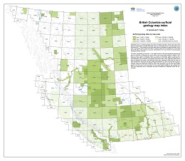 |
Presented here is a surficial geology map index for British Columbia, which is published as BCGS Open File 2019-03. The current version is 2020-01. The maps indexed were produced by the British Columbia Geological Survey, the Geological Survey of Canada (GSC), and Geoscience BC. Only maps available for digital download are included. Each map is represented by the actual map extent rather than a bounding box or NTS sheet that it falls within. The surficial geology map index can be viewed, with reports linked to the data, on MapPlace. |
| Issue ID: | PROSPECTOR REPORTS |
| Title: | Prospectors Reports from Prospector Assistance Program 1994-2001 |
| Author(s): | BC Geological Survey |
| Series Name: | Digital Geoscience Data |
| Publication Year: | 2001 |
| NTS Map Sheet(s): | 082;083;092;093;094;102;103;104;114 |
| Place Keyword(s): | British Columbia |
| Lat/Long (NSWE): | 60, 48, -139, -114 |
| Theme Keyword(s): | prospectors, reports, exploration, maps, prospector assistance |
Download(s):
| PDF, ZIP (View Zip Contents) |
Additional Link(s):
| https://catalogue.data.gov.bc.ca/dataset/prospectors-reports |
Abstract:
| Under the Prospectors Assistance Program (now discontinued) grants were provided to encourage grassroots prospecting in British Columbia. The Prospectors Assistance program contributed up to 75 per cent of the eligible costs of a proposed prospecting program to a maximum of $10,000. Reports were submitted from 1994 through to 2001. These documents have been amalgamated into Property File and have been linked to up to three MINFILE occurrences when possible. |
| Issue ID: | AGGREGATE DATA |
| Title: | Aggregate Potential Maps and Data |
| Author(s): | BC Geological Survey |
| Series Name: | Digital Geoscience Data |
| Publication Year: | 2005 |
| NTS Map Sheet(s): | 082;083;092;093;094;102;103;104;114 |
| Place Keyword(s): | British Columbia, Nanaimo, Okanagan, Prince George, Sea-to-Sky |
| Lat/Long (NSWE): | 56, 48.5, -131, -119 |
| Theme Keyword(s): | aggregate potential, aggregate data, aggregate resources |
Additional Link(s):
| https://catalogue.data.gov.bc.ca/dataset/aggregate-inventory |
Abstract:
| An aggregate potential map typically outlines areas of aggregate resource potential as polygons on the map and qualitatively ranks the relative potential of the areas. Rankings assigned are Historic (which represent recent and present producing areas), Primary, Secondary, Tertiary (potential hosts to future aggregate deposits) and Unclassified. The parameters used in the derivation of the rankings, including landform type, quantity of sand versus gravel, volume estimate, thickness of deposit, etc., are also detailed on the map. On-site geotechnical evaluation is still required to quantitatively confirm the aggregate potential of any specific target. However, the maps provide a quick "first approximation" for alternative land use by also identifying areas which hold little or no potential for aggregate resources. Ultimately, such maps save those planners, developers and producers involved in aggregate considerable effort and cost by focusing attention on select areas. Data for the Aggregate Resource Potential Maps are available in shape file format for import into GIS software such as ArcInfo, ArcView, etc. These data can also be easily viewed using ESRI's free data browser program Arc Explorer. Aggregate Inventory and Operations tables are compiled in dbf, Excel or Shape formats. |
| Issue ID: | P2015-03-01 |
| Title: | Which materials are 'critical and 'strategic' |
| Author(s): | Simandl, G.J., Akam, C., and Paradis, S. |
| Series Name: | Paper |
| Publication Year: | 2015 |
| Larger Work Citation: | in BCGS Open File 2015-03 |
| NTS Map Sheet(s): | 082;083;092;093;094;102;103;104;114 |
| Place Keyword(s): | British Columbia |
| Lat/Long (NSWE): | 60, 48, -139, -114 |
| Theme Keyword(s): | critical materials, strategic materials, rare earth elements, REE |
Download(s):
| PDF |
Abstract:
| Herein we summarize lists of critical and strategic materials prepared by the European Commission (EC), the US Department of Defense (DoD), and the US Department of Energy (DoE), emphasizing that lists of critical and strategic materials differ, based on whether the criticality analyses is being applied to the general economy (EC), the military (DoD), or clean-air technologies (DoE), and that these lists change through time due to technological breakthroughs, political pressures and instabilities, and depletion of resources. We underline that the designation of a material as �critical� or �strategic� depends on the subject and focus of study; therefore, if the terms �critical� and �strategic� are used, they should be clearly de?ned in an early portion of the publication and should not be applied out of context. |
| Issue ID: | P2015-03-02 |
| Title: | Rare earth elements: Global market overview |
| Author(s): | Dickson, J.S. |
| Series Name: | Paper |
| Publication Year: | 2015 |
| Larger Work Citation: | in BCGS Open File 2015-03 |
| NTS Map Sheet(s): | 082;083;092;093;094;102;103;104;114 |
| Place Keyword(s): | British Columbia |
| Lat/Long (NSWE): | 60, 48, -139, -114 |
| Theme Keyword(s): | industrial minerals, rare earth elements, REE |
Download(s):
| PDF |
Abstract:
| Rare earth elements (REE), as de?ned by the International Union of Pure and Applied Chemistry (IUPAC), include yttrium (Y), scandium (Sc), and the lanthanides, comprising lanthanum (La), cerium (Ce), praseodymium (Pr), neodymium (Nd), promethium (Pm), samarium (Sm), europium (Eu), gadolinium (Gd), terbium (Tb), dysprosium (Dy), holmium (Ho), erbium (Er), thulium (Tm), ytterbium (Yb), and lutetium (Lu). In the scienti?c community, subdivisions into light (LREE) and heavy (HREE) categories are based on electron con?guration. In this context, LREE include La, Ce, Pr, Nd, Pm, Sm, Eu, and Gd and HREE include Y, Tb, Dy, Ho, Er, Tm, Yb, and Lu (Connelly et al., 2005). Industry commonly refers to LREE as lanthanides from La to Sm, and HREE as lanthanides from Eu to Lu, plus Y (Simandl, 2014). World mine production of rare earth oxides (REO) for 2014 is estimated at approximately 117,000 tonnes, including Y2O3, which accounts for 7000 tonnes of the total (Gambogi, 2015a, b). In 2014, the main producing countries for REE less Y were China, with 86% of worldwide production (Gambogi, 2015a), the United States, India, Australia, Russia, and Thailand.
The United States historically dominated production. However, its position declined throughout the late 1990s and 2000s (Xie, 2014; Simandl, 2014). China reached the peak of its dominance in 2007, when it produced just under 97% of the world�s REE less Y output (Hedrick, 2008). |
| Issue ID: | P2015-03-03 |
| Title: | Niobium and tantalum: Geology, markets, and supply chains |
| Author(s): | Mackay, D.A.R. and Simandl, G.J. |
| Series Name: | Paper |
| Publication Year: | 2015 |
| Larger Work Citation: | in BCGS Open File 2015-03 |
| NTS Map Sheet(s): | 082;083;092;093;094;102;103;104;114 |
| Place Keyword(s): | British Columbia |
| Lat/Long (NSWE): | 60, 48, -139, -114 |
| Theme Keyword(s): | industrial minerals, rare earth elements, REE, niobium, tantalum |
Download(s):
| PDF |
Abstract:
| Until 2014, niobium (Nb) and tantalum (Ta) were on the critical metals list of the European Union (European Commission, 2011; 2014). Both Ta and Nb have high levels of supply chain risk and even temporary disruptions in supply could be dif?cult to cope with. The Ta market is subject to in?ux of �con?ict� columbite-tantalite concentrate, or �Coltan,� into the supply chain, displacing production in Australia and Canada. The growing consumer appetite for goods made of ethically sourced or �con?ict-free� minerals and metals has put pressure on manufacturers of components for consumer electronics, such as smart phones, laptop computers, computer hard drives, digital cameras, GPS navigation systems, and airbag triggers to stop using Ta from �con?ict� areas. Other uses of Ta include medical implants, super alloys used in jet turbine and rocket nozzle production, corrosion prevention in chemical and nuclear plants, as a sputtering target, and in optical lenses (Tantalum-Niobium International Study Center, 2015a, b). These applications make Ta economically and strategically important to industrialised countries (European Commission, 2011, 2014; Brown et al., 2012; Papp, 2012).
Niobium (Nb) is primarily used in high-strength low-alloy (HSLA) steel used extensively in the oil and gas and automotive industries. Niobium is also a major component in vacuum-grade alloys used in rocket components and other aeronautic applications (Tantalum-Niobium International Study Center, 2015a, c). Demand for Nb is increasing due to greater use of Nb in steel making in China, India, and Russia (Roskill, 2013b; Mackay and Simandl, 2014). Because most primary Nb production is restricted to a single country (Brazil), security of supply is considered at risk (European Commission, 2014). New sources of supply may be developed to diversify geographic location of supply for strategic reasons (Mackay and Simandl, 2014). Herein we summarize the geology, market, and supply chains of Niobium and Tantalum metals. |
| Issue ID: | P2015-03-04 |
| Title: | Indium, germanium and gallium in volcanic- and sediment-hosted base-metal sulphide deposits |
| Author(s): | Paradis, S. |
| Series Name: | Paper |
| Publication Year: | 2015 |
| Larger Work Citation: | in BCGS Open File 2015-03 |
| NTS Map Sheet(s): | 082;083;092;093;094;102;103;104;114 |
| Place Keyword(s): | British Columbia |
| Lat/Long (NSWE): | 60, 48, -139, -114 |
| Theme Keyword(s): | indium, germanium, gallium, SEDEX, Mississippi Valley-type |
Download(s):
| PDF |
Abstract:
| Indium (In), germanium (Ge), and gallium (Ga) have unique chemical and physical properties. This makes them critical for a wide variety of high technology, pharmaceutical, metallurgical and chemical industries. This extended abstract consists of three parts. The ?rst part covers In, Ge, and Ga in terms of their physical and chemical properties, ore mineralogy and uses. The second part summarizes available information on global reserves and resources and production. The third part introduces major deposit-types from which In, Ge, and Ga are recovered, focusing on volcanic-hosted massive sulphide (VHMS) and sediment-hosted massive sulphide (SHMS) deposits. For the purpose of this paper, SHMS deposits include syngenetic or early diagenetic sedimentary exhalative (SEDEX), Mississippi Valley-type (MVT), and Kipushi-type deposits. |
| Issue ID: | P2015-03-05 |
| Title: | Carbonatites and related exploration targets |
| Author(s): | Simandl, G.J. |
| Series Name: | Paper |
| Publication Year: | 2015 |
| Larger Work Citation: | in BCGS Open File 2015-03 |
| NTS Map Sheet(s): | 082;083;092;093;094;102;103;104;114 |
| Place Keyword(s): | British Columbia |
| Lat/Long (NSWE): | 60, 48, -139, -114 |
| Theme Keyword(s): | carbonatite, niobium, REE, critical metal |
Download(s):
| PDF |
Abstract:
| Mineralized carbonatite systems are multi-commodity, highly sought after, but poorly understood exploration targets (Mariano, 1989a, b; Pell, 1996; Birkett and Simandl, 1999). They are the main sources of niobium and rare earth elements (REE), which are considered critical metals for some key economic sectors (European Commission, 2014), and have become popular exploration targets for junior mining companies worldwide. Carbonatites also contribute to our understanding of the Earth�s mantle (e.g., Bell and Tilton, 2001, 2002).
Herein, we discuss the de?nition and classi?cation of carbonatites; summarize information pertinent for carbonatite exploration such as tectonic setting, shape, geophysical signature, associated rocks, alteration, and temporal distribution; and highlight the multi-commodity aspect of carbonatite-related exploration targets and mineral prospectivity. |
| Issue ID: | P2015-03-06 |
| Title: | Carbonatites, isotopes and evolution of the subcontinental mantle: An overview |
| Author(s): | Rukhlov, A.S., Bell, K., and Amelin, Y. |
| Series Name: | Paper |
| Publication Year: | 2015 |
| Larger Work Citation: | in BCGS Open File 2015-03 |
| NTS Map Sheet(s): | 082;083;092;093;094;102;103;104;114 |
| Place Keyword(s): | British Columbia |
| Lat/Long (NSWE): | 60, 48, -139, -114 |
| Theme Keyword(s): | carbonatite, mantle, REE, isotope |
Download(s):
| PDF |
Abstract:
| Carbonatites, made up of at least 50% primary carbonates, are the products of low-degree partial melting of a carbonate-bearing mantle. Found on all continents, carbonatites are well suited for tracking the secular evolution of the sub-continental mantle because they span ages from 3.0 Ga to the present and because they are extremely enriched in Sr, Nd, and other REEs (Bell et al., 1982; Bell and Blenkinsop, 1987a; Nelson et al., 1988). Of more than 500 known carbonatite occurrences, only three are from oceanic islands (Cape Verdes, Canary Islands, and the Kerguelens; Woolley and Kjarsgaard, 2008). This raises questions about the role of continental lithosphere in carbonatite genesis. Are carbonatites formed by partial melting of metasomatized lithosphere? Or does the continental lithosphere simply act as an impermeable barrier trapping uprising volatiles from the asthenosphere below? Globally, the abundance of carbonatite occurrences appears to increase through time, and some parts of the Earth�s crust (e.g., the Canadian Shield, the East European Craton, the Tanzanian Craton, and West Greenland) have witnessed repeated carbonatite magmatism over billions of years. This apparent increase in carbonatitic magmatism with time has been attributed either to an increasingly metasomatized mantle by volatiles from below (Woolley, 1989; Blichert-Toft et al., 1996; Woolley, 2003) or it may simply re?ect a probable preservation bias (Veizer et al., 1992).
Here we re-examine mantle evolution using new Sr, Pb, Nd and Hf isotopic data from several carbonatite occurrences, mainly from the northern hemisphere, along with published global data. This isotopic evidence lends support to a model in which carbonatite magmas are generated by plumes that originate from a widespread, relatively primitive source in the deep mantle. |
| Issue ID: | P2015-03-07 |
| Title: | Nd and Sr isotopic composition of rare earth element mineralized carbonatites |
| Author(s): | Verplanck, P.L., Farmer, G.L. and Mariano, A.N. |
| Series Name: | Paper |
| Publication Year: | 2015 |
| Larger Work Citation: | in BCGS Open File 2015-03 |
| NTS Map Sheet(s): | 082;083;092;093;094;102;103;104;114 |
| Place Keyword(s): | British Columbia |
| Lat/Long (NSWE): | 60, 48, -139, -114 |
| Theme Keyword(s): | carbonatite, niobium, REE |
Download(s):
| PDF |
Abstract:
| For nearly 50 years, carbonatites have been the primary sources of niobium and rare earth elements (REEs), particularly the light REEs including La, Ce, Pr, and Nd. In addition, carbonatites may be enriched in other critical elements and have the potential to be future sources. Currently, only ? ve of the more than 500 known carbonatites in the world are being mined for REEs: Bayan Obo (Inner Mongolia, China); Maoniuping (Sichuan, China); Dalucao (or Daluxiang, Sichuan, China); and Mountain Pass (California, USA), and the carbonatite-derived laterite at Mount Weld (Australia). To achieve ore-grade REE enrichment, initial carbonatitic magmas require an adequate endowment of REEs and need to evolve in ways for these elements to concentrate in REE-bearing mineral phases.
Radiogenic isotope studies of carbonatites clearly point to a mantle origin, but a wide range in isotopic compositions has led to contrasting views about the speci? c mantle reservoir(s) that sourced carbonatites. In this study we use the neodymium and strontium isotopic compositions of a suite of mineralized carbonatites to establish the nature of the source magmas. We examine samples that span a wide range in age (~23 Ma to 1385 Ma), Nd concentrations (3720 to 32,900 ppm), and Sr concentrations (2290 to 167,900 ppm). Our Nd and Sr isotopic data include multiple samples from Mountain Pass (USA; eNd i = -3.1 to -5.4, Sri = 0.70512 to 0.70594), Elk Creek (USA; ~eNd i = 1.7, Sri = 0.7035), and Maoniuping (China; eNd i = -4.1 and -4.2, Sri = 0.70627 and 0.70645), and one sample each from Bear Lodge (USA; eNd i = 0.1, Sri = 0.70441), Kangankunde (Malawi; eNd i = 3.3, Sri = 0.70310), Adiounedj (Mali; eNd i = -0.1, Sri = 0.70558), and Mushgai Khudag (Mongolia; eNd i = -1.3, Sri = 0.70636). Isotopic data from two producing carbonatite REE deposits (Mountain Pass and Maoniuping) have broadly similar isotopic compositions (eNd i = -3.1 to -5.4 and Sri = 0.7051 to 0.7065), and these compositions point to a carbonated source in the lithospheric mantle. Mineralized but unmined carbonatites have higher Nd initial isotopic compositions (eNd i = -1.3 to 3.3) and a wider range in Sr isotopic compositions (Sri = 0.70310 to 0.70637), but these data are consistent with a lithospheric mantle reservoir. |
| Issue ID: | P2015-03-08 |
| Title: | Nb-Ta-REE mineralization associated with the Crevier alkaline intrusion |
| Author(s): | Solgadi, F., Groulier, P.-A., Moukhsil, A., Ohnenstetter, D., Andr�-Mayer, A.-S., and Zeh, A. |
| Series Name: | Paper |
| Publication Year: | 2015 |
| Larger Work Citation: | in BCGS Open File 2015-03 |
| NTS Map Sheet(s): | 082;083;092;093;094;102;103;104;114 |
| Place Keyword(s): | Quebec, Grenville Province, Lac Saint-Jean, Canada |
| Lat/Long (NSWE): | 50, 47.8, -77, -69.5 |
| Theme Keyword(s): | Nb-Ta-REE, alkaline intrusion, carbonatite, Crevier |
Download(s):
| PDF |
Abstract:
| The Crevier alkaline intrusion is in the Grenville Province, north of the Lac Saint-Jean region of Qu�bec. It covers ~25 km2 (Bergeron, 1980) and intrudes charnockitic suites in the allochthon belt de?ned by Rivers et al. (1989). This intrusion has a U-Pb zircon age of 957.5 � 2.9 Ma (Groulier et al., 2014) and is oriented 320�, along the axis of crustal weakness known as the Waswanipi-Saguenay corridor (Bernier and Moorhead, 2000). This corridor is related to the Saguenay graben, which hosts the Saint-Honor� (Niobec) Nb-Ta-REE deposit and Montviel REE deposit. The age of the Saint-Honor� carbonatite was estimated at 584 to 650 Ma (K-Ar whole rock; Vall�e and Dubuc, 1970; Boily and Gosselin, 2004). The Montviel intrusion has a U-Pb zircon age of 1894 � 3.5 Ma (David et al., 2006; Goutier, 2006). These crystallization ages are very different and cannot be related to a single event for the injection of alkaline intrusions. As mapped by Bergeron (1980), the Crevier alkaline intrusion is broadly composed of syenite and carbonatite rocks. The Nb-Ta mineralization consists of pyrochlore hosted by a nepheline syenite dike swarm in the centre of the intrusion. The highest REE concentrations, up to 729 ppm La and 1465 ppm Ce, are at the edge of the Crevier alkaline intrusion (Niotaz sud showing). |
| Issue ID: | P2015-03-09 |
| Title: | A petrographic study of Nb-bearing minerals at the Saint-Honor� niobium deposit |
| Author(s): | Tremblay, J., B�dard, L.P., and Matton, G. |
| Series Name: | Paper |
| Publication Year: | 2015 |
| Larger Work Citation: | in BCGS Open File 2015-03 |
| NTS Map Sheet(s): | 082;083;092;093;094;102;103;104;114 |
| Place Keyword(s): | Quebec, Saguenay-Lac-Saint-Jean, Canada |
| Lat/Long (NSWE): | 48.6, 48.4, -71.3, -71 |
| Theme Keyword(s): | carbonatite, niobium, REE, Saint-Honor� |
Download(s):
| PDF |
Abstract:
| Carbonatites are currently the focus of many studies to improve understanding of their petrogenesis and mineralization (e.g., Chen and Simonetti 2013; Chakhmouradian et al., 2015; Kamenetsky et al., 2015). Carbonatites are exploited for niobium (Nb); however they are also mined for Cu, P, and rare earth elements (REE). They tend to be enriched in Ba, F, Mn, Sr, V, Th, U, and Zr (Le Bas, 1981). Niobium is a strategic metal used in a broad range of applications, including superconducting magnets and steel alloys. Production of Nb has increased rapidly over the last decades (Roskill, 2013), driven by its use in modern equipment and for building pipelines in emerging countries such as China and India (Mackay and Simandl, 2014). However, only three mines currently produce most of the world�s Nb. The Arax� and Catal�o-II mines in Brazil (supergene deposits) account for more than 90% of the annual worldwide production, and the Saint-Honor� mine in Canada (magmatic-hydrothermal deposit) accounts for 8%. Other minor sources account for the remaining 2% (Papp, 2015).
This study examines mineralization at the Saint-Honor� Nb deposit. Initial studies that addressed mineralization of the Saint-Honor� carbonatite (Fortin-B�langer, 1977; Thivierge et al., 1983) were conducted several decades ago, and recent studies that considered REE mineralization (Fournier, 1993; Grenier et al., 2012; N�ron et al., 2013) did not treat the Nb-rich zone. Hence the relationships between the different Nb-bearing mineral phases remain poorly understood. Recent drilling in the deeper parts of the carbonatite offers an opportunity for new observations and improved interpretations. Herein we present the preliminary results of a petrographic study of Nb mineralization in the Saint-Honor� carbonatite. |
| Issue ID: | P2015-03-10 |
| Title: | Primary and secondary mineralogy of the Il�maussaq alkaline complex, South Greenland |
| Author(s): | Friis, H. |
| Series Name: | Paper |
| Publication Year: | 2015 |
| Larger Work Citation: | in BCGS Open File 2015-03 |
| NTS Map Sheet(s): | 082;083;092;093;094;102;103;104;114 |
| Place Keyword(s): | Greenland |
| Lat/Long (NSWE): | 61, 60.7, -46, -45.7 |
| Theme Keyword(s): | alkaline complex, steenstrupine, eudialyte, Il�maussaq |
Download(s):
| PDF |
Abstract:
| The Il�maussaq alkaline complex is among the largest known alkaline complexes in the world and has been studied since the early 19th century, when Giesecke explored Greenland for minerals. More than 230 different mineral species occur in the complex. Il�maussaq is the type locality for 34 minerals, including 15 that have not been reported elsewhere. Some of these are rock-forming minerals and thus, although unique to Il�maussaq, may not be considered rare.
Among the minerals ? rst described from Il�maussaq are two important sources for critical materials: steenstrupine-(Ce) and eudialyte (Table 1). Steenstrupine-(Ce) is the main target mineral for the Kvanefjeld multi-element project in the northern part of Il�maussaq, whereas eudialyte is targeted at the Tanbreez project in the southern part known as Kringlerne.
The ?rst detailed mapping and petrological studies of the complex were published by Ussing (1912), who also de?ned the term �agpaitic� for rocks where the molar ratio (Na+K)/Al is greater than or equal to 1.2. Since then, the distinction between agpaitic and miaskitic has changed from being based on just rock chemistry to being based more on mineral paragenesis. S�rensen (1997) de?ned agpaitic as peralkaline rocks in which High Field Strength Elements (HFSE; e.g., Zr and Ti) are hosted in complex minerals such as eudialyte and rinkite. Rocks with high alkalinity, where HFSE are hosted in minerals such as zircon, are considered miaskitic. Khomyakov (1995) further developed the agpaitic classi?cation by introducing the term hyperagpaitic for the most evolved syenites. Hyperagpaitic rocks are characterised by containing water soluble minerals (e.g., natrosilite and natrophosphate) and complex phosphosilicates (e.g., steenstrupine-(Ce) and vuonnemite; Khomyakov, 1995).
The Il�maussaq complex is one of several alkaline complexes formed during Mesoproterozoic rifting in the southwestern part of Greenland, which collectively is called the Gardar province (Upton, 2013). With an age of ~1.6 Ga, Il�maussaq is the youngest major intrusion of the Gardar province (Waight et al., 2002; Krumrei et al., 2006). |
| Issue ID: | P2015-03-11 |
| Title: | Fluoride-silicate melt immiscibility and the formation of the pegmatite-hosted Strange Lake REE deposit, Quebec-Labrador |
| Author(s): | Williams-Jones, A.E. and Vasyukova, O. |
| Series Name: | Paper |
| Publication Year: | 2015 |
| Larger Work Citation: | in BCGS Open File 2015-03 |
| NTS Map Sheet(s): | 082;083;092;093;094;102;103;104;114 |
| Place Keyword(s): | Quebec, Labrador, Canada, Strange Lake |
| Lat/Long (NSWE): | 56.4, 56.2, -64.2, -64 |
| Theme Keyword(s): | flouride-silicate, pegmatite, REE, Strange Lake pluton |
Download(s):
| PDF |
Abstract:
| Although ?uoride-silicate liquid immiscibility has been demonstrated experimentally (Veksler et al., 2005, 2012), its occurrence in nature has only been reported twice, once from a mantle xenolith (Klemme, 2004; Peretyazhko et al., 2007). Herein we provide evidence that this process was essential in concentrating rare earth elements (REE) to potentially economic levels at Strange Lake, Qu�bec-Labrador.
The Strange Lake pluton (1240 �2 Ma; Miller et al., 1997) is a peralkaline granite intrusion, some six kilometres in diameter, which was emplaced along the contact between an Elsonian (1.5-1.4 Ga) quartz monzonite massif and Hudsonian (2.0-1.8 Ga) banded gneisses, and is surrounded by a ?uorite-cemented ring breccia. Regionally, it belongs to the Nain Plutonic suite. Locally, the pluton contains potentially exploitable concentrations of the REE and other high ? eld strength elements (HFSE). An ore-body referred to as the B-Zone has been de?ned recently by Quest Rare Minerals Ltd., with an indicated reserve of 278 Mt of ore, grading 0.94 wt.% REE2O3 (38% heavy rare earth oxides), 1.92 wt.% ZrO2 and 0.18 wt.% Nb2O5. This includes a higher grade zone containing 20 million tons of ore grading 1.44 wt.% REE2O3 (50% heavy rare earth oxides), 2.59 wt.% ZrO2, and 0.18 wt.% Nb2O5 (Gowans et al., 2014). Another potential orebody, referred to as the Main Ore Zone, with an indicated reserve of 30 Mt of ore grading 1.96 wt.% REE2O3, 3.25 wt.% ZrO2, and 0.56 wt.% Nb2O5, was delineated in the early 1980s by the Iron Ore Company of Canada. |
| Issue ID: | P2015-03-12 |
| Title: | Geology, mineralogy, and metallurgical processing of the Norra K�rr heavy REE deposit, Sweden |
| Author(s): | Saxon, M., Leijd, M., Forrester, K., and Berg, J. |
| Series Name: | Paper |
| Publication Year: | 2015 |
| Larger Work Citation: | in BCGS Open File 2015-03 |
| NTS Map Sheet(s): | 082;083;092;093;094;102;103;104;114 |
| Place Keyword(s): | Sweden, Europe |
| Lat/Long (NSWE): | 58.2, 57.8, 14.2, 14.8 |
| Theme Keyword(s): | peralkaline, REE, zirconium, hafnium, Norra K�rr |
Download(s):
| PDF |
Abstract:
| The Norra K�rr peralkaline complex is about 300 km southwest of Stockholm in southern Sweden. As the only heavy REE deposit in the European Union, Norra K�rr is signi?cant for the security of future REE, zirconium (Zr) and hafnium (Hf) supply (European Commission�s European Rare Earths Competency Network; ERECON, 2015). The project is well serviced by power and other infrastructure that will allow year-round mining and processing. A four-lane highway links Scandinavia to mainland Europe and passes with 1km of Norra K�rr. The skill-rich cities of Link�ping and J�nk�ping, lie within daily commuting distances from Norra K�rr. A rail line that passes within 30 km of the site may be used to transport feed stocks and products. If Norra K�rr is developed, European REE users will no longer require substantial material stockpiles to deal with market uncertainties. |
| Issue ID: | P2015-03-13 |
| Title: | Pantellerite-hosted rare earth element mineralization in southeast Labrador: The Foxtrot deposit |
| Author(s): | Miller, R.R, |
| Series Name: | Paper |
| Publication Year: | 2015 |
| Larger Work Citation: | in BCGS Open File 2015-03 |
| NTS Map Sheet(s): | 082;083;092;093;094;102;103;104;114 |
| Place Keyword(s): | Labrador, Canada, Grenville Province |
| Lat/Long (NSWE): | 52.6, 52.3, -56.6, -55.6 |
| Theme Keyword(s): | peralkaline, pantellerite, REE, Foxtrot |
Download(s):
| PDF |
Abstract:
| The Foxtrot rare earth element (REE) deposit is hosted by peralkaline volcanic rocks, primarily pantellerite and commendite ?ows and ash-? ow tuffs, of the Fox Harbour Volcanic belt in southeast Labrador, near the coastal community of St Lewis. Search Minerals personnel discovered the deposit in 2010 as a result of a REE exploration program in southeast Labrador. Exploration diamond drilling in late 2010, 2011, and early 2012, totalling 72 diamond-drill holes and 18,855 metres, outlined a Dy-Nd-Y-Tb deposit of 9.2 million tonnes indicated resource (cut-off 130 ppm Dy), grading 189 ppm Dy, 1442 ppm Nd and 1040 ppm Y, and, 5.2 million tonnes inferred resource, grading 176 ppm Dy, 1233 ppm Nd, and 974 ppm Y (Table 1; Srivastava et al., 2012, 2013). A smaller high-grade resource (HGC) was also de?ned and was the subject of a Preliminary Economic Assessment (Srivastava et al., 2013). The Foxtrot deposit and the Fox Harbour Volcanic belt have been the target of continued REE exploration and the subject of engineering and metallurgical studies (Srivastava et al., 2012, 2013; Search Minerals 2014, 2015b) to evaluate the possibility of developing a REE mine at Foxtrot and a REE processing plant in the St. Lewis area.
Herein we outline the geology and mineralization of the Foxtrot REE deposit and develop a preliminary exploration model for REE mineralization in the Fox Harbour Volcanic belt and related belts in southeast Labrador. |
| Issue ID: | P2015-03-14 |
| Title: | The hydrothermal mobility of the rare earth elements |
| Author(s): | Williams-Jones, A.E. |
| Series Name: | Paper |
| Publication Year: | 2015 |
| Larger Work Citation: | in BCGS Open File 2015-03 |
| NTS Map Sheet(s): | 082;083;092;093;094;102;103;104;114 |
| Place Keyword(s): | British Columbia |
| Lat/Long (NSWE): | 60, 48, -139, -114 |
| Theme Keyword(s): | REE, fluoride, hydrothermal |
Download(s):
| PDF |
Abstract:
| Although magmatic processes commonly control the formation of REE ores, in many deposits the REE have been remobilized by hydrothermal ?uids, and some are almost exclusively hydrothermal in origin. Genetic models for the hydrothermal transport and deposition of the REE generally assume that the REE are transported mainly as ?uoride complexes. This is partly because of a common association of hydrothermal REE mineralization with ?uorite and partly because aqueous REE-?uoride complexes are more stable than REE species involving most other plausible ligands. As a result, the potential role of these other ligands in transporting the REE to sites of ore formation has largely been ignored. This contribution evaluates the nature of hydrothermal REE transport, and the processes of REE mineral deposition in chlorine-, ?uorine-, and sulphate-bearing hydrothermal ?uids |
| Issue ID: | P2015-03-15 |
| Title: | Hydrothermal fractionation of the rare earth elements and the genesis of the Lofdal REE deposit, Namibia |
| Author(s): | Williams-Jones, A.E., Wollenberg, R., and Bodeving, S. |
| Series Name: | Paper |
| Publication Year: | 2015 |
| Larger Work Citation: | in BCGS Open File 2015-03 |
| NTS Map Sheet(s): | 082;083;092;093;094;102;103;104;114 |
| Place Keyword(s): | Namibia |
| Lat/Long (NSWE): | -20, -21, 15, 16 |
| Theme Keyword(s): | REE, Lofdal, hydrothermal |
Download(s):
| PDF |
Abstract:
| The Lofdal rare earth element (REE) deposit in northern Namibia, which is currently being explored by Namibia Rare Earths Inc., is of particular interest because of its unusually high proportion of heavy REE (more than 85%) and because previous research concluded that it was carbonatite-hosted (Wall et al., 2008). This would make the deposit highly unusual because, almost invariably, carbonatite-hosted deposits contain mainly light-REE (Castor, 2008; Moore et al., 2014; and Trofanenko et al., in press). However, as we show below, the Lofdal REE mineralization is not carbonatite-hosted. Instead, it occurs in narrow veinlets in albitite that has been subjected to later carbonate alteration, and thus the host rocks and their REE mineralization are hydrothermal in origin. |
| Issue ID: | P2015-03-16 |
| Title: | REE enrichment in granite-derived regolith deposits of the Southeastern United States: Prospective source rocks and accumulation processes |
| Author(s): | Foley, N. and Ayuso, R. |
| Series Name: | Paper |
| Publication Year: | 2015 |
| Larger Work Citation: | in BCGS Open File 2015-03 |
| NTS Map Sheet(s): | 082;083;092;093;094;102;103;104;114 |
| Place Keyword(s): | United States, Southeast |
| Lat/Long (NSWE): | 40, 35, -85, -77.5 |
| Theme Keyword(s): | REE, regolith, anorogenic, ion adsorption clay deposit |
Download(s):
| PDF |
Abstract:
| The Southeastern United States contains numerous anorogenic, or A-type, granites, which constitute promising source rocks for REE-enriched ion adsorption clay deposits due to their inherently high concentrations of REE. These granites have undergone a long history of chemical weathering, resulting in thick granite-derived regoliths, akin to those of South China, which supply virtually all heavy REE and Y, and a signi?cant portion of light REE to global markets. Detailed comparisons of granite regolith pro?les formed on the Stewartsville and Striped Rock plutons, and the Robertson River batholith (Virginia) indicate that REE are mobile and can attain grades comparable to those of deposits currently mined in China. A REE-enriched parent, either A-type or I-type (highly fractionated igneous type) granite, is thought to be critical for generating the high concentrations of REE in regolith pro?les. One prominent feature we recognize in many granites and mineralized regoliths is the tetrad behaviour displayed in REE chondrite-normalized patterns. Tetrad patterns in granite and regolith result from processes that promote the redistribution, enrichment, and fractionation of REE, such as late- to post-magmatic alteration of granite and silicate hydrolysis in the regolith. Thus, REE patterns showing tetrad effects may be a key for discriminating highly prospective source rocks and regoliths with potential for REE ion adsorption clay deposits. |
| Issue ID: | P2015-03-17 |
| Title: | Kwyjibo, a REE-enriched iron oxides-copper-gold (IOCG) deposit, Grenville Province, Qu�bec |
| Author(s): | Perreault, S. and Lafrance, B. |
| Series Name: | Paper |
| Publication Year: | 2015 |
| Larger Work Citation: | in BCGS Open File 2015-03 |
| NTS Map Sheet(s): | 082;083;092;093;094;102;103;104;114 |
| Place Keyword(s): | Quebec, Grenville Province, Canada |
| Lat/Long (NSWE): | 51.5, 50.5, -65.5, -64.5 |
| Theme Keyword(s): | REE, iron oxides-copper-gold, IOCG, Kwyjibo |
Download(s):
| PDF |
Abstract:
| Iron oxide-copper-gold (IOCG) refers to a group of ore deposits that contain more than 10% low-Ti Fe oxides (mainly magnetite and hematite) and have elevated Cu, Au, REE, P, U, Ag or Co (Barton, 2014). This term excludes sedimentary iron deposits, magmatic iron-titanium oxide deposits, and members of the porphyry copper clan. They tend to be structurally or stratigraphically controlled and are temporally and spatially associated with intense and pervasive Na-Ca-K metasomatism. They are usually magmatic-hydrothermal deposits, commonly associated with large-scale continental A- to I-type granitic suites, and are found in late-or post-orogenic, extensional, shallow- to mid-crustal intracratonic, intra-arc, or back-arc settings (Barton, 2014), although metamorphic-af?liated deposits appear to be related to compressional settings (Corriveau, 2007; Groves et al., 2010; Barton, 2014). Some qualify as giant deposits such as the Olympic Dam Cu-Au-U deposit in Australia (Groves et al., 2010 and Barton, 2014). Total REE content in IOCG is commonly in the range of 0.2 to 3%, mostly enriched in light REEs (Barton, 2014). In magnetite-rich deposits, such as Kiruna (Sweden), the Fe-oxides � apatite end-member of the IOCG group, the main REE-bearing minerals are apatite, titanite and allanite. In the Kiruna district, the average REE-content of iron ore-type deposits ranges from 3275 ppm to 6560 ppm, and most of the REEs are associated with apatite (Parak, 1973). In hematite-rich deposits, such as Olympic Dam, REE occur in apatite and a variety of minor phases of REE-bearing phosphates (monazite, xenotime, britholite), REE-bearing ?ourocarbonates (bastnasite, synchysite) and silicates (allanite) (Barton, 2014). |
| Issue ID: | P2015-03-18 |
| Title: | A review of hydrometallurgical flowsheets considered in current REE projects |
| Author(s): | Verbaan, N., Bradley, K., Brown, J., and Mackie, S. |
| Series Name: | Paper |
| Publication Year: | 2015 |
| Larger Work Citation: | in BCGS Open File 2015-03 |
| NTS Map Sheet(s): | 082;083;092;093;094;102;103;104;114 |
| Place Keyword(s): | British Columbia |
| Lat/Long (NSWE): | 60, 48, -139, -114 |
| Theme Keyword(s): | REE, metallurgical process |
Download(s):
| PDF |
Abstract:
| The last 10 years witnessed a sharp increase in the number of REE projects under development because of a surge in REE prices. Seeking to take advantage of escalating metal prices, many junior mining companies focused exploration efforts on REE. Although determining the size and nature of a REE property is a key step in project development, it was quickly discovered that the metallurgical processes required to extract REE from these deposits are dependent on ore mineralogy, which is commonly varied and complex. A wide range of extractive metallurgical processes are known for REE minerals including caustic cracking, acid baking, agitated leaching, heap leaching, and ionic desorption. Furthermore, options for recovering REE from leach liquors are also numerous. In many cases, equipment used in these processes is relatively novel, and operating experience to benchmark against is minimal. Hence extensive testing is required to minimize the risks associated with these projects.
In this paper we review the various metallurgical processes currently under consideration by mining companies pursuing REE deposits, and attempt to identify potential key challenges and risks. |
| Issue ID: | P2015-03-19 |
| Title: | Graphite deposit types, their origin, and economic significance |
| Author(s): | Simandl, G.J., Paradis, S., and Akam, C. |
| Series Name: | Paper |
| Publication Year: | 2015 |
| Larger Work Citation: | in BCGS Open File 2015-03 |
| NTS Map Sheet(s): | 082;083;092;093;094;102;103;104;114 |
| Place Keyword(s): | British Columbia |
| Lat/Long (NSWE): | 60, 48, -139, -114 |
| Theme Keyword(s): | graphite |
Download(s):
| PDF |
Abstract:
| Graphite is an opaque, gray-black, and soft (1-2 on Mohs hardness scale) mineral with a metallic luster. It is characterized by a greasy feel, low density (2.09-2.23 g/cm3), high resistance to thermal shock, and high electrical conductivity (Anthony et al., 2003). Inertness, compressibility, elasticity, and lubricity are other important physical properties (Wissler, 2006). The 2014 world natural graphite production was estimated at 1.17 million tonnes (Olson, 2015), with most of it originating in China (67%), India (15%), Brazil (7%), Canada (3%), Turkey (3%), and North Korea (3%). Globally, most natural graphite is used in electrodes, refractories, lubricants, foundries, batteries, graphite shapes, recarburising, steelmaking, and friction products such as brake linings (Shaw, 2013). Prices of selected products are shown in Table 1. |
| Issue ID: | P2015-03-20 |
| Title: | Geology, ore characteristics, and origin of the Albany graphite deposit |
| Author(s): | Conly, A.G. and Moore, L.C. |
| Series Name: | Paper |
| Publication Year: | 2015 |
| Larger Work Citation: | in BCGS Open File 2015-03 |
| NTS Map Sheet(s): | 082;083;092;093;094;102;103;104;114 |
| Place Keyword(s): | Ontario, Hearst, Canada |
| Lat/Long (NSWE): | 51, 49, -86, -83 |
| Theme Keyword(s): | graphite, Albany, low-grade, breccia-hosted |
Download(s):
| PDF |
Abstract:
| The Albany graphite deposit is a 24 Mt, low-grade, breccia-hosted graphite deposit currently under development by Zenyatta Ventures Ltd., near Hearst, Ontario. The deposit was discovered following an airborne geophysical survey and subsequent exploration diamond drilling of nickel-copper-platinum group minerals targets. Between 2010 and 2014, Zenyatta Ventures con?rmed a graphite deposit hosted in two large breccia pipes (hereafter referred to as the East Pipe and West Pipe) that intruded along the southern margin of an arcuate chain of Mesoproterozic to Neoproterozoic alkalic intrusions.
Studies of the Albany deposit have been lacking because of minimal exploration and mapping in the area and due to extensive cover by Phanerozoic rocks and glacial overburden. Herein we integrate ?eld, mineralogical, and isotopic data to document the origin of the deposit. We also document the physicochemical properties of the graphite, which is important to establish during early states of exploration to address questions about markets and commercial viability.We consider that Albany is an epigenetic, igneous-hosted, ?uid-derived graphite deposit (see Luque et al., 2013 for a treatment of graphite deposits). Although uncommon relative to the syngenetic deposits, which are formed by the conversion of carbonaceous material by contact or regional metamorphism, ? uid-derived deposits commonly account for the highest quality of natural graphite (Luque et al., 2013; e.g., Sri Lanka; Borrowdale, UK; Huelma, Spain; New York; Montana). |
| Issue ID: | P2015-03-21 |
| Title: | In-depth study on carbon speciation focussed on graphite |
| Author(s): | Sader, J.A., Gravel, J., Janke, L., and Hall, L. |
| Series Name: | Paper |
| Publication Year: | 2015 |
| Larger Work Citation: | in BCGS Open File 2015-03 |
| NTS Map Sheet(s): | 082;083;092;093;094;102;103;104;114 |
| Place Keyword(s): | British Columbia |
| Lat/Long (NSWE): | 60, 48, -139, -114 |
| Theme Keyword(s): | graphite, carbon species, Leco analysis |
Download(s):
| PDF |
Abstract:
| Quantifying and qualifying the presence and form of carbon in natural geological materials is essential to assessing value or determining potential harm to the analysis and metallurgical processing of other commodities. Early-stage resource evaluation is hampered by the lack of cost-effective, accurate tests to differentiate carbon forms and by confusion in terminology assigned to these forms.
Our study of carbon species focused on the transition zone between non-graphitic organic carbon and graphite using coal, petroleum coke, and graphite to potentially de?ne a low-cost, accurate method for distinguishing between these forms. X-Ray diffraction (XRD) analysis established the presence of nanoscale graphite in the petroleum coke but only non-graphitic organic carbon in anthracitic coal. Graphite estimation by nitric acid extraction of organic carbon prior to Leco analysis gave correct estimation of graphite in the petroleum coke but erroneously identi?ed graphite in the coal. Leco analysis of reference materials following pyrolysis pre-treatment at different temperatures identi?ed a sweet-spot that minimized false positive and false negative errors in differentiating between organic carbon and graphite. It also identi?ed an acute sensitivity in a narrow temperature range (550�C � 600�C) for the rapid oxidation of nanoscale graphite not observed with the coarser graphite tested. The contrast in oxidation rates between the nanoscale and coarser-crystalline graphite warrants further investigation to ascertain the potential for a robust, inexpensive graphite quality test. |
| Issue ID: | P2015-03-22 |
| Title: | Exploration geochemistry: Principles and practices for strategic commodities Nb, Ta, Zr, and rare earth elements |
| Author(s): | Winterburn, P. |
| Series Name: | Paper |
| Publication Year: | 2015 |
| Larger Work Citation: | in BCGS Open File 2015-03 |
| NTS Map Sheet(s): | 082;083;092;093;094;102;103;104;114 |
| Place Keyword(s): | British Columbia |
| Lat/Long (NSWE): | 60, 48, -139, -114 |
| Theme Keyword(s): | niobium, REE, tantalum, zirconium |
Download(s):
| PDF |
Abstract:
| Geochemical exploration for Nb, Ta, Zr and rare earth element (REE) mineralization associated with carbonatite, pegmatite, and peralkaline intrusions presents unique challenges and opportunities. The challenges are mainly due to the tendency of these elements, as High Field Strength Elements (HFSE), to be relatively immobile in surface environments in addition to commonly forming minerals that are resistant to weathering. In addition, many of the host minerals are resistant to routine exploration geochemistry digestions, which are typically aimed at dissolving soluble oxides or extracting more labile ionic forms (Reimann et al., 2014).
Opportunities arise because host rocks typically represent relatively rare end products of the magmatic processes that generate peralkaline magmas including, at the far end of the spectrum, carbonatites. Hence host rocks are relatively easy to identify geochemically and commonly de?ne classic lithological zoning (e.g., Modreski et al., 1995). In addition, many of the minerals that contain these elements are resistant to weathering, mechanically durable, have relatively high densities, and have the have the potential to form heavy mineral concentrates when released by weathering. This is particularly so for Zr, Nb, and Ta, which form primary minerals such as tantalite (Ta Nb), pyrochlore (Nb), coltan (Ta Nb), columbianite (Ta Nb), dysanalite-perovskite (Nb) and zircon (Zr). In contrast, the REE are mobile in the weathering environment and commonly re-locate from primary carbonate and phosphate minerals (e.g., synchysite, monazite, xenotime, bastn�site, allanite) to secondary phosphate minerals such as churchite (Lottermoser, 1990) and gorceixite (Mariano, 1989). |
| Issue ID: | P2015-03-23 |
| Title: | Using gamma ray spectrometry to find rare metals |
| Author(s): | Shives, R.B.K. |
| Series Name: | Paper |
| Publication Year: | 2015 |
| Larger Work Citation: | in BCGS Open File 2015-03 |
| NTS Map Sheet(s): | 082;083;092;093;094;102;103;104;114 |
| Place Keyword(s): | British Columbia |
| Lat/Long (NSWE): | 60, 48, -139, -114 |
| Theme Keyword(s): | REE, gamma ray spectrometry, exploration |
Download(s):
| PDF |
Abstract:
| For decades, gamma ray spectrometry has been used worldwide to map rocks and locate mineralization in diverse geological settings (Shives et al., 1997). The method is particularly well suited to rare metal and REE (rare earth element) exploration because primary host rocks are enriched in incompatible elements known as LILE (large-ion lithophile elements K, Rb, Cs, Sr, Ba) and HSFE (high ?eld strength elements Zr, Nb, Hf, REEs, Th, U and Ta). As a result, the ores of REEs are commonly radioactive because host rocks, ore-bearing minerals, or associated accessory minerals may contain trace to anomalous concentrations of radioactive elements K, U and Th. These radioactive elements provide a useful and direct exploration vectors. Gamma ray data are often collected simultaneously with magnetic, electromagnetic, and gravity data in multisensor surveys.
The objective of this extended abstract is to emphasize the importance of gamma ray spectrometry as a primary exploration tool for rare metal deposits. Case histories presented herein illustrate radioactive element and magnetic signatures associated with diverse rare metal deposit types in different geological settings. Canadian examples include: Cantley, Quebec (Quinnville and Templeton carbonatites); Oka, Quebec (carbonatite); Bancroft, Ontario (pegmatites); Allan Lake, Ontario (a blind carbonatite discovery); Nechalacho, Northwest Territories (previously called Thor Lake; altered ultra-alkaline layered complex); Strange Lake, Quebec (peralkaline granite, pegmatite); and one each from British Columbia and Labrador. Also presented are examples from Greenland, Norway, and Mozambique. |
| Issue ID: | P2015-03-24 |
| Title: | Indicator minerals in exploration for specialty metal deposits: A QEMSCAN� approach |
| Author(s): | Mackay, D.A.R., Simandl, G.J., Ma, W., Gravel, J., and Redfearn, M. |
| Series Name: | Paper |
| Publication Year: | 2015 |
| Larger Work Citation: | in BCGS Open File 2015-03 |
| NTS Map Sheet(s): | 082;083;092;093;094;102;103;104;114 |
| Place Keyword(s): | British Columbia |
| Lat/Long (NSWE): | 60, 48, -139, -114 |
| Theme Keyword(s): | carbonatite, QEMSCAN, specialty metals, indicator mineral |
Download(s):
| PDF |
Abstract:
| Quantitative Evaluation of Materials by Scanning electron microscopy (QEMSCAN�) was used to assess carbonatite indicator minerals in ?uvial sediments from the drainage area of the Aley carbonatite, in north-central British Columbia. QEMSCAN� is a viable method for rapid detection and characterization of carbonatite indicator minerals with minimal processing other than dry sieving. Stream sediments from directly above, and up to 11 km downstream, of the carbonatite deposit were selected for this indicator mineral study. The geology of the Aley carbonatite is described by M�der (1986), Kressal et al. (2010), McLeish (2013), Mackay and Simandl (2014), and Chakhmouradian et al. (2015).
Traditional indicator mineral exploration methods use the 0.25�2.0 mm size fraction of unconsolidated sediments (Averill, 2001, 2014; McCurdy, 2006, 2009; McClenaghan, 2011, 2014). Indicator minerals are detectable by QEMSCAN� at particle sizes smaller than those used for hand picking (<0.25 mm). Pre-concentration (typically by shaker table) is used before heavy liquid separation, isodynamic magnetic separation, optical identi?cation using a binocular microscope, and hand picking (McClenaghan, 2011). Following additional sieving, the 0.5-1 and 1-2 mm fractions are hand-picked for indicator minerals while the 0.25-0.5 mm fraction is subjected to paramagnetic separation before hand picking (Averill, 2001; McClenaghan, 2011). Hand picking indicator minerals focuses on monomineralic grains, and composite grains may be lost during processing. Composite grains are dif?cult and time consuming to hand pick and characterize using optical and Scanning Electron Microscopy (SEM) methods. A single grain mount can take 6-12 hours to chemically analyse (Layton-Matthews et al., 2014).
Detailed sample analysis using the QEMSCAN� Particle Mineral Analysis routine allows for 5-6 samples to be analyzed per day. When only mineral identi? cation and mineral concentrations and counts are required, the use of a Bulk Mineral Analysis routine reduces the analysis time from ~4 ours to ~30 minutes per sample. |
| Issue ID: | P2015-03-25 |
| Title: | Visible to shortwave infrared reflectance spectroscopy of rare earth element minerals |
| Author(s): | Turner, D., Rivard, B., and Groat, L. |
| Series Name: | Paper |
| Publication Year: | 2015 |
| Larger Work Citation: | in BCGS Open File 2015-03 |
| NTS Map Sheet(s): | 082;083;092;093;094;102;103;104;114 |
| Place Keyword(s): | British Columbia |
| Lat/Long (NSWE): | 60, 48, -139, -114 |
| Theme Keyword(s): | REE, rare earth element, petrogenesis, metallurgy, spectroscopy |
Download(s):
| PDF |
Abstract:
| The mineralogy of rare earth element (REE) ore deposits is critical in understanding their petrogenesis but also has signi?cant implications for metallurgy. Like many ore deposits, high-grade rocks do not necessarily equate to positive economic viability and this is especially true for REE deposits. Consequently, knowledge of sample mineralogy acquired early in a project�s life can lead to more ef?cient exploration programs through con?rmation of either �good� or �bad� mineralogy. Many REE minerals show ? ne grain sizes and their accumulation can be dif?cult to recognize in hand sample or drill core with an unaided eye. Knowledge of their distribution before sampling can ensure that the best rocks or core lengths are sampled for petrographic or detailed study.
REE minerals generally have complex yet diagnostic absorption patterns in visible to shortwave infrared (VNIR-SWIR) re?ectance spectra that are driven primarily by REE-related 4f-4f intracon?gurational electronic transitions. Our recent research (Turner et al., 2014, Turner 2015) has focused on three important mineral classes: REE ?uorocarbonates (bastnaesite, synchysite, and parisite), REE phosphates (monazite, xenotime, and britholite), and REE-bearing silicates (cerite, mosandrite, kainosite, zircon and eudialyte). Re?ectance spectra were acquired in the visible to short wave infrared regions (500 nm to 2500 nm) and samples were characterized using scanning electron microscopy and electron microprobe analysis. The results of our work and publications from other research groups (e.g., Rowan et al., 1986, Swayze et al., 2013, Hoefen et al., 2014, Boesche et al., 2015) have shown the strong applicability of re?ectance spectroscopy and hyperspectral imaging to understanding, exploring, and exploiting rare earth element ore deposits and their associated rocks. |
| Issue ID: | P2015-03-26 |
| Title: | Biogeochemical expressions of buried REE mineralization at Norra K�rr, southern Sweden |
| Author(s): | Bluemel, B., Dunn, C., Hart, C., and Leijd, M. |
| Series Name: | Paper |
| Publication Year: | 2015 |
| Larger Work Citation: | in BCGS Open File 2015-03 |
| NTS Map Sheet(s): | 082;083;092;093;094;102;103;104;114 |
| Place Keyword(s): | Sweden |
| Lat/Long (NSWE): | 58.2, 57.8, 14.2, 14.8 |
| Theme Keyword(s): | REE, biogeochemical sample, zirconium, Norra K�rr |
Download(s):
| PDF |
Abstract:
| Biogeochemical samples were collected from the Norra K�rr Alkaline Complex, a rare earth element (REE) and zirconium enriched mineral deposit in Southern Sweden, to determine which sample type is the most appropriate grassroots exploration medium for delineating concealed REE mineralization. We found that that the fern species Dryopteris ?lix-mas and Athyrium ?lix-femina, which are widespread in the region, are particularly ef?cient at concentrating high levels of REE in their leafy tissue.
Three fern species displayed distinct elemental fractionation. Each species showed enrichment in the light rare earth elements (LREE), especially Athyrium ?lix-femina. Dryopteris ? lix-mas, showed the most enrichment in heavy rare earth elements (HREE) and Pteridium aquilinum had lower levels of REE than the other two species.
The best contrast was observed in Dryopteris ?lix-mas samples collected over mineralization compared to samples taken over barren V�xj� granites, suggesting that Dryopteris ?lix-mas is the preferred biogeochemical sample medium for REE exploration in this region. |
| Issue ID: | P2015-03-28 |
| Title: | Rapid and precise determination of major and trace elements in CCRMP and USGS geochemical reference samples using femtosecond laser ablation ICP-MS. |
| Author(s): | Kon, Y., Araoka, D., Ejima, T., Hirata, T., and Takagi, T. |
| Series Name: | Paper |
| Publication Year: | 2015 |
| Larger Work Citation: | in BCGS Open File 2015-03 |
| NTS Map Sheet(s): | 082;083;092;093;094;102;103;104;114 |
| Place Keyword(s): | British Columbia |
| Lat/Long (NSWE): | 60, 48, -139, -114 |
| Theme Keyword(s): | ICP-MS, femtosecond laster ablation |
Download(s):
| PDF |
Abstract:
| We measured 10 major (SiO2, TiO2, Al2O3, total Fe2O3, MnO, MgO, CaO, Na2O, K2O, and P2O5) and 32 trace (Sc, V, Cr, Co, Ni, Cu, Zn, Rb, Sr, Y, Zr, Nb, Cs, Ba, La, Ce, Pr, Nd, Sm, Eu, Gd, Tb, Dy, Ho, Er, Tm, Yb, Lu, Hf, Pb, Th, and U) elements in 16 geochemical reference samples (AGV-1, AGV-2, BCR-1, BCR-2, BHVO-2, BIR-1a, DNC-1a, G-2, GSP-1, GSP-2, MAG-1, QLO-1, RGM-1, RGM-2, SGR-1b, and STM-1) distributed by United States Geological Survey (USGS) and three reference rock samples (SY-2, SY-3, and MRG-1) provided by Canadian Certi?ed Reference Materials Project (CCRMP) using inductively coupled plasma�mass spectrometry coupled with the femtosecond laser ablation sample introduction technique (fsLA-ICP-MS). Before the elemental analysis, fused glass-beads were prepared from the mixture of sample powder and high-purity alkali ?ux with a mixing ratio of 1:10. The abundances of the major and trace elements were externally calibrated by using glass beads containing the major and trace elements prepared from 17 Geological Survey of Japan (GSJ) geochemical reference samples (JB-1, JB-1a, JB-2, JB-3, JA-1, JA-2, JA-3, JR-1, JR-2, JR-3, JP-1, JGb-1, JGb-2, JG-1a, JG-2, JG-3, and JSy-1). Typical analysis repeatabilities for these geochemical reference samples were better than 3% for Al2O3 and Na2O; <5% for SiO2, TiO2, total Fe2O3, MnO, MgO, CaO, K2O, P2O5, Zn, Rb, Sr, Zr, Nb, Ba, Nd, and U; <8% for Sc, V, Cr, Co, Y, Cs, La, Ce, Pr, Sm, Eu, Gd, Tb, Dy, Ho, Er, Tm, Yb, Lu, Hf, Pb, and Th; <11% for Ni and Cu. These data clearly demonstrate that high analytical repeatability can be achieved by the fsLA-ICP-MS technique with glass beads made from 0.5 g larger samples. |
| Issue ID: | P2015-03-29 |
| Title: | Fluorite trace element chemistry and its potential as an indicator mineral: Evaluation of LA-ICP-MS method |
| Author(s): | Mao, M., Simandl, G.J., Spence, J., and Marshall, D. |
| Series Name: | Paper |
| Publication Year: | 2015 |
| Larger Work Citation: | in BCGS Open File 2015-03 |
| NTS Map Sheet(s): | 082;083;092;093;094;102;103;104;114 |
| Place Keyword(s): | British Columbia |
| Lat/Long (NSWE): | 60, 48, -139, -114 |
| Theme Keyword(s): | trace-element chemistry, fluorite, LA-ICP-MS, indicator mineral |
Download(s):
| PDF |
Abstract:
| Fluorite (CaF2) belongs to the isometric system, with a cubic, face-centred lattice. Fluorite commonly forms cubes or octahedrons, less commonly dodecahedrons and, rarely, tetrahexahedrons, trapezohedrons, trisoctahedrons, hexoctahedrons, and botyroidal forms. Fluorite is transparent to translucent, and has vitreous luster. It occurs in a variety of colours including purple, green, blue, or yellow, however it can also be colourless, and can exhibit colour zoning, (Staebler et al., 2006). Fluorite from many localities is ?uorescent (Verbeek, 2006). |
| Issue ID: | P2015-03-30 |
| Title: | Rare earth elements in Qu�bec (Canada): Main deposit types and their economic potential |
| Author(s): | Sappin, A.-A. and Beaudoin, G. |
| Series Name: | Paper |
| Publication Year: | 2015 |
| Larger Work Citation: | in BCGS Open File 2015-03 |
| NTS Map Sheet(s): | 082;083;092;093;094;102;103;104;114 |
| Place Keyword(s): | Quebec, Canada |
| Lat/Long (NSWE): | 62, 45, -79.5, -57 |
| Theme Keyword(s): | REE, deposit type, strategic metals, economic potential |
Download(s):
| PDF |
Abstract:
| Rare earth elements (REE) are strategic metals vital to global economic growth because they are used in a wide range of high-technology industries (e.g., energy, transport, and telecommunications; Walters et al., 2011). The world production and reserves are mainly owned by China. In 2008, the Chinese government introduced export quotas on rare metals, which led to a global search for new sources of REE. Qu�bec has substantial REE resources (Simandl et al., 2012), which may contribute to future production.
Gosselin et al. (2003) and Boily and Gosselin (2004) inventoried rare metals (REE, Zr, Nb, Ta, Be, and Li) occurrences and deposits in Qu�bec and, based mainly on lithological association, subdivided them into seven types: 1) deposits associated with peraluminous granitic complexes; 2) deposits associated with carbonatite complexes; 3) deposits associated with peralkaline complexes; 4) deposits associated with placers and paleoplacers; 5) iron oxide, Cu, REE, and U deposits; 6) deposits associated with granitic pegmatites, migmatites, and peraluminous to metaluminous granites; and 7) deposits associated with calc-silicate and metasomatized rocks or skarns. Herein we review REE mineralization in the province, adopting a more genetic scheme based on the classi?cation of Walters et al. (2011). The REE occurrences and deposits are subdivided into primary deposits, formed by magmatic and/or hydrothermal processes, and secondary deposits, formed by sedimentary processes and leaching. Primary deposits are then subdivided into four types: 1) carbonatite complex-associated; 2) peralkaline igneous rock-associated; 3) REE-bearing Iron-Oxide-Copper-Gold (IOCG) deposits; and 4) hyperaluminous/metaluminous granitic pegmatite-, granite-, and migmatite-associated deposits, and skarns. Secondary deposits are subdivided into two deposit types: 1) placers and paleoplacers and 2) REE-bearing ion-adsorption clays. |
| Issue ID: | GBCR2018-09 |
| Title: | Merging Geological, Seismic-Reflection and Magnetotelluric Data in the Purcell Anticlinorium, Southeastern British Columbia |
| Author(s): | Cook, F.A. |
| Series Name: | Geoscience BC Report |
| Publication Year: | 2018 |
| Larger Work Citation: | Geoscience BC Project 2016-001 |
| NTS Map Sheet(s): | 082F,G |
| Place Keyword(s): | British Columbia, Purcell Anticlinorium, Sullivan deposit |
| Lat/Long (NSWE): | 50, 49, -116.5, -115 |
| Theme Keyword(s): | geophysics, seismic reflection, magnetotelluric |
Additional Link(s):
| http://cdn.geosciencebc.com/project_data/GBCR2018-09/GBCR2018-09.pdf
http://cdn.geosciencebc.com/project_data/GBCR2018-09/GBCR2018-09_RptAndData.zip |
Abstract:
| Application of the seismic reflection profiling technique coupled with geological data in the Purcell anticlinorium of southeastern British Columbia produces images of structural and stratigraphic variations in the subsurface with detail that is not available with any other geophysical method. When these results are subsequently combined with two-dimensional inversions of magnetotelluric data, they provide an important approach to targeting sedimentary hosted massive sulphide deposits as well as shear and vein deposits in the subsurface. |
| Issue ID: | GF2018-04 |
| Title: | Compilation of geochemical data between Lillooet and French Bar Creek, south-central British Columbia |
| Author(s): | Lett, R.E. |
| Series Name: | Geofile |
| Publication Year: | 2018 |
| NTS Map Sheet(s): | 092O,I,J,P |
| Place Keyword(s): | British Columbia, Lillooet, Fraser Valley |
| Lat/Long (NSWE): | 50.8, 51.3, -122.5, -121.8 |
| Theme Keyword(s): | geochemistry, water, sediment, rock |
Download(s):
| PDF, ZIP (View Zip Contents) |
Abstract:
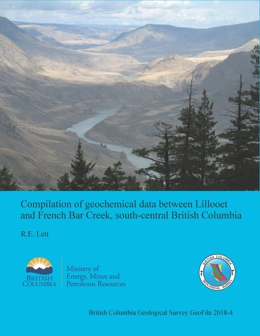 |
Results of two multi-media geochemical surveys along the west side of the Fraser River between Lillooet and French Bar Creek were originally published in British Columbia Geological Survey Fieldwork papers in 2006 and 2007, but the digital data for the surveys were not released. A compilation of the results from the two surveys, the raw data of which are released herein as readily accessible spreadsheets, reveals a strong geochemical expression of epithermal gold mineralization from occurrences in the �Watson Bar gold belt� as anomalous Au, As, As, and Hg in stream sediment and surficial sediment. The highest Au, As, Cu, and Pb concentrations are in colluvium and bedrock at the Watson Bar developed prospect. Gold mineralization is also reflected by elevated As in stream water draining the area of the developed prospect, although As can only be detected < 2 km downstream from the peak concentration. Several other Au anomalies in stream sediment and rock lack a clear source of Au mineralization. Sediment and water from Boiler Creek near the northern limit of the project area have anomalous REE levels. The sediment and water also have elevated Al and Fe values suggesting that the source for the REEs may be clay minerals weathered from volcanic rocks. |
| Issue ID: | OF2018-03 |
| Title: | Preliminary bedrock geology of the McBride River area, British Columbia |
| Author(s): | van Straaten, B.I., Bichlmaier, S.J. |
| Series Name: | Open File |
| Publication Year: | 2018 |
| NTS Map Sheet(s): | 104H/14,15; 104I/02,03,06 |
| Place Keyword(s): | British Columbia, McBride |
| Lat/Long (NSWE): | 58.3, 57.9, -129.4, -128.7 |
| Theme Keyword(s): | bedrock mapping, geological mapping, geochronology, fossil data |
Download(s):
| PDF, ZIP (View Zip Contents) |
Abstract:
 |
The McBride River area, including parts of NTS sheets 104H/14, 15, 104I/02, 03 and 06, is southeast of the community of Dease Lake in northwestern British Columbia. Mapping and geochronologic studies indicate that Late Triassic rocks of the Cake Hill pluton are unconformably overlain by late Early to Middle Jurassic rocks in the upper part of the Hazelton Group. The unconformity, which has been traced laterally for 50 km, spans at least 30 m.y. and represents one of the few examples of unroofed Stuhini arc in northern Stikinia. The unconformity is overlain by sedimentary rocks of the Spatsizi Formation (up to 0.2 km thick, Toarcian) and volcanic rocks of the Horn Mountain Formation (at least 3.5 km thick, Aalenian-Bajocian). The recently defined Horn Mountain Formation is unusual because it postdates typical Late Triassic to Early Jurassic arc volcanism in northern Stikinia, and was deposited during accretion of the Stikine and Cache Creek terranes. In the lower part of the Horn Mountain Formation, partly or wholly subaqueous, massive green augite-plagioclase-phyric volcanic breccia pass upward to a subaerial volcanic edifice composed of interlayered maroon augite-plagioclase-phyric flows, volcanic breccia and tuff. Felsic volcanic rocks cap the succession. The Horn Mountain Formation is cut by the Three Sisters pluton (ca. 173-169 Ma, Aalenian-Bajocian) and McBride River pluton. The McBride River granodiorite has hitherto been interpreted as Early Jurassic (ca. 184 Ma), but based on crosscutting relationships we suggest a Middle Jurassic or younger age to be more plausible. The Bowser Lake Group (Bajocian) conformably overlies the Horn Mountain Formation; it records initiation of erosion from the Stikinia-Cache Creek tectonic welt. Chert and limestone clast-bearing pebble to cobble conglomerate (>330 m thick) is interpreted to have formed close to range front faults along the building orogen. This coarse facies transitions to interbedded subaerial siltstone, sandstone, chert clast-bearing conglomerate, and mafic flows (>430 m thick) farther south. In the northern part of the study area, the Horn Mountain Formation and Bowser Lake Group are structurally overlain by rocks of the Whitehorse trough, juxtaposed along the Kehlechoa thrust fault (south vergent). In the hanging wall, Sinwa Formation limestones (Upper Triassic) are unconformably overlain by Takwahoni Formation sedimentary rocks (Lower Jurassic). The Takwahoni Formation succession comprises a lithologically variable unit of fine-grained siliciclastic rocks, polymictic conglomerates, and volcanic rocks (Sinemurian?) that appears to grade upward to a thick unit of interbedded sandstone and siltstone (Pliensbachian). In the northernmost part of the map area, rocks of the Whitehorse trough are structurally overlain by rocks of the Cache Creek terrane along the King Salmon thrust fault (south vergent).
At Tanzilla and McBride, northwest of the study area, the Horn Mountain Formation hosts large advanced argillic alteration systems. However in the present area, evidence of alteration and mineralization is more modest. Four grab samples from two intrusion-related hydrothermal alteration zones west and southeast of the McBride River returned no anomalous metal values. Several Cu-Ag mineral occurrences with limited alteration footprints are hosted in the middle and upper parts of the Horn Mountain Formation in the southeast part of the map area. Polymetallic veins near the Kehlechoa and King Salmon thrust faults locally contain significant gold and silver.
The Open File release includes a digital GIS compilation for an approximately 3,000 km2 area east, southeast, and south of Dease Lake covered by van Straaten et al. (2012), van Straaten et al. (2017) and this study. |
| Issue ID: | QUATERNARY GEOLOGY DATABASE |
| Title: | Quaternary Geology Database |
| Author(s): | BC Geological Survey |
| Purpose: | Inventory of compiled quaternary geology. |
| Series Name: | Digital Geoscience Data |
| Publication Year: | 2018 |
| NTS Map Sheet(s): | 082;083;092;093;094;102;103;104;114 |
| Place Keyword(s): | British Columbia |
| Lat/Long (NSWE): | 60, 48, -139, -114 |
| Theme Keyword(s): | Geology, Quaternary Geology, Compilation, Digital Maps, Digital Data |
Additional Link(s):
| https://catalogue.data.gov.bc.ca/dataset/geology-quaternary-alluvium-and-cover
https://cmscontent.nrs.gov.bc.ca/geoscience/PublicationCatalogue/OpenFile/BCGS_OF2017-08.pdf |
Abstract:
| Quaternary Alluvium and Cover is a data set that is represented as a cover layer on the maps of MapPlace. It is part of the British Columbia Digital Geology, which is the data source used for the seamless province-wide, up-to-date, and detailed bedrock geology. The bedrock geology integrates all details of compilations from 1:50,000 to 1:250,000. The latest release (Open File 2017-8) is maintained by a geospatial frame data model with techniques used to simplify the integration process and shorten the timeframe from field mapping, compilation, integration, to data delivery. Quaternary Alluvium and Cover with the related data sets, Bedrock Geology and Quaternary Alluvium and Cover, are displayed on MapPlace and MapPlace 2 and is available for download in shapefile format. |
| Issue ID: | GEOLOGY FAULTS DATABASE |
| Title: | Geology Faults Database |
| Author(s): | BC Geological Survey |
| Purpose: | Inventory of compiled geology faults. |
| Series Name: | Digital Geoscience Data |
| Publication Year: | 2020 |
| NTS Map Sheet(s): | 082;083;092;093;094;102;103;104;114 |
| Place Keyword(s): | British Columbia |
| Lat/Long (NSWE): | 60, 48, -139, -114 |
| Theme Keyword(s): | Geology, Geology Faults, Compilation, Digital Maps, Digital Data |
Additional Link(s):
| https://catalogue.data.gov.bc.ca/dataset/geology-faults |
Abstract:
| Geology faults are part of the British Columbia Digital Geology, which is the data source used for the seamless province-wide, up-to-date, and detailed bedrock geology. The bedrock geology integrates all details of compilations from 1:50,000 to 1:250,000. The latest release (Open File 2017-8) is maintained by a geospatial frame data model with techniques used to simplify the integration process and shorten the timeframe from field mapping, compilation, integration, to data delivery. Geology faults with the related data sets, Bedrock Geology and Quaternary Alluvium and Cover, are displayed on MapPlace and MapPlace 2 and is available for download in shapefile format. |
| Issue ID: | ISOTOPIC AGE DATABASE |
| Title: | BC Age 2004A-1: A database of Isotopic Age Determinations for Rock Units from British Columbia |
| Author(s): | Breitsprecher, K., Mortensen, J.K. |
| Purpose: | basic data to help provide geologic background to geologists |
| Series Name: | Digital Geoscience Data |
| Publication Year: | 2004 |
| NTS Map Sheet(s): | 082;083;092;093;094;102;103;104;114 |
| Place Keyword(s): | British Columbia |
| Lat/Long (NSWE): | 60, 48, -139, -114 |
| Theme Keyword(s): | Geochronology, isotopic age determinations, bedrock units, rock samples |
Additional Link(s):
| http://www.nrcan.gc.ca/earth-sciences/geography/atlas-canada/geochron/18211
https://catalogue.data.gov.bc.ca/dataset/isotopic-age-determinations-for-rock-units |
Abstract:
 |
BCAge 2004 is an MS-Access based database containing all reported non-proprietary isotopic age determinations for bedrock units from British Columbia. This release contains 7759 age determinations from 4828 rock samples, summarizing 622 published articles, theses or unpublished reports. The data is fully relational, and may be queried by the user on the basis absolute age (in Ma), location (NTS map sheet, terrane polygon, or decimal lat-long, as specified by the user) or source (e.g. author, journal title, etc.). The product is not stand-alone; the end user must install Microsoft Access, version 2000 or XP (2002). This data has also been integrated into MapPlace. |
| Issue ID: | ROCK PROPERTIES DATABASE |
| Title: | Rock Properties Database |
| Author(s): | Geoscience BC |
| Series Name: | Digital Geoscience Data |
| Publication Year: | 2008 |
| Other Citation Details: | Geoscience BC Report 2008-9 |
| NTS Map Sheet(s): | 082;083;092;093;094;102;103;104;114 |
| Place Keyword(s): | British Columbia |
| Lat/Long (NSWE): | 60, 49, -139, -114 |
| Theme Keyword(s): | Geology, Rock Properties, Database, Geophysics |
Additional Link(s):
| http://www.geosciencebc.com/projects/2006-015/
http://rpds.mirageoscience.com/
https://catalogue.data.gov.bc.ca/dataset/rock-properties-database |
Abstract:
 |
Open File 2008-04 presents the Rock Properties Database, a collaborative project between Mira Geoscience, the Geological Survey of Canada and CAMIRO. This database brings together geophysical and geological information into a common format, facilitating interpretation of rock properties and corresponding geological descriptions across geological areas of British Columbia. This fully operative web based system provides a single database for all rock property data allowing aggregation of large amounts of data and in-depth analysis of rock property relationships. It is an oracle-based relational management database that stores, maintains and queries geophysical, geochemical and geotechnical property data. It also queries metadata in correlation with geological information.
Through cross-correlation, this database assigns physical property values to geological units and uses this information to characterize the rock property environment of specific ore deposits. Proper characterization of the physical properties environment of ore deposits lead directly to significant exploration benefits through improved geophysical survey design, forward modeling, inversion, and interpretation. The physical properties, mostly density and magnetic susceptibility, along with location, lithology and other metadata have been compiled for 13,555 sites and the list is continuously growing.
The rock property data for 11,582 sites are available as three layers on the main maps of MapPlace.ca. The layers display magnetic susceptibility, density, and electrical conductivity measurements. The sites are also linked to detailed reports and downloads as well as metadata, publications about the data, and the Mira Geoscience website. |
| Issue ID: | GBCR2018-07 |
| Title: | Advanced processing of the TREK Project geochemical data: Identifying and Enhancing geochemical anomalies in the TREK project area using sediment transport modelling combined with multimedia and multivariate data analysis |
| Author(s): | Sacco, D., Lett, R., Jackaman, W., Elder, B. |
| Series Name: | Geoscience BC Report |
| Publication Year: | 2018 |
| Larger Work Citation: | Geoscience BC Project 2016-019 |
| NTS Map Sheet(s): | 093B,C,F,G |
| Place Keyword(s): | British Columbia |
| Lat/Long (NSWE): | 54, 52, -126, -123 |
| Theme Keyword(s): | TREK, regional geochemical survey, target generation, multivariate analysis, anomaly |
Additional Link(s):
| http://cdn.geosciencebc.com/project_data/GBCReport2018-07/GBCReport2018-07.pdf
http://cdn.geosciencebc.com/project_data/GBCReport2018-07/GBCReport2018-07_RptAndData.zip |
Abstract:
| The Targeting Resources for Exploration and Knowledge (TREK) project produced a large comparable surficial geochemistry data set for the area. This study applie a multivariate and multimedia evaluation, and till sediment-transport modelling and data levelling based on bedrock composition to enhance geochemical anomalies in the TREK project area. The geochemical data set was standardized through regression-based substitutions for censored data and levelled to mitigate geochemical variation related to analytical methods. Areas of influence (AOI) link till samples to dominant bedrock sources, which are used to create subpopulations and level the data. Levelling the data to bedrock source units aims to remove the variation in the regional geochemical data set related to changes in bedrock composition and improve the discernibility of contrasting geochemical data potentially related to economic mineralization. Deposit signatures of common deposit models were determined from publicly available drill core and trench sampling data, and a weighted sum (WS) analysis identifies these signatures within the surface sediment data. The results of this study indicate that the methodology tested here is effective in enhancing the geochemical signal of mineralization in a regional data set. Several limitations to the methodology have been identified through this study, and suggestions have been made to improve similar efforts in the future. Nonetheless, differing results from the elements related to mineralization and bedrock composition verify that the method does mitigate geochemical differences related to changes in regional bedrock composition. Furthermore, the contrast of over half of the anomaly clusters identified by the WS indices was increased by the levelling, particularly in the southern part of the study area where mineralization may be partially covered by Eocene volcanics. Of the 91 anomaly clusters identified by the study, most do not have known mineralized sources, or are likely to have additional unidentified sources. |
| Issue ID: | GF2018-05 |
| Title: | Results of a regional stream-sediment and water geochemical survey in the Porcher Island, Dundas Island, and Grenville Channel area, central British Columbia coast (NTS 103G, 103H, 103J) |
| Author(s): | Lett, R.E. |
| Series Name: | Geofile |
| Publication Year: | 2018 |
| NTS Map Sheet(s): | 103G,H,J |
| Place Keyword(s): | British Columbia, Porcher Island, Grenville Channel, Dundas Island |
| Lat/Long (NSWE): | 54.6, 53.3, -131, -128.8 |
| Theme Keyword(s): | geochemical survey, moss-mat, sediment, exhalite, geochemistry |
Download(s):
| PDF, ZIP (View Zip Contents) |
Abstract:
 |
Geofile 2018-5 describes a reconnaissance-scale moss mat-sediment geochemical survey carried out in 2000, in the Porcher Island, Grenville Channel, and Dundas Island area of coastal British Columbia (NTS 103G, 103H, 103J). Seventy five moss mat-sediment samples were analyzed by a combination of a HNO3-HCl-H2O (modified aqua regia) dissolution - inductively coupled plasma emission/mass spectrometry and instrumental neutron activation, resulting in a total of 65 analytes. They were also analyzed for F and loss on ignition. Water samples were analyzed for pH, SO4, F, and U. The moss mat-sediment analyses reveal scattered Au anomalies that may reflect Cu-Mo sulphide mineralization on Porcher Island. Stronger Cu-Ag-V-Fe and Ba-Mo-Zn anomalies in streams draining the northeast part of Porcher Island, the central part of Porcher Island and along Grenville Channel can be explained by northeast-trending, metavolcanic-hosted, exhalative style magnetite and sphalerite-chalcopyrite mineralization. Only background Au, Cu, Pb and Zn values were found in the moss mat sediments collected from Dundas, Dunira and Melville islands. |
| Issue ID: | MP-76 |
| Title: | Mineral programs of Canadian provincial and territorial geological surveys |
| Author(s): | Committee of Provincial and Territorial Geologists |
| Series Name: | Miscellaneous Publication |
| Publication Year: | 2017 |
| NTS Map Sheet(s): | 001 to 117 |
| Place Keyword(s): | British Columbia, Canada, Canadian Provinces, Canadian Territories |
| Lat/Long (NSWE): | 83.2, 41.6, -141, -52.6 |
| Theme Keyword(s): | Canadian provincial geological surveys, Canadian territorial geological surveys, Committee of Provincial and Territorial Geologists, Mineral programs |
Download(s):
| PDF |
Abstract:
 |
Geological surveys are government agencies that provide geoscience information to the public, thus supporting responsible resource development and encouraging investment. Geoscience information is used by governments to make informed decisions and create effective policy on resource development, land use, and environmental stewardship. The provincial and territorial surveys are the main stewards for public geoscience within their borders. They conduct programs that address jurisdictional priorities and provide systematic geological descriptions, including mineral, energy, and groundwater endowments. They maintain records of assessment work and are closely linked to agencies that manage mineral tenure and regulations. This booklet, produced by the Committee of Provincial and Territorial Geologists (www.ngsccanada.com), provides information on the mineral programs of Canada�s provincial and territorial surveys, and how to access key publications and services. |
| Issue ID: | MP-77 |
| Title: | British Columbia's Geological Surveys, 1895-1995: A century of Science and Dedication |
| Author(s): | Sutherland Brown, Atholl |
| Series Name: | Miscellaneous Publication |
| Publication Year: | 1998 |
| NTS Map Sheet(s): | 082;083;092;093;094;102;103;104;114 |
| Place Keyword(s): | British Columbia |
| Lat/Long (NSWE): | 60, 48, -140, -114 |
| Theme Keyword(s): | Geological Survey Branch, Mines and mineral resources, History of British Columbia |
Download(s):
| PDF |
Abstract:
 |
The 100-year history of the geological surveys of British Columbia began with the appointment of a Provincial Mineralogist and a Provincial Assayer and Analyst in 1895 to the present day BC Geological Survey. The book serves as an introduction to the history of mining in British Columbia and will be of interest to historians, geologists, engineers, surveyors, members of the mining community and anyone curious about the historical development of British Columbia. |
| Issue ID: | GBCR2018-13 |
| Title: | Geoscience BC Peace Project: Final Report |
| Author(s): | Morgan, S.E. and Allen, D.M. |
| Series Name: | Geoscience BC Report |
| Publication Year: | 2018 |
| Larger Work Citation: | Geoscience BC Peace Project |
| NTS Map Sheet(s): | 094B/9,10,15,16; 094G/1,2 |
| Place Keyword(s): | British Columbia, Northeastern British Columbia, Peace River |
| Lat/Long (NSWE): | 57.1, 56.5, -123.15, -122 |
| Theme Keyword(s): | groundwater resources, aquifers, Qaternary and bedrock geology, electromagnetic data, SkyTEM |
Additional Link(s):
| http://cdn.geosciencebc.com/project_data/GBCR2018-13_FINALPeace.pdf |
Abstract:
| The final report from Geoscience BC�s Peace Project summarizes 16 pieces of research conducted since 2014, and provides data for groundwater management and responsible resource development in northeast BC. The report provides new knowledge about groundwater in the Peace region and includes findings such as: surface geology in the Peace Region is complex, and the depth of a layer of sediments covering bedrock varies significantly; sediments near the surface in the Peace region are not sufficiently interconnected over large areas with quantities of water suitable for industrial uses or as water sources for large communities; the networks of aquifers near the surface may be suitable for other uses, such as domestic water wells; and other water sources deeper in the bedrock may be suitable for such uses, but further research is required. |
| Issue ID: | IC2018-04 |
| Title: | British Columbia bedrock geology (flyer) |
| Author(s): | BC Geological Survey |
| Series Name: | Information Circular |
| Publication Year: | 2018 |
| NTS Map Sheet(s): | 082;083;092;093;094;102;103;104;114 |
| Place Keyword(s): | British Columbia |
| Lat/Long (NSWE): | 60, 48, -139, -114 |
| Theme Keyword(s): | bedrock geology, digital geology |
Download(s):
| PDF |
Abstract:
 |
Information Circular 2018-4 is a 2-page flyer briefly describing bedrock geology in British Columbia and access to it digital products. |
| Issue ID: | GBCR2018-14 |
| Title: | Integrated assessment of regional stream-sediment geochemistry for metallic deposits in northwestern British Columbia (parts of NTS 093, 094, 103, 104), Canada |
| Author(s): | Arne, D.C., Mackie, R., Pennimpede, C. Grunsky, E., Bodnar, M., Vargas, A.M. and Wholley, D. |
| Series Name: | Geoscience BC Report |
| Publication Year: | 2018 |
| Larger Work Citation: | Geoscience BC Project 2016-028 |
| NTS Map Sheet(s): | 093, 094, 103, 104 |
| Place Keyword(s): | British Columbia, Northwestern British Columbia, Stikine terrane, Quesnel terrane, Cache Creek terrane |
| Lat/Long (NSWE): | 59, 53, -134, -124 |
| Theme Keyword(s): | stream-sediment geochemistry, metallic deposits, RGS, data quality |
Additional Link(s):
| http://cdn.geosciencebc.com/project_data/GBCR2018-14/GBCReport2018-14_Raw%20Deliverables.zip
http://cdn.geosciencebc.com/project_data/GBCR2018-14/GBCReport2018-14_Gridded_Image_Products.zip
http://cdn.geosciencebc.com/project_data/GBCR2018-14/GBCReport2018-14_QGIS_Package.zip
http://www.geosciencebc.com/i/project_data/GBCR2018-14/GBCReport2018-14_ArcMap_Package.zip
http://www.geosciencebc.com/i/project_data/GBCR2018-14/GBCReport2018-14_Report.pdf |
Abstract:
| CSA Global compiled, reviewed and analysed new geochemical data from 14,863 archived stream sediment samples from 20 1:250,000 NTS map sheets from northwest British Columbia. The aim of the work was to undertake an integrated study of these new data using classical, as well as more advanced modern data analysis techniques to assist with targeting economic mineral deposits. The study region is predominantly underlain by rocks of the Stikine terrane, with subordinate rocks from the Quesnel and Cache Creek terranes. Several classical and new approaches to filter the data for the effects of variable lithology, metal scavenging by secondary Fe and/or Mn hydroxides, clays or organic material were trialled. |
| Issue ID: | GF2018-06 |
| Title: | Field trip guidebook to the Upper Fir carbonatite-hosted Ta-Nb deposit, Blue River area, east-central British Columbia |
| Author(s): | Rukhlov, A.S., Chudy, T.C., Arnold, H., Miller, D. |
| Series Name: | Geofile |
| Publication Year: | 2018 |
| NTS Map Sheet(s): | 083D |
| Place Keyword(s): | British Columbia, Southeastern British Columbia, Blue River |
| Lat/Long (NSWE): | 52.5, 52, -119.4, -118.6 |
| Theme Keyword(s): | carbonatite, mantle plume, Upper Fir, Ta-Nb deposit, pyrochlore supergroup |
Download(s):
| PDF |
Abstract:
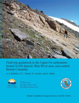 |
Carbonatites are igneous rocks containing abundant primary carbonate minerals. These rare rocks generally form in intracratonic settings as part of crustal-scale dome and rift systems. Historically regarded as petrogenetic curiosities, recent interest in strategic metals has led to significant exploration for carbonatites. In the Canadian Cordillera, carbonatites were emplaced episodically, at ca. 810-700, 500, and 360-330 Ma, forming part of the British Columbia alkaline province, which defines a long (at least 1000 km), narrow (ca. 200 km) orogen-parallel belt. The ca. 810-700 Ma and 500 Ma carbonatites were injected during protracted breakup of the supercontinent Rodinia and passive margin development on the western flank of Laurentia. In contrast to these and to most carbonatites globally, the 360-330 Ma carbonatites, such as the Blue River area examples, are unusual. They were emplaced near the continental margin during subduction rather than in the cratonic interior during continent breakup. The Blue River carbonatites include at least 18 carbonatite and 2 alkaline, silica-undersaturated-rock occurrences. This field trip considers the characteristics, magmatic evolution, and mineralization of the Blue River carbonatites as represented by the Upper Fir complex, which hosts one of the largest and best studied Nb-Ta deposits in the Canadian Cordillera. Exploration by Commerce Resources Corporation at the Upper Fir complex established an NI 43-101-compliant resource of 48.4 million tonnes (Indicated) averaging 1,610 ppm Nb2O5 and 197 ppm Ta2O5 plus 5.4 million tonnes (Inferred) averaging 1,760 ppm Nb2O5 and 191 ppm Ta2O5. Participants will examine outcrops and drill-core sections of amphibolite-grade metacarbonatites, related metasomatic rocks, syntectonic pegmatites, enclosing pelites and amphibolites of the Mica Creek assemblage (750-550 Ma), and Mesozoic-Cenozoic Cordilleran structures. We consider the tectonometamorphic overprinting of igneous features in the Upper Fir carbonatites, as recorded by paragenetic relationships, mineral chemistry, recrystallization, and retrograde deformation.
Isotopic evidence and spatial and temporal associations with large igneous provinces containing ultramafic and alkaline silicate rocks indicate derivation of carbonatite magmas from sub-lithospheric mantle plumes. New isotopic and elemental compositions of minerals from Blue River carbonatites and related rocks are indistinguishable from worldwide carbonatites generated by such deep-mantle plumes. The 360-330 Ma Cordilleran examples formed along the western margin of Laurentia while subduction was taking place immediately to the west. Lithospheric extension related to this Late Paleozoic subduction is considered responsible for rifting the continent margin and initiating the Slide Mountain ocean as a back-arc basin. We suggest that this same back-arc extension triggered emplacement of the Blue River carbonatites, which were derived from a long-lived, deep-level mantle plume that was tapped episodically since the Neoproterozoic. |
| Issue ID: | IC2018-07 |
| Title: | The Peace River coalfields (poster) |
| Author(s): | British Columbia Geological Survey |
| Series Name: | Information Circular |
| Publication Year: | 2018 |
| NTS Map Sheet(s): | 093I,O,P; 094A,B |
| Place Keyword(s): | British Columbia, Peace River |
| Lat/Long (NSWE): | 56.4, 54, -123.25, -114 |
| Theme Keyword(s): | coalfields, coal deposits, coal quality, geology, coal production |
Download(s):
| PDF |
Abstract:
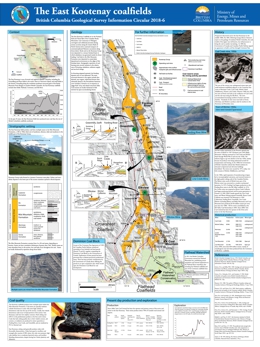 |
Coal deposits in northeast British Columbia occur in the Foothills and Plains coalfields, together commonly referred to as the Peace River coalfield. The Foothills coalfield, which extends for over 400 km along the Rocky Mountains foothills, has produced approximately 130 million tonnes of bituminous coal. In the Foothills, economically significant coal deposits occur in the Gething and Gates formations (Lower Cretaceous). Although the Minnes Group and Boulder Creek Formation contain coal, beds of adequate thickness and continuity to be profitably mined have not been discovered. Gates Formation coals are generally medium-volatile bituminous, although some of the deposits at the south end of the Foothills coalfield contain high-volatile bituminous coal. Gates Formation coals are low in sulphur and phosphorus. The rank of coal in the Gething Formation is variable, ranging from high-volatile bituminous to semianthracite. Gething coals generally wash easily to low clean ash content; some Gething coals are sufficiently low in ash that they do not require washing. Not all Gething coal seams yield coking coal, but the ultra-low volatile coal is marketed as pulverized coal injection (PCI) coal. The Plains coalfield has not yet been profitably mined. |
| Issue ID: | GF2018-07 |
| Title: | Digital data release for a multimedia geochemical survey in the McLeod Lake map area (NTS 093J/5, 6,12) central British Columbia |
| Author(s): | Lett, R.E. |
| Series Name: | Geofile |
| Publication Year: | 2018 |
| NTS Map Sheet(s): | 093J/5, 093J/6, 093J/12 |
| Place Keyword(s): | British Columbia, Central British Columbia, McLeod Lake |
| Lat/Long (NSWE): | 54.68, 54.32, -124, -123.35 |
| Theme Keyword(s): | geochemical survey, till, stream sediment, stream water |
Download(s):
| PDF, ZIP (View Zip Contents) |
Abstract:
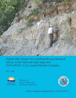 |
In 2006, a geochemical orientation survey in the McLeod Lake area (NTS 093J/5, 6, 12) collected till at 16 sites, stream sediment at 6 sites, and stream water at 3 sites. The till and sediment samples were analyzed for 40 elements by a combination of HCl- HNO3-H2O dissolution-inductively coupled mass spectrometry (ICP-MS) and instrumental neutron activation (INAA), and for loss on ignition (LOI). Filtered (0.45 �) acidified (1 M HNO3) water sample were analyzed for 60 elements by inductively coupled mass spectrometry (ICP-MS) and inductively coupled emission spectrometry (ICP-ES). The water samples were also analyzed in the field for pH and conductivity. Although results and an interpretation of the analyses were previously reported, the digital data were not released. GeoFile 2018-7 provides these data (Datafiles 1 and 2). |
| Issue ID: | IC2018-10 |
| Title: | British Columbia Geological Survey Mineral Development Office |
| Author(s): | BC Geological Survey |
| Series Name: | Information Circular |
| Publication Year: | 2018 |
| NTS Map Sheet(s): | 082;083;092;093;094;102;103;104;114 |
| Place Keyword(s): | British Columbia, Vancouver |
| Lat/Long (NSWE): | 60, 48, -140, -114 |
| Theme Keyword(s): | Mineral Development Office, MDO, links, distribution, mineral opportunities |
Download(s):
| PDF |
Abstract:
 |
The Mineral Development Office (MDO) is the Vancouver base of the British Columbia Geological Survey (BCGS). The MDO links the Survey with more than 800 global exploration and mining companies headquartered in Vancouver. The MDO distributes BCGS data and provides technical information and expertise about mineral opportunities to the investment community. It also coordinates the Provincial Overview of Mining and Exploration volume, the first Information Circular of every year. |
| Issue ID: | IC2018-09 |
| Title: | Online databases at the British Columbia Geological Survey |
| Author(s): | BC Geological Survey |
| Series Name: | Information Circular |
| Publication Year: | 2018 |
| NTS Map Sheet(s): | 082;083;092;093;094;102;103;104;114 |
| Place Keyword(s): | British Columbia |
| Lat/Long (NSWE): | 60, 48, -139, -114 |
| Theme Keyword(s): | online databases, British Columbia Geological Survey, MapPlace, MINFILE, ARIS, COALFILE, Property File, geochemical, bedrock geology, publications catalog |
Download(s):
| PDF |
Abstract:
 |
Information Circular 2018-9 summarizes the British Columbia Geological Survey's online databases, including MapPlace, ARIS, MINFILE, COALFILE, Property File, geochemical, bedrock geology and publications catalogue. |
| Issue ID: | GBCR2018-20 |
| Title: | Identification and Evaluation of New Resource Oil Plays in Northeast British Columbia's Portion of the Western Canadian Sedimentary Basin |
| Author(s): | Petrel Robertson Consulting Ltd., Trican Geological Solutions, and Anderson, Howard |
| Series Name: | Geoscience BC Report |
| Publication Year: | 2018 |
| Larger Work Citation: | Geoscience BC Project 2015-021 |
| NTS Map Sheet(s): | 093O, 093P, 094A, 094B, 094G, 094H, 094I, 094J, 094O, 094P |
| Place Keyword(s): | British Columbia, Northeast British Columbia |
| Lat/Long (NSWE): | 60, 54.5, -124.6, -119 |
| Theme Keyword(s): | resource oil, tight oil, halo oil, reservoir engineering, Maxhamish field |
Additional Link(s):
| http://cdn.geosciencebc.com/project_data/GBCReport2018-20/GBCR2018-20_Resource_Oil_Report.pdf
http://cdn.geosciencebc.com/project_data/GBCReport2018-20/GBCR2018-20_Appendices.zip
http://cdn.geosciencebc.com/project_data/GBCReport2018-20/GBCR2018-20_Maps.zip |
Abstract:
| Horizontal drilling and multiple-stage hydraulic fracturing (multi-frac) stimulation technologies have greatly augmented gas and liquids resources and reserves in the unconventional reservoirs of British Columbia over the past several years. However, little new unconventional oil potential has been identified, even though substantial conventional oil pools have been producing for decades. To address this issue, Geoscience BC commissioned a study to determine the potential for new tight oil exploration and exploitation fairways, accessible throughmodern drilling and completions technologies. Resource oil targets were identified using regional geological assessents of reservoir and prolduction trends in conventional, tight, and shale reservoirs. Of 27 possible resource oil targets, 8 were rejected as unsuitable and 19 were deemed suitable for analysis. The Halfway (in the greater Peejay and Buick Creek areas) and Chinkeh (in the Maxhamish area) formations were identified as 'A' grade targets. The Doig Formation sandstones were graded 'A/B' because of existing production and the potential for further development. Six were graded 'B', indicating real potential but lacking evidence of extensive oil 'fairways'. Ten were graded 'C', having little realistic prospectivity. |
| Issue ID: | P2018-01 |
| Title: | Geological Fieldwork 2017, A Summary of Field Activities and Current Research, British Columbia Geological Survey |
| Author(s): | BC Geological Survey |
| Series Name: | Paper |
| Publication Year: | 2018 |
| Larger Work Citation: | Geological Fieldwork 2017, B.C. Ministry of Energy, Mines and Petroleum Resources, Paper 2018-01 |
| NTS Map Sheet(s): | 082;083;092;093;094;102;103;104;114 |
| Place Keyword(s): | British Columbia |
| Lat/Long (NSWE): | 60, 48, -139, -114 |
| Theme Keyword(s): | Geological Fieldwork, Full volume, Geological |
Download(s):
| PDF |
Abstract:
 |
The 43rd edition of Geological Fieldwork is a volume of peer-reviewed papers that presents the results of geological research conducted by the British Columbia Geological Survey (BCGS) and its partners in 2017. The volume provides new geoscience information at no cost to the public. Many geoscience projects in 2017 were collaborations with partners including the Geological Survey of Canada (GSC), the University of Victoria, and the University of British Columbia. |
| Issue ID: | P2017-01 |
| Title: | Geological Fieldwork 2016, A Summary of Field Activities and Current Research, British Columbia Geological Survey |
| Author(s): | BC Geological Survey |
| Series Name: | Paper |
| Publication Year: | 2017 |
| Larger Work Citation: | Geological Fieldwork 2016, B.C. Ministry of Energy and Mines, Paper 2017-01 |
| NTS Map Sheet(s): | 082;083;092;093;094;102;103;104;114 |
| Place Keyword(s): | British Columbia |
| Lat/Long (NSWE): | 60, 48, -139, -114 |
| Theme Keyword(s): | Geological Fieldwork, Full volume, Geological |
Download(s):
| PDF |
Abstract:
 |
The 42nd edition of Geological Fieldwork is a volume of peer-reviewed papers that present the results of geological research conducted by the British Columbia Geological Survey (BCGS) and its partners in 2016. The volume is a key publication of the BCGS because it provides objective and up-to-date geoscience information at no cost to the public. Many geoscience projects in 2016 were collaborative efforts with partners including the Geological Survey of Canada (GSC), the University of Victoria, the Geological Survey of Japan, Geoscience BC and the Mineral Deposit Research Unit (MDRU) at the University of British Columbia. |
| Issue ID: | P2016-01 |
| Title: | Geological Fieldwork 2015, A Summary of Field Activities and Current Research, British Columbia Geological Survey |
| Author(s): | BC Geological Survey |
| Series Name: | Paper |
| Publication Year: | 2016 |
| Larger Work Citation: | Geological Fieldwork 2015, B.C. Ministry of Energy and Mines, Paper 2015-01 |
| NTS Map Sheet(s): | 082;083;092;093;094;102;103;104;114 |
| Place Keyword(s): | British Columbia |
| Lat/Long (NSWE): | 60, 48, -139, -114 |
| Theme Keyword(s): | Geological Fieldwork, Full volume, Geological |
Download(s):
| PDF |
Abstract:
 |
The 41st edition of Geological Fieldwork is a volume of peer-reviewed papers that present the results of geological research conducted by the British Columbia Geological Survey (BCGS) and its partners in 2015. The papers address various aspects of British Columbia�s geology, with many highlighting the mineral wealth of the Province. The Geological Fieldwork publication is one way that the BCGS helps the minerals industry unlock this wealth by providing comprehensive, objective, and up-to-date geoscience information at no cost. |
| Issue ID: | P2015-01 |
| Title: | Geological Fieldwork 2014: A Summary of Field Activities and Current Research, British Columbia Geological Survey |
| Author(s): | BC Geological Survey |
| Series Name: | Paper |
| Publication Year: | 2015 |
| Larger Work Citation: | Geological Fieldwork 2014, B.C. Ministry of Energy and Mines, Paper 2015-01 |
| NTS Map Sheet(s): | 082;083;092;093;094;102;103;104;114 |
| Place Keyword(s): | British Columbia |
| Lat/Long (NSWE): | 60, 48, -140, -114 |
| Theme Keyword(s): | Geological Fieldwork, Full Volume, Geological |
Download(s):
| PDF |
Abstract:
 |
This is the 40th edition of Geological Fieldwork, a volume of peer-reviewed papers that present the results of geological research conducted by the British Columbia Geological Survey (BCGS) and its partners in 2014. The papers address various aspects of British Columbia�s geology, with many highlighting the mineral wealth of the Province. The annual Geological Fieldwork publication is one way that the BCGS helps to unlock this mineral wealth by providing comprehensive, objective, and up-to-date geoscience information, advice, and knowledge to the minerals industry. The BCGS underwent considerable renewal this year with the addition of 7 new permanent staff to fill both new positions and several longstanding vacancies. |
| Issue ID: | P2014-01 |
| Title: | Geological Fieldwork 2013: A Summary of Field Activities and Current Research, British Columbia Geological Survey |
| Author(s): | BC Geological Survey |
| Series Name: | Paper |
| Publication Year: | 2014 |
| Larger Work Citation: | Geological Fieldwork 2013, B.C. Ministry of Energy and Mines, Paper 2014-01 |
| NTS Map Sheet(s): | 082;083;092;093;094;102;103;104;114 |
| Place Keyword(s): | British Columbia |
| Lat/Long (NSWE): | 60, 48, -140, -114 |
| Theme Keyword(s): | Geological Fieldwork, Full Volume, Geological |
Download(s):
| PDF |
Abstract:
 |
This is the thirty-ninth edition of Geological Fieldwork, a volume of peer-reviewed papers that present the results of geological research conducted by the British Columbia Geological Survey (BCGS) and its partners in 2013. The papers address different aspects of British Columbia�s geology, with many highlighting the enormous mineral wealth of the Province. The annual Geological Fieldwork publication is one way that the BCGS helps to unlock this mineral wealth by providing comprehensive, objective, and up-to-date geoscience information, advice, and knowledge to the minerals industry. Following the spring election in 2013, the new government of British Columbia reorganized the natural resource sector ministries. The Ministry of Energy, Mines and Natural Gas (MEMNG) was split into two separate ministries: the Ministry of Energy and Mines (MEM) and the Ministry of Natural Gas Development (MNGD). The BCGS remained with MEM as did the five geologists that deliver the Regional Geologists Program. |
| Issue ID: | P2013-01 |
| Title: | Geological Fieldwork 2012: A Summary of Field Activities and Current Research, British Columbia Geological Survey |
| Author(s): | BC Geological Survey |
| Series Name: | Paper |
| Publication Year: | 2013 |
| Larger Work Citation: | Geological Fieldwork 2012, B.C. Ministry of Energy, Mines and Natural Gas, Paper 2013-01 |
| NTS Map Sheet(s): | 082;083;092;093;094;102;103;104;114 |
| Place Keyword(s): | British Columbia |
| Lat/Long (NSWE): | 60, 48, -140, -114 |
| Theme Keyword(s): | Geological Fieldwork, Full Volume, Geological |
Download(s):
| PDF |
Abstract:
 |
The British Columbia Geological Survey (BCGS) presents here the results of 2012 field surveys and geoscience research in the thirty-eighth edition of Geological Fieldwork. Collectively, these papers demonstrate the breadth of staff expertise and our many research partners highlight the organization�s collaborative nature. The provision of new geoscience data about British Columbia is a key activity of the BCGS that leads to mineral tenure acquisition and increased mineral exploration activity in the Province. Most articles are contributions by Survey staff to the understanding of the geology, geochemistry, and mineral deposits of the Province. The volume also includes several contributions from other professional geoscientists that contain new data of interest to the exploration community. |
| Issue ID: | P2012-01 |
| Title: | Geological Fieldwork 2011: A Summary of Field Activities and Current Research, British Columbia Geological Survey |
| Author(s): | BC Geological Survey |
| Series Name: | Paper |
| Publication Year: | 2012 |
| Larger Work Citation: | Geological Fieldwork 2011, B.C. Ministry of Energy and Mines, Paper 2012-01 |
| NTS Map Sheet(s): | 082;083;092;093;094;102;103;104;114 |
| Place Keyword(s): | British Columbia |
| Lat/Long (NSWE): | 60, 48, -140, -114 |
| Theme Keyword(s): | Geological Fieldwork, Full Volume, Geological |
Download(s):
| PDF |
Abstract:
 |
The British Columbia Geological Survey (BCGS) presents here the results of 2011 field surveys and geoscience research in the thirty-seventh edition of Geological Fieldwork. Collectively, these papers demonstrate the breadth of staff expertise and our many research partners highlight the organization�s collaborative nature. The provision of new geoscience data about British Columbia is a key activity of the BCGS that leads to mineral tenure acquisition and increased mineral exploration activity in the Province. Most articles are contributions by Survey staff to the understanding of the geology, geochemistry, and mineral deposits of the Province. The volume also includes several contributions from other professional geoscientists that contain new data of interest to the exploration community. |
| Issue ID: | P2011-01 |
| Title: | Geological Fieldwork 2010: A Summary of Field Activities and Current Research, British Columbia Geological Survey |
| Author(s): | BC Geological Survey |
| Series Name: | Paper |
| Publication Year: | 2011 |
| Larger Work Citation: | Geological Fieldwork 2010, B.C. Ministry of Forest, Mines and Lands, Paper 2011-01 |
| NTS Map Sheet(s): | 082;083;092;093;094;102;103;104;114 |
| Place Keyword(s): | British Columbia |
| Lat/Long (NSWE): | 60, 48, -140, -114 |
| Theme Keyword(s): | Geological Fieldwork, Full Volume, Geological |
Download(s):
| PDF |
Abstract:
 |
The British Columbia Geological Survey (BCGS) presents here the results of 2010 field surveys and geoscience research in the thirty-sixth edition of Geological Fieldwork. The articles profile some of the considerable staff expertise housed in the Survey. The provision of new geoscience data about British Columbia is a key activity of the BCGS that leads to mineral tenure acquisition and increased mineral exploration activity in the Province. Most articles are contributions by Survey staff to the understanding of the geology, geochemistry, and mineral deposits of the Province. The volume also includes contributions from the Geoscience and Natural Gas Development Branch of the Ministry of Energy and other professional geoscientists. Late in 2010, the government of British Columbia reorganized the natural resource sector ministries. The BCGS moved to the new Ministry of Forests, Mines and Lands along with the Mineral Policy Branch, while the regional geologists and the remaining Mines and Minerals Division staff of the former Ministry of Energy, Mines and Petroleum Resources moved to the new Ministry of Natural Resource Operations. |
| Issue ID: | P2010-01 |
| Title: | Geological Fieldwork 2009: A Summary of Field Activities and Current Research, British Columbia Geological Survey |
| Author(s): | BC Geological Survey |
| Series Name: | Paper |
| Publication Year: | 2010 |
| Larger Work Citation: | Geological Fieldwork 2009, B.C. Ministry of Energy, Mines and Petroleum Resources, Paper 2010-01 |
| NTS Map Sheet(s): | 082;083;092;093;094;102;103;104;114 |
| Place Keyword(s): | British Columbia |
| Lat/Long (NSWE): | 60, 48, -140, -114 |
| Theme Keyword(s): | Geological Fieldwork, Full Volume, Geological |
Download(s):
| PDF |
Abstract:
 |
The British Columbia Geological Survey (BCGS) presents here the results of field surveys and geoscience research for 2009 in a thirty-fifth edition of Geological Fieldwork. Most articles are contributions by survey staff to the understanding of the geology, geochemistry and mineral deposits of the province. The volume also includes contributions about collaborative research with other organizations and projects completed by other professional geoscientists. |
| Issue ID: | P2009-01 |
| Title: | Geological Fieldwork 2008: A Summary of Fieldwork and Current Research, Paper 2009-0 |
| Author(s): | BC Geological Survey |
| Series Name: | Paper |
| Publication Year: | 2009 |
| Larger Work Citation: | Geological Fieldwork 2008, B.C. Ministry of Energy, Mines and Petroleum Resources, Paper 2008-01 |
| NTS Map Sheet(s): | 082;083;092;093;094;102;103;104;114 |
| Place Keyword(s): | British Columbia |
| Lat/Long (NSWE): | 60, 48, -139, -114 |
| Theme Keyword(s): | British Columbia Geological Survey Fieldwork, Geological, Foreword, Table of Contents |
Download(s):
| PDF |
Abstract:
 |
The British Columbia Ministry of Energy, Mines and Petroleum Resources and Geoscience BC present the results of 2008 geoscience surveys and studies in this thirty-fourth edition of Geological Fieldwork: A Summary of Fieldwork and Current Research. Many articles are contributions from staff of the BC Geological Survey. The report contains 19 individual geoscience reports with several reports on the mineral potential of the pine beetle impact area of central British Columbia. |
| Issue ID: | P2008-01 |
| Title: | Geological Fieldwork 2007: A Summary of Fieldwork and Current Research, Paper 2008-01 |
| Author(s): | BC Geological Survey |
| Purpose: | To provide the introduction to Geological Fieldwork 2007, P2008-01 |
| Series Name: | Paper |
| Publication Year: | 2008 |
| Other Citation Details: | Geoscience BC Report 2008-1 |
| Larger Work Citation: | Geological Fieldwork 2007, B.C. Ministry of Energy, Mines and Petroleum Resources, Paper 2008-01 |
| NTS Map Sheet(s): | 082;083;092;093;094;102;103;104;114 |
| Place Keyword(s): | British Columbia |
| Lat/Long (NSWE): | 60, 48, -139, -114 |
| Theme Keyword(s): | British Columbia Geological Survey Fieldwork, Geological, Full Volume |
Download(s):
| PDF |
Abstract:
 |
The British Columbia Ministry of Energy, Mines and Petroleum Resources and Geoscience BC present the results of 2007 geoscience surveys and studies in this thirty-third edition of Geological Fieldwork: A Summary of Fieldwork and Current Research. Many articles are contributions from staff of the BC Geological Survey. The report contains 19 individual geoscience reports with several reports on the mineral potential of the pine beetle impact area of central British Columbia. |
| Issue ID: | P2007-01 |
| Title: | Geological Fieldwork 2006, Paper 2007-01 and Geoscience BC Report 2007-1 |
| Author(s): | BC Geological Survey |
| Purpose: | To provide the introduction to Geological Fieldwork 2006, P2007-01 |
| Series Name: | Paper |
| Publication Year: | 2007 |
| Other Citation Details: | Geoscience BC Report 2006-1 |
| Larger Work Citation: | Geological Fieldwork 2006, B.C. Ministry of Energy, Mines and Petroleum Resources, Paper 2007-01 |
| NTS Map Sheet(s): | 082;083;092;093;094;102;103;104;114 |
| Place Keyword(s): | British Columbia |
| Lat/Long (NSWE): | 60, 48, -139, -114 |
| Theme Keyword(s): | British Columbia Geological Survey Fieldwork, Geological, Full Volume |
Download(s):
| PDF |
Abstract:
 |
The British Columbia Ministry of Energy, Mines and Petroleum Resources and Geoscience BC present the results of 2006 geoscience surveys and studies in this thirty-first edition of Geological Fieldwork: A Summary of Fieldwork and Current Research. Many articles are contributions from staff of the BC Geological Survey. Geoscience field surveys and the provision |
| Issue ID: | P2006-01 |
| Title: | Geological Fieldwork 2005, Paper 2006-01 and Geoscience BC Report 2006-1 |
| Author(s): | BC Geological Survey |
| Purpose: | To provide the introduction to Geological Fieldwork 2005, P2006-01 |
| Series Name: | Paper |
| Publication Year: | 2006 |
| Other Citation Details: | Geoscience BC Report 2006-1 |
| Larger Work Citation: | Geological Fieldwork 2005, B.C. Ministry of Energy and Mines, Paper 2006-1, foreword |
| NTS Map Sheet(s): | 082;083;092;093;094;102;103;104;114 |
| Place Keyword(s): | British Columbia |
| Lat/Long (NSWE): | 60, 48, -139, -114 |
| Theme Keyword(s): | British Columbia Geological Survey Fieldwork, Geological Fieldwork, Full Volume |
Download(s):
| PDF |
Abstract:
 |
The British Columbia Ministry of Energy, Mines and Petroleum Resources and Geoscience BC present the results of 2005 geoscience surveys and studies in this thirty-first edition of Geological Fieldwork: A Summary of Fieldwork and Current Research. Many articles are contributions from staff of the BC Geological Survey. Geoscience field surveys and the provision of resulting geoscience data have led to claim staking and enhanced mineral exploration expenditures, which may ultimately lead to new mines and economic support for BC communities. As in previous years, the volume also publishes studies by university and industry authors. This volume also includes 13 articles provided by Geoscience BC, a new, not-for-profit, nongovernment organization mandated to provide geoscience information to stimulate mineral, and oil and gas exploration in British Columbia. The province provided a grant of $25 million as start-up funding for the new organization. The articles span a wide spectrum from geochemical surveys and geological mapping to new tools for accessing provincial databases. For details of the Geoscience BC program, refer to the review, and the individual manuscripts, presented later in this volume. |
| Issue ID: | P2005-01 |
| Title: | Geological Fieldwork 2004, P2005-01 |
| Author(s): | BC Geological Survey |
| Purpose: | To provide the introduction to Geological Fieldwork 2004, P2005-01 |
| Series Name: | Paper |
| Publication Year: | 2005 |
| Larger Work Citation: | Geological Fieldwork 2004, B.C. Ministry of Energy and Mines, Paper 2005-01, foreword |
| NTS Map Sheet(s): | 082;083;092;093;094;102;103;104;114 |
| Place Keyword(s): | British Columbia |
| Lat/Long (NSWE): | 60, 48, -139, -114 |
| Theme Keyword(s): | Fieldwork, Geological Fieldwork, Full Volume |
Download(s):
| PDF |
Abstract:
 |
Foreword to Paper 2005-01, Geological Fieldwork 2004 |
| Issue ID: | P2004-01 |
| Title: | Geological Fieldwork 2003, P2004-01 |
| Author(s): | BC Geological Survey |
| Purpose: | To provide the introduction to Geological Fieldwork 2003, P2004-01 |
| Series Name: | Paper |
| Publication Year: | 2004 |
| Larger Work Citation: | Geological Fieldwork 2003, B.C. Ministry of Energy and Mines, Paper 2004-1, foreword |
| NTS Map Sheet(s): | 082;083;092;093;094;102;103;104;114 |
| Place Keyword(s): | British Columbia |
| Lat/Long (NSWE): | 60, 48, -139, -114 |
| Theme Keyword(s): | Fieldwork, Geological Fieldwork, Foreword, Table of Contents |
Download(s):
| PDF |
Abstract:
 |
The British Columbia Ministry of Energy and Mines presents the results of provincial geoscience surveys in the twenty-ninth edition of Geological Fieldwork: A Summary of Fieldwork and Current Research. Most articles are contributions from staff of the Geological Survey Branch, now called the Geosciences, Research and Development Branch. As in previous years, the volume also publishes studies by university and industry authors. This past year the Branch's field program was delivered largely through partnerships with government, industry and universities. Virtually all operating funds for field projects were provided by partners, due to government budget shortfalls; the number of projects also declined, which reflects the reduced staffing available to the Branch. The Geological Survey of Canada was a strong partner in field surveys and collaborative geoscience studies, through their Targeted Geoscience Initiatives Program and involvement in the Atlin, Iskut and Toodoggone field projects. Articles in this volume include reports on regional mapping in the Joss'alun region south of Atlin and in the Iskut Rift north of the Eskay Creek gold mine. The discovery of a number of new mineral occurrences in both areas highlights the potential for success of prospecting and mineral exploration. A major, integrated geology and geophysics project in the Toodoggone mining camp was funded not only by the two government surveys, but also by five industry partners. The Toodoggone has proven to be one of the more active exploration regions in the province in 2003, and companies have already been staking additional claims in anticipation of the early release of new survey data. Industry partnerships were also a significant component of the Atlin and Foremore field projects. In the latter case, interpretations of possible regional volcanic massive sulphide horizons for northwestern British Columbia are being advanced, based on work focused on the host stratigraphy of the new mineral occurrences on the property. This volume also includes a collection of articles derived from projects funded, at least in part, by the British Columbia and Yukon Chamber of Mines through their Rocks to Riches program. Industry, university and BC Geological Survey staff have written these articles. Several projects have used the province's extensive regional geochemical survey database to identify anomalies warranting consideration and possible exploration follow-up. Three articles report on preliminary investigations into the province's emerald and diamond potential - topics of considerable interest as these gemstones have now been found in nearby Yukon and Alberta respectively. An investigation of platinum group element mineralization in the Afton copper-gold porphyry deposit provides quality analyses, which highlight a significant palladium component to this well-known BC deposit. |
| Issue ID: | P2003-01 |
| Title: | Geological Fieldwork 2002, P2003-01 |
| Author(s): | BC Geological Survey |
| Purpose: | To provide an introduction to Geological Fieldwork 2002, Paper 2003-1 |
| Series Name: | Paper |
| Publication Year: | 2003 |
| Larger Work Citation: | Geological Fieldwork 2002, B.C. Ministry of Energy and Mines, Paper 2003-1, foreword |
| NTS Map Sheet(s): | 082;083;092;093;094;102;103;104;114 |
| Place Keyword(s): | British Columbia |
| Lat/Long (NSWE): | 60, 48, -139, -114 |
| Theme Keyword(s): | Geological Fieldwork, Mapping, Economic Geology, Rocks to Riches |
Download(s):
| PDF |
Abstract:
 |
The British Columbia Ministry of Energy and Mines annually publishes Geological Fieldwork: a Summary of Fieldwork
and Current Research to present the results of provincial geoscience surveys completed in the previous year. This is
the twenty-eighth edition. British Columbia Geological Survey staff contribute most of the articles in the volume. This year,
the Ministry�s New Ventures Branch provided articles on energy-related topics, in addition to those articles contributed by
Geological Survey of Canada, university and industry authors.
This year�s volume is shorter than those published in recent years, reflecting reduced government funding for geoscience field activities. The Ministry initiated formal partnership programs with industry in 2002 to partially address this problem. These private-public partnerships have produced four articles and additional data will be released as separate publications later this year. As in previous years, the Geological Survey of Canada was a strong partner with respect to field surveys. Their staff have co-authored or written seven of the articles, which discuss results from major projects in the Atlin, Bella Coola and Bowser Basin areas of the province. Eight articles on energy and industrial minerals complete the volume. |
| Issue ID: | P2002-01 |
| Title: | Geological Fieldwork 2001, P2002-01 |
| Author(s): | BC Geological Survey |
| Purpose: | To provide the introduction to Geological Fieldwork 2001, P2002-01 |
| Series Name: | Paper |
| Publication Year: | 2002 |
| Larger Work Citation: | Geological Fieldwork 2001, B.C. Ministry of Energy and Mines, Paper 2002-1, foreword |
| NTS Map Sheet(s): | 082;083;092;093;094;102;103;104;114 |
| Place Keyword(s): | British Columbia |
| Lat/Long (NSWE): | 60, 48, -139, -114 |
| Theme Keyword(s): | Fieldwork, Geological Fieldwork, Table of Contents |
Download(s):
| PDF |
Abstract:
 |
The British Columbia Ministry of Energy and Mines presents the results of provincial geoscience surveys in this edition of Geological Fieldwork: A Summary of Fieldwork and Current Research. Most articles are contributions from staff of the Geological Survey Branch, now called the Geosciences, Research and Development Branch. As in previous years, the volume also publishes studies by university and industry authors. This PDF file contains the document title page, CIP information and Table of Contents. |
| Issue ID: | P1975-02 |
| Title: | Geological Fieldwork 1974: A Summary of Field Activities of the Geological Division, Mineral Resources Branch |
| Author(s): | BC Geological Survey |
| Series Name: | Paper |
| Publication Year: | 1975 |
| NTS Map Sheet(s): | 082; 083; 092; 093; 094; 102; 103; 104; 114 |
| Place Keyword(s): | British Columbia |
| Lat/Long (NSWE): | 60, 48, -140, -114 |
| Theme Keyword(s): | Geological Fieldwork |
Download(s):
| PDF |
Abstract:
 |
A publication designed to acquaint the interested public with the preliminary results of the Geological Division as soon as possible after the field season. |
| Issue ID: | P1976-01 |
| Title: | Geological Fieldwork 1975: A Summary of Field Activities and Current Research |
| Author(s): | BC Geological Survey |
| Series Name: | Paper |
| Publication Year: | 1976 |
| NTS Map Sheet(s): | 082; 083; 092; 093; 094; 102; 103; 104; 114 |
| Place Keyword(s): | British Columbia |
| Lat/Long (NSWE): | 60, 48, -140, -114 |
| Theme Keyword(s): | Geological Fieldwork, geology |
Download(s):
| PDF |
Abstract:
 |
A summary of the field work completed by the Geological Survey Branch in 1975. |
| Issue ID: | P1977-01 |
| Title: | Geological Fieldwork 1976: A Summary of Field Activities and Current Research |
| Author(s): | BC Geological Survey |
| Series Name: | Paper |
| Publication Year: | 1977 |
| NTS Map Sheet(s): | 082; 083; 092; 093; 094; 102; 103;104; 114 |
| Place Keyword(s): | British Columbia |
| Lat/Long (NSWE): | 60, 48, -140, -114 |
| Theme Keyword(s): | Geological Fieldwork, Geology |
Download(s):
| PDF |
Abstract:
 |
A summary of the field work completed by the Geological Survey Branch in 1976. |
| Issue ID: | P1978-01 |
| Title: | Geological Fieldwork 1977: A Summary of Field Activities and Current Research |
| Author(s): | BC Geological Survey |
| Series Name: | Paper |
| Publication Year: | 1978 |
| NTS Map Sheet(s): | 082; 083; 092; 093; 094; 102; 103; 104; 114 |
| Place Keyword(s): | British Columbia |
| Lat/Long (NSWE): | 60, 48, -140, -114 |
| Theme Keyword(s): | Geological Fieldwork, Geology |
Download(s):
| PDF |
Abstract:
 |
A summary of field work completed by the Geological Survey Branch in 1977. |
| Issue ID: | P1979-01 |
| Title: | Geological Fieldwork 1978: A Summary of Field Activities and Current Research |
| Author(s): | BC Geological Survey |
| Series Name: | Paper |
| Publication Year: | 1979 |
| NTS Map Sheet(s): | 082; 083; 092; 093; 094; 102; 103;104;114 |
| Place Keyword(s): | British Columbia |
| Lat/Long (NSWE): | 60, 48, -140, -114 |
| Theme Keyword(s): | Metallic Investigations, Coal Field Investigations, Mineral Properties, Geological Fieldwork |
Download(s):
| PDF |
Abstract:
 |
A summary of field work completed by the Geological Survey Branch in 1978. |
| Issue ID: | P1980-01 |
| Title: | Geological Fieldwork 1979: A Summary of Field Activities and Current Research |
| Author(s): | BC Geological Survey |
| Series Name: | Paper |
| Publication Year: | 1980 |
| NTS Map Sheet(s): | 082; 083; 092; 093; 094; 102; 103; 104; 114 |
| Place Keyword(s): | British Columbia |
| Lat/Long (NSWE): | 60, 48, -140, -114 |
| Theme Keyword(s): | Geological Field work, geology |
Download(s):
| PDF |
Abstract:
 |
A summary of field work completed by the Geological Survey Branch in 1979. |
| Issue ID: | P1981-01 |
| Title: | Geological Fieldwork 1980: A Summary of Field Activities and Current Research |
| Author(s): | BC Geological Survey |
| Series Name: | Paper |
| Publication Year: | 1981 |
| Larger Work Citation: | Geological Fieldwork 1980, B.C. Ministry of Energy, Mines and Petroleum Resources, Paper 1981-1 |
| NTS Map Sheet(s): | 082; 083; 092; 093; 094; 102; 103; 104; 114 |
| Place Keyword(s): | British Columbia |
| Lat/Long (NSWE): | 60, 48, -140, -114 |
| Theme Keyword(s): | metallic Investigations, Coal Field investigations, Geological Fieldwork |
Download(s):
| PDF |
Abstract:
 |
A summary of field work conducted by the Geological Survey Branch in 1980. |
| Issue ID: | P1982-01 |
| Title: | Geological Fieldwork 1981: A Summary of Field Activities and Current Research |
| Author(s): | BC Geological Survey |
| Series Name: | Paper |
| Publication Year: | 1982 |
| NTS Map Sheet(s): | 082; 093; 092; 093; 094; 102; 103; 104; 114 |
| Place Keyword(s): | British Columbia |
| Lat/Long (NSWE): | 60, 48, -140, -114 |
| Theme Keyword(s): | Metallic investigations, Coal Field Investigations, Property examination, mineral properties, Geological Fieldwork |
Download(s):
| PDF |
Abstract:
 |
A summary of field work conducted by the Geological Survey Branch in 1981. |
| Issue ID: | P1983-01 |
| Title: | Geological Fieldwork 1982: A Summary of Field Activities and Current Research |
| Author(s): | BC Geological Survey |
| Series Name: | Paper |
| Publication Year: | 1983 |
| NTS Map Sheet(s): | 082; 083; 092; 093; 094; 102; 103; 104; 114 |
| Place Keyword(s): | British Columbia |
| Lat/Long (NSWE): | 60, 48, -140, -114 |
| Theme Keyword(s): | Metallic Investigations, Coal Field Investigations, Mineral Properties, Geological Fieldwork |
Download(s):
| PDF |
Abstract:
 |
A summary of field work conducted by the Geological Survey Branch in 1982. |
| Issue ID: | P1984-01 |
| Title: | Geological Fieldwork 1983: A Summary of Field Activities and Current Research |
| Author(s): | BC Geological Survey |
| Series Name: | Paper |
| Publication Year: | 1984 |
| NTS Map Sheet(s): | 082; 083; 092; 093; 094; 102; 103; 104; 114 |
| Place Keyword(s): | British Columbia |
| Lat/Long (NSWE): | 60, 48, -140, -114 |
| Theme Keyword(s): | Geology, Metallic investigations, Coal Field Investigations, mineral properties, Geological Fieldwork |
Download(s):
| PDF |
Abstract:
 |
A summary of field work conducted by the Geological Survey Branch in 1983. |
| Issue ID: | P1985-01 |
| Title: | Geological Fieldwork 1984: A Summary of Field Activities and Current Research |
| Author(s): | BC Geological Survey |
| Series Name: | Paper |
| Publication Year: | 1985 |
| NTS Map Sheet(s): | 082; 083;092; 093; 094; 102; 103; 104; 114 |
| Place Keyword(s): | British Columbia |
| Lat/Long (NSWE): | 60, 48, -140, -114 |
| Theme Keyword(s): | Geological Fieldwork |
Download(s):
| PDF |
Abstract:
 |
A summary of field work conducted by the Geological Survey Branch in 1984. |
| Issue ID: | P1986-01 |
| Title: | Geological Fieldwork 1985: A Summary of Field Activities and Current Research |
| Author(s): | BC Geological Survey |
| Series Name: | Paper |
| Publication Year: | 1986 |
| NTS Map Sheet(s): | 082; 083; 092; 093; 094; 102; 103; 104; 114 |
| Place Keyword(s): | British Columbia |
| Lat/Long (NSWE): | 60, 48, -140, -114 |
| Theme Keyword(s): | Geology, geochemistry, resource potential, Geological Fieldwork |
Download(s):
| PDF |
Abstract:
 |
A summary of field work conducted by the Geological Survey Branch in 1985. |
| Issue ID: | P1987-01 |
| Title: | Geological Fieldwork 1986: A Summary of Field Activities and Current Research |
| Author(s): | BC Geological Survey |
| Series Name: | Paper |
| Publication Year: | 1987 |
| NTS Map Sheet(s): | 082; 083; 092; 094; 102; 103; 104; 114 |
| Place Keyword(s): | British Columbia |
| Lat/Long (NSWE): | 60, 48, -140, -114 |
| Theme Keyword(s): | Geology, Mapping, Mineral Deposits, Stream Sediments, Palynology |
Download(s):
| PDF |
Abstract:
 |
A summary of the research projects conducted by the Geological Survey Branch in 1986. |
| Issue ID: | P1988-01 |
| Title: | Geological Fieldwork 1987: A Summary of Field Activities and Current Research |
| Author(s): | BC Geological Survey |
| Series Name: | Paper |
| Publication Year: | 1988 |
| NTS Map Sheet(s): | 082; 083; 093; 094; 102; 103;104; 114 |
| Place Keyword(s): | British Columbia |
| Lat/Long (NSWE): | 60, 48, -140, -114 |
| Theme Keyword(s): | Regional Geology, Regional Mapping, Geochemical Surveys, Metal Deposits, Geological Fieldwork |
Download(s):
| PDF |
Abstract:
 |
A summary of the research projects conducted by the Geological Survey Branch in 1987. |
| Issue ID: | P1989-01 |
| Title: | Geological Fieldwork 1988: A Summary of Field Activities and Current Research |
| Author(s): | BC Geological Survey |
| Series Name: | Paper |
| Publication Year: | 1989 |
| NTS Map Sheet(s): | 082; 083; 093; 094; 102; 103; 104; 114 |
| Place Keyword(s): | British Columbia |
| Lat/Long (NSWE): | 60, 48, -140, -114 |
| Theme Keyword(s): | Geology, Regional Mapping, Geochemical surveys, mineral potential, Geological Fieldwork |
Download(s):
| PDF |
Abstract:
 |
A summary of the activities and research projects conducted by the Geological Survey Branch in 1988. |
| Issue ID: | P1990-01 |
| Title: | Geological Fieldwork 1989: A Summary of Field Activities and Current Research |
| Author(s): | BC Geological Survey |
| Series Name: | Paper |
| Publication Year: | 1990 |
| NTS Map Sheet(s): | 082; 083; 093; 094; 102; 103; 104; 114 |
| Place Keyword(s): | British Columbia |
| Lat/Long (NSWE): | 60, 48, -140, -114 |
| Theme Keyword(s): | Geology, mapping, geochemical surveys, mineral potential, Geological Fieldwork |
Download(s):
| PDF |
Abstract:
 |
A summary of the activities and research projects of 1989. |
| Issue ID: | P1991-01 |
| Title: | Geological Fieldwork 1990: A Summary of Field Activities and Current Research |
| Author(s): | BC Geological Survey |
| Series Name: | Paper |
| Publication Year: | 1991 |
| NTS Map Sheet(s): | 082; 083; 093; 094; 102; 103; 104; 114 |
| Place Keyword(s): | British Columbia |
| Lat/Long (NSWE): | 60, 48, -140, -114 |
| Theme Keyword(s): | Geological Fieldwork, mapping, mineral deposits, geochemical |
Download(s):
| PDF |
Abstract:
 |
A summary of the activities and research projects of 1990. |
| Issue ID: | P1992-01 |
| Title: | Geological Fieldwork 1991: A summary of Field Activities and Current Research |
| Author(s): | BC Geological Survey |
| Series Name: | Paper |
| Publication Year: | 1992 |
| Larger Work Citation: | Geological Fieldwork 1991, B.C. Ministry of Energy, Mines and Petroleum Resources, Paper 1992-1 |
| NTS Map Sheet(s): | 082;083;092;093;094;102;103;104;114 |
| Place Keyword(s): | British Columbia, Rossland, Iskut and Stikine, Babine Mountains, Quesnel |
| Lat/Long (NSWE): | 60, 48, -139, -114 |
| Theme Keyword(s): | Geological Mapping, Geological Fieldwork, Mineral Potential, Geochemistry, Quaternary geology |
Download(s):
| PDF |
Abstract:
 |
Geological Fieldwork 1991 contains 58 papers covering geological mapping programs, mineral potential studies, metallogenesis of the Rossland mining camp, geochemical and quaternary studies, coal papers, and research by the Mineral Deposit Research Unit at UBC. |
| Issue ID: | P1993-01 |
| Title: | Geological Fieldwork 1992: A Summary of Field Activities and Current Research |
| Author(s): | BC Geological Survey |
| Series Name: | Paper |
| Publication Year: | 1993 |
| NTS Map Sheet(s): | 082; 083; 092; 093; 094; 102; 103; 104; 114 |
| Place Keyword(s): | British Columbia |
| Lat/Long (NSWE): | 60, 48, -140, -114 |
| Theme Keyword(s): | Geological Fieldwork, mapping, mineral occurrences |
Download(s):
| PDF |
Abstract:
 |
A summary of the activities and research projects of 1992. |
| Issue ID: | P1994-01 |
| Title: | Geological Fieldwork 1993: A Summary in Field Activities and Current Research |
| Author(s): | BC Geological Survey |
| Series Name: | Paper |
| Publication Year: | 1994 |
| NTS Map Sheet(s): | 082; 083; 093; 094; 102; 103; 104; 114 |
| Place Keyword(s): | British Columbia |
| Lat/Long (NSWE): | 60, 48, -140, -114 |
| Theme Keyword(s): | Geological Fieldwork, geochemistry, mapping |
Download(s):
| PDF |
Abstract:
 |
A publication containing a summary of the activities and research projects of 1993. |
| Issue ID: | P1995-01 |
| Title: | Geological Fieldwork 1994: A Summary in Field Activities and Current Research |
| Author(s): | BC Geological Survey |
| Series Name: | Paper |
| Publication Year: | 1995 |
| NTS Map Sheet(s): | 082; 083; 093; 094; 102; 103; 104; 114 |
| Place Keyword(s): | British Columbia |
| Lat/Long (NSWE): | 60, 48, -140, -114 |
| Theme Keyword(s): | Geology, Geological Fieldwork, geochemistry, mapping |
Download(s):
| PDF |
Abstract:
 |
A publication containing a summary of the activities and research projects of 1994. |
| Issue ID: | P1996-01 |
| Title: | Geological Fieldwork 1995: A Summary of Field Activities and Current research |
| Author(s): | BC Geological Survey |
| Series Name: | Paper |
| Publication Year: | 1996 |
| NTS Map Sheet(s): | 082; 083; 092; 093; 094; 102; 103; 104; 114 |
| Place Keyword(s): | British Columbia |
| Lat/Long (NSWE): | 60, 48, -133, -114 |
| Theme Keyword(s): | Geological Fieldwork, 1995, reports, geology |
Download(s):
| PDF |
Abstract:
 |
A summary of the field activities and current research, the 1995 edition. |
| Issue ID: | P1997-01 |
| Title: | Geological Fieldwork 1996: A Summary of Field Activities and Current Research |
| Author(s): | BC Geological Survey |
| Series Name: | Paper |
| Publication Year: | 1997 |
| NTS Map Sheet(s): | 082; 083; 093; 094; 102; 103; 104; 114 |
| Place Keyword(s): | British Columbia |
| Lat/Long (NSWE): | 60, 48, -140, -114 |
| Theme Keyword(s): | Geological Fieldwork, mineral deposits, bedrock mapping, geochemical |
Download(s):
| PDF |
Abstract:
 |
A publication containing the activities and research projects of 1996. |
| Issue ID: | P1998-01 |
| Title: | Geological Fieldwork 1997: A Summary of Field Activities and Current Research |
| Author(s): | BC Geological Survey |
| Series Name: | Paper |
| Publication Year: | 1998 |
| NTS Map Sheet(s): | 082; 083; 093; 094; 102; 103; 104; 114 |
| Place Keyword(s): | British Columbia, Central British Columbia, Nechako Plateau, Northern British Columbia, Queen Charlotte Islands |
| Lat/Long (NSWE): | 60, 48, -140, -114 |
| Theme Keyword(s): | Geological Fieldwork, mineral deposits, deposit types, Tertiary deposit |
Download(s):
| PDF |
Abstract:
 |
A geological fieldwork paper containing reports and projects from 1997. |
| Issue ID: | P1999-01 |
| Title: | Geological Fieldwork 1998: A Summary of Field Activities and Current Research |
| Author(s): | BC Geological Survey |
| Series Name: | Paper |
| Publication Year: | 1999 |
| NTS Map Sheet(s): | 082; 083; 093; 094; 102; 103; 104; 114 |
| Place Keyword(s): | British Columbia, Nechako Plateau, Northern, Coastal, Rocky Mountains |
| Lat/Long (NSWE): | 60, 48, -133, -114 |
| Theme Keyword(s): | Geological Fieldwork, 1998, reports, geology |
Download(s):
| PDF |
Abstract:
 |
The annual publication that contains reports and projects of the Geological Survey Branch from 1998. |
| Issue ID: | P2000-01 |
| Title: | Geological Fieldwork 1999, |
| Author(s): | BC Geological Survey |
| Series Name: | Paper |
| Publication Year: | 2000 |
| Larger Work Citation: | Geological Fieldwork 1999, B.C. Ministry of Energy and Mines, Paper 2000-1 |
| NTS Map Sheet(s): | 082;083;092;093;094;102;103;104;114 |
| Place Keyword(s): | British Columbia |
| Lat/Long (NSWE): | 60, 48, -139, -114 |
| Theme Keyword(s): | Geological fieldwork, Mapping, Economic geology, Rocks to Riches |
Download(s):
| PDF |
Abstract:
 |
This is the twenty-fifth edition of Geological Fieldwork: A Summary of Fieldwork and Current Research. An annual publication, it contains reports summarizing results from B.C. Geological Survey (GSB) projects completed throughout the province during the past year. As well, there are several contributions by associated researchers from the Mines Branch, The GSB continues to work on upgrading provincial geoscience databases, including those for mineral occurrences (MINFILE), assessment report files (ARIS) and regional geochemical samples (RGS). Access to these databases improves with continual revisions and enhancements to the Ministry�s internet site.
University of Victoria and The University of British Columbia. The contents of this volume reflect the emphasis of the Geological Survey Branch�s field surveys. |
| Issue ID: | P2001-01 |
| Title: | Geological Fieldwork 2000: A Summary of Field Activities and Current Research |
| Author(s): | BC Geological Survey |
| Series Name: | Paper |
| Publication Year: | 2001 |
| NTS Map Sheet(s): | 082;083;092;093;094;102;103;104;114 |
| Place Keyword(s): | British Columbia |
| Lat/Long (NSWE): | 50, 48, -140, -114 |
| Theme Keyword(s): | Geology, Geochemistry, Mineral Occurrences, Mapping |
Download(s):
| PDF |
Abstract:
 |
This publication contains papers from the 2000 field season on a variety of topics. |
| Issue ID: | P1995-01-46 |
| Title: | Nazko Cinder Cone and a New Perlite Occurrence |
| Author(s): | Hora, Z.S., Hancock, K.D. |
| Series Name: | Paper |
| Publication Year: | 1995 |
| Larger Work Citation: | in Geological Fieldwork 1994, B.C. Ministry of Energy, Mines and Petroleum Resources, Paper 1995-1 |
| Place Keyword(s): | British Columbia |
| Theme Keyword(s): | Economic Geology |
Download(s):
| PDF |
Abstract:
| Examines the Nazko Cinder cone and a newly discovered perlite occurrence. |
| Issue ID: | AR1874 |
| Title: | Ministry of Energy and Mines Annual Reports 1874 to 1979 |
| Author(s): | BC Geological Survey |
| Series Name: | Annual Reports |
| Publication Year: | 1874 |
| NTS Map Sheet(s): | 082;083;092;093;094;102;103;104;114 |
| Place Keyword(s): | British Columbia |
| Lat/Long (NSWE): | 60, 48, -139, -114 |
| Theme Keyword(s): | Annual Reports, Reports, Catalogue, Annual |
Download(s):
| PDF |
Abstract:
 |
The Ministry of Energy and Mines manages the province's energy and mineral resources for the benefit of British Columbians, including the regulation of the oil, gas and mining industries to ensure public and worker health and safety. The Annual Reports document mineral exploration and development, and economic activity related to the mineral resource sector within the province on an annual basis. They contain details of geology, individual and company activity, mineral production, and reserves/resources statistics. These reports contain a wealth of historical information on British Columbia's mining industry.
Printed copies of the Annual Reports of the Ministry, 1874-1979, are available through Crown Publications Inc. In Victoria, however, most of these volumes are "out of print" and no longer available. Many volumes are now only available as the downloadable digital files on this website.
The Lode Metals sections of the Annual Report, is equivalent in many ways to the publication Geology, Exploration and Mining in British Columbia, for the years 1956 to 1968. From 1969 to 1974, technical reports on geology, mineral exploration, metal mines, placer, industrial minerals, structural materials and coal, formerly included in the Annual Report, were published separately in Geology, Exploration and Mining in British Columbia. In 1975, Geology, Exploration and Mining in British Columbia was divided into three publications: Geology in BC, Exploration in BC and Mining in BC.
The Annual Reports for 1969 to 1970 inclusive, comprise chapters on the mining and petroleum industries, activity of the Ministry, mineral resource statistics, and petroleum and natural gas statistics. In 1980 detailed statistics were transferred to the Information Report series and this volume was entitled the Summary of Operations. In 1985 the statistics were again transferred within the Information Report series to the volume entitled the B.C. Mineral Quarterly.
The 1988 Annual Report covers the 15-month time period January 1, 1987 to March 31, 1988. It represents the transition of the Ministry�s Annual Report from the calendar year to a fiscal year reporting period. This change puts the report of the Ministry�s activity, its annual budget, and its Business Plan on a common 12-month, fiscal-year basis from April 1 to March 31 each year. Annual Reports commencing in 1989, cover this 12-month period. |
| Issue ID: | AR1875 |
| Title: | Ministry of Energy and Mines Annual Reports 1874 to 1979 |
| Author(s): | BC Geological Survey |
| Series Name: | Annual Reports |
| Publication Year: | 1875 |
| NTS Map Sheet(s): | 082;083;092;093;094;102;103;104;114 |
| Place Keyword(s): | British Columbia |
| Lat/Long (NSWE): | 60, 48, -139, -114 |
| Theme Keyword(s): | Annual Reports, Reports, Catalogue, Annual |
Download(s):
| PDF |
Abstract:
 |
The Ministry of Energy and Mines manages the province's energy and mineral resources for the benefit of British Columbians, including the regulation of the oil, gas and mining industries to ensure public and worker health and safety. The Annual Reports document mineral exploration and development, and economic activity related to the mineral resource sector within the province on an annual basis. They contain details of geology, individual and company activity, mineral production, and reserves/resources statistics. These reports contain a wealth of historical information on British Columbia's mining industry.
Printed copies of the Annual Reports of the Ministry, 1874-1979, are available through Crown Publications Inc. In Victoria, however, most of these volumes are "out of print" and no longer available. Many volumes are now only available as the downloadable digital files on this website.
The Lode Metals sections of the Annual Report, is equivalent in many ways to the publication Geology, Exploration and Mining in British Columbia, for the years 1956 to 1968. From 1969 to 1974, technical reports on geology, mineral exploration, metal mines, placer, industrial minerals, structural materials and coal, formerly included in the Annual Report, were published separately in Geology, Exploration and Mining in British Columbia. In 1975, Geology, Exploration and Mining in British Columbia was divided into three publications: Geology in BC, Exploration in BC and Mining in BC.
The Annual Reports for 1969 to 1970 inclusive, comprise chapters on the mining and petroleum industries, activity of the Ministry, mineral resource statistics, and petroleum and natural gas statistics. In 1980 detailed statistics were transferred to the Information Report series and this volume was entitled the Summary of Operations. In 1985 the statistics were again transferred within the Information Report series to the volume entitled the B.C. Mineral Quarterly.
The 1988 Annual Report covers the 15-month time period January 1, 1987 to March 31, 1988. It represents the transition of the Ministry�s Annual Report from the calendar year to a fiscal year reporting period. This change puts the report of the Ministry�s activity, its annual budget, and its Business Plan on a common 12-month, fiscal-year basis from April 1 to March 31 each year. Annual Reports commencing in 1989, cover this 12-month period. |
| Issue ID: | AR1876 |
| Title: | Ministry of Energy and Mines Annual Reports 1874 to 1979 |
| Author(s): | BC Geological Survey |
| Series Name: | Annual Reports |
| Publication Year: | 1876 |
| NTS Map Sheet(s): | 082;083;092;093;094;102;103;104;114 |
| Place Keyword(s): | British Columbia |
| Lat/Long (NSWE): | 60, 48, -139, -114 |
| Theme Keyword(s): | Annual Reports, Reports, Catalogue, Annual |
Download(s):
| PDF |
Abstract:
 |
The Ministry of Energy and Mines manages the province's energy and mineral resources for the benefit of British Columbians, including the regulation of the oil, gas and mining industries to ensure public and worker health and safety. The Annual Reports document mineral exploration and development, and economic activity related to the mineral resource sector within the province on an annual basis. They contain details of geology, individual and company activity, mineral production, and reserves/resources statistics. These reports contain a wealth of historical information on British Columbia's mining industry.
Printed copies of the Annual Reports of the Ministry, 1874-1979, are available through Crown Publications Inc. In Victoria, however, most of these volumes are "out of print" and no longer available. Many volumes are now only available as the downloadable digital files on this website.
The Lode Metals sections of the Annual Report, is equivalent in many ways to the publication Geology, Exploration and Mining in British Columbia, for the years 1956 to 1968. From 1969 to 1974, technical reports on geology, mineral exploration, metal mines, placer, industrial minerals, structural materials and coal, formerly included in the Annual Report, were published separately in Geology, Exploration and Mining in British Columbia. In 1975, Geology, Exploration and Mining in British Columbia was divided into three publications: Geology in BC, Exploration in BC and Mining in BC.
The Annual Reports for 1969 to 1970 inclusive, comprise chapters on the mining and petroleum industries, activity of the Ministry, mineral resource statistics, and petroleum and natural gas statistics. In 1980 detailed statistics were transferred to the Information Report series and this volume was entitled the Summary of Operations. In 1985 the statistics were again transferred within the Information Report series to the volume entitled the B.C. Mineral Quarterly.
The 1988 Annual Report covers the 15-month time period January 1, 1987 to March 31, 1988. It represents the transition of the Ministry�s Annual Report from the calendar year to a fiscal year reporting period. This change puts the report of the Ministry�s activity, its annual budget, and its Business Plan on a common 12-month, fiscal-year basis from April 1 to March 31 each year. Annual Reports commencing in 1989, cover this 12-month period. |
| Issue ID: | AR1877 |
| Title: | Ministry of Energy and Mines Annual Reports 1874 to 1979 |
| Author(s): | BC Geological Survey |
| Series Name: | Annual Reports |
| Publication Year: | 1877 |
| NTS Map Sheet(s): | 082;083;092;093;094;102;103;104;114 |
| Place Keyword(s): | British Columbia |
| Lat/Long (NSWE): | 60, 48, -139, -114 |
| Theme Keyword(s): | Annual Reports, Reports, Catalogue, Annual |
Download(s):
| PDF |
Abstract:
 |
The Ministry of Energy and Mines manages the province's energy and mineral resources for the benefit of British Columbians, including the regulation of the oil, gas and mining industries to ensure public and worker health and safety. The Annual Reports document mineral exploration and development, and economic activity related to the mineral resource sector within the province on an annual basis. They contain details of geology, individual and company activity, mineral production, and reserves/resources statistics. These reports contain a wealth of historical information on British Columbia's mining industry.
Printed copies of the Annual Reports of the Ministry, 1874-1979, are available through Crown Publications Inc. In Victoria, however, most of these volumes are "out of print" and no longer available. Many volumes are now only available as the downloadable digital files on this website.
The Lode Metals sections of the Annual Report, is equivalent in many ways to the publication Geology, Exploration and Mining in British Columbia, for the years 1956 to 1968. From 1969 to 1974, technical reports on geology, mineral exploration, metal mines, placer, industrial minerals, structural materials and coal, formerly included in the Annual Report, were published separately in Geology, Exploration and Mining in British Columbia. In 1975, Geology, Exploration and Mining in British Columbia was divided into three publications: Geology in BC, Exploration in BC and Mining in BC.
The Annual Reports for 1969 to 1970 inclusive, comprise chapters on the mining and petroleum industries, activity of the Ministry, mineral resource statistics, and petroleum and natural gas statistics. In 1980 detailed statistics were transferred to the Information Report series and this volume was entitled the Summary of Operations. In 1985 the statistics were again transferred within the Information Report series to the volume entitled the B.C. Mineral Quarterly.
The 1988 Annual Report covers the 15-month time period January 1, 1987 to March 31, 1988. It represents the transition of the Ministry�s Annual Report from the calendar year to a fiscal year reporting period. This change puts the report of the Ministry�s activity, its annual budget, and its Business Plan on a common 12-month, fiscal-year basis from April 1 to March 31 each year. Annual Reports commencing in 1989, cover this 12-month period. |
| Issue ID: | AR1878 |
| Title: | Ministry of Energy and Mines Annual Reports 1874 to 1979 |
| Author(s): | BC Geological Survey |
| Series Name: | Annual Reports |
| Publication Year: | 1878 |
| NTS Map Sheet(s): | 082;083;092;093;094;102;103;104;114 |
| Place Keyword(s): | British Columbia |
| Lat/Long (NSWE): | 60, 48, -139, -114 |
| Theme Keyword(s): | Annual Reports, Reports, Catalogue, Annual |
Download(s):
| PDF |
Abstract:
 |
The Ministry of Energy and Mines manages the province's energy and mineral resources for the benefit of British Columbians, including the regulation of the oil, gas and mining industries to ensure public and worker health and safety. The Annual Reports document mineral exploration and development, and economic activity related to the mineral resource sector within the province on an annual basis. They contain details of geology, individual and company activity, mineral production, and reserves/resources statistics. These reports contain a wealth of historical information on British Columbia's mining industry.
Printed copies of the Annual Reports of the Ministry, 1874-1979, are available through Crown Publications Inc. In Victoria, however, most of these volumes are "out of print" and no longer available. Many volumes are now only available as the downloadable digital files on this website.
The Lode Metals sections of the Annual Report, is equivalent in many ways to the publication Geology, Exploration and Mining in British Columbia, for the years 1956 to 1968. From 1969 to 1974, technical reports on geology, mineral exploration, metal mines, placer, industrial minerals, structural materials and coal, formerly included in the Annual Report, were published separately in Geology, Exploration and Mining in British Columbia. In 1975, Geology, Exploration and Mining in British Columbia was divided into three publications: Geology in BC, Exploration in BC and Mining in BC.
The Annual Reports for 1969 to 1970 inclusive, comprise chapters on the mining and petroleum industries, activity of the Ministry, mineral resource statistics, and petroleum and natural gas statistics. In 1980 detailed statistics were transferred to the Information Report series and this volume was entitled the Summary of Operations. In 1985 the statistics were again transferred within the Information Report series to the volume entitled the B.C. Mineral Quarterly.
The 1988 Annual Report covers the 15-month time period January 1, 1987 to March 31, 1988. It represents the transition of the Ministry�s Annual Report from the calendar year to a fiscal year reporting period. This change puts the report of the Ministry�s activity, its annual budget, and its Business Plan on a common 12-month, fiscal-year basis from April 1 to March 31 each year. Annual Reports commencing in 1989, cover this 12-month period. |
| Issue ID: | AR1879 |
| Title: | Ministry of Energy and Mines Annual Reports 1874 to 1979 |
| Author(s): | BC Geological Survey |
| Series Name: | Annual Reports |
| Publication Year: | 1879 |
| NTS Map Sheet(s): | 082;083;092;093;094;102;103;104;114 |
| Place Keyword(s): | British Columbia |
| Lat/Long (NSWE): | 60, 48, -139, -114 |
| Theme Keyword(s): | Annual Reports, Reports, Catalogue, Annual |
Download(s):
| PDF |
Abstract:
 |
The Ministry of Energy and Mines manages the province's energy and mineral resources for the benefit of British Columbians, including the regulation of the oil, gas and mining industries to ensure public and worker health and safety. The Annual Reports document mineral exploration and development, and economic activity related to the mineral resource sector within the province on an annual basis. They contain details of geology, individual and company activity, mineral production, and reserves/resources statistics. These reports contain a wealth of historical information on British Columbia's mining industry.
Printed copies of the Annual Reports of the Ministry, 1874-1979, are available through Crown Publications Inc. In Victoria, however, most of these volumes are "out of print" and no longer available. Many volumes are now only available as the downloadable digital files on this website.
The Lode Metals sections of the Annual Report, is equivalent in many ways to the publication Geology, Exploration and Mining in British Columbia, for the years 1956 to 1968. From 1969 to 1974, technical reports on geology, mineral exploration, metal mines, placer, industrial minerals, structural materials and coal, formerly included in the Annual Report, were published separately in Geology, Exploration and Mining in British Columbia. In 1975, Geology, Exploration and Mining in British Columbia was divided into three publications: Geology in BC, Exploration in BC and Mining in BC.
The Annual Reports for 1969 to 1970 inclusive, comprise chapters on the mining and petroleum industries, activity of the Ministry, mineral resource statistics, and petroleum and natural gas statistics. In 1980 detailed statistics were transferred to the Information Report series and this volume was entitled the Summary of Operations. In 1985 the statistics were again transferred within the Information Report series to the volume entitled the B.C. Mineral Quarterly.
The 1988 Annual Report covers the 15-month time period January 1, 1987 to March 31, 1988. It represents the transition of the Ministry�s Annual Report from the calendar year to a fiscal year reporting period. This change puts the report of the Ministry�s activity, its annual budget, and its Business Plan on a common 12-month, fiscal-year basis from April 1 to March 31 each year. Annual Reports commencing in 1989, cover this 12-month period. |
| Issue ID: | AR1880 |
| Title: | Ministry of Energy and Mines Annual Reports 1874 to 1979 |
| Author(s): | BC Geological Survey |
| Series Name: | Annual Reports |
| Publication Year: | 1880 |
| NTS Map Sheet(s): | 082;083;092;093;094;102;103;104;114 |
| Place Keyword(s): | British Columbia |
| Lat/Long (NSWE): | 60, 48, -139, -114 |
| Theme Keyword(s): | Annual Reports, Reports, Catalogue, Annual |
Download(s):
| PDF |
Abstract:
 |
The Ministry of Energy and Mines manages the province's energy and mineral resources for the benefit of British Columbians, including the regulation of the oil, gas and mining industries to ensure public and worker health and safety. The Annual Reports document mineral exploration and development, and economic activity related to the mineral resource sector within the province on an annual basis. They contain details of geology, individual and company activity, mineral production, and reserves/resources statistics. These reports contain a wealth of historical information on British Columbia's mining industry.
Printed copies of the Annual Reports of the Ministry, 1874-1979, are available through Crown Publications Inc. In Victoria, however, most of these volumes are "out of print" and no longer available. Many volumes are now only available as the downloadable digital files on this website.
The Lode Metals sections of the Annual Report, is equivalent in many ways to the publication Geology, Exploration and Mining in British Columbia, for the years 1956 to 1968. From 1969 to 1974, technical reports on geology, mineral exploration, metal mines, placer, industrial minerals, structural materials and coal, formerly included in the Annual Report, were published separately in Geology, Exploration and Mining in British Columbia. In 1975, Geology, Exploration and Mining in British Columbia was divided into three publications: Geology in BC, Exploration in BC and Mining in BC.
The Annual Reports for 1969 to 1970 inclusive, comprise chapters on the mining and petroleum industries, activity of the Ministry, mineral resource statistics, and petroleum and natural gas statistics. In 1980 detailed statistics were transferred to the Information Report series and this volume was entitled the Summary of Operations. In 1985 the statistics were again transferred within the Information Report series to the volume entitled the B.C. Mineral Quarterly.
The 1988 Annual Report covers the 15-month time period January 1, 1987 to March 31, 1988. It represents the transition of the Ministry�s Annual Report from the calendar year to a fiscal year reporting period. This change puts the report of the Ministry�s activity, its annual budget, and its Business Plan on a common 12-month, fiscal-year basis from April 1 to March 31 each year. Annual Reports commencing in 1989, cover this 12-month period. |
| Issue ID: | AR1881 |
| Title: | Ministry of Energy and Mines Annual Reports 1874 to 1979 |
| Author(s): | BC Geological Survey |
| Series Name: | Annual Reports |
| Publication Year: | 1881 |
| NTS Map Sheet(s): | 082;083;092;093;094;102;103;104;114 |
| Place Keyword(s): | British Columbia |
| Lat/Long (NSWE): | 60, 48, -139, -114 |
| Theme Keyword(s): | Annual Reports, Reports, Catalogue, Annual |
Download(s):
| PDF |
Abstract:
 |
The Ministry of Energy and Mines manages the province's energy and mineral resources for the benefit of British Columbians, including the regulation of the oil, gas and mining industries to ensure public and worker health and safety. The Annual Reports document mineral exploration and development, and economic activity related to the mineral resource sector within the province on an annual basis. They contain details of geology, individual and company activity, mineral production, and reserves/resources statistics. These reports contain a wealth of historical information on British Columbia's mining industry.
Printed copies of the Annual Reports of the Ministry, 1874-1979, are available through Crown Publications Inc. In Victoria, however, most of these volumes are "out of print" and no longer available. Many volumes are now only available as the downloadable digital files on this website.
The Lode Metals sections of the Annual Report, is equivalent in many ways to the publication Geology, Exploration and Mining in British Columbia, for the years 1956 to 1968. From 1969 to 1974, technical reports on geology, mineral exploration, metal mines, placer, industrial minerals, structural materials and coal, formerly included in the Annual Report, were published separately in Geology, Exploration and Mining in British Columbia. In 1975, Geology, Exploration and Mining in British Columbia was divided into three publications: Geology in BC, Exploration in BC and Mining in BC.
The Annual Reports for 1969 to 1970 inclusive, comprise chapters on the mining and petroleum industries, activity of the Ministry, mineral resource statistics, and petroleum and natural gas statistics. In 1980 detailed statistics were transferred to the Information Report series and this volume was entitled the Summary of Operations. In 1985 the statistics were again transferred within the Information Report series to the volume entitled the B.C. Mineral Quarterly.
The 1988 Annual Report covers the 15-month time period January 1, 1987 to March 31, 1988. It represents the transition of the Ministry�s Annual Report from the calendar year to a fiscal year reporting period. This change puts the report of the Ministry�s activity, its annual budget, and its Business Plan on a common 12-month, fiscal-year basis from April 1 to March 31 each year. Annual Reports commencing in 1989, cover this 12-month period. |
| Issue ID: | AR1882 |
| Title: | Ministry of Energy and Mines Annual Reports 1874 to 1979 |
| Author(s): | BC Geological Survey |
| Series Name: | Annual Reports |
| Publication Year: | 1882 |
| NTS Map Sheet(s): | 082;083;092;093;094;102;103;104;114 |
| Place Keyword(s): | British Columbia |
| Lat/Long (NSWE): | 60, 48, -139, -114 |
| Theme Keyword(s): | Annual Reports, Reports, Catalogue, Annual |
Download(s):
| PDF |
Abstract:
 |
The Ministry of Energy and Mines manages the province's energy and mineral resources for the benefit of British Columbians, including the regulation of the oil, gas and mining industries to ensure public and worker health and safety. The Annual Reports document mineral exploration and development, and economic activity related to the mineral resource sector within the province on an annual basis. They contain details of geology, individual and company activity, mineral production, and reserves/resources statistics. These reports contain a wealth of historical information on British Columbia's mining industry.
Printed copies of the Annual Reports of the Ministry, 1874-1979, are available through Crown Publications Inc. In Victoria, however, most of these volumes are "out of print" and no longer available. Many volumes are now only available as the downloadable digital files on this website.
The Lode Metals sections of the Annual Report, is equivalent in many ways to the publication Geology, Exploration and Mining in British Columbia, for the years 1956 to 1968. From 1969 to 1974, technical reports on geology, mineral exploration, metal mines, placer, industrial minerals, structural materials and coal, formerly included in the Annual Report, were published separately in Geology, Exploration and Mining in British Columbia. In 1975, Geology, Exploration and Mining in British Columbia was divided into three publications: Geology in BC, Exploration in BC and Mining in BC.
The Annual Reports for 1969 to 1970 inclusive, comprise chapters on the mining and petroleum industries, activity of the Ministry, mineral resource statistics, and petroleum and natural gas statistics. In 1980 detailed statistics were transferred to the Information Report series and this volume was entitled the Summary of Operations. In 1985 the statistics were again transferred within the Information Report series to the volume entitled the B.C. Mineral Quarterly.
The 1988 Annual Report covers the 15-month time period January 1, 1987 to March 31, 1988. It represents the transition of the Ministry�s Annual Report from the calendar year to a fiscal year reporting period. This change puts the report of the Ministry�s activity, its annual budget, and its Business Plan on a common 12-month, fiscal-year basis from April 1 to March 31 each year. Annual Reports commencing in 1989, cover this 12-month period. |
| Issue ID: | AR1883 |
| Title: | Ministry of Energy and Mines Annual Reports 1874 to 1979 |
| Author(s): | BC Geological Survey |
| Series Name: | Annual Reports |
| Publication Year: | 1883 |
| NTS Map Sheet(s): | 082;083;092;093;094;102;103;104;114 |
| Place Keyword(s): | British Columbia |
| Lat/Long (NSWE): | 60, 48, -139, -114 |
| Theme Keyword(s): | Annual Reports, Reports, Catalogue, Annual |
Download(s):
| PDF |
Abstract:
 |
The Ministry of Energy and Mines manages the province's energy and mineral resources for the benefit of British Columbians, including the regulation of the oil, gas and mining industries to ensure public and worker health and safety. The Annual Reports document mineral exploration and development, and economic activity related to the mineral resource sector within the province on an annual basis. They contain details of geology, individual and company activity, mineral production, and reserves/resources statistics. These reports contain a wealth of historical information on British Columbia's mining industry.
Printed copies of the Annual Reports of the Ministry, 1874-1979, are available through Crown Publications Inc. In Victoria, however, most of these volumes are "out of print" and no longer available. Many volumes are now only available as the downloadable digital files on this website.
The Lode Metals sections of the Annual Report, is equivalent in many ways to the publication Geology, Exploration and Mining in British Columbia, for the years 1956 to 1968. From 1969 to 1974, technical reports on geology, mineral exploration, metal mines, placer, industrial minerals, structural materials and coal, formerly included in the Annual Report, were published separately in Geology, Exploration and Mining in British Columbia. In 1975, Geology, Exploration and Mining in British Columbia was divided into three publications: Geology in BC, Exploration in BC and Mining in BC.
The Annual Reports for 1969 to 1970 inclusive, comprise chapters on the mining and petroleum industries, activity of the Ministry, mineral resource statistics, and petroleum and natural gas statistics. In 1980 detailed statistics were transferred to the Information Report series and this volume was entitled the Summary of Operations. In 1985 the statistics were again transferred within the Information Report series to the volume entitled the B.C. Mineral Quarterly.
The 1988 Annual Report covers the 15-month time period January 1, 1987 to March 31, 1988. It represents the transition of the Ministry�s Annual Report from the calendar year to a fiscal year reporting period. This change puts the report of the Ministry�s activity, its annual budget, and its Business Plan on a common 12-month, fiscal-year basis from April 1 to March 31 each year. Annual Reports commencing in 1989, cover this 12-month period. |
| Issue ID: | AR1884 |
| Title: | Ministry of Energy and Mines Annual Reports 1874 to 1979 |
| Author(s): | BC Geological Survey |
| Series Name: | Annual Reports |
| Publication Year: | 1884 |
| NTS Map Sheet(s): | 082;083;092;093;094;102;103;104;114 |
| Place Keyword(s): | British Columbia |
| Lat/Long (NSWE): | 60, 48, -139, -114 |
| Theme Keyword(s): | Annual Reports, Reports, Catalogue, Annual |
Download(s):
| PDF |
Abstract:
 |
The Ministry of Energy and Mines manages the province's energy and mineral resources for the benefit of British Columbians, including the regulation of the oil, gas and mining industries to ensure public and worker health and safety. The Annual Reports document mineral exploration and development, and economic activity related to the mineral resource sector within the province on an annual basis. They contain details of geology, individual and company activity, mineral production, and reserves/resources statistics. These reports contain a wealth of historical information on British Columbia's mining industry.
Printed copies of the Annual Reports of the Ministry, 1874-1979, are available through Crown Publications Inc. In Victoria, however, most of these volumes are "out of print" and no longer available. Many volumes are now only available as the downloadable digital files on this website.
The Lode Metals sections of the Annual Report, is equivalent in many ways to the publication Geology, Exploration and Mining in British Columbia, for the years 1956 to 1968. From 1969 to 1974, technical reports on geology, mineral exploration, metal mines, placer, industrial minerals, structural materials and coal, formerly included in the Annual Report, were published separately in Geology, Exploration and Mining in British Columbia. In 1975, Geology, Exploration and Mining in British Columbia was divided into three publications: Geology in BC, Exploration in BC and Mining in BC.
The Annual Reports for 1969 to 1970 inclusive, comprise chapters on the mining and petroleum industries, activity of the Ministry, mineral resource statistics, and petroleum and natural gas statistics. In 1980 detailed statistics were transferred to the Information Report series and this volume was entitled the Summary of Operations. In 1985 the statistics were again transferred within the Information Report series to the volume entitled the B.C. Mineral Quarterly.
The 1988 Annual Report covers the 15-month time period January 1, 1987 to March 31, 1988. It represents the transition of the Ministry�s Annual Report from the calendar year to a fiscal year reporting period. This change puts the report of the Ministry�s activity, its annual budget, and its Business Plan on a common 12-month, fiscal-year basis from April 1 to March 31 each year. Annual Reports commencing in 1989, cover this 12-month period. |
| Issue ID: | AR1885 |
| Title: | Ministry of Energy and Mines Annual Reports 1874 to 1979 |
| Author(s): | BC Geological Survey |
| Series Name: | Annual Reports |
| Publication Year: | 1885 |
| NTS Map Sheet(s): | 082;083;092;093;094;102;103;104;114 |
| Place Keyword(s): | British Columbia |
| Lat/Long (NSWE): | 60, 48, -139, -114 |
| Theme Keyword(s): | Annual Reports, Reports, Catalogue, Annual |
Download(s):
| PDF |
Abstract:
 |
The Ministry of Energy and Mines manages the province's energy and mineral resources for the benefit of British Columbians, including the regulation of the oil, gas and mining industries to ensure public and worker health and safety. The Annual Reports document mineral exploration and development, and economic activity related to the mineral resource sector within the province on an annual basis. They contain details of geology, individual and company activity, mineral production, and reserves/resources statistics. These reports contain a wealth of historical information on British Columbia's mining industry.
Printed copies of the Annual Reports of the Ministry, 1874-1979, are available through Crown Publications Inc. In Victoria, however, most of these volumes are "out of print" and no longer available. Many volumes are now only available as the downloadable digital files on this website.
The Lode Metals sections of the Annual Report, is equivalent in many ways to the publication Geology, Exploration and Mining in British Columbia, for the years 1956 to 1968. From 1969 to 1974, technical reports on geology, mineral exploration, metal mines, placer, industrial minerals, structural materials and coal, formerly included in the Annual Report, were published separately in Geology, Exploration and Mining in British Columbia. In 1975, Geology, Exploration and Mining in British Columbia was divided into three publications: Geology in BC, Exploration in BC and Mining in BC.
The Annual Reports for 1969 to 1970 inclusive, comprise chapters on the mining and petroleum industries, activity of the Ministry, mineral resource statistics, and petroleum and natural gas statistics. In 1980 detailed statistics were transferred to the Information Report series and this volume was entitled the Summary of Operations. In 1985 the statistics were again transferred within the Information Report series to the volume entitled the B.C. Mineral Quarterly.
The 1988 Annual Report covers the 15-month time period January 1, 1987 to March 31, 1988. It represents the transition of the Ministry�s Annual Report from the calendar year to a fiscal year reporting period. This change puts the report of the Ministry�s activity, its annual budget, and its Business Plan on a common 12-month, fiscal-year basis from April 1 to March 31 each year. Annual Reports commencing in 1989, cover this 12-month period. |
| Issue ID: | AR1886 |
| Title: | Ministry of Energy and Mines Annual Reports 1874 to 1979 |
| Author(s): | BC Geological Survey |
| Series Name: | Annual Reports |
| Publication Year: | 1886 |
| NTS Map Sheet(s): | 082;083;092;093;094;102;103;104;114 |
| Place Keyword(s): | British Columbia |
| Lat/Long (NSWE): | 60, 48, -139, -114 |
| Theme Keyword(s): | Annual Reports, Reports, Catalogue, Annual |
Download(s):
| PDF |
Abstract:
 |
The Ministry of Energy and Mines manages the province's energy and mineral resources for the benefit of British Columbians, including the regulation of the oil, gas and mining industries to ensure public and worker health and safety. The Annual Reports document mineral exploration and development, and economic activity related to the mineral resource sector within the province on an annual basis. They contain details of geology, individual and company activity, mineral production, and reserves/resources statistics. These reports contain a wealth of historical information on British Columbia's mining industry.
Printed copies of the Annual Reports of the Ministry, 1874-1979, are available through Crown Publications Inc. In Victoria, however, most of these volumes are "out of print" and no longer available. Many volumes are now only available as the downloadable digital files on this website.
The Lode Metals sections of the Annual Report, is equivalent in many ways to the publication Geology, Exploration and Mining in British Columbia, for the years 1956 to 1968. From 1969 to 1974, technical reports on geology, mineral exploration, metal mines, placer, industrial minerals, structural materials and coal, formerly included in the Annual Report, were published separately in Geology, Exploration and Mining in British Columbia. In 1975, Geology, Exploration and Mining in British Columbia was divided into three publications: Geology in BC, Exploration in BC and Mining in BC.
The Annual Reports for 1969 to 1970 inclusive, comprise chapters on the mining and petroleum industries, activity of the Ministry, mineral resource statistics, and petroleum and natural gas statistics. In 1980 detailed statistics were transferred to the Information Report series and this volume was entitled the Summary of Operations. In 1985 the statistics were again transferred within the Information Report series to the volume entitled the B.C. Mineral Quarterly.
The 1988 Annual Report covers the 15-month time period January 1, 1987 to March 31, 1988. It represents the transition of the Ministry�s Annual Report from the calendar year to a fiscal year reporting period. This change puts the report of the Ministry�s activity, its annual budget, and its Business Plan on a common 12-month, fiscal-year basis from April 1 to March 31 each year. Annual Reports commencing in 1989, cover this 12-month period. |
| Issue ID: | AR1887 |
| Title: | Ministry of Energy and Mines Annual Reports 1874 to 1979 |
| Author(s): | BC Geological Survey |
| Series Name: | Annual Reports |
| Publication Year: | 1887 |
| NTS Map Sheet(s): | 082;083;092;093;094;102;103;104;114 |
| Place Keyword(s): | British Columbia |
| Lat/Long (NSWE): | 60, 48, -139, -114 |
| Theme Keyword(s): | Annual Reports, Reports, Catalogue, Annual |
Download(s):
| PDF |
Abstract:
 |
The Ministry of Energy and Mines manages the province's energy and mineral resources for the benefit of British Columbians, including the regulation of the oil, gas and mining industries to ensure public and worker health and safety. The Annual Reports document mineral exploration and development, and economic activity related to the mineral resource sector within the province on an annual basis. They contain details of geology, individual and company activity, mineral production, and reserves/resources statistics. These reports contain a wealth of historical information on British Columbia's mining industry.
Printed copies of the Annual Reports of the Ministry, 1874-1979, are available through Crown Publications Inc. In Victoria, however, most of these volumes are "out of print" and no longer available. Many volumes are now only available as the downloadable digital files on this website.
The Lode Metals sections of the Annual Report, is equivalent in many ways to the publication Geology, Exploration and Mining in British Columbia, for the years 1956 to 1968. From 1969 to 1974, technical reports on geology, mineral exploration, metal mines, placer, industrial minerals, structural materials and coal, formerly included in the Annual Report, were published separately in Geology, Exploration and Mining in British Columbia. In 1975, Geology, Exploration and Mining in British Columbia was divided into three publications: Geology in BC, Exploration in BC and Mining in BC.
The Annual Reports for 1969 to 1970 inclusive, comprise chapters on the mining and petroleum industries, activity of the Ministry, mineral resource statistics, and petroleum and natural gas statistics. In 1980 detailed statistics were transferred to the Information Report series and this volume was entitled the Summary of Operations. In 1985 the statistics were again transferred within the Information Report series to the volume entitled the B.C. Mineral Quarterly.
The 1988 Annual Report covers the 15-month time period January 1, 1987 to March 31, 1988. It represents the transition of the Ministry�s Annual Report from the calendar year to a fiscal year reporting period. This change puts the report of the Ministry�s activity, its annual budget, and its Business Plan on a common 12-month, fiscal-year basis from April 1 to March 31 each year. Annual Reports commencing in 1989, cover this 12-month period. |
| Issue ID: | AR1888 |
| Title: | Ministry of Energy and Mines Annual Reports 1874 to 1979 |
| Author(s): | BC Geological Survey |
| Series Name: | Annual Reports |
| Publication Year: | 1888 |
| NTS Map Sheet(s): | 082;083;092;093;094;102;103;104;114 |
| Place Keyword(s): | British Columbia |
| Lat/Long (NSWE): | 60, 48, -139, -114 |
| Theme Keyword(s): | Annual Reports, Reports, Catalogue, Annual |
Download(s):
| PDF |
Abstract:
 |
The Ministry of Energy and Mines manages the province's energy and mineral resources for the benefit of British Columbians, including the regulation of the oil, gas and mining industries to ensure public and worker health and safety. The Annual Reports document mineral exploration and development, and economic activity related to the mineral resource sector within the province on an annual basis. They contain details of geology, individual and company activity, mineral production, and reserves/resources statistics. These reports contain a wealth of historical information on British Columbia's mining industry.
Printed copies of the Annual Reports of the Ministry, 1874-1979, are available through Crown Publications Inc. In Victoria, however, most of these volumes are "out of print" and no longer available. Many volumes are now only available as the downloadable digital files on this website.
The Lode Metals sections of the Annual Report, is equivalent in many ways to the publication Geology, Exploration and Mining in British Columbia, for the years 1956 to 1968. From 1969 to 1974, technical reports on geology, mineral exploration, metal mines, placer, industrial minerals, structural materials and coal, formerly included in the Annual Report, were published separately in Geology, Exploration and Mining in British Columbia. In 1975, Geology, Exploration and Mining in British Columbia was divided into three publications: Geology in BC, Exploration in BC and Mining in BC.
The Annual Reports for 1969 to 1970 inclusive, comprise chapters on the mining and petroleum industries, activity of the Ministry, mineral resource statistics, and petroleum and natural gas statistics. In 1980 detailed statistics were transferred to the Information Report series and this volume was entitled the Summary of Operations. In 1985 the statistics were again transferred within the Information Report series to the volume entitled the B.C. Mineral Quarterly.
The 1988 Annual Report covers the 15-month time period January 1, 1987 to March 31, 1988. It represents the transition of the Ministry�s Annual Report from the calendar year to a fiscal year reporting period. This change puts the report of the Ministry�s activity, its annual budget, and its Business Plan on a common 12-month, fiscal-year basis from April 1 to March 31 each year. Annual Reports commencing in 1989, cover this 12-month period. |
| Issue ID: | AR1889 |
| Title: | Ministry of Energy and Mines Annual Reports 1874 to 1979 |
| Author(s): | BC Geological Survey |
| Series Name: | Annual Reports |
| Publication Year: | 1889 |
| NTS Map Sheet(s): | 082;083;092;093;094;102;103;104;114 |
| Place Keyword(s): | British Columbia |
| Lat/Long (NSWE): | 60, 48, -139, -114 |
| Theme Keyword(s): | Annual Reports, Reports, Catalogue, Annual |
Download(s):
| PDF |
Abstract:
 |
The Ministry of Energy and Mines manages the province's energy and mineral resources for the benefit of British Columbians, including the regulation of the oil, gas and mining industries to ensure public and worker health and safety. The Annual Reports document mineral exploration and development, and economic activity related to the mineral resource sector within the province on an annual basis. They contain details of geology, individual and company activity, mineral production, and reserves/resources statistics. These reports contain a wealth of historical information on British Columbia's mining industry.
Printed copies of the Annual Reports of the Ministry, 1874-1979, are available through Crown Publications Inc. In Victoria, however, most of these volumes are "out of print" and no longer available. Many volumes are now only available as the downloadable digital files on this website.
The Lode Metals sections of the Annual Report, is equivalent in many ways to the publication Geology, Exploration and Mining in British Columbia, for the years 1956 to 1968. From 1969 to 1974, technical reports on geology, mineral exploration, metal mines, placer, industrial minerals, structural materials and coal, formerly included in the Annual Report, were published separately in Geology, Exploration and Mining in British Columbia. In 1975, Geology, Exploration and Mining in British Columbia was divided into three publications: Geology in BC, Exploration in BC and Mining in BC.
The Annual Reports for 1969 to 1970 inclusive, comprise chapters on the mining and petroleum industries, activity of the Ministry, mineral resource statistics, and petroleum and natural gas statistics. In 1980 detailed statistics were transferred to the Information Report series and this volume was entitled the Summary of Operations. In 1985 the statistics were again transferred within the Information Report series to the volume entitled the B.C. Mineral Quarterly.
The 1988 Annual Report covers the 15-month time period January 1, 1987 to March 31, 1988. It represents the transition of the Ministry�s Annual Report from the calendar year to a fiscal year reporting period. This change puts the report of the Ministry�s activity, its annual budget, and its Business Plan on a common 12-month, fiscal-year basis from April 1 to March 31 each year. Annual Reports commencing in 1989, cover this 12-month period. |
| Issue ID: | AR1890 |
| Title: | Ministry of Energy and Mines Annual Reports 1874 to 1979 |
| Author(s): | BC Geological Survey |
| Series Name: | Annual Reports |
| Publication Year: | 1890 |
| NTS Map Sheet(s): | 082;083;092;093;094;102;103;104;114 |
| Place Keyword(s): | British Columbia |
| Lat/Long (NSWE): | 60, 48, -139, -114 |
| Theme Keyword(s): | Annual Reports, Reports, Catalogue, Annual |
Download(s):
| PDF |
Abstract:
 |
The Ministry of Energy and Mines manages the province's energy and mineral resources for the benefit of British Columbians, including the regulation of the oil, gas and mining industries to ensure public and worker health and safety. The Annual Reports document mineral exploration and development, and economic activity related to the mineral resource sector within the province on an annual basis. They contain details of geology, individual and company activity, mineral production, and reserves/resources statistics. These reports contain a wealth of historical information on British Columbia's mining industry.
Printed copies of the Annual Reports of the Ministry, 1874-1979, are available through Crown Publications Inc. In Victoria, however, most of these volumes are "out of print" and no longer available. Many volumes are now only available as the downloadable digital files on this website.
The Lode Metals sections of the Annual Report, is equivalent in many ways to the publication Geology, Exploration and Mining in British Columbia, for the years 1956 to 1968. From 1969 to 1974, technical reports on geology, mineral exploration, metal mines, placer, industrial minerals, structural materials and coal, formerly included in the Annual Report, were published separately in Geology, Exploration and Mining in British Columbia. In 1975, Geology, Exploration and Mining in British Columbia was divided into three publications: Geology in BC, Exploration in BC and Mining in BC.
The Annual Reports for 1969 to 1970 inclusive, comprise chapters on the mining and petroleum industries, activity of the Ministry, mineral resource statistics, and petroleum and natural gas statistics. In 1980 detailed statistics were transferred to the Information Report series and this volume was entitled the Summary of Operations. In 1985 the statistics were again transferred within the Information Report series to the volume entitled the B.C. Mineral Quarterly.
The 1988 Annual Report covers the 15-month time period January 1, 1987 to March 31, 1988. It represents the transition of the Ministry�s Annual Report from the calendar year to a fiscal year reporting period. This change puts the report of the Ministry�s activity, its annual budget, and its Business Plan on a common 12-month, fiscal-year basis from April 1 to March 31 each year. Annual Reports commencing in 1989, cover this 12-month period. |
| Issue ID: | AR1891 |
| Title: | Ministry of Energy and Mines Annual Reports 1874 to 1979 |
| Author(s): | BC Geological Survey |
| Series Name: | Annual Reports |
| Publication Year: | 1891 |
| NTS Map Sheet(s): | 082;083;092;093;094;102;103;104;114 |
| Place Keyword(s): | British Columbia |
| Lat/Long (NSWE): | 60, 48, -139, -114 |
| Theme Keyword(s): | Annual Reports, Reports, Catalogue, Annual |
Download(s):
| PDF |
Abstract:
 |
The Ministry of Energy and Mines manages the province's energy and mineral resources for the benefit of British Columbians, including the regulation of the oil, gas and mining industries to ensure public and worker health and safety. The Annual Reports document mineral exploration and development, and economic activity related to the mineral resource sector within the province on an annual basis. They contain details of geology, individual and company activity, mineral production, and reserves/resources statistics. These reports contain a wealth of historical information on British Columbia's mining industry.
Printed copies of the Annual Reports of the Ministry, 1874-1979, are available through Crown Publications Inc. In Victoria, however, most of these volumes are "out of print" and no longer available. Many volumes are now only available as the downloadable digital files on this website.
The Lode Metals sections of the Annual Report, is equivalent in many ways to the publication Geology, Exploration and Mining in British Columbia, for the years 1956 to 1968. From 1969 to 1974, technical reports on geology, mineral exploration, metal mines, placer, industrial minerals, structural materials and coal, formerly included in the Annual Report, were published separately in Geology, Exploration and Mining in British Columbia. In 1975, Geology, Exploration and Mining in British Columbia was divided into three publications: Geology in BC, Exploration in BC and Mining in BC.
The Annual Reports for 1969 to 1970 inclusive, comprise chapters on the mining and petroleum industries, activity of the Ministry, mineral resource statistics, and petroleum and natural gas statistics. In 1980 detailed statistics were transferred to the Information Report series and this volume was entitled the Summary of Operations. In 1985 the statistics were again transferred within the Information Report series to the volume entitled the B.C. Mineral Quarterly.
The 1988 Annual Report covers the 15-month time period January 1, 1987 to March 31, 1988. It represents the transition of the Ministry�s Annual Report from the calendar year to a fiscal year reporting period. This change puts the report of the Ministry�s activity, its annual budget, and its Business Plan on a common 12-month, fiscal-year basis from April 1 to March 31 each year. Annual Reports commencing in 1989, cover this 12-month period. |
| Issue ID: | AR1892 |
| Title: | Ministry of Energy and Mines Annual Reports 1874 to 1979 |
| Author(s): | BC Geological Survey |
| Series Name: | Annual Reports |
| Publication Year: | 1892 |
| NTS Map Sheet(s): | 082;083;092;093;094;102;103;104;114 |
| Place Keyword(s): | British Columbia |
| Lat/Long (NSWE): | 60, 48, -139, -114 |
| Theme Keyword(s): | Annual Reports, Reports, Catalogue, Annual |
Download(s):
| PDF |
Abstract:
 |
The Ministry of Energy and Mines manages the province's energy and mineral resources for the benefit of British Columbians, including the regulation of the oil, gas and mining industries to ensure public and worker health and safety. The Annual Reports document mineral exploration and development, and economic activity related to the mineral resource sector within the province on an annual basis. They contain details of geology, individual and company activity, mineral production, and reserves/resources statistics. These reports contain a wealth of historical information on British Columbia's mining industry.
Printed copies of the Annual Reports of the Ministry, 1874-1979, are available through Crown Publications Inc. In Victoria, however, most of these volumes are "out of print" and no longer available. Many volumes are now only available as the downloadable digital files on this website.
The Lode Metals sections of the Annual Report, is equivalent in many ways to the publication Geology, Exploration and Mining in British Columbia, for the years 1956 to 1968. From 1969 to 1974, technical reports on geology, mineral exploration, metal mines, placer, industrial minerals, structural materials and coal, formerly included in the Annual Report, were published separately in Geology, Exploration and Mining in British Columbia. In 1975, Geology, Exploration and Mining in British Columbia was divided into three publications: Geology in BC, Exploration in BC and Mining in BC.
The Annual Reports for 1969 to 1970 inclusive, comprise chapters on the mining and petroleum industries, activity of the Ministry, mineral resource statistics, and petroleum and natural gas statistics. In 1980 detailed statistics were transferred to the Information Report series and this volume was entitled the Summary of Operations. In 1985 the statistics were again transferred within the Information Report series to the volume entitled the B.C. Mineral Quarterly.
The 1988 Annual Report covers the 15-month time period January 1, 1987 to March 31, 1988. It represents the transition of the Ministry�s Annual Report from the calendar year to a fiscal year reporting period. This change puts the report of the Ministry�s activity, its annual budget, and its Business Plan on a common 12-month, fiscal-year basis from April 1 to March 31 each year. Annual Reports commencing in 1989, cover this 12-month period. |
| Issue ID: | AR1893 |
| Title: | Ministry of Energy and Mines Annual Reports 1874 to 1979 |
| Author(s): | BC Geological Survey |
| Series Name: | Annual Reports |
| Publication Year: | 1893 |
| NTS Map Sheet(s): | 082;083;092;093;094;102;103;104;114 |
| Place Keyword(s): | British Columbia |
| Lat/Long (NSWE): | 60, 48, -139, -114 |
| Theme Keyword(s): | Annual Reports, Reports, Catalogue, Annual |
Download(s):
| PDF |
Abstract:
 |
The Ministry of Energy and Mines manages the province's energy and mineral resources for the benefit of British Columbians, including the regulation of the oil, gas and mining industries to ensure public and worker health and safety. The Annual Reports document mineral exploration and development, and economic activity related to the mineral resource sector within the province on an annual basis. They contain details of geology, individual and company activity, mineral production, and reserves/resources statistics. These reports contain a wealth of historical information on British Columbia's mining industry.
Printed copies of the Annual Reports of the Ministry, 1874-1979, are available through Crown Publications Inc. In Victoria, however, most of these volumes are "out of print" and no longer available. Many volumes are now only available as the downloadable digital files on this website.
The Lode Metals sections of the Annual Report, is equivalent in many ways to the publication Geology, Exploration and Mining in British Columbia, for the years 1956 to 1968. From 1969 to 1974, technical reports on geology, mineral exploration, metal mines, placer, industrial minerals, structural materials and coal, formerly included in the Annual Report, were published separately in Geology, Exploration and Mining in British Columbia. In 1975, Geology, Exploration and Mining in British Columbia was divided into three publications: Geology in BC, Exploration in BC and Mining in BC.
The Annual Reports for 1969 to 1970 inclusive, comprise chapters on the mining and petroleum industries, activity of the Ministry, mineral resource statistics, and petroleum and natural gas statistics. In 1980 detailed statistics were transferred to the Information Report series and this volume was entitled the Summary of Operations. In 1985 the statistics were again transferred within the Information Report series to the volume entitled the B.C. Mineral Quarterly.
The 1988 Annual Report covers the 15-month time period January 1, 1987 to March 31, 1988. It represents the transition of the Ministry�s Annual Report from the calendar year to a fiscal year reporting period. This change puts the report of the Ministry�s activity, its annual budget, and its Business Plan on a common 12-month, fiscal-year basis from April 1 to March 31 each year. Annual Reports commencing in 1989, cover this 12-month period. |
| Issue ID: | AR1894 |
| Title: | Ministry of Energy and Mines Annual Reports 1874 to 1979 |
| Author(s): | BC Geological Survey |
| Series Name: | Annual Reports |
| Publication Year: | 1894 |
| NTS Map Sheet(s): | 082;083;092;093;094;102;103;104;114 |
| Place Keyword(s): | British Columbia |
| Lat/Long (NSWE): | 60, 48, -139, -114 |
| Theme Keyword(s): | Annual Reports, Reports, Catalogue, Annual |
Download(s):
| PDF |
Abstract:
 |
The Ministry of Energy and Mines manages the province's energy and mineral resources for the benefit of British Columbians, including the regulation of the oil, gas and mining industries to ensure public and worker health and safety. The Annual Reports document mineral exploration and development, and economic activity related to the mineral resource sector within the province on an annual basis. They contain details of geology, individual and company activity, mineral production, and reserves/resources statistics. These reports contain a wealth of historical information on British Columbia's mining industry.
Printed copies of the Annual Reports of the Ministry, 1874-1979, are available through Crown Publications Inc. In Victoria, however, most of these volumes are "out of print" and no longer available. Many volumes are now only available as the downloadable digital files on this website.
The Lode Metals sections of the Annual Report, is equivalent in many ways to the publication Geology, Exploration and Mining in British Columbia, for the years 1956 to 1968. From 1969 to 1974, technical reports on geology, mineral exploration, metal mines, placer, industrial minerals, structural materials and coal, formerly included in the Annual Report, were published separately in Geology, Exploration and Mining in British Columbia. In 1975, Geology, Exploration and Mining in British Columbia was divided into three publications: Geology in BC, Exploration in BC and Mining in BC.
The Annual Reports for 1969 to 1970 inclusive, comprise chapters on the mining and petroleum industries, activity of the Ministry, mineral resource statistics, and petroleum and natural gas statistics. In 1980 detailed statistics were transferred to the Information Report series and this volume was entitled the Summary of Operations. In 1985 the statistics were again transferred within the Information Report series to the volume entitled the B.C. Mineral Quarterly.
The 1988 Annual Report covers the 15-month time period January 1, 1987 to March 31, 1988. It represents the transition of the Ministry�s Annual Report from the calendar year to a fiscal year reporting period. This change puts the report of the Ministry�s activity, its annual budget, and its Business Plan on a common 12-month, fiscal-year basis from April 1 to March 31 each year. Annual Reports commencing in 1989, cover this 12-month period. |
| Issue ID: | AR1895 |
| Title: | Ministry of Energy and Mines Annual Reports 1874 to 1979 |
| Author(s): | BC Geological Survey |
| Series Name: | Annual Reports |
| Publication Year: | 1895 |
| NTS Map Sheet(s): | 082;083;092;093;094;102;103;104;114 |
| Place Keyword(s): | British Columbia |
| Lat/Long (NSWE): | 60, 48, -139, -114 |
| Theme Keyword(s): | Annual Reports, Reports, Catalogue, Annual |
Download(s):
| PDF |
Abstract:
 |
The Ministry of Energy and Mines manages the province's energy and mineral resources for the benefit of British Columbians, including the regulation of the oil, gas and mining industries to ensure public and worker health and safety. The Annual Reports document mineral exploration and development, and economic activity related to the mineral resource sector within the province on an annual basis. They contain details of geology, individual and company activity, mineral production, and reserves/resources statistics. These reports contain a wealth of historical information on British Columbia's mining industry.
Printed copies of the Annual Reports of the Ministry, 1874-1979, are available through Crown Publications Inc. In Victoria, however, most of these volumes are "out of print" and no longer available. Many volumes are now only available as the downloadable digital files on this website.
The Lode Metals sections of the Annual Report, is equivalent in many ways to the publication Geology, Exploration and Mining in British Columbia, for the years 1956 to 1968. From 1969 to 1974, technical reports on geology, mineral exploration, metal mines, placer, industrial minerals, structural materials and coal, formerly included in the Annual Report, were published separately in Geology, Exploration and Mining in British Columbia. In 1975, Geology, Exploration and Mining in British Columbia was divided into three publications: Geology in BC, Exploration in BC and Mining in BC.
The Annual Reports for 1969 to 1970 inclusive, comprise chapters on the mining and petroleum industries, activity of the Ministry, mineral resource statistics, and petroleum and natural gas statistics. In 1980 detailed statistics were transferred to the Information Report series and this volume was entitled the Summary of Operations. In 1985 the statistics were again transferred within the Information Report series to the volume entitled the B.C. Mineral Quarterly.
The 1988 Annual Report covers the 15-month time period January 1, 1987 to March 31, 1988. It represents the transition of the Ministry�s Annual Report from the calendar year to a fiscal year reporting period. This change puts the report of the Ministry�s activity, its annual budget, and its Business Plan on a common 12-month, fiscal-year basis from April 1 to March 31 each year. Annual Reports commencing in 1989, cover this 12-month period. |
| Issue ID: | AR1896 |
| Title: | Ministry of Energy and Mines Annual Reports 1874 to 1979 |
| Author(s): | BC Geological Survey |
| Series Name: | Annual Reports |
| Publication Year: | 1896 |
| NTS Map Sheet(s): | 082;083;092;093;094;102;103;104;114 |
| Place Keyword(s): | British Columbia |
| Lat/Long (NSWE): | 60, 48, -139, -114 |
| Theme Keyword(s): | Annual Reports, Reports, Catalogue, Annual |
Download(s):
| PDF |
Abstract:
 |
The Ministry of Energy and Mines manages the province's energy and mineral resources for the benefit of British Columbians, including the regulation of the oil, gas and mining industries to ensure public and worker health and safety. The Annual Reports document mineral exploration and development, and economic activity related to the mineral resource sector within the province on an annual basis. They contain details of geology, individual and company activity, mineral production, and reserves/resources statistics. These reports contain a wealth of historical information on British Columbia's mining industry.
Printed copies of the Annual Reports of the Ministry, 1874-1979, are available through Crown Publications Inc. In Victoria, however, most of these volumes are "out of print" and no longer available. Many volumes are now only available as the downloadable digital files on this website.
The Lode Metals sections of the Annual Report, is equivalent in many ways to the publication Geology, Exploration and Mining in British Columbia, for the years 1956 to 1968. From 1969 to 1974, technical reports on geology, mineral exploration, metal mines, placer, industrial minerals, structural materials and coal, formerly included in the Annual Report, were published separately in Geology, Exploration and Mining in British Columbia. In 1975, Geology, Exploration and Mining in British Columbia was divided into three publications: Geology in BC, Exploration in BC and Mining in BC.
The Annual Reports for 1969 to 1970 inclusive, comprise chapters on the mining and petroleum industries, activity of the Ministry, mineral resource statistics, and petroleum and natural gas statistics. In 1980 detailed statistics were transferred to the Information Report series and this volume was entitled the Summary of Operations. In 1985 the statistics were again transferred within the Information Report series to the volume entitled the B.C. Mineral Quarterly.
The 1988 Annual Report covers the 15-month time period January 1, 1987 to March 31, 1988. It represents the transition of the Ministry�s Annual Report from the calendar year to a fiscal year reporting period. This change puts the report of the Ministry�s activity, its annual budget, and its Business Plan on a common 12-month, fiscal-year basis from April 1 to March 31 each year. Annual Reports commencing in 1989, cover this 12-month period. |
| Issue ID: | AR1897 |
| Title: | Ministry of Energy and Mines Annual Reports 1874 to 1979 |
| Author(s): | BC Geological Survey |
| Series Name: | Annual Reports |
| Publication Year: | 1897 |
| NTS Map Sheet(s): | 082;083;092;093;094;102;103;104;114 |
| Place Keyword(s): | British Columbia |
| Lat/Long (NSWE): | 60, 48, -139, -114 |
| Theme Keyword(s): | Annual Reports, Reports, Catalogue, Annual |
Download(s):
| PDF |
Abstract:
 |
The Ministry of Energy and Mines manages the province's energy and mineral resources for the benefit of British Columbians, including the regulation of the oil, gas and mining industries to ensure public and worker health and safety. The Annual Reports document mineral exploration and development, and economic activity related to the mineral resource sector within the province on an annual basis. They contain details of geology, individual and company activity, mineral production, and reserves/resources statistics. These reports contain a wealth of historical information on British Columbia's mining industry.
Printed copies of the Annual Reports of the Ministry, 1874-1979, are available through Crown Publications Inc. In Victoria, however, most of these volumes are "out of print" and no longer available. Many volumes are now only available as the downloadable digital files on this website.
The Lode Metals sections of the Annual Report, is equivalent in many ways to the publication Geology, Exploration and Mining in British Columbia, for the years 1956 to 1968. From 1969 to 1974, technical reports on geology, mineral exploration, metal mines, placer, industrial minerals, structural materials and coal, formerly included in the Annual Report, were published separately in Geology, Exploration and Mining in British Columbia. In 1975, Geology, Exploration and Mining in British Columbia was divided into three publications: Geology in BC, Exploration in BC and Mining in BC.
The Annual Reports for 1969 to 1970 inclusive, comprise chapters on the mining and petroleum industries, activity of the Ministry, mineral resource statistics, and petroleum and natural gas statistics. In 1980 detailed statistics were transferred to the Information Report series and this volume was entitled the Summary of Operations. In 1985 the statistics were again transferred within the Information Report series to the volume entitled the B.C. Mineral Quarterly.
The 1988 Annual Report covers the 15-month time period January 1, 1987 to March 31, 1988. It represents the transition of the Ministry�s Annual Report from the calendar year to a fiscal year reporting period. This change puts the report of the Ministry�s activity, its annual budget, and its Business Plan on a common 12-month, fiscal-year basis from April 1 to March 31 each year. Annual Reports commencing in 1989, cover this 12-month period. |
| Issue ID: | AR1898 |
| Title: | Ministry of Energy and Mines Annual Reports 1874 to 1979 |
| Author(s): | BC Geological Survey |
| Series Name: | Annual Reports |
| Publication Year: | 1898 |
| NTS Map Sheet(s): | 082;083;092;093;094;102;103;104;114 |
| Place Keyword(s): | British Columbia |
| Lat/Long (NSWE): | 60, 48, -139, -114 |
| Theme Keyword(s): | Annual Reports, Reports, Catalogue, Annual |
Download(s):
| PDF |
Abstract:
 |
The Ministry of Energy and Mines manages the province's energy and mineral resources for the benefit of British Columbians, including the regulation of the oil, gas and mining industries to ensure public and worker health and safety. The Annual Reports document mineral exploration and development, and economic activity related to the mineral resource sector within the province on an annual basis. They contain details of geology, individual and company activity, mineral production, and reserves/resources statistics. These reports contain a wealth of historical information on British Columbia's mining industry.
Printed copies of the Annual Reports of the Ministry, 1874-1979, are available through Crown Publications Inc. In Victoria, however, most of these volumes are "out of print" and no longer available. Many volumes are now only available as the downloadable digital files on this website.
The Lode Metals sections of the Annual Report, is equivalent in many ways to the publication Geology, Exploration and Mining in British Columbia, for the years 1956 to 1968. From 1969 to 1974, technical reports on geology, mineral exploration, metal mines, placer, industrial minerals, structural materials and coal, formerly included in the Annual Report, were published separately in Geology, Exploration and Mining in British Columbia. In 1975, Geology, Exploration and Mining in British Columbia was divided into three publications: Geology in BC, Exploration in BC and Mining in BC.
The Annual Reports for 1969 to 1970 inclusive, comprise chapters on the mining and petroleum industries, activity of the Ministry, mineral resource statistics, and petroleum and natural gas statistics. In 1980 detailed statistics were transferred to the Information Report series and this volume was entitled the Summary of Operations. In 1985 the statistics were again transferred within the Information Report series to the volume entitled the B.C. Mineral Quarterly.
The 1988 Annual Report covers the 15-month time period January 1, 1987 to March 31, 1988. It represents the transition of the Ministry�s Annual Report from the calendar year to a fiscal year reporting period. This change puts the report of the Ministry�s activity, its annual budget, and its Business Plan on a common 12-month, fiscal-year basis from April 1 to March 31 each year. Annual Reports commencing in 1989, cover this 12-month period. |
| Issue ID: | AR1899 |
| Title: | Ministry of Energy and Mines Annual Reports 1874 to 1979 |
| Author(s): | BC Geological Survey |
| Series Name: | Annual Reports |
| Publication Year: | 1899 |
| NTS Map Sheet(s): | 082;083;092;093;094;102;103;104;114 |
| Place Keyword(s): | British Columbia |
| Lat/Long (NSWE): | 60, 48, -139, -114 |
| Theme Keyword(s): | Annual Reports, Reports, Catalogue, Annual |
Download(s):
| PDF |
Abstract:
 |
The Ministry of Energy and Mines manages the province's energy and mineral resources for the benefit of British Columbians, including the regulation of the oil, gas and mining industries to ensure public and worker health and safety. The Annual Reports document mineral exploration and development, and economic activity related to the mineral resource sector within the province on an annual basis. They contain details of geology, individual and company activity, mineral production, and reserves/resources statistics. These reports contain a wealth of historical information on British Columbia's mining industry.
Printed copies of the Annual Reports of the Ministry, 1874-1979, are available through Crown Publications Inc. In Victoria, however, most of these volumes are "out of print" and no longer available. Many volumes are now only available as the downloadable digital files on this website.
The Lode Metals sections of the Annual Report, is equivalent in many ways to the publication Geology, Exploration and Mining in British Columbia, for the years 1956 to 1968. From 1969 to 1974, technical reports on geology, mineral exploration, metal mines, placer, industrial minerals, structural materials and coal, formerly included in the Annual Report, were published separately in Geology, Exploration and Mining in British Columbia. In 1975, Geology, Exploration and Mining in British Columbia was divided into three publications: Geology in BC, Exploration in BC and Mining in BC.
The Annual Reports for 1969 to 1970 inclusive, comprise chapters on the mining and petroleum industries, activity of the Ministry, mineral resource statistics, and petroleum and natural gas statistics. In 1980 detailed statistics were transferred to the Information Report series and this volume was entitled the Summary of Operations. In 1985 the statistics were again transferred within the Information Report series to the volume entitled the B.C. Mineral Quarterly.
The 1988 Annual Report covers the 15-month time period January 1, 1987 to March 31, 1988. It represents the transition of the Ministry�s Annual Report from the calendar year to a fiscal year reporting period. This change puts the report of the Ministry�s activity, its annual budget, and its Business Plan on a common 12-month, fiscal-year basis from April 1 to March 31 each year. Annual Reports commencing in 1989, cover this 12-month period. |
| Issue ID: | AR1900 |
| Title: | Ministry of Energy and Mines Annual Reports 1874 to 1979 |
| Author(s): | BC Geological Survey |
| Series Name: | Annual Reports |
| Publication Year: | 1900 |
| NTS Map Sheet(s): | 082;083;092;093;094;102;103;104;114 |
| Place Keyword(s): | British Columbia |
| Lat/Long (NSWE): | 60, 48, -139, -114 |
| Theme Keyword(s): | Annual Reports, Reports, Catalogue, Annual |
Download(s):
| PDF |
Abstract:
 |
The Ministry of Energy and Mines manages the province's energy and mineral resources for the benefit of British Columbians, including the regulation of the oil, gas and mining industries to ensure public and worker health and safety. The Annual Reports document mineral exploration and development, and economic activity related to the mineral resource sector within the province on an annual basis. They contain details of geology, individual and company activity, mineral production, and reserves/resources statistics. These reports contain a wealth of historical information on British Columbia's mining industry.
Printed copies of the Annual Reports of the Ministry, 1874-1979, are available through Crown Publications Inc. In Victoria, however, most of these volumes are "out of print" and no longer available. Many volumes are now only available as the downloadable digital files on this website.
The Lode Metals sections of the Annual Report, is equivalent in many ways to the publication Geology, Exploration and Mining in British Columbia, for the years 1956 to 1968. From 1969 to 1974, technical reports on geology, mineral exploration, metal mines, placer, industrial minerals, structural materials and coal, formerly included in the Annual Report, were published separately in Geology, Exploration and Mining in British Columbia. In 1975, Geology, Exploration and Mining in British Columbia was divided into three publications: Geology in BC, Exploration in BC and Mining in BC.
The Annual Reports for 1969 to 1970 inclusive, comprise chapters on the mining and petroleum industries, activity of the Ministry, mineral resource statistics, and petroleum and natural gas statistics. In 1980 detailed statistics were transferred to the Information Report series and this volume was entitled the Summary of Operations. In 1985 the statistics were again transferred within the Information Report series to the volume entitled the B.C. Mineral Quarterly.
The 1988 Annual Report covers the 15-month time period January 1, 1987 to March 31, 1988. It represents the transition of the Ministry�s Annual Report from the calendar year to a fiscal year reporting period. This change puts the report of the Ministry�s activity, its annual budget, and its Business Plan on a common 12-month, fiscal-year basis from April 1 to March 31 each year. Annual Reports commencing in 1989, cover this 12-month period. |
| Issue ID: | AR1901 |
| Title: | Ministry of Energy and Mines Annual Reports 1874 to 1979 |
| Author(s): | BC Geological Survey |
| Series Name: | Annual Reports |
| Publication Year: | 1901 |
| Larger Work Citation: | Cui, Y., 2021. A geospatial frame data model to simplify digital map compilation and integration. British Columbia Ministry of Energy, Mines and Low Carbon Innovation, British Columbia Geological Survey Paper 2021-03, 20p. |
| NTS Map Sheet(s): | 082;083;092;093;094;102;103;104;114 |
| Place Keyword(s): | British Columbia |
| Lat/Long (NSWE): | 60, 48, -139, -114 |
| Theme Keyword(s): | Annual Reports, Reports, Catalogue, Annual |
Download(s):
| PDF |
Abstract:
 |
The Ministry of Energy and Mines manages the province's energy and mineral resources for the benefit of British Columbians, including the regulation of the oil, gas and mining industries to ensure public and worker health and safety. The Annual Reports document mineral exploration and development, and economic activity related to the mineral resource sector within the province on an annual basis. They contain details of geology, individual and company activity, mineral production, and reserves/resources statistics. These reports contain a wealth of historical information on British Columbia's mining industry.
Printed copies of the Annual Reports of the Ministry, 1874-1979, are available through Crown Publications Inc. In Victoria, however, most of these volumes are "out of print" and no longer available. Many volumes are now only available as the downloadable digital files on this website.
The Lode Metals sections of the Annual Report, is equivalent in many ways to the publication Geology, Exploration and Mining in British Columbia, for the years 1956 to 1968. From 1969 to 1974, technical reports on geology, mineral exploration, metal mines, placer, industrial minerals, structural materials and coal, formerly included in the Annual Report, were published separately in Geology, Exploration and Mining in British Columbia. In 1975, Geology, Exploration and Mining in British Columbia was divided into three publications: Geology in BC, Exploration in BC and Mining in BC.
The Annual Reports for 1969 to 1970 inclusive, comprise chapters on the mining and petroleum industries, activity of the Ministry, mineral resource statistics, and petroleum and natural gas statistics. In 1980 detailed statistics were transferred to the Information Report series and this volume was entitled the Summary of Operations. In 1985 the statistics were again transferred within the Information Report series to the volume entitled the B.C. Mineral Quarterly.
The 1988 Annual Report covers the 15-month time period January 1, 1987 to March 31, 1988. It represents the transition of the Ministry�s Annual Report from the calendar year to a fiscal year reporting period. This change puts the report of the Ministry�s activity, its annual budget, and its Business Plan on a common 12-month, fiscal-year basis from April 1 to March 31 each year. Annual Reports commencing in 1989, cover this 12-month period. |
| Issue ID: | AR1902 |
| Title: | Ministry of Energy and Mines Annual Reports 1874 to 1979 |
| Author(s): | BC Geological Survey |
| Series Name: | Annual Reports |
| Publication Year: | 1902 |
| NTS Map Sheet(s): | 082;083;092;093;094;102;103;104;114 |
| Place Keyword(s): | British Columbia |
| Lat/Long (NSWE): | 60, 48, -139, -114 |
| Theme Keyword(s): | Annual Reports, Reports, Catalogue, Annual |
Download(s):
| PDF |
Abstract:
 |
The Ministry of Energy and Mines manages the province's energy and mineral resources for the benefit of British Columbians, including the regulation of the oil, gas and mining industries to ensure public and worker health and safety. The Annual Reports document mineral exploration and development, and economic activity related to the mineral resource sector within the province on an annual basis. They contain details of geology, individual and company activity, mineral production, and reserves/resources statistics. These reports contain a wealth of historical information on British Columbia's mining industry.
Printed copies of the Annual Reports of the Ministry, 1874-1979, are available through Crown Publications Inc. In Victoria, however, most of these volumes are "out of print" and no longer available. Many volumes are now only available as the downloadable digital files on this website.
The Lode Metals sections of the Annual Report, is equivalent in many ways to the publication Geology, Exploration and Mining in British Columbia, for the years 1956 to 1968. From 1969 to 1974, technical reports on geology, mineral exploration, metal mines, placer, industrial minerals, structural materials and coal, formerly included in the Annual Report, were published separately in Geology, Exploration and Mining in British Columbia. In 1975, Geology, Exploration and Mining in British Columbia was divided into three publications: Geology in BC, Exploration in BC and Mining in BC.
The Annual Reports for 1969 to 1970 inclusive, comprise chapters on the mining and petroleum industries, activity of the Ministry, mineral resource statistics, and petroleum and natural gas statistics. In 1980 detailed statistics were transferred to the Information Report series and this volume was entitled the Summary of Operations. In 1985 the statistics were again transferred within the Information Report series to the volume entitled the B.C. Mineral Quarterly.
The 1988 Annual Report covers the 15-month time period January 1, 1987 to March 31, 1988. It represents the transition of the Ministry�s Annual Report from the calendar year to a fiscal year reporting period. This change puts the report of the Ministry�s activity, its annual budget, and its Business Plan on a common 12-month, fiscal-year basis from April 1 to March 31 each year. Annual Reports commencing in 1989, cover this 12-month period. |
| Issue ID: | AR1903 |
| Title: | Ministry of Energy and Mines Annual Reports 1874 to 1979 |
| Author(s): | BC Geological Survey |
| Series Name: | Annual Reports |
| Publication Year: | 1903 |
| NTS Map Sheet(s): | 082;083;092;093;094;102;103;104;114 |
| Place Keyword(s): | British Columbia |
| Lat/Long (NSWE): | 60, 48, -139, -114 |
| Theme Keyword(s): | Annual Reports, Reports, Catalogue, Annual |
Download(s):
| PDF |
Abstract:
 |
The Ministry of Energy and Mines manages the province's energy and mineral resources for the benefit of British Columbians, including the regulation of the oil, gas and mining industries to ensure public and worker health and safety. The Annual Reports document mineral exploration and development, and economic activity related to the mineral resource sector within the province on an annual basis. They contain details of geology, individual and company activity, mineral production, and reserves/resources statistics. These reports contain a wealth of historical information on British Columbia's mining industry.
Printed copies of the Annual Reports of the Ministry, 1874-1979, are available through Crown Publications Inc. In Victoria, however, most of these volumes are "out of print" and no longer available. Many volumes are now only available as the downloadable digital files on this website.
The Lode Metals sections of the Annual Report, is equivalent in many ways to the publication Geology, Exploration and Mining in British Columbia, for the years 1956 to 1968. From 1969 to 1974, technical reports on geology, mineral exploration, metal mines, placer, industrial minerals, structural materials and coal, formerly included in the Annual Report, were published separately in Geology, Exploration and Mining in British Columbia. In 1975, Geology, Exploration and Mining in British Columbia was divided into three publications: Geology in BC, Exploration in BC and Mining in BC.
The Annual Reports for 1969 to 1970 inclusive, comprise chapters on the mining and petroleum industries, activity of the Ministry, mineral resource statistics, and petroleum and natural gas statistics. In 1980 detailed statistics were transferred to the Information Report series and this volume was entitled the Summary of Operations. In 1985 the statistics were again transferred within the Information Report series to the volume entitled the B.C. Mineral Quarterly.
The 1988 Annual Report covers the 15-month time period January 1, 1987 to March 31, 1988. It represents the transition of the Ministry�s Annual Report from the calendar year to a fiscal year reporting period. This change puts the report of the Ministry�s activity, its annual budget, and its Business Plan on a common 12-month, fiscal-year basis from April 1 to March 31 each year. Annual Reports commencing in 1989, cover this 12-month period. |
| Issue ID: | AR1904 |
| Title: | Ministry of Energy and Mines Annual Reports 1874 to 1979 |
| Author(s): | BC Geological Survey |
| Series Name: | Annual Reports |
| Publication Year: | 1904 |
| NTS Map Sheet(s): | 082;083;092;093;094;102;103;104;114 |
| Place Keyword(s): | British Columbia |
| Lat/Long (NSWE): | 60, 48, -139, -114 |
| Theme Keyword(s): | Annual Reports, Reports, Catalogue, Annual |
Download(s):
| PDF |
Abstract:
 |
The Ministry of Energy and Mines manages the province's energy and mineral resources for the benefit of British Columbians, including the regulation of the oil, gas and mining industries to ensure public and worker health and safety. The Annual Reports document mineral exploration and development, and economic activity related to the mineral resource sector within the province on an annual basis. They contain details of geology, individual and company activity, mineral production, and reserves/resources statistics. These reports contain a wealth of historical information on British Columbia's mining industry.
Printed copies of the Annual Reports of the Ministry, 1874-1979, are available through Crown Publications Inc. In Victoria, however, most of these volumes are "out of print" and no longer available. Many volumes are now only available as the downloadable digital files on this website.
The Lode Metals sections of the Annual Report, is equivalent in many ways to the publication Geology, Exploration and Mining in British Columbia, for the years 1956 to 1968. From 1969 to 1974, technical reports on geology, mineral exploration, metal mines, placer, industrial minerals, structural materials and coal, formerly included in the Annual Report, were published separately in Geology, Exploration and Mining in British Columbia. In 1975, Geology, Exploration and Mining in British Columbia was divided into three publications: Geology in BC, Exploration in BC and Mining in BC.
The Annual Reports for 1969 to 1970 inclusive, comprise chapters on the mining and petroleum industries, activity of the Ministry, mineral resource statistics, and petroleum and natural gas statistics. In 1980 detailed statistics were transferred to the Information Report series and this volume was entitled the Summary of Operations. In 1985 the statistics were again transferred within the Information Report series to the volume entitled the B.C. Mineral Quarterly.
The 1988 Annual Report covers the 15-month time period January 1, 1987 to March 31, 1988. It represents the transition of the Ministry�s Annual Report from the calendar year to a fiscal year reporting period. This change puts the report of the Ministry�s activity, its annual budget, and its Business Plan on a common 12-month, fiscal-year basis from April 1 to March 31 each year. Annual Reports commencing in 1989, cover this 12-month period. |
| Issue ID: | AR1905 |
| Title: | Ministry of Energy and Mines Annual Reports 1874 to 1979 |
| Author(s): | BC Geological Survey |
| Series Name: | Annual Reports |
| Publication Year: | 1905 |
| NTS Map Sheet(s): | 082;083;092;093;094;102;103;104;114 |
| Place Keyword(s): | British Columbia |
| Lat/Long (NSWE): | 60, 48, -139, -114 |
| Theme Keyword(s): | Annual Reports, Reports, Catalogue, Annual |
Download(s):
| PDF |
Abstract:
 |
The Ministry of Energy and Mines manages the province's energy and mineral resources for the benefit of British Columbians, including the regulation of the oil, gas and mining industries to ensure public and worker health and safety. The Annual Reports document mineral exploration and development, and economic activity related to the mineral resource sector within the province on an annual basis. They contain details of geology, individual and company activity, mineral production, and reserves/resources statistics. These reports contain a wealth of historical information on British Columbia's mining industry.
Printed copies of the Annual Reports of the Ministry, 1874-1979, are available through Crown Publications Inc. In Victoria, however, most of these volumes are "out of print" and no longer available. Many volumes are now only available as the downloadable digital files on this website.
The Lode Metals sections of the Annual Report, is equivalent in many ways to the publication Geology, Exploration and Mining in British Columbia, for the years 1956 to 1968. From 1969 to 1974, technical reports on geology, mineral exploration, metal mines, placer, industrial minerals, structural materials and coal, formerly included in the Annual Report, were published separately in Geology, Exploration and Mining in British Columbia. In 1975, Geology, Exploration and Mining in British Columbia was divided into three publications: Geology in BC, Exploration in BC and Mining in BC.
The Annual Reports for 1969 to 1970 inclusive, comprise chapters on the mining and petroleum industries, activity of the Ministry, mineral resource statistics, and petroleum and natural gas statistics. In 1980 detailed statistics were transferred to the Information Report series and this volume was entitled the Summary of Operations. In 1985 the statistics were again transferred within the Information Report series to the volume entitled the B.C. Mineral Quarterly.
The 1988 Annual Report covers the 15-month time period January 1, 1987 to March 31, 1988. It represents the transition of the Ministry�s Annual Report from the calendar year to a fiscal year reporting period. This change puts the report of the Ministry�s activity, its annual budget, and its Business Plan on a common 12-month, fiscal-year basis from April 1 to March 31 each year. Annual Reports commencing in 1989, cover this 12-month period. |
| Issue ID: | AR1906 |
| Title: | Ministry of Energy and Mines Annual Reports 1874 to 1979 |
| Author(s): | BC Geological Survey |
| Series Name: | Annual Reports |
| Publication Year: | 1906 |
| NTS Map Sheet(s): | 082;083;092;093;094;102;103;104;114 |
| Place Keyword(s): | British Columbia |
| Lat/Long (NSWE): | 60, 48, -139, -114 |
| Theme Keyword(s): | Annual Reports, Reports, Catalogue, Annual |
Download(s):
| PDF |
Abstract:
 |
The Ministry of Energy and Mines manages the province's energy and mineral resources for the benefit of British Columbians, including the regulation of the oil, gas and mining industries to ensure public and worker health and safety. The Annual Reports document mineral exploration and development, and economic activity related to the mineral resource sector within the province on an annual basis. They contain details of geology, individual and company activity, mineral production, and reserves/resources statistics. These reports contain a wealth of historical information on British Columbia's mining industry.
Printed copies of the Annual Reports of the Ministry, 1874-1979, are available through Crown Publications Inc. In Victoria, however, most of these volumes are "out of print" and no longer available. Many volumes are now only available as the downloadable digital files on this website.
The Lode Metals sections of the Annual Report, is equivalent in many ways to the publication Geology, Exploration and Mining in British Columbia, for the years 1956 to 1968. From 1969 to 1974, technical reports on geology, mineral exploration, metal mines, placer, industrial minerals, structural materials and coal, formerly included in the Annual Report, were published separately in Geology, Exploration and Mining in British Columbia. In 1975, Geology, Exploration and Mining in British Columbia was divided into three publications: Geology in BC, Exploration in BC and Mining in BC.
The Annual Reports for 1969 to 1970 inclusive, comprise chapters on the mining and petroleum industries, activity of the Ministry, mineral resource statistics, and petroleum and natural gas statistics. In 1980 detailed statistics were transferred to the Information Report series and this volume was entitled the Summary of Operations. In 1985 the statistics were again transferred within the Information Report series to the volume entitled the B.C. Mineral Quarterly.
The 1988 Annual Report covers the 15-month time period January 1, 1987 to March 31, 1988. It represents the transition of the Ministry�s Annual Report from the calendar year to a fiscal year reporting period. This change puts the report of the Ministry�s activity, its annual budget, and its Business Plan on a common 12-month, fiscal-year basis from April 1 to March 31 each year. Annual Reports commencing in 1989, cover this 12-month period. |
| Issue ID: | AR1907 |
| Title: | Ministry of Energy and Mines Annual Reports 1874 to 1979 |
| Author(s): | BC Geological Survey |
| Series Name: | Annual Reports |
| Publication Year: | 1907 |
| NTS Map Sheet(s): | 082;083;092;093;094;102;103;104;114 |
| Place Keyword(s): | British Columbia |
| Lat/Long (NSWE): | 60, 48, -139, -114 |
| Theme Keyword(s): | Annual Reports, Reports, Catalogue, Annual |
Download(s):
| PDF |
Abstract:
 |
The Ministry of Energy and Mines manages the province's energy and mineral resources for the benefit of British Columbians, including the regulation of the oil, gas and mining industries to ensure public and worker health and safety. The Annual Reports document mineral exploration and development, and economic activity related to the mineral resource sector within the province on an annual basis. They contain details of geology, individual and company activity, mineral production, and reserves/resources statistics. These reports contain a wealth of historical information on British Columbia's mining industry.
Printed copies of the Annual Reports of the Ministry, 1874-1979, are available through Crown Publications Inc. In Victoria, however, most of these volumes are "out of print" and no longer available. Many volumes are now only available as the downloadable digital files on this website.
The Lode Metals sections of the Annual Report, is equivalent in many ways to the publication Geology, Exploration and Mining in British Columbia, for the years 1956 to 1968. From 1969 to 1974, technical reports on geology, mineral exploration, metal mines, placer, industrial minerals, structural materials and coal, formerly included in the Annual Report, were published separately in Geology, Exploration and Mining in British Columbia. In 1975, Geology, Exploration and Mining in British Columbia was divided into three publications: Geology in BC, Exploration in BC and Mining in BC.
The Annual Reports for 1969 to 1970 inclusive, comprise chapters on the mining and petroleum industries, activity of the Ministry, mineral resource statistics, and petroleum and natural gas statistics. In 1980 detailed statistics were transferred to the Information Report series and this volume was entitled the Summary of Operations. In 1985 the statistics were again transferred within the Information Report series to the volume entitled the B.C. Mineral Quarterly.
The 1988 Annual Report covers the 15-month time period January 1, 1987 to March 31, 1988. It represents the transition of the Ministry�s Annual Report from the calendar year to a fiscal year reporting period. This change puts the report of the Ministry�s activity, its annual budget, and its Business Plan on a common 12-month, fiscal-year basis from April 1 to March 31 each year. Annual Reports commencing in 1989, cover this 12-month period. |
| Issue ID: | AR1908 |
| Title: | Ministry of Energy and Mines Annual Reports 1874 to 1979 |
| Author(s): | BC Geological Survey |
| Series Name: | Annual Reports |
| Publication Year: | 1908 |
| NTS Map Sheet(s): | 082;083;092;093;094;102;103;104;114 |
| Place Keyword(s): | British Columbia |
| Lat/Long (NSWE): | 60, 48, -139, -114 |
| Theme Keyword(s): | Annual Reports, Reports, Catalogue, Annual |
Download(s):
| PDF |
Abstract:
 |
The Ministry of Energy and Mines manages the province's energy and mineral resources for the benefit of British Columbians, including the regulation of the oil, gas and mining industries to ensure public and worker health and safety. The Annual Reports document mineral exploration and development, and economic activity related to the mineral resource sector within the province on an annual basis. They contain details of geology, individual and company activity, mineral production, and reserves/resources statistics. These reports contain a wealth of historical information on British Columbia's mining industry.
Printed copies of the Annual Reports of the Ministry, 1874-1979, are available through Crown Publications Inc. In Victoria, however, most of these volumes are "out of print" and no longer available. Many volumes are now only available as the downloadable digital files on this website.
The Lode Metals sections of the Annual Report, is equivalent in many ways to the publication Geology, Exploration and Mining in British Columbia, for the years 1956 to 1968. From 1969 to 1974, technical reports on geology, mineral exploration, metal mines, placer, industrial minerals, structural materials and coal, formerly included in the Annual Report, were published separately in Geology, Exploration and Mining in British Columbia. In 1975, Geology, Exploration and Mining in British Columbia was divided into three publications: Geology in BC, Exploration in BC and Mining in BC.
The Annual Reports for 1969 to 1970 inclusive, comprise chapters on the mining and petroleum industries, activity of the Ministry, mineral resource statistics, and petroleum and natural gas statistics. In 1980 detailed statistics were transferred to the Information Report series and this volume was entitled the Summary of Operations. In 1985 the statistics were again transferred within the Information Report series to the volume entitled the B.C. Mineral Quarterly.
The 1988 Annual Report covers the 15-month time period January 1, 1987 to March 31, 1988. It represents the transition of the Ministry�s Annual Report from the calendar year to a fiscal year reporting period. This change puts the report of the Ministry�s activity, its annual budget, and its Business Plan on a common 12-month, fiscal-year basis from April 1 to March 31 each year. Annual Reports commencing in 1989, cover this 12-month period. |
| Issue ID: | AR1909 |
| Title: | Ministry of Energy and Mines Annual Reports 1874 to 1979 |
| Author(s): | BC Geological Survey |
| Series Name: | Annual Reports |
| Publication Year: | 1909 |
| NTS Map Sheet(s): | 082;083;092;093;094;102;103;104;114 |
| Place Keyword(s): | British Columbia |
| Lat/Long (NSWE): | 60, 48, -139, -114 |
| Theme Keyword(s): | Annual Reports, Reports, Catalogue, Annual |
Download(s):
| PDF |
Abstract:
 |
The Ministry of Energy and Mines manages the province's energy and mineral resources for the benefit of British Columbians, including the regulation of the oil, gas and mining industries to ensure public and worker health and safety. The Annual Reports document mineral exploration and development, and economic activity related to the mineral resource sector within the province on an annual basis. They contain details of geology, individual and company activity, mineral production, and reserves/resources statistics. These reports contain a wealth of historical information on British Columbia's mining industry.
Printed copies of the Annual Reports of the Ministry, 1874-1979, are available through Crown Publications Inc. In Victoria, however, most of these volumes are "out of print" and no longer available. Many volumes are now only available as the downloadable digital files on this website.
The Lode Metals sections of the Annual Report, is equivalent in many ways to the publication Geology, Exploration and Mining in British Columbia, for the years 1956 to 1968. From 1969 to 1974, technical reports on geology, mineral exploration, metal mines, placer, industrial minerals, structural materials and coal, formerly included in the Annual Report, were published separately in Geology, Exploration and Mining in British Columbia. In 1975, Geology, Exploration and Mining in British Columbia was divided into three publications: Geology in BC, Exploration in BC and Mining in BC.
The Annual Reports for 1969 to 1970 inclusive, comprise chapters on the mining and petroleum industries, activity of the Ministry, mineral resource statistics, and petroleum and natural gas statistics. In 1980 detailed statistics were transferred to the Information Report series and this volume was entitled the Summary of Operations. In 1985 the statistics were again transferred within the Information Report series to the volume entitled the B.C. Mineral Quarterly.
The 1988 Annual Report covers the 15-month time period January 1, 1987 to March 31, 1988. It represents the transition of the Ministry�s Annual Report from the calendar year to a fiscal year reporting period. This change puts the report of the Ministry�s activity, its annual budget, and its Business Plan on a common 12-month, fiscal-year basis from April 1 to March 31 each year. Annual Reports commencing in 1989, cover this 12-month period. |
| Issue ID: | AR1910 |
| Title: | Ministry of Energy and Mines Annual Reports 1874 to 1979 |
| Author(s): | BC Geological Survey |
| Series Name: | Annual Reports |
| Publication Year: | 1910 |
| NTS Map Sheet(s): | 082;083;092;093;094;102;103;104;114 |
| Place Keyword(s): | British Columbia |
| Lat/Long (NSWE): | 60, 48, -139, -114 |
| Theme Keyword(s): | Annual Reports, Reports, Catalogue, Annual |
Download(s):
| PDF |
Abstract:
 |
The Ministry of Energy and Mines manages the province's energy and mineral resources for the benefit of British Columbians, including the regulation of the oil, gas and mining industries to ensure public and worker health and safety. The Annual Reports document mineral exploration and development, and economic activity related to the mineral resource sector within the province on an annual basis. They contain details of geology, individual and company activity, mineral production, and reserves/resources statistics. These reports contain a wealth of historical information on British Columbia's mining industry.
Printed copies of the Annual Reports of the Ministry, 1874-1979, are available through Crown Publications Inc. In Victoria, however, most of these volumes are "out of print" and no longer available. Many volumes are now only available as the downloadable digital files on this website.
The Lode Metals sections of the Annual Report, is equivalent in many ways to the publication Geology, Exploration and Mining in British Columbia, for the years 1956 to 1968. From 1969 to 1974, technical reports on geology, mineral exploration, metal mines, placer, industrial minerals, structural materials and coal, formerly included in the Annual Report, were published separately in Geology, Exploration and Mining in British Columbia. In 1975, Geology, Exploration and Mining in British Columbia was divided into three publications: Geology in BC, Exploration in BC and Mining in BC.
The Annual Reports for 1969 to 1970 inclusive, comprise chapters on the mining and petroleum industries, activity of the Ministry, mineral resource statistics, and petroleum and natural gas statistics. In 1980 detailed statistics were transferred to the Information Report series and this volume was entitled the Summary of Operations. In 1985 the statistics were again transferred within the Information Report series to the volume entitled the B.C. Mineral Quarterly.
The 1988 Annual Report covers the 15-month time period January 1, 1987 to March 31, 1988. It represents the transition of the Ministry�s Annual Report from the calendar year to a fiscal year reporting period. This change puts the report of the Ministry�s activity, its annual budget, and its Business Plan on a common 12-month, fiscal-year basis from April 1 to March 31 each year. Annual Reports commencing in 1989, cover this 12-month period. |
| Issue ID: | AR1911 |
| Title: | Ministry of Energy and Mines Annual Reports 1874 to 1979 |
| Author(s): | BC Geological Survey |
| Series Name: | Annual Reports |
| Publication Year: | 1911 |
| NTS Map Sheet(s): | 082;083;092;093;094;102;103;104;114 |
| Place Keyword(s): | British Columbia |
| Lat/Long (NSWE): | 60, 48, -139, -114 |
| Theme Keyword(s): | Annual Reports, Reports, Catalogue, Annual |
Download(s):
| PDF |
Abstract:
 |
The Ministry of Energy and Mines manages the province's energy and mineral resources for the benefit of British Columbians, including the regulation of the oil, gas and mining industries to ensure public and worker health and safety. The Annual Reports document mineral exploration and development, and economic activity related to the mineral resource sector within the province on an annual basis. They contain details of geology, individual and company activity, mineral production, and reserves/resources statistics. These reports contain a wealth of historical information on British Columbia's mining industry.
Printed copies of the Annual Reports of the Ministry, 1874-1979, are available through Crown Publications Inc. In Victoria, however, most of these volumes are "out of print" and no longer available. Many volumes are now only available as the downloadable digital files on this website.
The Lode Metals sections of the Annual Report, is equivalent in many ways to the publication Geology, Exploration and Mining in British Columbia, for the years 1956 to 1968. From 1969 to 1974, technical reports on geology, mineral exploration, metal mines, placer, industrial minerals, structural materials and coal, formerly included in the Annual Report, were published separately in Geology, Exploration and Mining in British Columbia. In 1975, Geology, Exploration and Mining in British Columbia was divided into three publications: Geology in BC, Exploration in BC and Mining in BC.
The Annual Reports for 1969 to 1970 inclusive, comprise chapters on the mining and petroleum industries, activity of the Ministry, mineral resource statistics, and petroleum and natural gas statistics. In 1980 detailed statistics were transferred to the Information Report series and this volume was entitled the Summary of Operations. In 1985 the statistics were again transferred within the Information Report series to the volume entitled the B.C. Mineral Quarterly.
The 1988 Annual Report covers the 15-month time period January 1, 1987 to March 31, 1988. It represents the transition of the Ministry�s Annual Report from the calendar year to a fiscal year reporting period. This change puts the report of the Ministry�s activity, its annual budget, and its Business Plan on a common 12-month, fiscal-year basis from April 1 to March 31 each year. Annual Reports commencing in 1989, cover this 12-month period. |
| Issue ID: | AR1912 |
| Title: | Ministry of Energy and Mines Annual Reports 1874 to 1979 |
| Author(s): | BC Geological Survey |
| Series Name: | Annual Reports |
| Publication Year: | 1912 |
| NTS Map Sheet(s): | 082;083;092;093;094;102;103;104;114 |
| Place Keyword(s): | British Columbia |
| Lat/Long (NSWE): | 60, 48, -139, -114 |
| Theme Keyword(s): | Annual Reports, Reports, Catalogue, Annual |
Download(s):
| PDF |
Abstract:
 |
The Ministry of Energy and Mines manages the province's energy and mineral resources for the benefit of British Columbians, including the regulation of the oil, gas and mining industries to ensure public and worker health and safety. The Annual Reports document mineral exploration and development, and economic activity related to the mineral resource sector within the province on an annual basis. They contain details of geology, individual and company activity, mineral production, and reserves/resources statistics. These reports contain a wealth of historical information on British Columbia's mining industry.
Printed copies of the Annual Reports of the Ministry, 1874-1979, are available through Crown Publications Inc. In Victoria, however, most of these volumes are "out of print" and no longer available. Many volumes are now only available as the downloadable digital files on this website.
The Lode Metals sections of the Annual Report, is equivalent in many ways to the publication Geology, Exploration and Mining in British Columbia, for the years 1956 to 1968. From 1969 to 1974, technical reports on geology, mineral exploration, metal mines, placer, industrial minerals, structural materials and coal, formerly included in the Annual Report, were published separately in Geology, Exploration and Mining in British Columbia. In 1975, Geology, Exploration and Mining in British Columbia was divided into three publications: Geology in BC, Exploration in BC and Mining in BC.
The Annual Reports for 1969 to 1970 inclusive, comprise chapters on the mining and petroleum industries, activity of the Ministry, mineral resource statistics, and petroleum and natural gas statistics. In 1980 detailed statistics were transferred to the Information Report series and this volume was entitled the Summary of Operations. In 1985 the statistics were again transferred within the Information Report series to the volume entitled the B.C. Mineral Quarterly.
The 1988 Annual Report covers the 15-month time period January 1, 1987 to March 31, 1988. It represents the transition of the Ministry�s Annual Report from the calendar year to a fiscal year reporting period. This change puts the report of the Ministry�s activity, its annual budget, and its Business Plan on a common 12-month, fiscal-year basis from April 1 to March 31 each year. Annual Reports commencing in 1989, cover this 12-month period. |
| Issue ID: | AR1913 |
| Title: | Ministry of Energy and Mines Annual Reports 1874 to 1979 |
| Author(s): | BC Geological Survey |
| Series Name: | Annual Reports |
| Publication Year: | 1913 |
| NTS Map Sheet(s): | 082;083;092;093;094;102;103;104;114 |
| Place Keyword(s): | British Columbia |
| Lat/Long (NSWE): | 60, 48, -139, -114 |
| Theme Keyword(s): | Annual Reports, Reports, Catalogue, Annual |
Download(s):
| PDF |
Abstract:
 |
The Ministry of Energy and Mines manages the province's energy and mineral resources for the benefit of British Columbians, including the regulation of the oil, gas and mining industries to ensure public and worker health and safety. The Annual Reports document mineral exploration and development, and economic activity related to the mineral resource sector within the province on an annual basis. They contain details of geology, individual and company activity, mineral production, and reserves/resources statistics. These reports contain a wealth of historical information on British Columbia's mining industry.
Printed copies of the Annual Reports of the Ministry, 1874-1979, are available through Crown Publications Inc. In Victoria, however, most of these volumes are "out of print" and no longer available. Many volumes are now only available as the downloadable digital files on this website.
The Lode Metals sections of the Annual Report, is equivalent in many ways to the publication Geology, Exploration and Mining in British Columbia, for the years 1956 to 1968. From 1969 to 1974, technical reports on geology, mineral exploration, metal mines, placer, industrial minerals, structural materials and coal, formerly included in the Annual Report, were published separately in Geology, Exploration and Mining in British Columbia. In 1975, Geology, Exploration and Mining in British Columbia was divided into three publications: Geology in BC, Exploration in BC and Mining in BC.
The Annual Reports for 1969 to 1970 inclusive, comprise chapters on the mining and petroleum industries, activity of the Ministry, mineral resource statistics, and petroleum and natural gas statistics. In 1980 detailed statistics were transferred to the Information Report series and this volume was entitled the Summary of Operations. In 1985 the statistics were again transferred within the Information Report series to the volume entitled the B.C. Mineral Quarterly.
The 1988 Annual Report covers the 15-month time period January 1, 1987 to March 31, 1988. It represents the transition of the Ministry�s Annual Report from the calendar year to a fiscal year reporting period. This change puts the report of the Ministry�s activity, its annual budget, and its Business Plan on a common 12-month, fiscal-year basis from April 1 to March 31 each year. Annual Reports commencing in 1989, cover this 12-month period. |
| Issue ID: | AR1914 |
| Title: | Ministry of Energy and Mines Annual Reports 1874 to 1979 |
| Author(s): | BC Geological Survey |
| Series Name: | Annual Reports |
| Publication Year: | 1914 |
| NTS Map Sheet(s): | 082;083;092;093;094;102;103;104;114 |
| Place Keyword(s): | British Columbia |
| Lat/Long (NSWE): | 60, 48, -139, -114 |
| Theme Keyword(s): | Annual Reports, Reports, Catalogue, Annual |
Download(s):
| PDF |
Abstract:
 |
The Ministry of Energy and Mines manages the province's energy and mineral resources for the benefit of British Columbians, including the regulation of the oil, gas and mining industries to ensure public and worker health and safety. The Annual Reports document mineral exploration and development, and economic activity related to the mineral resource sector within the province on an annual basis. They contain details of geology, individual and company activity, mineral production, and reserves/resources statistics. These reports contain a wealth of historical information on British Columbia's mining industry.
Printed copies of the Annual Reports of the Ministry, 1874-1979, are available through Crown Publications Inc. In Victoria, however, most of these volumes are "out of print" and no longer available. Many volumes are now only available as the downloadable digital files on this website.
The Lode Metals sections of the Annual Report, is equivalent in many ways to the publication Geology, Exploration and Mining in British Columbia, for the years 1956 to 1968. From 1969 to 1974, technical reports on geology, mineral exploration, metal mines, placer, industrial minerals, structural materials and coal, formerly included in the Annual Report, were published separately in Geology, Exploration and Mining in British Columbia. In 1975, Geology, Exploration and Mining in British Columbia was divided into three publications: Geology in BC, Exploration in BC and Mining in BC.
The Annual Reports for 1969 to 1970 inclusive, comprise chapters on the mining and petroleum industries, activity of the Ministry, mineral resource statistics, and petroleum and natural gas statistics. In 1980 detailed statistics were transferred to the Information Report series and this volume was entitled the Summary of Operations. In 1985 the statistics were again transferred within the Information Report series to the volume entitled the B.C. Mineral Quarterly.
The 1988 Annual Report covers the 15-month time period January 1, 1987 to March 31, 1988. It represents the transition of the Ministry�s Annual Report from the calendar year to a fiscal year reporting period. This change puts the report of the Ministry�s activity, its annual budget, and its Business Plan on a common 12-month, fiscal-year basis from April 1 to March 31 each year. Annual Reports commencing in 1989, cover this 12-month period. |
| Issue ID: | AR1915 |
| Title: | Ministry of Energy and Mines Annual Reports 1874 to 1979 |
| Author(s): | BC Geological Survey |
| Series Name: | Annual Reports |
| Publication Year: | 1915 |
| NTS Map Sheet(s): | 082;083;092;093;094;102;103;104;114 |
| Place Keyword(s): | British Columbia |
| Lat/Long (NSWE): | 60, 48, -139, -114 |
| Theme Keyword(s): | Annual Reports, Reports, Catalogue, Annual |
Download(s):
| PDF |
Abstract:
 |
The Ministry of Energy and Mines manages the province's energy and mineral resources for the benefit of British Columbians, including the regulation of the oil, gas and mining industries to ensure public and worker health and safety. The Annual Reports document mineral exploration and development, and economic activity related to the mineral resource sector within the province on an annual basis. They contain details of geology, individual and company activity, mineral production, and reserves/resources statistics. These reports contain a wealth of historical information on British Columbia's mining industry.
Printed copies of the Annual Reports of the Ministry, 1874-1979, are available through Crown Publications Inc. In Victoria, however, most of these volumes are "out of print" and no longer available. Many volumes are now only available as the downloadable digital files on this website.
The Lode Metals sections of the Annual Report, is equivalent in many ways to the publication Geology, Exploration and Mining in British Columbia, for the years 1956 to 1968. From 1969 to 1974, technical reports on geology, mineral exploration, metal mines, placer, industrial minerals, structural materials and coal, formerly included in the Annual Report, were published separately in Geology, Exploration and Mining in British Columbia. In 1975, Geology, Exploration and Mining in British Columbia was divided into three publications: Geology in BC, Exploration in BC and Mining in BC.
The Annual Reports for 1969 to 1970 inclusive, comprise chapters on the mining and petroleum industries, activity of the Ministry, mineral resource statistics, and petroleum and natural gas statistics. In 1980 detailed statistics were transferred to the Information Report series and this volume was entitled the Summary of Operations. In 1985 the statistics were again transferred within the Information Report series to the volume entitled the B.C. Mineral Quarterly.
The 1988 Annual Report covers the 15-month time period January 1, 1987 to March 31, 1988. It represents the transition of the Ministry�s Annual Report from the calendar year to a fiscal year reporting period. This change puts the report of the Ministry�s activity, its annual budget, and its Business Plan on a common 12-month, fiscal-year basis from April 1 to March 31 each year. Annual Reports commencing in 1989, cover this 12-month period. |
| Issue ID: | AR1916 |
| Title: | Ministry of Energy and Mines Annual Reports 1874 to 1979 |
| Author(s): | BC Geological Survey |
| Series Name: | Annual Reports |
| Publication Year: | 1916 |
| NTS Map Sheet(s): | 082;083;092;093;094;102;103;104;114 |
| Place Keyword(s): | British Columbia |
| Lat/Long (NSWE): | 60, 48, -139, -114 |
| Theme Keyword(s): | Annual Reports, Reports, Catalogue, Annual |
Download(s):
| PDF |
Abstract:
 |
The Ministry of Energy and Mines manages the province's energy and mineral resources for the benefit of British Columbians, including the regulation of the oil, gas and mining industries to ensure public and worker health and safety. The Annual Reports document mineral exploration and development, and economic activity related to the mineral resource sector within the province on an annual basis. They contain details of geology, individual and company activity, mineral production, and reserves/resources statistics. These reports contain a wealth of historical information on British Columbia's mining industry.
Printed copies of the Annual Reports of the Ministry, 1874-1979, are available through Crown Publications Inc. In Victoria, however, most of these volumes are "out of print" and no longer available. Many volumes are now only available as the downloadable digital files on this website.
The Lode Metals sections of the Annual Report, is equivalent in many ways to the publication Geology, Exploration and Mining in British Columbia, for the years 1956 to 1968. From 1969 to 1974, technical reports on geology, mineral exploration, metal mines, placer, industrial minerals, structural materials and coal, formerly included in the Annual Report, were published separately in Geology, Exploration and Mining in British Columbia. In 1975, Geology, Exploration and Mining in British Columbia was divided into three publications: Geology in BC, Exploration in BC and Mining in BC.
The Annual Reports for 1969 to 1970 inclusive, comprise chapters on the mining and petroleum industries, activity of the Ministry, mineral resource statistics, and petroleum and natural gas statistics. In 1980 detailed statistics were transferred to the Information Report series and this volume was entitled the Summary of Operations. In 1985 the statistics were again transferred within the Information Report series to the volume entitled the B.C. Mineral Quarterly.
The 1988 Annual Report covers the 15-month time period January 1, 1987 to March 31, 1988. It represents the transition of the Ministry�s Annual Report from the calendar year to a fiscal year reporting period. This change puts the report of the Ministry�s activity, its annual budget, and its Business Plan on a common 12-month, fiscal-year basis from April 1 to March 31 each year. Annual Reports commencing in 1989, cover this 12-month period. |
| Issue ID: | AR1917 |
| Title: | Ministry of Energy and Mines Annual Reports 1874 to 1979 |
| Author(s): | BC Geological Survey |
| Series Name: | Annual Reports |
| Publication Year: | 1917 |
| NTS Map Sheet(s): | 082;083;092;093;094;102;103;104;114 |
| Place Keyword(s): | British Columbia |
| Lat/Long (NSWE): | 60, 48, -139, -114 |
| Theme Keyword(s): | Annual Reports, Reports, Catalogue, Annual |
Download(s):
| PDF |
Abstract:
 |
The Ministry of Energy and Mines manages the province's energy and mineral resources for the benefit of British Columbians, including the regulation of the oil, gas and mining industries to ensure public and worker health and safety. The Annual Reports document mineral exploration and development, and economic activity related to the mineral resource sector within the province on an annual basis. They contain details of geology, individual and company activity, mineral production, and reserves/resources statistics. These reports contain a wealth of historical information on British Columbia's mining industry.
Printed copies of the Annual Reports of the Ministry, 1874-1979, are available through Crown Publications Inc. In Victoria, however, most of these volumes are "out of print" and no longer available. Many volumes are now only available as the downloadable digital files on this website.
The Lode Metals sections of the Annual Report, is equivalent in many ways to the publication Geology, Exploration and Mining in British Columbia, for the years 1956 to 1968. From 1969 to 1974, technical reports on geology, mineral exploration, metal mines, placer, industrial minerals, structural materials and coal, formerly included in the Annual Report, were published separately in Geology, Exploration and Mining in British Columbia. In 1975, Geology, Exploration and Mining in British Columbia was divided into three publications: Geology in BC, Exploration in BC and Mining in BC.
The Annual Reports for 1969 to 1970 inclusive, comprise chapters on the mining and petroleum industries, activity of the Ministry, mineral resource statistics, and petroleum and natural gas statistics. In 1980 detailed statistics were transferred to the Information Report series and this volume was entitled the Summary of Operations. In 1985 the statistics were again transferred within the Information Report series to the volume entitled the B.C. Mineral Quarterly.
The 1988 Annual Report covers the 15-month time period January 1, 1987 to March 31, 1988. It represents the transition of the Ministry�s Annual Report from the calendar year to a fiscal year reporting period. This change puts the report of the Ministry�s activity, its annual budget, and its Business Plan on a common 12-month, fiscal-year basis from April 1 to March 31 each year. Annual Reports commencing in 1989, cover this 12-month period. |
| Issue ID: | AR1918 |
| Title: | Ministry of Energy and Mines Annual Reports 1874 to 1979 |
| Author(s): | BC Geological Survey |
| Series Name: | Annual Reports |
| Publication Year: | 1918 |
| NTS Map Sheet(s): | 082;083;092;093;094;102;103;104;114 |
| Place Keyword(s): | British Columbia |
| Lat/Long (NSWE): | 60, 48, -139, -114 |
| Theme Keyword(s): | Annual Reports, Reports, Catalogue, Annual |
Download(s):
| PDF |
Abstract:
 |
The Ministry of Energy and Mines manages the province's energy and mineral resources for the benefit of British Columbians, including the regulation of the oil, gas and mining industries to ensure public and worker health and safety. The Annual Reports document mineral exploration and development, and economic activity related to the mineral resource sector within the province on an annual basis. They contain details of geology, individual and company activity, mineral production, and reserves/resources statistics. These reports contain a wealth of historical information on British Columbia's mining industry.
Printed copies of the Annual Reports of the Ministry, 1874-1979, are available through Crown Publications Inc. In Victoria, however, most of these volumes are "out of print" and no longer available. Many volumes are now only available as the downloadable digital files on this website.
The Lode Metals sections of the Annual Report, is equivalent in many ways to the publication Geology, Exploration and Mining in British Columbia, for the years 1956 to 1968. From 1969 to 1974, technical reports on geology, mineral exploration, metal mines, placer, industrial minerals, structural materials and coal, formerly included in the Annual Report, were published separately in Geology, Exploration and Mining in British Columbia. In 1975, Geology, Exploration and Mining in British Columbia was divided into three publications: Geology in BC, Exploration in BC and Mining in BC.
The Annual Reports for 1969 to 1970 inclusive, comprise chapters on the mining and petroleum industries, activity of the Ministry, mineral resource statistics, and petroleum and natural gas statistics. In 1980 detailed statistics were transferred to the Information Report series and this volume was entitled the Summary of Operations. In 1985 the statistics were again transferred within the Information Report series to the volume entitled the B.C. Mineral Quarterly.
The 1988 Annual Report covers the 15-month time period January 1, 1987 to March 31, 1988. It represents the transition of the Ministry�s Annual Report from the calendar year to a fiscal year reporting period. This change puts the report of the Ministry�s activity, its annual budget, and its Business Plan on a common 12-month, fiscal-year basis from April 1 to March 31 each year. Annual Reports commencing in 1989, cover this 12-month period. |
| Issue ID: | AR1919 |
| Title: | Ministry of Energy and Mines Annual Reports 1874 to 1979 |
| Author(s): | BC Geological Survey |
| Series Name: | Annual Reports |
| Publication Year: | 1919 |
| NTS Map Sheet(s): | 082;083;092;093;094;102;103;104;114 |
| Place Keyword(s): | British Columbia |
| Lat/Long (NSWE): | 60, 48, -139, -114 |
| Theme Keyword(s): | Annual Reports, Reports, Catalogue, Annual |
Download(s):
| PDF |
Abstract:
 |
The Ministry of Energy and Mines manages the province's energy and mineral resources for the benefit of British Columbians, including the regulation of the oil, gas and mining industries to ensure public and worker health and safety. The Annual Reports document mineral exploration and development, and economic activity related to the mineral resource sector within the province on an annual basis. They contain details of geology, individual and company activity, mineral production, and reserves/resources statistics. These reports contain a wealth of historical information on British Columbia's mining industry.
Printed copies of the Annual Reports of the Ministry, 1874-1979, are available through Crown Publications Inc. In Victoria, however, most of these volumes are "out of print" and no longer available. Many volumes are now only available as the downloadable digital files on this website.
The Lode Metals sections of the Annual Report, is equivalent in many ways to the publication Geology, Exploration and Mining in British Columbia, for the years 1956 to 1968. From 1969 to 1974, technical reports on geology, mineral exploration, metal mines, placer, industrial minerals, structural materials and coal, formerly included in the Annual Report, were published separately in Geology, Exploration and Mining in British Columbia. In 1975, Geology, Exploration and Mining in British Columbia was divided into three publications: Geology in BC, Exploration in BC and Mining in BC.
The Annual Reports for 1969 to 1970 inclusive, comprise chapters on the mining and petroleum industries, activity of the Ministry, mineral resource statistics, and petroleum and natural gas statistics. In 1980 detailed statistics were transferred to the Information Report series and this volume was entitled the Summary of Operations. In 1985 the statistics were again transferred within the Information Report series to the volume entitled the B.C. Mineral Quarterly.
The 1988 Annual Report covers the 15-month time period January 1, 1987 to March 31, 1988. It represents the transition of the Ministry�s Annual Report from the calendar year to a fiscal year reporting period. This change puts the report of the Ministry�s activity, its annual budget, and its Business Plan on a common 12-month, fiscal-year basis from April 1 to March 31 each year. Annual Reports commencing in 1989, cover this 12-month period. |
| Issue ID: | AR1920 |
| Title: | Ministry of Energy and Mines Annual Reports 1874 to 1979 |
| Author(s): | BC Geological Survey |
| Series Name: | Annual Reports |
| Publication Year: | 1920 |
| NTS Map Sheet(s): | 082;083;092;093;094;102;103;104;114 |
| Place Keyword(s): | British Columbia |
| Lat/Long (NSWE): | 60, 48, -139, -114 |
| Theme Keyword(s): | Annual Reports, Reports, Catalogue, Annual |
Download(s):
| PDF |
Abstract:
 |
The Ministry of Energy and Mines manages the province's energy and mineral resources for the benefit of British Columbians, including the regulation of the oil, gas and mining industries to ensure public and worker health and safety. The Annual Reports document mineral exploration and development, and economic activity related to the mineral resource sector within the province on an annual basis. They contain details of geology, individual and company activity, mineral production, and reserves/resources statistics. These reports contain a wealth of historical information on British Columbia's mining industry.
Printed copies of the Annual Reports of the Ministry, 1874-1979, are available through Crown Publications Inc. In Victoria, however, most of these volumes are "out of print" and no longer available. Many volumes are now only available as the downloadable digital files on this website.
The Lode Metals sections of the Annual Report, is equivalent in many ways to the publication Geology, Exploration and Mining in British Columbia, for the years 1956 to 1968. From 1969 to 1974, technical reports on geology, mineral exploration, metal mines, placer, industrial minerals, structural materials and coal, formerly included in the Annual Report, were published separately in Geology, Exploration and Mining in British Columbia. In 1975, Geology, Exploration and Mining in British Columbia was divided into three publications: Geology in BC, Exploration in BC and Mining in BC.
The Annual Reports for 1969 to 1970 inclusive, comprise chapters on the mining and petroleum industries, activity of the Ministry, mineral resource statistics, and petroleum and natural gas statistics. In 1980 detailed statistics were transferred to the Information Report series and this volume was entitled the Summary of Operations. In 1985 the statistics were again transferred within the Information Report series to the volume entitled the B.C. Mineral Quarterly.
The 1988 Annual Report covers the 15-month time period January 1, 1987 to March 31, 1988. It represents the transition of the Ministry�s Annual Report from the calendar year to a fiscal year reporting period. This change puts the report of the Ministry�s activity, its annual budget, and its Business Plan on a common 12-month, fiscal-year basis from April 1 to March 31 each year. Annual Reports commencing in 1989, cover this 12-month period. |
| Issue ID: | AR1921 |
| Title: | Ministry of Energy and Mines Annual Reports 1874 to 1979 |
| Author(s): | BC Geological Survey |
| Series Name: | Annual Reports |
| Publication Year: | 1921 |
| NTS Map Sheet(s): | 082;083;092;093;094;102;103;104;114 |
| Place Keyword(s): | British Columbia |
| Lat/Long (NSWE): | 60, 48, -139, -114 |
| Theme Keyword(s): | Annual Reports, Reports, Catalogue, Annual |
Download(s):
| PDF |
Abstract:
 |
The Ministry of Energy and Mines manages the province's energy and mineral resources for the benefit of British Columbians, including the regulation of the oil, gas and mining industries to ensure public and worker health and safety. The Annual Reports document mineral exploration and development, and economic activity related to the mineral resource sector within the province on an annual basis. They contain details of geology, individual and company activity, mineral production, and reserves/resources statistics. These reports contain a wealth of historical information on British Columbia's mining industry.
Printed copies of the Annual Reports of the Ministry, 1874-1979, are available through Crown Publications Inc. In Victoria, however, most of these volumes are "out of print" and no longer available. Many volumes are now only available as the downloadable digital files on this website.
The Lode Metals sections of the Annual Report, is equivalent in many ways to the publication Geology, Exploration and Mining in British Columbia, for the years 1956 to 1968. From 1969 to 1974, technical reports on geology, mineral exploration, metal mines, placer, industrial minerals, structural materials and coal, formerly included in the Annual Report, were published separately in Geology, Exploration and Mining in British Columbia. In 1975, Geology, Exploration and Mining in British Columbia was divided into three publications: Geology in BC, Exploration in BC and Mining in BC.
The Annual Reports for 1969 to 1970 inclusive, comprise chapters on the mining and petroleum industries, activity of the Ministry, mineral resource statistics, and petroleum and natural gas statistics. In 1980 detailed statistics were transferred to the Information Report series and this volume was entitled the Summary of Operations. In 1985 the statistics were again transferred within the Information Report series to the volume entitled the B.C. Mineral Quarterly.
The 1988 Annual Report covers the 15-month time period January 1, 1987 to March 31, 1988. It represents the transition of the Ministry�s Annual Report from the calendar year to a fiscal year reporting period. This change puts the report of the Ministry�s activity, its annual budget, and its Business Plan on a common 12-month, fiscal-year basis from April 1 to March 31 each year. Annual Reports commencing in 1989, cover this 12-month period. |
| Issue ID: | AR1922 |
| Title: | Ministry of Energy and Mines Annual Reports 1874 to 1979 |
| Author(s): | BC Geological Survey |
| Series Name: | Annual Reports |
| Publication Year: | 1922 |
| NTS Map Sheet(s): | 082;083;092;093;094;102;103;104;114 |
| Place Keyword(s): | British Columbia |
| Lat/Long (NSWE): | 60, 48, -139, -114 |
| Theme Keyword(s): | Annual Reports, Reports, Catalogue, Annual |
Download(s):
| PDF |
Abstract:
 |
The Ministry of Energy and Mines manages the province's energy and mineral resources for the benefit of British Columbians, including the regulation of the oil, gas and mining industries to ensure public and worker health and safety. The Annual Reports document mineral exploration and development, and economic activity related to the mineral resource sector within the province on an annual basis. They contain details of geology, individual and company activity, mineral production, and reserves/resources statistics. These reports contain a wealth of historical information on British Columbia's mining industry.
Printed copies of the Annual Reports of the Ministry, 1874-1979, are available through Crown Publications Inc. In Victoria, however, most of these volumes are "out of print" and no longer available. Many volumes are now only available as the downloadable digital files on this website.
The Lode Metals sections of the Annual Report, is equivalent in many ways to the publication Geology, Exploration and Mining in British Columbia, for the years 1956 to 1968. From 1969 to 1974, technical reports on geology, mineral exploration, metal mines, placer, industrial minerals, structural materials and coal, formerly included in the Annual Report, were published separately in Geology, Exploration and Mining in British Columbia. In 1975, Geology, Exploration and Mining in British Columbia was divided into three publications: Geology in BC, Exploration in BC and Mining in BC.
The Annual Reports for 1969 to 1970 inclusive, comprise chapters on the mining and petroleum industries, activity of the Ministry, mineral resource statistics, and petroleum and natural gas statistics. In 1980 detailed statistics were transferred to the Information Report series and this volume was entitled the Summary of Operations. In 1985 the statistics were again transferred within the Information Report series to the volume entitled the B.C. Mineral Quarterly.
The 1988 Annual Report covers the 15-month time period January 1, 1987 to March 31, 1988. It represents the transition of the Ministry�s Annual Report from the calendar year to a fiscal year reporting period. This change puts the report of the Ministry�s activity, its annual budget, and its Business Plan on a common 12-month, fiscal-year basis from April 1 to March 31 each year. Annual Reports commencing in 1989, cover this 12-month period. |
| Issue ID: | AR1923 |
| Title: | Ministry of Energy and Mines Annual Reports 1874 to 1979 |
| Author(s): | BC Geological Survey |
| Series Name: | Annual Reports |
| Publication Year: | 1923 |
| NTS Map Sheet(s): | 082;083;092;093;094;102;103;104;114 |
| Place Keyword(s): | British Columbia |
| Lat/Long (NSWE): | 60, 48, -139, -114 |
| Theme Keyword(s): | Annual Reports, Reports, Catalogue, Annual |
Download(s):
| PDF |
Abstract:
 |
The Ministry of Energy and Mines manages the province's energy and mineral resources for the benefit of British Columbians, including the regulation of the oil, gas and mining industries to ensure public and worker health and safety. The Annual Reports document mineral exploration and development, and economic activity related to the mineral resource sector within the province on an annual basis. They contain details of geology, individual and company activity, mineral production, and reserves/resources statistics. These reports contain a wealth of historical information on British Columbia's mining industry.
Printed copies of the Annual Reports of the Ministry, 1874-1979, are available through Crown Publications Inc. In Victoria, however, most of these volumes are "out of print" and no longer available. Many volumes are now only available as the downloadable digital files on this website.
The Lode Metals sections of the Annual Report, is equivalent in many ways to the publication Geology, Exploration and Mining in British Columbia, for the years 1956 to 1968. From 1969 to 1974, technical reports on geology, mineral exploration, metal mines, placer, industrial minerals, structural materials and coal, formerly included in the Annual Report, were published separately in Geology, Exploration and Mining in British Columbia. In 1975, Geology, Exploration and Mining in British Columbia was divided into three publications: Geology in BC, Exploration in BC and Mining in BC.
The Annual Reports for 1969 to 1970 inclusive, comprise chapters on the mining and petroleum industries, activity of the Ministry, mineral resource statistics, and petroleum and natural gas statistics. In 1980 detailed statistics were transferred to the Information Report series and this volume was entitled the Summary of Operations. In 1985 the statistics were again transferred within the Information Report series to the volume entitled the B.C. Mineral Quarterly.
The 1988 Annual Report covers the 15-month time period January 1, 1987 to March 31, 1988. It represents the transition of the Ministry�s Annual Report from the calendar year to a fiscal year reporting period. This change puts the report of the Ministry�s activity, its annual budget, and its Business Plan on a common 12-month, fiscal-year basis from April 1 to March 31 each year. Annual Reports commencing in 1989, cover this 12-month period. |
| Issue ID: | AR1924 |
| Title: | Ministry of Energy and Mines Annual Reports 1874 to 1979 |
| Author(s): | BC Geological Survey |
| Series Name: | Annual Reports |
| Publication Year: | 1924 |
| NTS Map Sheet(s): | 082;083;092;093;094;102;103;104;114 |
| Place Keyword(s): | British Columbia |
| Lat/Long (NSWE): | 60, 48, -139, -114 |
| Theme Keyword(s): | Annual Reports, Reports, Catalogue, Annual |
Download(s):
| PDF |
Abstract:
 |
The Ministry of Energy and Mines manages the province's energy and mineral resources for the benefit of British Columbians, including the regulation of the oil, gas and mining industries to ensure public and worker health and safety. The Annual Reports document mineral exploration and development, and economic activity related to the mineral resource sector within the province on an annual basis. They contain details of geology, individual and company activity, mineral production, and reserves/resources statistics. These reports contain a wealth of historical information on British Columbia's mining industry.
Printed copies of the Annual Reports of the Ministry, 1874-1979, are available through Crown Publications Inc. In Victoria, however, most of these volumes are "out of print" and no longer available. Many volumes are now only available as the downloadable digital files on this website.
The Lode Metals sections of the Annual Report, is equivalent in many ways to the publication Geology, Exploration and Mining in British Columbia, for the years 1956 to 1968. From 1969 to 1974, technical reports on geology, mineral exploration, metal mines, placer, industrial minerals, structural materials and coal, formerly included in the Annual Report, were published separately in Geology, Exploration and Mining in British Columbia. In 1975, Geology, Exploration and Mining in British Columbia was divided into three publications: Geology in BC, Exploration in BC and Mining in BC.
The Annual Reports for 1969 to 1970 inclusive, comprise chapters on the mining and petroleum industries, activity of the Ministry, mineral resource statistics, and petroleum and natural gas statistics. In 1980 detailed statistics were transferred to the Information Report series and this volume was entitled the Summary of Operations. In 1985 the statistics were again transferred within the Information Report series to the volume entitled the B.C. Mineral Quarterly.
The 1988 Annual Report covers the 15-month time period January 1, 1987 to March 31, 1988. It represents the transition of the Ministry�s Annual Report from the calendar year to a fiscal year reporting period. This change puts the report of the Ministry�s activity, its annual budget, and its Business Plan on a common 12-month, fiscal-year basis from April 1 to March 31 each year. Annual Reports commencing in 1989, cover this 12-month period. |
| Issue ID: | AR1925 |
| Title: | Ministry of Energy and Mines Annual Reports 1874 to 1979 |
| Author(s): | BC Geological Survey |
| Series Name: | Annual Reports |
| Publication Year: | 1925 |
| NTS Map Sheet(s): | 082;083;092;093;094;102;103;104;114 |
| Place Keyword(s): | British Columbia |
| Lat/Long (NSWE): | 60, 48, -139, -114 |
| Theme Keyword(s): | Annual Reports, Reports, Catalogue, Annual |
Download(s):
| PDF |
Abstract:
 |
The Ministry of Energy and Mines manages the province's energy and mineral resources for the benefit of British Columbians, including the regulation of the oil, gas and mining industries to ensure public and worker health and safety. The Annual Reports document mineral exploration and development, and economic activity related to the mineral resource sector within the province on an annual basis. They contain details of geology, individual and company activity, mineral production, and reserves/resources statistics. These reports contain a wealth of historical information on British Columbia's mining industry.
Printed copies of the Annual Reports of the Ministry, 1874-1979, are available through Crown Publications Inc. In Victoria, however, most of these volumes are "out of print" and no longer available. Many volumes are now only available as the downloadable digital files on this website.
The Lode Metals sections of the Annual Report, is equivalent in many ways to the publication Geology, Exploration and Mining in British Columbia, for the years 1956 to 1968. From 1969 to 1974, technical reports on geology, mineral exploration, metal mines, placer, industrial minerals, structural materials and coal, formerly included in the Annual Report, were published separately in Geology, Exploration and Mining in British Columbia. In 1975, Geology, Exploration and Mining in British Columbia was divided into three publications: Geology in BC, Exploration in BC and Mining in BC.
The Annual Reports for 1969 to 1970 inclusive, comprise chapters on the mining and petroleum industries, activity of the Ministry, mineral resource statistics, and petroleum and natural gas statistics. In 1980 detailed statistics were transferred to the Information Report series and this volume was entitled the Summary of Operations. In 1985 the statistics were again transferred within the Information Report series to the volume entitled the B.C. Mineral Quarterly.
The 1988 Annual Report covers the 15-month time period January 1, 1987 to March 31, 1988. It represents the transition of the Ministry�s Annual Report from the calendar year to a fiscal year reporting period. This change puts the report of the Ministry�s activity, its annual budget, and its Business Plan on a common 12-month, fiscal-year basis from April 1 to March 31 each year. Annual Reports commencing in 1989, cover this 12-month period. |
| Issue ID: | AR1926 |
| Title: | Ministry of Energy and Mines Annual Reports 1874 to 1979 |
| Author(s): | BC Geological Survey |
| Series Name: | Annual Reports |
| Publication Year: | 1926 |
| NTS Map Sheet(s): | 082;083;092;093;094;102;103;104;114 |
| Place Keyword(s): | British Columbia |
| Lat/Long (NSWE): | 60, 48, -139, -114 |
| Theme Keyword(s): | Annual Reports, Reports, Catalogue, Annual |
Download(s):
| PDF |
Abstract:
 |
The Ministry of Energy and Mines manages the province's energy and mineral resources for the benefit of British Columbians, including the regulation of the oil, gas and mining industries to ensure public and worker health and safety. The Annual Reports document mineral exploration and development, and economic activity related to the mineral resource sector within the province on an annual basis. They contain details of geology, individual and company activity, mineral production, and reserves/resources statistics. These reports contain a wealth of historical information on British Columbia's mining industry.
Printed copies of the Annual Reports of the Ministry, 1874-1979, are available through Crown Publications Inc. In Victoria, however, most of these volumes are "out of print" and no longer available. Many volumes are now only available as the downloadable digital files on this website.
The Lode Metals sections of the Annual Report, is equivalent in many ways to the publication Geology, Exploration and Mining in British Columbia, for the years 1956 to 1968. From 1969 to 1974, technical reports on geology, mineral exploration, metal mines, placer, industrial minerals, structural materials and coal, formerly included in the Annual Report, were published separately in Geology, Exploration and Mining in British Columbia. In 1975, Geology, Exploration and Mining in British Columbia was divided into three publications: Geology in BC, Exploration in BC and Mining in BC.
The Annual Reports for 1969 to 1970 inclusive, comprise chapters on the mining and petroleum industries, activity of the Ministry, mineral resource statistics, and petroleum and natural gas statistics. In 1980 detailed statistics were transferred to the Information Report series and this volume was entitled the Summary of Operations. In 1985 the statistics were again transferred within the Information Report series to the volume entitled the B.C. Mineral Quarterly.
The 1988 Annual Report covers the 15-month time period January 1, 1987 to March 31, 1988. It represents the transition of the Ministry�s Annual Report from the calendar year to a fiscal year reporting period. This change puts the report of the Ministry�s activity, its annual budget, and its Business Plan on a common 12-month, fiscal-year basis from April 1 to March 31 each year. Annual Reports commencing in 1989, cover this 12-month period. |
| Issue ID: | AR1927 |
| Title: | Ministry of Energy and Mines Annual Reports 1874 to 1979 |
| Author(s): | BC Geological Survey |
| Series Name: | Annual Reports |
| Publication Year: | 1927 |
| NTS Map Sheet(s): | 082;083;092;093;094;102;103;104;114 |
| Place Keyword(s): | British Columbia |
| Lat/Long (NSWE): | 60, 48, -139, -114 |
| Theme Keyword(s): | Annual Reports, Reports, Catalogue, Annual |
Download(s):
| PDF |
Abstract:
 |
The Ministry of Energy and Mines manages the province's energy and mineral resources for the benefit of British Columbians, including the regulation of the oil, gas and mining industries to ensure public and worker health and safety. The Annual Reports document mineral exploration and development, and economic activity related to the mineral resource sector within the province on an annual basis. They contain details of geology, individual and company activity, mineral production, and reserves/resources statistics. These reports contain a wealth of historical information on British Columbia's mining industry.
Printed copies of the Annual Reports of the Ministry, 1874-1979, are available through Crown Publications Inc. In Victoria, however, most of these volumes are "out of print" and no longer available. Many volumes are now only available as the downloadable digital files on this website.
The Lode Metals sections of the Annual Report, is equivalent in many ways to the publication Geology, Exploration and Mining in British Columbia, for the years 1956 to 1968. From 1969 to 1974, technical reports on geology, mineral exploration, metal mines, placer, industrial minerals, structural materials and coal, formerly included in the Annual Report, were published separately in Geology, Exploration and Mining in British Columbia. In 1975, Geology, Exploration and Mining in British Columbia was divided into three publications: Geology in BC, Exploration in BC and Mining in BC.
The Annual Reports for 1969 to 1970 inclusive, comprise chapters on the mining and petroleum industries, activity of the Ministry, mineral resource statistics, and petroleum and natural gas statistics. In 1980 detailed statistics were transferred to the Information Report series and this volume was entitled the Summary of Operations. In 1985 the statistics were again transferred within the Information Report series to the volume entitled the B.C. Mineral Quarterly.
The 1988 Annual Report covers the 15-month time period January 1, 1987 to March 31, 1988. It represents the transition of the Ministry�s Annual Report from the calendar year to a fiscal year reporting period. This change puts the report of the Ministry�s activity, its annual budget, and its Business Plan on a common 12-month, fiscal-year basis from April 1 to March 31 each year. Annual Reports commencing in 1989, cover this 12-month period. |
| Issue ID: | AR1928 |
| Title: | Ministry of Energy and Mines Annual Reports 1874 to 1979 |
| Author(s): | BC Geological Survey |
| Series Name: | Annual Reports |
| Publication Year: | 1928 |
| NTS Map Sheet(s): | 082;083;092;093;094;102;103;104;114 |
| Place Keyword(s): | British Columbia |
| Lat/Long (NSWE): | 60, 48, -139, -114 |
| Theme Keyword(s): | Annual Reports, Reports, Catalogue, Annual |
Download(s):
| PDF |
Abstract:
 |
The Ministry of Energy and Mines manages the province's energy and mineral resources for the benefit of British Columbians, including the regulation of the oil, gas and mining industries to ensure public and worker health and safety. The Annual Reports document mineral exploration and development, and economic activity related to the mineral resource sector within the province on an annual basis. They contain details of geology, individual and company activity, mineral production, and reserves/resources statistics. These reports contain a wealth of historical information on British Columbia's mining industry.
Printed copies of the Annual Reports of the Ministry, 1874-1979, are available through Crown Publications Inc. In Victoria, however, most of these volumes are "out of print" and no longer available. Many volumes are now only available as the downloadable digital files on this website.
The Lode Metals sections of the Annual Report, is equivalent in many ways to the publication Geology, Exploration and Mining in British Columbia, for the years 1956 to 1968. From 1969 to 1974, technical reports on geology, mineral exploration, metal mines, placer, industrial minerals, structural materials and coal, formerly included in the Annual Report, were published separately in Geology, Exploration and Mining in British Columbia. In 1975, Geology, Exploration and Mining in British Columbia was divided into three publications: Geology in BC, Exploration in BC and Mining in BC.
The Annual Reports for 1969 to 1970 inclusive, comprise chapters on the mining and petroleum industries, activity of the Ministry, mineral resource statistics, and petroleum and natural gas statistics. In 1980 detailed statistics were transferred to the Information Report series and this volume was entitled the Summary of Operations. In 1985 the statistics were again transferred within the Information Report series to the volume entitled the B.C. Mineral Quarterly.
The 1988 Annual Report covers the 15-month time period January 1, 1987 to March 31, 1988. It represents the transition of the Ministry�s Annual Report from the calendar year to a fiscal year reporting period. This change puts the report of the Ministry�s activity, its annual budget, and its Business Plan on a common 12-month, fiscal-year basis from April 1 to March 31 each year. Annual Reports commencing in 1989, cover this 12-month period. |
| Issue ID: | AR1929 |
| Title: | Ministry of Energy and Mines Annual Reports 1874 to 1979 |
| Author(s): | BC Geological Survey |
| Series Name: | Annual Reports |
| Publication Year: | 1929 |
| NTS Map Sheet(s): | 082;083;092;093;094;102;103;104;114 |
| Place Keyword(s): | British Columbia |
| Lat/Long (NSWE): | 60, 48, -139, -114 |
| Theme Keyword(s): | Annual Reports, Reports, Catalogue, Annual |
Download(s):
| PDF |
Abstract:
 |
The Ministry of Energy and Mines manages the province's energy and mineral resources for the benefit of British Columbians, including the regulation of the oil, gas and mining industries to ensure public and worker health and safety. The Annual Reports document mineral exploration and development, and economic activity related to the mineral resource sector within the province on an annual basis. They contain details of geology, individual and company activity, mineral production, and reserves/resources statistics. These reports contain a wealth of historical information on British Columbia's mining industry.
Printed copies of the Annual Reports of the Ministry, 1874-1979, are available through Crown Publications Inc. In Victoria, however, most of these volumes are "out of print" and no longer available. Many volumes are now only available as the downloadable digital files on this website.
The Lode Metals sections of the Annual Report, is equivalent in many ways to the publication Geology, Exploration and Mining in British Columbia, for the years 1956 to 1968. From 1969 to 1974, technical reports on geology, mineral exploration, metal mines, placer, industrial minerals, structural materials and coal, formerly included in the Annual Report, were published separately in Geology, Exploration and Mining in British Columbia. In 1975, Geology, Exploration and Mining in British Columbia was divided into three publications: Geology in BC, Exploration in BC and Mining in BC.
The Annual Reports for 1969 to 1970 inclusive, comprise chapters on the mining and petroleum industries, activity of the Ministry, mineral resource statistics, and petroleum and natural gas statistics. In 1980 detailed statistics were transferred to the Information Report series and this volume was entitled the Summary of Operations. In 1985 the statistics were again transferred within the Information Report series to the volume entitled the B.C. Mineral Quarterly.
The 1988 Annual Report covers the 15-month time period January 1, 1987 to March 31, 1988. It represents the transition of the Ministry�s Annual Report from the calendar year to a fiscal year reporting period. This change puts the report of the Ministry�s activity, its annual budget, and its Business Plan on a common 12-month, fiscal-year basis from April 1 to March 31 each year. Annual Reports commencing in 1989, cover this 12-month period. |
| Issue ID: | AR1930 |
| Title: | Ministry of Energy and Mines Annual Reports 1874 to 1979 |
| Author(s): | BC Geological Survey |
| Series Name: | Annual Reports |
| Publication Year: | 1930 |
| NTS Map Sheet(s): | 082;083;092;093;094;102;103;104;114 |
| Place Keyword(s): | British Columbia |
| Lat/Long (NSWE): | 60, 48, -139, -114 |
| Theme Keyword(s): | Annual Reports, Reports, Catalogue, Annual |
Download(s):
| PDF |
Abstract:
 |
The Ministry of Energy and Mines manages the province's energy and mineral resources for the benefit of British Columbians, including the regulation of the oil, gas and mining industries to ensure public and worker health and safety. The Annual Reports document mineral exploration and development, and economic activity related to the mineral resource sector within the province on an annual basis. They contain details of geology, individual and company activity, mineral production, and reserves/resources statistics. These reports contain a wealth of historical information on British Columbia's mining industry.
Printed copies of the Annual Reports of the Ministry, 1874-1979, are available through Crown Publications Inc. In Victoria, however, most of these volumes are "out of print" and no longer available. Many volumes are now only available as the downloadable digital files on this website.
The Lode Metals sections of the Annual Report, is equivalent in many ways to the publication Geology, Exploration and Mining in British Columbia, for the years 1956 to 1968. From 1969 to 1974, technical reports on geology, mineral exploration, metal mines, placer, industrial minerals, structural materials and coal, formerly included in the Annual Report, were published separately in Geology, Exploration and Mining in British Columbia. In 1975, Geology, Exploration and Mining in British Columbia was divided into three publications: Geology in BC, Exploration in BC and Mining in BC.
The Annual Reports for 1969 to 1970 inclusive, comprise chapters on the mining and petroleum industries, activity of the Ministry, mineral resource statistics, and petroleum and natural gas statistics. In 1980 detailed statistics were transferred to the Information Report series and this volume was entitled the Summary of Operations. In 1985 the statistics were again transferred within the Information Report series to the volume entitled the B.C. Mineral Quarterly.
The 1988 Annual Report covers the 15-month time period January 1, 1987 to March 31, 1988. It represents the transition of the Ministry�s Annual Report from the calendar year to a fiscal year reporting period. This change puts the report of the Ministry�s activity, its annual budget, and its Business Plan on a common 12-month, fiscal-year basis from April 1 to March 31 each year. Annual Reports commencing in 1989, cover this 12-month period. |
| Issue ID: | AR1931 |
| Title: | Ministry of Energy and Mines Annual Reports 1874 to 1979 |
| Author(s): | BC Geological Survey |
| Series Name: | Annual Reports |
| Publication Year: | 1931 |
| NTS Map Sheet(s): | 082;083;092;093;094;102;103;104;114 |
| Place Keyword(s): | British Columbia |
| Lat/Long (NSWE): | 60, 48, -139, -114 |
| Theme Keyword(s): | Annual Reports, Reports, Catalogue, Annual |
Download(s):
| PDF |
Abstract:
 |
The Ministry of Energy and Mines manages the province's energy and mineral resources for the benefit of British Columbians, including the regulation of the oil, gas and mining industries to ensure public and worker health and safety. The Annual Reports document mineral exploration and development, and economic activity related to the mineral resource sector within the province on an annual basis. They contain details of geology, individual and company activity, mineral production, and reserves/resources statistics. These reports contain a wealth of historical information on British Columbia's mining industry.
Printed copies of the Annual Reports of the Ministry, 1874-1979, are available through Crown Publications Inc. In Victoria, however, most of these volumes are "out of print" and no longer available. Many volumes are now only available as the downloadable digital files on this website.
The Lode Metals sections of the Annual Report, is equivalent in many ways to the publication Geology, Exploration and Mining in British Columbia, for the years 1956 to 1968. From 1969 to 1974, technical reports on geology, mineral exploration, metal mines, placer, industrial minerals, structural materials and coal, formerly included in the Annual Report, were published separately in Geology, Exploration and Mining in British Columbia. In 1975, Geology, Exploration and Mining in British Columbia was divided into three publications: Geology in BC, Exploration in BC and Mining in BC.
The Annual Reports for 1969 to 1970 inclusive, comprise chapters on the mining and petroleum industries, activity of the Ministry, mineral resource statistics, and petroleum and natural gas statistics. In 1980 detailed statistics were transferred to the Information Report series and this volume was entitled the Summary of Operations. In 1985 the statistics were again transferred within the Information Report series to the volume entitled the B.C. Mineral Quarterly.
The 1988 Annual Report covers the 15-month time period January 1, 1987 to March 31, 1988. It represents the transition of the Ministry�s Annual Report from the calendar year to a fiscal year reporting period. This change puts the report of the Ministry�s activity, its annual budget, and its Business Plan on a common 12-month, fiscal-year basis from April 1 to March 31 each year. Annual Reports commencing in 1989, cover this 12-month period. |
| Issue ID: | AR1932 |
| Title: | Ministry of Energy and Mines Annual Reports 1874 to 1979 |
| Author(s): | BC Geological Survey |
| Series Name: | Annual Reports |
| Publication Year: | 1932 |
| NTS Map Sheet(s): | 082;083;092;093;094;102;103;104;114 |
| Place Keyword(s): | British Columbia |
| Lat/Long (NSWE): | 60, 48, -139, -114 |
| Theme Keyword(s): | Annual Reports, Reports, Catalogue, Annual |
Download(s):
| PDF |
Abstract:
 |
The Ministry of Energy and Mines manages the province's energy and mineral resources for the benefit of British Columbians, including the regulation of the oil, gas and mining industries to ensure public and worker health and safety. The Annual Reports document mineral exploration and development, and economic activity related to the mineral resource sector within the province on an annual basis. They contain details of geology, individual and company activity, mineral production, and reserves/resources statistics. These reports contain a wealth of historical information on British Columbia's mining industry.
Printed copies of the Annual Reports of the Ministry, 1874-1979, are available through Crown Publications Inc. In Victoria, however, most of these volumes are "out of print" and no longer available. Many volumes are now only available as the downloadable digital files on this website.
The Lode Metals sections of the Annual Report, is equivalent in many ways to the publication Geology, Exploration and Mining in British Columbia, for the years 1956 to 1968. From 1969 to 1974, technical reports on geology, mineral exploration, metal mines, placer, industrial minerals, structural materials and coal, formerly included in the Annual Report, were published separately in Geology, Exploration and Mining in British Columbia. In 1975, Geology, Exploration and Mining in British Columbia was divided into three publications: Geology in BC, Exploration in BC and Mining in BC.
The Annual Reports for 1969 to 1970 inclusive, comprise chapters on the mining and petroleum industries, activity of the Ministry, mineral resource statistics, and petroleum and natural gas statistics. In 1980 detailed statistics were transferred to the Information Report series and this volume was entitled the Summary of Operations. In 1985 the statistics were again transferred within the Information Report series to the volume entitled the B.C. Mineral Quarterly.
The 1988 Annual Report covers the 15-month time period January 1, 1987 to March 31, 1988. It represents the transition of the Ministry�s Annual Report from the calendar year to a fiscal year reporting period. This change puts the report of the Ministry�s activity, its annual budget, and its Business Plan on a common 12-month, fiscal-year basis from April 1 to March 31 each year. Annual Reports commencing in 1989, cover this 12-month period. |
| Issue ID: | AR1933 |
| Title: | Ministry of Energy and Mines Annual Reports 1874 to 1979 |
| Author(s): | BC Geological Survey |
| Series Name: | Annual Reports |
| Publication Year: | 1933 |
| NTS Map Sheet(s): | 082;083;092;093;094;102;103;104;114 |
| Place Keyword(s): | British Columbia |
| Lat/Long (NSWE): | 60, 48, -139, -114 |
| Theme Keyword(s): | Annual Reports, Reports, Catalogue, Annual |
Download(s):
| PDF |
Abstract:
 |
The Ministry of Energy and Mines manages the province's energy and mineral resources for the benefit of British Columbians, including the regulation of the oil, gas and mining industries to ensure public and worker health and safety. The Annual Reports document mineral exploration and development, and economic activity related to the mineral resource sector within the province on an annual basis. They contain details of geology, individual and company activity, mineral production, and reserves/resources statistics. These reports contain a wealth of historical information on British Columbia's mining industry.
Printed copies of the Annual Reports of the Ministry, 1874-1979, are available through Crown Publications Inc. In Victoria, however, most of these volumes are "out of print" and no longer available. Many volumes are now only available as the downloadable digital files on this website.
The Lode Metals sections of the Annual Report, is equivalent in many ways to the publication Geology, Exploration and Mining in British Columbia, for the years 1956 to 1968. From 1969 to 1974, technical reports on geology, mineral exploration, metal mines, placer, industrial minerals, structural materials and coal, formerly included in the Annual Report, were published separately in Geology, Exploration and Mining in British Columbia. In 1975, Geology, Exploration and Mining in British Columbia was divided into three publications: Geology in BC, Exploration in BC and Mining in BC.
The Annual Reports for 1969 to 1970 inclusive, comprise chapters on the mining and petroleum industries, activity of the Ministry, mineral resource statistics, and petroleum and natural gas statistics. In 1980 detailed statistics were transferred to the Information Report series and this volume was entitled the Summary of Operations. In 1985 the statistics were again transferred within the Information Report series to the volume entitled the B.C. Mineral Quarterly.
The 1988 Annual Report covers the 15-month time period January 1, 1987 to March 31, 1988. It represents the transition of the Ministry�s Annual Report from the calendar year to a fiscal year reporting period. This change puts the report of the Ministry�s activity, its annual budget, and its Business Plan on a common 12-month, fiscal-year basis from April 1 to March 31 each year. Annual Reports commencing in 1989, cover this 12-month period. |
| Issue ID: | AR1934 |
| Title: | Ministry of Energy and Mines Annual Reports 1874 to 1979 |
| Author(s): | BC Geological Survey |
| Series Name: | Annual Reports |
| Publication Year: | 1934 |
| NTS Map Sheet(s): | 082;083;092;093;094;102;103;104;114 |
| Place Keyword(s): | British Columbia |
| Lat/Long (NSWE): | 60, 48, -139, -114 |
| Theme Keyword(s): | Annual Reports, Reports, Catalogue, Annual |
Download(s):
| PDF |
Abstract:
 |
The Ministry of Energy and Mines manages the province's energy and mineral resources for the benefit of British Columbians, including the regulation of the oil, gas and mining industries to ensure public and worker health and safety. The Annual Reports document mineral exploration and development, and economic activity related to the mineral resource sector within the province on an annual basis. They contain details of geology, individual and company activity, mineral production, and reserves/resources statistics. These reports contain a wealth of historical information on British Columbia's mining industry.
Printed copies of the Annual Reports of the Ministry, 1874-1979, are available through Crown Publications Inc. In Victoria, however, most of these volumes are "out of print" and no longer available. Many volumes are now only available as the downloadable digital files on this website.
The Lode Metals sections of the Annual Report, is equivalent in many ways to the publication Geology, Exploration and Mining in British Columbia, for the years 1956 to 1968. From 1969 to 1974, technical reports on geology, mineral exploration, metal mines, placer, industrial minerals, structural materials and coal, formerly included in the Annual Report, were published separately in Geology, Exploration and Mining in British Columbia. In 1975, Geology, Exploration and Mining in British Columbia was divided into three publications: Geology in BC, Exploration in BC and Mining in BC.
The Annual Reports for 1969 to 1970 inclusive, comprise chapters on the mining and petroleum industries, activity of the Ministry, mineral resource statistics, and petroleum and natural gas statistics. In 1980 detailed statistics were transferred to the Information Report series and this volume was entitled the Summary of Operations. In 1985 the statistics were again transferred within the Information Report series to the volume entitled the B.C. Mineral Quarterly.
The 1988 Annual Report covers the 15-month time period January 1, 1987 to March 31, 1988. It represents the transition of the Ministry�s Annual Report from the calendar year to a fiscal year reporting period. This change puts the report of the Ministry�s activity, its annual budget, and its Business Plan on a common 12-month, fiscal-year basis from April 1 to March 31 each year. Annual Reports commencing in 1989, cover this 12-month period. |
| Issue ID: | AR1935 |
| Title: | Ministry of Energy and Mines Annual Reports 1874 to 1979 |
| Author(s): | BC Geological Survey |
| Series Name: | Annual Reports |
| Publication Year: | 1935 |
| NTS Map Sheet(s): | 082;083;092;093;094;102;103;104;114 |
| Place Keyword(s): | British Columbia |
| Lat/Long (NSWE): | 60, 48, -139, -114 |
| Theme Keyword(s): | Annual Reports, Reports, Catalogue, Annual |
Download(s):
| PDF |
Abstract:
 |
The Ministry of Energy and Mines manages the province's energy and mineral resources for the benefit of British Columbians, including the regulation of the oil, gas and mining industries to ensure public and worker health and safety. The Annual Reports document mineral exploration and development, and economic activity related to the mineral resource sector within the province on an annual basis. They contain details of geology, individual and company activity, mineral production, and reserves/resources statistics. These reports contain a wealth of historical information on British Columbia's mining industry.
Printed copies of the Annual Reports of the Ministry, 1874-1979, are available through Crown Publications Inc. In Victoria, however, most of these volumes are "out of print" and no longer available. Many volumes are now only available as the downloadable digital files on this website.
The Lode Metals sections of the Annual Report, is equivalent in many ways to the publication Geology, Exploration and Mining in British Columbia, for the years 1956 to 1968. From 1969 to 1974, technical reports on geology, mineral exploration, metal mines, placer, industrial minerals, structural materials and coal, formerly included in the Annual Report, were published separately in Geology, Exploration and Mining in British Columbia. In 1975, Geology, Exploration and Mining in British Columbia was divided into three publications: Geology in BC, Exploration in BC and Mining in BC.
The Annual Reports for 1969 to 1970 inclusive, comprise chapters on the mining and petroleum industries, activity of the Ministry, mineral resource statistics, and petroleum and natural gas statistics. In 1980 detailed statistics were transferred to the Information Report series and this volume was entitled the Summary of Operations. In 1985 the statistics were again transferred within the Information Report series to the volume entitled the B.C. Mineral Quarterly.
The 1988 Annual Report covers the 15-month time period January 1, 1987 to March 31, 1988. It represents the transition of the Ministry�s Annual Report from the calendar year to a fiscal year reporting period. This change puts the report of the Ministry�s activity, its annual budget, and its Business Plan on a common 12-month, fiscal-year basis from April 1 to March 31 each year. Annual Reports commencing in 1989, cover this 12-month period. |
| Issue ID: | AR1936 |
| Title: | Ministry of Energy and Mines Annual Reports 1874 to 1979 |
| Author(s): | BC Geological Survey |
| Series Name: | Annual Reports |
| Publication Year: | 1936 |
| NTS Map Sheet(s): | 082;083;092;093;094;102;103;104;114 |
| Place Keyword(s): | British Columbia |
| Lat/Long (NSWE): | 60, 48, -139, -114 |
| Theme Keyword(s): | Annual Reports, Reports, Catalogue, Annual |
Download(s):
| PDF, ZIP (View Zip Contents) |
Abstract:
 |
The Ministry of Energy and Mines manages the province's energy and mineral resources for the benefit of British Columbians, including the regulation of the oil, gas and mining industries to ensure public and worker health and safety. The Annual Reports document mineral exploration and development, and economic activity related to the mineral resource sector within the province on an annual basis. They contain details of geology, individual and company activity, mineral production, and reserves/resources statistics. These reports contain a wealth of historical information on British Columbia's mining industry.
Printed copies of the Annual Reports of the Ministry, 1874-1979, are available through Crown Publications Inc. In Victoria, however, most of these volumes are "out of print" and no longer available. Many volumes are now only available as the downloadable digital files on this website.
The Lode Metals sections of the Annual Report, is equivalent in many ways to the publication Geology, Exploration and Mining in British Columbia, for the years 1956 to 1968. From 1969 to 1974, technical reports on geology, mineral exploration, metal mines, placer, industrial minerals, structural materials and coal, formerly included in the Annual Report, were published separately in Geology, Exploration and Mining in British Columbia. In 1975, Geology, Exploration and Mining in British Columbia was divided into three publications: Geology in BC, Exploration in BC and Mining in BC.
The Annual Reports for 1969 to 1970 inclusive, comprise chapters on the mining and petroleum industries, activity of the Ministry, mineral resource statistics, and petroleum and natural gas statistics. In 1980 detailed statistics were transferred to the Information Report series and this volume was entitled the Summary of Operations. In 1985 the statistics were again transferred within the Information Report series to the volume entitled the B.C. Mineral Quarterly.
The 1988 Annual Report covers the 15-month time period January 1, 1987 to March 31, 1988. It represents the transition of the Ministry�s Annual Report from the calendar year to a fiscal year reporting period. This change puts the report of the Ministry�s activity, its annual budget, and its Business Plan on a common 12-month, fiscal-year basis from April 1 to March 31 each year. Annual Reports commencing in 1989, cover this 12-month period. |
| Issue ID: | AR1941 |
| Title: | Ministry of Energy and Mines Annual Reports 1874 to 1979 |
| Author(s): | BC Geological Survey |
| Series Name: | Annual Reports |
| Publication Year: | 1941 |
| NTS Map Sheet(s): | 082;083;092;093;094;102;103;104;114 |
| Place Keyword(s): | British Columbia |
| Lat/Long (NSWE): | 60, 48, -139, -114 |
| Theme Keyword(s): | Annual Reports, Reports, Catalogue, Annual |
Download(s):
| PDF |
Abstract:
 |
The Ministry of Energy and Mines manages the province's energy and mineral resources for the benefit of British Columbians, including the regulation of the oil, gas and mining industries to ensure public and worker health and safety. The Annual Reports document mineral exploration and development, and economic activity related to the mineral resource sector within the province on an annual basis. They contain details of geology, individual and company activity, mineral production, and reserves/resources statistics. These reports contain a wealth of historical information on British Columbia's mining industry.
Printed copies of the Annual Reports of the Ministry, 1874-1979, are available through Crown Publications Inc. In Victoria, however, most of these volumes are "out of print" and no longer available. Many volumes are now only available as the downloadable digital files on this website.
The Lode Metals sections of the Annual Report, is equivalent in many ways to the publication Geology, Exploration and Mining in British Columbia, for the years 1956 to 1968. From 1969 to 1974, technical reports on geology, mineral exploration, metal mines, placer, industrial minerals, structural materials and coal, formerly included in the Annual Report, were published separately in Geology, Exploration and Mining in British Columbia. In 1975, Geology, Exploration and Mining in British Columbia was divided into three publications: Geology in BC, Exploration in BC and Mining in BC.
The Annual Reports for 1969 to 1970 inclusive, comprise chapters on the mining and petroleum industries, activity of the Ministry, mineral resource statistics, and petroleum and natural gas statistics. In 1980 detailed statistics were transferred to the Information Report series and this volume was entitled the Summary of Operations. In 1985 the statistics were again transferred within the Information Report series to the volume entitled the B.C. Mineral Quarterly.
The 1988 Annual Report covers the 15-month time period January 1, 1987 to March 31, 1988. It represents the transition of the Ministry�s Annual Report from the calendar year to a fiscal year reporting period. This change puts the report of the Ministry�s activity, its annual budget, and its Business Plan on a common 12-month, fiscal-year basis from April 1 to March 31 each year. Annual Reports commencing in 1989, cover this 12-month period. |
| Issue ID: | AR1942 |
| Title: | Ministry of Energy and Mines Annual Reports 1874 to 1979 |
| Author(s): | BC Geological Survey |
| Series Name: | Annual Reports |
| Publication Year: | 1942 |
| NTS Map Sheet(s): | 082;083;092;093;094;102;103;104;114 |
| Place Keyword(s): | British Columbia |
| Lat/Long (NSWE): | 60, 48, -139, -114 |
| Theme Keyword(s): | Annual Reports, Reports, Catalogue, Annual |
Download(s):
| PDF |
Abstract:
 |
The Ministry of Energy and Mines manages the province's energy and mineral resources for the benefit of British Columbians, including the regulation of the oil, gas and mining industries to ensure public and worker health and safety. The Annual Reports document mineral exploration and development, and economic activity related to the mineral resource sector within the province on an annual basis. They contain details of geology, individual and company activity, mineral production, and reserves/resources statistics. These reports contain a wealth of historical information on British Columbia's mining industry.
Printed copies of the Annual Reports of the Ministry, 1874-1979, are available through Crown Publications Inc. In Victoria, however, most of these volumes are "out of print" and no longer available. Many volumes are now only available as the downloadable digital files on this website.
The Lode Metals sections of the Annual Report, is equivalent in many ways to the publication Geology, Exploration and Mining in British Columbia, for the years 1956 to 1968. From 1969 to 1974, technical reports on geology, mineral exploration, metal mines, placer, industrial minerals, structural materials and coal, formerly included in the Annual Report, were published separately in Geology, Exploration and Mining in British Columbia. In 1975, Geology, Exploration and Mining in British Columbia was divided into three publications: Geology in BC, Exploration in BC and Mining in BC.
The Annual Reports for 1969 to 1970 inclusive, comprise chapters on the mining and petroleum industries, activity of the Ministry, mineral resource statistics, and petroleum and natural gas statistics. In 1980 detailed statistics were transferred to the Information Report series and this volume was entitled the Summary of Operations. In 1985 the statistics were again transferred within the Information Report series to the volume entitled the B.C. Mineral Quarterly.
The 1988 Annual Report covers the 15-month time period January 1, 1987 to March 31, 1988. It represents the transition of the Ministry�s Annual Report from the calendar year to a fiscal year reporting period. This change puts the report of the Ministry�s activity, its annual budget, and its Business Plan on a common 12-month, fiscal-year basis from April 1 to March 31 each year. Annual Reports commencing in 1989, cover this 12-month period. |
| Issue ID: | AR1943 |
| Title: | Ministry of Energy and Mines Annual Reports 1874 to 1979 |
| Author(s): | BC Geological Survey |
| Series Name: | Annual Reports |
| Publication Year: | 1943 |
| NTS Map Sheet(s): | 082;083;092;093;094;102;103;104;114 |
| Place Keyword(s): | British Columbia |
| Lat/Long (NSWE): | 60, 48, -139, -114 |
| Theme Keyword(s): | Annual Reports, Reports, Catalogue, Annual |
Download(s):
| PDF |
Abstract:
 |
The Ministry of Energy and Mines manages the province's energy and mineral resources for the benefit of British Columbians, including the regulation of the oil, gas and mining industries to ensure public and worker health and safety. The Annual Reports document mineral exploration and development, and economic activity related to the mineral resource sector within the province on an annual basis. They contain details of geology, individual and company activity, mineral production, and reserves/resources statistics. These reports contain a wealth of historical information on British Columbia's mining industry.
Printed copies of the Annual Reports of the Ministry, 1874-1979, are available through Crown Publications Inc. In Victoria, however, most of these volumes are "out of print" and no longer available. Many volumes are now only available as the downloadable digital files on this website.
The Lode Metals sections of the Annual Report, is equivalent in many ways to the publication Geology, Exploration and Mining in British Columbia, for the years 1956 to 1968. From 1969 to 1974, technical reports on geology, mineral exploration, metal mines, placer, industrial minerals, structural materials and coal, formerly included in the Annual Report, were published separately in Geology, Exploration and Mining in British Columbia. In 1975, Geology, Exploration and Mining in British Columbia was divided into three publications: Geology in BC, Exploration in BC and Mining in BC.
The Annual Reports for 1969 to 1970 inclusive, comprise chapters on the mining and petroleum industries, activity of the Ministry, mineral resource statistics, and petroleum and natural gas statistics. In 1980 detailed statistics were transferred to the Information Report series and this volume was entitled the Summary of Operations. In 1985 the statistics were again transferred within the Information Report series to the volume entitled the B.C. Mineral Quarterly.
The 1988 Annual Report covers the 15-month time period January 1, 1987 to March 31, 1988. It represents the transition of the Ministry�s Annual Report from the calendar year to a fiscal year reporting period. This change puts the report of the Ministry�s activity, its annual budget, and its Business Plan on a common 12-month, fiscal-year basis from April 1 to March 31 each year. Annual Reports commencing in 1989, cover this 12-month period. |
| Issue ID: | AR1944 |
| Title: | Ministry of Energy and Mines Annual Reports 1874 to 1979 |
| Author(s): | BC Geological Survey |
| Series Name: | Annual Reports |
| Publication Year: | 1944 |
| NTS Map Sheet(s): | 082;083;092;093;094;102;103;104;114 |
| Place Keyword(s): | British Columbia |
| Lat/Long (NSWE): | 60, 48, -139, -114 |
| Theme Keyword(s): | Annual Reports, Reports, Catalogue, Annual |
Download(s):
| PDF |
Abstract:
 |
The Ministry of Energy and Mines manages the province's energy and mineral resources for the benefit of British Columbians, including the regulation of the oil, gas and mining industries to ensure public and worker health and safety. The Annual Reports document mineral exploration and development, and economic activity related to the mineral resource sector within the province on an annual basis. They contain details of geology, individual and company activity, mineral production, and reserves/resources statistics. These reports contain a wealth of historical information on British Columbia's mining industry.
Printed copies of the Annual Reports of the Ministry, 1874-1979, are available through Crown Publications Inc. In Victoria, however, most of these volumes are "out of print" and no longer available. Many volumes are now only available as the downloadable digital files on this website.
The Lode Metals sections of the Annual Report, is equivalent in many ways to the publication Geology, Exploration and Mining in British Columbia, for the years 1956 to 1968. From 1969 to 1974, technical reports on geology, mineral exploration, metal mines, placer, industrial minerals, structural materials and coal, formerly included in the Annual Report, were published separately in Geology, Exploration and Mining in British Columbia. In 1975, Geology, Exploration and Mining in British Columbia was divided into three publications: Geology in BC, Exploration in BC and Mining in BC.
The Annual Reports for 1969 to 1970 inclusive, comprise chapters on the mining and petroleum industries, activity of the Ministry, mineral resource statistics, and petroleum and natural gas statistics. In 1980 detailed statistics were transferred to the Information Report series and this volume was entitled the Summary of Operations. In 1985 the statistics were again transferred within the Information Report series to the volume entitled the B.C. Mineral Quarterly.
The 1988 Annual Report covers the 15-month time period January 1, 1987 to March 31, 1988. It represents the transition of the Ministry�s Annual Report from the calendar year to a fiscal year reporting period. This change puts the report of the Ministry�s activity, its annual budget, and its Business Plan on a common 12-month, fiscal-year basis from April 1 to March 31 each year. Annual Reports commencing in 1989, cover this 12-month period. |
| Issue ID: | AR1945 |
| Title: | Ministry of Energy and Mines Annual Reports 1874 to 1979 |
| Author(s): | BC Geological Survey |
| Series Name: | Annual Reports |
| Publication Year: | 1945 |
| NTS Map Sheet(s): | 082;083;092;093;094;102;103;104;114 |
| Place Keyword(s): | British Columbia |
| Lat/Long (NSWE): | 60, 48, -139, -114 |
| Theme Keyword(s): | Annual Reports, Reports, Catalogue, Annual |
Download(s):
| PDF |
Abstract:
 |
The Ministry of Energy and Mines manages the province's energy and mineral resources for the benefit of British Columbians, including the regulation of the oil, gas and mining industries to ensure public and worker health and safety. The Annual Reports document mineral exploration and development, and economic activity related to the mineral resource sector within the province on an annual basis. They contain details of geology, individual and company activity, mineral production, and reserves/resources statistics. These reports contain a wealth of historical information on British Columbia's mining industry.
Printed copies of the Annual Reports of the Ministry, 1874-1979, are available through Crown Publications Inc. In Victoria, however, most of these volumes are "out of print" and no longer available. Many volumes are now only available as the downloadable digital files on this website.
The Lode Metals sections of the Annual Report, is equivalent in many ways to the publication Geology, Exploration and Mining in British Columbia, for the years 1956 to 1968. From 1969 to 1974, technical reports on geology, mineral exploration, metal mines, placer, industrial minerals, structural materials and coal, formerly included in the Annual Report, were published separately in Geology, Exploration and Mining in British Columbia. In 1975, Geology, Exploration and Mining in British Columbia was divided into three publications: Geology in BC, Exploration in BC and Mining in BC.
The Annual Reports for 1969 to 1970 inclusive, comprise chapters on the mining and petroleum industries, activity of the Ministry, mineral resource statistics, and petroleum and natural gas statistics. In 1980 detailed statistics were transferred to the Information Report series and this volume was entitled the Summary of Operations. In 1985 the statistics were again transferred within the Information Report series to the volume entitled the B.C. Mineral Quarterly.
The 1988 Annual Report covers the 15-month time period January 1, 1987 to March 31, 1988. It represents the transition of the Ministry�s Annual Report from the calendar year to a fiscal year reporting period. This change puts the report of the Ministry�s activity, its annual budget, and its Business Plan on a common 12-month, fiscal-year basis from April 1 to March 31 each year. Annual Reports commencing in 1989, cover this 12-month period. |
| Issue ID: | AR1946 |
| Title: | Ministry of Energy and Mines Annual Reports 1874 to 1979 |
| Author(s): | BC Geological Survey |
| Series Name: | Annual Reports |
| Publication Year: | 1946 |
| NTS Map Sheet(s): | 082;083;092;093;094;102;103;104;114 |
| Place Keyword(s): | British Columbia |
| Lat/Long (NSWE): | 60, 48, -139, -114 |
| Theme Keyword(s): | Annual Reports, Reports, Catalogue, Annual |
Download(s):
| PDF |
Abstract:
 |
The Ministry of Energy and Mines manages the province's energy and mineral resources for the benefit of British Columbians, including the regulation of the oil, gas and mining industries to ensure public and worker health and safety. The Annual Reports document mineral exploration and development, and economic activity related to the mineral resource sector within the province on an annual basis. They contain details of geology, individual and company activity, mineral production, and reserves/resources statistics. These reports contain a wealth of historical information on British Columbia's mining industry.
Printed copies of the Annual Reports of the Ministry, 1874-1979, are available through Crown Publications Inc. In Victoria, however, most of these volumes are "out of print" and no longer available. Many volumes are now only available as the downloadable digital files on this website.
The Lode Metals sections of the Annual Report, is equivalent in many ways to the publication Geology, Exploration and Mining in British Columbia, for the years 1956 to 1968. From 1969 to 1974, technical reports on geology, mineral exploration, metal mines, placer, industrial minerals, structural materials and coal, formerly included in the Annual Report, were published separately in Geology, Exploration and Mining in British Columbia. In 1975, Geology, Exploration and Mining in British Columbia was divided into three publications: Geology in BC, Exploration in BC and Mining in BC.
The Annual Reports for 1969 to 1970 inclusive, comprise chapters on the mining and petroleum industries, activity of the Ministry, mineral resource statistics, and petroleum and natural gas statistics. In 1980 detailed statistics were transferred to the Information Report series and this volume was entitled the Summary of Operations. In 1985 the statistics were again transferred within the Information Report series to the volume entitled the B.C. Mineral Quarterly.
The 1988 Annual Report covers the 15-month time period January 1, 1987 to March 31, 1988. It represents the transition of the Ministry�s Annual Report from the calendar year to a fiscal year reporting period. This change puts the report of the Ministry�s activity, its annual budget, and its Business Plan on a common 12-month, fiscal-year basis from April 1 to March 31 each year. Annual Reports commencing in 1989, cover this 12-month period. |
| Issue ID: | AR1947 |
| Title: | Ministry of Energy and Mines Annual Reports 1874 to 1979 |
| Author(s): | BC Geological Survey |
| Series Name: | Annual Reports |
| Publication Year: | 1947 |
| NTS Map Sheet(s): | 082;083;092;093;094;102;103;104;114 |
| Place Keyword(s): | British Columbia |
| Lat/Long (NSWE): | 60, 48, -139, -114 |
| Theme Keyword(s): | Annual Reports, Reports, Catalogue, Annual |
Download(s):
| PDF |
Abstract:
 |
The Ministry of Energy and Mines manages the province's energy and mineral resources for the benefit of British Columbians, including the regulation of the oil, gas and mining industries to ensure public and worker health and safety. The Annual Reports document mineral exploration and development, and economic activity related to the mineral resource sector within the province on an annual basis. They contain details of geology, individual and company activity, mineral production, and reserves/resources statistics. These reports contain a wealth of historical information on British Columbia's mining industry.
Printed copies of the Annual Reports of the Ministry, 1874-1979, are available through Crown Publications Inc. In Victoria, however, most of these volumes are "out of print" and no longer available. Many volumes are now only available as the downloadable digital files on this website.
The Lode Metals sections of the Annual Report, is equivalent in many ways to the publication Geology, Exploration and Mining in British Columbia, for the years 1956 to 1968. From 1969 to 1974, technical reports on geology, mineral exploration, metal mines, placer, industrial minerals, structural materials and coal, formerly included in the Annual Report, were published separately in Geology, Exploration and Mining in British Columbia. In 1975, Geology, Exploration and Mining in British Columbia was divided into three publications: Geology in BC, Exploration in BC and Mining in BC.
The Annual Reports for 1969 to 1970 inclusive, comprise chapters on the mining and petroleum industries, activity of the Ministry, mineral resource statistics, and petroleum and natural gas statistics. In 1980 detailed statistics were transferred to the Information Report series and this volume was entitled the Summary of Operations. In 1985 the statistics were again transferred within the Information Report series to the volume entitled the B.C. Mineral Quarterly.
The 1988 Annual Report covers the 15-month time period January 1, 1987 to March 31, 1988. It represents the transition of the Ministry�s Annual Report from the calendar year to a fiscal year reporting period. This change puts the report of the Ministry�s activity, its annual budget, and its Business Plan on a common 12-month, fiscal-year basis from April 1 to March 31 each year. Annual Reports commencing in 1989, cover this 12-month period. |
| Issue ID: | AR1948 |
| Title: | Ministry of Energy and Mines Annual Reports 1874 to 1979 |
| Author(s): | BC Geological Survey |
| Series Name: | Annual Reports |
| Publication Year: | 1948 |
| NTS Map Sheet(s): | 082;083;092;093;094;102;103;104;114 |
| Place Keyword(s): | British Columbia |
| Lat/Long (NSWE): | 60, 48, -139, -114 |
| Theme Keyword(s): | Annual Reports, Reports, Catalogue, Annual |
Download(s):
| PDF |
Abstract:
 |
The Ministry of Energy and Mines manages the province's energy and mineral resources for the benefit of British Columbians, including the regulation of the oil, gas and mining industries to ensure public and worker health and safety. The Annual Reports document mineral exploration and development, and economic activity related to the mineral resource sector within the province on an annual basis. They contain details of geology, individual and company activity, mineral production, and reserves/resources statistics. These reports contain a wealth of historical information on British Columbia's mining industry.
Printed copies of the Annual Reports of the Ministry, 1874-1979, are available through Crown Publications Inc. In Victoria, however, most of these volumes are "out of print" and no longer available. Many volumes are now only available as the downloadable digital files on this website.
The Lode Metals sections of the Annual Report, is equivalent in many ways to the publication Geology, Exploration and Mining in British Columbia, for the years 1956 to 1968. From 1969 to 1974, technical reports on geology, mineral exploration, metal mines, placer, industrial minerals, structural materials and coal, formerly included in the Annual Report, were published separately in Geology, Exploration and Mining in British Columbia. In 1975, Geology, Exploration and Mining in British Columbia was divided into three publications: Geology in BC, Exploration in BC and Mining in BC.
The Annual Reports for 1969 to 1970 inclusive, comprise chapters on the mining and petroleum industries, activity of the Ministry, mineral resource statistics, and petroleum and natural gas statistics. In 1980 detailed statistics were transferred to the Information Report series and this volume was entitled the Summary of Operations. In 1985 the statistics were again transferred within the Information Report series to the volume entitled the B.C. Mineral Quarterly.
The 1988 Annual Report covers the 15-month time period January 1, 1987 to March 31, 1988. It represents the transition of the Ministry�s Annual Report from the calendar year to a fiscal year reporting period. This change puts the report of the Ministry�s activity, its annual budget, and its Business Plan on a common 12-month, fiscal-year basis from April 1 to March 31 each year. Annual Reports commencing in 1989, cover this 12-month period. |
| Issue ID: | AR1949 |
| Title: | Ministry of Energy and Mines Annual Reports 1874 to 1979 |
| Author(s): | BC Geological Survey |
| Series Name: | Annual Reports |
| Publication Year: | 1949 |
| NTS Map Sheet(s): | 082;083;092;093;094;102;103;104;114 |
| Place Keyword(s): | British Columbia |
| Lat/Long (NSWE): | 60, 48, -139, -114 |
| Theme Keyword(s): | Annual Reports, Reports, Catalogue, Annual |
Download(s):
| PDF |
Abstract:
 |
The Ministry of Energy and Mines manages the province's energy and mineral resources for the benefit of British Columbians, including the regulation of the oil, gas and mining industries to ensure public and worker health and safety. The Annual Reports document mineral exploration and development, and economic activity related to the mineral resource sector within the province on an annual basis. They contain details of geology, individual and company activity, mineral production, and reserves/resources statistics. These reports contain a wealth of historical information on British Columbia's mining industry.
Printed copies of the Annual Reports of the Ministry, 1874-1979, are available through Crown Publications Inc. In Victoria, however, most of these volumes are "out of print" and no longer available. Many volumes are now only available as the downloadable digital files on this website.
The Lode Metals sections of the Annual Report, is equivalent in many ways to the publication Geology, Exploration and Mining in British Columbia, for the years 1956 to 1968. From 1969 to 1974, technical reports on geology, mineral exploration, metal mines, placer, industrial minerals, structural materials and coal, formerly included in the Annual Report, were published separately in Geology, Exploration and Mining in British Columbia. In 1975, Geology, Exploration and Mining in British Columbia was divided into three publications: Geology in BC, Exploration in BC and Mining in BC.
The Annual Reports for 1969 to 1970 inclusive, comprise chapters on the mining and petroleum industries, activity of the Ministry, mineral resource statistics, and petroleum and natural gas statistics. In 1980 detailed statistics were transferred to the Information Report series and this volume was entitled the Summary of Operations. In 1985 the statistics were again transferred within the Information Report series to the volume entitled the B.C. Mineral Quarterly.
The 1988 Annual Report covers the 15-month time period January 1, 1987 to March 31, 1988. It represents the transition of the Ministry�s Annual Report from the calendar year to a fiscal year reporting period. This change puts the report of the Ministry�s activity, its annual budget, and its Business Plan on a common 12-month, fiscal-year basis from April 1 to March 31 each year. Annual Reports commencing in 1989, cover this 12-month period. |
| Issue ID: | AR1950 |
| Title: | Ministry of Energy and Mines Annual Reports 1874 to 1979 |
| Author(s): | BC Geological Survey |
| Series Name: | Annual Reports |
| Publication Year: | 1950 |
| NTS Map Sheet(s): | 082;083;092;093;094;102;103;104;114 |
| Place Keyword(s): | British Columbia |
| Lat/Long (NSWE): | 60, 48, -139, -114 |
| Theme Keyword(s): | Annual Reports, Reports, Catalogue, Annual |
Download(s):
| PDF |
Abstract:
 |
The Ministry of Energy and Mines manages the province's energy and mineral resources for the benefit of British Columbians, including the regulation of the oil, gas and mining industries to ensure public and worker health and safety. The Annual Reports document mineral exploration and development, and economic activity related to the mineral resource sector within the province on an annual basis. They contain details of geology, individual and company activity, mineral production, and reserves/resources statistics. These reports contain a wealth of historical information on British Columbia's mining industry.
Printed copies of the Annual Reports of the Ministry, 1874-1979, are available through Crown Publications Inc. In Victoria, however, most of these volumes are "out of print" and no longer available. Many volumes are now only available as the downloadable digital files on this website.
The Lode Metals sections of the Annual Report, is equivalent in many ways to the publication Geology, Exploration and Mining in British Columbia, for the years 1956 to 1968. From 1969 to 1974, technical reports on geology, mineral exploration, metal mines, placer, industrial minerals, structural materials and coal, formerly included in the Annual Report, were published separately in Geology, Exploration and Mining in British Columbia. In 1975, Geology, Exploration and Mining in British Columbia was divided into three publications: Geology in BC, Exploration in BC and Mining in BC.
The Annual Reports for 1969 to 1970 inclusive, comprise chapters on the mining and petroleum industries, activity of the Ministry, mineral resource statistics, and petroleum and natural gas statistics. In 1980 detailed statistics were transferred to the Information Report series and this volume was entitled the Summary of Operations. In 1985 the statistics were again transferred within the Information Report series to the volume entitled the B.C. Mineral Quarterly.
The 1988 Annual Report covers the 15-month time period January 1, 1987 to March 31, 1988. It represents the transition of the Ministry�s Annual Report from the calendar year to a fiscal year reporting period. This change puts the report of the Ministry�s activity, its annual budget, and its Business Plan on a common 12-month, fiscal-year basis from April 1 to March 31 each year. Annual Reports commencing in 1989, cover this 12-month period. |
| Issue ID: | AR1951 |
| Title: | Ministry of Energy and Mines Annual Reports 1874 to 1979 |
| Author(s): | BC Geological Survey |
| Series Name: | Annual Reports |
| Publication Year: | 1951 |
| NTS Map Sheet(s): | 082;083;092;093;094;102;103;104;114 |
| Place Keyword(s): | British Columbia |
| Lat/Long (NSWE): | 60, 48, -139, -114 |
| Theme Keyword(s): | Annual Reports, Reports, Catalogue, Annual |
Download(s):
| PDF |
Abstract:
 |
The Ministry of Energy and Mines manages the province's energy and mineral resources for the benefit of British Columbians, including the regulation of the oil, gas and mining industries to ensure public and worker health and safety. The Annual Reports document mineral exploration and development, and economic activity related to the mineral resource sector within the province on an annual basis. They contain details of geology, individual and company activity, mineral production, and reserves/resources statistics. These reports contain a wealth of historical information on British Columbia's mining industry.
Printed copies of the Annual Reports of the Ministry, 1874-1979, are available through Crown Publications Inc. In Victoria, however, most of these volumes are "out of print" and no longer available. Many volumes are now only available as the downloadable digital files on this website.
The Lode Metals sections of the Annual Report, is equivalent in many ways to the publication Geology, Exploration and Mining in British Columbia, for the years 1956 to 1968. From 1969 to 1974, technical reports on geology, mineral exploration, metal mines, placer, industrial minerals, structural materials and coal, formerly included in the Annual Report, were published separately in Geology, Exploration and Mining in British Columbia. In 1975, Geology, Exploration and Mining in British Columbia was divided into three publications: Geology in BC, Exploration in BC and Mining in BC.
The Annual Reports for 1969 to 1970 inclusive, comprise chapters on the mining and petroleum industries, activity of the Ministry, mineral resource statistics, and petroleum and natural gas statistics. In 1980 detailed statistics were transferred to the Information Report series and this volume was entitled the Summary of Operations. In 1985 the statistics were again transferred within the Information Report series to the volume entitled the B.C. Mineral Quarterly.
The 1988 Annual Report covers the 15-month time period January 1, 1987 to March 31, 1988. It represents the transition of the Ministry�s Annual Report from the calendar year to a fiscal year reporting period. This change puts the report of the Ministry�s activity, its annual budget, and its Business Plan on a common 12-month, fiscal-year basis from April 1 to March 31 each year. Annual Reports commencing in 1989, cover this 12-month period. |
| Issue ID: | AR1952 |
| Title: | Ministry of Energy and Mines Annual Reports 1874 to 1979 |
| Author(s): | BC Geological Survey |
| Series Name: | Annual Reports |
| Publication Year: | 1952 |
| NTS Map Sheet(s): | 082;083;092;093;094;102;103;104;114 |
| Place Keyword(s): | British Columbia |
| Lat/Long (NSWE): | 60, 48, -139, -114 |
| Theme Keyword(s): | Annual Reports, Reports, Catalogue, Annual |
Download(s):
| PDF |
Abstract:
 |
The Ministry of Energy and Mines manages the province's energy and mineral resources for the benefit of British Columbians, including the regulation of the oil, gas and mining industries to ensure public and worker health and safety. The Annual Reports document mineral exploration and development, and economic activity related to the mineral resource sector within the province on an annual basis. They contain details of geology, individual and company activity, mineral production, and reserves/resources statistics. These reports contain a wealth of historical information on British Columbia's mining industry.
Printed copies of the Annual Reports of the Ministry, 1874-1979, are available through Crown Publications Inc. In Victoria, however, most of these volumes are "out of print" and no longer available. Many volumes are now only available as the downloadable digital files on this website.
The Lode Metals sections of the Annual Report, is equivalent in many ways to the publication Geology, Exploration and Mining in British Columbia, for the years 1956 to 1968. From 1969 to 1974, technical reports on geology, mineral exploration, metal mines, placer, industrial minerals, structural materials and coal, formerly included in the Annual Report, were published separately in Geology, Exploration and Mining in British Columbia. In 1975, Geology, Exploration and Mining in British Columbia was divided into three publications: Geology in BC, Exploration in BC and Mining in BC.
The Annual Reports for 1969 to 1970 inclusive, comprise chapters on the mining and petroleum industries, activity of the Ministry, mineral resource statistics, and petroleum and natural gas statistics. In 1980 detailed statistics were transferred to the Information Report series and this volume was entitled the Summary of Operations. In 1985 the statistics were again transferred within the Information Report series to the volume entitled the B.C. Mineral Quarterly.
The 1988 Annual Report covers the 15-month time period January 1, 1987 to March 31, 1988. It represents the transition of the Ministry�s Annual Report from the calendar year to a fiscal year reporting period. This change puts the report of the Ministry�s activity, its annual budget, and its Business Plan on a common 12-month, fiscal-year basis from April 1 to March 31 each year. Annual Reports commencing in 1989, cover this 12-month period. |
| Issue ID: | AR1953 |
| Title: | Ministry of Energy and Mines Annual Reports 1874 to 1979 |
| Author(s): | BC Geological Survey |
| Series Name: | Annual Reports |
| Publication Year: | 1953 |
| NTS Map Sheet(s): | 082;083;092;093;094;102;103;104;114 |
| Place Keyword(s): | British Columbia |
| Lat/Long (NSWE): | 60, 48, -139, -114 |
| Theme Keyword(s): | Annual Reports, Reports, Catalogue, Annual |
Download(s):
| PDF |
Abstract:
 |
The Ministry of Energy and Mines manages the province's energy and mineral resources for the benefit of British Columbians, including the regulation of the oil, gas and mining industries to ensure public and worker health and safety. The Annual Reports document mineral exploration and development, and economic activity related to the mineral resource sector within the province on an annual basis. They contain details of geology, individual and company activity, mineral production, and reserves/resources statistics. These reports contain a wealth of historical information on British Columbia's mining industry.
Printed copies of the Annual Reports of the Ministry, 1874-1979, are available through Crown Publications Inc. In Victoria, however, most of these volumes are "out of print" and no longer available. Many volumes are now only available as the downloadable digital files on this website.
The Lode Metals sections of the Annual Report, is equivalent in many ways to the publication Geology, Exploration and Mining in British Columbia, for the years 1956 to 1968. From 1969 to 1974, technical reports on geology, mineral exploration, metal mines, placer, industrial minerals, structural materials and coal, formerly included in the Annual Report, were published separately in Geology, Exploration and Mining in British Columbia. In 1975, Geology, Exploration and Mining in British Columbia was divided into three publications: Geology in BC, Exploration in BC and Mining in BC.
The Annual Reports for 1969 to 1970 inclusive, comprise chapters on the mining and petroleum industries, activity of the Ministry, mineral resource statistics, and petroleum and natural gas statistics. In 1980 detailed statistics were transferred to the Information Report series and this volume was entitled the Summary of Operations. In 1985 the statistics were again transferred within the Information Report series to the volume entitled the B.C. Mineral Quarterly.
The 1988 Annual Report covers the 15-month time period January 1, 1987 to March 31, 1988. It represents the transition of the Ministry�s Annual Report from the calendar year to a fiscal year reporting period. This change puts the report of the Ministry�s activity, its annual budget, and its Business Plan on a common 12-month, fiscal-year basis from April 1 to March 31 each year. Annual Reports commencing in 1989, cover this 12-month period. |
| Issue ID: | AR1954 |
| Title: | Ministry of Energy and Mines Annual Reports 1874 to 1979 |
| Author(s): | BC Geological Survey |
| Series Name: | Annual Reports |
| Publication Year: | 1954 |
| NTS Map Sheet(s): | 082;083;092;093;094;102;103;104;114 |
| Place Keyword(s): | British Columbia |
| Lat/Long (NSWE): | 60, 48, -139, -114 |
| Theme Keyword(s): | Annual Reports, Reports, Catalogue, Annual |
Download(s):
| PDF |
Abstract:
 |
The Ministry of Energy and Mines manages the province's energy and mineral resources for the benefit of British Columbians, including the regulation of the oil, gas and mining industries to ensure public and worker health and safety. The Annual Reports document mineral exploration and development, and economic activity related to the mineral resource sector within the province on an annual basis. They contain details of geology, individual and company activity, mineral production, and reserves/resources statistics. These reports contain a wealth of historical information on British Columbia's mining industry.
Printed copies of the Annual Reports of the Ministry, 1874-1979, are available through Crown Publications Inc. In Victoria, however, most of these volumes are "out of print" and no longer available. Many volumes are now only available as the downloadable digital files on this website.
The Lode Metals sections of the Annual Report, is equivalent in many ways to the publication Geology, Exploration and Mining in British Columbia, for the years 1956 to 1968. From 1969 to 1974, technical reports on geology, mineral exploration, metal mines, placer, industrial minerals, structural materials and coal, formerly included in the Annual Report, were published separately in Geology, Exploration and Mining in British Columbia. In 1975, Geology, Exploration and Mining in British Columbia was divided into three publications: Geology in BC, Exploration in BC and Mining in BC.
The Annual Reports for 1969 to 1970 inclusive, comprise chapters on the mining and petroleum industries, activity of the Ministry, mineral resource statistics, and petroleum and natural gas statistics. In 1980 detailed statistics were transferred to the Information Report series and this volume was entitled the Summary of Operations. In 1985 the statistics were again transferred within the Information Report series to the volume entitled the B.C. Mineral Quarterly.
The 1988 Annual Report covers the 15-month time period January 1, 1987 to March 31, 1988. It represents the transition of the Ministry�s Annual Report from the calendar year to a fiscal year reporting period. This change puts the report of the Ministry�s activity, its annual budget, and its Business Plan on a common 12-month, fiscal-year basis from April 1 to March 31 each year. Annual Reports commencing in 1989, cover this 12-month period. |
| Issue ID: | AR1955 |
| Title: | Ministry of Energy and Mines Annual Reports 1874 to 1979 |
| Author(s): | BC Geological Survey |
| Series Name: | Annual Reports |
| Publication Year: | 1955 |
| NTS Map Sheet(s): | 082;083;092;093;094;102;103;104;114 |
| Place Keyword(s): | British Columbia |
| Lat/Long (NSWE): | 60, 48, -139, -114 |
| Theme Keyword(s): | Annual Reports, Reports, Catalogue, Annual |
Download(s):
| PDF |
Abstract:
 |
The Ministry of Energy and Mines manages the province's energy and mineral resources for the benefit of British Columbians, including the regulation of the oil, gas and mining industries to ensure public and worker health and safety. The Annual Reports document mineral exploration and development, and economic activity related to the mineral resource sector within the province on an annual basis. They contain details of geology, individual and company activity, mineral production, and reserves/resources statistics. These reports contain a wealth of historical information on British Columbia's mining industry.
Printed copies of the Annual Reports of the Ministry, 1874-1979, are available through Crown Publications Inc. In Victoria, however, most of these volumes are "out of print" and no longer available. Many volumes are now only available as the downloadable digital files on this website.
The Lode Metals sections of the Annual Report, is equivalent in many ways to the publication Geology, Exploration and Mining in British Columbia, for the years 1956 to 1968. From 1969 to 1974, technical reports on geology, mineral exploration, metal mines, placer, industrial minerals, structural materials and coal, formerly included in the Annual Report, were published separately in Geology, Exploration and Mining in British Columbia. In 1975, Geology, Exploration and Mining in British Columbia was divided into three publications: Geology in BC, Exploration in BC and Mining in BC.
The Annual Reports for 1969 to 1970 inclusive, comprise chapters on the mining and petroleum industries, activity of the Ministry, mineral resource statistics, and petroleum and natural gas statistics. In 1980 detailed statistics were transferred to the Information Report series and this volume was entitled the Summary of Operations. In 1985 the statistics were again transferred within the Information Report series to the volume entitled the B.C. Mineral Quarterly.
The 1988 Annual Report covers the 15-month time period January 1, 1987 to March 31, 1988. It represents the transition of the Ministry�s Annual Report from the calendar year to a fiscal year reporting period. This change puts the report of the Ministry�s activity, its annual budget, and its Business Plan on a common 12-month, fiscal-year basis from April 1 to March 31 each year. Annual Reports commencing in 1989, cover this 12-month period. |
| Issue ID: | AR1956 |
| Title: | Ministry of Energy and Mines Annual Reports 1874 to 1979 |
| Author(s): | BC Geological Survey |
| Series Name: | Annual Reports |
| Publication Year: | 1956 |
| NTS Map Sheet(s): | 082;083;092;093;094;102;103;104;114 |
| Place Keyword(s): | British Columbia |
| Lat/Long (NSWE): | 60, 48, -139, -114 |
| Theme Keyword(s): | Annual Reports, Reports, Catalogue, Annual |
Download(s):
| PDF |
Abstract:
 |
The Ministry of Energy and Mines manages the province's energy and mineral resources for the benefit of British Columbians, including the regulation of the oil, gas and mining industries to ensure public and worker health and safety. The Annual Reports document mineral exploration and development, and economic activity related to the mineral resource sector within the province on an annual basis. They contain details of geology, individual and company activity, mineral production, and reserves/resources statistics. These reports contain a wealth of historical information on British Columbia's mining industry.
Printed copies of the Annual Reports of the Ministry, 1874-1979, are available through Crown Publications Inc. In Victoria, however, most of these volumes are "out of print" and no longer available. Many volumes are now only available as the downloadable digital files on this website.
The Lode Metals sections of the Annual Report, is equivalent in many ways to the publication Geology, Exploration and Mining in British Columbia, for the years 1956 to 1968. From 1969 to 1974, technical reports on geology, mineral exploration, metal mines, placer, industrial minerals, structural materials and coal, formerly included in the Annual Report, were published separately in Geology, Exploration and Mining in British Columbia. In 1975, Geology, Exploration and Mining in British Columbia was divided into three publications: Geology in BC, Exploration in BC and Mining in BC.
The Annual Reports for 1969 to 1970 inclusive, comprise chapters on the mining and petroleum industries, activity of the Ministry, mineral resource statistics, and petroleum and natural gas statistics. In 1980 detailed statistics were transferred to the Information Report series and this volume was entitled the Summary of Operations. In 1985 the statistics were again transferred within the Information Report series to the volume entitled the B.C. Mineral Quarterly.
The 1988 Annual Report covers the 15-month time period January 1, 1987 to March 31, 1988. It represents the transition of the Ministry�s Annual Report from the calendar year to a fiscal year reporting period. This change puts the report of the Ministry�s activity, its annual budget, and its Business Plan on a common 12-month, fiscal-year basis from April 1 to March 31 each year. Annual Reports commencing in 1989, cover this 12-month period. |
| Issue ID: | AR1957 |
| Title: | Ministry of Energy and Mines Annual Reports 1874 to 1979 |
| Author(s): | BC Geological Survey |
| Series Name: | Annual Reports |
| Publication Year: | 1957 |
| NTS Map Sheet(s): | 082;083;092;093;094;102;103;104;114 |
| Place Keyword(s): | British Columbia |
| Lat/Long (NSWE): | 60, 48, -139, -114 |
| Theme Keyword(s): | Annual Reports, Reports, Catalogue, Annual |
Download(s):
| PDF |
Abstract:
 |
The Ministry of Energy and Mines manages the province's energy and mineral resources for the benefit of British Columbians, including the regulation of the oil, gas and mining industries to ensure public and worker health and safety. The Annual Reports document mineral exploration and development, and economic activity related to the mineral resource sector within the province on an annual basis. They contain details of geology, individual and company activity, mineral production, and reserves/resources statistics. These reports contain a wealth of historical information on British Columbia's mining industry.
Printed copies of the Annual Reports of the Ministry, 1874-1979, are available through Crown Publications Inc. In Victoria, however, most of these volumes are "out of print" and no longer available. Many volumes are now only available as the downloadable digital files on this website.
The Lode Metals sections of the Annual Report, is equivalent in many ways to the publication Geology, Exploration and Mining in British Columbia, for the years 1956 to 1968. From 1969 to 1974, technical reports on geology, mineral exploration, metal mines, placer, industrial minerals, structural materials and coal, formerly included in the Annual Report, were published separately in Geology, Exploration and Mining in British Columbia. In 1975, Geology, Exploration and Mining in British Columbia was divided into three publications: Geology in BC, Exploration in BC and Mining in BC.
The Annual Reports for 1969 to 1970 inclusive, comprise chapters on the mining and petroleum industries, activity of the Ministry, mineral resource statistics, and petroleum and natural gas statistics. In 1980 detailed statistics were transferred to the Information Report series and this volume was entitled the Summary of Operations. In 1985 the statistics were again transferred within the Information Report series to the volume entitled the B.C. Mineral Quarterly.
The 1988 Annual Report covers the 15-month time period January 1, 1987 to March 31, 1988. It represents the transition of the Ministry�s Annual Report from the calendar year to a fiscal year reporting period. This change puts the report of the Ministry�s activity, its annual budget, and its Business Plan on a common 12-month, fiscal-year basis from April 1 to March 31 each year. Annual Reports commencing in 1989, cover this 12-month period. |
| Issue ID: | AR1958 |
| Title: | Ministry of Energy and Mines Annual Reports 1874 to 1979 |
| Author(s): | BC Geological Survey |
| Series Name: | Annual Reports |
| Publication Year: | 1958 |
| NTS Map Sheet(s): | 082;083;092;093;094;102;103;104;114 |
| Place Keyword(s): | British Columbia |
| Lat/Long (NSWE): | 60, 48, -139, -114 |
| Theme Keyword(s): | Annual Reports, Reports, Catalogue, Annual |
Download(s):
| PDF |
Abstract:
 |
The Ministry of Energy and Mines manages the province's energy and mineral resources for the benefit of British Columbians, including the regulation of the oil, gas and mining industries to ensure public and worker health and safety. The Annual Reports document mineral exploration and development, and economic activity related to the mineral resource sector within the province on an annual basis. They contain details of geology, individual and company activity, mineral production, and reserves/resources statistics. These reports contain a wealth of historical information on British Columbia's mining industry.
Printed copies of the Annual Reports of the Ministry, 1874-1979, are available through Crown Publications Inc. In Victoria, however, most of these volumes are "out of print" and no longer available. Many volumes are now only available as the downloadable digital files on this website.
The Lode Metals sections of the Annual Report, is equivalent in many ways to the publication Geology, Exploration and Mining in British Columbia, for the years 1956 to 1968. From 1969 to 1974, technical reports on geology, mineral exploration, metal mines, placer, industrial minerals, structural materials and coal, formerly included in the Annual Report, were published separately in Geology, Exploration and Mining in British Columbia. In 1975, Geology, Exploration and Mining in British Columbia was divided into three publications: Geology in BC, Exploration in BC and Mining in BC.
The Annual Reports for 1969 to 1970 inclusive, comprise chapters on the mining and petroleum industries, activity of the Ministry, mineral resource statistics, and petroleum and natural gas statistics. In 1980 detailed statistics were transferred to the Information Report series and this volume was entitled the Summary of Operations. In 1985 the statistics were again transferred within the Information Report series to the volume entitled the B.C. Mineral Quarterly.
The 1988 Annual Report covers the 15-month time period January 1, 1987 to March 31, 1988. It represents the transition of the Ministry�s Annual Report from the calendar year to a fiscal year reporting period. This change puts the report of the Ministry�s activity, its annual budget, and its Business Plan on a common 12-month, fiscal-year basis from April 1 to March 31 each year. Annual Reports commencing in 1989, cover this 12-month period. |
| Issue ID: | AR1959 |
| Title: | Ministry of Energy and Mines Annual Reports 1874 to 1979 |
| Author(s): | BC Geological Survey |
| Series Name: | Annual Reports |
| Publication Year: | 1959 |
| NTS Map Sheet(s): | 082;083;092;093;094;102;103;104;114 |
| Place Keyword(s): | British Columbia |
| Lat/Long (NSWE): | 60, 48, -139, -114 |
| Theme Keyword(s): | Annual Reports, Reports, Catalogue, Annual |
Download(s):
| PDF |
Abstract:
 |
The Ministry of Energy and Mines manages the province's energy and mineral resources for the benefit of British Columbians, including the regulation of the oil, gas and mining industries to ensure public and worker health and safety. The Annual Reports document mineral exploration and development, and economic activity related to the mineral resource sector within the province on an annual basis. They contain details of geology, individual and company activity, mineral production, and reserves/resources statistics. These reports contain a wealth of historical information on British Columbia's mining industry.
Printed copies of the Annual Reports of the Ministry, 1874-1979, are available through Crown Publications Inc. In Victoria, however, most of these volumes are "out of print" and no longer available. Many volumes are now only available as the downloadable digital files on this website.
The Lode Metals sections of the Annual Report, is equivalent in many ways to the publication Geology, Exploration and Mining in British Columbia, for the years 1956 to 1968. From 1969 to 1974, technical reports on geology, mineral exploration, metal mines, placer, industrial minerals, structural materials and coal, formerly included in the Annual Report, were published separately in Geology, Exploration and Mining in British Columbia. In 1975, Geology, Exploration and Mining in British Columbia was divided into three publications: Geology in BC, Exploration in BC and Mining in BC.
The Annual Reports for 1969 to 1970 inclusive, comprise chapters on the mining and petroleum industries, activity of the Ministry, mineral resource statistics, and petroleum and natural gas statistics. In 1980 detailed statistics were transferred to the Information Report series and this volume was entitled the Summary of Operations. In 1985 the statistics were again transferred within the Information Report series to the volume entitled the B.C. Mineral Quarterly.
The 1988 Annual Report covers the 15-month time period January 1, 1987 to March 31, 1988. It represents the transition of the Ministry�s Annual Report from the calendar year to a fiscal year reporting period. This change puts the report of the Ministry�s activity, its annual budget, and its Business Plan on a common 12-month, fiscal-year basis from April 1 to March 31 each year. Annual Reports commencing in 1989, cover this 12-month period. |
| Issue ID: | AR1960 |
| Title: | Ministry of Energy and Mines Annual Reports 1874 to 1979 |
| Author(s): | BC Geological Survey |
| Series Name: | Annual Reports |
| Publication Year: | 1960 |
| NTS Map Sheet(s): | 082;083;092;093;094;102;103;104;114 |
| Place Keyword(s): | British Columbia |
| Lat/Long (NSWE): | 60, 48, -139, -114 |
| Theme Keyword(s): | Annual Reports, Reports, Catalogue, Annual |
Download(s):
| PDF, ZIP (View Zip Contents) |
Abstract:
 |
The Ministry of Energy and Mines manages the province's energy and mineral resources for the benefit of British Columbians, including the regulation of the oil, gas and mining industries to ensure public and worker health and safety. The Annual Reports document mineral exploration and development, and economic activity related to the mineral resource sector within the province on an annual basis. They contain details of geology, individual and company activity, mineral production, and reserves/resources statistics. These reports contain a wealth of historical information on British Columbia's mining industry.
Printed copies of the Annual Reports of the Ministry, 1874-1979, are available through Crown Publications Inc. In Victoria, however, most of these volumes are "out of print" and no longer available. Many volumes are now only available as the downloadable digital files on this website.
The Lode Metals sections of the Annual Report, is equivalent in many ways to the publication Geology, Exploration and Mining in British Columbia, for the years 1956 to 1968. From 1969 to 1974, technical reports on geology, mineral exploration, metal mines, placer, industrial minerals, structural materials and coal, formerly included in the Annual Report, were published separately in Geology, Exploration and Mining in British Columbia. In 1975, Geology, Exploration and Mining in British Columbia was divided into three publications: Geology in BC, Exploration in BC and Mining in BC.
The Annual Reports for 1969 to 1970 inclusive, comprise chapters on the mining and petroleum industries, activity of the Ministry, mineral resource statistics, and petroleum and natural gas statistics. In 1980 detailed statistics were transferred to the Information Report series and this volume was entitled the Summary of Operations. In 1985 the statistics were again transferred within the Information Report series to the volume entitled the B.C. Mineral Quarterly.
The 1988 Annual Report covers the 15-month time period January 1, 1987 to March 31, 1988. It represents the transition of the Ministry�s Annual Report from the calendar year to a fiscal year reporting period. This change puts the report of the Ministry�s activity, its annual budget, and its Business Plan on a common 12-month, fiscal-year basis from April 1 to March 31 each year. Annual Reports commencing in 1989, cover this 12-month period. |
| Issue ID: | AR1961 |
| Title: | Ministry of Energy and Mines Annual Reports 1874 to 1979 |
| Author(s): | BC Geological Survey |
| Series Name: | Annual Reports |
| Publication Year: | 1961 |
| NTS Map Sheet(s): | 082;083;092;093;094;102;103;104;114 |
| Place Keyword(s): | British Columbia |
| Lat/Long (NSWE): | 60, 48, -139, -114 |
| Theme Keyword(s): | Annual Reports, Reports, Catalogue, Annual |
Download(s):
| PDF |
Abstract:
 |
The Ministry of Energy and Mines manages the province's energy and mineral resources for the benefit of British Columbians, including the regulation of the oil, gas and mining industries to ensure public and worker health and safety. The Annual Reports document mineral exploration and development, and economic activity related to the mineral resource sector within the province on an annual basis. They contain details of geology, individual and company activity, mineral production, and reserves/resources statistics. These reports contain a wealth of historical information on British Columbia's mining industry.
Printed copies of the Annual Reports of the Ministry, 1874-1979, are available through Crown Publications Inc. In Victoria, however, most of these volumes are "out of print" and no longer available. Many volumes are now only available as the downloadable digital files on this website.
The Lode Metals sections of the Annual Report, is equivalent in many ways to the publication Geology, Exploration and Mining in British Columbia, for the years 1956 to 1968. From 1969 to 1974, technical reports on geology, mineral exploration, metal mines, placer, industrial minerals, structural materials and coal, formerly included in the Annual Report, were published separately in Geology, Exploration and Mining in British Columbia. In 1975, Geology, Exploration and Mining in British Columbia was divided into three publications: Geology in BC, Exploration in BC and Mining in BC.
The Annual Reports for 1969 to 1970 inclusive, comprise chapters on the mining and petroleum industries, activity of the Ministry, mineral resource statistics, and petroleum and natural gas statistics. In 1980 detailed statistics were transferred to the Information Report series and this volume was entitled the Summary of Operations. In 1985 the statistics were again transferred within the Information Report series to the volume entitled the B.C. Mineral Quarterly.
The 1988 Annual Report covers the 15-month time period January 1, 1987 to March 31, 1988. It represents the transition of the Ministry�s Annual Report from the calendar year to a fiscal year reporting period. This change puts the report of the Ministry�s activity, its annual budget, and its Business Plan on a common 12-month, fiscal-year basis from April 1 to March 31 each year. Annual Reports commencing in 1989, cover this 12-month period. |
| Issue ID: | AR1962 |
| Title: | Ministry of Energy and Mines Annual Reports 1874 to 1979 |
| Author(s): | BC Geological Survey |
| Series Name: | Annual Reports |
| Publication Year: | 1962 |
| NTS Map Sheet(s): | 082;083;092;093;094;102;103;104;114 |
| Place Keyword(s): | British Columbia |
| Lat/Long (NSWE): | 60, 48, -139, -114 |
| Theme Keyword(s): | Annual Reports, Reports, Catalogue, Annual |
Download(s):
| PDF |
Abstract:
 |
The Ministry of Energy and Mines manages the province's energy and mineral resources for the benefit of British Columbians, including the regulation of the oil, gas and mining industries to ensure public and worker health and safety. The Annual Reports document mineral exploration and development, and economic activity related to the mineral resource sector within the province on an annual basis. They contain details of geology, individual and company activity, mineral production, and reserves/resources statistics. These reports contain a wealth of historical information on British Columbia's mining industry.
Printed copies of the Annual Reports of the Ministry, 1874-1979, are available through Crown Publications Inc. In Victoria, however, most of these volumes are "out of print" and no longer available. Many volumes are now only available as the downloadable digital files on this website.
The Lode Metals sections of the Annual Report, is equivalent in many ways to the publication Geology, Exploration and Mining in British Columbia, for the years 1956 to 1968. From 1969 to 1974, technical reports on geology, mineral exploration, metal mines, placer, industrial minerals, structural materials and coal, formerly included in the Annual Report, were published separately in Geology, Exploration and Mining in British Columbia. In 1975, Geology, Exploration and Mining in British Columbia was divided into three publications: Geology in BC, Exploration in BC and Mining in BC.
The Annual Reports for 1969 to 1970 inclusive, comprise chapters on the mining and petroleum industries, activity of the Ministry, mineral resource statistics, and petroleum and natural gas statistics. In 1980 detailed statistics were transferred to the Information Report series and this volume was entitled the Summary of Operations. In 1985 the statistics were again transferred within the Information Report series to the volume entitled the B.C. Mineral Quarterly.
The 1988 Annual Report covers the 15-month time period January 1, 1987 to March 31, 1988. It represents the transition of the Ministry�s Annual Report from the calendar year to a fiscal year reporting period. This change puts the report of the Ministry�s activity, its annual budget, and its Business Plan on a common 12-month, fiscal-year basis from April 1 to March 31 each year. Annual Reports commencing in 1989, cover this 12-month period. |
| Issue ID: | AR1963 |
| Title: | Ministry of Energy and Mines Annual Reports 1874 to 1979 |
| Author(s): | BC Geological Survey |
| Series Name: | Annual Reports |
| Publication Year: | 1963 |
| NTS Map Sheet(s): | 082;083;092;093;094;102;103;104;114 |
| Place Keyword(s): | British Columbia |
| Lat/Long (NSWE): | 60, 48, -139, -114 |
| Theme Keyword(s): | Annual Reports, Reports, Catalogue, Annual |
Download(s):
| PDF, ZIP (View Zip Contents) |
Abstract:
 |
The Ministry of Energy and Mines manages the province's energy and mineral resources for the benefit of British Columbians, including the regulation of the oil, gas and mining industries to ensure public and worker health and safety. The Annual Reports document mineral exploration and development, and economic activity related to the mineral resource sector within the province on an annual basis. They contain details of geology, individual and company activity, mineral production, and reserves/resources statistics. These reports contain a wealth of historical information on British Columbia's mining industry.
Printed copies of the Annual Reports of the Ministry, 1874-1979, are available through Crown Publications Inc. In Victoria, however, most of these volumes are "out of print" and no longer available. Many volumes are now only available as the downloadable digital files on this website.
The Lode Metals sections of the Annual Report, is equivalent in many ways to the publication Geology, Exploration and Mining in British Columbia, for the years 1956 to 1968. From 1969 to 1974, technical reports on geology, mineral exploration, metal mines, placer, industrial minerals, structural materials and coal, formerly included in the Annual Report, were published separately in Geology, Exploration and Mining in British Columbia. In 1975, Geology, Exploration and Mining in British Columbia was divided into three publications: Geology in BC, Exploration in BC and Mining in BC.
The Annual Reports for 1969 to 1970 inclusive, comprise chapters on the mining and petroleum industries, activity of the Ministry, mineral resource statistics, and petroleum and natural gas statistics. In 1980 detailed statistics were transferred to the Information Report series and this volume was entitled the Summary of Operations. In 1985 the statistics were again transferred within the Information Report series to the volume entitled the B.C. Mineral Quarterly.
The 1988 Annual Report covers the 15-month time period January 1, 1987 to March 31, 1988. It represents the transition of the Ministry�s Annual Report from the calendar year to a fiscal year reporting period. This change puts the report of the Ministry�s activity, its annual budget, and its Business Plan on a common 12-month, fiscal-year basis from April 1 to March 31 each year. Annual Reports commencing in 1989, cover this 12-month period. |
| Issue ID: | AR1964 |
| Title: | Ministry of Energy and Mines Annual Reports 1874 to 1979 |
| Author(s): | BC Geological Survey |
| Series Name: | Annual Reports |
| Publication Year: | 1964 |
| NTS Map Sheet(s): | 082;083;092;093;094;102;103;104;114 |
| Place Keyword(s): | British Columbia |
| Lat/Long (NSWE): | 60, 48, -139, -114 |
| Theme Keyword(s): | Annual Reports, Reports, Catalogue, Annual |
Download(s):
| PDF |
Abstract:
 |
The Ministry of Energy and Mines manages the province's energy and mineral resources for the benefit of British Columbians, including the regulation of the oil, gas and mining industries to ensure public and worker health and safety. The Annual Reports document mineral exploration and development, and economic activity related to the mineral resource sector within the province on an annual basis. They contain details of geology, individual and company activity, mineral production, and reserves/resources statistics. These reports contain a wealth of historical information on British Columbia's mining industry.
Printed copies of the Annual Reports of the Ministry, 1874-1979, are available through Crown Publications Inc. In Victoria, however, most of these volumes are "out of print" and no longer available. Many volumes are now only available as the downloadable digital files on this website.
The Lode Metals sections of the Annual Report, is equivalent in many ways to the publication Geology, Exploration and Mining in British Columbia, for the years 1956 to 1968. From 1969 to 1974, technical reports on geology, mineral exploration, metal mines, placer, industrial minerals, structural materials and coal, formerly included in the Annual Report, were published separately in Geology, Exploration and Mining in British Columbia. In 1975, Geology, Exploration and Mining in British Columbia was divided into three publications: Geology in BC, Exploration in BC and Mining in BC.
The Annual Reports for 1969 to 1970 inclusive, comprise chapters on the mining and petroleum industries, activity of the Ministry, mineral resource statistics, and petroleum and natural gas statistics. In 1980 detailed statistics were transferred to the Information Report series and this volume was entitled the Summary of Operations. In 1985 the statistics were again transferred within the Information Report series to the volume entitled the B.C. Mineral Quarterly.
The 1988 Annual Report covers the 15-month time period January 1, 1987 to March 31, 1988. It represents the transition of the Ministry�s Annual Report from the calendar year to a fiscal year reporting period. This change puts the report of the Ministry�s activity, its annual budget, and its Business Plan on a common 12-month, fiscal-year basis from April 1 to March 31 each year. Annual Reports commencing in 1989, cover this 12-month period. |
| Issue ID: | AR1965 |
| Title: | Ministry of Energy and Mines Annual Reports 1874 to 1979 |
| Author(s): | BC Geological Survey |
| Series Name: | Annual Reports |
| Publication Year: | 1965 |
| NTS Map Sheet(s): | 082;083;092;093;094;102;103;104;114 |
| Place Keyword(s): | British Columbia |
| Lat/Long (NSWE): | 60, 48, -139, -114 |
| Theme Keyword(s): | Annual Reports, Reports, Catalogue, Annual |
Download(s):
| PDF |
Abstract:
 |
The Ministry of Energy and Mines manages the province's energy and mineral resources for the benefit of British Columbians, including the regulation of the oil, gas and mining industries to ensure public and worker health and safety. The Annual Reports document mineral exploration and development, and economic activity related to the mineral resource sector within the province on an annual basis. They contain details of geology, individual and company activity, mineral production, and reserves/resources statistics. These reports contain a wealth of historical information on British Columbia's mining industry.
Printed copies of the Annual Reports of the Ministry, 1874-1979, are available through Crown Publications Inc. In Victoria, however, most of these volumes are "out of print" and no longer available. Many volumes are now only available as the downloadable digital files on this website.
The Lode Metals sections of the Annual Report, is equivalent in many ways to the publication Geology, Exploration and Mining in British Columbia, for the years 1956 to 1968. From 1969 to 1974, technical reports on geology, mineral exploration, metal mines, placer, industrial minerals, structural materials and coal, formerly included in the Annual Report, were published separately in Geology, Exploration and Mining in British Columbia. In 1975, Geology, Exploration and Mining in British Columbia was divided into three publications: Geology in BC, Exploration in BC and Mining in BC.
The Annual Reports for 1969 to 1970 inclusive, comprise chapters on the mining and petroleum industries, activity of the Ministry, mineral resource statistics, and petroleum and natural gas statistics. In 1980 detailed statistics were transferred to the Information Report series and this volume was entitled the Summary of Operations. In 1985 the statistics were again transferred within the Information Report series to the volume entitled the B.C. Mineral Quarterly.
The 1988 Annual Report covers the 15-month time period January 1, 1987 to March 31, 1988. It represents the transition of the Ministry�s Annual Report from the calendar year to a fiscal year reporting period. This change puts the report of the Ministry�s activity, its annual budget, and its Business Plan on a common 12-month, fiscal-year basis from April 1 to March 31 each year. Annual Reports commencing in 1989, cover this 12-month period. |
| Issue ID: | AR1966 |
| Title: | Ministry of Energy and Mines Annual Reports 1874 to 1979 |
| Author(s): | BC Geological Survey |
| Series Name: | Annual Reports |
| Publication Year: | 1966 |
| NTS Map Sheet(s): | 082;083;092;093;094;102;103;104;114 |
| Place Keyword(s): | British Columbia |
| Lat/Long (NSWE): | 60, 48, -139, -114 |
| Theme Keyword(s): | Annual Reports, Reports, Catalogue, Annual |
Download(s):
| PDF |
Abstract:
 |
The Ministry of Energy and Mines manages the province's energy and mineral resources for the benefit of British Columbians, including the regulation of the oil, gas and mining industries to ensure public and worker health and safety. The Annual Reports document mineral exploration and development, and economic activity related to the mineral resource sector within the province on an annual basis. They contain details of geology, individual and company activity, mineral production, and reserves/resources statistics. These reports contain a wealth of historical information on British Columbia's mining industry.
Printed copies of the Annual Reports of the Ministry, 1874-1979, are available through Crown Publications Inc. In Victoria, however, most of these volumes are "out of print" and no longer available. Many volumes are now only available as the downloadable digital files on this website.
The Lode Metals sections of the Annual Report, is equivalent in many ways to the publication Geology, Exploration and Mining in British Columbia, for the years 1956 to 1968. From 1969 to 1974, technical reports on geology, mineral exploration, metal mines, placer, industrial minerals, structural materials and coal, formerly included in the Annual Report, were published separately in Geology, Exploration and Mining in British Columbia. In 1975, Geology, Exploration and Mining in British Columbia was divided into three publications: Geology in BC, Exploration in BC and Mining in BC.
The Annual Reports for 1969 to 1970 inclusive, comprise chapters on the mining and petroleum industries, activity of the Ministry, mineral resource statistics, and petroleum and natural gas statistics. In 1980 detailed statistics were transferred to the Information Report series and this volume was entitled the Summary of Operations. In 1985 the statistics were again transferred within the Information Report series to the volume entitled the B.C. Mineral Quarterly.
The 1988 Annual Report covers the 15-month time period January 1, 1987 to March 31, 1988. It represents the transition of the Ministry�s Annual Report from the calendar year to a fiscal year reporting period. This change puts the report of the Ministry�s activity, its annual budget, and its Business Plan on a common 12-month, fiscal-year basis from April 1 to March 31 each year. Annual Reports commencing in 1989, cover this 12-month period. |
| Issue ID: | AR1967 |
| Title: | Ministry of Energy and Mines Annual Reports 1874 to 1979 |
| Author(s): | BC Geological Survey |
| Series Name: | Annual Reports |
| Publication Year: | 1967 |
| NTS Map Sheet(s): | 082;083;092;093;094;102;103;104;114 |
| Place Keyword(s): | British Columbia |
| Lat/Long (NSWE): | 60, 48, -139, -114 |
| Theme Keyword(s): | Annual Reports, Reports, Catalogue, Annual |
Download(s):
| PDF |
Abstract:
 |
The Ministry of Energy and Mines manages the province's energy and mineral resources for the benefit of British Columbians, including the regulation of the oil, gas and mining industries to ensure public and worker health and safety. The Annual Reports document mineral exploration and development, and economic activity related to the mineral resource sector within the province on an annual basis. They contain details of geology, individual and company activity, mineral production, and reserves/resources statistics. These reports contain a wealth of historical information on British Columbia's mining industry.
Printed copies of the Annual Reports of the Ministry, 1874-1979, are available through Crown Publications Inc. In Victoria, however, most of these volumes are "out of print" and no longer available. Many volumes are now only available as the downloadable digital files on this website.
The Lode Metals sections of the Annual Report, is equivalent in many ways to the publication Geology, Exploration and Mining in British Columbia, for the years 1956 to 1968. From 1969 to 1974, technical reports on geology, mineral exploration, metal mines, placer, industrial minerals, structural materials and coal, formerly included in the Annual Report, were published separately in Geology, Exploration and Mining in British Columbia. In 1975, Geology, Exploration and Mining in British Columbia was divided into three publications: Geology in BC, Exploration in BC and Mining in BC.
The Annual Reports for 1969 to 1970 inclusive, comprise chapters on the mining and petroleum industries, activity of the Ministry, mineral resource statistics, and petroleum and natural gas statistics. In 1980 detailed statistics were transferred to the Information Report series and this volume was entitled the Summary of Operations. In 1985 the statistics were again transferred within the Information Report series to the volume entitled the B.C. Mineral Quarterly.
The 1988 Annual Report covers the 15-month time period January 1, 1987 to March 31, 1988. It represents the transition of the Ministry�s Annual Report from the calendar year to a fiscal year reporting period. This change puts the report of the Ministry�s activity, its annual budget, and its Business Plan on a common 12-month, fiscal-year basis from April 1 to March 31 each year. Annual Reports commencing in 1989, cover this 12-month period. |
| Issue ID: | AR1968 |
| Title: | Ministry of Energy and Mines Annual Reports 1874 to 1979 |
| Author(s): | BC Geological Survey |
| Series Name: | Annual Reports |
| Publication Year: | 1968 |
| NTS Map Sheet(s): | 082;083;092;093;094;102;103;104;114 |
| Place Keyword(s): | British Columbia |
| Lat/Long (NSWE): | 60, 48, -139, -114 |
| Theme Keyword(s): | Annual Reports, Reports, Catalogue, Annual |
Download(s):
| PDF |
Abstract:
 |
The Ministry of Energy and Mines manages the province's energy and mineral resources for the benefit of British Columbians, including the regulation of the oil, gas and mining industries to ensure public and worker health and safety. The Annual Reports document mineral exploration and development, and economic activity related to the mineral resource sector within the province on an annual basis. They contain details of geology, individual and company activity, mineral production, and reserves/resources statistics. These reports contain a wealth of historical information on British Columbia's mining industry.
Printed copies of the Annual Reports of the Ministry, 1874-1979, are available through Crown Publications Inc. In Victoria, however, most of these volumes are "out of print" and no longer available. Many volumes are now only available as the downloadable digital files on this website.
The Lode Metals sections of the Annual Report, is equivalent in many ways to the publication Geology, Exploration and Mining in British Columbia, for the years 1956 to 1968. From 1969 to 1974, technical reports on geology, mineral exploration, metal mines, placer, industrial minerals, structural materials and coal, formerly included in the Annual Report, were published separately in Geology, Exploration and Mining in British Columbia. In 1975, Geology, Exploration and Mining in British Columbia was divided into three publications: Geology in BC, Exploration in BC and Mining in BC.
The Annual Reports for 1969 to 1970 inclusive, comprise chapters on the mining and petroleum industries, activity of the Ministry, mineral resource statistics, and petroleum and natural gas statistics. In 1980 detailed statistics were transferred to the Information Report series and this volume was entitled the Summary of Operations. In 1985 the statistics were again transferred within the Information Report series to the volume entitled the B.C. Mineral Quarterly.
The 1988 Annual Report covers the 15-month time period January 1, 1987 to March 31, 1988. It represents the transition of the Ministry�s Annual Report from the calendar year to a fiscal year reporting period. This change puts the report of the Ministry�s activity, its annual budget, and its Business Plan on a common 12-month, fiscal-year basis from April 1 to March 31 each year. Annual Reports commencing in 1989, cover this 12-month period. |
| Issue ID: | AR1969 |
| Title: | Ministry of Energy and Mines Annual Reports 1874 to 1979 |
| Author(s): | BC Geological Survey |
| Series Name: | Annual Reports |
| Publication Year: | 1969 |
| NTS Map Sheet(s): | 082;083;092;093;094;102;103;104;114 |
| Place Keyword(s): | British Columbia |
| Lat/Long (NSWE): | 60, 48, -139, -114 |
| Theme Keyword(s): | Annual Reports, Reports, Catalogue, Annual |
Download(s):
| PDF |
Abstract:
 |
The Ministry of Energy and Mines manages the province's energy and mineral resources for the benefit of British Columbians, including the regulation of the oil, gas and mining industries to ensure public and worker health and safety. The Annual Reports document mineral exploration and development, and economic activity related to the mineral resource sector within the province on an annual basis. They contain details of geology, individual and company activity, mineral production, and reserves/resources statistics. These reports contain a wealth of historical information on British Columbia's mining industry.
Printed copies of the Annual Reports of the Ministry, 1874-1979, are available through Crown Publications Inc. In Victoria, however, most of these volumes are "out of print" and no longer available. Many volumes are now only available as the downloadable digital files on this website.
The Lode Metals sections of the Annual Report, is equivalent in many ways to the publication Geology, Exploration and Mining in British Columbia, for the years 1956 to 1968. From 1969 to 1974, technical reports on geology, mineral exploration, metal mines, placer, industrial minerals, structural materials and coal, formerly included in the Annual Report, were published separately in Geology, Exploration and Mining in British Columbia. In 1975, Geology, Exploration and Mining in British Columbia was divided into three publications: Geology in BC, Exploration in BC and Mining in BC.
The Annual Reports for 1969 to 1970 inclusive, comprise chapters on the mining and petroleum industries, activity of the Ministry, mineral resource statistics, and petroleum and natural gas statistics. In 1980 detailed statistics were transferred to the Information Report series and this volume was entitled the Summary of Operations. In 1985 the statistics were again transferred within the Information Report series to the volume entitled the B.C. Mineral Quarterly.
The 1988 Annual Report covers the 15-month time period January 1, 1987 to March 31, 1988. It represents the transition of the Ministry�s Annual Report from the calendar year to a fiscal year reporting period. This change puts the report of the Ministry�s activity, its annual budget, and its Business Plan on a common 12-month, fiscal-year basis from April 1 to March 31 each year. Annual Reports commencing in 1989, cover this 12-month period. |
| Issue ID: | AR1970 |
| Title: | Ministry of Energy and Mines Annual Reports 1874 to 1979 |
| Author(s): | BC Geological Survey |
| Series Name: | Annual Reports |
| Publication Year: | 1970 |
| NTS Map Sheet(s): | 082;083;092;093;094;102;103;104;114 |
| Place Keyword(s): | British Columbia |
| Lat/Long (NSWE): | 60, 48, -139, -114 |
| Theme Keyword(s): | Annual Reports, Reports, Catalogue, Annual |
Download(s):
| PDF |
Abstract:
 |
The Ministry of Energy and Mines manages the province's energy and mineral resources for the benefit of British Columbians, including the regulation of the oil, gas and mining industries to ensure public and worker health and safety. The Annual Reports document mineral exploration and development, and economic activity related to the mineral resource sector within the province on an annual basis. They contain details of geology, individual and company activity, mineral production, and reserves/resources statistics. These reports contain a wealth of historical information on British Columbia's mining industry.
Printed copies of the Annual Reports of the Ministry, 1874-1979, are available through Crown Publications Inc. In Victoria, however, most of these volumes are "out of print" and no longer available. Many volumes are now only available as the downloadable digital files on this website.
The Lode Metals sections of the Annual Report, is equivalent in many ways to the publication Geology, Exploration and Mining in British Columbia, for the years 1956 to 1968. From 1969 to 1974, technical reports on geology, mineral exploration, metal mines, placer, industrial minerals, structural materials and coal, formerly included in the Annual Report, were published separately in Geology, Exploration and Mining in British Columbia. In 1975, Geology, Exploration and Mining in British Columbia was divided into three publications: Geology in BC, Exploration in BC and Mining in BC.
The Annual Reports for 1969 to 1970 inclusive, comprise chapters on the mining and petroleum industries, activity of the Ministry, mineral resource statistics, and petroleum and natural gas statistics. In 1980 detailed statistics were transferred to the Information Report series and this volume was entitled the Summary of Operations. In 1985 the statistics were again transferred within the Information Report series to the volume entitled the B.C. Mineral Quarterly.
The 1988 Annual Report covers the 15-month time period January 1, 1987 to March 31, 1988. It represents the transition of the Ministry�s Annual Report from the calendar year to a fiscal year reporting period. This change puts the report of the Ministry�s activity, its annual budget, and its Business Plan on a common 12-month, fiscal-year basis from April 1 to March 31 each year. Annual Reports commencing in 1989, cover this 12-month period. |
| Issue ID: | AR1971 |
| Title: | Ministry of Energy and Mines Annual Reports 1874 to 1979 |
| Author(s): | BC Geological Survey |
| Series Name: | Annual Reports |
| Publication Year: | 1971 |
| NTS Map Sheet(s): | 082;083;092;093;094;102;103;104;114 |
| Place Keyword(s): | British Columbia |
| Lat/Long (NSWE): | 60, 48, -139, -114 |
| Theme Keyword(s): | Annual Reports, Reports, Catalogue, Annual |
Download(s):
| PDF |
Abstract:
 |
The Ministry of Energy and Mines manages the province's energy and mineral resources for the benefit of British Columbians, including the regulation of the oil, gas and mining industries to ensure public and worker health and safety. The Annual Reports document mineral exploration and development, and economic activity related to the mineral resource sector within the province on an annual basis. They contain details of geology, individual and company activity, mineral production, and reserves/resources statistics. These reports contain a wealth of historical information on British Columbia's mining industry.
Printed copies of the Annual Reports of the Ministry, 1874-1979, are available through Crown Publications Inc. In Victoria, however, most of these volumes are "out of print" and no longer available. Many volumes are now only available as the downloadable digital files on this website.
The Lode Metals sections of the Annual Report, is equivalent in many ways to the publication Geology, Exploration and Mining in British Columbia, for the years 1956 to 1968. From 1969 to 1974, technical reports on geology, mineral exploration, metal mines, placer, industrial minerals, structural materials and coal, formerly included in the Annual Report, were published separately in Geology, Exploration and Mining in British Columbia. In 1975, Geology, Exploration and Mining in British Columbia was divided into three publications: Geology in BC, Exploration in BC and Mining in BC.
The Annual Reports for 1969 to 1970 inclusive, comprise chapters on the mining and petroleum industries, activity of the Ministry, mineral resource statistics, and petroleum and natural gas statistics. In 1980 detailed statistics were transferred to the Information Report series and this volume was entitled the Summary of Operations. In 1985 the statistics were again transferred within the Information Report series to the volume entitled the B.C. Mineral Quarterly.
The 1988 Annual Report covers the 15-month time period January 1, 1987 to March 31, 1988. It represents the transition of the Ministry�s Annual Report from the calendar year to a fiscal year reporting period. This change puts the report of the Ministry�s activity, its annual budget, and its Business Plan on a common 12-month, fiscal-year basis from April 1 to March 31 each year. Annual Reports commencing in 1989, cover this 12-month period. |
| Issue ID: | AR1972 |
| Title: | Ministry of Energy and Mines Annual Reports 1874 to 1979 |
| Author(s): | BC Geological Survey |
| Series Name: | Annual Reports |
| Publication Year: | 1972 |
| NTS Map Sheet(s): | 082;083;092;093;094;102;103;104;114 |
| Place Keyword(s): | British Columbia |
| Lat/Long (NSWE): | 60, 48, -139, -114 |
| Theme Keyword(s): | Annual Reports, Reports, Catalogue, Annual |
Download(s):
| PDF |
Abstract:
 |
The Ministry of Energy and Mines manages the province's energy and mineral resources for the benefit of British Columbians, including the regulation of the oil, gas and mining industries to ensure public and worker health and safety. The Annual Reports document mineral exploration and development, and economic activity related to the mineral resource sector within the province on an annual basis. They contain details of geology, individual and company activity, mineral production, and reserves/resources statistics. These reports contain a wealth of historical information on British Columbia's mining industry.
Printed copies of the Annual Reports of the Ministry, 1874-1979, are available through Crown Publications Inc. In Victoria, however, most of these volumes are "out of print" and no longer available. Many volumes are now only available as the downloadable digital files on this website.
The Lode Metals sections of the Annual Report, is equivalent in many ways to the publication Geology, Exploration and Mining in British Columbia, for the years 1956 to 1968. From 1969 to 1974, technical reports on geology, mineral exploration, metal mines, placer, industrial minerals, structural materials and coal, formerly included in the Annual Report, were published separately in Geology, Exploration and Mining in British Columbia. In 1975, Geology, Exploration and Mining in British Columbia was divided into three publications: Geology in BC, Exploration in BC and Mining in BC.
The Annual Reports for 1969 to 1970 inclusive, comprise chapters on the mining and petroleum industries, activity of the Ministry, mineral resource statistics, and petroleum and natural gas statistics. In 1980 detailed statistics were transferred to the Information Report series and this volume was entitled the Summary of Operations. In 1985 the statistics were again transferred within the Information Report series to the volume entitled the B.C. Mineral Quarterly.
The 1988 Annual Report covers the 15-month time period January 1, 1987 to March 31, 1988. It represents the transition of the Ministry�s Annual Report from the calendar year to a fiscal year reporting period. This change puts the report of the Ministry�s activity, its annual budget, and its Business Plan on a common 12-month, fiscal-year basis from April 1 to March 31 each year. Annual Reports commencing in 1989, cover this 12-month period. |
| Issue ID: | AR1973 |
| Title: | Ministry of Energy and Mines Annual Reports 1874 to 1979 |
| Author(s): | BC Geological Survey |
| Series Name: | Annual Reports |
| Publication Year: | 1973 |
| NTS Map Sheet(s): | 082;083;092;093;094;102;103;104;114 |
| Place Keyword(s): | British Columbia |
| Lat/Long (NSWE): | 60, 48, -139, -114 |
| Theme Keyword(s): | Annual Reports, Reports, Catalogue, Annual |
Download(s):
| PDF |
Abstract:
 |
The Ministry of Energy and Mines manages the province's energy and mineral resources for the benefit of British Columbians, including the regulation of the oil, gas and mining industries to ensure public and worker health and safety. The Annual Reports document mineral exploration and development, and economic activity related to the mineral resource sector within the province on an annual basis. They contain details of geology, individual and company activity, mineral production, and reserves/resources statistics. These reports contain a wealth of historical information on British Columbia's mining industry.
Printed copies of the Annual Reports of the Ministry, 1874-1979, are available through Crown Publications Inc. In Victoria, however, most of these volumes are "out of print" and no longer available. Many volumes are now only available as the downloadable digital files on this website.
The Lode Metals sections of the Annual Report, is equivalent in many ways to the publication Geology, Exploration and Mining in British Columbia, for the years 1956 to 1968. From 1969 to 1974, technical reports on geology, mineral exploration, metal mines, placer, industrial minerals, structural materials and coal, formerly included in the Annual Report, were published separately in Geology, Exploration and Mining in British Columbia. In 1975, Geology, Exploration and Mining in British Columbia was divided into three publications: Geology in BC, Exploration in BC and Mining in BC.
The Annual Reports for 1969 to 1970 inclusive, comprise chapters on the mining and petroleum industries, activity of the Ministry, mineral resource statistics, and petroleum and natural gas statistics. In 1980 detailed statistics were transferred to the Information Report series and this volume was entitled the Summary of Operations. In 1985 the statistics were again transferred within the Information Report series to the volume entitled the B.C. Mineral Quarterly.
The 1988 Annual Report covers the 15-month time period January 1, 1987 to March 31, 1988. It represents the transition of the Ministry�s Annual Report from the calendar year to a fiscal year reporting period. This change puts the report of the Ministry�s activity, its annual budget, and its Business Plan on a common 12-month, fiscal-year basis from April 1 to March 31 each year. Annual Reports commencing in 1989, cover this 12-month period. |
| Issue ID: | AR1974 |
| Title: | Ministry of Energy and Mines Annual Reports 1874 to 1979 |
| Author(s): | BC Geological Survey |
| Series Name: | Annual Reports |
| Publication Year: | 1974 |
| NTS Map Sheet(s): | 082;083;092;093;094;102;103;104;114 |
| Place Keyword(s): | British Columbia |
| Lat/Long (NSWE): | 60, 48, -139, -114 |
| Theme Keyword(s): | Annual Reports, Reports, Catalogue, Annual |
Download(s):
| PDF |
Abstract:
 |
The Ministry of Energy and Mines manages the province's energy and mineral resources for the benefit of British Columbians, including the regulation of the oil, gas and mining industries to ensure public and worker health and safety. The Annual Reports document mineral exploration and development, and economic activity related to the mineral resource sector within the province on an annual basis. They contain details of geology, individual and company activity, mineral production, and reserves/resources statistics. These reports contain a wealth of historical information on British Columbia's mining industry.
Printed copies of the Annual Reports of the Ministry, 1874-1979, are available through Crown Publications Inc. In Victoria, however, most of these volumes are "out of print" and no longer available. Many volumes are now only available as the downloadable digital files on this website.
The Lode Metals sections of the Annual Report, is equivalent in many ways to the publication Geology, Exploration and Mining in British Columbia, for the years 1956 to 1968. From 1969 to 1974, technical reports on geology, mineral exploration, metal mines, placer, industrial minerals, structural materials and coal, formerly included in the Annual Report, were published separately in Geology, Exploration and Mining in British Columbia. In 1975, Geology, Exploration and Mining in British Columbia was divided into three publications: Geology in BC, Exploration in BC and Mining in BC.
The Annual Reports for 1969 to 1970 inclusive, comprise chapters on the mining and petroleum industries, activity of the Ministry, mineral resource statistics, and petroleum and natural gas statistics. In 1980 detailed statistics were transferred to the Information Report series and this volume was entitled the Summary of Operations. In 1985 the statistics were again transferred within the Information Report series to the volume entitled the B.C. Mineral Quarterly.
The 1988 Annual Report covers the 15-month time period January 1, 1987 to March 31, 1988. It represents the transition of the Ministry�s Annual Report from the calendar year to a fiscal year reporting period. This change puts the report of the Ministry�s activity, its annual budget, and its Business Plan on a common 12-month, fiscal-year basis from April 1 to March 31 each year. Annual Reports commencing in 1989, cover this 12-month period. |
| Issue ID: | AR1975 |
| Title: | Ministry of Energy and Mines Annual Reports 1874 to 1979 |
| Author(s): | BC Geological Survey |
| Series Name: | Annual Reports |
| Publication Year: | 1975 |
| NTS Map Sheet(s): | 082;083;092;093;094;102;103;104;114 |
| Place Keyword(s): | British Columbia |
| Lat/Long (NSWE): | 60, 48, -139, -114 |
| Theme Keyword(s): | Annual Reports, Reports, Catalogue, Annual |
Download(s):
| PDF |
Abstract:
 |
The Ministry of Energy and Mines manages the province's energy and mineral resources for the benefit of British Columbians, including the regulation of the oil, gas and mining industries to ensure public and worker health and safety. The Annual Reports document mineral exploration and development, and economic activity related to the mineral resource sector within the province on an annual basis. They contain details of geology, individual and company activity, mineral production, and reserves/resources statistics. These reports contain a wealth of historical information on British Columbia's mining industry.
Printed copies of the Annual Reports of the Ministry, 1874-1979, are available through Crown Publications Inc. In Victoria, however, most of these volumes are "out of print" and no longer available. Many volumes are now only available as the downloadable digital files on this website.
The Lode Metals sections of the Annual Report, is equivalent in many ways to the publication Geology, Exploration and Mining in British Columbia, for the years 1956 to 1968. From 1969 to 1974, technical reports on geology, mineral exploration, metal mines, placer, industrial minerals, structural materials and coal, formerly included in the Annual Report, were published separately in Geology, Exploration and Mining in British Columbia. In 1975, Geology, Exploration and Mining in British Columbia was divided into three publications: Geology in BC, Exploration in BC and Mining in BC.
The Annual Reports for 1969 to 1970 inclusive, comprise chapters on the mining and petroleum industries, activity of the Ministry, mineral resource statistics, and petroleum and natural gas statistics. In 1980 detailed statistics were transferred to the Information Report series and this volume was entitled the Summary of Operations. In 1985 the statistics were again transferred within the Information Report series to the volume entitled the B.C. Mineral Quarterly.
The 1988 Annual Report covers the 15-month time period January 1, 1987 to March 31, 1988. It represents the transition of the Ministry�s Annual Report from the calendar year to a fiscal year reporting period. This change puts the report of the Ministry�s activity, its annual budget, and its Business Plan on a common 12-month, fiscal-year basis from April 1 to March 31 each year. Annual Reports commencing in 1989, cover this 12-month period. |
| Issue ID: | AR1976 |
| Title: | Ministry of Energy and Mines Annual Reports 1874 to 1979 |
| Author(s): | BC Geological Survey |
| Series Name: | Annual Reports |
| Publication Year: | 1976 |
| NTS Map Sheet(s): | 082;083;092;093;094;102;103;104;114 |
| Place Keyword(s): | British Columbia |
| Lat/Long (NSWE): | 60, 48, -139, -114 |
| Theme Keyword(s): | Annual Reports, Reports, Catalogue, Annual |
Download(s):
| PDF |
Abstract:
 |
The Ministry of Energy and Mines manages the province's energy and mineral resources for the benefit of British Columbians, including the regulation of the oil, gas and mining industries to ensure public and worker health and safety. The Annual Reports document mineral exploration and development, and economic activity related to the mineral resource sector within the province on an annual basis. They contain details of geology, individual and company activity, mineral production, and reserves/resources statistics. These reports contain a wealth of historical information on British Columbia's mining industry.
Printed copies of the Annual Reports of the Ministry, 1874-1979, are available through Crown Publications Inc. In Victoria, however, most of these volumes are "out of print" and no longer available. Many volumes are now only available as the downloadable digital files on this website.
The Lode Metals sections of the Annual Report, is equivalent in many ways to the publication Geology, Exploration and Mining in British Columbia, for the years 1956 to 1968. From 1969 to 1974, technical reports on geology, mineral exploration, metal mines, placer, industrial minerals, structural materials and coal, formerly included in the Annual Report, were published separately in Geology, Exploration and Mining in British Columbia. In 1975, Geology, Exploration and Mining in British Columbia was divided into three publications: Geology in BC, Exploration in BC and Mining in BC.
The Annual Reports for 1969 to 1970 inclusive, comprise chapters on the mining and petroleum industries, activity of the Ministry, mineral resource statistics, and petroleum and natural gas statistics. In 1980 detailed statistics were transferred to the Information Report series and this volume was entitled the Summary of Operations. In 1985 the statistics were again transferred within the Information Report series to the volume entitled the B.C. Mineral Quarterly.
The 1988 Annual Report covers the 15-month time period January 1, 1987 to March 31, 1988. It represents the transition of the Ministry�s Annual Report from the calendar year to a fiscal year reporting period. This change puts the report of the Ministry�s activity, its annual budget, and its Business Plan on a common 12-month, fiscal-year basis from April 1 to March 31 each year. Annual Reports commencing in 1989, cover this 12-month period. |
| Issue ID: | AR1977 |
| Title: | Ministry of Energy and Mines Annual Reports 1874 to 1979 |
| Author(s): | BC Geological Survey |
| Series Name: | Annual Reports |
| Publication Year: | 1977 |
| NTS Map Sheet(s): | 082;083;092;093;094;102;103;104;114 |
| Place Keyword(s): | British Columbia |
| Lat/Long (NSWE): | 60, 48, -139, -114 |
| Theme Keyword(s): | Annual Reports, Reports, Catalogue, Annual |
Download(s):
| PDF |
Abstract:
 |
The Ministry of Energy and Mines manages the province's energy and mineral resources for the benefit of British Columbians, including the regulation of the oil, gas and mining industries to ensure public and worker health and safety. The Annual Reports document mineral exploration and development, and economic activity related to the mineral resource sector within the province on an annual basis. They contain details of geology, individual and company activity, mineral production, and reserves/resources statistics. These reports contain a wealth of historical information on British Columbia's mining industry.
Printed copies of the Annual Reports of the Ministry, 1874-1979, are available through Crown Publications Inc. In Victoria, however, most of these volumes are "out of print" and no longer available. Many volumes are now only available as the downloadable digital files on this website.
The Lode Metals sections of the Annual Report, is equivalent in many ways to the publication Geology, Exploration and Mining in British Columbia, for the years 1956 to 1968. From 1969 to 1974, technical reports on geology, mineral exploration, metal mines, placer, industrial minerals, structural materials and coal, formerly included in the Annual Report, were published separately in Geology, Exploration and Mining in British Columbia. In 1975, Geology, Exploration and Mining in British Columbia was divided into three publications: Geology in BC, Exploration in BC and Mining in BC.
The Annual Reports for 1969 to 1970 inclusive, comprise chapters on the mining and petroleum industries, activity of the Ministry, mineral resource statistics, and petroleum and natural gas statistics. In 1980 detailed statistics were transferred to the Information Report series and this volume was entitled the Summary of Operations. In 1985 the statistics were again transferred within the Information Report series to the volume entitled the B.C. Mineral Quarterly.
The 1988 Annual Report covers the 15-month time period January 1, 1987 to March 31, 1988. It represents the transition of the Ministry�s Annual Report from the calendar year to a fiscal year reporting period. This change puts the report of the Ministry�s activity, its annual budget, and its Business Plan on a common 12-month, fiscal-year basis from April 1 to March 31 each year. Annual Reports commencing in 1989, cover this 12-month period. |
| Issue ID: | AR1978 |
| Title: | Ministry of Energy and Mines Annual Reports 1874 to 1979 |
| Author(s): | BC Geological Survey |
| Series Name: | Annual Reports |
| Publication Year: | 1978 |
| NTS Map Sheet(s): | 082;083;092;093;094;102;103;104;114 |
| Place Keyword(s): | British Columbia |
| Lat/Long (NSWE): | 60, 48, -139, -114 |
| Theme Keyword(s): | Annual Reports, Reports, Catalogue, Annual |
Download(s):
| PDF |
Abstract:
 |
The Ministry of Energy and Mines manages the province's energy and mineral resources for the benefit of British Columbians, including the regulation of the oil, gas and mining industries to ensure public and worker health and safety. The Annual Reports document mineral exploration and development, and economic activity related to the mineral resource sector within the province on an annual basis. They contain details of geology, individual and company activity, mineral production, and reserves/resources statistics. These reports contain a wealth of historical information on British Columbia's mining industry.
Printed copies of the Annual Reports of the Ministry, 1874-1979, are available through Crown Publications Inc. In Victoria, however, most of these volumes are "out of print" and no longer available. Many volumes are now only available as the downloadable digital files on this website.
The Lode Metals sections of the Annual Report, is equivalent in many ways to the publication Geology, Exploration and Mining in British Columbia, for the years 1956 to 1968. From 1969 to 1974, technical reports on geology, mineral exploration, metal mines, placer, industrial minerals, structural materials and coal, formerly included in the Annual Report, were published separately in Geology, Exploration and Mining in British Columbia. In 1975, Geology, Exploration and Mining in British Columbia was divided into three publications: Geology in BC, Exploration in BC and Mining in BC.
The Annual Reports for 1969 to 1970 inclusive, comprise chapters on the mining and petroleum industries, activity of the Ministry, mineral resource statistics, and petroleum and natural gas statistics. In 1980 detailed statistics were transferred to the Information Report series and this volume was entitled the Summary of Operations. In 1985 the statistics were again transferred within the Information Report series to the volume entitled the B.C. Mineral Quarterly.
The 1988 Annual Report covers the 15-month time period January 1, 1987 to March 31, 1988. It represents the transition of the Ministry�s Annual Report from the calendar year to a fiscal year reporting period. This change puts the report of the Ministry�s activity, its annual budget, and its Business Plan on a common 12-month, fiscal-year basis from April 1 to March 31 each year. Annual Reports commencing in 1989, cover this 12-month period. |
| Issue ID: | AR1979 |
| Title: | Ministry of Energy and Mines Annual Reports 1874 to 1979 |
| Author(s): | BC Geological Survey |
| Series Name: | Annual Reports |
| Publication Year: | 1979 |
| NTS Map Sheet(s): | 082;083;092;093;094;102;103;104;114 |
| Place Keyword(s): | British Columbia |
| Lat/Long (NSWE): | 60, 48, -139, -114 |
| Theme Keyword(s): | Annual Reports, Reports, Catalogue, Annual |
Download(s):
| PDF |
Abstract:
 |
The Ministry of Energy and Mines manages the province's energy and mineral resources for the benefit of British Columbians, including the regulation of the oil, gas and mining industries to ensure public and worker health and safety. The Annual Reports document mineral exploration and development, and economic activity related to the mineral resource sector within the province on an annual basis. They contain details of geology, individual and company activity, mineral production, and reserves/resources statistics. These reports contain a wealth of historical information on British Columbia's mining industry.
Printed copies of the Annual Reports of the Ministry, 1874-1979, are available through Crown Publications Inc. In Victoria, however, most of these volumes are "out of print" and no longer available. Many volumes are now only available as the downloadable digital files on this website.
The Lode Metals sections of the Annual Report, is equivalent in many ways to the publication Geology, Exploration and Mining in British Columbia, for the years 1956 to 1968. From 1969 to 1974, technical reports on geology, mineral exploration, metal mines, placer, industrial minerals, structural materials and coal, formerly included in the Annual Report, were published separately in Geology, Exploration and Mining in British Columbia. In 1975, Geology, Exploration and Mining in British Columbia was divided into three publications: Geology in BC, Exploration in BC and Mining in BC.
The Annual Reports for 1969 to 1970 inclusive, comprise chapters on the mining and petroleum industries, activity of the Ministry, mineral resource statistics, and petroleum and natural gas statistics. In 1980 detailed statistics were transferred to the Information Report series and this volume was entitled the Summary of Operations. In 1985 the statistics were again transferred within the Information Report series to the volume entitled the B.C. Mineral Quarterly.
The 1988 Annual Report covers the 15-month time period January 1, 1987 to March 31, 1988. It represents the transition of the Ministry�s Annual Report from the calendar year to a fiscal year reporting period. This change puts the report of the Ministry�s activity, its annual budget, and its Business Plan on a common 12-month, fiscal-year basis from April 1 to March 31 each year. Annual Reports commencing in 1989, cover this 12-month period. |
| Issue ID: | B020 |
| Title: | Lode-Gold Deposits |
| Author(s): | BC Geological Survey |
| Series Name: | Bulletin |
| Publication Year: | 1944 |
| NTS Map Sheet(s): | 082F; 082G; 082J; 082K |
| Place Keyword(s): | British Columbia, Southeastern British Columbia |
| Lat/Long (NSWE): | 51, 49, -118, -114 |
| Theme Keyword(s): | Geology, Lode-gold Deposits |
Download(s):
| PDF, ZIP (View Zip Contents) |
Abstract:
 |
Bulletin 20 discusses lode-gold deposits in British Columbia. This is a six-part bulletin which covers separate areas. Part I - not published; Part II (20-02) - southeastern BC; Part III (20-03) - south-central BC; Part IV (20-04) - southwestern BC excluding Vancouver Island; Part V (20-05) - Vancouver Island; Part VI (20-06) - northeastern BC, Cariboo and Hobson Creek areas. |
| Issue ID: | MP-86 |
| Title: | British Columbia Mineral Deposit Profiles |
| Author(s): | BC Geological Survey |
| Series Name: | Miscellaneous Publication |
| Publication Year: | 2018 |
| NTS Map Sheet(s): | 082;083;092;093;094;102;103;104;114 |
| Place Keyword(s): | British Columbia |
| Lat/Long (NSWE): | 60, 48, -139, -114 |
| Theme Keyword(s): | Mineral Deposit Type, Deposit Profiles, Deposit Descriptions, Coal, metallic and industrial mineral, Mineral deposit classification |
Download(s):
| PDF, ZIP (View Zip Contents) |
Abstract:
 |
The British Columbia Geological Survey has published descriptions of many of the mineral deposit types that can be found in the Cordillera. The descriptions (called profiles) provide concise overviews of different deposit types. Economic geologists, prospectors, resource evaluation professionals and students can use the profiles to review the key characteristics of different deposit types including typical examples, tectonic setting, mineralogy, alteration, genetic models, associated deposits, typical grades and tonnages and exploration guides. Of the 160 profiles for metal, coal deposits and industrial minerals, 119 profiles are available in three volumes (Open Files 1995-20, 1996-13 and 1999-10) and online. This publication (MP86) is a compilation of all of the profiles extracted from the BCGS website in 2018. |
| Issue ID: | ARI01 |
| Title: | Index to Annual Reports of the Minister of Mines of the Province of British Columbia - For the Years 1874 to 1936, inclusive |
| Author(s): | BC Geological Survey |
| Series Name: | Annual Reports |
| Publication Year: | 1938 |
| NTS Map Sheet(s): | 082;083;092;093;094;102;103;104;114 |
| Place Keyword(s): | British Columbia |
| Lat/Long (NSWE): | 60, 48, -139, -114 |
| Theme Keyword(s): | Annual Reports, Reports, Catalogue, Annual |
Download(s):
| PDF |
Abstract:
 |
This is the first General Index to the Annual Reports of the Minister of Mines of the Province of British Columbia. The Index covers the complete series from 1874 to 1936, inclusive. |
| Issue ID: | ARI02 |
| Title: | Index to Annual Reports of the Minister of Mines of the Province of British Columbia - For the Years 1937 to 1943 - And Bulletins Nos. 1 to 17, published by the Department of Mines, British Columbia |
| Author(s): | BC Geological Survey |
| Series Name: | Annual Reports |
| Publication Year: | 1944 |
| NTS Map Sheet(s): | 082;083;092;093;094;102;103;104;114 |
| Place Keyword(s): | British Columbia |
| Lat/Long (NSWE): | 60, 48, -139, -114 |
| Theme Keyword(s): | Annual Reports, Reports, Catalogue, Annual |
Download(s):
| PDF |
Abstract:
 |
Index to the Annual Reports of the Minister of Mines of the Province of British Columbia. The Index covers the complete series from 1937 to 1943, inclusive, and Bulletins Nos. 1 to 17, published by the Department of Mines, British Columbia |
| Issue ID: | ARI03 |
| Title: | Index to Annual Reports of the Minister of Mines of the Province of British Columbia - For the Years 1937 to 1953 - And Bulletins Nos. 1 to 35, published by the Department of Mines, British Columbia |
| Author(s): | BC Geological Survey |
| Series Name: | Annual Reports |
| Publication Year: | 1971 |
| NTS Map Sheet(s): | 082;083;092;093;094;102;103;104;114 |
| Place Keyword(s): | British Columbia |
| Lat/Long (NSWE): | 60, 48, -139, -114 |
| Theme Keyword(s): | Annual Reports, Reports, Catalogue, Annual |
Download(s):
| PDF |
Abstract:
 |
Index to the Annual Reports of the Minister of Mines of the Province of British Columbia. The Index covers the complete series from 1937 to 1953, inclusive, and Bulletins Nos. 1 to 35, published by the Department of Mines, British Columbia |
| Issue ID: | ARI04 |
| Title: | INDEX No. 4 to Publications of the British Columbia Department of Mines and Petroleum Resources |
| Author(s): | BC Geological Survey |
| Series Name: | Annual Reports |
| Publication Year: | 1966 |
| NTS Map Sheet(s): | 082;083;092;093;094;102;103;104;114 |
| Place Keyword(s): | British Columbia |
| Lat/Long (NSWE): | 60, 48, -139, -114 |
| Theme Keyword(s): | Annual Reports, Reports, Catalogue, Annual |
Download(s):
| PDF |
Abstract:
 |
INDEX No. 4 to Publications of the British columbia Department of Mines and Petroleum Resources (Annual Reports of the Minister, 1954 to 1964, and Bulletin Nos. 36 to 51) |
| Issue ID: | ARI05 |
| Title: | Index No. 5 - Numerical List of Geological, Geophysical and Geochemical Reports Accepted for Assessment 1947-70 |
| Author(s): | BC Geological Survey |
| Series Name: | Annual Reports |
| Publication Year: | 1971 |
| NTS Map Sheet(s): | 082;083;092;093;094;102;103;104;114 |
| Place Keyword(s): | British Columbia |
| Lat/Long (NSWE): | 60, 48, -139, -114 |
| Theme Keyword(s): | Annual Reports, Reports, Catalogue, Annual |
Download(s):
| PDF |
Abstract:
 |
Index No. 5 - Numerical List of Geological, Geophysical, and Geochemical Reports Accepted for Assessment 1947-70 |
| Issue ID: | EXP1999 |
| Title: | Exploration and Mining in British Columbia - 1999 |
| Author(s): | BC Geological Survey |
| Purpose: | To provide a foreward to the larger paper, Exploration in British Columbia |
| Series Name: | Exploration and Mining in BC |
| Publication Year: | 2000 |
| NTS Map Sheet(s): | 082;083;092;093;094;102;103;104;114 |
| Place Keyword(s): | British Columbia |
| Lat/Long (NSWE): | 52, 49, -118, -114 |
| Theme Keyword(s): | Mineral, exploration, production |
Download(s):
| PDF |
Abstract:
|
The area of greatest exploration interest in 1999 was the East Kootenay region, where several companies searched for the elusive successor to the giant, and soon-to-be-exhausted Sullivan zinc-lead-silver deposit. Geological surveys and drilling programs conducted by Eagle Plains Resources Ltd., Billiton Exploration Canada Inc., Chapleau Resources Ltd., Rio Algom Exploration Inc. and Kennecott Canada Exploration Inc. on the North Findlay, South Findlay, Pakk, Pyramid Peak, Greenland Creek and other properties identified and tested new showings of sedex mineralization. In the north, an outstanding drill intersection by Peruvian Gold Ltd. and Imperial Metals Corp. on the Silvertip silver-lead-zinc manto prospect prompted reactivation of underground exploration. Two new volcanogenic massive sulphide discoveries sparked interest in the Cariboo district of central B.C. Barker Minerals Ltd. found a base metal sulphide lens in metamorphosed felsic volcanic rocks at Frank Creek, and the Lottie high grade float prospect was optioned from Eureka Resources Inc. by Hudson Bay Exploration and Development Co. Ltd. In the southern area of the province, at Cam Gloria and other properties, there was keen interest in intrusive-related gold deposits akin to the Pogo and Fort Knox deposits in Alaska. |
| Issue ID: | EXP2000 |
| Title: | Exploration and Mining in British Columbia - 2000 |
| Author(s): | BC Geological Survey |
| Purpose: | To provide a foreward to the larger document |
| Series Name: | Exploration and Mining in BC |
| Publication Year: | 2001 |
| NTS Map Sheet(s): | 082;083;092;093;094;102;103;104;114 |
| Place Keyword(s): | British Columbia |
| Lat/Long (NSWE): | 60, 48, -139, -114 |
| Theme Keyword(s): | Mineral Exploration, Activity |
Download(s):
| PDF |
Abstract:
|
This volume provides details of exploration, development and mining activity in British Columbia during calendar year 2000. Reviews of activity are provided by regional geologists based in Mines Branch offices in Nanaimo, Kamloops, Cranbrook, Prince George, and Smithers. In addition, there are several short exploration-oriented papers by Mines Branch or Geological Survey Branch staff. Exploration activity in British Columbia registered a slight improvement in year 2000. Spending is estimated at $27 million, up slightly from the $25 million spent in 1999. Exploration drilling was up marginally to about 180 000 metres. A little over half of the drilling was at operating mine sites, and almost half of that was at the Elk Valley coal mines. The most encouraging sign for year 2000 is that claim staking activity was up sharply as a result of several new grassroots discoveries. Over 28 000 new claim units were recorded during the year, a gain of 68% relative to 1999. |
| Issue ID: | EXP2001 |
| Title: | Exploration and Mining in British Columbia - 2001 |
| Author(s): | BC Geological Survey |
| Purpose: | To provide a foreward to the larger document |
| Series Name: | Exploration and Mining in BC |
| Publication Year: | 2002 |
| NTS Map Sheet(s): | 082;083;092;093;094;102;103;104;114 |
| Place Keyword(s): | British Columbia |
| Lat/Long (NSWE): | 60, 48, -139, -114 |
| Theme Keyword(s): | Mineral Exploration, Activity |
Download(s):
| PDF |
Abstract:
|
The year 2001 was pivotal for both the exploration and mining industry in British Columbia, and for the Energy and Minerals Division of the provincial Ministry of Energy and Mines. All the key mineral exploration indicators in the province improved in 2001 for the second consecutive year since the all-time low levels of 1999, confirming a positive trend in the new millennium. However, substantial increases in the annual levels of exploration activity must occur to make the new discoveries that are needed to rebuild a sustainable mining industry in British Columbia. The metal mining industry faced commodity prices that plummeted to historically low levels during 2001. By year�s end, the number of producing metal mines in the province decreased from nine to five. In contrast, the coal mining industry enjoyed a year of higher commodity prices, with higher production from most of the eight coal mines in the province, as well as accelerated exploration activity on several coal projects throughout the province. In late 2001, the Ministry of Energy and Mines announced plans both to streamline the exploration permitting process for industry, and to reduce geoscience programs as part of the provincial government�s three-year program to reduce the size and cost of government. |
| Issue ID: | EXP2002 |
| Title: | Exploration and Mining in British Columbia - 2002 |
| Author(s): | BC Geological Survey |
| Series Name: | Exploration and Mining in BC |
| Publication Year: | 2003 |
| NTS Map Sheet(s): | 082; 083; 092; 093; 094; 102; 103; 104 |
| Place Keyword(s): | British Columbia, Harrison Lake, Mining districts |
| Lat/Long (NSWE): | 60, 48, -139, -114 |
| Theme Keyword(s): | regional exploration, Harrison Lake ultramafics, Cretaceous, Tholeiite |
Download(s):
| PDF |
Abstract:
|
An issue on summaries of regional exploration activity in BC as well as two detailed studies, one on the Harrison area, the other one pyrophyllite occurrence in Kamloops region. |
| Issue ID: | EXP2003 |
| Title: | Exploration and Mining in British Columbia - 2003 |
| Author(s): | BC Geological Survey |
| Purpose: | To provide a foreward to the larger document |
| Series Name: | Exploration and Mining in BC |
| Publication Year: | 2004 |
| NTS Map Sheet(s): | 082;083;092;093;094;102;103;104;114 |
| Place Keyword(s): | British Columbia |
| Lat/Long (NSWE): | 60, 48, -139, -114 |
| Theme Keyword(s): | Mineral Exploration, Activity |
Download(s):
| PDF |
Abstract:
|
This volume provides details of mining and exploration activity in British Columbia during 2003. Regional geologists in Mining Division offices in Cranbrook, Kamloops, Prince George and Smithers prepared reviews of activity. The year 2003 witnessed the beginning of a significant upturn in the mining industry in British Columbia. Several factors contributed to the turnaround: (1) rising prices for coal, base and precious metals, (2) a strongly renewed flow of risk capital to the mining sector that rejuvenated junior companies, and (3) new government policy on issues that affect the industry. Exploration expenditure is the traditional measure of industry health; this figure climbed to an estimated $55 million, an increase of $15 million over 2002. |
| Issue ID: | EXP2004 |
| Title: | Exploration and Mining in British Columbia 2004 |
| Author(s): | BC Geological Survey |
| Purpose: | To provide a foreward to the larger document |
| Series Name: | Exploration and Mining in BC |
| Publication Year: | 2005 |
| NTS Map Sheet(s): | 082;083;092;093;094;102;103;104;114 |
| Place Keyword(s): | British Columbia |
| Lat/Long (NSWE): | 60, 48, -139, -114 |
| Theme Keyword(s): | Mineral Exploration, Activity |
Download(s):
| PDF |
Abstract:
|
British Columbia�s mineral resources are strategically located to play a role in the international mining industry, particularly for North American and Asian markets. The province has a well-defined potential for a wide variety of minerals and deposit types. The geoscience database is extensive and easily accessed and the provincial government is committed to aggressively improving that data and encouraging new developments. With attractive energy costs, a well-developed, all-weather highway system, rail links and a number of deep-water ports, British Columbia has the infrastructure to get coal, minerals and resulting products to markets. Mining is a strong component of the British Columbia economy with 7 metal mines and 9 coal mines, approximately 27 industrial minerals quarries and mines, numerous placer mines and more than 1100 aggregate pits in operation. The Willow Creek and Dillon (Burnt River project) coal mines opened in the northeast and the Gibraltar copper-molybdenum mine re-opened in late 2004. A number of other mine development projects are underway and new mines are expected to open in 2005. During 2004, British Columbia experienced a significant upturn in minerals-related exploration activity which will impact mining developments in the province for years to come. Commodity prices for nearly all metals and types of coal rose substantially over the year, led particularly by gold, copper, molybdenum and coking. The Willow Creek coal mine in northeastern British Columbia opened in July, 2004. coal. For example, gold reached a 16-year high of over US$450 per ounce in early December. Mineral exploration expenditures increased to their highest level since 1991 and are estimated at $120 to $130 million for 2004. The number of new mineral claim units recorded in 2004 is 47 232, an increase of 30% from the previous year. The number of total mineral units in good standing as of January 1, 2005 was 184 464, up about 18% from 2003. The number of forfeited units in 2004 was 12 209, down 10% from 2003. This is the fifth year in a row that there has been an increase in new mineral units recorded and a decrease in forfeited claims, another indicator of sustained and growing interest in the province�s mineral resources. |
| Issue ID: | EXP2005 |
| Title: | Exploration and Mining in British Columbia 2005 |
| Author(s): | BC Geological Survey |
| Series Name: | Exploration and Mining in BC |
| Publication Year: | 2006 |
| NTS Map Sheet(s): | 082;083;092;093;094;102;103;104;114 |
| Place Keyword(s): | British Columbia |
| Lat/Long (NSWE): | 60, 48, -139, -114 |
| Theme Keyword(s): | Exploration and Mining |
Download(s):
| PDF |
Abstract:
|
British Columbia�s mineral resources are strategically located to play a role in the international mining industry, particularly for North American and Asian markets. The province has a well-defined potential for a wide variety of minerals and deposit types. The geoscience database is extensive and easily accessed and the provincial government is committed to aggressively improving that data and encouraging new developments. With attractive energy costs, a well developed, all-weather highway system, rail links and a number of deep-water ports, British Columbia has the infrastructure to cost-effectively get coal, minerals and resulting products to markets. Mining is an important economic driver in British Columbia with 8 metal, 9 coal and approximately 32 major industrial minerals quarries and mines, numerous placer mines, and more than 1100 aggregate pits in operation during 2005. The Mount Polley copper-gold mine re-opened in early 2005. In addition, 5 projects were recently awarded Environmental Certificates for production, and another 18 applications for mines are being reviewed by the government. The Trend and Wolverine � Perry Creek coal projects in the northeast are scheduled to open in early and mid-2006, respectively. During 2005, British Columbia benefited greatly from the international resurgence in mining, mine development and mineral exploration. Commodity prices for nearly all metals and coal rose substantially over the year, led particularly by gold, copper, molybdenum and coking coal. For example, gold reached a 24-year high of over $536US per ounce in early December. Mineral exploration expenditures increased for the sixth consecutive year and are estimated at $220 million for 2005, up about 70% from 2004 (Figure 1). Through Mineral Titles Online, new mineral tenure acquisitions reached a level of 4 810 000 hectares (equivalent to about 190 000 claim units), an increase of about 400% over the previous year (Figure 2). The 2005 statistics are estimates of the volume up to about mid-December, 2005. This is the sixth year in a row that there has been an increase in mineral tenure recording. |
| Issue ID: | EXP2006 |
| Title: | Exploration and Mining in British Columbia 2006 |
| Author(s): | BC Geological Survey |
| Series Name: | Exploration and Mining in BC |
| Publication Year: | 2007 |
| NTS Map Sheet(s): | 082;083;092;093;094;102;103;104;114 |
| Place Keyword(s): | British Columbia |
| Lat/Long (NSWE): | 60, 48, -139, -114 |
| Theme Keyword(s): | Exploration and Mining |
Download(s):
| PDF |
Abstract:
|
British Columbia's mineral resources are strategically located to be a significant asset for the international mining industry, particularly as a supplier for North American and Asian markets. The province has a well-defined potential for a wide variety of minerals and deposit types. The geoscience database is extensive and easily accessed and the provincial government is committed to aggressively improving that data and encouraging new developments. With attractive energy costs, a well developed, all-weather highway system, rail links and a number of deep-water ports, British Columbia has the infrastructure to cost-effectively get coal, minerals and resulting products to markets. Mining is an important economic driver in British Columbia with production valued at more than $6 billion annually. There were 9 metal, 11 coal and approximately 40 major industrial minerals quarries and mines, numerous placer mines, and more than 1100 aggregate pits in operation during 2006. |
| Issue ID: | EXP2007 |
| Title: | Exploration and Mining in British Columbia 2007 |
| Author(s): | BC Geological Survey |
| Series Name: | Exploration and Mining in BC |
| Publication Year: | 2008 |
| NTS Map Sheet(s): | 082;083;092;093;094;102;103;104;114 |
| Place Keyword(s): | British Columbia |
| Lat/Long (NSWE): | 60, 48, -139, -114 |
| Theme Keyword(s): | Exploration and Mining |
Download(s):
| PDF |
Abstract:
|
This annual publication provides detailed regional reviews of mining, mineral exploration and development activities in British Columbia for 2007. Regional Geologists in the Mining and Minerals Division of the Ministry compile the publication using information provided by government, companies and individuals in the British Columbia mining industry. The report contains detailed statistical tables and illustrations, in addition to location maps and tables summarizing significant mining, exploration and development projects in the province. |
| Issue ID: | EXP2008 |
| Title: | Exploration and Mining in British Columbia 2008 |
| Author(s): | BC Geological Survey |
| Series Name: | Exploration and Mining in BC |
| Publication Year: | 2009 |
| NTS Map Sheet(s): | 082;083;092;093;094;102;103;104;114 |
| Place Keyword(s): | British Columbia |
| Lat/Long (NSWE): | 60, 48, -139, -114 |
| Theme Keyword(s): | Exploration and Mining, Summary and Trends |
Download(s):
| PDF |
Abstract:
|
This annual publication provides detailed regional reviews of mining, mineral exploration and development activities in British Columbia for 2008. Regional Geologists in the Mining and Minerals Division of the Ministry compile the publication using information provided by government, companies and individuals in the British Columbia mining industry. The report contains detailed statistical tables and illustrations, in addition to location maps and tables summarizing significant mining, exploration and development projects in the province. |
| Issue ID: | EXP2009 |
| Title: | Exploration and Mining in British Columbia 2009 |
| Author(s): | BC Geological Survey |
| Series Name: | Exploration and Mining in BC |
| Publication Year: | 2010 |
| NTS Map Sheet(s): | 082;083;092;093;094;102;103;104;114 |
| Place Keyword(s): | British Columbia |
| Lat/Long (NSWE): | 60, 48, -139, -114 |
| Theme Keyword(s): | Exploration and Mining, Summary and Trends |
Download(s):
| PDF |
Abstract:
|
This annual publication provides detailed regional reviews of mining, mineral exploration and development activities in British Columbia for 2009. Regional Geologists in the Mining and Minerals Division of the Ministry compile the publication using information provided by government, companies and individuals in the British Columbia mining industry. The report contains detailed statistical tables and illustrations, in addition to location maps and tables summarizing significant mining, exploration and development projects in the province. |
| Issue ID: | EXP2010 |
| Title: | Exploration and Mining in British Columbia 2010 |
| Author(s): | BC Geological Survey |
| Series Name: | Exploration and Mining in BC |
| Publication Year: | 2011 |
| NTS Map Sheet(s): | 082;083;092;093;094;102;103;104;114 |
| Place Keyword(s): | British Columbia |
| Lat/Long (NSWE): | 60, 48, -140, -114 |
| Theme Keyword(s): | Exploration and Mining, Summary and Trends |
Download(s):
| PDF |
Abstract:
|
This annual publication provides detailed regional reviews of mining, mineral exploration and development activities in British Columbia for 2010. Regional Geologists compile the publication using information provided by government, companies and individuals in the British Columbia mining industry. The report contains detailed statistical tables and illustrations, in addition to location maps and tables summarizing significant mining, exploration and development projects in the province. |
| Issue ID: | EXP2011 |
| Title: | Exploration and Mining in British Columbia 2011 |
| Author(s): | BC Geological Survey |
| Series Name: | Exploration and Mining in BC |
| Publication Year: | 2012 |
| NTS Map Sheet(s): | 082;083;092;093;094;102;103;104;114 |
| Place Keyword(s): | British Columbia |
| Lat/Long (NSWE): | 60, 48, -140, -114 |
| Theme Keyword(s): | Exploration and Mining, Summary and Trends |
Download(s):
| PDF |
Abstract:
|
This annual publication provides detailed regional reviews of mining, mineral exploration and development activities in British Columbia for 2011. Regional Geologists compile the publication using information provided by government, companies and individuals in the British Columbia mining industry. The report contains detailed statistical tables and illustrations, in addition to location maps and tables summarizing significant mining, exploration and development projects in the province. |
| Issue ID: | EXP2012 |
| Title: | Regional Geologist Summaries - Exploration and Mining in British Columbia 2012 |
| Author(s): | BC Geological Survey |
| Series Name: | Exploration and Mining in BC - Regional Geologist Summaries |
| Publication Year: | 2013 |
| NTS Map Sheet(s): | 082;083;092;093;094;102;103;104;114 |
| Place Keyword(s): | British Columbia |
| Lat/Long (NSWE): | 60, 48, -140, -114 |
| Theme Keyword(s): | Exploration and Mining, Summary and Trends |
Download(s):
| PDF |
Abstract:
|
This annual publication provides detailed regional reviews of mining, mineral exploration and development activities in British Columbia for 2012. Regional Geologists compile the publication using information provided by government, companies and individuals in the British Columbia mining industry. The report contains detailed statistical tables and illustrations, in addition to location maps and tables summarizing significant mining, exploration and development projects in the province. |
| Issue ID: | EXP2013 |
| Title: | Regional Geologist Summaries - Exploration and Mining in British Columbia 2013 |
| Author(s): | BC Geological Survey |
| Series Name: | Exploration and Mining in BC - Regional Geologist Summaries |
| Publication Year: | 2014 |
| NTS Map Sheet(s): | 082;083;092;093;094;102;103;104;114 |
| Place Keyword(s): | British Columbia |
| Lat/Long (NSWE): | 60, 48, -140, -114 |
| Theme Keyword(s): | Exploration and Mining, Summary and Trends |
Download(s):
| PDF |
Abstract:
|
This annual publication provides detailed regional reviews of mining, mineral exploration and development activities in British Columbia for 2013. Regional Geologists compile the publication using information provided by government, companies and individuals in the British Columbia mining industry. The volume provides a region-by-region perspective with an in-depth look at significant projects in British Columbia. The report contains detailed statistical tables and illustrations, in addition to location maps and tables summarizing significant mining, exploration and development projects in the province. An index of projects contained in the regional summary papers has been prepared. It looks back six years and it intended to add value to the documents by making property searches easier. |
| Issue ID: | GEM1969 |
| Title: | Geology, Exploration and Mining in British Columbia - 1969 |
| Author(s): | Department of Mines and Pretroleum Resources |
| Series Name: | Geology, Exploration and Mining in B.C. |
| Publication Year: | 1970 |
| Place Keyword(s): | British Columbia |
| Lat/Long (NSWE): | 60, 48, -140, -114 |
| Theme Keyword(s): | Exploration |
Download(s):
| PDF |
Abstract:
 |
Geology, Exploration and Mining in British Columbia, 1969 |
| Issue ID: | GEM1970 |
| Title: | Geology, Exploration and Mining in British Columbia - 1970 |
| Author(s): | Department of Mines and Pretroleum Resources |
| Series Name: | Geology, Exploration and Mining in B.C. |
| Publication Year: | 1970 |
| Place Keyword(s): | British Columbia |
| Lat/Long (NSWE): | 60, 48, -140, -114 |
| Theme Keyword(s): | Exploration |
Download(s):
| PDF |
Abstract:
 |
Geology, Exploration and Mining in British Columbia, 1970 |
| Issue ID: | GEM1971 |
| Title: | Geology, Exploration and Mining in British Columbia - 1971 |
| Author(s): | British Columbia Department of Mines and Petroleum Resources |
| Series Name: | Geology, Exploration and Mining in B.C. |
| Publication Year: | 1972 |
| NTS Map Sheet(s): | 082;083;092;093;094;102;103;104;114 |
| Place Keyword(s): | British Columbia |
| Lat/Long (NSWE): | 60, 48, -139, -114 |
| Theme Keyword(s): | Regional Geology |
Download(s):
| PDF |
Abstract:
 |
Geology, Exploration and Mining in British Columbia - 1971 |
| Issue ID: | GEM1972 |
| Title: | Geology, Exploration and Mining in British Columbia - 1972 |
| Author(s): | British Columbia Department of Mines and Petroleum Resources |
| Series Name: | Geology, Exploration and Mining in B.C. |
| Publication Year: | 1973 |
| NTS Map Sheet(s): | 082;083;092;093;094;102;103;104;114 |
| Place Keyword(s): | British Columbia |
| Lat/Long (NSWE): | 60, 48, -139, -114 |
| Theme Keyword(s): | Regional Geology |
Download(s):
| PDF |
Abstract:
 |
Geology, Exploration and Mining in British Columbia - 1972 |
| Issue ID: | GEM1973 |
| Title: | Geology, Exploration and Mining in British Columbia - 1973 |
| Author(s): | British Columbia Department of Mines and Petroleum Resources |
| Series Name: | Geology, Exploration and Mining in B.C. |
| Publication Year: | 1974 |
| NTS Map Sheet(s): | 082;083;092;093;094;102;103;104;114 |
| Place Keyword(s): | British Columbia |
| Lat/Long (NSWE): | 60, 48, -139, -114 |
| Theme Keyword(s): | Regional Geology |
Download(s):
| PDF |
Abstract:
 |
Geology, Exploration and Mining in British Columbia - 1973 |
| Issue ID: | GEM1974 |
| Title: | Geology, Exploration and Mining in British Columbia - 1974 |
| Author(s): | British Columbia Department of Mines and Petroleum Resources |
| Series Name: | Geology, Exploration and Mining in B.C. |
| Publication Year: | 1975 |
| NTS Map Sheet(s): | 082;083;092;093;094;102;103;104;114 |
| Place Keyword(s): | British Columbia |
| Lat/Long (NSWE): | 60, 48, -139, -114 |
| Theme Keyword(s): | Regional Geology |
Download(s):
| PDF |
Abstract:
 |
Geology, Exploration and Mining in British Columbia - 1974 |
| Issue ID: | GEO1975 |
| Title: | Geololgy in British Columiba - 1975 |
| Author(s): | British Columbia Ministry of Mines and Petroleum Resources |
| Series Name: | Geology in B.C. |
| Publication Year: | 1976 |
| NTS Map Sheet(s): | 082;083;092;093;094;102;103;104;114 |
| Place Keyword(s): | British Columbia |
| Lat/Long (NSWE): | 60, 48, -139, -114 |
| Theme Keyword(s): | Regional Geology |
Download(s):
| PDF |
Abstract:
 |
Geology, Exploration and Mining in British Columbia - 1975 |
| Issue ID: | GEO1976 |
| Title: | Geololgy in British Columiba - 1976 |
| Author(s): | British Columbia Ministry of Mines and Petroleum Resources |
| Series Name: | Geology in B.C. |
| Publication Year: | 1977 |
| NTS Map Sheet(s): | 082;083;092;093;094;102;103;104;114 |
| Place Keyword(s): | British Columbia |
| Lat/Long (NSWE): | 60, 48, -139, -114 |
| Theme Keyword(s): | Regional Geology |
Download(s):
| PDF |
Abstract:
 |
Geology, Exploration and Mining in British Columbia - 1976 |
| Issue ID: | GEO1977 |
| Title: | Geololgy in British Columiba - 1977 |
| Author(s): | British Columbia Ministry of Mines and Petroleum Resources |
| Series Name: | Geology in B.C. |
| Publication Year: | 1978 |
| NTS Map Sheet(s): | 082;083;092;093;094;102;103;104;114 |
| Place Keyword(s): | British Columbia |
| Lat/Long (NSWE): | 60, 48, -139, -114 |
| Theme Keyword(s): | Regional Geology |
Download(s):
| PDF |
Abstract:
 |
Geology, Exploration and Mining in British Columbia - 1977 |
| Issue ID: | GF1996-01 |
| Title: | New Mineral Deposit Models for the Cordillera |
| Author(s): | MEM |
| Series Name: | GeoFile |
| Publication Year: | 1996 |
| NTS Map Sheet(s): | 082;083;092;093;094;102;103;104;114 |
| Place Keyword(s): | British Columbia |
| Lat/Long (NSWE): | 60, 48, -139, -114 |
| Theme Keyword(s): | Mineral Resources |
Download(s):
| PDF |
Abstract:
 |
GeoFile 1996-01 is a collection of abstracts for presentation at the 1996 Cordilleran Roundup
short course. Each section is prepared by a different set of authors. |
| Issue ID: | GF1998-02 |
| Title: | Gold Skarns |
| Author(s): | Ray, G.E. |
| Series Name: | GeoFile |
| Publication Year: | 1998 |
| NTS Map Sheet(s): | 082;083;092;093;094;102;103;104;114 |
| Place Keyword(s): | British Columbia |
| Lat/Long (NSWE): | 60, 48, -139, -114 |
| Theme Keyword(s): | Gold skarns, Deposit profile, Mineral Deposits, Commodities, Bibliography |
Download(s):
| PDF |
Abstract:
 |
This GeoFile consists of 3 parts: Characteristics of Gold Skarns; Gold Skarn Deposit Profile; and a Bibliography of Gold Skarns and Gold-rich Skarns. |
| Issue ID: | GF2000-13 |
| Title: | Presence of Diamonds in British Columbia: Inconsistencies with the South African Model |
| Author(s): | Walker, R.T. |
| Series Name: | GeoFile |
| Publication Year: | 1999 |
| NTS Map Sheet(s): | 082;083;092;093;094;102;103;104;114 |
| Place Keyword(s): | British Columbia |
| Lat/Long (NSWE): | 60, 48, -139, -114 |
| Theme Keyword(s): | Mineral Resources, Diamond, Mineral Deposits, Commodities |
Download(s):
| PDF |
Abstract:
 |
Notice to Readers: This report was originally published by the author on the East Kootenay Chamber of Mines (EKCM) website in 1999. Archival reference to the original paper is available through on The WayBack Machine website under the URL address: http://web.archive.org/web/19991004013647/www.cyberlink.bc.ca/~ekcm/book.htm. |
| Issue ID: | GF2008-10 |
| Title: | Contribution to sustainability in cement and coald production - Southwest British Columiba, Canada |
| Author(s): | Simandl, G.J., Simandl, L. |
| Series Name: | GeoFile |
| Publication Year: | 2008 |
| Place Keyword(s): | British Columbia |
| Lat/Long (NSWE): | 60, 48, -139, -114 |
Download(s):
| PDF |
Abstract:
 |
Contribution to sustainability in cement and coal production - Southwest British Columbia, Canada |
| Issue ID: | GF2009-02 |
| Title: | New BUZZ in the BIZ? Geology and mineralization in the Anahim area |
| Author(s): | Mihalynuk, M., Larocque, J. |
| Series Name: | GeoFile |
| Publication Year: | 2009 |
| Place Keyword(s): | British Columbia |
| Lat/Long (NSWE): | 60, 48, -139, -114 |
Download(s):
| PDF |
Abstract:
 |
New BUZZ in the BIZ? Geology and mineralization in the Anahim area |
| Issue ID: | GF2010-07 |
| Title: | GeoTour Guide for the East Kootenay, British Columbia |
| Author(s): | Turner, R.J.W., Anderson, R.G., Franklin, R., Grieve, D. |
| Series Name: | GeoFile |
| Publication Year: | 2010 |
| NTS Map Sheet(s): | 082;083;092;093;094;102;103;104;114 |
| Place Keyword(s): | British Columbia |
| Lat/Long (NSWE): | 60, 48, -139, -114 |
Download(s):
| PDF |
Abstract:
 |
GeoTour Guide for the East Kootenay, British Columbia. Geology, landscapes, mines, ghost towns, gold, dinosaur tracks and hot springs. |
| Issue ID: | IC2015-02-01 |
| Title: | Exploration and mining in the Omineca and Northeast regions 2014, British Columbia |
| Author(s): | Jago, P. |
| Series Name: | Information Circular |
| Publication Year: | 2015 |
| NTS Map Sheet(s): | 082;083;092;093;094;102;103;104;114 |
| Place Keyword(s): | British Columbia |
| Lat/Long (NSWE): | 60, 48, -140, -114 |
| Theme Keyword(s): | exploration, mining, annual, information circular, 2014 |
Download(s):
| PDF |
Abstract:
|
The Omineca Region is prospective for metals including niobium, rare-earth elements (REE), molybdenum, nickel, copper, zinc, lead, silver and gold, whereas coal is of primary focus in the Northeast Region.
The main deposit types explored for in the Omineca region were epithermal gold-silver (Nechako Plateau), porphyry copper-gold (Nechako Plateau, Quesnel Trough and Toodoggone area) and stratiform zinc-lead-silver (Kechika Trough). Total exploration expenditure in 2014 is estimated at $42 million, mainly from mine evaluation-stage and advanced-stage projects, about 59% less than in 2013. At 42,000 m, drilling was 48% less than in 2013. In 2014,
� ramp-up activities continued at the Mt. Milligan mine (Thompson Creek Metals Company Inc.)
� a final feasibility study was released for Blackwater (New Gold Inc.), and pre-feasibility study completed for Aley (Taseko Mines Limited)
� an Environmental Assessment Certificate application was submitted for Blackwater, and Project Descriptions (initiating the environmental assessment process) were submitted for Kemess Underground (AuRico Gold Inc.) and Aley
� updated resource estimates were provided for Capoose (New Gold Inc.), 3Ts (Independence Gold Corp.), Aley, and Blackwater
� drilling programs were undertaken for porphyry copper- gold at Kemess East (AuRico Gold Inc.), Col-Later (Pacific Empire Minerals Corp.), Blackwater South and Key (New Gold Inc.); low-sulfidation epithermal or vein gold-silver at Fawn and Van Tine (New Gold Inc.), 3Ts (Independence Gold Corp.) and Green Gold (0902744 B.C. Ltd.); SEDEX zinc-lead-silver at Akie (Canada Zinc Metals Corp.), and Cirque (Teck Resources Limited); and high-purity limestone at Giscome (Graymont Western Canada Inc.).
About 18% of the province�s coal production comes from the Peace River Coalfield in the Northeast Region (Figs. 1, 6). Metallurgical coal has been British Columbia�s biggest mineral export commodity in recent years, representing about
46% of mineral production in 2014. The low-ash, low-sulphur bituminous coal in the region is internationally recognized for producing high-quality coke, a key ingredient in steel making. In concert with international oversupply and price decreases, coal production and exploration decreased in 2014. Total exploration expenditure was $50 million, mainly from mine evaluation-stage and advanced-stage projects, a 39% drop from 2013. Drilling (25,500 m) decreased 53% from 2013 levels. In 2014,
� the second component of the Mines Act Permit Amendment was granted for the Roman Mountain expansion, fully permitting the combined Trend- Roman operation (Anglo American plc)
� the final two permit requirements for the Quintette (Babcock) mine (Teck Coal Limited) were granted, fully permitting the proposed mine
� the decline at Murray River (HD Mining International Ltd.) was driven beyond 740 m, proceeding toward the length for collecting a bulk sample
� feasibility-level exploration work began at Sukunka (Glencore)
� drilling programs were undertaken at EB and Hermann (Walter Energy, Inc.), Roman Mountain, Roman Northwest, and Waterfall (Anglo American plc), Sukunka (Glencore), and Dunlevy (Jameson Resources Limited)
� trenching and bulk sampling continued at Wapiti East (Fertoz International Inc.) and a small mine application was submitted.
Ridley Terminals Inc., the main port servicing the Peace River Coalfield, continued its Capacity Realization Project, which aims to double the annual terminal capacity to 24 Mt. However, by mid-year the project was curtailed pending recovery of the coal market. As of September 30, outlay for the project was $15.1 million. |
| Issue ID: | IC2015-02-02 |
| Title: | Exploration and mining in the Kootenay-Boundary Region 2014, British Columbia |
| Author(s): | Katay, F. |
| Series Name: | Information Circular |
| Publication Year: | 2015 |
| NTS Map Sheet(s): | 082;083;092;093;094;102;103;104;114 |
| Place Keyword(s): | British Columbia |
| Lat/Long (NSWE): | 60, 48, -140, -114 |
| Theme Keyword(s): | exploration, mining, annual, information circular, 2014 |
Download(s):
| PDF |
Abstract:
|
The Kootenay-Boundary Region, in the southeast corner of the province, offers a variety of mining and exploration opportunities, and is accessible by well-developed infrastructure. Five operating coal mines produce most of Canada�s coal exports. The historic lead-zinc-silver Sullivan Mine is in the region, and exploration for base metals and precious metals continues to be a focus. Several mines produce industrial minerals including silica, magnesite, gypsum, and graphite.
In 2014, total exploration spending and drilling increased relative to 2013, with about $50.4 million spent on exploration. Exploration drilling (approximately 125,000 m) increased for metals projects relative to 2013, whereas coal exploration drilling was scaled back. With lower coal prices, drill programs in the coal mines were cut, and spending was focused on mine development and mine evaluation projects, mainly on Environmental Assessment requirements for mine expansions. Coal production increased from 25.6 Mt in 2013, and is expected to be close to 27 Mt for 2014. Highlights for 2014 include:
� approval of the Elk Valley Watershed Management Plan
� continued advances in major mine expansion plans at operating coal mines, with several projects in pre- application of Environmental Assessment (Elkview Baldy Ridge Extension, Line Creek Burnt Ridge Extension, Fording Swift) and the Greenhills Cougar Pit
Extension nearing pre-application
� advances in new coal projects such as Crown Mountain
(NWP Coal Canada Ltd.), which entered pre-application stages of Environmental Assessment, Coal Mountain Phase II (Teck Coal Limited), which is nearing pre- application, and continued exploration drilling at Michel Creek (CanAus Coal Limited)
� the Kootenay West gypsum mine (CertainTeed Gypsum Canada Inc.) entered pre-application of Environmental Assessment
� base metal exploration in the Belt-Purcell Basin in the East Kootenays (Vine, Sully, Ptarmigan)
� base and precious metal exploration in the West
Kootenays (Jersey-Emerald, Jumping Josephine, Swift Katie, Thor, Willa, LH) |
| Issue ID: | IC2015-02-03 |
| Title: | Exploration and mining in the Thompson-Okanagan-Cariboo Region 2014, British Columbia |
| Author(s): | Britton, J. |
| Series Name: | Information Circular |
| Publication Year: | 2015 |
| NTS Map Sheet(s): | 082;083;092;093;094;102;103;104;114 |
| Place Keyword(s): | British Columbia |
| Lat/Long (NSWE): | 60, 48, -140, -114 |
| Theme Keyword(s): | exploration, mining, annual, information circular, 2014 |
Download(s):
| PDF |
Abstract:
|
Thompson-Okanagan-Cariboo is an administrative region in south-central BC, established after the province reorganized its natural resource agencies in 2010. Mining predates Confederation and today, the region is home to five of BC�s largest metal mines, several industrial mineral mines, and many small placer operations, gravel pits, and rock quarries. Mineral products include: copper; molybdenum; gold; silver; limestone; bentonite; zeolite; diatomaceous earth; high-alumina shale; precious opal; dimension stone; and aggregate. The region�s diverse geology, natural endowment, infrastructure (road, rail, power), and skilled workers sustain the search for new deposits.
In 2014, the region saw one new gold mine open (Bonanza Ledge), one mine placed on care and maintenance after a breach in a tailings dam (Mount Polley), the installation of a new crusher (Copper Mountain), and the commissioning of a new mill (Highland Valley). Most projects in the pre- application stage of environmental review made progress. One project (New Prosperity) was rejected a second time by a Federal review panel.
A Supreme Court of Canada decision in favour of the Tsilhqot�in Nation created Canada�s first Aboriginal title area. Subsequently, Tsilhqot�in Nation declared a Tribal Park over a large area in the centre of the region and released a draft mining policy intended to address present and future exploration and mining activities.
Exploration focused on defining or expanding porphyry and porphyry-related deposits (copper-gold; copper-molybdenum), gold deposits of various types, and stratiform base-metal deposits. The pace of exploration slowed in 2014, continuing a decline that started in late 2011. Many projects were inactive because operators were unable to raise venture capital or unwilling to spend it in the region. Exploration expenditures for the region were included in the provincial total (Clarke et al., 2015) but for confidentiality reasons, specific expenditures are not presented herein. |
| Issue ID: | IC2015-02-04 |
| Title: | Exploration and mining in the Coast Area 2014, British Columbia |
| Author(s): | Northcote, B. |
| Series Name: | Information Circular |
| Publication Year: | 2015 |
| NTS Map Sheet(s): | 082;083;092;093;094;102;103;104;114 |
| Place Keyword(s): | British Columbia |
| Lat/Long (NSWE): | 60, 48, -140, -114 |
| Theme Keyword(s): | exploration, mining, annual, information circular, 2014 |
Download(s):
| PDF |
Abstract:
|
This report considers the Coast Area natural resource sector, comprising the South Coast and West Coast regions, including Haida Gwaii. The area has one major metal mine (Myra Falls) one coal mine (Quinsam Mine), and numerous industrial minerals and aggregate operations. An informal survey of industrial minerals producers and the largest aggregate operations indicates most are producing at or above volumes reported in 2013. Quinsam Coal, a thermal coal producer, has reduced its workforce and output. Polymetallic producer Myra Falls appears less affected by lower commodity prices and continues to mine at a rate similar to 2013, although they report higher zinc grades. Exploration activities requiring significant capital were reduced in 2014; companies reported only one significant off-lease drill program and two smaller ones. The largest exploration program was the ongoing effort to replace reserves at Myra Falls. |
| Issue ID: | IC2015-02-05 |
| Title: | Exploration and mining in the Skeena Region 2014, British Columbia |
| Author(s): | Kyba, J. |
| Series Name: | Information Circular |
| Publication Year: | 2015 |
| NTS Map Sheet(s): | 082;083;092;093;094;102;103;104;114 |
| Place Keyword(s): | British Columbia |
| Lat/Long (NSWE): | 60, 48, -140, -114 |
| Theme Keyword(s): | exploration, mining, annual, information circular, 2014 |
Download(s):
| PDF |
Abstract:
|
Mineral exploration continued in the Skeena Region despite challenging market conditions, and about 80 projects were active. Some major programs continued to drill, expand, and define deposits, but most projects focused on relatively inexpensive work such as soil sampling, prospecting, and geological mapping. Total exploration expenditures decreased 20% from 2013 levels to $161 million. Similarly, exploration drilling decreased by 39% to 151,204 metres. Mine development expenditures totalled about $208 million. At least $300 million was spent on infrastructure projects directly related to the mining and exploration industry including hydro transmission lines and port expansions in Stewart and Prince Rupert. In 2014,
� Red Chris Development Company Ltd. (Imperial Metals Corporation) crushed and stockpiled ore taken from the Main and East zones of the Red Chris copper-gold project and continued final stages of construction
� Banks Island Gold Ltd. began producing at the Yellow Giant gold project
� Avanti Mining Inc. began construction activities at their Kitsault molybdenum-silver project
� Seabridge Gold Inc. received their Environmental approval and initial construction permits for their KSM gold-copper project
� the Northwest Transmission line to Bob Quinn Lake and extension to Red Chris was commissioned
� Pretium Resources Inc. delivered a feasibility study for their high-grade gold Brucejack project
� Gold Reach Resources Ltd. expanded resources at Ootsa by 87%
� Colorado Resources Ltd. released a maiden resource at the North ROK copper-gold project and completed an exploration program at the KSP gold project
� Kaizen Discovery Inc. confirmed porphyry-style copper mineralization at Tanzilla
� A new copper-gold system, Pyramid, was discovered 50 km north of Dease Lake by Gold Jubilee Capital Corp.
� Doubleview Capital Corp. drilled 404 m grading 0.25% Cu and 0.25 g/t Au at the Hat project Industry activities are summarized herein by geographic area and deposit stage. |
| Issue ID: | MP-78 |
| Title: | B.C. Mineral Statistics Annual Summary Tables - 1985 |
| Author(s): | Mineral Policy and Evaluation Branch |
| Series Name: | Miscellaneous Publication |
| Publication Year: | 1988 |
| NTS Map Sheet(s): | 082;083;092;093;094;102;103;104;114 |
| Place Keyword(s): | British Columbia |
| Lat/Long (NSWE): | 60, 48, -140, -114 |
Download(s):
| PDF |
Abstract:
 |
The statistics of the mineral industry are collected, compiled, and tabulated for this report by the Mineral Policy and Evaluation Branch of the Mineral Resources Division. In the interests of uniformly and to avoid duplication of effort, beginning with the statistics for 1925, Statistics Canada and the provincial ministries have co-operated in collecting and processing mineral statistics. Producers of metals, industrial minerals, structural materials, coal, and petroleum and natural gas are requested to submit returns in duplicate on forms prepared for use by the province, by Statistics Canada and by Energy, Mines and Resources in Ottawa. As far as possible, the organizations follow the same practice in processing the data. Differences between the values of production published by the two Organizations arise mainly because Ottawa uses average prices considered applicable to the total Canadian production, whereas the British Columbia Mining Statistician uses prices considered applicable to British Columbia production. Peat, classified as a fuel by Statistics Canada, is not included in the British Columbia statistics of mineral production, being regarded as neither a fuel nor a mineral. The statistics of the petroleum industry are collected, compiled, and tabulated for this report by the Energy Resources Division. They are included here for comparative purposes. |
| Issue ID: | MP-79 |
| Title: | British Columbia Mineral Statistics - Annual Summary Tables - Historical Mineral Production to 1987 |
| Author(s): | Mineral Policy and Evaluation Branch |
| Series Name: | Miscellaneous Publication |
| Publication Year: | 1989 |
| NTS Map Sheet(s): | 082;083;092;093;094;102;103;104;114 |
| Place Keyword(s): | British Columbia |
| Lat/Long (NSWE): | 60, 48, -140, -114 |
Download(s):
| PDF |
Abstract:
 |
Statistics on the British Columbia mineral industry are collected, compiled and tabulated for publication in this report by the Mineral Statistics Section, Mineral Policy Branch, of the Mineral Resources Division. Petroleum industry statistics are collected and compiled by the Energy Resources Division and are included here for comparative purposes. The annual summary tables reflect "actual final" totals and supercede all figures previously released. As such, they represent final statistics of record and are not subject to further revision, except in the case of previously unreported extraordinary adjustments, or in the event that reporting errors in previous years' data become known. |
| Issue ID: | MP-80 |
| Title: | British Columbia Mineral Statistics - Annual Summary Tables - Historical Mineral Production to 1990 |
| Author(s): | Mineral Statistics Section |
| Series Name: | Miscellaneous Publication |
| Publication Year: | 1992 |
| NTS Map Sheet(s): | 082;083;092;093;094;102;103;104;114 |
| Place Keyword(s): | British Columbia |
| Lat/Long (NSWE): | 60, 48, -140, -114 |
Download(s):
| PDF |
Abstract:
 |
Statistics on the British Columbia mineral industry are collected, compiled and tabulated for publication in this report by the Mineral Statistics Section, Mineral Policy Branch, of the Mineral Resources Division. Petroleum industry statistics are collected and compiled by the Energy Resources Division and are included here for comparative purposes. Annual summary tables in this publication reflect "actual final" totals and supercede all figures previously released. As such, they represent final statistics of record and are not subject to further revision, except in the case of previously unreported extraordinary adjustments, or in the event that reporting errors in previous years' data become known. |
| Issue ID: | MP-81 |
| Title: | British Columbia Mineral Output Statistical Summary 1980-1992 |
| Author(s): | Mineral Statistics Section |
| Series Name: | Miscellaneous Publication |
| Publication Year: | 1993 |
| NTS Map Sheet(s): | 082;083;092;093;094;102;103;104;114 |
| Place Keyword(s): | British Columbia |
| Lat/Long (NSWE): | 60, 48, -140, -114 |
Download(s):
| PDF |
Abstract:
 |
This publication is intended to update a series of provincial statistics on British Columbia's mineral industry production dating back to the 1800's. Its focus is primarily historical and summarizes annual statistics for the most recent 12 year period 1980 through 1992. While the most recent annual tables available are based up on the 1991 Annual Census of Mines, estimates for 1992 have been included in most tables to make these data as timely as possible. |
| Issue ID: | MP-82 |
| Title: | British Columbia Mineral Output Statistical Summary 1980-1993 |
| Author(s): | Mineral Statistics Section |
| Series Name: | Miscellaneous Publication |
| Publication Year: | 1994 |
| NTS Map Sheet(s): | 082;083;092;093;094;102;103;104;114 |
| Place Keyword(s): | British Columbia |
| Lat/Long (NSWE): | 60, 48, -140, -114 |
Download(s):
| PDF |
Abstract:
 |
This publication is intended to update a series of provincial statistics on British Columbia's mineral industry. Its focus is primarily historical and summarizes annual statistics for the years 1980 through 1993. While the most recent annual tables available are based up on the 1992 Annual Census of Mines, estimates for 1993 have been included in most tables to make these data as timely as possible. |
| Issue ID: | MP-83 |
| Title: | British Columbia Mineral Output Statistical Summary 1980-1994 |
| Author(s): | Mineral Statistics Section |
| Series Name: | Miscellaneous Publication |
| Publication Year: | 1995 |
| NTS Map Sheet(s): | 082;083;092;093;094;102;103;104;114 |
| Place Keyword(s): | British Columbia |
| Lat/Long (NSWE): | 60, 48, -140, -114 |
Download(s):
| PDF |
Abstract:
 |
This publication is intended to update a series of provincial statistics on British Columbia's mineral industry. Its focus is primarily historical and summarizes annual statistics for the years 1980 through 1994. While the most recent annual tables available are based up on the 1993 Annual Census of Mines, estimates for 1994 have been included in most tables to make these data as timely as possible. |
| Issue ID: | MP-84 |
| Title: | Chronological Record of Canadian Mining Events from 1604 to 1943 and Historical Tables of the Mineral Production of Canada |
| Author(s): | Canada-Department of Trade and Commerce |
| Series Name: | Miscellaneous Publication |
| Publication Year: | 1945 |
| NTS Map Sheet(s): | 082;083;092;093;094;102;103;104;114 |
| Place Keyword(s): | British Columbia |
| Lat/Long (NSWE): | 60, 48, -140, -114 |
| Theme Keyword(s): | History, Mines and mineral resources |
Download(s):
| PDF |
Abstract:
 |
Chronological Record of Canadian Mining Events from 1604 to 1943 and Historical Tables of the Mineral Production of Canada |
| Issue ID: | MR1978 |
| Title: | Minerals in British Columbia |
| Author(s): | Ministry of Mines and Petroleum Resources |
| Series Name: | Miscellaneous Reports |
| Publication Year: | 1978 |
| NTS Map Sheet(s): | 082;083;092;093;094;102;103;104;114 |
| Place Keyword(s): | British Columbia |
| Lat/Long (NSWE): | 60, 48, -140, -114 |
| Theme Keyword(s): | History, Mines and mineral resources |
Download(s):
| PDF |
Abstract:
 |
Minerals in British Columbia |
| Issue ID: | MR1982 |
| Title: | Guidelines for Mineral Exploration |
| Author(s): | Ministry of Mines and Petroleum Resources |
| Series Name: | Miscellaneous Reports |
| Publication Year: | 1982 |
| NTS Map Sheet(s): | 082;083;092;093;094;102;103;104;114 |
| Place Keyword(s): | British Columbia |
| Lat/Long (NSWE): | 60, 48, -140, -114 |
| Theme Keyword(s): | History, Mines and mineral resources |
Download(s):
| PDF |
Abstract:
 |
Minerals in British Columbia |
| Issue ID: | OF2000-13 |
| Title: | Stream Sediment and Water Geochemistry of the Bella Coola Area - NTS 93D/1,2,7,8 |
| Author(s): | Jackaman, W., Cook, S.J., Pinsent, R.H., Ferbey, T. |
| Series Name: | Open File |
| Publication Year: | 2000 |
| NTS Map Sheet(s): | 093D/1,2,7,8 |
| Place Keyword(s): | British Columbia |
| Theme Keyword(s): | Geology, Geochemistry, Stream Sediment Geochemistry |
Download(s):
| PDF, ZIP (View Zip Contents) |
Abstract:
 |
This report presents new analytical data for 43 different elements from a regional drainage sediment and water geochemistry survey (Figure 1) conducted by the British Columbia Geological Survey Branch in the Bella Coola area during 1999. The survey covers parts of four 1:50,000 NTS map sheets in the Bella Coola (NTS 93D) area of B.C.'s central coast: 93Dl01 (Jacobsen Glacier), 93Dl02 (South Bentinck Arm), 93Dl07 (Bella Coola) and 93Dl08 (Stuie). Details on the geology and mineral potential of this segment of the Coast Mountains is described by Pinsent (2000). |
| Issue ID: | OF2010-03 |
| Title: | Geology of Porcher Island and northern Grenville Channel, northwestern British Columbia |
| Author(s): | Nelson, J., Mahoney, B., Gehrels, G., van Staal, C. |
| Series Name: | Open File |
| Publication Year: | 2010 |
| NTS Map Sheet(s): | 103G/15, 16, H/13, J/1 and J2 |
| Place Keyword(s): | British Columbia |
Download(s):
| PDF, ZIP (View Zip Contents) |
Abstract:
 |
Geology of Porcher Island and northern Grenville Channel, northwestern British Columbia (parts of 103G/15, 16, H/13, J1 and J2) |
| Issue ID: | OF2010-09 |
| Title: | Geochemical Exploration Pathfinders to Drift Covered Copper-Gold Shulphide Mineralization in Central British Columbia |
| Author(s): | Lett, R. |
| Series Name: | Open File |
| Publication Year: | 2010 |
| Place Keyword(s): | British Columbia |
Download(s):
| PDF, ZIP (View Zip Contents) |
Abstract:
 |
Geochemical exploration pathfinders to drift covered copper-gold sulphide mineralization in central British Volumbia |
| Issue ID: | P1989-01-72 |
| Title: | Galena lead isotopes of the Toodoggone epithermal gold camp, North-Central British Columbia (94E) |
| Author(s): | Godwin, C.I., Gabites, J.E., Schroeter, T.G. |
| Series Name: | Paper |
| Publication Year: | 1989 |
| Larger Work Citation: | in Geological Fieldwork 1988, B.C. Ministry of Energy, Mines and Petroleum Resources, Paper 1989-1 |
| NTS Map Sheet(s): | 094E |
| Place Keyword(s): | British Columbia, Northcentral British Columbia |
| Theme Keyword(s): | Economic Geology, Gold, Galena, Lead |
Download(s):
| PDF |
Abstract:
| Galena leasd isotopes of the Toodoggone epithermal gold camp, North-Central British Columbia (94E) |
| Issue ID: | SR1937 |
| Title: | Special Reports - 1937 |
| Author(s): | BC Geological Survey |
| Series Name: | Annual Reports |
| Publication Year: | 1937 |
| NTS Map Sheet(s): | 082;083;092;093;094;102;103;104;114 |
| Place Keyword(s): | British Columbia |
| Lat/Long (NSWE): | 60, 48, -139, -114 |
| Theme Keyword(s): | Annual Reports, Reports, Catalogue, Annual |
Download(s):
| PDF |
Abstract:
 |
Special Reports to accompany the Annual report of the same year. |
| Issue ID: | SR1936 |
| Title: | Special Reports - 1936 |
| Author(s): | BC Geological Survey |
| Series Name: | Annual Reports |
| Publication Year: | 1937 |
| NTS Map Sheet(s): | 082;083;092;093;094;102;103;104;114 |
| Place Keyword(s): | British Columbia |
| Lat/Long (NSWE): | 60, 48, -139, -114 |
| Theme Keyword(s): | Annual Reports, Reports, Catalogue, Annual |
Download(s):
| PDF |
Abstract:
 |
Special Reports to accompany the Annual report of the same year. |
| Issue ID: | SR1938 |
| Title: | Special Reports - 1938 |
| Author(s): | BC Geological Survey |
| Series Name: | Annual Reports |
| Publication Year: | 1938 |
| NTS Map Sheet(s): | 082;083;092;093;094;102;103;104;114 |
| Place Keyword(s): | British Columbia |
| Lat/Long (NSWE): | 60, 48, -139, -114 |
| Theme Keyword(s): | Annual Reports, Reports, Catalogue, Annual |
Download(s):
| PDF |
Abstract:
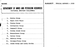 |
Special Reports to accompany the Annual report of the same year. |
| Issue ID: | SR1939 |
| Title: | Special Reports - 1939 |
| Author(s): | BC Geological Survey |
| Series Name: | Annual Reports |
| Publication Year: | 1939 |
| NTS Map Sheet(s): | 082;083;092;093;094;102;103;104;114 |
| Place Keyword(s): | British Columbia |
| Lat/Long (NSWE): | 60, 48, -139, -114 |
| Theme Keyword(s): | Annual Reports, Reports, Catalogue, Annual |
Download(s):
| PDF |
Abstract:
 |
Special Reports to accompany the Annual report of the same year. |
| Issue ID: | SR1940 |
| Title: | Special Reports - 1940 |
| Author(s): | BC Geological Survey |
| Series Name: | Annual Reports |
| Publication Year: | 1940 |
| NTS Map Sheet(s): | 082;083;092;093;094;102;103;104;114 |
| Place Keyword(s): | British Columbia |
| Lat/Long (NSWE): | 60, 48, -139, -114 |
| Theme Keyword(s): | Annual Reports, Reports, Catalogue, Annual |
Download(s):
| PDF |
Abstract:
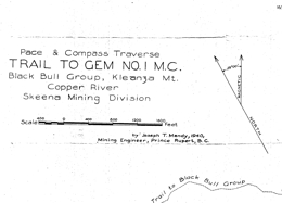 |
Special Reports to accompany the Annual report of the same year. |
| Issue ID: | SRIndex |
| Title: | List of Special Reports of the Department of Mines Available for Distribution |
| Author(s): | BC Geological Survey |
| Series Name: | Annual Reports |
| Publication Year: | 1940 |
| NTS Map Sheet(s): | 082;083;092;093;094;102;103;104;114 |
| Place Keyword(s): | British Columbia |
| Lat/Long (NSWE): | 60, 48, -139, -114 |
| Theme Keyword(s): | Annual Reports, Reports, Catalogue, Annual |
Download(s):
| PDF |
Abstract:
 |
List of Special Reports of the Department of Mines Available for Distribution |
| Issue ID: | MP-85 |
| Title: | Index to Bedrock Geological Mapping |
| Author(s): | BC Geological Survey |
| Series Name: | Miscellaneous Publication |
| Publication Year: | 1983 |
| NTS Map Sheet(s): | 082;083;092;093;094;102;103;104;114 |
| Place Keyword(s): | British Columbia |
| Lat/Long (NSWE): | 60, 48, -139, -114 |
| Theme Keyword(s): | Index, geological mapping, bedrock geological features, compilation |
Download(s):
| PDF |
Abstract:
 |
This index provides a list of the geological mapping of British Columbia according to the National Topographic System location. It represents a comprehensive review of the Geological Survey of Canada and British Columbia Ministry of Energy, Mines, and Petroleum Resources publications, journal articles, theses, and some other unpublished material up to 1982, with additions to 1983. For all purposes of this index, geological mapping has been defined as the map representation of bedrock geological features, exposed or inferred, over a given area. Other geological studies, such as stratigraphy for example, area beyond the scope of this index, unless of course they are accompanied by a geological time. This index includes geological mapping derived from fieldwork and/or compilation. It does not include articles which simply reproduce some previously published geological map. Mapping of a generalized nature or of limited extent has been omitted. This index is designed to be used in conjunction with the Assessment Report Index. Both indexes are computer based and together provide ready access to geological and historical information on a given piece of ground. |
| Issue ID: | IC2018-08 |
| Title: | British Columbia Geological Survey Brochure |
| Author(s): | BC Geological Survey |
| Series Name: | Information Circular |
| Publication Year: | 2018 |
| NTS Map Sheet(s): | 082;083;092;093;094;102;103;104;114 |
| Place Keyword(s): | British Columbia |
| Lat/Long (NSWE): | 60, 48, -139, -114 |
| Theme Keyword(s): | Information Circular, Geological Survey Branch, Brochure, projects and activities |
Download(s):
| PDF |
Abstract:
 |
Information Circular 2018-8 summarizes the British Columbia Geological Survey's core programs, projects, and activities for 2018. |
| Issue ID: | GF2018-08 |
| Title: | Geochemistry and mineralogy of subsurface till samples recovered from diamond drill hole R17-01, Rateria property (porphyry Cu�Mo), south-central British Columbia |
| Author(s): | Ferbey, T., Plouffe, A., Hickin, A.S. |
| Series Name: | Geofile |
| Publication Year: | 2018 |
| NTS Map Sheet(s): | 092I/06, 092I/07 |
| Place Keyword(s): | British Columbia, Central British Columbia, Highland Valley, Rateria |
| Lat/Long (NSWE): | 50.5, 50.3, -121.1, -120.8 |
| Theme Keyword(s): | till geochemistry, till mineralogy, porphyry indicator minerals, calc-alkaline porphyry deposit, subsurface till |
Download(s):
| PDF, ZIP (View Zip Contents) |
Abstract:
 |
Till geochemistry and mineralogy have the potential to detect buried porphyry Cu mineralization in drift-covered regions. The Guichon Creek batholith (Late Triassic) is a large (65 km by 30 km) texturally and compositionally zoned intrusive body in south-central British Columbia. It hosts the Highland Valley mine (calc-alkaline porphyry Cu-Mo�Au) and numerous other porphyry Cu�Mo mineral occurrences, including the Rateria porphyry Cu�Mo property (held by Happy Creek Minerals Ltd.). At the Rateria property, NQ diamond drill hole R17-01 reached bedrock at a depth of 146 m and till was intersected at two depth intervals: 90 to 111 m and 120 to 144 m below surface. Both till units contain clasts of local (intrusive felsic rocks) and exotic (volcanic rocks) derivation. Based on analysis of 14 samples, concentrations of ore and pathfinder elements in the silt plus clay sized fraction (<0.063 mm), and grain counts for ore and alteration minerals (0.25 � 2 mm), do not follow a specific trend, except for Cu which generally decreases with depth. The three highest Ag values in subsurface till samples from the Rateria drill hole exceed the values observed in regional surface till of the Highland Valley mine district. In addition, most Cu, As, Au, and all Pb, and Zn values are greater than background values for surface tills in the region. Chalcopyrite and gold grain counts for subsurface tills are within the range of nearby (<5 km) surface till samples. Samples with maximum elemental Cu and Au do not contain gold grains or copper-bearing minerals >0.25 mm. This suggests that the host mineral phases for these elements are predominantly in the fine fraction of till (<0.063 mm), possibly indicating post-glacial weathering of sand-sized mineral grains. |
| Issue ID: | GBCM2018-11 |
| Title: | Geology of the Greenwood Map Sheet (NTS 082E/02) |
| Author(s): | Hoy, T., Jackaman, W. |
| Series Name: | Geoscience BC Map |
| Publication Year: | 2018 |
| Scale: | 1:50000 |
| NTS Map Sheet(s): | 082E/02 |
| Place Keyword(s): | British Columbia, Southeast British Columbia, Greenwood, Kootenay-Boundary |
| Lat/Long (NSWE): | 49.25, 49, -119, -118.5 |
| Theme Keyword(s): | bedrock mapping, geology, age dates, mineral occurrences |
Additional Link(s):
| http://cdn.geosciencebc.com/project_data/GBCR2018-11/GBCMap2018-11.pdf
http://cdn.geosciencebc.com/project_data/GBCR2018-11/GBCMapData2018-11.zip |
Abstract:
| The 1:50,000 scale Geology of the Greenwood Map Area (NTS 082E/02), Boundary District, Southern British Columbia provides an updated understanding of the relationships between different rock types and their ages around Greenwood, where there has been significant gold, silver, copper, lead and zinc mining since the late 1880s. Highway 3 runs along the southern edge of the 800 km2 area covered by the Greenwood map, passing through towns founded on mining such as Grand Forks, Greenwood, Midway and Rock Creek. With 26 �past producing� mines in the Greenwood area, and more than 38 tonnes (1.2 million ounces) of gold and over 270,000 tonnes of copper mined in the area to date, the new map will improve understandings of the geology that hosts deposits, and where development might be appropriate in the future. |
| Issue ID: | GBCR2018-18 |
| Title: | Techno-Economic Assessment of Geothermal Energy Resources in the Western Canada Sedimentary Basin in Northeastern British Columbia, Canada |
| Author(s): | Palmer-Wilson, K., Walsh, W., Banks, J., Wild, P. |
| Series Name: | Geoscience BC Report |
| Publication Year: | 2018 |
| Larger Work Citation: | Geoscience BC Project 2016-047 |
| NTS Map Sheet(s): | 093M,N,O,P; 094A-P |
| Place Keyword(s): | British Columbia, Northeastern British Columbia |
| Lat/Long (NSWE): | 60, 55, -125, -119 |
| Theme Keyword(s): | geothermal energy, favourability map, spatial decision making, GETEM, economic assessment |
Additional Link(s):
| http://cdn.geosciencebc.com/project_data/GBCReport2018-18/GBCR2018-18_Report.pdf
http://cdn.geosciencebc.com/project_data/GBCReport2018-18/GBCR2018-18_ReportAndData.zip |
Abstract:
| This study assesses geothermal energy resources and electricity costs in the Western Canada Sedimentary Basin section located in northeastern British Columbia, Canada. No geothermal power plant exists in Canada to date, and uncertainty regarding the available resource and costs remains high. This study highlights areas of high geothermal favourability, quantifies available electricity production at four locations within the study area and estimates capital costs and key financial indicators for power plants at those locations. The four locations are Horn River, Clarke Lake, Prophet River and Jedney. These are selected using a favourability map, which takes geological and economic criteria into consideration. Geological criteria are modelled via temperature and indicated aquifer data that point to potential geothermal reservoirs. Economic criteria include distance to electrical infrastructure, distance to towns and small communities and whether a natural gas development is expected at a location. |
| Issue ID: | GBCR2018-19 |
| Title: | Clarke Lake Gas Field Reservoir Characterization |
| Author(s): | Renaud, E., Banks, J., Harris, N.B., Weissenberger, J. |
| Series Name: | Geoscience BC Report |
| Publication Year: | 2018 |
| Larger Work Citation: | Geoscience BC Project 2015-001 |
| NTS Map Sheet(s): | 094J/09, 094J/10 |
| Place Keyword(s): | British Columbia, Northeastern British Columbia, Clarke Lake |
| Lat/Long (NSWE): | 58.6, 58.8, -122.6, -122 |
| Theme Keyword(s): | geothermal energy, natural gas reservoir, porosity and permeability data, economic assessment |
Additional Link(s):
| http://cdn.geosciencebc.com/project_data/GBCR2018-19.pdf |
Abstract:
| Clarke Lake field, a depleted natural gas reservoir in northeast British Columbia, is being investigated for its potential to be repurposed as a geothermal reservoir. This report evaluates key geological variables that control the flow of hot water within the reservoir. Rocks encountered within the field are described for sedimentological characteristics and interpreted for depositional environments then related to porosity and permeability data to identify, map and characterize the quality of reservoir units. We then apply flow units in flow simulations to assess the viability of 25-year geothermal power plant projects. Our primary flow unit shows relatively high average porosity (6.4%) and permeability (124md). Favorable values of porosity are due to non-touching vugs within dolomitized sections where bioclasts have been dissolved. Resulting flow simulations using our primary flow unit have shown that we are able produce 300kW of electrical power using a well doublet and 2400kW of electrical power using a four injector and eight producer well configuration. |
| Issue ID: | GBCR2018-12 |
| Title: | Geology and Mineral Potential of the TREK Area, Northern Interior Plateau, Central British Columbia (to accompany Geoscience BC Maps 2017-06-01 and 2017-06-02 / MDRU Maps 12-2017 and 13-2017) |
| Author(s): | Angen, J.J., Hart, C.J.R., Kim, R.S., Rahimi, M. |
| Series Name: | Geoscience BC Report |
| Publication Year: | 2018 |
| Other Citation Details: | to accompany Geoscience BC Maps 2017-06-01 and 2017-06-02 / MDRU Maps 12-2017 and 13-2017 |
| Larger Work Citation: | TREK Project |
| NTS Map Sheet(s): | 092B,C,F,G |
| Place Keyword(s): | British Columbia, Central British Columbia, Interior Plateau |
| Lat/Long (NSWE): | 54, 52, -126.8, -122 |
| Theme Keyword(s): | Geoscience BC, TREK Geological Mapping Project, bedrock mapping, MDRU, mineralization |
Additional Link(s):
| http://cdn.geosciencebc.com/project_data/GBCReport2018-12_FinalTREKGeology.pdf |
Abstract:
| This report is the final component of Geoscience BCs $4.1 million Targeting Resources for Exploration and Knowledge (TREK) series of projects, which was launched in 2013 to understand why deposits like Blackwater occur where they do. The report describes geology, lithogechemistry, and mineral occurrences within a 24,000 km2 area of British Columbia between Anahim Lake, Burns Lake, Vanderhoof, Quesnel, and Williams Lake. |
| Issue ID: | GBCR2018-17 |
| Title: | Mineralogical Characteristics of Porphyry-Fertile Plutons: Guichon Creek, Takomkane and Granite Mountain Batholiths, South-Central British Columbia (NTS 092I, P, 093A, B) |
| Author(s): | Bouzari, F., Hart, C.J.R., Bissig, T., Lesage, G. |
| Series Name: | Geoscience BC Report |
| Publication Year: | 2018 |
| Other Citation Details: | also published as MDRU Publication 412 |
| Larger Work Citation: | Geoscience BC Project 2014-015 |
| NTS Map Sheet(s): | 092I, P, 093A, B |
| Place Keyword(s): | British Columbia, South-Central British Columbia, Guichon Creek, Takomkane Batholith, Granite Mountain Batholith |
| Lat/Long (NSWE): | 53.3, 49, -122.8, -188.8 |
| Theme Keyword(s): | porphyry indicator minerals, porphyry copper, mineralogical characteristics, porphyry-fertile plutons |
Additional Link(s):
| http://cdn.geosciencebc.com/project_data/GBCR2018-17/GBCreport2018-17.pdf
http://cdn.geosciencebc.com/project_data/GBCR2018-17/GBCreport2018-17_rptdata.zip |
Abstract:
| Exploration for porphyry copper deposits is mostly focused on following-up on alteration patterns or empirical geochemical or geophysical data, which are ineffective in areas of cover, such as glacial till or regolith. Distinguishing porphyry-fertile from barren plutons in the earliest stages of exploration could provide a significant advantage by immediately identifying those plutons that had the potential to form porphyry copper deposits. This study identifies the mineralogical and geochemical characteristics of porphyry- fertile plutons and develops exploration tools that allow for the identification of such plutonic bodies.
Apatite and titanite are common accessory minerals in felsic intrusive rocks that host porphyry Cu (-Au, Mo) deposits. Textural and compositional features of apatite and titanite grains from three British Columbia batholiths, Guichon Creek (host to Highland Valley deposits), Takomkane (host to Woodjam deposits) and Granite Mountain (host to Gibraltar deposit) are characterized. A total of 581 apatite grains and 689 titanite grains from 41 samples representing various phases of each batholith were analyzed for major and trace elements. Results show that apatite and titanite from the fertile plutons are characterized by LREE depletion ((La/Sm)n < 5) and commonly by MREE enrichment ((Dy/Yb)n > ca. 1.5). These characteristics result from fractional crystallization of the magma, and subsequent fluid saturation and exsolution.
Porphyry-fertile plutons contain apatite that becomes progressively depleted in chlorine (<0.35 wt.% oxide) and sulphur (<0.3 wt.% oxide) during crystallization. Apatites with higher S and Cl display brown luminescence whereas S- and Cl-depleted apatites have green luminescence.
Titanite from mineralized plutons have high Fe:Al (< 1), which resulted from an increase in oxygen fugacity that controls the abundance of Fe3+ that substitutes for Ti, and an increase in Mn that substitutes for Ca. The Eu anomaly in both titanite and apatite is not a robust indication of the oxidation state, rather it is influenced by fractional crystallization.
Sulphur depletion in apatite is attributed to evolution from an early magma that is oxidizing and SO4-rich, to a melt that is SO4-poor. The depletion in both Cl and S in apatite from mineralized plutons is evidence of fluid exsolution and subsequent degassing of SO2- rich magmatic volatiles from SO4-rich melts. These Cl- and S-rich volatiles generated by fertile plutons are capable of carrying Cu and producing porphyry copper deposits. Titanite that formed along with these Cl- and S-depleted apatites confirms that conditions become progressively oxidized.
Therefore, apatite and titanite show key magmatic fertility parameters of the necessary ingredients (Cl and S), high oxidation state and water content, and more importantly, the favourable conditions that led to fluid exsolution and degassing to potentially form a porphyry deposit at shallower levels. The combination of these fertility parameters in apatite and titanite can identify porphyry- fertile plutons. |
| Issue ID: | GM2018-01 |
| Title: | Surficial geology of the Highland Valley Copper mine area (Parts of NTS 092I/06, 7, 10 and 11), British Columbia |
| Author(s): | Plouffe, A., and Ferbey, T. |
| Series Name: | Geoscience Map |
| Publication Year: | 2018 |
| Scale: | 1:50000 |
| NTS Map Sheet(s): | 092I/06, 7, 10 and 11 |
| Place Keyword(s): | British Columbia, Central British Columbia |
| Lat/Long (NSWE): | 50.6, 50.25, -121.2, -120.75 |
| Theme Keyword(s): | surficial geology, Highland Valley Copper mine, Guichon Creek batholith, till geochemistry, porphyry copper indicator minerals |
Download(s):
| PDF, ZIP (View Zip Contents) |
Abstract:
 |
Late Wisconsinan, Fraser glaciation till is the most extensive surficial sediment in the Highland Valley Copper mine (porphyry Cu-Mo) area. During the Fraser glaciation, ice flowed predominantly south to southeastward as indicated by the orientation of drumlins and flutings. During deglaciation, lateral meltwater channels cut into the flanks of valleys and mountain slopes, indicating that ice occupied low ground when higher elevations were ice free. Accumulations of glaciofluvial sand and gravel, too small to be mapped at this scale, can be found close to these meltwater channels. The glaciofluvial drainage was generally to the south during ice retreat, with aggradation of glaciofluvial sediments in the Guichon Creek valley. Glaciolacustrine sediments in the Witches Brook valley were deposited in a lake that formed when the eastward drainage was blocked by a mixture of ice and sediments. Mine tailings blanket areas near open pits and in the valley that extends northwest from the mine (previously occupied by Pukaist Creek). |
| Issue ID: | IC2018-11 |
| Title: | Low-carbon energy technologies and metals mining in British Columbia |
| Author(s): | BC Geological Survey |
| Series Name: | Information Circular |
| Publication Year: | 2018 |
| Larger Work Citation: | British Columbia Geological Survey, 2018. Low-carbon energy technologies and metals mining in British Columbia. Ministry of Energy Mines and Petroleum Resources, British Columbia Geological Survey Information Circular 2018-11, 8 p. |
| NTS Map Sheet(s): | 082;083;092;093;094;102;103;104;114 |
| Place Keyword(s): | British Columbia |
| Lat/Long (NSWE): | 60, 48, -140, -114 |
| Theme Keyword(s): | low-carbon energy, green technologies, windpower, solar power, metals mining |
Download(s):
| PDF |
Abstract:
 |
Metals are required for energy production and storage technologies that minimize greenhouse gas emissions. Increased use of low-carbon energy technologies translates to increased demand for metals. By 2050, the global demand for many metals will be several times greater than now and, coupled with finite mine life expectancies and diminishing grades, could lead to metal shortages. Some of the metals that may see shortages (copper, zinc, lead, and possibly nickel) are found in British Columbia. Mining of these deposits, particularly copper, can help contribute to a lower carbon future. Because almost half of Canada�s annual copper production is supplied by British Columbia mines, continued exploration will position the province to help meet the increasing global copper demands needed by low-carbon emission technologies. |
| Issue ID: | IC1993-09 |
| Title: | Mineral Resource Assessment of Nisga�a Memorial Lava Bed Recreation Area |
| Author(s): | Legun, A. |
| Series Name: | Information Circular |
| Publication Year: | 1993 |
| NTS Map Sheet(s): | 103P/02 |
| Place Keyword(s): | British Columbia, Mount Phillipa, Mount Priestly |
| Lat/Long (NSWE): | 55.23, 55.13, -129, -128.8 |
| Theme Keyword(s): | Nisga'a Memorial Lava Bed, mineral potential, Recreation Area, Bowser Lake Group, Skeena Group |
Download(s):
| PDF |
Abstract:
 |
This study of the Nisga'a Memorial Lava Bed Recreation Area was undertaken to assess its mineral potential. The area is underlain dominantly by sedimentary rocks of the Jura-Cretaceous Bowser Lake Group. These strata generally have low mineral potential except where they are cut by younger, Tertiary intrusions. Around and in the intrusions there is potential for vein, skarn and porphyry type mineralization. Such intrusions underlie the area immediately south of Mount Phillipa in the study area, and Mount Priestly, just north of it. Fault breaks in the crust provide conduits for hot, mineralizing fluids; thus they also are prospective. A north-south fault lineament that is distinct on air photographs runs along the west side of the study area. The volcanic cinder cone in lava bed park lies on its southern extension. This volcano was active in the 1700s. On a regional basis, the area has potential for precious and polymetallic (multi-metal) veins in the Bowser Lake Group rocks, molydenum within quartz stockworks in and adjacent to dikes and other intrusions, and coal measures in a possible northward extension of the Cretaceous Skeena Group sediments. Within the Recreation Area, ground observations we made improved our knowledge of its mineral potential. Although we discovered several small showings of molybdenum mineralization, there is no evidence of extensive or pervasive hydrothermal alteration in either the sediments or the intrusive rocks. Thus the potential for a molybdenite deposit is moderate, but any deposit found would likely be small. There is a moderate potential for finding small polymetallic vein deposits, but little probability that they would be enriched in gold. On the energy side, there is some potential for a geothermal resource that might be tested in the future, but essentially no possibility of an economic coal deposit. Although future exploration is possible, the potential for finding a major metallic mineral deposit is low. |
| Issue ID: | GBCR2018-21 |
| Title: | Detrital gold as a deposit-specific indicator mineral by LA-ICP-MS analysis |
| Author(s): | Banks, D.A., Chapman, R.J., Spence-Jones, C. |
| Series Name: | Geoscience BC Report |
| Publication Year: | 2018 |
| Larger Work Citation: | Geoscience BC Project 2016-006 |
| NTS Map Sheet(s): | 093A,H |
| Place Keyword(s): | British Columbia |
| Lat/Long (NSWE): | 53.5, 52, -122, -120 |
| Theme Keyword(s): | detrital gold, indicator mineal, LA-ICP-MS |
Additional Link(s):
| http://cdn.geosciencebc.com/project_data/GBCReport2018-21.pdf |
Abstract:
| Gold derived from alkalic porphyry systems in BC has previously been shown to exhibit a generic Hg-Pd signature revealed in both alloy composition and the suite of minerals present as inclusions within gold particles. Development of an indicator mineral methodology based on this result has been hindered by the number of gold detrital gold grains required to confidently establish a signature, and the associated implications for the design of field exploration campaigns. Trace element analysis of detrital gold grains has been undertaken using Laser-Inductively Coupled Plasma Mass Spectrometry (LA-ICP-MS) in an attempt to identify more elemental discriminants than has been possible by analysis using electron microprobe (EMP), and consequently reduce the sample size necessary for accurate characterization. Two LA-ICP-MS instruments have been used which collect data in different ways. The quadrupole system has been applied to all grains studied. The mass spectrometer sequentially scans the plasma stream to generate an analysis of material liberated by continual ablation. In contrast, the Time of Flight (ToF) instrument makes a single ablation, but measures all elements simultaneously. This approach has been used with only a few samples, but has generated new understanding of the heterogeneity of natural gold.
Consideration of the large element suite generated by LA-ICP-MS confirmed the elemental associations previously identified, and has facilitated characterization of gold populations in terms of the binary Au-Ag alloy and occurrence of minor alloying metals. Orogenic gold grains generate analyses which lie along a Au-Ag binary mixing line, but many gold grains from alkalic porphyry systems show clear deviation from this trend. Natural gold has been shown to be highly heterogeneous at the trace element level. Comparison of results from a LA quadrupole and a ToF system revealed that only a small number of elements are homogenously distributed in Au alloy. Most are present either as local concentrations or as inclusions of minerals too small to observe by SEM. This heterogeneity has profound implications for the interpretation of LA-ICP-MS data of natural gold generated by quadrupole systems, as the analyses obtained may be dependent upon the site of ablation within any particular gold grain.
The application of LA-ICP-MS to detrital gold grain characterization during exploration does not currently offer an advantage to the established workflow of microchemical characterization which measures alloy compositions using EMP and identifies the associated inclusions using SEM. Both microchemical characterization and LA-ICP-MS approaches currently require approximately equivalent numbers of detrital gold particles to generate useful information. However, the results of this study have raised the possibility that extreme partitioning of trace elements to mineral inclusions within the gold could form the basis of a methodology by which individual gold grains could be confidently ascribed to a specific source style. |
| Issue ID: | GF2019-01 |
| Title: | Laser ablation ICP-MS geochronologic data from Granduc and Rock and Roll deposits, northwest British Columbia |
| Author(s): | Mihalynuk, M.G., Friedman, R.M., and Logan, J.M. |
| Series Name: | Geofile |
| Publication Year: | 2019 |
| NTS Map Sheet(s): | 104B |
| Place Keyword(s): | British Columbia, Northwest British Columbia, Granduc |
| Lat/Long (NSWE): | 56.8, 56, -131.5, -130 |
| Theme Keyword(s): | volcanogenic massive sulphide, VMS, Besshi, Rock and Roll, Iskut |
Download(s):
| PDF, ZIP (View Zip Contents) |
Abstract:
 |
U-Pb geochronological results reported by Mihalynuk et al. (2019) for host rocks of the Rock and Roll and Granduc volcanogenic massive sulphide (VMS) deposits in the Iskut area of northwestern British Columbia are consistent with the Late Triassic age suggested by previous workers. Although a direct age determination is still lacking, they constrained mineralization to between ~222 Ma and <~208 Ma for Granduc and 292 Ma to 186 Ma for Rock and Roll. The Late Triassic age may mark an important VMS mineralizing event within the submarine Stuhini arc, with implications for regional mineral exploration. Data from their study also provide constraints on two phases of superimposed deformation to between 210 Ma and 183 Ma. This GeoFile contains the full data set for detrital zircon samples summarized by Mihalynuk et al. (2019). |
| Issue ID: | GF2019-02 |
| Title: | Iskut region geological compilation: Supporting data and working files |
| Author(s): | Nelson, J.L. |
| Series Name: | Geofile |
| Publication Year: | 2019 |
| NTS Map Sheet(s): | 104B |
| Place Keyword(s): | British Columbia, Northwest British Columbia, Iskut |
| Lat/Long (NSWE): | 58, 56, -131.5, -130 |
| Theme Keyword(s): | geology, geochronology, biochronology, Golden Triangle, Iskut |
Download(s):
| PDF, ZIP (View Zip Contents) |
Abstract:
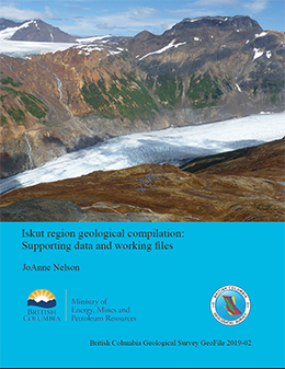 |
This GeoFile contains files of supporting data and references used in the 2018 geological compilation of the Iskut region between the village of Iskut and Summit Lake, which is being incorporated into the revised digital geological map of British Columbia. BCGS_GF2019-02.zip includes: 1) working GIS (.shp) files of geological linework, polygons and centroids, with notes and references; 2) working files of geochronological and biochronological supporting data from published sources with edits and notes by the compiler; 3) reference list of sources for geology; 4) a copy of the paper that justifies Iskut stratigraphic nomenclature (Nelson et al. 2018). |
| Issue ID: | GF2019-03 |
| Title: | U-Pb geochronology of the Mitchell deposit, northwestern British Columbia |
| Author(s): | Febbo, G.E., Friedman, R.M., Kennedy, L.A., and Nelson, J.L. |
| Series Name: | Geofile |
| Publication Year: | 2019 |
| NTS Map Sheet(s): | 104B/09 |
| Place Keyword(s): | British Columbia, Northwest British Columbia, Iskut |
| Lat/Long (NSWE): | 56.55, 56.5, -130.3, -130.2 |
| Theme Keyword(s): | geology, geochronology, biochronology, Golden Triangle, Iskut |
Download(s):
| PDF |
Abstract:
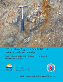 |
Cross-cutting relationships separate three phases of plutonism at the Mitchell calc-alkalic porphyry Au-Cu-Ag-Mo deposit in Stikine terrane of northwestern British Columbia. A sample of porphyritic hornblende diorite from Phase 1 yielded a U-Pb zircon age of 196 � 2.9 Ma. A second porphyritic hornblende diorite sample from Phase 1 yielded a U-Pb zircon age of 189.9 � 2.8 Ma. A sample of hornblende diorite from Phase 2 yielded a U-Pb zircon age of 192.2 � 2.8 Ma, which is within error of the younger Phase 1 determination. |
| Issue ID: | GF2019-04 |
| Title: | Assessment report-sourced surface sediment geochemical database: Development and initial data release from the Interior Plateau |
| Author(s): | Norris, J., and Fortin, G. |
| Series Name: | Geofile |
| Publication Year: | 2019 |
| NTS Map Sheet(s): | 082;092;093 |
| Place Keyword(s): | British Columbia, Interior Plateau |
| Lat/Long (NSWE): | 57, 49, -128, -118 |
| Theme Keyword(s): | geochemical data, assessment reports, soil samples, till samples, digital compilation |
Download(s):
| PDF, ZIP (View Zip Contents) |
Abstract:
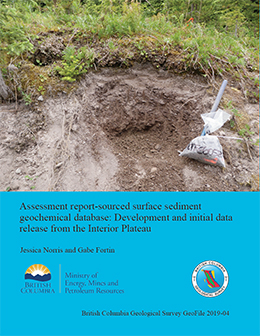 |
ARIS (Assessment Report Index System) is collection of about 36,700 reports that detail results from mineral exploration and development programs. Submitted by the exploration and mining industry to comply with Mineral Tenure Act Regulations and maintain titles in good standing, the reports become an open resource after a one-year confidentiality period. Although containing a wealth of information, the assessment reports are typically submitted in a form (e.g., paper or PDF file) that make working with the data cumbersome. To address this problem, we are developing databases that contain information extracted and digitized from assessment reports, and releasing data in formats that are amenable to evaluation using geospatial and analytical software. This first such database contains surface sediment geochemical data (e.g. soil, silt, stream sediment, and till) from the Interior Plateau, and includes location coordinates, sampling parameters and notes, laboratory information, sample preparation methods, and analytical methods. We use a streamlined process for data compilation, verification, product generation, and distribution. Containing information from about 120 assessment reports, the database includes results from more than 34,000 samples, with 1,446,000 determinations analyzed by 63 analytical methods in 13 laboratories. The data released herein (BCGS_GF2019-04.zip) are provided as a GeoPackage, which can be imported directly into most GIS, and a set of CSV files. A January 2020 update of the database added 19,479 new samples from 97 additional reports. The database now contains information from 220 assessment reports, including results from 53,941 samples, with 2,208,473 determinations from 14 laboratories. |
| Issue ID: | OF2019-01 |
| Title: | Mines, mine development, selected proposed mines, and selected exploration projects in British Columbia, 2018 |
| Author(s): | Clarke, G., Northcote, B., Katay, F., DeGrace, J. |
| Series Name: | Open File |
| Publication Year: | 2019 |
| NTS Map Sheet(s): | 082;083;092;093;094;102;103;104;114 |
| Place Keyword(s): | British Columbia |
| Lat/Long (NSWE): | 60, 48, -139, -114 |
| Theme Keyword(s): | mines, exploration, projects, development |
Download(s):
| PDF, ZIP (View Zip Contents) |
Abstract:
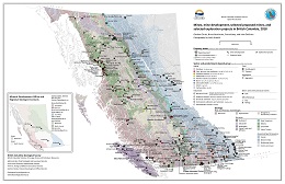 |
This provincial map shows the coal, industrial mineral and metal mines, and selected exploration projects of British Columbia that were active in 2018. Some sites were active for only part of 2017. Large exporting aggregate producers are shown but not the many aggregate quarries serving local markets around the Province. Not all exploration projects in the Province are shown on this map. |
| Issue ID: | OF2019-02 |
| Title: | Preliminary bedrock geology of Notch Peak and Ogden Creek (parts of NT S 094C/04 and 093N/13), northern Hogem batholith, Quesnel terrane, north-central British Columbia |
| Author(s): | Ootes, L., Bergen, A.L., Milidragovic, D., and Graham, B. |
| Series Name: | Open File |
| Publication Year: | 2019 |
| Scale: | 1:50000 |
| NTS Map Sheet(s): | 094C/04 |
| Place Keyword(s): | British Columbia |
| Lat/Long (NSWE): | 56.25, 55.95, -126, -125.47 |
| Theme Keyword(s): | bedrock geology map, Hogem batholith, bedrock mapping, geological map, Quesnel terrane |
Download(s):
| PDF |
Abstract:
 |
New bedrock mapping in parts of NTS 94C/04 (Notch Peak) and 93N/13 (Ogden Creek) refines the distribution and relationships of plutonic rocks in northern Hogem batholith. The eastern part of the study area is mostly underlain by diorite and lesser hornblendite of the Thane Creek suite. The southern part of the study area is underlain by Duckling Creek suite syenite and monzonite, with enclaves of pyroxenite (ca. 180 Ma). The western part of the study area is underlain by foliated granites assigned to the Mesilinka suite (Jurassic to Cretaceous?). In the central part of the study area, the Osilinka suite granite is characterized by its low content of mafic minerals (= 5%). Previously documented metallic mineralization is recorded in ca. 34 MINFILE occurrences. During bedrock mapping, 17 new mineral occurrences were discovered.
For more detailed unit description see Ootes et al., BCGS Paper 2019-01, pp. 31-53. |
| Issue ID: | OF2019-03 |
| Title: | British Columbia surficial geology map index (current version 2020-01) |
| Author(s): | Arnold, H., Ferbey, T. |
| Series Name: | Open File |
| Publication Year: | 2019 |
| NTS Map Sheet(s): | 082;083;092;093;094;102;103;104;114 |
| Place Keyword(s): | British Columbia |
| Lat/Long (NSWE): | 60, 48, -139, -114 |
| Theme Keyword(s): | Surficial Geology Map Index, Quaternary, Map Index Compilation, Surficial Geology |
Download(s):
| PDF, ZIP (View Zip Contents) |
Abstract:
|
Presented here is a surficial geology map index for British Columbia. These maps have been produced by the British Columbia Geological Survey, the Geological Survey of Canada (GSC), and Geoscience BC. To be included in this index maps have to be available for digital download. Each map is represented by the actual map extent or footprint rather than a bounding box or NTS sheet that it falls within. This provides an accurate representation of the areal extent of surficial geology mapping for British Columbia. The index is presented by map scale. In the digital versions of this index advanced searches can also be conducted on fields such as source author, source type (data available in digital or PDF form), or source series (Preliminary maps to A Series or Geoscience maps) to name a few. Publication page URLs are supplied for each map where the source files, PDFs or digital data can be downloaded. Also included is supplemental information which, when applicable, states where data are originally from and/or have elsewhere been used. Instances of this would be when an author published a map which was then revised and published as a GSC A Series map or when a map was used in a subsequent compilation. When this has occurred not only are the publication numbers provided for these other maps but links to their publication pages as well. This enables users to see all sources of the same data. In some cases original mapping is only available as a PDF but a subsequent map or compilation has made it available as an attributed vector file (e.g., shapefile). This index was updated January 2020. |
| Issue ID: | OF2019-04 |
| Title: | Regional- to property-scale till geochemical and mineralogical surveys in British Columbia for base and precious metals |
| Author(s): | Bustard, A.L., Ferbey, T. and Arnold, H. |
| Series Name: | Open File |
| Publication Year: | 2019 |
| NTS Map Sheet(s): | 082;083;092;093;094;102;103;104;114 |
| Place Keyword(s): | British Columbia |
| Lat/Long (NSWE): | 60, 48, -139, -114 |
| Theme Keyword(s): | till index, till geochemical surveys, till mineralogical surveys |
Download(s):
| PDF, ZIP (View Zip Contents) |
Abstract:
|
Released in PDF, ESRI Map Package, Shapefile, File Geodatabase, and KMZ formats, Open File 2019-04 indexes geographically referenced, regional- and property-scale subglacial till geochemical and mineralogical surveys targeting base and precious metals in British Columbia. It also lists topical studies relevant to drift prospecting in the province and elsewhere. Original source reports can be downloaded using the URLs provided, as can publications that use the data, such as compilations. The digital versions of the index enable advanced searches using fields such as author, source type (digital or PDF), or source. This index was updated January 8, 2020. |
| Issue ID: | OF2019-05 |
| Title: | Preliminary bedrock geology of the Latham and Pallen Creek area |
| Author(s): | van Straaten, B.I., and Wearmouth, C.D. |
| Series Name: | Open File |
| Publication Year: | 2019 |
| Scale: | 1:50000 |
| NTS Map Sheet(s): | 104I/04;104I/05;104J/01; 104J/08 |
| Place Keyword(s): | British Columbia |
| Lat/Long (NSWE): | 58.4, 57.9, -130.6, -129 |
| Theme Keyword(s): | bedrock geology map, Stikine assemblage, Stuhini Group, Spatsizi Formation, Tsaybahe Group |
Download(s):
| PDF, ZIP (View Zip Contents) |
Abstract:
 |
he Latham and Pallen creek area, including parts of NTS sheets 104I/04, 05, 104J/01 and 08, is southwest of the community of Dease Lake in northwestern British Columbia. The oldest units in the map area are penetratively deformed meta-sedimentary and volcanic rocks and limestones of the Stikine assemblage (upper Paleozoic). These rocks are overlain (likely unconformably) by a volcano-sedimentary sequence informally referred to as the Tsaybahe group (Lower-Middle Triassic), which is succeeded by the Stuhini Group (Upper Triassic). We subdivide the Tsaybahe group into a sedimentary unit of fine-grained siliciclastic rocks and minor chert, and a volcanic unit of monomictic tuff breccia with plagioclase-augite-phyric volcanic clasts. Tsaybahe volcanic rocks appear texturally similar to the overlying Stuhini Group, but are separated based on their stratigraphic position atop of the Stikine assemblage, rare Early to Middle Triassic biostratigraphic ages, low magnetic susceptibility, and low response on regional aeromagnetic surveys. Stuhini Group volcanic rocks include massive monomictic tuff breccia and lapilli-tuff with augite-plagioclase-phyric volcanic clasts, have a high magnetic susceptibility, and display a high and variable response on regional aeromagnetic surveys. Triassic and older stratified rocks are cut by Late Triassic stocks and plutons ranging from ultramafic to gabbro, hornblende-rich quartz diorite and hornblende quartz monzonite in composition. Triassic units generally lack penetrative tectonic fabrics and are deformed into map-scale open folds. An outlier of volcano-sedimentary rocks assigned to the upper part of the Hazelton Group is inferred to unconformably overlie the Triassic rocks. The succession (~500 m thick) includes two sedimentary units that are overlain by a maroon volcanic unit, which is capped by a felsic volcanic unit. Based on lithological and stratigraphic criteria, the sedimentary units are assigned to the Spatsizi Formation and the volcanic units to the Horn Mountain Formation. Three Middle Jurassic plutons are exposed in the area, ranging in composition from biotite-hornblende quartz diorite to biotite monzogranite. Developed within or adjacent to these plutons are zones of alteration and mineralization containing locally elevated copper, gold, silver and/or molybdenum in fractures, veins, skarns, and gossans.
Augite-phyric mafic volcanic units in each of the Tsaybahe group, Stuhini Group, and Horn Mountain Formation, although temporally distinct, are texturally similar. Compared to widespread exposures of mafic volcanic rocks of the Stuhini Group in northern Stikinia, occurrences of the Tsaybahe group and its correlatives are rare. However, owing to a lack of age constraints, we consider that Tsaybahe group exposures may have been included in the Stuhini Group and suggest that the unit is more extensive than currently recognized. The Tsaybahe group may represent nascent Middle Triassic arc volcanism before widespread Upper Triassic Stuhini arc activity. |
| Issue ID: | P2019-01 |
| Title: | Geological Fieldwork 2018, A Summary of Field Activities and Current Research, British Columbia Geological Survey |
| Author(s): | BC Geological Survey |
| Series Name: | Paper |
| Publication Year: | 2019 |
| Larger Work Citation: | Geological Fieldwork 2018, B.C. Ministry of Energy, Mines and Petroleum Resources, Paper 2019-01 |
| NTS Map Sheet(s): | 082;083;092;093;094;102;103;104;114 |
| Place Keyword(s): | British Columbia |
| Lat/Long (NSWE): | 60, 48, -139, -114 |
| Theme Keyword(s): | Geological Fieldwork, Full volume, Geological |
Download(s):
| PDF |
Abstract:
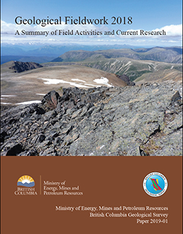 |
The 44th edition of Geological Fieldwork, is a volume of peer-reviewed papers presenting the results of geoscience research conducted by the British Columbia Geological Survey (BCGS) and its partners. The papers in Geological Fieldwork 2018 address a variety of geological inquires, highlighting both regional mapping and more thematic studies. |
| Issue ID: | P2019-01-00 |
| Title: | Geological Fieldwork 2018, Preface |
| Author(s): | Hickin, A.S. |
| Series Name: | Paper |
| Publication Year: | 2019 |
| Larger Work Citation: | in Geological Fieldwork 2018, B.C. Ministry of Energy, Mines and Petroleum Resources, Paper 2019-01, 146 pages |
| NTS Map Sheet(s): | 082;083;092;093;094;102;103;104;114 |
| Place Keyword(s): | British Columbia |
| Lat/Long (NSWE): | 60, 48, -139, -114 |
| Theme Keyword(s): | Geological Fieldwork, Preface, Geological, Table of Contents |
Download(s):
| PDF |
Abstract:
| This, the 44th edition of Geological Fieldwork, is a volume of peer-reviewed papers that presents the results of geoscience research conducted by the British Columbia Geological Survey (BCGS) and its partners. This volume is one of three that the Survey publishes each January and is accompanied by the Provincial Overview of Exploration and Mining in British Columbia and the Coal Industry Overview. In addition to these annual publications, the Survey regularly releases Open Files, GeoFiles, Geoscience Maps, Papers, and databases, all of which are freely accessed through the recently updated BCGS website and through MapPlace, our database-driven geospatial web service.
The papers in Geological Fieldwork 2018 address a variety of geological inquires, highlighting both regional mapping and more thematic studies. Schiarizza�s contribution is the latest in a series that examines the geological architecture of the Nicola Group (Triassic) in central British Columbia. From work in the north-central part of the province, Ootes et al. present the initial results from the first year of a four-year mapping program that addresses the geological evolution of the Hogem batholith and related mineral deposits, and Milidragovic and Grundy consider the geochemistry and petrology of the Trembleur ultramafi te, host to the Decar nickel-iron awaruite deposit. In northwest British Columbia, van Straaten and Wearmouth continued recent Survey mapping of volcano-sedimentary successions and related intrusions of northern Stikinia near Dease Lake, and Mihalynuk et al. present geochronological data from the Granduc and Rock and Roll volcanogenic massive sulphide (VMS) deposits. Simandl et al. describe the occurrence of fersmite, a mineral rich in niobium, thorium, and rare earth elements, at the Mount Brussiloff magnesite deposit in the southeastern part of the province. The final paper in the volume, by Han et al., details the data model used at the BCGS to streamline data set handling, from compilation to product generation.
Conferences are another way that the Survey distributes the results of ongoing studies. In 2018, BCGS contributed technical presentations at annual regional meetings such as Rock Talks (Smithers), Kamloops Exploration Group (KEG; Kamloops), Minerals South (Trail) and the American Exploration and Mining Association (Spokane). The Survey continues to contribute to the technical program of the Association of Mineral Exploration�s (AME) Roundup (Vancouver), organizing two technical sessions and providing technical content through presentations and posters. The Survey coordinates the Ministry presence at both Roundup and the Prospectors and Developers Association of Canada (Toronto) meetings. Unique in 2018, the BCGS was a technical partner in the Resources for Future Generations 2018 (RFG 2018), and interim International Union of Geological Sciences (IUGS) convention held in Vancouver in June. RFG was a joint meeting of IUGS, the Canadian Federation of Earth Sciences (CFES), the Canadian Institute of Mining, Metallurgy and Petroleum (CIM), the Geological Association of Canada (GAC) and the Mineralogical Association of Canada (MAC). A number of staff were on the organizing committee, presented talks, or ran field trips. BCGS also hosted its annual Open House in Victoria in November.
The Survey continues to invest in streamlining digital data collection in the field and integration into provincial datasets. The BCGS has adopted an in-house digital database that works with inexpensive software on low-cost generic tablets, enabling geologists to digitally capture data in the fi eld while using other datasets such as geophysics and satellite imagery. Also developed in-house, the BCGS data framework model enables maps to be more effi ciently integrated into the provincial geology as well as meet internationally accepted data standards.
In the last few years, the Survey has seen signifi cant renewal by filling several vacancies. In February, former Chief Geologist and Executive Director Dr. Stephen Rowins left BCGS and assumed the role of director and professor at the Centre for Exploration Targeting at University of Western Australia. Dr. Adrian Hickin, former Director of the Cordilleran Geoscience Section, was selected as Steve�s replacement and has been appointed Chief Geologist. |
| Issue ID: | P2019-01-01 |
| Title: | British Columbia Geological Survey annual program review 2018-2019 |
| Author(s): | Ferri, F., Jones, L.D., Clarke, G., and Hickin, A.S. |
| Series Name: | Paper |
| Publication Year: | 2019 |
| Larger Work Citation: | in Geological Fieldwork 2018, B.C. Ministry of Energy, Mines and Petroleum Resources, Paper 2019-01, pages 1-14 |
| NTS Map Sheet(s): | 082;083;092;093;094;102;103;104;114 |
| Place Keyword(s): | British Columbia |
| Lat/Long (NSWE): | 60, 48, -139, -114 |
| Theme Keyword(s): | Highlights, Projects, Events, Accomplishments |
Download(s):
| PDF |
Abstract:
| Providing a summary of projects, events, and accomplishments over the past year, this review highlights activities of the British Columbia Geological Survey (BCGS) in 2018. Established in 1895, the Survey links government, the minerals industry, and British Columbians to the Province�s geology and mineral resources. |
| Issue ID: | P2019-01-02 |
| Title: | Geology of the Nicola Group in the Bridge Lake-Quesnel River area, south-central British Columbia |
| Author(s): | Schiarizza, P. |
| Series Name: | Paper |
| Publication Year: | 2019 |
| Larger Work Citation: | in Geological Fieldwork 2018, B.C. Ministry of Energy, Mines and Petroleum Resources, Paper 2019-01, pages 15-30 |
| NTS Map Sheet(s): | 093A |
| Place Keyword(s): | British Columbia, Quesnel River, Nicola Group |
| Lat/Long (NSWE): | 52.76, 51.21, -122.4, -120.14 |
| Theme Keyword(s): | Nicola Group, Slocan Group, bedrock mapping, Quesnel terrane, volcanic arc |
Download(s):
| PDF |
Abstract:
| The Nicola Group (Triassic) is the principal volcano-sedimentary component of the Quesnel arc terrane. In preliminary investigations to establish a regional stratigraphic framework for the Nicola Group, it was separated into four assemblages, which are refi ned here based on new work. Assemblage one is represented mainly by the Spanish Mountain unit (new informal name), exposed along the eastern margin of the Nicola belt and consisting of Middle Triassic siltstone, chert and argillite, with less common volcaniclastic sandstone and local pillowed basalt with N-MORB and E-MORB geochemical characteristics. Undated, but possibly correlative rocks in the south-central part of the Nicola belt include volcaniclastic sandstone, chert, pyroxene-phryic basalt and basalt breccia of the Wavey Lake unit (new informal name), which is locally overlain by early Carnian siltstone of the Meridian Lake unit (new informal name). Assemblage two (Carnian and early Norian), the most widespread subunit of the Nicola Group, contains volcanic sandstone and conglomerate, locally intercalated with pyroxene-phyric basalt and basalt breccia. Assemblage three is a relatively homogeneous succession of pyroxene-phyric basalt fl ows and related breccias and is considered Norian based on its stratigraphic position between assemblages two and four. Assemblage four (late Norian and Rhaetian) may be separated from older Nicola rocks by an unconformity or disconformity. It consists of red and maroon polymictic conglomerate with abundant hypabyssal and plutonic rock fragments, as well as red feldspathic sandstone and distinctive volcanic rocks that include analcime basalt and coarse, crowded plagioclasephyric andesite.
The Nicola Group is fl anked to the east by Middle and Upper Triassic slate, siltstone and quartz sandstone of the Slocan Group, part of a siliciclastic basin that formed east of, and coeval with, the Nicola arc. Two small fault-bounded inliers of Permian limestone and siltstone in the southern part of the Nicola belt are tentatively correlated with the Harper Ranch Group, which is therefore inferred to underlie the Nicola Group. Lower to Middle Jurassic polymictic conglomerate and sandstone of the Dragon Mountain succession overlie the Nicola Group and are the youngest stratifi ed rocks in this part of Quesnel terrane. Upper Triassic to Lower Jurassic calcalkaline and alkaline plutonic rocks that cut the Nicola Group correlate with plutonic suites recognized regionally in Quesnel terrane, and include a latest Triassic monzodiorite suite that is coeval with assemblage four and hosts signifi cant porphyry Cu-Au deposits. |
| Issue ID: | P2019-01-03 |
| Title: | Preliminary geology of northern Hogem batholith, Quesnel terrane, north-central British Columbia |
| Author(s): | Ootes, L., Bergen, A., Milidragovic, D., Graham, B., and Simmonds, R. |
| Series Name: | Paper |
| Publication Year: | 2019 |
| Larger Work Citation: | in Geological Fieldwork 2018, B.C. Ministry of Energy, Mines and Petroleum Resources, Paper 2019-01, pages 31-54 |
| NTS Map Sheet(s): | 094C/04;093N/13 |
| Place Keyword(s): | British Columbia, North-central British Columbia |
| Lat/Long (NSWE): | 56.5, 55.75, -126.5, -125.25 |
| Theme Keyword(s): | Hogem batholith, Quesnel terrane, Jurassic, Cretaceous, bedrock mapping |
Download(s):
| PDF |
Abstract:
| New bedrock mapping in parts of NTS 94C/04 (Notch Peak) and 93N/13 (Ogden Creek) refines the distribution and relationships of plutonic rocks in northern Hogem batholith. We recognize four plutonic suites (from oldest to youngest): Thane Creek, Duckling Creek, Mesilinka, and Osilinka. The ages of these suites are relative and are based on crosscutting relationships and the presence or absence of tectonic fabrics. The eastern part of the study area is mostly underlain by diorite and lesser hornblendite of the Thane Creek suite. The diorites consistently have a weak to strong foliation, with locally developed mylonite. Relatively potassic monzodiorite to quartz monzodiorite phases are common and may have resulted from late magmatic or secondary alteration processes. Foliated tonalite and granodiorite to quartz monzonite are also included with the Thane Creek suite, but lack of alteration and mylonite indicate they post-date the hornblendite and diorite intrusions. The southern part of the study area is underlain by Duckling Creek suite syenite and monzonite, with enclaves of pyroxenite (ca. 180 Ma). These rocks lack quartz, are rich in K-feldspar (commonly zoned) and display local magmatic layering, which is accentuated by deformation. The western part of the study area is underlain by foliated granites assigned to the Mesilinka suite (Jurassic to Cretaceous?). These granites commonly contain xenoliths of Thane Creek suite rocks, typically at higher elevations, some of which were foliated before incorporation into the granite. In the central part of the study area, the Osilinka suite granite is characterized by its low content of mafi c minerals (=5%). The granite lacks a foliation, but displays local evidence of post-crystallization ductile deformation. The youngest rocks in the study area are small (<4 m wide) subhorizontal sheets and lesser dikes of intermediate feldspar porphyry and felsic quartz-feldspar porphyry that cut the Osilinka granite. Previously documented metallic mineralization is recorded in ca. 34 MINFILE occurrences. During bedrock mapping, 17 new mineral occurrences were discovered. Most are within the Thane Creek and Duckling Creek suites and consist mainly of disseminated chalcopyrite and malachite staining. New gold and copper-bearing quartz veins were also discovered, and crosscut Thane Creek diorite and Osilinka granite. |
| Issue ID: | P2019-01-04 |
| Title: | Geochemistry and petrology of rocks in the Decar area, central British Columbia: Petrologically constrained subdivision of the Cache Creek complex |
| Author(s): | Milidragovic, D., and Grundy, R. |
| Series Name: | Paper |
| Publication Year: | 2019 |
| Larger Work Citation: | in Geological Fieldwork 2018, B.C. Ministry of Energy, Mines and Petroleum Resources, Paper 2019-01, pages 55-78 |
| NTS Map Sheet(s): | 093K/14 |
| Place Keyword(s): | British Columbia, central British Columbia |
| Lat/Long (NSWE): | 55, 54.75, -125.5, -125 |
| Theme Keyword(s): | Cache Creek terrane, Decar, Trembleur ultramafite, Rubyrock igneous complex, bedrock mapping |
Download(s):
| PDF |
Abstract:
| Upper Paleozoic to Lower Jurassic deformed rocks of the Cache Creek terrane in the Decar area, central British Columbia, include a central region of variably serpentinized or carbonate-altered ultramafi c rocks (Trembleur ultramafi te) that is bounded to the northeast and southwest by greenschist facies- to amphibolite facies volcano-sedimentary rocks. The predominant olivine-orthopyroxene-spinel (harzburgitic) mineralogy, and major and trace element geochemical composition of the least-altered ultramafi c rocks suggest that they are remnants of a highly meltdepleted (F ~0.15-0.30) lithospheric mantle. The relatively high SiO2 concentrations and high modal abundance of orthopyroxene in the harzburgite indicate later metasomatism, probably in a supra-subduction setting. Based on immobile and incompatible trace element abundances, we identify four geochemical suites of volcanic and shallow intrusive rocks in the Decar area. The Sowchea succession (Upper Pennsylvanian to Lower Jurassic) contains both the high-Ti alkaline and enriched to depleted tholeiitic suites, the Rubyrock igneous complex (Lower Permian to Upper Triassic) contains the HFSE-depleted suite, and local unnamed, undeformed mafi c intrusions that appear to postdate assembly of the Cache Creek complex are of the calc-alkaline suite. The geochemistry of samples from the Decar area provides evidence that rocks of the Cache Creek complex consist of two fundamentally different tectono-stratigraphic assemblages. Volcanic and intrusive rocks, limestone, chert, and argillite of the Sowchea succession were likely deposited in an oceanic plateau setting. They resided on a lower plate before being juxtaposed against an upper plate consisting of the Trembleur ultramafi te and overlying supracrustal rocks of the Rubyrock igneous complex. |
| Issue ID: | P2019-01-05 |
| Title: | Geology of the Latham and Pallen Creek area, northwestern British Columbia: Distinguishing the Tsaybahe group, Stuhini Group, and Hazelton Group, and the onset of Triassic arc volcanism in northern Stikinia |
| Author(s): | van Straaten, B.I., and Wearmouth, C. |
| Series Name: | Paper |
| Publication Year: | 2019 |
| Larger Work Citation: | in Geological Fieldwork 2018, B.C. Ministry of Energy, Mines and Petroleum Resources, Paper 2019-01, pages 79-96 |
| NTS Map Sheet(s): | 104I/04;104J/01 |
| Place Keyword(s): | British Columbia, northwest British Columbia |
| Lat/Long (NSWE): | 58.5, 58, -130.4, -129.8 |
| Theme Keyword(s): | Stikine assemblage, Spatsizi Formation, Hazelton Group, Stuhini Group, bedrock mapping |
Download(s):
| PDF |
Abstract:
| The oldest units in the Latham Creek and Pallen Creek area are penetratively deformed meta-sedimentary and volcanic rocks and limestones of the Stikine assemblage (upper Paleozoic). These rocks are overlain (likely unconformably) by a volcano-sedimentary sequence informally referred to as the Tsaybahe group (Lower-Middle Triassic), which is succeeded by the Stuhini Group (Upper Triassic). We subdivide the Tsaybahe group into a sedimentary unit of fi ne-grained siliciclastic rocks and minor chert, and a volcanic unit of monomictic tuff breccia with plagioclaseaugite-phyric volcanic clasts. Tsaybahe volcanic rocks appear texturally similar to the overlying Stuhini Group, but are separated based on their stratigraphic position atop of the Stikine assemblage, rare Middle Triassic biostratigraphic ages, low magnetic susceptibility, and low response on regional aeromagnetic surveys. Stuhini Group volcanic rocks include massive monomictic tuff breccia and lapilli-tuff with augite-plagioclasephyric volcanic clasts, have a high magnetic susceptibility, and display a high and variable response on regional aeromagnetic surveys. Triassic and older stratifi ed rocks are cut by Late Triassic stocks and plutons ranging from ultramafi c to gabbro, hornblende-rich quartz diorite and hornblende quartz monzonite in composition. Triassic units generally lack penetrative tectonic fabrics and are deformed into map-scale open folds. An outlier of volcano-sedimentary rocks assigned to the upper part of the Hazelton Group is inferred to unconformably overlie the Triassic rocks. The succession (~500 m thick) includes two sedimentary units that are overlain by a maroon volcanic unit, which is capped by a felsic volcanic unit. Based on lithological and stratigraphic criteria, the sedimentary units are assigned to the Spatsizi Formation and the volcanic units to the Horn Mountain Formation. Three Middle Jurassic plutons are exposed in the area, ranging in composition from biotite-hornblende quartz diorite to biotite monzogranite. Developed within or adjacent to these plutons are zones of alteration and mineralization containing locally elevated copper, gold, silver and/or molybdenum in fractures, veins, skarns, and gossans.
Augite-phyric mafi c volcanic units in each of the Tsaybahe group, Stuhini Group, and Horn Mountain Formation, although temporally distinct, are texturally similar. Compared to widespread exposures of mafi c volcanic rocks of the Stuhini Group in northern Stikinia, occurrences of the Tsaybahe group and its correlatives are rare. However, owing to a lack of age constraints, we consider that Tsaybahe group exposures may have been included in the Stuhini Group and suggest that the unit is more extensive than currently recognized. The Tsaybahe group may represent nascent Middle Triassic arc volcanism before widespread Upper Triassic Stuhini arc activity. |
| Issue ID: | P2019-01-06 |
| Title: | Age constraints for rocks hosting massive sulphide mineralization at Rock and Roll and Granduc deposits between Iskut and Stewart, British Columbia |
| Author(s): | Mihalynuk, M.G., Zagorevski, A., Logan, J.M., Friedman, R.M., and Johnston, S.T. |
| Series Name: | Paper |
| Publication Year: | 2019 |
| Larger Work Citation: | in Geological Fieldwork 2018, B.C. Ministry of Energy, Mines and Petroleum Resources, Paper 2019-01, pages 97-112 |
| NTS Map Sheet(s): | 104B |
| Place Keyword(s): | British Columbia, Iskut, Granduc |
| Lat/Long (NSWE): | 56.8, 56, -131.5, -130 |
| Theme Keyword(s): | Volcanogenic massive sulphide, Besshi, Rock and Roll, detrital zircon, geochronology |
Download(s):
| PDF |
Abstract:
| U-Pb geochronological results reported here for host rocks of the Rock and Roll and Granduc volcanogenic massive sulphide (VMS) deposits in the Iskut area of northwestern British Columbia are consistent with the Late Triassic age suggested by previous workers. Although a direct age determination is still lacking, we constrain mineralization to between ~222 Ma and <~208 Ma for Granduc and 292 Ma to 186 Ma for Rock and Roll. The Late Triassic age may mark an important VMS mineralizing event within the submarine Stuhini arc, with implications for regional mineral exploration. Data from this study also provides constraints on two phases of superimposed deformation to between 210 Ma and 183 Ma. |
| Issue ID: | P2019-01-07 |
| Title: | Characterization of primary fersmite from the Mount Brussilof magnesite deposit, southeastern British Columbia, Canada |
| Author(s): | Simandl, G.J., Petrus, J.A., Leybourne, M.I., Paradis, S., and Akam, C. |
| Series Name: | Paper |
| Publication Year: | 2019 |
| Larger Work Citation: | in Geological Fieldwork 2018, B.C. Ministry of Energy, Mines and Petroleum Resources, Paper 2019-01, pages 113-124 |
| NTS Map Sheet(s): | 082J/13 |
| Place Keyword(s): | British Columbia, Mount Brussilof |
| Lat/Long (NSWE): | 50.85, 50.75, -115.7, -115.6 |
| Theme Keyword(s): | primary fersmite, chemical zoning, magnesite, sparry dolomite, Mount Brussilof |
Download(s):
| PDF |
Abstract:
| Fersmite ([Ca,Ce,Na][Nb,Ta,Ti]2[O,OH,F]6) is a complex mineral, occurring commonly as a strongly metamict alteration product of preexisting niobate minerals in carbonatites, alkaline and peralkaline intrusions, and rare element pegmatites. Most well-documented primary fersmite localities in Europe are �alpine cleft�, also referred to as �alpine fi ssure�, occurrences. At Mount Brussilof in southeastern British Columbia, fersmite occurs as an accessory mineral on sparry dolomite crosscutting and lining cavities in sparry magnesite. The fersmite forms brittle, black, submetallic to vitreous lustre, acicular to platy crystals up to 2 cm long. It also forms smaller, commonly fractured or broken, crystals (<3 mm) enclosed by sparry dolomite. Sparry dolomite is commonly associated with Mississippi Valley-type Zn-Pb deposits, both globally and within southeastern British Columbia. Electron microprobe and laser ablation inductively coupled plasma mass spectrometry mapping indicate that the Mount Brussilof fersmite is rich in Nb, Th, and heavy REE, and poor in Ta. Individual fersmite crystals are strongly zoned in terms of Na, Ti, Fe, Y, all REE, Ta, Pb isotopes (204Pb, 206Pb, 207Pb, and 208Pb), Th, and U, suggesting that the chemical composition of hydrothermal or carbohydrothermal fl uids from which fersmite precipitated evolved with time. The textural and chemical properties of the Mount Brussilof fersmite differ from those found in carbonatite- and pegmatite-related deposits. The zonation, non-metamict appearance, and enrichment in Nb relative to Ta of the Mount Brussilof fersmite may help to distinguish fersmite formed in similar settings (alpine-clefts) from fersmite formed in pegmatites, peralkaline intrusions, carbonatites, and other geological environments, and enhance its use as a direct indicator mineral. |
| Issue ID: | P2019-01-08 |
| Title: | A skeleton data model for geochemical databases at the British Columbia Geological Survey |
| Author(s): | Han, T., Rukhlov, A.S., Riddell, J.M., and Ferbey, T. |
| Series Name: | Paper |
| Publication Year: | 2019 |
| Larger Work Citation: | in Geological Fieldwork 2018, B.C. Ministry of Energy, Mines and Petroleum Resources, Paper 2019-01, pages 125-136 |
| NTS Map Sheet(s): | 082;083;092;093;094;102;103;104;114 |
| Place Keyword(s): | British Columbia |
| Lat/Long (NSWE): | 60, 48, -139, -114 |
| Theme Keyword(s): | geochemical data model, database, entities and attributes, SQL, chemical element abundance |
Download(s):
| PDF |
Abstract:
| Data modelling is a key component to developing any database. In the past, the British Columbia Geological Survey has modelled geochemical data sets individually. Herein we propose a skeleton data model capable of capturing and representing the commonalities of individual sets by focusing on the entities, attributes, and relationships common to most geochemical data sets. We use this skeleton data model to update existing models for four province-wide data sets (lithogeochemical, regional drainage, till, and coal ash), capturing the unique characteristics of each. Applying the skeleton data model streamlines data handling steps, from data compilation to product generation, and establishes a reliable flow for managing geochemical data at the British Columbia Geological Survey. |
| Issue ID: | P2019-01-09 |
| Title: | Appendix: British Columbia Geological Survey publications and peer-reviewed journal papers authored by BCGS staff and released in 2018 |
| Author(s): | Aspler, L. |
| Series Name: | Paper |
| Publication Year: | 2019 |
| Larger Work Citation: | in Geological Fieldwork 2018, B.C. Ministry of Energy, Mines and Petroleum Resources, Paper 2019-01, pages 137-140 |
| NTS Map Sheet(s): | 082;083;092;093;094;102;103;104;114 |
| Place Keyword(s): | British Columbia |
| Lat/Long (NSWE): | 60, 48, -139, -114 |
| Theme Keyword(s): | publications, peer-reviewed journal papers, authored by BCGS staff, releases |
Download(s):
| PDF |
Abstract:
| British Columbia Geological Survey publications and peer reviewed journal papers authored by BCGS staff and released in 2018. |
| Issue ID: | IC2019-01 |
| Title: | Provincial Overview of Exploration and Mining in British Columbia, 2018 |
| Author(s): | Clarke, G., Northcote, Katay, F., DeGrace, J. |
| Series Name: | Information Circular |
| Publication Year: | 2019 |
| Larger Work Citation: | British Columbia Geological Survey Information Circular 2019-1 |
| NTS Map Sheet(s): | 082;083;092;093;094;102;103;104;114 |
| Place Keyword(s): | British Columbia |
| Lat/Long (NSWE): | 60, 52, -140, -114 |
| Theme Keyword(s): | Exploration and Mining, Summary and Trends, Provincial Overview |
Download(s):
| PDF |
Abstract:
 |
Information Circular 2019-1 is the latest in a series of annual reviews that dates back to 1874, when the first Annual Report of the Minister of Mines was published. Detailing significant projects region-by-region, the volume complements the British Columbia Coal Industry Overview (Information Circular 2019-2). To prepare the district chapters in this volume, the Regional Geologists visit project sites to view outcrops and drill core and to discuss results and progress. A significant amount of information is gleaned from corporate press releases, websites and reports. Exploration expenditures, drilling estimates and other metrics for British Columbia were captured in the British Columbia Mineral and Coal Exploration Survey. The survey is a joint initiative between the Province of British Columbia Ministry of Energy, Mines and Petroleum Resources, the Association for Mineral Exploration, and Ernst & Young LLP. |
| Issue ID: | IC2019-01-01 |
| Title: | Exploration and Mining in British Columbia, 2018: A summary |
| Author(s): | Clarke, G., Northcote, Katay, F., DeGrace, J. |
| Series Name: | Information Circular |
| Publication Year: | 2019 |
| Larger Work Citation: | British Columbia Geological Survey Information Circular 2019-1 |
| NTS Map Sheet(s): | 082;083;092;093;094;102;103;104;114 |
| Place Keyword(s): | British Columbia |
| Lat/Long (NSWE): | 60, 48, -139, -114 |
| Theme Keyword(s): | exploration, mining, annual, information circular, 2018 |
Download(s):
| PDF |
Abstract:
| Reflecting its complex geological history, British Columbia is endowed with diverse minerals and deposit types. British Columbia is Canada�s largest exporter of coal, leading producer of copper, and only producer of molybdenum. Also produced are significant amounts of gold, silver, lead, and zinc, and more than 30 industrial minerals including gypsum, magnesite, limestone, and dimension stone. Numerous quarries produce sand and gravel or crushed aggregate. An increase in commodity prices early in 2018 meant numerous mineral exploration projects remained active in 2018. Flanked by the Pacific Ocean, British Columbia offers easy access to global markets. Mine operations benefit from tax incentives and a well-developed infrastructure, including low-cost electricity, an integrated road and rail network, and large deep-water ports. Exploration benefi ts from an extensive geoscience database and a web-based mineral tenure system. This summary uses information from the British Columbia Coal Industry Overview (British Columbia Geological Survey Information Circular 2019-02) and incorporates the Regional Geologist reports in this volume. The Regional Geologists represent the provincial government on geological matters at a regional level. Within their communities, they provide information on exploration trends, possible investment opportunities, land use processes, First Nation capacity building, and public outreach. The Ministry of Energy, Mines and Petroleum Resources forecasts the total value of mine production for 2018 at $10.93 billion including coal, copper, gold, industrial minerals, aggregate, molybdenum, and silver. This is an increase of $2.09 billion over the 2017 preliminary NRCan estimate of $8.84 billion. Total metal, industrial mineral and coal exploration expenditures are estimated at $331.4 million for 2018, up $84.8 million from the 2017 survey total of $246.6 million. |
| Issue ID: | IC2019-01-02 |
| Title: | Exploration and mining in the North Central and Northeast regions, British Columbia 2018 |
| Author(s): | DeGrace, J. |
| Series Name: | Information Circular |
| Publication Year: | 2019 |
| Larger Work Citation: | British Columbia Geological Survey Information Circular 2019-1 |
| NTS Map Sheet(s): | 083; 093; 094 |
| Place Keyword(s): | British Columbia, Northeast and central British Columbia |
| Lat/Long (NSWE): | 60, 52, -128, -114 |
| Theme Keyword(s): | exploration, mining, annual, information circular, 2018 |
Download(s):
| PDF |
Abstract:
| From northeast to southwest, a transect from the Northeast Region though the North Central Region provides a cross section from undeformed rocks deposited above Precambrian basement to allocthonous terranes accreted to Ancestral North America. Platformal sedimentary rocks in the Northeast Region transition to deep-water basinal strata as the eastern limit of Cordilleran deformation is approached, close to the border of the North Central Region. The North Central Region shows a history of ocean opening and closing, island arc volcanism, and terrane accretion onto the western margin of Ancestral North America. Terrane emplacement was followed by continued orogeny, magmatism and sedimentation. Both regions were extensively glaciated. For the North Central Region, exploration expenditures were estimated at $32.7 million and exploration drilling was estimated at approximately 69,100 m. For the Northeast Region exploration expenditures were estimated at $6.3 million and exploration drilling was estimated at approximately 15,000 m. |
| Issue ID: | IC2019-01-03 |
| Title: | Exploration and mining in the Southeast Region, British Columbia 2018 |
| Author(s): | Katay, F. |
| Series Name: | Information Circular |
| Publication Year: | 2019 |
| Larger Work Citation: | British Columbia Geological Survey Information Circular 2019-1 |
| NTS Map Sheet(s): | 082; 083 |
| Place Keyword(s): | British Columbia, Southeast British Columbia |
| Lat/Long (NSWE): | 52, 49, -120, -114 |
| Theme Keyword(s): | exploration, mining, annual, information circular, 2018 |
Download(s):
| PDF |
Abstract:
| The Southeast Region offers a variety of mining and exploration opportunities accessible by well-developed infrastructure. Five metallurgical coal mines that operated in the Elk Valley in 2018 account for most of Canada�s coal production and exports. Several industrial mineral mines produce silica, magnesite, and gypsum. Limestone, smelter slag, rock wool, aggregate, rip rap, railroad ballast, flagstone, dimension stone, sand and gravel are quarried, and placer mining occurs throughout the region. The region hosts many historic producers dating back to the mid-1800s, including the lead-zinc-silver Sullivan mine, and many small producers from the Rossland, Greenwood, Sheep Creek, and Slocan gold and silver camps. Exploration for base metals and precious metals continues to be a focus. The Trail smelter (Teck Resources Ltd.) is still in operation, and produces approximately 305,000 t of refined zinc, 90,000 t of refined lead, and 16 to 18 Moz of silver annually. Estimates for exploration expenditures, drilling programs, and other metrics were captured in the British Columbia Mineral and Coal Exploration Survey. For the Southeast Region, exploration expenditures were estimated at $64.5 million and exploration drilling was estimated at approximately 126,400 m. |
| Issue ID: | IC2019-01-04 |
| Title: | Exploration and mining in the South Central Region, British Columbia 2018 |
| Author(s): | Northcote, B. |
| Series Name: | Information Circular |
| Publication Year: | 2019 |
| Larger Work Citation: | British Columbia Geological Survey Information Circular 2019-1 |
| NTS Map Sheet(s): | 082E,L,M; 083D; 092G,H,I,J,O,P; 093A,B |
| Place Keyword(s): | British Columbia, South central British Columbia |
| Lat/Long (NSWE): | 53, 49, -122.5, -119 |
| Theme Keyword(s): | exploration, mining, annual, information circular, 2018 |
Download(s):
| PDF |
Abstract:
| With five major mines, the South Central Region is currently the most productive copper mining district in Canada. In addition, an underground gold mine re-started in 2017. The region�s varied geology, well-established infrastructure, and access to markets also make it an important industrial minerals centre. The Cariboo area is the province�s largest placer gold camp, with active permits numbering in the hundreds. Thermal coal resources in Cenozoic basins were last mined in 2013. The region has six major proposed metal mines. About 70 exploration projects were tracked in 2018, although this is a minimum because not all exploration work is recorded, and 2018 work that must be recorded for regulatory compliance is not necessarily reported in the calendar year. Exploration expenditures for the region are estimated at $56.0 million; exploration drilling is estimated at 186,600 m. |
| Issue ID: | IC2019-01-05 |
| Title: | Exploration and mining in the Southwest Region, British Columbia 2018 |
| Author(s): | Northcote, B. |
| Series Name: | Information Circular |
| Publication Year: | 2019 |
| Larger Work Citation: | British Columbia Geological Survey Information Circular 2019-1 |
| NTS Map Sheet(s): | 092B,C,E,F,G,J,K,L,M,N,O; 093B,C,D,E,F,G,J,K,L; 102; 103 A-K |
| Place Keyword(s): | British Columbia, Southwest British Columbia |
| Lat/Long (NSWE): | 54.5, 48, -133, -122 |
| Theme Keyword(s): | exploration, mining, annual, information circular, 2018 |
Download(s):
| PDF |
Abstract:
| The Southwest Region has a long history of mining. This history includes: the use of native copper by First Nations; silver, gold and coal mining by the mid-19th century; mining of iron in the mid-20th century; and substantial copper production throughout the 20th century. Although mining and exploration for metal and coal continue in the region, most mining is for construction materials, mainly aggregates for local markets. Estimates for exploration expenditures, drilling programs, and other metrics were captured in the British Columbia Mineral and Coal Exploration Survey. For the Southwest Region, exploration expenditures were estimated at $7.8 million and exploration drilling was estimated at approximately 39,800 m. |
| Issue ID: | IC2019-01-06 |
| Title: | Exploration and mining in the Northwest Region, British Columbia 2018 |
| Author(s): | Clarke, G. |
| Series Name: | Information Circular |
| Publication Year: | 2019 |
| Larger Work Citation: | British Columbia Geological Survey Information Circular 2019-1 |
| NTS Map Sheet(s): | 093C,D,E,F,L,K,M,N; 094C,D,E,F,K,L,M,N; 103A.H.I,J,O,P; 104, 114 |
| Place Keyword(s): | British Columbia, Northwest British columbia |
| Lat/Long (NSWE): | 60, 52, -139, -124 |
| Theme Keyword(s): | exploration, mining, annual, information circular, 2018 |
Download(s):
| PDF |
Abstract:
| The Northwest Region includes about 263,000 km2 of British Columbia, approximately 25% of the province. The region has three operating mines and five proposed mine projects. More than 60 exploration projects were active in 2018, predominantly focussed on precious metal and porphyry style copper-gold mineralization. In 2018, exploration expenditures, drilling estimates and other metrics for British Columbia were captured in the British Columbia Mineral and Coal Exploration Survey. For the Northwest Region, exploration expenditures were estimated at $164.0 million and exploration drilling was estimated at approximately 293,500 m. |
| Issue ID: | IC2019-02 |
| Title: | British Columbia Coal Industry Overview 2018 |
| Author(s): | BC Geological Survey |
| Series Name: | Information Circular |
| Publication Year: | 2019 |
| NTS Map Sheet(s): | 082;083;092;093;094;102;103;104;114 |
| Place Keyword(s): | British Columbia |
| Lat/Long (NSWE): | 60, 48, -139, -114 |
| Theme Keyword(s): | coal, coal industry, overview, information circular, 2018 |
Download(s):
| PDF |
Abstract:
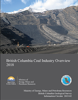 |
Coal prices remained stable and strong for the second consecutive year in 2018. Coal production volumes for the province are forecast to total more than 31 million tonnes. Coal remains British Columbia�s most valuable mined commodity in terms of annual sales. Coking coal and PCI (pulverized coal injection) products are currently produced from four mines in the Kootenay Mountains in the southeastern part of the province, and from three mines in the Peace coalfields in the northeastern part. Thermal coal is produced from the Quinsam mine on Vancouver Island. |
| Issue ID: | MP-87 |
| Title: | Mineral programs of Canadian provincial and territorial geological surveys 2018-2019 |
| Author(s): | Committee of Provincial and Territorial Geologists |
| Series Name: | Miscellaneous Publication |
| Publication Year: | 2019 |
| NTS Map Sheet(s): | 001 to 117 |
| Place Keyword(s): | British Columbia, Canada, Canadian Provinces, Canadian Territories |
| Lat/Long (NSWE): | 83.2, 41.6, -141, -52.6 |
| Theme Keyword(s): | Canadian provincial geological surveys, Canadian territorial geological surveys, Committee of Provincial and Territorial Geologists, Mineral programs |
Download(s):
| PDF |
Abstract:
 |
Geological surveys are government agencies that provide geoscience information to the public, thus supporting responsible resource development and encouraging investment. Geoscience information is used by governments to make informed decisions and create effective policy on resource development, land use, and environmental stewardship. The provincial and territorial surveys are the main stewards for public geoscience within their borders. They conduct programs that address jurisdictional priorities and provide systematic geological descriptions, including mineral, energy, and groundwater endowments. They maintain records of assessment work and are closely linked to agencies that manage mineral tenure and regulations. Canada�s national survey, the Geological Survey of Canada, focuses on programs that are thematic or of national scope. The GSC also partners with provinces and territories on projects of common interest. This booklet, produced by the Committee of Provincial and Territorial Geologists (www.ngsccanada.com), provides information on the mineral programs of Canada�s provincial and territorial surveys, and how to access key publications and services. |
| Issue ID: | GBCM2019-04 |
| Title: | Geology of the Penticton Map Sheet (east half) NTS 082E/01, /02, /07, /08, /09, /10, /15, /16 |
| Author(s): | Hoy, T., Jackaman, W. |
| Series Name: | Geoscience BC Map |
| Publication Year: | 2018 |
| Scale: | 1:150000 |
| NTS Map Sheet(s): | 082E/01, 02, 07, 08, 09, 10, 15, 16 |
| Place Keyword(s): | British Columbia, Southeast British Columbia, Princeton, Kootenay-Boundary |
| Lat/Long (NSWE): | 50, 49, -119, -118 |
| Theme Keyword(s): | bedrock mapping, geology, age dates, mineral occurrences |
Additional Link(s):
| http://cdn.geosciencebc.com/project_data/GBCR2019-04/GBCMap2019-04.pdf
http://cdn.geosciencebc.com/project_data/GBCR2019-04/GBCMap2019-04-Supp_Geochronology_PetrographyRpt.pdf |
Abstract:
| The 1:150,000 scale Geology of the east half Princeton Map Area (NTS NTS 082E/01, /02, /07, /08, /09, /10, /15, /16), Boundary District, Southern British Columbia provides an updated understanding of the relationships between different rock types and their ages in a large area north of Greenwood between Penticton and Trail in southeastern BC, where there has been significant past gold, silver, copper, lead and zinc mining. Within the area are historic mining camps dating back to the late 1800s, including Rossland, Franklin, Greenwood, and Beaverdell. |
| Issue ID: | GBCR2019-01-00 |
| Title: | Geoscience BC Summary of Activities for 2018: Minerals and Mining - Foreword |
| Author(s): | Pellett, C. |
| Series Name: | Geoscience BC Report |
| Publication Year: | 2019 |
| Larger Work Citation: | in Geoscience BC Report 2019-01 |
| NTS Map Sheet(s): | 082;083;092;093;094;102;103;104;114 |
| Place Keyword(s): | British Columbia |
| Lat/Long (NSWE): | 60, 48, -139, -114 |
| Theme Keyword(s): | Geoscience BC, Summary of Activities, Minerals and mining, Foreword |
Additional Link(s):
| http://cdn.geosciencebc.com/pdf/SummaryofActivities2018/MM/SoA2018_MM_Foreword.pdf |
Abstract:
| The Summary of Activities 2018: Minerals and Mining, contains 12 papers from Geoscience BC�funded projects or 2018 scholarship recipients that are within Geoscience BC�s strategic focus area of minerals. The papers are divided into three sections, based on Geoscience BC�s strategic objectives of 1) Identifying New Natural Resource Opportunities; 2) Advancing Science and Innovative Geoscience Technologies; and 3) Facilitating Responsible Natural Resource Development. |
| Issue ID: | GBCR2019-01-01 |
| Title: | Relationship between deformation and metamorphism in the interface between the Purcell Anticlinorium and the Kootenay Arc, southeastern British Columbia |
| Author(s): | Rioseco, N.A. Pattison, D.R.M., and Ashton, R.E. |
| Series Name: | Geoscience BC Report |
| Publication Year: | 2019 |
| Larger Work Citation: | in Geoscience BC Report 2019-01 |
| NTS Map Sheet(s): | 082F, G |
| Place Keyword(s): | British Columbia, Southeast British Columbia, Creston |
| Lat/Long (NSWE): | 49.8, 49, -116.75, -115.3 |
| Theme Keyword(s): | geology, metamorphism and thermachronology, Purcell Anticlinorium, Kootenay Arc |
Additional Link(s):
| http://cdn.geosciencebc.com/pdf/SummaryofActivities2018/MM/2017-009_SoA2018_MM_Rioseco.pdf |
Abstract:
| The area between the towns of Kimberley, Creston and Crawford Bay in southeastern British Columbia (BC) encompasses the interface between two major Cordilleran tectonic domains, the Purcell Anticlinorium and the Kootenay Arc. These domains comprise part of the mineralogically rich East Kootenay region. The aim of this project is to elucidate changes in structure, metamorphism and exhumation history across the interface to provide further geological context for the different types of mineral deposits that occur within the region. |
| Issue ID: | GBCR2019-01-02 |
| Title: | Microbial-community fingerprints as indicators for buried mineralization, southern British Columbia |
| Author(s): | Simister, R.L., Iulianella Phillips, B.P., Winterburn, P.A. and Crowe, S.A. |
| Series Name: | Geoscience BC Report |
| Publication Year: | 2019 |
| Larger Work Citation: | in Geoscience BC Report 2019-01 |
| NTS Map Sheet(s): | 093A/06 |
| Place Keyword(s): | British Columbia, Central British Columbia |
| Lat/Long (NSWE): | 52.3, 52.2, -121.5, -121.25 |
| Theme Keyword(s): | soil, micro-organisms, DNA sequencing, mineralization, Deerhorn deposit |
Additional Link(s):
| http://cdn.geosciencebc.com/pdf/SummaryofActivities2018/MM/2016-025_Schol_SoA2018_MM_SimisterAndPhillips.pdf |
Abstract:
| This study investigated the use of soil microbial-community fingerprinting with modern DNA sequencing technologies to detect changes in soil microbial communities in response to varying levels of exposure to chalcopyrite ore and copper. Soil microbial communities can be coherently sampled such that there is little variability between samples. Exposure of soil microbial communities to ore constituents elicits a response detectable on laboratory time scales of several weeks. These responses are readily resolved through standard statistical analyses, and the specific species that exhibited the strongest responses have known affinities for environments rich in heavy metals. The strong microbial responses observed are encouraging signs for the use of microbial-community fingerprinting in mineral deposit exploration. Soil samples from near the Deerhorn copper-gold porphyry in central British Columbia were analysed. |
| Issue ID: | GBCR2019-01-03 |
| Title: | Organic-Compound Pathfinders in Soil for Base- and Precious-Metal Exploration in British Columbia |
| Author(s): | Luck, P.M., Chouinard, R.L. and Winterburn, P.A. |
| Series Name: | Geoscience BC Report |
| Publication Year: | 2019 |
| Larger Work Citation: | in Geoscience BC Report 2019-01 |
| NTS Map Sheet(s): | 092F/14; 092I/07; 092A/06 |
| Place Keyword(s): | British Columbia |
| Lat/Long (NSWE): | 55.5, 49.5, -126, -121 |
| Theme Keyword(s): | soil, organic-compound pathfinders, hydrocarbon, mineral exploration, Deerhorn deposit |
Additional Link(s):
| http://cdn.geosciencebc.com/pdf/SummaryofActivities2018/MM/Schol_SoA2018_MM_Luck.pdf |
Abstract:
| The purpose of this research is the advancement of hydrocarbon-pathfinder techniques as an open geochemical exploration tool to explore for Cu-porphyry and related deposits in BC. The goals of this project are to identify the physical, chemical and biological links between buried economic mineralization and hydrocarbon concentrations and compositions at surface; develop robust, commercially viable and cost-effective analytical techniques for hydrocarbon analysis; and optimize hydrocarbon-sampling methodologies and strategies. |
| Issue ID: | GBCR2019-01-04 |
| Title: | Characterization and extraction of rare-earth elements from East Kootenay coalfield samples, southeastern British Columbia |
| Author(s): | Kuppusamy, V.K., and Holuszko, M.E. |
| Series Name: | Geoscience BC Report |
| Publication Year: | 2019 |
| Larger Work Citation: | in Geoscience BC Report 2019-01 |
| NTS Map Sheet(s): | 082G, J |
| Place Keyword(s): | British Columbia, southeast British Columbia |
| Lat/Long (NSWE): | 50.3, 49.4, -115, -114.5 |
| Theme Keyword(s): | coal, rare-earth elements, REE |
Additional Link(s):
| http://cdn.geosciencebc.com/pdf/SummaryofActivities2018/MM/Schol_SoA2018_MM_Kuppusamy.pdf |
Abstract:
| This paper shows the preliminary characterization and extraction results conducted on a sample received from a southeastern BC coal mine. The purpose of the study is to characterize and quantify the REE and their mode of occurrence in BC coal deposits and coal processing products, and to study the possible extraction of these elements. Five coal samples from BC coal deposits were tested for the presence of REE and it was found that total REE concentration on an ash basis varied from 240 to 570 ppm. It was inferred from the data that REE in the coal samples are associated with both the organic and inorganic portions of the coal constituents. The highest concentration was reported in the flotation product with low ash content, indicating that some of the REE are associated with the organic matter of the coal. Additionally, correlation analysis showed a significant amount of organic matter associated with REE is due to the organic affinity of REE with humic acid. |
| Issue ID: | GBCR2019-01-05 |
| Title: | Assessing British Columbia porphyry fertility using zircons |
| Author(s): | Bouzari, F. and Hart, C.J.R. |
| Series Name: | Geoscience BC Report |
| Publication Year: | 2019 |
| Larger Work Citation: | in Geoscience BC Report 2019-01 |
| NTS Map Sheet(s): | 092I,P; 093A,B |
| Place Keyword(s): | British Columbia |
| Lat/Long (NSWE): | 53, 50, -124, -120 |
| Theme Keyword(s): | fertility, plutons, porphyry copper, zircon |
Additional Link(s):
| http://cdn.geosciencebc.com/pdf/SummaryofActivities2018/MM/2016-032_SoA2018_MM_Bouzari.pdf |
Abstract:
| This study investigates district- to batholith-scale fertility indicators of porphyry copper deposits in the Guichon Creek, Takomkane and Granite Mountain batholiths as well as those in the Toodoggone area by characterizing the textural and geochemical features of zircon to develop tools and strategies for the exploration of porphyry copper deposits in the BC magmatic belts. Results show that the geochemical as well as the textural characteristics of zircon can assist in distinguishing porphyry-fertile plutons from nonmineralized or poorly mineralized plutons. |
| Issue ID: | GBCR2019-01-06 |
| Title: | IKE copper-molybdenum-silver porphyry deposit, southwestern British Columbia (NTS 092O): early halo-type veins as a tool for vectoring toward higher grade mineralization |
| Author(s): | Binner, M.M., Marshall, D.D., Rebagliati, C.M. and Riedell, K.B. |
| Series Name: | Geoscience BC Report |
| Publication Year: | 2019 |
| Larger Work Citation: | in Geoscience BC Report 2019-01 |
| NTS Map Sheet(s): | 092O |
| Place Keyword(s): | British Columbia |
| Lat/Long (NSWE): | 51.1, 51, -123.4, -123.3 |
| Theme Keyword(s): | porphyry deposit, plutons, porphyry copper, IKE deposit |
Additional Link(s):
| http://cdn.geosciencebc.com/pdf/SummaryofActivities2018/MM/Schol_SoA2018_MM_Binner.pdf |
Abstract:
| The IKE deposit is a Cu-Mo-Ag porphyry deposit located in the southern portion of the Canadian Cordillera in southwestern British Columbia. Significant amounts of early halo-type (EHT) veins are found throughout the deposit. This project is an investigation of the geochemical properties of these early halo-type veins and how they relate to mineralization. |
| Issue ID: | GBCR2019-01-07 |
| Title: | Evolution of porphyry-epithermal gold systems using trace elements: insights from the Iron Cap deposit, Kerr-Sulphurets-Mitchell district, northwestern British Columbia (NTS 104B) |
| Author(s): | Graham, H.C., Morgan, D.J., Chapman, R.J. and Banks, D.A. |
| Series Name: | Geoscience BC Report |
| Publication Year: | 2019 |
| Larger Work Citation: | in Geoscience BC Report 2019-01 |
| NTS Map Sheet(s): | 104B |
| Place Keyword(s): | British Columbia, Northwest British Columbia |
| Lat/Long (NSWE): | 56.6, 56.4, -130.4, -130.1 |
| Theme Keyword(s): | porphyry-epithermal gold, Stikine terrane, Iron Cap deposit |
Additional Link(s):
| http://cdn.geosciencebc.com/pdf/SummaryofActivities2018/MM/Schol_SoA2018_MM_Graham.pdf |
Abstract:
| This project focuses on a comprehensive sample suite from deep-porphyry to shallow-vein environments at the Iron Cap deposit in the Kerr-Sulphurets-Mitchell (KSM) district, northwestern British Columbia. The research will study the use of trace elements (including gold) to interpret the evolution of the magmatic-hydrothermal system. Specifically, variation in the speciation of certain trace elements (i.e., Au, As, Sb, Pd, Se, Te, Hg) and their subsequent partitioning to ore minerals will be investigated to provide a window to the physicochemical conditions prevalent at different stages of porphyry-epithermal development, both in time and space. In addition, a population of detrital gold grains collected from drainages within the KSM district will be scrutinized to identify geochemical variations and infer the source and formation process of gold, both in the district as a whole and at Iron Cap. Lastly, the thermodynamic properties of the above trace elements will be assessed to determine the suitability of trace element studies for interpreting the conditions of ore formation in a given porphyry-epithermal system. In the present paper, the geology of the case study area at KSM is described, the sampling procedures and rationale are outlined, and the various methodologies and plans for future work are presented. |
| Issue ID: | GBCR2019-01-08 |
| Title: | Preliminary field results from Kinskuch Lake, northwestern British Columbia (NTS 103P/11): a study of the boundary between the Stuhini and Hazelton groups |
| Author(s): | Miller, E.A., Kennedy, L. and van Straaten, B.I. |
| Series Name: | Geoscience BC Report |
| Publication Year: | 2019 |
| Larger Work Citation: | in Geoscience BC Report 2019-01 |
| NTS Map Sheet(s): | 103P/11 |
| Place Keyword(s): | British Columbia, Northwest British Columbia, Kinskuch Lake |
| Lat/Long (NSWE): | 55.72, 55.6, -129.45, -129.3 |
| Theme Keyword(s): | porphyry deposit, Stuhini Group, Hazelton Group, Big Bulk deposit |
Additional Link(s):
| http://cdn.geosciencebc.com/pdf/SummaryofActivities2018/MM/Schol_SoA2018_MM_Miller.pdf |
Abstract:
| This paper presents preliminary lithological descriptions, stratigraphic sequences and structural elements resulting from the 2018 fieldwork at the Kinskuch Lake site and is part of a M.Sc. research project undertaken by E. Miller. The goals of the fieldwork were to delineate the Late Triassic to Early Jurassic stratigraphy and to record the geometry and kinematics of the structural elements in the area, with the aim of reconstructing the geological setting into which the Big Bulk porphyry system was emplaced. |
| Issue ID: | GBCR2019-01-09 |
| Title: | Producing clean coal from western Canadian coalfields using the water-based Roben Jig process: refining the process |
| Author(s): | Mackay, M.L., Giroux, L., Leeder, R.L., Dexter, H., Halko, J., Holuszko, M. and Thomas, D. |
| Series Name: | Geoscience BC Report |
| Publication Year: | 2019 |
| Larger Work Citation: | in Geoscience BC Report 2019-01 |
| NTS Map Sheet(s): | 082G |
| Place Keyword(s): | British Columbia, southeast British Columbia |
| Lat/Long (NSWE): | 49.9, 49.6, -115, -114.7 |
| Theme Keyword(s): | coal, Roben Jig process, coke, clean-coal carbonization |
Additional Link(s):
| http://cdn.geosciencebc.com/pdf/SummaryofActivities2018/MM/2017-013_SoA2018_MM_Mackay.pdf |
Abstract:
| The Canadian coal industry needs a reliable method of washing small metallurgical-coal samples whereby the exposure of both the coal sample and the laboratory technicians to perchloroethylene and other toxic organic liquids can be eliminated. This study evaluates the use of the Roben Jig and varying methodologies, as well as two engineered liquids (Novec 7000 and 7700), in satisfying these requirements. |
| Issue ID: | GBCR2019-01-10 |
| Title: | Soil amendments in mine closure, New Afton mine, south-central British Columbia: proposed work |
| Author(s): | Fraser, L.H. |
| Series Name: | Geoscience BC Report |
| Publication Year: | 2019 |
| Larger Work Citation: | in Geoscience BC Report 2019-01 |
| NTS Map Sheet(s): | 092I/10 |
| Place Keyword(s): | British Columbia, southcentral British Columbia |
| Lat/Long (NSWE): | 50.7, 50.6, -120.6, -120.4 |
| Theme Keyword(s): | soil amendments, mine closure, New Afton Mine, topsoil study |
Additional Link(s):
| http://cdn.geosciencebc.com/pdf/SummaryofActivities2018/MM/2016-068_SoA2018_MM_Fraser_SoilAmendments.pdf |
Abstract:
| This project is located at the New Afton mine in south-central British Columbia and will study topsoil stored in a stockpile at the mine to explore the use of soil amendments as they relate to enhancing viability of stored topsoil. |
| Issue ID: | GBCR2019-01-11 |
| Title: | Biodiversity in ecosystem mine reclamation, south-central British Columbia: proposed work |
| Author(s): | Fraser, L.H. |
| Series Name: | Geoscience BC Report |
| Publication Year: | 2019 |
| Larger Work Citation: | in Geoscience BC Report 2019-01 |
| NTS Map Sheet(s): | 092I |
| Place Keyword(s): | British Columbia, southcentral British Columbia |
| Lat/Long (NSWE): | 50.7, 50.4, -121.2, -120.4 |
| Theme Keyword(s): | biodiversity, reclamation, New Afton Mine, Highland Valley Copper Mine |
Additional Link(s):
| http://cdn.geosciencebc.com/pdf/SummaryofActivities2018/MM/2016-069_SoA2018_MM_Fraser_Biodiversity.pdf |
Abstract:
| This project will study biodiversity of the invertebrate community along a chronosequence of reclamation sites at the New Afton mine and Highland Valley Copper mine in south-central British Columbia. |
| Issue ID: | GBCR2019-01-12 |
| Title: | Targeting highly reactive labile magnesium in ultramafic tailings for greenhouse-gas offsets and potential tailings stabilization at the Baptiste deposit, central British Columbia (NTS 093K/13, 14) |
| Author(s): | Vanderzee, S.S.S., Dipple, G.M. and Bradshaw, P.M.D. |
| Series Name: | Geoscience BC Report |
| Publication Year: | 2019 |
| Larger Work Citation: | in Geoscience BC Report 2019-01 |
| NTS Map Sheet(s): | 093K/13, 14 |
| Place Keyword(s): | British Columbia, Central British Columbia |
| Lat/Long (NSWE): | 54.9, 54.8, -125.4, -125.2 |
| Theme Keyword(s): | ultramafic tailings, labile magnesium, greenhouse gas offset, Baptiste deposit, serpentine |
Additional Link(s):
| http://cdn.geosciencebc.com/pdf/SummaryofActivities2018/MM/Schol_SoA2018_MM_Vanderzee.pdf |
Abstract:
| This study helps demonstrate at the lab scale that the Baptiste mine likely contains enough labile magnesium to potentially sequester all the CO2 produced by its mining trucks (11.4 t CO2/kt rock mined). This would make Baptiste GHG neutral if it used hydroelectric power, which is likely to be the case in BC, and may stabilize the tailings at the same time. To improve, or at least complement, the accuracy of the labile magnesium estimations, other methods of computing mineral abundance can be applied to Baptiste. |
| Issue ID: | GBCR2019-02-00 |
| Title: | Geoscience BC Summary of Activities for 2018: Energy and Water - Foreword |
| Author(s): | Pellett, C. |
| Series Name: | Geoscience BC Report |
| Publication Year: | 2019 |
| Larger Work Citation: | in Geoscience BC Report 2019-02 |
| NTS Map Sheet(s): | 082;083;092;093;094;102;103;104;114 |
| Place Keyword(s): | British Columbia |
| Lat/Long (NSWE): | 60, 48, -139, -114 |
| Theme Keyword(s): | Geoscience BC, Summary of Activities, Energy, Water, Natural Resources |
Additional Link(s):
| http://cdn.geosciencebc.com/pdf/SummaryofActivities2018/EW/SoA2018_EW_Foreword.pdf |
Abstract:
| This volume contains 13 papers from Geoscience BC�funded projects or 2018 scholarship winners that are within Geoscience BC�s strategic focus areas of energy (including oil & gas and geothermal) and water. |
| Issue ID: | GBCR2019-02-01 |
| Title: | Basin modelling and thermal history of the Horn River and Liard basins, Cordova Embayment, and adjacent parts of the Western Canada Sedimentary Basin |
| Author(s): | Wilson, T.K. and Bustin, R.M. |
| Series Name: | Geoscience BC Report |
| Publication Year: | 2019 |
| Larger Work Citation: | in Geoscience BC Report 2019-02 |
| NTS Map Sheet(s): | 094I;094J;094K;094N;094O;094P |
| Place Keyword(s): | British Columbia, Northeastern British Columbia, Horn River, Liard |
| Lat/Long (NSWE): | 60, 58.5, -125, -120 |
| Theme Keyword(s): | Geoscience BC, Horn River and Liard basins, Cordova Embayment, Thermal history, sedimentary basins |
Additional Link(s):
| http://cdn.geosciencebc.com/pdf/SummaryofActivities2018/EW/2013-001_SoA2018_EW_Wilson.pdf |
Abstract:
| The objective of this study is to use basin modelling to understand the basin evolution and determine the role of various geological properties in the burial and thermal history and subsequent present-day petroleum systems of northeastern BC. One-dimensional (1-D) modelling and sensitivity analysis were performed at 24 well locations throughout the study area, leveraged by publicly available data and a multitude of prior research on the regional geology, lithology and stratigraphy. |
| Issue ID: | GBCR2019-02-02 |
| Title: | Variability and controls on the matrix permeability of the Doig Formation in northeastern British Columbia |
| Author(s): | Silva, P.L. and Bustin, R.M. |
| Series Name: | Geoscience BC Report |
| Publication Year: | 2019 |
| Larger Work Citation: | in Geoscience BC Report 2019-02 |
| NTS Map Sheet(s): | 094;093 |
| Place Keyword(s): | British Columbia, Northeastern British Columbia |
| Lat/Long (NSWE): | 58, 55.3, -122.5, -120 |
| Theme Keyword(s): | Geoscience BC, Doig Formation, permeability |
Additional Link(s):
| http://cdn.geosciencebc.com/pdf/SummaryofActivities2018/EW/2013-001_SoA2018_EW_Silva.pdf |
Abstract:
| This study aims to characterize the range and variability of the matrix permeability of the Doig Formation, as well as explain the geological factors that control this variability in terms of lithology, mineralogy, organic matter, porosity and pore-size distribution. |
| Issue ID: | GBCR2019-02-03 |
| Title: | Preliminary characterization of Early Jurassic source rocks and ocean-redox conditions based on trace-metal and organic geochemistry of the Gordondale and Poker Chip Shale members, Fernie Formation, northeastern British Columbia |
| Author(s): | Kunert, A., Kendall, B., Moslow, T.F., Nyberg, G., Pedersen, B. and Smith, C. |
| Series Name: | Geoscience BC Report |
| Publication Year: | 2019 |
| Larger Work Citation: | in Geoscience BC Report 2019-02 |
| NTS Map Sheet(s): | 094A;094B |
| Place Keyword(s): | British Columbia, Northeastern British Columbia |
| Lat/Long (NSWE): | 56.5, 56, -122.5, -121.8 |
| Theme Keyword(s): | Geoscience BC, Fernie formation, ocean-redox, trace-metal, organic geochemistry |
Additional Link(s):
| http://cdn.geosciencebc.com/pdf/SummaryofActivities2018/EW/Schol_SoA2018_EW_Kunert.pdf |
Abstract:
| The goal of this project is to identify spatial and temporal trends in paleoredox, paleoproductivity and paleohydrographic conditions during deposition of the Gordondale member and the Poker Chip Shale. This will help to constrain intervals that show the greatest potential for resource development in the study area, based on their potential for organic-matter deposition and preservation. The results of this study can hopefully be used to enhance prediction of reservoir parameters in these units in other parts of the Western Canada Sedimentary Basin. Another objective is to search for geochemical evidence of the Toarcian Oceanic Anoxic Event (T-OAE) in the Gordondale member or the overlying Poker Chip Shale. |
| Issue ID: | GBCR2019-02-04 |
| Title: | Stratigraphic and lateral distribution of hydrogen sulphide within the Triassic Montney Formation, northern regional play area, northeastern British Columbia and northwestern Alberta |
| Author(s): | Chalmers, G.R.L., Bustin, R.M. and Bustin, A.A. |
| Series Name: | Geoscience BC Report |
| Publication Year: | 2019 |
| Larger Work Citation: | in Geoscience BC Report 2019-02 |
| NTS Map Sheet(s): | 083;093;084;094 |
| Place Keyword(s): | British Columbia, Northeastern British Columbia, Northwestern Alberta |
| Lat/Long (NSWE): | 58.2, 54.8, -123.8, -117.1 |
| Theme Keyword(s): | Geoscience BC, Montney Formation, hydrogen sulphide, trace-metal |
Additional Link(s):
| http://cdn.geosciencebc.com/pdf/SummaryofActivities2018/EW/2017-014_SoA2018_EW_Chalmers.pdf |
Abstract:
| The study into the lateral and stratigraphic H2S distribution within the Montney Formation in British Columbia began in the summer of 2018. Preliminary results indicate that wells that target the upper portions of the Montney Formation in the northern region of the Montney play are at a higher risk of souring compared to wells that are placed in the lower portions (i.e., lower Montney Formation). |
| Issue ID: | GBCR2019-02-05 |
| Title: | Local magnitude scale for earthquakes in the Western Canada Sedimentary Basin, northeastern British Columbia and northwestern Alberta |
| Author(s): | Babaie Mahani, A. and Kao, H. |
| Series Name: | Geoscience BC Report |
| Publication Year: | 2019 |
| Larger Work Citation: | in Geoscience BC Report 2019-02 |
| NTS Map Sheet(s): | 083;093;084;094 |
| Place Keyword(s): | British Columbia, Northeastern British Columbia, Northwestern Alberta |
| Lat/Long (NSWE): | 64, 50, -132, -112 |
| Theme Keyword(s): | Geoscience BC, earthquakes |
Additional Link(s):
| http://cdn.geosciencebc.com/pdf/SummaryofActivities2018/EW/2012-SEIS_SoA2018_EW_BabaieMahani.pdf |
Abstract:
| For this study, several distance correction terms, which were obtained for different regions including Western Canada Sedimentary Basin (WCSB), are compared. Using a database of WA amplitudes from small-to-moderate earthquakes in northeastern BC and northwestern Alberta, a new distance correction term for WCSB is also obtained to maintain NRCan�s magnitude estimation routine. |
| Issue ID: | GBCR2019-02-06 |
| Title: | Ground-motion data from seismicity induced in the southern Montney Formation, northeastern British Columbia |
| Author(s): | Bustin, A.M.M., Munson, E.O., Jones, D.J. and Chalmers, G.R.L. |
| Series Name: | Geoscience BC Report |
| Publication Year: | 2019 |
| Larger Work Citation: | in Geoscience BC Report 2019-02 |
| NTS Map Sheet(s): | 094 |
| Place Keyword(s): | British Columbia, Northeastern British Columbia |
| Lat/Long (NSWE): | 57, 56, -123, -121 |
| Theme Keyword(s): | Geoscience BC, seismicity, Montney Formation |
Additional Link(s):
| http://cdn.geosciencebc.com/pdf/SummaryofActivities2018/EW/2015-031_SoA2018_EW_Bustin.pdf |
Abstract:
| This study collects data to advance the understanding of induced seismicity in Western Canada and hence to the development of proactive mitigation schemes and frameworks for hazard assessment. A 15-station array is being developed to densely monitor hydraulic-fracturing operations in the Montney Formation. |
| Issue ID: | GBCR2019-02-07 |
| Title: | Source properties of earthquakes around hydraulic-fracturing sites near Dawson Creek, northeastern British Columbia |
| Author(s): | Onwuemeka, J., Harrington, R.M., Liu, Y. and Kao, H. |
| Series Name: | Geoscience BC Report |
| Publication Year: | 2019 |
| Larger Work Citation: | in Geoscience BC Report 2019-02 |
| NTS Map Sheet(s): | 093P;094A |
| Place Keyword(s): | British Columbia, Northeastern British Columbia |
| Lat/Long (NSWE): | 56.5, 55.5, -121.5, -120 |
| Theme Keyword(s): | Geoscience BC, earthquakes, hydraulic-fracturing |
Additional Link(s):
| http://cdn.geosciencebc.com/pdf/SummaryofActivities2018/EW/Schol_SoA2018_EW_Onwuemeka.pdf |
Abstract:
| This project monitors seismicity near hydraulic-fracturing sites in northeastern BC by acquiring data through nine temporary broadband and two permanent Canadian National Seismograph Network (CNSN) stations. The continuous waveform data are scanned to detect earthquakes, including events that are below the detection threshold of the current permanent seismic stations of CNSN around the study area. Faultplane solution and stress drop of the events are determined from further analysis of the data to delineate seismotectonic structures and infer crustal stresses and their orientation(s), relative fault maturity and ground-motion potential. |
| Issue ID: | GBCR2019-02-08 |
| Title: | GHGMap: detection of fugitive methane leaks from natural gas pipelines, British Columbia and Alberta |
| Author(s): | Whiticar, M.J., Christensen, L.E., Salas, C.J. and Reece, P. |
| Series Name: | Geoscience BC Report |
| Publication Year: | 2019 |
| Larger Work Citation: | in Geoscience BC Report 2019-02 |
| NTS Map Sheet(s): | 083;093;084;094 |
| Place Keyword(s): | British Columbia, Northeastern British Columbia, Northwestern Alberta |
| Lat/Long (NSWE): | 64, 50, -132, -112 |
| Theme Keyword(s): | Geoscience BC, greenhouse gases, methane leaks, natural gas pipelines |
Additional Link(s):
| http://cdn.geosciencebc.com/pdf/SummaryofActivities2018/EW/2016-065_SoA2018_EW_Whiticar.pdf |
Abstract:
| GHGMap is a research and development project focusing on developing and testing new instrumentation and approaches to measure atmospheric greenhouse gases (GHG). The combined technologies of a state-of-the-art open-path laser spectrometer (OPLS), deployed on a specialized small unmanned aerial vehicle (UAV) measures trace levels of GHG in the atmosphere, including methane, ethane and carbon dioxide. In 2016 and 2017, initial OPLS/UAV test surveys were successfully conducted over several natural gas distribution and pumping facilities, gas well sites, a landfill and a sewage treatment plant. This paper discusses a further application of the OPLS/UAV platform, namely the ability to detect leaks from surficial and buried natural gas pipelines. |
| Issue ID: | GBCR2019-02-09 |
| Title: | Molecular composition and isotope mapping of natural gas in the British Columbia Natural Gas Atlas |
| Author(s): | Evans, C. |
| Series Name: | Geoscience BC Report |
| Publication Year: | 2019 |
| Larger Work Citation: | in Geoscience BC Report 2019-02 |
| NTS Map Sheet(s): | 094 |
| Place Keyword(s): | British Columbia, Northeastern British Columbia |
| Lat/Long (NSWE): | 57, 56, -122, -121 |
| Theme Keyword(s): | Geoscience BC, natural gas atlas, isotope mapping, molecular composition |
Additional Link(s):
| http://cdn.geosciencebc.com/pdf/SummaryofActivities2018/EW/2015-013_SoA2018_EW_Evans.pdf |
Abstract:
| The primary objective of the project is the collection, interpretation and dissemination of data through a publicly accessible website. The resulting information would be synthesized into a series of maps and well profiles of MC and ISO data collected from gas tests, including mud gas collected during drilling. Many of the samples were collected as part of the regulatory requirements of the BC Oil and Gas Commission. |
| Issue ID: | GBCR2019-02-10 |
| Title: | Comprehensive volcanic-hazard map for Mount Meager volcano, southwestern British Columbia (part of NTS 092J) |
| Author(s): | Warwick, R.K., Williams-Jones, G., Witter, J. and Kelman M.C. |
| Series Name: | Geoscience BC Report |
| Publication Year: | 2019 |
| Larger Work Citation: | in Geoscience BC Report 2019-02 |
| NTS Map Sheet(s): | 092J |
| Place Keyword(s): | British Columbia |
| Lat/Long (NSWE): | 50.7, 50.5, -123.7, -123.3 |
| Theme Keyword(s): | Geoscience BC, volcanic hazards, debris flow, Mount Meager |
Additional Link(s):
| http://cdn.geosciencebc.com/pdf/SummaryofActivities2018/EW/Schol_SoA2018_EW_Warwick.pdf |
Abstract:
| The aim of this project is to develop a numerical-modelling�based volcanic-hazard assessment informed by the documented deposits of the last eruption at Mount Meager, and analogous volcanic systems that have well-documented eruptions. This paper presents the numerical modelling that has been undertaken to simulate the volcanic-debris�flow hazard, and tephra dispersal and deposition hazards stemming from an eruption of Mount Meager. |
| Issue ID: | GBCR2019-02-11 |
| Title: | Implementation and operation of a multidisciplinary field investigation involving a subsurface controlled natural gas release, northeastern British Columbia |
| Author(s): | Cahill, A.G., Ladd, B., Chao, J., Soares, J., Cary, T., Finke, N., Manning, C., Chopra, C., Hawthorne, I., Forde, O.N., Mayer, K.U., Black, A., Crowe, S., Mayer, B., Lauer, R., van Geloven, C., Welch, L. and Beckie, R.D. |
| Series Name: | Geoscience BC Report |
| Publication Year: | 2019 |
| Larger Work Citation: | in Geoscience BC Report 2019-02 |
| NTS Map Sheet(s): | 094A;094B |
| Place Keyword(s): | British Columbia, Northeastern British Columbia, Hudson's Hope |
| Lat/Long (NSWE): | 56.2, 56, -122.2, -121.7 |
| Theme Keyword(s): | Geoscience BC, natural gas, microbiology |
Additional Link(s):
| http://cdn.geosciencebc.com/pdf/SummaryofActivities2018/EW/2016-043_SoA2018_EW_Cahill_ControlledGasRelease.pdf |
Abstract:
| Fugitive gas, comprising primarily methane, can be unintentionally released from upstream oil and gas development either at surface from leaky infrastructure or in the subsurface through wellbore integrity failure. An experimental field observatory was established to evaluate surface and subsurface fugitive gas leakage in an area hosting historic and ongoing hydrocarbon resource development within the Montney resource play of the Western Canada Sedimentary Basin, northeastern British Columbia. This paper outlines ongoing progress of this study, including a summary of the unsaturated zone experiment, final preparation and enabling works for the saturated zone injection experiment, completion and installation of the saturated zone injection system, execution of the saturated zone injection experiment, multidisciplinary monitoring activities and some initial example results. |
| Issue ID: | GBCR2019-02-12 |
| Title: | Characterizing dissolved methane in groundwater in the Peace region, northeastern British Columbia, using a regional, dedicated, groundwater monitoring well network |
| Author(s): | Cahill, A.G., Beckie, R.D., Goetz, M., Allen, A., Ladd, B., Welch, L., Kirste, D., Mayer, B. and van Geloven, C. |
| Series Name: | Geoscience BC Report |
| Publication Year: | 2019 |
| Larger Work Citation: | in Geoscience BC Report 2019-02 |
| NTS Map Sheet(s): | 093O;093P;094A;094B |
| Place Keyword(s): | British Columbia, Northeastern British Columbia, Peace Region |
| Lat/Long (NSWE): | 57, 55, -122.2, -120 |
| Theme Keyword(s): | Geoscience BC, groundwater, dissolved methane, natural gas wells |
Additional Link(s):
| http://cdn.geosciencebc.com/pdf/SummaryofActivities2018/EW/2017-002_SoA2018_EW_Cahill_DissolvedMethane.pdf |
Abstract:
| Methane in groundwater in areas of oil and gas development is a complex issue and the subject of much controversy. Consequently, much conjecture has ensued with deterioration of public confidence and backlash against increasing development. Through this project, this issue will be addressed in the Peace region of northeastern British Columbia (BC) through review of existing data and installation of 30 purpose-built and scientifically designed groundwater monitoring wells, to generate a comprehensive scientifically defensible groundwater dataset. |
| Issue ID: | GBCR2019-02-13 |
| Title: | Thaw-induced land-cover change in the southern margin of discontinuous permafrost, northeastern British Columbia and southwestern Northwest Territories |
| Author(s): | Haynes, K.M., Carpino, O.A., Connon, R.F., Devoie, �. and Quinton, W.L. |
| Series Name: | Geoscience BC Report |
| Publication Year: | 2019 |
| Larger Work Citation: | in Geoscience BC Report 2019-02 |
| NTS Map Sheet(s): | 094P;095 |
| Place Keyword(s): | British Columbia, Northeastern British Columbia, Southeastern Northwest Territories |
| Lat/Long (NSWE): | 61.4, 59.8, -121.5, -120 |
| Theme Keyword(s): | Geoscience BC, permafrost |
Additional Link(s):
| http://cdn.geosciencebc.com/pdf/SummaryofActivities2018/EW/2013-003_SoA2018_EW_Haynes_FinalReport.pdf |
Abstract:
| The objective of this project is to understand the trajectory of sporadic to discontinuous permafrost environments, with continued climatic warming, by examining the landscape changes at 10 subarctic boreal sites along a latitudinal transect spanning from the southern NWT to northeastern British Columbia (BC). An in-depth study of the impacts of permafrost-thaw-induced landscape change on the hydrology of the most northerly site along the transect, the Scotty Creek basin, NWT, is examined to understand the role of wetlands in either storing or conveying water as elevated permafrost plateaus become inundated and are lost over time. |
| Issue ID: | GBCR2018-16 |
| Title: | Mapping the Susceptibility to Amplification of Seismic Ground Motions in the Montney Play Area of Northeast British Columbia |
| Author(s): | Monahan, P.A., Levson, V.M., Hayes, B.J., Dorey, K., Mykula, Y., Brenner, R., Clarke, J., Galambos, B., Candy, C. and Krumbiegel, C. |
| Series Name: | Geoscience BC Report |
| Publication Year: | 2018 |
| Larger Work Citation: | Geoscience BC Project 2016-062 |
| NTS Map Sheet(s): | 093P; 094A,B,G |
| Place Keyword(s): | British Columbia, northeast British Columbia |
| Lat/Long (NSWE): | 58, 55.6, -123, -120 |
| Theme Keyword(s): | Geoscience BC, seismic ground-motion hazard, hydraulic fracturing, ground-motion amplification, Montney Formation |
Additional Link(s):
| http://cdn.geosciencebc.com/project_data/GBCR2018-16/GBCR2018-16-Appendix2-4_GammaRayLogs.zip
http://cdn.geosciencebc.com/project_data/GBCR2018-16/GBCR2018-16-Appendix5-13.zip
http://cdn.geosciencebc.com/project_data/GBCR2018-16/GBCR2018-16-Depth_to_Bedrock_Map.pdf
http://cdn.geosciencebc.com/project_data/GBCR2018-16/GBCR2018-16-Maps.zip
http://cdn.geosciencebc.com/project_data/GBCR2018-16/GBCR2018-16-NEBC_Amplification_Report.pdf |
Abstract:
| Seismicity has increased significantly in northeast British Columbia in recent years due to fluid injection by the petroleum industry for hydraulic fracturing and wastewater disposal. The objective of this study is to map the susceptibility to amplification of seismic ground motions due to local soil conditions within the Montney play trend of northeast British Columbia. Results of this study include: compilation of a surficial geological map from several published sources; compilation of a subsurface geological borehole database to characterize the geological units of the shallow subsurface; acquisition of new shear-wave velocity (Vs) data and development of a Vs model for the shallow geological units. These data were used to assign NEHRP Site Classes and amplification susceptibility ratings to the surficial geological map units. This analysis demonstrates that areas underlain by Holocene and recessional phase deposits of the last glaciation, where sufficiently thick, are in NEHRP Site Class D, and so susceptible to amplification of seismic ground motions. Where these deposits are thinner, along their margins, amplification of ground motions may also occur due to resonance. Ground motions recorded in recent induced seismic events are generally consistent with these conclusions, although there is considerable variability. |
| Issue ID: | GF2019-08 |
| Title: | Are Cordilleran carbonatite hosts of Ta, Nb and REE from the deep mantle? (poster) |
| Author(s): | Rukhlov, A.S., Aspler, L.B., and Gabites, J. |
| Series Name: | Geofile |
| Publication Year: | 2019 |
| NTS Map Sheet(s): | 082;083;092;093;094;102;103;104;114 |
| Place Keyword(s): | British Columbia |
| Lat/Long (NSWE): | 57, 49, -128, -118 |
| Theme Keyword(s): | carbonate, alkaline province, C-O-SR-Pb-Nd isotopes, mantle plume, Nb-Ta deposits |
Download(s):
| PDF |
Abstract:
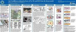 |
Important targets for Ta, Nb, and REE exploration, carbonatites and related rocks in the Canadian Cordillera were emplaced at ca. 810-700, 500, and 360-330 Ma, forming part of the British Columbia alkaline province. The most prolific Late Paleozoic carbonatites, including Aley and Upper Fir hosts of Nb-Ta deposits, are unusual. In contrast to the ca. 810-700 and ca. 500 Ma carbonatites, which mark breakup of the supercontinent Rodinia and passive margin development on the western flank of Laurentia, and to most carbonatites globally, which are found in intracratonic regions in association with large igneous provinces, the 360-330 Ma carbonatites formed near the continental margin during subduction taking place immediately to the west. We combine our findings from Blue River carbonatites with the new C-O-Sr-Pb-Nd isotopic analyses of separated carbonates from the ca. 810 Ma Perry River and ca. 360-330 Ma Aley, Ice River, Mount Grace, and Wicheeda Lake carbonatites to investigate their metallogeny. Most carbonatites, including the Ta-Nb deposits of the Blue River area, have primary mantle C-O isotopic signatures, whereas those of REE-rich carbonatites from Wicheeda Lake and Ice River dike, and literature data from Aley suggest carbohydrothermal fluid exchange with the host limestones. The available isotopic data, in conjunction with the geological, paleogeographic, and geophysical evidence, indicate that Cordilleran carbonatites were derived from a long-lived, deep-level mantle plume that was tapped episodically since the Neoproterozoic. |
| Issue ID: | OF2019-06 |
| Title: | Geology of the Cache Creek terrane north of Trembleur Lake, parts of NTS 93K/14 |
| Author(s): | Milidragovic, D. |
| Series Name: | Open File |
| Publication Year: | 2019 |
| Scale: | 1:50000 |
| NTS Map Sheet(s): | 093K/14 |
| Place Keyword(s): | British Columbia |
| Lat/Long (NSWE): | 55, 54.75, -125.5, -125 |
| Theme Keyword(s): | bedrock geology map, Cache Creek terrane, Decar, Trembleur ultramafite, Sitlika assemblage |
Download(s):
| PDF |
Abstract:
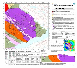 |
New bedrock mapping in the southern segment of the Cache Creek terrane (part of NTS 93K/14 - Trembleur Lake) refines the distribution and geodynamic setting of the tectonically emplaced, variably serpentinized and carbonate-altered lithospheric mantle , and the surrounding Upper Pennsylvanian to Lower Jurassic, greenschist to amphibolite-facies volcanic, shallow-intrusive, and siliciclastic rocks. |
| Issue ID: | GBCR2019-05 |
| Title: | Producing clean coal from Western Canadian Coal Fields using the Water-based Roben Jig process: Refining the Process |
| Author(s): | Mackay, M.L., Leeder, R.L., Giroux, L., Holuszko, M., Dexter, H., and Thomas, D. |
| Series Name: | Geoscience BC Report |
| Publication Year: | 2019 |
| Larger Work Citation: | Geoscience BC Project 2017-013 |
| NTS Map Sheet(s): | 082G |
| Place Keyword(s): | British Columbia, southeast British Columbia |
| Lat/Long (NSWE): | 49.9, 49.6, -115, -114.7 |
| Theme Keyword(s): | coal, Roben Jig process, coke, clean-coal carbonization |
Additional Link(s):
| http://cdn.geosciencebc.com/project_data/GBCR2019-05.pdf |
Abstract:
| The Canadian coal industry needs a reliable method of washing small metallurgical-coal samples whereby the exposure of both the coal sample and the laboratory technicians to perchloroethylene and other toxic organic liquids can be eliminated. This study evaluates the use of the Roben Jig and varying methodologies, as well as two engineered liquids (Novec 7000 and 7700), in satisfying these requirements. |
| Issue ID: | GF2019-09 |
| Title: | Toward international geoscience standards and interoperable web services for British Columbia geology and mineral resources (poster) |
| Author(s): | Cui, Y., Diakow, L.J., and Miller, D. |
| Series Name: | Geofile |
| Publication Year: | 2019 |
| NTS Map Sheet(s): | 082;083;092;093;094;102;103;104;114 |
| Place Keyword(s): | British Columbia |
| Lat/Long (NSWE): | 60, 49, -128, -118 |
| Theme Keyword(s): | GeoSciML, EarthResourceML, geology, mineral occurrences, mineral resources |
Download(s):
| PDF |
Abstract:
 |
The British Columbia Geological Survey (BCGS) is implementing the international geoscience standard GeoSciML and its extension EarthResourceML, to deliver geoscience data products and to develop interoperable geospatial web services compliant with these standards. As a first step, the bedrock geology map of the province is available in the Web Map Service (WMS) interface, using vocabularies adopted by the IUGS Commission for the Management and Application of Geoscience Information (CGI). We also have mineral occurrences from our MINFILE database available as WMS, compliant to EarthResourceML Lite, with details converted to the CGI vocabularies. Our next step is to make these data available on OneGeology, the portal for worldwide geoscience data. Our current geology and mineral occurrence data are maintained using BCGS specifications in data collection, compilation, and data production, and will continue to be accessible through MapPlace 2, the Survey's geospatial web service. However, it will take significant effort and time to have our data, specifications, and web services fully compliant with the international geoscience standards. We take this as an opportunity to update our data models and specifications, to produce consistent data with standardized classification systems and terminology, and to eventually enable interoperation in data sharing, data exchange, and data integration. |
| Issue ID: | GF2019-07 |
| Title: | Geochemistry of the Rock Canyon Creek RE-F-Ba deposit, British Columbia (poster) |
| Author(s): | Simandl, G.J., Kon, Y., Paradis, S., Hoshino, M., Akam, C., Miller, D., Araoka, D., and Kodama, S. |
| Series Name: | Geofile |
| Publication Year: | 2019 |
| NTS Map Sheet(s): | 082F,G |
| Place Keyword(s): | British Columbia, Rock Canyon Creek |
| Lat/Long (NSWE): | 50, 49, -117, -115 |
| Theme Keyword(s): | Rare earth elements, fluorite, REE-F-Ba deposit, geochemistry, Rock Canyon Creek |
Download(s):
| PDF |
Abstract:
 |
This poster was presented at the annual Mineral Exploration Roundup Conference (2019) sponsored by the Association for Mineral Exploration (AME). The Rock Canyon Creek carbonate-hosted REE-F-B deposit is 90 km northeast of Cranbrook on the eastern flank of the Canadian Cordillera. It has tectonic, stratigraphic, and structural similarities with Mississippi Valley-type and sparry magnesite deposits in the southeast Rocky Mountains. The main REE-fluorite zone is a steeply dipping tabular body or set of lenses extending more than 1100 m along strike, at least 50 m wide, and at least 100 m deep. It coincides with a crackle breccia in carbonate rocks. Fluorite concentrations vary from less than 1% to 13.5% by weight, and REE+Y concentrations vary from trace to 2%. The mineralized zone consists of dolomite, fluorite, barite, pyrite, quartz, K-feldspar, calcite, porous apatite, REE-fluorocarbonates, and REE-phosphates. The main fluorocarbonates are bastn�site, parisite, and synchysite. Monazite and crandallite group minerals consisting mainly of Al, Ca, Sr, and lesser proportions of La, Ce, Nd, S, and F are the main phosphates. Three-dimensional modeling of the deposit suggests possible co-variation between Ba, F, and La, and between La and Nd. Chondrite-normalized REE pattern of fluorite from the mineralized zone shows higher LREE content and differs from that of fluorite associated with prosopite in transported boulders, and from distal fluorite (850 m from the main mineralized zone). Detailed studies of mineral paragenesis and chemical and isotopic compositions of minerals are underway to elucidate the timing of mineralization and the origin of ore-forming fluids. |
| Issue ID: | GF2019-06 |
| Title: | Primary fersmite and the direct indicator mineral concept, Mount Brussilof, British Columbia (poster) |
| Author(s): | Simandl, G.J., Petrus, J.A., Leybourne, M.I., Paradis, S., and Akam, C. |
| Series Name: | Geofile |
| Publication Year: | 2019 |
| NTS Map Sheet(s): | 082J/13 |
| Place Keyword(s): | British Columbia, Mount Brussilof |
| Lat/Long (NSWE): | 50.85, 50.75, -115.7, -115.6 |
| Theme Keyword(s): | primary fersmite, alpine cleft, magnesite deposit, direct indicator mineral concept, Mount Brussilof |
Download(s):
| PDF |
Abstract:
 |
Fersmite ([Ca,Ce,Na][Nb,Ta,Ti] [O,OH,F] ), an important Nb ore mineral, occurs commonly as a metamict alteration product of pre-existing niobate minerals in carbonatites, alkaline and peralkaline intrusions, and rare element pegmatites. Well-crystalized fersmite is found in 'alpine clefts' (open joints, vugs, and cavities partially filled with well-crystallized minerals) formed during metamorphism and uplift.
At the Mount Brussilof (MB) magnesite deposit, 40 km northeast of Invermere, British Columbia, coarse fersmite crystals are in in vugs within sparry dolomite, which cross-cuts sparry magnesite. It occurs as accessory, black, acicular to platy, strongly-zoned crystals up to 2 cm long or as smaller crystals (< 3 mm) commonly fractured and cut by late dolomite.
The MB fersmite is characterized by strongly-zoned, euhedral crystals growing on the walls of cavities or enclosed in a dolomite matrix. It shares similarities with niobate mineral occurrences reported in �alpine clefts� and it differs texturally from fersmite observed in carbonatite-related Nb mineralization. Zoning in the MB fersmite crystals probably reflects variations in the composition of fluids from which they formed. The higher concentrations of LREE in fersmite from Aley carbonatite relative to the MB fersmite may reflect differences in concentrations of LREE in these fundamentally distinct fersmite-forming systems. Fersmite can be successfully used to complement minerals of the pyrochlore supergroup and minerals of the columbite-tantalite solid solution series as a direct indicator mineral in exploration for carbonatite-, pegmatite-, and alpine cleft-related mineral occurrences. |
| Issue ID: | GF2019-05 |
| Title: | Potential recovery of Ca, K, Mg, Br, I, B, and Li from produced water at oil and gas fields, British Columbia (poster) |
| Author(s): | Simandl, G.J., Akam, C., Yakimoski, M., Richardson, D., Teucher, A., Cui, Y., Paradis, S., McPhail, S., and Ferri, F. |
| Series Name: | Geofile |
| Publication Year: | 2019 |
| NTS Map Sheet(s): | 093;094 |
| Place Keyword(s): | British Columbia, northeast British Columbia |
| Lat/Long (NSWE): | 60, 54, -126, -120 |
| Theme Keyword(s): | produced waters, flowback waters, formation waters, Oil and Gas, element recovery |
Download(s):
| PDF |
Abstract:
 |
Produced waters are a co-product of hydrocarbon extraction from conventional and unconventional fields. Treatment and disposal of these waters present a significant cost to the oil and gas industry. However, produced waters may contain non-negligible concentrations of Cl, Na, Ca, K, Sr, Mg, Br, Ba, Fe, I, B, Mn, Li, and other potentially recoverable elements. Most elements discussed in this study are considered specialty metals (e.g., Li and Mg), industrial minerals (e.g., B, Br, and I), or starting materials for �synthetic� industrial minerals (e.g., precipitated calcium carbonate). Lithium exploration and development projects worldwide currently benefit from a bullish outlook for the battery-grade portion of the Li market. Virtually every site in the Alberta portion of the Western Canada Sedimentary Basin with reported Li concentrations equal to or greater than 50 mg/l is claimed. Only five samples of produced waters analysed for Li in British Columbia are currently in public domain; one of which contains 54 mg/l Li.
The quality of produced water analyses is commonly questioned due to analytical problems or contamination by mud filtrate, completion fluids, or corrosion inhibitors. Automated data culling may be beneficial for treatment of data as it removes spurious analyses, although it may eliminate valuable data for elements not affected by contaminants. This study is a first step toward identifying areas with anomalous concentrations of elements in produced waters. More work is needed to confirm our findings and determine which, if any, of the discussed elements can be extracted and marketed to offset the cost of treatment and disposal of produced waters. |
| Issue ID: | MP-89 |
| Title: | Dimension and ornamental stone in BC � An overview |
| Author(s): | Simandl, G.J. and Guning, D.F. |
| Series Name: | Miscellaneous Publication |
| Publication Year: | 1989 |
| NTS Map Sheet(s): | 082;083;092;093;094;102;103;104;114 |
| Place Keyword(s): | British Columbia |
| Lat/Long (NSWE): | 60, 48, -139, -114 |
| Theme Keyword(s): | dimension stone, ornamental stone, market study |
Download(s):
| PDF |
Abstract:
 |
At the beginning of this century, British Columbia produced a wide variety of quality dimension stone products for both domestic and foreign markets. The industry flourished until the 1930's when most of the producing quarries closed as a result of the depression. During the 1990's, British Columbia experienced the resurgent North American dimensional stone production trend. The industry benefited from increased prospecting activity and from substantive new investment in processing equipment, particularly in the granite sector. British Columbia has re-established itself as an important, reliable and innovative source of high quality stone products. |
| Issue ID: | GBCR2019-06 |
| Title: | Quantification of the Gas and Liquids in Place and Flow Characteristics of Shale and other Fine-Grained Facies in Western Canada |
| Author(s): | Bustin, A.A.M., Hazel, S., Hosseinian, A., LeMessiuer, M., Letham, E.A., Longobardi, M., Munson, E., Owen, J., Wilson, T., Silva, P.L. |
| Series Name: | Geoscience BC Report |
| Publication Year: | 2019 |
| Larger Work Citation: | Geoscience BC Project 2013-001 |
| NTS Map Sheet(s): | 093P; 094A,B,G |
| Place Keyword(s): | British Columbia, northeast British Columbia |
| Lat/Long (NSWE): | 60, 48, -140, -114 |
| Theme Keyword(s): | Geoscience BC, Montney Formation |
Additional Link(s):
| http://www.geosciencebc.com/wp-content/uploads/2019/04/GBCR2019-06-FINAL-report-Quantification-of-the-Gas-and-Liquids-Bustin.pdf |
Abstract:
| Rapid growth of the unconventional shale gas and shale oil industry has outpaced our understanding of the processes that determine gas and liquids in place as well as our methods for quantifying flow characteristics of the rocks, particularly when multiple phases are present. A three year research program was undertaken at The University of British Columbia with the overall goal of better understanding the occurrence of liquid hydrocarbons in shales and the factors that contribute to their producibility. The project had two interrelated objectives: a) quantifying gas and liquid hydrocarbons in place and flow characteristics of shale gas and oil reservoirs; and b) quantifying gas in place and flow characteristics of fine-grained facies in Western Canada. In this report the salient results, conclusions, and interpretations are provided. References are provided to the fully detailed reports, graduate student theses, and papers. Shales, in comparison to conventional petroleum reservoirs, are unique in their fine-grained nature and resulting nano- to micrometre scale pore systems. Characterising pore systems is important as they are the location of both storage and transport of hydrocarbons. The geometry of the pore systems and composition of the pore walls influence hydrocarbon production through capillarity and permeability, and by factors recently recognized including pore size-dependent phase envelopes in nanometer scale pore and capillary condensation. The methodologies currently used to characterize the pore systems, hydrocarbon storage capacity, and flow characteristics of the shale matrix are mainly a hybrid mixture of specialised methods used for coals and conventional reservoir rocks and have been applied to shales with limited consideration of their unique and varied properties or the physics of extremely small places. In our study, we developed new methods and refined existing methods to better characterise the pore structure, permeability, and mineralogy of find grained reservoirs. Our research shows that Klinkenberg slip extends to much high pressures than previously considered and we show how slippage measurements can be used to characterise the pore structure. We have developed a method of measuring effective permeability of fine-grained reservoir rocks at different fluid saturations using ethane gas at a range of pore pressures up to the saturated vapour pressure. An instrument and algorithms were developed to measure liquid permeability by pulse decay with determination of the relative permeability for ultra-low permeability rocks. The study of sample preparation for mineralogy by X-ray diffraction has resulted in the development of a protocol that greatly reduces the time required in sample preparation without compromising accuracy of the results. Similarly, we have refined methods of characterising capillary pressures with mercury intrusion porosimetry data through developing better algorithms for correcting for sample conformance and compressibility. To understand the change in fracture permeability with production, we investigated fracture closure with declining pore pressure. The importance of natural asperities on fracture surfaces in creating tortuosity of the flow path as the fractures close with stress has been demonstrated in the laboratory. With use of a 3-D CFD finite-element fluid flow code/model we show the degree to which shear offset can change the fracture fluid flow behavior.
In order to understand the liquid hydrocarbon resource distribution and producibility in Western Canada, we first updated regional maps of organic maturation, established the distribution of the oil window aerially and stratigraphically, and correlated this data with produced gas wetness. We focused our detailed studies on the most important stratigraphic intervals, each of which was to comprise the thesis research of a graduate student. As part of our investigation into the gas and liquid hydrocarbons in place in shales, we undertook a detailed study of the volume, rheology, and chemistry of fluids during flowback after hydraulic completion of Montney Formation wells. The major ions in the flowback water, and hence total dissolved solids (TDS), increase over the flowback period with rare exception. SO4 concentrations are generally invariant. Physical mixing between the completion hydraulic fracturing fluid and the high TDS formation water in the fracture network, and through countercurrent imbibition, is the dominant process that is influencing the flowback water chemistry. In addition to physical mixing, other potential contributors to high TDS are ion diffusion and/or osmosis. Cl-, d18O, and d2H were treated as conservative tracers to calculate the proportion of formation water contributing to flowback water. The initial (early time) flowback water samples are comprised of 10-35% formation water whereas in the final flowback, water samples (prior to putting the well on production) are 40-60% formation water. For the studied wells, the calculated volume of hydraulic fracturing fluid recovered based on the mixing proportions is typically < 10% of the injected fluid. For well constrained wells, we compared the time between end of completion and start of flowback (shut-in time/soak time) with cumulative hydrocarbon production at 30 days and two years. Our data is inclusive in showing if soaking is bad, good, or indifferent to production rate or cumulative production- if soaking is important, its effects, even in our well constrained data, is masked by a plethora of other variables. Prospective Devonian shale reservoirs, the Horn River and Liard basins, Cordova Embayment, and adjacent western Alberta, were investigated using petroleum systems protocol groundtruthed with fluid analyses and petrophysical and geochemical analyses of core and cuttings. Due to the overmaturity of the strata in most of the study area, the Rock Eval S2 peaks are low or absent and hence Tmax, a common maturity index, is not reliable. Also, due to the age and depositional setting of the strata, vitirinte is rare. Regionally, the maturity of the Devonian shales increases from Alberta, where the strata are mature to the west and north where the strata are markedly overmature. Because of high thermal maturity, the liquid hydrocarbon potential of Devonian shales in the British Columbia portion of the study area is low, whereas in Alberta, due to shallower burial, the prospectivity is higher. Modeling representative wells from the studied basins shows that peak burial depth and temperature were reached during the Late Cretaceous and early Paleocene. However, the onset of oil generation varies by hundreds of millions of years over the spatial extent of the study area. In the Liard Basin, the Devonian shales have been generating oil since the Carboniferous, reaching peak oil generation (transformation ratio = 50%) in the early Triassic, whereas the onset of oil generation in the Alberta wells occurred at 100 Ma at the earliest (if oil generation occurred at all) and peak generation occurred during the Late Cretaceous. In nearly all of the well locations modelled in this study, the transformation ratio reached 100% during foreland subsidence, which results in the current dominantly dry-gas potential nature of the Devonian petroleum system.
One of the major objectives of our study was to investigate the influence of diagenesis and thermal maturity on the pore structure evolution of organic-rich, shale gas, and shale oil producing reservoir rocks. The Duvernay Formation is well suited for this study because the formation spans multiple thermal maturity boundaries from immature to overmature with increasing burial depth, and is generally compositionally similar over this range of maturities. A pore to basin scale study of the Duvernay Formation was thus undertaken with particular emphasis on determining how permeability of shales to liquids varies with shale diagenesis and lithofacies. Comparison of pore structures from samples of varying maturity provided insight into the impact of thermal maturity and compaction on mudrock microstructure and permeability. Organic-matter hosted, fine mesoporosity is visible with FE-SEM imaging from the onset of the oil window (HI = 348 mg HC/g TOC) and the development of organic matterhosted pores increases in both size and abundance systematically with increasing maturity into the dry gas window. The pore size distribution, as measured by N2 low pressure gas adsorption, shows a progressive increase in fine pore sizes with thermal maturity from the oil window through the dry gas window and the subsequent loss of larger pore modes. Macropore volumes are highest within the shallow, immature samples and progressively decrease with increasing maturity and burial due to compaction. Average helium pulse-decay permeability for samples from the wet gas and dry gas window are an order of magnitude higher than oil window samples. In general, this is a result of the development of fine pore sizes with maturity associated with organic matter. Within the wet gas window, permeability is dominantly controlled by the coarse meso- to macropore size fraction, which is associated with increased total quartz and feldspar content. The permeability for dry gas window samples is determined by a greater proportion of fine pore volumes correlated to relatively higher total clay, quartz, and feldspar content. Regional mapping of lithofacies in the Duvernay was paired with reservoir characteristics including mineralogy, total porosity, organic matter (OM) content, net reservoir thickness, potential fracture barriers or baffles, reservoir quality impairments, and the impact of reef development. Wireline logs calibrated with laboratory measurements and artificial neural networks have enabled quantitative to semi-quantitative mapping of reservoir quality based mainly on mineralogy, TOC, and porosity. Characterizing the Doig Formation through a petroleum system analysis approach was a major goal of this research proposal. The Doig Formation, although locally developed as a conventional reservoir, is considered a prospective unconventional target, which has largely been overlooked due to the greater prospectivity of the underlying Montney Formation. This study, which is still in progress, includes mapping the spatial distribution of lithofacies, total organic carbon content, organic matter quality, mineralogy, porosity, and permeability on a regional scale in northeastern British Columbia. Detailed wireline interpretations calibrated to core analyses have facilitated extrapolating facies, geochemistry, and geomechanical properties to non-cored areas. Petroleum system modeling will be used to reconstruct and determine the timing of thermogenic hydrocarbon generation, migration, expulsion, and retention. |
| Issue ID: | EXT178 |
| Title: | British Columbia Mineral and Coal Exploration Survey 2018 |
| Author(s): | Ernst & Young LLP |
| Series Name: | External Article |
| Publication Year: | 2019 |
| NTS Map Sheet(s): | 082;083;092;093;094;102;103;104;114 |
| Place Keyword(s): | British Columbia |
| Lat/Long (NSWE): | 60, 48, -139, -114 |
| Theme Keyword(s): | mineral and coal, exploration survey, exploration expenditure, Ernst & Young EY, AME |
Download(s):
| PDF |
Additional Link(s):
| https://www.ey.com/en_ca/mining-metals
https://assets.ey.com/content/dam/ey-sites/ey-com/en_ca/topics/mining-metals/ey-bc-minerals-coal-exploration-survey-2018.pdf |
Abstract:
 |
2018 marked the second consecutive annual increase in exploration expenditure in BC following several years of decline. The positive momentum that began in the sector in late-2016 accelerated in 2018, with year-on-year growth in exploration across all major commodities and geographic regions in the province. This broad-based growth produced a total exploration spend among companies of $330.2 million � up 34% on the prior year and 62% greater than in 2016. The growth rate of BC exploration expenditure also far exceeded the global average of 20%.1 Nationally, Canada�s exploration growth exceeded Australia, Chile, Mexico, Peru and South Africa � with BC being the greatest contributor to this growth. What�s more, the $84 million increase in BC exploration spend exceeded that of Quebec and Ontario, despite both jurisdictions being more than double the size of BC as measured by total 2018 exploration expenditure.
The increase in BC�s exploration sector was led by the modern-day gold rush underway in the province�s northwest, increased exploration diversity, a rebound in coal exploration and a continued shift to grassroots and early-stage exploration. We�re seeing a resurgence of exploration activity in the northwest of BC owing to new discoveries, infrastructure and higher commodity prices. The historic "Golden Triangle" in the northwest has been the site of three gold rushes over the past century, with industry observers suggesting a fourth is underway as juniors search for the next major discovery. Survey results reveal the region incurred $165 million in exploration expenditure in 2018. That�s a 66% increase over the prior year and is almost double 2016 levels. The northwest also accounted for 50% of total exploration spend in the province in 2018.
In 2017, gold accounted for almost 90% of the increase in exploration spend in BC. Last year, however, gold�s share of growth declined to 15% as investors broadened their focus to copper, silver and nickel. The investment made exploring for these three commodities more than doubled from $49 million in 2017 to $102 million in 2018. In total, copper, silver and nickel accounted for the majority (64%; $53.7 million) of the year�s increase in provincial exploration expenditure. Much of this increase can be attributed to exploration projects in the Golden Triangle; however, there were also many large investments in copper and silver projects in the province�s southeast and north central regions.
Prior to 2018, investment in coal exploration in the province had decreased for five consecutive years. This changed in 2018 as existing coal producers increased their exploration budgets and new players entered the market. Notably, exploration activity increased not only in BC�s traditional coal fields but also in the province�s northwest and north central regions. Exploration spend for coal ultimately increased by 58% in 2018, to $50 million. This increase accounted for 22% of the growth in total exploration spend across the province in 2018, reaffirming the importance of the commodity to the BC mining and exploration industry.
The outlook for the mining and metals sector in BC is largely influenced by the success of early-stage exploration. Five years ago, the prospects for discoveries leading to new mines in the province appeared bleak, with limited investment being made in early-stage exploration. But as we�ve seen over the last two years of producing this survey, the sector is undergoing a reset. 2018 marks the fifth consecutive year that early-stage exploration increased as a share of total exploration. Grassroots and early-stage exploration accounted for 44% of total exploration in 2018 compared with just 14% in 2014. The convergence of many positive developments led to a sharp increase in both exploration project numbers and expenditure in BC last year. Whether these trends continue in 2019 remains to be seen, and may ultimately be determined by external forces such as current global trade tensions, economic growth projections and commodity price volatility. |
| Issue ID: | GF1997-01 |
| Title: | Metallogeny of the Greenwood Mining Camp (082E02) |
| Author(s): | Church, B.N. and Jones, L.D. |
| Series Name: | GeoFile |
| Publication Year: | 1997 |
| NTS Map Sheet(s): | 082E02 |
| Place Keyword(s): | British Columbia, Greenwood, Grand Forks |
| Lat/Long (NSWE): | 49.25, 49, -118.8, -118.4 |
| Theme Keyword(s): | Greenwood mining camp, mining history, Phoenix mine, mineral deposits, mineral occurrences |
Download(s):
| PDF |
Abstract:
 |
The Greenwood mining camp comprises more than 25 former mines, including the Phoenix mine, an open pit copper-gold skarn deposit, and similar smaller producers such as Mother Lode, Oro Denoro, and Greyhound, several significant polymetallic vein deposits, and more than 120 surrounding mineral prospects. The region is underlain principally by large Mesozoic and Tertiary granitic plutons that were intruded into the Proterozoic pericratonic Monashee complex, and accreted Paleozoic and Mesozoic oceanic and arc rocks of the Slide Mountain and Quesnel terranes. These terranes were delaminated from the oceanic lithosphere and stacked against the continental margin of the North America craton by the mid-Jurassic. Overprinting by Cretaceous Laramide and post-Laramide Tertiary transtensional structures has complicated the geology. The combination of igneous intrusion, limestone strata, and mineralization is repeated frequently throughout the camp, and there is little question that intrusion of the Jurassic and Cretaceous granitic plutons provided not only the thermal engine driving circulation of mineralizing solutions to produce pyrometasomatic and porphyry-type deposits but that these intrusions also provided the structural setting for the development of many vein fissures. A linear lead isotope relationship that connects diverse deposit-types in the area appears to be the result of fluid mixing within a well-connected hydrothermal plumbing system. Current exploration is focused on some of the oldest and youngest assemblages in the Greenwood area. Units of the Slide Mountain terrane, such as the Paleozoic Knob Hill and Attwood groups, hold promise for the discovery of stratiform polymetallic VMS-type deposits. Tertiary mineralization includes epithermal Au-Ag veins, sulphur-poor silica sinter deposits, and Carlin-type deposits with bulk tonnage potential. The Phoenix ore body is locallized by faulting, the footwall argillite and impurity of the overlying limestone. Lode mineralization was first recorded near Greenwood in 1884 and major deposits of copper and gold have been mined here since the turn of the century. Most of the mineral production from the Greenwood mining camp is from copper-bearing skarn deposits and, to a lesser extent, polymetallic quartz veins and, less commonly, copper-gold porphyry deposits. Production to date from the 26 principal mines in the area stands at 32,044,173 tonnes of ore consisting of 38,278 kilograms of gold, 183,102 kilograms of silver, 270,945 tonnes of copper, 966 tonnes of lead, and 329 tonnes of zinc.
Originally created as a web article in 1997, this document was re-released, with slight modifications, as a GeoFile in 2019. |
| Issue ID: | GF1997-02 |
| Title: | Slocan Mining Camp and Area (082K03, 082F14) |
| Author(s): | Church, B.N. and Jones, L.D. |
| Series Name: | GeoFile |
| Publication Year: | 1997 |
| NTS Map Sheet(s): | 082K03, 082F14 |
| Place Keyword(s): | British Columbia, Slocan, Slocan City |
| Lat/Long (NSWE): | 50.1, 49.8, -117.5, -117 |
| Theme Keyword(s): | Slocan mining camp, mining history, mineral occurrences, Kootenay arc, Nelson batholith |
Download(s):
| PDF |
Abstract:
 |
The Slocan map area of southeastern British Columbia is one of the oldest mining camps in the province. Containing 271 documented mineral occurrences, the camp flourished in the early 1900s, and has continued to produce intermittently ever since. Silver-lead-zinc ores are predominant and can be characterized as gold-silver or silver-gold with minor lead-zinc mineralization. Slocan is one of the areas in British Columbia where small-scale mining remained viable for many years because of the richness of the ores. In the Slocan City area, more than half of the 125 occurrences were mineral producers, and 13 mines produced more than 1 million grams of silver. The Ottawa, Enterprise, Arlington, and Molly Gibson mines have each produced more than 30 million grams of silver plus significant amounts of lead and zinc.
Originally created as a web article in 1997, this document was re-released, with slight modifications, as a GeoFile in 2019. |
| Issue ID: | GF1999-01 |
| Title: | Metallogeny of the Bridge River Mining Camp (092J10, 15 & 092O02) |
| Author(s): | Church, B.N. and Jones, L.D. |
| Series Name: | GeoFile |
| Publication Year: | 1999 |
| NTS Map Sheet(s): | 092J10, 092J15, 092O02 |
| Place Keyword(s): | British Columbia, Bralorne, Gold Bridge, Bridge River |
| Lat/Long (NSWE): | 50.6, 51.1, -123, -122.4 |
| Theme Keyword(s): | Bridge river mining camp, mining history, mineral occurrences, Bralorne mine, Pioneer mine |
Download(s):
| PDF |
Abstract:
 |
The Bridge River mining camp is known principally for gold-quartz mineralization. The ore veins occur on major fault zones in belts of elongated serpentinite bodies flanked by granitic plutons. The Bridge River camp encompasses five former mines including two large gold producers, Bralorne and Pioneer; three small producers, Wayside, Minto and Congress and more than 60 surrounding mineral prospects. This report outlines the geology of the region, gives synoptic descriptions of the main mineral deposits and provides production and resource tables.
Originally created as a web article in 1999, this document was re-released, with slight modifications, as a GeoFile in 2019. |
| Issue ID: | OF2019-07 |
| Title: | Bedrock geology, Search Phase 1 project area, western Skeena arch, west-central British Columbia |
| Author(s): | Angen, J.J., Rahimi, M., Nelson, J.L. and Hart, C.J.R. |
| Series Name: | Open File |
| Publication Year: | 2019 |
| Other Citation Details: | Also published as Geoscience BC Map 2019-03-01 and MDRU Map 17-2018 |
| Scale: | 1:150000 |
| NTS Map Sheet(s): | 093L, 103I |
| Place Keyword(s): | British Columbia, west-central British Columbia |
| Lat/Long (NSWE): | 55, 54, -128.6, -126.9 |
| Theme Keyword(s): | Skeena arch, Bedrock geology, Search Phase 1 |
Download(s):
| PDF, ZIP (View Zip Contents) |
Additional Link(s):
| http://www.geosciencebc.com/projects/2016-038/
http://cdn.geosciencebc.com/project_data/2016-038/GBCMap2019-03-01MDRUMap17-2018BCGS2019-07_Geo.pdf |
Abstract:
 |
This map presents the results of new mapping carried out during the summer of 2016, a compilation of previous mapping, and interpretations based on new aeromagnetic data. The map is accompanied by spatial data including administrative, cultural and natural features, vector and raster topographic information, historical and modern mineral exploration information, and regional historical geochronology and structural measurements derived from government sources and published literature. The MINFILE data contain records modified from the BC MINFILE database and newly identified occurrences. The map also provides new geochemical and geochronologic results and structural and physical properties measurements. The complete database is available through Geoscience BC. |
| Issue ID: | OF2019-08 |
| Title: | Aeromagnetic correlation with bedrock geology, Search Phase 1 project area, western Skeena arch, west-central British Columbia |
| Author(s): | Angen, J.J., Rahimi, M., Nelson, J.L. and Hart, C.J.R. |
| Series Name: | Open File |
| Publication Year: | 2019 |
| Other Citation Details: | Also published as Geoscience BC Map 2019-03-02 and MDRU Map 18-2018 |
| Scale: | 1:150000 |
| NTS Map Sheet(s): | 093L, 103I |
| Place Keyword(s): | British Columbia, west-central British Columbia |
| Lat/Long (NSWE): | 55, 54, -128.6, -126.9 |
| Theme Keyword(s): | Skeena arch, Bedrock geology, Search Phase 1, Aeromagnetics |
Download(s):
| PDF, ZIP (View Zip Contents) |
Additional Link(s):
| http://www.geosciencebc.com/projects/2016-038/
http://cdn.geosciencebc.com/project_data/2016-038/GBCMap2019-03-02MDRUMap18-2018BCGS2019-08_GPH.pdf |
Abstract:
 |
Complementing British Columbia Geological Survey Open File 2019-07 (Bedrock geology, Search phase 1 project area, western Skeena arch, west-central British Columbia, by Angen, Rahimi, Nelson, and Hart), Open File 2019-08 integrates bedrock mapping with a recent aeromagnetic survey conducted by Precision Geosurveys Inc. (Geoscience BC, Report 2016-02). |
| Issue ID: | GF2019-10 |
| Title: | Rock-Eval, lithogeochemistry, gamma ray spectrometry, vitrine reflectance, and X-ray diffraction analysis of the Besa River Formation in the Rocky Mountains of northeastern British Columbia. |
| Author(s): | Ferri, F., and Reyes, J. |
| Series Name: | Geofile |
| Publication Year: | 2019 |
| NTS Map Sheet(s): | 094; 095 |
| Place Keyword(s): | British Columbia, Northeastern British Columbia |
| Lat/Long (NSWE): | 61.5, 58.5, -126.4, -123 |
| Theme Keyword(s): | Besa River Formation, Oil shale, Liard Basin, Horn River Formation, Stone Mountain |
Download(s):
| PDF, ZIP (View Zip Contents) |
Abstract:
 |
Middle Devonian to Lower Carboniferous shales and siltstones of the Besa River Formation exposed in the Rocky Mountains are equivalent to shale gas-bearing rocks in the subsurface of the Liard Basin and, farther east, in the Horn River Formation of the Horn River Basin. To better understand these shale gas-bearing horizons, we investigated the Besa River Formation in outcrops near the southwestern margin of Liard Basin. Complementing data and interpretations presented in previous publications, herein we present the full data set from two sections that were measured and systematically sampled in the Stone Mountain area. Included are location maps, graphic logs, lithologic descriptions, images of representative rock types, and data files with results from whole rock and Rock-Eval geochemistry, bulk mineral composition, vitrine reflectance, and gamma ray work. These sections and data sets will provide a reference for shale gas-bearing rocks of the Besa River Formation in the subsurface of southern Liard Basin. |
| Issue ID: | GBCM2019-03-01 |
| Title: | Bedrock geology, Search Phase 1 project area, western Skeena arch, west-central British Columbia |
| Author(s): | Angen, J.J., Rahimi, M., Nelson, J.L. and Hart, C.J.R. |
| Series Name: | Geoscience BC Map |
| Publication Year: | 2019 |
| Other Citation Details: | Also published as MDRU Map 18-2018 and BCGS OF 2019-08 |
| Scale: | 1:150000 |
| NTS Map Sheet(s): | 093L, 103I |
| Place Keyword(s): | British Columbia, west-central British Columbia |
| Lat/Long (NSWE): | 55, 54, -128.6, -126.9 |
| Theme Keyword(s): | Skeena arch, Bedrock geology, Search Phase 1 |
Download(s):
| PDF, ZIP (View Zip Contents) |
Additional Link(s):
| https://www2.gov.bc.ca/gov/content/industry/mineral-exploration-mining/british-columbia-geological-survey/publications/openfiles#OF2019-07
https://cmscontent.nrs.gov.bc.ca/geoscience/PublicationCatalogue/OpenFile/BCGS_OF2019-07.pdf |
Abstract:
| This map presents the results of new mapping carried out during the summer of 2016, a compilation of previous mapping, and interpretations based on new aeromagnetic data. The map is accompanied by spatial data including administrative, cultural and natural features, vector and raster topographic information, historical and modern mineral exploration information, and regional historical geochronology and structural measurements derived from government sources and published literature. The MINFILE data contain records modified from the BC MINFILE database and newly identified occurrences. The map also provides new geochemical and geochronologic results and structural and physical properties measurements. The complete database is available through Geoscience BC. |
| Issue ID: | GBCM2019-03-02 |
| Title: | Aeromagnetic correlation with bedrock geology, Search Phase 1 project area, western Skeena arch, west-central British Columbia |
| Author(s): | Angen, J.J., Rahimi, M., Nelson, J.L. and Hart, C.J.R. |
| Series Name: | Geoscience BC Map |
| Publication Year: | 2019 |
| Other Citation Details: | Also published as MDRU Map 18-2018 and BCGS OF 2019-08 |
| Scale: | 1:150000 |
| NTS Map Sheet(s): | 093L, 103I |
| Place Keyword(s): | British Columbia, west-central British Columbia |
| Lat/Long (NSWE): | 55, 54, -128.6, -126.9 |
| Theme Keyword(s): | Skeena arch, Bedrock geology, Search Phase 1, Aeromagnetics |
Download(s):
| PDF, ZIP (View Zip Contents) |
Additional Link(s):
| https://www2.gov.bc.ca/gov/content/industry/mineral-exploration-mining/british-columbia-geological-survey/publications/openfiles#OF2019-08
https://cmscontent.nrs.gov.bc.ca/geoscience/PublicationCatalogue/OpenFile/BCGS_OF2019-08.pdf |
Abstract:
| Complementing Geoscience BC Map 2019-03-01 (Bedrock geology, Search phase 1 project area, western Skeena arch, west-central British Columbia, by Angen, Rahimi, Nelson, and Hart), Map 2019-03-02 integrates bedrock mapping with a recent aeromagnetic survey conducted by Precision Geosurveys Inc. (Geoscience BC, Report 2016-02). |
| Issue ID: | GBCM2019-03-03 |
| Title: | Mineral mapping using ASTER data, Search Phase 1 project area, western Skeena arch, west-central British Columbia |
| Author(s): | Rahimi, M., Angen, J.J. and Hart, C.J.R. |
| Series Name: | Geoscience BC Map |
| Publication Year: | 2019 |
| Other Citation Details: | Also published as MDRU Map 19-2018 |
| Scale: | 1:150000 |
| NTS Map Sheet(s): | 093L, 103I |
| Place Keyword(s): | British Columbia, west-central British Columbia |
| Lat/Long (NSWE): | 55, 54, -128.6, -126.9 |
| Theme Keyword(s): | Skeena arch, mineral mapping, Search Phase 1, ASTER |
Download(s):
| PDF, ZIP (View Zip Contents) |
Abstract:
| Complementing Geoscience BC Map 2019-03-01 (Bedrock geology) and Map 2019-03-02 (Bedrock mapping integrated with aeromagnetis), this map comprises new mineral mapping which is the result of processing, interpretation and modeling of level T1 images, Advanced Spaceborne Thermal Emission and Reflection Radiometer (ASTER) data. Ten ASTER L1T images based on image quality, cloud cover, snow, dark spots and plants coverage were selected from the downloaded images through NASA's Earth Observing System data. |
| Issue ID: | OGR1959-1982 |
| Title: | Petroleum Geological and Geophysical reports of the Nechako Region - 1959-1982 |
| Author(s): | various |
| Series Name: | Oil and Gas Reports |
| Publication Year: | 1982 |
| NTS Map Sheet(s): | 093J;093K;093N;093O;094B;094B |
| Place Keyword(s): | British Columbia, Central BC, Nechako, Nazko River |
| Lat/Long (NSWE): | 53, 49, -126, -122 |
| Theme Keyword(s): | petroleum, exploration reports, geological, geophysical |
Download(s):
| PDF |
Abstract:
| This a collection of 23 Petroleum Resources Branch Assessment Reports from 1953 to 1982. The geological and geophysical reports and maps cover the the Nechako Region. |
| Issue ID: | GF2019-11 |
| Title: | Rock-Eval, lithogeochemistry, gamma ray spectrometry, thermal maturity, X-ray diffraction analysis, and organic carbon isotope geochemistry of the Besa River Formation, west-central Liard Basin, British Columbia (94N/14) |
| Author(s): | Ferri, F., and Reyes, J. |
| Series Name: | Geofile |
| Publication Year: | 2019 |
| NTS Map Sheet(s): | 094N/14 |
| Place Keyword(s): | British Columbia, Northeastern British Columbia |
| Lat/Long (NSWE): | 60, 59.75, -125.6, -125 |
| Theme Keyword(s): | Besa River Formation, shale gas, Liard Basin, Horn River Formation |
Download(s):
| PDF, ZIP (View Zip Contents) |
Abstract:
 |
Middle Devonian to Lower Carboniferous shales and siltstones of the Besa River Formation that are exposed in the Caribou Range of west-central Liard Basin are lithologically similar to time-equivalent shale-gas bearing rocks in the subsurface of the eastern Liard Basin and, farther east, in the Horn River Basin. Complimenting a nearly identical data set obtained from the Besa River Formation in southern Liard Basin and previous investigations, herein we present the full dataset from a continuous stratigraphic section that we measured and systematically sampled in the Caribou Range of northernmost British Columbia. |
| Issue ID: | GF2019-12 |
| Title: | Rock-Eval, lithogeochemistry, gamma ray spectrometry, thermal maturity, and X-ray diffraction analysis of the Grayling and Toad formations (Montney and Doig formations equivalent), Halfway River map area (94B/14) |
| Author(s): | Ferri, F., Golding, M., and Reyes, J. |
| Series Name: | Geofile |
| Publication Year: | 2019 |
| NTS Map Sheet(s): | 094B/14 |
| Place Keyword(s): | British Columbia, Northeastern British Columbia |
| Lat/Long (NSWE): | 56.2, 56.96, -123.45, -123.4 |
| Theme Keyword(s): | Grayling Formation, shale gas, Toad Formation, Liard Formation, Montney Formation |
Download(s):
| PDF, ZIP (View Zip Contents) |
Abstract:
 |
Triassic calcareous siltstones and fine-grained sandstones of the Grayling and Toad formations exposed in the Halfway River area of the Rocky Mountains in northeastern British Columbia represent the western equivalents of gas-bearing units in the Montney and Doig formations in the subsurface of the Western Canada Sedimentary Basin. To better document these units, herein we present the results of a section, more than 640 metres thick, that we systematically measured and sampled across the Grayling and Toad formations and the lower part of the Liard Formation. These results include lithologic, organic and whole rock geochemical, thermal maturation, x-ray diffraction, and gamma ray spectrometer data. |
| Issue ID: | GBCR2019-11 |
| Title: | Clarke Lake Geothermal Pre-Feasibiilty Study |
| Author(s): | Associated Engineering |
| Series Name: | Geoscience BC Report |
| Publication Year: | 2019 |
| Larger Work Citation: | Geoscience BC Project 2018-003 |
| NTS Map Sheet(s): | 094J |
| Place Keyword(s): | British Columbia |
| Lat/Long (NSWE): | 58.8, 58.5, -123, -122.3 |
| Theme Keyword(s): | geothermal energy, electrical power development, geothermal assessment |
Additional Link(s):
| http://www.geosciencebc.com/wp-content/uploads/2019/11/Clarke-Lake-Geothermal-Final-Report.pdf |
Abstract:
| The Clarke Lake Geothermal Pre-Feasibility Study report assesses two potential sites close to the Clarke Lake Gas Field south of Fort Nelson. It outlines the potential costs and revenues as well as technology recommendations and permitting requirements as a first step to understanding economic viability. The Clarke Lake Field is located approximately 14 kilometres southeast of Fort Nelson, in northeastern British Columbia. It is in the Horn River Basin, BC�s second largest natural gas basin, that stretches from south of Fort Nelson north to the BC/Yukon border. |
| Issue ID: | GBCR2019-08 |
| Title: | An Exploration Framework for Porphyry to Epithermal Transitions in the Toodoggone Mineral District (94E) |
| Author(s): | Bouzari, F., Bissig, T., Hart, C.J.R., Leal-Mejia, H. |
| Series Name: | Geoscience BC Report |
| Publication Year: | 2019 |
| Other Citation Details: | MDRU Publication 424 |
| Larger Work Citation: | Geoscience BC Project 2016-013 |
| NTS Map Sheet(s): | 094E/02; 094E/03; 094E/06; 094E/07 |
| Place Keyword(s): | British Columbia, Toodoggone |
| Lat/Long (NSWE): | 57.4, 57.2, -127.28, -126.7 |
| Theme Keyword(s): | Geoscience BC, porphyry deposits, epithermal deposits, bedrock geology, mineral deposits |
Additional Link(s):
| http://www.geosciencebc.com/wp-content/uploads/2019/11/Geoscience-BC-Report-2019-08.pdf
http://www.geosciencebc.com/wp-content/uploads/2019/11/Geoscience-BC-Report-2019-08-ZIP.zip |
Abstract:
| The Toodoggone district in the Stikine terrane of northeastern British Columbia is one of few mineral districts in BC and worldwide that host a significant number of preserved Early Jurassic high- and low-sulfidation epithermal-type deposits. These deposits are hosted by a thick (>2 km) succession of Early Jurassic sub-aerial andesitic and dacitic volcanic rocks of Toodoggone Formation. These and underlying strata were probably covered by thick successions (>4 km) of Jurassic and Cretaceous Bowser and Sustut basin clastic strata that protected and facilitated preservation of the epithermal deposits during subsequent, post-Late Cretaceous uplift.
New age relationships suggest that epithermal-type deposits formed contemporaneously with pluton emplacement and porphyrytype K-silicate alteration at depth. The Re-Os age (193.8 � 0.8 Ma) of molybdenite from Baker mine mineralization overlaps with nearby K-feldspar-altered coarse-grained granodiorite (Duncan pluton) that gives a U-Pb zircon age of 193.4 � 2.6 Ma. Similar temporal relationships are evident for epithermal-type mineralization at Alunite Ridge and the 189.6 � 2.1 Ma K-silicate-altered granodiorite which hosts porphyry copper mineralization at the Sofia occurrence.
Field observations, alteration assemblages, vein types, trace metal concentrations and the evaluation of fluid inclusions indicate that some of the epithermal-type veins that were previously classified as low-sulfidation have alteration features indicative of shallowlevel porphyry systems. Quartz-sericite-pyrite alteration lacking kaolinite occurs at Baker mine, Black Gossan and Sofia. White micas in sericite alteration at these localities are moderately crystalline (>1.75 index) and K-rich on the basis of SWIR data. Such alteration characteristics are also features of shallow-level porphyry systems. Occurrences of pyrophyllite with quartz-sericite alteration at the Brenda mine also indicate shallow porphyry alteration rather than typical advanced argillic related to epithermal environment.
The occurrence of quartz-magnetite�pyrite�chalcopyrite in drill holes at the Baker mine indicates a transition towards porphyry alteration just 100-150 m below the surface. Such K-silicate alteration also occurs in several valley cuts into the deeper exposed plutons in the district such as at Black Gossan, suggesting that porphyry-level alteration is exposed.
Fluid inclusion analysis indicate near-surface exposures of high temperature (up to 556 �C) and saline (up to 50 wt.% NaCl equiv.) fluids associated with quartz veins and K-silicate alteration at the Baker mine that are characteristic of deep level porphyry-type alteration. More importantly, these fluids occur only 100-200 m below the surface where lower temperature (<358�C) and dilute (<2.6% wt.% NaCl equiv.) fluids caused pervasive sericite alteration and gold-bearing quartz veins. This suggests that the quartzsericite-pyrite alteration in the district is directly related to higher temperature porphyry-type alteration at depth. Similar low to moderate temperature and low-salinity fluids were also recognized with the sericite alteration at Black Gossan and Alunite Ridge.
The transition to a porphyry center is further supported by the high concentrations of Cu, Mo, W, and Sn (which are typically enriched in the core of porphyry system) relative to Sb, As, Ag, Li and Tl (which are typically enriched in shallow level above porphyry systems). A normalized-element ratio index, the MDRU Porphyry Index (MPIx) is developed and applied to the Toodoggone district. This index indicates that Sofia and Baker mines have a distinct porphyry character and that other deposits or prospects such as Shasta, Cliff Creek, Black Gossan and Alunite Ridge also have notable porphyry affinities.
Results from this study indicate that there are a range of mineralization types in the central Toodoggone district from the deep porphyry to shallow epithermal environments which formed episodically over the period from ca. 196 to 186 Ma. A new framework proposed herein indicates the potential for exploration of porphyry-type copper mineralization in areas previously known for epithermal mineralization.
This release includes digital versions of the Appendices and shape files of the bedrock geology. |
| Issue ID: | OF2019-10 |
| Title: | Indicator-mineral content of bedrock and till at the Gibraltar porphyry Cu-Mo deposit and the Woodjam porphyry Cu-Au-Mo prospect, south-central British Columbia |
| Author(s): | Plouffe, A., Ferbey, T. |
| Series Name: | Open File |
| Publication Year: | 2019 |
| Other Citation Details: | Also published as GSC Open File 8580 |
| NTS Map Sheet(s): | 092O/09; 092O/10; 092O/15; 092O/16; 092P/09; 092P/10; 092P/11; 092P/12; 092P/13; 092P/14; 092P/15; 092P/16; 093A; 093B/01; 093B/02; 093B/07; 093B/08; 093B/09; 093B/10; 093B/15; 093B/16 |
| Place Keyword(s): | British Columbia, Cariboo Mountains, Williams Lake, Horsefly, Likely |
| Lat/Long (NSWE): | 53, 51.5, -122.7, -120 |
| Theme Keyword(s): | indicator minerals, till samples, economic geology, surficial geology, porphyry deposits |
Download(s):
| PDF, ZIP (View Zip Contents) |
Additional Link(s):
| https://geoscan.nrcan.gc.ca/starweb/geoscan/servlet.starweb?path=geoscan/shorte.web&search1=R=315647
https://doi.org/10.4095/315647 |
Abstract:
 |
The next generation of porphyry Cu deposits to be discovered in the Canadian Cordillera are likely to be found underlying glacial sediments. The recovery of minerals diagnostic of porphyry Cu mineralization, termed porphyry Cu indicator minerals (PCIM), in till and stream sediments will contribute to the discovery of buried mineralization. To identify minerals that have the potential to be used as PCIM, thirteen bedrock samples from the Gibraltar porphyry Cu-Mo deposit and ten from the Woodjam porphyry Cu-Au-Mo prospect were examined after producing mid-density (2.8-3.2 SG) and heavy (>3.2 SG) mineral concentrates. Chalcopyrite, a common Cu ore mineral, is abundant in bedrock and till in the Gibraltar and Woodjam areas making it a key PCIM. Jarosite, common in leached cap and supergene zones of porphyry Cu deposits, is generally more abundant in till near the known mineralized zones compared to surrounding regions and therefore, should be considered a PCIM diagnostic of the oxidized portion of porphyry mineralization. Other Cu (azurite, malachite, covellite, chalcocite) and Mo (molybdenite) minerals are present in mineralized bedrock but are rare or absent in till, limiting their utility as PCIM at these two study sites, but they could be important PCIM if found in detrital sediments at other sites. Other minerals (e.g. tourmaline, apatite and rutile) present in till and bedrock need to be characterized geochemically in order to be classified and used as PCIM. |
| Issue ID: | GF2019-13 |
| Title: | Reconnaissance mapping in the Lardeau Group, SE BC, with implications for Outokumpu-style deposits and high technology battery metals Ni and Co (poster) |
| Author(s): | Mihalynuk, M.G. |
| Series Name: | Geofile |
| Publication Year: | 2019 |
| NTS Map Sheet(s): | 082E; 082F; 082K; 082L; 082M; 082N |
| Place Keyword(s): | British Columbia, Southeastern British Columbia |
| Lat/Long (NSWE): | 52.5, 48, -119.5, -117 |
| Theme Keyword(s): | Lardeau Group, polymetallic mineralization, Outokumpu-type deposits, Ledgend deposit |
Download(s):
| PDF |
Abstract:
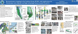 |
In 1981, unusual polymetallic mineralization (Ni-Cu-Co- Zn-Ag) was discovered near Kaslo, in southeast British Columbia. However, it was not until 2017 that John Drobe (Cardero Resources) recognized its similarity with Outokumpu-style sea-floor detachment related deposits in Finland, for which a refined deposit model has only arisen in the last decade. Ni and Co are enriched in these Besshi-like deposits because they develop over mantle but why are they in the �passive continental margin� succession of North America? Previous workers have mapped small mafic/ultramafic intrusions. Could some be mantle? Plus, how extensive is this mineralization within the 300+ km long Lardeau belt?
In 2018, during a week-long reconnaissance mapping and sampling program, we looked into this �Outokumpu-style� mineralization to see if further study was needed. This poster presents some preliminary findings as well as an introduction to major questions about unit correlation that persist in the Kootenay region of southeastern British Columbia. |
| Issue ID: | IC2020-03 |
| Title: | British Columbia Geological Survey brochure |
| Author(s): | BC Geological Survey |
| Series Name: | Information Circular |
| Publication Year: | 2020 |
| NTS Map Sheet(s): | 082;083;092;093;094;102;103;104;114 |
| Place Keyword(s): | British Columbia |
| Lat/Long (NSWE): | 60, 48, -139, -114 |
| Theme Keyword(s): | Information Circular, Geological Survey Branch, Brochure, projects and activities |
Download(s):
| PDF |
Abstract:
 |
Celebrating its 125th anniversary in 2020, the British Columbia Geological Survey is the oldest scientific agency in the province. The Survey conducts research to establish the geological evolution and mineral resources of the province. Drawing on continuously advancing concepts and technologies, the Survey creates knowledge to guide societal decisions centred on the Earth sciences. Survey maps, reports, and databases are freely available online, connecting the public, First Nations, local communities, the minerals industry, public safety agencies, environmental scientists, other research organizations, and government to the province�s geology and mineral resources. This information benefits decisions that balance the economy, the environment, and community interests. This brochure summaries the mission and activities of the British Columbial Geological Survey. |
| Issue ID: | IC2020-05 |
| Title: | Online databases at the British Columbia Geological Survey |
| Author(s): | BC Geological Survey |
| Series Name: | Information Circular |
| Publication Year: | 2020 |
| NTS Map Sheet(s): | 082;083;092;093;094;102;103;104;114 |
| Place Keyword(s): | British Columbia |
| Lat/Long (NSWE): | 60, 48, -139, -114 |
| Theme Keyword(s): | online databases, British Columbia Geological Survey, MapPlace, MINFILE, ARIS, COALFILE, Property File, geochemical, bedrock geology, publications catalog |
Download(s):
| PDF |
Abstract:
 |
Founded in 1895, the British Columbia Geological Survey integrates historical data with active research programs and, drawing on continuously advancing geoscience concepts and technologies, creates new knowledge. Since its inception, the Survey has provided information to help government, the mineral exploration industry, public safety agencies, environmental scientists, communities, First Nations, research organizations, and the general public make decisions related to the Earth sciences. This information resides in databases that are integrated with MapPlace 2, our online service that allows clients to browse, visualize, and analyze multidisciplinary geoscience data, and create custom maps. |
| Issue ID: | IC2020-04 |
| Title: | British Columbia Geological Survey Mineral Development Office |
| Author(s): | BC Geological Survey |
| Series Name: | Information Circular |
| Publication Year: | 2020 |
| NTS Map Sheet(s): | 082;083;092;093;094;102;103;104;114 |
| Place Keyword(s): | British Columbia, Vancouver |
| Lat/Long (NSWE): | 60, 48, -140, -114 |
| Theme Keyword(s): | Mineral Development Office, MDO, links, distribution, mineral opportunities |
Download(s):
| PDF |
Abstract:
 |
The Mineral Development Office (MDO) is the Vancouver base of the British Columbia Geological Survey. It links the more than 800 global exploration and mining companies headquartered in Vancouver to provincial mineral and coal information. The MDO distributes British Columbia Geological Survey data and provides technical information and expertise about mineral opportunities to the domestic and international investment community. The MDO monitors the activities of the exploration and mining sector, informing other government agencies and industry, and coordinates production of the annual Provincial Overview of Mining and Exploration volume. |
| Issue ID: | GF2019-14 |
| Title: | Supplementary data for multi-media geochemical and Pb isotopic evaluation of modern drainages on Vancouver Island |
| Author(s): | Rukhlov, A.S., Fortin, G., Kaplenkov, G.N., Lett, R.E., Lai, V. W.-M., and Weis, D. |
| Series Name: | Geofile |
| Publication Year: | 2019 |
| NTS Map Sheet(s): | 092C/08, 092L/12 |
| Place Keyword(s): | British Columbia, northern Vancouver Island, Loss Creek |
| Lat/Long (NSWE): | 50.75, 50.5, -128, -127.5 |
| Theme Keyword(s): | drainage geochemistry, heavy mineral concentrate, Pb isotopic data, Bonanza Group, geochemical samples |
Download(s):
| PDF, ZIP (View Zip Contents) |
Abstract:
 |
This GeoFile provides tables with field data, sample details, analytical results and quality control of geochemical and Pb isotopic analyses of stream and moss mat-sediment, heavy mineral concentrate, rock, and stream water samples, and modal mineralogy of heavy mineral concentrate samples by QEMSCAN. The samples were collected from the Loss Creek placer gold occurrence on southern Vancouver Island and from streams draining prospective rocks of the Bonanza Group (Late Triassic to Middle Jurassic) hosting porphyry Cu-Mo-Au, epithermal Au-Ag-Cu and related mineralization on northern Vancouver Island. ? |
| Issue ID: | GBCR2019-07 |
| Title: | South Meager Geothermal Project: New Perspectives from Recently Unearthed Data |
| Author(s): | Witter, J., Innovate Geothermal Ltd. |
| Series Name: | Geoscience BC Report |
| Publication Year: | 2019 |
| Larger Work Citation: | Geoscience BC Project 2018-004 |
| NTS Map Sheet(s): | 092J/12 |
| Place Keyword(s): | British Columbia, Southwestern British Columbia, Meager Creek |
| Lat/Long (NSWE): | 50.6, 50.56, -123.55, -123.48 |
| Theme Keyword(s): | geothermal, South Meager Project |
Additional Link(s):
| http://www.geosciencebc.com/i/pdf/Report-2019-07-Innovate-Geothermal.pdf |
Abstract:
| Situated on the south flank of Mt. Meager, ~60 km northwest of Pemberton in British Columbia, is Canada�s most advanced, volcano-hosted, high temperature geothermal energy project. Exploration and development of the project has been on pause since soon after the 2008 global financial crisis when investors mostly fled from high risk, early-stage natural resource projects. In an effort to spur renewed interest in the South Meager geothermal project, Geoscience BC facilitated the public release of hitherto proprietary drilling and geothermal well test data (Geoscience BC, 2017). These data provide new and revealing evidence that a substantial geothermal resource is present at South Meager. |
| Issue ID: | P2020-01 |
| Title: | Geological Fieldwork 2019, A Summary of Field Activities and Current Research, British Columbia Geological Survey |
| Author(s): | BC Geological Survey |
| Series Name: | Paper |
| Publication Year: | 2020 |
| Larger Work Citation: | Geological Fieldwork 2019, B.C. Ministry of Energy, Mines and Petroleum Resources, Paper 2020-01 |
| NTS Map Sheet(s): | 082;083;092;093;094;102;103;104;114 |
| Place Keyword(s): | British Columbia |
| Lat/Long (NSWE): | 60, 48, -139, -114 |
| Theme Keyword(s): | Geological Fieldwork, Full volume, Geological |
Download(s):
| PDF |
Abstract:
 |
The 45th edition of Geological Fieldwork, is a volume of peer-reviewed papers presenting the results of geoscience research conducted by the British Columbia Geological Survey (BCGS) and its partners. The papers in Geological Fieldwork 2019 address a variety of geological inquires, highlighting both regional mapping and more thematic studies. |
| Issue ID: | P2018-01-00 |
| Title: | Geological Fieldwork 2017, Preface |
| Author(s): | Rowins, S.M. |
| Series Name: | Paper |
| Publication Year: | 2018 |
| Larger Work Citation: | in Geological Fieldwork 2017, B.C. Ministry of Energy, Mines and Petroleum Resources, Paper 2018-01 |
| NTS Map Sheet(s): | 082;083;092;093;094;102;103;104;114 |
| Place Keyword(s): | British Columbia |
| Lat/Long (NSWE): | 60, 48, -139, -114 |
| Theme Keyword(s): | Geological Fieldwork, Preface, Geological, Table of Contents |
Download(s):
| PDF |
Abstract:
| The 43rd edition of Geological Fieldwork is a volume of peer-reviewed papers that presents the results of geological research conducted by the British Columbia Geological Survey (BCGS) and its partners in 2017. The volume provides new geoscience information at no cost to the public. Many geoscience projects in 2017 were collaborations with partners including the Geological Survey of Canada (GSC), the University of Victoria, and the University of British Columbia.
Papers in the volume address various aspects of British Columbia�s geology, with an emphasis on regional geological studies and mineral systems. Papers also include method development studies related to fi eld mapping and online digital delivery, indicator mineral surveys, and 3D computer models for estimating depth to bedrock in areas of thick glacial cover. Collaboration between the BCGS and the GSC focused on the second iteration of the five-year Geo-mapping for Energy and Minerals program (GEM 2) and the fifth iteration of the Targeted Geoscience Initiative (TGI-5) program. The GEM 2 program saw Survey geologists investigating the bedrock geology and crustal architecture of northern BC to better understand the genesis and distribution of Jurassic and Triassic porphyry copper-gold-molybdenum deposits. The TGI-5 projects continued in 2017, with an investigation of the relationship between the Llewellyn fault, Tally-Ho shear zone, and gold mineralization in northwest BC and Yukon. The BCGS also expanded its fi eld mapping program in 2017, with investigations in the Spanish Lake, McBride River, Trembleur Lake (Decar) and Iskut River areas.
Survey staff delivered MapPlace 2 workshops at the Mineral Exploration Roundup conference and the Kamloops Exploration Group (KEG) meeting in 2017, following the launch of MapPlace 2 at the 2016 BCGS Open House. In addition, Survey staff took the lead in publishing a special volume titled �Indicator Minerals in Till and Stream Sediments of the Canadian Cordillera�. This volume stems from a workshop given at the 2016 Geological Association of Canada�Mineralogical Association of Canada (GAC-MAC) annual meeting in Whitehorse, Yukon. The publication fills a notable knowledge gap on the use of indicator minerals in the Canadian Cordillera. We hope that it serves as a user guide and encourages the wider application of indicator minerals by the exploration community.
In November, the BCGS held its annual Open House in Victoria, featuring technical talks and posters by research scientists from the BCGS, GSC and the University of Victoria. A highlight of 2017 was the formal recognition of research done by BCGS staff with two awards. Drs. Mao Mao, Alexei Rukhlov and Steve Rowins, together with Jody Spence and Laurence Coogan from the University of Victoria, won the Brian J. Skinner Award for the �Best Paper� published in Economic Geology in 2016. The award was presented to Mao in September at the Society of Economic Geologists annual meeting in Beijing, China. Another award went to JoAnne Nelson who received the 2017 Provincial and Territorial Geologists Medal. The Medal is presented annually by the Committee of Provincial and Territorial Geologists to an individual for outstanding work at one of Canada�s provincial or territorial geological surveys. JoAnne accepted her medal at the annual Energy and Mines Ministers meeting in St. Andrews, New Brunswick, and will be embarking on a nationwide lecture tour in 2018.
Finally, the past year saw a change in government and an expansion of the Ministry from �Energy and Mines� to �Energy, Mines and Petroleum Resources�, a name familiar to many both inside and outside of government. The role of the BCGS, however, remains the same. |
| Issue ID: | P2020-01-01 |
| Title: | British Columbia Geological Survey annual program review 2019-2020 |
| Author(s): | Ferri, F., Jones, L.D., Clarke, G., and Hickin, A.S. |
| Series Name: | Paper |
| Publication Year: | 2020 |
| Larger Work Citation: | Geological Fieldwork 2019, B.C. Ministry of Energy, Mines and Petroleum Resources, Paper 2020-01 |
| NTS Map Sheet(s): | 082;083;092;093;094;102;103;104;114 |
| Place Keyword(s): | British Columbia |
| Lat/Long (NSWE): | 60, 48, -139, -114 |
| Theme Keyword(s): | Highlights, Projects, Events, Accomplishments, Partnerships |
Download(s):
| PDF |
Abstract:
| Providing a summary of projects, events, and accomplishments over the past year, this review highlights activities of the British Columbia Geological Survey (BCGS) in 2019. Established in 1895, the Survey links government, the minerals industry, and British Columbians to the Province�s geology and mineral resources. In 2019, the Survey welcomed Rebecca Hunter as a Senior Minerals Geologist and Pierre Landry as a Mineral Assessment Geoscientist. At the end of January 2020, Fil Ferri will retire after 32 years with the Ministry of Energy, Mines and Petroleum Resources. His position as the Director of Cordilleran Geoscience will be filled by Neil Wildgust. Other key geoscientist positions will be filled in 2020 as the Survey celebrates its 125th anniversary. |
| Issue ID: | P2020-01-02 |
| Title: | Detrital zircons from the Gun Lake unit, Gold Bridge area, southwestern British Columbia |
| Author(s): | Schiarizza, P., Monger, J.W.H., Friedman, R.M., and Northcote, B. |
| Series Name: | Paper |
| Publication Year: | 2020 |
| Larger Work Citation: | Geological Fieldwork 2019, B.C. Ministry of Energy, Mines and Petroleum Resources, Paper 2020-01 |
| NTS Map Sheet(s): | 092J/15 |
| Place Keyword(s): | British Columbia, Gold Bridge |
| Lat/Long (NSWE): | 51, 50.75, -123, -122.6 |
| Theme Keyword(s): | Gun Lake unit, Bridge River complex, detrital zircons, Tyaughton basin, Relay Mountain Group |
Download(s):
| PDF |
Abstract:
| Undated siliciclastic rocks that rest above the Bridge River complex (Mississippian-Jurassic) at several localities near Gold Bridge were previously assigned to the Gun Lake unit and thought to correlate with the basal Callovian-early Oxfordian unit of the Relay Mountain Group (lower Tyaughton basin). Detrital zircons analyzed from two of these localities show that the sampled rocks represent two different units, both younger than the basal unit of the Relay Mountain Group. The Gun Lake unit near Downton Lake contains detrital zircons ranging from 180 to 118 Ma. We now correlate these rocks with the Paradise Formation (Aptian-early Albian) of the Taylor Creek Group (upper part of the Tyaughton basin). Our results are consistent with previous interpretations of a western source in the southwest part of the Coast belt. The Gun Lake unit near Truax Creek contains detrital zircons that mostly fall within a restricted time span between 165 and 142 Ma, with a much smaller population of Late Triassic (214-208 Ma) grains. These rocks, and the adjacent Truax Creek conglomerate, are here correlated with the middle (upper Oxfordian-Valanginian) unit of the Relay Mountain Group. A likely source area to the northeast includes Cadwallader terrane and a Late Jurassic volcanic-plutonic belt that cuts across it. |
| Issue ID: | P2020-01-03 |
| Title: | An update on the geology of northern Hogem batholith and its surroundings, north-central British Columbia |
| Author(s): | Ootes, L., Bergen, A.L., Milidragovic, D., Jones, G.O., Camacho, A., and Friedman, R. |
| Series Name: | Paper |
| Publication Year: | 2020 |
| Larger Work Citation: | Geological Fieldwork 2019, B.C. Ministry of Energy, Mines and Petroleum Resources, Paper 2020-01 |
| NTS Map Sheet(s): | 094C/04;093N/13 |
| Place Keyword(s): | British Columbia, North-central British Columbia |
| Lat/Long (NSWE): | 56.6, 55.9, -126.6, -125.2 |
| Theme Keyword(s): | Hogem batholith, Quesnel terrane, Stikine terrane, Cretaceous deformation, bedrock mapping |
Download(s):
| PDF |
Abstract:
| New bedrock mapping refines the distribution and relationships of plutonic rocks in northern Hogem batholith and surrounding rocks in the Quesnel, Stikine, and Cache Creek terranes. Cutting the Quesnel terrane, the Hogem batholith is composed of ca. 197 Ma hornblendite and diorite of the Thane Creek suite, 182 to 177 Ma biotite pyroxenite and syenite of the Duckling Creek suite, ca. 160 Ma granite of the Osilinka suite, and ca. 174 Ma tonalite and 140 to 135 Ma granodiorite and granite of the Mesilinka suite. All units contain a penetrative foliation and 40Ar/39Ar biotite ages indicate post-deformation cooling and uplift after ca. 124 Ma. The Hogem batholith is bounded to the north and east by volcanic and sedimentary rocks of the Nicola Group (Triassic) along fault and intrusive contacts. To the west, Hogem batholith and Nicola Group are separated from the Cache Creek and Stikine terranes along the Pinchi-Ingenika dextral strike-slip fault system; farther west, an unexposed thrust fault juxtaposes Cache Creek rocks above Stikine terrane rocks. The Stikine terrane in the study area includes the Asitka Group (Carboniferous to Permian) volcano-sedimentary basement that is overlain by immature siliciclastic sedimentary rocks of the Dewar Formation (Takla Group; Triassic), and which is overlain by the Telkwa Formation (Hazelton Group; Jurassic). Cache Creek terrane encompasses metamorphic rocks of the Sitlika assemblage (Lower Jurassic), which have sedimentary and volcanic protoliths, serpentinites of the Trembleur ultramafic complex (Permian to Upper Triassic), mixed volcanic and metasedimentary rocks of the Sowchea succession (Upper Pennsylvanian to Lower Jurassic), and Cretaceous intrusive rocks of the Axelgold layered mafic intrusion. About 88 mineral occurrences in the area are documented in MINFILE. Seven new occurrences discovered in 2019; five of these close to previously recognized mineralization. When combined with results of 2018 mapping, 24 new mineral occurrences have been documented in the study area. Porphyry Cu �Mo, Au in Hogem batholith is the predominant type followed by quartz-carbonate vein-hosted base and precious metals in Quesnel and Stikine terranes, and volcanic/sediment-hosted Cu in the Telkwa Formation of the Stikine terrane. |
| Issue ID: | P2020-01-04 |
| Title: | Origin and serpentinization of ultramafic rocks in dismembered ophiolite north of Trembleur Lake, central British Columbia |
| Author(s): | Steinthorsdottir, K., Cutts, J., Dipple, G., Milidragovic, D., and Jones, F. |
| Series Name: | Paper |
| Publication Year: | 2020 |
| Larger Work Citation: | Geological Fieldwork 2019, B.C. Ministry of Energy, Mines and Petroleum Resources, Paper 2020-01 |
| NTS Map Sheet(s): | 093K/14 |
| Place Keyword(s): | British Columbia, central British Columbia |
| Lat/Long (NSWE): | 55, 54.75, -125.5, -125 |
| Theme Keyword(s): | Trembleur ultamafite, Decar, Baptiste deposit, serpentinite, CO2 sequestration |
Download(s):
| PDF |
Abstract:
| Serpentinization of ultramafic rocks can produce alteration minerals such as brucite (Mg(OH)2), which has the potential to sequester carbon dioxide, and awaruite (Ni3Fe), a potential source of nickel. The Trembleur ultramafite is part of a dismembered ophiolite in central British Columbia. Field and petrographic data indicate that it is heterogeneous both in protolith and alteration. The protolith consists mainly of harzburgite, lherzolite, dunite, and lesser pyroxenite. Dunite, more abundant than previously recognized, could be a replacement of harzburgite (�lherzolite). All ultramafic rocks in the Decar area, north of Trembleur Lake, are altered to some extent (mainly partially to pervasively serpentinized) and locally contain higher temperature metamorphic assemblages. Carbonate alteration post-dated serpentinization, degrading minerals such as brucite and awaruite to locally produce ophicarbonates, soapstone, and listwanite. The primary olivine-pyroxene ratio of the protolith may have controlled fluid pathways and thus the extent of serpentinization and the abundance, distribution, and grain size of brucite and awaruite, which has implications for carbon sequestration and nickel potential in the Decar area. |
| Issue ID: | P2020-01-06 |
| Title: | Geology of the Kinskuch Lake area and Big Bulk porphyry prospect, northwestern British Columbia: Syndepositional faulting and basin formation during the Rhaetian (latest Triassic) transition from the Stuhini to the Hazelton Group |
| Author(s): | Miller, E.A., Kennedy, L.A., and van Straaten, B.I. |
| Series Name: | Paper |
| Publication Year: | 2020 |
| Larger Work Citation: | Geological Fieldwork 2019, B.C. Ministry of Energy, Mines and Petroleum Resources, Paper 2020-01 |
| NTS Map Sheet(s): | 103P/11 |
| Place Keyword(s): | British Columbia, northwest British Columbia, Stewart-Iskut district |
| Lat/Long (NSWE): | 55.75, 55.6, -129.5, -129.3 |
| Theme Keyword(s): | Kinskuch conglomerates, Big Bulk, Hazelton Group, Stuhini Group, bedrock mapping |
Download(s):
| PDF |
Abstract:
| The Stewart-Iskut district, in the Stikine terrane of northwestern British Columbia, contains numerous Late Triassic to Early Jurassic porphyry Cu-Au and epithermal deposits. These deposits are broadly coeval with the transition from volcano-sedimentary deposits of the Stuhini Group (Late Triassic) to those of the Hazelton Group (latest Triassic to Jurassic), which is marked by strata bearing evidence of significant uplift and erosion. Recent studies in the district have proposed that small pull-apart basins served to localize emplacement of the KSM Cu-Au porphyry system. Detailed (1:10,000 scale) mapping in the Kinskuch Lake area near the Big Bulk Cu-Au porphyry prospect, 50 km southeast of Stewart, indicates that syndepositional faulting in the Rhaetian (latest Triassic) strongly influenced the transition from Stuhini Group to Hazelton Group deposition. Conglomerates, informally referred to herein as the Kinskuch conglomerates, containing Stuhini Group-derived megaclasts (up to 120 m) at the base of the Hazelton Group signify a high-relief, fault-generated paleotopography and mark a fundamental break in the tectonic history of the region. Progressive stripping into deeper parts of the subjacent Stuhini Group section, as recorded by bottom-to-top clast compositions that yield an inverse stratigraphy, signify at least 400 m of Stuhini Group unroofing. These conglomerates are limited to the east side of a prominent northeast-trending dextral fault (Tabletop fault). We propose that the Tabletop fault and likely other northeast-trending faults in the area had an earlier (latest Triassic) history with strike-slip or oblique movement, and that releasing step-overs, splays, or double bends in this fault network created local zones of north-south extension, easterly trending normal faults, and local pull-apart basins. The Big Bulk porphyry diorite stock (204.61 �0.18 Ma, CA-TIMS, U-Pb zircon, this study), which cuts the lower part of the Hazelton Group, has four intrusive phases all of which are approximately tabular with an east-west trend. Main stage Cu-Au mineralization is in sheeted quartz-chalcopyrite veins, with easterly orientations, consistent with local northerly extension during porphyry emplacement. Hence, like other areas in northwestern Stikinia, sedimentation, magmatism, and porphyry mineralization appear to have had a strong structural control. Along with the prominent northeast-trending strike-slip faults, mid-Cretaceous shortening related to the Skeena fold and thrust belt is expressed as southeast- and eastvergent thrusts and folds. It is likely that many of the mid-Cretaceous structures in the area reactivated pre-existing structures. |
| Issue ID: | P2020-01-07 |
| Title: | Preliminary stratigraphy and geochronology of the Hazelton Group, Kitsault River area, Stikine terrane, northwest British Columbia |
| Author(s): | Hunter, R.C., and van Straaten, B.I. |
| Series Name: | Paper |
| Publication Year: | 2020 |
| Larger Work Citation: | Geological Fieldwork 2019, B.C. Ministry of Energy, Mines and Petroleum Resources, Paper 2020-01 |
| NTS Map Sheet(s): | 103P/11, 103P/12, 103P/13, 103P/14 |
| Place Keyword(s): | British Columbia, Kitsault River |
| Lat/Long (NSWE): | 55.8, 55.6, -129.7, -129.3 |
| Theme Keyword(s): | Hazelton Group, Stikine terrane, Jurassic, VMS, Eskay rift |
Download(s):
| PDF |
Abstract:
| The Kitsault River area, at the southern end of the Iskut-Stewart mineral belt of northwestern Stikinia, hosts porphyry Cu-Au, porphyry-related gold, and precious metal-rich VMS deposits in Hazelton Group volcano-sedimentary rocks. Based on new mapping northwest and east of Kinskuch Lake, we further resolve stratigraphic relationships in the lower part of the Hazelton Group and recognize three new facies and two new sub-facies. Facies 1 and 3 consist of lapilli tuff to tuff breccia with hornblende-plagioclase-phyric clasts and minor interbedded epiclastic rocks. Facies 2 consists of predominantly epiclastic rocks. Facies 3 is further subdivided into sub-facies 3a, a distinctive unit of K-feldsparand plagioclase-phyric flows and lapilli tuffs to tuff breccia and sub-facies 3b, a mixed volcano-sedimentary unit with local features indicating subaerial deposition. New U-Pb zircon data provide age constraints to the Hazelton Group in the area, including a maximum depositional age from detrital zircons (U-Pb, LA-ICPMS) of ca. 206 Ma (Rhaetian) for the onset of Hazelton Group volcanism. A monzonite dike from near the Homestake Ridge deposit gave an age of ca. 191 Ma (U-Pb CA-TIMS), indicating that Cu-Au mineralizing systems in the Kitsault River area are Early Jurassic. A felsic lapilli tuff from directly beneath the Wolf deposit yielded a crystallization age of ca. 178 Ma (U-Pb, LA-ICPMS), suggesting that upper parts of the Hazelton Group are developed in the Kitsault River valley area and host some VMS related mineralization. Consistent with this conclusion, a volcanic-derived sandstone sample from the southern shore of Kitsault Lake returned a detrital zircon maximum depositional age of ca. 169 Ma (U-Pb, LA-ICPMS). These upper Hazelton Group units differ from those in the Eskay rift and at the Anyox deposit, which contain abundant bimodal felsic and mafi c volcanic rocks. Nonetheless, these coeval syngenetic mineralizing systems are likely related and we interpret that VMS mineralization in the Kitsault River area reflects hydro-magmatic fluids flowing along syndepositional faults to near-surface levels. Extensional processes that operated at Eskay may have extended into in the Kitsault River area but without producing a large rift basin. |
| Issue ID: | P2020-01-08 |
| Title: | Late Neogene porphyry Cu-Mo(�Au-Ag) mineralization in British Columbia: the Klaskish Plutonic Suite, northern Vancouver Island |
| Author(s): | Nixon, G.T., Friedman, R.M., and Creaser, R.A. |
| Series Name: | Paper |
| Publication Year: | 2020 |
| Larger Work Citation: | Geological Fieldwork 2019, B.C. Ministry of Energy, Mines and Petroleum Resources, Paper 2020-01 |
| NTS Map Sheet(s): | 092L/05, 092L/06, 092L/11, 092L/12 |
| Place Keyword(s): | British Columbia, northern Vancouver Island |
| Lat/Long (NSWE): | 50.6, 50.3, -127.7, -127 |
| Theme Keyword(s): | Porphyry Cu-Mo, Klaskish Plutonic Suite, geochronology, Brooks magmatic suire, Neogene magmatism |
Download(s):
| PDF |
Abstract:
| Late Neogene porphyry Cu-Mo mineralization hosted by the Klaskish Plutonic Suite (new formal name) in northern Vancouver Island occupies a unique position in the forearc of the Cascadia subduction zone. The Klaskish granitoid plutons and Alert Bay volcanic rocks comprise the Brooks magmatic suite, which forms a northeast-oriented zone, the Brooks-Haddington tract, extending for 65 km across the island from the Pacific coast to Queen Charlotte Strait in the east. The southern part of the Brooks-Haddington tract is marked by a narrow (10 km) structural corridor, the Brooks Peninsula fault zone, which hosts the mineralized Klaskish intrusions. The northern part of the tract is occupied by eroded edifices of the Alert Bay volcanic suite. High-precision U-Pb zircon and Re-Os molybdenite dates for mineralized stocks of the Klaskish Plutonic Suite (ca. 7-4.6 Ma) confirm that their emplacement was coeval with older phases of Alert Bay volcanism (8-2.5 Ma), and that porphyry Cu-Mo magmatic-hydrothermal systems are genetically linked to pluton emplacement and crystallization. Neogene plutons associated with porphyry Mo/Cu-Mo mineralization elsewhere in British Columbia are restricted to the Pemberton arc in the southeastern Coast Mountains, where pluton ages diminish progressively northwards. The late Neogene porphyry Cu-Mo mineralizing systems in the Pemberton arc and forearc environment of northern Vancouver Island are linked to the plate tectonic evolution of the northern Cascadia subduction zone, notably plate-edge effects generated by subduction of the Juan de Fuca plate and newly redefined Nootka fault zone in the oceanic crust. The young Cu-Mo porphyry mineralization in northern Vancouver Island forms a well-defined metallotect that is underexplored and rich in opportunities for discovering economic porphyry deposits. |
| Issue ID: | P2020-01-09 |
| Title: | Multi-media geochemical and Pb isotopic evaluation of modern drainages on Vancouver Island |
| Author(s): | Rukhlov, A.S., Fortin, G., Kaplenkov, G.N., Lett, R.E., Lai, V. W.-M., and Weis, D. |
| Series Name: | Paper |
| Publication Year: | 2020 |
| Larger Work Citation: | Geological Fieldwork 2019, B.C. Ministry of Energy, Mines and Petroleum Resources, Paper 2020-01 |
| NTS Map Sheet(s): | 092C/08, 092L/12 |
| Place Keyword(s): | British Columbia, northern Vancouver Island |
| Lat/Long (NSWE): | 50.75, 50.5, -128, -127.5 |
| Theme Keyword(s): | drainage geochemical survey, strream sediment, heavy mineral concentrate (HMC), Pb isotopic data, mineral exploration |
Download(s):
| PDF |
Abstract:
| Prognostic geochemistry attempts to identify prospective areas for economic deposits of a wide range of commodities, including nontraditional deposit-types. Although the geochemistry of panned heavy mineral concentrates (HMC) from stream sediments has been used elsewhere to discover economic metal deposits that were missed by conventional stream-sediment surveys, the method has not been used extensively for regional geochemical surveys (RGS) in British Columbia. Instead, such surveys tend to use elaborate laboratory processing of bulk samples to recover HMC and indicator minerals, which although robust, are at a cost that is prohibitive for most prospectors. With the objective of developing geochemical exploration methods that are both effective and inexpensive, herein we use the <1 mm fraction of HMC samples (200-400 g) recovered by sluicing and panning of 11-16 kg of the <2 mm fraction of bulk alluvium in the fi eld. We analyzed these heavy mineral concentrates, stream waters, and conventional stream and moss-captured sediments (<0.18 mm fraction) from several Vancouver Island drainages for a wide range of elements using different analytical methods. Analysis of the field-processed HMC samples greatly enhanced the geochemical anomaly contrast and confidently identified visually confirmed mineralization even at the mouths of third- to fifth-order streams, many km downstream from known mineralization. In contrast, analysis of the conventional stream and moss-captured sediments commonly failed to detect even proximal mineralization. In addition, for the first time, we measured Pb isotopic compositions of stream waters and 2.5N HCl leachates of the sediments and HMC by economic ICP-MS. These Pb isotopic compositions fi ngerprint mineralization isotopically distinct from country rocks. Strongly acidic (sulphuric) waters of Hushamu Creek drain blind porphyry Cu-Mo-Au and epithermal Au-Ag-Cu deposits hosted by volcanic rocks of the Bonanza magmatic arc (Late Triassic to Middle Jurassic) on northern Vancouver Island. The geochemistry of HMC and water samples reveals strong lithochemical (mechanical) Au-Ag-Se-Bi-Te-Mo-Pb-Re-Hg-Ba-Sn-Co-Tl-In-Cu and hydrochemical Co-Mn-Al-Sn-Fe-Zn-Cu-Cd-Y-Ni-La-Ba dispersion in the Hushamu watershed. Above-background productivities (tonnes per 1 m depth) of Au (315), Ag (24), Ba (22350), V (4964), Zr (4584), P (4050), Zn (1146), Pb (247), B (228), Se (569), Sn (75), Co (52), Bi (49), Te (34), Cs (27), Li (17), Sb (16), Hg (9), Tl (8), and In (2) refl ect epithermal Au-Ag-Cu and the uppermost primary dispersion halo of the blind porphyry Cu-Mo-Au system under the extensive leached cap in the Hushamu basin. Multiplicative ratios of highly mobile to less mobile ore and indicator elements such as (Cu�Pb�Zn)/(Sn�Co�Mo) or (Ag�Hg�Sb)/(W�Sn�Bi) also indicate shallow level of erosion or blind mineralization. Strong LREE-Y-VBa-Sr-P-Zr-Hf-Nb-Ta-U-Th dispersion in some drainages on northern Vancouver Island may indicate undiscovered peralkaline granite- or carbonatite-hosted, rare-metal mineralization possibly related to Neogene extension in the Queen Charlotte basin and similar to deposits in Alaska. HMC samples at Loss Creek on southern Vancouver Island yield (tonnes/m): 833 Au, 78 Ag, 2568 W, plus 3066533 Mn, 86132 Y, 41516 SHREE (Gd+Tb+Dy+Ho+Er+Tm+Yb+Lu), 38542 Cr, 28724 Zn, 14377 Li, 5553 Sc, 3511 Ba, 2873 SLREE (La+Ce+Pr+Nd+Sm+Eu), 2182 Ni, 1640 Ga, 1532 Se, 871 Co, 753 Ge, 661 B, 621 Pb, 613 Cd, 594 Nb, 235 Hf, 207 Th, and 76 Ta. The prognostic geochemical resources not only confi rm placer gold and its orogenic Au-type source in the Loss Creek basin, but also indicate a large, unconventional type of a placer garnet-hosted HREE-Y-Sc-Mn deposit and other �critical� commodities. Water chemistry provides an important control on hydrochemical dispersion and constrains ore mineral assemblages. We propose a three-stage method for drainage geochemical surveys that is rapid, inexpensive, and effective. |
| Issue ID: | P2020-01-12 |
| Title: | Appendix: British Columbia Geological Survey publications and peer-reviewed journal papers authored by BCGS staff and released in 2019 |
| Author(s): | Aspler, L. |
| Series Name: | Paper |
| Publication Year: | 2020 |
| Larger Work Citation: | Geological Fieldwork 2019, B.C. Ministry of Energy, Mines and Petroleum Resources, Paper 2020-01 |
| NTS Map Sheet(s): | 082;083;092;093;094;102;103;104;114 |
| Place Keyword(s): | British Columbia |
| Lat/Long (NSWE): | 60, 48, -139, -114 |
| Theme Keyword(s): | publications, peer-reviewed journal papers, authored by BCGS staff, releases |
Download(s):
| PDF |
Abstract:
| British Columbia Geological Survey publications and peer reviewed journal papers authored by BCGS staff and released in 2019. |
| Issue ID: | P2020-01-05 |
| Title: | New geological investigations of the Early Jurassic Polaris ultramafic-mafi c Alaskan-type intrusion, north-central British Columbia |
| Author(s): | Nott, J., Milidragovic, D., Nixon, G.T., and Scoates, J.S. |
| Series Name: | Paper |
| Publication Year: | 2020 |
| Larger Work Citation: | Geological Fieldwork 2019, B.C. Ministry of Energy, Mines and Petroleum Resources, Paper 2020-01 |
| NTS Map Sheet(s): | 104C/05E, 104C/12E |
| Place Keyword(s): | British Columbia, north-central British Columbia |
| Lat/Long (NSWE): | 56.6, 56.4, -125.75, -125.5 |
| Theme Keyword(s): | Alaskan-type, ultramafic-mafic intrusion, Polaris intrusion, Quesnellia, Ni-Cu sulphides |
Download(s):
| PDF |
Abstract:
| The Polaris Alaskan-type ultramafic-mafic intrusion in north-central British Columbia is an exceptionally well-exposed, north-northwesterly trending sill-like body 14 km long by 3 km across. Rock types are distributed asymmetrically, with dunite prevalent in the east, wehrlite, clinopyroxenite, and zones of chaotically intermingled ultramafic cumulates in central areas, and gabbro-diorite to hornblende clinopyroxenite in the west. Key observations are the variable nature of lithological contacts, complex dike and sill emplacement relationships, evidence for magmatic disruption of ultramafi c cumulates, and eastward-directed thrusting of the entire intrusion atop contact aureole rocks in the east. Sharp to diffuse contacts suggest mingling and melt infiltration of previously formed cumulates of olivine clinopyroxenite, wehrlite, and dunite, and localized chaotically intermingled zones incorporating all these rock types. Disrupted chromitite layers hosted primarily by dunite occur as schlieren, folded chromitite layers and isolated blocks containing thin chromitite horizons, features interpreted as remobilized cumulates. Ni-Cu-platinum group element sulphides hosted by clinopyroxenite are mainly found in the western part of the intrusion. Ongoing research aims to establish the temporal and magmatic evolution of the intrusion with implications for the nature and timing of sulphide mineralization. |
| Issue ID: | P2020-01-10 |
| Title: | Detecting porphyry Cu-Mo mineralization using major oxides and pathfinder elements in subglacial till, Highland Valley mine area, south-central British Columbia |
| Author(s): | Shewchuk, C., Ferbey, T., and Lian, O.B. |
| Series Name: | Paper |
| Publication Year: | 2020 |
| Larger Work Citation: | Geological Fieldwork 2019, B.C. Ministry of Energy, Mines and Petroleum Resources, Paper 2020-01 |
| NTS Map Sheet(s): | 092I/06, 092I/07, 092I/10, 092I/11 |
| Place Keyword(s): | British Columbia, south-central British Columbia |
| Lat/Long (NSWE): | 50.8, 50.1, -121.4, -120.7 |
| Theme Keyword(s): | till geochemistry, calc-alkaline porphyry, pathfinder element, drift prospecting, Highland Valley mine |
Download(s):
| PDF |
Abstract:
| Major oxides and pathfinder elements are not typical analytes used in drift prospecting. Testing these analytes by applying principal component analysis to published data from the silt-plus-clay (<0.063 mm) fraction of subglacial tills near the Highland Valley mine, we find that the major oxides Al2O3 Fe2O3, K2O, and Na2O can detect drift-covered porphyry alteration and Cu-Mo mineralization. In addition, the pathfinder elements Pb, Zn, As, and Sb can also identify local dispersal from drift-covered porphyry Cu-Mo (and related) mineralization, and CaO and Ni are linked to peripheral mafic phases of the Guichon Creek batholith (Late Triassic) and regional-scale basalt flows of the Kamloops Group (Eocene). However, Ag, Hg, and Mn values in till do not reliably detect porphyry mineralization, nor do they have a coherent signal that can be related to a specific bedrock unit. |
| Issue ID: | P2020-01-11 |
| Title: | Generating photogrammetric DEMs in the field from remotely piloted aircraft systems |
| Author(s): | Elia, E.A., and Ferbey, T. |
| Series Name: | Paper |
| Publication Year: | 2020 |
| Larger Work Citation: | Geological Fieldwork 2019, B.C. Ministry of Energy, Mines and Petroleum Resources, Paper 2020-01 |
| NTS Map Sheet(s): | 094C; 094D |
| Place Keyword(s): | British Columbia, north-central British Columbia |
| Lat/Long (NSWE): | 56.5, 56, -125.3, -126.3 |
| Theme Keyword(s): | Remotely Piloted Aircraft System (RPAS), Unmanned Aerial Vehicle (UAV), drone, photogrammetry, Digital Elevation Model (DEM) |
Download(s):
| PDF |
Abstract:
| Remotely piloted aircraft systems (RPAS) can be used in the field to acquire air photos which can subsequently be used to produce digital elevation models (DEM) and orthomosaics. In this study, we examined if field-generated photogrammetric DEMs in a remote, sparsely vegetated mountainous region of north-central British Columbia are of adequate resolution to guide surficial geology mapping. Using a quadcopter RPAS with real-time kinematic (RTK) positioning, we conducted 16 flights (more than 150 line-km), taking photographs with a visible-light RGB digital camera equipped with a 1-inch CMOS sensor and mechanical shutter. Once programmed using flight-planning software, the aircraft flew itself although, as required by federal regulations, we maintained continuous visual line-of-sight. The aircraft flew at a speed of 4 m/s, at heights of less than 120 m above ground, and with a line spacing that gave 70% horizontal overlap (side lap) and 80% vertical overlap (end lap). We processed the air photos in the fi eld using structure from motion (SfM) photogrammetry to create topographic DEMs. With resolutions of <10 cm/pixel, these DEMs rival those produced using lidar in unvegetated areas. Easy to acquire, affordable, and immediately accessible, the DEMs provided details in near real-time about surficial deposits that fi eld crews would not otherwise have gained. Not only did the DEMs help us better define deposit types, they enabled us to gather data on movement of glaciers during the Late Wisconsinan by highlighting landform-scale streamlined features that could not be identified on air photos nor measured on the ground. |
| Issue ID: | IC2020-01 |
| Title: | Provincial Overview of Exploration and Mining in British Columbia, 2019 |
| Author(s): | Clarke, G., Northcote, B., Katay, F., and Tombe, S.P. |
| Series Name: | Information Circular |
| Publication Year: | 2020 |
| Larger Work Citation: | British Columbia Geological Survey Information Circular 2020-1 |
| NTS Map Sheet(s): | 082;083;092;093;094;102;103;104;114 |
| Place Keyword(s): | British Columbia |
| Lat/Long (NSWE): | 60, 52, -140, -114 |
| Theme Keyword(s): | Exploration and Mining, Summary and Trends, Provincial Overview |
Download(s):
| PDF |
Abstract:
 |
Information Circular 2020-1 is the latest in a series of annual reviews that dates back to 1874, when the first Annual Report of the Minister of Mines was published. Detailing significant projects region-by-region, the volume complements the British Columbia Coal Industry Overview (Information Circular 2020-2). To prepare the district chapters in this volume, the Regional Geologists visit project sites to view outcrops and drill core and to discuss results and progress. A significant amount of information is gleaned from corporate press releases, websites and reports. Exploration expenditures, drilling estimates and other metrics for British Columbia were captured in the British Columbia Mineral and Coal Exploration Survey. The survey is a joint initiative between the Province of British Columbia Ministry of Energy, Mines and Petroleum Resources, the Association for Mineral Exploration, and Ernst & Young LLP. |
| Issue ID: | IC2020-01-01 |
| Title: | Exploration and Mining in British Columbia, 2019: A summary |
| Author(s): | Clarke, G., Northcote, B., Katay, F., and Tombe, S.P. |
| Series Name: | Information Circular |
| Publication Year: | 2020 |
| Larger Work Citation: | British Columbia Geological Survey Information Circular 2020-1 |
| NTS Map Sheet(s): | 082;083;092;093;094;102;103;104;114 |
| Place Keyword(s): | British Columbia |
| Lat/Long (NSWE): | 60, 48, -139, -114 |
| Theme Keyword(s): | exploration, mining, annual, information circular, 2019 |
Download(s):
| PDF |
Abstract:
| Reflecting its complex geological history, British Columbia is endowed with diverse minerals and deposit types. British Columbia is Canada�s largest exporter of coal, leading producer of copper, and only producer of molybdenum. Also produced are significant amounts of gold, silver, lead, and zinc, and more than 30 industrial minerals including gypsum, magnesite, limestone, and dimension stone. Numerous quarries produce sand and gravel or crushed aggregate. In 2019, many mineral exploration projects remained active. Flanked by the Pacific Ocean, British Columbia offers easy access to global markets. Mine operations benefit from tax incentives and a well-developed infrastructure, including low-cost electricity, an integrated road and rail network, and large deep-water ports. Exploration benefi ts from an extensive geoscience database and a web-based mineral tenure system. This summary uses information from the British Columbia Coal Industry Overview and incorporates the Regional Geologist reports in this volume. The Regional Geologists represent the provincial government on geological matters at a regional level. Within their communities, they provide information on exploration trends, possible investment opportunities, land use processes, First Nation capacity building, and public outreach. The Ministry of Energy, Mines and Petroleum Resources forecasts the total value of mine production for 2019 at $8.80 billion including coal, copper, gold, industrial minerals, aggregate, molybdenum, and silver. This is $1.16 billion less than the 2018 preliminary Natural Resources Canada estimate of $9.66 billion and is mostly due to a decrease in coal prices. In 2019, exploration expenditures, drilling estimates, and other metrics for British Columbia were captured in the British Columbia Mineral and Coal Exploration Survey. Total metal, industrial mineral and coal exploration expenditures are estimated at $327.7 million for 2019, down $3.7 million from the 2018 survey total of $331.4 million. Of this, $40.8 million was contributed by coal projects and $286.9 million by metal and industrial mineral projects. |
| Issue ID: | IC2020-01-03 |
| Title: | Exploration and mining in the North Central and Northeast regions, British Columbia 2019 |
| Author(s): | Clarke, G. |
| Series Name: | Information Circular |
| Publication Year: | 2020 |
| Larger Work Citation: | British Columbia Geological Survey Information Circular 2020-1 |
| NTS Map Sheet(s): | 083; 093; 094 |
| Place Keyword(s): | British Columbia, Northeast and central British Columbia |
| Lat/Long (NSWE): | 60, 52, -128, -114 |
| Theme Keyword(s): | exploration, mining, annual, information circular, 2019 |
Download(s):
| PDF |
Abstract:
| From northeast to southwest, a transect from the Northeast Region though the North Central Region provides a cross section from undeformed rocks deposited above Precambrian basement to allocthonous terranes accreted to Ancestral North America. Platformal sedimentary rocks in the Northeast Region transition to deep-water basinal strata as the eastern limit of Cordilleran deformation is approached, close to the border of the North Central Region. The North Central Region shows a history of ocean opening and closing, island arc volcanism, and terrane accretion onto the western margin of Ancestral North America. Terrane emplacement was followed by continued orogeny, magmatism and sedimentation. Both regions were extensively glaciated. Estimates for exploration expenditures, drilling programs, and other metrics were captured in the British Columbia Mineral and Coal Exploration Survey. For the North Central Region, exploration expenditures were estimated at $35.1 million and exploration drilling was estimated at approximately 91,900 m. For the Northeast Region exploration expenditures were estimated at $8.8 million and exploration drilling was estimated at approximately 11,100 m. |
| Issue ID: | IC2020-01-05 |
| Title: | Exploration and mining in the Southeast Region, British Columbia 2019 |
| Author(s): | Katay, F. |
| Series Name: | Information Circular |
| Publication Year: | 2020 |
| Larger Work Citation: | British Columbia Geological Survey Information Circular 2020-1 |
| NTS Map Sheet(s): | 082; 083 |
| Place Keyword(s): | British Columbia, Southeast British Columbia |
| Lat/Long (NSWE): | 52, 49, -120, -114 |
| Theme Keyword(s): | exploration, mining, annual, information circular, 2019 |
Download(s):
| PDF |
Abstract:
| The Southeast Region offers a variety of mining and exploration opportunities accessible by well-developed infrastructure. Five metallurgical coal mines that operated in the Elk Valley in 2019 account for most of Canada�s coal production and exports. Several industrial mineral mines produce silica, magnesite, and gypsum. Limestone, smelter slag, rock wool, aggregate, rip rap, railroad ballast, flagstone, dimension stone, sand and gravel are quarried, and placer mining occurs throughout the region. The region hosts many historic producers dating back to the mid-1800s, including the lead-zinc-silver Sullivan mine, and many small producers from the Rossland, Greenwood, Sheep Creek, and Slocan gold and silver camps. Exploration for base metals and precious metals continues to be a focus. The Trail smelter (Teck Resources Ltd.) is still in operation, and produces approximately 305,000 t of refined zinc, 90,000 t of refined lead, and 16 to 18 Moz of silver annually. Estimates for exploration expenditures, drilling programs, and other metrics were captured in the British Columbia Mineral and Coal Exploration Survey. For the Southeast Region, exploration expenditures were estimated at $45.0 million and exploration drilling was estimated at approximately 104,000 m. |
| Issue ID: | IC2020-01-04 |
| Title: | Exploration and mining in the South Central Region, British Columbia 2019 |
| Author(s): | Northcote, B. |
| Series Name: | Information Circular |
| Publication Year: | 2020 |
| Larger Work Citation: | British Columbia Geological Survey Information Circular 2020-1 |
| NTS Map Sheet(s): | 082E,L,M; 083D; 092G,H,I,J,O,P; 093A,B |
| Place Keyword(s): | British Columbia, South central British Columbia |
| Lat/Long (NSWE): | 53, 49, -122.5, -119 |
| Theme Keyword(s): | exploration, mining, annual, information circular, 2019 |
Download(s):
| PDF |
Abstract:
| With four major mines, the South Central Region is currently the most productive copper mining district in Canada. In addition, an underground gold mine re-started in 2017. The region�s varied geology, well-established infrastructure, and access to markets also make it an important industrial minerals centre. The Cariboo area is the province�s largest placer gold camp, with active permits numbering in the hundreds. Thermal coal resources in Cenozoic basins were last mined in 2013. The region has six major proposed metal mines. About 80 exploration projects were tracked in 2019, although this is a minimum because not all exploration work is recorded, and 2019 work that must be recorded for regulatory compliance is not necessarily reported in the calendar year. Estimates for exploration expenditures, drilling programs, and other metrics were captured in the British Columbia Mineral and Coal Exploration Survey. Exploration expenditures for the region are estimated at $54.4 million; exploration drilling is estimated at 197,100 m. |
| Issue ID: | IC2020-01-06 |
| Title: | Exploration and mining in the Southwest Region, British Columbia 2019 |
| Author(s): | Northcote, B. |
| Series Name: | Information Circular |
| Publication Year: | 2020 |
| Larger Work Citation: | British Columbia Geological Survey Information Circular 2020-1 |
| NTS Map Sheet(s): | 092B,C,E,F,G,J,K,L,M,N,O; 093B,C,D,E,F,G,J,K,L; 102; 103 A-K |
| Place Keyword(s): | British Columbia, Southwest British Columbia |
| Lat/Long (NSWE): | 54.5, 48, -133, -122 |
| Theme Keyword(s): | exploration, mining, annual, information circular, 2019 |
Download(s):
| PDF |
Abstract:
| The Southwest Region has a long history of mining. This history includes: the use of native copper by First Nations; silver, gold and coal mining by the mid-19th century; mining of iron in the mid-20th century; and substantial copper production throughout the 20th century. Although mining and exploration for metal and coal continue in the region, most mining is for construction materials, mainly aggregates for local markets. Estimates for exploration expenditures, drilling programs, and other metrics were captured in the British Columbia Mineral and Coal Exploration Survey. For the Southwest Region, exploration expenditures were estimated at $4.9 million and exploration drilling was estimated at approximately 24,700 m. |
| Issue ID: | IC2020-01-02 |
| Title: | Exploration and mining in the Northwest Region, British Columbia 2019 |
| Author(s): | Tombe, S.P. |
| Series Name: | Information Circular |
| Publication Year: | 2020 |
| Larger Work Citation: | British Columbia Geological Survey Information Circular 2020-1 |
| NTS Map Sheet(s): | 093C,D,E,F,L,K,M,N; 094C,D,E,F,K,L,M,N; 103A.H.I,J,O,P; 104, 114 |
| Place Keyword(s): | British Columbia, Northwest British columbia |
| Lat/Long (NSWE): | 60, 52, -139, -124 |
| Theme Keyword(s): | exploration, mining, annual, information circular, 2019 |
Download(s):
| PDF |
Abstract:
| The Northwest Region is well known for its remarkable endowment of economic minerals. It has a long history of exploration and mining, which extends back more than a century. Including a loosely defined area popularly known as the �Golden Triangle�, the region has high potential for deposits such as large bulk-tonnage porphyry Cu-Au-Mo, high-grade Au-Ag precious metal, Ag-Pb-Zn polymetallic, ultramafic-hosted Ni-Co-Pt-Pd, anthracite coal, placer gold, and jade. The Skeena arch, host to many large past-producing Cu-Au porphyry projects, is seeing renewed exploration interest and investment. Continued improvements to infrastructure in the region will improve the economical viability of proposed projects. New outcrops exposed due to glacier retreat in the region will help exploration. In 2019, exploration expenditures and other exploration metrics are captured in the British Columbia Mineral and Coal Exploration Survey. For the Northwest Region, exploration expenditures were estimated at $179.5 million, while exploration drilling was approximately 262,300 m. |
| Issue ID: | IC2020-02 |
| Title: | British Columbia Coal Industry Overview 2019 |
| Author(s): | BC Geological Survey |
| Series Name: | Information Circular |
| Publication Year: | 2020 |
| NTS Map Sheet(s): | 082;083;092;093;094;102;103;104;114 |
| Place Keyword(s): | British Columbia |
| Lat/Long (NSWE): | 60, 48, -139, -114 |
| Theme Keyword(s): | coal, coal industry, overview, information circular, 2019 |
Download(s):
| PDF |
Abstract:
 |
Coal prices weakened in the second half of 2019 after three years of stable and strong prices. Coal production volumes for the province are forecast to total 30.0 million tonnes, down slightly from 31.1 million tonnes in 2018. Coal remains British Columbia�s most valuable mined commodity, with sales of $5.08 billion US this year. Coking coal, PCI (pulverized coal injection) products and small amounts of thermal coal are currently produced from four mines in the Kootenay Mountains in the southeastern part of the province and from three mines in the Peace coalfields in the northeastern part. The Quinsam mine on Vancouver Island ceased operations in June. Major markets for British Columbia coal include Asian countries, especially Japan, China, South Korea, and India. Products are also sold to steel mills in eastern Canada and to South America and Europe. This publication provides an annual summary of the provincial coal industry. It describes the geology of British Columbia�s coal regions, industry trends, coal transportation infrastructure, and mining and exploration activities. It also describes the tenure system, and lists sources of information and contacts. |
| Issue ID: | OF2020-01 |
| Title: | Mines, mine development, selected proposed mines, and selected exploration projects in British Columbia, 2019 |
| Author(s): | Clarke, G., Northcote, B., Katay, F., Tombe, S. |
| Series Name: | Open File |
| Publication Year: | 2020 |
| NTS Map Sheet(s): | 082;083;092;093;094;102;103;104;114 |
| Place Keyword(s): | British Columbia |
| Lat/Long (NSWE): | 60, 48, -139, -114 |
| Theme Keyword(s): | mines, selected exploration projects, selected proposed mines, mine development, map |
Download(s):
| PDF, ZIP (View Zip Contents) |
Abstract:
 |
This provincial map shows the coal, industrial mineral and metal mines, and selected exploration projects of British Columbia that were active in 2019. Some sites were active for only part of 2018. Large exporting aggregate producers are shown but not the many aggregate quarries serving local markets around the Province. Not all exploration projects in the Province are shown on this map. |
| Issue ID: | IC2020-06 |
| Title: | The Golden Triangle of northwestern British Columbia (brochure) |
| Author(s): | British Columbia Geological Survey |
| Series Name: | Information Circular |
| Publication Year: | 2020 |
| NTS Map Sheet(s): | 103O,P; 104A,B,G,H |
| Place Keyword(s): | British Columbia, Northwestern British Columbia, Stewart |
| Lat/Long (NSWE): | 58, 55, -132, -129 |
| Theme Keyword(s): | Golden Triangle, Stikine terrane, gold, silver and copper deposits, Hazelton Group, mines |
Download(s):
| PDF |
Abstract:
 |
The Golden Triangle includes most of the major gold, silver and copper deposits in west-central Stikinia, a long-lived oceanic arc terrane that extends for about 1000 km along the length of the Canadian Cordillera. Most deposits are related to the Hazelton Group and affiliated intrusions (Latest Triassic to Middle Jurassic). More than 150 mines have operated in the region since prospectors first arrived near the end of the 19th century. Important past-producing mines include Granduc, Eskay Creek, Anyox, Kitsault, Premier/Dilworth, Dolly Varden and Snip. Exploration continues at Eskay Creek, Premier/Dilworth, Dolly Varden, and Snip. Current mines include Brucejack (Pretium Resources Inc.), an epithermal gold-silver deposit that began commercial production in 2017, and Red Chris Newcrest Mining Limited and Imperial Metals Corporation), a porphyry copper-gold deposit that began commercial production in 2015. The Golden Triangle contains numerous proposed mines, including Galore Creek, Kitsault, KSM and Red Mountain, and is being intensively explored. Enhanced infrastructure is encouraging exploration and development. |
| Issue ID: | OF2020-03 |
| Title: | Ice-flow indicator database, British Columba and Yukon |
| Author(s): | Arnold, H. and Ferbey, T. |
| Series Name: | Open File |
| Publication Year: | 2020 |
| NTS Map Sheet(s): | 082;083;092;093;094;095;102;103;104;105;114 |
| Place Keyword(s): | British Columbia, Cordilleran ice sheet, Canadian Sector, Yukon |
| Lat/Long (NSWE): | 65, 48, -124, -114 |
| Theme Keyword(s): | Ice-flow indicators, drift prospecting, Cordilleran Ice Sheet, database |
Download(s):
| PDF, ZIP (View Zip Contents) |
Abstract:
 |
Building on ice-flow indicator compilation for British Columbia and Yukon by Arnold et al. (2016), this database (BCGS_OF2020-03.zip) illustrates major ice-flow directions for the Canadian sector of the Cordilleran Ice Sheet during the Late Pleistocene. A total of 506 ice-flow features in British Columbia have been added to the compilation from 25 bedrock geology maps. The data were derived from published and unpublished surficial geology, terrain, bedrock geology, and glacial feature maps; there are now 152,980 measurements in the database. |
| Issue ID: | GF2020-02 |
| Title: | Update of rock geochemical database at the British Columbia Geological Survey |
| Author(s): | Han, T. and Rukhlov, A.S. |
| Purpose: | To design and populate a geochemical database that will include all of the element analysis of rock samples carried out by the GSB since the mid 1980�s. |
| Series Name: | GeoFile |
| Publication Year: | 2020 |
| NTS Map Sheet(s): | 082;083;092;093;094;102;103;104;114 |
| Place Keyword(s): | British Columbia |
| Lat/Long (NSWE): | 60, 48, -139, -114 |
| Theme Keyword(s): | Lithogeochemical database, rock geochemical database, rock geochemistry, database |
Download(s):
| PDF, ZIP (View Zip Contents) |
Abstract:
 |
The development of the British Columbia Geological Survey (BCGS) rock geochemical database provides a solution for storing and managing data collected by BCGS geologists and their associates in a systematic and consistent fashion. New rock geochemical data are format-standardized, metadata-completed, quality-controlled, and populated into the database, where they are integrated with existing data for permanent maintenance and storage. At the beginning of 2016, a new BCGS rock geochemical database was developed and populated with data compiled from 214 BCGS releases published between 1986 and 2015. It included about 11,000 samples with 250,000 determinations analyzed by 26 analytical methods in 21 laboratories. Since the original release, we have been updating the database, which is now augmented with new rock geochemical data compiled from BCGS publications between 2016 and 2019. The new data include 721 samples from 16 locations with ca. 45,000 determinations analyzed by 10 analytical methods in five laboratories. This GeoFile releases the new rock geochemical data in four CSV files: 1) �rock_geochem_ data.csv�, contains sample-level information and analyte concentrations determined by various analytical methods; 2) �rock_geochem_lab.csv� is a metadata file that provides information about detection limits, analytical laboratory, and sample pre-processing; 3) �rock_geochem_ method.csv� is a file of reference for all analytical methods and the codes adopted in �rock_geochem_data.csv�; and 4) 'bcgs_rock_geochem_data_all.csv' contains all rock geochemical data currently stored in the BCGS lithogeochemical database. |
| Issue ID: | OF2020-02 |
| Title: | Preliminary geology of the northern Hogem batholith and its surroundings, north-central British Columbia |
| Author(s): | Ootes, L., Bergen, A.L., Milidragovic, D., and Jones, G.O. |
| Series Name: | Open File |
| Publication Year: | 2020 |
| NTS Map Sheet(s): | 094C/04;093N/13 |
| Place Keyword(s): | British Columbia, North-central British Columbia |
| Lat/Long (NSWE): | 56.43, 55.93, -126.52, -125.33 |
| Theme Keyword(s): | Hogem batholith, Quesnel terrane, Stikine terrane, Cache Creek terrane, bedrock geology |
Download(s):
| PDF, ZIP (View Zip Contents) |
Abstract:
 |
New bedrock mapping refines the distribution and relationships of plutonic rocks in northern Hogem batholith and surrounding rocks in the Quesnel, Stikine, and Cache Creek terranes. Cutting the Quesnel terrane, the Hogem batholith is composed of ca. 197 Ma hornblendite and diorite of the Thane Creek suite, 182 to 177 Ma biotite pyroxenite and syenite of the Duckling Creek suite, ca. 160 Ma granite of the Osilinka suite, and ca. 174 Ma tonalite and 140 to 135 Ma granodiorite and granite of the Mesilinka suite. All units contain a penetrative foliation and 40Ar/39Ar biotite ages indicate post-deformation cooling and uplift after ca. 124 Ma. The Hogem batholith is bounded to the north and east by volcanic and sedimentary rocks of the Nicola Group (Triassic) along fault and intrusive contacts. To the west, Hogem batholith and Nicola Group are separated from the Cache Creek and Stikine terranes along the Pinchi-Ingenika dextral strike-slip fault system; farther west, an unexposed thrust fault juxtaposes Cache Creek rocks above Stikine terrane rocks. About 88 mineral occurrences in the area are documented in MINFILE. Seven new occurrences discovered in 2019; five of these close to previously recognized mineralization. When combined with results of 2018 mapping, 24 new mineral occurrences have been documented in the study area. Porphyry Cu �Mo, Au in Hogem batholith is the predominant type followed by quartz-carbonate vein-hosted base and precious metals in Quesnel and Stikine terranes, and volcanic/sediment-hosted Cu in the Telkwa Formation of the Stikine terrane. |
| Issue ID: | GBCR2020-05 |
| Title: | Vancouver Island North Regional Project Airborne Magnetic and Radiometric Survey |
| Author(s): | Precision GeoSurveys Inc. |
| Series Name: | Geoscience BC Report |
| Publication Year: | 2020 |
| Larger Work Citation: | Geoscience BC Project 2018-055 |
| NTS Map Sheet(s): | 092E,F,K,L |
| Place Keyword(s): | British Columbia, Southwestern British Columbia, Northern Vancouver Island |
| Lat/Long (NSWE): | 50.62, 49.85, -127.6, -125.7 |
| Theme Keyword(s): | aeromagnetic survey, ariborne magnetic survey, radiometric survey, geophysical survey, Geoscience BC |
Download(s):
| PDF |
Additional Link(s):
| http://www.geosciencebc.com/i/project_data/GBCReport2020-05/GBCR2020-05-GDB-Magnetics.zip
http://www.geosciencebc.com/i/project_data/GBCReport2020-05/GBCR2020-05-XYZ-Magnetics.zip
http://www.geosciencebc.com/i/project_data/GBCReport2020-05/GBCR2020-05-GDB-Radiometrics.zip
http://www.geosciencebc.com/i/project_data/GBCReport2020-05/GBCR2020-05-XYZ-Radiometrics.zip
http://www.geosciencebc.com/i/project_data/GBCReport2020-05/GBCR2020-05-Flightline%20Shapefile.zip
http://www.geosciencebc.com/i/project_data/GBCReport2020-05/GBCR2020-05-GeoTIFFs.zip
http://www.geosciencebc.com/i/project_data/GBCReport2020-05/GBCR2020-05-Geosoft%20Grids.zip |
Abstract:
| Precision GeoSurveys Inc. was contracted by Geoscience BC to collect and process high quality airborne geophysical data over the 6132.5 km2 Vancouver Island North Regional Project, centered over Woss, British Columbia. A total of 26,973.4 line km of magnetic gradient and radiometric data was collected over 512 survey lines and 34 tie lines flown by helicopter at a constant 80 m ground clearance during the period August 3 to October 23, 2019. In-field quality control, quality assurance, and preliminary processing were carried out daily during the data acquisition phase. Final data processing for the survey, including generation of final digital data and map products, was completed at Precision�s head office in Vancouver, British Columbia. Survey data are presented as a series of maps and grids to help contribute to an understanding of lithology, structure, and alteration within the survey area, which will in turn be an aid to land use planning, geological mapping, and mineral exploration. |
| Issue ID: | GBCR2020-01-00 |
| Title: | Geoscience BC Summary of Activities for 2019: Minerals and Mining - Foreword |
| Author(s): | Pellett, C. |
| Series Name: | Geoscience BC Report |
| Publication Year: | 2020 |
| Larger Work Citation: | in Geoscience BC Report 2020-01 |
| NTS Map Sheet(s): | 082;083;092;093;094;102;103;104;114 |
| Place Keyword(s): | British Columbia |
| Lat/Long (NSWE): | 60, 48, -139, -114 |
| Theme Keyword(s): | Geoscience BC, Summary of Activities, Minerals, Foreword |
Additional Link(s):
| http://www.geosciencebc.com/i/pdf/SummaryofActivities2019/Minerals/2019%20Summary%20of%20Activities%20Minerals%20Foreward.pdf |
Abstract:
| The Summary of Activities 2019: Minerals, contains 20 papers from Geoscience BC�funded projects or scholarship recipients that are within Geoscience BC�s strategic focus area of minerals. The papers are divided into two sections, based on Geoscience BC�s strategic objectives of 1) Identifying New Natural Resource Opportunities, and 2) Advancing Science and Innovative Geoscience Technologies. |
| Issue ID: | GBCR2020-01-01 |
| Title: | Vancouver Island North Regional Project: airborne magnetic and radiometric survey, British Columbia (parts of NTS 092E, F, K, L) |
| Author(s): | Clift, B.K., Ballantyne, T.A. and Pellett, C.L. |
| Series Name: | Geoscience BC Report |
| Publication Year: | 2020 |
| Larger Work Citation: | in Geoscience BC Report 2020-01 |
| NTS Map Sheet(s): | 092E,F,K,L |
| Place Keyword(s): | British Columbia, Southwestern British Columbia, Northern Vancouver Island |
| Lat/Long (NSWE): | 50.62, 49.85, -127.6, -125.7 |
| Theme Keyword(s): | aeromagnetic survey, ariborne magnetic survey, radiometric survey, geophysical survey, Geoscience BC |
Additional Link(s):
| http://www.geosciencebc.com/i/pdf/SummaryofActivities2019/Minerals/Project%202018-055_Minerals_SOA2019.pdf |
Abstract:
| The Vancouver Island North Regional Project (VIN) is designed to provide high-quality airborne geophysical data over 6127 km2 of northern Vancouver Island, British Columbia, an area with a long history of mining and mineral exploration. The project falls within the Wrangellia terrane�a mixture of Triassic through Jurassic volcanic and sedimentary sequences, including the Karmutsen Formation and Bonanza Group. The VIN project covers prospective trends for Jurassic and Miocene porphyry copper deposits, Eocene gold vein deposits, Jurassic iron and copper skarn deposits, and Paleozoic volcanogenic massive sulphide deposits. |
| Issue ID: | GBCR2020-01-02 |
| Title: | Skarn mineralization along magma-carbonate contacts in the Merry Widow Mountain area, Vancouver Island, British Columbia (NTS 092L) |
| Author(s): | Morris, R.A. and Canil, D. |
| Series Name: | Geoscience BC Report |
| Publication Year: | 2020 |
| Larger Work Citation: | in Geoscience BC Report 2020-01 |
| NTS Map Sheet(s): | 092L/06 |
| Place Keyword(s): | British Columbia, Southwestern British Columbia, Northern Vancouver Island |
| Lat/Long (NSWE): | 50.37, 50.34, -127.28, -127.23 |
| Theme Keyword(s): | Merry Widow, skarn mineralization, magma-carbonate, bedrock mapping, Geoscience BC |
Additional Link(s):
| http://www.geosciencebc.com/i/pdf/SummaryofActivities2019/Minerals/Sch_Morris_Minerals_SOA2019.pdf |
Abstract:
| Wrangellia hosts nearly 50% (~350) of all documented skarn deposits within the Canadian Cordillera, the majority occurring on Vancouver Island. Many of these skarn deposits are economically significant and were historically mined for Cu-Au-Co-Ag and Fe (Merry Widow, Kingfisher, Old Sport, Zeballos, Iron Hill and Brynnor; MINFILE 092L 044, 045, 035 and 149; 092F 075 and 001). This paper presents the preliminary results from mapping and sampling of the Merry Widow Mountain area during the 2019 summer field campaign. The Merry Widow Mountain area was selected for the initial study as it is easily accessed, has exceptional exposures and displays magma-carbonate interactions on a variety of scales (i.e., broader plutonic-carbonate interactions versus more localized dike-carbonate interactions). |
| Issue ID: | GBCR2020-01-03 |
| Title: | Geophysical exploration for podiform chromite occurrences in the Quesnel terrane, south-central British Columbia (NTS 082L/04) |
| Author(s): | Branson, A.R., Walter, C.A., Olivo, G.R., Braun, A. and Fotopoulos, G. |
| Series Name: | Geoscience BC Report |
| Publication Year: | 2020 |
| Larger Work Citation: | in Geoscience BC Report 2020-01 |
| NTS Map Sheet(s): | 082L/04 |
| Place Keyword(s): | British Columbia, South-central British Columbia |
| Lat/Long (NSWE): | 50.1, 49.97, -119.9, -119.8 |
| Theme Keyword(s): | podiform chromite, Quesnel Terrane, Chapperon Group, bedrock mapping, Geoscience BC |
Additional Link(s):
| http://www.geosciencebc.com/i/pdf/SummaryofActivities2019/Minerals/Sch_Branson_Minerals_SOA2019.pdf |
Abstract:
| Podiform chromite deposits represent approximately 25% of global chromite production, a production share that has been consistent for the past 50 years. Chromium is an essential metal for stainless-steel production and is one of the 35 minerals identified in the United States as being �critical� (i.e., a secure and reliable supply is needed). This project investigates the region surrounding one such known occurrence, located on the Bart mineral claims, 25 km northwest of Kelowna. |
| Issue ID: | GBCR2020-01-04 |
| Title: | Porphyry, base-metal and gold potential in the Boundary area, southern British Columbia (NTS 082E) |
| Author(s): | H�y, T., Friedman, R. and Gabites, J. |
| Series Name: | Geoscience BC Report |
| Publication Year: | 2020 |
| Larger Work Citation: | in Geoscience BC Report 2020-01 |
| NTS Map Sheet(s): | 082E |
| Place Keyword(s): | British Columbia, Southern British Columbia |
| Lat/Long (NSWE): | 50, 49, -119.3, -118 |
| Theme Keyword(s): | porphyry deposits, base-metal deposits, gold potential, age dating, Geoscience BC |
Additional Link(s):
| http://www.geosciencebc.com/i/pdf/SummaryofActivities2019/Minerals/Project%202018-011_Minerals_SOA2019.pdf |
Abstract:
| The Boundary area in southern British Columbia has an extended history of exploration and mining, particularly in the Greenwood, Franklin and Beaverdell camps, where intermittent production of base and precious metals continued from the late 1890s to the early 1990s. Exploration continues to be active throughout most of the area, although it is largely concentrated in the Greenwood camp for a variety of deposit types, including epithermal gold, skarn and baseand precious-metal vein deposits. This project is a continuation and enhancement of systematic 1:50 000 geological mapping of the eastern half of the Penticton map area (NTS 082E) that has resulted in publication of six maps: Grand Forks (NTS 082E/01), Greenwood (NTS 082E/02), Almond Mountain (NTS 082E/07), Deer Park (NTS 082E/08), Burrell Creek (NTS 082E/09) and Christian Valley (NTS 082E/10). The focus of the project has been to determine the ages of and controls on the various types of deposits that occur throughout the eastern half of the Penticton map area and to provide updated regional base maps and deposit models that may direct ongoing and future exploration. |
| Issue ID: | GBCR2020-01-05 |
| Title: | Biotite and muscovite 40Ar/39Ar ages from the Purcell Anticlinorium and the Kootenay Arc, southeastern British Columbia (NTS 082F, G) |
| Author(s): | Rioseco, N.A., Pattison, D.R.M. and Camacho, A. |
| Series Name: | Geoscience BC Report |
| Publication Year: | 2020 |
| Larger Work Citation: | in Geoscience BC Report 2020-01 |
| NTS Map Sheet(s): | 082F,G |
| Place Keyword(s): | British Columbia, Southeastern British Columbia |
| Lat/Long (NSWE): | 49.75, 49, -117, -115.4 |
| Theme Keyword(s): | Purcell Anticlinorium, Kootenay Arc, age dating, Geoscience BC |
Additional Link(s):
| http://www.geosciencebc.com/i/pdf/SummaryofActivities2019/Minerals/Project%202017-009_Minerals_SOA2019.pdf |
Abstract:
| This paper presents new 40Ar/39Ar ages for biotite and muscovite from metasedimentary and meta-igneous rocks from the region between the towns of Creston, Kimberley and Crawford Bay in southeastern British Columbia. This region comprises the interface between two major tectonic domains in the southern Omineca Belt of the Canadian Cordillera: the Purcell Anticlinorium and the Kootenay Arc. Geochronological data are combined with structural and metamorphic information to provide an improved understanding of the nature and significance of the interface. |
| Issue ID: | GBCR2020-01-06 |
| Title: | Development of a database of rare-earth element occurrences and characteristics for the East Kootenay coalfields of southeastern British Columbia (NTS 082G/10, 15): proposed work |
| Author(s): | Kuppusamy, V.K. and Holuszko, M.E. |
| Series Name: | Geoscience BC Report |
| Publication Year: | 2020 |
| Larger Work Citation: | in Geoscience BC Report 2020-01 |
| NTS Map Sheet(s): | 082G,J |
| Place Keyword(s): | British Columbia, Southeastern British Columbia |
| Lat/Long (NSWE): | 50.5, 49, -116, -114 |
| Theme Keyword(s): | rare-earth elements, East Kootenay coalfields, database, Geoscience BC |
Additional Link(s):
| http://www.geosciencebc.com/i/pdf/SummaryofActivities2019/Minerals/Project%202018-002_Minerals_SOA2019.pdf |
Abstract:
| The presence of REE has been documented in some Canadian coal deposits, especially in British Columbia coalfields. However, there is no proper quantification of their concentration, nor is there characterization or extraction analysis currently available for coal deposits in BC, or for coal deposits in other parts of Canada. Therefore, the first objective of this study is to develop a database of REE occurrences in the East Kootenay coalfields of southeastern BC, using samples collected in the field, and to identify the potential best coal sources of REE in the area. Using the data collected in the first phase, Phase 2 of the study will explore the possibility of extracting the REE from these sources. |
| Issue ID: | GBCR2020-01-07 |
| Title: | Mineral-resource prediction using advanced data analytics and machine learning of the QUEST-South stream-sediment geochemical data, southwestern British Columbia (parts of NTS 082, 092) |
| Author(s): | Grunsky, E.C. and Arne, D.C. |
| Series Name: | Geoscience BC Report |
| Publication Year: | 2020 |
| Larger Work Citation: | in Geoscience BC Report 2020-01 |
| NTS Map Sheet(s): | 082;092 |
| Place Keyword(s): | British Columbia, Southwestern British Columbia |
| Lat/Long (NSWE): | 52, 49, -124, -118 |
| Theme Keyword(s): | mineral-resource prediction, machine learning, QUEST-South stream sediments, geochemical data, Geoscience BC |
Additional Link(s):
| http://www.geosciencebc.com/i/pdf/SummaryofActivities2019/Minerals/Project%202018-016_Minerals_SOA2019.pdf |
Abstract:
| This paper summarizes the rationale and methodology for the prediction of mineral-deposit types based on the mineral-deposit model framework developed for BC. The use of log-ratio transforms to overcome the problem of closure, and the application of multivariate methods to the streamsediment geochemistry establish an objective framework for characterizing the data, termed �process discovery�. The application of a tree-based method (random forest) for predicting potential mineral-deposit sites offers a repeatable, consistent and defensible methodology, termed �process prediction�, that offers promise for the identification of prospective terrains and mineral systems. Together, they will enhance exploration strategies in the province of British Columbia. |
| Issue ID: | GBCR2020-01-08 |
| Title: | Atlas of gold composition for British Columbia: developing a new tool for the exploration community |
| Author(s): | Murphy, R.J., Chapman, R.J., Mortensen, J.K., Bluemel, B. and Banks, D.A. |
| Series Name: | Geoscience BC Report |
| Publication Year: | 2020 |
| Larger Work Citation: | in Geoscience BC Report 2020-01 |
| NTS Map Sheet(s): | 082;083;092;093;094;102;103;104;114 |
| Place Keyword(s): | British Columbia |
| Lat/Long (NSWE): | 60, 49, -139, -114 |
| Theme Keyword(s): | atlas of gold compositions, exploration tool, Canadian Cordillera, Geoscience BC |
Additional Link(s):
| http://www.geosciencebc.com/i/pdf/SummaryofActivities2019/Minerals/Project%202018-013_Minerals_SOA2019.pdf |
Abstract:
| This project will develop a new, publicly available reference database of gold microchemistry, specifically for mineralization styles encountered in BC, to encourage and assist mineral exploration efforts. The reference database will draw on results of recent projects (3868 gold particles from 68 localities), historic unpublished data and new data from analysis of material in collections at The University of British Columbia (6756 gold particles from 17 placer districts). Gold from porphyry, epithermal, skarn and orogenic systems is represented. The database will be compatible for interrogation using machine-learning techniques and will provide a new targeting tool for exploration companies in BC. |
| Issue ID: | GBCR2020-01-09 |
| Title: | Mineral exploration in central British Columbia�s thick surficial deposits: surficial mapping to inform surface sediment data compilation and till sample reanalysis and collection in the Central Interior Copper-Gold Research project area NTS093A,B,G,J,K,O |
| Author(s): | Sacco, D.A., Jackaman, W. and McGregor, C. |
| Series Name: | Geoscience BC Report |
| Publication Year: | 2020 |
| Larger Work Citation: | in Geoscience BC Report 2020-01 |
| NTS Map Sheet(s): | 093A,B,G,J,K,O |
| Place Keyword(s): | British Columbia, Central British Columbia |
| Lat/Long (NSWE): | 55.5, 52.5, -124.5, -121.5 |
| Theme Keyword(s): | surficial mapping, till samples, geochemical survey, Geoscience BC |
Additional Link(s):
| http://www.geosciencebc.com/i/pdf/SummaryofActivities2019/Minerals/Project%202018-050_Minerals_SOA2019.pdf |
Abstract:
| The objective of Geoscience BC�s Central Interior Copper-Gold Research (CICGR) project is to investigate the potential for undiscovered mineral deposits buried beneath thick glacial sediments. The CICGR project area occupies a large region in central British Columbia between the communities of Mackenzie and Williams Lake. The proven methodology applied in this program is designed to generate a geochemical and mineralogical database, and the glacial framework necessary to collect and interpret these data, such that they can be integrated into, and guide private-sector exploration. The scope of the program defines three objectives: 1) 1:50 000 scale surficial geology mapping; 2) comprehensive compilation of historical data and reanalysis of archived till survey samples; and 3) new and infill till geochemical and mineralogical surveys. |
| Issue ID: | GBCR2020-01-10 |
| Title: | Real-time detection of bedrock mineralization and geological faults beneath glacial deposits in central British Columbia using onsite soil gas carbon dioxide and oxygen analysis by electronic gas sensors (NTS 093A/58, 093G/03) |
| Author(s): | Lett, R.E., Sacco, D.A., Elder, B. and Jackaman, W. |
| Series Name: | Geoscience BC Report |
| Publication Year: | 2020 |
| Larger Work Citation: | in Geoscience BC Report 2020-01 |
| NTS Map Sheet(s): | 093A/06; 093G/03 |
| Place Keyword(s): | British Columbia, Central British Columbia |
| Lat/Long (NSWE): | 53, 52.4, -122.4, -121.3 |
| Theme Keyword(s): | geological faults, glacial deposits, carbon dioxide and oxygen analysis, electronic gas sensors, Geoscience BC |
Additional Link(s):
| http://www.geosciencebc.com/i/pdf/SummaryofActivities2019/Minerals/Project%202018-028_Minerals_SOA2019.pdf |
Abstract:
| The availability of small, relatively inexpensive CO2 and O2 sensors, such as those distributed by CO2Meter Inc. and Vernier Software and Technology, provides an opportunity for devising and testing an economical, onsite, realtime analytical system for measuring these gases. The purpose of this study is to develop a cost-effective soil gas measurement system that will aid in the detection of geological faults and mineralization buried beneath surficial cover. This paper describes the development of a compact system able to measure CO2 and O2 concentrations in soil gas, and testing of the system in the field by sampling soil gas and soil geochemistry over two drift-covered, fault-controlled, porphyry Cu-Au disseminated sulphide mineral occurrences in central British Columbia. |
| Issue ID: | GBCR2020-01-11 |
| Title: | Geochemical investigation of halogens in spruce treetops and integration with existing multi-element data from the Blackwater region and TREK project area, central British Columbia (NTS 093C, F) |
| Author(s): | Dunn, C.E. and Heberlein, D.R. |
| Series Name: | Geoscience BC Report |
| Publication Year: | 2020 |
| Larger Work Citation: | in Geoscience BC Report 2020-01 |
| NTS Map Sheet(s): | 093C/14,15; 093F/02,03 |
| Place Keyword(s): | British Columbia, Central British Columbia |
| Lat/Long (NSWE): | 53.1, 52.7, -125.5, -124.7 |
| Theme Keyword(s): | halogens, treetop sampling, TREK Project, Blackwater, Geoscience BC |
Additional Link(s):
| http://www.geosciencebc.com/i/pdf/SummaryofActivities2019/Minerals/Project%202018-031_Minerals_SOA2019.pdf |
Abstract:
| In 2015, Geoscience BC funded a helicopter-supported spruce-treetop sampling program at 1.5 km spacing on an offset grid, followed by multi-element analysis of twigs and needles, in the Blackwater region and TREK project area of central British Columbia. The survey area has a thick vegetation cover, few lakes and a limited road network such that other surface geochemical-exploration methods would be very time-consuming and expensive. ALS-Geochemistry analytical laboratory developed analytical methods enabling scientists to investigate the halogen responses in surface media near base-metal and gold mineralization in with a certain measure of success. The last of these studies resulted in ALS developing their HAL-01 and HAL-01a methods and marketing them at a lower cost than had previously been possible. However, further analytical refinement of the methods was still required and is presented in this summary. |
| Issue ID: | GBCR2020-01-12 |
| Title: | Advancing the utility of the British Columbia Regional Geochemical Survey database using indicator minerals derived from a regional bulk stream-sediment survey, Boundary District, south-central British Columbia (NTS 082E) |
| Author(s): | Jackaman, W. and Lett, R.E. |
| Series Name: | Geoscience BC Report |
| Publication Year: | 2020 |
| Larger Work Citation: | in Geoscience BC Report 2020-01 |
| NTS Map Sheet(s): | 082E |
| Place Keyword(s): | British Columbia, Southern British Columbia |
| Lat/Long (NSWE): | 50.2, 49, -119.25, -117.75 |
| Theme Keyword(s): | Regional Geochemical Survey Database, indicator minerals, stream sediment survey, Boundary District, Geoscience BC |
Additional Link(s):
| http://www.geosciencebc.com/i/pdf/SummaryofActivities2019/Minerals/Project%202018-018_Minerals_SOA2019.pdf |
Abstract:
| This project has been designed to demonstrate the application of this method in the ongoing development of the BC RGS database. It is expected that acquiring indicator minerals from a relatively small number of strategically located sample sites will improve overall geochemical coverage and enhance the detection and interpretation of mineral dispersion. Applying this technique to other regions of the province can further the utility of the existing RGS database as an exploration tool for the discovery of hidden mineralization, and be accomplished economically. |
| Issue ID: | GBCR2020-01-13 |
| Title: | Porphyry vectoring within advanced argillic-altered rocks of British Columbia |
| Author(s): | Bouzari, F., Lee, R.G., Hart, C.J.R. and van Straaten, B.I. |
| Series Name: | Geoscience BC Report |
| Publication Year: | 2020 |
| Larger Work Citation: | in Geoscience BC Report 2020-01 |
| NTS Map Sheet(s): | 094E; 104I |
| Place Keyword(s): | British Columbia, Northern British Columbia |
| Lat/Long (NSWE): | 53.1, 52.7, -125.5, -124.7 |
| Theme Keyword(s): | porphyry vectoring, argillic alteration, Tanzilla, Alunite Ridge, Geoscience BC |
Additional Link(s):
| http://www.geosciencebc.com/i/pdf/SummaryofActivities2019/Minerals/Project%202018-022_Minerals_SOA2019.pdf |
Abstract:
| In this study, three areas in northern BC with notable advanced argillic-alteration zones are evaluated: Tanzilla, Alunite Ridge and Kemess North. Field and SWIR data show that advanced argillic alteration in the studied sites is distinctly zoned. The central parts of the advanced argillic-alteration zone are typically characterized by strong silicification, both as quartz flooding and veining. Alunite, pyrophyllite and topaz locally occur with the silicified rock. Vuggy textures occur, but are not widespread. Sericite and clay minerals also occur. |
| Issue ID: | GBCR2020-01-14 |
| Title: | Producing clean coal from British Columbia coalfields using the water-based Roben Jig process: application to an industrial setting |
| Author(s): | Mackay, M.L., Giroux, L., Leeder, R.L., Dexter, H., Halko, J., Holuszko, M. and Thomas, D. |
| Series Name: | Geoscience BC Report |
| Publication Year: | 2020 |
| Larger Work Citation: | in Geoscience BC Report 2020-01 |
| NTS Map Sheet(s): | 082G,J |
| Place Keyword(s): | British Columbia, Southeastern British Columbia |
| Lat/Long (NSWE): | 50.5, 49, -115.5, -114.3 |
| Theme Keyword(s): | clean coal, Roben Jig, Kootenay coalfield, Geoscience BC |
Additional Link(s):
| http://www.geosciencebc.com/i/pdf/SummaryofActivities2019/Minerals/Project%202018-034_Minerals_SOA2019.pdf |
Abstract:
| The Canadian coal industry needs a reliable method of washing small metallurgical-coal samples whereby the exposure of both the coal sample and the laboratory technicians to perchloroethylene and other toxic organic liquids can be eliminated. The research group also aims to draft a standard operating procedure for operating the Roben Jig for the purpose of producing small-mass clean-coal samples in British Columbia. |
| Issue ID: | GBCR2020-01-15 |
| Title: | Assessment of the carbon mineralization potential of British Columbia by quantifying the response of physical properties to the alteration of ultramafic rocks (NTS 092H/08, 10, 093K/13, 14, 094C/05, 104I/01�16, 104N/01�16) |
| Author(s): | Cutts, J.A., Dipple, G.M., Hart, C.J.R. and Milidragovic, D. |
| Series Name: | Geoscience BC Report |
| Publication Year: | 2020 |
| Larger Work Citation: | in Geoscience BC Report 2020-01 |
| NTS Map Sheet(s): | 092H/08, 10; 093K/13, 14; 094C/05; 104I; 104N |
| Place Keyword(s): | British Columbia |
| Lat/Long (NSWE): | 60, 49, -134, -120 |
| Theme Keyword(s): | ultramafic rocks, carbon sequestration, Canadian Cordillera, Geoscience BC |
Additional Link(s):
| http://www.geosciencebc.com/i/pdf/SummaryofActivities2019/Minerals/Project%202018-038_Minerals_SOA2019.pdf |
Abstract:
| British Columbia contains large volumes of ultramafic rocks and these have been, and continue to be, of economic interest due to the common occurrence of Ni�Fe-Cu-PGE mineralization. However, resource extraction typically produces large volumes of solid waste and contributes significant carbon dioxide (CO2) emissions, presenting both an environmental and an economic challenge. Recent research has demonstrated the potential of ultramafic rocks and their serpentinized products to react with and sequester CO2. Preliminary analysis of the magnetic susceptibility of a suite of samples from the Atlin ophiolite are consistent with the observed mineral assemblages and the inferred reactions. The observed trends will be used as a framework for future analyses of samples from the Atlin, Decar and King Mountain ophiolites, and the Turnagain Alaskan-type intrusion. Magnetic susceptibility and density measurements of the Decar area samples indicate a negative correlation between the two physical properties; serpentinization is associated with an increase in magnetic susceptibility and decrease in density, whereas carbonation is associated with the opposite trend. |
| Issue ID: | GBCR2020-01-16 |
| Title: | Logging SEDAR: a better access road to new mineral-occurrence records in British Columbia |
| Author(s): | Barlow, N.D., Barlow, J.R. and McArthur, J.G. |
| Series Name: | Geoscience BC Report |
| Publication Year: | 2020 |
| Larger Work Citation: | in Geoscience BC Report 2020-01 |
| NTS Map Sheet(s): | 082;083;092;093;094;102;103;104;114 |
| Place Keyword(s): | British Columbia |
| Lat/Long (NSWE): | 60, 49, -134, -114 |
| Theme Keyword(s): | SEDAR, mineral occurrences, NI 43-101, Geoscience BC |
Additional Link(s):
| http://www.geosciencebc.com/i/pdf/SummaryofActivities2019/Minerals/Project%202018-029_Minerals_SOA2019.pdf |
Abstract:
| In 2007, the Canadian Securities Administrators (CSA) and its provincial member organizations began to require technical reports conforming to National Instrument (NI) 43-101, the Standards of Disclosure for Mineral Projects. These reports include data and an interpretation of the geoscience research that contributed to any exploration results they disclose. The reports were released to Geoscience BC and the project team for metadata capture, including point location, and data mining in order to update the MINFILE database by capturing the geoscience data contained in these reports. There are approximately 870 reports related to BC mineral properties. |
| Issue ID: | GBCR2020-01-17 |
| Title: | Digitizing British Columbia�s geological heritage |
| Author(s): | Randell, A., Whistler, A. and Moffat, J. |
| Series Name: | Geoscience BC Report |
| Publication Year: | 2020 |
| Larger Work Citation: | in Geoscience BC Report 2020-01 |
| NTS Map Sheet(s): | 082;083;092;093;094;102;103;104;114 |
| Place Keyword(s): | British Columbia |
| Lat/Long (NSWE): | 60, 49, -134, -114 |
| Theme Keyword(s): | geological heritage, geological specimens, virtual geotours, Below BC, Geoscience BC |
Additional Link(s):
| http://www.geosciencebc.com/i/pdf/SummaryofActivities2019/Minerals/Project%202018-026_Minerals_SOA2019.pdf |
Abstract:
| The BC Geological Heritage Project will increase accessibility to rock collections and geological data from BC, making research simpler and eliminating the necessity to travel carbon emissions. In addition, the process of digitally recording samples and locations preserves and archives BC�s geological history, protecting it from loss, destruction or redevelopment. The Project gives geologists, communities, governments, and mining and exploration companies the opportunity to collaborate on a unique initiative, through which geological samples and sites are digitally archived, preserved and promoted through the digital museum and database, and virtual tours. |
| Issue ID: | GBCR2020-01-18 |
| Title: | Progress report on the Smithers Exploration Group�s Rock Room (northwestern British Columbia) |
| Author(s): | Ledwon, A. and Ogryzlo, C. |
| Series Name: | Geoscience BC Report |
| Publication Year: | 2020 |
| Larger Work Citation: | in Geoscience BC Report 2020-01 |
| NTS Map Sheet(s): | 082;083;092;093;094;102;103;104;114 |
| Place Keyword(s): | British Columbia |
| Lat/Long (NSWE): | 60, 49, -134, -114 |
| Theme Keyword(s): | rock collection, Smithers Exploration Group, Below BC, Geoscience BC |
Additional Link(s):
| http://www.geosciencebc.com/i/pdf/SummaryofActivities2019/Minerals/Project%202018-012_Minerals_SOA2019.pdf |
Abstract:
| The Smithers Exploration Group (SEG) an extensive rock collection in its SEG Rock Room. Collections were donated from the BC Ministry of Energy, Mines and Petroleum Resources in Prince George and from private collections, mainly from geologists who explored the region during the 1970s, 1980s and 1990s for the provincial and federal governments. Over 400 samples from the Rock Room have been photographed and added to Below BC�s online three-dimensional (3D) catalogue. |
| Issue ID: | GBCR2020-01-19 |
| Title: | Invertebrate response to mine reclamation (south-central British Columbia): the effects of reclamation age on arthropod assemblages |
| Author(s): | Gervan, C.A., Gardner, W.C., Bottos, E.M., Van Hamme, J.D., Higgins, R.J. and Fraser, L.H |
| Series Name: | Geoscience BC Report |
| Publication Year: | 2020 |
| Larger Work Citation: | in Geoscience BC Report 2020-01 |
| NTS Map Sheet(s): | 092I, J; 093A |
| Place Keyword(s): | British Columbia, South-central British Columbia |
| Lat/Long (NSWE): | 52.6, 50.3, -123, -120 |
| Theme Keyword(s): | inverterate response, mine reclamation, Highland Valley Copper, Mount Polley, Geoscience BC |
Additional Link(s):
| http://www.geosciencebc.com/i/pdf/SummaryofActivities2019/Minerals/Sch_Gervan_Minerals_SOA2019.pdf |
Abstract:
| The aim of this study is to address research questions established on the basis of using parallel sequencing of invertebrate-community DNA metabarcodes as a new tool for examining reclamation trajectory. The first step entails assessing whether changes can be identified in invertebrate assemblages with different reclamation ages as a result of ongoing succession characterized by changes in biotic assemblages. Secondly, taxa will be examined to establish whether any display the effects of specific experimental factors (amendment, age). |
| Issue ID: | GBCR2020-01-20 |
| Title: | Post-mining reclamation in south-central British Columbia: investigating microbial and geochemical changes in topsoil stockpiles in opencast mining (NTS 092I/09, 093A/12) |
| Author(s): | Fischer, A.M., Fraser, L.H, Van Hamme, J.D., Bottos, E.M. and Gardner, W.C. |
| Series Name: | Geoscience BC Report |
| Publication Year: | 2020 |
| Larger Work Citation: | in Geoscience BC Report 2020-01 |
| NTS Map Sheet(s): | 092I/09; 093A/12 |
| Place Keyword(s): | British Columbia, South-central British Columbia |
| Lat/Long (NSWE): | 53.3, 50.5, -121.8, -120.3 |
| Theme Keyword(s): | topsoil stockpiles, mine reclamation, QR mill, New Afton mine, Geoscience BC |
Additional Link(s):
| http://www.geosciencebc.com/i/pdf/SummaryofActivities2019/Minerals/Project%202016-068_Minerals_SOA2019.pdf |
Abstract:
| This project investigates factors that affect changes to soil health in topsoil stored in stockpiles by evaluating stockpiles at two gold operations in British Columbia. The aim is to model changes in factors affecting soil health and function with depth, including: microbial communities, geochemical properties and the ability to support plant growth. By characterizing these stockpiles in the field and with greenhouse experiments, the study will improve understanding of the role of bacteria and fungi in restoration. This research provides new information on post-mining reclamation, with an emphasis on above-ground�below-ground linkages, thus potentially allowing industry to improve reclamation practices. The project addresses knowledge gaps in industry by exploring the compositional nature of topsoil stockpiles and their ability to facilitate postmining revegetation. |
| Issue ID: | GBCR2020-02-00 |
| Title: | Geoscience BC Summary of Activities for 2019: Energy and Water - Foreword |
| Author(s): | Wytrykush, L., and Salas, C. |
| Series Name: | Geoscience BC Report |
| Publication Year: | 2020 |
| Larger Work Citation: | in Geoscience BC Report 2020-02 |
| NTS Map Sheet(s): | 082;083;092;093;094;102;103;104;114 |
| Place Keyword(s): | British Columbia |
| Lat/Long (NSWE): | 60, 48, -139, -114 |
| Theme Keyword(s): | Geoscience BC, Summary of Activities, Energy, Water, Natural Resources |
Additional Link(s):
| http://www.geosciencebc.com/i/pdf/SummaryofActivities2019/EW/2019%20Summary%20of%20Activities%20Energy%20and%20Water%20Foreward.pdf |
Abstract:
| This volume contains 15 papers from ongoing and completed Oil and Gas, Geothermal and Water geoscience projects. Authors include both Geoscience BC-supported researchers and Scholarship winners. |
| Issue ID: | GBCR2020-02-01 |
| Title: | Amplification of seismic ground motion in the Fort St. John�Dawson Creek area, northeastern British Columbia (NTS 093P, 094A) |
| Author(s): | Monahan, P.A., Hayes, B.J., Perra, M., Mykula, Y., Clarke, J., Galambos, B., Griffiths, D., Bayarsaikhan, O. and Oki, U. |
| Series Name: | Geoscience BC Report |
| Publication Year: | 2020 |
| Larger Work Citation: | in Geoscience BC Report 2020-02 |
| NTS Map Sheet(s): | 093P; 094A |
| Place Keyword(s): | British Columbia, Northeastern British Columbia, Fort St. John, Dawson Creek |
| Lat/Long (NSWE): | 56.33, 55.66, -121.5, -120 |
| Theme Keyword(s): | Geoscience BC, seismicity, hydraulic fracturing, ground-motion amplification, geological mapping |
Additional Link(s):
| http://www.geosciencebc.com/i/pdf/SummaryofActivities2019/EW/Project%202018-052_EW_SOA2019.pdf |
Abstract:
| The objectives of this study are to refine the surficial geological mapping, generate a map more representative of shallow subsurface conditions by collecting additional subsurface geological data, and obtain additional shear-wave velocity (VS) data to better understand the distribution of geological materials susceptible to amplification. The new mapping will be done at a scale of 1:100 000. The purpose of this paper is to present some of the initial results of this investigation: surface geological investigations, subsurface geological data acquisition, the summary of newly acquired VS data, and interviews with residents who have experienced frequent seismic events. |
| Issue ID: | GF2020-03 |
| Title: | A new metallotect: late Neogene porphyry Cu-Mo mineralization in British Columbia (poster) |
| Author(s): | Nixon, G.T., Friedman, R.M., and Creaser, R.A. |
| Series Name: | Geofile |
| Publication Year: | 2020 |
| NTS Map Sheet(s): | 092L, 102I |
| Place Keyword(s): | British Columbia, northern Vancouver Island |
| Lat/Long (NSWE): | 51, 50, -128.5, -126.6 |
| Theme Keyword(s): | Porphyry Cu-Mo, Klaskish Plutonic Suite, geochronology, Wrangellia, Alert Bay volcanic suite |
Download(s):
| PDF |
Abstract:
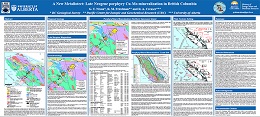 |
Late Neogene porphyry Cu-Mo mineralization hosted by the Klaskish Plutonic Suite (new formal name) in northern Vancouver Island occupies a unique position in the forearc of the Cascadia subduction zone. The Klaskish granitoid plutons and Alert Bay volcanic rocks comprise the Brooks magmatic suite, which forms a northeast-oriented zone, the Brooks-Haddington tract, extending for 65 km across the island from the Pacific coast to Queen Charlotte Strait in the east. The southern part of the Brooks-Haddington tract is marked by a narrow (10 km) structural corridor, the Brooks Peninsula fault zone, which hosts the mineralized Klaskish intrusions. The northern part of the tract is occupied by eroded edifices of the Alert Bay volcanic suite. High-precision U-Pb zircon and Re-Os molybdenite dates for mineralized stocks of the Klaskish Plutonic Suite (ca. 7-4.6 Ma) confirm that their emplacement was coeval with older phases of Alert Bay volcanism (8-2.5 Ma), and that porphyry Cu-Mo magmatic-hydrothermal systems are genetically linked to pluton emplacement and crystallization. Neogene plutons associated with porphyry Mo/Cu-Mo mineralization elsewhere in British Columbia are restricted to the Pemberton arc in the southeastern Coast Mountains, where pluton ages diminish progressively northwards. The late Neogene porphyry Cu-Mo mineralizing systems in the Pemberton arc and forearc environment of northern Vancouver Island are linked to the plate tectonic evolution of the northern Cascadia subduction zone, notably plate-edge effects generated by subduction of the Juan de Fuca plate and newly redefined Nootka fault zone in the oceanic crust. The young Cu-Mo porphyry mineralization in northern Vancouver Island forms a well-defined metallotect that is underexplored and rich in opportunities for discovering economic porphyry deposits. |
| Issue ID: | GF2020-04 |
| Title: | Catching the tail of a golden dragon plus 60 elements in British Columbia (poster) |
| Author(s): | Rukhlov, A.S., Fortin, G., Kaplenkov, G.N., Lett, R.E., Lai, V. W.-M., and Weis, D. |
| Series Name: | Geofile |
| Publication Year: | 2020 |
| NTS Map Sheet(s): | 092L/12 |
| Place Keyword(s): | British Columbia, northern Vancouver Island |
| Lat/Long (NSWE): | 50.75, 50.5, -128, -127.5 |
| Theme Keyword(s): | drainage geochemistry, heavy mineral concentrate, stream sediment, moss mat sediment, geochemical samples |
Download(s):
| PDF |
Abstract:
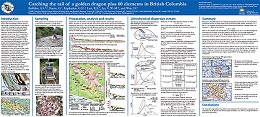 |
Regional geochemical surveys support the societal resource base by identifying prospective areas for large-tonnage economic deposits of a wide range of commodities, including non-traditional deposit types in undeveloped and underexplored regions. With the objective of developing geochemical exploration methods that are both effective and inexpensive, herein we use the <1 mm fraction of heavy mineral concentrate (HMC) samples (200- 400 g) from several Vancouver Island drainages recovered by sluicing and panning of 11-16 kg of the <2 mm fraction of bulk alluvium in the field. Analysis of the field-processed HMC samples greatly enhanced the geochemical anomaly contrast and confidently identified visually confirmed mineralization even at the mouths of third- to fifth-order streams, many km downstream from known mineralization. In contrast, analysis of the conventional stream and moss-captured sediments commonly failed to detect even proximal mineralization. The prognostic geochemical resources not only confirm known base and precious metal deposits, but also indicate a large, unconventional type of a placer garnet-hosted HREE-Y-Sc-Mn deposit and other �critical� commodities. We propose a three-stage method for drainage geochemical surveys that is rapid, inexpensive, and effective. |
| Issue ID: | GF2020-05 |
| Title: | REE in carbonates from sediment-hosted Pb-Zn deposits, southern Rocky Mountains, British Columbia (poster) |
| Author(s): | Simandl, G.J., D�Souza, R.J., Paradis, S., Spence, J., and Fitz-Gerald, W. |
| Series Name: | Geofile |
| Publication Year: | 2020 |
| NTS Map Sheet(s): | 082 |
| Place Keyword(s): | British Columbia, southeastern British Columbia |
| Lat/Long (NSWE): | 50.5, 48.5, -118, -114 |
| Theme Keyword(s): | Rare earth elements, fluorite, REE-F-Ba deposit, geochemistry, sediment-hosted |
Download(s):
| PDF |
Abstract:
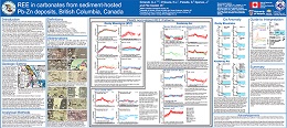 |
Paleozoic platform carbonate rocks of the Rocky Mountains host Mississippi Valley-type (MVT) deposits in the north and, in the south, host MVT, magnesite, barite, and Rare Earth Element (REE)-barite-fluorite deposits. Farther to the west of the Rocky Mountains, the platform carbonate rocks of the Kootenay arc pericratonic terrane also host MVT deposits in addition to vein- and replacement-type Zn-Pb (�Ag, �Au) deposits. Sparry dolomitization is commonly spatially associated with most of these deposits and is used as an exploration guide.
This is the first systematic study documenting compositional variations of carbonate minerals in MVT deposits. It is based on more than 200 analyses by LA-ICP-MS, supported by electron microprobe work. Investigated samples are from the Munroe, Shag, Kicking Horse, Monarch, Coral and Robb Lake deposits in the Rocky Mountain belt, and from the Pend Oreille, Reeves MacDonald, Jersey-Emerald, HB, Duncan and Abbott-Wagner deposits in the Kootenay arc. These are all MVT deposits, except for Abbott-Wagner, which is a fracture-controlled replacement-type deposit. The REE patterns, normalized to Post-Archean Australian Shale (PAAS), indicate that none of the analyzed samples (including recrystallized dolomite, and sparry dolomite) showed the LREE depletion and strong negative Ce anomalies characteristic of modern seawater. Some of the patterns are nearly flat with slight positive or negative overall slope, others show depletion in LREE similar to modern seawater but lacking pronounced negative Ce anomalies or are upward convex (MREE enriched). Carbonates with PAAS-normalized REE patterns showing a strong Eu anomaly (e.g., calcite from Pend Oreille and Jersey-Emerald, dolomite from Abbott-Wagner and both calcite and dolomite from Reeves MacDonald - most from the Kootenay arc) likely precipitated from or interacted with different fluids than carbonates that yielded flatter patterns and weak or no Eu anomalies (e.g., dolomite from Robb Lake, Shag, Munroe and Pend Oreille, and calcite from HB).
Overall, REE signatures of carbonates reflect crystallization conditions of primary carbonates, crystallization and re-equilibration conditions of carbonates with ambient fluids during diagenesis, deep burial, and/or metamorphic recrystallization. Chemical evolution of the fluids along their migration path, the fluid-to-rock ratio, fluid acidity, redox and temperature are also factors. The data contained in this paper, in conjunction with petrographic observations, stable and radiogenic isotope data will be ultimately used to establish genetic and timing constraints on the above listed ore deposits and improve our knowledge of regional metallogeny of the Kootenay arc and Rocky Mountains. |
| Issue ID: | CPTG-2020 |
| Title: | Canadian provincial and territorial geological surveys |
| Author(s): | Committee of Provincial and Territorial Geologists |
| Series Name: | Committee of Provincial and Territorial Geologists |
| Publication Year: | 2020 |
| NTS Map Sheet(s): | 001 to 117 |
| Place Keyword(s): | British Columbia, Canada, Canadian Provinces, Canadian Territories |
| Lat/Long (NSWE): | 83.2, 41.6, -141, -52.6 |
| Theme Keyword(s): | Canadian provincial geological surveys, Canadian territorial geological surveys, Committee of Provincial and Territorial Geologists, Mineral programs |
Download(s):
| PDF |
Abstract:
| Geological surveys are government agencies that provide geoscience information to the public, thus supporting responsible resource development and encouraging investment. Geoscience information is used by governments to make informed decisions and create effective policy on resource development, land use, and environmental stewardship. The provincial and territorial surveys are the main stewards for public geoscience within their borders. They conduct programs that address jurisdictional priorities and provide systematic information about bedrock and surficial geology, mineral deposits, energy, geohazards, environmental science, hydrogeology, and marine geology. Canada�s national survey, the Geological Survey of Canada, focusses on programs that are thematic or of national scope. The GSC also partners with provinces and territories on projects of common interest. This booklet, produced by the Committee of Provincial and Territorial Geologists (www.ngsccanada.com), provides information on the core activities of Canada�s provincial and territorial surveys, and how to access key publications and services. |
| Issue ID: | GBCR2020-02-02 |
| Title: | Systematic study of earthquake source mechanism and regional stress field in the southern Montney unconventional play of northeastern British Columbia (NTS 093P/09, 10, 15, 16, 094A/01, 02, 07, 08) |
| Author(s): | Babaie Mahani, A. |
| Series Name: | Geoscience BC Report |
| Publication Year: | 2020 |
| Larger Work Citation: | in Geoscience BC Report 2020-02 |
| NTS Map Sheet(s): | 093P; 094A |
| Place Keyword(s): | British Columbia, Northeastern British Columbia, Montney |
| Lat/Long (NSWE): | 56.3, 55.6, -121, -120 |
| Theme Keyword(s): | Geoscience BC, seismicity, earthquake, Montney Formation |
Additional Link(s):
| http://www.geosciencebc.com/i/pdf/SummaryofActivities2019/EW/Project%202012-SEIS01_EW_SOA2019.pdf |
Abstract:
| In this study, data from local and regional seismographic stations were used to obtain focal mechanisms and parameters of the stress field for 66 earthquakes, which occurred between April 2018 and May 2019, in the southern Montney unconventional play of northeastern BC. These events occurred in an area to the south of Fort St. John and north of Dawson Creek, where multistage hydraulic fracturing operations have been conducted for several years. Residents in the area have felt events with small magnitudes (M) ranging from 1 to 2. Moreover, large peak ground accelerations (PGA) have been recorded at close hypocentral distances (<5 km) from events as small as M 3 (e.g., PGA of >0.1 g with 1 g = 9.8 m/s2). |
| Issue ID: | GBCR2020-02-03 |
| Title: | Determination of factors controlling geological susceptibility to induced seismicity in the Montney Formation, northeastern British Columbia and northwestern Alberta, based on a machine-learning approach |
| Author(s): | Wozniakowska, P. and Eaton, D.W. |
| Series Name: | Geoscience BC Report |
| Publication Year: | 2020 |
| Larger Work Citation: | in Geoscience BC Report 2020-02 |
| NTS Map Sheet(s): | 093P; 094A |
| Place Keyword(s): | British Columbia, Northeastern British Columbia, Montney |
| Lat/Long (NSWE): | 57.6, 55, -123, -119 |
| Theme Keyword(s): | Geoscience BC, induced seismicity, earthquake, machine learning, Montney Formation |
Additional Link(s):
| http://www.geosciencebc.com/i/pdf/SummaryofActivities2019/EW/Sch_PW_EW_SOA2019.pdf |
Abstract:
| Monitoring of induced seismicity can significantly enhance the quality of hydraulic-fracturing stimulation, providing valuable information about the created fracture network and the reservoir mechanics. The focus of this paper was to assess the importance of properties controlling seismic activity during hydraulic-fracturing operations in the Montney Formation. Current knowledge was combined with existing technological advancements to test the common hypotheses about the nucleation of induced seismic events. An analysis was performed using decision-tree and random-forest algorithms, both of which are examples of supervised machine learning. |
| Issue ID: | GBCR2020-02-04 |
| Title: | Monitoring induced seismicity in the Montney play, northeastern British Columbia |
| Author(s): | Bustin, A.M.M., Jones, D.J., Ou. J. and Chalmers,G.R.L. |
| Series Name: | Geoscience BC Report |
| Publication Year: | 2020 |
| Larger Work Citation: | in Geoscience BC Report 2020-02 |
| NTS Map Sheet(s): | 093P; 094A |
| Place Keyword(s): | British Columbia, Northeastern British Columbia, Montney |
| Lat/Long (NSWE): | 56.3, 55.6, -121, -120 |
| Theme Keyword(s): | Geoscience BC, induced seismicity, Montney Formation |
Additional Link(s):
| http://www.geosciencebc.com/i/pdf/SummaryofActivities2019/EW/Project%202015-031_EW_SOA2019.pdf |
Abstract:
| The limited availability ofmonitoring data to researchers is one of the greatest challenges limiting the advancement of the understanding of induced seismicity in northeastern British Columbia (BC) and, hence, the development of proactive mitigation schemes and frameworks for hazard assessment. To address the data gap, an array of paired accelerographs plus geophone stations has been developed to densely monitor hydraulicfracturing operations. |
| Issue ID: | GBCR2020-02-05 |
| Title: | Velocity-structure imaging based on seismological observations close to hydraulic fracturing sites near Dawson Creek, northeastern British Columbia (parts of NTS 093P, 094A) |
| Author(s): | Roth, M.P., Harrington, R.M. and Liu, Y. |
| Series Name: | Geoscience BC Report |
| Publication Year: | 2020 |
| Larger Work Citation: | in Geoscience BC Report 2020-02 |
| NTS Map Sheet(s): | 093P; 094A |
| Place Keyword(s): | British Columbia, Northeastern British Columbia, Dawson Creek |
| Lat/Long (NSWE): | 56.3, 55.6, -121, -120 |
| Theme Keyword(s): | Geoscience BC, seismicity, hydraulic fracturing |
Additional Link(s):
| http://www.geosciencebc.com/i/pdf/SummaryofActivities2019/EW/Sch_Roth_EW_SOA2019.pdf |
Abstract:
| Hydraulic-fracturing (HF) operations for hydrocarbon exploration have been associated with an increasing number of induced earthquakes in North America in the last decade. This paper focuses on the fluid migration after a single HF operation to investigate the role of pore-pressure increase as a potential source of induced earthquakes. |
| Issue ID: | GBCR2020-02-06 |
| Title: | Hydrogen sulphide within the Triassic Montney Formation, northeastern British Columbia and northwestern Alberta (NTS 083K�N, 084C�F, 093I, J, O, P, 094A, B, G, H) |
| Author(s): | Chalmers, G.R.L., Bustin, R.M. and Bustin, A.A. |
| Series Name: | Geoscience BC Report |
| Publication Year: | 2020 |
| Larger Work Citation: | in Geoscience BC Report 2020-02 |
| NTS Map Sheet(s): | 083K�N; 084C�F; 093I, J, O, P; 094A, B, G, H |
| Place Keyword(s): | British Columbia, Northeastern British Columbia, Northwestern Alberta, Montney |
| Lat/Long (NSWE): | 58, 54.2, -123.17, -117.75 |
| Theme Keyword(s): | Geoscience BC, hydrogen sulphide, Triassic Montney Formation |
Additional Link(s):
| http://www.geosciencebc.com/i/pdf/SummaryofActivities2019/EW/Project%202017-004_EW_SOA2019.pdf |
Abstract:
| The Triassic Montney Formation is a large unconventional gas play in western Canada and contributed a significant proportion (34%) of natural gas to the total Canadian gas production in 2017. As development expands, a greater proportion of the Montney Formation is found to contain nonhydrocarbon gases such as hydrogen sulphide (H2S) and carbon dioxide (CO2). To reduce the uncertainty associated with H2S production from the Montney reservoir, the source and processes that generate H2S need to be understood, which will require: a) mapping lateral and stratigraphic distributions of H2S and b) determining the sulphur isotopic composition of H2S gas, as well as the potential sulphur sources (kerogen, pyrite, anhydrite). |
| Issue ID: | GBCR2020-02-07 |
| Title: | Facies analysis and depositional setting of the Lower Triassic Montney Formation in northeastern British Columbia, Western Canada Sedimentary Basin |
| Author(s): | Gonz�lez, P.D., Furlong, C.M., Gingras, M.K. and Zonneveld, J.-P. |
| Series Name: | Geoscience BC Report |
| Publication Year: | 2020 |
| Larger Work Citation: | in Geoscience BC Report 2020-02 |
| NTS Map Sheet(s): | 094A, B, G, H, I, J |
| Place Keyword(s): | British Columbia, Northeastern British Columbia, Montney |
| Lat/Long (NSWE): | 59, 56, -123.75, -120 |
| Theme Keyword(s): | Geoscience BC, facies analysis, depositional setting, Triassic Montney Formation |
Additional Link(s):
| http://www.geosciencebc.com/i/pdf/SummaryofActivities2019/EW/Sch_Gonzalez_EW_SOA2019.pdf |
Abstract:
| The Lower Triassic Montney Formation in the Western Canada Sedimentary Basin has been a target for oil and gas exploration since the 1950s, containing well-known conventional plays, and more extensive and complex unconventional plays. Detailed sedimentological and stratigraphic analyses are the key to understanding the complex internal architecture of the Montney Formation and to better understanding the facies-related variables controlling reservoir quality. This study focuses on analyzing facies distribution within the Montney Formation in northeastern BC, to interpret the depositional setting of the Montney Formation and significant stratigraphic surfaces. The identification of stratigraphic surfaces and discontinuities across the study area aids in formulating a sequence-stratigraphic framework across the basin. |
| Issue ID: | GBCR2020-02-08 |
| Title: | Hydrocarbon-generation kinetics of the Doig Formation, northeastern British Columbia and west-central Alberta |
| Author(s): | Silva, P.L. and Bustin, R.M. |
| Series Name: | Geoscience BC Report |
| Publication Year: | 2020 |
| Larger Work Citation: | in Geoscience BC Report 2020-02 |
| NTS Map Sheet(s): | 093I, J, O, P; 094A, B, G, H; 083L, M; 084D, E |
| Place Keyword(s): | British Columbia, Northeastern British Columbia, West-central Alberta |
| Lat/Long (NSWE): | 58, 54, -123, -118 |
| Theme Keyword(s): | Geoscience BC, hydrocarbon-generation kinetics, Doig Formation |
Additional Link(s):
| http://www.geosciencebc.com/i/pdf/SummaryofActivities2019/EW/Sch_Silva_EW_SOA2019.pdf |
Abstract:
| The Lower Triassic Montney Formation in the Western Canada Sedimentary Basin has been a target for oil and gas exploration since the 1950s, containing well-known conventional plays, and more extensive and complex unconventional plays. Detailed sedimentological and stratigraphic analyses are the key to understanding the complex internal architecture of the Montney Formation and to better understanding the facies-related variables controlling reservoir quality. This study focuses on analyzing facies distribution within the Montney Formation in northeastern BC, to interpret the depositional setting of the Montney Formation and significant stratigraphic surfaces. The identification of stratigraphic surfaces and discontinuities across the study area aids in formulating a sequence-stratigraphic framework across the basin. |
| Issue ID: | GBCR2020-02-09 |
| Title: | BC Natural Gas Atlas: creation of the geochemical database for northeastern British Columbia (parts of NTS 093, 094) |
| Author(s): | Whiticar, M.J. and Evans, C. |
| Series Name: | Geoscience BC Report |
| Publication Year: | 2020 |
| Larger Work Citation: | in Geoscience BC Report 2020-02 |
| NTS Map Sheet(s): | 093; 094 |
| Place Keyword(s): | British Columbia, Northeastern British Columbia |
| Lat/Long (NSWE): | 60, 55, -125, -120 |
| Theme Keyword(s): | Geoscience BC, natural gas atlas, geochemical database |
Additional Link(s):
| http://www.geosciencebc.com/i/pdf/SummaryofActivities2019/EW/Project%202015-013_EW_SOA2019.pdf |
Abstract:
| In recognition of the increasing natural gas activity in northeastern BC, Geoscience BC launched the multiyear British Columbia Natural Gas Atlas (BCNGA) project in 2016. The primary objective is to systematically catalogue the molecular and stable isotope composition of natural gases produced in northeastern BC to establish geochemical fingerprints within a regional geological framework. The BC-NGA project provides an open source of comprehensive natural gas data, including searchable datasets (e.g., geochemical), maps and other interpretative tools (www.bcnga.ca). |
| Issue ID: | GBCR2020-02-10 |
| Title: | Application of the BC GHGMapper TM platform for the Alberta Methane Field Challenge |
| Author(s): | Whiticar, M.J. Hollenbeck, D., Billwiller, B., Salas, C.J., and Christensen, L.E. |
| Series Name: | Geoscience BC Report |
| Publication Year: | 2020 |
| Larger Work Citation: | in Geoscience BC Report 2020-02 |
| Place Keyword(s): | British Columbia, Northeastern British Columbia |
| Theme Keyword(s): | Geoscience BC, GHGMapper, Alberta Methane |
Additional Link(s):
| http://www.geosciencebc.com/projects/2016-065/ |
Abstract:
| GHGMap uses novel sensors, developed by NASA/JPL, on drones to improve the speed, accuracy, safety and cost of measuring greenhouse gas (GHG) emissions. The technology will be used to remotely map emissions of gases such as methane, ethane and carbon dioxide -- providing the independent measurement data needed for informed decisions. Developing and using new technologies to better understand GHG emissions helps Canada to maintain its reputation as a leader in clean resource development, in GHG emission reduction and in innovation. By bringing technology closer to commercialization, GHGMap will also create new economic opportunities for Western Canada. |
| Issue ID: | GBCR2020-02-11 |
| Title: | Geothermal resource potential of the Garibaldi volcanic belt, southwestern British Columbia (part of NTS 092J) |
| Author(s): | Grasby, S.E., Ansari, S.M., Calahorrano-Di Patre, A., Chen, Z., Craven, J.A., Dettmer, J., Gilbert, H., Hanneson, C., Harris, M., Liu, J., Muhammad, M., Russell, K., Salvage, R.O. Savard, G. Tschirhart, V., Unsworth, M.J., Vigouroux-Caillibot, N., et.al. |
| Series Name: | Geoscience BC Report |
| Publication Year: | 2020 |
| Larger Work Citation: | in Geoscience BC Report 2020-02 |
| NTS Map Sheet(s): | 092J |
| Place Keyword(s): | British Columbia, Southwestern British Columbia |
| Lat/Long (NSWE): | 50.75, 50.5, -123.75, -123.25 |
| Theme Keyword(s): | Geoscience BC, geothermal resource potential, Garibaldi Volcanic Belt |
Additional Link(s):
| http://www.geosciencebc.com/i/pdf/SummaryofActivities2019/EW/Project%202018-004_EW_SOA2019.pdf |
Abstract:
| New geophysical and geological data collected in the summer of 2019 will be integrated into a new 3-D model of the geothermal and volcanic plumbing of the Mount Meager complex. Results will provide novel new methods to help predict the occurrence of permeability at depth and greatly reduce the risk associated with drilling for geothermal reservoirs in volcanic systems of British Columbia. |
| Issue ID: | GBCR2020-02-12 |
| Title: | Preliminary field investigations of Sloquet Hot Springs, southwestern British Columbia (NTS 092G) |
| Author(s): | Van Acken, A. and Gleeson, T. |
| Series Name: | Geoscience BC Report |
| Publication Year: | 2020 |
| Larger Work Citation: | in Geoscience BC Report 2020-02 |
| NTS Map Sheet(s): | 092G/09 |
| Place Keyword(s): | British Columbia, Southwestern British Columbia |
| Lat/Long (NSWE): | 49.74, 49.72, -122.33, -122.31 |
| Theme Keyword(s): | Geoscience BC, hotsprings, Sloquet Hot Springs, Gambier-Fire Lake Group |
Additional Link(s):
| http://www.geosciencebc.com/i/pdf/SummaryofActivities2019/EW/Sch_Van%20Acken_EW_SOA2019.pdf |
Abstract:
| The purpose of the research presented in this paper was to work collaboratively with Xa�xtsa First Nations�TTQ Economic Development Corporation, and Recreation Sites and Trails BC to conceptualize the hydrogeologic and geothermal setting of Sloquet Hot Springs, which is located on the traditional territory of the St�at�imc peoples. |
| Issue ID: | GBCR2020-02-13 |
| Title: | Structural settings of convective hydrothermal systems in southeastern British Columbia (parts of NTS 082E�G, J�O, 083C, D) |
| Author(s): | Finley, T.D., Johnston, S.T., Unsworth, M.J., Banks, J., Pana, D. and Hanneson, C. |
| Series Name: | Geoscience BC Report |
| Publication Year: | 2020 |
| Larger Work Citation: | in Geoscience BC Report 2020-02 |
| NTS Map Sheet(s): | 082E-G, J-O; 083C, D |
| Place Keyword(s): | British Columbia, Southeastern British Columbia |
| Lat/Long (NSWE): | 53, 49.5, -119.5, -115 |
| Theme Keyword(s): | Geoscience BC, hydrothermal systems, structural setting |
Additional Link(s):
| http://www.geosciencebc.com/i/pdf/SummaryofActivities2019/EW/Sch_Finley_EW_SOA2019.pdf |
Abstract:
| The research presented in this paper focuses on hydrothermal systems in three specific regions in the southern Canadian Cordillera: Valemount and Canoe Reach, Nakusp and the West Kootenays, and the southern Rocky Mountain Trench. These regions were chosen because of their concentrations of high-temperature thermal springs, elevated crustal heat flow, proximity to population centres, and commercial interest in geothermal development in these areas. Herein are presented new structural data collected within fault zones that appear to control hydrothermal systems in these areas. The current stress field of the crust, and its relationship to fault kinematics and geometry is also considered. These data provide new insight into the age, kinematics and geometry of these fault zones. |
| Issue ID: | GBCR2020-02-14 |
| Title: | Installation of a purpose-built groundwater monitoring well network to characterize groundwater methane in the Peace Region, northeastern British Columbia (NTS 093P/09�16, 094A/01�08) |
| Author(s): | Ladd, B., Cahill, A.G., Goetz, M., Allen, A., Welch, L., Mayer, B., van Geloven, C., Kirste, D. and Beckie, R.D. |
| Series Name: | Geoscience BC Report |
| Publication Year: | 2020 |
| Larger Work Citation: | in Geoscience BC Report 2020-02 |
| NTS Map Sheet(s): | 093P/09-16; 094A/01-08 |
| Place Keyword(s): | British Columbia, Northeastern British Columbia, Peace River |
| Lat/Long (NSWE): | 56.5, 55.5, -122.5, -120 |
| Theme Keyword(s): | Geoscience BC, groundwater monitoring, groundwater methane |
Additional Link(s):
| http://www.geosciencebc.com/i/pdf/SummaryofActivities2019/EW/Project%202017-002_EW_SOA2019.pdf |
Abstract:
| In this project, the aim is to address such uncertainties in the Peace Region of northeastern BC, an area of intensive historical conventional and ongoing unconventional development. Key aims of the project are to determine current groundwater quality in the Peace Region with a specific focus on the distribution, concentration and origin of dissolved methane. Ultimately, the project aims to characterize groundwater systems across the Peace Region and provide insights to assess potential anthropogenic impacts to groundwater from oil and gas development and related activities. |
| Issue ID: | GBCR2020-02-15 |
| Title: | Controlled natural gas release experiment in a confined aquifer, northeastern British Columbia (NTS 094A/04): activity report 2018�2019 |
| Author(s): | Cahill, A.G., Ladd, B., Chao, J., Soares, J., Cary, T., Finke, N., Manning, C., Popp, A.L., Chopra, C., Mayer, K.U., Black, A., Lauer, R., van Geloven, C., Welch, L., Crowe, S., Mayer, B. and Beckie, R.D. |
| Series Name: | Geoscience BC Report |
| Publication Year: | 2020 |
| Larger Work Citation: | in Geoscience BC Report 2020-02 |
| NTS Map Sheet(s): | 094A/04 |
| Place Keyword(s): | British Columbia, Northeastern British Columbia |
| Lat/Long (NSWE): | 56.75, 55.75, -123.5, -120.5 |
| Theme Keyword(s): | Geoscience BC, natural gas release, aquifer |
Additional Link(s):
| http://www.geosciencebc.com/i/pdf/SummaryofActivities2019/EW/Project%202016-043_EW%20SOA2019.pdf |
Abstract:
| This paper summarizes the past twelve months of a research program aimed at advancing knowledge on fugitive natural gas migration in groundwater. Research activities were carried out at the Hudson�s Hope Field Research Station (HHFRS) located in northeastern British Columbia. |
| Issue ID: | GF2020-06 |
| Title: | Evaluation of coal ash chemistry indices for predicting CSR (coke strength after reaction with CO2) for coking coals of the Rocky Mountains, British Columbia |
| Author(s): | Riddell, Janet |
| Series Name: | Geofile |
| Publication Year: | 2020 |
| NTS Map Sheet(s): | 082G,J,K,N; 093I,O,P; 094B |
| Place Keyword(s): | British Columbia, Rocky Mountains |
| Lat/Long (NSWE): | 56.5, 49, -124, -114 |
| Theme Keyword(s): | Coke strength after reaction with CO2 (CSR), coal ash chemistry, Gates Formation, Gething Formation, coking coal quality |
Download(s):
| PDF |
Abstract:
 |
CSR (coke strength after reaction with CO2) is a globally accepted measure of coking coal quality. But because obtaining direct CSR measurements is logistically complex, time-consuming, and expensive, numerous indices calculated from standard ash analyses have been developed to serve as predictors of CSR. Based on unpublished proprietary data from 50 samples representing the main coking coal-producing units in the Rocky Mountains of British Columbia (Gates, Gething, and Mist Mountain formations), correlations between measured CSR and the most commonly used predictive index (Base-Acid Ratio or BAR) are moderate to strong. Thus, they can be used to provide a reasonable first-order prediction for CSR. For all three formations, correlations improve slightly by modifying the predictive index by adding P2O5. Correlations improved further when the BAR index was modified to correct for calcium in apatite, which is less reactive that calcium in carbonate minerals. Ash chemistry-based predictions are not accurate enough for feasibility studies or product marketing, but they can provide a timely and inexpensive first indication of CSR. The relationships between CSR and other factors (rank, fluidity, and petrographic properties) have much weaker correlations to CSR than ash chemistry. CSR prediction methods that are based on rheological and petrographic properties fail to correlate well with measured CSR values for the British Columbia Rocky Mountain coking coals in this study and appear to have no predictive value. |
| Issue ID: | EXT180 |
| Title: | Comparison of methods for the geochemical determination of rare earth elements: Rock Canyon Creek REE�F�Ba deposit case study, SE British Columbia, Canada |
| Author(s): | Akam, C., Simandl, G.J., Lett, R., Paradis, P., Hoshino, M., Kon,Y., Araoka, D., Green, C., Kodama, S., Takagi, T., and Chaudhry, M. |
| Series Name: | External Article |
| Publication Year: | 2019 |
| NTS Map Sheet(s): | 092J/03E |
| Place Keyword(s): | British Columbia, Southeast British Columbia, Canadian Cordillera |
| Lat/Long (NSWE): | 50.1, 50.3, -115.1, -115.2 |
| Theme Keyword(s): | rare earth elements, geochemistry, fluorspar deposit, REE, Rock Canyon Creek |
Abstract:
| Using the Rock Canyon Creek carbonate-hosted rare earth element (REE)�F�Ba deposit as an example, we demonstrate the need for verifying inherited geochemical data prior to reinterpretation. Inherited La, Ce, Nd and Sm data obtained by pressed pellet X-ray fluorescence (XRF), and La and Y data obtained by aqua regia digestion inductively coupled plasma atomic emission spectroscopy (ICP-AES) for more than 300 drill-core samples were analysed in 2009 and were subsequently compared to sample subsets re-analysed using lithium metaborate-tetraborate (LMB) fusion ICP mass spectroscopy (ICP-MS), Na2O2 fusion ICP-MS, and LMB fusion-XRF. We determine that LMB ICP-MS and Na2O2 ICP-MS accurately determined REE concentrations in control reference materials (CRM) SY-2 and SY-4, and provided precision of about 10%. Fusion-XRF was precise for La, Ce and Nd at concentrations greater than ten times the lower detection limit; however, accuracy of this method was not established because REE concentrations in SY-4 were below the lower detection limit. Analysis of the sample subset revealed substantial discrepancies for Ce concentrations determined by pressed pellet XRF in comparison to those determined by other methods due to Ba spectral interference. Samarium, present in lower concentrations than other REE that were determined, was consistently underestimated by XRF methods relative to ICP-MS methods. This may be the result of Sm concentrations approaching the lower detection limits of XRF methods, elemental interference or inadequate background corrections. Aqua regia dissolution results, reporting only for La and Y, are underestimated relative to the other methods. We highlight the importance of selecting the most appropriate analytical method and reference materials for determining the REE content of mineralized rock which may be several orders of magnitude higher than that of typical host rock. |
| Issue ID: | EXT181 |
| Title: | The evolution and structural modification of the supergiant Mitchell Au-Cu porphyry, northwestern British Columbia |
| Author(s): | Febbo, G.E., Kennedy, L.A., Nelson, J.L., Savell, M.J., Campbell, M.E., Creaser, R.A., Friedman, R.M., van Straaten, B.I., and Stein, H.J. |
| Series Name: | External Article |
| Publication Year: | 2019 |
| NTS Map Sheet(s): | 104B/09 |
| Place Keyword(s): | British Columbia, Northwest British Columbia, Canadian Cordillera |
| Lat/Long (NSWE): | 56.56, 56.4, -130.3, -130.2 |
| Theme Keyword(s): | porphyry deposit, geological structure, bedrock geology |
Abstract:
| The calc-alkalic Mitchell Au-Cu-Ag-Mo porphyry deposit, hosted in intrusive rocks of the Stikine volcanic arc terrane of northwestern British Columbia, is the largest undeveloped gold resource in Canada, with 40.72 Moz of contained gold. It lies within the KSM trend, a 12-km-long linear porphyry array in the Sulphurets district. It is genetically related to Early Jurassic Sulphurets stocks: phase 1 diorite to monzodiorite hosts Cu-Au mineralization in potassic assemblages (stage 1), a phase 2 granodiorite plug cores a molybdenum halo (190.3 � 0.8 Ma, 191.3 � 0.7 Ma; Re-Os, molybdenite) that is accompanied by phyllic alteration (stage 2), and a poorly mineralized phase 3 diorite plug temporally overlaps with quartz-pyrophyllite alteration at shallow levels (stage 3). Two deformation events (D1 and D2), attributed to orogen-scale mid-Cretaceous transpression, structurally modified Mitchell. D1 deformation, expressed as steep E-striking pressure solution cleavage (S1) and related W-plunging folded veins (F1), is heterogeneously developed as a function of alteration type. D2 is divided into two progressive events: D2a, defined by N-plunging, folded veins (F2a), and D2b, defined by E-vergent thrust faults, including the Mitchell thrust fault, which offsets the updip continuation of Mitchell (the Snowfield deposit, 192.0 � 1.0 Ma, 191.1 � 0.8 Ma; Re-Os, molybdenite) ~1,600 m to the east-southeast. Host structures for the KSM trend may have been long-lived, N-striking basement lineaments that provided transcrustal magma and fluid pathways. East-trending intrusions, hydrothermal veins, alteration and metal distribution at Mitchell are attributed to subsidiary E-striking cross faults. These original anisotropies in turn influenced the geometry of Cretaceous faults and flattening domains within the deposit. |
| Issue ID: | EXT182 |
| Title: | Electromagnetic resistivity anisotropy in till from the Kiskatinaw streamlined landform field, northeastern British Columbia, Canada |
| Author(s): | Hickin, A.S., Best, M.E., and Levson, V.M. |
| Series Name: | External Article |
| Publication Year: | 2019 |
| NTS Map Sheet(s): | 093P, 094A |
| Place Keyword(s): | British Columbia, Northeastern British Columbia, Canadian Cordillera |
| Lat/Long (NSWE): | 56.25, 55.25, -121.5, -120 |
| Theme Keyword(s): | Electrical anisotropy, Resistivity, Conductivity, Stress field, Subglacial dynamics |
Abstract:
| Applications of the azimuthal electromagnetic (EM) method that establish the internal structure of landforms consisting of sediment are sparse. In the Kiskatinaw streamlined landform field of northeastern British Columbia, ice-flow parallel till ridges formed beneath the Cordilleran Ice Sheet during the late Wisconsinan. EM anisotropy data from the Kiskatinaw field are systematically related to ridge elongation and orientation and, in part, to clast fabrics. However, in contrast to previous studies, we find that resistivity measurements do not necessarily record the orientation of ice flow, and electrical anisotropy in till may not be a simple indicator of ice-flow direction. For highly elongate ridges (l/w?>?3), the long axes of resistivity ellipses are at high angles to the long axes of the landforms. Tills in these elongate ridges are matrix rich (>85%) and display strong unimodal ice-flow parallel clast fabrics. For more equant ridges (l/w? |
| Issue ID: | EXT183 |
| Title: | Syn-accretionary multistage assembly of an Early Jurassic Alaskan-type intrusion in the Canadian Cordillera: U�Pb and 40Ar/39Ar geochronology of the Turnagain ultramafic�mafic intrusive complex, Yukon�Tanana terrane |
| Author(s): | Nixon, G.T., Scheel, J.E., Scoates, J.S., Friedman, R.M., Wall, C.J., Gabites, J., and Jackson-Brown, S. |
| Series Name: | External Article |
| Publication Year: | 2020 |
| NTS Map Sheet(s): | 104I |
| Place Keyword(s): | British Columbia, Northern British Columbia, Canadian Cordillera |
| Lat/Long (NSWE): | 58.6, 58.4, -129, -128.6 |
| Theme Keyword(s): | Alaskan-type intrusion, geochronology, Early Jurassic, Yukon�Tanana terrane, terrane accretion |
Abstract:
| The magmatic evolution of the Early Jurassic Turnagain Alaskan-type intrusion is inextricably linked to terrane accretionary events at the North American continental margin. We have calibrated the multistage assembly of the Turnagain ultramafic�mafic complex using high-precision air and chemical abrasion ID-TIMS U�Pb and 40Ar/39Ar geochronology. Our results are the first published geochronological calibration of zoning in an Alaskan-type intrusion. Three of four intrusive phases (Stages 1�4, oldest to youngest) were successfully dated. Cooling ages obtained on Stage 2 dunite�wehrlite include statistically identical 40Ar/39Ar plateau dates of 187.4 � 1.5 (2s) Ma on hornblende and 188.6 � 1.2 Ma on phlogopite, and a concordant 206Pb/238U date of 190.3 � 4.6 Ma on titanite. Stage 3 diorite has a 206Pb/238U zircon crystallization age of 188.11 � 0.13 Ma. Stage 4 wehrlite and leucodiorite yield 206Pb/238U zircon crystallization ages of 185.68 � 0.19 and 185.30 � 0.12 Ma, respectively. The ca. 189 Ma phlogopite date represents a minimum crystallization age for Stage 2, indicating that assembly of the Turnagain intrusion spanned at least ~4 million years from ca. 189 Ma to 185 Ma. Regional progressive contractional deformation in the Early Jurassic is constrained by the geochronological results (>189 to <185 Ma) and initially generated northeast-vergent folds in the country rocks (>189 Ma), deformed Stage 1 wehrlite�clinopyroxenite prior to emplacement of Stages 2�4, and subsequently thrust the intrusion and its host rocks onto the ancient North American continental margin (<185 Ma). Contrary to previous interpretations, new geophysical data support an allochthonous origin for the host rocks of the Turnagain intrusion. The Turnagain host succession is correlated with late Paleozoic arc-related and basinal lithostratigraphic units developed at the inboard margin of the accreted Yukon�Tanana terrane and peripheral to the Slide Mountain marginal ocean basin. The geochronological results rigorously constrain the timing and style of Early Jurassic deformation attending the initial accretion of allochthonous arc terranes in the northern Cordillera. |
| Issue ID: | GBCR2020-07 |
| Title: | Real-time analysis of soil gas for carbon dioxide and oxygen to identify bedrock mineralization and geological faults beneath glacial deposits in central British Columbia |
| Author(s): | Lett, R.E., Sacco, D.A., Elder, B. and Jackaman, W. |
| Series Name: | Geoscience BC Report |
| Publication Year: | 2020 |
| Larger Work Citation: | Geoscience BC Project 2018-028 |
| NTS Map Sheet(s): | 093A; 093B; 093G; 093H |
| Place Keyword(s): | British Columbia, Central British Columbia |
| Lat/Long (NSWE): | 53.4, 52, -123, -120.2 |
| Theme Keyword(s): | geological faults, glacial deposits, carbon dioxide and oxygen analysis, electronic gas sensors, Geoscience BC |
Additional Link(s):
| http://geosciencebc.com/i/project_data/GBCReport2020-07/GBC%20Report%202020-07%20Real-time%20analysis%20of%20soil%20gas.pdf
http://geosciencebc.com/i/project_data/GBCReport2020-07/GBC_Report2020-07_AppendixA-D.zip
http://www.geosciencebc.com/i/project_data/GBCReport2020-07/GBC_Report2020-07_Shapefiles.zip |
Abstract:
| This report details testing of a portable device designed to identify anomalous soil gas concentrations over geological faults and mineralization buried below glacial deposits in BC�s North Central and South Central Regions. The device consists of inexpensive carbon dioxide and oxygen sensors combined with a simple soil gas sampling mechanism. The soil gas measurement kit consists of carbon dioxide and oxygen gas detectors, a 1.5-metre-long sampling probe, a battery-operated pump and a computer. The hollow sampling probe is driven 30-40 centimetres into the ground and the gas is pumped from the soil to the detectors for measurement. The technique was tested at Mouse Mountain near Quesnel, and Shiko Lake near Horsefly, where faults and copper-gold showings are known to occur. Five transects were completed across the inferred structures and compared soil gas and soil samples at each site. The change in concentration of carbon dioxide and oxygen detected in the soil at the test sites was spatially coincident with inferred structures or mineralization beneath glacial deposits. |
| Issue ID: | GBCR2018-15 |
| Title: | A compilation of quality control data from Geoscience BC RGS Initiatives (zip, 9 Mb) |
| Author(s): | Jackaman, W. |
| Series Name: | Geoscience BC Report |
| Publication Year: | 2018 |
| Larger Work Citation: | Geoscience BC Project 2016-018 |
| NTS Map Sheet(s): | 082;083;092;093;094;102;103;104;114 |
| Place Keyword(s): | British Columbia |
| Lat/Long (NSWE): | 60, 48, -139, -114 |
| Theme Keyword(s): | Geoscience BC, Regional Geochemical Survey (RGS), quality control, quality assurance, stream sediment |
Additional Link(s):
| http://cdn.geosciencebc.com/project_data/GBCReport2018-15_RGS_QC.zip |
Abstract:
| Since 2005, Geoscience BC-supported programs have collected, analyzed and reanalyzed over 58,000 regional geochemical survey (RGS) samples. This includes 50,000 stream sediment, lake sediment and till samples from archives or collected from sites across the province and an estimated 8,000 duplicates, blanks and standards that were analysed to monitor the quality and accuracy of the analysis.
Quality assurance (QA) and quality control (QC) are processes used to check that laboratories avoid contamination by cleaning the equipment between analyses and produce consistent, repeatable results by adding specific extra samples during analyses. These duplicates, standards and blanks are all part of the RGS QA/QC procedure.
- Duplicate samples can be two samples collected at the same site or one sample thoroughly mixed and split in two.
- Standards are samples of known composition.
- Blanks are any material used to detect potential contamination during sample preparation
In batches of several hundred or several thousand samples at a time, Geoscience BC�s RGS samples have been analyzed for up to 60 elements using different analytical techniques, including instrumental neutron activation (INAA), aqua regia inductively coupled argon plasma mass spectroscopy (AR-ICPMS) and lithium borate fusion-inductively coupled argon plasma emission/mass spectroscopy (LBICPES/MS).
Critical studies of QC data generated from past RGS programs have shown that there can be subtle variations in QC sample results from different surveys, reflecting small differences in analytical methods used by different laboratories.
To reliably compare or merge samples from different surveys or analytical methods, the QC of the analysis needs to be well understood. The uniform database compiled for this project brings together all the QC data from the individual Geoscience BC-supported RGS surveys and sample re-analysis programs and merges the data into a database clearly identifying the survey, sample type, analytical method and laboratory used to generate the data. |
| Issue ID: | GF2020-07 |
| Title: | Paleozoic carbonate-hosted deposits of the southern Rocky Mountains: a review |
| Author(s): | Paradis, S., Simandl, G.J., Drage, N., D'Souza, R.J., Kontak, D.J., and Waller, Z. |
| Series Name: | Geofile |
| Publication Year: | 2020 |
| NTS Map Sheet(s): | 082 |
| Place Keyword(s): | British Columbia, southeastern British Columbia |
| Lat/Long (NSWE): | 54, 49, -122, -114 |
| Theme Keyword(s): | Rare earth elements, Paleozoic carbonate rocks, REE-F-Ba deposit, Mississippi valley-type, magnesite |
Download(s):
| PDF |
Abstract:
 |
Paleozoic carbonate rocks of the southeastern Canadian Cordillera contain a variety of deposit types, including Mississippi Valley-type (MVT), magnesite, and REE-F-Ba. These deposits are hosted in weakly deformed and metamorphosed Paleozoic platform carbonate rocks of the Rocky Mountains. They are found at different stratigraphic levels. However, most of them are hosted in dolostones of the Cathedral Formation (middle Cambrian), Jubilee Formation (upper Cambrian), and Palliser Formation Upper Devonian).
The deposits occur along major structurally controlled facies transitions between the shallow-water carbonate platforms and deeper water basin rocks of the Paleozoic continental margin. The location and geometry of these deposits reflect the juxtaposition of structures (e.g., deep-seated faults at the platform to deep-water basin transition) and rock types (i.e., permeable and reactive stratigraphic units) favourable to mineralization. This confluence of favourable conditions resulted from episodic rifting and mineralization along the Paleozoic margin during the middle to Late Cambrian and Late Devonian to Middle Carboniferous.
This poster reviews the geology, petrography, stable (C, O, S) and radiogenic (Pb, Sr) isotopes, and geochronology of selected carbonate-hosted deposits. Petrography shows dissolution and replacement of the original carbonate by fine-grained dolomite followed by different stages of coarser dolomite replacement and cavity-fracture-filling (e.g., saccharoidal, sparry and saddle dolomites) accompanied by sulphide deposition, mainly sphalerite, galena and pyrite. Geochemical signatures for each mineralization type show a pattern of dolomitizing and mineralizing fluids interacting with barren host rocks. |
| Issue ID: | GBCR2020-06 |
| Title: | Mineral-resource prediction using advanced data analytics and machine learning of the QUEST-South stream-sediment geochemical data, southwestern British Columbia (parts of NTS 082, 092) |
| Author(s): | Grunsky, E.C. and Arne, D.C. |
| Series Name: | Geoscience BC Report |
| Publication Year: | 2020 |
| Larger Work Citation: | Geoscience BC Project 2018-016 |
| NTS Map Sheet(s): | 082;092 |
| Place Keyword(s): | British Columbia, Southwestern British Columbia |
| Lat/Long (NSWE): | 52, 49, -124, -118 |
| Theme Keyword(s): | mineral-resource prediction, machine learning, QUEST-South stream sediments, geochemical data, Geoscience BC |
Additional Link(s):
| http://www.geosciencebc.com/i/project_data/GBCReport2020-06/GBCR%202020-06%20Mineral-Resource%20Prediction%20Using%20Advanced%20Data%20Analysis%20and%20Machine%20Learning.pdf
http://www.geosciencebc.com/i/project_data/GBCReport2020-06/GBCR%202020-06%20Report%20and%20Appendices.zip
http://www.geosciencebc.com/i/project_data/GBCReport2020-06/GBCR%202020-06%20Figures%20and%20Tables.zip |
Abstract:
| Geoscience BC conducted an additional stream-sediment sampling program in the QUEST-South project area in 2009 and reanalysed older archived regional geochemical survey (RGS) samples using ICP-MS in 2010. Catchments were later determined for these samples and a preliminary interpretation of the geochemical data undertaken using the dominant rock type in the catchments to level the data for the effects of variable background. Multivariate statistical methods, including the random forests classification method, were applied to interpret the data from 8545 stream-sediment samples. Data for 35 elements were levelled for laboratory analytical effects and values below the lower limit of detection were replaced with imputed values prior to a centred logratio transformation to moderate the effects of geochemical closure, a unique feature of geochemical data that requires all data to sum to 100%. Principal components were derived from the data using correlations between elements to reduce the number of variables required to enhance the geochemical signals associated with a variety of mineral deposits. Each sample was attributed with the closest MINFILE occurrence provided that it was within 2.5 km of the sample site. MINFILE occurrences were grouped based on similarities in British Columbia Geological Survey (BCGS) mineral deposit models (GroupModels) and geochemical signatures for statistical training purposes. A training data set of 474 samples, including 100 samples not attributed with a MINFILE occurrence and the most significant principal components, was used to generate random forests prediction models from which posterior probabilities were estimated for the remaining 8071 samples. |
| Issue ID: | GBCR2020-11 |
| Title: | Digitizing British Columbia�s geological heritage |
| Author(s): | Moffat, J., Whistler, A., Sly, J., Randell, A., and Connor, L. |
| Series Name: | Geoscience BC Report |
| Publication Year: | 2020 |
| Larger Work Citation: | Geoscience BC Project 2018-026 |
| NTS Map Sheet(s): | 082;083;092;093;094;102;103;104;114 |
| Place Keyword(s): | British Columbia |
| Lat/Long (NSWE): | 60, 49, -134, -114 |
| Theme Keyword(s): | geological heritage, geological specimens, virtual geotours, Below BC, Geoscience BC |
Additional Link(s):
| http://www.geosciencebc.com/i/project_data/GBCReport2020-11/GBC%20Report%202020-11%20Digitizing%20British%20Columbia's%20Geological%20Heritage.pdf |
Abstract:
| Below BC photographed and digitized geological sample collections from museums, geologists, prospectors, rockhounds, mining companies, chamber of mines, and municipal and provincial governments. The 360� digital images of the samples are shared on the interactive Digital Museum (http://bbcga.com/bc-interactive-map/). |
| Issue ID: | GBCP2019-005 |
| Title: | Understanding and Mitigating Induced Seismicity Risk in the Kiskatinaw Area, BC |
| Author(s): | Geoscience BC, Eaton, D. (Lead Resarcher) |
| Series Name: | Geoscience BC Project |
| Publication Year: | 2020 |
| NTS Map Sheet(s): | 093P;094A |
| Place Keyword(s): | British Columbia, Northeast British Columbia, Kiskatinaw Area |
| Lat/Long (NSWE): | 56.5, 55.6, -121.2, -120 |
| Theme Keyword(s): | Geoscience BC, seismicity risk, hydraulic fracturing, wastewater disposal, natural gas development |
Additional Link(s):
| http://www.fdsn.org/networks/detail/EO/ |
Abstract:
| This project has installed and is monitoring a closely spaced network of seismographs in the Kiskatinaw area of British Columbia�s Northeast Region to generate new public data. The project is one of a series of for four research projects launched in December 2019 to further investigate how and why, in certain circumstances, earthquakes can be caused by hydraulic fracturing and wastewater disposal during natural gas development. |
| Issue ID: | GBCR2009-16 |
| Title: | Geology, Chasm Provincial Park and vicinity, British Columbia |
| Author(s): | Farrell, R.E., Anderson, R.G., Simpson, K.A., Andrews, G.D.M., Russell, J.K. |
| Series Name: | Geoscience BC Report |
| Publication Year: | 2009 |
| Other Citation Details: | Also published as GSC Open File 6230 |
| Larger Work Citation: | Geoscience BC Project 2006-003 |
| Scale: | 1:20000 |
| NTS Map Sheet(s): | 092P/03 |
| Place Keyword(s): | British Columbia, Central, Chasm Provincial Park |
| Lat/Long (NSWE): | 51.23, 51.13, -121.5, -121.38 |
| Theme Keyword(s): | mapping, geology, georeferenced magnetic susceptibility data, geochronology sample location |
Additional Link(s):
| http://www.geosciencebc.com/projects/2006-003/
http://www.geosciencebc.com/s/Report2009-16.asp
https://geoscan.nrcan.gc.ca/starweb/geoscan/servlet.starweb?path=geoscan/shorte.web&search1=R=261496 |
Abstract:
| Chasm Provincial Park is located northeast of Clinton, British Columbia, occupies 3067 hectares. Within the park, which includes the Chasm Canyon, extending approximately 8 km to the south and ranging from 500 - 3000 m wide and 300 m deep, the Chilcotin Group basalt dominates the landscape and bedrock geology. The Chilcotin Group basalt overlies rocks of the Permian Cache Creek Group, Eocene Kamloops Group and Miocene Deadman River Formation. This Geoscience BC Report/GSC Open File provides the distribution of these units as well as graphic logs, georeferenced magnetic susceptibility data, geochronology sample locations, and location and mineral deposits. All of these data are referenced on the map. It also provides a summary of interim reports on the area. A main focus of this publication is the volcanic facies distribution of the Chilcotin Group basalt, which is well exposed in the Chasm Canyon. |
| Issue ID: | GBCR2010-07 |
| Title: | Geology of the Deer Park Map Sheet (NTS 082E/08) |
| Author(s): | Hoy, T., Jackaman, W. |
| Series Name: | Geoscience BC Report |
| Publication Year: | 2010 |
| Larger Work Citation: | Geoscience BC Project 2008-022 |
| Scale: | 1:50000 |
| NTS Map Sheet(s): | 082E/08 |
| Place Keyword(s): | British Columbia, Southeast, Deer Park |
| Lat/Long (NSWE): | 49.5, 49.25, -118.5, -118 |
| Theme Keyword(s): | mapping, spatial data |
Additional Link(s):
| http://cdn.geosciencebc.com/project_data/GBC_Report2010-7/GBC_Map2010-7-1_Deer-Park.pdf
http://cdn.geosciencebc.com/project_data/GBC_Report2010-7/Report%202010-7_Deer-Park_Data.zip
http://www.geosciencebc.com/projects/2008-022/ |
Abstract:
| Geoscience BC Map 2010-7-1 is a 1:50 000 scale geology map of the Deer Park sheet (NTS 82E/08) in southeast British Columbia. The map sheet is located along the eastern edge of the Penticton (082E) sheet, northwest of the Rossland Camp and northeast of the Greenwood Camp. The Franklin gold camp is located immediately north of the map sheet. Recent exploration activity has been moderate concentrated mainly in the Franklin Camp and south into the Deer Park sheet, and in the southern part of the map sheet. |
| Issue ID: | GBCR2010-15 |
| Title: | Bedrock Cross-Sections in Chasm Provincial Park |
| Author(s): | Farrell, R.E., Russell, J.K., Simpson, K.A. |
| Series Name: | Geoscience BC Report |
| Publication Year: | 2010 |
| Other Citation Details: | GSC Open File 6657 |
| Larger Work Citation: | Geoscience BC Project 2006-003 |
| NTS Map Sheet(s): | 092P |
| Place Keyword(s): | British Columbia, Chasm Provincial Park |
| Lat/Long (NSWE): | 51.23, 51.13, -121.5, -121.38 |
| Theme Keyword(s): | cross-section, photomosaic, architectural element analysis, lava, paleosols |
Additional Link(s):
| https://doi.org/10.4095/287189
http://www.geosciencebc.com/s/2006-003.asp |
Abstract:
| This report contains four photomosaic and associated line drawing cross sections related to GBC Map 2009-16-1 / GSC Open File 6320 "Geology, Chasm Provincial Park and vicinity, British Columbia." The modified method of Architectural Element Analysis used at Chasm, and inter-relationships of the lavas and paleosols at Chasm, are described in Farrell, 2010. |
| Issue ID: | GBCR2016-10 |
| Title: | A geo-exploration atlas of the Mount Polley porphyry copper-gold district, south-central British Columbia |
| Author(s): | Devine, F.A.M., Kowalczyk, P., Heberlein, D.R. and Kilby, W. |
| Series Name: | Geoscience BC Report |
| Publication Year: | 2016 |
| Larger Work Citation: | Porphyry Integration Project |
| NTS Map Sheet(s): | 093A/12E |
| Place Keyword(s): | British Columbia |
| Lat/Long (NSWE): | 52.4, 52.6, -121.7, -121.5 |
| Theme Keyword(s): | Mount Polley Porphyry, porphyry atlas, geochemical data, geology, Geoscience BC |
Additional Link(s):
| http://cdn.geosciencebc.com/project_data/GBCReport2016-10/GBCReport2016-10.pdf
http://cdn.geosciencebc.com/project_data/GBCReport2016-10/GBCR2016-10_1-BASEMAP.zip
http://cdn.geosciencebc.com/project_data/GBCReport2016-10/GBCR2016-10_2-IMAGERY.zip
http://cdn.geosciencebc.com/project_data/GBCReport2016-10/GBCR2016-10_3_GEOLOGY.zip
http://cdn.geosciencebc.com/project_data/GBCReport2016-10/GBCR2016-10_4-GEOCHEMISTRY.zip
http://cdn.geosciencebc.com/project_data/GBCReport2016-10/GBCR2016-10_5-GEOPHYSICS.zip
http://www.geosciencebc.com/projects/2010-002/ |
Abstract:
| This atlas combines the most up-to-date geological mapping in the Mount Polley district with available exploration datasets from historical geophysical and surface geochemical surveys. Valuable data contributions from Imperial Metals Corp have enriched the Atlas significantly. Maps are at scales of 1:250,000, 1:50,000 and 1:20,000, allowing comparision between the regional and more specific district-scale features that characterize Mount Polley. This report is part of the broader "Porphyry Integration Project", which pulls together historical geoscience data in key BC porphyry districts, in order to better understand the deposit footprint. The first atlas, focused on the Endako porphyry molybdenum district, is available as Geoscience BC 2015-08. |
| Issue ID: | GBCR2012-08 |
| Title: | Dease Lake - Little Tuya River Geology, (NTS 104J/08 and 07E) |
| Author(s): | Logan, J.M., Moynihan, D.P., Diakow, L.J., Van Straaten, B.I. |
| Series Name: | Geoscience BC Report |
| Publication Year: | 2012 |
| Other Citation Details: | Also published as BCGS Open File 2012-04 |
| NTS Map Sheet(s): | 104J/08,07 |
| Place Keyword(s): | British Columbia, Northwest, Dease Lake, Tuya River |
| Lat/Long (NSWE): | 58.5, 58.25, -130.75, -130 |
| Theme Keyword(s): | Geology, bedrock map, geophysical map, Cu-Au porphyry, Cache Creek Terrane |
Download(s):
| PDF, ZIP (View Zip Contents) |
Additional Link(s):
| https://www2.gov.bc.ca/gov/content?id=9C6C634A04184AEFA75EC2816764EF9D#OF2012-04
http://www.geosciencebc.com/i/project_data/GBC_Report2012-8/GBCMap2012-08-1_rev18Apr12.pdf
http://www.geosciencebc.com/i/project_data/GBC_Report2012-8/GBCReport2012-8_Data_revOct2013.zip |
Abstract:
|
Geoscience BC's QUEST-Northwest Project is a multidisciplinary, integrated project designed to help focus mineral exploration in a highly prospective area of northwestern BC. The project's main activities include: two airborne magnetic surveys flown at line spacing of 250 metres, bedrock geological mapping and a geochemical program. The digital bedrock data set presents the field mapping results of the QUEST-Northwest Dease Lake Geoscience project - a partnership between Geoscience BC and the BC Geological Survey. The project completed regional scale bedrock geological mapping over a 1275 km2 area extending southwest from the community of Dease Lake to the Tuya River that coincides with the northwest corner of the QUEST-Northwest Block 1 airborne magnetic survey area (released through Geoscience BC in January).
The Dease Lake map sheet 104J/08 and the east half of Little Tuya River map sheet 104J/07 are underlain mainly by Paleozoic to Late Triassic sedimentary, volcanic and plutonic arc rocks of the Stikine Terrane, which locally host large Cu-Au porphyry deposits like Red Chris, Schaft Creek and Galore Creek. In the northeast part of the map these rocks are thrust imbricated with similar aged volcanic and sedimentary oceanic rocks of the Cache Creek Terrane along the north-dipping King Salmon Fault. Early to Middle Jurassic sedimentary rocks of the Takwahoni and Inklin formations of the Whitehorse Trough overlie the Stikine and Cache Creek terrane rocks respectively. Middle Jurassic granodiorite and an equi-dimensional Paleocene granite with associated molybdenum mineralization intrudes the Early Jurassic Takwahoni sedimentary rocks. Unconformably capping some of the highest peaks in the area are columnar basalts of the Miocene to Pliocene Tuya Formation. Preserved beneath these young basalts in the southwest corner of the map are lower Tertiary coal-bearing sediments of the Tanzilla Canyon Formation.
The map provides revised geology, geochemical analyses of alteration and mineralization and new isotopic dates for volcanic and plutonic rocks in the area which when integrated with regional exploration target models and the new airborne magnetic and geochemical data collected by Geoscience BC are expected to benefit the exploration community. |
| Issue ID: | GBCR2011-08 |
| Title: | Compilation of Geological Survey of Canada surficial geology maps for (NTS 94A and 93P) |
| Author(s): | Hickin, A.S., Fournier, M.A. |
| Series Name: | Geoscience BC Report |
| Publication Year: | 2011 |
| Other Citation Details: | Also published as Energy Open File 2011-02. Contains data from Geological Survey of Canada Map 1460A and Map 1467A |
| Larger Work Citation: | Also published as Energy Open File 2011-02. Contains data from Geological Survey of Canada Map 1460A and Map 1467A |
| Scale: | 1:250000 |
| NTS Map Sheet(s): | 093P; 094A |
| Place Keyword(s): | British Columbia, Northwest BC |
| Lat/Long (NSWE): | 57, 55, -122, -120 |
| Theme Keyword(s): | Surficial Geology Map, Surficial geology map compilation, Geological Survey of Canada, Geoscience BC |
Additional Link(s):
| https://www2.gov.bc.ca/gov/topic.page?id=4A66BB43B2DB4888B64BC567DF01D071&title=Energy%20Open%20File%202011-2
https://doi.org/10.4095/109097
http://cdn.geosciencebc.com/project_data/GBC_Report2011-8/GBC_Map2011-08-1_BCMEMOF2011-2.pdf |
Abstract:
| Compilation of Geological Survey of Canada Surficial Geology Maps for NTS 94A and 93P. The map presented is a compilation of surface materials from two previously published 1:250 000 surficial geology maps completed by the Geological Survey of Canada. The extent, geometry, and interpretation of surface material polygons has not been changed from the original maps with the exception of those along the map boundary. Polygon labels have been modified and summarized to conform to the Geological Survey of Canada's preliminary national surficial geology legend. Funding for this work was provided, in part, by the Montney Water Project, a collaborative effort between Geoscience BC, industry partners and the BC government, with support from the Science and Community Environmental Knowledge Fund. |
| Issue ID: | GBCR2020-10 |
| Title: | Producing clean coal from Western Canadian coalfields using the water-based Roben Jig process: application to an industrial setting |
| Author(s): | Mackay, M., Giroux, L., Leeder, R, Dexter, H., Halko, J., Holuszko, M. and Thomas, D. |
| Series Name: | Geoscience BC Report |
| Publication Year: | 2020 |
| Larger Work Citation: | Geoscience BC Project 2018-034 |
| NTS Map Sheet(s): | 082G,J |
| Place Keyword(s): | British Columbia, Southeastern British Columbia |
| Lat/Long (NSWE): | 50.5, 49, -115.5, -114.3 |
| Theme Keyword(s): | clean coal, Roben Jig, Kootenay coalfield, Geoscience BC |
Additional Link(s):
| http://geosciencebc.com/i/project_data/GBCReport2020-10/GBCR%202020-10%20Producing%20Clean%20Coal%20Samples%20from%20Western%20Canadian%20Coalfields%20Using%20the%20Water-Based%20Roben%20Jig%20Process.pdf
http://www.geosciencebc.com/i/project_data/GBCReport2020-10/GBCR%202020-10%20Figures,%20Tables%20and%20Data.zip |
Abstract:
| The Canadian coal industry needs a reliable method of washing small metallurgical-coal samples whereby the exposure of both the coal sample and the laboratory technicians to perchloroethylene and other toxic organic liquids can be eliminated. Researchers at the Canadian Carbonization Research Association (CCRA) developed and tested a new, water-based Roben Jig (also known as a Boner Jig) method. The Roben Jig uses a simple water-based shaking technique to wash coal samples as effectively as traditional processes, without the use of carcinogenic organic liquids. While bring the testing up to a pilot scale size, CCRA compared the product from the Roben Jig process to traditional coal washing methods as well as an industrial wash plant. The clean coals from these methods were also carbonized in a pilot coke oven which is the gold standard for coke evaluation. The results show that the water-based Roben Jig method produces similar quality coal to an industrial wash plant and resultant cokes had the same qualities. The benefit is that it was done without the potential hazards of organic liquids for laboratory operators, or a negative impact on the results of the clean coal and coke analyses. |
| Issue ID: | ARSSG DATABASE |
| Title: | Assessment report-sourced surface sediment geochemistry database, version 2020-05-15 |
| Author(s): | BC Geological Survey |
| Purpose: | Inventory of filed assessment reports |
| Series Name: | Digital Geoscience Data |
| Publication Year: | 2020 |
| NTS Map Sheet(s): | 082;083;092;093;094;102;103;104;114 |
| Place Keyword(s): | British Columbia |
| Lat/Long (NSWE): | 60, 48, -139, -114 |
| Theme Keyword(s): | Assessment Reports, surface sediment geochemistry, soil, silt, stream sediment, till, database |
Download(s):
| PDF, ZIP (View Zip Contents) |
Additional Link(s):
| https://www2.gov.bc.ca/gov/content/industry/mineral-exploration-mining/british-columbia-geological-survey/geology/assessment-report-surface-sediment-geochemistry |
Abstract:
| The surface sediment geochemical database makes information locked in PDF or paper copy assessment reports, such as from the Interior Plateau, more accessible. ARIS (Assessment Report Index System) is collection of over 38,000 reports that detail results from mineral exploration and development programs. Submitted by the exploration and mining industry to comply with Mineral Tenure Act Regulations and maintain titles in good standing, the reports become an open resource after a one-year confidentiality period. Although containing a wealth of information, the assessment reports are typically submitted in a form (e.g., paper or PDF file) that make working with the data cumbersome. To address this problem, we are developing databases that contain information extracted and digitized from assessment reports, and releasing data in formats that are amenable to evaluation using geospatial and analytical software. |
| Issue ID: | GF2020-09 |
| Title: | Table of British Columbia coal resources, 2020 |
| Author(s): | Riddell, J., and Northcote, B. |
| Series Name: | GeoFile |
| Publication Year: | 2020 |
| NTS Map Sheet(s): | 082;083;092;093;094;102;103;104;114 |
| Place Keyword(s): | British Columbia |
| Lat/Long (NSWE): | 60, 48, -140, -114 |
| Theme Keyword(s): | Coal resource estimates, coal reserve estimates, metallurgical coal, coking coal, thermal coal |
Download(s):
| PDF, ZIP (View Zip Contents) |
Abstract:
 |
GeoFile 2020-09 provides a MS Excel file with data from 130 coal deposits in British Columbia, both surface and underground. The table includes resource estimates, citations to reports from which the data were sourced, and information about project name(s), primary commodities, location, age, host unit, type, MINFILE status, predominant rank, and tenure holder and tenure restrictions (as of May 2020). |
| Issue ID: | GBCR2020-03 |
| Title: | Microbial-community fingerprints as indicators for buried mineralization, in British Columbia |
| Author(s): | Simister, R.L., Iulianella Phillips, B.P., Winterburn, P.A. and Crowe, S.A. |
| Series Name: | Geoscience BC Report |
| Publication Year: | 2020 |
| Other Citation Details: | MDRU Publication 446 |
| Larger Work Citation: | Geoscience BC Project 2016-025 |
| NTS Map Sheet(s): | 093A/06; 092I/06 |
| Place Keyword(s): | British Columbia, Central British Columbia |
| Lat/Long (NSWE): | 52.3, 50.3, -121.5, -120.9 |
| Theme Keyword(s): | soil, micro-organisms, DNA sequencing, mineralization, Deerhorn and Highmont South deposits |
Additional Link(s):
| http://www.geosciencebc.com/i/project_data/GBC%20Report2020-03/GBC%20Report%202020-03%20Microbial-Community%20Fingerprints%20as%20Indicators%20for%20Buried%20Mineralization%20in%20British%20Columbia_revised_BIP.pdf
http://www.geosciencebc.com/i/project_data/GBC%20Report2020-03/GBC%20Report%202020-03%20Data%20and%20Metadata.zip
http://www.geosciencebc.com/i/project_data/GBC%20Report2020-03/GBC%20Report%202020-03%20Sample%20Location%20and%20Geochemistry%20Shapefiles.zip |
Abstract:
| Microbial communities are acutely sensitive to subtle variability in their surroundings�they respond to and adapt for optimal growth and metabolism across an extremely wide range of chemical conditions. High-throughput DNA sequencing combined with geomicrobiological knowledge has the potential to transform the mineral exploration industry and the way we sense and interact with geologic materials. Here we report the development and application of a DNA sequencing-based mineral exploration technology that leverages soil microbial communities as trillions of in-situ microsensors that collectively detect environmental anomalies linked to buried mineral deposits. Data have been collected from incubation experiments and two field sites located in British Columbia, Canada. Our results show that sequencing of microbial DNA from soils effectively resolves mineralization buried deep below glacial till overburden. We find that sequence-based anomaly detection is both more sensitive and robust than classical geochemical/geophysical methodologies. The ability to harness sequence information from the environment will continue to enhance our interaction with the Earth system and support the growing global bioeconomy |
| Issue ID: | OF2020-04 |
| Title: | Geology of the Polaris Alaskan-type ultramafic-mafic intrusion, north-central British Columbia |
| Author(s): | Nott, J., Milidragovic, D., Nixon, G.T., and Scoates, J.S. |
| Series Name: | Open File |
| Publication Year: | 2020 |
| Scale: | 1:15000 |
| NTS Map Sheet(s): | 104C/05E, 104C/12E |
| Place Keyword(s): | British Columbia, North-central British Columbia |
| Lat/Long (NSWE): | 56.6, 56.4, -125.75, -125.5 |
| Theme Keyword(s): | Alaskan-type, ultramafic-mafic intrusion, Polaris intrusion, Quesnellia, Ni-Cu sulphides |
Download(s):
| ZIP (View Zip Contents) |
Abstract:
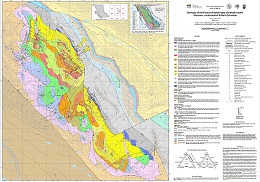 |
The Polaris Alaskan-type intrusion (Early Jurassic; ca.186 Ma) in north-central British Columbia belongs to a global class of convergent margin ultramafic-mafic intrusions. Although these intrusions are gaining global importance as an economic resource, they remain poorly understood and underexplored. The Polaris intrusion is one of the best exposed Alaskan-type ultramafic-mafic bodies in the Canadian Cordillera, second in size only to the Tulameen intrusion in south-central British Columbia. New mapping (1:15,000 scale) and lithological sampling integrated with the results of a recent aeromagnetic survey have refined internal and external geological relationships and established an intrusion-wide geochronological sample set. Research directed toward developing an emplacement framework for the intrusion continues. |
| Issue ID: | GBCR2020-08 |
| Title: | Assessing porphyry copper deposit fertility in British Columbia batholiths using zircons |
| Author(s): | Bouzari, F., Hart, C.J.R., and Bissig, T. |
| Series Name: | Geoscience BC Report |
| Publication Year: | 2020 |
| Larger Work Citation: | Geoscience BC Project 2016-032 |
| NTS Map Sheet(s): | 092I,P; 093A,B; 094E,L |
| Place Keyword(s): | British Columbia |
| Lat/Long (NSWE): | 58.8, 50, -128, -120 |
| Theme Keyword(s): | fertility, plutons, porphyry deposit, zircon |
Additional Link(s):
| http://www.geosciencebc.com/i/project_data/GBCReport2020-08/GBC%20Report%202020-08%20Assessing%20Porphyry%20Copper%20Deposit%20Fertility%20in%20British%20Columbia%20Batholiths%20using%20Zircons.pdf
http://www.geosciencebc.com/i/project_data/GBCReport2020-08/GBC%20Report%202020-08%20Table%202%20-%20Results%20for%20Guichon%20Creek%20and%20Takomkane%20samples.xlsx |
Abstract:
| Porphyry copper deposits in British Columbia occur within or around the edges of large batholiths composed of nonmineralized and fewer mineralized plutons. Identifying porphyry-fertile plutons and distinguishing them from barren plutons provides a significant advantage to exploration geologists seeking to discover porphyry copper deposits. Trace-element composition of zircon, a common accessory mineral in granitoid rocks, provides clues to the magmatic-hydrothermal history of magmas capable of generating porphyry copper deposits. This study identifies and characterizes the chemical signatures of copper ore-forming processes in zircon from selected plutonic lithologies that form the Guichon Creek, Takomkane, Granite Mountain and Toodoggone batholiths, and develops tools and strategies for the exploration of porphyry copper deposits in magmatic belts. A total of 1021 zircon grains from 42 rock samples representing various phases of each batholith were analyzed. Cathodoluminescence (CL) microscopy was used to document texture and zoning characteristics of zircon grains and 1397 spots were analyzed by EPMA and LA-ICP-MS for traceelement characterization.
Results show that porphyry-fertile Late Triassic and Early Jurassic plutons in BC have several distinct characteristics that indicate an increased potential to generate porphyry copper deposits. Zircons from mineralized phases have low Th/U and high Yb/Gd ratios that suggest fertile magmas were formed after certain amounts of fractional crystallization. Similarly, Ti-in-zircon temperatures show that these plutons yield lower model temperatures of ca. 750�C to 600�C consistent with zircon crystallization in near-eutectic conditions close to the solidus of hydrous granite.
Zircons from the mineralized plutons have small negative Eu anomalies (EuN/EuN* =0.35) whereas nonmineralized plutons show variable Eu anomalies, which is interpreted to be largely controlled by crystal fractionation, particularly that of apatite and titanite. The crystal fractionation of magmas alone does not produce ore deposits if the magma has a low oxidation state or low magmatic water content, or both. The porphyry-fertile plutons have zircons with Eu anomaly values that are not significantly affected by Hf concentration or Yb/Gd values, proxies for crystal fractionation, suggesting that the oxidation state and magmatic water remained significantly high during the cooling history of the magma. This key fertility feature has been interpreted to reflect SO2 degassing and subsequent increased oxidation of parental porphyry melts (Dilles et al., 2015).
Our study, for the first time, shows that zircon texture correlates with its chemical fertility indices. Zircons from fertile plutons characterized by oxidized (Eu anomaly >0.35), cooled (<750�C) evolved (Hf >9000 ppm) wet magmas, commonly show oscillatory zoning with minimal irregular texture at rims, whereas, nonmineralized plutons commonly contain zircon with tabular or oscillatory zoning and irregular texture characterized by new growth zones crosscutting older zones. The tabular zircons are more common in older plutons (>195 Ma) and we interpret that zircons with irregular oscillatory zoning are common in hotter (above eutectic) melts. These chemical and textural features of zircon along with other porphyry indicator minerals such as apatite and titanite (Bouzari et al., 2018) provide new tools to evaluate porphyry potential of BC�s plutonic rocks. |
| Issue ID: | GBCR2020-15 |
| Title: | The Carbon Mineralization Potential of Ultramafic Rocks in British Columbia: A Preliminary Assessment |
| Author(s): | Mitchinson, D., Cutts, J.A., Fournier, D., Naylor, A., Dipple, G.M., Hart, C.J.R., Turvey, C., Rahimi, M., and Milidragovic, D. |
| Series Name: | Geoscience BC Report |
| Publication Year: | 2020 |
| Other Citation Details: | MDRU Publication 452 |
| Larger Work Citation: | Geoscience BC Project 2018-038 |
| NTS Map Sheet(s): | 092H/08, 10; 093K/13, 14; 094C/05; 104I; 104N |
| Place Keyword(s): | British Columbia |
| Lat/Long (NSWE): | 60, 49, -135, -118 |
| Theme Keyword(s): | ultramafic rocks, carbon sequestration, serpentinite, Canadian Cordillera, Geoscience BC |
Additional Link(s):
| http://geosciencebc.chttp://www.geosciencebc.com/i/project_data/GBCReport2020-15/Geoscience%20BC%20Report%202020-15%20-%20CaMP%20v2020-11-04.pdf |
Abstract:
| British Columbia contains extensive volumes of ultramafic rock that can sequester carbon dioxide (CO2) into solid magnesium carbonate minerals to mitigate greenhouse gas (GHG) emissions. Serpentinites, altered hydrated ultramafic rocks, are of particular interest because they can be highly reactive to carbon dioxide at Earth�s surface conditions. Serpentinites have distinct magnetic and density properties relative to their unaltered ultramafic protoliths such that they should be identifiable from airborne geophysical surveys. The Carbon Mineralization Potential Project for British Columbia (CaMP-BC) assesses the abundance, location, shape, and areal extent of serpentinized ultramafic rocks in B.C. using existing geological, geochemical, and geophysical data. Preliminary results are reported here. Roughly 46% of the ultramafic rock bodies in B.C. are associated with large magnetic anomalies consistent with extensive serpentinization. The volume of serpentinites in the upper 1 km of the crust in British Columbia is estimated to be 1,000 km�. Sequestration of CO2 within these rocks will require one of two processes, ex-situ carbon mineralization where serpentinite is mined and exposed to CO2 or in-situ carbon mineralization where CO2 is injected underground. Serpentinite is known to host some of British Columbia�s largest nickel deposits and the extraction and crushing of such rocks during mining will unlock their reactivity for ex-situ carbon mineralization. The loosely bound and readily leachable magnesium that could be used for ex-situ carbon mineralization has an estimated sequestration capacity of 56 Gt CO2; this represents more than 800 years of GHG emissions in B.C. at current rates. The use of reactive serpentinite tailings from nickel mining as a carbon sink has the potential to make nickel mining carbon neutral or a net carbon sink. Nickel is a critical commodity for decarbonization of the energy and transport sectors. The development of critical metal mines with a high capacity for carbon dioxide mineralization represents an opportunity to decarbonize supply chains for renewable energy and reduce the greenhouse gas footprint of resource development in British Columbia. |
| Issue ID: | GBCR2020-12 |
| Title: | Statistical Assessment of Operational Risks for Induced Seismicity from Hydraulic Fracturing in the Montney, Northeast BC |
| Author(s): | Fox, A., McKeen, S., and Watson, N. |
| Series Name: | Geoscience BC Report |
| Publication Year: | 2020 |
| Larger Work Citation: | Geoscience BC Project 2019-008 |
| NTS Map Sheet(s): | 093P; 094A |
| Place Keyword(s): | British Columbia, Northeastern British Columbia, Fort St. John, Dawson Creek |
| Lat/Long (NSWE): | 56.33, 55.66, -121.5, -120 |
| Theme Keyword(s): | induced seismicity, hydraulic fracturing, ground-motion amplification, Montney, Geoscience BC |
Additional Link(s):
| http://www.geosciencebc.com/i/project_data/GBCReport2020-12/Geoscience%20BC%20Report%202020-12%20FINAL%20REPORT.pdf
http://www.geosciencebc.com/i/project_data/GBCReport2020-12/Geoscience%20BC%20Report%202020-12%20Final%20Report%20APPENDIX%20A%20-%20Feature%20Definitions.pdf
http://www.geosciencebc.com/i/project_data/GBCReport2020-12/Geoscience%20BC%20Report%202020-12%20Final%20Report%20APPENDIX%20B%20-%20Methodology%20Details.pdf
http://www.geosciencebc.com/i/project_data/GBCReport2020-12/Geoscience%20BC%20Report%202020-12%20Final%20Report%20APPENDIX%20C%20-%20Full-size%20Figures.zip
http://www.geosciencebc.com/i/project_data/GBCReport2020-12/Geoscience%20BC%20Report%202020-12%20Final%20Report%20APPENDIX%20D%20-%20Database.zip
http://www.geosciencebc.com/i/project_data/GBCReport2020-12/Geoscience%20BC%20Report%202020-12%20Final%20Report%20APPENDIX%20E%20-%20Github%20Repository.zip |
Abstract:
| This study developed models and workflows to investigate various parameters believed to be related to induced seismicity (earthquakes caused by human activity). The Statistical Assessment of Operational Risks for Induced Seismicity from Hydraulic Fracturing in the Montney, Northeast BC report describes the sources of the data, the data preparation, and the workflow developed to generate models. Modelling details and associated databases are also being made available publicly for transparency, discussion and future investigation by other researchers. Multivariate statistical methods and machine learning techniques were used to analyze public data from previous oil and gas well completion activities and seismic events. The report concludes that no single factor was identified as being responsible for induced seismicity and that understanding induced events is highly dependent upon the specific datasets used and the features selected for use in statistical models. Various parameters are identified that appear to be important to the cause of seismicity or the event magnitude. |
| Issue ID: | PGOF2017-01 |
| Title: | Rock-Eval, lithogeochemistry, gamma ray spectrometry, thermal maturity and X-ray diffraction analysis of the Garbutt Formation, western Liard Basin (94N/11) |
| Author(s): | Ferri, F., Reyes, J. |
| Series Name: | Petroleum Geology Open File |
| Publication Year: | 2017 |
| NTS Map Sheet(s): | 094N/11 |
| Place Keyword(s): | British Columbia, Liard Basin |
| Lat/Long (NSWE): | 59.7, 59.6, -125, -124.7 |
| Theme Keyword(s): | rock-eval, lithogeochemistry, gamma ray spectrometry, Garbutt Formation, western Liard Basin |
Download(s):
| PDF |
Additional Link(s):
| https://www2.gov.bc.ca/assets/gov/farming-natural-resources-and-industry/natural-gas-oil/petroleum-geoscience/petroleum-open-files/petroleum_geology_open_file_2017-1_data.xlsx |
Abstract:
| Five stratigraphic sections of the Garbutt Formation were measured and systematically sampled along Toreva Creek and Scatter River in western Liard Basin. These sections are close to the standard section of the Garbutt Formation proposed by Stott (1982). Samples were analyzed for whole rock and Rock-Eval geochemistry, bulk mineral composition (X-ray diffraction) and thermal maturation (by reflective microscopy). In addition, gamma ray data were collected with a hand-held spectrometer. These sections and data sets will provide a reference for the Garbutt Formation type section for use in regional studies. |
| Issue ID: | GF2020-10 |
| Title: | The new British Columbia Geological Survey geochronologic database: Preliminary release of ages |
| Author(s): | Han, T., Ootes, L., and Yun, K. |
| Purpose: | basic data to help provide geologic background to geologists |
| Series Name: | GeoFile |
| Publication Year: | 2020 |
| NTS Map Sheet(s): | 082;083;092;093;094;102;103;104;114 |
| Place Keyword(s): | British Columbia |
| Lat/Long (NSWE): | 60, 48, -139, -114 |
| Theme Keyword(s): | Geochronology, isotopic age determinations, absolute age, radiometric age, database update |
Download(s):
| PDF, ZIP (View Zip Contents) |
Abstract:
 |
This GeoFile releases ages published between 1960 and 2020 in two CSV files and one Microsoft Access file. The CSV files, one for new data (new_age.csv) the other for BCAge data (bc_age.csv), were generated with simplicity, exchangeability, and GIS-readiness in mind. They contain sample location coordinates, age, and numerous other primary attributes. The Microsoft Access database file (geochron_db.accdb) includes entities, relationships, and data that mirror the operating BCGS system. |
| Issue ID: | GF2020-11 |
| Title: | British Columbia Geological Survey mineral deposit profiles, 1995 to 2012; updated with new profiles for VMS, porphyry, and mafic-ultramafic deposits. |
| Author(s): | Lefebure, D.V., and Jones, L.D., (compilers) |
| Series Name: | GeoFile |
| Publication Year: | 2020 |
| NTS Map Sheet(s): | 082;083;092;093;094;102;103;104;114 |
| Place Keyword(s): | British Columbia |
| Lat/Long (NSWE): | 60, 48, -139, -114 |
| Theme Keyword(s): | Mineral Deposit Profiles, metallic mineral, industrial mineral, coal deposits, mineral deposit types |
Download(s):
| PDF, ZIP (View Zip Contents) |
Abstract:
 |
The mineral deposit profiles compiled herein were initially prepared by the British Columbia Geological Survey (BCGS) between 1995 and 2012. Most of the profiles were initially published in BCGS Open File reports or in Geological Fieldwork volumes and were made available to the public on the BCGS website. The profiles are concise but comprehensive descriptions of metallic mineral, industrial mineral, gemstone, and coal deposits. These descriptions include geological characteristics, mineral exploration techniques, resource data, age of mineralization, tectonic setting, and concepts about deposit origins. Although the profiles have a global scope, many provide information specific to British Columbia. The present report re-releases all 120 profiles in one collection, with the original profiles virtually unchanged. In addition, the BCGS has initiated a multi-year mineral potential mapping project to identify areas of high prospectivity for key mineral systems across the province, and this release includes ten profiles for VMS, porphyry, and mafic-ultramafic deposits, which include mineral systems information and are included as an Addendum. The next generation of mineral deposit profiles will further support completing modern resource assessments, likely enabled by artificial intelligence applications. |
| Issue ID: | GF2020-12 |
| Title: | Geochronologic data from samples collected near Pothole Lake and Pennask Mountain (NTS 92H/15, 16) as part of the Southern Nicola Arc Project |
| Author(s): | Friedman, R.M., Mihalynuk, M.G., and Diakow, L.J. |
| Series Name: | GeoFile |
| Publication Year: | 2020 |
| NTS Map Sheet(s): | 092H/15, 092H/16 |
| Place Keyword(s): | British Columbia |
| Lat/Long (NSWE): | 50.1, 49.4, -120.75, -120.25 |
| Theme Keyword(s): | uranium-lead geochronology, detrital zircon, Nicola Group, Triassic, Early Jurassic |
Download(s):
| PDF, ZIP (View Zip Contents) |
Abstract:
 |
Raw data for two new U-Pb zircon dates from the southern Nicola arc are reported here. These dates extend the age and spatial limits of magmatic Nicola Group rocks. Older Nicola Group volcanic strata now span almost the entire known width of exposed Nicola Group at the latitude of Merritt. A CA-TIMs age of 239.99 �0.16 Ma from Missezula formation (informal) felsic tuffs near Pennask Mountain is now the oldest dated Nicola Group. The new date places these rocks in the early Ladinian (Middle Triassic). This age is similar to those from the central part of the Nicola arc farther west, strengthening stratigraphic ties across the arc. We also obtained a LA-ICPS detrital zircon age of 200.2 �1.1 Ma from tuff bands in a section of Shrimpton formation (informal) calcareous and argillaceous siltstone near Pothole Lake. Accepting the recent IUGS timescale calibration for the Triassic-Jurassic boundary at 201 Ma, the youngest Nicola magmatism now extends to the earliest Jurassic. |
| Issue ID: | GF2020-13 |
| Title: | Supplementary data for near-surface mercury vapour haloes in air above ore deposits and faults on Vancouver Island: Insights into buried materials in real-time? |
| Author(s): | Rukhlov, A.S., Ootes, L., Hickin, A.S., and Mashyanov, N.R. |
| Series Name: | GeoFile |
| Publication Year: | 2020 |
| NTS Map Sheet(s): | 092B, 092C |
| Place Keyword(s): | British Columbia, Vancouver Island |
| Lat/Long (NSWE): | 49.8, 48.4, -125.3, -123.3 |
| Theme Keyword(s): | Atmochemistry, mercury, Hg vapour haloes, buried ore deposits, fault structures |
Download(s):
| PDF, ZIP (View Zip Contents) |
Abstract:
 |
This GeoFile serves as a data repository for interpretations presented by Rukhlov et al. (2021). It provides complete field data and plots of real-time mercury vapour concentrations in near-surface air and simultaneously measured meteorological parameters at 15 locations that include the British Columbia Geological Survey and a variety of known ore deposits, fault structures, and barren rocks on Vancouver Island. |
| Issue ID: | GF2021-06 |
| Title: | Assessment report summary: Expenditures and activities 2019 (poster) |
| Author(s): | Norris, J., and Wallace, B. |
| Series Name: | GeoFile |
| Publication Year: | 2021 |
| NTS Map Sheet(s): | 082;083;092;093;094;102;103;104;114 |
| Place Keyword(s): | British Columbia |
| Lat/Long (NSWE): | 60, 48, -139, -114 |
| Theme Keyword(s): | ARIS, assessment reports, exploration expenditures, exploration activities, digital data |
Download(s):
| PDF |
Abstract:
 |
Results of mineral exploration programs are submitted in assessment reports by industry to the government in compliance with the Mineral Tenure Act. The British Columbia Geological Survey maintains these reports in the Assessment Report Indexing System (ARIS). This summary includes work registered with a Statement of Work affidavit date to the end of 2019. The expenditures reported in assessment reports are registered to maintain claims beyond their expiry date and thus reported costs represent only a portion of the total amount spent. |
| Issue ID: | GF2021-01 |
| Title: | Exploration and mining in British Columbia, 2020 (poster) |
| Author(s): | Clarke, G., Northcote, B., Katay, F., and Tombe, S.P. |
| Series Name: | GeoFile |
| Publication Year: | 2021 |
| NTS Map Sheet(s): | 082;083;092;093;094;102;103;104;114 |
| Place Keyword(s): | British Columbia |
| Lat/Long (NSWE): | 60, 48, -139, -114 |
| Theme Keyword(s): | mineral exploration, mining, exploration statistics, exploration activities |
Download(s):
| PDF |
Abstract:
 |
British Columbia is Canada�s largest exporter of coal, leading producer of copper, and only producer of molybdenum. Also produced are significant amounts of gold, silver, lead, and zinc, and more than 30 industrial minerals including gypsum, magnesite, limestone, and dimension stone. Numerous quarries produce sand and gravel or crushed aggregate. Flanked by the Pacific Ocean, British Columbia offers easy access to global markets. Mine operations benefit from tax incentives and a well-developed infrastructure, including low-cost electricity, an integrated road and rail network, and large deep-water ports. Exploration benefits from an extensive geoscience database and a web-based mineral tenure system. Despite the Covid-19 pandemic, provincial mining production and exploration expenditures improved in 2020 relative to 2019. |
| Issue ID: | GF2021-02 |
| Title: | Exploration and mining highlights, Northwest Region, 2020 (poster) |
| Author(s): | Tombe, S.P. |
| Series Name: | GeoFile |
| Publication Year: | 2021 |
| NTS Map Sheet(s): | 093C,D,E,F,L,K,M,N; 94C,D,E,F,K,L,M,N; 103A.H.I,J,O,P; 104, 114 |
| Place Keyword(s): | British Columbia, Northwest British Columbia |
| Lat/Long (NSWE): | 60, 52, -139, -124 |
| Theme Keyword(s): | mineral exploration, mining, exploration statistics, exploration activities |
Download(s):
| PDF |
Abstract:
 |
The Northwest Region has long been known for its history of mining and its vast endowment of precious and base metals. The region is prospective for a wide range of mineral deposits: large bulk-tonnage porphyry Cu-Au-Mo, high-grade Au-Ag precious metal, Ag-Pb-Zn polymetallic, ultramafic-hosted Ni-Co-Pt-Pd, anthracite coal, placer gold, and jade. Projects this year were again largely concentrated in the Golden Triangle, while several other projects were underway to the southeast. High metal prices in 2020 encouraged financings of many projects and led to an increase in exploration activity for the fourth consecutive year. The Northwest Region has several producing mines including two large metal mines (Red Chris and Brucejack) and an abundance of proposed and advanced-stage projects. In 2020, the region saw numerous active early- to advanced-stage projects that focussed mainly on precious, base metal, and porphyry deposits. |
| Issue ID: | GF2021-03 |
| Title: | Exploration and mining highlights, North Central and Northeast regions, 2020 (poster) |
| Author(s): | Clarke, G. |
| Series Name: | GeoFile |
| Publication Year: | 2021 |
| NTS Map Sheet(s): | 083; 093; 094 |
| Place Keyword(s): | British Columbia, Northeast British Columbia, North Central British Columbia |
| Lat/Long (NSWE): | 60, 52, -128, -114 |
| Theme Keyword(s): | mineral exploration, mining, exploration statistics, exploration activities |
Download(s):
| PDF |
Abstract:
 |
The Northeast Region is prospective for coal and industrial minerals and, at present, has two producing coal mines, Conuma Coal Resources Limited�s Brule and Wolverine operations. Conuma�s Willow Creek operation shut down in July. In the far north of the region, Fireside Minerals Ltd. produces barite from its Fireside mine to supply the oil and gas drilling industry.
The North Central Region is prospective for copper, gold, silver, zinc, lead, specialty metals, and rare earth elements, mostly in porphyry, vein and stockwork, SEDEX, and carbonatite settings. The Mt. Milligan copper-gold operation (Centerra Gold Inc.) is the only producing mine in the region |
| Issue ID: | GF2021-04 |
| Title: | Exploration and mining highlights, Southwest and South Central regions, 2020 (poster) |
| Author(s): | Northcote, B. |
| Series Name: | GeoFile |
| Publication Year: | 2021 |
| NTS Map Sheet(s): | 082E,L,M; 083D; 092G,H,I,J,O,P; 093A,B |
| Place Keyword(s): | British Columbia, Southwest British Columbia, South Central British Columbia |
| Lat/Long (NSWE): | 53, 49, -122.5, -119 |
| Theme Keyword(s): | mineral exploration, mining, exploration statistics, exploration activities |
Download(s):
| PDF |
Abstract:
 |
The exploration and mining industries of the Southwest and South Central regions reflect geography as much as geological endowments. In the Southwest, with large coastal population centres, the industry is mainly mining for construction materials to feed growing cities. Many of the largest quarries make use of the Fraser River and tidewater for efficient transportation of low unit value commodities. Some sparsely populated areas, such as northern Vancouver Island that have resource-based economies, maintain active mineral exploration industries. The mineral potential of the northern Vancouver Island is considerable and parts of it remain underexplored. The South Central Region also serves southern population centres with industrial minerals and construction materials but the mining industry is dominated by bulk tonnage, low grade porphyry Cu-Au and Cu-Mo deposits. Four major porphyry mines are in operation today. A fourth remains on care and maintenance awaiting sustained higher copper prices. A combination if geological endowment, engineering expertise, demand from Asia and access to infrastructure has made these deposits viable since the 1960s. More recently gold exploration has surged, echoing the recognition of geological potential that opened up the province more than 150 years ago. |
| Issue ID: | GF2021-05 |
| Title: | Exploration and mining highlights, Southeast region, 2020 (poster) |
| Author(s): | Katay, F. |
| Series Name: | GeoFile |
| Publication Year: | 2021 |
| NTS Map Sheet(s): | 082; 083 |
| Place Keyword(s): | British Columbia, Southeast British Columbia |
| Lat/Long (NSWE): | 52, 49, -120, -114 |
| Theme Keyword(s): | mineral exploration, mining, exploration statistics, exploration activities |
Download(s):
| PDF |
Abstract:
 |
Extensive metallurgical coal deposits exist in the Southeast Region, and account for most of Canada�s coal production and exports. Four mines currently produce coal (Fording River, Greenhills, Line Creek, and Elkview), operated by Teck Coal Limited Two major coal projects (Michel Coal, and Crown Mountain) are in the Environmental Assessment process. Several industrial mineral mines produce silica, magnesite, and gypsum, and one gypsum mine is currently under construction (Kootenay West). Various other industrial products, such as rip-rap, flagstone, railroad ballast, dimension stone, and sand and gravel are quarried throughout the region. Exploration is also ongoing for other minerals, including graphite and phosphate. Exploration is also ongoing for precious and base metals, mostly in veins and stockworks, SEDEX, VMS, stratabound and carbonate replacement, and skarn deposits. |
| Issue ID: | GF2021-07 |
| Title: | Cu-PGE vs Cr-PGE mineralization in Alaskan-type mafic-ultramafic intrusions (poster) |
| Author(s): | Nixon, G.T., Scoates, J.S., Milidragovic, D., Nott, J., Manor, M.J., Spence, D.W., and Kjarsgaard, I.M. |
| Series Name: | GeoFile |
| Publication Year: | 2021 |
| NTS Map Sheet(s): | 082;083;092;093;094;102;103;104;114 |
| Place Keyword(s): | British Columbia |
| Lat/Long (NSWE): | 60, 49, -135, -117 |
| Theme Keyword(s): | ultramafic-mafic intrusion, Alaskan-type, Cu-PGE mineralization, Cr-PGE mineralization |
Download(s):
| PDF |
Abstract:
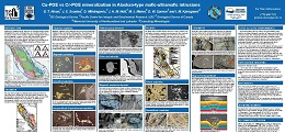 |
Alaskan-type ultramafic-mafic intrusions in convergent margin settings, distinguished by a lack of orthopyroxene, are well represented in the accreted arc terranes of the northern Cordillera. Although known worldwide for platinum occurrences in lode and commercially exploited placer deposits, four of these intrusions contain orthomagmatic Ni-Cu-PGE sulphides. The nature and environments of sulphide-PGE and chromite-PGE mineralization at Tulameen and Polaris are described herein. |
| Issue ID: | GF2021-08 |
| Title: | Yttrium-rich garnet: a source of HREE? (poster) |
| Author(s): | Rukhlov, A.S., Spence, J., LaForge, N., Czech, E., Kabel, J., and Kaplenkov, G.N. |
| Series Name: | GeoFile |
| Publication Year: | 2021 |
| NTS Map Sheet(s): | 092C/08; 092C/09 |
| Place Keyword(s): | British Columbia, Leech River, Loss Creek |
| Lat/Long (NSWE): | 48.9, 48.4, -124.5, -124 |
| Theme Keyword(s): | Yttrium-rich garnet, heavy rare earth elements, stream sediment, panned heavy mineral concentrate, modal mineralogy |
Download(s):
| PDF |
Abstract:
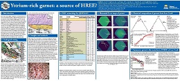 |
Rare earth elements (REE), including Sc, Y, and lanthanides (La to Lu), are increasingly important in high-technology industries and are considered �critical� materials. Most of heavy REE (HREE, i.e. Sc, Y, Gd, Tb, Dy, Ho, Er, Tm, Yb, Lu) are produced from ion adsorption clay deposits in southern China. Some are recovered from placer and peralkaline intrusion-hosted deposits, with gadolinite (Y2FeBe2Si2O10), xenotime (YPO4), and REE-bearing Ta-Nb oxides being the main hosts of these metals. They also occur in Zr-minerals such as zircon and eudialyte, and in some Mn-rich garnets containing up to 2.64 wt% Y2O3. Because deposits of HREE are rare compared with those of light REE (LREE, i.e. La to Eu), anomalous concentrations of HREE in heavy mineral concentrate (HMC) fractions of stream sediment samples at Loss Creek on southern Vancouver Island are intriguing. This study examines mineralogy of the panned HMC samples and chemical composition of garnet that comprises 25-28 wt% of the HMC samples. We present modal mineralogy of the sieved, 0.5-1.0 mm and <0.18 mm fractions of the HMC samples, determined by a scanning electron microscope (SEM); geochemistry of pure garnet fraction (0.25 to 2.0 mm) by lithium borate-fusion and combination of inductively coupled plasma optical emission and mass spectrometry (ICP-OES/MS) analysis for 56 analytes; in situ major and trace-element compositions of individual garnet grains by an electron probe microanalyzer (EPMA) and a laser ablation ICP-MS (LA-ICP-MS); and elemental X-ray maps of the garnets by SEM with energy-dispersion X-ray microanalysis system (EDS). Manganese-rich almandines at Loss Creek have up to 0.563 wt% REE (i.e. 3000x chondritic), with HREE comprising >99.8% of the total REE. This contrasts with most garnets elsewhere that have much lower REE levels (<0.06 wt%). Other ubiquitous heavy minerals include ilmenite, magnetite, hematite, pseudobrookite, leucoxene, pyroxene, staurolite, sillimanite, and epidote. Although we specifically looked for REE hosts, REE-bearing minerals such as allanite, xenotime, monazite, apatite, and zircon occur only as rare accessories (0.001 to 0.8 wt%) in the studied HMC samples. Therefore, the Mn-rich almandine with anomalous HREE contents (up to 600x the average Yb abundance in the Earth�s crust), derived from the greenschist-facies country rocks of the Leech River complex (Pacific Rim terrane), is the main host of REE at Loss Creek. The REE grade of the Loss Creek garnet is comparable with that of the world�s producing ion-adsorption clay (0.05-0.5% REE) and alkaline intrusion-hosted REE deposits (e.g., Bokan-Dotson Ridge, Alaska with 0.602% REE2O3). This study finds that Y-Mn-rich almandine associated with placer Au and significant prognostic resources of HREE, Mn, and Ge at Loss Creek could be a potentially viable source for the recovery of HREE and other �critical�, green-energy metals. |
| Issue ID: | GF2021-09 |
| Title: | Digital transformation of geoscience to enable analytics in mineral exploration (poster) |
| Author(s): | Cui, Y., Miller, D., Fortin, G., Zhao, S., Elia, E., and Orovan, E. |
| Series Name: | GeoFile |
| Publication Year: | 2021 |
| NTS Map Sheet(s): | 082;083;092;093;094;102;103;104;114 |
| Place Keyword(s): | British Columbia |
| Lat/Long (NSWE): | 60, 48, -139, -114 |
| Theme Keyword(s): | digital transformation, digital capability, analytics, open standard, interoperability |
Download(s):
| PDF |
Abstract:
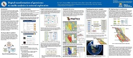 |
Recent advancements in data science and analytics is changing the way geoscientists approach mineral potential modelling and mineral exploration. The British Columbia Geological Survey (BCGS) is developing a digital strategy to identify opportunities and prioritize solutions for future digital capabilities. The BCGS defines 'digital capability' as the ability to enable analytics by improving skills, processes, and technology to optimize the acquisition, management and delivery of geoscience data, products and services that are analytical ready. 'Aanalytics' is used as a general term for computational analysis of data to uncover patterns. The BCGS has a long history of digital geosciences, with efforts such as digitally compiling geological maps at regional scales in the late 1980s, province-wide seamless digital coverage in the mid-1990s, and delivering digital contents via geospatial web services with GIS tools since 1995. The BCGS developed a streamlined process to update and integrate new maps into the provincial database. In 2018, the BCGS transformed provincewide
detailed bedrock geology and mineral occurrences to the GeoSciML and EarthResourceML Lite models, available as interoperable OGC Web Map Service (WMS) and Web Feature
Service (WFS) on OneGeology. |
| Issue ID: | IC2021-01 |
| Title: | Provincial Overview of Exploration and Mining in British Columbia, 2020 |
| Author(s): | Clarke, G., Northcote, B., Katay, F., and Tombe, S.P. |
| Series Name: | Information Circular |
| Publication Year: | 2021 |
| Larger Work Citation: | British Columbia Geological Survey Information Circular 2021-1 |
| NTS Map Sheet(s): | 082;083;092;093;094;102;103;104;114 |
| Place Keyword(s): | British Columbia |
| Lat/Long (NSWE): | 60, 52, -140, -114 |
| Theme Keyword(s): | Exploration and Mining, Summary and Trends, Provincial Overview, 2020 |
Download(s):
| PDF |
Abstract:
 |
This volume is the latest in a series of annual reviews that dates back to 1874, when the first Annual Report of the Minister of Mines was published. Detailing significant projects region-by-region, the volume complements the British Columbia Coal Industry Overview (British Columbia Geological Survey Information Circular 2021-02). To prepare the district chapters in this volume, the Regional Geologists visit project sites to view outcrops and drill core and to discuss results and progress. A significant amount of information is gleaned from corporate press releases, websites and reports. |
| Issue ID: | IC2021-01-01 |
| Title: | Exploration and Mining in British Columbia, 2020: A summary |
| Author(s): | Clarke, G., Northcote, B., Katay, F., and Tombe, S.P. |
| Series Name: | Information Circular |
| Publication Year: | 2021 |
| Larger Work Citation: | British Columbia Geological Survey Information Circular 2021-1 |
| NTS Map Sheet(s): | 082;083;092;093;094;102;103;104;114 |
| Place Keyword(s): | British Columbia |
| Lat/Long (NSWE): | 60, 48, -139, -114 |
| Theme Keyword(s): | exploration, mining, annual, information circular, 2020 |
Download(s):
| PDF |
Abstract:
| Reflecting its complex geological history, British Columbia is endowed with diverse minerals and deposit types. British Columbia is Canada�s largest exporter of coal, leading producer of copper, and only producer of molybdenum. Also produced are significant amounts of gold, silver, lead, and zinc, and more than 30 industrial minerals including gypsum, magnesite, limestone, and dimension stone. Numerous quarries produce sand and gravel or crushed aggregate. In 2019, many mineral exploration projects remained active. Flanked by the Pacific Ocean, British Columbia offers easy access to global markets. Mine operations benefit from tax incentives and a well-developed infrastructure, including low-cost electricity, an integrated road and rail network, and large deep-water ports. Exploration benefi ts from an extensive geoscience database and a web-based mineral tenure system. This summary uses information from the British Columbia Coal Industry Overview and incorporates the Regional Geologist reports in this volume. The Regional Geologists represent the provincial government on geological matters at a regional level. Within their communities, they provide information on exploration trends, possible investment opportunities, land use processes, First Nation capacity building, and public outreach. The Ministry of Energy, Mines and Petroleum Resources forecasts the total value of mine production for 2019 at $8.80 billion including coal, copper, gold, industrial minerals, aggregate, molybdenum, and silver. This is $1.16 billion less than the 2018 preliminary Natural Resources Canada estimate of $9.66 billion and is mostly due to a decrease in coal prices. In 2019, exploration expenditures, drilling estimates, and other metrics for British Columbia were captured in the British Columbia Mineral and Coal Exploration Survey. Total metal, industrial mineral and coal exploration expenditures are estimated at $327.7 million for 2019, down $3.7 million from the 2018 survey total of $331.4 million. Of this, $40.8 million was contributed by coal projects and $286.9 million by metal and industrial mineral projects. |
| Issue ID: | IC2021-01-02 |
| Title: | Exploration and mining in the Northwest Region, British Columbia 2020 |
| Author(s): | Tombe, S.P. |
| Series Name: | Information Circular |
| Publication Year: | 2021 |
| Larger Work Citation: | British Columbia Geological Survey Information Circular 2021-1 |
| NTS Map Sheet(s): | 093C,D,E,F,L,K,M,N; 094C,D,E,F,K,L,M,N; 103A.H.I,J,O,P; 104, 114 |
| Place Keyword(s): | British Columbia, Northwest British columbia |
| Lat/Long (NSWE): | 60, 52, -139, -124 |
| Theme Keyword(s): | exploration, mining, annual, information circular, 2020 |
Download(s):
| PDF |
Abstract:
| The Northwest Region has long been known for its history of mining and for its vast endowment of precious and base metals. The region is prospective for a wide range of deposits: large bulk-tonnage porphyry Cu-Au-Mo, high-grade Au-Ag precious metal, Ag-Pb-Zn polymetallic, ultramafic-hosted Ni-Co-Pt-Pd, anthracite coal, placer gold, and jade. Projects this year were again concentrated in a loosely defined area in the northern part of the region popularly known as the �Golden Triangle�; several other projects were underway to the southeast. High metal prices in 2020 encouraged financing of many projects. In 2020, exploration expenditures and other exploration metrics are captured in the British Columbia Mineral and Coal Exploration Survey. For the Northwest Region, exploration expenditures were estimated at $225.3 million, while exploration drilling was approximately 470,060 m. |
| Issue ID: | IC2021-01-03 |
| Title: | Exploration and mining in the North Central and Northeast regions, British Columbia 2020 |
| Author(s): | Clarke, G. |
| Series Name: | Information Circular |
| Publication Year: | 2021 |
| Larger Work Citation: | British Columbia Geological Survey Information Circular 2021-1 |
| NTS Map Sheet(s): | 083; 093; 094 |
| Place Keyword(s): | British Columbia, Northeast and central British Columbia |
| Lat/Long (NSWE): | 60, 52, -128, -114 |
| Theme Keyword(s): | exploration, mining, annual, information circular, 2020 |
Download(s):
| PDF |
Abstract:
| From northeast to southwest, a transect from the Northeast Region though the North Central Region provides a cross section from undeformed rocks deposited above Precambrian basement to allocthonous terranes accreted to Ancestral North America. Platformal sedimentary rocks in the Northeast Region transition to deep-water basin strata as the eastern limit of Cordilleran deformation is approached, close to the border of the North Central Region. The North Central Region shows a history of ocean opening and closing, island arc volcanism, and terrane accretion onto the western margin of Ancestral North America. Terrane emplacement was followed by continued orogeny, magmatism and sedimentation. Both regions were extensively glaciated. For the North Central Region, exploration expenditures were estimated at $57.0 million and exploration drilling was estimated at approximately 168,960 m. For the Northeast Region exploration expenditures were estimated at $11.7 million and exploration drilling was estimated at approximately 14,380 m. |
| Issue ID: | IC2021-01-04 |
| Title: | Exploration and mining in the South Central Region, British Columbia 2020 |
| Author(s): | Northcote, B. |
| Series Name: | Information Circular |
| Publication Year: | 2021 |
| Larger Work Citation: | British Columbia Geological Survey Information Circular 2021-1 |
| NTS Map Sheet(s): | 082E,L,M; 083D; 092G,H,I,J,O,P; 093A,B |
| Place Keyword(s): | British Columbia, South central British Columbia |
| Lat/Long (NSWE): | 53, 49, -122.5, -119 |
| Theme Keyword(s): | exploration, mining, annual, information circular, 2020 |
Download(s):
| PDF |
Abstract:
| With four major mines in operation, the South Central Region is currently the most productive copper mining district in Canada. The region�s varied geology, well-established infrastructure, and access to markets also make it an important industrial minerals centre. The Cariboo area is the province�s largest placer gold camp, with active permits numbering in the hundreds. Thermal coal resources in Cenozoic basins were last mined in 2013. Estimates for exploration expenditures, drilling programs, and other metrics were captured in the British Columbia Mineral and Coal Exploration Survey. Exploration expenditures for the region are estimated at $69.3 million; exploration drilling is estimated at 212,010 m. |
| Issue ID: | IC2021-01-05 |
| Title: | Exploration and mining in the Southeast Region, British Columbia 2020 |
| Author(s): | Katay, F. |
| Series Name: | Information Circular |
| Publication Year: | 2021 |
| Larger Work Citation: | British Columbia Geological Survey Information Circular 2021-1 |
| NTS Map Sheet(s): | 082; 083 |
| Place Keyword(s): | British Columbia, Southeast British Columbia |
| Lat/Long (NSWE): | 52, 49, -120, -114 |
| Theme Keyword(s): | exploration, mining, annual, information circular, 2020 |
Download(s):
| PDF |
Abstract:
| The Southeast Region offers a variety of mining and exploration opportunities accessible by well-developed infrastructure. Four metallurgical coal mines that operated in the Elk Valley in 2020 account for most of Canada�s coal production and exports. Several industrial mineral mines produce silica, magnesite, and gypsum. Limestone, smelter slag, rock wool, aggregate, rip rap, railroad ballast, flagstone, dimension stone, sand and gravel are quarried, and placer mining occurs throughout the region. The region hosts many historic producers dating back to the mid-1800s, including the lead-zinc-silver Sullivan Mine, and many small producers from the Rossland, Greenwood, Sheep Creek, and Slocan gold and silver camps. Exploration for base metals and precious metals continues to be a focus. The Trail smelter (Teck Resources Ltd.) is still in operation, and produces approximately 305,000 t of refi ned Zn, 90,000 t of refi ned Pb, and 16 to 18 Moz of Ag annually. Estimates for exploration expenditures, drilling programs, and other metrics were captured in the British Columbia Mineral and Coal Exploration Survey. For the Southeast Region, exploration expenditures were estimated at $55.4 million and exploration drilling was estimated at approximately 102,920 m. |
| Issue ID: | IC2021-01-06 |
| Title: | Exploration and mining in the Southwest Region, British Columbia 2020 |
| Author(s): | Northcote, B. |
| Series Name: | Information Circular |
| Publication Year: | 2021 |
| Larger Work Citation: | British Columbia Geological Survey Information Circular 2021-1 |
| NTS Map Sheet(s): | 092B,C,E,F,G,J,K,L,M,N,O; 093B,C,D,E,F,G,J,K,L; 102; 103 A-K |
| Place Keyword(s): | British Columbia, Southwest British Columbia |
| Lat/Long (NSWE): | 54.5, 48, -133, -122 |
| Theme Keyword(s): | exploration, mining, annual, information circular, 2020 |
Download(s):
| PDF |
Abstract:
| The Southwest Region has a long history of mining. This history includes: the use of native copper by First Nations; silver, gold, and coal mining by the mid-19th century; mining of iron in the mid-20th century; and substantial copper production throughout the 20th century. Although mining and exploration for metal and continues in the region, most mining is for construction materials, mainly aggregates for local markets with some exports from the largest coastal quarries. For the Southwest Region, exploration expenditures were estimated at $4.0 million and exploration drilling was estimated at approximately 23,000 m. |
| Issue ID: | IC2021-02 |
| Title: | British Columbia Coal Industry Overview, 2020 |
| Author(s): | BC Geological Survey |
| Series Name: | Information Circular |
| Publication Year: | 2021 |
| NTS Map Sheet(s): | 082;083;092;093;094;102;103;104;114 |
| Place Keyword(s): | British Columbia |
| Lat/Long (NSWE): | 60, 48, -139, -114 |
| Theme Keyword(s): | coal, coal industry, overview, information circular, 2020 |
Download(s):
| PDF |
Abstract:
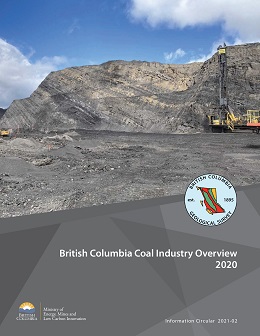 |
Metallurgical coal prices fluctuated markedly in 2020. Coking coal prices dropped to less than $100/tonne US per tonne because of disruptions caused by the Covid-19 pandemic and global trade tensions. Coal production volumes for British Columbia are forecast to total 25.1 million tonnes, down from 30.0 million tonnes in 2019. Coal remains British Columbia�s most valuable mined commodity with sales forecast at $3.97 billion for 2020, 42.7% of the mining revenue for the province. Coking coal and PCI (pulverized coal injection) products are currently produced from four mines in the Kootenay Mountains in the southeastern part of the province and from three mines in the Peace coalfields in the northeastern part. |
| Issue ID: | IC2021-03 |
| Title: | British Columbia Geological Survey (brochure) |
| Author(s): | BC Geological Survey |
| Series Name: | Information Circular |
| Publication Year: | 2021 |
| NTS Map Sheet(s): | 082;083;092;093;094;102;103;104;114 |
| Place Keyword(s): | British Columbia |
| Lat/Long (NSWE): | 60, 48, -139, -114 |
| Theme Keyword(s): | Information Circular, Geological Survey Branch, Brochure, projects and activities |
Download(s):
| PDF |
Abstract:
 |
The British Columbia Geological Survey conducts research to establish the geological evolution and mineral resources of the province. Drawing on continuously advancing concepts and technologies, the Survey creates knowledge to guide societal decisions centred on the Earth sciences. Survey maps, reports, and databases are freely available online, connecting the public, First Nations, local communities, the minerals industry, public safety agencies, environmental scientists, other research organizations, and government to the province�s geology and mineral resources. This information benefits decisions that balance the economy, the environment, and community interests. This brochure summaries the mission and activities of the British Columbial Geological Survey. |
| Issue ID: | IC2021-04 |
| Title: | British Columbia Geological Survey Mineral Development Office (brochure) |
| Author(s): | BC Geological Survey |
| Series Name: | Information Circular |
| Publication Year: | 2021 |
| NTS Map Sheet(s): | 082;083;092;093;094;102;103;104;114 |
| Place Keyword(s): | British Columbia, Vancouver |
| Lat/Long (NSWE): | 60, 48, -140, -114 |
| Theme Keyword(s): | Mineral Development Office, MDO, links, distribution, mineral opportunities |
Download(s):
| PDF |
Abstract:
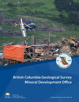 |
The Mineral Development Office (MDO) is the Vancouver base of the British Columbia Geological Survey. It links the more than 800 global exploration and mining companies headquartered in Vancouver to provincial mineral and coal information. The MDO distributes British Columbia Geological Survey data and provides technical information and expertise about mineral opportunities to the domestic and international investment community. The MDO monitors the activities of the exploration and mining sector, informing other government agencies and industry, and coordinates production of the annual Provincial Overview of Mining and Exploration volume. |
| Issue ID: | IC2021-05 |
| Title: | Online databases at the British Columbia Geological Survey (brochure) |
| Author(s): | BC Geological Survey |
| Series Name: | Information Circular |
| Publication Year: | 2021 |
| NTS Map Sheet(s): | 082;083;092;093;094;102;103;104;114 |
| Place Keyword(s): | British Columbia |
| Lat/Long (NSWE): | 60, 48, -139, -114 |
| Theme Keyword(s): | online databases, British Columbia Geological Survey, MapPlace, MINFILE, ARIS, COALFILE, Property File, geochemical, bedrock geology, publications catalog |
Download(s):
| PDF |
Abstract:
 |
Founded in 1895, the British Columbia Geological Survey integrates historical data with active research programs and, drawing on continuously advancing geoscience concepts and technologies, creates new knowledge. Since its inception, the Survey has provided information to help government, the mineral exploration industry, public safety agencies, environmental scientists, communities, First Nations, research organizations, and the general public make decisions related to the Earth sciences. This information resides in databases that are integrated with MapPlace, our online service that allows clients to browse, visualize, and analyze multidisciplinary geoscience data, and create custom maps. |
| Issue ID: | OF2021-01 |
| Title: | Mines, mine development, selected proposed mines, and selected exploration projects in British Columbia, 2020 |
| Author(s): | Clarke, G., Northcote, B., Katay, F., and Tombe, S. |
| Series Name: | Open File |
| Publication Year: | 2021 |
| NTS Map Sheet(s): | 082;083;092;093;094;102;103;104;114 |
| Place Keyword(s): | British Columbia |
| Lat/Long (NSWE): | 60, 48, -139, -114 |
| Theme Keyword(s): | mines, selected exploration projects, selected proposed mines, mine development, map |
Download(s):
| PDF, ZIP (View Zip Contents) |
Abstract:
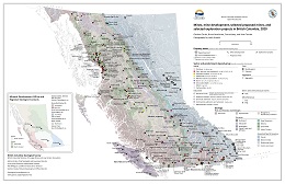 |
This provincial map shows the coal, industrial mineral and metal mines, and selected exploration projects of British Columbia that were active in 2020. Some sites were active for only part of 2018. Large exporting aggregate producers are shown but not the many aggregate quarries serving local markets around the Province. Not all exploration projects in the Province are shown on this map. |
| Issue ID: | P2021-01 |
| Title: | Geological Fieldwork 2020, A Summary of Field Activities and Current Research, British Columbia Geological Survey |
| Author(s): | BC Geological Survey |
| Series Name: | Paper |
| Publication Year: | 2021 |
| Larger Work Citation: | Geological Fieldwork 2020, B.C. Ministry of Energy, Mines and Petroleum Resources, Paper 2021-01 |
| NTS Map Sheet(s): | 082;083;092;093;094;102;103;104;114 |
| Place Keyword(s): | British Columbia |
| Lat/Long (NSWE): | 60, 48, -139, -114 |
| Theme Keyword(s): | Geological Fieldwork, Full volume, Geological, Preface, Table of Contents |
Download(s):
| PDF |
Abstract:
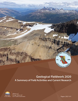 |
Geological Fieldwork 2020 is the forty-sixth edition of the annual volume that presents peer-reviewed papers detailing the results of British Columbia Geological Survey (BCGS) geoscience activities. This volume includes nine papers, starting with an overview of Survey activities in the past year. A paper by Schiarizza et al. concludes that volcanic rocks on Mount Timothy in central British Columbia are part of the Skull Hill Formation (early Eocene) rather than the Nicola Group (Triassic). The second paper by Schiarizza examines new U-Pb ages for intrusive rocks of the Granite Mountain batholith (Late Triassic) including the Burgess Creek and Sheridan Creek stocks. Jones et al. is a contribution to ongoing studies in the Hogem Batholith. Their work provides geochronological data that sequences the intrusions of the Thane Creek, Duckling Creek, Osilinka and Mesilinka intrusive suites. Also in the Hogem Batholith area, Ferbey and Elia describe the Late Wisconsinan ice-flow history and surficial geology. A paper by Van Wagoner et al. examines the Challis-Kamloops belt (early Eocene) in central British Columbia. Greig et al. contribute new U-Pb and Re-Os geochronology and explain the geological framework and context of the Tatogga property in northwestern British Columbia. Rukhlov et al. describe preliminary endeavours by BCGS in using natural emissions of Hg vapour into the atmosphere as an exploration tool. The final
paper in the volume, by Lett et al., re-examines unpublished surface sediment geochemical data from a massive sulphide and gold-quartz vein mineralization at the Ace property, near Likely. |
| Issue ID: | P2021-01-04 |
| Title: | Geochronology of northern Hogem batholith, Quesnel terrane, north-central British Columbia |
| Author(s): | Jones, G., Ootes, L., Milidragovic, D., Friedman, R., Camacho, A., Luo, Y., Vezinet, A., Pearson, D.G., and Schiarizza, P. |
| Series Name: | Paper |
| Publication Year: | 2021 |
| Larger Work Citation: | Geological Fieldwork 2020, B.C. Ministry of Energy, Mines and Petroleum Resources, Paper 2021-01 |
| NTS Map Sheet(s): | 094C/04, 05; 094D/01, 08 |
| Place Keyword(s): | British Columbia |
| Lat/Long (NSWE): | 56.4, 55.9, -126.4, -125.3 |
| Theme Keyword(s): | Quesnel terrane, Stikine terrane, Hogem batholith, U-Pb zircon date, CA-TIMS |
Download(s):
| PDF |
Abstract:
| New and previously unpublished geochronological data that complement bedrock mapping and geochemical studies in northern Hogem batholith indicate punctuated emplacement of four distinct intrusive suites during a protracted (ca. 80 Ma) interval, from 207 to 128 Ma. U-Pb crystallization ages include new zircon (by LA-ICP-MS), previously unpublished legacy zircon and titanite (by ID-TIMS), and published zircon (by CA-TIMS). Amphibole, biotite, and muscovite 40Ar/39Ar step-heating results provide magmatic cooling ages and post-deformation cooling ages. The Thane Creek suite, composed of mostly metaluminous diorite to quartz monzodiorite with lesser hornblendite, intruded host Nicola Group strata between 207 and 194 Ma. The Duckling Creek suite consists of alkaline biotite clinopyroxenite and syenite that intruded the Thane Creek suite between 182 and 175 Ma. The Osilinka suite, represented by a weakly peraluminous leucocratic granite body, yielded a maximum emplacement age of ca. 160 Ma. The Mesilinka suite consists of metaluminous tonalite and weakly peraluminous granodiorite to granite, with interpreted crystallization ages ranging from 135 to 128 Ma. Bedrock mapping and geochronologic results from this study indicate that northern Hogem batholith contains prospective rocks comparable to those that host the Lorraine and other deposits south of the present study area. The Hogem batholith is relatively unique in the Canadian Cordillera because it contains a remarkable evolution of punctuated Upper Triassic to Lower Cretaceous intrusive suites that are compositionally and chemically diverse. A new discovery is that the Mesilinka suite (Lower Cretaceous) intruded during a Cordilleran-wide magmatic lull. |
| Issue ID: | P2021-01-01 |
| Title: | British Columbia Geological Survey annual program review 2020-2021 |
| Author(s): | Wildgust, N., Jones, L.D., Clarke, G., and Hickin, A.S. |
| Series Name: | Paper |
| Publication Year: | 2021 |
| Larger Work Citation: | Geological Fieldwork 2020, B.C. Ministry of Energy, Mines and Petroleum Resources, Paper 2021-01 |
| NTS Map Sheet(s): | 082;083;092;093;094;102;103;104;114 |
| Place Keyword(s): | British Columbia |
| Lat/Long (NSWE): | 60, 48, -139, -114 |
| Theme Keyword(s): | Highlights, Projects, Events, Accomplishments, Partnerships |
Download(s):
| PDF |
Abstract:
| The British Columbia Geological Survey, as the steward of provincial geoscience and mineral resource information, conducts research to define the geological evolution and natural resources of British Columbia. Part of the Ministry of Energy, Mines and Low Carbon Innovation, the Survey generates geoscience knowledge and data to inform land use and resource management decisions, and to support the growth of British Columbia as a competitive jurisdiction for mineral exploration. This paper summarizes current research activity and 2020 highlights from a year that, despite the impacts of the global pandemic, realized just under 50 publications, in line with typical annual output.
The Cordilleran Geoscience Section of the Survey conducts field and desk-based research activities including bedrock and surficial geology mapping programs, regional geochemical surveys, and targeted mineral deposit studies. Despite field activity in 2020 being confined to targeted studies on Vancouver Island due to Covid-19 health restrictions and related concerns, multi-year mapping and research programs in both northwest, central, and southern British Columbia were advanced with desk-based work and laboratory analyses. Integrated bedrock mapping updates for the provincial database and MapPlace (the BCGS geospatial web service) are in preparation for several areas of the province, including: southern Quesnellia, Bonaparte Lake to Quesnel River, Hogem, Polaris, Decar, Turnagain and Tulameen. Plans are also being developed to initiate a multi-year project, starting in 2021, to integrate detailed surfi cial geological mapping across the province into a seamless database and MapPlace.
Responsible for maintaining and developing provincial geoscience databases, the Resource Information Section disseminates data online through MapPlace. Information managed by the team includes traditional geological maps together with thematic studies and reports, geochemical, geophysical, and geological databases, plus information such as MINFILE, COALFILE, Mineral Assessment Reports (ARIS), and Property File. These databases also support development of next-generation mineral potential assessments using machine learning, which is now a major focus for the Survey to support land use and resource planning initiatives.
The Mineral Development Office (MDO) provides investment intelligence to government and global business, publishing the annual Provincial Overview of Exploration and Mining in British Columbia volume, and includes three Regional Geologists who track minerals activity across the province. |
| Issue ID: | P2021-01-02 |
| Title: | U-Pb zircon date for Eocene volcanic rocks on Mount Timothy, southcentral British Columbia |
| Author(s): | Schiarizza, P., and Friedman, R.M. |
| Series Name: | Paper |
| Publication Year: | 2021 |
| Larger Work Citation: | Geological Fieldwork 2020, B.C. Ministry of Energy, Mines and Petroleum Resources, Paper 2021-01 |
| NTS Map Sheet(s): | 092P/14 |
| Place Keyword(s): | British Columbia, Mount Timothy |
| Lat/Long (NSWE): | 51.83, 51.96, -121.16, -121.4 |
| Theme Keyword(s): | Eocence, Skull Hill Formation, Kamloops Group, U-Pb zircon date, CA-TIMS |
Download(s):
| PDF |
Abstract:
| Mount Timothy, near the eastern edge of the Fraser Plateau in south-central British Columbia, is in a belt of Late Triassic-Early Jurassic volcanic, sedimentary, and plutonic rocks belonging to Quesnel terrane. The mountain is also in a belt of Eocene volcanic rocks that unconformably overlie rocks of Quesnel terrane. Volcanic rocks on Mount Timothy have previously been assigned to either the Nicola Group (Triassic, Quesnel terrane) or the Skull Hill Formation (Eocene). In order to resolve this uncertainty, a sample of plagioclase-hornblende-pyroxene-phyric andesite collected from the south slope of the mountain was dated using the U-Pb zircon chemical abrasion thermal ionization mass spectrometry method (CATIMS). Five zircon grains yield a weighted mean 206Pb/238U date of 50.84 �0.04 Ma, interpreted as the crystallization age of the andesite. This date shows that the volcanic rocks are part of the Skull Hill Formation and, together with the few K-Ar dates obtained elsewhere in the region, indicates a predominantly early Eocene age for the unit. |
| Issue ID: | P2021-01-10 |
| Title: | Appendix: British Columbia Geological Survey publications and peer-reviewed journal papers authored by BCGS staff and released in 2020 |
| Author(s): | Aspler, L. |
| Series Name: | Paper |
| Publication Year: | 2021 |
| Larger Work Citation: | Geological Fieldwork 2020, B.C. Ministry of Energy, Mines and Petroleum Resources, Paper 2021-01 |
| NTS Map Sheet(s): | 082;083;092;093;094;102;103;104;114 |
| Place Keyword(s): | British Columbia |
| Lat/Long (NSWE): | 60, 48, -139, -114 |
| Theme Keyword(s): | publications, peer-reviewed journal papers, authored by BCGS staff, database releases |
Download(s):
| PDF |
Abstract:
| British Columbia Geological Survey publications and peer reviewed journal papers authored by BCGS staff and released in 2020. |
| Issue ID: | P2021-01-05 |
| Title: | Preliminary surficial geology of the northern Hogem batholith area, north-central British Columbia |
| Author(s): | Ferbey, T., and Elia, E.A. |
| Series Name: | Paper |
| Publication Year: | 2021 |
| Larger Work Citation: | Geological Fieldwork 2020, B.C. Ministry of Energy, Mines and Petroleum Resources, Paper 2021-01 |
| NTS Map Sheet(s): | 094C/04, 05; 094D/01, 08 |
| Place Keyword(s): | British Columbia |
| Lat/Long (NSWE): | 56.5, 56, -126.5, -125.5 |
| Theme Keyword(s): | Surficial geology, Quaternary geology, ice-flow history, Hogem batholith, Cordilleran Ice Sheet |
Download(s):
| PDF |
Abstract:
| The Cordilleran Ice Sheet covered the Hogem batholith area during the Late Wisconsinan glacial maximum when ice fl owed east and southeast across the region from an ice divide above the Skeena Mountains. During this stage, ice-flow was independent of local topography and glaciers were able to move across valleys. However, for most of the Late Wisconsinan, ice flow was controlled by topography, as recorded by glacially streamlined or eroded landform- and outcrop-scale indicators that are commonly aligned valley parallel. Valley glaciers were not entirely controlled by local topography, flowing over low-elevation, through-valley, topographic divides, transporting glacial debris into adjacent drainages. During full-glacial conditions, glaciers deposited overconsolidated subglacial tills. During deglaciation, hummocky, and less consolidated, melt-out tills were deposited. Significant volumes of glacial meltwater flowed through the valleys during deglaciation, transporting coarse-grained sands and gravels. Much of this transport and deposition was subaerial (forming extensive outwash plains and terraces), but a component was subglacial (forming eskers) or in contact with stagnant ice blocks (producing hummocky sands and gravels). Colluvial deposits are common along the base of steep slopes and are now vegetated and stable, but talus aprons and cones are still actively being constructed. Organic deposits occur throughout the study area, mostly as narrow transition zones between tree stands and water bodies. These deposits can also be extensive along the floors of retreat-phase glaciofl uvial meltwater channels. Subglacial till, the ideal sample medium for till geochemistry and mineralogy surveys in mineral exploration, is common in valley bottoms and lower hillslopes. Although bedrock is well-exposed at high elevation, small isolated outcrops are common along valley bottoms and on forested hill flanks but may be overlooked. |
| Issue ID: | P2021-01-06 |
| Title: | Volcanism and geochemistry of the Kamloops Group, south-central British Columbia |
| Author(s): | Van Wagoner, N., Ootes, L., and Thomson-Gladish, J. |
| Series Name: | Paper |
| Publication Year: | 2021 |
| Larger Work Citation: | in Geological Fieldwork 2020, B.C. Ministry of Energy, Mines and Petroleum Resources, Paper 2021-01 |
| NTS Map Sheet(s): | 092I |
| Place Keyword(s): | British Columbia, South-central British Columbia |
| Lat/Long (NSWE): | 51, 50.5, -120, -121.5 |
| Theme Keyword(s): | Eocene, Kamloops Group, volcanic rocks, physical volcanology, geochemistry |
Download(s):
| PDF |
Abstract:
| The Challis-Kamloops belt (early Eocene) includes graben-fill volcanic and sedimentary rocks that extend for about 2000 km from Challis in Idaho to central British Columbia and possibly, into southern Yukon. Mapping and sampling of the Kamloops Group in the south-central part of the belt indicates subaerial to subaqueous (lacustrine) volcanism, with volcanic facies in the type area including mega pillows, hyaloclastites, pahoehoe and aa flows, domes and phreatomagmatic cones. New geochemical data indicate that the rocks are calc-alkaline to weakly alkaline basaltic andesite to trachy-andesite, with adakitic characteristics. The major element compositions are infl uenced primarily by fractionation of pyroxene and olivine. The chondrite-normalized REE patterns are uniform and LREE-enriched, with relatively flat HREE patterns. The rocks have primitive mantle-normalized trace element patterns that are arc-like with positive LILE and negative HFSE anomalies. A preliminary comparison of Kamloops Group geochemistry (new and previously published data), and published data from other Eocene units (Princeton and Penticton groups) of the Challis-Kamloops belt in south-central British Columbia indicates distinct geographic differences. The Kamloops and Princeton group melts may have been derived from the spinel-garnet transition zone in the subcontinental lithospheric mantle and influenced by slab-derived fluids, whereas the Penticton Group shows trends toward anhydrous enrichment and may have been derived from a different source. Among the three groups there is a lateral decrease in Ba/La from west to east reflecting a declining intensity of slab-derived fluids from an Eocene subducting margin. |
| Issue ID: | P2021-01-07 |
| Title: | Geology of the Tatogga property: Geologic framework for the Saddle North porphyry Cu-Au deposit and the Saddle South epithermal Au-Ag vein system, Iskut district, northwestern British Columbia |
| Author(s): | Greig, C.J., Dudek, N.P., ver Hoeve, T.J., Quinn, T.D.M., Newton, G., Makin, S.A., and Greig, R.E. |
| Series Name: | Paper |
| Publication Year: | 2021 |
| Larger Work Citation: | in Geological Fieldwork 2020, B.C. Ministry of Energy, Mines and Petroleum Resources, Paper 2021-01 |
| NTS Map Sheet(s): | 104G/09, 16; 104H/12, 13 |
| Place Keyword(s): | British Columbia, Northwest British Columbia, Iskut, Klastline River |
| Lat/Long (NSWE): | 58, 57.5, -130.5, -129.5 |
| Theme Keyword(s): | Saddle North, Saddle South, porphyry Cu-Au, epithermal Au-Ag vein, Tatogga |
Download(s):
| PDF |
Abstract:
| Recent geologic mapping, new U-Pb zircon and Re-Os molybdenum geochronology, and an intensive drilling program provide the framework for two significant recent exploration discoveries on the Tatogga property, in the Iskut district of northwestern British Columbia. These data help to establish the Late Triassic to early Middle Jurassic evolution of host rocks, mineralization, syn- to post-mineral intrusions, and structures. Although mineralization at both the Saddle North porphyry copper-gold deposit and the Saddle South epithermal precious metals vein system is spatially related to latest Triassic to earliest Jurassic monzonitic intrusive rocks (including the Saddle North intrusive complex of the Tatogga suite), the property is underlain mainly by Upper Triassic and Lower Jurassic volcanosedimentary rocks of the Stuhini and Hazelton groups. Marine arc volcanic and related sedimentary rocks of the Stuhini Group were deposited in the Late Triassic, starting by at least ca. 224 Ma and continuing until after ca. 206 Ma, possibly from a magmatic centre near the Saddle North area. Although an abundance of hornblende-feldsparphyric volcanic rocks is typically known as a hallmark of the Hazelton Group, our work indicates that common trachyandesitic or latitic rocks with abundant very fine-grained feldspar and subordinate hornblende are part of the Stuhini Group. Between ca. 206 and 202 Ma Stuhini Group rocks were intruded by partly coeval Tatogga suite plutonic rocks. Epithermal vein mineralization at Saddle South is considered to predate emplacement of these monzonitic intrusions and thus is thought to be older than the porphyry copper-gold mineralization that is genetically related to later phases of the monzonitic Saddle North intrusive complex. As indicated by clast compositions of Hazelton Group conglomerates and a structural discordance between the Stuhini Group on the southern part of the property and the Hazelton Group to the north, the Stuhini-Hazelton transition was marked by contractional deformation, uplift, and erosional stripping (all possibly related to early movement along the Poelzer fault), as has been documented elsewhere in northern Stikinia. Following renewed arc activity and shallow-marine to subaerial deposition of Hazelton Group volcanosedimentary strata, the later stages of Hazelton Group magmatism included intrusion of Early Jurassic felsic dikes (ca. 187 to 182 Ma) in west-northwest trending swarms that cut across folds in Stuhini Group rocks. Further contractional deformation affected both the Hazelton and Stuhini group rocks in the Cretaceous, during formation of the Skeena fold-thrust belt, and may locally have reactivated earlier structures. In the Late Cenozoic, mafic dikes fed volcanic flows and tuffaceous rocks exposed in the upper Klastline River valley. |
| Issue ID: | P2021-01-09 |
| Title: | Soil and till geochemical surveys at the Ace mineral property, central British Columbia |
| Author(s): | Lett, R.E., and Paulen, R.C. |
| Series Name: | Paper |
| Publication Year: | 2021 |
| Larger Work Citation: | in Geological Fieldwork 2020, B.C. Ministry of Energy, Mines and Petroleum Resources, Paper 2021-01 |
| NTS Map Sheet(s): | 093A/14 |
| Place Keyword(s): | British Columbia, Ace Property |
| Lat/Long (NSWE): | 52.83, 52.78, -121.2, -121.1 |
| Theme Keyword(s): | Surficial geochemistry, till, B-horizon soil, drift prospecting, ICP-MS |
Download(s):
| PDF |
Abstract:
| A multi-media surficial geochemical survey was carried out by the British Columbia Geological Survey in 2000 to document the geochemical expression of massive sulphide and gold-quartz vein mineralization at the Ace mineral property, near Likely. Much of the bedrock on the property is concealed by lodgement (basal) till, which was deposited by a southeast to northwest ice advance, ablation till, and colluvium. Soil samples from the B-horizon soil and transitional B-C horizon, and lodgement till were collected from 85 sites and the <0.063 mm (-230 mesh fraction) was analyzed for more than 50 minor and trace elements and major oxides by three methods: modified aqua regia dissolution-inductively coupled plasma mass spectrometry; instrumental neutron activation; and lithium metaborate fusion-inductively coupled plasma emission spectroscopy. Samples were also analyzed for carbon, sulphur, and loss on ignition. Five size fractions ranging from 1-2 mm to 0.125-0.063 mm of selected till and soil samples were analyzed for 35 trace elements by modifi ed aqua regia dissolution followed by ICP-MS.
The commodity and pathfi nder metals Au, As, Bi, Co, Cu, Pb, Se, and Zn are present in higher concentrations in the <0.063 mm fraction of the basal till than in the B-horizon soil, likely because the metal content in the silt- and clay-sized fraction of till more closely reflects the chemistry of bedrock after comminution and dispersal. However, Ag and Hg have higher concentrations in the B-horizon soil where they were likely captured and concentrated by organic matter during soil formation. Till and soil size fraction analysis for metals show that Au and Pb are present in soil and till as discrete mineral grains larger than 0.063 mm. Anomalous Co, Cu, Pb, Se, and Zn concentrations in till and soil define a ribbon-shaped dispersal train along the northern edge of the survey area. The train formed from glacial erosion of mineralized bedrock, that was then transported and deposited by an east to west ice flow. This train was then subjected to post-glacial modifi cation by colluvial processes. The trace element dispersal profiles suggest a massive sulphide source for the anomalous metals in bedrock beneath the till at the east end of the dispersal train. Potentially, other till and soil Au and As anomalies in the western and southern parts of the survey area could have been derived from unmapped, northeast-trending Au-quartz veins. |
| Issue ID: | P2021-01-08 |
| Title: | Near-surface mercury vapour haloes in air above ore deposits and faults on Vancouver Island: Insights into buried materials in real-time? |
| Author(s): | Rukhlov, A.S., Ootes, L., Hickin, A.S., and Mashyanov, N.R. |
| Series Name: | Paper |
| Publication Year: | 2021 |
| Larger Work Citation: | in Geological Fieldwork 2020, B.C. Ministry of Energy, Mines and Petroleum Resources, Paper 2021-01 |
| NTS Map Sheet(s): | 092B, 092C |
| Place Keyword(s): | British Columbia, Vancouver Island, Leech River |
| Lat/Long (NSWE): | 49.8, 48.4, -125.3, -123.3 |
| Theme Keyword(s): | Mercury vapour haloes, mercury analyzer, mineral exploration under cover, buried ore deposits, fault structures |
Download(s):
| PDF |
Abstract:
| Volatile geogenic components, such as CO2, He, Rn, and Hg, form haloes in soil gas and near-surface air directly above mineral deposits. This contrasts with lithochemical, hydrochemical, and biochemical dispersion haloes that can be laterally displaced or obscured by transported overburden. Mercury vapour surveys have been used in geochemical exploration, because Hg occurs in most types of endogenic ore deposits and is highly mobile. In this study, we measured Hg vapour in air 1-50 cm above ground at 15 sites on Vancouver Island. To evaluate the effectiveness of the method across a range of settings, these sites include different types of known mineralized zones, barren rocks, and faults, both buried and exposed. The direct and continuous analysis via a portable RA-915M mercury analyzer reveals Hg vapour concentrations ranging from 0.5 to 54.4 ng�m-3. The highest Hg concentration was observed above tailings at the Bentley Au occurrence, possibly due to the amalgamation technique used for fine gold extraction between late 1800s and early 1900s. Prominent Hg vapour haloes mark shear-hosted Cu-Ag-Au sulphides at Mount Skirt (13.4x background Hg), epithermal Au-Ag-Cu at Mount Washington (8.9x background Hg), and sediment-covered polymetallic volcanogenic massive sulphide at the Lara-Coronation occurrence (4.2 to 6.6x background Hg). Basalt-hosted Cu-Ag-Au sulphide zones at the Sunro past producer are marked by weak Hg vapour anomalies relative to local background. Faults, including the Leech River fault, which was active in the Quaternary, are also marked by weak Hg vapour anomalies. The study confirms that, although the Hg level is influenced by weather, the real-time Hg vapour measurement of near-surface air can instantly delineate mineralized zones and fault structures that are buried under overburden 10s of m thick. In contrast to soil gas sampling, this simple and rapid technique can be applied to mineral exploration and geological mapping under overburden above any type of surface, including outcrops, talus, bogs, water bodies, snow, and permafrost. |
| Issue ID: | GBCR2021-01-00 |
| Title: | Geoscience BC Summary of Activities for 2020: Minerals - Foreword |
| Author(s): | Pellett, C. |
| Series Name: | Geoscience BC Report |
| Publication Year: | 2021 |
| Larger Work Citation: | in Geoscience BC Report 2021-01 |
| NTS Map Sheet(s): | 082;083;092;093;094;102;103;104;114 |
| Place Keyword(s): | British Columbia |
| Lat/Long (NSWE): | 60, 48, -139, -114 |
| Theme Keyword(s): | Geoscience BC, Summary of Activities, Minerals, Foreword |
Additional Link(s):
| http://www.geosciencebc.com/i/pdf/SummaryofActivities2020/Minerals/2020%20Summary%20of%20Activities%20Minerals%20Foreward.pdf |
Abstract:
| Summary of Activities 2020: Minerals (Geoscience BC Report 2021-01) contains 15 technical papers that introduce or report on progress from ongoing Geoscience BC minerals research projects. The papers contribute to meeting two strategic objectives: identifying new natural resource opportunities; and advancing science and innovative geoscience technologies. They describe minerals research from across the province, including innovative exploration sampling strategies, advanced data analysis, and smart mine reclamation approaches. |
| Issue ID: | GBCR2021-02-00 |
| Title: | Geoscience BC Summary of Activities for 2020: Energy and Water - Foreword |
| Author(s): | Salas, C. |
| Series Name: | Geoscience BC Report |
| Publication Year: | 2021 |
| Larger Work Citation: | in Geoscience BC Report 2021-02 |
| NTS Map Sheet(s): | 082;083;092;093;094;102;103;104;114 |
| Place Keyword(s): | British Columbia |
| Lat/Long (NSWE): | 60, 48, -139, -114 |
| Theme Keyword(s): | Geoscience BC, Summary of Activities, Energy, Water, Natural Resources |
Additional Link(s):
| http://www.geosciencebc.com/i/pdf/SummaryofActivities2020/EW/2020%20Summary%20of%20Activities%20EW%20Foreward.pdf |
Abstract:
| Summary of Activities 2020: Energy and Water (Geoscience BC Report 2021-02) contains 16 technical papers that contribute to meeting strategic objectives of advancing science and innovative geoscience technologies; facilitating responsible natural resource development; enabling clean energy; and understanding water. The oil and gas papers increase understanding of induced seismicity and mitigation techniques and characterize features of the maturing Montney Play. An update on research into the geothermal potential of the Garibaldi Volcanic Belt and papers on water research in the Peace Region complete the volume. |
| Issue ID: | GBCR2019-02 |
| Title: | Geoscience BC Summary of Activities for 2018: Energy and Water |
| Author(s): | Geoscience BC |
| Series Name: | Geoscience BC Report |
| Publication Year: | 2019 |
| NTS Map Sheet(s): | 082;083;092;093;094;102;103;104;114 |
| Place Keyword(s): | British Columbia |
| Lat/Long (NSWE): | 60, 48, -139, -114 |
| Theme Keyword(s): | Geoscience BC, Summary of Activities, Energy, Water, Natural Resources |
Additional Link(s):
| http://cdn.geosciencebc.com/pdf/SummaryofActivities2018/EW/SoA2018_EW_volume.pdf |
Abstract:
| Geoscience BC Summary of Activities 2018: Energy and Water includes 13 papers from ongoing and completed Oil and Gas, Geothermal and Water geoscience projects. Authors include both Geoscience BC-supported researchers and Scholarship winners. |
| Issue ID: | GBCR2020-02 |
| Title: | Geoscience BC Summary of Activities for 2019: Energy and Water |
| Author(s): | Geoscience BC |
| Series Name: | Geoscience BC Report |
| Publication Year: | 2020 |
| NTS Map Sheet(s): | 082;083;092;093;094;102;103;104;114 |
| Place Keyword(s): | British Columbia |
| Lat/Long (NSWE): | 60, 48, -139, -114 |
| Theme Keyword(s): | Geoscience BC, Summary of Activities, Energy, Water, Natural Resources |
Additional Link(s):
| http://www.geosciencebc.com/i/pdf/SummaryofActivities2019/EW/GBC%20Report%202020-02%20(Energy%20and%20Water,%20complete%20volume%20edited).pdf |
Abstract:
| Geoscience BC Summary of Activities 2019: Energy and Water includes 15 papers from ongoing and completed Oil and Gas, Geothermal and Water geoscience projects. Authors include both Geoscience BC-supported researchers and Scholarship winners.. |
| Issue ID: | GBCR2016-01 |
| Title: | Geoscience BC Summary of Activities for 2015 |
| Author(s): | Geoscience BC |
| Series Name: | Geoscience BC Report |
| Publication Year: | 2016 |
| NTS Map Sheet(s): | 082;083;092;093;094;102;103;104;114 |
| Place Keyword(s): | British Columbia |
| Lat/Long (NSWE): | 60, 48, -139, -114 |
| Theme Keyword(s): | Geoscience BC, Summary of Activities |
Additional Link(s):
| http://cdn.geosciencebc.com/pdf/SummaryofActivities2015/SoA2015_volume.pdf |
Abstract:
| Geoscience BC presents results from several of ongoing geoscience projects in the ninth edition of the Geoscience BC Summary of Activities 2015. The volume is divided into three sections, �Minerals�, �Energy�and �ScholarshipRecipients�, and contains a total of 22 papers. |
| Issue ID: | GBCR2017-01 |
| Title: | Geoscience BC Summary of Activities for 2016 |
| Author(s): | Geoscience BC |
| Series Name: | Geoscience BC Report |
| Publication Year: | 2017 |
| NTS Map Sheet(s): | 082;083;092;093;094;102;103;104;114 |
| Place Keyword(s): | British Columbia |
| Lat/Long (NSWE): | 60, 48, -139, -114 |
| Theme Keyword(s): | Geoscience BC, Summary of Activities |
Additional Link(s):
| http://cdn.geosciencebc.com/pdf/SummaryofActivities2016/SoA2016_volume.pdf |
Abstract:
| Geoscience BC presents results from several of our ongoing geoscience projects in the tenth edition of the Geoscience BC Summary of Activities 2016. The volume is divided into two sections, �Energy�and �Minerals�, and contains a total of 33 papers from Geoscience BC�funded projects and 2016 scholarship winners. |
| Issue ID: | GBCR2018-01 |
| Title: | Geoscience BC Summary of Activities for 2017: Minerals and Mining |
| Author(s): | Geoscience BC |
| Series Name: | Geoscience BC Report |
| Publication Year: | 2018 |
| NTS Map Sheet(s): | 082;083;092;093;094;102;103;104;114 |
| Place Keyword(s): | British Columbia |
| Lat/Long (NSWE): | 60, 48, -139, -114 |
| Theme Keyword(s): | Geoscience BC, Summary of Activities, Minerals and mining |
Additional Link(s):
| http://cdn.geosciencebc.com/pdf/SummaryofActivities2017/MM/SoA2017_MM_volume.pdf |
Abstract:
| This volume presents results from ongoing projects of Geoscience BC. For the past 10 years, results from minerals and energy projects were published together in one volume. This year the �Minerals and Mining�and �Energy�papers are published in two separate volumes. This volume, Summary of Activities 2017: Minerals and Mining, contains 11 papers from Geoscience BC�funded projects and 2017 scholarship winners. A second volume (GBC Report 2018-04), Summary of Activities 2017: Energy, contains 10 papers on projects in northeastern British Columbia. |
| Issue ID: | GBCR2019-01 |
| Title: | Geoscience BC Summary of Activities for 2018: Minerals and Mining |
| Author(s): | Geoscience BC |
| Series Name: | Geoscience BC Report |
| Publication Year: | 2019 |
| NTS Map Sheet(s): | 082;083;092;093;094;102;103;104;114 |
| Place Keyword(s): | British Columbia |
| Lat/Long (NSWE): | 60, 48, -139, -114 |
| Theme Keyword(s): | Geoscience BC, Summary of Activities, Minerals and mining |
Additional Link(s):
| http://cdn.geosciencebc.com/pdf/SummaryofActivities2018/MM/SoA2018_MM_volume.pdf |
Abstract:
| The Summary of Activities 2018: Minerals and Mining, contains 12 papers from Geoscience BC�funded projects or 2018 scholarship recipients that are within Geoscience BC�s strategic focus area of minerals. The papers are divided into three sections, based on Geoscience BC�s strategic objectives of 1) Identifying New Natural Resource Opportunities; 2) Advancing Science and Innovative Geoscience Technologies; and 3) Facilitating Responsible Natural Resource Development. |
| Issue ID: | GBCR2020-01 |
| Title: | Geoscience BC Summary of Activities for 2019: Minerals and Mining |
| Author(s): | Geoscience BC |
| Series Name: | Geoscience BC Report |
| Publication Year: | 2020 |
| NTS Map Sheet(s): | 082;083;092;093;094;102;103;104;114 |
| Place Keyword(s): | British Columbia |
| Lat/Long (NSWE): | 60, 48, -139, -114 |
| Theme Keyword(s): | Geoscience BC, Summary of Activities, Minerals |
Additional Link(s):
| http://www.geosciencebc.com/i/pdf/SummaryofActivities2019/Minerals/2019%20Summary%20of%20Activities%20Minerals.pdf |
Abstract:
| The Summary of Activities 2019: Minerals, contains 20 papers from Geoscience BC�funded projects or scholarship recipients that are within Geoscience BC�s strategic focus area of minerals. The papers are divided into two sections, based on Geoscience BC�s strategic objectives of 1) Identifying New Natural Resource Opportunities, and 2) Advancing Science and Innovative Geoscience Technologies. |
| Issue ID: | GBCR2021-01 |
| Title: | Geoscience BC Summary of Activities for 2020: Minerals |
| Author(s): | Geoscience BC |
| Series Name: | Geoscience BC Report |
| Publication Year: | 2021 |
| NTS Map Sheet(s): | 082;083;092;093;094;102;103;104;114 |
| Place Keyword(s): | British Columbia |
| Lat/Long (NSWE): | 60, 48, -139, -114 |
| Theme Keyword(s): | Geoscience BC, Summary of Activities, Minerals |
Additional Link(s):
| http://www.geosciencebc.com/i/pdf/SummaryofActivities2020/Minerals/2020%20Summary%20of%20Activities%20Minerals.pdf |
Abstract:
| Summary of Activities 2020: Minerals (Geoscience BC Report 2021-01) contains 15 technical papers that introduce or report on progress from ongoing Geoscience BC minerals research projects. The papers contribute to meeting two strategic objectives: identifying new natural resource opportunities; and advancing science and innovative geoscience technologies. They describe minerals research from across the province, including innovative exploration sampling strategies, advanced data analysis, and smart mine reclamation approaches. |
| Issue ID: | GBCR2021-01-01 |
| Title: | Proven approach to mineral exploration in thick surficial deposits applied to the Central Interior Copper-Gold Research projects area, central British Columbia (parts of NTS 093A, B, G, J, K, O) |
| Author(s): | Sacco, D.A., Jackaman, W. and Knox, C. |
| Series Name: | Geoscience BC Report |
| Publication Year: | 2021 |
| Larger Work Citation: | in Geoscience BC Report 2021-01 |
| NTS Map Sheet(s): | 093A, B, G, J, K, O |
| Place Keyword(s): | British Columbia, Central British Columbia |
| Lat/Long (NSWE): | 55.5, 52.5, -124.5, -121.5 |
| Theme Keyword(s): | Geoscience BC, drift prospecting, surficial deposts, geochemical and mineralogical databases |
Additional Link(s):
| http://www.geosciencebc.com/i/pdf/SummaryofActivities2020/Minerals/Project%202018-050_MineralsSOA2020.pdf |
Abstract:
| Drift prospecting using a comprehensive understanding of the surficial geology has been proven to reveal exploration targets where thick glacial sediments occur. This paper contains a summary of the progress of a multiyear surficial exploration program targeting specific surficial study areas within the larger Central Interior Copper-Gold Research (CICGR) projects area. The proven methodology applied in this program is designed to generate a geochemical and mineralogical database, and an understanding of the surficial geology necessary to collect and interpret these data, such that they can be integrated into and guide private-sector exploration. |
| Issue ID: | GBCR2021-01-02 |
| Title: | Uncovering porphyry-deposit potential in the Quesnel terrane of central British Columbia using geology and 3-D geophysics (parts of NTS 093A, B, G, H, J, K, O) |
| Author(s): | Mitchinson, D.E., Hart, C.J.R. and Fournier, D. |
| Series Name: | Geoscience BC Report |
| Publication Year: | 2021 |
| Larger Work Citation: | in Geoscience BC Report 2021-01 |
| NTS Map Sheet(s): | 093A, B, G, J, K, O |
| Place Keyword(s): | British Columbia, Central British Columbia |
| Lat/Long (NSWE): | 55.5, 52.5, -124.5, -121.5 |
| Theme Keyword(s): | Geoscience BC, porphyry deposit potential, Quesnel Terrane, geophysics |
Additional Link(s):
| http://www.geosciencebc.com/i/pdf/SummaryofActivities2020/Minerals/Project%202018-047_MineralsSOA2020.pdf |
Abstract:
| Mineral exploration efforts in the extensive till-covered region of the Quesnel terrane between the Mount Milligan, Mount Polley and Gibraltar mines have been limited by the perceived thickness of till. Geological knowledge of the critical ore forming rocks can be improved to understand the true cover thicknesses of till through analysis of publicly available geophysical data. This project is using existing geophysical data to better understand the relationships between the critical ore forming rocks, their physical properties and their geophysical responses to generate new interpretations of the geology and mineral potential in the Quesnel terrane. This project is part of the Central Interior Copper-Gold Research (CICGR) series of research projects. |
| Issue ID: | GBCR2021-01-03 |
| Title: | Geophysical data compilation project in British Columbia�s Golden Triangle area (NTS 103O, P, 104A, B, G) |
| Author(s): | Pellett, C.L., Ballantyne, T.A. and Clift, B.K. |
| Series Name: | Geoscience BC Report |
| Publication Year: | 2021 |
| Larger Work Citation: | in Geoscience BC Report 2021-01 |
| NTS Map Sheet(s): | 103O, P; 104A, B, G |
| Place Keyword(s): | British Columbia, Northwest British Columbia |
| Lat/Long (NSWE): | 58, 55, -132, -128 |
| Theme Keyword(s): | Geoscience BC, geophysical surveys, airborne magnetic data, geophysical data compilation |
Additional Link(s):
| http://www.geosciencebc.com/i/pdf/SummaryofActivities2020/Minerals/Project%202018-056_MineralsSOA2020.pdf |
Abstract:
| This project is improving the quality and coverage of publicly accessible geophysical data in the Golden Triangle in British Columbia�s Northwest Region by acquiring and publishing privately held industry data. The Golden Triangle is BC�s most active mineral exploration area. It hosts several operating and past-producing mines as well as hundreds of mineral exploration and early mine development projects. |
| Issue ID: | GBCR2021-01-04 |
| Title: | Review of the structural geology of the Brucejack intermediate-sulphidation epithermal deposit, northwestern British Columbia (NTS 104B) |
| Author(s): | Peddle, C. and Johnston, S.T. |
| Series Name: | Geoscience BC Report |
| Publication Year: | 2021 |
| Larger Work Citation: | in Geoscience BC Report 2021-01 |
| NTS Map Sheet(s): | 104B |
| Place Keyword(s): | British Columbia, Northwest British Columbia |
| Lat/Long (NSWE): | 56.6, 56.4, -130.3, -130.1 |
| Theme Keyword(s): | Geoscience BC, epithermal deposit, structural geology, Brucejack deposit, bedrock geology |
Additional Link(s):
| http://www.geosciencebc.com/i/pdf/SummaryofActivities2020/Minerals/Sch_Peddle_MineralsSOA2020.pdf |
Abstract:
| This paper presents a comprehensive review of the structural relationships that characterize the Sulphurets mineral district, with emphasis placed on the Brucejack deposit. Folds, cleavage, and fault and vein relationships are discussed from tectonic to property scale and then the observations are compared with available interpretations. Published volutionary models for the Brucejack deposit are discussed and key questions are identified that remain to be resolved regarding the structure of the Brucejack deposit. |
| Issue ID: | GBCR2021-01-05 |
| Title: | British Columbia gold composition atlas update 2020: developing a new tool for the exploration community |
| Author(s): | Chapman, R.J., Murphy, R.J., Mortensen, J.K., Bluemel, B. and Banks, D.A. |
| Series Name: | Geoscience BC Report |
| Publication Year: | 2021 |
| Larger Work Citation: | in Geoscience BC Report 2021-01 |
| NTS Map Sheet(s): | 082;083;092;093;094;102;103;104;114 |
| Place Keyword(s): | British Columbia |
| Lat/Long (NSWE): | 60, 48, -139, -114 |
| Theme Keyword(s): | Geoscience BC, gold composition database, mineral deposits |
Additional Link(s):
| http://www.geosciencebc.com/i/pdf/SummaryofActivities2020/Minerals/Project%202018-013_MineralsSOA2020.pdf |
Abstract:
| This project seeks to develop a new tool for use by exploration companies in projects of all sizes, which focus on either orogenic gold, epithermal gold or Cu-Au porphyry deposits, across British Columbia. The first stage of the project has established a database containing microchemical EPMA/EDS characterization of gold particles, with subsets analyzed by LA-ICP-MS. The second stage will involve identifying gold signatures from specific styles of mineralization using exploratory data analysis. The output will be a publicly available template in the form of a data-driven workflow accessible to other researchers, who may then interpret the results of their own sampling projects. |
| Issue ID: | GBCR2021-01-06 |
| Title: | Cryptic magmatic skarn of the Merry Widow deposit, Vancouver Island (NTS 092L) |
| Author(s): | Morris, R. and Canil, D. |
| Series Name: | Geoscience BC Report |
| Publication Year: | 2021 |
| Larger Work Citation: | in Geoscience BC Report 2021-01 |
| NTS Map Sheet(s): | 092L |
| Place Keyword(s): | British Columbia, Vancouver Island |
| Lat/Long (NSWE): | 50.37, 50.33, -127.26, -127.23 |
| Theme Keyword(s): | Geoscience BC, magmatic skarn, Merry Widow deposit, geochemistry |
Additional Link(s):
| http://www.geosciencebc.com/i/pdf/SummaryofActivities2020/Minerals/Sch_Morris_MineralsSOA2020.pdf |
Abstract:
| This study quantifies the extent of magmatic skarn within a well-exposed intrusion, the Coast Copper stock, that is associated with the Merry Widow Fe-skarn deposit on Vancouver Island. This paper presents the preliminary field and geochemical work completed on the magmatic skarn. |
| Issue ID: | GBCR2021-01-07 |
| Title: | Paleogene Penticton Group, Boundary area, southern British Columbia (parts of NTS 082E)
geochronology and implications for precious metal mineralization |
| Author(s): | H�y, T., Friedman, R. and Gabites, J. |
| Series Name: | Geoscience BC Report |
| Publication Year: | 2021 |
| Larger Work Citation: | in Geoscience BC Report 2021-01 |
| NTS Map Sheet(s): | 082E |
| Place Keyword(s): | British Columbia, Southern British Columbia |
| Lat/Long (NSWE): | 50, 49, -119.5, -118 |
| Theme Keyword(s): | Geoscience BC, epithermal precious-metal mineralization, bedrock geology, geochronology |
Additional Link(s):
| http://www.geosciencebc.com/i/pdf/SummaryofActivities2020/Minerals/Project%202018-011_MineralsSOA2020.pdf |
Abstract:
| This project is a continuation and enhancement of systematic 1:50 000 geological mapping that has resulted in the publication of six maps in the Boundary area. Geological mapping and geochronological dating in the area have more clearly defined the relationship between the deposition of the early Penticton Group volcanic rocks, brittle extensional faulting and intrusion of high-level Eocene plutonic rocks. The early Eocene, specifically ca. 51.5 to 49.5 Ma, was a period of extensive volcanism, graben formation, rapid uplift and intrusive activity, conditions that were conducive to the formation of mineral deposits, including epithermal precious-metal mineralization. |
| Issue ID: | GBCR2021-01-08 |
| Title: | Development of rare-earth elements database for the East Kootenay coalfield of southeastern British Columbia (NTS 082G/10, 15) using field collected samples: preliminary results |
| Author(s): | Kuppusamy, V.K. and Holuszko, M.E. |
| Series Name: | Geoscience BC Report |
| Publication Year: | 2021 |
| Larger Work Citation: | in Geoscience BC Report 2021-01 |
| NTS Map Sheet(s): | 082G/10, 15 |
| Place Keyword(s): | British Columbia, South-east British Columbia |
| Lat/Long (NSWE): | 50.5, 49, -115.2, -114.5 |
| Theme Keyword(s): | Geoscience BC, coal deposits, rare-earth elements database, REEs |
Additional Link(s):
| http://www.geosciencebc.com/i/pdf/SummaryofActivities2020/Minerals/Project%202018-002_MineralsSOA2020.pdf |
Abstract:
| The first objective of this study is to develop a database of REE occurrences in the East Kootenay coalfield, from samples collected in the field, and to identify the best potential coal sources of REEs in the study area. Total REE concentrations on ash basis varied from 137 to 686 ppm. It was inferred from the data that REEs in the coal samples are associated with both
organic and inorganic portions of the coal constituents, but inorganic association seems to be dominant. Phase two of the study will explore the possibility of extracting these critical elements from these sources. |
| Issue ID: | GBCR2021-01-09 |
| Title: | Evolution of the southern Quesnel arc: potential to distinguish variability in magmatic porphyry fertility, south-central British Columbia (NTS 082E, L, 092H, I, P, 093A, B) |
| Author(s): | Ledoux, T.J. and Hart, C.J.R. |
| Series Name: | Geoscience BC Report |
| Publication Year: | 2021 |
| Larger Work Citation: | in Geoscience BC Report 2021-01 |
| NTS Map Sheet(s): | 082E, L; 092H, I, P; 093A, B |
| Place Keyword(s): | British Columbia, South-Central British Columbia |
| Lat/Long (NSWE): | 52.8, 49, -122.5, -120 |
| Theme Keyword(s): | Geoscience BC, porphyry Cu deposits, rock sample descriptions, magmatic porphyry fertility |
Additional Link(s):
| http://www.geosciencebc.com/i/pdf/SummaryofActivities2020/Minerals/Sch_Ledoux_MineralsSOA2020.pdf |
Abstract:
| Porphyry deposits can be formed from calcalkaline, high K, silica-saturated alkaline, silica-undersaturated alkaline and even tholeiitic diorites, and high-silica granites (Mo deposits), so their associated mineral chemistry signatures are expected to vary. The ability to identify fertile-arc magmas and understand variability within and between different arc settings will enable explorers to better recognize those magmas that have the potential to form an economic porphyry Cu deposit, and to differentiate them from barren magmas. This paper provides appropriate background geological information and context for collected field samples, as well as sample descriptions, as a foundation for subsequent analytical results. |
| Issue ID: | GBCR2021-01-10 |
| Title: | Mineralogical and geochemical vectors within advanced argillic-altered rocks of north-central British Columbia (NTS 094E/02, 15, 104I/05) |
| Author(s): | Bouzari, F., Lee, R.G., Hart, C.J.R. and van Straaten, B.I. |
| Series Name: | Geoscience BC Report |
| Publication Year: | 2021 |
| Larger Work Citation: | in Geoscience BC Report 2021-01 |
| NTS Map Sheet(s): | 094E/02, 15; 104I/05 |
| Place Keyword(s): | British Columbia, North-Central British Columbia |
| Lat/Long (NSWE): | 58.5, 57, -130, -127 |
| Theme Keyword(s): | Geoscience BC, argillic-altered rocks, Tanzilla deposit, Alunite Ridge deposit, Kemess North deposit |
Additional Link(s):
| http://www.geosciencebc.com/i/pdf/SummaryofActivities2020/Minerals/Project%202018-022_MineralsSOA2020.pdf |
Abstract:
| In this study, alteration-mineral assemblages and compositions across advanced argillic-alteration zones in three BC mineral properties are characterized: the Tanzilla mineral
property, near Dease Lake, and the Alunite Ridge and Kemess North mineral properties, both in the Toodoggone district. The mineralogical and geochemical data from these locations are used to establish tools and protocols that can be used to explore for porphyry deposits in areas with advanced argillic alteration anywhere in BC. |
| Issue ID: | GBCR2021-01-11 |
| Title: | Preliminary zircon geochemistry of northern Hogem batholith, Quesnel terrane, north-central British Columbia (parts of NTS 093M/16, 093N/13, 14, 094C/03�06, 094D/01, 08) |
| Author(s): | Jones, G.O., Pearson, D.G., Vezinet, A., Luo, Y., Stern, R.A., Milidragovic, D. and Ootes, L. |
| Series Name: | Geoscience BC Report |
| Publication Year: | 2021 |
| Larger Work Citation: | in Geoscience BC Report 2021-01 |
| NTS Map Sheet(s): | 093M/16; 093N/13, 14; 094C/03�06; 094D/01, 08 |
| Place Keyword(s): | British Columbia, North-Central British Columbia |
| Lat/Long (NSWE): | 55.8, 56.3, -126, -125.3 |
| Theme Keyword(s): | Geoscience BC, Hogem batholith, zircon geochemisty, Cu-Au porphyry deposits |
Additional Link(s):
| http://www.geosciencebc.com/i/pdf/SummaryofActivities2020/Minerals/Sch_Jones_MineralsSOA2020.pdf |
Abstract:
| This project was initiated as part of the bedrock mapping program to study the details of magma genesis in the Hogem batholith and provide insights into the petrogenesis of plutonic suites that host porphyry style Cu-Au (�Mo) mineralization. The Thane Creek suite hosts several Cu-Au porphyry occurrences, while the Duckling Creek suite hosts the Lorraine Cu-Au deposit, amongst other prospects and occurrences. This paper introduces a multi-isotopic study from these two intrusive suites. Interpretation of crystallization ages has been previously presented and the focus of this contribution is an integrated multi-isotopic and trace-element study of zircon, and the application of these data for understanding magmatic-metal enrichment and carrying capacity in the Hogem batholith. |
| Issue ID: | GBCR2021-01-12 |
| Title: | Pilot study comparing eddy covariance and dynamic closed-chamber methods for measuring CO2 fluxes above the hydromagnesite-magnesite playas near Atlin, northwestern British Columbia (NTS 104N/12) |
| Author(s): | Doucet, A.-M., Jones, F.A., Dipple, G.M. and Mayer, K.U. |
| Series Name: | Geoscience BC Report |
| Publication Year: | 2021 |
| Larger Work Citation: | in Geoscience BC Report 2021-01 |
| NTS Map Sheet(s): | 104N/12 |
| Place Keyword(s): | British Columbia, Northwestern British Columbia, Atlin |
| Lat/Long (NSWE): | 59.6, 59.55, -133.75, -133.65 |
| Theme Keyword(s): | Geoscience BC, carbon dioxide sequestration, CO2 fluxes, hydromagnesite-magnesite alkaline playas |
Additional Link(s):
| http://www.geosciencebc.com/i/pdf/SummaryofActivities2020/Minerals/Sch_Doucet_MineralsSOA2020.pdf |
Abstract:
| In this study, the EC and DCC methods were employed on the hydromagnesite-magnesite playas of Atlin, British Columbia. This site is of interest because it provides insights on conditions favourable for ex situ carbon mineralization and presents features similar to deep geological CO2 injection sites with potential CO2 leakage. The objectives of this study are to detect and compare fluxes occurring at this site using both EC and DCC methods, and to identify the source of the CO2 emitted. The overarching goal is to establish protocols for validating these methods of measuring in real time CO2 fluxes associated with both passive and active carbon mineralization in ultramafic mine tailings, leading to the development of carbon capture and storage strategies. |
| Issue ID: | GBCR2021-01-13 |
| Title: | Invertebrate response to mine reclamation in south-central British Columbia (NTS 092I): effects of reclamation age on arthropod assemblages at the Highland Valley Copper and New Afton mines |
| Author(s): | Gervan, C.A., Gardner, W.C., Bottos, E.M., Van Hamme, J.D., Higgins, R.J. and Fraser, L.H. |
| Series Name: | Geoscience BC Report |
| Publication Year: | 2021 |
| Larger Work Citation: | in Geoscience BC Report 2021-01 |
| NTS Map Sheet(s): | 092I |
| Place Keyword(s): | British Columbia, Highland Valley Copper, New Afton Mine |
| Lat/Long (NSWE): | 50.7, 50.4, -121.1, -120.4 |
| Theme Keyword(s): | Geoscience BC, mine reclamation, intertebrates |
Additional Link(s):
| http://www.geosciencebc.com/i/pdf/SummaryofActivities2020/Minerals/Project%202016-069_MineralsSOA2020.pdf |
Abstract:
| Using DNA barcoding, this project is testing the species diversity and composition of insects at mine sites across British Columbia. Together with soil and vegetation surveys, the species inventory and food web structures from this project will be used to more accurately measure biodiversity at undisturbed and reclaimed mine sites. In 2017, sampling was conducted at four sites: the Teck Resource Highland Valley Copper mine, the New Gold Inc. New Afton mine, the Imperial Metals Corporation Mount Polley mine and the Avino Silver & Gold Mines Ltd. Bralorne Gold mine. Highland Valley Copper and New Afton mines are the focus of this paper. |
| Issue ID: | GBCR2021-01-14 |
| Title: | Post-mining restoration in south-central British Columbia: modelling microbial and geochemical changes in topsoil stockpiles (NTS 092I/09, 093A/12) |
| Author(s): | Fischer, A.M., Van Hamme, J.D., Bottos, E.M., Gardner, W.C. and Fraser, L.H. |
| Series Name: | Geoscience BC Report |
| Publication Year: | 2021 |
| Larger Work Citation: | in Geoscience BC Report 2021-01 |
| NTS Map Sheet(s): | 092I/09; 093A/12 |
| Place Keyword(s): | British Columbia, QR Mine, New Afton Mine |
| Lat/Long (NSWE): | 52.7, 50.6, -121.9, -120.4 |
| Theme Keyword(s): | Geoscience BC, mine restoration, topsoil stockpiles, microbial |
Additional Link(s):
| http://www.geosciencebc.com/i/pdf/SummaryofActivities2020/Minerals/Project%202016-068_MineralsSOA2020.pdf |
Abstract:
| This report addresses knowledge gaps in the industry by exploring the compositional nature of topsoil stockpiles and their ability to facilitate post-mining revegetation. Specifically, these results highlight the important influence of topsoil-stockpile height on the geochemical properties and microbial communities in the soil, which ultimately influences the success of restoration. Optimized reclamation methods that allow for a more harmonious coexistence between industry and environment are needed. This need can be met, in part, by research focused on understanding and mastering ecosystem-reclamation processes. |
| Issue ID: | GBCR2021-01-15 |
| Title: | Progress report on Smithers Exploration Group�s Rock Room and getting creative during COVID |
| Author(s): | Ledwon, A. and Ogryzlo, C. |
| Series Name: | Geoscience BC Report |
| Publication Year: | 2021 |
| Larger Work Citation: | in Geoscience BC Report 2021-01 |
| NTS Map Sheet(s): | 082;083;092;093;094;102;103;104;114 |
| Place Keyword(s): | British Columbia, Smithers |
| Lat/Long (NSWE): | 60, 48, -139, -114 |
| Theme Keyword(s): | Geoscience BC, rock collection, Smithers Exploration Group |
Additional Link(s):
| http://www.geosciencebc.com/i/pdf/SummaryofActivities2020/Minerals/Project%202018-012_MineralsSOA2020.pdf
http://smithersexploration-group.com/rock-room/
https://bbcga.com/bc-interactive-map/ |
Abstract:
| An enormous collection received from the BC Ministry of Energy, Mines and Low Carbon Innovation office in Prince George was sorted and catalogued, with many rocks being used for future teaching collections. Retiring geologists have continued to send their rock collections to Smithers and SEG has been grateful to receive some stunning samples. The catalogue has been digitized and is available through the SEG website at http://smithersexplorationgroup.com/rock-room/. |
| Issue ID: | GBCR2021-02-01 |
| Title: | Shear-wave velocity studies of near-surface deposits in the Fort St. John�Dawson Creek area, northeastern British Columbia (NTS 093P, 094A) |
| Author(s): | Monahan, P.A., Hayes, B.J., Perra, M., Mykula, Y., Clarke, J., Gugins, C., Candy, C., Griffiths, D., Bayarsaikhan, O., Jones, O. and Oki, U. |
| Series Name: | Geoscience BC Report |
| Publication Year: | 2021 |
| Larger Work Citation: | in Geoscience BC Report 2021-02 |
| NTS Map Sheet(s): | 093P; 094A |
| Place Keyword(s): | British Columbia, Northeastern British Columbia, Fort St. John, Dawson Creek |
| Lat/Long (NSWE): | 56.4, 55.6, -121.4, -120 |
| Theme Keyword(s): | Geoscience BC, shear-wave velocity, seismic ground motions, ground-motion amplification, near-surface deposits |
Additional Link(s):
| http://www.geosciencebc.com/i/pdf/SummaryofActivities2020/EW/Project%202018-052_EWSOA2020.pdf |
Abstract:
| As part of an investigation of the potential for amplification of seismic ground motions, shear-wave (VS) data for nearsurface geological deposits have been acquired at 28 sites in the Fort St. John�Dawson Creek area of northeastern BC. This area is in the southern part of the Montney gas play area and is being extensively developed by hydraulic fracturing in horizontal wells. A M4.6 induced event occurred in this area in November 2018. The objective of this paper is to summarize the results of the VS data acquisition and to present a VS model of the shallow geological deposits. |
| Issue ID: | GBCR2021-02-02 |
| Title: | Real-time monitoring of seismic activity in the Kiskatinaw area, northeastern British Columbia (NTS 093P, 094A) |
| Author(s): | Salvage, R.O., Dettmer, J., Swinscoe, T.H.A., MacDougall, K., Eaton, D.W., Stacey, M., Aboud, M., Kang, T.-S., Kim, S. and Rhie, J. |
| Series Name: | Geoscience BC Report |
| Publication Year: | 2021 |
| Larger Work Citation: | in Geoscience BC Report 2021-02 |
| NTS Map Sheet(s): | 093P; 094A |
| Place Keyword(s): | British Columbia, Northeastern British Columbia, Kiskatinaw |
| Lat/Long (NSWE): | 56.45, 55.6, -121.2, -120 |
| Theme Keyword(s): | Geoscience BC, seismic monitoring, hydraulic fracturing |
Additional Link(s):
| http://www.geosciencebc.com/i/pdf/SummaryofActivities2020/EW/Project%202019-005_EWSOA2020.pdf |
Abstract:
| In January 2020, the installation of a new dense seismic monitoring network began within the Kiskatinaw Seismic Monitoring and Mitigation Area (KSMMA), to better understand the relationship between ongoing hydraulic fracturing and wastewater injection operations and seismicity, in particular seismicity which is unexpected, and seismicity that is felt by
the general population. A catalogue of events will be used to better characterize the faulting and fracture mechanisms within this area, the site amplification effects and the spatial and temporal relationship between seismicity and operations, which will lead to a better understanding of the area�s susceptibility to larger magnitude events. |
| Issue ID: | GBCR2021-02-03 |
| Title: | Numerical modelling and triggering mechanism of the largest hydraulic fracturing�induced earthquake in northeastern British Columbia, Canada (NTS 094B/16) |
| Author(s): | Wang, B., Verdecchia, A., Kao, H., Harrington, R.M., Liu, Y. and Yu, H. |
| Series Name: | Geoscience BC Report |
| Publication Year: | 2021 |
| Larger Work Citation: | in Geoscience BC Report 2021-02 |
| NTS Map Sheet(s): | 094B/16 |
| Place Keyword(s): | British Columbia, Northeastern British Columbia |
| Lat/Long (NSWE): | 57.2, 56.8, -122.5, -122 |
| Theme Keyword(s): | Geoscience BC, seismic monitoring, hydraulic fracturing |
Additional Link(s):
| http://www.geosciencebc.com/i/pdf/SummaryofActivities2020/EW/Project%202019-007_EWSOA2020.pdf |
Abstract:
| The objective of this study is to investigate the various aspects of seismogenesis of the Mw 4.6 earthquake and the different response times at three nearby hydraullic fracturing (HF) sites. This will involve 3-D poroelastic models with detailed numerical simulations of the geomechanical evolution caused by fluid injection. |
| Issue ID: | GBCR2021-02-04 |
| Title: | Machine-learning analysis of factors influencing induced seismicity susceptibility in the Montney play area, northeastern British Columbia (NTS 093P, 094A, B, G, H) |
| Author(s): | Amini, A. and Eberhardt, E. |
| Series Name: | Geoscience BC Report |
| Publication Year: | 2021 |
| Larger Work Citation: | in Geoscience BC Report 2021-02 |
| NTS Map Sheet(s): | 093P; 094A, B, G, H |
| Place Keyword(s): | British Columbia, Northeastern British Columbia, Montney |
| Lat/Long (NSWE): | 58, 55.5, -124, -120 |
| Theme Keyword(s): | Geoscience BC, seismicity susceptibility, machine-learning, Montney Formation |
Additional Link(s):
| http://www.geosciencebc.com/i/pdf/SummaryofActivities2020/EW/Project%202019-014_EWSOA2020.pdf |
Abstract:
| Presented in this paper are the preliminary results of research investigating the development of induced seismicity susceptibility maps to aid decision makers with their planning of hydraulic fracturing activities and managing of induced seismicity hazard. To accomplish this, machine-learning techniques will be integrated with mechanistic validation using controlled laboratory experiments and three-dimensional (3-D) numerical modelling. The results presented here are from the first phase of this work, the application of different machine-learning algorithms to determine the relative importance of several geological and operational parameters in relation to the triggering of induced seismicity. This is done for data compiled for the Montney Formation in northeastern BC. The algorithms applied and compared include the decision-tree, random-forest and gradientboost methods. In addition to testing the robustness of these algorithms through a comparative analysis, guidance is provided in the use of machine learning to identify influencing factors as a step toward developing induced seismicity susceptibility map. |
| Issue ID: | GBCR2021-02-05 |
| Title: | Investigation of the dependence of induced seismicity magnitudes on differential stress and pore pressure using supervised machine learning, northeastern British Columbia (NTS 093, 094A, B, G, H) and globally |
| Author(s): | Mehrabifard, A. and Eberhardt, E. |
| Series Name: | Geoscience BC Report |
| Publication Year: | 2021 |
| Larger Work Citation: | in Geoscience BC Report 2021-02 |
| NTS Map Sheet(s): | 093P; 094A, B, G, H |
| Place Keyword(s): | British Columbia, Northeastern British Columbia, Montney |
| Lat/Long (NSWE): | 58, 55.5, -124, -120 |
| Theme Keyword(s): | Geoscience BC, seismicity susceptibility, machine-learning, Montney Formation |
Additional Link(s):
| http://www.geosciencebc.com/i/pdf/SummaryofActivities2020/EW/Sch_Mehrabifard_EWSOA2020.pdf |
Abstract:
| This project combines multiple datasets in a machine learning setting, together with laboratory experiments and numerical simulations, to model the relationship between natural gas operations, geology and seismic activity in the Montney Play in the Northeast Region of British Columbia. The project is one of a series of four research projects launched in December 2019 to further investigate how and why, in certain circumstances, earthquakes can be caused by hydraulic fracturing and wastewater disposal during natural gas development. |
| Issue ID: | GBCR2021-02-06 |
| Title: | Preliminary results of source parameter inversion of earthquake sequences induced by hydraulic fracturing in the Kiskatinaw area, northeastern British Columbia (parts of NTS 093P, 094A) |
| Author(s): | Roth, M.P., Kemna, K.B., Harrington, R.M. and Liu, Y. |
| Series Name: | Geoscience BC Report |
| Publication Year: | 2021 |
| Larger Work Citation: | in Geoscience BC Report 2021-02 |
| NTS Map Sheet(s): | 093P, 094A |
| Place Keyword(s): | British Columbia, Northeastern British Columbia, Montney |
| Lat/Long (NSWE): | 56.3, 55.65, -121.25, -120 |
| Theme Keyword(s): | Geoscience BC, hydraulic fracturing, seismicity, Montney Formation |
Additional Link(s):
| http://www.geosciencebc.com/i/pdf/SummaryofActivities2020/EW/Sch_Roth_EWSOA2020.pdf |
Abstract:
| This paper focuses on the inversion of earthquake-source parameters (i.e., FMS, seismic moment and stress drop) to evaluate possible activated fault planes and to investigate the scaling relations for repeating induced events in the Kiskatinaw area. |
| Issue ID: | GBCR2021-02-07 |
| Title: | Analysis of the seismogenic activation potential in the Montney Formation, northeastern British Columbia and northwestern Alberta (parts of NTS 083, 084, 093, 094) |
| Author(s): | Wozniakowska, P. and Eaton, D.W. |
| Series Name: | Geoscience BC Report |
| Publication Year: | 2021 |
| Larger Work Citation: | in Geoscience BC Report 2021-02 |
| NTS Map Sheet(s): | 083, 084, 093, 094 |
| Place Keyword(s): | British Columbia, Northeastern British Columbia, Montney |
| Lat/Long (NSWE): | 60, 52, -124, -114 |
| Theme Keyword(s): | Geoscience BC, hydraulic fracturing, seismicity, Montney Formation |
Additional Link(s):
| http://www.geosciencebc.com/i/pdf/SummaryofActivities2020/EW/Sch_Wozniakowska_EWSOA2020.pdf |
Abstract:
| The goal of this study is to reveal underlying mechanisms for seismicity occurring on critically stressed faults in response to elevated pore-fluid pressure. This work is a continuation of the analysis presented in Wozniakowska and Eaton (2020), which investigated the primary factors controlling induced seismicity in the Montney using tree-based algorithms. In the current study, an alternative machinelearning approach (logistic regression) is introduced, the input data and seismicity catalogue are enhanced, and a preliminary seismogenic activation potential map is created for the Montney play. |
| Issue ID: | GBCR2021-02-08 |
| Title: | Wastewater disposal in the maturing Montney play fairway, northeastern British Columbia (NTS 093P, 094A, B, G, H) |
| Author(s): | Hayes, B.J., Anderson, J.H., Cooper, M., McLellan, P.J., Rostron, B. and Clarke, J. |
| Series Name: | Geoscience BC Report |
| Publication Year: | 2021 |
| Larger Work Citation: | in Geoscience BC Report 2021-02 |
| NTS Map Sheet(s): | 093P; 094A, B, G, H |
| Place Keyword(s): | British Columbia, Northeastern British Columbia, Montney |
| Lat/Long (NSWE): | 58, 55, -123.25, -119.5 |
| Theme Keyword(s): | Geoscience BC, wastewater disposal, hydraulic fracturing, Montney Formation |
Additional Link(s):
| http://www.geosciencebc.com/i/pdf/SummaryofActivities2020/EW/Project%202019-004_EWSOA2020.pdf |
Abstract:
| In 2019, British Columbia�s Scientific Hydraulic Fracturing Review Panel (2019) identified knowledge gaps in the understanding of water disposal in deep saline aquifers in the Montney play fairway in northeastern British Columbia. The Petrel Robertson Consulting Ltd. (PRCL) team has undertaken a project to address these knowledge gaps, and to support development of the Montney play through technical studies that aid safe oil and gas production and waste fluid disposal. |
| Issue ID: | GBCR2021-02-09 |
| Title: | Isotopic fingerprinting of sulphur sources for the hydrogen sulphide gas in the Montney Formation, northeastern British Columbia (NTS 093O, P, 094A, B, G�J, N�P) |
| Author(s): | Chalmers, G.R.L., Bustin, R.M. and Bustin, A.A. |
| Series Name: | Geoscience BC Report |
| Publication Year: | 2021 |
| Larger Work Citation: | in Geoscience BC Report 2021-02 |
| NTS Map Sheet(s): | 093O, P; 094A, B, G�J, N�P |
| Place Keyword(s): | British Columbia, Northeastern British Columbia, Montney |
| Lat/Long (NSWE): | 58, 54.2, -123.17, -117.75 |
| Theme Keyword(s): | Geoscience BC, isotopic ratio, hydrogen sulphide gas, Montney Formation |
Additional Link(s):
| http://www.geosciencebc.com/i/pdf/SummaryofActivities2020/EW/Project%202017-014_EWSOA2020.pdf |
Abstract:
| This paper provides results on investigating the sources of sulphur that contribute to the formation of hydrogen sulphide in the Montney Formation, in order to decrease the uncertainty of encountering hydrogen sulphide during operations and production. The isotopic ratio of sulphur within the hydrogen sulphide gas can be used to identify the sources of the sulphur, as the isotopic ratio of sulphur sources varies according to formation processes and the geological period of sulphur source development (i.e., Triassic versus Devonian sulphates). This variation in sulphur isotopic ratios are used to determine the sources of the hydrogen sulphide in the Montney Formation in BC. These data are used to develop a
model for hydrogen sulphide formation, which can provide recommendations to future well planning in the Montney Formation. |
| Issue ID: | GBCR2021-02-10 |
| Title: | Hydrogen sulphide within the Triassic Doig Formation, northeastern British Columbia and northwestern Alberta (parts of NTS 083, 084, 093, 094) |
| Author(s): | Silva, P.L. and Bustin, R.M. |
| Series Name: | Geoscience BC Report |
| Publication Year: | 2021 |
| Larger Work Citation: | in Geoscience BC Report 2021-02 |
| NTS Map Sheet(s): | 083; 084; 093; 094 |
| Place Keyword(s): | British Columbia, Northeastern British Columbia |
| Lat/Long (NSWE): | 58, 54.2, -123, -118 |
| Theme Keyword(s): | Geoscience BC, gas analysis, hydrogen sulphide, Doig Formation |
Additional Link(s):
| http://www.geosciencebc.com/i/pdf/SummaryofActivities2020/EW/Project%202017-014_2_EWSOA2020.pdf |
Abstract:
| Approximately 700 gas analyses of a public database of drill-stem tests and production tests from over 300 wells distributed throughout the entire extension of the Doig Formation subcrop in BC and Alberta were used to map the lateral distribution of hydrogen sulphide. Reducing the uncertainty related to the production of sour gas from the Doig Formation involves mapping the distribution of hydrogen sulphide, as well as understanding the source of the sulphur and the processes of hydrogen sulphide generation. The hydrogen sulphide distribution map generated by this study contributes to the mitigation of safety and health hazards and risks posed by drilling and hydrocarbon production in sour-gas zones. |
| Issue ID: | GBCR2021-02-11 |
| Title: | Example of fluid migration and distribution modelling in unconventional reservoirs from the Montney Formation, northeastern British Columbia (NTS 093P, 094A) |
| Author(s): | Chevrot, V., Hernandez, S. and Harris, N.B. |
| Series Name: | Geoscience BC Report |
| Publication Year: | 2021 |
| Larger Work Citation: | in Geoscience BC Report 2021-02 |
| NTS Map Sheet(s): | 093P; 094A |
| Place Keyword(s): | British Columbia, Northeastern British Columbia, Montney |
| Lat/Long (NSWE): | 57, 55.5, -122, -120 |
| Theme Keyword(s): | Geoscience BC, oil and gas reservoirs, fluid migration, Montney Formation |
Additional Link(s):
| http://www.geosciencebc.com/i/pdf/SummaryofActivities2020/EW/Sch_Chevrot_EWSOA2020.pdf |
Abstract:
| Some oil and gas fields of the Montney Formation, in northeastern British Columbia, present unusual fluid distributions, with gas pools either overlain by water-saturated layers or, the major focus of this study, with gas pools overlain by oil pools. By applying numerical models to hydrocarbon migration in an oil and gas field of the Montney Formation, it is possible to test the roles of the fluid properties and petrophysical properties in controlling the fluid distribution within the reservoir. This project will apply a combination of field data, petrophysical data and numerical modelling to develop constraints on factors controlling fluid segregation in the Montney Formation. This project will lead to the development of new models for hydrocarbon migration and distribution in unconventional reservoirs. |
| Issue ID: | GBCR2021-02-13 |
| Title: | Installation of a purpose-built groundwater monitoring well network to characterize groundwater methane in the Peace Region, northeastern British Columbia (NTS 093P/09�16, 094A/01�08): activity report 2019�2020 |
| Author(s): | Allen, A., Goetz, A.M., Gonzalez, P.S., Ladd, B., Cahill, A.G., Welch, L., Mayer, B., van Geloven, C., Kirste, D. and Beckie, R.D. |
| Series Name: | Geoscience BC Report |
| Publication Year: | 2021 |
| Larger Work Citation: | in Geoscience BC Report 2021-02 |
| NTS Map Sheet(s): | 093P/09�16; 094A/01�08 |
| Place Keyword(s): | British Columbia, Northeastern British Columbia, Peace Region |
| Lat/Long (NSWE): | 56.5, 55.5, -122, -120 |
| Theme Keyword(s): | Geoscience BC, groundwater monitoring, groundwater methane, Monitoring Well Installation Project (MWIP) |
Additional Link(s):
| http://www.geosciencebc.com/i/pdf/SummaryofActivities2020/EW/Project%202017-002_EWSOA2020.pdf |
Abstract:
| The Monitoring Well Installation Project (MWIP) includes the installation of and subsequent sampling of groundwater and sediments from 29 bespoke monitoring wells in northeastern BC. The principal objectives of the MWIP are to better understand near-surface (approximately less than 100 m deep) background groundwater conditions in northeastern BC, to determine the distribution of natural gas in near-surface groundwater, and to determine if natural gas in the near surface is related to energy-development activities. This paper provides an update on the status of the well network and sampling campaigns. In addition, there is a description of four affiliated substudies by A. Allen, M. Goetz and P. Gonzalez who are using samples and data collected in the context of the MWIP. |
| Issue ID: | GBCR2021-02-12 |
| Title: | Geothermal resource potential of the Garibaldi volcanic belt, southwestern British Columbia (part of NTS 092J) |
| Author(s): | Grasby, S.E., Ansari, S.M., Calahorrano-Di Patre, A., Chen, Z., Craven, J.A., Dettmer, J., Gilbert, H., Hanneson, C., Harris, M., Liu, J.,
Muhammad, M., Russell, K., Salvage, R.O., Savard, G., Tschirhart, V., Unsworth, M.J., et. al. |
| Series Name: | Geoscience BC Report |
| Publication Year: | 2021 |
| Larger Work Citation: | in Geoscience BC Report 2021-02 |
| NTS Map Sheet(s): | 092J |
| Place Keyword(s): | British Columbia, Southwestern British Columbia, Garibaldi |
| Lat/Long (NSWE): | 50.75, 50.5, -123.75, -123.25 |
| Theme Keyword(s): | Geoscience BC, geothermal resource potential, Garibaldi Volcanic Belt, bedrock mapping, geophysics |
Additional Link(s):
| http://www.geosciencebc.com/i/pdf/SummaryofActivities2020/EW/Project%202018-004_EWSOA2020.pdf |
Abstract:
| This report details a limited field program to fill in data gaps along the north flank of Mount Meager, including magnetotelluric and gravity surveys. This work was supplemented with new geological mapping. An installed fibre-optic distributed-sensing cable deployed on the flank of Mount Meager in 2019 was also retrieved. A new network of temperature loggers was deployed along the south flank of Mount Meager to record variations in ground temperature during the winter. These instruments will be collected and data downloaded during the summer 2021 season. |
| Issue ID: | GBCR2021-02-14 |
| Title: | Controlled natural gas release experiment in a confined aquifer, northeastern British Columbia (NTS 094A/04): activity report 2019�2020 |
| Author(s): | Van De Ven, C.J.C., Cahill, A.G., Ladd, B., Chao, J., Soares, J., Cary, T., Finke, N., Manning, C., Popp, A.L., Chopra, C., Mayer, K.U.,
Black, A., Lauer, R., van Geloven, C., Welch, L., Crowe, S., Mayer, B. and Beckie, R.D. |
| Series Name: | Geoscience BC Report |
| Publication Year: | 2021 |
| Larger Work Citation: | in Geoscience BC Report 2021-02 |
| NTS Map Sheet(s): | 094A/04 |
| Place Keyword(s): | British Columbia, Northeastern British Columbia, Hudson's Hope |
| Lat/Long (NSWE): | 56.25, 56, -122, -121.5 |
| Theme Keyword(s): | Geoscience BC, gas migration, fugitive gas, Hudson�s Hope Field Research Station, groundwater systems |
Additional Link(s):
| http://www.geosciencebc.com/i/pdf/SummaryofActivities2020/EW/Project%202016-043_EWSOA2020.pdf |
Abstract:
| This paper presents a summary of the progress made with respect to the fieldwork undertaken at the Hudson�s Hope Field Research Station, which looks to advance the scientific understanding of gas migration in groundwater systems, the unsaturated zone and the atmosphere to reduce future risk. The aim of the project is to 1) characterize the physical and biogeochemical processes that control subsurface gas migration and impact, and quantify the amount of natural gas that remains, degrades or leaves the subsurface, 2) test a variety of fugitive gas monitoring and detection methodologies, and 3) inform regulations to facilitate safe and sustainable development of petroleum resources. |
| Issue ID: | GBCR2021-02-15 |
| Title: | Pilot Collaborative Water Monitoring Program, northeastern British Columbia (NTS 094A, parts of 093P, O, 094B, G, H): an overview |
| Author(s): | Lapp, S.L., Cottrell, D.L., Johnson, E.G., Van Dijk, W.T. and Wytrykush, L.G. |
| Series Name: | Geoscience BC Report |
| Publication Year: | 2021 |
| Larger Work Citation: | in Geoscience BC Report 2021-02 |
| NTS Map Sheet(s): | 093P, O; 094A, B, G, H |
| Place Keyword(s): | British Columbia, Northeastern British Columbia, Peace Region |
| Lat/Long (NSWE): | 57, 55.5, -124, -120 |
| Theme Keyword(s): | Geoscience BC, groundwater monitoring, surface water monitoring, climate data |
Additional Link(s):
| http://www.geosciencebc.com/i/pdf/SummaryofActivities2020/EW/Project%202019-016,018,023_EWSOA2020.pdf |
Abstract:
| This pilot water monitoring study aims to select water and climate monitoring locations in northeastern British Columbia. The combining of Traditional Knowledge and Western science can be used to inform decisions and support the rights of the Treaty 8 First Nations. By collecting the different types of surface water, groundwater and climate data, it will hopefully lead to a better understanding of the health of the study area watersheds and the overall water balance. |
| Issue ID: | GBCR2021-02-16 |
| Title: | Groundwater recharge in a confined paleovalley setting, northeastern British Columbia (part of NTS 093P) |
| Author(s): | Goetz, A.M. and Beckie, R.D. |
| Series Name: | Geoscience BC Report |
| Publication Year: | 2021 |
| Larger Work Citation: | in Geoscience BC Report 2021-02 |
| NTS Map Sheet(s): | 093P/10, 11, 14, 15 |
| Place Keyword(s): | British Columbia, Northeastern British Columbia, Peace Region |
| Lat/Long (NSWE): | 55.95, 55.7, -121.1, -120.7 |
| Theme Keyword(s): | Geoscience BC, groundwater recharge, Sunset paleovalley, Kinskatinaw River watershed |
Additional Link(s):
| http://www.geosciencebc.com/i/pdf/SummaryofActivities2020/EW/Sch_Goetz_EWSOA2020.pdf |
Abstract:
| The objective of this study is to determine dominant recharge pathways through low-permeability, confining layers to both weathered bedrock and buried-valley aquifers in the Sunset paleovalley, an archetypical groundwater system that is located in the southern Peace Region, west of Dawson Creek, BC. The spatial distribution of recharge values, residence times of aquifers and the steadystate water balance of the system are analyzed using a groundwater-flow model. |
| Issue ID: | GBCR2021-04 |
| Title: | Logging SEDAR: a review of the contribution of NI 43-101 reports to public geoscience data |
| Author(s): | Barlow, N.D., Barlow, J.R., Flower, K.E., Hardie, E.D., and McArthur, J.G. |
| Series Name: | Geoscience BC Report |
| Publication Year: | 2021 |
| Larger Work Citation: | Geoscience BC Project 2018-029 |
| NTS Map Sheet(s): | 082;083;092;093;094;102;103;104;114 |
| Place Keyword(s): | British Columbia |
| Lat/Long (NSWE): | 60, 49, -134, -114 |
| Theme Keyword(s): | SEDAR, mineral occurrences, NI 43-101, Geoscience BC, MINFILE |
Additional Link(s):
| http://www.geosciencebc.com/i/project_data/GBCReport2021-04/Geoscience%20BC%20Report%202021-04.pdf
http://www.geosciencebc.com/i/project_data/GBCReport2021-04/Geoscience%20BC%20Report%202021-04%20Data.zip
http://www.geosciencebc.com/i/project_data/GBCReport2021-04/BC%20NI%2043-101%20reports.gpkg |
Abstract:
| In 2007, the Canadian Securities Administrators (CSA) and its provincial member organizations began to require technical reports conforming to National Instrument (NI) 43-101, the Standards of Disclosure for Mineral Projects. Reports from August 2004 to September 2019 were analyzed for the data and an interpretation of the geoscience research that contributed to any exploration results they disclose. There are 996 reports related to BC mineral properties. For each report, metadata was captured, including point location, and the reports were used to update the MINFILE database by capturing the geoscience data contained in these reports. In total, 82 new MINFILE occurrences were recorded, 5 occurrences were rewritten, and 2676 occurrences were updated. Locations of the reports can be viewed on the Geoscience BC�s Earth Science Viewer and the British Columbia Geological Survey�s MapPlace 2. |
| Issue ID: | GBCR2021-05 |
| Title: | Geochemical and Indicator Mineral Data from a Regional Bulk Stream-Sediment Survey, Boundary District, South-Central British Columbia |
| Author(s): | Jackaman, W. |
| Series Name: | Geoscience BC Report |
| Publication Year: | 2021 |
| Larger Work Citation: | Geoscience BC Project 2018-018 |
| NTS Map Sheet(s): | 082E |
| Place Keyword(s): | British Columbia, Southern British Columbia, Boundary District |
| Lat/Long (NSWE): | 50.2, 49, -119.3, -117.7 |
| Theme Keyword(s): | Regional Geochemical Survey Database, indicator minerals, stream sediment survey, pebble samples, Geoscience BC |
Additional Link(s):
| http://www.geosciencebc.com/i/project_data/GBCReport2021-05/Geoscience%20BC%20Report%202021-05.pdf
http://www.geosciencebc.com/i/project_data/GBCReport2021-05/GEOSCIENCE%20BC%20REPORT%202021-05%20DATA%20FILES.zip
http://www.geosciencebc.com/i/project_data/GBCReport2021-05/GEOSCIENCE%20BC%20REPORT%202021-05%20MAPS.zip
http://www.geosciencebc.com/i/project_data/GBCReport2021-05/GEOSCIENCE%20BC%20REPORT%202021-05%20PEBBLE%20PHOTOS.zip
http://www.geosciencebc.com/i/project_data/GBCReport2021-05/GEOSCIENCE%20BC%20REPORT%202021-05%20SHP%20FILES.zip |
Abstract:
| This project collected and analyzed samples in the Penticton Map Sheet (NTS 082E) to increase regional geochemical coverage in British Columbia�s Southeast Region. The project demonstrated that a modified collection strategy may resolve deficiencies in regional geochemical sampling while still providing valuable geochemical information from a drainage basin to help locate upstream mineralization. This report presents the methods and resulting field and analytical data compiled as part of the 2019 field survey, in which 98 bulk-sediment samples, 103 conventional silt samples and 98 pebble samples were collected from 98 stream sites. The data summaries included in this package are not considered exhaustive. In order to accommodate more detailed assessments, raw digital data files are included as Microsoft� Excel (XLSX) files. |
| Issue ID: | EXT184 |
| Title: | A quantitative tomotectonic plate reconstruction of western North America and the eastern Pacific basin |
| Author(s): | Clennett, E.J., Sigloch, K., Mihalynuk, M.G., Seton, M., Henderson, M.A., Hosseini, K., Mohammadzaheri, A., Johnston, S.T., and M�ller, R.D. |
| Series Name: | External Article |
| Publication Year: | 2020 |
| NTS Map Sheet(s): | 092; 102; 103; 104; 114 |
| Place Keyword(s): | British Columbia, Pacific Ocean, North America, Alaska |
| Lat/Long (NSWE): | 60, 10, -170, -100 |
| Theme Keyword(s): | plate reconstruction, tomotectonic analysis, mantle, North American Cordillera, Eastern Pacific Basin |
Abstract:
| Tectonic plate reconstructions back to the Jurassic period are mostly based on data from preserved ocean crust. However, many oceanic plates have been lost into the Earth's interior by subduction, making their reconstruction a challenge. We combine seismic images of the deep mantle with geological data to locate the vanished plates in the Earth's mantle and restore them to their previous positions at the surface. The trenches where the plates subducted can be paired with extinct arc volcanoes in western North America. Jointly, these lines of evidence suggest that the eastern Pacific basin was broken up into several smaller plates�in contrast to the long-held view that one or two large plates subducted eastward beneath the west coast of North America for the last 170 Myr. Instead, we model simultaneous eastward and westward subduction of plates under a vast archipelago of volcanic arcs that sat stationary in the northeastern proto-Pacific. North America was pulled westward into this archipelago and gradually collided with its microcontinents, which today form the North American Cordillera. Our model provides a more detailed and complete tectonic history for the eastern Pacific and highlights how our method can be used to reconstruct vanished oceans. |
| Issue ID: | EXT185 |
| Title: | Magmatic, hydrothermal, and structural features of the Gnat Pass porphyry copper deposit, British Columbia |
| Author(s): | Lang, J.R., Roberts, K., Galicki, M., van Straaten, B.I., and Bui, P.V. |
| Series Name: | External Article |
| Publication Year: | 2020 |
| NTS Map Sheet(s): | 104I/05 |
| Place Keyword(s): | British Columbia |
| Lat/Long (NSWE): | 58.3, 58.2, -129.9, -129.8 |
| Theme Keyword(s): | porphyry copper deposit, Gnat Pass, hydrothermal breccia, alteration, tourmaline |
Abstract:
| This article describes magmatic, hydrothermal, and structural features of the Gnat Pass porphyry copper deposit, located 22 km south-southeast of Dease Lake. |
| Issue ID: | EXT186 |
| Title: | Geology, structural setting, and porphyry deposits of the Hogem batholith, northeast British Columbia |
| Author(s): | Logan, J.M., Schiarizza, P., and Devine, F. |
| Series Name: | External Article |
| Publication Year: | 2020 |
| NTS Map Sheet(s): | 093N, M; 094C, D |
| Place Keyword(s): | British Columbia |
| Lat/Long (NSWE): | 56.64, 54.8, -126.5, -123.5 |
| Theme Keyword(s): | porphyry deposits, Hogem batholith, Quesnel terrane, copper, gold |
Abstract:
| This article describes the geology, structural setting, and porphyry deposits of the Hogem batholith, northeast British Columbia. |
| Issue ID: | EXT187 |
| Title: | Recurrent syn- to post-subduction mineralization along deep crustal corridors in the Iskut-Stewart-Kitsault region of western Stikinia, northwestern British Columbia |
| Author(s): | Nelson, J.L., and van Straaten, B. |
| Series Name: | External Article |
| Publication Year: | 2020 |
| NTS Map Sheet(s): | 103; 104 |
| Place Keyword(s): | British Columbia |
| Lat/Long (NSWE): | 58, 53, -132, -126 |
| Theme Keyword(s): | porphyry deposits, Skeena Arch, Golden Triangle, Stikinia, Triassic-Jurassic |
Abstract:
| This article describes the recurrent syn- to post-subduction mineralization along deep crustal corridors in the Iskut-Stewart-Kitsault region of western Stikinia, northwestern British Columbia. |
| Issue ID: | EXT188 |
| Title: | The deformed Gibraltar porphyry copper-molybdenum deposit, south-central British Columbia, Canada |
| Author(s): | van Straaten, B.I., Mostaghimi, N., Kennedy, L., Gallagher, C., Schiarizza, P., and Smith, S. |
| Series Name: | External Article |
| Publication Year: | 2020 |
| NTS Map Sheet(s): | 093B/09 |
| Place Keyword(s): | British Columbia, Williams Lake |
| Lat/Long (NSWE): | 52.73, 52.33, -122.5, -121.84 |
| Theme Keyword(s): | porphyry deposit, copper-molybdenum, Granite Mountain atholith, Quesnel terrane, deformation |
Abstract:
| This article describes the Gibraltar porphyry copper-molybdenum deposit, south-central British Columbia. |
| Issue ID: | GSC8712 |
| Title: | Superimposed Late Cretaceous and earliest Eocene gold mineralization and deformation events along the Llewellyn-Tally Ho deformation corridor in northwest British Columbia and southern Yukon |
| Author(s): | Castonguay, S., Ootes, L., Devine, F., and Friedman, R. |
| Series Name: | Geological Survey of Canada Open File |
| Publication Year: | 2020 |
| NTS Map Sheet(s): | 104M; 105D |
| Place Keyword(s): | British Columbia, Yukon, Canadian Cordillera |
| Lat/Long (NSWE): | 60.4, 59.25, -135.6, -134 |
| Theme Keyword(s): | gold mineralization, faults, geology, mineral deposits, Llewellyn Fault |
Additional Link(s):
| https://geoscan.nrcan.gc.ca/starweb/geoscan/servlet.starweb?path=geoscan/downloade.web&search1=R=323661 |
Abstract:
| A revised geological and metallogenic framework for the Llewellyn-Tally Ho deformation corridor in southern Yukon and northwest British Columbia is proposed. The long-lived fault zone generally demarcates the eastern and western limits of the Nisling (Yukon-Tanana) and Stikine terrane, respectively. Epithermal (e.g. Engineer mine), intrusion-related and 'mesothermal' (e.g. Bennett plateau - Middle Ridge areas and part of the Wheaton district and Wann River area) gold deposits and occurrences are spatially associated with the Llewellyn-Tally Ho deformation corridor. The Llewellyn fault is a southeast-striking, steeply dipping, brittle and dextral strike-slip structure that overprints penetrative fabrics and ductile deformation. The Tally Ho shear zone, Yukon, represents a ductile deformation zone with a penetrative foliation and local mylonite zones. The Tally Ho shear zone is overprinted by late brittle faults, which likely correspond to the northern extension of the Llewellyn fault. Previous work and this study demonstrate that brittle strike-slip deformation along the Llewellyn fault occurred between ca. 56 and 50 Ma. |
| Issue ID: | GSC8772 |
| Title: | Convergent margin Ni-Cu-PGE-Cr ore systems: U-Pb petrochronology and environments of Cu-PGE vs. Cr-PGE mineralization in Alaskan-type intrusions |
| Author(s): | Nixon, G.T., Scoates, J.S., Milidragovic, D., Nott, J., Moerhuis, N., Ver Hoeve, T.J., Manor, M.J., and Kjar sgaard, I.M. |
| Series Name: | Geological Survey of Canada Open File |
| Publication Year: | 2020 |
| NTS Map Sheet(s): | 082;083;092;093;094;102;103;104;114 |
| Place Keyword(s): | British Columbia, Tulameen |
| Lat/Long (NSWE): | 59, 49, -135, -120 |
| Theme Keyword(s): | Alaskan-type intrusions, magmatic Ni-Cu-PGE deposits, ultramafic-mafic intrusions, Turnagain, Polaris |
Additional Link(s):
| https://geoscan.nrcan.gc.ca/starweb/geoscan/servlet.starweb?path=geoscan/fulle.web&search1=R=326702 |
Abstract:
| Magmatic Ni-Cu-PGE deposits hosted by ultramafic-mafic intrusions in convergent margin or supra-subduction/post-subduction tectonic settings are becoming an increasingly important global resource. In the northern Cordillera, this class of intrusions is restricted to the accreted arc terranes of the continental margin of North America where the Alaskan-type subclass is particularly prevalent. This report describes recent research on the Tulameen and Polaris Alaskan-type intrusions in British Columbia that contain orthomagmatic Ni-Cu-PGE mineralization. Preliminary U-Pb geochronological results and trace element analyses of zircon from the Tulameen intrusion are interpreted using an integrated petrochronological approach to distinguish crystallization from post-crystallization events and to constrain the duration of magmatism. |
| Issue ID: | GM2020-01 |
| Title: | Southern Nicola Arc Geology NTS 092H/7NE, 8NW, 9W, 10E, 15E, 16W, 092I/1SW, 2SE |
| Author(s): | Mihalynuk, M.G., and Diakow, L.J. |
| Series Name: | Geoscience Map |
| Publication Year: | 2020 |
| Scale: | 1:50000 |
| NTS Map Sheet(s): | 092H/07NE, 08NW, 09W, 10E, 15E, 16W; 092I/01SW, 02SE |
| Place Keyword(s): | British Columbia, South-Central British Columbia |
| Lat/Long (NSWE): | 50.5, 49.45, -120.75, -120.25 |
| Theme Keyword(s): | bedrock geology map, Nicola arc, geochronology, porphyry copper, Nicola Group |
Download(s):
| PDF |
Abstract:
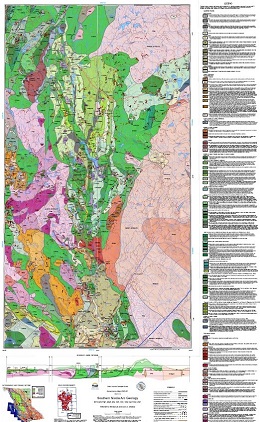 |
Geoscience Map 2020-01 represents an area of approximately 2000 km2 in southwestern British Columbia, extending from southeast of Merritt to Princeton. It is centred on volcanosedimentary rocks of the Late Triassic Nicola arc, which is endowed with significant porphyry copper-gold-molybdenum-silver deposits. Active mines are in the south, near Princeton (Copper Mountain), and in the north, near Kamloops (Highland Valley and New Afton). About a third of the map area is underlain by Jurassic intrusions that cut deformed Nicola arc strata, mainly in the east. Volcano-sedimentary strata of both the Spences Bridge Group (Early Cretaceous) and Princeton Group (Eocene) unconformably overlie the early Mesozoic rocks, particularly in the western part of the map area. All Eocene and older rocks are faulted, tilted, and locally folded beneath scattered remnants of Miocene to Pleistocene Chilcotin Group and 'Valley basalts'. Rare occurrences of unnamed supraglacial volcanic spatter are limited to two areas, each less than 100 metres in diameter, and are important examples of possibly the youngest subaerial volcanic rocks in British Columbia. |
| Issue ID: | EXT189 |
| Title: | Mineral control on the geochemistry of the Rock Canyon Creek REE-F-Ba deposit, British Columbia, Canada |
| Author(s): | Simandl, G.J., Paradis, P., Savard, J., Miller, D., D., Souza, R., Araoka, D., Akam, C., Hoshino, M., Kon, Y. |
| Series Name: | External Article |
| Publication Year: | 2021 |
| NTS Map Sheet(s): | 092J/03E |
| Place Keyword(s): | British Columbia, Southeast British Columbia, Canadian Cordillera |
| Lat/Long (NSWE): | 50.1, 50.3, -115.1, -115.2 |
| Theme Keyword(s): | rare earth elements, geochemistry, fluorspar deposit, REE, Rock Canyon Creek |
Abstract:
| The Rock Canyon Creek carbonate-hosted REE-F-Ba deposit has tectonic, stratigraphic, and structural similarities with Mississippi Valley-type and sparry magnesite deposits in the southeast Rocky Mountains. The main REE-fluorite zone is a steeply dipping body, extending 1100 m along strike, 50 m wide, and 100 m deep. It spatially coincides with pre-existing crackle breccias in carbonate rocks, and consists of dolomite, fluorite, barite, pyrite, quartz, K-feldspar, calcite, porous apatite, REE-fluorocarbonates, and REE-phosphates. The main fluorocarbonates are bastnaesite, parisite, and synchysite. Monazite, crandallite group minerals, and apatite are the main phosphates. Fluorite content varies from less than 1 to 13.5% (by weight) and ?REE+Y concentrations vary from trace to 1.95% (by weight). The mineralized zone is heterogeneous on the deposit scale, as indicated by three-dimensional geochemical modeling combined with a geochemical assessment based on 89 mineralized samples and detailed downhole mineral and geochemical profiles of a key borehole. Chemical heterogeneity and key elemental co-variations are explained by strong mineralogical control and have implications for the design of exploration and development programs for this type of deposit. The chondrite-normalized REE pattern of samples from the mineralized zone shows enrichment in LREE, similar to typical carbonatite-related mineralization; however, no carbonatite is exposed nearby. |
| Issue ID: | EXT190 |
| Title: | U-Pb and Hf Analyses of Detrital Zircons from Paleozoic and Cretaceous Strata on Vancouver Island, British Columbia: Constraints on the Paleozoic Tectonic Evolution of Southern Wrangellia |
| Author(s): | Alberts, D., Gehrels, G.E., and Nelson, J. |
| Series Name: | External Article |
| Publication Year: | 2021 |
| NTS Map Sheet(s): | 092B, C; 092F |
| Place Keyword(s): | British Columbia, Vancouver Island |
| Lat/Long (NSWE): | 50, 48, -127, -123 |
| Theme Keyword(s): | Paleozoic tectonics, detrital zircon, Cretaceous, Wrangellia |
Abstract:
| Wrangellia is a late Paleozoic arc terrane that occupies two distinct coastal regions of western Canada and Alaska. The Skolai arc of
northern Wrangellia in south-central Alaska and Yukon has been linked to the older, adjacent Alexander terrane by shared Late
Devonian rift-related gabbros and also by Late Pennsylvanian postcollisional plutons. Late Devonian to Early Permian Sicker arc
rocks of southern Wrangellia are exposed in uplifts on Vancouver Island, southwestern British Columbia, surrounded by
younger strata and lacking physical connections to other terranes. Utilizing the detrital zircon record of Paleozoic and
Cretaceous sedimentary rocks, we provide insight into the magmatic and depositional evolution of southern Wrangellia and its
relationships to both northern Wrangellia and the Alexander terrane. 1422 U-Pb LA-ICPMS analyses from the Fourth Lake
Formation (Mississippian�Permian) reveal syndepositional Carboniferous age peaks (344, 339, 336, 331, and 317 Ma), sourced
from the Sicker arc of southern Wrangellia. These populations overlap in part known ages of volcanism, but the Middle
Mississippian cumulative peak (337 Ma) documents a previously unrecognized magmatic episode. Paleozoic detrital zircons exhibit intermediate to juvenile ?Hf�t� values between +15 and +5, indicating that southern Wrangellia was not strictly built on primitive oceanic crust, but instead on transitional crust with a small evolved component. The Fourth Lake samples yielded 49 grains (3.4% of the total grains analyzed) with ages between 2802Ma and 442 Ma, and with corresponding ?Hf�t� values ranging from +13 to -20. In age�?Hf�t� space, these grains fall within the Alexander terrane array. They were probably derived from sedimentary rocks in the basement of the Sicker arc. By analogy with northern Wrangellia, this basement incorporated rifted fragments of the Alexander terrane margin as the combined Sicker-Skolai arc system advanced ocean-ward due to slab rollback in Late Devonian to Early Mississippian time. Ultimately, data from detrital zircons preserved in the Fourth Lake Formation provides significant information allowing for an updated tectonic model of Paleozoic Wrangellia. |
| Issue ID: | EXT191 |
| Title: | British Columbia Mineral and Coal Exploration Survey 2020 |
| Author(s): | Ernst & Young LLP |
| Series Name: | External Article |
| Publication Year: | 2021 |
| NTS Map Sheet(s): | 082;083;092;093;094;102;103;104;114 |
| Place Keyword(s): | British Columbia |
| Lat/Long (NSWE): | 60, 48, -139, -114 |
| Theme Keyword(s): | mineral and coal, exploration survey, exploration expenditure, Ernst & Young EY, AME |
Download(s):
| PDF |
Additional Link(s):
| https://www.ey.com/en_ca/mining-metals
https://assets.ey.com/content/dam/ey-sites/ey-com/en_ca/topics/mining-metals/bc-mineral-and-coal-exploration-survey-report/ey-british-columbia-mineral-and-coal-exploration-survey-report-2020.pdf |
Abstract:
 |
In last year�s survey report, there was a notable shift in exploration towards base metals as BC seemed poised for a future of diversified metals. This trend was assumed to continue into 2020 as the demand for copper and other base metals was driven by strong global economic growth and electrification of everything. According to the 5th annual 2020 British Columbia Mineral and Coal Exploration Survey, while global exploration expenditures were down by approximately 11% for the year, the exploration price index saw recovery from a low in March to an increase of 26% year over year by August. Gold continued to dominate globally, whereas copper and other base metals faltered and saw the highest reduction in exploration spend. Nationally, despite seeing a marginal decrease, Canada�s exploration expenditure remained third in global rankings behind South America and Australia. Using the data collected in this survey, BC exploration bucked global exploration trends in 2020, as the province saw a 28% increase in expenditure year on year. Exploration spend across the province totaled $422m, which is more than double the spend in 2016 and just short of the highs experienced in 2011 and 2013, respectively. While the number of projects was down by 13% in 2020, the total meters drilled were up by 40%, consistent with a trend towards late-stage exploration and increases in available budget. The Northwest Region continued to lead the way and contributed to over 50% of the province�s spend. Expenditures were up across all Regions except the Southwest Region. |
| Issue ID: | GF2021-10 |
| Title: | LA-ICP-MS and TIMS U-Pb data files from the Iskut project (Dease Lake to Kitsault) |
| Author(s): | Nelson, J.L., Friedman, R., and van Straaten, B. |
| Series Name: | GeoFile |
| Publication Year: | 2021 |
| NTS Map Sheet(s): | 103O, P; 104A, B, G, H |
| Place Keyword(s): | British Columbia, Iskut |
| Lat/Long (NSWE): | 58, 55.2, -131, -129 |
| Theme Keyword(s): | geochronology, U-Pb zircon crystallization ages, age date, Stikinia, Golden Triangle |
Download(s):
| PDF, ZIP (View Zip Contents) |
Abstract:
 |
Between 2013 and 2016, stratigraphic and structural studies in northwestern Stikinia between Dease Lake and Kitsault focussed on uppermost Triassic to Middle Jurassic volcanic and sedimentary rocks of the Hazelton Group. In the course of this work, 14 samples of siliciclastic rock were collected for LA-ICP-MS U-Pb analysis of detrital zircons, and 4 igneous samples were collected for U-Pb TIMS analysis. Herein we present complete data and calculations for the entire sample set. This dataset provides constraints on the absolute age of intrusive and stratified protoliths, age and affinity of sedimentary sources, and timing of fault-related shearing. These data support previously published and forthcoming studies. |
| Issue ID: | GF2021-11 |
| Title: | A compilation of soil and till geochemical data from surveys at the Ace and Getty South mineral properties, British Columbia |
| Author(s): | Lett, R. E., and Paulen, R.C. |
| Series Name: | GeoFile |
| Publication Year: | 2021 |
| NTS Map Sheet(s): | 092I, 093A |
| Place Keyword(s): | British Columbia, Ace property, Getty South property |
| Lat/Long (NSWE): | 52.8, 50.2, -121.3, -120.4 |
| Theme Keyword(s): | surficial geochemistry, till, soil, ICP-MS, drift prospecting |
Download(s):
| PDF, ZIP (View Zip Contents) |
Abstract:
 |
Detailed geochemical soil and till surveys over the Ace massive sulphide and quartz vein gold property and the Getty South porphyry copper property in 1998 and 2000 generated trace element, minor element, and major oxide data for 57 elements from 112 profiles. Presented herein is a compilation of the data from these surveys. The data include analyses of field duplicate and analytical duplicate samples and standard reference materials as part of the quality control measures. |
| Issue ID: | IC2021-06 |
| Title: | The Golden Triangle of northwestern British Columbia (brochure) |
| Author(s): | British Columbia Geological Survey |
| Series Name: | Information Circular |
| Publication Year: | 2021 |
| NTS Map Sheet(s): | 103O,P; 104A,B,G,H |
| Place Keyword(s): | British Columbia, Northwestern British Columbia, Stewart |
| Lat/Long (NSWE): | 58, 55, -132, -129 |
| Theme Keyword(s): | Golden Triangle, Stikine terrane, gold, silver and copper deposits, Hazelton Group, mines |
Download(s):
| PDF |
Abstract:
 |
The Golden Triangle includes most of the major gold, silver and copper deposits in west-central Stikinia, a long-lived oceanic arc terrane that extends for about 1000 km along the length of the Canadian Cordillera. Most deposits are related to the Hazelton Group and affiliated intrusions (Latest Triassic to Middle Jurassic). More than 150 mines have operated in the region since prospectors first arrived near the end of the 19th century. Important past-producing mines include Granduc, Eskay Creek, Anyox, Kitsault, Premier/Dilworth, Dolly Varden and Snip. Exploration continues at Eskay Creek, Premier/Dilworth, Dolly Varden, and Snip. Current mines include Brucejack (Pretium Resources Inc.), an epithermal gold-silver deposit that began commercial production in 2017, and Red Chris Newcrest Mining Limited and Imperial Metals Corporation), a porphyry copper-gold deposit that began commercial production in 2015. The Golden Triangle contains numerous proposed mines, including Galore Creek, Kitsault, KSM and Red Mountain, and is being intensively explored. Enhanced infrastructure is encouraging exploration and development. |
| Issue ID: | GBCR2021-12 |
| Title: | Understanding & Mitigating Induced Seismicity Risk in the Kiskatinaw Area BC |
| Author(s): | Eaton, D.W., Salvage, R.O., MacDougall, K., Swinscoe, T.H.A., Dettmer, J., Esmaeilzadeh, Z., Furlong, C., Hamidbeygi, M., Igweze, P., and Woznaikowska, P. |
| Series Name: | Geoscience BC Report |
| Publication Year: | 2021 |
| NTS Map Sheet(s): | 093P; 094A |
| Place Keyword(s): | British Columbia, Northeastern British Columbia, Kiskatinaw |
| Lat/Long (NSWE): | 56.45, 55.6, -121.2, -120 |
| Theme Keyword(s): | Geoscience BC, seismic monitoring, hydraulic fracturing |
Additional Link(s):
| http://www.geosciencebc.com/i/project_data/GBCReport2021-12/GBCR%202021-12%20Understanding%20and%20Mitigating%20Induced%20Seismicity%20Risk%20in%20the%20Kiskatinaw%20Area%20BC.pdf
http://www.geosciencebc.com/i/project_data/GBCReport2021-12/GBCReport%202021-12%20Supplementary%20Data.zip
http://www.fdsn.org/networks/detail/EO/
https://ds.iris.edu/mda/EO/ |
Abstract:
| In certain areas, small-to-moderate (magnitudes from ~2 to 5) seismic events may be induced by hydraulic-fracturing operations. The characteristics of this seismic activity, as well as the associated ground shaking, are investigated in this project using a dense array of sensors comprised of 15 stations within the Kiskatinaw Seismic Monitoring and Mitigation Area (KSMMA). This area straddles the southern margin of the Fort St. John graben and exhibits relatively high susceptibility to induced seismicity, with abundant recorded events and numerous felt reports by local residents. Research results encompasses the following: 1) empirical shakemaps for the ten highest-magnitude events; 2) compilation of geomechanical data aimed at understanding the role of lateral pore-pressure gradients on fault rupture; 3) preliminary probabilistic determination of source mechanism using a Bayesian approach; 4) regional geological framework; 5) analysis of temporal variations in local site response using a horizontal-to-vertical spectral ratio method; 6) detailed analysis of spatiotemporal patterns of seismicity, including an unusual period of relative quiescence from April to August, 2020 during the COVID-19 pandemic; and 7) progress in developing an updated fault database that includes KSMMA and other parts of the Western Canada Sedimentary Basin. The seismicity catalogue and peak ground acceleration (PGA) are provided with this report as supplementary data tables. It is noteworthy that ground acceleration data, calculated by differentiating ground velocity measurements from broadband seismometers, is found to be consistent with accelerations measured directly with coincident accelerometers. In addition, raw data have been released to the public through the Incorporated Research Institutes in Seismology (IRIS) following a 91-day embargo period, thus enhancing transparency. The overall goals of this research are to inform regulatory practice and to promote safer operations by the oil and gas industry. |
| Issue ID: | GBCR2021-03 |
| Title: | Map series of Surficial Geology, Drift Thickness and Till Sampling Suitability for NTS map sheets 093J03/04, 093K09/16, 093O03/04 |
| Author(s): | Sacco, D.A., Cronmiller, D., McGregor, C., Johnson, C., Knox, C. |
| Series Name: | Geoscience BC Report |
| Publication Year: | 2021 |
| NTS Map Sheet(s): | 093J/03, 07; 093K/09, 16; 093O/03, 04 |
| Place Keyword(s): | British Columbia, Central British Columbia |
| Lat/Long (NSWE): | 55.25, 54, -124.5, -122.5 |
| Theme Keyword(s): | surficial geology, drift thickness, till sampling, geochemical survey, Geoscience BC |
Additional Link(s):
| http://geosciencebc.com/i/project_data/GBCReport2021-03/GBC%20Report%202021-03%20Surficial%20Geology,%20Drift%20Thickness%20and%20Till%20Sampling%20Suitability%20Maps.zip |
Abstract:
| Report 2021-03 is a set of surficial geology, till sampling suitability and drift thickness maps for the northern portion of the Central Interior Copper-Gold Research (CICGR) project area. Three maps were released for each of six 1:50K NTS map sheets (093J/03 � Saxton Lake, 093J/07 � Summit Lake, 093K/09 � Pinchi Lake, 093K/16 � Tezzeron Creek, 093O/03 � Tudyah Lake, 093O/04 � Philip lake). The surficial map series inventories and characterizes surficial materials and landforms. The surficial geology polygons are based on surficial material and their expression, and are overlain by geomorphological process information. The till sampling suitability maps are derived from the surficial geology, with suitability being a function of the proportion of a surficial geology polygon that contains subglacial till that is suitable for sampling. Drift thickness mapping provides an indication of the relative thickness of Quaternary sediment cover based on the results of the surficial geology interpretations and can be used to identify areas where deep till sampling may be necessary or can inform drift-based exploration programs. |
| Issue ID: | GBCR2021-09 |
| Title: | Geochemical Reanalysis of Archived Till Samples, CICGR Surficial Exploration Project, Interior Plateau, North Central BC (Parts of NTS 093A, B, G, J, K, O) |
| Author(s): | Jackaman, W., Sacco, D.A., Lett, R.E. |
| Series Name: | Geoscience BC Report |
| Publication Year: | 2021 |
| NTS Map Sheet(s): | 093A, B, G, J, K, O |
| Place Keyword(s): | British Columbia, Central British Columbia |
| Lat/Long (NSWE): | 55.5, 52.5, -124.5, -121.5 |
| Theme Keyword(s): | geochemical survey, till samples, Geoscience BC |
Additional Link(s):
| http://geosciencebc.com/i/project_data/GBCReport2021-09/GBC%20Report%202021-09%20Geochemical%20Reanalysis%20of%20Archived%20Till%20Samples%20Report%20and%20Data.zip |
Abstract:
| Report 2021-09 includes analytical results for over 1,000 till samples collected in the 1990s and 2000s from sites in the northern part of the CICGR area and stored in Geological Survey of Canada and the BC Geological Survey archives. |
| Issue ID: | GBCM2021-03-01a |
| Title: | Surficial geology of the Tudyah Lake area NTS 093O/03, British Columbia |
| Author(s): | McGregor, C., Sacco, D.A., Knox, C. |
| Series Name: | Geoscience BC Map |
| Publication Year: | 2021 |
| Scale: | 1:50000 |
| NTS Map Sheet(s): | 093O/03 |
| Place Keyword(s): | British Columbia, Central British Columbia, Tudyah Lake |
| Lat/Long (NSWE): | 55.25, 55, -123.5, -123 |
| Theme Keyword(s): | surficial geology, quaternary deposits, anthropogenic deposits, geomorphological processes, Geoscience BC |
Additional Link(s):
| http://geosciencebc.com/i/project_data/GBCReport2021-03/GBC%20Report%202021-03%20Surficial%20Geology,%20Drift%20Thickness%20and%20Till%20Sampling%20Suitability%20Maps.zip |
Abstract:
| This map is part of a series of surficial geology, till sampling suitability, and drift thickness maps completed as part of Geoscience BC�s Central Interior Copper and Gold Research Project (CICGR ). Surficial geology of the Tudyah Lake area NTS 093O/03 is presented at a 1:50K scale. |
| Issue ID: | GBCM2021-03-01b |
| Title: | Till sampling suitability of the Tudyah Lake area NTS 093O/03, British Columbia |
| Author(s): | McGregor, C., Sacco, D.A., Knox, C. |
| Series Name: | Geoscience BC Map |
| Publication Year: | 2021 |
| Scale: | 1:50000 |
| NTS Map Sheet(s): | 093O/03 |
| Place Keyword(s): | British Columbia, Central British Columbia, Tudyah Lake |
| Lat/Long (NSWE): | 55.25, 55, -123.5, -123 |
| Theme Keyword(s): | till sampling suitability, surficial geology, Geoscience BC |
Additional Link(s):
| http://geosciencebc.com/i/project_data/GBCReport2021-03/GBC%20Report%202021-03%20Surficial%20Geology,%20Drift%20Thickness%20and%20Till%20Sampling%20Suitability%20Maps.zip |
Abstract:
| This map is part of a series of surficial geology, till sampling suitability, and drift thickness maps completed as part of Geoscience BC�s Central Interior Copper and Gold Research Project (CICGR ). Till sampling suitability of the Tudyah Lake area NTS 093O/03 is presented at a 1:50K scale. |
| Issue ID: | GBCM2021-03-01c |
| Title: | Drift thickness of the Tudyah Lake area NTS 093O/03, British Columbia |
| Author(s): | McGregor, C., Sacco, D.A., Knox, C. |
| Series Name: | Geoscience BC Map |
| Publication Year: | 2021 |
| Scale: | 1:50000 |
| NTS Map Sheet(s): | 093O/03 |
| Place Keyword(s): | British Columbia, Central British Columbia, Tudyah Lake |
| Lat/Long (NSWE): | 55.25, 55, -123.5, -123 |
| Theme Keyword(s): | drift thickness, surficial geology, quaternary sediment, Geoscience BC |
Additional Link(s):
| http://geosciencebc.com/i/project_data/GBCReport2021-03/GBC%20Report%202021-03%20Surficial%20Geology,%20Drift%20Thickness%20and%20Till%20Sampling%20Suitability%20Maps.zip |
Abstract:
| This map is part of a series of surficial geology, till sampling suitability, and drift thickness maps completed as part of Geoscience BC�s Central Interior Copper and Gold Research Project (CICGR ). Drift thickness of the Tudyah Lake area NTS 093O/03 is presented at a 1:50K scale. |
| Issue ID: | GBCM2021-03-02a |
| Title: | Surficial geology of the Philip Lakes area NTS 093O/04, British Columbia |
| Author(s): | McGregor, C., Sacco, D.A., Knox, C. |
| Series Name: | Geoscience BC Map |
| Publication Year: | 2021 |
| Scale: | 1:50000 |
| NTS Map Sheet(s): | 093O/04 |
| Place Keyword(s): | British Columbia, Central British Columbia, Philip Lakes |
| Lat/Long (NSWE): | 55.25, 55, -124, -123.5 |
| Theme Keyword(s): | surficial geology, quaternary deposits, anthropogenic deposits, geomorphological processes, Geoscience BC |
Additional Link(s):
| http://geosciencebc.com/i/project_data/GBCReport2021-03/GBC%20Report%202021-03%20Surficial%20Geology,%20Drift%20Thickness%20and%20Till%20Sampling%20Suitability%20Maps.zip |
Abstract:
| This map is part of a series of surficial geology, till sampling suitability, and drift thickness maps completed as part of Geoscience BC�s Central Interior Copper and Gold Research Project (CICGR ). Surficial geology of the Philip Lakes area NTS 093O/04 is presented at a 1:50K scale. |
| Issue ID: | GBCM2021-03-02b |
| Title: | Till sampling suitability of the Philip Lakes area NTS 093O/04, British Columbia |
| Author(s): | McGregor, C., Sacco, D.A., Knox, C. |
| Series Name: | Geoscience BC Map |
| Publication Year: | 2021 |
| Scale: | 1:50000 |
| NTS Map Sheet(s): | 093O/04 |
| Place Keyword(s): | British Columbia, Central British Columbia, Philip Lakes |
| Lat/Long (NSWE): | 55.25, 55, -124, -123.5 |
| Theme Keyword(s): | till sampling suitability, surficial geology, Geoscience BC |
Additional Link(s):
| http://geosciencebc.com/i/project_data/GBCReport2021-03/GBC%20Report%202021-03%20Surficial%20Geology,%20Drift%20Thickness%20and%20Till%20Sampling%20Suitability%20Maps.zip |
Abstract:
| This map is part of a series of surficial geology, till sampling suitability, and drift thickness maps completed as part of Geoscience BC�s Central Interior Copper and Gold Research Project (CICGR ). Till sampling suitability of the Philip Lakes area NTS 093O/04 is presented at a 1:50K scale. |
| Issue ID: | GBCM2021-03-02c |
| Title: | Drift thickness of the Philip Lakes area NTS 093O/04, British Columbia |
| Author(s): | McGregor, C., Sacco, D.A., Knox, C. |
| Series Name: | Geoscience BC Map |
| Publication Year: | 2021 |
| Scale: | 1:50000 |
| NTS Map Sheet(s): | 093O/04 |
| Place Keyword(s): | British Columbia, Central British Columbia, Philip Lakes |
| Lat/Long (NSWE): | 55.25, 55, -124, -123.5 |
| Theme Keyword(s): | drift thickness, surficial geology, quaternary sediment, Geoscience BC |
Additional Link(s):
| http://geosciencebc.com/i/project_data/GBCReport2021-03/GBC%20Report%202021-03%20Surficial%20Geology,%20Drift%20Thickness%20and%20Till%20Sampling%20Suitability%20Maps.zip |
Abstract:
| This map is part of a series of surficial geology, till sampling suitability, and drift thickness maps completed as part of Geoscience BC�s Central Interior Copper and Gold Research Project (CICGR ). Drift thickness of the Philip Lakes area NTS 093O/04 is presented at a 1:50K scale. |
| Issue ID: | GBCM2021-03-03a |
| Title: | Surficial geology of the Tezzeron Creek area NTS 093K/16, British Columbia |
| Author(s): | Johnson, C., Sacco, D.A., McGregor, C., Knox, C. |
| Series Name: | Geoscience BC Map |
| Publication Year: | 2021 |
| Scale: | 1:50000 |
| NTS Map Sheet(s): | 093K/16 |
| Place Keyword(s): | British Columbia, Central British Columbia, Tezzeron Creek |
| Lat/Long (NSWE): | 55, 54.75, -124.5, 124 |
| Theme Keyword(s): | surficial geology, quaternary deposits, anthropogenic deposits, geomorphological processes, Geoscience BC |
Additional Link(s):
| http://geosciencebc.com/i/project_data/GBCReport2021-03/GBC%20Report%202021-03%20Surficial%20Geology,%20Drift%20Thickness%20and%20Till%20Sampling%20Suitability%20Maps.zip |
Abstract:
| This map is part of a series of surficial geology, till sampling suitability, and drift thickness maps completed as part of Geoscience BC�s Central Interior Copper and Gold Research Project (CICGR ). Surficial geology of the Tezzeron Creek area NTS 093K/16 is presented at a 1:50K scale. |
| Issue ID: | GBCM2021-03-03b |
| Title: | Till sampling suitability of the Tezzeron Creek area NTS 093K/16, British Columbia |
| Author(s): | Johnson, C., Sacco, D.A., McGregor, C., Knox, C. |
| Series Name: | Geoscience BC Map |
| Publication Year: | 2021 |
| Scale: | 1:50000 |
| NTS Map Sheet(s): | 093K/16 |
| Place Keyword(s): | British Columbia, Central British Columbia, Tezzeron Creek |
| Lat/Long (NSWE): | 55, 54.75, -124.5, 124 |
| Theme Keyword(s): | till sampling suitability, surficial geology, Geoscience BC |
Additional Link(s):
| http://geosciencebc.com/i/project_data/GBCReport2021-03/GBC%20Report%202021-03%20Surficial%20Geology,%20Drift%20Thickness%20and%20Till%20Sampling%20Suitability%20Maps.zip |
Abstract:
| This map is part of a series of surficial geology, till sampling suitability, and drift thickness maps completed as part of Geoscience BC�s Central Interior Copper and Gold Research Project (CICGR ). Till sampling suitability of the Tezzeron Creek area NTS 093K/16 is presented at a 1:50K scale. |
| Issue ID: | GBCM2021-03-03c |
| Title: | Drift thickness of the Tezzeron Creek area NTS 093K/16, British Columbia |
| Author(s): | Johnson, C., Sacco, D.A., McGregor, C., Knox, C. |
| Series Name: | Geoscience BC Map |
| Publication Year: | 2021 |
| Scale: | 1:50000 |
| NTS Map Sheet(s): | 093K/16 |
| Place Keyword(s): | British Columbia, Central British Columbia, Tezzeron Creek |
| Lat/Long (NSWE): | 55, 54.75, -124.5, 124 |
| Theme Keyword(s): | drift thickness, surficial geology, quaternary sediment, Geoscience BC |
Additional Link(s):
| http://geosciencebc.com/i/project_data/GBCReport2021-03/GBC%20Report%202021-03%20Surficial%20Geology,%20Drift%20Thickness%20and%20Till%20Sampling%20Suitability%20Maps.zip |
Abstract:
| This map is part of a series of surficial geology, till sampling suitability, and drift thickness maps completed as part of Geoscience BC�s Central Interior Copper and Gold Research Project (CICGR ). Drift thickness of the Tezzeron Creek area NTS 093K/16 is presented at a 1:50K scale. |
| Issue ID: | GBCM2021-03-04a |
| Title: | Surficial geology of the Pinchi Lake area NTS 093K/09, British Columbia |
| Author(s): | Johnson, C., Sacco, D.A., McGregor, C., Knox, C. |
| Series Name: | Geoscience BC Map |
| Publication Year: | 2021 |
| Scale: | 1:50000 |
| NTS Map Sheet(s): | 093K/09 |
| Place Keyword(s): | British Columbia, Central British Columbia, Pinchi Lake |
| Lat/Long (NSWE): | 54.75, 54.5, -124.5, 124 |
| Theme Keyword(s): | surficial geology, quaternary deposits, anthropogenic deposits, geomorphological processes, Geoscience BC |
Additional Link(s):
| http://geosciencebc.com/i/project_data/GBCReport2021-03/GBC%20Report%202021-03%20Surficial%20Geology,%20Drift%20Thickness%20and%20Till%20Sampling%20Suitability%20Maps.zip |
Abstract:
| This map is part of a series of surficial geology, till sampling suitability, and drift thickness maps completed as part of Geoscience BC�s Central Interior Copper and Gold Research Project (CICGR ). Surficial geology of the Pinchi Lake area NTS 093K/09 is presented at a 1:50K scale. |
| Issue ID: | GBCM2021-03-04b |
| Title: | Till sampling suitability of the Pinchi Lake area NTS 093K/09, British Columbia |
| Author(s): | Johnson, C., Sacco, D.A., McGregor, C., Knox, C. |
| Series Name: | Geoscience BC Map |
| Publication Year: | 2021 |
| Scale: | 1:50000 |
| NTS Map Sheet(s): | 093K/09 |
| Place Keyword(s): | British Columbia, Central British Columbia, Pinchi Lake |
| Lat/Long (NSWE): | 54.75, 54.5, -124.5, 124 |
| Theme Keyword(s): | till sampling suitability, surficial geology, Geoscience BC |
Additional Link(s):
| http://geosciencebc.com/i/project_data/GBCReport2021-03/GBC%20Report%202021-03%20Surficial%20Geology,%20Drift%20Thickness%20and%20Till%20Sampling%20Suitability%20Maps.zip |
Abstract:
| This map is part of a series of surficial geology, till sampling suitability, and drift thickness maps completed as part of Geoscience BC�s Central Interior Copper and Gold Research Project (CICGR ). Till sampling suitability of the Pinchi Lake area NTS 093K/09 is presented at a 1:50K scale. |
| Issue ID: | GBCM2021-03-04c |
| Title: | Drift thickness of the Pinchi Lake area NTS 093K/09, British Columbia |
| Author(s): | Johnson, C., Sacco, D.A., McGregor, C., Knox, C. |
| Series Name: | Geoscience BC Map |
| Publication Year: | 2021 |
| Scale: | 1:50000 |
| NTS Map Sheet(s): | 093K/09 |
| Place Keyword(s): | British Columbia, Central British Columbia, Pinchi Lake |
| Lat/Long (NSWE): | 54.75, 54.5, -124.5, 124 |
| Theme Keyword(s): | drift thickness, surficial geology, quaternary sediment, Geoscience BC |
Additional Link(s):
| http://geosciencebc.com/i/project_data/GBCReport2021-03/GBC%20Report%202021-03%20Surficial%20Geology,%20Drift%20Thickness%20and%20Till%20Sampling%20Suitability%20Maps.zip |
Abstract:
| This map is part of a series of surficial geology, till sampling suitability, and drift thickness maps completed as part of Geoscience BC�s Central Interior Copper and Gold Research Project (CICGR ). Drift thickness of the Pinchi Lake area NTS 093K/09 is presented at a 1:50K scale. |
| Issue ID: | GBCM2021-03-05a |
| Title: | Surficial geology of the Summit Lake area NTS 093J/07, British Columbia |
| Author(s): | Sacco, D.A., Cronmiller, D.C., Knox, C. |
| Series Name: | Geoscience BC Map |
| Publication Year: | 2021 |
| Scale: | 1:50000 |
| NTS Map Sheet(s): | 093J/07 |
| Place Keyword(s): | British Columbia, Central British Columbia, Summit Lake |
| Lat/Long (NSWE): | 54.5, 54.25, -123, 122.5 |
| Theme Keyword(s): | surficial geology, quaternary deposits, anthropogenic deposits, geomorphological processes, Geoscience BC |
Additional Link(s):
| http://geosciencebc.com/i/project_data/GBCReport2021-03/GBC%20Report%202021-03%20Surficial%20Geology,%20Drift%20Thickness%20and%20Till%20Sampling%20Suitability%20Maps.zip |
Abstract:
| This map is part of a series of surficial geology, till sampling suitability, and drift thickness maps completed as part of Geoscience BC�s Central Interior Copper and Gold Research Project (CICGR ). Surficial geology of the Summit Lake area NTS 093J/07 is presented at a 1:50K scale. |
| Issue ID: | GBCM2021-03-05b |
| Title: | Till sampling suitability of the Summit Lake area NTS 093J/07, British Columbia |
| Author(s): | Sacco, D.A., Cronmiller, D.C., Knox, C. |
| Series Name: | Geoscience BC Map |
| Publication Year: | 2021 |
| Scale: | 1:50000 |
| NTS Map Sheet(s): | 093J/07 |
| Place Keyword(s): | British Columbia, Central British Columbia, Summit Lake |
| Lat/Long (NSWE): | 54.5, 54.25, -123, 122.5 |
| Theme Keyword(s): | till sampling suitability, surficial geology, Geoscience BC |
Additional Link(s):
| http://geosciencebc.com/i/project_data/GBCReport2021-03/GBC%20Report%202021-03%20Surficial%20Geology,%20Drift%20Thickness%20and%20Till%20Sampling%20Suitability%20Maps.zip |
Abstract:
| This map is part of a series of surficial geology, till sampling suitability, and drift thickness maps completed as part of Geoscience BC�s Central Interior Copper and Gold Research Project (CICGR ). Till sampling suitability of the Summit Lake area NTS 093J/07 is presented at a 1:50K scale. |
| Issue ID: | GBCM2021-03-05c |
| Title: | Drift thickness of the Summit Lake area NTS 093J/07, British Columbia |
| Author(s): | Sacco, D.A., Cronmiller, D.C., Knox, C. |
| Series Name: | Geoscience BC Map |
| Publication Year: | 2021 |
| Scale: | 1:50000 |
| NTS Map Sheet(s): | 093J/07 |
| Place Keyword(s): | British Columbia, Central British Columbia, Summit Lake |
| Lat/Long (NSWE): | 54.5, 54.25, -123, 122.5 |
| Theme Keyword(s): | drift thickness, surficial geology, quaternary sediment, Geoscience BC |
Additional Link(s):
| http://geosciencebc.com/i/project_data/GBCReport2021-03/GBC%20Report%202021-03%20Surficial%20Geology,%20Drift%20Thickness%20and%20Till%20Sampling%20Suitability%20Maps.zip |
Abstract:
| This map is part of a series of surficial geology, till sampling suitability, and drift thickness maps completed as part of Geoscience BC�s Central Interior Copper and Gold Research Project (CICGR ). Drift thickness of the Summit Lake area NTS 093J/07 is presented at a 1:50K scale. |
| Issue ID: | GBCM2021-03-06a |
| Title: | Surficial geology of the Saxton Lake area NTS 093J/03, British Columbia |
| Author(s): | Sacco, D.A., Cronmiller, D.C., Knox, C. |
| Series Name: | Geoscience BC Map |
| Publication Year: | 2021 |
| Scale: | 1:50000 |
| NTS Map Sheet(s): | 093J/03 |
| Place Keyword(s): | British Columbia, Central British Columbia, Saxton Lake |
| Lat/Long (NSWE): | 54.25, 54, -123.5, 123 |
| Theme Keyword(s): | surficial geology, quaternary deposits, anthropogenic deposits, geomorphological processes, Geoscience BC |
Additional Link(s):
| http://geosciencebc.com/i/project_data/GBCReport2021-03/GBC%20Report%202021-03%20Surficial%20Geology,%20Drift%20Thickness%20and%20Till%20Sampling%20Suitability%20Maps.zip |
Abstract:
| This map is part of a series of surficial geology, till sampling suitability, and drift thickness maps completed as part of Geoscience BC�s Central Interior Copper and Gold Research Project (CICGR ). Surficial geology of the Saxton Lake area NTS 093J/03 is presented at a 1:50K scale. |
| Issue ID: | GBCM2021-03-06b |
| Title: | Till sampling suitability of the Saxton Lake area NTS 093J/03, British Columbia |
| Author(s): | Sacco, D.A., Cronmiller, D.C., Knox, C. |
| Series Name: | Geoscience BC Map |
| Publication Year: | 2021 |
| Scale: | 1:50000 |
| NTS Map Sheet(s): | 093J/03 |
| Place Keyword(s): | British Columbia, Central British Columbia, Saxton Lake |
| Lat/Long (NSWE): | 54.25, 54, -123.5, 123 |
| Theme Keyword(s): | till sampling suitability, surficial geology, Geoscience BC |
Additional Link(s):
| http://geosciencebc.com/i/project_data/GBCReport2021-03/GBC%20Report%202021-03%20Surficial%20Geology,%20Drift%20Thickness%20and%20Till%20Sampling%20Suitability%20Maps.zip |
Abstract:
| This map is part of a series of surficial geology, till sampling suitability, and drift thickness maps completed as part of Geoscience BC�s Central Interior Copper and Gold Research Project (CICGR ). Till sampling suitability of the Saxton Lake area NTS 093J/03 is presented at a 1:50K scale. |
| Issue ID: | GBCM2021-03-06c |
| Title: | Drift thickness of the Saxton Lake area NTS 093J/03, British Columbia |
| Author(s): | Sacco, D.A., Cronmiller, D.C., Knox, C. |
| Series Name: | Geoscience BC Map |
| Publication Year: | 2021 |
| Scale: | 1:50000 |
| NTS Map Sheet(s): | 093J/03 |
| Place Keyword(s): | British Columbia, Central British Columbia, Saxton Lake |
| Lat/Long (NSWE): | 54.25, 54, -123.5, 123 |
| Theme Keyword(s): | drift thickness, surficial geology, quaternary sediment, Geoscience BC |
Additional Link(s):
| http://geosciencebc.com/i/project_data/GBCReport2021-03/GBC%20Report%202021-03%20Surficial%20Geology,%20Drift%20Thickness%20and%20Till%20Sampling%20Suitability%20Maps.zip |
Abstract:
| This map is part of a series of surficial geology, till sampling suitability, and drift thickness maps completed as part of Geoscience BC�s Central Interior Copper and Gold Research Project (CICGR ). Drift thickness of the Saxton Lake area NTS 093J/03 is presented at a 1:50K scale. |
| Issue ID: | P2021-03 |
| Title: | A geospatial frame data model to simplify digital map compilation and integration |
| Author(s): | Cui, Yao |
| Series Name: | Paper |
| Publication Year: | 2021 |
| Larger Work Citation: | Geological Fieldwork 2020, B.C. Ministry of Energy, Mines and Petroleum Resources, Paper 2021-01 |
| Place Keyword(s): | British Columbia |
| Lat/Long (NSWE): | 60, 48, -139, -114 |
| Theme Keyword(s): | geospatial frame data, digital mapping, geology,, map compilation, integration |
Download(s):
| PDF |
Abstract:
 |
Digital maps in the Earth sciences have long used polygons to define features such as bedrock units. However, although useful in final products, polygons are prone to topological errors that can be time consuming to correct when data are being compiled. These errors include gaps, overlaps, and slivers at shared boundaries that are typically hard to detect and fix. Updating and integrating maps by map sheet or administrative boundaries can cause the same topological errors and introduce further problems at map borders in edge matching, such as invalid �map sheet boundary faults� across which features falsely appear to lose continuity between adjacent sheets. Furthermore, using polygons during compilation makes it difficult to track and link generalized features in finished maps to original observations and is inefficient when updating maps at multiple scales or of different vintage. To avoid these problems, we developed a geospatial frame data (GFD) model that introduces intermediate stages between the observation and map production stages in the data lifecycle. These data compilation and integration stages are used to construct feature components from raw field or laboratory observations. Although polygons are retained in the final map product, the GFD model dispenses with polygons and topology at the compilation and integration stages. The GFD model decomposes mapped items into the most primitive and detailed feature components consisting of simple lines as feature boundaries (the �frame�, analogous to a picture frame) and centroids describing features such as geological units (analogous to a picture that fills a frame). Only a single line is used to represent linear feature components and areal boundaries, including shared boundaries. The GFD feature components are not topologically constrained. These components capture all feature types, are easy to edit, and can be stored as discrete geometric primitives in a spatial database. The GFD model allows us to develop a data checkout process to reduce map boundary problems and complex edge matching in data integration. The data checkout sets up an anchoring mechanism on the GFD feature components after extending a mapping project area to include all affected features, rather than cropping them at the limit of mapping using a cookie-cutter operation. As long as sufficient metadata at the feature-component level are available, the most detailed GFD feature components can be tracked back to original observations. The GFD feature components are thus the authoritative source data to assemble finished products. We implement the GFD model and the anchoring mechanism in PostgreSQL/PostGIS spatial database, and use database views and materialized views to operate on the GFD feature components to create polygons and assemble features in finished maps. Without the need to modify the GFD source data, the database views and materialized views can assemble data products and maps at multiple scales and level of detail or for specific purposes. Customized products can be created by reducing coordinate precision, re-projecting the map coordinate system, simplifying lines, generalizing, aggregating, and filtering feature components, and applying cartographic styling and rendering. The GFD model and integration processes can be applied to any discipline that has polygons and lines in digital map compilation and production. |
| Issue ID: | GF2021-13 |
| Title: | Depth to bedrock dataset for the Interior Plateau |
| Author(s): | H. Arnold |
| Series Name: | GeoFile |
| Publication Year: | 2021 |
| Larger Work Citation: | Arnold, H., 2021. Depth to bedrock dataset for the Interior Plateau. Ministry of Energy, Mines and Low Carbon Innovation, British Columbia Geological Survey GeoFile 2021-13, 6p. |
| NTS Map Sheet(s): | 092I, 093A |
| Place Keyword(s): | British Columbia, Interior Plateau |
| Theme Keyword(s): | bedrock outcrop, depth to bedrock, sufrace sediment thickness, compilation, Interior Plateau |
Download(s):
| PDF, ZIP (View Zip Contents) |
Abstract:
 |
This dataset contains both surface and subsurface locations of bedrock in the Interior Plateau. Observations were extracted from surficial and bedrock geology maps, sample locations for lithogeochemistry and geochronology, water well records, and assessment reports. These data were classified and compiled into consistent terminology and data structure while retaining original unit descriptions and publication information. These data that can be used as training data to produce or constrain spatial or geophysical predictions of the depth to bedrock. |
| Issue ID: | P2022-01 |
| Title: | Geological Fieldwork 2021, A Summary of Field Activities and Current Research, British Columbia Geological Survey |
| Author(s): | BC Geological Survey |
| Series Name: | Paper |
| Publication Year: | 2022 |
| Larger Work Citation: | Geological Fieldwork 2021, B.C. Ministry of Energy, Mines and Petroleum Resources, Paper 2022-01 |
| NTS Map Sheet(s): | 082;083;092;093;094;102;103;104;114 |
| Place Keyword(s): | British Columbia |
| Lat/Long (NSWE): | 60, 48, -139, -114 |
| Theme Keyword(s): | Geological Fieldwork, Full volume, Geological, Preface, Table of Contents |
Download(s):
| PDF |
Abstract:
 |
Geological Fieldwork 2021 is the forty-seventh edition of the annual volume that presents peer-reviewed papers detailing the results of British Columbia Geological Survey geoscience activities. In addition to this volume, the Survey publishes
other reports, maps, and databases, and contributes to peer-reviewed journals and partner publications. BCGS also publishes an annual companion volume, the Provincial Overview of Exploration and Mining in British Columbia. |
| Issue ID: | P2022-01-01 |
| Title: | British Columbia Geological Survey annual program review 2021-2022 |
| Author(s): | Wildgust, N., Cui, Y., Clarke, G., and Hickin, A.S. |
| Series Name: | Paper |
| Publication Year: | 2022 |
| Larger Work Citation: | Geological Fieldwork 2021, B.C. Ministry of Energy, Mines and Petroleum Resources, Paper 2022-01 |
| NTS Map Sheet(s): | 082;083;092;093;094;102;103;104;114 |
| Place Keyword(s): | British Columbia |
| Lat/Long (NSWE): | 60, 48, -139, -114 |
| Theme Keyword(s): | Highlights, Projects, Events, Accomplishments, Partnerships |
Download(s):
| PDF |
Abstract:
| Geological Fieldwork 2021 is the forty-seventh edition of the annual volume that presents peer-reviewed papers detailing the results of British Columbia Geological Survey geoscience activities. In addition to this volume, the Survey publishes
other reports, maps, and databases, and contributes to peer-reviewed journals and partner publications. BCGS also publishes an annual companion volume, the Provincial Overview of Exploration and Mining in British Columbia. |
| Issue ID: | P2022-01-02 |
| Title: | Conodonts and detrital zircons from Triassic and Jurassic rocks above the Salmon River unconformity, Thompson Plateau, south-central British Columbia |
| Author(s): | Schiarizza, P., Orchard, M.J., and Friedman, R.M. |
| Series Name: | Paper |
| Publication Year: | 2022 |
| Larger Work Citation: | Geological Fieldwork 2021, B.C. Ministry of Energy, Mines and Petroleum Resources, Paper 2022-01 |
| Place Keyword(s): | British Columbia |
| Theme Keyword(s): | Salmon River succession, conodonts, detrital zircons, U-Pb, LA-ICP-MS |
Download(s):
| PDF |
Abstract:
| In the Salmon River valley, 50 km SE of Kamloops, an unconformity separates schists of the Chapperon Group from less deformed limestones
and siliciclastic rocks. The unconformity was fi rst documented in the 1950s, limestones above the unconformity were dated as Late Triassic
in the 1970s, and the Salmon River locale was considered to be a prime example of a Permo-Triassic unconformity recognized at numerous
localities throughout south-central British Columbia. The area was mapped in 2016, and the rocks above the unconformity, extending several
km west from their base in the Salmon River valley, were mapped as a single Triassic unit (the Salmon River succession) of predominantly
siliciclastic rocks with some limestones at the base. Samples collected from the limestones during this mapping yielded conodonts that confi rm a
Late Triassic age for rocks immediately above the unconformity with the Chapperon Group. However, LA-ICP-MS U-Pb detrital zircon analysis
of two sandstone samples indicate that the Salmon River succession is not a single Triassic unit. Detrital zircons from a sample near the base of
the siliciclastic rocks yielded a maximum depositional age of ca. 183 Ma, and a sample collected 4.5 km to the west also yielded Early Jurassic
zircons. These data show that most of the Salmon River succession is Jurassic, and that a more extensive sub-Jurassic unconformity merges
with the sub-Triassic unconformity. The Salmon River succession is tentatively correlated with the Hall Formation (Early Jurassic, Toarcian) of
the Rossland Group. The geological relationships documented along the Salmon River exemplify relationships in a large part of southeastern
Quesnel terrane, where Paleozoic rocks are unconformably overlain by Middle to Late Triassic sedimentary rocks, and also by Early Jurassic
volcanic and sedimentary rocks of the Rossland Group. |
| Issue ID: | P2022-01-03 |
| Title: | The age and provenance of the Lay Range assemblage provides an indirect record of basement to north-central Quesnellia, British Columbia |
| Author(s): | Ootes, L., Ferri, F., Milidragovic, D., and Wall, C. |
| Series Name: | Paper |
| Publication Year: | 2022 |
| Larger Work Citation: | Geological Fieldwork 2021, B.C. Ministry of Energy, Mines and Petroleum Resources, Paper 2022-01 |
| Place Keyword(s): | British Columbia |
| Theme Keyword(s): | Quesnel terrane, Lay Range assemblage, lower sedimentary division, detrital zircon U-Pb, detrital zircon Hf |
Download(s):
| PDF |
Abstract:
| The Lay Range assemblage, the lowest exposed lithostratigraphic unit of north-central Quesnellia, is separated into lower sedimentary and
upper mafi c tuff divisions. Fossil and fi eld evidence indicates deposition of the lower sedimentary division during the Late Mississippian to Middle
Pennsylvanian and of the upper mafi c tuff division during the Middle Pennsylvanian to early Permian. A quartz sandstone and polymictic pebble
conglomerate from the lower part of the lower sedimentary division yield detrital zircon U-Pb ages between 360 and 290 Ma (Carboniferous
to early Permian), with a range of older detrital zircons from ca. 3600 to 890 Ma (Archean and Proterozoic). A small population of zircons
ranges from 450 to 390 Ma (n=4; Ordovician to Devonian). The Carboniferous detrital zircons have mostly juvenile eHf(t), indicating that the
parental magmas did not interact with older crust. Few zircons are more evolved and were derived from parental magmas that interacted with or
melted from crust as old as middle Mesoproterozoic. The combined eHf(t) and trace element compositions of detrital zircon are consistent with
formation in a juvenile arc during the Carboniferous. Comparison of Lay Range detrital zircon U-Pb, Hf, and trace element systematics indicate
a similar timing of arc magmatism with eastern Stikinia and Wrangellia, but little relationship to ancient North America or Yukon-Tanana terrane.
The older detrital zircons (Archean through Paleozoic) were sourced from a fringing landmass, possibly a continental oceanic plateau, that had
little to no role in the petrogenesis of the Carboniferous magmas. The spread of ages in the Lay Range assemblage zircon distributions likely
records multiple cycles of deposition, uplift, erosion, transport, and sedimentation. One possibility is that the fringing landmass was calved from
the Neoproterozoic through Cambrian western North American passive margin. |
| Issue ID: | P2022-01-04 |
| Title: | Geology and geochemistry of the Kamloops Group (Eocene) in its type area, Kamloops, British Columbia |
| Author(s): | Van Wagoner, N., and Ootes, L., |
| Series Name: | Paper |
| Publication Year: | 2022 |
| Larger Work Citation: | Geological Fieldwork 2021, B.C. Ministry of Energy, Mines and Petroleum Resources, Paper 2022-01 |
| Place Keyword(s): | British Columbia |
| Theme Keyword(s): | Kamloops Group, Eocene, volcanism, petrography, geochemistry |
Download(s):
| PDF |
Abstract:
| The city of Kamloops is the type locality of the eponymous Kamloops Group, a package of early Eocene (ca. 52 Ma) volcanic and lesser
sedimentary rocks. In its type area, the Kamloops Group is divided into the Tranquille Formation and the overlying Dewdrop Flats Formation,
each of which is separated into a number of members. Field, petrographic, and whole rock major, trace, and rare earth element data indicate
that many members have comparable compositions and volcanic facies whereas others differ at different geographic locations. This difference
may refl ect that different locations may have been fed by different feeder vents. The volcanic rocks range from basaltic andesite to dacite; minor
rhyolite occurs west of the type area in the Mount Savona Formation. The most common rock type is andesite and although some andesites have
high-Mg and adakite-like geochemical features (high Sr/Y, La/Yb) these terms should not be used to imply the type of mantle contribution to
this volcanic pile (e.g., slab melting). Rather, petrographic and geochemical evidence support that some of these rocks were derived from garnetfree
mantle melts that mingled with garnet-free lower crust. The geochemical features are consistent with amphibole, pyroxene, and plagioclase
control resulting from mantle melts mixing with lower crust. |
| Issue ID: | P2022-01-05 |
| Title: | Revised stratigraphy and geochronology of the Hazelton Group, host rocks for volcanogenic mineralization in the Kitsault River area, northwest British Columbia |
| Author(s): | Hunter, R.C., Sebert, C.F.B., Friedman, R., and Wall, C. |
| Series Name: | Paper |
| Publication Year: | 2022 |
| Larger Work Citation: | Geological Fieldwork 2021, B.C. Ministry of Energy, Mines and Petroleum Resources, Paper 2022-01 |
| Place Keyword(s): | British Columbia |
| Theme Keyword(s): | Kitsault River, Hazelton Group, Stikinia, Jurassic, U-Pb |
Download(s):
| PDF |
Abstract:
| The Kitsault River area, at the southern end of the �Golden Triangle�, hosts numerous Ag-rich volcanogenic massive sulphide (VMS) and
epithermal-type deposits similar to those of the Eskay rift ca. 150 km to the northwest. Resolving the age and affi nity of late Early to Middle
Jurassic volcano-sedimentary Hazelton Group host rocks is key to understanding the metallogeny of the Kitsault River area. Based on fi eld
and new U-Pb zircon geochronological data we identify six Hazelton Group facies in the Kitsault area. The lower Hazelton Group consists of
facies 1, a coarse-grained basal unit of sedimentary rocks with a maximum depositional age of ca. 206-204 Ma; facies 2, a volcano-sedimentary
package with abundant limestone, tuff and lapilli tuff to tuff breccia with augite-phyric clasts and a crystallization age of ca. 201 Ma; facies 3,
an andesitic lapilli tuff to tuff breccia package with abundant exotic clasts (chert, limestone) and epiclastic beds, and facies 4, an andesitic lapilli
tuff to tuff breccia unit with volcanic-derived clasts and rare sedimentary beds with a crystallization age of ca. 193 Ma. Upper Hazelton Group
strata consist of facies 5, a unit of fi ne grained tuffaceous and epiclastic rocks of rhyodacite to basalt composition with a maximum depositional
age of 188 to 178 Ma and facies 6, a unit of interbedded feldspathic wacke and tuff with a maximum depositional age of ca. 168 Ma. The VMS
and VMS-related epithermal occurrences in the Kitsault River area are in rocks of the upper Hazelton Group. The new maximum depositional
age (ca. 188 Ma) of epiclastic rocks from the Sault Zn-Pb-Ag-Sr showing suggests that the VMS mineralization in the Kitsault River area may
be slightly older than the ca. 174 Ma Au-rich VMS systems of the Eskay rift and indicates that signifi cant precious metal-bearing VMS and/or
epithermal-type systems formed well outside the main Eskay rift corridor in mainly volcaniclastic rocks. |
| Issue ID: | P2022-01-06 |
| Title: | Revised stratigraphy of the Stuhini and Hazelton groups and LA-ICP MS zircon geochronology of the Scottie gold mine area, northwestern British Columbia |
| Author(s): | Stanley, B., and Nelson, J. |
| Series Name: | Paper |
| Publication Year: | 2022 |
| Larger Work Citation: | Geological Fieldwork 2021, B.C. Ministry of Energy, Mines and Petroleum Resources, Paper 2022-01 |
| Place Keyword(s): | British Columbia |
| Theme Keyword(s): | Scottie gold mine, Stewart mining camp, Stuhini Group, Hazelton Group, detrital zircon |
Download(s):
| PDF |
Abstract:
| The past-producing Scottie gold mine lies within the Stewart mining camp, in the southern part of a prolifi c mineral district in northwestern
British Columbia popularly known as the �Golden Triangle�. The Golden Triangle includes Cu-Au porphyries (e.g., Red Chris, KSM), epithermal
gold deposits (e.g., Brucejack, Scottie Gold) and VMS deposits (e.g., Eskay Creek, Granduc, Anyox). They are hosted by, and causally related
to, Upper Triassic through Middle Jurassic volcano-sedimentary strata of the Stuhini and Hazelton groups and/or comagmatic subvolcanic
intrusions, and many are spatially related to the unconformable contact between the Stuhini Group and overlying Hazelton Group. In this study,
detailed geological mapping, supported by geochemistry and LA-ICP-MS zircon geochronology of volcanic and sedimentary units, establish a
stratigraphic section through the upper Stuhini and lower Hazelton groups in the Scottie gold mine area.
Recognized for the fi rst time in this study, the Stuhini Group in the Stewart mining camp includes a lower unit of interlayered argillite, limestone,
plagioclase-rich fi ne-grained sandstone and felsic tuff, which grades up-section into an upper volcanic unit of augite-phyric trachyandesite
(latite) breccias, fl ows and fl ow-breccias, and felsic (trachyte) fl ows, lapilli- and crystal lithic tuffs. Geochemically the volcanic rocks are highly
potassic, of shoshonitic affi nity. Zircons from a crystal tuff near the base of the upper volcanic unit yielded a Youngest Statistical Population
(YSP) weighted average of 214.2 �1.0 Ma, considered the age of crystallization.
Hazelton Group stratigraphy in the Stewart mining camp is comparable to but distinct from that in the McTagg anticlinorium. The
stratigraphically lowest unit in the Hazelton Group forms an isolated exposure of beige siltstone with lesser interbeds of sandstone and mudstone,
apparently overlying sedimentary strata of the lower Stuhini Group unit across an ice-covered contact. Zircons from a siltstone in this unit yielded
a YSP weighted average age of 201.0 �5.2 Ma, which we interpret as the maximum age for the onset of Hazelton Group deposition in this area. It
coincides with a ca. 200.5 Ma U-Pb zircon age of the nearby Tennyson porphyry, interpreted as comagmatic with early Hazelton volcanism, and
with the Hettangian-Sinemurian faunal age of the Jack Formation at the base of the Hazelton Group on the fl anks of the McTagg anticlinorium,
20 kilometres to the north. In the eastern half of the map area, steeply dipping strata of the Betty Creek Formation (lower Hazelton Group)
paraconformably overlie the upper Stuhini volcanic unit. The Betty Creek Formation includes two intervals of feldspar-hornblende-phyric
andesitic fl ows, tuffs, breccias, and conglomerates of the Unuk River andesite unit, separated by a siltstone unit that contains a Pliensbachian(?)
ammonite mold and has yielded a YSP weighted average of 190.6 �1.7 Ma. These ages correspond to the latter stages of Betty Creek volcanism
on the fl anks of the McTagg anticlinorium.
The highly diverse metallogeny of the Golden Triangle resulted from collision-driven processes during Stuhini and Hazelton arc and back-arc
development. The New Britain arc and Bismarck plate provide a modern analogue of collision-related arc and back-arc reorganization, which
has given rise to both alkalic Cu-Au porphyries (Lihir) and seabed massive sulphide deposits (Manus basin). The upper volcanic unit in the
Stuhini Group, described here, provides new evidence of shoshonitic volcanism at the transition from main-stage Stuhini arc-back-arc activity
into post-collision (Galore suite) magmatism. |
| Issue ID: | P2022-01-07 |
| Title: | Mapping ultramafic cumulates at the Tulameen ultramafic-mafic Alaskan-type intrusion, south-central British Columbia, aided by remotely piloted aircraft system photogrammetry. |
| Author(s): | Spence, D.W., Crawford, H., Scoates, J.S., Nott, J.A., Nixon, G.T., and Milidragovic, D. |
| Series Name: | Paper |
| Publication Year: | 2022 |
| Larger Work Citation: | Geological Fieldwork 2021, B.C. Ministry of Energy, Mines and Petroleum Resources, Paper 2022-01 |
| Place Keyword(s): | British Columbia |
| Theme Keyword(s): | Alaskan-type, ultramafic-mafic intrusion, Tulameen intrusion, remotely piloted aircraft (RPAS), photogrammetry |
Download(s):
| PDF |
Abstract:
| The Tulameen intrusion (Late Triassic), an 18 by 6 km ultramafi c-mafi c body in the Quesnel terrane of southern British Columbia, is hosted
by metavolcanic and metasedimentary rocks of the Nicola Group (Upper Triassic). The intrusion is zoned, with a dunite core passing outwards
through olivine clinopyroxenite and clinopyroxenite, to hornblende clinopyroxenite and hornblendite at the margin. It contains widespread
gabbroic rocks and a dioritic-syenodioritic phase along the southeastern margin. Detailed mapping along a >4 km transect of near-continuous
exposure in the Tulameen River during a period of low water level was assisted by a remotely piloted aircraft system (RPAS). Overlapping, highresolution
digital imagery acquired by the RPAS was used to create 3-dimensional (3D) models, digital elevation models, and orthomosaics using
Structure-from-Motion (SfM) photogrammetry. The transect along the Tulameen River includes dunite, chromitite, olivine clinopyroxenite,
hornblende clinopyroxenite, gabbro, and minor olivine wehrlite. These rocks are cut by layered gabbro-diorite tabular bodies and fi ne-grained
mafi c to intermediate dikes. Contacts between the major map units are predominantly north-trending shear zones. Primary intrusive contacts are
rarely exposed, and are typically limited to olivine clinopyroxenite, hornblende clinopyroxenite, and gabbro. Zones of intermingled ultramafi c
cumulates defi ned by entrained and variably deformed enclaves of dunite and olivine wehrlite in olivine clinopyroxenite are typical of the
section. These zones are interpreted to record magma recharge and remobilization of crystal-rich magma mushes across a range of physical and
rheological conditions. |
| Issue ID: | P2022-01-08 |
| Title: | Gaseous elemental mercury (GEM) response from
sediment-covered, volcanogenic massive sulphide
mineralization on southern Vancouver Island |
| Author(s): | Rukhlov, A.S., Mashyanov, N.R., Pitirimov, P.V., Hickin, A.S., Golovetskyy, M., and Coats, B. |
| Series Name: | Paper |
| Publication Year: | 2022 |
| Larger Work Citation: | Geological Fieldwork 2021, B.C. Ministry of Energy, Mines and Petroleum Resources, Paper 2022-01 |
| Place Keyword(s): | British Columbia |
| Theme Keyword(s): | Gaseous elemental mercury (GEM), near-surface air, real-time survey, portable Lumex Ra-915M Hg analyzer, ore minerals |
Download(s):
| PDF |
Abstract:
| New data from the Lara-Coronation polymetallic occurrence, southern Vancouver Island confi rm that direct and continuous analysis of
gaseous elemental mercury (GEM) concentrations in near-surface air using a portable RA-915M Zeeman Hg analyzer can map sediment-covered
mineralization in real time. Detailed surveys across steeply dipping, massive sulphide zones in volcanic rocks of the McLaughlin Ridge Formation
(Sicker Group; Middle to Late Devonian) confi rm GEM haloes in near-surface air above the mineralization. Measured GEM concentrations
range from 0.61 to 251 ng�m-3 in this study, with the strongest halo (206x background Hg) above exposed mineralization. Weak haloes (1.7x
background Hg) mark sediment-covered mineralized zones. Simultaneously measured meteorological and in situ soil parameters appear to have
no effect on measured GEM concentrations. Before sampling GEM above overburden, we disturbed surface sediment mechanically with a hoe.
To model this method, we conducted experiments that measured GEM concentrations in the air of jars containing non-Hg ore minerals. These
experiments suggest that elevated concentrations in Hg haloes refl ect mechanically induced release of Hg0 adsorbed in soils and vegetation. Realtime
grid sampling of near-surface air reveals a pattern of northwest-trending GEM haloes refl ecting bedrock structure, including a 224 by 30 m
halo above the polymetallic VMS Coronation zone, covered by up to 22 m of overburden. This study confi rms that the real-time GEM sampling
of near-surface air can instantly delineate mineralized zones that are buried beneath overburden 10s of m thick. Real-time GEM sampling is a
simple and effective technique for mineral exploration in overburden-covered areas. |
| Issue ID: | P2022-01-10 |
| Title: | Appendix: British Columbia Geological Survey Publications 2021, including peer-reviewed external papers co-authored by BCGS staff |
| Author(s): | BC Geological Survey |
| Series Name: | Paper |
| Publication Year: | 2022 |
| Larger Work Citation: | Geological Fieldwork 2021, B.C. Ministry of Energy, Mines and Petroleum Resources, Paper 2022-01 |
| Place Keyword(s): | British Columbia |
Download(s):
| PDF |
| Issue ID: | GF2021-14 |
| Title: | Critical minerals: From discovery to supply chain, program with abstracts |
| Author(s): | British Columbia Geological Survey |
| Series Name: | GeoFile |
| Publication Year: | 2021 |
| Larger Work Citation: | British Columbia Geological Survey, 2021. Critical minerals from discovery to supply chain, program with abstracts. British Columbia Ministry of Energy, Mines and Low Carbon Innovation, British Columbia Geological Survey GeoFile 2021-14, 74p. |
| Place Keyword(s): | British Columbia |
Download(s):
| PDF |
Abstract:
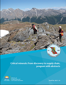 |
A virtual workshop, November 16-18, 2021, organized by the British Columbia Geological Survey, Geological Survey of Canada, United States Geological Survey, Geoscience Australia, and Geological Association of Canada-Pacific Section. The abstracts address the critical minerals needed to grow low-carbon economies, emphasizing those used in battery, magnet, and photovoltaic technologies, and consider the life cycle of critical minerals from exploration, resource availability, and mineral systems to market trends and supply chains. |
| Issue ID: | GF2021-15 |
| Title: | Supplementary data for gaseous elemental mercury (GEM) response from sediment-covered, volcanogenic massive sulphide mineralization on southern Vancouver Island. |
| Author(s): | Rukhlov, A.S., Mashyanov, N.R., Pitirimov, P.V., Hickin, A.S., Golovetskyy, M., and Coats, B. |
| Series Name: | GeoFile |
| Publication Year: | 2021 |
| Place Keyword(s): | British Columbia |
Download(s):
| PDF, ZIP (View Zip Contents) |
Abstract:
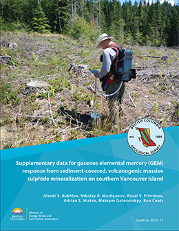 |
This GeoFile serves as a data repository for interpretations presented by Rukhlov et al. (2022). It provides complete summary of field data for gaseous elemental mercury (GEM) orientation surveys at the polymetallic Lara-Coronation occurrence, southern Vancouver Island (MINFILE 092B 129). These data include measurements of: GEM in near-surface air (statistical summary and raw); in situ soil temperature, moisture content, electrical conductivity, and pH; simultaneous meteorological parameters; and GEM concentrations in the air of sealed glass jars containing selected ore minerals |
| Issue ID: | GF2021-16 |
| Title: | Geochemical data from the Kamloops Group |
| Author(s): | Van Wagoner, N., Ootes, L., and Sutcliffe, B |
| Series Name: | GeoFile |
| Publication Year: | 2021 |
| Place Keyword(s): | British Columbia |
Download(s):
| PDF, ZIP (View Zip Contents) |
Abstract:
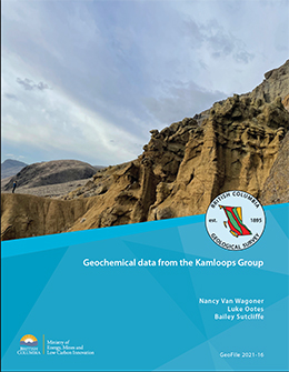 |
The Kamloops Group forms part of a discontinuous belt of graben-fill volcanic and sedimentary rocks that extends from the Challis volcanic field in Idaho through central British Columbia to southern Yukon. The whole-rock major, trace, and rare-earth element geochemical data presented herein are part of a study to better understand the volcanism and geochemical evolution of the Kamloops Group and the relationship of the unit to other volcanic complexes (e.g., Penticton Group), and to early Eocene tectonics, mineralization, and climate. The results are from samples collected during 2019 and 2020 and serve as a data repository for interpretations presented elsewhere. Most of the samples are from the type area of the Kamloops Group, near Kamloops, British Columbia. |
| Issue ID: | GF2022-01 |
| Title: | Exploration and mining in British Columbia, 2021 |
| Author(s): | Clarke, G., Northcote, B., Corcoran, N.L., and Hancock, K. |
| Series Name: | GeoFile |
| Publication Year: | 2022 |
| Place Keyword(s): | British Columbia |
Download(s):
| PDF |
Abstract:
 |
British Columbia is Canada�s largest exporter of coal, leading producer of copper, and only producer of molybdenum. Also produced are significant amounts of gold, silver, lead, and zinc, and more than 30 industrial minerals including gypsum, magnesite, limestone, and dimension stone. Numerous quarries produce sand and gravel or crushed aggregate. Flanked by the Pacific Ocean, British Columbia offers easy access to global markets. Mine operations benefit from tax incentives and a well-developed infrastructure, including low-cost electricity, an integrated road and rail network, and large deep-water ports. Exploration benefits from an extensive geoscience database and a web-based mineral tenure system. Despite forest fires, heat waves, floods (and temporary infrastructure collapse), and the continuing Covid 19 pandemic, the forecasted value of total provincial mining production reached an all-time high of $12.6 billion, and total exploration expenditures reached a near record of $659.8 million. |
| Issue ID: | GF2022-02 |
| Title: | Exploration and mining highlights, Northwest Region, 2021 |
| Author(s): | Clarke, G. |
| Series Name: | GeoFile |
| Publication Year: | 2022 |
| Place Keyword(s): | British Columbia |
Download(s):
| PDF |
Abstract:
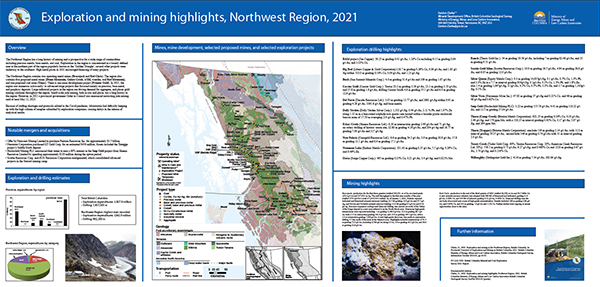 |
The Northwest Region has a long history of mining and is prospective for a wide range of commodities including precious metals, base metals, and coal. Exploration in the region is concentrated in a loosely defined area in the northern part of the region popularly known as the �Golden Triangle�; several other projects were underway to the southeast. High metal prices in 2021 encouraged financing of many projects.
The Northwest Region contains two operating metal mines (Brucejack and Red Chris). The region also contains five proposed metal mines (Dome Mountain, Galore Creek, KSM, Kutcho, and Red Mountain), and one proposed coal mine (Tenas). There is one mine development project (Premier Gold). In 2021, the region saw numerous active early- to advanced-stage projects that focussed mainly on precious, base metal, and porphyry deposits. Large industrial projects in the region are driving demand for aggregate, and placer gold mining continues throughout the region. At $365.9 million, forecast exploration expenditures in the region are the highest ever recorded. |
| Issue ID: | GF2022-03 |
| Title: | Exploration and mining highlights, North Central and Northeast regions, 2021 |
| Author(s): | Corcoran, N.L. |
| Series Name: | GeoFile |
| Publication Year: | 2022 |
| Place Keyword(s): | British Columbia |
Download(s):
| PDF |
Abstract:
 |
For British Columbia's North Central mining region, 2021 exploration expenditures were estimated at $77.5 million and exploration drilling was estimated at approximately
170,000 m. For the Northeast region exploration expenditures were estimated at $ 5.3
million and exploration drilling was estimated at approximately 9700 m |
| Issue ID: | GF2022-04 |
| Title: | Exploration and mining highlights, Southwest and South Central regions, 2021 |
| Author(s): | Bruce Northcote |
| Series Name: | GeoFile |
| Publication Year: | 2022 |
| Place Keyword(s): | British Columbia |
Download(s):
| PDF |
Abstract:
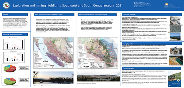 |
For British Columbia's Southwest mining region, 2021 exploration expenditures were estimated at $8.0 million and exploration drilling was estimated at approximately
40,400 m.
For the South Central region, exploration expenditures were estimated at $147.6 million and exploration drilling was estimated at approximately 462,500 m. |
| Issue ID: | GF2022-05 |
| Title: | Exploration and mining highlights, Southeast Region, 2021 |
| Author(s): | Hancock, K. |
| Series Name: | GeoFile |
| Publication Year: | 2022 |
| Place Keyword(s): | British Columbia |
Download(s):
| PDF |
Abstract:
 |
Four metallurgical coal mines operate in the Elk Valley of the Southeast Region, accounting for most of Canada�s coal production and exports, and mine expansion and exploration continued at these mines. The region hosts several industrial mineral mines and quarries, and placer mining continues. The Trail smelter produces refined zinc and lead, silver, critical metals (including germanium, indium, and cadmium), and fertilizer products. Exploration expenditures for 2021 forecast at $55.4 million and exploration
drilling is estimated at 96,700 m. |
| Issue ID: | GF2022-06 |
| Title: | Assessment report summary: Expenditures and activities 2020 |
| Author(s): | Norris, J., and Wallace, B. |
| Series Name: | GeoFile |
| Publication Year: | 2022 |
| Place Keyword(s): | British Columbia |
Download(s):
| PDF |
Abstract:
 |
Results of mineral exploration programs are submitted in assessment reports
by industry to the government in compliance with the Mineral Tenure Act. The British Columbia Geological Survey maintains these reports in the Assessment Report Indexing System (ARIS). This summary includes work registered with a Statement of Work affidavit date to the end of 2020. The expenditures reported in assessment reports are registered to maintain claims beyond their expiry date and thus reported costs represent only a portion of the total amount spent. |
| Issue ID: | GF2022-07 |
| Title: | Real-time air mercury guide to discovery. |
| Author(s): | Rukhlov, A.S., Mashyanov, N.R., Pitirimov, P.V., Hickin, A.S., Golovetskyy, M., and Coats, B. |
| Series Name: | GeoFile |
| Publication Year: | 2022 |
| Place Keyword(s): | British Columbia |
Download(s):
| PDF |
Abstract:
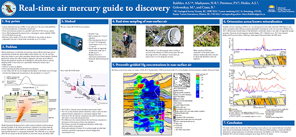 |
This poster summarizes Rukhlov et al.'s (2022) study of gaseous elemental mercury (GEM) haloes in near-surface atmosphere above sediment-covered, polymetallic mineralization at the Lara-Coronation occurrence, southern Vancouver Island (MINFILE 092B 129). Real-time grid sampling of air 1 cm above ground across steeply dipping, massive sulphide zones in volcanic rocks of the McLaughlin Ridge Formation (Sicker Group; Middle to Late Devonian) reveals a pattern of northwest-trending GEM haloes that reflect bedrock structure, including a 224 by 30 m halo above the polymetallic Coronation zone, covered by up to 22 m of overburden. This study confirms that the real-time GEM sampling of near-surface air can instantly delineate mineralized zones that are buried beneath overburden 10s of m thick. Real-time GEM sampling is a
simple and effective technique for mineral exploration in overburden-covered areas. |
| Issue ID: | IC2022-01 |
| Title: | Provincial Overview of Exploration and Mining in British Columbia, 2021 |
| Author(s): | Clarke, G., Northcote, B., Corcoran, N.L., and Hancock, K. |
| Series Name: | Information Circular |
| Publication Year: | 2022 |
| NTS Map Sheet(s): | 082;083;092;093;094;102;103;104;114 |
| Place Keyword(s): | British Columbia |
| Lat/Long (NSWE): | 60, 52, -140, -114 |
| Theme Keyword(s): | Exploration and Mining, Summary and Trends, Provincial Overview |
Download(s):
| PDF |
Abstract:
 |
This volume is the latest in a series of annual reviews that dates back to 1874, when the first Annual Report of the Minister of Mines was published. Detailing significant projects region-by-region. To prepare the district chapters in this volume, the Regional Geologists visit project sites to view outcrops and drill core and to discuss results and progress. A significant amount of information is gleaned from corporate press releases, websites and reports. Despite forest fires, heat waves, floods (and temporary infrastructure collapse), and the continuing Covid 19 pandemic, the forecasted value of total provincial mining production reached an all-time high of $12.6 billion, and total exploration expenditures reached a near record of $659.8 million. |
| Issue ID: | IC2022-01-01 |
| Title: | Exploration and Mining in British Columbia, 2021: A summary |
| Author(s): | Clarke, G., Northcote, B., Corcoran, N.L., and Hancock, K. |
| Series Name: | Information Circular |
| Publication Year: | 2022 |
| NTS Map Sheet(s): | 082;083;092;093;094;102;103;104;114 |
| Place Keyword(s): | British Columbia |
| Lat/Long (NSWE): | 60, 48, -139, -114 |
| Theme Keyword(s): | exploration, mining, annual, information circular |
Download(s):
| PDF |
| Issue ID: | IC2022-01-02 |
| Title: | Exploration and mining in the Northwest Region, British Columbia 2021 |
| Author(s): | Clarke, G. |
| Series Name: | Information Circular |
| Publication Year: | 2022 |
| NTS Map Sheet(s): | 093C,D,E,F,L,K,M,N; 094C,D,E,F,K,L,M,N; 103A.H.I,J,O,P; 104, 114 |
| Place Keyword(s): | British Columbia, Northwest British columbia |
| Lat/Long (NSWE): | 60, 52, -139, -124 |
| Theme Keyword(s): | exploration, mining, annual, information circular |
Download(s):
| PDF |
| Issue ID: | IC2022-01-03 |
| Title: | Exploration and mining in the North Central and Northeast regions, British Columbia 2021 |
| Author(s): | Corcoran, N.L. |
| Series Name: | Information Circular |
| Publication Year: | 2022 |
| NTS Map Sheet(s): | 083; 093; 094 |
| Place Keyword(s): | British Columbia, Northeast and central British Columbia |
| Lat/Long (NSWE): | 60, 52, -128, -114 |
| Theme Keyword(s): | exploration, mining, annual, information circular |
Download(s):
| PDF |
| Issue ID: | IC2022-01-04 |
| Title: | Exploration and mining in the South Central Region, British Columbia 2021 |
| Author(s): | Northcote, B. |
| Series Name: | Information Circular |
| Publication Year: | 2022 |
| NTS Map Sheet(s): | 082E,L,M; 083D; 092G,H,I,J,O,P; 093A,B |
| Place Keyword(s): | British Columbia, South central British Columbia |
| Lat/Long (NSWE): | 53, 49, -122.5, -119 |
| Theme Keyword(s): | exploration, mining, annual, information circular |
Download(s):
| PDF |
| Issue ID: | IC2022-01-05 |
| Title: | Exploration and mining in the Southeast Region, British Columbia 2021 |
| Author(s): | Hancock, K. |
| Series Name: | Information Circular |
| Publication Year: | 2022 |
| NTS Map Sheet(s): | 082; 083 |
| Place Keyword(s): | British Columbia, Southeast British Columbia |
| Lat/Long (NSWE): | 52, 49, -120, -114 |
| Theme Keyword(s): | exploration, mining, annual, information circular |
Download(s):
| PDF |
| Issue ID: | IC2022-01-06 |
| Title: | Exploration and mining in the Southwest Region, British Columbia 2021 |
| Author(s): | Northcote, B. |
| Series Name: | Information Circular |
| Publication Year: | 2022 |
| NTS Map Sheet(s): | 092B,C,E,F,G,J,K,L,M,N,O; 093B,C,D,E,F,G,J,K,L; 102; 103 A-K |
| Place Keyword(s): | British Columbia, Southwest British Columbia |
| Lat/Long (NSWE): | 54.5, 48, -133, -122 |
| Theme Keyword(s): | exploration, mining, annual, information circular |
Download(s):
| PDF |
| Issue ID: | IC2022-02 |
| Title: | British Columbia Geological Survey (brochure) |
| Author(s): | BC Geological Survey |
| Series Name: | Information Circular |
| Publication Year: | 2022 |
| NTS Map Sheet(s): | 082;083;092;093;094;102;103;104;114 |
| Place Keyword(s): | British Columbia |
| Lat/Long (NSWE): | 60, 48, -139, -114 |
| Theme Keyword(s): | Information Circular, Geological Survey Branch, Brochure, projects and activities |
Download(s):
| PDF |
Abstract:
 |
The British Columbia Geological Survey conducts research to establish the geological evolution and mineral resources of the province. Drawing on continuously advancing concepts and technologies, the Survey creates knowledge to guide societal decisions centred on the Earth sciences. Survey maps, reports, and databases are freely available online, connecting the public, First Nations, local communities, the minerals industry, public safety agencies, environmental scientists, other research organizations, and government to the province�s geology and mineral resources. This information benefits decisions that balance the economy, the environment, and community interests. This brochure summaries the mission and activities of the British Columbial Geological Survey. |
| Issue ID: | IC2022-03 |
| Title: | British Columbia Geological Survey Mineral Development Office (brochure) |
| Author(s): | BC Geological Survey |
| Series Name: | Information Circular |
| Publication Year: | 2022 |
| NTS Map Sheet(s): | 082;083;092;093;094;102;103;104;114 |
| Place Keyword(s): | British Columbia, Vancouver |
| Lat/Long (NSWE): | 60, 48, -140, -114 |
| Theme Keyword(s): | Mineral Development Office, MDO, links, distribution, mineral opportunities |
Download(s):
| PDF |
Abstract:
 |
The Mineral Development Office (MDO) is the Vancouver base of the British Columbia Geological Survey. It links the more than 800 global exploration and mining companies headquartered in Vancouver to provincial mineral and coal information. The MDO distributes British Columbia Geological Survey data and provides technical information and expertise about mineral opportunities to the domestic and international investment community. The MDO monitors the activities of the exploration and mining sector, informing other government agencies and industry, and coordinates production of the annual Provincial Overview of Mining and Exploration volume. |
| Issue ID: | IC2022-04 |
| Title: | Online databases at the British Columbia Geological Survey (brochure) |
| Author(s): | BC Geological Survey |
| Series Name: | Information Circular |
| Publication Year: | 2022 |
| NTS Map Sheet(s): | 082;083;092;093;094;102;103;104;114 |
| Place Keyword(s): | British Columbia |
| Lat/Long (NSWE): | 60, 48, -139, -114 |
| Theme Keyword(s): | online databases, British Columbia Geological Survey, MapPlace, MINFILE, ARIS, COALFILE, Property File, geochemical, bedrock geology, publications catalog |
Download(s):
| PDF |
Abstract:
 |
Founded in 1895, the British Columbia Geological Survey integrates historical data with active research programs and, drawing on continuously advancing geoscience concepts and technologies, creates new knowledge. Since its inception, the Survey has provided information to help government, the mineral exploration industry, public safety agencies, environmental scientists, communities, First Nations, research organizations, and the general public make decisions related to the Earth sciences. This information resides in databases that are integrated with MapPlace, our online service that allows clients to browse, visualize, and analyze multidisciplinary geoscience data, and create custom maps. |
| Issue ID: | OF2022-01 |
| Title: | Mines, mine development, selected proposed mines, and selected exploration projects in British Columbia, 2021 |
| Author(s): | Clarke, G., Northcote, B., Corcoran, N.L., and Hancock, K. |
| Series Name: | Open File |
| Publication Year: | 2022 |
| NTS Map Sheet(s): | 082;083;092;093;094;102;103;104;114 |
| Place Keyword(s): | British Columbia |
| Lat/Long (NSWE): | 60, 48, -139, -114 |
| Theme Keyword(s): | mines, selected exploration projects, selected proposed mines, mine development, map |
Download(s):
| PDF |
Abstract:
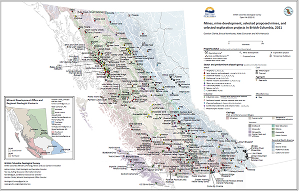 |
British Columbia is Canada�s largest exporter of coal, leading producer of copper, and only producer of molybdenum. Also produced are significant amounts of gold, silver, lead, and zinc, and more than 30 industrial minerals including gypsum, magnesite, limestone, and dimension stone. Numerous quarries produce sand and gravel or crushed aggregate. |
| Issue ID: | OF2022-02 |
| Title: | Turtle Lake area geology (NTS 104M/16) |
| Author(s): | Mihalynuk, M.G., Milidragovic, D., Tsekhmistrenko, M., and Zagorevski, A., |
| Series Name: | Open File |
| Publication Year: | 2022 |
| NTS Map Sheet(s): | 104M/16 |
| Place Keyword(s): | British Columbia |
Download(s):
| PDF |
Abstract:
 |
Turtle Lake map area is bordered to the north by Yukon and is bisected by the 120 km-long, south-trending Tagish Lake. It straddles the boundary between exotic, oceanic crustal and mantle rocks of the Cache Creek terrane, and Early Jurassic Laberge Group forearc strata atop the Stikine terrane. A Cache Creek terrane hallmark is thick, regionally-extensive platformal carbonate of the Horsefeed Fm., deposited over at least 25 m.y. in a stable tectonic environment.
Juxtaposition of Stikine and Cache Creek terranes was accommodated by collapse of the Whitehorse Trough in mid-Middle Jurassic (starting ~174 Ma) and creation of a fold and thrust fault belt. This belt was cut by the Fourth of July batholith (~172 Ma) and lamprophyre dikes, emplaced and cooled by ~162 Ma, and followed by a magmatic lull between ~165 � 130 Ma. In the Turtle Lake area, we find a single granitic dyke that crystallized in this time interval, at 145 Ma.
By 125 Ma, the Coast Belt arc had ignited, as recorded by voluminous volcanic and intrusive rocks in the west, and persisted until ~50 Ma. In the Turtle Lake area, volcanism accompanied uplift by ~110 Ma, as indicated by a unimodal detrital zircon population in karst deposits. Youngest known representative intrusions are 56 Ma quartz diorite stocks. One cuts the faulted contact between Whitehorse Trough strata and harzburgite mantle tectonite. An analogous geological setting hosts epithermal gold-silver vein mineralization at the Engineer Mine, ~30km to the south-southwest.
Youngest rocks affected by crustal scale faulting and linked, mainly south-side-down, extensional faults are the ~80 Ma Windy-Table suite volcanic strata. |
| Issue ID: | GF2022-08 |
| Title: | LA-ICP-MS U-Pb data files, detrital zircon geochronology, and geochemistry of the Stuhini and Hazelton groups, Scottie gold mine area, northwestern British Columbia |
| Author(s): | Stanley, B., Nelson, J.L. and Friedman, R. |
| Series Name: | GeoFile |
| Publication Year: | 2022 |
| Place Keyword(s): | British Columbia, Scottie gold mine, Stewart mining camp |
| Theme Keyword(s): | detrital zircon geochronology, lithogeochemistry, Stuhini Group, Hazelton Group |
Download(s):
| PDF, ZIP (View Zip Contents) |
Abstract:
 |
This release provides whole rock geochemical and LA-ICP-MS zircon geochronologic data from Stuhini Group and Hazelton Group rocks in the Scottie gold mine area of northwestern British Columbia to support conclusions presented in Stanley and Nelson (2022). |
| Issue ID: | GF2022-09 |
| Title: | In situ zircon U-Pb, Lu-Hf, d18O, and trace elements from intrusive units in northern Hogem batholith, Quesnel terrane, north-central British Columbia |
| Author(s): | Jones, G., Ootes, L., Luo, Y., Stern, R., Vezinet, A., and Pearson, D.G |
| Series Name: | GeoFile |
| Publication Year: | 2022 |
| Place Keyword(s): | British Columbia |
| Theme Keyword(s): | Hogem batholith, Quesnel terrane, geochronology, isotope geochemistry, U-Pb zircon |
Download(s):
| PDF, ZIP (View Zip Contents) |
Abstract:
 |
New and refined geochronology and geochemistry results complement bedrock mapping in northern Hogem batholith, Quesnel terrane. Data and interpretations presented here include 13 new and refined U-Pb zircon crystallization ages and five new U-Pb titanite crystallization ages, determined by LA-ICP-MS. These are supported by zircon oxygen-isotope data, determined by SIMS, and zircon Lu-Hf and trace elements. and titanite and apatite Sm-Nd results, determined by LA-ICP-MS. |
| Issue ID: | OF2022-03 |
| Title: | Bedrock Geology, Stump Lake - Salmon River (parts of NTS 82L/05 and 92I/08) |
| Author(s): | P. Schiarizza |
| Series Name: | Open File |
| Publication Year: | 2022 |
| NTS Map Sheet(s): | 82L/05;92I/08 |
| Place Keyword(s): | British Columbia |
| Theme Keyword(s): | Nicola Group, Chapperon Group, Upper Triassic, Lower Jurassic, Salmon River unconformity |
Download(s):
| PDF |
Abstract:
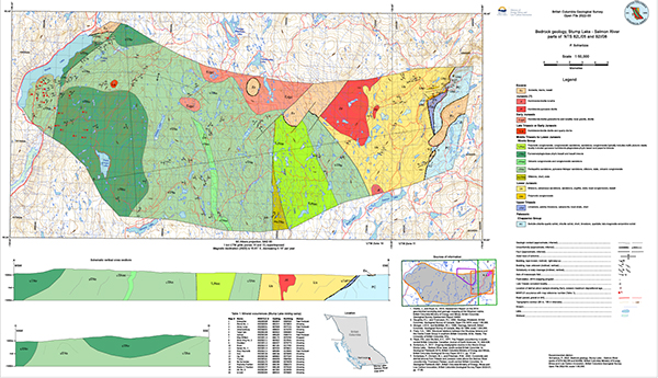 |
The Stump Lake - Salmon River map area extends across 365 km2 on the Thompson Plateau of south-central British Columbia. The western part of the area is about 40 km south of Kamloops, and the eastern part is 60 km northwest of Kelowna. Most of the map area is underlain by sedimentary and volcanic rocks of the Nicola Group (Middle Triassic to Early Jurassic) which is subdivided into 5 map units. The eastern third of the area is underlain by Paleozoic and Mesozoic rocks of unknown relationship to the Nicola Group. These comprise Paleozoic schists of the Chapperon Group, Late Triassic limestones that are unconformably above the Chapperon Group, and Early Jurassic siliciclastic rocks that are unconformably above the limestones and the Chapperon Group. Mineral occurrences include polymetallic vein systems of the historic Stump Lake mining camp, which cut the Nicola Group in the western part of the map area. |
| Issue ID: | GF2022-10 |
| Title: | Heavy mineral and geochemical data from detailed stream-sediment, stream-water, and moss-mat sampling in northwestern British Columbia |
| Author(s): | Lett, R.E., Friske, P.W.B., and McClenaghan, M.B. |
| Series Name: | GeoFile |
| Publication Year: | 2022 |
| Place Keyword(s): | British Columbia |
| Theme Keyword(s): | geochemistry, geochemical survey, heavy minerals, stream sediment |
Download(s):
| PDF, ZIP (View Zip Contents) |
Abstract:
 |
Preliminary results from a detailed geochemical survey carried out in 2004, which included analysis of sediments from 34 streams in northwestern British Columbia, revealed geochemically anomalous Ag, Au, Bi, Cd, Cu, Hg, Mo, Pb, Sb, Se, Tl, and Zn in sediment from streams draining the area near the Eskay Creek gold mine. In the present contribution, we release all of the geochemical and mineralogical analysis of the heavy mineral concentrates, stream sediment, and water samples. |
| Issue ID: | GF2022-11 |
| Title: | Volcanogenic massive sulphide (VMS) deposits in British Columbia: A review |
| Author(s): | Northcote, B |
| Series Name: | GeoFile |
| Publication Year: | 2022 |
| Place Keyword(s): | British Columbia |
| Theme Keyword(s): | volcanogenic massive sulphide, northern Cordillera, VMS, deposit models, mineral deposits |
Download(s):
| PDF |
Abstract:
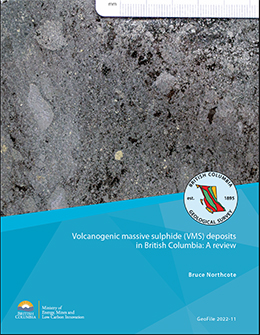 |
Volcanogenic massive sulphides (VMS) are syngenetic metal sulphide deposits precipitated near submarine hydrothermal vents discharging waters heated by volcanism. Approximately 500 mineral occurrences in British Columbia have characteristics of VMS deposits. These deposits formed in relatively narrow stratigraphic intervals during spans of intense volcanic activity, producing clusters in time and space. Although globally, VMS deposits started forming in the Archean and continue forming today, the British Columbia deposits range from Cambrian to Cretaceous. Paleozoic deposits are the most numerous, but the two largest known deposits (Britannia and Windy Craggy) are Mesozoic, and Mesozoic rocks host the most ore delineated to date and include ore of the highest value. Using the most recent British Columbia Geological Survey mineral deposit profile scheme for base and precious metals-bearing marine volcanic associated deposits (Besshi, G04; Cyprus, G05; Kuroko, G06; hybrid G07; and Noranda, G08), Kuroko deposits are by far the most common. Notable examples are in Wrangell terrane (Sicker Group), Stikine terrane (Kutcho assemblage, Eagle Bay assemblage, Stikine assemblage and Hazelton Group) and in post-accretionary overlap assemblage rocks (Gambier Group). Parts of these terranes and the Yukon-Tanana terrane are prospective but underexplored. Hybrid precious metals enriched deposits are well documented in upper Hazelton Group rocks, but probably also occur in the Eagle Bay assemblage, where several deposits are also highly enriched in precious metals, particularly silver. Besshi deposits are represented in the Lardeau Group of Ancestral North America, the Stuhini Group of Stikine terrane, and the Tats Group of Alexander terrane. Less well-recognized are those of the southern Quesnel and southern Alexander terranes. Cyprus deposits are relatively uncommon, but examples occur in Slide Mountain, Cache Creek and Bridge River terranes. Deposits of the Anyox camp at the southern end of the Eskay Rift are in a pendant of Hazelton Group basalts and interpreted as Cyprus type. VMS deposits may be of interest not only for base metals, but for precious metals and other metals on Canada�s critical minerals list. Although favourable lithological associations are commonly recognized in the province, the relatively restricted geometry of VMS deposits pose exploration challenges. Consequently, some areas have seen relatively little recent exploration and may represent overlooked opportunities. |
| Issue ID: | GF2022-12 |
| Title: | Igneous lithogeochemistry data for the Dease Lake, Kitsault River, Galore Creek, Telegraph Creek, Foremore, and other areas in northwestern British Columbia |
| Author(s): | Bram I. van Straaten, James M. Logan, Rebecca C. Hunter, JoAnne L. Nelson, Emily A. Miller |
| Series Name: | GeoFile |
| Publication Year: | 2022 |
| Place Keyword(s): | British Columbia |
| Theme Keyword(s): | Whole-rock lithogeochemistry, igneous rocks, petrogenesis, Stikine terrane |
Download(s):
| PDF, ZIP (View Zip Contents) |
Abstract:
 |
This release provides whole-rock lithogeochemical data for 555 Devonian to Quaternary rock samples from northwestern British Columbia. Samples were collected between 2003 and 2021 for petrogenetic studies, and are predominantly from Triassic to Jurassic igneous rocks within the Stikine terrane. The extensive dataset can be used to better understand the magmatic and geochemical evolution of the Stikine terrane, particularly as it relates to its large mineral endowment. We developed a new geoscientific metadata structure that allows for full capture and querying of bedrock geological unit information and better integration with data formats for these units in BC digital geology. We also evaluate 56 quality control samples. |
| Issue ID: | IC2022-05 |
| Title: | The Golden Triangle of northwestern British Columbia. |
| Author(s): | BC Geological Survey |
| Series Name: | Information Circular |
| Publication Year: | 2022 |
| Place Keyword(s): | British Columbia |
| Theme Keyword(s): | Golden Triangle, VMS, Hazelton Group, porphyry Cu-Au-Mo-Ag, epithermal gold |
Download(s):
| PDF |
Abstract:
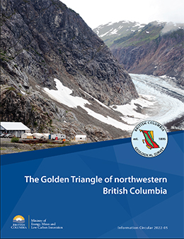 |
The Golden Triangle is the popular name for a loosely defined area of northwestern British Columbia that includes significant gold, silver, and copper deposits. Most deposits are in west-central Stikinia, a long-lived oceanic arc terrane that extends for about 1000 km along the length of the Canadian Cordillera. These deposits developed during terrane accretion and post-accretion deformation and magmatism, and most are related to the Hazelton Group and affiliated intrusions. More than 150 mines have operated in the region since prospectors first arrived near the end of the 19th century. Important past-producing mines include Granduc, Eskay Creek, Anyox, Kitsault, Premier/Dilworth, Dolly Varden, and Snip. Exploration continues at Eskay Creek, Premier/Dilworth, Dolly Varden, and Snip. Exploration continues at Eskay Creek, Premier/Dilworth, Dolly Varden (Kitsault Valley), Snip, and Scottie Gold Mine. The Brucejack and Red Chris mines operate today, and several mines are being proposed (Galore Creek, Premier, KSM, Red Mountain). |
| Issue ID: | GM2022-01 |
| Title: | Bedrock geology of the Dease Lake area |
| Author(s): | Bram I. van Straaten, James M. Logan, JoAnne L. Nelson, David P. Moynihan, Larry J. Diakow, Rohanna Gibson, Sebastian J. Bichlmaier, Curran D. Wearmouth, Richard M. Friedman, Martyn L. Golding, Emily A. Miller and Terry P. Poulton |
| Series Name: | Geoscience Map |
| Publication Year: | 2022 |
| Place Keyword(s): | British Columbia |
| Theme Keyword(s): | Dease Lake, bedrock geology, Stikine terrane |
Download(s):
| PDF |
Abstract:
 |
Geoscience Map 2022-01 portrays the bedrock geology of a 5,000 km2 area in northwestern British Columbia between the community of Dease Lake and the Stikine River (parts of NTS sheets 104G, 104H, 104I and 104J). This geology is based on mapping by the British Columbia Geological Survey carried out between 2011 and 2018. Rocks in the map area are mainly in the Stikine terrane, a Paleozoic to Mesozoic island arc that was deformed in the latest Triassic to Early Jurassic before accreting to ancestral North America in the Middle Jurassic. The oldest units in the map area are meta-sedimentary and meta-volcanic rocks of the Stikine assemblage (Devonian to Permian). Subsequently, the area experienced repeated calc-alkalic to alkalic, arc to arc-like magmatism from the Middle Triassic through the Late Jurassic. This includes Tsaybahe group volcanism (Middle Triassic), Stuhini Group volcanism (Late Triassic), and Stikine suite plutonism (Late Triassic). This magmatism was followed by latest Triassic deformation and a latest Triassic to Early Jurassic depositional and magmatic hiatus that has been attributed to collision between the Intermontane terranes. Subsequent upper Hazelton Group volcanism (late Early to Middle Jurassic), Three Sisters suite plutonism (Middle Jurassic), and Snowdrift Creek suite plutonism (late Middle to Late Jurassic) formed during and after accretion of Stikinia and other Intermontane terranes to ancestral North America. During this deformation, sedimentary rocks of the Whitehorse trough (Upper Triassic to Lower Jurassic) were thrust southward overtop of Stikinia. Deformation was accompanied by deposition of sedimentary rocks of the Bowser Lake Group (Middle Jurassic and younger). As a result of this protracted magmatic history, the area is prospective for intrusion-related magmatic-hydrothermal mineral deposits, as illustrated by the Gnat Pass porphyry copper deposit and numerous other porphyry, epithermal, and skarn prospects. |
| Issue ID: | GF2022-13 |
| Title: | Geochronologic data from the Kitsault River area, northwest British Columbia |
| Author(s): | Hunter, R.C., Sebert, C.F.B., Friedman, R., and Wall, C |
| Series Name: | GeoFile |
| Publication Year: | 2022 |
| Place Keyword(s): | British Columbia |
| Theme Keyword(s): | Jurassic, Hazelton Group, U-Pb zircon geochronology, LA-ICP-MS, CA-TIMS |
Download(s):
| PDF, ZIP (View Zip Contents) |
Abstract:
 |
The Hazelton Group is an extensive package of volcanic and sedimentary rocks that span the entire width of the Stikine terrane. The geochronological data presented herein are part of a larger study to better resolve the ages of the Hazelton and Bowser Lake groups in the Kitsault River area. The results serve as a data repository for summaries and interpretations presented in Hunter et al. (2022, British Columbia Geological Survey Paper 2022-01, pp. 63-81). |
| Issue ID: | OF2019-09 |
| Title: | Geology and mineral potential of the western Skeena arch: Evolution of an arc-transverse structural corridor, west-central British Columbia. |
| Author(s): | Angen, J.J., Hart, C.J.R., Nelson, J., and Rahimi, M. |
| Series Name: | Open File |
| Publication Year: | 2022 |
| Place Keyword(s): | British Columbia |
| Theme Keyword(s): | Skeena arch, Hazelton Group, Skeena Group, Bulkley suite, porphyry |
Download(s):
| PDF, ZIP (View Zip Contents) |
Abstract:
 |
The Skeena arch is an ENE-trending paleotopographic high in central British Columbia. Lower Jurassic and older rocks exposed along its crest are flanked by Middle Jurassic to Lower Cretaceous units that were deposited in the Bowser basin to the north and Nechako basin to the south. The arch is interpreted to reflect a fundamental, long-lived structural anisotropy that transects Stikine terrane beyond much of its Mesozoic history. This anisotropy contributed to strain localization and to focused episodic magmatic activity from the Triassic to the Eocene. The structural anisotropy is also responsible for the mineral prospectivity of this region. |
| Issue ID: | P2023-01 |
| Title: | Geological Fieldwork 2022, a summary of field activities and current research |
| Author(s): | BC Geological Survey |
| Series Name: | Paper |
| Publication Year: | 2023 |
| Larger Work Citation: | Geological Fieldwork 2022. British Columbia Ministry of Energy, Mines Low Carbon Innovation, British Columbia Geological Survey Paper 2023-01 |
| Place Keyword(s): | British Columbia |
| Theme Keyword(s): | Geological Fieldwork, British Columbia Geological Survey, British Columbia Earth sciences, British Columbia mineral resources, public government geoscience |
Download(s):
| PDF |
Abstract:
 |
Geological Fieldwork 2022 is the forty-eighth edition of the annual volume that presents peer-reviewed papers detailing the results of British Columbia Geological Survey (BCGS) geoscience activities. The Survey also publishes other reports, maps, and databases and contributes to peer-reviewed journals and partners publications throughout the year. This work can be accessed for free through the online BCGS Publication Catalogue. BCGS also publishes an annual companion volume, the Provincial Overview of Exploration and Mining in British Columbia. |
| Issue ID: | P2023-01-01 |
| Title: | British Columbia Geological Survey annual program review 2022-2023 |
| Author(s): | Wildgust, N., Cui, Y., Clarke, G., and Hickin, A.S. |
| Series Name: | Paper |
| Publication Year: | 2023 |
| Larger Work Citation: | Geological Fieldwork 2022. British Columbia Ministry of Energy, Mines Low Carbon Innovation, British Columbia Geological Survey Paper 2023-01 |
| Place Keyword(s): | British Columbia |
| Theme Keyword(s): | British Columbia Geological Survey |
Download(s):
| PDF |
Abstract:
| This paper provides an overview of current British Columbia Geological Survey (BCGS) geoscience activities, and highlights key findings
from 2022 projects. Headquartered in Victoria, the Survey is part of the Mines Competitiveness and Authorizations Division in the British
Columbia Ministry of Energy, Mines and Low Carbon Innovation. The Survey generates geoscience knowledge and data to inform land use and
resource management decisions, and to support the growth of British Columbia as a competitive jurisdiction for mineral exploration. |
| Issue ID: | P2023-01-02 |
| Title: | Did epithermal mineralization in the northern Toodoggone region develop synchronously with large-scale folding? |
| Author(s): | Ootes, L. |
| Series Name: | Paper |
| Publication Year: | 2023 |
| Larger Work Citation: | Geological Fieldwork 2022. British Columbia Ministry of Energy, Mines Low Carbon Innovation, British Columbia Geological Survey Paper 2023-01 |
| Place Keyword(s): | British Columbia |
| Theme Keyword(s): | Toodoggone, epithermal Au-Ag�Cu, deformation, stratigraphic younging, Black Lake intrusion |
Download(s):
| PDF |
Abstract:
| In the eastern part of central Stikinia, regional northwest-plunging, northeast-vergent folds are indicated by stratigraphic relationships. A
synclinorium southeast of Sustut Provincial Park is connected to an anticlinorium in the northern Toodoggone region by a long (ca. 100 km)
southwest-younging limb. The hinge zone of this anticlinorium coincides with the Black Lake intrusion (Early Jurassic), which cuts volcanosedimentary
rocks that host epithermal Au-Ag�Cu mineralization (e.g., Baker, Lawyers, Shasta deposits). Although intrusion-related porphyry
mineralization is common along the length of eastern Stikinia, northern Toodoggone epithermal mineralization, which is distributed along
the axial trace of the anticlinorium, appears to be unique. This geometric and apparent temporal coincidence may imply a causal relationship
between folding, intrusion, and epithermal mineralization. This hypothesis can be tested with high-precision geochronology. |
| Issue ID: | P2023-01-03 |
| Title: | Update on bedrock mapping in the Kitsault River area, northwestern British Columbia |
| Author(s): | Miller, E.A., van Straaten, B.I., and Hunter, R.C. |
| Series Name: | Paper |
| Publication Year: | 2023 |
| Larger Work Citation: | Geological Fieldwork 2022. British Columbia Ministry of Energy, Mines Low Carbon Innovation, British Columbia Geological Survey Paper 2023-01 |
| Place Keyword(s): | British Columbia |
| Theme Keyword(s): | Kitsault River, Stikinia, Hazelton Group, Stuhini Group, Kinskuch unit |
Download(s):
| PDF |
Abstract:
| The Kitsault River area in northwestern British Columbia hosts Ag-rich volcanogenic massive sulphide (VMS), Au-rich epithermal, and Cu-
Au porphyry systems. Resolving the distribution, age, and affinity of prospective Stuhini and Hazelton Group host rocks is key to understanding
the metallogeny and mineral potential of the area. Geological mapping of the northeastern portion of the Kitsault River area shows that mafic
volcanic and sedimentary rocks of the Stuhini Group (Upper Triassic) are conformably overlain by Hazelton Group rocks (uppermost Triassic to
Middle Jurassic). The lower part of the Hazelton Group consists mainly of intermediate volcanic rocks, lesser sedimentary rocks, and rare felsic
volcanic rocks of the Betty Creek Formation (uppermost Triassic to Lower Jurassic). In the centre of the map area, the basal Hazelton Group
comprises conglomerate and megaconglomerate (with clasts up to 120 m) of the Kinskuch unit (Rhaetian), which record deposition in a local
syndepositional fault-bounded basin. The Kinskuch unit is overlain by intermediate volcanic rocks of the Betty Creek Formation. The Kinskuch
unit and basal Betty Creek Formation are cut by the Big Bulk stock (latest Triassic), which hosts the coeval Big Bulk porphyry Cu-Au prospect.
The upper part of the Hazelton Group (Lower to Middle Jurassic) consists of thin Spatsizi Formation sedimentary rocks that are overlain by
intermediate, mafic, and felsic volcanic rocks of the Kitsault unit, which host the Dolly Varden Ag-rich VMS deposits. The Kitsault unit is only
found in the northern part of the map area and appears to transition eastward to an unnamed sedimentary unit with common tuff beds. Within
northwestern British Columbia, the Kitsault unit is prospective for Dolly Varden-style Ag-rich VMS mineralization. |
| Issue ID: | P2023-01-04 |
| Title: | Stratigraphy of the Stuhini Group (Upper Triassic) in the Galore Creek area, northwestern British Columbia |
| Author(s): | van Straaten, B.I., Friedman, R.M., and Camacho, A. |
| Series Name: | Paper |
| Publication Year: | 2023 |
| Larger Work Citation: | Geological Fieldwork 2022. British Columbia Ministry of Energy, Mines Low Carbon Innovation, British Columbia Geological Survey Paper 2023-01 |
| Place Keyword(s): | British Columbia |
| Theme Keyword(s): | Stuhini Group, Late Triassic, stratigraphy, Galore Creek, Copper canyon |
Download(s):
| PDF |
Abstract:
| The 1.4 Bt Galore Creek porphyry Cu-Au-Ag deposit is hosted in, and broadly coeval with, a multi-phase alkalic silica-undersaturated volcanointrusive
complex. Based on stratigraphic studies supplemented by new geochronological data, we subdivide the host Stuhini Group strata
(Upper Triassic) into a lower succession and an upper succession. The lower succession (at least ~1.2 km thick) grades upward from reworked
intermediate volcanic to sedimentary and mafic volcanic strata. The succession was deposited, at least in part, in a submarine setting, part of
the Stuhini arc (~1300 km long) developed along the eastern margin and northern part of Stikinia. The lower succession is abruptly overlain by
an upper alkalic volcanic succession (at least ~0.8 km thick). In the eastern part of the study area, the upper succession includes a local biotitephyric
volcanic and reworked volcanic unit, mostly deposited subaqueously. Overlying K-feldspar-phyric volcanic rocks, found throughout the
study area, are subaerial deposits as indicated by accretionary lapilli, welded beds, and irregular-shaped bombs. Pseudoleucite-phyric volcanic
rocks and pseudoleucite-phyric subvolcanic intrusions are found in the western and central parts of the study area; their depositional setting
and relationship to other alkalic units are unclear. We constrain the onset of upper succession alkalic volcanism to 210.26 �0.17 Ma using
high-precision U-Pb zircon and titanite geochronology. The new age is broadly coeval with published ages for mineralogically, texturally, and
compositionally similar alkalic silica-undersaturated Galore intrusions (ca. 210-208 Ma) and suggests a short-lived alkalic magmatic event
responsible for porphyry Cu-Au-Ag formation. Regionally, the upper alkalic volcanic succession and alkalic silica-undersaturated Galore
intrusions are part of a magmatic belt (~155 km long) of small-volume stocks and rare volcanic rocks that orthogonally transects the earlier
Stuhini arc. It reflects post-subduction alkalic magmatism and alkalic silica-undersaturated porphyry Cu-Au-Ag deposit formation during the
early stages of collision between the Yukon-Tanana and Stikine terranes. |
| Issue ID: | P2023-01-05 |
| Title: | Preliminary observations of a high-strain zone along the western flank of the Galore Creek deposit area,
northwestern British Columbia |
| Author(s): | Johnston, R., Kennedy, L., and van Straaten, B.I. |
| Series Name: | Paper |
| Publication Year: | 2023 |
| Larger Work Citation: | Geological Fieldwork 2022. British Columbia Ministry of Energy, Mines Low Carbon Innovation, British Columbia Geological Survey Paper 2023-01 |
| Place Keyword(s): | British Columbia |
| Theme Keyword(s): | Alkalic porphyry Cu-Au, Galore Creek, Stuhini Group, deformation, strain |
Download(s):
| PDF |
Abstract:
| The 1.4 Bt Galore Creek Cu-Au porphyry deposit is hosted in a Late Triassic alkalic silica-undersaturated volcano-intrusive complex. The
deposit is bordered to the west by a 2-3 km wide, >6 km long, poorly understood, foliated, and folded zone (here termed the Butte ridge
deformation zone) juxtaposed against the deposit by faults. The deformation zone records anomalously high strain in Stuhini Group rocks
compared to elsewhere in the Galore Creek area, and its origin is enigmatic. Previous workers have considered the zone as mylonitic or a zone
of flattening. Based on three 1:5000-scale transects across Butte ridge, we divide the area into seven fault-bounded structural domains. Our
preliminary observations of changes in fold geometry and foliation intensity coupled with consistent southward fold plunges suggest that westdipping
thrust faults juxtaposed rocks in these domains from different structural levels. The lowest apparent strain and presumably shallowest
structural level is in domain 7, east of the deformation zone and in the footwall of the Saddle thrust and Butte fault. In the northern domains
(1 and 2), folds are typically open and show a well-developed axial planar pressure solution cleavage; beds maintain a constant layer thickness
typical of parallel folds, which tend to form under relatively low-temperature conditions. Farther south, in domains 3 and 6, all folds are tight to
isoclinal and have the thickened hinges of similar folds that typically form under higher temperatures, and the rocks display a well-developed
bedding-parallel cleavage. We consider that deeper structural levels are exposed southward, with rocks in domain 6 having formed at the greatest
depth. We interpret that the Butte ridge area records strain by fold and foliation development rather than by non-coaxial strain along discrete
shear zones. Local examples of non-coaxial strain were likely produced due to slip as a fold mechanism. Future work will assess the absolute
and relative timing of deformation and determine the relationship between deformation and mineralization. |
| Issue ID: | P2023-01-06 |
| Title: | U-Pb zircon dates for rhyolite and sandstone of Cadwallader terrane, lower Chilcotin River area,
south-central British Columbia |
| Author(s): | Schiarizza, P., and Friedman, R.M. |
| Series Name: | Paper |
| Publication Year: | 2023 |
| Larger Work Citation: | Geological Fieldwork 2022. British Columbia Ministry of Energy, Mines Low Carbon Innovation, British Columbia Geological Survey Paper 2023-01 |
| Place Keyword(s): | British Columbia |
| Theme Keyword(s): | Cadwallader terrane, Wineglass assemblage, Tyaughton Formation, Hurley Formation, Late Permian |
Download(s):
| PDF |
Abstract:
| Cadwallader terrane, exposed in a structural window beneath overthrust Cache Creek terrane along the Chilcotin River, 50 km southwest
of Williams Lake, comprises: 1) basalt, rhyolite and tonalite of the Wineglass assemblage (Late Permian); 2) conglomerates and sandstones
(Tyaughton Formation, Late Triassic) that rest unconformably above the Wineglass assemblage; and 3) siltstones and sandstones (Ladner Group,
Early and Middle Jurassic) that are disconformably above the Tyaughton Formation. Rhyolite from near the top of the Wineglass assemblage,
dated using the U-Pb zircon chemical abrasion thermal ionization mass spectrometry method (CA-TIMS), crystallized at 260.8 �0.3 Ma.
Detrital zircons from red sandstone in the lower part of the Tyaughton Formation, dated with Laser Ablation Inductively Coupled Plasma Mass
Spectrometry (LA-ICP-MS), include a population of Late Permian to Middle Triassic grains, probably derived from the underlying Wineglass
assemblage and/or related rocks, and a population of Late Triassic grains that are inferred to have been derived from Late Triassic volcanic
and plutonic rocks exposed elsewhere in Cadwallader terrane. Green sandstone from a higher stratigraphic level in the Tyaughton Formation
contains only Late Triassic zircons, and these have a range that is very similar to that of detrital zircons analyzed from a sample of Hurley
Formation (Late Triassic) in a separate fault panel north of the Chilcotin River window. The Permian to Jurassic rocks exposed in the Chilcotin
River window represent the Tyaughton Creek facies of Cadwallader terrane, which contrasts with other parts of the terrane (Camelsfoot facies)
represented mainly by the Pioneer and Hurley formations of the Cadwallader Group (Middle to Late Triassic). The Permian to Jurassic rocks
of the Tyaughton Creek facies correlate with rocks in central British Columbia (Sitlika assemblage) and northern British Columbia (Kutcho
assemblage and overlying rocks), forming a fragmented belt that can be traced the full south to north length of British Columbia. |
| Issue ID: | P2023-01-07 |
| Title: | British Columbia Geological Survey Sample Archive: An emerging resource for public geoscience |
| Author(s): | Rukhlov, A.S., Coats, B., Van der Vlugt, J., Beaupre-
Olsen, I.J., and Zaborniak, K. |
| Series Name: | Paper |
| Publication Year: | 2023 |
| Larger Work Citation: | Geological Fieldwork 2022. British Columbia Ministry of Energy, Mines Low Carbon Innovation, British Columbia Geological Survey Paper 2023-01 |
| Place Keyword(s): | British Columbia |
| Theme Keyword(s): | Archived sample, hand specimen, drill core, pulp, sediment |
Download(s):
| PDF |
Abstract:
| The British Columbia Geological Survey (BCGS) Sample Archive is home to rock, mineral, and geochemical samples collected from across
the province in the last several decades by BCGS staff and partner organizations. These collections represent a valuable resource for public
geoscience, supporting quality control of published data, re-analysis using modern comprehensive and high-precision analytical methods, and
new geoscience initiatives. Following a notice to vacate the historic BCGS storage facility at 254 Belleville Street in downtown Victoria, a
systematic sorting, rationalizing, and cataloguing of archived samples was undertaken in anticipation of moving the collection to a new site
at 1810 Blanshard Street, Victoria. We have catalogued about 30,000 rock and 91,000 geochemical samples thus far. This inventory includes
about 25,400 sediment samples from modern drainages collected as part of the Uranium Reconnaissance and Regional Geochemical Survey
programs since 1976. Work will continue to make the Archive a modern and reliable resource supporting Cordilleran geoscience with enhanced
and accessible digital cataloging. |
| Issue ID: | P2023-01-08 |
| Title: | Appendix: British Columbia Geological Survey Publications 2022 including peer-reviewed external papers co-authored by BCGS staff |
| Author(s): | BC Geological Survey |
| Series Name: | Paper |
| Publication Year: | 2023 |
| Larger Work Citation: | Geological Fieldwork 2022. British Columbia Ministry of Energy, Mines Low Carbon Innovation, British Columbia Geological Survey Paper 2023-01 |
| Place Keyword(s): | British Columbia |
Download(s):
| PDF |
| Issue ID: | IC2023-01 |
| Title: | Provincial Overview of Exploration and Mining in British Columbia, 2022 |
| Author(s): | Clarke, G., Northcote, B., Corcoran, N.L., Heidarian, H., and Hancock, K. |
| Series Name: | Information Circular |
| Publication Year: | 2023 |
| Place Keyword(s): | British Columbia |
| Theme Keyword(s): | mining in British Columbia, exploration in British Columbia, exploration expenditures, drilling expenditures, Regional Geologists |
Download(s):
| PDF |
Abstract:
 |
This volume is the latest in a series of annual reviews that dates back to 1874, when the first Annual Report of the Minister of Mines was published. Detailing significant projects region-by-region. To prepare the district chapters in this volume, the Regional Geologists visit project sites to view outcrops and drill core and to discuss results and progress. A significant amount of information is gleaned from corporate press releases, websites and reports. While Covid continued to cause minor interruptions, 2022 did not have the significant forest fire and flooding disruptions of 2021. Provincial mining production reached a new high due to continued high coal prices. The year started with significant exploration financing in place and exploration expenditures improved for the third year in a row, reaching a new record level. The forecasted value of total provincial mining production reached an all-time high of $18.2 billion, and total exploration expenditures reached a record of $740.4 million. |
| Issue ID: | IC2023-01-01 |
| Title: | Exploration and Mining in British Columbia, 2022: A summary |
| Author(s): | Clarke, G., Northcote, B., Corcoran, N.L., Heidarian, H., and Hancock, K. |
| Series Name: | Information Circular |
| Publication Year: | 2023 |
| Place Keyword(s): | British Columbia |
| Theme Keyword(s): | exploration, mining, annual, information circular |
Download(s):
| PDF |
| Issue ID: | IC2023-01-02 |
| Title: | Exploration and mining in the Northwest Region, British Columbia |
| Author(s): | Corcoran, N. |
| Series Name: | Information Circular |
| Publication Year: | 2023 |
| Place Keyword(s): | British Columbia, Northwest British columbia |
| Theme Keyword(s): | exploration, mining, annual, information circular |
Download(s):
| PDF |
| Issue ID: | IC2023-01-03 |
| Title: | Exploration and mining in the North Central and Northeast regions, British Columbia |
| Author(s): | Heidarian, H. |
| Series Name: | Information Circular |
| Publication Year: | 2023 |
| Place Keyword(s): | British Columbia, Northeast and central British Columbia |
| Theme Keyword(s): | exploration, mining, annual, information circular |
Download(s):
| PDF |
| Issue ID: | IC2024-05 |
| Title: | Critical minerals |
| Author(s): | British Columbia Geological Survey |
| Series Name: | Information Circular |
| Publication Year: | 2024 |
| Place Keyword(s): | British Columbia |
| Theme Keyword(s): | Critical minerals, green economies, low-carbon, mineral supply chains, British Columbia Critical Mineral Strategy |
Download(s):
| PDF |
Abstract:
 |
Mining is essential to produce the commodities needed to combat climate change. Low-carbon technologies need critical minerals to produce electric vehicles, mobile phones, solar panels, wind turbines, electrical transmission lines, batteries, and medical devices, and to manufacture products for national defense. Because of global demands, many of these critical minerals are predicted to see shortages, and British Columbia is faced with a generational opportunity for mining that will not only contribute to a low-carbon future but generate significant economic and societal benefits. |
| Issue ID: | GF2024-11 |
| Title: | Ore and alteration textures from Co-bearing iron skarns: Examples from Vancouver and Texada islands |
| Author(s): | Bain, W.B. |
| Series Name: | GeoFile |
| Publication Year: | 2024 |
| Place Keyword(s): | British Columbia |
| Theme Keyword(s): | Iron skarns, cobalt, Wrangell terrane, critical metals |
Download(s):
| PDF |
Abstract:
 |
Iron skarns commonly contain Co and other critical minerals that can be extracted as byproducts of base- and precious-metal refining. They are, therefore, an increasingly important target for mineral development required for the transition to a low-carbon economy. Vancouver and Texada islands contain numerous iron skarn deposits that form a broadly NS-trending metallogenic belt that covers much of the southern portion of the Wrangel terrane. Field relationships, and mineralogical and textural features of mineralization and alteration in these deposits are characteristic of the iron skarn class of deposits but are distinct from other base- and precious-metal skarn varieties. Key distinctions include 1) the occurrence of massive magnetite and sulphide orebodies that are enveloped by course-grained (5->10cm), euhedral calcite; 2) carbonate and calc-silicate alteration that are restricted primarily to the igneous host rocks; 3) the absence of hydrothermal quartz and other features indicative of silica addition during deposit formation; and 4) the occurrence of magnetite-calcite ores with pegmatite-like textures. Formation of these mineralogical and textural features is likely related to the processes that generated critical mineral enrichment in these deposits. Accordingly, ongoing research is focussed on characterizing these processes using mineralogical, textural, and geochemical data, and identifying how, if at all, these deposits may be related to other critical mineral deposits in British Columbia (e.g., porphyry and magmatic sulphide deposits). |
| Issue ID: | GF2024-12 |
| Title: | Update on geology of the Gladys Lake area, northwest British Columbia,
and ultramafic-associated massive sulfide potential |
| Author(s): | Mihalynuk, M, G., Zagorevski, A., and Campbell, R, W. |
| Series Name: | GeoFile |
| Publication Year: | 2024 |
| Place Keyword(s): | British Columbia, Atlin, Gladys Lake |
| Theme Keyword(s): | Atlin terrane, Cache Creek terrane, ophiolite, harzburgite, seafloor detachment |
Download(s):
| PDF |
Abstract:
 |
Mapping immediately south of the Yukon border in the Gladys Lake area updates work that predates concepts derived from plate tectonics. Much of the area is underlain by deformed chert, primitive arc basalt, and slivers of mantle peridotite. Atlin terrane oceanic crustal sections record evidence of having formed during ocean floor detachment. Mineralized hemipelagic strata deposited atop mantle peridotite exposed by seafloor detachment contain Ag, Zn, Pb, and Cu sulphides. These strata may be distal precipitates of hydrothermal plumes from ultramafic-associated seabed massive sulphide fields formed atop exposed, cooling mantle. Atlin terrane detachments have been identified along strike of the map area for more than 400 km, representing a significant untested mineral exploration opportunity. |
| Issue ID: | GF2024-13 |
| Title: | Report on samples collected for radiolaria identification in the Gladys Lake � Mount Bryde area, near Atlin, British Columbia |
| Author(s): | Cordey, F., Zagorevski, A., Mihalynuk, M, G., and Campbell, R, W. |
| Series Name: | GeoFile |
| Publication Year: | 2024 |
| Place Keyword(s): | British Columbia, Atlin, Gladys Lake |
| Theme Keyword(s): | radiolaria, Atlin terrane, Cache Creek terrane, Sikine terrane, Quesnel terrane |
Download(s):
| PDF, ZIP (View Zip Contents) |
Abstract:
 |
This release presents radiolaria data from 35 samples collected during mapping of the Gladys Lake area in 2023. Radiolaria extracted from 21 of these samples successfully yielded ages; all are identified as Triassic or Early Jurassic. |
| Issue ID: | GF2024-14 |
| Title: | Dynamic magmatic processes recorded in the Tulameen ultramafic-mafic Alaskan-type intrusion from outcrop-scale structures and mineral-scale textures |
| Author(s): | Spence, D.W., Scoates, J.S., Goan, I.R., Nott, J.A., Nixon, G.T., and Milidragovic, D. |
| Series Name: | GeoFile |
| Publication Year: | 2024 |
| Place Keyword(s): | British Columbia, Tulameen |
| Theme Keyword(s): | Alaskan-type ultramafic-mafic intrusion, RPAS, lidar, magmatic textures, magmatic structures |
Download(s):
| PDF |
Abstract:
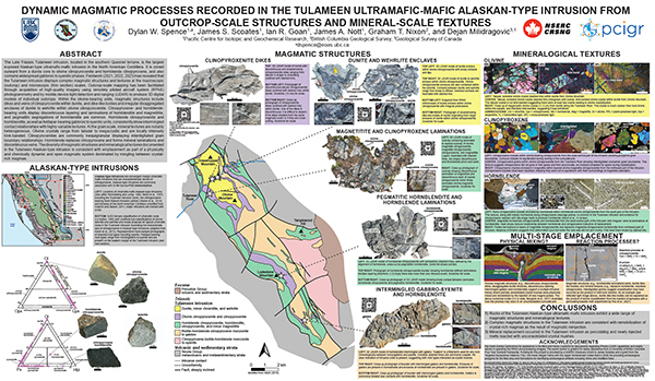 |
The Tulameen intrusion (Late Triassic) in southern Quesnel terrane is the largest exposed Alaskan-type ultramafic-mafic intrusion in the North American Cordillera. It is zoned outward from a dunite core to olivine clinopyroxenite and hornblende clinopyroxene and contains widespread gabbroic to syenitic phases. Outcrop-scale mapping has been facilitated through acquisition of high-quality imagery using remotely piloted aircraft system (RPAS) photogrammetry and by mobile-device light detection and ranging (lidar) to produce 3D digital models of individual outcrops. Within the olivine-bearing units, magmatic structures include dikes and veins of clinopyroxenite within dunite, and dike-like bodies and irregular disaggregated enclaves of dunite to wehrlite within olivine clinopyroxenite. Clinopyroxene- and hornblende-bearing units display discontinuous layering and laminations of hornblendite and magnetitite, and pegmatitic segregations of hornblendite are common. Hornblende clinopyroxenite and hornblendite, as well as feldspar-bearing gabbroic to syenitic units, consistently show intermingled contact relationships. At the grain scale, olivine crystals range from tabular to megacrystic and are locally intensely kink banded. Clinopyroxenites are commonly inequigranular displaying interdigitated grain boundary relationships. Hornblende replaces clinopyroxene and forms mineral laminations and discontinuous veins. The diversity of magmatic structures and mineralogical textures in the Tulameen intrusion is consistent with emplacement as part of a physically and chemically dynamic and open magmatic system with mingling between crystal-rich magmas. |
| Issue ID: | OF2024-03 |
| Title: | Mapping surficial sediments in the Interior Plateau using remotely piloted aircraft system lidar |
| Author(s): | Elia, E.A., Ferbey, T., and Ward, B.C |
| Series Name: | Open File |
| Publication Year: | 2024 |
| Place Keyword(s): | British Columbia |
| Theme Keyword(s): | remotely piloted aircraft system, lidar, GreenValley International LiAir V70, ice flow history, till |
Download(s):
| PDF |
Abstract:
 |
Remotely piloted aircraft systems (RPAS) and the sensors they carry enable rapid collection and processing of high-resolution lidar data at low cost. We used a commercially available RPAS to collect lidar data at 80 to 100 m above ground level to build digital elevation models at resolutions of up to 0.25 m over areas <1.3 km2 in heavily drift covered parts of the Interior Plateau, near the Woodjam and Mount Polley deposits and in the Guichon Creek batholith. The elevation models and derived hillshade models enabled 1:5,000-scale surficial geology mapping in which features that might otherwise be masked by dense forest canopies could be recognized. Landforms and units as small as ~100 m2 that exhibit subtle surface expressions and cannot be identified on traditional < 1:20,000-scale air photos or from ground observations can be mapped using RPAS lidar. |
| Issue ID: | GF2024-15 |
| Title: | Ore and alteration textures of limestone-hosted magnetite-sulphide mineralization at the Merry Widow deposit, Vancouver Island, British Columbia |
| Author(s): | Bain, W.M., and Waugh, S.A.F. |
| Series Name: | GeoFile |
| Publication Year: | 2024 |
| Place Keyword(s): | British Columbia, Vancouver Island |
| Theme Keyword(s): | Critical minerals, cobalt, iron skarns, Wrangellia, magnetite |
Download(s):
| PDF |
Abstract:
 |
Iron skarns are a distinct subtype in the skarn class of deposits characterized by massive magnetite orebodies with variable Co-bearing sulphide mineralization. The Wrangel terrane of western British Columbia has several Co-bearing iron skarns, including the Merry Widow deposit on northern Vancouver Island. The Merry Widow deposit contains several large sulphide-bearing, magnetite-calcite orebodies and numerous other minor massive sulphide occurrences. Both host minor Co mineralization in the form of sulphide and arsenide minerals. This deposit also has several distinctive textural and mineralogic features, including: 1) banded and tabular magnetite-calcite ores; 2) zones of massive, euhedral calcite that are always associated with sulphide mineralization; 3) tabular sulphide masses adjacent to mafic dikes; and 4) calc-silicate and carbonate-bearing sodic alteration that occurs predominantly in intrusive and volcanic rocks. |
| Issue ID: | GM2024-01 |
| Title: | Bedrock geology, Bonaparte Lake-Quesnel River, parts of NTS 92P, 93A, 93B |
| Author(s): | Schiarizza, P. |
| Series Name: | Geoscience Map |
| Publication Year: | 2024 |
| NTS Map Sheet(s): | 92P, 93A, 93B |
| Place Keyword(s): | British Columbia |
| Theme Keyword(s): | Quesnel terrane, Nicola Group, Dragon Mountain succession, Harper Ranch Group, Shoals Bay unit |
Download(s):
| PDF |
Abstract:
 |
The Bonaparte Lake-Quesnel River map area covers 15,375 square kilometres of south-central British Columbia, mainly in the Fraser Plateau, Quesnel Highland, and Shuswap Highland physiographic provinces, in the traditional territories of the Secwepemc, Esk�etemc, Tsilhqot�in, and Lhtako Den� First Nations. The area is mainly underlain by early Mesozoic rocks of Quesnel terrane, but also includes Paleozoic rocks of Slide Mountain and Kootenay terranes to the east and late Paleozoic-early Mesozoic rocks of Cache Creek terrane to the west. Quesnel terrane is subdivided into eastern and western belts. The predominant western belt includes arc volcanic and sedimentary rock of the Nicola Group, which is subdivided into seven main units, establishing a stratigraphic succession ranging from Middle Triassic to Early Jurassic. Permian, Triassic, and Early Jurassic rocks of the eastern belt are of uncertain relationship to the Nicola Group, but correlate with rocks in the eastern part of Quesnel terrane to the southeast of the map area. Late Triassic to Early Jurassic plutonic rocks of Quesnel terrane include the Late Triassic Granite Mountain batholith, host to the Gibraltar Cu-Mo porphyry deposit, and latest Triassic monzodiorites of the Copper Mountain suite, host to the Mount Polley Cu-Au porphyry deposit. |
| Issue ID: | IC2023-01-04 |
| Title: | Exploration and mining in the South Central Region, British Columbia |
| Author(s): | Northcote, B. |
| Series Name: | Information Circular |
| Publication Year: | 2023 |
| Place Keyword(s): | British Columbia, South central British Columbia |
| Theme Keyword(s): | exploration, mining, annual, information circular |
Download(s):
| PDF |
| Issue ID: | IC2023-01-05 |
| Title: | Exploration and mining in the Southeast Region, British Columbia |
| Author(s): | Hancock, K. |
| Series Name: | Information Circular |
| Publication Year: | 2023 |
| Place Keyword(s): | British Columbia, Southeast British Columbia |
| Theme Keyword(s): | exploration, mining, annual, information circular |
Download(s):
| PDF |
| Issue ID: | IC2023-01-06 |
| Title: | Exploration and mining in the Southwest Region, British Columbia |
| Author(s): | Northcote, B. |
| Series Name: | Information Circular |
| Publication Year: | 2023 |
| Place Keyword(s): | British Columbia, Southwest British Columbia |
| Theme Keyword(s): | exploration, mining, annual, information circular |
Download(s):
| PDF |
| Issue ID: | IC2023-02 |
| Title: | British Columbia Geological Survey |
| Author(s): | British Columbia Geological Survey |
| Series Name: | Information Circular |
| Publication Year: | 2023 |
| Place Keyword(s): | British Columbia |
| Theme Keyword(s): | British Columbia Geological Survey, Cordilleran Geoscience Section, Resource Information Section |
Download(s):
| PDF |
Abstract:
 |
Information Circular 2022-02 summarizes the mission and activities of the British Columbia Geological Survey. |
| Issue ID: | IC2023-03 |
| Title: | British Columbia Geological Survey Mineral Development Office |
| Author(s): | British Columbia Geological Survey |
| Series Name: | Information Circular |
| Publication Year: | 2023 |
| Place Keyword(s): | British Columbia |
| Theme Keyword(s): | Mineral Development Office, mineral exploration, mining, Regional Geologists |
Download(s):
| PDF |
Abstract:
 |
Information Circular 2023-03 summarizes the mission and activities of the British Columbia Geological Survey Mineral Development Office. |
| Issue ID: | IC2023-04 |
| Title: | Online databases at the British Columbia Geological Survey |
| Author(s): | British Columbia Geological Survey |
| Series Name: | Information Circular |
| Publication Year: | 2023 |
| Place Keyword(s): | British Columbia |
| Theme Keyword(s): | MapPlace 2, geochemical database, MINFILE, COALFILE, ARIS |
Download(s):
| PDF |
Abstract:
 |
Information Circular 2022-04 describes the databases housed by the British Columbia Geological Survey and how these databases can be used. |
| Issue ID: | OF2023-01 |
| Title: | Mines, mine development, selected proposed mines, and selected exploration projects in British Columbia, 2022 |
| Author(s): | Clarke, G., Northcote, B., Corcoran, N.L., Heidarian, H., and Hancock, K |
| Series Name: | Open File |
| Publication Year: | 2023 |
| Place Keyword(s): | British Columbia |
| Theme Keyword(s): | British Columbia, mineral exploration, mining |
Download(s):
| PDF |
Abstract:
 |
British Columbia is Canada�s largest exporter of coal, leading producer of copper, and only producer of molybdenum. Also produced are significant
amounts of gold, silver, lead, and zinc, and more than 30 industrial minerals
including gypsum, magnesite, limestone, and dimension stone. Numerous
quarries produce sand and gravel or crushed aggregate. In 2022, 11 metal mines operated during at least part of the year. Metallurgical coal was produced at four large open-pit operations in the southeastern part of the province and three open-pit operations in the northeastern part. About 30 industrial mineral mines and more than 1000 aggregate mines and quarries were in operation. |
| Issue ID: | GF2022-14 |
| Title: | Lithogeochemical re-analysis of British Columbia Geological Survey archived rock samples from northwestern British Columbia |
| Author(s): | Van der Vlugt, J., Rukhlov, A.S., and van Straaten, B.I. |
| Series Name: | GeoFile |
| Publication Year: | 2023 |
| Place Keyword(s): | British Columbia |
| Theme Keyword(s): | Whole-rock lithogeochemistry, northwestern British Columbia, Stikine terrane, igneous rocks, petrogenesis |
Download(s):
| PDF, ZIP (View Zip Contents) |
Abstract:
 |
Whole-rock re-analysis of archived samples mainly from Stikine terrane in northwestern British Columbia can help better understand the magmatic and geochemical evolution of the region and evaluate its prospectivity. From the British Columbia Geological Survey (BCGS) archive, we retrieved a suite of 946 samples for re-analysis. These samples, predominantly Triassic to Jurassic igneous rocks but including a range from Devonian to Quaternary, were collected between 1985 and 2021 mostly for petrogenetic studies (775) or for determination of metal contents in altered and mineralized rocks (171). The re-analysis included determinations for 60 analytes using four-acid digestion with a combination of inductively coupled plasma atomic emission spectroscopy (ICP-AES) and inductively coupled plasma mass spectrometry (ICP-MS) for ultra-low minimum detection limits. In addition, 498 samples that lacked modern determinations were re-analyzed for 56 analytes using lithium-borate fusion with ICP-AES or ICP-MS finish with ultra-low minimum detection limits, and for LOI at 1000 oC gravimetrically. Quality of the new data is evaluated based on 87 blind quality controls . A comprehensive geoscientific metadata structure captures full bedrock geological unit and sample information from the original source. |
| Issue ID: | GF2023-01 |
| Title: | Exploration and mining in British Columbia, 2022 |
| Author(s): | Clarke, G., Northcote, B., Corcoran, N.L., Heidarian, H., and Hancock, K. |
| Series Name: | GeoFile |
| Publication Year: | 2023 |
| Place Keyword(s): | British Columbia |
| Theme Keyword(s): | Northwest Region, North Central Region, Northeast Region South, mineral exploration, mining |
Download(s):
| PDF |
Abstract:
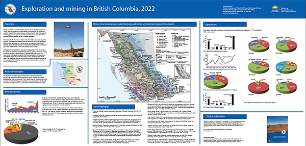 |
British Columbia is Canada�s largest exporter of coal, leading producer of copper, and only producer of molybdenum. Also produced are significant amounts of gold, silver, lead, and zinc, and more than 30 industrial minerals including gypsum, magnesite, limestone, and dimension stone. Numerous quarries produce sand and gravel or crushed aggregate. Flanked by the Pacific Ocean, British Columbia offers easy access to global markets. Mine operations benefit from tax incentives and a well-developed infrastructure, including low-cost electricity, an integrated road and rail network, and large deep-water ports. Exploration benefits from an extensive geoscience database and a web-based mineral tenure system. Although Covid continued to cause minor interruptions, 2022 did not have the significant forest fire and flooding disruptions of 2021. Provincial mining production reached a new high due to continued high coal prices. The year started with significant exploration financing in place and exploration
expenditures improved for the third year in a row, reaching a new record level. The forecasted value of total provincial mining production reached an all-time high of $18.2 billion, and total exploration expenditures reached a record of $740.4 million. |
| Issue ID: | GF2023-02 |
| Title: | Exploration and mining highlights, Northwest Region, 2022 |
| Author(s): | Corcoran, N.L. |
| Series Name: | GeoFile |
| Publication Year: | 2023 |
| Place Keyword(s): | British Columbia |
| Theme Keyword(s): | Northwest Region, mineral exploration, mining, exploration statistics |
Download(s):
| PDF |
Abstract:
 |
The Northwest Region has a long history of mining and is prospective for a wide range of commodities including precious metals, base metals, and coal. Exploration in the region is concentrated in a loosely defined area in the northern part of the region popularly known as the �Golden Triangle�; several other projects were underway to the southeast. Increased financing of manyprojects due to high metal prices in 2021 helped finance 2022 exploration.The Northwest Region contains two operating metal mines (Brucejack and Red Chris). The region also contains five proposed metal mines (Dome Mountain, Galore Creek, KSM, Kutcho, and Red Mountain), and one proposed coal mine (Tenas). There is one mine development project (Premier Gold). In 2021, the region saw numerous active early- to advanced-stage projects that focussed mainly on precious, base metal, and porphyry deposits. At $450.8 million, forecast exploration expenditures in the region are the highest ever recorded. |
| Issue ID: | GF2023-03 |
| Title: | Exploration and mining highlights, North Central and Northeast regions, 2022 |
| Author(s): | Heidarian, H. |
| Series Name: | GeoFile |
| Publication Year: | 2023 |
| Place Keyword(s): | British Columbia |
| Theme Keyword(s): | Northeast Region, North Central Region, mineral exploration, mining, exploration statistics |
Download(s):
| PDF |
Abstract:
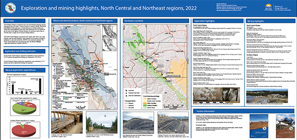 |
The Northeast Region is prospective for coal and industrial minerals and has three producing coal mines: Conuma Resources Limited�s Brule, Wolverine,
and Willow Creek operations.The North Central Region has one producing mine, the Mount Milligan copper-gold operation (Centerra Gold Inc.).For the North Central mining region, 2022 exploration expenditures were estimated at $139.0 million and exploration drilling was estimated at 163,200 m. For the Northeast region exploration expenditures were estimated at $ 2.0 million and no exploration drilling was reported. |
| Issue ID: | GF2023-04 |
| Title: | Exploration and mining highlights, Southwest and South Central regions, 2022 |
| Author(s): | Northcote, B |
| Series Name: | GeoFile |
| Publication Year: | 2023 |
| Place Keyword(s): | British Columbia |
| Theme Keyword(s): | Southwest Region, South Central Region, mineral exploration, mining, exploration statistics |
Download(s):
| PDF |
Abstract:
 |
The South Central region hosts an extraordinarily productive copper mining district, with five major bulk-tonnage copper porphyry mines after the re-start of Mount Polley in the summer of 2022. The Southwest currently has one major metal mine (Myra Falls, a higher grade polymetallic deposit), but many areas are underexplored by modern
methods.The region also has numerous aggregate and industrial mineral operations serving local, growing population centres and other coastal markets. For British Columbia's Southwest mining region, 2022 exploration expenditures were estimated at $10.8 million and exploration drilling was estimated at approximately 28,600 m. For the South Central region, exploration expenditures were estimated at $ 108.5 million and exploration drilling was estimated at approximately 243,200 m. |
| Issue ID: | OF2024-04 |
| Title: | Quantifying potassium concentrations in Interior Plateau surface sediments using remotely piloted aircraft system gamma-ray spectrometry |
| Author(s): | Ferbey, T., Elia, E.A., Shives, R.B.K., Martin-Burtart, N., Best, M., Ward, B.C. |
| Series Name: | Open File |
| Publication Year: | 2024 |
| Place Keyword(s): | British Columbia |
| Theme Keyword(s): | remotely piloted aircraft system, RPAS, drone, gamma-ray spectrometry, radiometrics |
Download(s):
| PDF |
Abstract:
 |
Although radiometric data are commonly used to aid bedrock mapping and prospecting, the radiometric signature of subglacial tills in extensively drift-covered areas such as the Interior Plateau is not commonly considered. To assess if potassium concentrations in surficial sediments can be measured reliably using a remotely piloted aircraft system (RPAS), we collected radiometric data above low-radioactivity subglacial tills (=2.00% potassium) near porphyry deposits at the Mount Polley mine, Woodjam developed prospect, and Guichon Creek batholith areas. Using a low-volume crystal (0.35 L) designed for an RPAS-borne gamma-ray spectrometer, potassium data measured from near the Mount Polley mine compare well to in-situ potassium determinations by a handheld gamma-ray spectrometer (120 s count time) and lithium fusion ICP-ES determinations on samples of the same subglacial tills. In addition, our high-resolution RPAS potassium data (2.5-3.33 m cell) are in general agreement with overlapping regional fixed-wing data (100 m cell). RPAS radiometrics fill a scale gap between traditional airborne and ground surveys, can be collected efficiently and affordably, and can be processed in the field to guide geological surveys in near real-time. For high-quality data to be collected over low-radioactivity materials, the instrument must be flown slowly (1 m/s) and close to the ground (=10 m above ground level). This limitation restricts surveys of low-radioactivity materials in the Interior Plateau to recent cutblocks, which hampers utility of the method. Nonetheless, extended to uranium and thorium, the method could prove useful over higher radioactivity materials where flying height could be increased, or in regions lacking significant vegetation such as deserts or above tree line in alpine or arctic settings. |
| Issue ID: | OF2024-06 |
| Title: | High-precision U-Pb zircon igneous crystallization and detrital zircon maximum depositional ages from the Toodoggone region, north-central British Columbia |
| Author(s): | Ootes, L and Wall, C. |
| Series Name: | Open File |
| Publication Year: | 2024 |
| Place Keyword(s): | British Columbia, north-central British Columbia |
| Theme Keyword(s): | Toodoggone Formation, Black Lake intrusive suite, U-Pb zircon, CA-TIMS, detrital zircon |
Download(s):
| PDF, ZIP (View Zip Contents) |
Abstract:
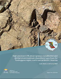 |
In geological environments that rapidly evolved, high-precision geochronologic techniques such as chemical abrasion isotope dilution thermal ionization mass spectrometry (CA-TIMS) may be needed to resolve temporal uncertainties from less precise laser ablation inductively coupled plasma mass-spectrometry (LA-ICP-MS). The Toodoggone region of eastern Stikine terrane hosts Late Triassic to Early Jurassic porphyry Cu-Au and epithermal Au-Ag deposits. Mineralization is in the Asitka, Takla (Stuhini), and Hazelton groups and allied granitic intrusions. In north-central Toodoggone region, the areally extensive but undivided Black Lake intrusive suite is spatially related to numerous epithermal mineralized zones. Two new U-Pb zircon ages from the Black Lake intrusive suite, determined by high-precision CA-TIMS indicate that early granodiorite crystallized at 202.87 � 0.03 Ma (n=6/6; MSWD=1.2) and slightly younger quartz monzonite at 200.02 � 0.03 Ma (n=6/6; MSWD = 0.8). The results are similar to previous ages for Kemess porphyry Cu-Au mineralization in southern Toodoggone region. Detrital zircons analyzed by LA-ICP-MS from conglomerates at the base of the Toodoggone Formation (Hazelton Group) indicate that they were sourced from the Asitka Group (ca. 313 Ma) and immediately underlying Takla (Stuhini) Group (225 and 207 Ma) and yield a maximum likely age (MLA) of 196 � 3.8 Ma. Analysis of detrital zircons from an interflow sandstone higher in section indicate derivation from coeval volcanic rocks (ca. 200 Ma); six of the youngest grains from this sample were measured by the CA-TIMS method, yielding a precise maximum depositional age (MDA) of 194.96 � 0.04 Ma (n=3/6; MSWD=1.5). The results are interpreted to indicate that the Toodoggone Formation post-dates crystallization of the main phases of the Black Lake intrusive suite, and that epithermal mineralization in the Toodoggone Formation cannot be linked in time to these intrusive rocks. |
| Issue ID: | OF2024-07 |
| Title: | Investigating surface sediment composition in the Interior Plateau using a remotely piloted aircraft system magnetometer |
| Author(s): | Elia, E.A., Ferbey, T., Campagne, T., Best, M., Shives, R.B.K., and Ward, B.C. |
| Series Name: | Open File |
| Publication Year: | 2024 |
| Place Keyword(s): | British Columbia |
| Theme Keyword(s): | remotely piloted aircraft system, drone, magnetometer, magnetic inversion, subglacial till |
Download(s):
| PDF |
Abstract:
 |
Remotely piloted aircraft systems (RPAS) enable rapid collection of airborne magnetic data using miniaturized magnetometer payloads. We flew two RPAS magnetometer surveys over part of the Deerhorn alkalic porphyry Cu-Au occurrence in British Columbia�s Interior Plateau: a large low-resolution survey at 97.5 m above ground level with 100 m traverse line spacing and a smaller high-resolution survey at 10 m above ground level with 5 m traverse line spacing. Collection of precise, high spatial resolution magnetic data was made possible by terrain following surveys, with altitude above ground maintained by an active RPAS-mounted radar altimeter or by three-dimensional waypoints from a 25 m digital elevation model. We produced two data-rich and two data-poor models of three-dimensional magnetic susceptibility in surface sediments from our RPAS surveys and supplemented by an existing helicopter-acquired magnetic dataset, surficial geology mapping, magnetic depth to source analysis, and depth to bedrock values from exploration drill-hole data. The high-resolution and low-resolution surveys produced inverted models with cell volumes of 0.98 m3 and 612.5 m3. Magnetite contents in the Deerhorn study area and the RPAS survey designs we used did not allow separating the near-surface sediment response from the underlying bedrock. Areally larger, high-resolution RPAS surveys over sediments with higher magnetic susceptibility may better isolate the surface component and be used to supplement traditional till geochemical or mineralogical surveys. |
| Issue ID: | OF2024-09 |
| Title: | A digital update of Open File 1992-13: Surficial geology map index of British Columbia |
| Author(s): | Veness, H., Elia, E.A., and Ferbey, T. |
| Series Name: | Open File |
| Publication Year: | 2024 |
| Place Keyword(s): | British Columbia |
| Theme Keyword(s): | surficial geology, Quaternary geology, soils, terrain, index |
Download(s):
| PDF, ZIP (View Zip Contents) |
Abstract:
 |
This publication catalogues newly scanned surficial geology maps from the British Columbia Geological Survey physical collection. This digital update includes scans of 1339 entries in the surficial geology map index by Bobrowsky et al. (1992), and 603 additional map scans not in that index. These maps are organized in an updated Excel workbook (*.xlsx) and spatial files (*.shp), which contain download links to the *.pdf scans. This update provides, for the first time, access to our physical collection and many maps in Bobrowsky et al. (1992). |
| Issue ID: | OF2024-08 |
| Title: | Residual total magnetic field and first vertical derivative of the magnetic field: Compilations of British Columbia |
| Author(s): | Oneschuk, D., Hayward, N., Fortin, G., and Hickin, A.S. |
| Series Name: | Open File |
| Publication Year: | 2024 |
| Other Citation Details: | Also published as GSC Open File 9222 |
| Scale: | 1:500000 |
| Place Keyword(s): | British Columbia |
| Theme Keyword(s): | aeromagnetic, compilation, residual total magnetic field, first vertical derivative, magnetic |
Download(s):
| PDF, ZIP (View Zip Contents) |
Additional Link(s):
| https://doi.org/10.4095/p1xpddgswc |
Abstract:
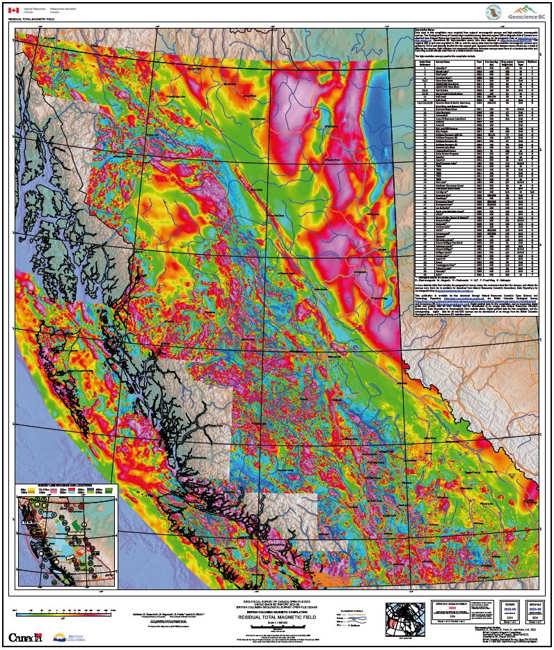 |
Magnetic field measurements reflect magnetic properties of bedrock and provides qualitative and quantitative information used in geological mapping. Understanding the geology assists in mineral exploration activities and provide useful information necessary for communities, aboriginal associations, and government to make land use decisions. This project was undertaken to improve our knowledge of the area and will support ongoing geological mapping and resource assessment. |
| Issue ID: | OF2024-10 |
| Title: | Glaciovolcanism in the Garibaldi volcanic belt: Nine geological maps from southwestern British Columbia, Canada |
| Author(s): | Wilson, A.M., Russell, J.K., and Harris, M.A. |
| Series Name: | Open File |
| Publication Year: | 2024 |
| Place Keyword(s): | British Columbia |
| Theme Keyword(s): | Glaciovolcanism, Volcanology, Garibaldi volcanic belt, Pleistocene volcanism, Cordilleran ice sheet |
Download(s):
| PDF, ZIP (View Zip Contents) |
Abstract:
 |
Glaciovolcanism involves the interaction between volcanic eruptions and ice in all its forms and produces distinct and diverse edifice morphologies and characteristic deposit lithofacies that are important proxies for local and global paleoclimates. Here, we present nine geologic maps of glaciovolcanic centers situated in the Garibaldi volcanic belt (GVB) of southwestern British Columbia, Canada. Our maps delineate lithostratigraphy, geochemistry, geochronology and petrography, and we use these data to interpret the eruption environment. The maps include (1) Monmouth Creek volcano, (2) Brohm Ridge of the Mount Garibaldi volcanic complex, (3) the Table, (4) the Black Tusk, (5) the Cinder Cone, (6) Cracked Mountain volcano, (7) Lillooet Glacier volcano, (8) the Salal Glacier volcanic field and, (9) the Bridge River volcanic field. For each map area, we use field observations to establish a glaciovolcanic versus non-glaciovolcanic origin and to constrain eruption style and the syn-eruptive paleoenvironment (i.e., paleo ice thickness and extent). These data serve to test, refine, and expand on existing paleoclimate proxies and provide a powerful terrestrial-based means to track the temporal and spatial wax and wane of the Coast Mountain sector of the Cordilleran ice sheet (CIS) beyond the last glacial stage. |
| Issue ID: | OF2024-12 |
| Title: | Geology of the Rossland-Trail map sheet (NTS 082F/04) |
| Author(s): | H�y, T. and Jackaman, W. |
| Series Name: | Open File |
| Publication Year: | 2024 |
| Other Citation Details: | Also published as Geoscience BC Map 2024-02-01 |
| Scale: | 1:50000 |
| NTS Map Sheet(s): | 082F/04 |
| Place Keyword(s): | British Columbia |
| Theme Keyword(s): | bedrock geology map, Kaslo Assemblage, Rossland Group, Penticton Group |
Download(s):
| PDF |
Abstract:
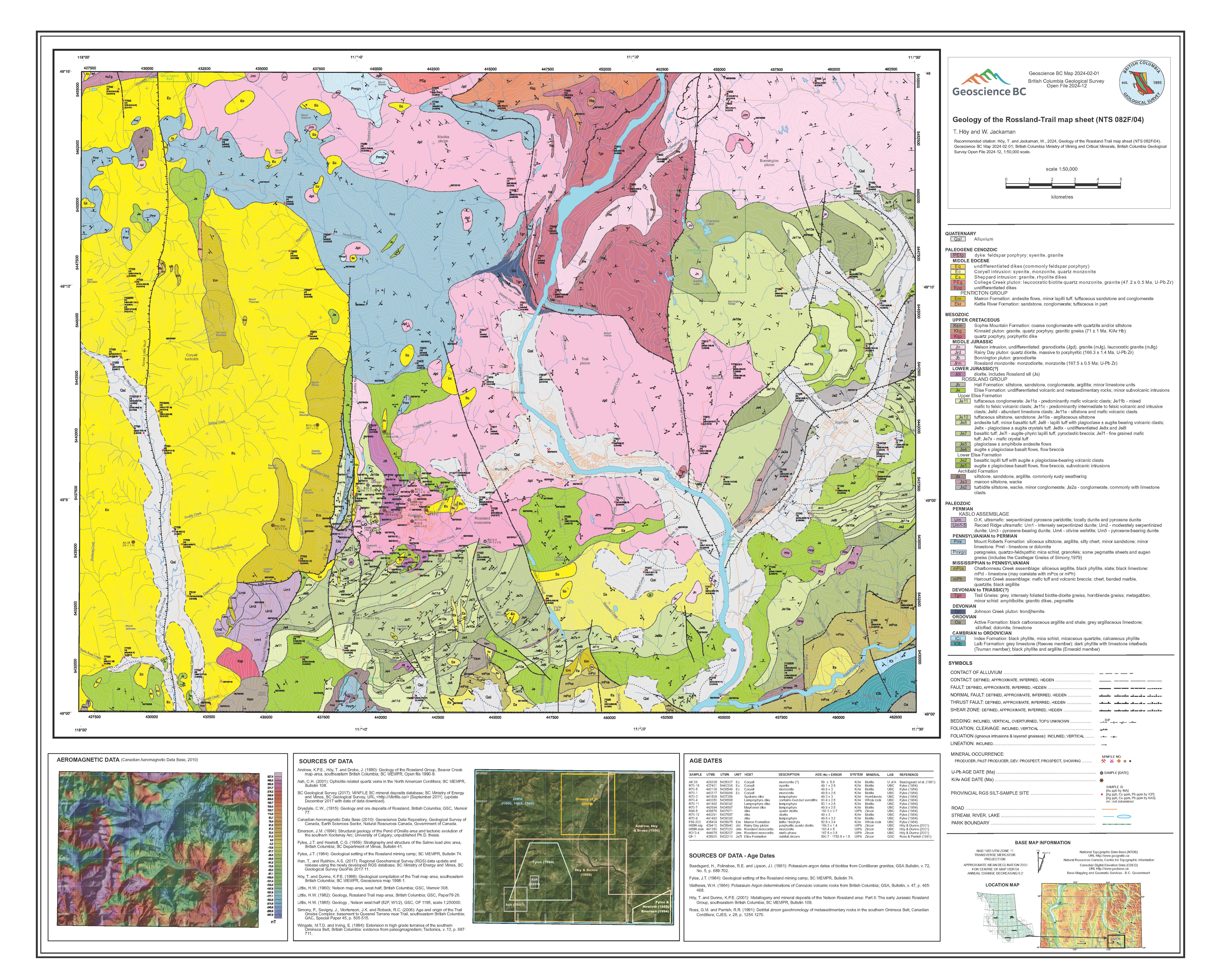 |
Geology of the Rossland-Trail map sheet (NTS 082F/04) |
| Issue ID: | OF2024-13 |
| Title: | Geology of the Castlegar map sheet (NTS 082F/05) |
| Author(s): | H�y, T. and Jackaman, W. |
| Series Name: | Open File |
| Publication Year: | 2024 |
| Other Citation Details: | Also published as Geoscience BC Map 2024-02-02 |
| Scale: | 1:50000 |
| NTS Map Sheet(s): | 082F/05 |
| Place Keyword(s): | British Columbia |
| Theme Keyword(s): | bedrock geology map, Ladybird granite, Kinnaird pluton, College Creek pluton |
Download(s):
| PDF |
Abstract:
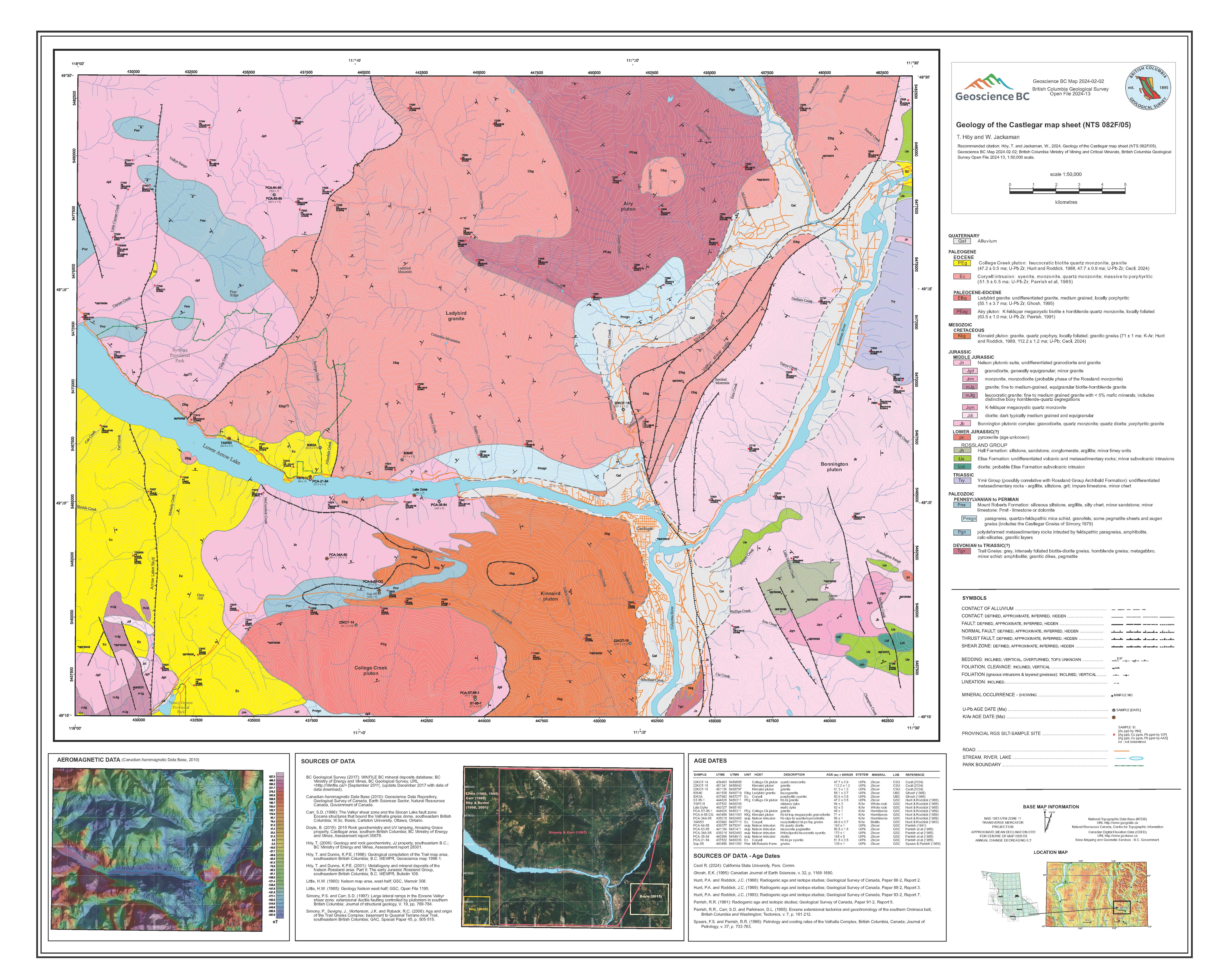 |
Geology of the Castlegar map sheet (NTS 082F/05) |
| Issue ID: | P2025-01 |
| Title: | Geological Fieldwork 2024, a summary of field activities and current research |
| Author(s): | BC Geological Survey |
| Series Name: | Paper |
| Publication Year: | 2025 |
| Larger Work Citation: | Geological Fieldwork 2024, British Columbia Ministry of Mining and Critical Minerals, British Columbia Geological Survey Paper 2025-01 |
| Place Keyword(s): | British Columbia |
| Theme Keyword(s): | Geological Fieldwork, British Columbia Geological Survey, British Columbia Earth sciences, British Columbia mineral resources, public government geoscience |
Download(s):
| PDF |
Abstract:
 |
This is the 50th edition of Geological Fieldwork, the annual volume published by the British Columbia Geological Survey (BCGS), which highlights current research activities and contributions to Cordilleran geoscience. |
| Issue ID: | P2025-01-01 |
| Title: | British Columbia Geological Survey annual program review 2024-2025 |
| Author(s): | Hickin, A.S., Cui, Y., Clarke, G., Ootes, L., and van Straaten, B.I. |
| Series Name: | Paper |
| Publication Year: | 2025 |
| Larger Work Citation: | Geological Fieldwork 2024, British Columbia Ministry of Mining and Critical Minerals, British Columbia Geological Survey Paper 2025-01 |
| Place Keyword(s): | British Columbia |
| Theme Keyword(s): | British Columbia Geological Survey |
Download(s):
| PDF |
Abstract:
| This paper provides an overview of current British Columbia Geological Survey (BCGS, the Survey) geoscience activities and highlights key findings from 2024 projects. Headquartered in Victoria, the Survey is part of the Responsible Mining and Competitiveness Division in the British Columbia Ministry of Mining and Critical Minerals. The Survey generates geoscience knowledge and data to inform land use and resource management decisions, and to support the growth of British Columbia as a competitive jurisdiction for mineral exploration. The Cordilleran Geoscience Section conducts field- and office-based research including bedrock and surficial geology mapping programs, regional geochemical surveys, and targeted mineral deposit studies. Critical minerals continued to be a major theme for the Survey and the Survey launched new multi-year projects to address knowledge gaps and gain insights into the mineral systems that contain critical minerals, the origin, age, and geographic distribution of mineralized rocks, and the spatial distribution of critical minerals within ore bodies. One stream of projects examines the mineral systems that host significant deposits and mines, past and present. These projects are assessing if critical minerals could conceivably be added to production as co- or by-products in the short term. A second stream uses foundational mapping, geochronology, geochemistry, and geophysics to focus on the longer term to identify new deposits and to encourage investment in under-explored critical mineral systems. Public engagement was also a major theme in 2024. Given intersecting and diverse interests about mineral resource development in the province, the Survey engagement program provides unbiased geological information to link everyone living in British Columbia to the knowledge needed to balance exploration and mining, environmental and heritage concerns, and economic realities. The Survey is meeting a heightened demand for geoscience information needed to guide land-use decisions and co-management of mineral resources by increased delivery of Mineral Lands Assessment reports that evaluate the significance of mineral resources in an area and the likelihood of mineral exploration and mining continuing in the future. These reports are aided by renewed mineral potential maps that also serve mineral exploration by indicating areas that are more likely and less likely to host mineralization. The Resource Information Section is responsible for developing and updating provincial geoscience databases and disseminating data online through our geospatial web service (MapPlace). The Section is also responsible for reviewing mineral assessment reports, compiling mineral occurrences, archiving exploration technical documents, and updating mineral resource inventory data. To improve access to critical minerals information and support ongoing studies, the Survey is enhancing its information systems by updating geoscience and mineral resource databases and modernizing legacy information systems to improve efficiency in data processing, managing databases, and delivering web services. The Geoscience Spatial Data Infrastructure (gSDI) project is integrating geoscience and mineral resource databases into a single unified system ready for applied analytics using machine learning. The Mineral Development Office (MDO) is the Vancouver base of the Survey. It provides investment intelligence to government and global business and publishes the annual Provincial Overview of Exploration and Mining in British Columbia volume. The MDO is staffed by a group of Regional Geologists who, stationed in exploration centres across the province, track minerals activities and provide geoscience expertise in their jurisdictions. The Survey was awarded $2 million by the Critical Minerals Geoscience and Data (CMGD) initiative to complete four projects dedicated to advancing critical resource information. As a co-applicant, the Survey was awarded two National Science and Engineering Research Council (NSERC) Alliance Grants intended to support research activities that will advance Canadian knowledge about critical minerals and grow Canadian expertise. |
| Issue ID: | P2025-01-02 |
| Title: | Stratigraphic framework, structural setting, and timing of VMS, epithermal, and porphyry mineralization in the Kitsault River area, northwestern British Columbia |
| Author(s): | Miller, E.A., Ferri, M.D., van Straaten, B.I., and Wall, C. |
| Series Name: | Paper |
| Publication Year: | 2025 |
| Larger Work Citation: | Geological Fieldwork 2024, British Columbia Ministry of Mining and Critical Minerals, British Columbia Geological Survey Paper 2025-01 |
| Place Keyword(s): | British Columbia |
| Theme Keyword(s): | Kitsault River, Hazelton Group, Stuhini Group, Betty Creek Formation, Kinskuch unit |
Download(s):
| PDF |
Abstract:
| The Stikine terrane (Stikinia) of northwest British Columbia hosts significant porphyry, epithermal, and volcanogenic massive sulphide (VMS) precious and base metal deposits. New U-Pb zircon geochronology, mapping, and stratigraphic work in the Kitsault River area provide a framework for understanding the geological setting of the Hazelton Group and distribution of latest Triassic to Early Jurassic mineral deposits in the area. The base of the Hazelton Group consists of local coarse sedimentary rocks of the Kinskuch unit (latest Triassic), which we consider a regional correlative of the Jack Formation. The lower part of the Hazelton Group (Betty Creek Formation; latest Triassic to Early Jurassic, ca. =206-190 Ma) records a period of prolific volcanism that almost completely overlaps with ages returned from the Texas Creek plutonic suite (ca. 204.6-191.7 Ma), which hosts and is coeval with porphyry Cu-Au mineralization and epithermal Au mineralization in the map area. A gap of as much as 20 m.y. separates the lower and upper parts of the Hazelton Group throughout much of the map area. However, from Kitsault Lake north to White Lake, a gap of =2 m.y. separates a belt of Kitsault unit felsic, intermediate, and mafic volcanic rocks and lower Hazelton Group rocks of the Betty Creek Formation. The Kitsault unit is broadly coeval with the arc-like rocks of the Horn Mountain Formation in the upper part of the Hazelton Group along the Stikine arch and the Iskut River Formation of the Eskay rift. It is coeval with VMS and epithermal Ag-Zn-Pb mineralization in the map area. The uppermost Hazelton Group units are the Smithers Formation (ca. =169 Ma) and an unnamed volcanosedimentary unit (ca. 159 to =155 Ma; Middle to Late Jurassic) that occupies the same stratigraphic position as the Quock Formation (Early to Middle Jurassic) as described in central north Stikinia but is younger and coarser-grained. The age of a tuff retrieved from near the base of this unnamed unit is up to 10 million years younger than that of the Kitsault, unit, suggesting that it corresponds to a separate volcanic event and roughly corresponds to Jurassic magmatic pulses in the Coast Plutonic Complex. The host rock for the Ajax porphyry Mo deposit has an Eocene age (ca. 55.5 Ma) and is considered part of the Alice Arm plutonic suite. Structurally controlled mineralization at Surebet is hosted predominantly in the unnamed volcano-sedimentary unit and overlying Bowser Lake Group and is coeval with the Alice Arm and Hyder plutonic suites. |
| Issue ID: | P2025-01-03 |
| Title: | New data on Late Triassic to late Early Jurassic plutonic suites in the northern Golden Triangle region of northwest British Columbia |
| Author(s): | Campbell, R.W., and van Straaten, B.I. |
| Series Name: | Paper |
| Publication Year: | 2025 |
| Larger Work Citation: | Geological Fieldwork 2024, British Columbia Ministry of Mining and Critical Minerals, British Columbia Geological Survey Paper 2025-01 |
| Place Keyword(s): | British Columbia |
| Theme Keyword(s): | Plutonic rocks, Stikinia, Golden Triangle, Porphyry Cu-Au-Mo, Galore Creek |
Download(s):
| PDF |
Abstract:
| New fieldwork focused on the southern Telegraph Creek area of the northern Golden Triangle and 16 previously unreleased U-Pb zircon dates help better define Late Triassic to Early Jurassic plutonic suites and contribute to a better understanding of the relationship between magmatism and mineralization. The Late Triassic Stikine plutonic suite, which hosts the Schaft Creek deposit, is represented by the Hickman and Nightout plutons (ca. 225-219 Ma). Ranging in composition from pyroxenite to foid syenite to monzodiorite, the Late Triassic Galore plutonic suite (ca. 212-204 Ma) is thought to be syn-collisional; it hosts the Galore Creek and Copper Canyon porphyry deposits. At least two significant mineralizing events are recorded at Galore Creek, with the younger event partially hosted by a syenite to monzodiorite unit. Several other small syenite to monzodiorite intrusions west of Galore Creek, and south of Hankin Peak have been reassigned to the Galore suite. The Texas Creek plutonic suite (ca. 204-188 Ma) is restricted to the Ball Creek area, following the reassignment of other Early Jurassic plutons. The monzodiorite and monzonite porphyritic intrusions that host the Mary and Williams porphyry occurrences are likely part of Texas Creek suite such as exposed in the Stewart-Iskut volcanic belt. With apparently limited related mineralization, the Cone Mountain plutonic suite (ca. 185 Ma) is restricted to the western side of the study area. This suite was emplaced following a 30 m.y. hiatus in northern Stikinia, overlapping with emplacement of the Long Lake suite (ca. 188-183 Ma) along the Stikinia-Yukon-Tanana suture. |
| Issue ID: | P2025-01-04 |
| Title: | Critical minerals at the Berg and Huckleberry porphyry deposits, British Columbia, using scanning electron microscopy-mineral liberation analysis (SEM-MLA) |
| Author(s): | Orovan, E.A., Ebert, S., Baldazzi, P., Saxton, D., and Goudie, D.J. |
| Series Name: | Paper |
| Publication Year: | 2025 |
| Larger Work Citation: | Geological Fieldwork 2024, British Columbia Ministry of Mining and Critical Minerals, British Columbia Geological Survey Paper 2025-01 |
| Place Keyword(s): | British Columbia |
| Theme Keyword(s): | Berg, Huckleberry, porphyry Cu-Mo deposits, critical minerals, mineral liberation analysis |
Download(s):
| PDF |
Abstract:
| Scanning electron microscopy-mineral liberation analysis (SEM-MLA) on seven samples from the Berg and Huckleberry porphyry Cu-Mo deposits reveal a range of minerals containing elements that are on the 2024 Canadian critical mineral list. Both deposits are primary sources of copper (chalcopyrite) and molybdenum (molybdenite). In late veins, zinc (sphalerite), copper, and antimony (tetrahedrite) are predominant. These veins include minor concentrations of minerals containing bismuth, tellurium, palladium, manganese, and tungsten, elements that could conceivably be byproducts of primary commodity mining. |
| Issue ID: | GF2023-05 |
| Title: | Exploration and mining highlights, Southeast Region, 2022 |
| Author(s): | Hancock, K. |
| Series Name: | GeoFile |
| Publication Year: | 2023 |
| Place Keyword(s): | British Columbia |
| Theme Keyword(s): | exploration, mining, Southeast Region, coal |
Download(s):
| PDF |
Abstract:
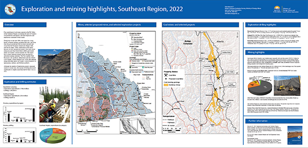 |
Four metallurgical coal mines operate in the Elk Valley of the Southeast Region, accounting for most of Canada�s coal production and exports, and mine expansion and
exploration continued at these mines. The region hosts several industrial mineral mines and quarries, and placer mining continues. Exploration in the region focusses on base and precious metals with some recent extensions into rare Earth metals (REE) and related metals on Canada�s critical minerals list. The Trail smelter (Teck Resources Ltd.) produces refined lead, and zinc (which is on Canada�s critical minerals list), silver and cadmium along with other metals on Canada�s critical minerals list (germanium, indium), and fertilizer products. Exploration expenditures for 2022 are forecast at $29.4 million and exploration drilling is estimated at 28,600 m. |
| Issue ID: | IC2023-05 |
| Title: | The Golden Triangle of northwestern British Columbia |
| Author(s): | British Columbia Geological Survey |
| Series Name: | Information Circular |
| Publication Year: | 2023 |
| Place Keyword(s): | British Columbia, Northwest British columbia |
| Theme Keyword(s): | Golden Triangle, Stikinia, Hazelton Group, porphyry Cu-Au-Mo-Ag, epithermal gold |
Download(s):
| PDF |
Abstract:
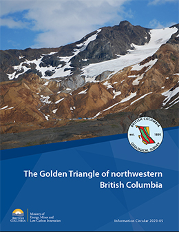 |
The Golden Triangle is the popular name for a loosely defined area of northwestern British Columbia that includes significant gold, silver, and copper deposits. Most deposits are in west-central Stikinia, a long-lived oceanic arc terrane that extends for about 1000 km along the length of the Canadian Cordillera. These deposits developed during terrane accretion and post-accretion deformation and magmatism, and most are related to the Hazelton Group and affiliated intrusions. More than 150 mines have operated in the region since prospectors first arrived near the end of the 19th century. Important past-producing mines include Granduc, Eskay Creek, Anyox, Kitsault, Premier/Dilworth, Dolly Varden, and Snip. Exploration continues at Eskay Creek, Premier/Dilworth, Dolly Varden (Kitsault Valley), Snip, and Scottie Gold mine. The Brucejack and Red Chris mines operate today, the Premier mine is under construction with an early 2024 production target,and several mines are being proposed (Galore Creek, KSM, Red Mountain). |
| Issue ID: | GF2023-06 |
| Title: | Lardeau Group mapping update � implications for ultramafic-associated massive
sulfide and critical metal exploration in southeast British Columbia |
| Author(s): | Mihalynuk, M. G., Ootes, L., Drobe, J. R., Wall, C., and Friedman, R., M. |
| Series Name: | GeoFile |
| Publication Year: | 2023 |
| Place Keyword(s): | British Columbia, southeast British Columbia |
| Theme Keyword(s): | ultramafic-associated massive sulfide, poly-metallic, sea floor detachment, battery metals, Lardeau Group |
Download(s):
| PDF |
Abstract:
 |
Ultramafic-associated massive sulfide deposits (UAMS ) are forming today on mantle exposed by ocean floor detachment faults in off-ridge settings. These massive sulfide lenses can be tens of meters thick and kilometres long, are Ni-Co-enriched, and display remarkably high Cu-Zn grades of 20-40%. Unusual critical element-enriched massive sulfide mineralization (Ni-Cu-Co-Zn-Ag-Au) was discovered near Kaslo in 1981. Known as the Ledgend, this prospect may be a metamorphosed UAMS, but rich grades have yet to be found. Adjacent metamorphic units include talc-tremolite-mariposite and manganiferous graphitic schists. It occurs in the middle of a 300+ km long belt of Lardeau Group, historically considered a passive continental margin succession. Preliminary detrital zircon dating suggests that host rocks may be as young as Triassic, and include possible fragments of oceanic or primitive arc crust emplaced during arc-continent collision, analogous to the modern Banda-Australia collision zone.This poster presents observations made during our geological mapping campaigns in the Lardeau Group, and follow-up geochemical and geochronological findings that bear on long-standing questions about unit correlation and age of the Lardeau in southeast BC. |
| Issue ID: | EXT195 |
| Title: | Ground penetrating radar (GPR) and fluvial placers in a tropical setting, Maple Creek, Guyana |
| Author(s): | Hickin, Adrian S. |
| Series Name: | External Article |
| Publication Year: | 2003 |
| Place Keyword(s): | Guyana |
| Theme Keyword(s): | Ground Penetrating Radar, Fluvial Placers, Guyana |
Abstract:
| This project examines the application of surficial stratigraphy and ground penetrating radar (GPR) to investigate the organization of a fluvial valley-fill in a tropical setting. Fieldwork
was conducted at Vannessa Ventures Ltd.'s Maple Creek diamond and gold placer property in
the Potaro Mining District, Guyana, South America. GPR provided exceptional depth penetration
(>70 m) and high quality imagery of the fluvial architecture of a buried valley. The reflector
representing the bedrock-sediment interface was identified in the cross-sections, allowing for the
generation of three-dimensional GIS models of the paleovalley. A local stratigraphy was
established and is correlative in part with the White Sand Formation of the Corentyne Series. The
White Sand Formation has traditionally been assigned a marine origin, however this work
suggests the appearance of the white sand is the result of diagenesis and a chemical weathering
model for alluvium is proposed. Successful test pitting demonstrated the diamond and gold placer
potential of the Maple Creek valley-fill This study showed that sedimentology, geophysics and
GIS are valuable tools in placer exploration. |
| Issue ID: | GF2023-07 |
| Title: | Remotely piloted aircraft system (RPAS) for investigating surface sediments in the Interior Plateau of British Columbia: Methods, data, and products |
| Author(s): | E.A. Elia, T. Ferbey, B.C. Ward, R.B.K. Shives, M. Best, and N. Martin-Burtart |
| Series Name: | GeoFile |
| Publication Year: | 2023 |
| Place Keyword(s): | British Columbia |
| Theme Keyword(s): | remotely piloted aircraft system, magnetometer, gamma-ray spectrometer, lidar, photogrammetry |
Download(s):
| PDF, ZIP (View Zip Contents) |
Abstract:
 |
Recent advancements in remotely piloted aircraft systems (RPAS) and the miniaturization of external sensors have made collecting geomatics, geological, and geophysical data more accessible. These data can be affordably acquired at spatial resolutions similar to traditional fixed-wing and helicopter-mounted surveys, in some instances at higher resolutions, and can be visualized and used in near-real time. In the 2021 and 2022 field seasons, we used RPAS aircraft to collect gamma-ray spectrometer, magnetometer, and lidar data and aerial photographs for photogrammetric processing at 13 sites centred on alkalic and calc-alkaline porphyry systems in the Mount Polley mine, Woodjam prospect, and Guichon Creek batholith areas of the Interior Plateau. Because glacial deposits cover bedrock in large parts of the Interior Plateau, the surveys were designed to assess the application of RPAS-borne instruments for mapping surficial geology and to test their use for drift prospecting of subglacial tills in areas and of known mineralization. Magnetic and radiometric data were collected over areas of 10000 m2 at a 5-10 m line spacing and a 5-10 m instrument height that was maintained using an RPAS-mounted altimeter and active terrain-following software. Data processing techniques, developed for use in the field with a laptop, produced images of gridded magnetic total field, magnetic first vertical derivative, radioelement concentrations (K, eU, eTh), and radioelement ratios (eTh/K, eU/eTh, and eU/K), with a cell size resolution of 1.67 to 3.33 m. Lidar data were collected at 80-100 m above take-off elevation at a 90-110 m line spacing to produce bare-Earth digital elevation models (DEM) with a cell size resolution of 0.5-0.25 m. Aerial photographic surveys used an RPAS-fixed RGB camera flying 80 to 100 m above take-off location with data being processed in the field using the structure from motion technique, to obtain cm-scale resolution DEMs and orthomosaic images. In this report, we summarize the RPAS platforms and sensors we used in 53 individual surveys, describe the methods for acquiring and processing survey data and, in an accompanying supplementary file, release raw and processed magnetic and gamma-ray spectrometry radiometric data and lidar and air photo products. |
| Issue ID: | GF2023-08 |
| Title: | Bedrock geology of the Dease Lake area: Supporting GIS, structural, magnetic susceptibility, and other digital data |
| Author(s): | van Straaten, B.I., Logan, J.M., Nelson, J.L., Moynihan, D.P., Diakow, L.J., Gibson, R., Bichlmaier, S.J., Wearmouth, C.D., Friedman, R.M., Golding, M.L., Miller, E.A. and Poulton, T.P. |
| Series Name: | GeoFile |
| Publication Year: | 2023 |
| Place Keyword(s): | British Columbia, Dease Lake |
| Theme Keyword(s): | Stikinia, bedrock geology, digital data, GIS, structural measurements |
Download(s):
| PDF, ZIP (View Zip Contents) |
Abstract:
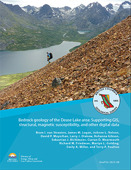 |
This release provides Geographical Information System (GIS) files, structural measurements, magnetic susceptibility measurements, and other digital data from the Dease Lake area of northwestern British Columbia to support the bedrock geology map by van Straaten et al. (2022, BCGS Geoscience Map 2022-01). |
| Issue ID: | EXT196 |
| Title: | British Columbia Mineral and Coal Exploration Survey 2022 |
| Author(s): | Ernst & Young LLP |
| Series Name: | External Article |
| Publication Year: | 2023 |
| NTS Map Sheet(s): | 082;083;092;093;094;102;103;104;114 |
| Place Keyword(s): | British Columbia |
| Lat/Long (NSWE): | 60, 48, -139, -114 |
| Theme Keyword(s): | mineral and coal, exploration survey, exploration expenditure, Ernst & Young EY, AME |
Download(s):
| PDF |
Additional Link(s):
| https://www.ey.com/en_ca/mining-metals |
Abstract:
| 2022 marked a year of volatility of metals prices, through a combination of macroeconomic and geopolitical factors that had a range of both positive
and negative impacts. The reduced risk of pandemic related shutdowns and
full reopening of economies countered by the outbreak of the Russia-Ukraine
war and the energy crisis in its wake created an environment of uncertainty
in the commodity market. With this backdrop considered, the year also
marked a record-year for exploration in British Columbia. BC recorded
$740m spent on exploration in 2022, a 10-year high that surpasses the
previous record held by the $681m spent in 2012. |
| Issue ID: | EXT197 |
| Title: | British Columbia Mineral and Coal Exploration Survey 2021 |
| Author(s): | Ernst & Young LLP |
| Series Name: | External Article |
| Publication Year: | 2022 |
| NTS Map Sheet(s): | 082;083;092;093;094;102;103;104;114 |
| Place Keyword(s): | British Columbia |
| Lat/Long (NSWE): | 60, 48, -139, -114 |
| Theme Keyword(s): | mineral and coal, exploration survey, exploration expenditure, Ernst & Young EY, AME |
Download(s):
| PDF |
Additional Link(s):
| https://www.ey.com/en_ca/mining-metals |
Abstract:
| As the global economy began its recovery, 2021 saw certain sectors experience a rebound in economic activity. Domestic markets
reopened, supply chain networks began to
recover, and restrictions that had previously
disrupted on-site operations were gradually
lifted. Driven by favorable market conditions,
the exploration industry in BC experienced a
record-setting year in 2021, despite major
local difficulties in the form of an unusually
large number of forest fires and temporary
infrastructure disruptions from flooding. |
| Issue ID: | IC2023-07 |
| Title: | Mineral potential modelling at the British Columbia Geological Survey: The next generation |
| Author(s): | British Columbia Geological Survey |
| Series Name: | Information Circular |
| Publication Year: | 2023 |
| Place Keyword(s): | British Columbia |
| Theme Keyword(s): | Mineral potential modelling, mineral potential map, land-use planning, mineral systems, statistical methods |
Download(s):
| PDF |
Abstract:
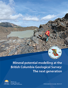 |
Land-use decisions and co-management of natural resources need high-quality information. As one component of land-use planning, mineral potential modelling uses many different types of geologic data to identify areas favourable for mineral deposits. Advancing British Columbia Survey work carried out in the 1990s, modernized modelling is identifying areas of high prospectivity for key mineral systems. A multi-year Survey project, this new modelling will assist land-use conversations between multiple parties having diverse interests. |
| Issue ID: | OF2023-02 |
| Title: | Critical minerals in British Columbia: An atlas of occurrences and producing mines, 2023 |
| Author(s): | Hickin, A.S., Orovan, E.A., Brzozowski, M.J., McLaren, K., Shaw, K., and Van der Vlugt, J. |
| Series Name: | Open File |
| Publication Year: | 2023 |
| Place Keyword(s): | British Columbia |
| Theme Keyword(s): | Critical minerals, green economies, low-carbon, mineral supply chains, British Columbia Critical Mineral Strategy |
Download(s):
| PDF |
Abstract:
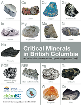 |
Low-carbon technologies demand critical minerals. These minerals are required to make things like electric vehicles, mobile phones, solar panels, wind turbines, electrical transmission lines, batteries, and medical devices, and to manufacture products needed for national defence. Without mining, a green future will never be realized. However, with increased global demand, long-term shortages are predicted. Consequently, jurisdictions in Canada and around the world are developing strategies to ensure critical mineral supply chains are robust and resilient. Mining, exploration, and smelting continue to be important contributors to the economy of British Columbia. Particularly important for northern communities and First Nations, the mineral exploration, mining, and related sectors employ more than 30,000 people. The province seeks to encourage investment that could lead to British Columbia being a significant supplier of the raw materials necessary to support a low-carbon future. The strong environment, social, and governance principals in British Columbia are attractive to investment and make the province a preferred supplier of critical minerals to global partners seeking stable and geopolitically friendly allies. A contribution to British Columbia�s CleanBC Roadmap to 2030, this atlas is the initial step in evaluating the critical mineral endowment of the province and in building awareness of critical mineral opportunities for the exploration and mining industries. |
| Issue ID: | IC2024-01 |
| Title: | Provincial Overview of Exploration and Mining in British Columbia, 2023 |
| Author(s): | Clarke, G., Northcote, B.K., Corcoran, N.L., Pothorin, C., Heidarian, H., and Hancock, K. |
| Series Name: | Information Circular |
| Publication Year: | 2024 |
| Place Keyword(s): | British Columbia |
| Theme Keyword(s): | exploration in British Columbia, mining in British Columbia, exploration expenditures, drilling expenditures, Regional Geologists |
Download(s):
| PDF |
Abstract:
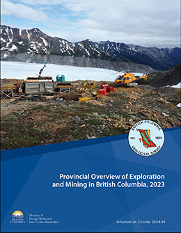 |
This volume is the latest in a series of annual reviews that dates back to 1874, when the first Annual Report of the Minister of Mines was published. To prepare the details in the district chapters, the Regional Geologists visit project sites to view outcrops and drill core and to discuss results and progress. A significant amount of information is gleaned from corporate press releases, websites, and reports. Exploration expenditures, drilling estimates, and other metrics were captured in the British Columbia Mineral and Coal Exploration Survey. The survey is a joint initiative between the Ministry of Energy, Mines and Low Carbon Innovation, the Association for Mineral Exploration, and EY LLP.
Provincial mining production by value was down compared to 2022, mostly due to lower average coal prices. The forecasted value of total provincial mining for 2023 is $15.9 billion. The year started with significant exploration financing in place but, while robust, the total estimated exploration expenditure of $643.5 million is less than the record set in 2022. |
| Issue ID: | GF2024-01 |
| Title: | Exploration and mining in British Columbia, 2023 |
| Author(s): | Clarke, G., Northcote, B.K., Corcoran, N.L., Pothorin, C., Heidarian, H., and Hancock, K. |
| Series Name: | GeoFile |
| Publication Year: | 2024 |
| Place Keyword(s): | British Columbia |
| Theme Keyword(s): | Northwest Region, North Central Region, Northeast Region South, mineral exploration, mining |
Download(s):
| PDF |
Abstract:
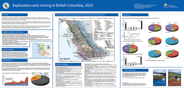 |
British Columbia is Canada�s largest exporter of coal, leading producer of copper, and only producer of molybdenum. Also produced are significant amounts of gold, silver, lead, and zinc, and more than 30 industrial minerals including gypsum, magnesite, limestone, and dimension stone. Numerous quarries produce sand and gravel or crushed aggregate. Flanked by the Pacific Ocean, British Columbia offers easy access to global markets. Mine operations benefit from tax incentives and a well-developed infrastructure, including low-cost electricity, an integrated road and rail network, and large deep-water ports. Exploration benefits from an extensive geoscience database and a web-based mineral tenure system. Exploration expenditures for 2023 remained high, but the total did not exceed the record level attained in 2022. The forecasted value of total provincial mining production reached $15.9 billion, and total exploration expenditures reached $ 643.5 million. |
| Issue ID: | GF2024-02 |
| Title: | Exploration and mining highlights, Northwest Region, 2023 |
| Author(s): | Corcoran, N.L. |
| Series Name: | GeoFile |
| Publication Year: | 2024 |
| Place Keyword(s): | British Columbia |
| Theme Keyword(s): | Northwest Region, mineral exploration, mining, exploration statistics |
Download(s):
| PDF |
Abstract:
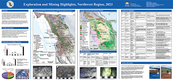 |
The Northwest Region of BC has a long history of mining and is known for
its endowment of precious and base metals. The region is prospective for a
wide range of mineral deposits: large bulk-tonnage porphyry Cu-Au-Mo;
high-grade Au-Ag precious metal; Ag-Pb-Zn polymetallic; ultramafic-hosted
Ni-Co-Pt-Pd; anthracite coal; placer gold; and jade. Projects this year were
largely concentrated in the Golden Triangle, while several other projects were
underway to the southeast. The Red Chris (Cu-Au) and Brucejack (Au-Ag) mines currently operate in the Northwest Region. There are seven proposed mines and many advanced-stage projects. In 2023, the region saw numerous early- to advanced-stage projects that focussed mainly on precious, base metal, and porphyry deposits. Exploration expenditures are estimated at $444.1 million. The estimate for exploration drilling is 439,610 m. |
| Issue ID: | GF2024-03 |
| Title: | Exploration and mining highlights, North Central and Northeast regions, 2023 |
| Author(s): | Heidarian, H. |
| Series Name: | GeoFile |
| Publication Year: | 2024 |
| Place Keyword(s): | British Columbia |
| Theme Keyword(s): | Northeast Region, North Central Region, mineral exploration, mining, exploration statistics |
Download(s):
| PDF |
Abstract:
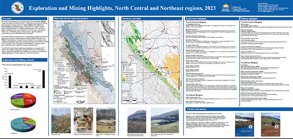 |
The North Central Region has one producing metal mine, the Mount Milligan
copper gold operation (Centerra Gold Inc.).The Northeast Region is prospective for coal and industrial minerals and has three producing coal mines: Conuma Resources Limited�s Brule, Wolverine, and Willow Creek operations. In the far north of the region, Fireside Minerals Ltd. produces barite from its Fireside mine. For the North Central Region, exploration expenditures are estimated at $67.1 million. The estimate for exploration drilling is 69,590 m. For the Northeast Region, exploration expenditures are estimated at $2.6 million. The estimate for drilling exploration is 4710 m (Clarke et al., 2024; EY LLP, 2024). |
| Issue ID: | GF2024-04 |
| Title: | Exploration and mining highlights, South Central Region, 2023 |
| Author(s): | Pothorin, C. |
| Series Name: | GeoFile |
| Publication Year: | 2024 |
| Place Keyword(s): | British Columbia |
| Theme Keyword(s): | South Central Region, mineral exploration, mining, exploration statistics |
Download(s):
| PDF |
Abstract:
 |
The South Central region is the most active mining district in British Columbia, and the most productive copper mining district in Canada. Six metal mines operated in 2023: Gibraltar, New Afton, Highland Valley Copper, Mount Polley, Copper Mountain, and Elk.
Projects targeting gold include the Cariboo Gold, Bralorne, Shovelnose, Reliance Gold, Spanish Mountain, and Newton projects. Major porphyry copper projects include MPD, Woodjam, Kolos, and Rabbit North. Exploration expenditures are estimated at $83.7 million. The estimate for exploration drilling is 110,710 m. |
| Issue ID: | GF2024-05 |
| Title: | Exploration and mining highlights, Southeast Region, 2023 |
| Author(s): | Hancock, K. |
| Series Name: | GeoFile |
| Publication Year: | 2024 |
| Place Keyword(s): | British Columbia |
| Theme Keyword(s): | Southeast Region, mineral exploration, mining, exploration statistics |
Download(s):
| PDF |
Abstract:
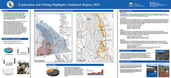 |
Four metallurgical coal mines operate in the Elk Valley of the Southeast Region, accounting for most of Canada�s coal production and exports, and mine expansion and
exploration continued at these mines. The region hosts several industrial mineral mines and quarries, and placer mining continues. Exploration in the region focusses on base and precious metals with some recent extensions into rare Earth metals (REE) and related metals on Canada�s critical minerals list. The Trail smelter (Teck Resources Ltd.) produces refined lead, and zinc (which is on Canada�s critical minerals list), silver and cadmium along with other metals on Canada�s critical minerals list (germanium, indium), and fertilizer products. Exploration expenditures for 2023 are estimated at $35.9 million and exploration drilling is estimated at 98,200 m. |
| Issue ID: | GF2024-06 |
| Title: | Exploration and mining highlights, Southwest Region, 2023 |
| Author(s): | Northcote, B.K. |
| Series Name: | GeoFile |
| Publication Year: | 2024 |
| Place Keyword(s): | British Columbia |
| Theme Keyword(s): | Southwest Region, mineral exploration, mining, exploration statistics |
Download(s):
| PDF |
Abstract:
 |
With its large population centres, real estate, and construction-driven economy, the
Southwest Region�s mining industry mostly serves coastal markets with construction
aggregates and limestone. For many of the largest operations, rivers, and tidewater
facilitate the transportation of these low-unit-value commodities. Myra Falls, an underground Zn-Cu-Pb-Ag-Au producer was the single operating major metal mine in 2023 but was placed on care and maintenance in December. For 2023,exploration expenditures are estimated at $10.1 million. The estimate for exploration drilling is 24,700 m. |
| Issue ID: | GF2024-07 |
| Title: | Assessment report summary: Expenditures and activities 2021 |
| Author(s): | Wallace, B. and Norris, J. |
| Series Name: | GeoFile |
| Publication Year: | 2024 |
| Place Keyword(s): | British Columbia |
| Theme Keyword(s): | ARIS, assessment reports, exploration expenditures, exploration activities, digital data |
Download(s):
| PDF |
Abstract:
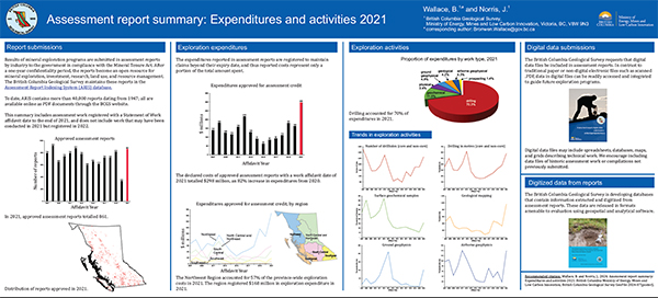 |
Results of mineral exploration programs are submitted in assessment reports by industry to the government in compliance with the Mineral Tenure Act. The British Columbia Geological Survey maintains these reports in the Assessment Report Indexing System (ARIS). This summary includes work registered with a Statement of Work affidavit date to the end of 2021. The expenditures reported in assessment reports are registered to maintain claims beyond their expiry date and thus reported costs represent only a portion of the total amount spent. |
| Issue ID: | GF2024-08 |
| Title: | MINFILE: British Columbia�s mineral inventory system |
| Author(s): | Shaw, K., Norris, J. and Cui, Y. |
| Series Name: | GeoFile |
| Publication Year: | 2024 |
| Place Keyword(s): | British Columbia |
| Theme Keyword(s): | MINFILE |
Download(s):
| PDF |
Abstract:
 |
MINFILE is a searchable database documenting over 16,000 metallic, industrial mineral, and coal occurrences throughout British Columbia. An occurrence is defined as in-situ bedrock or placer mineralization, on surface, in drill holes, or in underground workings; generally, it does not include float, geochemical or geophysical anomalies. The data can be queried in many ways, including by: location, production (commodities by year or tonnes mined), inventory (resource/reserve or assay data), minerals, commodities, deposit type or characteristics, host rock, geological setting, and age. |
| Issue ID: | GF2024-09 |
| Title: | Update of rock geochemical database at the British Columbia Geological Survey |
| Author(s): | Han, T. and Rukhlov, A.S. |
| Series Name: | GeoFile |
| Publication Year: | 2024 |
| Place Keyword(s): | British Columbia |
| Theme Keyword(s): | Lithogeochemistry, rock geochemical database, data product |
Download(s):
| PDF, ZIP (View Zip Contents) |
Abstract:
 |
Rock geochemical data are an integral part of provincial lithogeochemical data, which also include data from till, drainage sediments such as alluvium (including heavy mineral concentrates), moss-mat sediment, and lacustrine deposits. These lithogeochemical data characterize primary dispersion of elements in bedrock and secondary dispersion in weathered rocks, soil, and other surficial sediments, including mechanical dispersion by streams, gravity flows, and glaciers. The development and operation of the British Columbia Geological Survey rock geochemical database allows long-lasting storage and consistent update of rock geochemical data collected from across the province. For the current update, new rock geochemical data were compiled, format standardized, metadata validated, quality checked, and populated into the database, where they were integrated with existing data for permanent storage. |
| Issue ID: | OF2024-01 |
| Title: | Mines, mine development, selected proposed mines, and selected exploration projects in British Columbia, 2023 |
| Author(s): | Clarke, G., Northcote, B.K., Corcoran, N.L., Pothorin, C., Heidarian, H., and Hancock, K. |
| Series Name: | Open File |
| Publication Year: | 2024 |
| Place Keyword(s): | British Columbia |
| Theme Keyword(s): | Northwest Region, North Central Region, Northeast Region, South Central Region, Southeast Region |
Download(s):
| PDF |
Abstract:
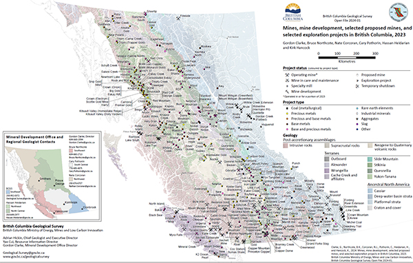 |
British Columbia is Canada�s largest exporter of coal, leading producer of copper, and only producer of molybdenum. Also produced are significant amounts of gold, silver, lead, and zinc, and more than 30 industrial minerals including gypsum, magnesite, limestone, and dimension stone. Numerous quarries produce sand and gravel or crushed aggregate. In 2023, 10 metal mines operated during at least part of the year. Metallurgical coal was produced at four large open-pit operations in the southeastern part of the province and three open-pit operations in the northeastern part. About 30 industrial mineral mines and more than 1000 aggregate mines and quarries were in operation. |
| Issue ID: | IC2024-01-01 |
| Title: | Exploration and Mining in British Columbia, 2023: A summary |
| Author(s): | Clarke, G., Northcote, B.K., Corcoran, N.L., Pothorin, C., Heidarian, H., and Hancock, K. |
| Series Name: | Information Circular |
| Publication Year: | 2024 |
| Place Keyword(s): | British Columbia |
| Theme Keyword(s): | exploration, mining, annual, information circular |
Download(s):
| PDF |
| Issue ID: | IC2024-01-02 |
| Title: | Exploration and mining in the Northwest Region, British Columbia |
| Author(s): | Corcoran, N.L. |
| Series Name: | Information Circular |
| Publication Year: | 2024 |
| Place Keyword(s): | British Columbia, Northwest British columbia |
| Theme Keyword(s): | exploration, mining, annual, information circular |
Download(s):
| PDF |
| Issue ID: | IC2024-01-03 |
| Title: | Exploration and mining in the North Central and Northeast regions, British Columbia |
| Author(s): | Heidarian, H. |
| Series Name: | Information Circular |
| Publication Year: | 2024 |
| Place Keyword(s): | British Columbia, Northeast and central British Columbia |
| Theme Keyword(s): | exploration, mining, annual, information circular |
Download(s):
| PDF |
| Issue ID: | IC2024-01-04 |
| Title: | Exploration and mining in the South Central Region, British Columbia |
| Author(s): | Pothorin, C. |
| Series Name: | Information Circular |
| Publication Year: | 2024 |
| Place Keyword(s): | British Columbia, South central British Columbia |
| Theme Keyword(s): | exploration, mining, annual, information circular |
Download(s):
| PDF |
| Issue ID: | IC2024-01-05 |
| Title: | Exploration and mining in the Southeast Region, British Columbia |
| Author(s): | Hancock, K. |
| Series Name: | Information Circular |
| Publication Year: | 2024 |
| Place Keyword(s): | British Columbia, Southeast British Columbia |
| Theme Keyword(s): | exploration, mining, annual, information circular |
Download(s):
| PDF |
| Issue ID: | IC2024-02 |
| Title: | British Columbia Geological Survey |
| Author(s): | British Columbia Geological Survey |
| Series Name: | Information Circular |
| Publication Year: | 2024 |
| Place Keyword(s): | British Columbia |
| Theme Keyword(s): | British Columbia Geological Survey, Cordilleran Geoscience Section, Resource Information Section |
Download(s):
| PDF |
Abstract:
 |
Information Circular 2024-02 summarizes the mission and activities of the British Columbia Geological Survey. |
| Issue ID: | IC2024-03 |
| Title: | British Columbia Geological Survey Mineral Development Office |
| Author(s): | British Columbia Geological Survey |
| Series Name: | Information Circular |
| Publication Year: | 2024 |
| Place Keyword(s): | British Columbia |
| Theme Keyword(s): | Mineral Development Office, mineral exploration, mining, Regional Geologists |
Download(s):
| PDF |
Abstract:
 |
Information Circular 2024-03 summarizes the mission and activities of the British Columbia Geological Survey Mineral Development Office. |
| Issue ID: | IC2024-04 |
| Title: | Online databases at the British Columbia Geological Survey |
| Author(s): | British Columbia Geological Survey |
| Series Name: | Information Circular |
| Publication Year: | 2024 |
| Place Keyword(s): | British Columbia |
| Theme Keyword(s): | MapPlace 2, geochemical database, MINFILE, COALFILE, ARIS |
Download(s):
| PDF |
Abstract:
 |
Information Circular 2024-04 describes the databases housed by the British Columbia Geological Survey and how these databases can be used. |
| Issue ID: | P2024-01 |
| Title: | Geological Fieldwork 2023, a summary of field activities and current research |
| Author(s): | BC Geological Survey |
| Series Name: | Paper |
| Publication Year: | 2024 |
| Larger Work Citation: | Geological Fieldwork 2023. British Columbia Ministry of Energy, Mines Low Carbon Innovation, British Columbia Geological Survey Paper 2024-01 |
| Place Keyword(s): | British Columbia |
| Theme Keyword(s): | British Columbia Geological Survey, Geological Fieldwork 2023, British Columbia Earth sciences, British Columbia mineral resources, public government geoscience |
Download(s):
| PDF |
Abstract:
 |
Geological Fieldwork 2022 is the forty-ninth edition of the annual volume that presents peer-reviewed papers detailing the results of British Columbia Geological Survey (BCGS) geoscience activities. The Survey also publishes other reports, maps, and databases and contributes to peer-reviewed journals and partners publications throughout the year. This work can be accessed for free through the online BCGS Publication Catalogue. BCGS also publishes an annual companion volume, the Provincial Overview of Exploration and Mining in British Columbia. |
| Issue ID: | P2024-01-01 |
| Title: | British Columbia Geological Survey annual program review 2023-2024 |
| Author(s): | Ootes, L., Cui, Y., Clarke, G., and Hickin, A.S. |
| Series Name: | Paper |
| Publication Year: | 2024 |
| Larger Work Citation: | Geological Fieldwork 2023. British Columbia Ministry of Energy, Mines Low Carbon Innovation, British Columbia Geological Survey Paper 2024-01 |
| Place Keyword(s): | British Columbia |
| Theme Keyword(s): | British Columbia Geological Survey |
Download(s):
| PDF |
Abstract:
| This paper provides an overview of current British Columbia Geological Survey (BCGS) geoscience activities and highlights key findings
from 2023 projects. Headquartered in Victoria, the Survey is part of the Responsible Mining and Competitiveness Division in the British
Columbia Ministry of Energy, Mines and Low Carbon Innovation. The Survey generates geoscience knowledge and data to inform land use and
resource management decisions, and to support the growth of British Columbia as a competitive jurisdiction for mineral exploration.
The Cordilleran Geoscience Section conducts field and office research including bedrock and surficial geology mapping programs, regional
geochemical surveys, and targeted mineral deposit studies. Like most geological survey organizations around the world, critical minerals,
which are essential for low-carbon technologies, are a major theme for the Survey. To inform the Critical Minerals Strategy being developed
by the provincial government, the Survey compiled a critical minerals atlas as the initial step in evaluating the critical mineral endowment of
the province and in building awareness of critical mineral opportunities for the exploration and mining industries. The Survey also began field
projects directed at assessing opportunities through mineral system studies in regions known to contain critical minerals. Both to aid in the
search for critical minerals and to inform land-use conversations between multiple parties having diverse interests, the Survey has revitalized
the mineral potential modelling of the 1990s. This new modelling takes advantage of about 30 years of new data, knowledge, and advances in
GIS applications and computer power to enable statistical analysis of spatial data. The past year has seen further progress of multi-year mapping
projects such as detailed mapping in the northwest part of the province in the Kitsault area, along the Stikine arch, and near Atlin.
Responsible for maintaining and developing provincial geoscience and mineral resource databases, the Resource Information Section
disseminates data online through web portals, MapPlace geospatial web services, and the BC Data Catalogue. Information managed by the team
includes traditional geological maps and reports, geochemical, geophysical, and geological databases, in addition to mineral resource inventory
and exploration assessment reports. The databases and webservices are designed to update data, facilitate data mining, and support applications
for mineral exploration (particularly for critical minerals), and land-use planning. The team has started projects to modernize information
systems and build a geoscience Spatial Data Infrastructure (SDI).
The Mineral Development Office (MDO) is the Vancouver base of the Survey. It provides investment intelligence to government and global
business and publishes the annual Provincial Overview of Exploration and Mining in British Columbia volume. The MDO is staffed by a group
of Regional Geologists who, stationed in exploration centres across the province, track minerals activities and provide geoscience expertise in
their jurisdictions. |
| Issue ID: | P2024-01-02 |
| Title: | Critical minerals and mineral systems in British Columbia |
| Author(s): | Hickin, A.S., Ootes, L., Orovan, E.A., Brzozowski, M.J., Northcote, B.K., Rukhlov, A.S., and Bain, W.M. |
| Series Name: | Paper |
| Publication Year: | 2024 |
| Larger Work Citation: | Geological Fieldwork 2023. British Columbia Ministry of Energy, Mines Low Carbon Innovation, British Columbia Geological Survey Paper 2024-01 |
| Place Keyword(s): | British Columbia |
| Theme Keyword(s): | Critical minerals, critical minerals strategy, mineral criticality, mineral systems, mineral potential modelling |
Download(s):
| PDF |
Abstract:
| Mining is essential to produce the commodities needed to combat climate change. Low-carbon technologies need critical minerals to produce
electric vehicles, mobile phones, solar panels, wind turbines, electrical transmission lines, batteries, and medical devices, and to manufacture
products for national defense. Because of global demands, many of these critical minerals are predicted to see shortages, and British Columbia
is faced with a generational opportunity for mining that will not only contribute to a low-carbon future but generate significant economic and
societal benefits. Already mining critical minerals, British Columbia is Canada�s largest producer of Cu, only producer of Mo, mines Mg, and
recovers Zn, Ag, and Pb. Adopting a mineral systems approach, the British Columbia Geological Survey is engaging in field, laboratory, and
mineral potential modelling studies to evaluate the critical mineral endowment of the province, clarify by- and co-production possibilities of
critical minerals not being recovered from current base and precious metal mines, and serve the provincial Critical Minerals Strategy. Six mineral
systems are of particular importance: porphyry; volcanogenic massive sulphide; deep-water basin and platformal base-metal; magmatic mafic
to ultramafic; carbonatite, and iron skarn. Providing foundational geoscience data and developing novel exploration techniques will encourage
discoveries and enhance exploration for underexplored mineral systems. By increasing awareness of critical mineral opportunities for the
exploration and mining industries, and by enhancing the critical mineral knowledge base, the province seeks to encourage investment that could
lead to new discoveries, expand existing resources, and make British Columbia a significant supplier of the raw materials necessary to address
the climate crisis. |
| Issue ID: | P2024-01-03 |
| Title: | Textural evidence for ore fluid transport and the magmatic to hydrothermal transition at the past-producing Kitsault Mo-Ag mine |
| Author(s): | Orovan, E.A., Zaborniak, K., and Hooker, K. |
| Series Name: | Paper |
| Publication Year: | 2024 |
| Larger Work Citation: | Geological Fieldwork 2023. British Columbia Ministry of Energy, Mines Low Carbon Innovation, British Columbia Geological Survey Paper 2024-01 |
| Place Keyword(s): | British Columbia |
| Theme Keyword(s): | Kitsault Mo-Ag deposit, low-F porphyry Mo, magmatic to hydrothermal transition, unidirectional solidification textures |
Download(s):
| PDF |
Abstract:
| The Kitsault Mo-Ag mine is a low-F porphyry Mo-Ag deposit hosted in Paleogene rocks of the Lime Creek intrusive complex. This complex
consists of multiple stocks and plugs of quartz diorite to quartz monzonite that are surrounded by a broad zone of biotite hornfels developed in
argillite and greywacke of the Bowser Lake Group. Molybdenum mineralization defines a cylindrical mineralized body that is in part spatially
coincident with a series of aplite dikes with disequilibrium textures (unidirectional solidification textures, pegmatites, miarolitic cavities). The
Mo grade shell has been disrupted internally by a late phase of quartz monzonite porphyry (quartz monzonite porphyry II) that lacks aplite.
A series of unmineralized biotite- and hornblende-phyric lamprophyre dikes crosscuts all phases of the Lime Creek intrusive complex and
surrounding Bowser Lake Group sedimentary rocks. The disequilibrium textures observed in the aplite dikes are interpreted to represent a
permeable structure that focused ore-bearing fluids along the aplitic crystal mush, which episodically released during pressure fluctuations.
This mechanism is consistent with a spatial coincidence between aplite dikes and Mo mineralization, internal veins, and disequilibrium textures
within the aplite dikes. |
| Issue ID: | P2024-01-04 |
| Title: | Sulphide mineralization at the E&L magmatic Ni-Cu-PGE deposit: Textural evidence for contamination, vapour saturation, fluid immiscibility, and metal remobilization |
| Author(s): | Brzozowski, M.J., and Zaborniak, K. |
| Series Name: | Paper |
| Publication Year: | 2024 |
| Larger Work Citation: | Geological Fieldwork 2023. British Columbia Ministry of Energy, Mines Low Carbon Innovation, British Columbia Geological Survey Paper 2024-01 |
| Place Keyword(s): | British Columbia |
| Theme Keyword(s): | E&L deposit, Ni-Cu-PGE, magmatic sulphide, metal remobilization, mineral textures |
Download(s):
| PDF |
Abstract:
| The E&L magmatic Ni-Cu-PGE sulphide deposit is hosted by a small (~150 m wide near surface) stock with an apparent conduit geometry
comprising varitextured gabbroic to wehrlitic rocks that crosscut the Nickel mountain gabbro and Middle Jurassic sedimentary rocks of the
Hazelton Group. Sulphide mineralization occurs as disseminated, blebby, net-textured, and (semi-)massive sulphides. Several lines of textural
evidence suggest that assimilation of sedimentary rocks likely played a role in the sulphide saturation history of the E&L magma including:
1) mixtures of gabbroic rock and sedimentary rock in which the two have diffuse boundaries; 2) an association of carbonate with sulphides; and
3) an association of sulphides with felsic patches in mafic rock. Considering that the sedimentary country rocks also contain sulphides, direct
addition of S, either via bulk or selective assimilation, also likely played a role. Compound structures, which comprise segregated sulphide
blebs with rims of fine-grained hydrous silicates (interpreted as former vapour bubbles), are common in the E&L deposit and imply that: 1) the
E&L magma was volatile rich; 2) the magmas were emplaced at shallow crustal levels to permit volatile exsolution; and 3) sulphide liquid
was transported upwards through the intrusive plumbing system. The inferred volatility of the E&L magmas is consistent with the common
occurrence of orbicular textures in the gabbros. We interpret these orbicules to represent saturation of the E&L magma in H2O and exsolution of
a hydrous fluid phase, with the orbicules representing the melt and the interstitial material representing the immiscible fluid. After crystallization
of the stock and generation of the primary sulphide mineralization, it is likely that metals were remobilized by the circulation of hydrothermal
fluids. This inference is supported by: 1) the pervasive alteration of the rocks; 2) the replacement of chalcopyrite by pyrite; 3) the replacement
of olivine �pyroxene by an assemblage of hydrous silicates and sulphides; 4) the replacement of magnetite in magnetite-ulv�spinel-ilmenite
intergrowths by an assemblage of hydrous silicates and sulphides; 5) the occurrence of sulphides in late-stage veins that crosscut the host rocks;
and 6) the replacement of sulphides by magnetite (i.e., S loss). |
| Issue ID: | P2024-01-05 |
| Title: | Mineral potential modelling results for northwestern British Columbia, a comparison between past and current work at the British Columbia Geological Survey |
| Author(s): | Wearmouth, C.D., Peters, K.J., Czertowicz, T.A., and Orovan, E.A. |
| Series Name: | Paper |
| Publication Year: | 2024 |
| Larger Work Citation: | Geological Fieldwork 2023. British Columbia Ministry of Energy, Mines Low Carbon Innovation, British Columbia Geological Survey Paper 2024-01 |
| Place Keyword(s): | British Columbia |
| Theme Keyword(s): | Mineral potential modelling, mineral potential map, land-use planning, mineral systems, statistical methods |
Download(s):
| PDF |
Abstract:
| Nearly thirty years ago, the British Columbia Geological Survey (BCGS) initiated a project to assess the mineral potential of the entire
province, the first assessment of its kind. This project combined data about known mineral occurrences and the geology of the province, and what
was then understood about which rocks favour mineral deposition to develop a relative ranking of mineral potential for a broad range of deposit
types. To aid in the search for the critical minerals needed for a low-carbon future, the BCGS has revitalized its mineral potential mapping efforts,
taking advantage of about 30 years of new data, knowledge, advances in GIS applications, and computer power to enable statistical analysis of
spatial data using weights of evidence modelling. A comparison of results between work done in the 1990s and the current modelling for a large
region of northern British Columbia indicates that the new work largely corroborates the old. Both are of value for assisting land-use decisions
and for mineral exploration. The 1990s work ranks certain areas as having a significantly higher relative prospectivity because the original work
focused on deposit profiles that classified occurrences into about 120 deposit types for a wide range of metals whereas the new work adopted a
mineral systems approach to examine critical mineral potential, considering only the porphyry, volcanogenic massive sulphide, and magmatic
mafic-ultramafic systems. The recent work ranks some areas as having a significantly higher relative prospectivity mainly because it uses new
data and knowledge accumulated in the last 30 years. The revitalized modelling is far less labour intensive than the work done in the 1990s.
Automated manipulation of spatial data and statistical analysis will ease making updates and making future iterations more comprehensive by
including other mineral systems. |
| Issue ID: | P2024-01-06 |
| Title: | Geochemical signals of carbonatite-related critical metals in provincial stream sediments |
| Author(s): | Rukhlov, A.S., Cui, Y., Cunningham, Q., Fortin, G., and Anderson, C. |
| Series Name: | Paper |
| Publication Year: | 2024 |
| Larger Work Citation: | Geological Fieldwork 2023. British Columbia Ministry of Energy, Mines Low Carbon Innovation, British Columbia Geological Survey Paper 2024-01 |
| Place Keyword(s): | British Columbia |
| Theme Keyword(s): | Carbonatite, alkaline rocks, regional geochemical survey (RGS), stream sediments, heavy mineral concentrate (HMC) |
Download(s):
| PDF |
Abstract:
| Consisting of at least 30% primary carbonate minerals, carbonatites are rare igneous rocks that have become increasingly important exploration
targets, because they are major sources of Nb, rare earth elements (REE), and other critical minerals. Demand for these minerals has rapidly
increased as the world transitions to low-carbon technologies. The British Columbia alkaline province, which defines a long (at least 1000 km),
narrow (ca. 200 km) orogen-parallel belt along the western flank of Ancestral North America, contains numerous carbonatites and related
silica-undersaturated and alkaline silicate rocks that host REE and rare-metal resources. Using multi-element stream-sediment geochemical
data collected as part of the Regional Geochemical Survey (RGS) program since 1976, we define a multivariant �critical mineral index� to
assess prospectivity for carbonatite-hosted critical metals. Based on discriminant analysis of a training sub-set of the data downstream of
known carbonatite occurrences (n=26), our carbonatite index, which is validated by a test sub-set of the data (n=27), highlights numerous
areas prospective for REE in the alkaline province. Stream-sediment data showing carbonatite index scores greater than the 93rd percentile
(n=50) reveal maximum contrast of REE, Nb, Ta, Ti, Zr, Hf, Th, U, P, K and other carbonatite indicators relative to the median (background)
concentrations in stream sediments of the study area. Estimated predicted geochemical resources (in tonnes of metal per 1 m depth), based on
productivities of metals in the stream basins, suggest significant potential for REE and other carbonatite-hosted critical metals. Based on data
from known carbonatites, we propose a refined prospectivity approach to assess the critical metals potential of underexplored regions that
includes detailed stream-sediment, panned heavy mineral concentrate, and soil lithochemical surveys and high-resolution airborne radiometric
and magnetic data. |
| Issue ID: | P2024-01-07 |
| Title: | British Columbia Geological Survey rock geochemical and geochronological data products: Examples of utility |
| Author(s): | Ootes, L., Rukhlov, A.S., and Han, T. |
| Series Name: | Paper |
| Publication Year: | 2024 |
| Larger Work Citation: | Geological Fieldwork 2023. British Columbia Ministry of Energy, Mines Low Carbon Innovation, British Columbia Geological Survey Paper 2024-01 |
| Place Keyword(s): | British Columbia |
| Theme Keyword(s): | BCGS data products, geochronology, geochemistry, data utility |
Download(s):
| PDF |
Abstract:
| The British Columbia Geological Survey compiles, manages, and releases geochronology and geochemistry data updates. More than
8000 geochronological results from British Columbia are available from a data release in 2004 and an update in 2020, and this paper highlights
one of the ways these datasets can be used to highlight episodes in the evolution of the Cordilleran orogen. Rock geochemical results are
available from >12,000 samples across British Columbia and this paper also illustrates how these data can be used. Most of the data from Triassic
to Early Jurassic intrusions overlap the field of rock compositions (Sr/Y vs. Sr/MnO) that are prospective for porphyry Cu, skarn, or epithermal
mineralization. A plot of Cu concentrations from ~10,000 samples highlights elevated concentrations in western and eastern Stikine terrane and
Quesnel terrane, areas with known porphyry Cu-Mo-Au deposits. |
| Issue ID: | P2024-01-08 |
| Title: | Preliminary results from revision mapping of the Gladys Lake area, near Atlin, northwest British Columbia |
| Author(s): | Mihalynuk, M.G., Zagorevski, A., Campbell, R., Hajiegeh, A., and Vaillancourt, A. |
| Series Name: | Paper |
| Publication Year: | 2024 |
| Larger Work Citation: | Geological Fieldwork 2023. British Columbia Ministry of Energy, Mines Low Carbon Innovation, British Columbia Geological Survey Paper 2024-01 |
| Place Keyword(s): | British Columbia |
| Theme Keyword(s): | Atlin terrane, Cache Creek terrane, ophiolite, harzburgite, seafloor detachment |
Download(s):
| PDF |
Abstract:
| Geological mapping and sampling immediately south of the Yukon border, in the Gladys Lake area near Atlin, updates mapping of 1950s
vintage that predates concepts derived from plate tectonics. Much of the area is underlain by deformed chert, primitive arc basalt, and slivers
of mantle peridotite; all are extensively intruded by Jurassic and Cretaceous plutons. This study further documents the newly defined ophiolitic
Atlin terrane, its obduction onto the Cache Creek terrane, and overlap of chert and siliciclastic deposits. Oceanic crustal sections in the map area
record evidence of having formed during ocean floor detachment. Mineralized hemipelagic strata deposited atop mantle peridotite exposed by
seafloor detachment contain Ag, Zn, Pb, Cu sulphides. These strata may be distal precipitates of hydrothermal plumes from ultramafic-associated
seabed massive sulphide fields formed atop exposed, cooling mantle. Atlin terrane detachments have been identified along strike of the map area
for more than 400 km, representing a significant untested mineral exploration opportunity. |
| Issue ID: | P2024-01-09 |
| Title: | Upper Hazelton Group stratigraphy along the Stikine arch, northwestern British Columbia |
| Author(s): | van Straaten, B.I. |
| Series Name: | Paper |
| Publication Year: | 2024 |
| Larger Work Citation: | Geological Fieldwork 2023. British Columbia Ministry of Energy, Mines Low Carbon Innovation, British Columbia Geological Survey Paper 2024-01 |
| Place Keyword(s): | British Columbia |
| Theme Keyword(s): | Stratigraphy, upper Hazelton Group, Bowser Lake Group, Spatsizi Formation, Horn Mountain Formation |
Download(s):
| PDF |
Abstract:
| This paper presents new stratigraphic studies of the upper Hazelton Group (late Early to Middle Jurassic) along the Stikine arch, part of the
Stikine terrane in northwestern British Columbia. Detailed maps, composite stratigraphic sections, lithological descriptions, contact relationships,
and preliminary geochronological data are presented for four areas along the Stikine arch (Stikine batholith, Mount Blair, Spatsizi, and Yehiniko
Lake areas), and compared to recent studies in the Dease Lake area.
The upper Hazelton Group unconformably overlies Late Triassic volcano-plutonic centres of the Stuhini arc. The unconformity spans at
least 30 m.y. and indicates a prolonged period of uplift and erosion of the Stuhini arc that followed cessation of subduction and termination
of arc activity in the latest Triassic. Thick (1-5 km) successions of upper Hazelton Group rocks extend for at least ~275 km along the Stikine
arch. We apply uniform stratigraphic nomenclature to these rock units, which include basal sedimentary rocks of the Spatsizi Formation, and
overlying volcanic rocks of the Horn Mountain Formation. Volcano-sedimentary units are lithologically similar along the entire length of the
belt, and typically include basal granitoid clast-bearing conglomerates, overlain by marine siliciclastic sedimentary rocks that grade upward into
subaqueous green mafic fragmental volcanic to reworked volcanic rocks. Thick overlying successions of maroon to grey, mafic to intermediate
flows and fragmental volcanic rocks are found in all study areas and indicate the formation of subaerial volcanic centres. Preserved parts of the
uppermost succession include subaerial felsic volcanic rocks, locally overlain by mafic volcanic rocks. The thickest successions are in the centre
of the belt (>4.8 km), with thinner successions in the west and east (>0.7-1 km). The onset of sedimentary deposition atop the basal unconformity
is constrained by late Pliensbachian to early Toarcian fossils, with the start of voluminous volcanism constrained by modern high-precision U-Pb
zircon geochronology to ca. 185 Ma (latest Pliensbachian) in the southwest, ca. 175 Ma (latest Toarcian) in the centre, and before ca. 172 Ma
(Aalenian) in the east. The general pattern is permissive of an eastward younging trend in the onset of upper Hazelton Group deposition atop the
Stuhini arc. Horn Mountain volcanism in the southwest continued until at least the end of the Toarcian, but a lack of modern age dates and faulted
or eroded top contacts preclude a confident interpretation. The end of Horn Mountain volcanism in the centre of the belt is well-constrained at
ca. 171 Ma (latest Aalenian). Upper Hazelton Group volcanism occurred during accretion of the Quesnel, Cache Creek, and Stikine terranes to
Ancestral North America, and was probably generated by re-melting of subduction-modified lithosphere during accretion.
The upper Hazelton Group is overlain by the Bowser Lake Group, where marine siliciclastic sedimentary rocks in the western and central parts
of the Stikine arch (early Bajocian and younger) give way eastward to interstratified subaerial mafic volcanic and siliciclastic rocks of the newly
defined Mount Blair Formation (ca. 171 Ma and younger). These successions represent the oldest preserved Bowser Lake Group and mark the
onset of deposition of erosional products from the Stikinia-Cache Creek tectonic welt. |
| Issue ID: | P2024-01-10 |
| Title: | Appendix: British Columbia Geological Survey Publications 2023, including peer-reviewed external papers co-authored by BCGS staff |
| Author(s): | BC Geological Survey |
| Series Name: | Paper |
| Publication Year: | 2024 |
| Larger Work Citation: | Geological Fieldwork 2023. British Columbia Ministry of Energy, Mines Low Carbon Innovation, British Columbia Geological Survey Paper 2024-01 |
| Place Keyword(s): | British Columbia |
Download(s):
| PDF |
| Issue ID: | IC2024-01-06 |
| Title: | Exploration and mining in the Southwest Region, British Columbia |
| Author(s): | Northcote, B.K. |
| Series Name: | Information Circular |
| Publication Year: | 2024 |
| Place Keyword(s): | British Columbia, Southwest British Columbia |
| Theme Keyword(s): | exploration, mining, annual, information circular |
Download(s):
| PDF |
| Issue ID: | GF2024-10 |
| Title: | Geochemical and magnetic susceptibility analyses of samples collected from the Gladys Lake area, near Atlin, northwest British Columbia (NTS 104N/11, 13, 14, and 15) |
| Author(s): | Campbell, R, W., Mihalynuk, M, G., and Zagorevski, A |
| Series Name: | GeoFile |
| Publication Year: | 2024 |
| Place Keyword(s): | British Columbia, Atlin |
| Theme Keyword(s): | Atlin terrane, Cache Creek terrane, ophiolite, harzburgite, seafloor detachment |
Download(s):
| PDF, ZIP (View Zip Contents) |
Abstract:
 |
Geofile 2024-10 contains magnetic susceptibility data and the results, methods, and quality control data from geochemical analyses of samples collected during fieldwork conducted in the Atlin area near the British Columbia-Yukon border. |
| Issue ID: | P2025-01-05 |
| Title: | Apatite fission track data from northern Hogem batholith, Quesnel terrane, north-central British Columbia: A progress report |
| Author(s): | Wang, X., Jiao, R., and Ootes, L. |
| Series Name: | Paper |
| Publication Year: | 2025 |
| Larger Work Citation: | Geological Fieldwork 2024, British Columbia Ministry of Mining and Critical Minerals, British Columbia Geological Survey Paper 2025-01 |
| Place Keyword(s): | British Columbia |
| Theme Keyword(s): | Hogem batholith, Quesnel terrane, low-temperature thermochronology, apatite fission track, LA-ICP-MS |
Download(s):
| PDF |
Abstract:
| The intrusive history of the northern Hogem batholith has been well-documented through previous bedrock mapping and U-Pb zircon and 40Ar/39Ar geochronology. However, the post-emplacement cooling history and exhumation of the batholith remain unknown. This study presents preliminary results of apatite fission track analyses from four mapped intrusive suites: Thane Creek (207-194 Ma); Duckling Creek (182-175 Ma); Osilinka (<160 Ma); and Mesilinka (135-128 Ma). Analysis of separated apatite yielded fission track ages of 46 and 26 Ma (Thane Creek suite, two samples); 69 and 100 Ma (Duckling Creek suite, two samples); and 60, 49, and 43 Ma (Mesilinka suite, three samples); Osilinka suite samples failed to yield apatite. Combining these ages with track length distribution data from five samples, as well as the U-Pb zircon crystallization ages and 40Ar/39Ar ages, we modelled the cooling history of the samples. Our results indicate that following initial magma cooling in the Jurassic and Cretaceous, northern Hogem batholith experienced continuous cooling from ca. 60-40 Ma until the present as it exhumed to shallow crustal levels. |
| Issue ID: | P2025-01-06 |
| Title: | An optimized rapid analytical workflow for applying magnetite as an indicator mineral for porphyry copper deposits |
| Author(s): | Morris, R., Canil, D., and Lacourse, T. |
| Series Name: | Paper |
| Publication Year: | 2025 |
| Larger Work Citation: | Geological Fieldwork 2024, British Columbia Ministry of Mining and Critical Minerals, British Columbia Geological Survey Paper 2025-01 |
| Place Keyword(s): | British Columbia |
| Theme Keyword(s): | Porphyry copper deposits, magnetite, indicator minerals, LA-ICP-MS, optimized workflow exploration |
Download(s):
| PDF |
Abstract:
| The discrimination of hydrothermal magnetite in till samples near the Mount Polley porphyry copper deposit was re-examined using revised methods that optimized the analytical workflow by laser ablation inductively coupled mass spectrometry (LA-ICP-MS). We show that decreasing laser ablation dwell times to as little as 10 seconds with 100 �m ablation spot sizes results in nearly identical scores for the percentages of hydrothermal magnetite in bulk till samples compared to more time-consuming methods that use longer dwell times and data reduction to edit possible inclusions. The reproducibility in the identification of hydrothermal magnetite from linear discriminant analysis (LDA) models of Pisiak et al. (2017) indicates their LDA2 model, which includes Ti, is better than LDA1, where scoring results of hydrothermal magnetite from the revised methods are within 6%. Reproducibility in identifying hydrothermal magnetite with the commonly used Ti versus Ni/Cr discriminant space is generally poor (<40%). Our work highlights that basaltic glass calibration standards are better than NIST glass calibration standards for analyzing magnetite because the latter have Fe contents far below (ppm concentrations) that of magnetite (up to 72 wt.% Fe). Future work could further optimize workflow by including a calibration standard closer to magnetite in matrix composition. |
| Issue ID: | P2025-01-07 |
| Title: | Time of deposition refinements for key stratigraphic intervals of the Nicola Group, southern British Columbia |
| Author(s): | Mihalynuk, M.G., Wall, C., and Zagorevski, A. |
| Series Name: | Paper |
| Publication Year: | 2025 |
| Larger Work Citation: | Geological Fieldwork 2024, British Columbia Ministry of Mining and Critical Minerals, British Columbia Geological Survey Paper 2025-01 |
| Place Keyword(s): | British Columbia |
| Theme Keyword(s): | Nicola arc, Quesnel terrane, porphyry copper mineralization, mineral exploration, detrital zircon |
Download(s):
| PDF |
Abstract:
| Nicola Group in southern British Columbia comprises predominantly Late Triassic volcanic and derived sedimentary rocks. Comagmatic Nicola arc intrusions have produced economically important deposits of copper, gold, silver, molybdenum, and other elements during discrete periods in the Late Triassic. Advancements in defining these mineralizing events rely on accurately establishing stratigraphic-magmatic relations. This depends on geochronologic control, particularly in the extensive, regionally correlative sedimentary units that are difficult to distinguish based on rock type alone, such as parts of the Shrimpton and Elkhart formations. Detrital zircon maximum depositional age (MDA) determinations based on micro-analytical geochronological techniques such as laser ablation-inductively coupled plasma-mass spectrometry (LA-ICP-MS) are commonly too imprecise for accurate correlations. In ancient active volcanic arc environments, we can address this problem through high-precision chemical abrasion-thermal ionization mass spectroscopic (CA-TIMS) techniques to refine MDAs to times of deposition. Aided by new time of deposition (TOD) determinations, we show that following a major growth phase that ended after 224 Ma, the beginning of widespread Nicola arc incision was underway by 222.0 Ma, as recorded by deposition of the Elkhart Formation. Abrupt disruption of Nicola arc magmagenesis led to more hydrated phenocryst assemblages and ultrapotassic basalt flows by 202.6 Ma. Porphyry mineralization in the southern Nicola arc is bracketed by the 222.0 and 202.6 TOD ages, and the arc was largely extinguished by 201.3 Ma. |
| Issue ID: | P2025-01-08 |
| Title: | British Columbia carbonatites revisited: New whole rock Sr-Pb-Nd isotopic insights and drainage prospectivity trends |
| Author(s): | Rukhlov, A.S., Ootes, L., Creaser, R.A., Cunningham, Q.F., de Waal, F.S., and Wenger, D.K. |
| Series Name: | Paper |
| Publication Year: | 2025 |
| Larger Work Citation: | Geological Fieldwork 2024, British Columbia Ministry of Mining and Critical Minerals, British Columbia Geological Survey Paper 2025-01 |
| Place Keyword(s): | British Columbia |
| Theme Keyword(s): | Carbonatite, alkaline rock, trace elements, Sr-Pb-Nd isotopes, Re-Os molybdenite |
Download(s):
| PDF |
Abstract:
| Lithochemistry from modern drainages downstream of several known carbonatite and related alkaline-rock occurrences and a new calcitedolomite carbonatite near Revelstoke reveals elevated (up to 100 times average continental crust) levels of rare earth elements (REE), Nb, Ta, and other carbonatite pathfinders. Panned, heavy mineral concentrate (HMC) samples show 10 times stronger contrast relative to bulk stream-sediment samples. Molybdenite from the past-producing Mount Copeland alkali syenite (ca. 740 Ma) yielded a Re-Os model age of 55.94 �0.23 Ma, which ties the mineralization to a Paleogene metamorphic overprint. New whole rock Sr-Pb-Nd isotopic data from Neoproterozoic, Cambrian, and late Paleozoic carbonatites of the Blue River and Frenchman Cap areas, and Mount Copeland syenite record the evolution of a widespread, relatively primitive mantle source that was tapped episodically by carbonatites worldwide, at least since ca. 3 Ga, and by present-day ocean island basalts. The stream-sediment prospectivity criteria and carbonatite whole rock data compliment and link the sources of mineralization with host rocks and evolution of Cordilleran terranes. Our preliminary results inform the provincial assessment of carbonatite- and related-rockhosted REE and rare metals through indicator minerals in archived Regional Geochemical Survey (RGS) samples. |
| Issue ID: | P2025-01-09 |
| Title: | A preliminary assessment of critical companion metals in SEDEX deposits of eastern British Columbia: Examples from the historic Sullivan mine and the Cirque project |
| Author(s): | Graham, A.C., Wearmouth, C.D., Northcote, B., and Ootes, L. |
| Series Name: | Paper |
| Publication Year: | 2025 |
| Larger Work Citation: | Geological Fieldwork 2024, British Columbia Ministry of Mining and Critical Minerals, British Columbia Geological Survey Paper 2025-01 |
| Place Keyword(s): | British Columbia |
| Theme Keyword(s): | SEDEX, Sullivan, Cirque, critical metals, companion metals |
Download(s):
| PDF |
Abstract:
| Sedimentary exhalative (SEDEX) deposits with primary commodities Pb, Zn, and Ag commonly contain recoverable concentrations of companion metals (e.g., Bi, Cd, Ga, Ge, In, Sb, Sn, Te). These companion metals, which could be recovered as by-products, are on the critical mineral lists of many political jurisdictions. Although SEDEX deposits near the western margin of Ancestral North America have long been recognized, the amount and distribution of companion metals in these deposits remains unclear. Preliminary bulk-rock geochemistry of samples from the historical Sullivan mine, hosted in Mesoproterozoic rocks of Belt-Purcell basin in southeastern British Columbia, shows that massivesulphide ore is strongly enriched (>100 - >1000x the average concentration of upper continental crust) in Sb, Cd, Hg, In, and Te, and moderately enriched (10 - 100x) in As, Bi, and Sn. Four samples of Sullivan ore yielded >1000x the average concentration of the upper crust (56 ppb) of In, with the highest at 112.5 ppm In. Stratiform and laminated Upper Devonian sulphide-barite samples from the Cirque project in the Kechika trough of northeastern British Columbia are moderately to strongly enriched in Cd, Hg, and Te but only weakly or variably enriched in In (=3.45 ppm), Sb, and Sn. Renewed mineral potential modelling by the BCGS indicates that the Kechika trough has the highest SEDEX prospectivity ranking in the northeastern part of the province and that two smaller areas to the west may also be prospective. |
| Issue ID: | P2025-01-10 |
| Title: | Co-Te mineralization in iron skarns on Vancouver Island and Texada Island |
| Author(s): | Bain, W.M., de Waal, F., and Goudie, D.J. |
| Series Name: | Paper |
| Publication Year: | 2025 |
| Larger Work Citation: | Geological Fieldwork 2024, British Columbia Ministry of Mining and Critical Minerals, British Columbia Geological Survey Paper 2025-01 |
| Place Keyword(s): | British Columbia |
| Theme Keyword(s): | Skarn, iron skarn, cobalt, tellurium, bismuth |
Download(s):
| PDF |
Abstract:
| Iron skarns commonly contain Co along with base and precious metals. Vancouver Island, Texada Island, and Haida Gwaii in southern Wrangel have the largest concentrations of Co-bearing iron skarns in British Columbia. Here we present scanning electron microscopy-mineral liberation analysis (SEM-MLA) data showing the distribution and mineralogy of Co and Te in magnetite skarn, massive magnetite-calcite, podiform sulphide, and massive sulphide mineralization and associated alteration from iron skarns on Vancouver Island and Texada Island. Cobalt occurs primarily as cobaltite and is most commonly observed with sulphide-bearing quartz-carbonate-hornblende that crystallized after massive magnetite. In most cases, massive magnetite and sulphide-bearing orebodies are surrounded by proximal andradite-rich skarn and distal sodic-calcic alteration surrounding feldspar-scapolite veins. Bismuth-Ag-Hg telluride, electrum, and native bismuth are also commonly intergrown with cobaltite mineralization and occur as inclusions in primary pyrite-pyrrhotite-chalcopyrite. |
| Issue ID: | P2025-01-11 |
| Title: | British Columbia radiogenic isotope compilation (Sr-Nd-Hf-Pb): Introduction and examples of utility |
| Author(s): | Rukhlov, A.S., Ootes, L., and Han, T. |
| Series Name: | Paper |
| Publication Year: | 2025 |
| Larger Work Citation: | Geological Fieldwork 2024, British Columbia Ministry of Mining and Critical Minerals, British Columbia Geological Survey Paper 2025-01 |
| Place Keyword(s): | British Columbia |
| Theme Keyword(s): | Sr-Nd-Hf-Pb isotopes, igneous rocks, terranes, mineral exploration |
Download(s):
| PDF |
Abstract:
| Isotopic tracer ratios are powerful tools to map terrane boundaries, evaluate terrane evolution, and establish magmatic sources, and have become increasingly important in predictive mineral exploration. As part of province-wide geochemical re-analysis efforts, the British Columbia Geological Survey is generating hundreds of new whole rock radiogenic isotope data (Sr-Nd-Hf-Pb) from archived igneous rocks. The first iteration of a province-wide radiogenic isotope compilation includes previously published results from 1465 samples and will serve as a framework for ongoing analytical work. Isotope development and correlation diagrams (eNd(T), eHf(T), initial 87Sr/86Sr, initial 206Pb/204Pb, 207Pb/204Pb, 208Pb/204Pb) from the Cordillera provide insights into the evolution of the western margin of Laurentia and the accreted terranes to the west. These data highlight the location of terrane boundaries both today and through time, and provide diagnostic evidence of terrane evolution and magmatic sources. |
| Issue ID: | P2025-01-12 |
| Title: | Critical metals in volcanogenic massive sulphide (VMS) deposits in British Columbia: A progress report |
| Author(s): | Piercey, S.J., Pietruszka, D., and Goudie, D. |
| Series Name: | Paper |
| Publication Year: | 2025 |
| Larger Work Citation: | Geological Fieldwork 2024, British Columbia Ministry of Mining and Critical Minerals, British Columbia Geological Survey Paper 2025-01 |
| Place Keyword(s): | British Columbia |
| Theme Keyword(s): | Volcanogenic massive sulphide, VMS, critical minerals, mineral liberation analysis, MLA |
Download(s):
| PDF |
Abstract:
| Probability plots and principal component analysis derived from bulk-rock geochemistry, reflected light microscopy, and scanning electron microscopy (SEM) on archival samples from across British Columbia indicate that provincial volcanogenic massive sulphide (VMS) deposits contain diverse elements on the 2024 Canadian critical minerals list; most contain Cu and Zn as primary commodities with varying concentrations of Co, In, Sb, Sn, and Te. Felsic-hosted deposits have greater enrichments in Zn, Pb, As, Ag, Au, Cd, Ga, and Sb relative to mafic-hosted deposits, which have enrichments in Cu, Co, Fe, In, Mn, Mo, Se, Sn, and Te, similar to global VMS deposits described in the literature. The Zn-Pb-element associations likely reflect deposition from low-temperature (<300�C) VMS fluids, whereas the Cu-rich assemblages represent deposition from higher temperature (>300�C) VMS fluids. Reflected light microscopy and scanning electron microscopy indicate that the main mineral hosts for critical minerals are chalcopyrite (Cu) and sphalerite (Zn) and to a lesser extent bornite (Cu), covellite (Cu), and tetrahedrite (Cu, Zn, Sb). Suites of relatively minor phases occur as small grains in different mineral groups including: 1) sulphides-stannite (Cu, Sn, In?), bismuthinite, and Agbearing bismuthinite (Bi); 2) arsenides and antimonides-berthierite (Sb), cobaltite (Co), Ni-bearing cobaltite (Co, Ni), stibnite (Sb), jamesonite (Sb), and ullmannite (Sb, Ni); 3) tellurides-hessite and empressite (Te); and 4) native elements and oxides-native bismuth (Bi) and cassiterite (Sn). The next phase of work will involve quantitative mineral compositions and determination of major, minor, and trace metal concentrations in various mineral phases using electron probe microanalysis (EPMA) and laser ablation inductively coupled plasma mass spectrometry (LAICP-MS). |
| Issue ID: | P2025-01-13 |
| Title: | British Columbia Geological Survey Publications 2024 including peer-reviewed external papers co-authored by BCGS staff |
| Author(s): | BC Geological Survey |
| Series Name: | Paper |
| Publication Year: | 2025 |
| Larger Work Citation: | Geological Fieldwork 2024, British Columbia Ministry of Mining and Critical Minerals, British Columbia Geological Survey Paper 2025-01 |
| Place Keyword(s): | British Columbia |
Download(s):
| PDF |
| Issue ID: | OF2025-01 |
| Title: | Mines, mine development, selected proposed mines, and selected exploration projects in British Columbia, 2024 |
| Author(s): | Clarke, G., Northcote, B.K., Corcoran, N.L., Pothorin, C., Heidarian, H., and Hancock, K. |
| Series Name: | Open File |
| Publication Year: | 2025 |
| Place Keyword(s): | British Columbia |
| Theme Keyword(s): | Northwest Region, North Central Region, Northeast Region, South Central Region, Southeast Region |
Download(s):
| PDF, ZIP (View Zip Contents) |
Abstract:
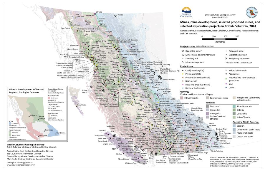 |
British Columbia is Canada�s largest exporter of metallurgical coal, leading producer of copper, and only producer of molybdenum. Also produced are significant amounts of gold, and silver, and more than 30 industrial minerals including gypsum, magnesite, limestone, and dimension stone. Numerous quarries produce sand and gravel or crushed aggregate. |
| Issue ID: | IC2025-01 |
| Title: | Provincial Overview of Exploration and Mining in British Columbia, 2024 |
| Author(s): | Clarke, G., Northcote, B.K., Corcoran, N.L., Pothorin, C., Heidarian, H., and Hancock, K. |
| Series Name: | Information Circular |
| Publication Year: | 2025 |
| Place Keyword(s): | British Columbia |
| Theme Keyword(s): | exploration in British Columbia, mining in British Columbia, exploration expenditures, drilling expenditures, Regional Geologists |
Download(s):
| PDF |
Abstract:
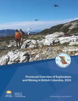 |
This volume is the latest in a series of annual reviews that dates back to 1874, when the first Annual Report of the Minister of Mines was published. To prepare the details in the district chapters, the Regional Geologists visit project sites to view outcrops and drill core and to discuss results and progress. A significant amount of information is gleaned from corporate press releases, websites and reports. Exploration expenditures, drilling estimates and other metrics for British Columbia were captured in the British Columbia Mineral and Coal Exploration Survey. The survey is a joint initiative between the Province of British Columbia Ministry of Mining and Critical Minerals, the Association for Mineral Exploration, and EY LLP. The forecasted total value of mining production is $16.5 billion, close to the revised estimate for 2023. Exploration expenditures decreased from $643.5 million in 2023 to $552.1 million in 2024, consistent with global downward trends but not with Canada�s other top exploration jurisdictions of Ontario and Quebec. |
| Issue ID: | IC2025-01-01 |
| Title: | Exploration and Mining in British Columbia, 2024: A summary |
| Author(s): | Clarke, G., Northcote, B.K., Corcoran, N.L., Pothorin, C., Heidarian, H., and Hancock, K. |
| Series Name: | Information Circular |
| Publication Year: | 2025 |
| Larger Work Citation: | Provincial Overview of Exploration and Mining in British Columbia, 2024. British Columbia Ministry of Mining and Critical Minerals, British Columbia Geological Survey Information Circular 2025-01 |
| Place Keyword(s): | British Columbia |
| Theme Keyword(s): | exploration, mining, annual, information circular |
Download(s):
| PDF |
| Issue ID: | IC2025-01-02 |
| Title: | Exploration and mining in the Northwest Region, British Columbia |
| Author(s): | Corcoran, N. |
| Series Name: | Information Circular |
| Publication Year: | 2025 |
| Larger Work Citation: | Provincial Overview of Exploration and Mining in British Columbia, 2024. British Columbia Ministry of Mining and Critical Minerals, British Columbia Geological Survey Information Circular 2025-01 |
| Place Keyword(s): | British Columbia, Northwest British columbia |
| Theme Keyword(s): | exploration, mining, annual, information circular |
Download(s):
| PDF |
| Issue ID: | IC2025-01-03 |
| Title: | Exploration and mining in the North Central and Northeast regions, British Columbia |
| Author(s): | Heidarian, H. |
| Series Name: | Information Circular |
| Publication Year: | 2025 |
| Larger Work Citation: | Provincial Overview of Exploration and Mining in British Columbia, 2024. British Columbia Ministry of Mining and Critical Minerals, British Columbia Geological Survey Information Circular 2025-01 |
| Place Keyword(s): | British Columbia, Northeast and central British Columbia |
| Theme Keyword(s): | exploration, mining, annual, information circular |
Download(s):
| PDF |
| Issue ID: | IC2025-01-04 |
| Title: | Exploration and mining in the South Central Region, British Columbia |
| Author(s): | Pothorin, C. |
| Series Name: | Information Circular |
| Publication Year: | 2025 |
| Larger Work Citation: | Provincial Overview of Exploration and Mining in British Columbia, 2024. British Columbia Ministry of Mining and Critical Minerals, British Columbia Geological Survey Information Circular 2025-01 |
| Place Keyword(s): | British Columbia, South central British Columbia |
| Theme Keyword(s): | exploration, mining, annual, information circular |
Download(s):
| PDF |
| Issue ID: | IC2025-01-05 |
| Title: | Exploration and mining in the Southeast Region, British Columbia |
| Author(s): | Hancock, K. |
| Series Name: | Information Circular |
| Publication Year: | 2025 |
| Larger Work Citation: | Provincial Overview of Exploration and Mining in British Columbia, 2024. British Columbia Ministry of Mining and Critical Minerals, British Columbia Geological Survey Information Circular 2025-01 |
| Place Keyword(s): | British Columbia, Southeast British Columbia |
| Theme Keyword(s): | exploration, mining, annual, information circular |
Download(s):
| PDF |
| Issue ID: | IC2025-01-06 |
| Title: | Exploration and mining in the Southwest Region, British Columbia |
| Author(s): | Northcote, B.K. |
| Series Name: | Information Circular |
| Publication Year: | 2025 |
| Larger Work Citation: | Provincial Overview of Exploration and Mining in British Columbia, 2024. British Columbia Ministry of Mining and Critical Minerals, British Columbia Geological Survey Information Circular 2025-01 |
| Place Keyword(s): | British Columbia, Southwest British Columbia |
| Theme Keyword(s): | exploration, mining, annual, information circular |
Download(s):
| PDF |
| Issue ID: | IC2025-02 |
| Title: | British Columbia Geological Survey |
| Author(s): | British Columbia Geological Survey |
| Series Name: | Information Circular |
| Publication Year: | 2025 |
| Place Keyword(s): | British Columbia |
| Theme Keyword(s): | British Columbia Geological Survey, Cordilleran Geoscience Section, Resource Information Section |
Download(s):
| PDF |
Abstract:
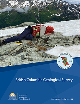 |
Information Circular 2025-02 summarizes the mission and activities of the British Columbia Geological Survey. |
| Issue ID: | IC2025-03 |
| Title: | British Columbia Geological Survey Mineral Development Office |
| Author(s): | British Columbia Geological Survey |
| Series Name: | Information Circular |
| Publication Year: | 2025 |
| Place Keyword(s): | British Columbia |
| Theme Keyword(s): | Mineral Development Office, mineral exploration, mining, Regional Geologists |
Download(s):
| PDF |
Abstract:
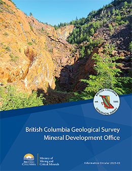 |
Information Circular 2025-03 summarizes the mission and activities of the British Columbia Geological Survey Mineral Development Office. |
| Issue ID: | IC2025-04 |
| Title: | Online databases at the British Columbia Geological Survey |
| Author(s): | British Columbia Geological Survey |
| Series Name: | Information Circular |
| Publication Year: | 2025 |
| Place Keyword(s): | British Columbia |
| Theme Keyword(s): | MapPlace 2, geochemical database, MINFILE, COALFILE, ARIS |
Download(s):
| PDF |
Abstract:
 |
Information Circular 2025-04 describes the databases housed by the British Columbia Geological Survey and how these databases can be used. |
| Issue ID: | IC2025-05 |
| Title: | Geoscience engagement at the British Columbia Geological Survey |
| Author(s): | British Columbia Geological Survey |
| Series Name: | Information Circular |
| Publication Year: | 2025 |
| Place Keyword(s): | British Columbia |
| Theme Keyword(s): | engagement, Indigenous, communities, public |
Download(s):
| PDF |
Abstract:
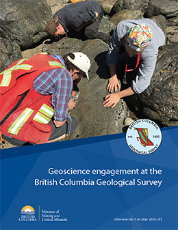 |
Information Circular 2025-05 describes the geoscience engagement program at the British Columbia Geological Survey |
| Issue ID: | IC2025-06 |
| Title: | Critical minerals research at the British Columbia Geological Survey |
| Author(s): | British Columbia Geological Survey |
| Series Name: | Information Circular |
| Publication Year: | 2025 |
| Place Keyword(s): | British Columbia |
| Theme Keyword(s): | Critical minerals, green economies, low-carbon, mineral supply chains, British Columbia Critical Mineral Strategy |
Download(s):
| PDF |
Abstract:
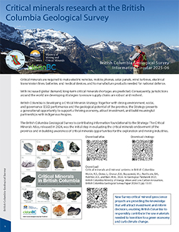 |
Critical minerals are required to make electric vehicles, mobile phones, solar panels, wind turbines, electrical transmission lines, batteries, and medical devices, and to manufacture products needed for national defence. With increased global demand, long-term critical minerals shortages are predicted. Consequently, jurisdictions around the world are developing strategies to ensure supply chains are robust and resilient. |
| Issue ID: | IC2025-08 |
| Title: | British Columbia Geological Survey publications, 2020 to 2024 |
| Author(s): | British Columbia Geological Survey |
| Series Name: | Information Circular |
| Publication Year: | 2025 |
| Place Keyword(s): | British Columbia |
| Theme Keyword(s): | publications, research, technical, documents |
Download(s):
| PDF |
Abstract:
 |
Information Circular 2025-08 details the British Columbia Geological Survey publications from 2020 to 2024 |
| Issue ID: | IC2025-09 |
| Title: | High-resolution aeromagnetic compilations of British Columbia |
| Author(s): | British Columbia Geological Survey |
| Series Name: | Information Circular |
| Publication Year: | 2025 |
| Place Keyword(s): | British Columbia |
| Theme Keyword(s): | aeromagnetic, compilation |
Download(s):
| PDF |
Abstract:
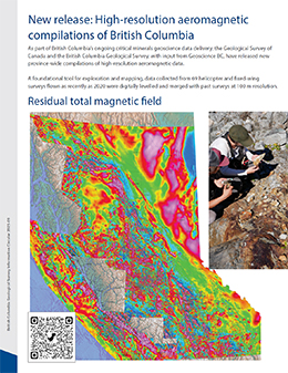 |
As part of British Columbia�s ongoing critical minerals geoscience data delivery, the Geological Survey of Canada and the British Columbia Geological Survey, with input from Geoscience BC, have released new province-wide compilations of high-resolution aeromagnetic data. A foundational tool for exploration and mapping, data collected from 69 helicopter and fixed-wing surveys flown as recently as 2020 were digitally levelled and merged with past surveys at 100 m resolution. |
| Issue ID: | GM2025-01 |
| Title: | Surficial geology of the Kinaskan Lake area, British Columbia (parts of NTS 104G/08, 09, 16, and 104H/12, 13) |
| Author(s): | Sauv�, M., Ward, B., and Ferbey, T. |
| Series Name: | Geoscience Map |
| Publication Year: | 2025 |
| NTS Map Sheet(s): | 104G, 104H |
| Place Keyword(s): | British Columbia |
| Theme Keyword(s): | surficial geology mapping, Quaternary geology, Cordilleran ice sheet, landslides, Red Chris mine |
Download(s):
| PDF |
Abstract:
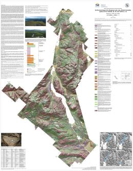 |
The Kinaskan Lake map area is characterized by uplands comprised of exposed bedrock and discontinuous veneers of till and colluvium which are separated by large valley systems containing thick accumulations of glacial and non-glacial sediments. Organic material recovered between two till units, and radiocarbon dated at >54,000 C14 years BP, indicates a minimum of two regional-scale glacial advances for the area. The upper till, the most extensive surficial sediment in the region, was deposited by the Cordilleran ice sheet during the Fraser Glaciation. Ice-flow direction during this advance was variable. A combination of landform- and outcrop-scale glacial features indicates that ice initially flowed towards the northeast and then transitioned to northwest-flow as the glacial maximum was approached. During deglaciation, localized lakes formed on the plateau surfaces and an extensive ice-dammed proglacial lake developed in the Kinaskan Lake valley and its tributaries. Glaciolacustrine sediments were deposited in these lakes and landforms such as deltas and shorelines delineate their areal extents. During the Holocene, large bedrock landslides developed at the edges of the plateaus and smaller landslides initiated in Quaternary sediments occur across the modern landscape. Patterned ground in the form of mud boils, solifluction lobes, and boulder stripes indicate active periglacial processes and discontinuous permafrost in the higher elevations of the map area. |
| Issue ID: | GF2025-01 |
| Title: | Exploration and mining in British Columbia, 2024 |
| Author(s): | Clarke, G., Northcote, B.K., Corcoran, N.L., Pothorin, C., Heidarian, H., and Hancock, K. |
| Series Name: | GeoFile |
| Publication Year: | 2025 |
| Place Keyword(s): | British Columbia |
| Theme Keyword(s): | Northwest Region, North Central Region, Northeast Region South, mineral exploration, mining |
Download(s):
| PDF |
Abstract:
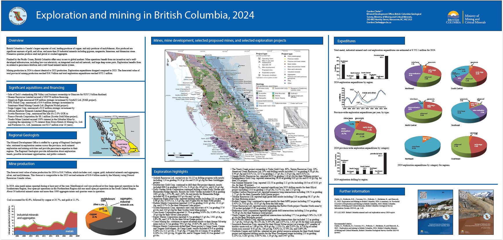 |
British Columbia is Canada�s largest exporter of coal, leading producer of copper, and only producer of molybdenum. Also produced are significant amounts of gold, and silver, and more than 30 industrial minerals including gypsum, magnesite, limestone, and dimension stone. Numerous quarries produce sand and gravel or crushed aggregate. Mining production in 2024 is almost identical to 2023 production. Exploration expenditures dropped compared to 2023. The forecasted value of total provincial mining production reached $16.5 billion and total exploration expenditures reached $552.1 million. |
| Issue ID: | GF2025-02 |
| Title: | Exploration and mining highlights, Northwest Region, 2024 |
| Author(s): | Corcoran, N.L. |
| Series Name: | GeoFile |
| Publication Year: | 2025 |
| Place Keyword(s): | British Columbia |
| Theme Keyword(s): | Northwest Region, mineral exploration, mining, exploration statistics |
Download(s):
| PDF |
Abstract:
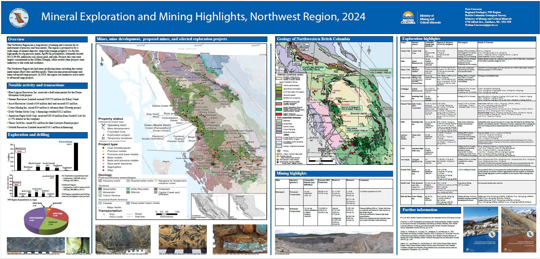 |
The Northwest Region has had many producing mines including the current metal mines (Red Chris and Brucejack). There are nine proposed mines and many advanced-stage projects. In 2024, the region saw numerous active early- to advanced-stage projects. |
| Issue ID: | GF2025-03 |
| Title: | Exploration and mining highlights, North Central and Northeast regions, 2024 |
| Author(s): | Heidarian, H. |
| Series Name: | GeoFile |
| Publication Year: | 2025 |
| Place Keyword(s): | British Columbia |
| Theme Keyword(s): | Northeast Region, North Central Region, mineral exploration, mining, exploration statistics |
Download(s):
| PDF |
Abstract:
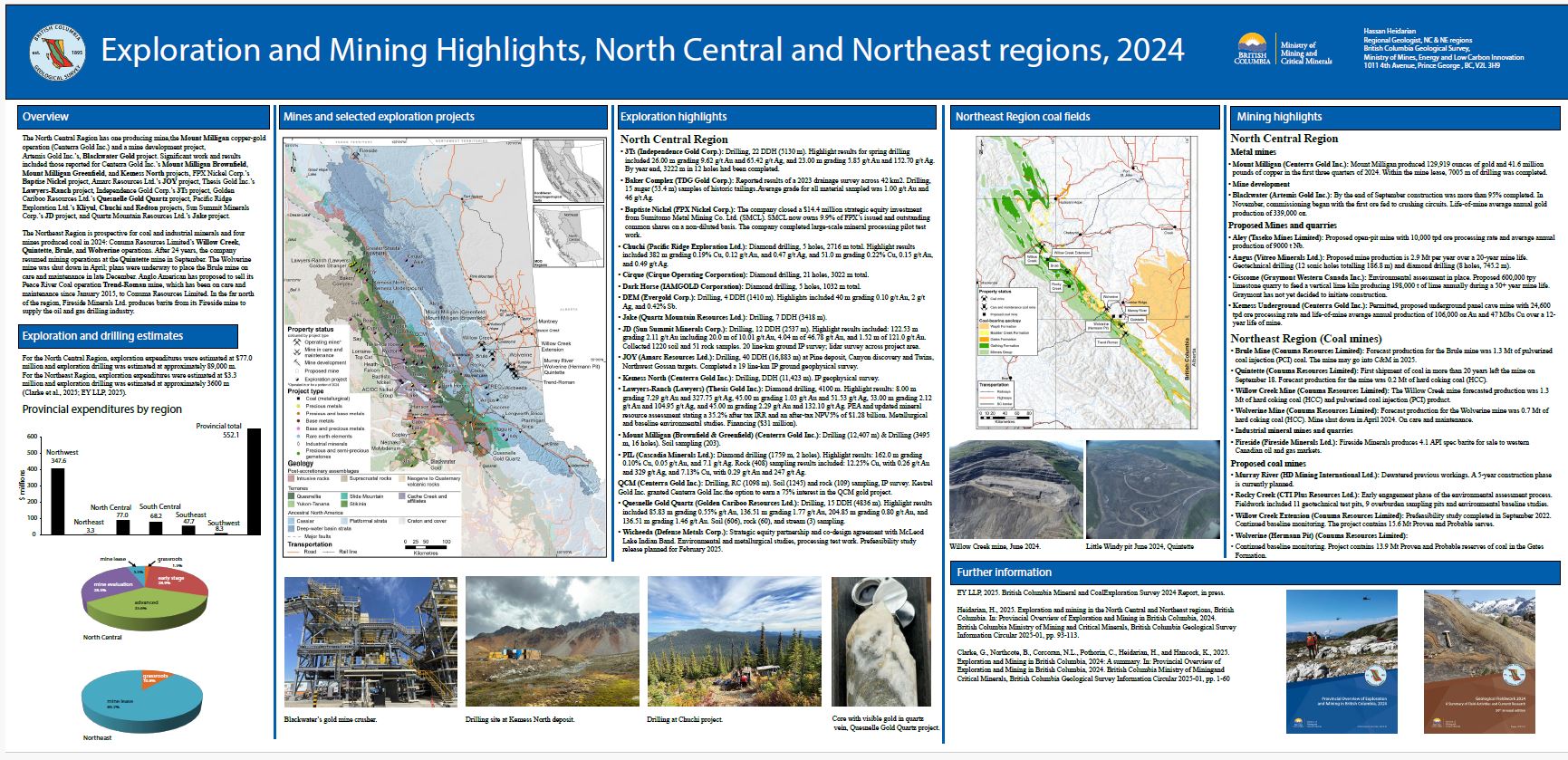 |
The North Central Region has one producing mine, the Mount Milligan copper-gold operation (Centerra Gold Inc.) and a mine development project, Artemis Gold Inc.�s, Blackwater Gold project. The Northeast Region is prospective for coal and industrial minerals and four mines produced coal in 2024: Conuma Resources Limited�s Willow Creek, Quintette, Brule, and Wolverine operations. |
| Issue ID: | GF2025-04 |
| Title: | Exploration and mining highlights, South Central Region, 2024 |
| Author(s): | Pothorin, C. |
| Series Name: | GeoFile |
| Publication Year: | 2025 |
| Place Keyword(s): | British Columbia |
| Theme Keyword(s): | South Central Region, mineral exploration, mining, exploration statistics |
Download(s):
| PDF |
Abstract:
 |
The South Central Region is the most active mining district in British Columbia and the most productive copper mining district in Canada. Currently five major metal mines are in operation, including Highland Valley Copper, Gibraltar, Copper Mountain, Mount Polley, New Afton, and one smaller operation (Elk). Basin Coal is the only coal mine in operation. |
| Issue ID: | GF2025-05 |
| Title: | Exploration and mining highlights, Southeast Region, 2024 |
| Author(s): | Hancock, K. |
| Series Name: | GeoFile |
| Publication Year: | 2025 |
| Place Keyword(s): | British Columbia |
| Theme Keyword(s): | Southeast Region, mineral exploration, mining, exploration statistics |
Download(s):
| PDF |
Abstract:
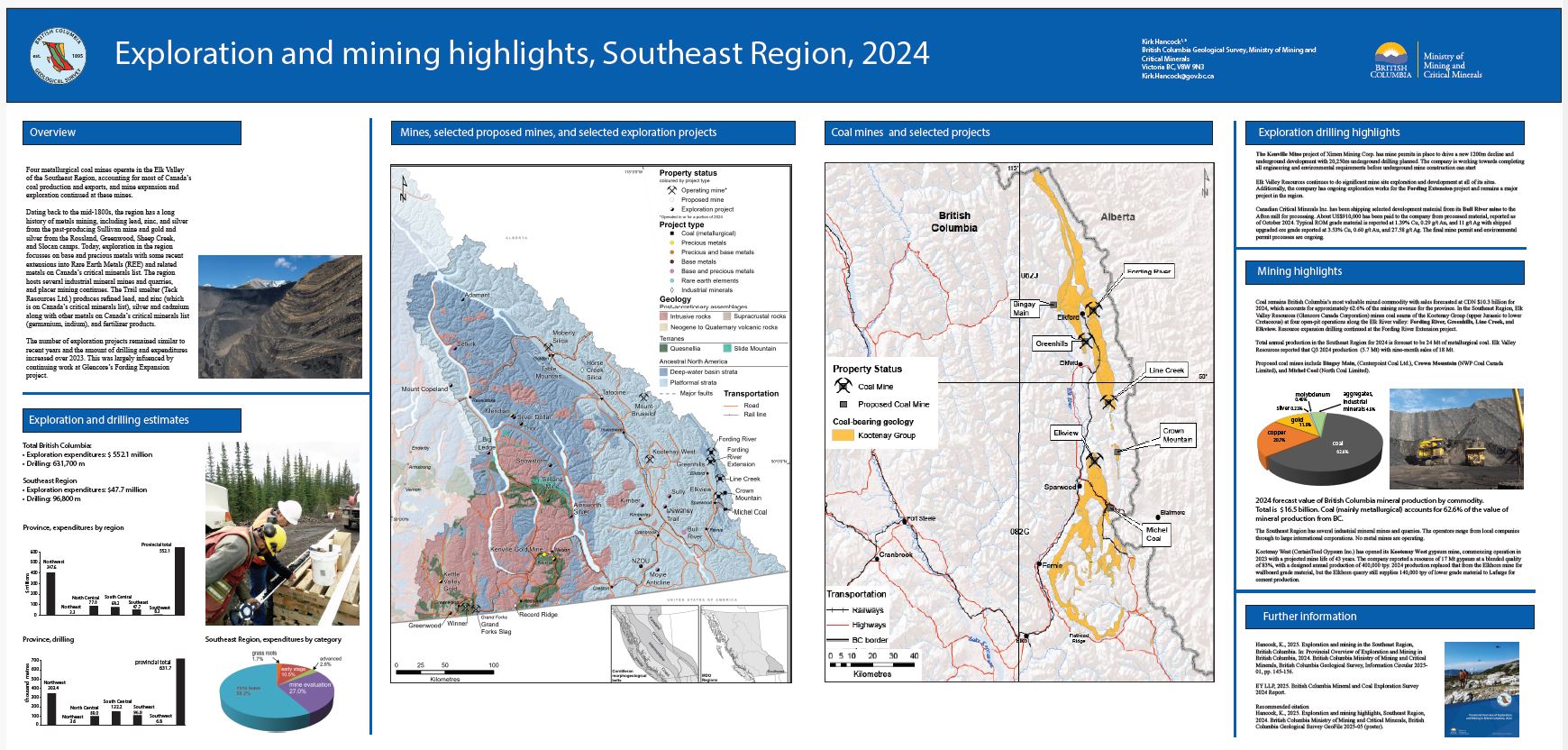 |
Four metallurgical coal mines operate in the Elk Valley of the Southeast Region, accounting for most of Canada�s coal production and exports, and mine expansion and exploration continued at these mines. The number of exploration projects remained similar to recent years and the amount of drilling and expenditures increased over 2023. This was largely infuenced by continuing work at Glencore�s Fording Expansion project. |
| Issue ID: | GF2025-06 |
| Title: | Exploration and mining highlights, Southwest Region, 2024 |
| Author(s): | Northcote, B.K. |
| Series Name: | GeoFile |
| Publication Year: | 2025 |
| Place Keyword(s): | British Columbia |
| Theme Keyword(s): | Southwest Region, mineral exploration, mining, exploration statistics |
Download(s):
| PDF |
Abstract:
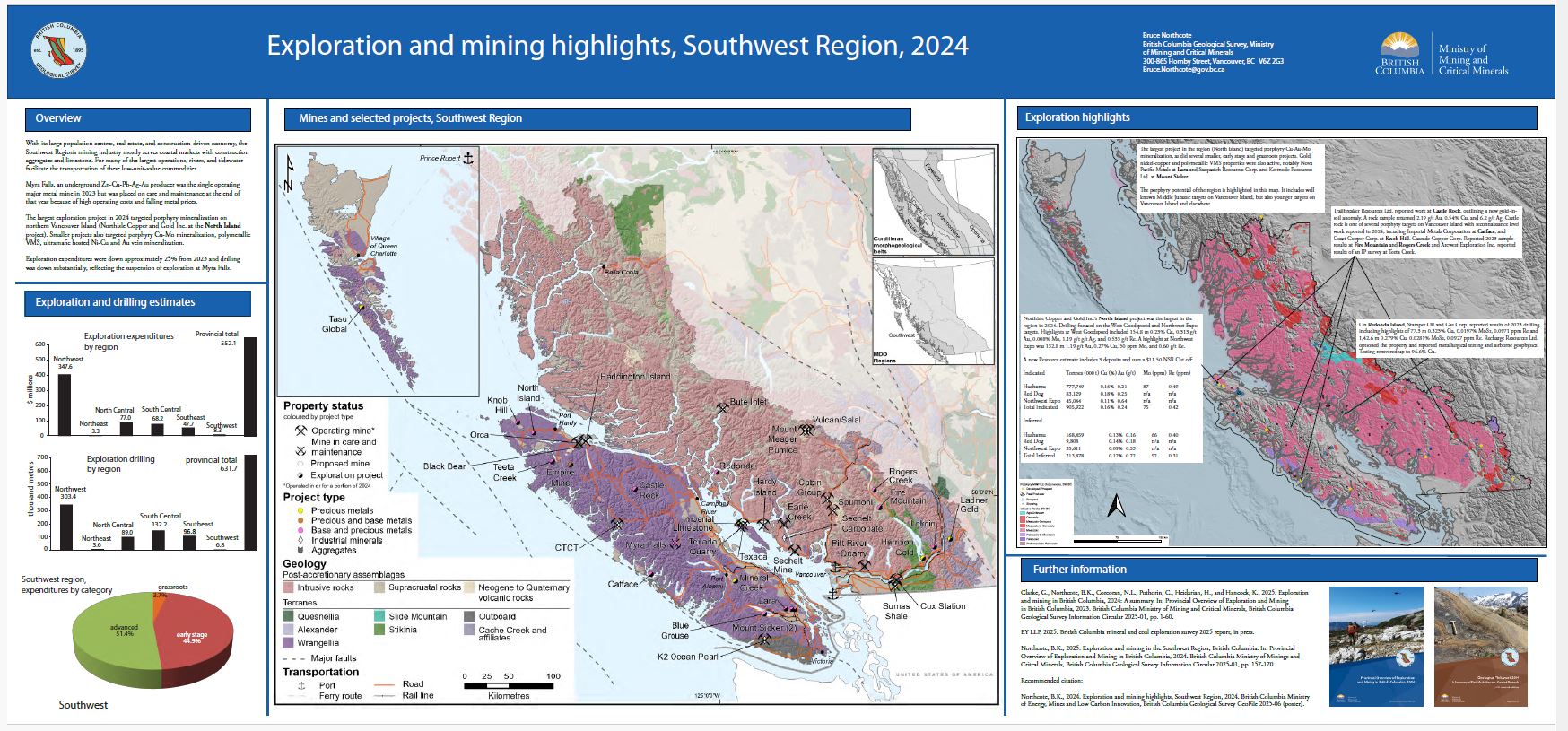 |
With its large population centres, real estate, and construction-driven economy, the Southwest Region�s mining industry mostly serves coastal markets with construction aggregates and limestone. For many of the largest operations, rivers, and tidewater facilitate the transportation of these low-unit-value commodities. Myra Falls, an underground Zn-Cu-Pb-Ag-Au producer was the single operating major metal mine in 2023 but was placed on care and maintenance at the end of that year because of high operating costs and falling metal prices. Exploration expenditures were down approximately 25% from 2023 and drilling was down substantially, reflecting the suspension of exploration at Myra Falls. |
| Issue ID: | GF2025-07 |
| Title: | Assessment report summary: Expenditures and activities 2022 |
| Author(s): | Wallace, B., Grundy, R., and Harrison, D. |
| Series Name: | GeoFile |
| Publication Year: | 2025 |
| Place Keyword(s): | British Columbia |
| Theme Keyword(s): | ARIS, assessment reports, exploration expenditures, exploration activities, digital data |
Download(s):
| PDF |
Abstract:
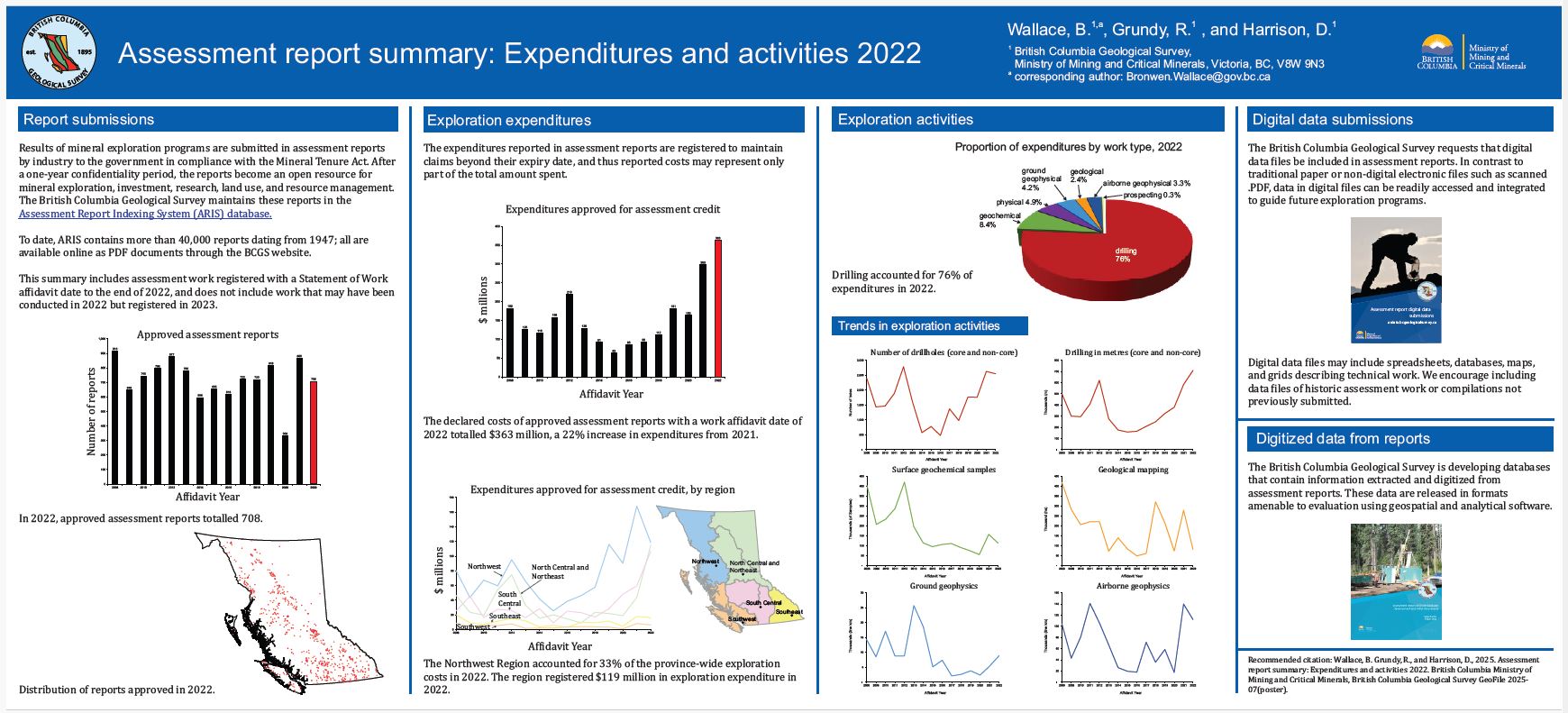 |
Results of mineral exploration programs are submitted in assessment reports by industry to the government in compliance with the Mineral Tenure Act. The British Columbia Geological Survey maintains these reports in the Assessment Report Indexing System (ARIS). This summary includes work registered with a Statement of Work affidavit date to the end of 2022. The expenditures reported in assessment reports are registered to maintain claims beyond their expiry date and thus reported costs represent only a portion of the total amount spent. |
| Issue ID: | GF2025-09 |
| Title: | Supplementary data for British Columbia carbonatites revisited: New whole rock Sr-Pb-Nd isotopic insights and drainage prospectivity trends |
| Author(s): | Rukhlov, A.S., Ootes, L., Creaser, R.A., Cunningham, Q.F., de Waal, F.S., and Wenger, D.K. |
| Series Name: | GeoFile |
| Publication Year: | 2025 |
| Place Keyword(s): | British Columbia |
| Theme Keyword(s): | carbonatite, alkaline rocks, trace elements, Sr-Pb-Nd isotopes, Re-Os molybdenite model age |
Download(s):
| PDF, ZIP (View Zip Contents) |
Abstract:
 |
This GeoFile serves as a data repository for Rukhlov et al. (2025b). It provides complete field and analytical data for whole-rock and stream-sediment samples downstream of known carbonatites and related alkaline rocks in southeastern British Columbia, including sample details; whole-rock lithochemistry and Sr-Pb-Nd isotopic data; a new Re-Os molybdenite date; stream-sediment lithochemistry; and a summary of analytical methods, quality control, and results. |
| Issue ID: | GF2025-10 |
| Title: | LA-ICP-MS data files for optimized workflow analyses and reproducibility of hydrothermal magnetite as an indicator for porphyry copper deposits |
| Author(s): | Morris, R., Canil, D., and Lacourse, T. |
| Series Name: | GeoFile |
| Publication Year: | 2025 |
| Place Keyword(s): | British Columbia |
| Theme Keyword(s): | porphyry copper deposits, magnetite, indicator minerals, LA-ICP-MS, optimized workflow exploration |
Download(s):
| PDF, ZIP (View Zip Contents) |
Abstract:
 |
This release provides major and trace element chemistry data from magnetite analyses in bulk subglacial till samples collected near the Mount Polley porphyry copper deposit. These samples were re-analyzed by laser ablation inductively coupled mass spectrometry (LA-ICP-MS) using revised and optimized workflows described in Morris et al. (2025). |
| Issue ID: | GF2025-11 |
| Title: | Assessment report drillhole database: Development and initial data release |
| Author(s): | Fortin, G., and Silva, P.L. |
| Series Name: | GeoFile |
| Publication Year: | 2025 |
| Place Keyword(s): | British Columbia |
| Theme Keyword(s): | Geochemical data, assessment reports, drillhole samples, digitization, compilation |
Download(s):
| PDF, ZIP (View Zip Contents) |
Abstract:
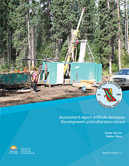 |
ARIS (Assessment Report Index System) is a collection of more than 40,000 reports that detail results from mineral exploration and development programs. Submitted by the exploration and mining industry to comply with Mineral Tenure Act Regulations and maintain titles in good standing, the reports become an open resource after a one-year confidentiality period. Although containing a wealth of information, the assessment reports are typically submitted in a form (e.g., paper or PDF file) that makes working with the data cumbersome. To address this problem, we are developing databases that contain information extracted and digitized from assessment reports and releasing data in formats that are amenable to evaluation using geospatial and analytical software. This initial release of drillhole data from assessment reports includes collar information, lithological descriptions and assays from more than 400 reports. |
| Issue ID: | GF2025-12 |
| Title: | Assay data for volcanogenic massive sulfide (VMS) deposit samples from British Columbia |
| Author(s): | Piercey, S.J. |
| Series Name: | GeoFile |
| Publication Year: | 2025 |
| Place Keyword(s): | British Columbia |
| Theme Keyword(s): | Volcanogenic massive sulphide, VMS, critical minerals, bulk-rock geochemistry, assay |
Download(s):
| PDF, ZIP (View Zip Contents) |
Abstract:
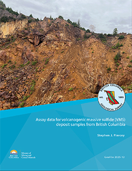 |
This release provides multi-element assay and quality control and quality assurance data to support the initial study of critical minerals in provincial volcanogenic massive sulphide deposits by Piercey et al. (2025). |
| Issue ID: | GF2025-08 |
| Title: | British Columbia radiogenic isotope compilation (Sr-Nd-Hf-Pb) |
| Author(s): | British Columbia Geological Survey |
| Series Name: | GeoFile |
| Publication Year: | 2025 |
| Place Keyword(s): | British Columbia |
| Theme Keyword(s): | radiogenic isotopes, geochronology, geochemistry, database management, data product |
Download(s):
| PDF, ZIP (View Zip Contents) |
Abstract:
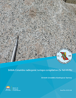 |
As part of province-wide geochemical re-analysis, the British Columbia Geological Survey is collecting hundreds of new whole rock radiogenic isotope and trace-element data. Here we contribute whole rock and mineral Sr-Nd-Hf-Pb and galena Pb isotopic data, compiled from 1439 samples. |
| Issue ID: | GF2025-13 |
| Title: | Geochemical analyses of SEDEX deposits in eastern British Columbia |
| Author(s): | Graham, A.C., and Ootes, L. |
| Series Name: | GeoFile |
| Publication Year: | 2025 |
| Place Keyword(s): | British Columbia |
| Theme Keyword(s): | SEDEX, critical metals, critical minerals, companion metals, Sullivan |
Download(s):
| PDF, ZIP (View Zip Contents) |
Abstract:
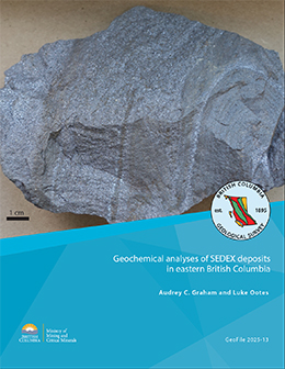 |
Sedimentary exhalative (SEDEX) deposits with primary commodities Pb, Zn, and Ag commonly contain recoverable concentrations of companion metals (e.g., Bi, Cd, Ga, Ge, In, Sb, Sn, Te). These companion metals, which could be recovered as by-products, are on the critical mineral lists of many political jurisdictions. Although SEDEX deposits near the western margin of Ancestral North America have long been recognized, the amount and distribution of companion metals in these deposits remains unclear. This contribution provides bulk-rock geochemical data for 40 mineralized samples retrieved from the British Columbia Geological Survey rock archive from SEDEX and related deposits and mineral occurrences in Belt-Purcell basin, south Kootenay arc, Monashee-Shuswap region, Germansen Landing area, and the Kechika trough. Samples from all regions are strongly enriched (>100x the average concentration of upper continental crust) in Cd, Sb, and Te. Massive sulphide samples from past-producing deposits in Belt-Purcell basin, including the Sullivan mine, are strongly enriched in In (up to 113 ppm) and moderately enriched (10-100x average upper continental crust) in Sn and Bi. Samples from the Cottonbelt occurrence in the Monashee-Shuswap region are weakly to moderately enriched in In (up to 6 ppm). Stratiform laminated sulphide-barite samples from the Cirque project in the Kechika trough are weakly (<10x average upper continental crust) to moderately enriched in Ge and sporadically moderately enriched in In (up to 3 ppm). Samples from the Reeves MacDonald deposit in south Kootenay arc and mineral occurrences in the Germansen Landing area are moderately enriched in Ge (up to 35 ppm). |
| Issue ID: | GF2025-14 |
| Title: | U-Pb geochronological data for intrusive rocks near the Schaft Creek and Galore Creek deposits (southern Telegraph Creek area, NTS 104G), northwestern British Columbia |
| Author(s): | Bailey, L., Kim, R., Takaichi, M., Logan, J., Crowley, J., Friedman, R., Wall, C., van Straaten, B.I., and Campbell, R. |
| Series Name: | GeoFile |
| Publication Year: | 2025 |
| Place Keyword(s): | British Columbia, Schaft Creek, northwestern British Columbia, Galore Creek |
| Theme Keyword(s): | Geochronology, U-Pb, zircon, CA-TIMS, LA-ICPMS |
Download(s):
| PDF, ZIP (View Zip Contents) |
Abstract:
 |
This release provides U-Pb geochronology data for 19 intrusive rock samples from northwestern British Columbia. Samples were collected between 2005-2023 by Teck Resources Limited, Galore Creek Mining Corporation, and the British Columbia Geological Survey from Late Triassic to Cretaceous intrusive rocks in Stikine terrane. The dataset can be used to better understand the magmatic evolution of Stikine terrane, particularly as it relates to the Schaft Creek and Galore Creek porphyry deposits. |
| Issue ID: | GF2025-17 |
| Title: | Report on samples collected for radiolaria identification in the Atlin area, northwest British Columbia |
| Author(s): | Cordey, F., Zagorevski, A., and Mihalynuk, M.G. |
| Series Name: | GeoFile |
| Publication Year: | 2025 |
| Place Keyword(s): | British Columbia |
| Theme Keyword(s): | radiolaria, Permian, Sentinel terrane, Atlin terrane, Cache Creek terrane |
Download(s):
| PDF, ZIP (View Zip Contents) |
Abstract:
 |
Geofile 2025-17 reports on 18 samples collected in 2024 as part of the joint Federal-Provincial GEM-GeoNorth project. This report builds on results presented previously from 35 samples that were collected during mapping of the Gladys Lake area in 2023 as part of an ongoing topical study in south-central Yukon. Standard radiolaria extraction and identification were performed at the Universit� Claude Bernard. Ages could be successfully determined from radiolaria extracted from seven of the 18 samples. Radiolaria identified from six of the samples are Permian, one is Pennsylvanian. |
| Issue ID: | GF2025-15 |
| Title: | U-Pb geochronologic data from samples collected as part of the Southern Nicola Arc Project |
| Author(s): | Mihalynuk, M.G., Friedman, R.M., and Wall, C. |
| Series Name: | GeoFile |
| Publication Year: | 2025 |
| Place Keyword(s): | British Columbia |
| Theme Keyword(s): | U-Pb geochronology, detrital zircons, Nicola Group, Quesnel terrane, Norian |
Download(s):
| PDF, ZIP (View Zip Contents) |
Abstract:
 |
Geofile 2025-15 contains data that support geochronological studies of the Nicola Group in southern British Columbia. This data release is focussed on methodology, quality control data, and results of U-Pb geochronological analyses of samples collected from the Nicola Group during fieldwork conducted as part of the Southern Nicola Arc Project. Here, we present one set of unpublished CA-TIMS U-Pb zircon age data, as well as data that augment those presented in Mihalynuk et al. (2025), and provide data and plots for maximum depositional age (MDA) determinations for a set of samples previously published only in graphical form. |
| Issue ID: | GF2025-16 |
| Title: | 40Ar/39Ar geochronologic data from samples collected as part of the Southern Nicola Arc Project |
| Author(s): | Gabites, J.E. and Mihalynuk, M.G. |
| Series Name: | GeoFile |
| Publication Year: | 2025 |
| Place Keyword(s): | British Columbia, Merritt, Princeton |
| Theme Keyword(s): | 40Ar/39Ar geochronology, thermochronology, Nicola Group, Quesnel terrane, Missezula formation |
Download(s):
| PDF, ZIP (View Zip Contents) |
Abstract:
 |
Geofile 2025-16 contains data that support geochronological studies of the Nicola Group in southern British Columbia. This data release is primarily focussed on methodology, quality control data, and results of 40Ar/39Ar geochronological analyses of samples collected mainly from the Nicola Group during fieldwork conducted as part of the Southern Nicola Arc Project. |
| Issue ID: | GF2025-18 |
| Title: | Volcanic evolution and refinement of stratigraphy hosting porphyry systems in the southern Nicola arc |
| Author(s): | Mihalynuk, M.G., Wall, C., and Zagorevski, A. |
| Series Name: | GeoFile |
| Publication Year: | 2025 |
| Place Keyword(s): | British Columbia, Merritt, Princeton |
| Theme Keyword(s): | U-Pb geochronology, 40Ar/39Ar geochronology, detrital zircons, CA-TiMS, Nicola Group |
Download(s):
| PDF |
Abstract:
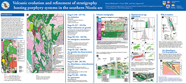 |
Here we present the refined Nicola Group volcano-stratigraphy between Merritt and Princeton. This segment of the Middle to Late Triassic arc bridges important porphyry copper camps of Copper Mountain, Highland Valley, and Iron Mask. Refinements are based on more than 50 new isotopic age data sets and new fossil collections selected from >8800 field stations. Nearly a third of the age dates were from detrital zircons, key to distinguishing similar-looking sedimentary successions. Some of these ages, acquired by laser ablation ICP-MS, lacked resolution required by the new stratigraphic framework. This problem was addressed through reanalysis of the youngest zircons identified by LA-ICP-MS using high-precision thermal ionization (TIMS) techniques. From these isotopic and field data arise a six-stage Nicola arc history. |
| Issue ID: | P2024-02 |
| Title: | Mineral potential modelling at the British Columbia Geological Survey: Renewed methods with application to northwestern British Columbia |
| Author(s): | Wearmouth, C., Czertowicz, T., Peters, K.J., and Orovan, E. |
| Series Name: | Paper |
| Publication Year: | 2025 |
| Place Keyword(s): | British Columbia |
| Theme Keyword(s): | Mineral potential modelling, mineral potential map, land-use planning, mineral systems, statistical methods |
Download(s):
| PDF, ZIP (View Zip Contents) |
Abstract:
 |
After about 30 years, The British Columbia Geological Survey is revitalizing its mineral potential mapping efforts. This new modelling takes advantage of information gained from bedrock mapping carried out and mineral occurrences discovered since the 1990s, improved exploration techniques, and a better understanding of the geologic processes leading to mineralization. Furthermore, developments in high-level programming languages and exponential increases in computing power have led to significant advances in applying geographic information system (spatial GIS) platforms and using computerized statistical methods to model mineral potential. The current work adopts a mineral systems approach, which emphasizes similarities between deposits and takes a large-scale view of all the components that control generating and preserving deposits (source, transport, trap, and deposition) using multiple geological features as proxies for the presence of a complete mineral system. We use the weights of evidence method for statistical spatial analysis of many mappable proxies (e.g., distance to intrusive rock contacts, density of fault intersections, presence of anomalous geochemical stream-sediment sample, and occurrence of magnetic high anomalies) to model the mineral potential for porphyry, volcanogenic massive sulphide, and mafic to ultramafic sulphide mineral systems in a large region of northwestern British Columbia. Area-frequency and percentile-frequency plots validate the models and suggest that the region is most prospective for porphyries. The current modelling will assist land-use conversations between multiple parties with diverse interests. The modelling will also be used to evaluate the provincial endowment of critical minerals, particularly in underexplored areas. |
| Issue ID: | OF2024-05 |
| Title: | Preliminary mineral potential maps for the porphyry, volcanic massive sulphide, and magmatic mafic-ultramafic mineral systems, northwestern British Columbia |
| Author(s): | Wearmouth, C., Czertowicz, T., Peters, K.J., and Orovan, E. |
| Series Name: | Open File |
| Publication Year: | 2025 |
| Place Keyword(s): | British Columbia, Northwest Region, North Central Region |
| Theme Keyword(s): | Mineral potential modelling, mineral potential map, land-use planning, mineral systems, geospatial data treatment |
Download(s):
| PDF, ZIP (View Zip Contents) |
Abstract:
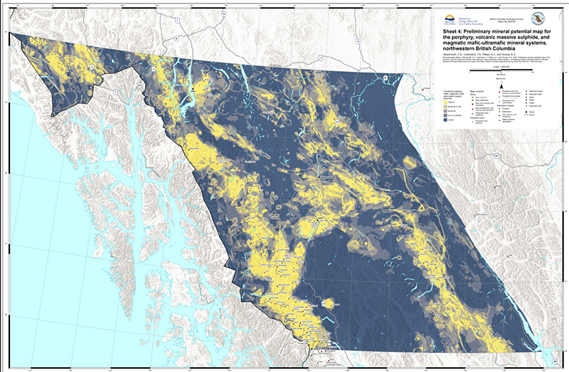 |
After about 30 years, the British Columbia Geological Survey is revitalizing its mineral potential mapping efforts. This new modelling takes advantage of information gained from bedrock mapping since the 1990s, improved exploration techniques, new exploration discoveries, and a better understanding of the geologic processes leading to mineralization. Also, exponential increases in computing power in the last 30 years have led to significant advances in applying geographic information system (GIS) platforms and using computerized statistical methods to model mineral potential. The current work adopts a mineral systems approach, which emphasizes similarities between deposits and takes a large-scale view of all the components that control generating and preserving deposits (source, transport, trap, and deposition) and uses multiple geological features as proxies for the presence of a complete mineral system. We use the weights of evidence method statistical spatial analysis of many mappable proxies (e.g., distance to intrusive rock contacts, fault intersection density, stream-sediment geochemical anomalies, magnetic anomalies) to model the mineral potential for porphyry, volcanogenic massive sulphide and mafic to ultramafic sulphide mineral systems in a large region of northwestern British Columbia. The study area includes the lands and traditional territories of many Indigenous rights holders, and this new mineral potential modelling will support decision-making processes and land-use decisions. Also, as society places more value on the transition to a low-carbon future, demand for minerals important for energy generation, storage, and transmission will increase. The new modelling will aid in the search for relatively common critical elements such as copper, but also for ancillary �companion� critical elements which, occurring in small amounts, were previously overlooked or considered uneconomic. In this release we present mineral potential modelling maps for the porphyry mineral system (Sheet 1), the volcanogenic massive sulphide system (Sheet 2), and the magmatic mafic-ultramafic system (Sheet 3) and a map that combines the results from all three systems (Sheet 4). These maps depict the relative prospectivity of both primary and companion commodities. |
| Issue ID: | OF2024-11 |
| Title: | Preliminary mineral potential maps for the SEDEX and MVT mineral systems, northeastern British Columbia |
| Author(s): | Wearmouth, C., Czertowicz, T.A., and Peters, K.J. |
| Series Name: | Open File |
| Publication Year: | 2025 |
| Place Keyword(s): | British Columbia, North Central Region, Northeast Region |
| Theme Keyword(s): | Mineral potential modelling, mineral potential map, land-use planning, mineral systems, geospatial data treatment |
Download(s):
| PDF, ZIP (View Zip Contents) |
Abstract:
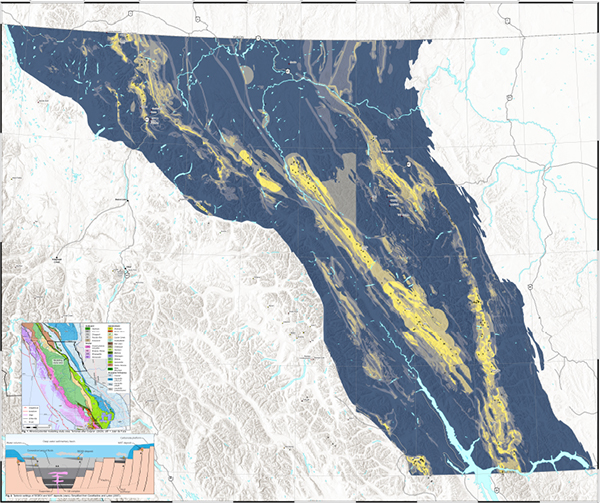 |
The British Columbia Geological Survey is revitalizing mineral potential mapping after nearly 30 years. This modelling uses data from bedrock mapping since the 1990s and integrates new discoveries, advanced exploration methods, and improved knowledge of geological processes. Furthermore, increased computing power during the past three decades has boosted the use of GIS platforms and statistical methods for mineral potential modelling. The current work uses a mineral systems approach, which focusses on the similarities between different deposits. This approach considers all the factors involved in creating and preserving deposits (source, transport, trap, and deposition). Herein we apply the weights of evidence method for statistical spatial analysis of numerous mappable indicators (e.g., proximity to intrusive rock contacts, fault intersection density, stream-sediment geochemical anomalies, magnetic anomalies) to model the mineral potential for sedimentary exhalative (SEDEX) and Mississippi Valley-type (MVT) mineral systems in a large area of northeastern British Columbia.The study region encompasses the lands and traditional territories of many Indigenous rights holders, and this new mineral potential modeling will support decision-making and land-use planning. As society emphasizes a shift towards a low-carbon future, there will be an increased demand for minerals crucial for energy generation, storage, and transmission. This new modeling supports the search for both common critical elements like copper and ancillary 'companion' critical elements that were previously considered uneconomic or insignificant. This release presents mineral potential modelling maps for the sedimentary exhalative (SEDEX) mineral system (Sheet 1), the Mississippi Valley-type system (Sheet 2), and a combined map of both systems (Sheet 3), illustrating the relative prospectivity of primary and companion commodities. |
| Issue ID: | IC2025-07 |
| Title: | Mineral potential modelling at the British Columbia Geological Survey |
| Author(s): | British Columbia Geological Survey |
| Series Name: | Information Circular |
| Publication Year: | 2025 |
| Place Keyword(s): | British Columbia |
| Theme Keyword(s): | Mineral potential modelling, mineral potential map, land-use planning, mineral systems, statistical methods |
Download(s):
| PDF |
Abstract:
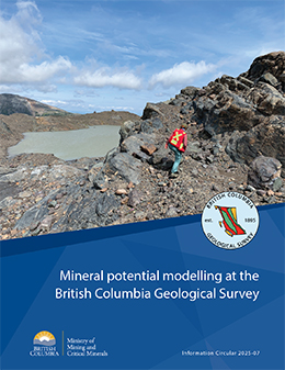 |
The British Columbia Geological Survey is revitalizing its mineral potential mapping. The modelling will be used to evaluate the provincial endowment of critical minerals, particularly in underexplored areas. In addition, robust mineral potential information is a key component to guide land-use and investment decisions by government, Indigenous groups, and industry. |
| Issue ID: | GF2025-19 |
| Title: | Sedimentary hosted lead-zinc deposits in British Columbia |
| Author(s): | Northcote, B.K. |
| Series Name: | GeoFile |
| Publication Year: | 2025 |
| Place Keyword(s): | British Columbia |
| Theme Keyword(s): | Lead-zinc deposits, sedimentary-hosted, sedimentary exhalative, SEDEX, Mississippi Valley type |
Download(s):
| PDF |
Abstract:
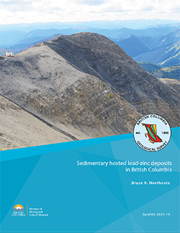 |
Autochthonous and parautochthonous terranes in the eastern part of the Canadian Cordillera in British Columbia are among the few global settings prospective for sedimentary-hosted lead-zinc deposits. These deposits contain most of the provincial zinc inventory and have the potential to host other critical-mineral companion metals. Known sedimentary exhalative (SEDEX), Mississippi Valley (MVT), and related Irish-type deposits are grouped into nine geographical regions based on occurrence clusters and comparable geology, with a tenth category for outliers of related occurrences beyond these regions. SEDEX deposits fall into six of the nine regions and into three age categories from Mesoproterozoic to Paleozoic. Shelf MVT deposits are in an overlapping set of six of the nine regions and are typically younger than their deep-water basin SEDEX counterparts. Exploration in the identified prospective areas offers the best likelihood of success, with opportunities to expand into adjacent regions with similar geological settings. |
| Issue ID: | GF2025-20 |
| Title: | Preliminary bedrock geology of the Kitsault River area, northwestern British Columbia: GIS data |
| Author(s): | Miller, E.A., van Straaten, B.I., Ferri, M.D., and Hunter, R. |
| Series Name: | GeoFile |
| Publication Year: | 2025 |
| Place Keyword(s): | British Columbia |
| Theme Keyword(s): | Kitsault River, Stikinia, Golden Triangle, Stuhini Group, Hazelton Group |
Download(s):
| PDF, ZIP (View Zip Contents) |
Abstract:
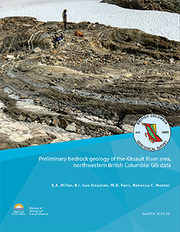 |
This release provides a digital preliminary update to 1:50,000-scale mapping in the Kitsault River area including GIS files for bedrock geology and sites examined (outcrop, subcrop, float, and drill holes) and unit description spreadsheets. |
| Issue ID: | GF2025-21 |
| Title: | New geochronologic data, Kitsault River area, northwestern British Columbia: Igneous zircons (high-precision CA-TIMS), detrital zircons (LA-ICP-MS), and molybdenite (Re-Os) |
| Author(s): | Miller, E.A., Ferri, M.D., Wall, C., Creaser, R.A., van Straaten, B.I., and Graham, A.C. |
| Series Name: | GeoFile |
| Publication Year: | 2025 |
| Place Keyword(s): | British Columbia |
| Theme Keyword(s): | Kitsault River, Stikinia, Golden Triangle, Stuhini Group, Hazelton Group |
Download(s):
| PDF, ZIP (View Zip Contents) |
Abstract:
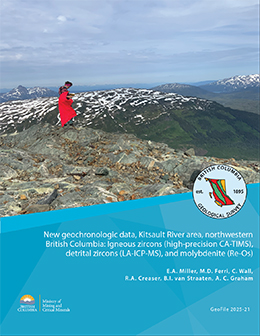 |
This release provides the full data, detailed methods, and interpreted ages for 14 high-precision CA-TIMS igneous U-Pb zircon ages, four LA-ICP-MS detrital U-Pb zircon ages, and three Re-Os molybdenite hydrothermal mineralization ages from samples collected in the Kitsault River area of northwestern British Columbia. The CA-TIMS ages are interpreted as recording times of crystallization and include samples from the Hyder intrusive suite (Hyder pluton; Eocene; one sample), Alice Arm intrusive suite (Ajax and Lime Creek stocks; Eocene; three samples), the upper part of the Hazelton Group (Upper Jurassic; two samples), the Texas Creek intrusive suite (Bulldog Creek pluton; Lower Jurassic; one sample), and the lower part of the Hazelton Group (Betty Creek Formation; Upper Triassic to Lower Jurassic; seven samples). LA-ICP-MS U-Pb detrital zircon ages represent maximum depositional ages and include those from the Bowser Lake Group (upper Jurassic; one sample), upper Hazelton Group (Middle to Upper Jurassic; two samples), and Stuhini Group (Upper Triassic; one sample). The three Re-Os molybdenite ages are hydrothermal mineralization ages from Eocene Mo-porphyry systems using molybdenite recovered from veins that cut the Lime Creek stock (Alice Arm intrusive suite) of the past-producing Kitsault mine (MINFILE 103P 120; two samples) and veins that cut Stuhini Group rocks at the Ajax deposit (MINFILE 103P 223; one sample). |


